San Juan Skyway
The San Juan Skyway is a 236-mile loop of State and Federal highways in southwestern Colorado. San Juan Skyway was designated a National Scenic Byway in 1996. The section of the byway from Cortez to Ridgway has been covered in detail in my photo-essay, Southwest Colorado Roadtrip Part 2. Most all the towns along the byway are also covered in individual photo-essays, and links are provided. The focus of this presentation will be on scenery and interesting places between the historic towns associated with the San Juan Skyway.
San Juan Skyway Map
San Juan Skyway Magazine Sumer/Fall 2022
U.S. Highway 160 - Durango to Cortez
It's 45 miles from Durango to Cortez on US-160. The road skirts the southern end of the
La Plata Mountains and enters Montezuma County. Runs through the small ranching community of Mancos.
If you are traveling early, the Absolute Cafe in Mancos is a good stop for breakfast. About three miles west of Mancos
on the way to Cortez look for some LARGE arrows stuck in the ground on the north side of the highway. This is
the Hogan Trading Post dealing in Native American Arts and Crafts, and is a must stop. I sort of lost track of it
when I moved further north in Colorado. I know at one time it was up for sale, but I think it's still in operation,
maybe under the name Mud Creek Hogan Trading Post. In any event, I'm sure the arrows are still stuck in the ground.
Another 5 miles down the road is the entrance to Mesa Verde National Park. This is a great stop if you have one or
more days to explore the park (can't be done in an hour or two). Continuing west US-160 passes the Montezuma County
Fairgrounds and rolls into Cortez. Primarily a farming/ranching community, Cortez is also an excellent base for
anyone interested in prehistoric and/or current native american culture. Ute Mountain Ute Indian Reservation,
Mesa Verde, Canyons of the Ancients, Hovenweep, and Navajo Indian Reservation are all within easy driving distance.
Durango
Mancos
Mesa Verde National Park Volume 1
Cortez
La Plata Mountains

Absolute Bakery
Mancos
Giant Arrows - Hogan Trading Post
Hogan Trading Post
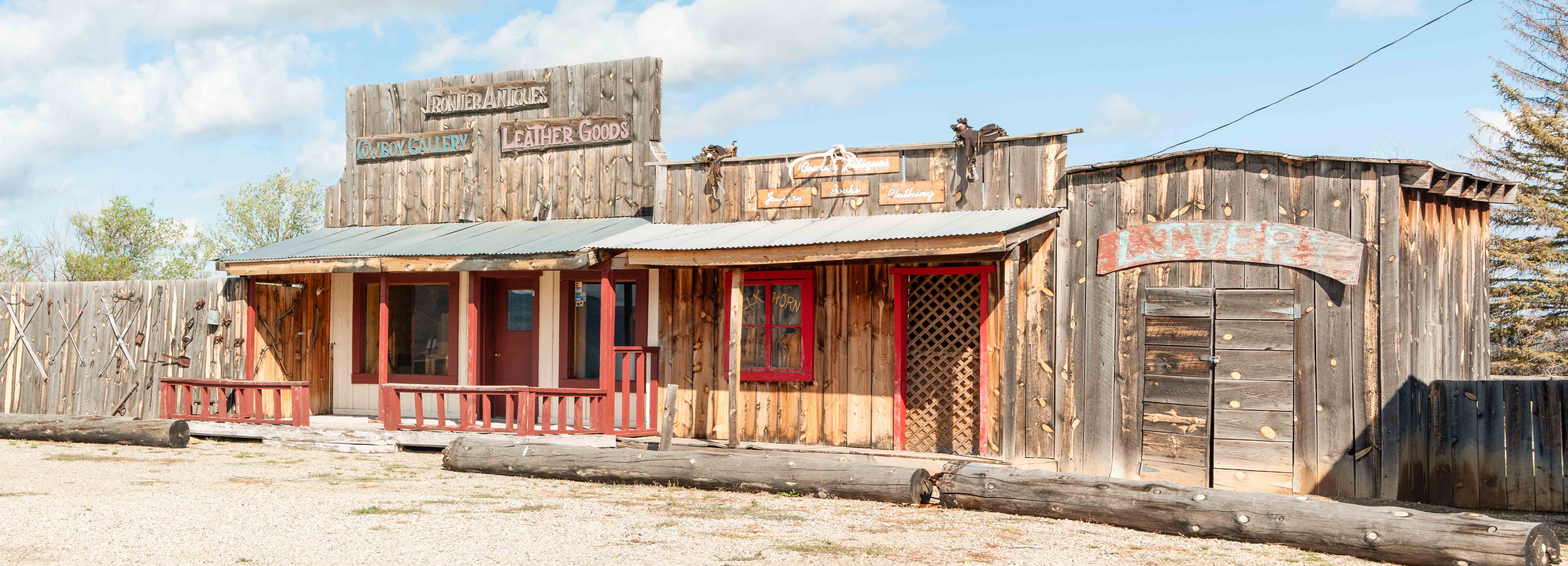
Hogan Trading Post
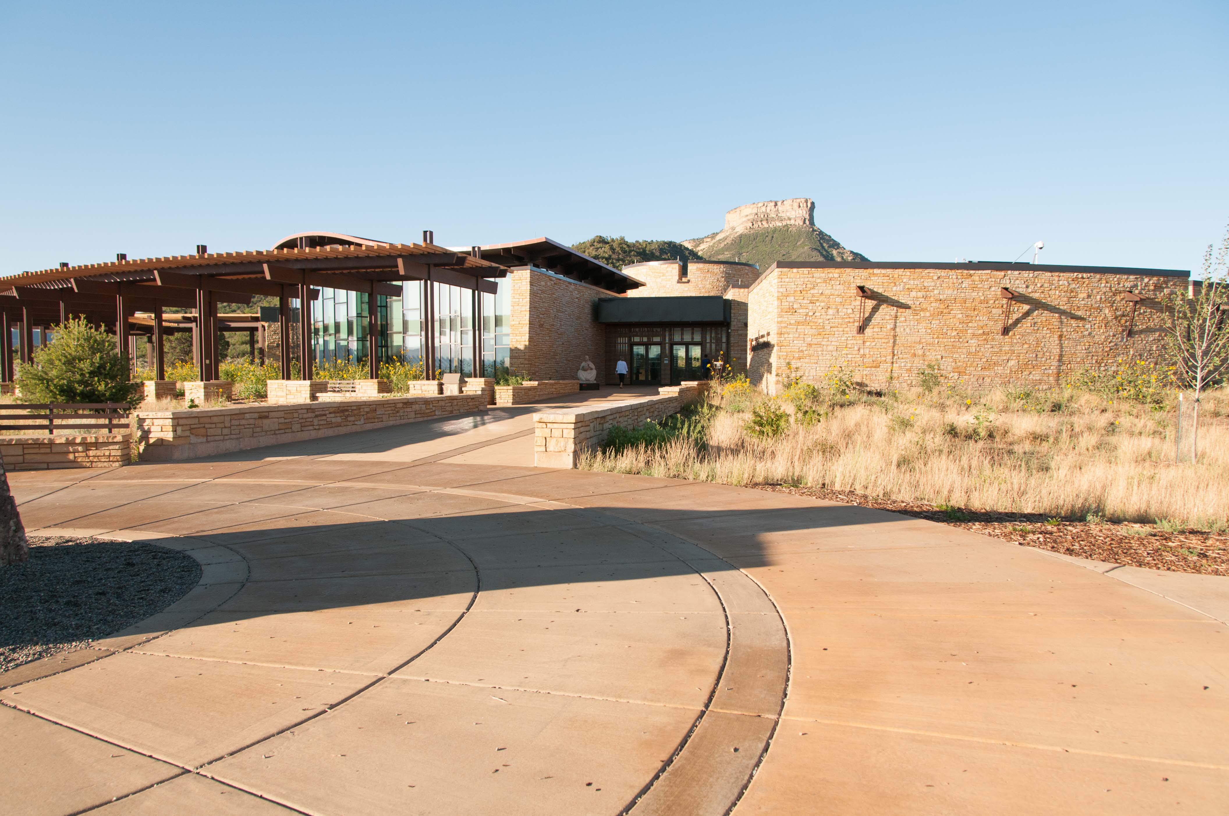
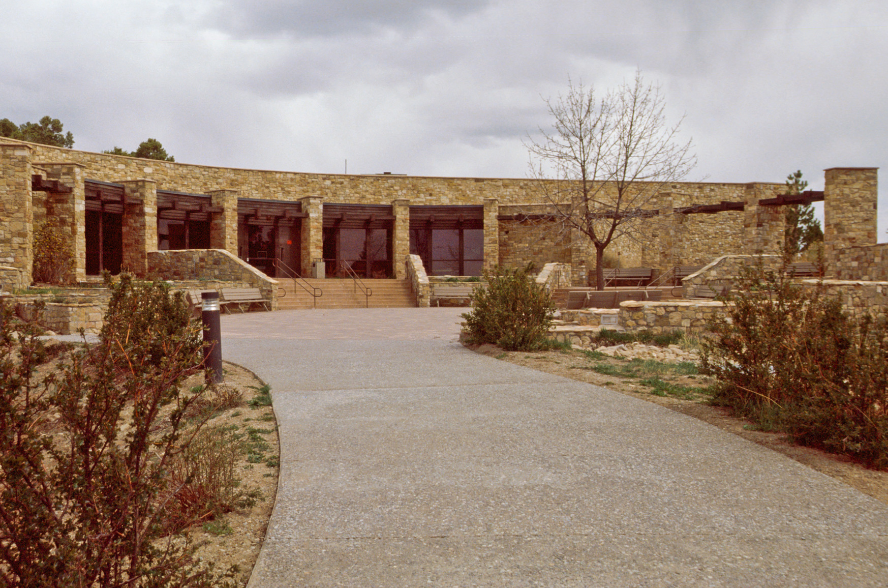
Mesa Verde Visitor and Research Center
Mesa Verde National Park
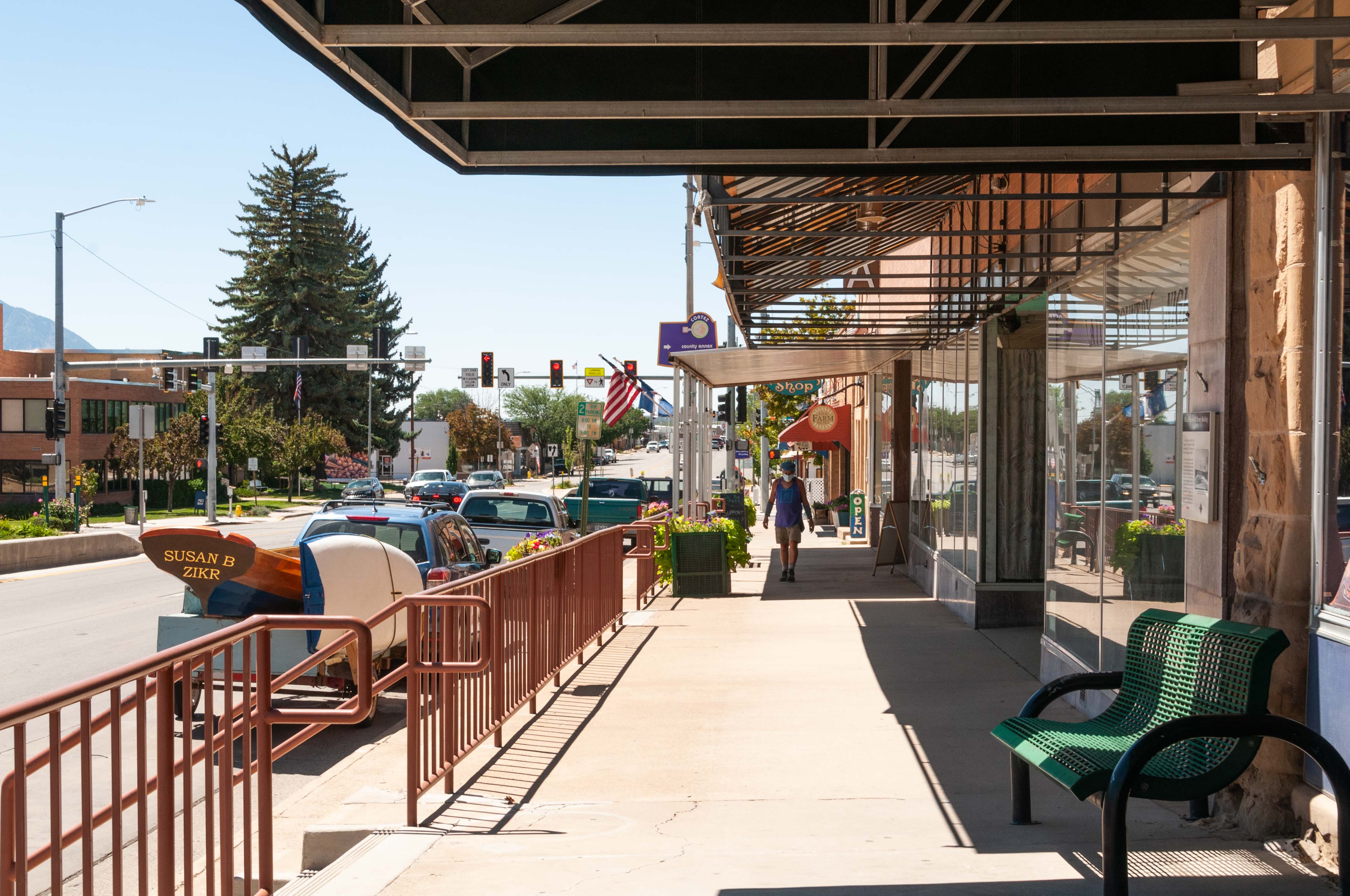
Cortez - view east along US-160
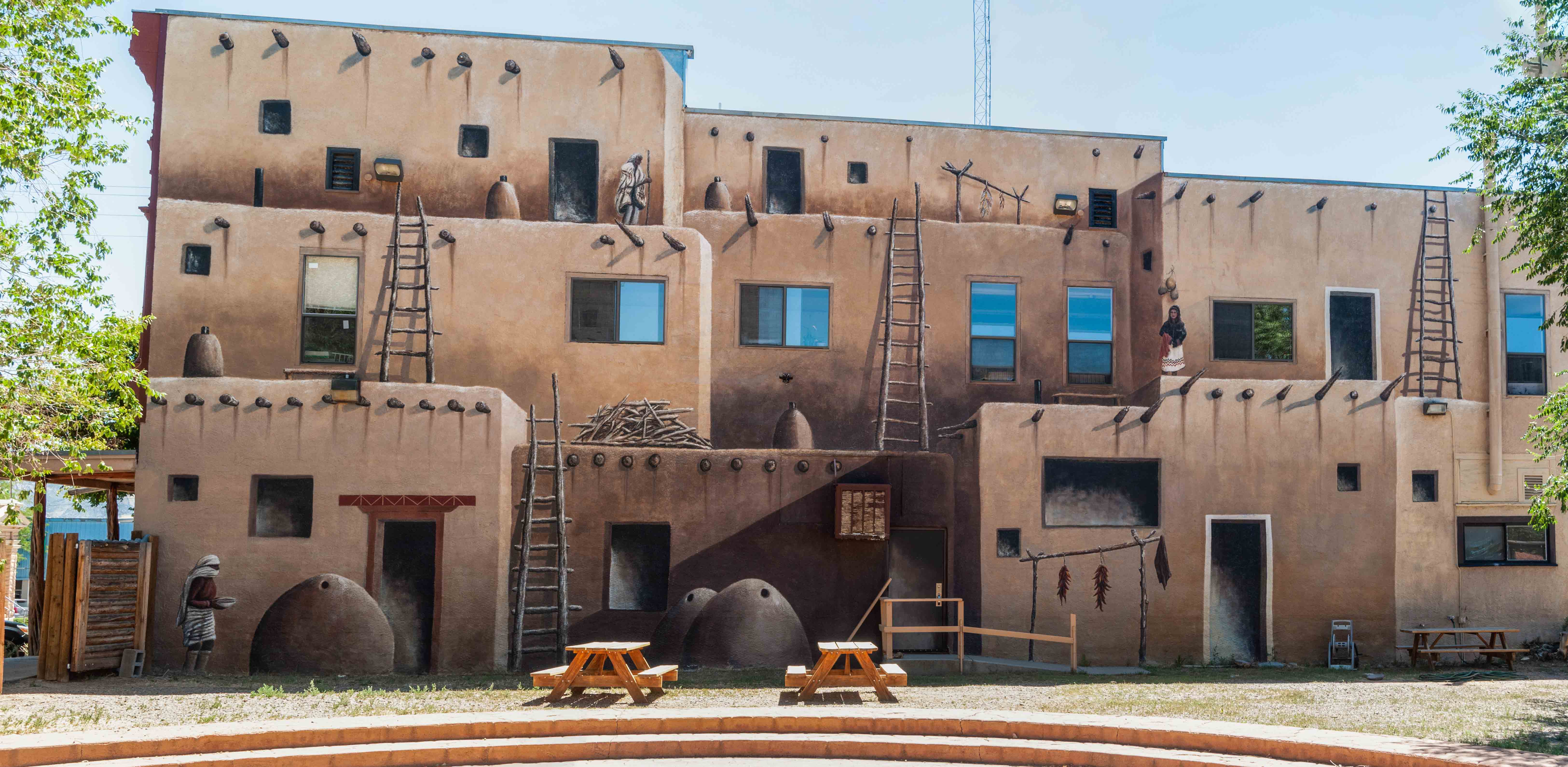
Mural on the side of the Cortez Cultural Center
Colorado State Highway 145 - Cortez to Placerville
The drive is 85 miles from Cortez to Placerville. Look for the prominent landmark of Sleeping Ute Mountain,
which is visible throughout most of southwestern Colorado from Cortez to Dolores. A
worthwhile stop is the Canyons of the Ancients Visitor Center and Museum (formerly the Anasazi Heritage Center)
just south of Dolores. CO-145 passes through the towns of Dolores and Rico, climbing into the San Juans to the
summit of 10,246 ft Lizard Head Pass. About 12 miles north of the pass a spur of CO-145 leads into Telluride.
An interesting stop, time permitting, is the Ames Hydroelectric Plant, located about 10 miles south of Telluride.
There is usually someone at the plant who will give a tour. From Telluride CO-145 passes through the small
community of Sawpit on its way to Placerville. Dolores, Rico, Ames, Telluride, and Placerville can all be visited
by clicking the Southwest Colorado Road Trip link.
Southwest Colorado Road Trip Part 2
Canyons of the Ancients National Monument
Rico
Telluride

Sleeping Ute Mountain
Anasazi Heritage Center
Canyons of the Ancients National Monument
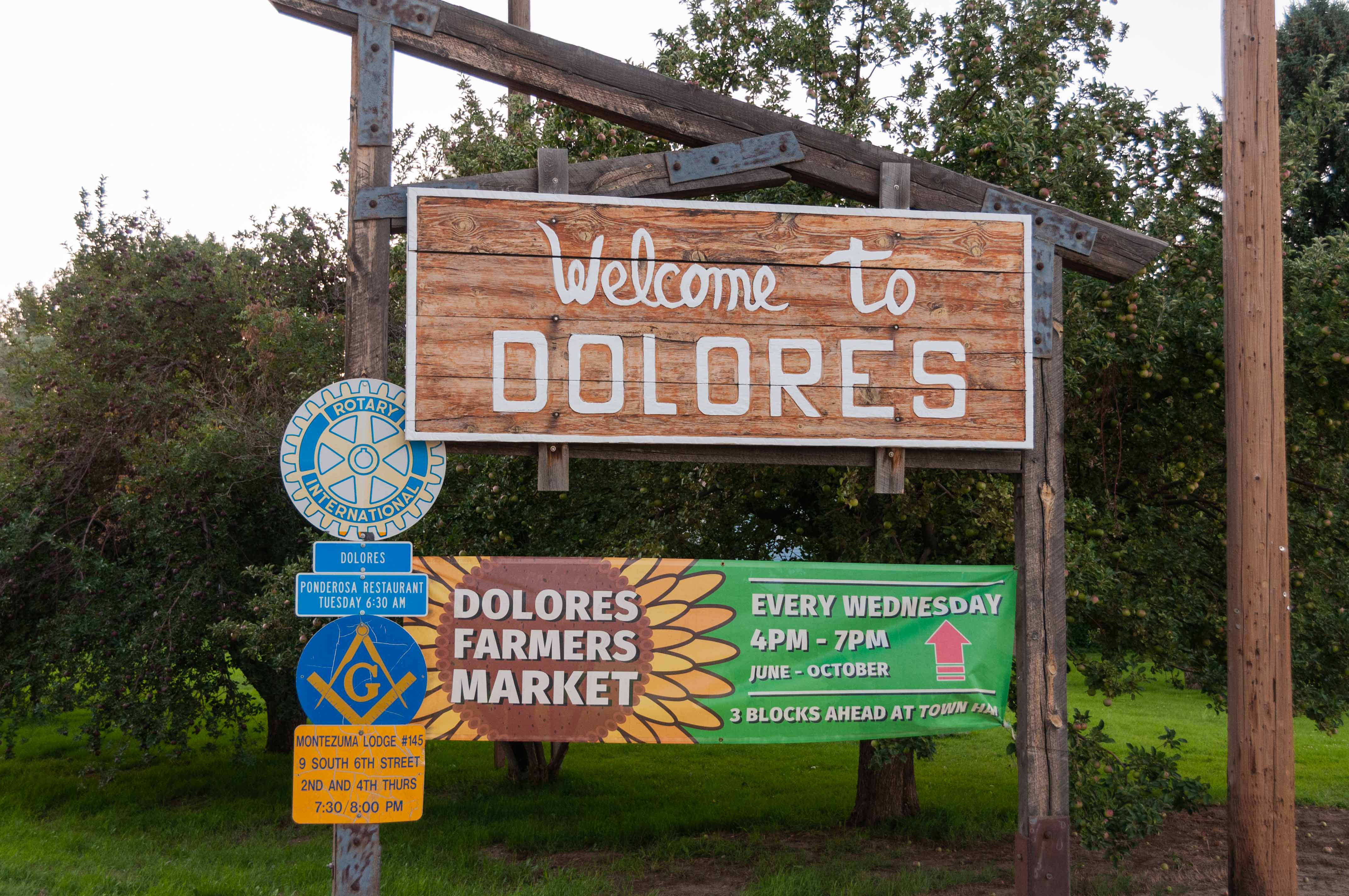
Dolores
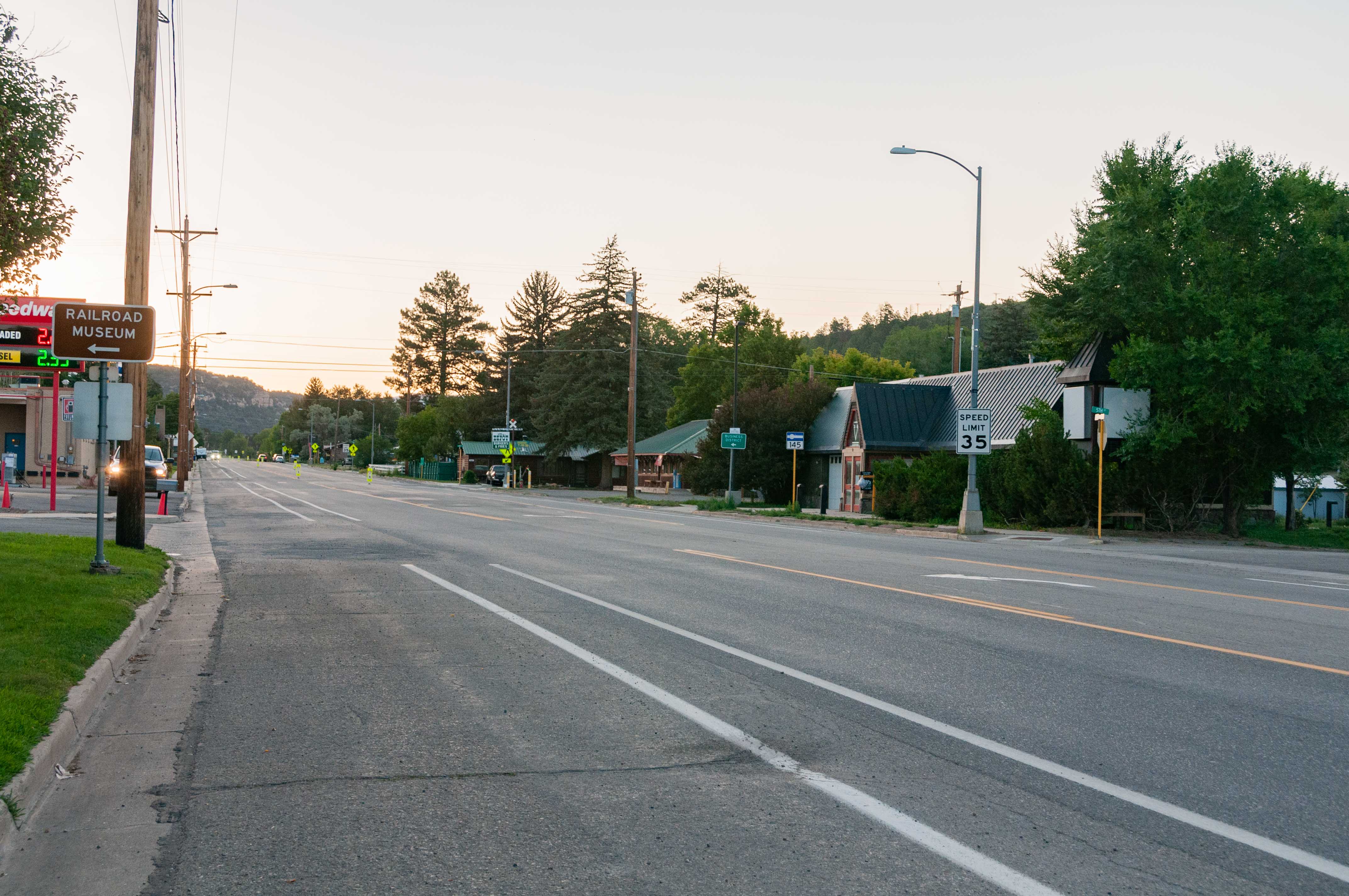
CO Hwy 145 through Dolores
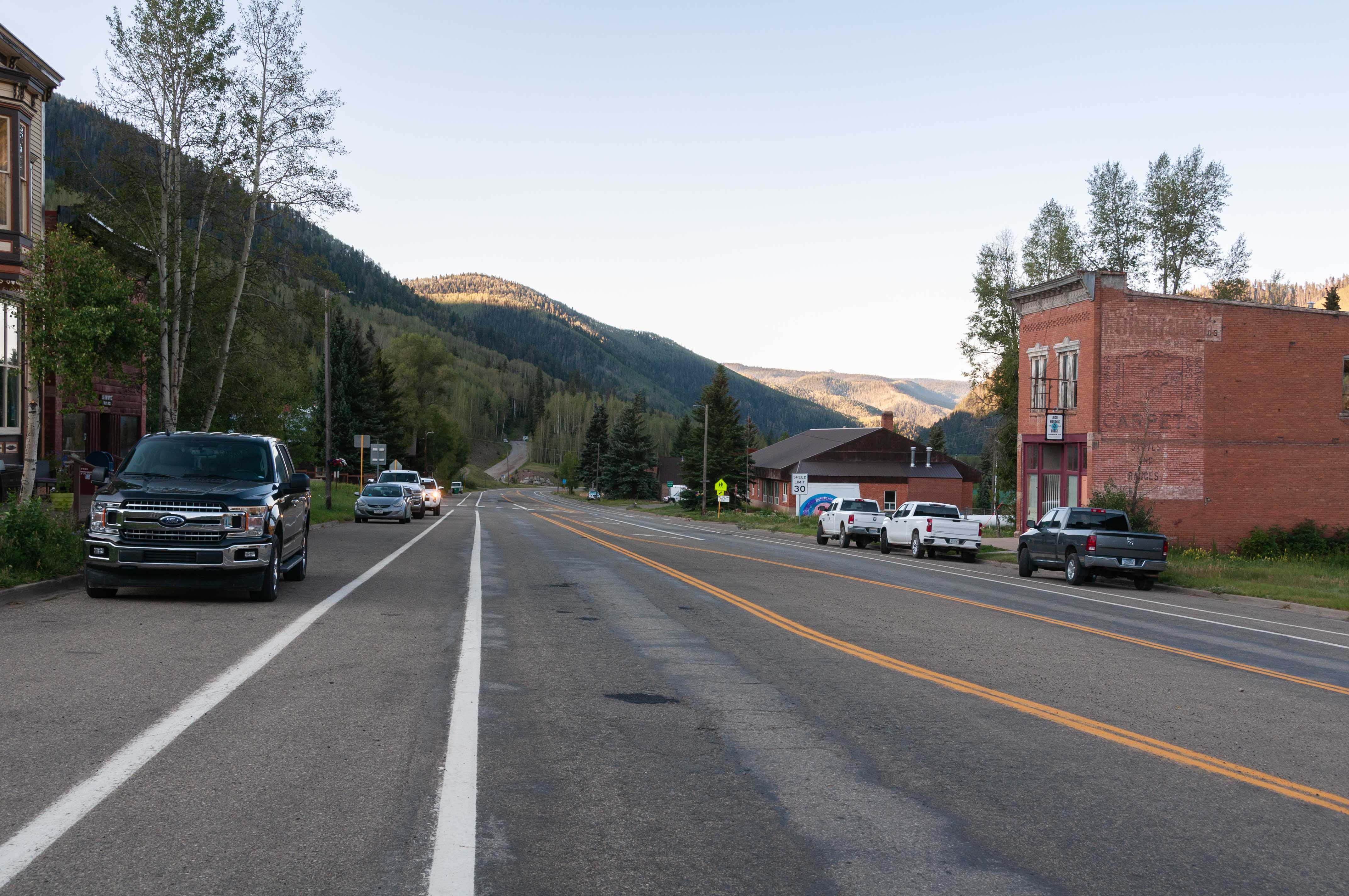
CO Hwy 145 through Rico
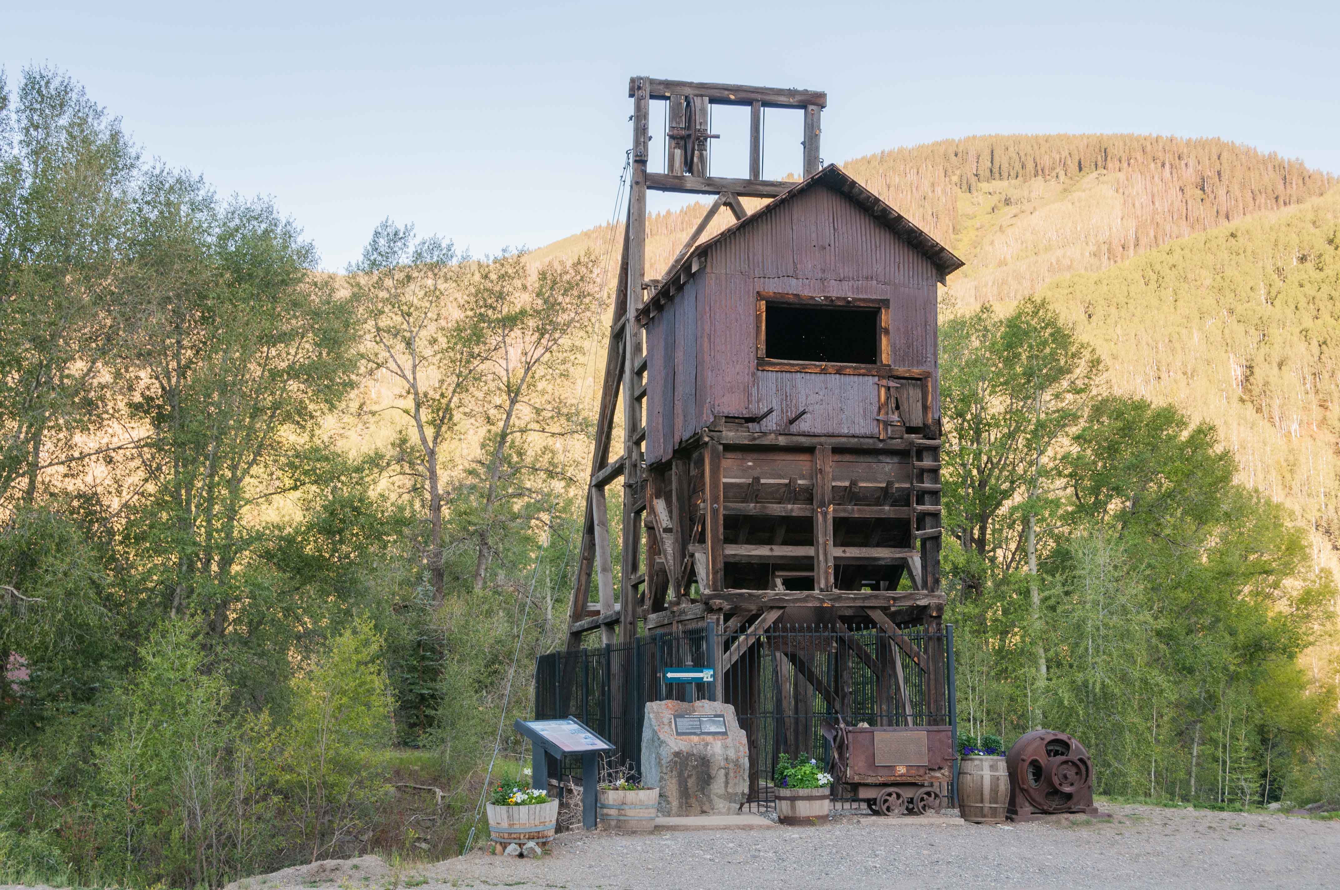
Atlantic Cable Mine
Rico
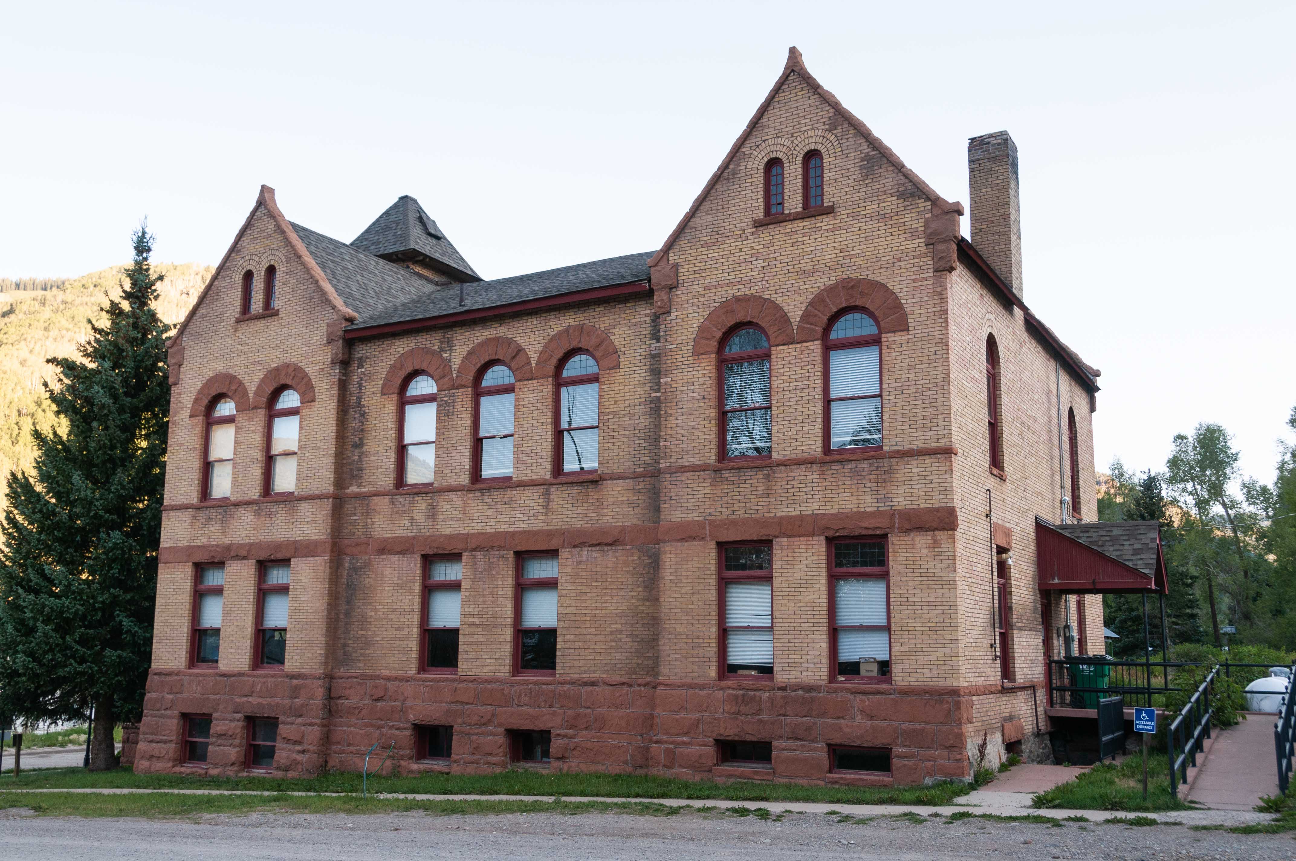
Rico Town Hall

Lizard Head Peak
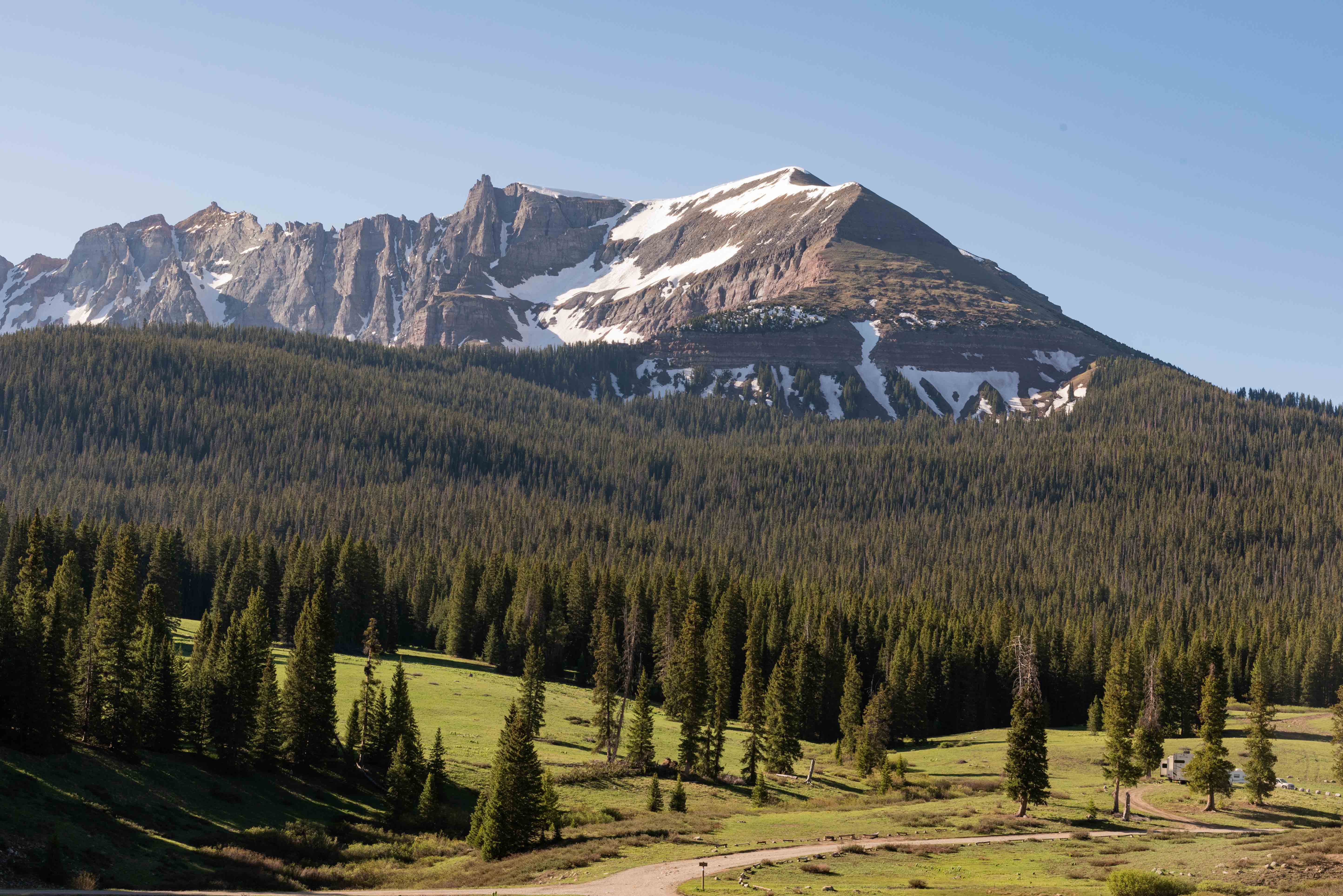
Sheep Mountain - Lizard Head Pass
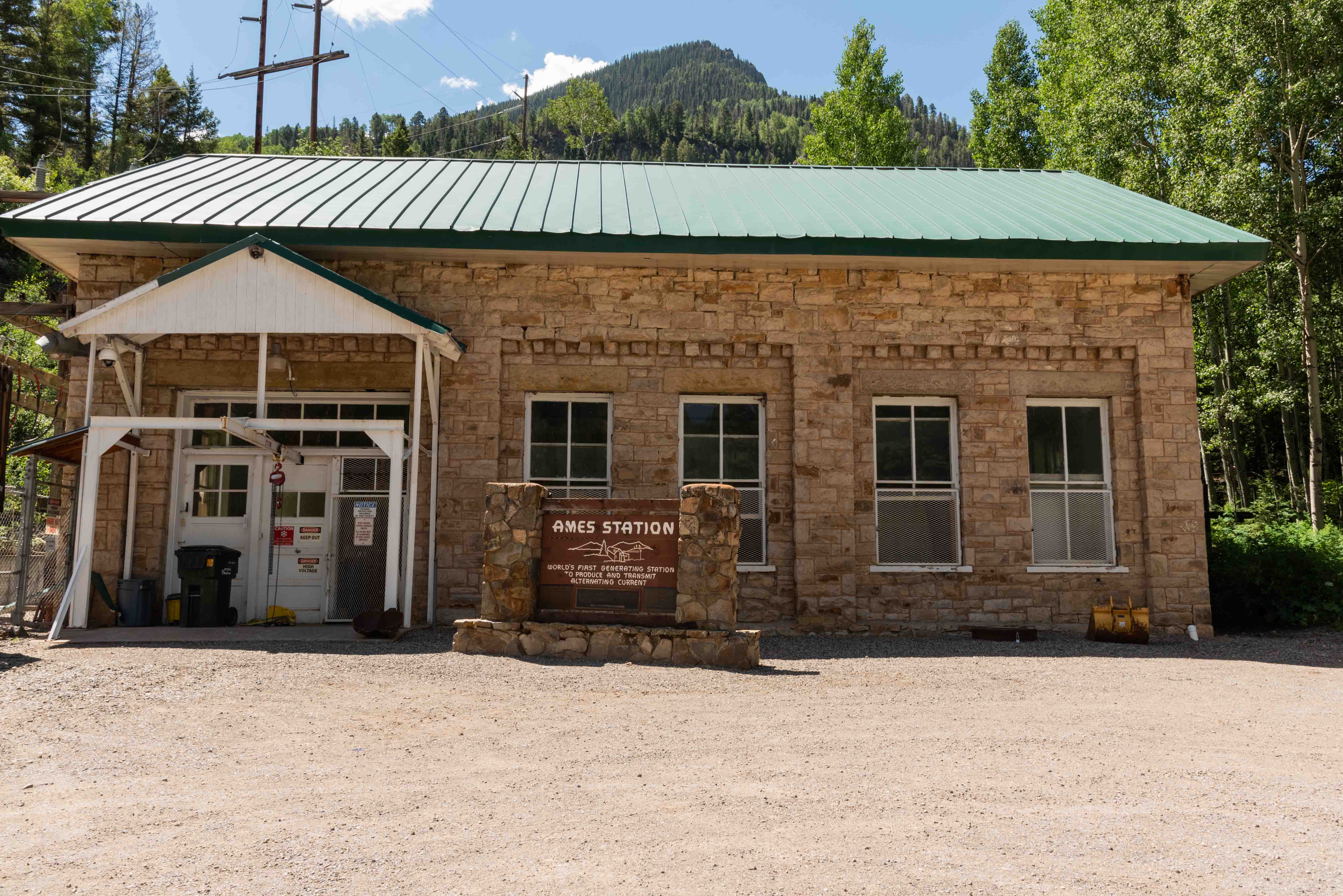
Ames Hydroelectric Plant
Telluride
Telluride - View east along Colorado Avenue
CO Hwy 145 somewhere between Telluride and Placerville

Placerville
Colorado State Highway 62 - Placerville to Ridgway
It's 23 miles from Placerville to Ridgway on C0-62. The byway crosses Dallas Divide (8970 ft) 12 miles southwest of Ridgway.
There is a scenic turnout at the divide that provides a great view of the Sneffels Range. After the divide the road
descends through picturesque ranch and farmland into Ridgway.
Ridgway
Sneffels Range - View from Dallas Divide

CO Hwy 62 through Ridgway

True Grit Cafe - Ridgway
U.S. Highway 550 - Ridgway to Ouray to Silverton to Durango
This is by far the most scenic portion of the San Juan Skyway. US Hwy 550 heads south from Ridgway, paralleling the
Uncompahgre River and climbing the 11 miles to Ouray. Ouray is nestled in a valley surrounded on three
sides by towering mountains and has been dubbed the "Switzerland of America". It's known for its hot springs
and Box Canyon Falls. US-550 from Ouray to Durango is called the "Million Dollar Highway", and the scenery
along the way is drop-dead gorgeous. US-550 travels high up along the east side of Uncompahgre Gorge on its
way to Red Mountain Pass. Anyone who has not ridden on mountain hugging highways will find this part exciting,
or possibly scary. The road drops down into Ironton Park before rising again to the summit of Red Mountain
Pass (11,018 ft). This area is honeycombed with old silver mines. The Idorado Mine pullout is a must stop,
providing information on Colorado's mining history and views of some of the more famous mines. After summiting
Red Mountain Pass US-550 descends into Silverton. The town is the northern terminus of the Durango & Silverton
Narrow Gauge Railroad, and still retains the flavor of the old west. The distance from Silverton to Durango is
48 miles, and the highway crosses over two more mountain passes, Molas Pass (10,970 ft) and Coal Bank Pass
(10,640 ft). Molas pass is very picturesque; Coal Bank Pass, not so much. Look for prominent Engineer Mountain
to the west of Coal Bank Pass. Once over Coal Bank pass the drive to Durango is 34 miles. The highway snakes
through Animas Canyon, paralleling the Animas River on its way to Durango. Make a quick stop at
Pinkerton Hot Springs, located at roadside about 13.3 miles north of Durango. Be sure to check out the Durango
& Silverton Narrow Gauge Railroad after arriving in Durango. This completes the San Juan Skyway loop.
Ridgway
Ouray
Silverton
Durango
Durango & Silverton Narrow Gauge Railroad
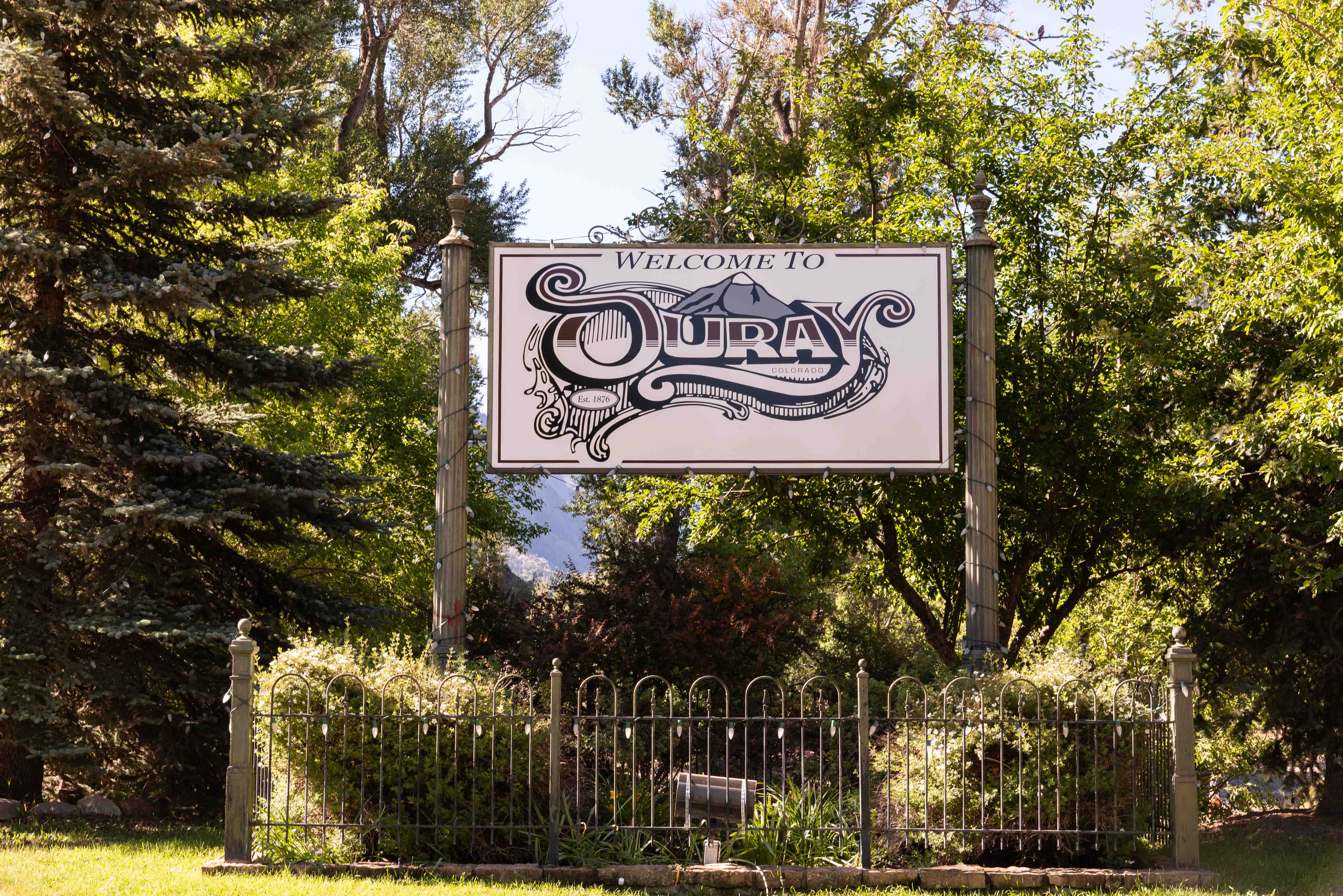
Ouray
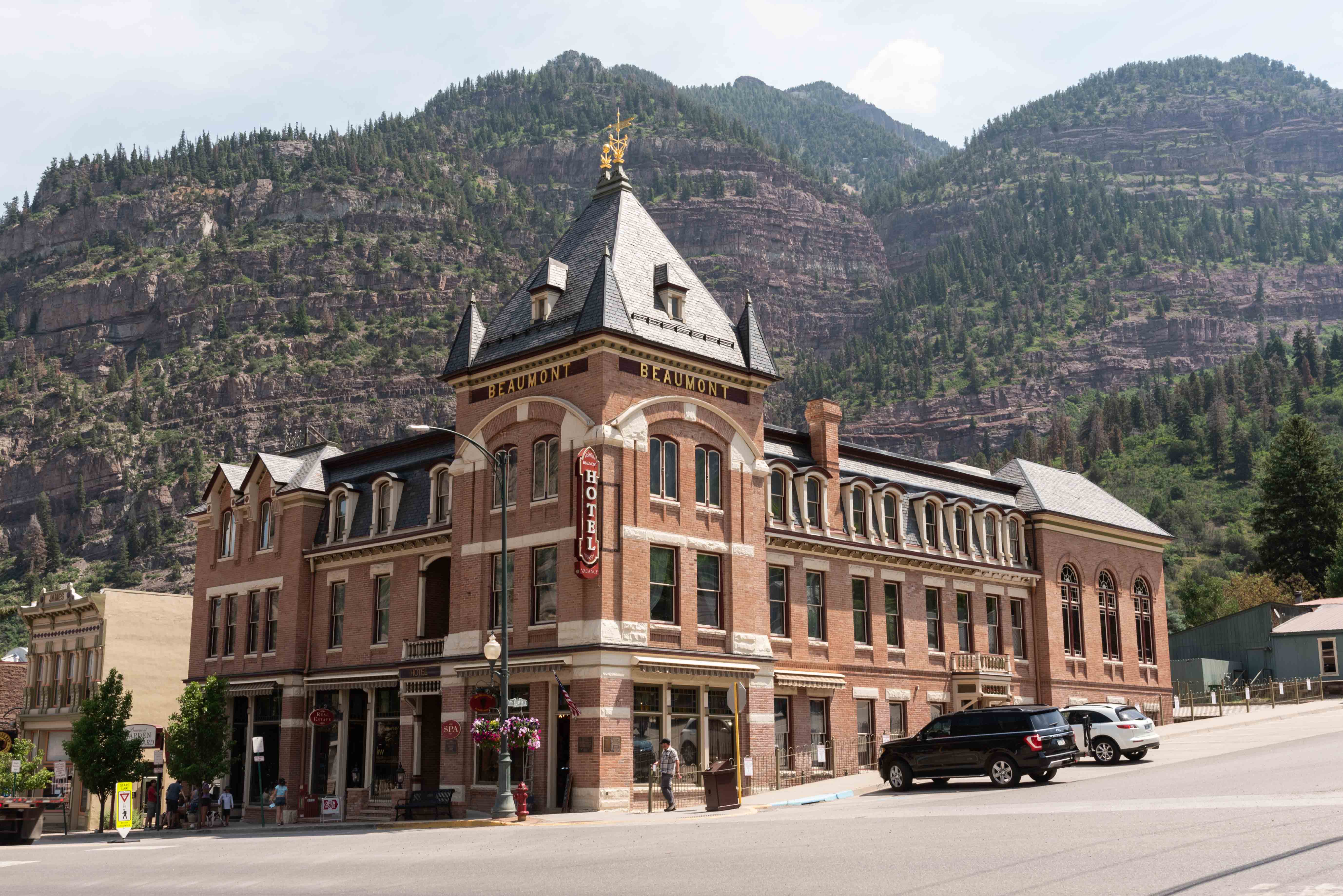
Beaumont Hotel Ouray
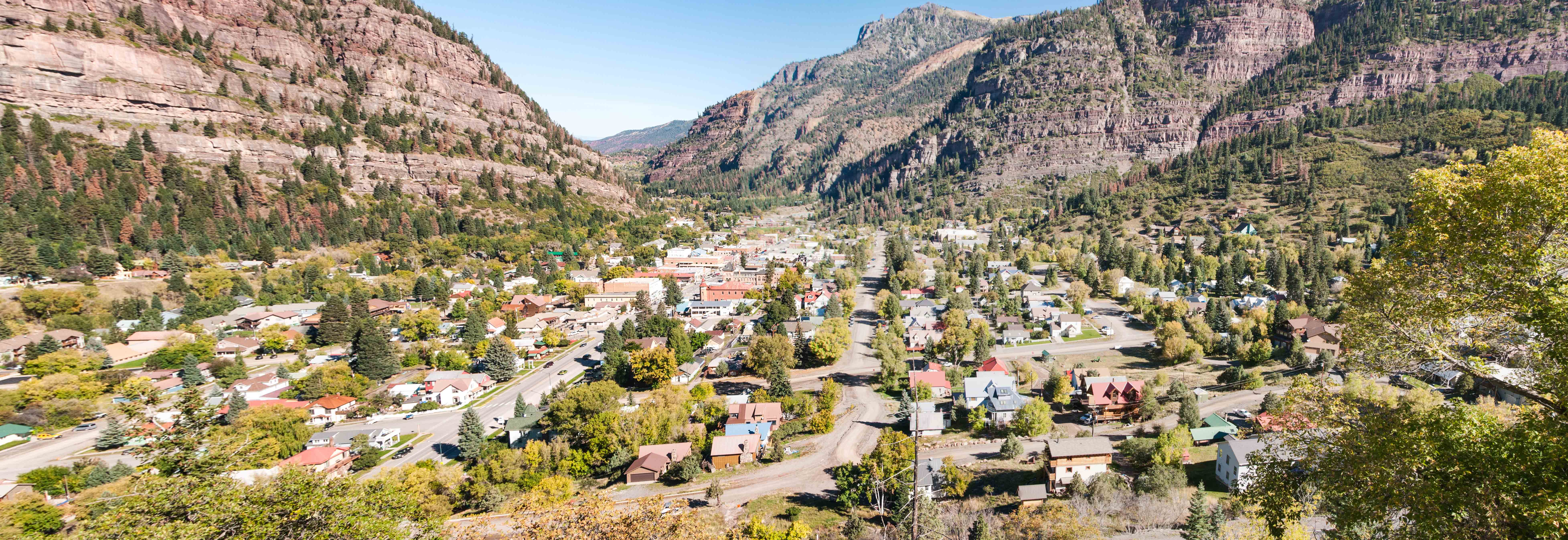
Ouray View from US-550
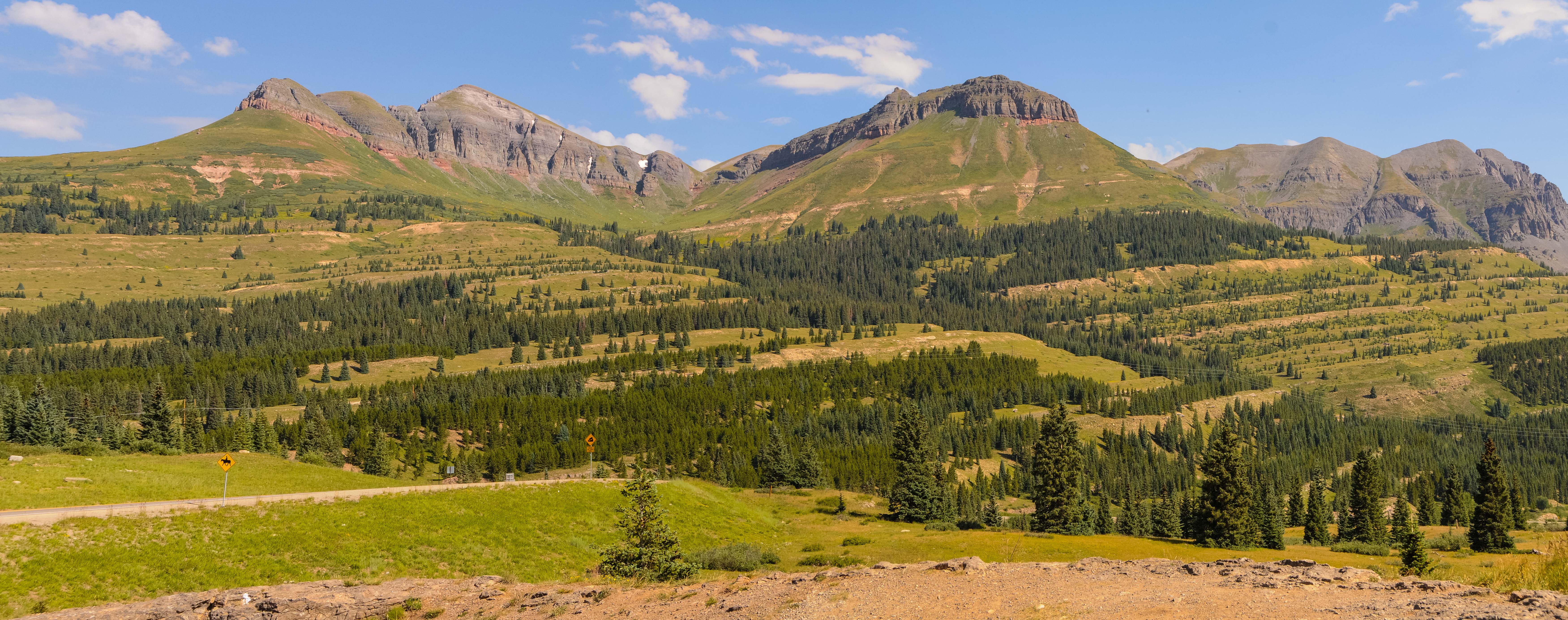
Scenic Ouray County

Mountains just north-northwest of Red Mountain Pass
Might be Telluride Peak center right
Idarado Mine Trestle

Yankee Girl Mine

Red Mountains #1, #2, and #3
Silverton
Silverton - view from US-550
Scenery at Molas Pass - Molas Lake (left)

Little Molas Lake
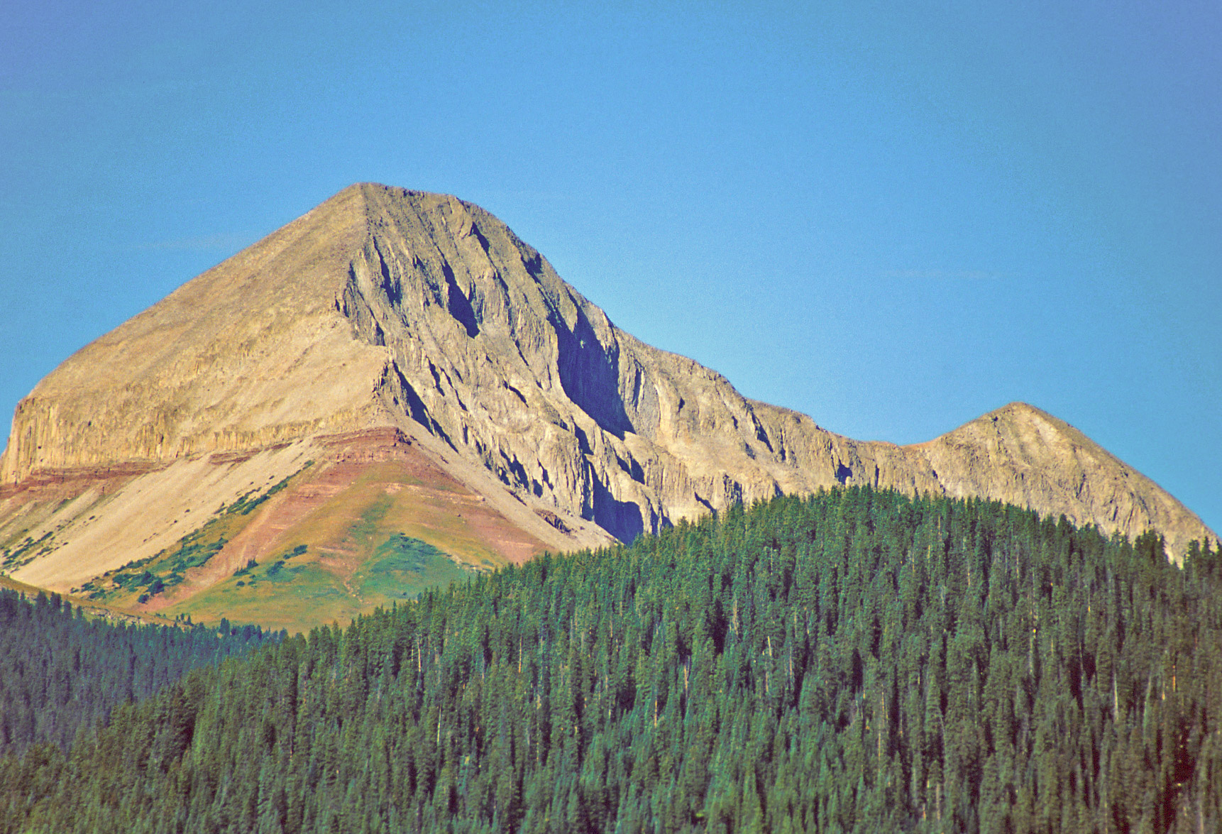
Engineer Mountain

Pinkerton Hot Springs
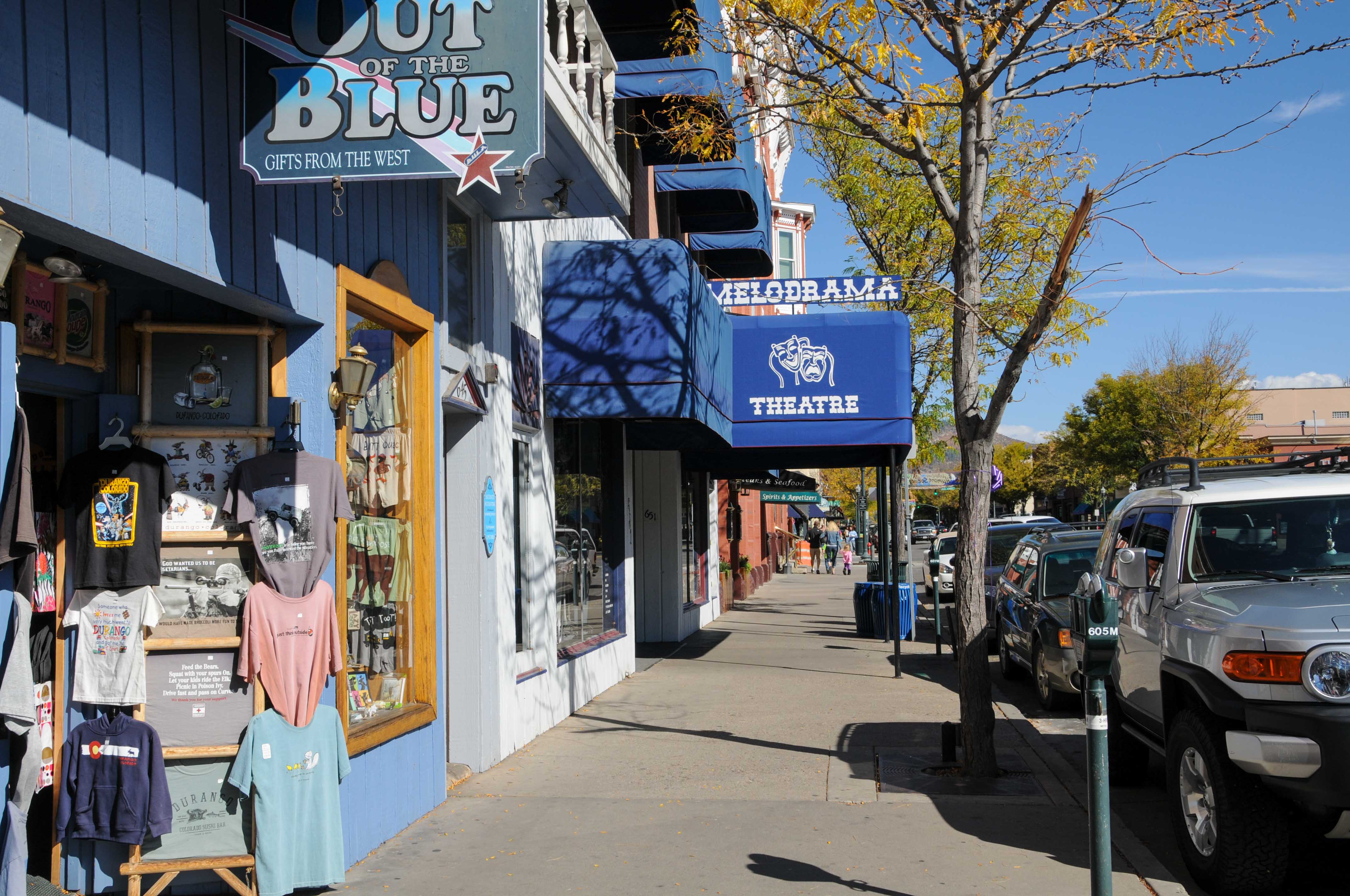
Downtown Durango
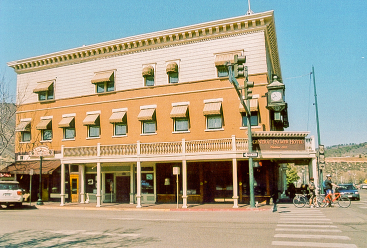
General Palmer Hotel
Durango
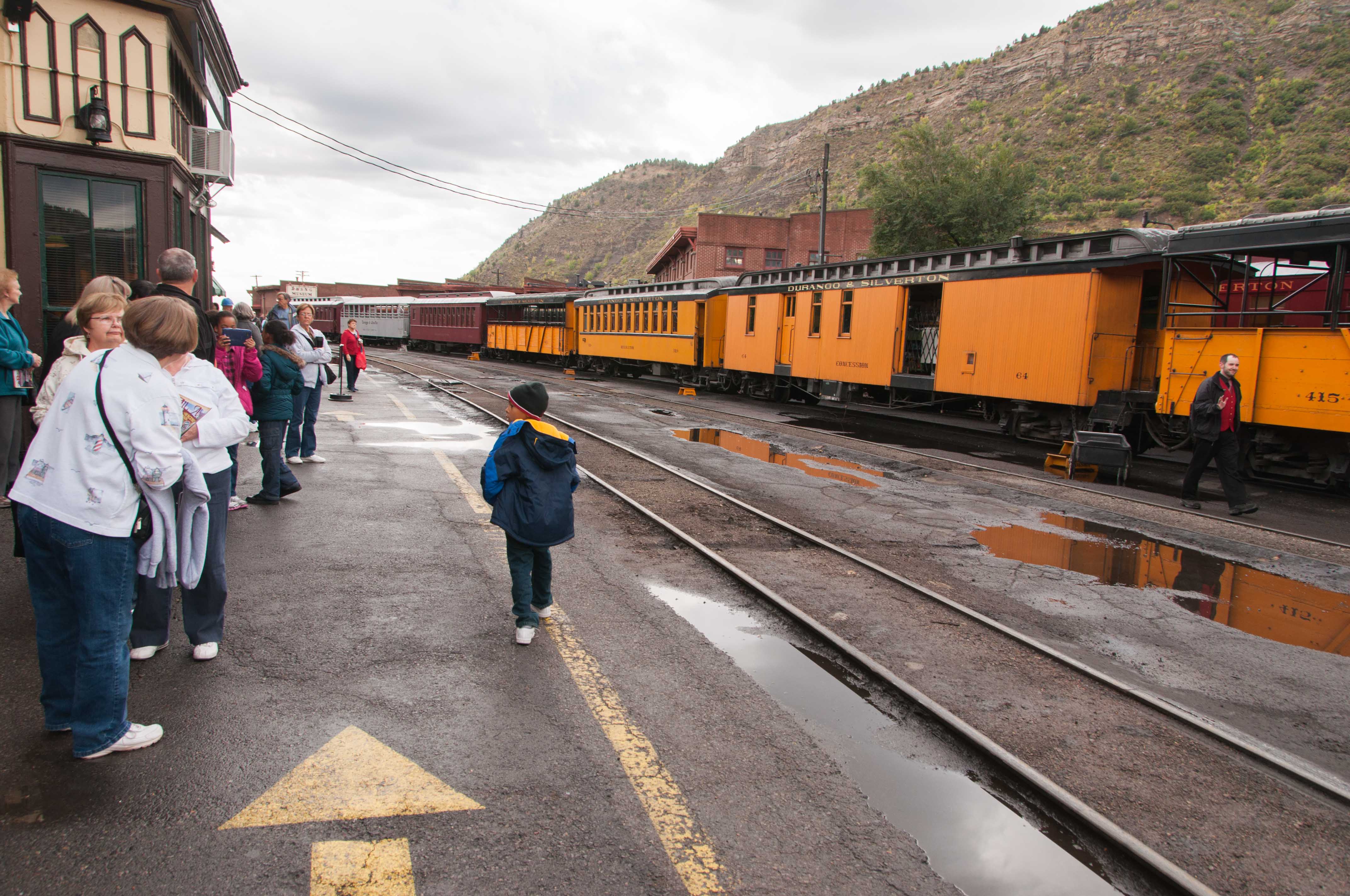
Durango & Silverton Narrow Gauge RR
Use the form on the Home Page to submit comments, questions, or suggestions. TD Productions Copyright © 2022