Canyons of the Ancients National Monument
Canyons of the Ancients National Monument includes 176,000 acres of checkerboard federal land administered by the Bureau of Land Management (BLM). The Monument was designated on June 9, 2000, and is located in southwestern Colorado about 10 miles northwest of Cortez. Canyons of the Ancients National Monument contains the highest known archaeological site density in the United States, with more than 6,000 recorded sites. The total number of sites is estimated to be around 30,000. This photo-essay covers 3 of these sites, as well as the Visitor Center and Museum. Photos are taken from my several visits over the years (2002, 2008, 2010, 2011, 2021). I have included two pictures of a part of McPhee Reservoir photographed from Escalante Pueblo near the Visitor Center - very interesting. As is my custom, I have included some photos of the same subject taken on different visits.

Canyons of the Ancients National Monument
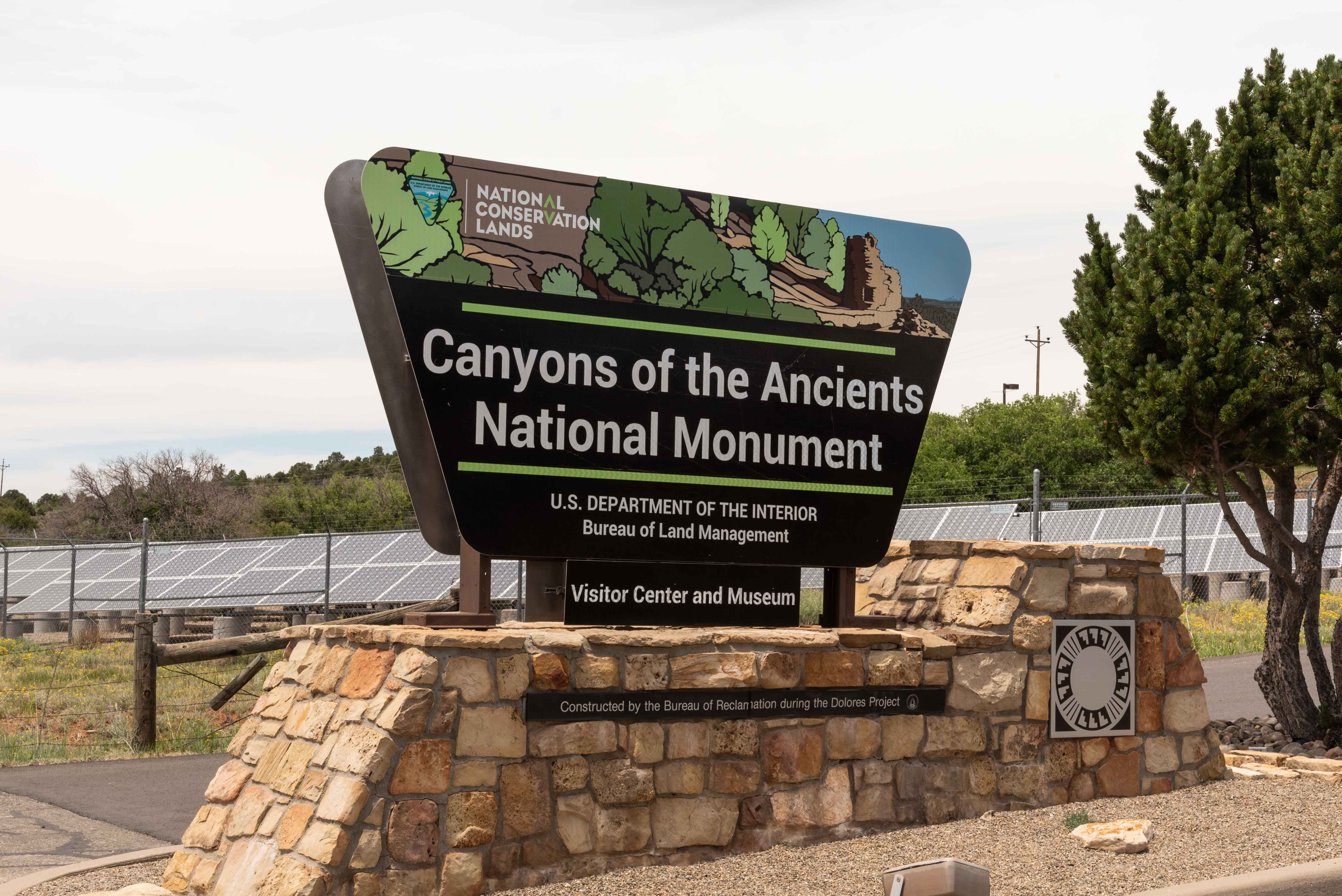
Park Sign at Visitor Center 2021
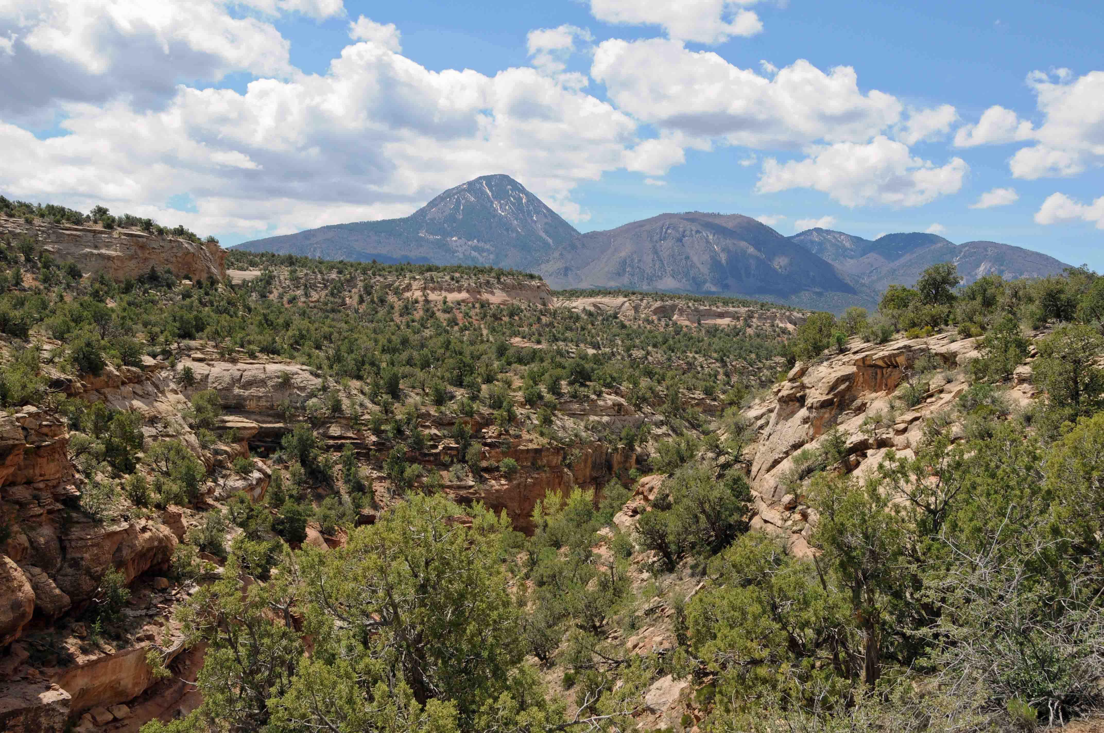
Sleeping Ute Mountain can be seen from just about anywhere in the Monument
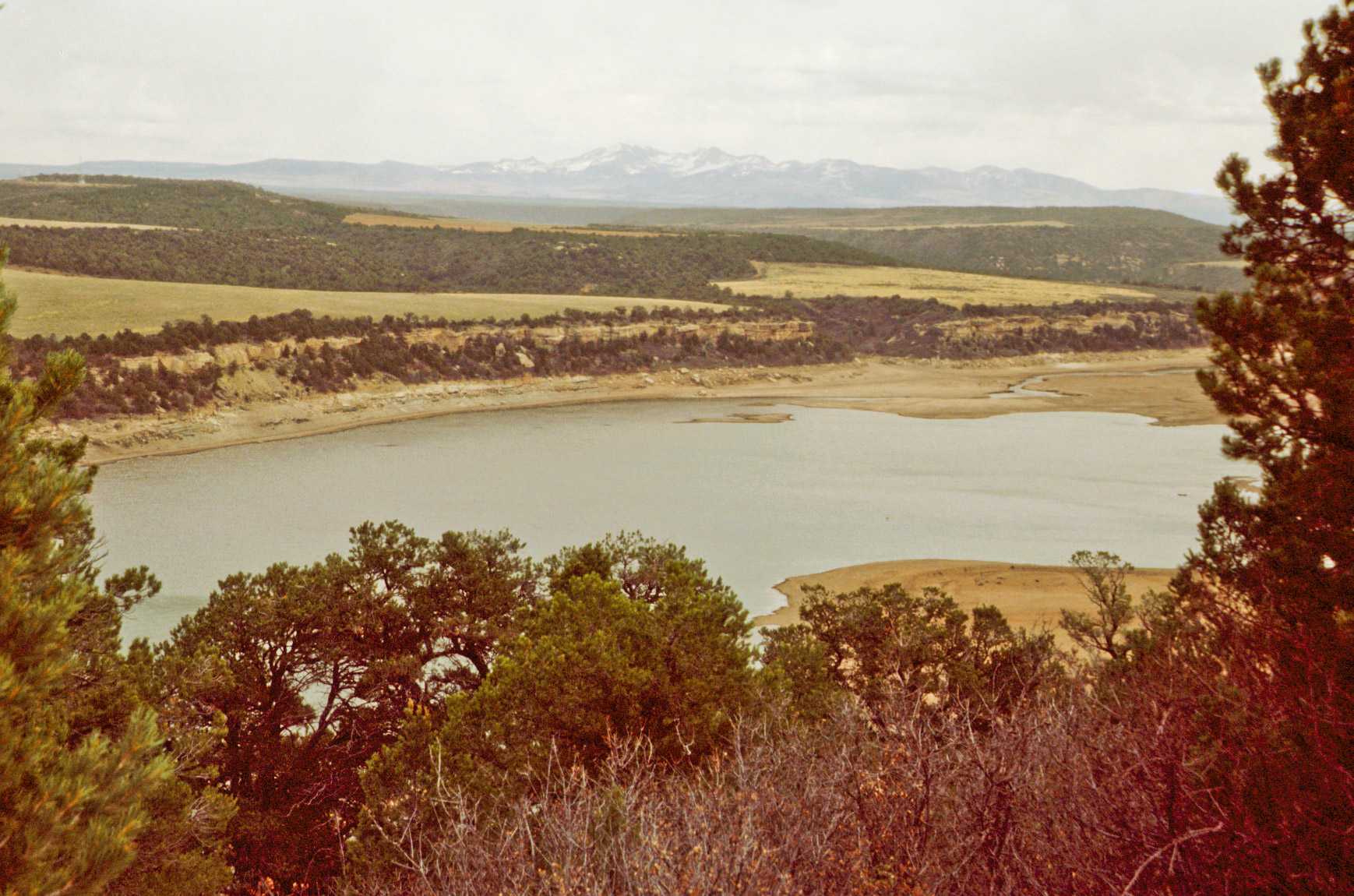
McPhee Reservoir April 2002
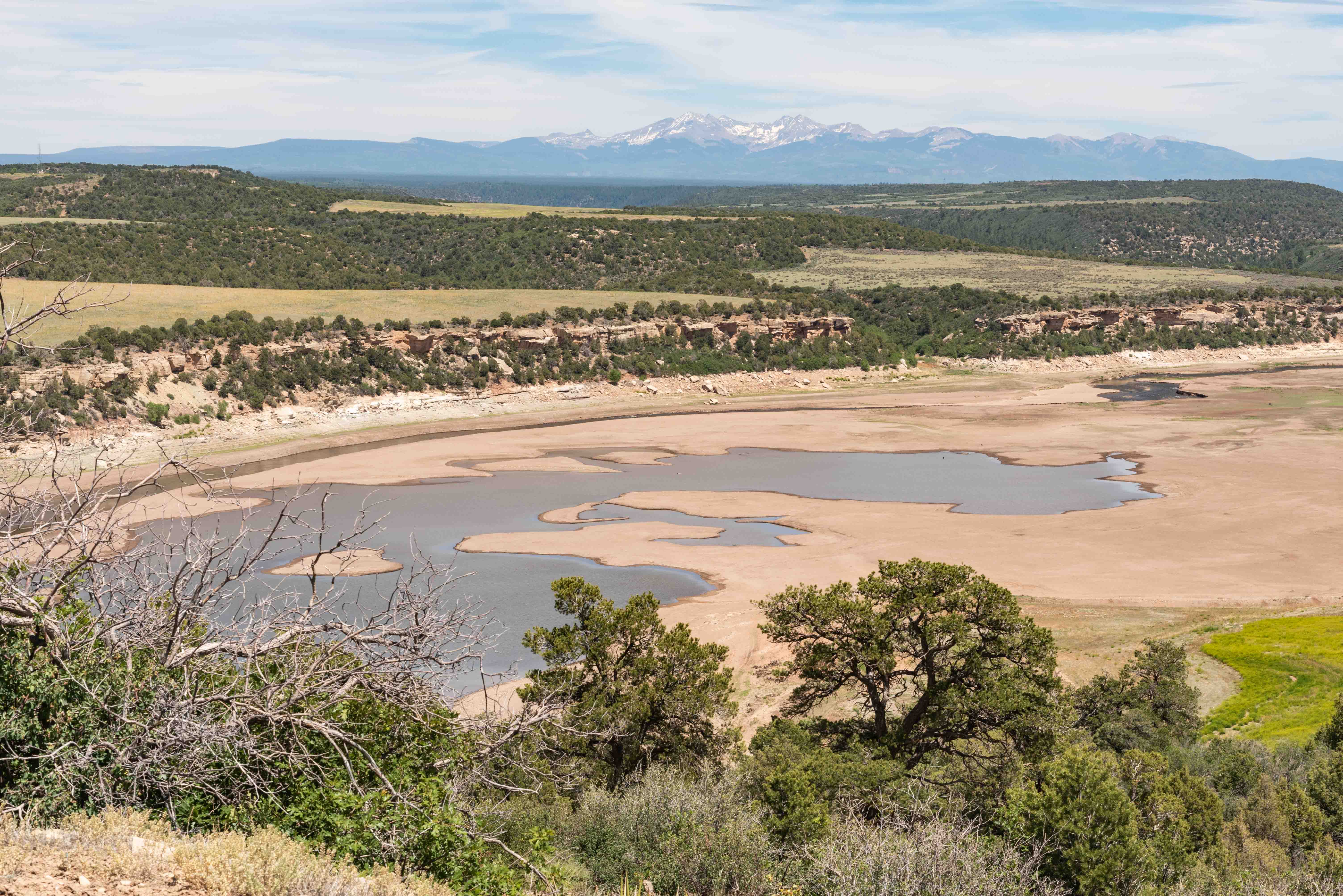
McPhee Reservoir June 2021
Canyons of the Ancients Visitor Center and Museum
The Canyons of the Ancients Visitor Center and Museum (formerly known as the Anasazi Heritage Center) is
located 11 miles north of Cortez and about 3 miles west of Dolores on CO State Hwy 184. McPhee Reservoir is
located immediately to the north and east of the visitor center. A small pueblo, Dominguez Pueblo, is located
at the visitor center, and Escalante Pueblo is a short hike to the north. The museum contains artifacts, paintings
and drawings, and exhibits about ancestral puebloan culture. There are planters encircling the visitor center courtyard
that contain a variety of native plants. The flowers provide a very colorful spectacle in the summer months.
Canyons of the Ancients Visitor Center & Museum
(formerly the Anasazi Heritage Center) 2002
Canyons of the Ancient Visitor Center and Museum 2021

Dominguez Pueblo
Dominguez Pueblo 2002
Dominguez Pueblo 2021
Dominguez Pueblo
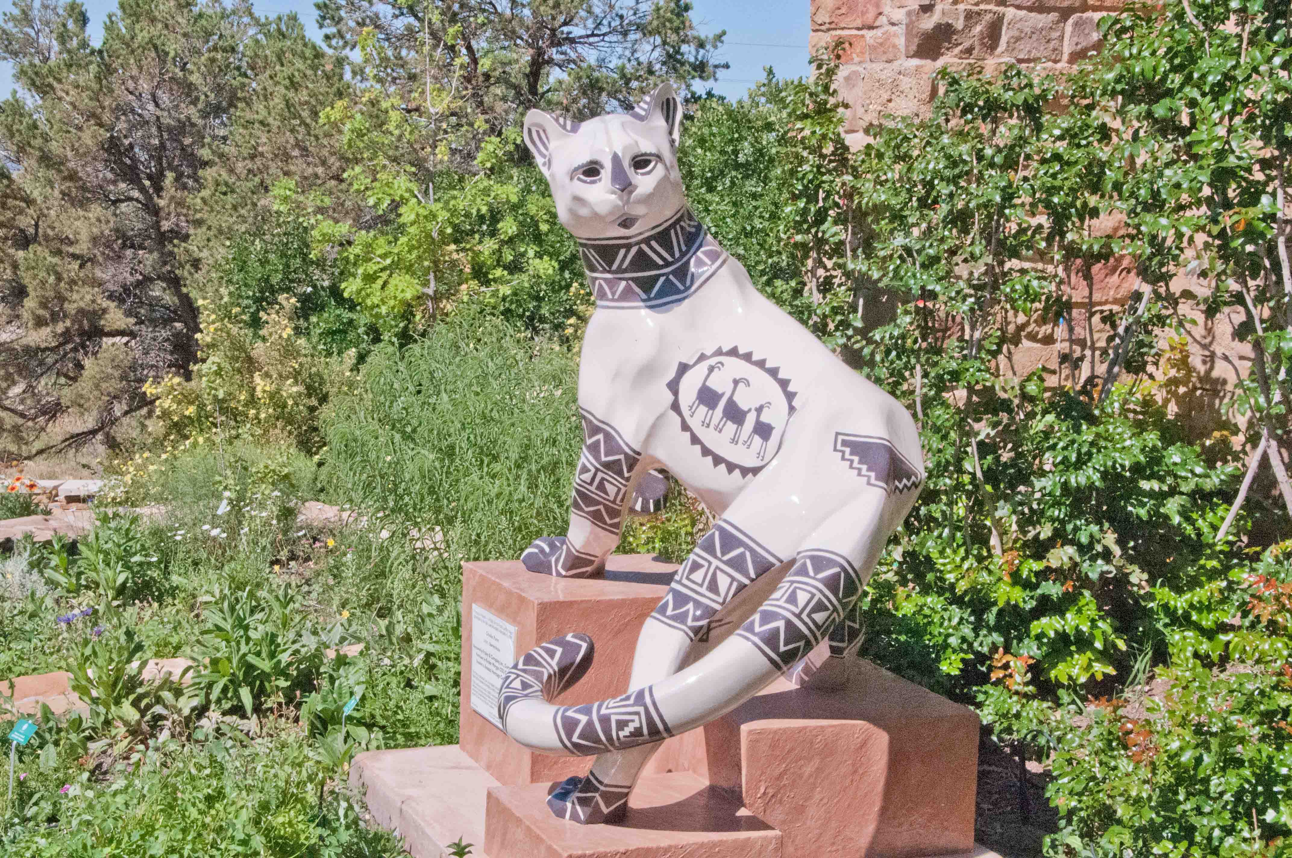
"Chuska Puma" by Charles Bruce 2011
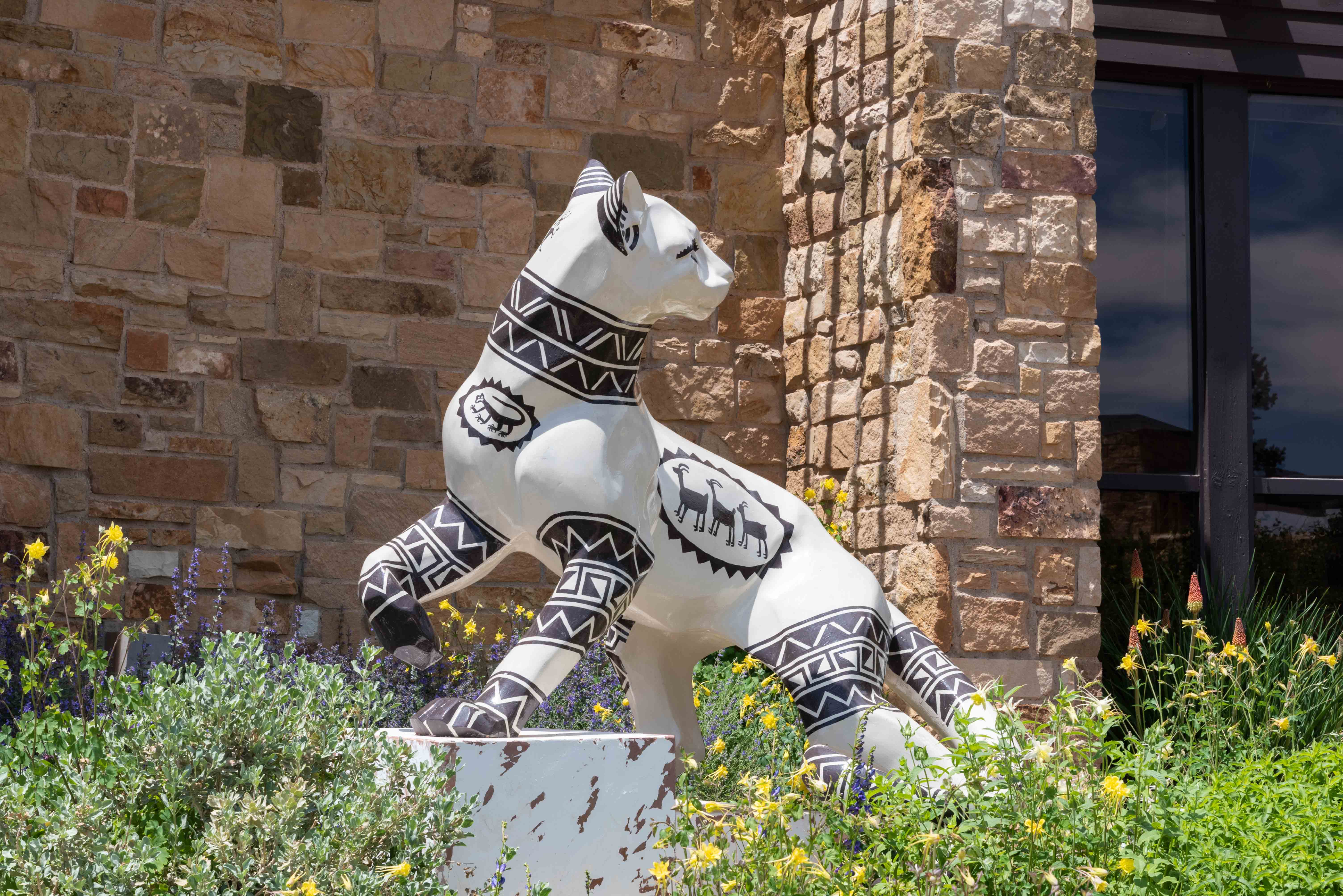
"Chuska Puma" by Charles Bruce 2021

Golden Columbine
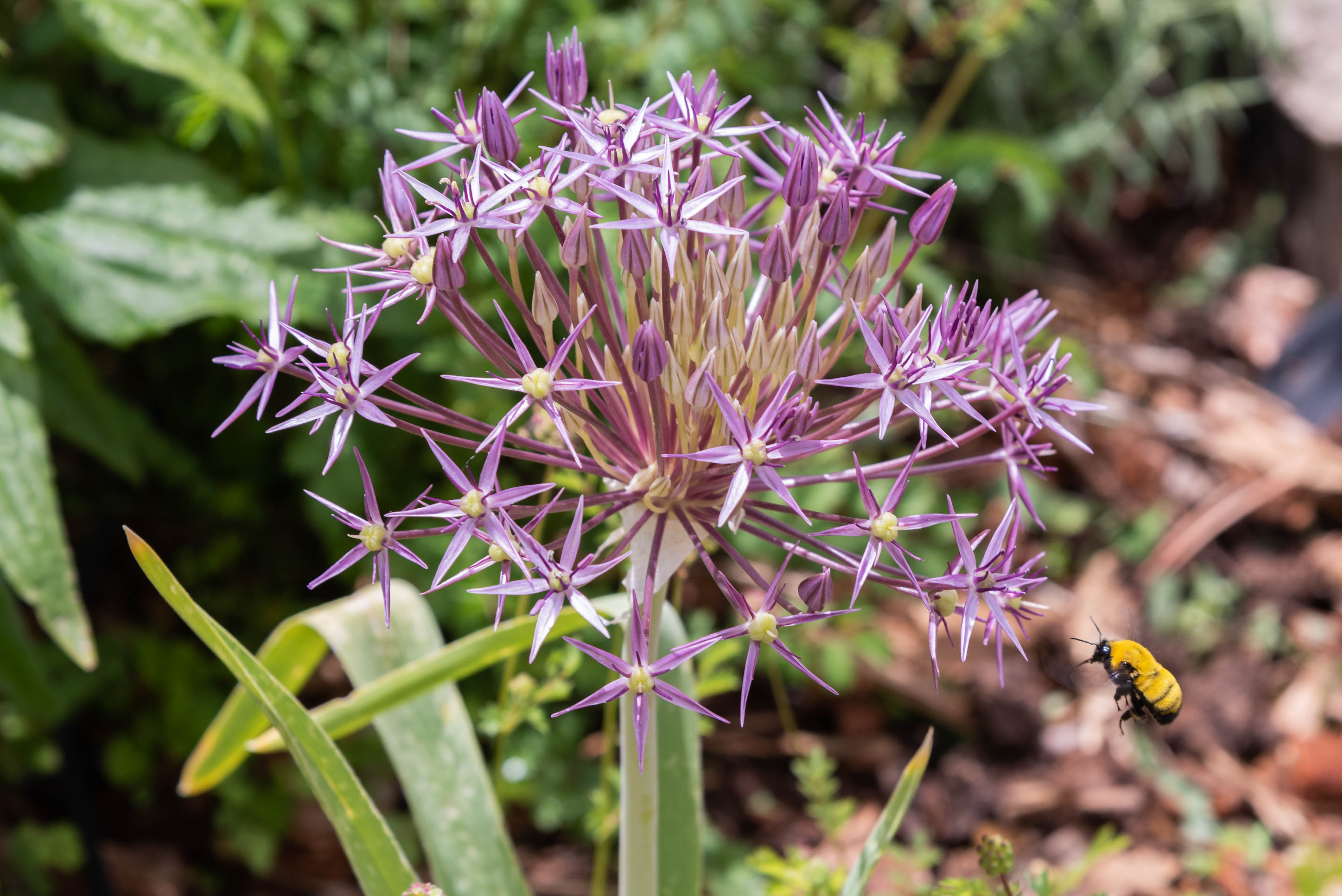
Unidentified Flower and Bee
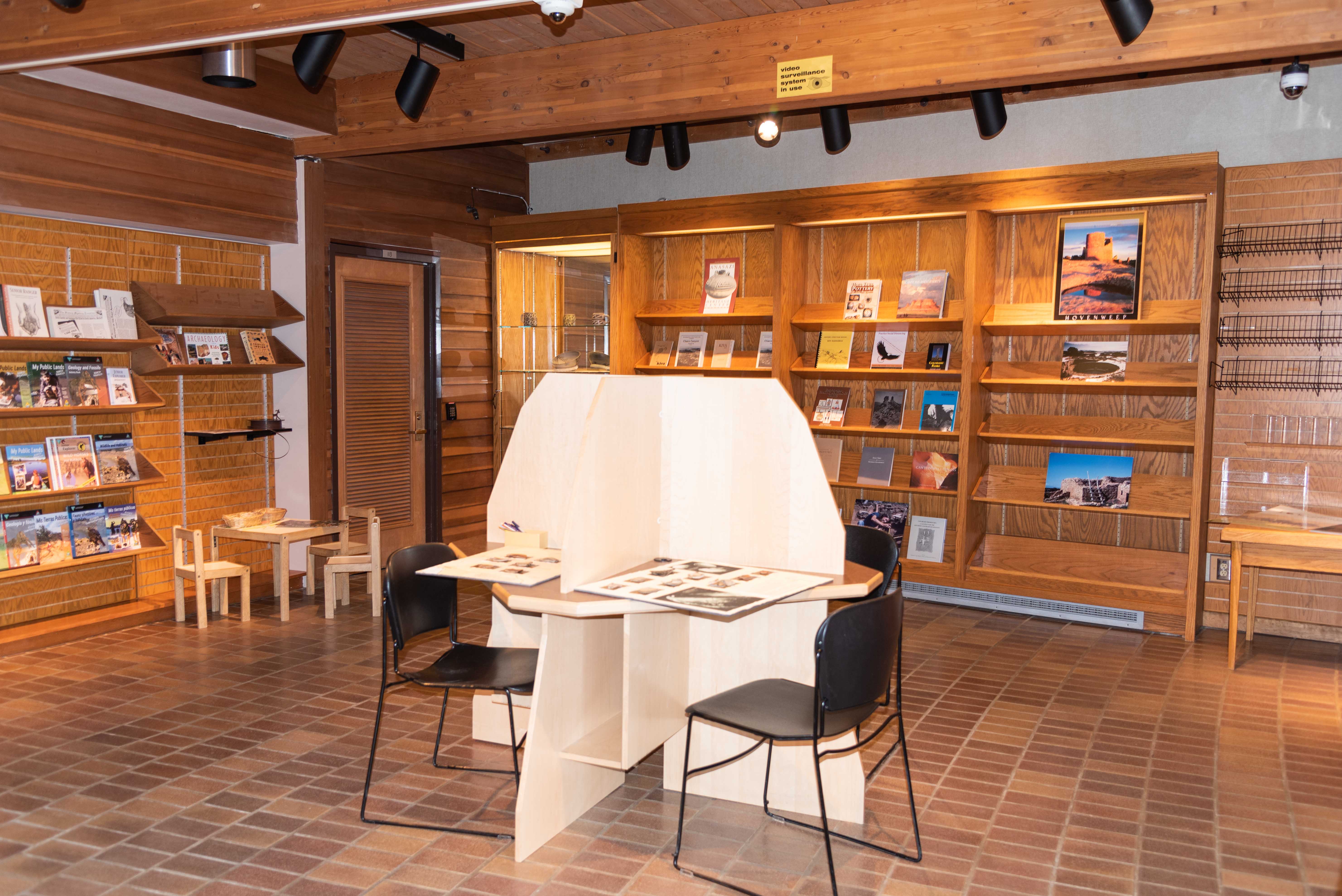
Lobby Bookstore
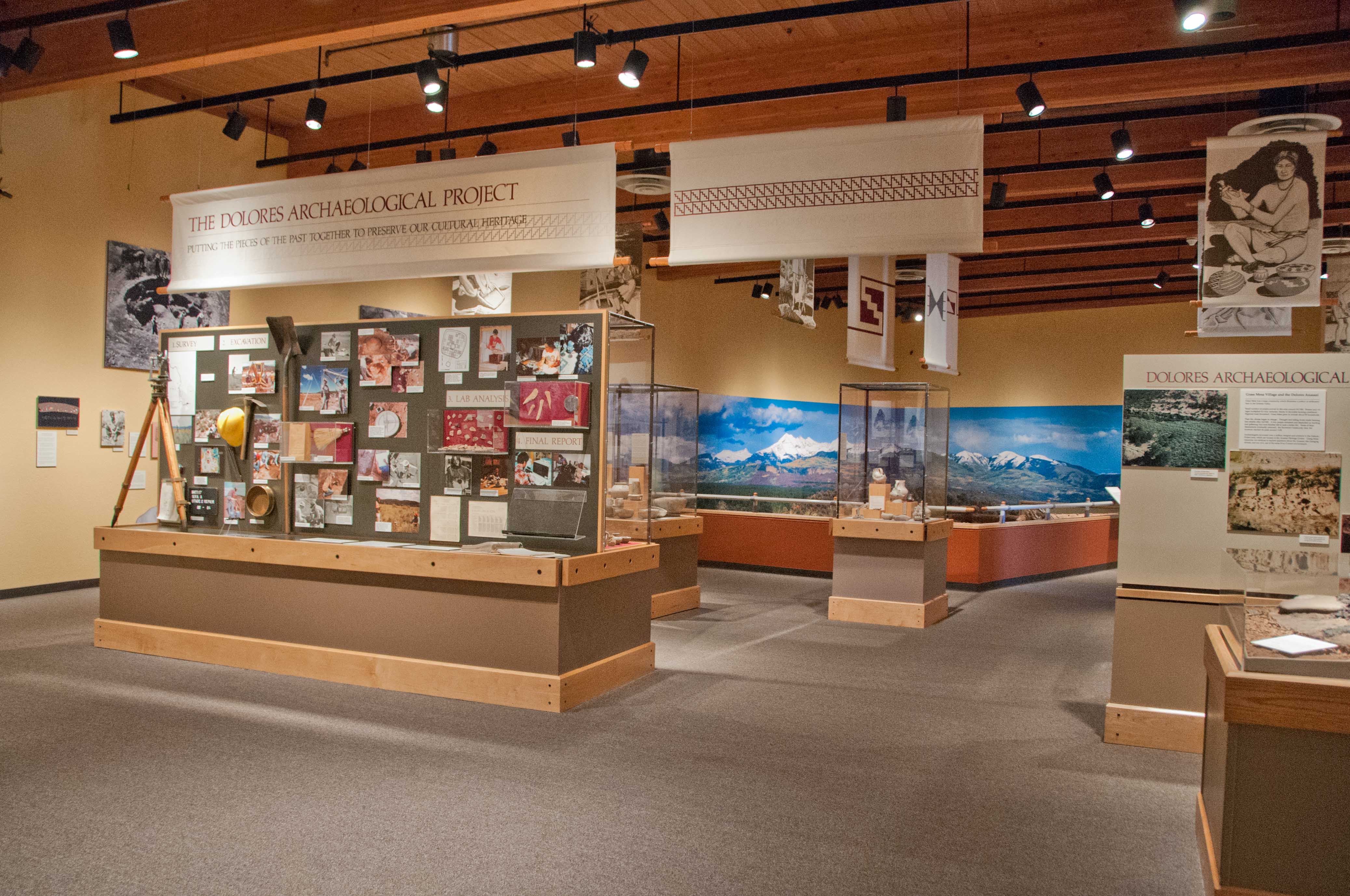
Museum Displays 2011

Museum Displays 2021
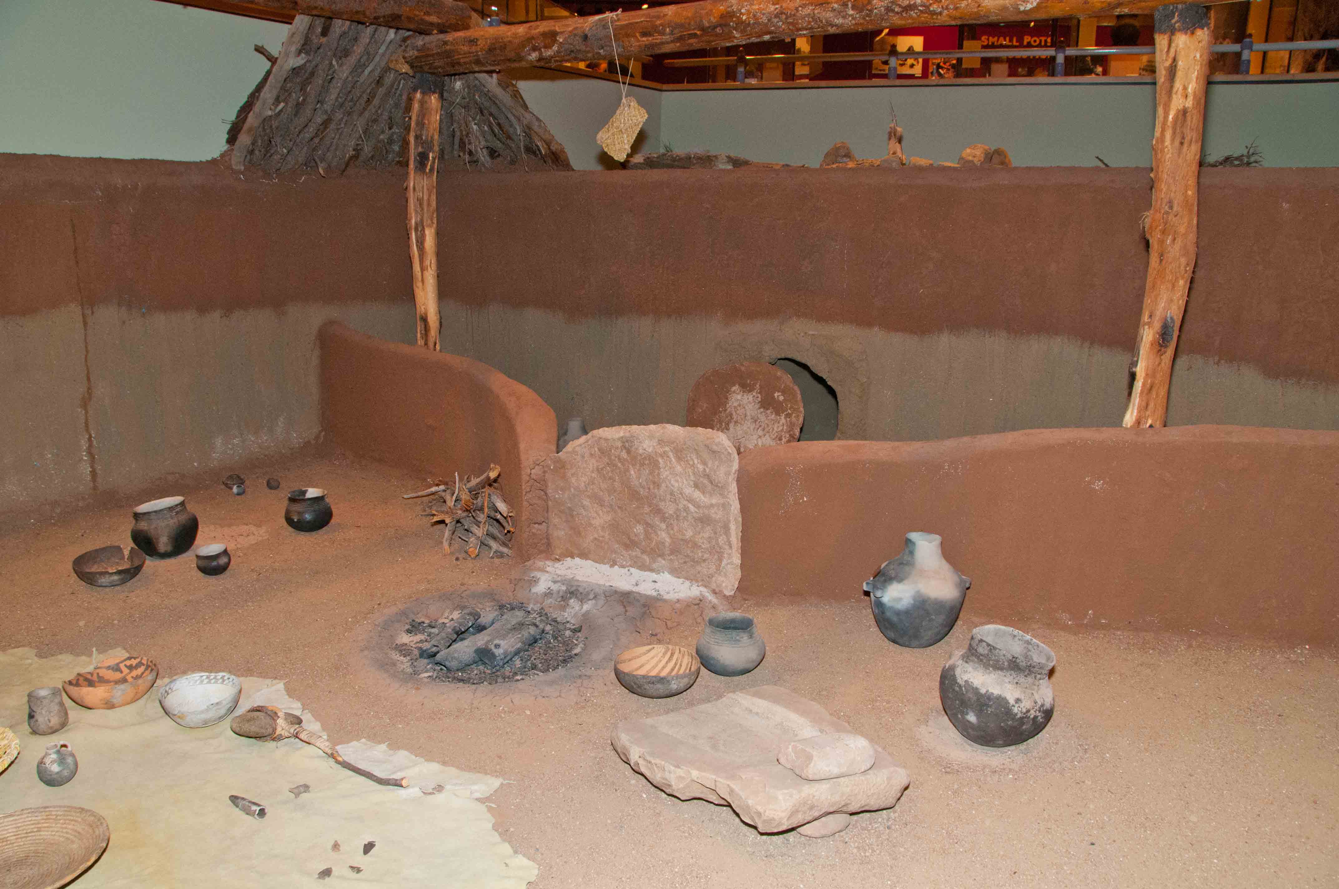
Pit House Replica
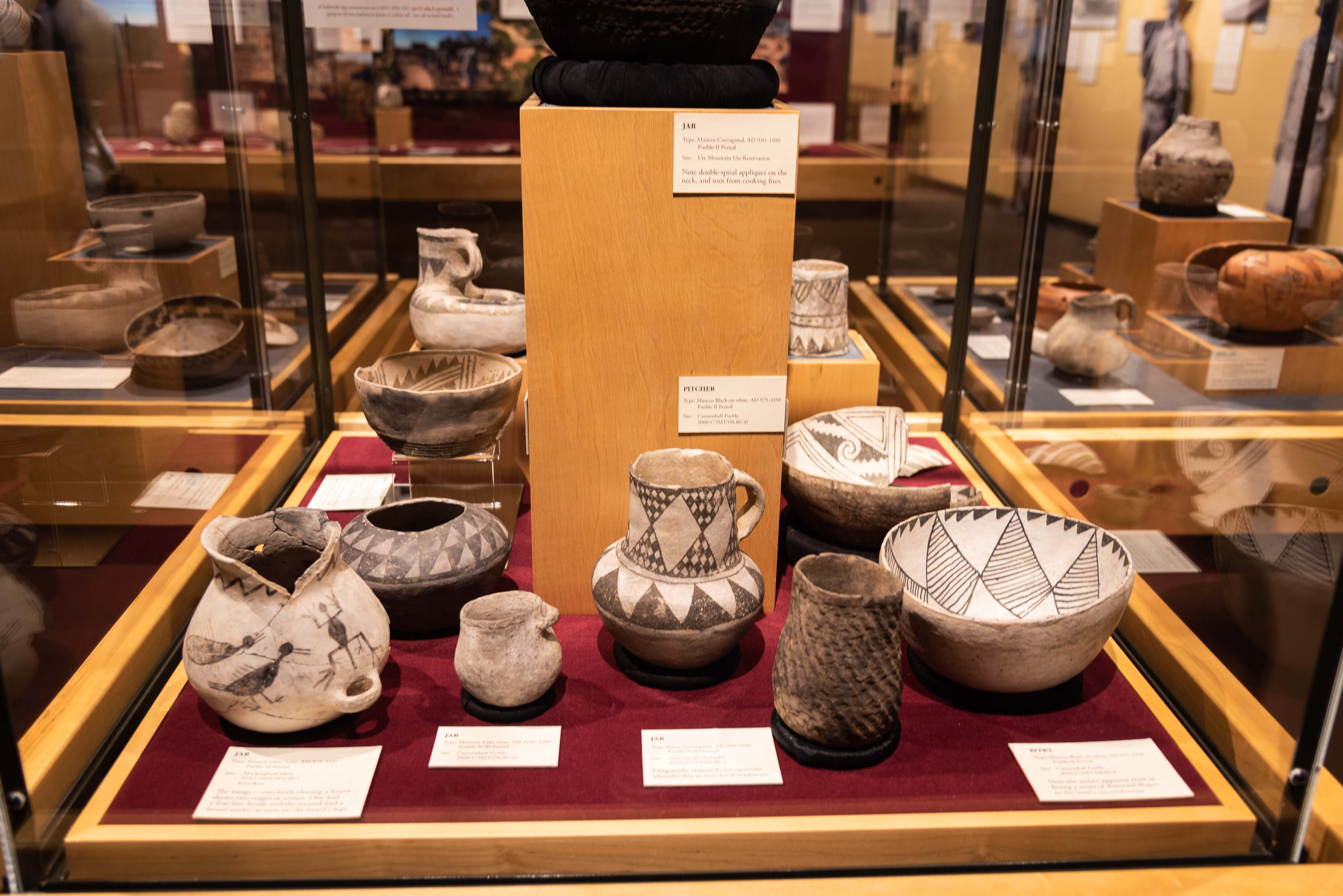
Pottery
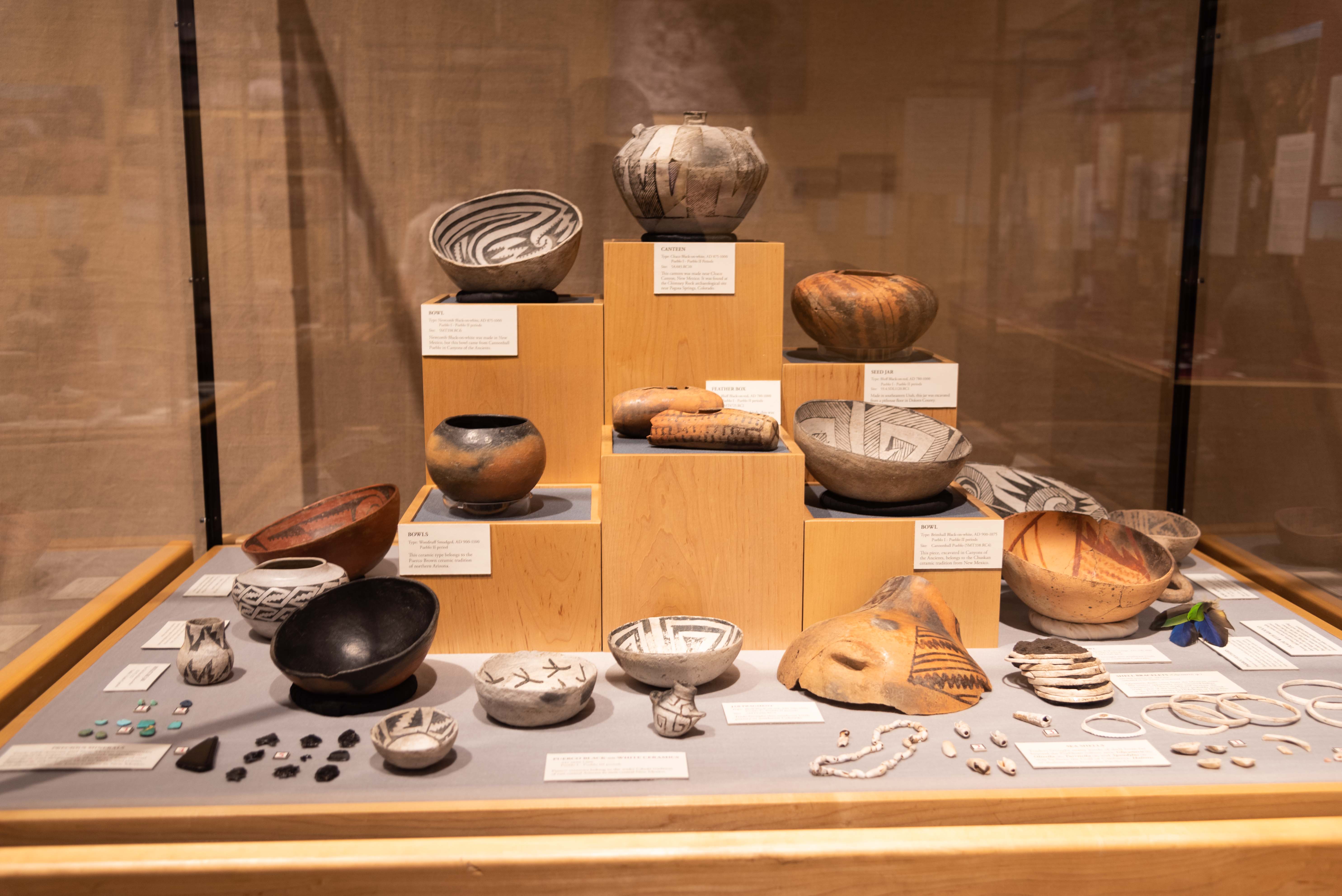
Pottery and Jewelry
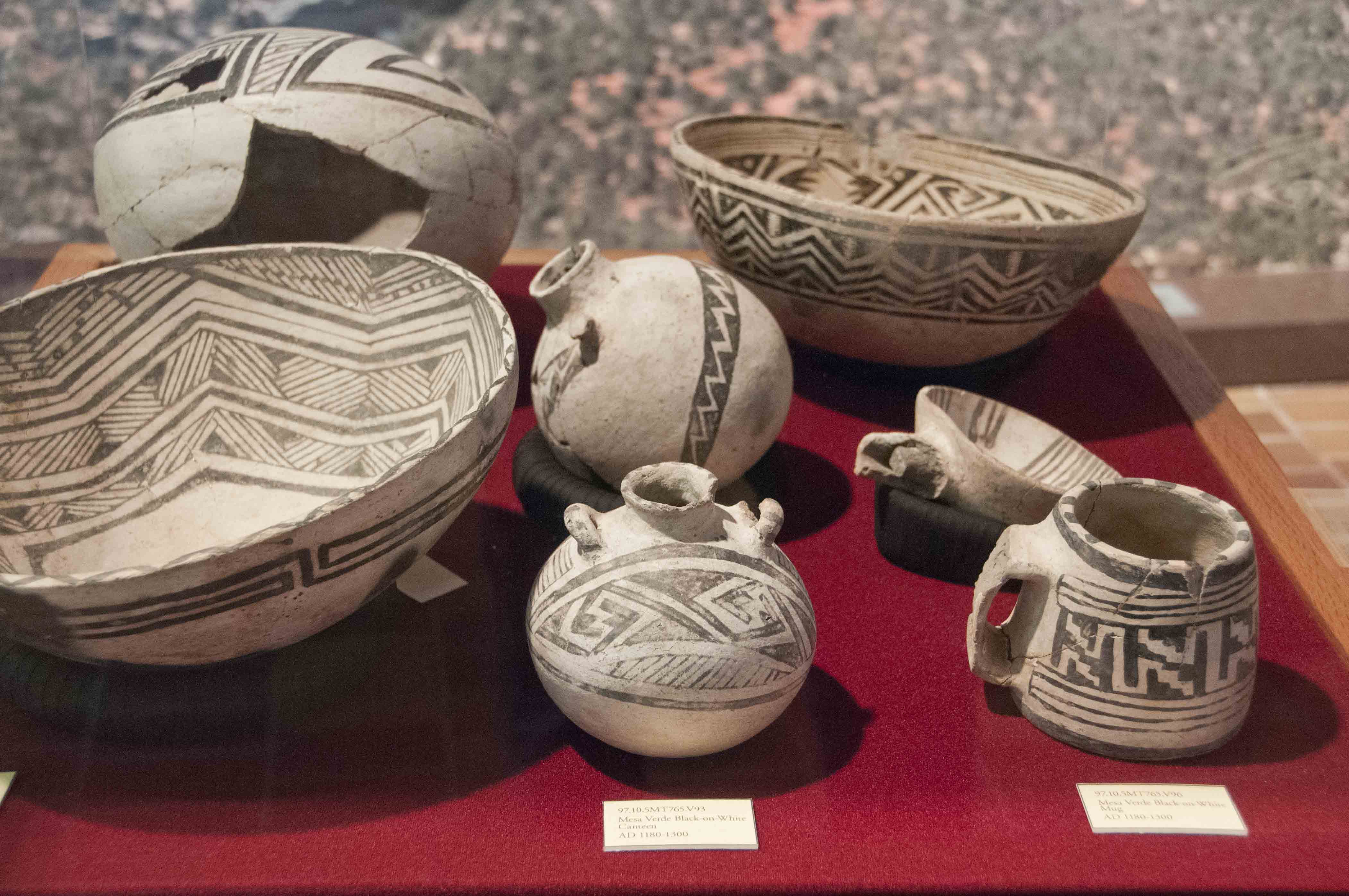
Black on White Pottery Display

Escalante Pueblo
Escalante Pueblo 2002
Escalante Pueblo 2021
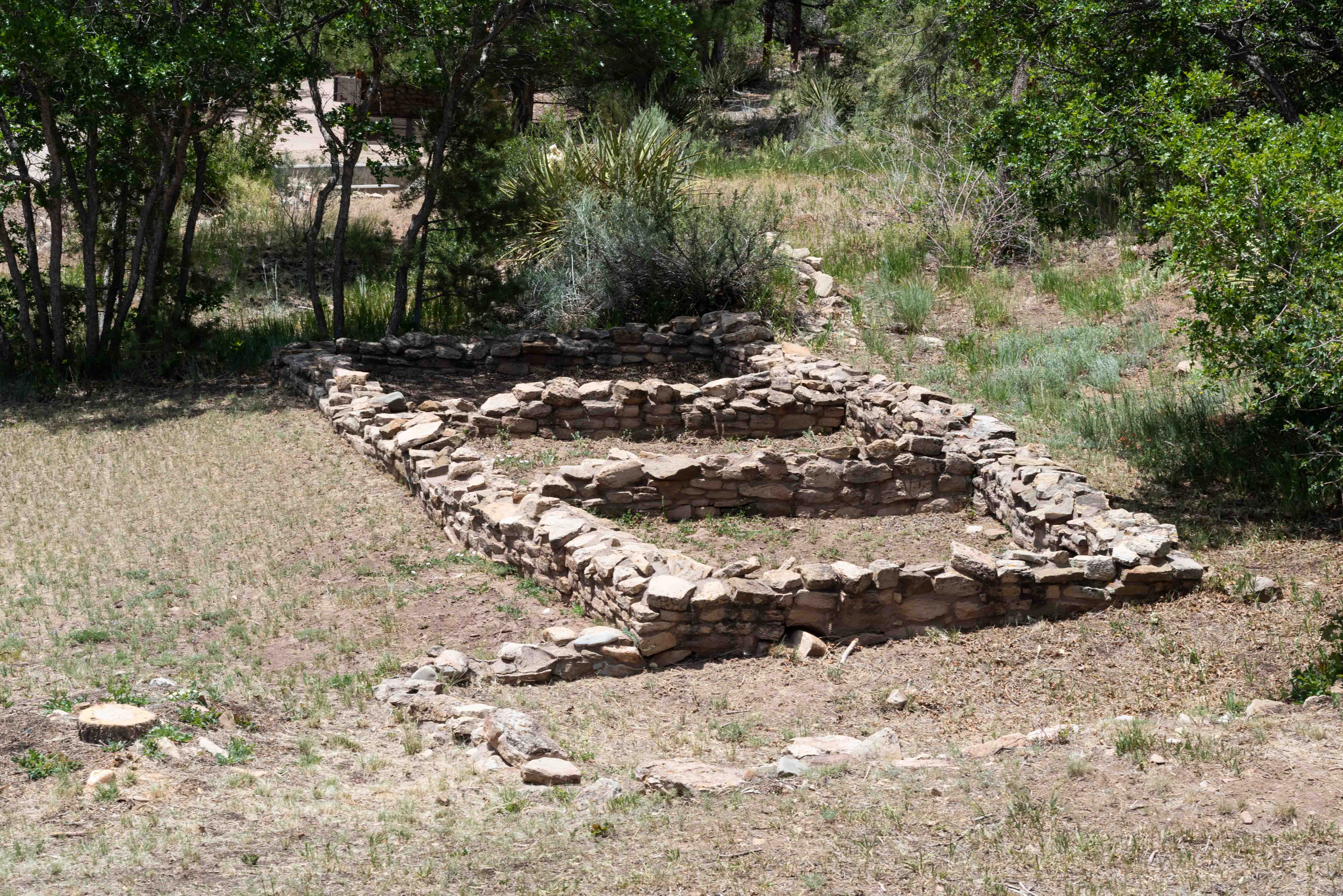
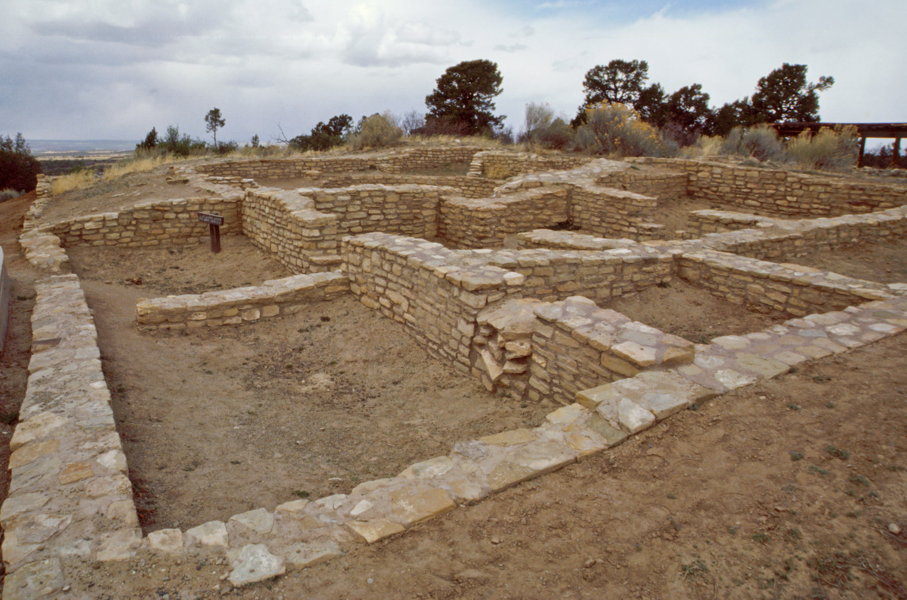
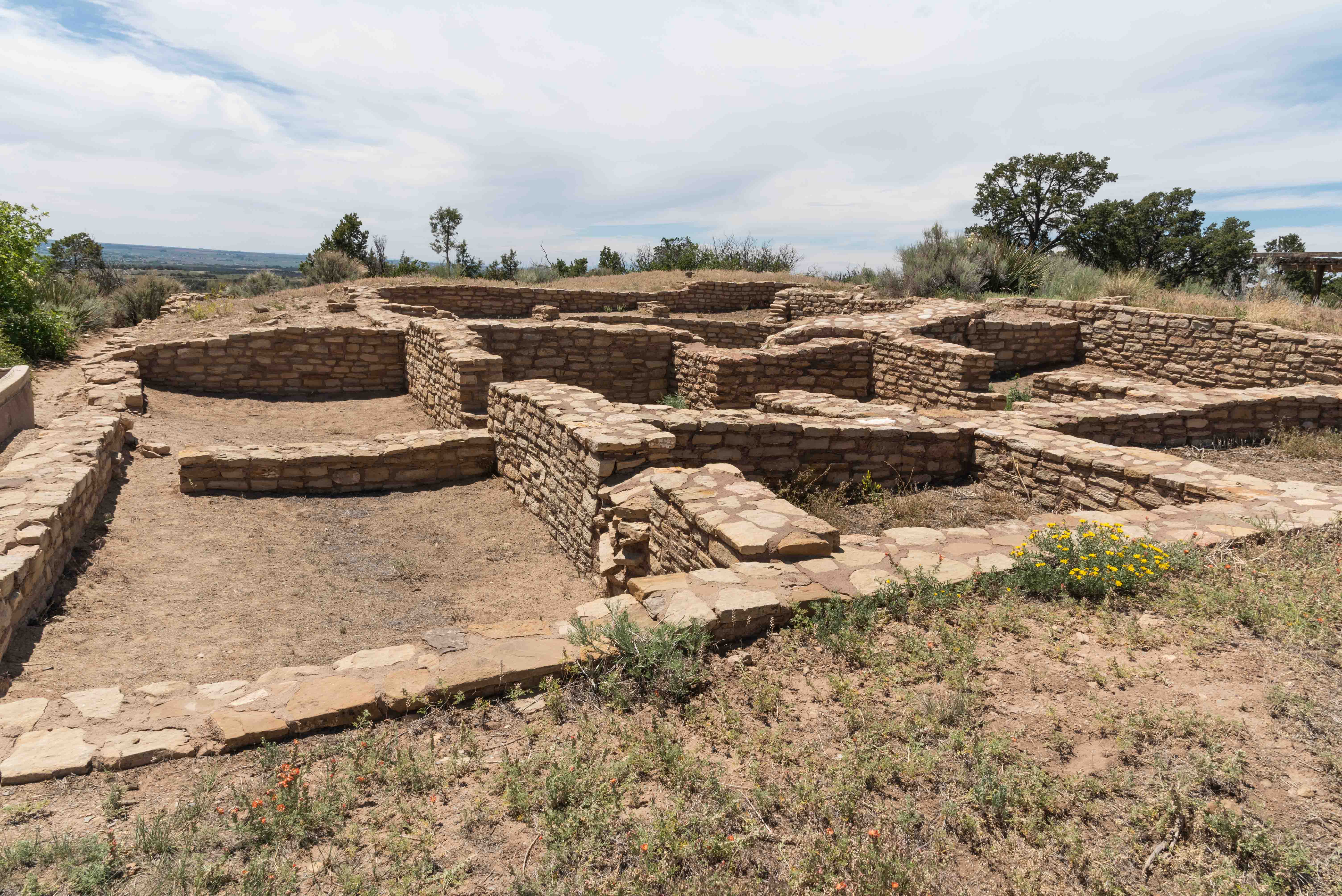
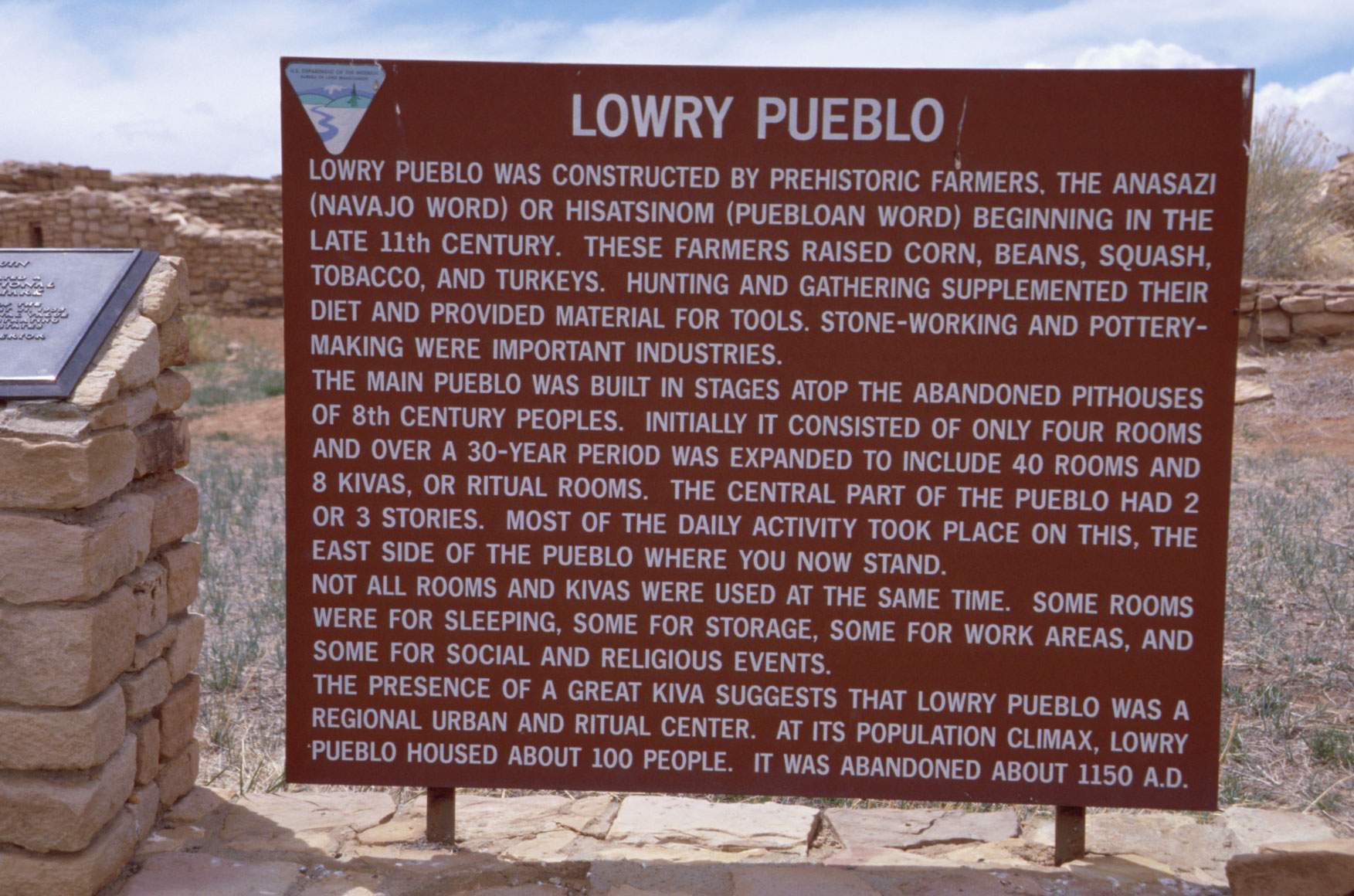
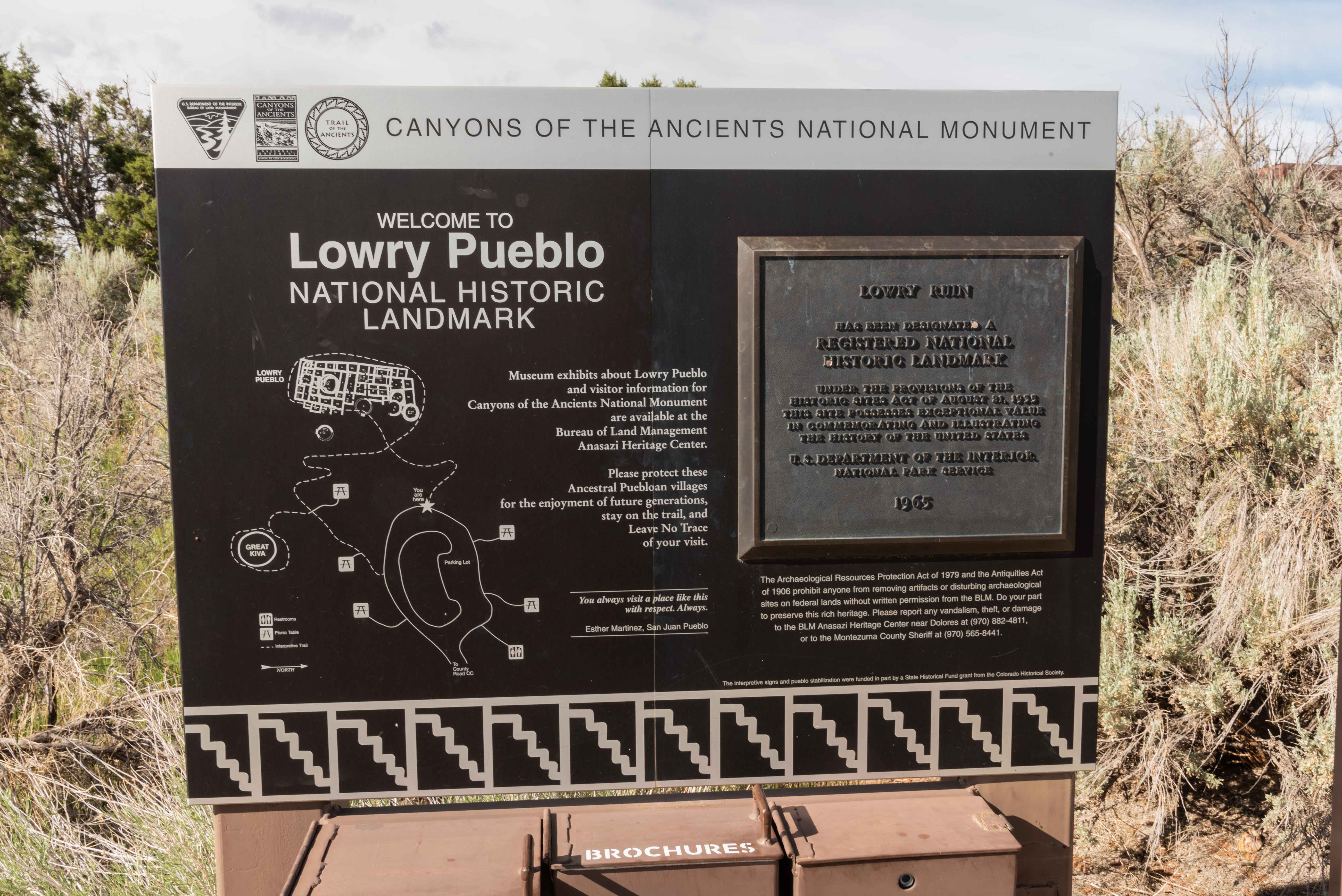
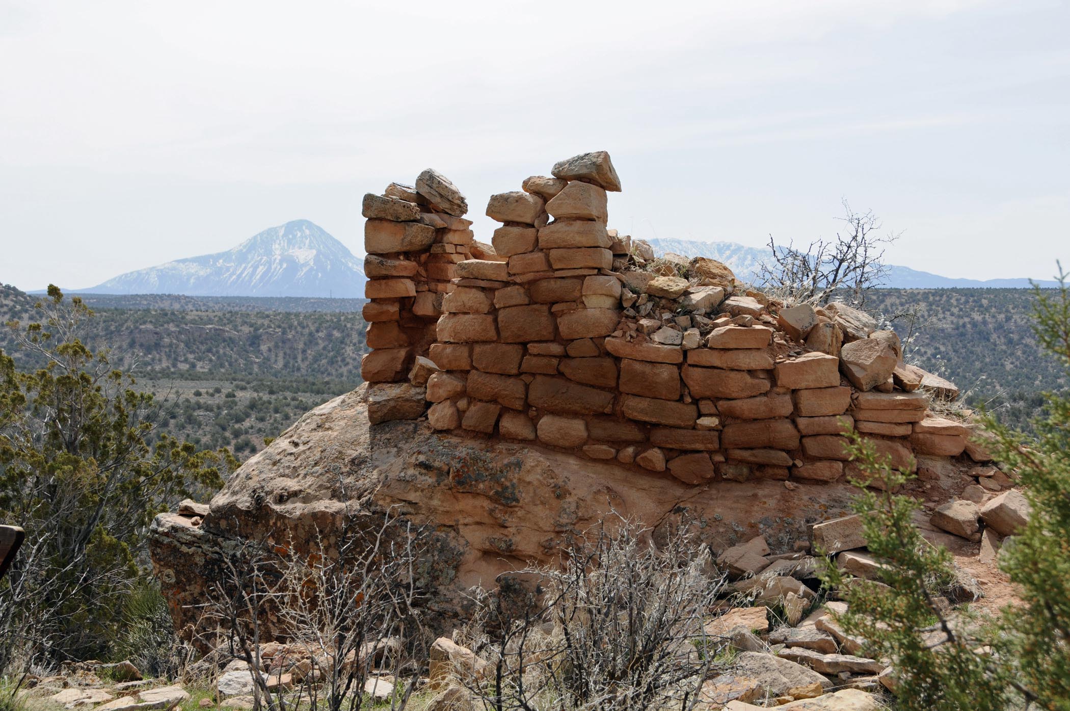
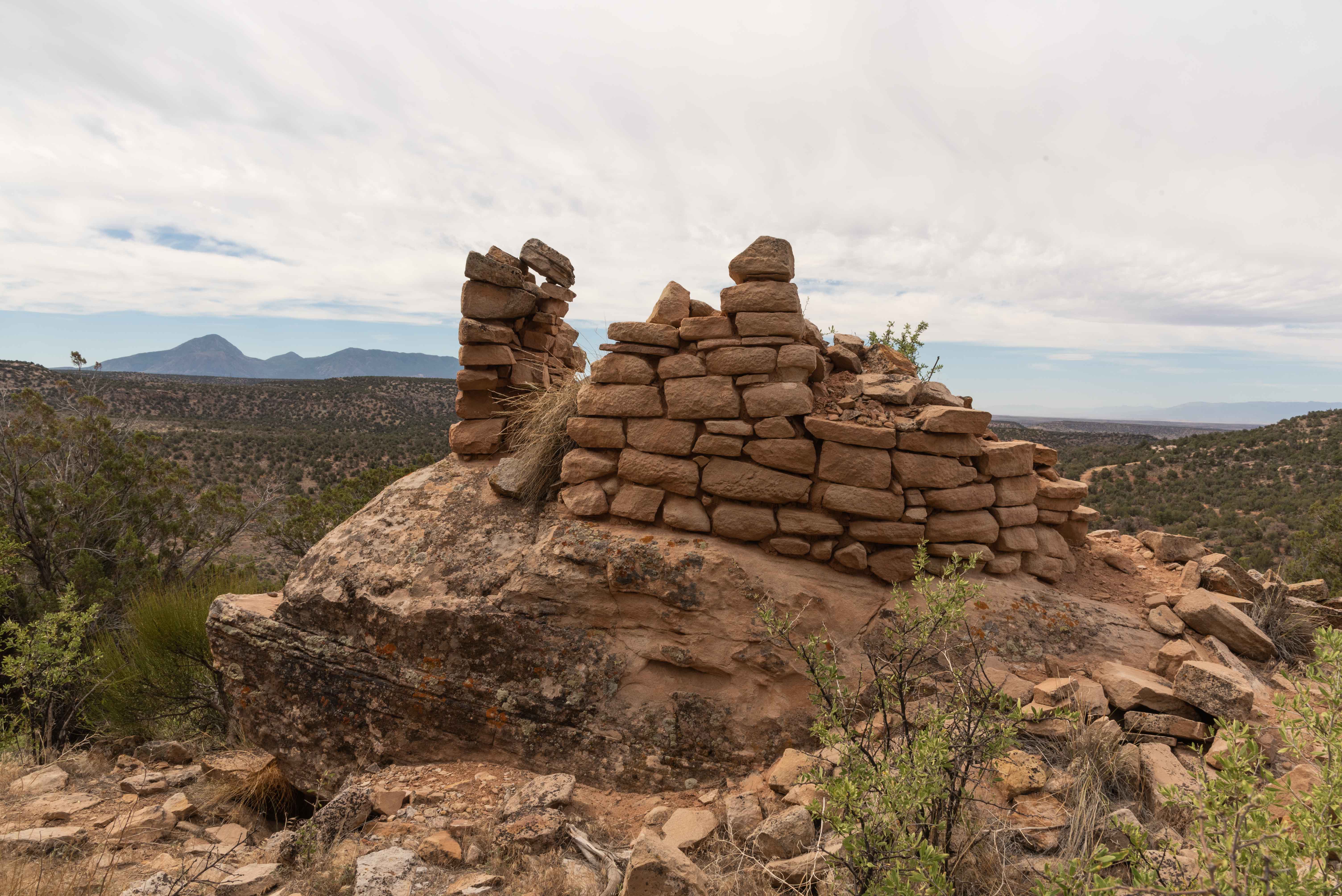
Lowry Pueblo
Lowry Pueblo is the only excavated
portion of a larger pueblo town spread over a square mile located near Pleasant View, Colorado. It consists
of about 40 rooms, 8 kin kivas, and a great kiva. The pueblo was constructed around AD 1080 and occupied
by 40 to 100 people at a time. Lowry Pueblo exhibits both both Chaco- and Mesa Verde-style architecture.
There is a well preserved kiva in the southern room block that has been roofed over and an entrance added
that provides access the the kiva.
Lowry Pueblo 2002
Lowry Pueblo 2021
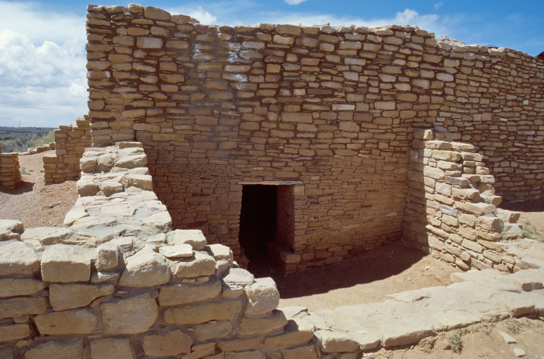
Entrance to roofed portion of Lowry Pueblo

Interior of roofed portion of Lowry Pueblo
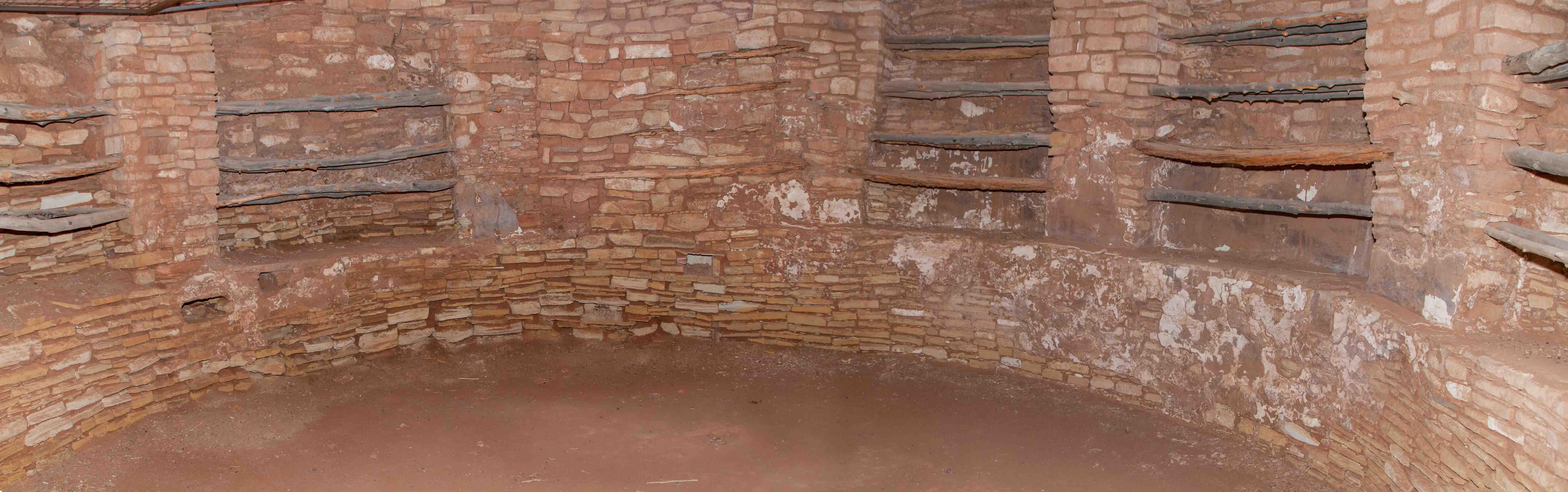
Kiva B (Note some original white plaster still lining the wall) 2012
Kiva B 2021

Lowry Pueblo
Lowry Pueblo
Lowry Pueblo
Descriptive Sign
Great Kiva 2021
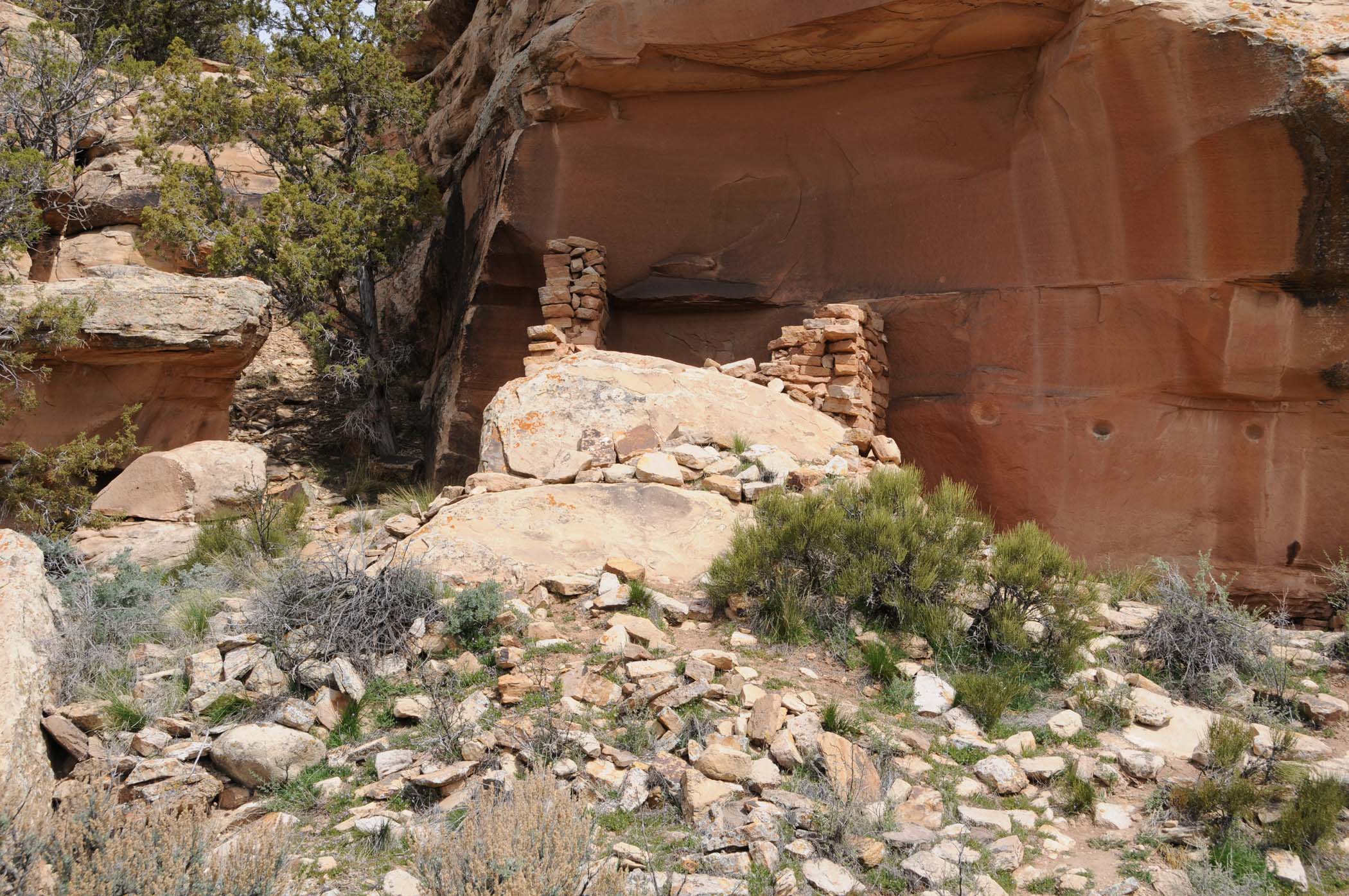
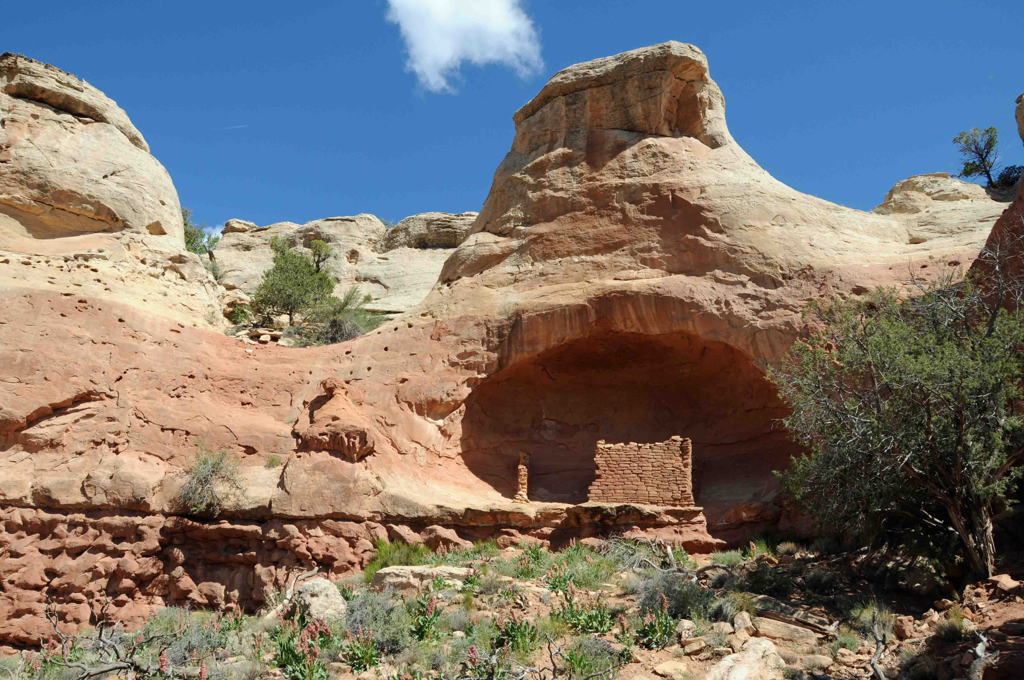
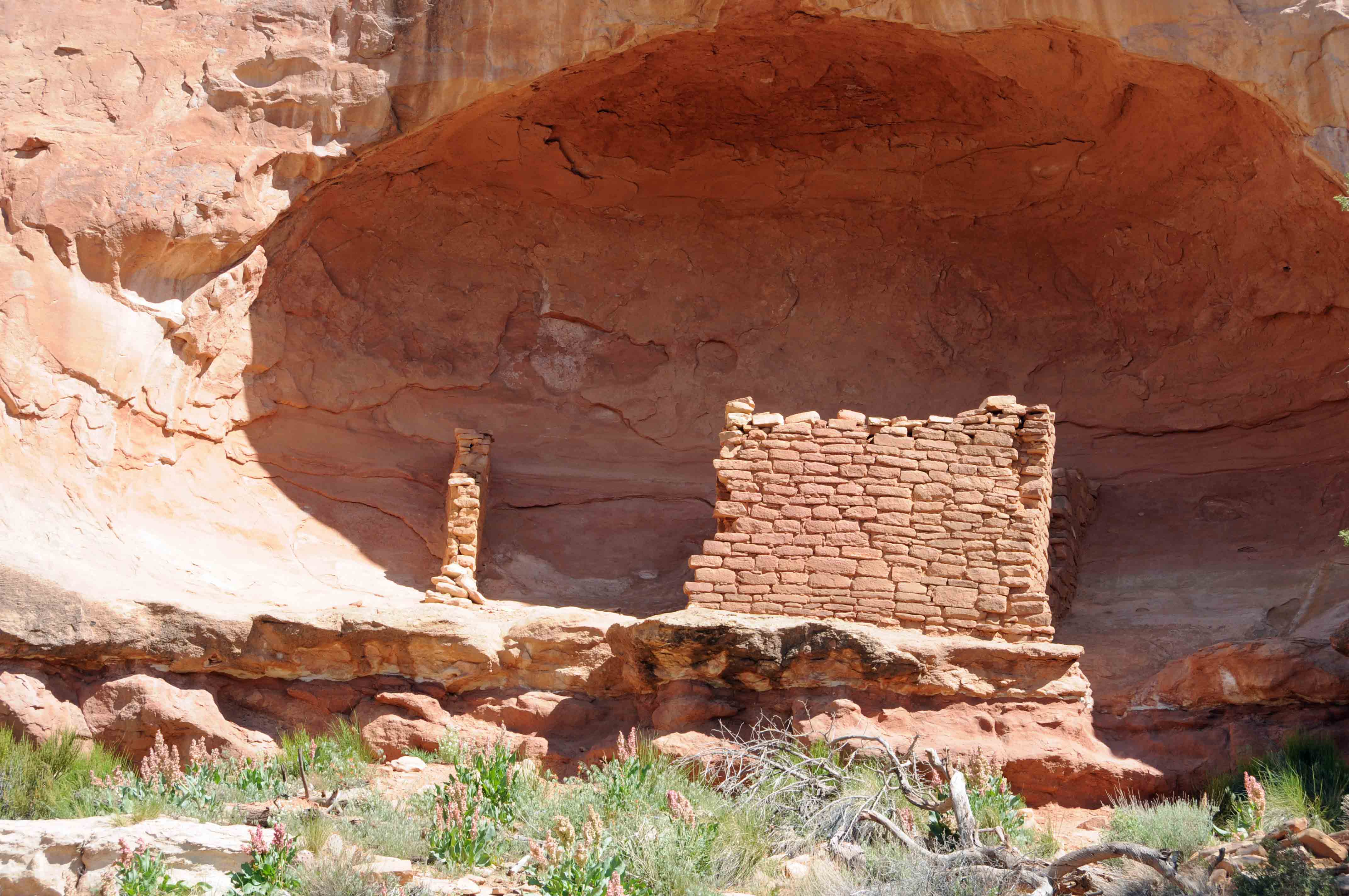
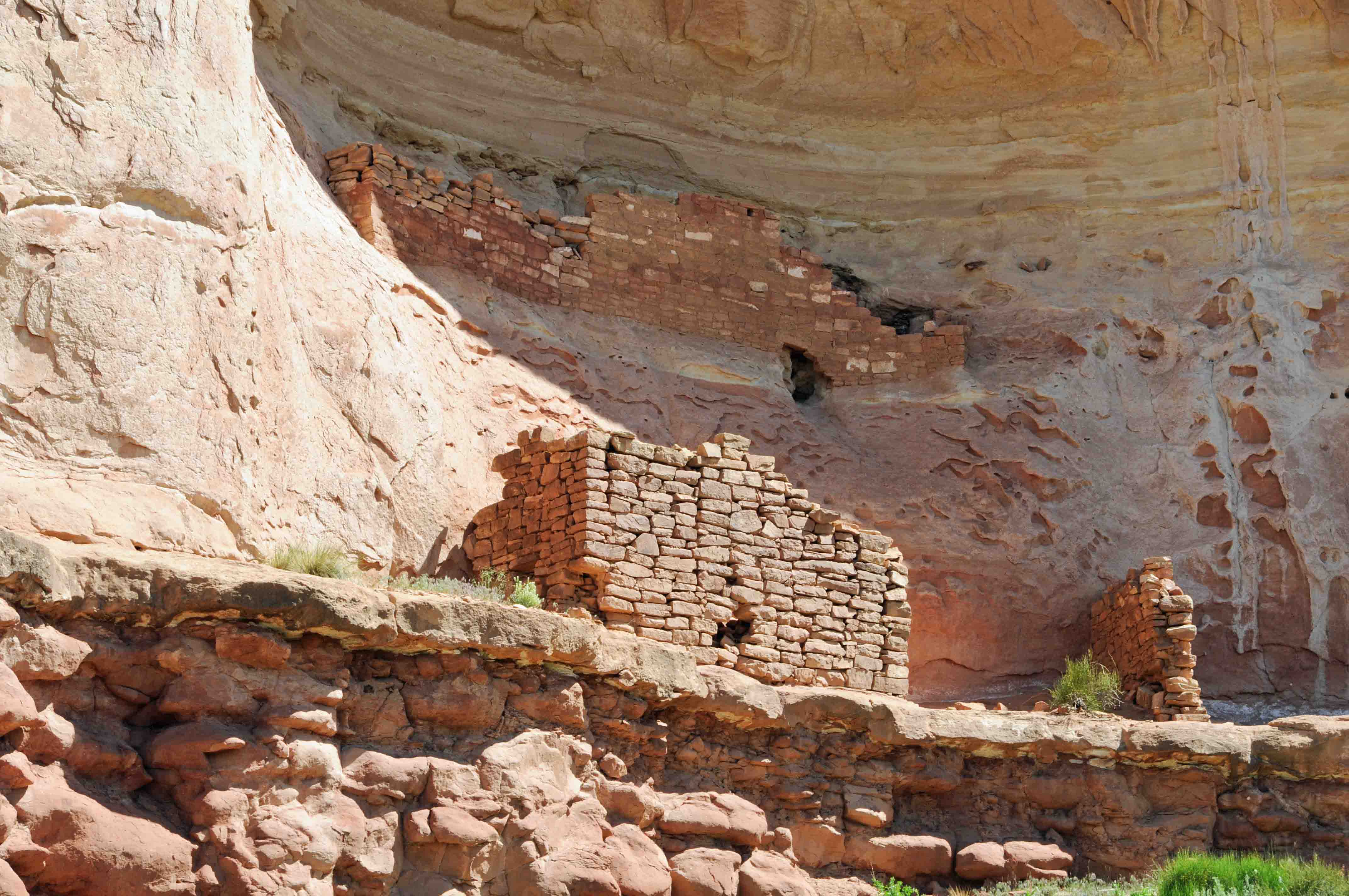
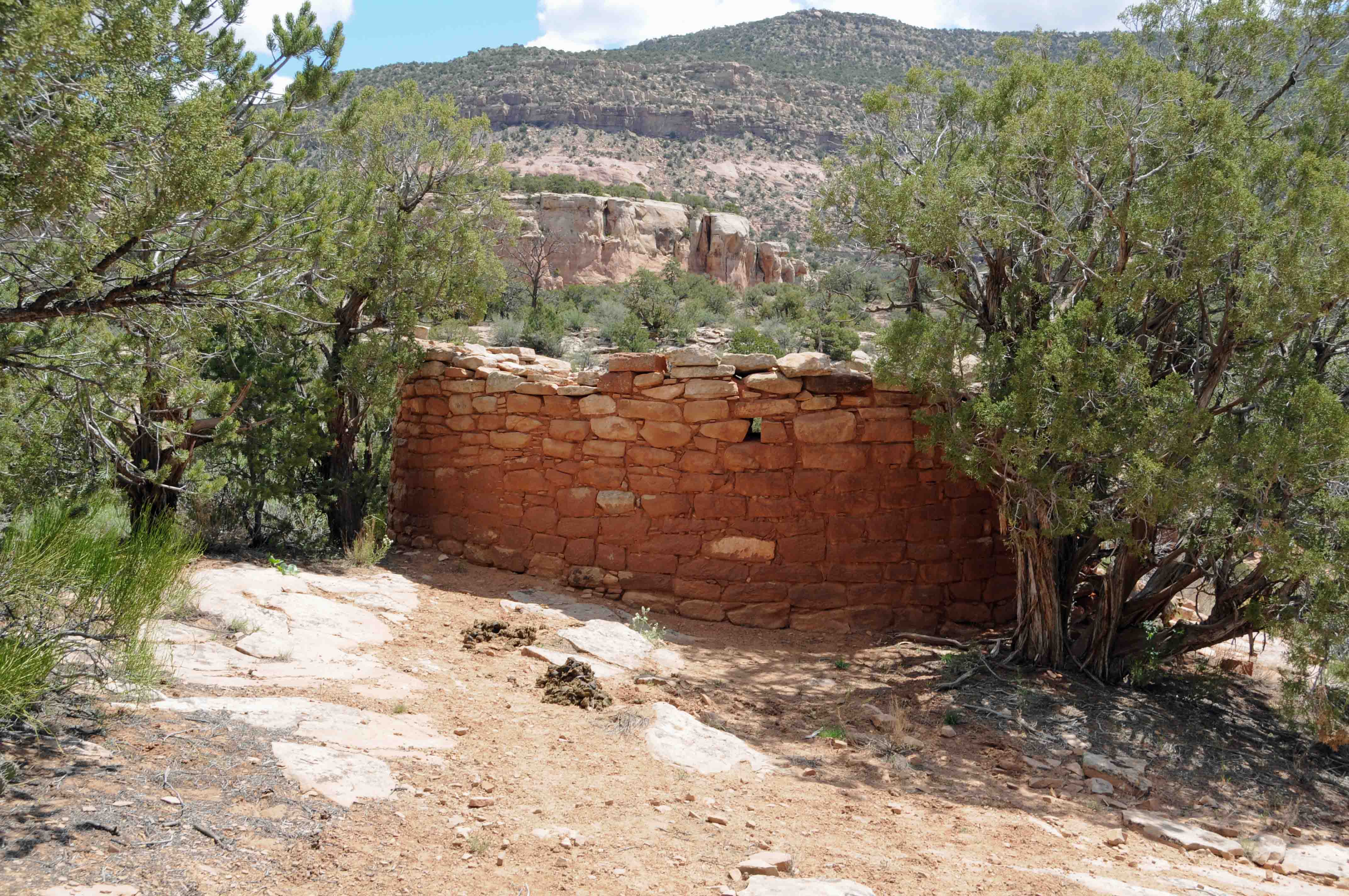
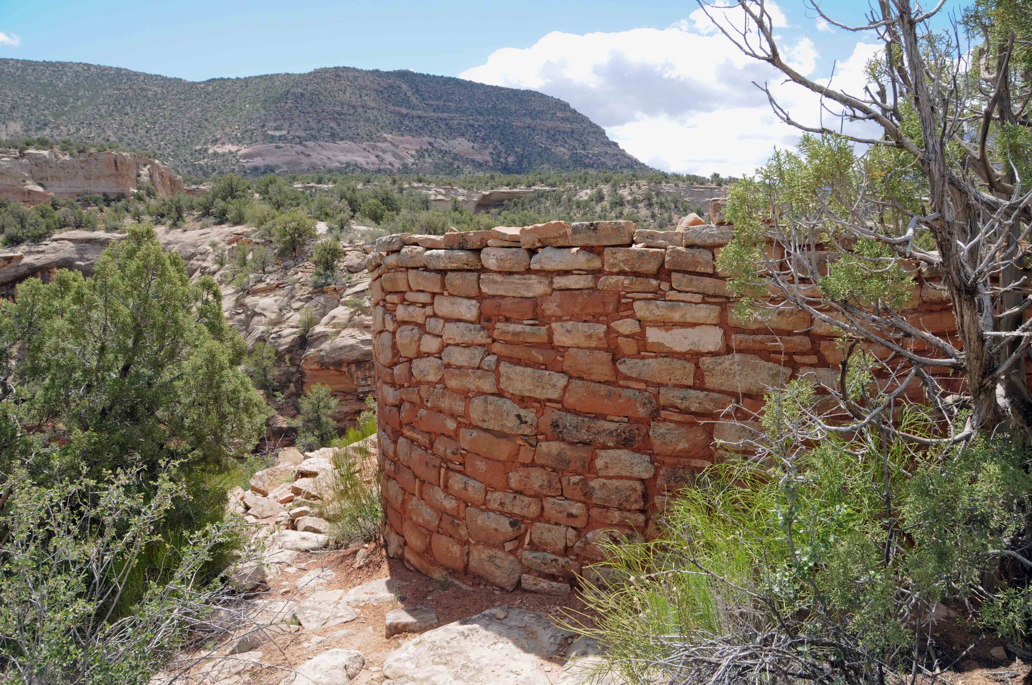
Painted Hand Pueblo
The Painted Hand Pueblo is another of many ruins located in Canyons
of the Ancients National Monument. It consists of a standing circular tower and
several small room block ruins. This small village of about 20 rooms
was constructed around AD 1200. It gets its name from a pictograph found there.

Painted Hand Pueblo 2008
Painted Hand Pueblo 2021
Circular tower 2008
Circular Tower 2021

Circular Tower
Room block Ruin

Panoramic view from Painted Hand
Sleeping Ute Mountain on left horizon
The painted hand at Painted Hand
Room Ruin 2008
Room Ruin 2021
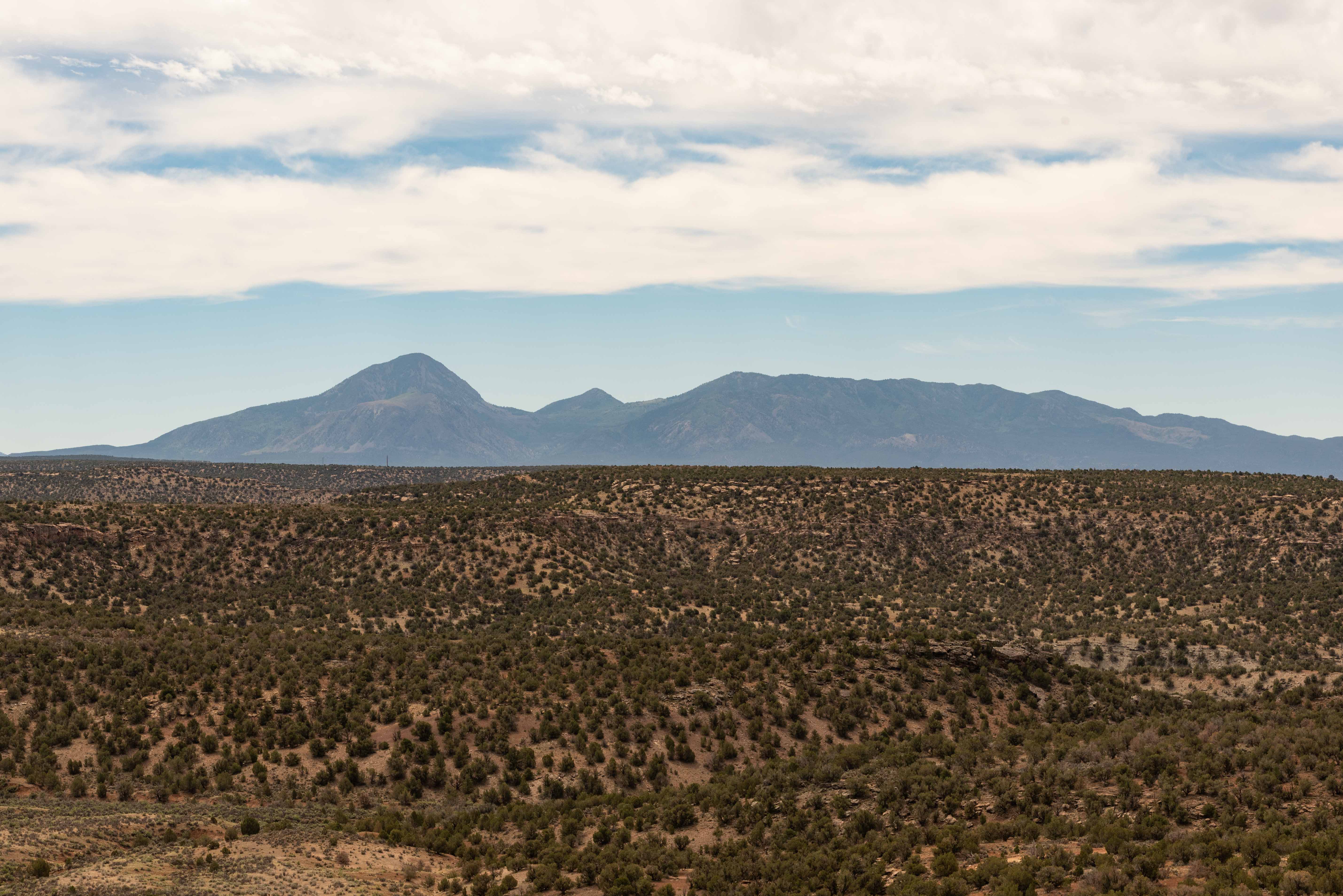
Sleeping Ute Mountain
Sand Canyon
The Sand Canyon trail in Canyons of the Ancients has trailheads at both ends of
Sand Canyon. The upper trailhead is at the canyon head off of N Road near Sand Canyon Pueblo. Sand Canyon Pueblo,
mostly unexcavated, is one of the largest ancestral pueobloan villages in Colorado. The lower trailhead
is off of G Road about 12 miles west of Cortez. Several cliff dwellings and pueblos, as well as a tower,
can be seen along the trail.

Small ruin near the lower end of Sand Canyon
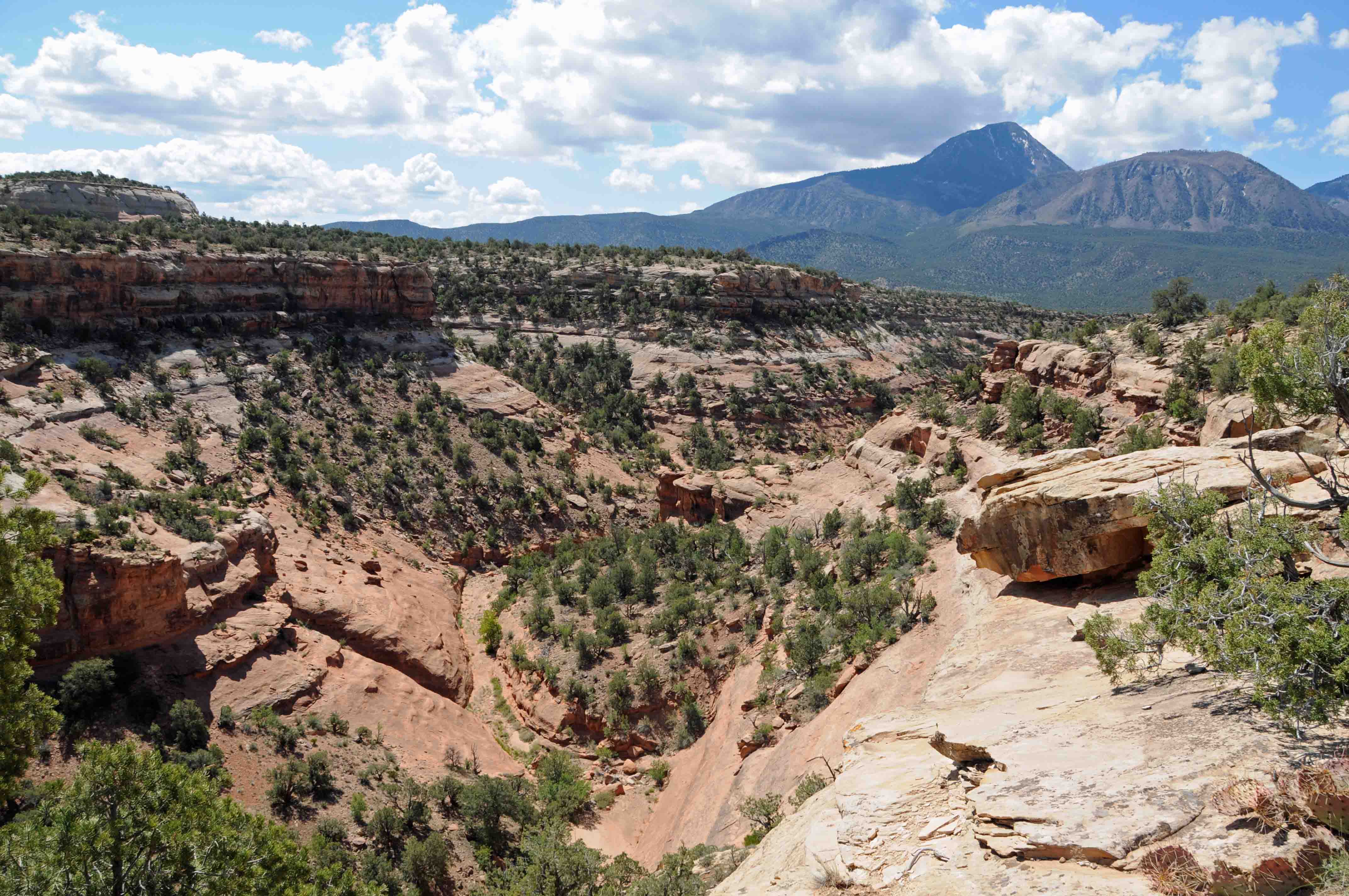
Sand Canyon with Sleeping Ute in the background

Desert Phlox
Saddlehorn Pueblo
Saddlehorn Pueblo

Corn Cob House
Double Cliff House
Tower along Sand Canyon Trail
Tower along Sand Canyon trail
Thanks to Wikipedia and online BLM sources for background content.
Use the form on the Home Page to submit comments, questions, or suggestions. TD Productions Copyright © 2018-2021