Southwest Colorado Roadtrip Part 2
On day 2 we're traveling back to Whitewater to end our trip. Starting from Cortez, we'll zip on up Colorado 145 with stops in Dolores and Rico, then across Lizard Head Pass to Telluride and Placerville. CO 145 from Cortez to Placerville is part of the San Juan Skyway scenic loop. We pick up CO 62 in Placerville and drive to Ridgway. From Ridgway we take U.S. 550 to Montrose. In Montrose we switch to U.S. 50 and take it through Delta to Whitewater to complete our loop. Instead of the canyons and deserts we saw in Part 1, we'll be traveling through mountains, valleys, and forests in Part 2.
Dolores
Dolores is the first town we come to along CO 145 after leaving Cortez. Dolores (Spanish for "sorrows") is named after the Dolores River, on which it is situated. Dolores became a station on the Rio Grande Southern Railroad in 1891. The railroad was never very profitable and in order to cut costs it built seven strange gasoline powered contraptions to carry mail and passengers. They were built out of automobile and bus parts. The railroad called them "motors", but they are more affectionately known as "galloping gooses". Motor No. 5 and a small museum devoted to the history of the galloping goose are located in Dolores. Today, Dolores is a tourist stop for rafting, kayaking, and fly fishing in the summer, and cross country skiing, snowshoeing, and snowmobiling in the winter.
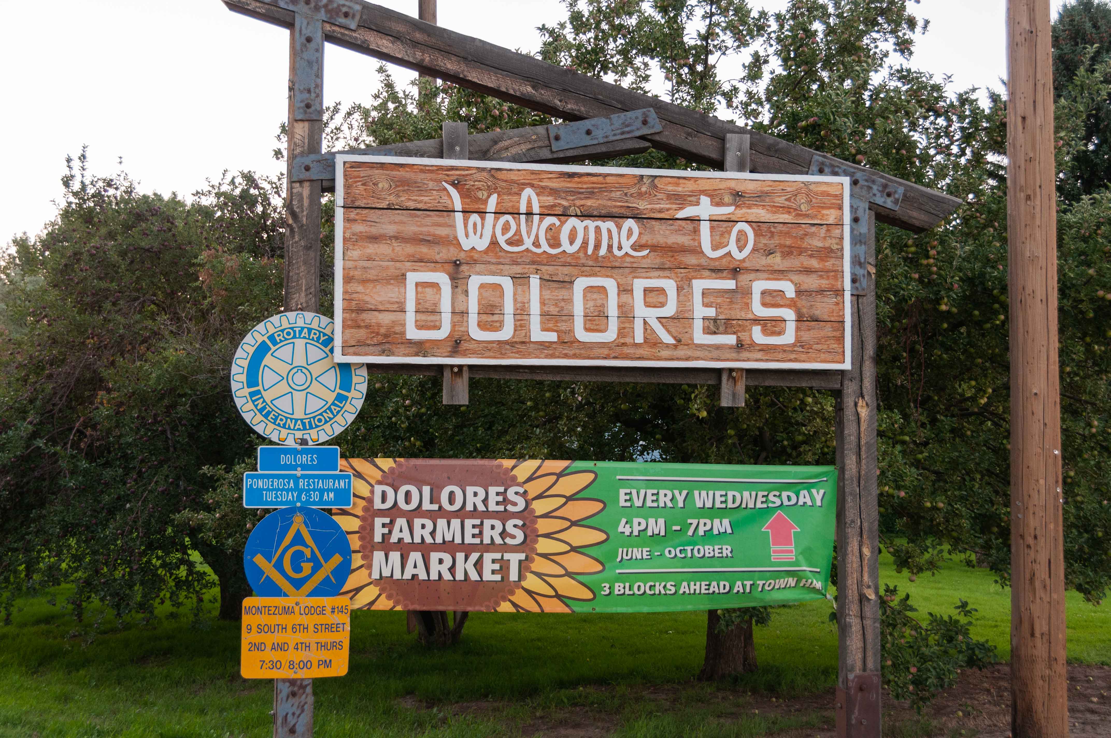
Welcome to Dolores
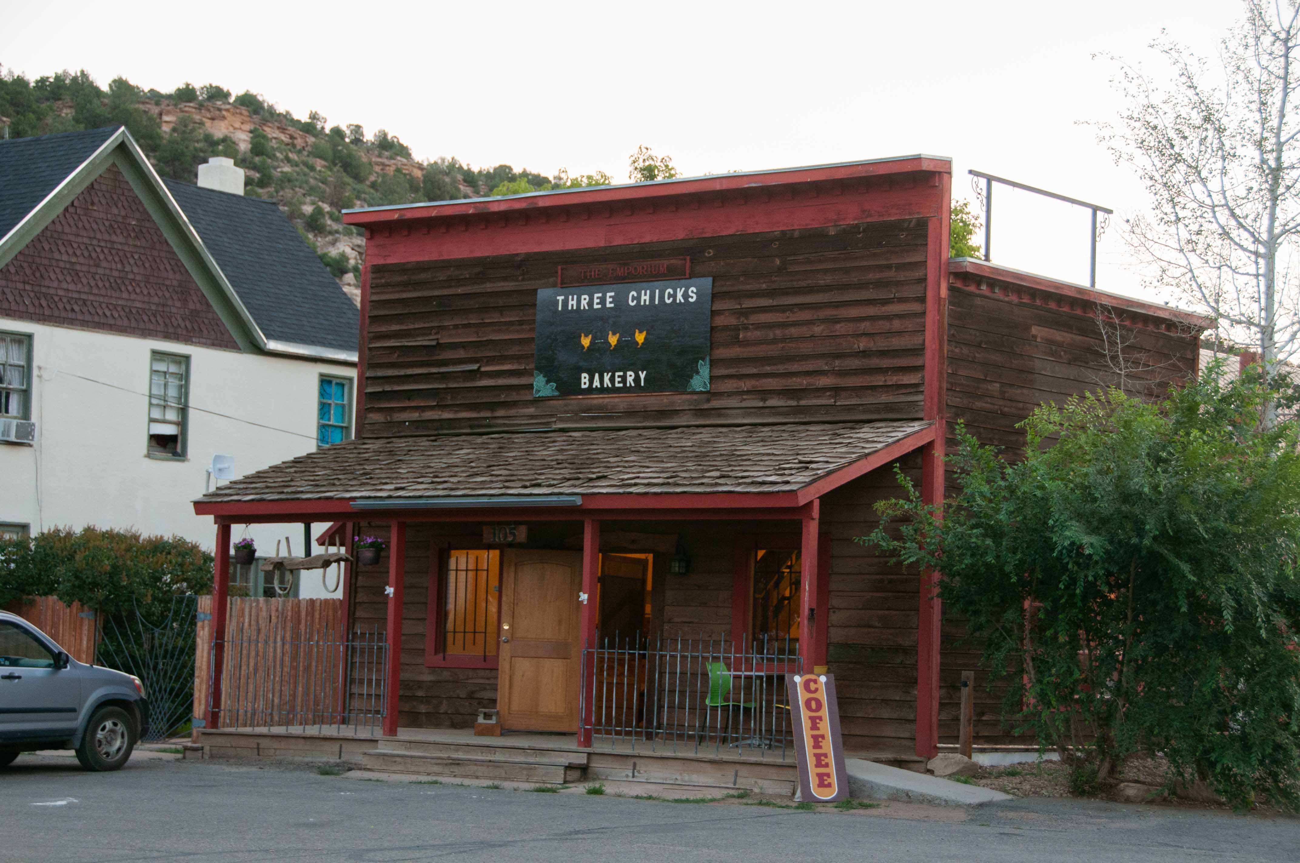
Three Chicks Bakery
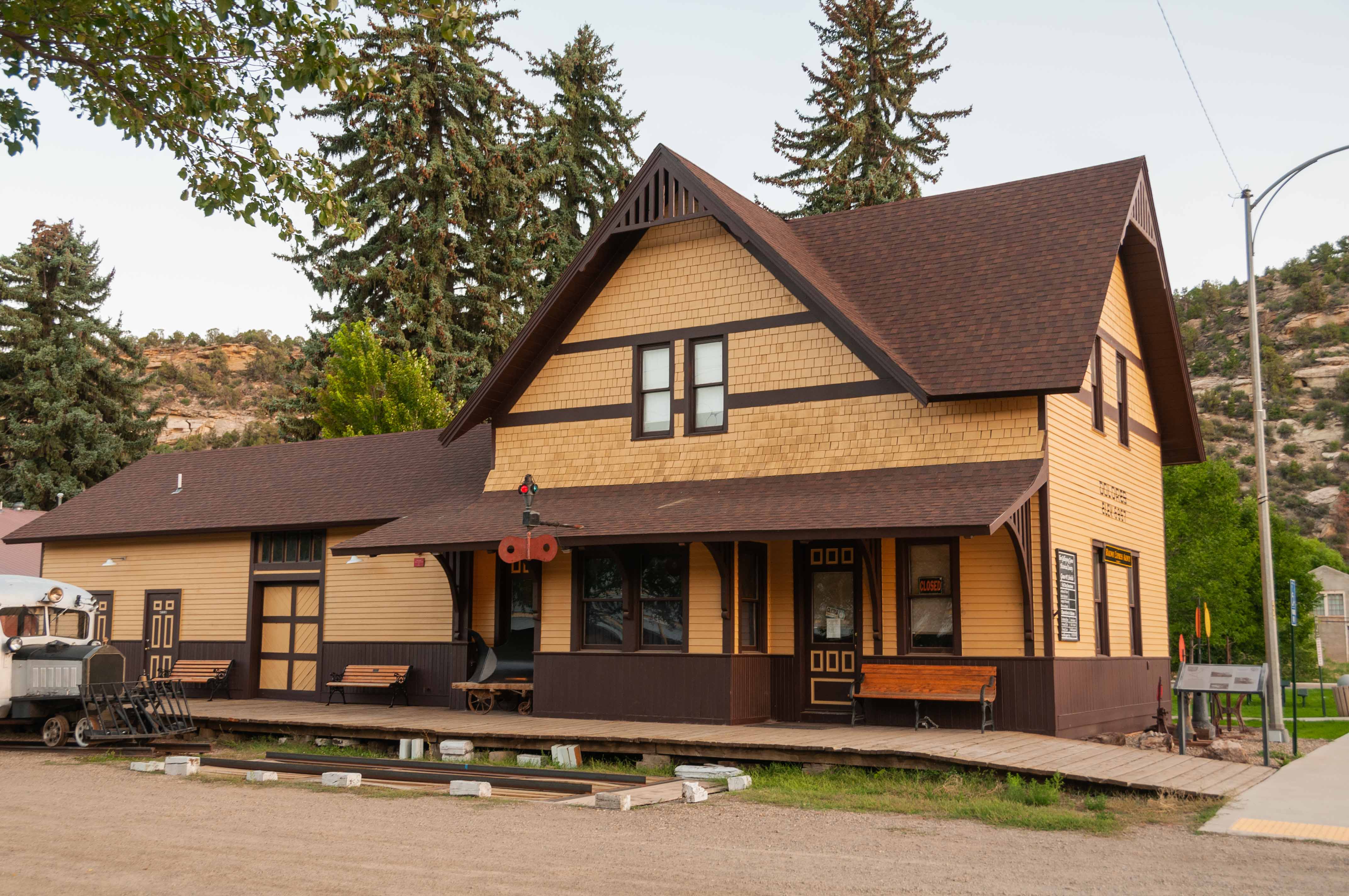
Historic Dolores Train Depot
Galloping Goose Historical Society
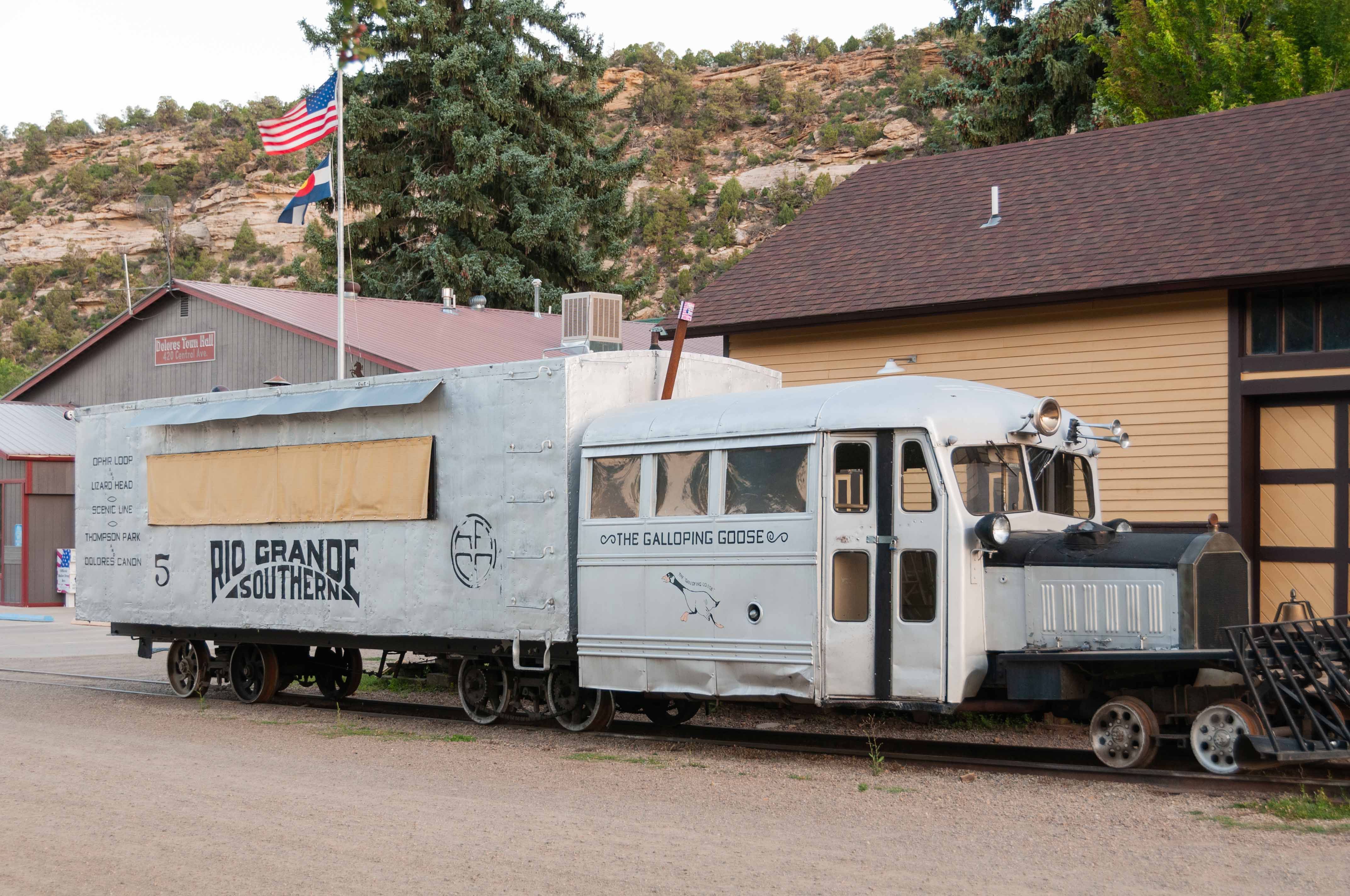
Galloping Goose No.5
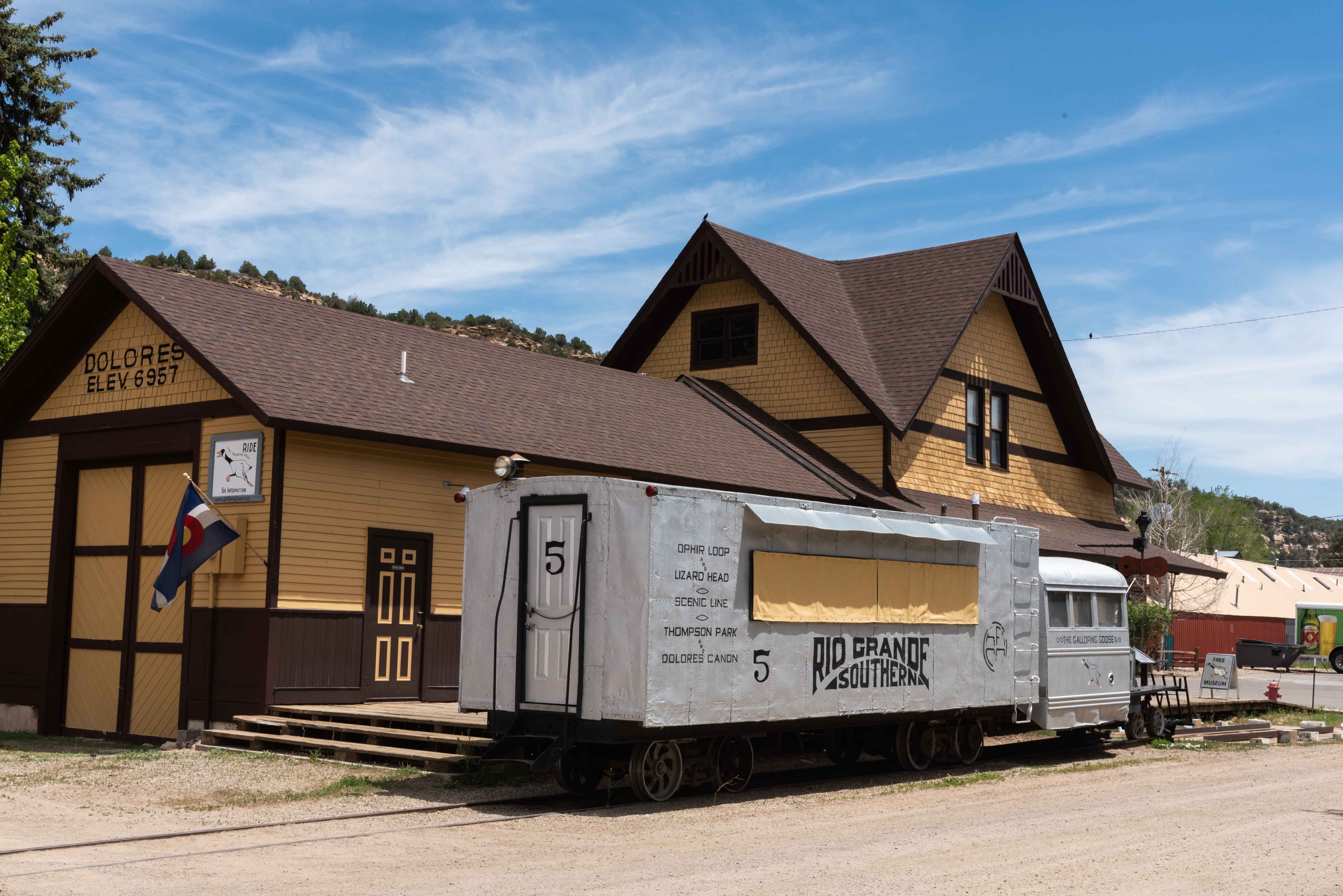
Galloping Goose No.5
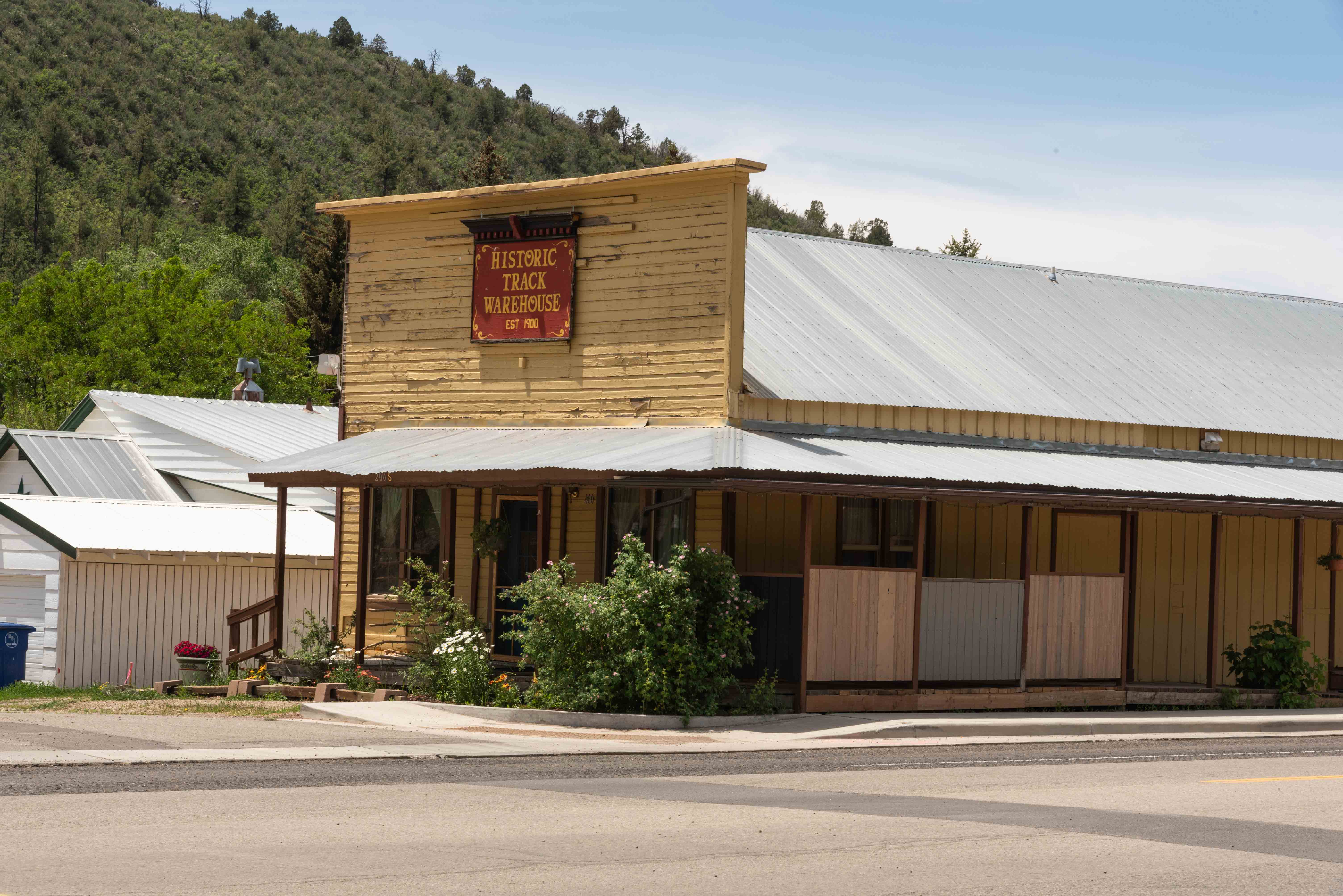
Historic Track Warehouse
CO 145 through Dolores
CO 145 through Dolores
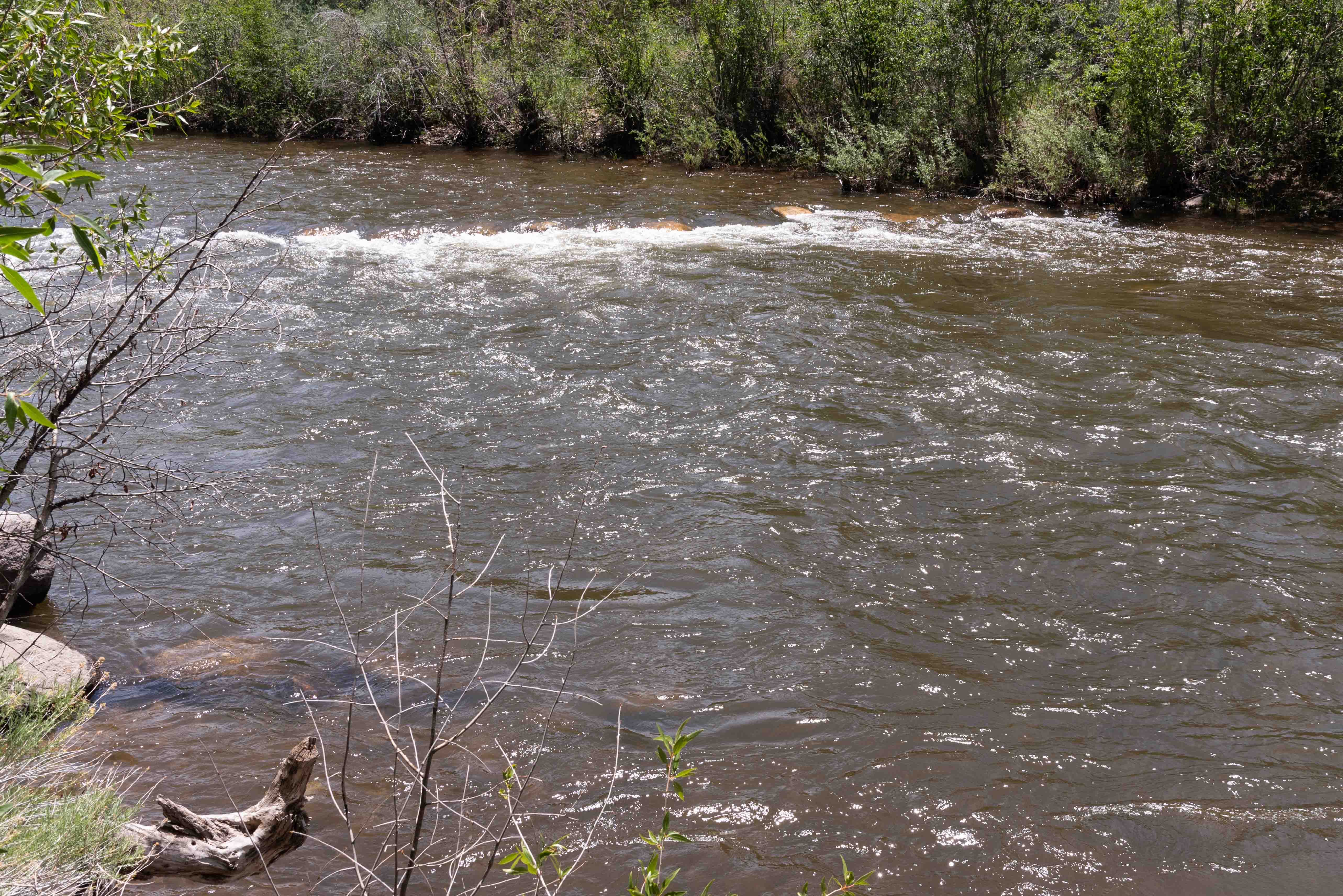
Dolores River
Rico
It's 37 miles from Dolores to the town of Rico.
Rico is located at an altitude of 9,000 feet in the San Juan mountains of Dolores County. It was incorporated
in 1876 (1879?) after discovery of a rich silver load nearby. The town's name comes from the
Spanish word for "rich". By 1892 the town had two newspapers, a theatre, 23 saloons, a red-light
district, and population around 5,000. Today, Rico's year-round population is on the high side of 200
and survives mostly on income from the summer tourist crowd. Rico has a handful of historic buildings that
date from its old mining days.
Click to visit Rico
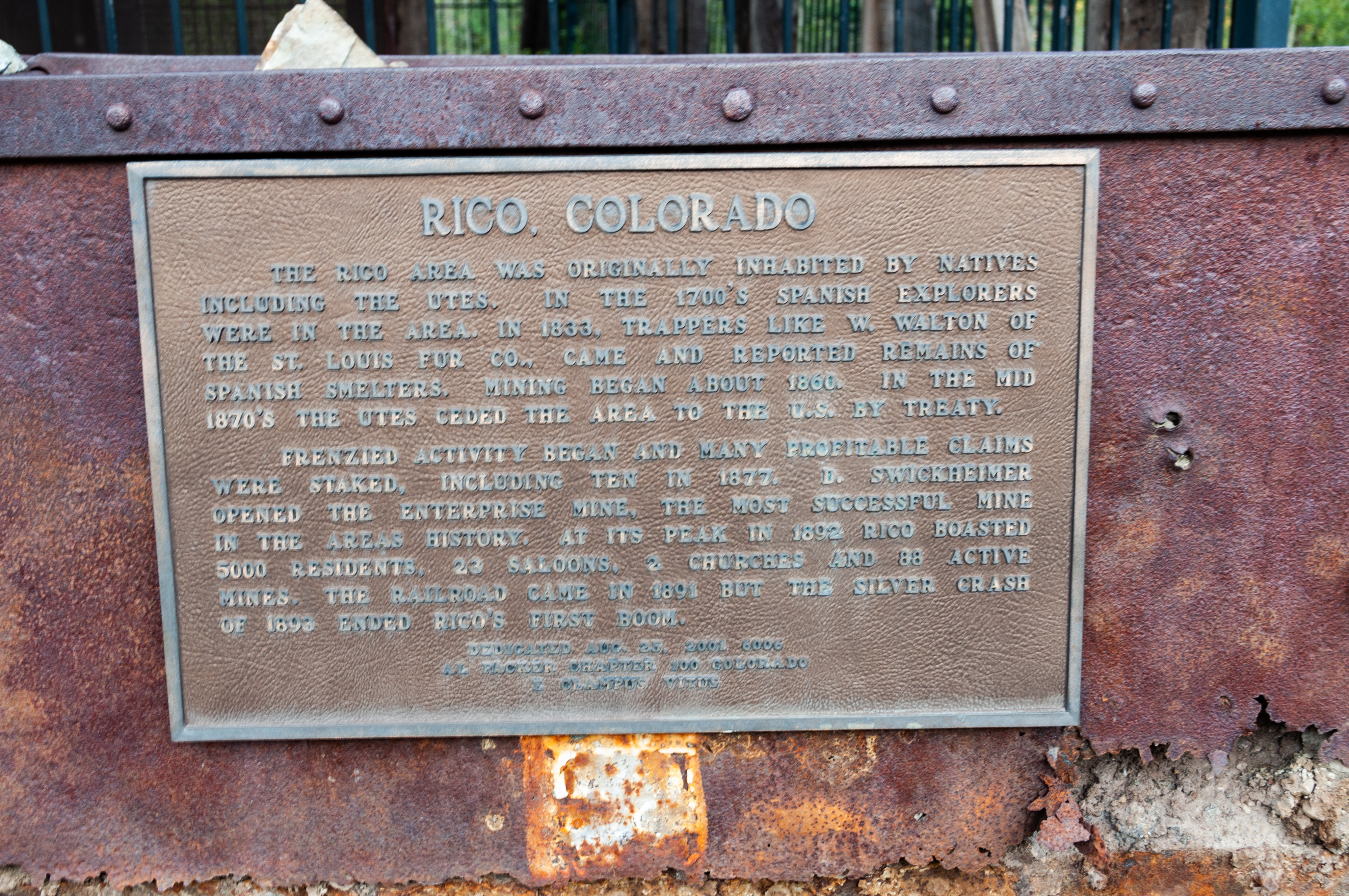
Rico, Colorado
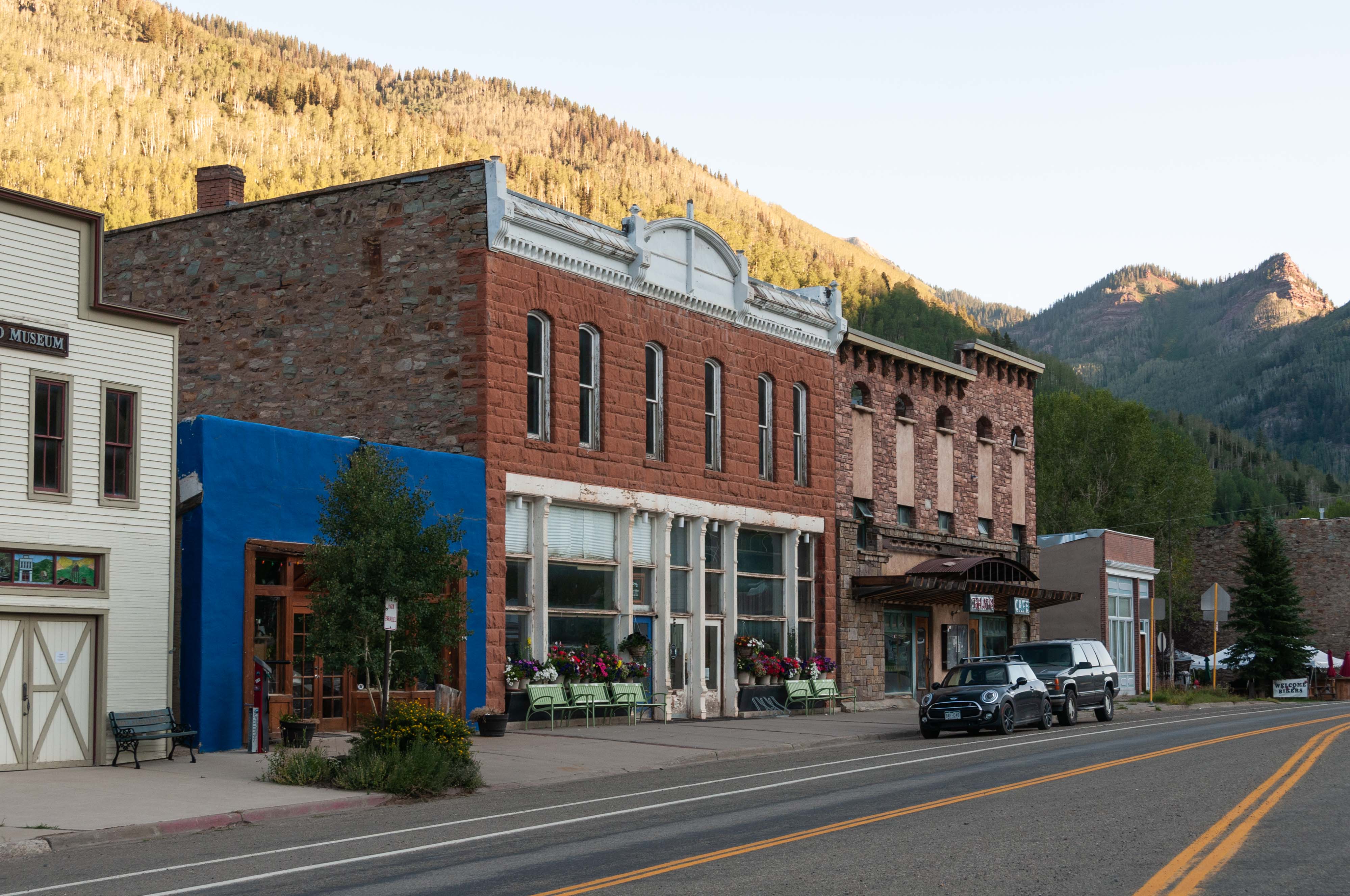
Buildings along S. Glasgow Ave (CO 145)
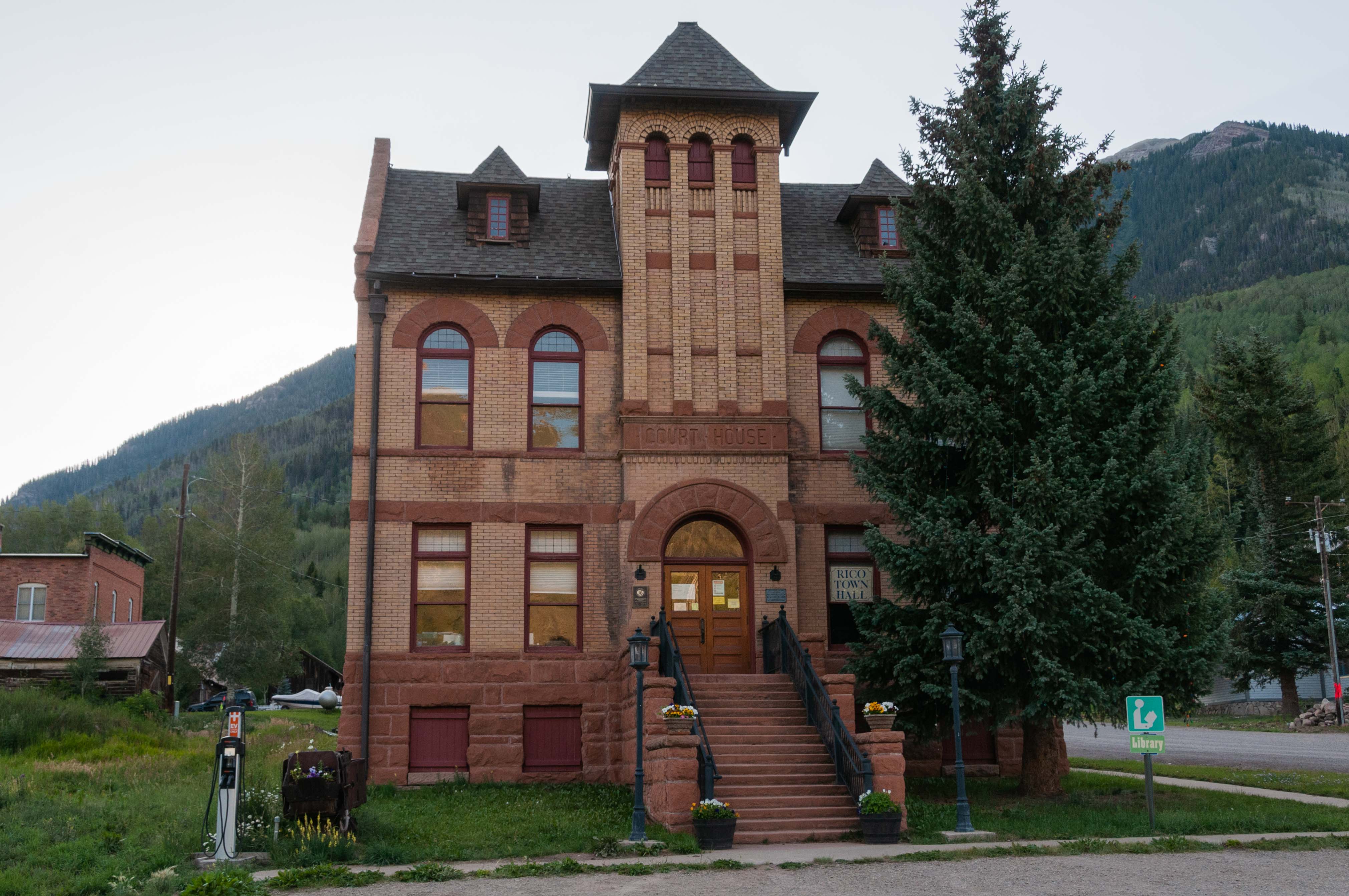
Rico Town Hall
Enterprise Bar and Grill
Atlantic Cable Mine headframe
and Hoist House
Lizard Head Pass
From Rico we travel over 10,246 foot Lizard Head Pass on our way to Telluride. Lizard Head Pass, named for the prominent nearby peak, is located in the Uncompahgre National Forest near the Dolores/San Miguel County line. Stop at Lizard Head Pass Overlook for panoramic views of Yellow Mountain, Vermillion Peak, and Sheep Mountain. There are lots of hiking trails, and the fishing is great in Trout Lake.
Terrain at Lizard Head Pass
Lizard Head Peak

Sheep Mountain

Vermillion Peak (center)
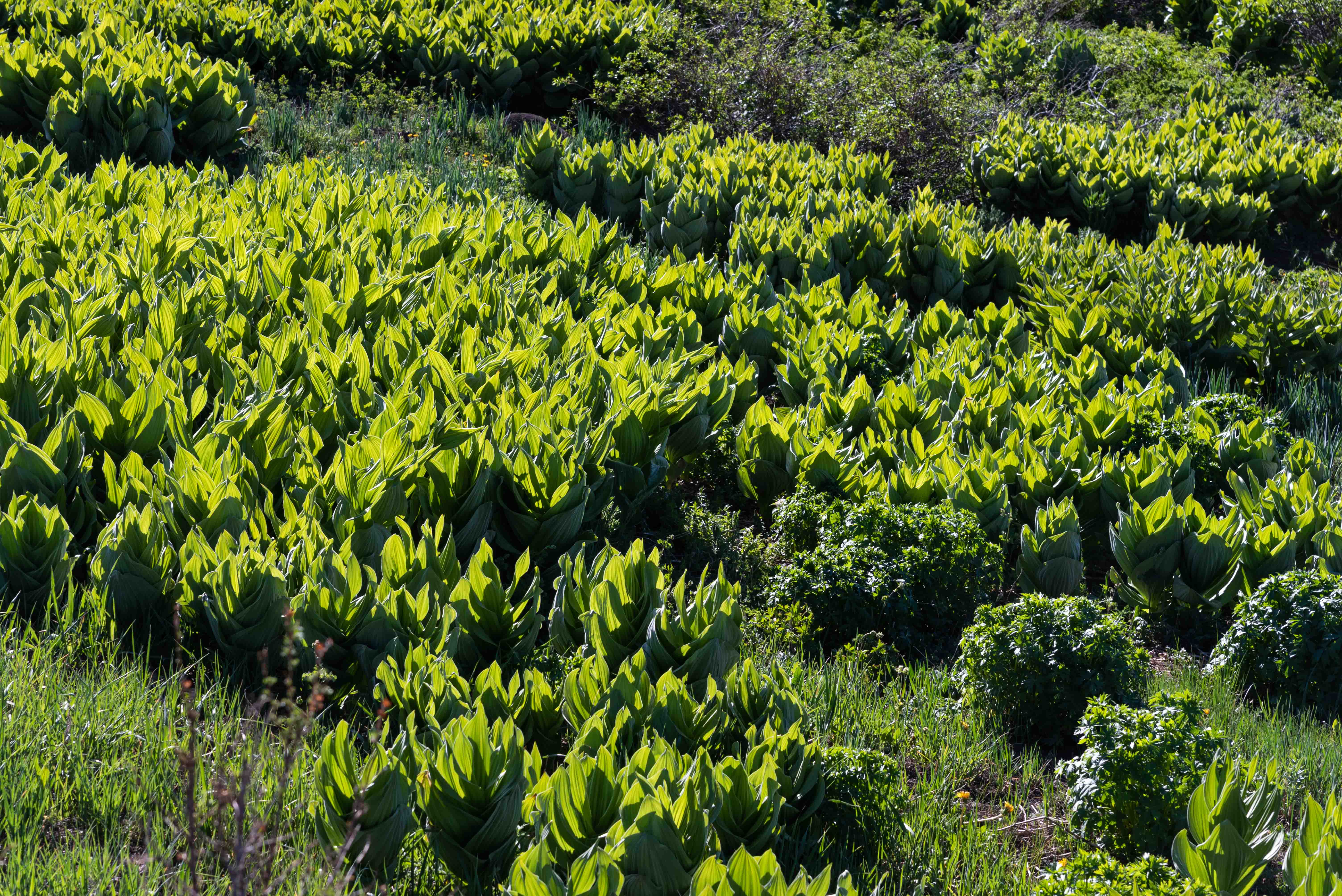
Skunk Cabbage
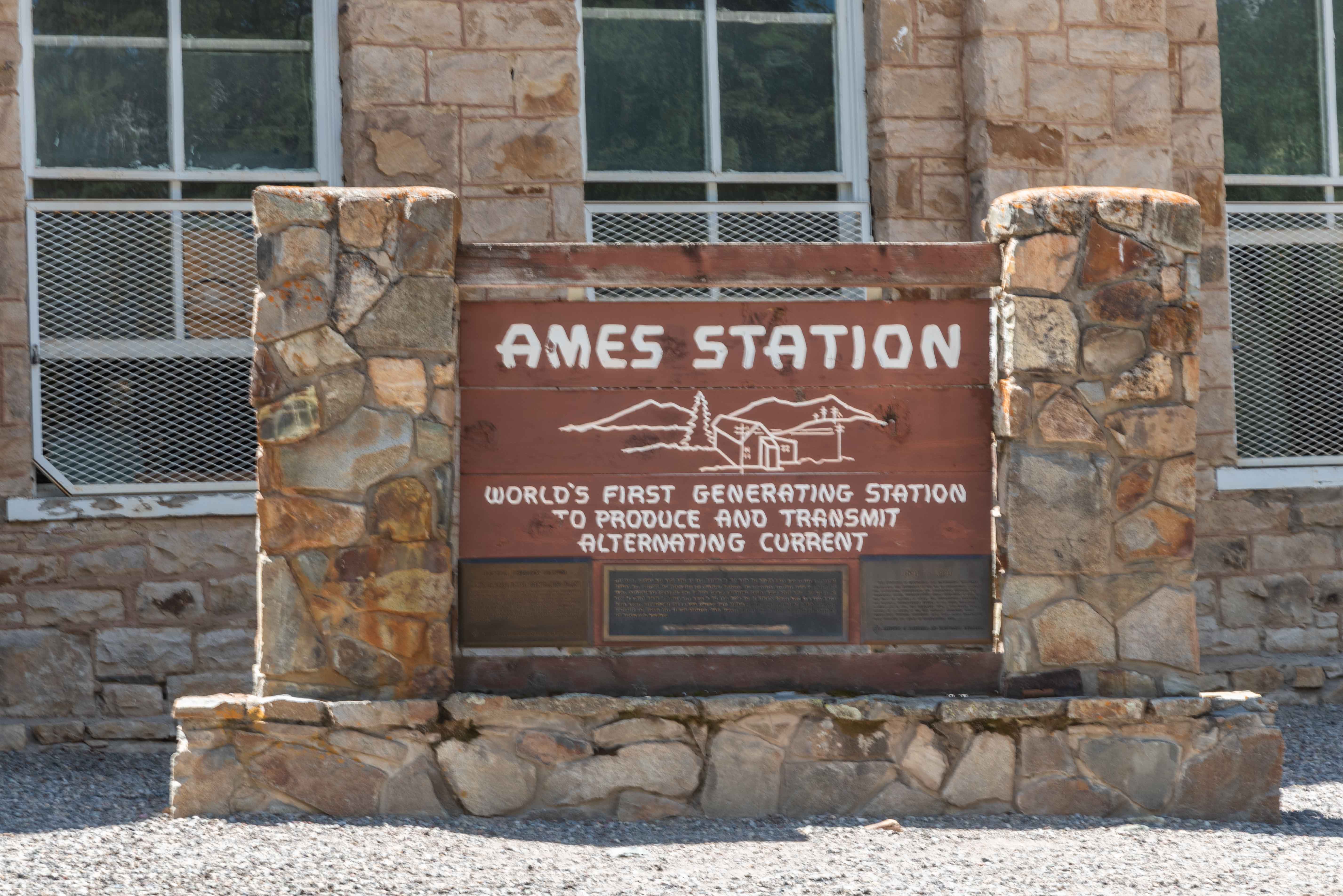
Ames Hydroelectric Plant
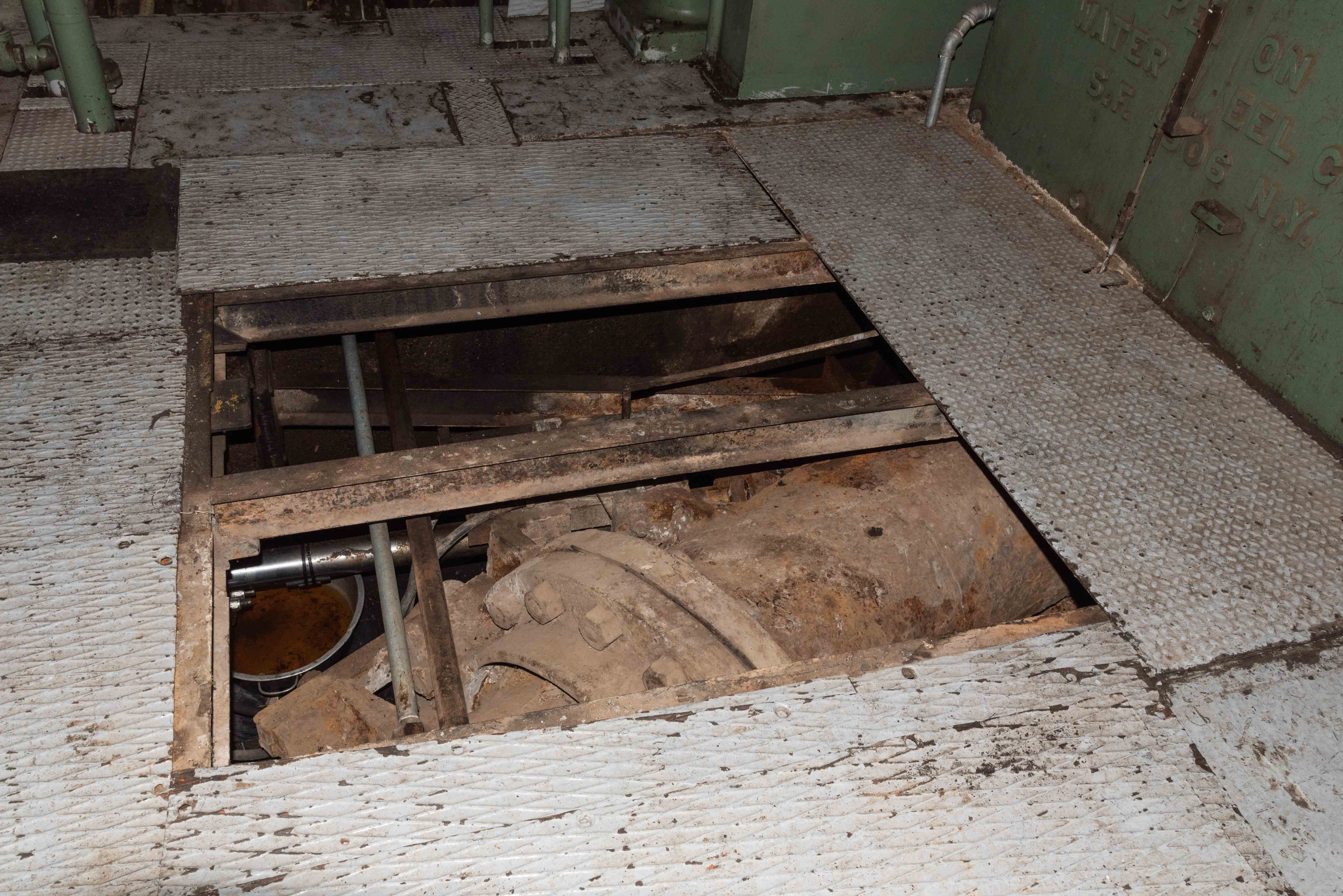
We're going to make a quick stop at the Ames Hydroelectric Station before driving on to Telluride. Turn on to San Miguel County Road 63L about 10.5 miles south of Telluride. Travel 0.9 mile then make a really sharp left turn onto Ames Road and follow it to the hydroelectric station. The Ames plant was one of the very first (if not the first) hydroelectric alternating current (AC) generating plants ever built. Built by General Electric in 1890, it started providing electricity to the Gold King Mine stamp mill in 1891. It's still operating today, providing electricity to the grid. It is operated by Public Service Company, a subsidiary of Xcel Energy. Two Pelton wheels power a single 1904 General Electric generator. The Pelton turbines are turned by water from the San Miguel River.
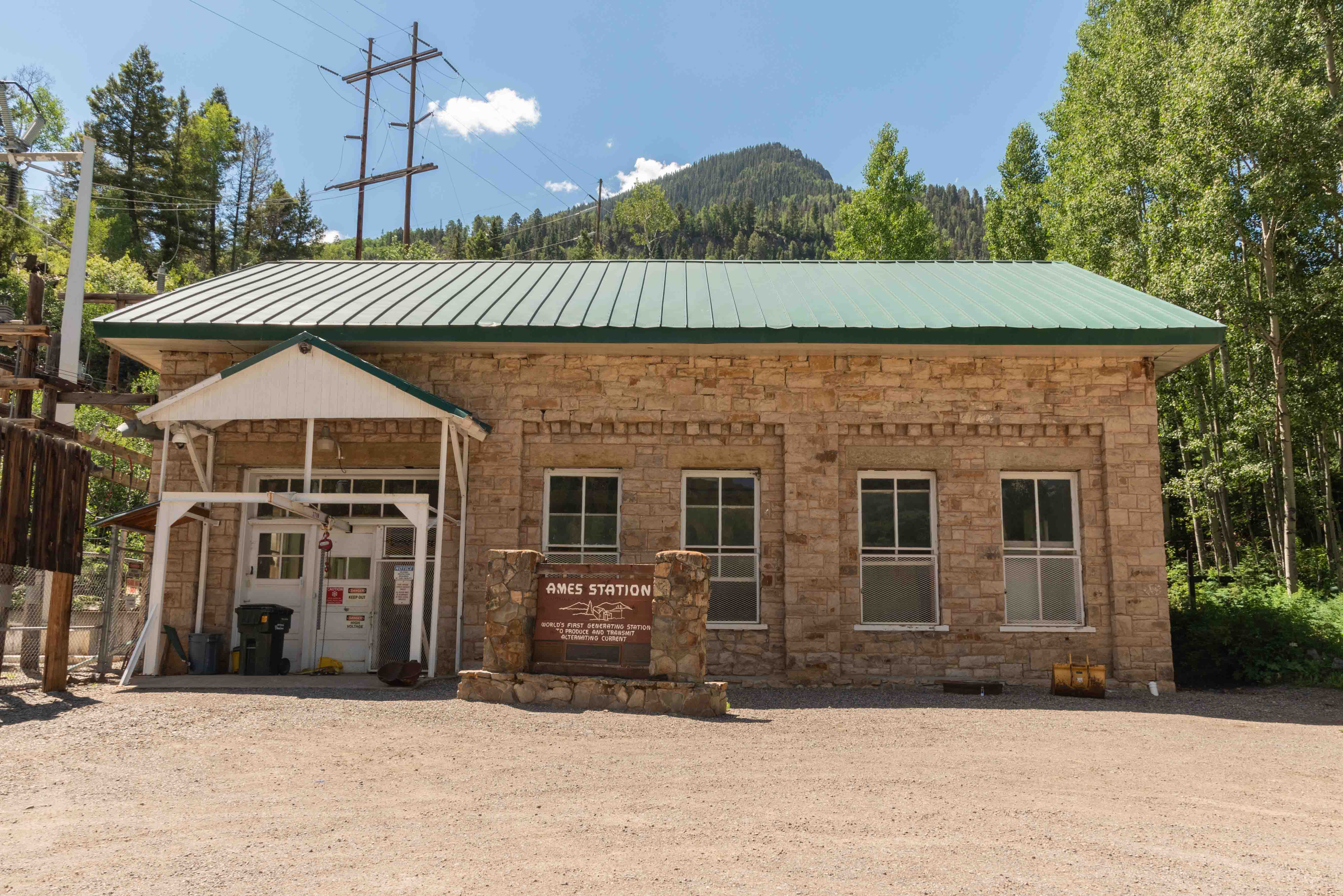
Ames Hydroelectric Station
Ames Hydroelectric Station
Water Inflow Pipe
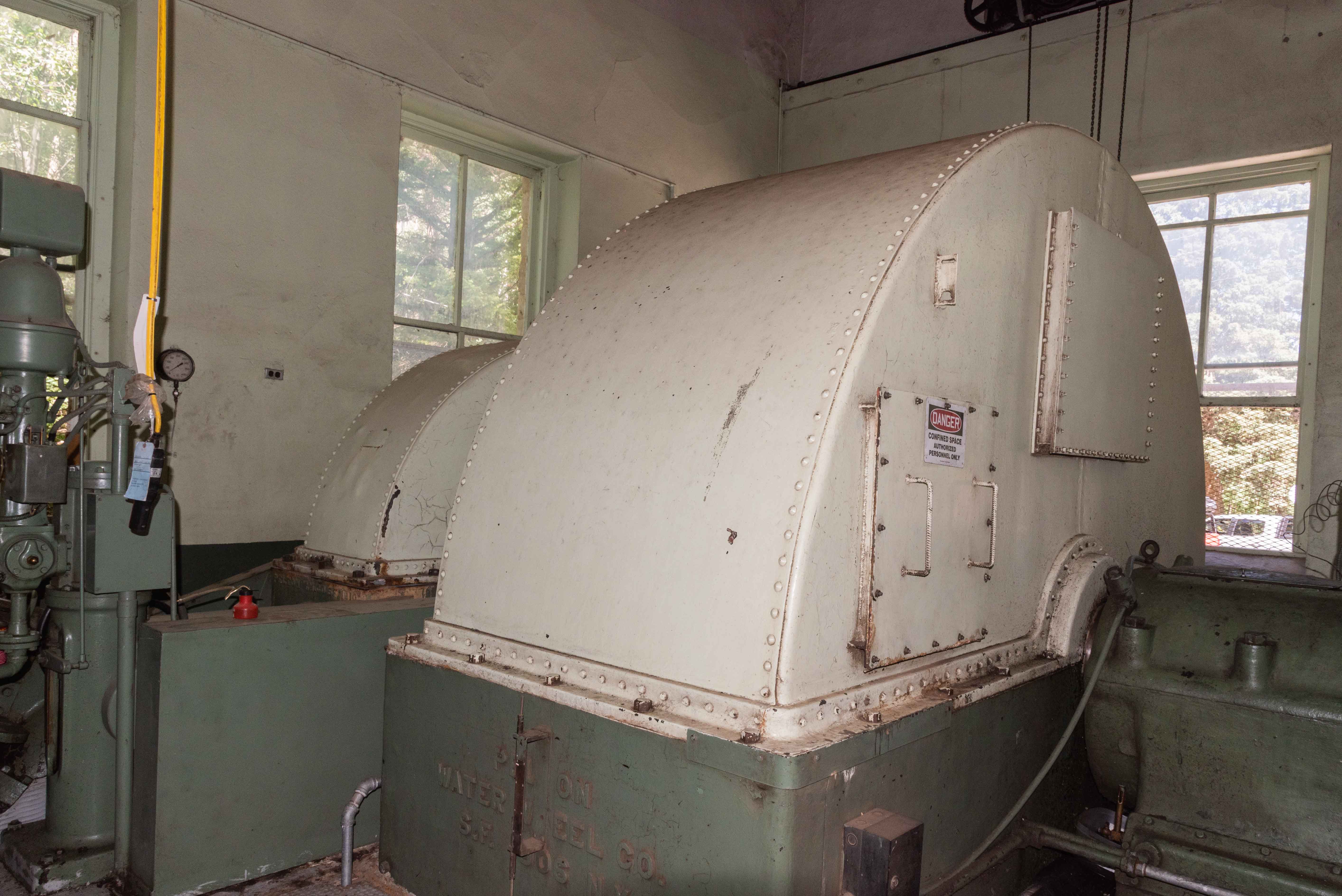
Pelton Wheel housing
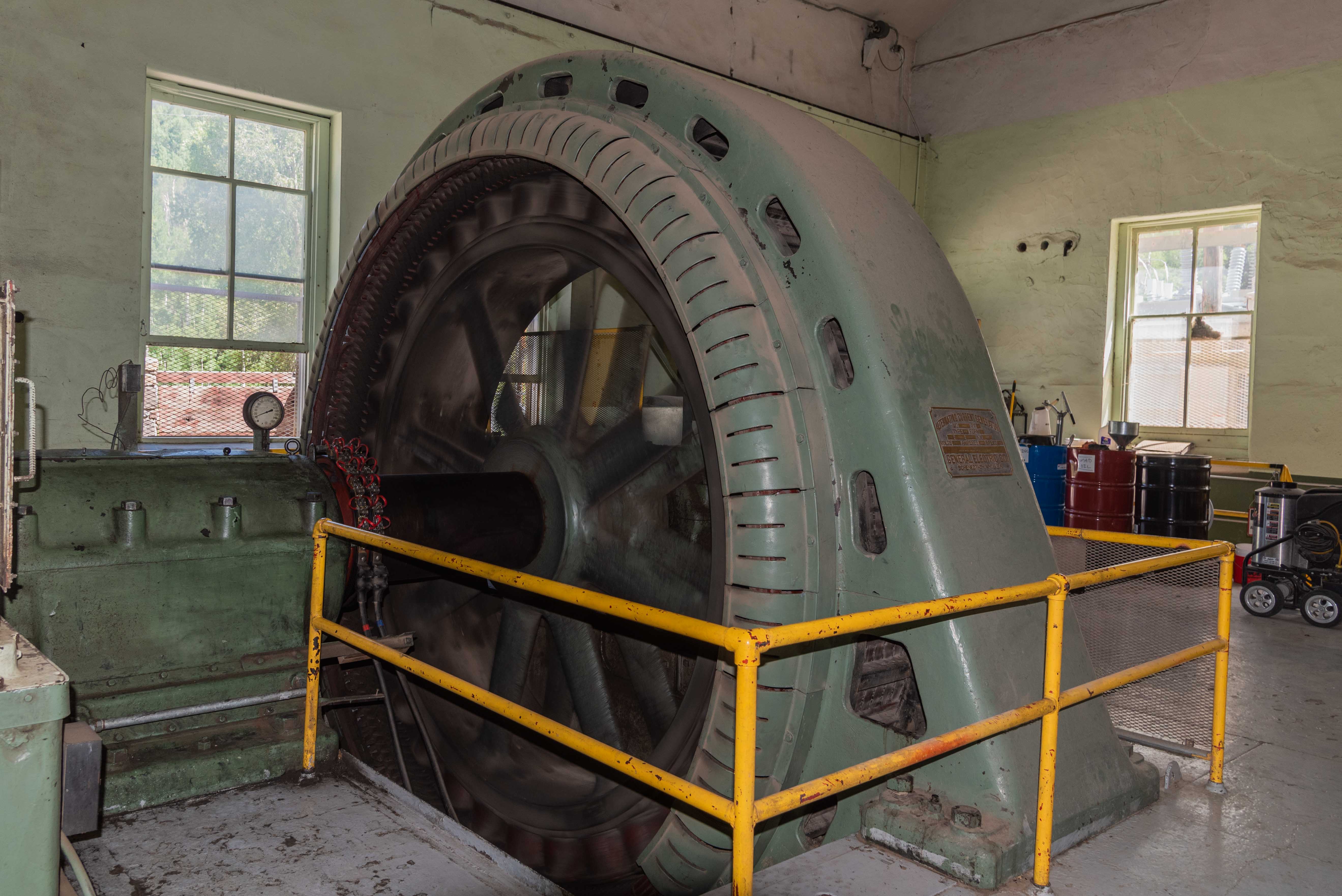
General Electric Alternating Current Generator
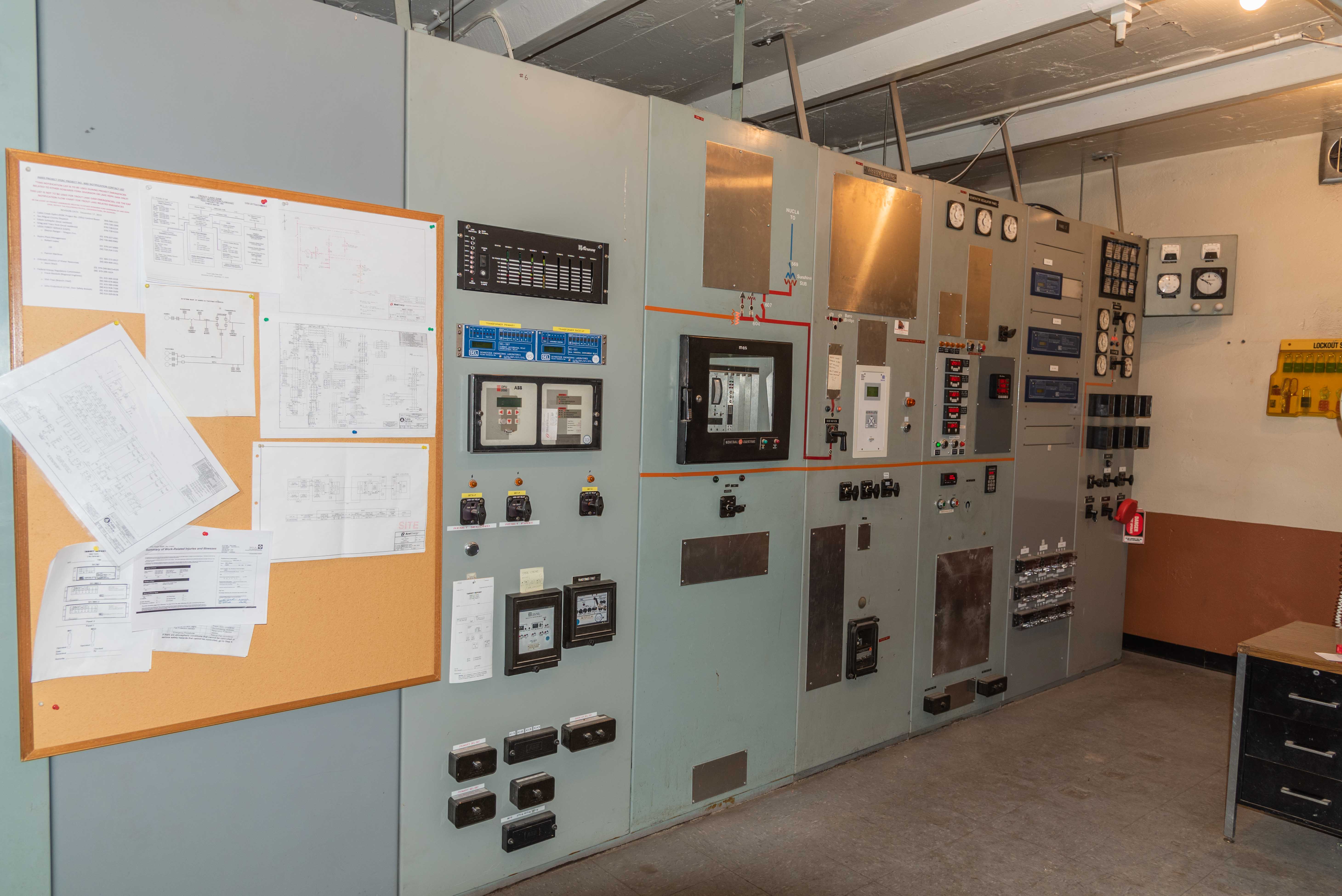
Control Room
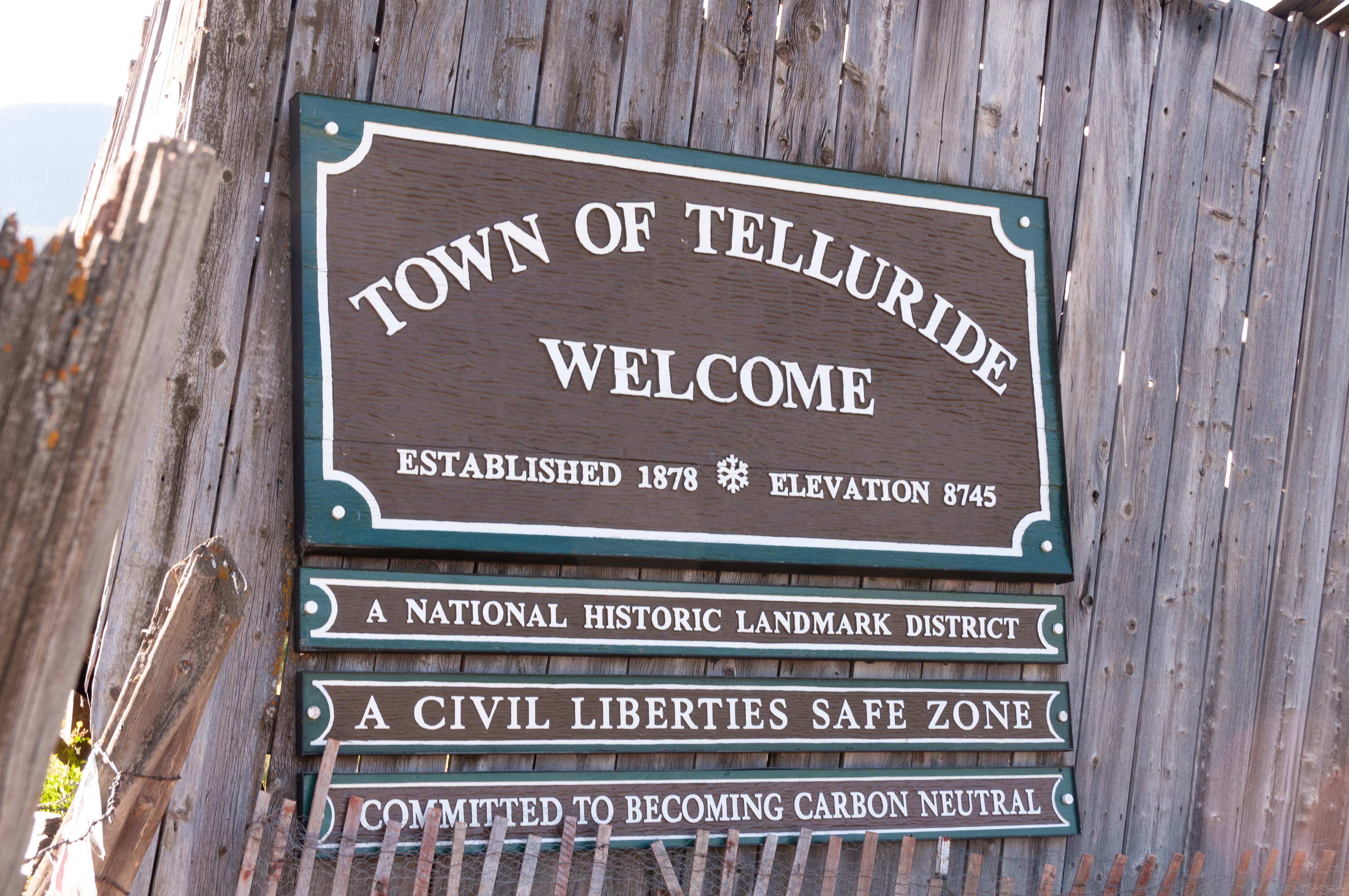
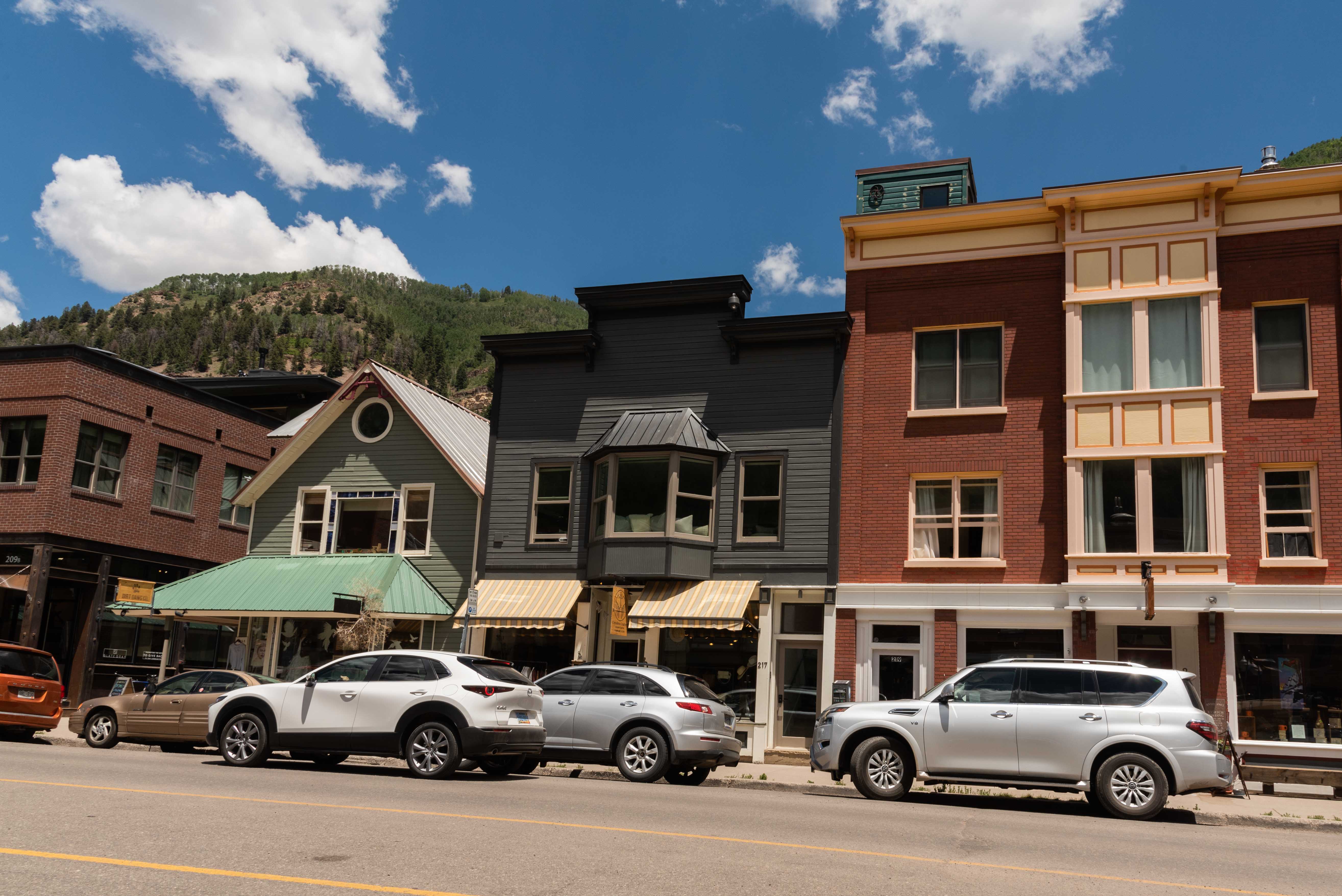
Telluride
A little over 12 miles north of Lizard Head Pass we turn right
onto a spur of CO 145 that takes us into Telluride. The town started out in 1878 as a
mining town by the name of Columbia, but was renamed Telluride in 1887. Today the
town is mining tons of tourist dollars. It has transformed itself into an upscale mecca
to rival the likes of Aspen and Vale. There are all kinds of festivals in the summer and
skiing in the winter. Telluride has a historic district that is listed on the National Register of
Historic Places.
Click to visit Telluride
Welcome to Telluride
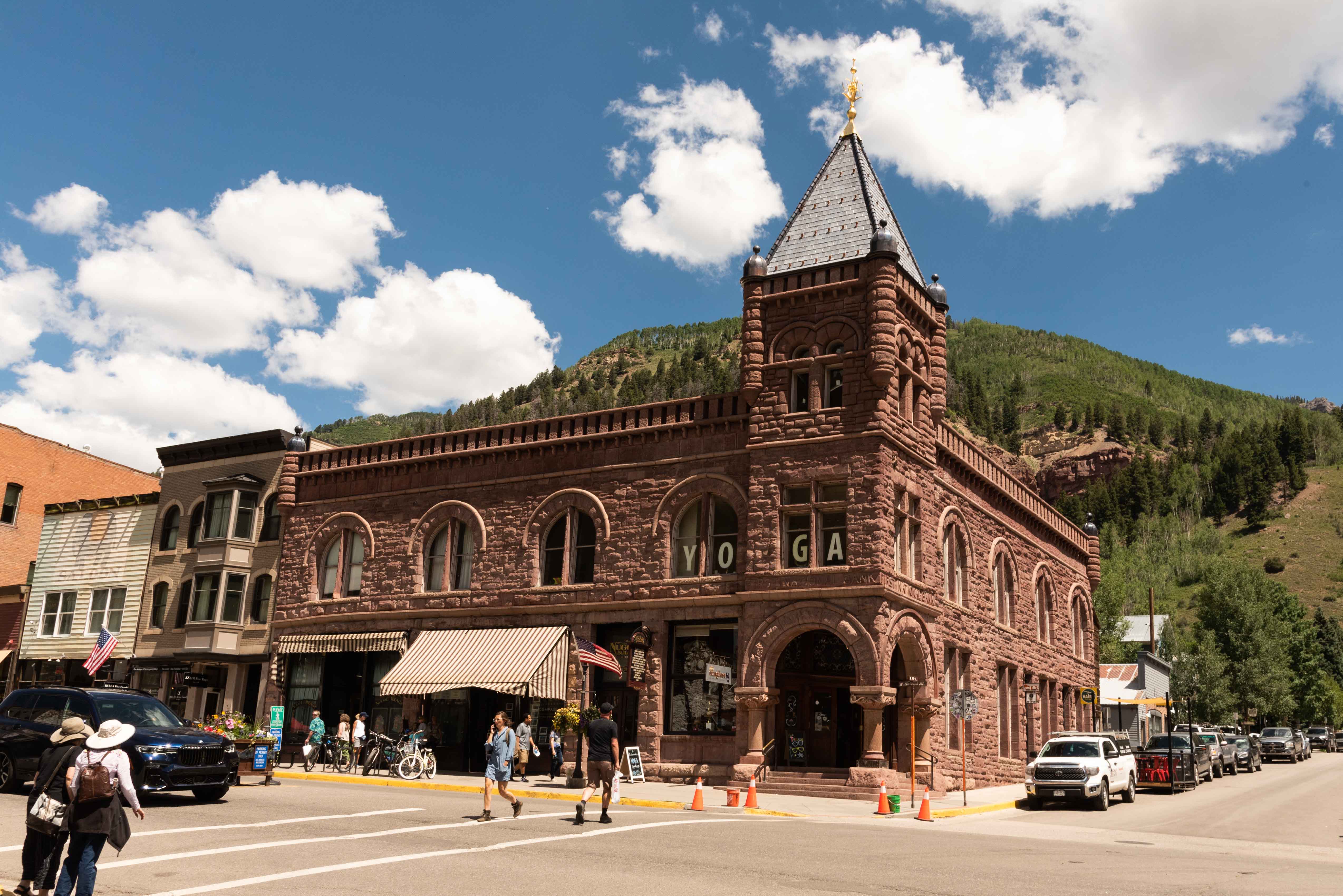
Nugget Building 1892

Buildings along W Colorado Ave
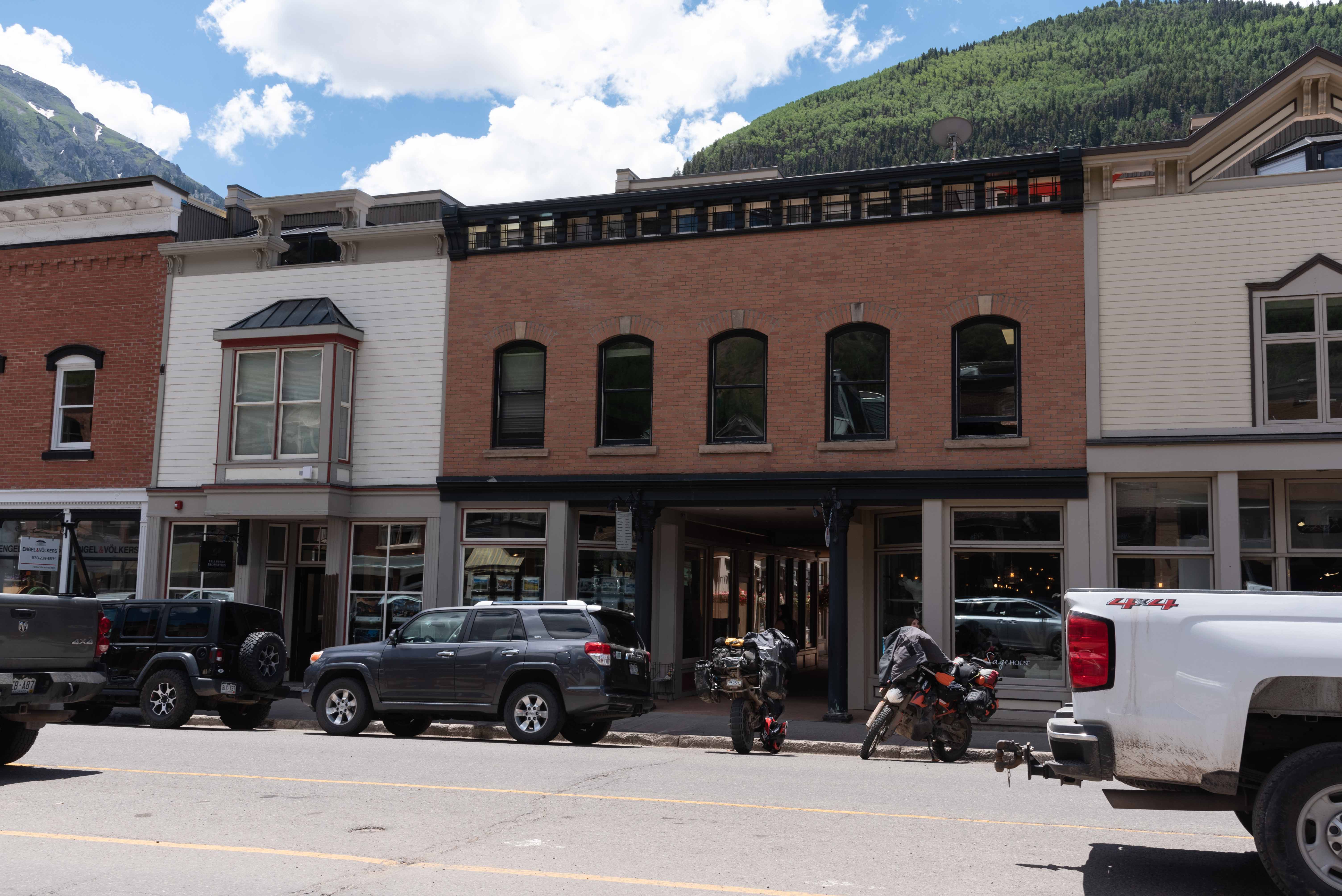
Buildings along E Colorado Ave
East 200 Block of Colorado Avenue

View south along S Fir Street
Placerville
Placerville is located about 15 miles west-northwest of Telluride at the junction of CO 62 and CO 145. Placerville got its start as a mining camp in the late 1800s, and is named after the placer gold mines in San Miguel River and Leopard Creek. Placerville's real claim to fame lay in its vanadium mines, with at least five mines producing 30% of the world's vanadium by 1919. At this point in our trip we will leave CO 145 and take CO 62 to Ridgway.

View south along Front Street
View north along Front Street
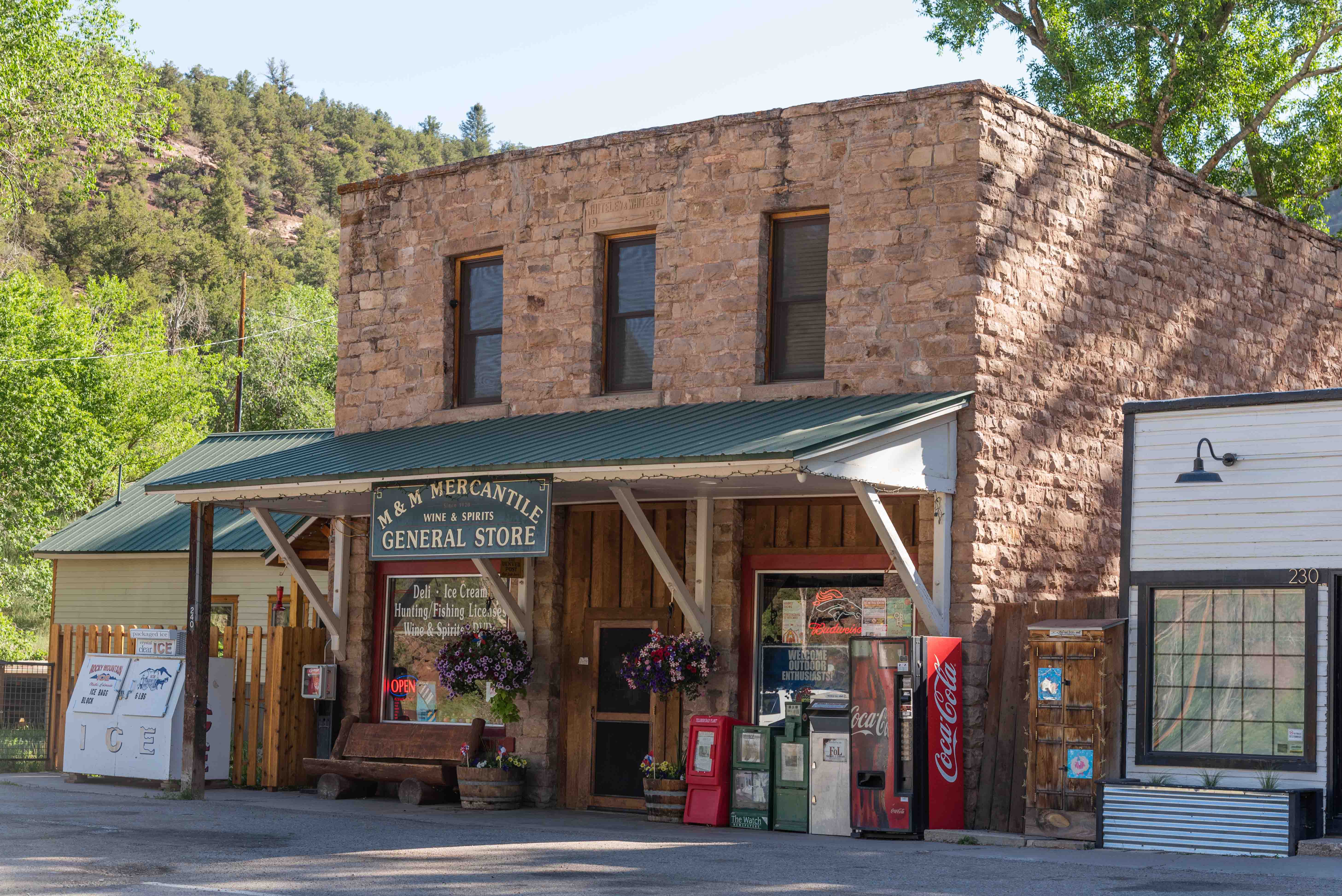
M & M Mercantile General Store
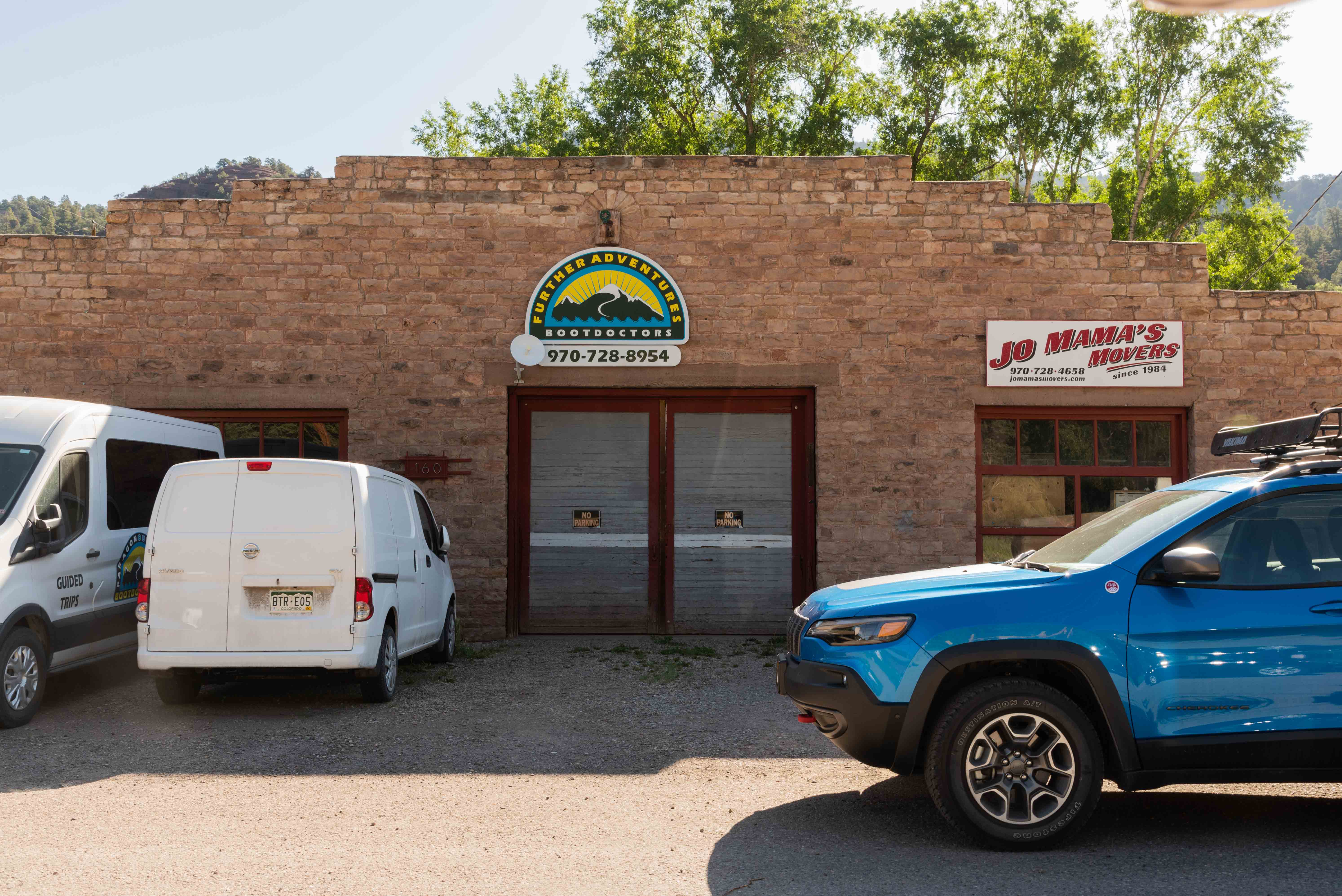
Further Adventures and Jo Mama's Movers
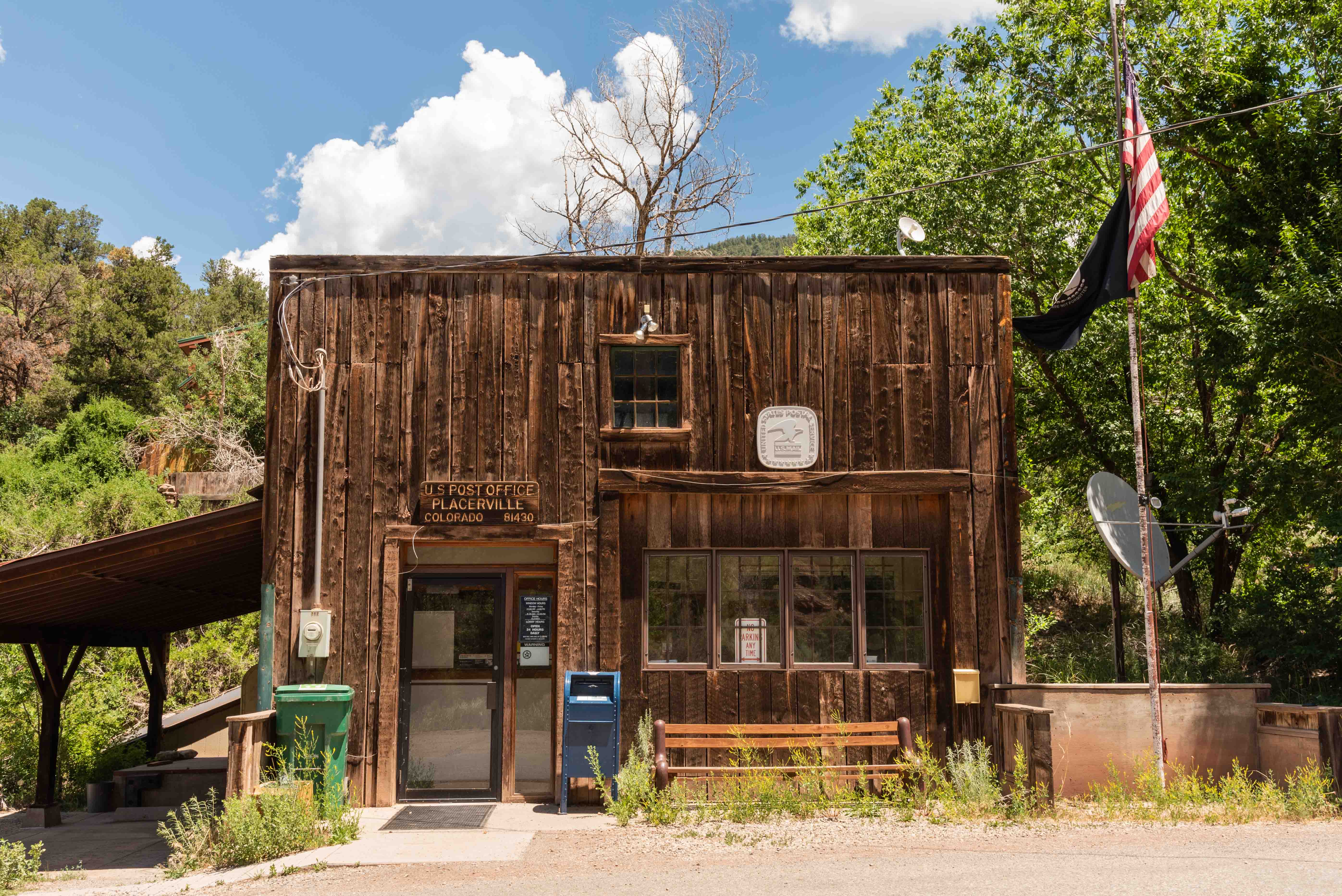
U.S. Post Office 81430
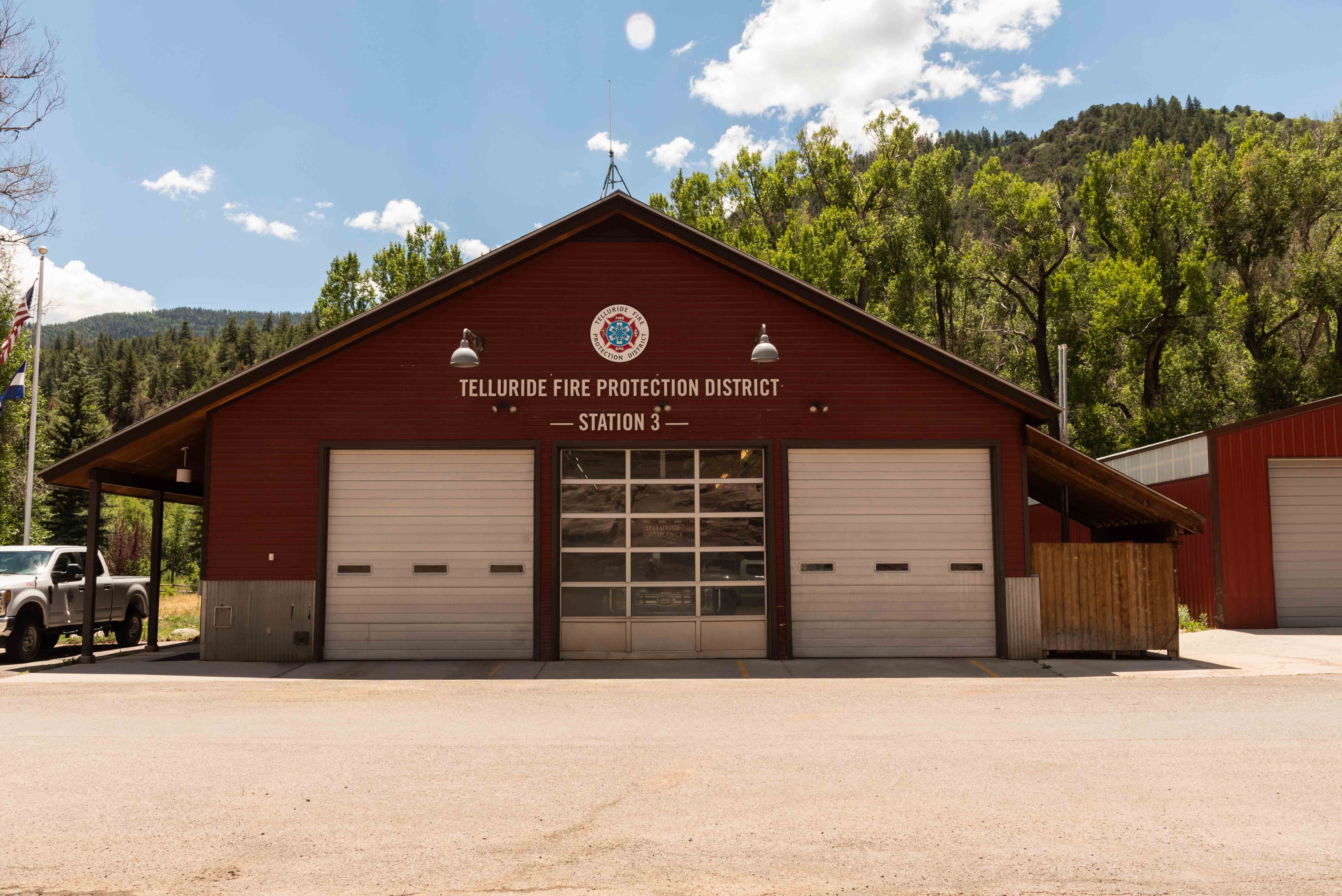
Fire Station #3
Ridgway
Here we are in Ridgway, having traveled about 24 miles from Placerville on CO 62. Ridgway was
established as a Denver and Rio Grande Railroad stop to serve the mining towns of Ouray and Telluride.
Ridgway retains vestiges of its railroading past, and has an excellent railroad museum
that features Galloping Goose No.4 and a replica of Motor No.1. Ridgway is located on the San Juan
Skyway and bills itself as the "Gateway to the San Juans". It is situated in a valley surrounded
by scenic mountains, and has been the setting for movies such as "True Grit" and "How the West was Won".
Click to visit Ridgway

True Grit Cafe
Hartwell Park

Outdoor Advertising
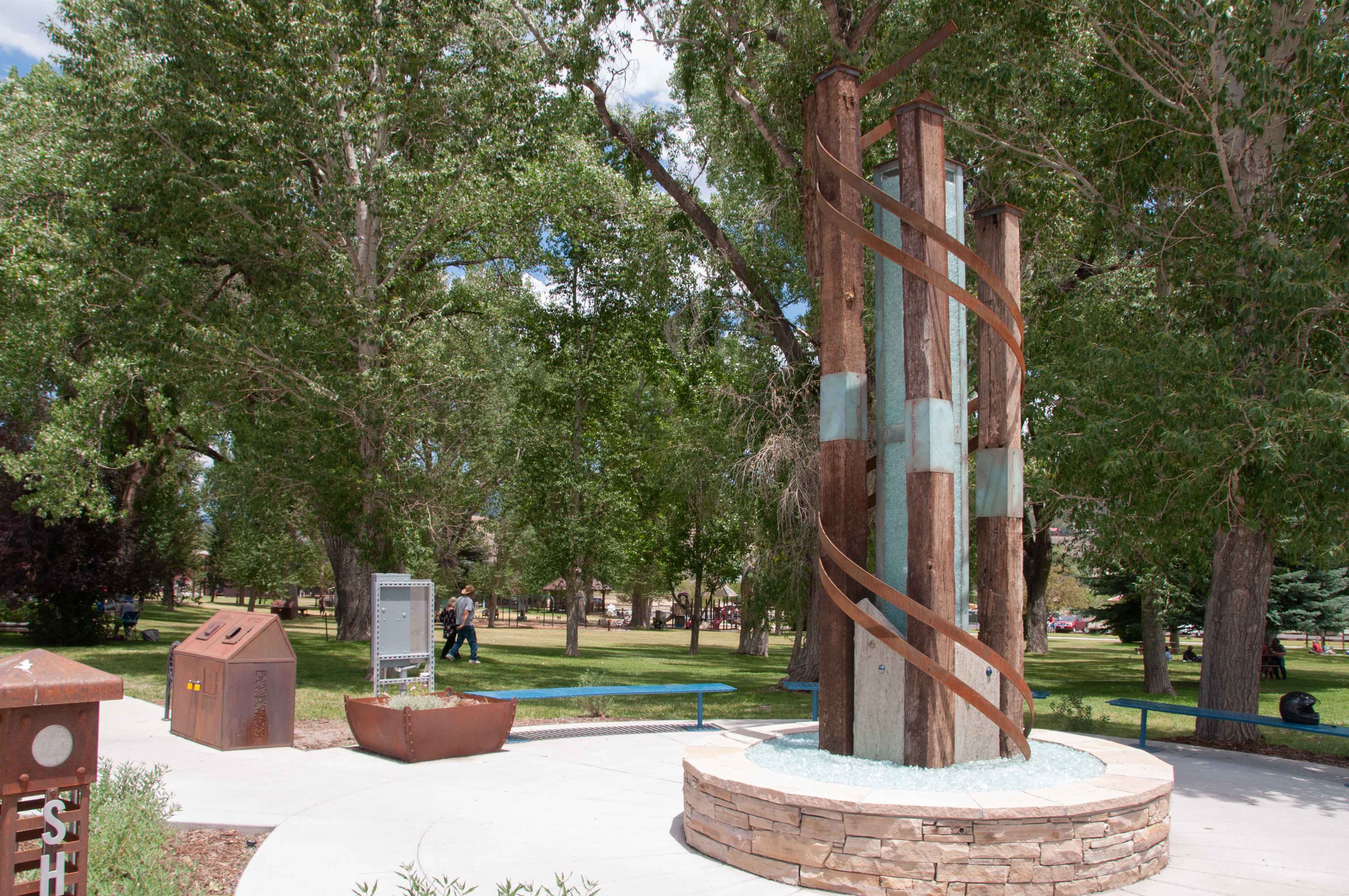
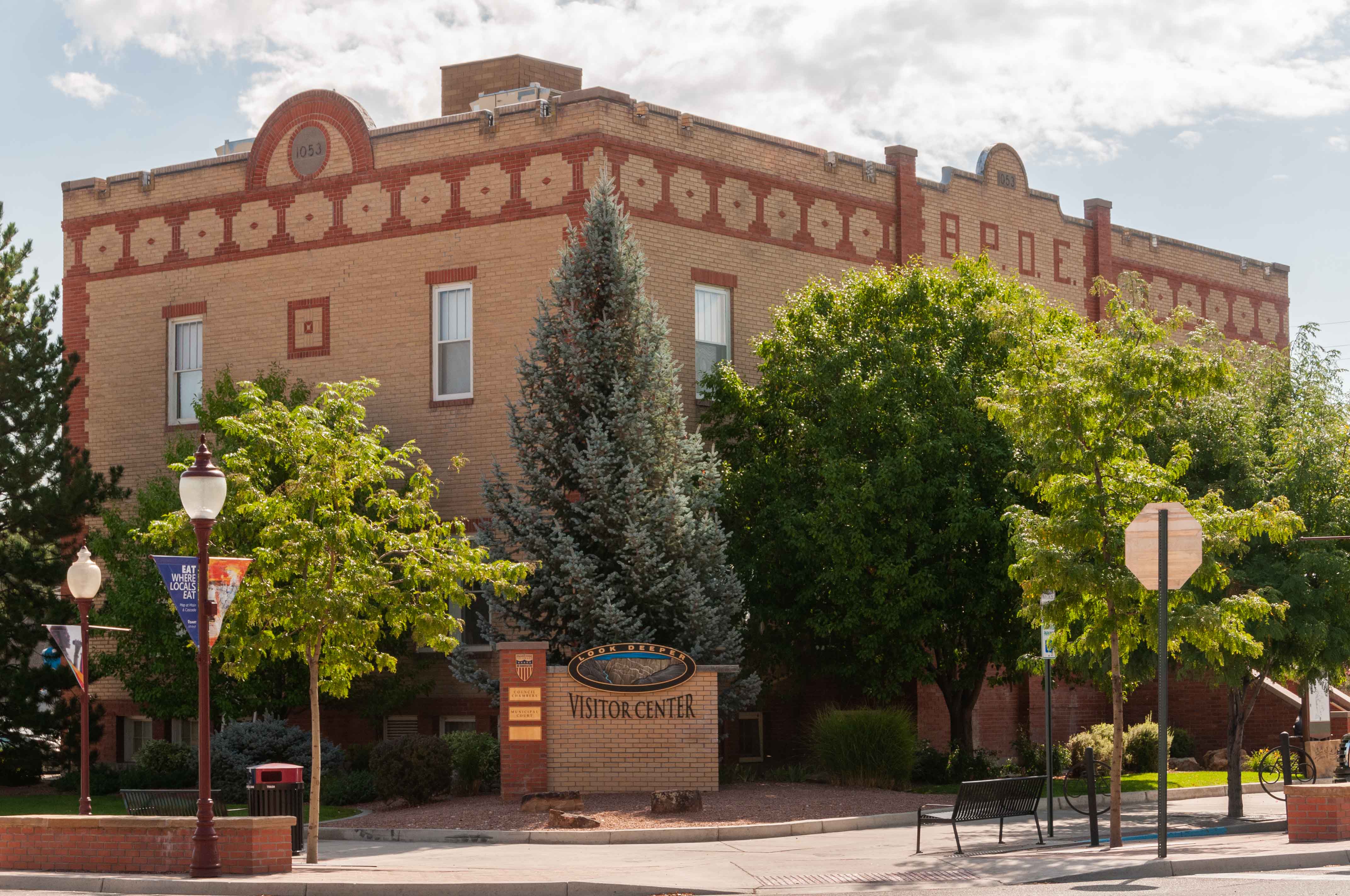
Montrose
We turn north onto U.S. 550 in Ridgway, travel 26 or 27 miles, and arrive in Montrose, where U.S. 550 ends.
The City was founded in 1882 and became an important regional shipping center with the arrival of the Denver
and Rio Grande Railroad. Today it's a major agricultural center, and sports a modest tourist industry with its proximity
to Black Canyon of the Gunnison National Park and the San Juan Mountains. There are lots of historic buildings in the city center.
Click to visit Montrose
Welcome to Montrose
Montrose Visitor Center and City Council
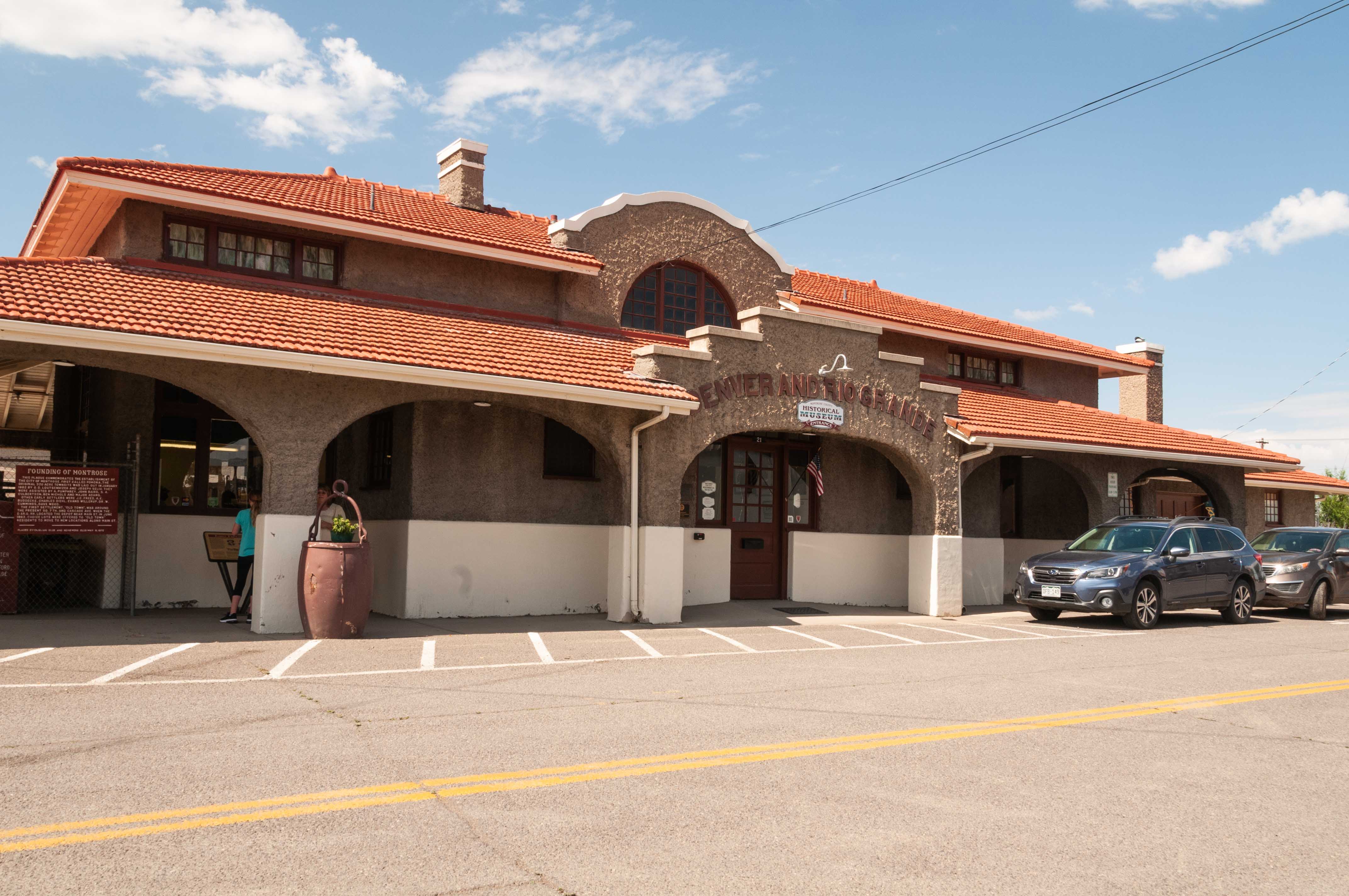
Old Denver and Rio Grande Railroad Depot
Now the Montrose County Historical Museum

Montrose City Hall
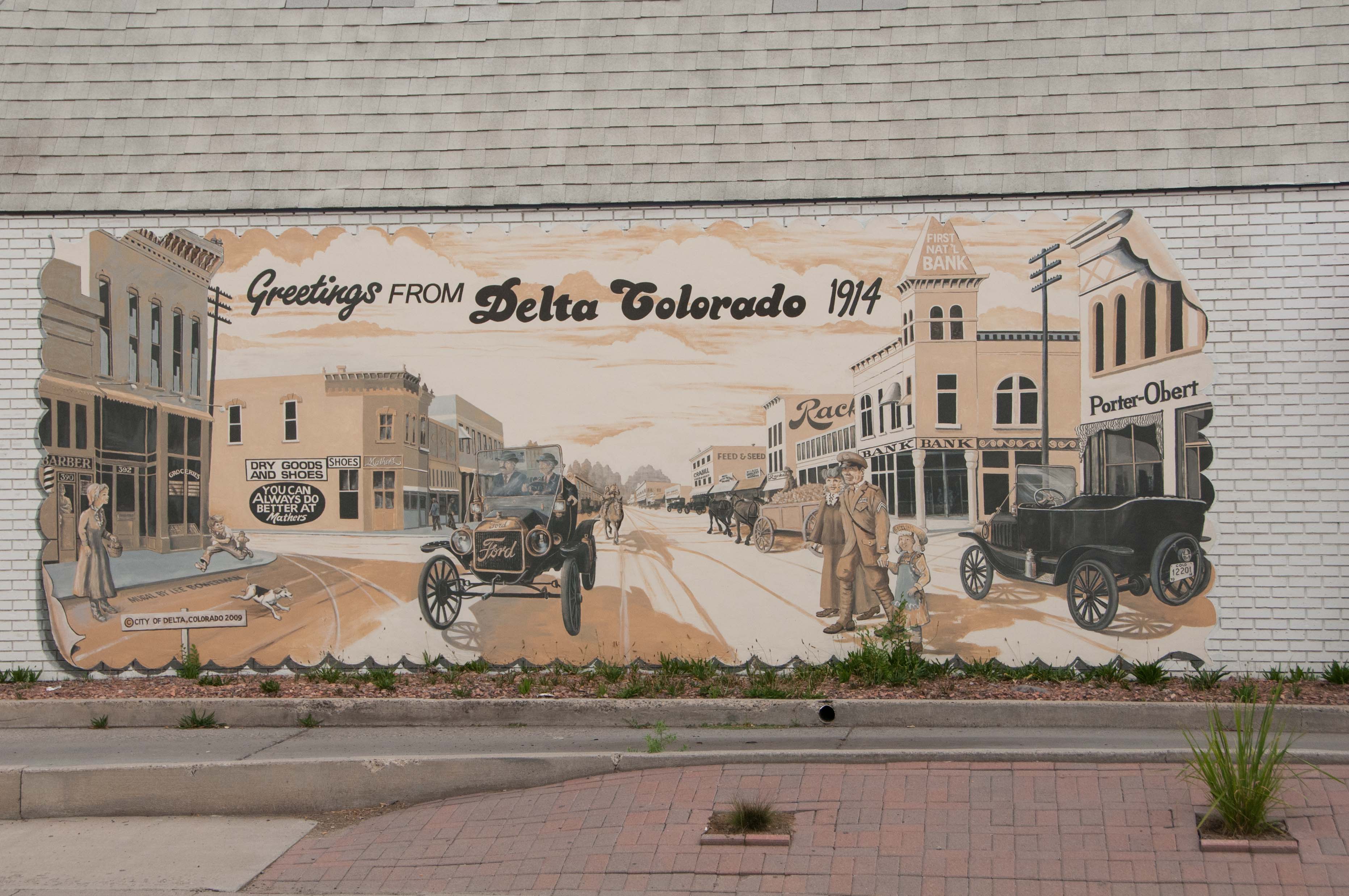
Delta
We've arrived in Delta, 22 miles north of Montrose on US 50. Along the way we passed through
the small farming community of Olathe, known for it's sweet corn. Delta started out as a trading post
near the confluence of the Uncomphagre and Gunnison Rivers, and was incorporated in 1882. Delta is
known as the "City of Murals", and it has a lot of them. It also has several buildings on the National
Register of Historic Places, including the Egyptian Theatre and U.S. Post Office building,
and I've included photos of some of them.
Click to visit Delta
Welcome to Delta
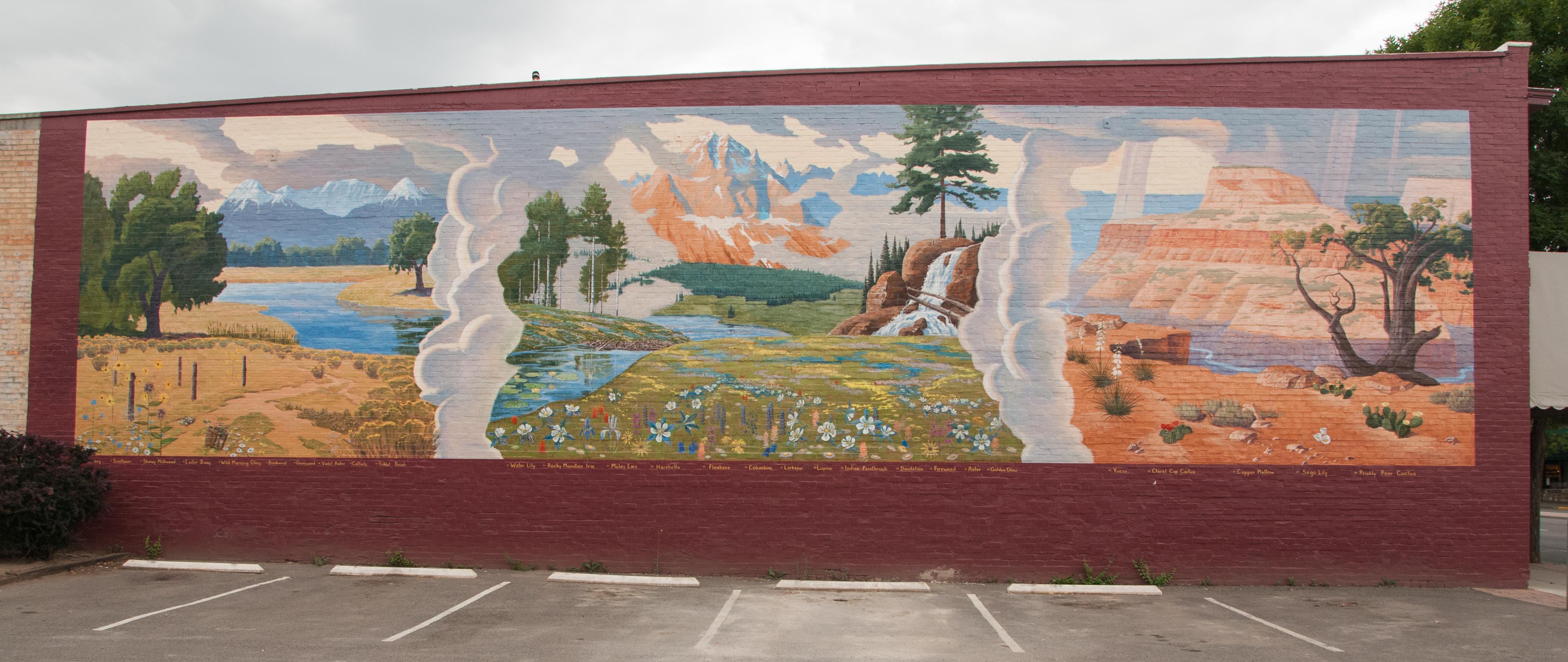
One of the many murals

A look down Main Street
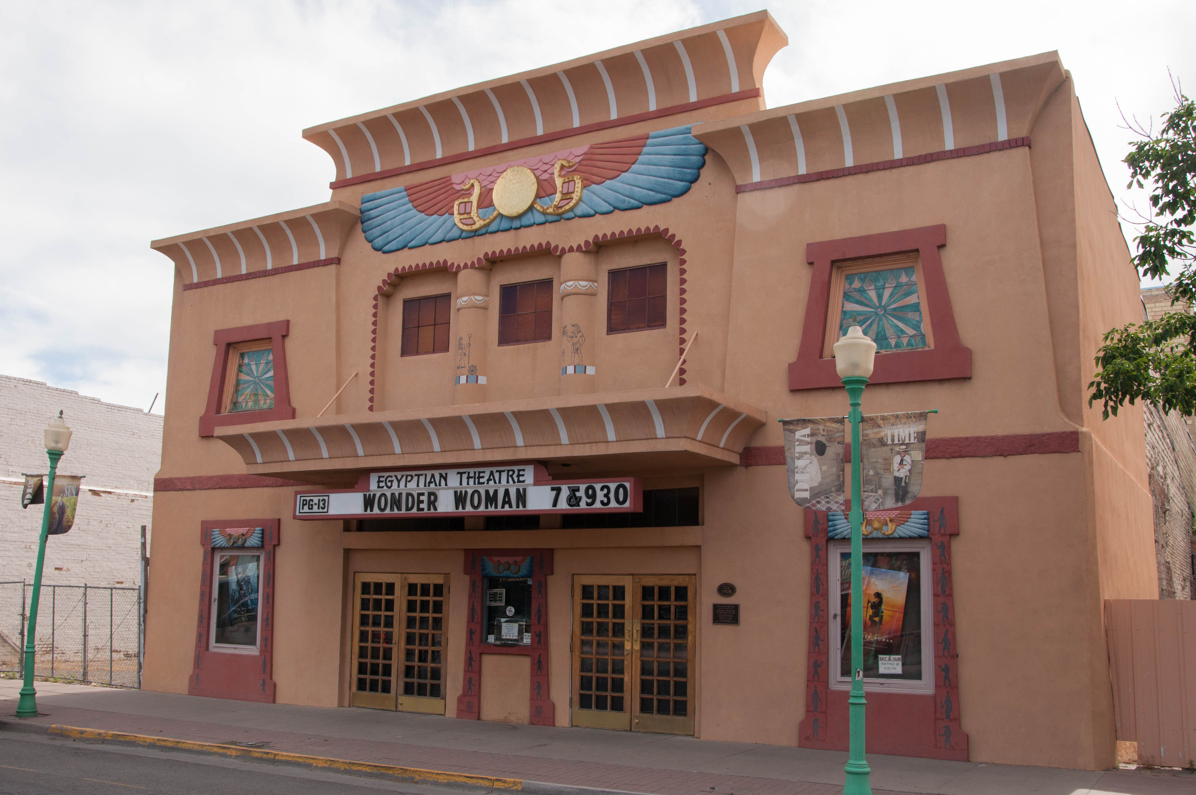
Egyptian Theatre

U.S. Post office zip 81416
Home Again
Well, we're back in Whitewater, having driven the 31 miles from Delta in record time. This is one of my favorite road trips, mainly because of the variety of places, terrain, and scenery encountered along the way. Hope you enjoyed it as much as I did.
Source material obtained from: The Canyon Country Zepher, High Country News, Uncover Colorado, Wikipedia, and other online sources
Use the form on the Home Page to submit comments, questions, or suggestions. TD Productions Copyright © 2021