Southwest Colorado Road Trip Part 1
This adventure will take us on a road trip in southwest Colorado.
The trip begins at the junction of Colorado 141 and U.S. 50 in Whitewater, CO
(my former hometown). We'll take CO 141 to Dove Creek where we'll pick up U.S. 491 to Cortez.
We'll return from Cortez on CO 145 to Placerville, CO 62 to Ridgway, U.S. 550
to Montrose, then U.S. 50 back to Whitewater. The entire loop is about 377 miles and can be driven in
7+ hours. However, we will drive the loop in 2 days, stopping at various towns and points of
interest along the way, and overnighting in Cortez. We will drive to Cortez on day 1 (Part 1) and return to Whitewater on day 2 (Part 2).
Part 1 takes us through the high desert and canyon country of Colorado, while Part 2 follows a route
through the San Juans, featuring scenic mountains, valleys, and forests.
Author's Note: I have designed this presentation to showcase many of the small towns and places that don't warrant their own
photo-essays. That said, some of the stops do have photo-essays, and links to these are included.
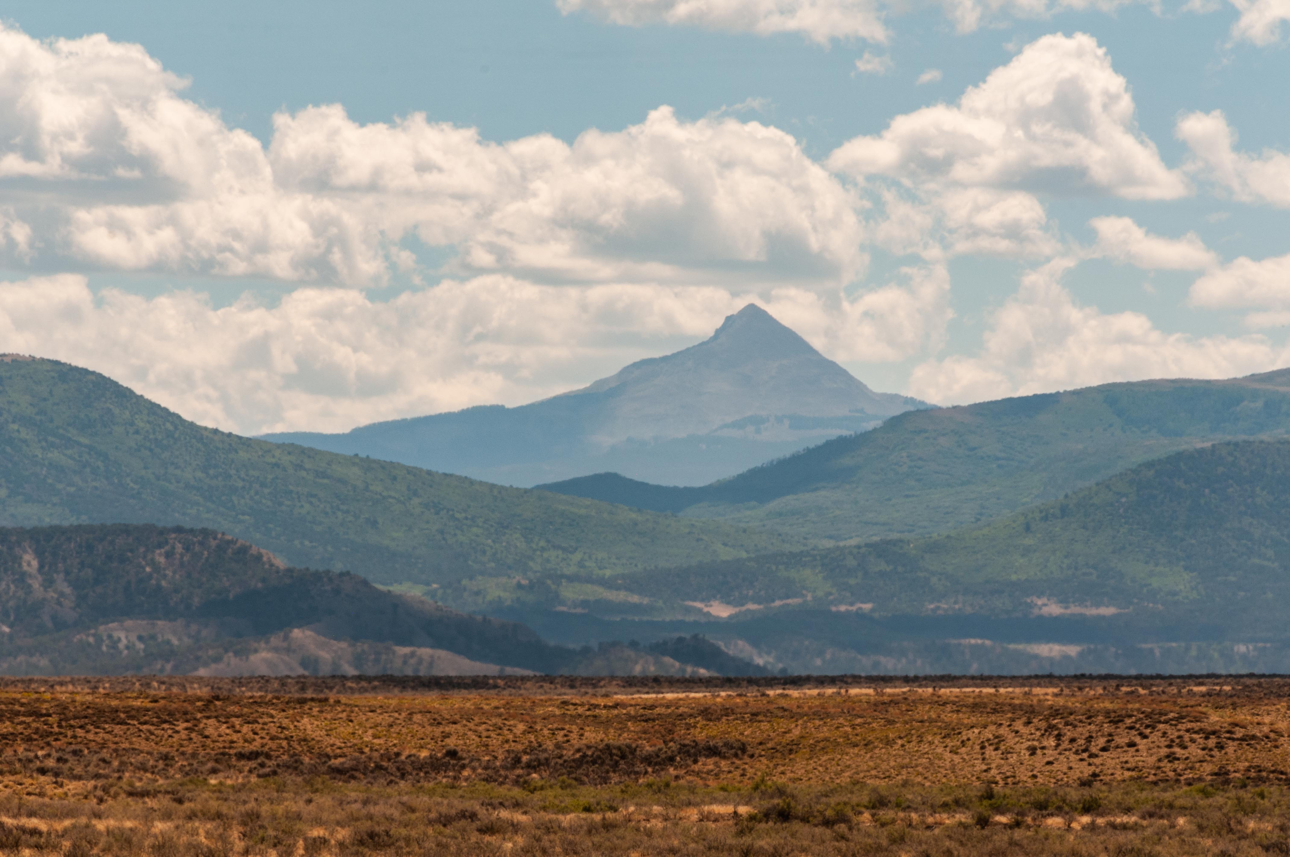
Whitewater to Gateway
On our first day we take CO 141 through scenic Unaweep Canyon on our way to Gateway.
We won't be stopping until we get to Gateway, but you can explore
the canyon by clicking on the link below. Forty-three miles from Whitewater we reach the tiny
community of Gateway. Gateway was established by homesteaders in 1903, and relies mainly
on ranching and farming to keep going. It has been content to let the world pass it by.
Then John Hendricks (founder of The Discovery Channel) showed up in the late 1990s.
He bought up a lot of the old homesteads and built a massive, incredibly upscale,
incredibly expensive resort. I think the Gateway Canyons Resort will probably spell the end
of life as they know it in the community of Gateway, or maybe not. A few years ago Hendricks
put the entire resort, along with his 27,000 sq ft home, up for sale for a mere $279,000,000.
Who knows how that will play out. I couldn't afford to stay or eat at the resort,
but I could afford to visit the museum of beautifully restored vintage automobiles (admission $10).
You can visit the museum for free by clicking the link below.
Click to explore Unaweep Canyon
Click to visit the Gateway Auto Museum
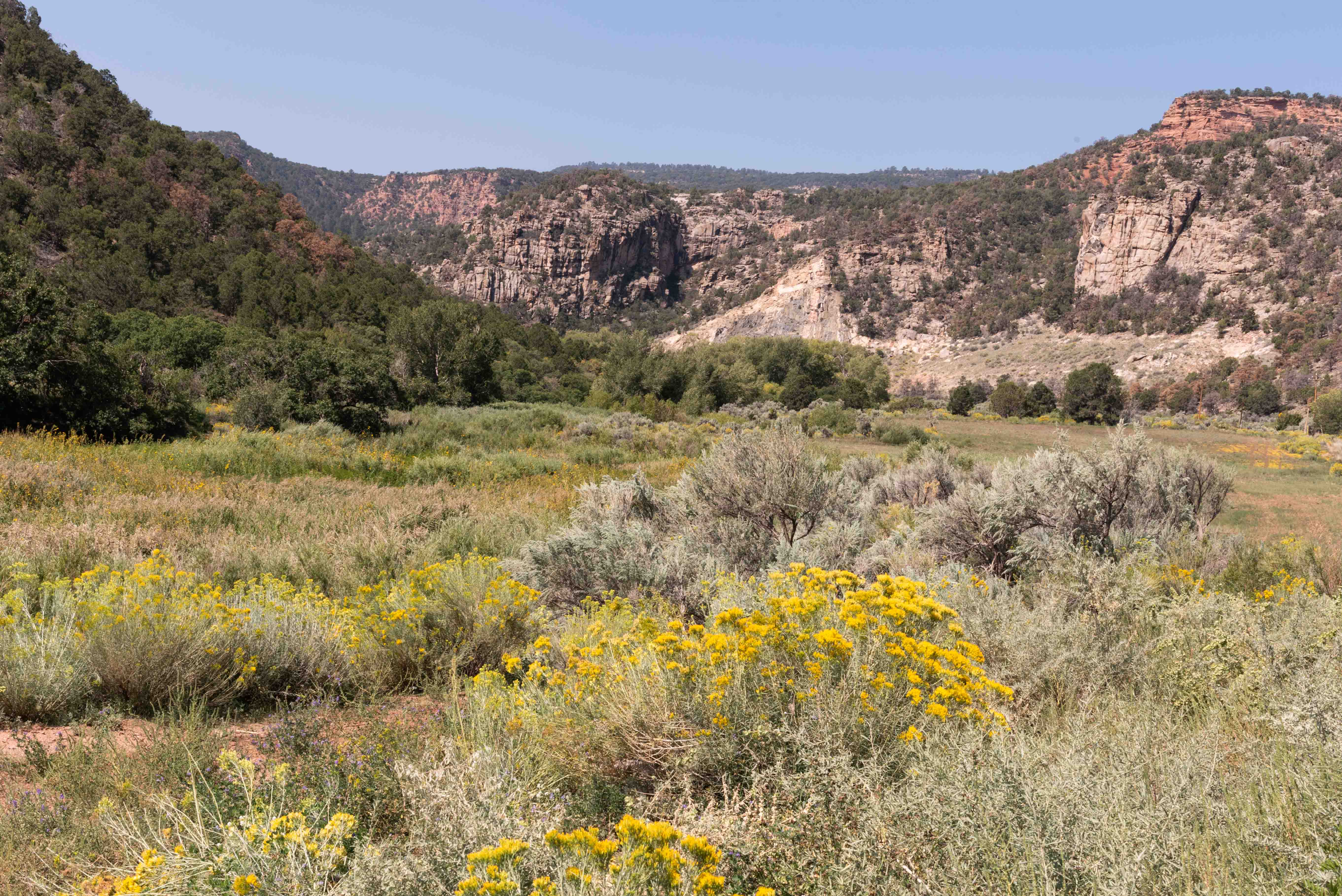
Unaweep Canyon
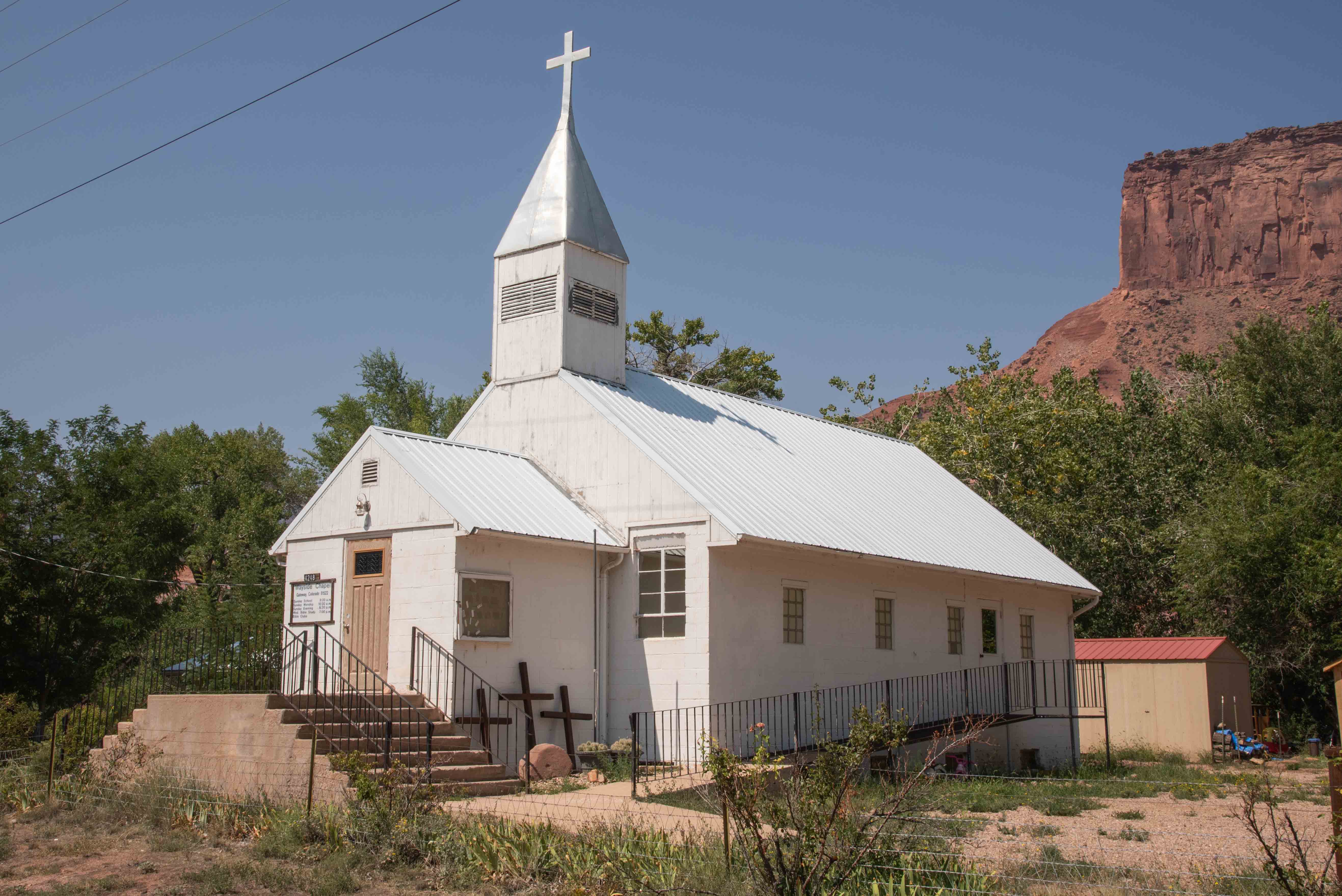
Roadside Chapel
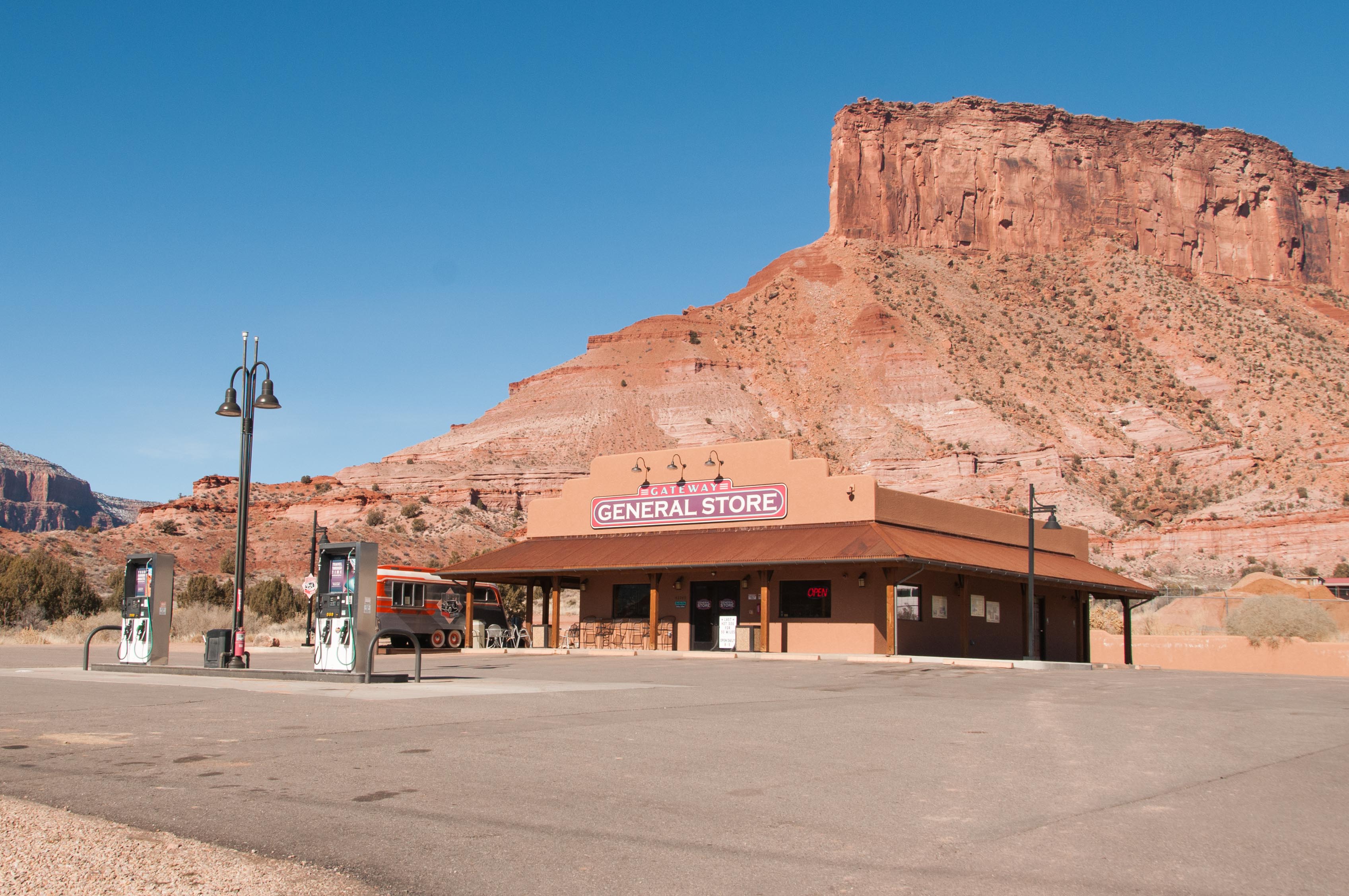
Gateway General Store
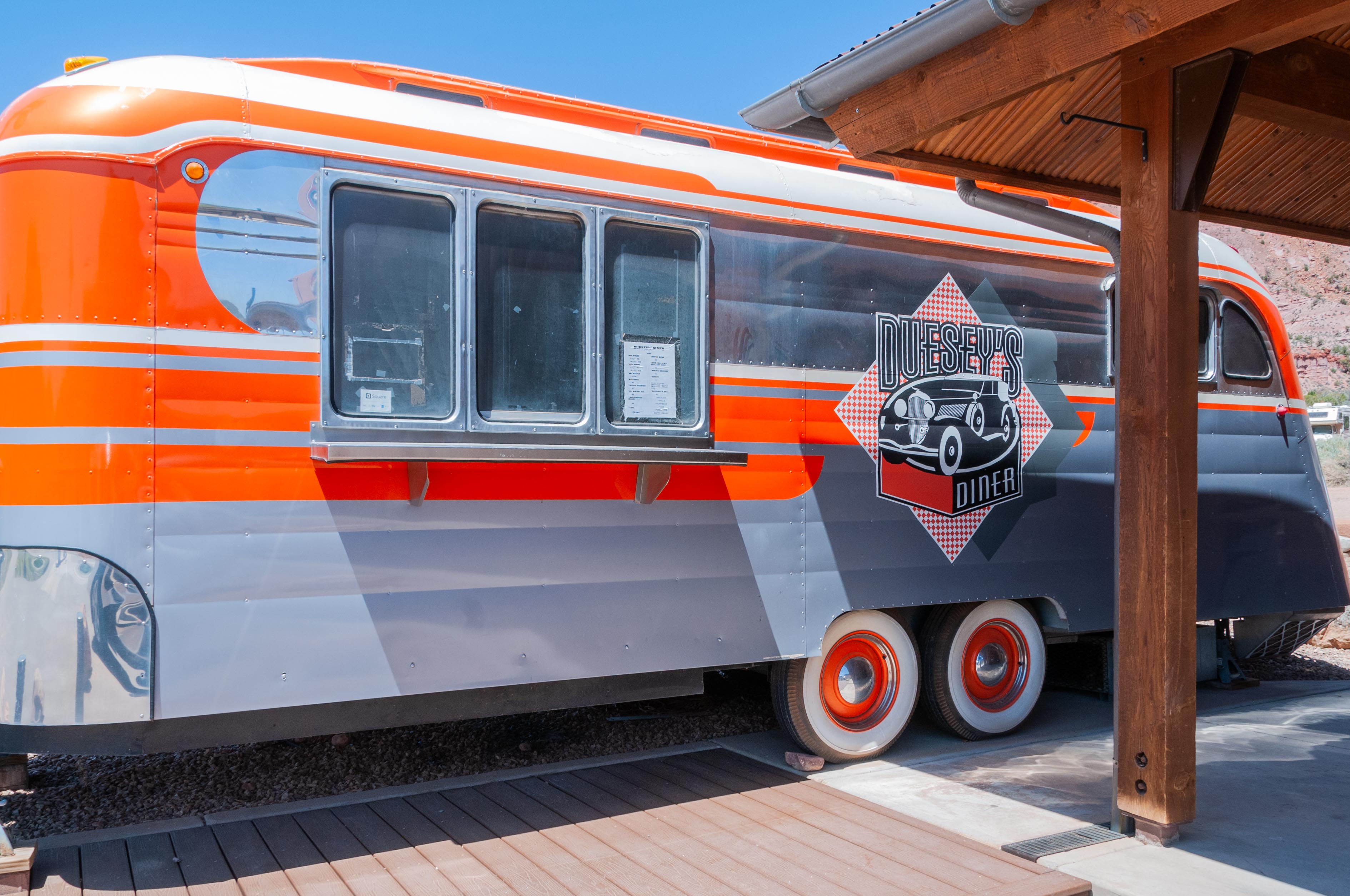
Duesey's Diner
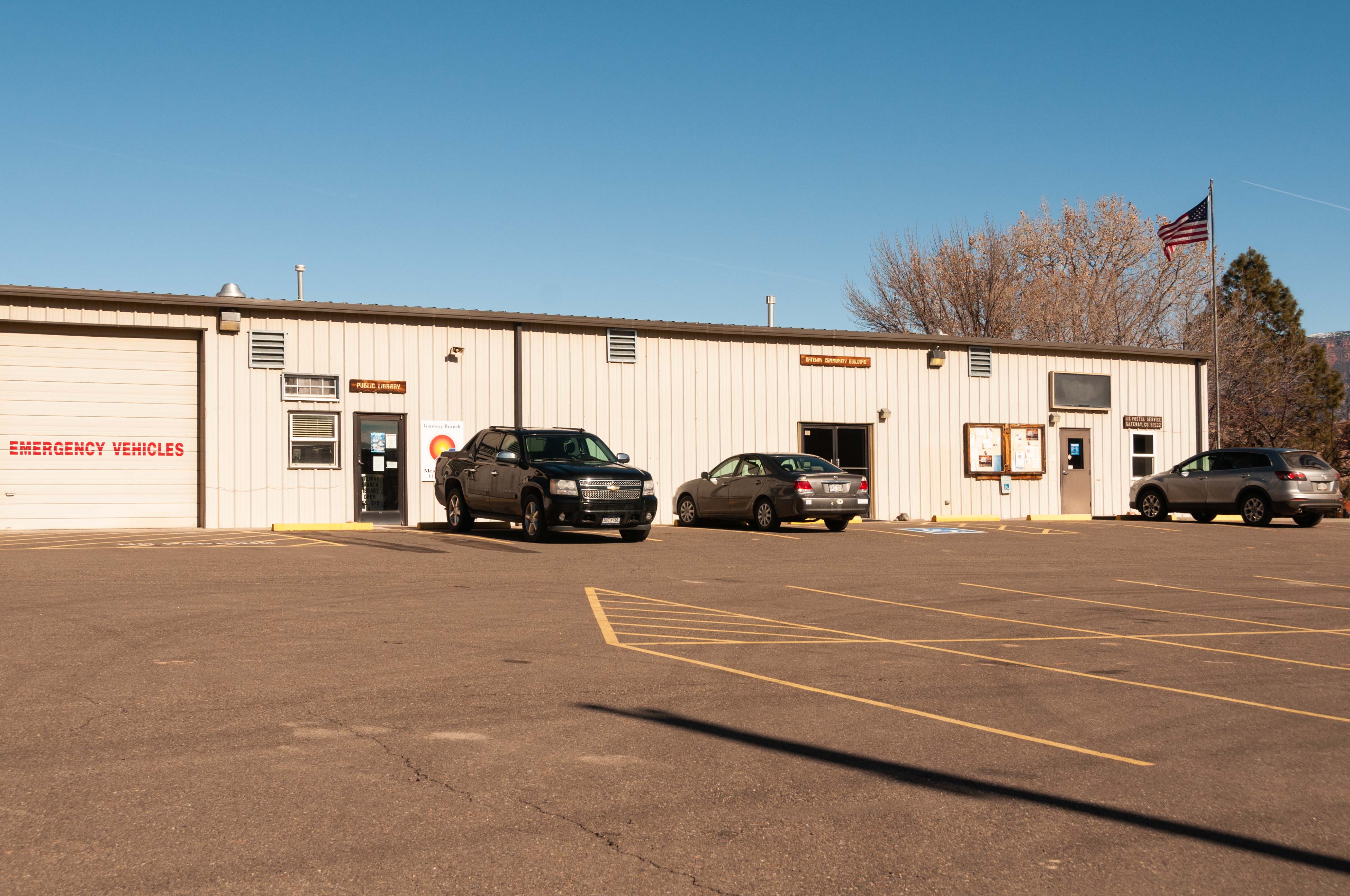
Public Library, Community Building,
and U.S. Post Office zip 81522
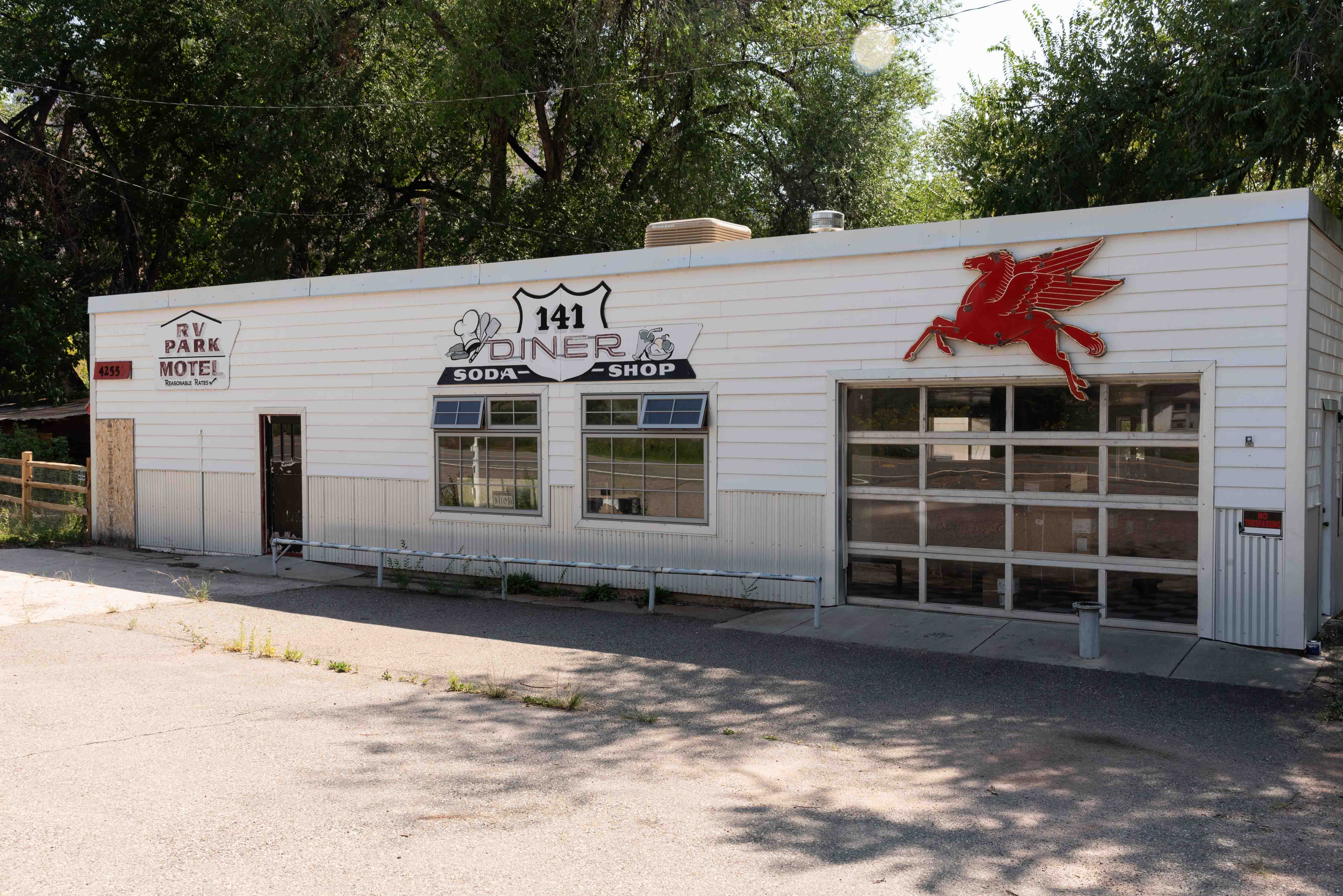
141 Diner
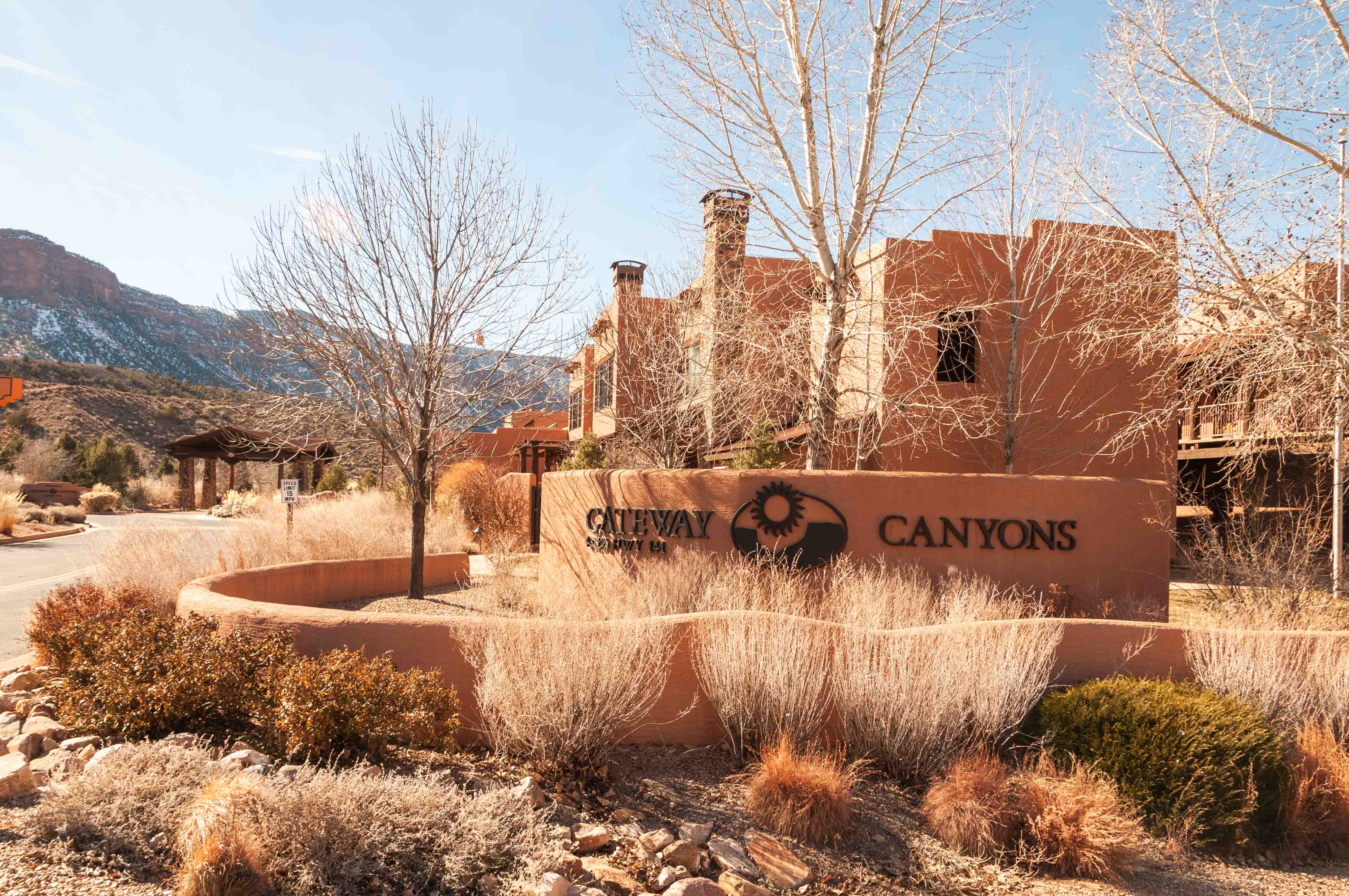
Gateway Canyons Resort
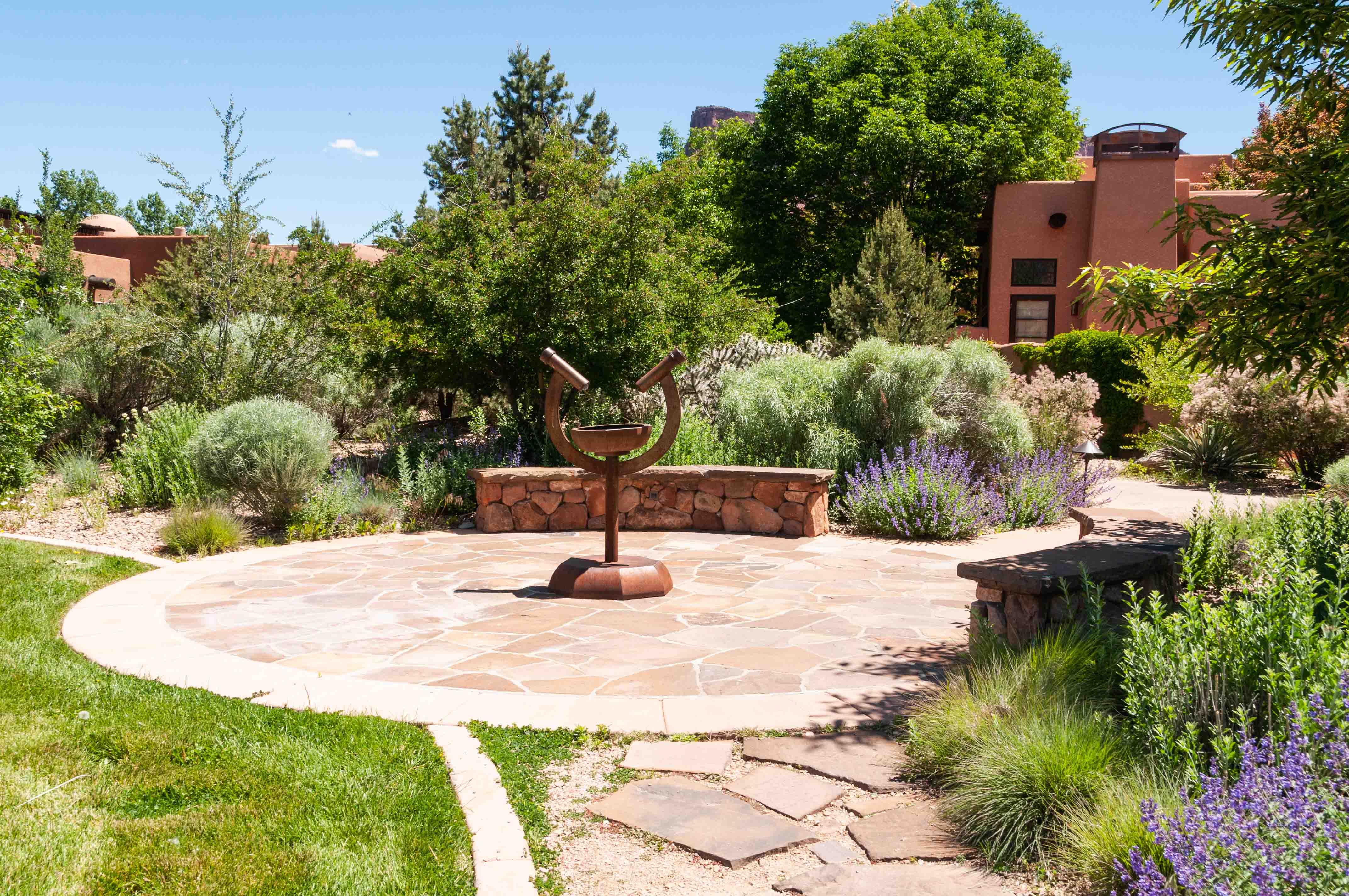
Gateway Canyons Resort
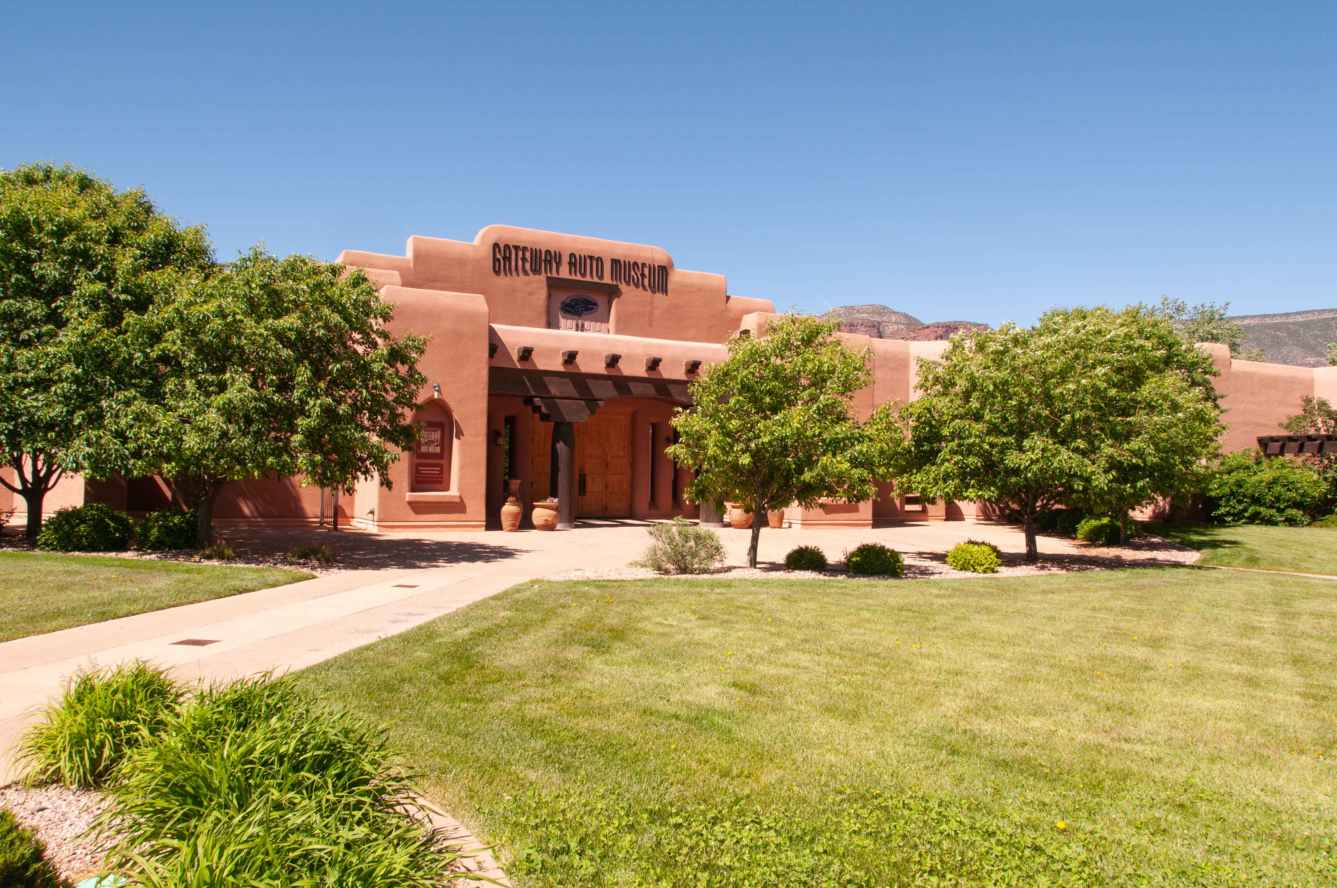
Gateway Auto Museum
Hanging Flume
Just under 30 miles south of Gateway on CO 141 we come to the remnants of the hanging flume. The hanging flume was constructed in the 1880s to carry water for the mining of placer gold. It was constructed entirely of wood, and the finished flume was about 12 miles long. The flume was only used for 3 years, after which large sections succumbed to the ravages of time or were dismantled to reuse the lumber.

Hanging Flume 1998
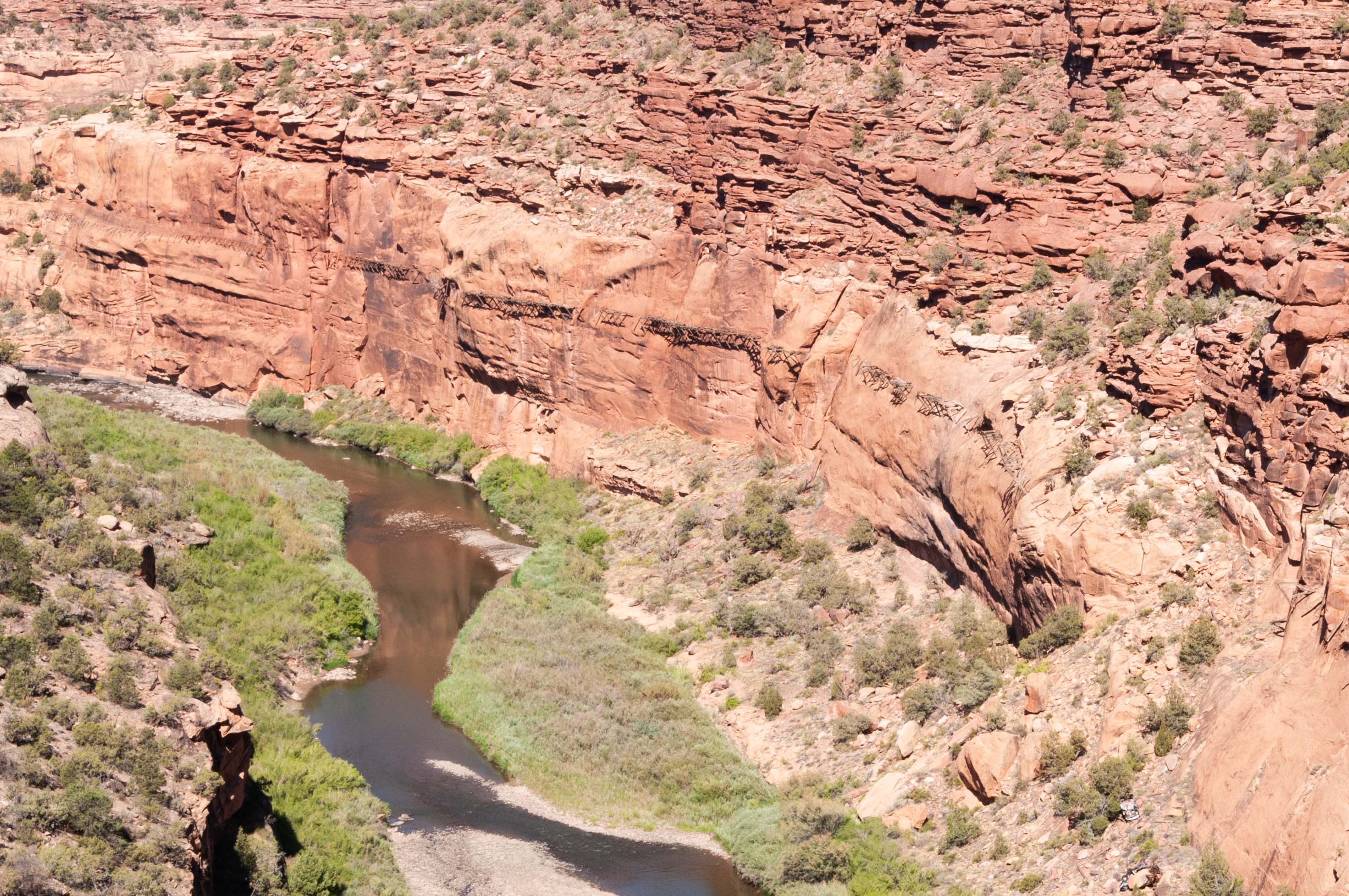
Hanging Flume 2020
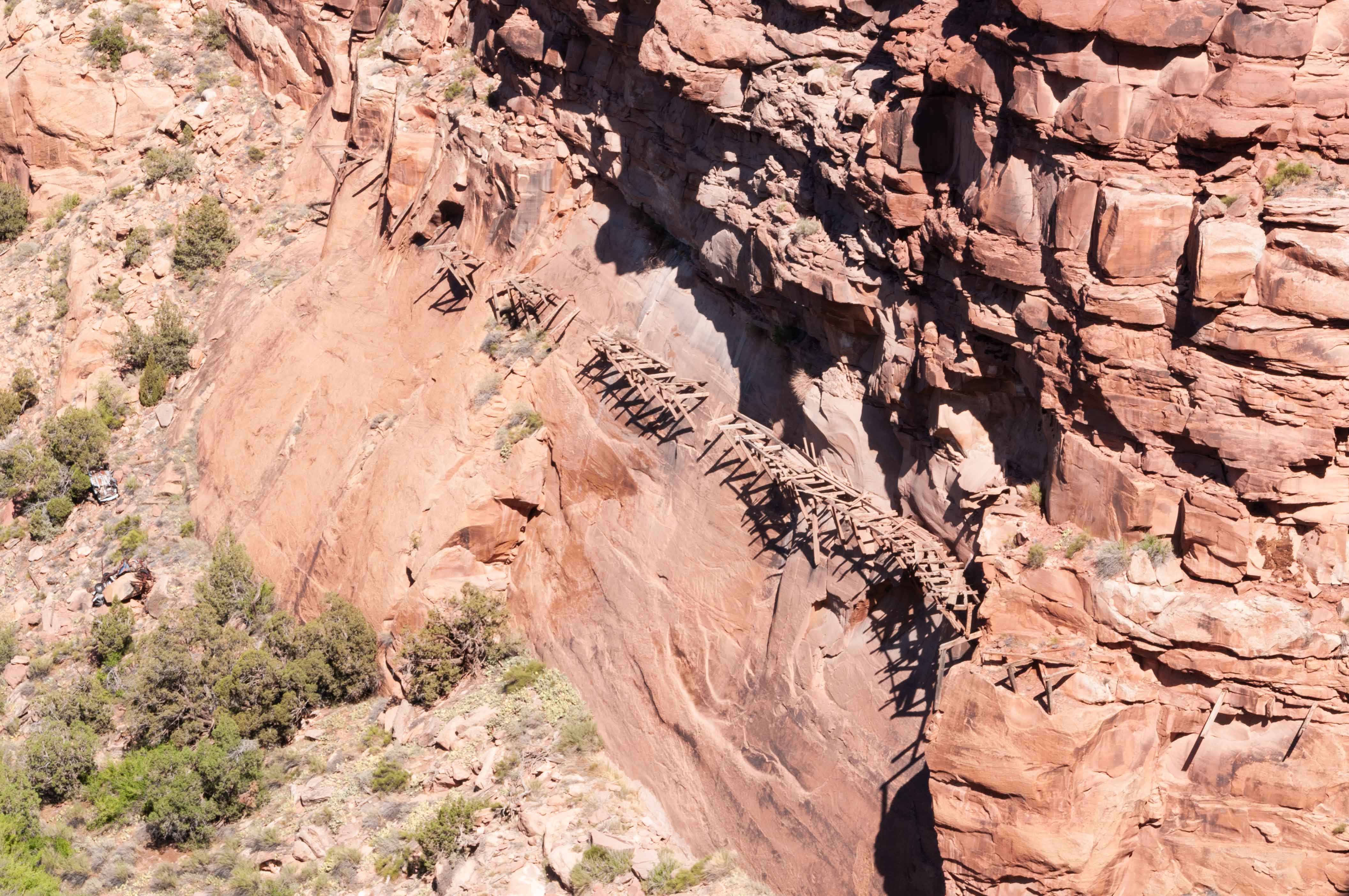
Hanging Flume
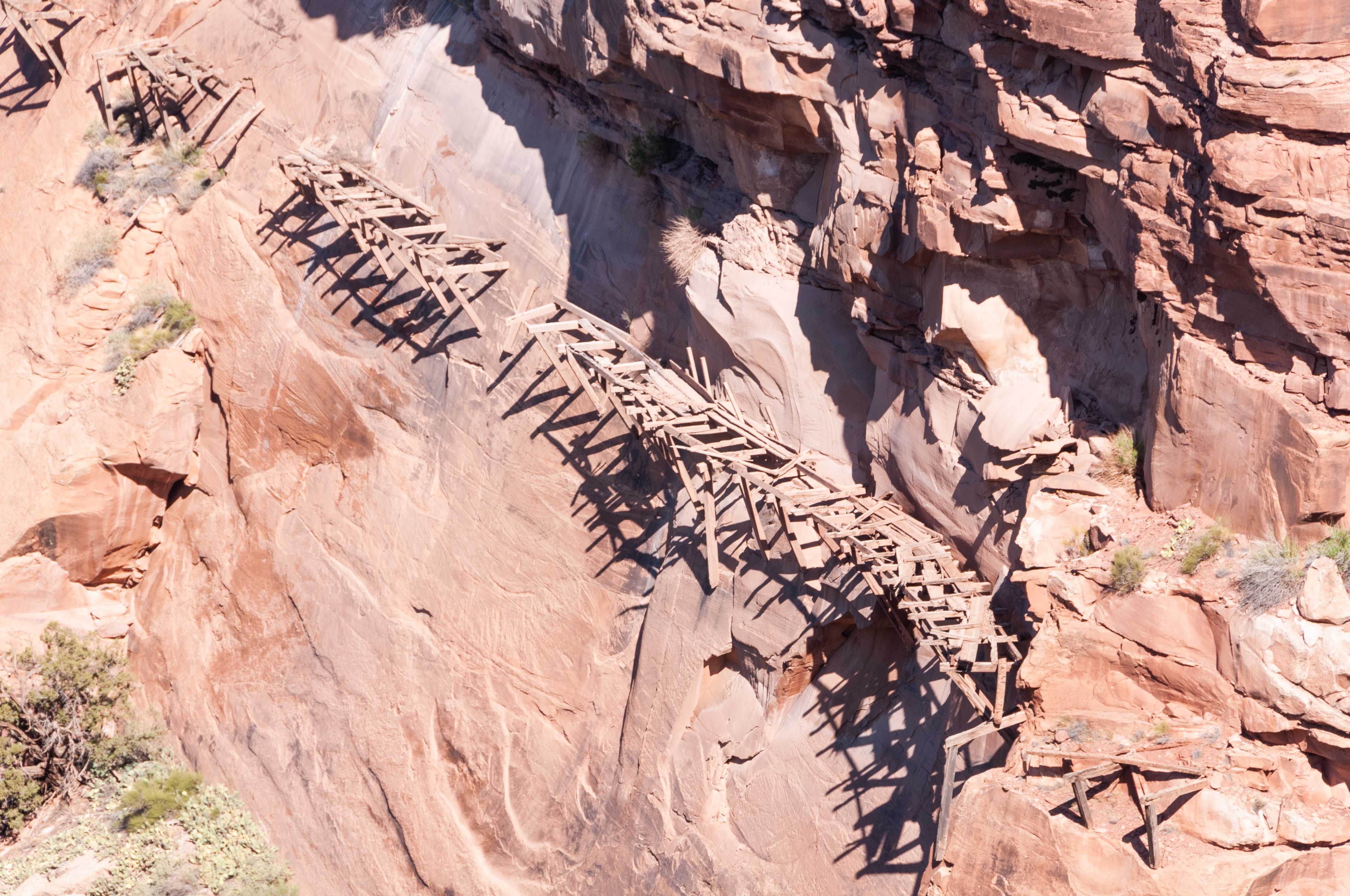
Hanging Flume
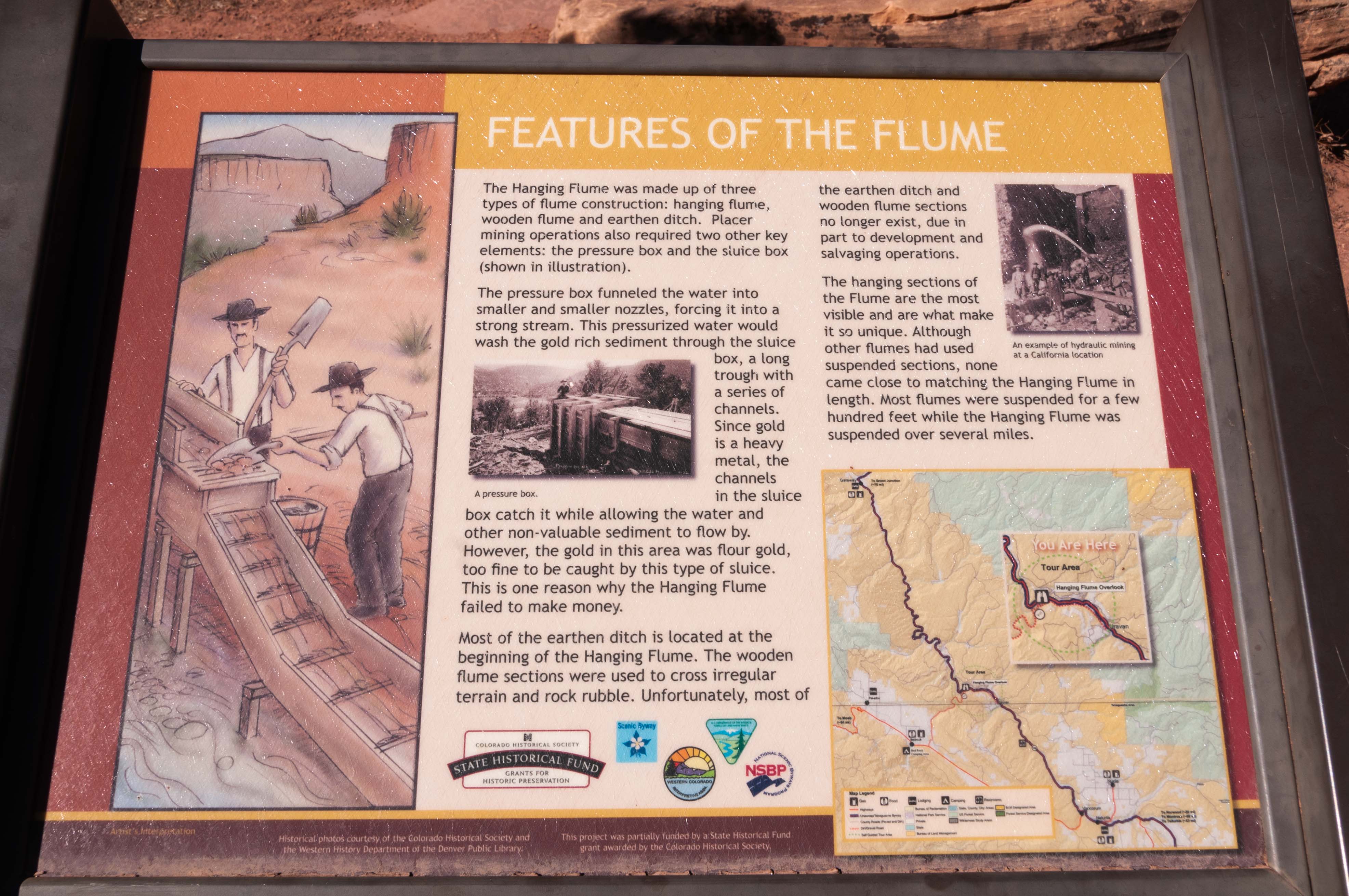
Hanging Flume
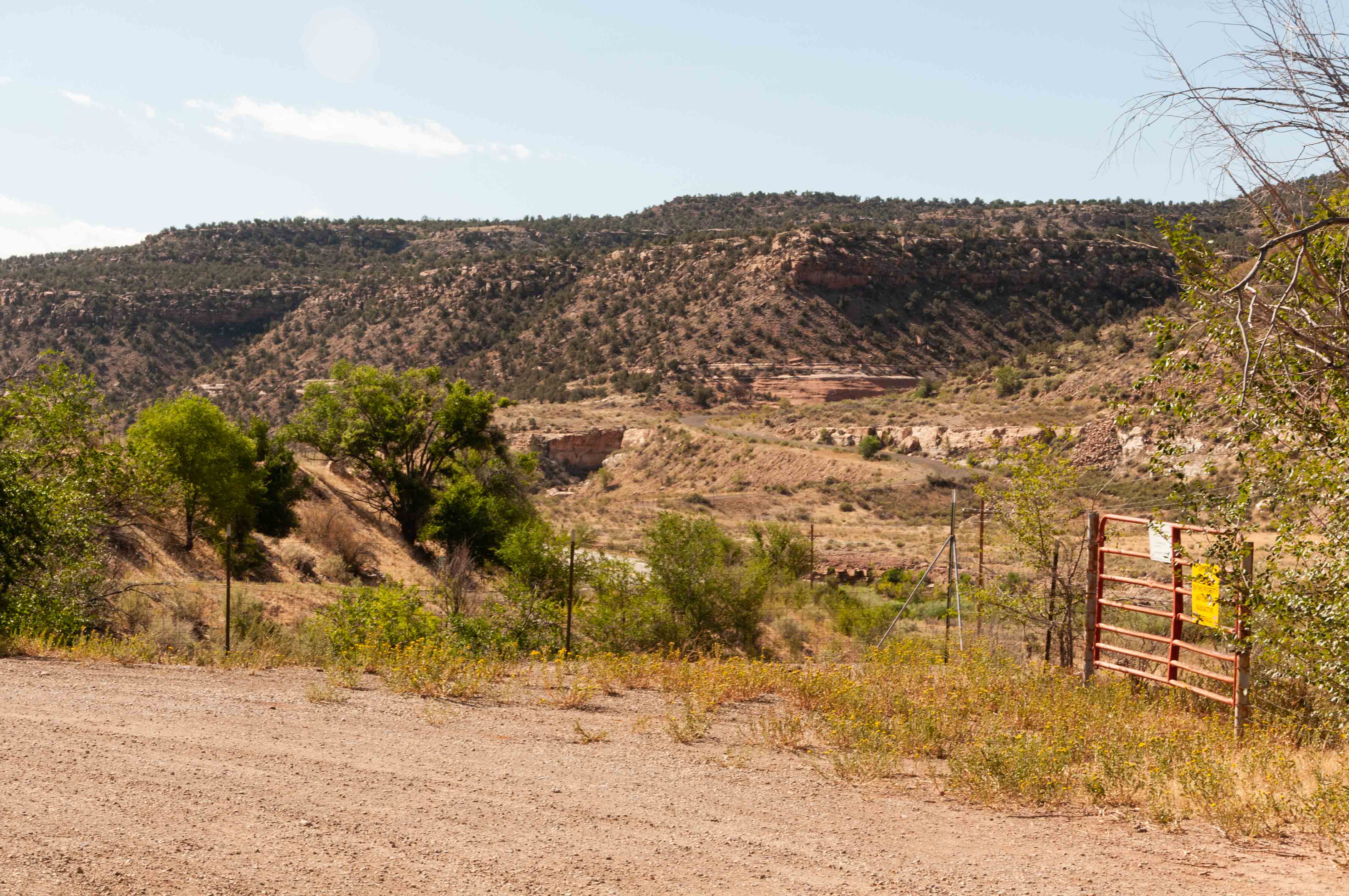
Uravan
About 6 miles south and east of the hanging flume we stop at the townsite of Uravan along CO 141. Uravan was a company town established in 1936 to mine vanadium. The town began mining and milling uranium found in the vanadium ore for the Manhattan Project during World War II. The town really boomed during the Cold War, with a school, store, medical and recreational facilities, and a population around 800. The decrease in demand for uranium at the end of the Cold War eventually spelled the end of Uravan. The area was declared a superfund site in the 1980s, the town razed and buried, and the ground regraded. All that remains of Uravan today is an informational sign at a pullout and a fence around the former townsite.
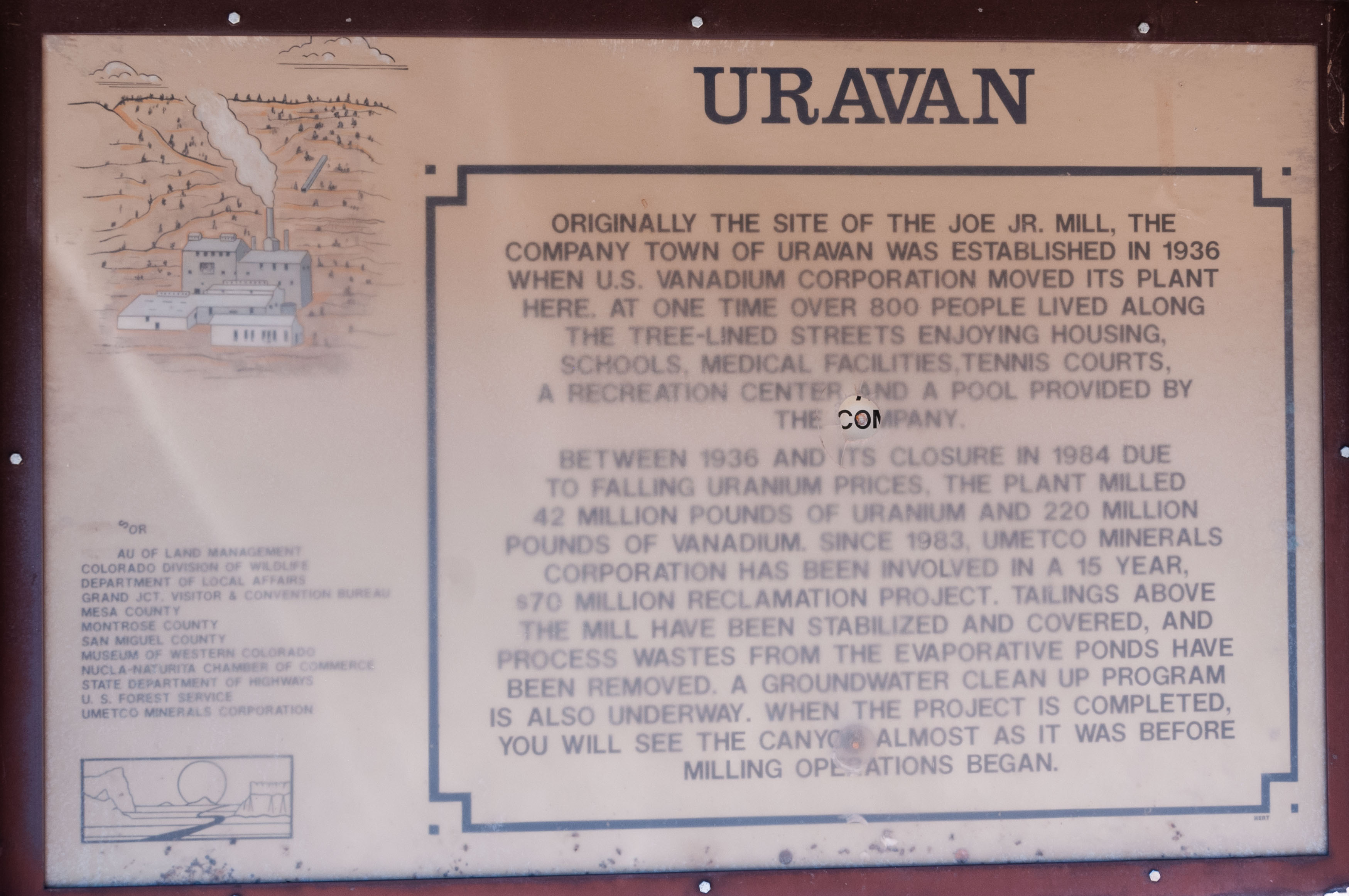
Interpretive Sign
All that remains of Uravan
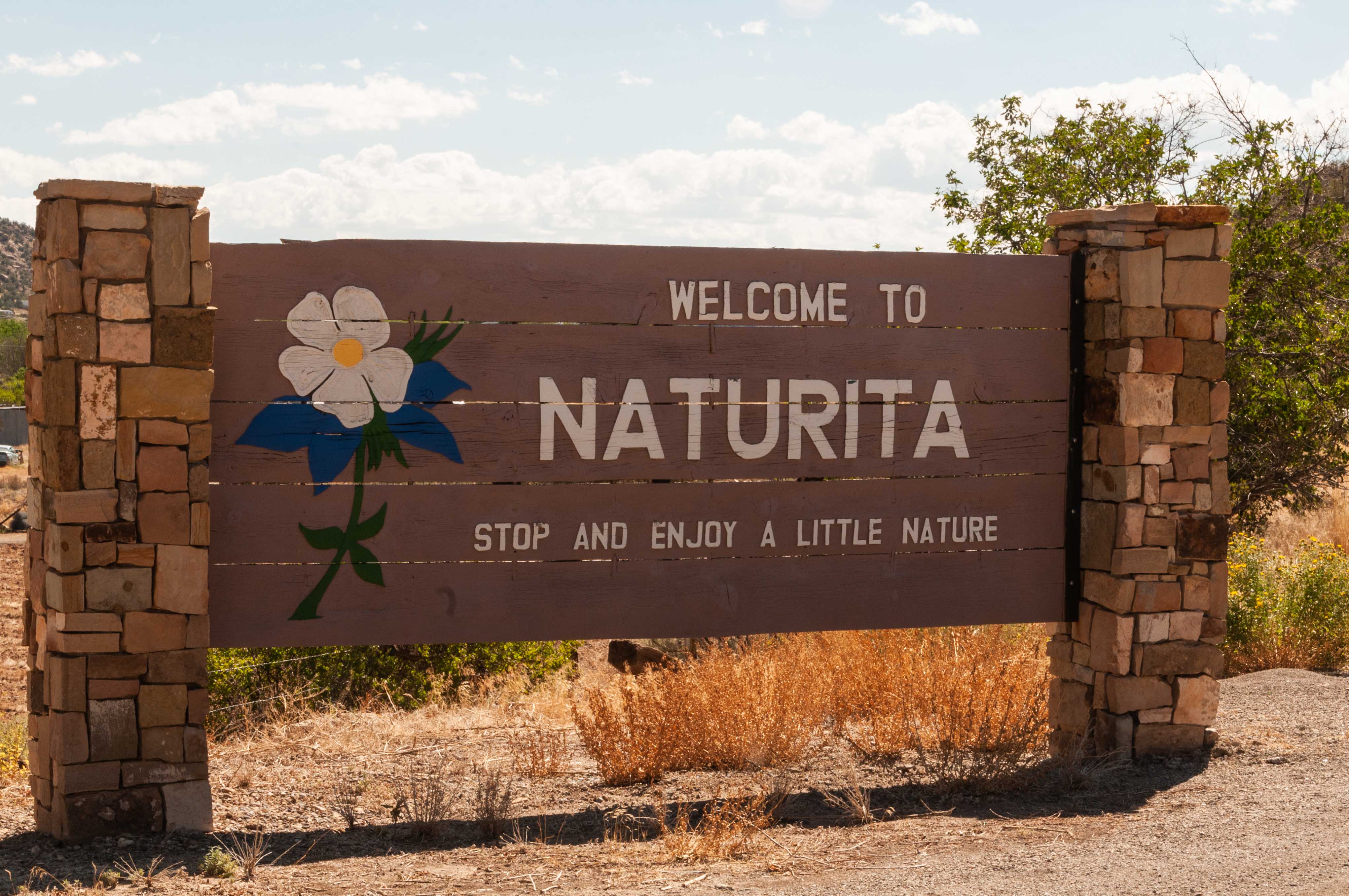
Naturita
The town of Naturita is located 94 miles from the junction of CO 141 and U.S. 50 in Whitewater. It's also 52 miles from Telluride via CO 145. Naturita started out in 1881 as a ranching community, but in later years became a supply center for the copper, vanadium, and uranium mines during the Colorado mining booms. I think we'll stop at Blondie's Drive-In for a green chili cheeseburger.
Welcome to Naturita
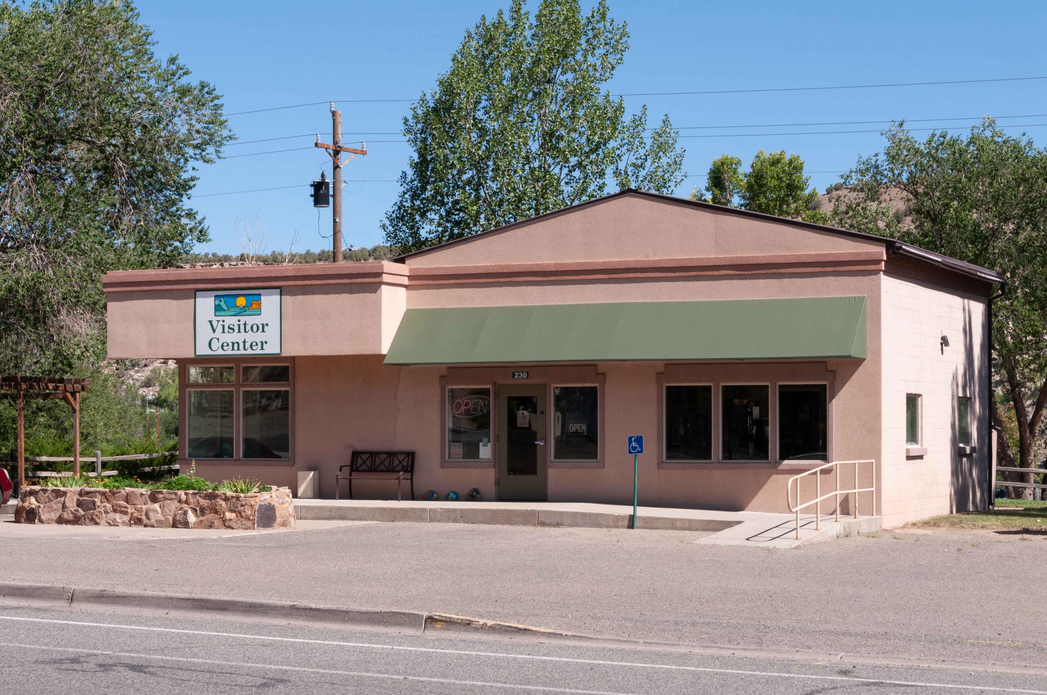
Visitor Center
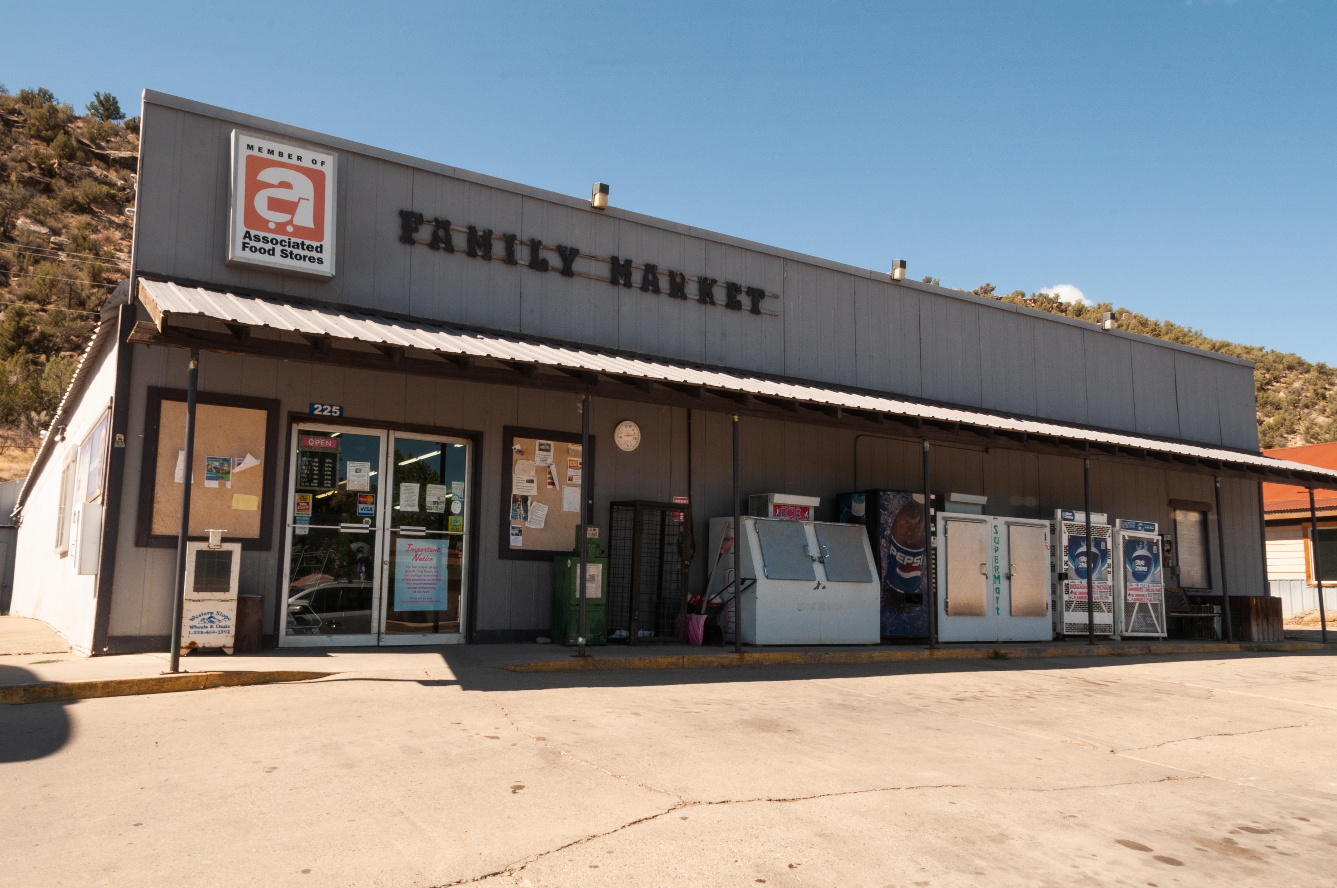
Family Market

CO 141 through Naturita
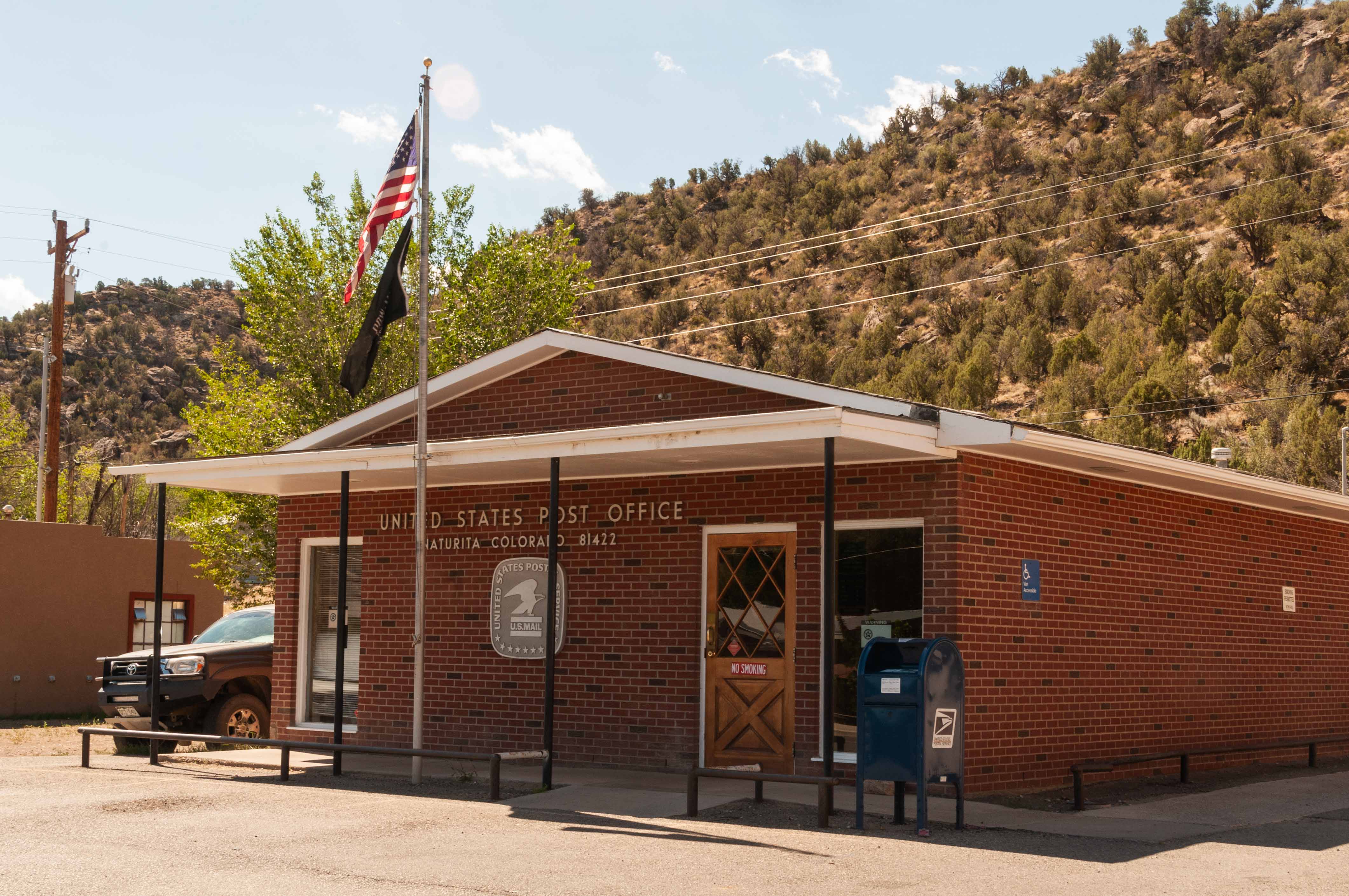
U.S. Post Office zip 81422
Don't know what this is
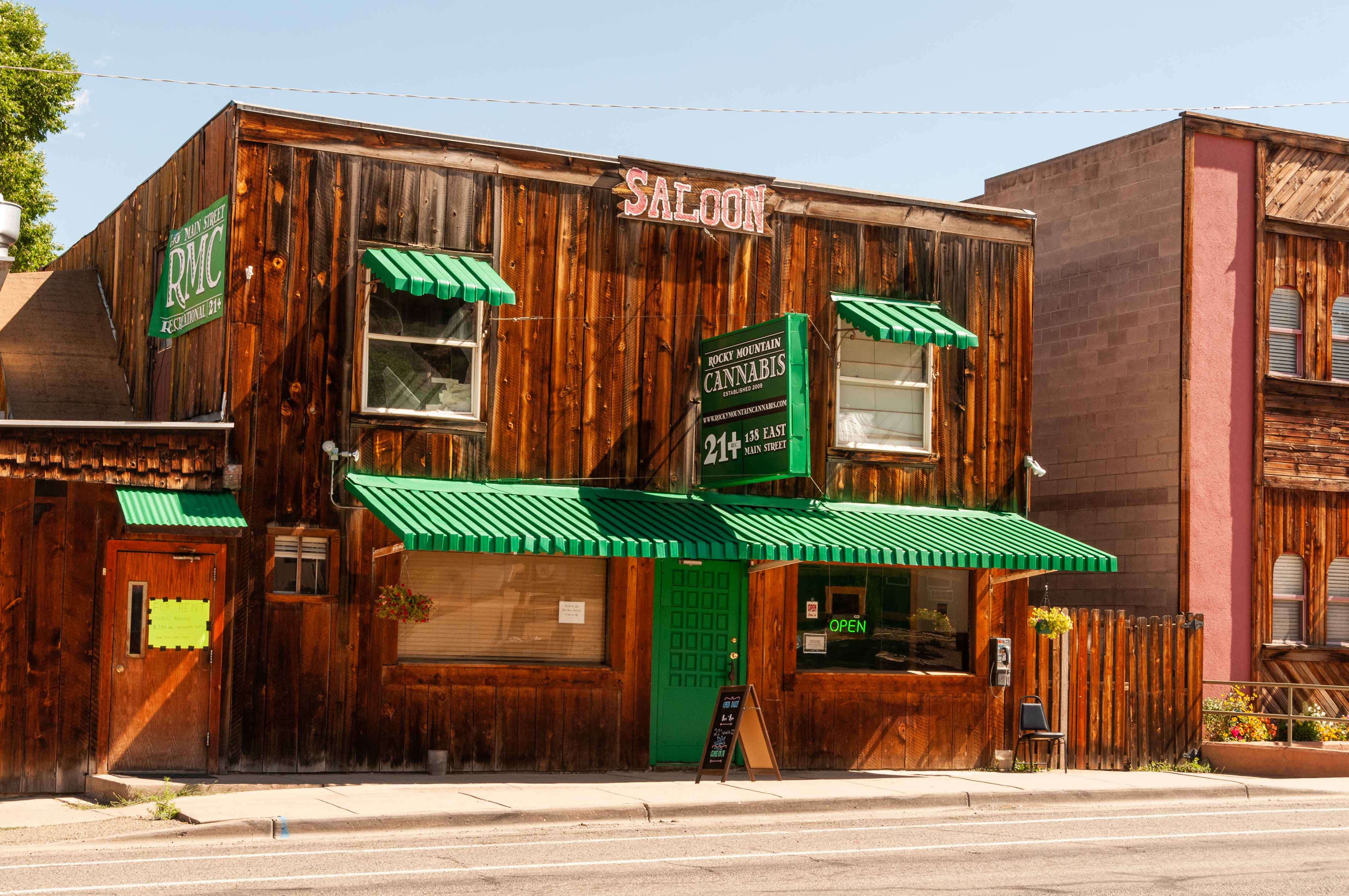
Rocky Mountain Cannabis

Rimrock Hotel

Blondie's Drive In
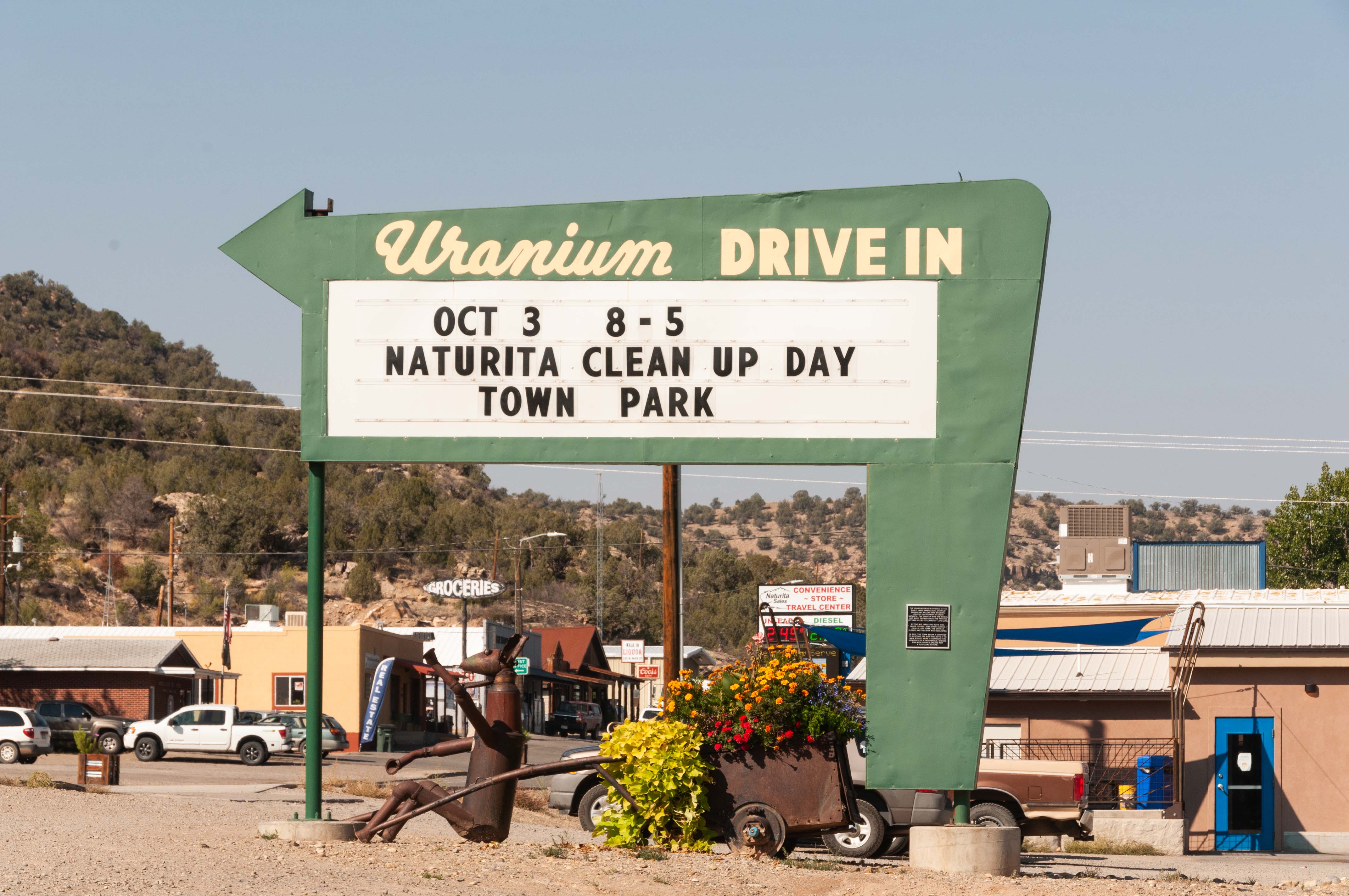
Announcements
Nucla
We're going to take a quick side trip to Nucla. We travel 4.6 miles from Naturita to Nucla on CO 97. That's the entire length of CO 97, 4.6 miles. You can also get to Nucla from Delta by taking the unpaved Delta-Nucla Road 32 miles across the Uncompahgre Plateau. The residents of Nucla are fiercely independent and proud of their small town heritage in spite of the pushback they often get from Telluride. Nucla is one of only two towns in the U.S. requiring mandatory gun ownership for qualified households (the other being Kennesaw, GA).
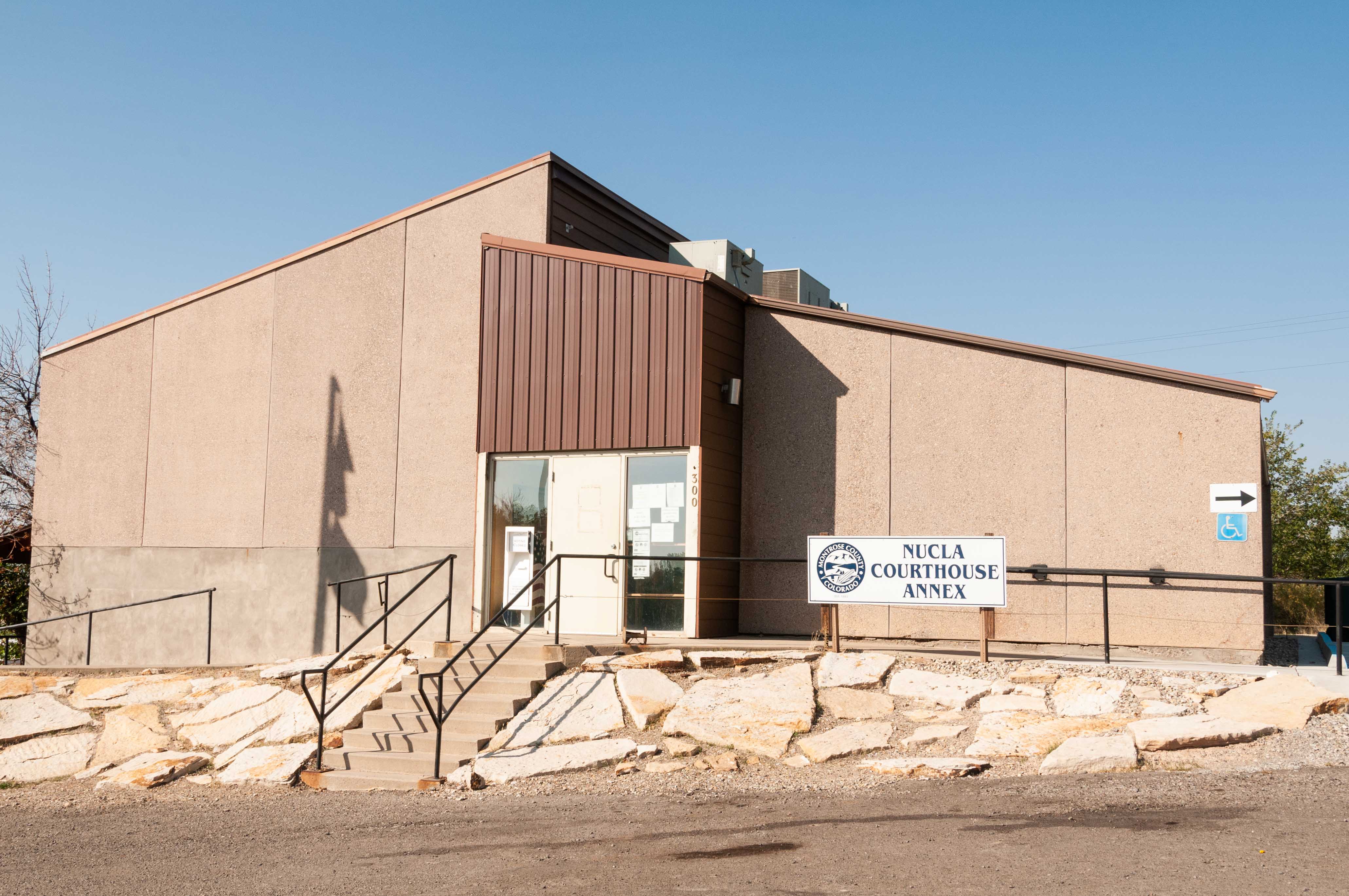
Nucla Courthouse Annex
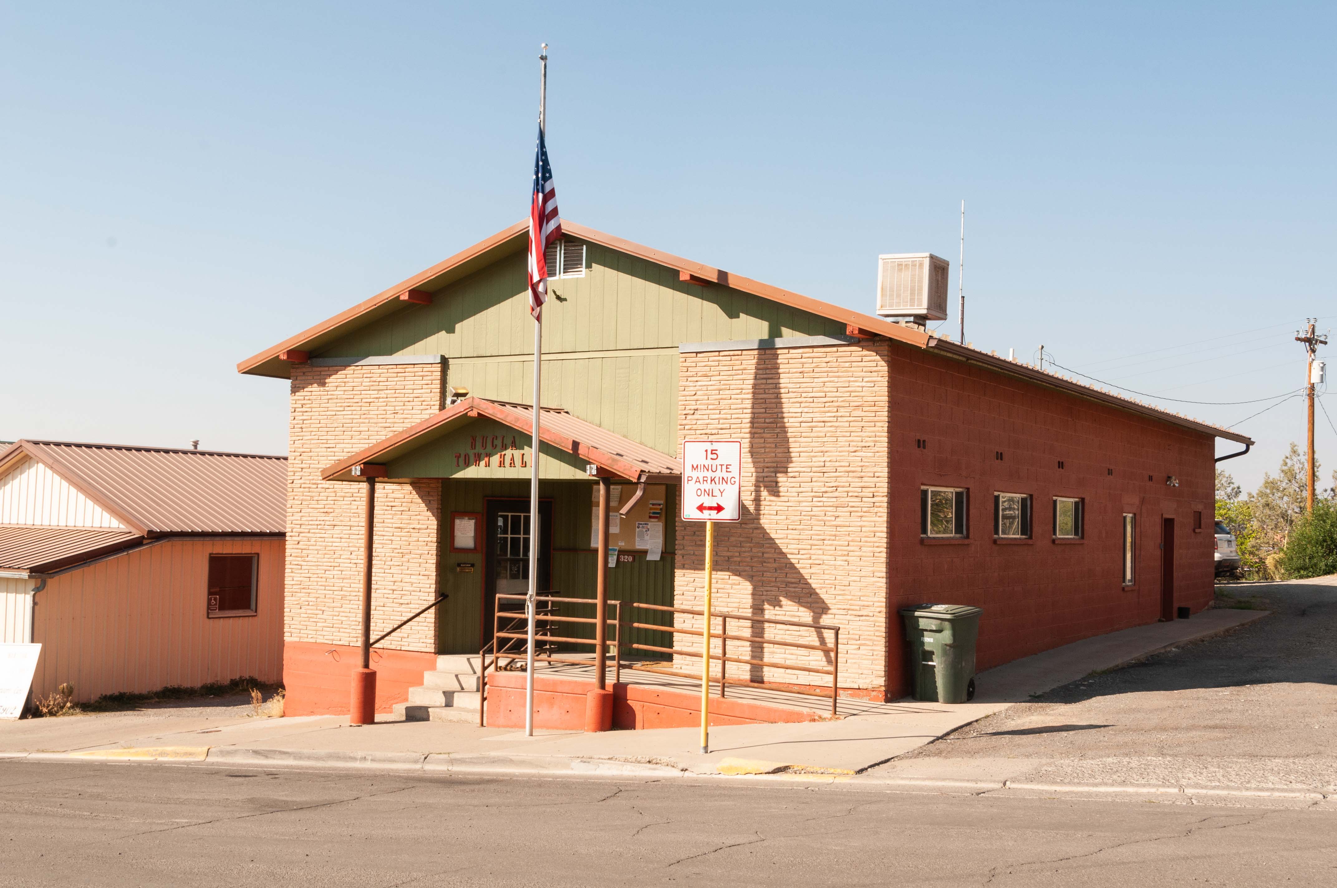
Nucla Town Hall
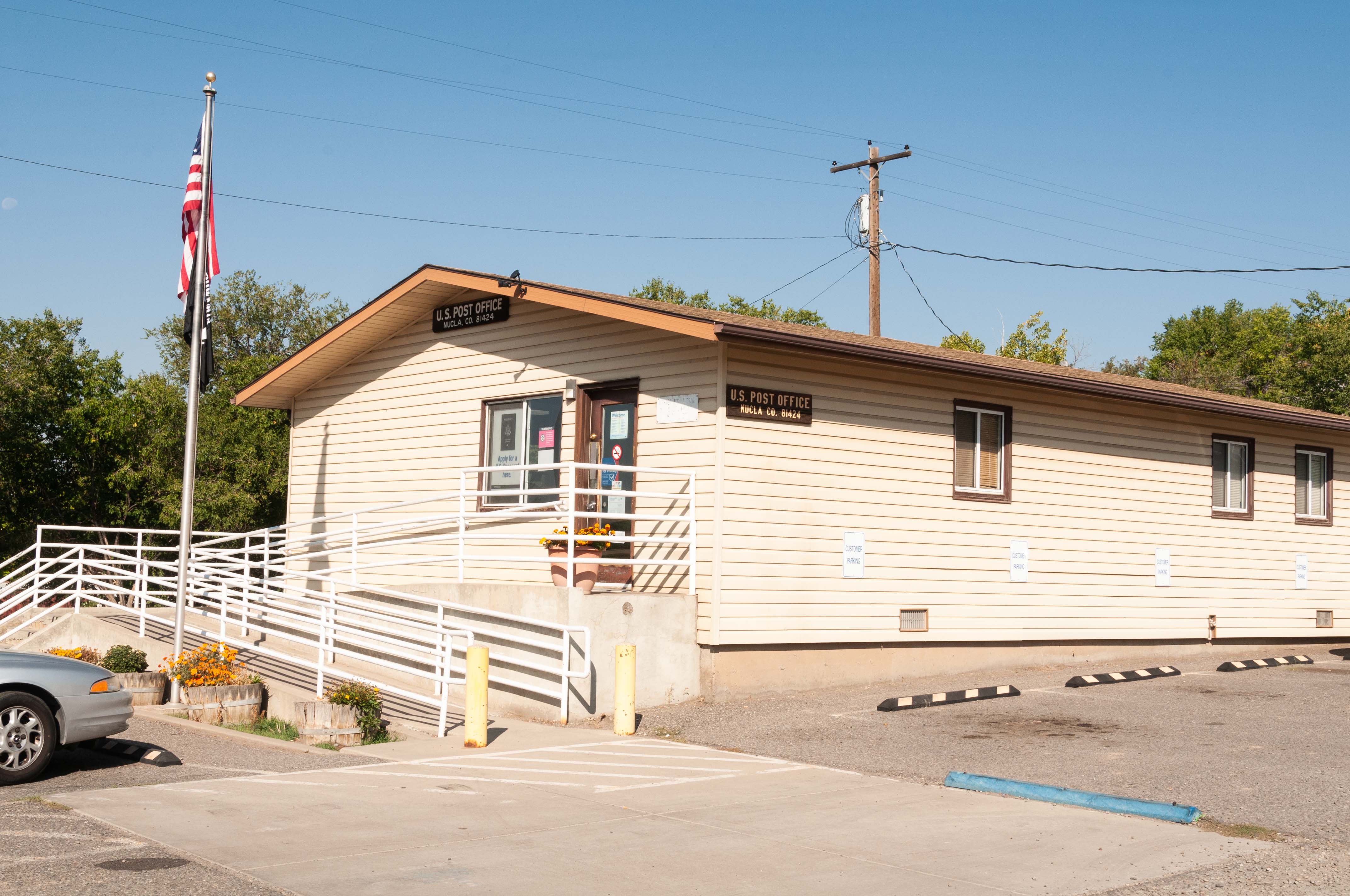
U.S. Post Office zip 81424
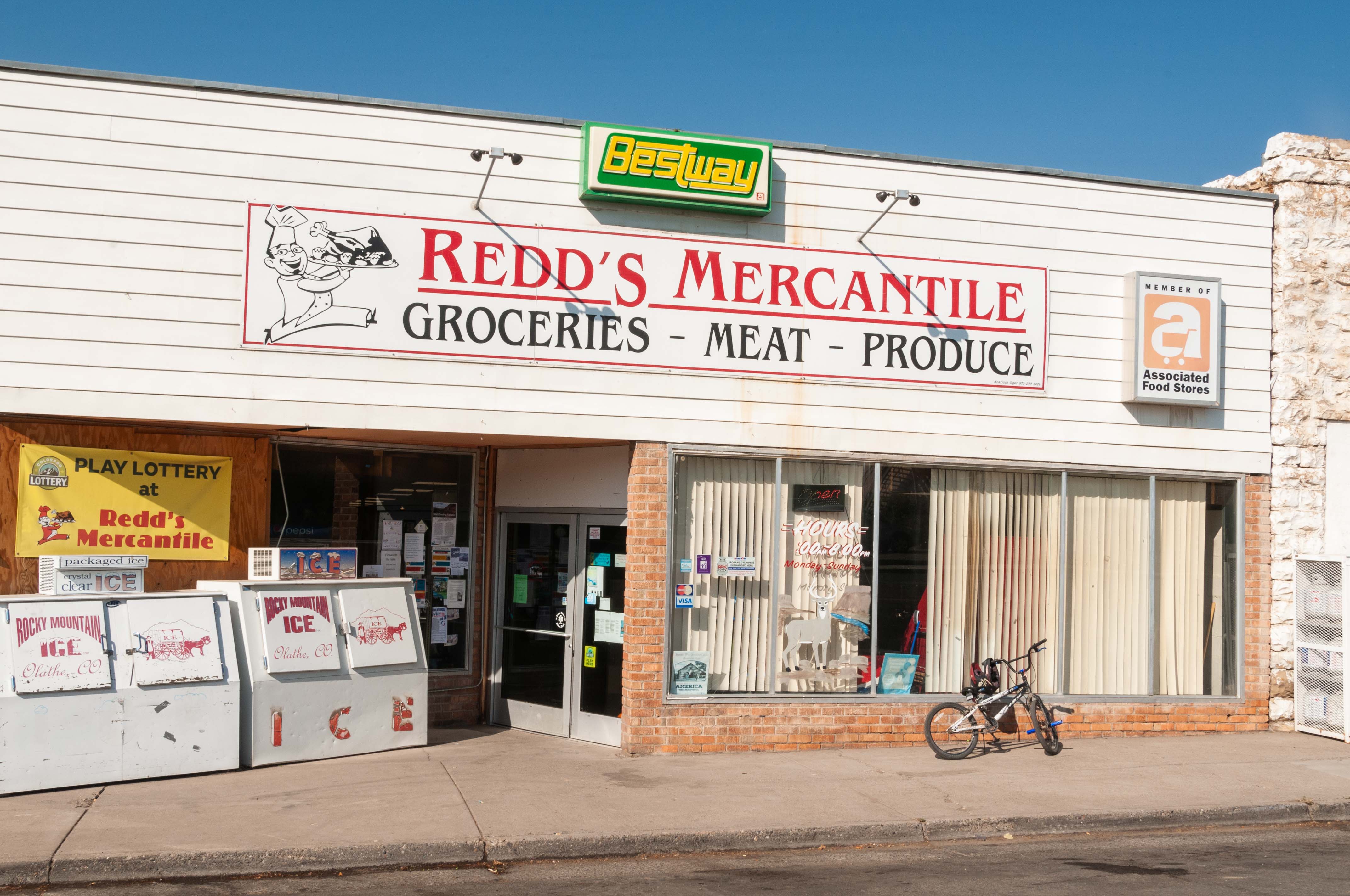
Redd's Mercantile
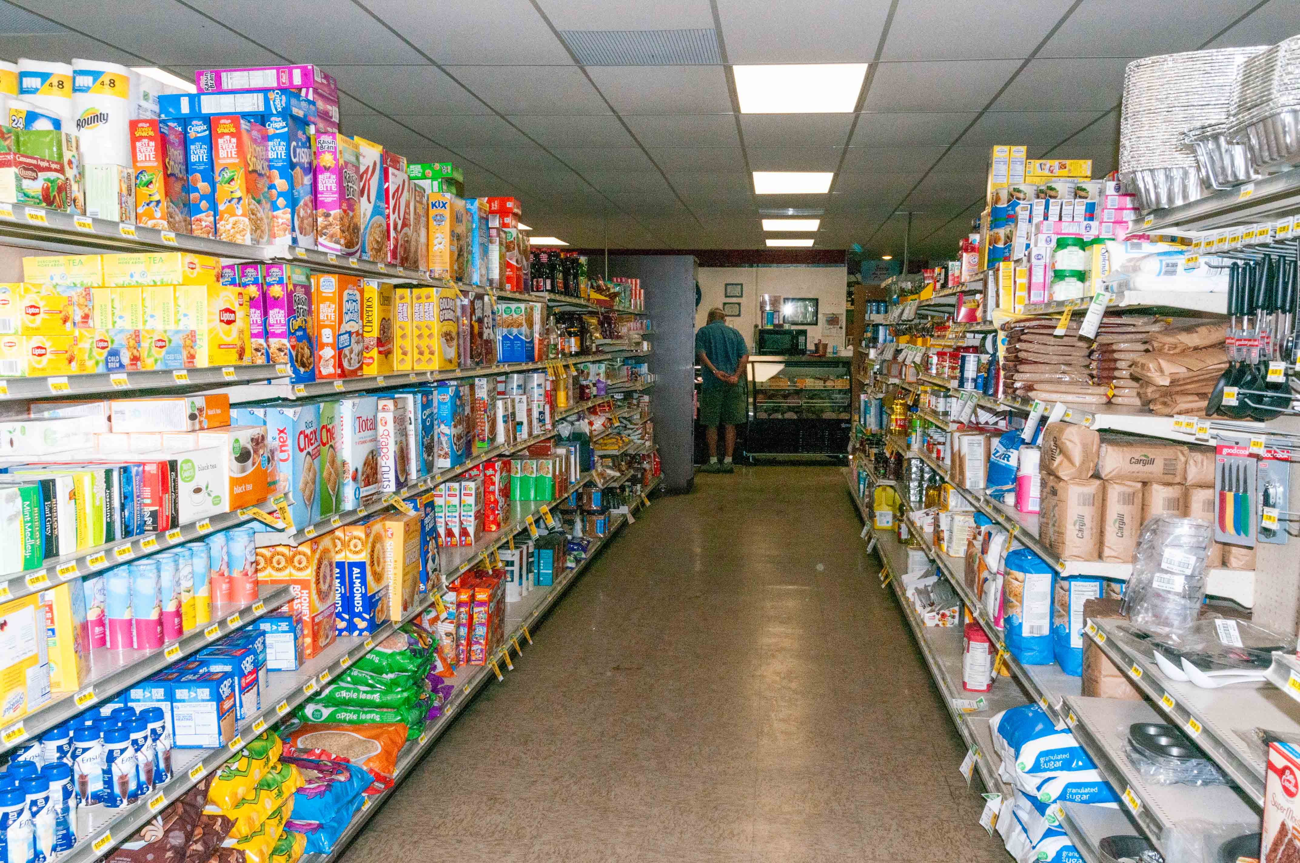
Well Stocked

Tabeguache Trading Co.
Naturita to Dove Creek
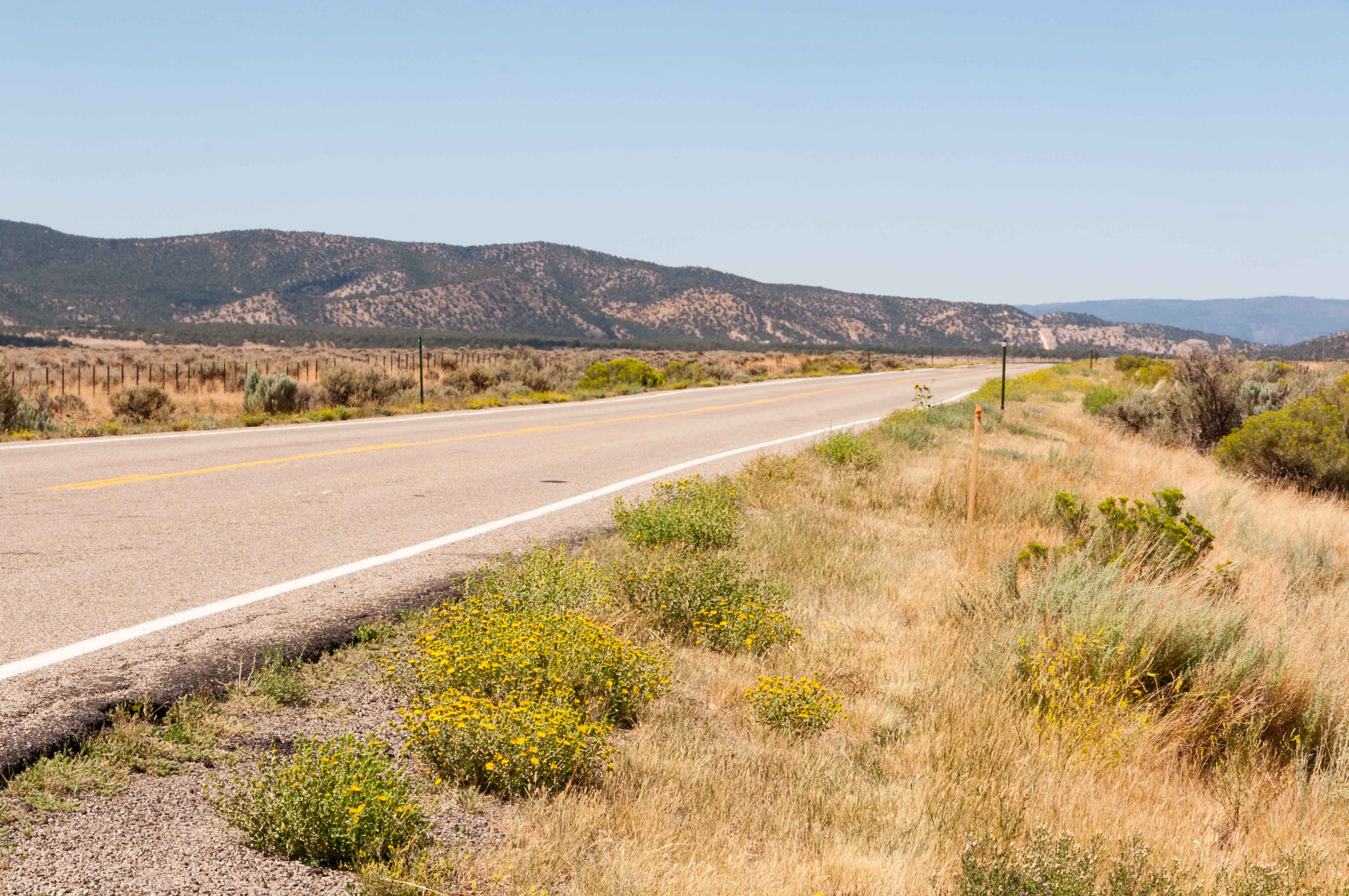
CO 141 crosses into San Miguel County after leaving Naturita and turns west. We travel a more or less straight road across San Miguel County until meeting up with the Dolores River in Joe Davis Canyon. CO 141 then turns south traveling through Egnar and on to its junction with U.S. 491.
Somewhere in San Miguel County
Lone Cone
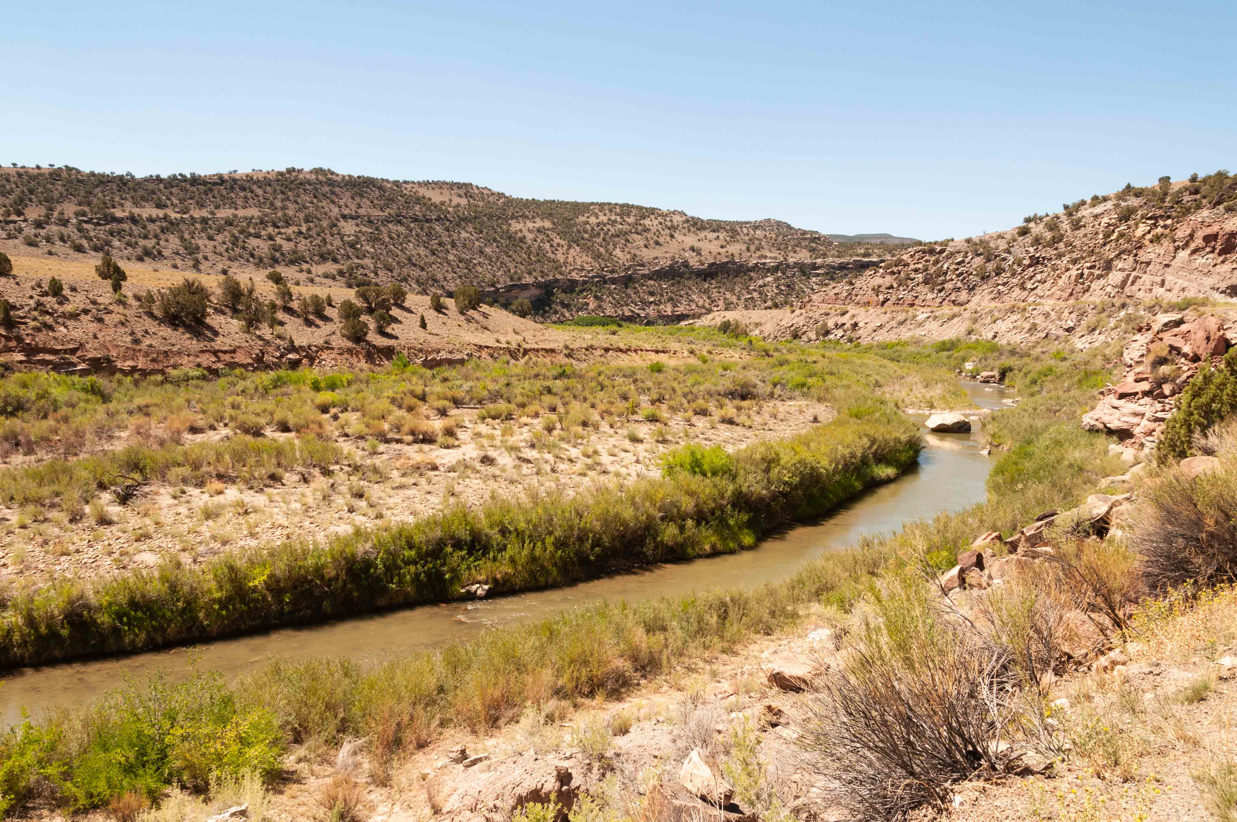
Dolores River in Joe Davis Canyon
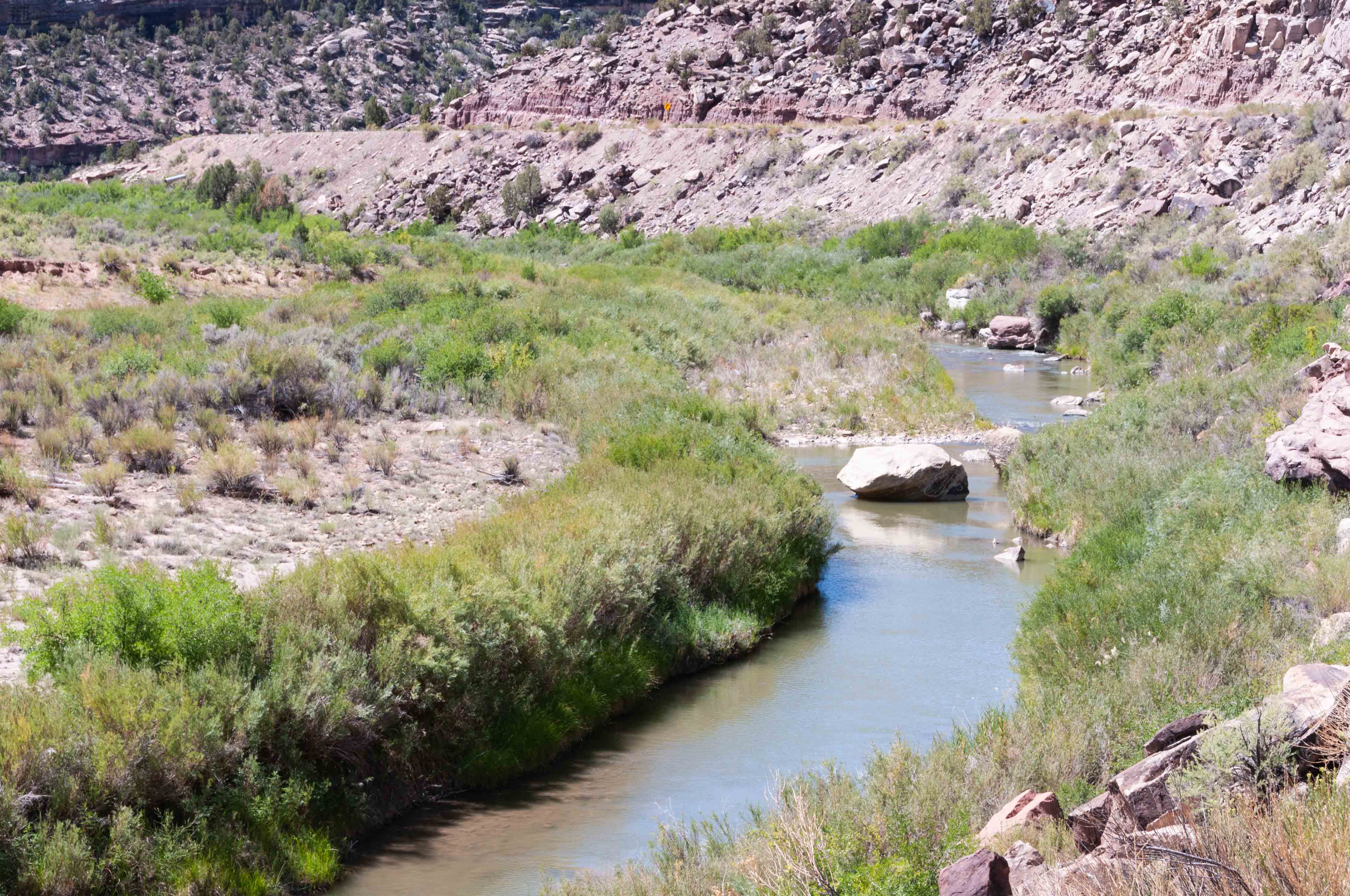
Dolores River in Joe Davis Canyon
A word about Egnar - it's a really small town 12 miles north of
Dove Creek on CO 141. The town's name is Range spelled backwards. There is an urban
legend (probably started by me) that even though the name Range was taken, the good citizens of Egnar
named their town Range anyway, just spelling it backwards. As tiny as Egnar is, it has
a post office that's been open since 1917. There are numerous defunct uranium/vanadium mines around
the town.
Dove Creek
It's about 63 miles from Naturita to Dove Creek. CO 141 ends at its junction with US 491 a couple of miles west of Dove Creek. Dove Creek is the county seat of Dolores County and bills itself as the "Pinto Bean Capital of the World". Southwestern Colorado is located on the high desert of the Colorado Plateau, and with irrigation from McPhee Reservoir the land is ideal for growing pinto and anasazi beans. Dove Creek takes its name, oddly enough, from Dove Creek, which flows past it. Dove Creek is always a favorite stop on my way to and from Moab.
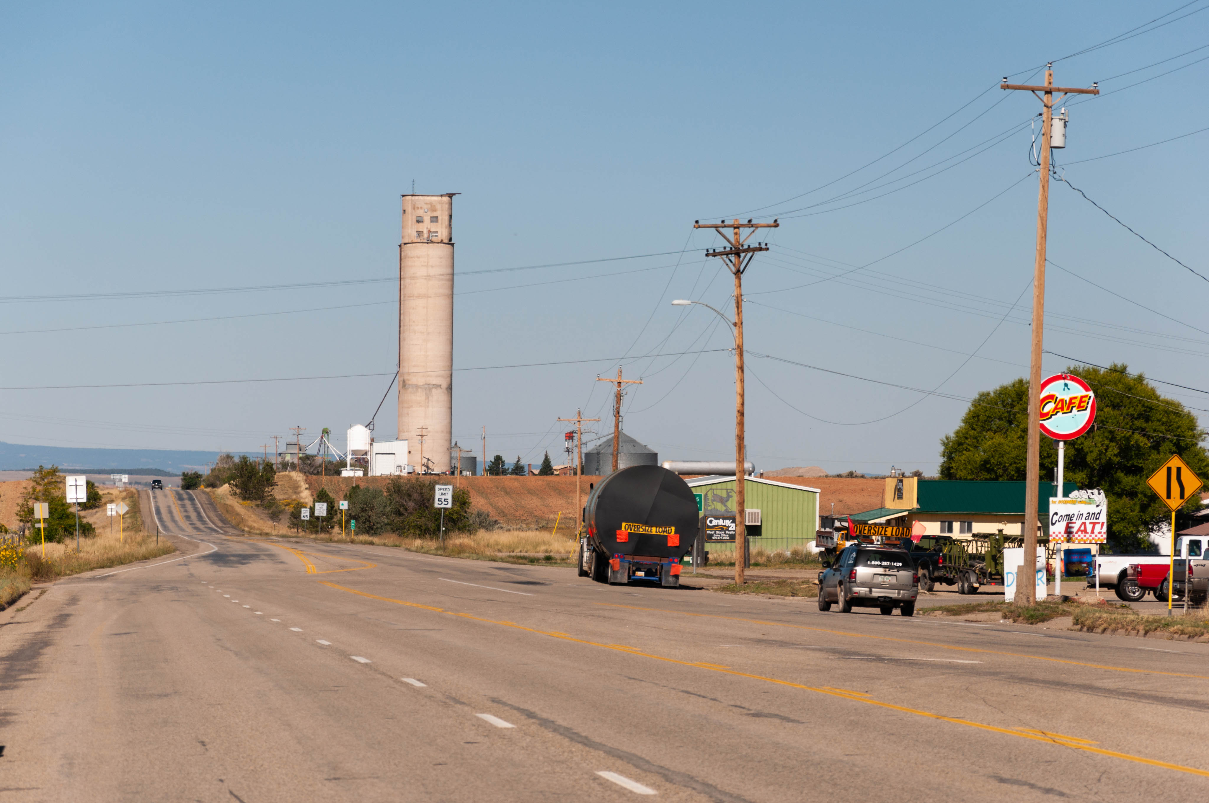
US 491 through Dove Creek
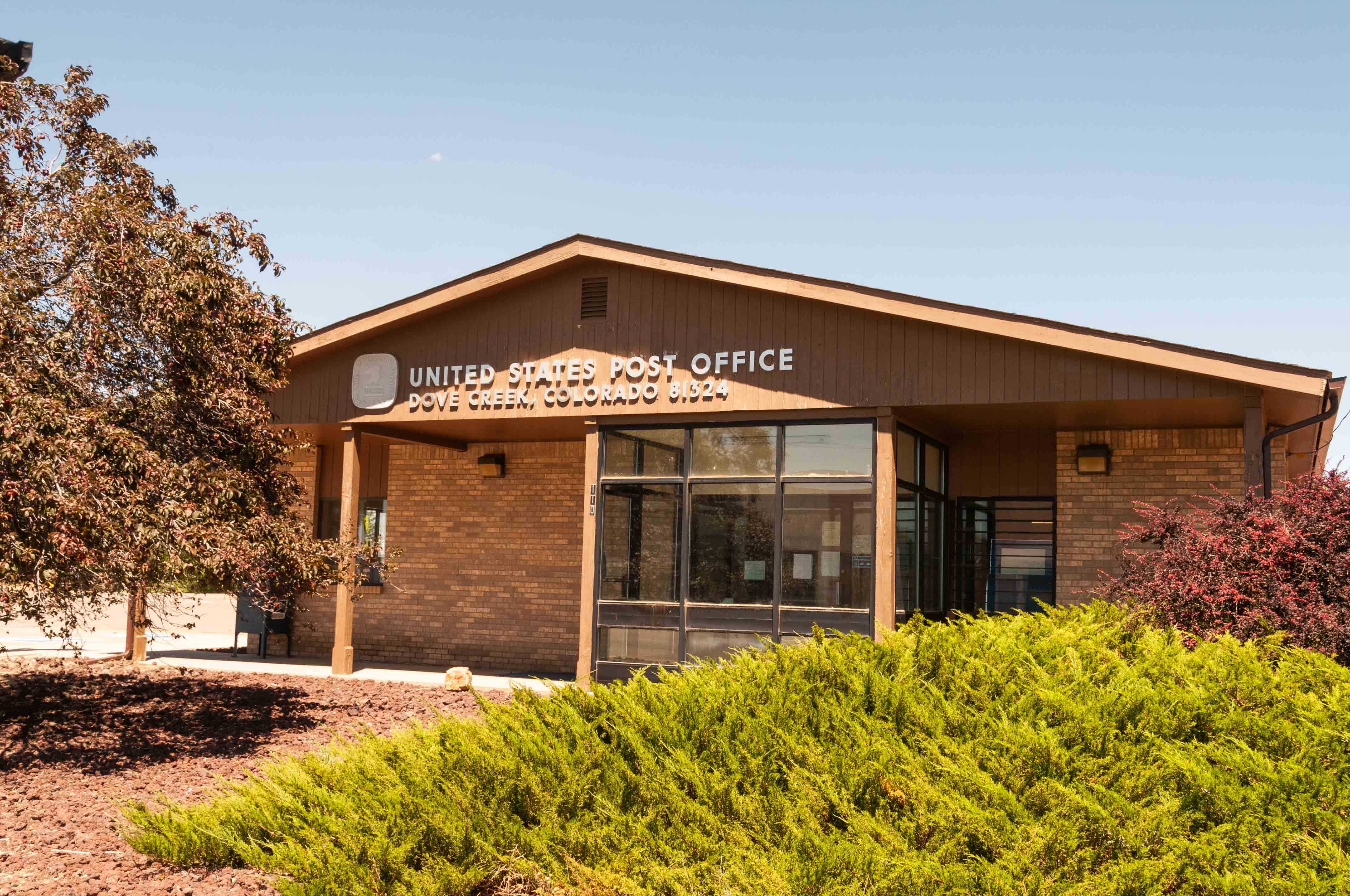
United States Post Office zip 81324

Frosty's Liquor

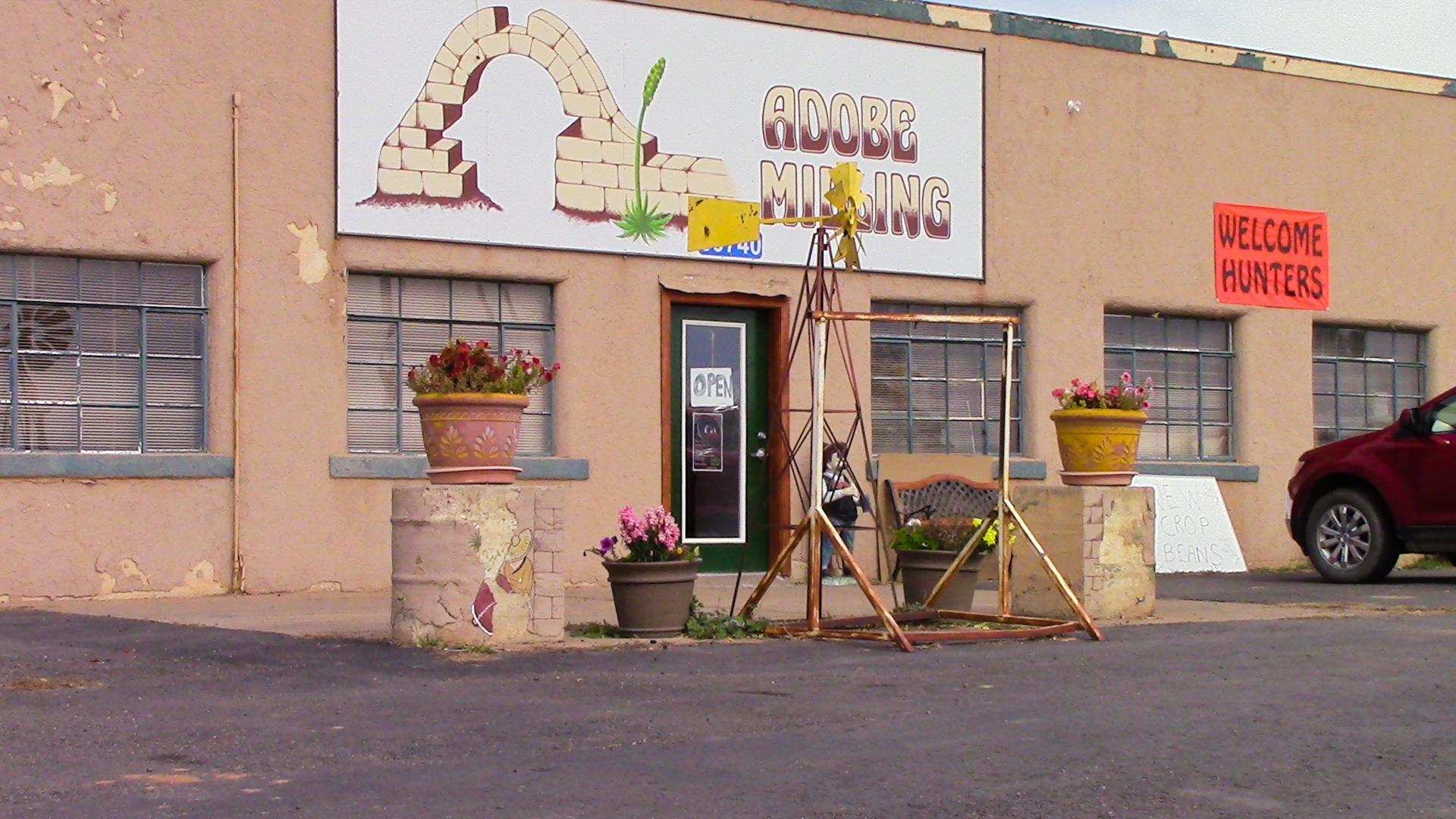
Adobe Milling
Every time I pass through Dove Creek I
stop at Adobe Milling to pick up a bottle of their steak sauce, a
pound or two of Anasazi beans, and other assorted goodies.
Adobe Milling
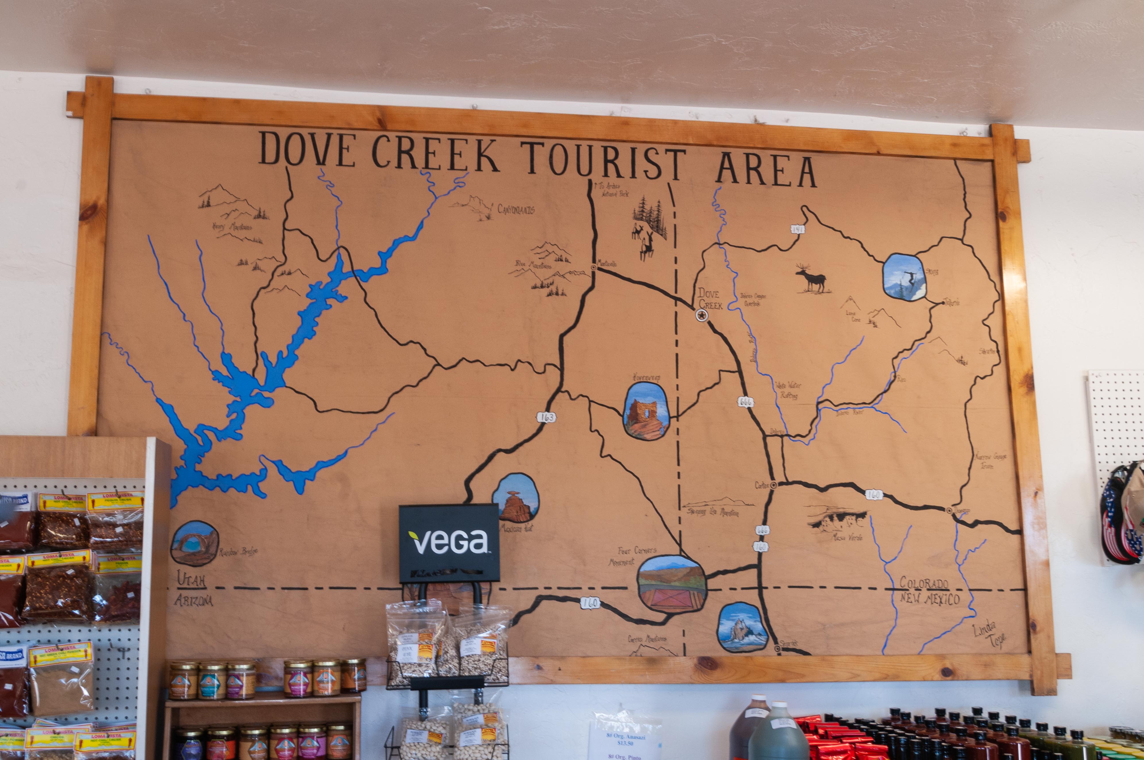
Map of the Area
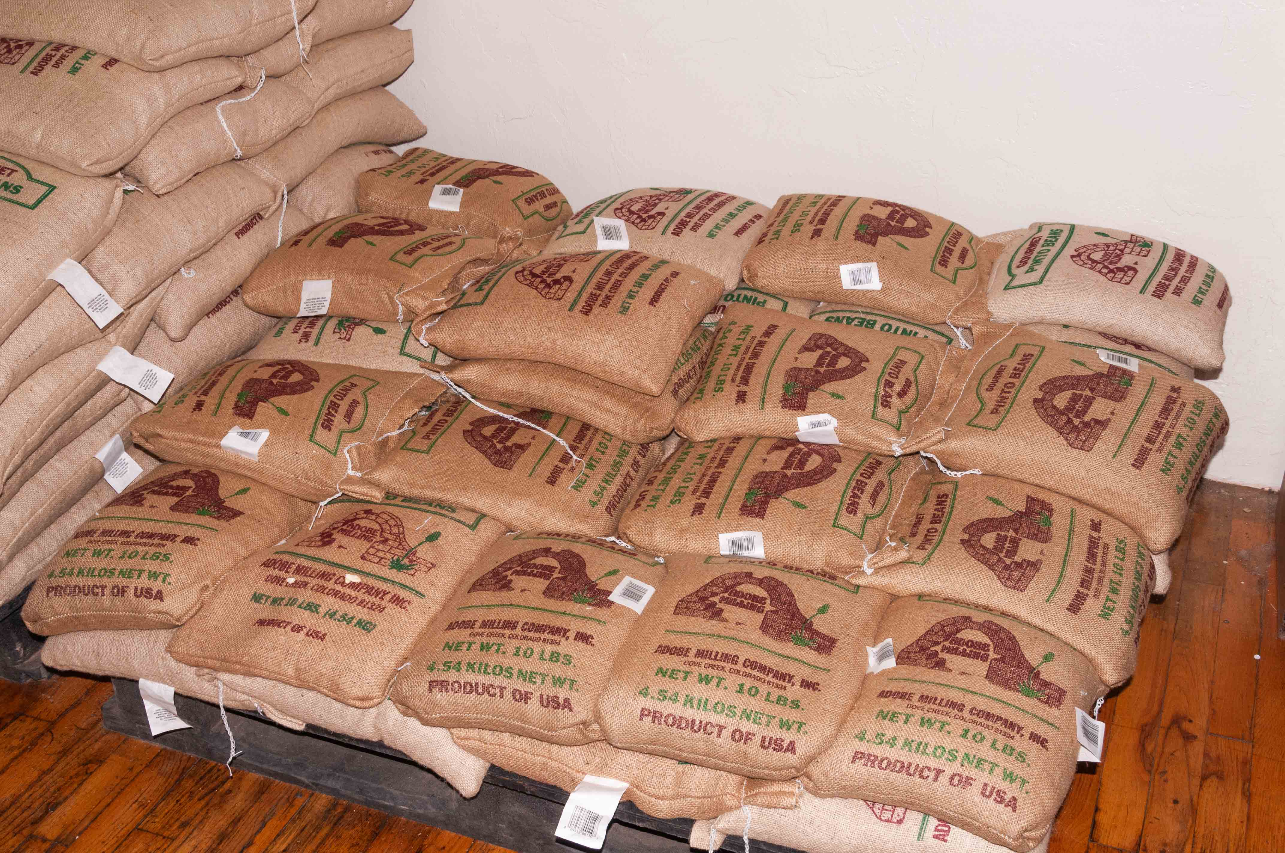
Lots of Pinto Beans
Cortez
We've finally arrived in Cortez, which is 35 miles south of Dove Creek. On the way we passed through the
farming communities of Cahone, Pleasant View, Yellow Jacket, Lewis, and Arriola.
We turn off US 491 onto U.S. 160 (Main Street) which takes us to the center of town. Cortez was
founded in the 1880s as a supply center for the Montezuma Valley Water Supply Co.
Today it serves as a commercial center for the farmers and ranchers in the region and as home base for
tourists going to Mesa Verde, Hovenweep, and Canyons of the Ancients. I would get to Cortez
periodically when I lived near Hesperus, so I'm sort of familiar with the town. (Also, I live in Cortez now). I think I'll have
dinner and a couple of cervezas at the Fiesta Mexicana before checking in to the Retro Inn for the night.
Tomorrow we'll drive the return trip to Whitewater in Southwest Colorado Road Trip Part 2.
Click to visit Cortez
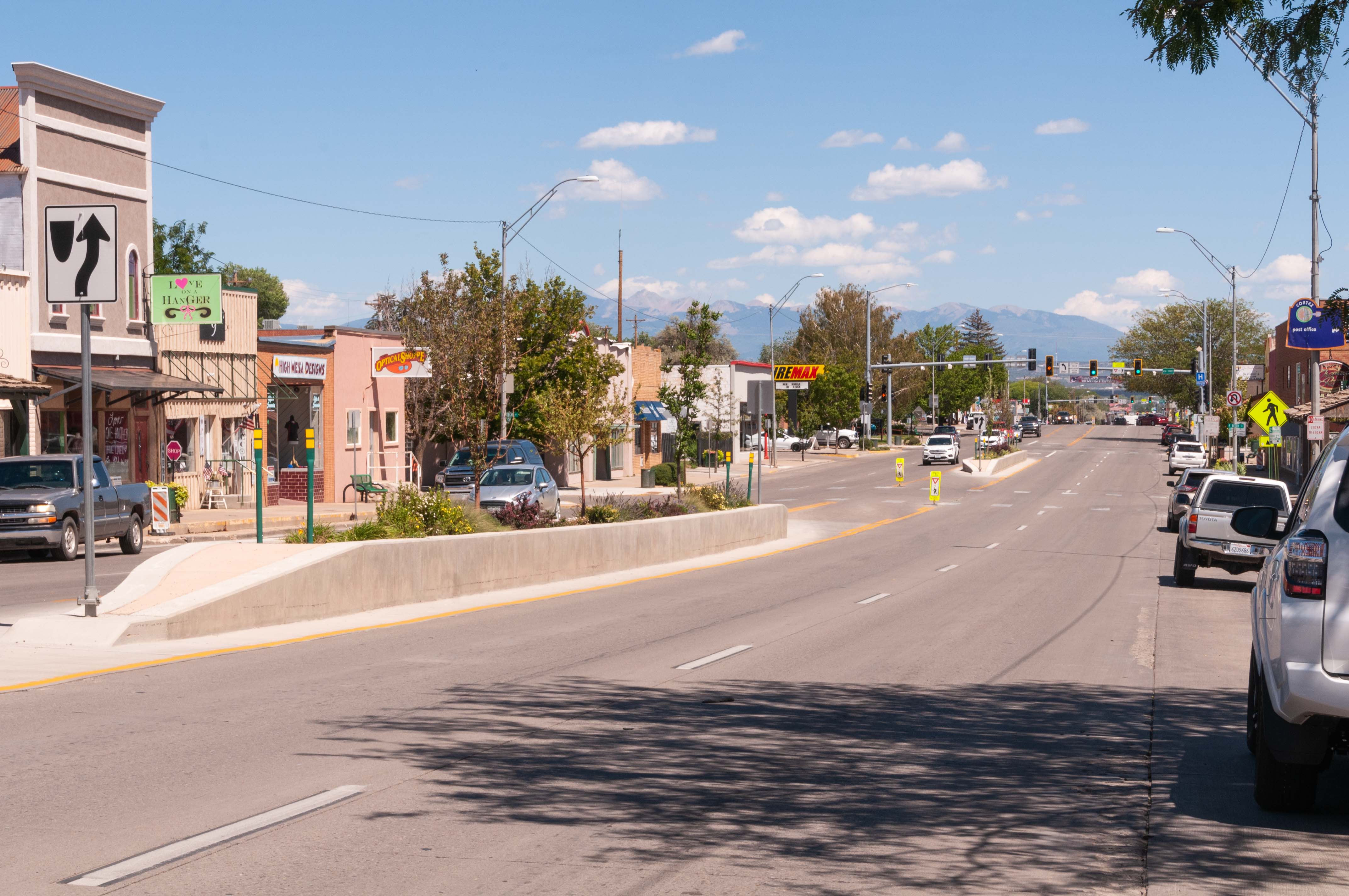
U.S. 160 through Cortez
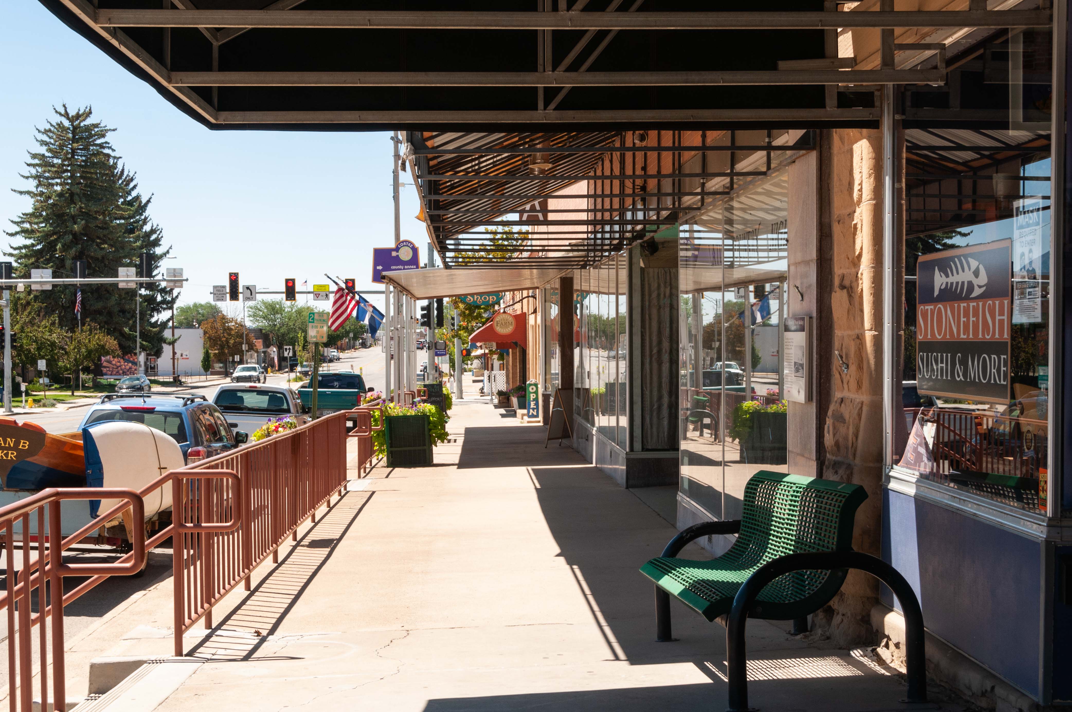
Downtown Cortez
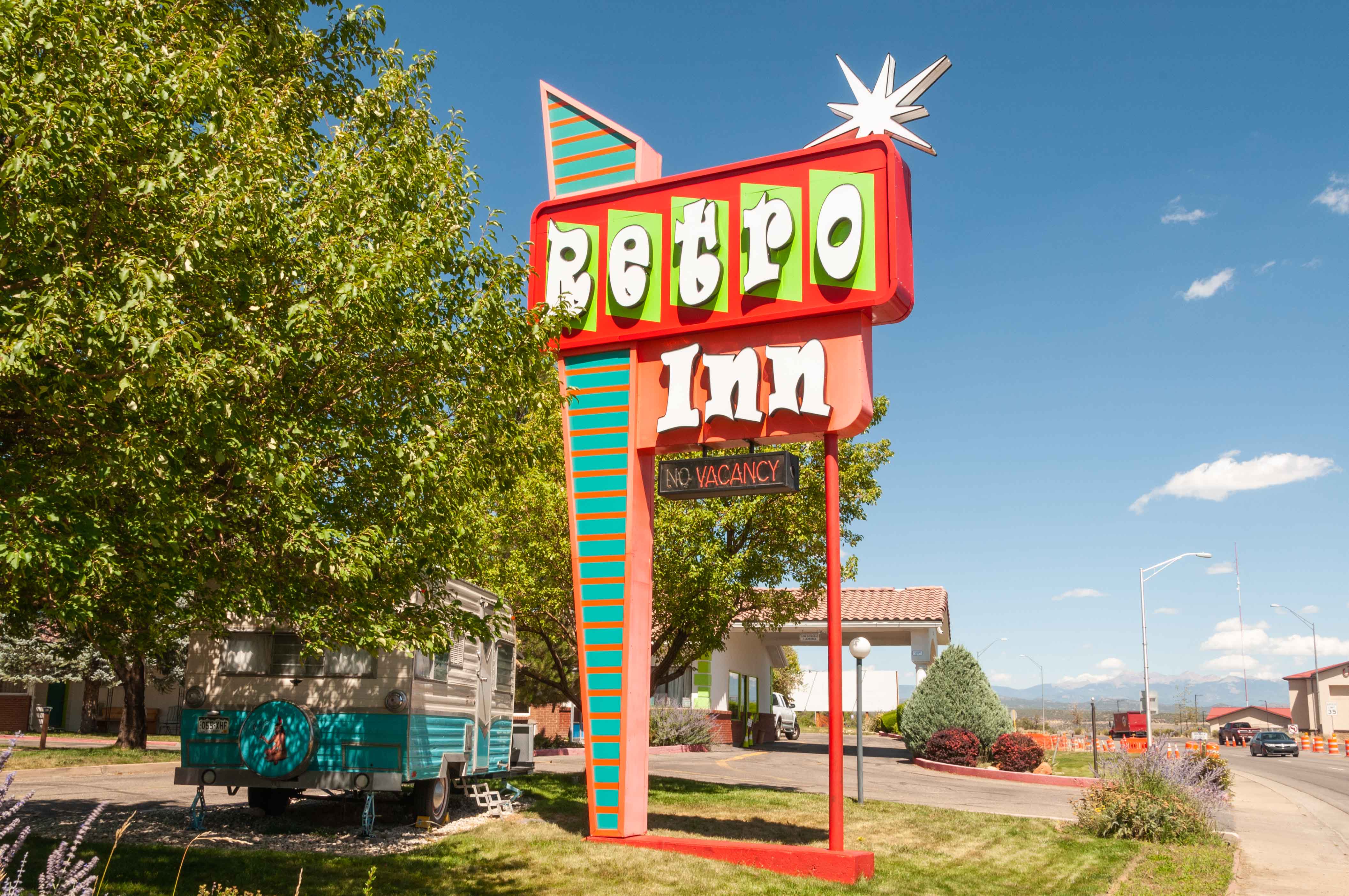
Retro Inn
Source material obtained from: The Canyon Country Zepher, High Country News, Uncover Colorado, Wikipedia, and other online sources
Use the form on the Home Page to submit comments, questions, or suggestions. TD Productions Copyright © 2021