Drive the Enchanted Circle
The Enchanted Circle Scenic Byway is an 83 mile loop beginning and ending in Taos, NM. Most descriptions of the enchanted circle proceed in a clockwise direction. This tour runs in a counterclockwise direction because that's the way I've driven it, twice. The last time was in September of 2021. Our drive will take us to Angel Fire, the Vietnam Veterens Memorial (New Mexico), Eagle Nest, Red River, and finally back to Taos. We will travel across mountains and through forests and valleys. A ghost town and mine are also on our itinerary.
Taos to Angel Fire
Starting from Taos, we take U.S. Hwy 64 24 miles across the Sangre de Cristo Mountains
to the village of Angel Fire, our first stop. Along the way we pass Shady Brooke Inn and the
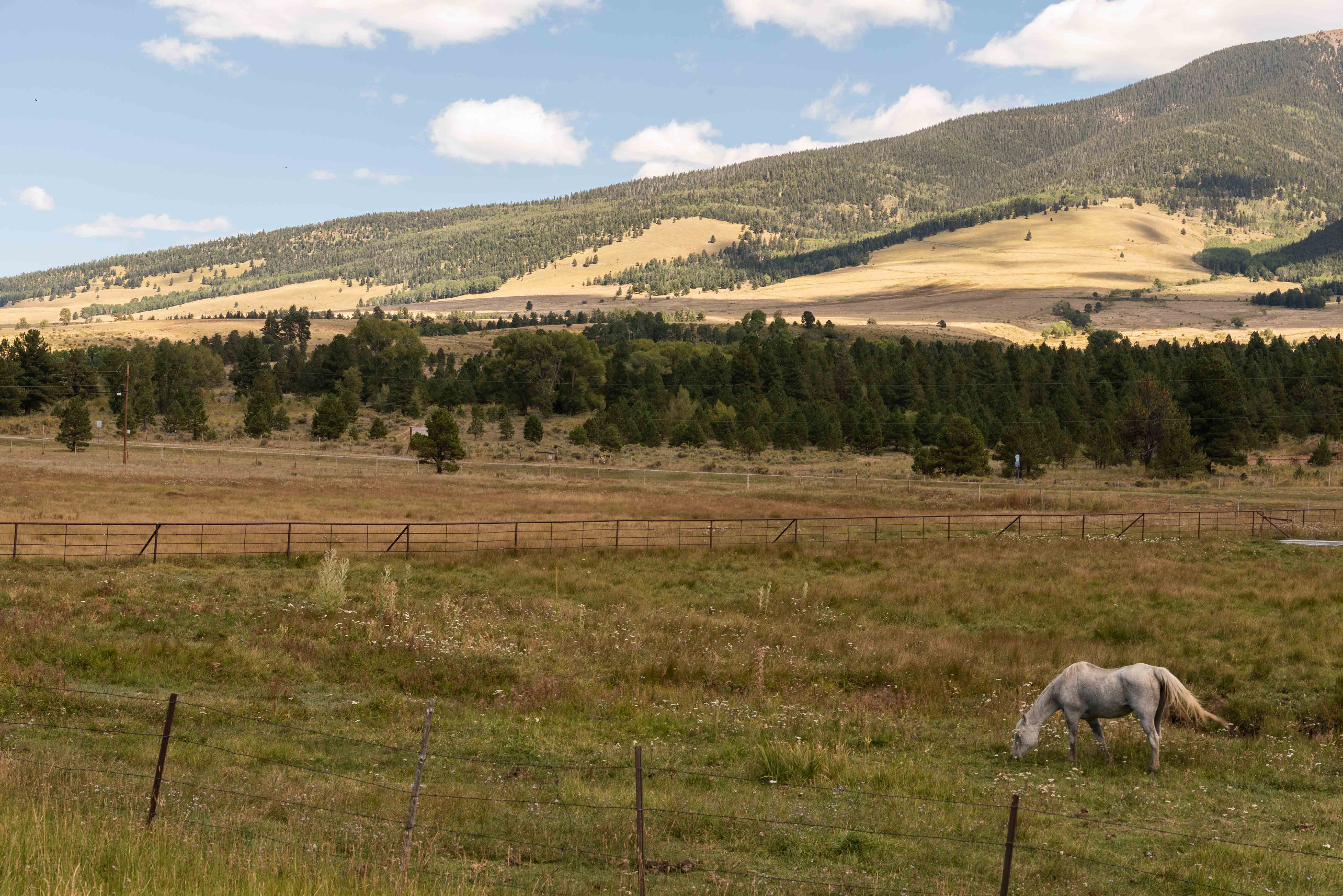
small community of Valle Escondido, and travel over 9,100 ft Palo Flechado Pass into the Moreno Valley.
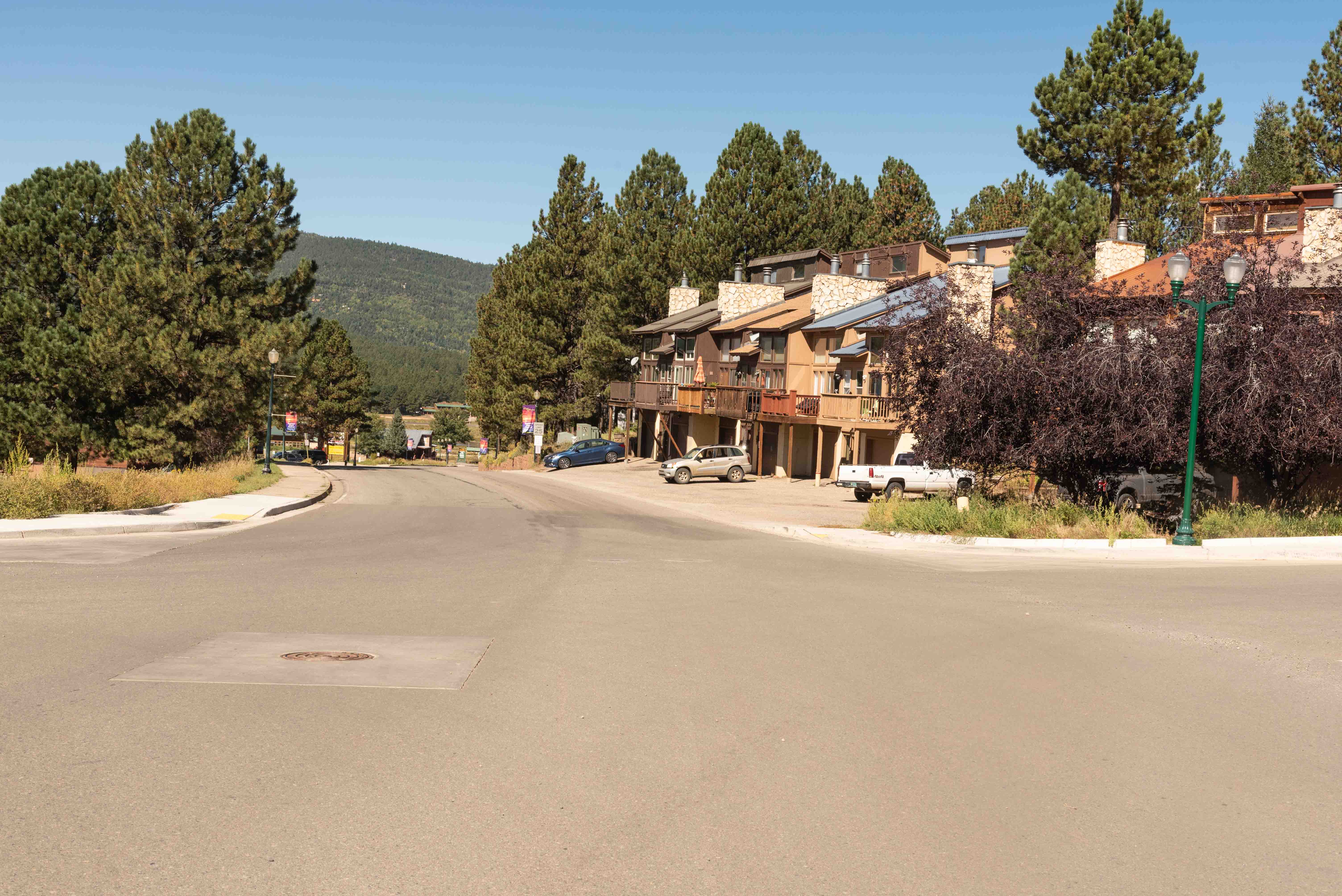
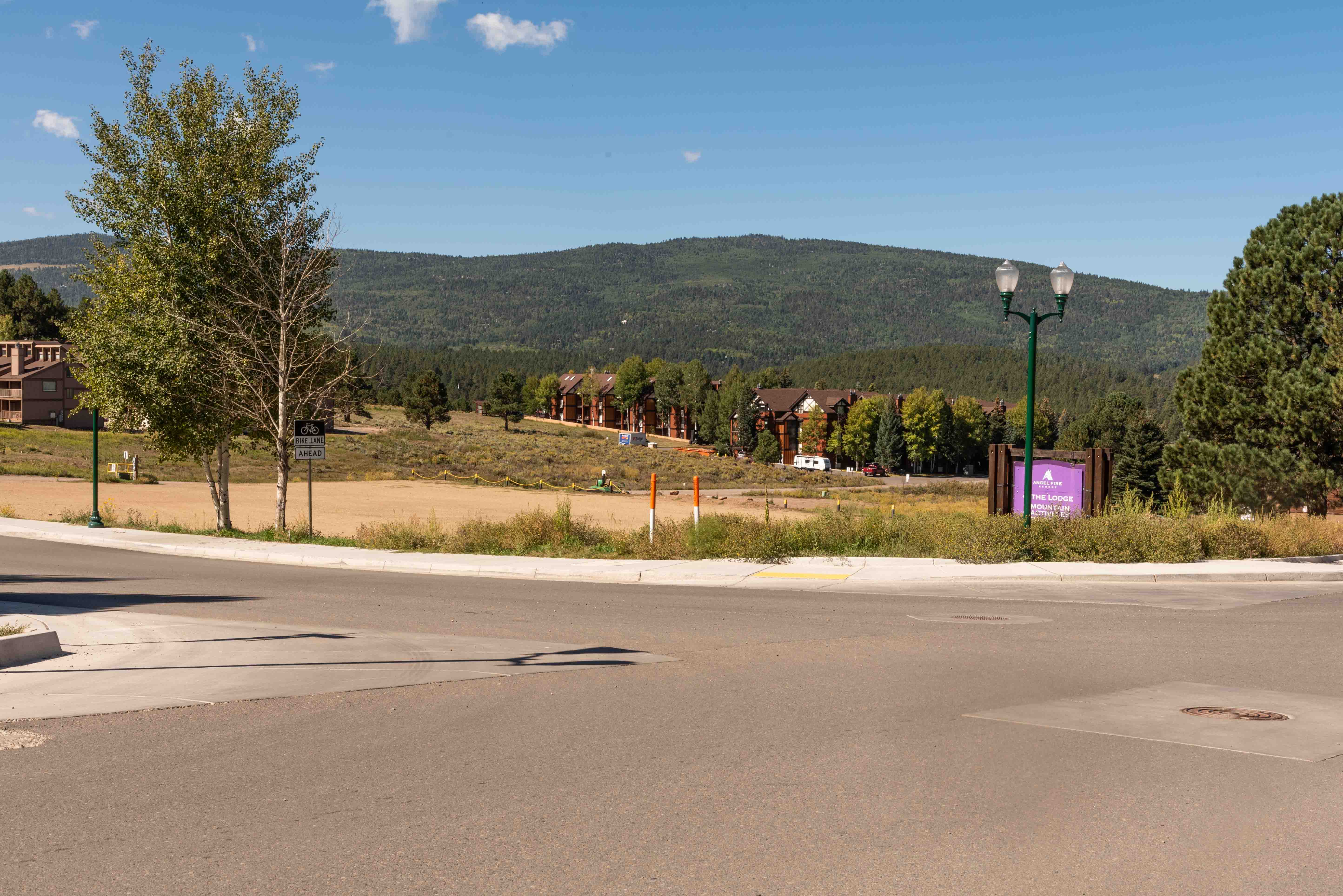
Angel Fire is actually located on NM 434, about 3 miles from its intersection with U.S. 64.
It's one of the more popular ski resorts in New Mexico, with over 500 acres of slopes and
many beginner and intermediate runs. Most folks believe that the village derives its name from the golden
glow cast on alpine peaks by the late afternoon sunlight. Unfortunately I didn't capture the glow in a photo.

Shady Brook Inn
Condos
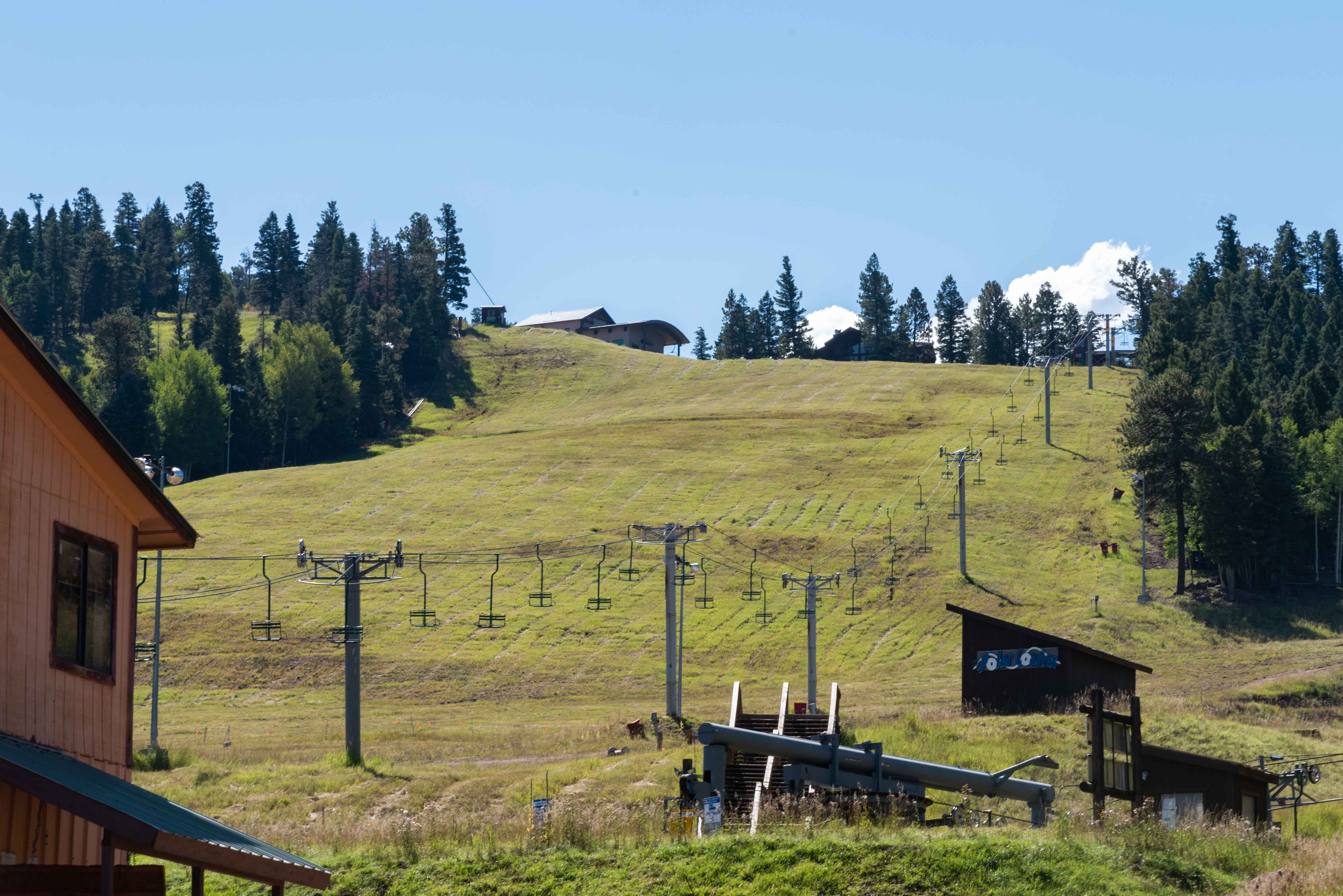
Ski Lift

The Lodge - Angel Fire Resort
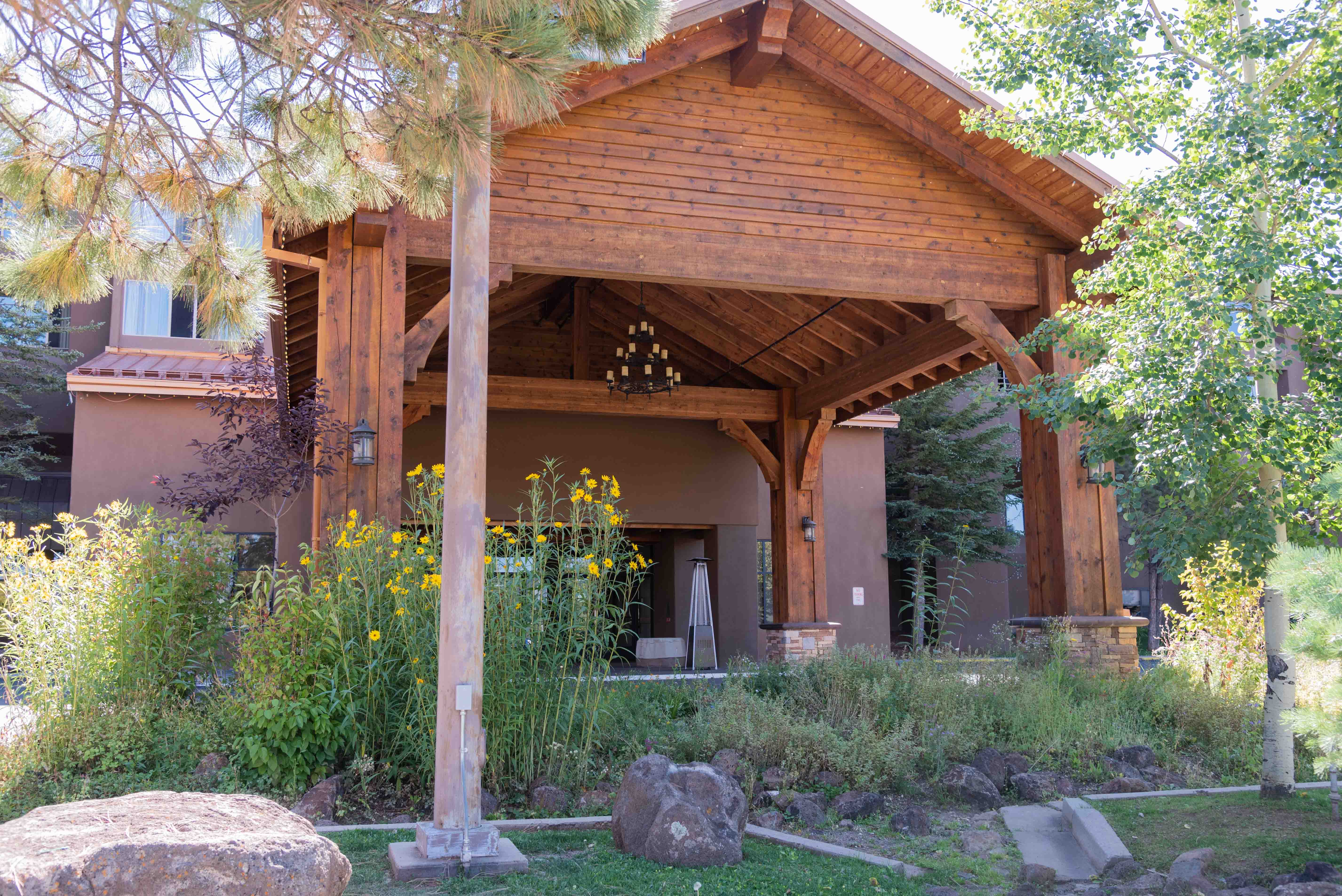
The Lodge - Angel Fire Resort
Angel Fire
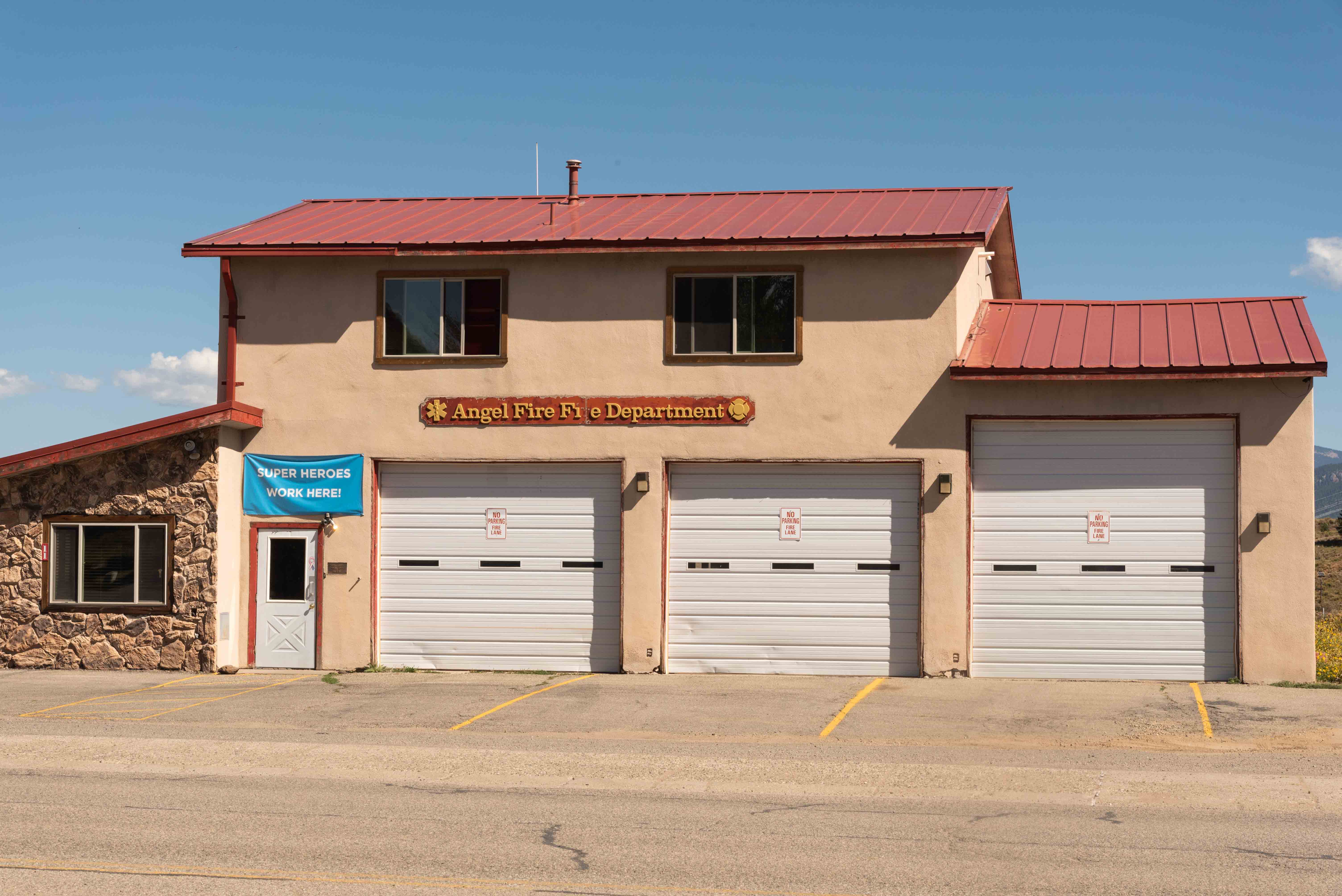
Angel Fire Fire Department
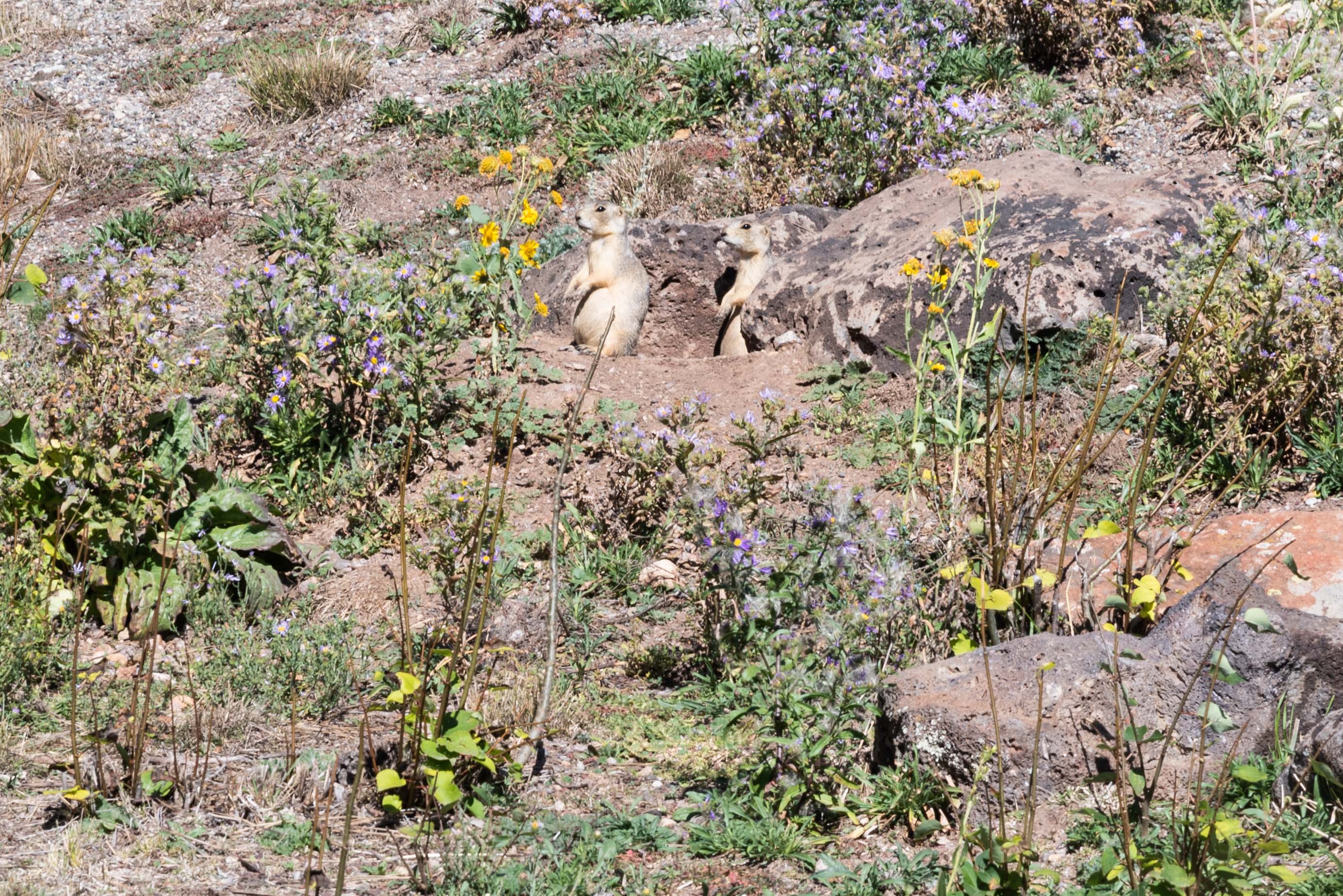
Black-tailed Prairie Dogs
(Cynomys ludovicianus)
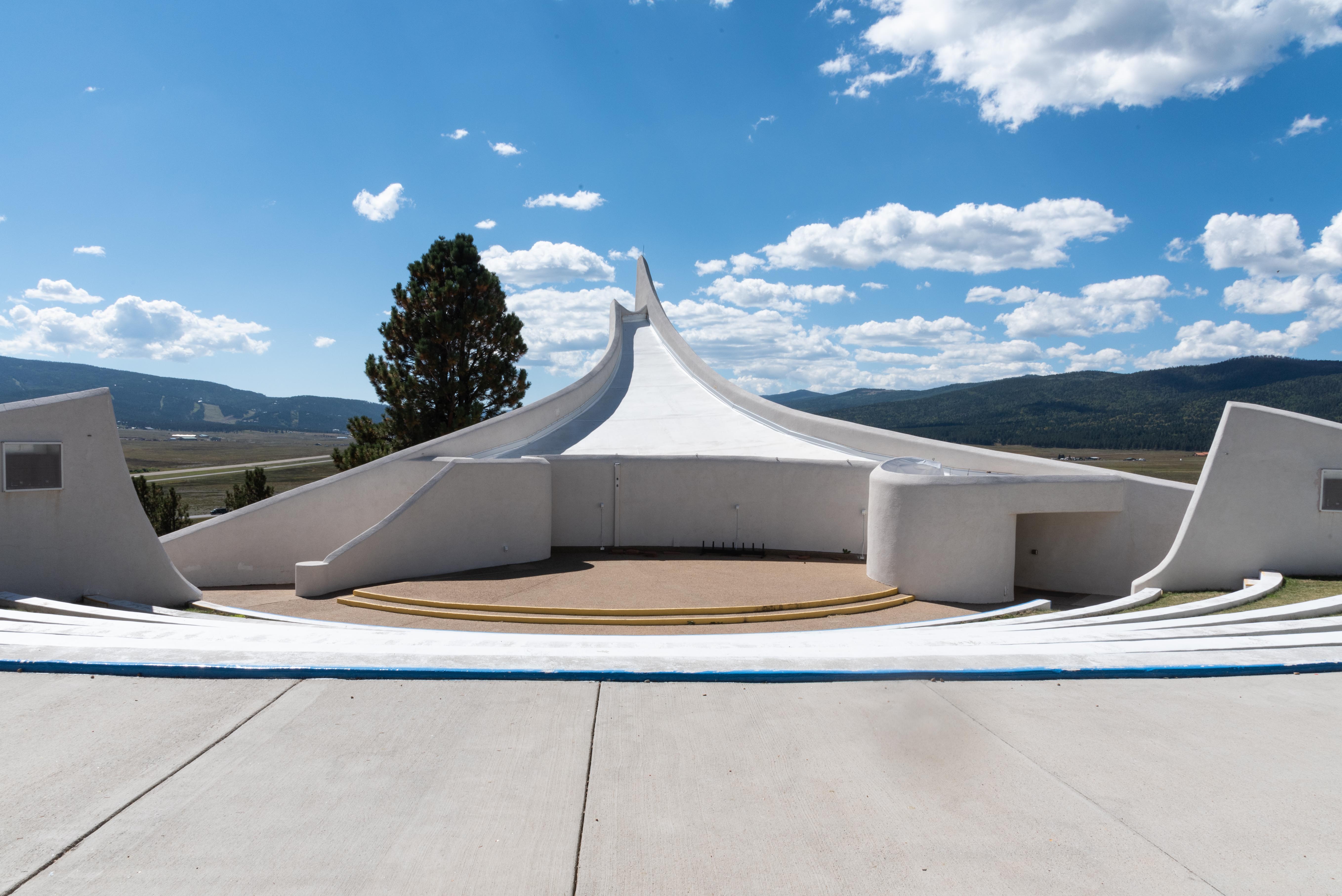
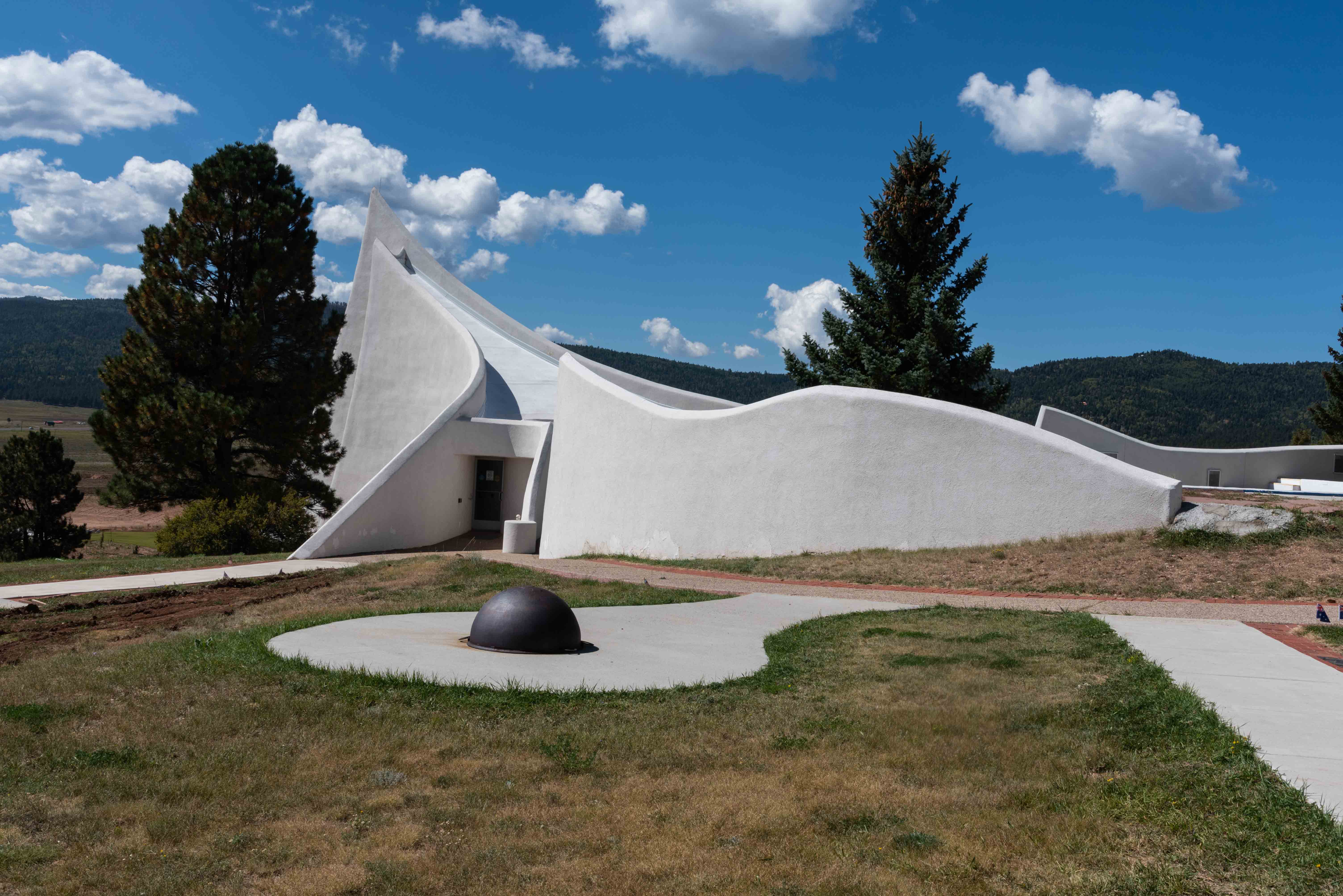
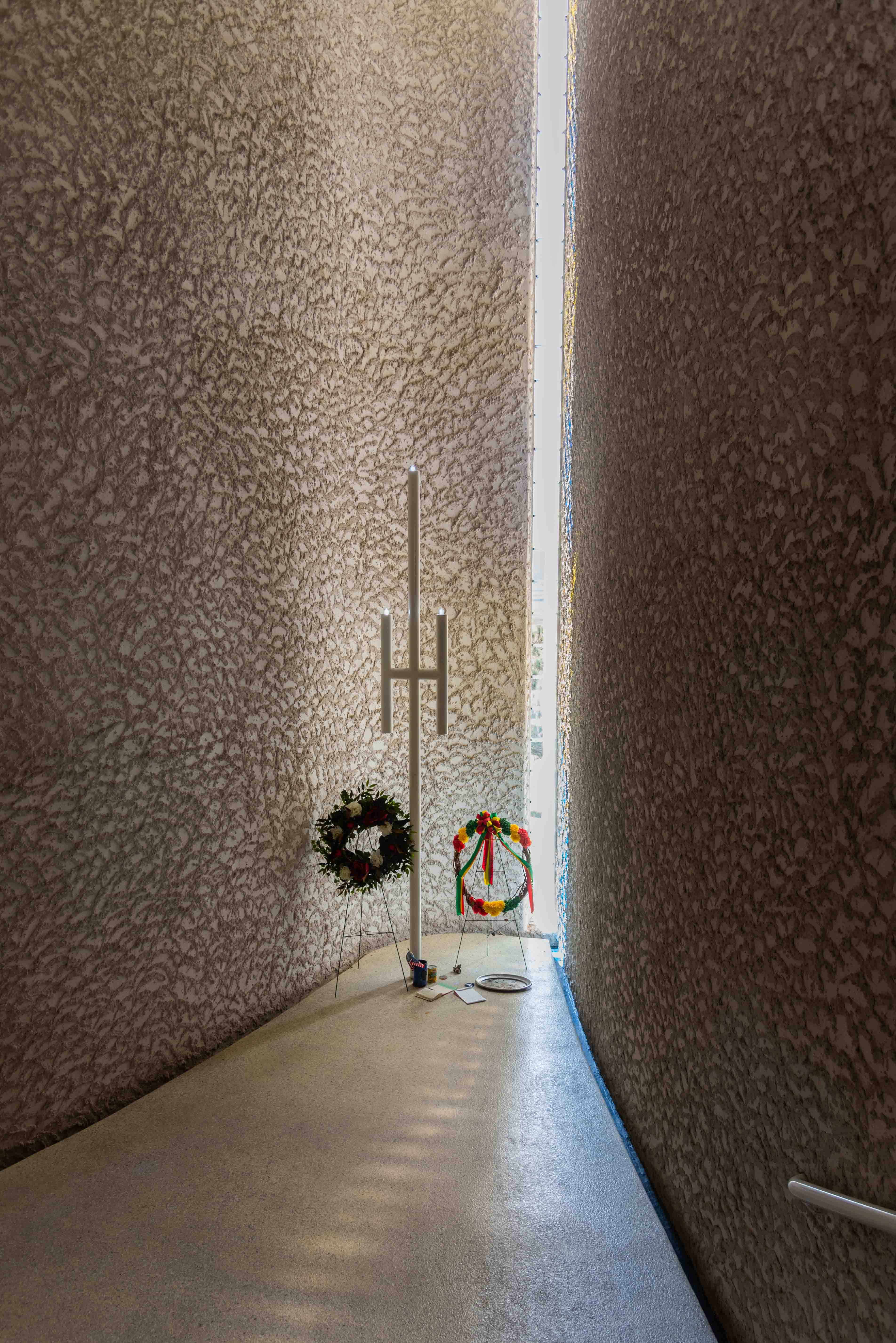
Vietnam Veterans Memorial
The Vietnam Veterans Memorial is located on U.S. 64 just north of Angel Fire. The memorial was built by Jeanne and Dr. Victor Westphall following the death of their son, First Lieutenant Victor David Westphall III, USMC, to honor the memory of their son and the men that died with him near Con Thien, South Vietnam on May 22, 1968. The Vietnam Veterans Memorial was originally a New Mexico state park, but has been administered by the Department of Veteran Services since 2017.
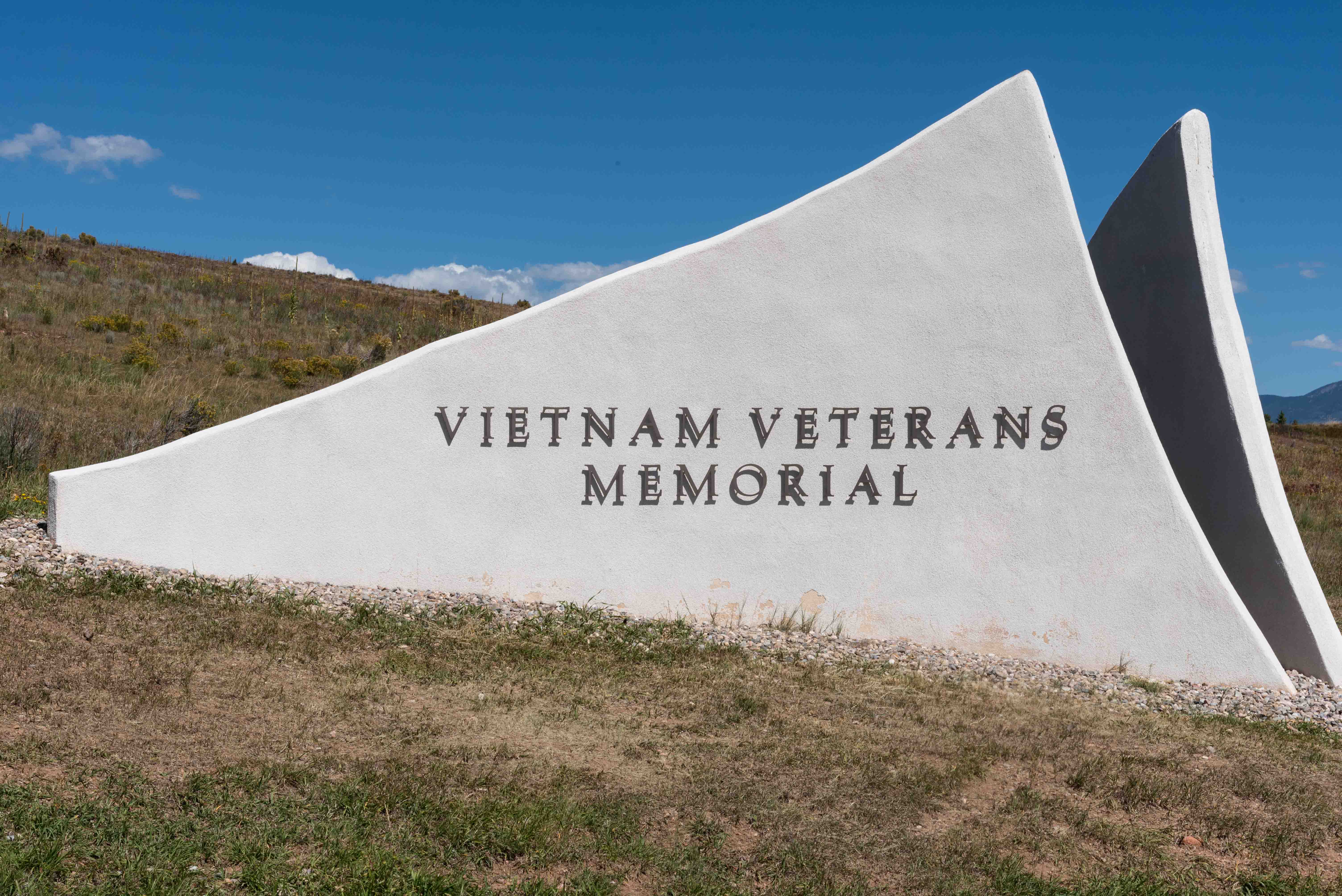
Vietnam Veterans Memorial
Vietnam Veterens Memorial
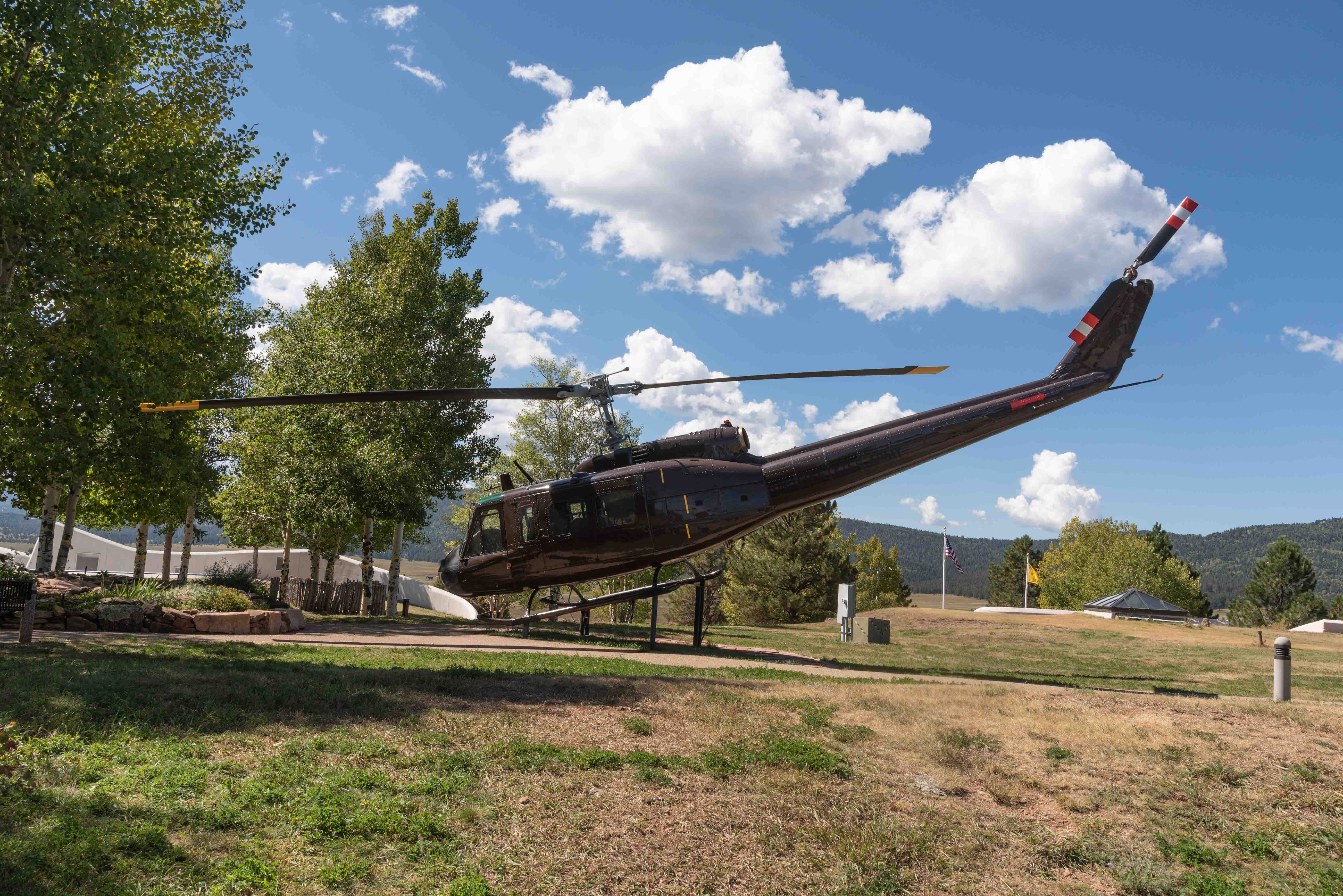
Bell UH-1 Iroquoise Helicopter "Huey"
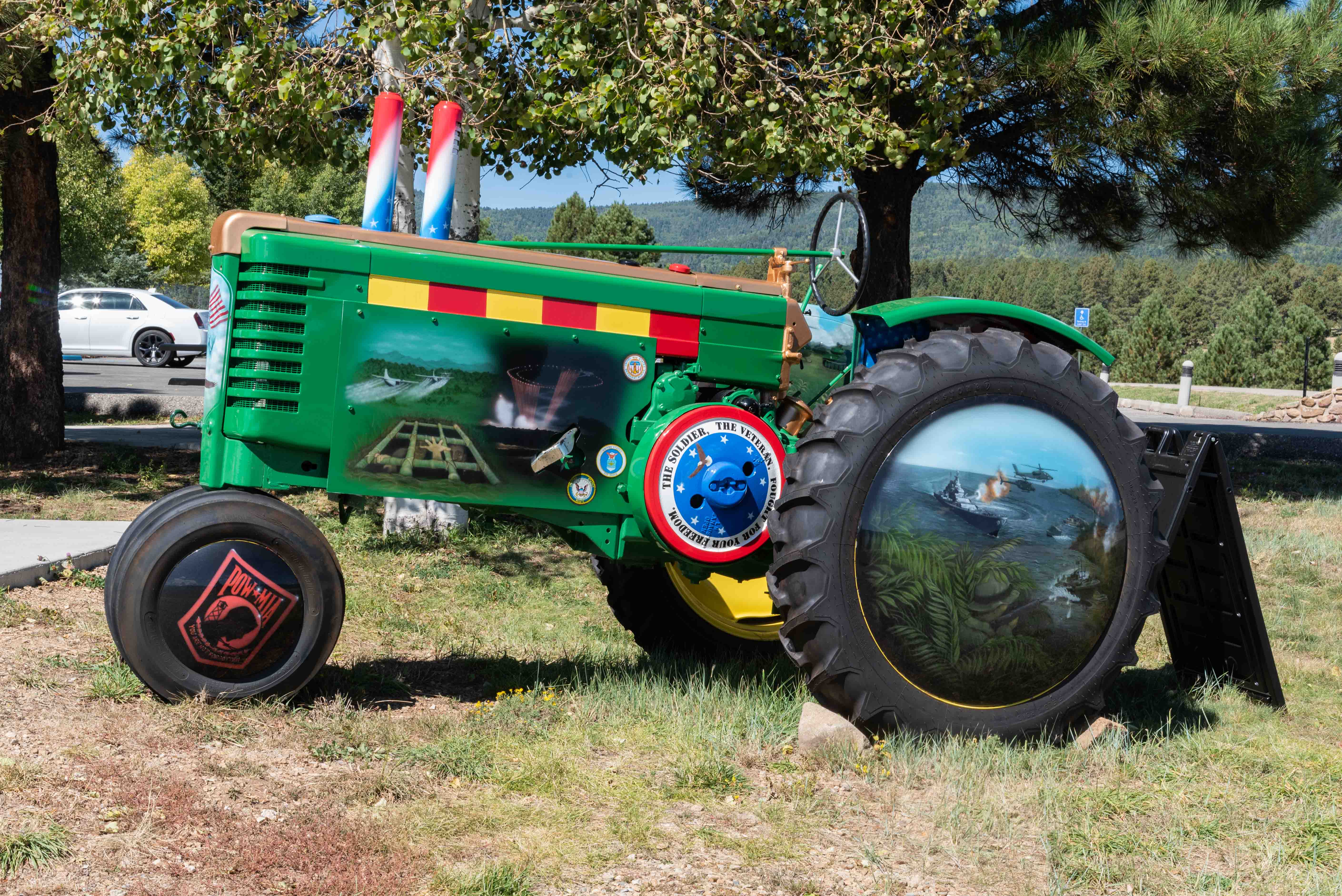
Decorated 1941 John Deere Tractor
Vietnam Veterens Memorial
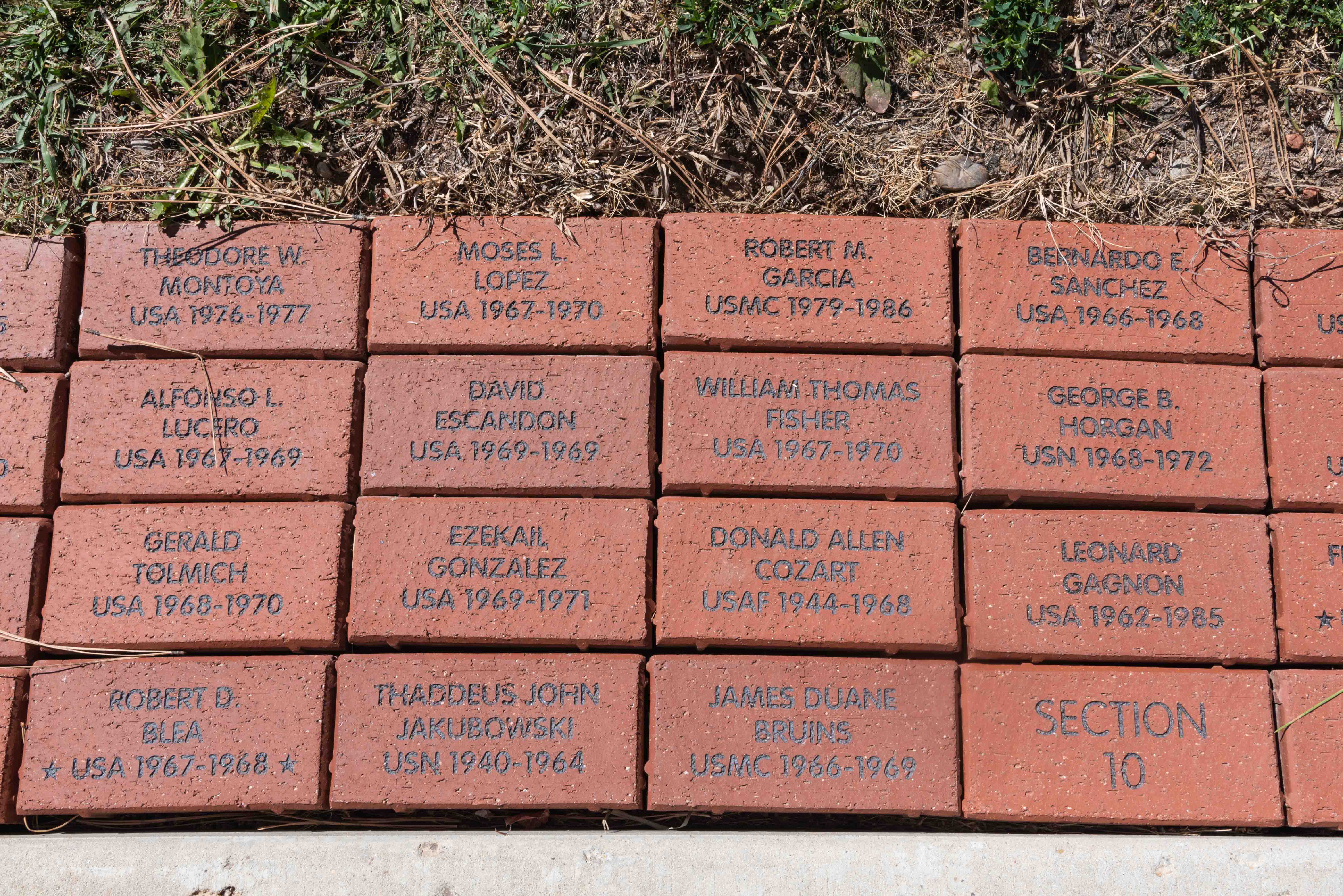
Memorial Bricks
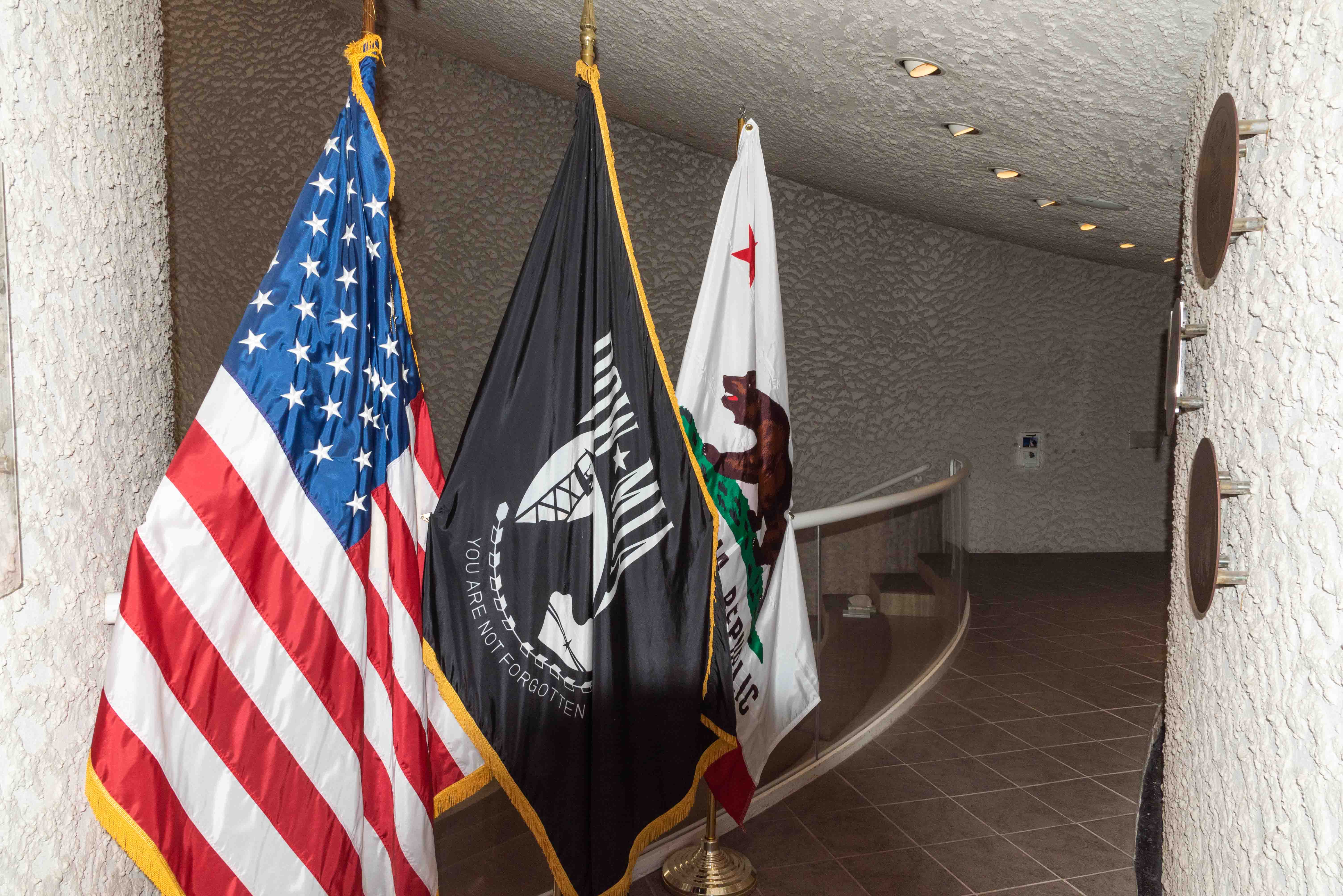
Flags in the Chapel
Chapel
Eagle Nest
After visiting the Vietnam Veterens Memorial, we continue north on U.S. 64 for 9.4 miles to the village of Eagle Nest. Throughout most of the 1870s Therma, as Eagle Nest was then known, suffered through the Colfax County War that resulted from the sale of the Maxwell Land Grant. The grant was eventually subdivided and sold off, and things in the town settled down, especially after completion of the Eagle Nest Dam in 1918. However with rise of illegal gambling in the 1920s, Therma again became a wild and wolly party town with gambling houses, saloons, and dance halls. Therma eventually changed its name to Eagle Nest, and settled into a more sedate life as a farming and ranching community. Today, Eagle Nest is a popular tourist destination, with its 300 full time residents catering to an influx of hunters, skiers, and outdoor enthusiasts. Eagle Nest Lake provides fishermen with some of the best trout fishing in the state. Eagle Nest's Therma Street (U.S. 64) is lined with interesting shops, boutiques, and restaurants.
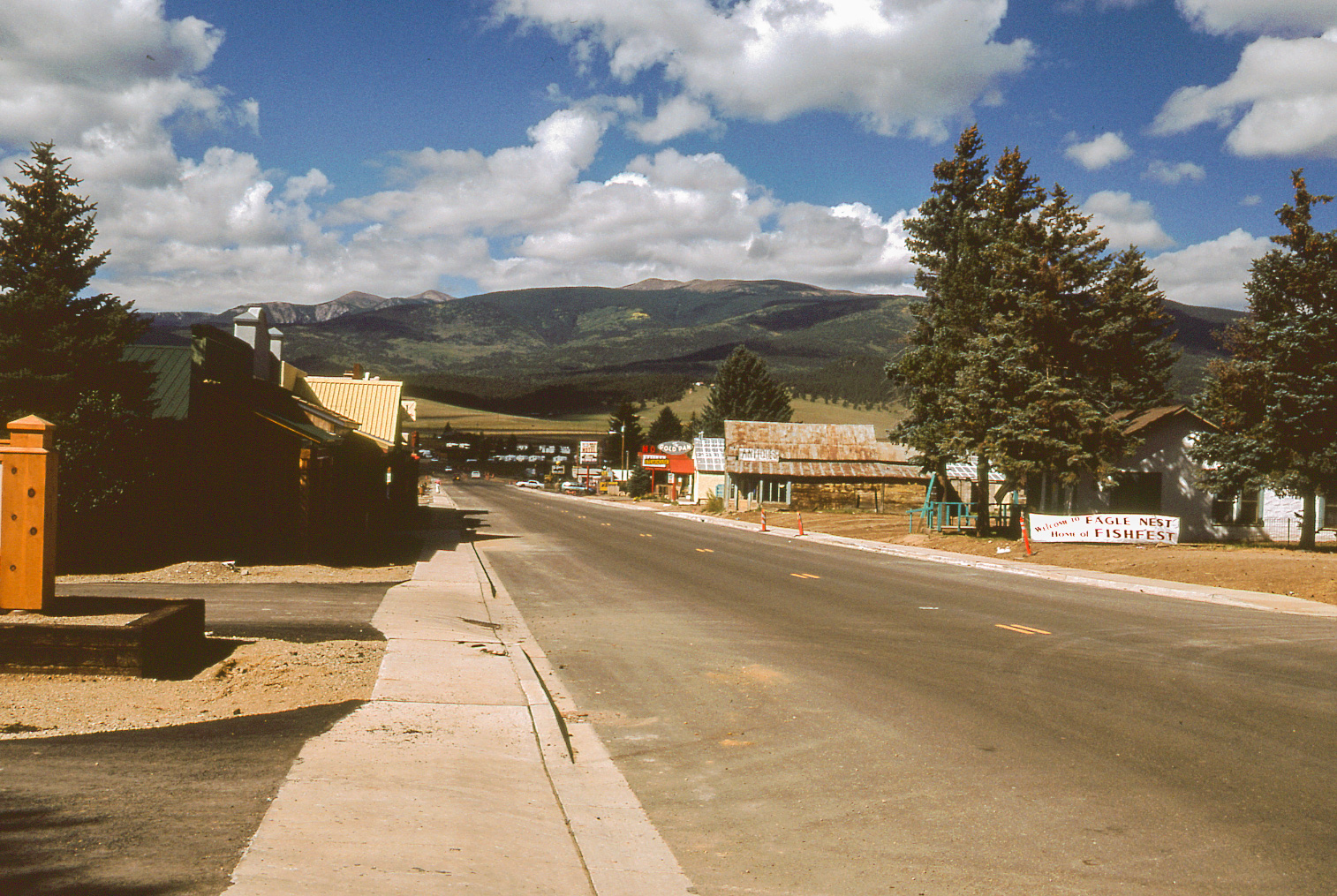
Eagle Nest 1998
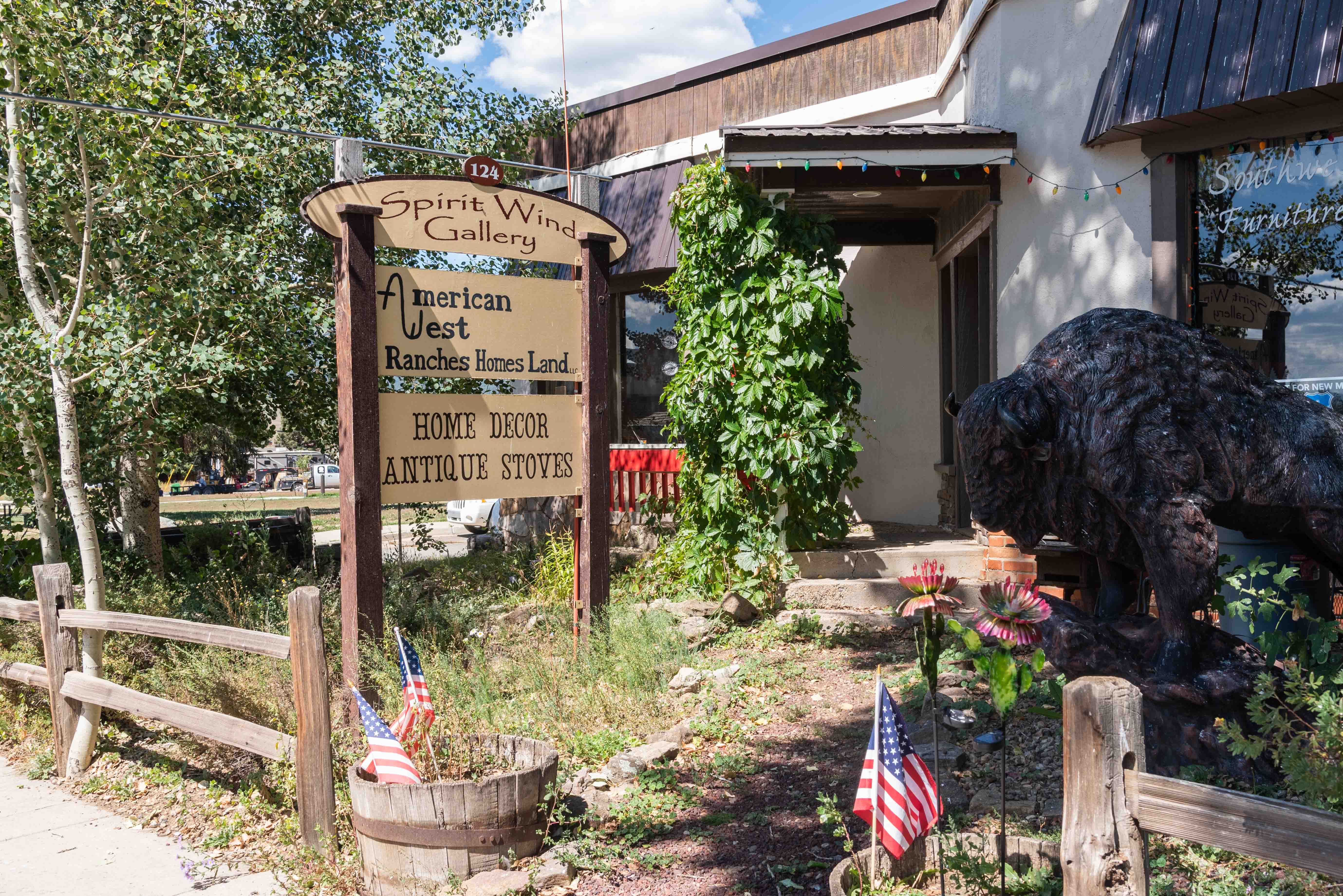
Spirit Wind Gallery and Southwest Furniture
124 E Therma Street
False Store Fronts along Therma Street
Saloon
Madam's Restaurant and Coffee Shop
51 E Therma Street
Enchanted Eagle Park
Buffalo Gal Mural
Elizabethtown
Our next destination on the enchanted circle is the old mining town of Elizabethtown
(known locally as E-Town). Turn on to NM 38 from U.S. 64 out of Eagle Nest.
Travel about 5 miles and exit on to County Road B-20 (Elizabethtown Overlook).
Turn on to CR B-22 at the intersection with CR C-20. Elizabethtown is located on a side road
about a tenth of a mile past the intersection. There is an old church
and a couple of cool vintage fire engines at the end of the side road. There are some
dilapitated buildings on CR B-20 that may or may not be part of E-Town.
Elizabethtown began life in 1866 following discovery of gold and copper in the surrounding
area. It was named after Elizabeth Catherine Moore, the daughter of Captain
William H, Moore. Elizabeth spent her entire life in her namesake town, and is buried in
the town cemetery. E-Town reached its peak in 1870, with a population of around 7,000.
Then the gold and copper mines began to play out.
A fire destroyed most of the town in 1903, and it was pretty much a ghost town by 1917.
Descendants of the Muntz family now own the town.

Lazy VL Ranch on the way to E-Town

Have no idea
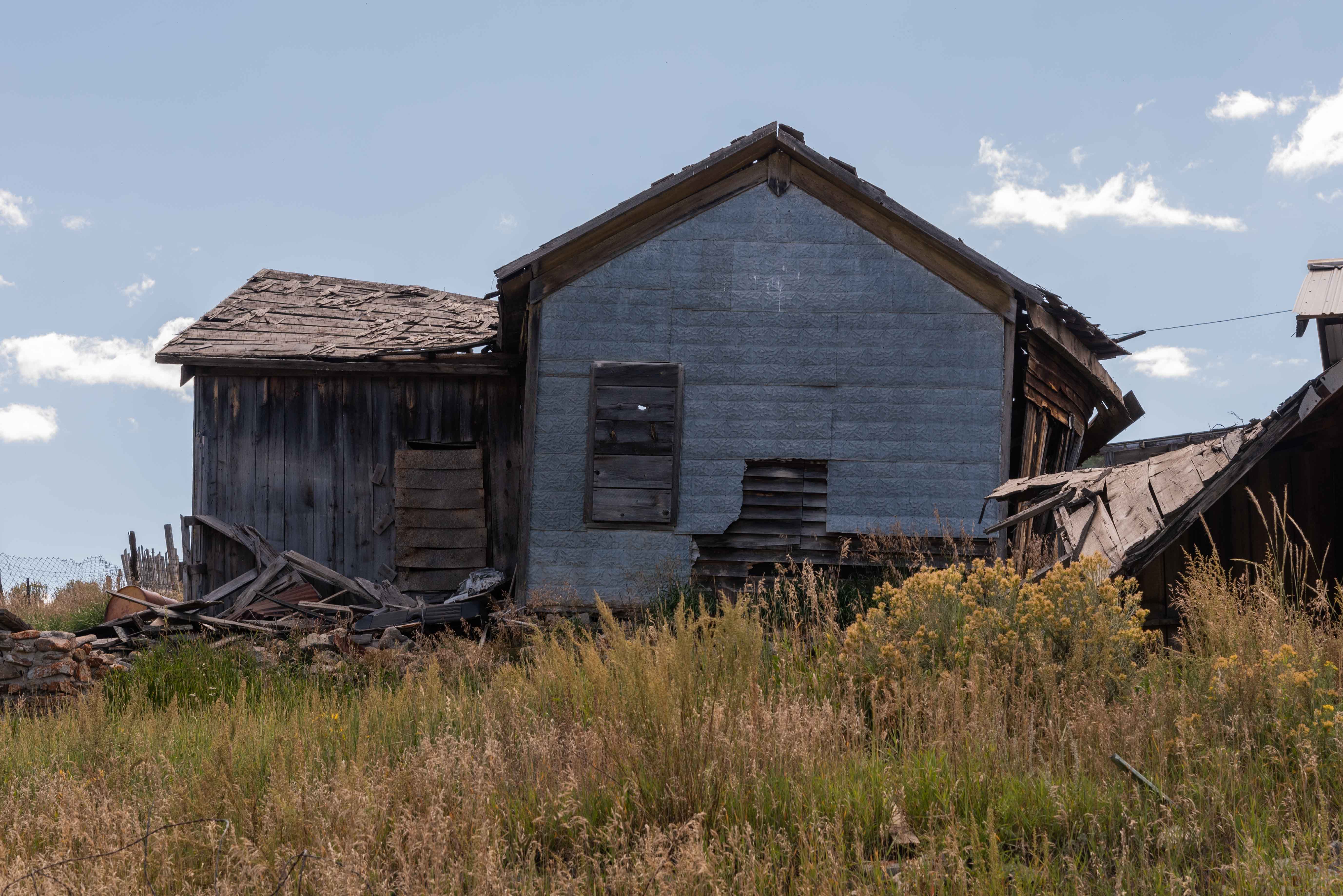
Dilapidated structure on CR B-20
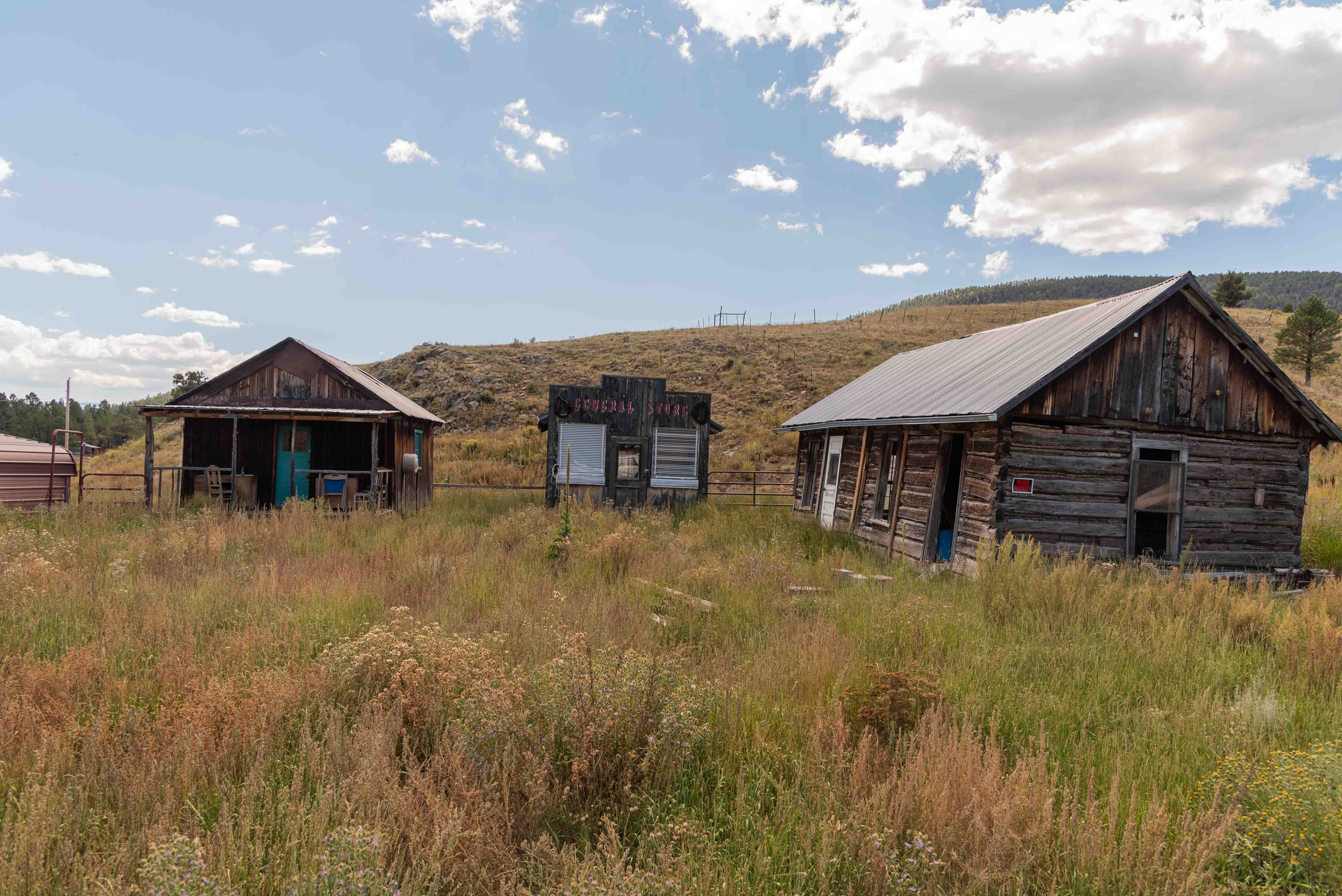
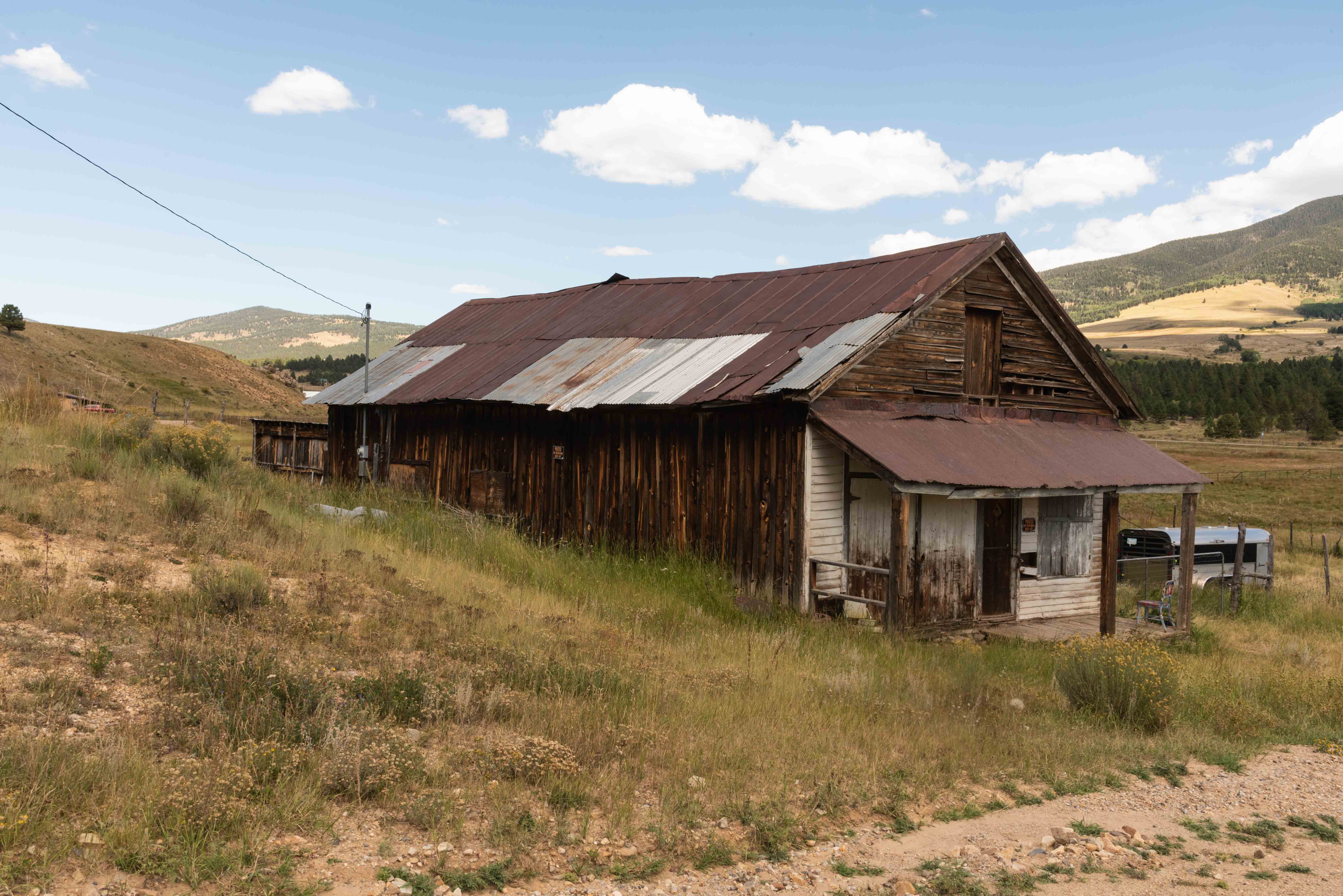
Elizabethtown
Old Building
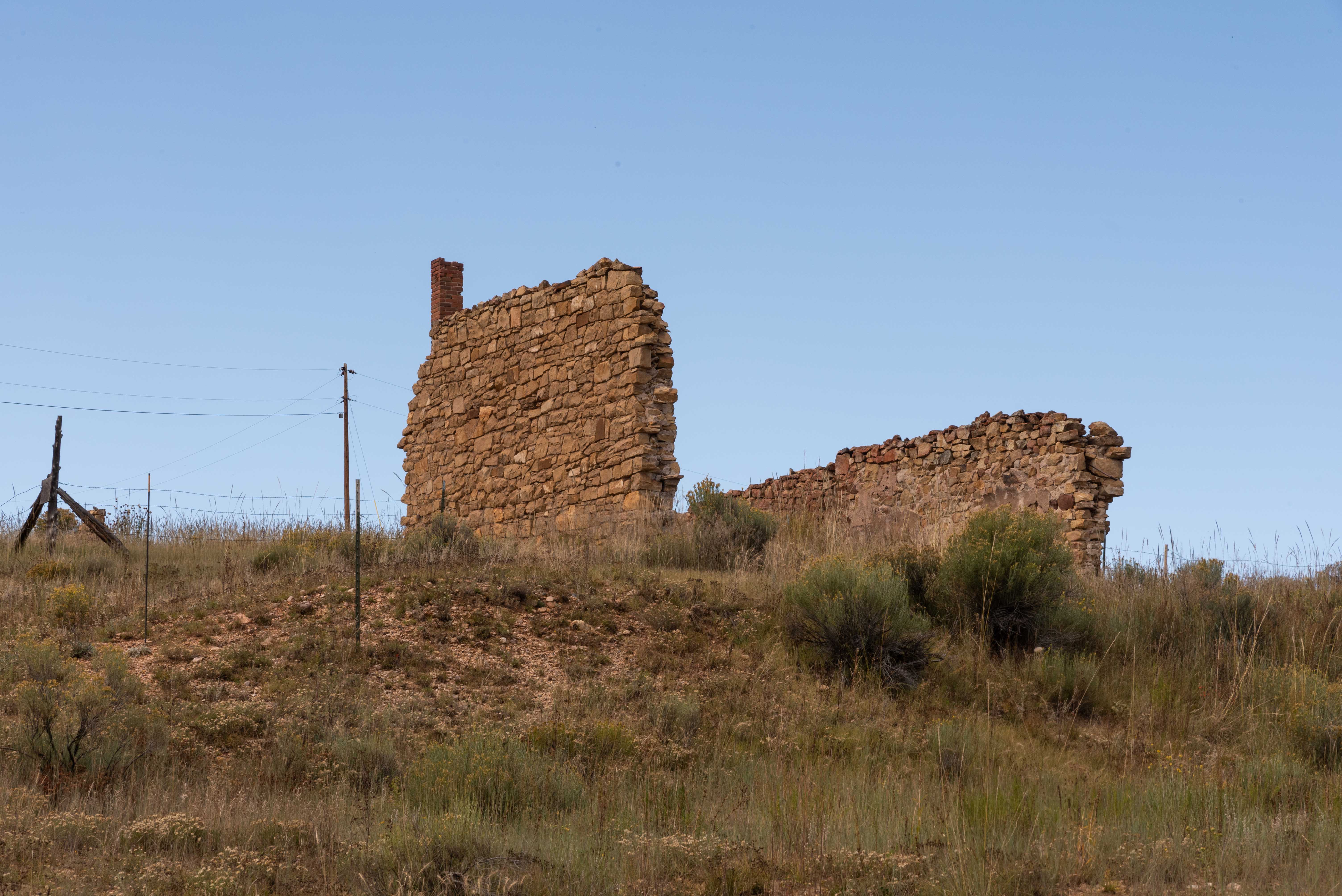
Could be ruins of the Old Muntz Hotel
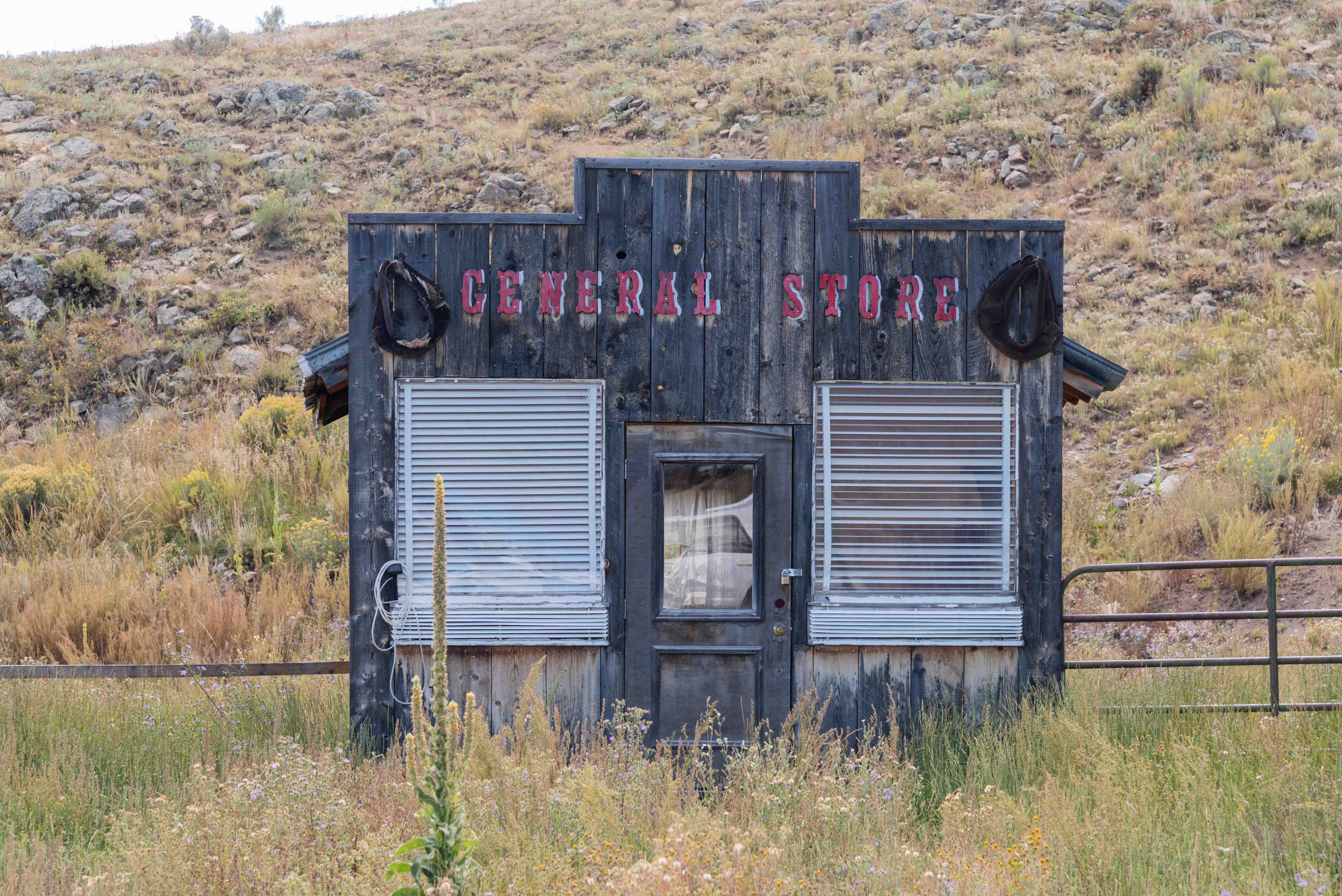
General Store?
Old Building - New Roof
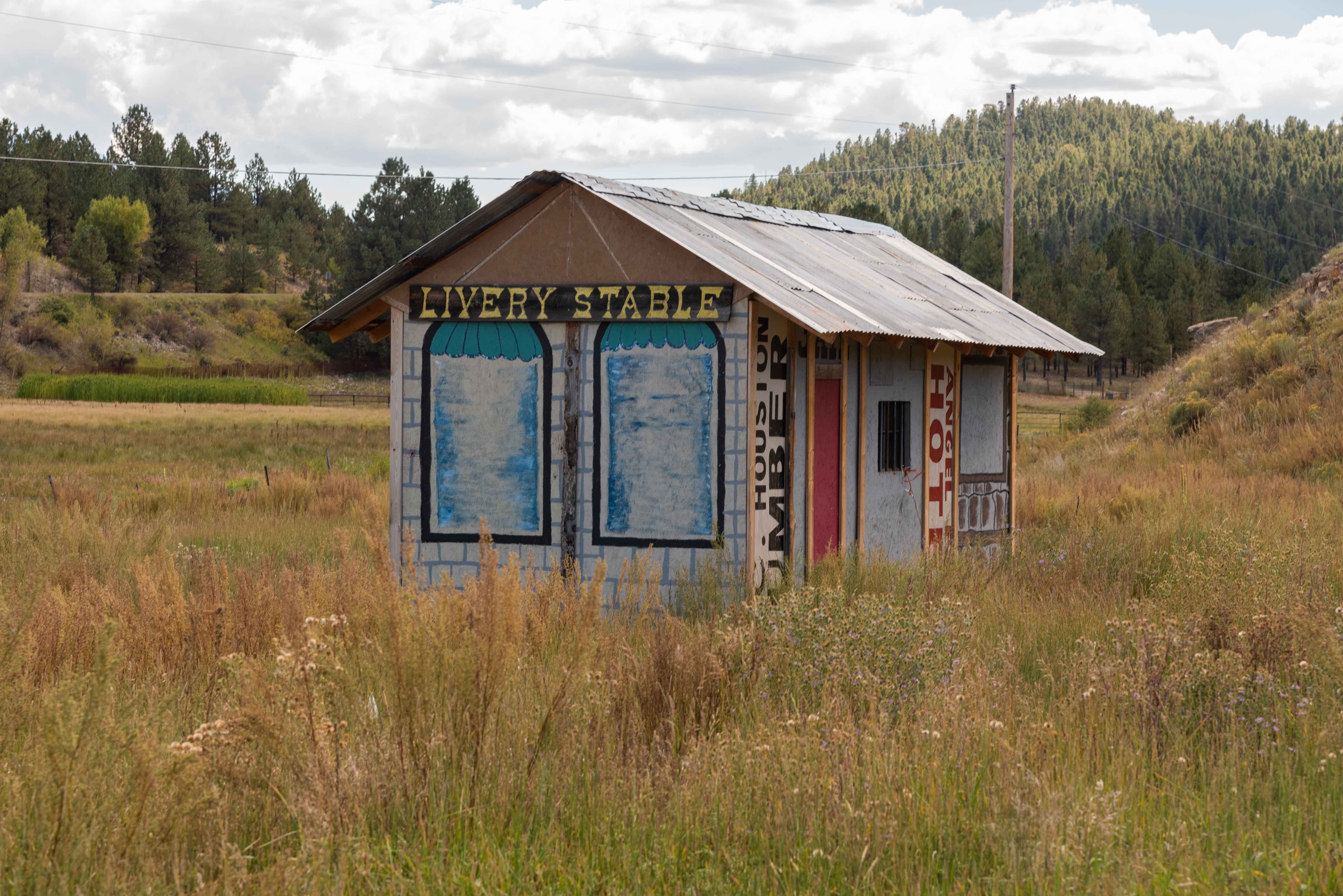
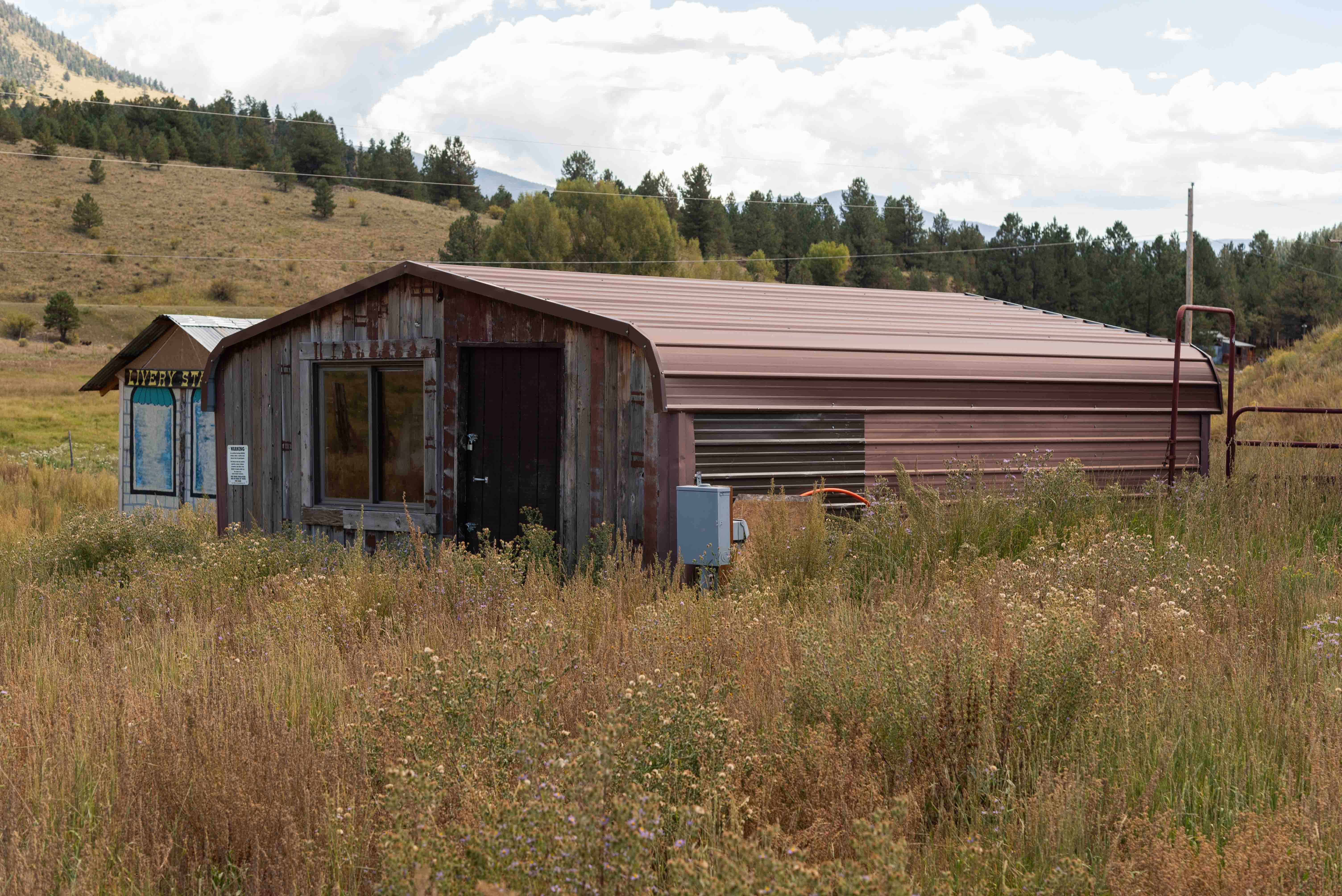
Livery Stable - Really?

Church

Vintage Fire Engine
Moreno Valley - View from E-Town
Red River
It's 12.6 miles from Elizabethtown to Red River, our next destination. Travel north on NM 38
through the Moreno Valley and over 9820 ft Bobcat Pass to Red River. Red River got its start sometime around 1895
when hints of gold were discovered in the area. Prospectors flooded in, and by 1897 the population
of the town was estimated between 1500 and 3000. Gold fever didn't last long, and by 1905 the
population had dwindled to a few hundred. Word eventually spread that Red River was a great place to escape the summer heat
and do a little quality trout fishing, so the town replaced mining with tourism. Main Street (NM 38) is lined with hotels,
restaurants, and curio shops. The Red River Ski and Summer Area offers skiing in the winter, and hiking and mountain biking
in the warmer months. To me, Red River still projectss an aura of the old west.
Click to visit Red River
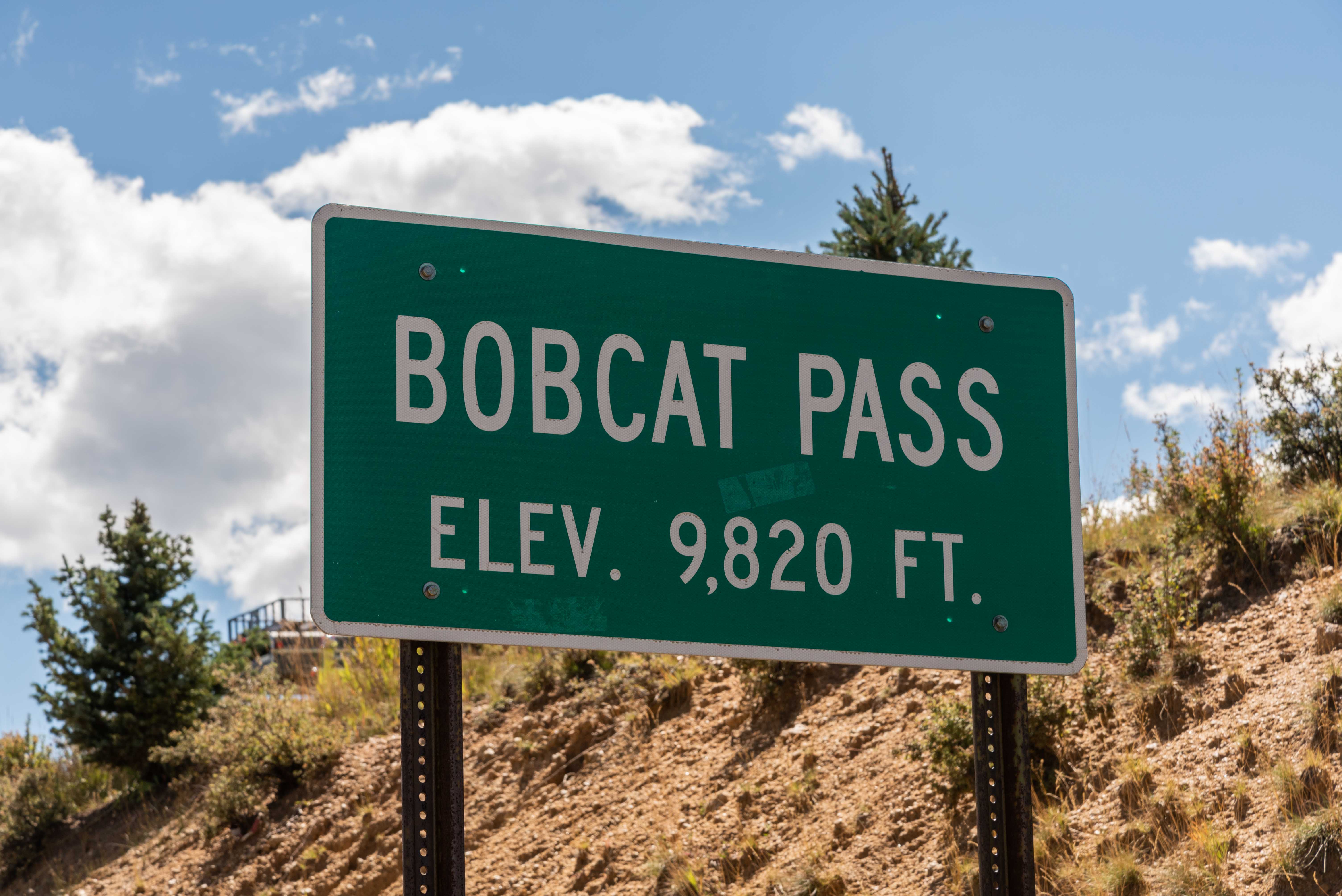
Bobcat Pass 9820 ft
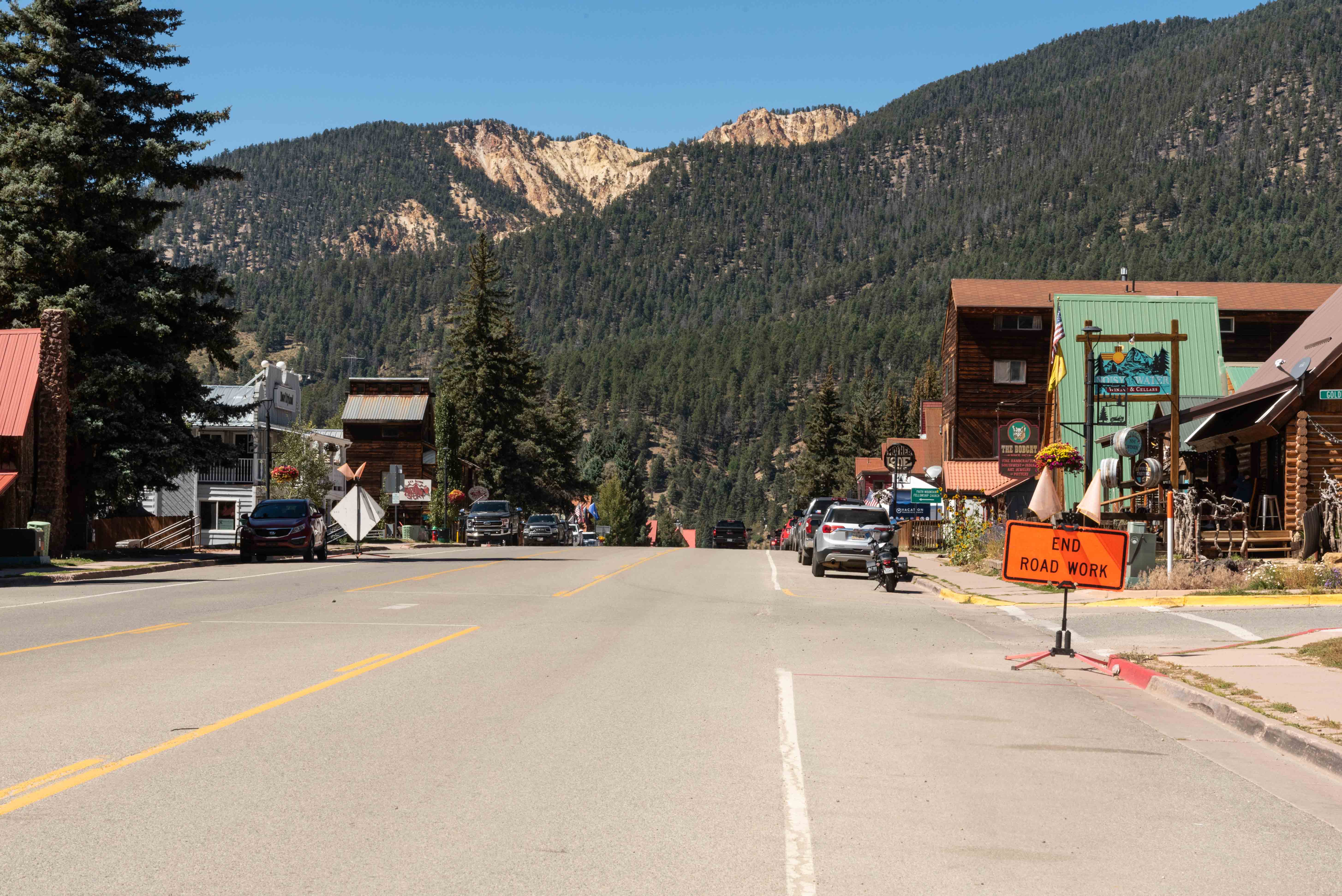
View northwest along Main Street

Public Library
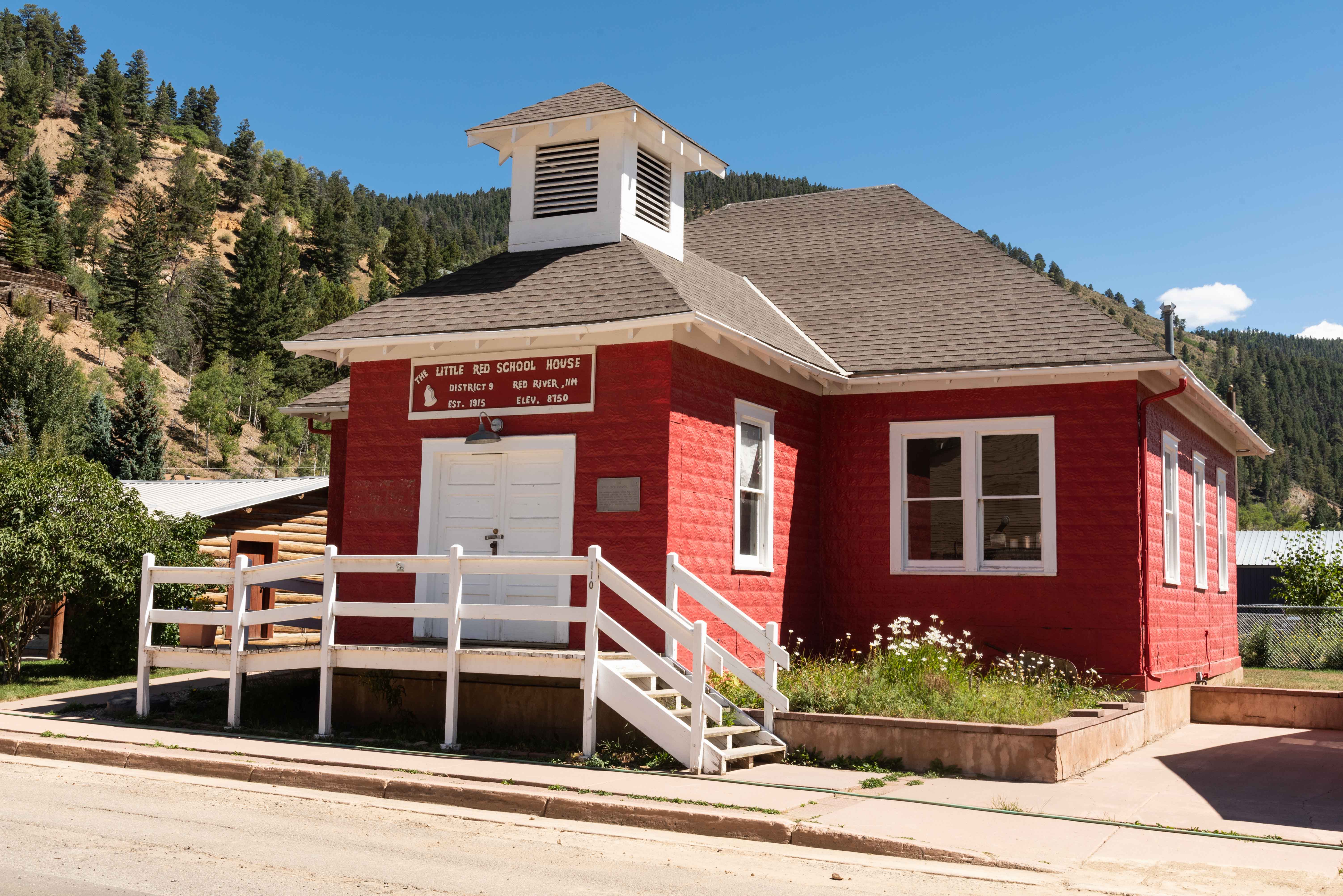
Little Red Schoolhouse Museum
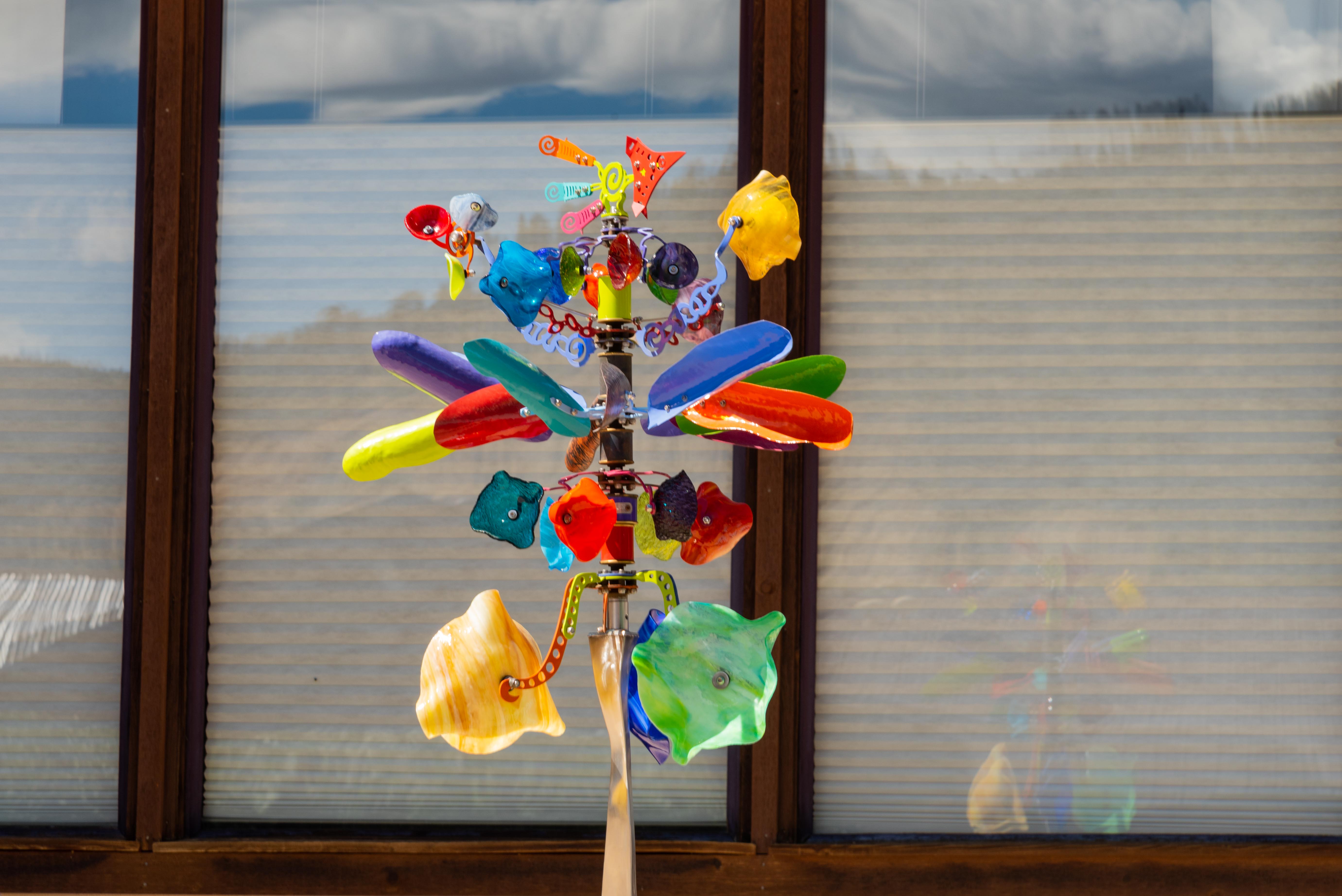
Don't know what it is but I like it
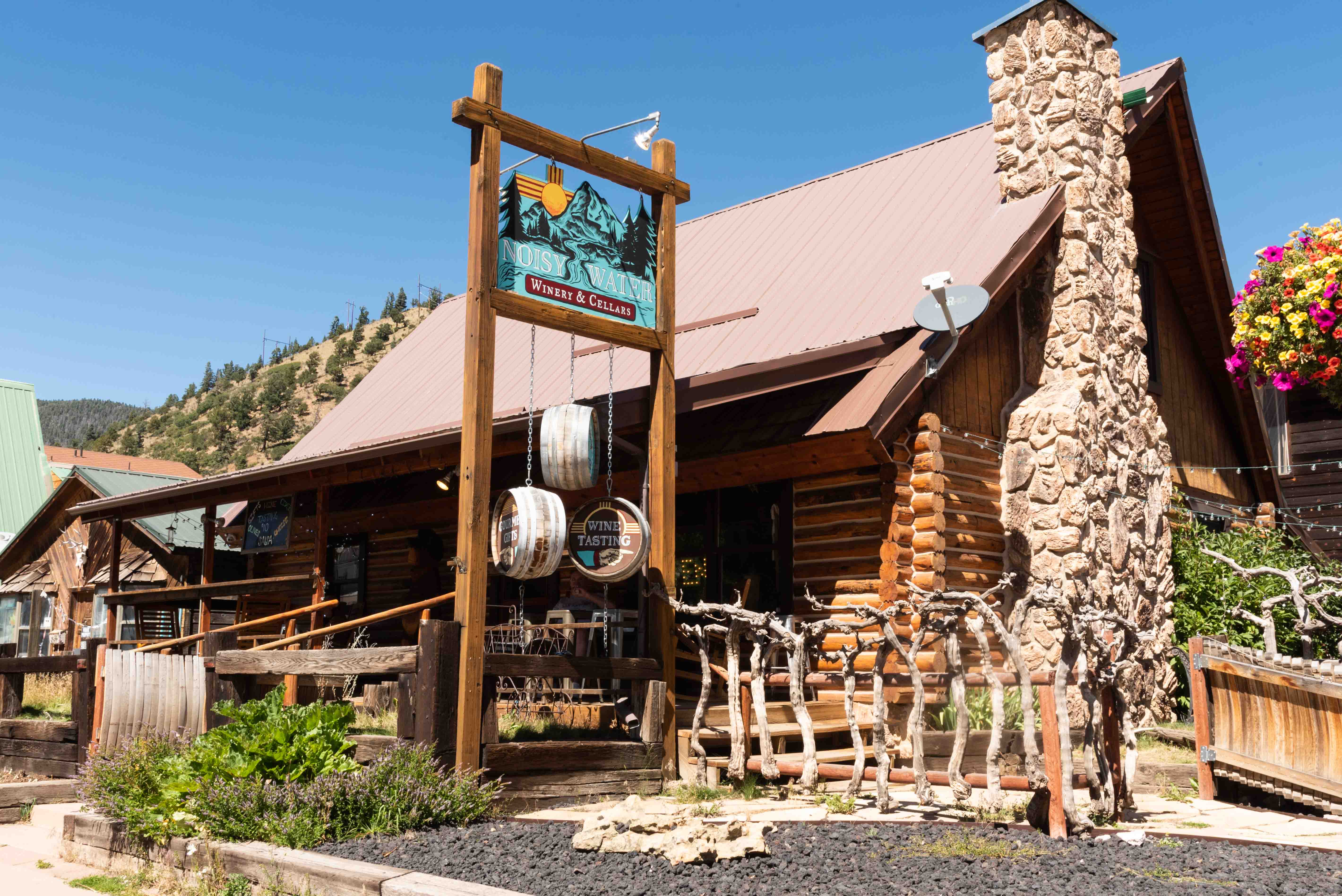
Noisy Water Winery and Cellars
518 E Main Street
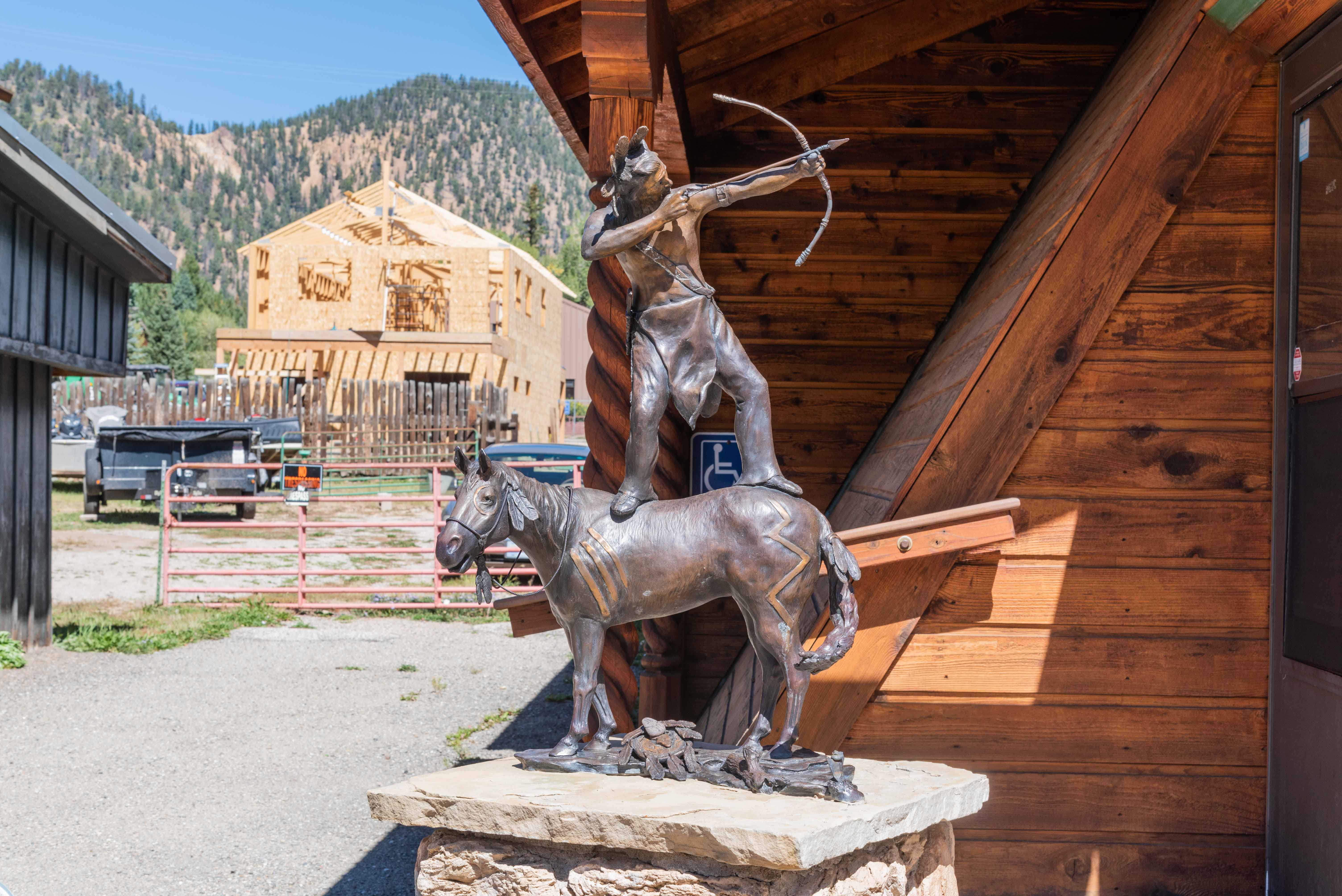
Interesting Sculpture
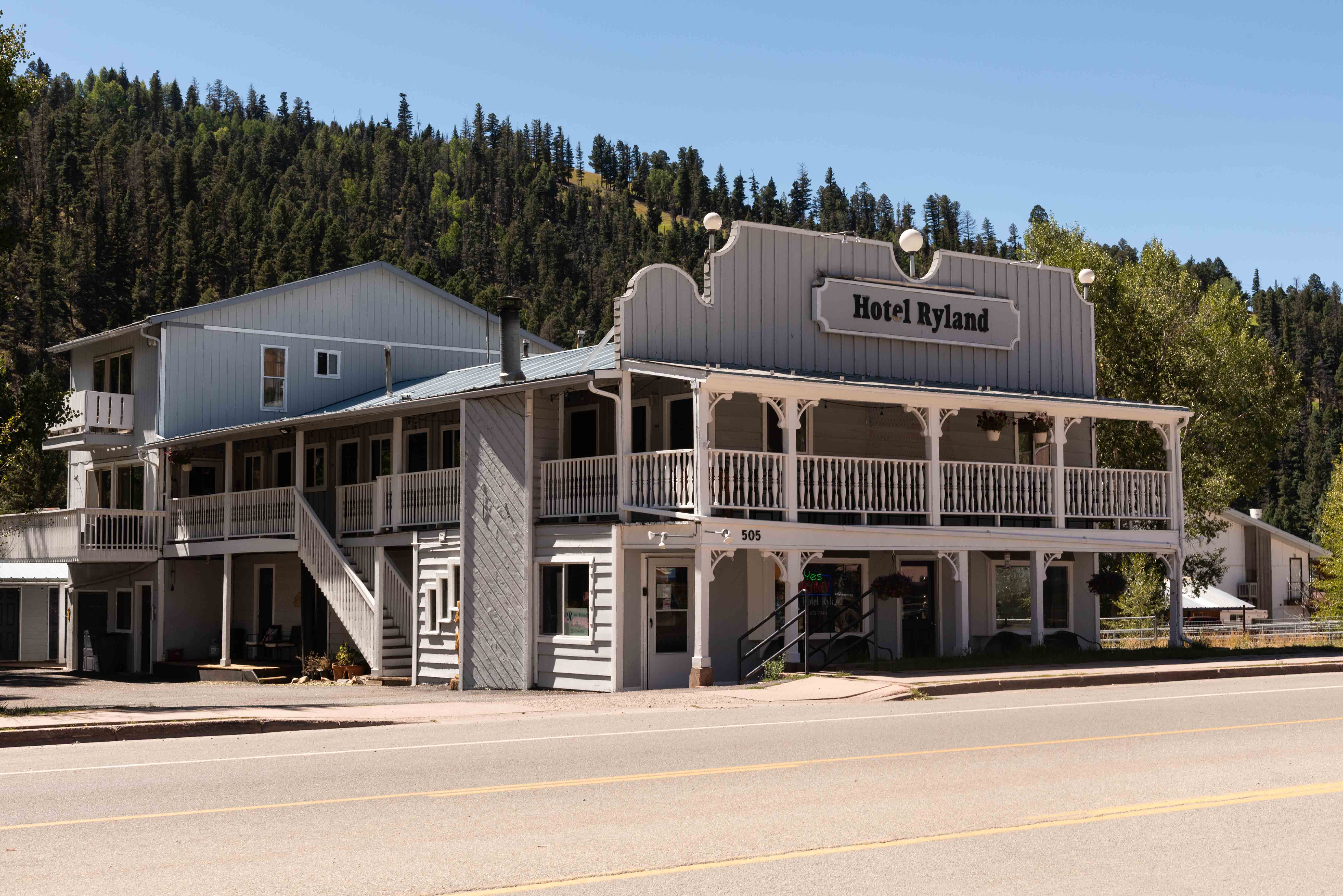
Hotel Ryland
505 E Main Street

Bull O' the Woods Saloon
401 E Main Street
Red River to Taos
The drive from Red River to Taos completes our tour of the Enchanted Circle.
Continue west on NM 38 for 12 miles to Questa, then pick up NM 522. Continue
on NM 522 for 20 miles to its junction with U.S. 64, then U.S. 64 into Taos.
Along the way we travel through the scenic Sangre de Cristos and Carson National Forest, and pass the Questa
Molybdenum Mine. Time permitting, a brief stop in the historic village of Questa
is always worthwhile.
Taos has been around since 1615, but was formally established by Governor Fernando Chacón
in 1715. Taos was built as a prototypical colonial Spanish town, with a central plaza surrounded
by adobe buildings. It served as a trading center for Taos Pueblo (its namesake) and
the surrounding Hispanic communities. Incorporated in 1934, Taos is the county seat of
Taos County.
Click to visit Taos
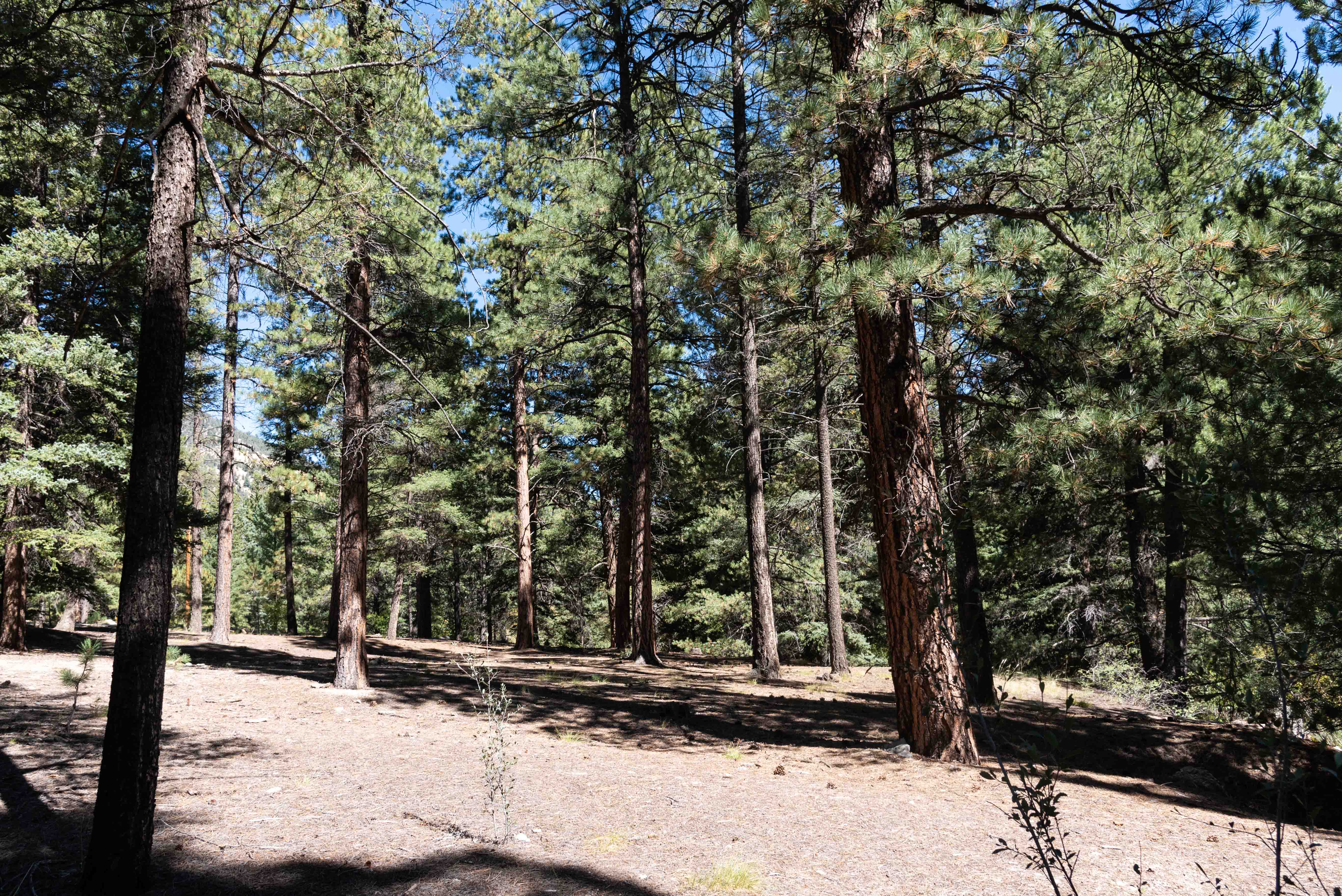
Carson National Forest

Part of Chevron Questa Molybdenum Mine
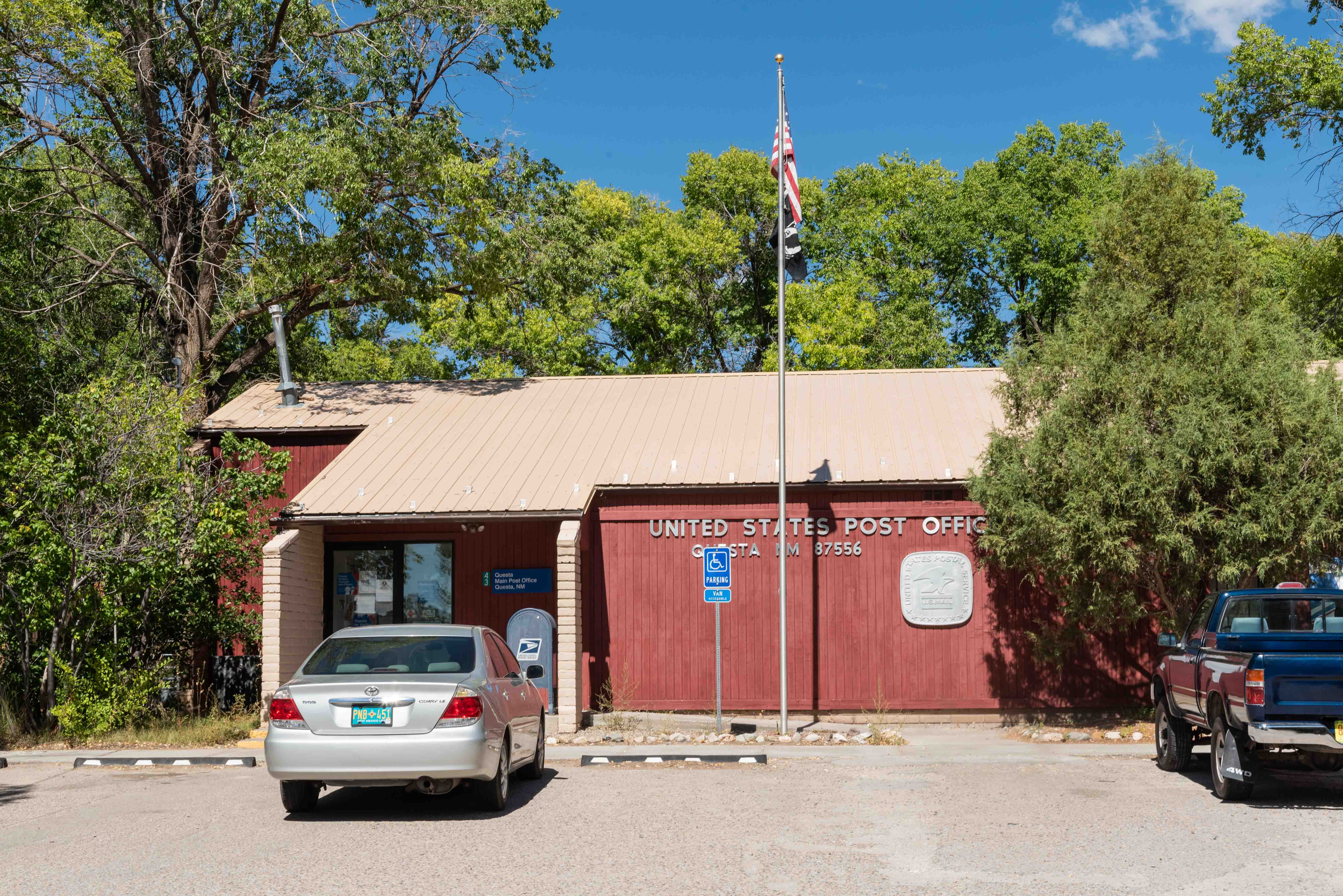
U.S. Post Office Questa, NM 87556
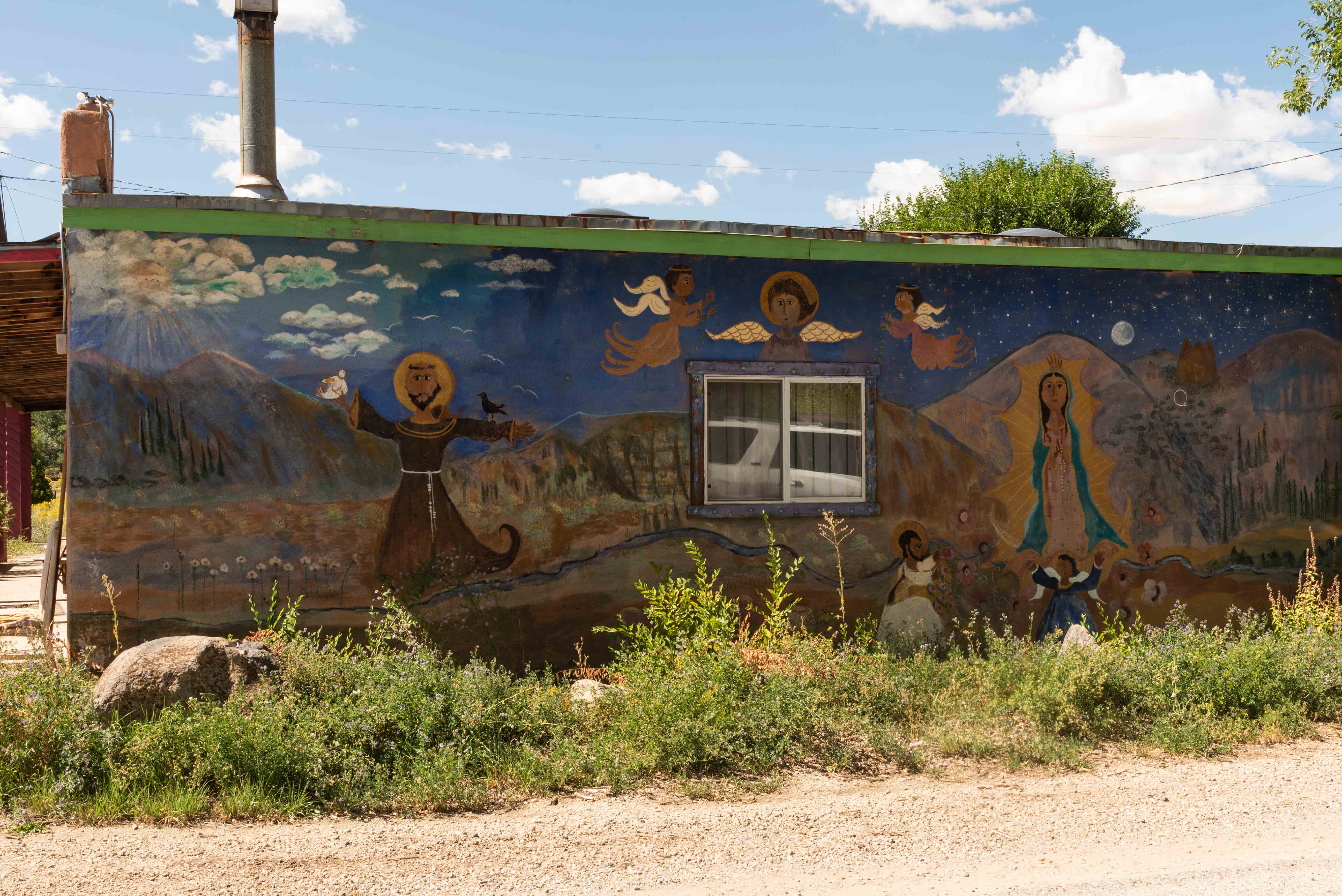
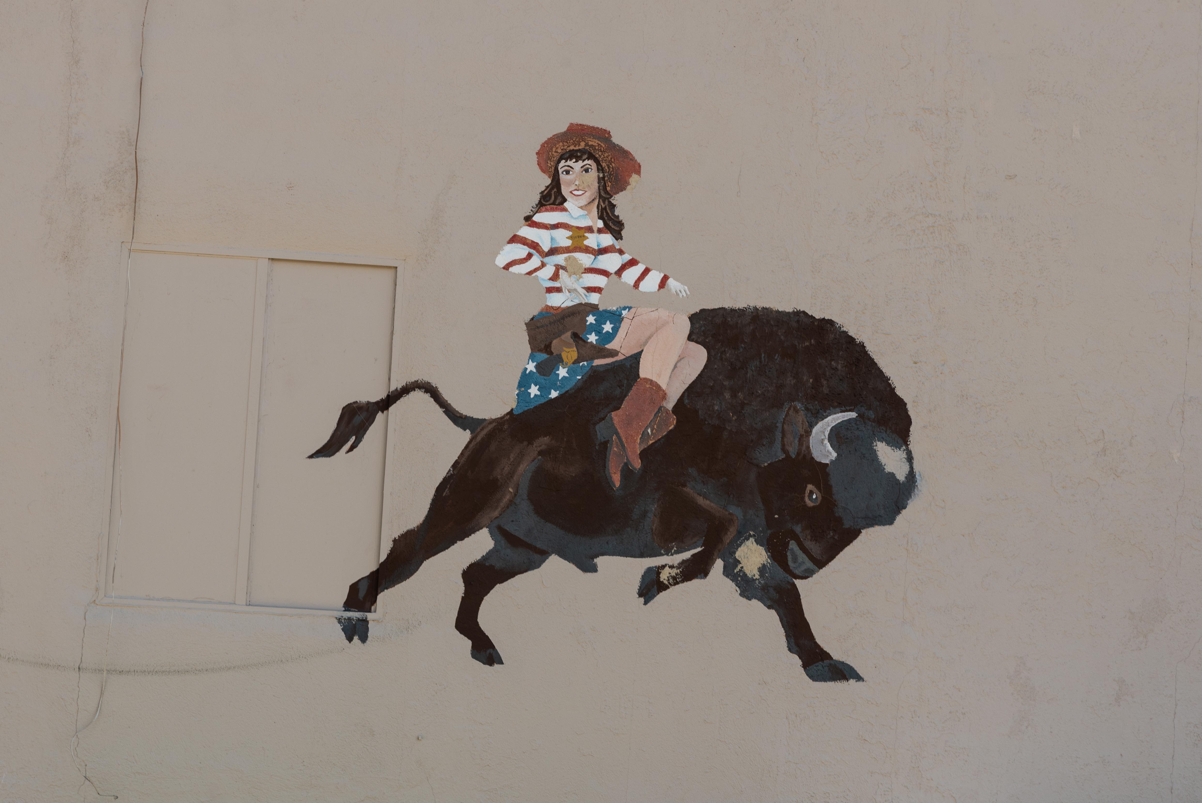
Wall Mural Questa, NM
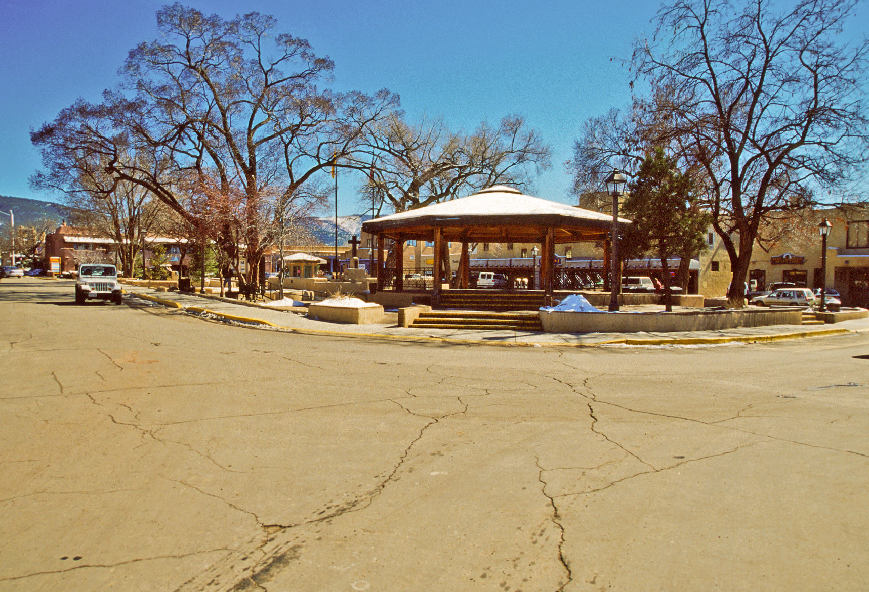
Taos Plaza (2000)

Covered Walkway - Taos Plaza
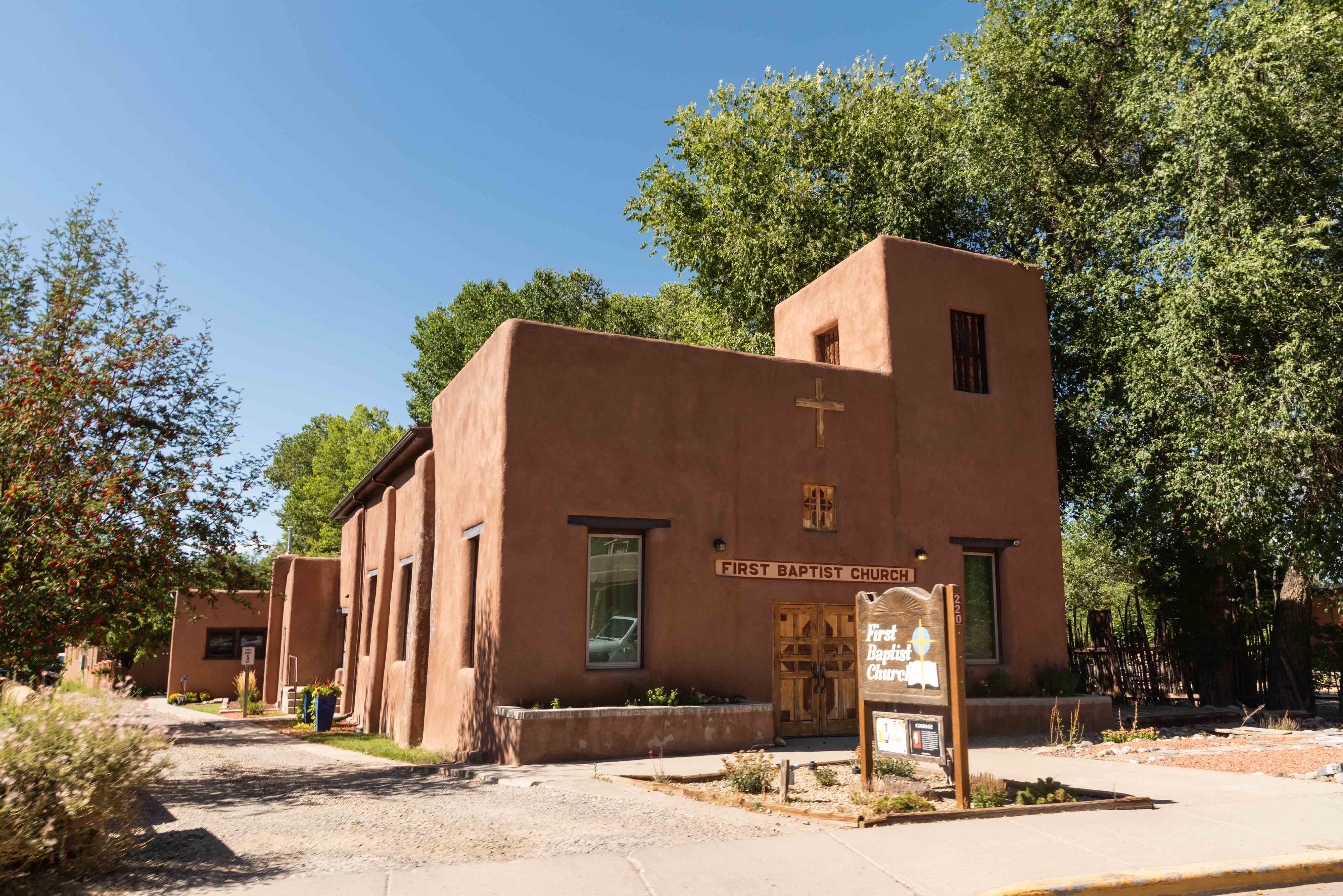
Taos First Baptist Church
220 Paseo Del Pueblo Norte
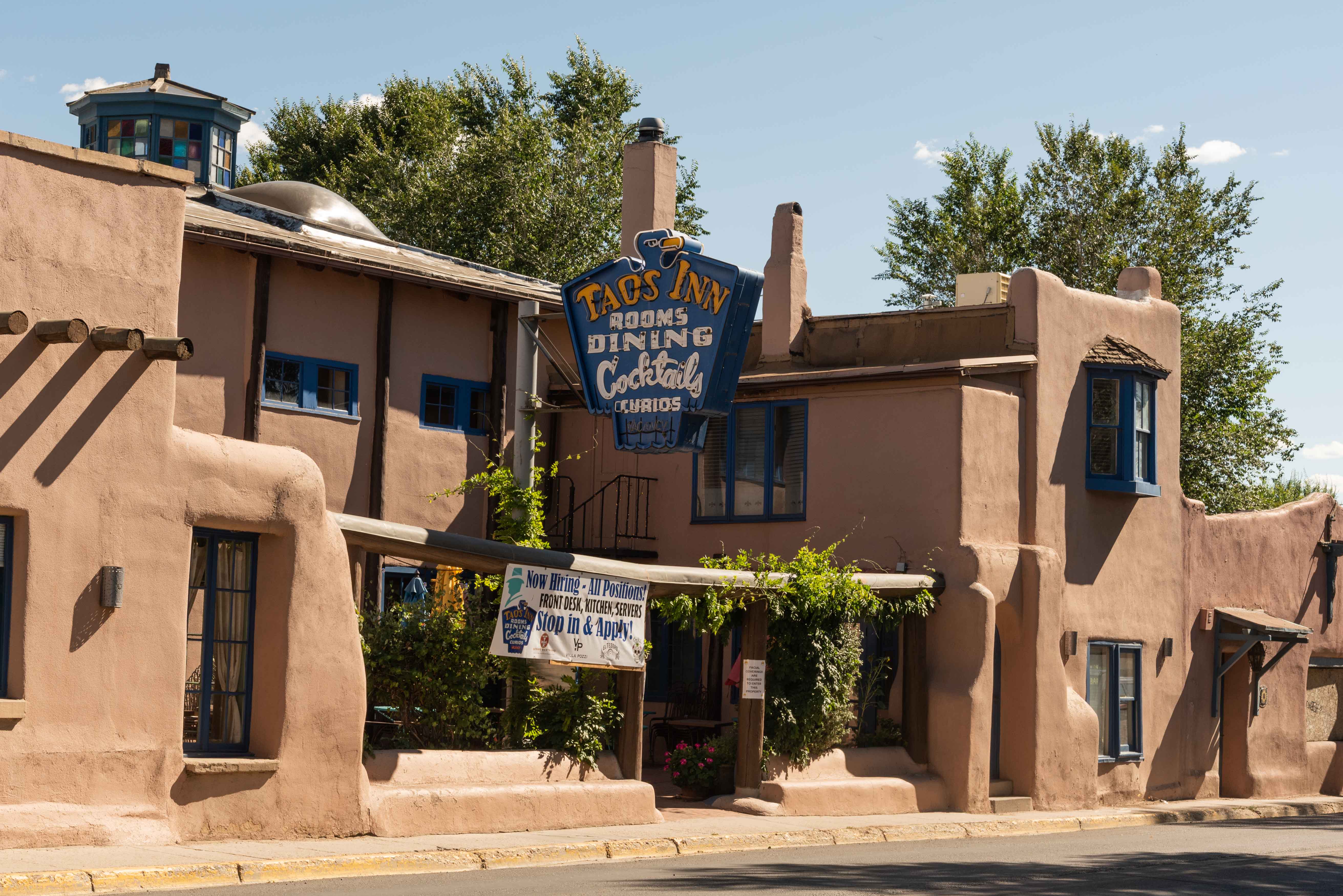
Historic Taos Inn
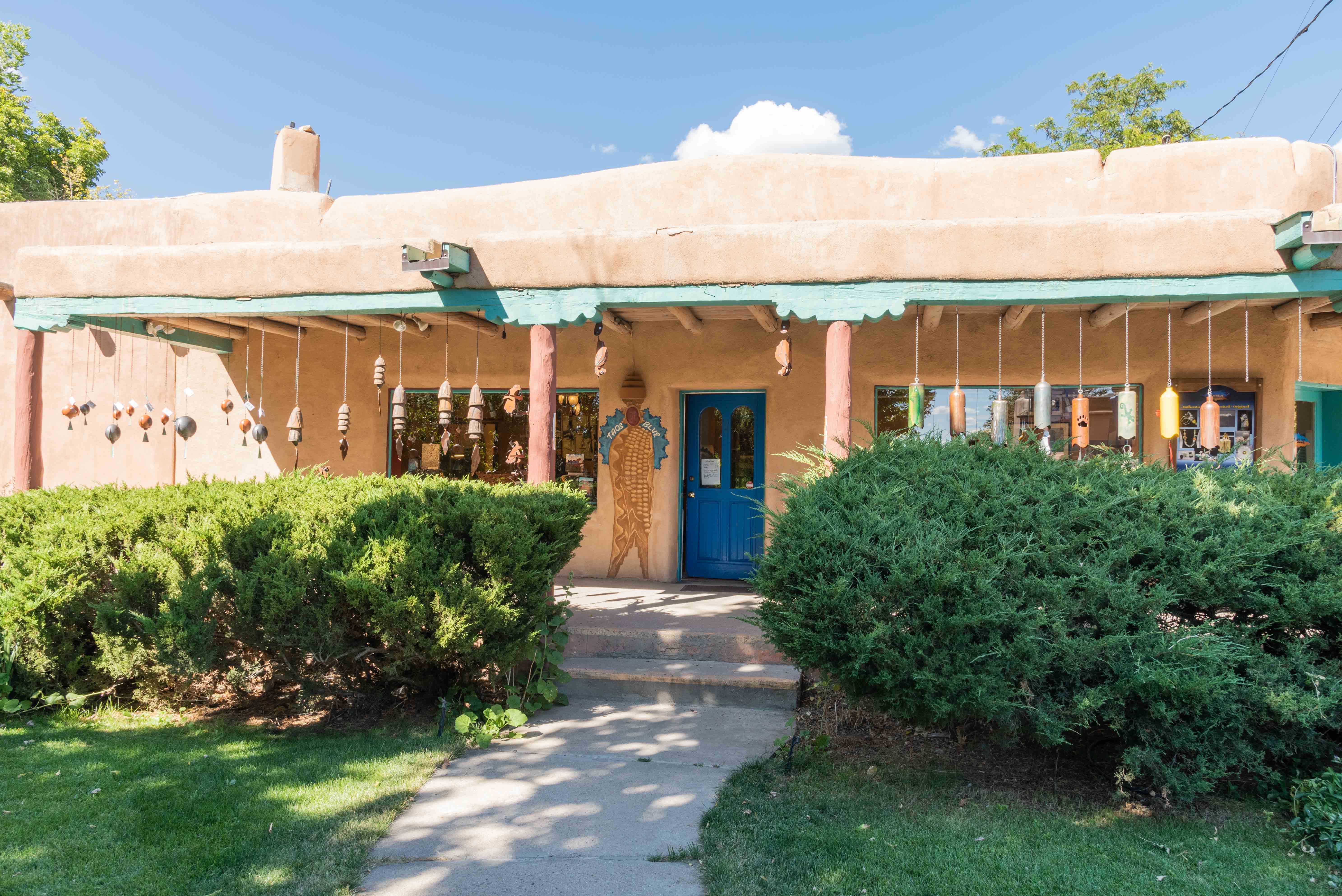
Taos Blue Art and Crafts
101 Bent Street
Source material: Wikipedia, newmexico.org, eaglenestchamber.org, redriver.org
Use the form on the Home Page to submit comments, questions, or suggestions. TD Productions Copyright © 2021