Capitol Reef National Park
Some 60 million years ago a long monocline formed when the sediment layers along the western side of an ancient fault were pushed up 7000 feet and tilted and "folded" over the fault by tectonic plate activity. This created a 100 mile long warp in the earth's surface known today as the waterpocket fold. Capitol Reef National Park was established in 1971 to preserve the majority of the waterpocket fold, with its narrow canyons, cliffs, buttes, and domes.The geology of the park is absolutely astounding, with rocks ranging from 270 million years old (Permian) to 80 million years young (Cretaceous). I made my second visit the the park in June of 2019 and my third in October of 2019.
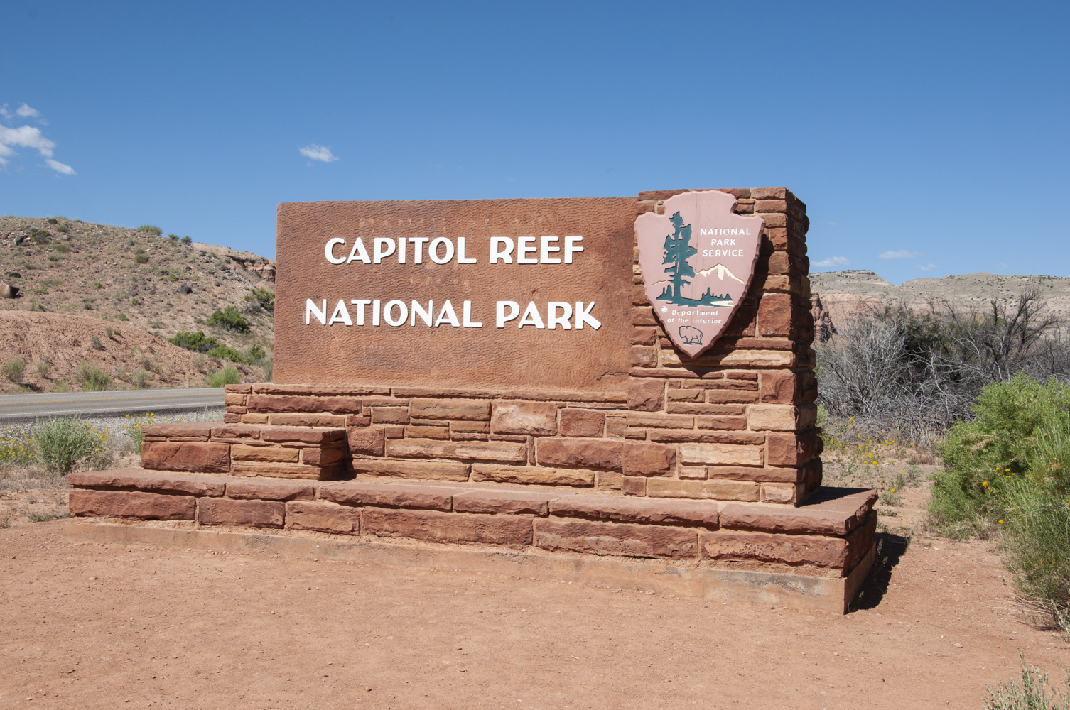
Park sign
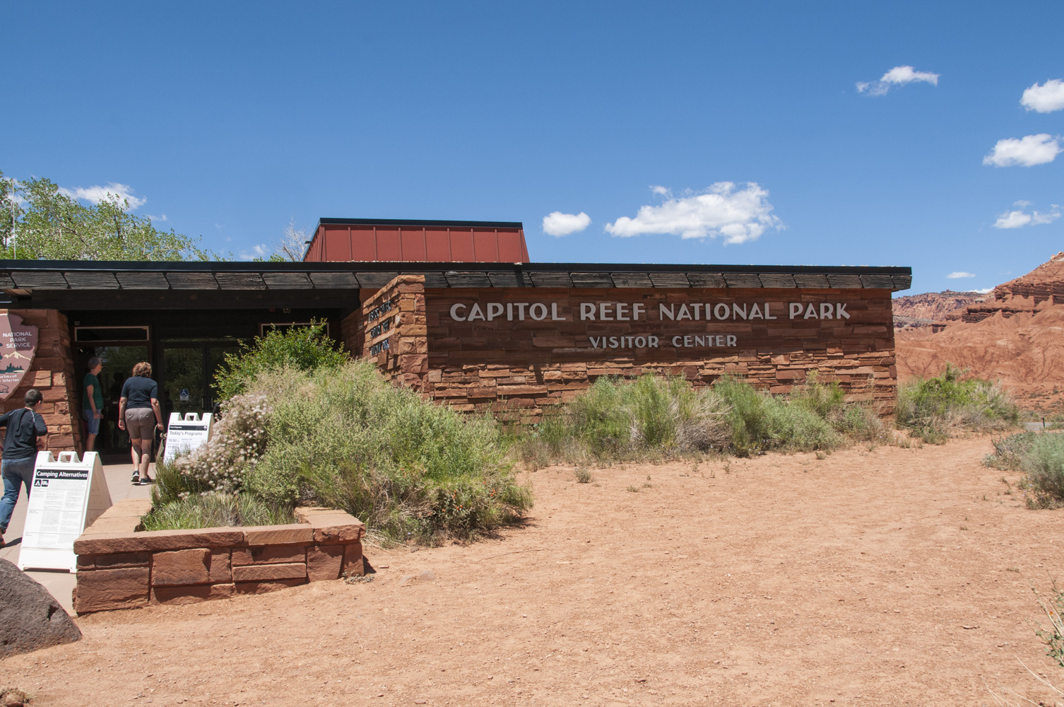
Visitor Center
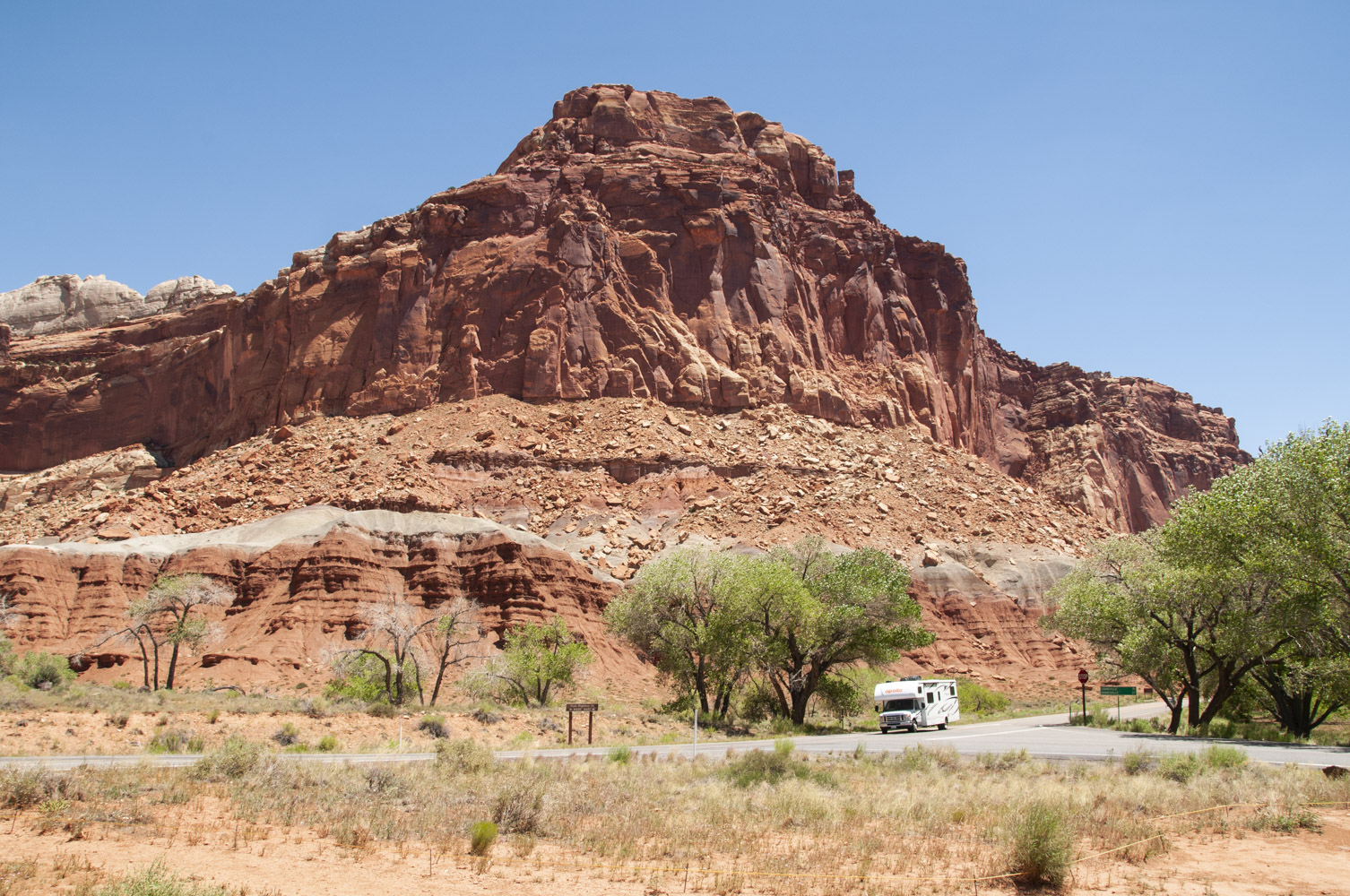
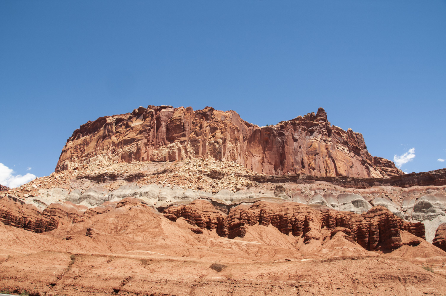
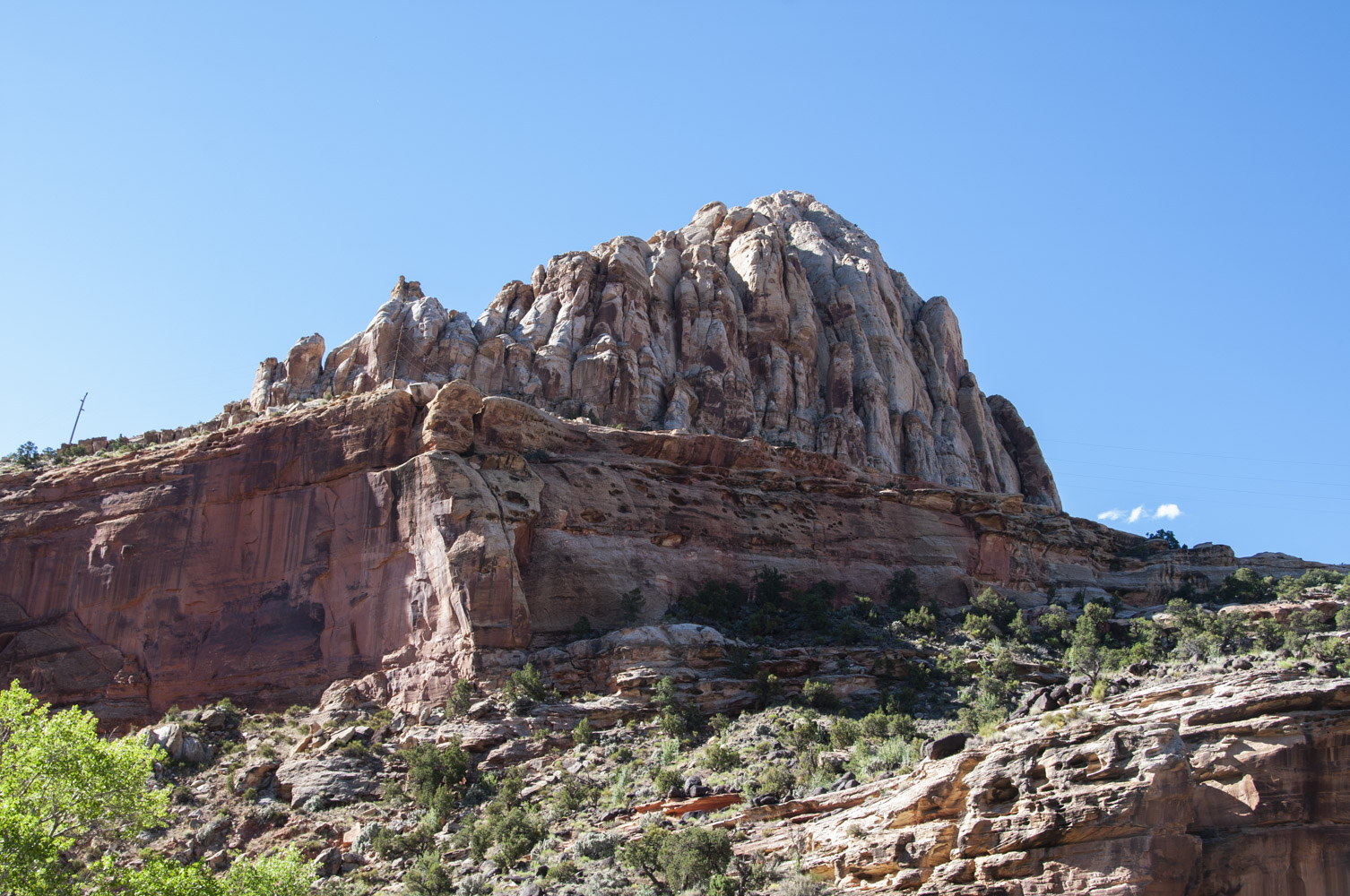
Rock formation near visitor center
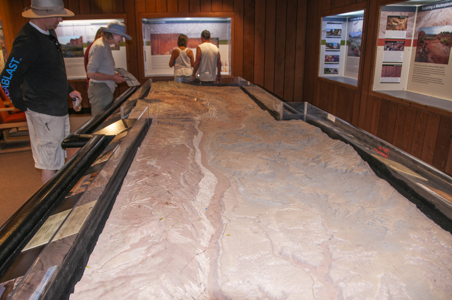
Topo map of Capitol Reef
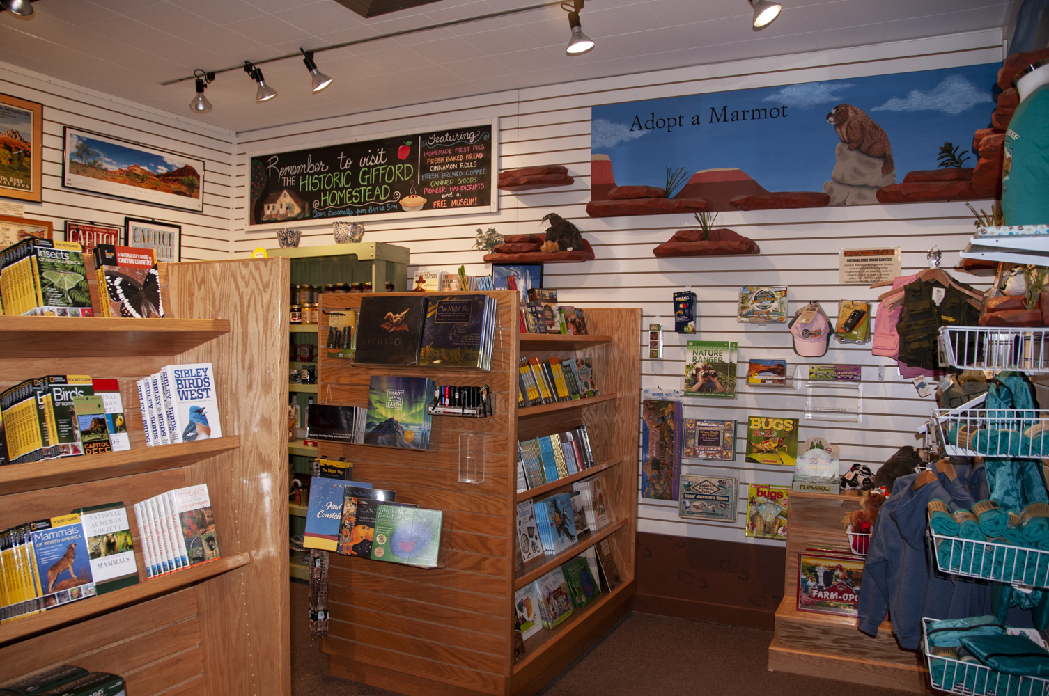
Gift shop
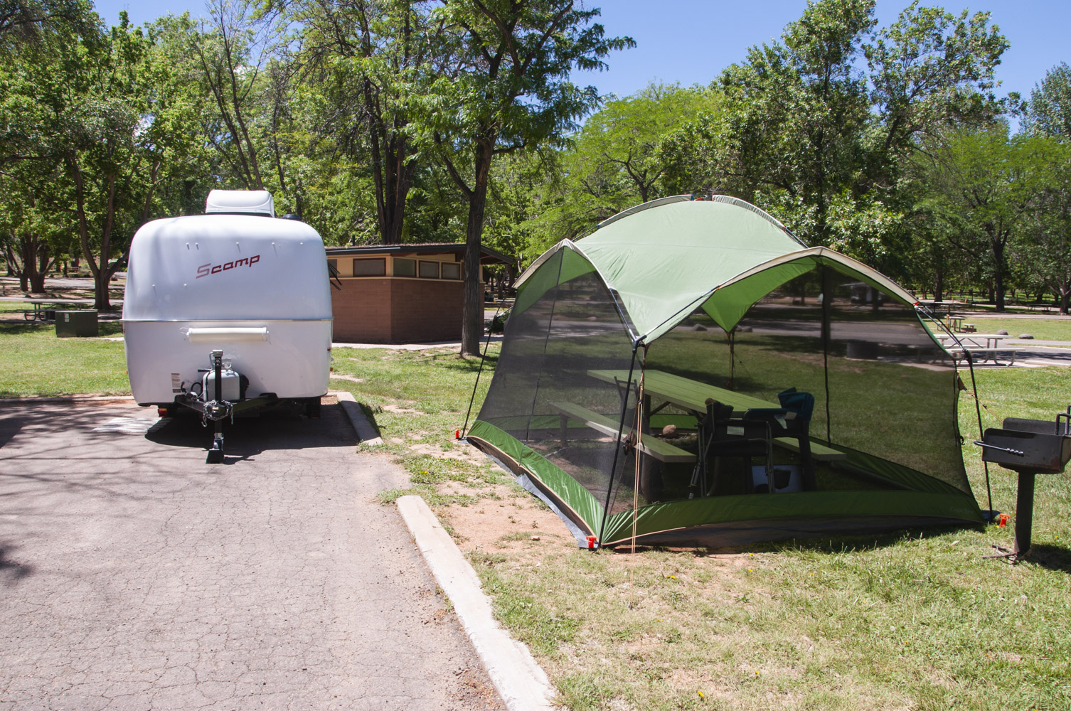
Campsite #7 Loop A
Fruita Campground
Utah State Route 24 - west from Visitor Center
Utah State Route 24 is the only paved road through Capitol Reef. It runs east-west
through roughly the northern quarter of the park. The park visitor center is located
along Utah SR 24 in the middle of the park. This section covers the
stops along the road from the visitor center to the west boundary of the park. Points of interest
include the Castle, Fluted Wall, Sunset Point and Goosenecks Overlook, Chimney Rock, and Twin Rocks.
Formation along Utah SR 24
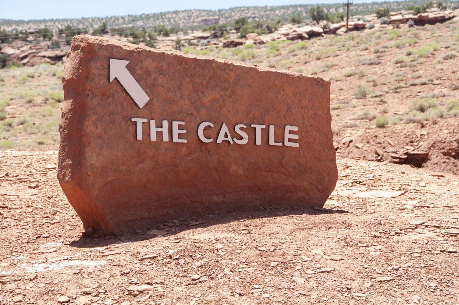
Castle sign
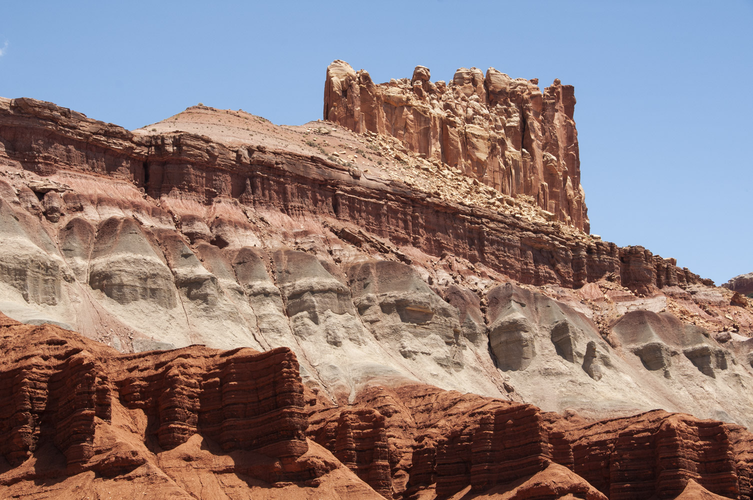
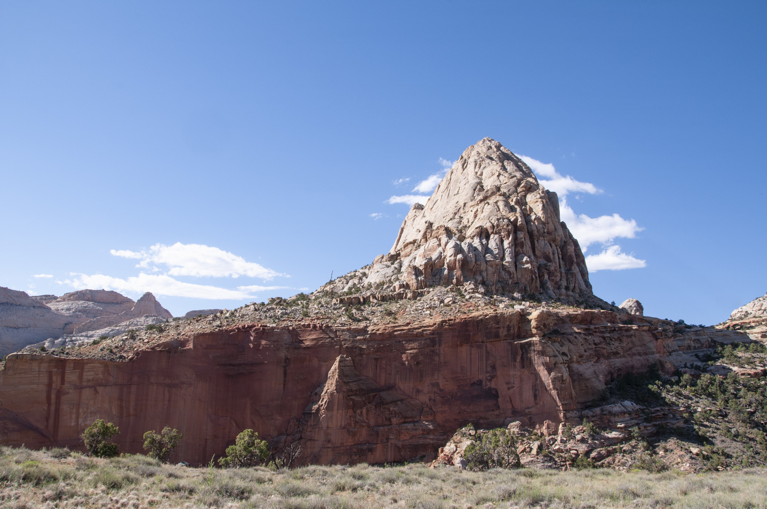
The Castle (Wingate sandstone)
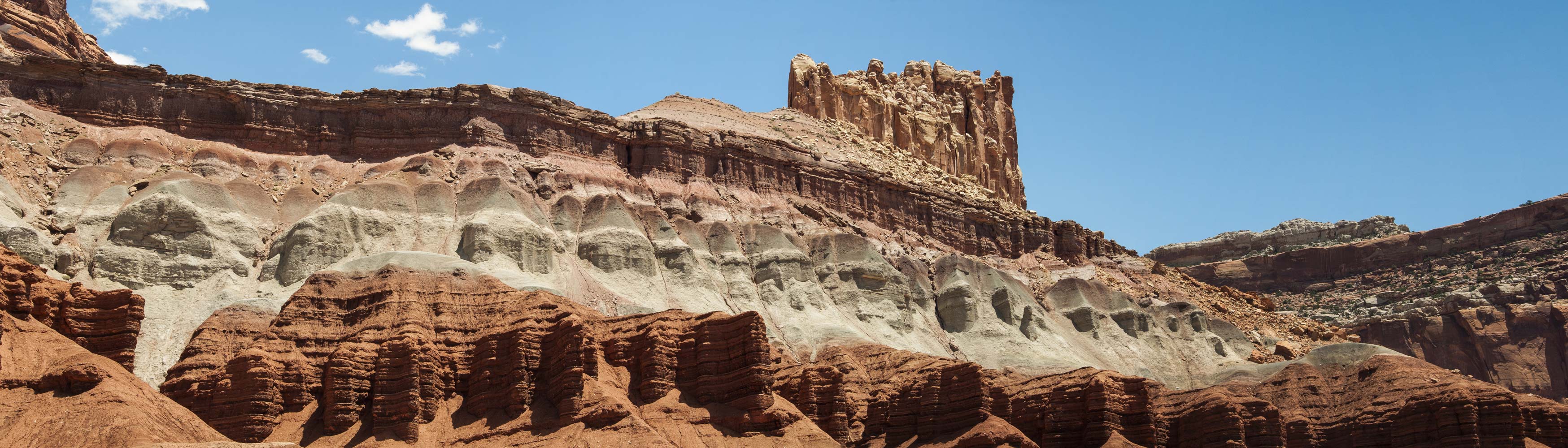
The Castle
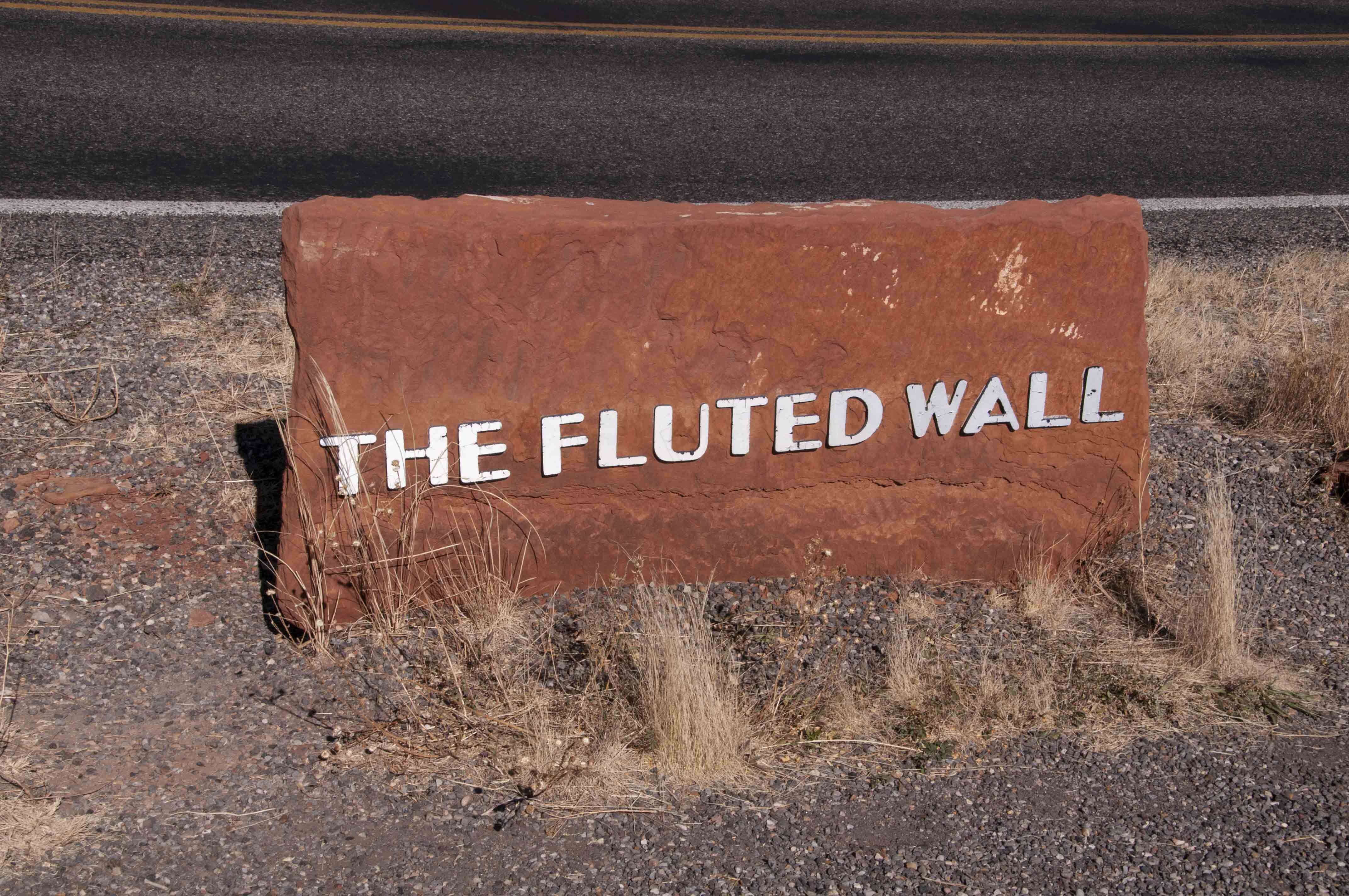
Fluted Wall sign
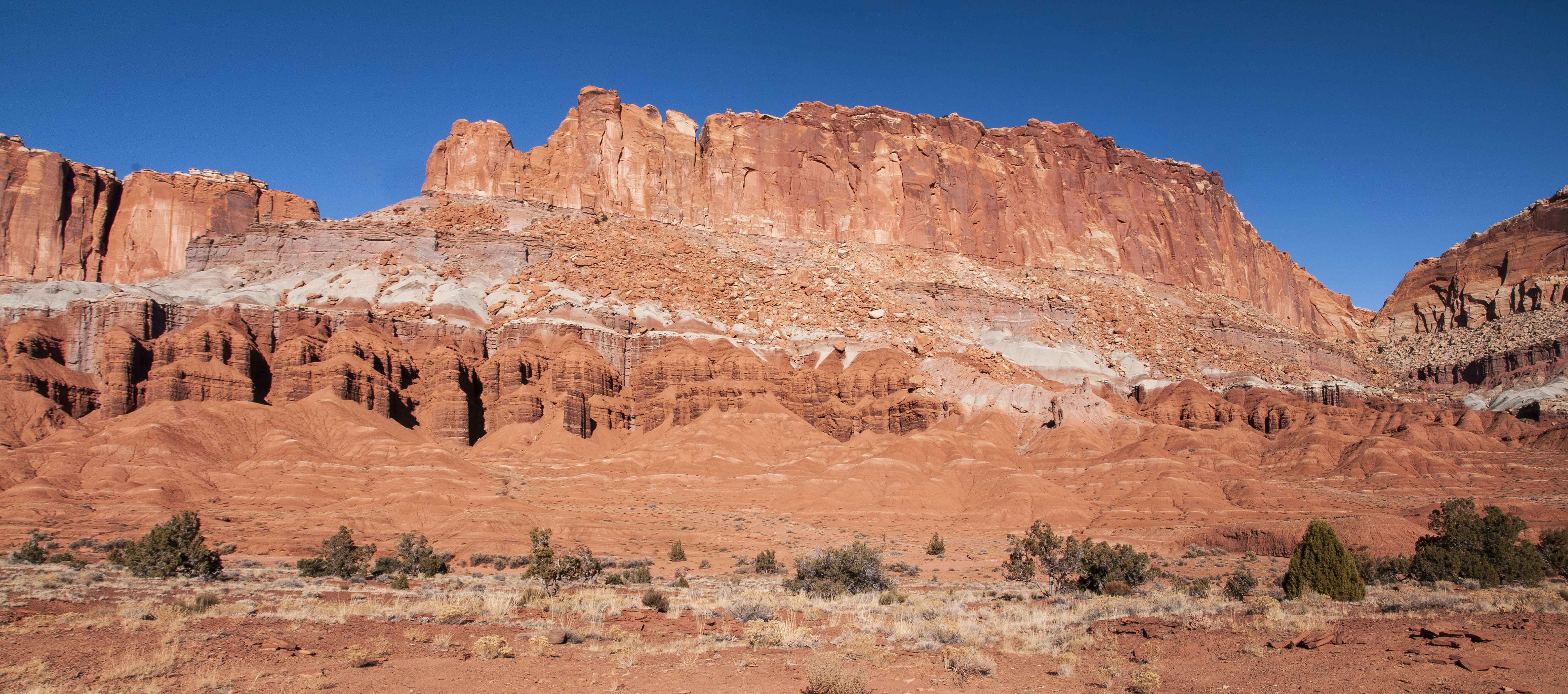
The Fluted Wall
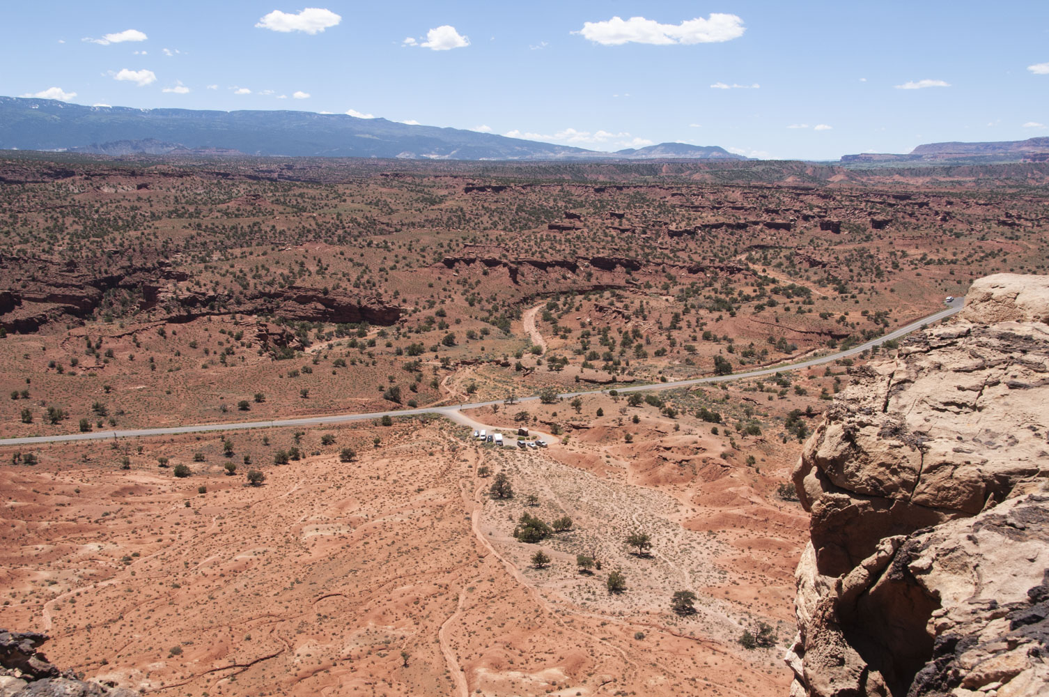
Goosenecks Overlook and Sunset Point are accessed by a short gravel road at the Panorama Point turnoff that ends in a parking area. From the parking area it's a short walk (600 ft) to Goosenecks Overlook. The overlook provides views of the twists and turns in the canyon carved out by Sulphur Creek. The Sunset Point trail also starts here and is about 2/3 mile out and back on level ground. I'm not sure why it's called Sunset Point because the best views are to the east.
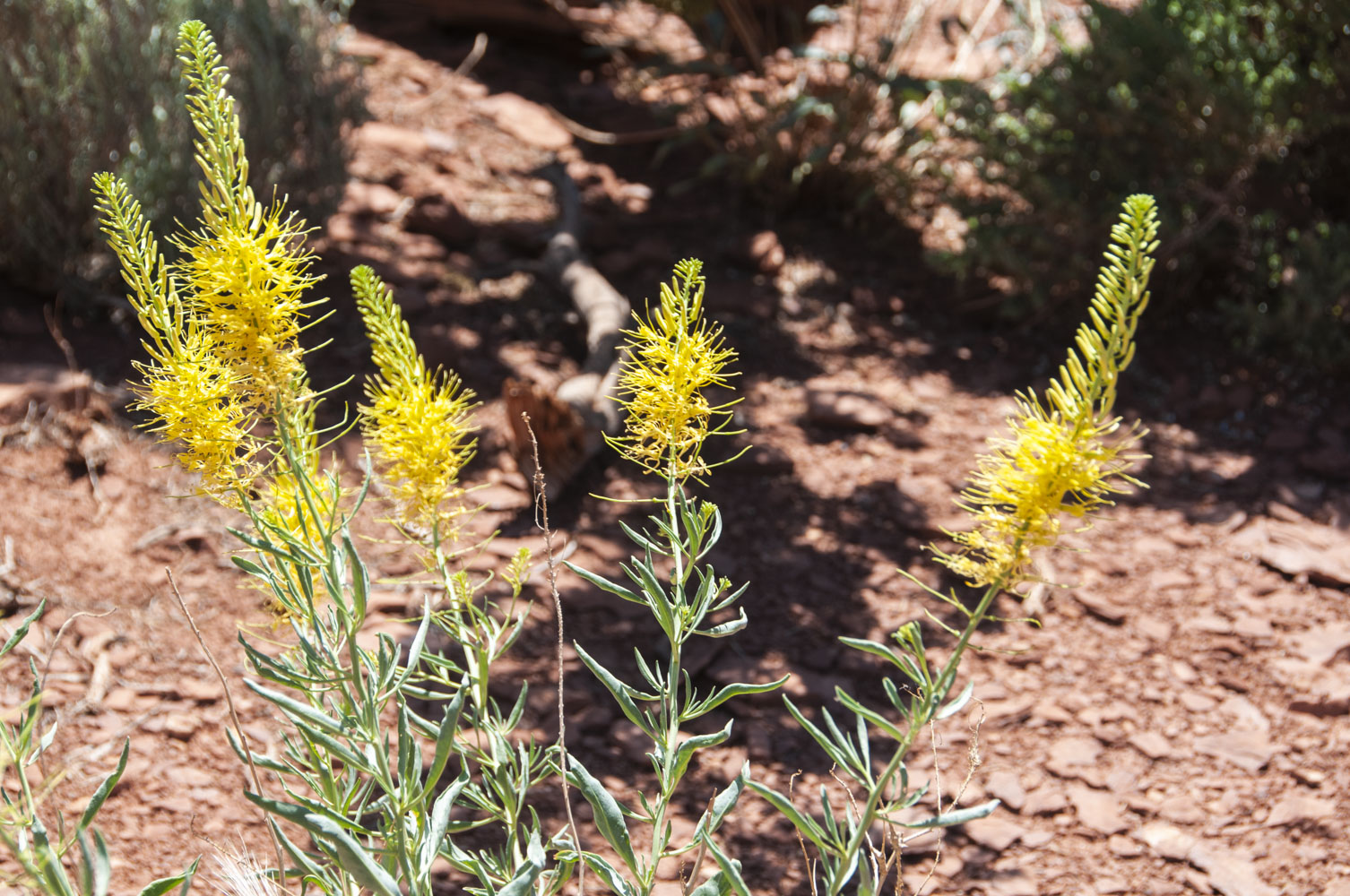
Prince's Plume

Rock strata
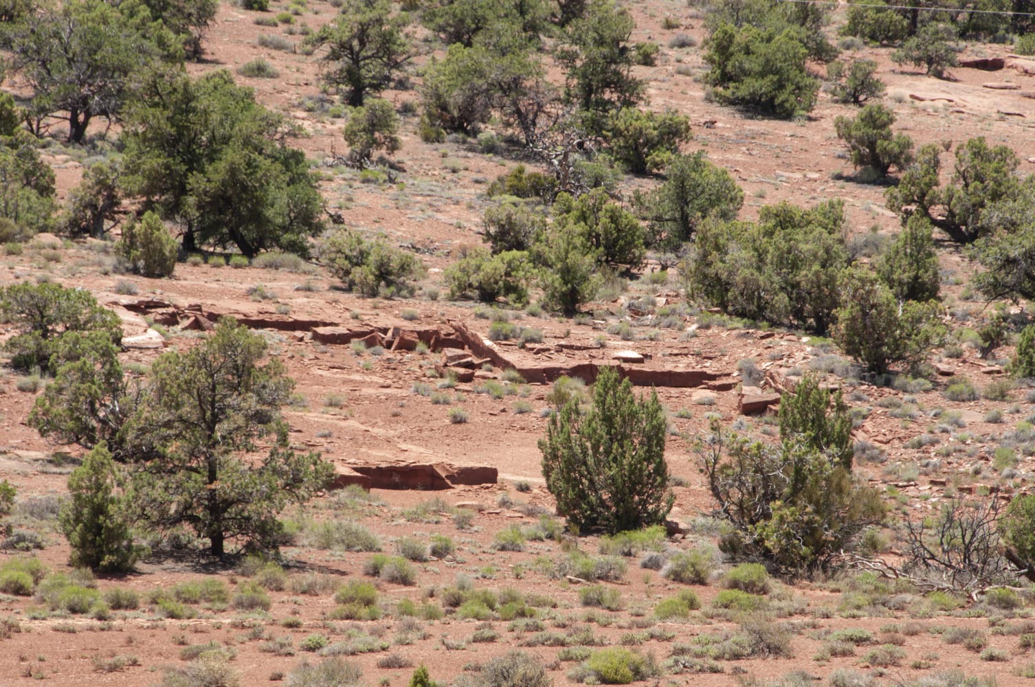
Looks man-made, but it's not.
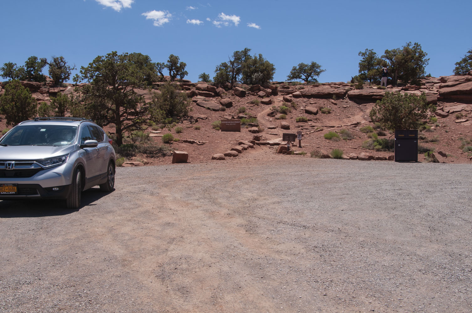
Parking area for Goosenecks and Sunset Point
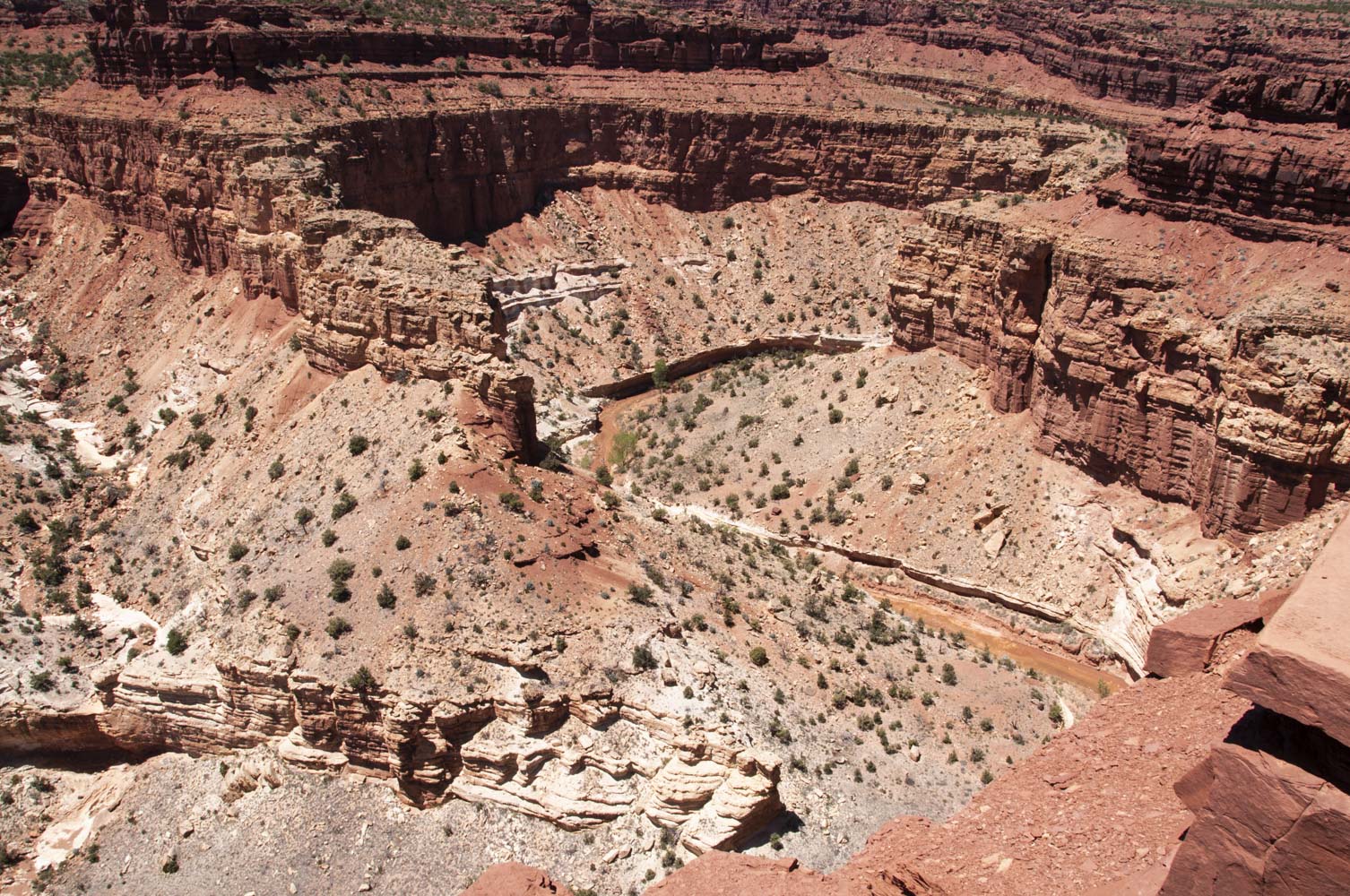
Part of the Goosenecks
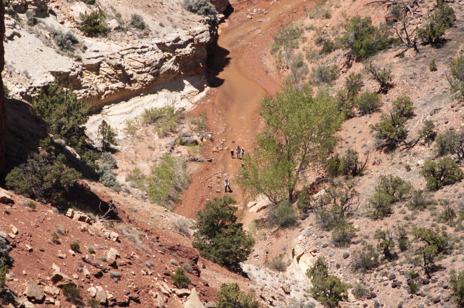
Hikers in Sulphur Creek
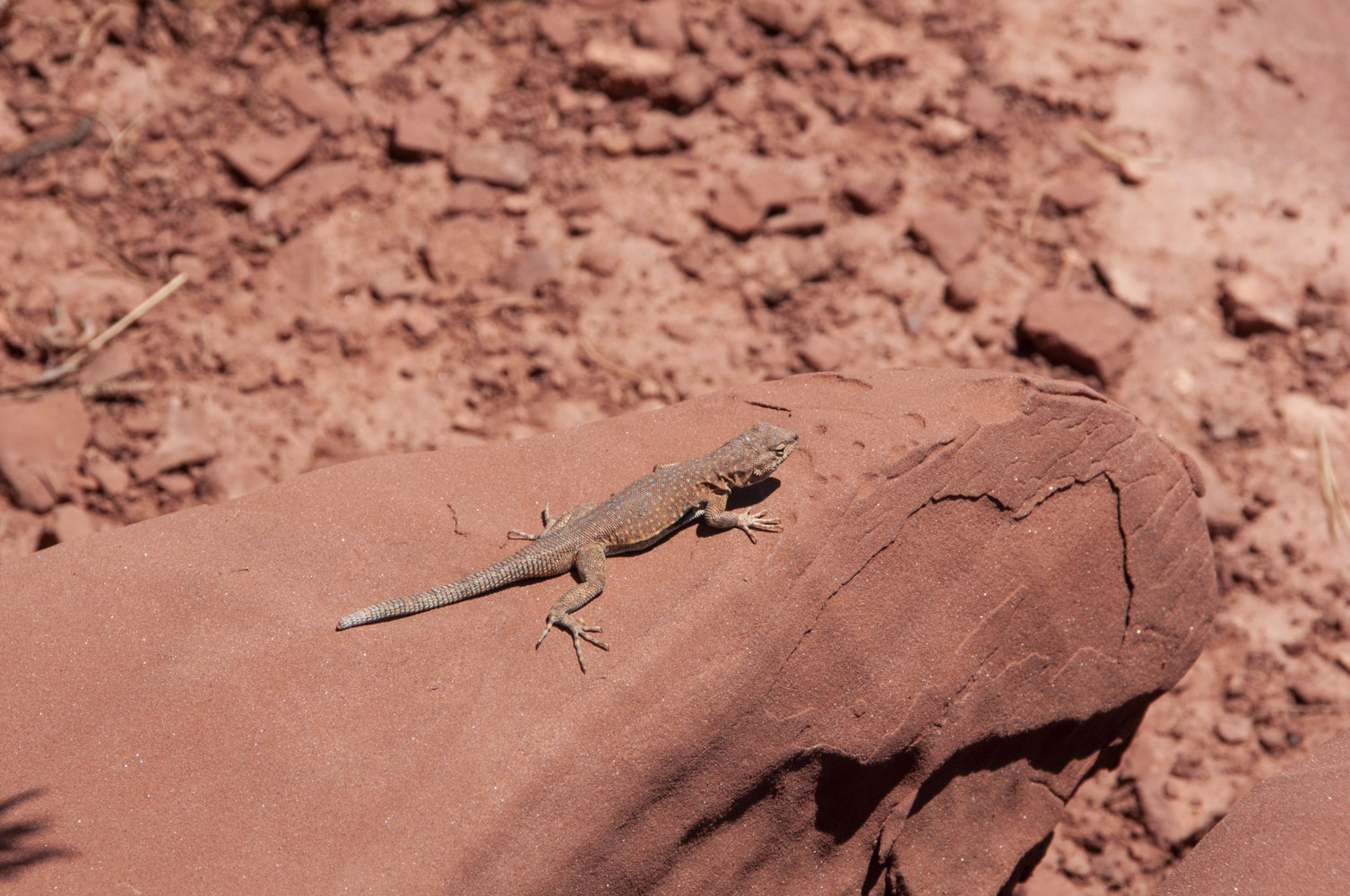
Side-blotched lizard (minus the tip of its tail)
(Uta stansburiana)
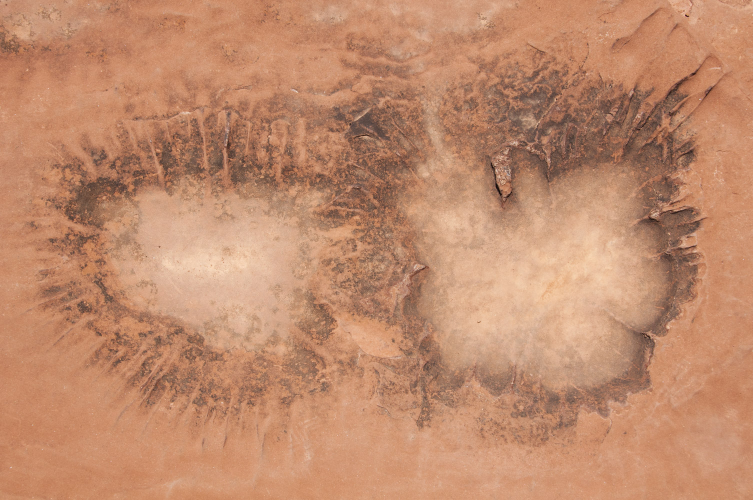
Pair of potholes
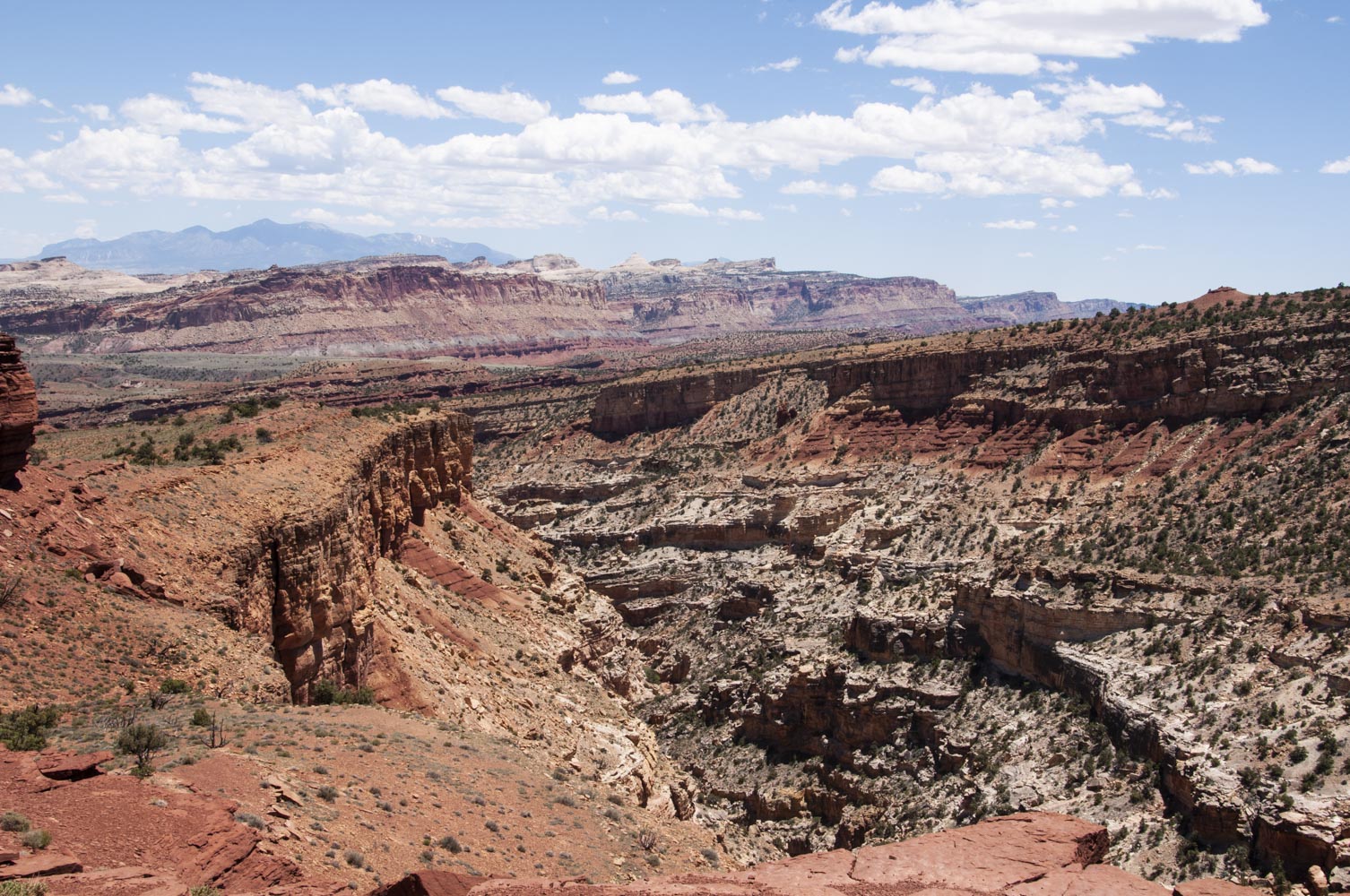
View ~ SE from Sunset Point
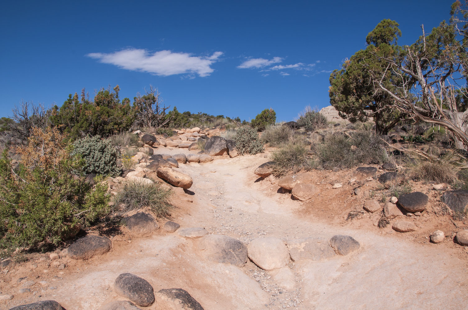
Chimney Rock trail is a 3.6 mile loop rated strenuous (590 ft elevation gain). I only hiked a little over a mile of it to get some better photos of Chimney Rock.
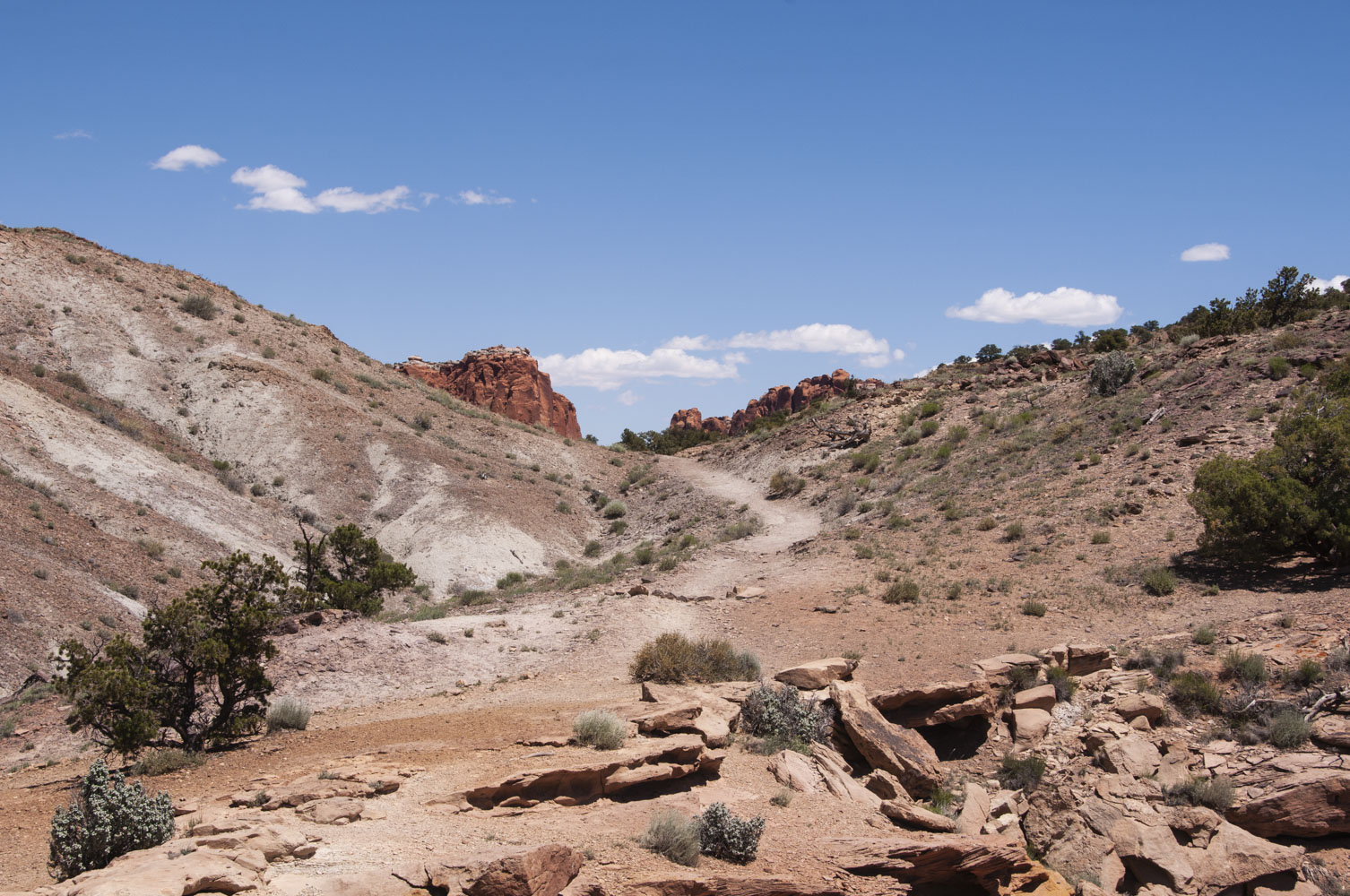
Chimney Rock trail

Chimney Rock
View from Chimney Rock trail
On the way back down
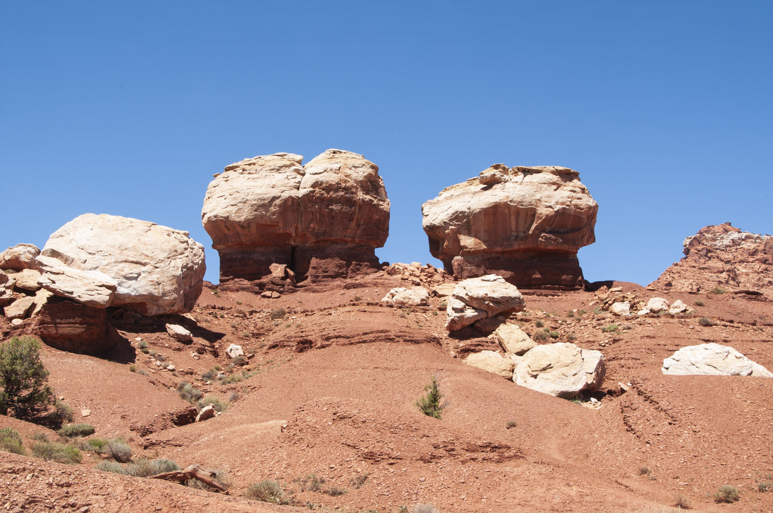
Twin Rocks
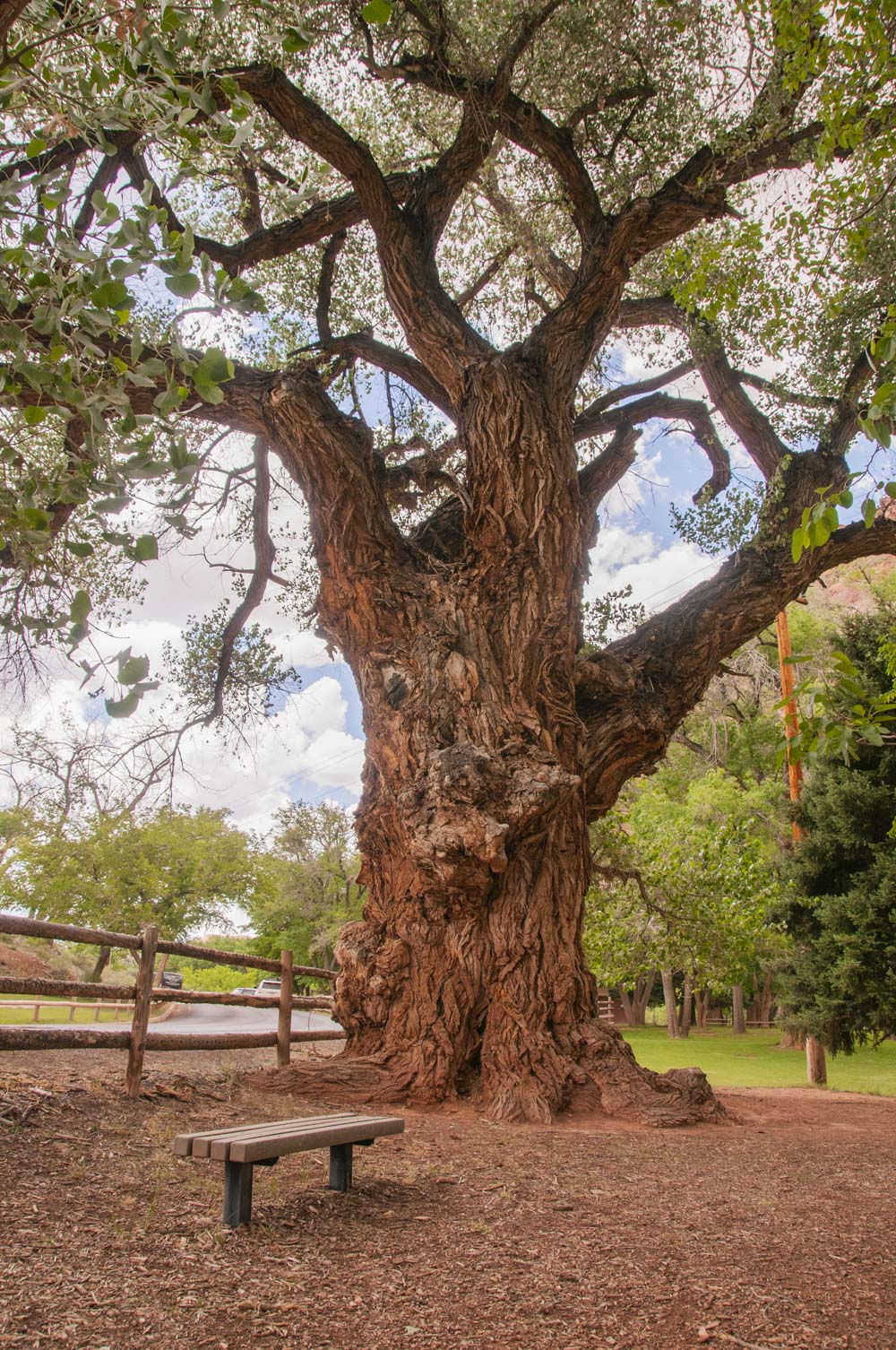
Fruita Historic District
A group of Mormans established the town of Junction in 1880 and began planting orchards. The town name was changed to Fruita circa 1902. Fruita never was much larger
than about a dozen families, and the last residents left in 1955 when the National Park Service purchased the town as part of Capitol Reef National Park. A few
of the original buildings still remain, and some have been restored by the NPS. Included in these are the one-room school, the Gifford house and barn, and the blacksmith
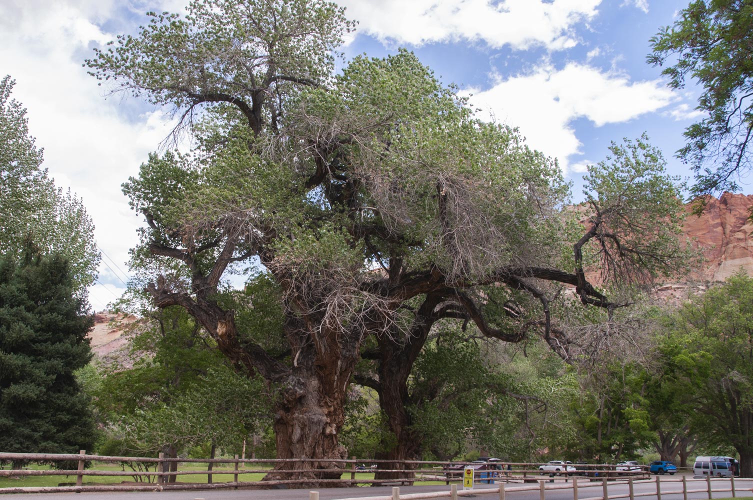
shop. A giant cottonwood known as the "mail tree" served as an informal post office. The NPS maintains the orchards, and visitors can pick fruit when in season
(for a fee). Fruita serves as the administrative center for the park, with the visitor center, campground, residences, and maintenance facilities located there.

Blacksmith Shop
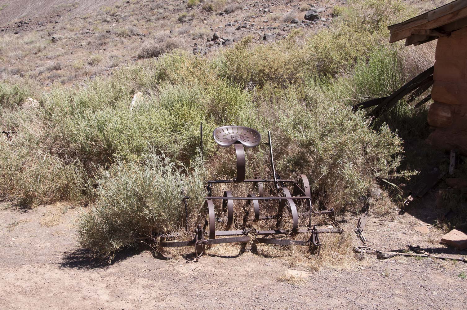
Old drag harrow
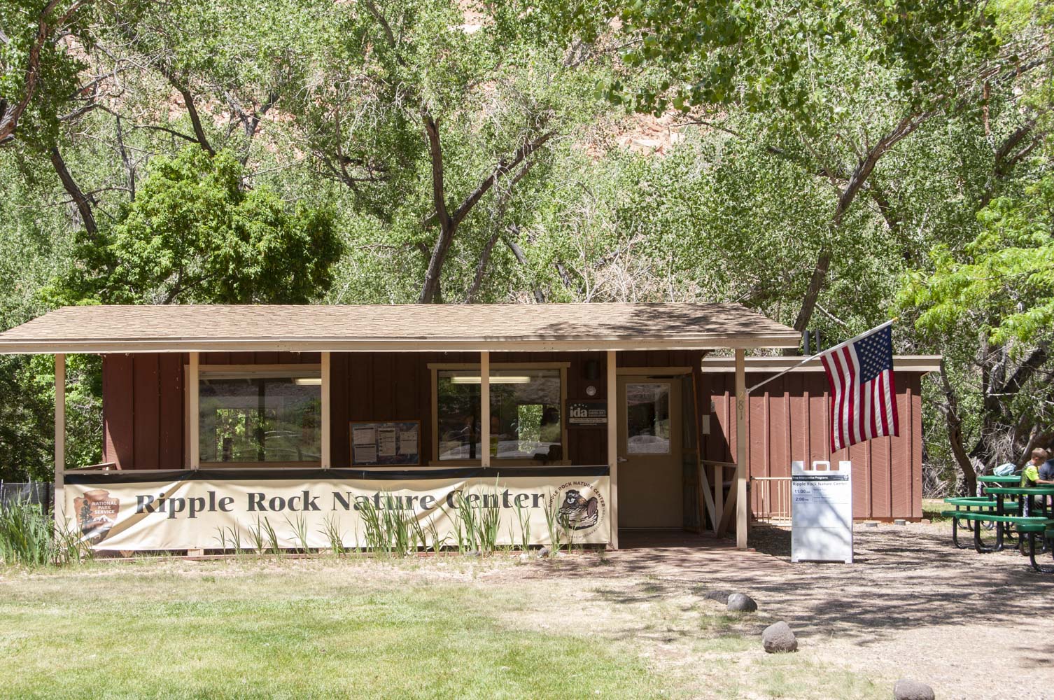
Ripple Rock Nature Center
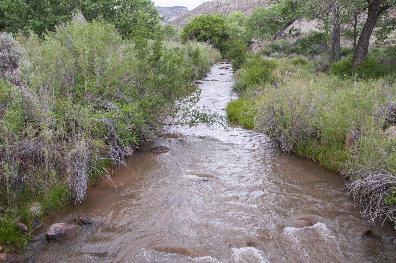
Fremont River
Mail tree and companion
"Mail Tree"
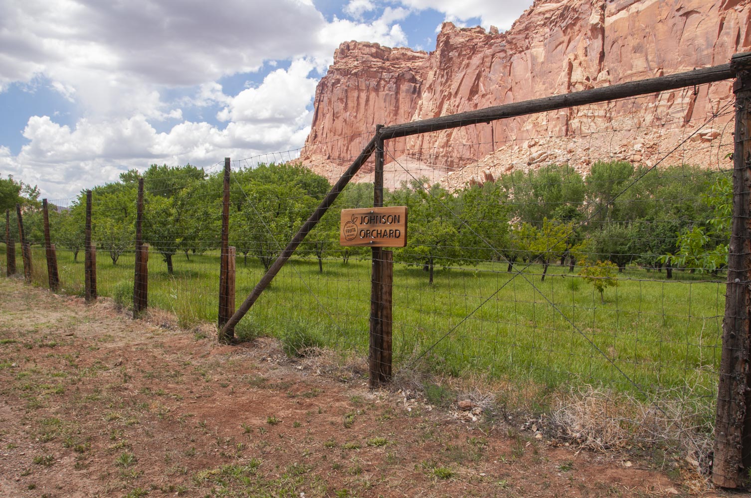
Johnson Orchard
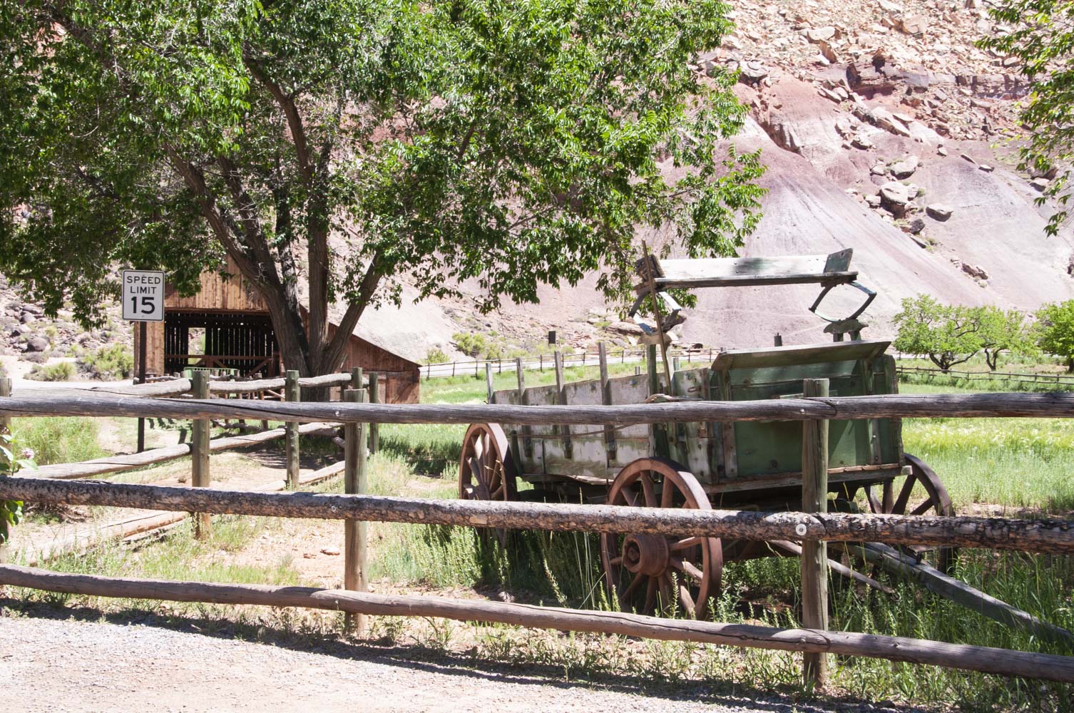
Gifford barn and old wagon

Gifford House
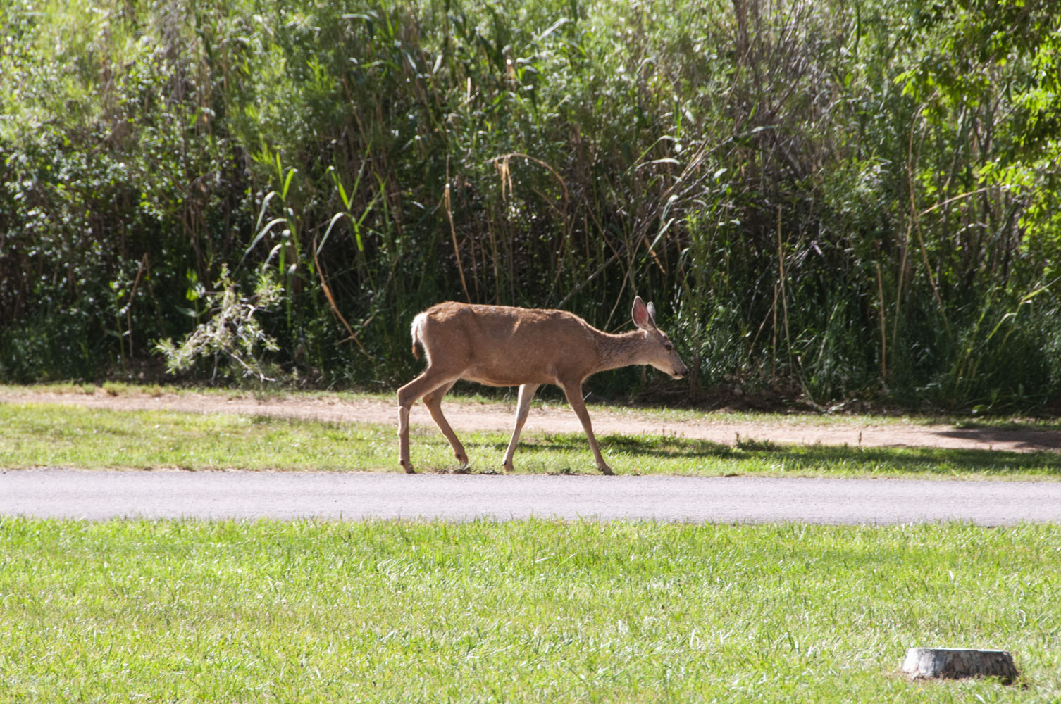
Mule deer doe
(Odocoileus hemionus)
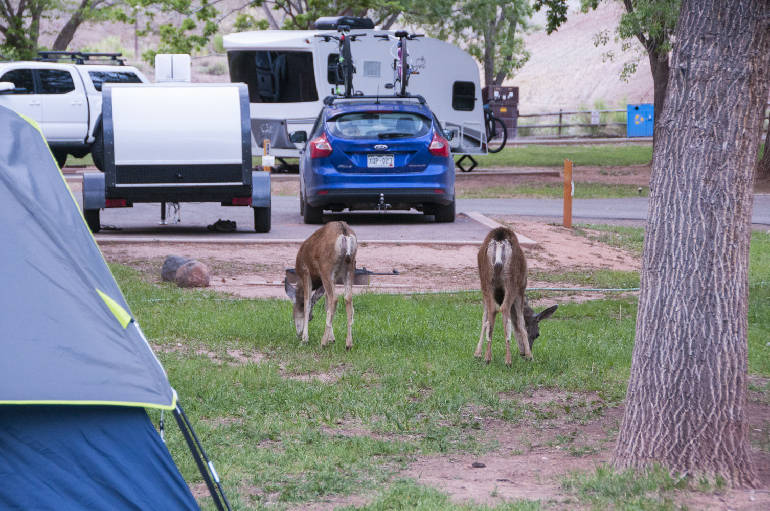
Deer in the campground (June 2019)
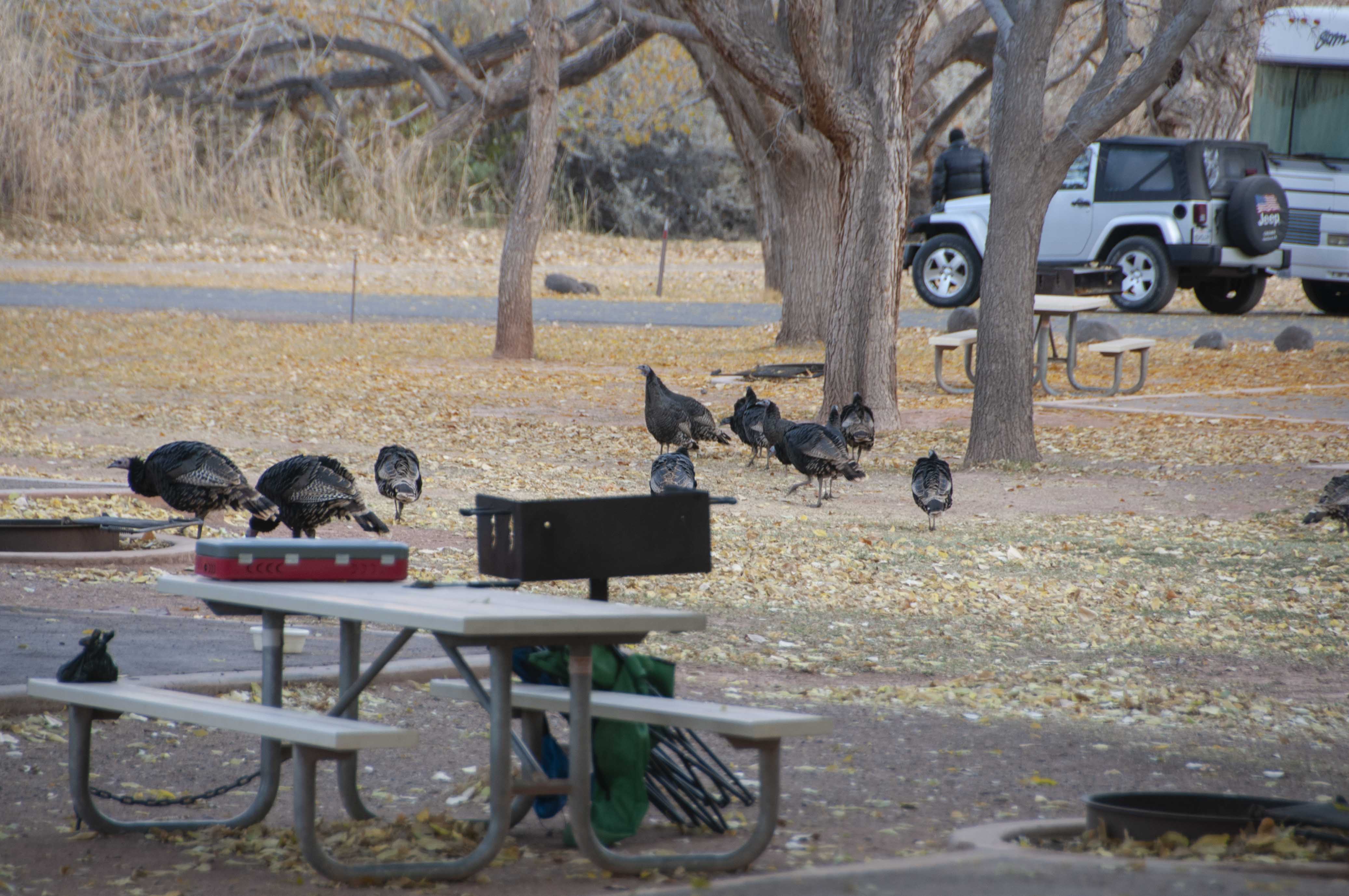
Turkeys in the campground (Oct 2019)
Utah State Route 24 - east from Visitor Center
This section covers the stops along the road from the visitor center to the east boundary of the park.
Points of interest include the Fruita schoolhouse, Fremont petroglyphs, Cohab Canyon trail, Hickman Bridge
trail, Pectol's Pyramid, Capital Dome, and Behunin Cabin. I've saved Cohab Canyon for my next trip.
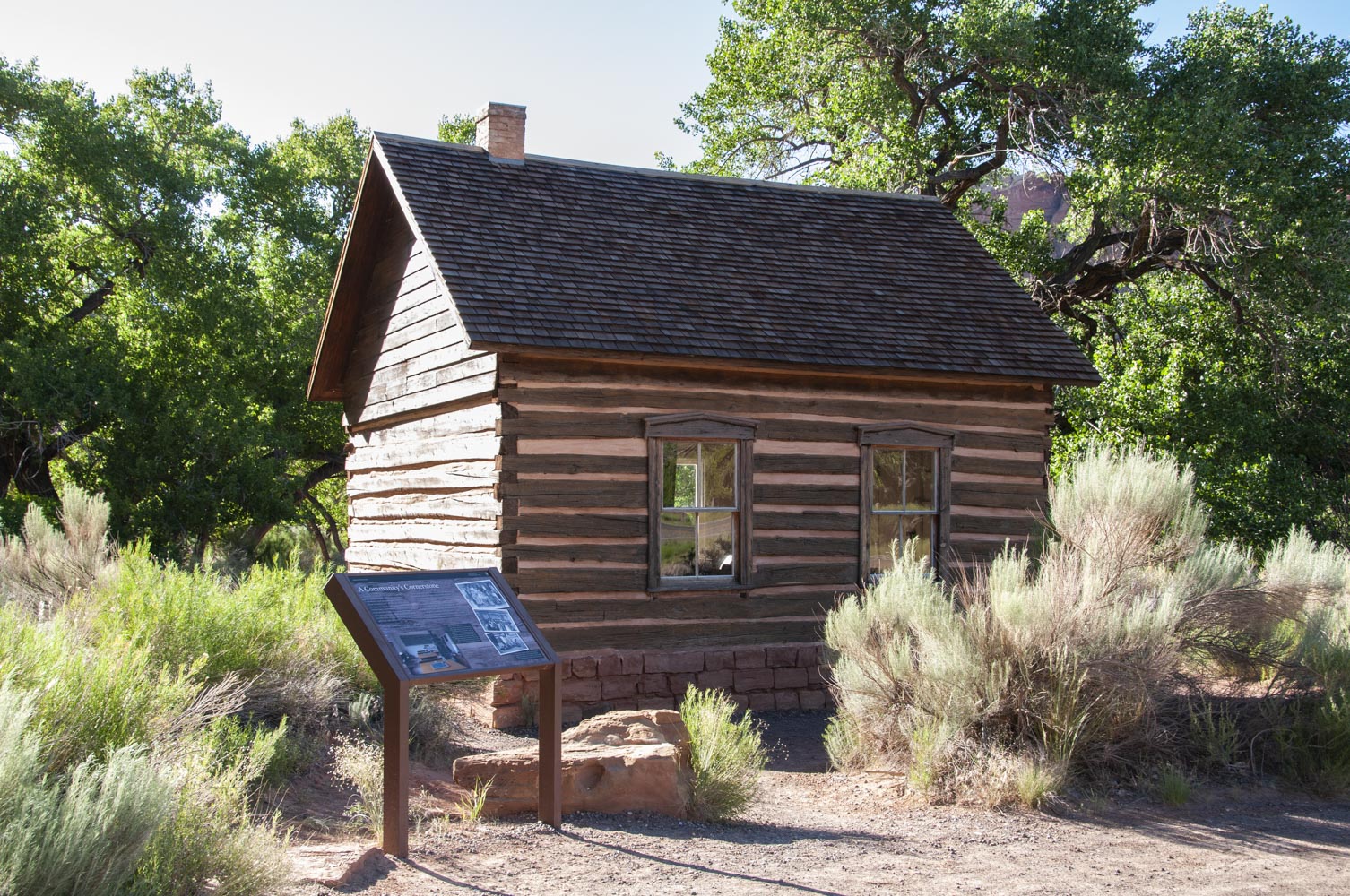
Fruita schoolhouse
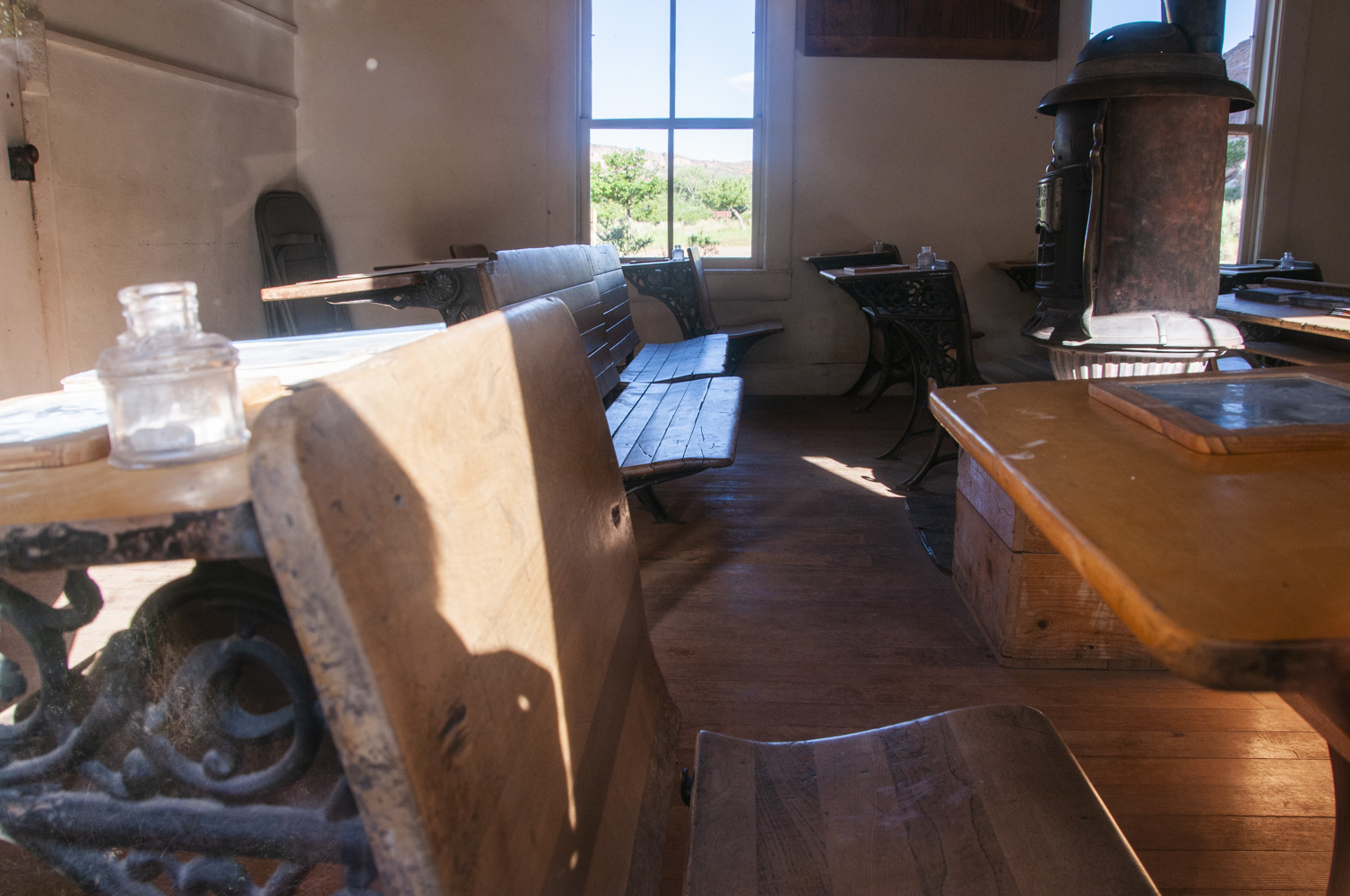
Fruita schoolhouse
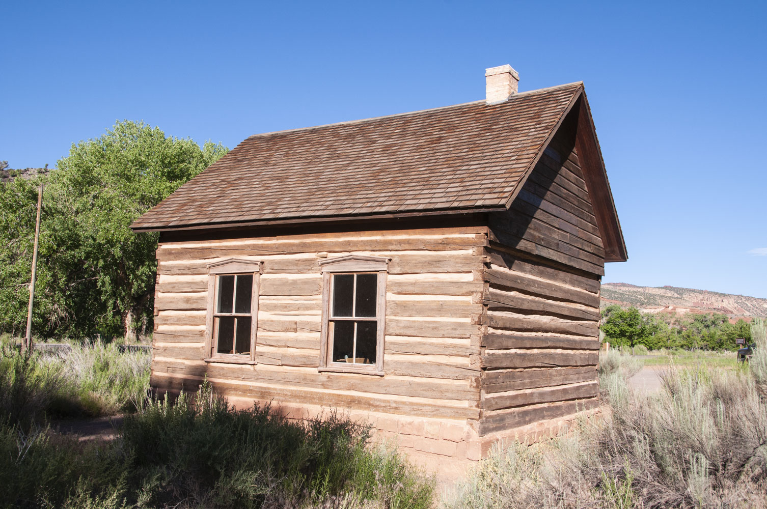
Fruita Schoolhouse
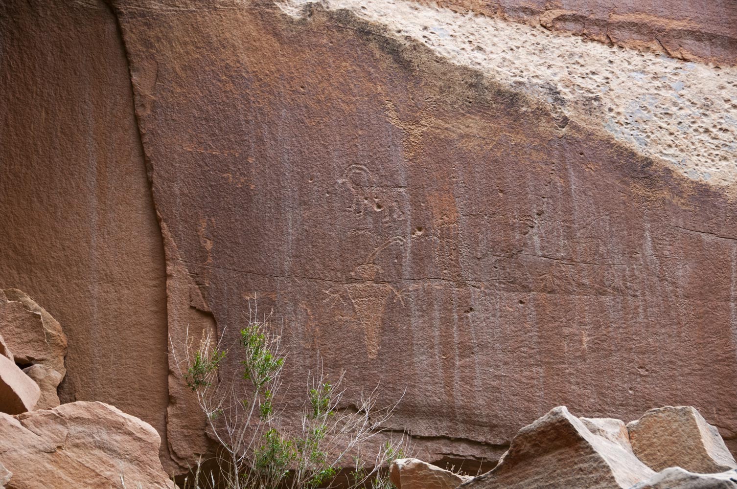
Fremont petroglyphs
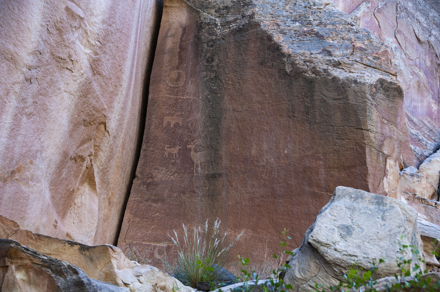
Fremont petroglyphs
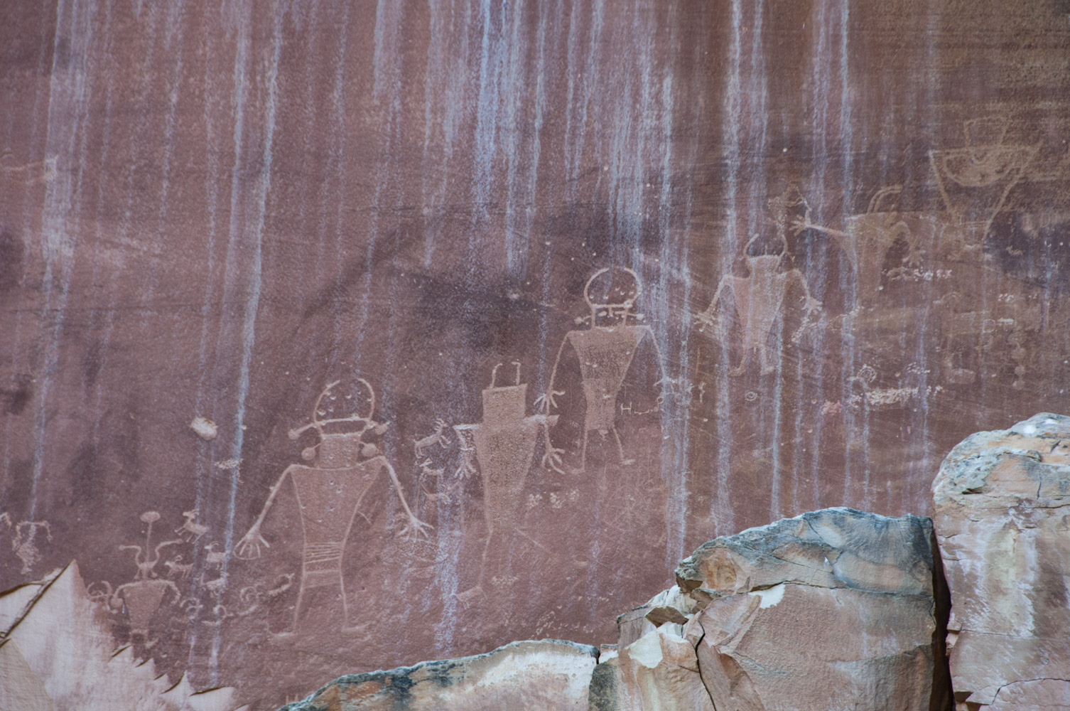
Fremont petroglyphs
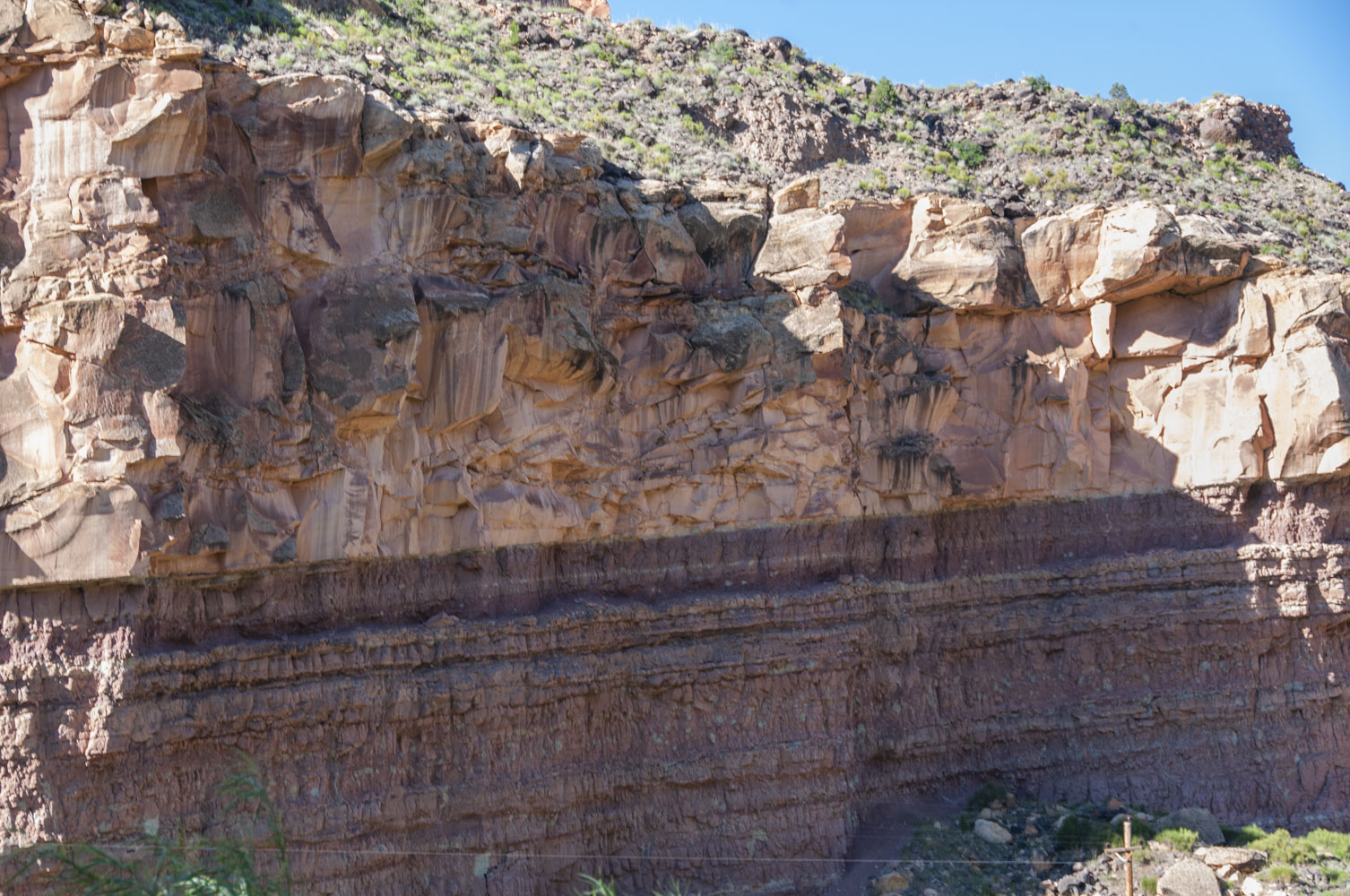
Interesting rock strata
Interesting rock formation
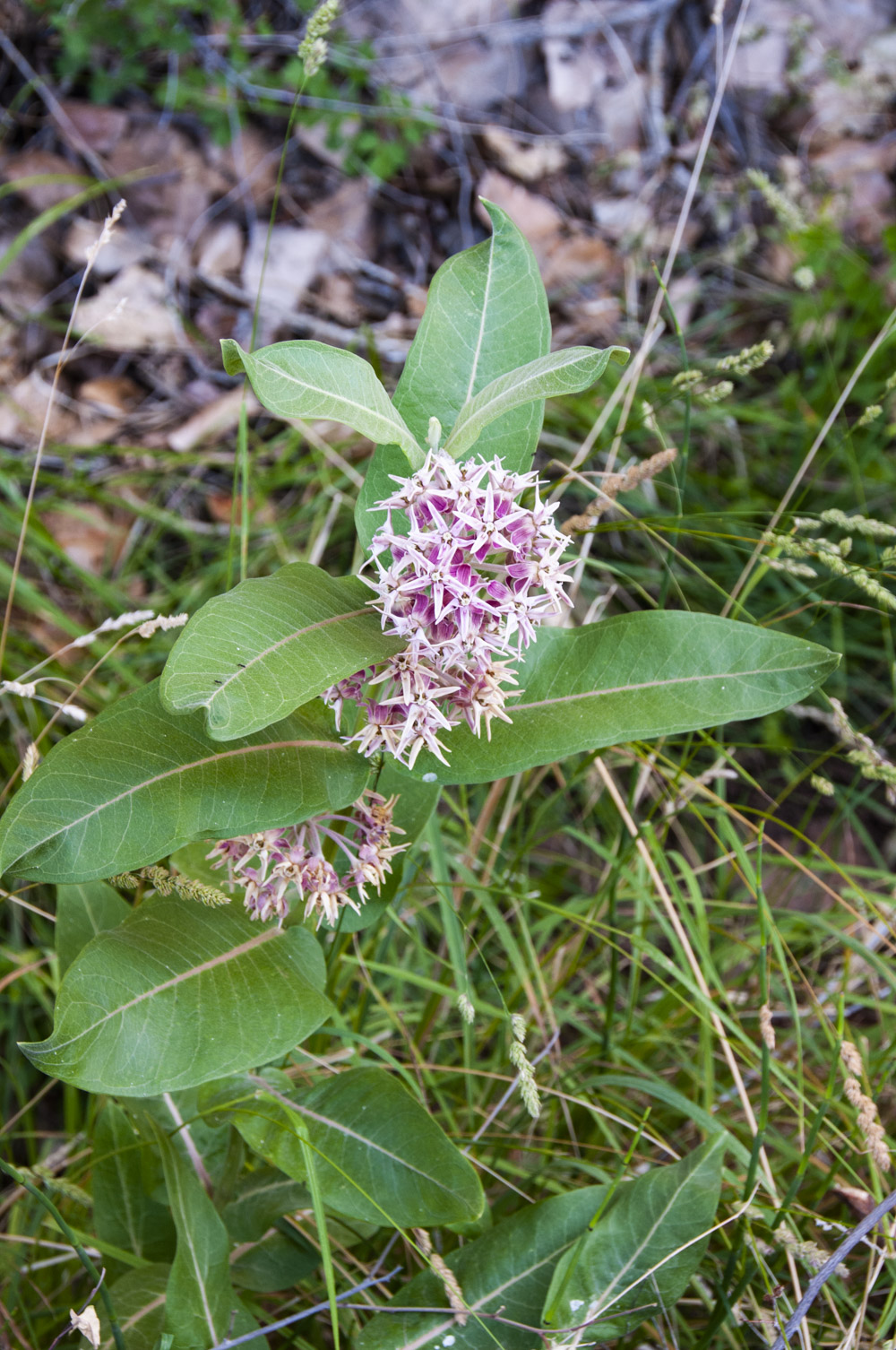
Showy Milkweed
(Asclepias Speciosa)
Desert varnish
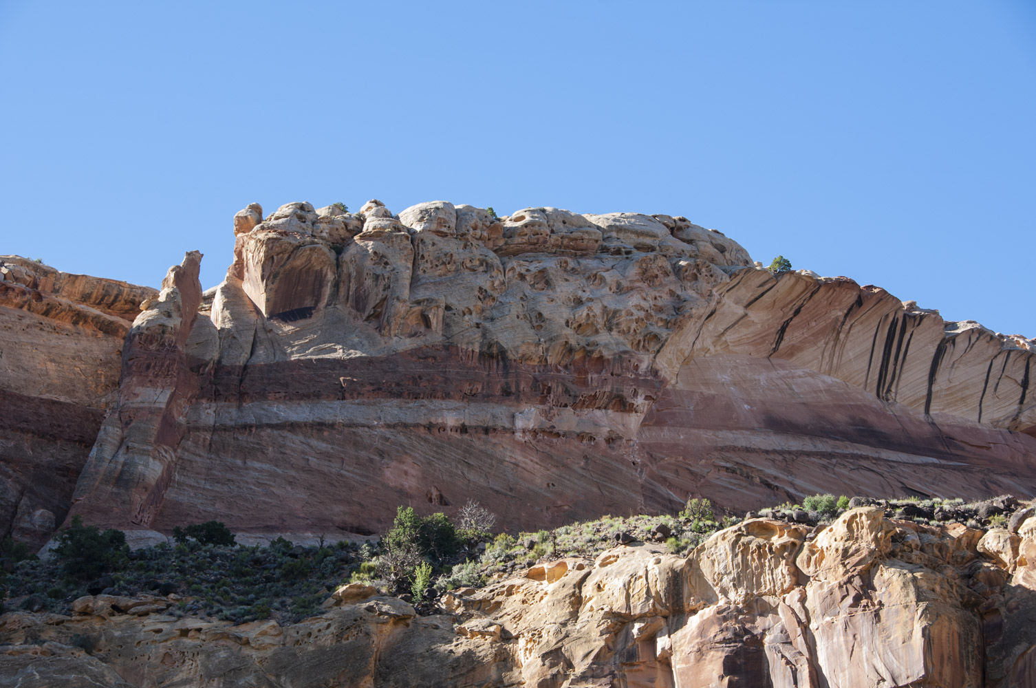
Pectol's Pyramid
View from Utah SR 24
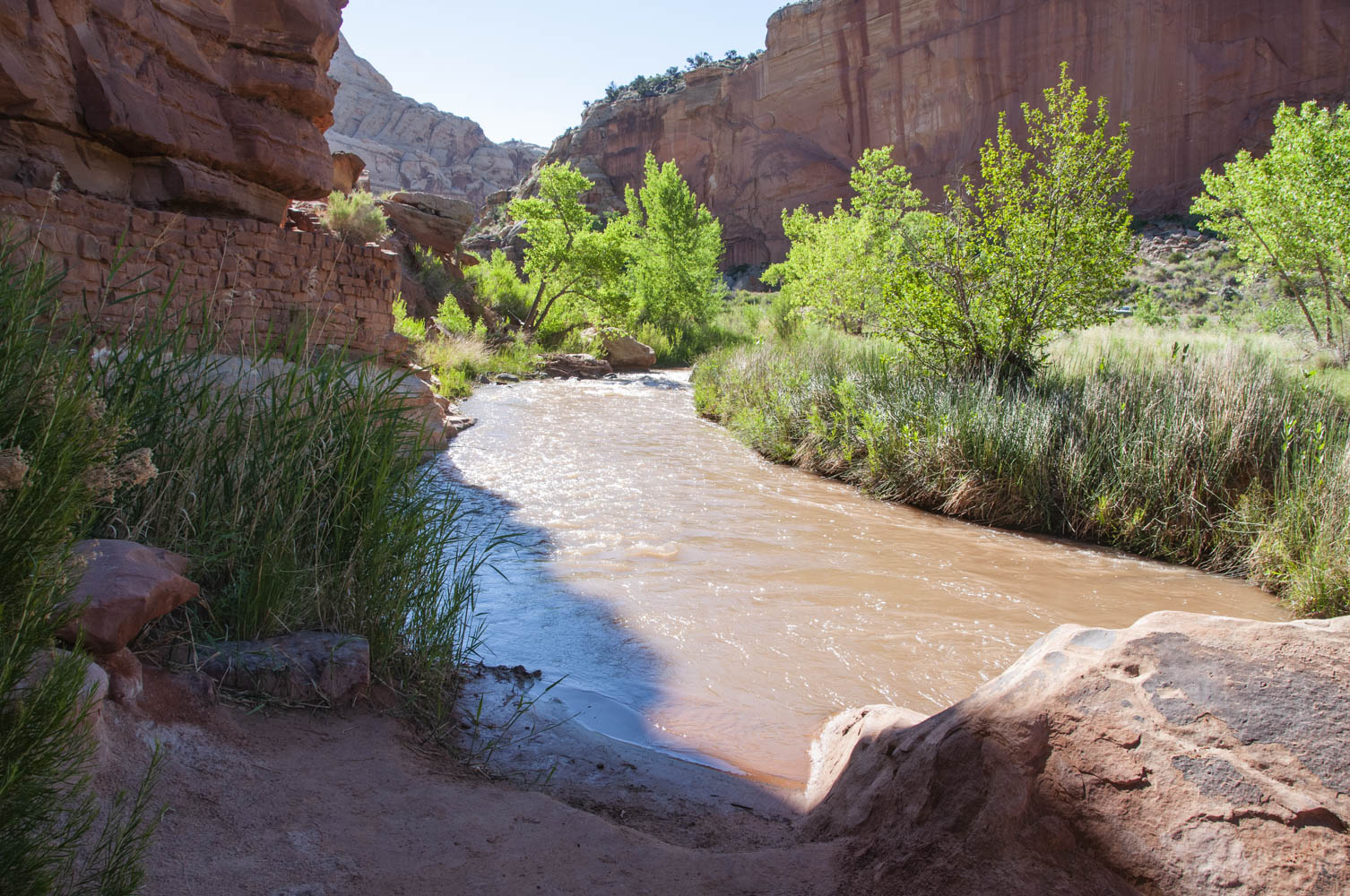
Fremont River
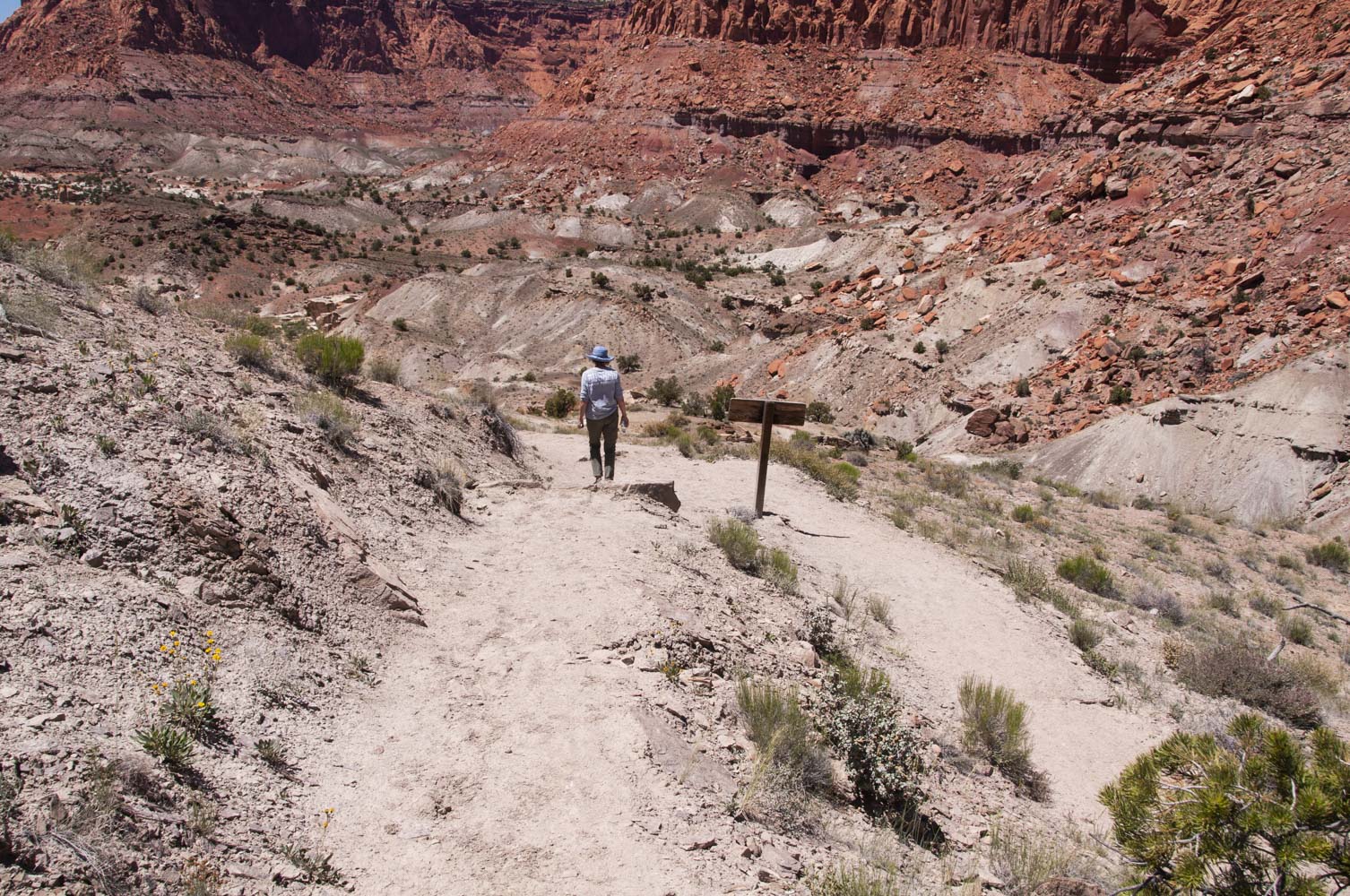
Hickman Bridge trail is 1.8 miles out and back and is rated as moderate with a 400 ft elevation gain. It climbs out of Fremont Canyon and ends in a short loop that passes under Hickman Bridge, a natural bridge carved out of Wingate sandstone. Along the way there are excellent views of Navajo Dome and Pectol's Pyramid to the south, both composed of Navajo sandstone. There is also a Fremont Indian granary along the trail.
Hickman Bridge trail
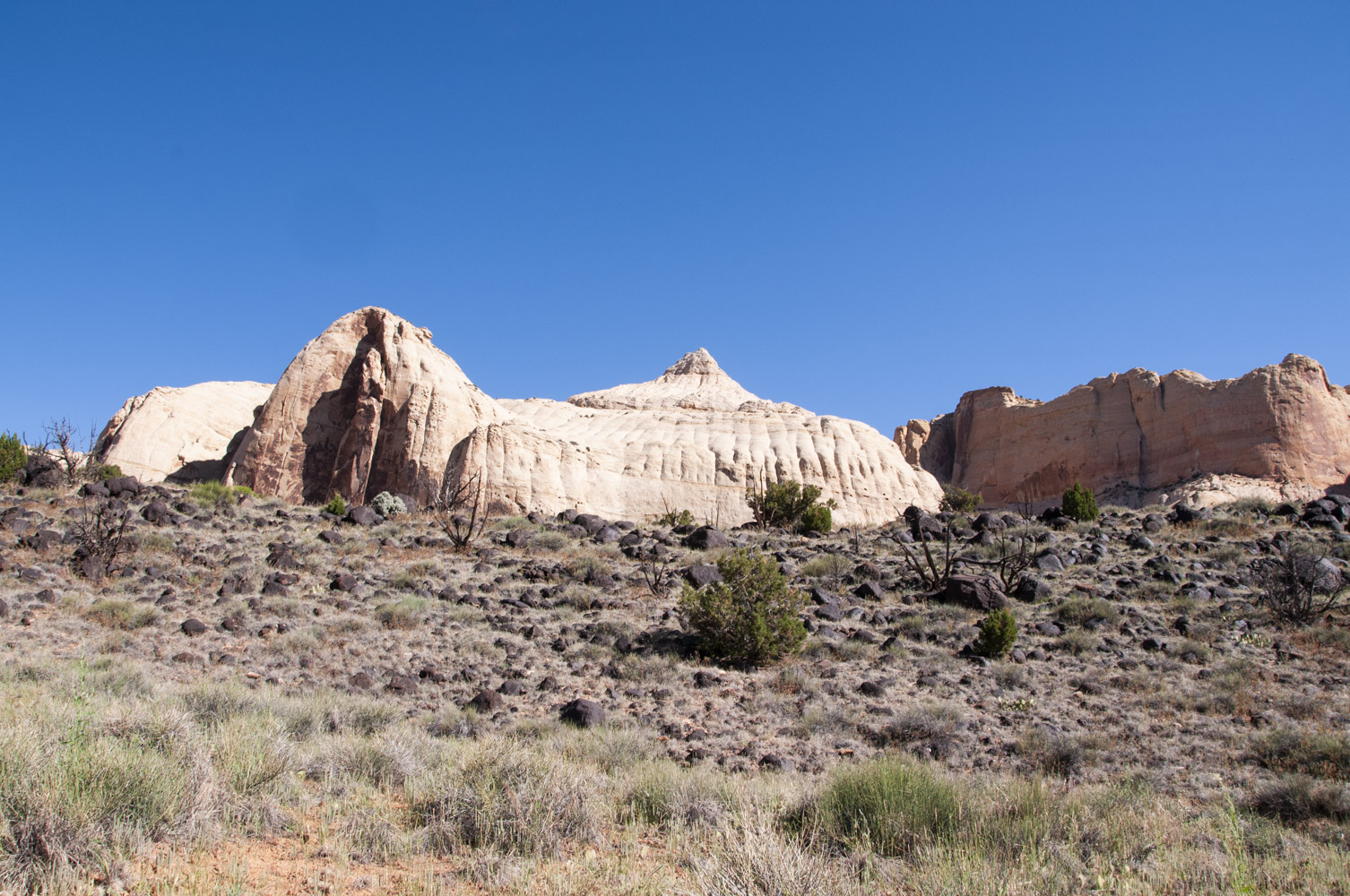
Navajo Dome

Navajo Dome
Pectol's Pyramid

Fremont granary
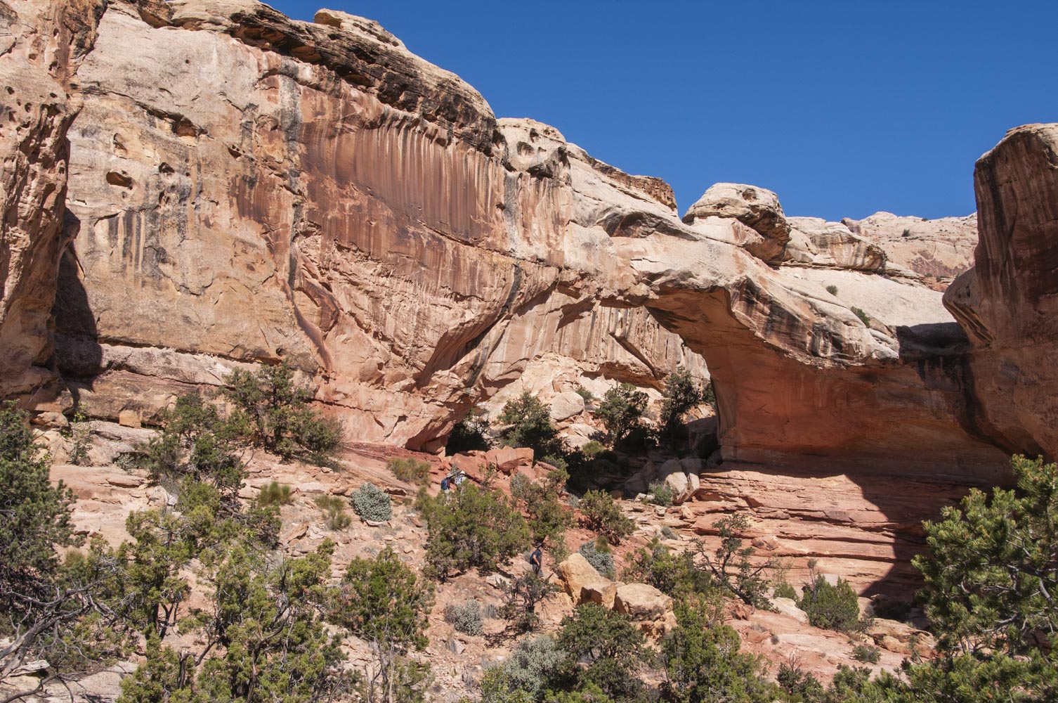
Hickman Bridge

Hickman Bridge
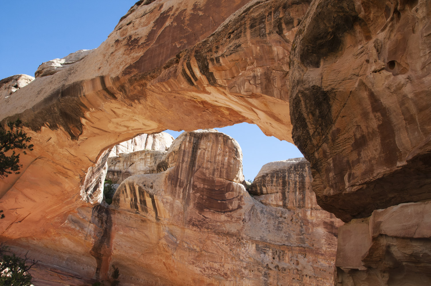
Hickman Bridge

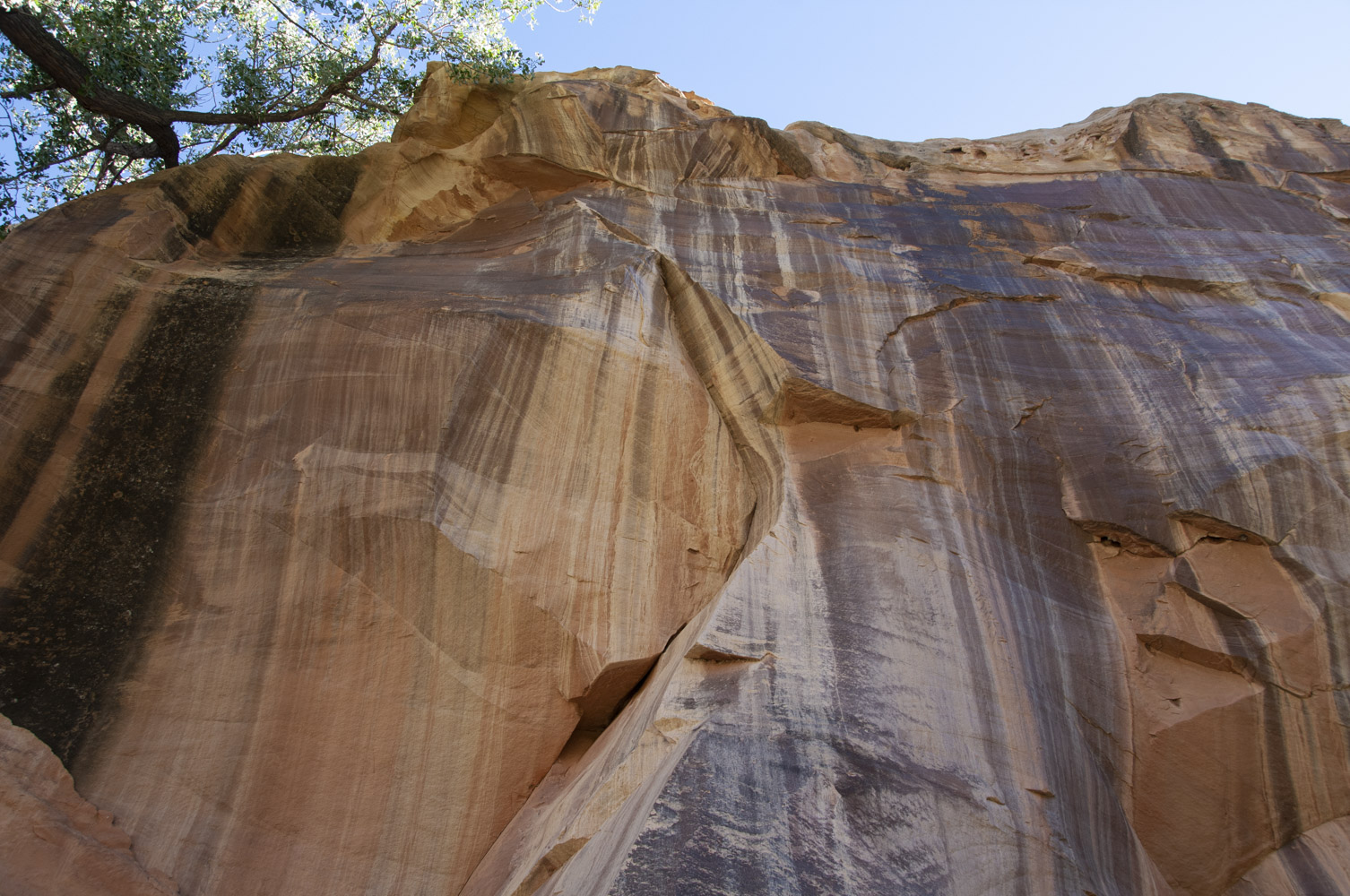
Solution cavities in cliff face
One thing I did on my trip to Capitol Reef in October 2019 was the Loop The Fold Tour.
I'm really, really glad I did it and highly recommend the tour to anyone who has
the time during their visit to Capitol Reef. The tour is a 125 mile drive around the
southern end of the Waterpocket Fold. About a third of it is on dirt and gravel road
and the rest on pavement.
Click here for a virtual Loop The Fold Tour
Hanksville is located east of Capitol Reef on Utah SR 24, about 28 miles from the park
boundary. Hanksville was started in 1882 by a group of Mormon settlers, but was not incorporated
until 1999. Hanksville exerienced a microboom after WWII when it served as a supply
center for uranium prospectors. Today, agriculture, mining, and tourism make up the
local economy. The town had a population of 219 per the 2010 census, but I'm
thinking it might be smaller now (2019). As small as it is, it does have some points
of interest. For instance there is a store carved into the side of a cliff. And then there
is....I don't quite know how to label it. You'll just have to look at the last part of this section.
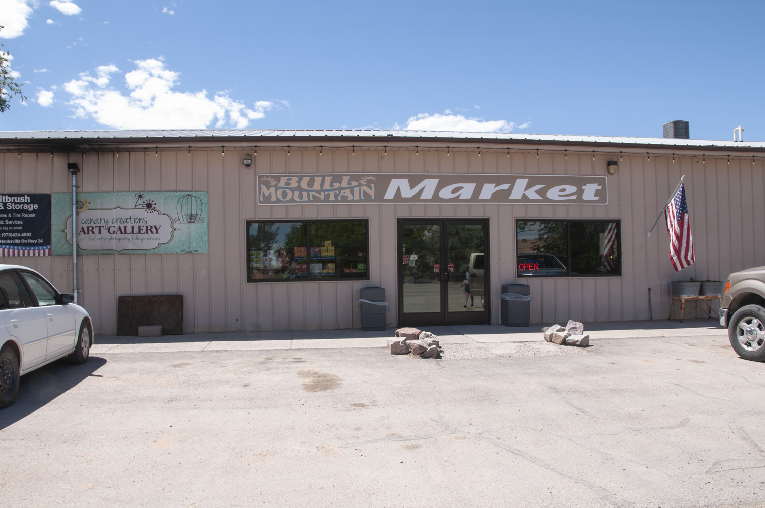
Bull Mountain Market
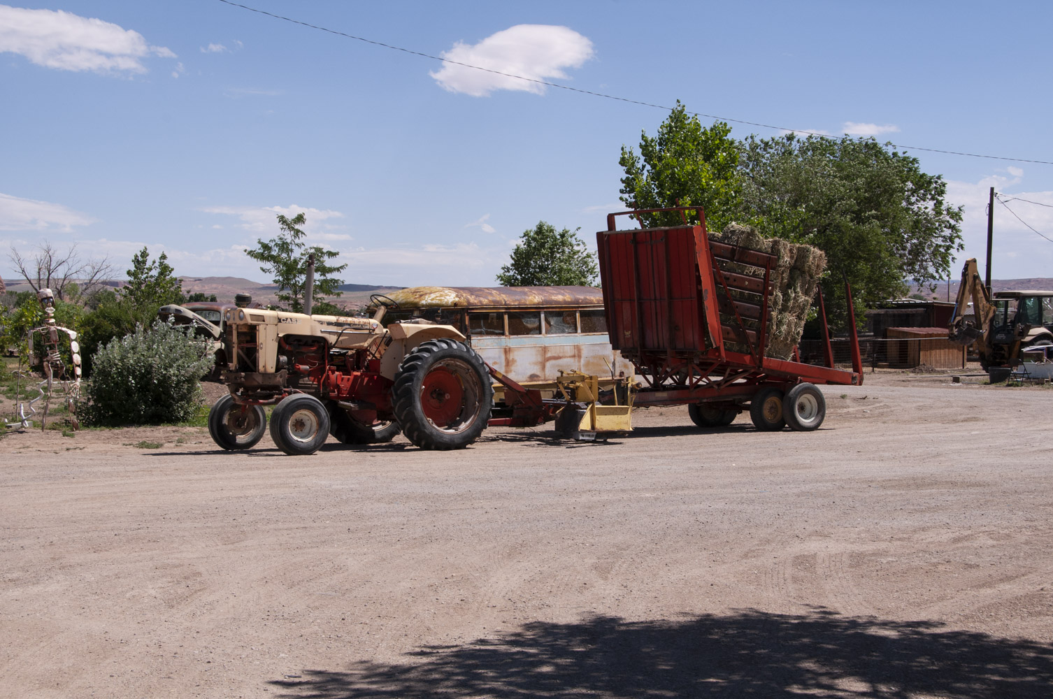
Tractor and hay baler
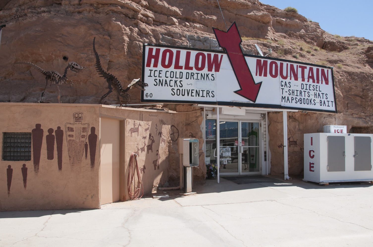
Hollow Mountain Store
and gas station
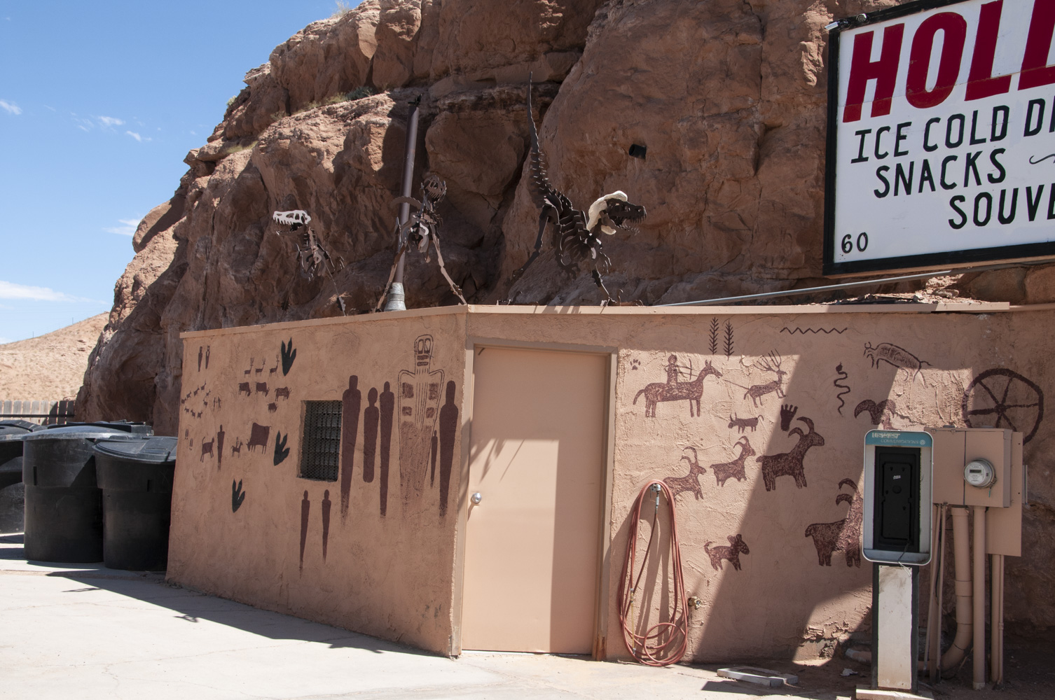
Hollow Mountain Store
and gas station
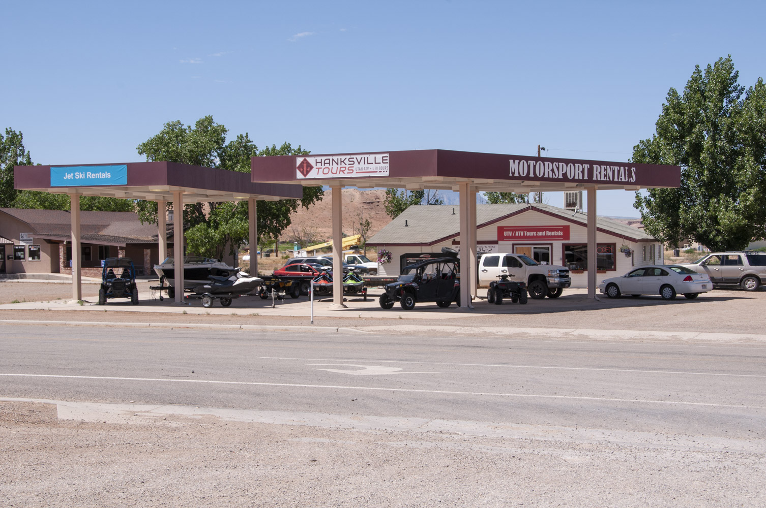
Hanksville Tours and
Motorsport Rentals

Utah State Route 95
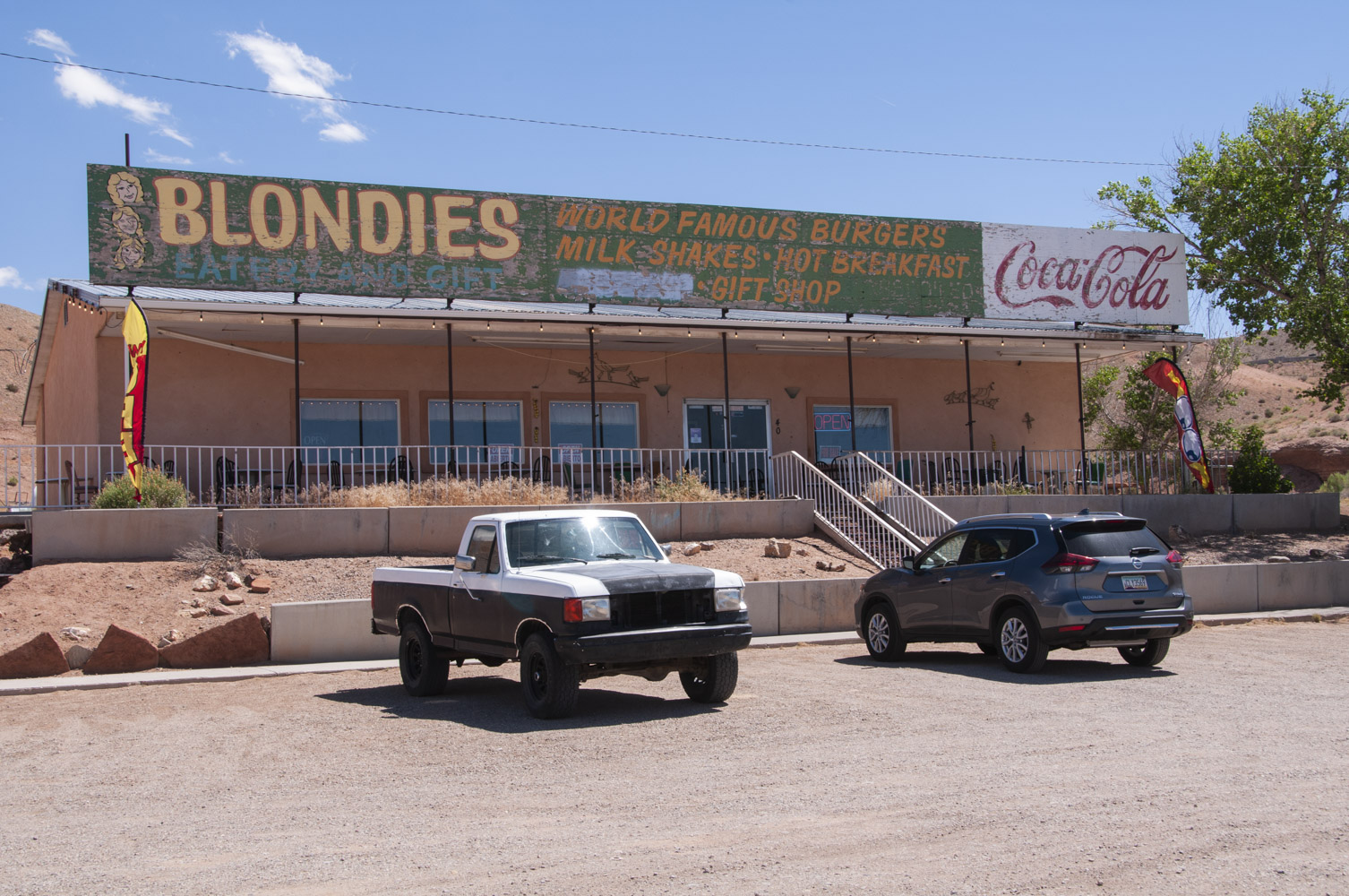
Blondies Diner
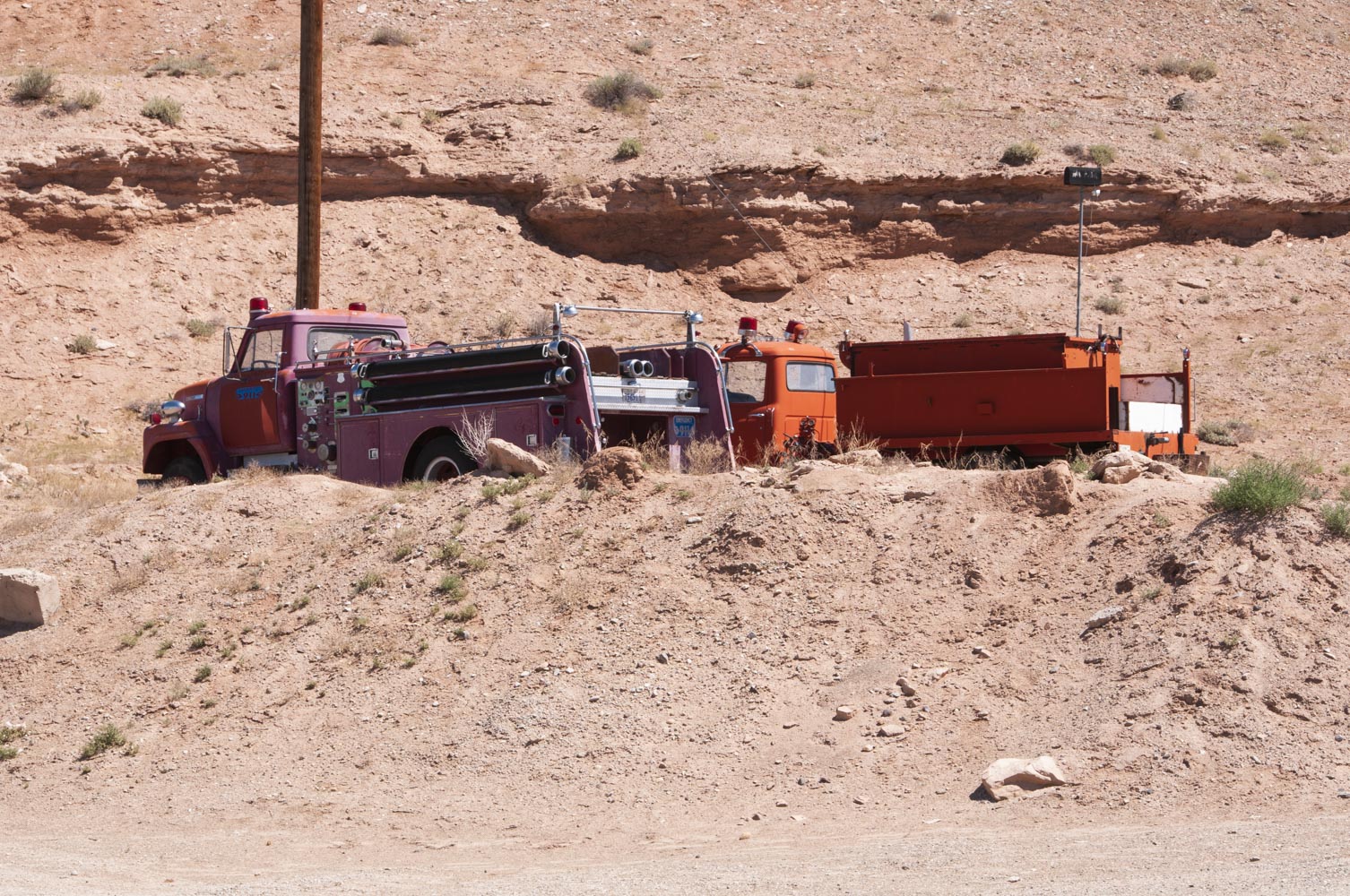
Outdoor fire station?
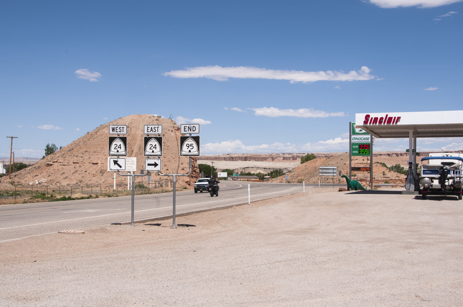
Junction of Utah SR 24 and 95
(Check the gas price - 6/20/2019)
OM Shanti Christo - still trying to figure this one out. This place appears to be an example of hippie-new age-hindu-metaphysical fusion, but it does have some really funky junky metal sculpture.

OM Shanti Christo
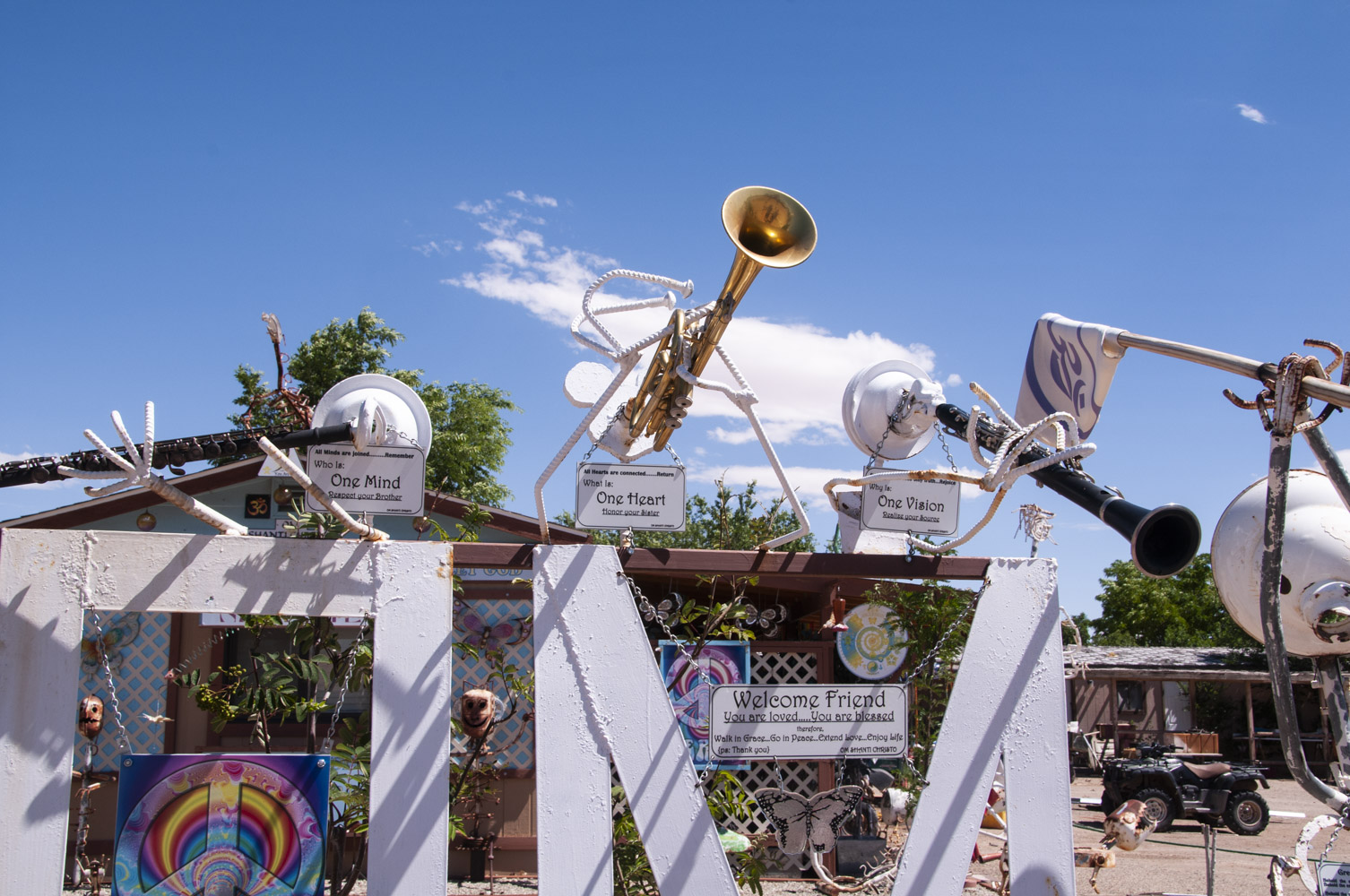
"Welcome Friend"
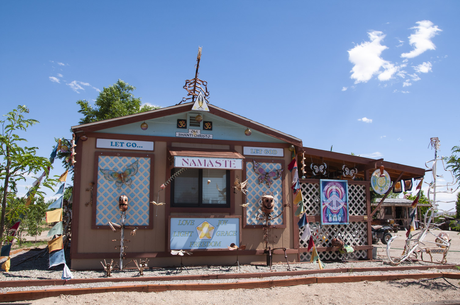
But I didn't go in.
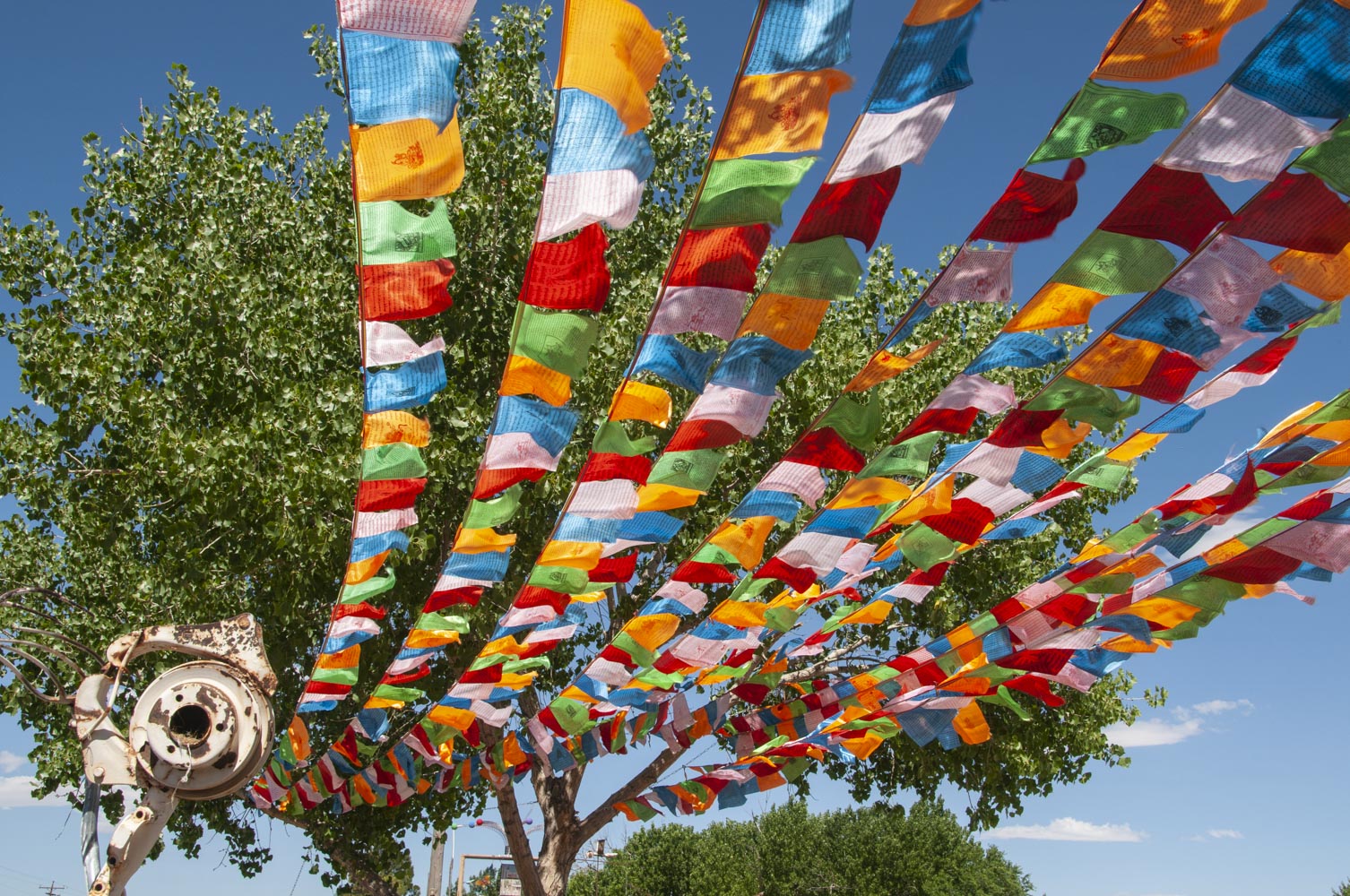
I think prayer flags
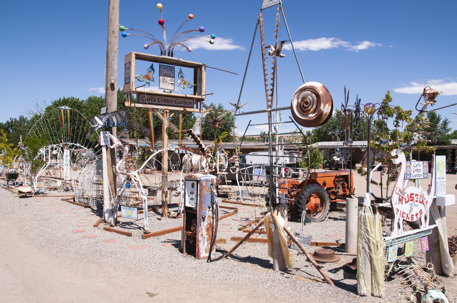
Lots going on here
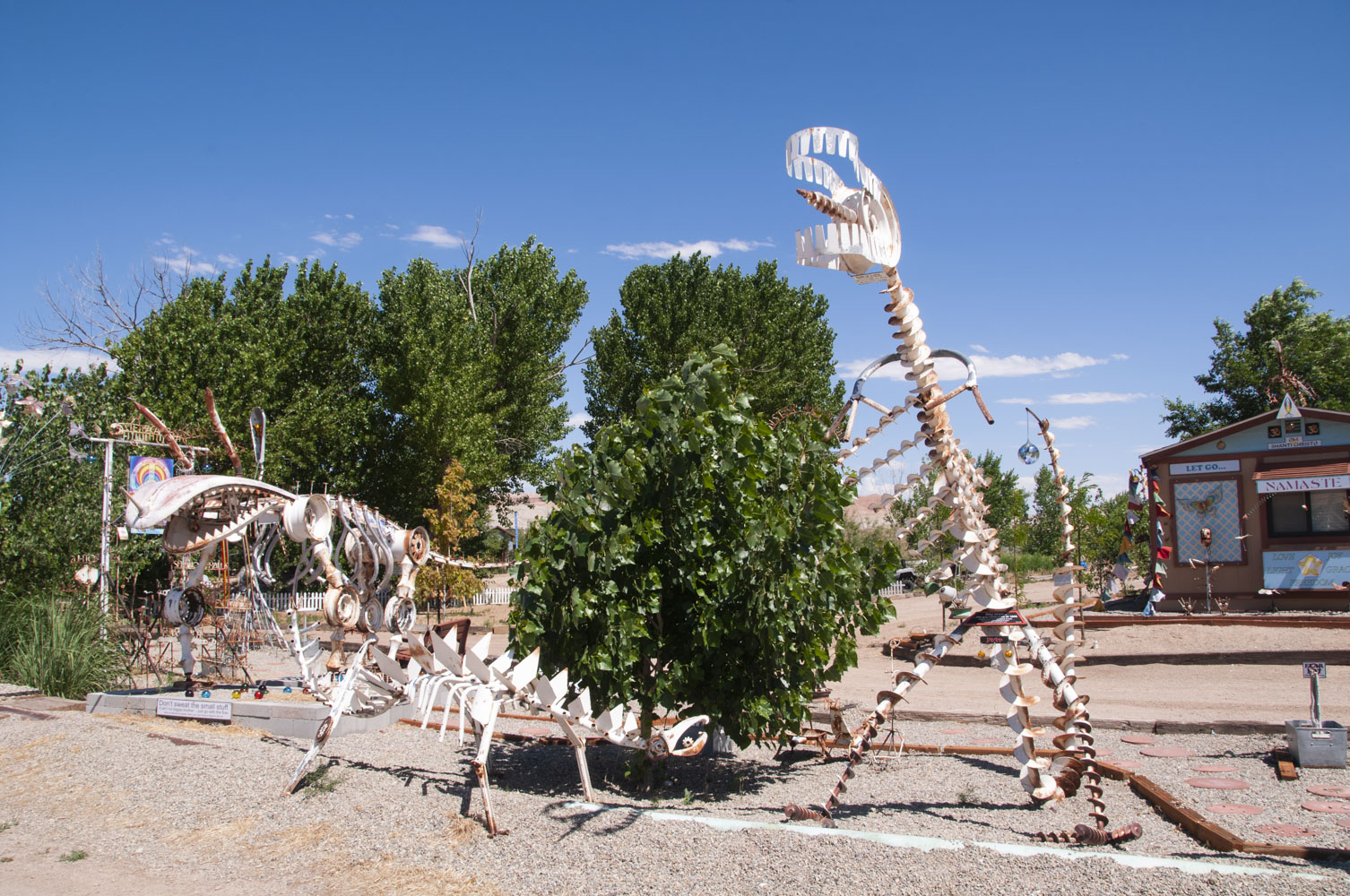
Iron-age dinosaurs
Background content from National Park Service and Wikipedia
Use the form on the Home Page to submit comments, questions, or suggestions. TD Productions Copyright © 2019