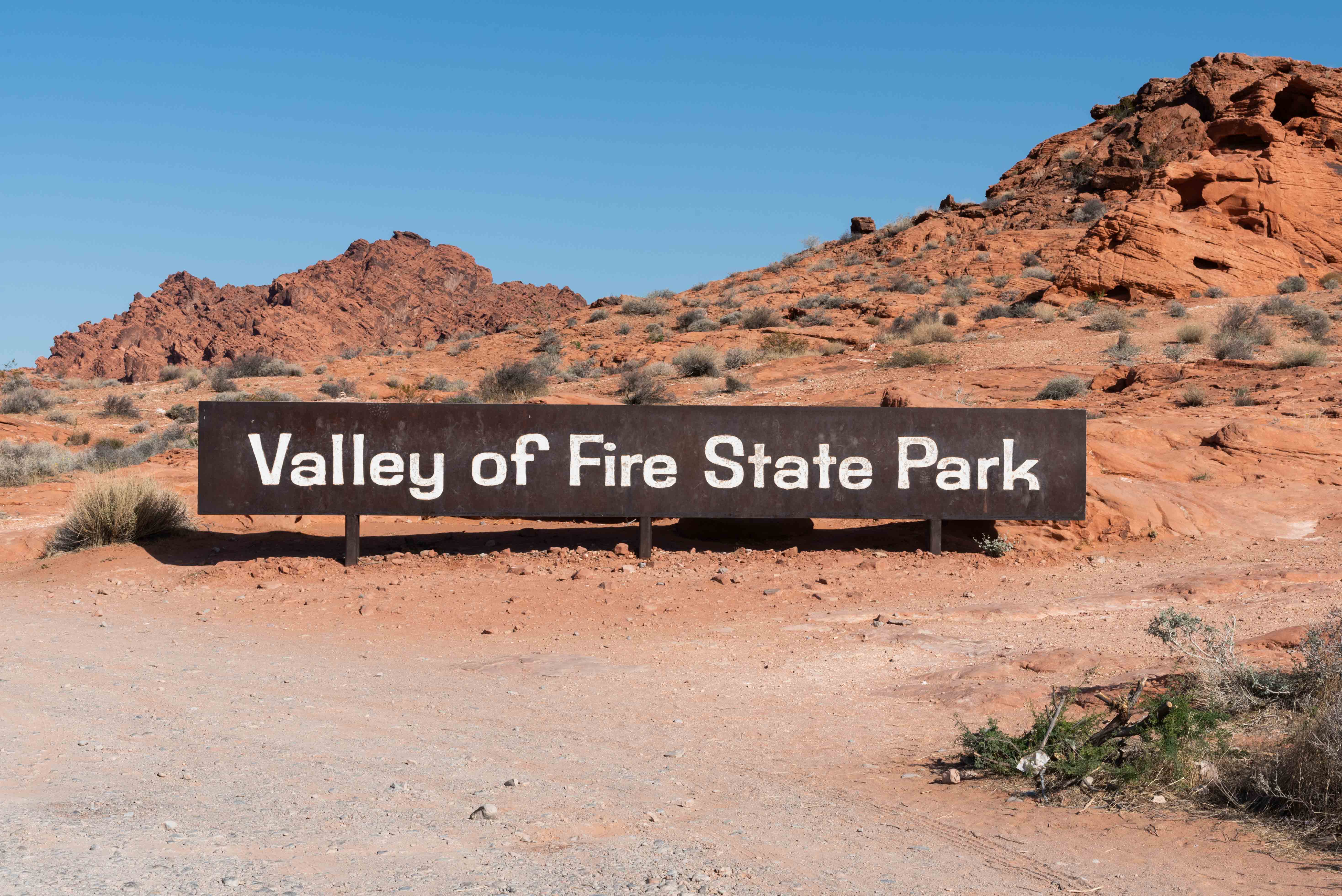
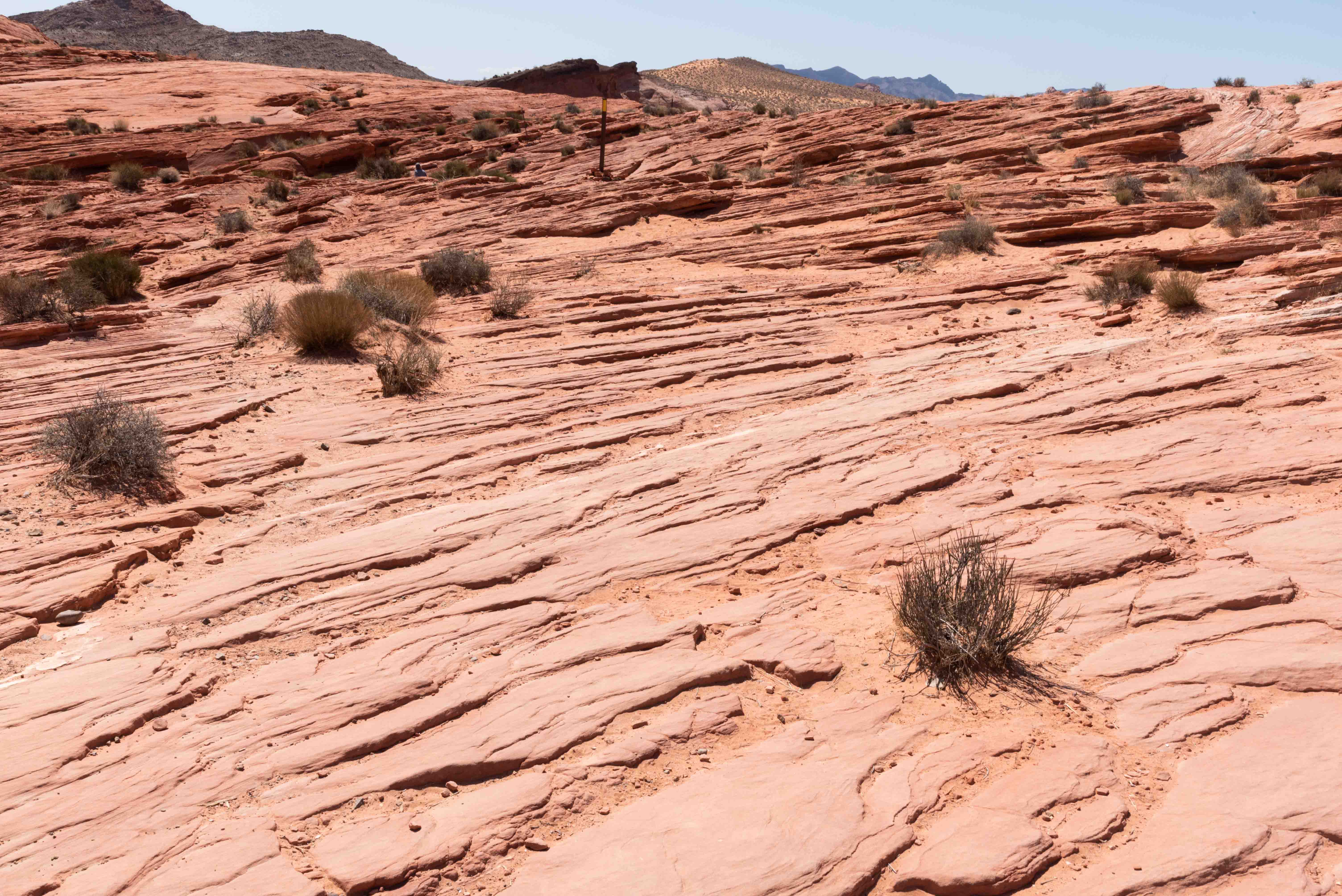
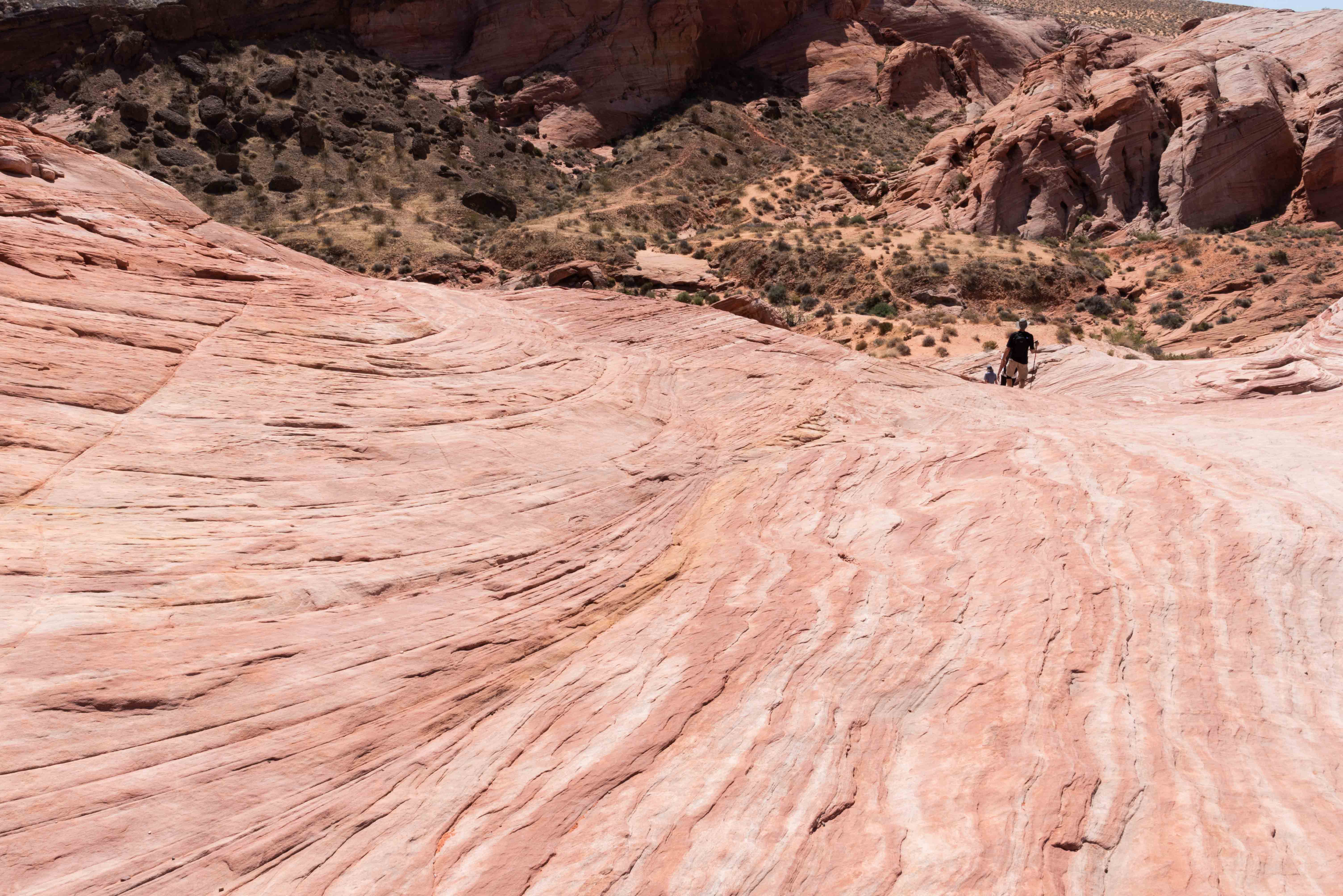
Valley of Fire State Park
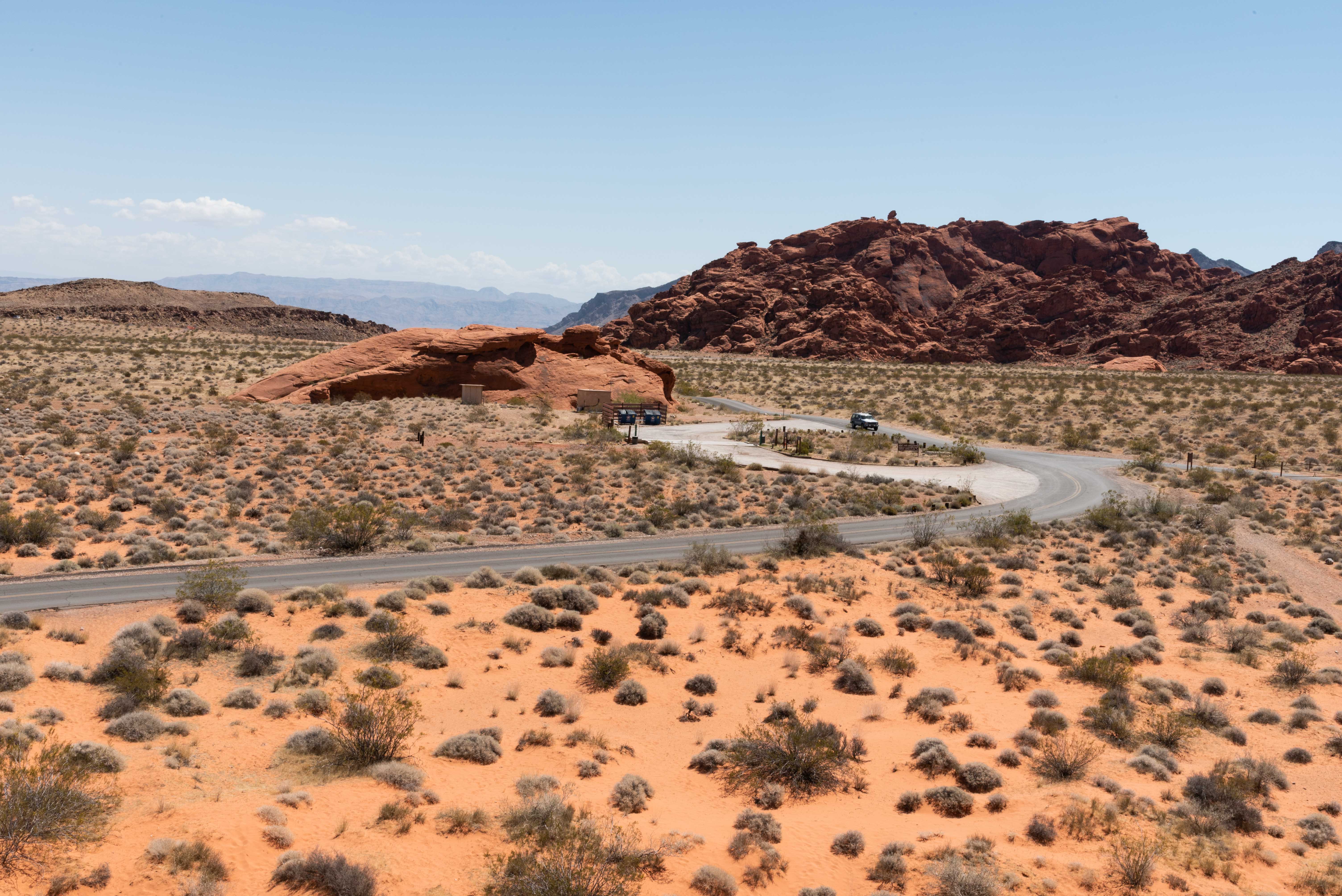
Valley of Fire State Park is a real gem located in the desert 16 miles south of Overton, Nevada.
Take Nevada State Route 169 south out of Overton for about 10 miles then turn right on to Valley of Fire Highway
at the east entrance to the park. There is an entrance fee (I think it was $15 out-of-state). The west entrance
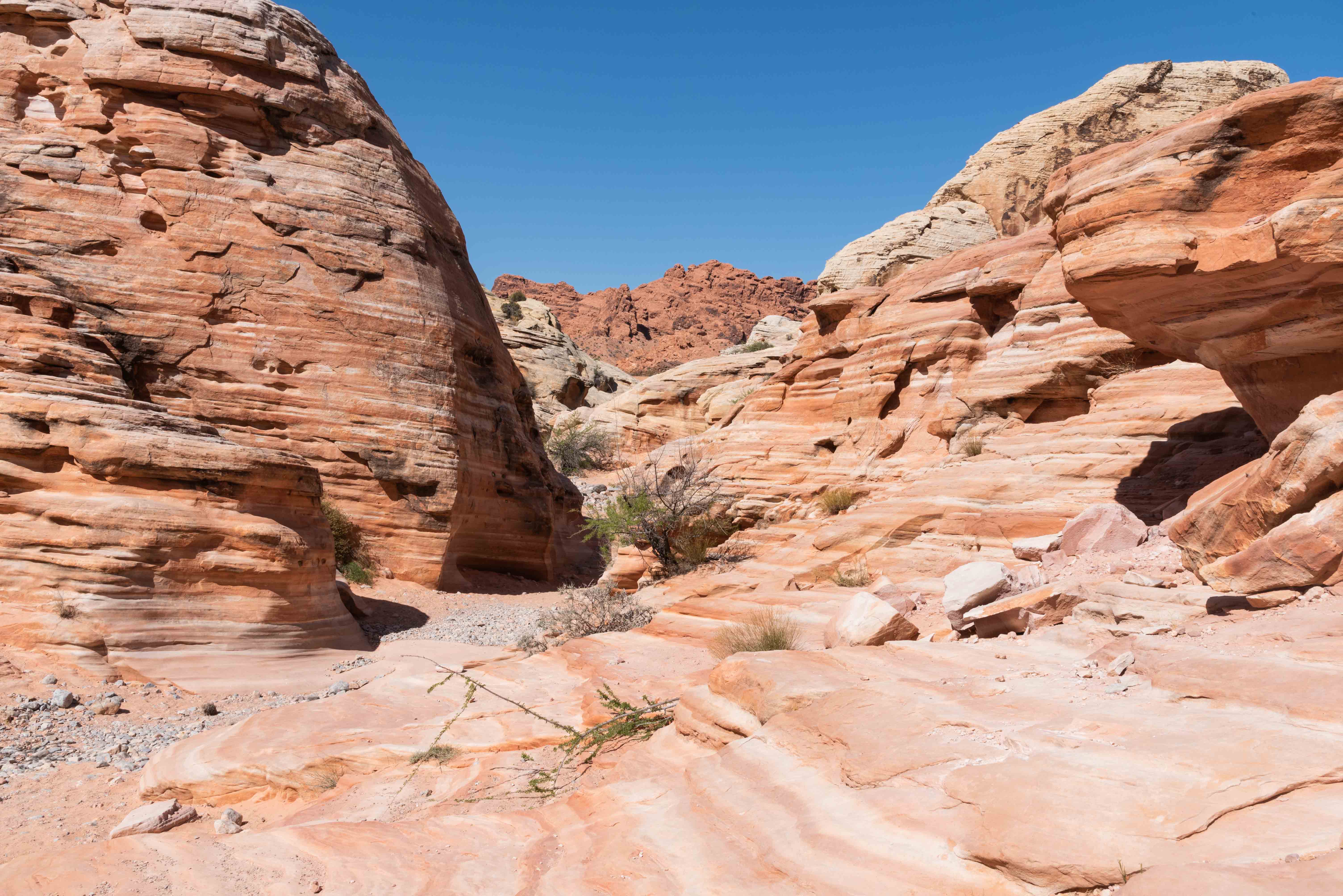
to the park can be accessed from Las Vegas via I-15.The park valley is filled with vibrant red Aztec Sandstone
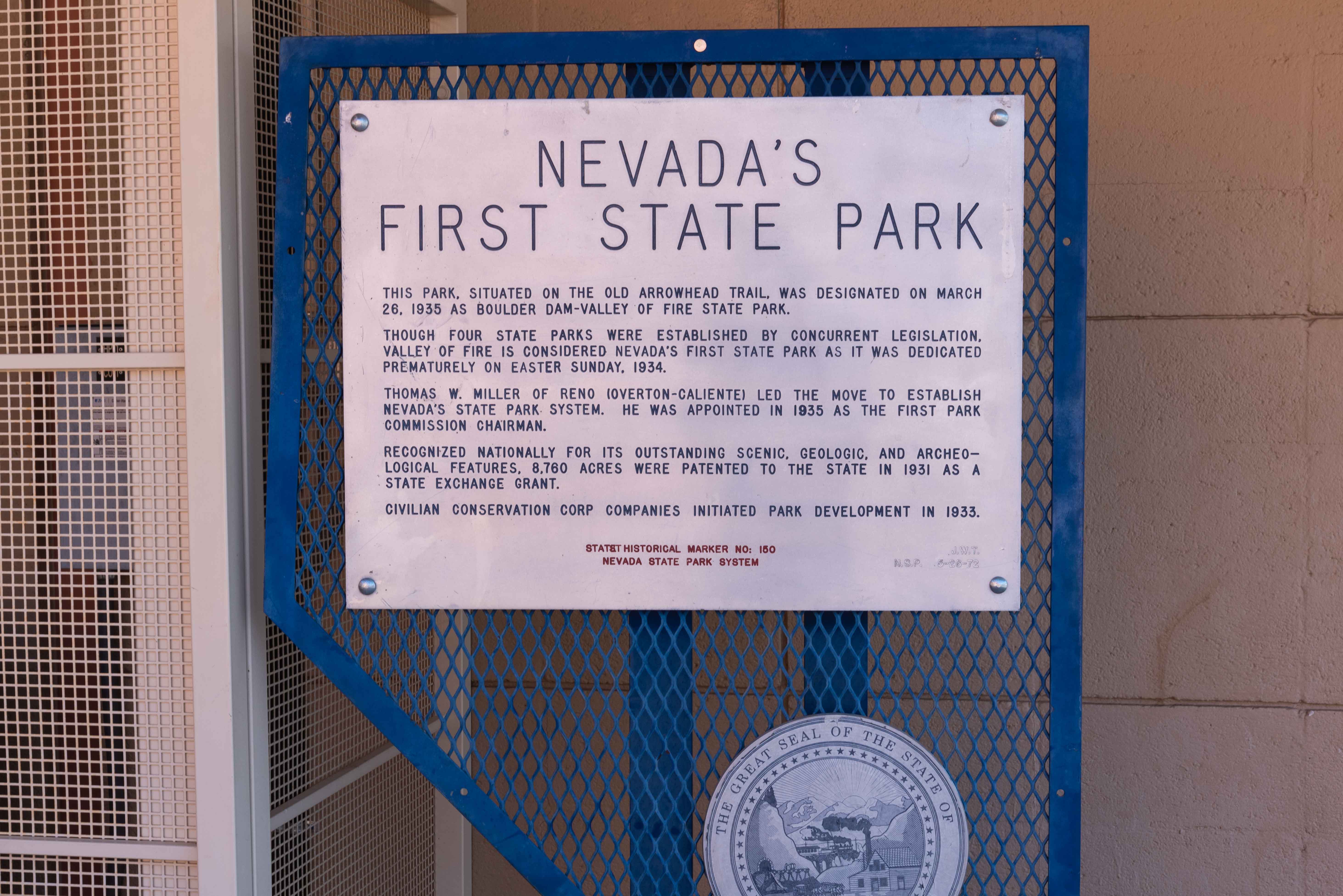
formations from which it derives its name. The park covers nearly 46,000 acres making it the largest state
park in Nevada, and was established in 1935, making it the oldest state park.
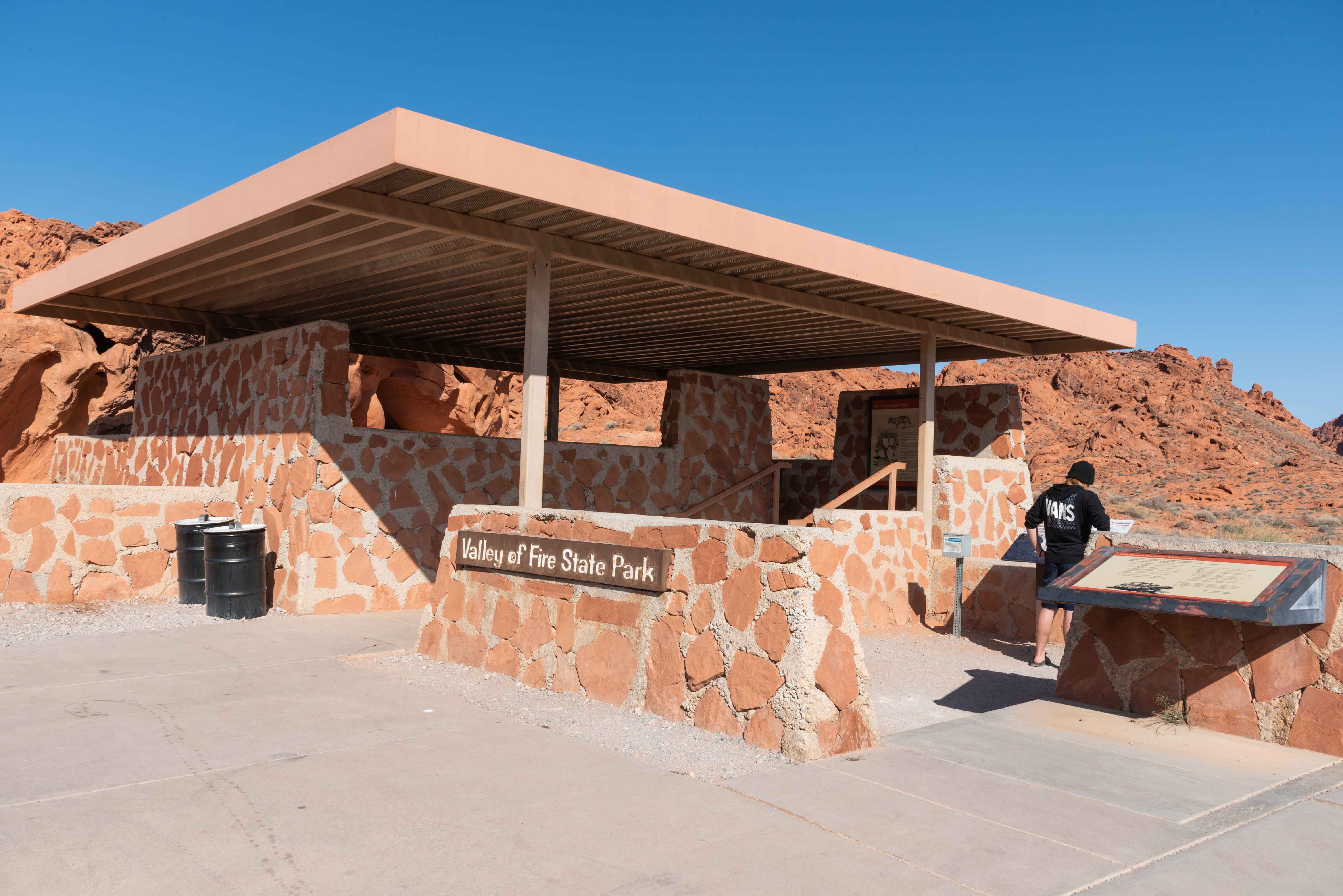
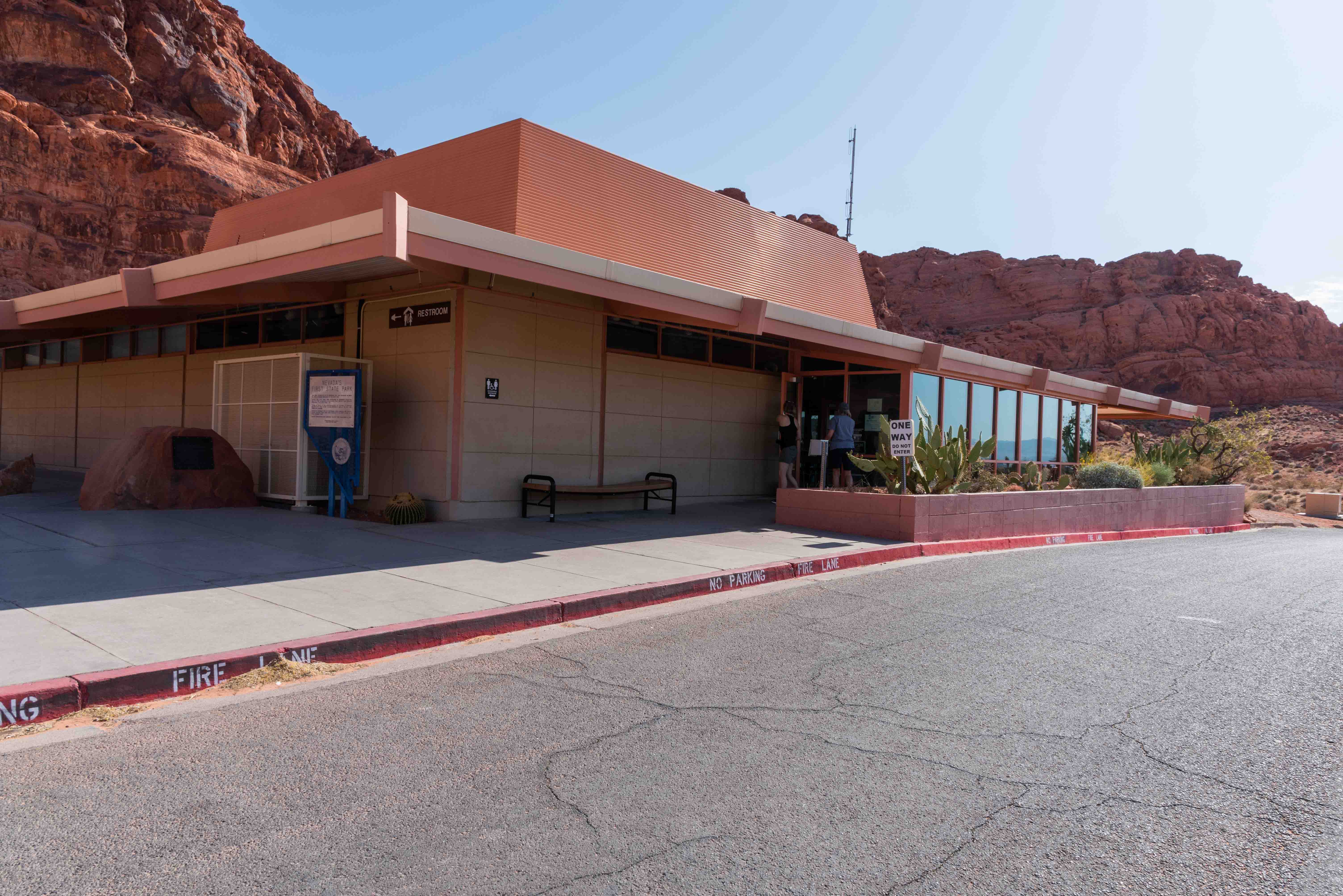
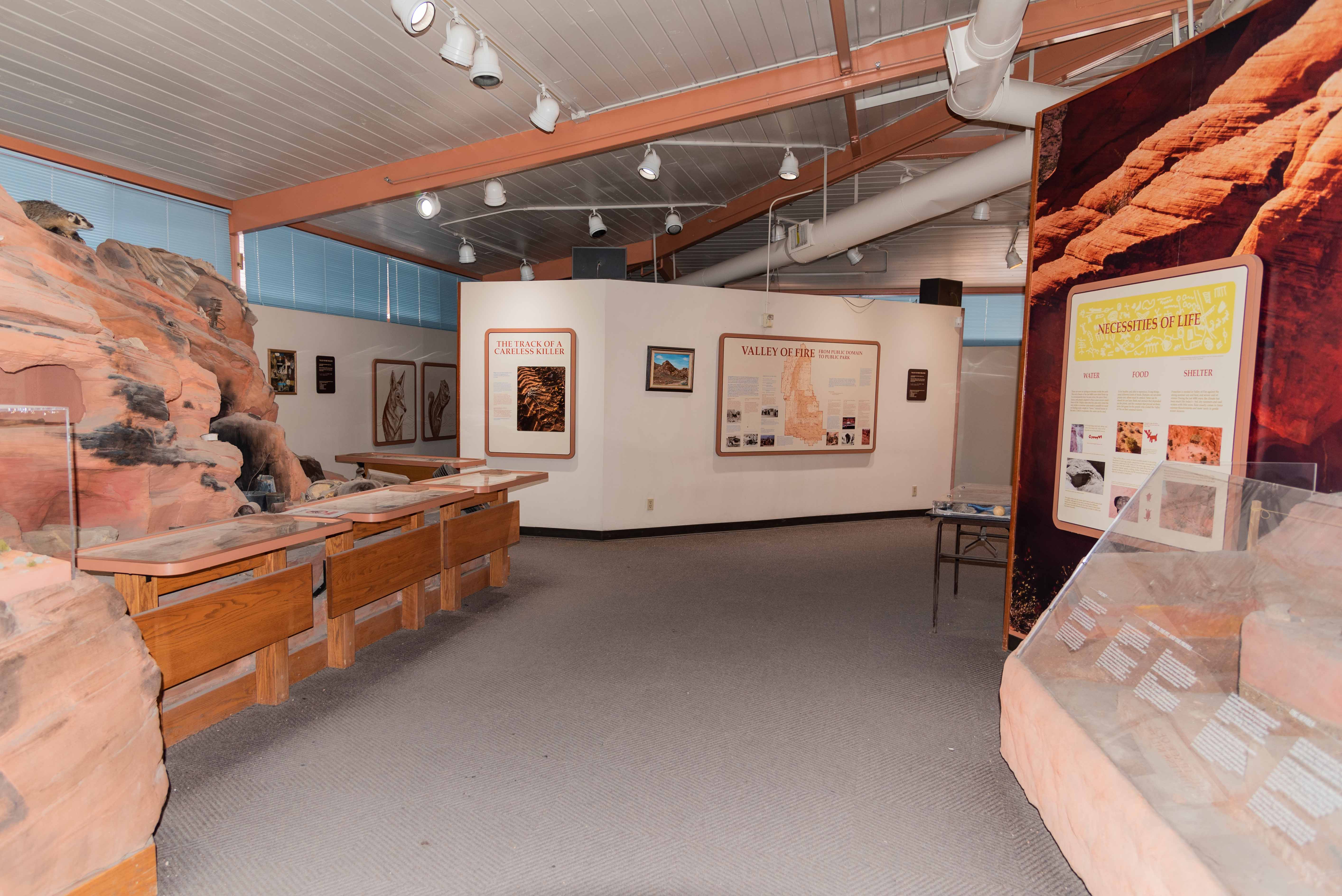
There is a visitor center , numerous picnic areas, and two campgrounds with a total of 72 campsites available
on a first come-first served basis. There are also RV sites with water and electrical hookups.
I spent a little more than half a day in the park in April of 2021 and only saw about half of what there was to see.
There are some short hikes which are presented below and some longer ones which are not. Things I missed that I will definitely
do next time include Arrowhead Loop Trail and the Atlatl Scenic Loop. I might even hike part of the Old Arrowhead Road
Trail. I had a great time in the park and it's high on my list of recommendations. We will start our tour at the
east entrance of the park, but bounce around after that.
Lone Rock and the Cabins
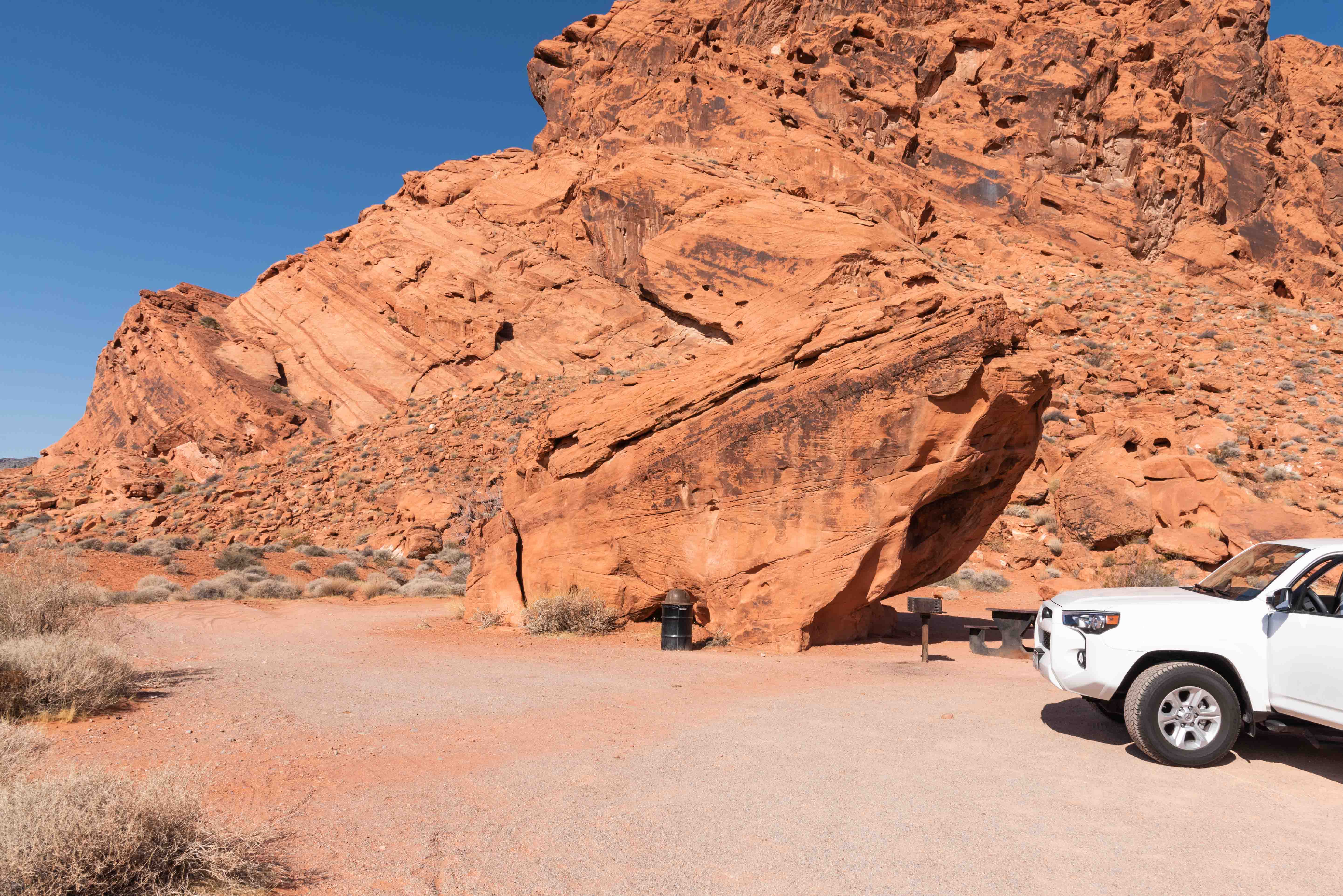
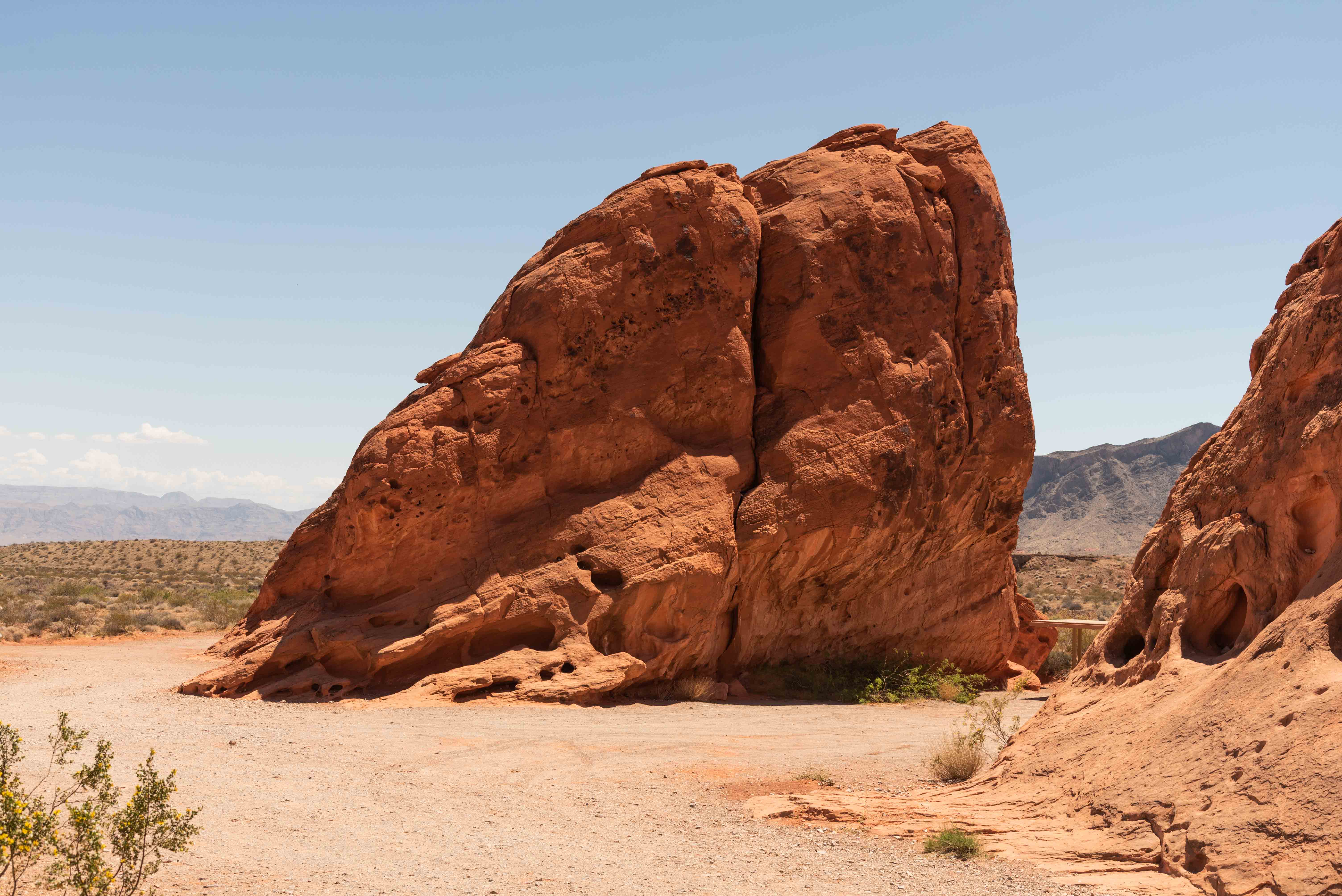
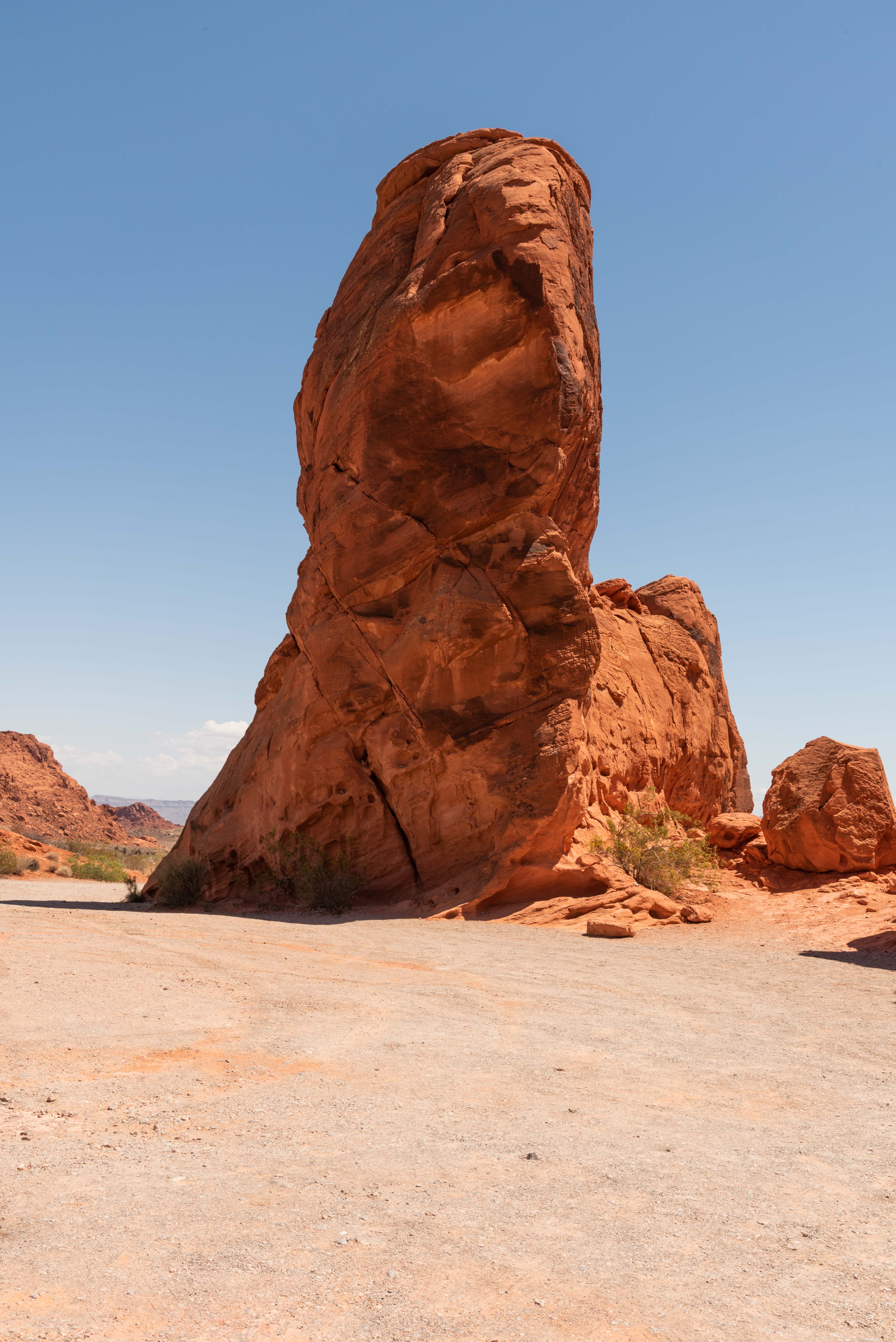
Lone Rock is a 3,000 lb piece of sandstone sitting all by itself just off the
Valley of Fire Highway. There is one picnic table and a barbeque grill. The
picnic table is sort of under Lone Rock and gets afternoon shade.
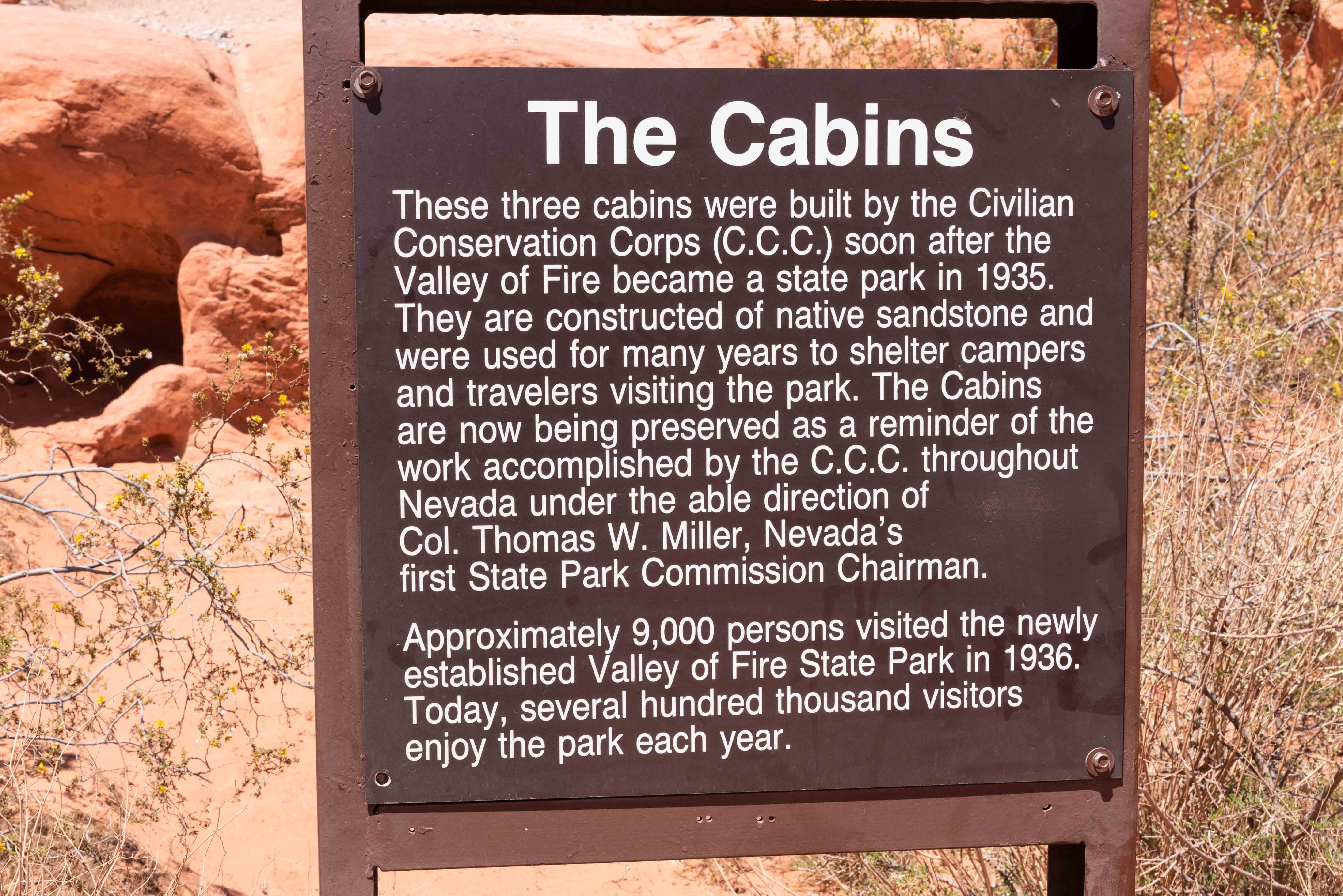
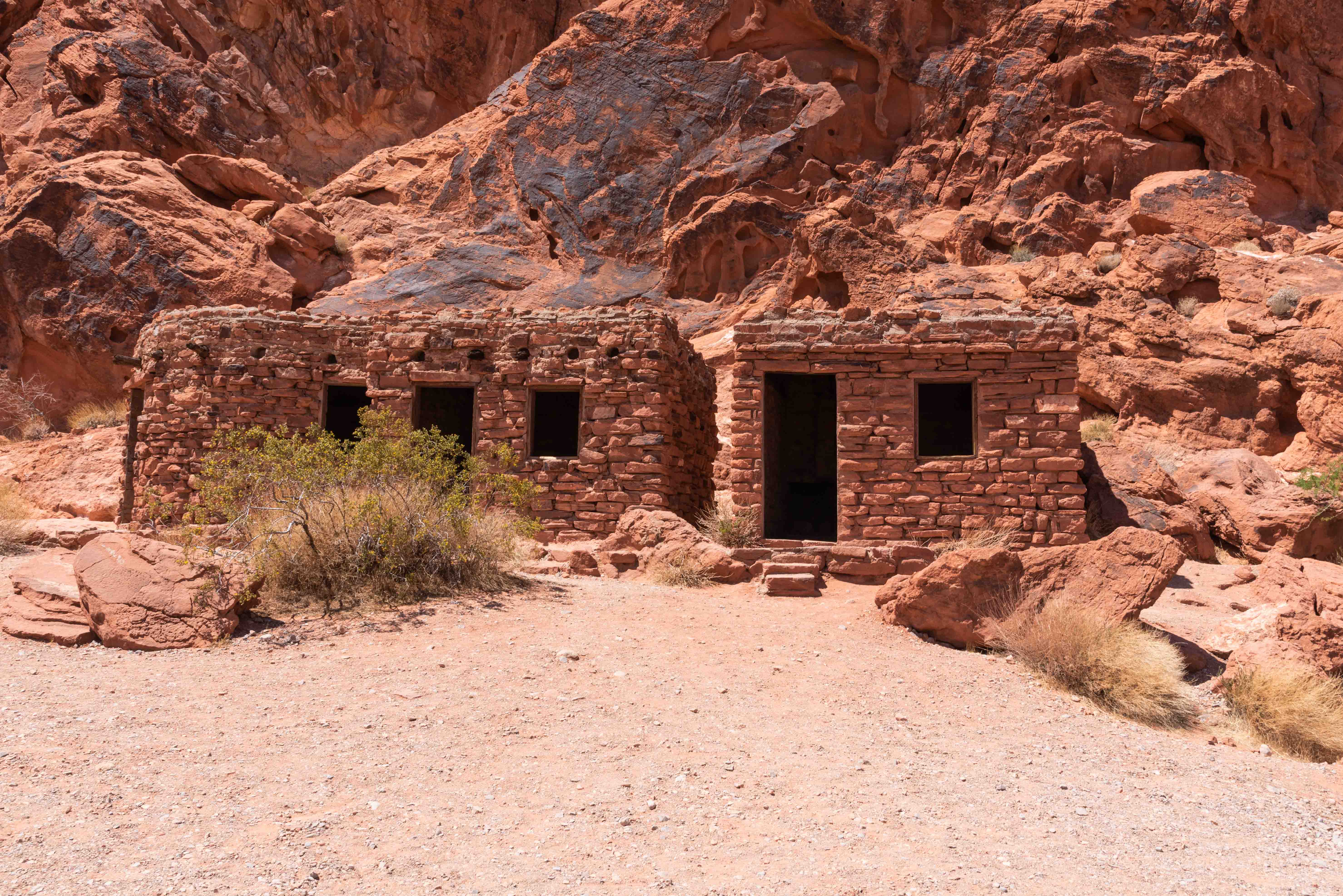
It's a short drive from Lone Rock to the Cabins. There are three cabins
that were built in the 1930s by the CCC to house visitors to the park.
They are constructed of sandstone blocks, and each one has a fireplace
that was the only source of heat back in the day. There is a panel of
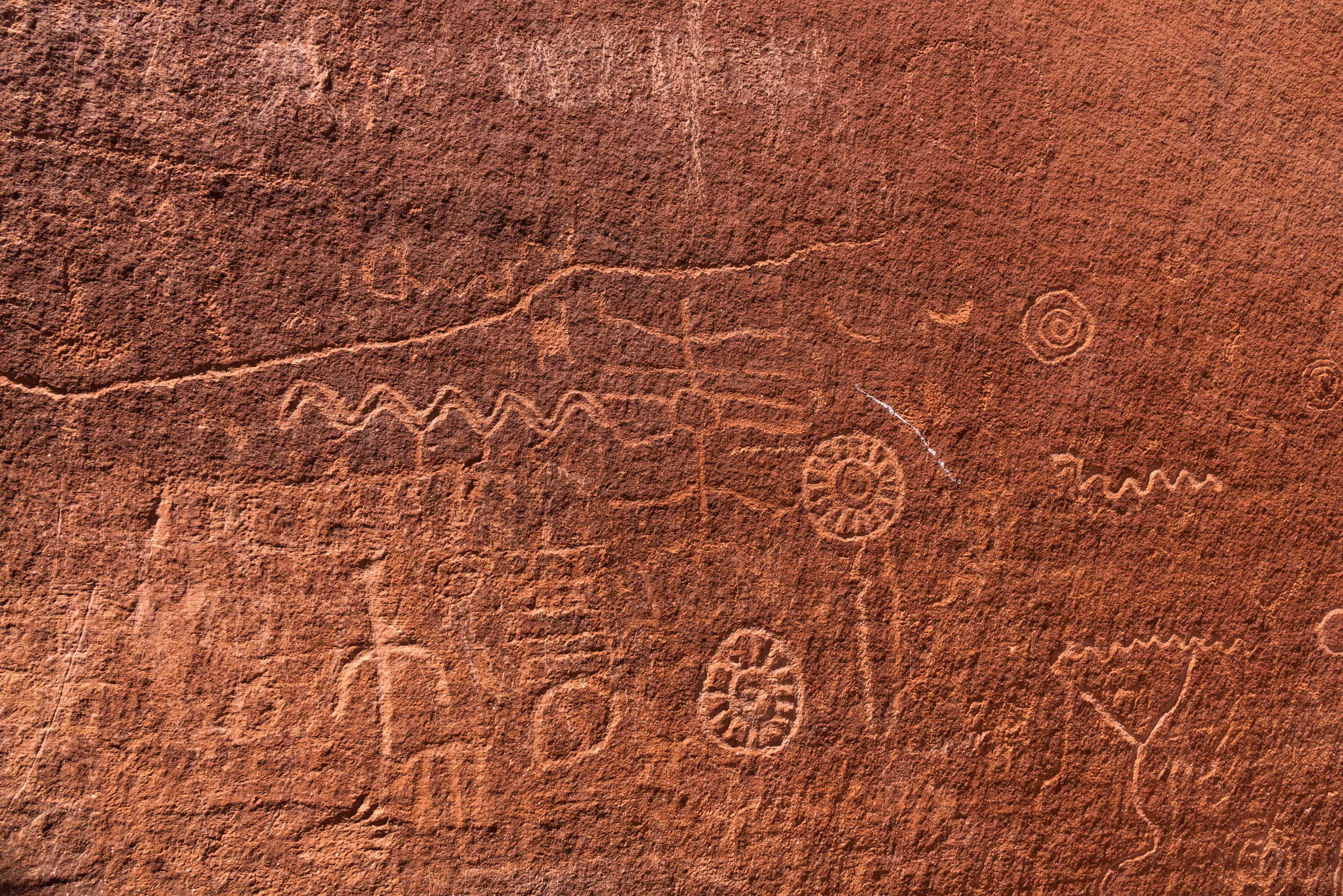
petroglyphs located on a rock face behind the cabins.
Seven Sisters
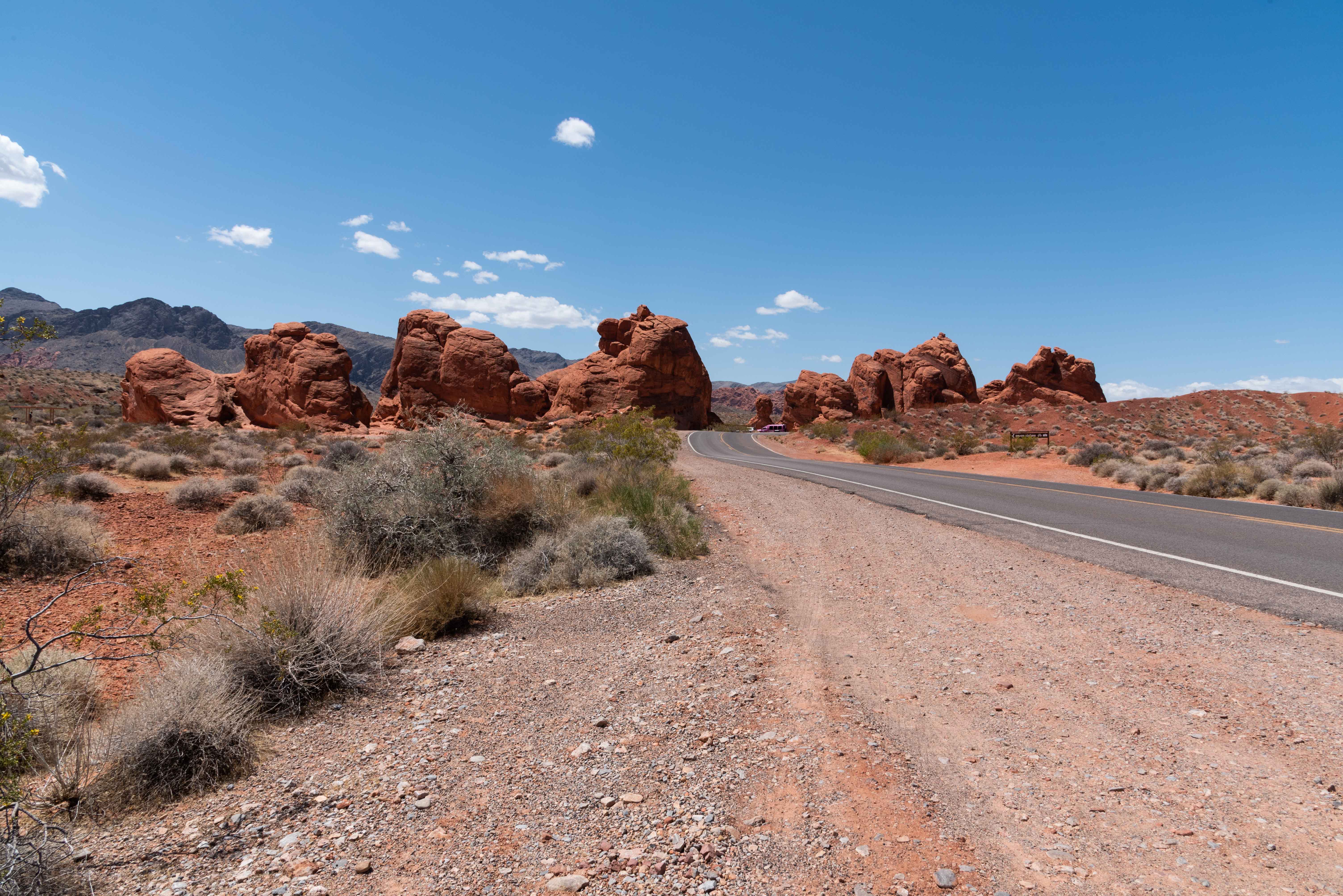
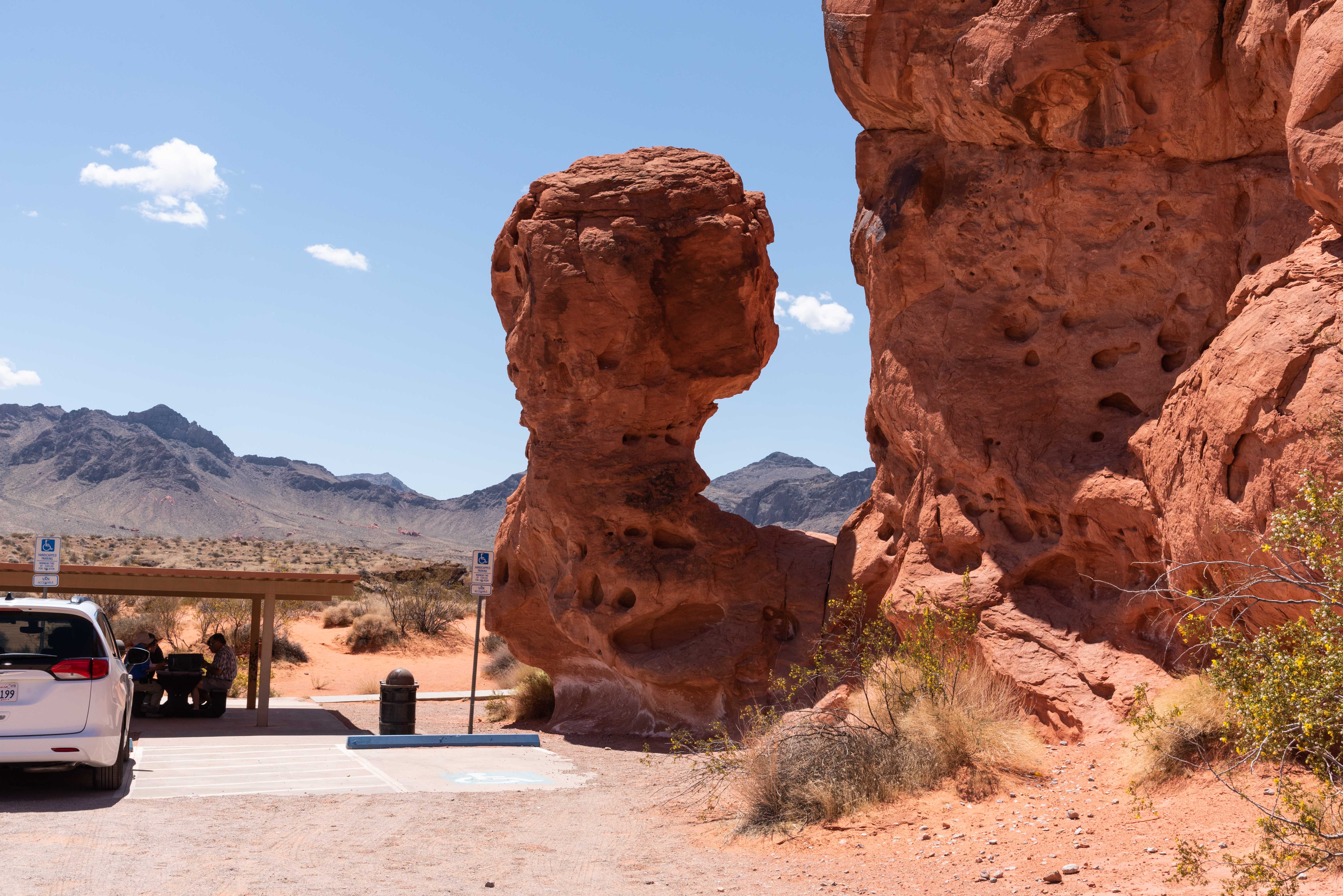
The Seven Sisters are a row of 7 red sandstone monoliths located right off the Valley of Fire
Highway. This is a great place to stop for a bite to eat because there is a spacious covered
picnic area located among the rocks.
White Domes Trail
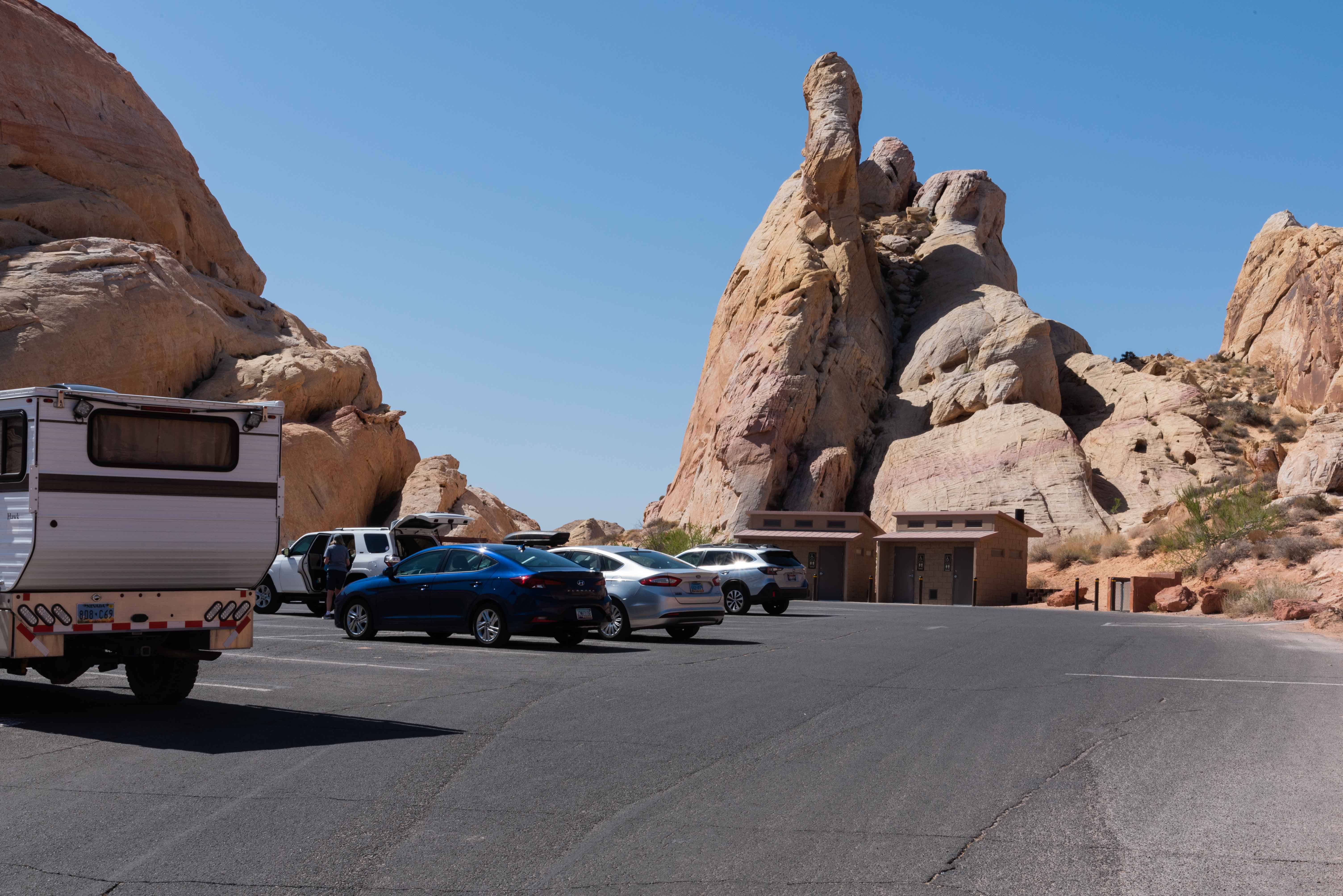
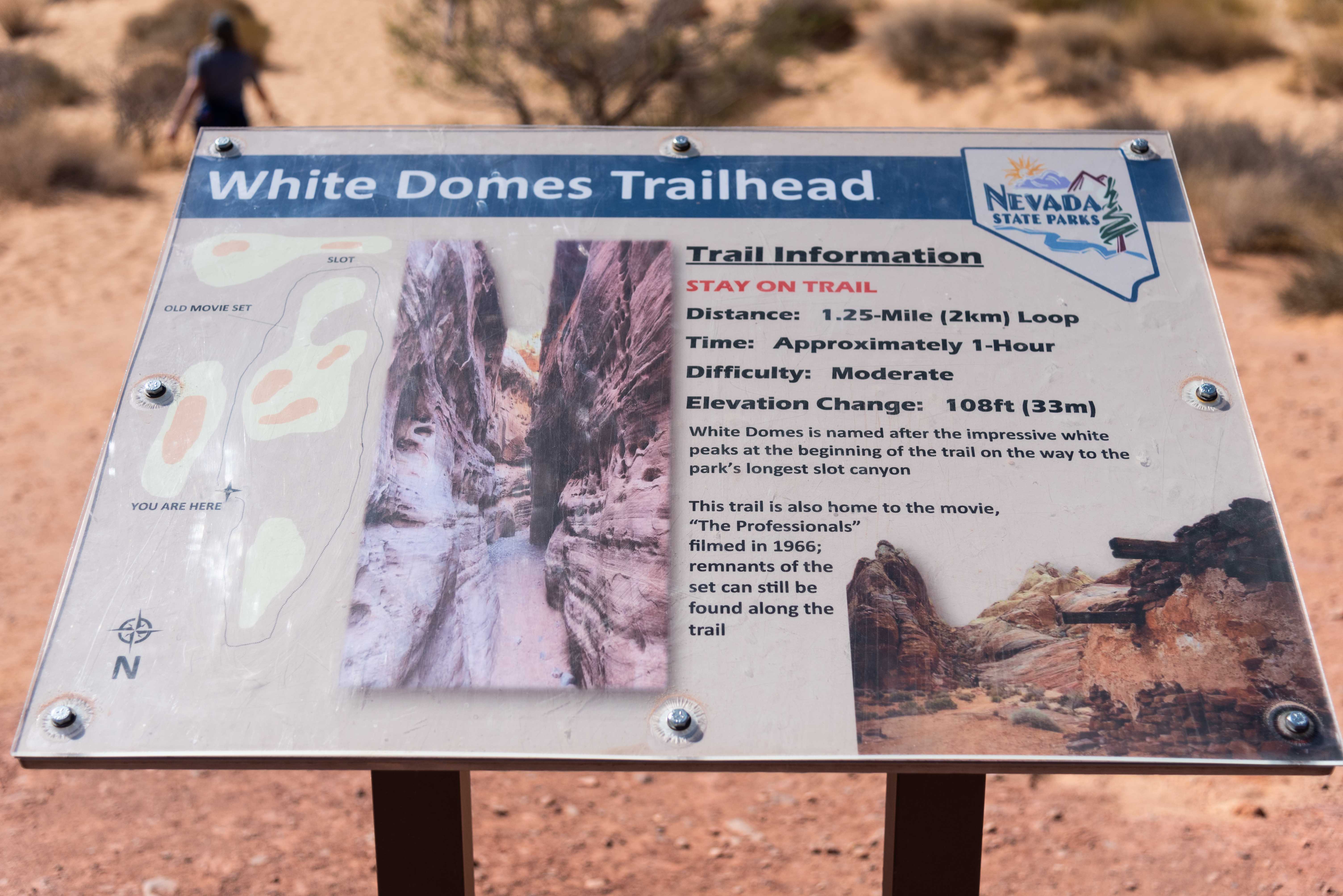
The parking lot and trailhead for White Domes Trail are located at the end
of the White Dome Scenic Byway. This trail is a 1.1 mile loop rated for
all skill levels. There is a 177 ft elevation change and parts of the
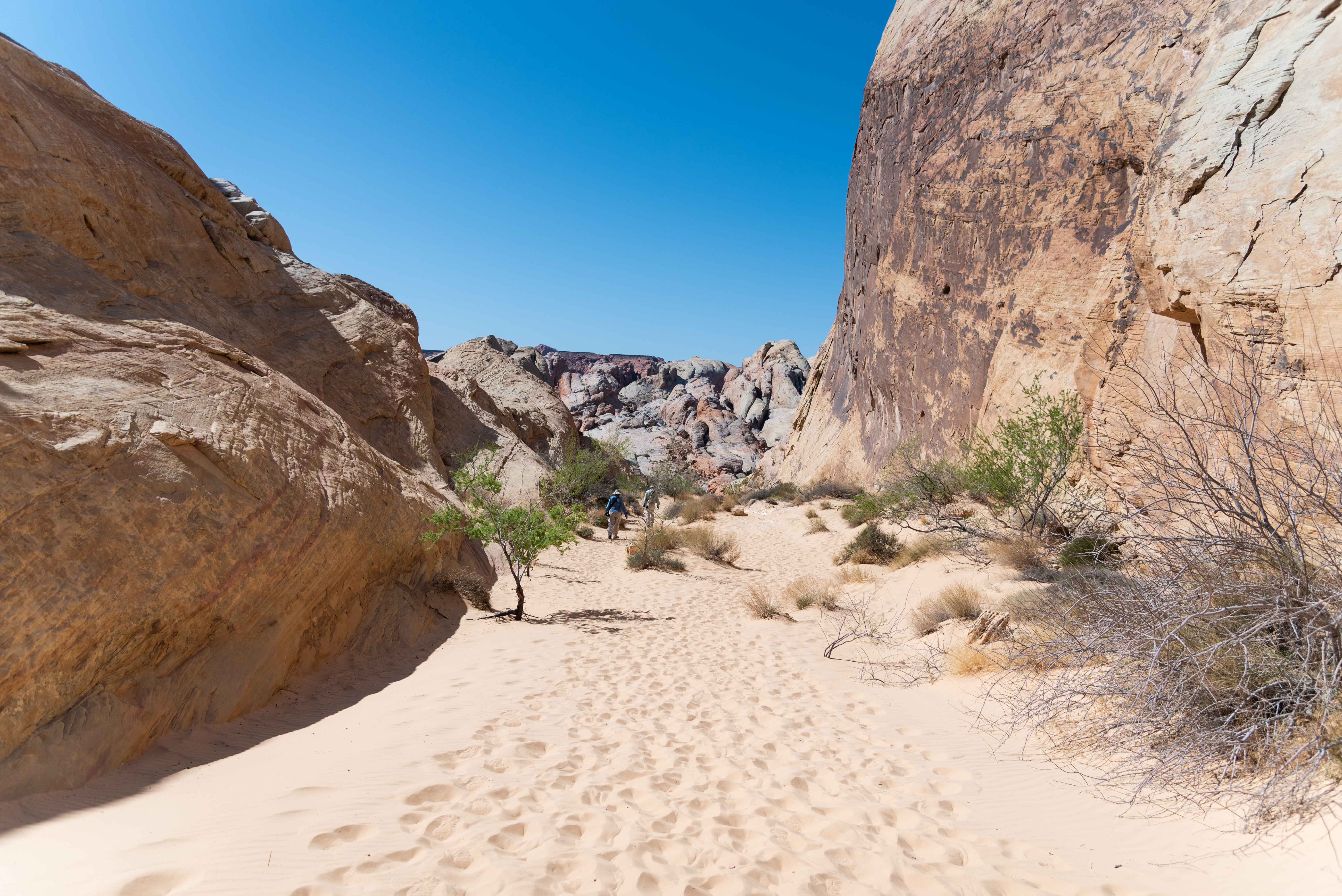
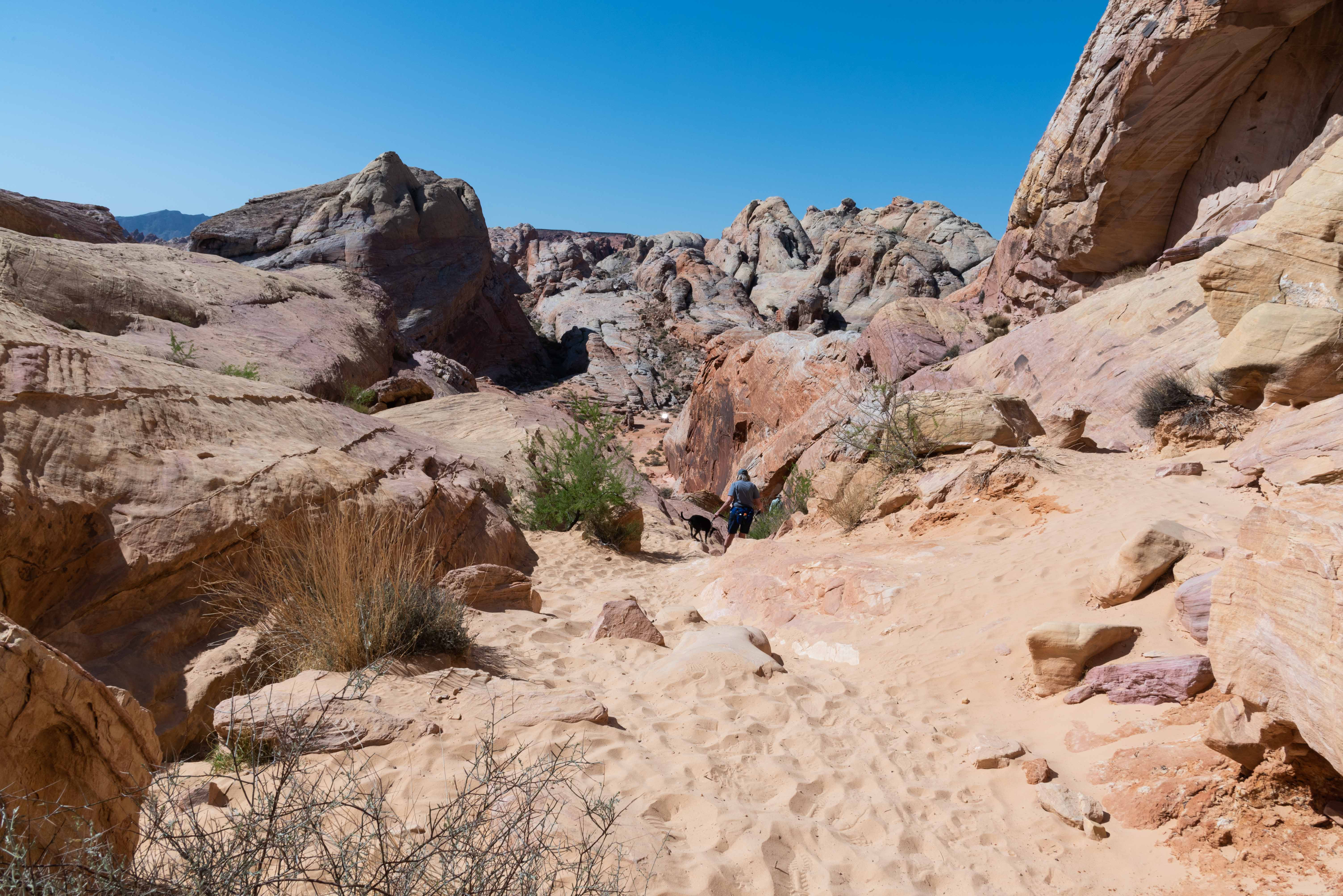
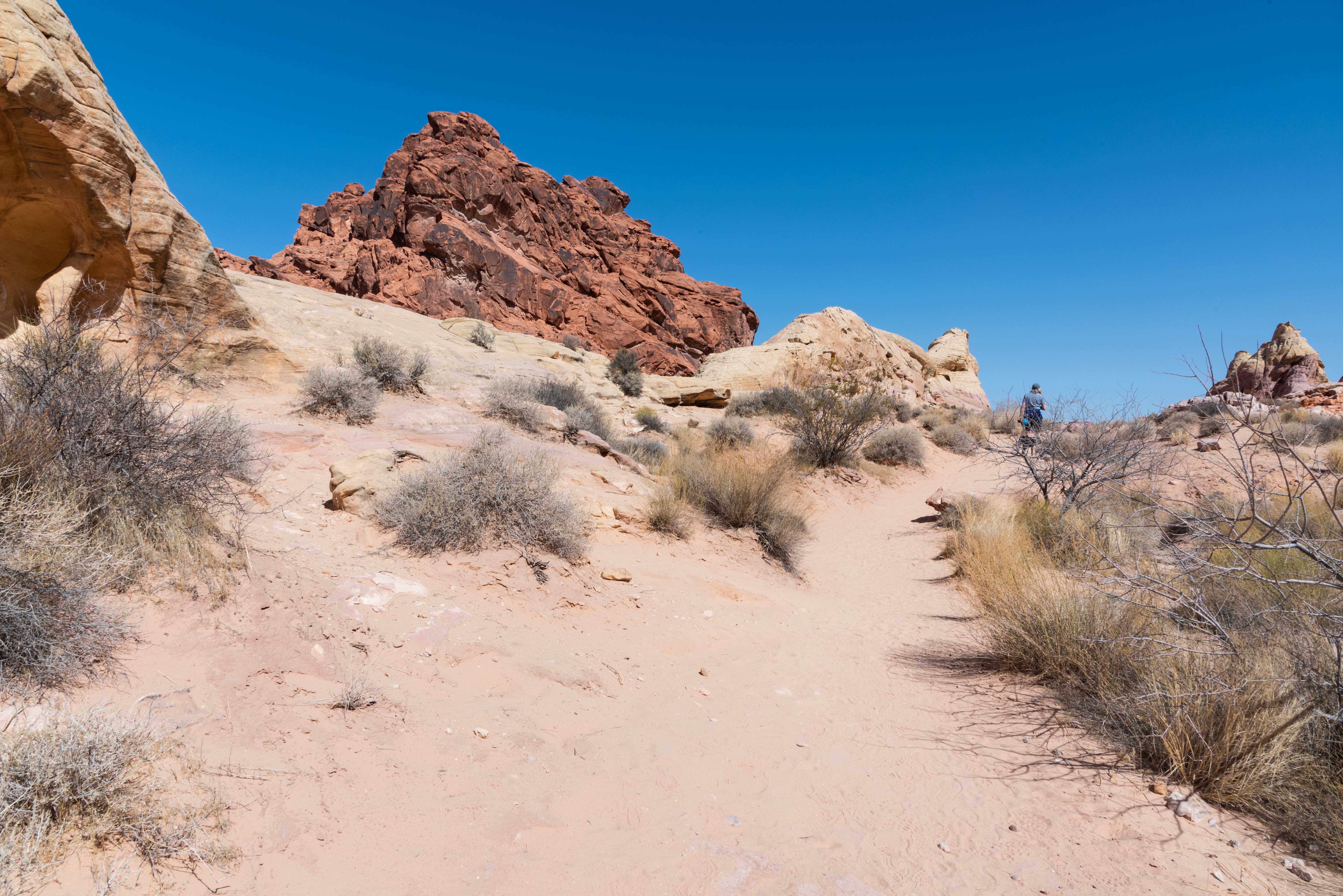
trail are very sandy (flip-flops not recommended). Along the way you
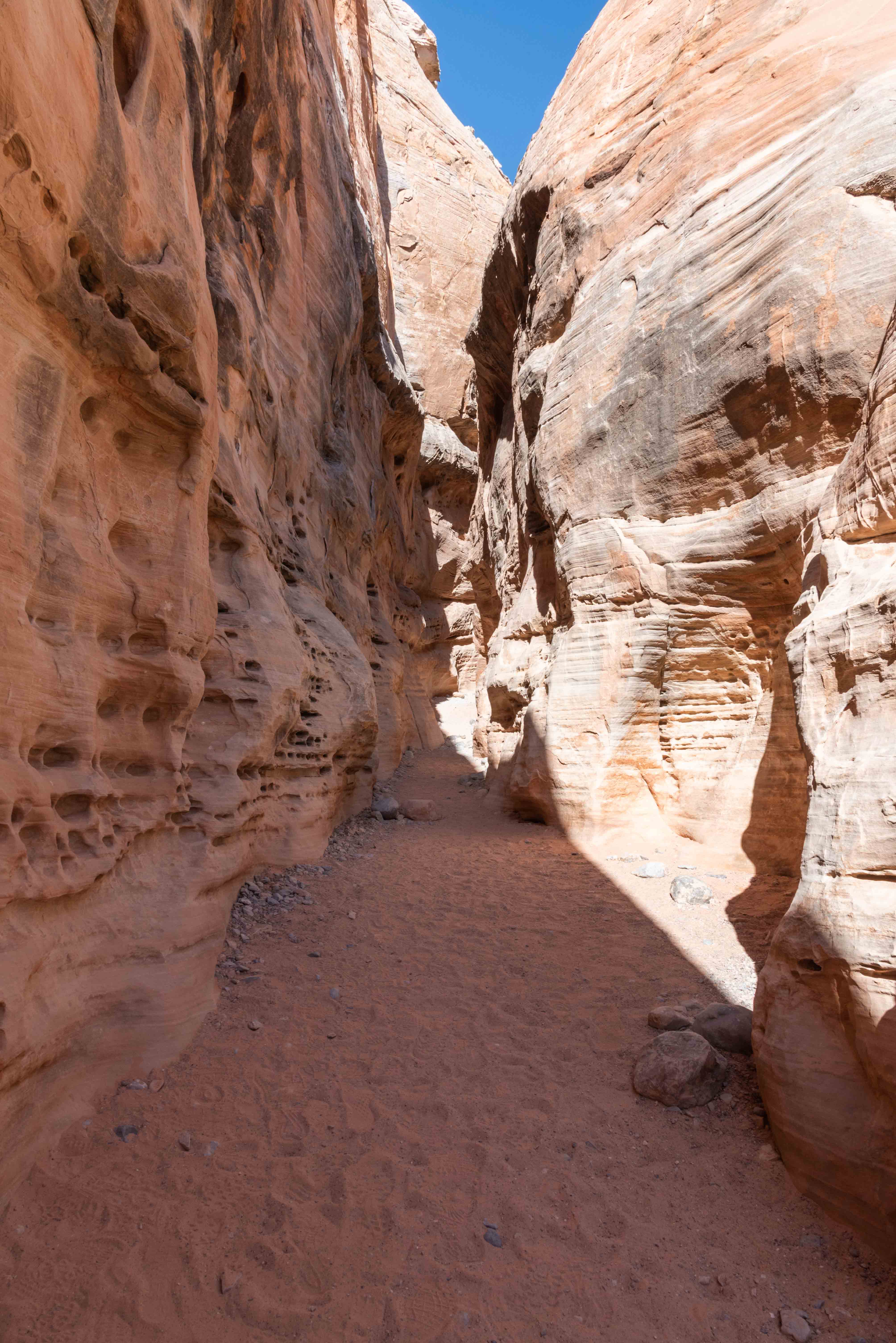
will encounter part of an old movie set and pass through a short slot
canyon. All in all a very nice hike.
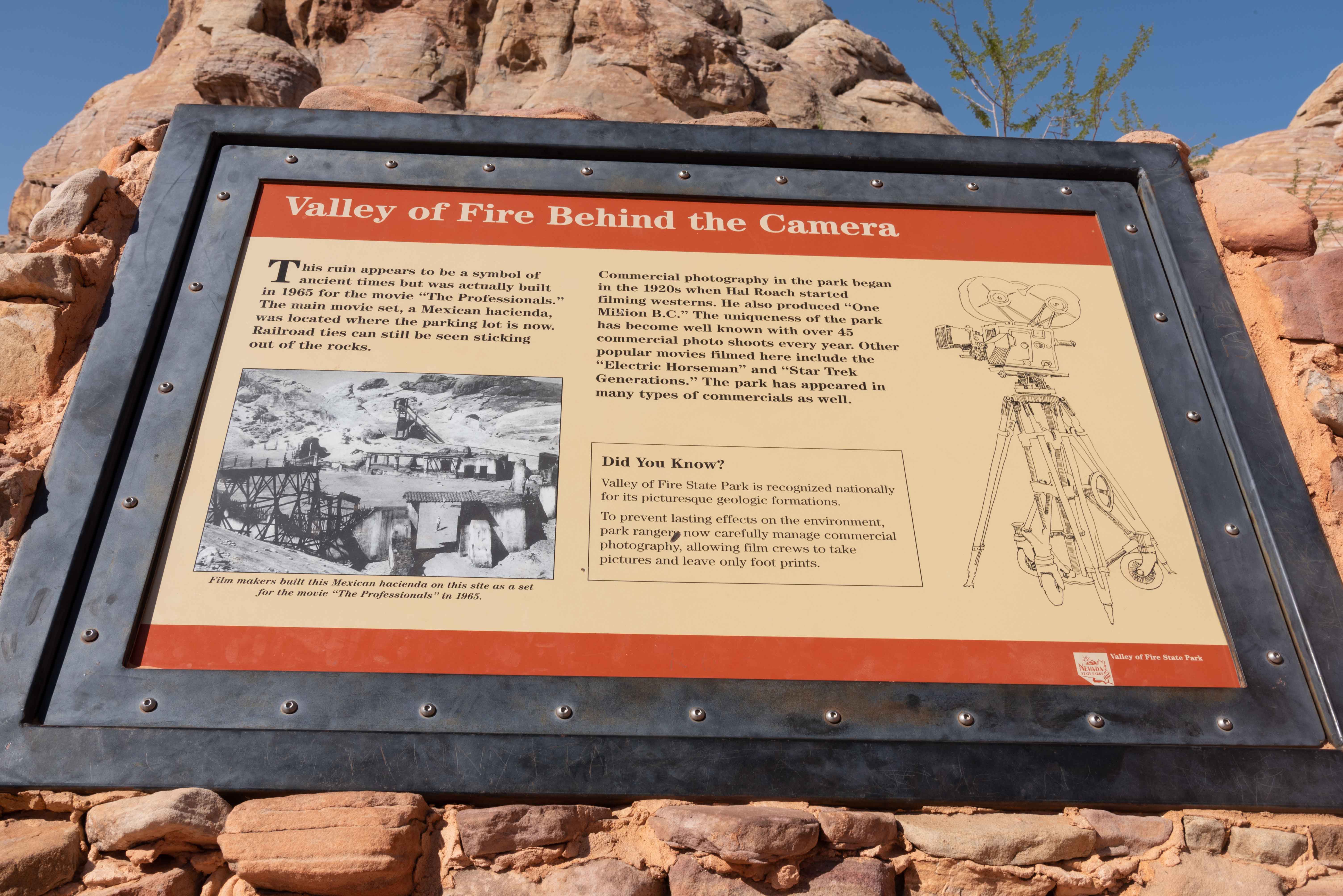
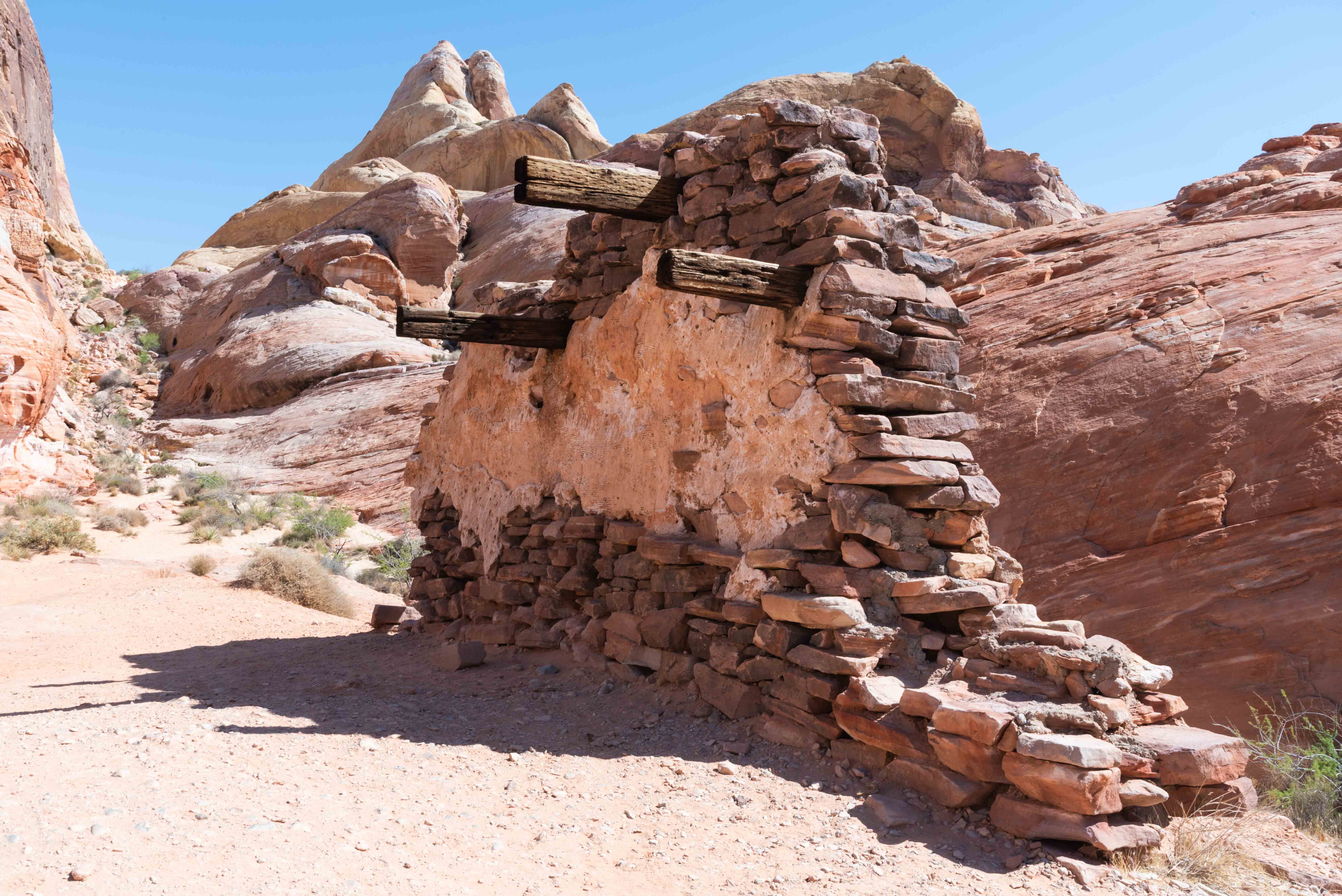
Scenes from the 1966 western, "The Professionals" were filmed in the White Domes. A Mexican hacienda was built on the site of the current White Domes parking lot. The remains of an adobe structure also built for the movie is pictured in a following photo. "Electric Horseman" and "Star Trek Generations" were also filmed in the park.
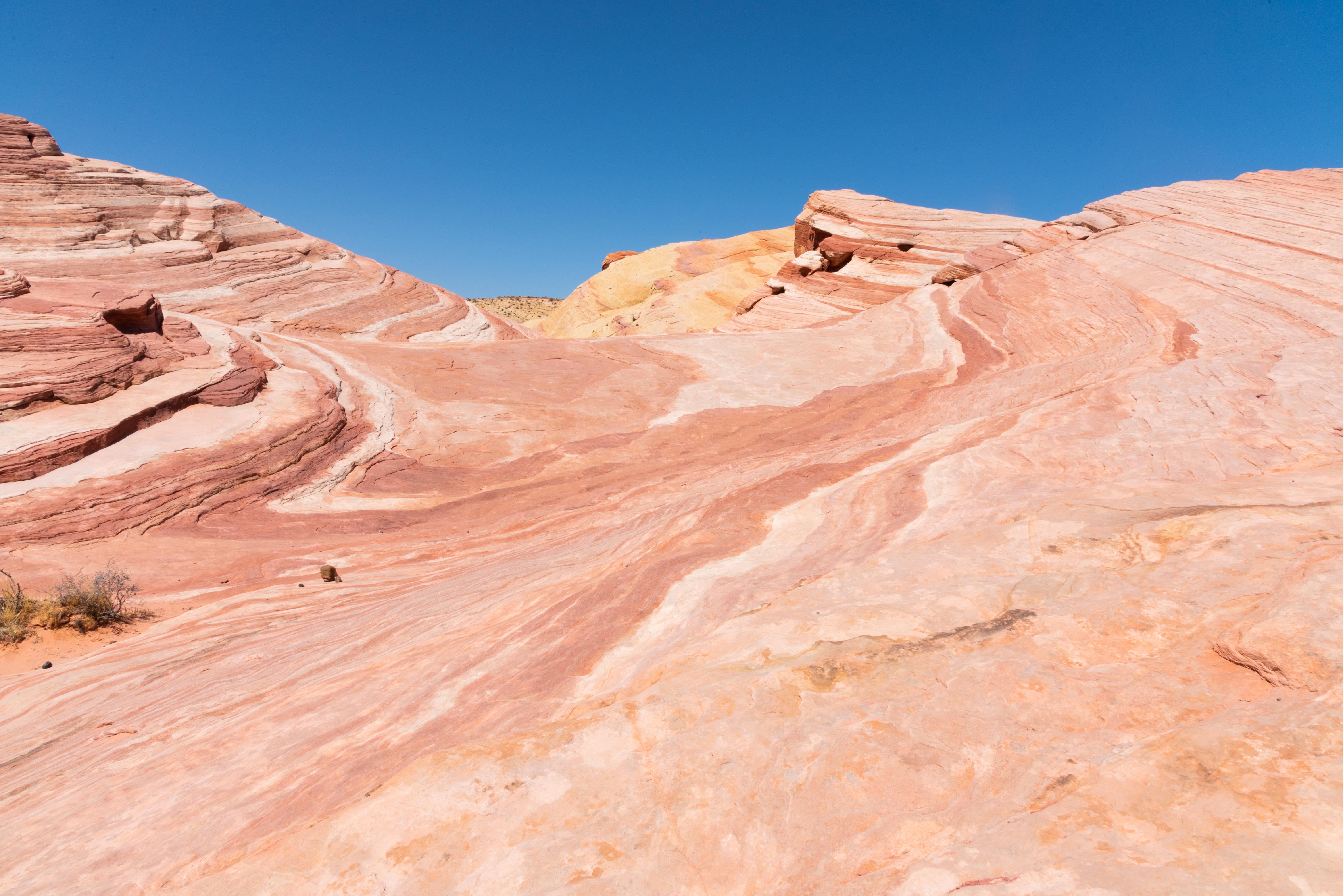
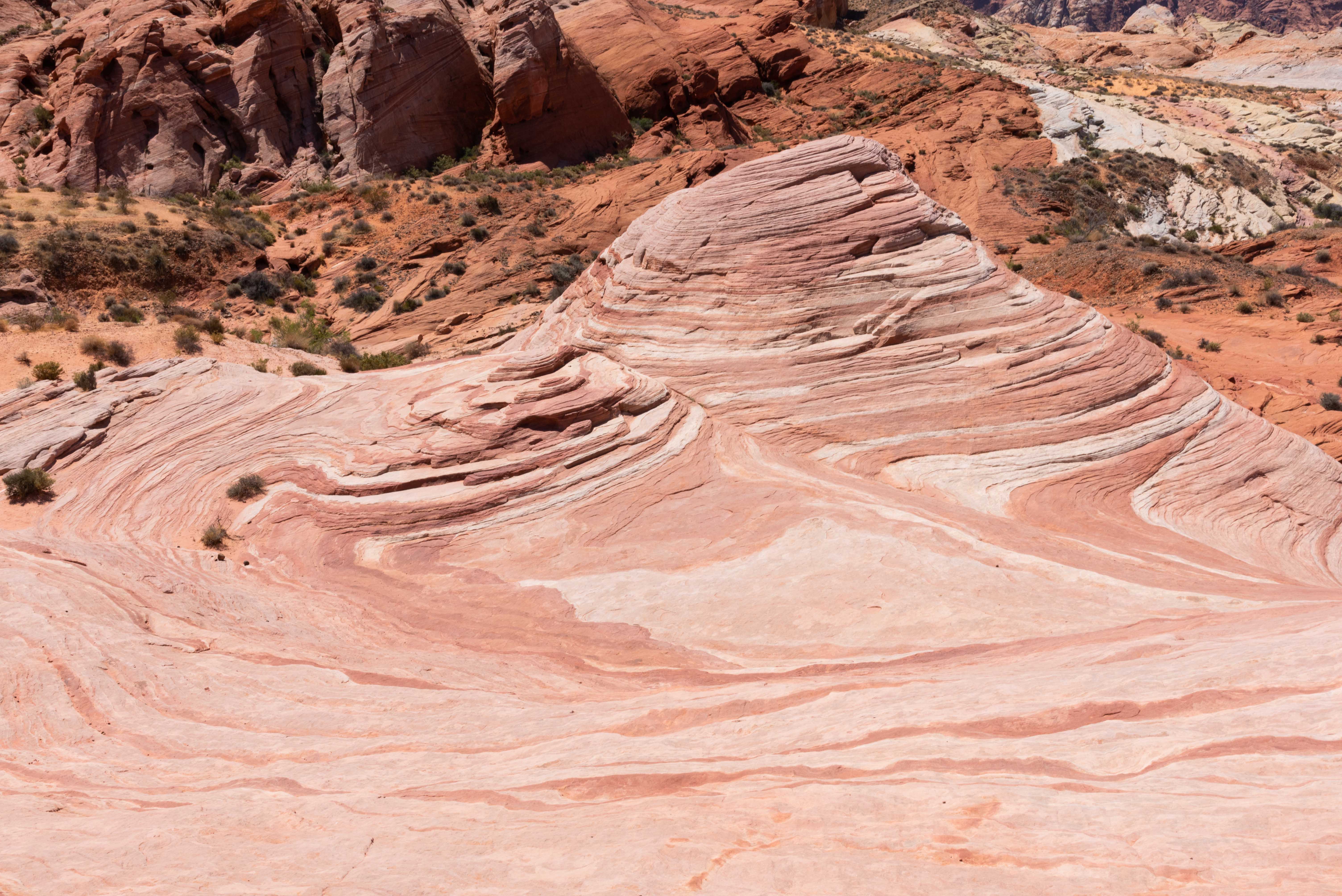
Fire Wave Trail
Fire Wave Trail is a 1.5 mile out and back trail that's rated for all skill levels. The trailhead is located
directly across the road from parking lot #3. Dogs can travel this trail but must be kept on leash. The
fire wave formation at the end of the trail is spectacular. No so sure I got a picture of "The Fire Wave",
but the pictures I did get are fantastic. Parts of the formation remind me of strips of bacon , and
other parts look like projections of topographic maps.
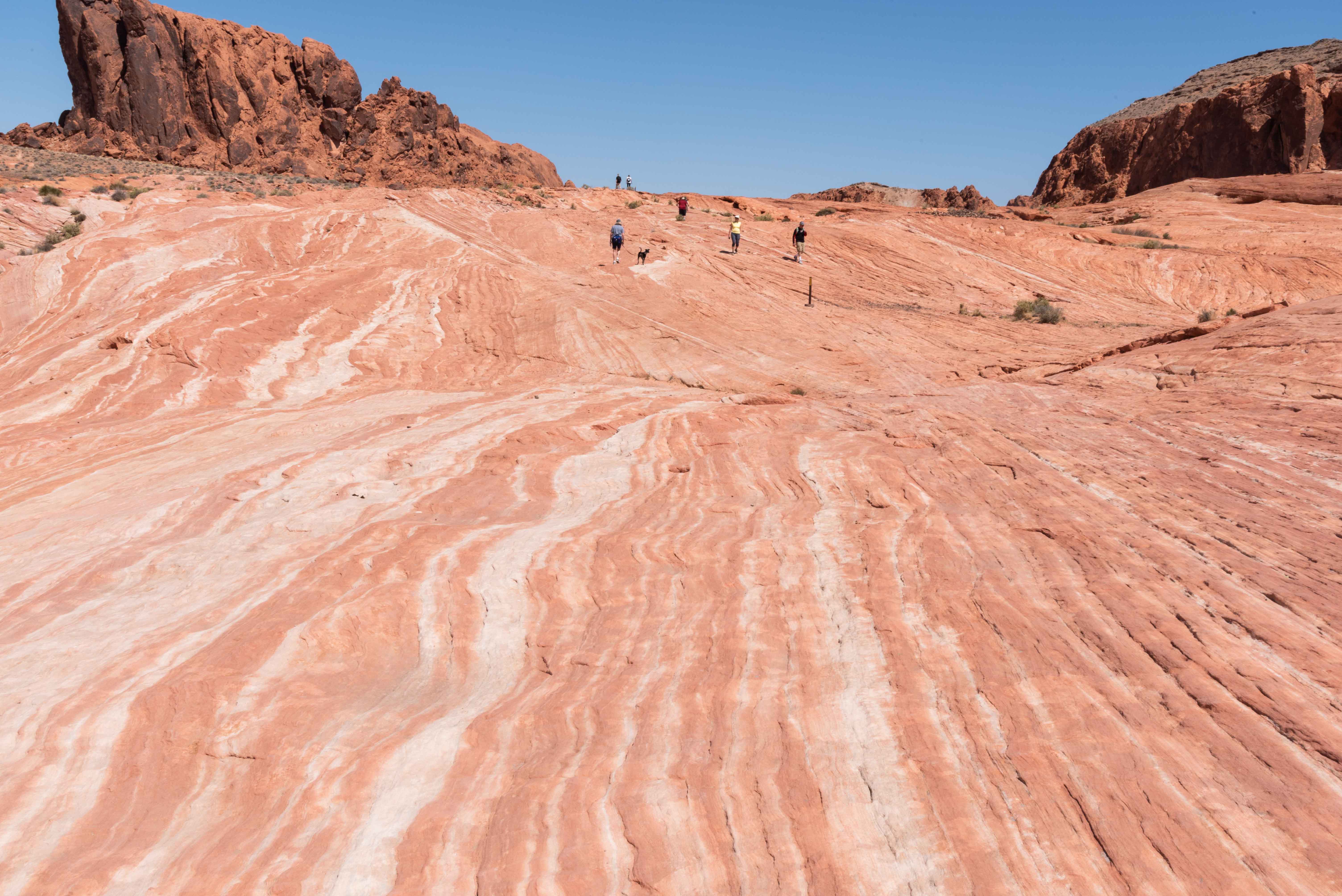
Rainbow Vista
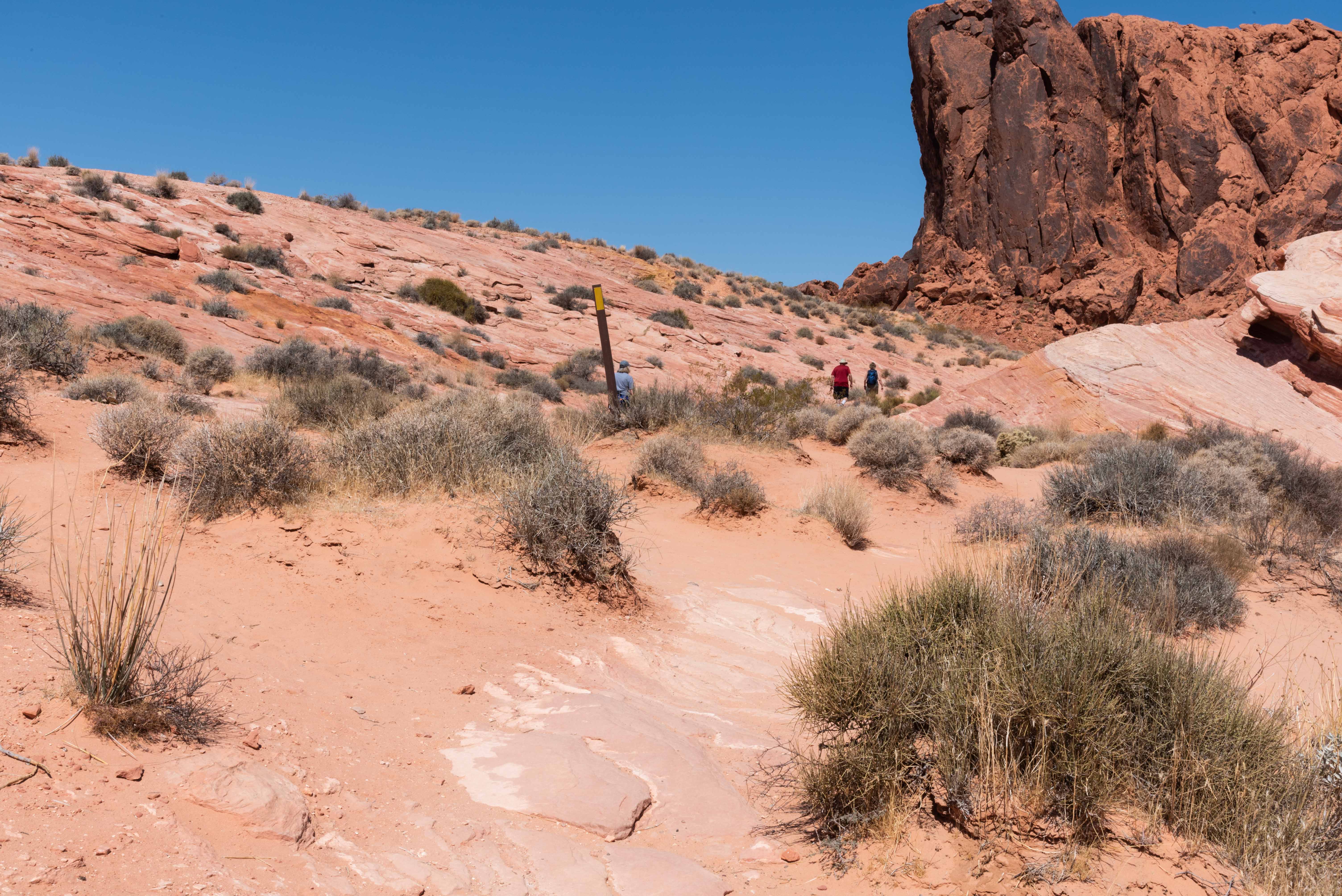
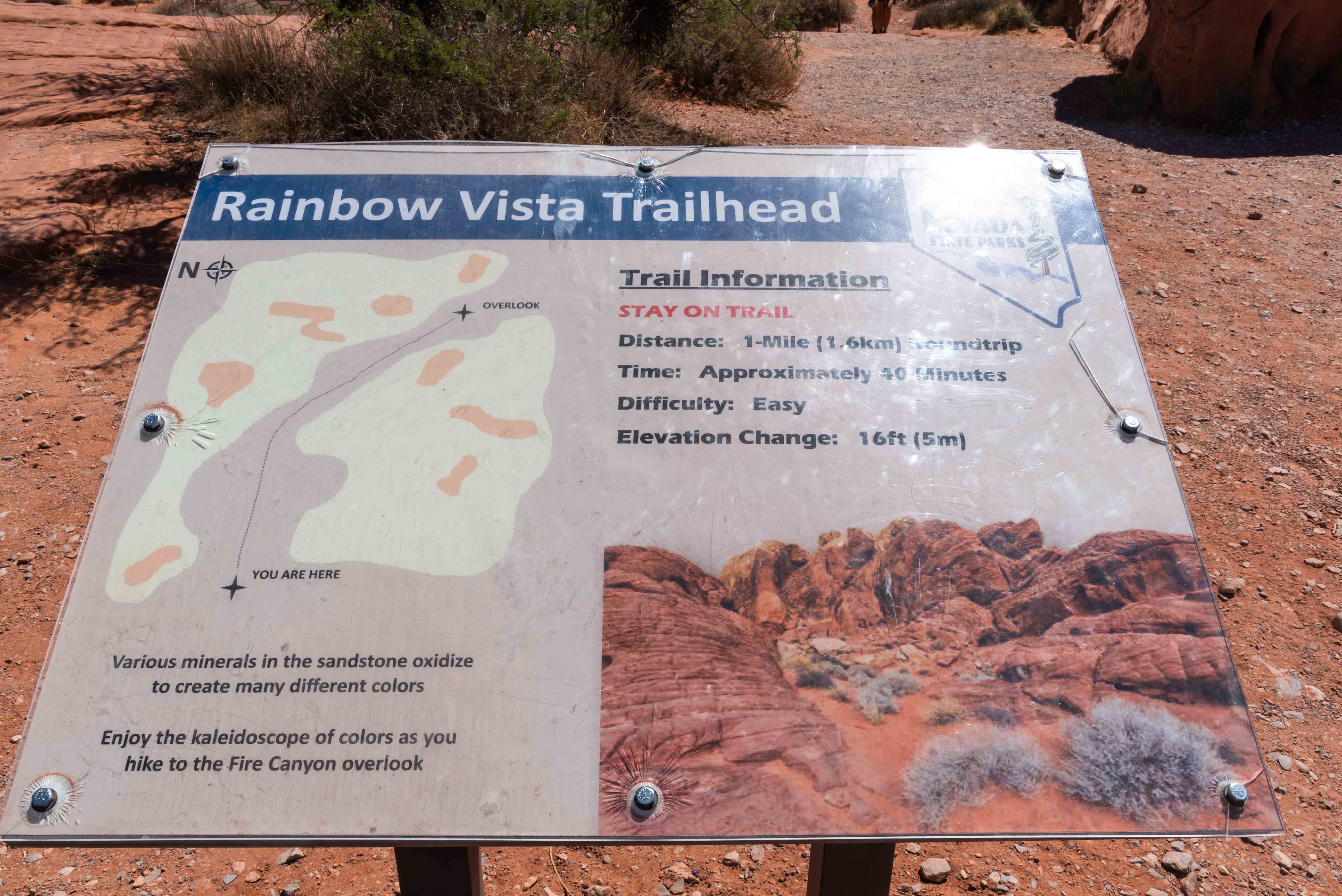
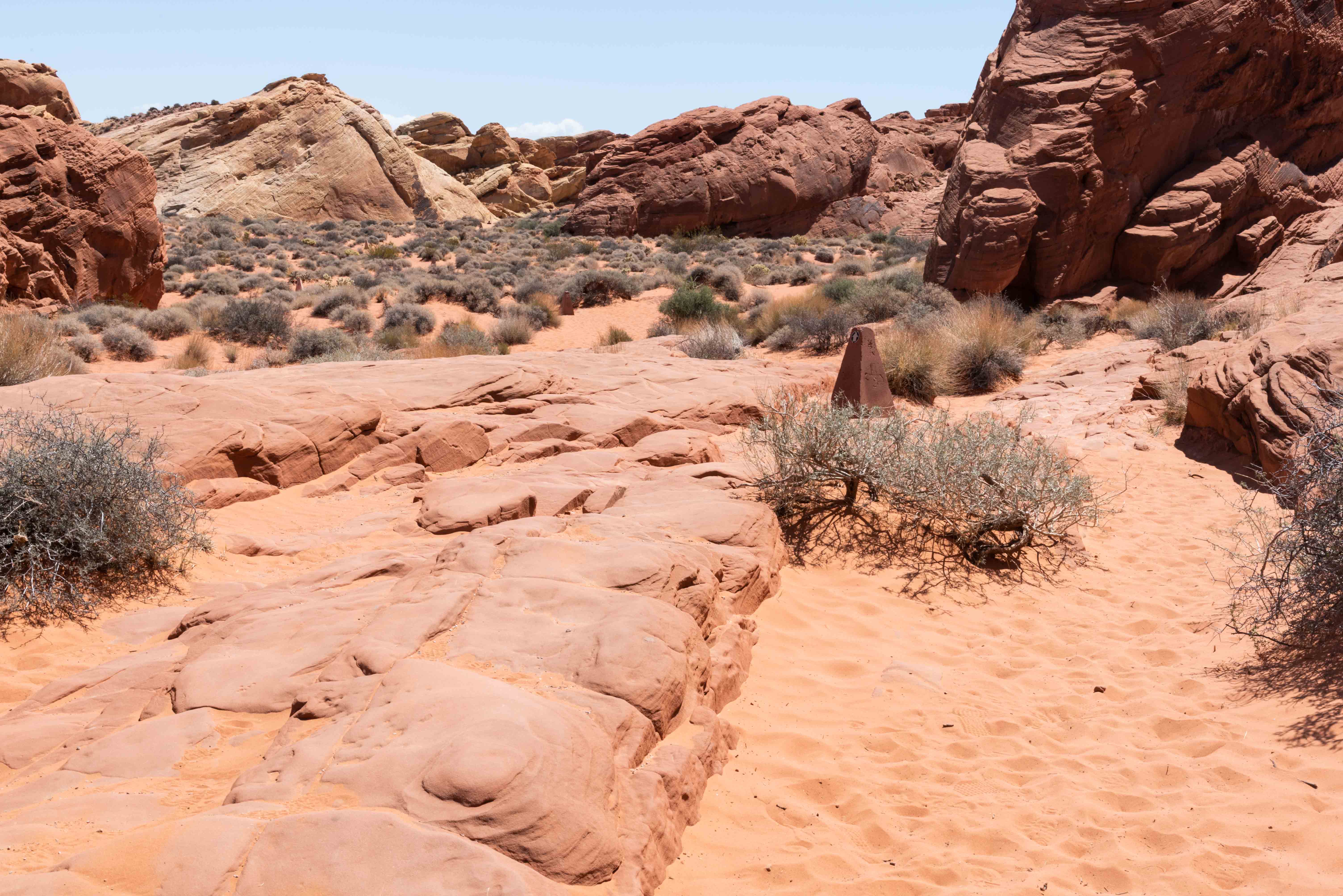
The Rainbow Vista Trail is an easy 1 mile out and back hike. It ends at the Fire Canyon
Wash Overlook with panoramic views of the desert landscape. The first portion of it is very sandy.
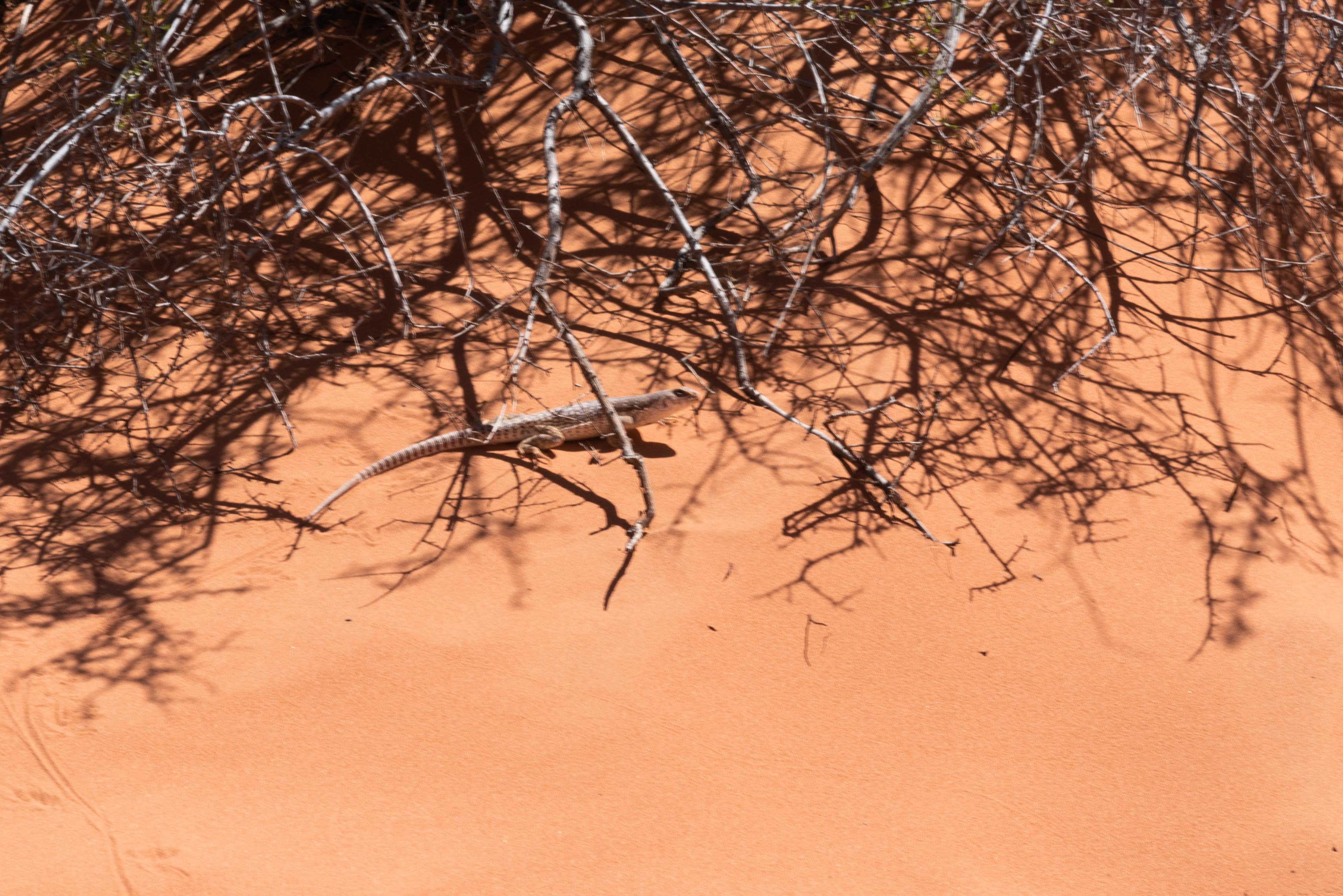
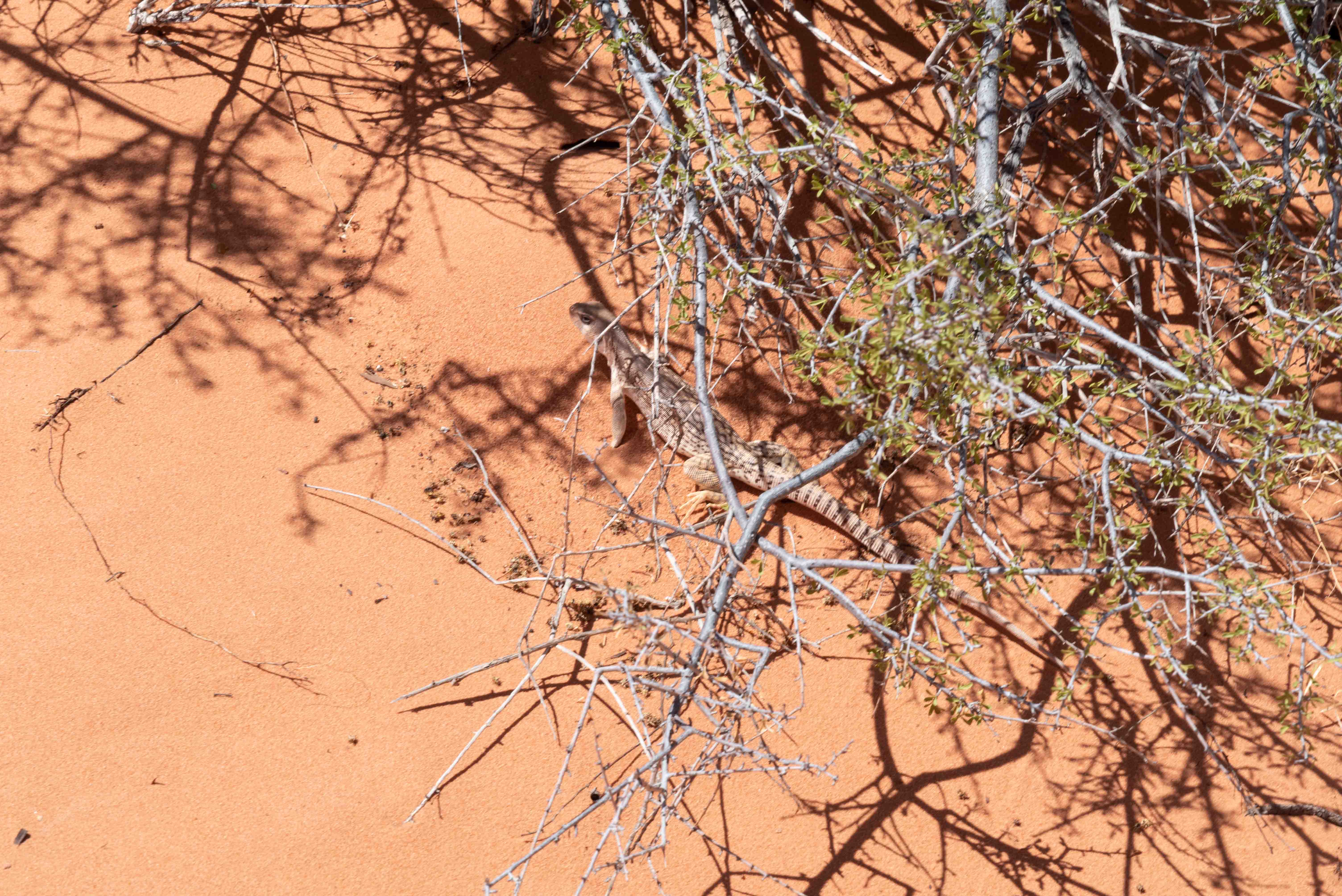
I have to confess I didn't make it to the overlook. I was hot and thirsty and trudging through
the sand when I came across a desert iguana (photos below). After taking the photos I made the
executive decision to return to my vehicle for a cold drink.
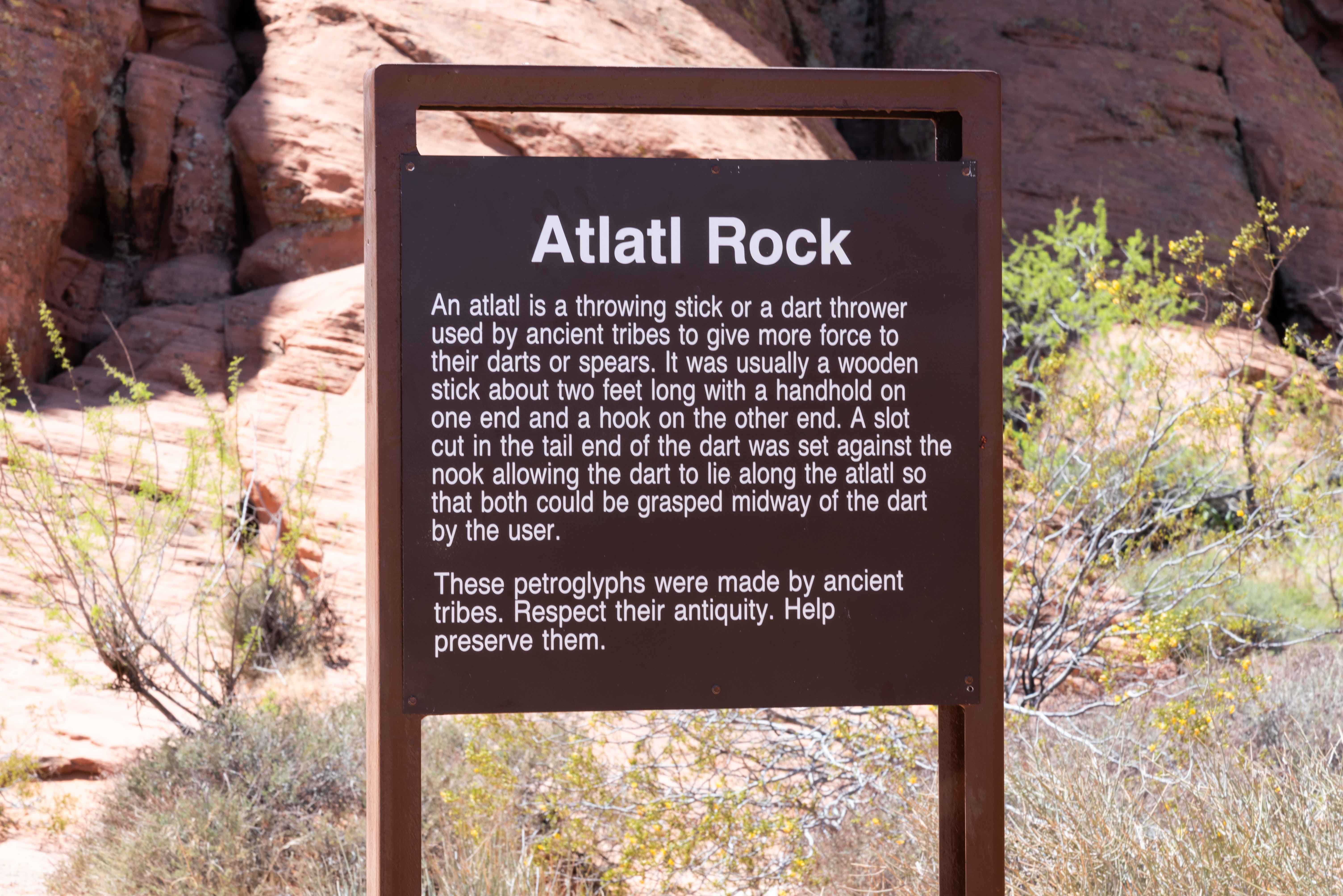
Atlatl Rock
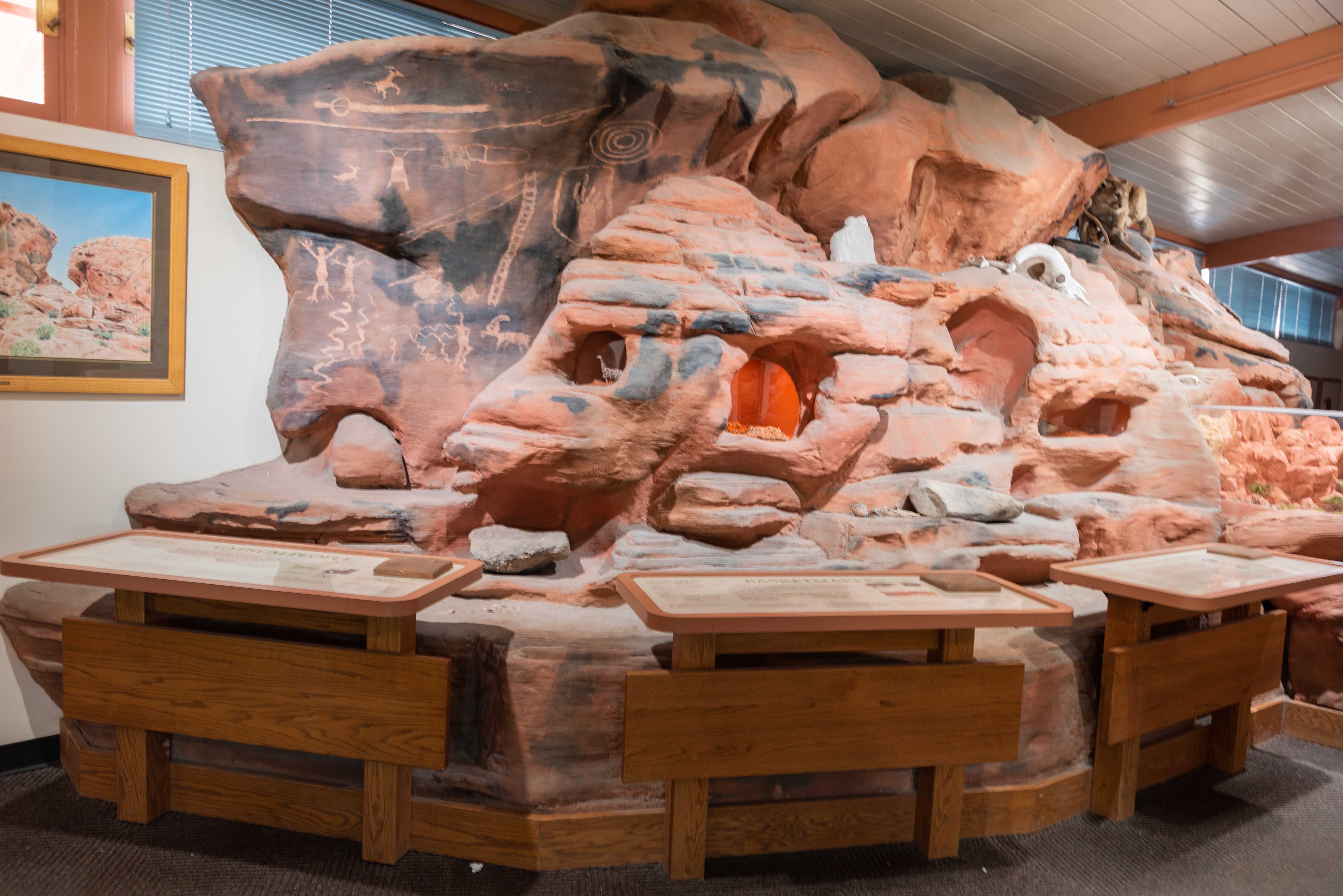
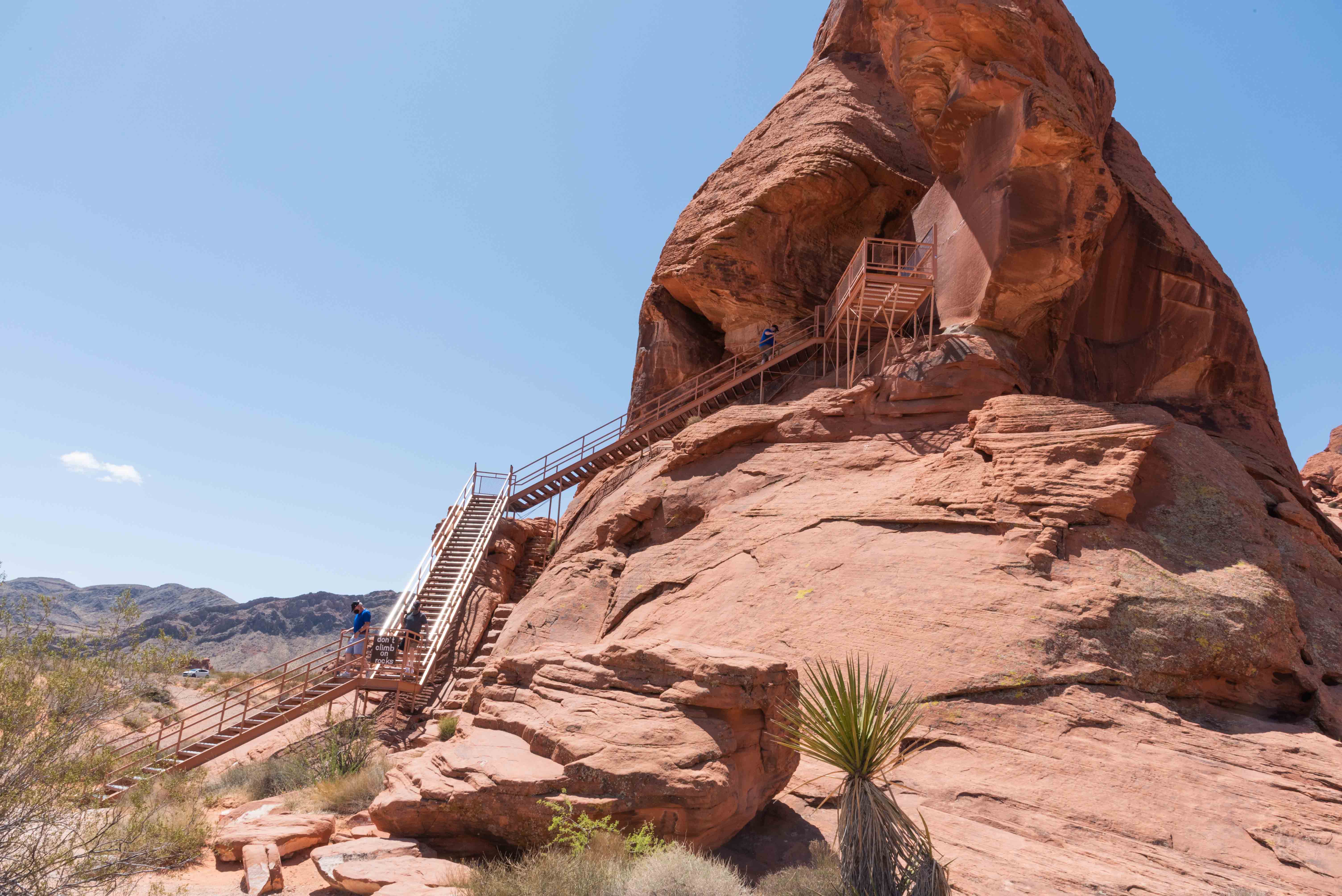
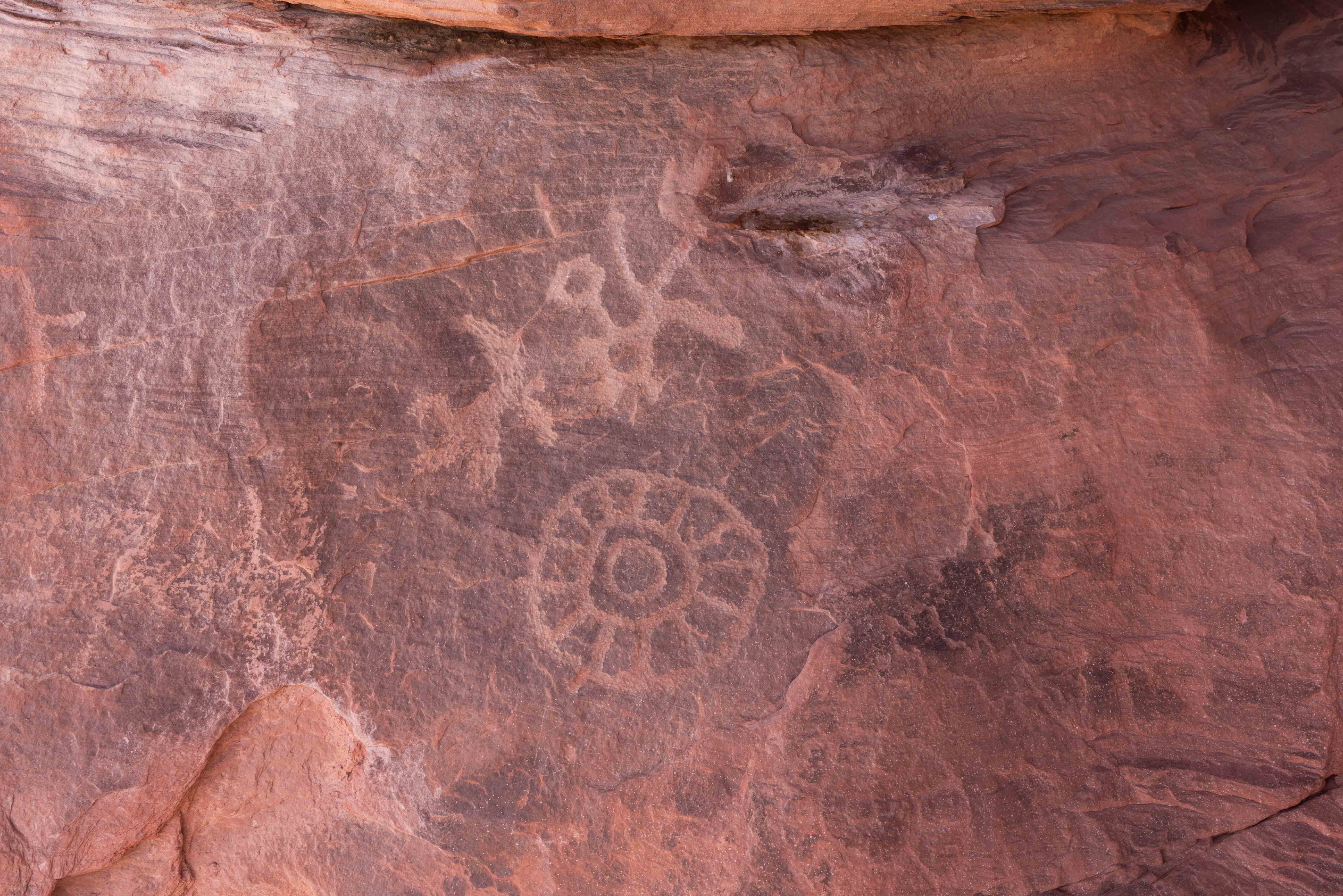
Atlatl Rock is a formation that contains a couple of rock faces full
of petroglyphs. The park service has installed stairs up to a veiwing
platform where you can get a good look at these petroglyphs.
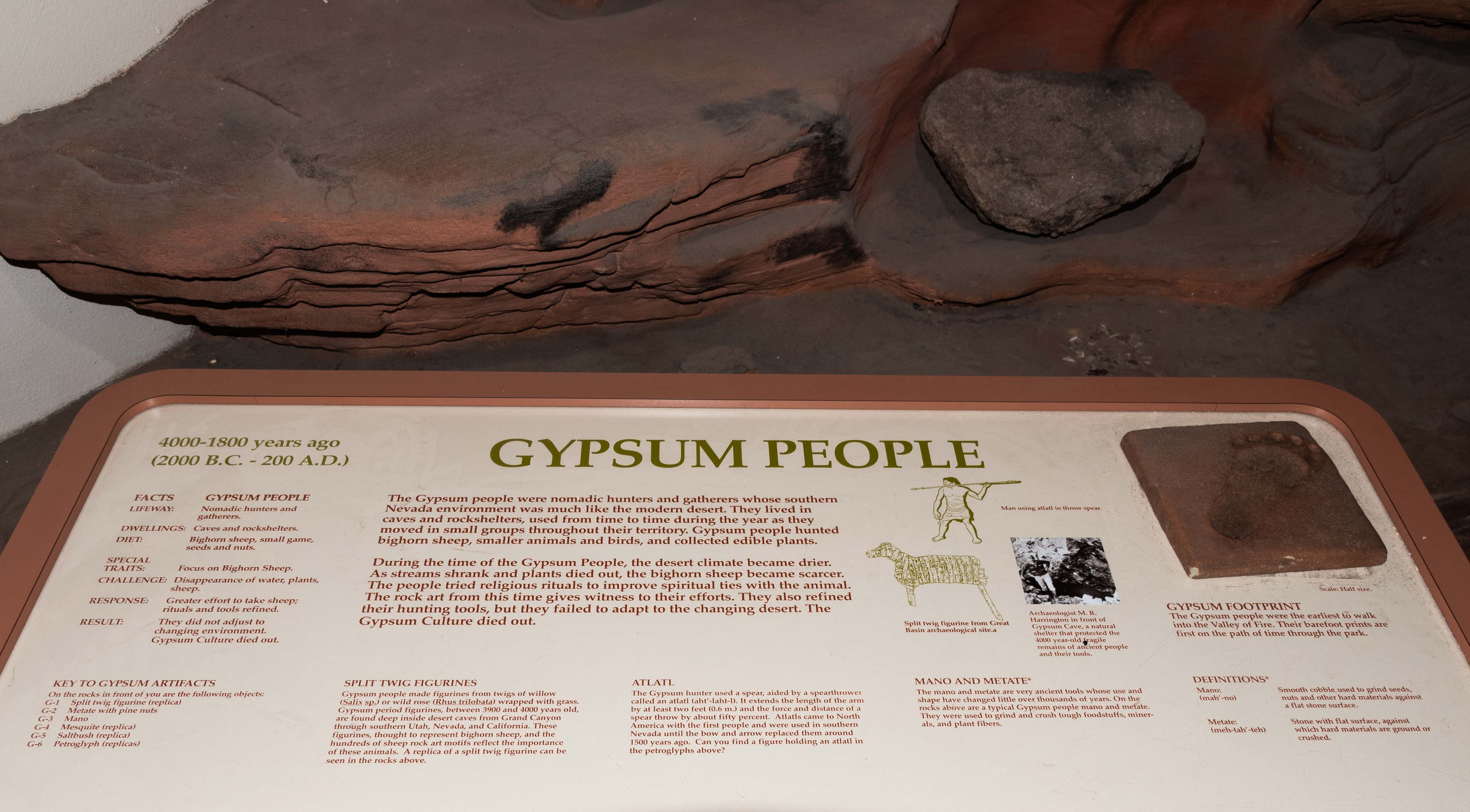
An atlatl is a primitive spear-throwing device. Atlatls used
by ancestral puebloans were wooden shafts about 2 feet long with a cup or spur at
one end that held the butt of the spear. Use of an atlatl imparted additional
velocity to the spear. The throwing motion was similar to that used for a modern
canine tennis ball thrower.
I have to say I had a hard time finding anything that looked like an atlatl or
atlatl thrower among the petroglyphs. If you look at the upper right center of the
first photo along the shadow border there appears to be a person holding what could
be a spear over his head, but it's pretty iffy. Of course the possiblity exists that
I just totally missed the atlatl. Another possiblity is that there is no atlatl petroglyph
and the name was picked just because it sounds way cool. Who knows?
Background content obtained from park brochures and Wikipedia.
Use the form on the Home Page to submit comments, questions, or suggestions. TD Productions Copyright © 2021
