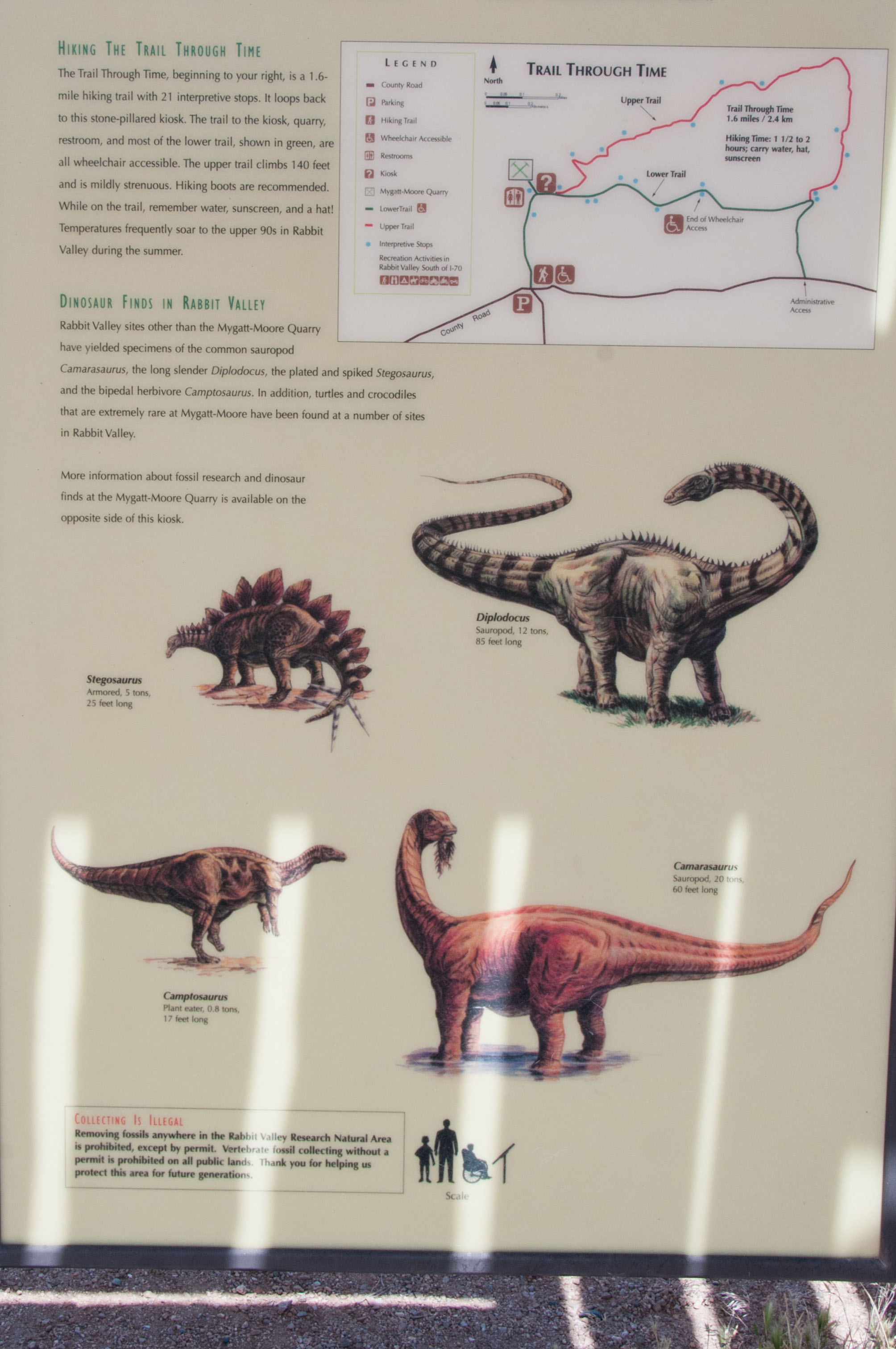
Trail Through Time
The Trail Through Time is a short hike located in Rabbit Valley and is part of the McInnis Canyons National Conservation Area. It's located 26 miles west of Grand Junction and 2 miles from the Colorado-Utah border on I-70. The exit is well marked (exit #2). The Trail Through Time is a 1.5 mile loop trail that gains about 170 feet in elevation up the side of a hill. This has been rated a moderate hike by others, but I found it pretty easy. There are rest stops with covered benches along the way. The best time to take this hike is spring and fall, but be sure to bring plenty of water any time you go because it is a desert hike after all. The Trail Through Time is all about dinosaurs. In addition to the loop trail featuring several fossil bones, there is a dinosaur quarry (Mygatt-Moore quarry) that is still periodically worked.
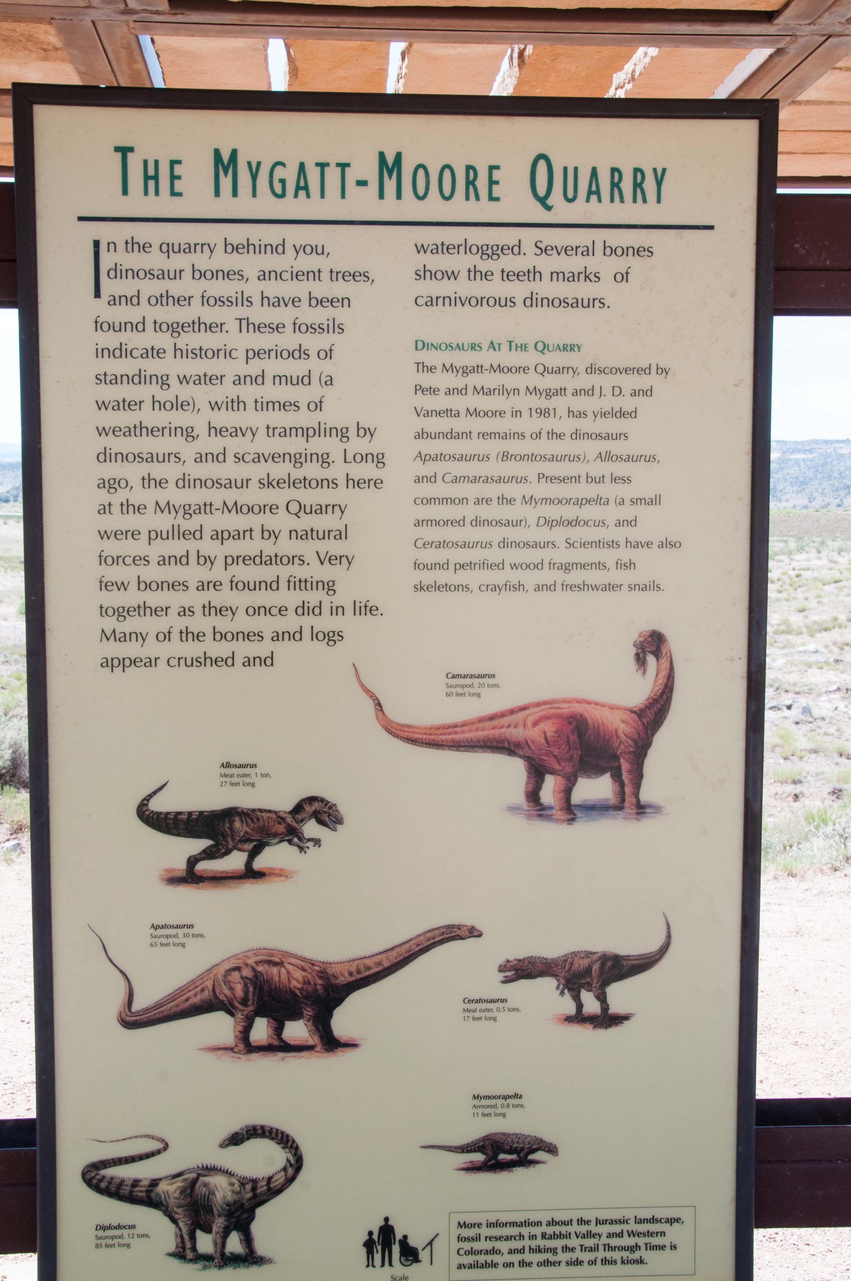
The Mygatt-Moore dinosaur quarry has been worked since the early 1980's and has produced over 4000 dinosaur bones, mostly from the Jurassic Period. The two most common dinosaurs represented are Allosaurus (meat eater) and Apatosaurus (plant eater). The quarry is also known for the discovery of Mymoorapelta, an ankylosaur (armoured dinosaur). The quarry has also yielded fossil bones from prehistoric stars such as Camarasaurus and Diplodocus. The quarry is administered by the Museum of Western Colorado in conjuction with the BLM. The Museum offers dinosaur digs during the summer where you can try your hand at unearthing a fossil or two.
Mygatt-Moore Quarry
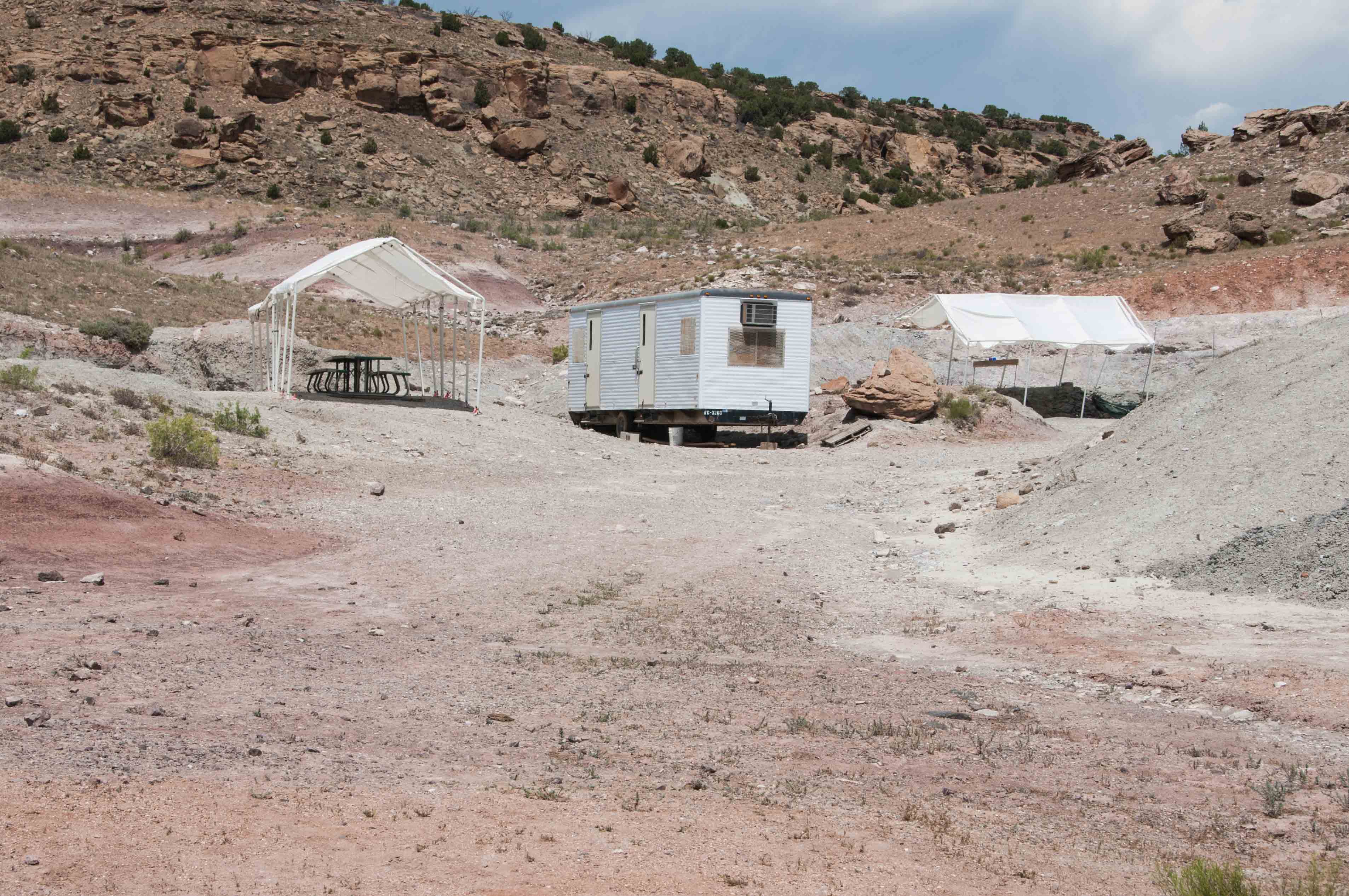
Mygatt-Moore Quarry
open for business
Interpretive Sign
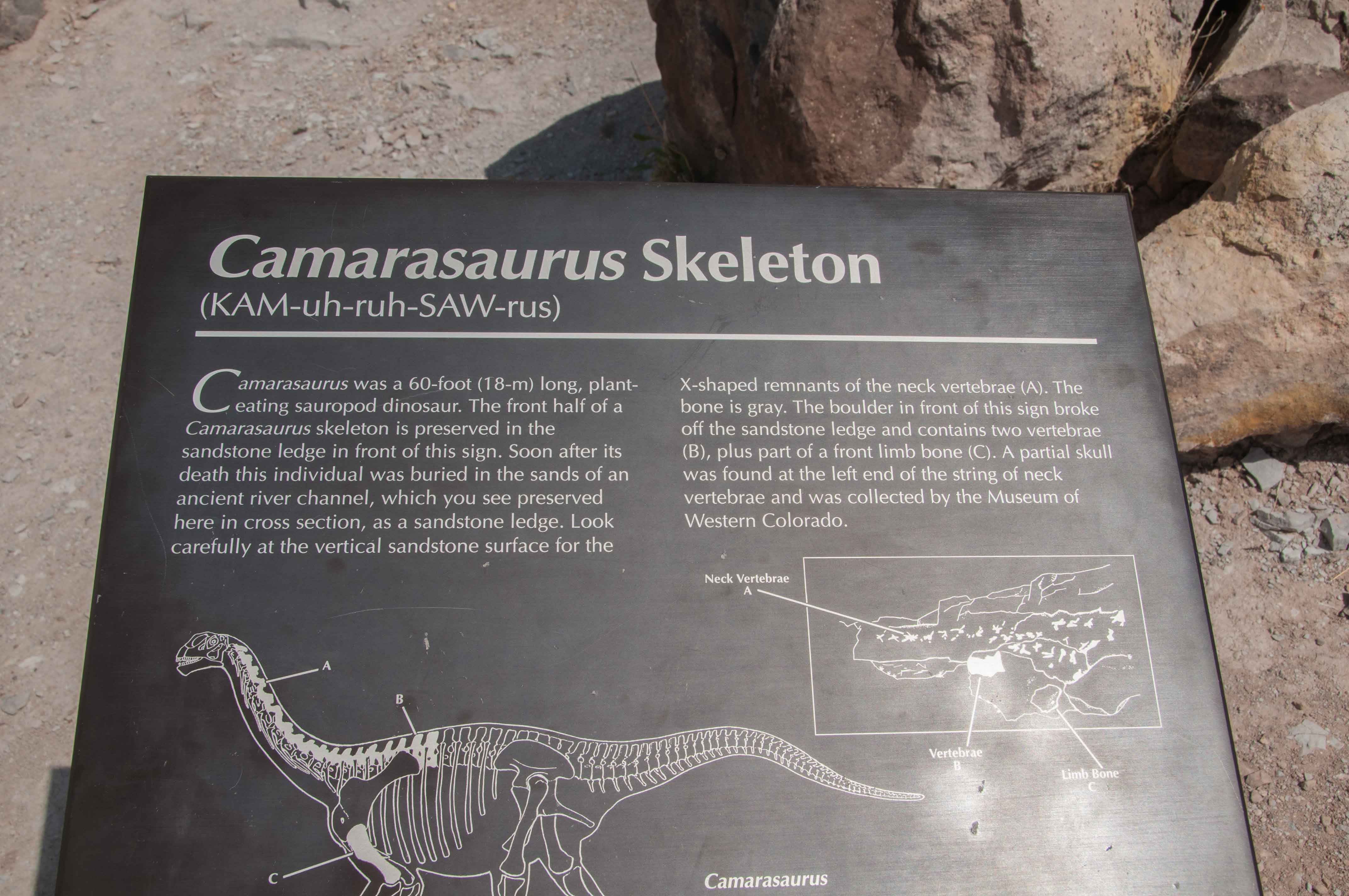
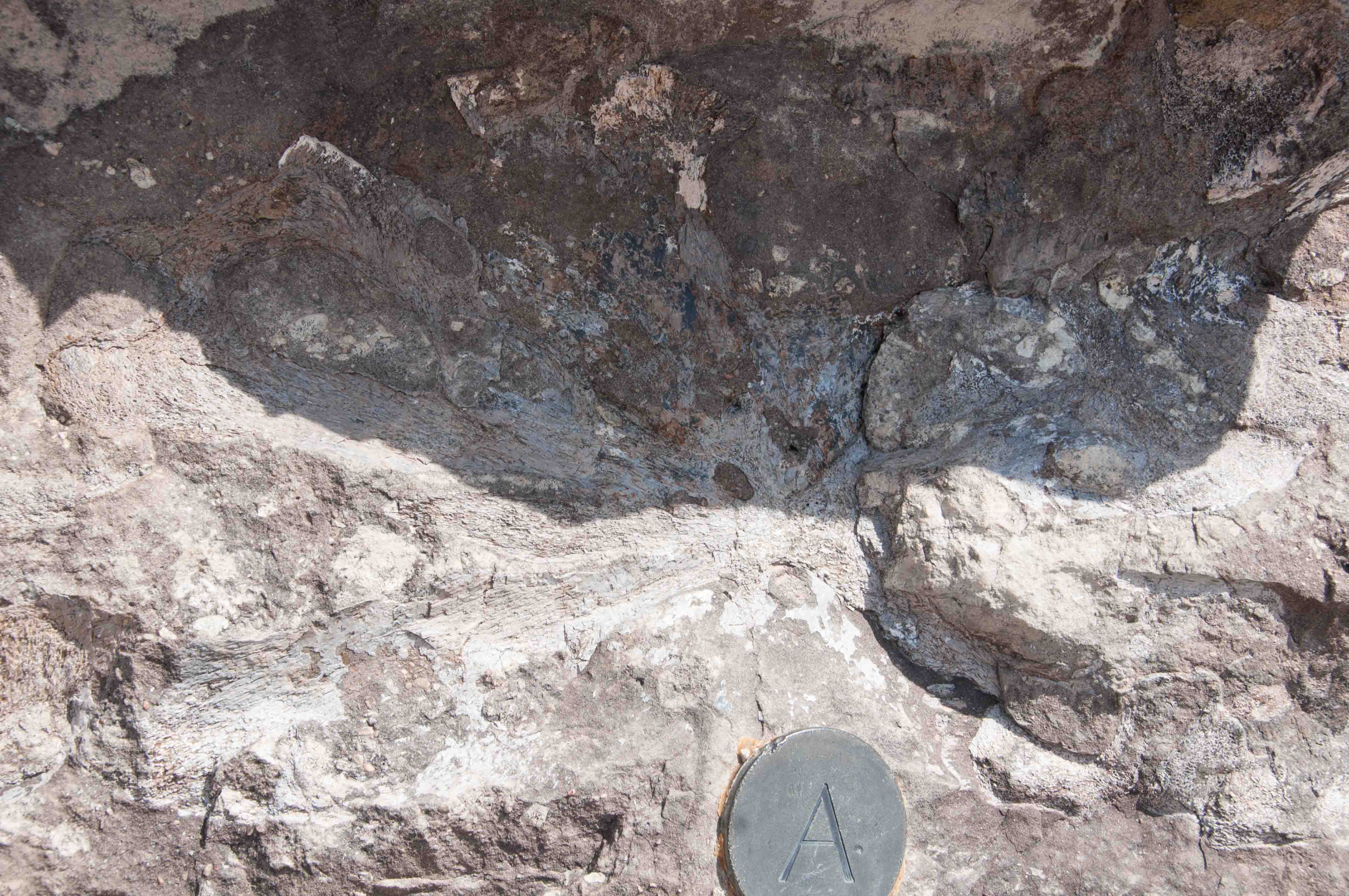
This stop along the trail has some exposed Camarasaurus bones from the front half of the dinosaur. The vertebrae are labeled A and B and the forelimb labeled C.
Interpretive Sign
Camarasaurus Fossil Bones
Neck Vertebra
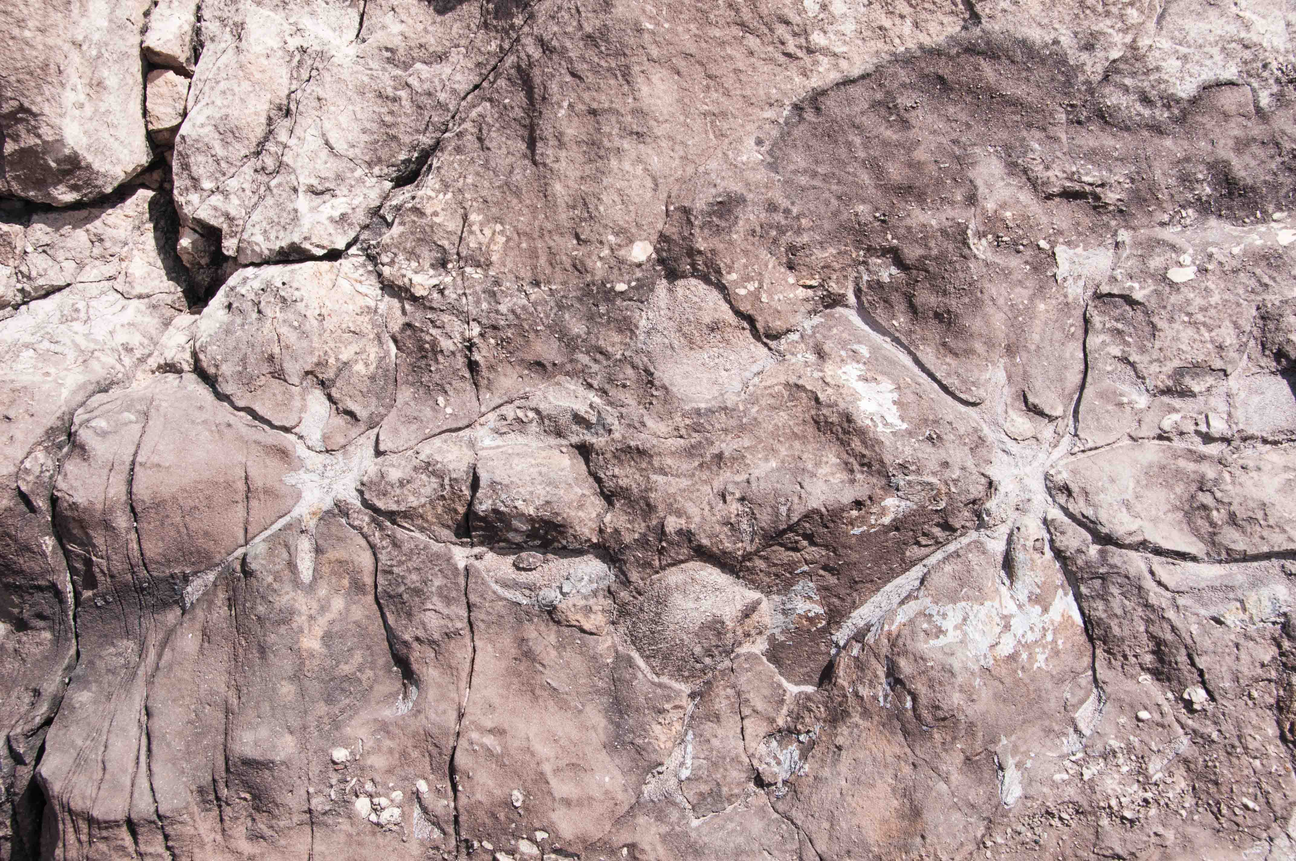
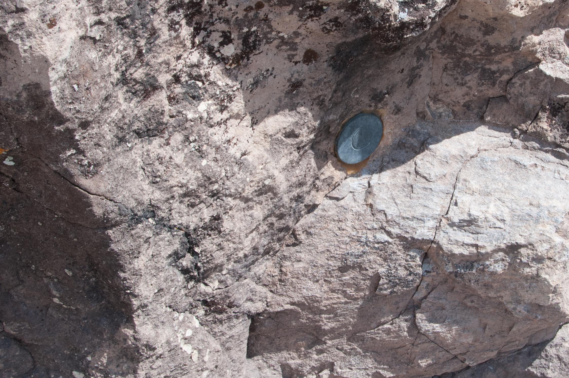
The near right photo shows two well defined cervical vertebrae while the far right photo is a not so well defined front limb bone of Camarasaurus.
Neck Vertebra
Limb Bone
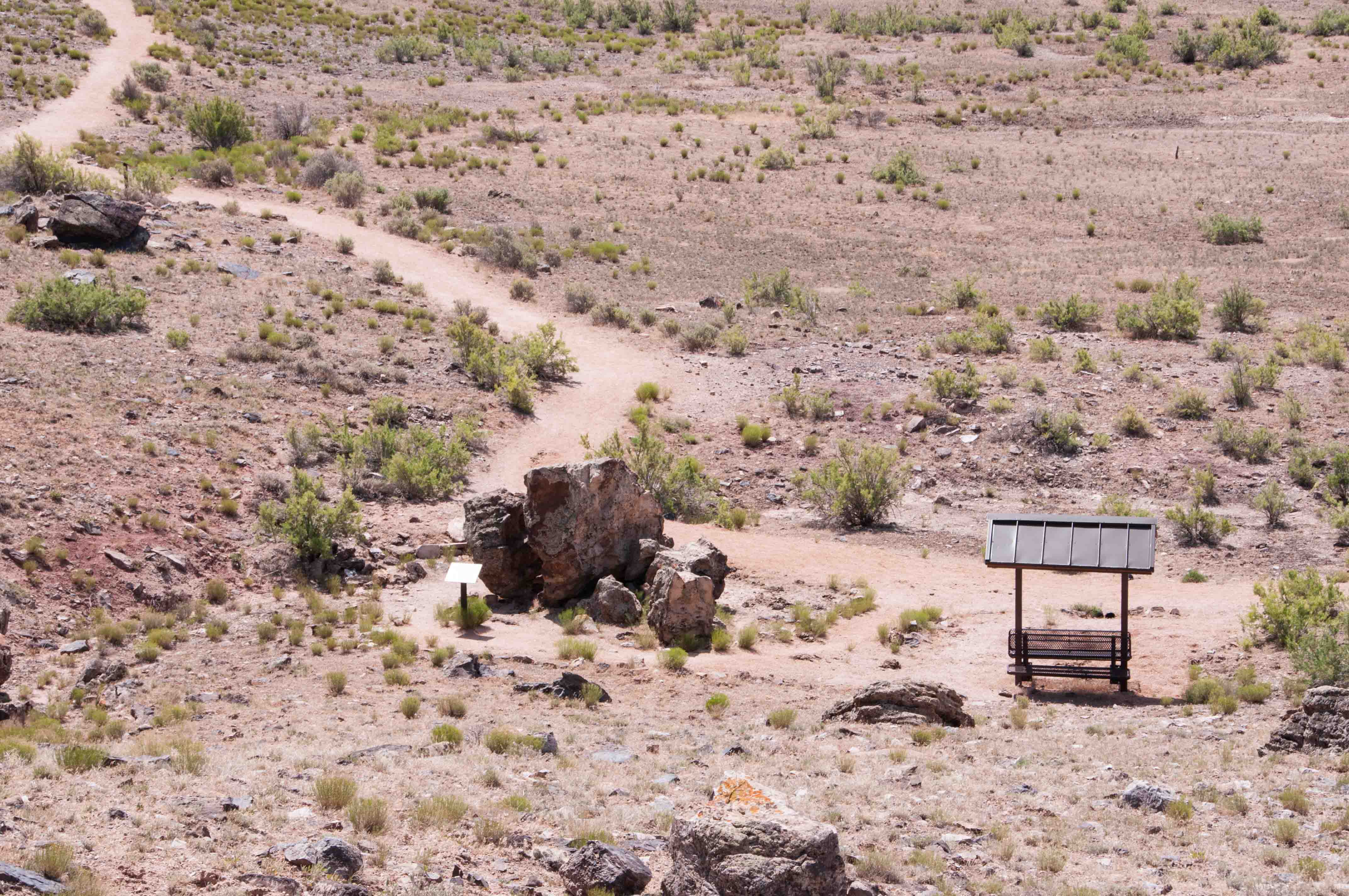
The lower part of the trail is well maintained. The first picture to the right shows part of the trail along with a covered bench. The upper part of the trail is narrower and less well maintained. Total elevation gain is about 170 feet. The lower right photo is the view from the Rabbit Valley overlook with I-70 in the distance. There are great views of the La Sal mountains in Utah and Grand Mesa as you walk along the upper portion of the trail.
Part of the Trail with a covered bench
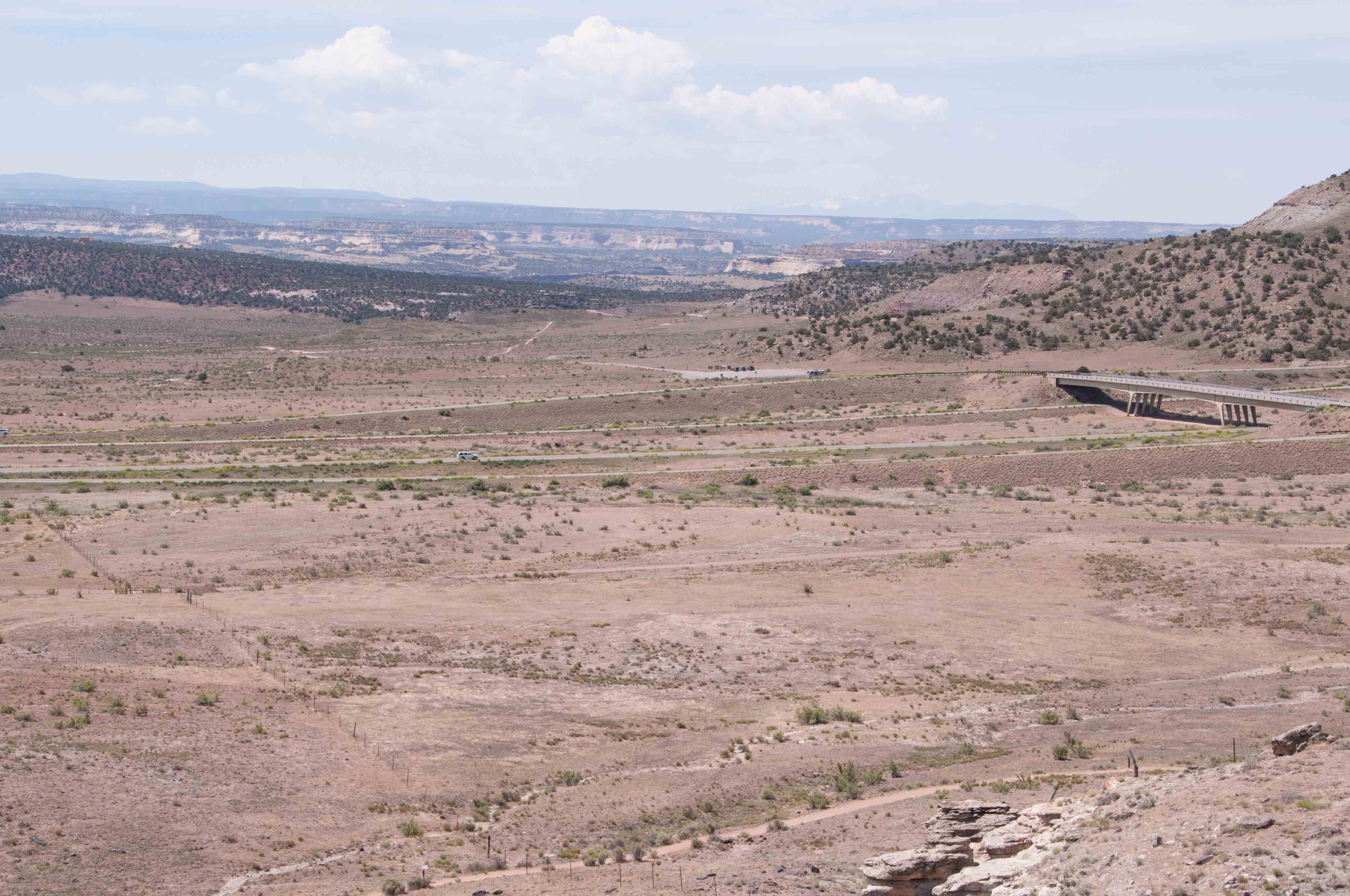
View from Rabbit Valley Overlook
I-70 in Distance
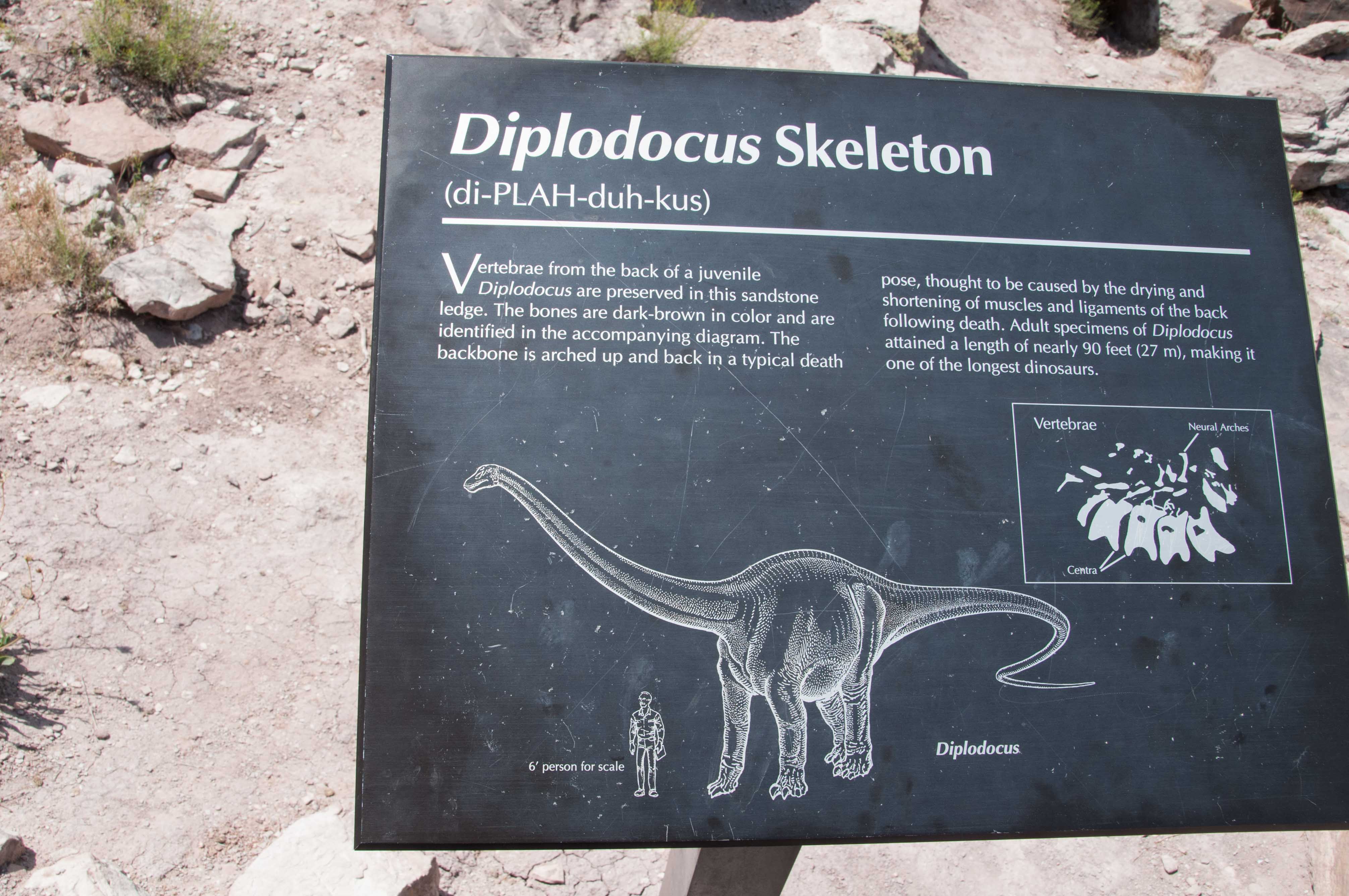
Diplodocus Skeleton
Diplodocus Skeleton in situ.
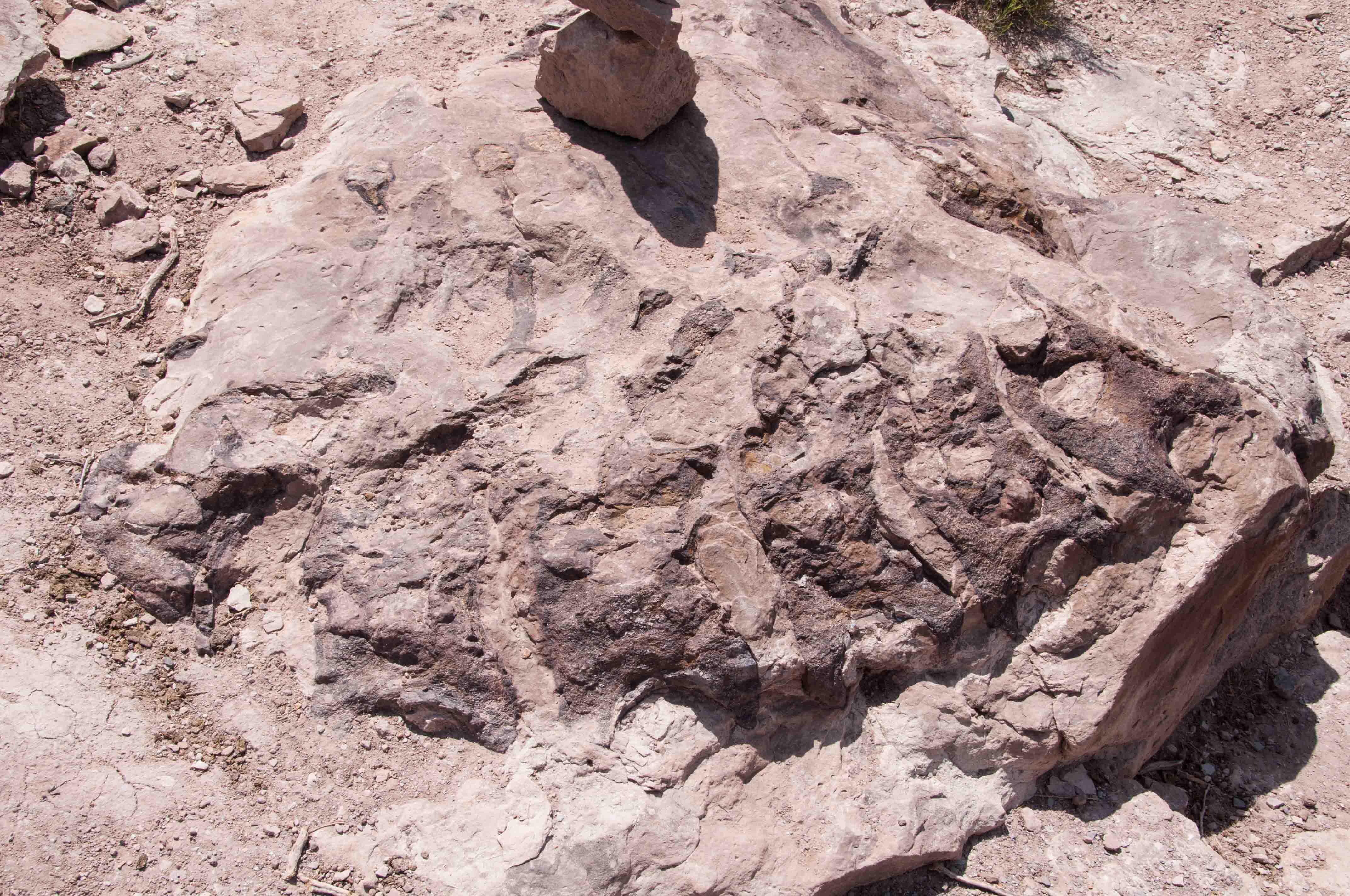
Neck Vertebrae
Uranium is commonly found in the Morrison Formation and there was a lot of uranium mining throughout this area in the 1960's and 70's. On August 23, 1968 two prospectors filed a mining claim on this spot and marked it with a wooden post and two rock cairns. The paperwork was placed in a Prince Albert tobacco can and put in one of the cairns. Was this a potential uranium mine? No one knows because the claim and location were never filed with with the Mesa County Clerk and Recorder. The photo to the right shows the wooden post mining claim marker.
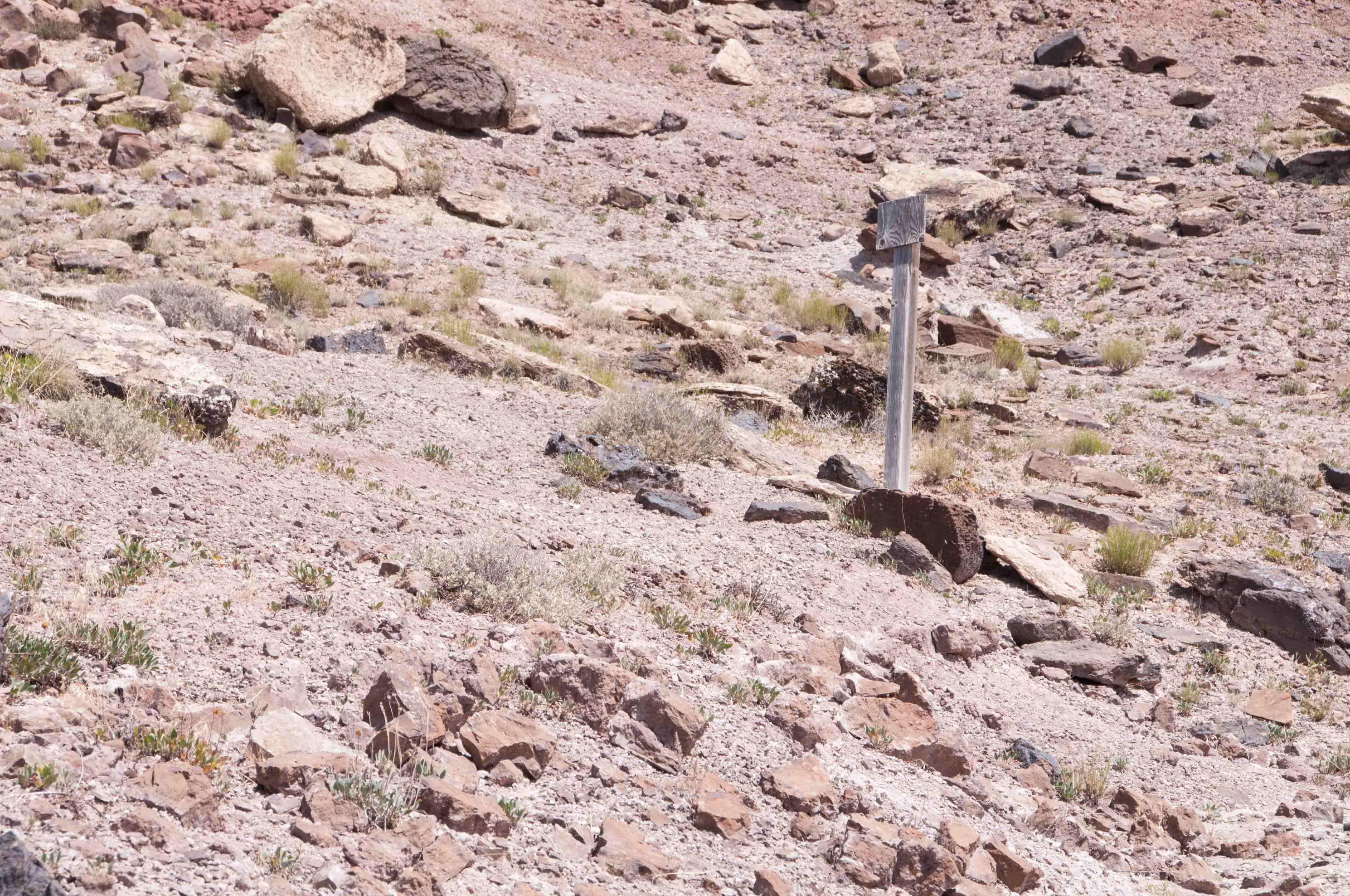
Old Mining Claim Marker
Interpretive Sign
I found it hard to tell this fossil from the rock. Maybe it will be easier for you to recognize.
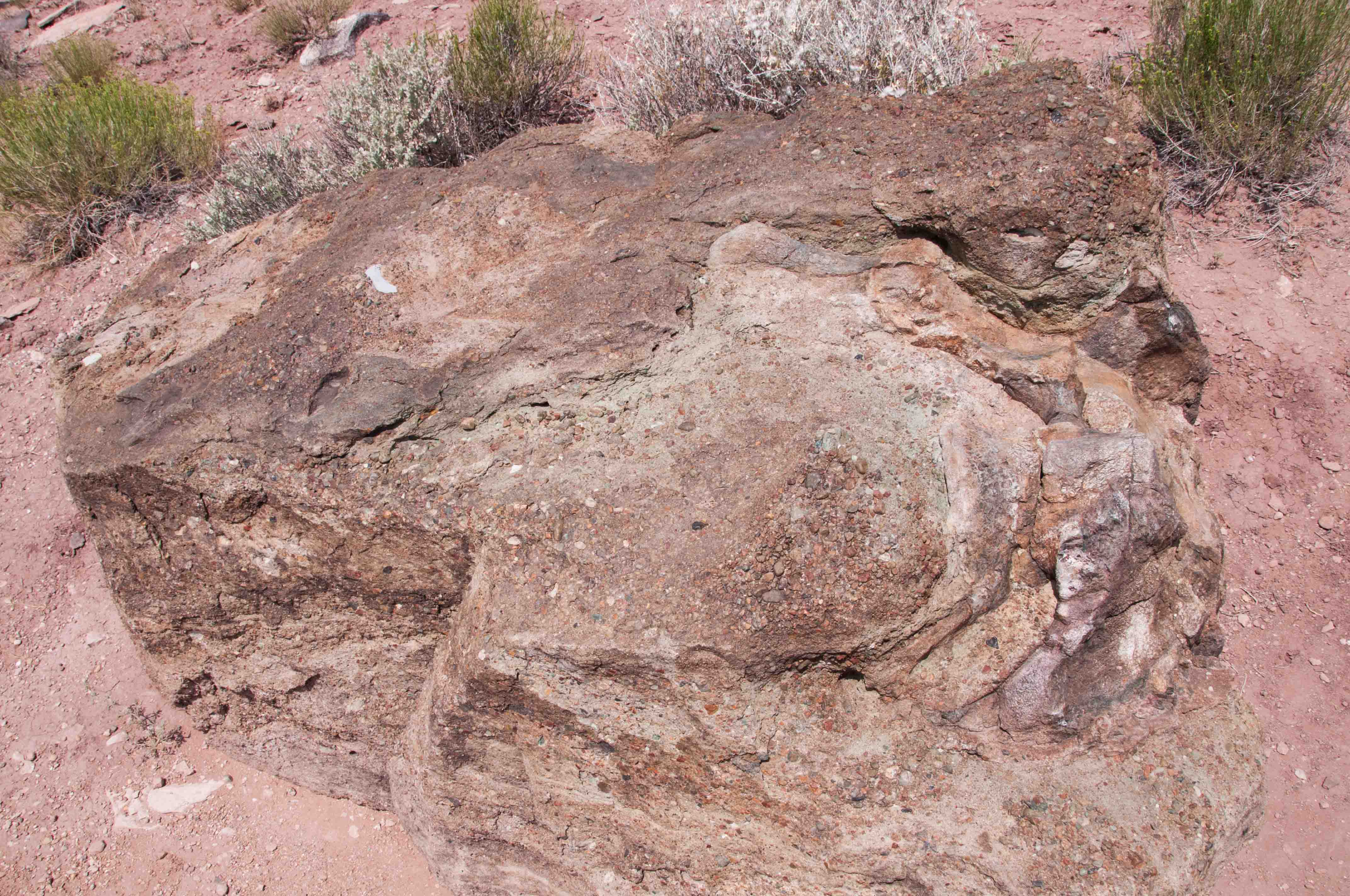
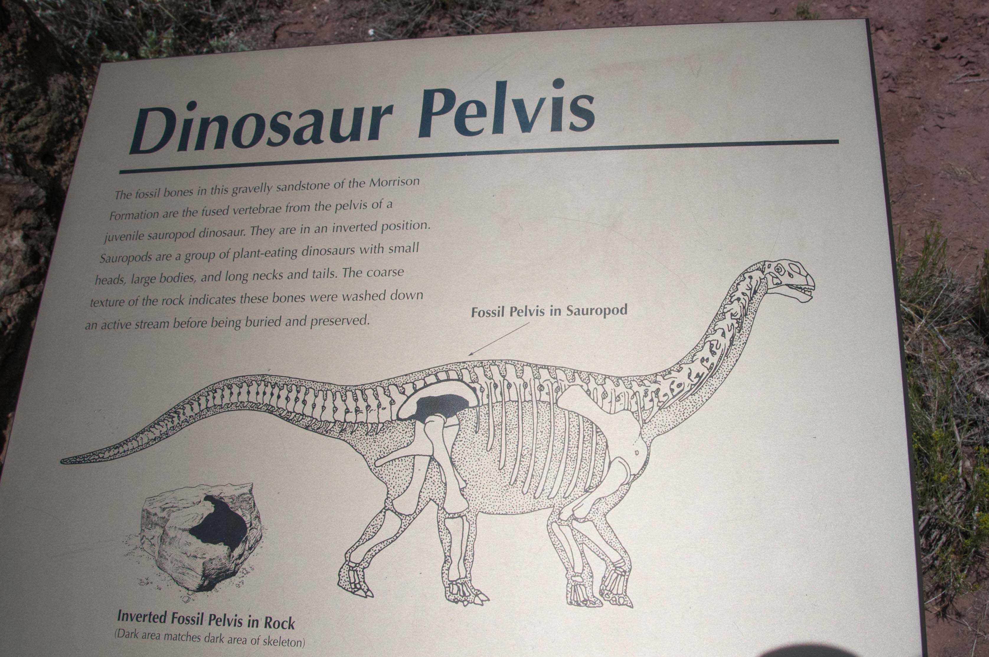
Dinosaur Pelvis
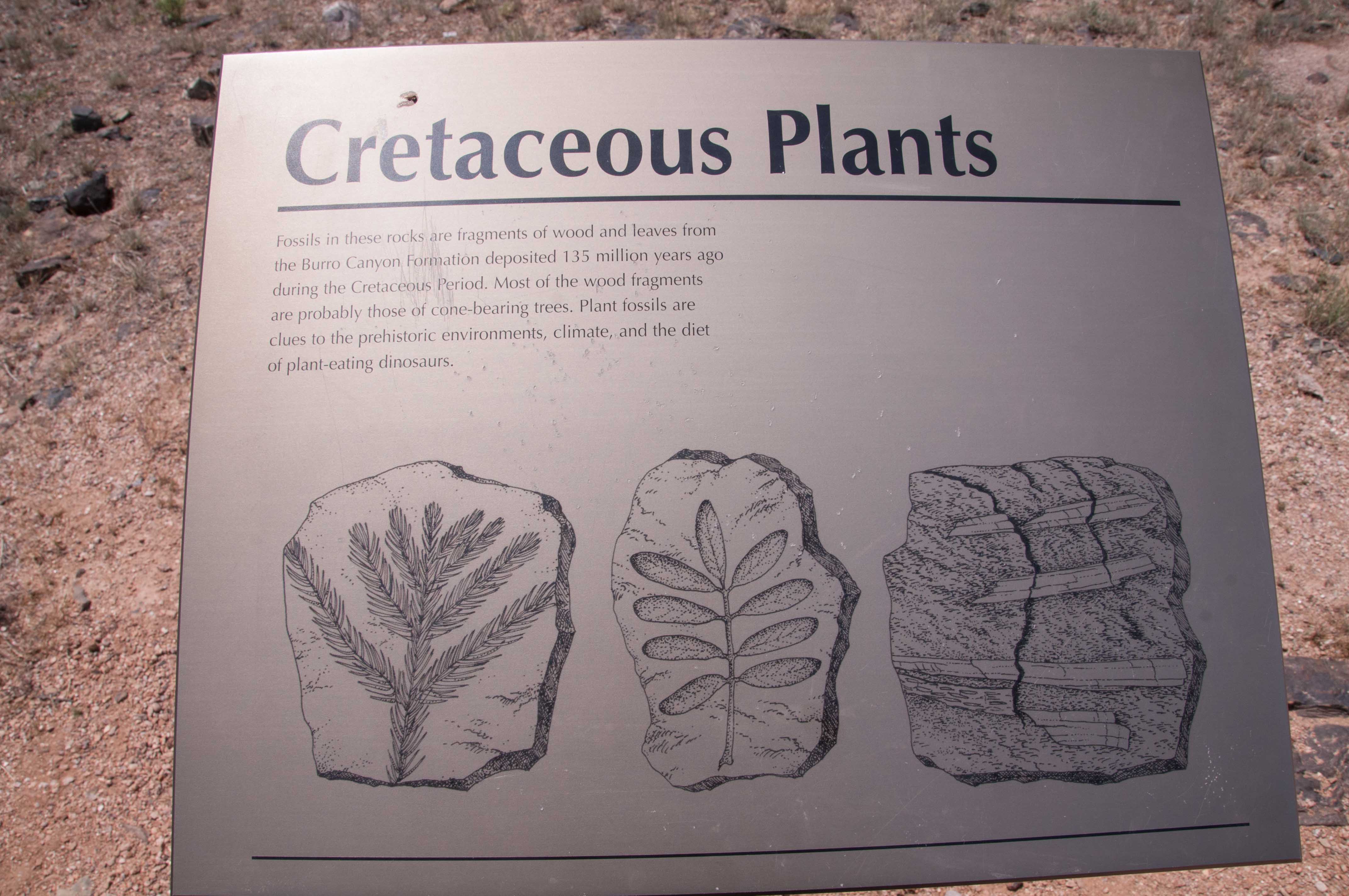
Cretaceous Plants
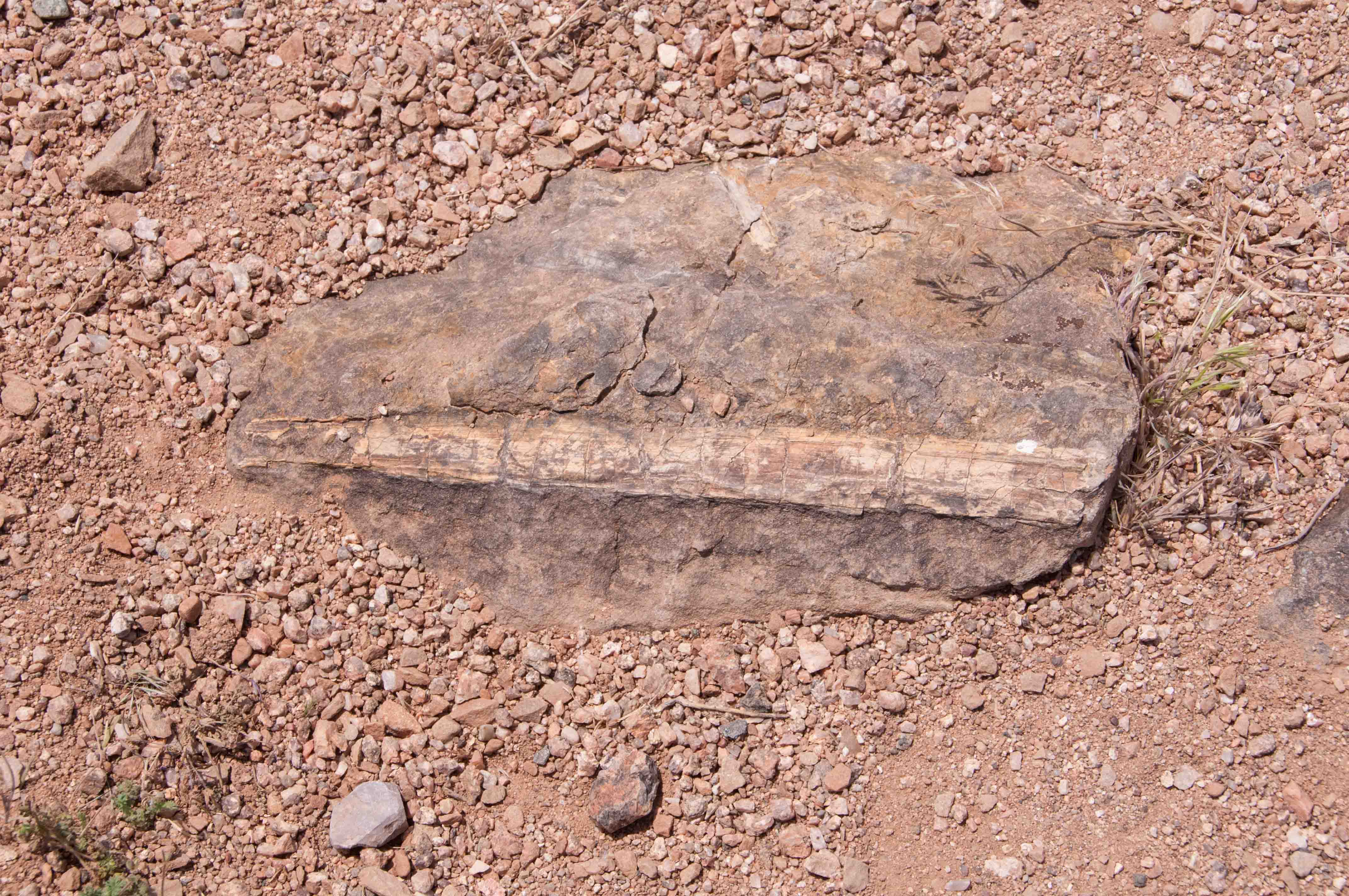
Vegetation Fossil
There is also fossilized vegetation in addition to the dinosaur fossils as can be gleaned from the sign on the left. The photo on the right is a fossilized stem.
Use the form on the Home Page to submit comments, questions, or suggestions. TD Productions Copyright © 2019