Route of the Silver Kings
The Route of the Silver Kings takes you
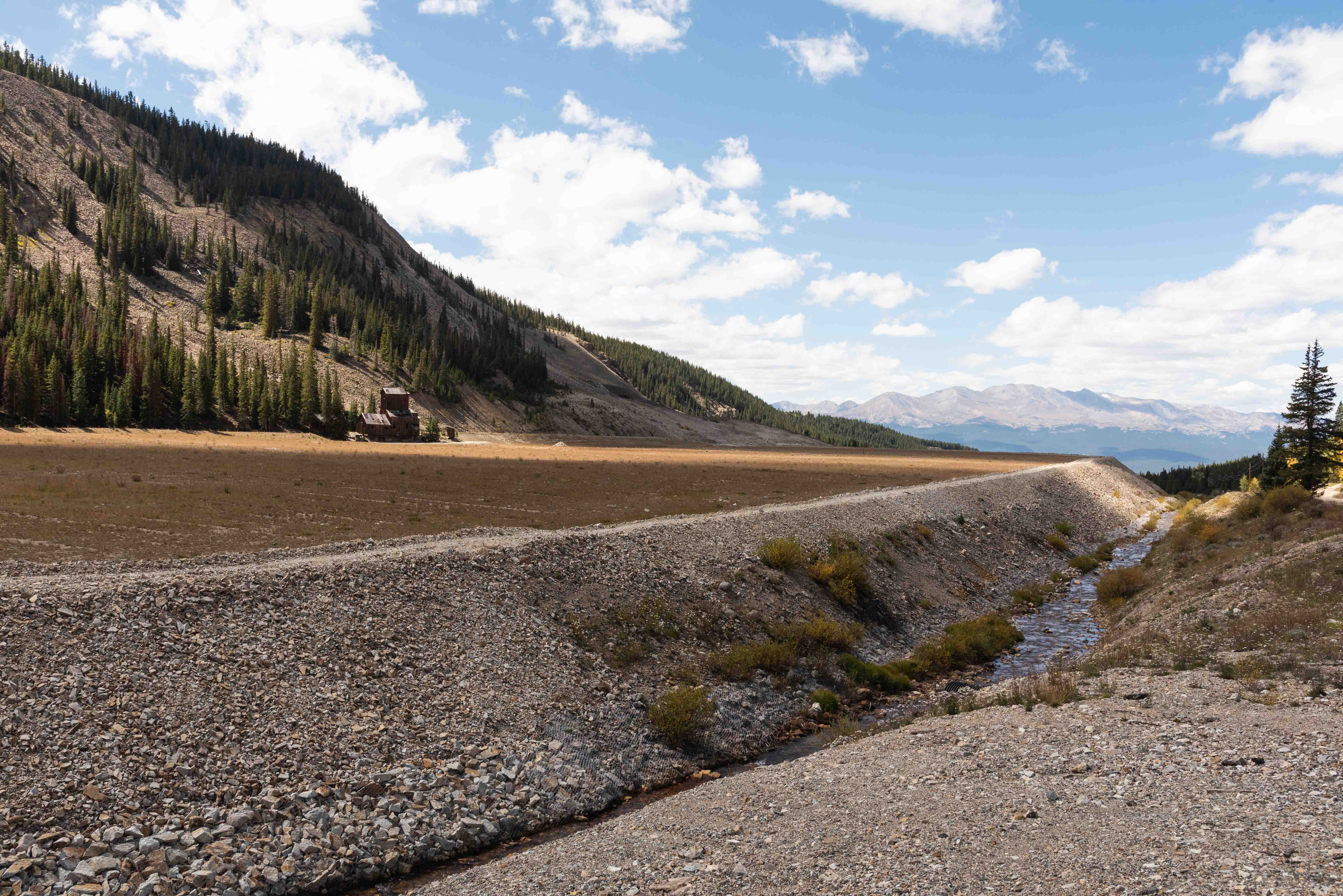
on a tour of the old Leadville Mining District. In its heyday from the early 1860s to late 1890s the
district produced millions of dollars in gold, silver, lead, zinc, and other minerals (billions of
dollars at todays values). Hundreds of mines and 17 smelters operated during this period. The route passes
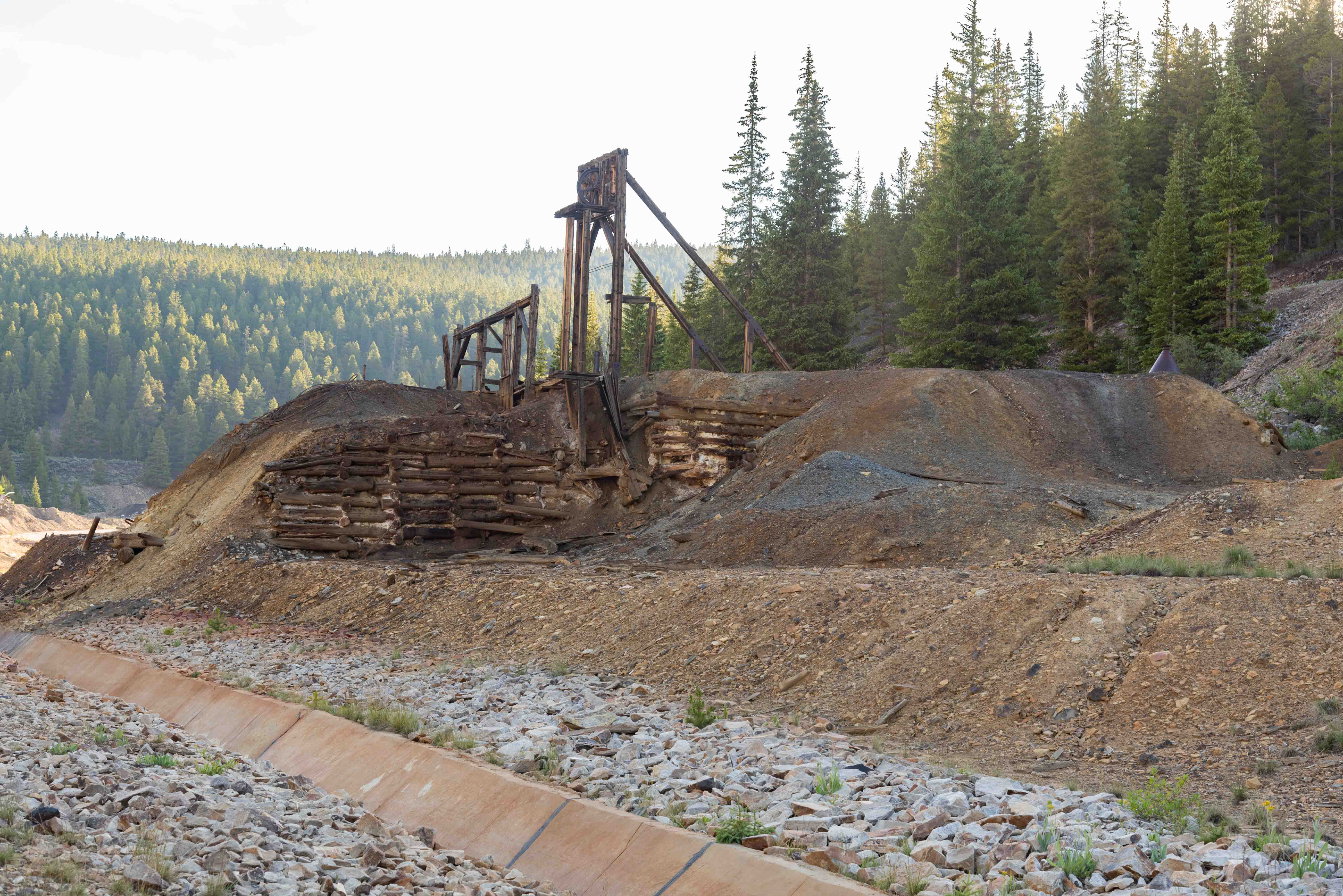
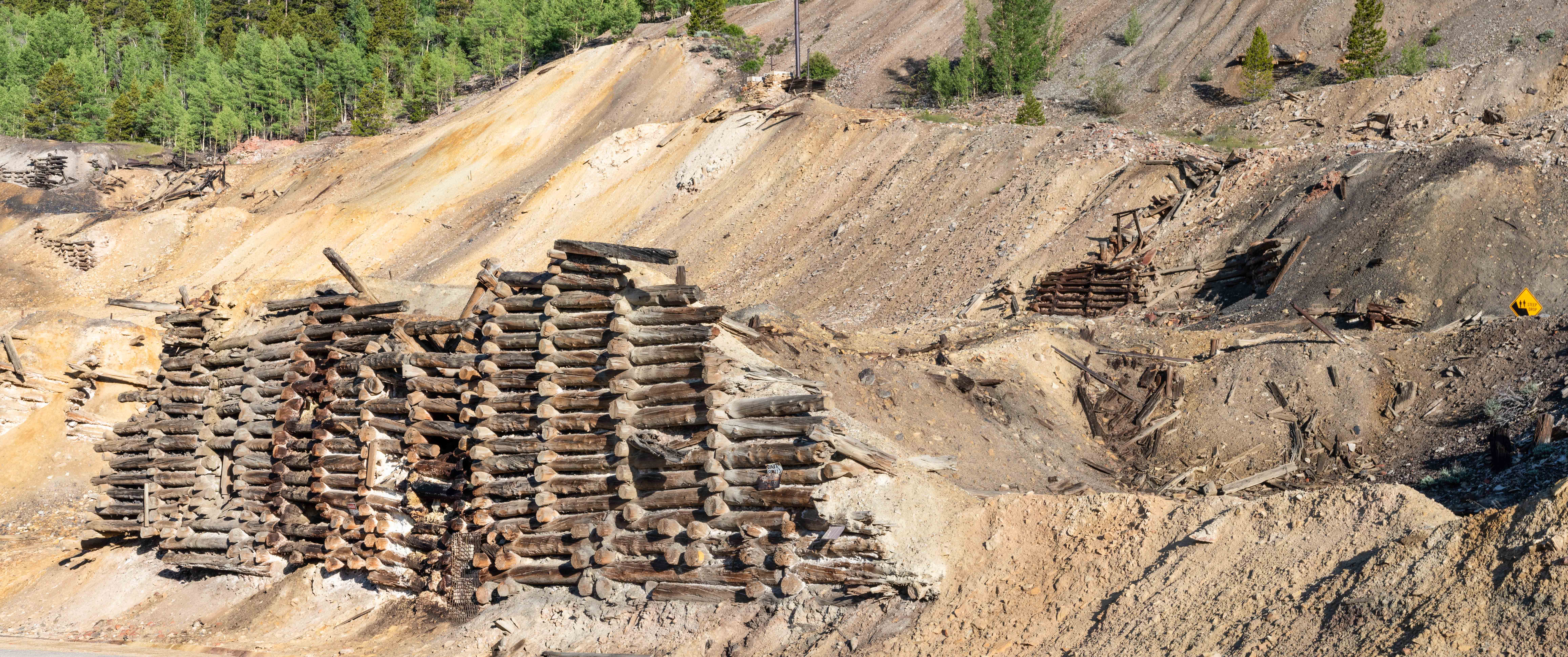
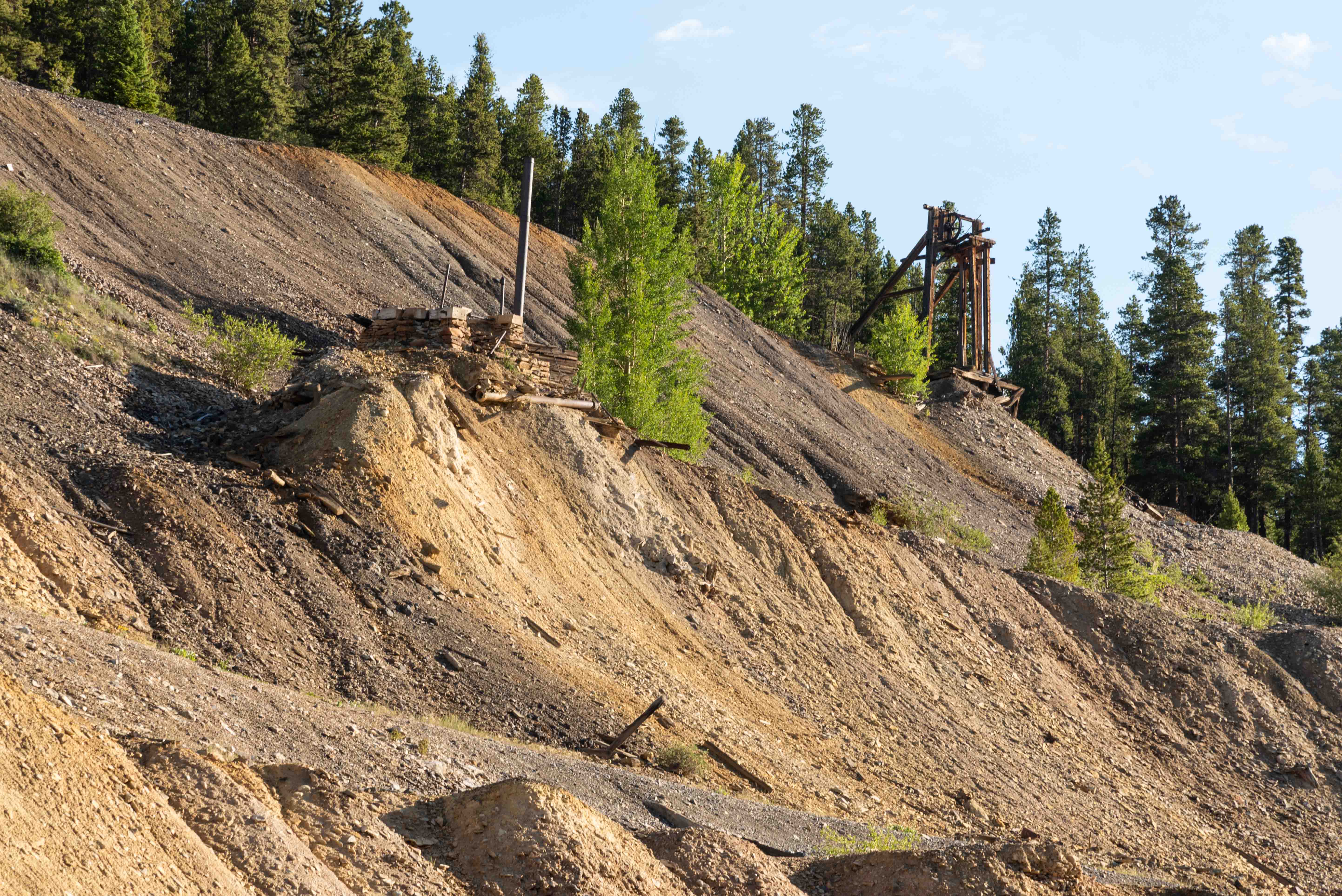
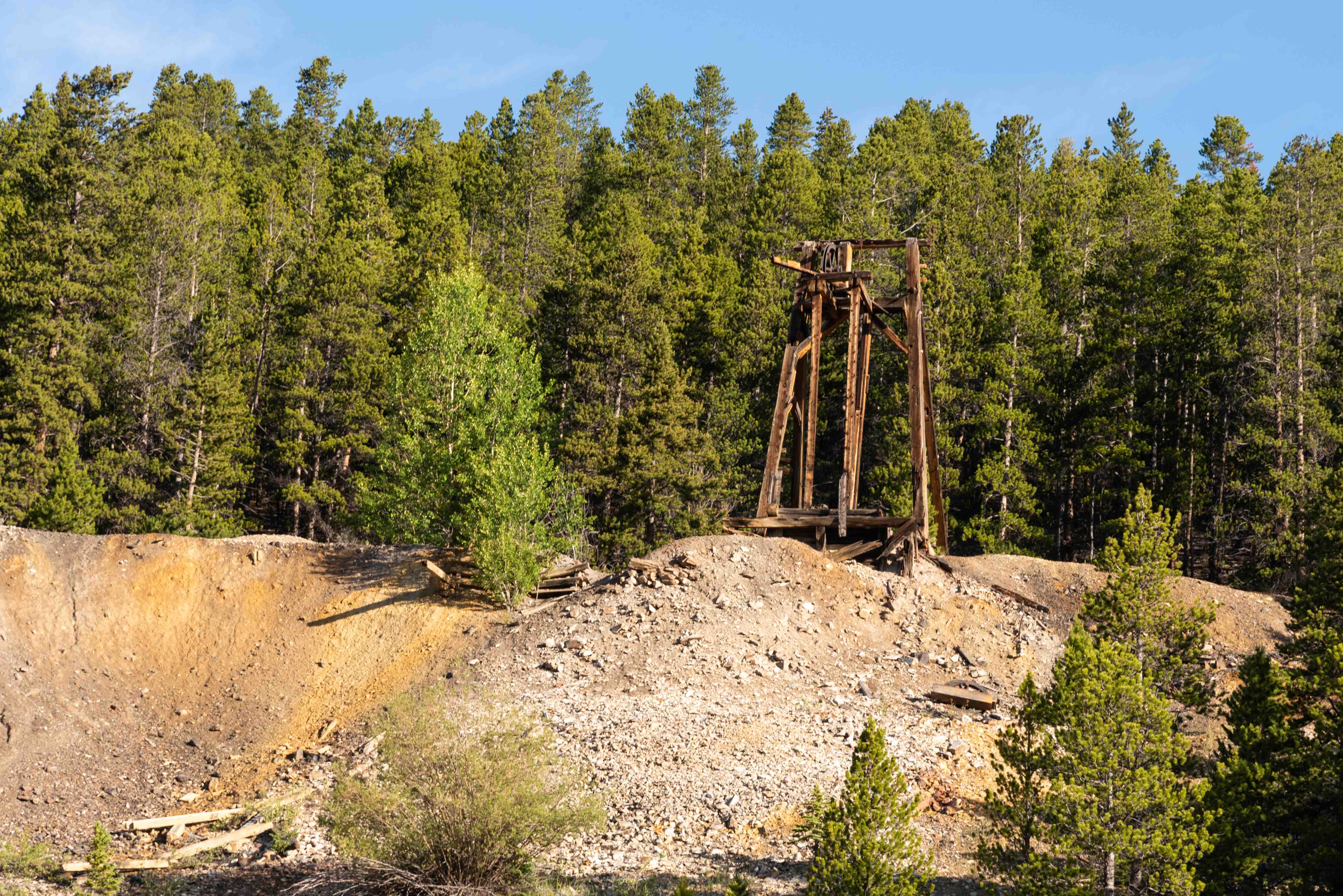
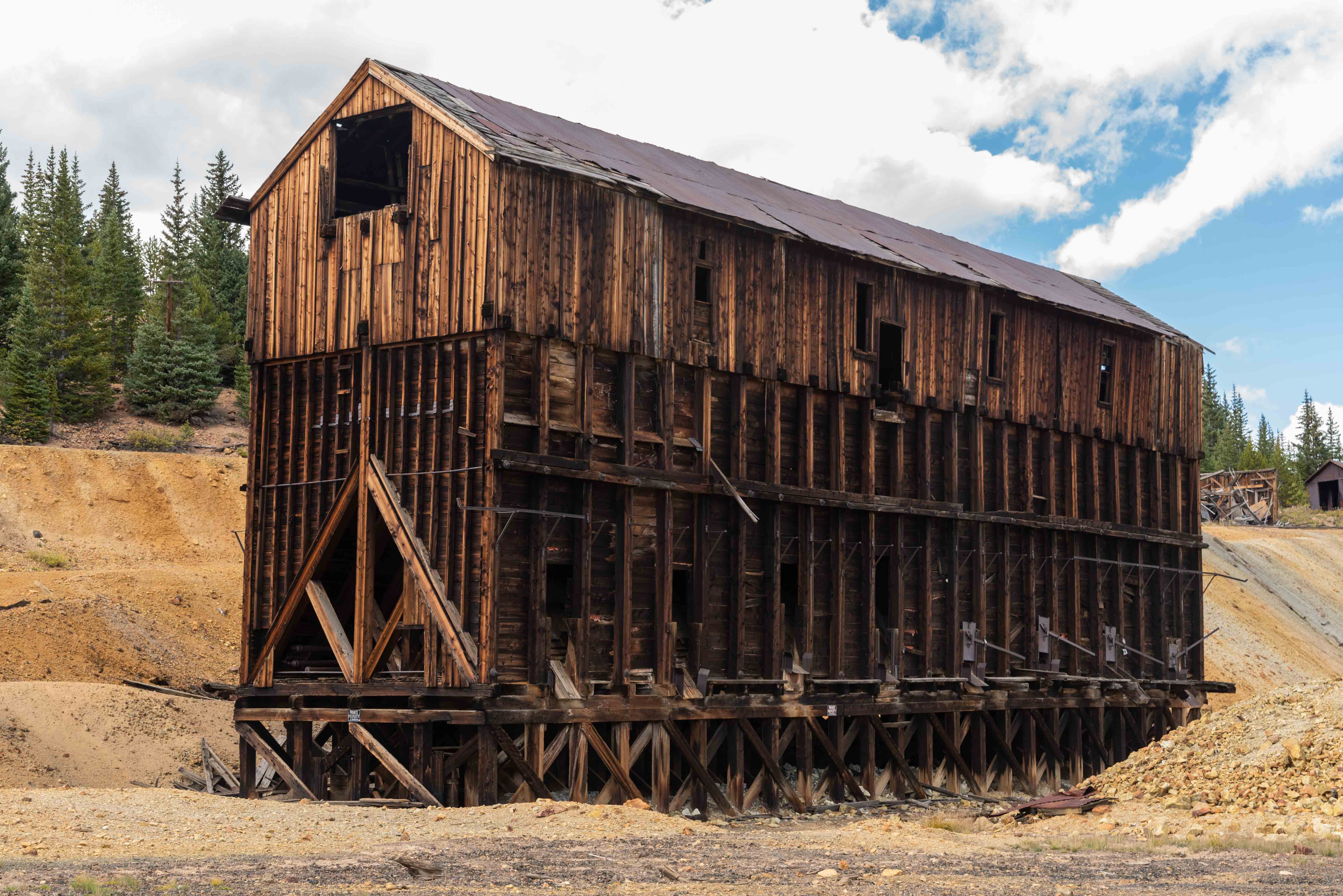
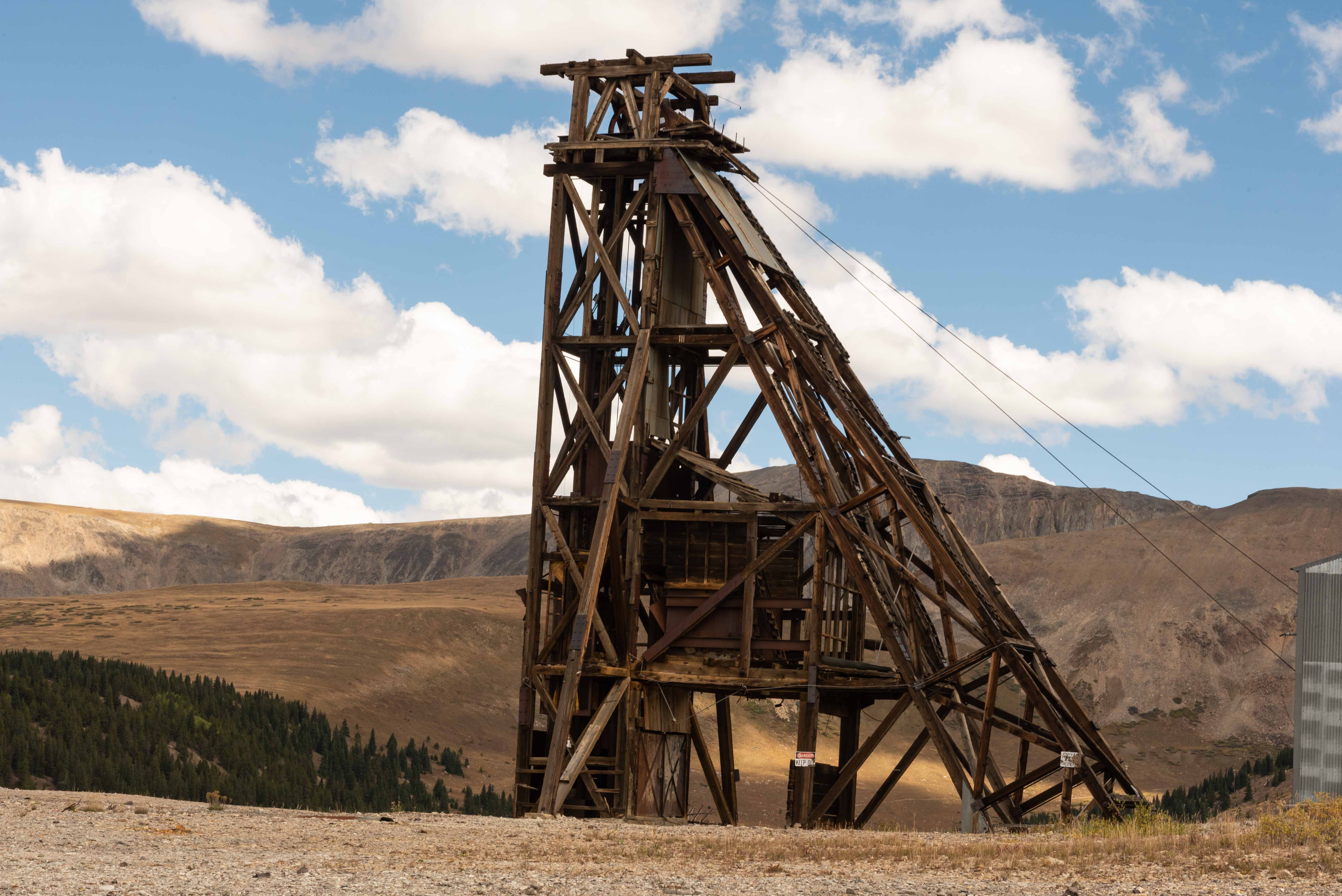
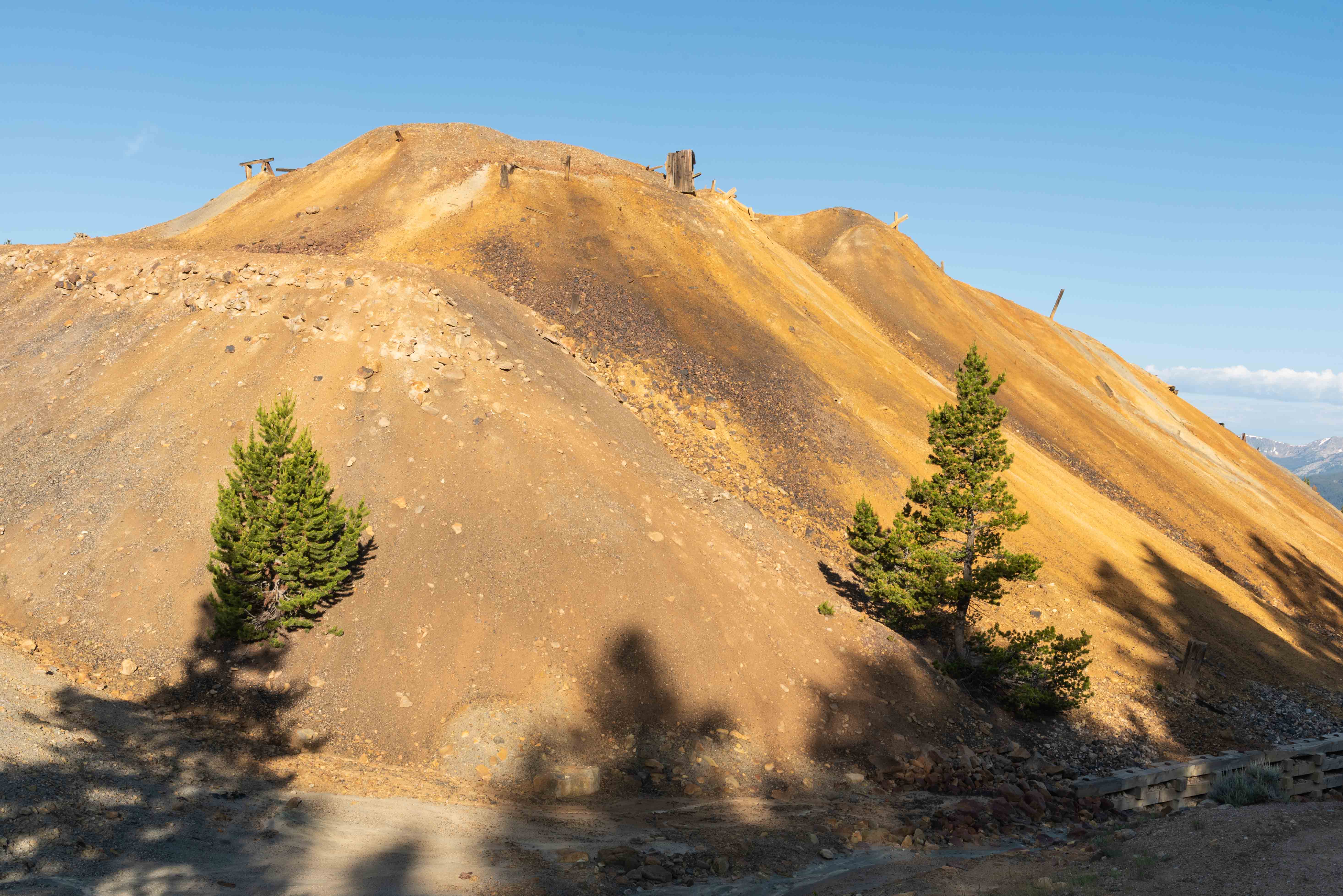
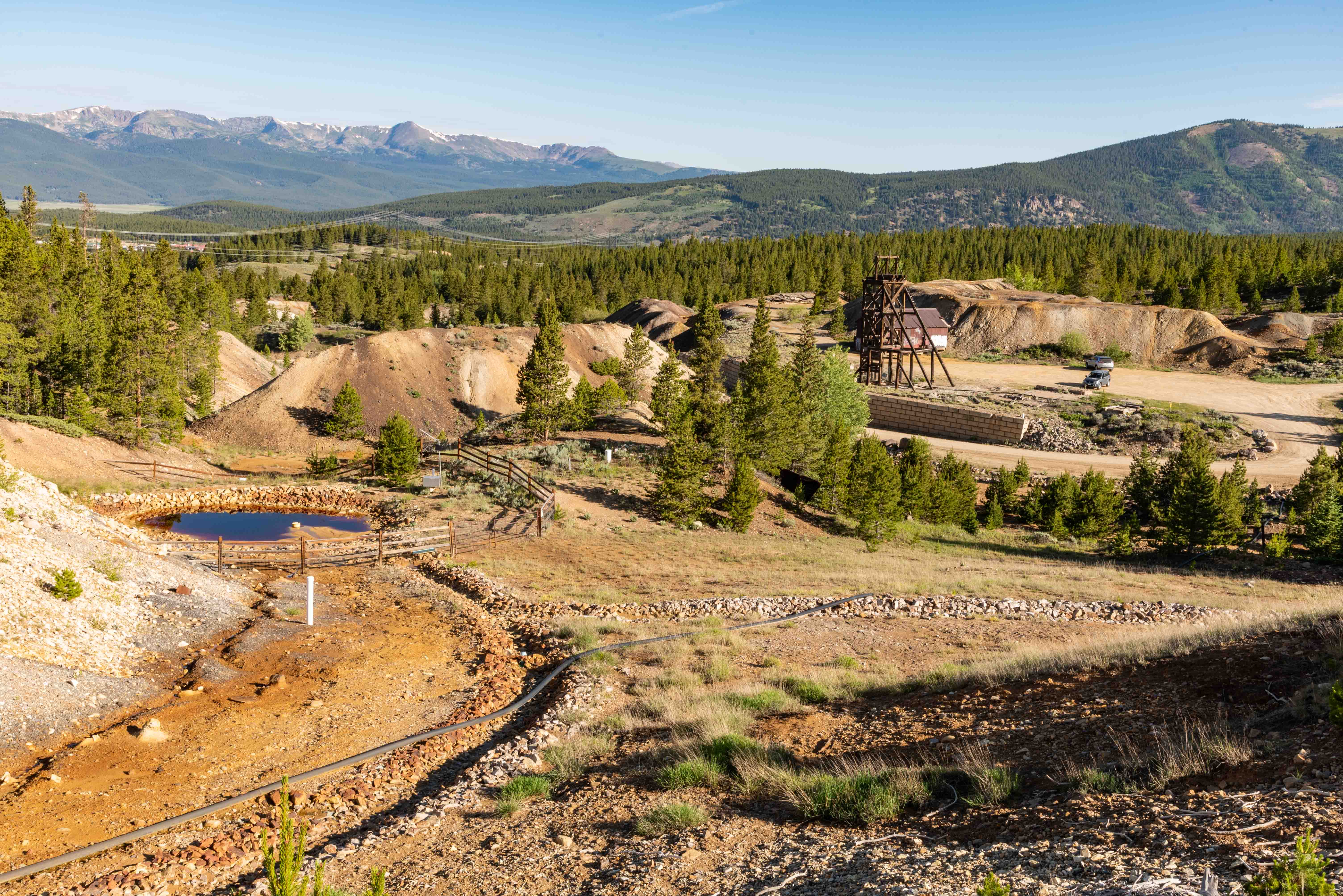
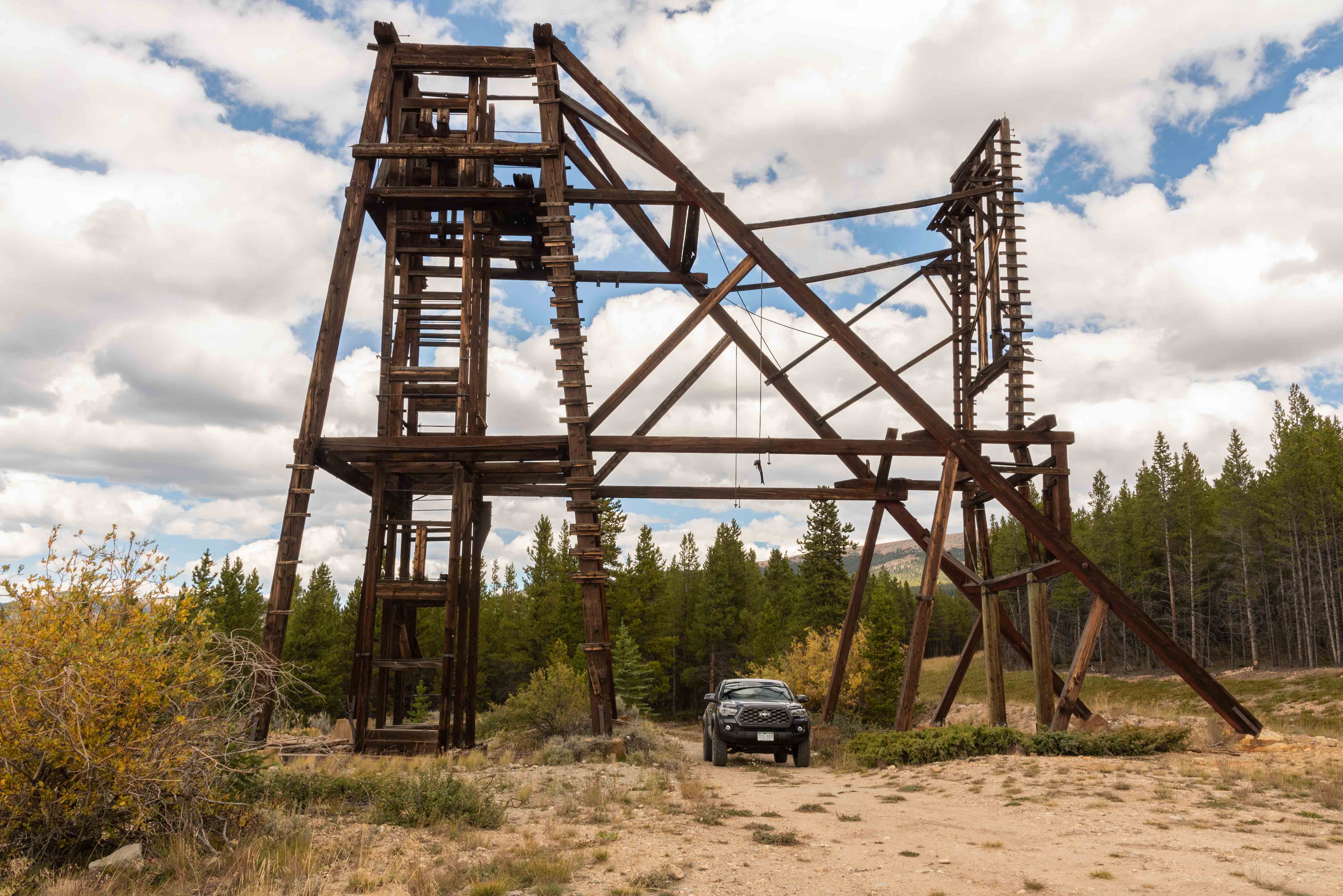
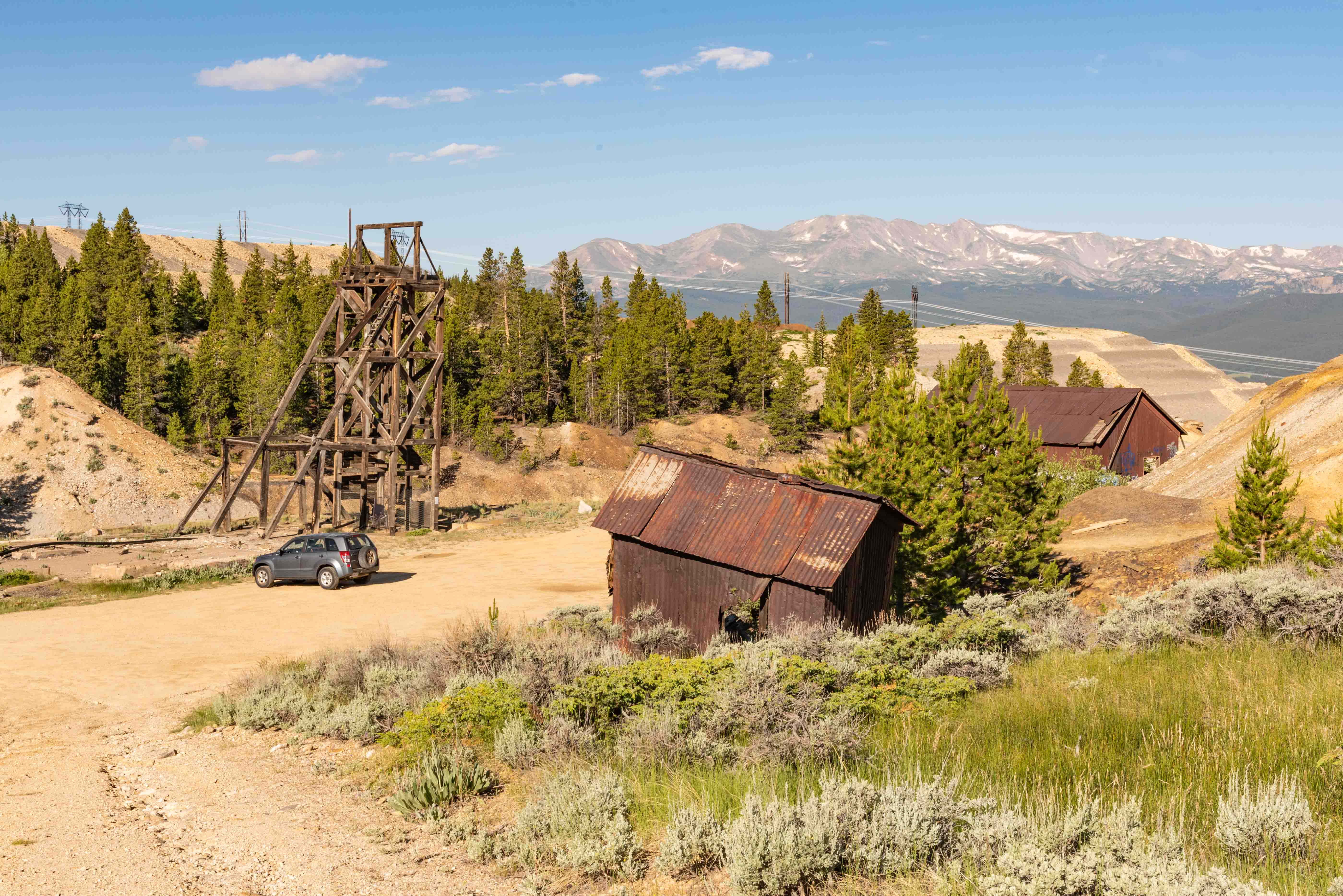
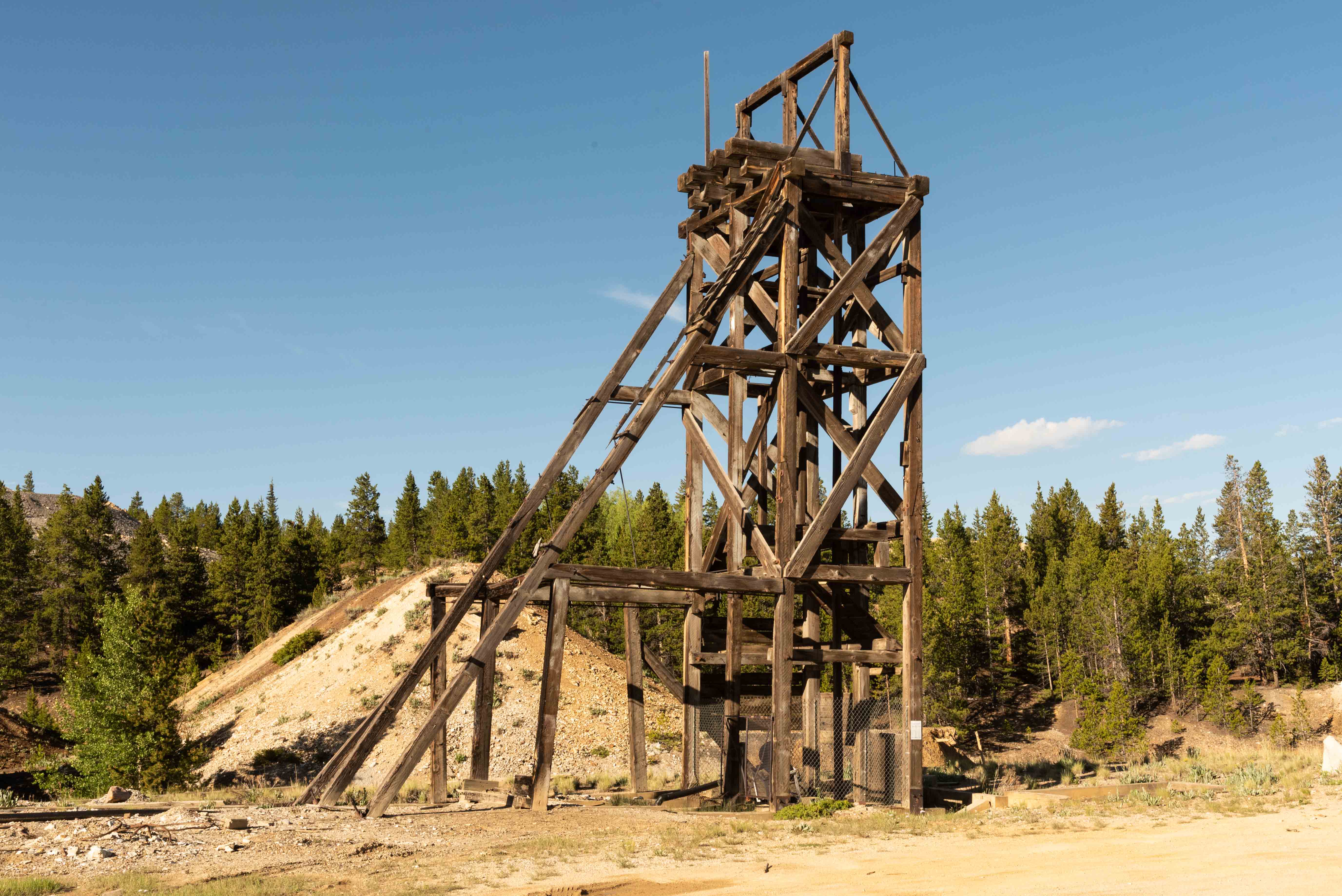
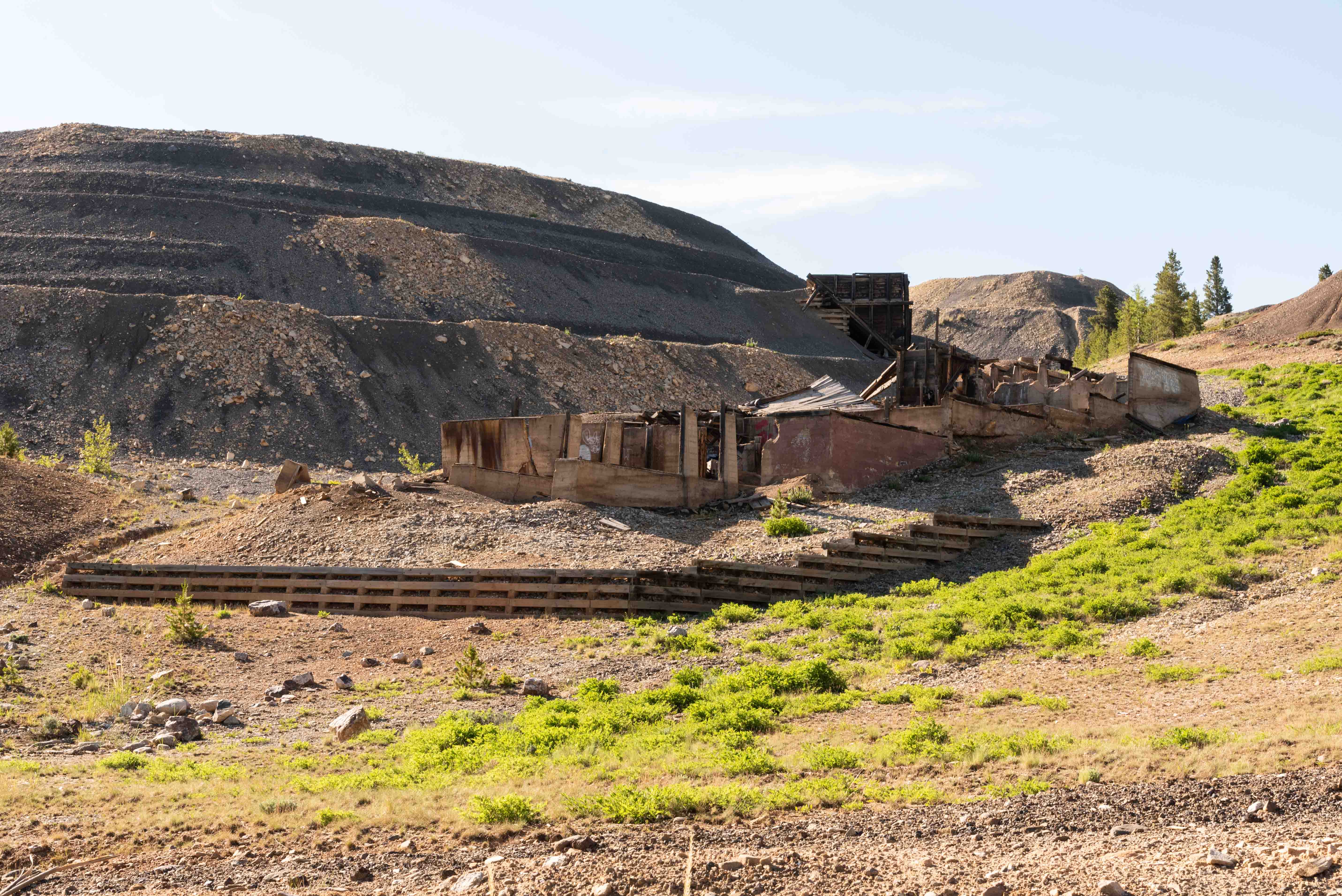
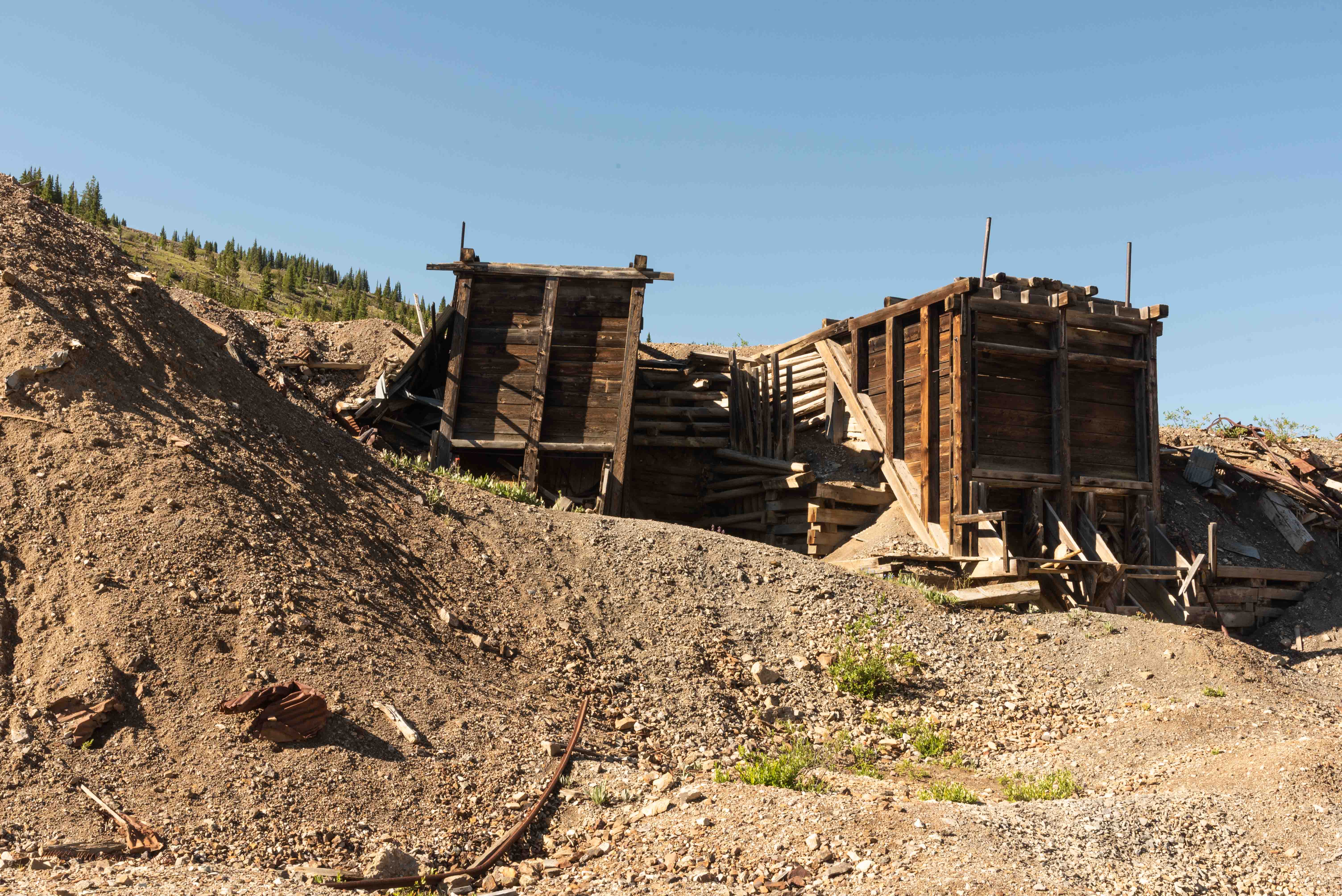
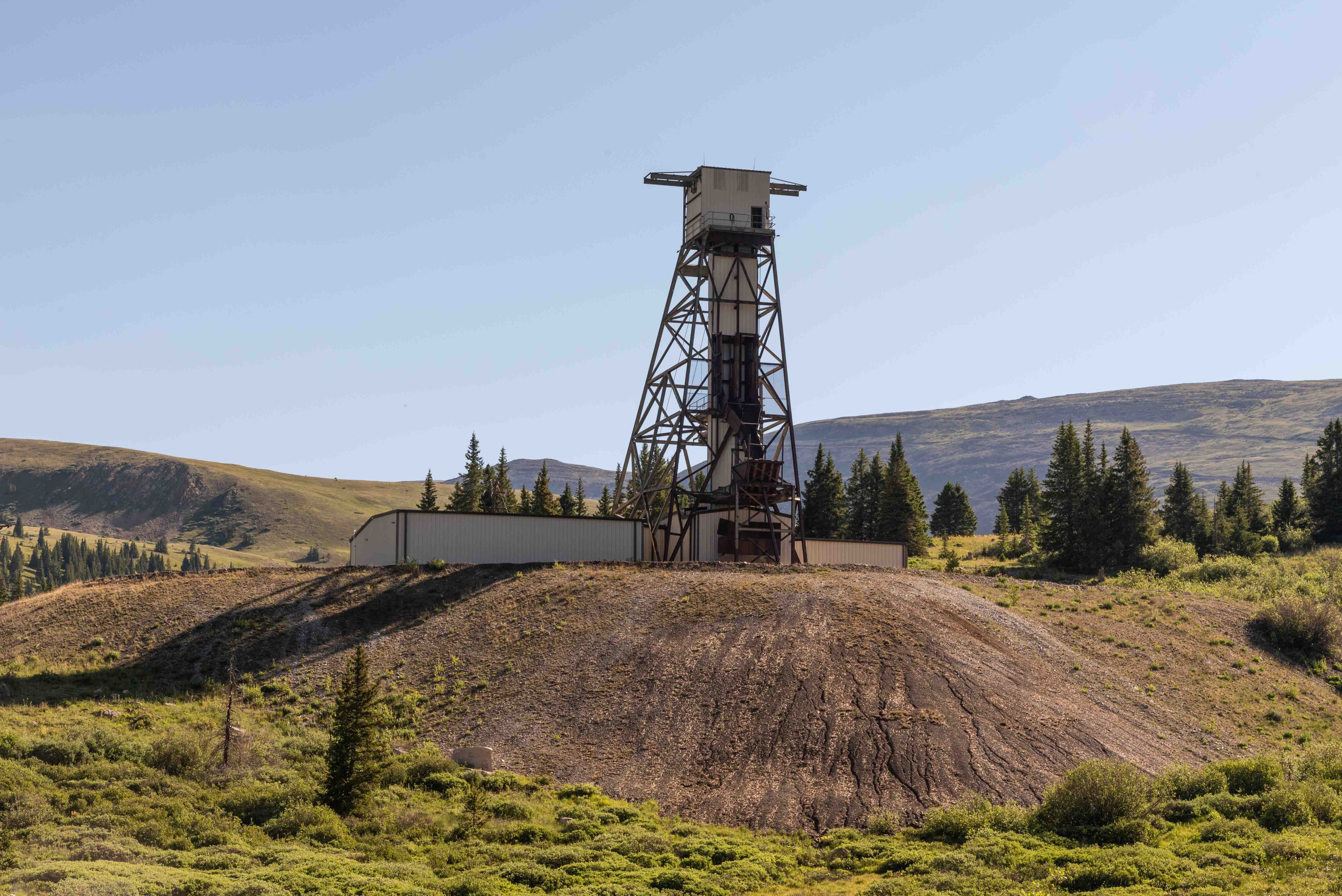
dozens of mine sites, several old townsites, mine dumps, and headframes galore.
The Route:
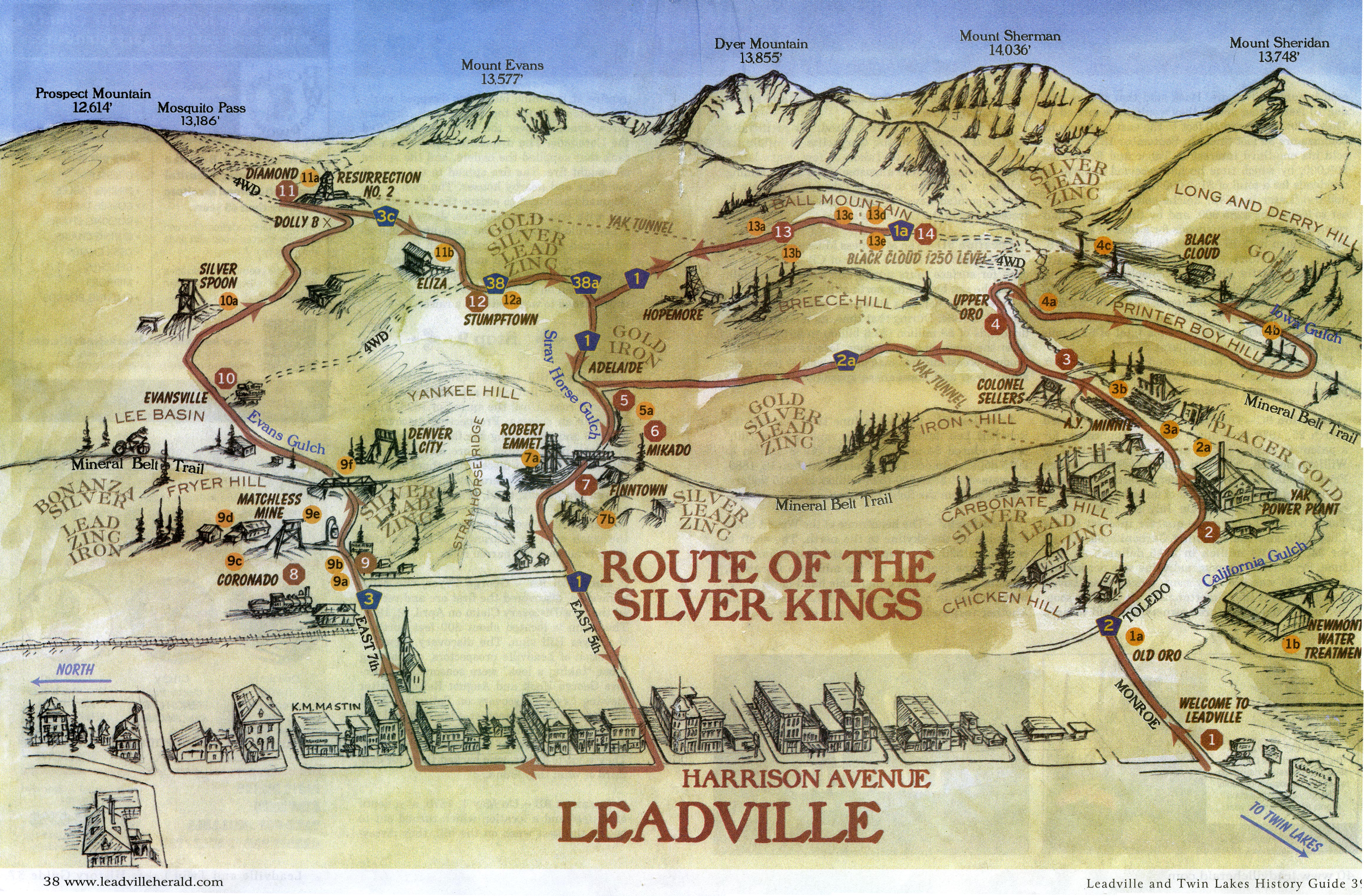
Start at Harrison Avenue and Monroe Street in Leadvile and proceeed east. Monroe turns
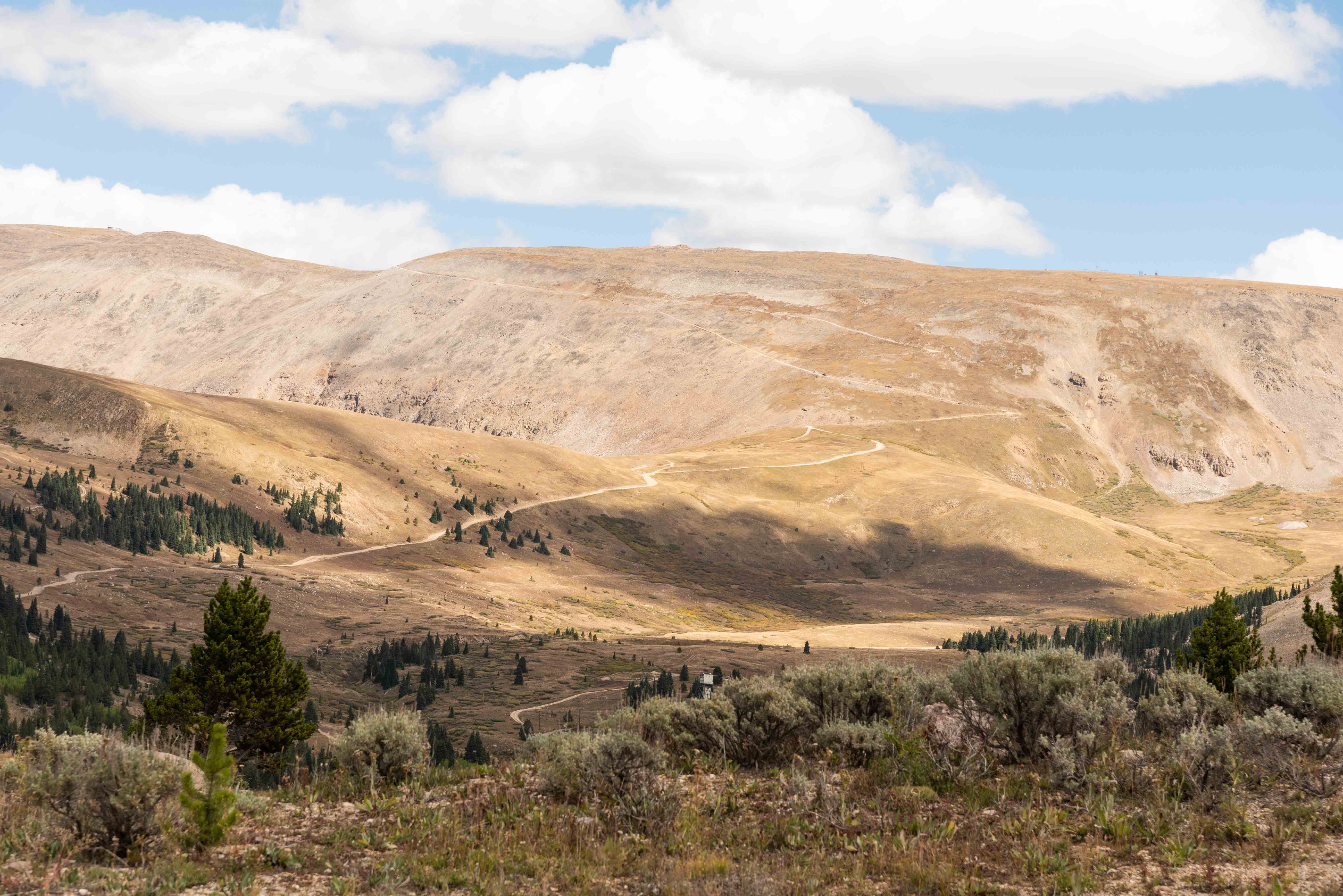
into County Road 2. Continue on CR-2 all the way up Printer Boy Hill to the Black Cloud Mine, stopping
at points of interest along the way. Backtrack to the junction of CR-2 and CR-2A just east of the Colonel Sellers mine
site. Turn right onto CR-2A (Old Adelaide Road) and follow it to the intersection with CR-1. FYI: CR-2A is
is rough in spots. Turn west (left) onto CR-1 and return to Harrison Avenue in Leadville. There are a lot of interesting stops
on this section of the route so go slow and keep your camera at the ready. CR-1 turns into East 5th Street once back in Leadville.
Turn north (right) on Harrison Avenue then east (right) on East 7th Street to continue the tour. East 7th Street turns into CR-3.
Continue on CR-3 all the way to the Ressurection/Diamond Mines, stopping at points of interest along the way. Take CR-3C/38/38A to the intersection
with CR-1. At this point there ae two options. Option 1: turn west (right) on CR-1 and continue back to Leadville to finish the
tour. Option 2: turn south (left) on CR-1 and continue on to Black Cloud Mine. You will have to backtrack to the junction to finish the tour.
Rather than having to memorize the preceding paragraph it's much easier to get a copy of the map and just follow the arrows. The map is taken from the
"Leadville and Twin Lakes History Guide 2022" published by the Herald Democrat. A copy can be obtained at the Leadville Visitor Center. It can also be downloaded
from routeofthesilverkings.org. The guide provides information about the numbered stops along the way. Very handy.
Stops along Lake County Road 2
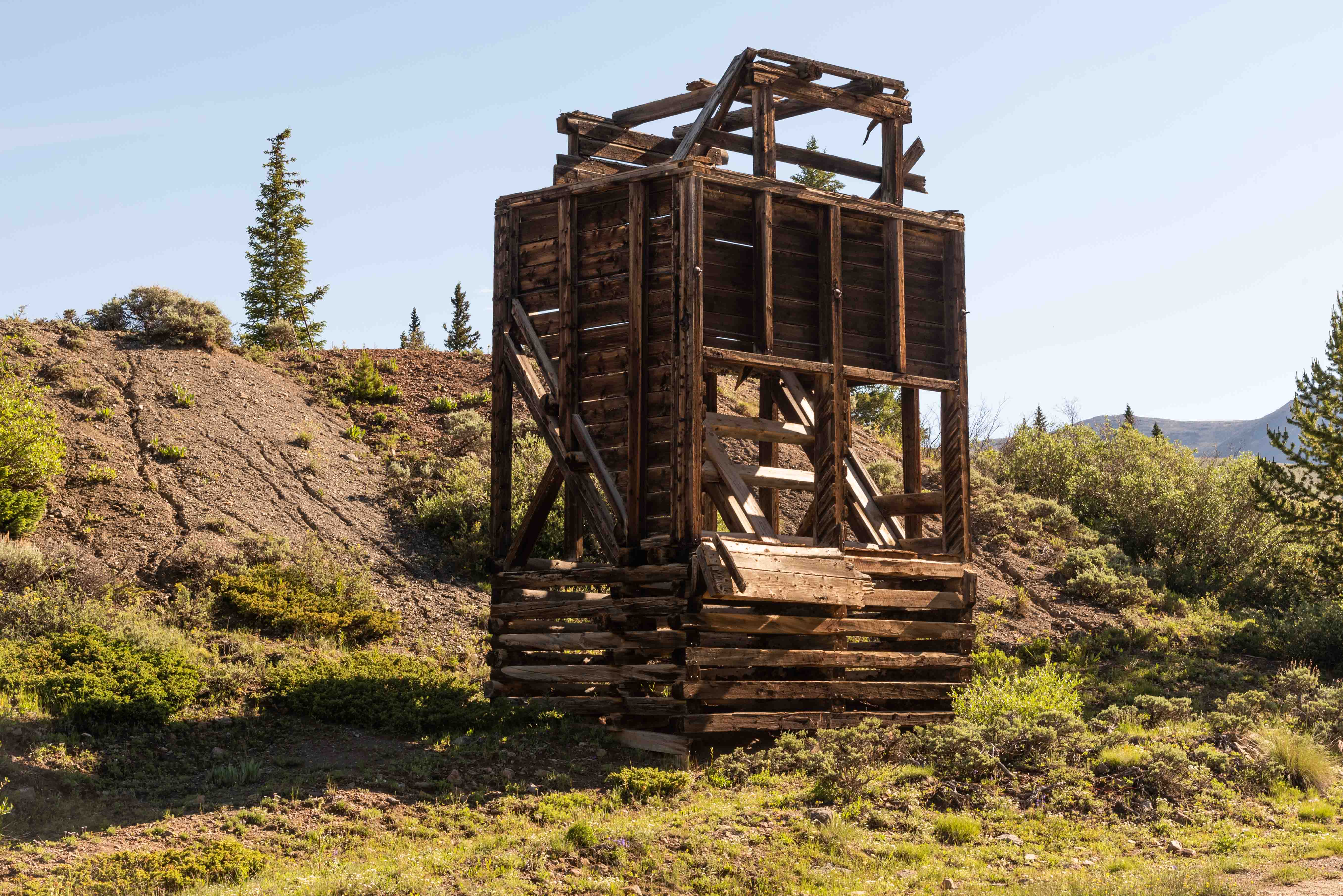
Interesting stops include Old Oro, Yak Power Plant, Upper Oro, and A.Y., Minnie, Colonel Sellers, and Black Cloud mines.
Stops along Lake County Road 1
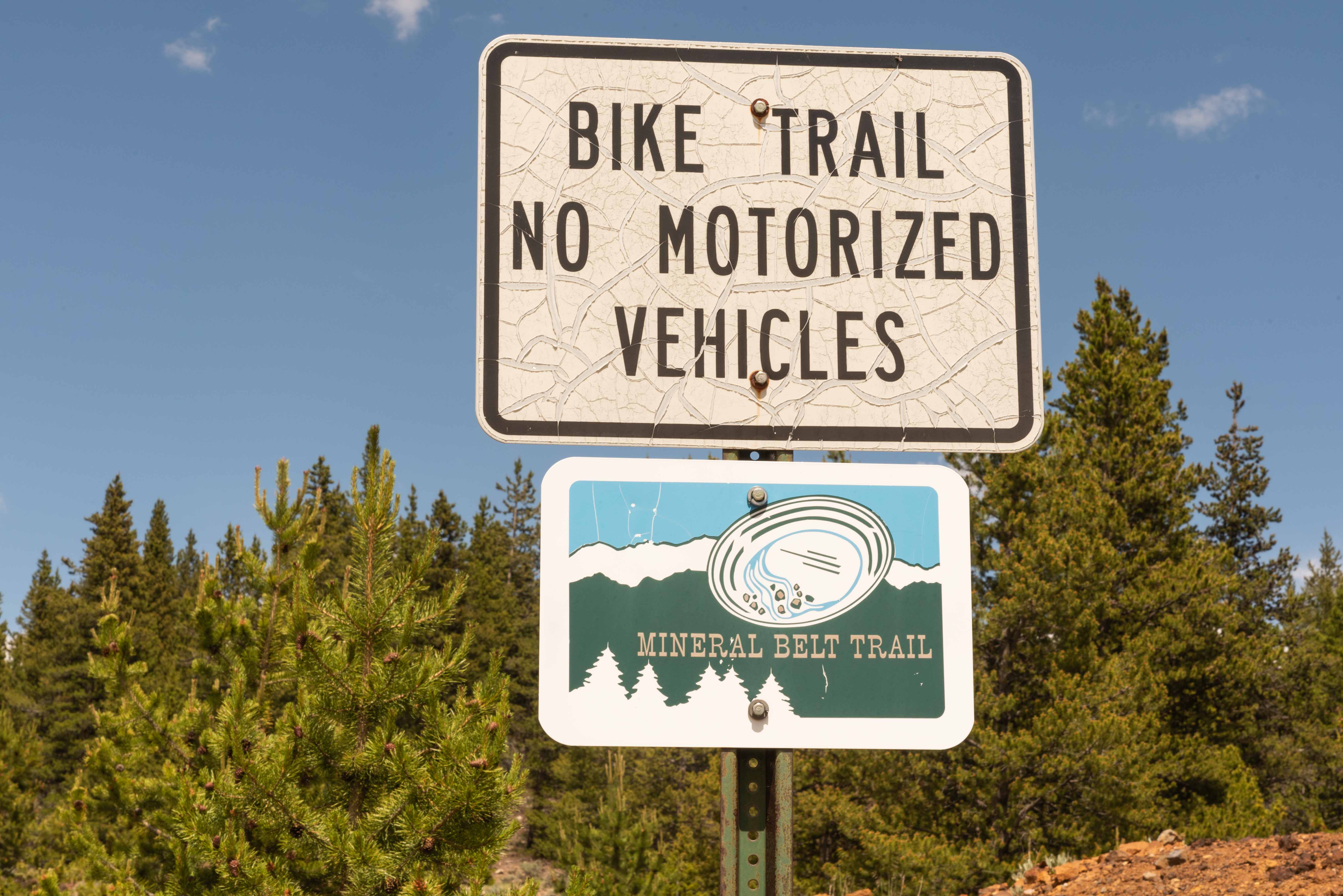
Stops along CR-1 include Adelaide townsite, Mineral Belt Trail, and Camp Bird, Denver City, Mikado, Pyrenees, Robert Emmett, and Ibex mines.
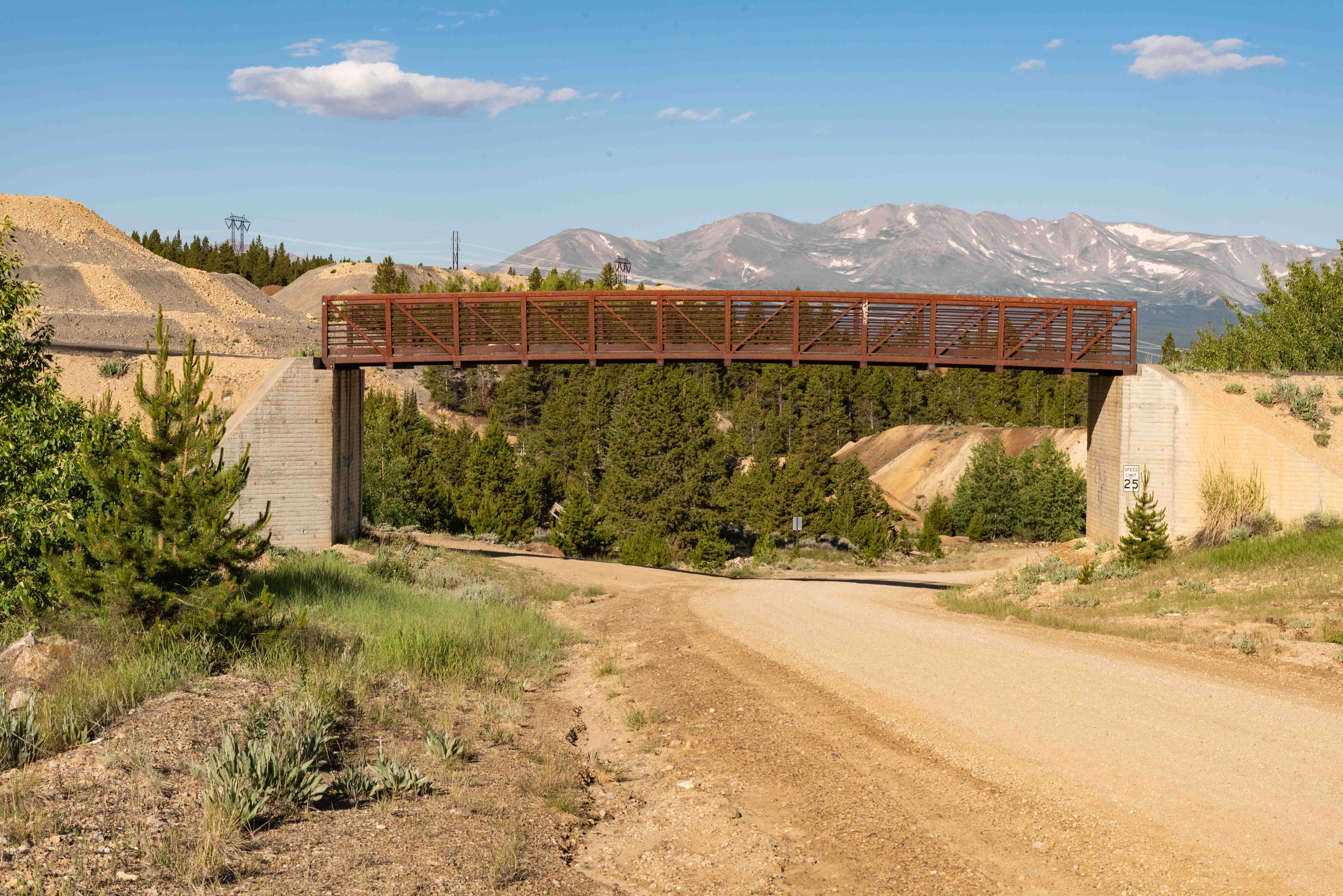
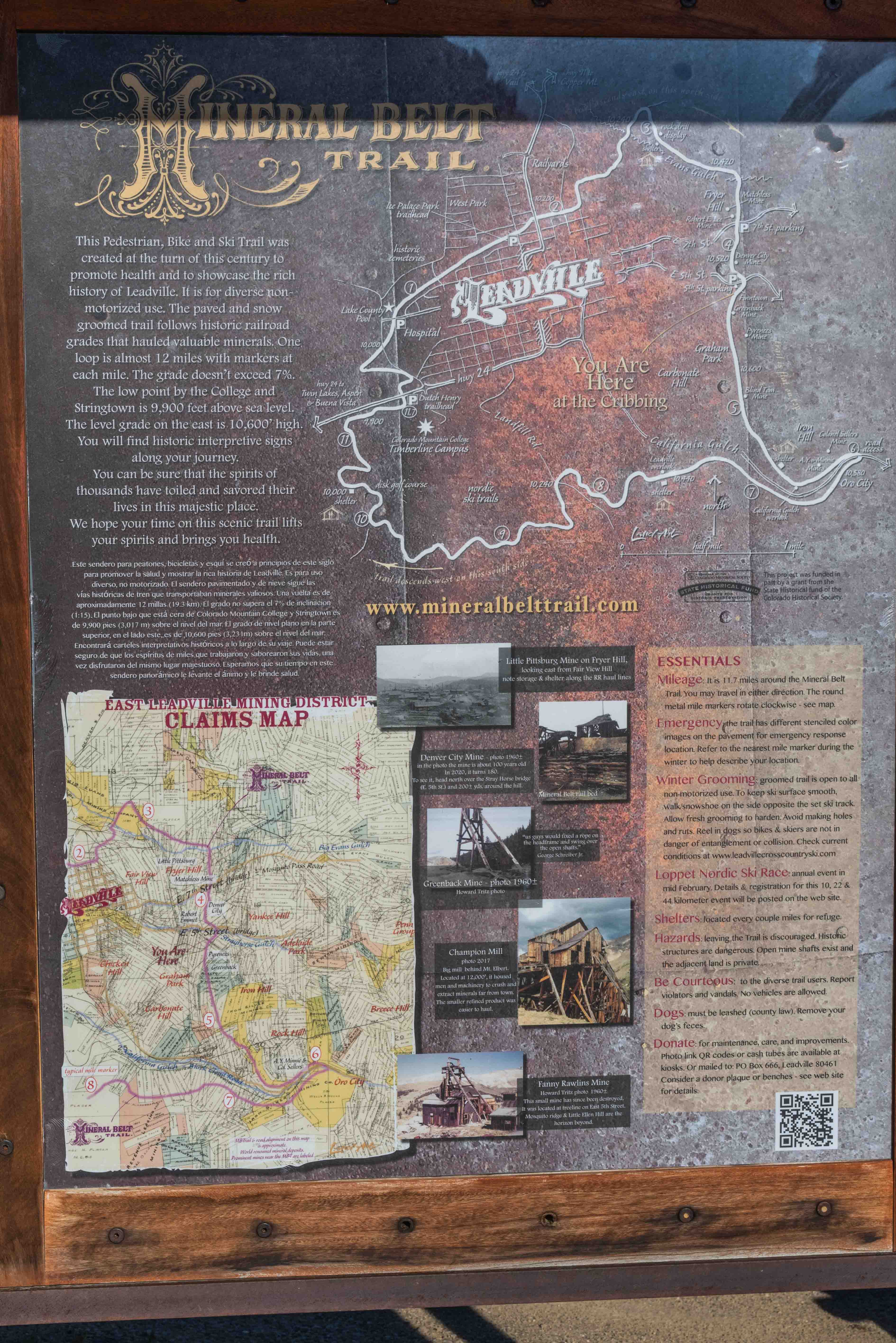
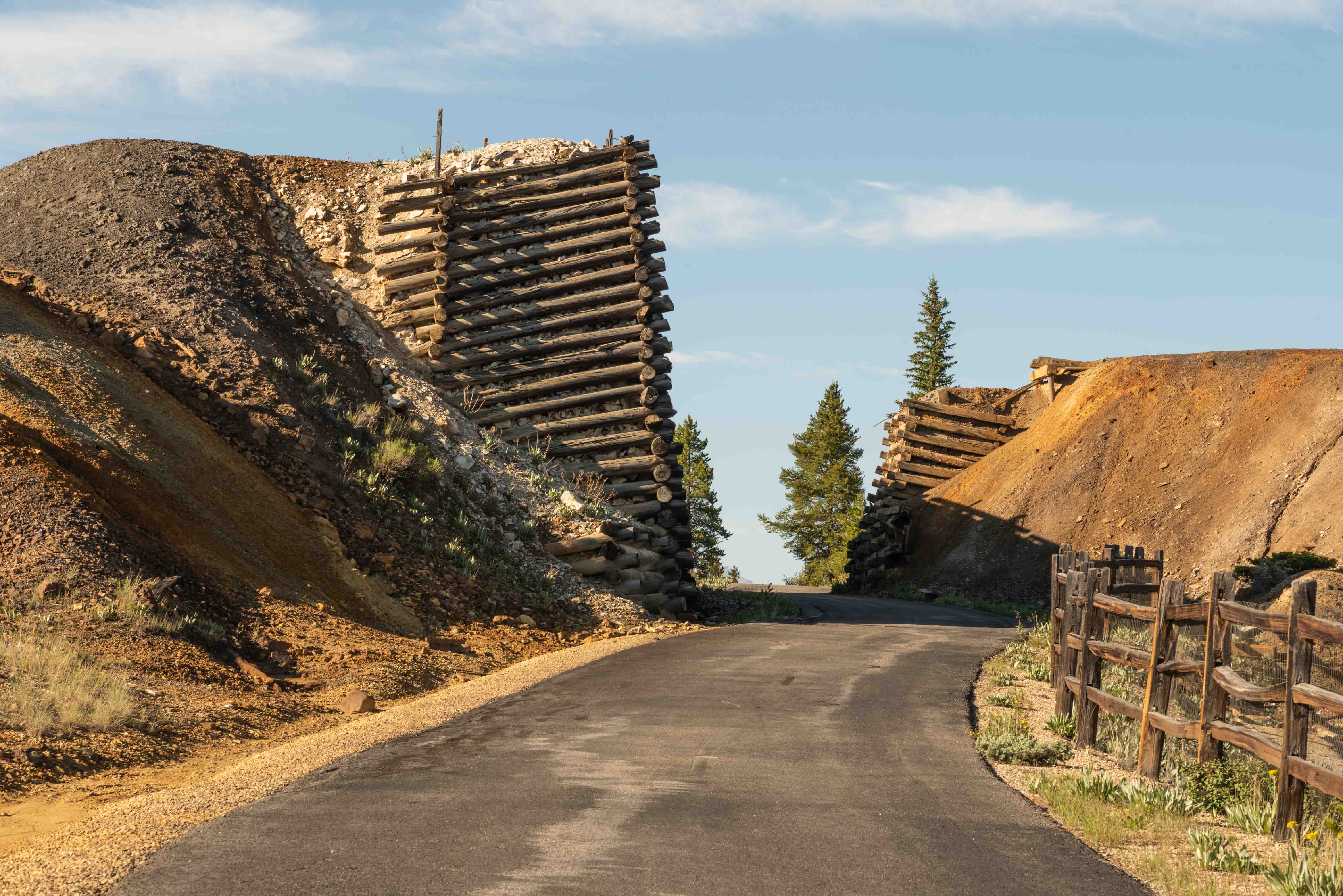
The Mineral Belt Loop Trail was built in 2000 as part of the California Gulch EPA Superfund restoration effort. The trail is an 11.6 mile paved, ADA accessible path that cuts through Leadville on the north, part of the Leadville Mining District on the west, and winds through forest and more old mines on the south and east. The elevation gain from lowest to highest is about 850 ft. The route was designated a National Recreation Trail in 2002. The trail is great for hiking and biking in the summer, and cross country skiing and shoeshoeing in the winter. Pets are permited on leash. Motorized vehicles are not permitted, neither on or off leash.
Stops along CR-3, CR-3C, and CR-38
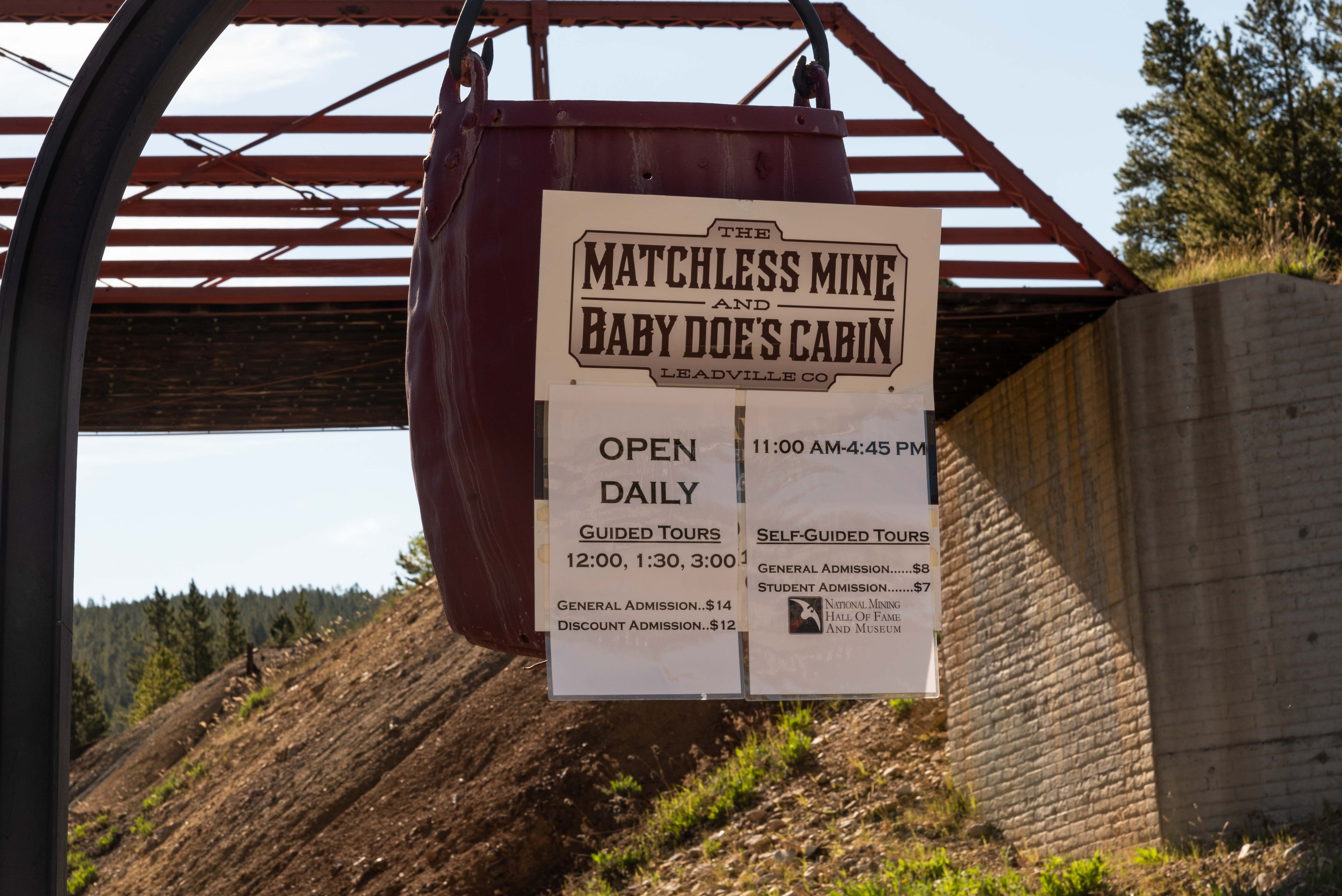
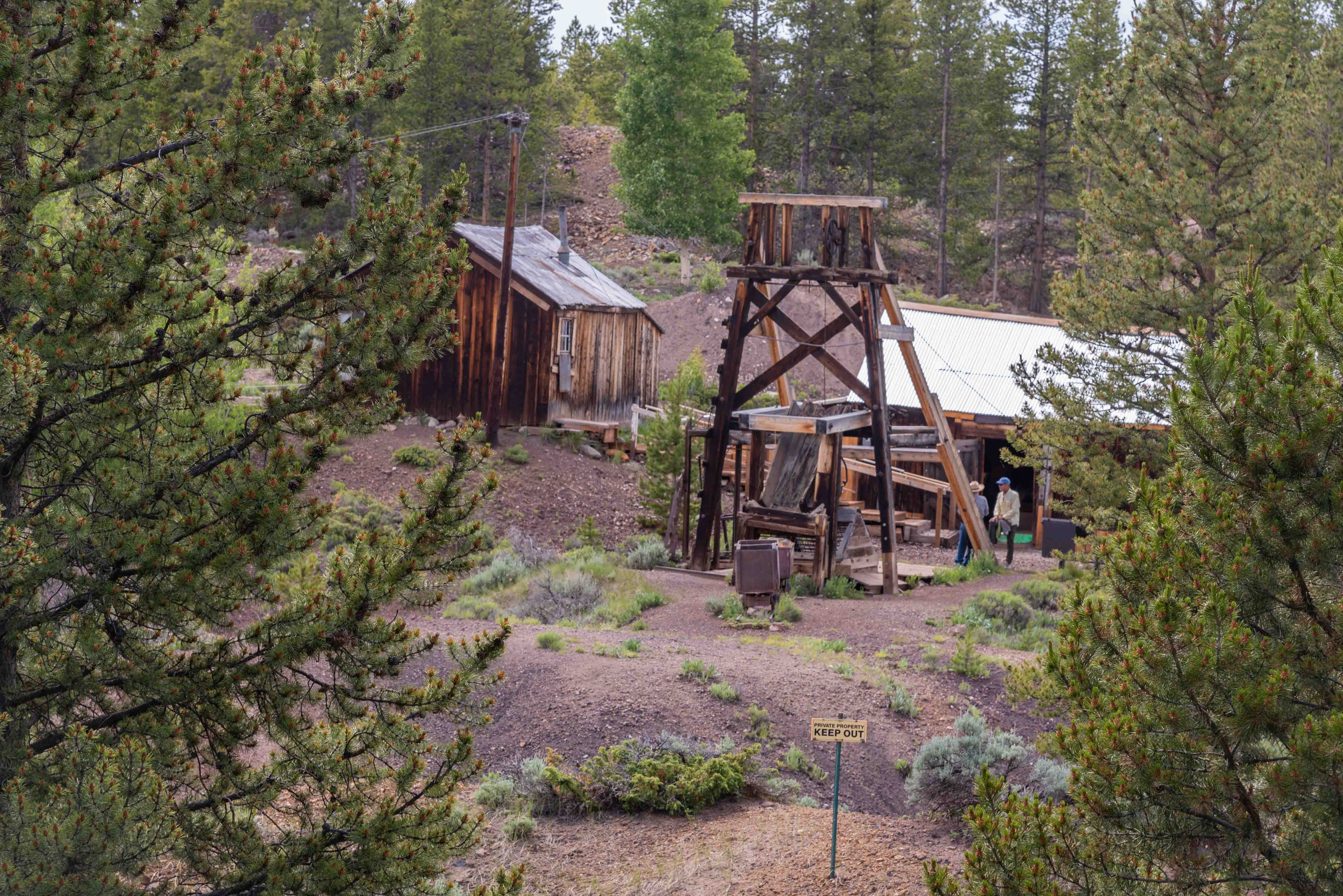
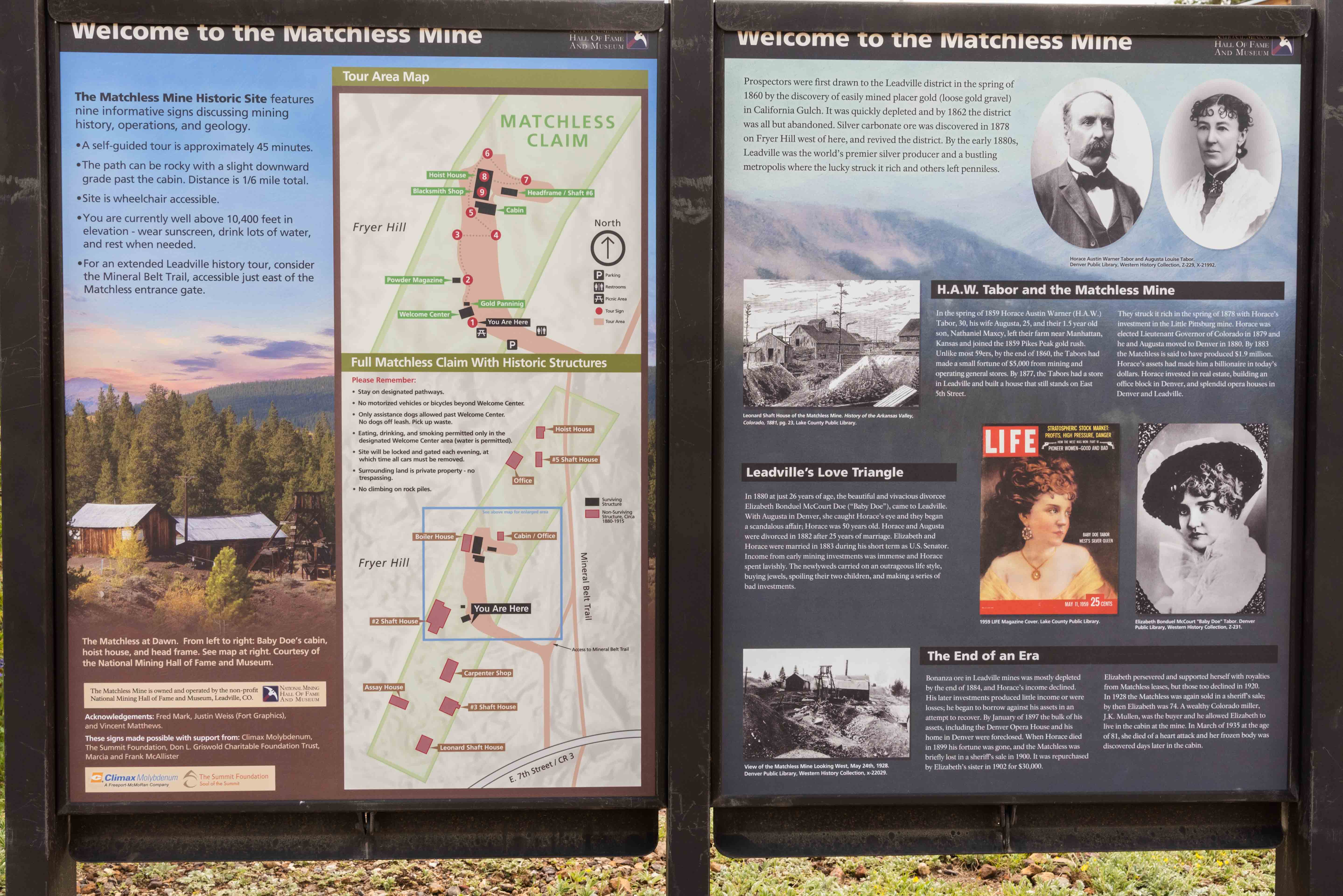
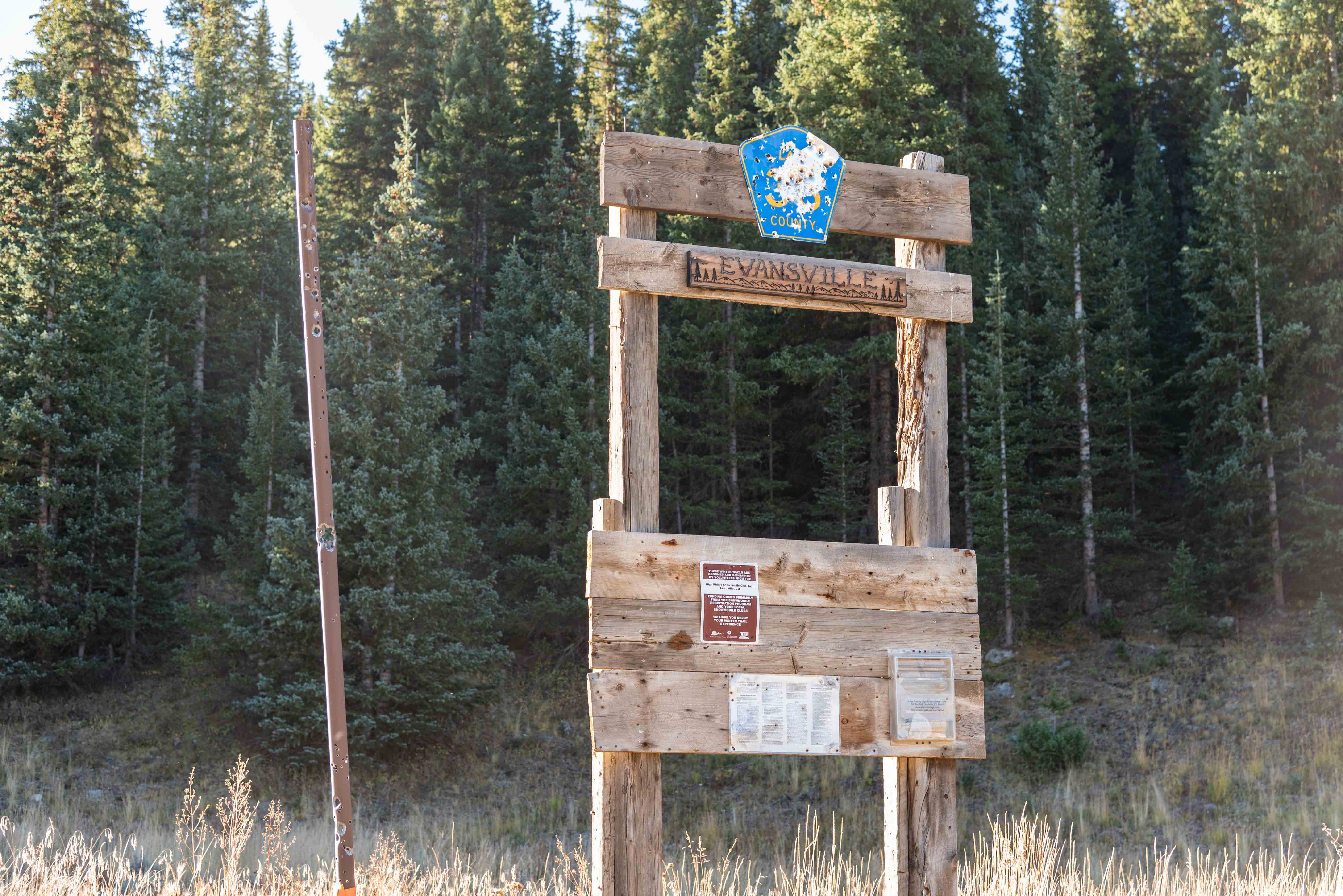
This section includes stops 8-12. Coranado Mine, early claims on Fryer Hill, the Matchless Mine, Robert E Lee Mine, Evansville and Stumpftown townsites, and the Sliver Spoon, Resurrection and Diamond Mines.
We've come to the end ot the tour. Hope you enjoyed it.
Use the form on the Home Page to submit comments, questions, or suggestions. TD Productions Copyright © 2022
