Rocky Mountain National Park
Rocky Mountain National Park is of course located in the Rocky Mountains
about 75 miles northwest of Denver. The park was born on January 26, 1915 with the signing
of the Rocky Mountain National Park Act by then President Woodrow Wilson. The continental Divide
runs through the center of the park, and the headwaters of the Colorado River are located
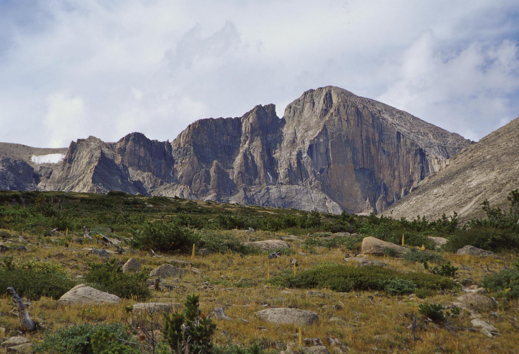
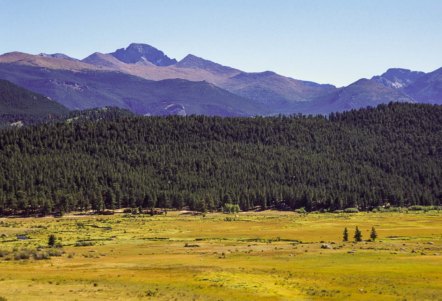
in the northwestern part. Longs Peak is the highest mountain in the park at 14,259 ft.
Trail Ridge Road (US Hwy 34) is the only road through the park, running from Estes Park in the
east to Grand Lake in the west.
This is another park that is best
experienced on foot, and there are miles and miles of high country trails to explore. I think Longs
Peak is the only fourteener in the park, but there are a couple dozen mountains over 13,000 ft
and plenty over 12,000 ft for all you mountaineers out there. My three trips to Rocky Mountain National
Park were in 1991, 1997, and 2000. I have done this presentation a little differently,
with each section covering one of my visits rather than a particular area or feature of the park.

Park sign (1991)
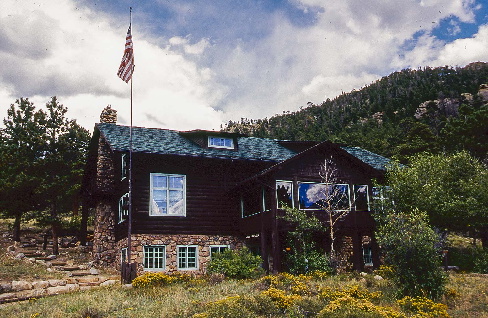
Rocky Mountain National Park Museum
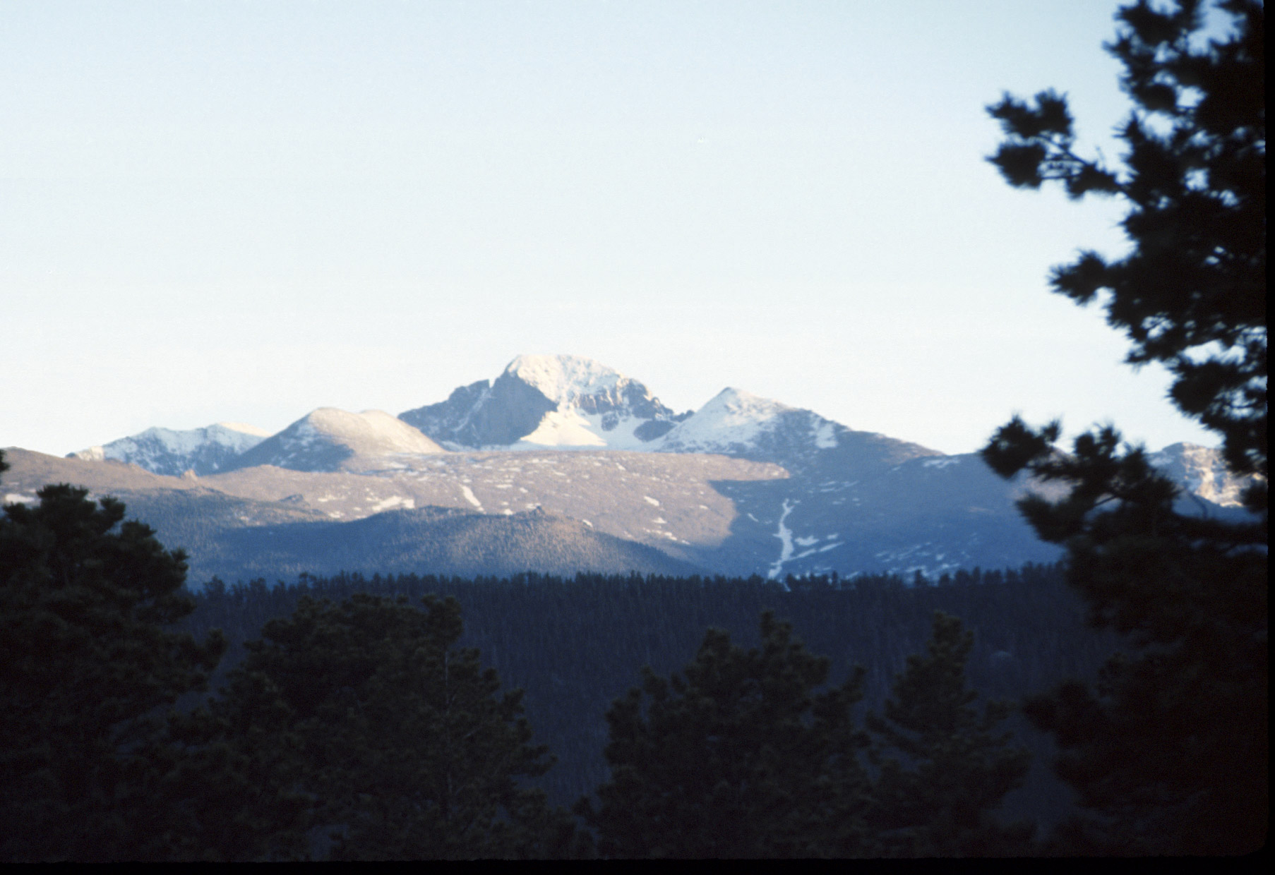
Longs Peak (14,259 ft)
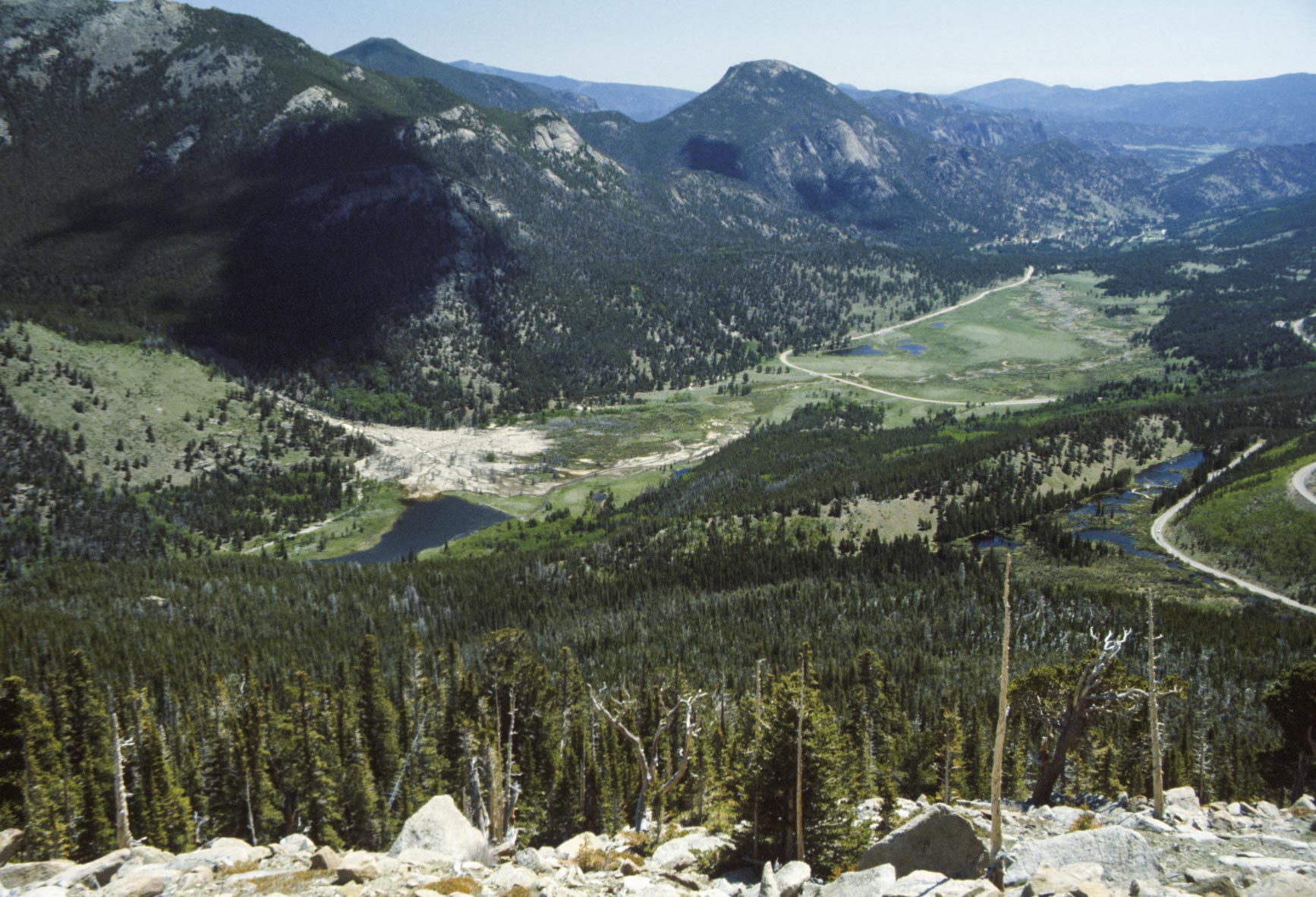
1991 - Trail Ridge Road, Moraine Park, Overnight to Lost Lake
I spent a lot of time during my first visit doing the touristy things, mostly driving Trail Ridge Road and checking
out the wildlife in Moraine Park. The Continental Divide, Milner Pass, and Poudre Lake were especially interesting stops
along Trail Ridge Road. Steph and I took a backpacking trip to Lost Lake (19 miles out and back). The few campsites at
Lost Lake were still covered in snow which made it all the more fun.
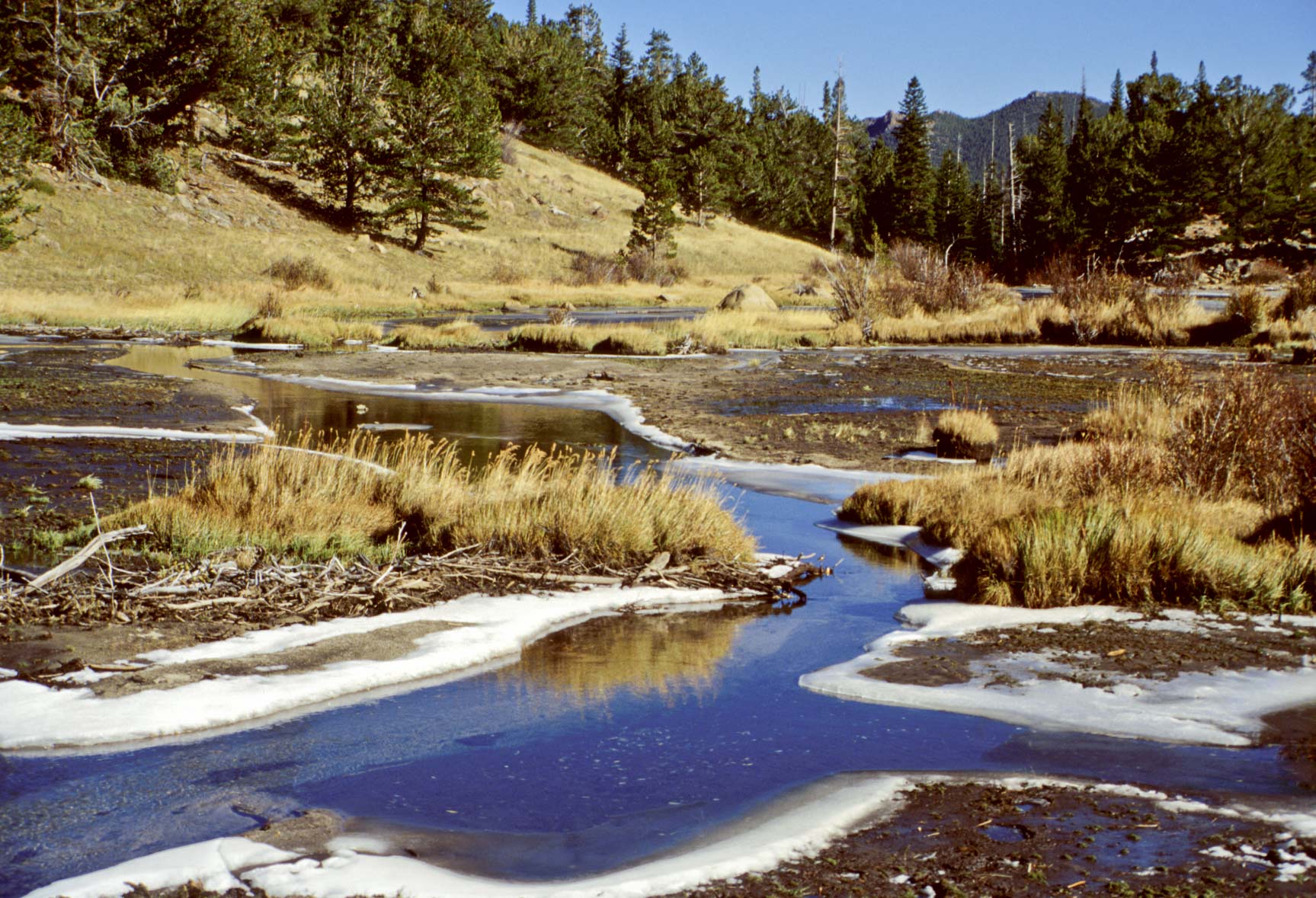
Moraine Park

Beaver ponds
Trail Ridge Road
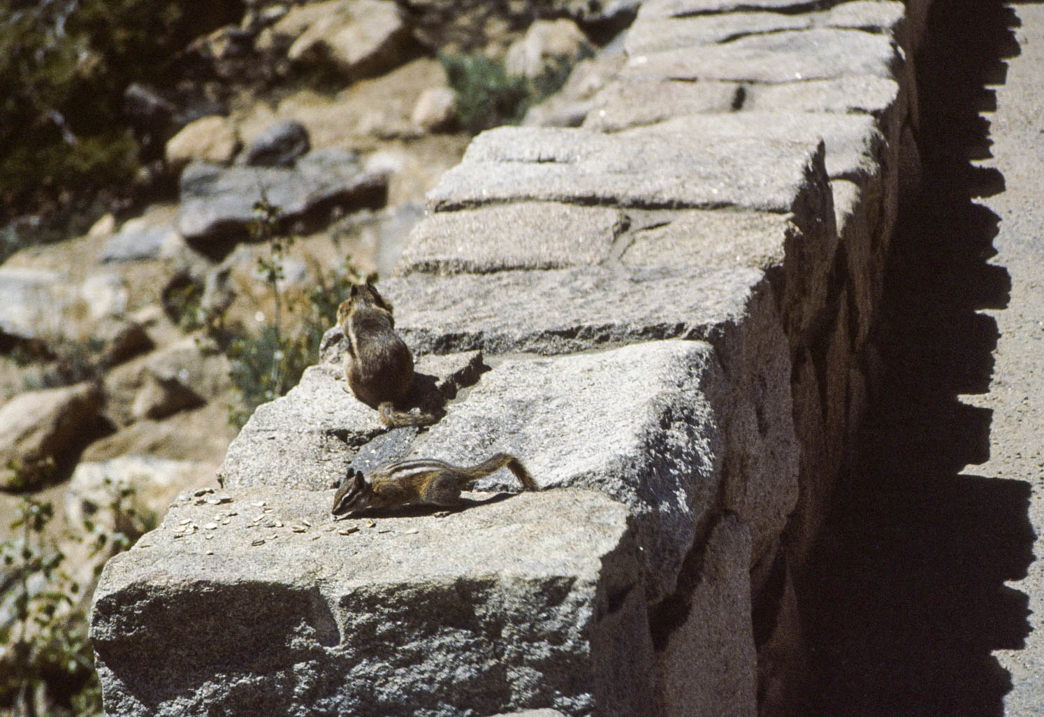
Chipmunk and Ground Squirrel

Least Chipmunk
(Neotamias minimus)
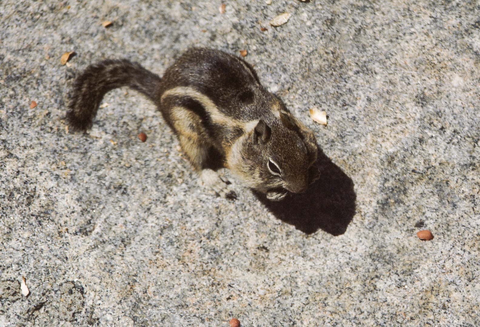
Golden-mantled Ground Squirrel
(Callospermophilus lateralis)
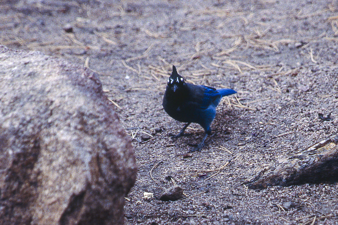
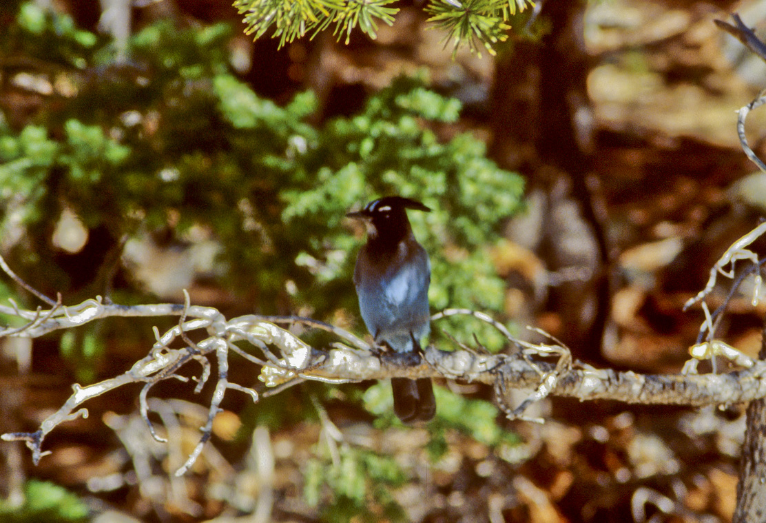
Steller's Jay
(Cyanocitta stelleri)

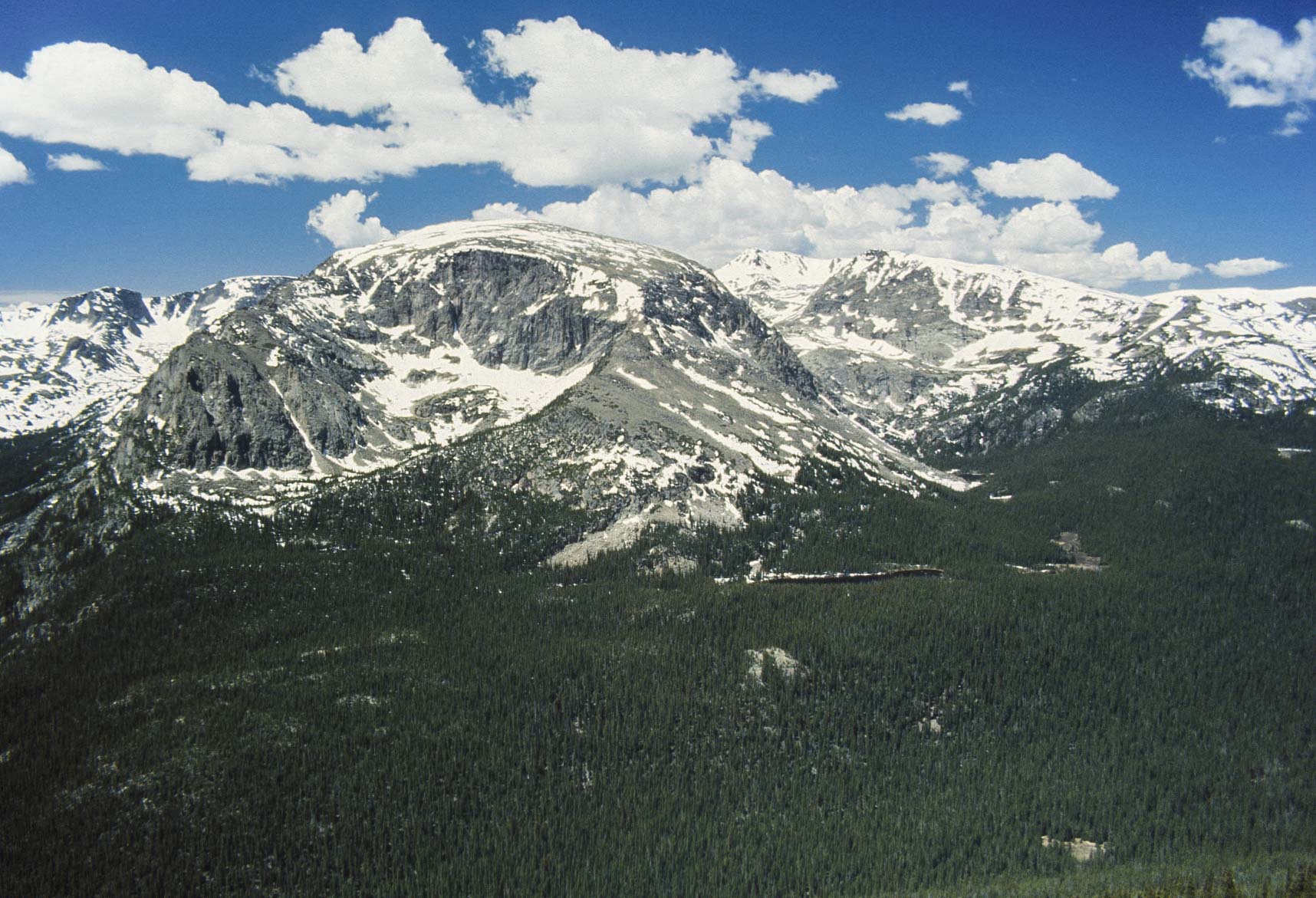
Mummy Range
Horseshoe Park
View from Rainbow Curve - Trail Ridge Road
View from Forest Canyon overlook
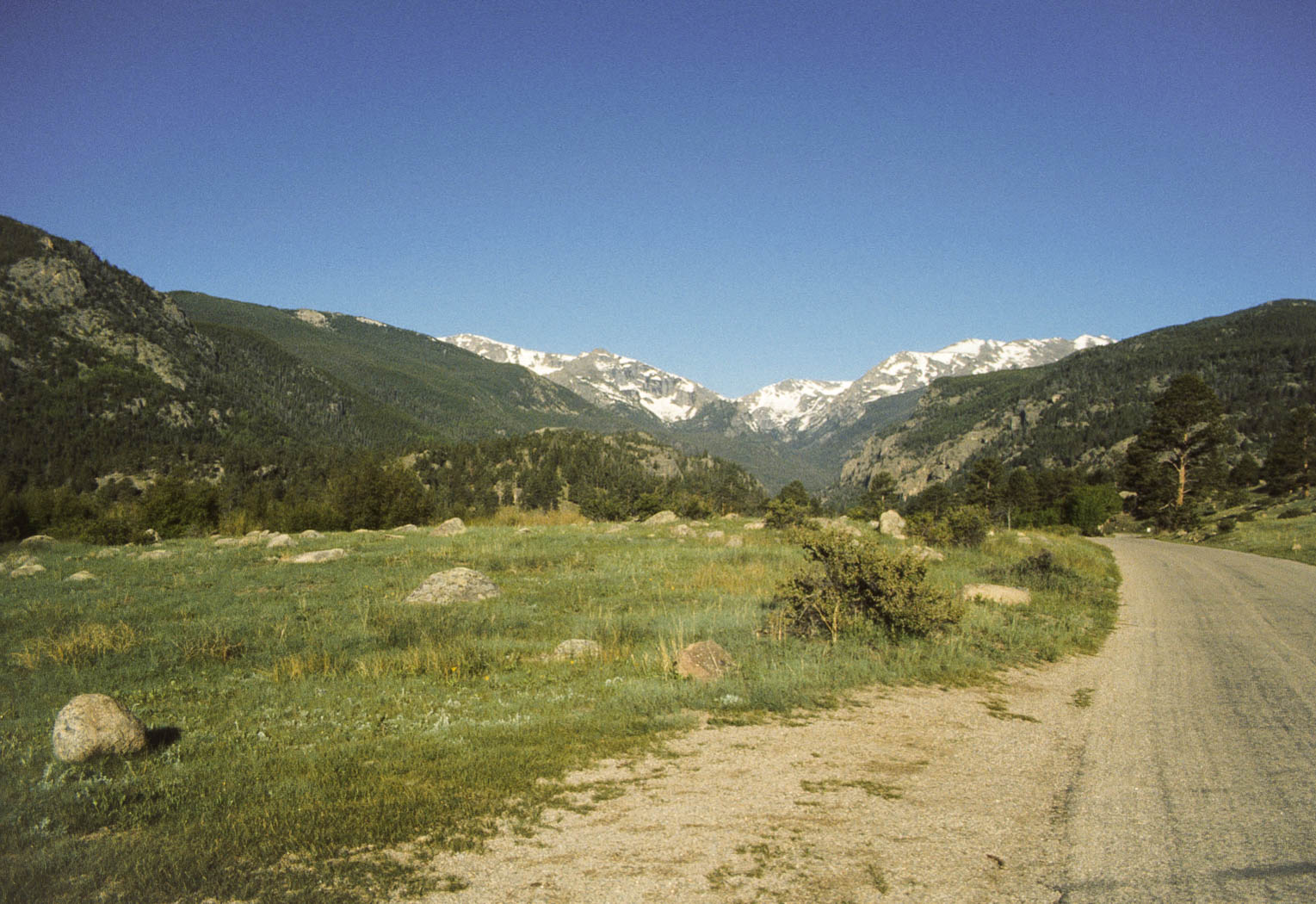
Trail Ridge Road
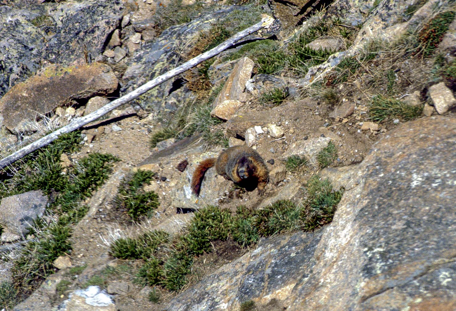
Yellow-bellied Marmot
(Marmota flaviventris)
Yellow-bellied Marmot
(Marmota flaviventris)
Rocky Mountain view
Trail Ridge Road
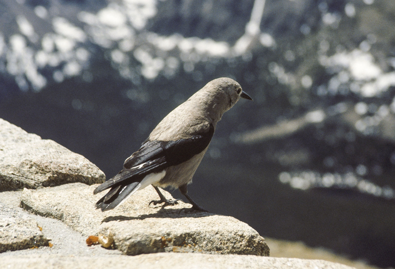
Gray Jay
(Perisoreus canadensis)
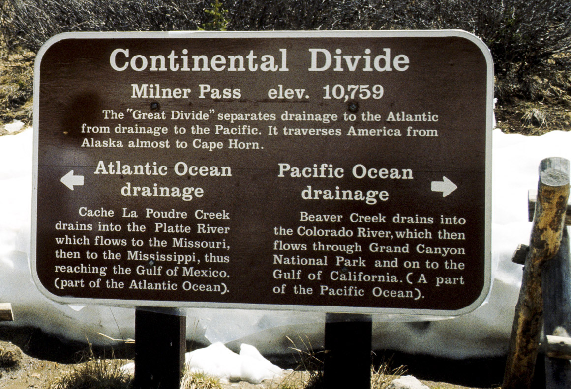
Sign at Milner Pass
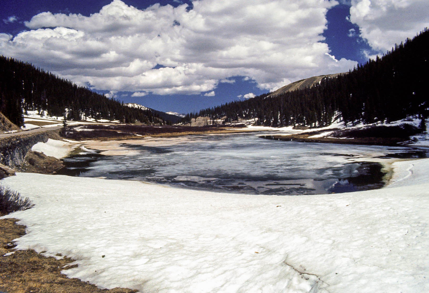
Poudre Lake
Milner Pass
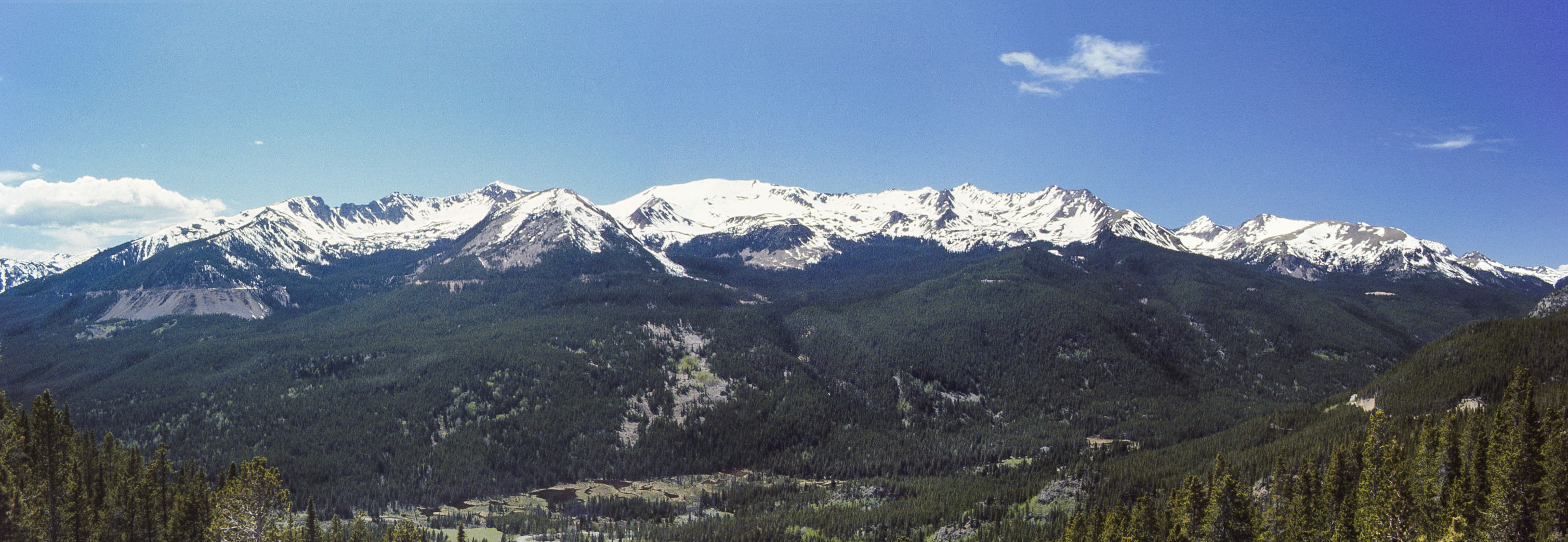
Never Summer Mountains
(l to r) Mt. Stratus, Mt. Nimbus,
Howard Mountain, Mt. Cirrus, and Lead Mountain (guess which is which)
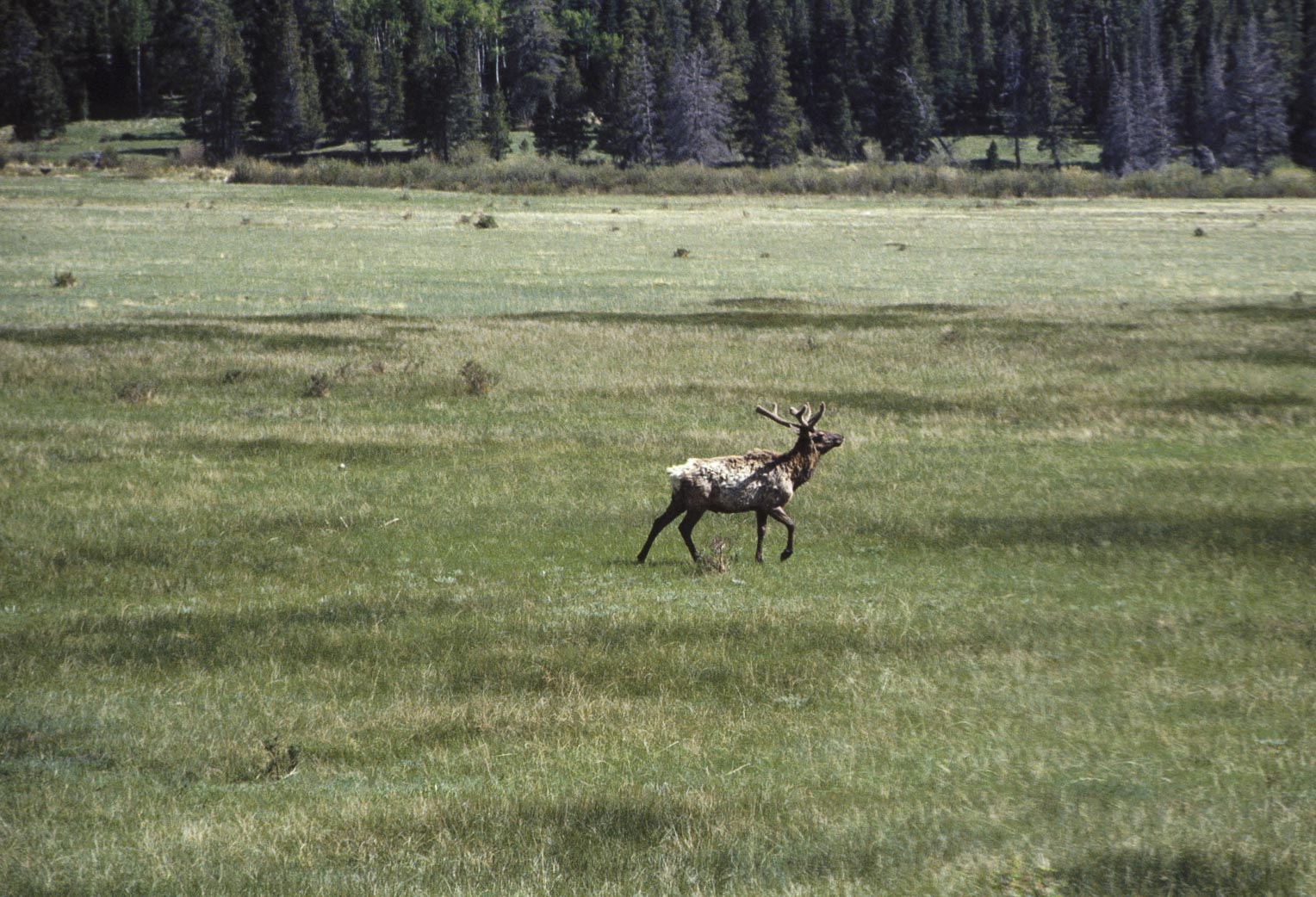
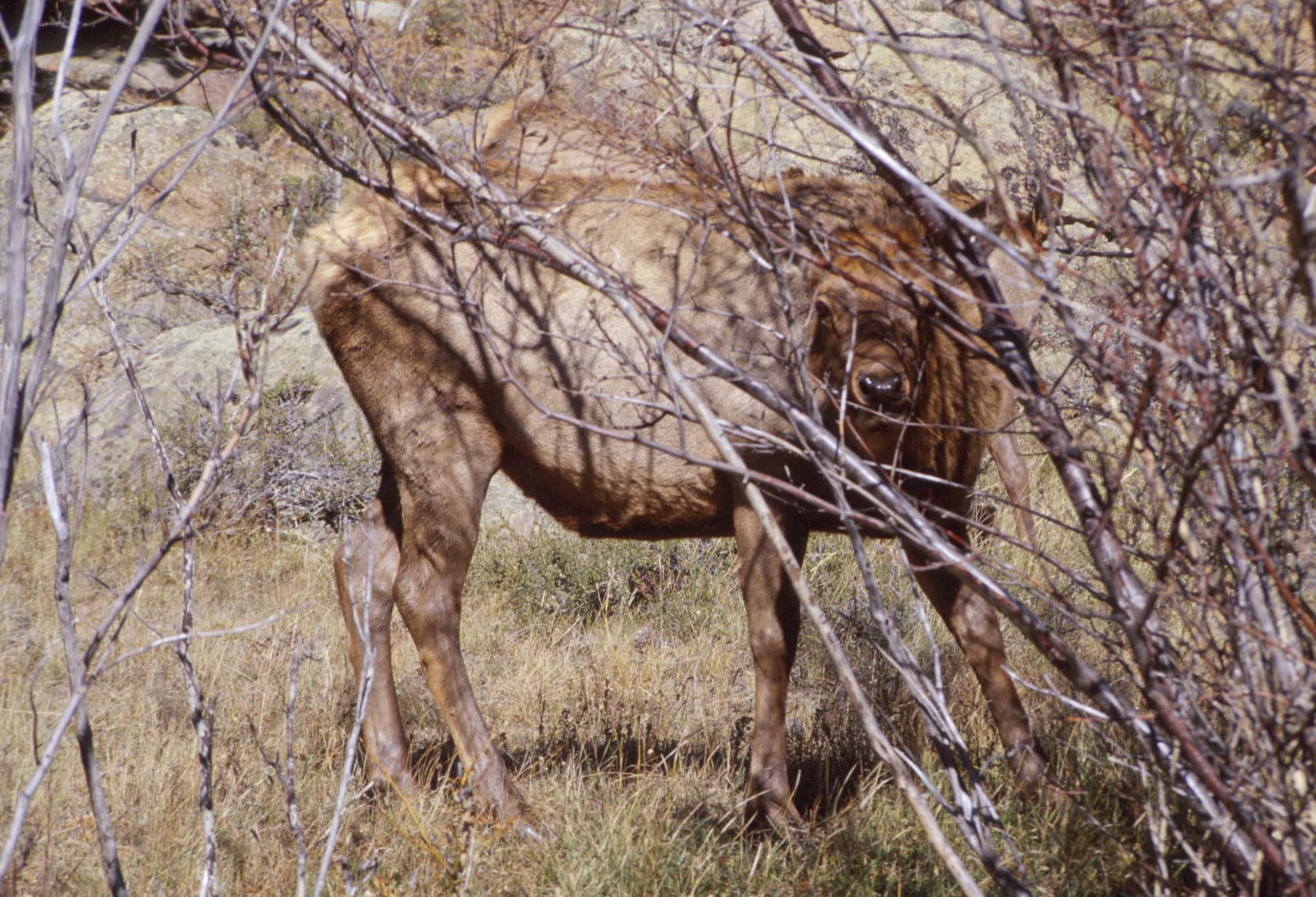
Elk (aka Wapiti)
(Cervus canadensis)

Rocky Mountain Bighorn Sheep
(Ovis canadensis)
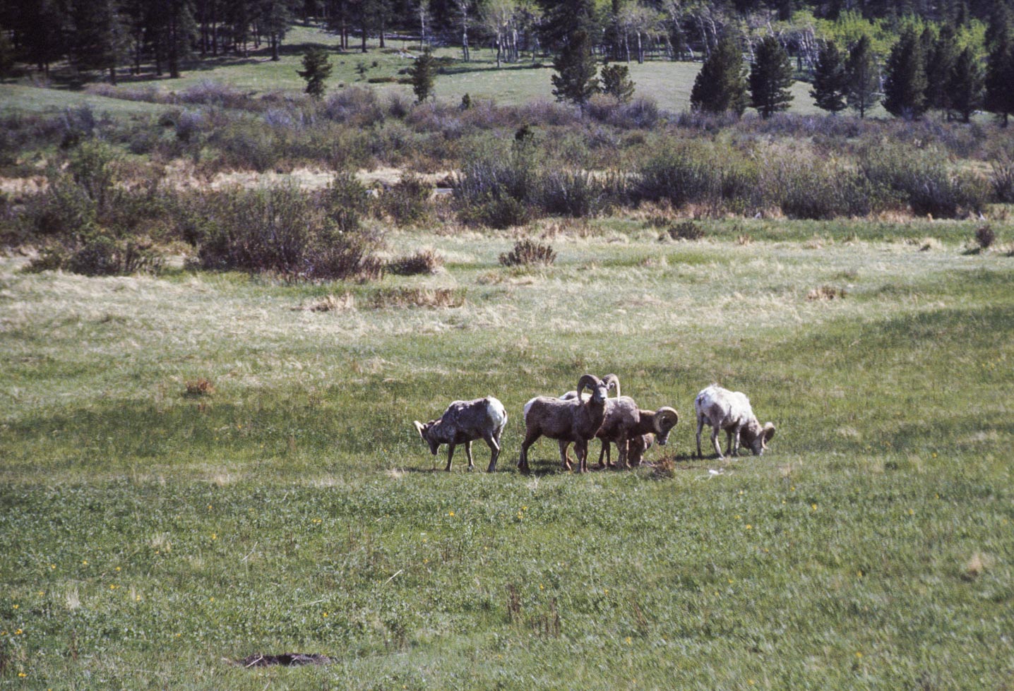
Rocky Mountain Bighorn Sheep
(Ovis canadensis

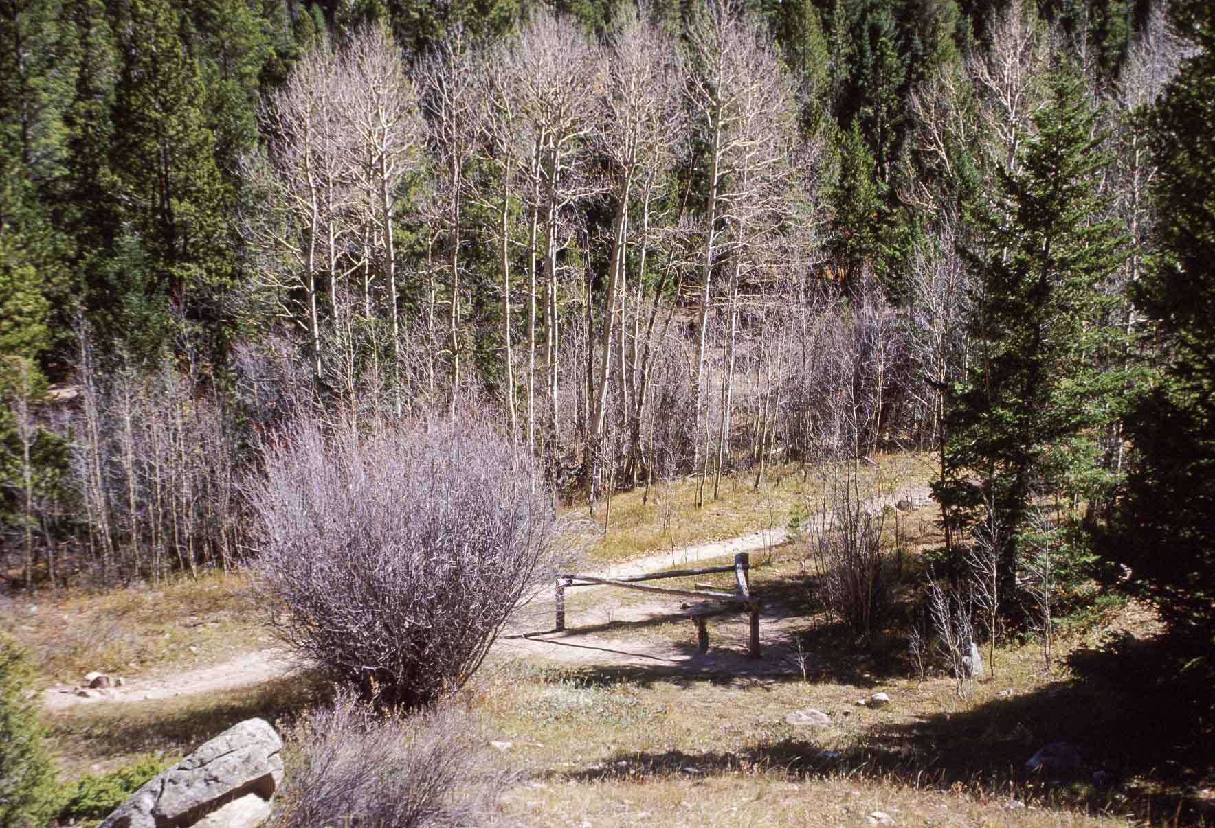
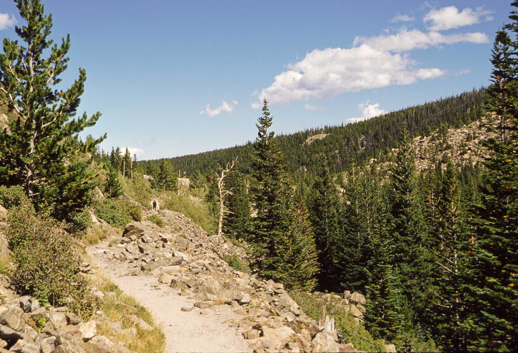
Meadow along Lost Lake trail
On the trail to Lost Lake

Lost Lake
1997 - Trail Ridge Road, Fern Lake - Cub Lake trail loop, hike to Flattop Mountain
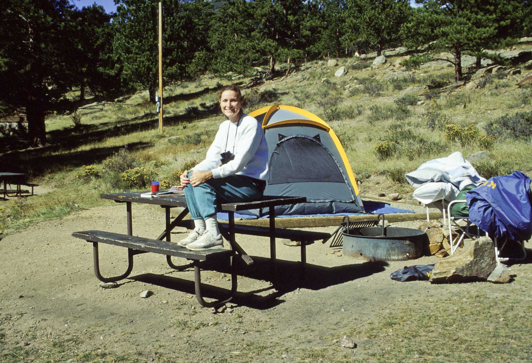
I made my second trip to Rocky Mountain National Park in October of 1997. Stayed in campsite 192, Loop B, Moraine Park Campground. The first day
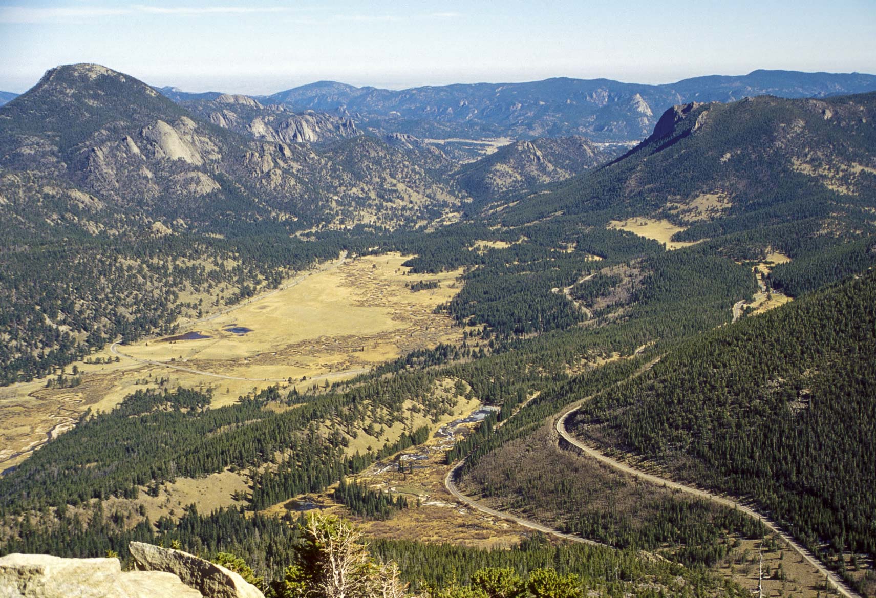
was devoted to sight seeing along Trail Ridge Road which was only open as far as Rainbow Curve (12 miles). Second day was the hike to Fern Falls, and the
third day to Flattop Mountain.
Stephanie
Campsite #192
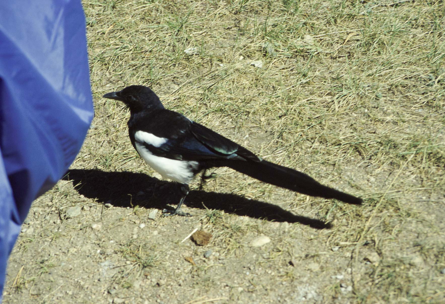
Black-billed Magpie
(Pica hudsonia)
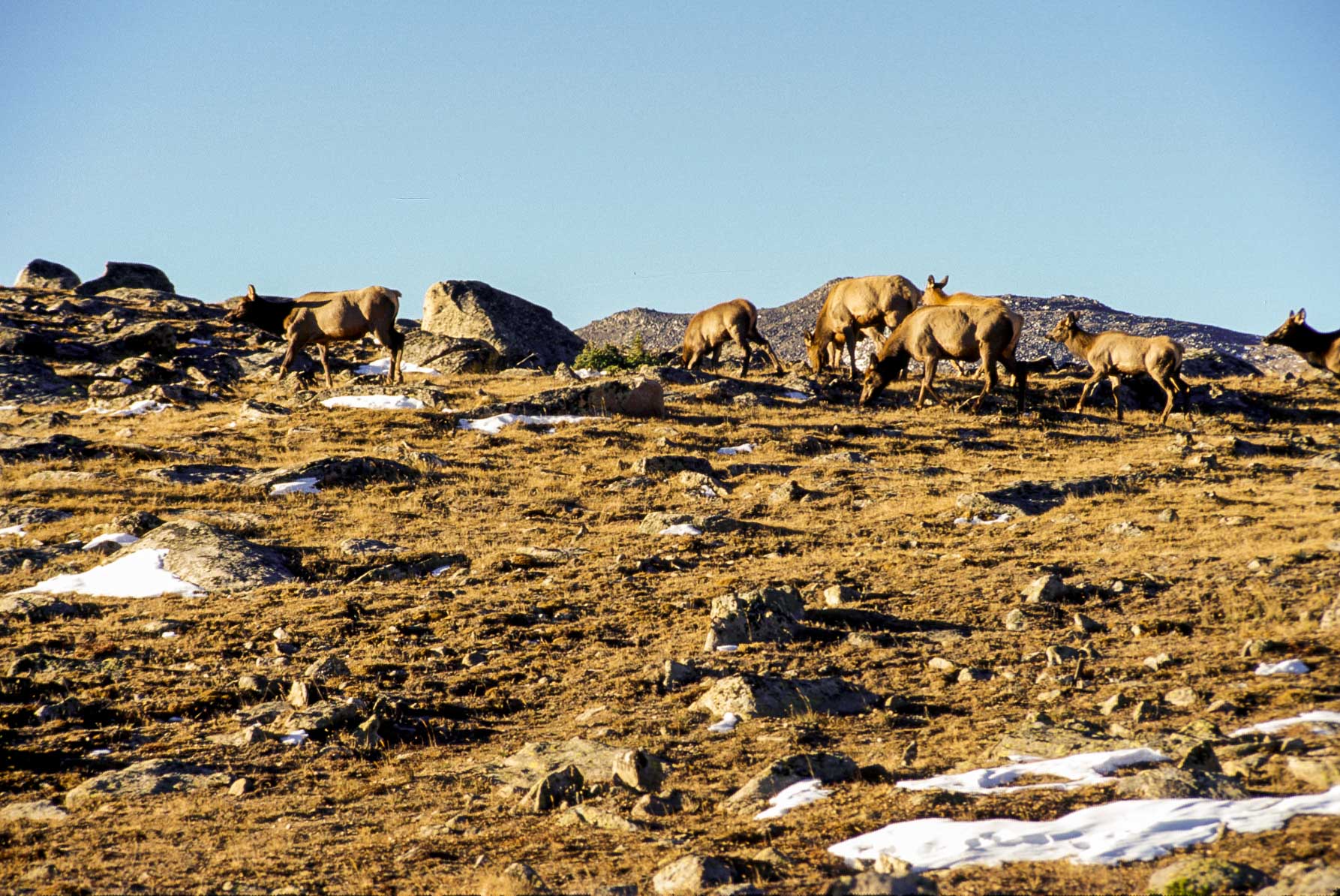
Elk herd near Rock Cut
Trail Ridge Road
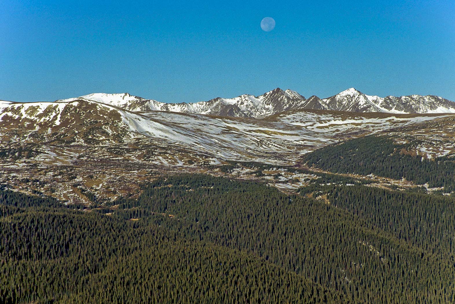
Never Summer Mountains
Trail Ridge Road
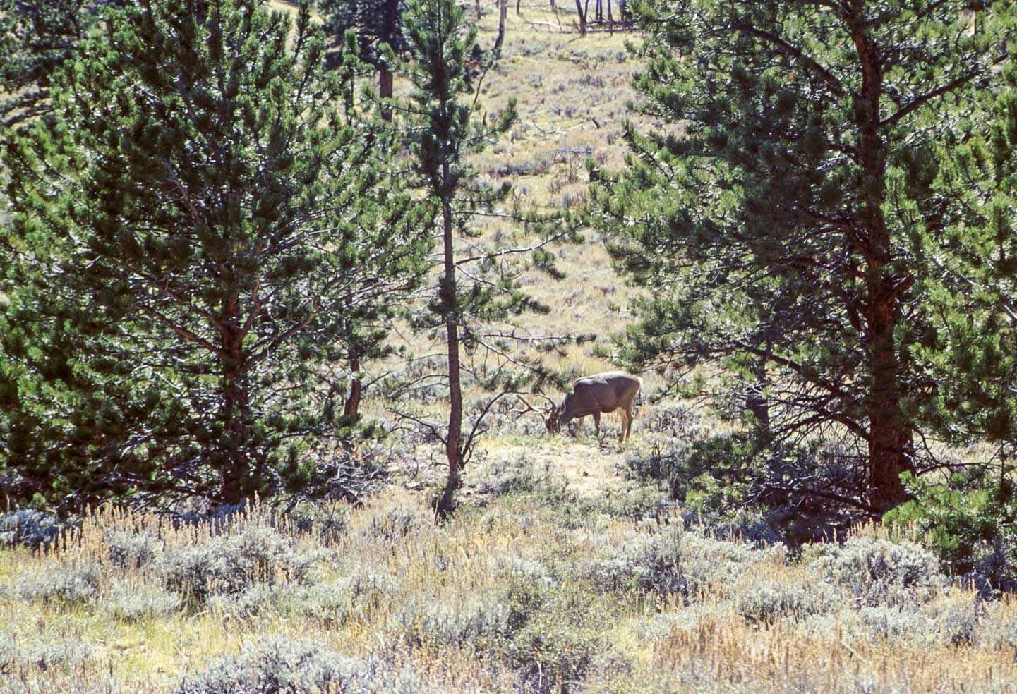
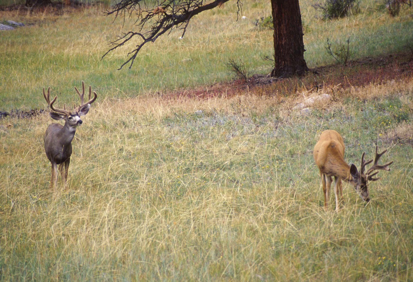
Mule Deer Buck
(Odocoileus hemionus)
Horseshoe Park
Trail Ridge Road
Beaver ponds
Trail Ridge Road
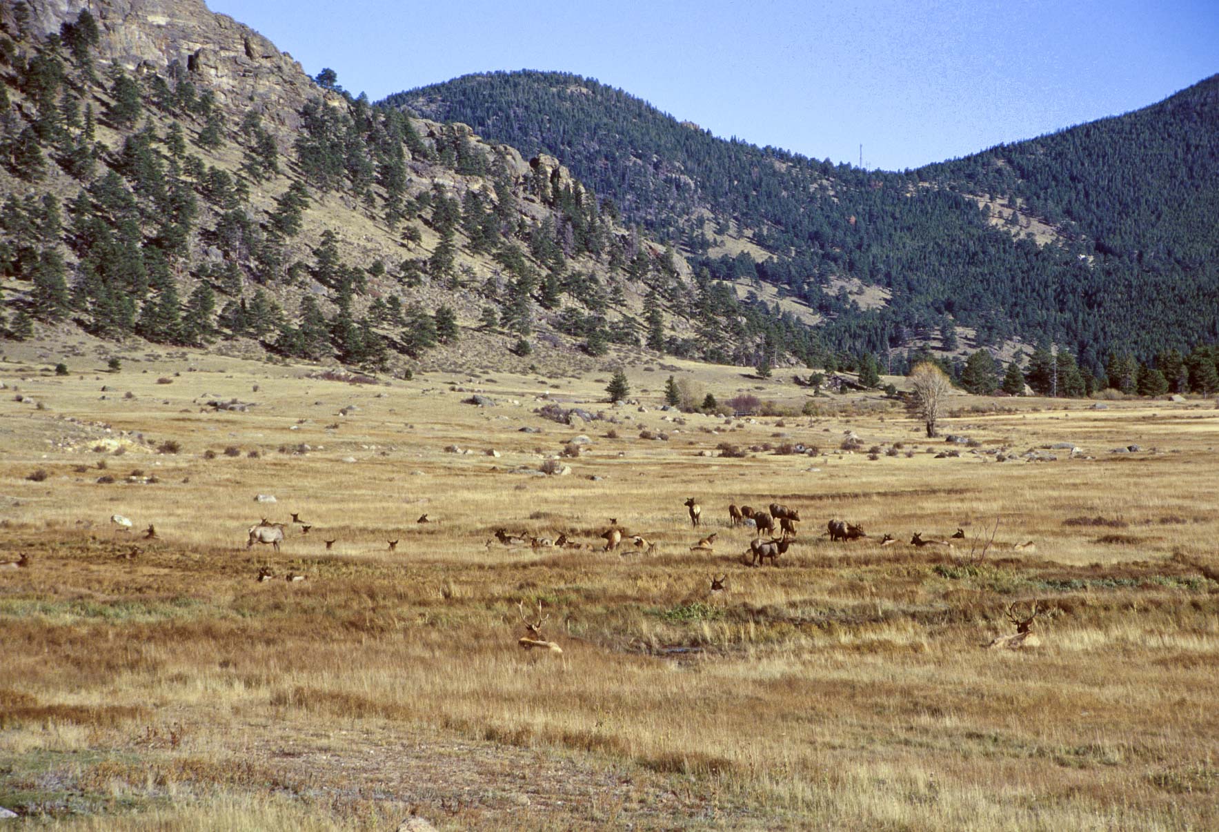
Elk herd
Moraine Park
Fern Lake-Cub Lake trail loop is a moderate hike about 6 miles round-trip. Starting at the Fern Lake trailhead, the Fern Lake trail follows the Big Thompson River all the way to the Cub Lake trail junction. At this point Fern Creek joins the Big Thompson River, and the confluence is known as the Pool. Fern Lake trail climbs fairly steeply past the junction over the next seven-tenths of a mile to Fern Falls. Fern Lake is an easy hike from Fern Falls. On the return trip pick up Cub Lake trail at the junction near the Pool. Follow the trail past Cub Lake to the Cub Lake trailhead, which is about six-tenths of a mile east of the Fern Lake trailhead where you started the hike.
Steller's Jay
(Cyanocitta stelleri)
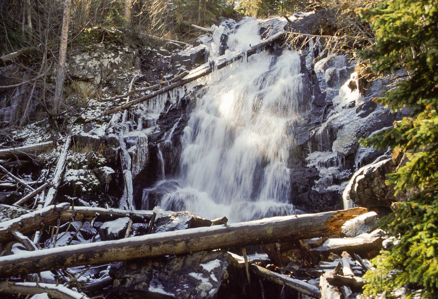
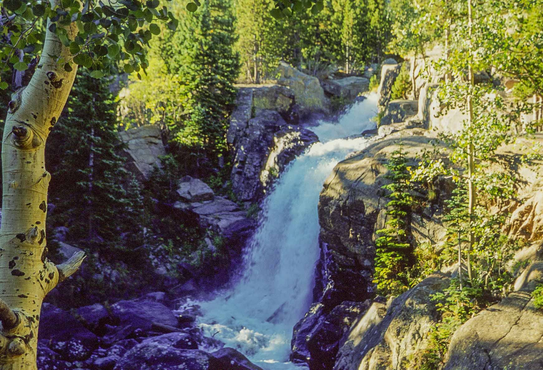
Fern Falls
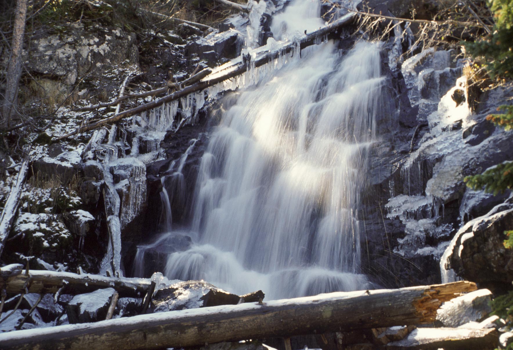
Fern Falls
Cub Lake trail

Cub Lake
Peek-A-Boo elk
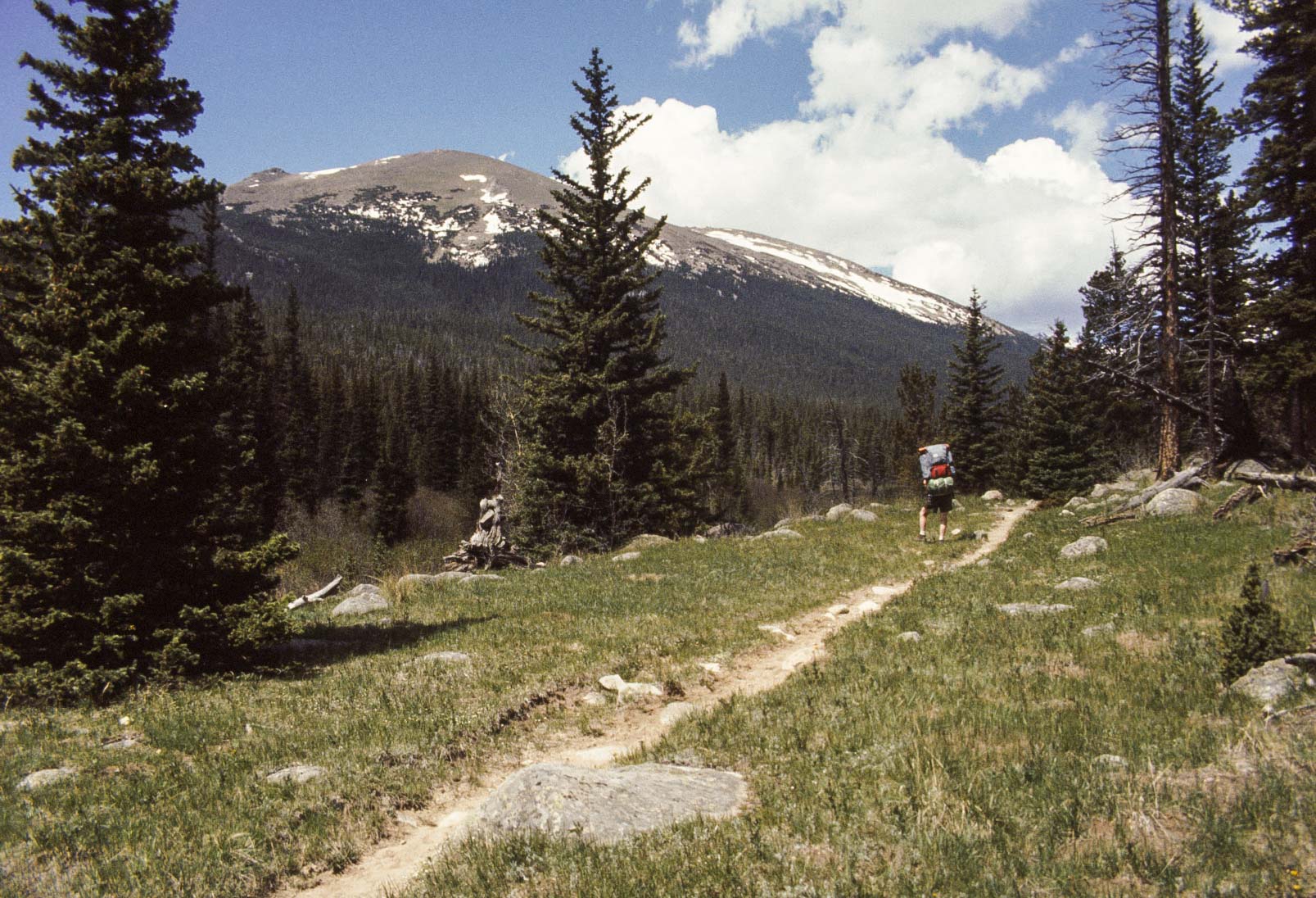
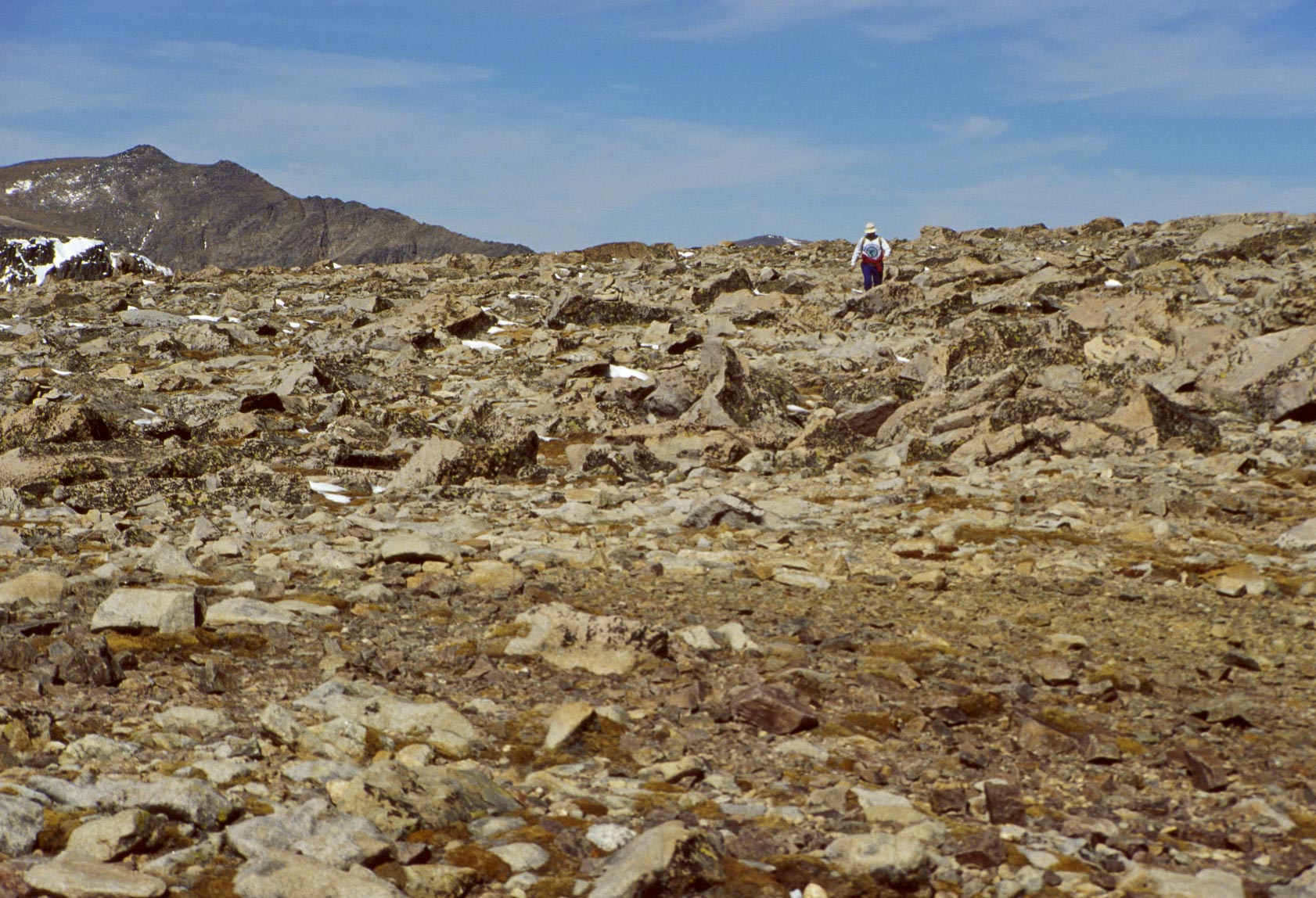
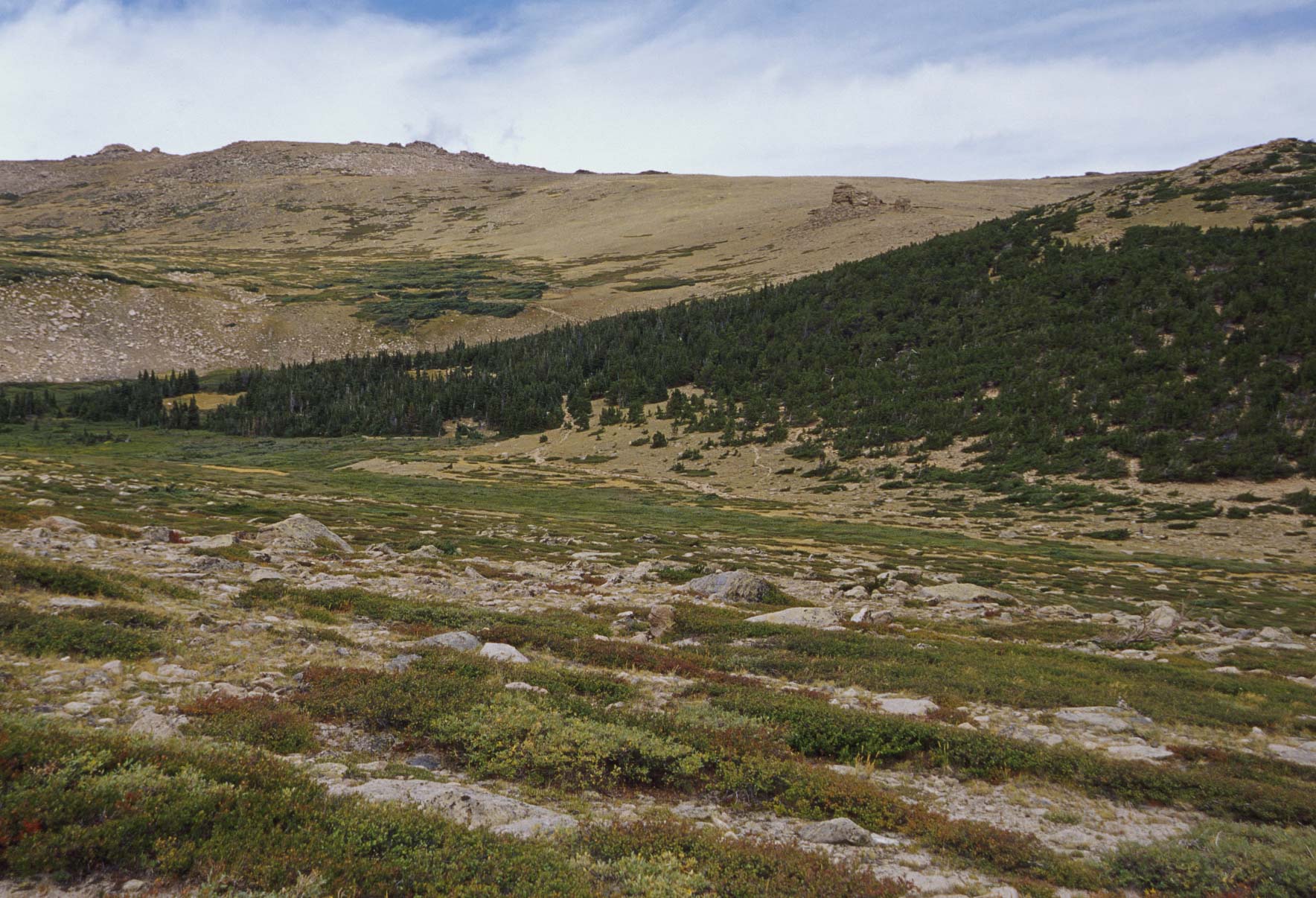
The Flattop Mountain trail from Bear Lake trailhead is a strenuous 8.8 mile out and back hike with an elevation gain of 2850 ft. The first mile or so takes you around Bear Lake to the junction with the Flattop Mountain trail. At this point the trail becomes a steeper climb, reaching the Dream Lake overlook after about a half mile. Next stop is Emerald Lake overlook at about 12,000 ft. From this point it's roughly another mile of climbing over barren tundra to the summit of Flattop Mountain. It's a little hard to tell when you've reached the exact summit because it's relatively flat (hence the name of the mountain). The junction of the North Inlet and Tonahutu Creek trails can be considered the summit. Once on top you have a fantastic 360° panorama of the surrounding mountains (Hallett Peak, Ptarmigan Point, Mummy range, etc). So enjoy the view, catch your breath, and have a snack before cruising back down the mountain.
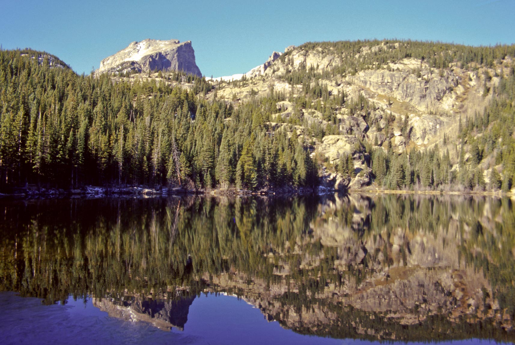
Bear Lake
Hallett Peak (background)
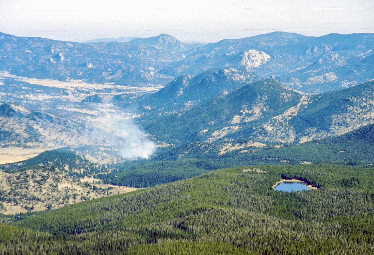
Controlled burn (hopefully) - Bierstadt Lake (right)
Flattop Mountain trail
Emerald Lake

Longs Peak (14,259 ft)
Bierstadt Lake (left) Sprague Lake (right)
Flattop Mountain trail
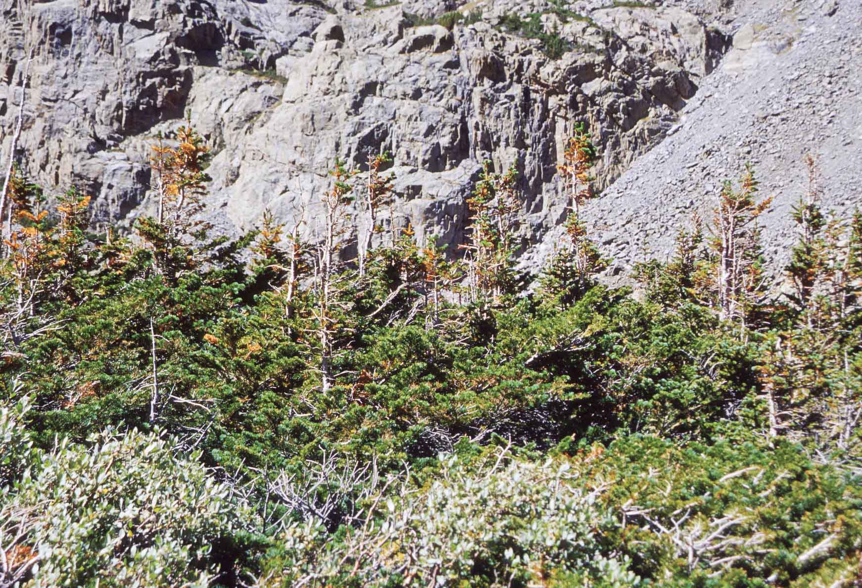
Subalpine fir and krummholz below Hallett Peak
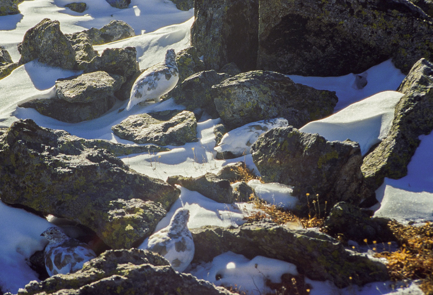
White-tailed Ptarmigan
(Lagopus leucura)

Flattop Mountain trail
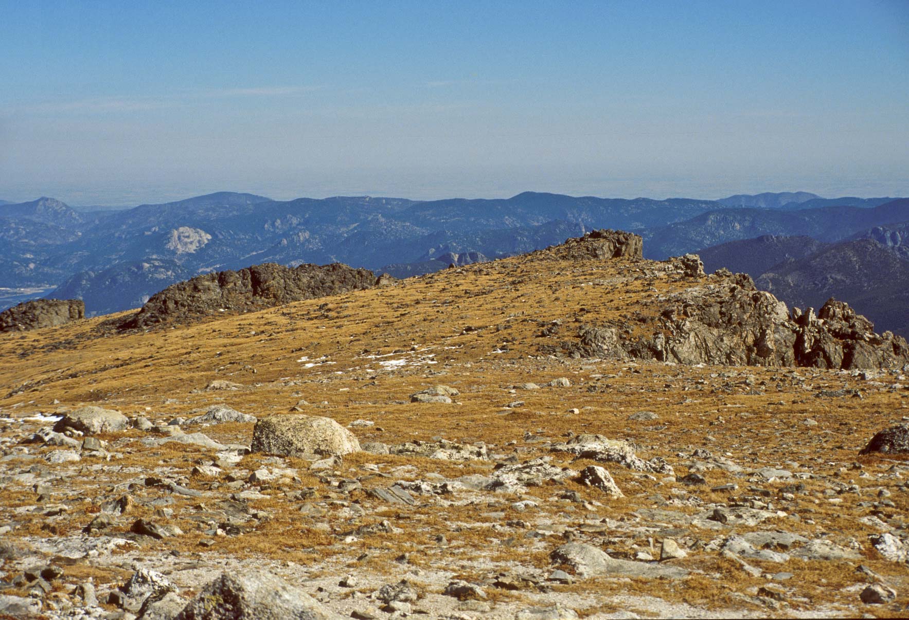
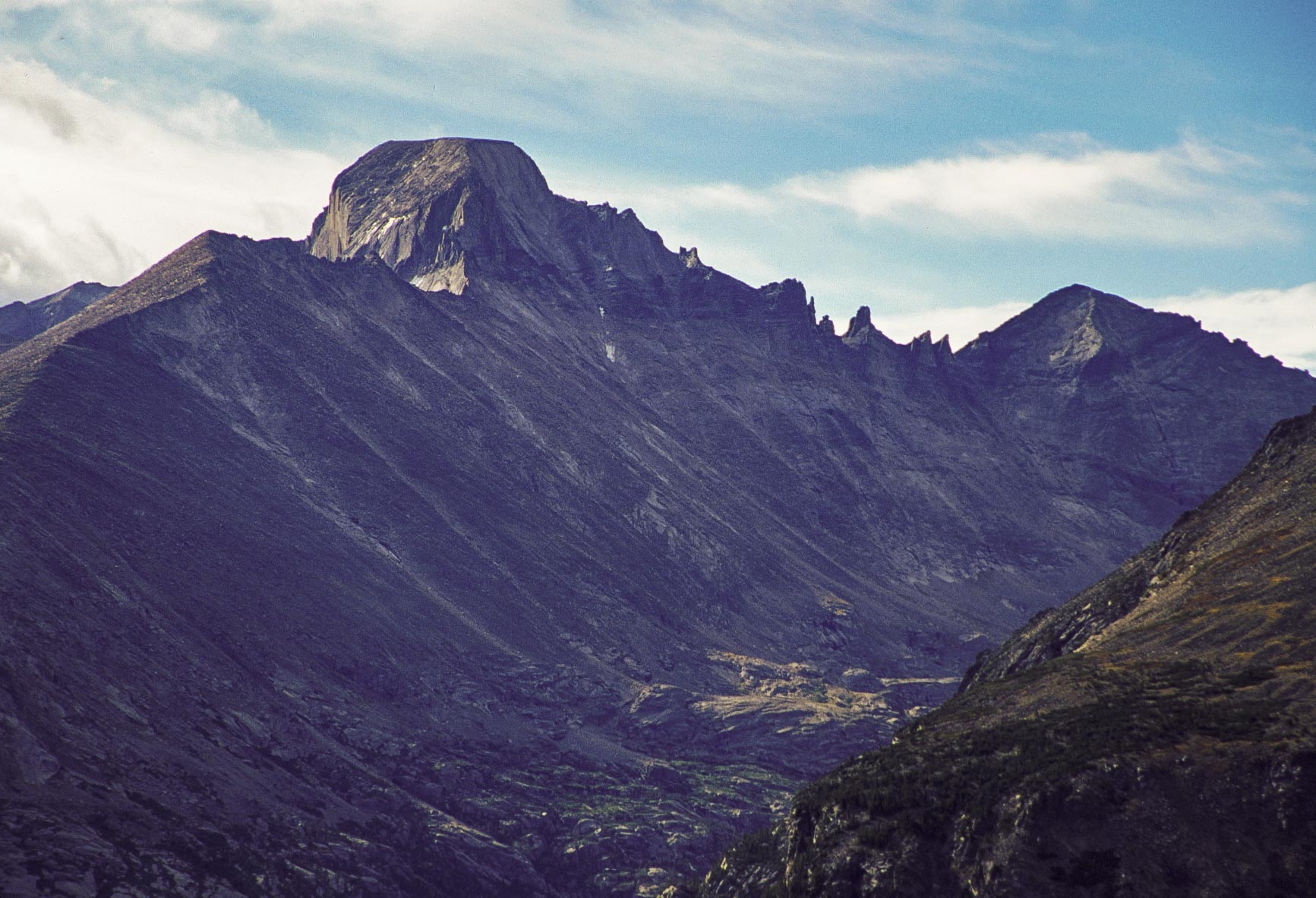
Flattop Mountain (12,326 ft)
Hiker on Flattop Mountain
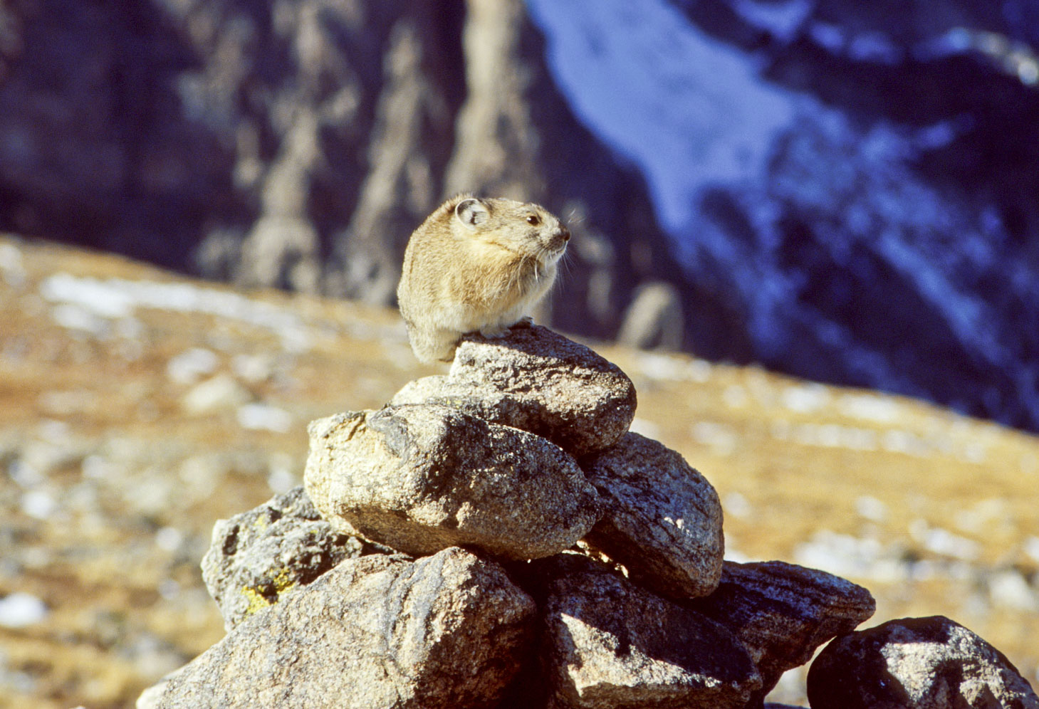
American Pika
(Ochotona princeps)
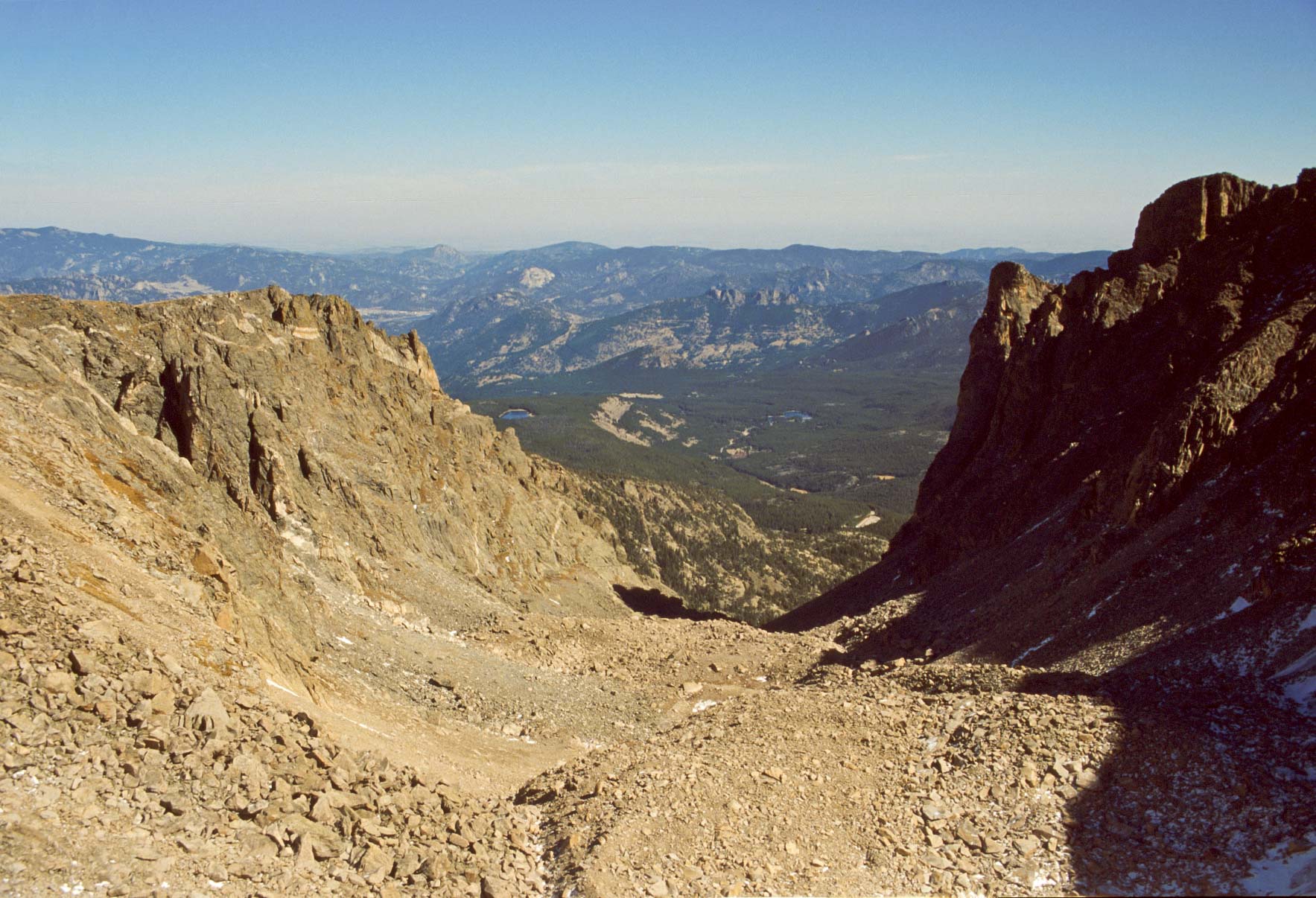
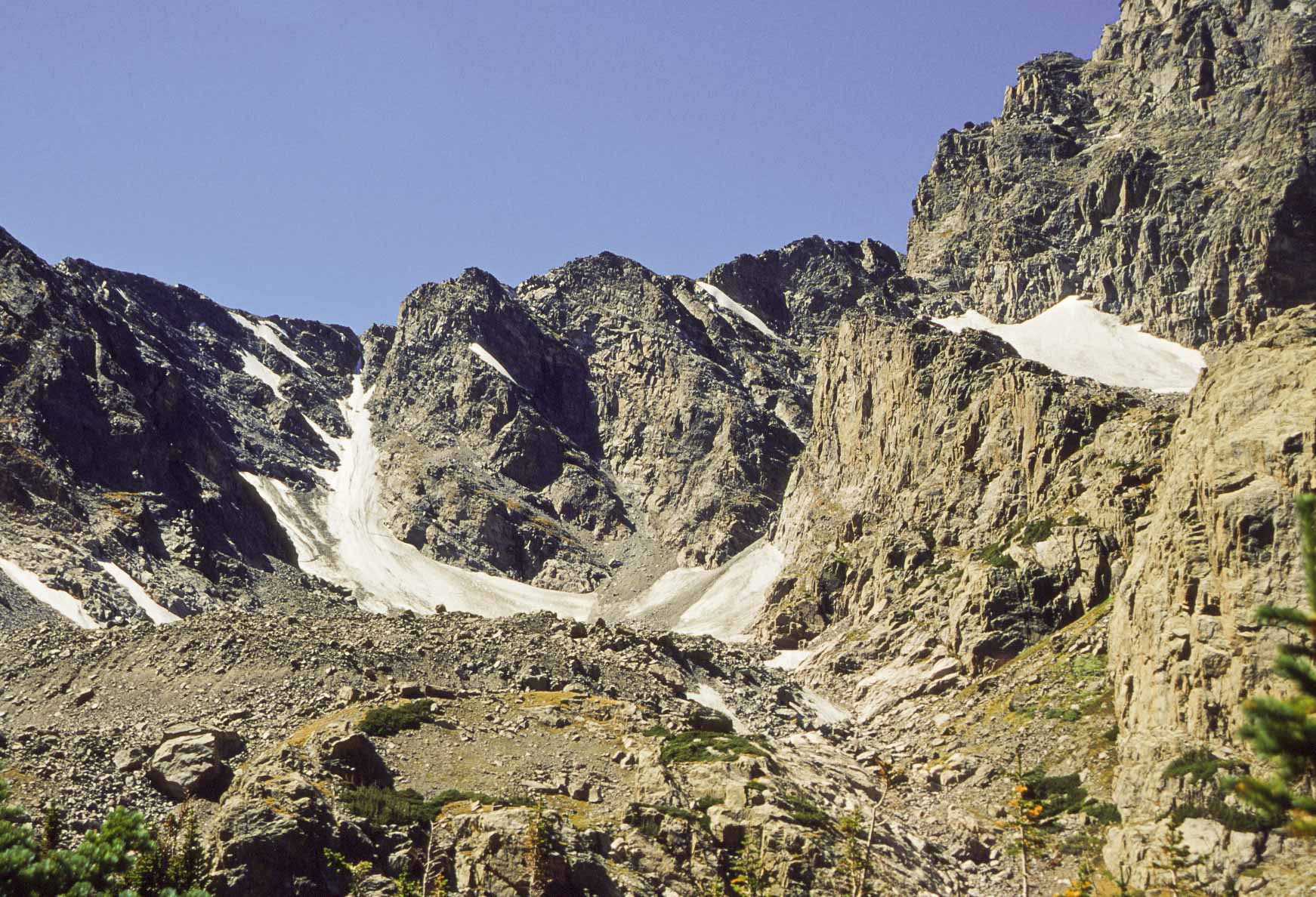
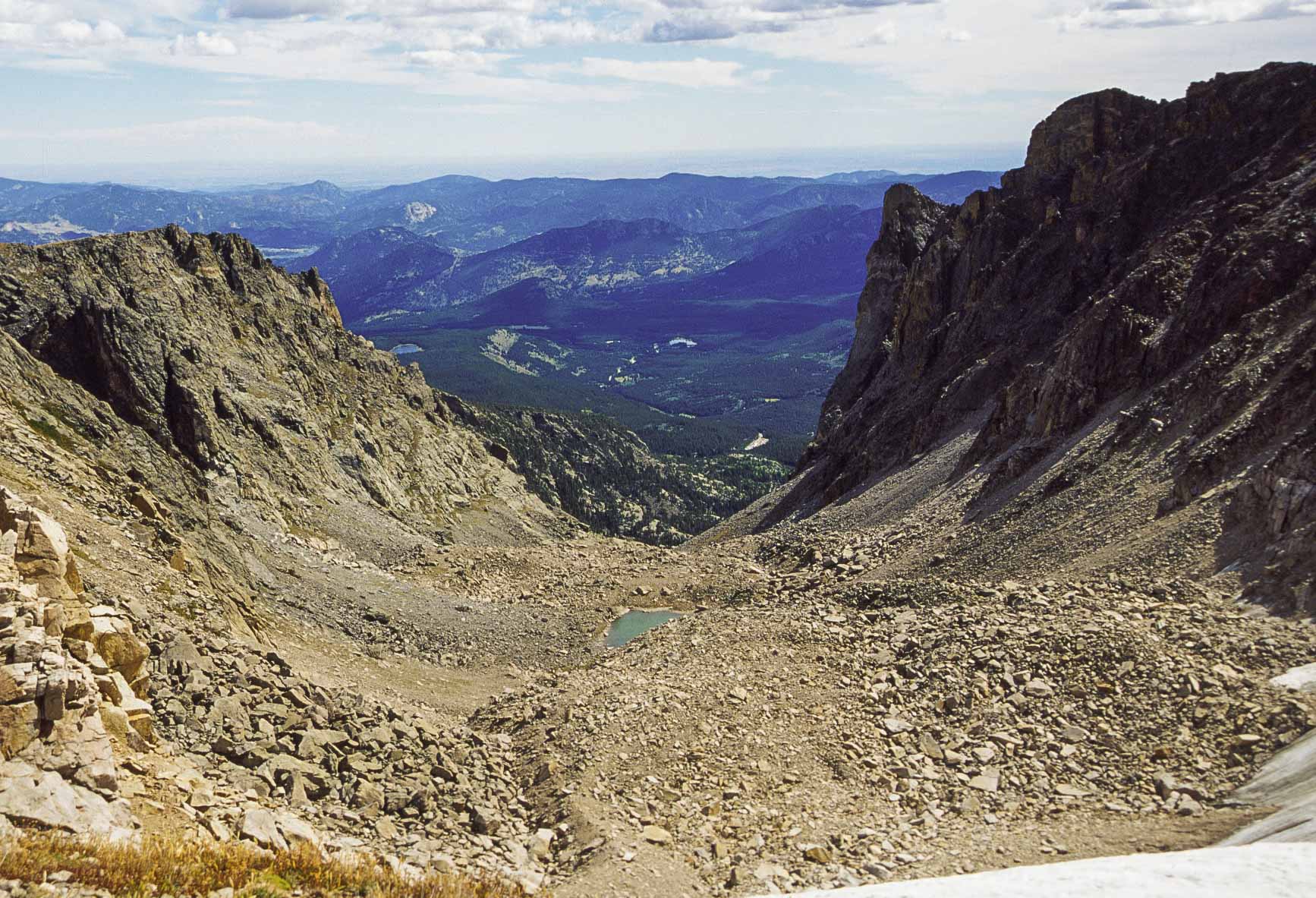
Tyndall Gorge
(between Hallett Peak and Flattop Mountain)
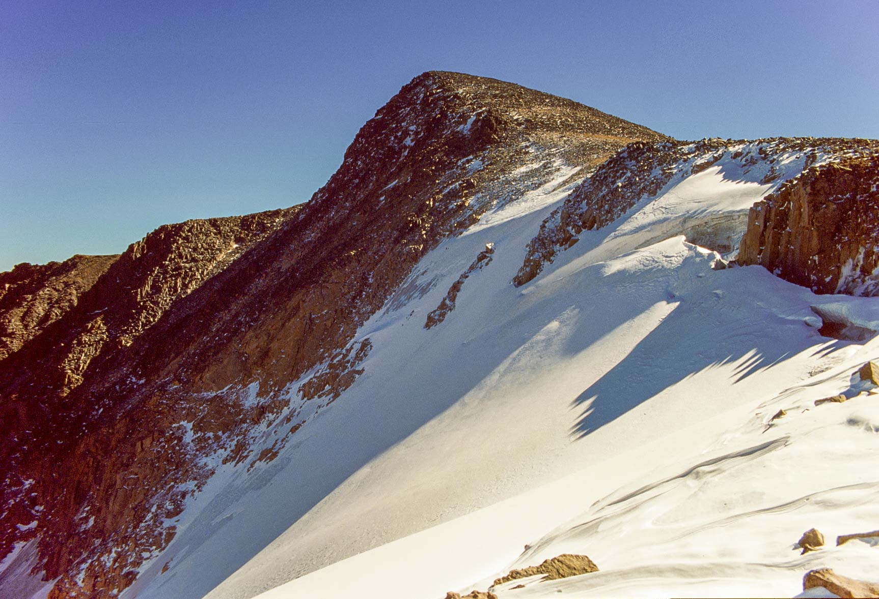
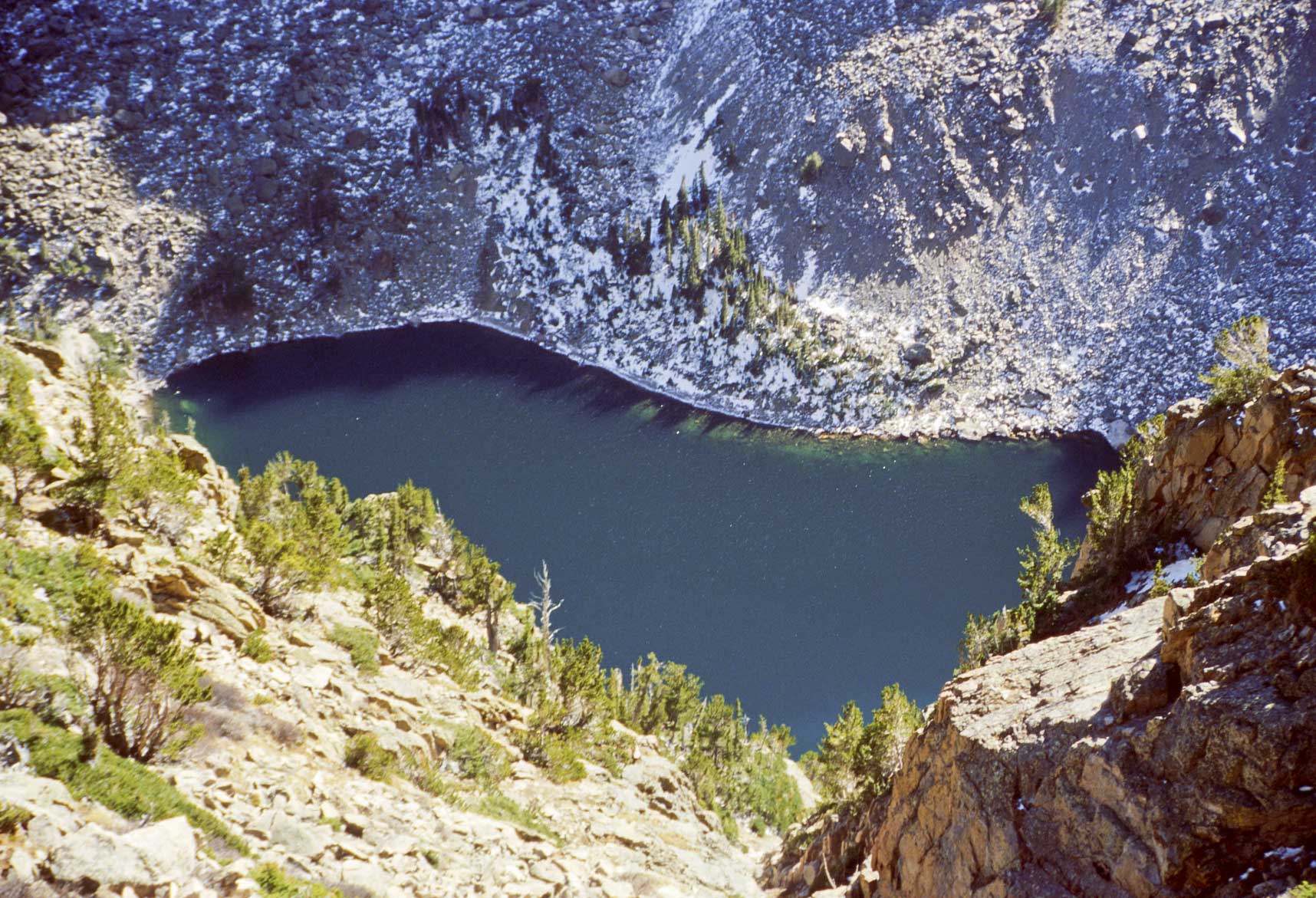
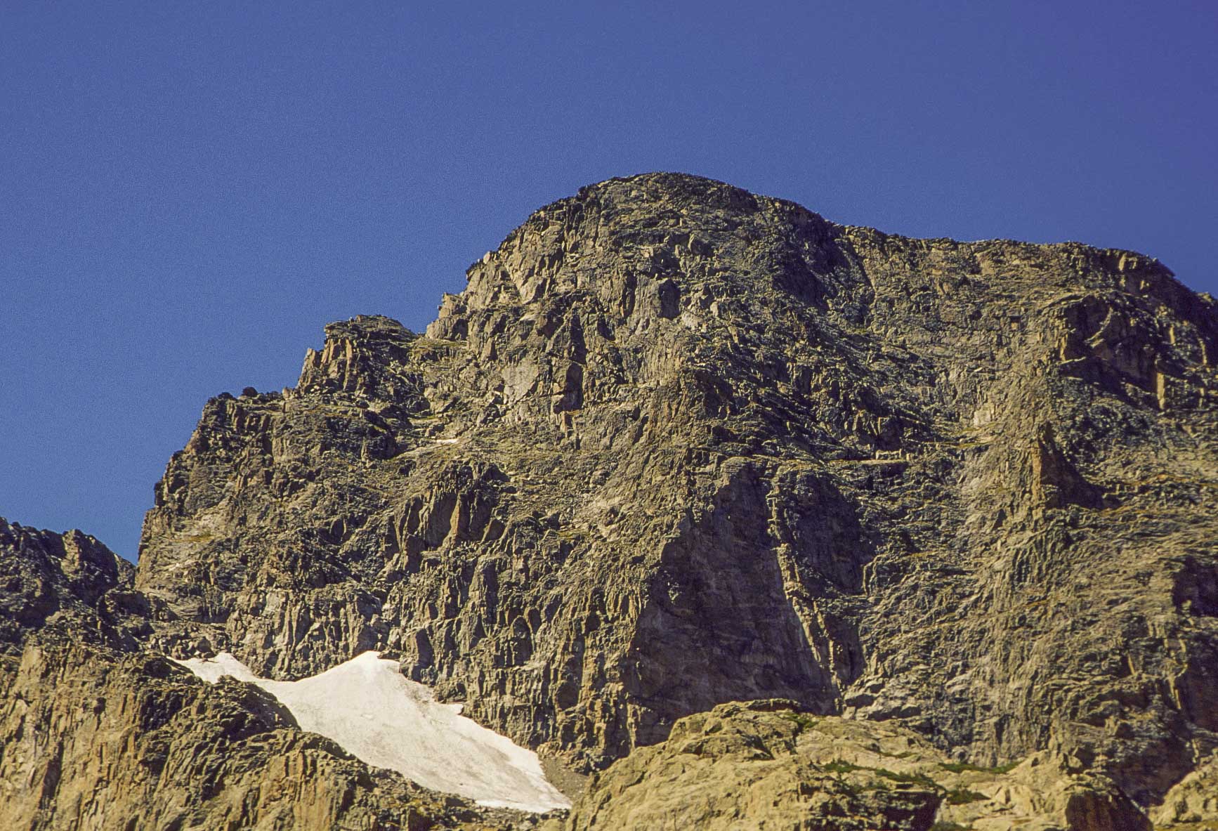
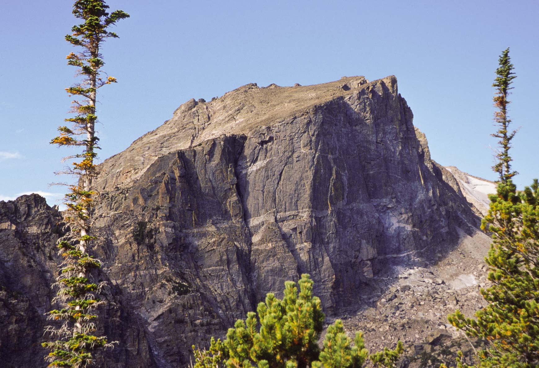
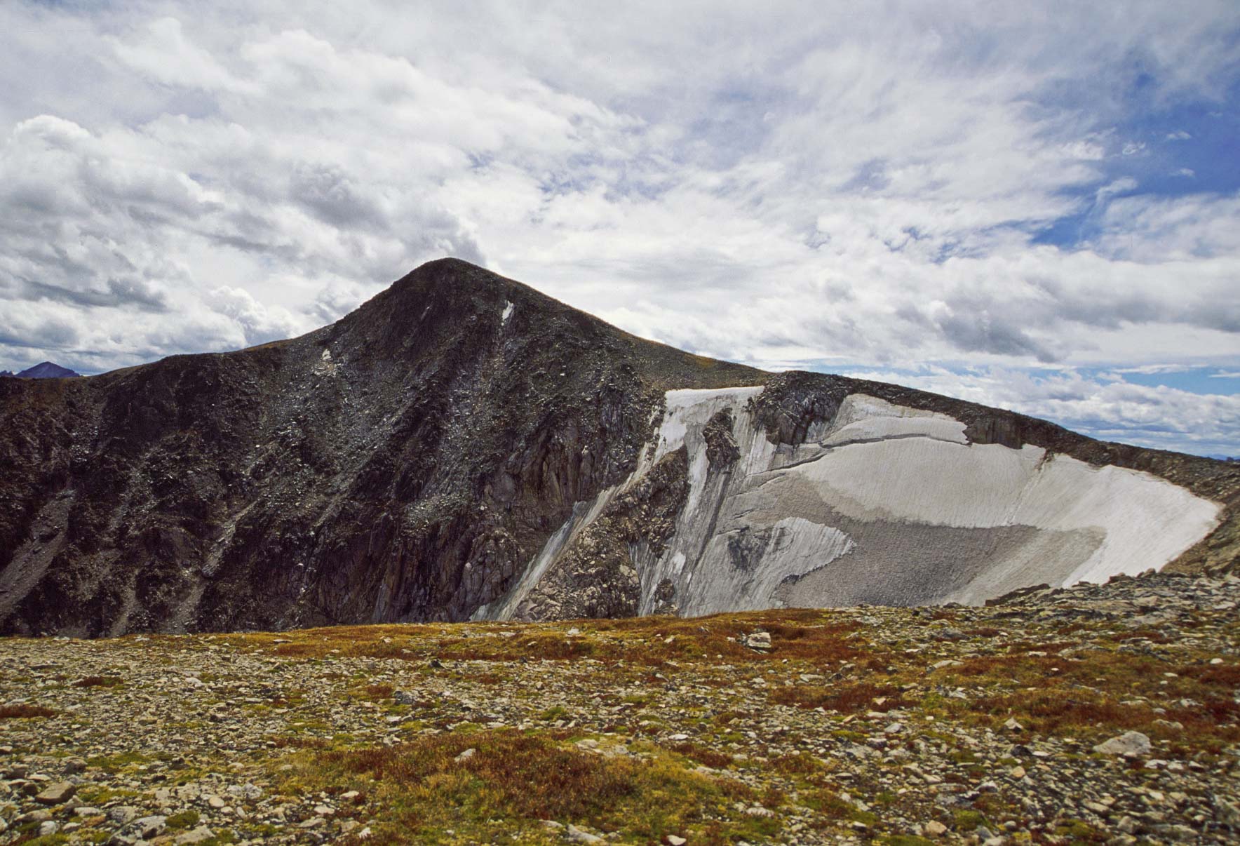
Hallett Peak (12,598 ft) and Tyndall Glacier
(1997 photo)
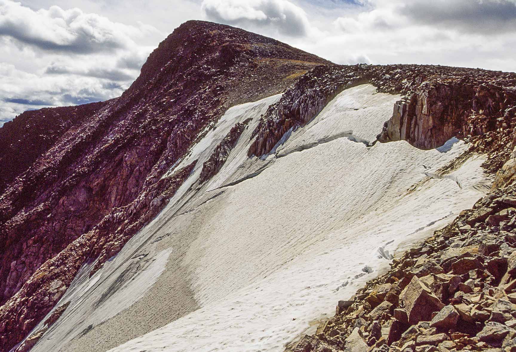
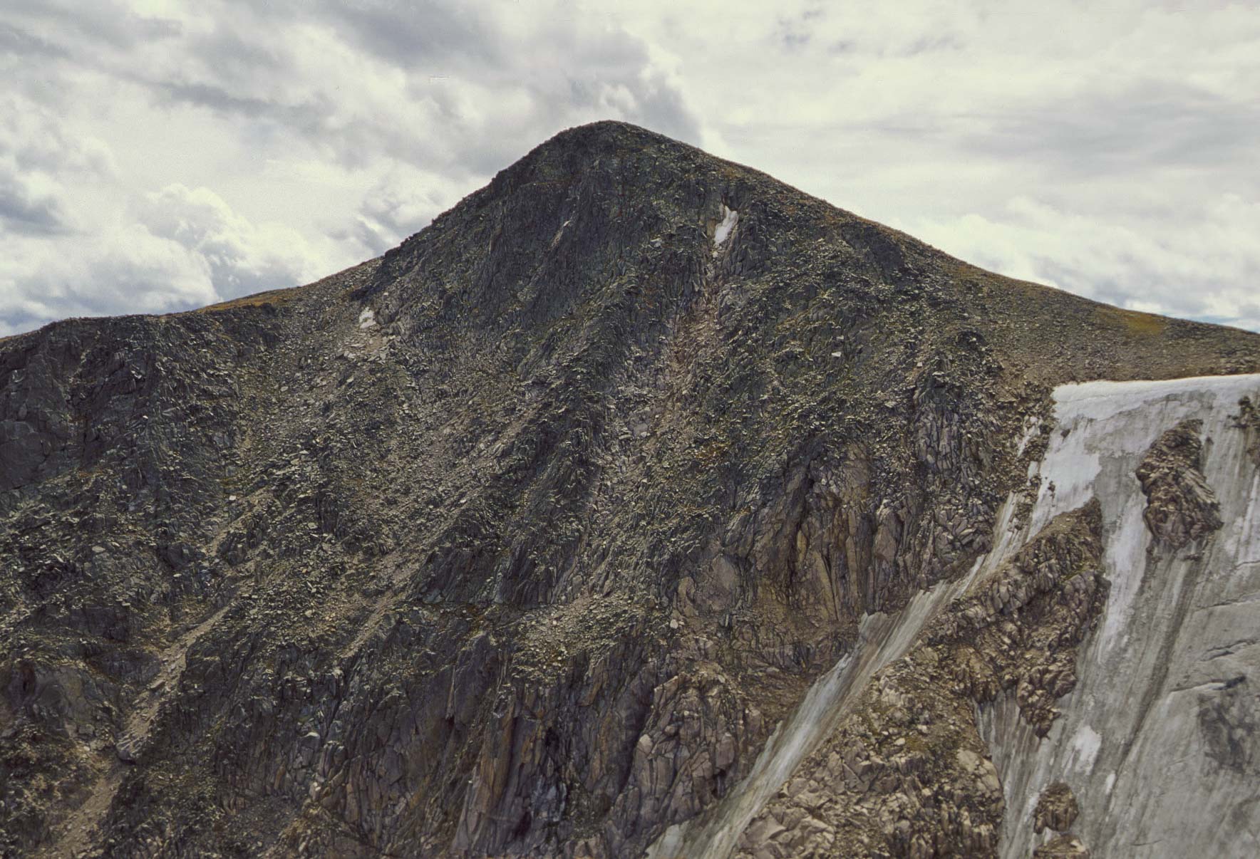
Hallett Peak and Tyndall Glacier
(2000 photo)
2000 - Hikes to Chasm Lake, Sky Pond, and Hallett Peak
My 2000 foray to Rocky Mountain included three of the best day hikes in the park, Chasm Lake, Sky Pond, and Hallett Peak.
The Hallett Peak hike was a repeat of the 1997 Flattop Mountain hike, but instead of stopping at Flattop Mountain
the hike continued on to the summit of Hallett Peak.
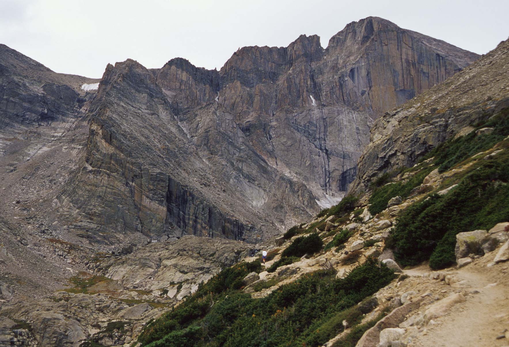
The hike to Chasm Lake begins at the Longs Peak trailhead. It's 8.5 miles out and back with a 2500 ft elevation gain and is rated as strenuous. Most of the hike is on East Longs Peak trail. The junction with the Chasm Lake trail is reached about 3.4 miles from the trailhead. Once on the Chasm Lake trail you climb past Peacock Pool and Columbine Falls and then scramble up a rock wall that forms the front of the cirque in which Chasm Lake is located. At this point you're gasping for breath but you've made it to the lake. Sit back, relax, have lunch, and enjoy some of the most dramatic views you are ever likely to see. And remember, it's all downhill from here.
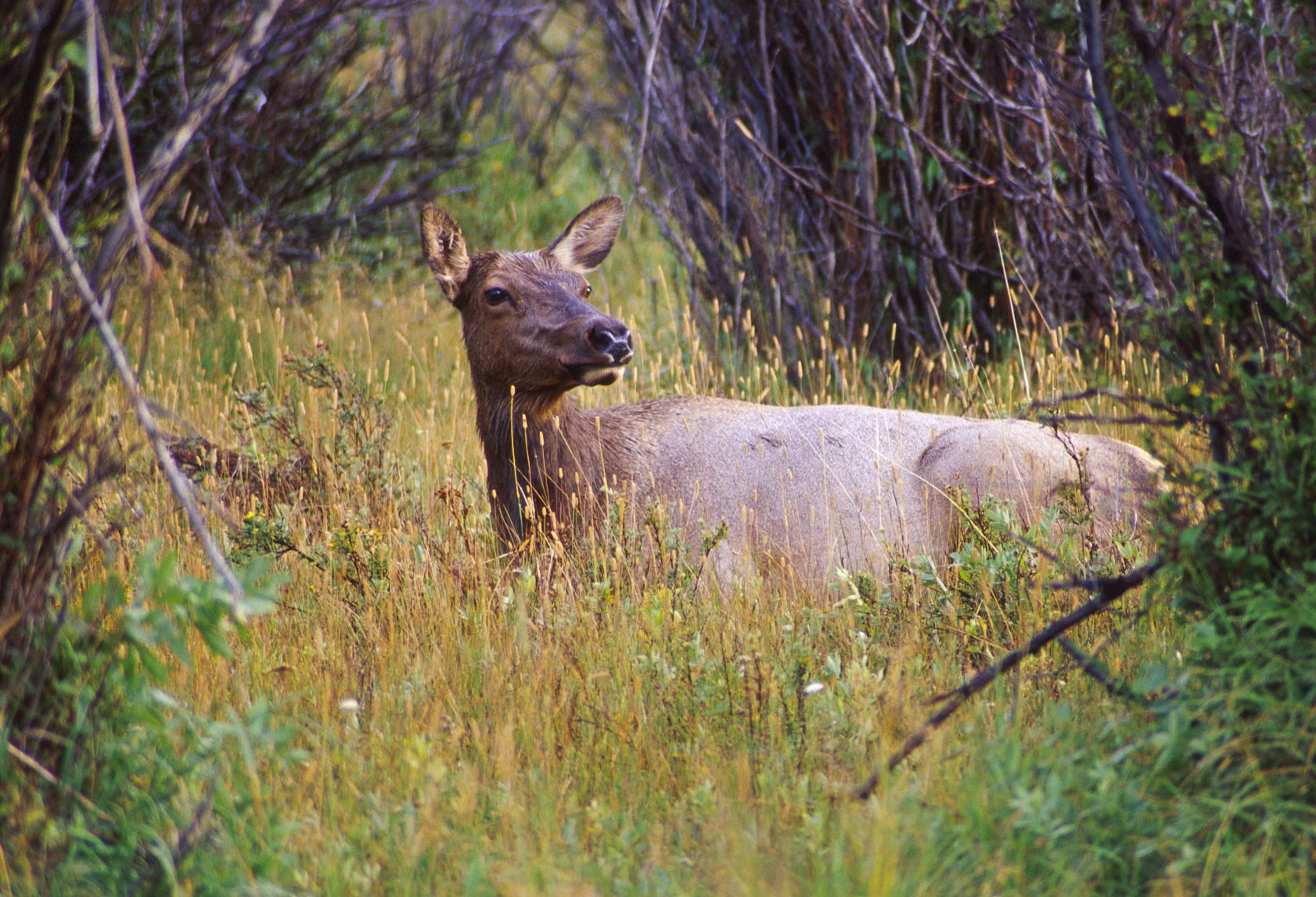
Elk cow
(Cervus canadensis)

Footbridge across stream on Chasm Lake trail
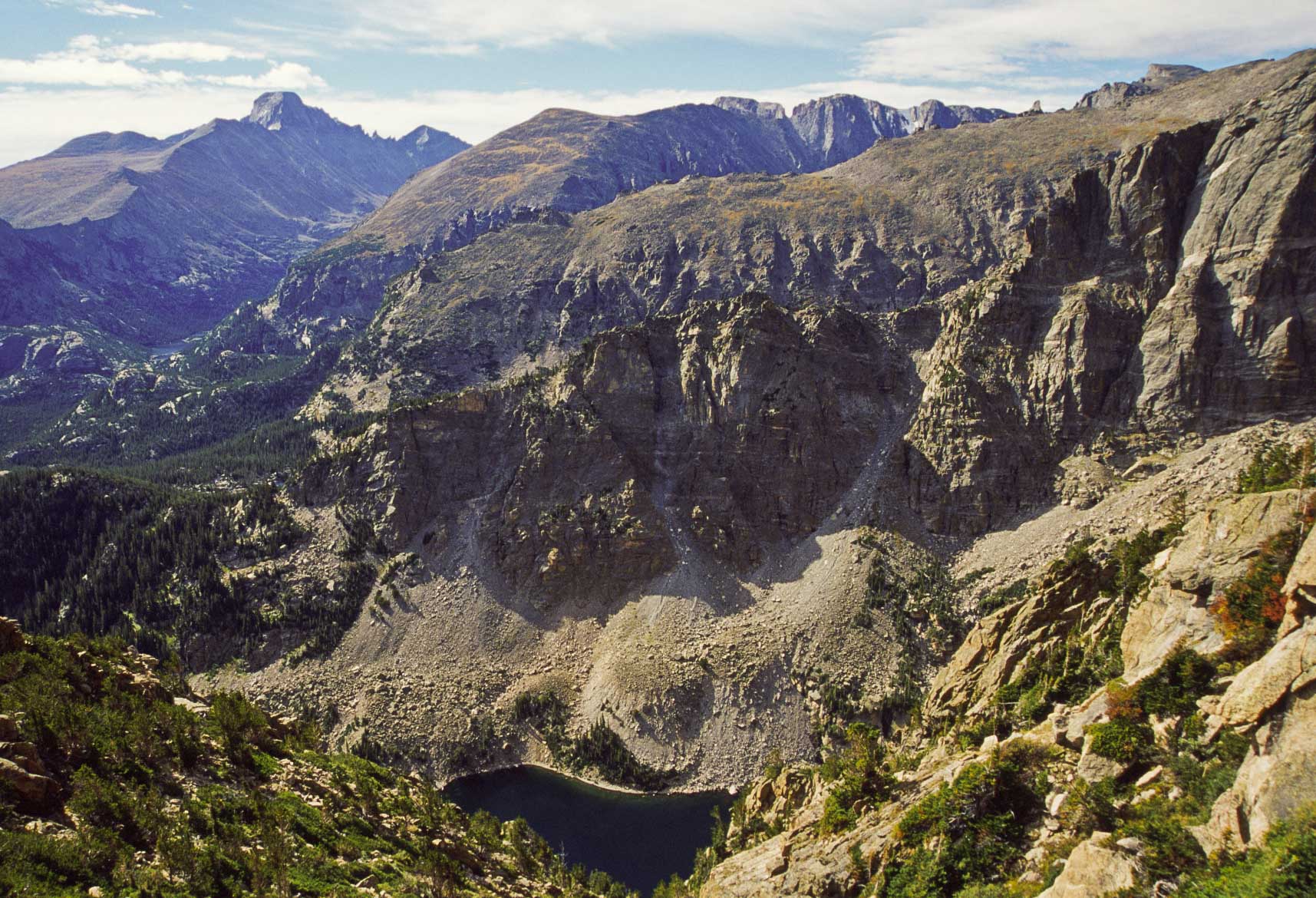
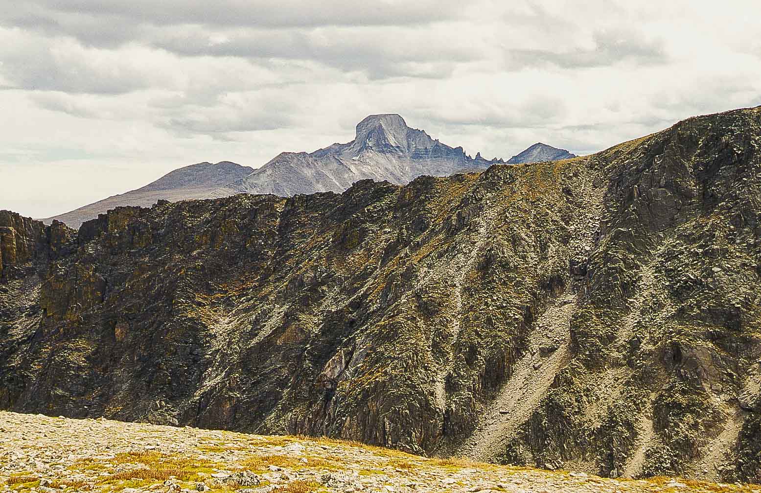
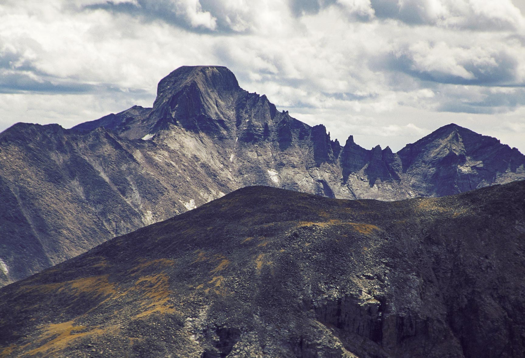
Longs Peak
Chasm Lake trail
View ~ north near the Chasm Lake trai junction
Peacock Pool
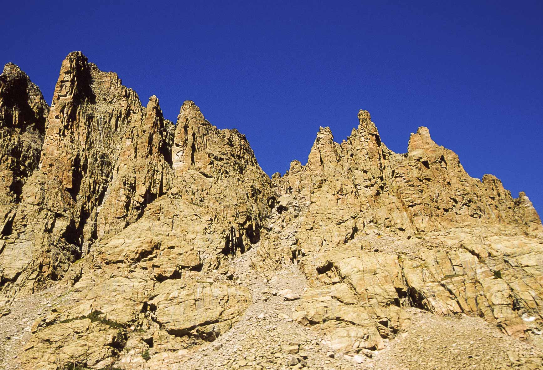
Longs Peak and Keyboard of the Winds
Chasm Lake trail
Columbine Falls
Chasm Lake trail
Peacock Pool

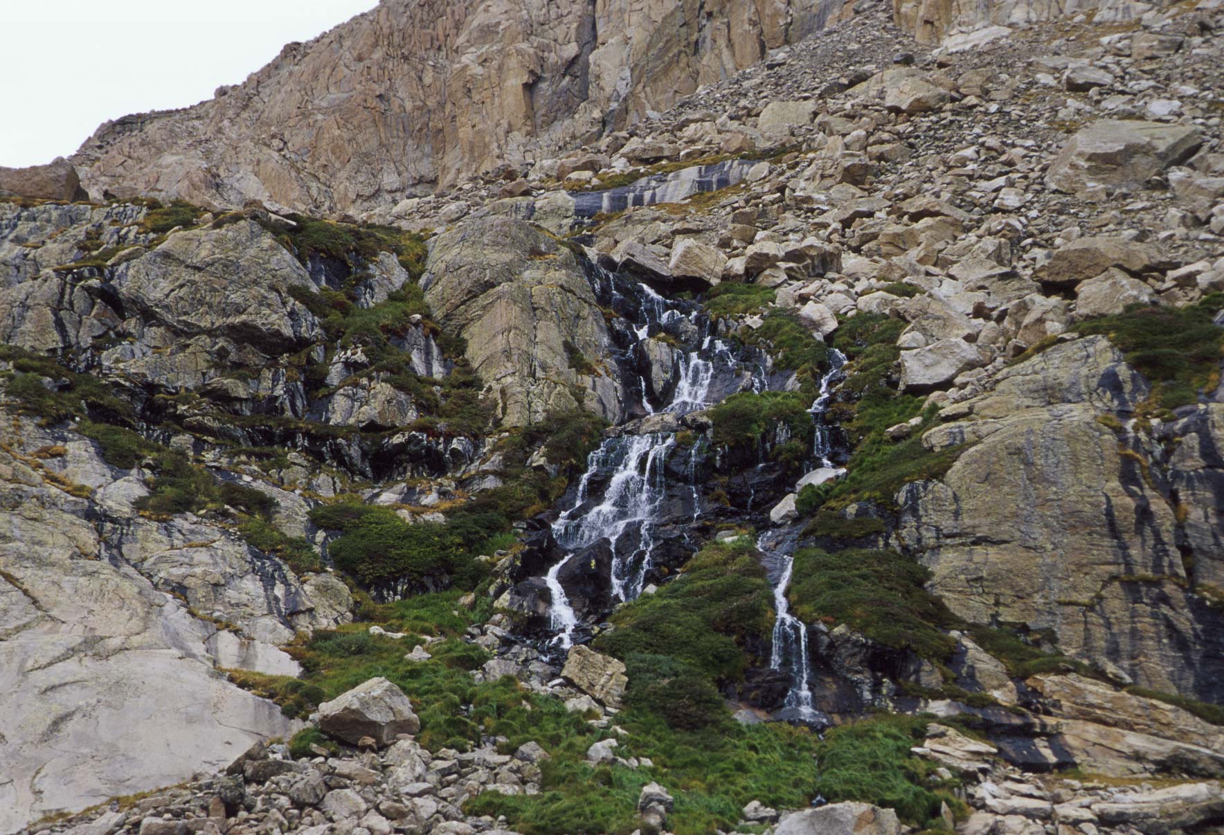
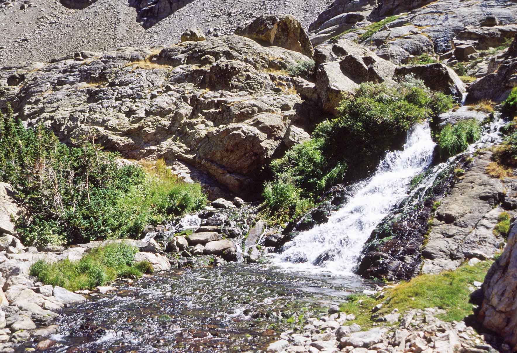
Stream and alpine meadow below Chasm Lake
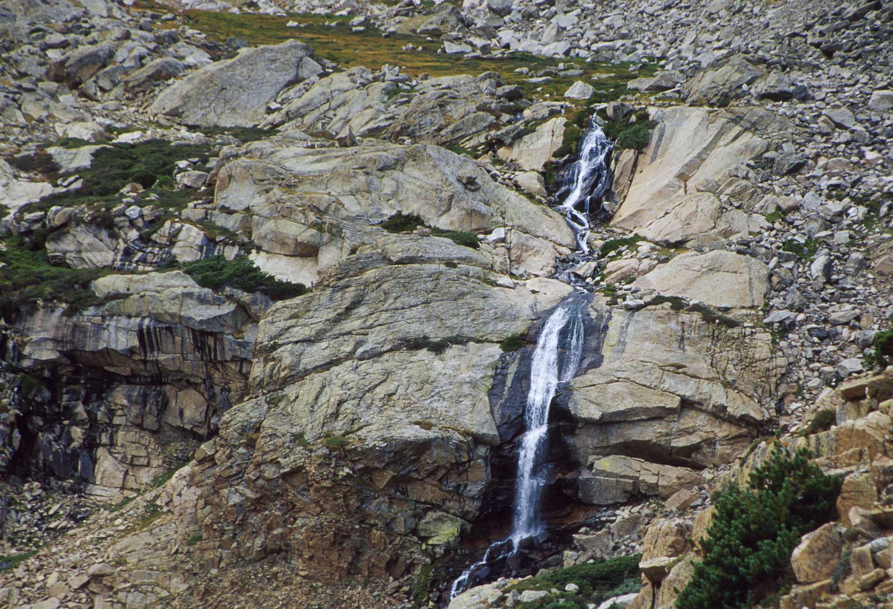
Small waterfall below Chasm Lake

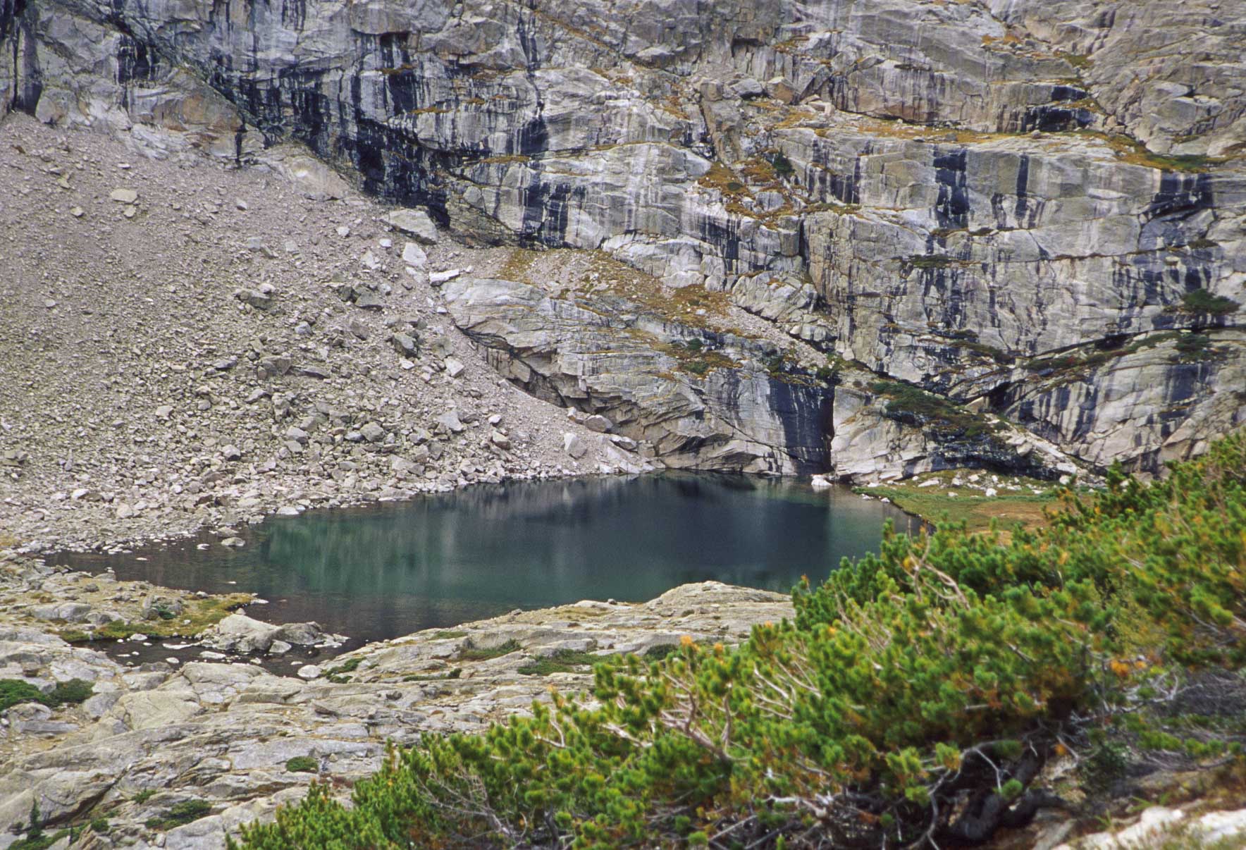
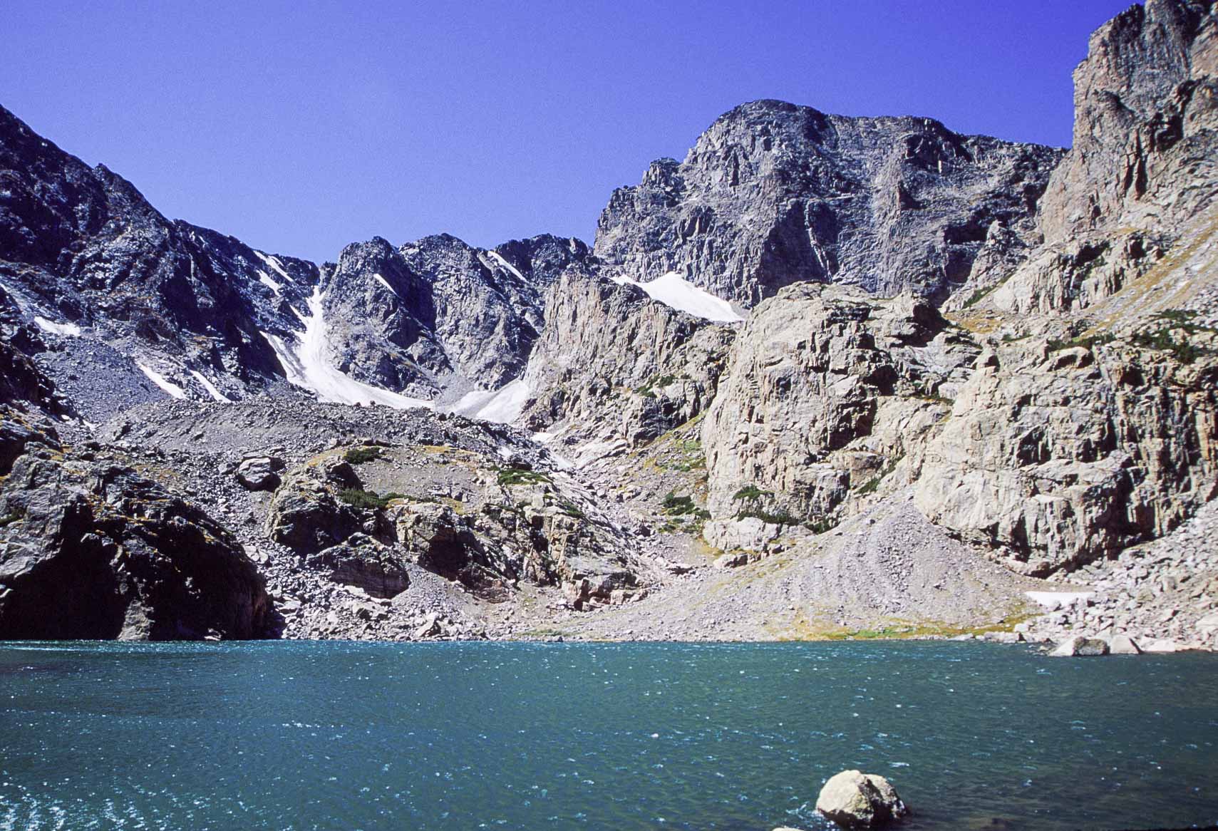
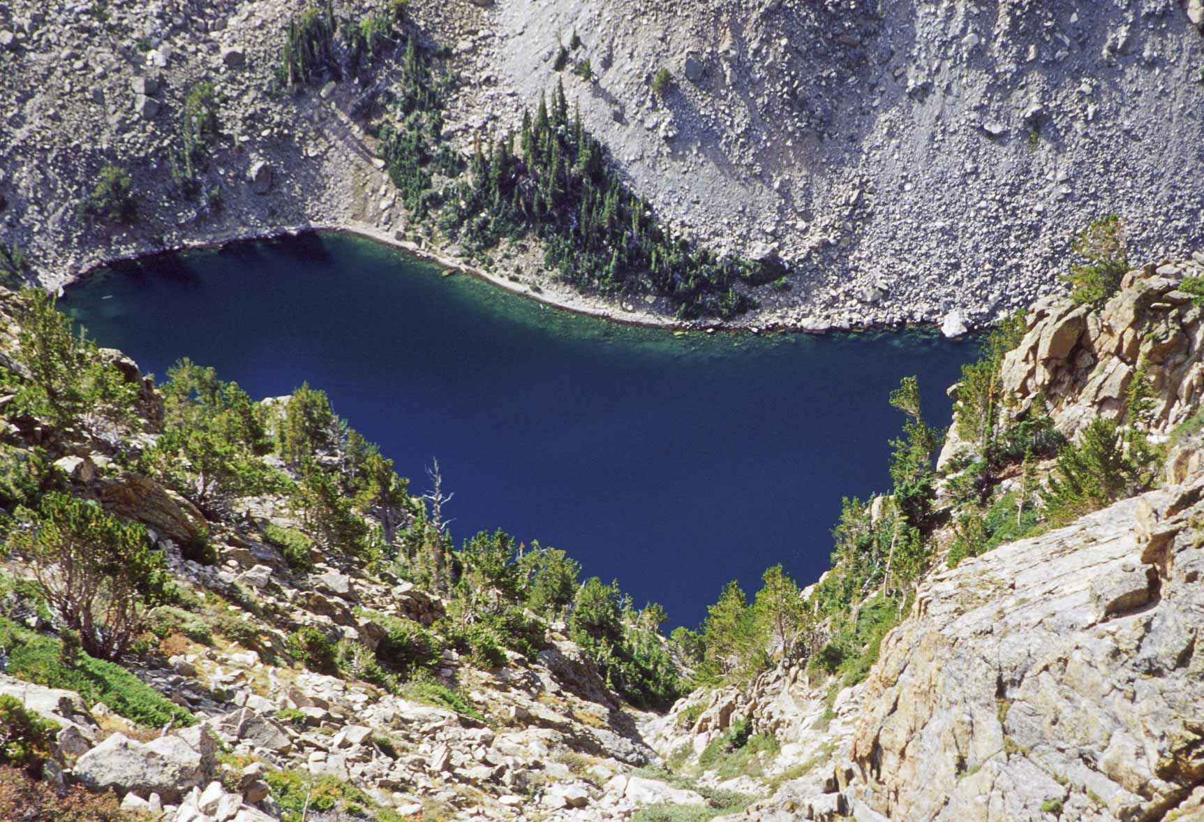
Chasm Lake and east face of Longs Peak
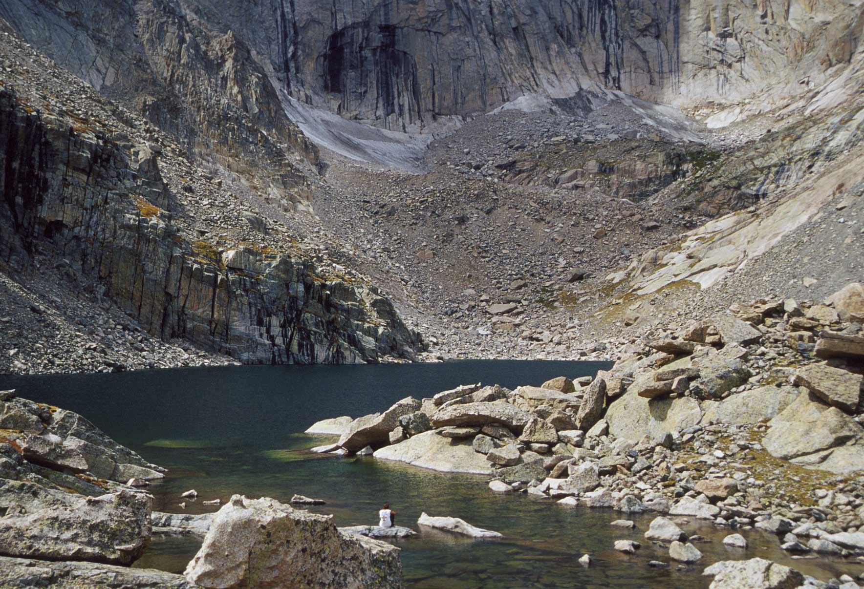
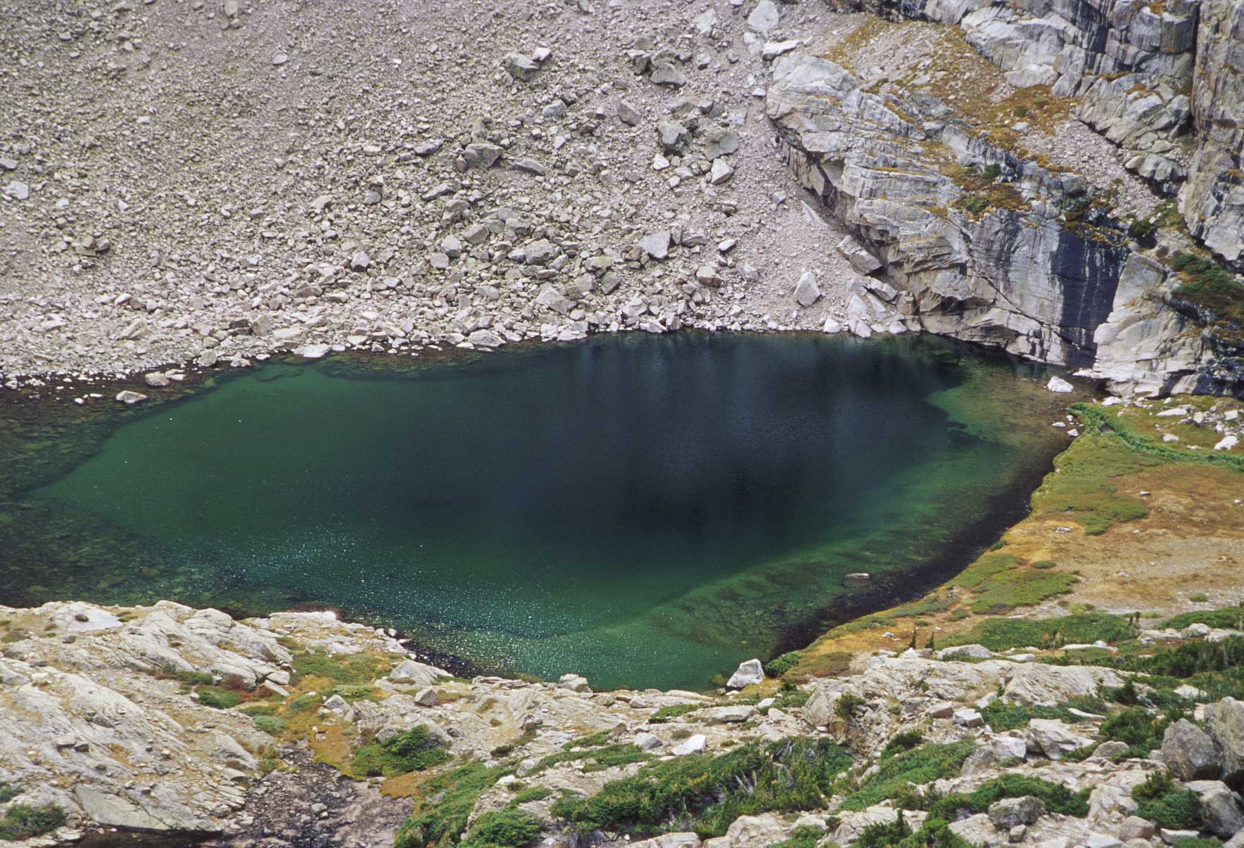
Chasm Lake
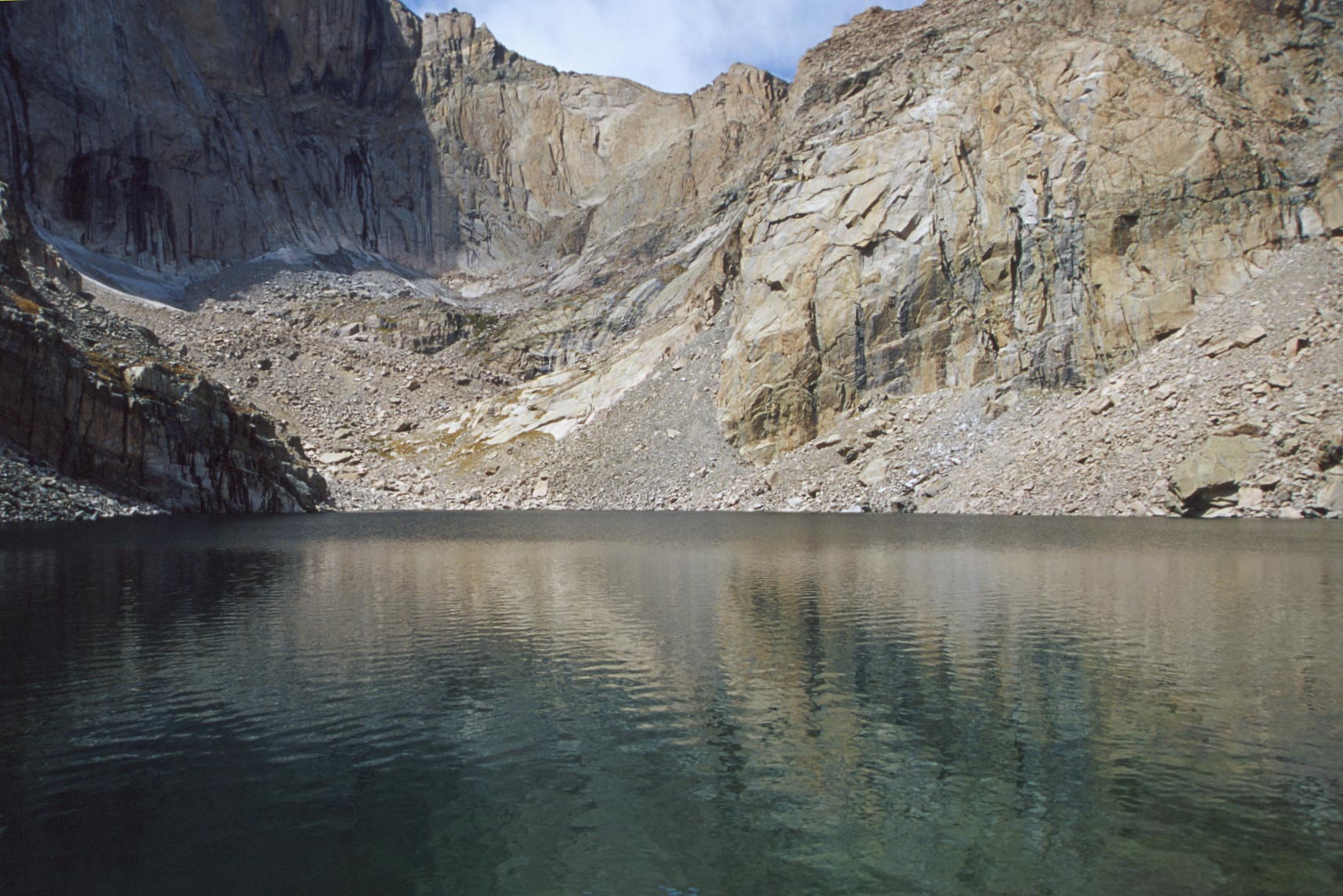
Chasm Lake
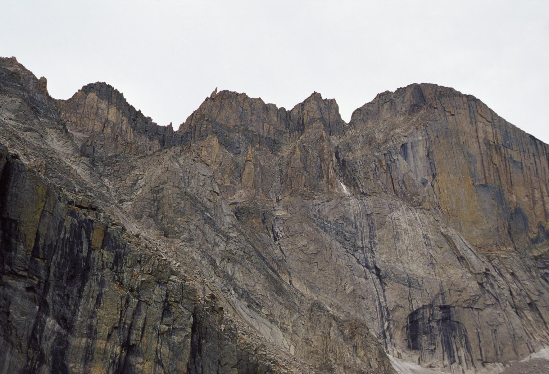
Keyboard of the Winds
and east face (the "Diamond") of Longs Peak
The hike to Sky Pond is 9 miles out and back with a 1780 ft elevation gain and is rated as strenuous. The hike starts at Glacier Gorge trailhead and continues on North Longs Peak trail to Mills Junction. Past this point the trail becomes steep and you need to pay attention to trail signs as there are a couple more junctions on the route. About 3 miles from the trailhead you will come to Loch Vale, commonly called "The Loch". Next up is Timberline Falls and then some serious scrambling up rock ledges to reach Lake of Glass, aka Glass Lake. The trail above the lake is rugged, but short, taking you to Sky Pond. Terrain and views at Sky Pond are absolutely incredible, making this one of the best hikes in the park. Taylor Peak and Sharkstooth soar dramatically into the sky and surround the cirque in which Sky Pond is nestled (I'm waxing poetic here).
Moraine Park
Two bucks, two bucks
Moraine Park
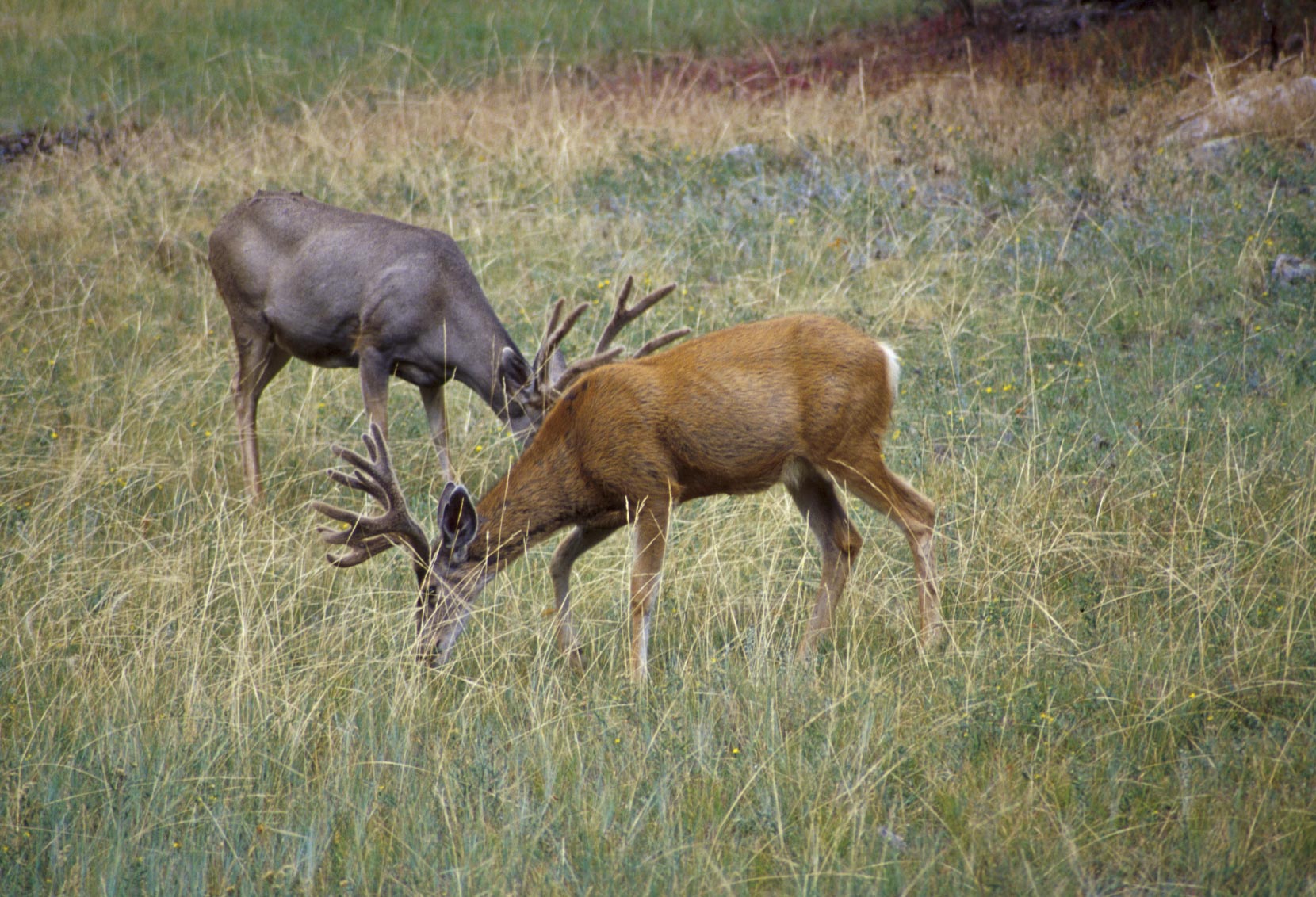
Pair of bucks
Moraine Park
Alberta Falls early morning
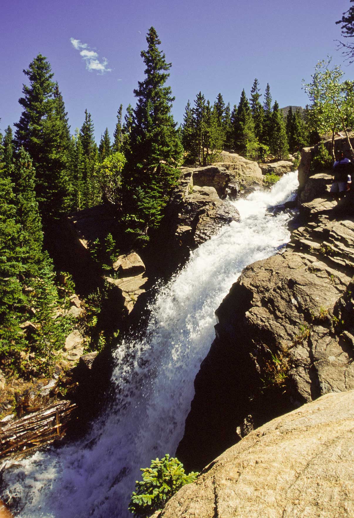
Alberta Falls mid-afternoon
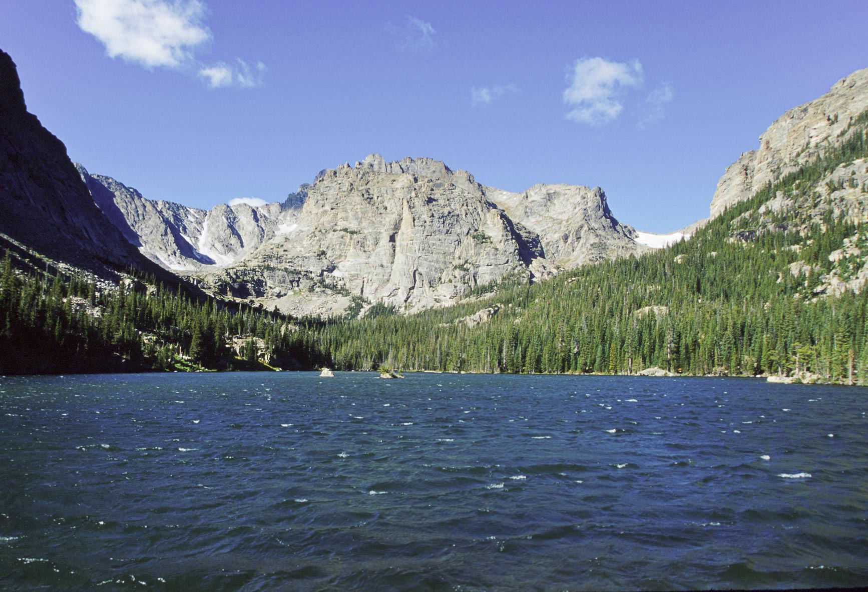
The Loch
Taylor Peak (background)

The Loch in mid-afternoon
View looking ~ east
Loch trail to Sky Pond

The Loch viewed from Glass Lake
Waterfall below Glass Lake
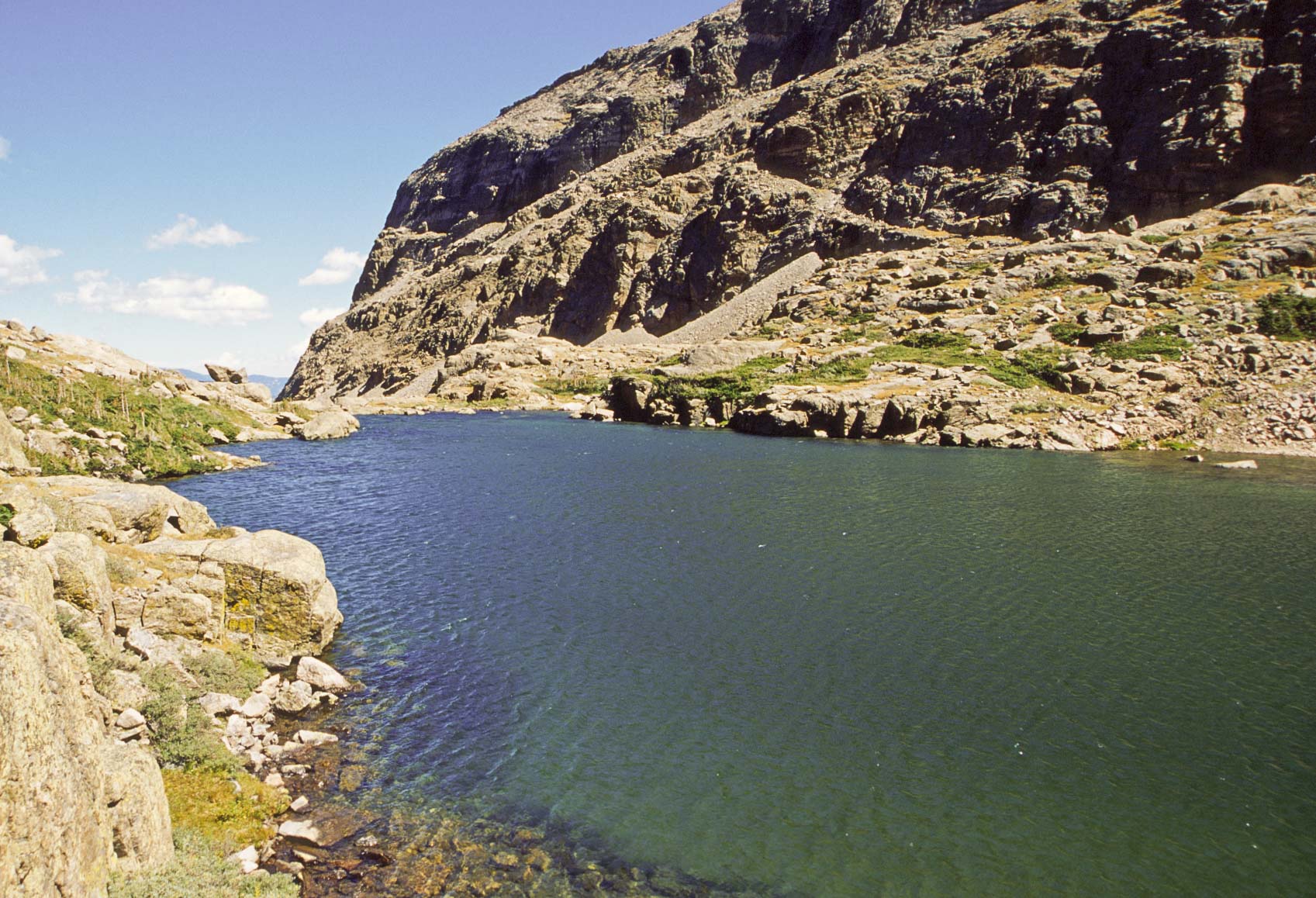
Lake of Glass (Glass Lake)

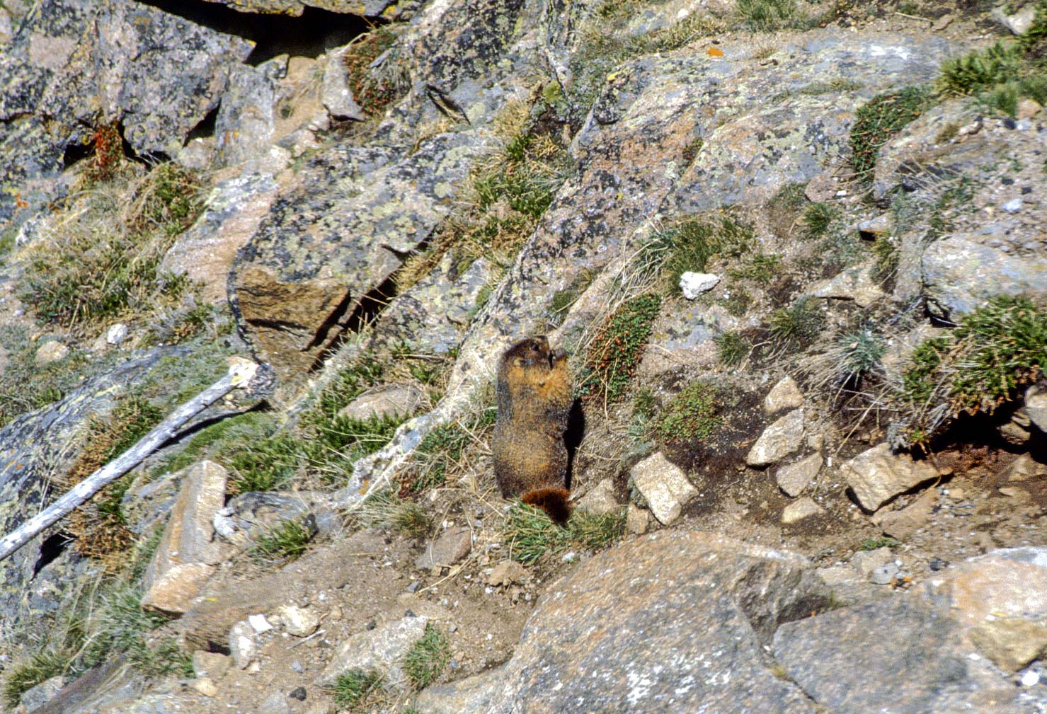
Yellow-bellied Marmot
(Marmota flaviventris)
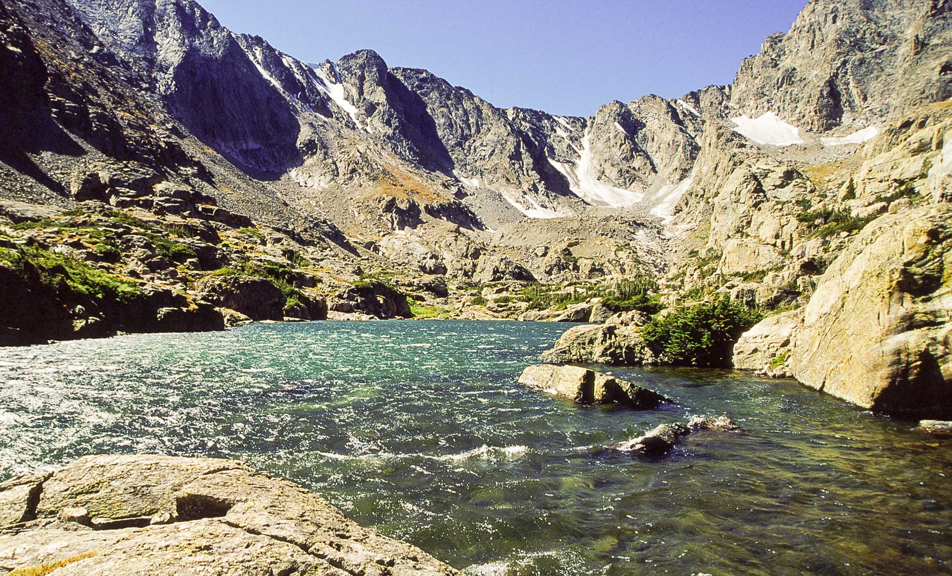
Sky Pond
Sky Pond
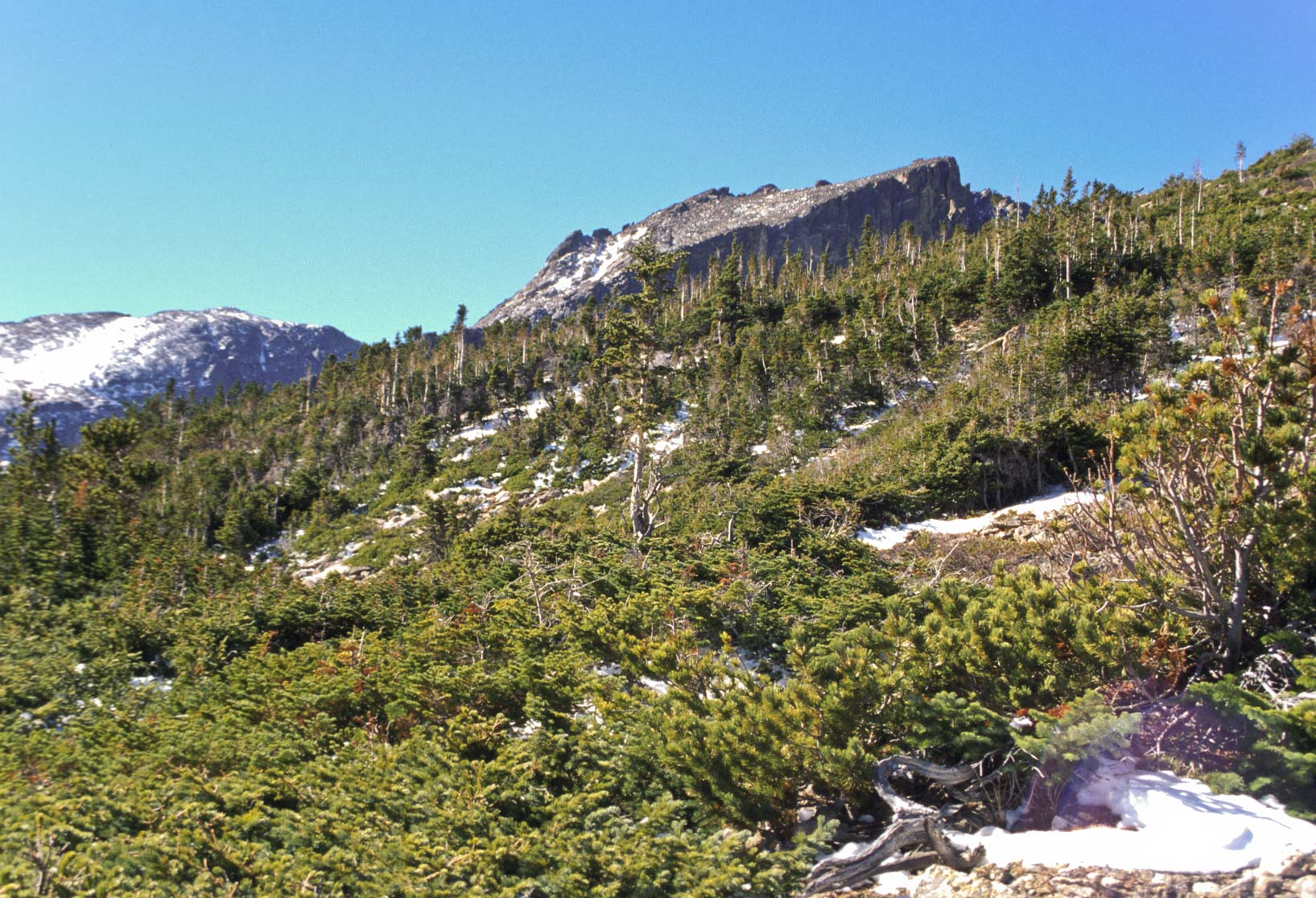
Krummholz
Taylor Peak (13,153 ft)
View from Sky Pond
Andrews Glacier
Sharkstooth
The hike to Hallett Peak is 10.3 miles out and back with a 3240 ft elevation gain and is strenuous. Most of the hike takes you to the top of Flattop Mountain and is described in the 1997 visit above. From Flattop Mountain you need to climb another 400 ft in seven-tenths of a mile to reach the summit of Hallett Peak. The extra effort is well worth it. Views are superb.

Dream Lake
Hallett Peak
View from Dream Lake overlook
Longs Peak and
Keyboard of the Winds
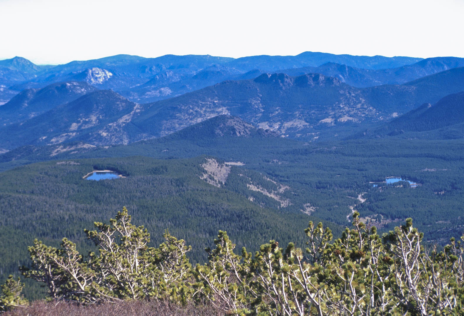
Bierstadt Lake (left)
Sprague Lake (right)
Emerald Lake
View ~ south from Emerald Lake overlook
Hallett Peak trail
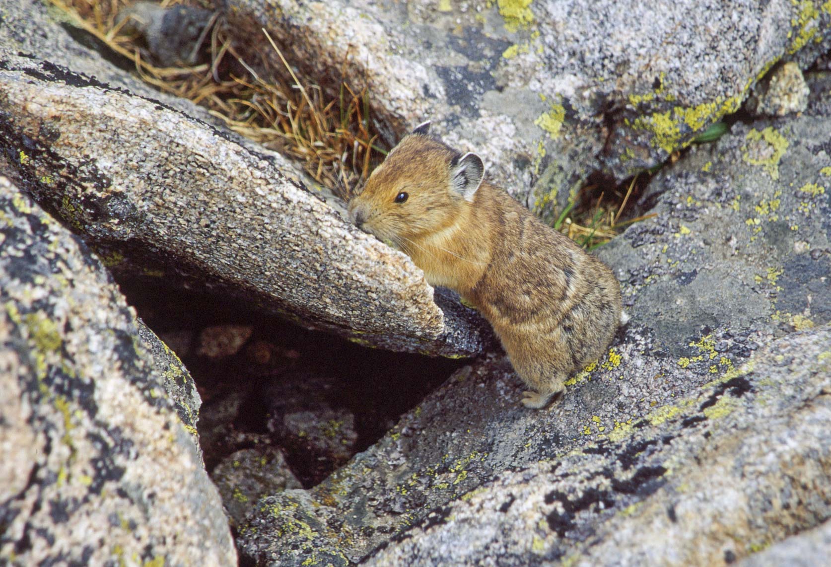
American Pika
(Ochotona princeps)
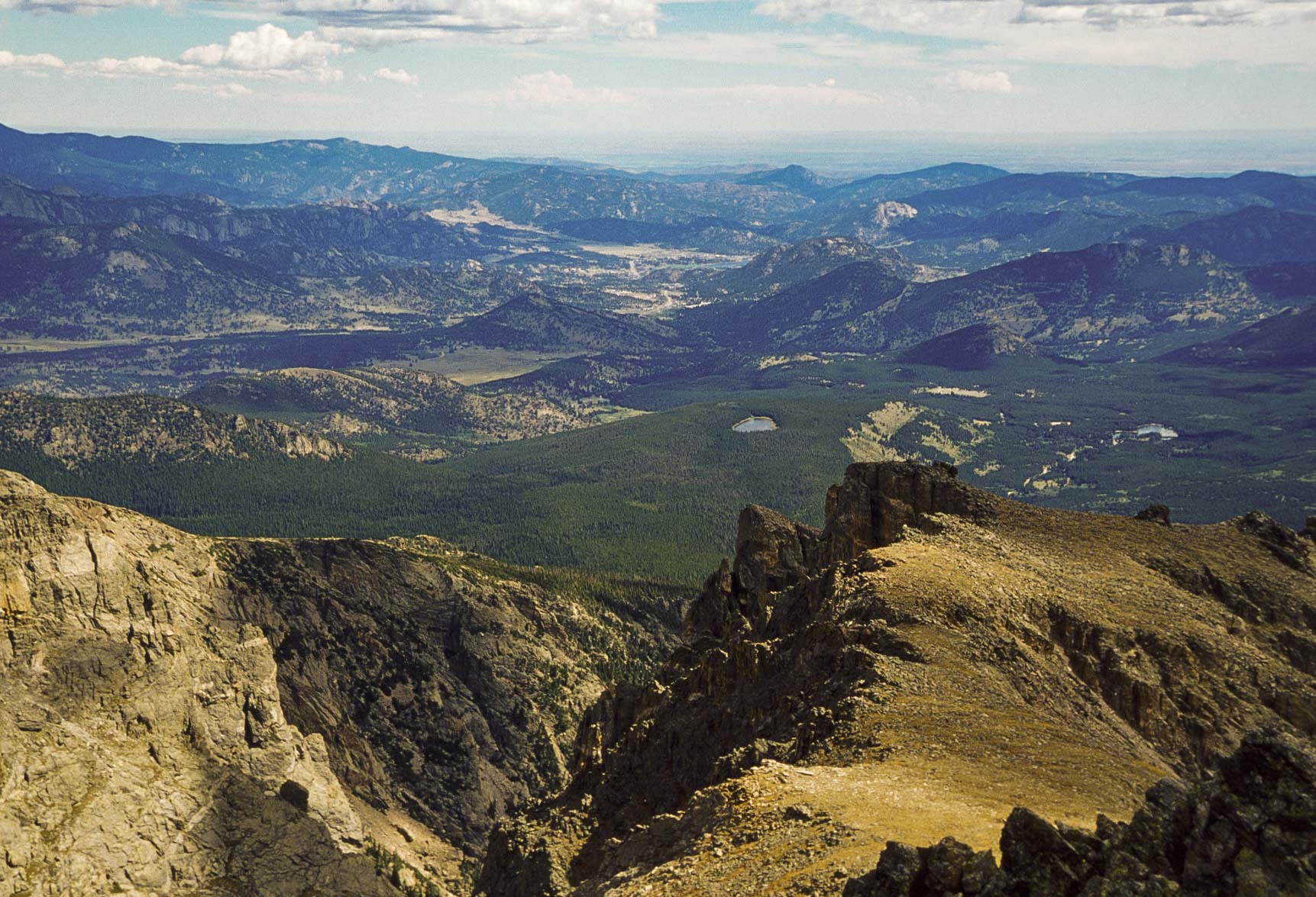
View SE from Flattop Mountain
Longs Peak in distance
View ~ north from Flattop Mountain
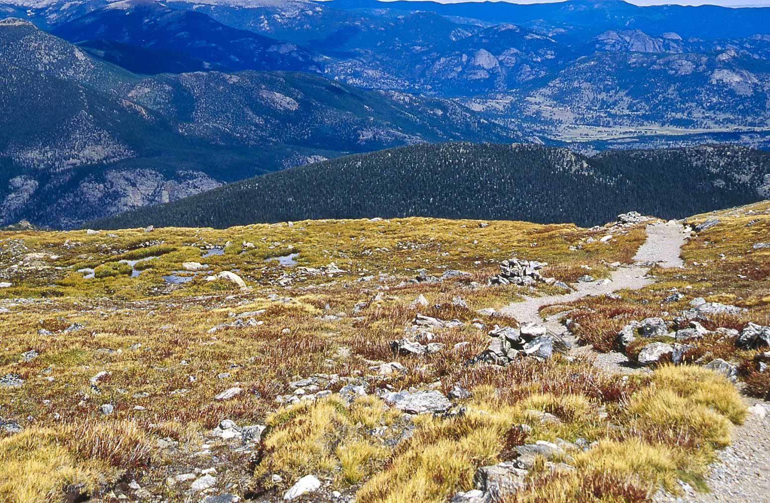
Flattop Mountain trail
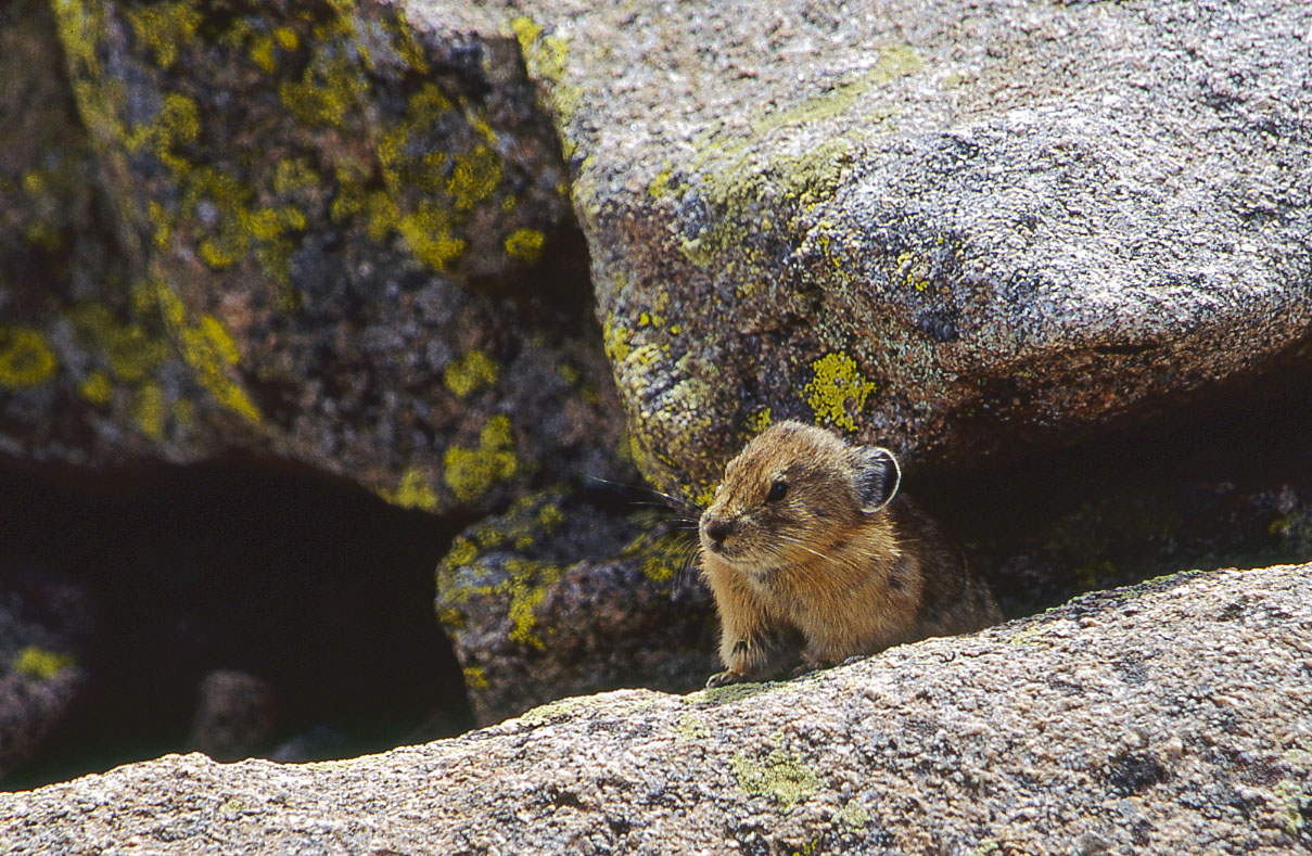
American Pika
(Ochotona princeps)
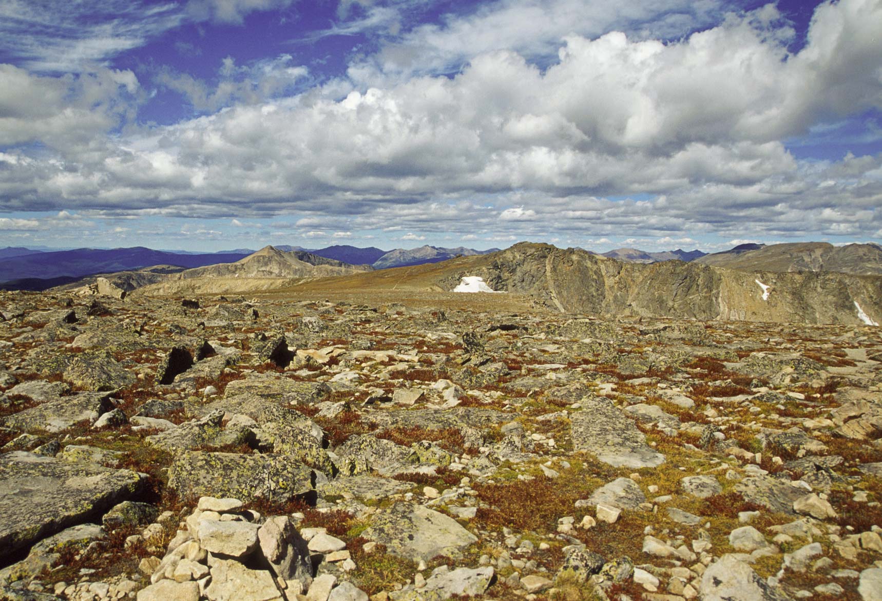
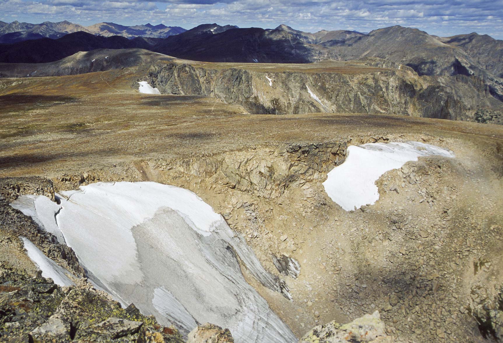
View ~ west from Flattop Mountain (12,324 ft)
Hallett Peak and Tyndall Glacier
View south from Flattop Mountain
Hallett Peak
View south from Flattop Mountain
Tyndall Gorge
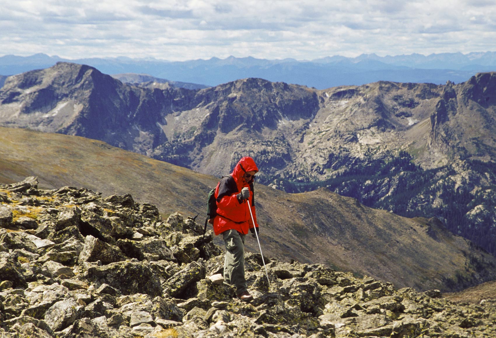
Hiker on summit of Hallett Peak
Flattop Mountain and Tyndall Glacier
View from Hallett Peak summit
Bierstadt Lake (center)
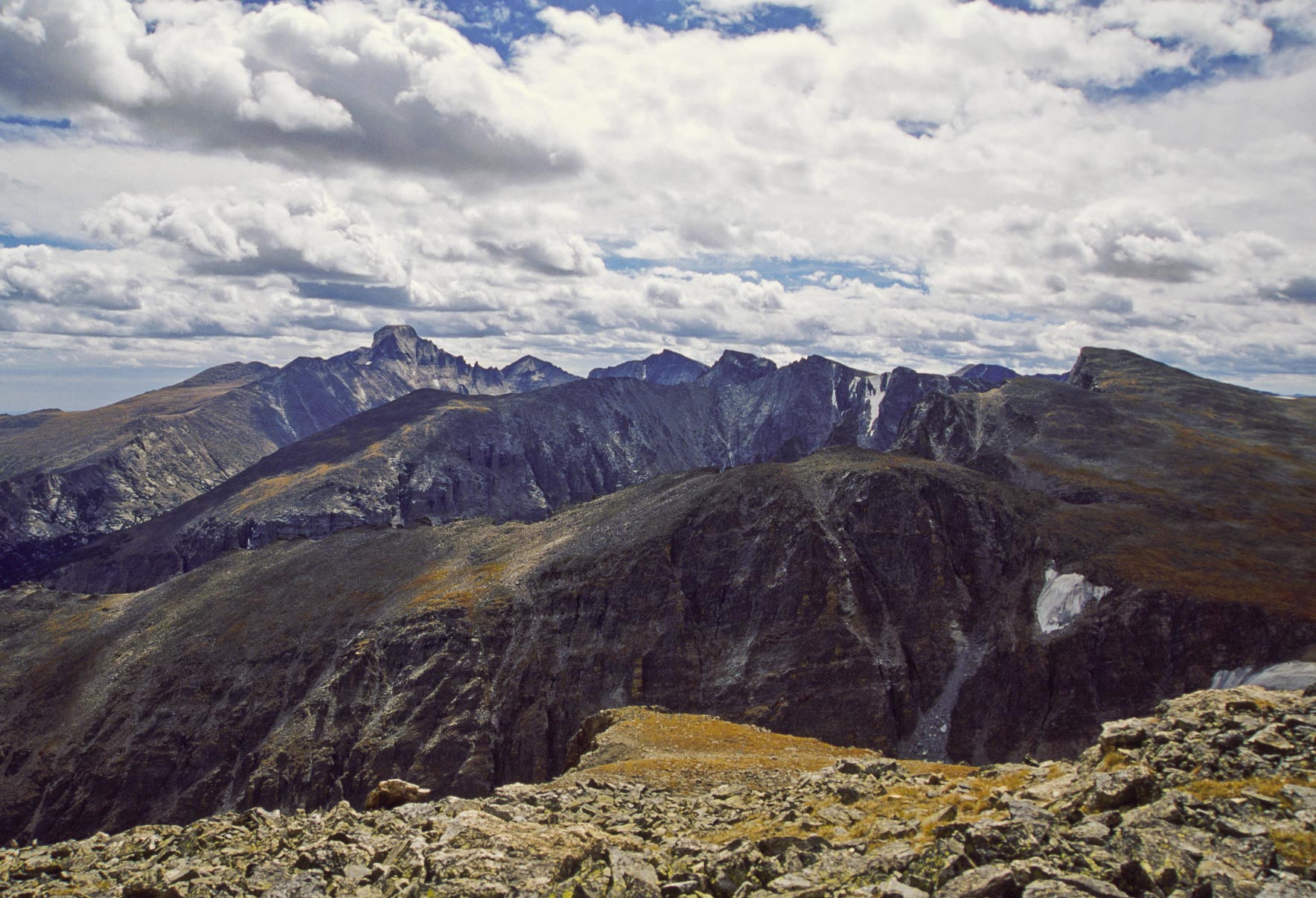
NE view from Hallett Peak summit
SE view from Hallett Peak summit
Longs Peak and Keyboard of the Winds
SE view from Hallett Peak
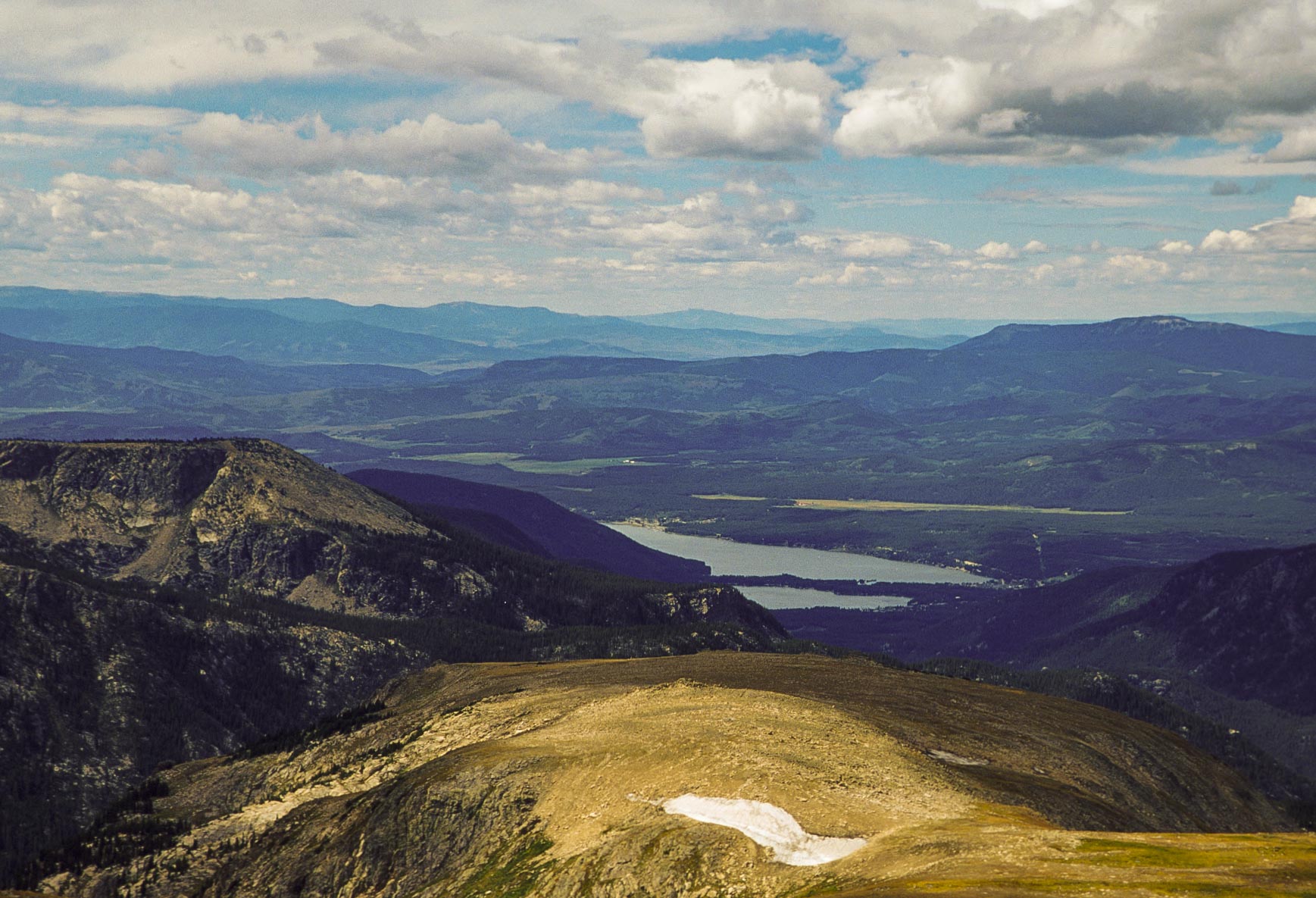
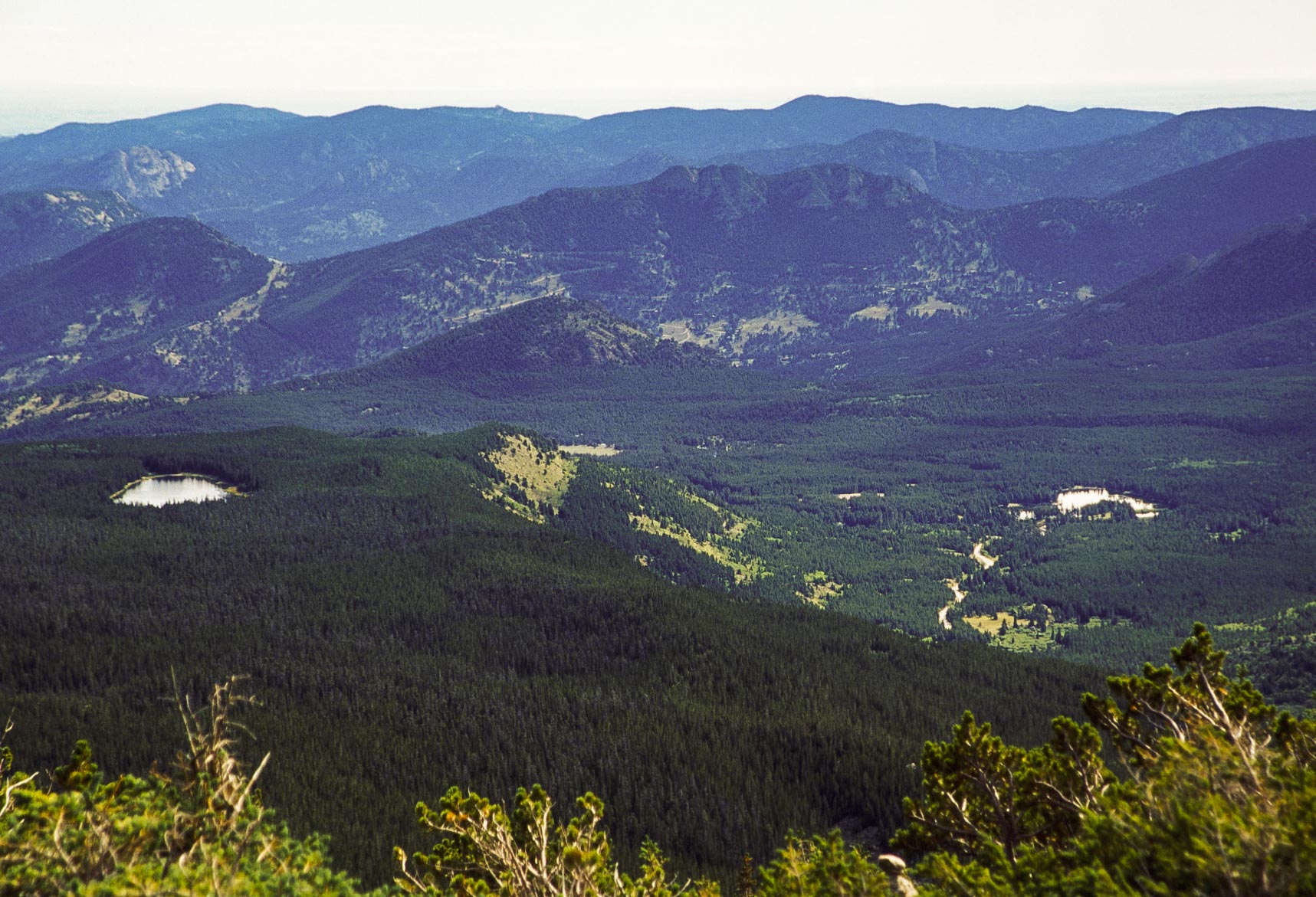
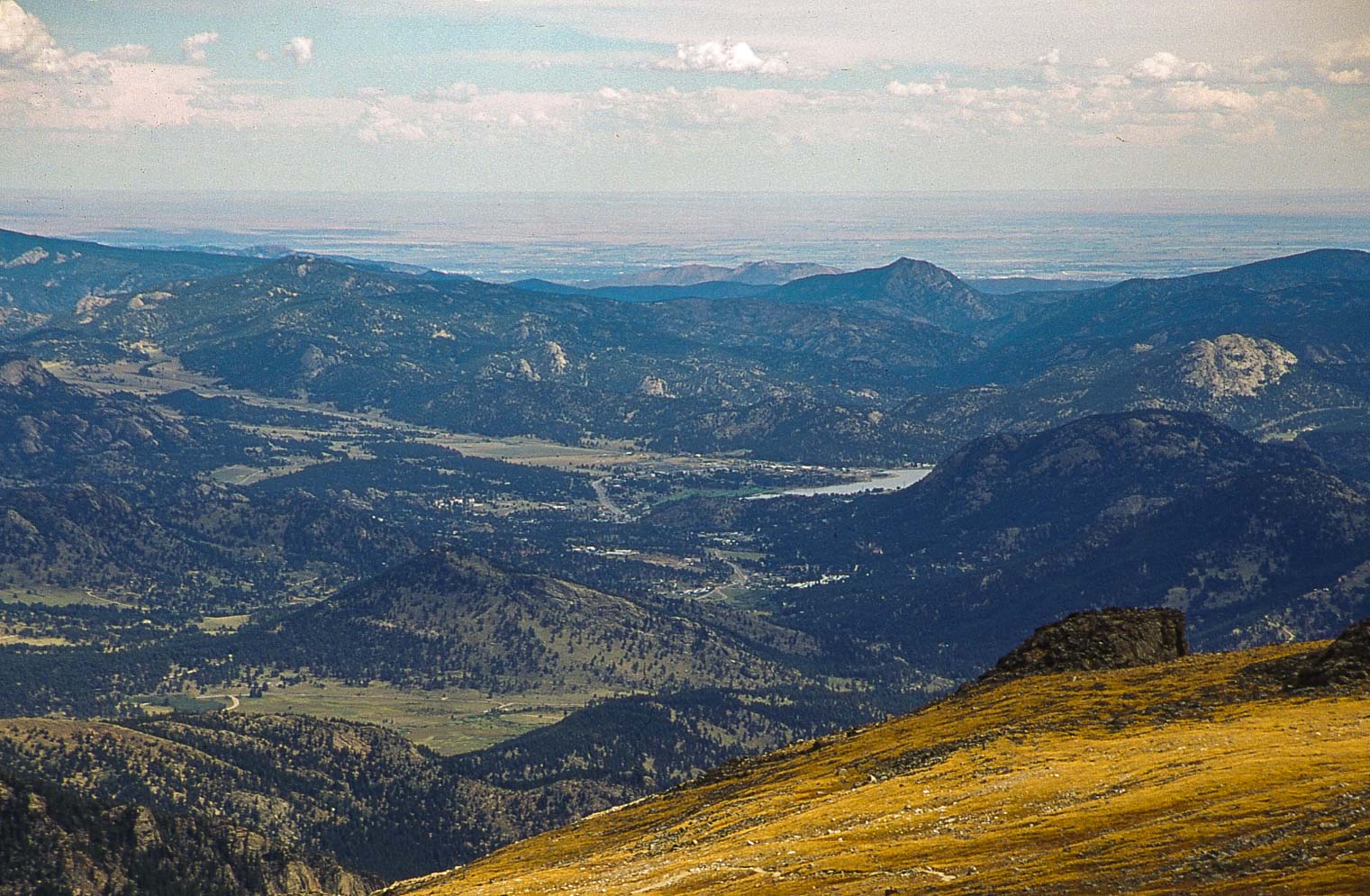
Grand Lake and Shadow Mountain Lake
SW view from Hallett Peak
Background material obtained from Wikipedia and the National Park Service.
Use the form on the Home Page to submit comments, questions, or suggestions. TD Productions Copyright © 2019