Traveling Ophir Road
Ophir Road (Ophir Pass Road) is a fairly easy 10 mile 4-wheel drive road running from U.S. Highway 550 (Million Dollar Highway) on the east to Colorado State Highway 145 on the west. It traverses Ophir Pass and runs through the historic mining town of Ophir. Ophir Road is designated Forest Road 679 on the east side of the pass and Forest Road 630 on the west side. Ophir Road junction with US 550 is 17.7 miles south of Ouray and 4.9 miles north of Silverton. The junction of Ophir Road and CO SR 145 is 10.7 miles south of Telluride. My preference is to start from the east end.
Ophir Road can be accessed either from the east via US 550 or from the west
via Colorado State Highway 145. Our trip will begin on the east end of Ophir Road at the junction with US 550.
Junction of US 55 and Ophir Road
Ohir Road starts to climb though mixed pine and aspen forest and then
into subalpine spruce and fir.
Stop ~ 2.3 miles from US 550
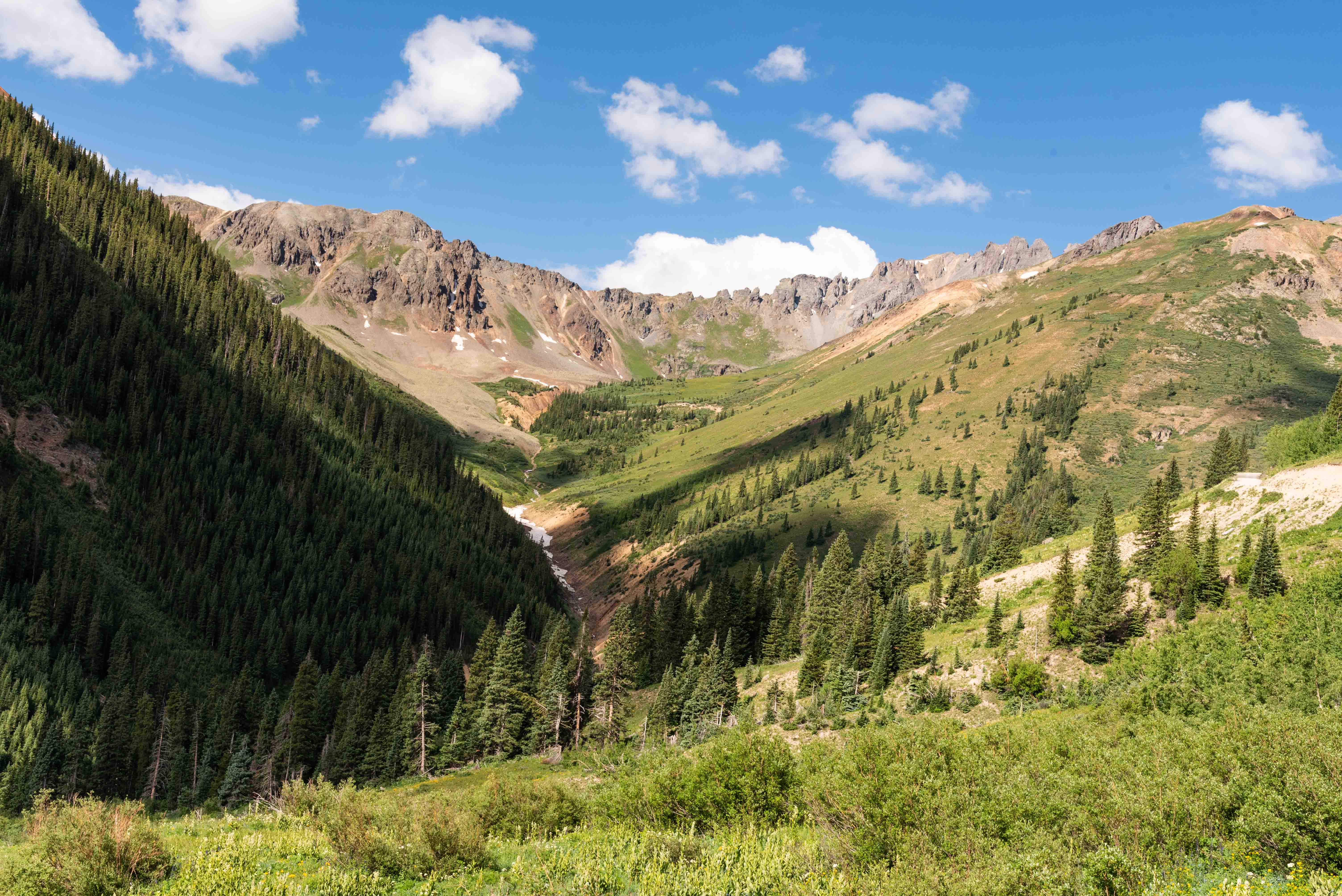
View from Ophir Road
~ 2.3 miles from US 550
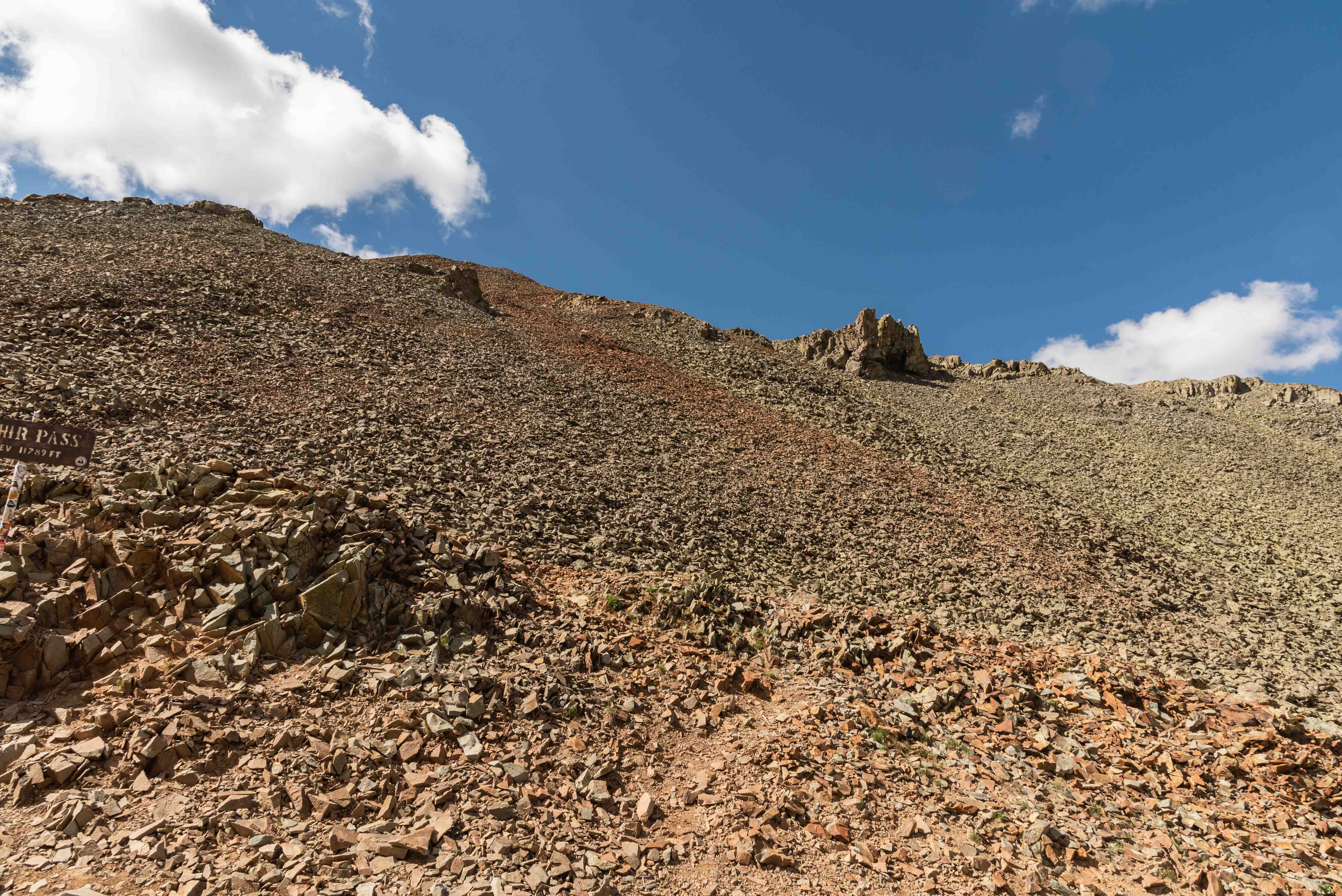
Ophir Pass
Ophir Pass is 4.1 miles from the east end of Ophir Road. The pass is above the treeline
and is bounded on both sides by slopes of scree.
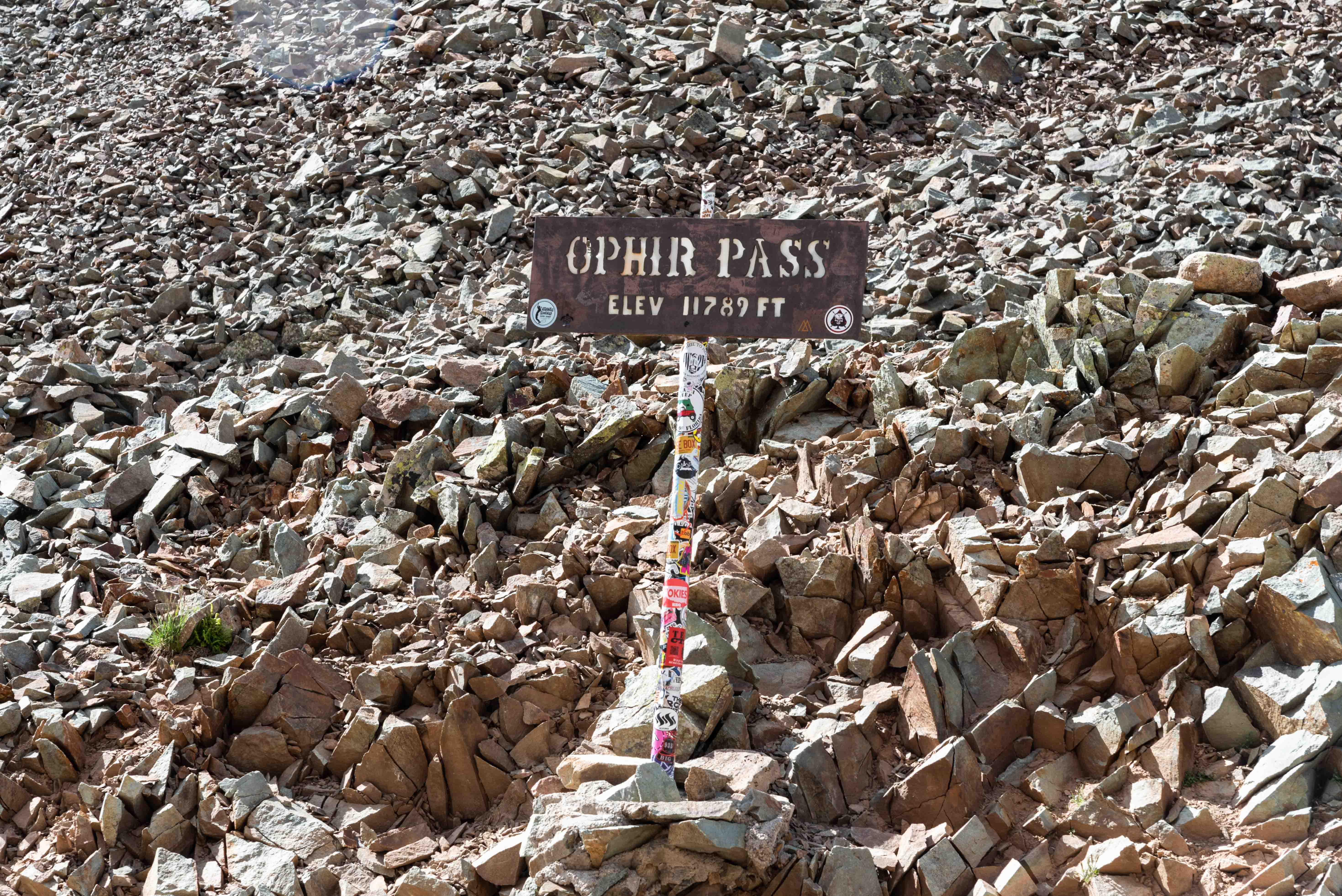
Ophir Pass
37°51'2.76" N 107°46'46.218" W 3593m/11789ft

Ophir Pass
Ophir Pass
The road down the west side of Ophir Pass is narrow and rocky for the first mile. There is a hairpin
turn 0.45 mile from the pass that is negotiable with a two or three point turn. The descent turns from rocky to
gravel to hard-packed dirt as you head down toward the town of Ophir.
Hairpin Switchback
Descent
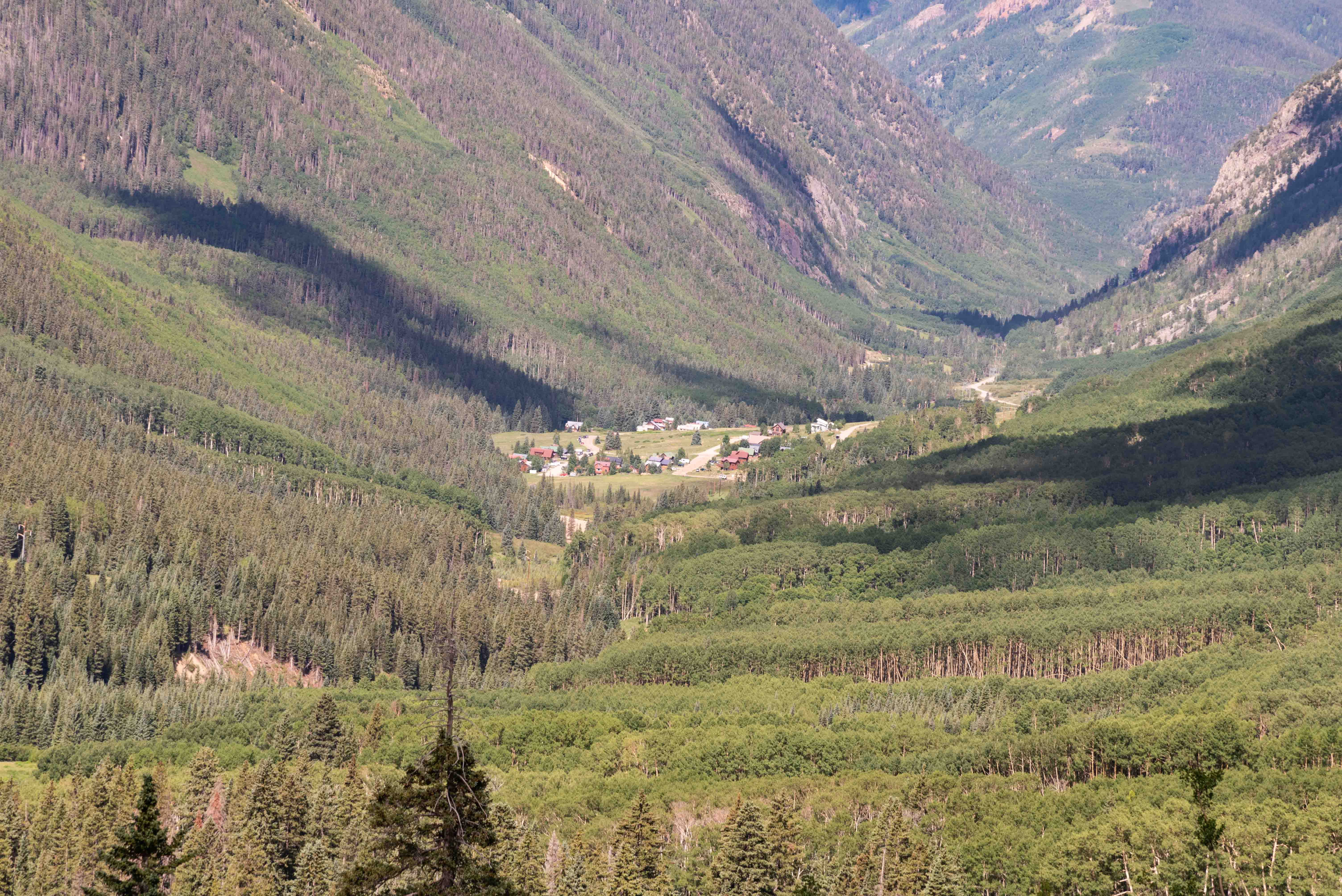
Ophir, Colorado
View from Ophir Road at 3337m/10,948ft
The road continues a gradual descent through forests of pine and aspen
for the last couple of miles to Ophir.
Ophir, Colorado
The historic mining town of Ophir was established in 1875 when gold was discovered nearby.
Mining sustained an Ophir population in the hundreds for several decades. The mines were playing
out by 1910 and the population started to dwindle. There was only a single resident by 1970.
The tourist boom and ski resort in nearby Telluride gave new life to Ophir, and the town has over
a hundred residents today.
Ophir is physically divided into 2 parts that I'll arbitrarily call East Ophir and West Ophir.
Some sources refer to Old Ophir and New Ophir, but I'm not sure which is which.
Arriving Ophir
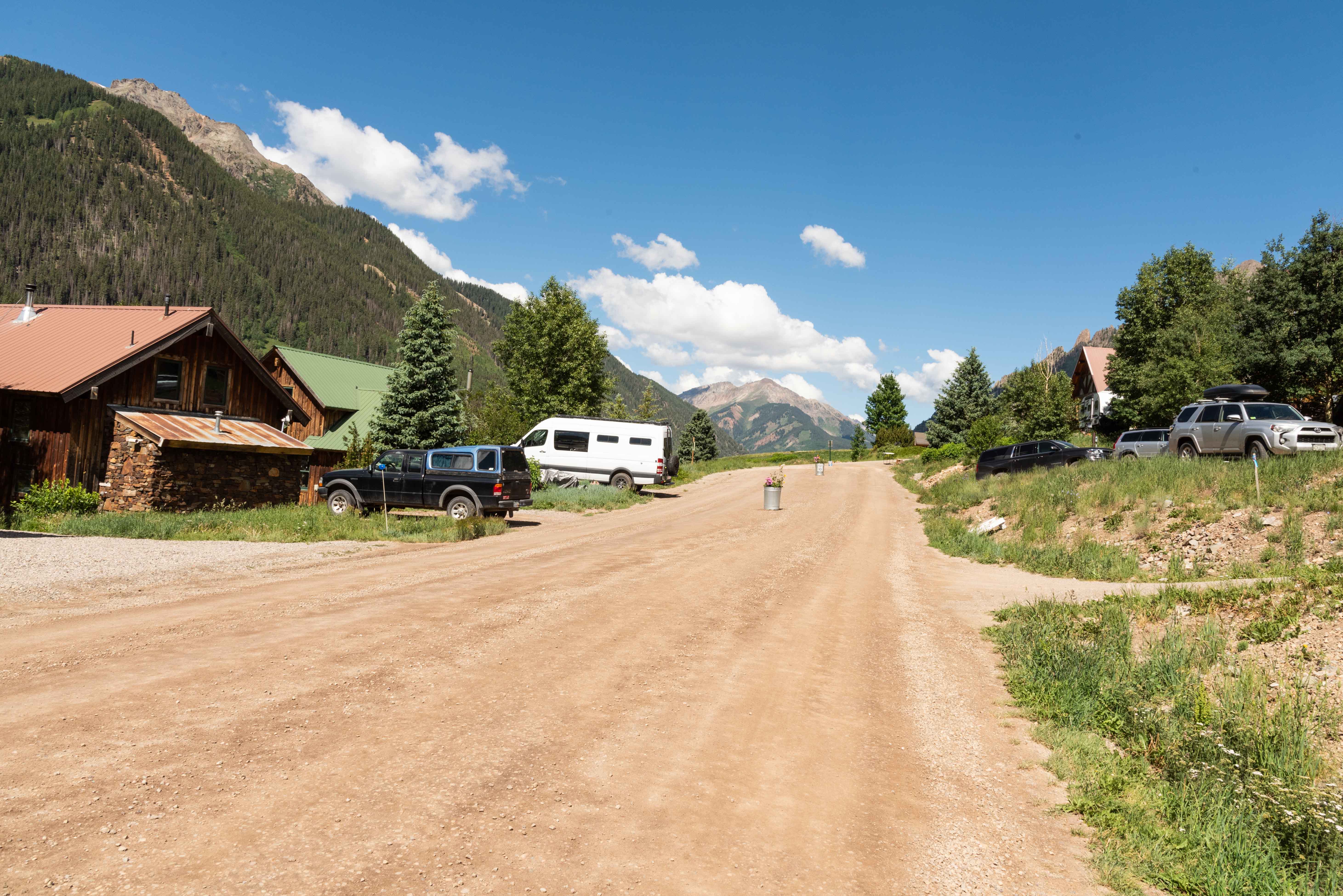
Ophir Road through East Ophir
Ophir Road and Granite Avenue
East Ophir
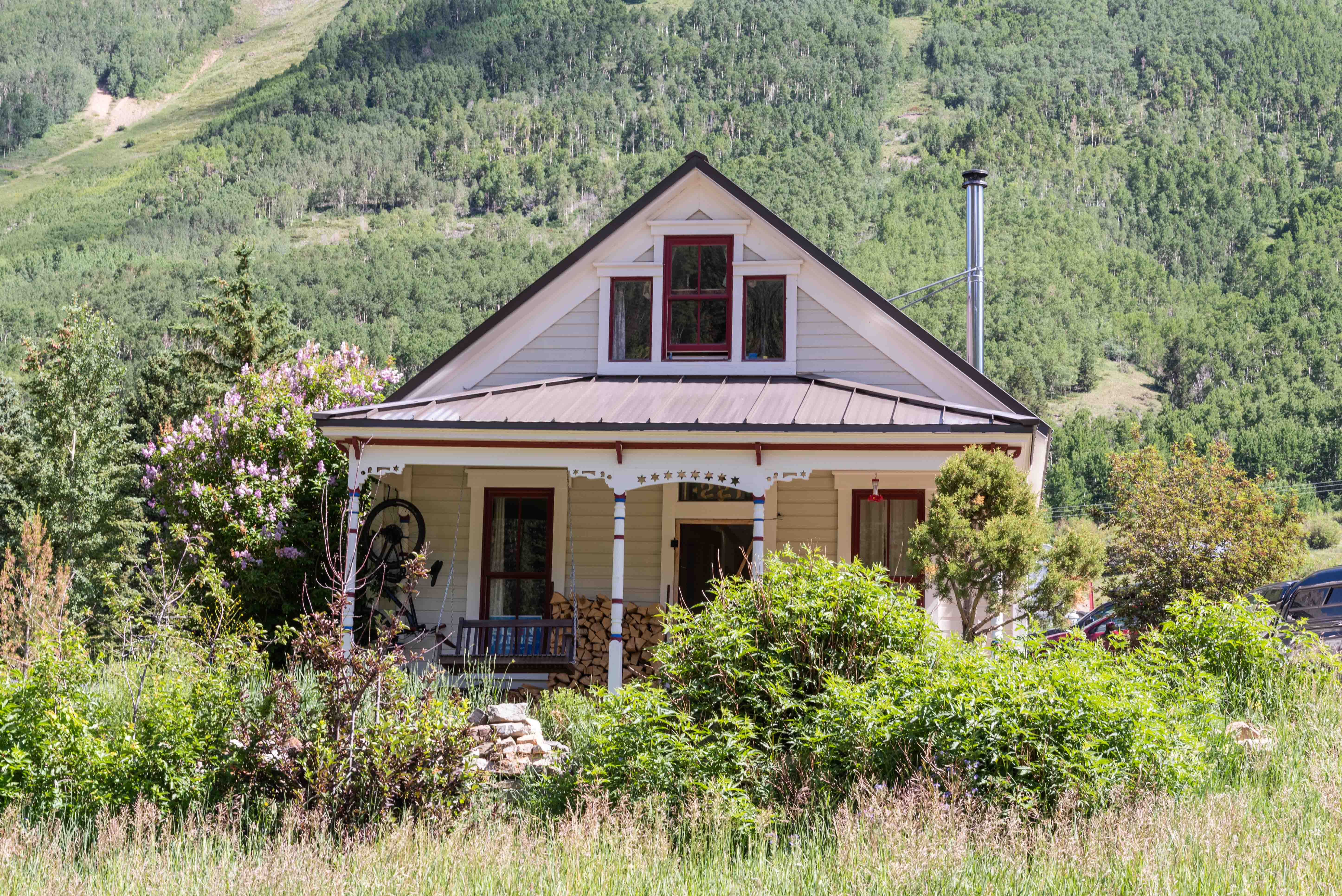
Cool House
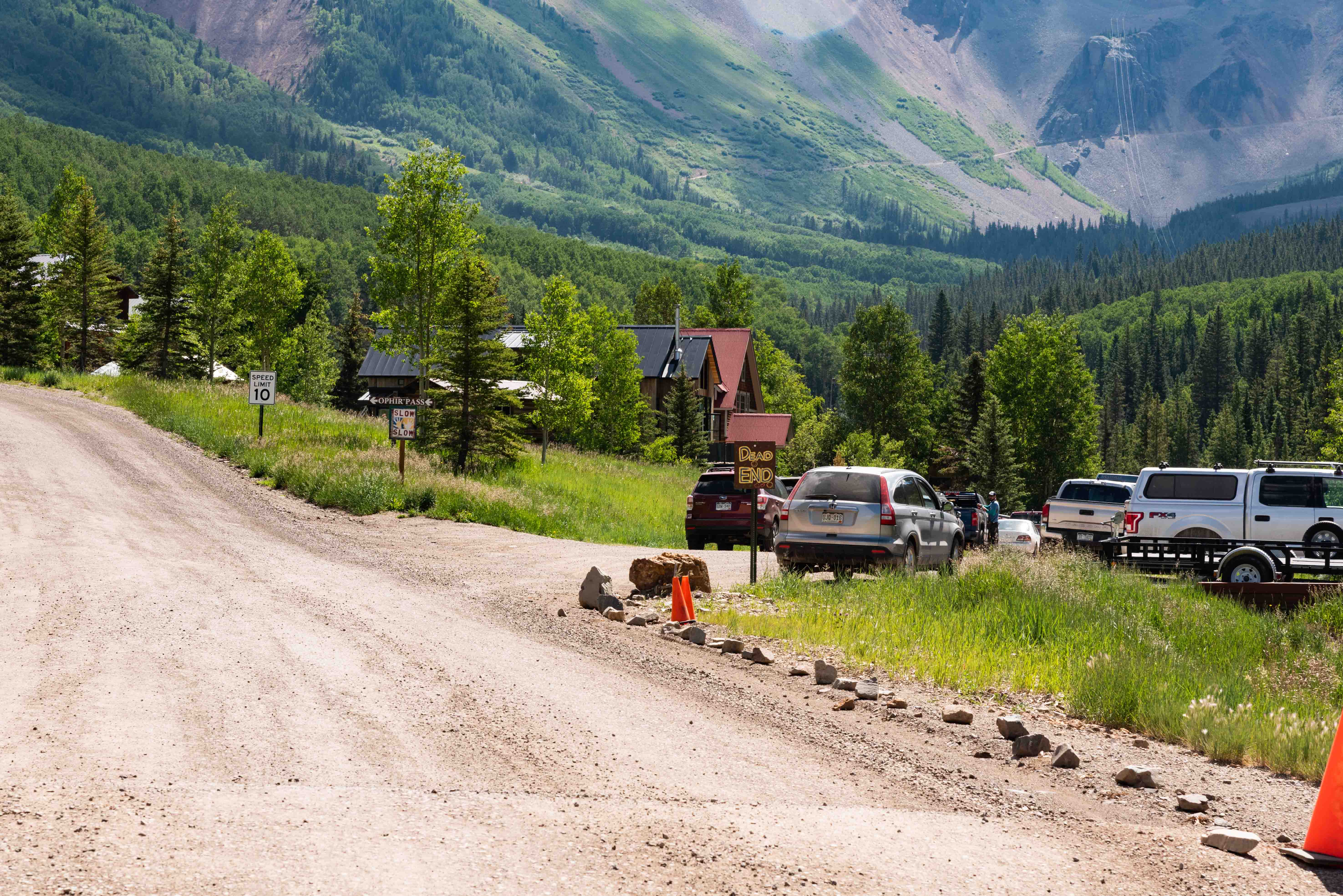
West Ophir
West Ophir
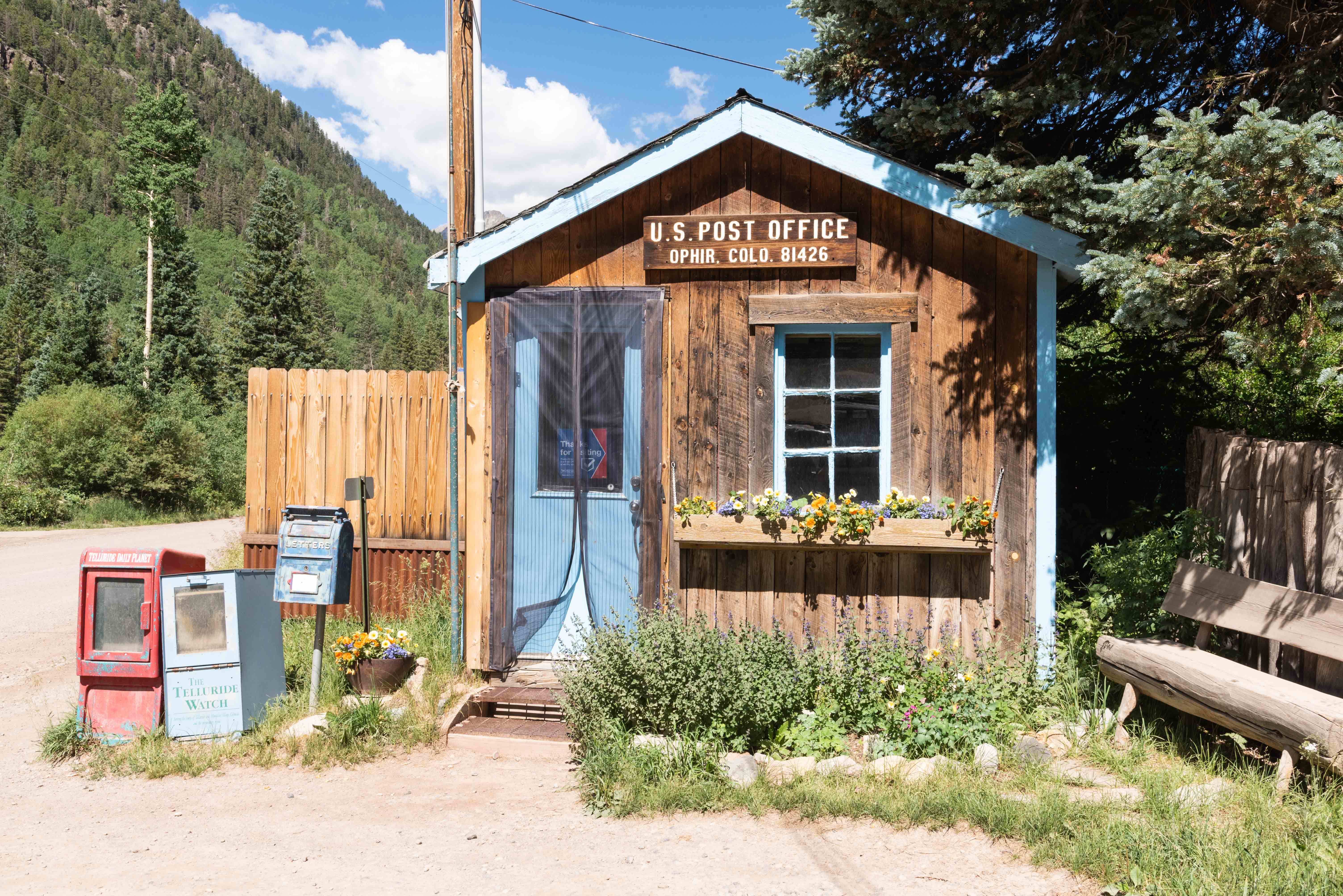
U.S. Post Office
Ophir, Colorado 81426
The Ophir Post Office is located 0.4 mile from Colorado
State Highway 145 which is the west end of Ophir Road. That's also the
end of our road trip.
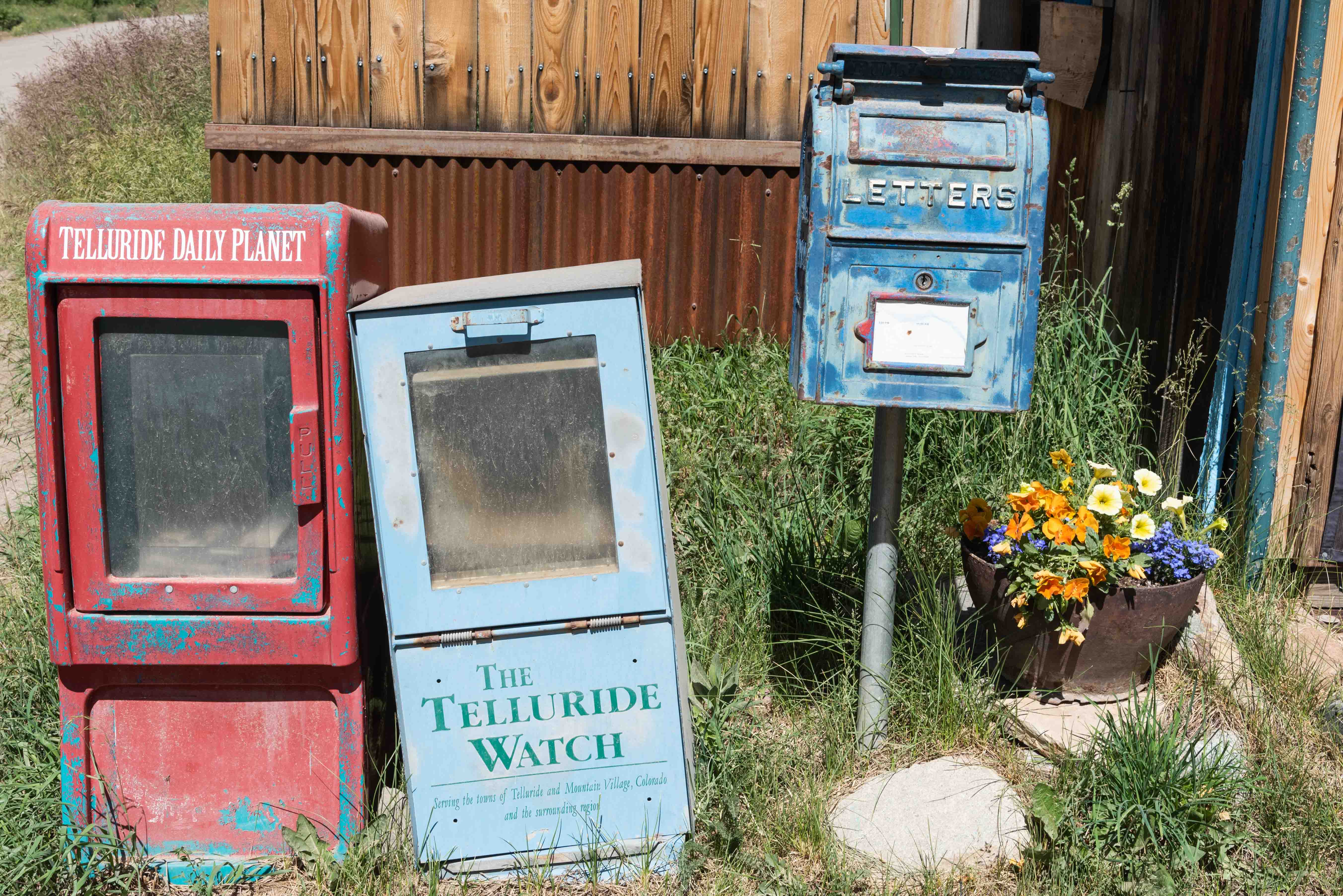
Retro Mailbox
End of the Road
Background information obtained from Wikipedia and National Forest Service sources.
GPS coordinates utilize WGS 84 Geodetic Datum.
Use the form on the Home Page to submit comments,
questions, or suggestions. TD Productions Copyright © 2021