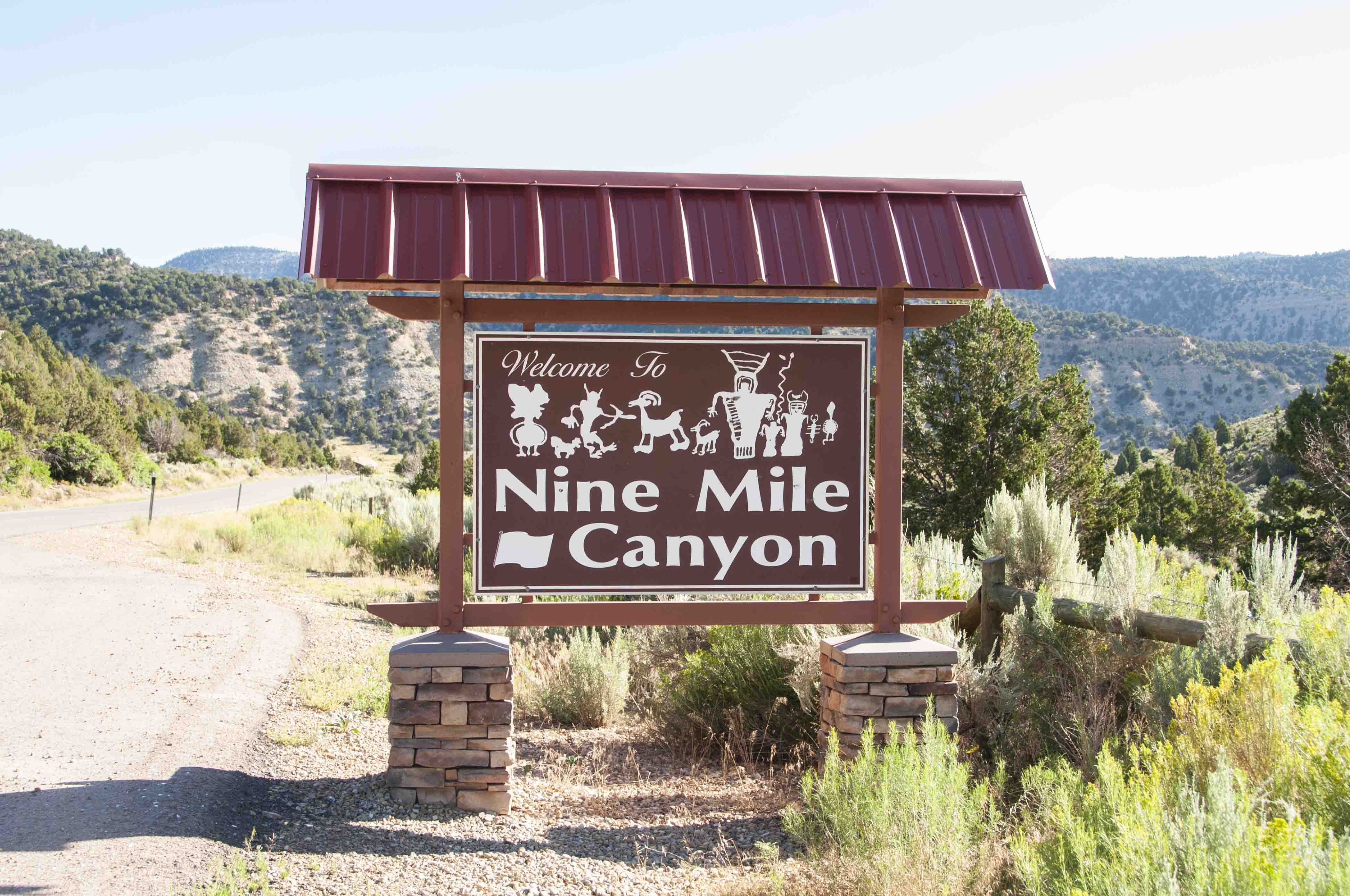
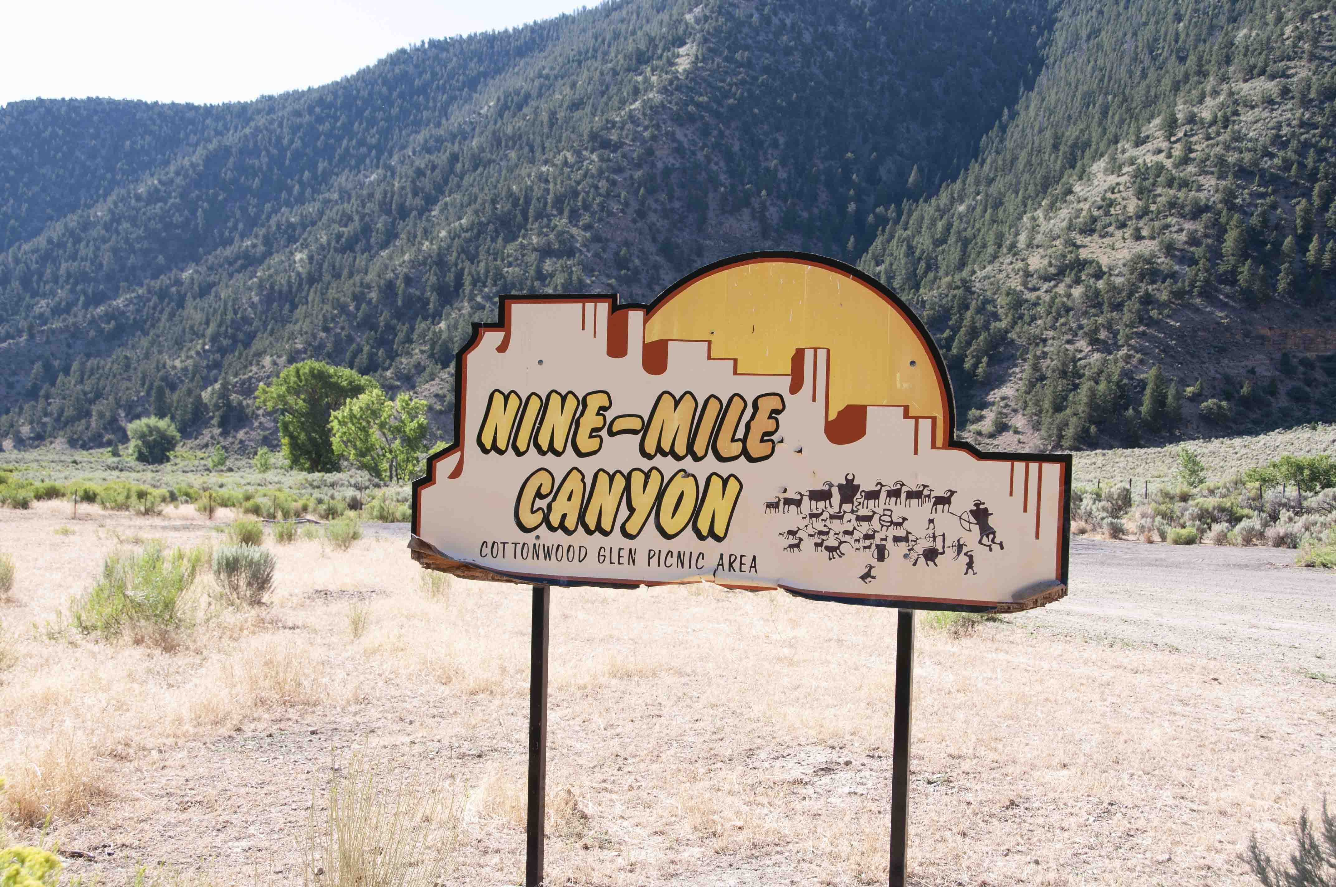
Nine Mile Canyon
Nine Mile Canyon is about 40 miles long, and is located in Carbon and Duchesne Counties in eastern Utah. A road running through the canyon
connects the towns of Wellington and Myton. To reach the canyon from Wellington, turn on to Soldier Creek Road (N 2200 E) from U.S. Hwy 6/191
near the Chevron station on the east side of town. Soldier Creek Road morphs into Nine Mile Canyon Road, and you enter the Canyon proper at about mile 24.
Nine Mile Canyon is billed as "the world’s longest art gallery", containing some 10,000 petroplyphs and pictographs from the archaic Fremont Culture
and the Ute Indians. There are also Fremont pit houses and granaries scattered throughout the canyon and its tributaries.
This is basically an auto tour with stops along the way to view petroglyphs, Fremont ruins, and remains of 19th century ranches. A few of the more
popular stops are presented below. I would like to have photographed the Nutter Ranch and Big Buffalo petroglyph panel, but I ran out of time.
I have included approximate mileages (measured from the turnoff onto Soldier Creek/Nine Mile Canyon Road) and GPS coordinates for several
of the photos below. The GPS coordinates were obtained with a Nikon GP-1 unit which uses the WGS84 datum.
Entering Nine Mile Canyon
(39°46'11"N 110°31'3"W)
Nine Mile Ranch is a 1000 acre cattle ranch that offers
accommodations for those who want to stay overnight in Nine Mile Canyon.
These include a B&B, cabins, and campsites.
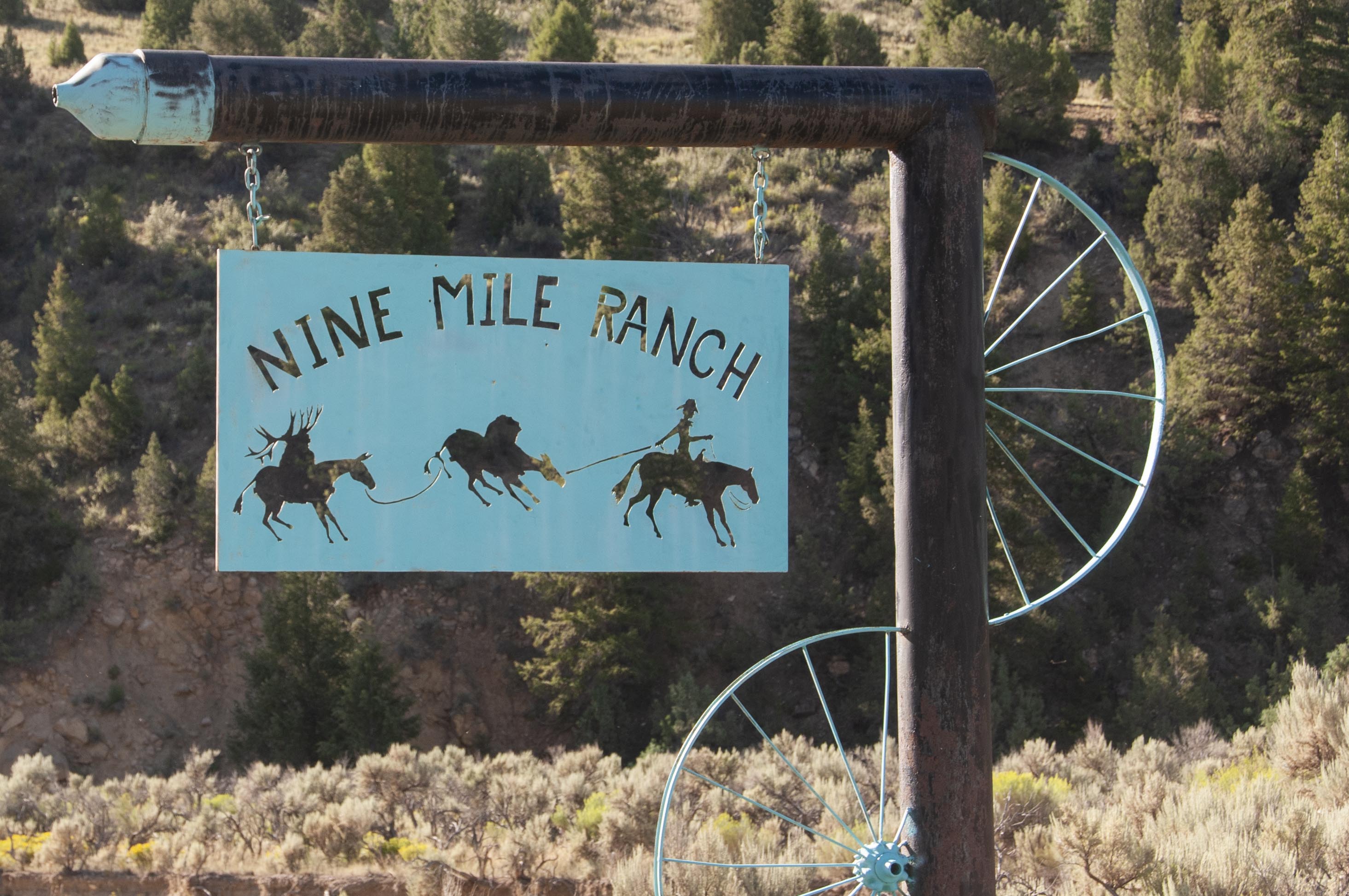
Nine Mile Ranch sign
(39°46'33"N 110°28'51"W)
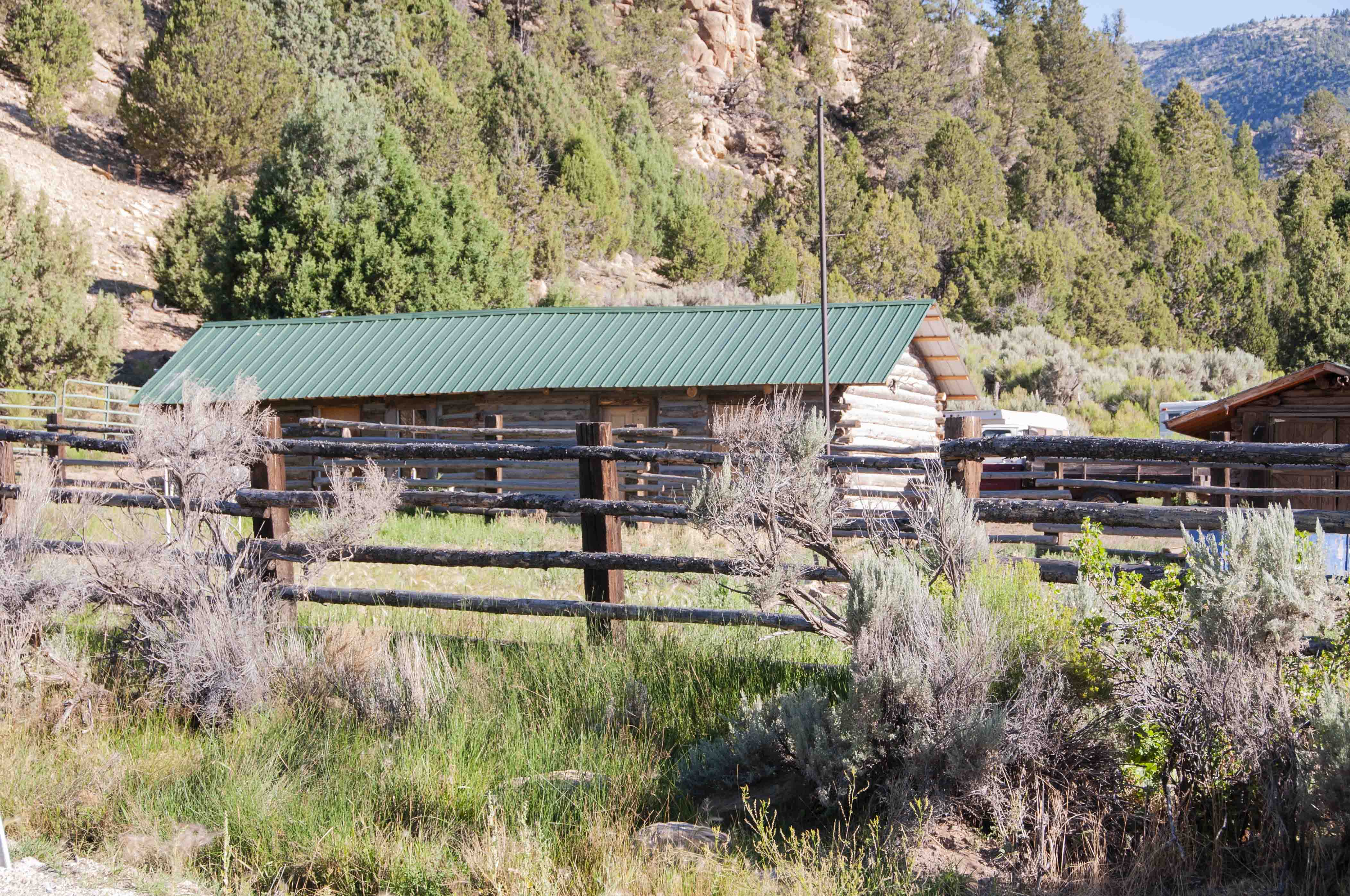
Nine Mile Ranch
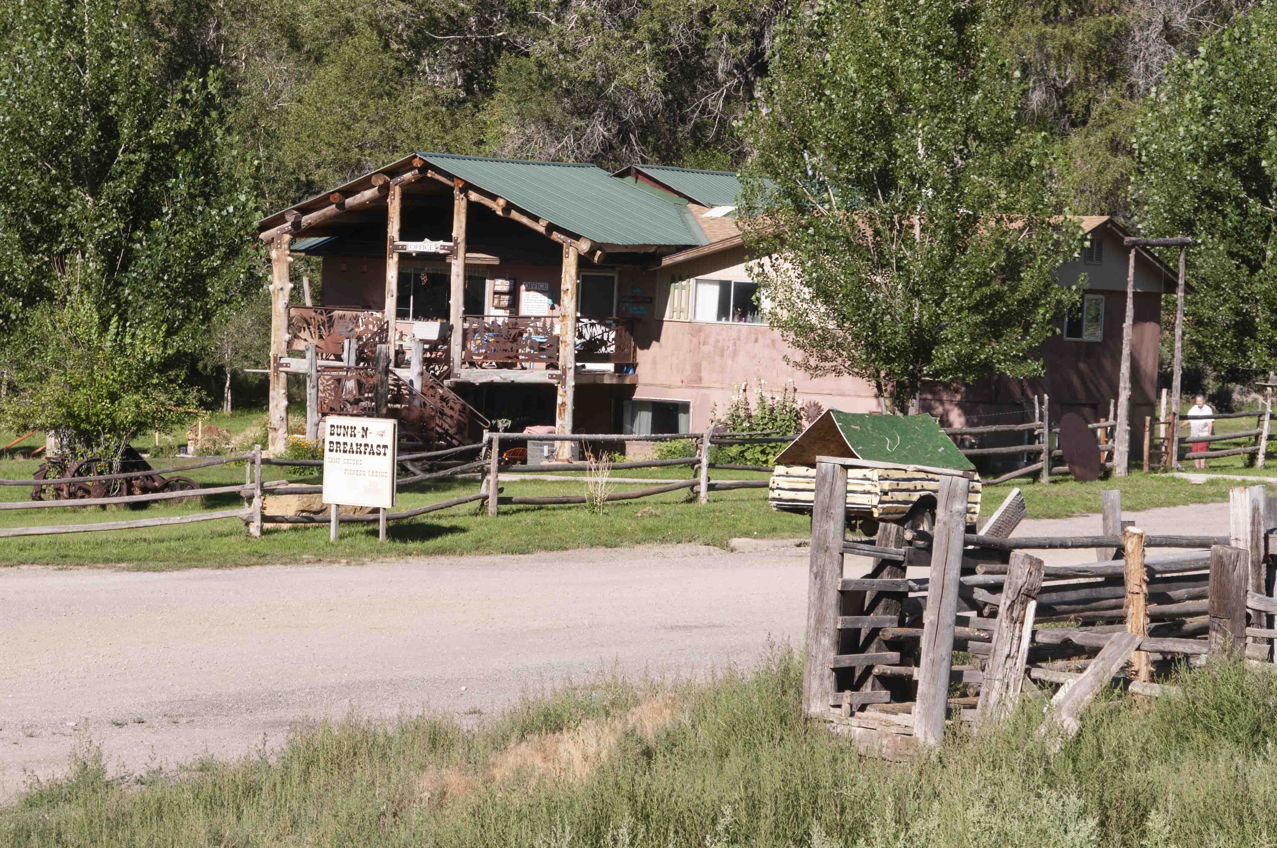
Bunk-N-Breakfast B&B
Nine Mile Ranch
The first stop containing major petroglyph panels is
located at about mile 26.5. There is a wooden rail fence on the left (north)
side of the road. Proceed through the opening in the fence and walk along
the rock face on your right. The are several panels at eye level and also
along the rock ledge above.
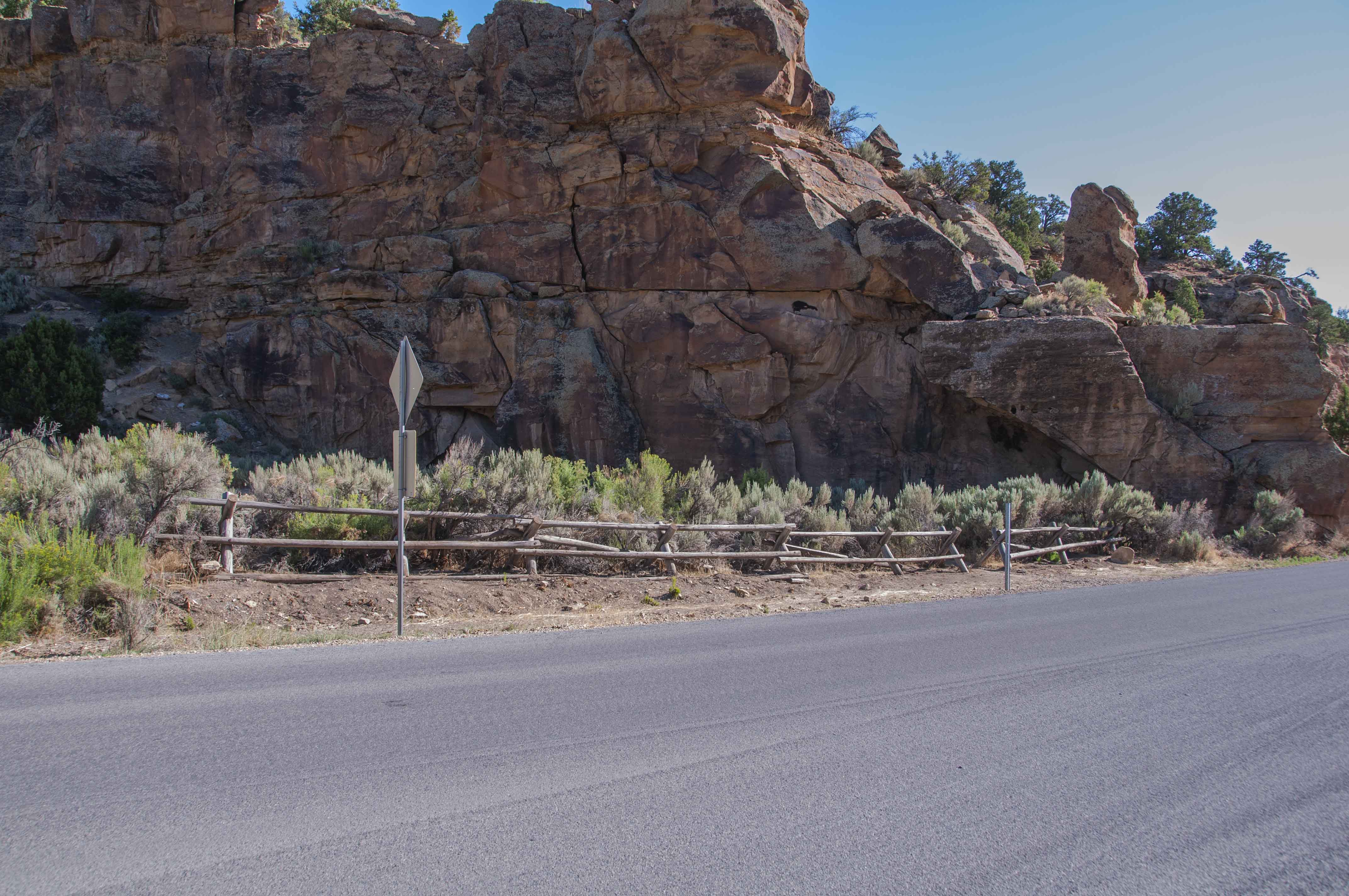
Wooden fence at first major petroglyph panels site
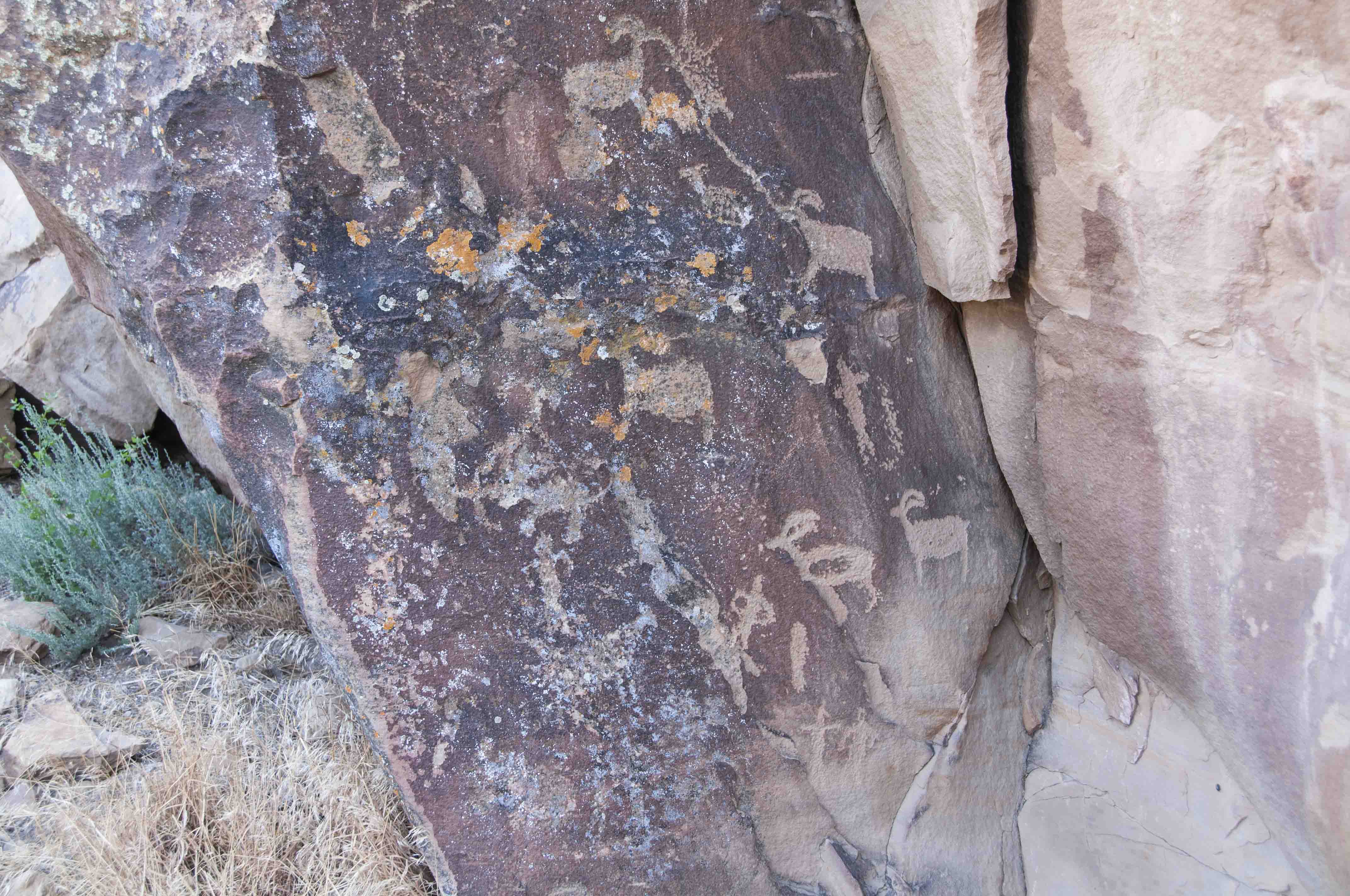
Petroglyph panel
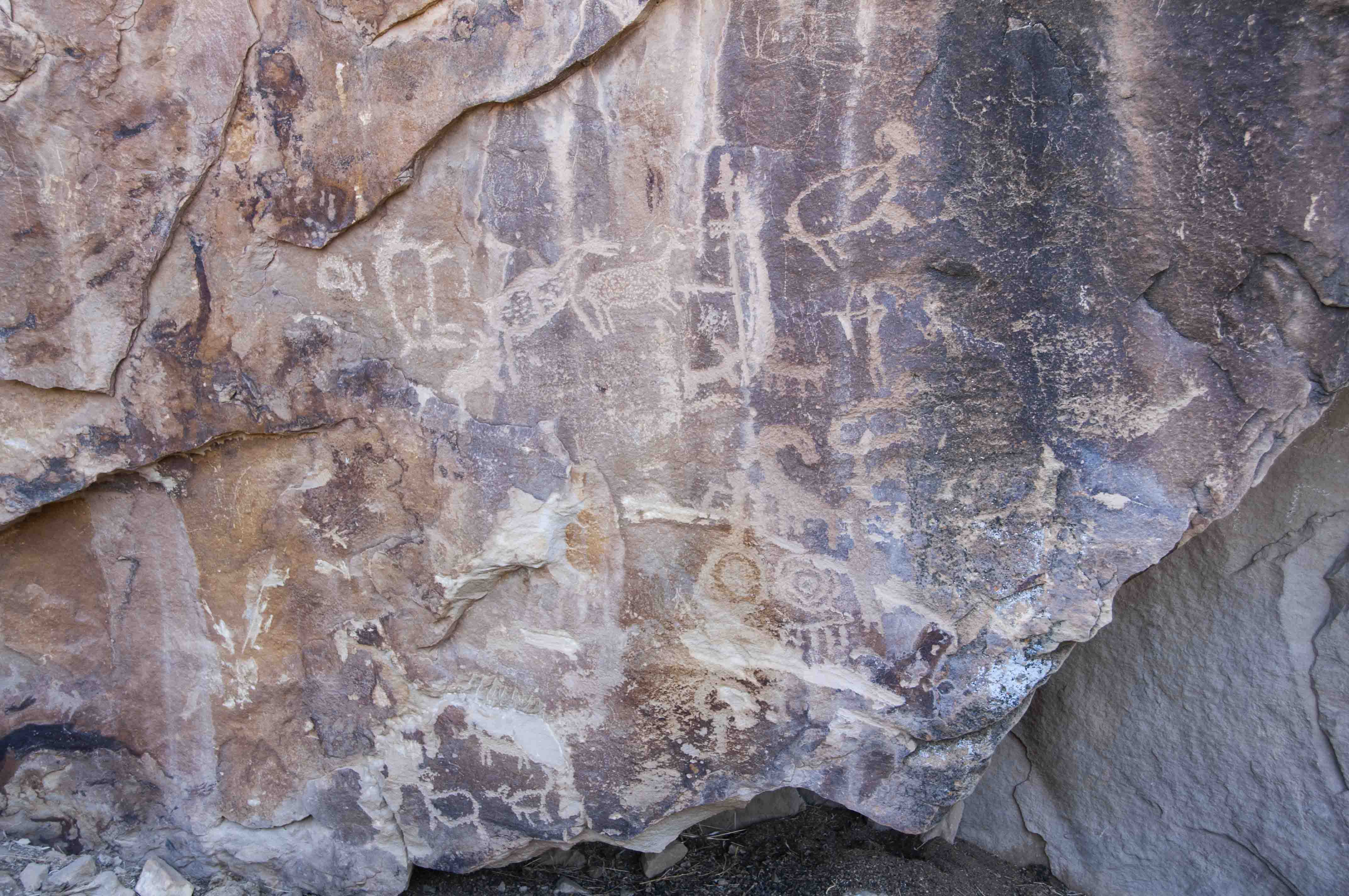
Petroglyph panel
And another panel
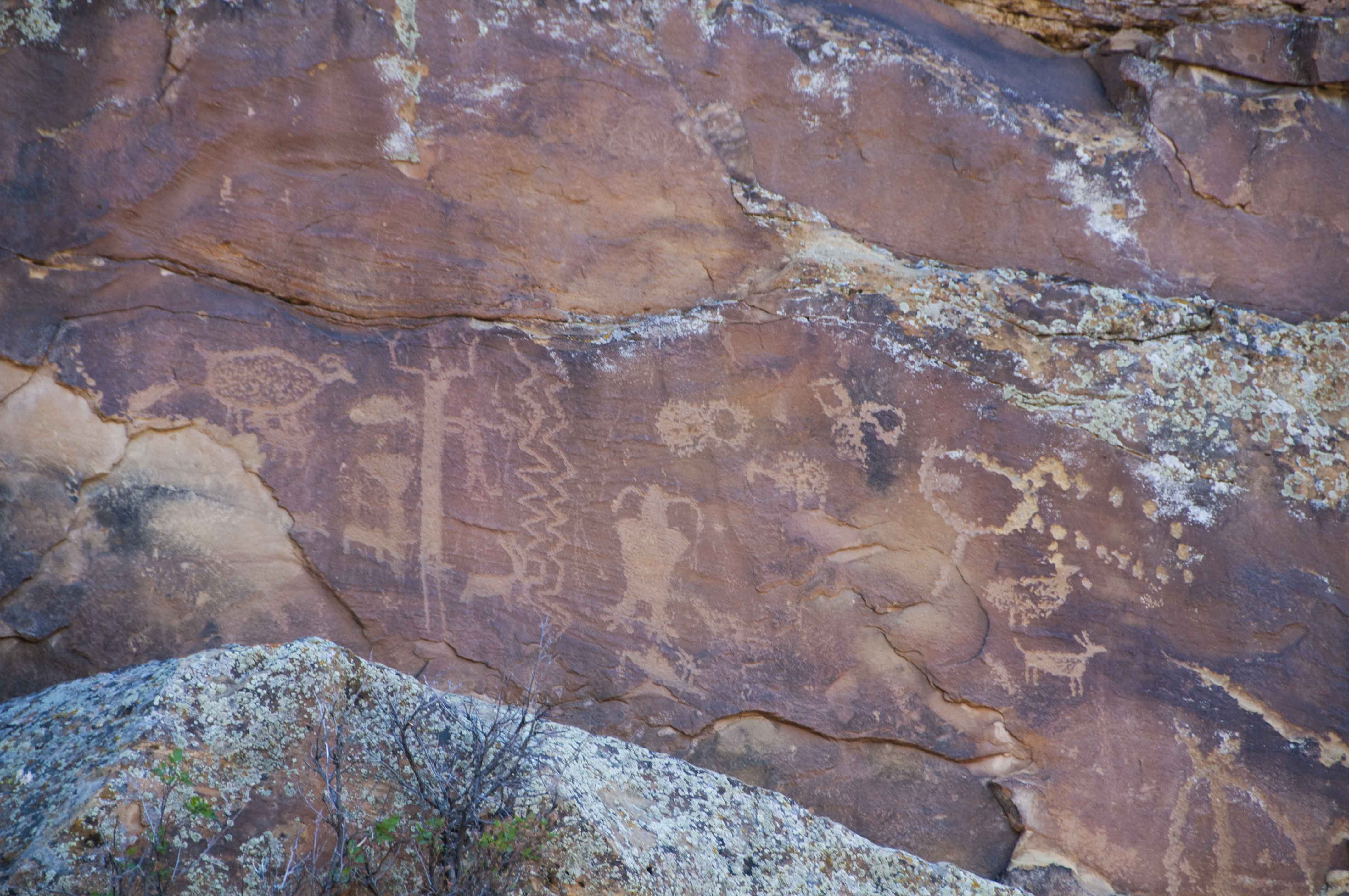
And another
Cottonwood Glen Picnic Area and Christensen Ranch,
mile 27.6.
This day use area contains vault toilets and a
nice picnic pavillion with Nine Mile Creek running right behind it.
The old homestead now known as Christensen Ranch was settled in
1896 by George Carlos Johnstun, who sold it to Tom Christensen in 1945.
Cottonwood Glen picnic area
(39°47'12.13"N 110°24'39.47"W)
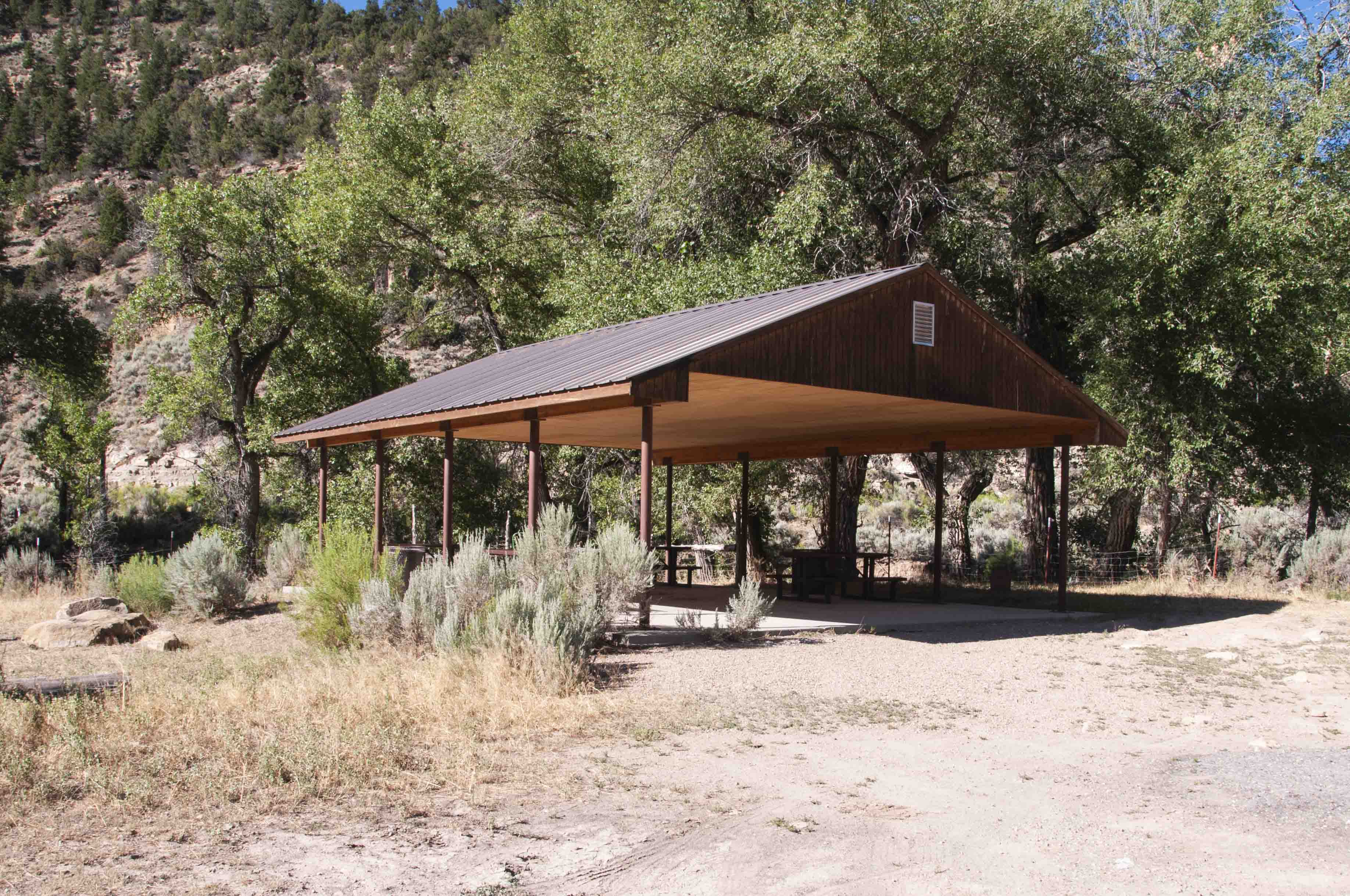
Picnic Pavillion
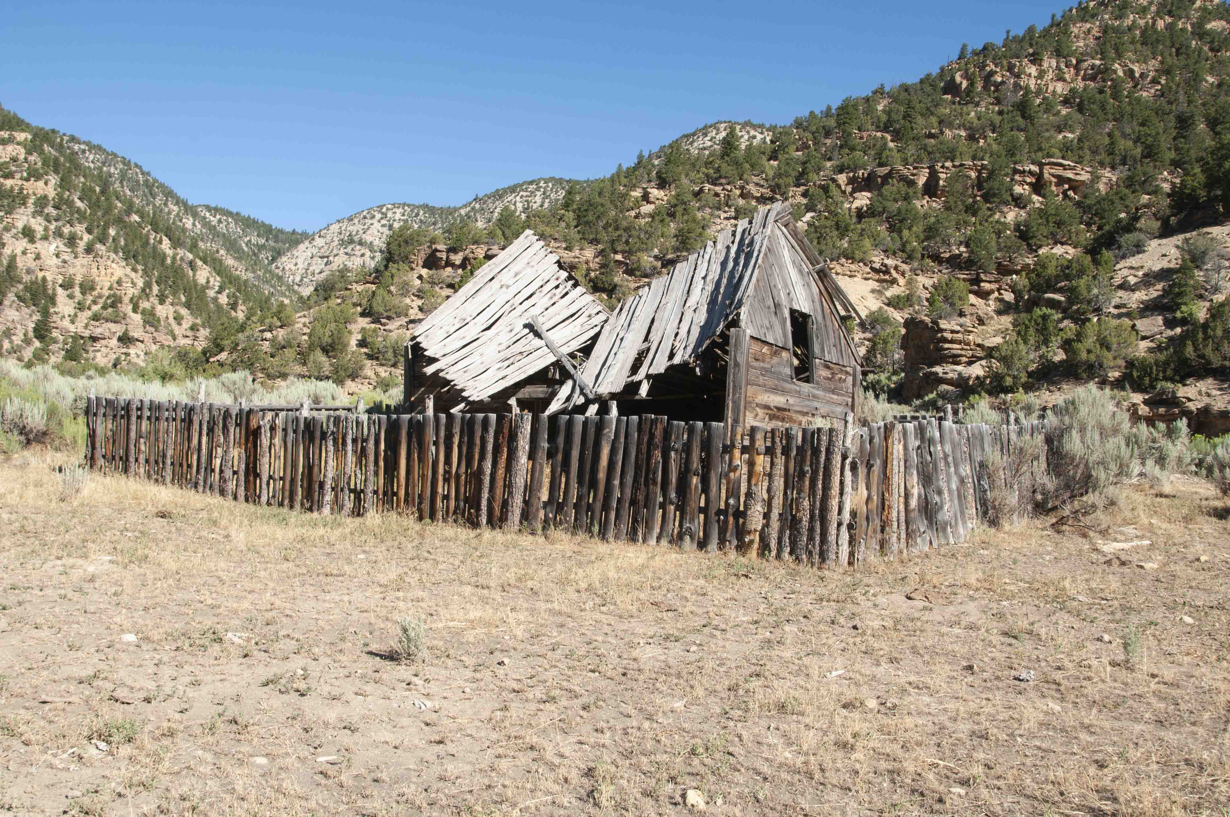
Barn
Christensen Ranch
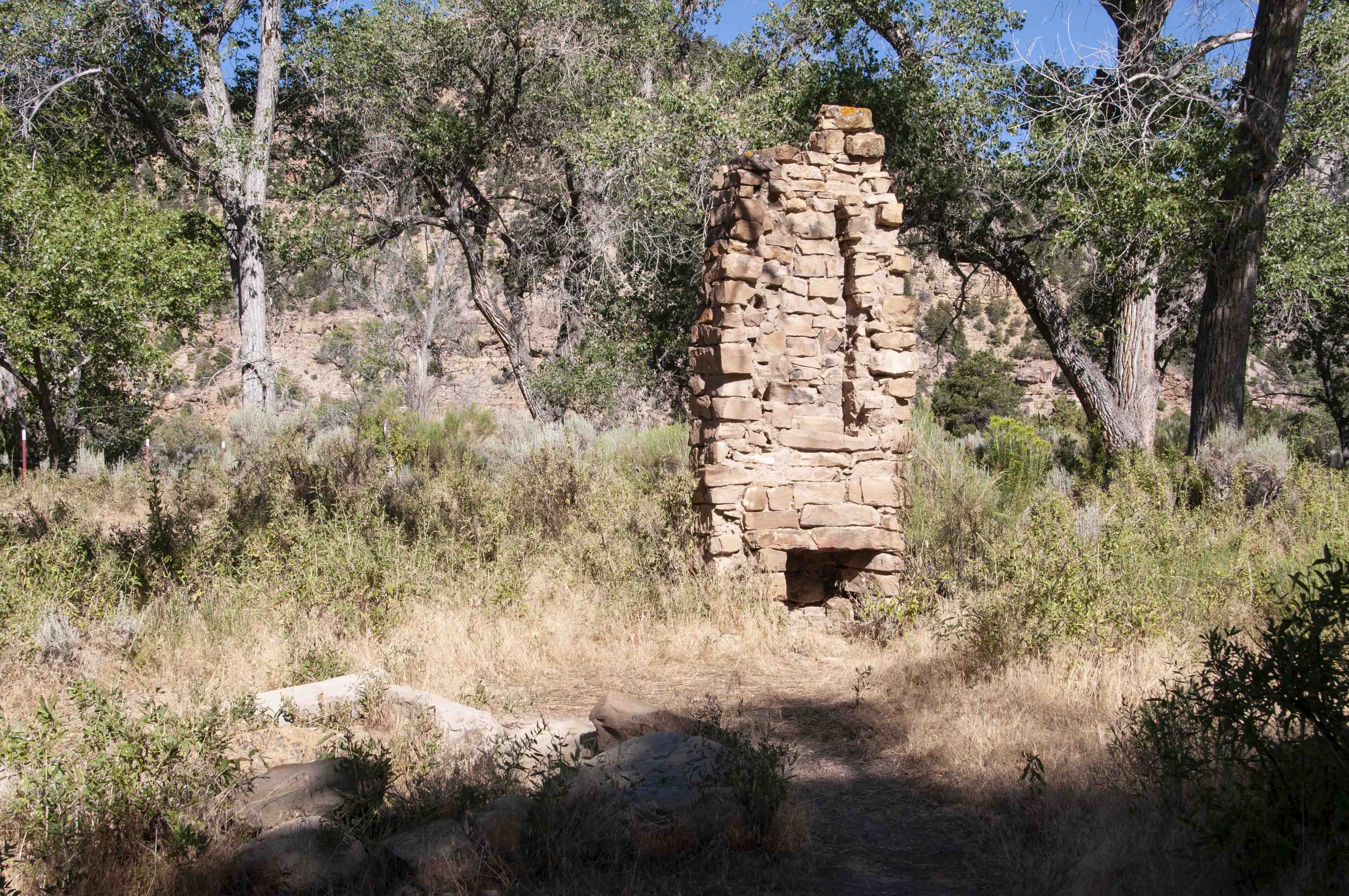
All that's left of original homestead dwelling
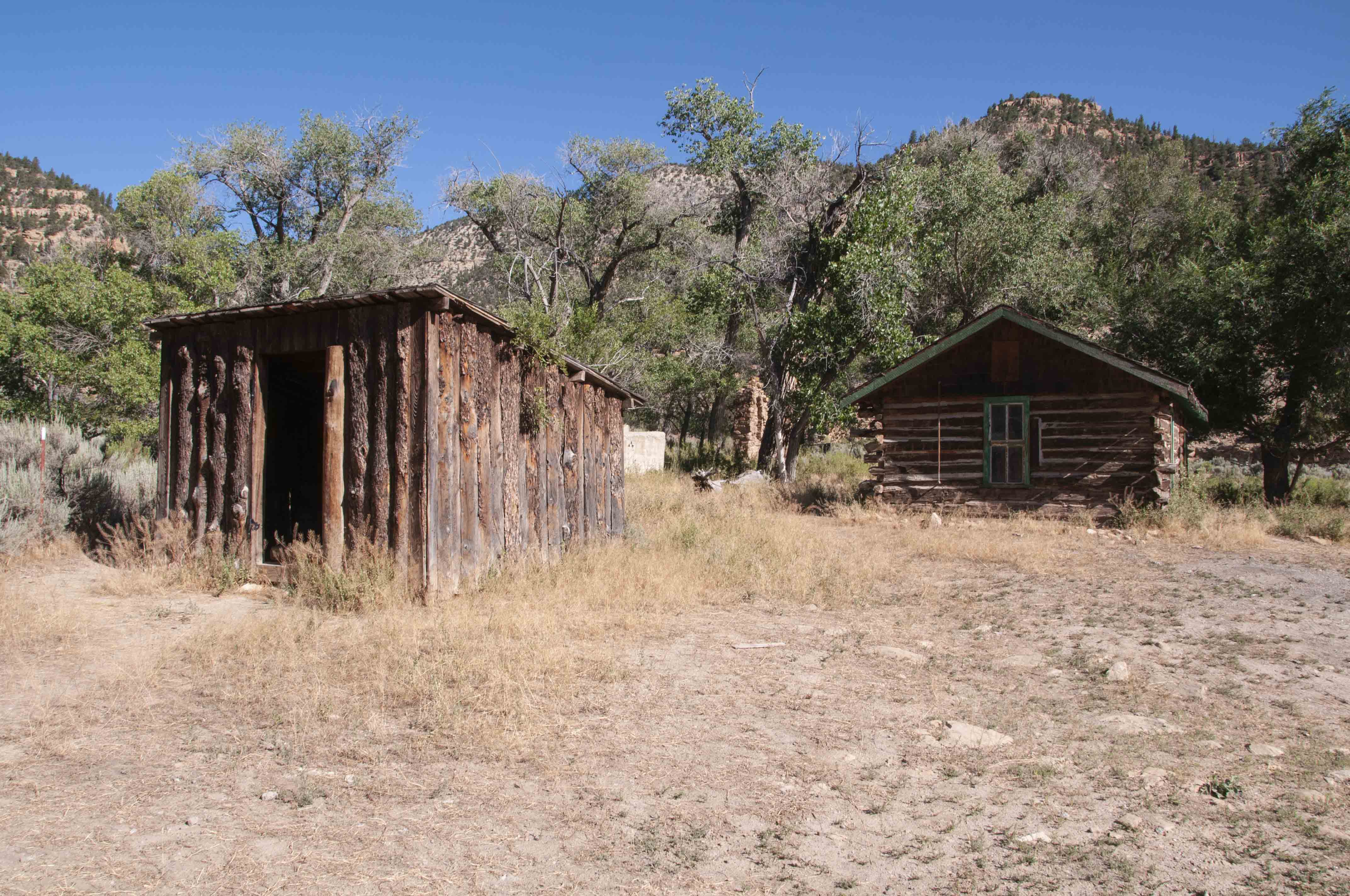
Shed (left) Ranch House (right)
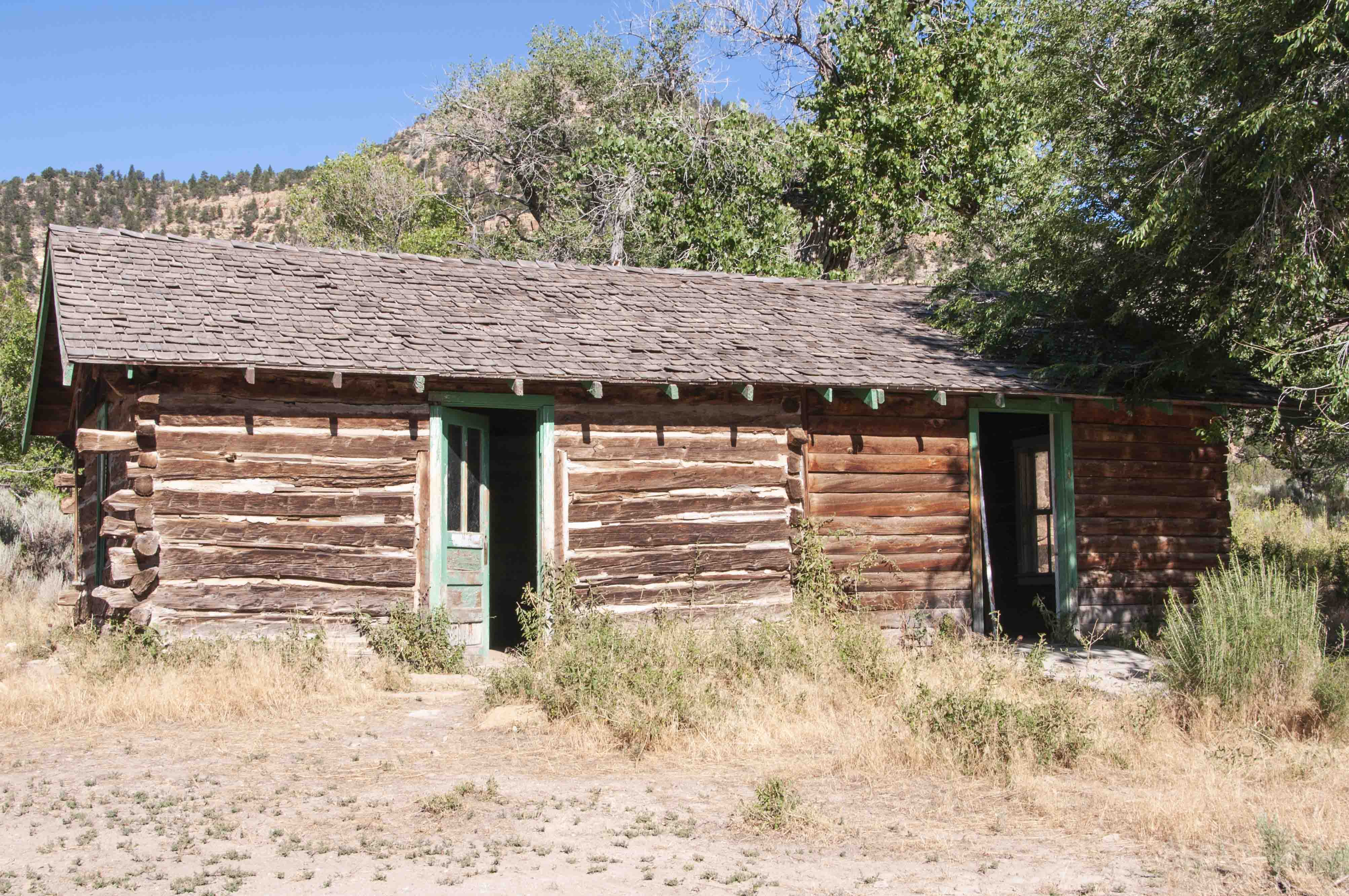
Ranch House
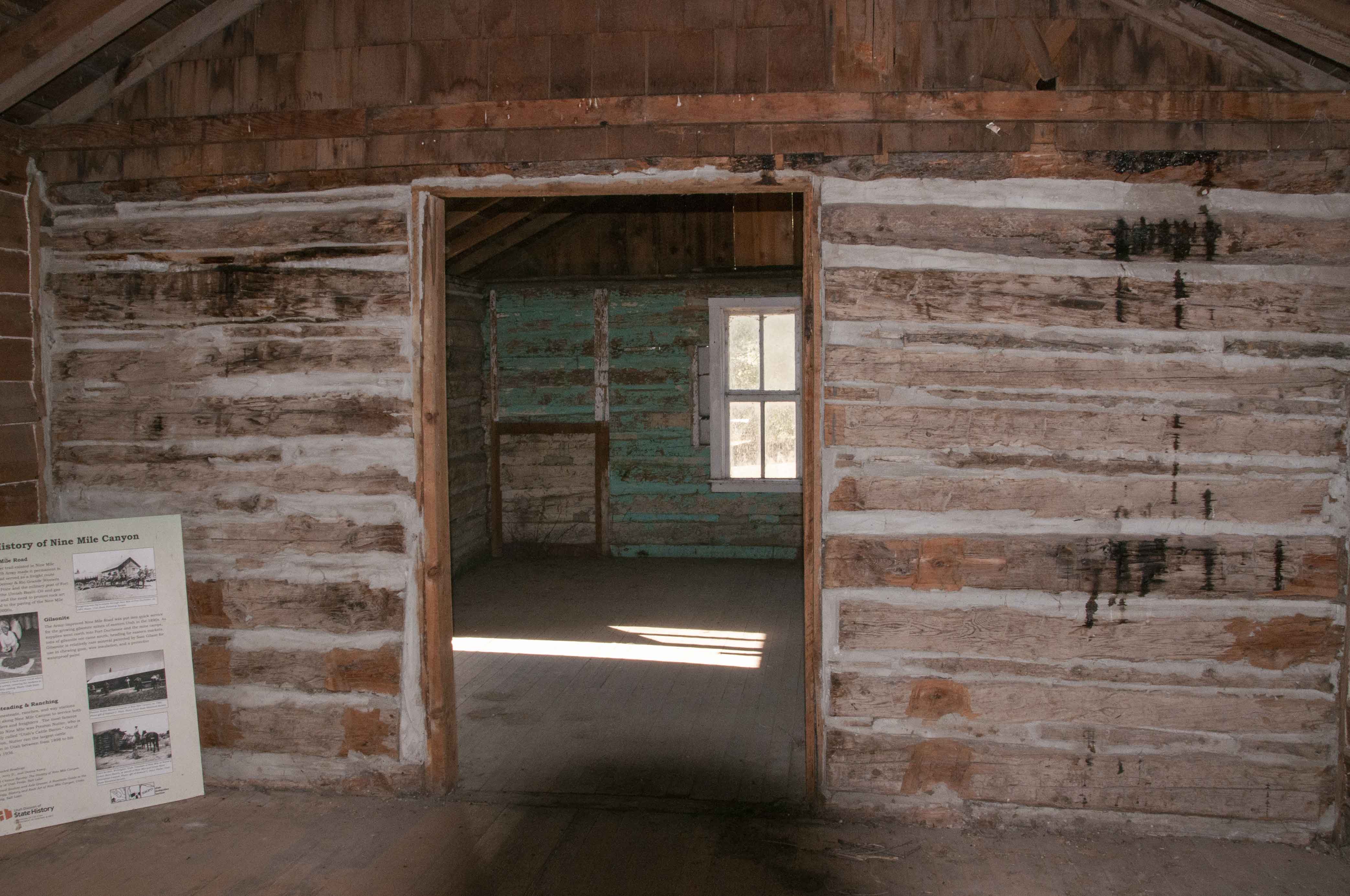
Ranch House interior
Harper Ghost Town, mile 30.9
The town of Harper was a stage coach stop, originally known as Lee Station.
It had two large barns to house incoming and outgoing stage coach teams.
Now the only occupants seem to be a small herd of cattle.

Harper Ghost Town
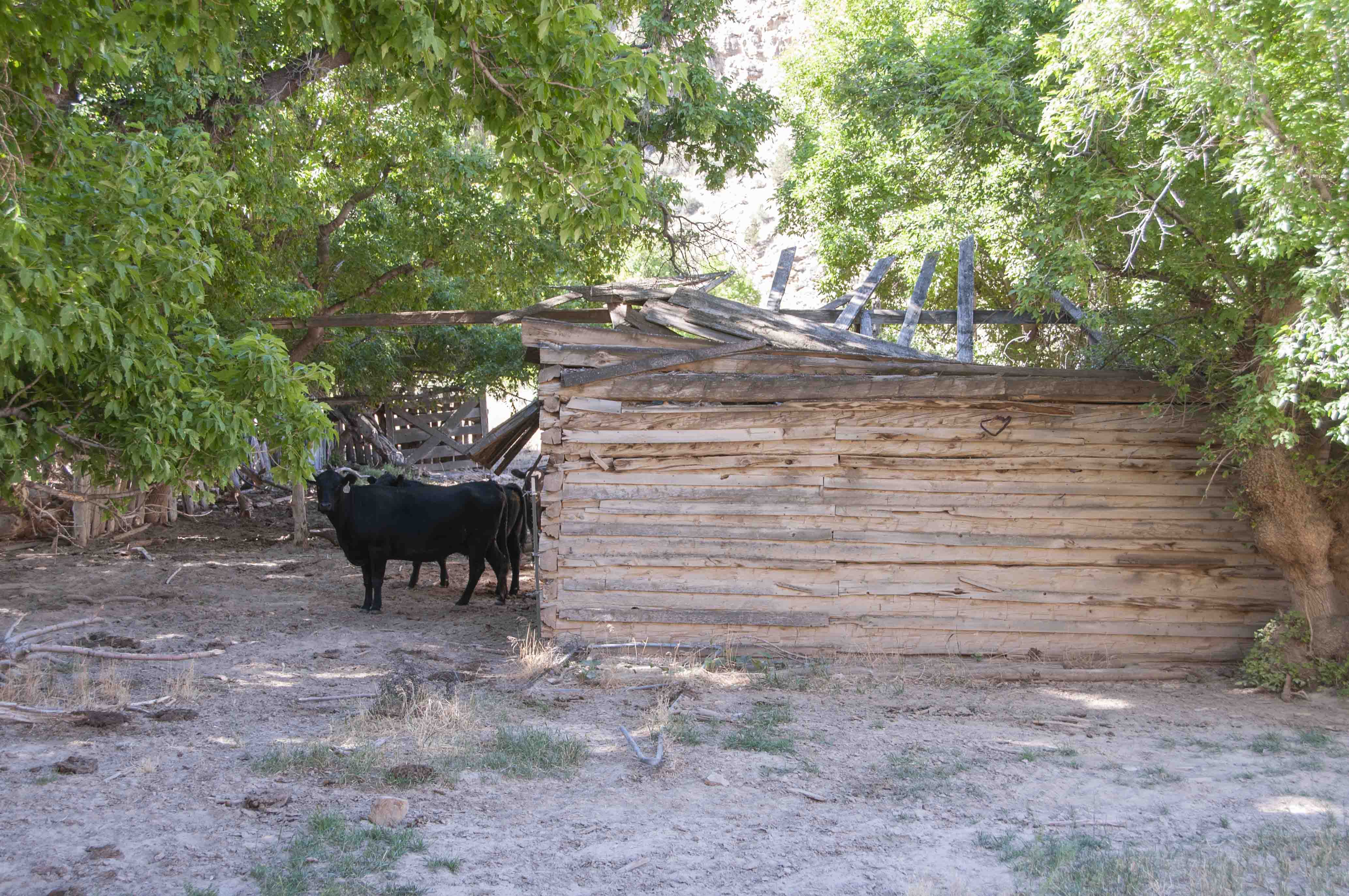
Harper Ghost Cattle

Remains of stage coach stop
(39°48'1.56"N 110°22'7.19"W)
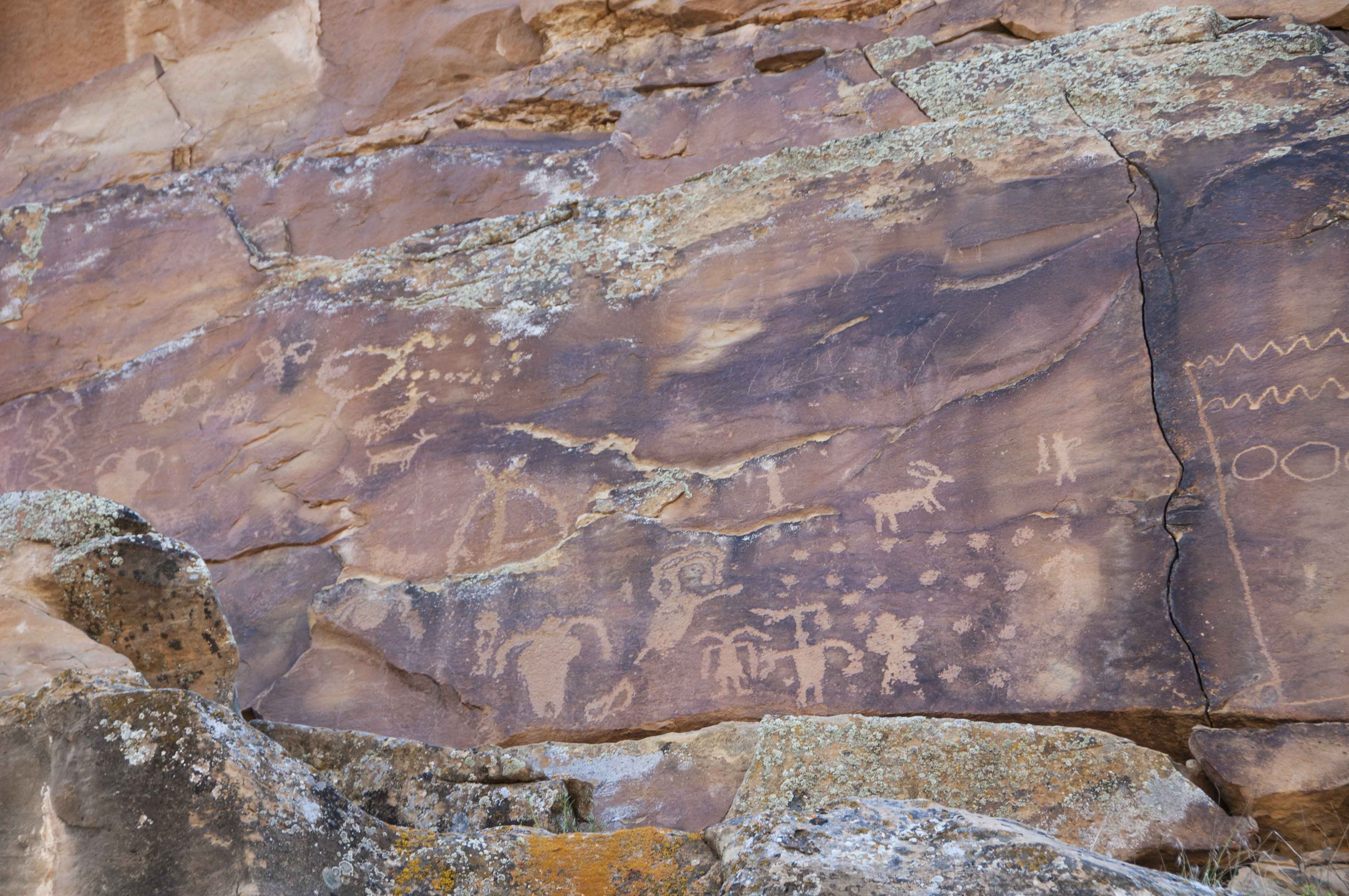
Mile 31.2 Petroglyphs
My guess is that some of these are Ute petroglyphs, since one features
a man leading a horse (no horses for the Fremont people).
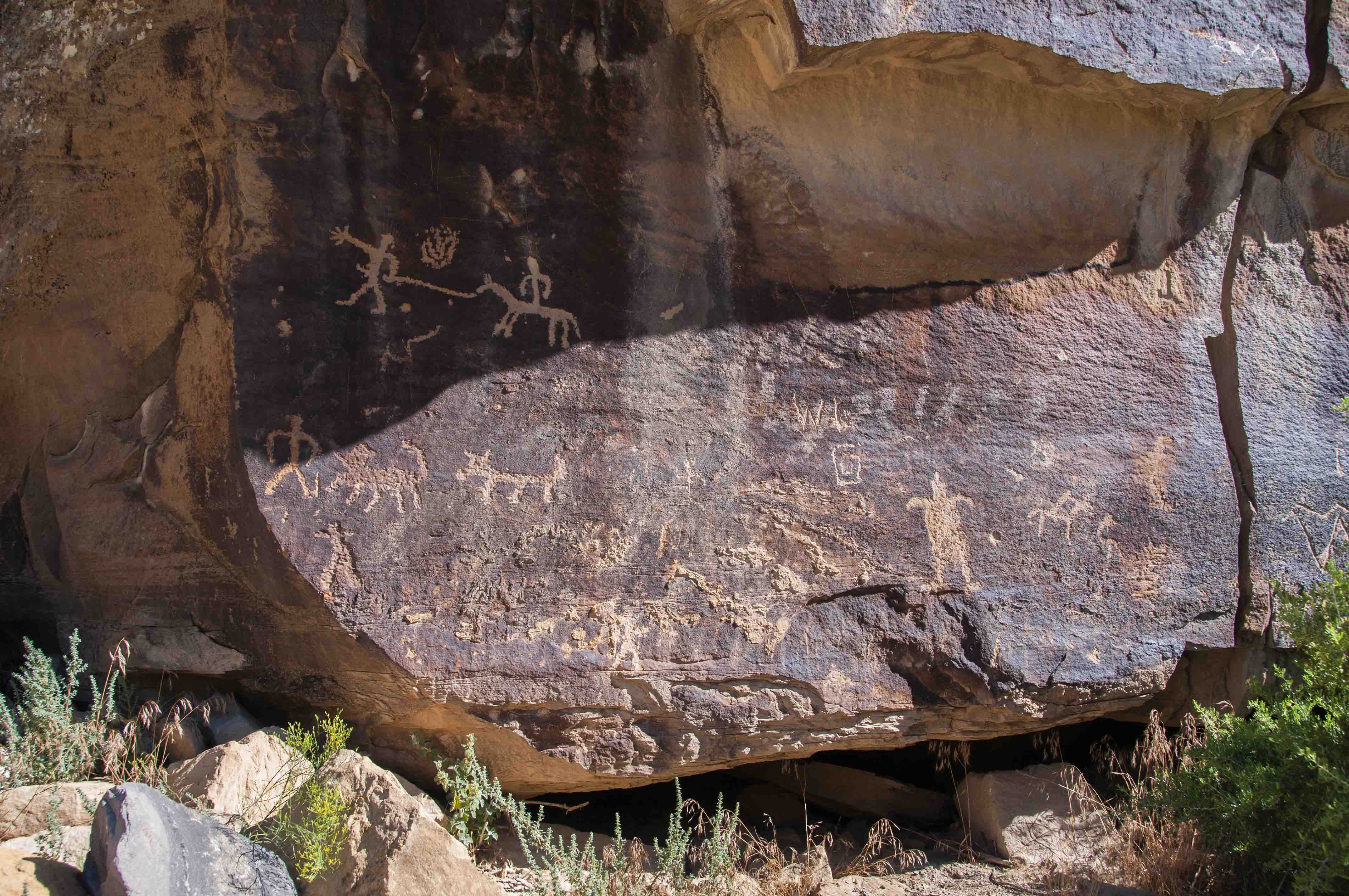
Man leading a horse and rider and other anthromorphs
(39°48'4.28"N 110°21'50.74"W)

Pig Head Rock
39°48'0.3"N 110°20'34"W
Pig Head Rock Petroglyphs, mile 32.5
Pig Head Rock is a more or less balanced rock that looks like the head
of a pig (if one uses some imgination). A large panel of petroglyphs is
located about 15 to 20 yards past Pig Head Rock on the left side of the road.
This panel contains a variety of nicely preserved petroglyphs.
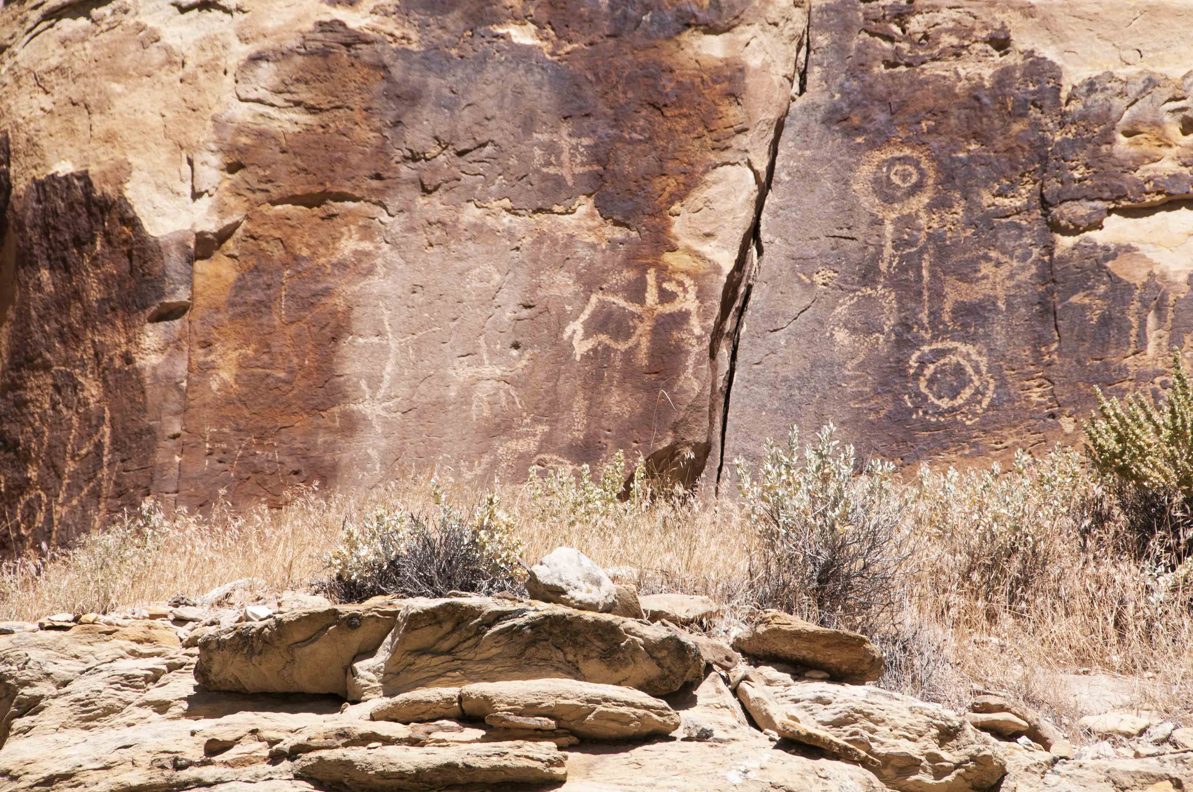
Strange petroglyphs
(39°48'27.33"N 110°19'50.07"W)

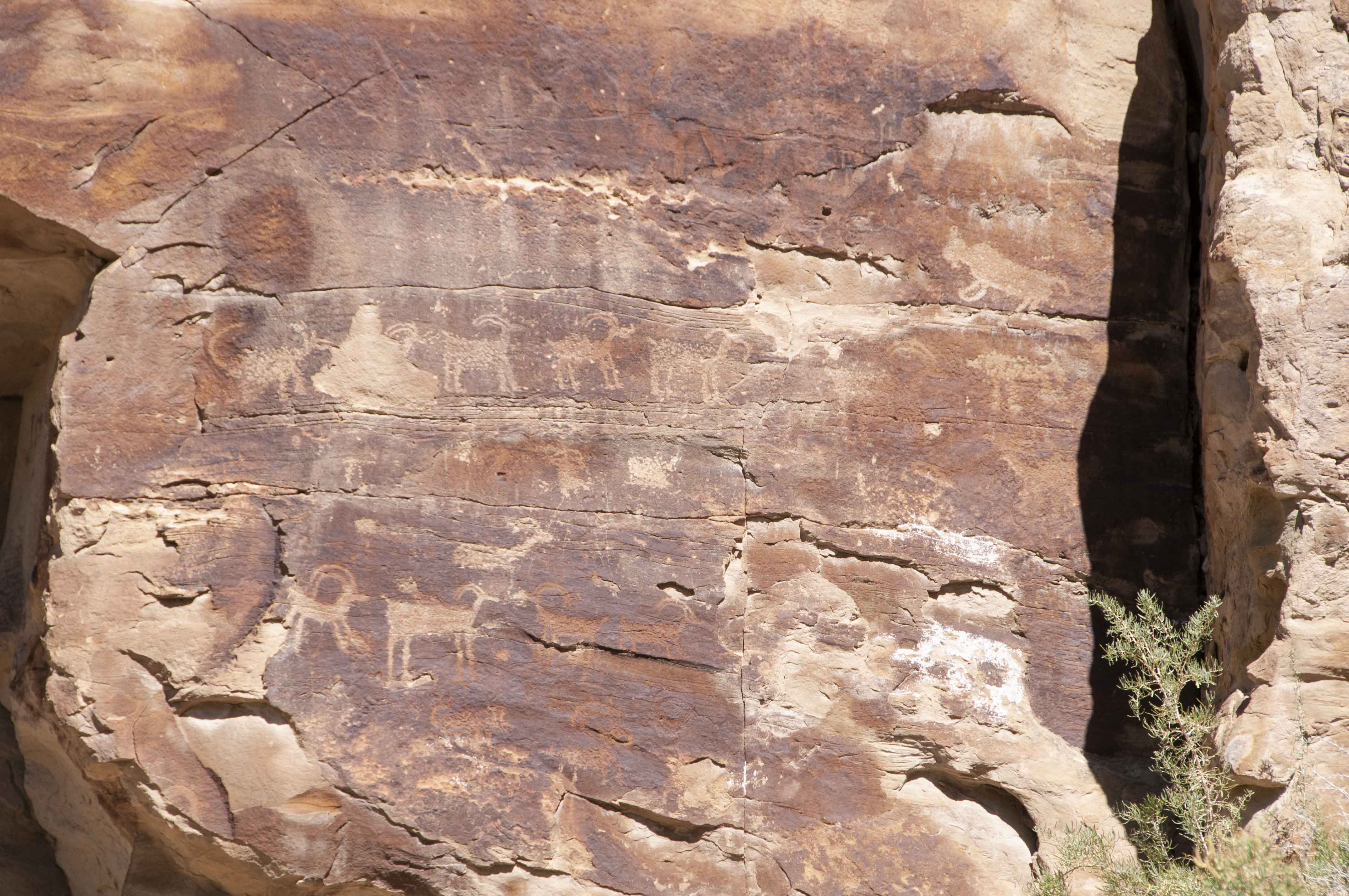
I see bighorn sheep, bison, a figure with bow and arrow, a scorpion, and many other petroglyphs in this panel.
Trail Canyon Petroglyphs, mile 33.3
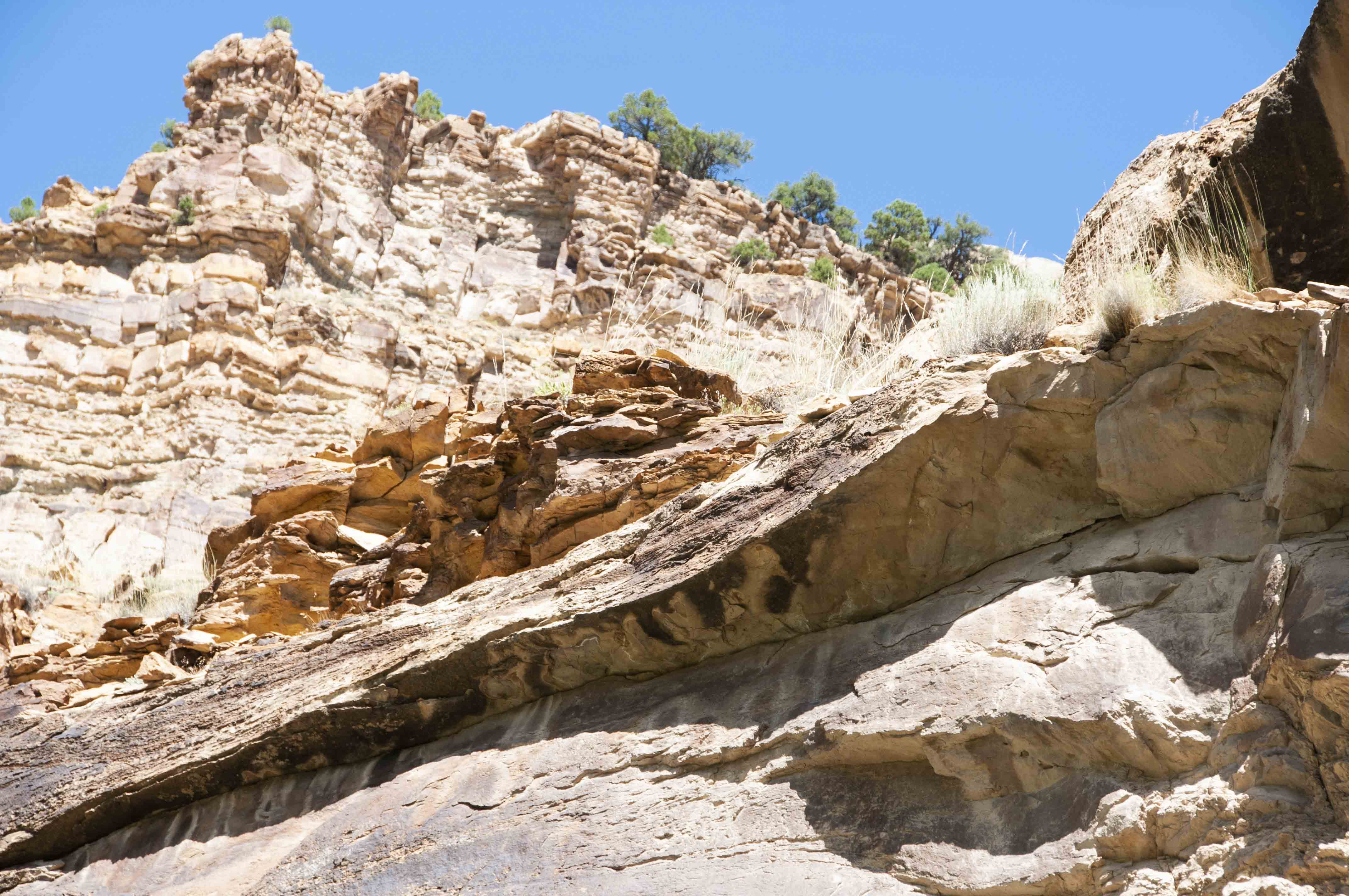
There are several side canyons that connect with Nine Mile Canyon, and
my guess is that all of them contain petroglyphs and ruins. I hiked a
short way up Trail Canyon. There are petroglyphs at widely spaced
intervals along the left (west) wall of the canyon, and I spotted
some ruins about midway up the east wall.

Horse petroglyph west side of Trail Canyon
(39°48'39.24"N 110°19'58.48"W)
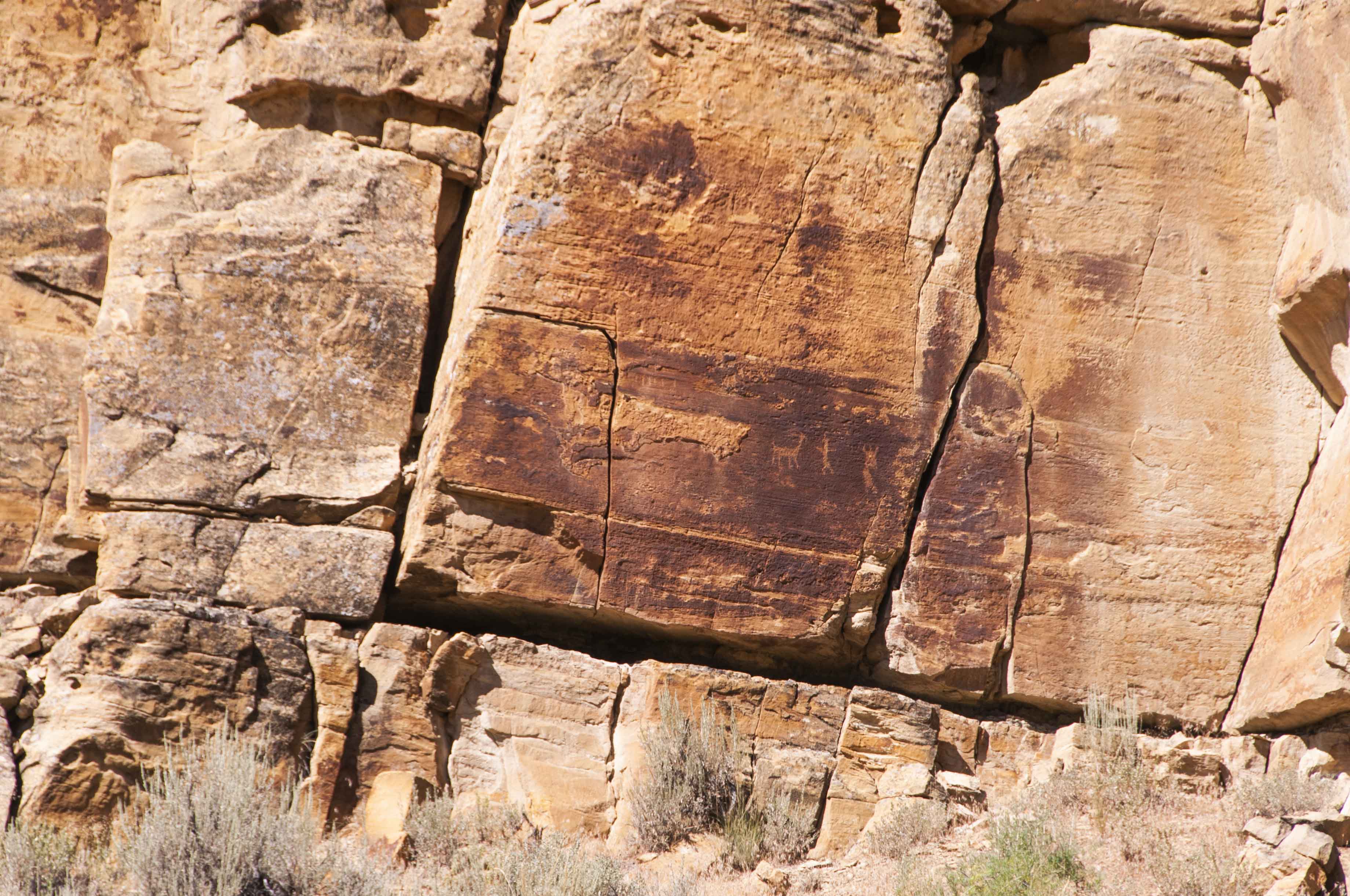
Petroglyphs - west side of Trail Canyon
Ruin - east wall of Trail Canyon
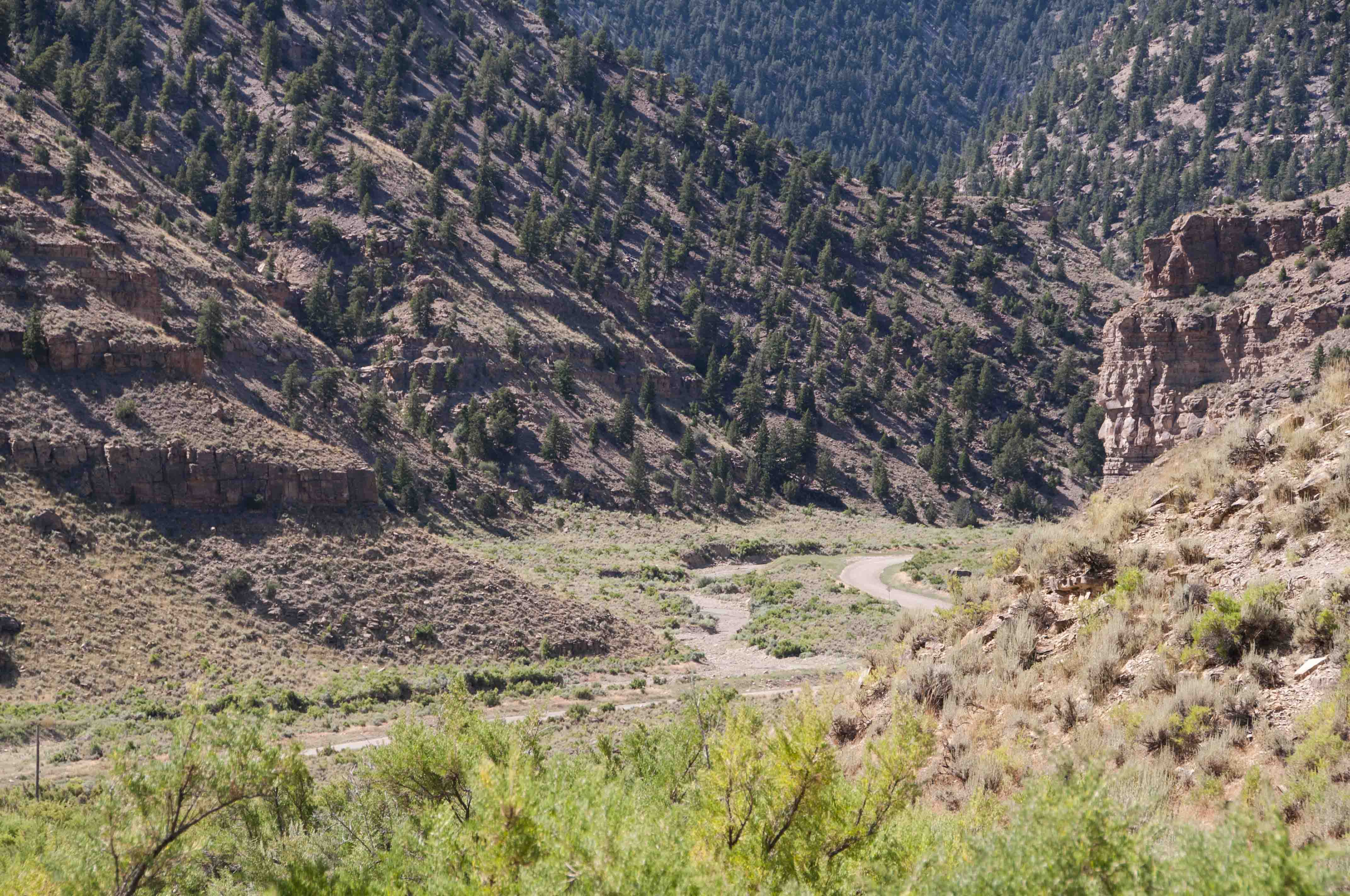
Nine Mile Creek and Nine Mile Canyon Road
Harmon Canyon Intersection, mile 33.8
The next stop on the tour is the intersection of Harmon Canyon and Nine Mile Canyon
Roads. The bottom of the cliff across from the intersection is covered with
petroglyphs for about 100 yards. The next three or four miles east of the intersection
contain petroglyphs galore as well as several Fremont ruins.
Bighorn sheep petroglyphs
Almost looks like Santa and his reindeer
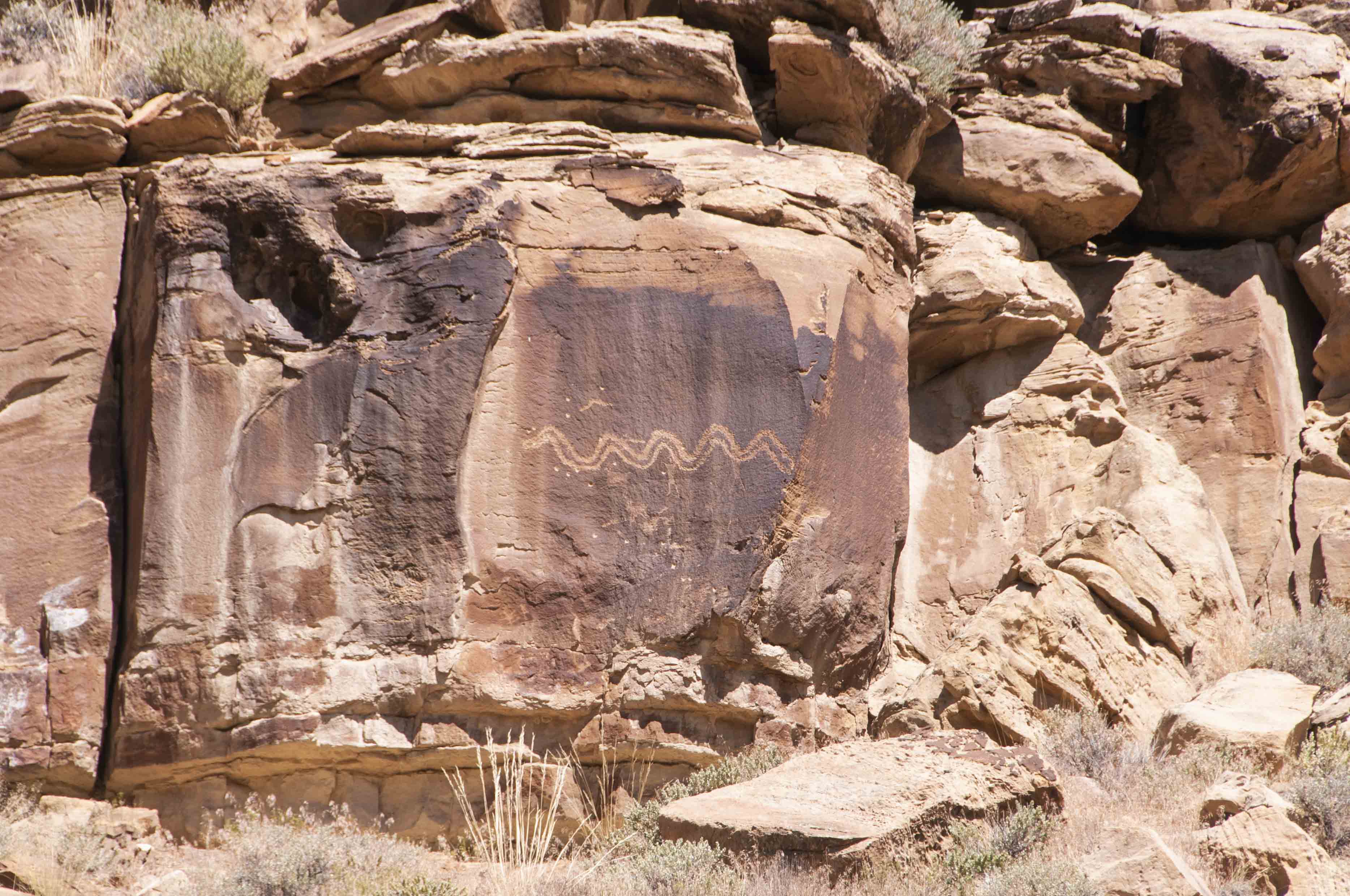
Snake petroglyph at mile 35.3
(39°48'59.02"N 110°18'32.74"W)
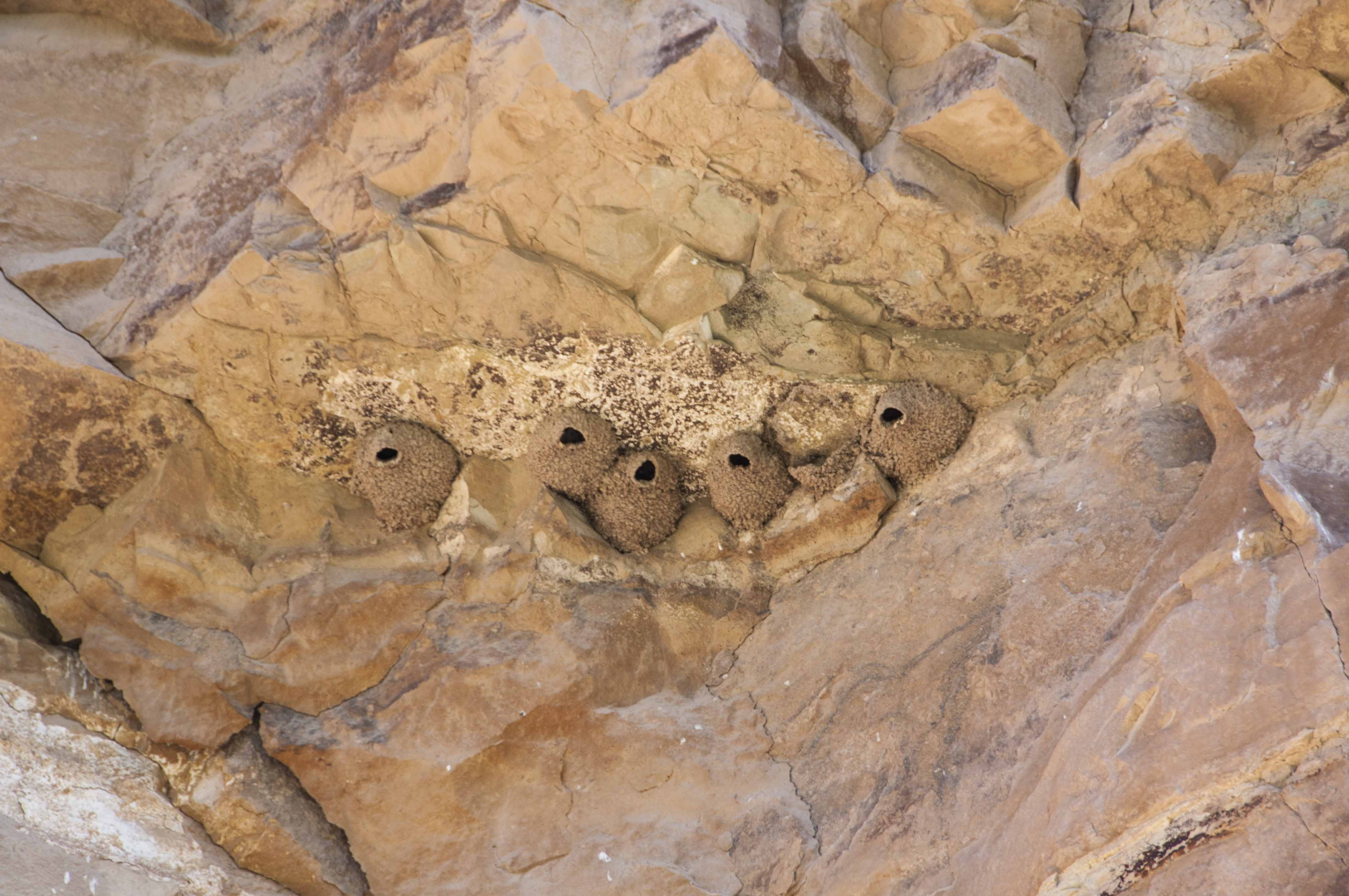
Cliff swallow nests
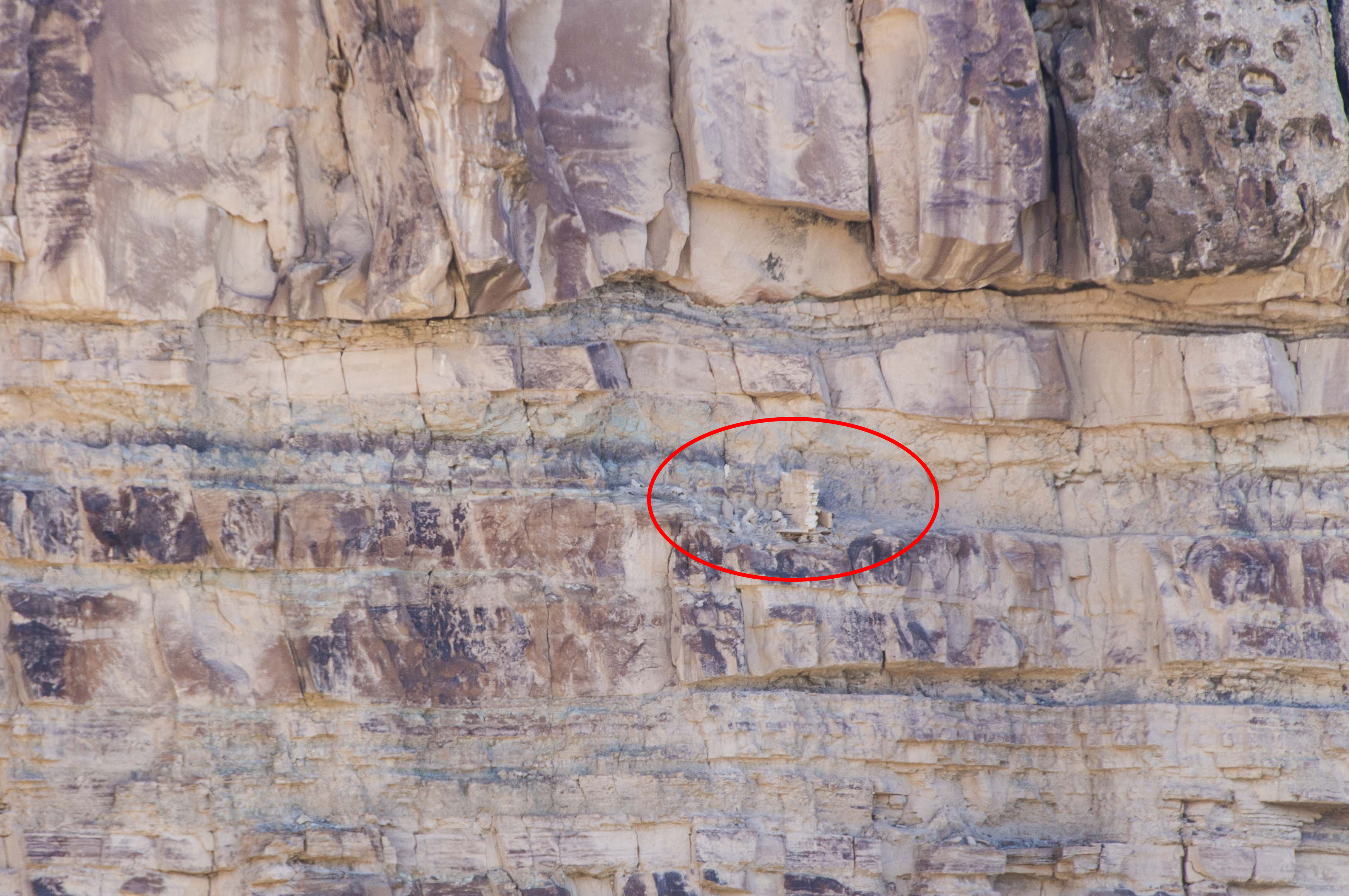
There is supposed to be a Fremont pithouse and watch tower somewhere along this ridge, but I couldn't find it. (39°48'31.96"N 110°15'53.09"W)
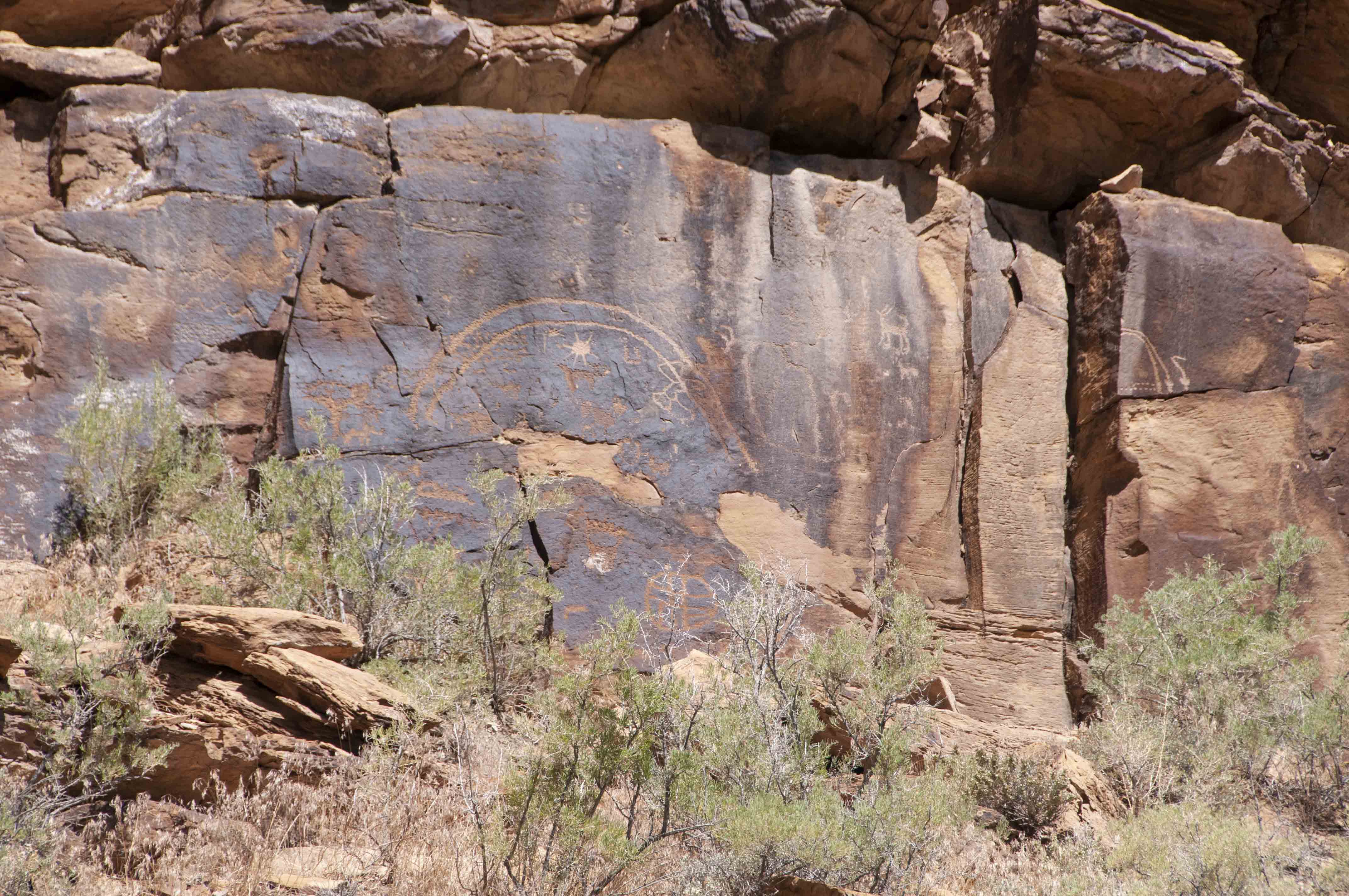
Rainbow petroglyph
(39°48'37.97"N 110°14'47.78"W)
Rasmussen's Cave, mile 44
Rasmussen's Cave is a large alcove located on the left (north) side of the
road at about mile 44. There is a small parking lot with a short trail leading
to the alcove. The alcove contains several nice pictographs, some of which are done
with red pigment.

Rasmussen's Cave
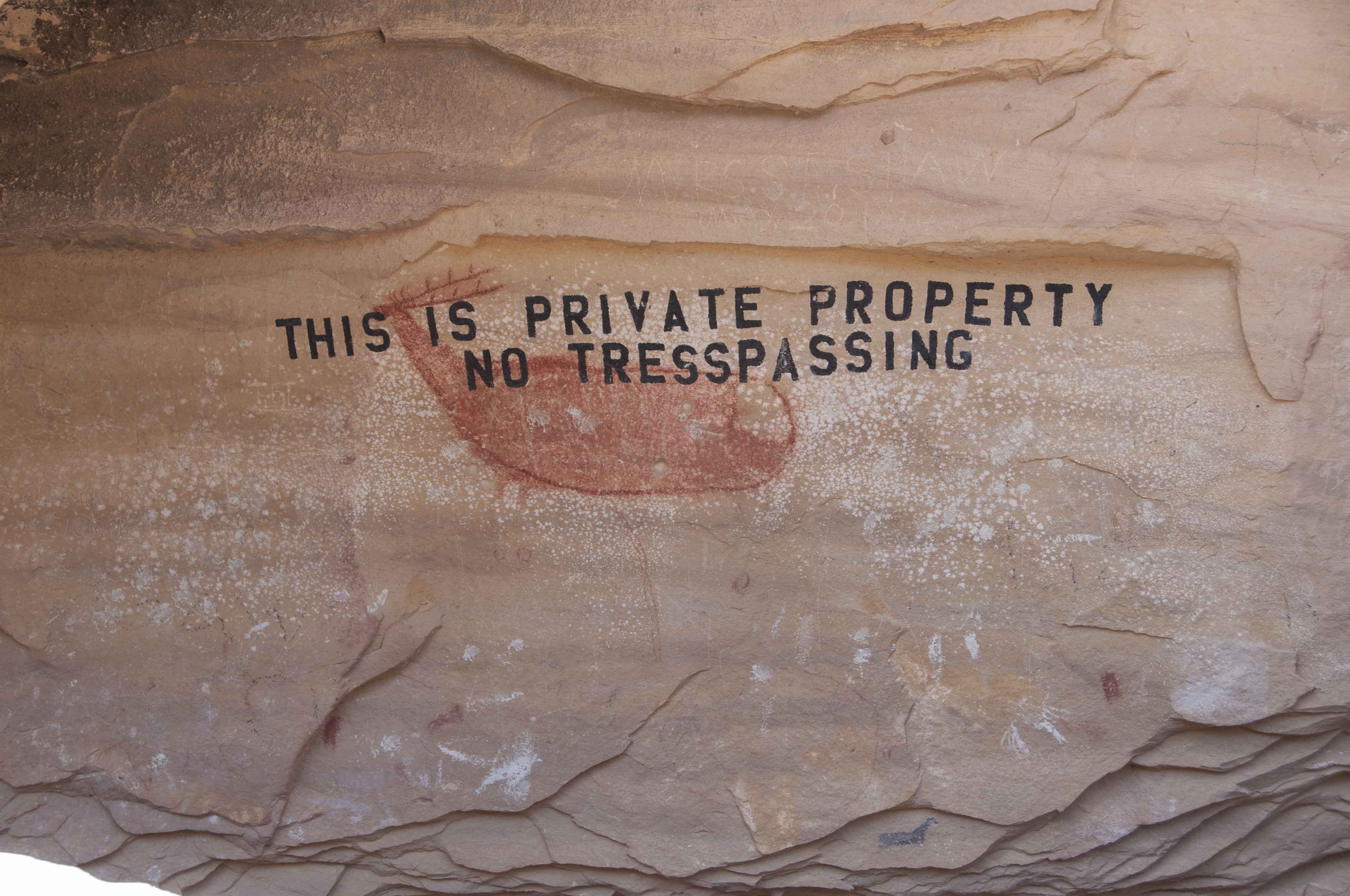
Red Elk pictograph under unfortunate, mispelled graffiti
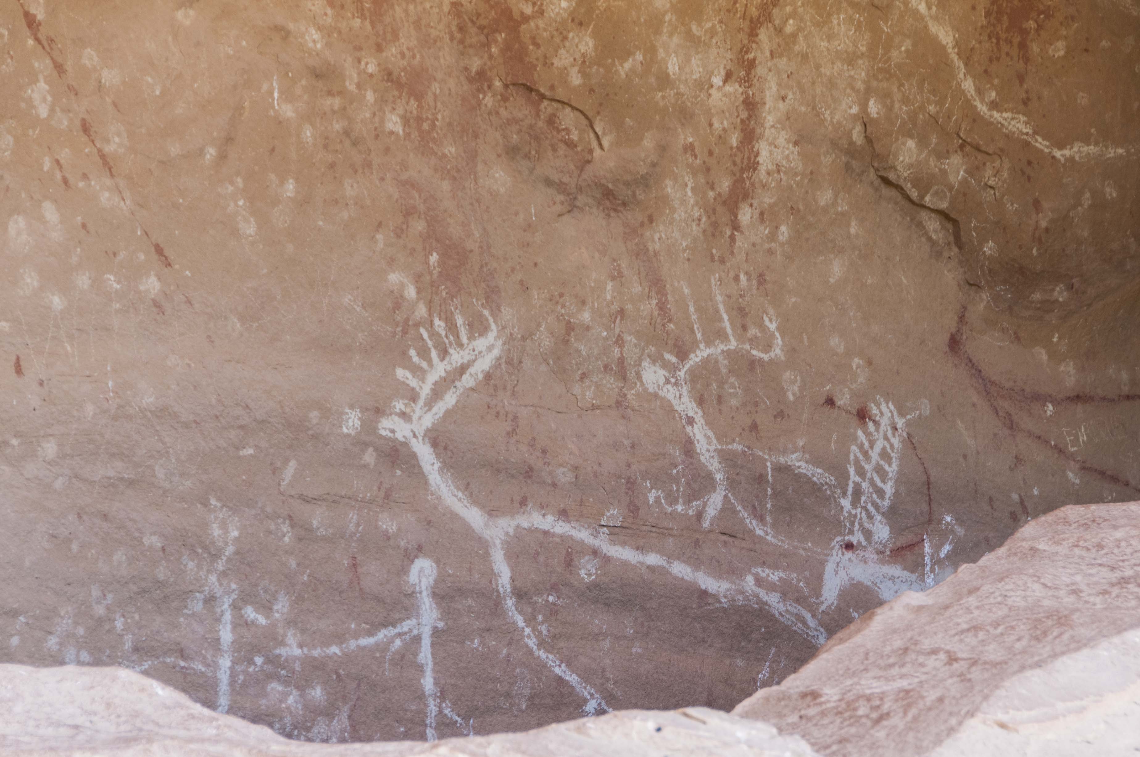
White pictographs
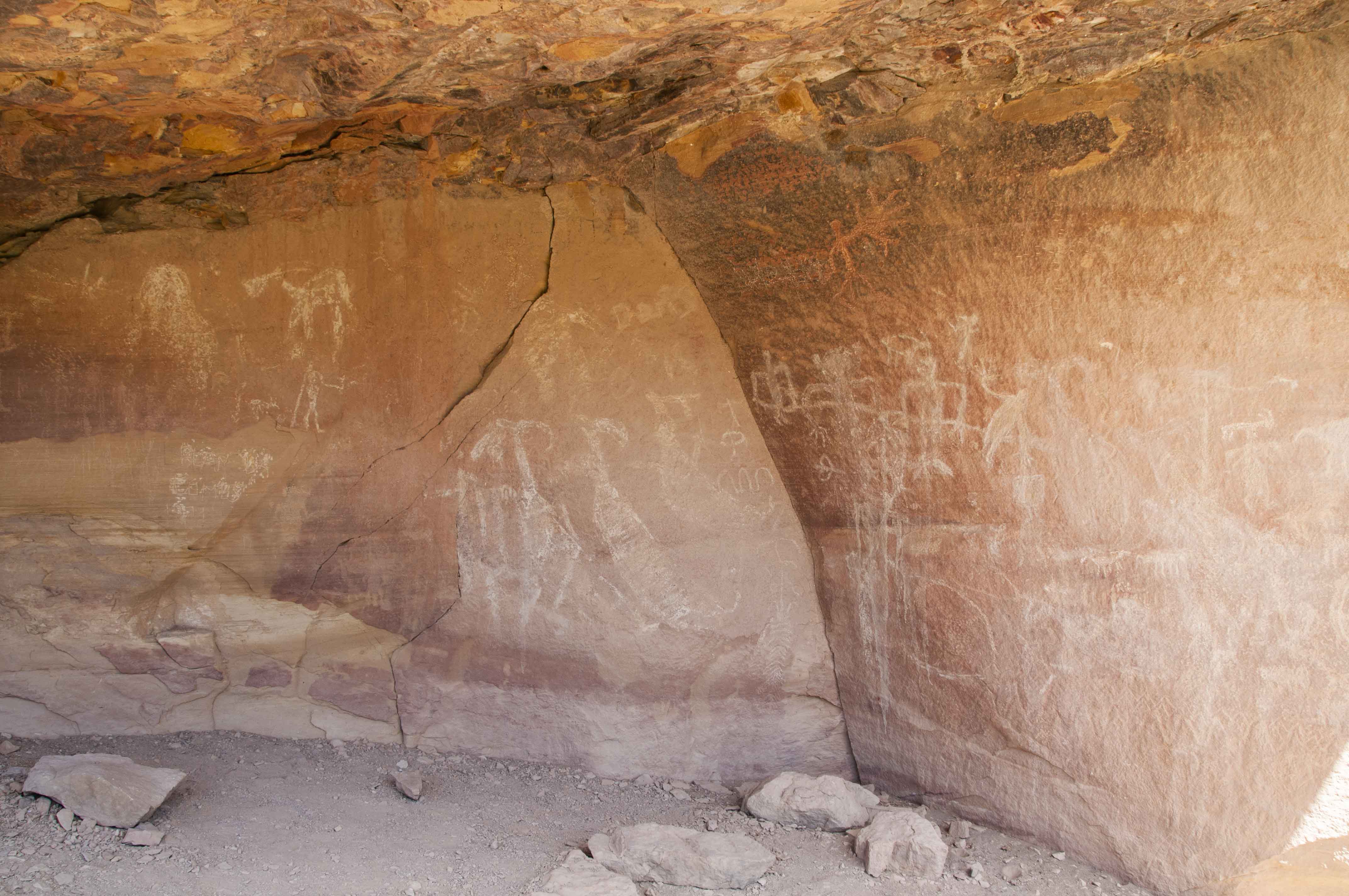
More white pictographs

Petroglyphs near Rasmussen's Cave
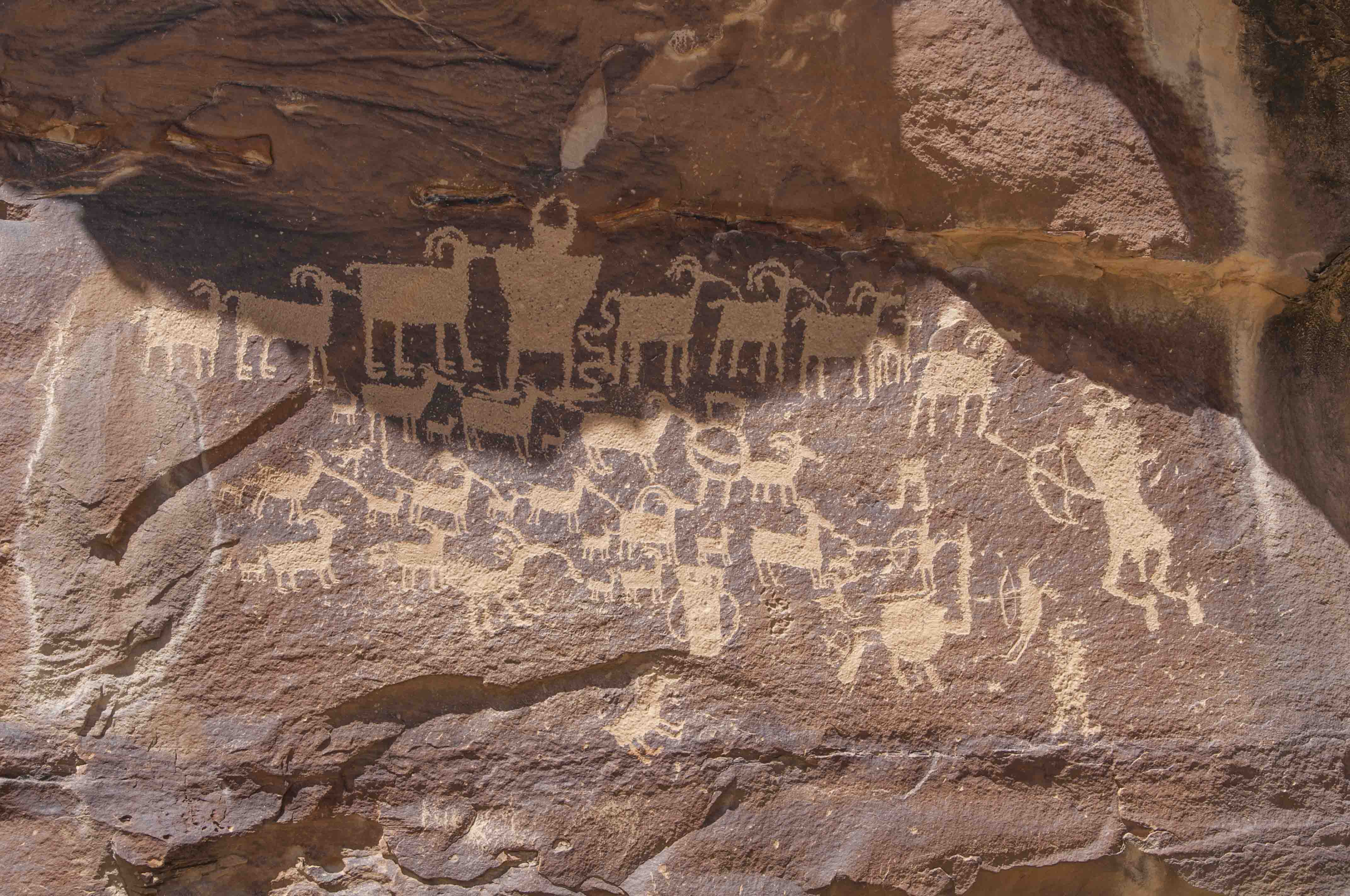
Great Hunt Petroglyph Panel, mile 45.9
The last stop on this tour is the Great Hunt petroplyph panel. People in the know
believe this panel may depict an actual 1000 year old hunt. This well preserved panel
is one of the most famous in Utah, and has been featured in numerous publications,
photos, and art pieces.
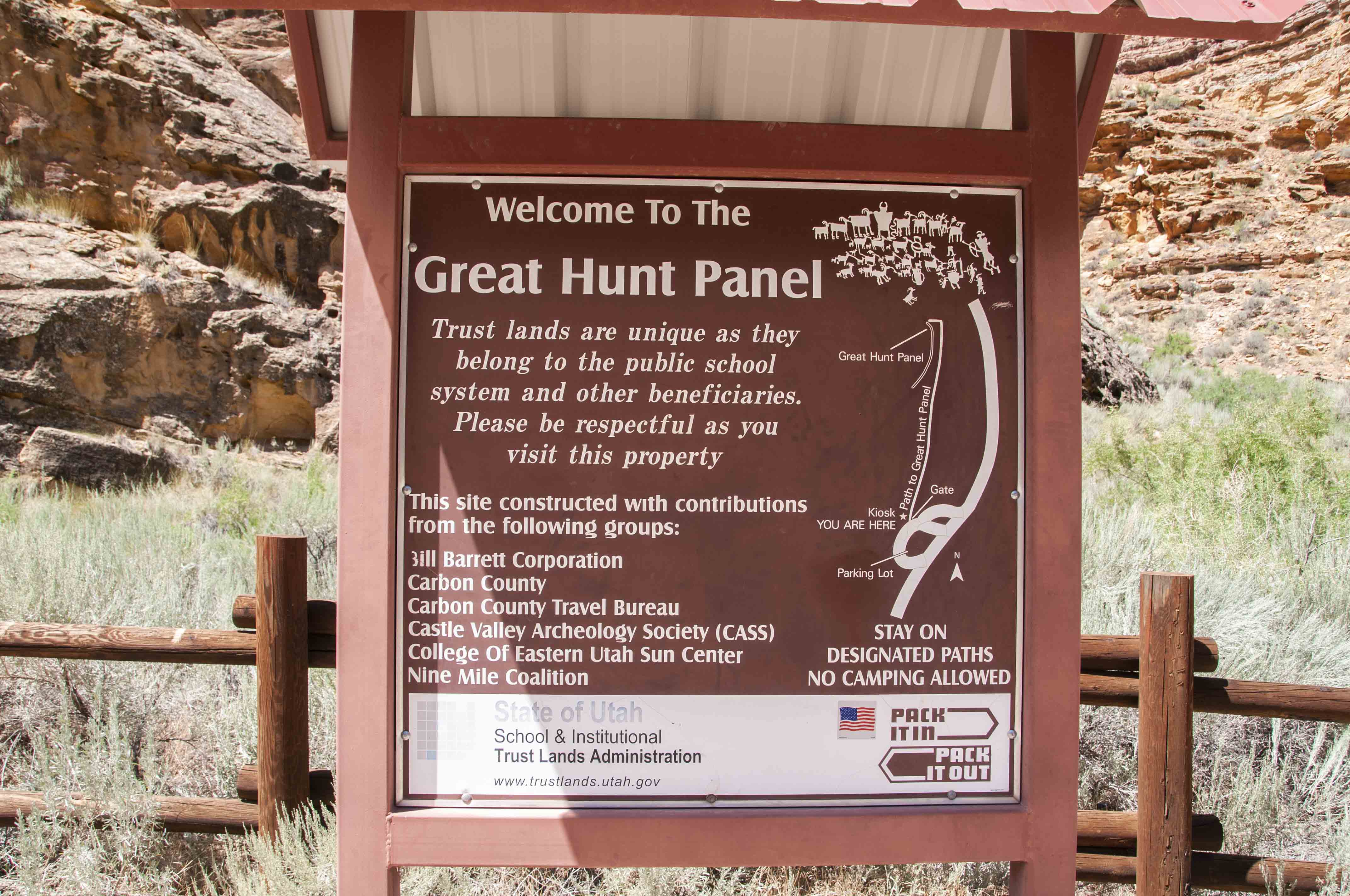
Great Hunt Panel sign

Trail to Great Hunt Panel
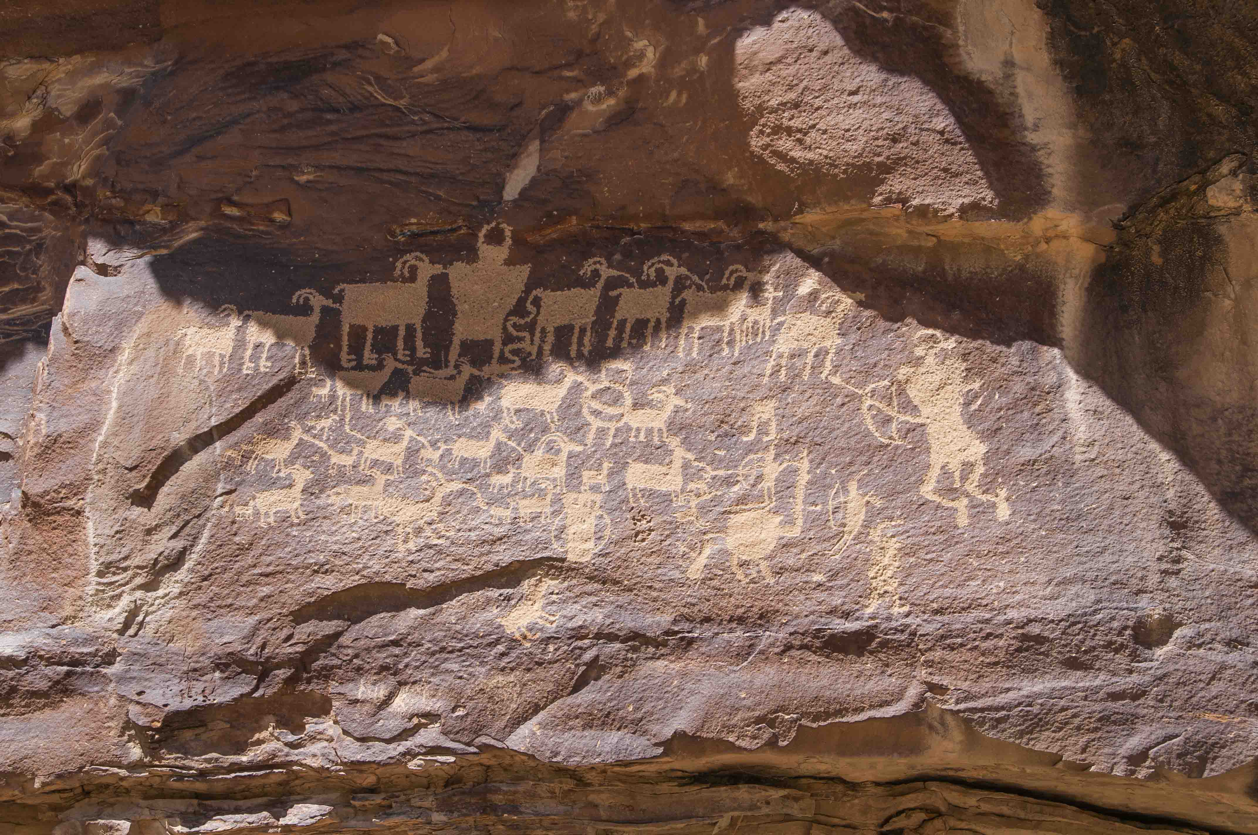
Great Hunt Panel
Great Hunt Panel
Use the form on the Home Page to submit comments, questions, or suggestions. TD Productions Copyright © 2019