Mount St. Helens National Volcanic Monument
Mount St. Helens Volcano is located in southwest Washington State. To get there you have to take Washington State Route 504 off of Interstate 5, the only way in or out. It's a long drive, about 54 miles, but the scenery is drop-dead gorgeous. The first thing you come to on the way in is the Washington State Parks Mount Helen Visitor Center and Seaquest State Park. The next place I visited was Charles W. Bingham Forest Learning Center after stopping at various points along the way to admire the views. The museum is run by Weyerhaeuser and features a lot of information and displays about recovery efforts and reforestation in the aftermath of the Mount St. Helens eruption. Finally you get to Mount St. Helens National Volcanic Monument. Washington SR 504 ends at the Johnston Ridge Observatory. I'm not sure whether the National Park Service or the U.S. Forest Service has jurisdiction over Mount St. Helens.
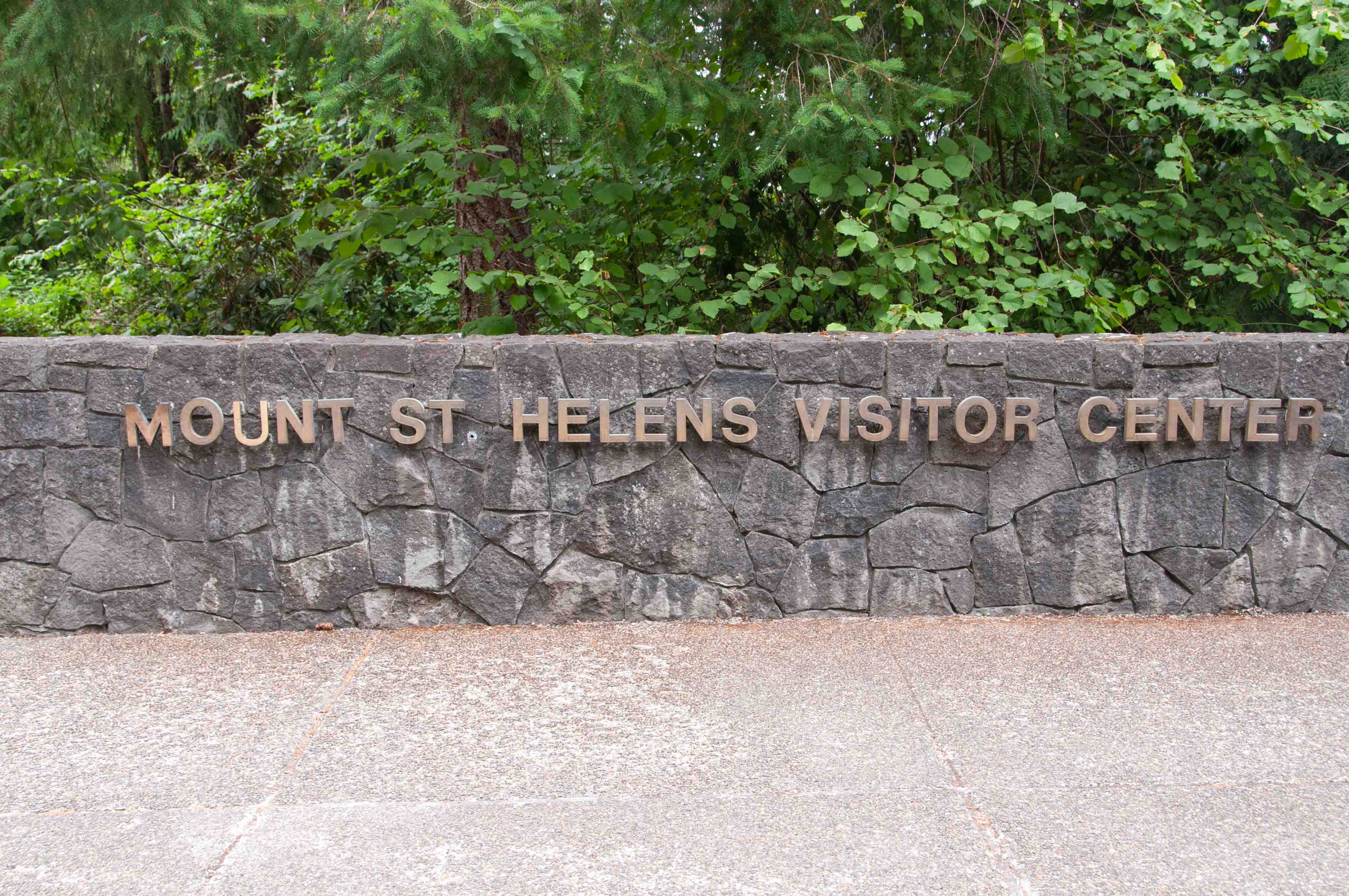
Washington State Parks Mount St. Helens Visitor Center

Washington State Parks
Mount St Helens Visitor Center
Washington State Parks
Mount St Helens Visitor Center
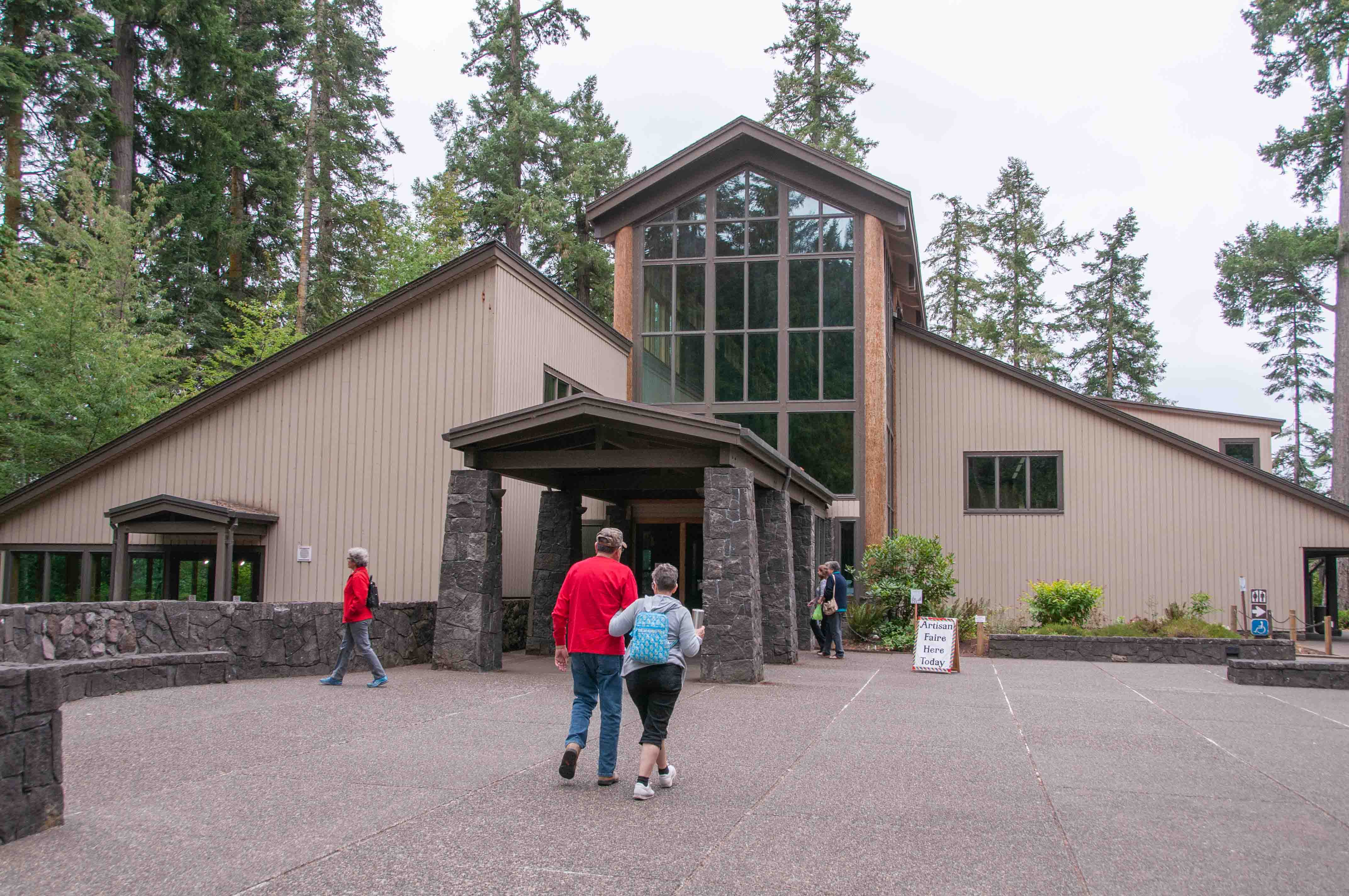
Visitor Center
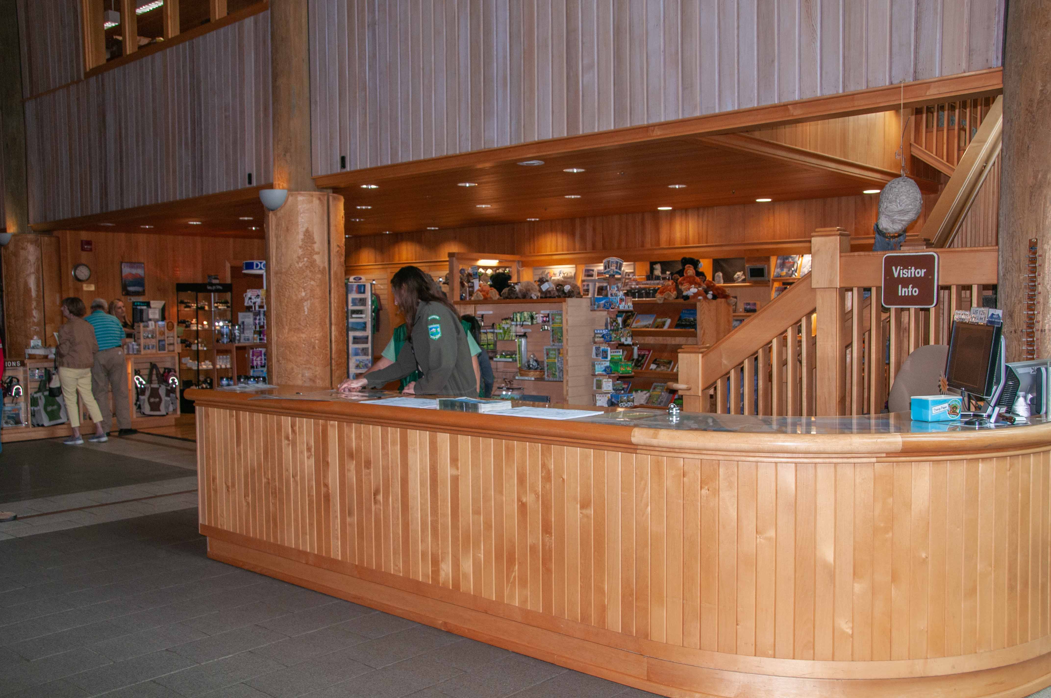
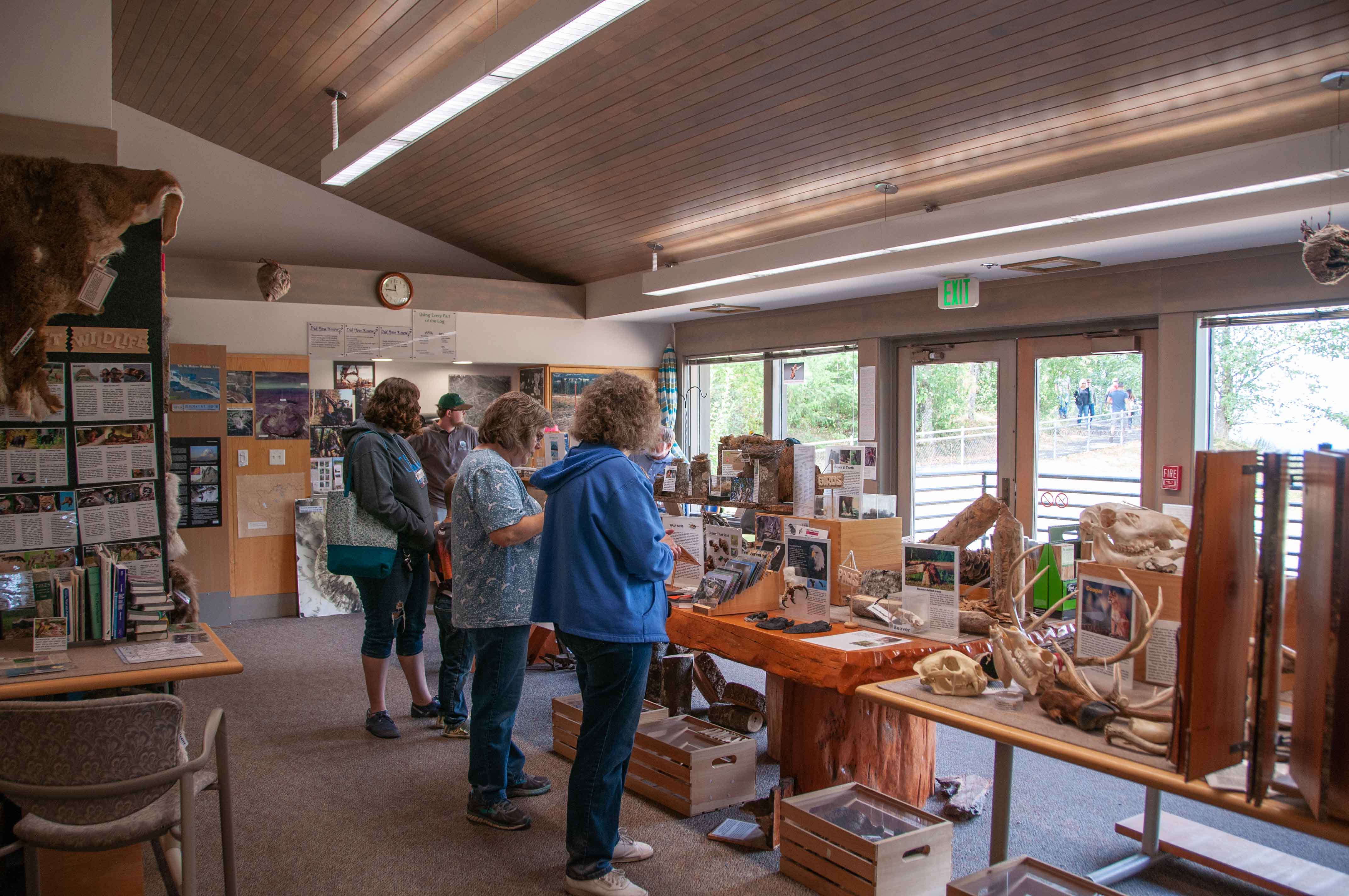
Interior of Visitor Center
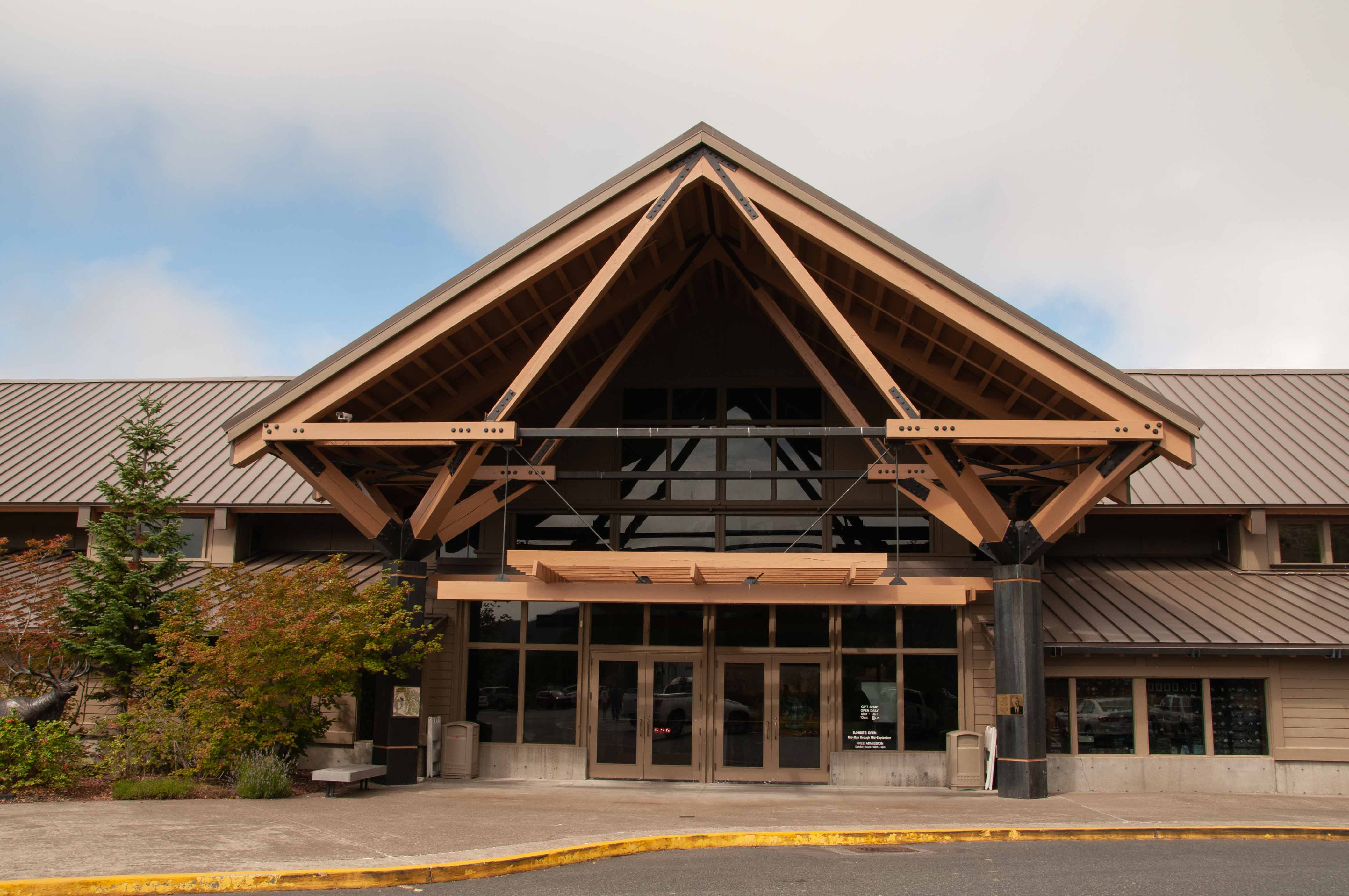
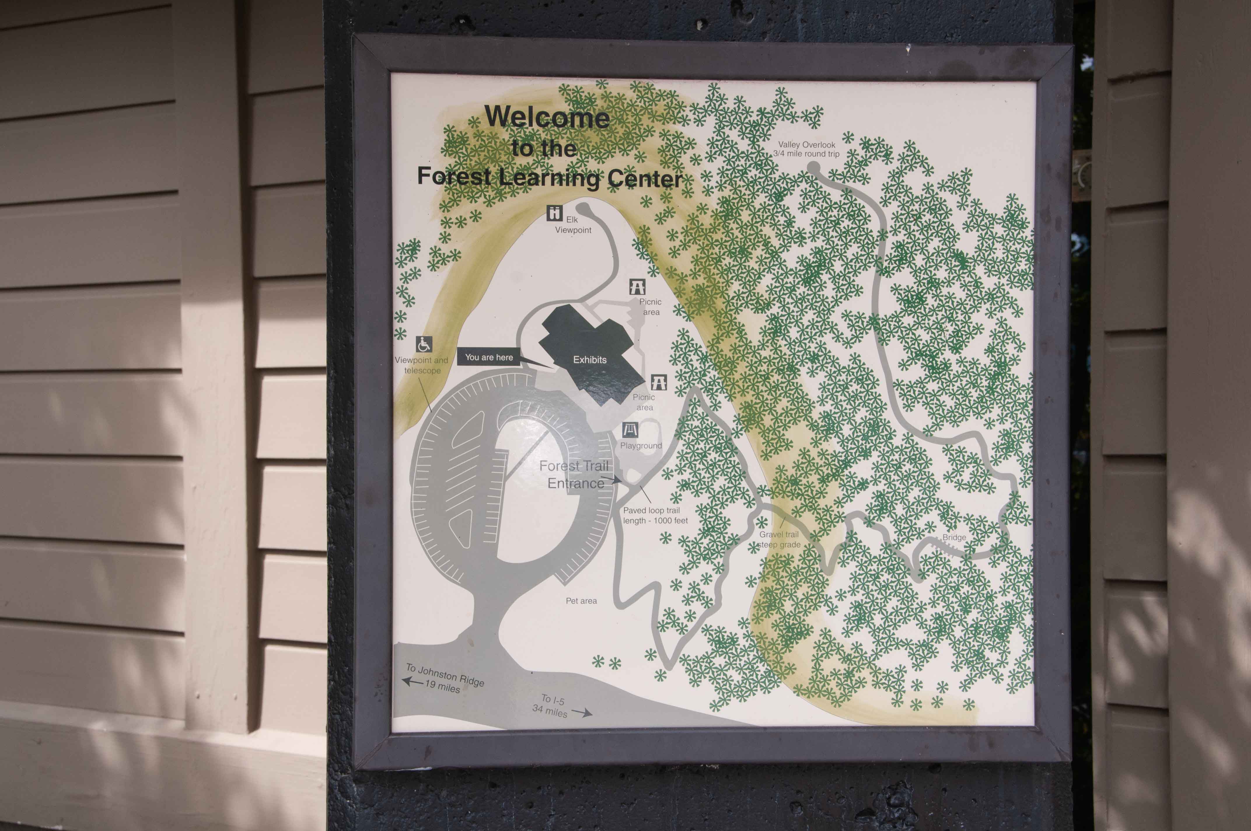
Charles W. Bingham Forest Learning Center
This museum is operated by the Weyerhaeuser Company
and has displays on local wildlife and on reforestation activities following the eruption of Mount St. Helens.
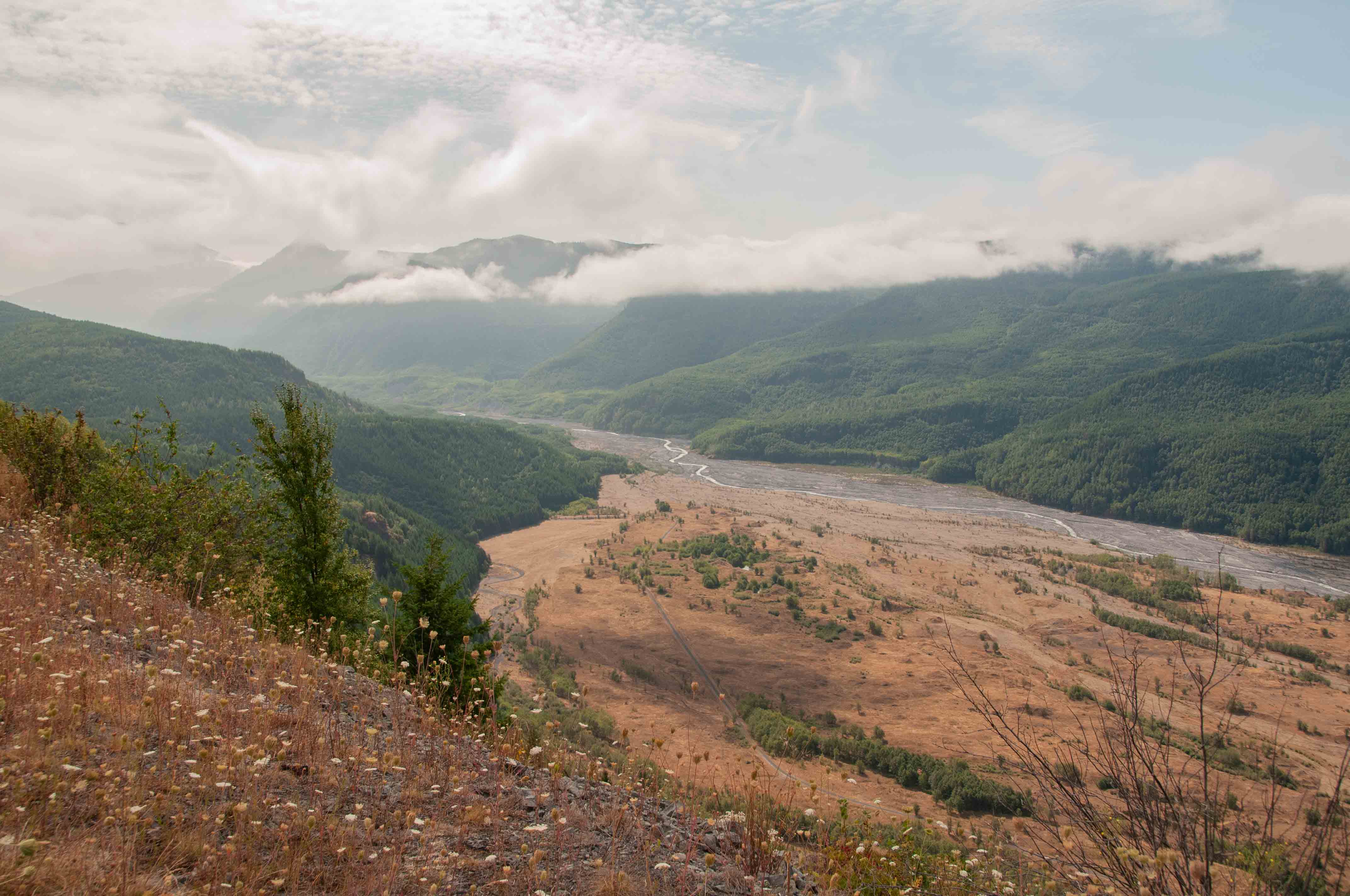
View of the North Fork Toutle River along WA SR 504

View of the North Fork Toutle River along WA SR 504
View of the North Fork Toutle River along WA SR 504
Charles W. Bingham Forest Learning Center
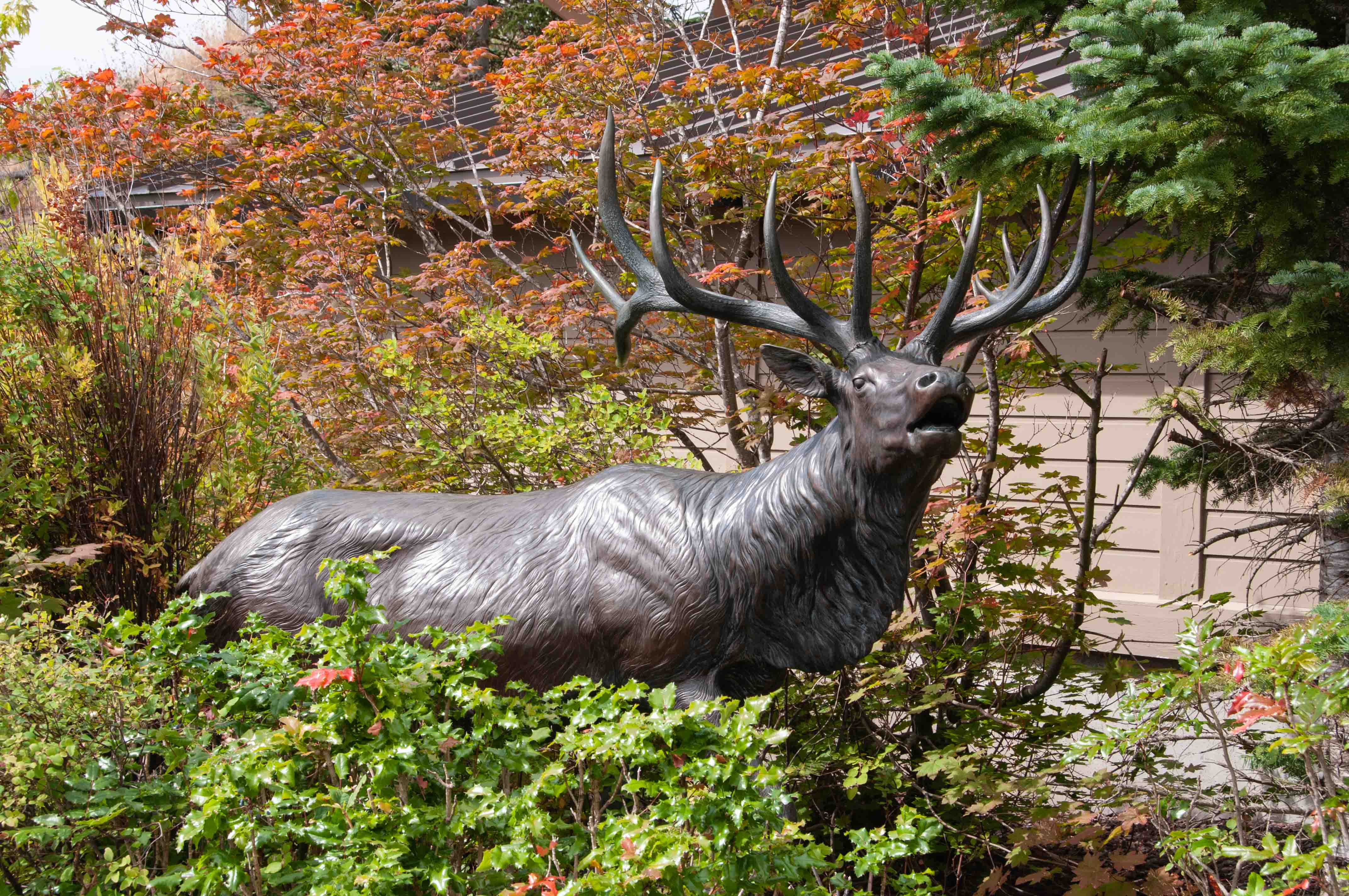
Elk Statue
Charles W. Bingham Forest Learning Center

Could be a squirrel
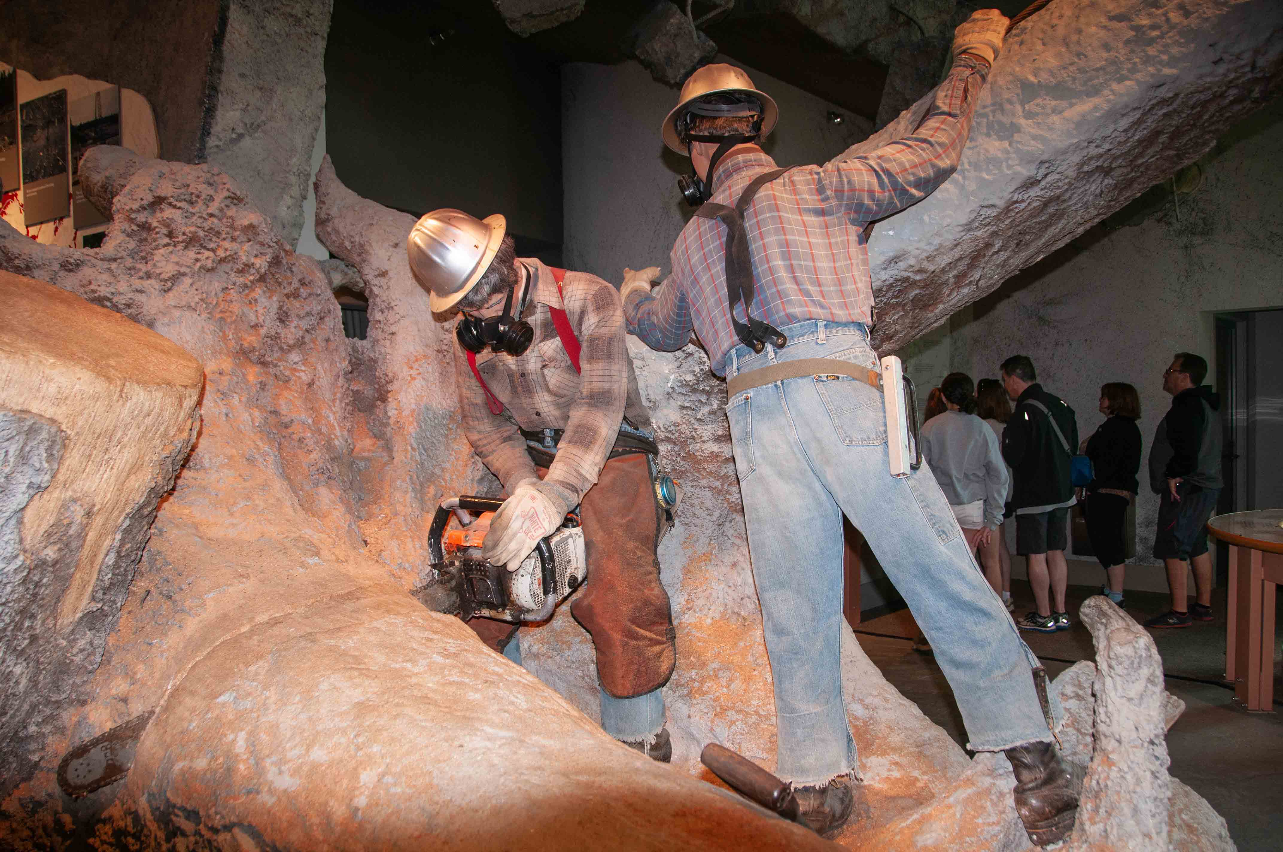
Display of timber recovery in aftermath of eruption
Discovery Room
Mount St. Helens National Volcanic Monument
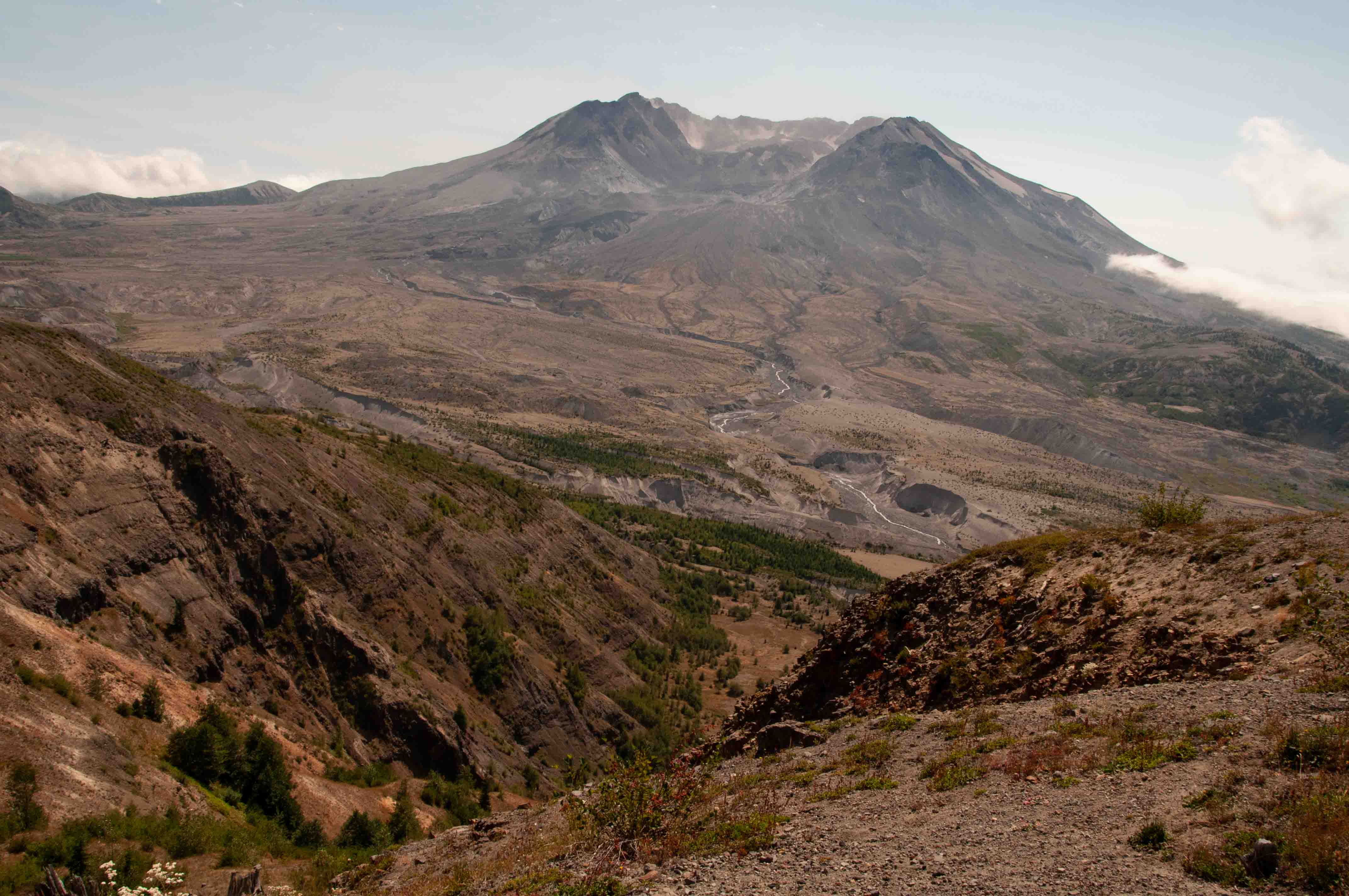
Mount St. Helens erupted on May 18, 1980.
An earthquake caused the entire north face to slide away, creating the largest landslide ever recorded.
This allowed the partly molten, high-pressure gas- and steam-rich rock in the volcano to suddenly explode
northwards toward Spirit Lake. A column of smoke and ash rose 80,000 feet into the atmosphere. At the same time,
snow, ice and several entire glaciers on the volcano melted, forming a series of large lahars (volcanic mudslides)
that reached as far as the Columbia River, nearly 50 miles away.
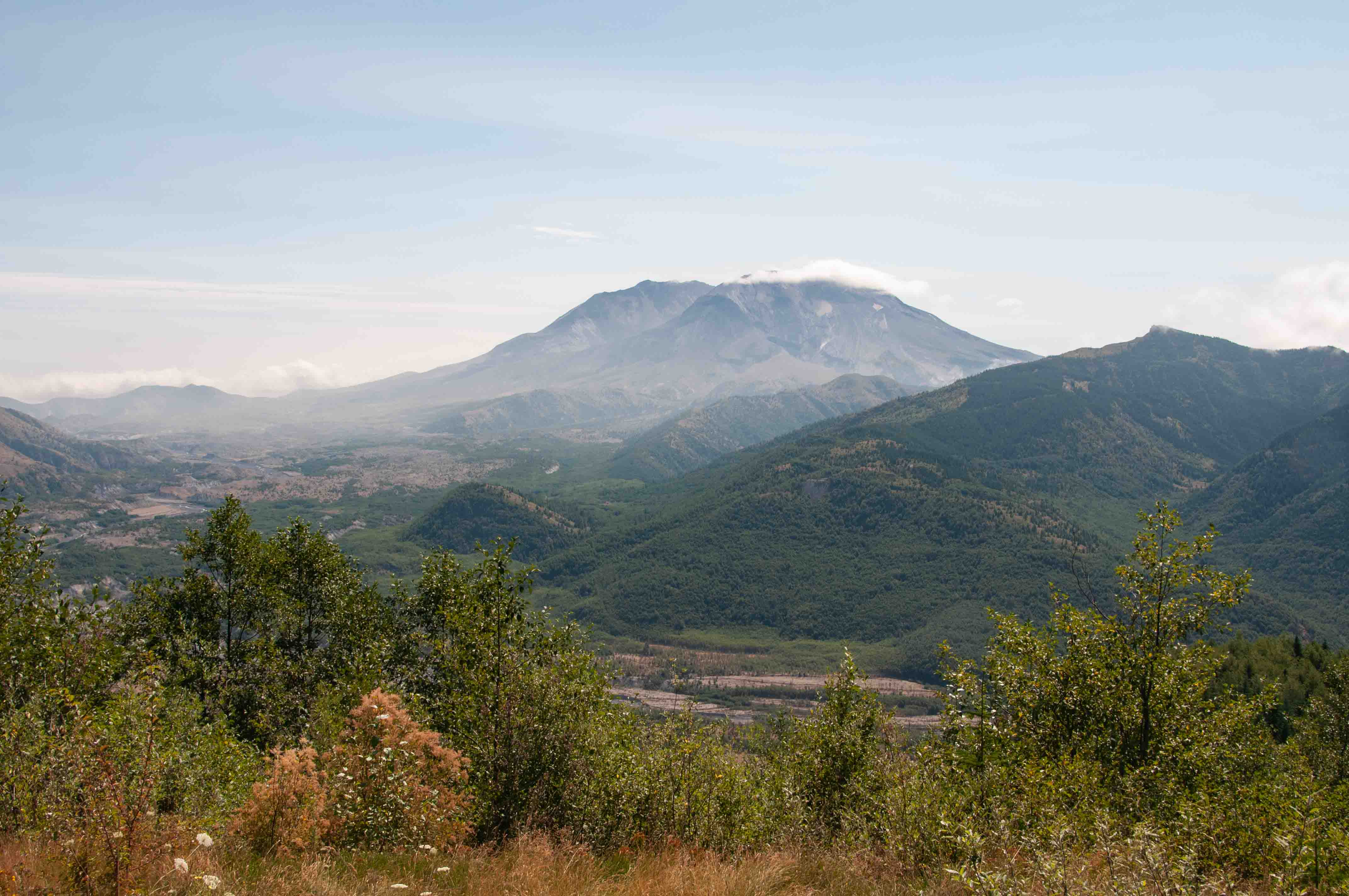
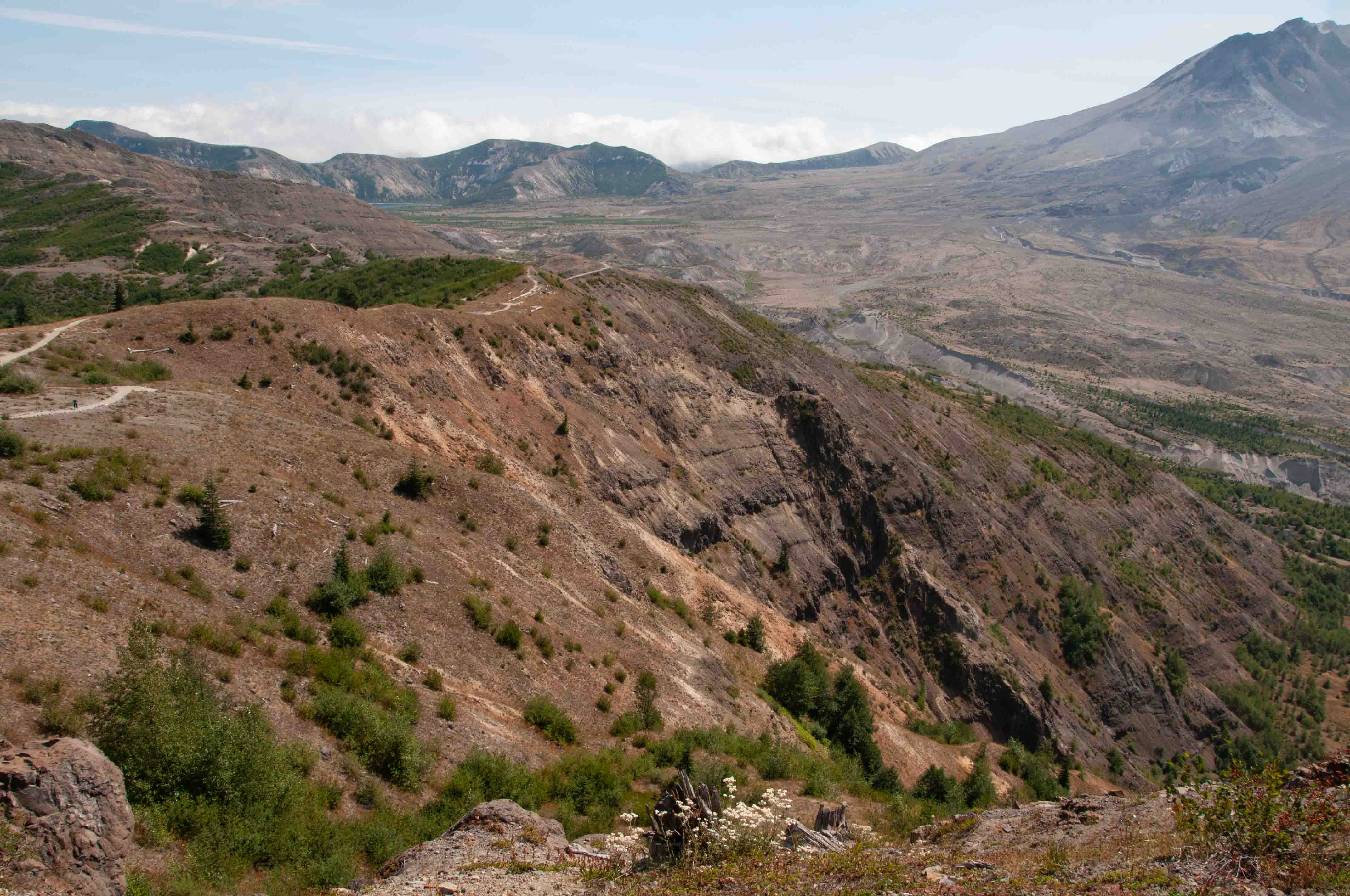
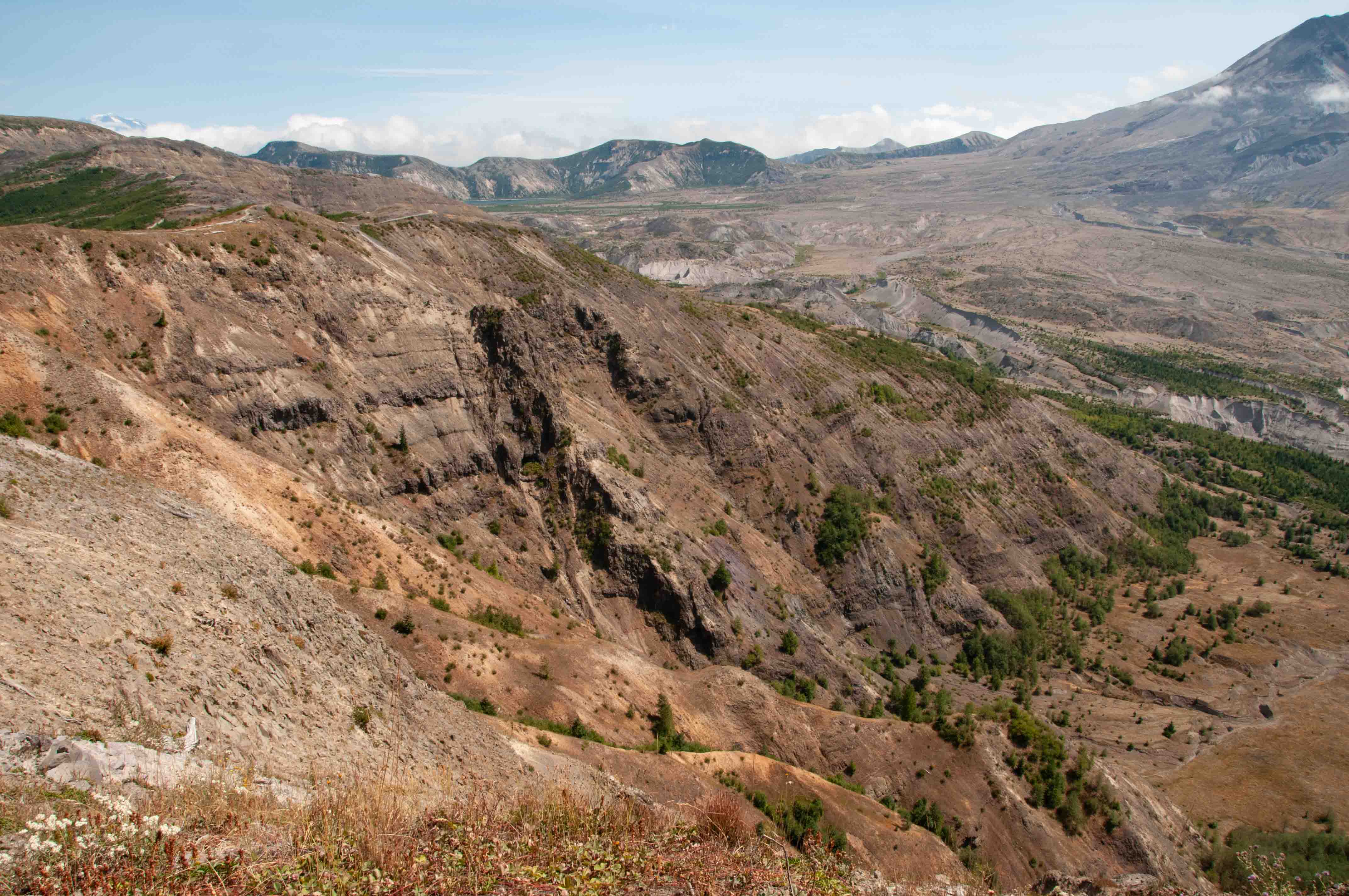
There is a trail that starts at Johnston
Observatory and runs along the summit of Johnston Ridge. This trail presents the hiker with spectacular views of
Mount St. Helens and surrounding terrain. I put more photos of the volcano in this section than necessary, but I
just couldn't help it.
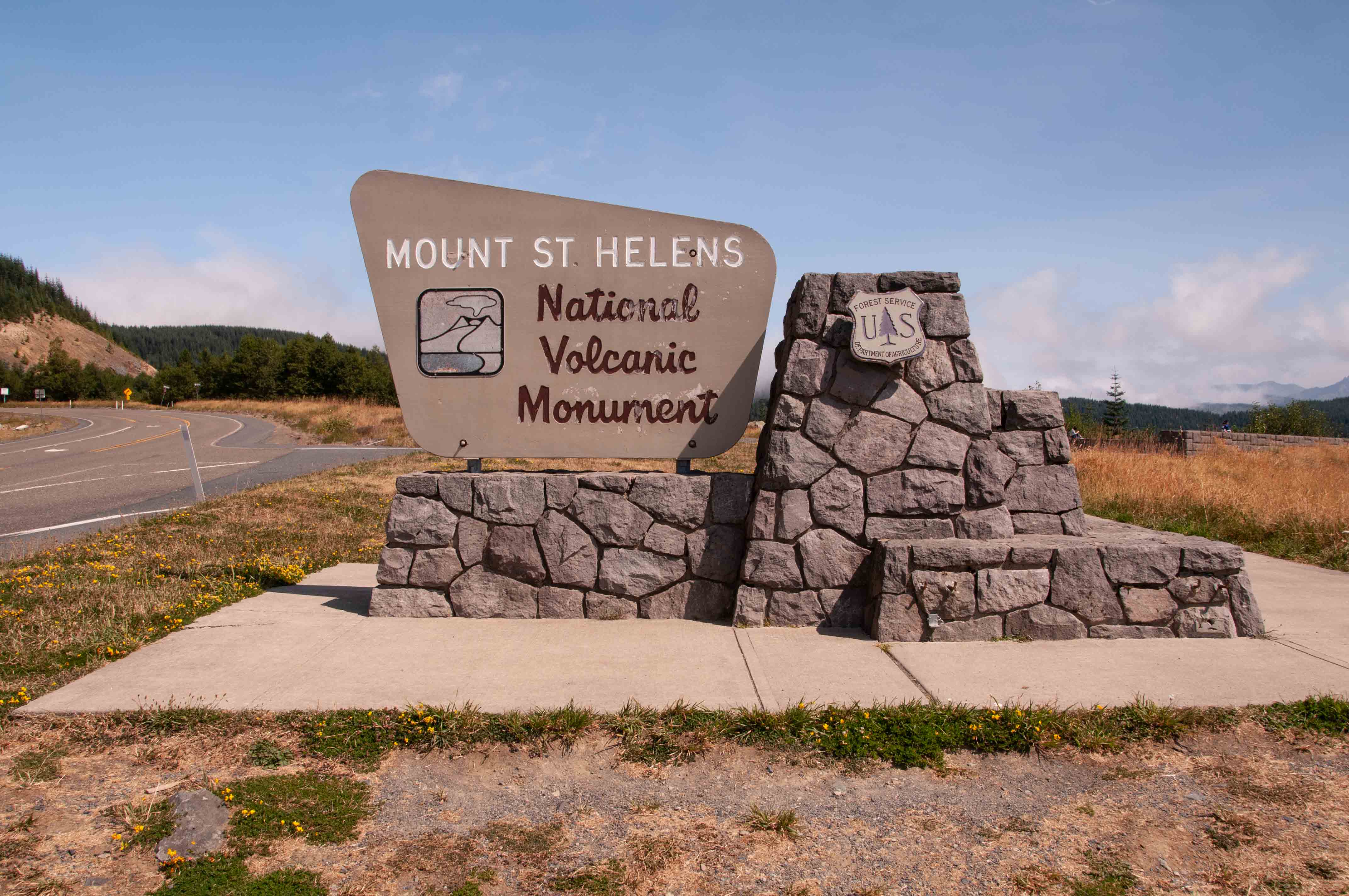
Entrance Sign
Mount St. Helens viewed from SR 504
Panorama from SR 504 (no Audio)
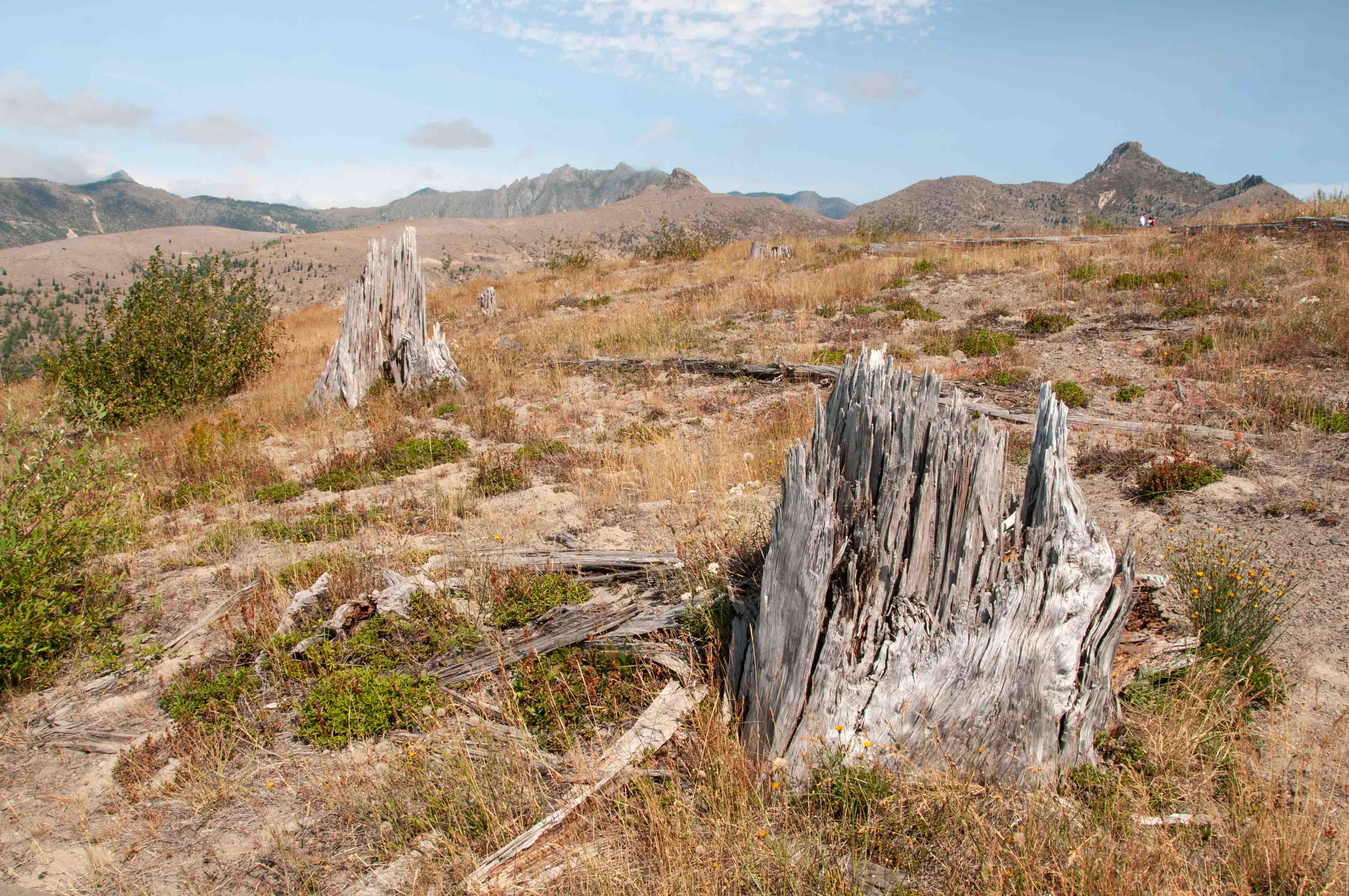
Trees felled during eruption
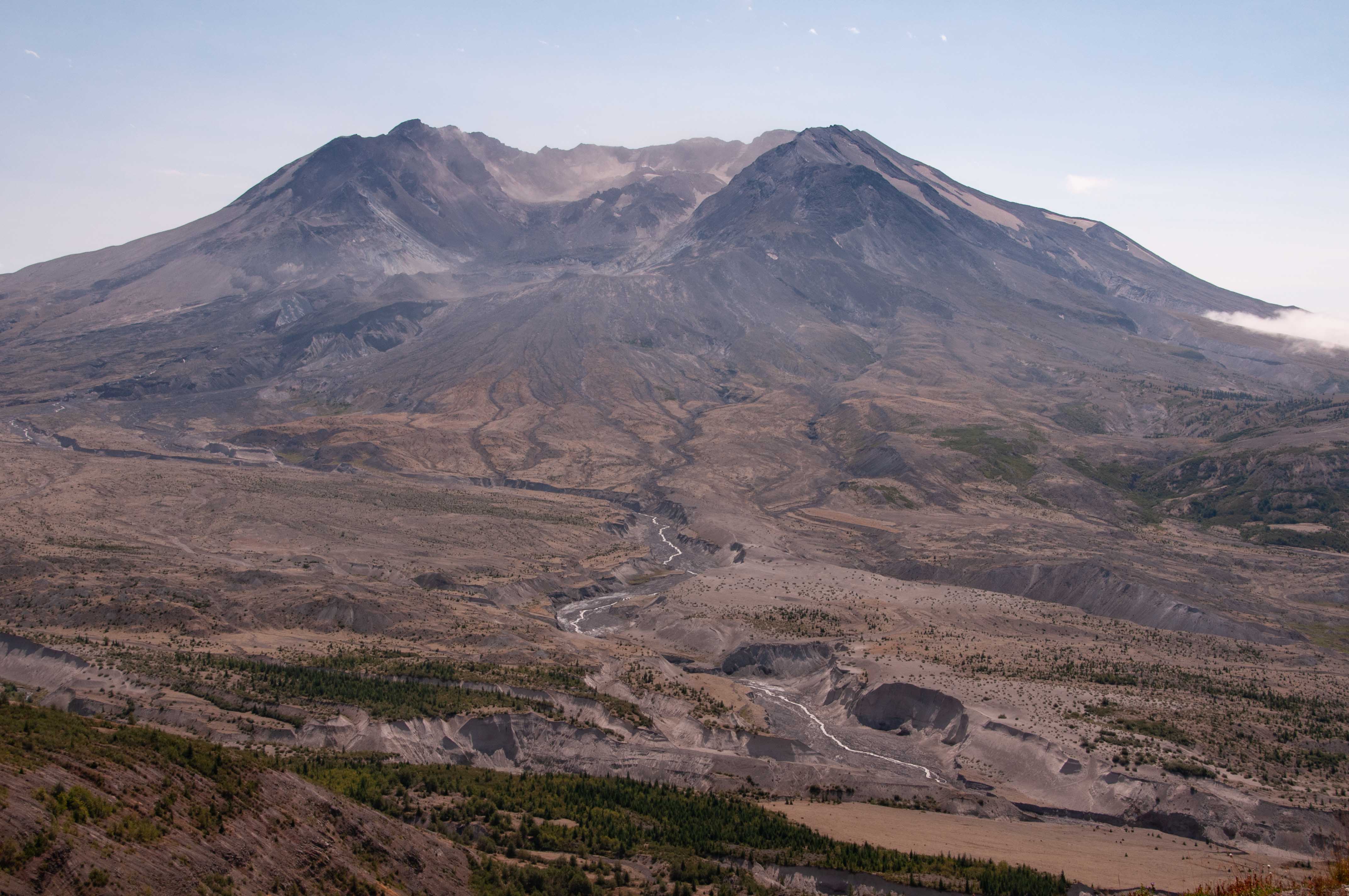
Mount St. Helens
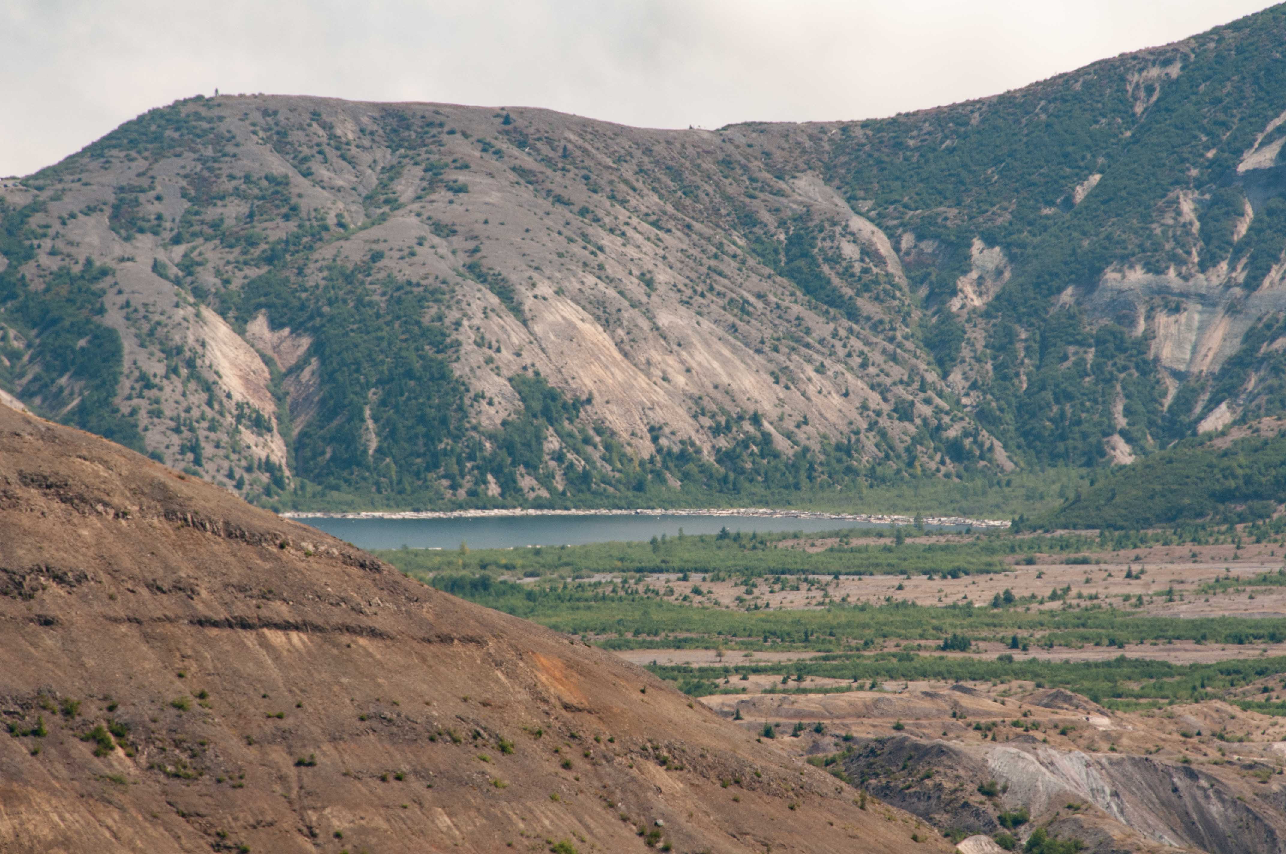
Spirit Lake
Panorana from Johnston Ridge
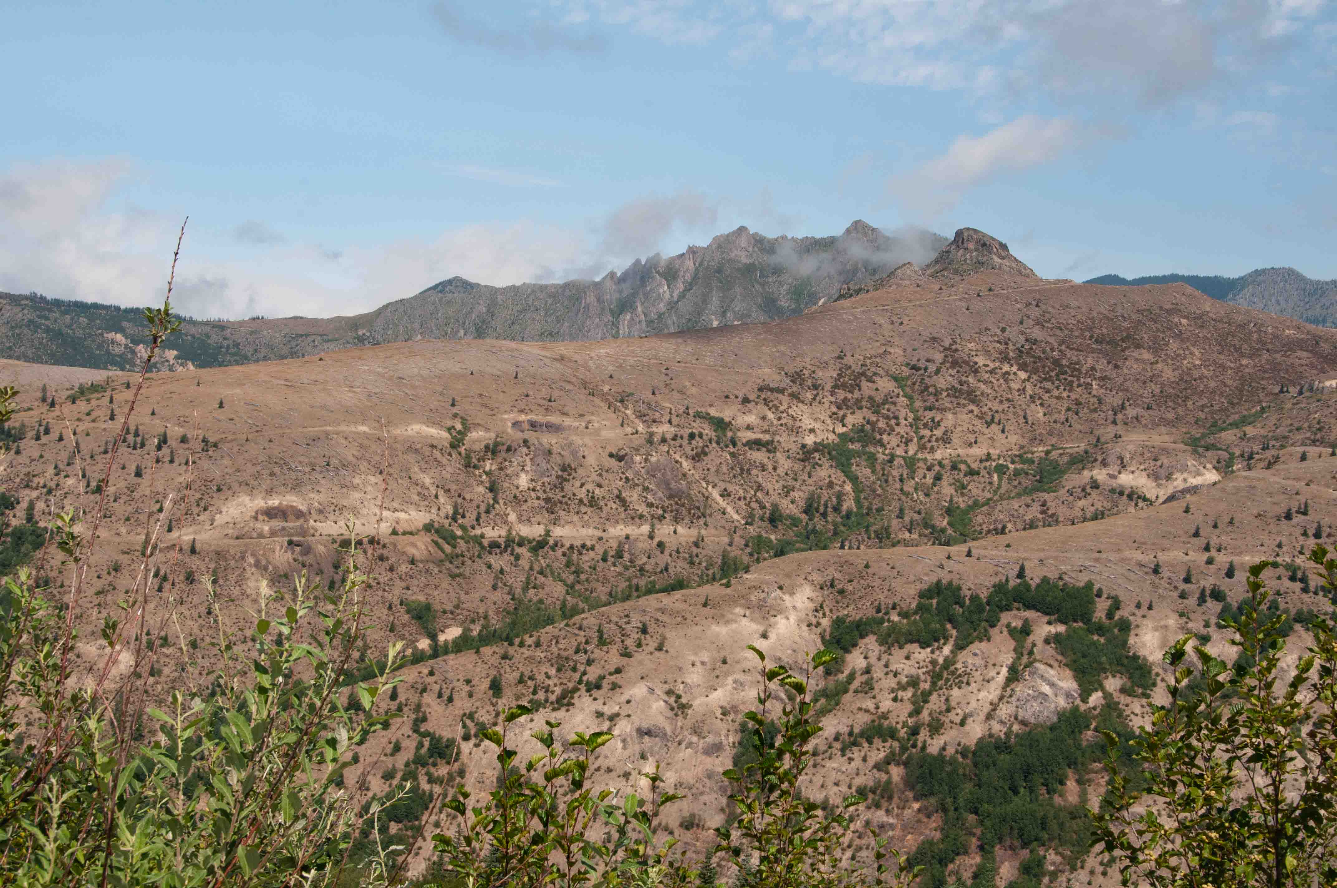
View east from Johnston Ridge
View from Johnston Ridge
View from Johnston Ridge
Mount St. Helens

Trees felled by the eruption
An arch is visible at the top right center of the ridge
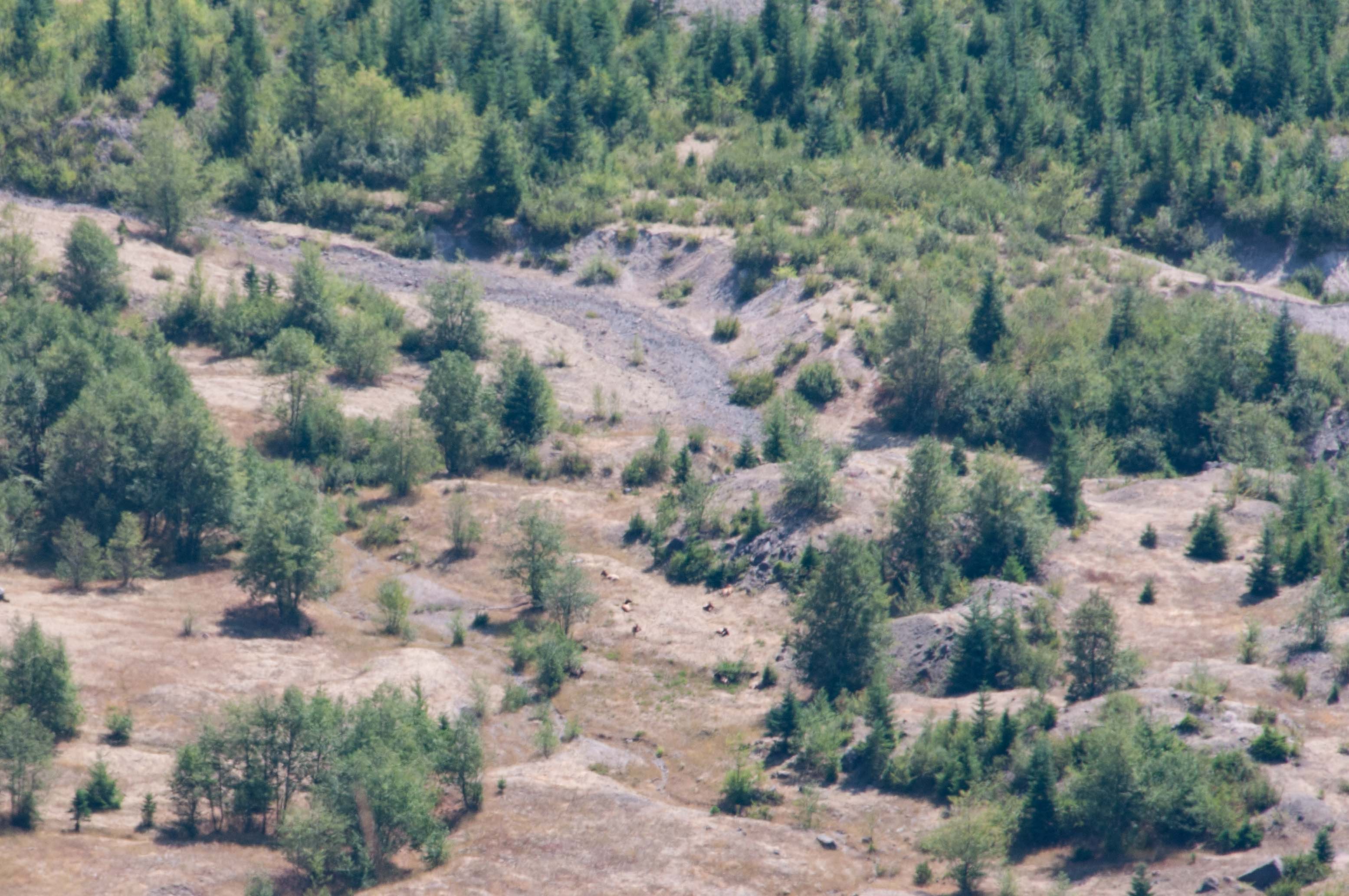
Really long shot of elk in a clearing
Elk in Clearing (no Audio)
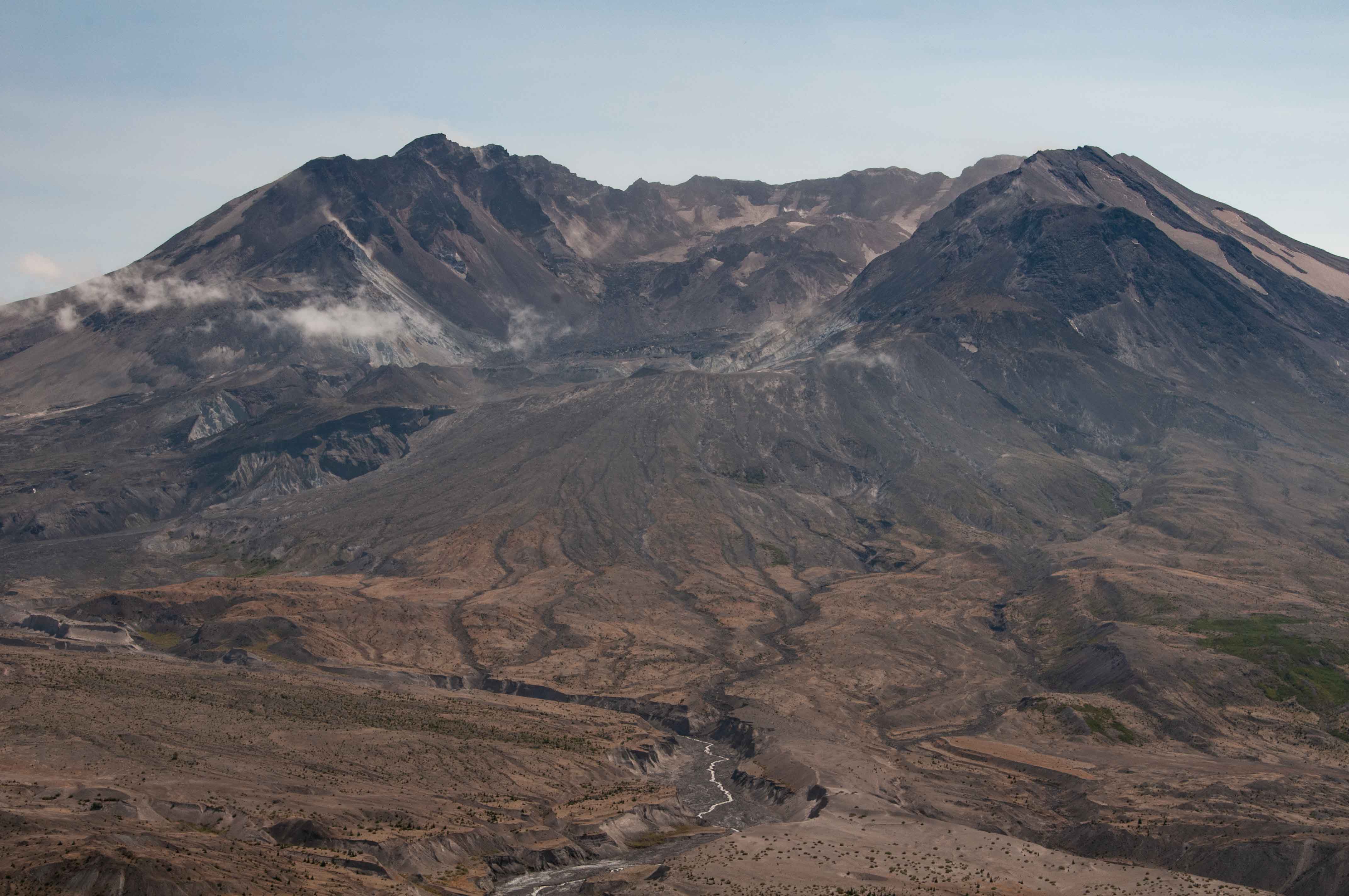
Mount St. Helens
Mount St. Helens
Johnston Ridge Observatory

Johnston Ridge Observatory
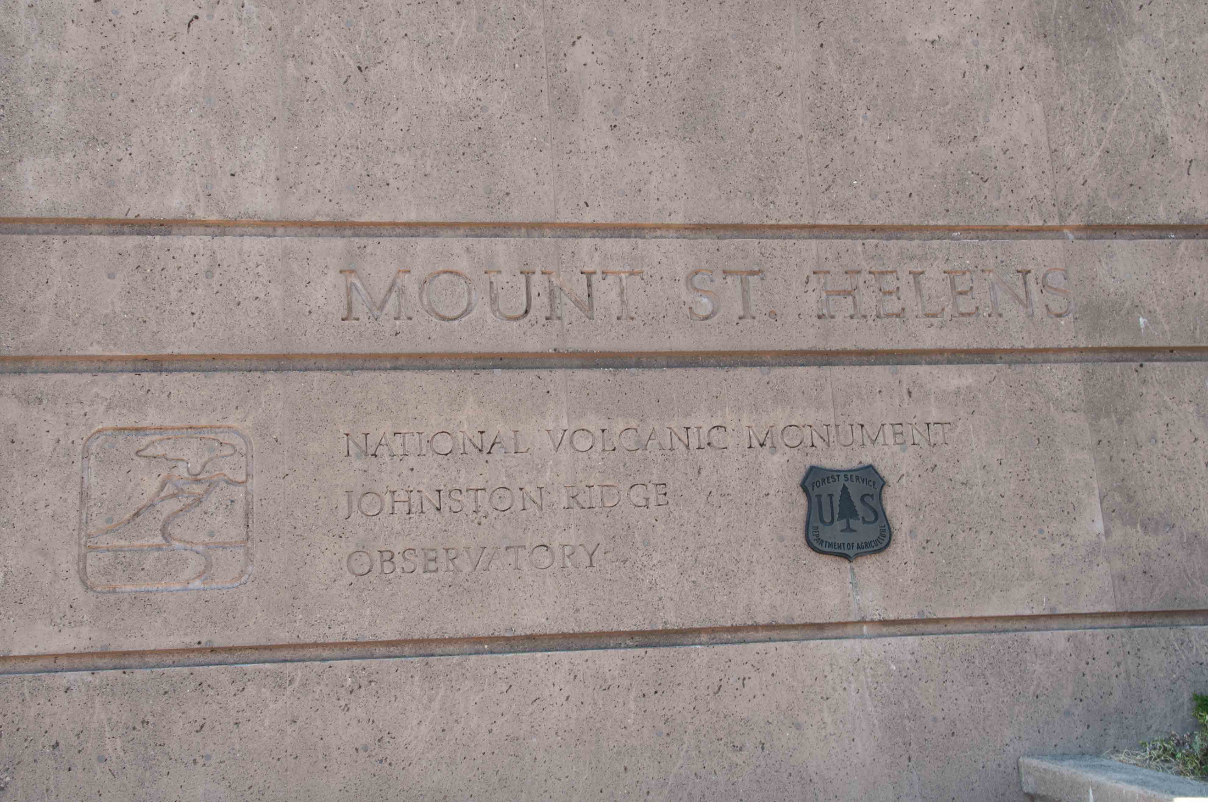
Johnston Ridge Observatory
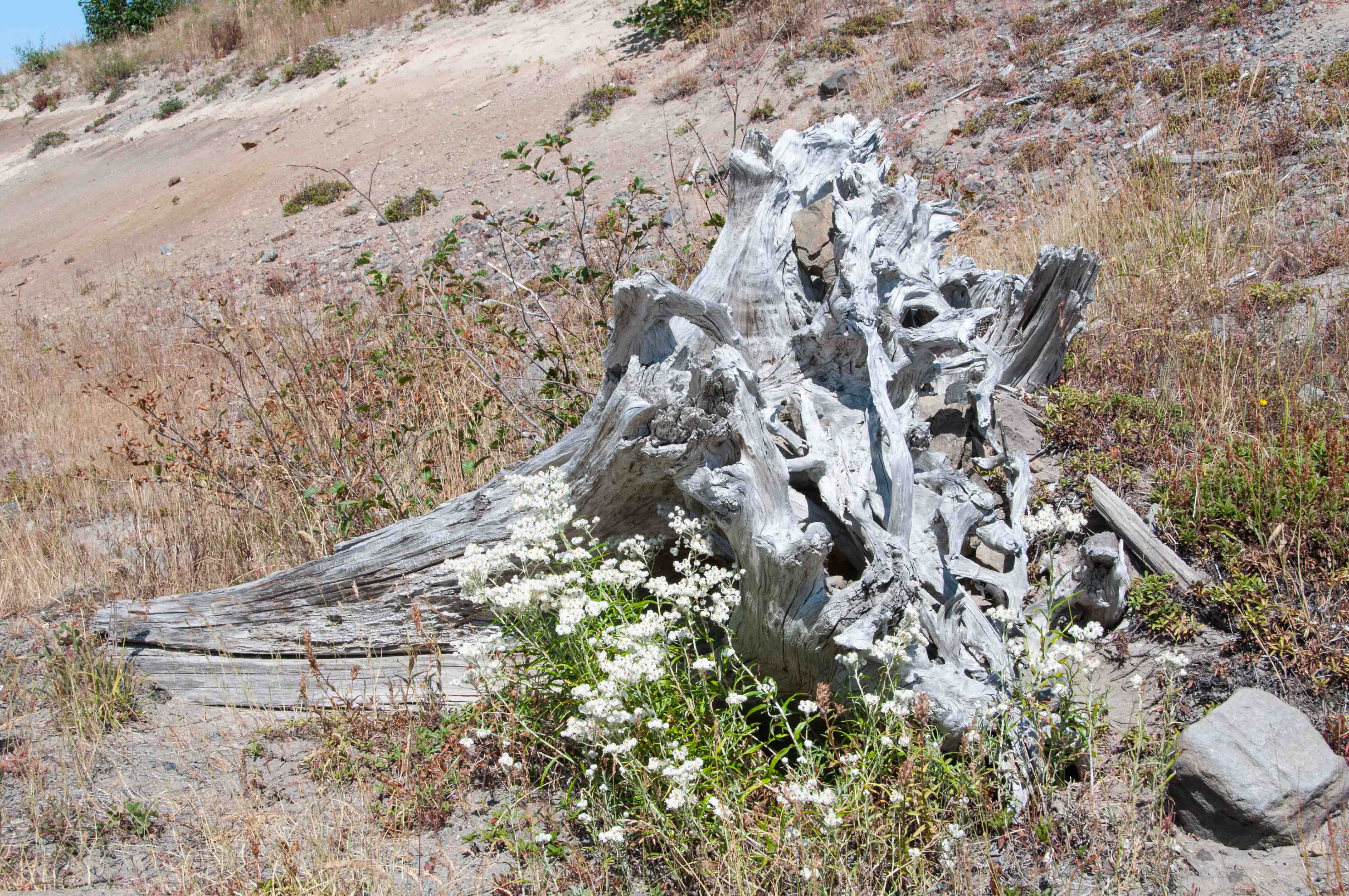
Tree stump blown down
by the eruption

Observatory interior
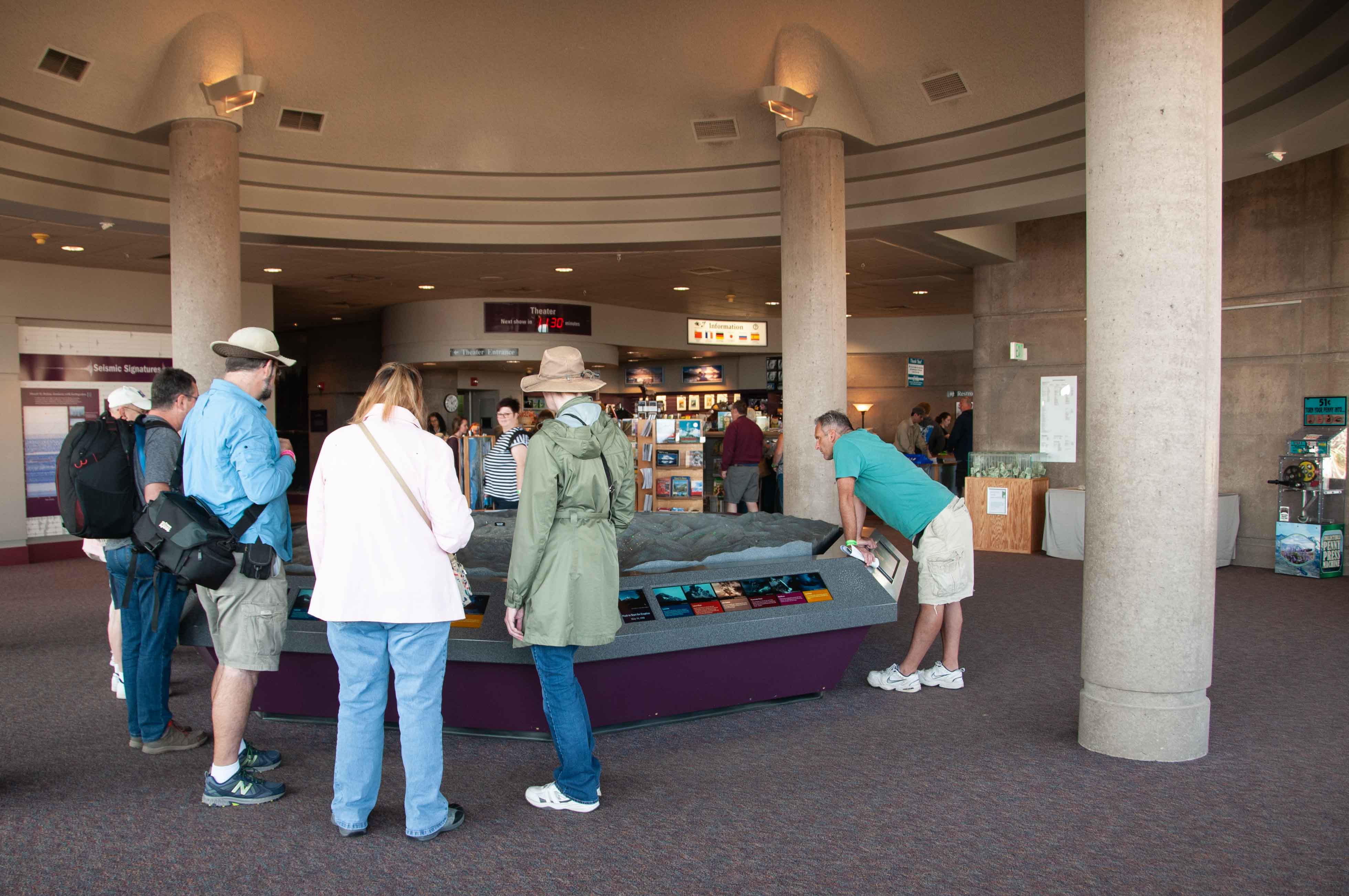
Model of eruption sequence
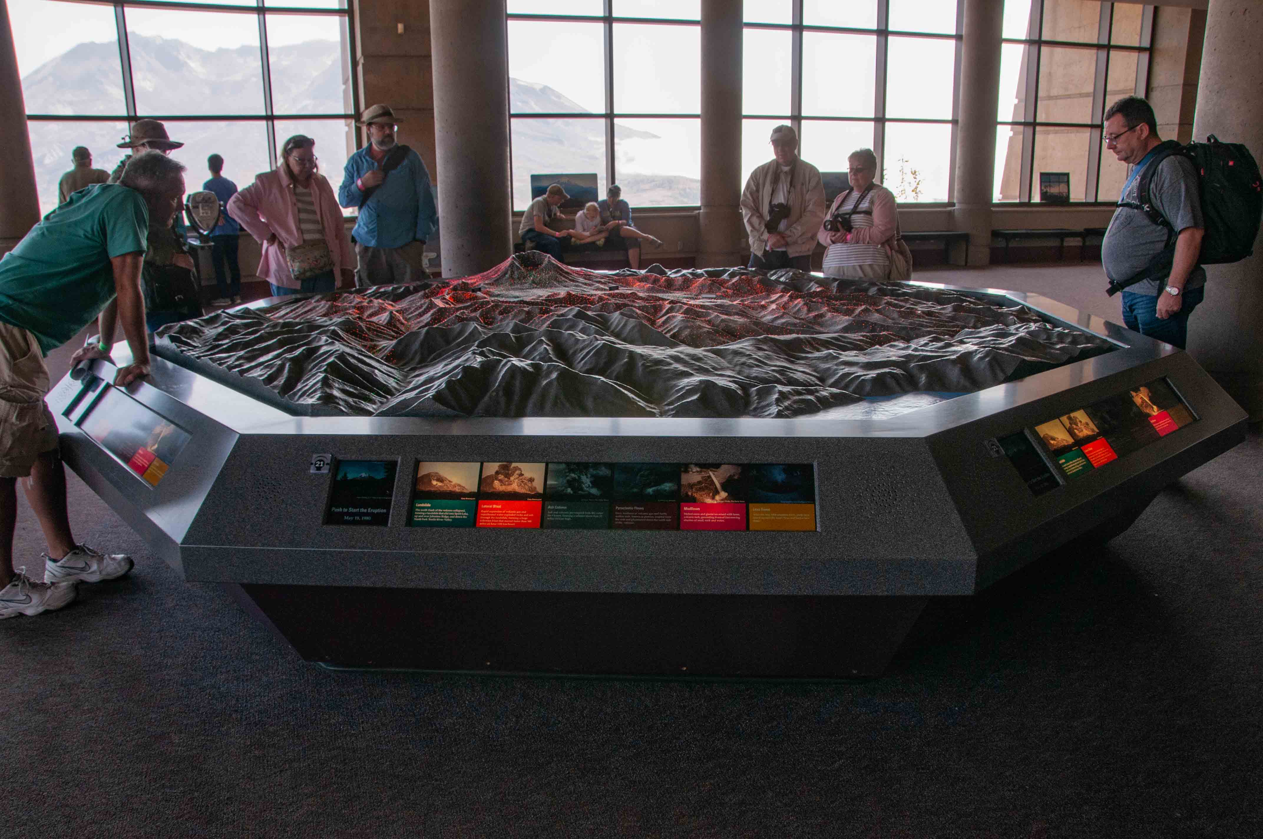
Model of eruption sequence
Model of eruption sequence
Some content obtained from Wikipedia.
Use the form on the Home Page to submit comments, questions, or suggestions. TD Productions Copyright © 2018