Mount Rainier National Park
Mount Rainier National Park was established on March 2, 1899, as the fourth largest national park in the United States. The centerpiece of the park is of course Mount Rainier. Mount Rainer, at 14,410 feet, is the highest point in the Cascade Range. I made my first visit to the park in June of 2024. I wish I had gone 40 years earlier when I was still backpacking. A timed entry (date and time) reservation is required to get into the park. Timed entry is required for the Paradise Corridor entering from the southwest or southeast, and the Sunrise Corridor entering from the northeast. I chose the Paradise Corridor, starting at the Nisqually Entrance at the southwest corner of the park. I basically took an auto tour, stopping at various points of interest along the park road, and exiting the park at the Stevens Canyon Entrance at the southeast corner. There are good views of Mount Rainier along the entire corridor, as well as rivers, lakes, and waterfalls.
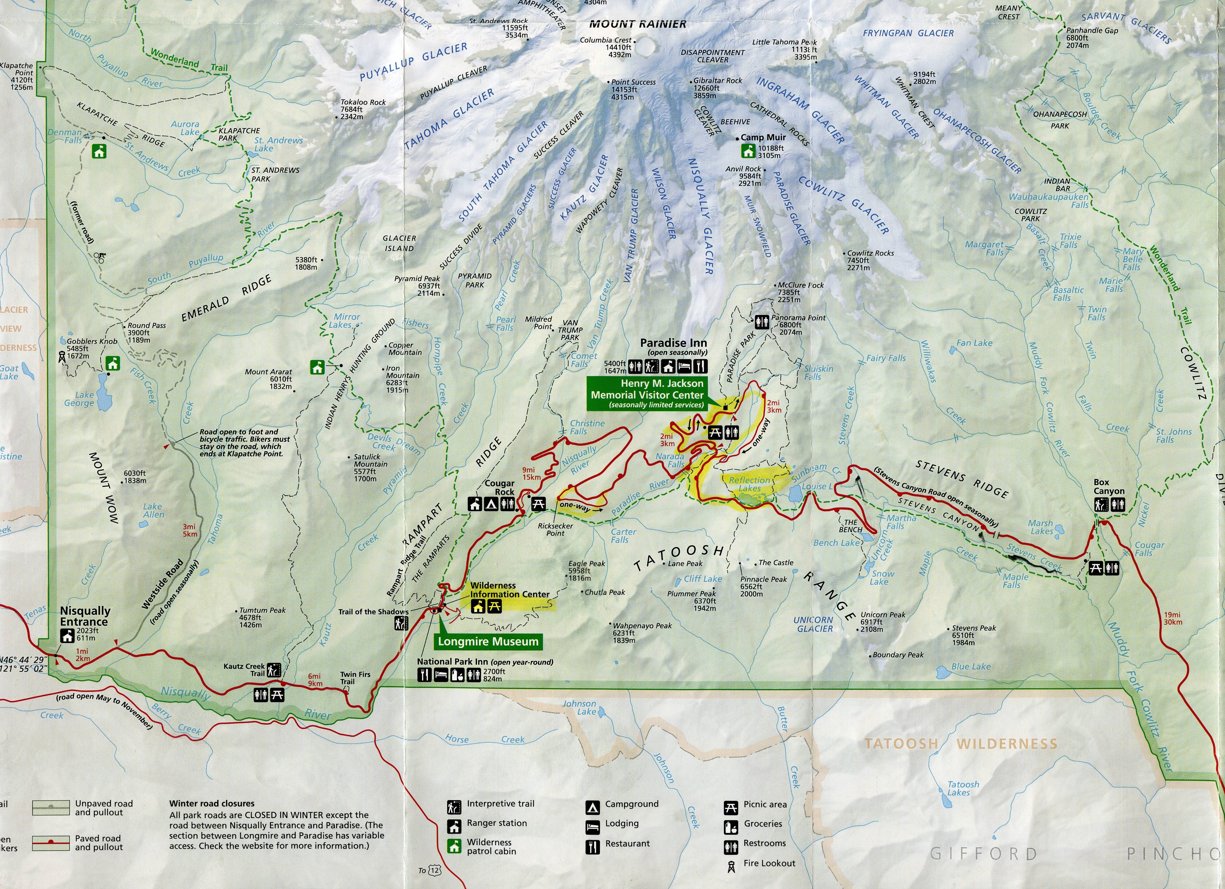
Mount Rainier Park Map

Nisqually Entrance
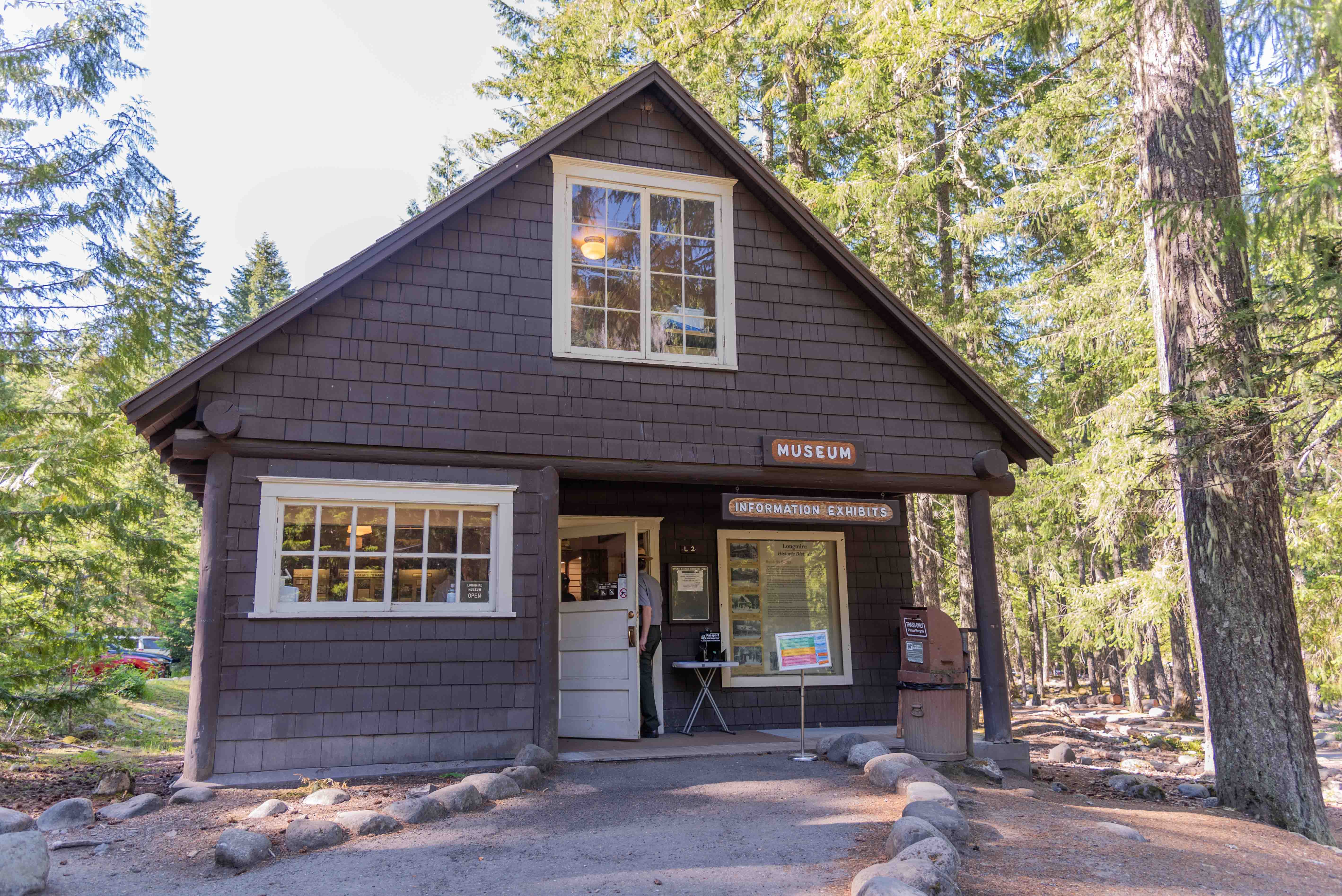
Longmire Museum
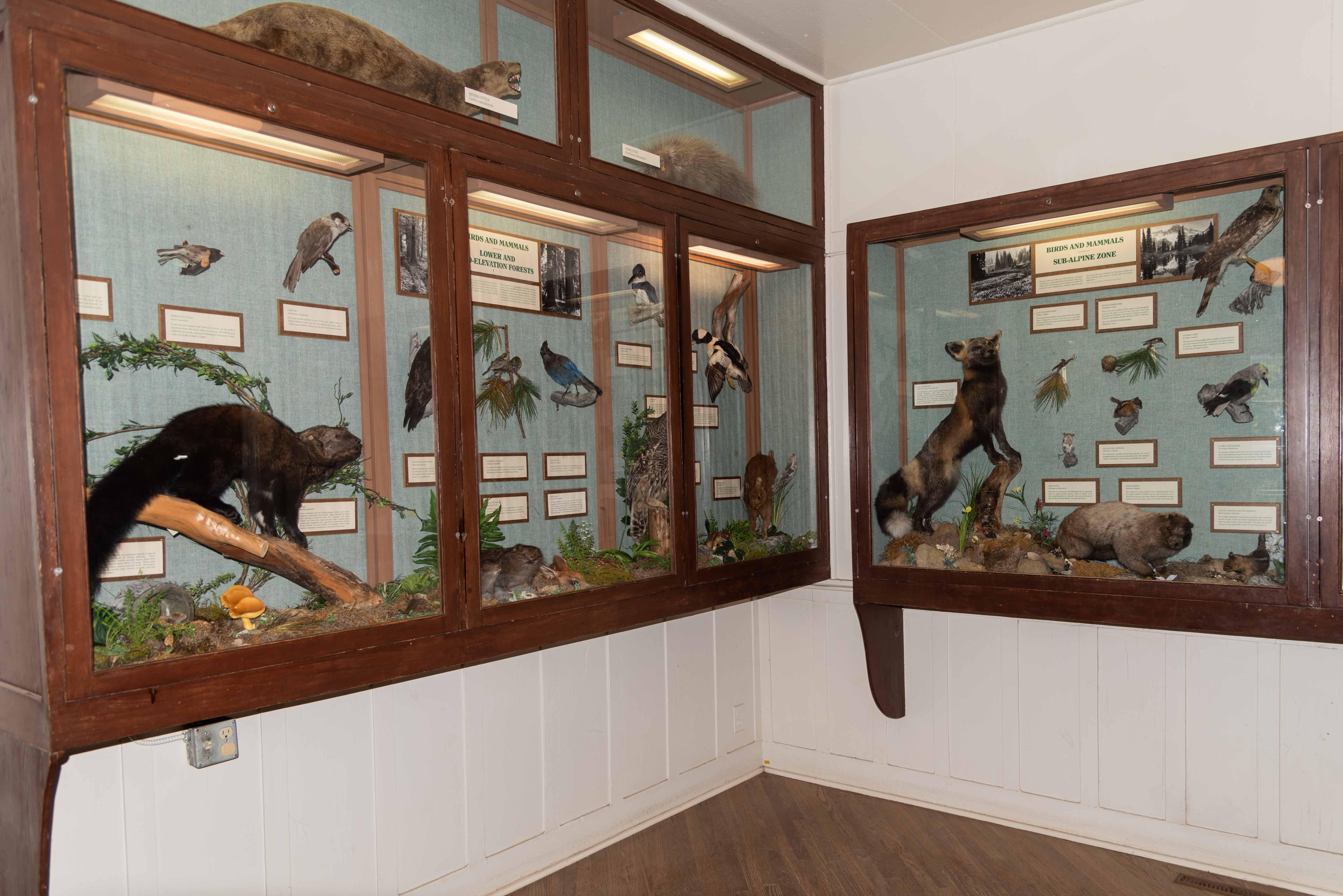
Museum Exhibits
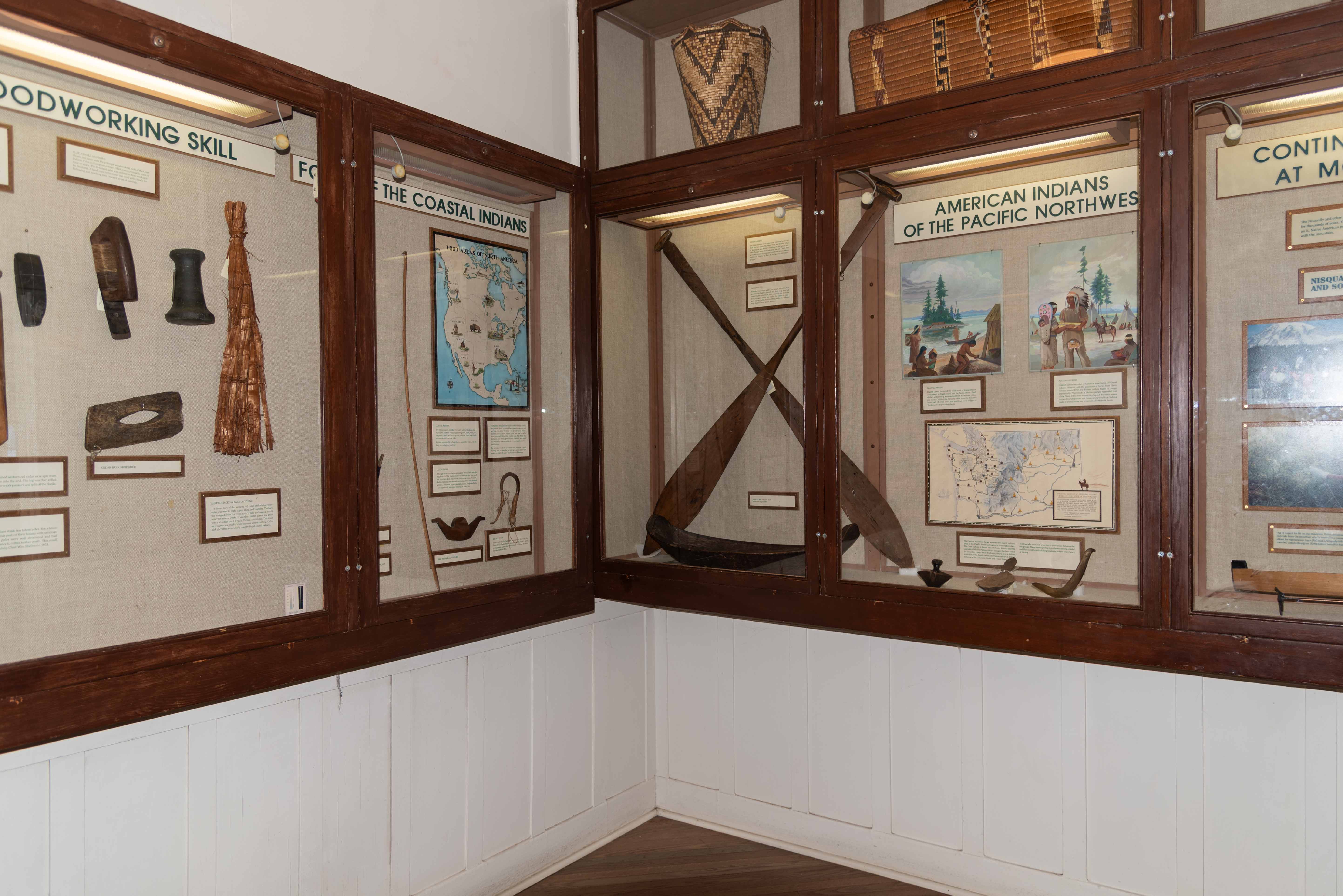
Museum Exhibits
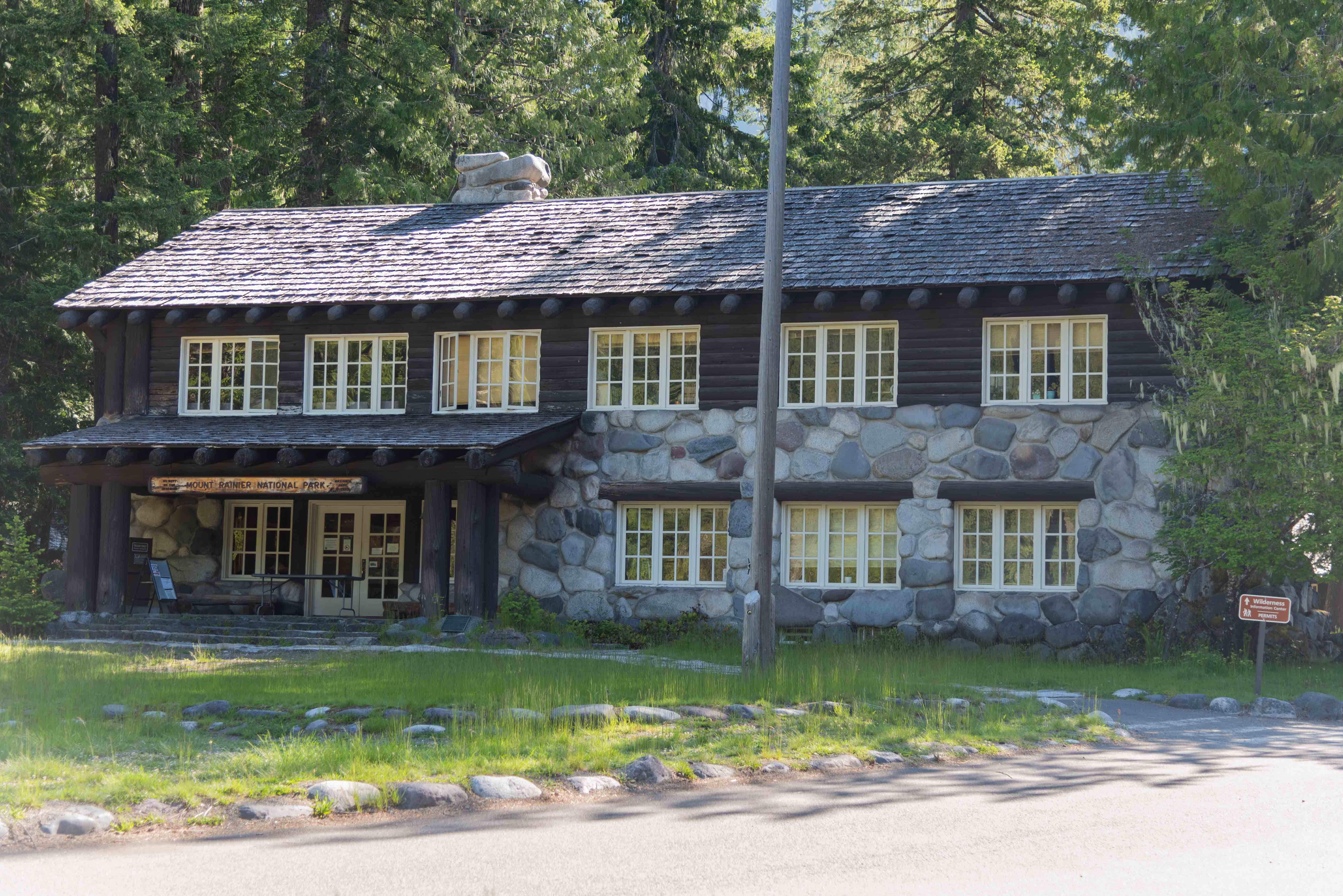
Longmire Wilderness Information Center/ Administration Building
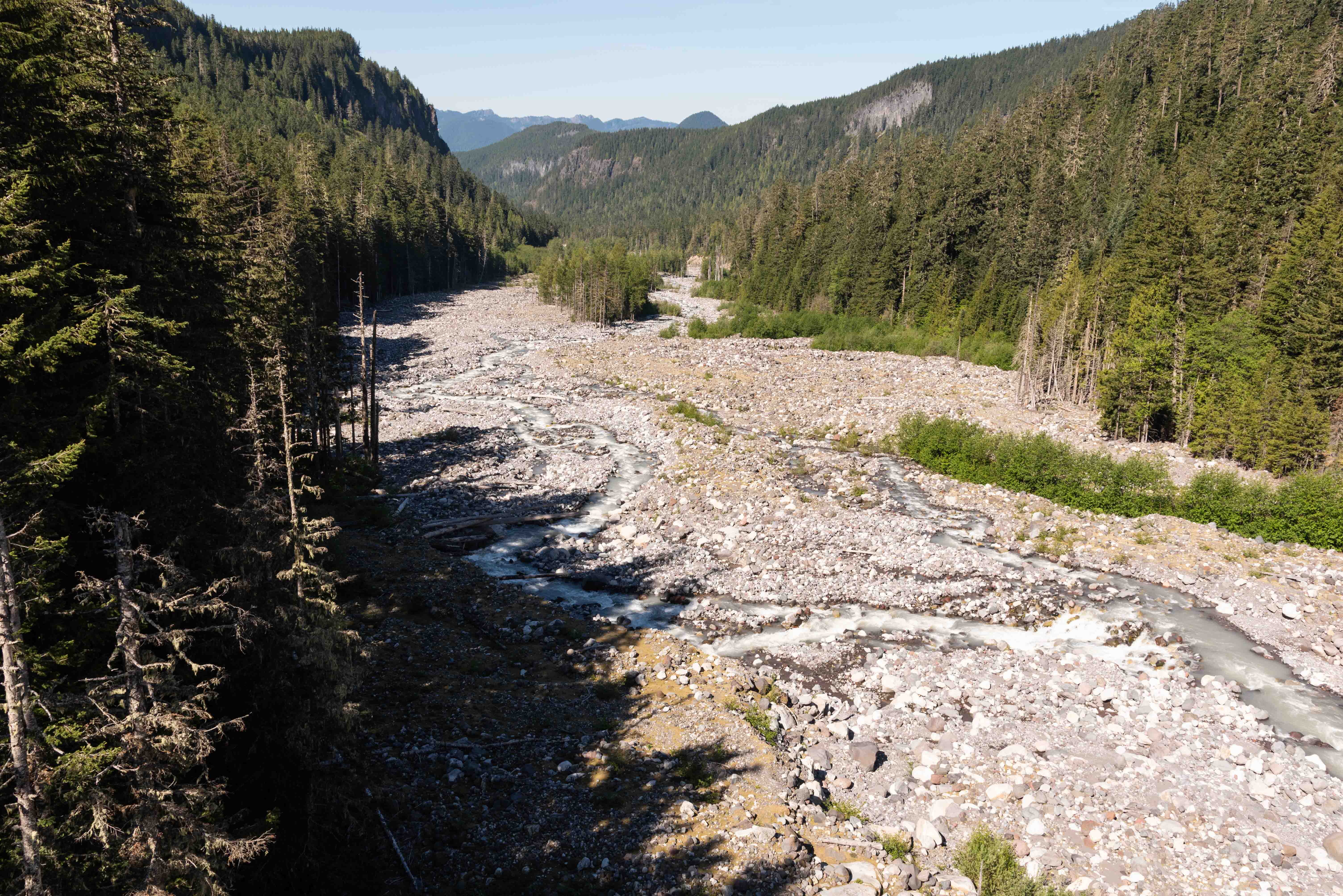
Nisqually River
Nisqually River
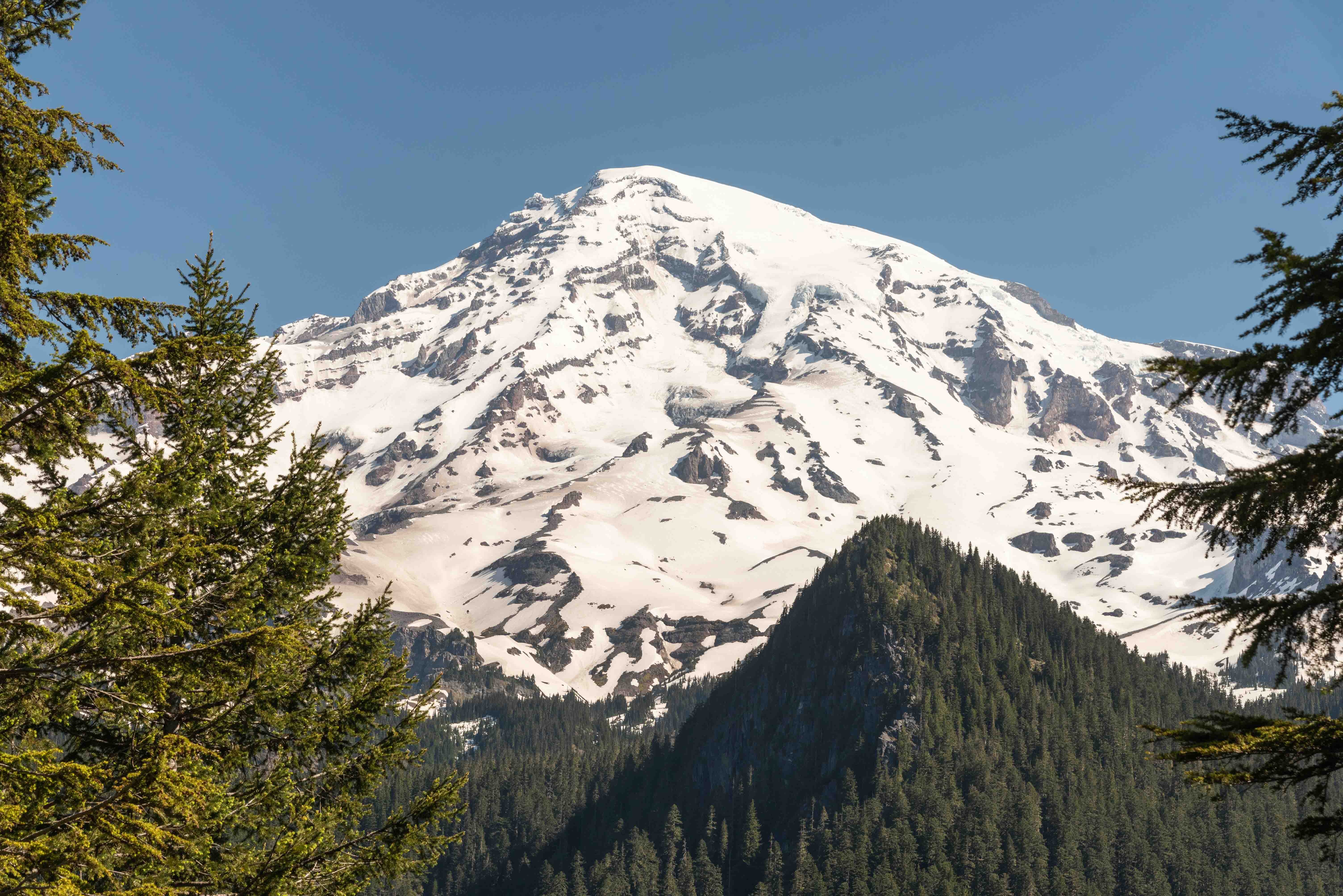
Mount Rainier - view from south
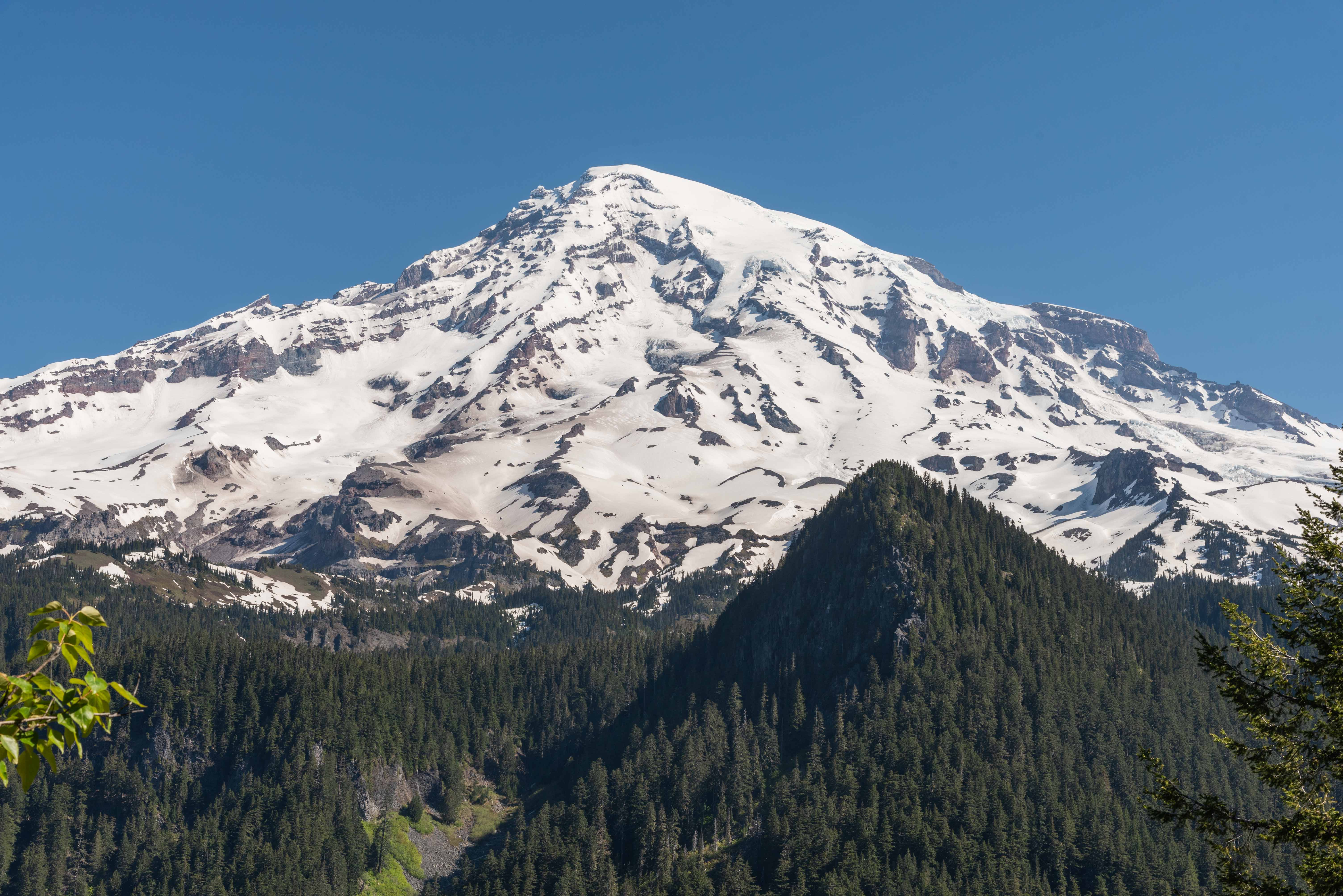
Mount Rainier - view from south
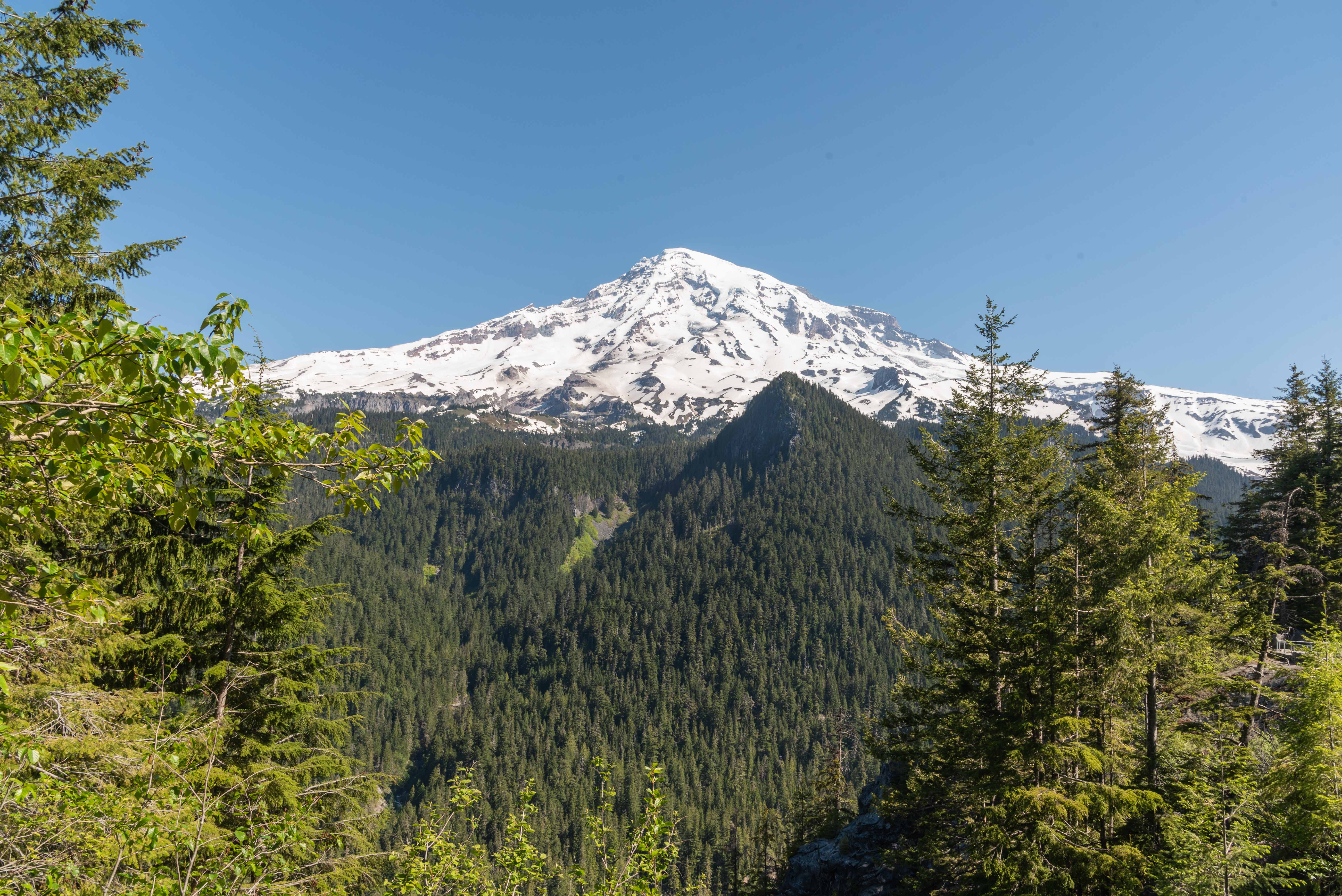
Mount Rainier - view from south
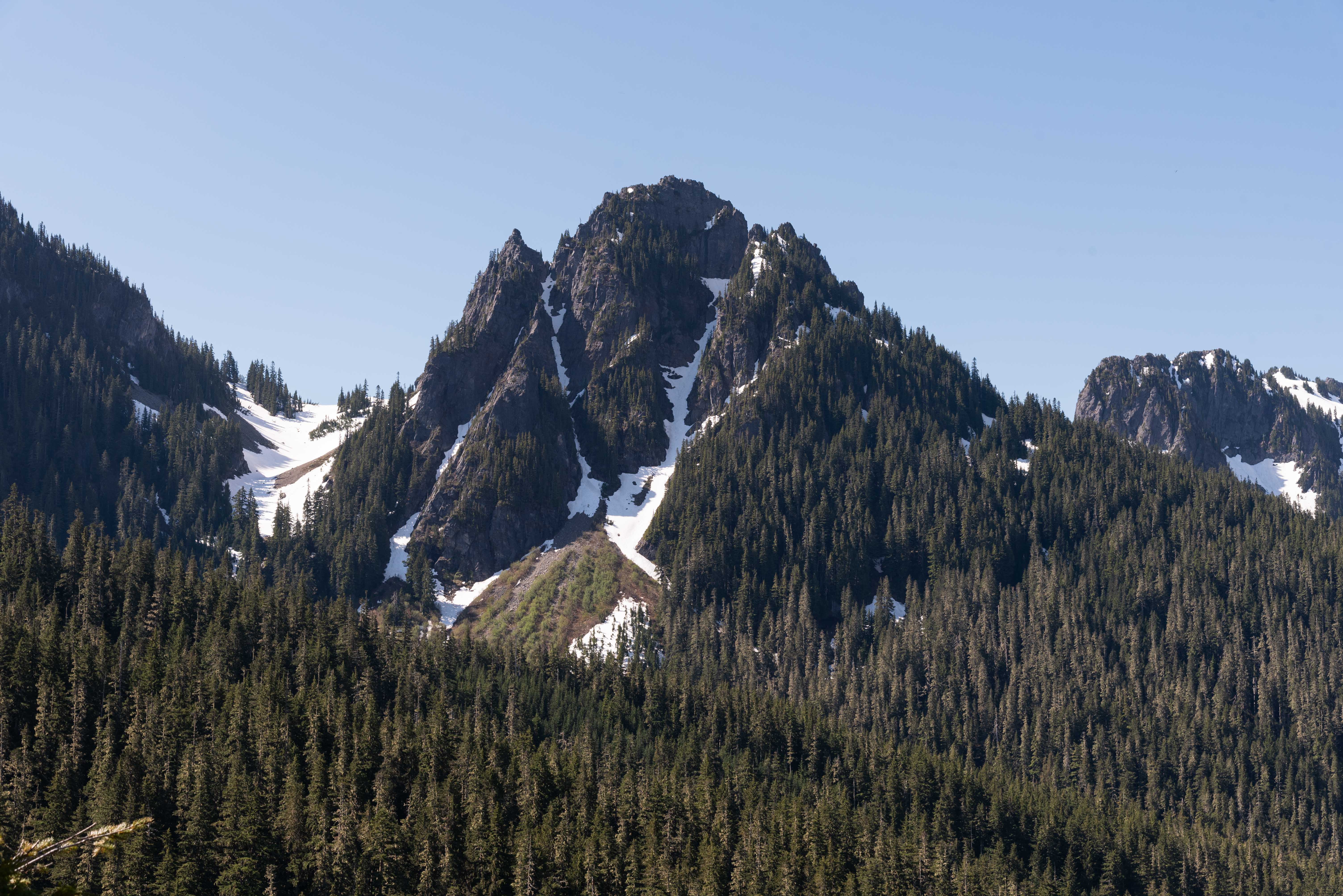
Might be Pinnacle Peak
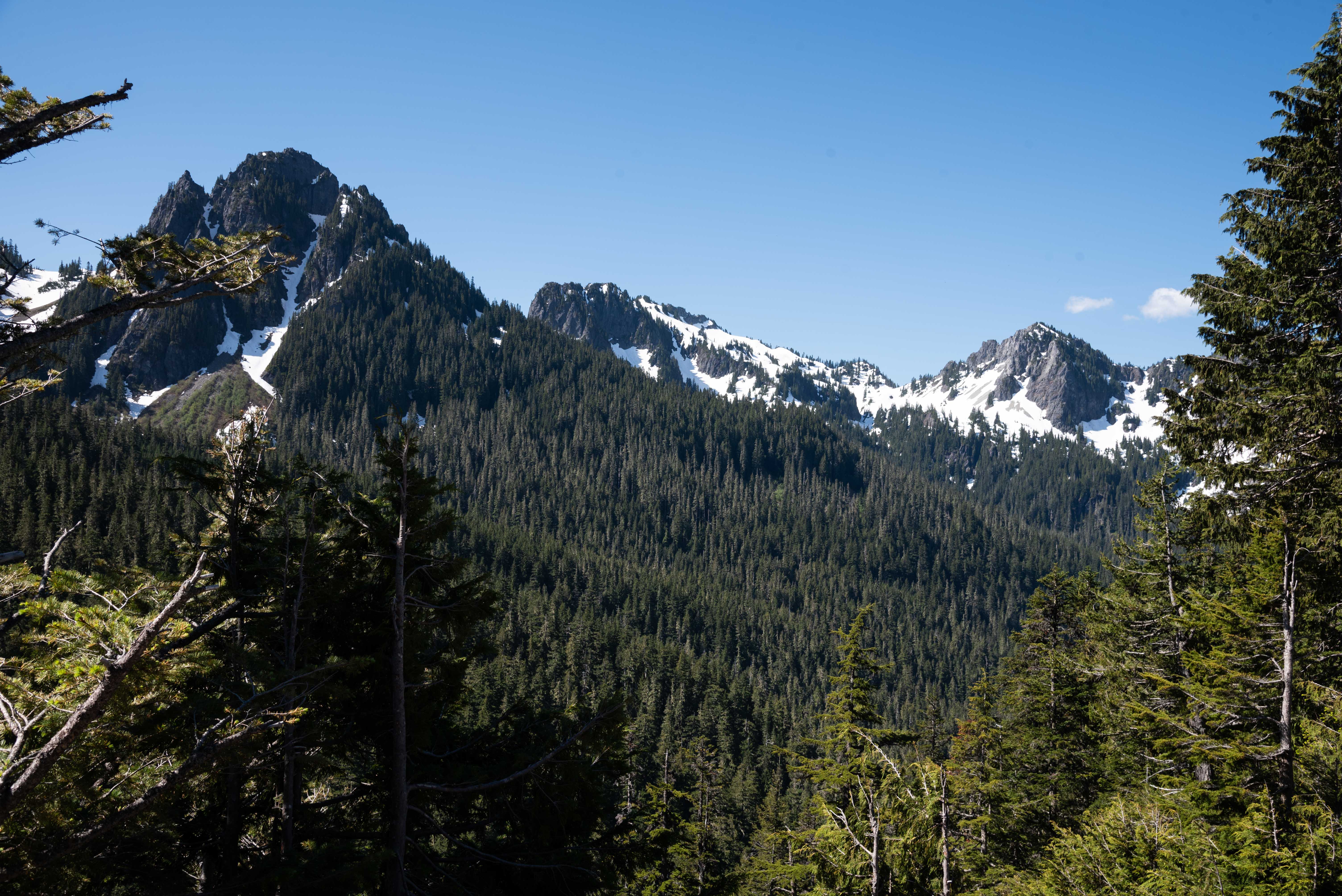
Might be (l to r) Pinnacle Peak, Plummer Peak, and Wahpenayo Peak
Upper Part of Narada Falls
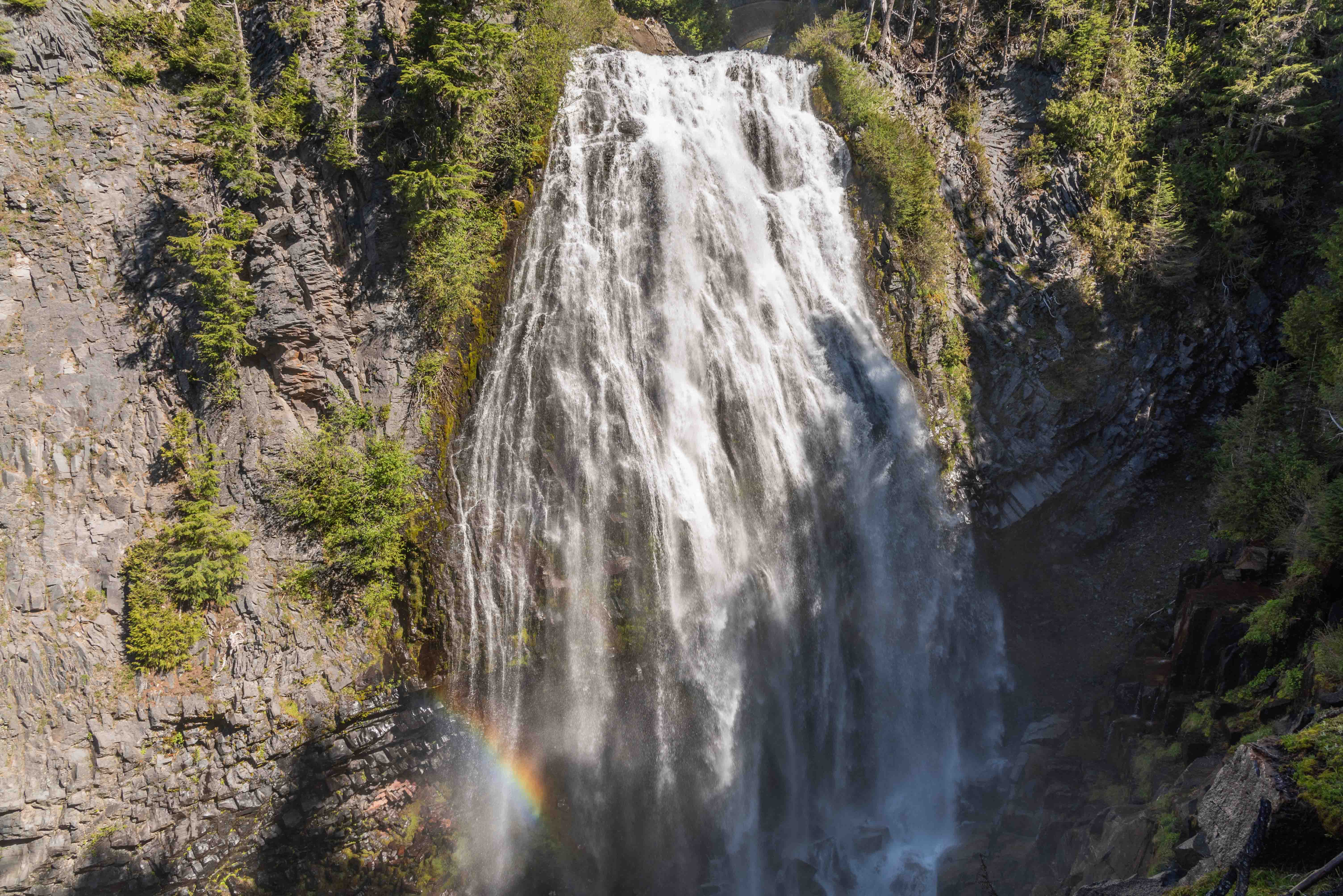
Narada Falls
Narada Falls
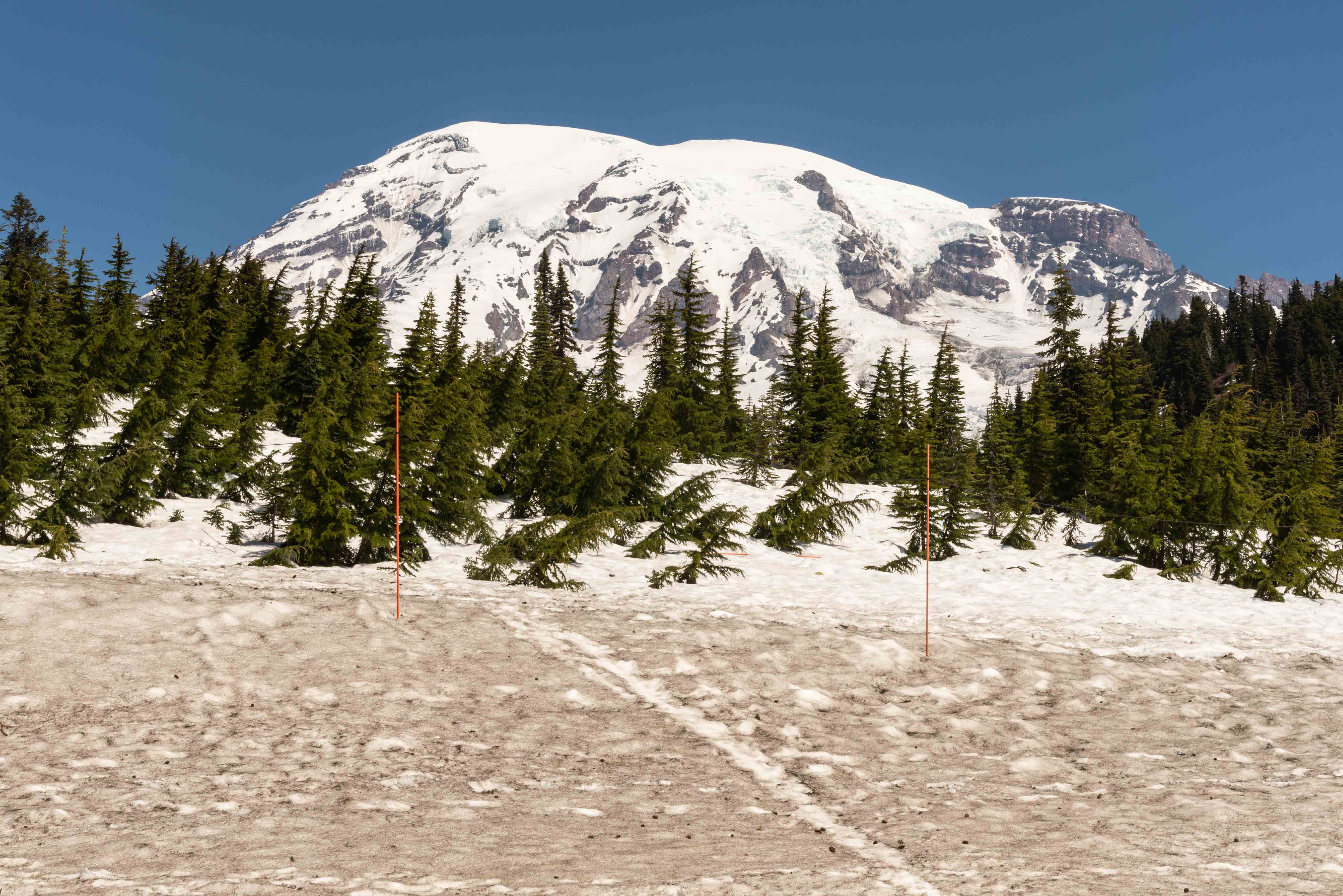
Mount Rainier - view from visitor center
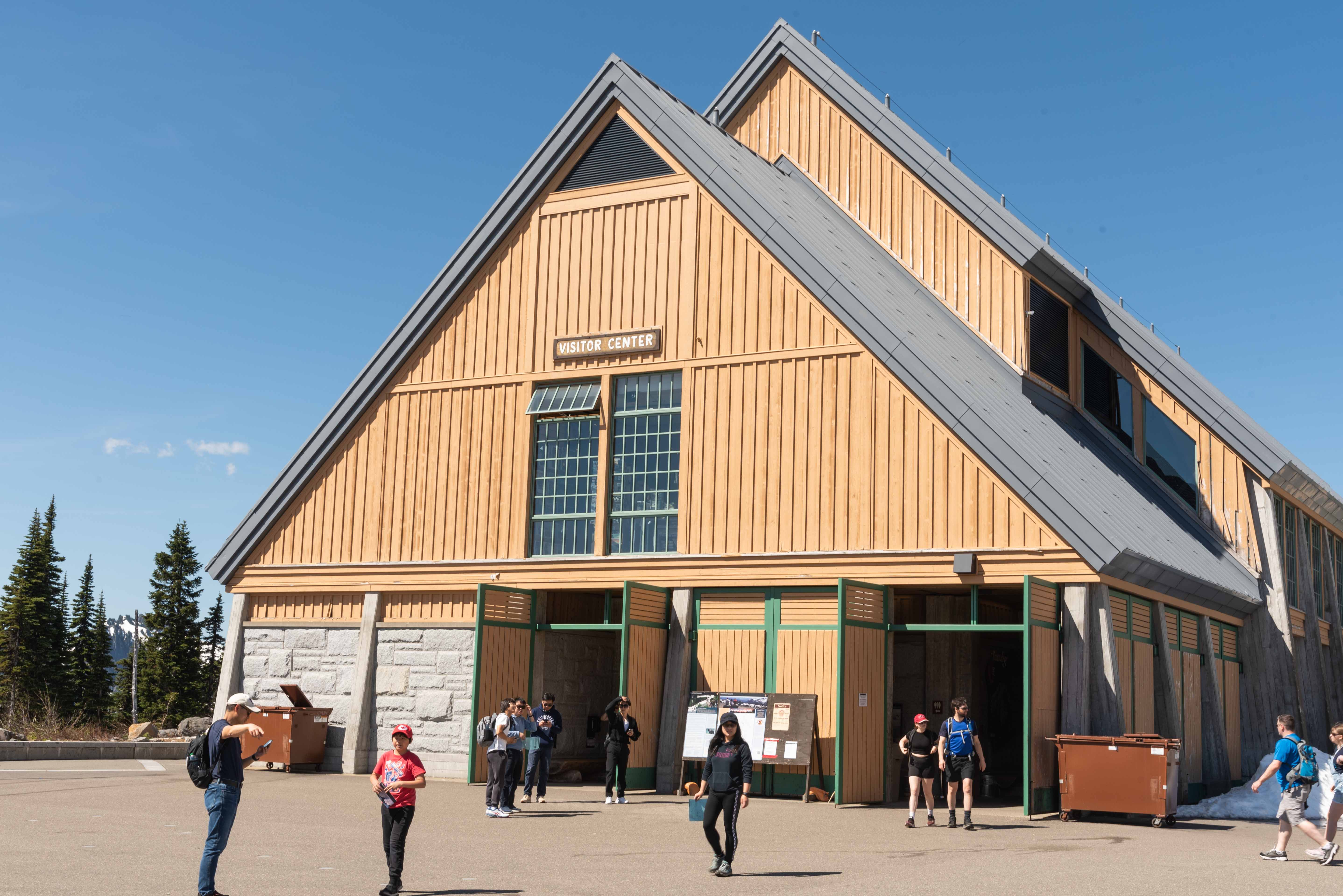
Henry M. Jackson Visitor Center
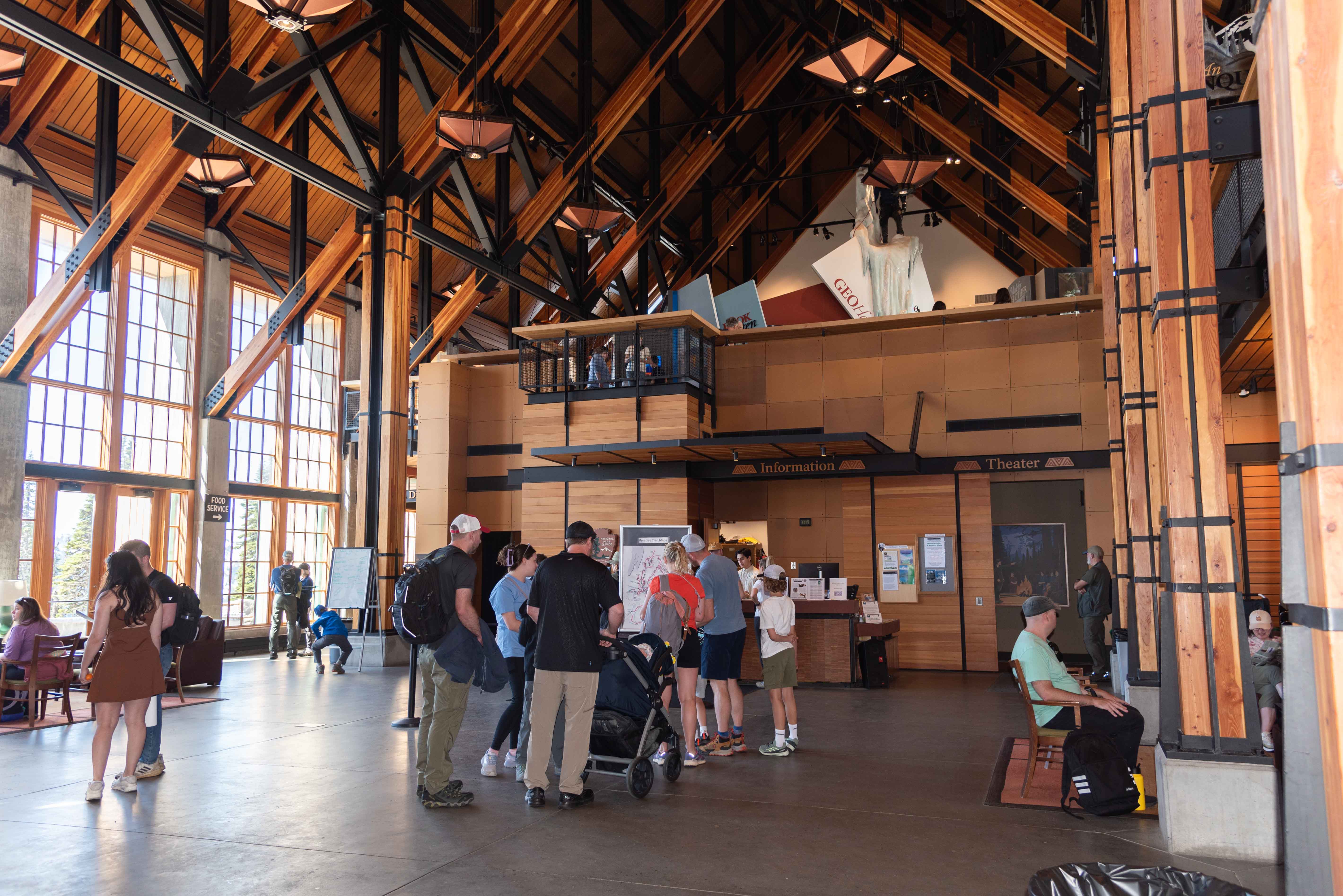
Visitor Center Interior
Reflection Lake
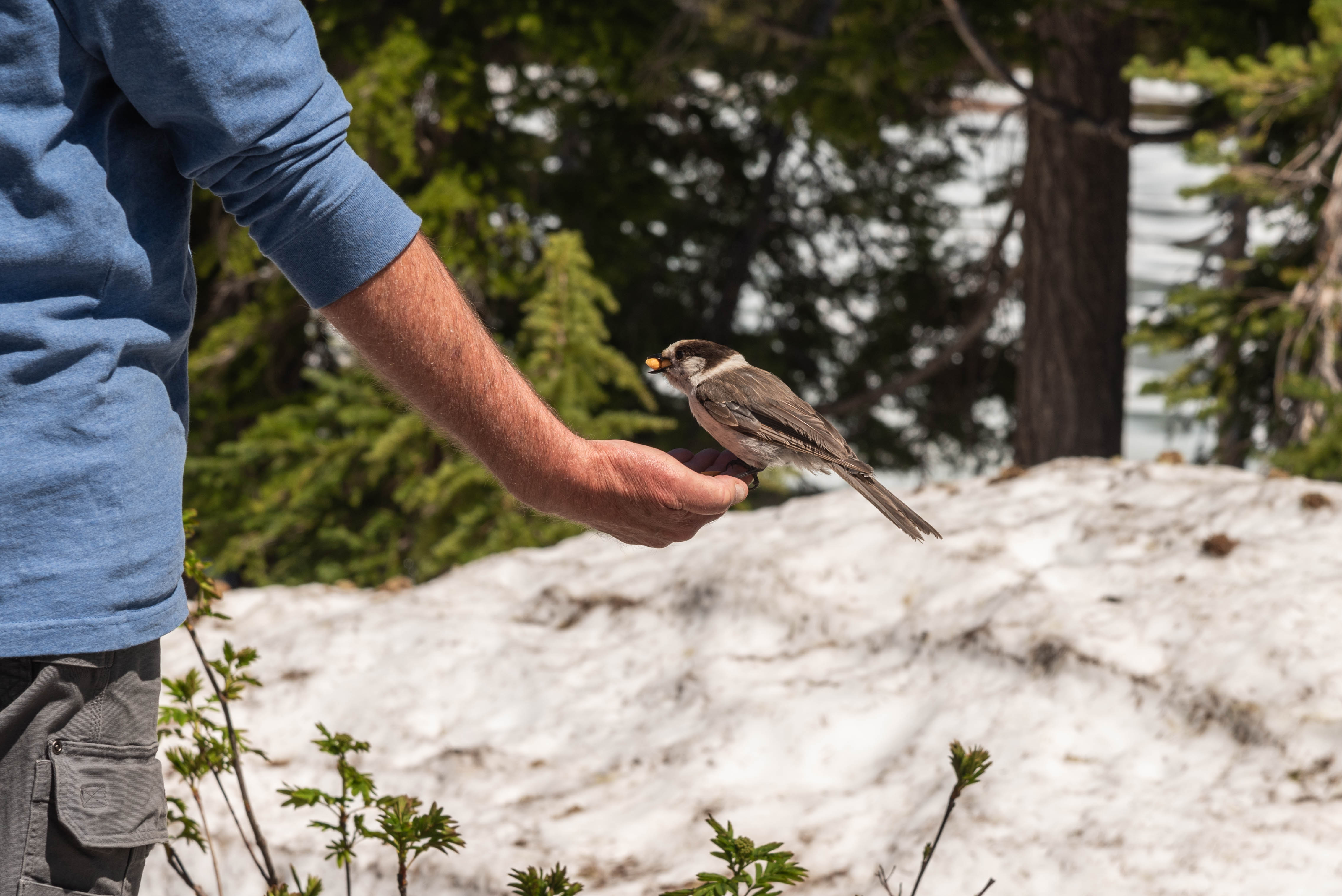
Don't feed the wildlife
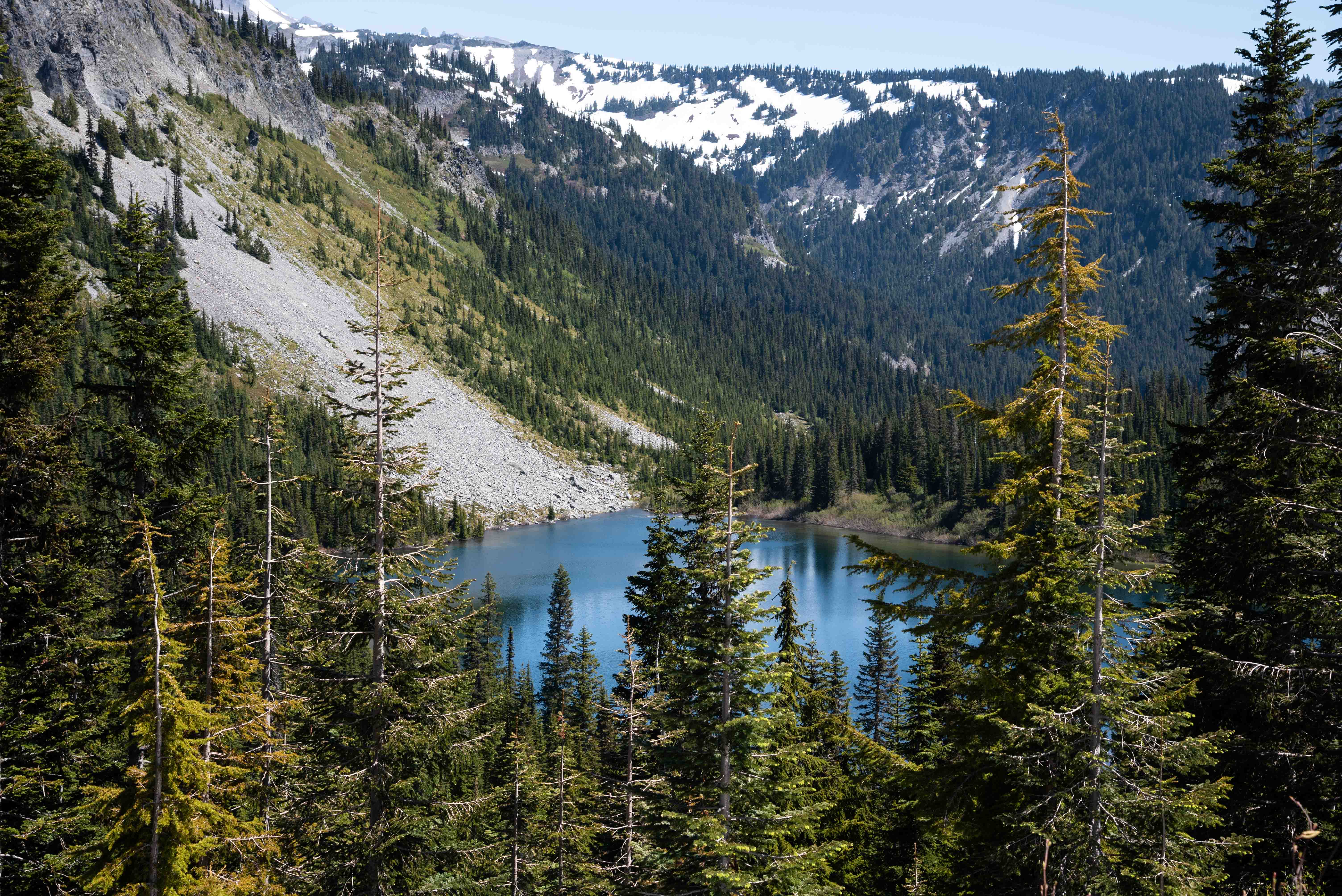
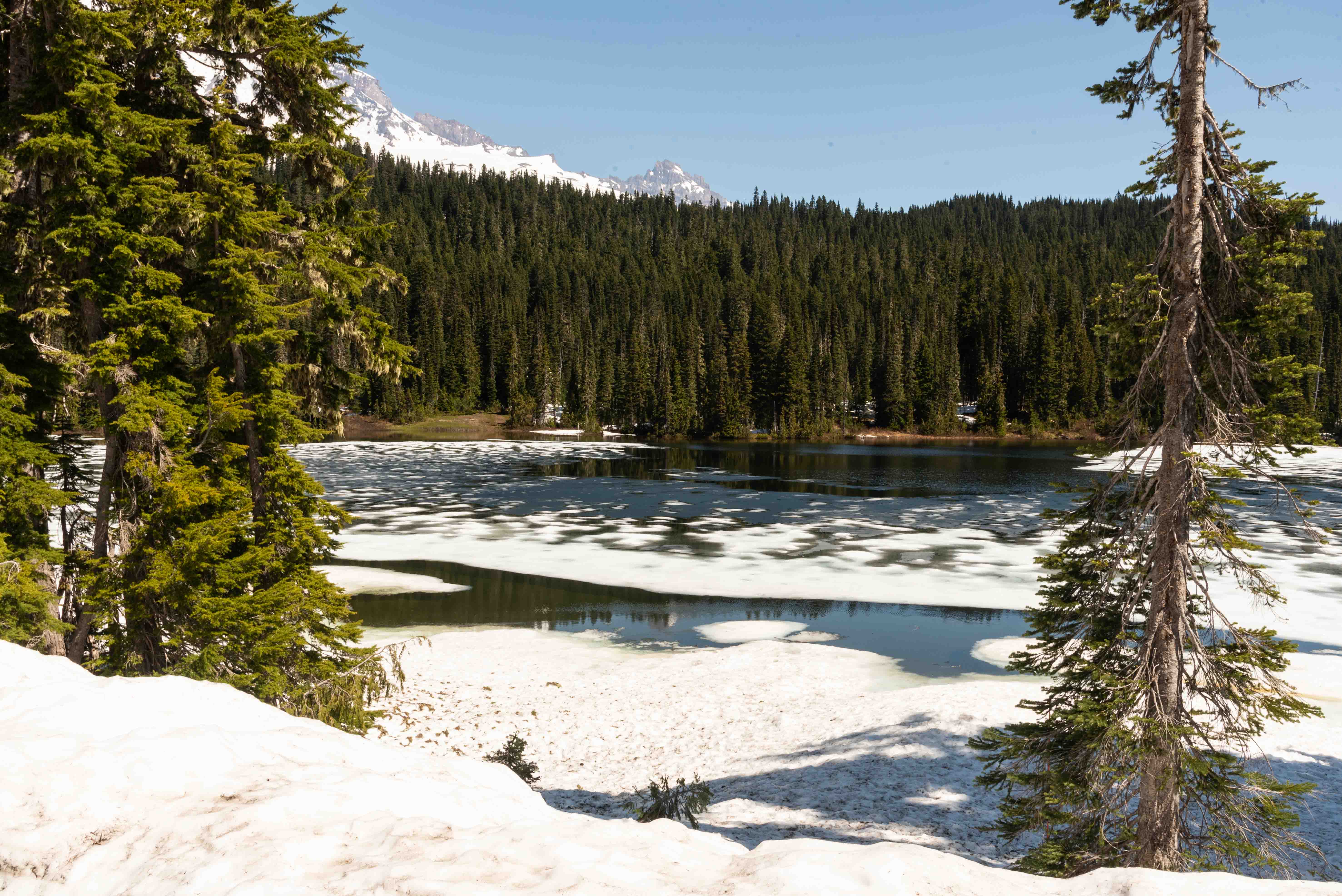
Louise Lake
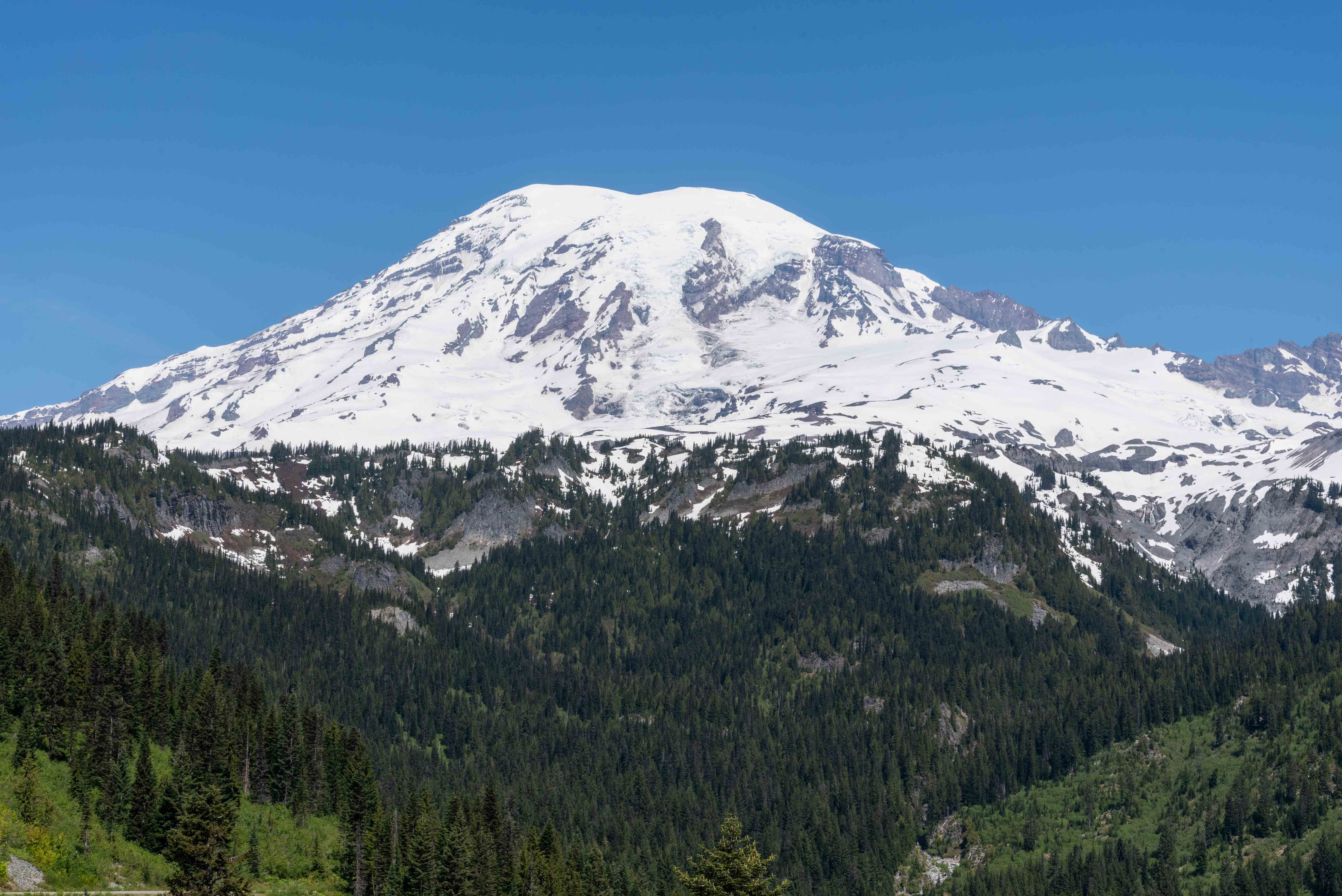
Mount Rainier - view from southeast
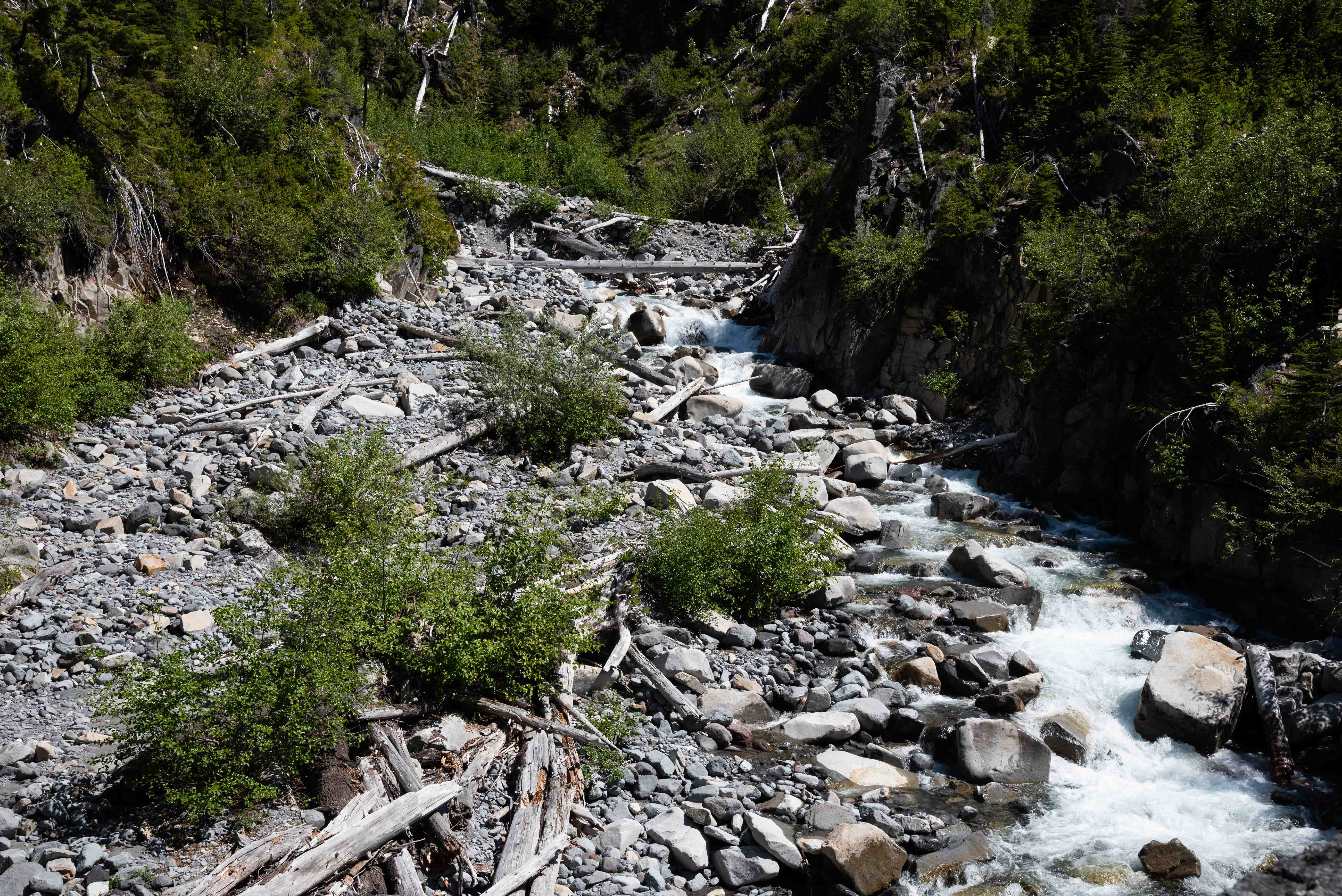
Stevens Creek
Stevens Creek
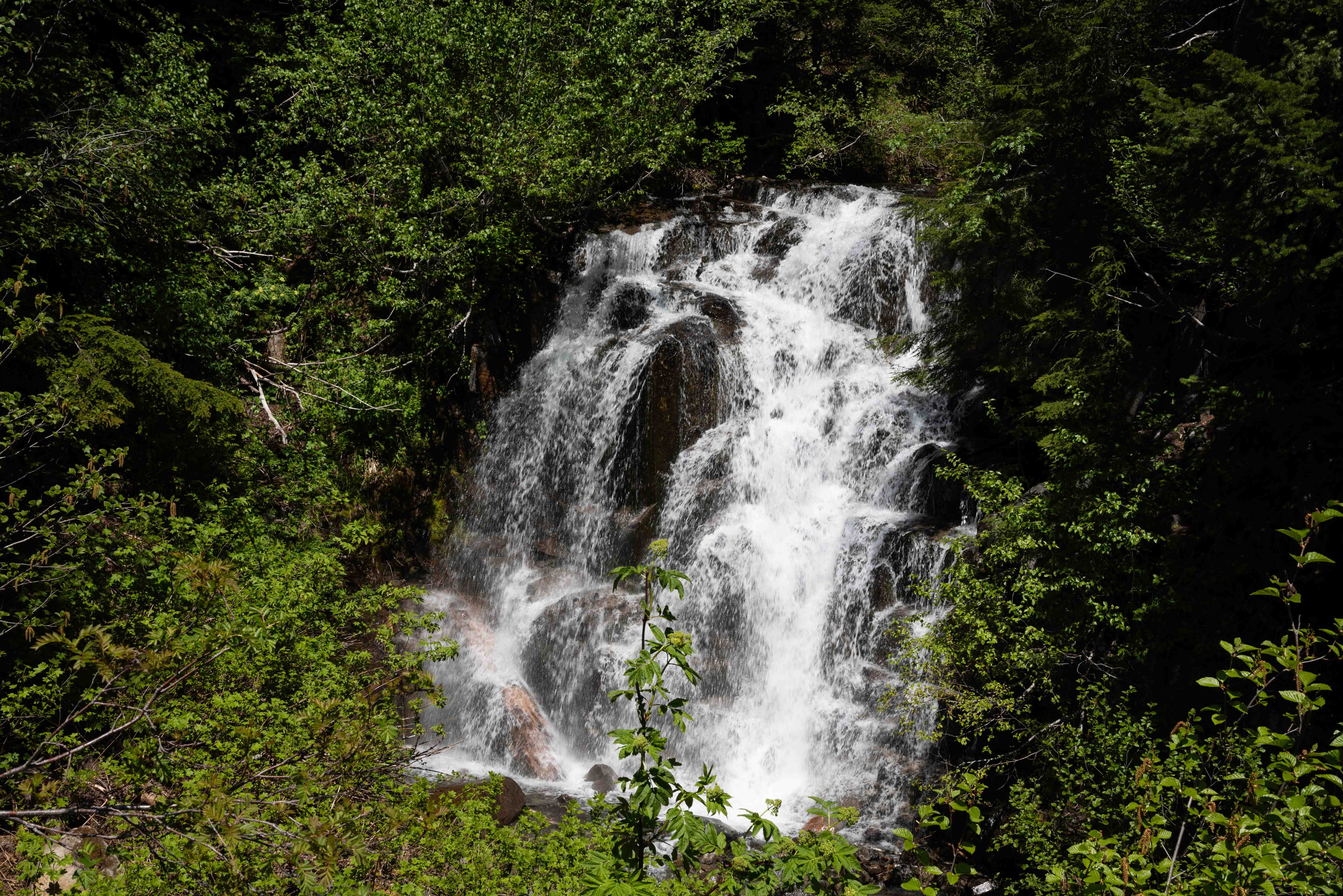
Picture Frame Falls
Picture Frame Falls
Credit Wikipedia for background information and the National Park Service for the map.
Use the form on the Home Page to submit comments, questions, or suggestions. TD Productions Copyright © 2024