Lassen Volcanic National Park
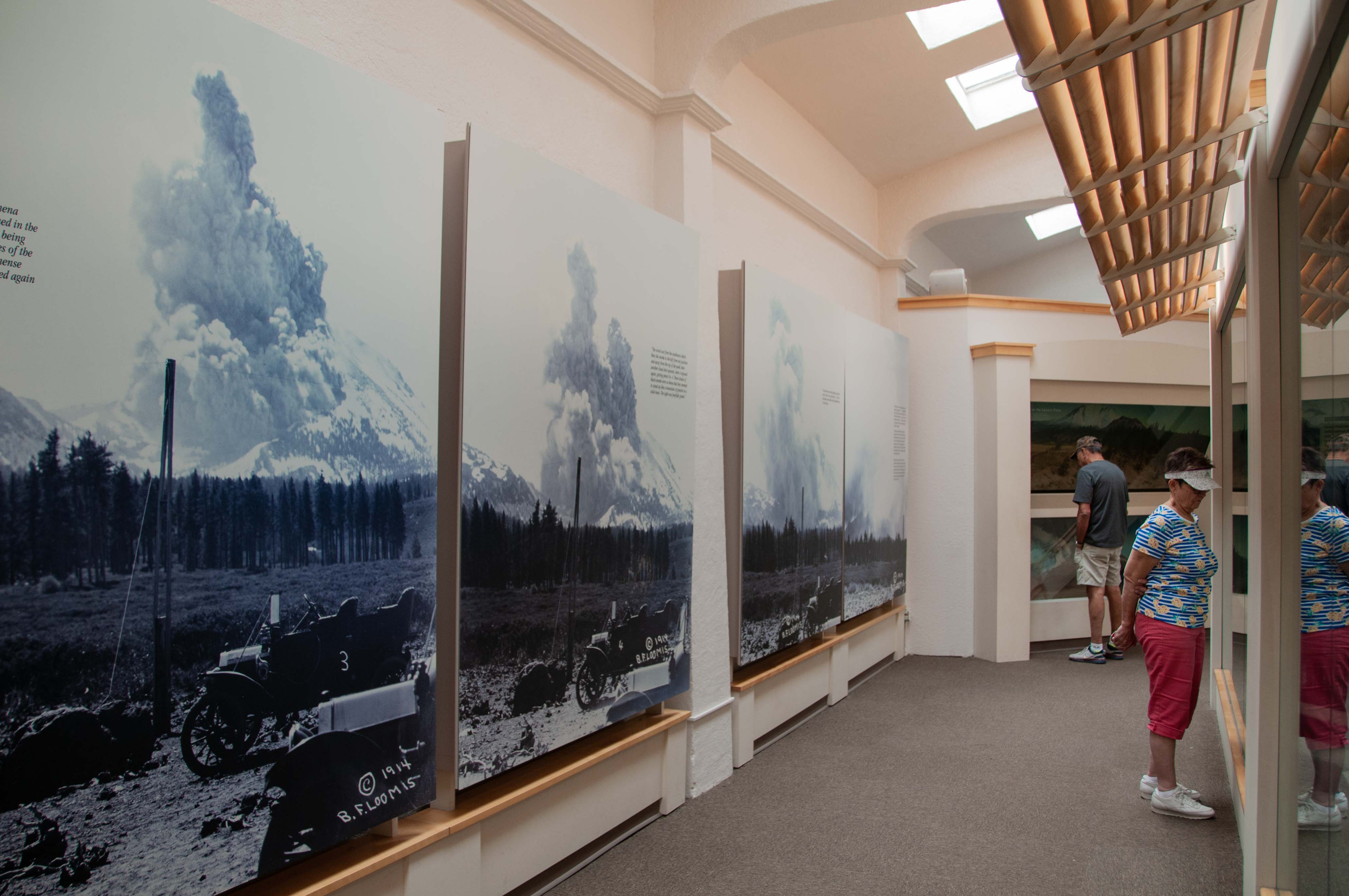
Welcome to Lassen Volcanic National Park. Lassen experienced a series of eruptions from May 1914 until 1921.
These eruptions released lava, lots of ash, and created a new crater. Lassen Peak and the surrounding area were
declared a National Park on August 9, 1916.
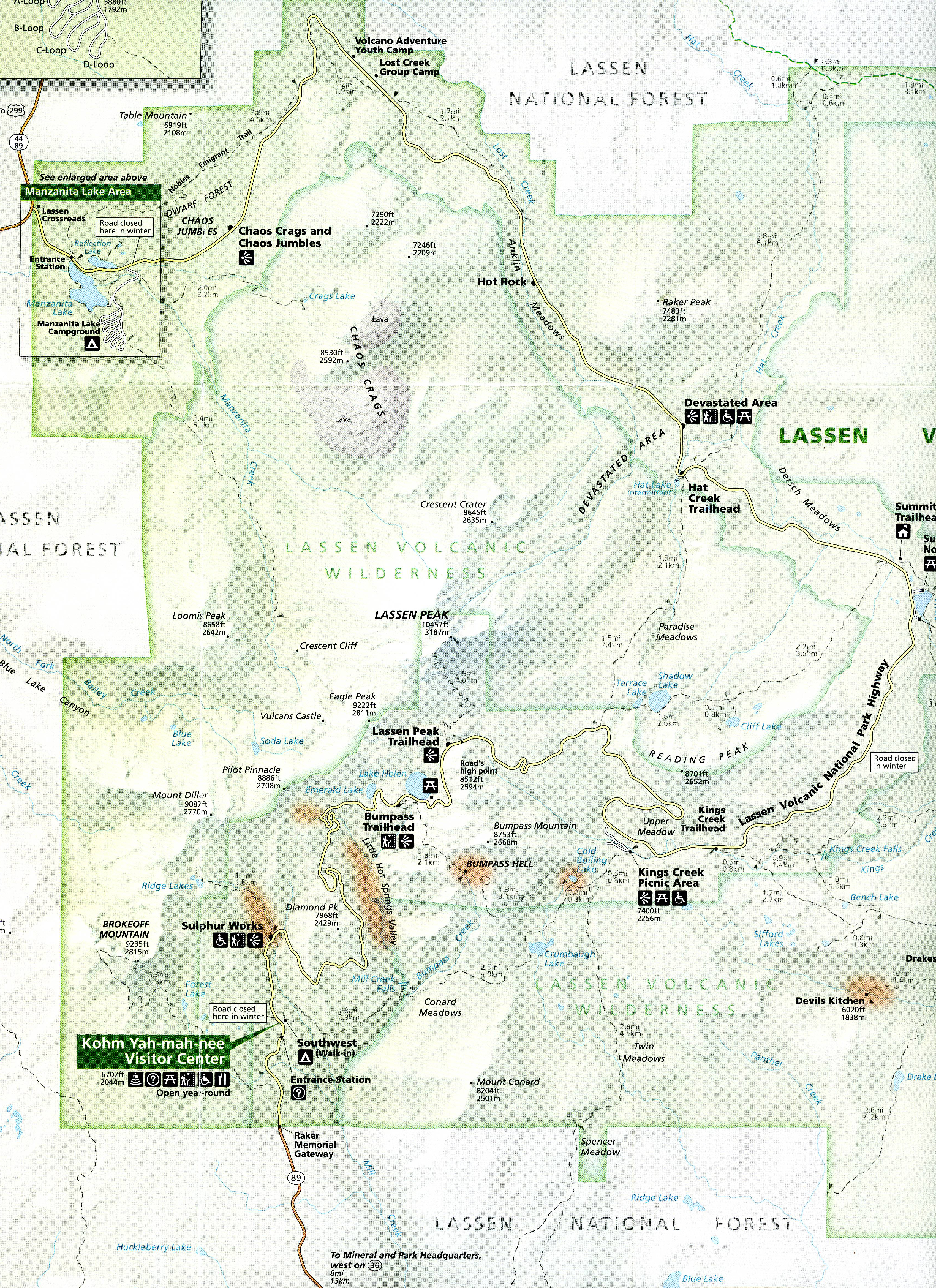
The Park can be entered from the north via SR 44 and from the south via SR 36.
SR 89 (Lassen Volcanic National Park Highway) connects the two entrances. The Kohm Yah-mah-nee Visitor Center is located at
the south entrance and the Manzanita Lake area at the north entrance. I entered from the north and traveled south to the Sulphur Works
(refer to map), then left the same way I came in. Less than half the park is accessible by paved road (SR 89).
I visited Lassen in August 2018,
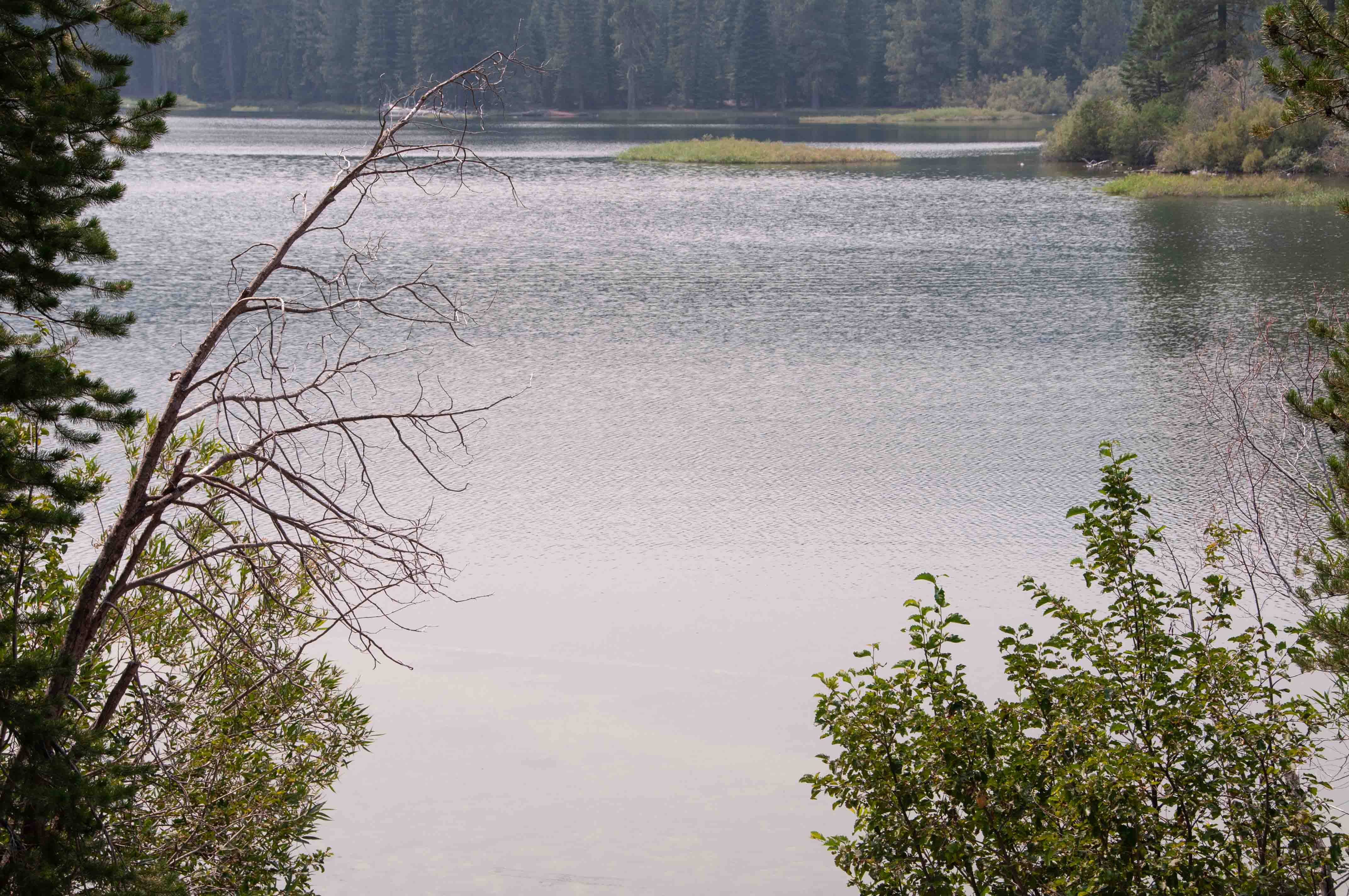
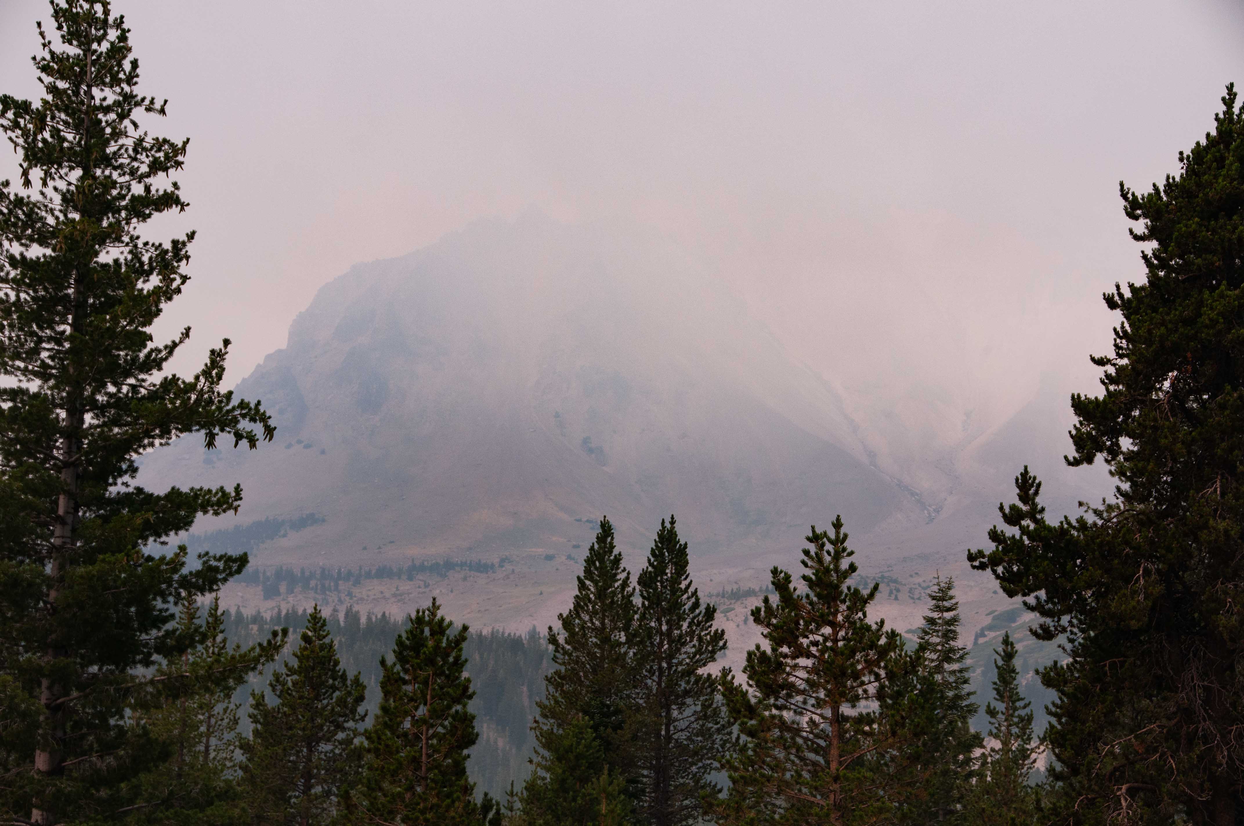
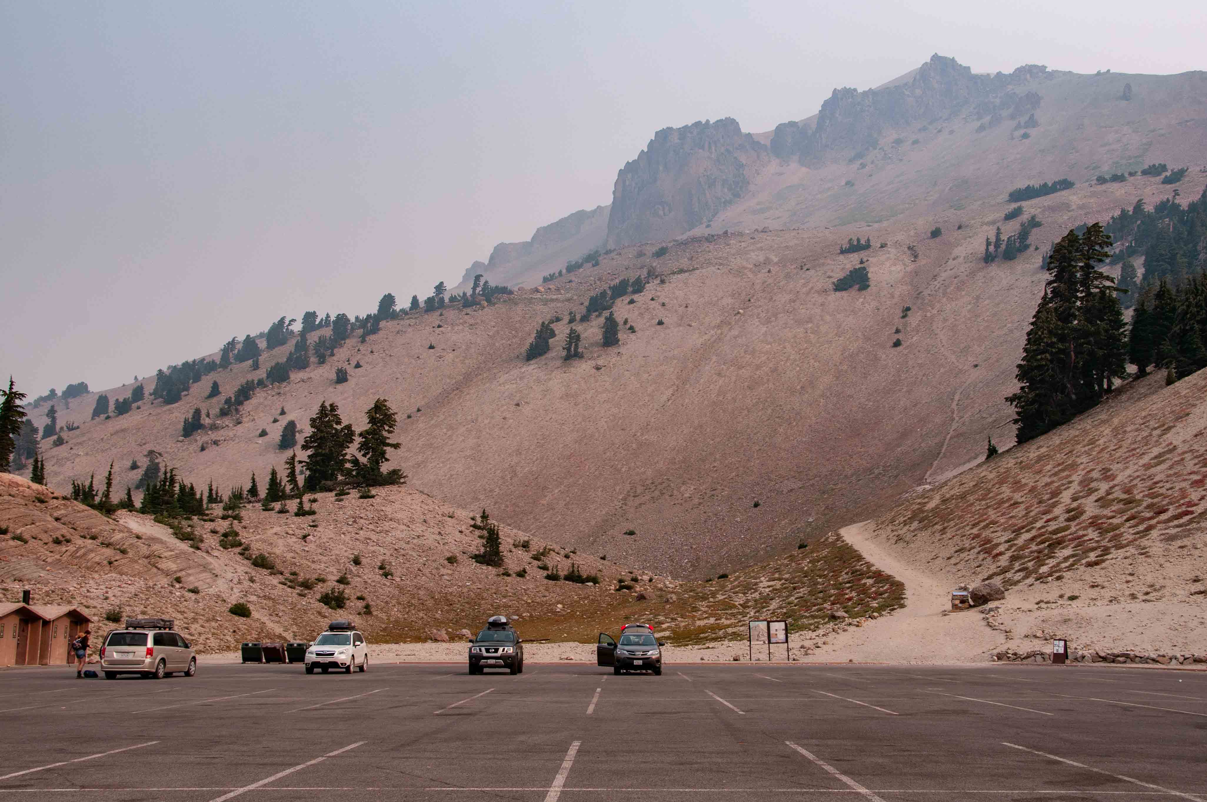
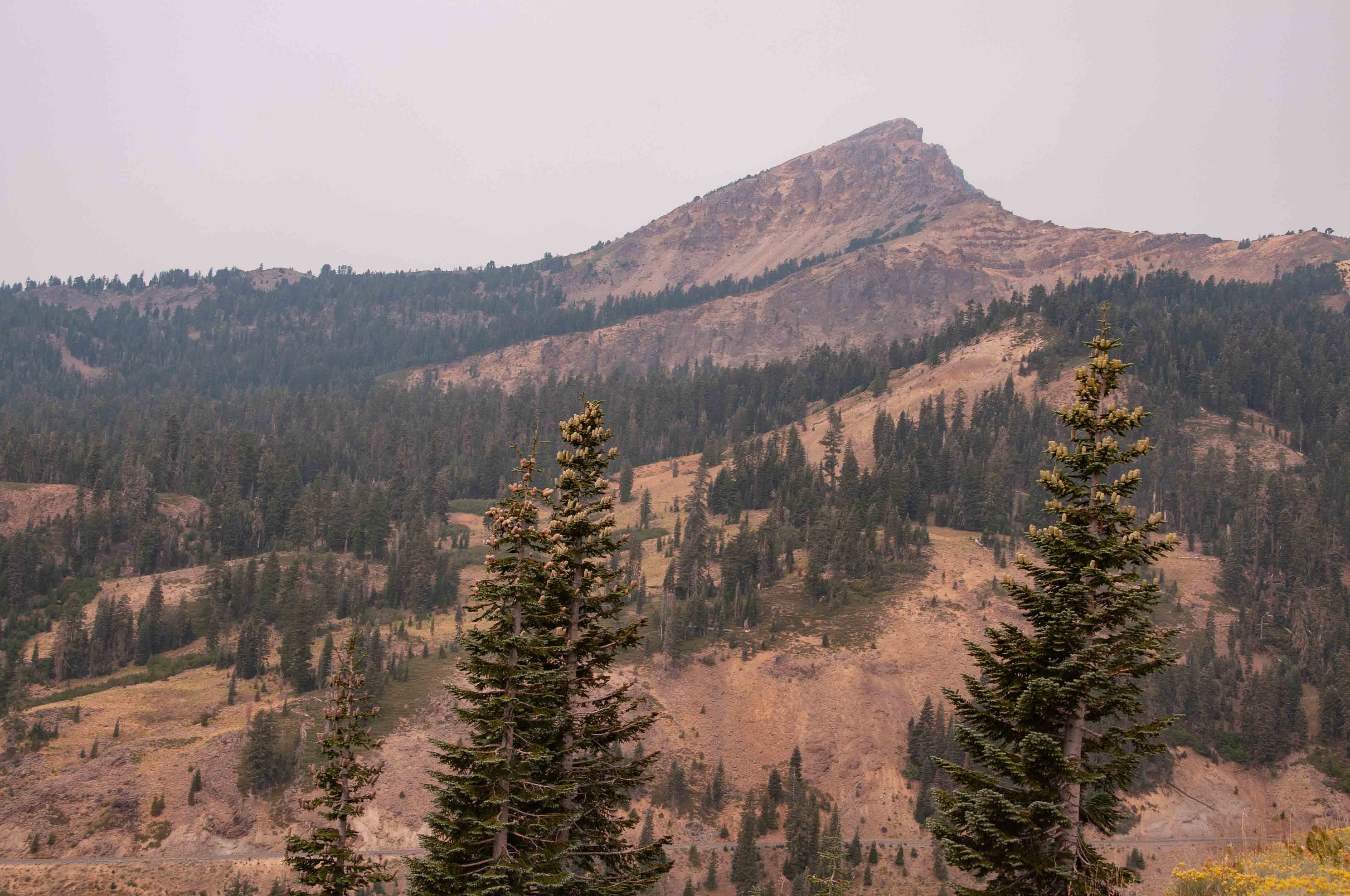
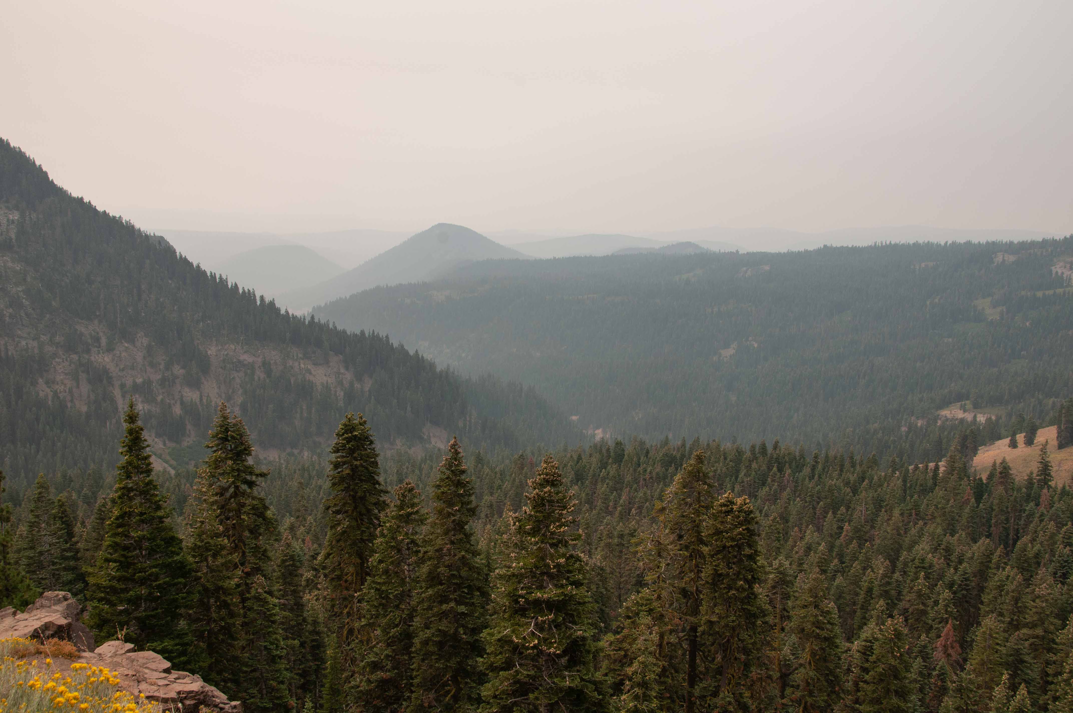
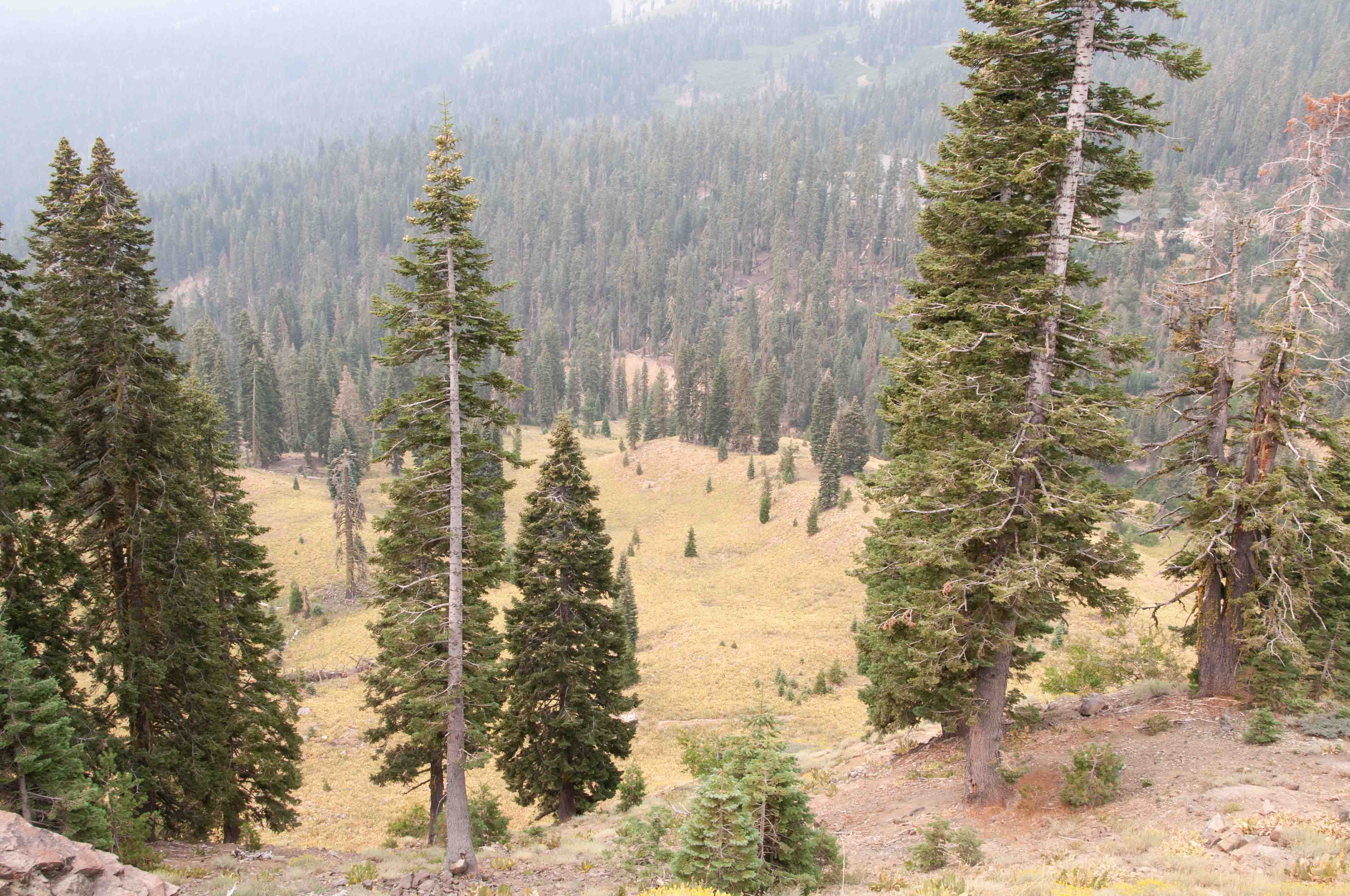
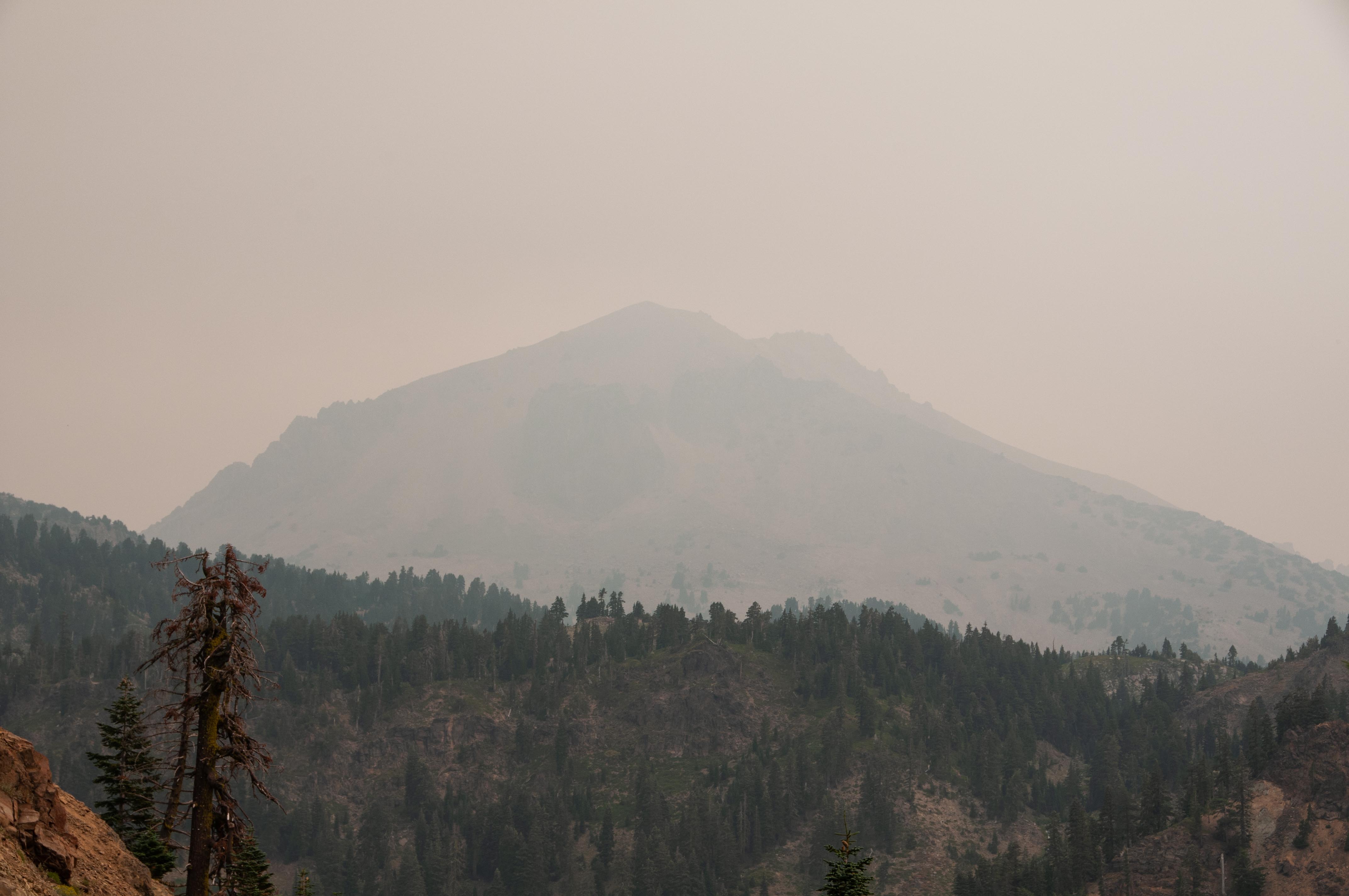
and many parts of the park were partially or totally covered by smoke from several wildfires burning in northern California. Lassen Peak
was almost completely concealed by the smoke.
Manzanita Lake Area
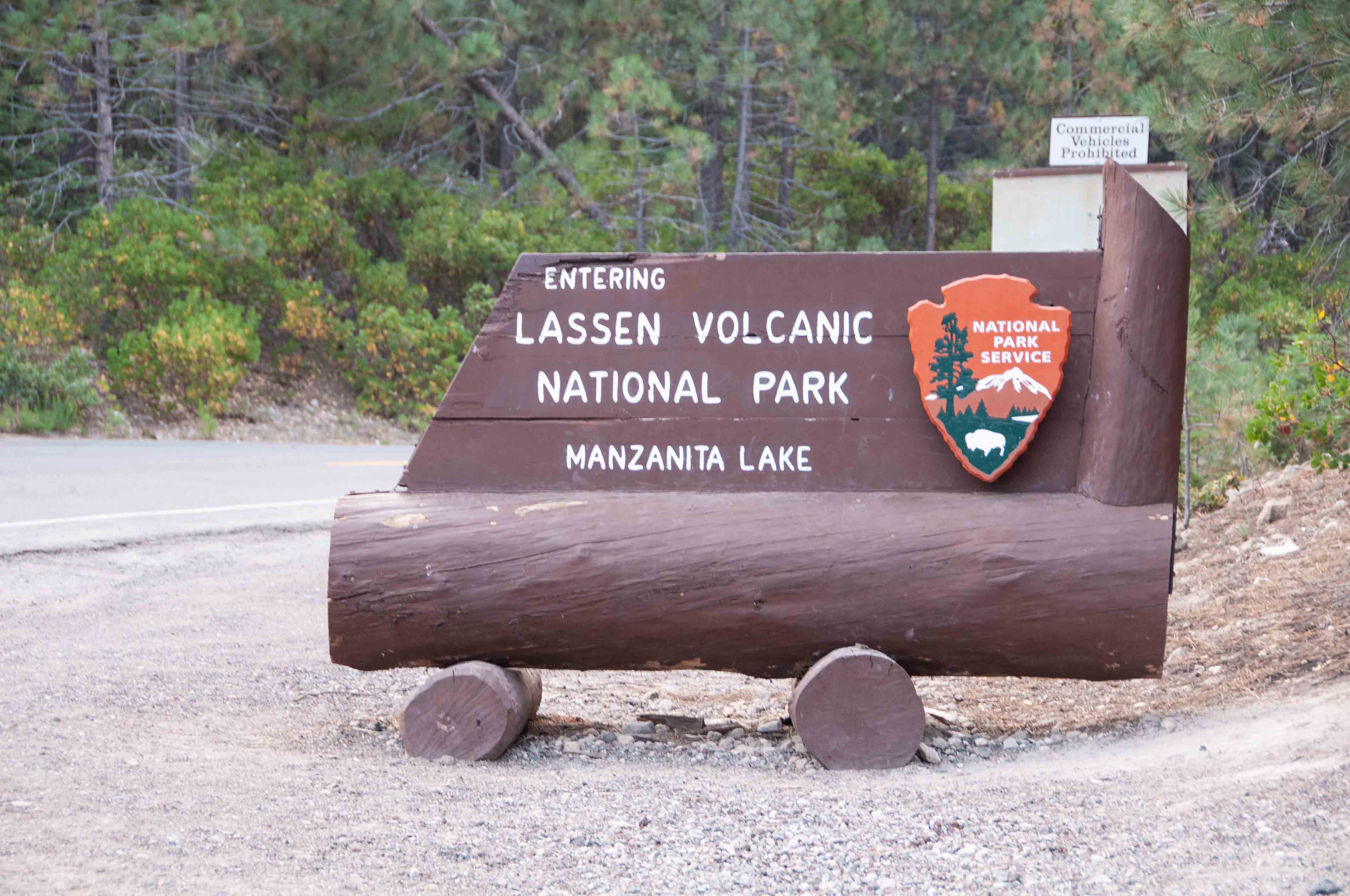
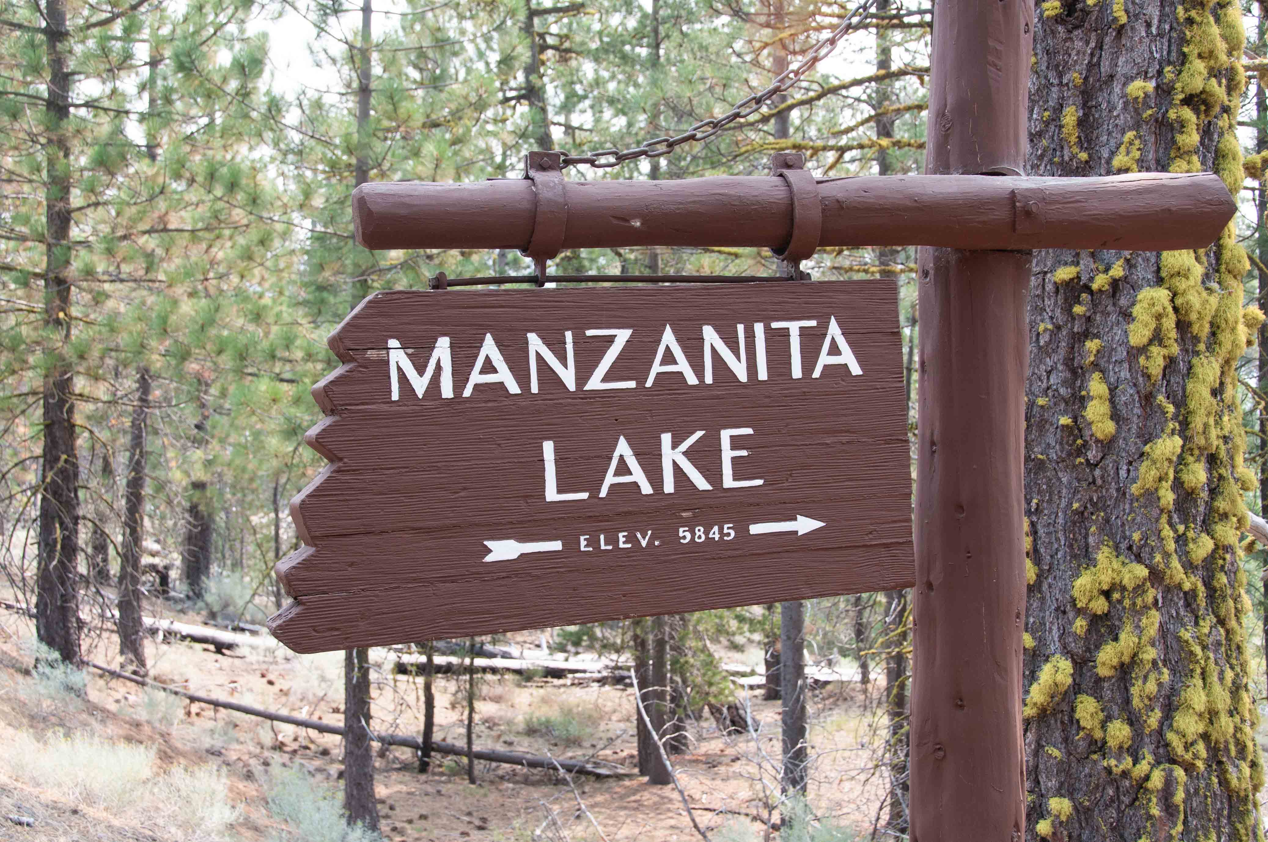
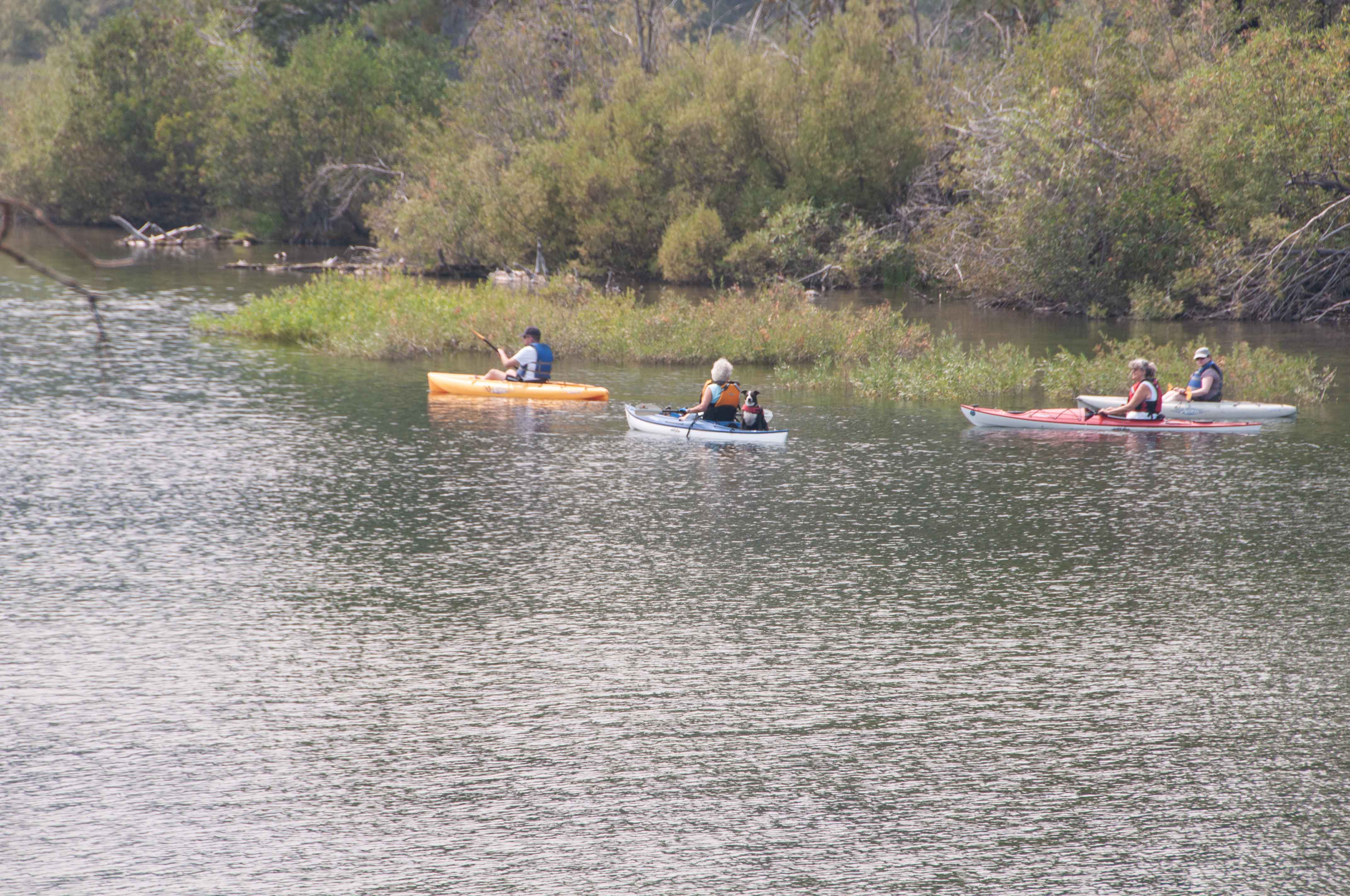
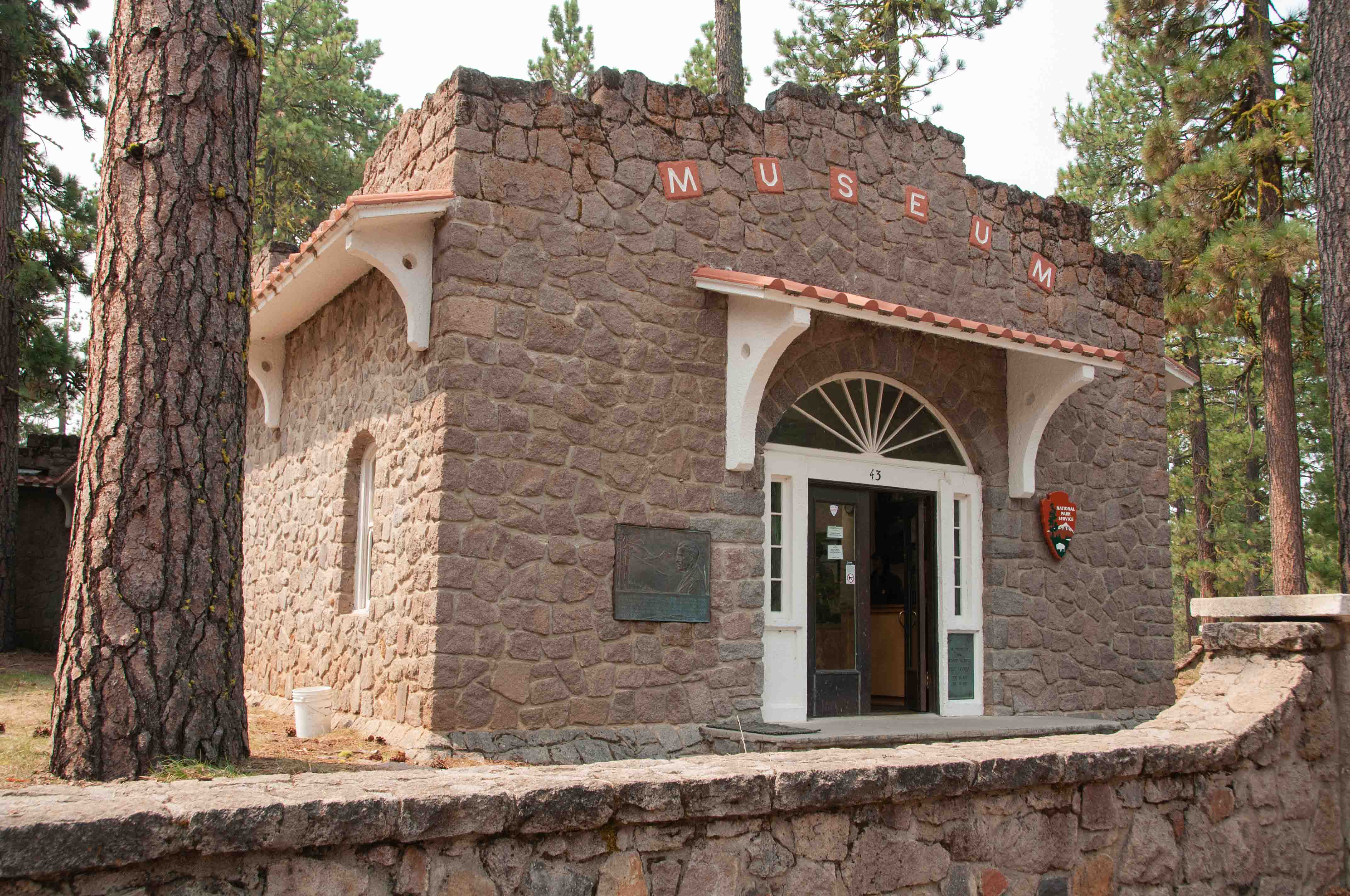
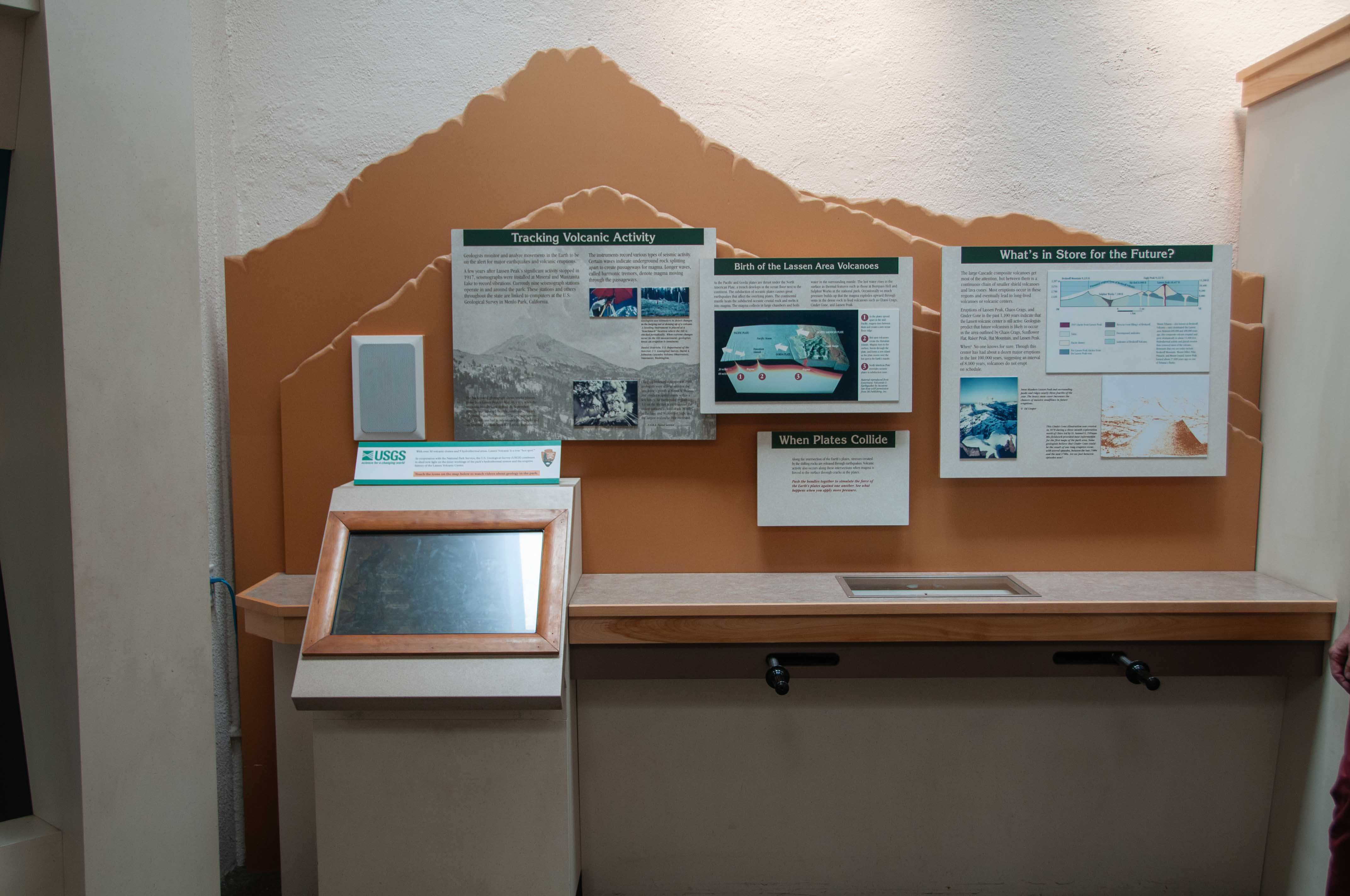
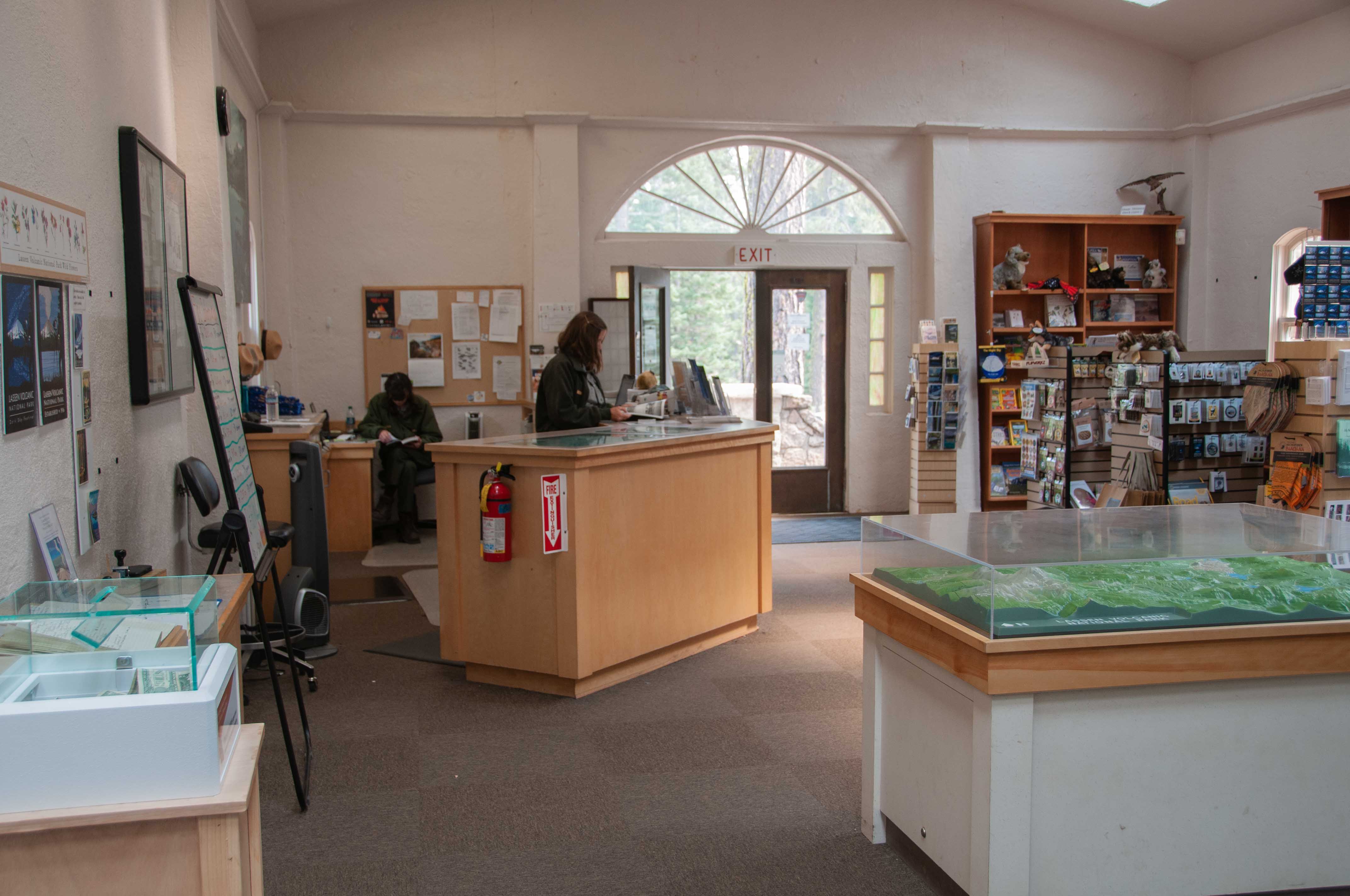
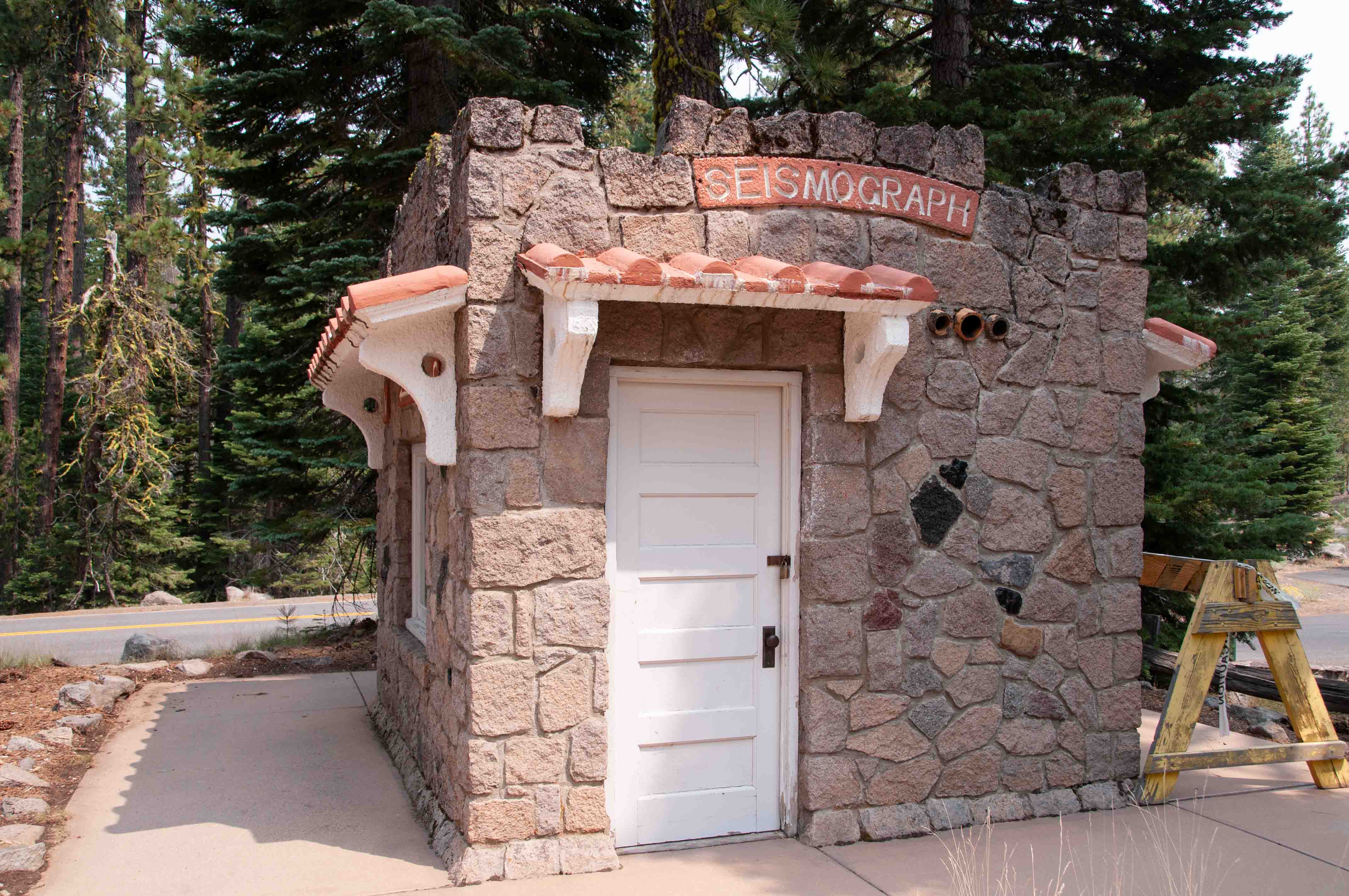
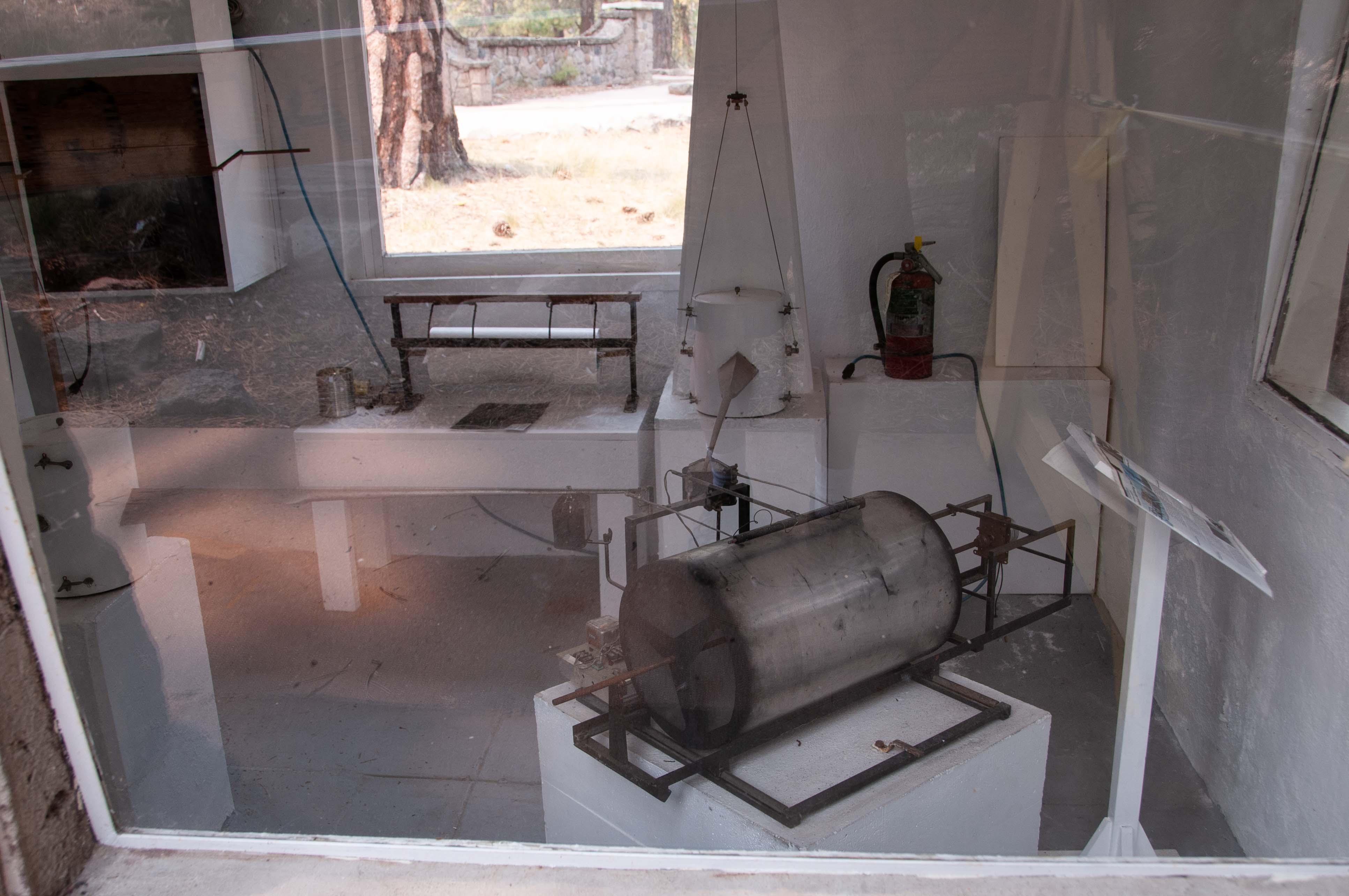
Manzanita Lake is located at the north entrance. A small museum
is located here.
Museum Panorama
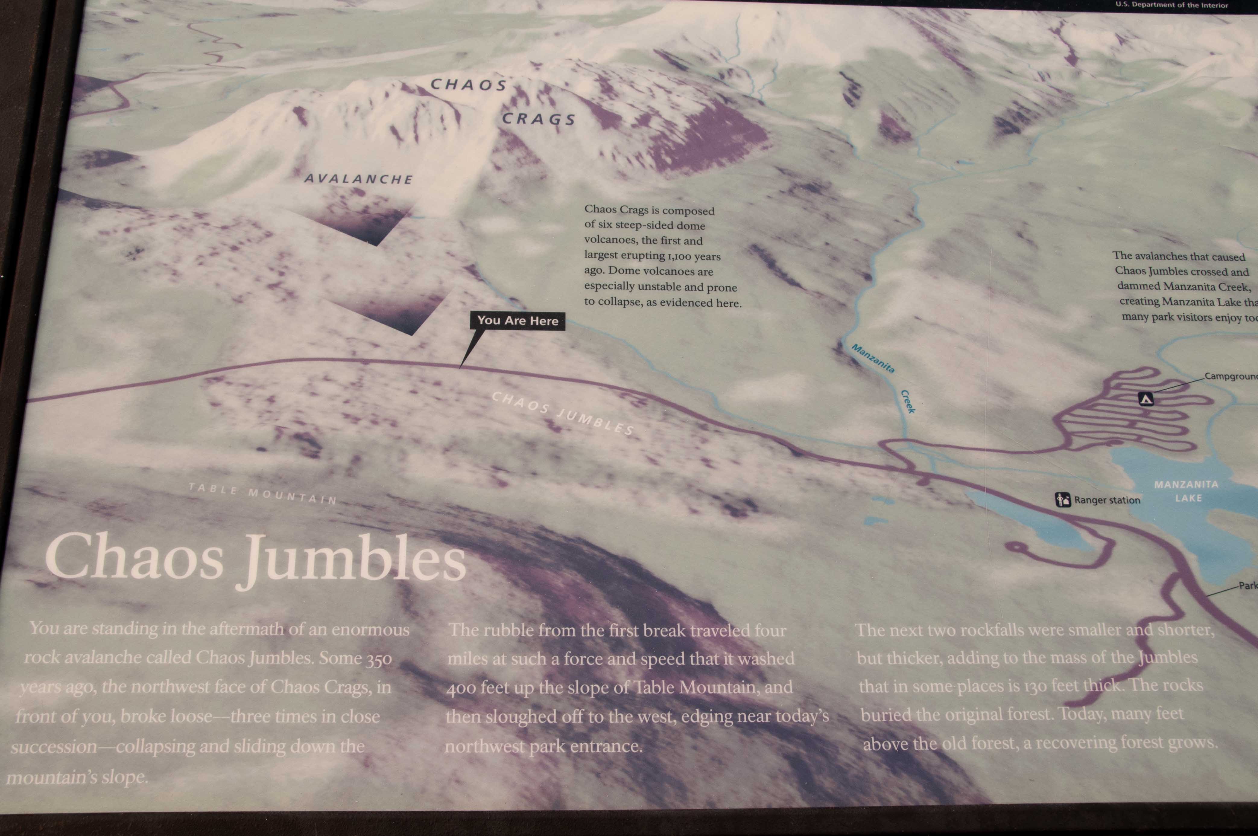
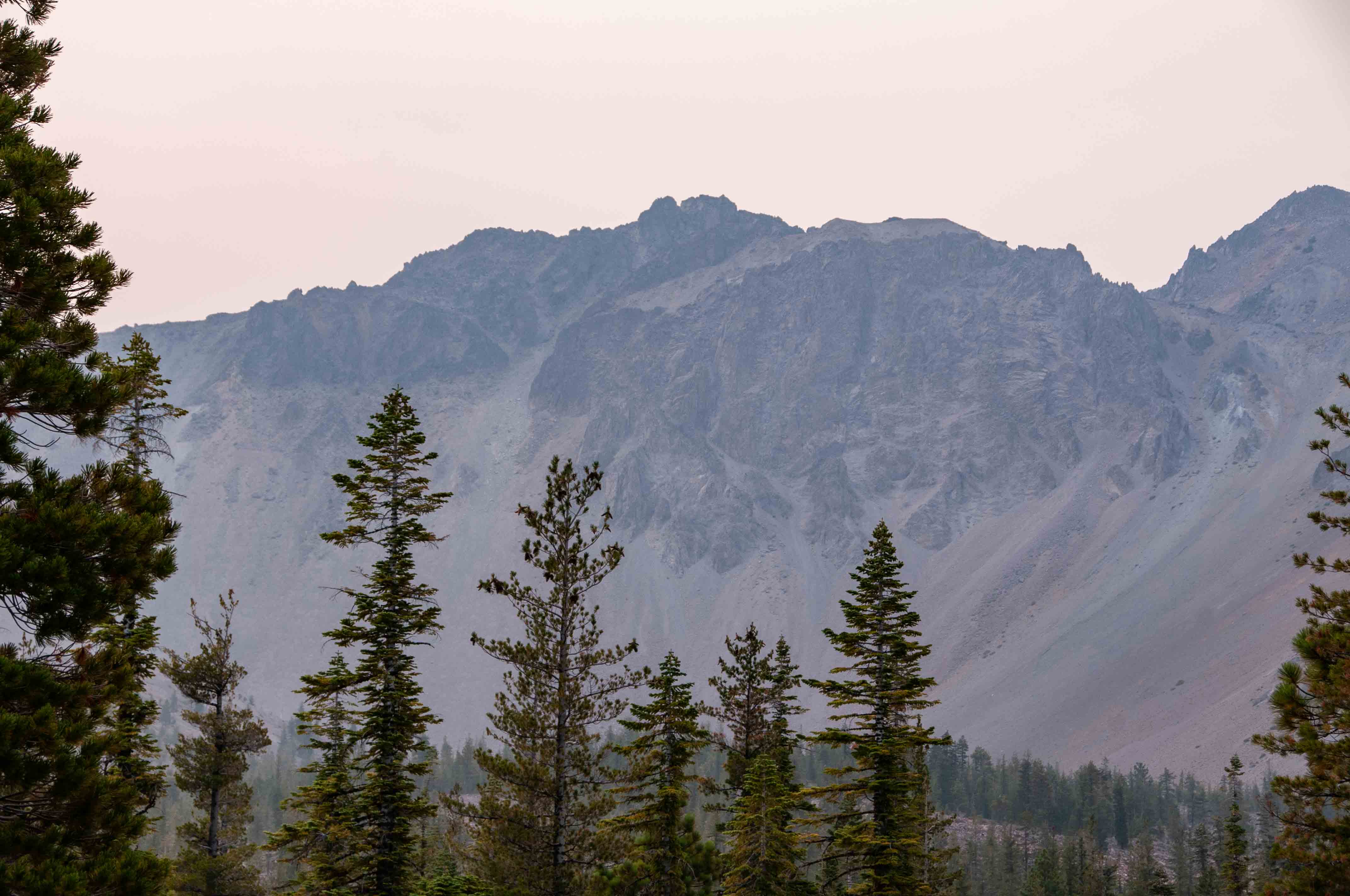
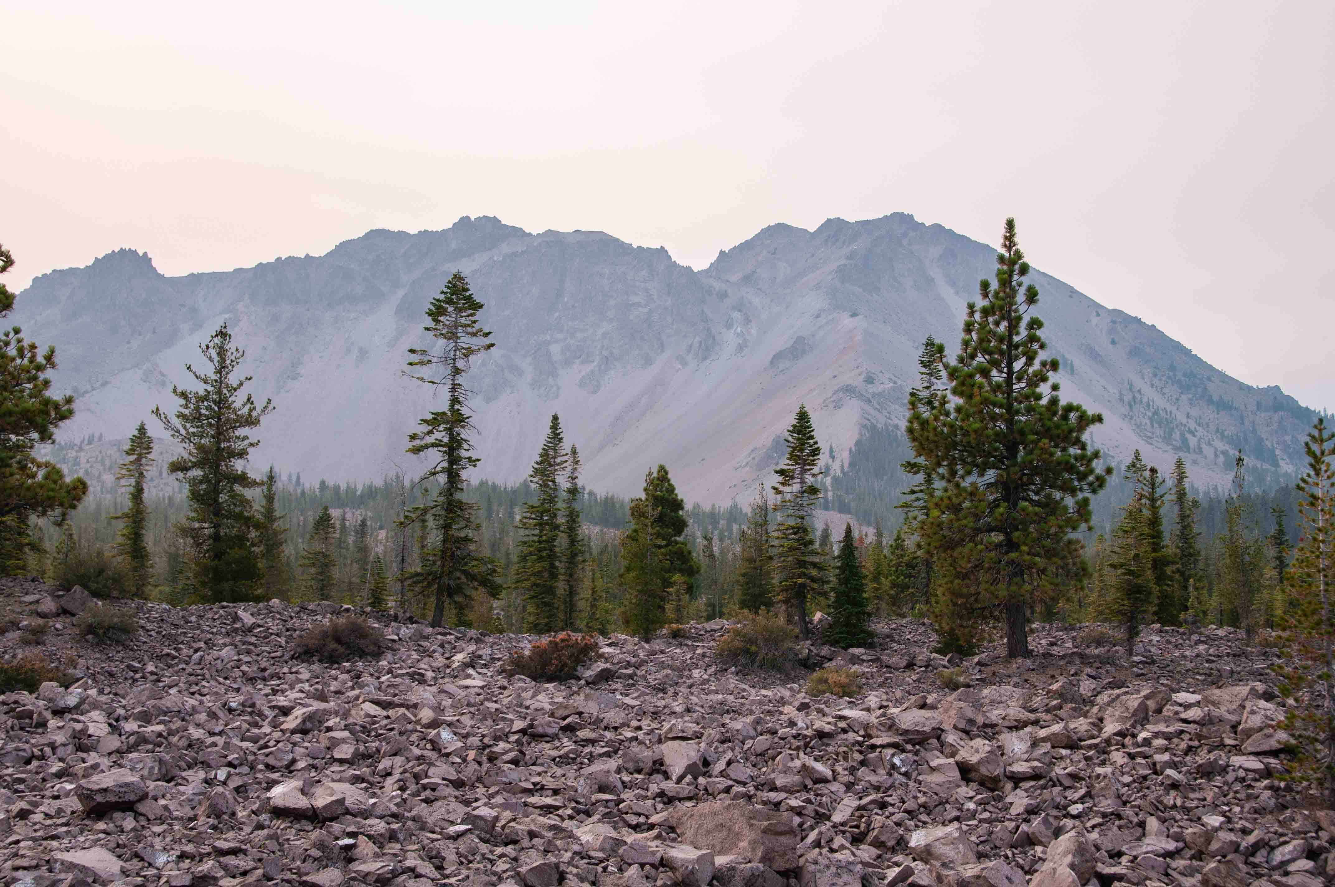
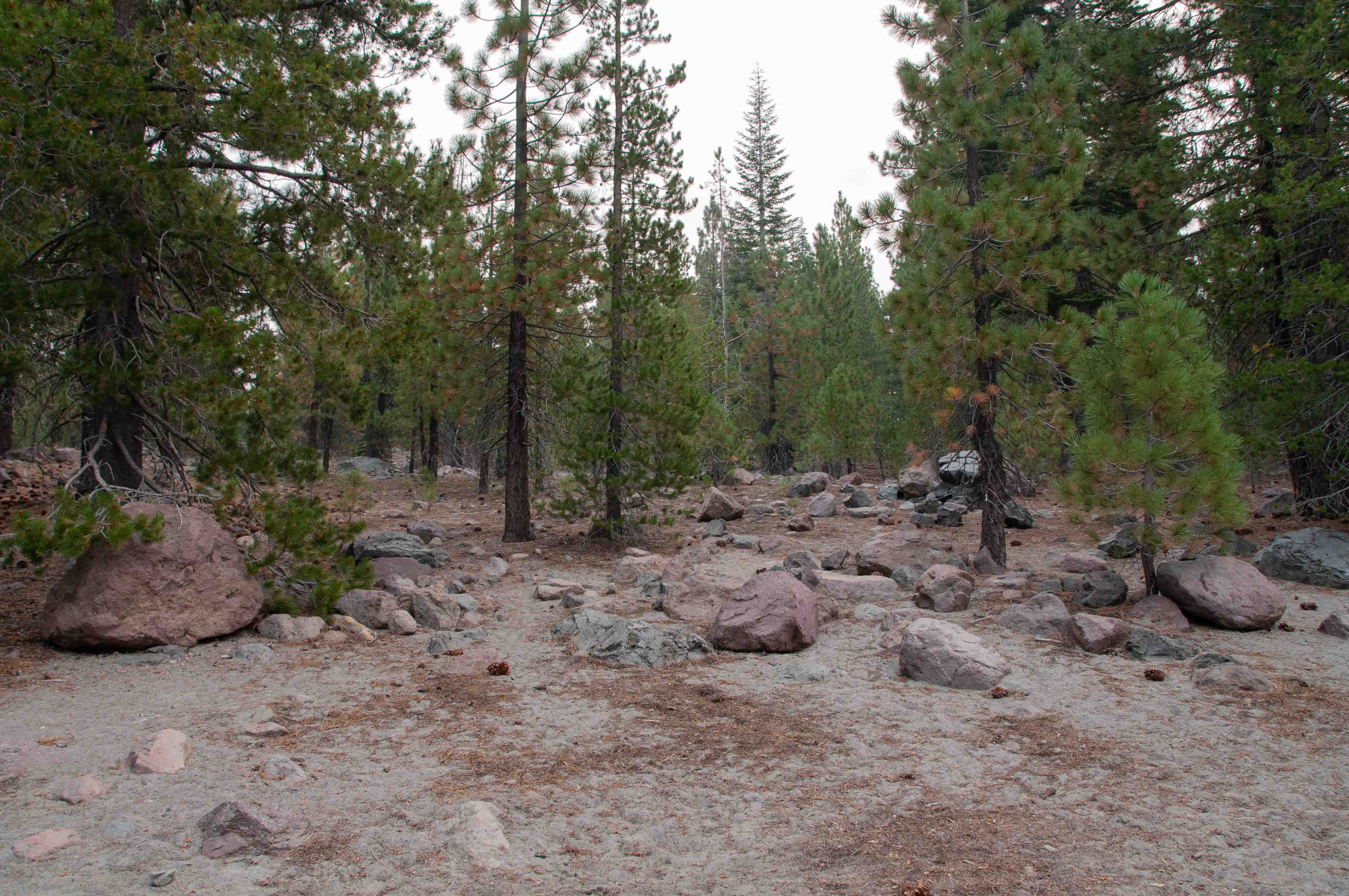
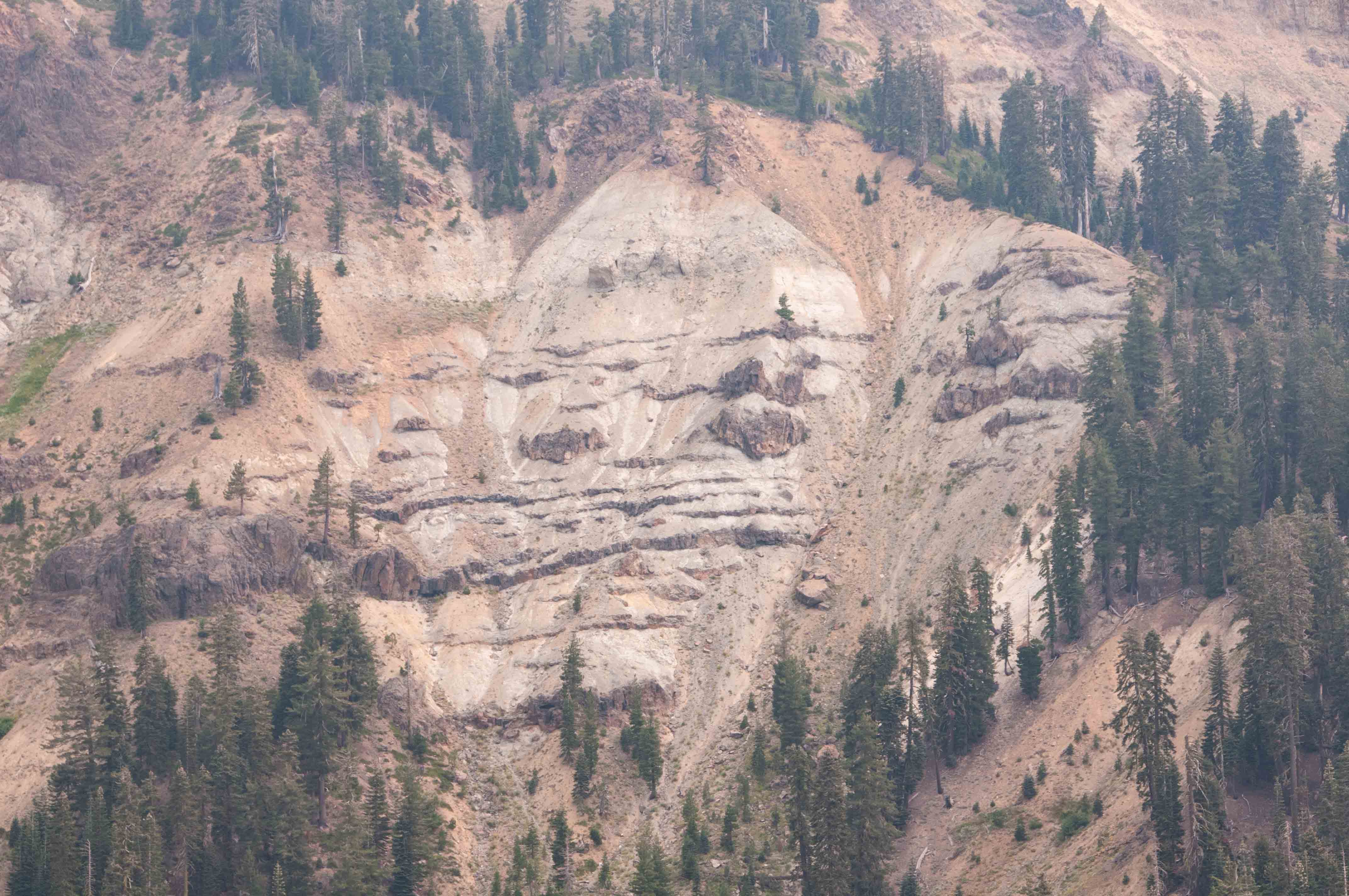
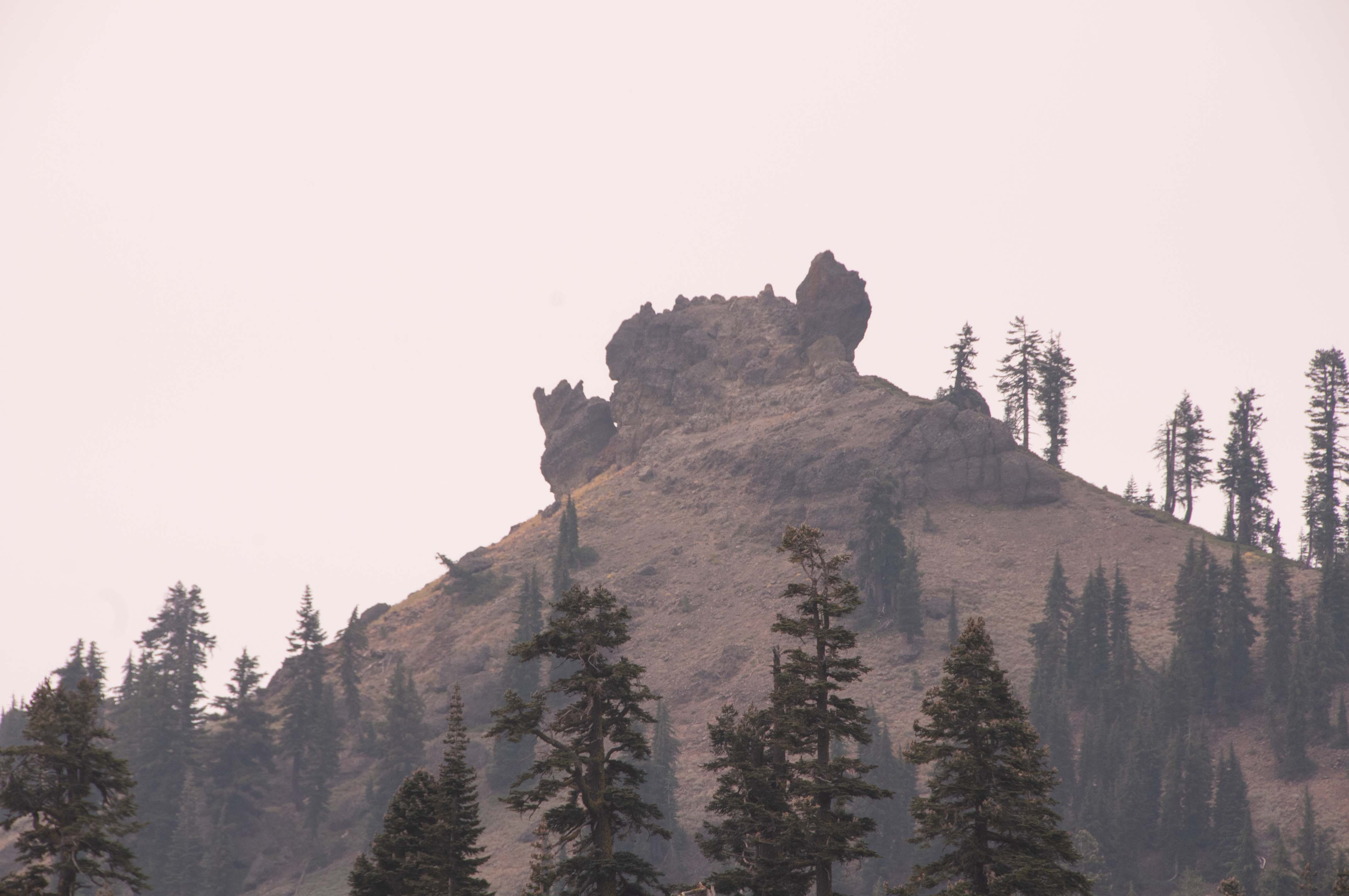
Chaos Craggs and Chaos Jumbles
Chaos Craggs is a series of 6 dome volcanos
that have partially collapsed. The resulting avalanches formed the jumbles.
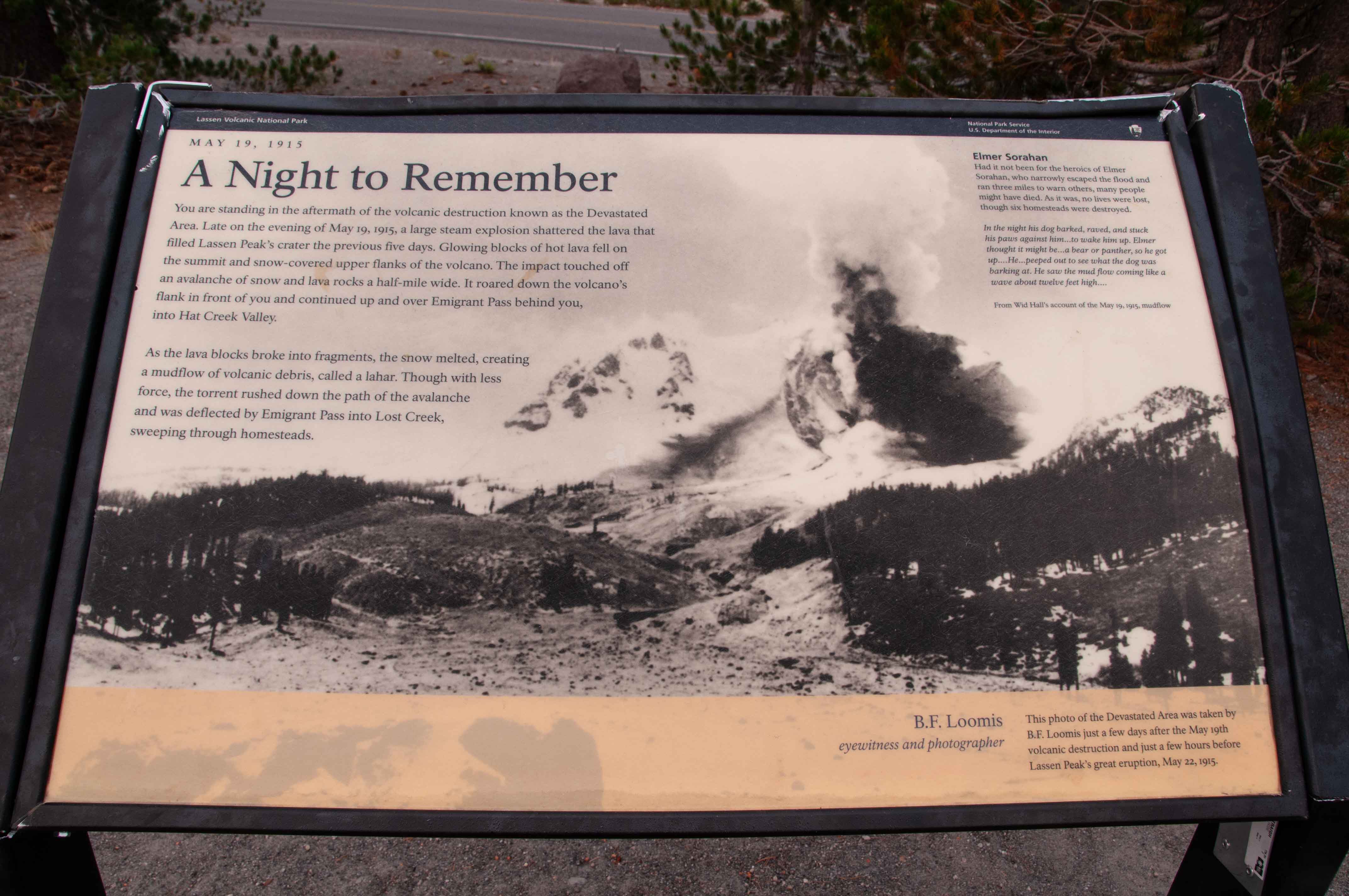
Devastated Area
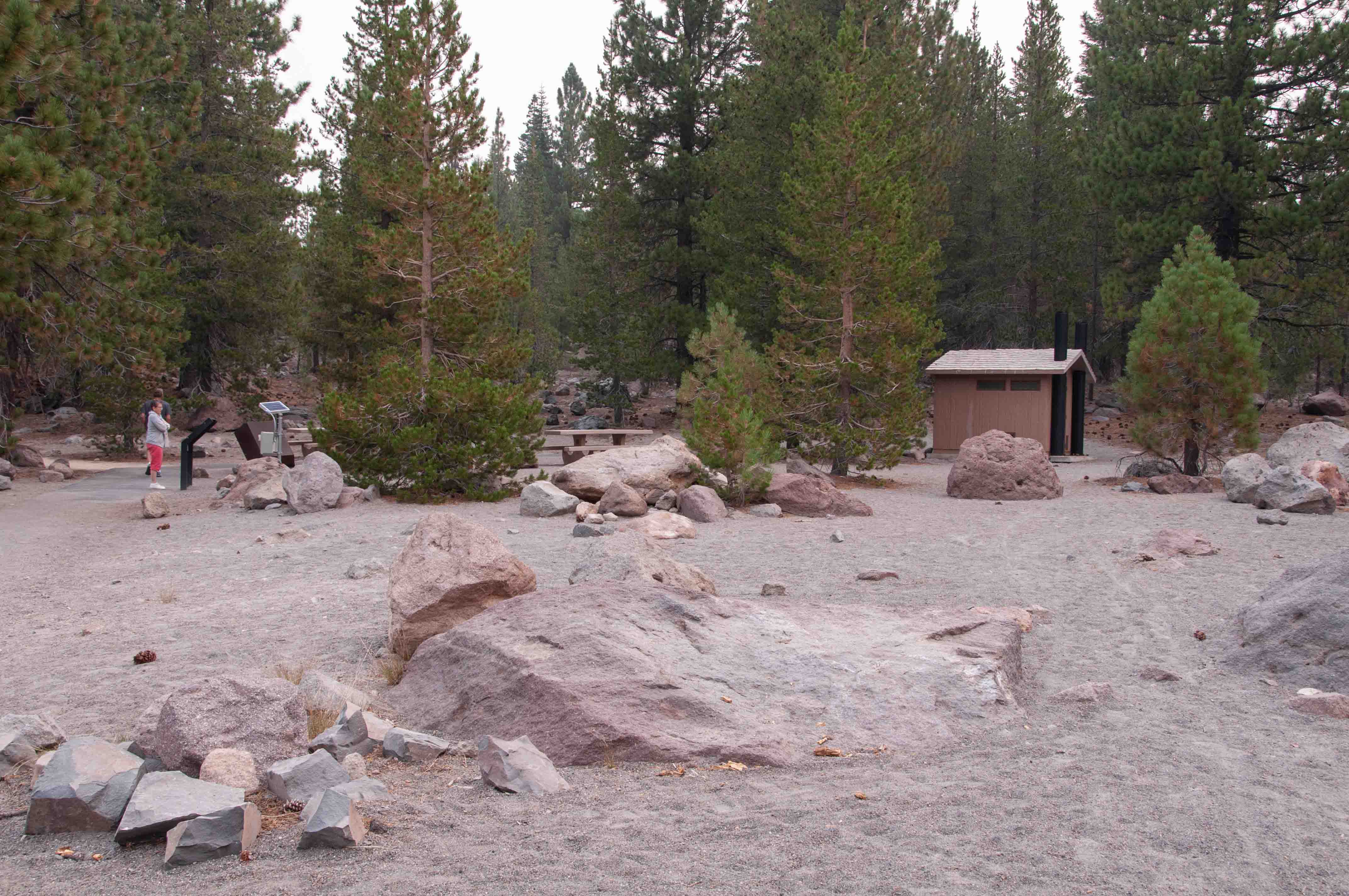
The Devastated Area was caused by an avalance or lava rocks, mud, and
snow resulting from an explosion on May 19, 1915. The area has largely recovered, but you can still see some
effects of the avalance.
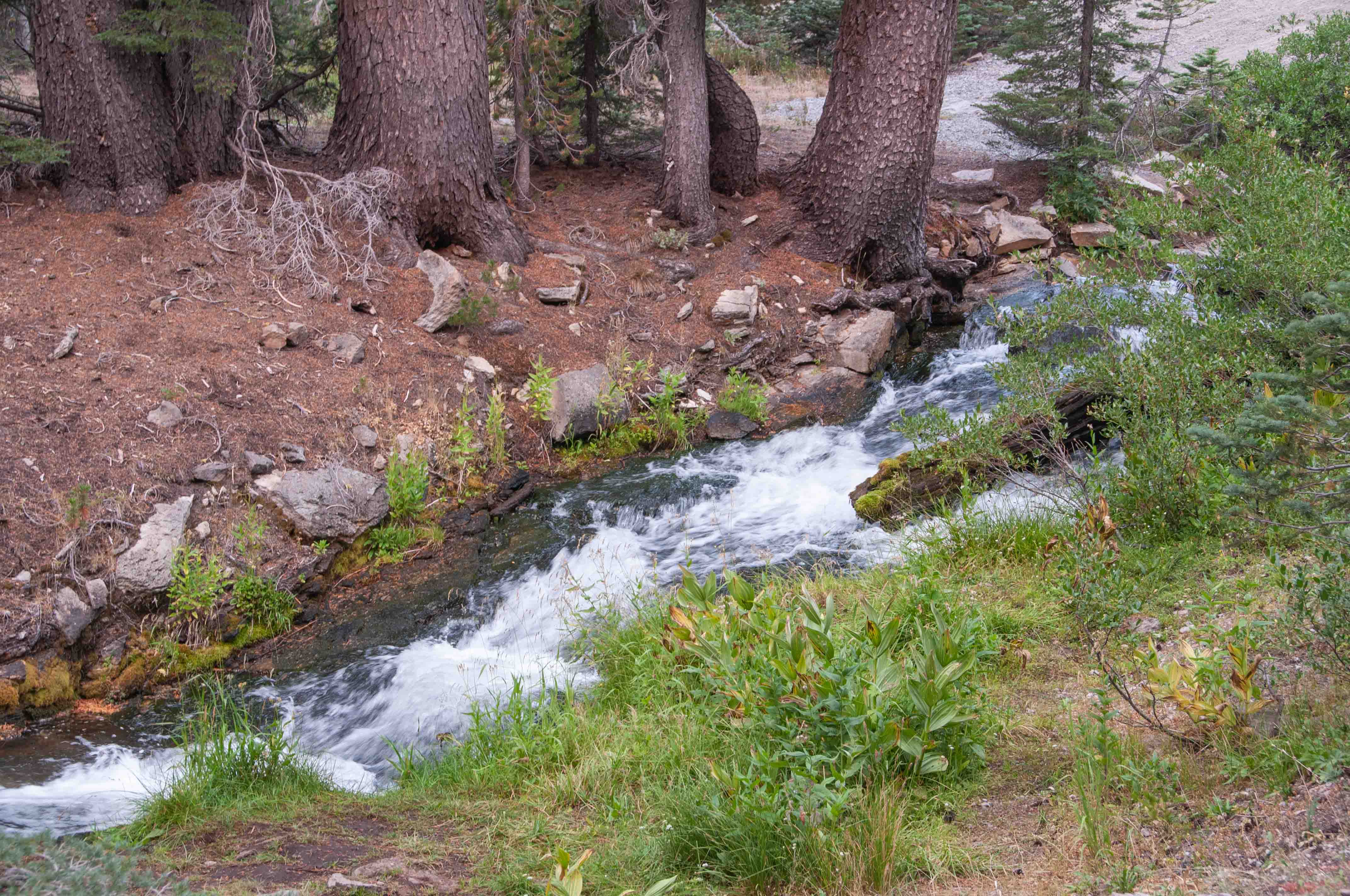
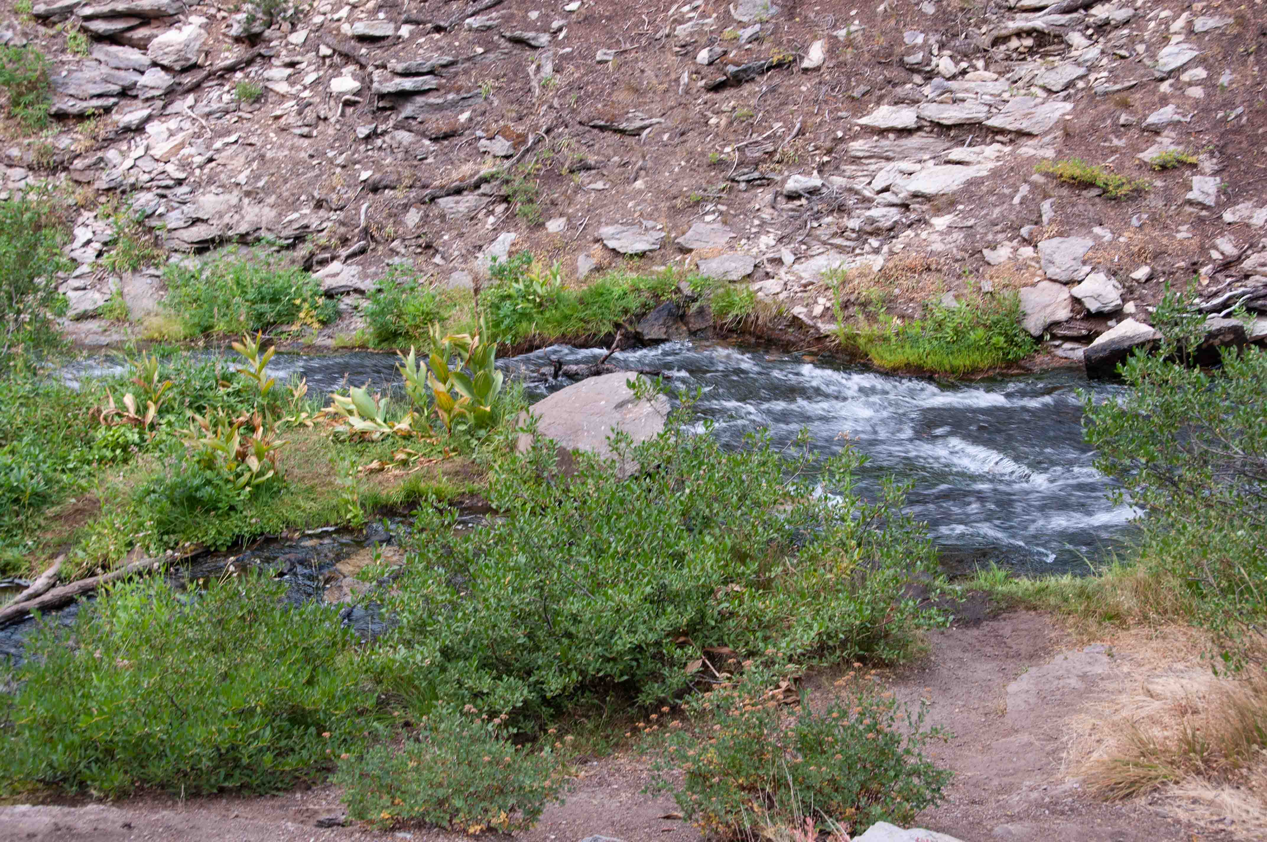
Kings Creek
Lassen Peak
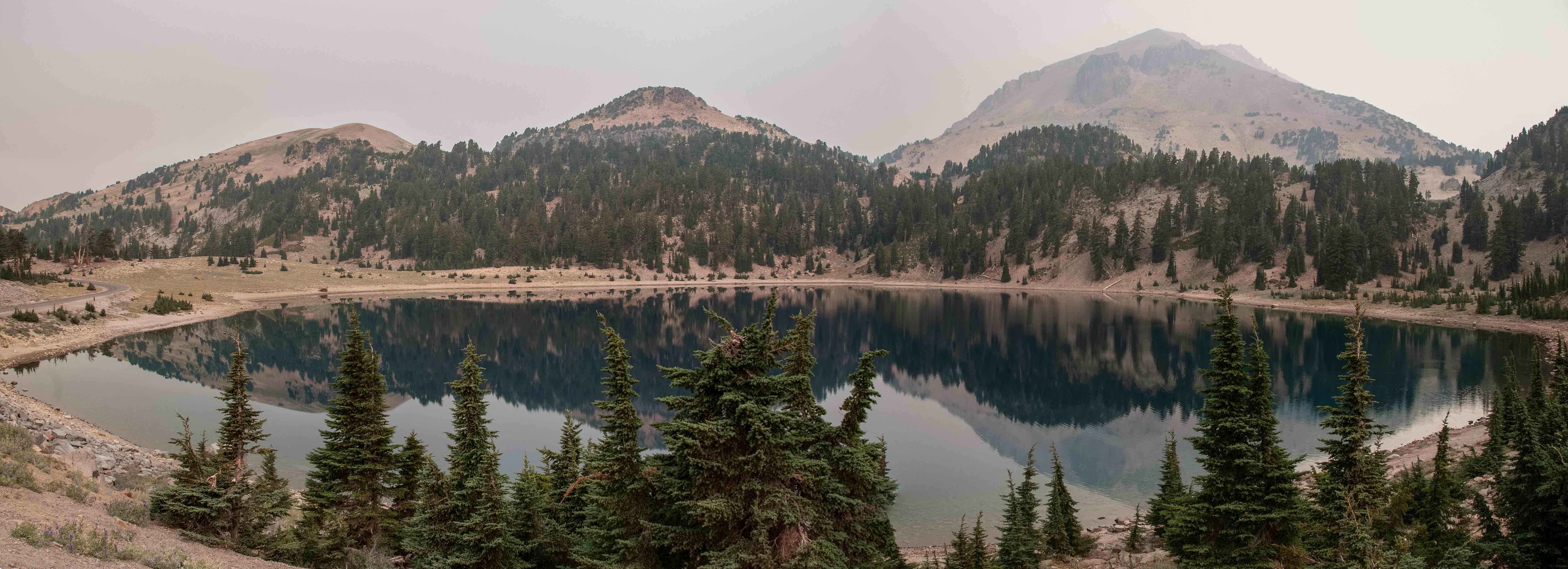
These photos show how smoky it was when I was there.
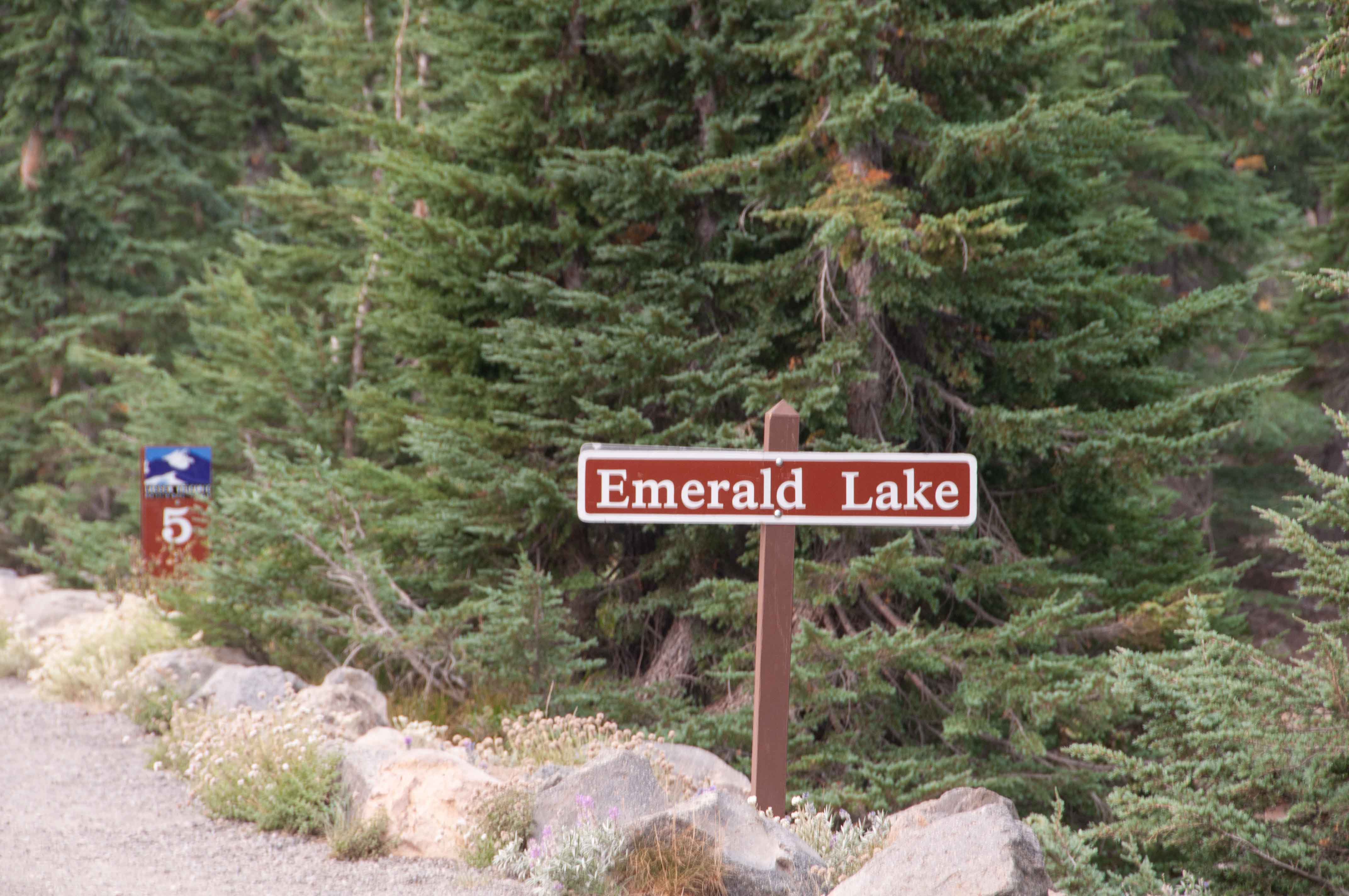
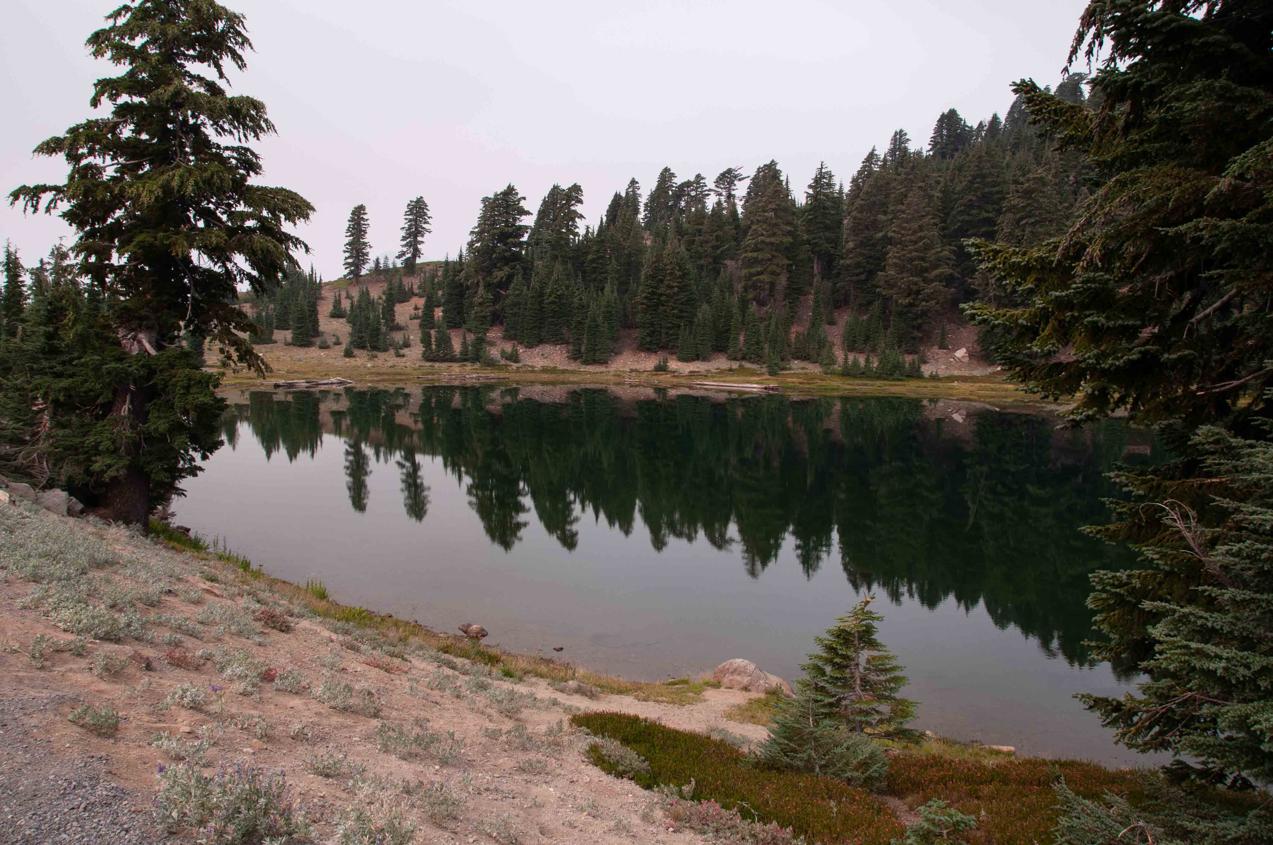
Lake Helen and Emerald Lake
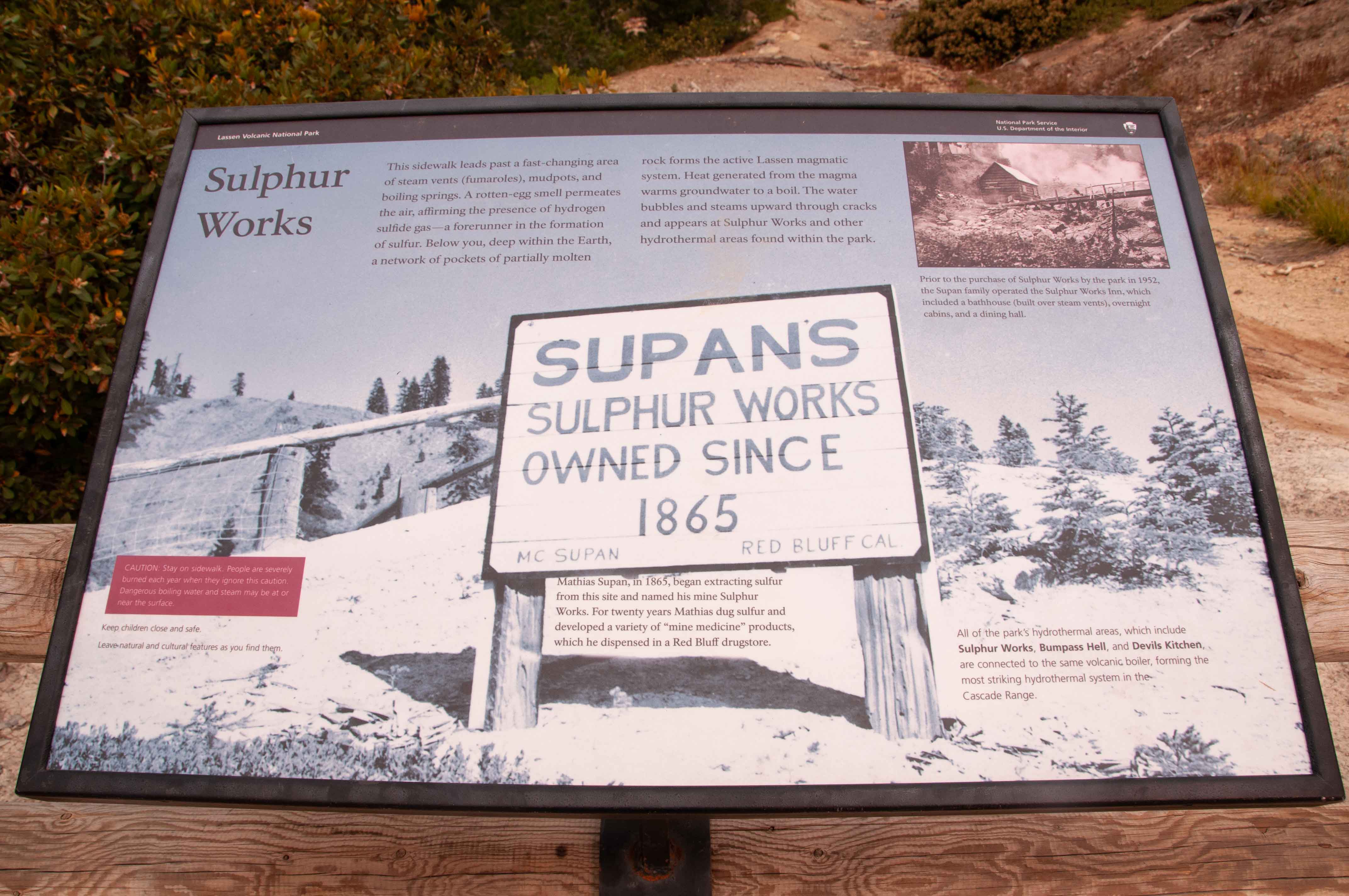
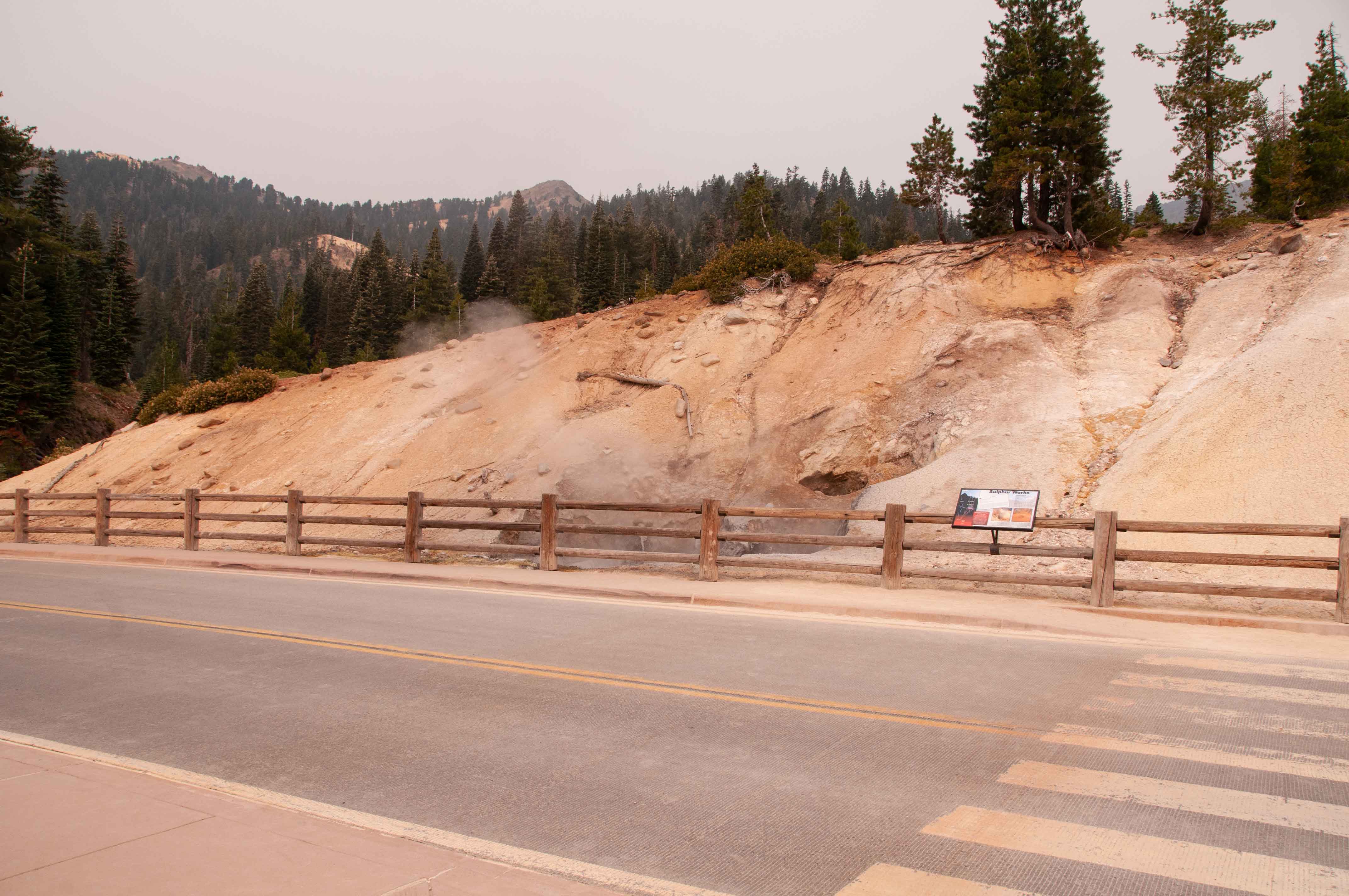
Sulphur Works
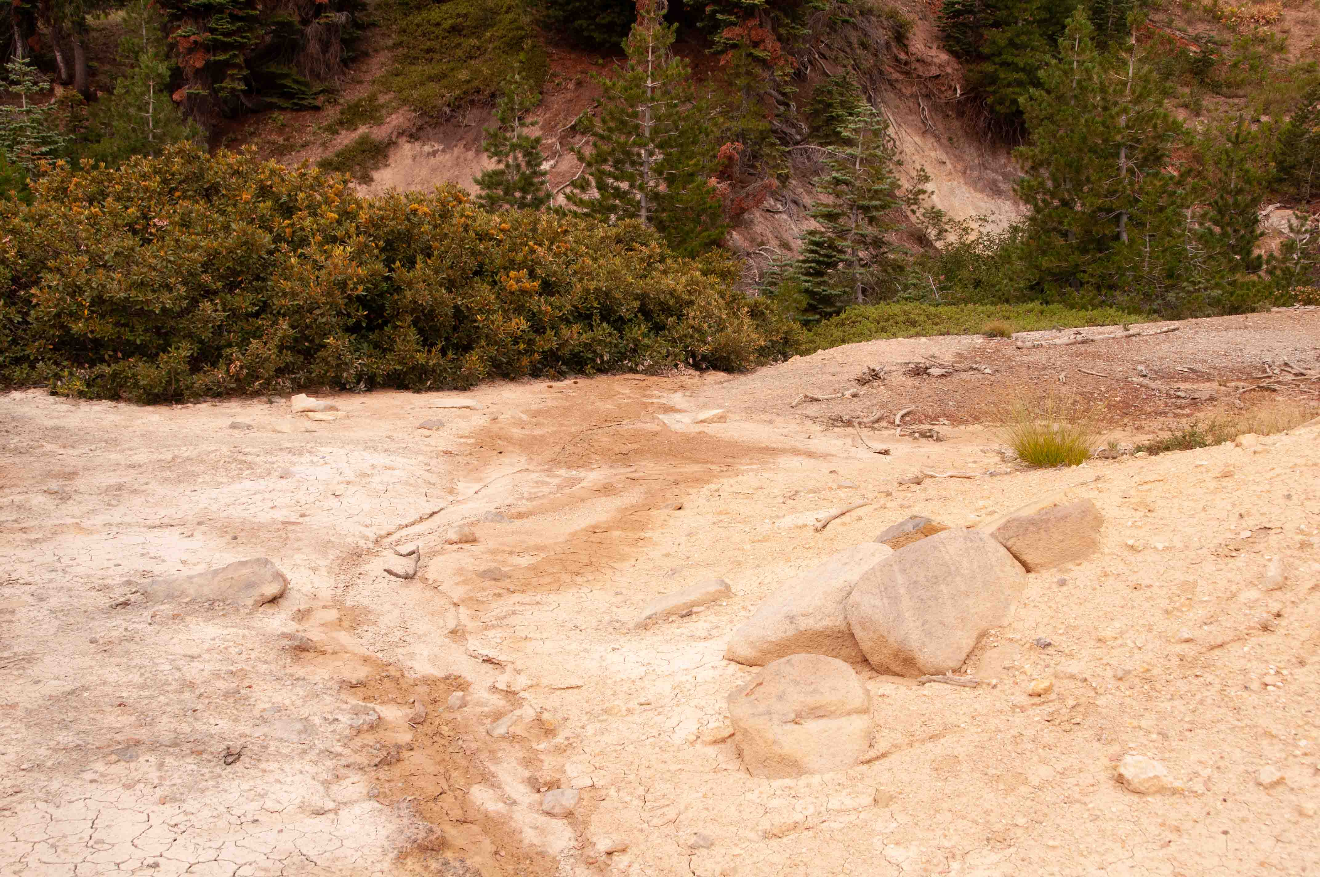
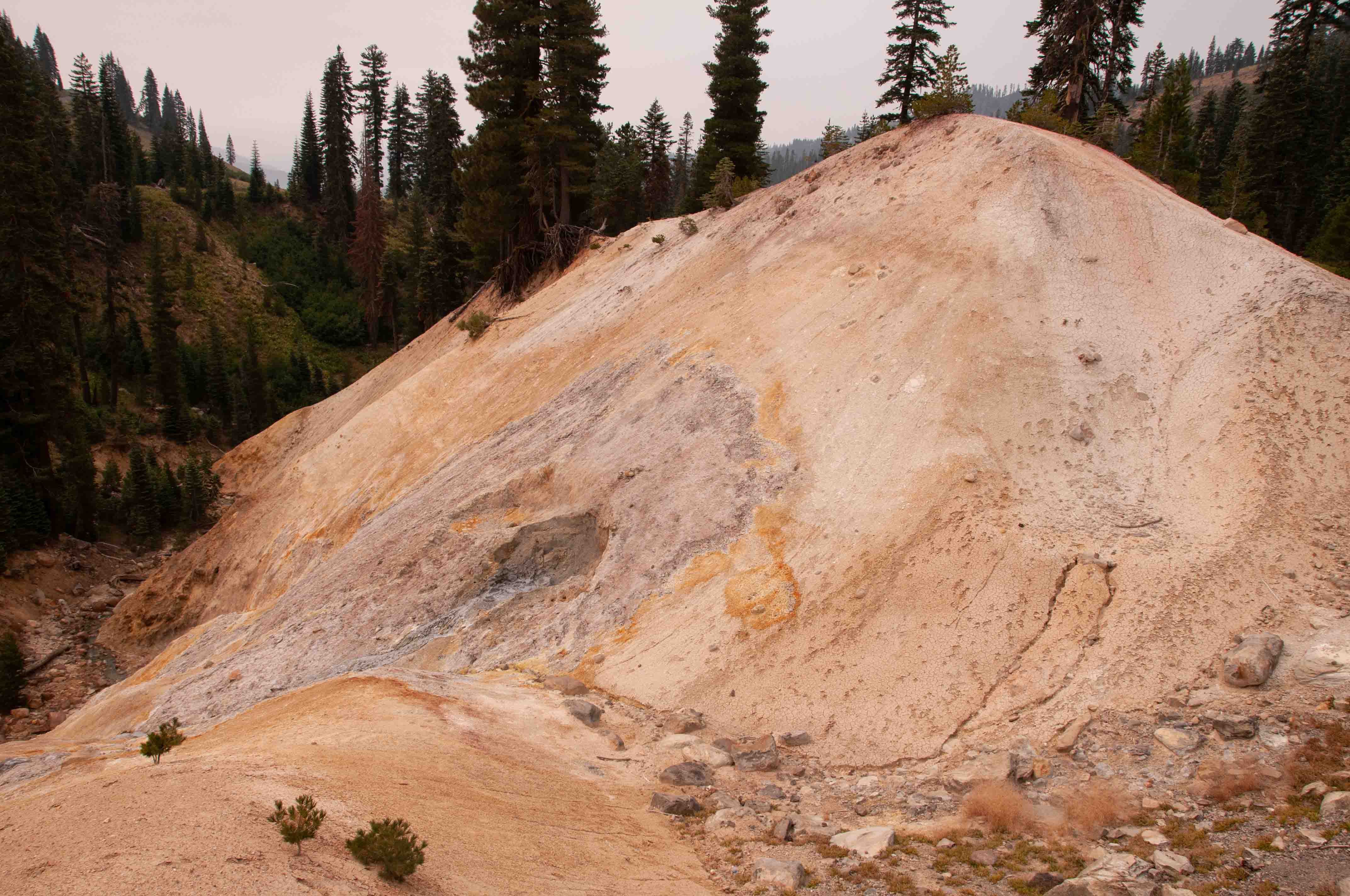
Sulphur Works is the only geothermal feature in the Park
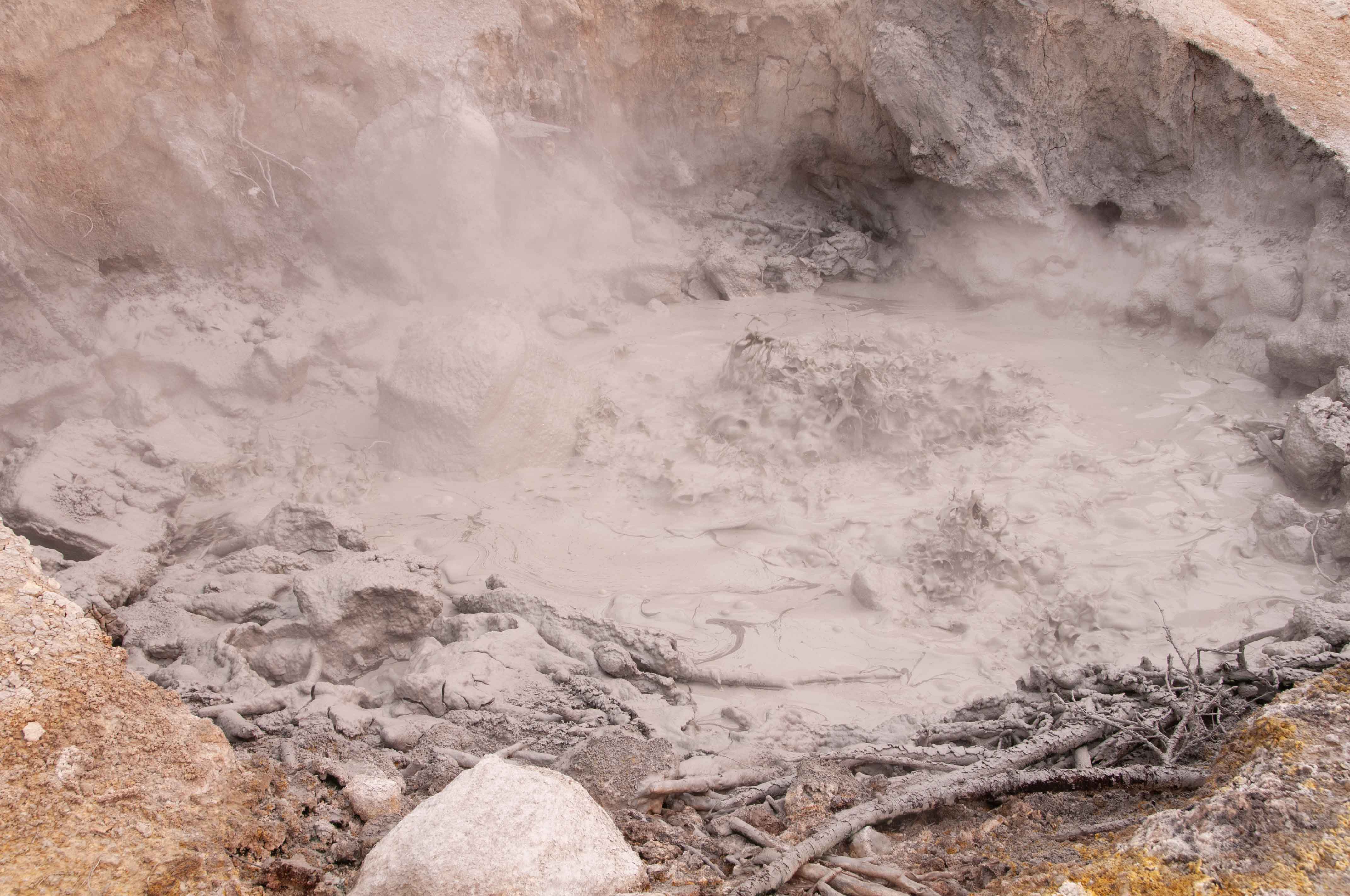
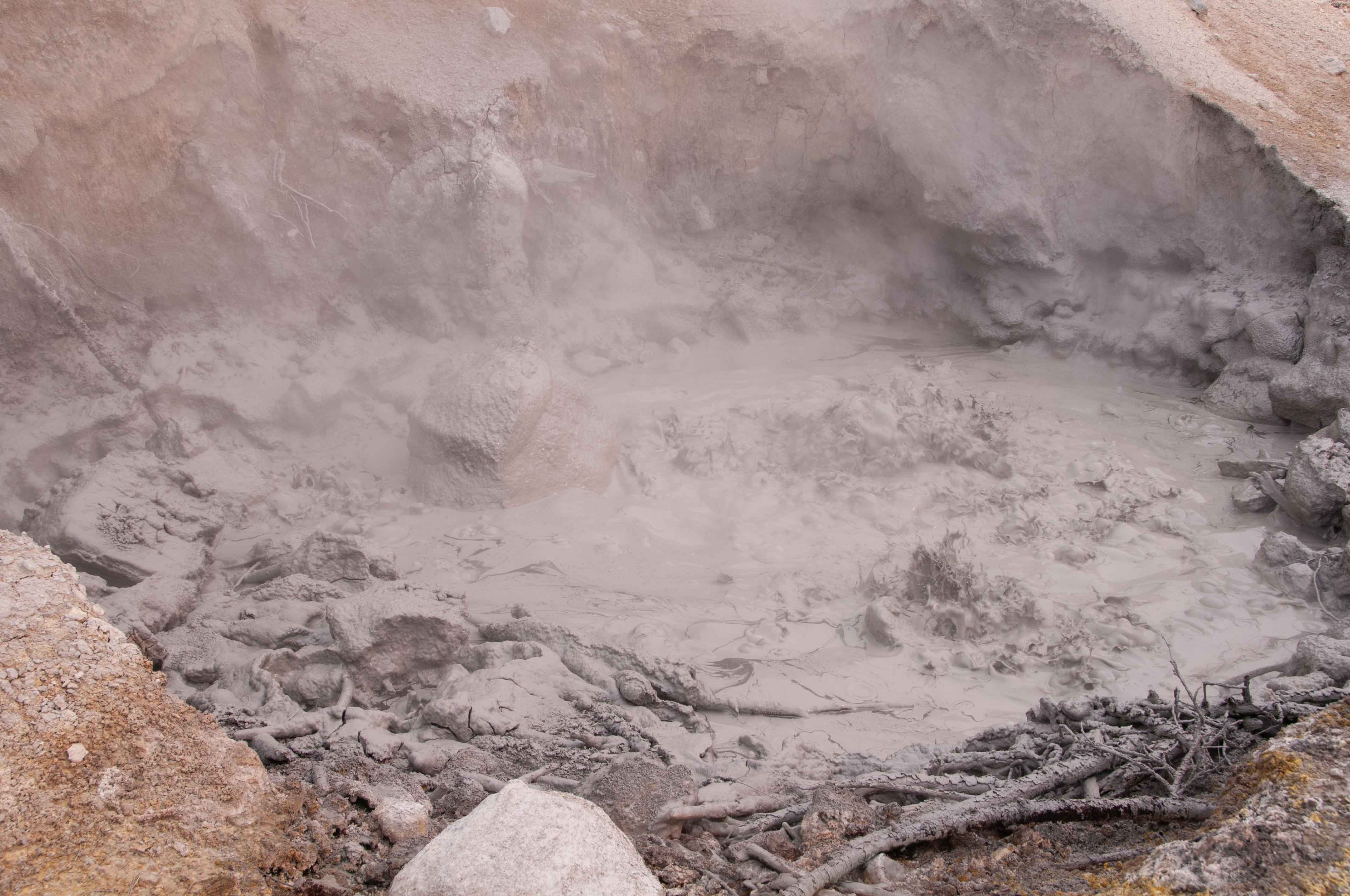
that is accessible from the main park road. The major attraction is a boiling mudpot, five feet across,
located next to the sidewalk. There are fumaroles across the park road that emit lots of steam.
Mud Pots
Steam Vent
Busy Chipmunk
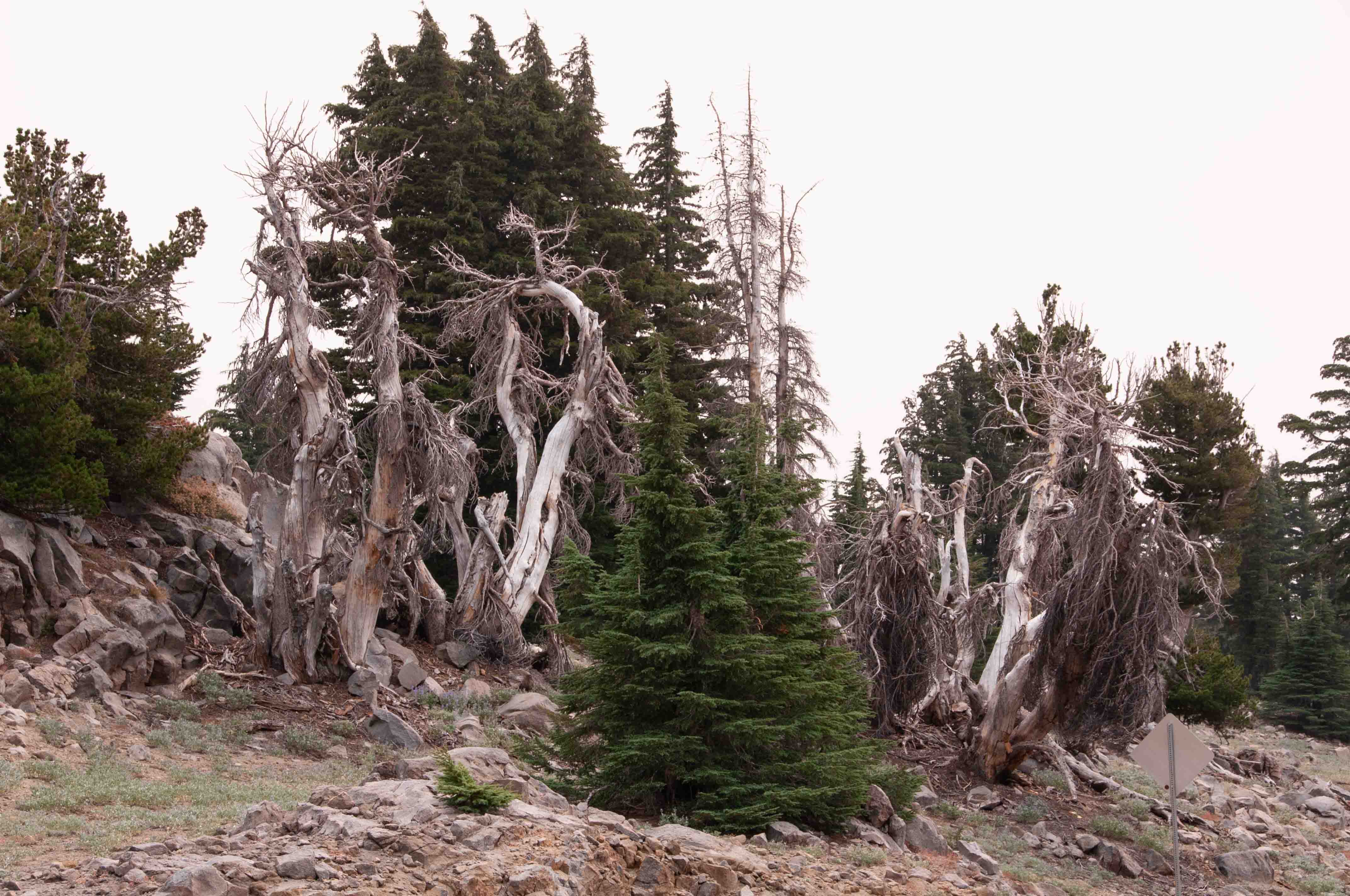
Parting Shots
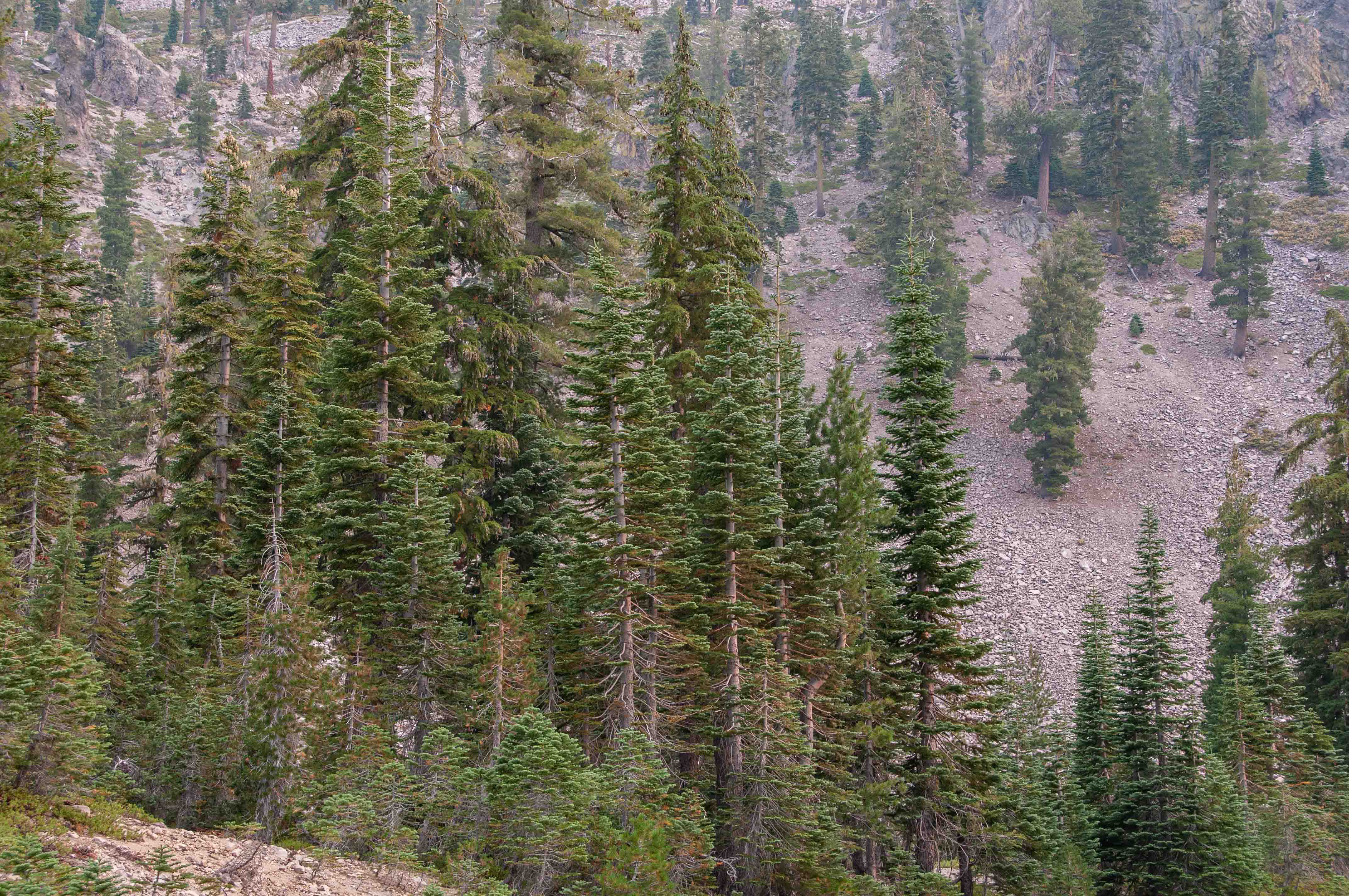
Unidentified Evergreen
TD Productions Copyright © 2018 Use the form on the Home Page to submit comments, questions, or suggestions.
