Kodachrome Basin State Park
Kodachrome Basin State Park is a geological jewel in south central Utah nestled between
Grand Staircase-Escalante National Monument to the east and Bryce Canyon National Park just over 20
miles to the northwest. National Geograhic Society members visiting the park in 1948 named it after the Kodak film.
Take Utah Scenic Byway 12 to Cannonville, then south 9 miles on Kodachrome
Road/Cottonwood Canyon Road to Kodachrome Basin. The park contains around 70 sandstone columns
or spires (known more formally as sedimentary pipes) which are its main geologic attraction.
The Visitor Center has a small gift shop and some exhibits. The park offers
horseback tours and has a laundromat. There are 3 campgrounds, Arch, Bryce View, and Basin. Basin campground is the best choice
for larger RVs and travel trailers. It has paved parking areas, some of which are pull through, bathroom,
and probably the best showers I have ever used at a national or state park. I stayed in campsite 26 in Basin Campground
which was a pull through with electric and water hookups.
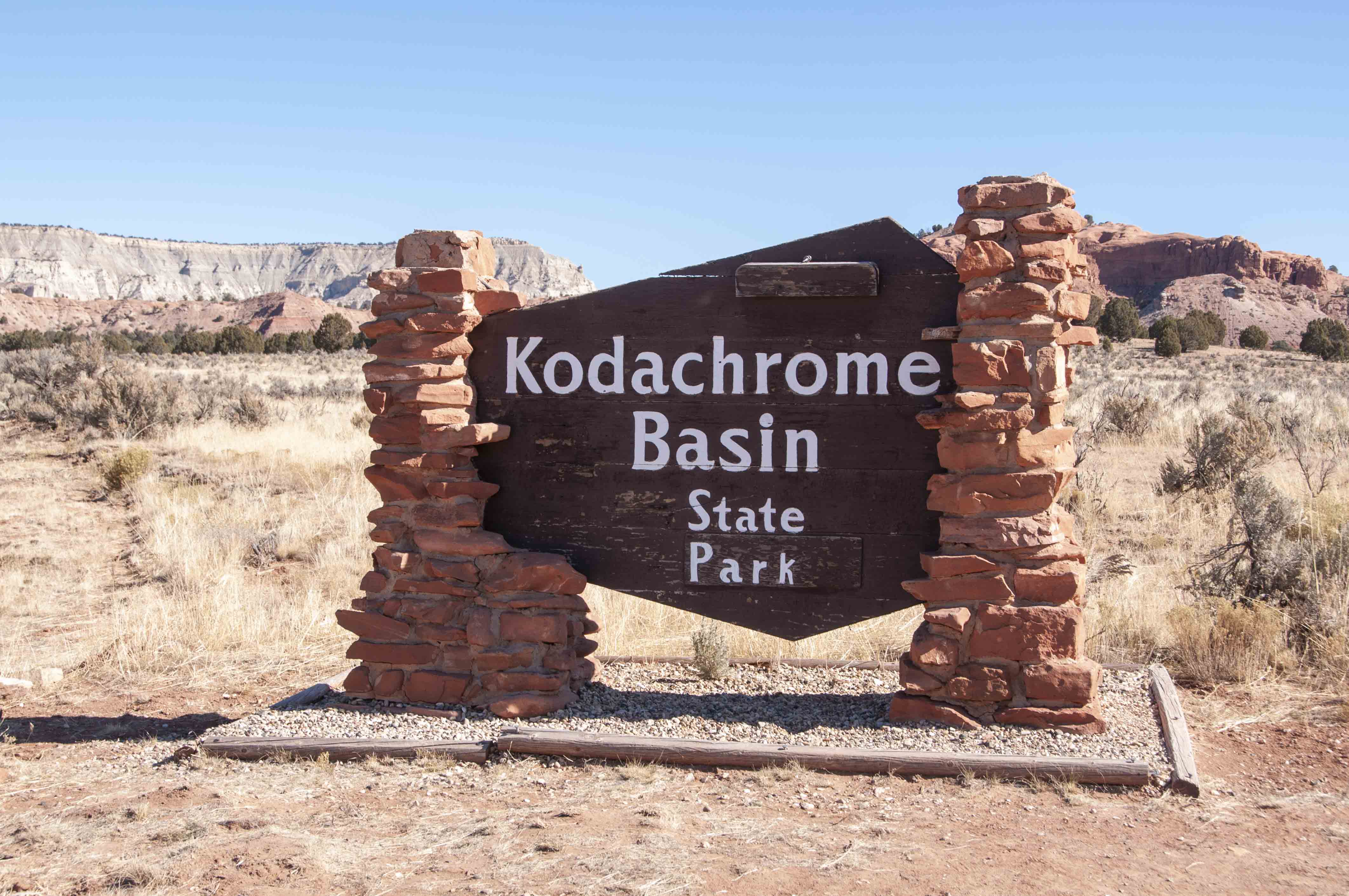
Park sign
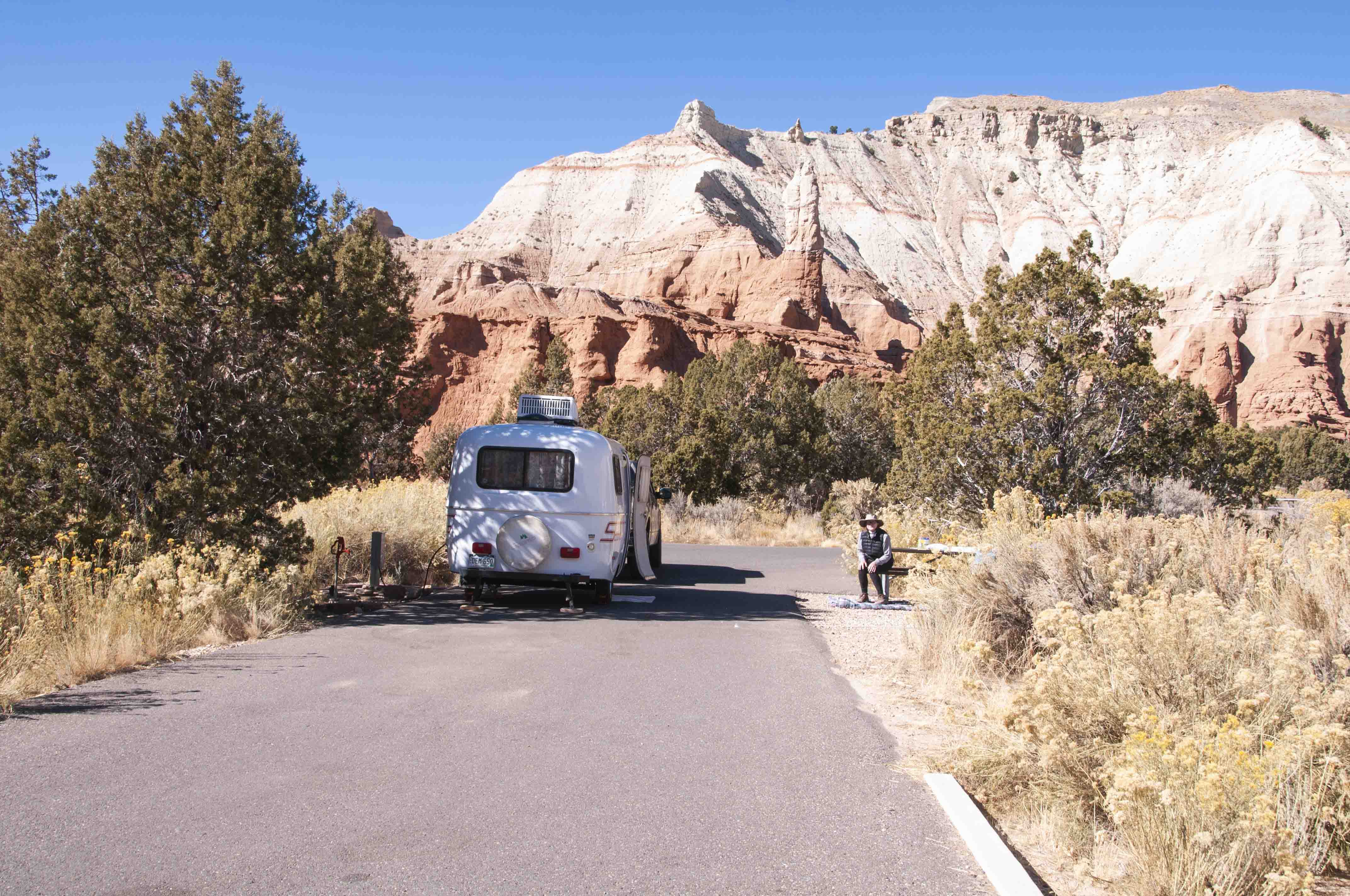
Stephanie and our Scamp in Campsite 26
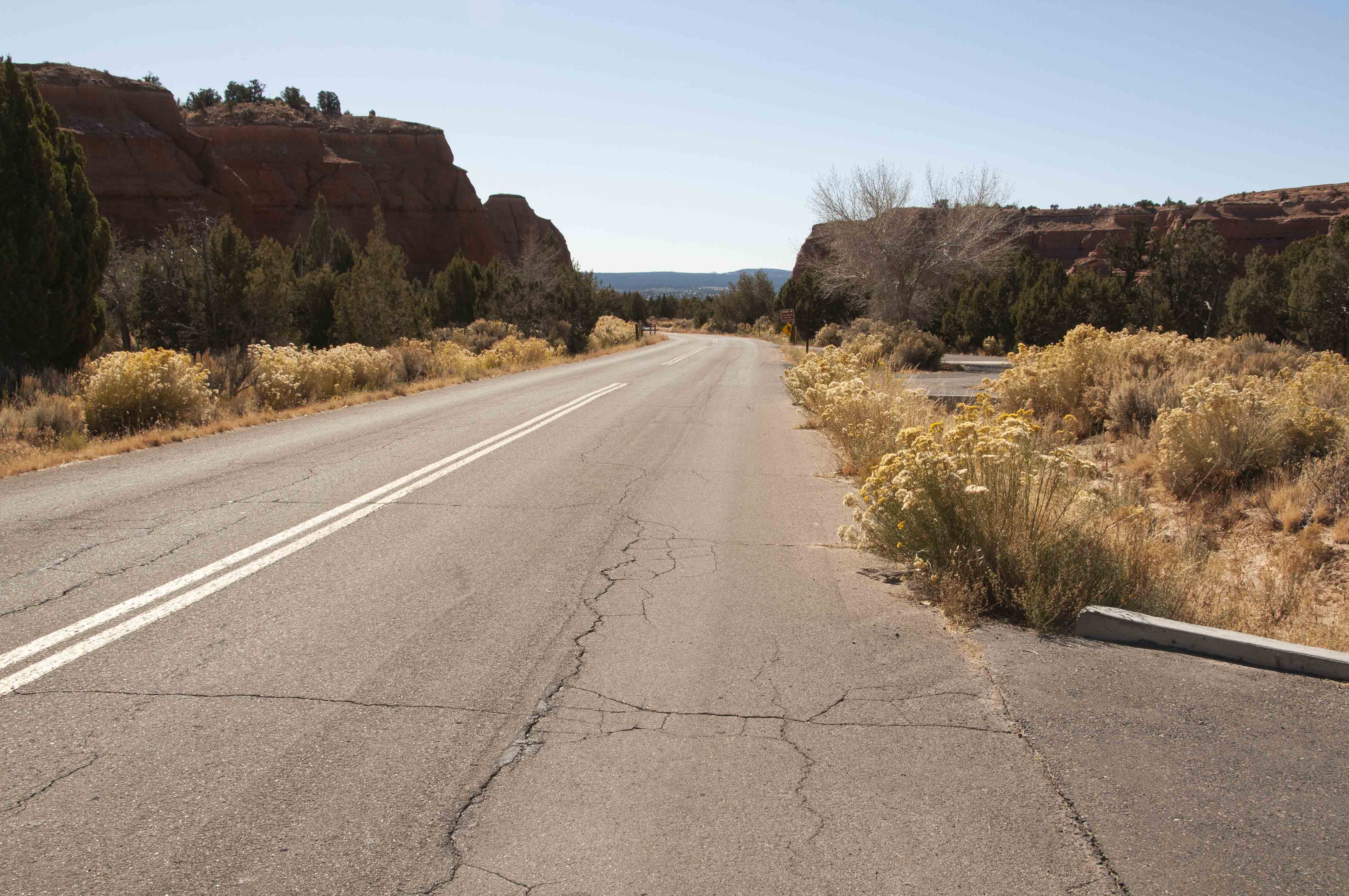
Road into Basin Campground
There are four easy (to moderate) trails near the campgrounds that vary in length from
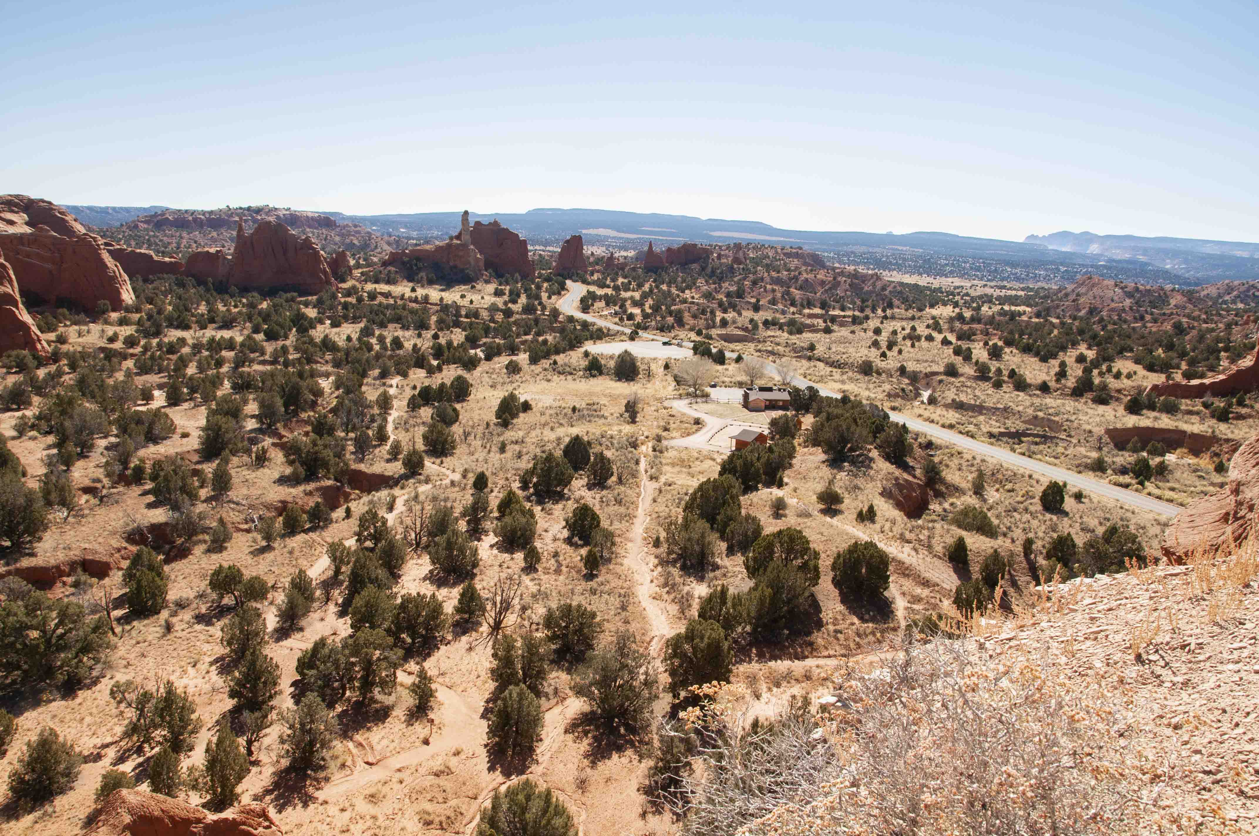
0.5 to ~ 6 miles. Probably the most popular is Angel's Palace Trail, but the most interesting to
me was the Panorama trail.
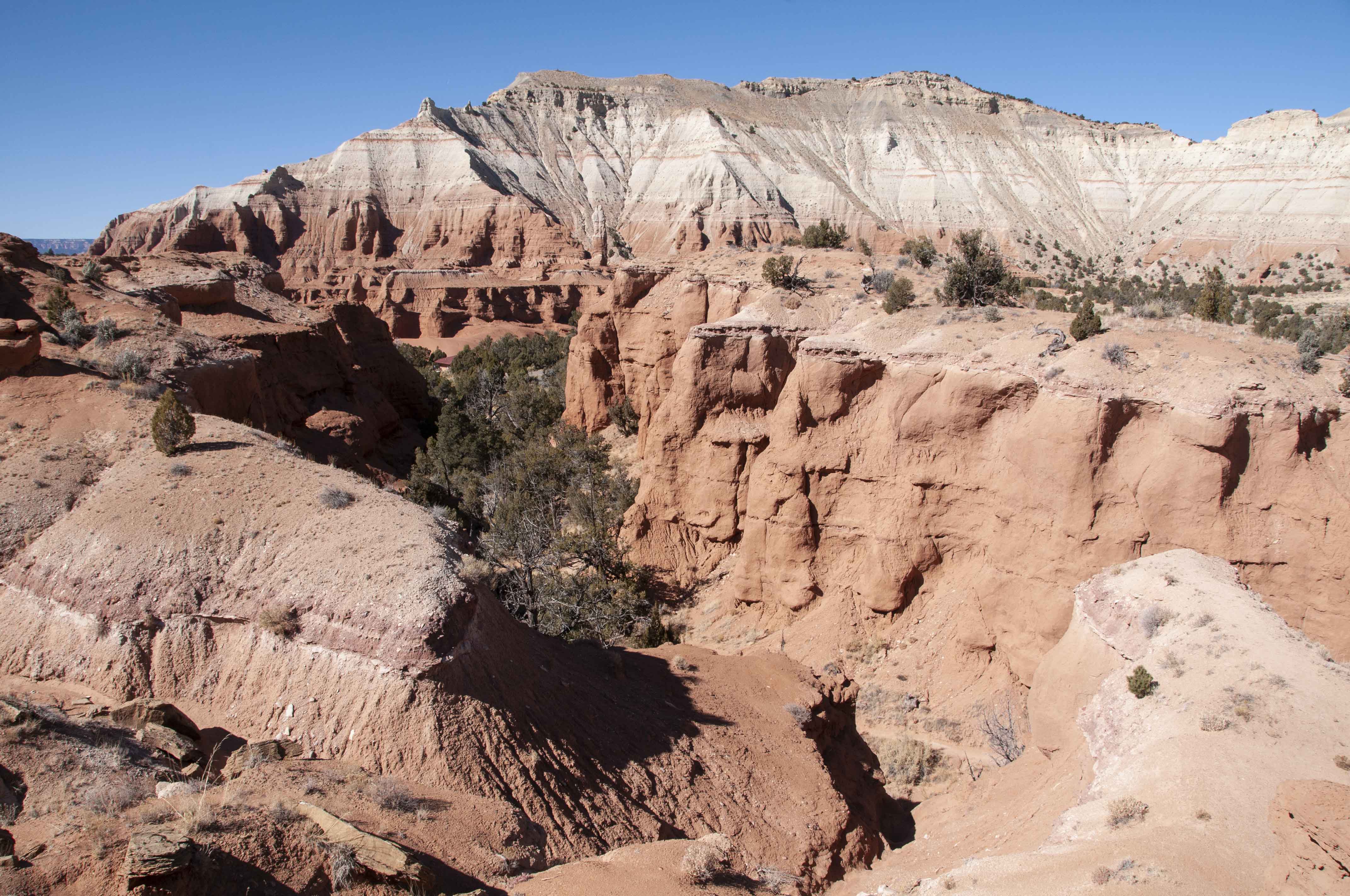
Angel's Palace Trail
Very popular and scenic trail and very near Basin Campground.

Trail sign

Angel's Palace Trail
View ~ south from Angel's Palace Trail. Laundromat and Horse Rides office in center of picture.
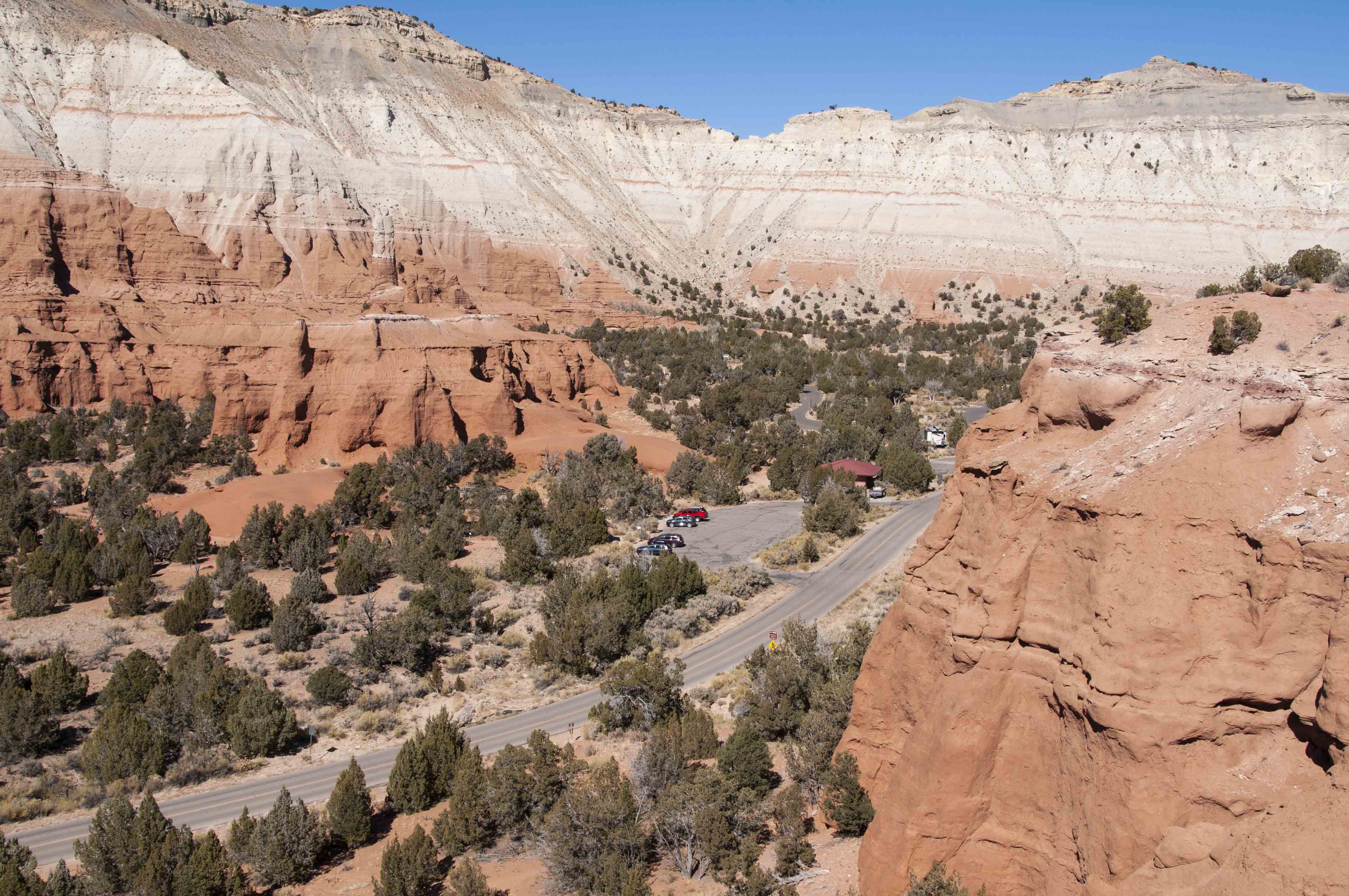
View north from Angel's Palace Trail. Part of Basin Campground and its bathroom are visible.
View from Angel's Palace Trail. Portion of Grand Parade Trail (upper left)
View from Angel's Palace Trail
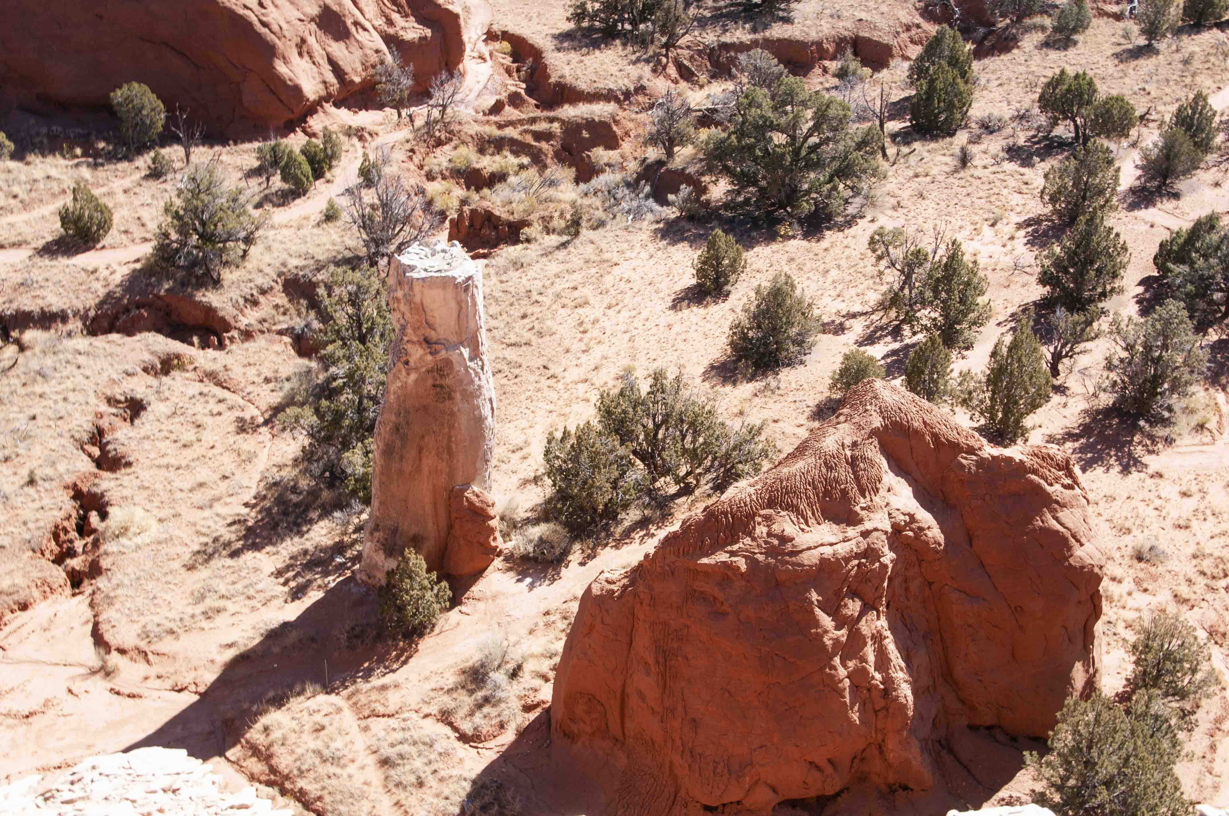
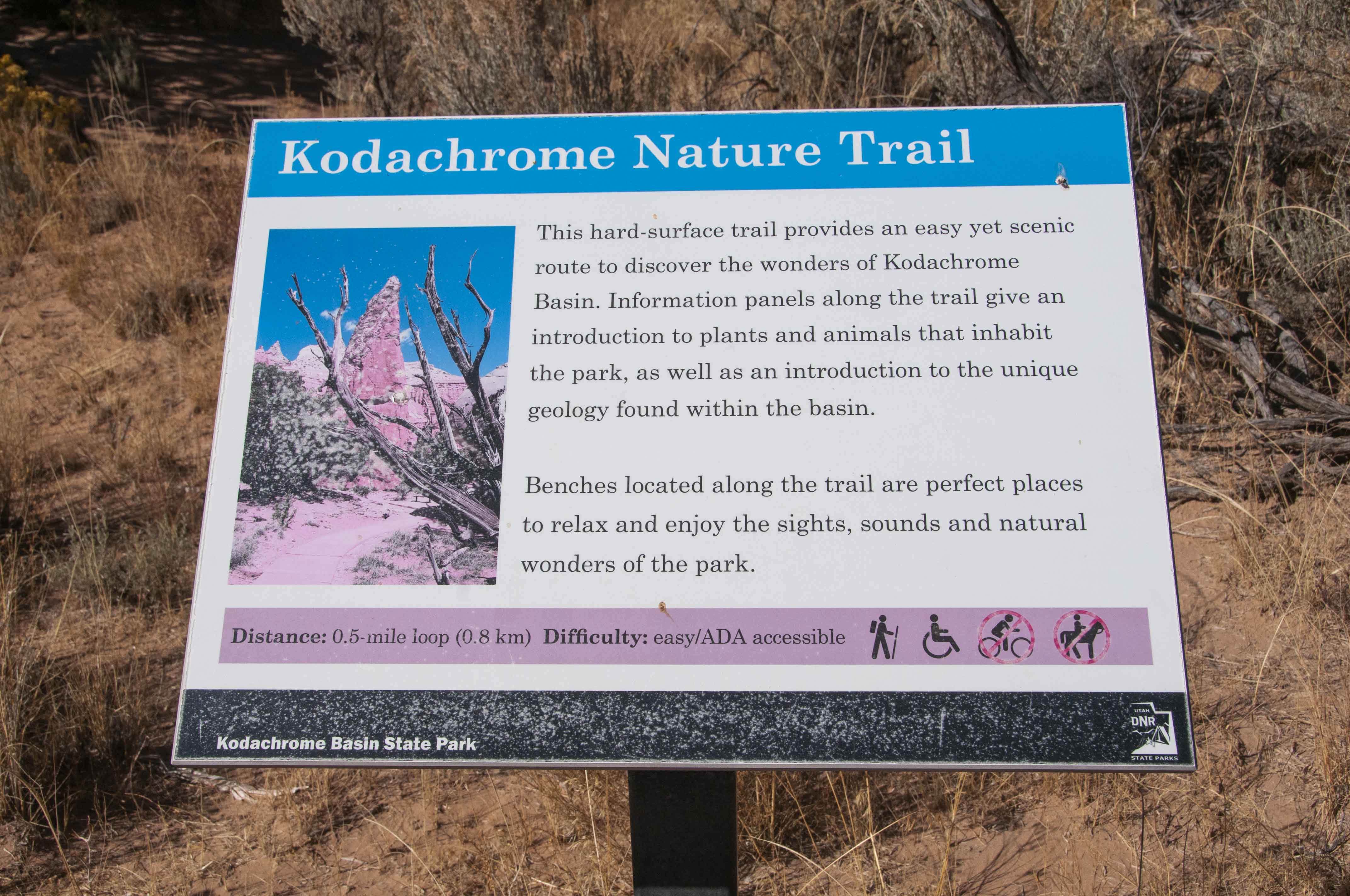
Kodachrome Nature Trail
Very short and very easy. Descriptions of geology, flora, and fauna along the way.
Trail sign
One of the many sandstone monoliths

Kodachrome Nature Trail
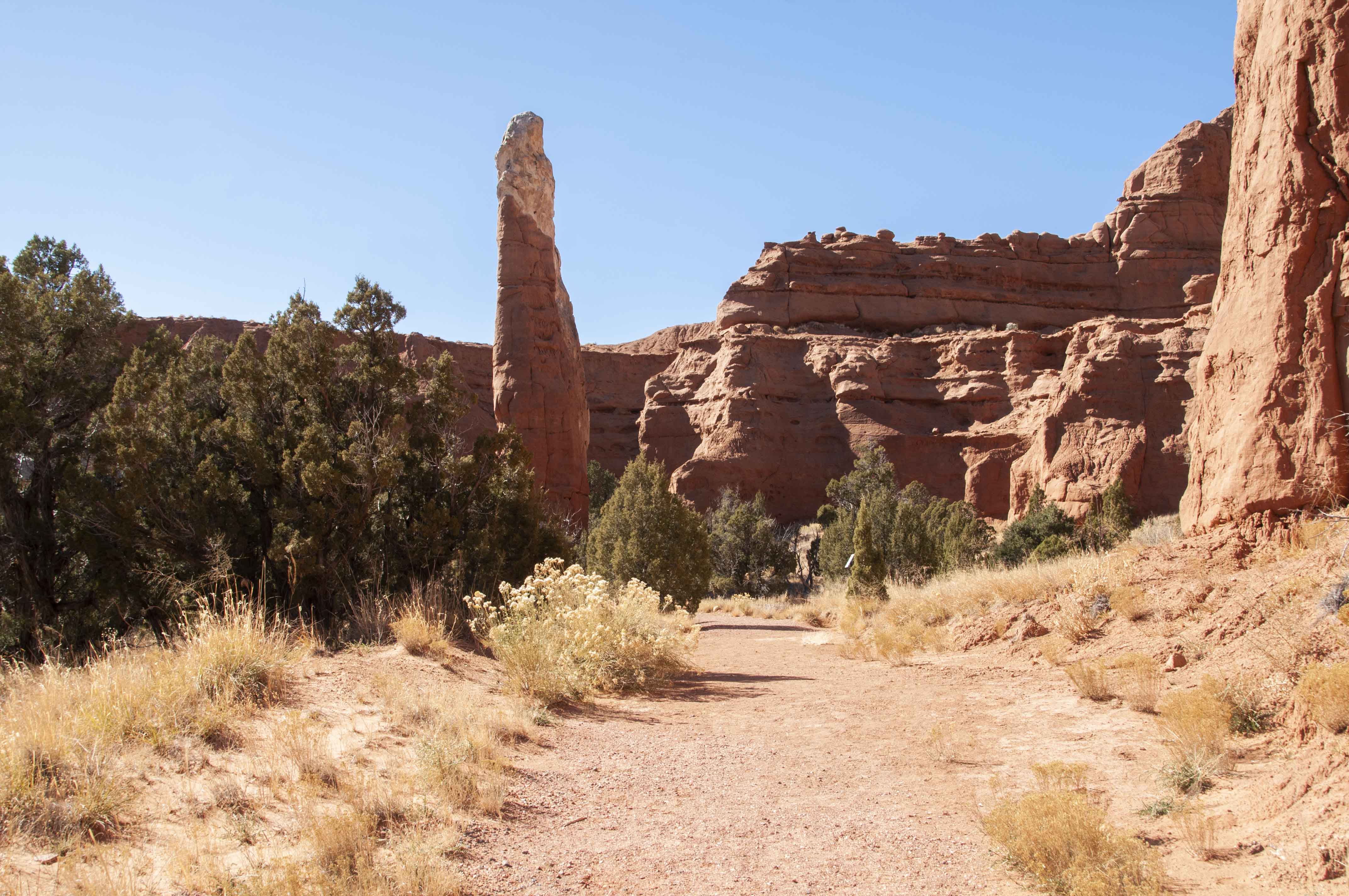
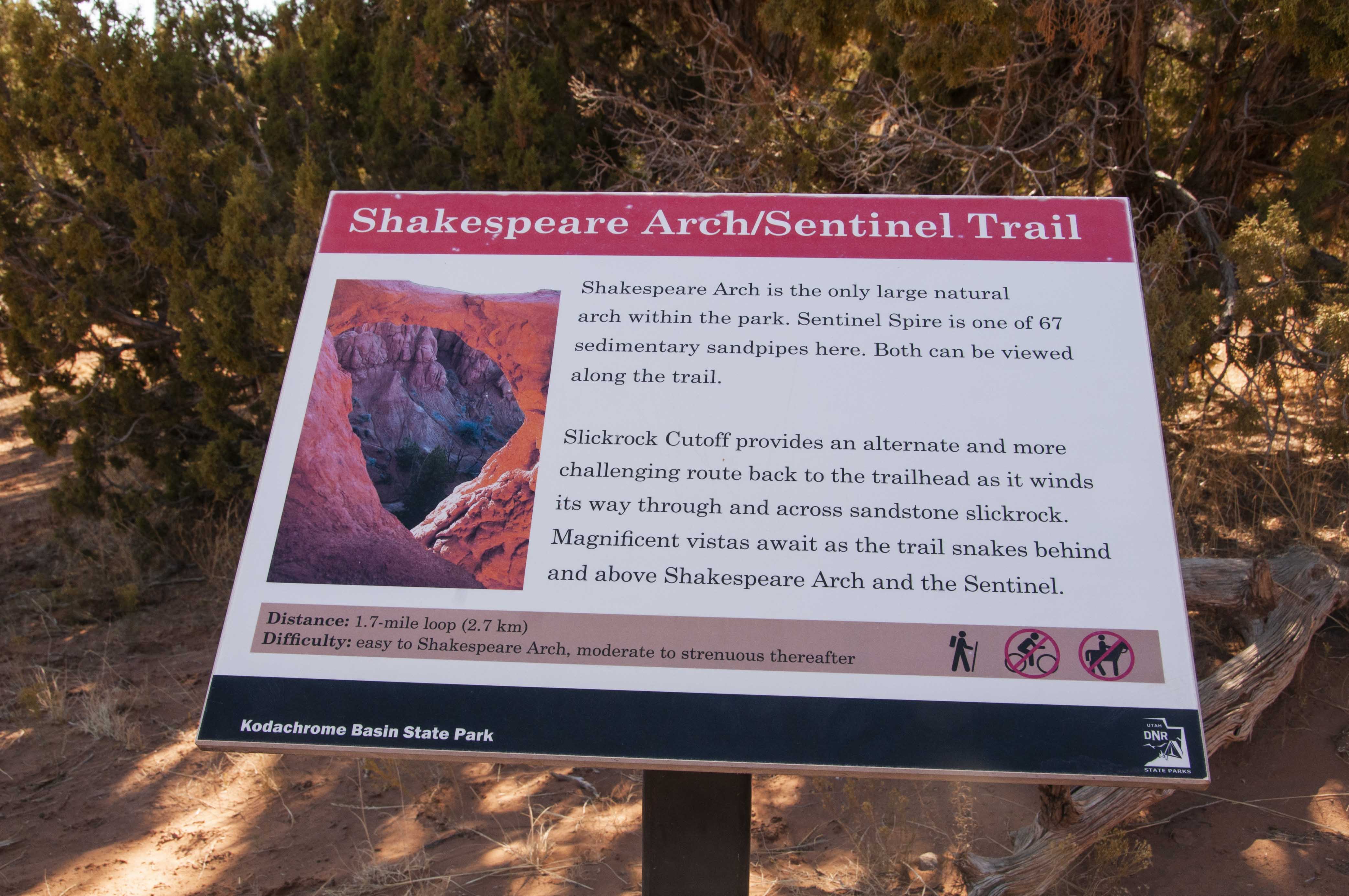
Shakespeare Arch/Sentinel Trail
This is probably the most difficult (but not very) of the trails if you take the
long way around - a lot of up and down. Spoiler alert: das bogen ist kaput!
Trail sign
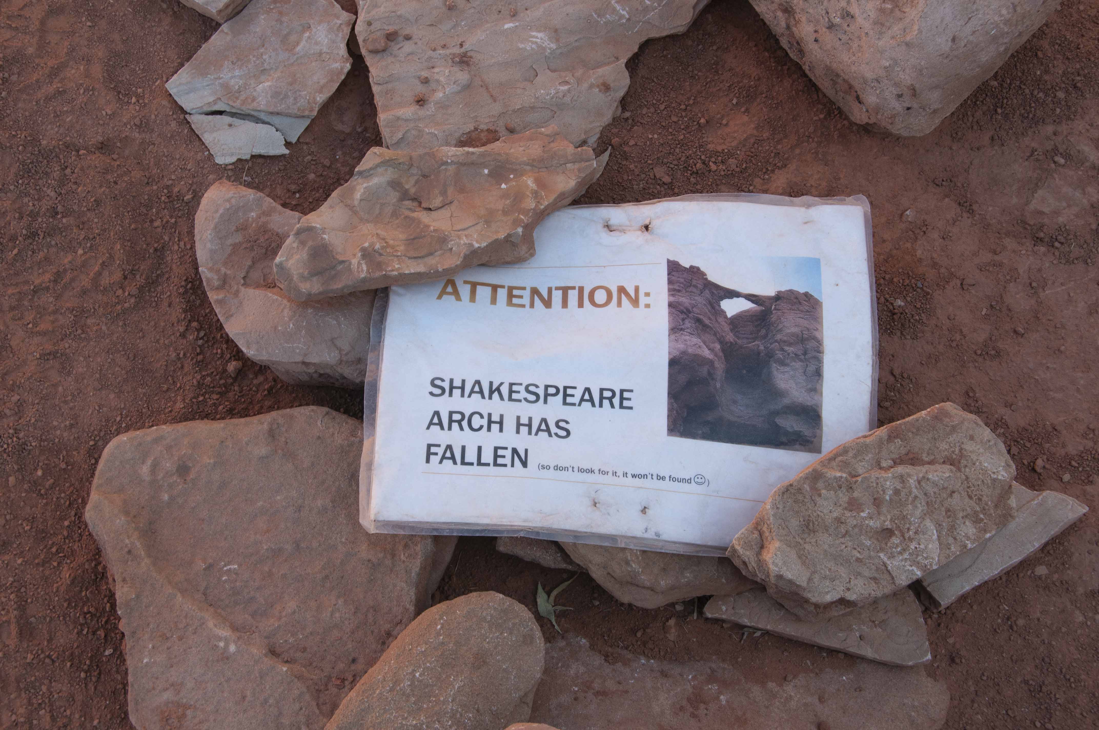
Bummer!
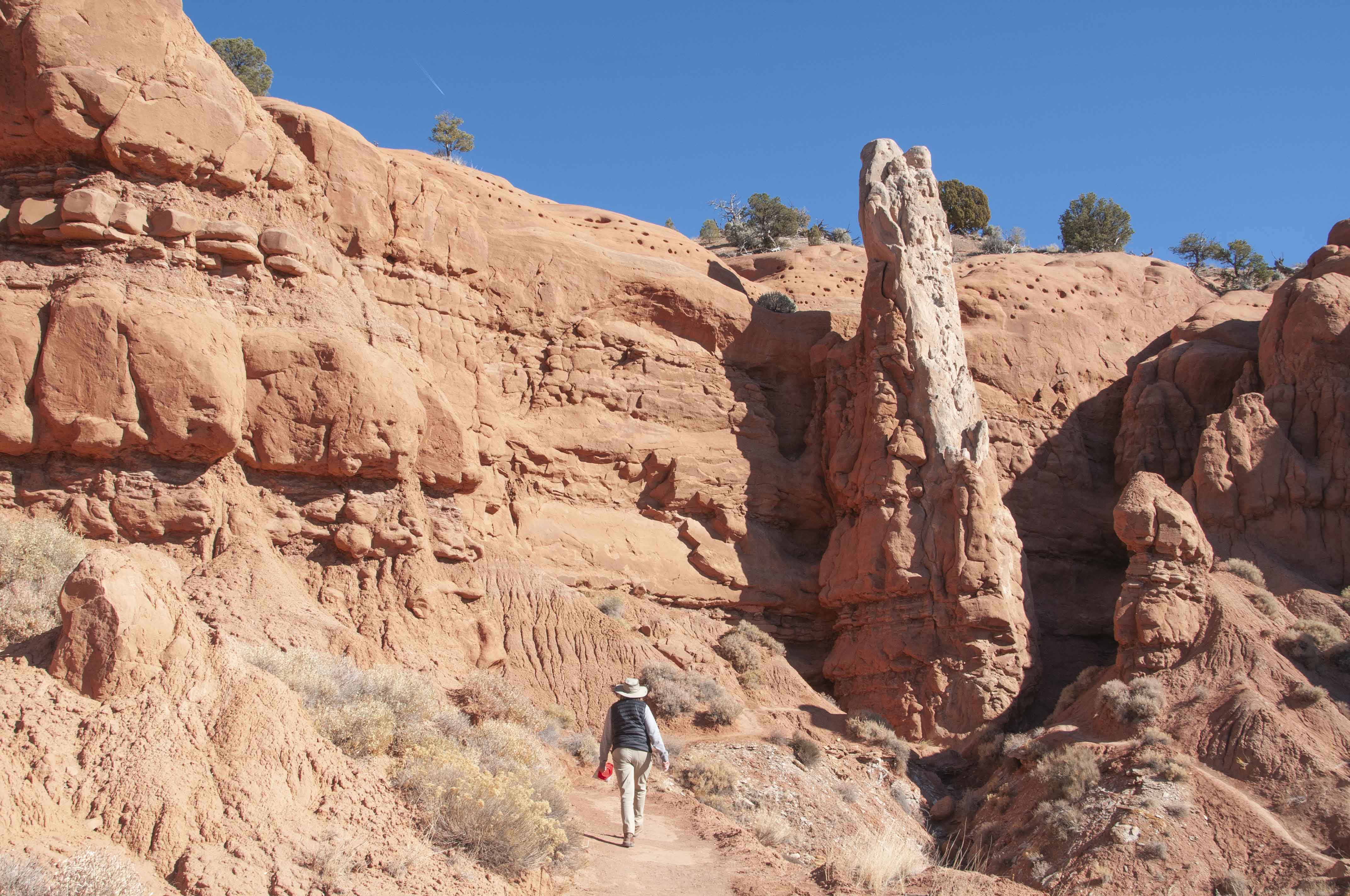
Stephanie and the Sentinel

The Sentinel
View of Little Dry Valley

View from Shakesepare Arch/Sentinel Trail
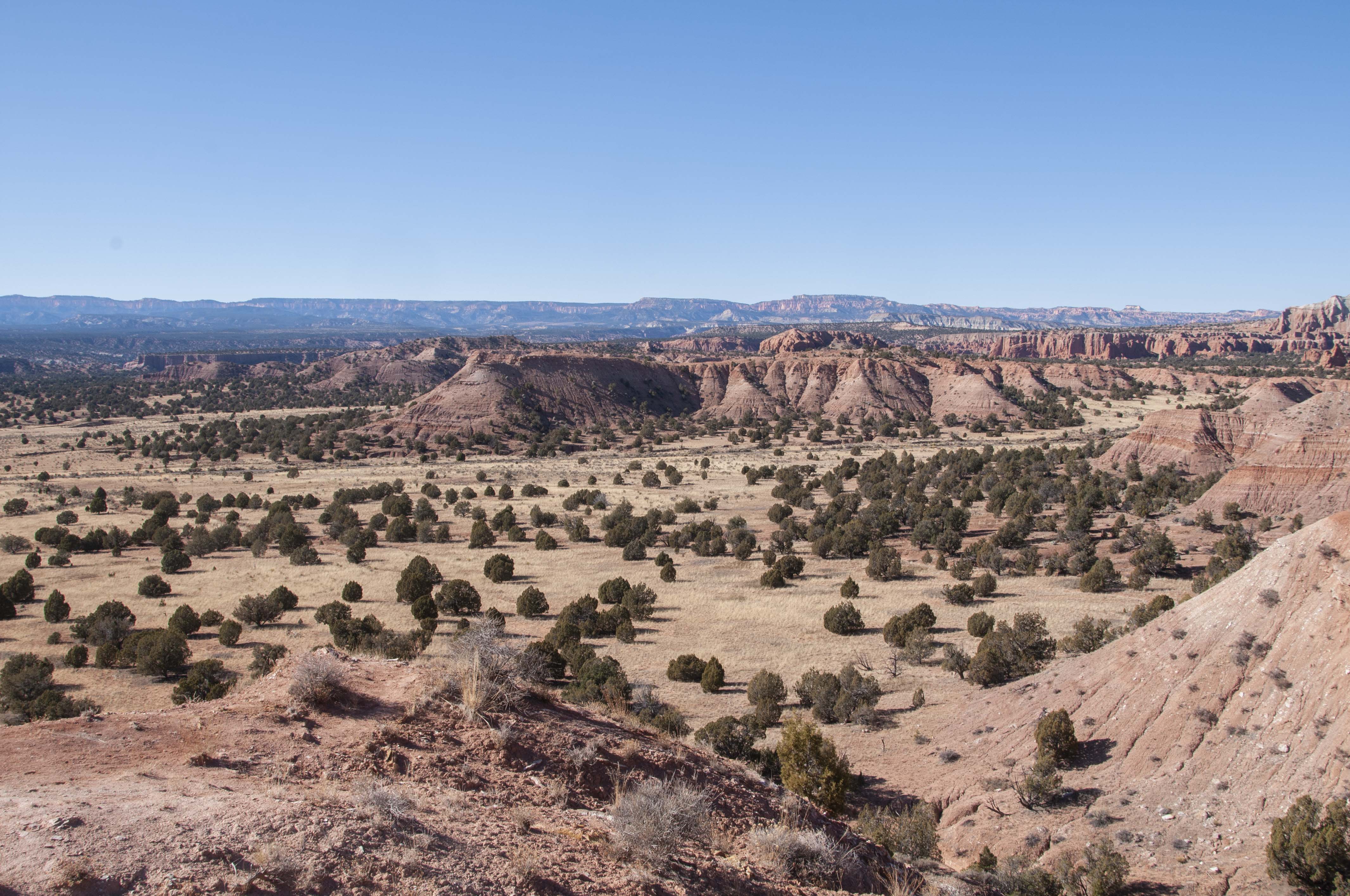
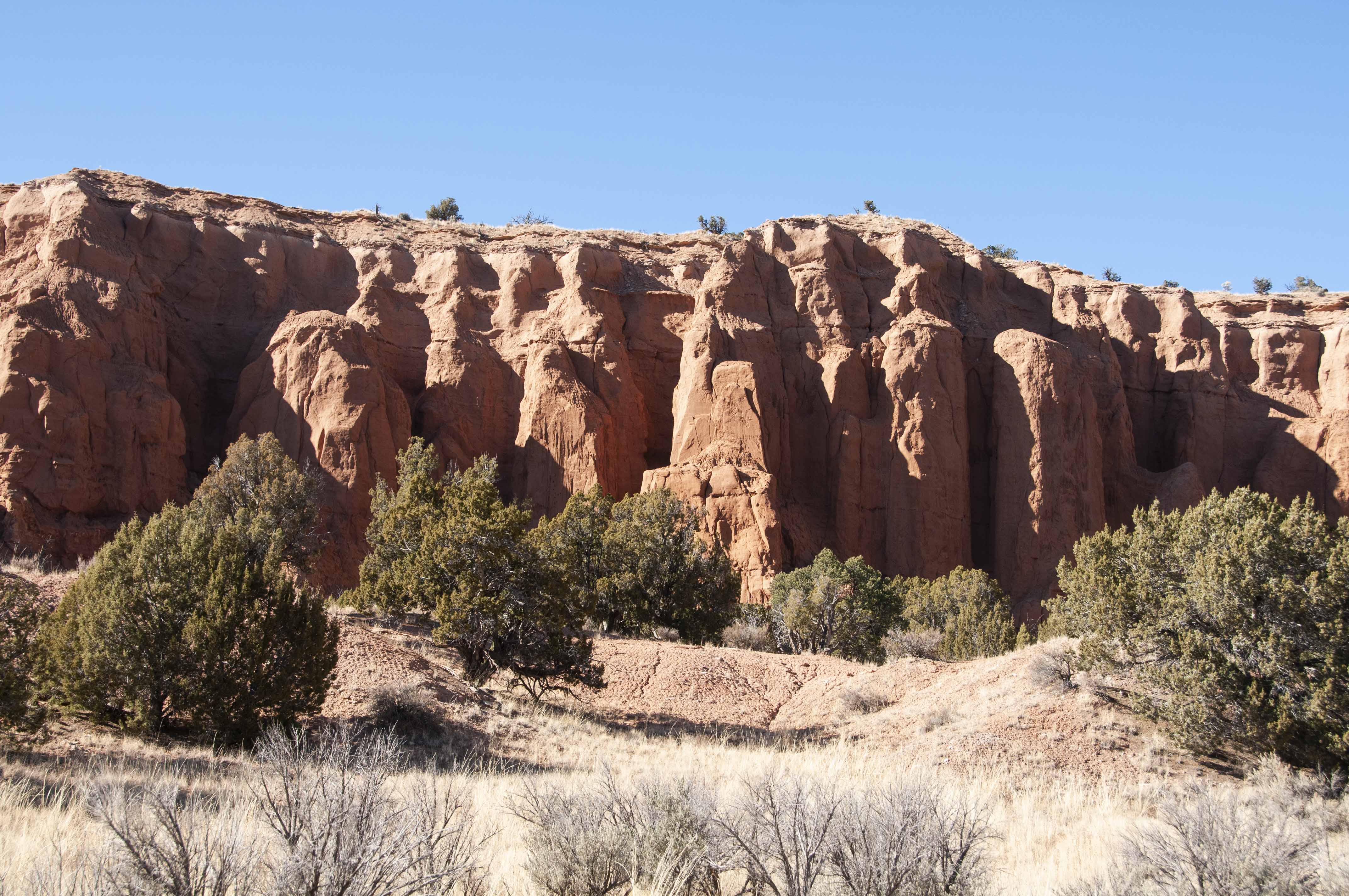
Panorama Trail
This trail is fairly long (~ 6 miles) but flat. There are several interesting
things to see along the way (most of which I didn't see - had to cut the hike
short due to time constraints).
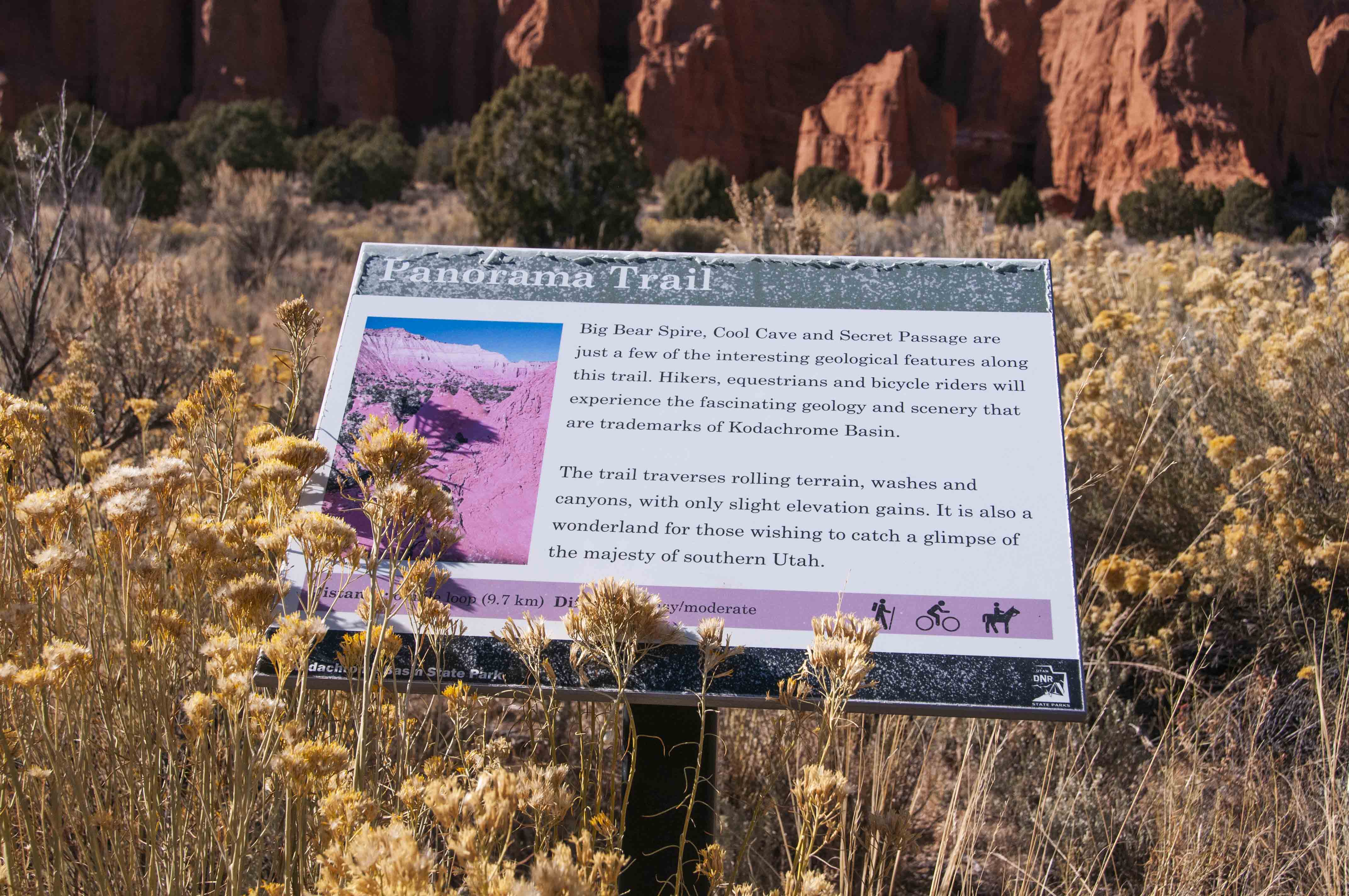
Trail sign
Entrada Formation sandstone
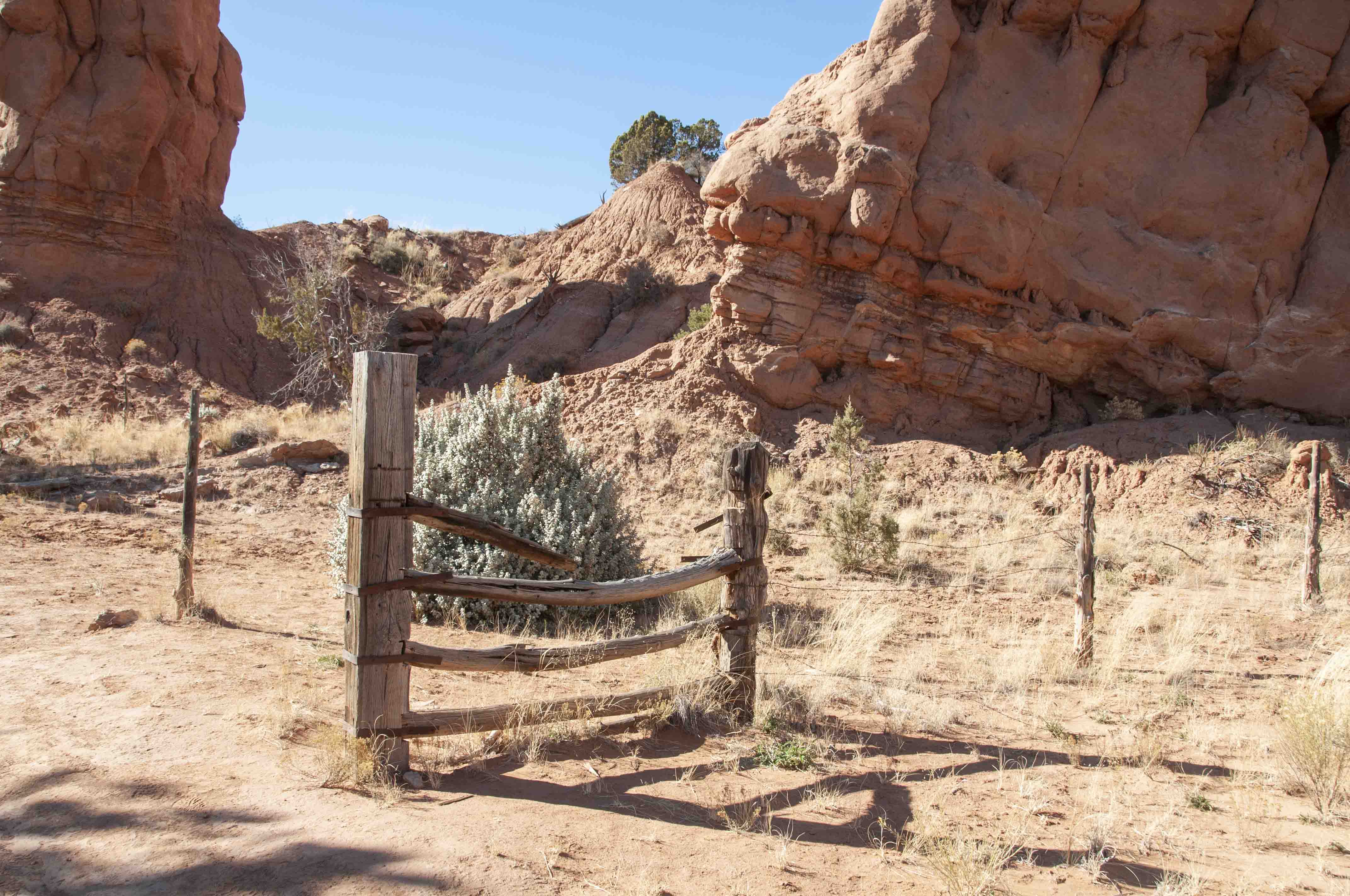
Used to be a cattle fence
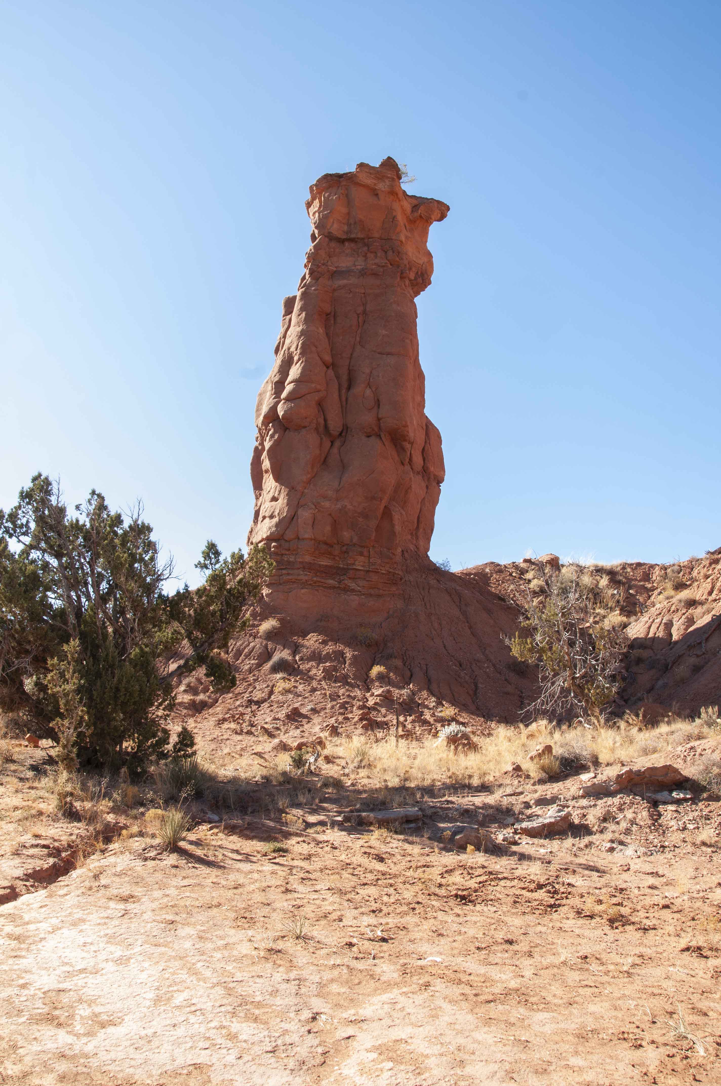
Another sedimentary pipe
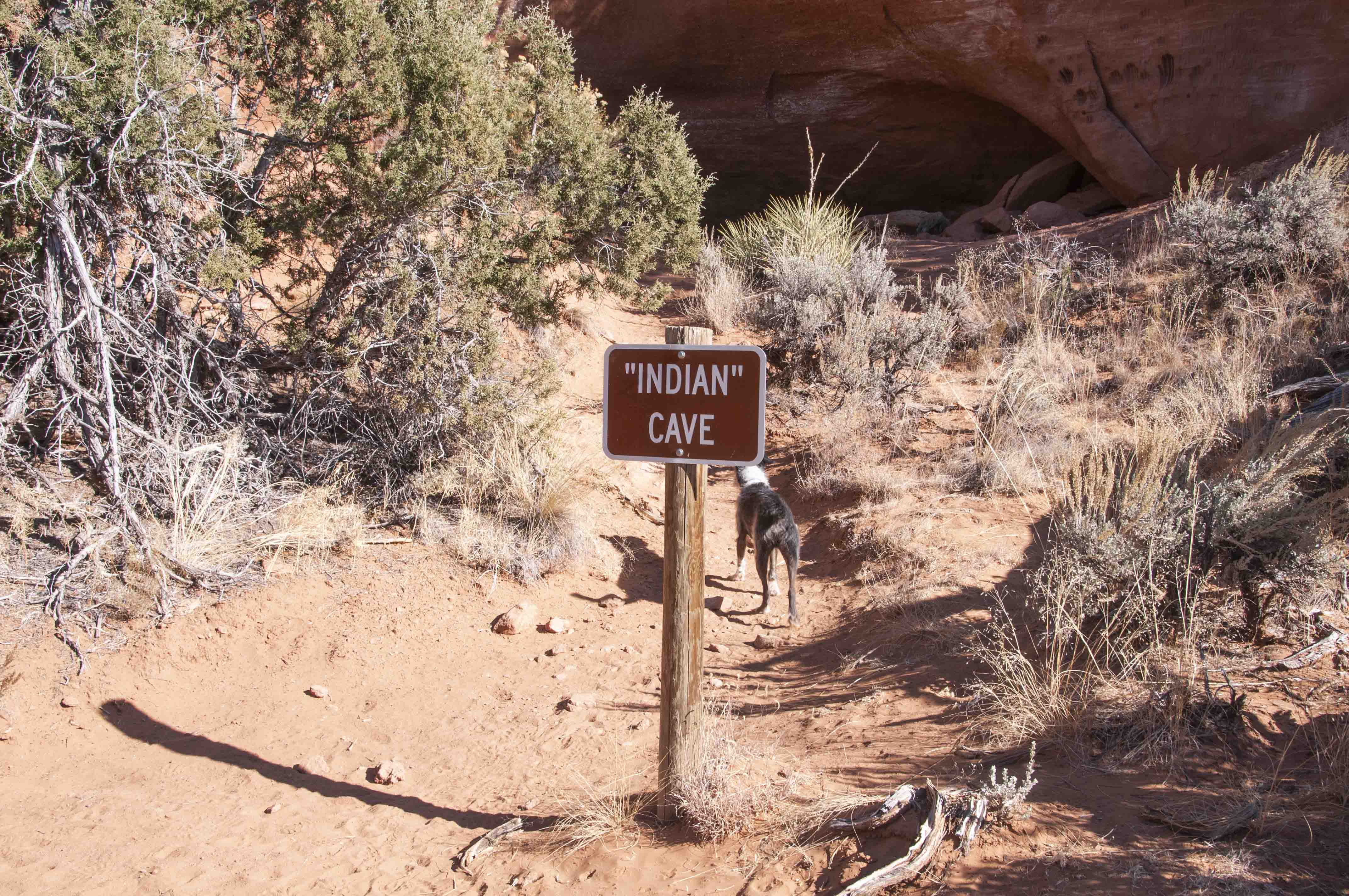
"Indian" Cave
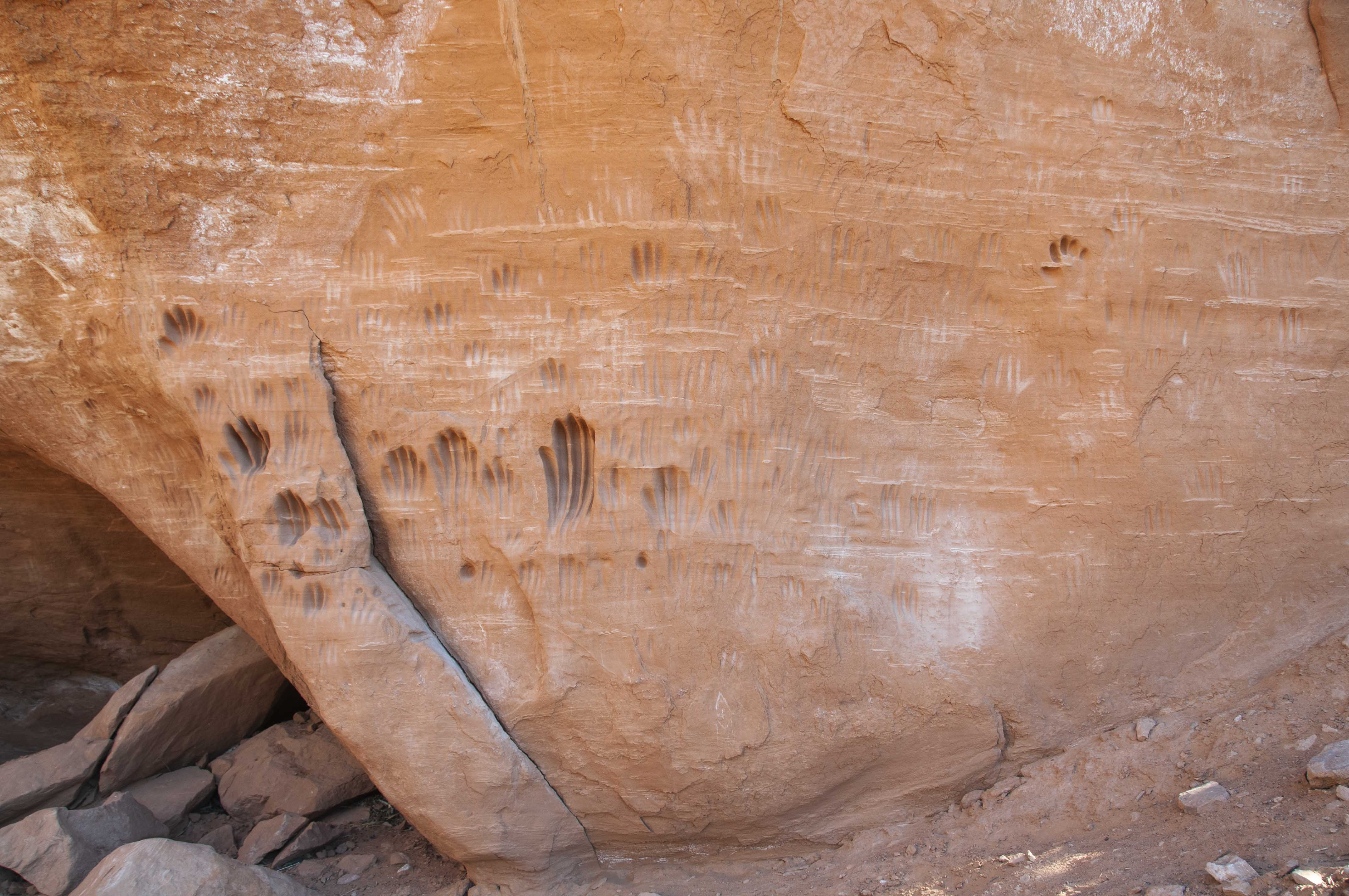
Have no clue what these are

Interesting formations
Use the form on the Home Page to submit comments, questions, or suggestions. TD Productions Copyright © 2019