Kasha-Katuwe Tent Rocks National Monument
Kasha-Katuwe Tent Rocks National Monument, on the Pajarito Plateau in north-central New Mexico,
includes a national recreation trail that is excellent for hiking and observation of the
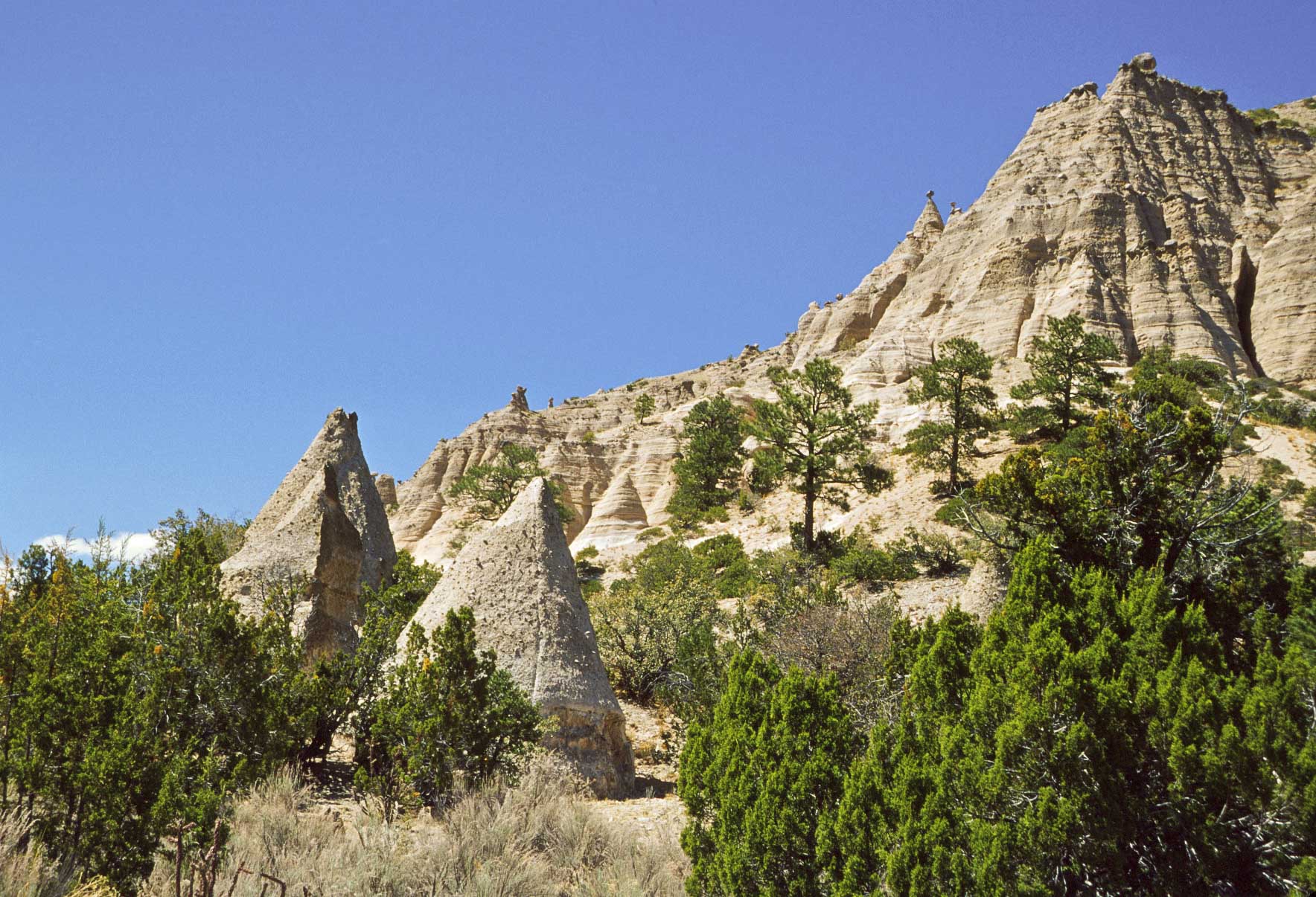
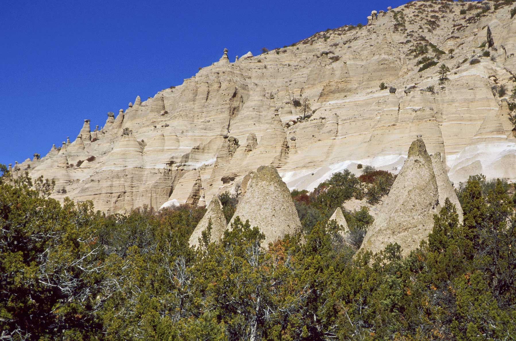
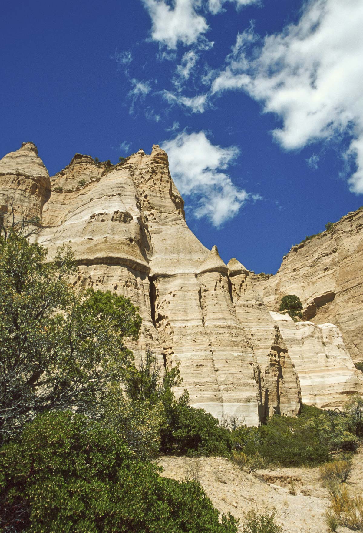
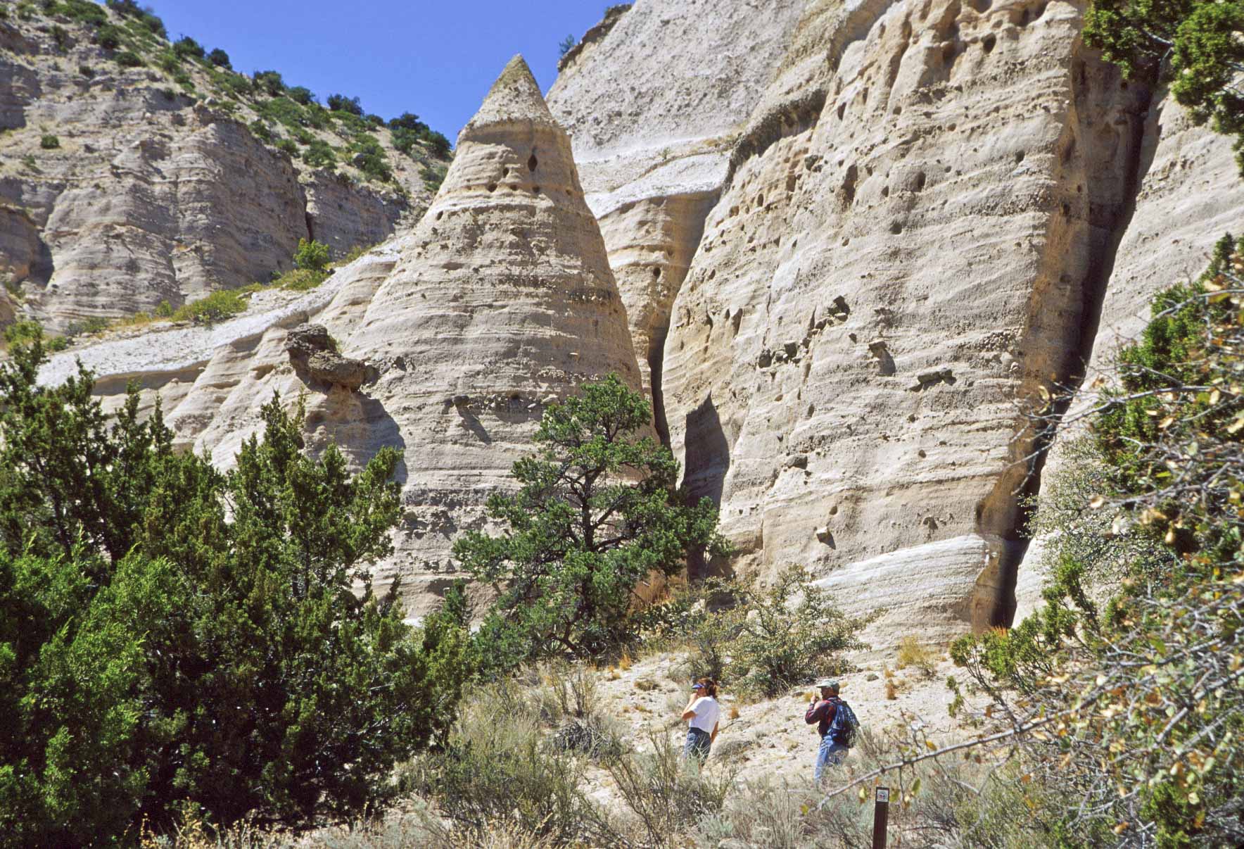
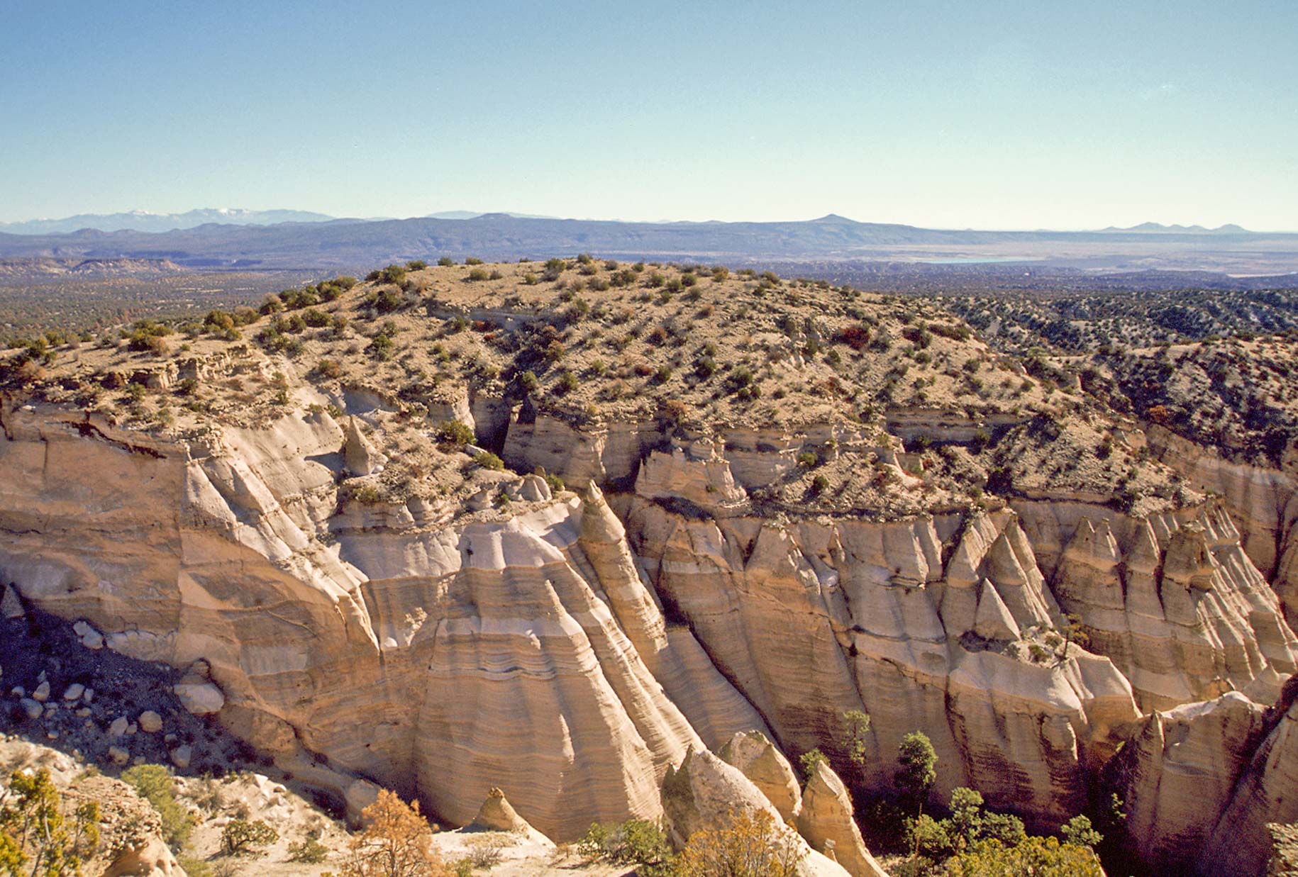
interesting tent rock formations. The Pajarito Plateau was formed 6 to 7 million years ago when violent
volcanic eruptions deposited pumice, ash, and tuff in a layer over 1,000 feet thick. Wind and water eroded
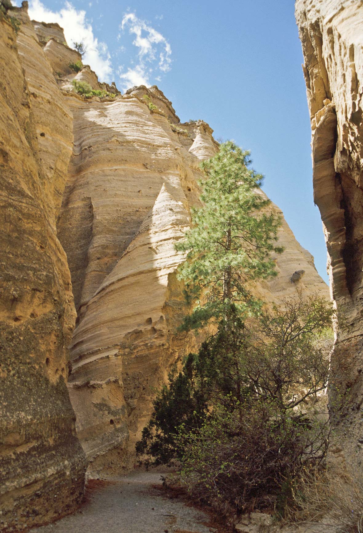
the tuff into the cone-shaped tent rocks seen in the Monument today. Kasha-Katuwe Tent Rocks National Monument is part
of Cochiti Pueblo, and the Cochiti regard it as sacred.
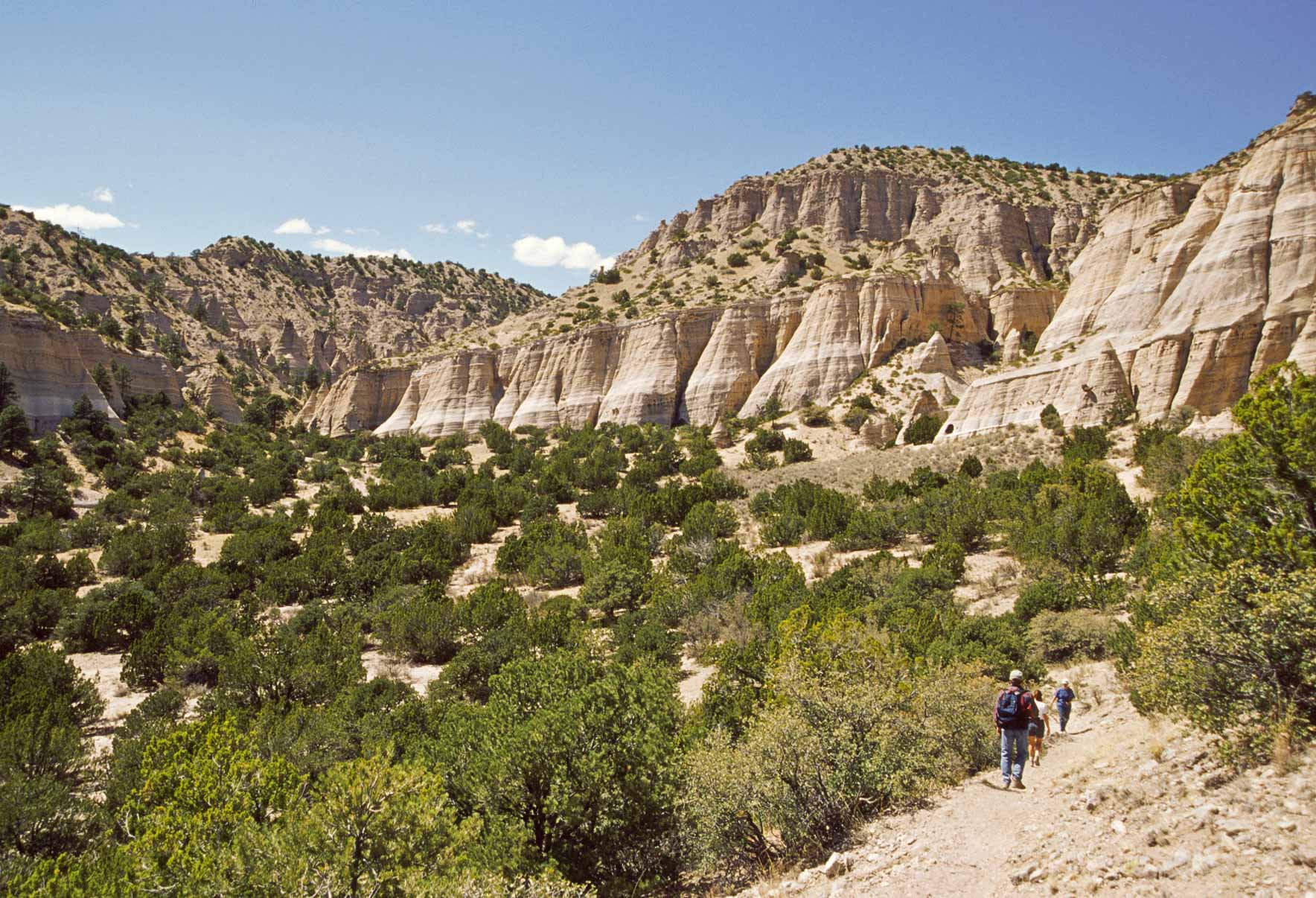
Tent Rocks Trail has two parts, a shorter loop that stays at the base of the mesa, and a 3 mile out and
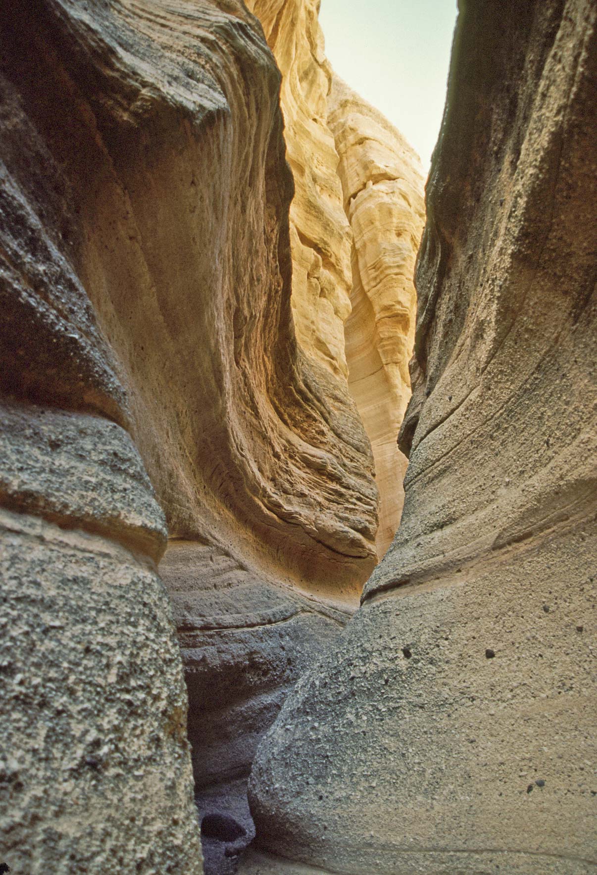
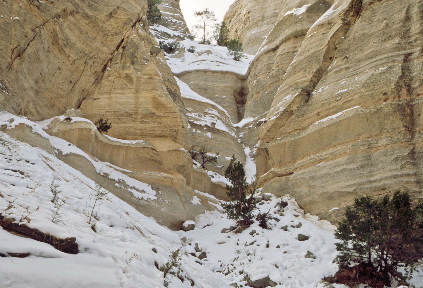
back trail that gains 750 feet in elevation. The longer trail follows an arroyo into a canyon. This canyon
narrows into a slot canyon through which the trail twists and turns. Once through the slot canyon the terrain
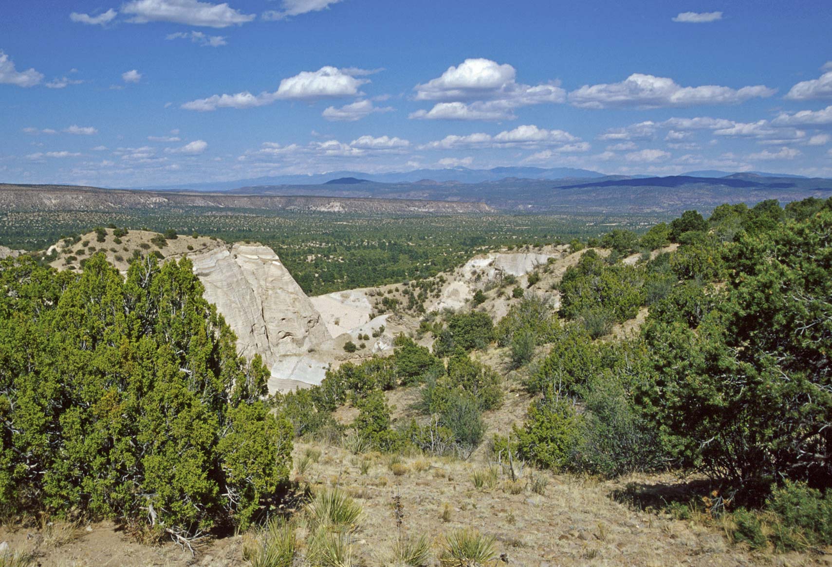
opens up and the trail starts to climb to the top of the mesa. The trail ends on the mesa top
with a terrific 360° view of the surrounding area.
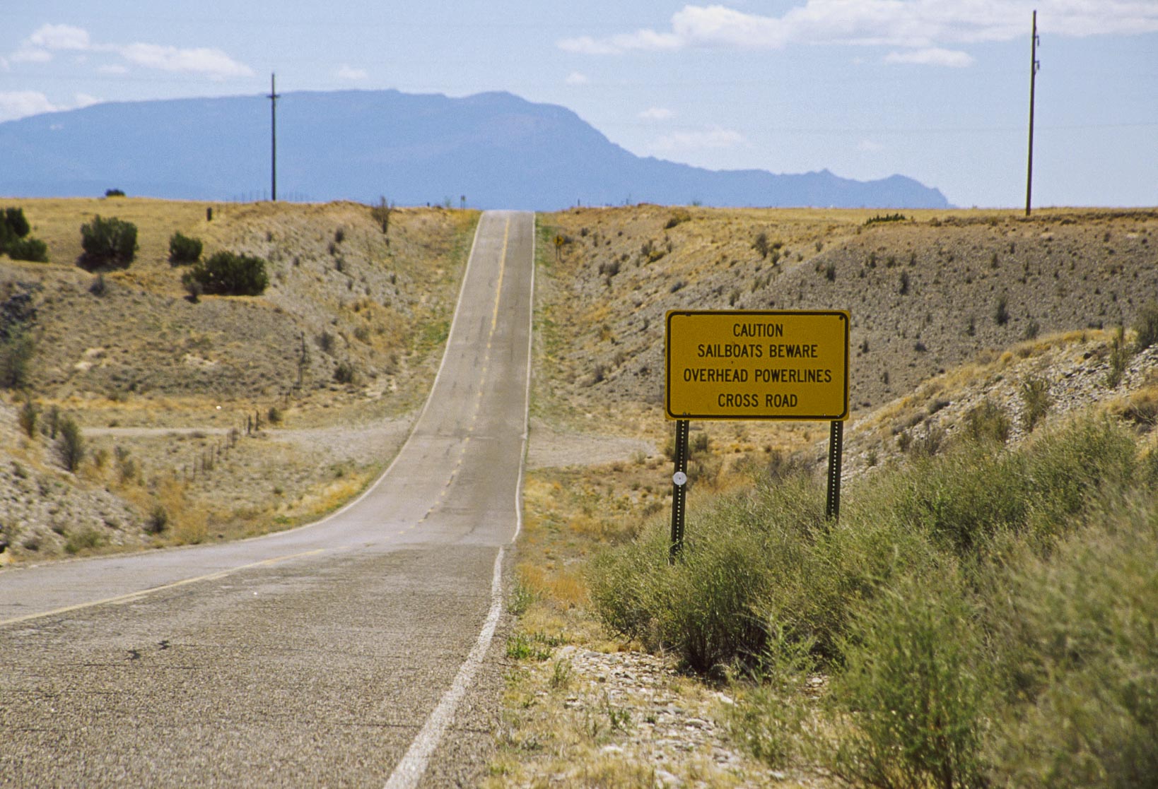
Not often you see this sign in the desert
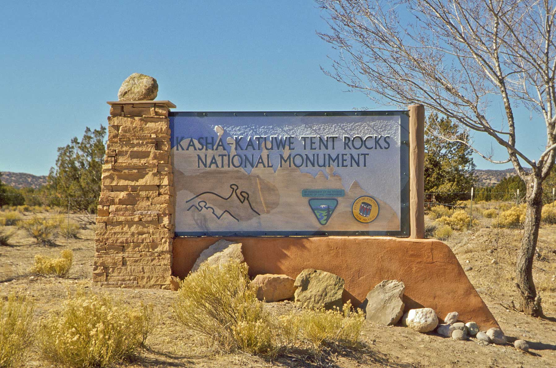
Park Sign
Tent Rocks (2000)
Tent Rocks (2003)

Beginning of the trail
On the Trail
Almost Tent Rocks
Lower part of trail
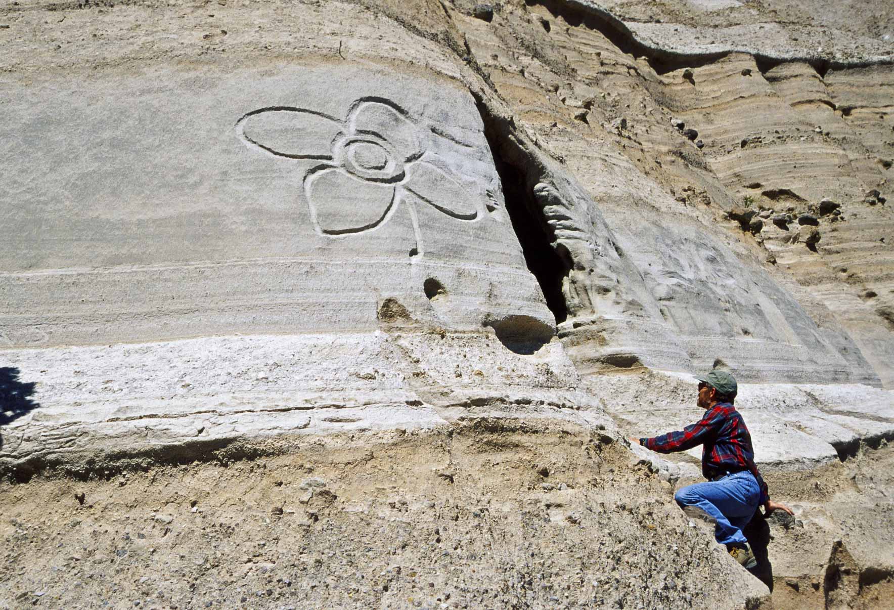
New Age Petroglyph
Beginning of Slot Canyon
Slot Canyon
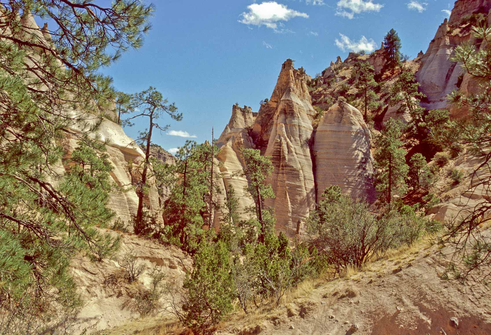
Tent Rocks
View from upper part of trail

View from upper part of trail
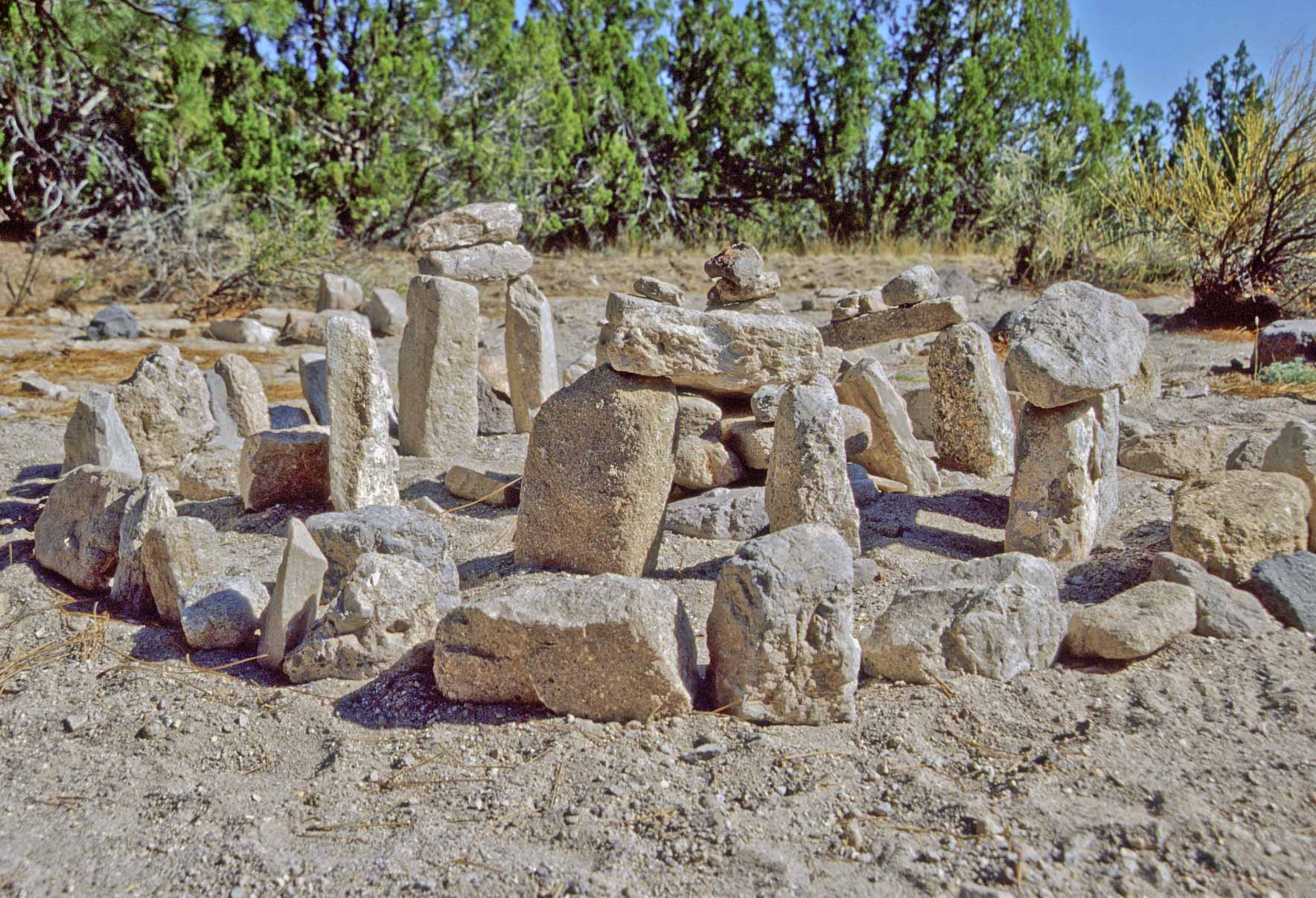
Mini Stonehenge
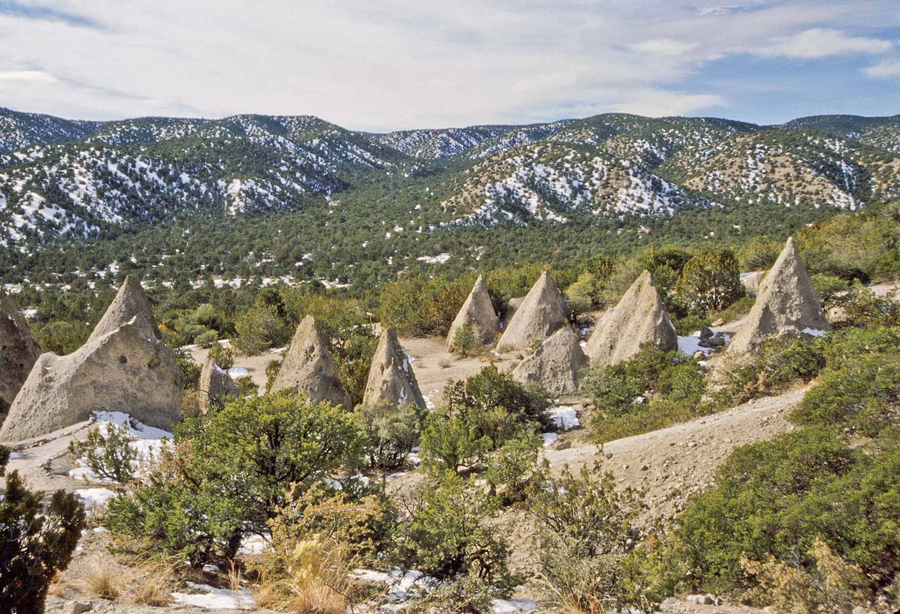
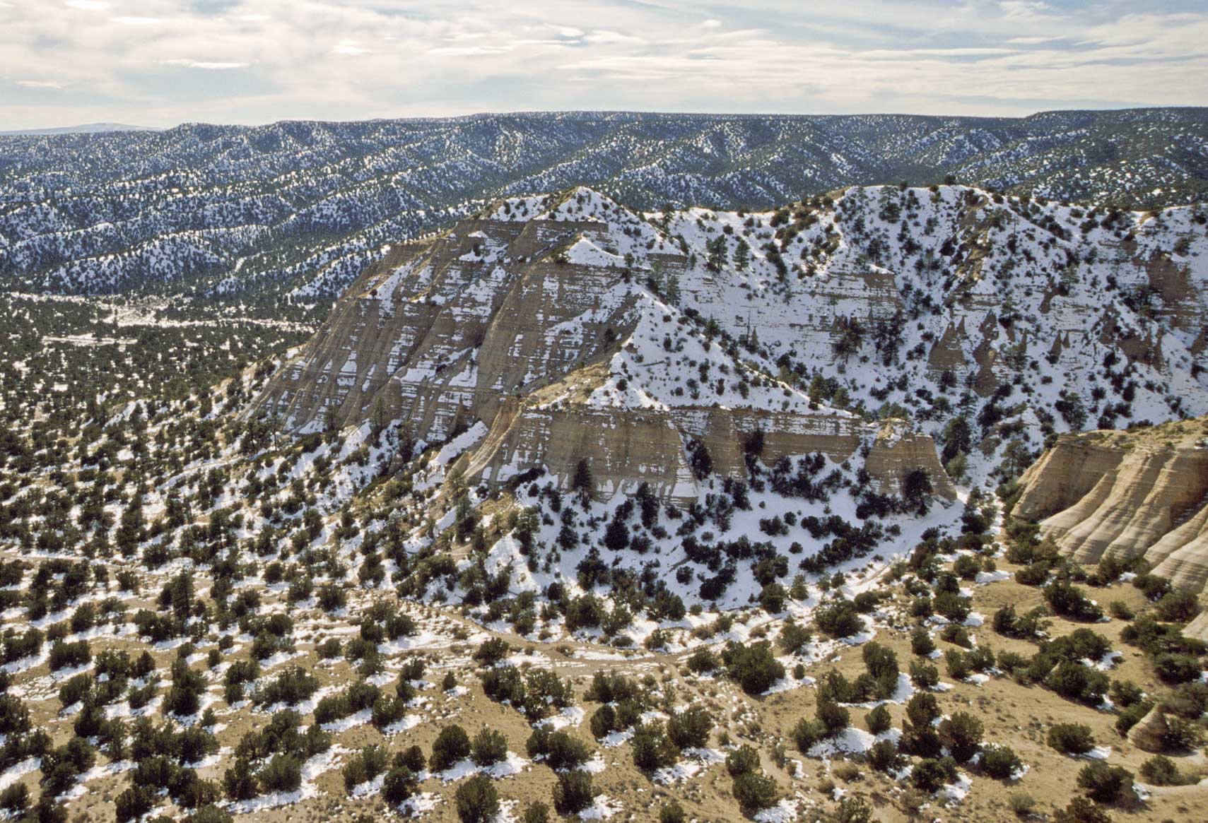
Tent Rocks in January
Tent Rocks in January
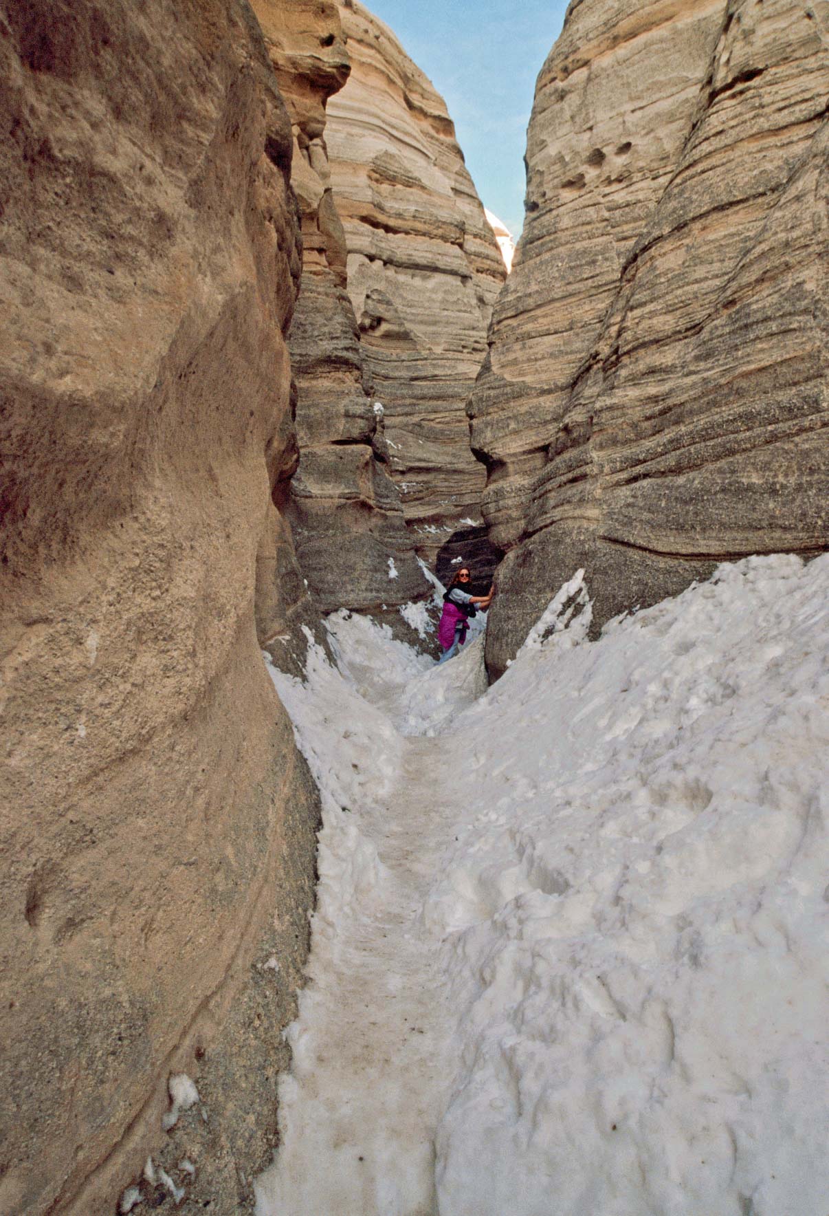
Snow in the Canyon

Mesa Top View
Mesa Top View
Mesa Top View

Mesa Top Panorama
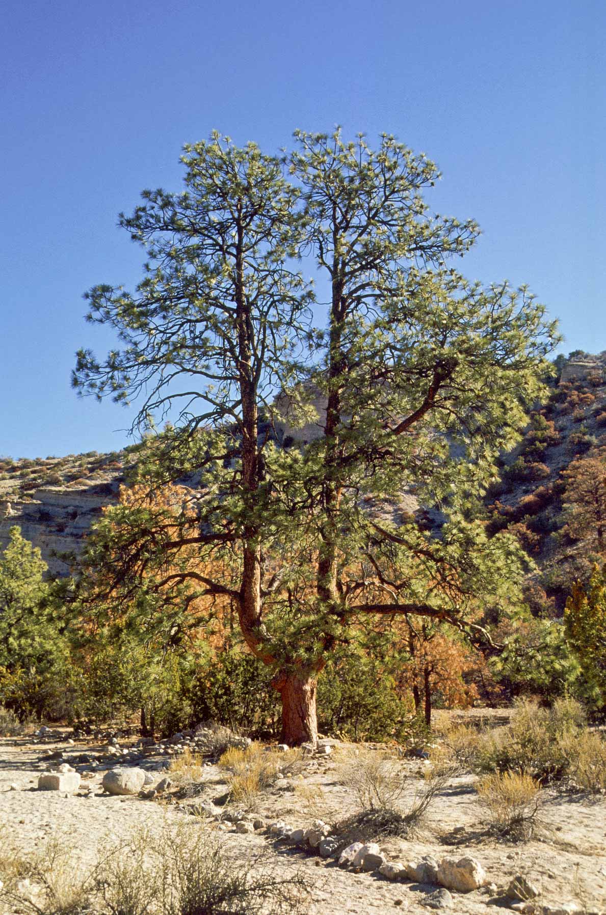
Forked Ponderosa Pine
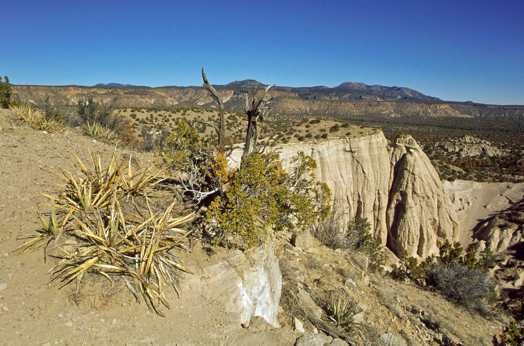
Mesa Top Terrain
Background content courtesy of the Bureau of Land Management.
Use the form on the Home Page to submit comments, questions, or suggestions. TD Productions Copyright © 2018