Guadalupe Mountains National Park
Guadalupe Mountains National Park is located on US Hwys 180/62 in West Texas along the Texas-New Mexico state line. The Park includes much of the Guadalupe Mountain range, which was once a reef at the edge of a shallow Permian sea. Guadalupe Mountains National Park is a hikers park, with some 80 miles of trails. Day hikes will take you through different climate zones, from a Chihuahuan desert environment to high country forests. The pictures presented here are from trips to the park in 1989, 1992, and 1998.
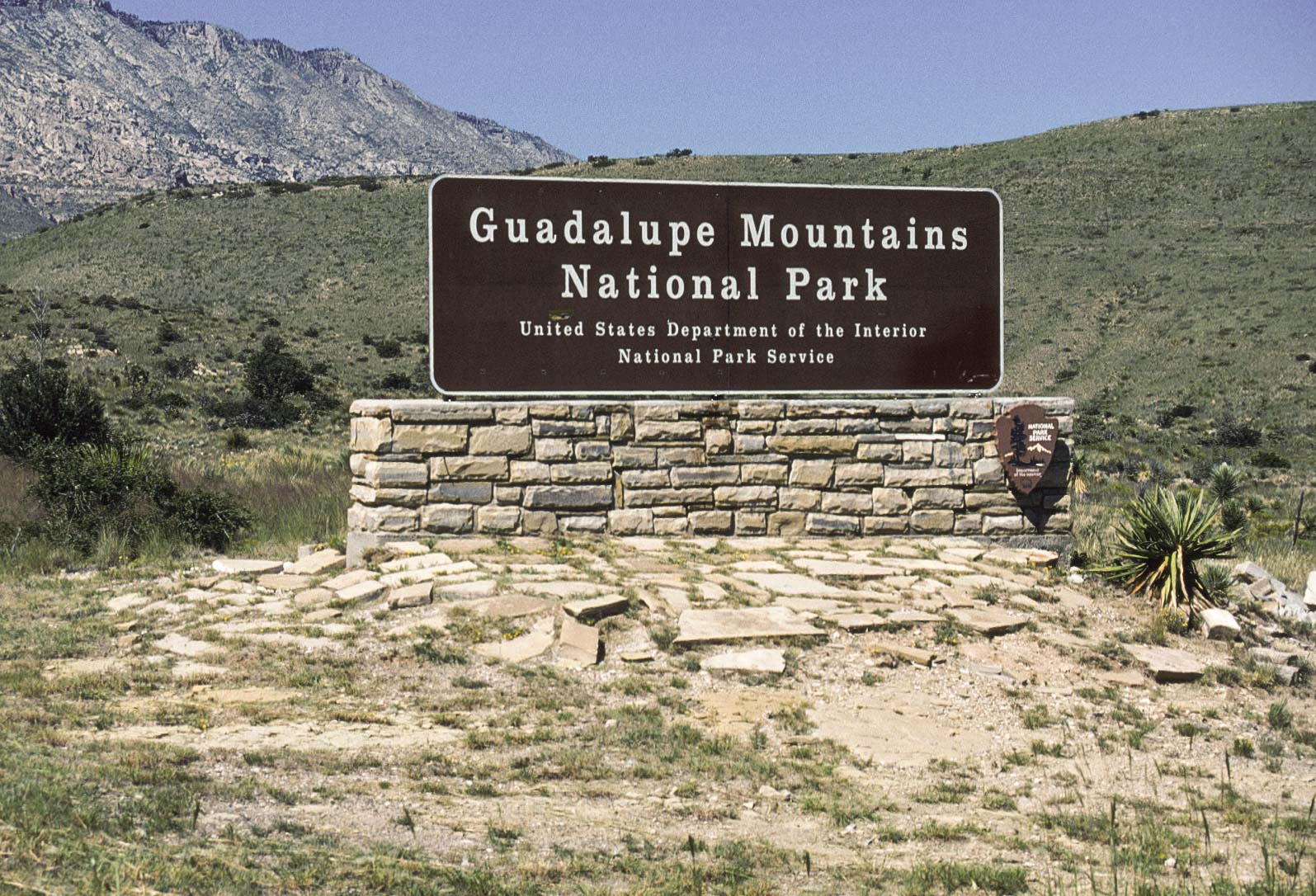
Park sign
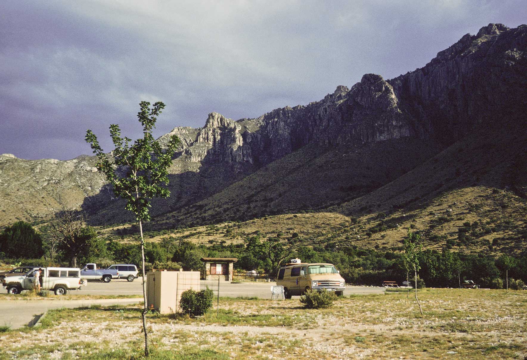
Parking Lot
Pine Springs Campground
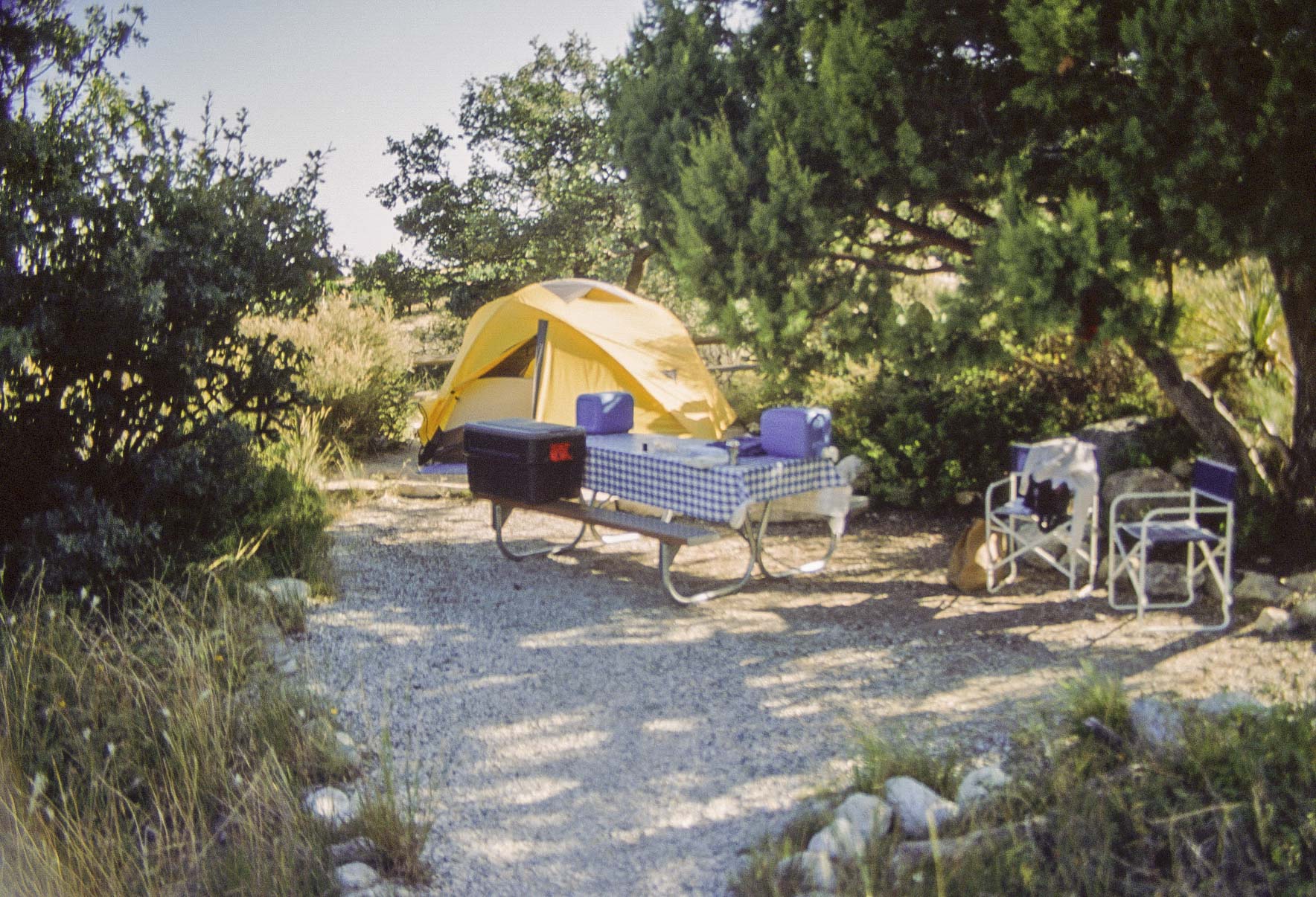
Campsite (1992)
Pine Springs Campground
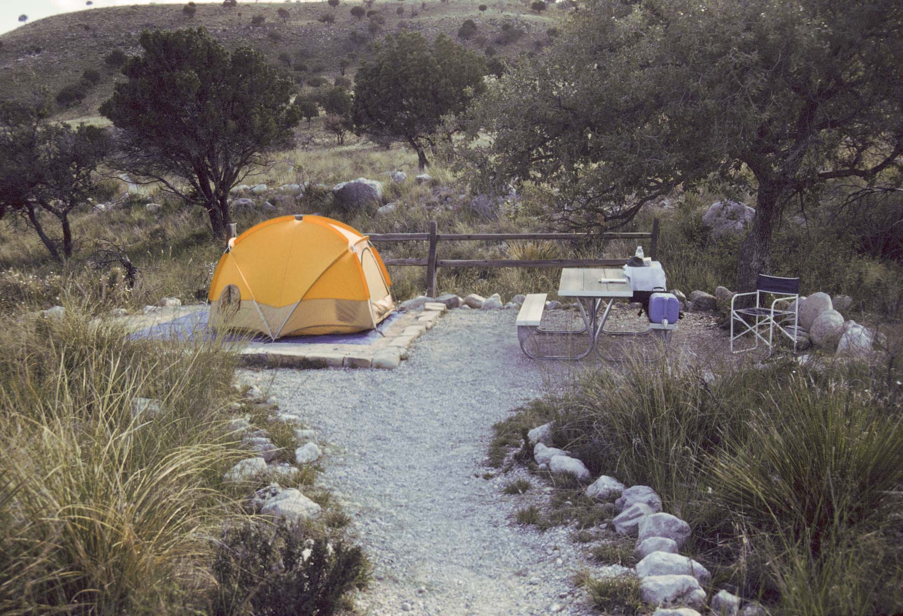
Campsite (1998)
Pine Springs Campground
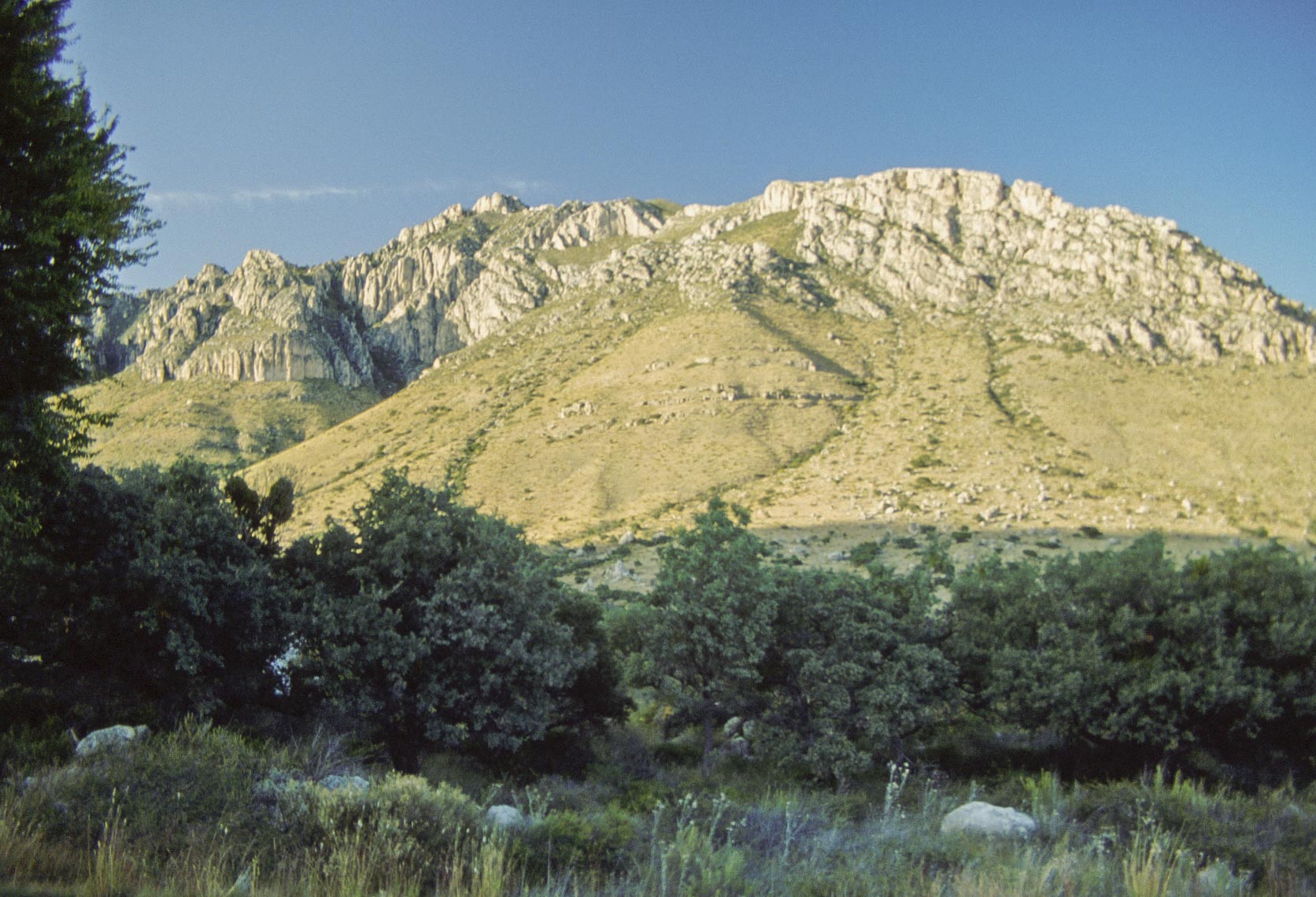
Hunter Peak (8368 ft)
View from campground (1992)
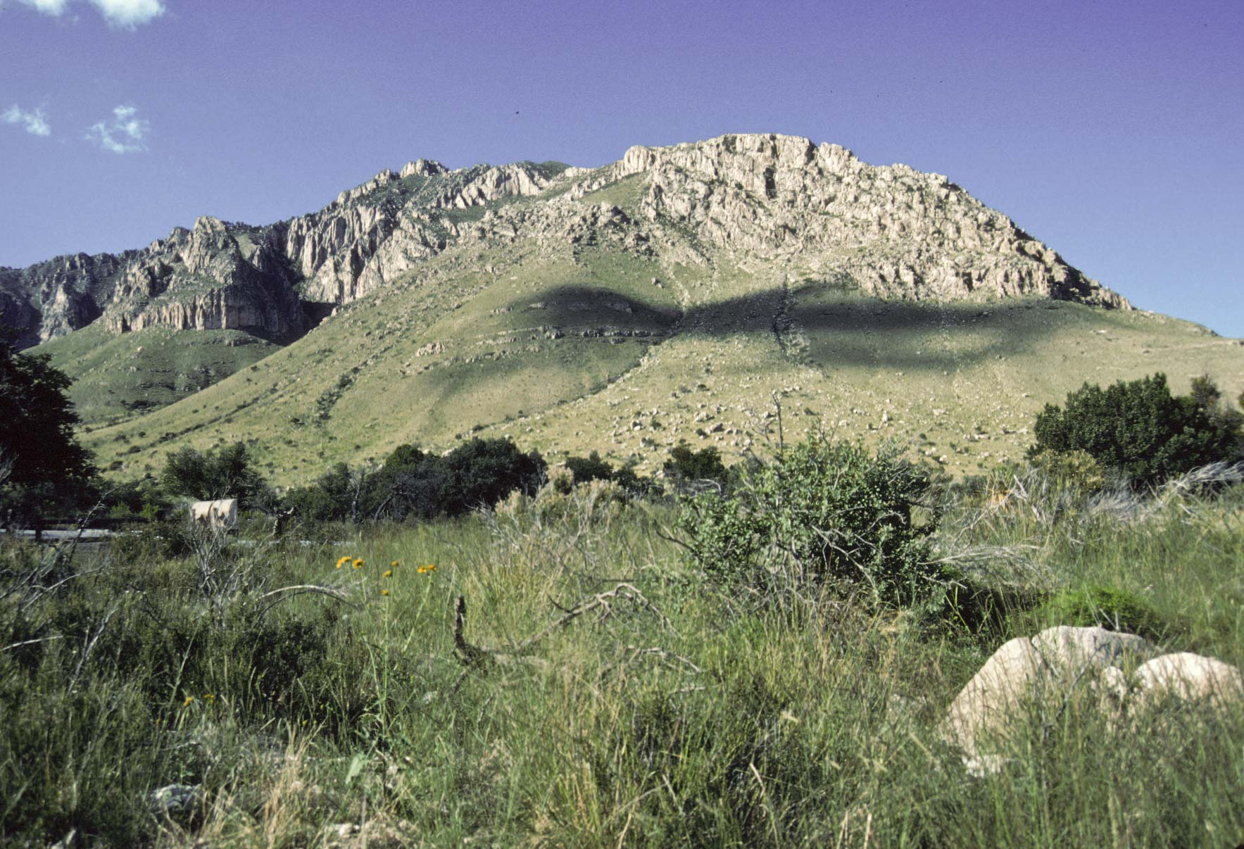
Hunter Peak
View from campground (1998)
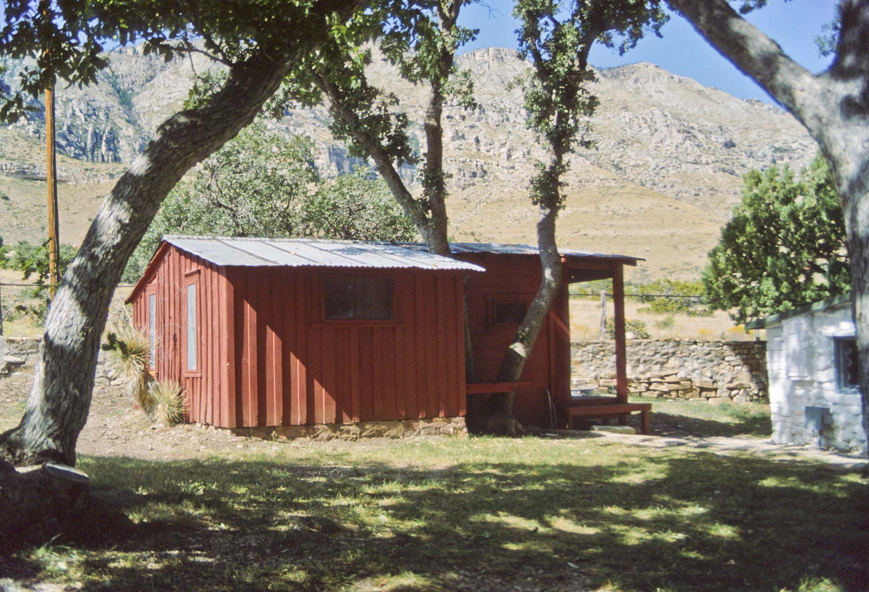
Frijole Ranch
Frijole Ranch was started about 1876 by the Rader Brothers, who left in the late 1880's.
The Smith Family occupied the ranch from 1906 to 1942, adding the bunkhouse and schoolhouse.
The Smiths sold the ranch to Judge Jesse Hunter. Hunter's son inherited the ranch and
sold it to the National Park Service in 1966. Today the ranch complex is known as the Frijole Ranch
Cultural Museum. It includes the restored ranch house, bunkhouse, barn, a double outhouse,
springhouse, shed, and schoolhouse.
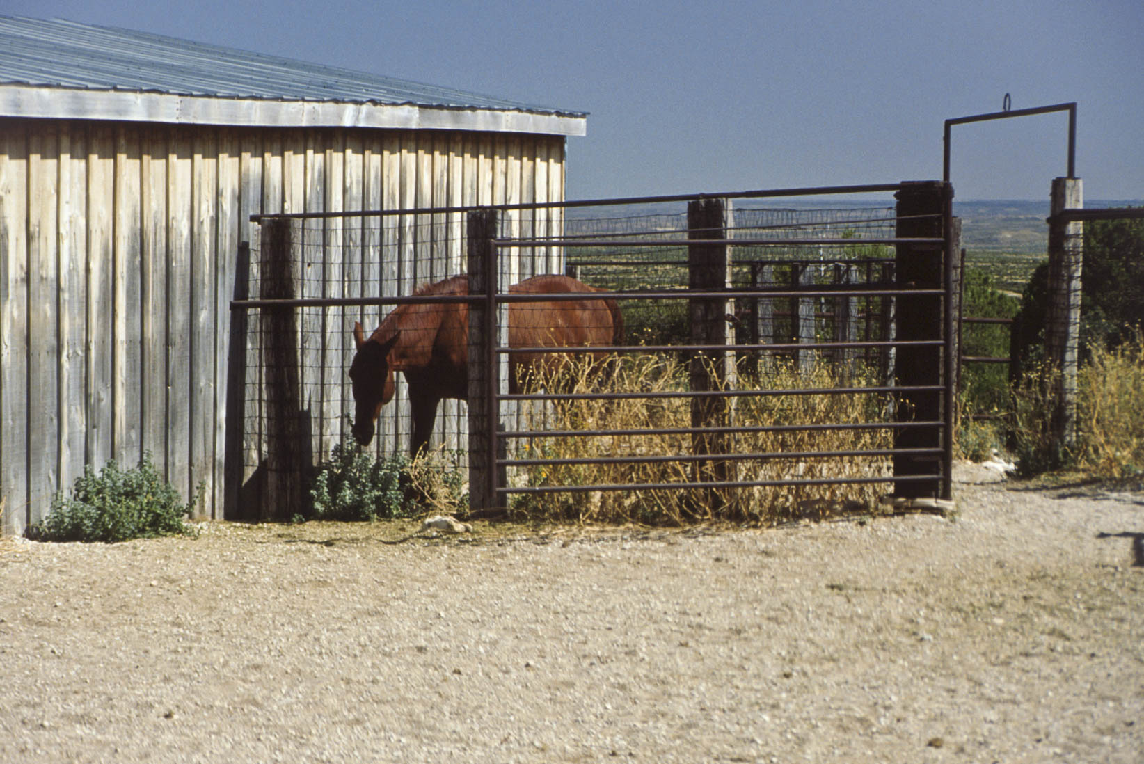
Corral
Frijole Ranch
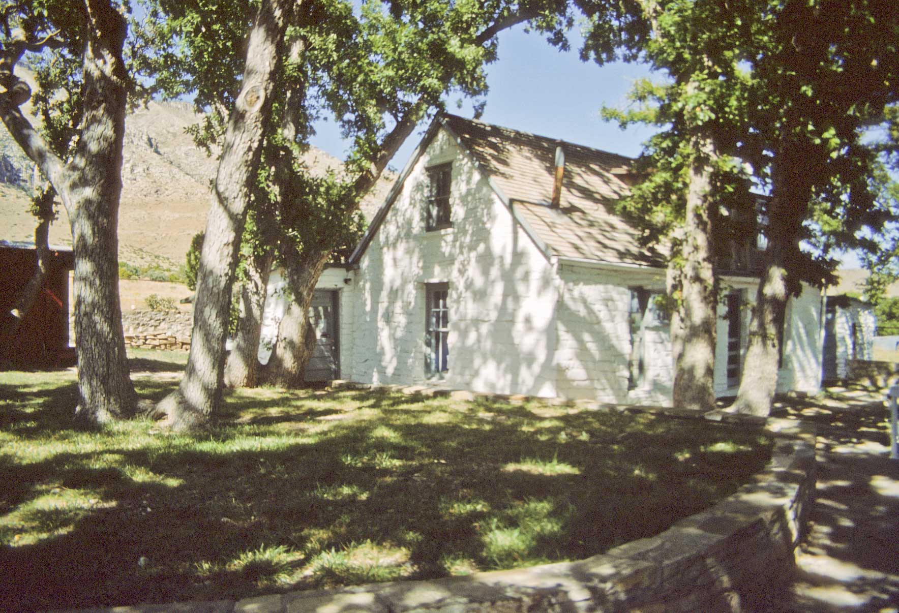
Frijole Ranch House
Schoolhouse at Frijole Ranch
Smith Spring Trail
Smith Spring Trail is a moderate, 2.3 mile loop trail. The trailhead is at Frijole Ranch.
Most of the trail traverses desert until it reaches a little oasis at Smith Spring.
View SE along Smith Spring Trail
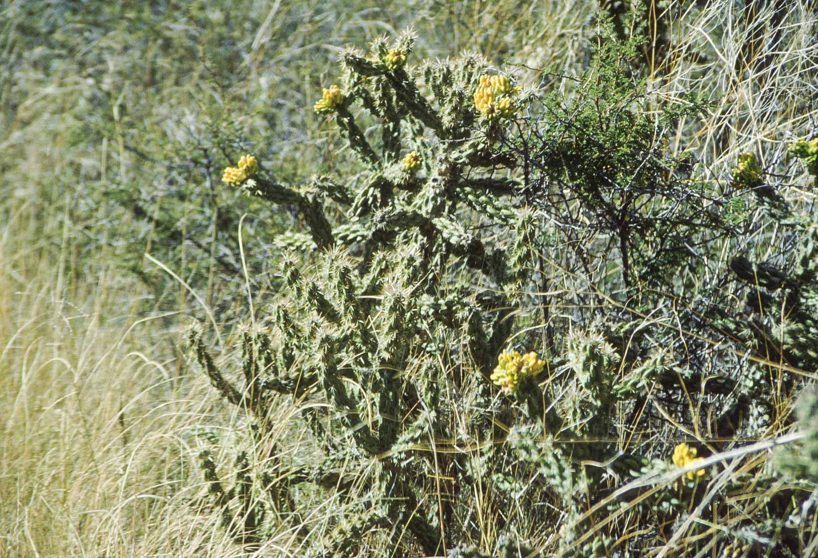
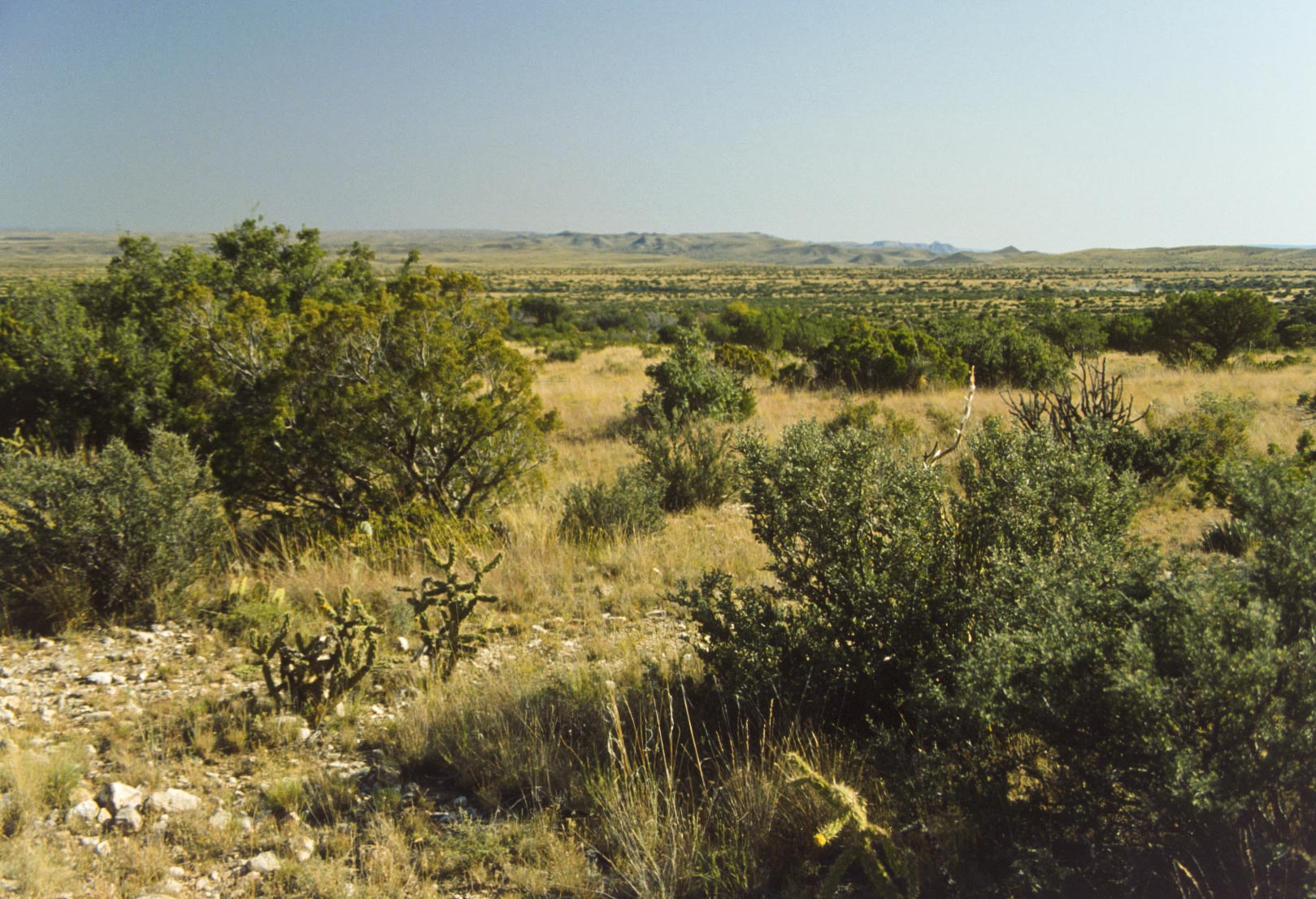
Cholla Cactus
View along Smith Spring Trail
Not so good photo of Smith Spring
Smith Spring Trail
Back in the desert
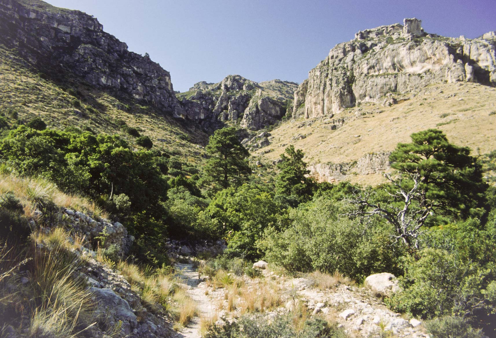
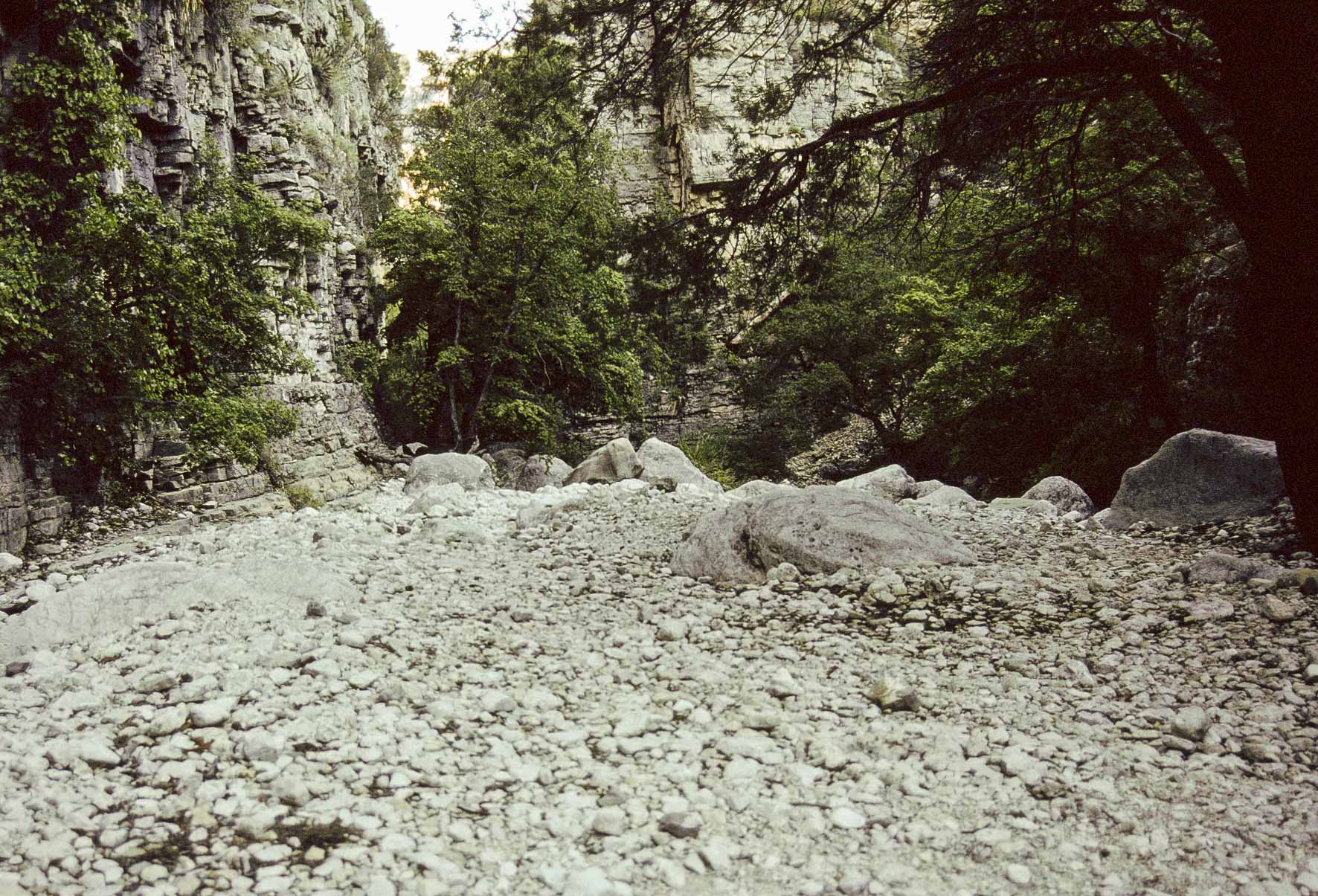
Devil's Hall Trail
Devil's Hall Trail is a moderate, 4 mile out and back trail starting at Pine Springs
Campgroud. This rocky trail initially crosses desert terrain, then follows the streambed
in Pine Springs Canyon. Fianlly it climbs the Hiker's Staircase to the Devil's Hall
(very little elevation gain).
Start of Devil's Hall Trail

Flowers and rocks along Devil's Hall Trail
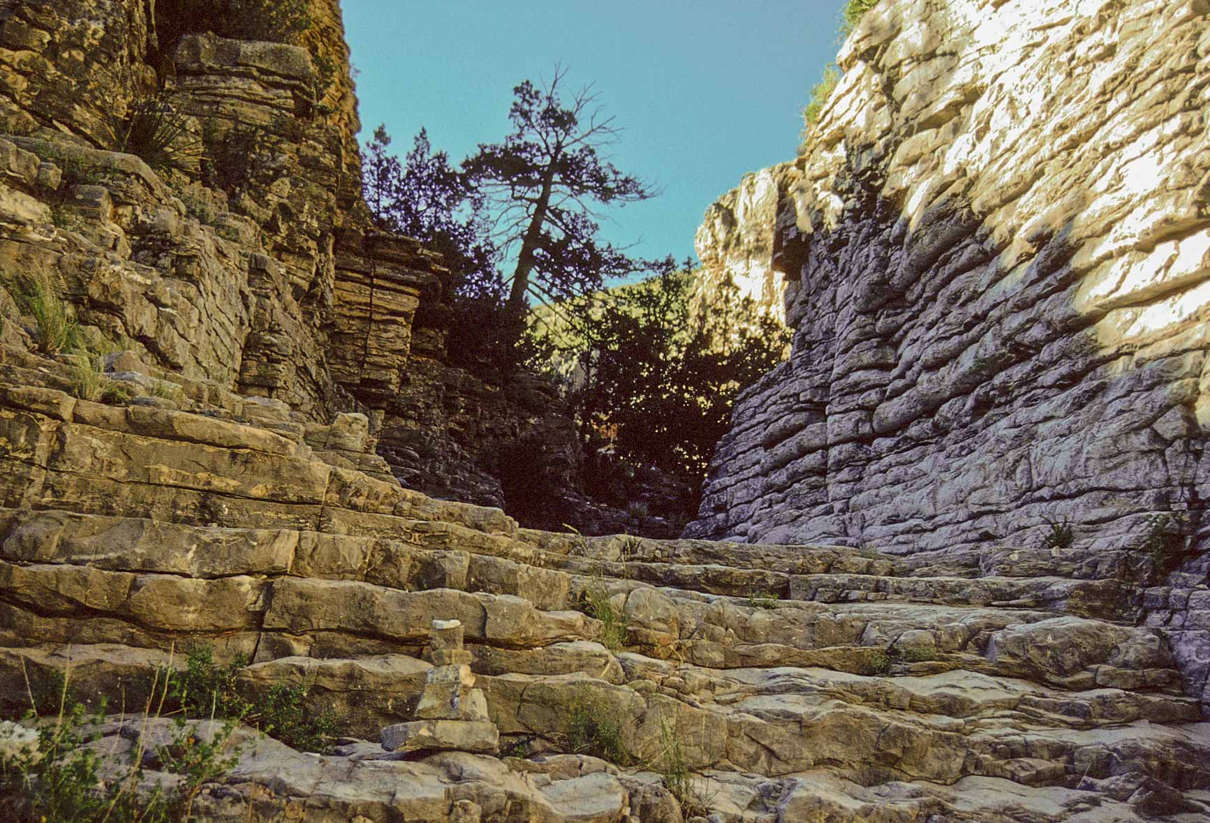
Hikers Staircase in Devil's Hall
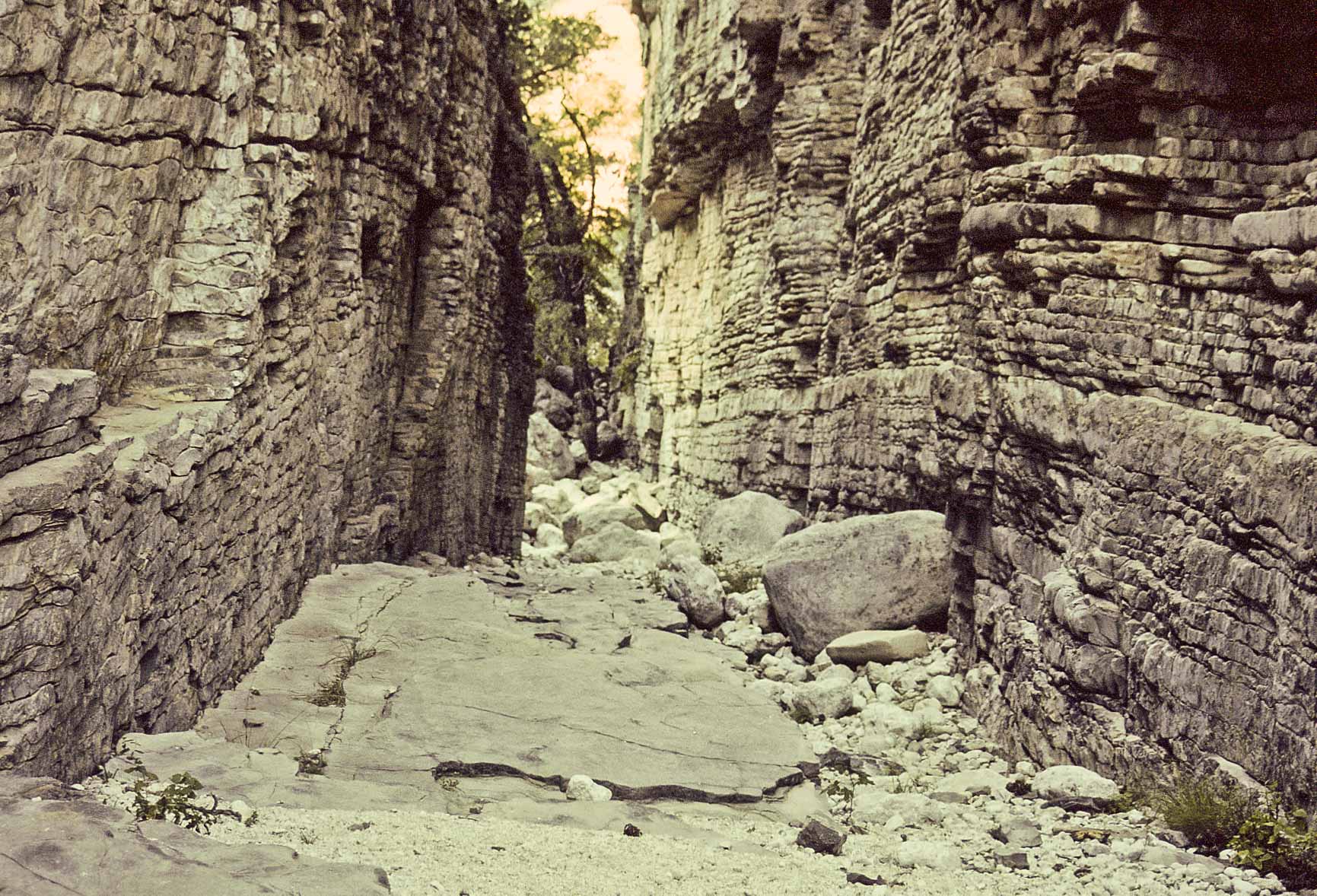
Devil's Hall
Devil's Hall
View from Devil's Hall trail
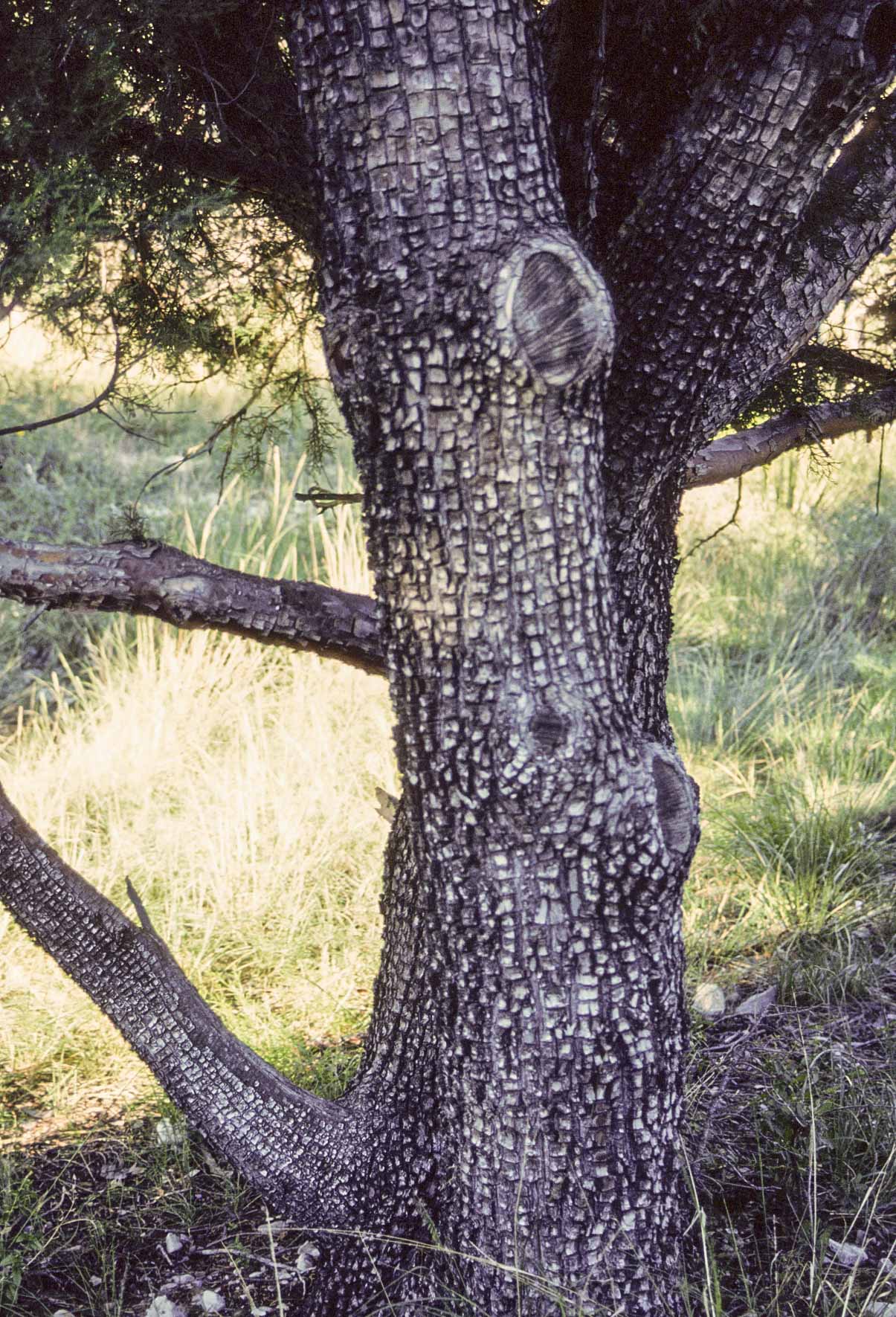
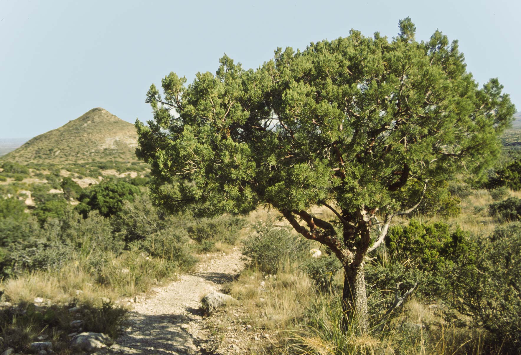
Alligator Juniper
Devil's Hall Trail
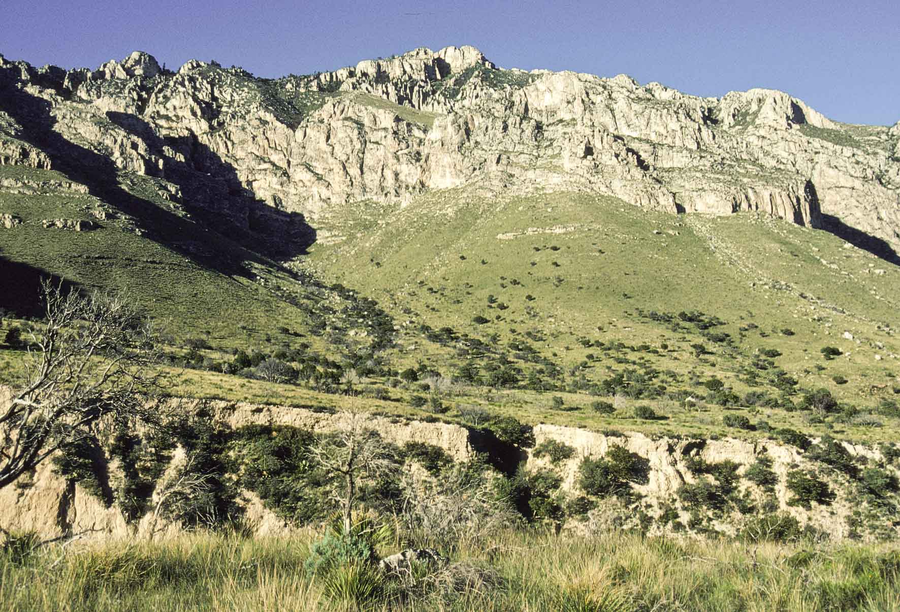
Guadalupe Peak
The hike to Guadalupe Peak is a difficult 8 mile out and back trip.
A 3,000 ft elevation gain make this a strenuous hike. That said, the trek is
well worth it as the views from the summit are fantastic. The trailhead is
located at the Pine Springs Campground. Guadalupe Peak, at an elevation of
8,751 feet, is the tallest point in Texas.
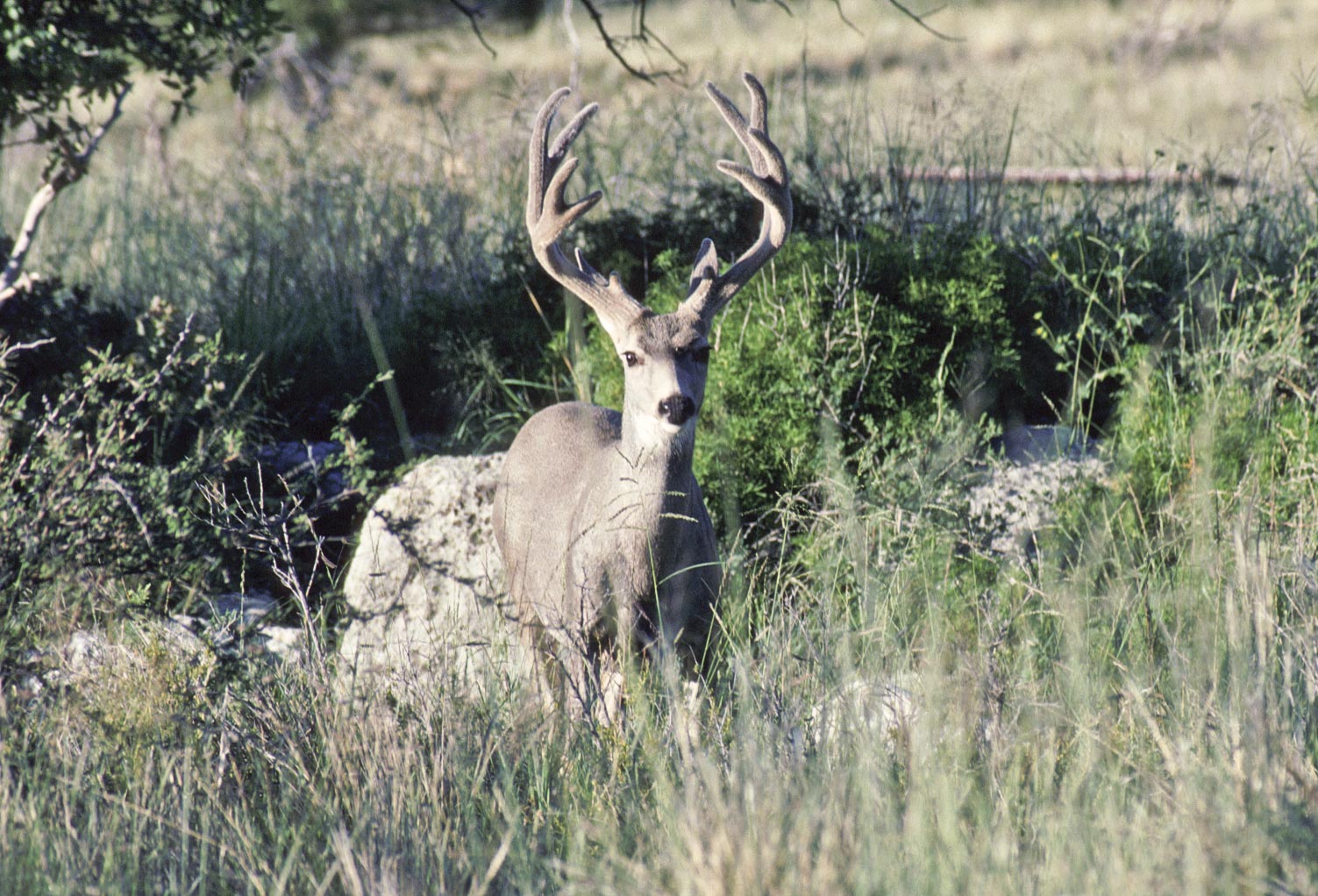
Mule Deer buck in velvet
(Odocoileus hemionus)
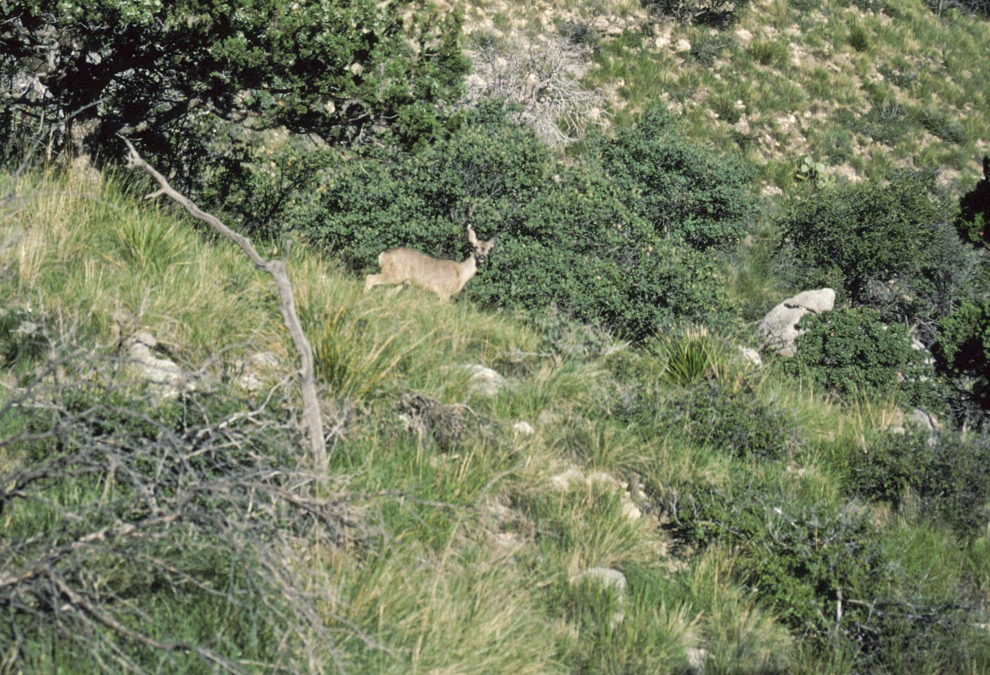
Mule Deer doe
(Odocoileus hemionus)
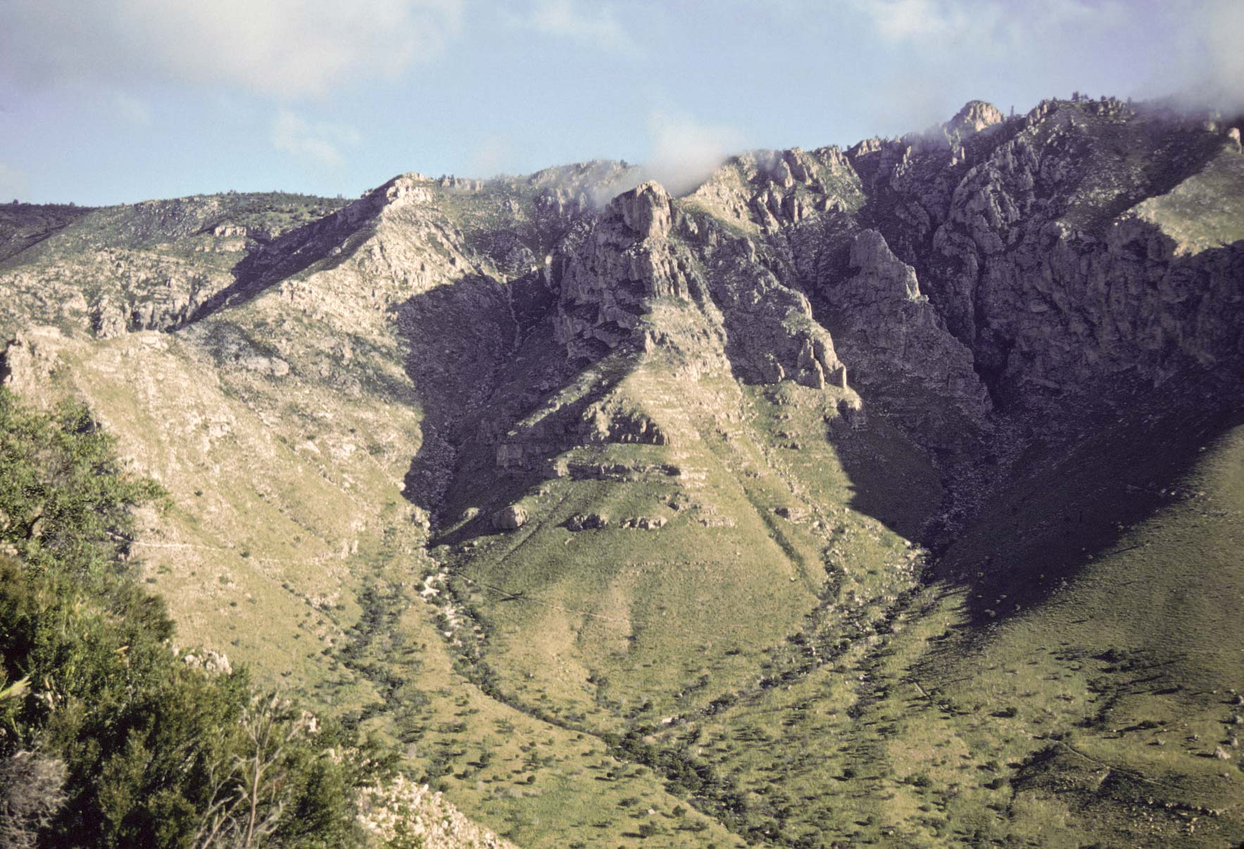
View from Guadalupe Peak trail
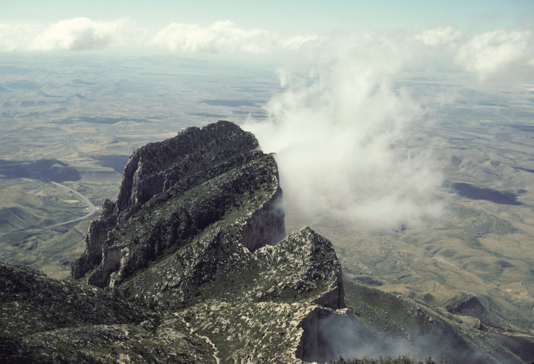
El Capitan
View from Guadalupe Peak Trail
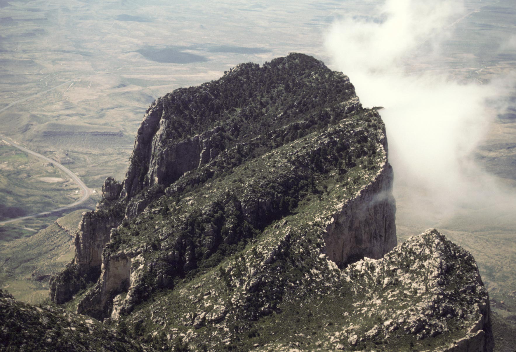
El Capitan summit (8,085 ft)
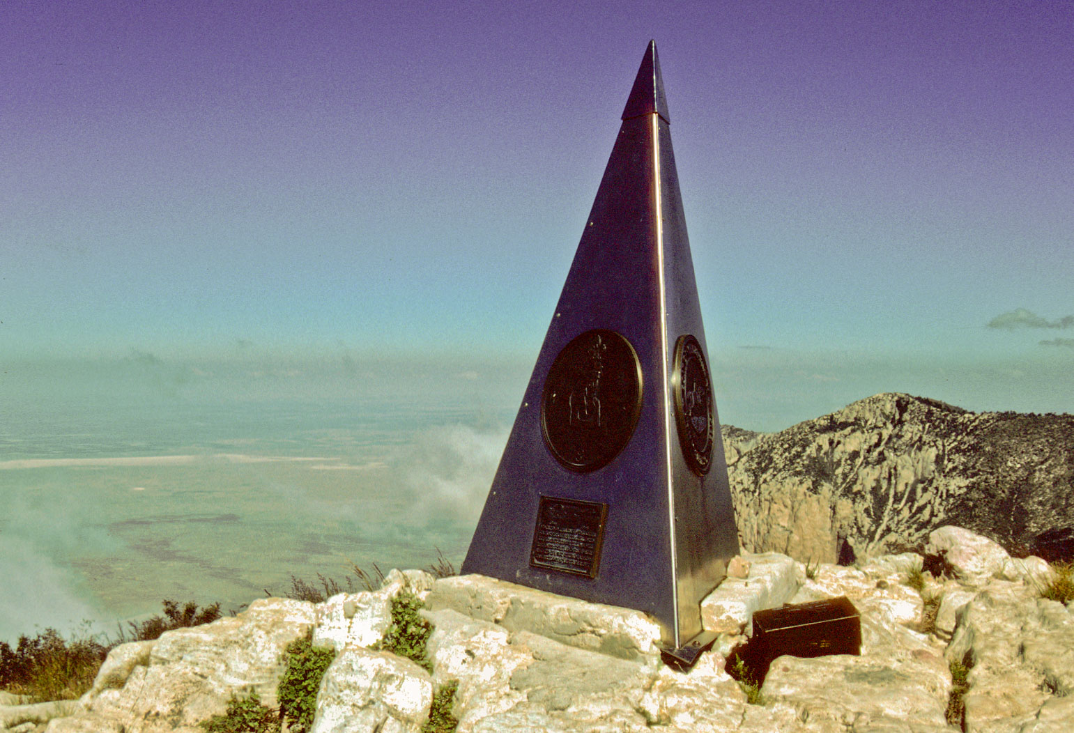
Obelisk on summit of Guadalupe Peak
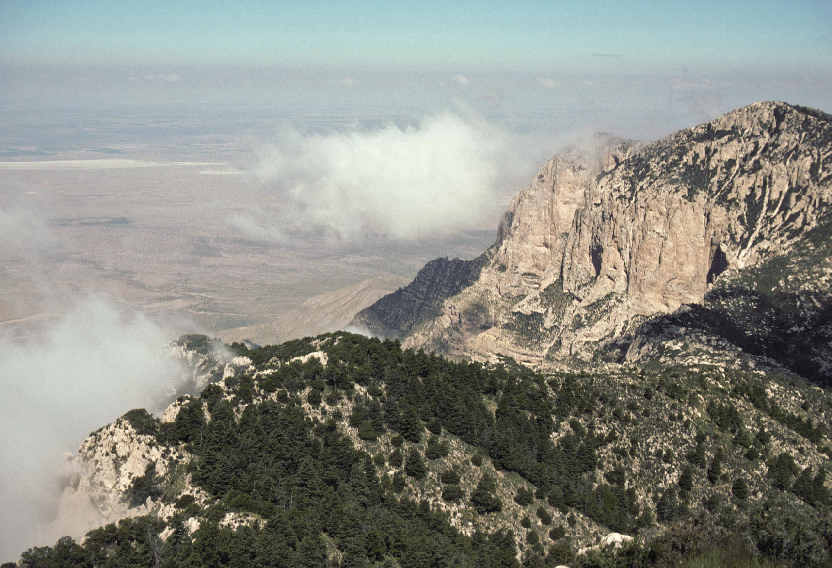
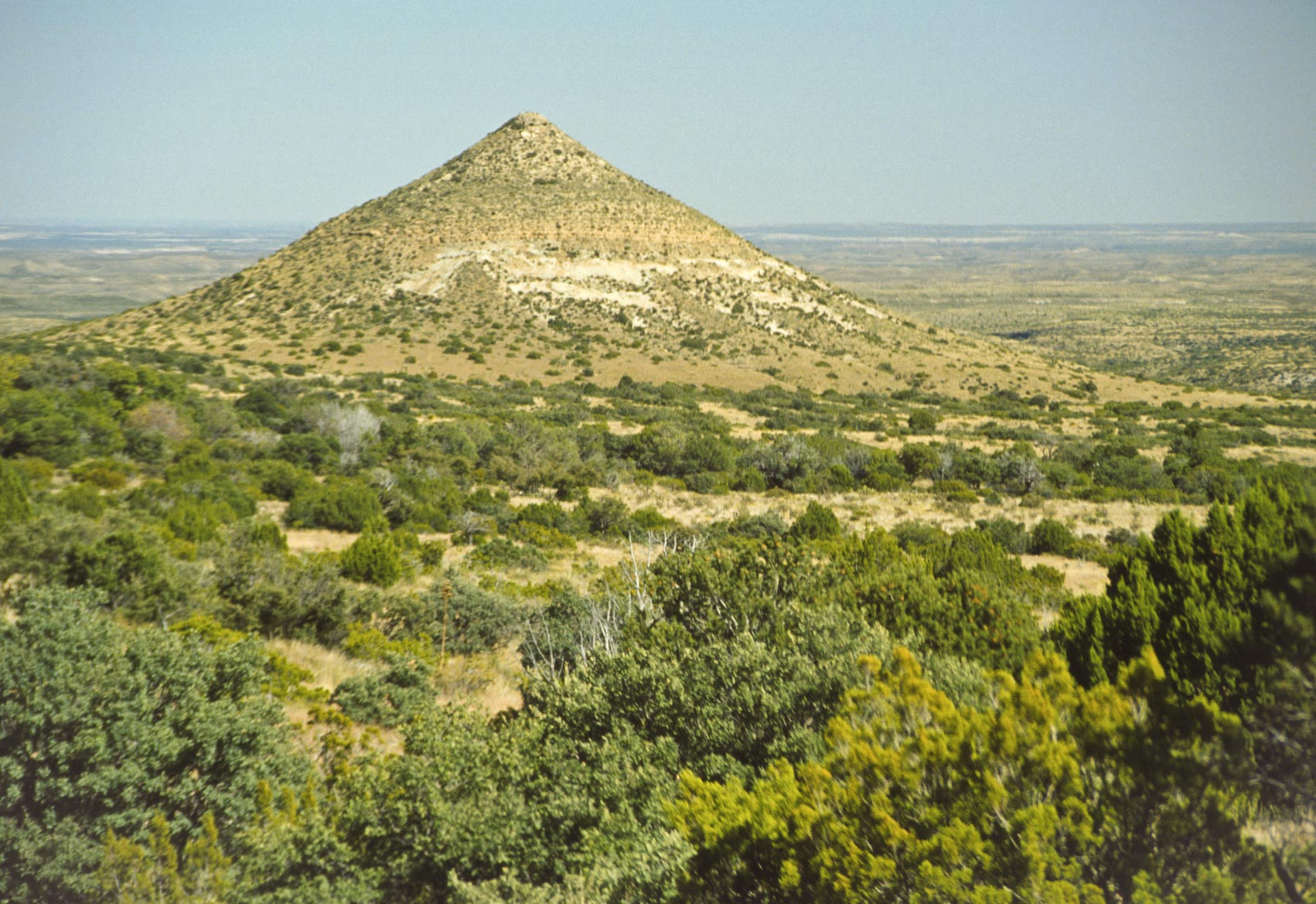
View toward salt flats from Guadalupe Peak
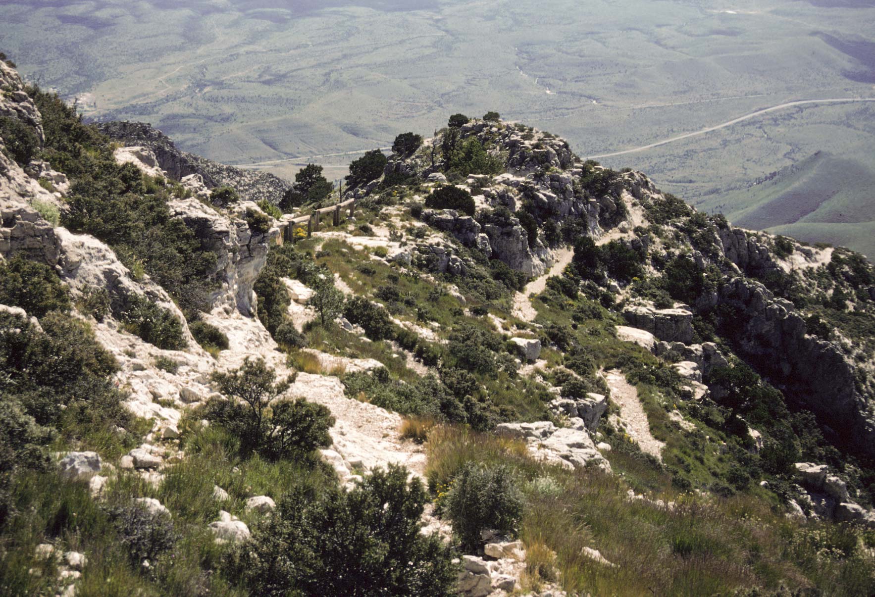
View S-SE from summit of Guadalupe Peak
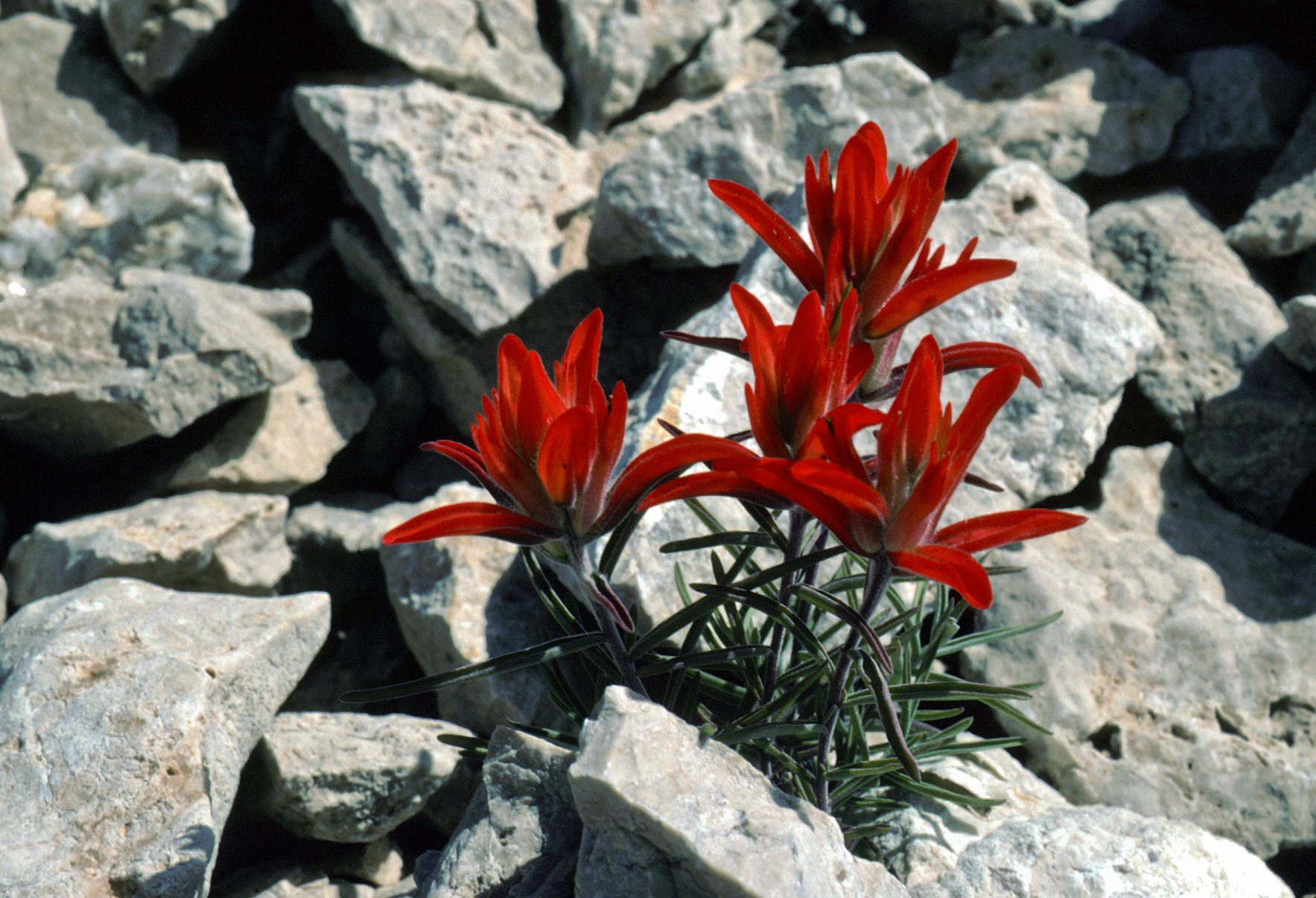
Indian Paintbrush
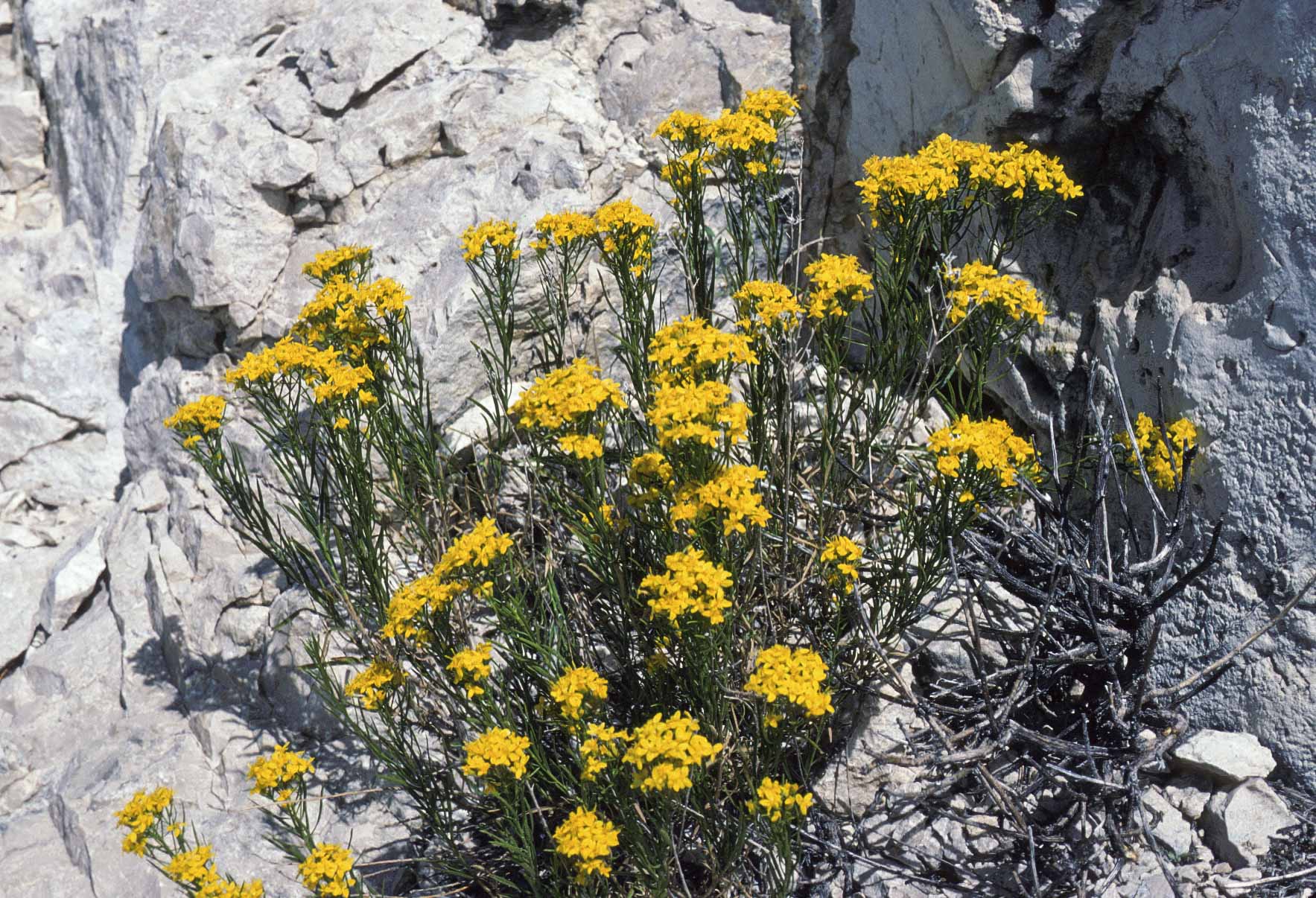
Chamisa (Rabbitbrush)
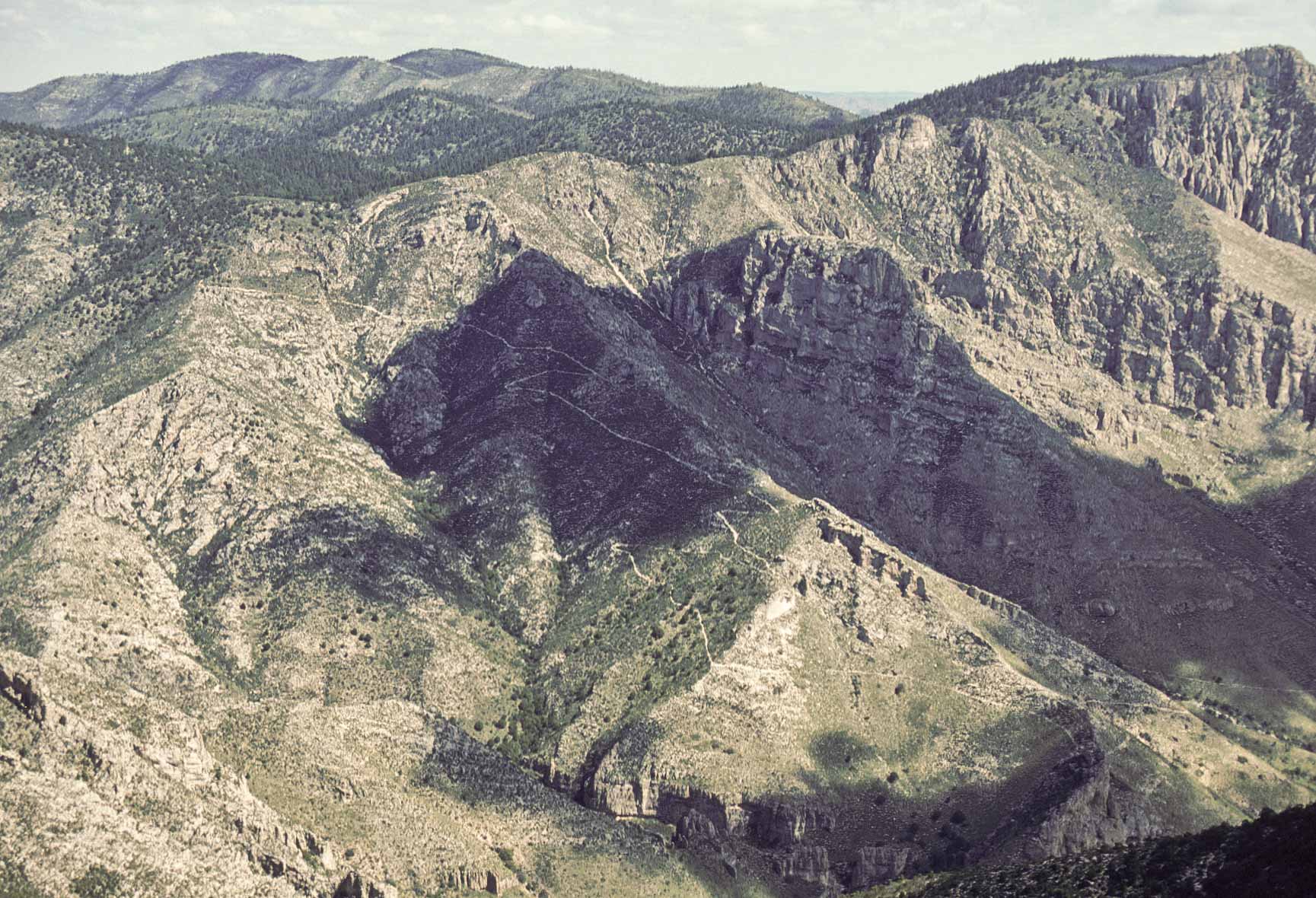
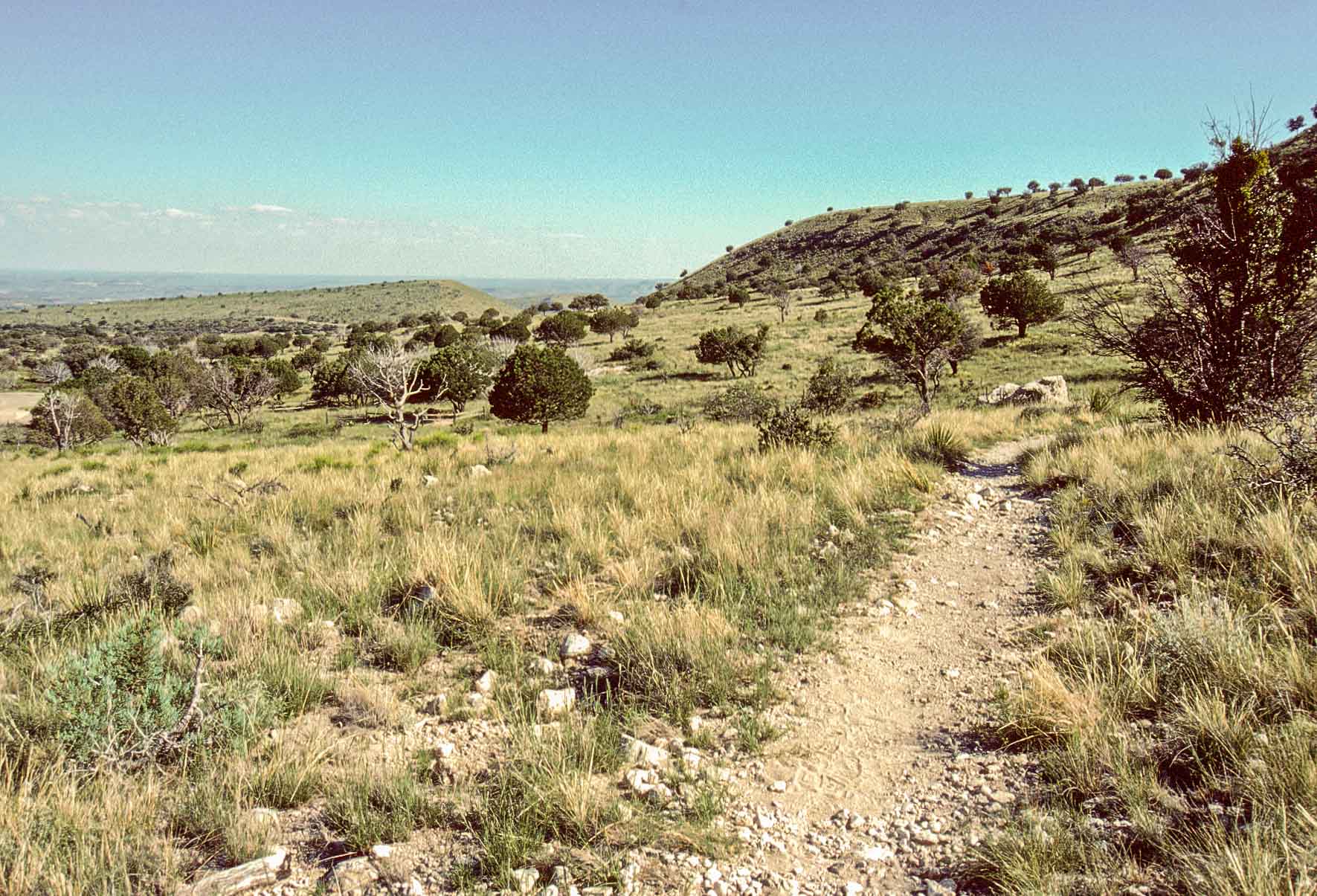
Could be Tejas Trail leading to the Bowl and Hunter Peak
McKitrick Canyon Trail
The McKitrick Canyon Trail begins at the parking lot of the McKitrick Canyon Visitor
Center (which may or may not be manned) and ends in the high country at the junction with Tejas Trail.
The trail quickly passes out of the desert and into the canyon, following an intermittent stream
most of the way. After 2.5 miles the trail reaches Pratt Lodge, the former home of Wallace Pratt who owned
much of McKitrick Canyon back in the day. The grotto is about a mile past Pratt Lodge, and is a
good stopping point for a day hike. From the Grotto the trail climbs steeply out of the canyon into
the back country to join with the Tejas Trail.

View along McKitrick Canyon trail
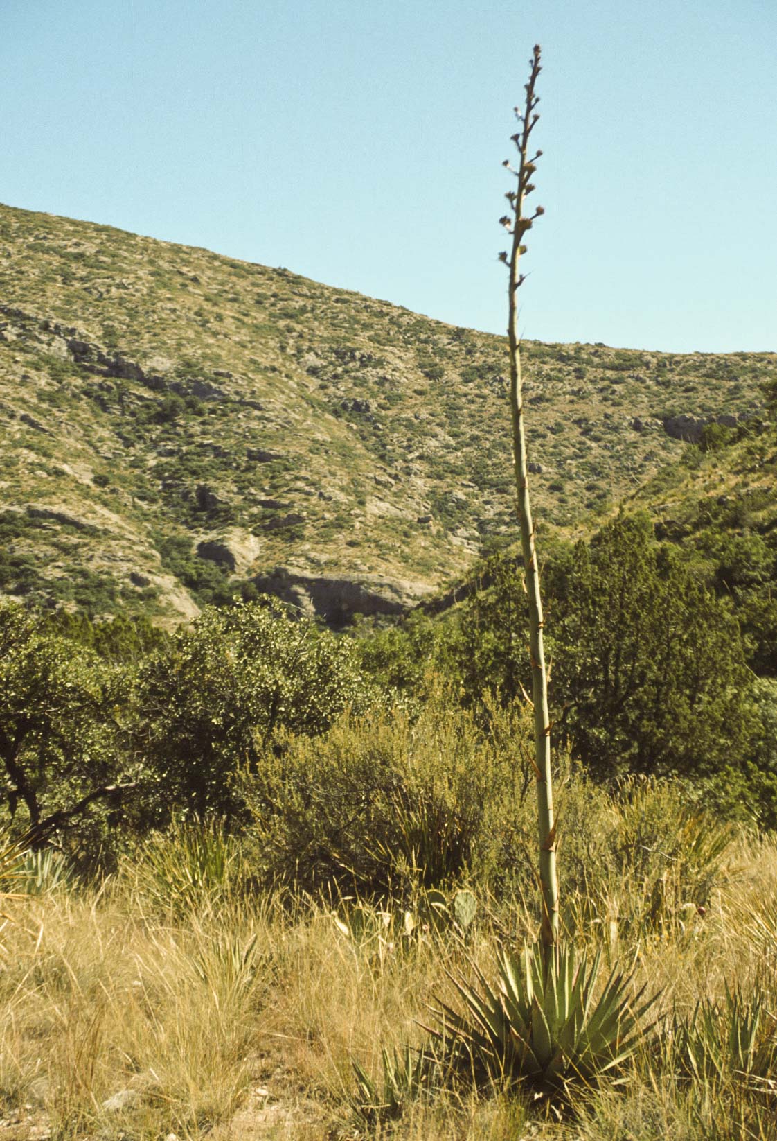
Could be Agave lechuguilla
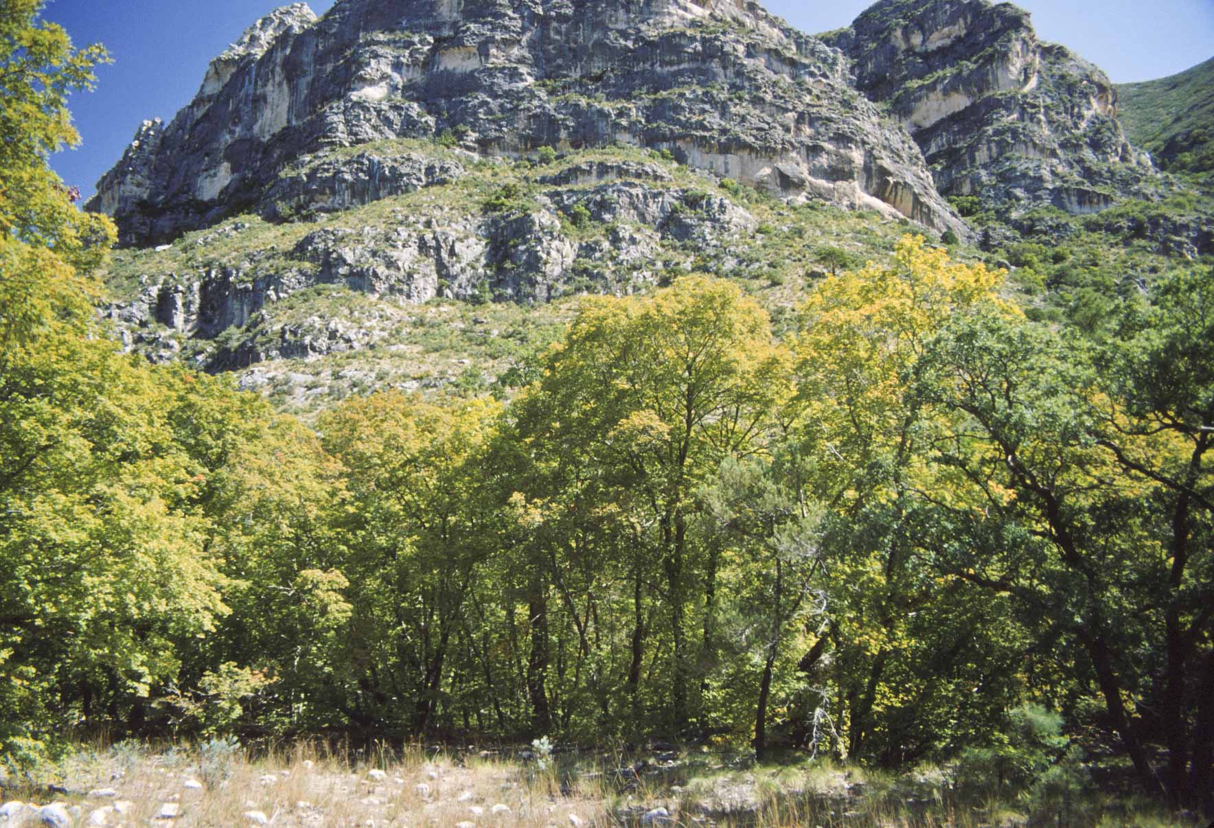
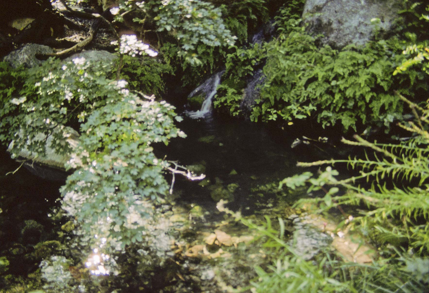
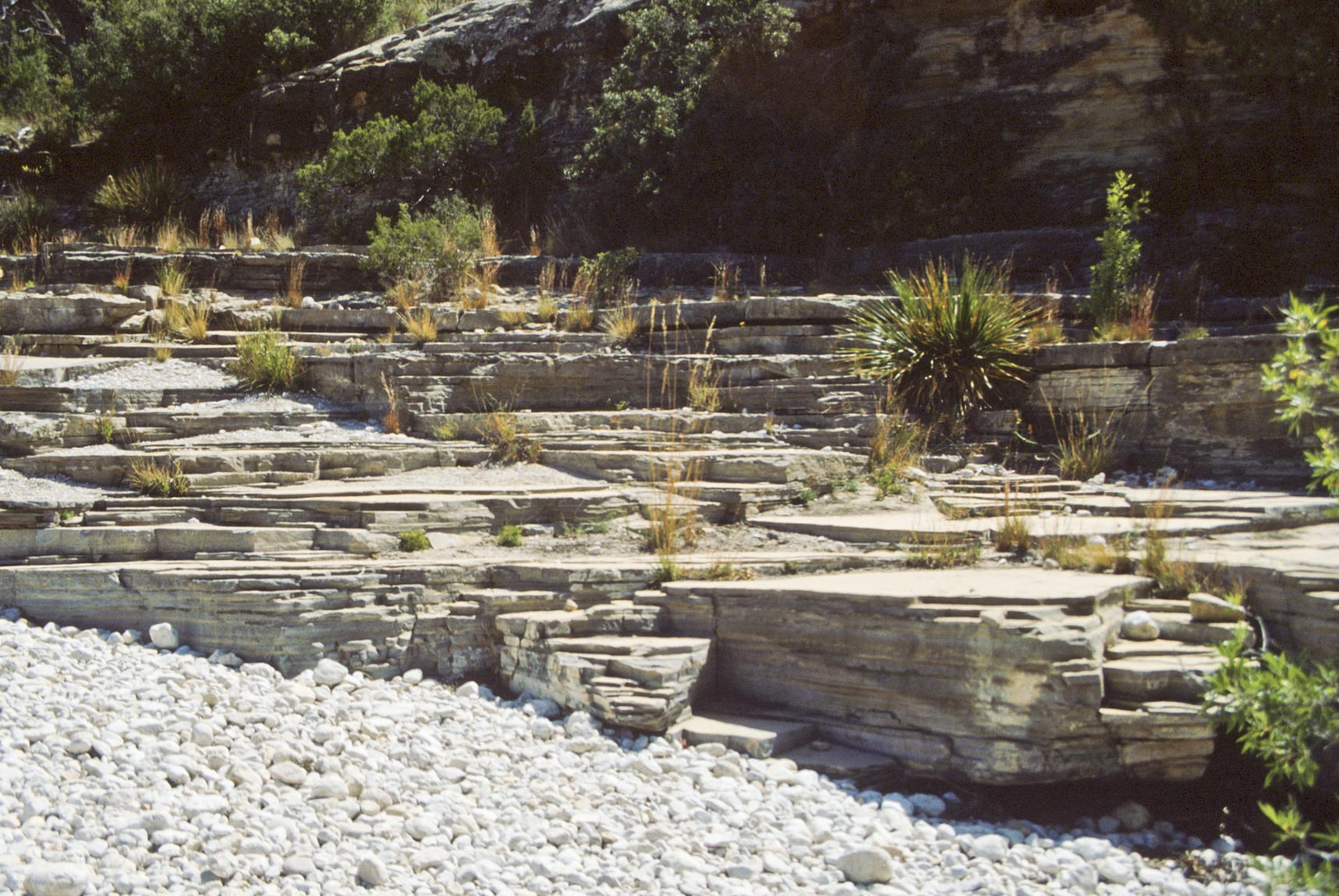
McKitrick Canyon
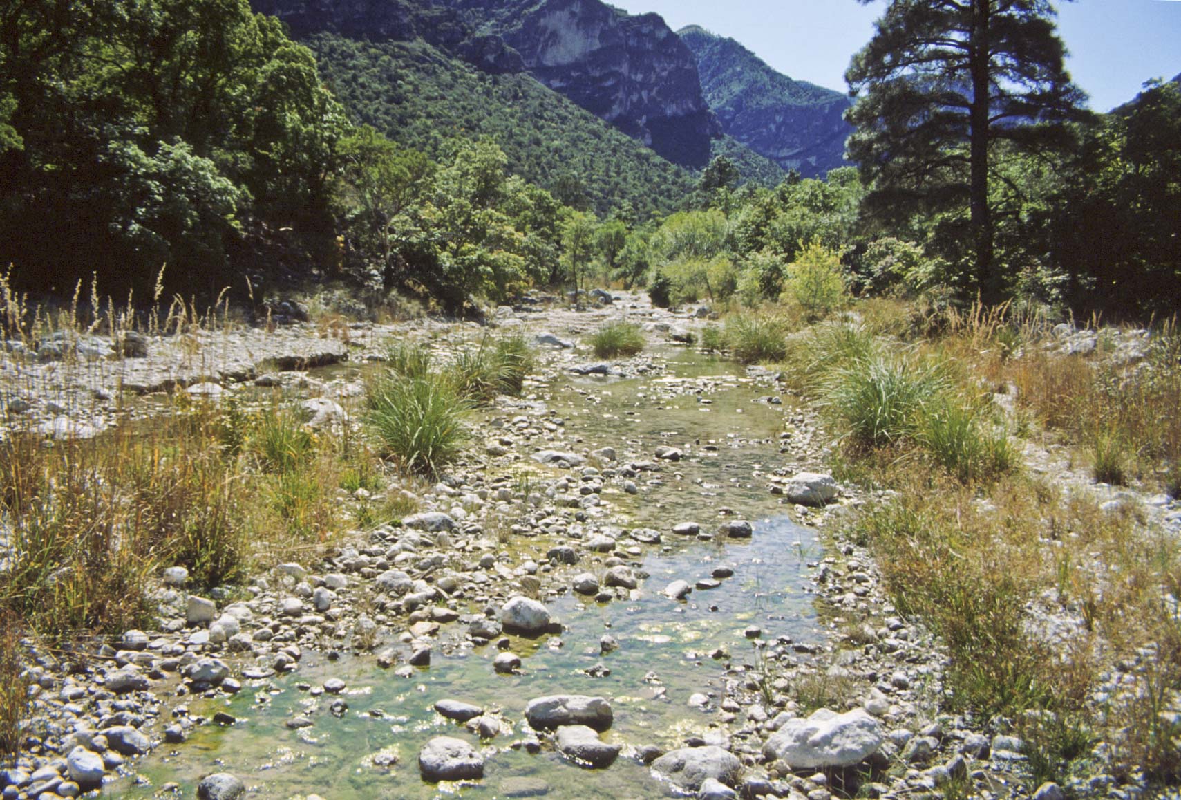
Stream
McKitrick Canyon

Stephanie at
Wallace E. Pratt Lodge
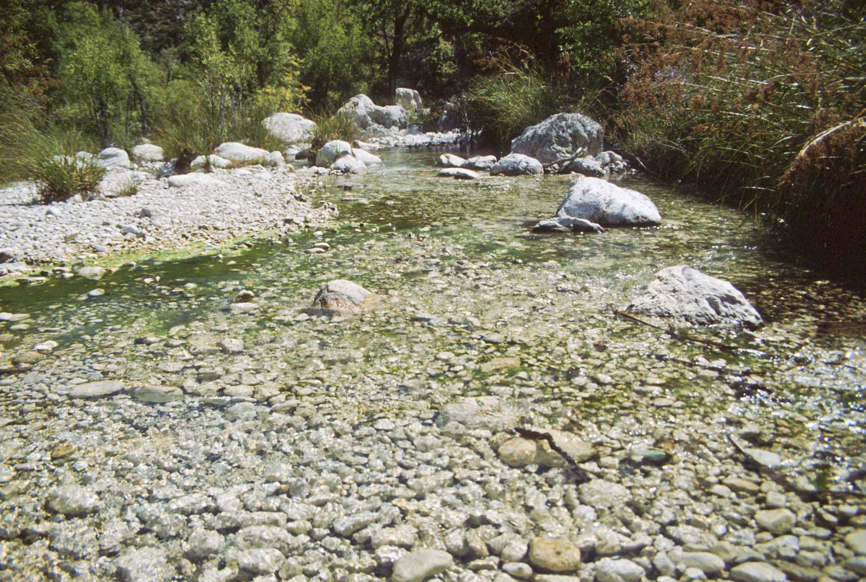
Stream
McKitrick Canyon
Dry stream bed
McKitrick Canyon trail
Use the form on the Home Page to submit comments, questions, or suggestions. TD Productions Copyright © 2019