Great Basin National Park
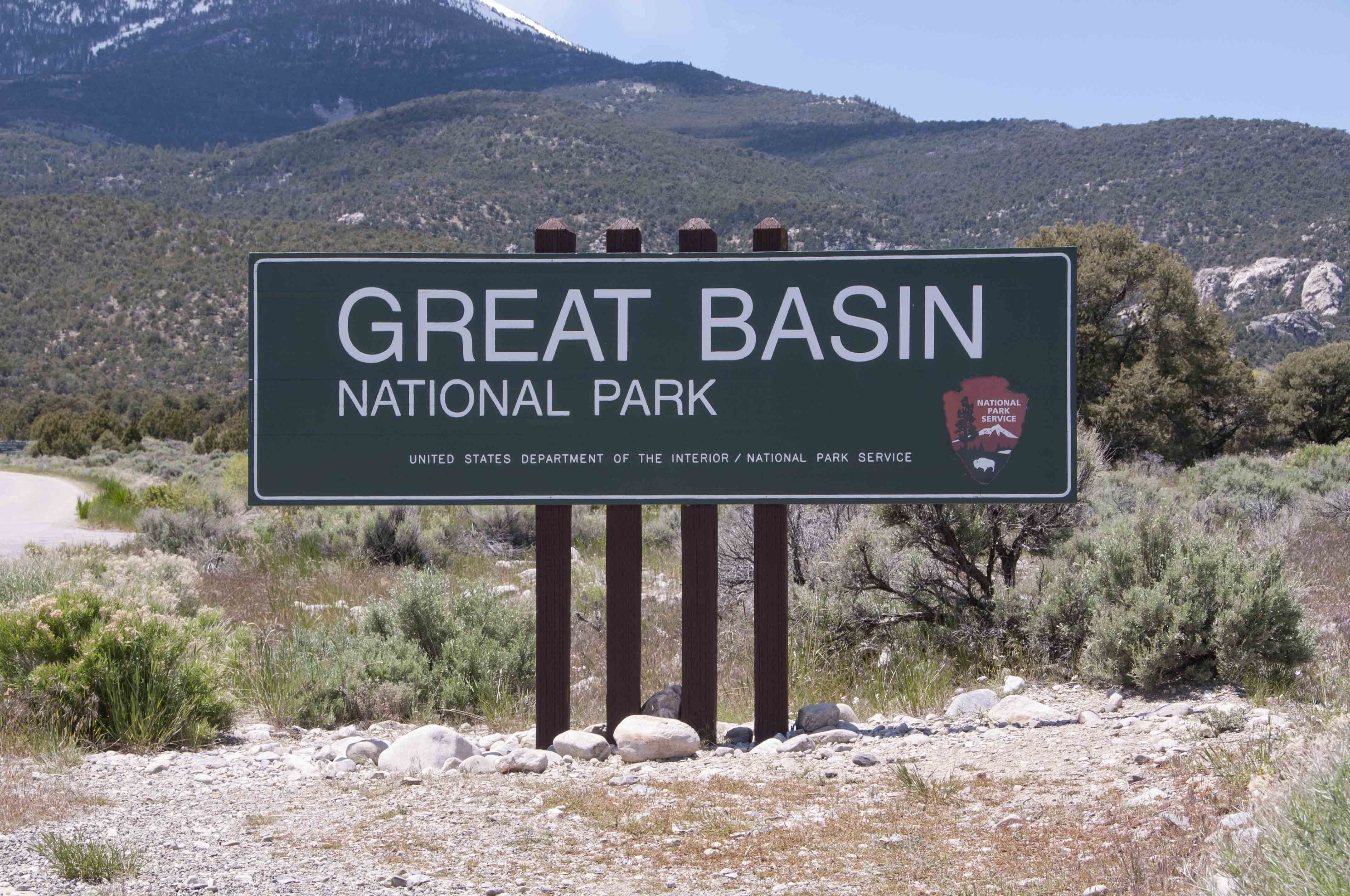
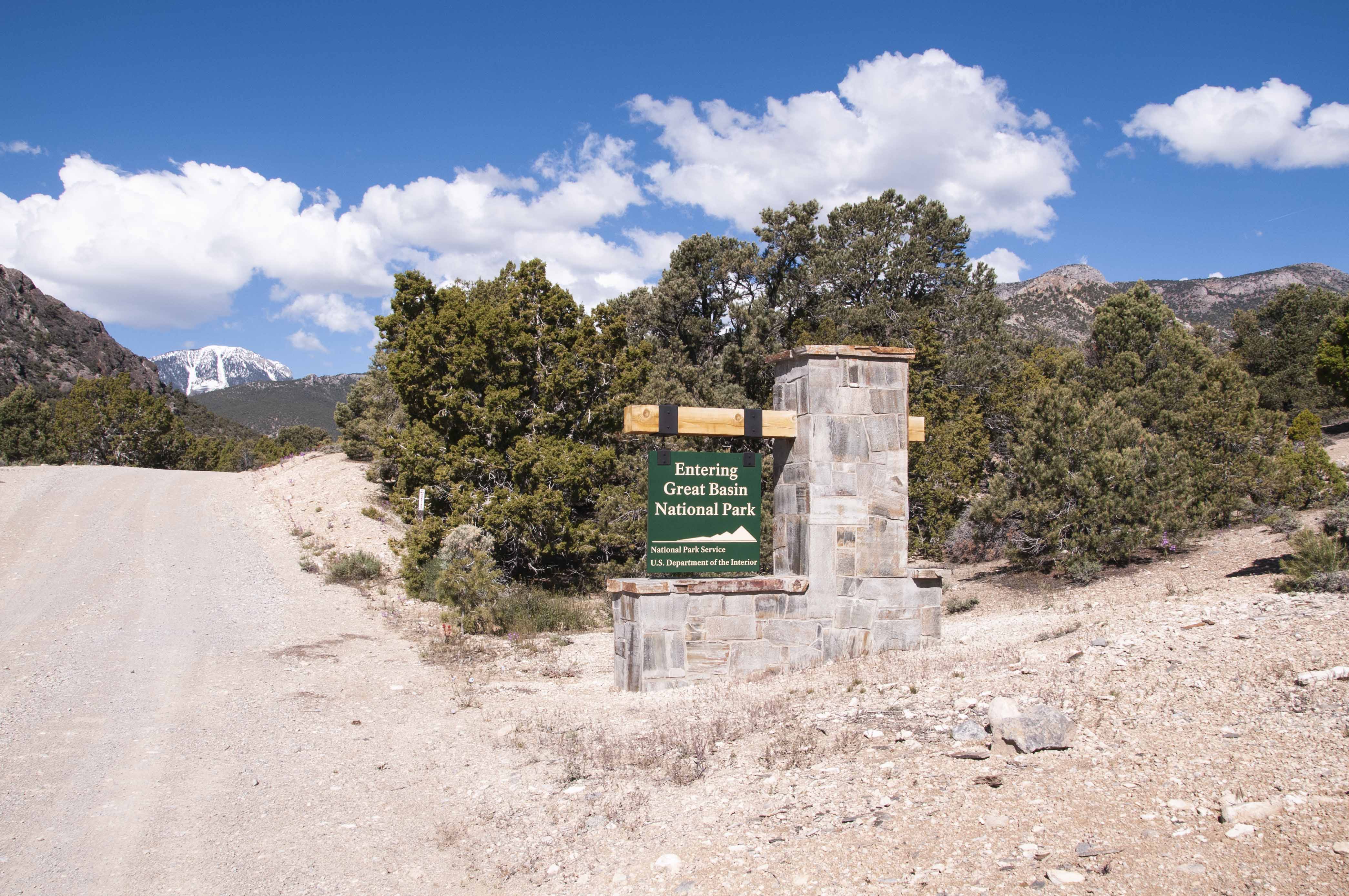
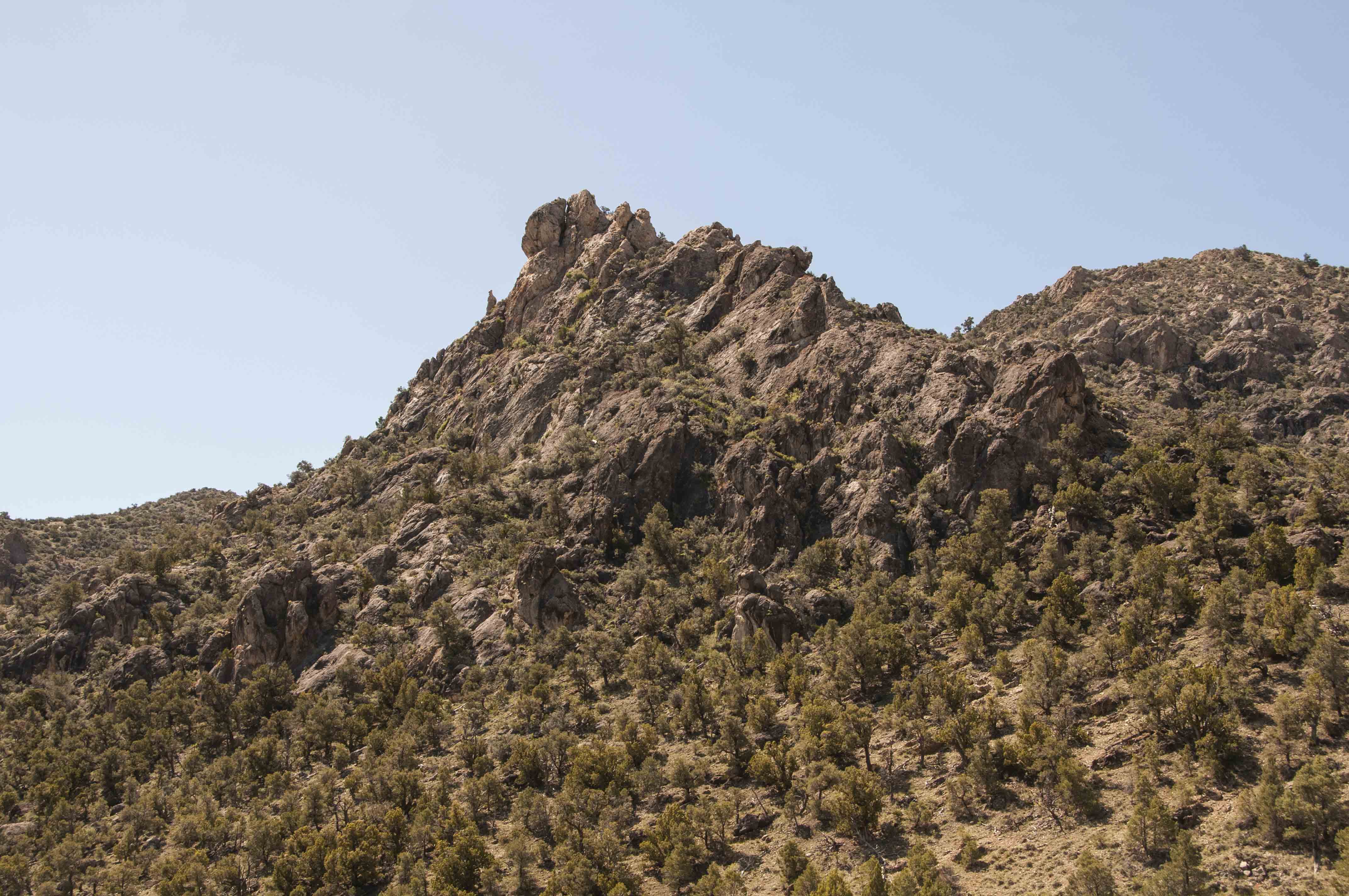
Great Basin National Park is located in the Snake Range in east-central Nevada not too
far from the Utah-Nevada state line. The route I took to the park was Nevada State Route
487 from US Hwys 6/50 to Baker, then NV SR 488 into the park. The park started as a national
monument in 1922 and became a national park in October of 1986. The park is noted for Wheeler
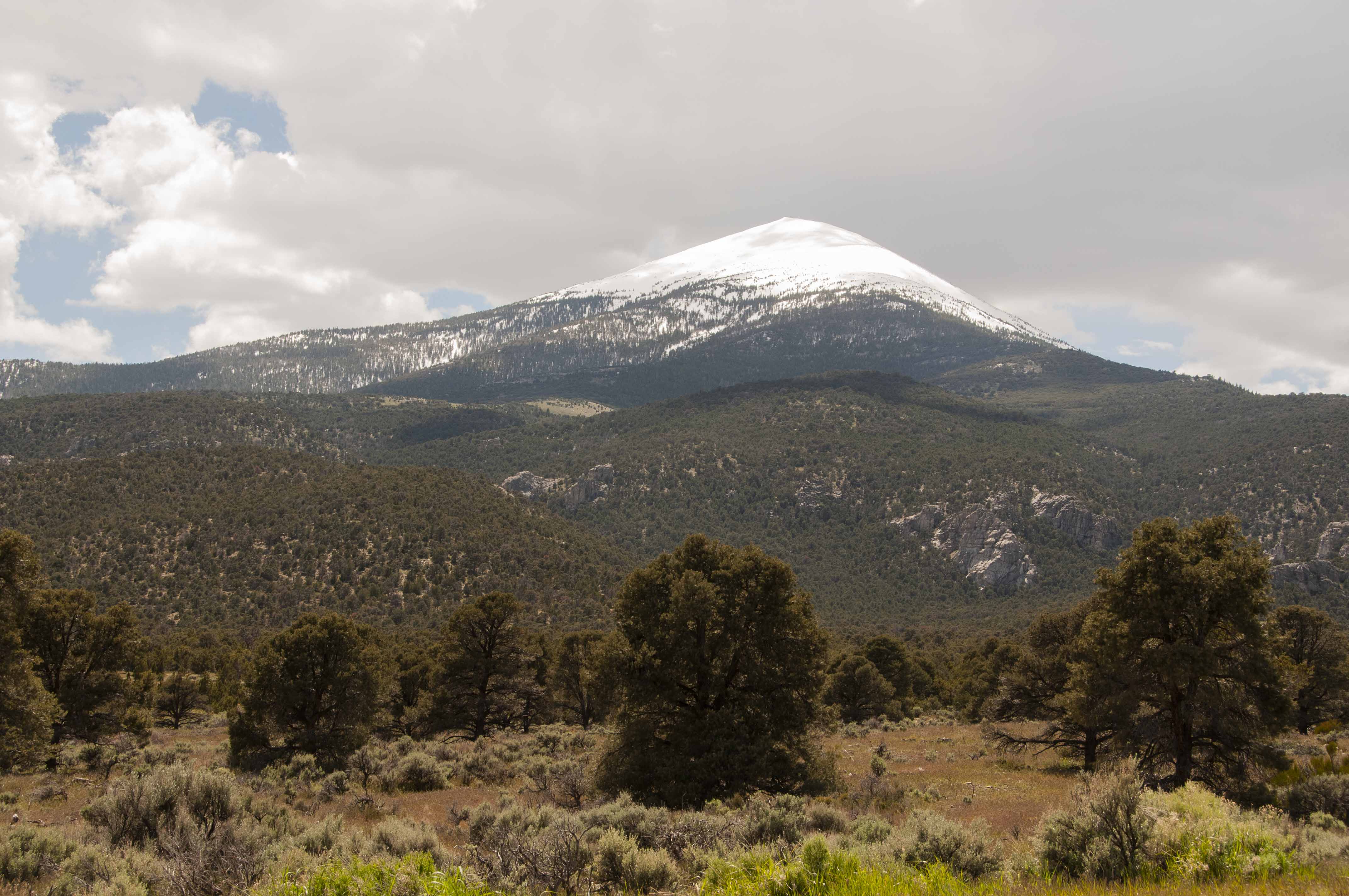
Peak (second highest mountain in Nevada), the Lehman Caves, and its bristlecone pine groves. It's also an excellent park for
backpacking and backcountry camping.
I made my first trip to Great Basin at the beginning of June, 2019. I'm going to call it a
reconnaissance trip since I was only there 2 nights. The road to Wheeler Peak was only open
as far as Mather Overlook so I didn't get to the Peak or the bristlecone pine groves. I also
didn't tour Lehman Caves or take any extended hikes. Oh well, lots to do next time. Great Basin is an
International Dark Sky Park so I took my telescope. However, the park can't guarantee clear skies and
it was cloudy both nights I was there, so no stargazing.
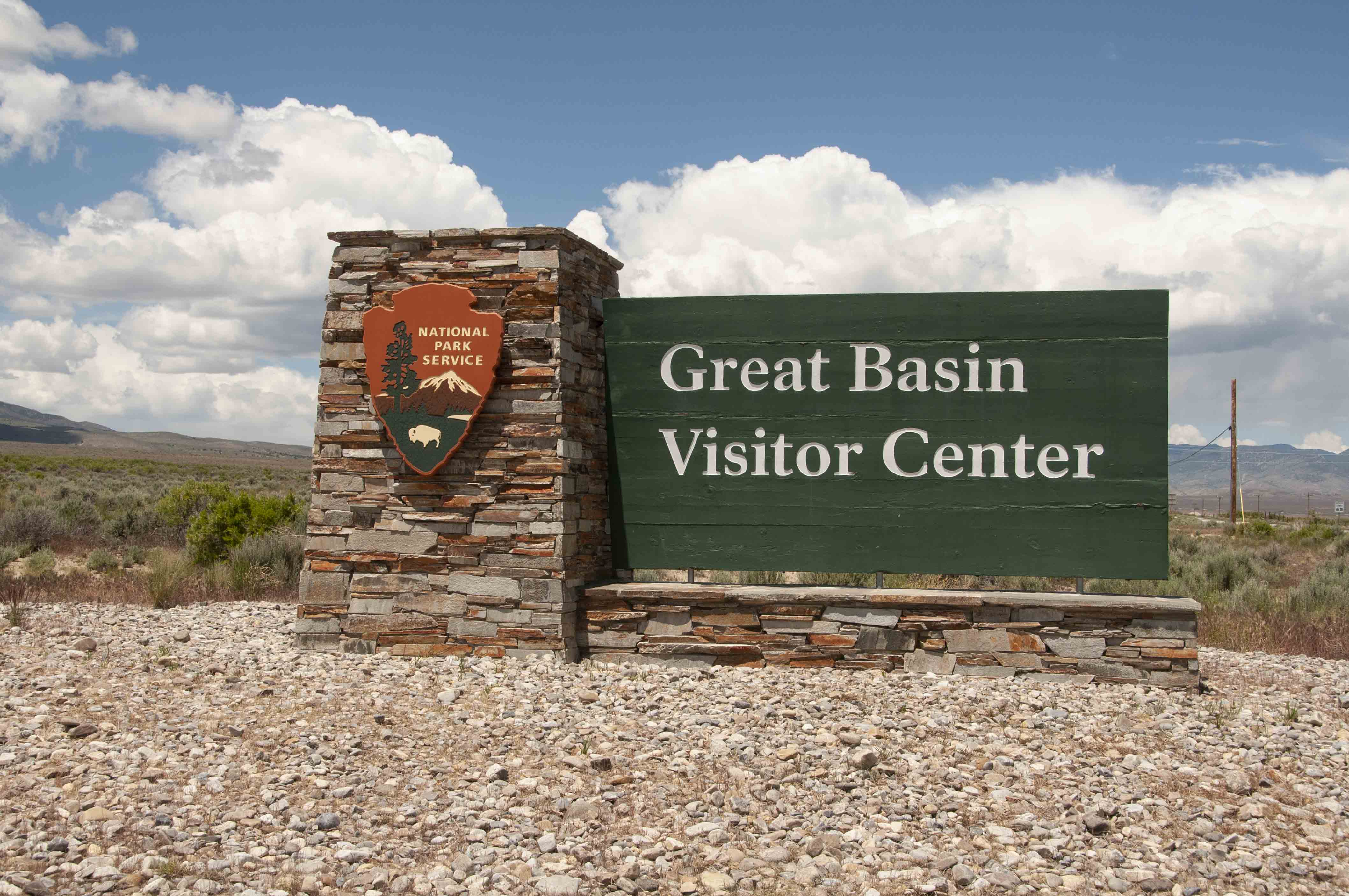
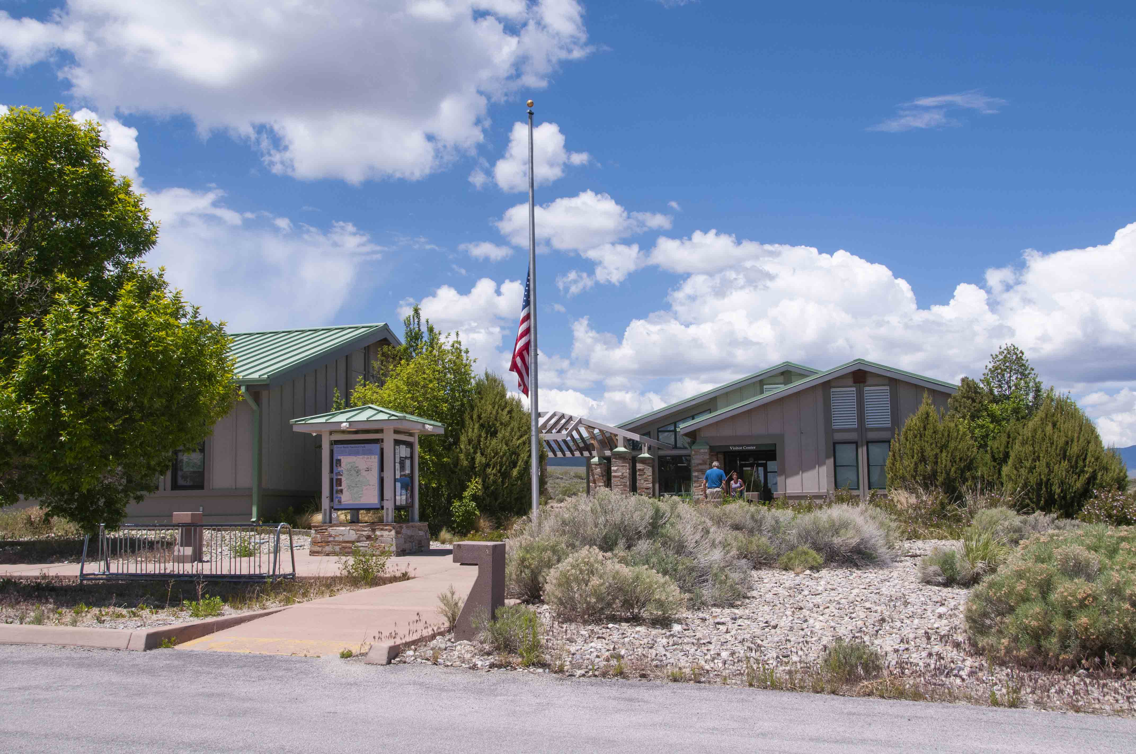
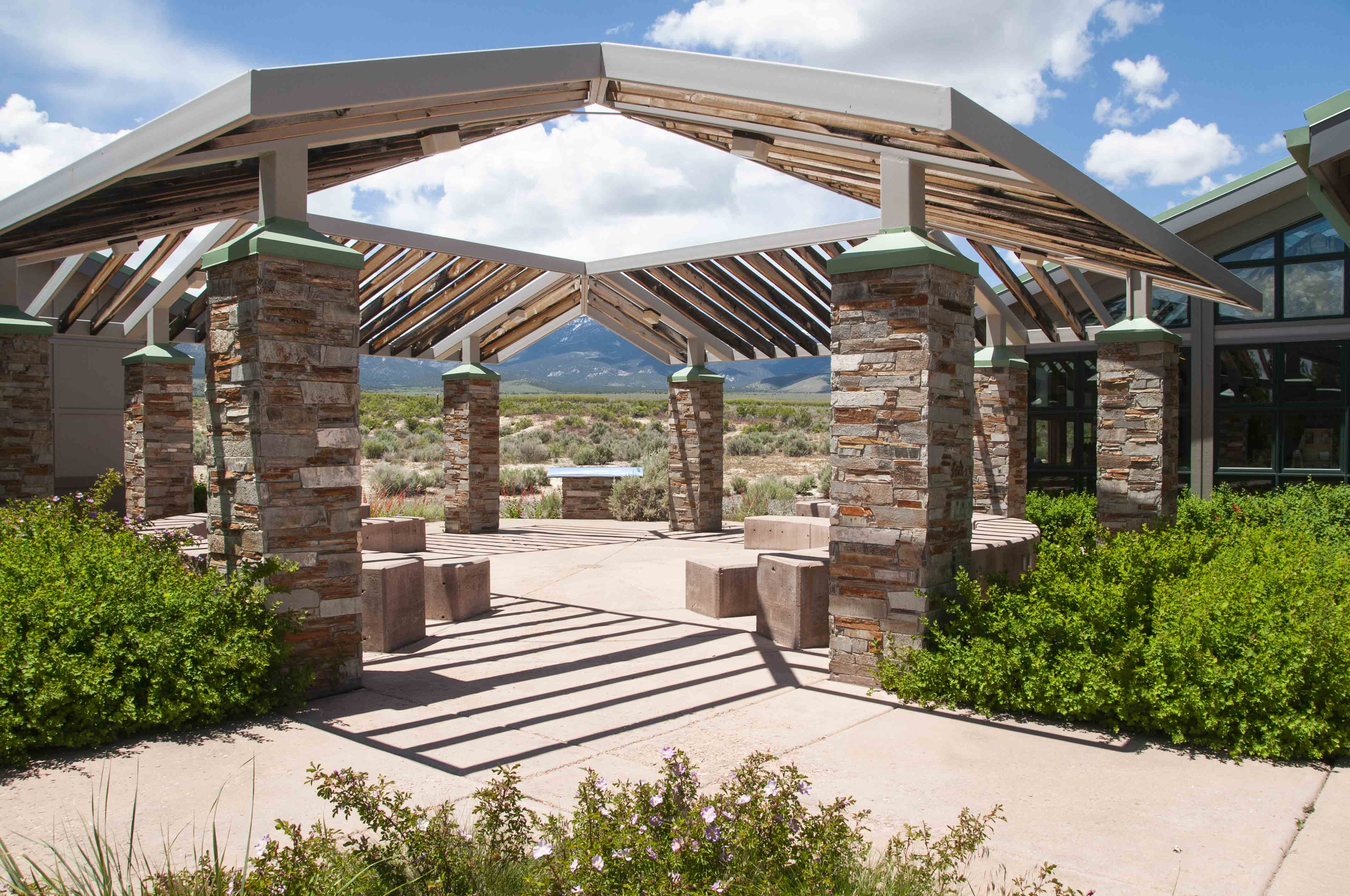
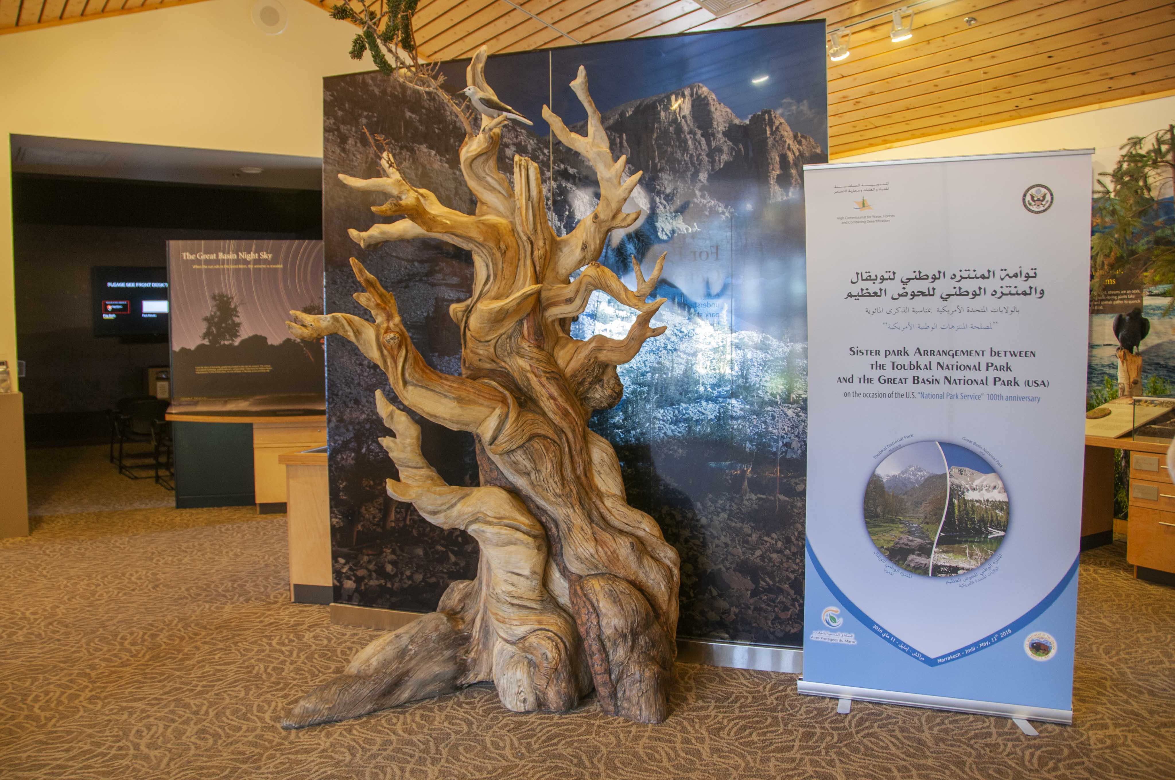
Great Basin Visitor Center
The Great Basin Visitor Center is located just off Nevada State Route 487 in Baker, NV.
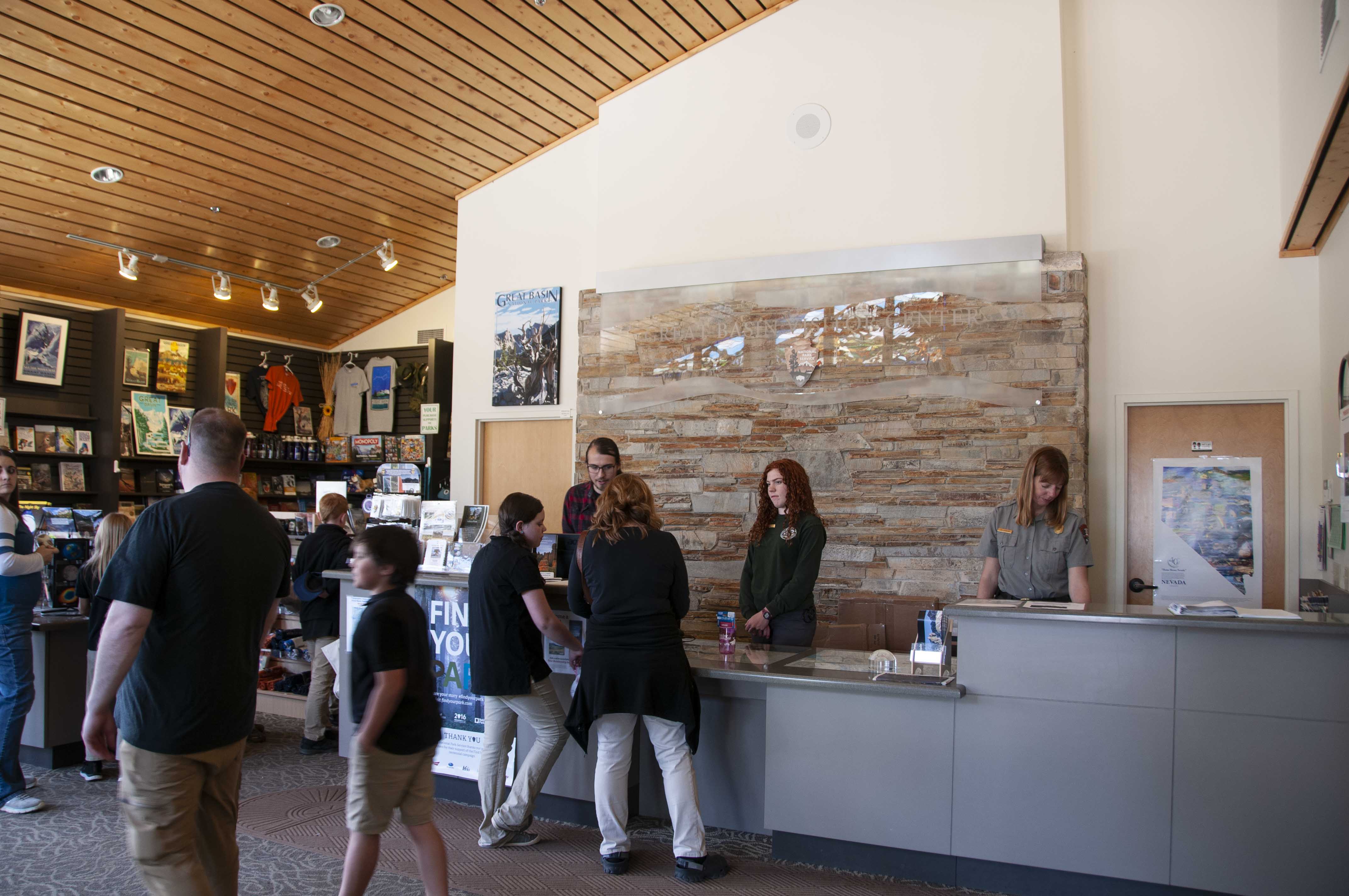
It's about 5 miles from the actual park entrance. The visitor center has a small museum
and bookstore.
Into the Park
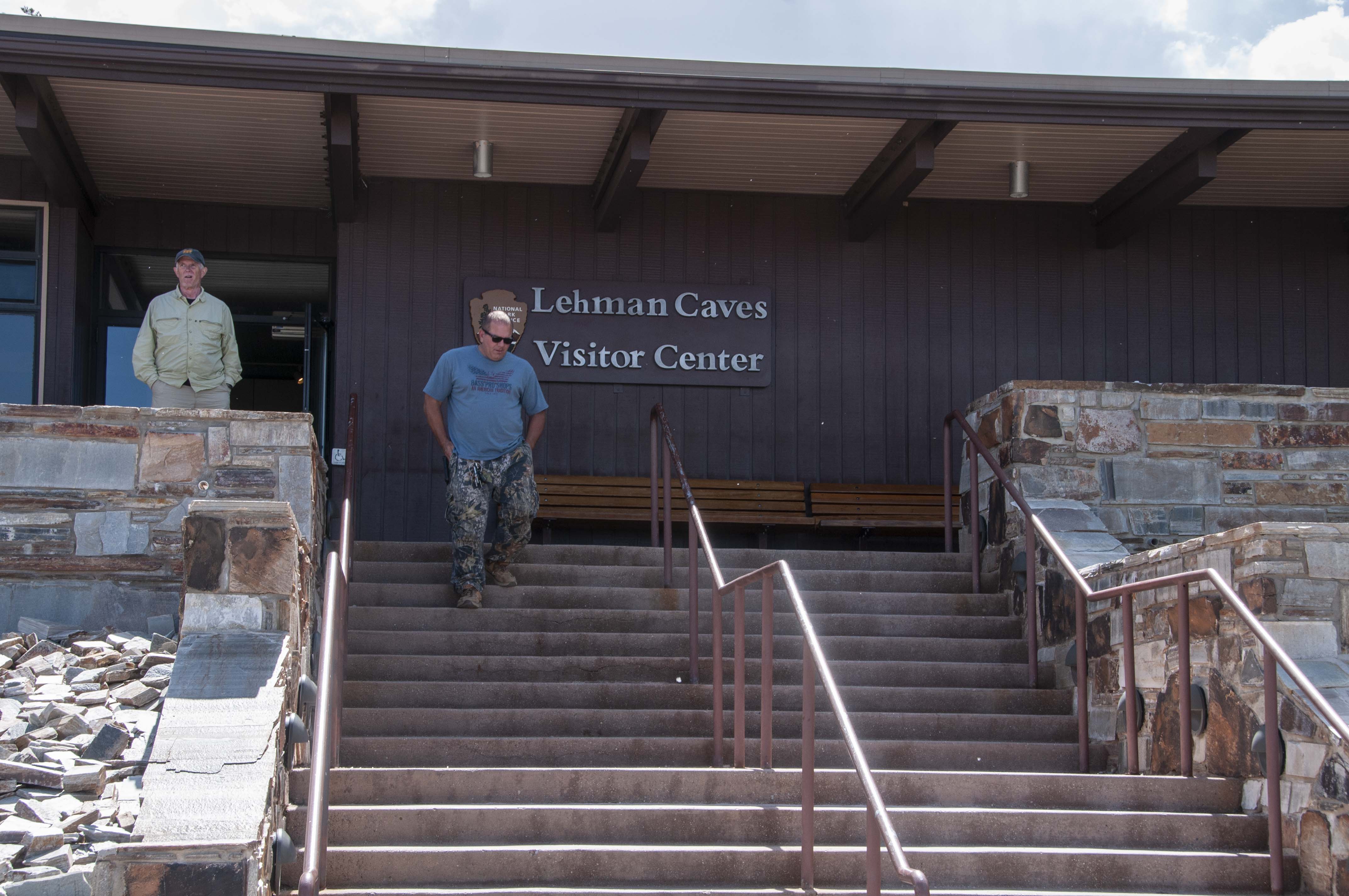
The first thing I did once in the park was check out the Lehman Caves Visitor Center,
which is where the cave tours originate. The tours require reservations. There is a
small cafe (Great Basin Cafe) located in the visitor center. The park has 4 developed
campgrounds that are absolutely terrific for tent camping but not so much for RVs, especially
over 24 feet. The best RV campground is Baker Creek (a few pullthroughs, no hookups). Everyone's favorite
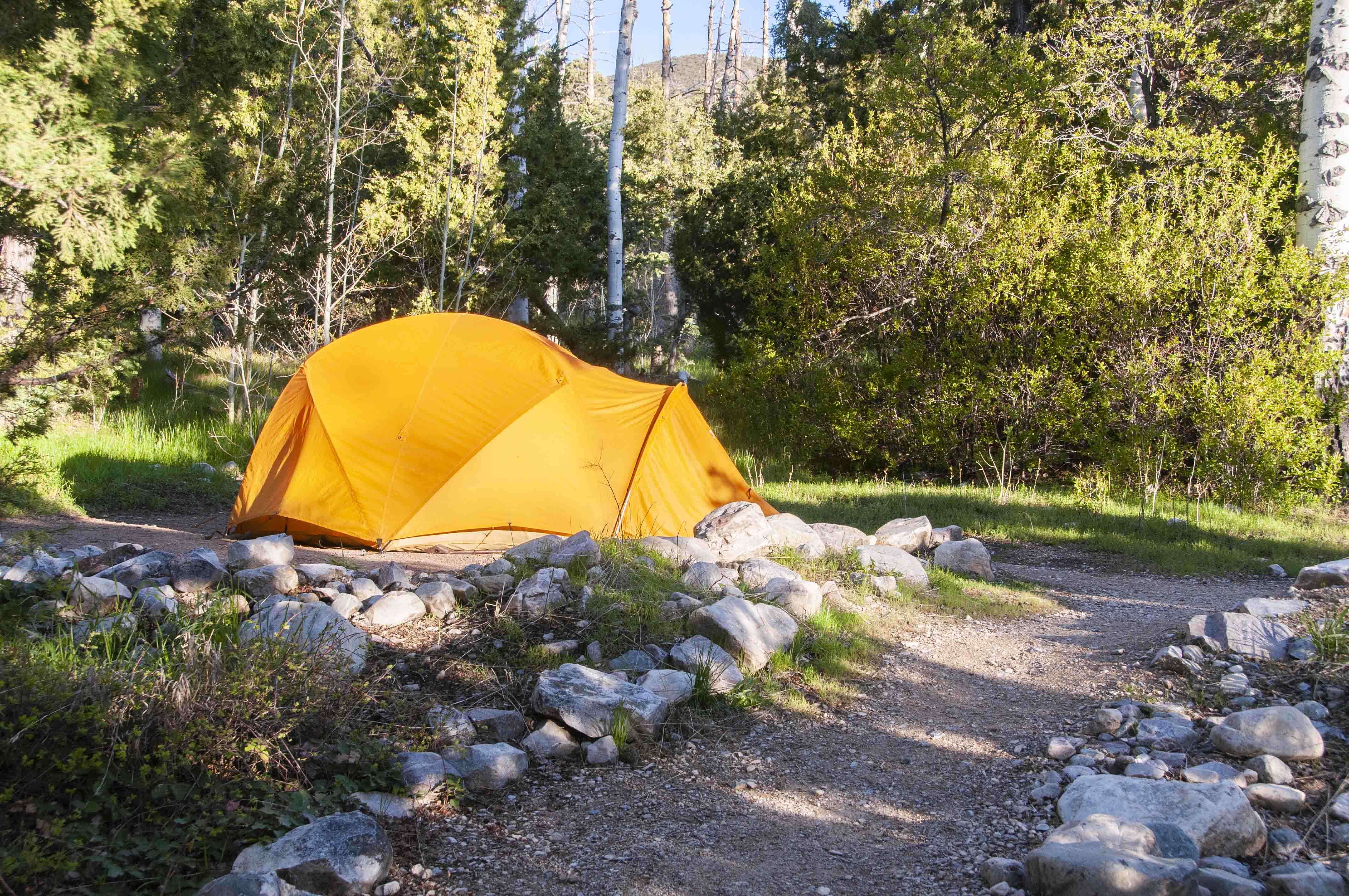
campground seems to be Wheeler Peak, but it was closed. I had reservations for campsite #21 at
Upper Lehman Creek Campground, and the site was fantastic.
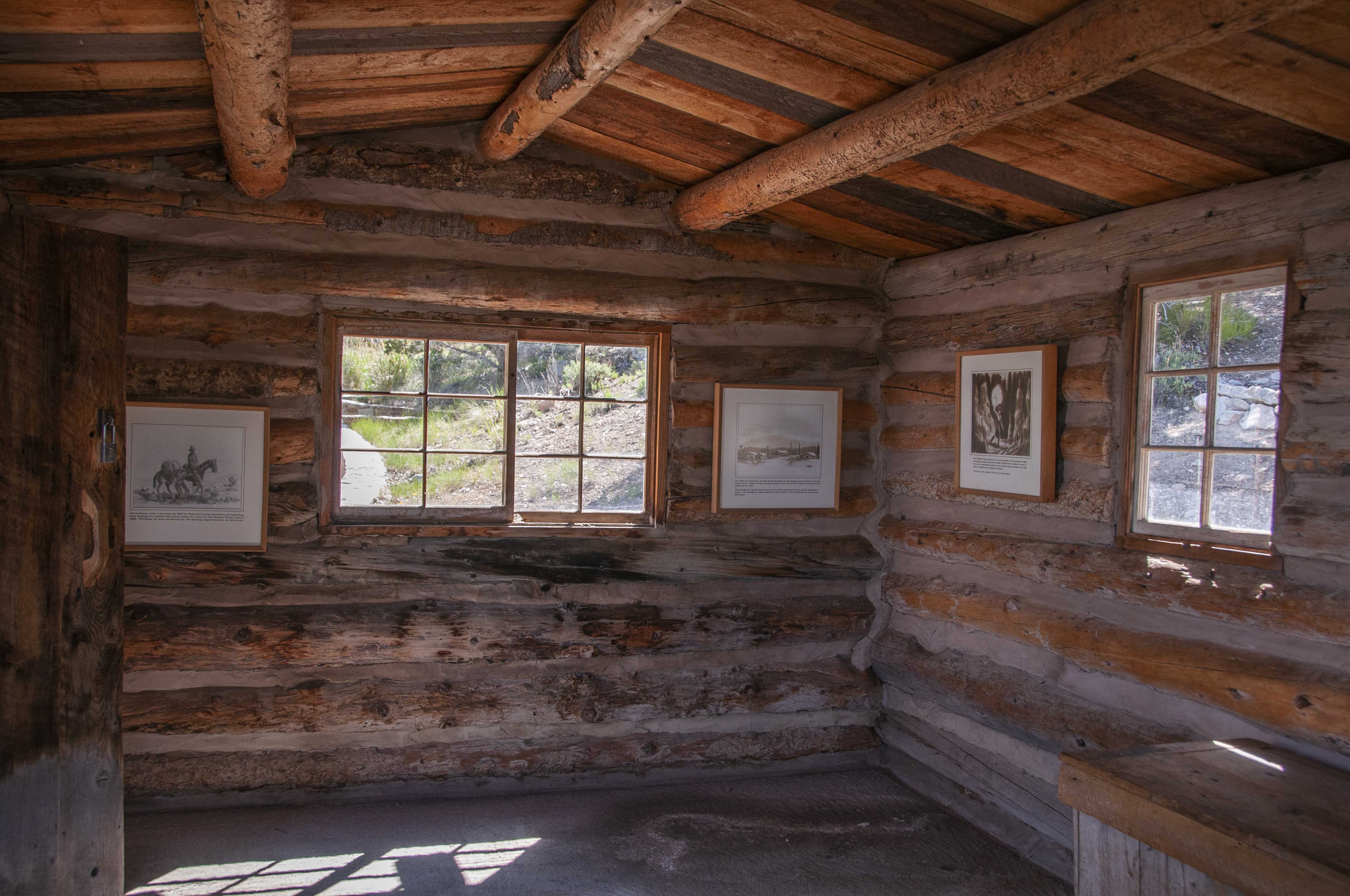
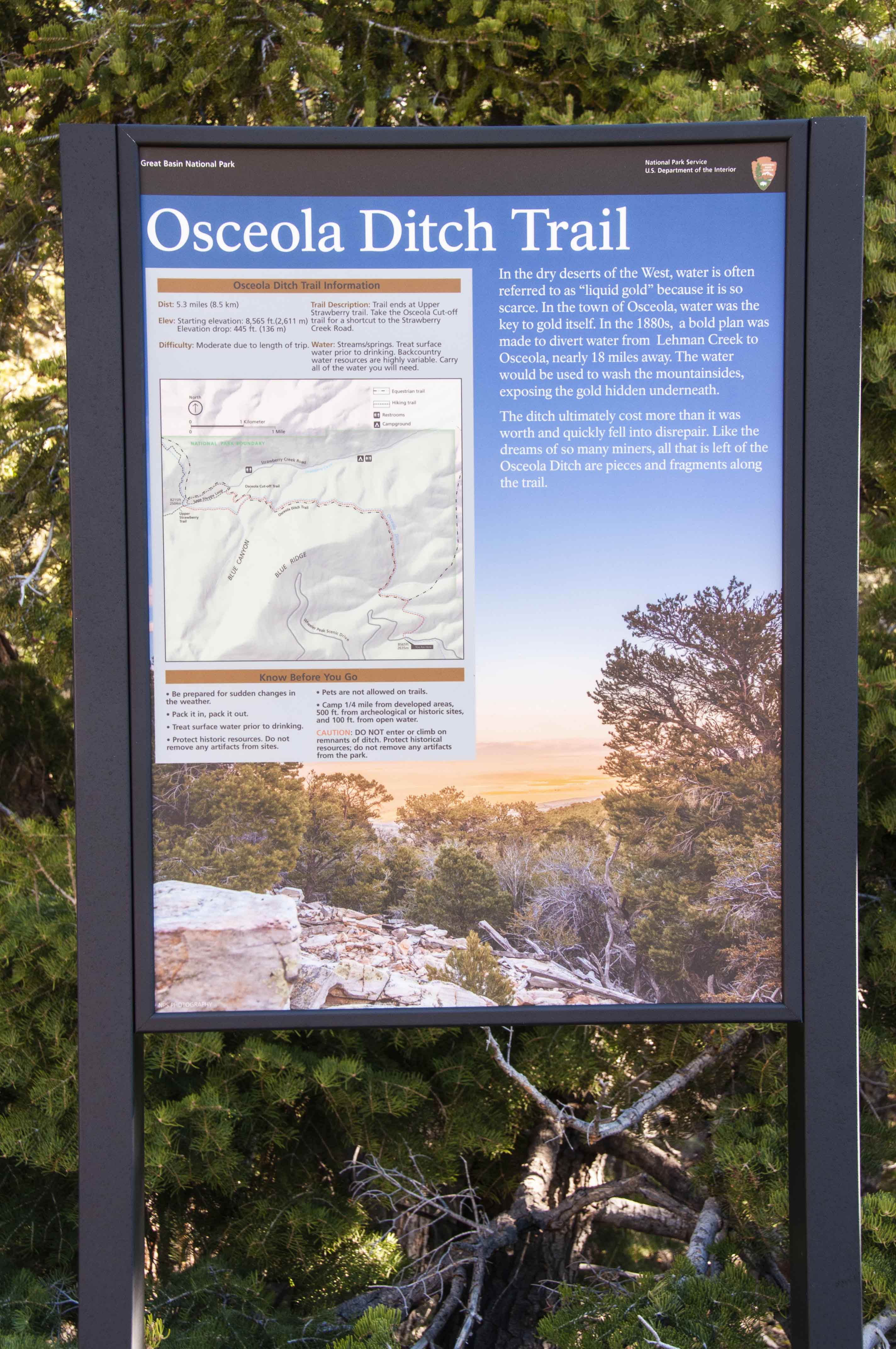
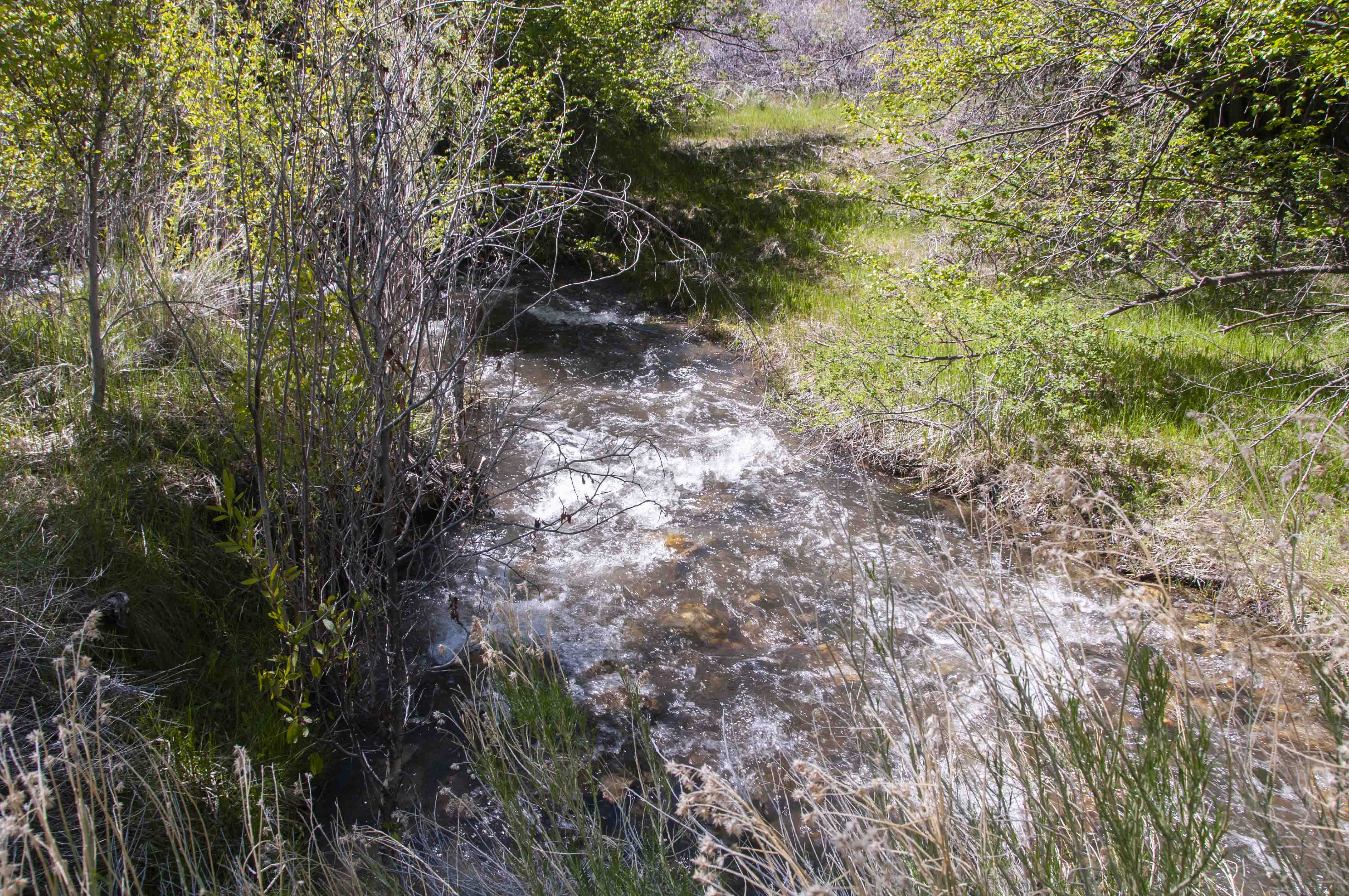
In the 1880s the good folk of Osceola came up with a plan to get rich with a ditch. They would divert water from Lehman Creek to wash away the mountainside and expose the gold buried underneath. Fools in search of fools gold.
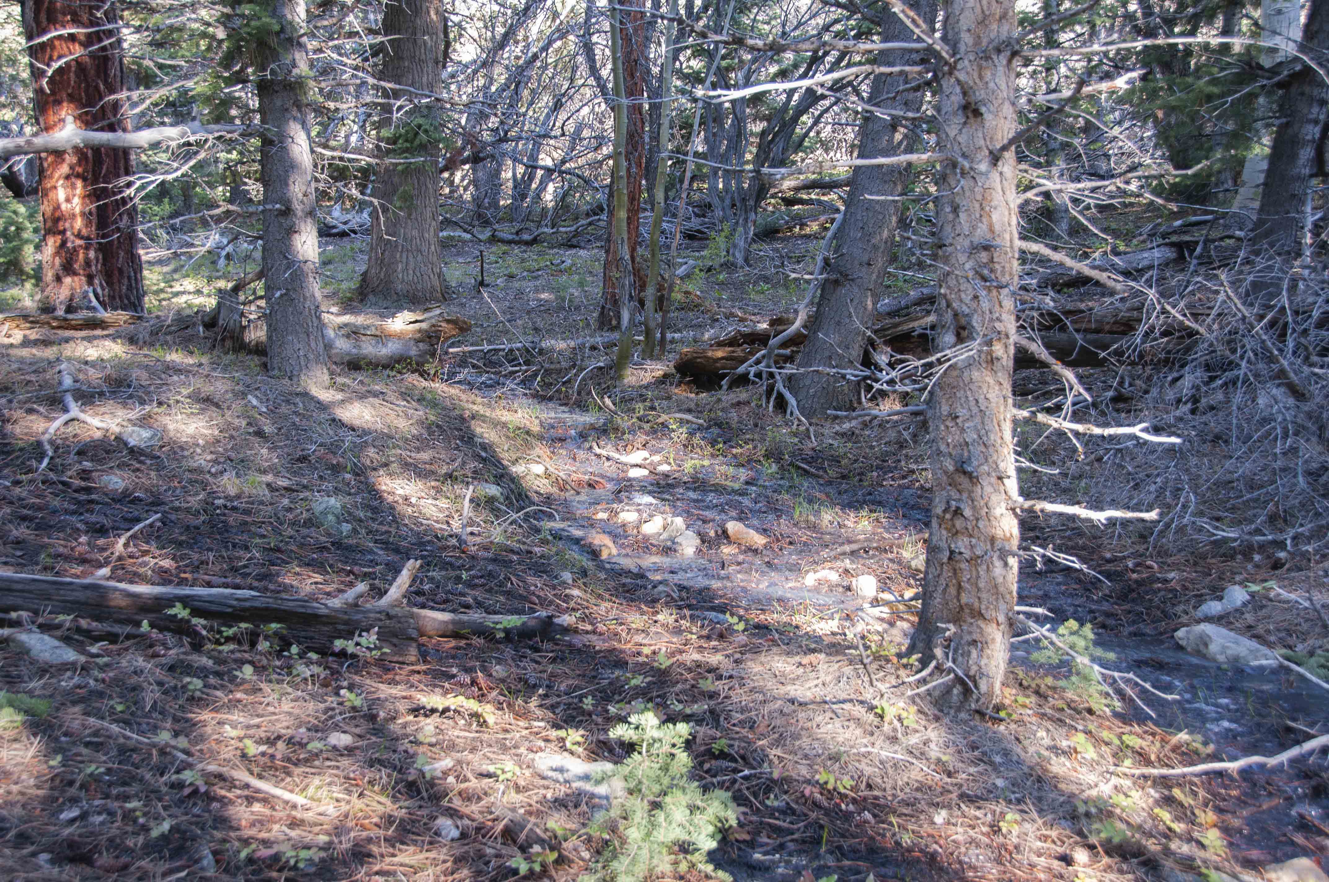
Lehman Creek
View from campsite
Mule Deer munching the meadow
Snake Creek Road
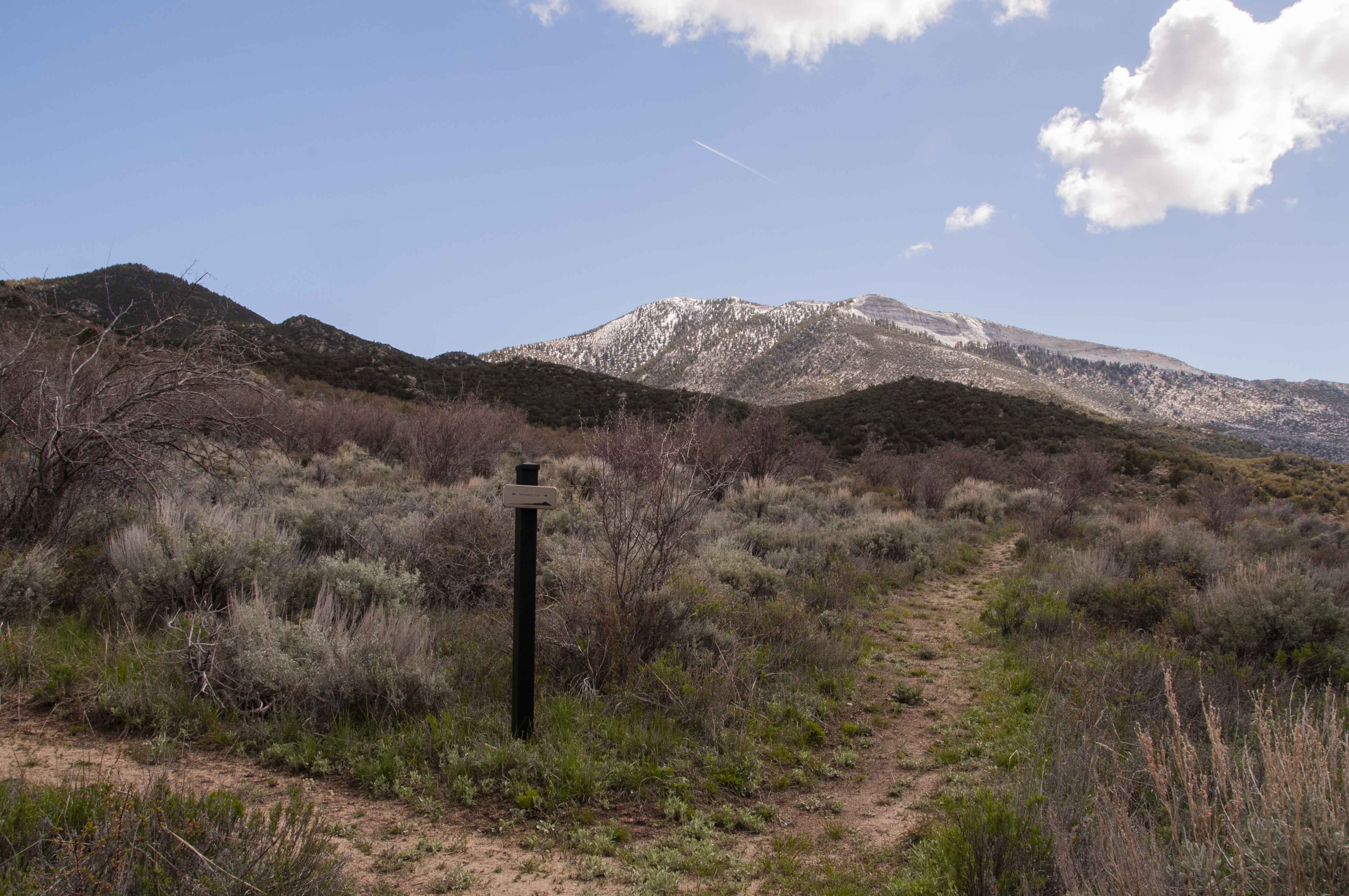
Snake Creek Road is a gravel road that enters the southern portion of Great Basin National Park
and ends near the Strawberry trail trailhead. There are dispersed primitive campsites along the
way that have picnic tables and firepits. There is also the occasional vault toilet. The road
can be accessed from NV SR 487 at the really small town of Garrison, or from a cutoff about
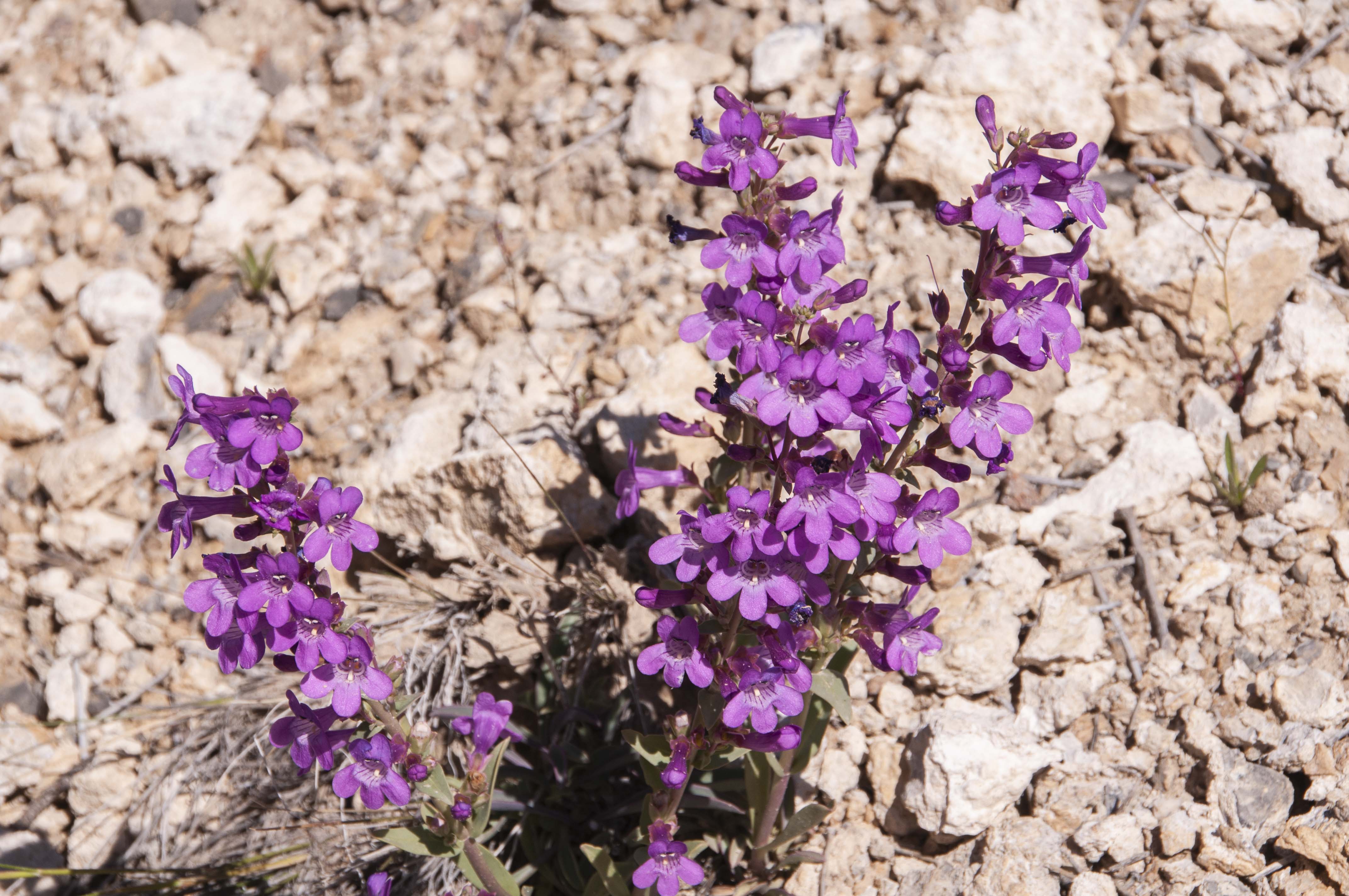
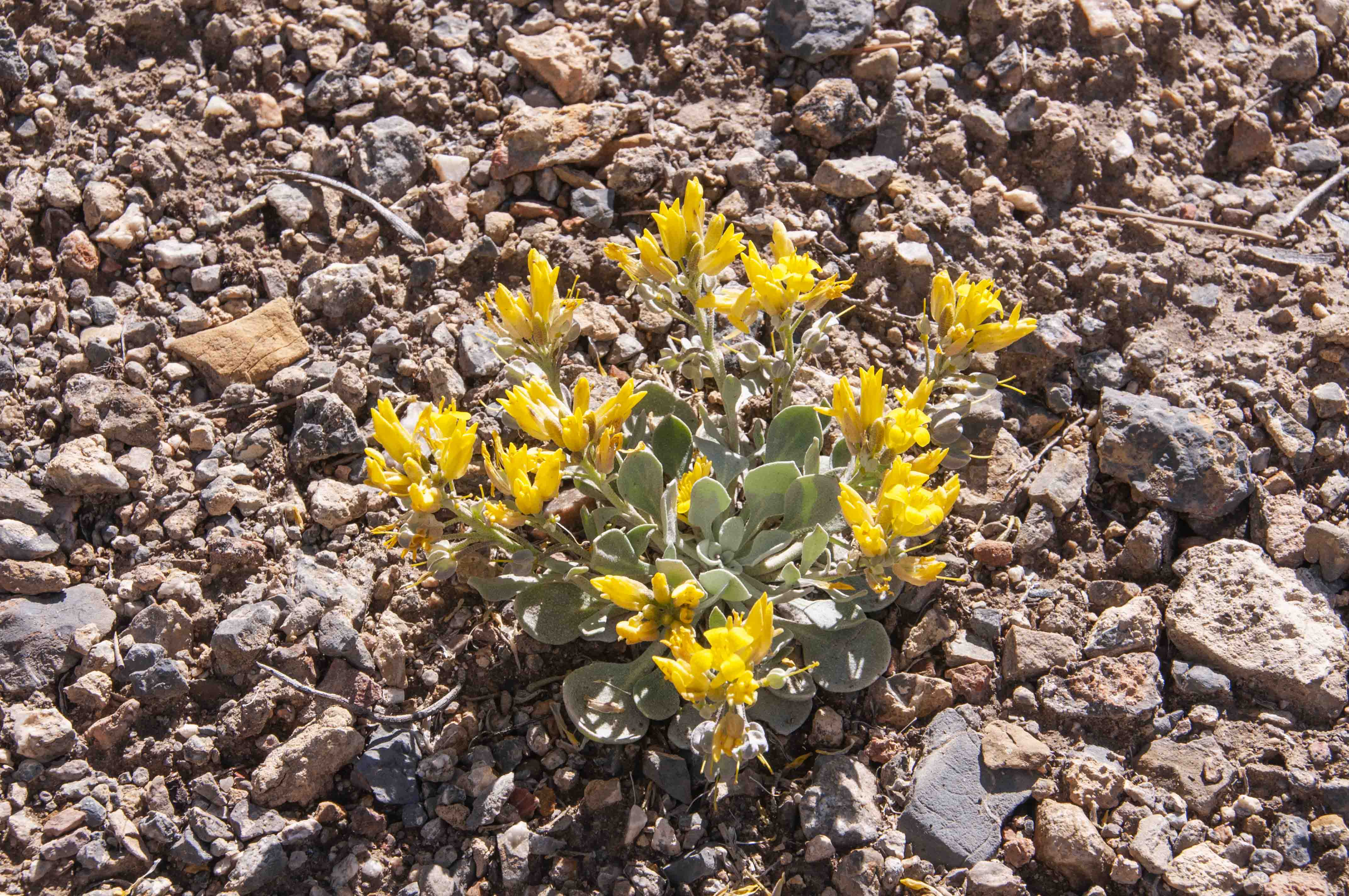
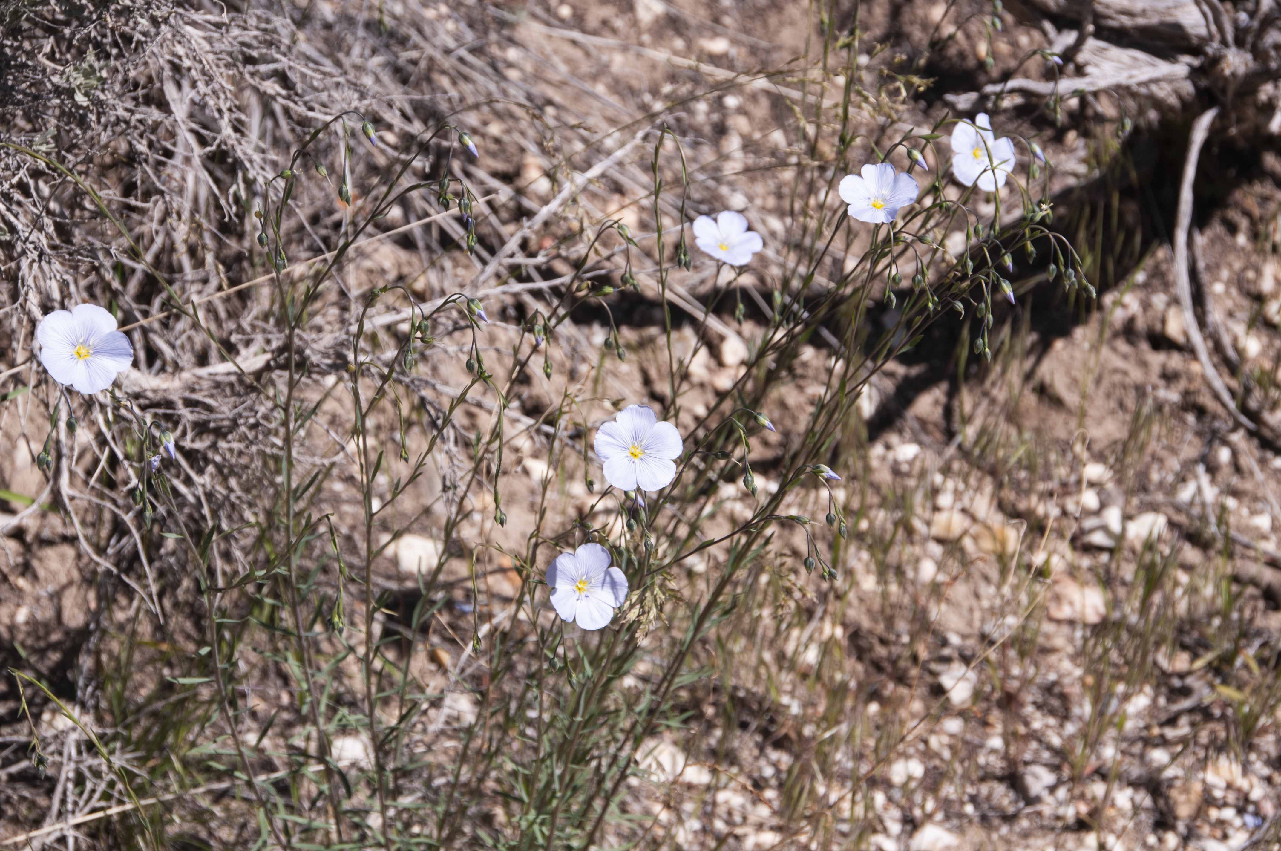
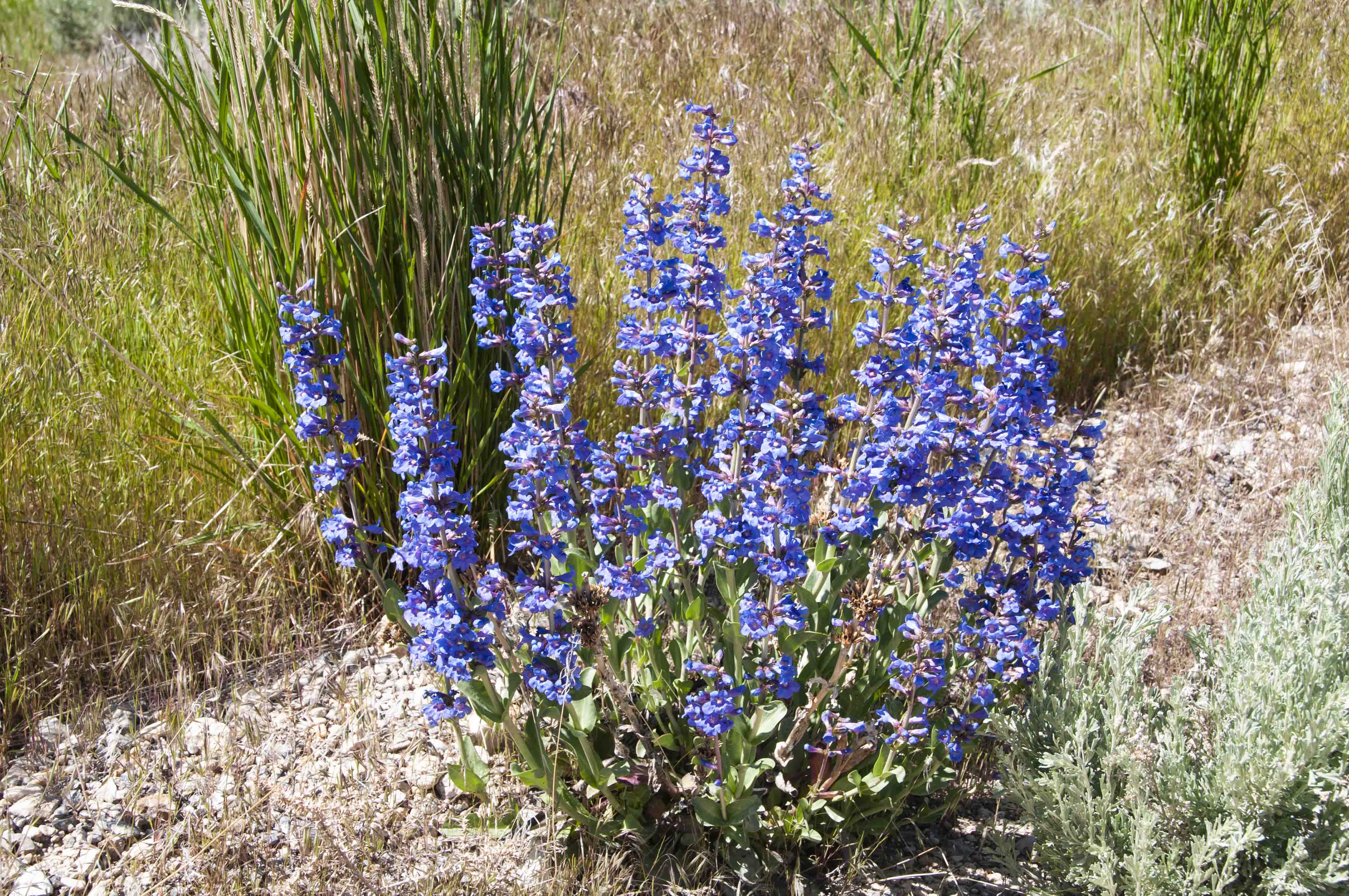
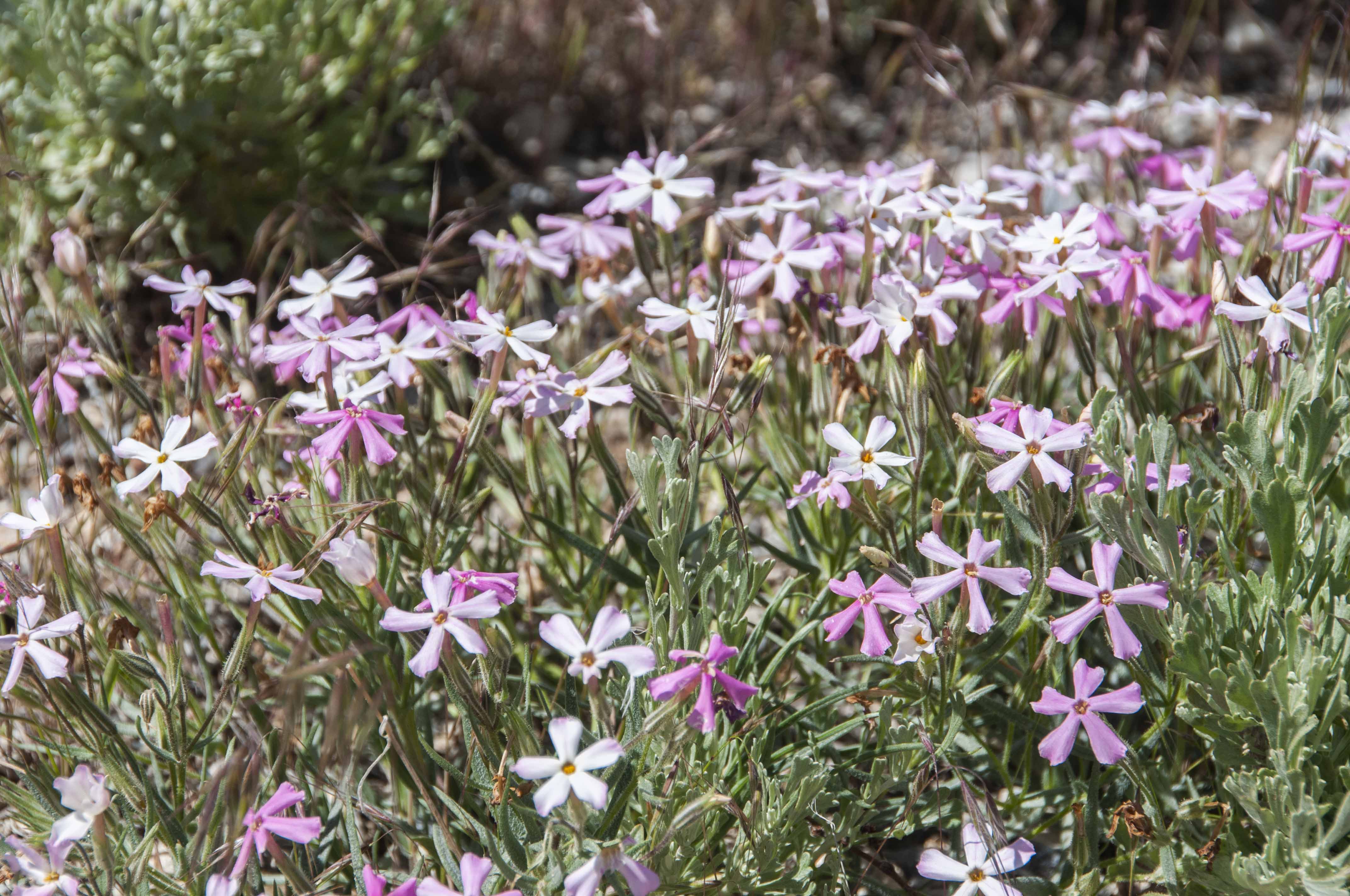
2 miles north of the town. When I drove the road there were lots of colorful wildflowers along it,
the names of which I know not.
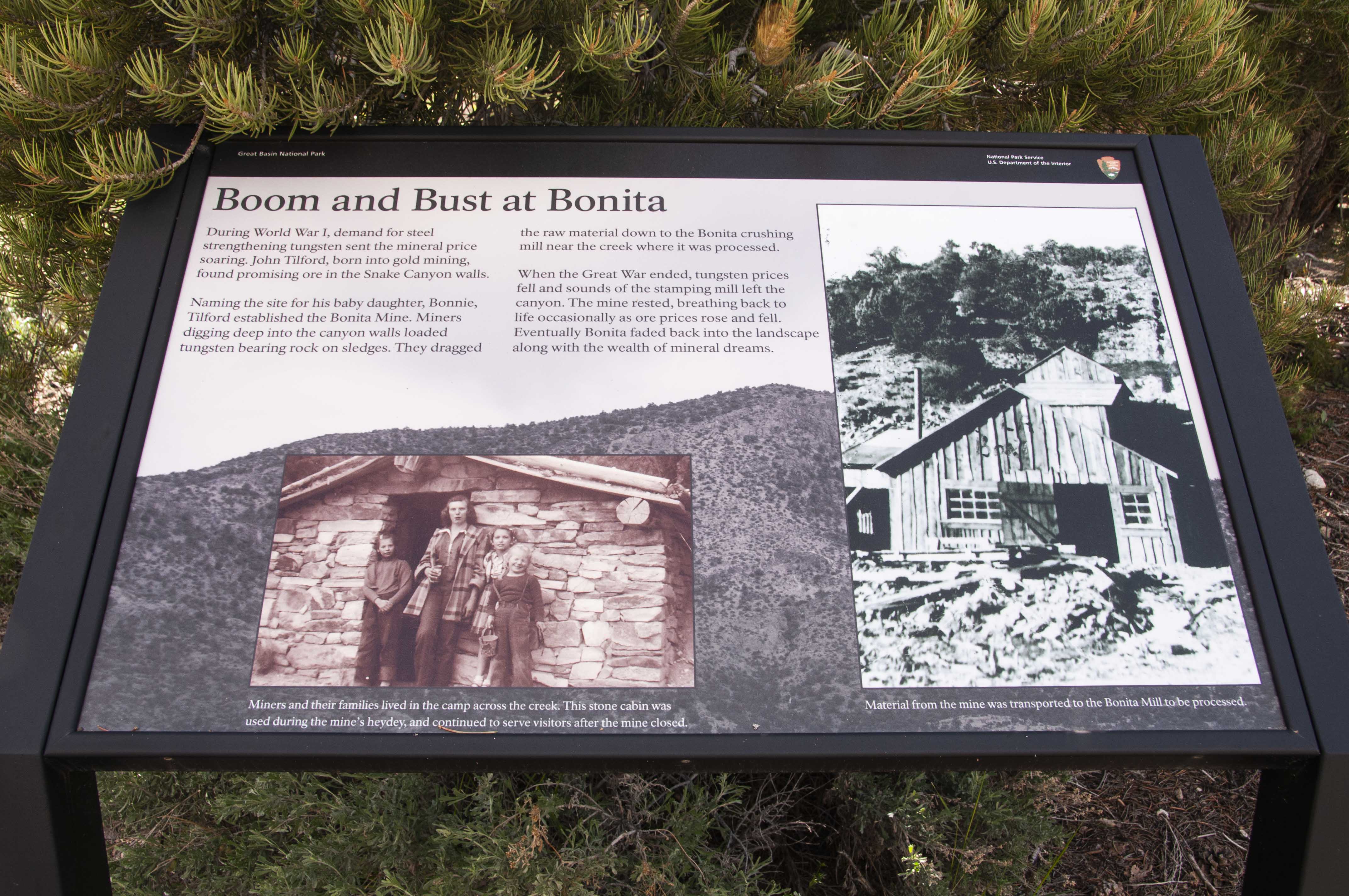
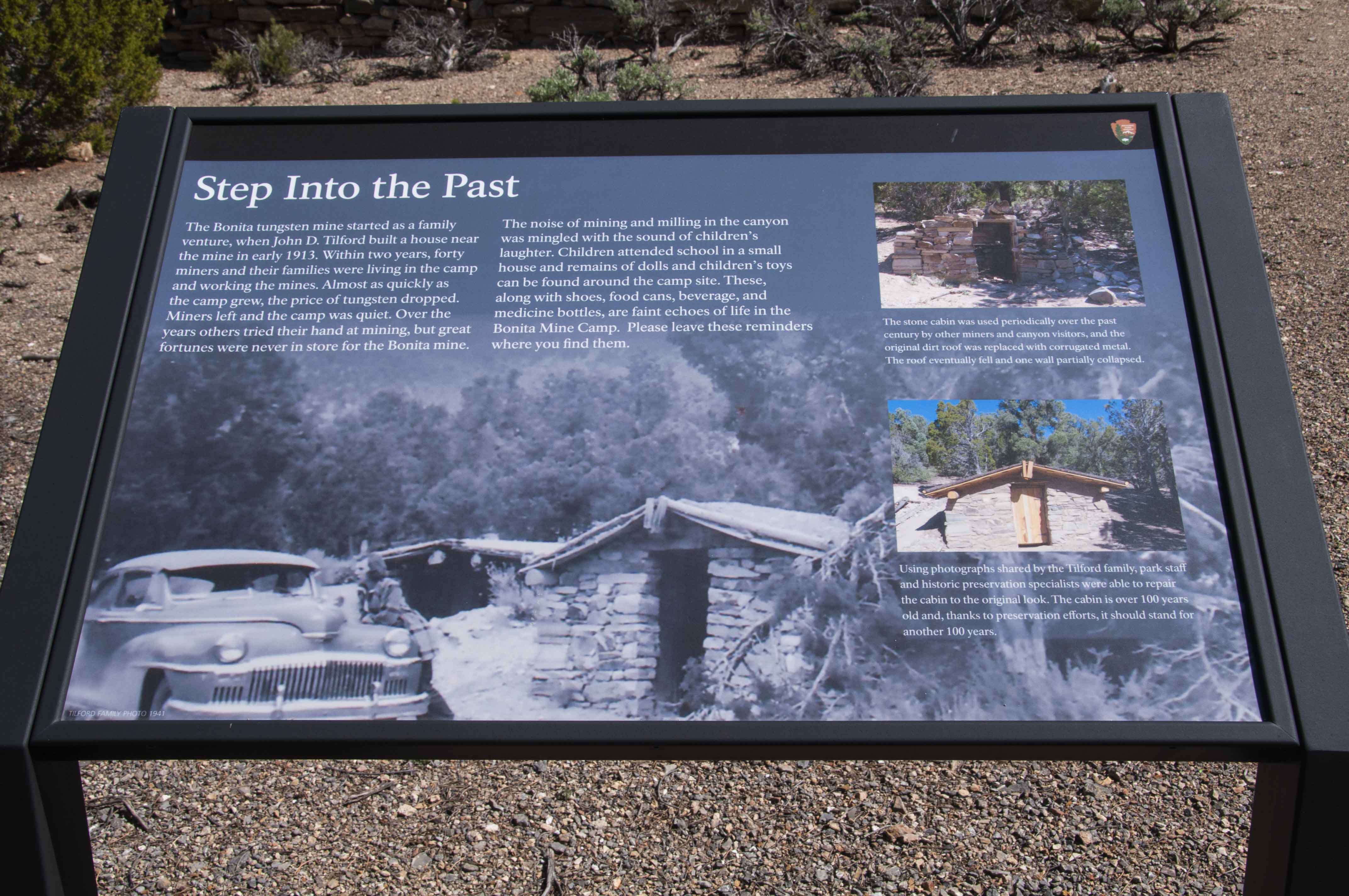
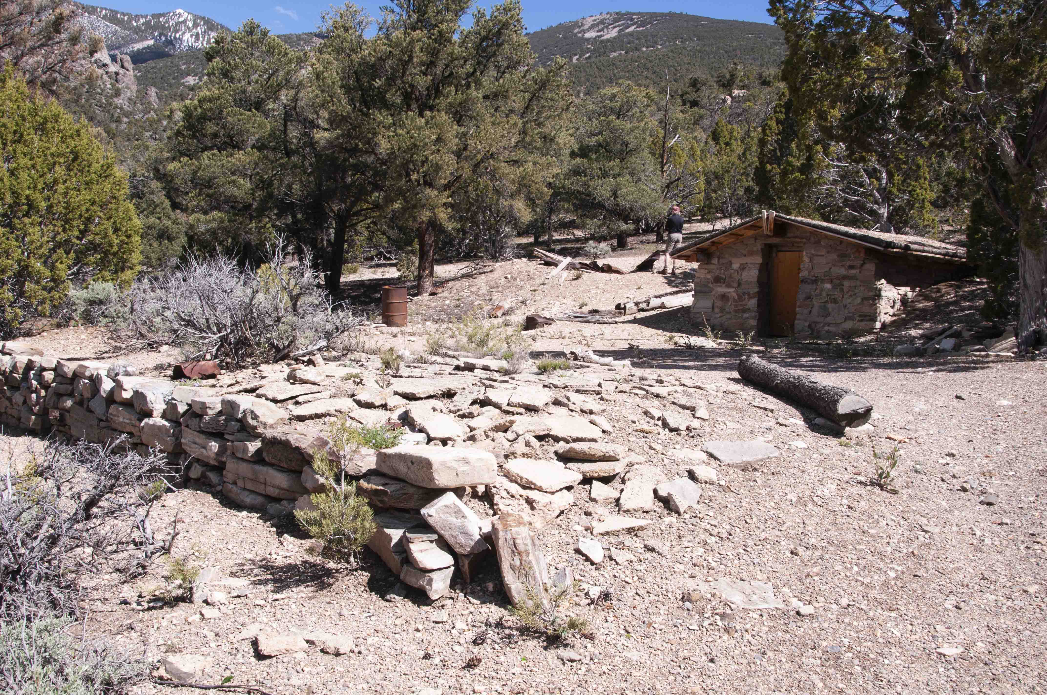
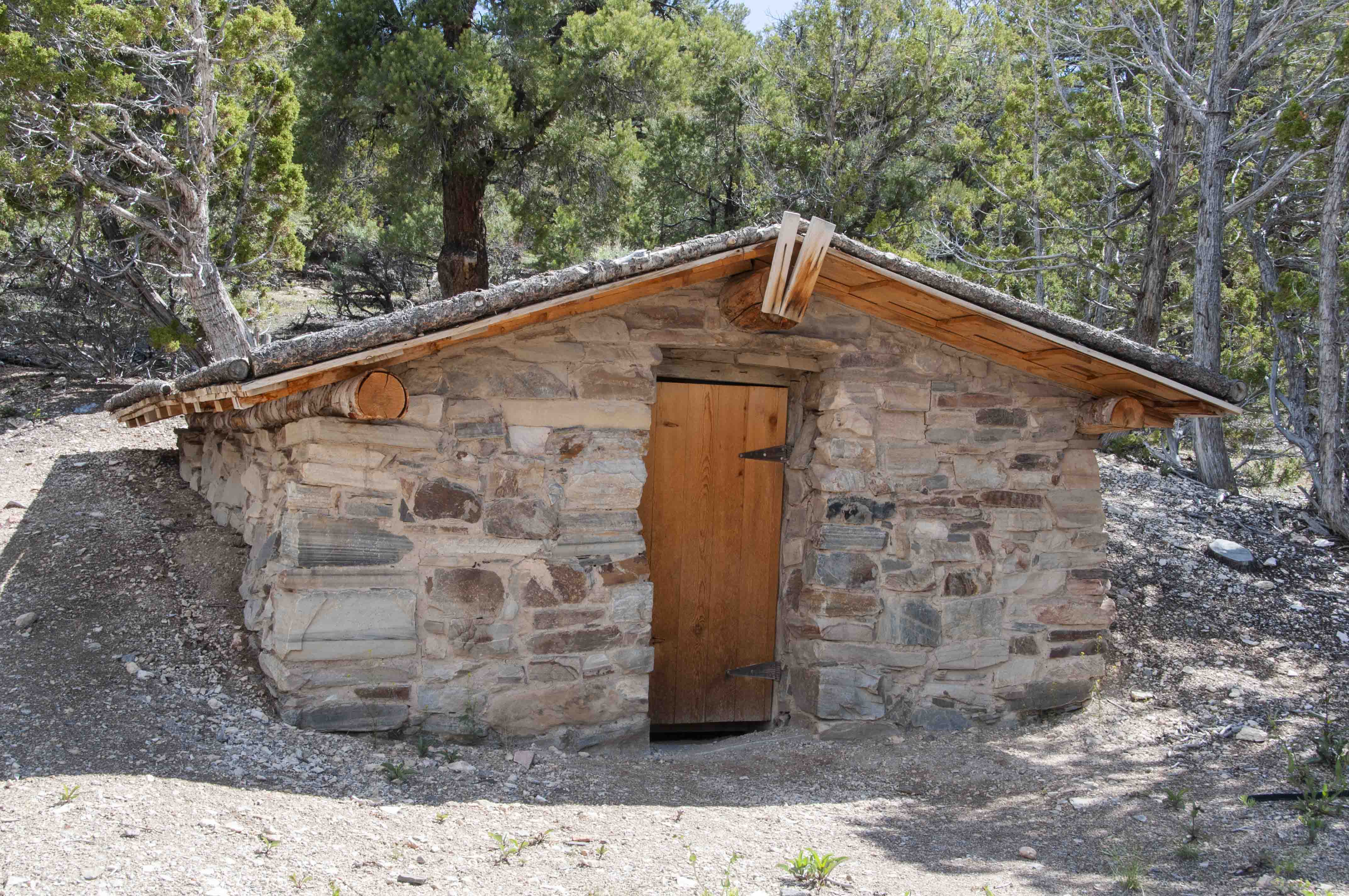
The advent of World War I produced sharp increases in the price of tungsten which was needed for the war effort. John Tilford found promising ore in Snake Canyon and started the Bonita tungsten mine. The mine became a family affair with about 40 miners and their families at its peak. The price of tungsten dropped at the end of the war and the mine was slowly abondoned over the next few years.
Bonus - Spring Creek Fish Rearing Station
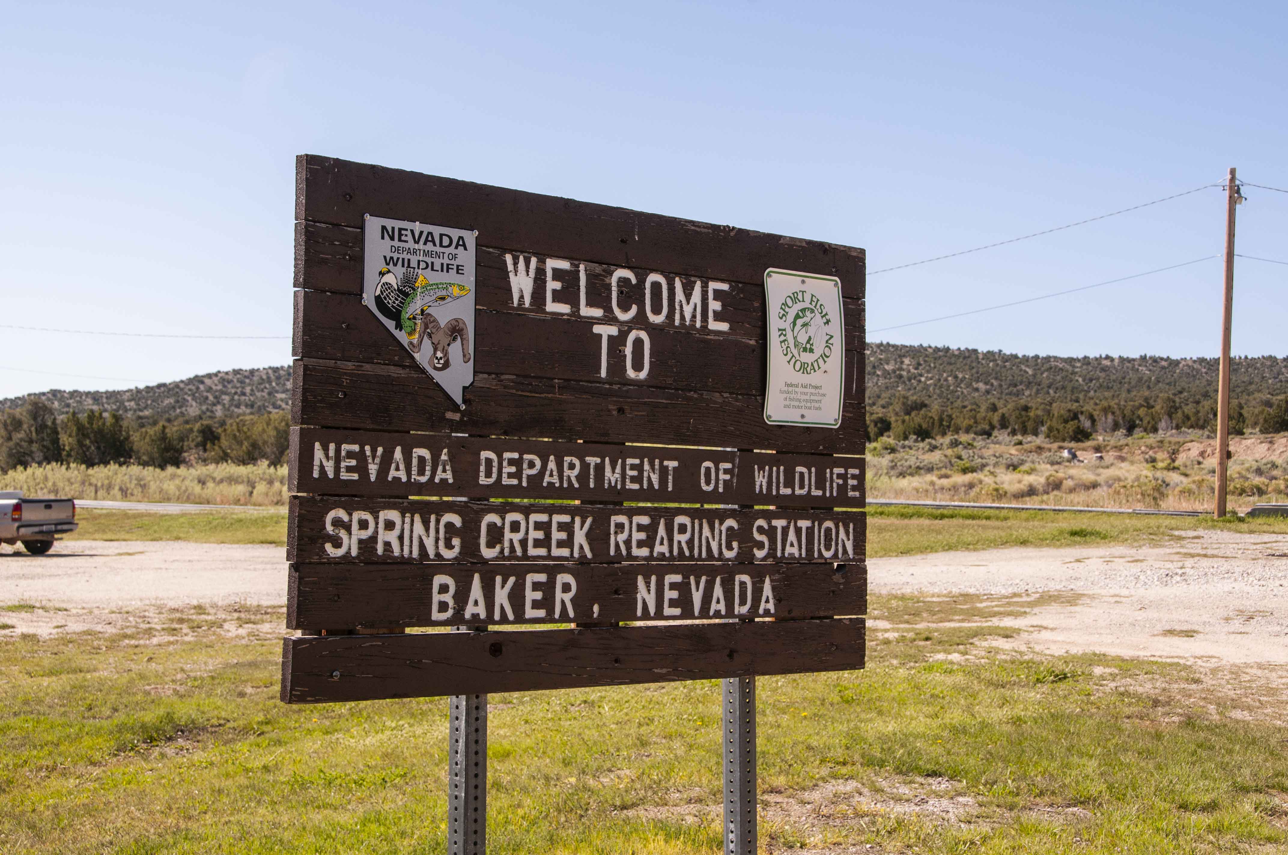
Welcome to the Nevada State Spring Creek Rearing Station, located just off Snake Creek Road.
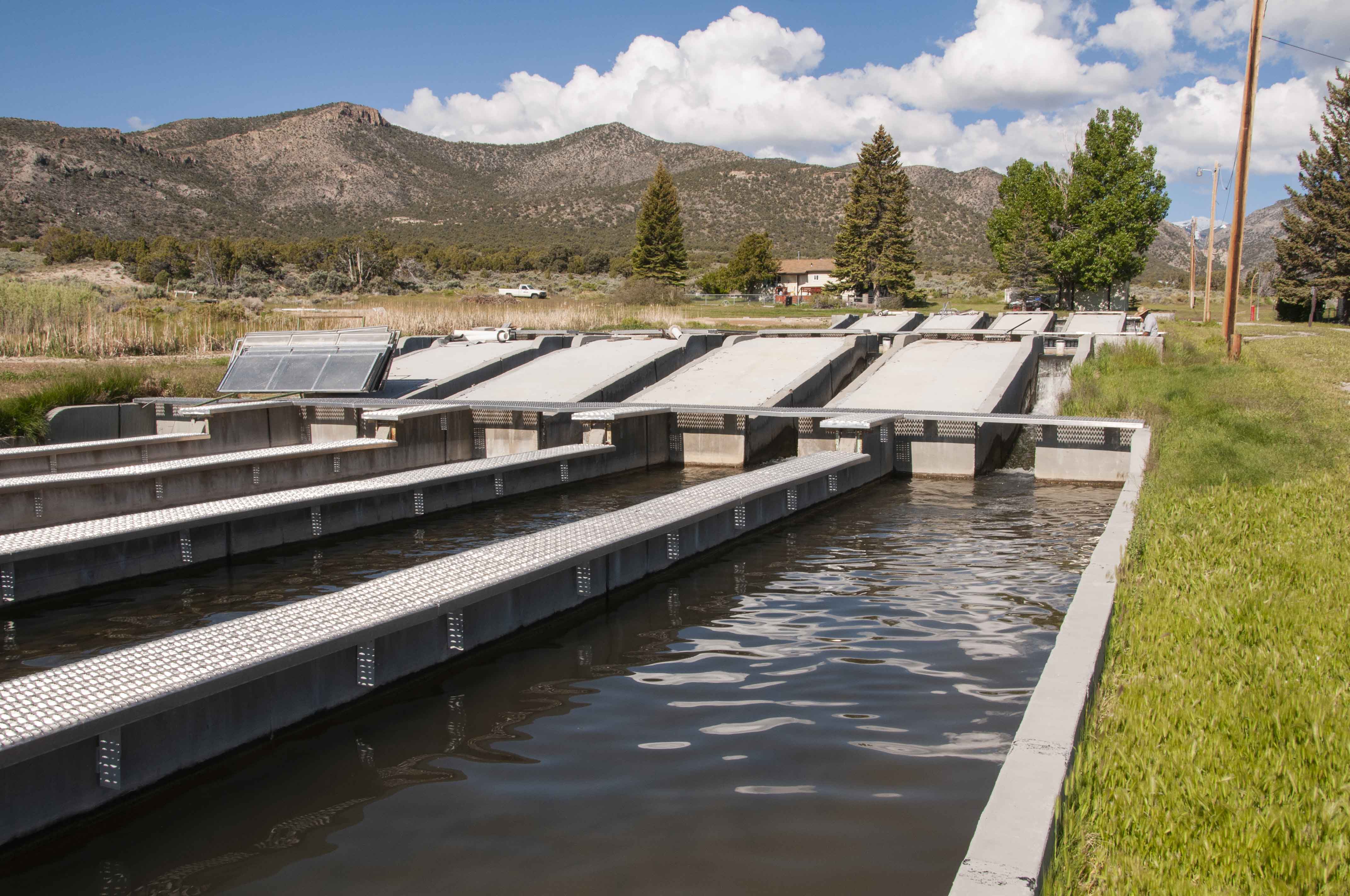
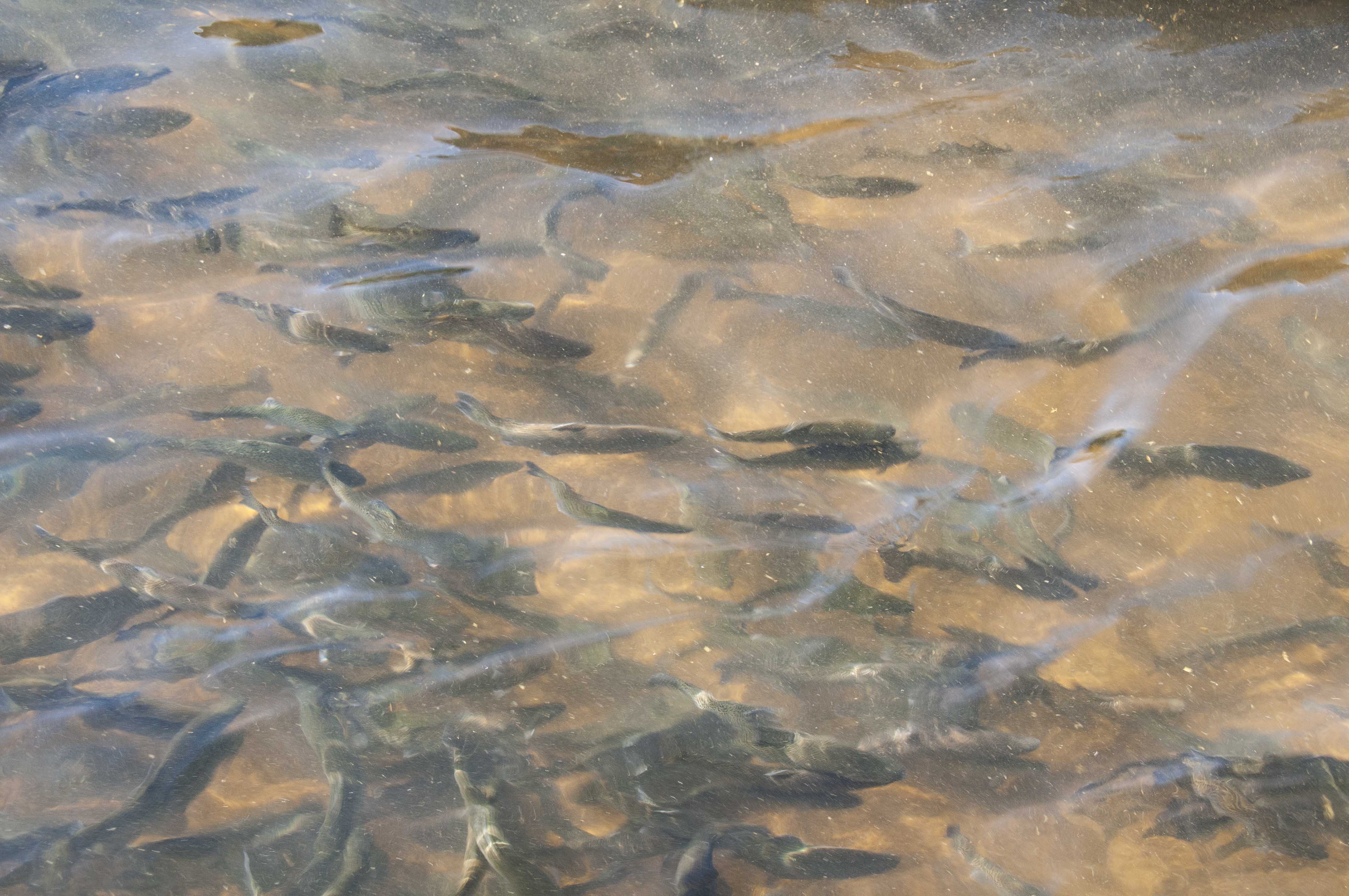
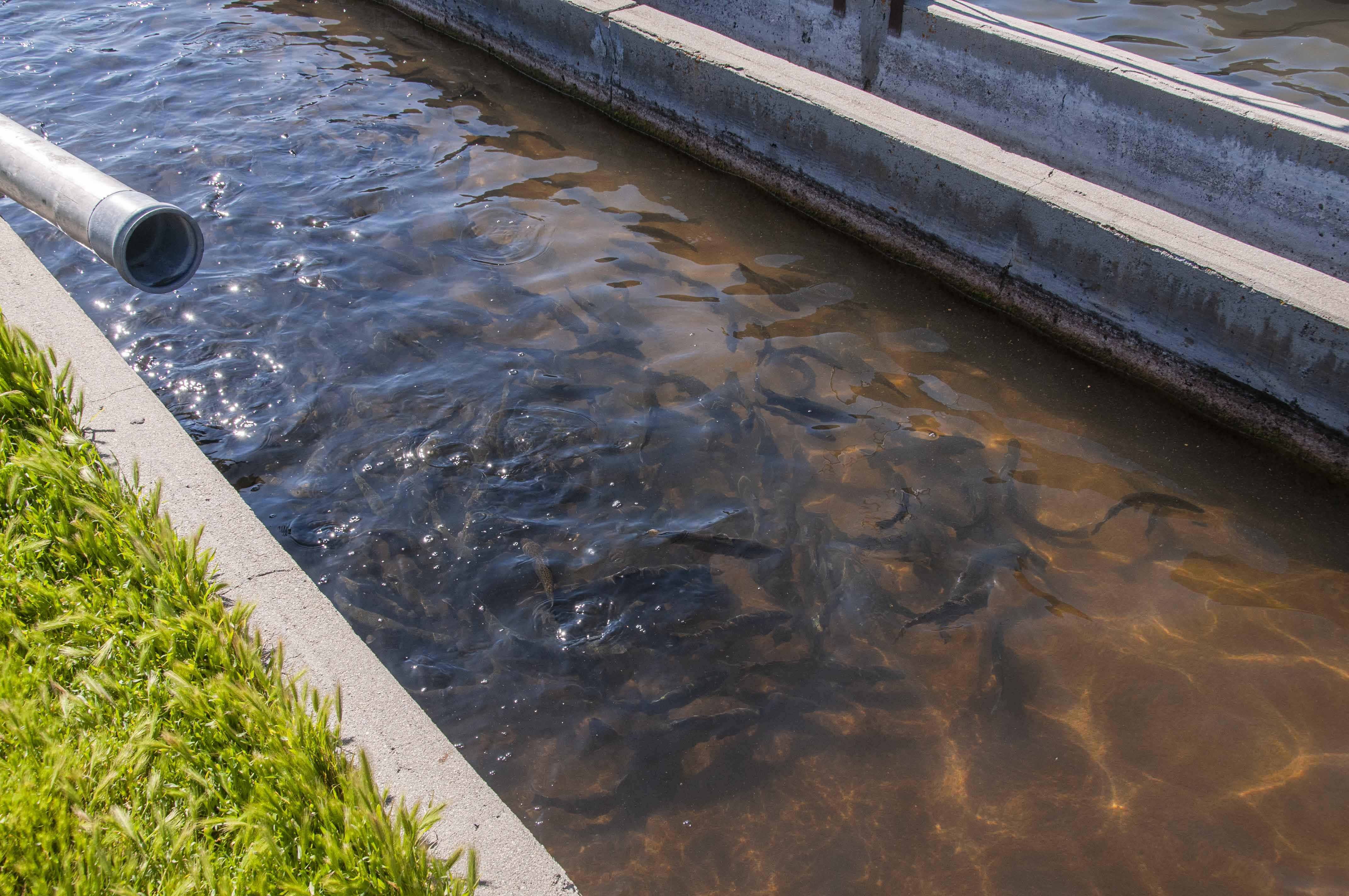
This facility does not hatch fish, but instead raises the Rainbow trout until they are large
enough for release, typically 9-12 inches.
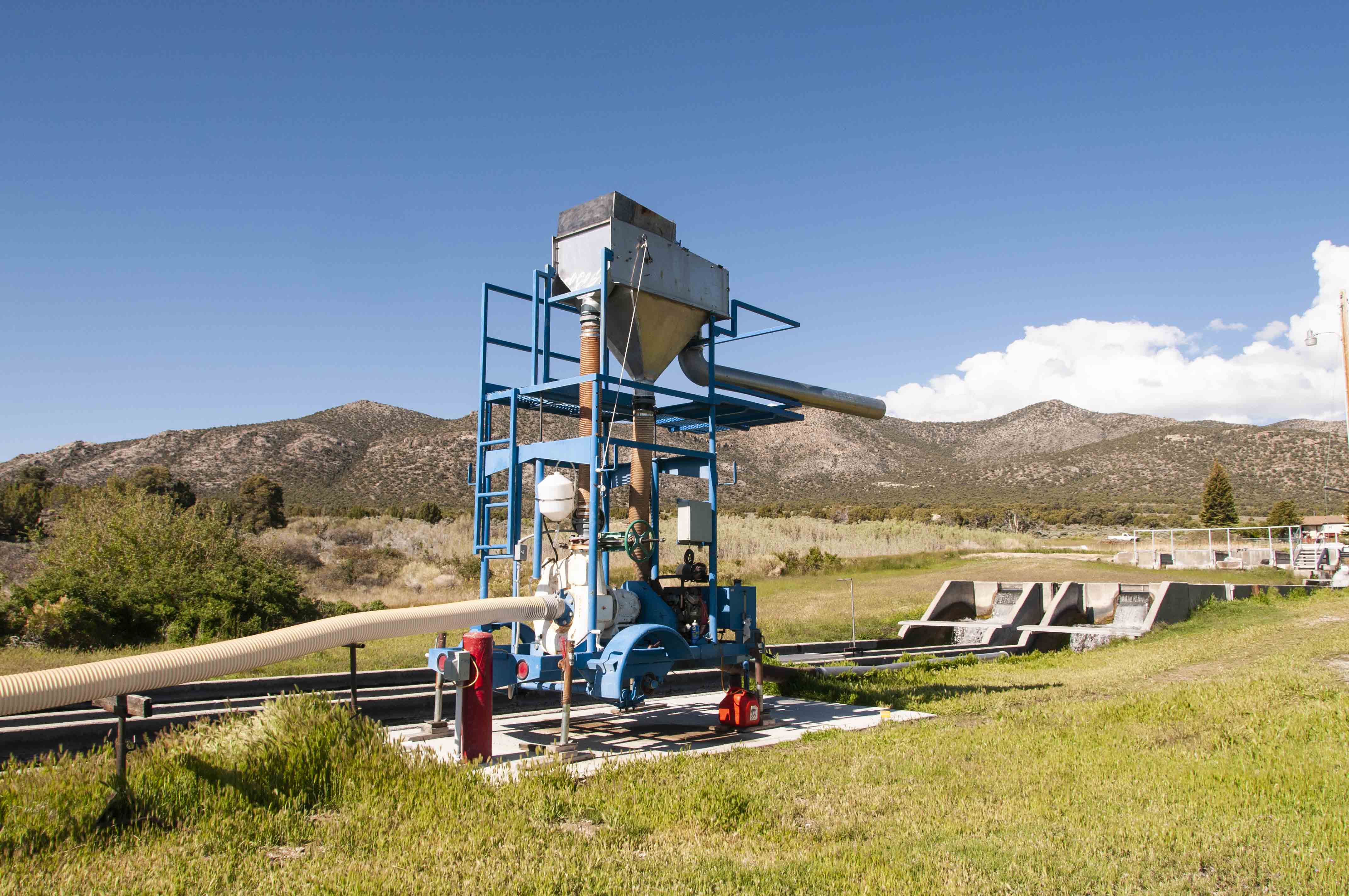
The station had a linear series of rearing tanks and the trout got larger moving
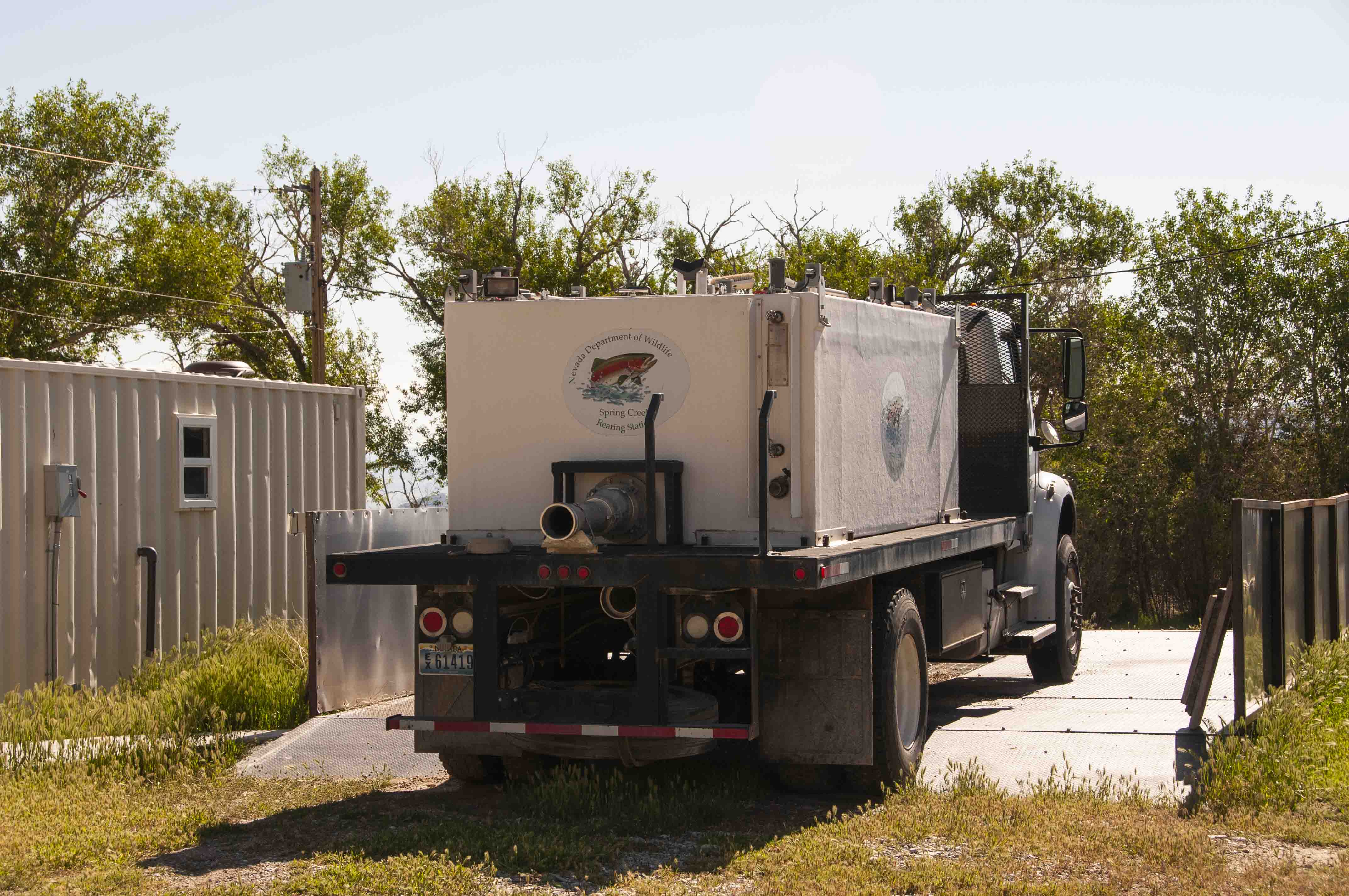
downstream from one tank to the next. The part I liked best was the large pumping
apparatus that sucked up the mature fish and loaded them into a specially designed truck for transport
to the various lakes and reservoirs.
Use the form on the Home Page to submit comments, questions, or suggestions. TD Productions Copyright © 2019
