Grand Staircase-Escalante National Monument
Grand Staircase-Escalante National Monument (GS-ENM) is located in southern Utah along the Utah-Arizona border. The Monument was originally designated by presidential proclamation in 1996, with an area of 1.8+ million acres. This was reduced in 2017 to just over a million acres by another presidential proclamation by a different President. The park was restored to its original size in 2021 by yet another presidentional proclamation by yet another president. The monument is administered by the Bureau of Land Management (BLM), with visitor centers in Cannonville, Big Water, Escalante, and Kanab. I visited GS-ENM in April of 2002, Oct of 2019, June of 2022, and April of 2023, and have managed to cover only a few hundred of the million plus acres of the monument.

Park sign 2002
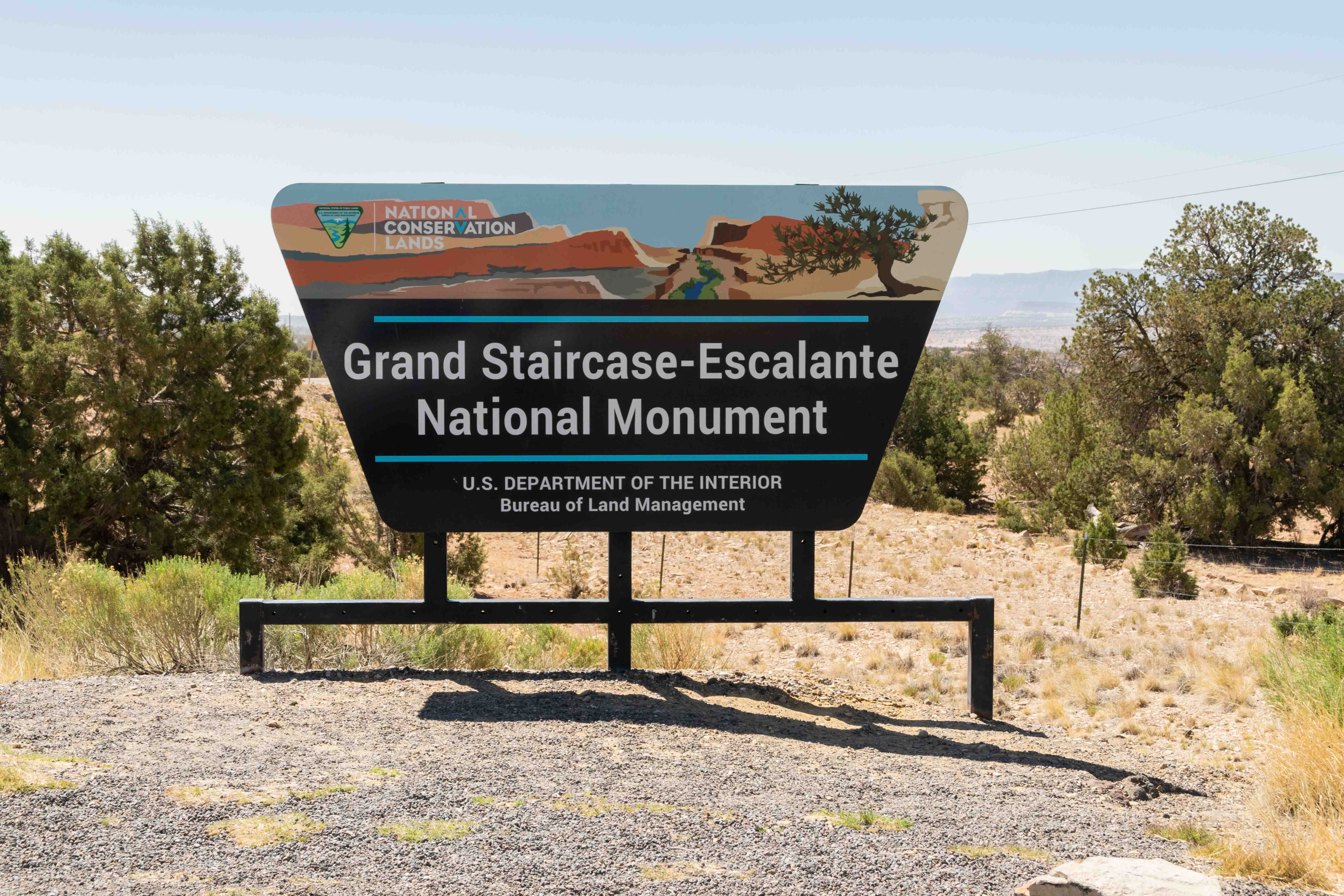
Park sign 2022
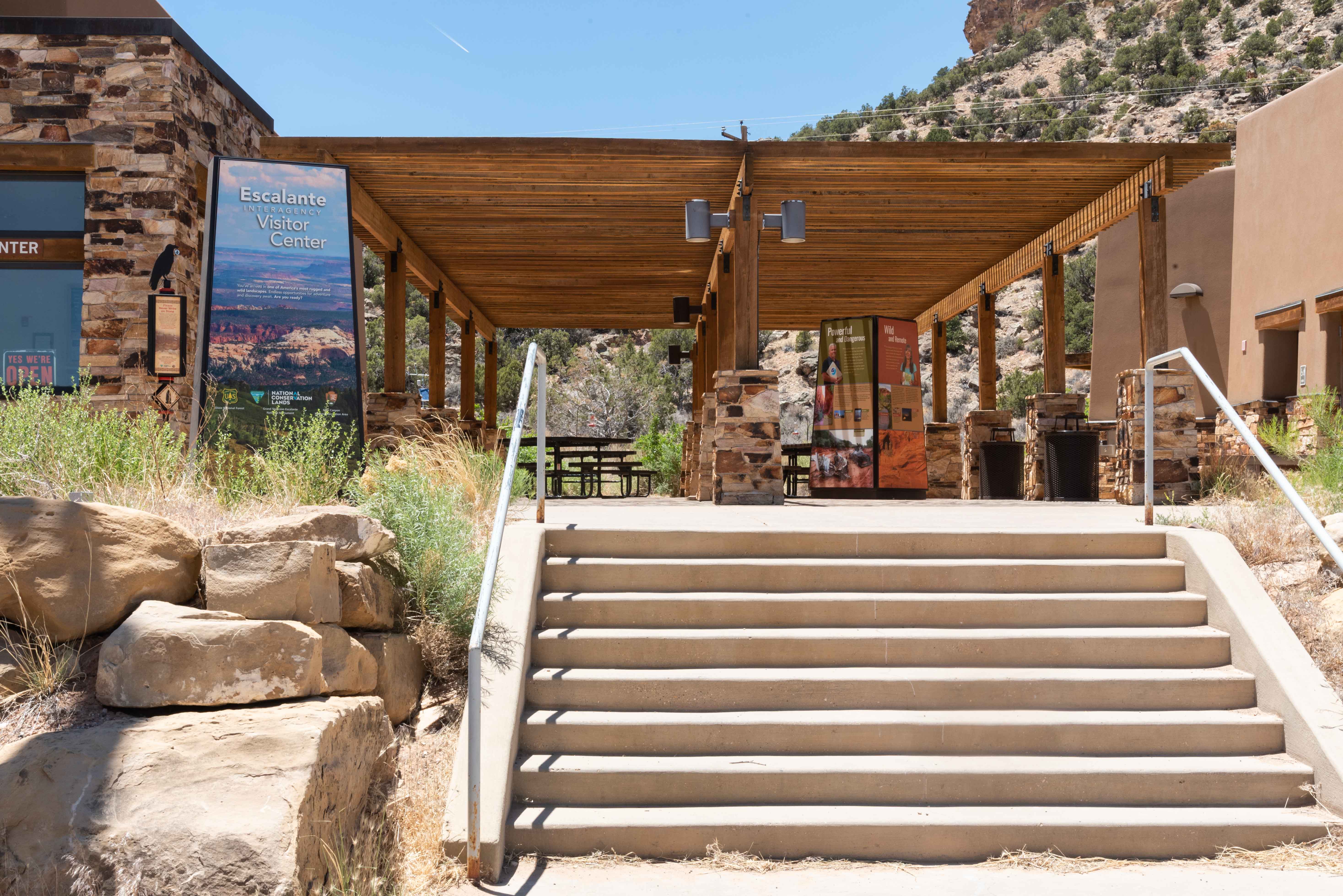
Escalante Interagency Visitor Center
Burr Trail Road
Burr Trail Road (aka GSENM 100) started life as a cattle trail built by John
Atlantic Burr. Now it's a paved road in the extreme northeastern part of GS-ENM,
running from the boundary with Capitol Reef on the east to the town of Boulder on the west.
I drove this road as part of the Loop-The-Fold tour in Oct 2019. Most of the photos in
this section were taken in and around Long Canyon.

Park sign 2019
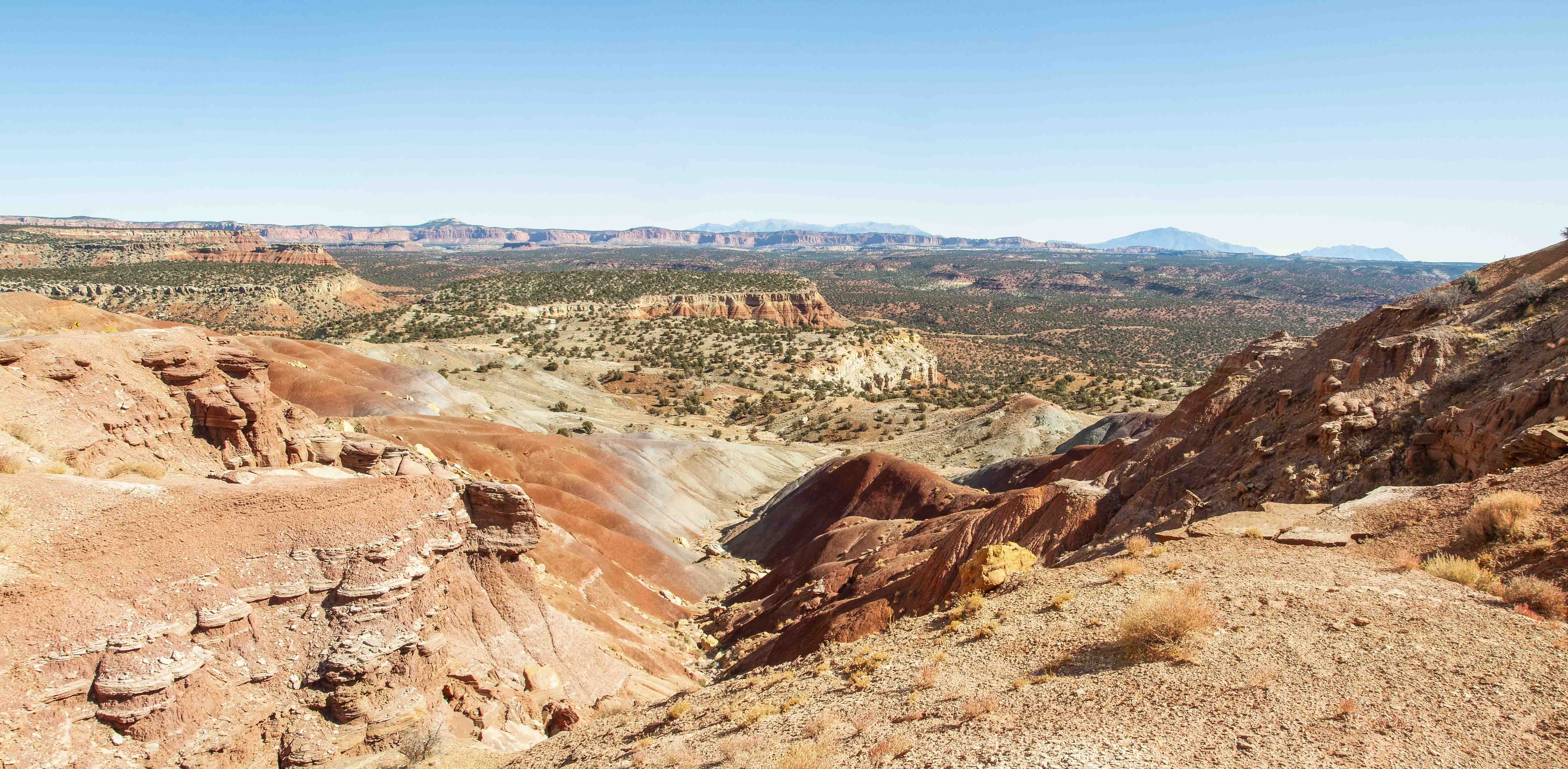
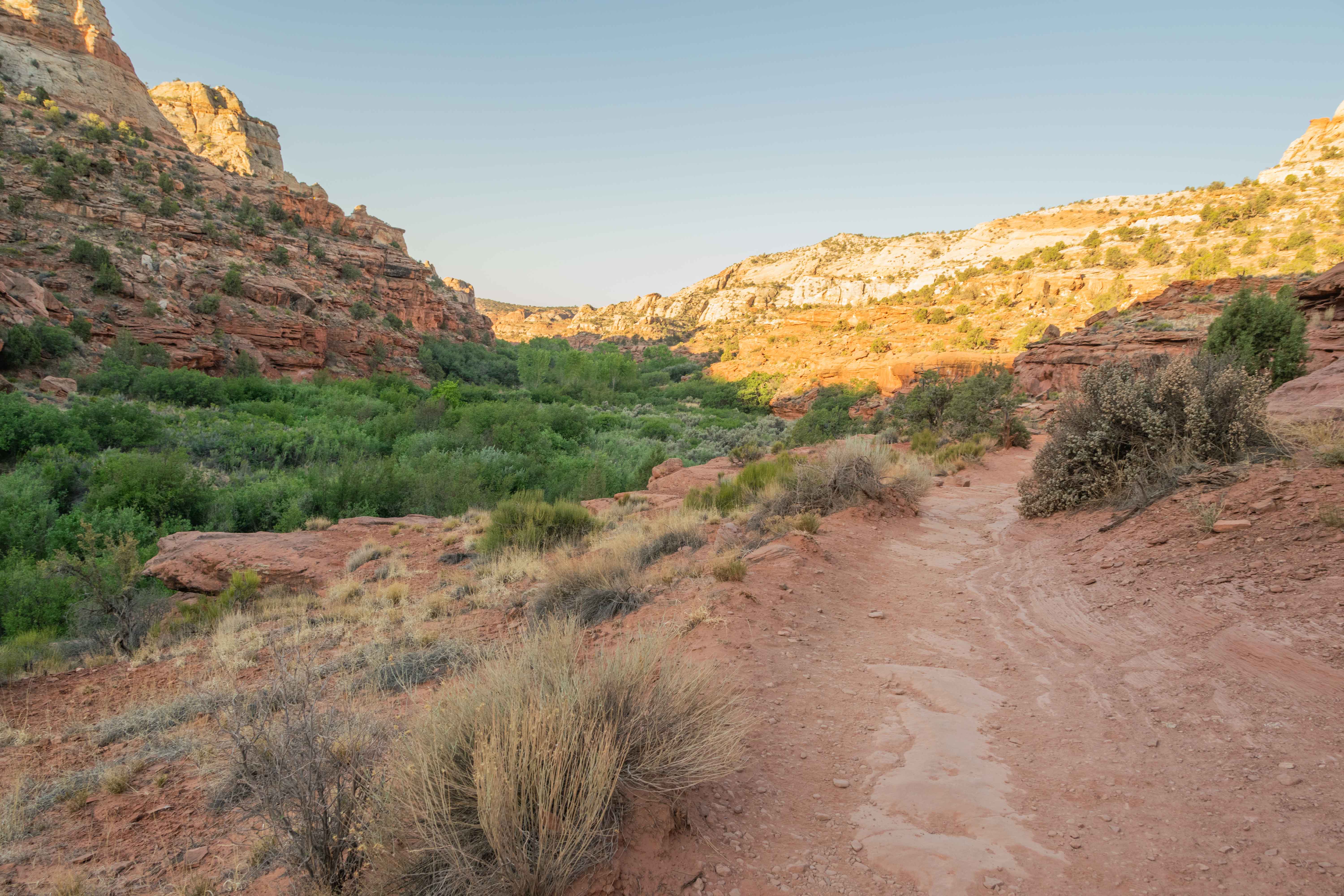
View from top of Long Canyon
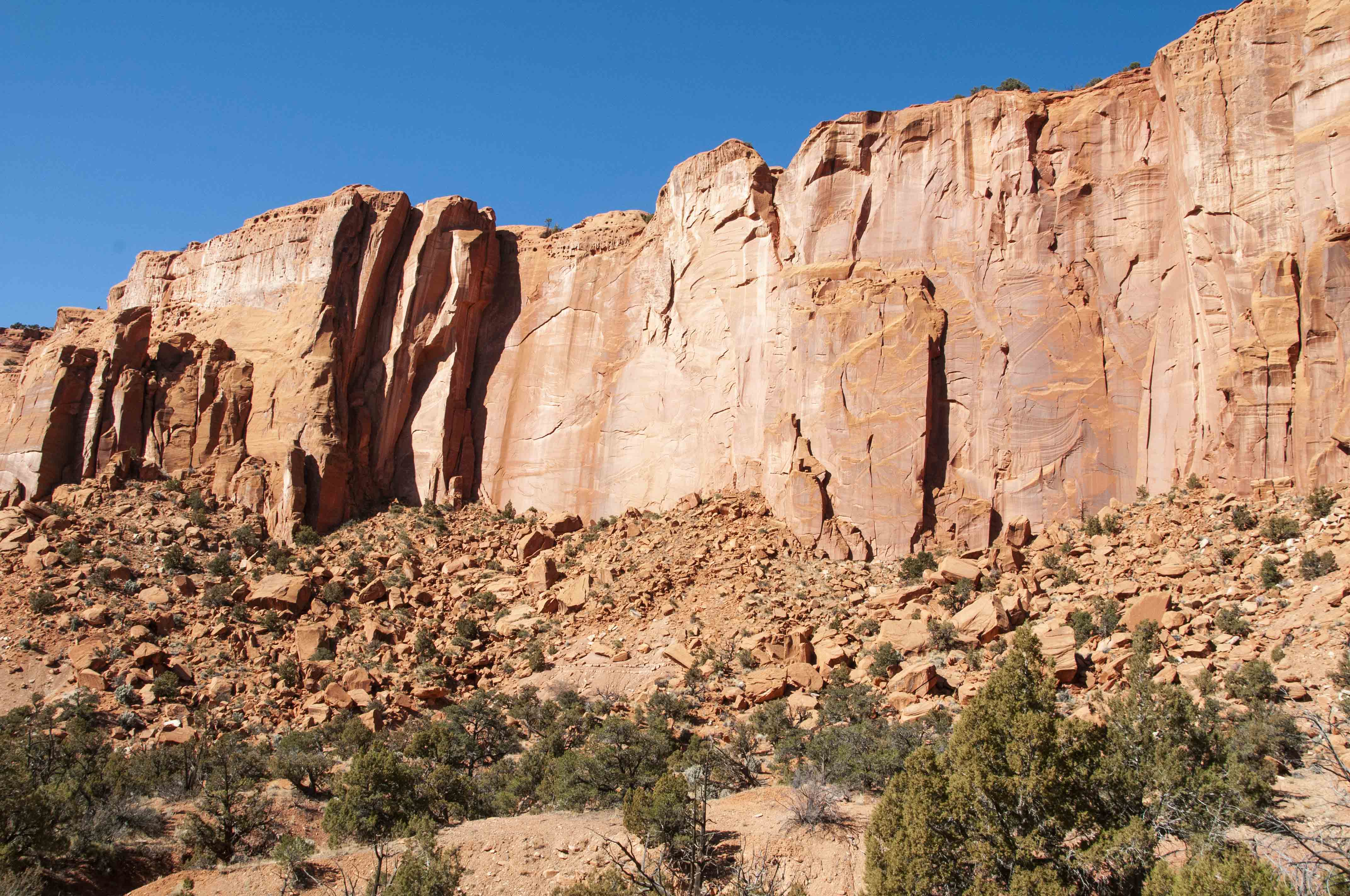
Wingate Sandstone Cliffs
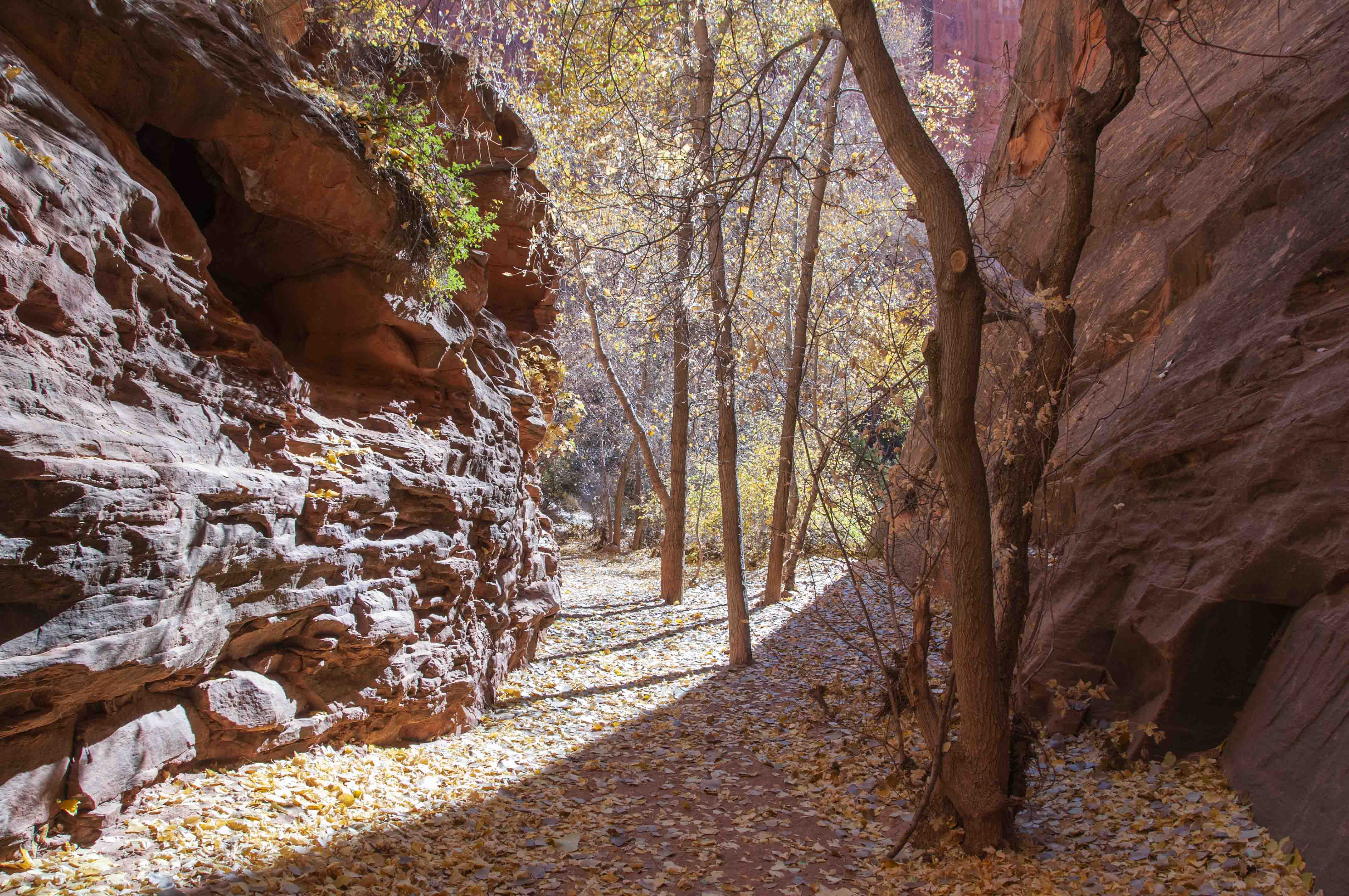
Box elders at the entrance to the cleft
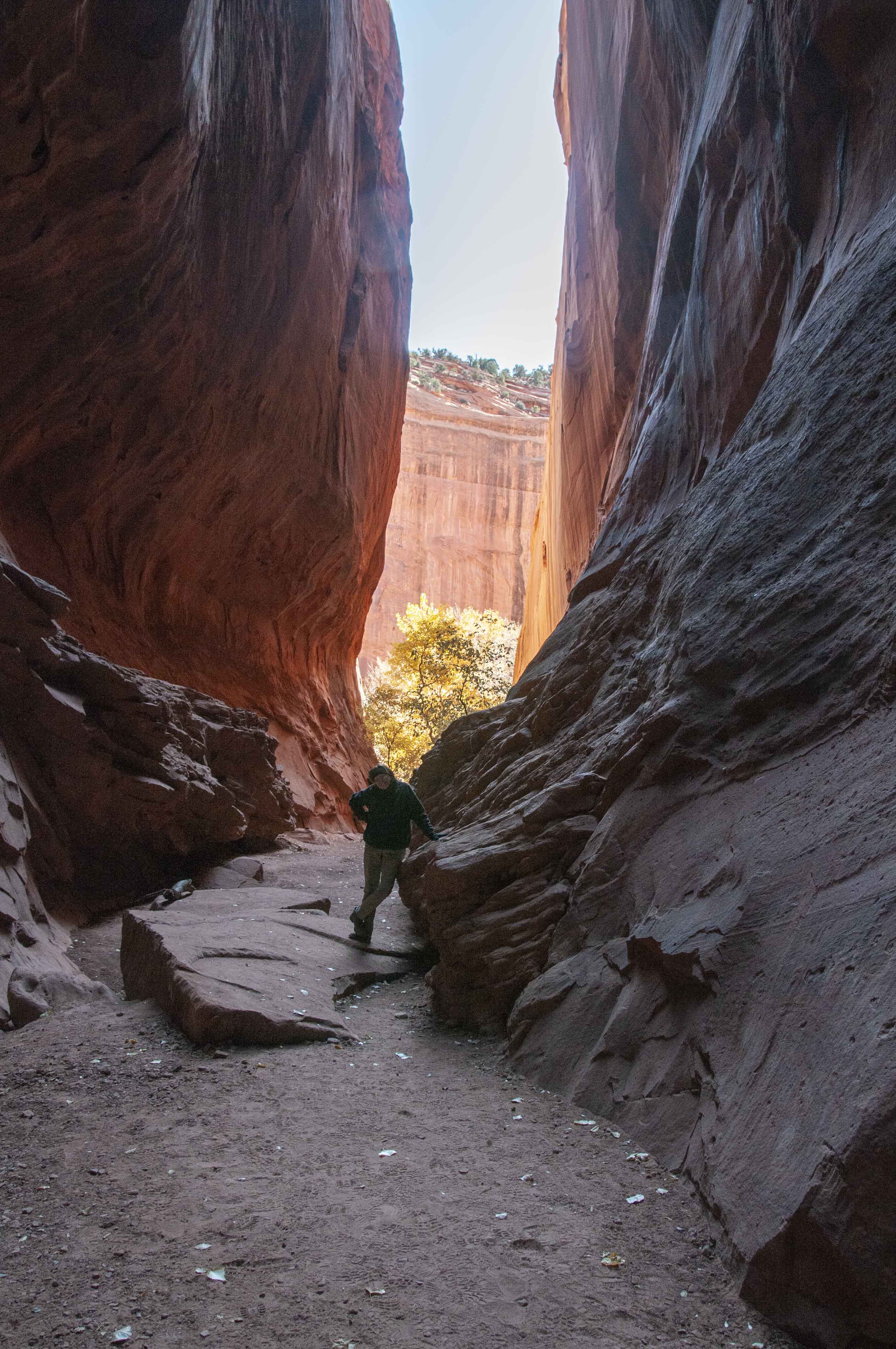
In the crevice

Long Canyon
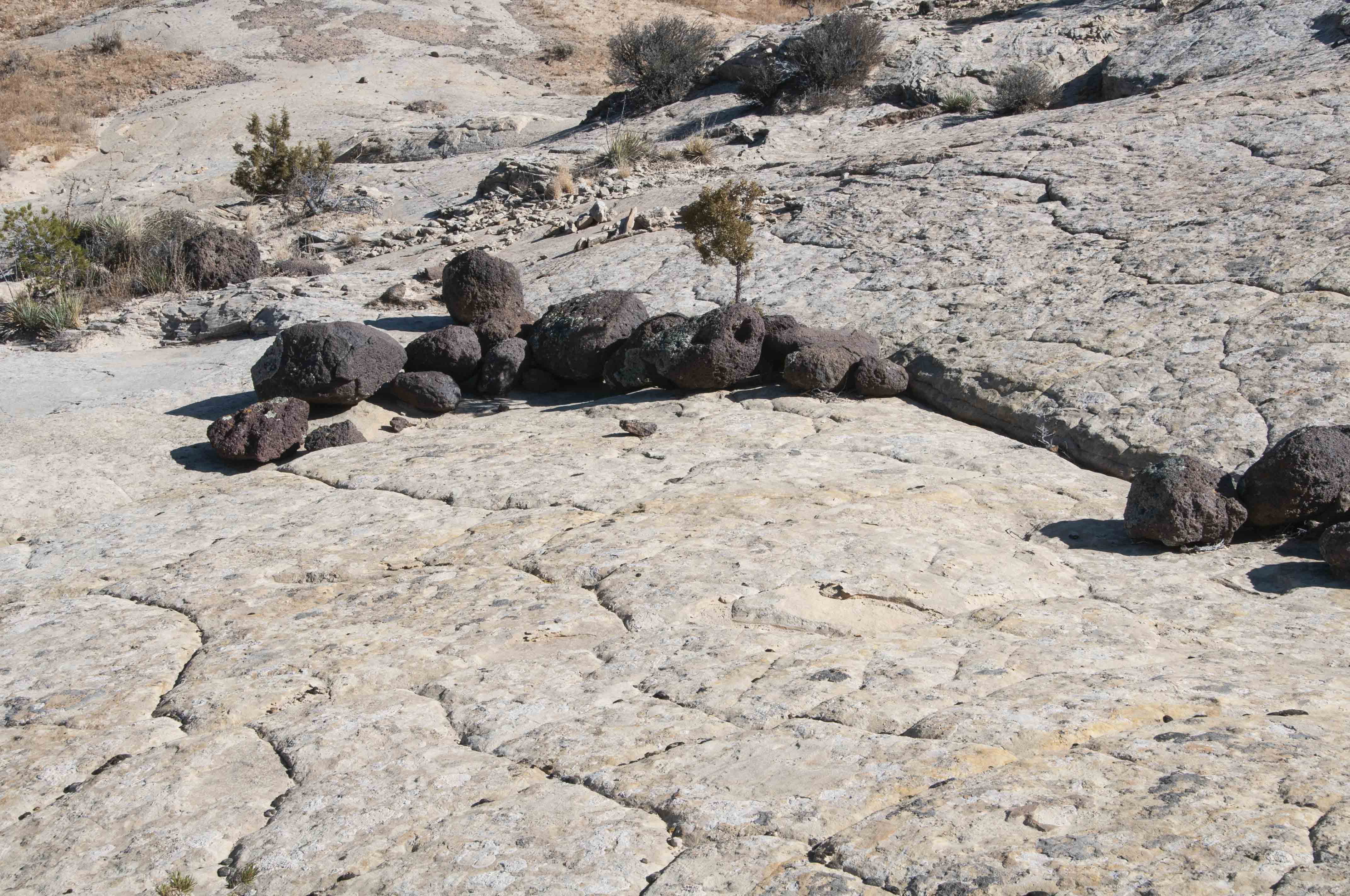
Lava boulders on Navajo Sandstone
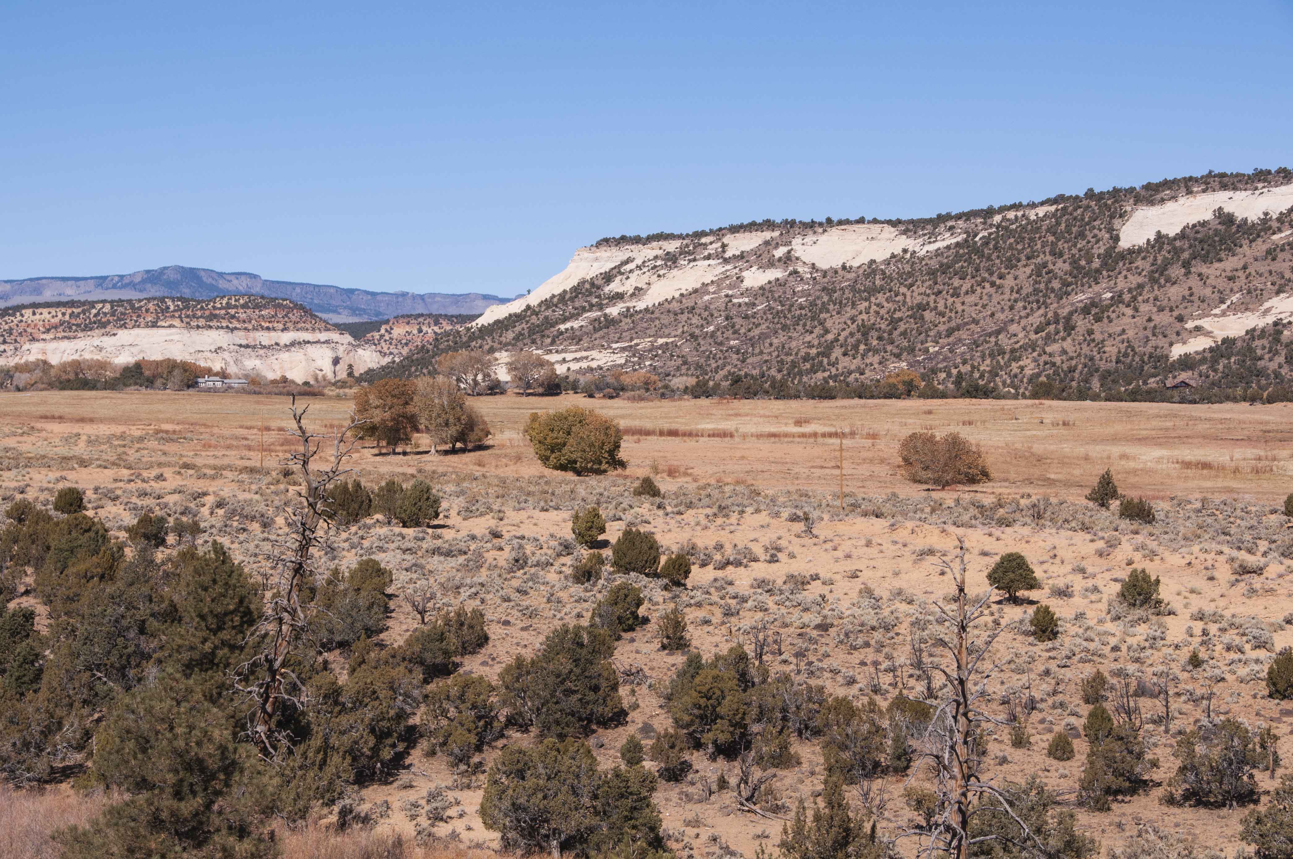
Terrain near the town of Boulder
Lower Calf Creek Falls
Lower Calf Creek Falls Trail starts in the Calf Creek Recreation
Area Campground located 15 Miles east of Escalante on Utah State Route 12 (Scenic Byway 12).
The trail is 6 miles out and back and fairly level. I would rate it moderate
to moderately difficult because most of the trail is loose sand. There are 14
stops along the way that are described in a trail guide available at the trailhead. The hike is
hot during the summer months, so start early and take lots of water.
Lower Calf Creek Falls cascades over a cliff and plunges 126 feet into a bowl shaped pool.
The pool is maybe 4 feet deep at its deepest, and lots of folks can't resist taking a
dip after the hot hike in. In case you're one of them wear your bathing suit.
Trail to Lower Calf Creek Falls
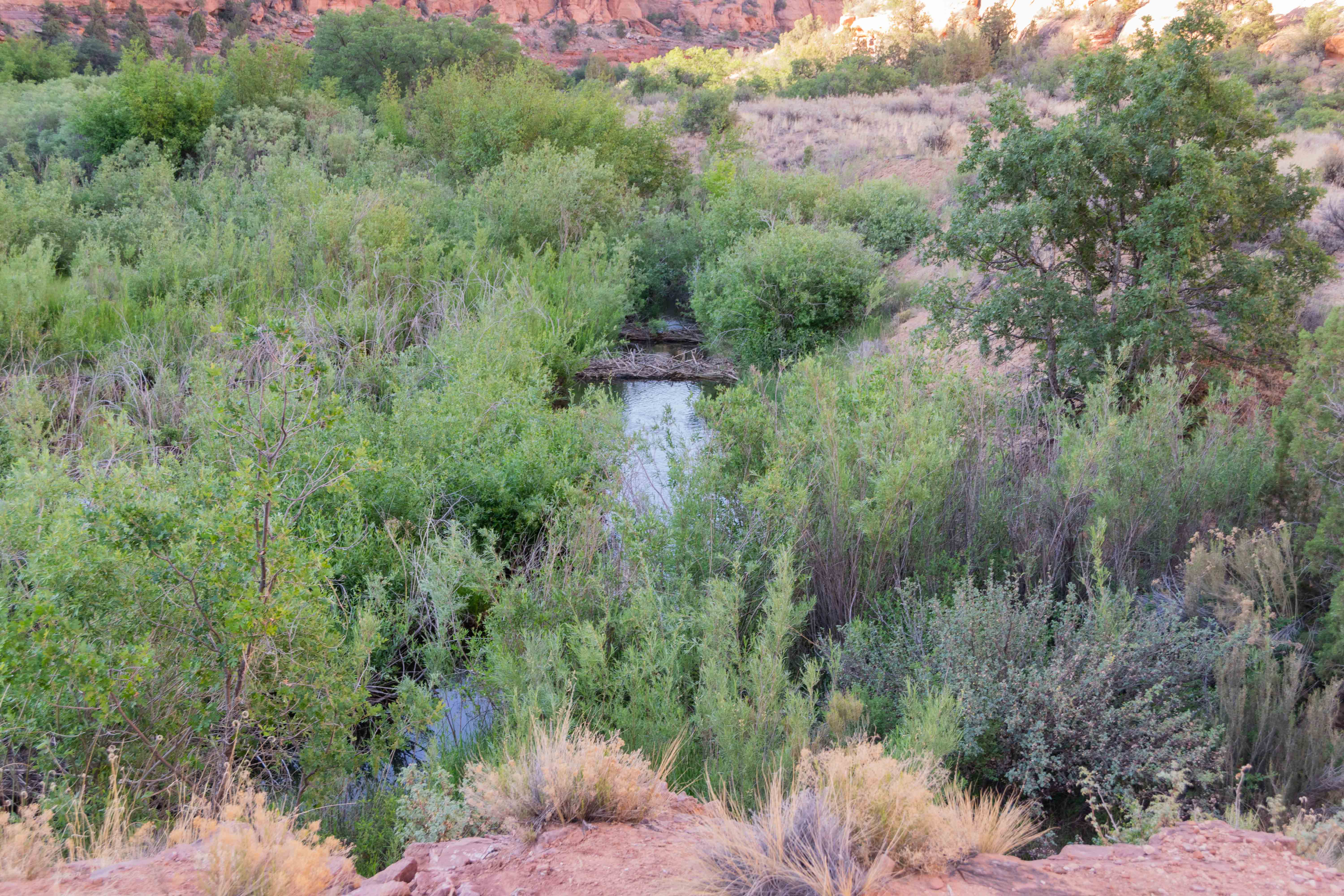
Calf Creek with Beaver Dams
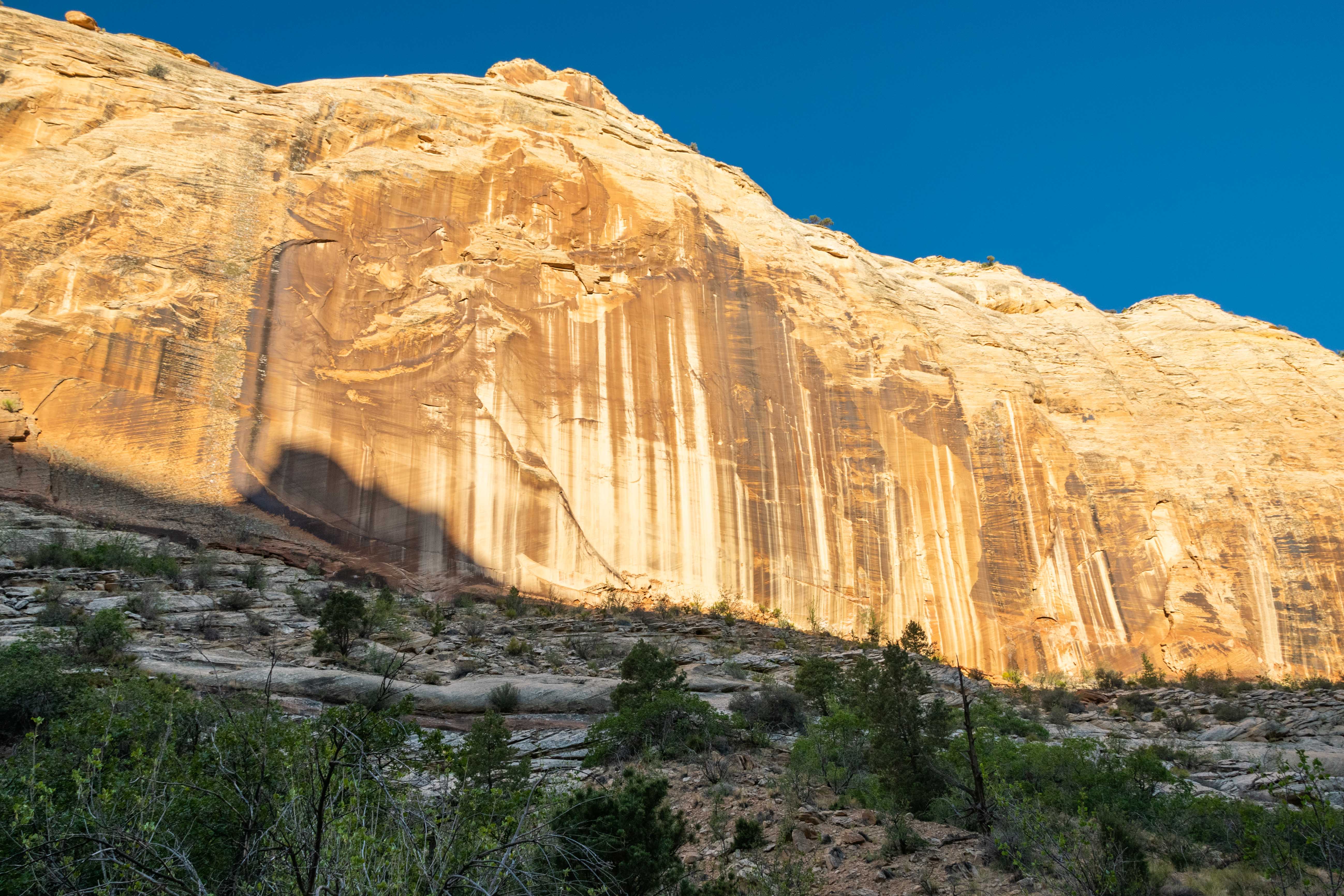
Stop #7 Desert Varnish
West canyon wall
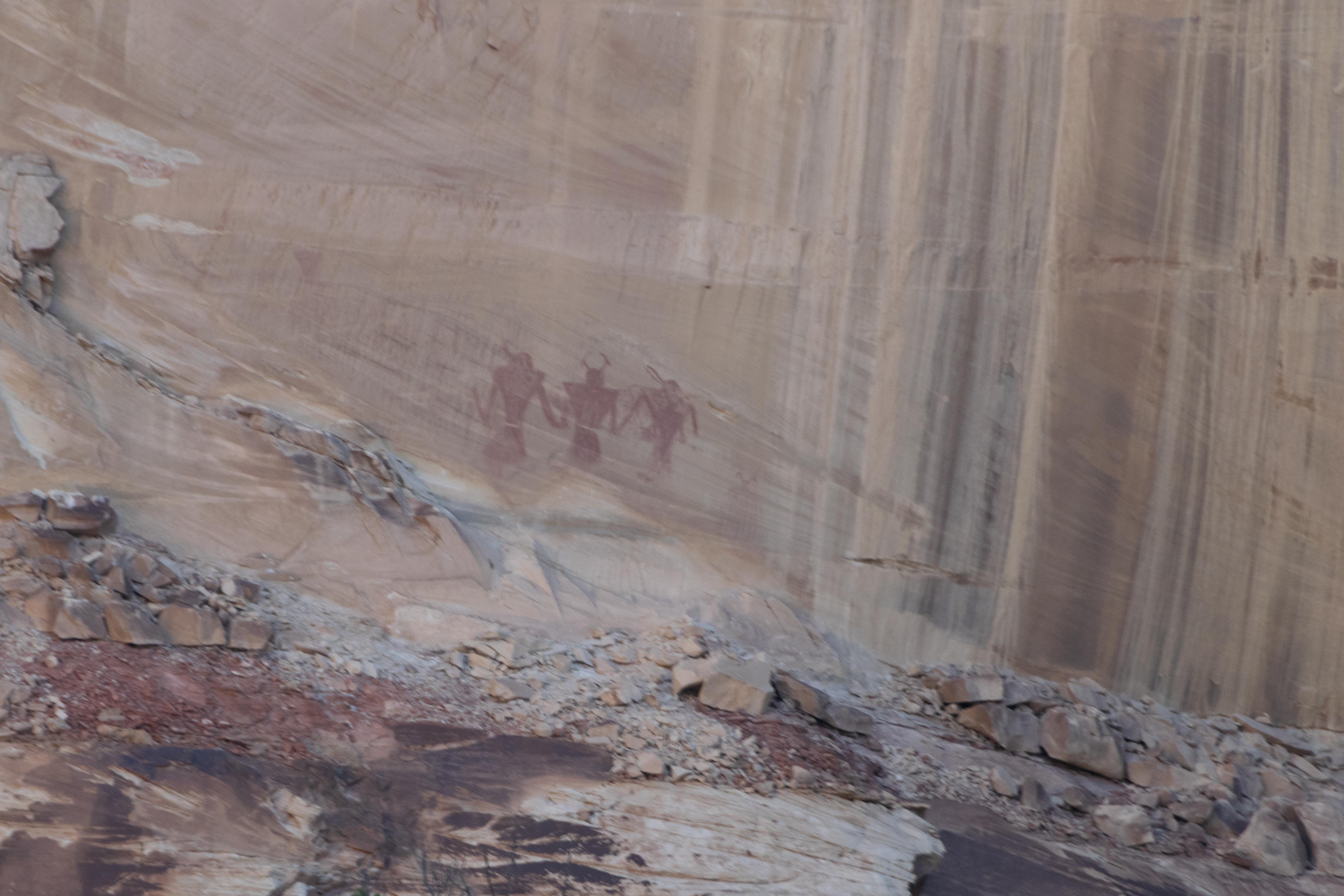
Stop #8 Fremont Pictographs
Sandy Trail
Lower Calf Creek Falls
Lower Calf Creek Falls
Lower Calf Creek Falls
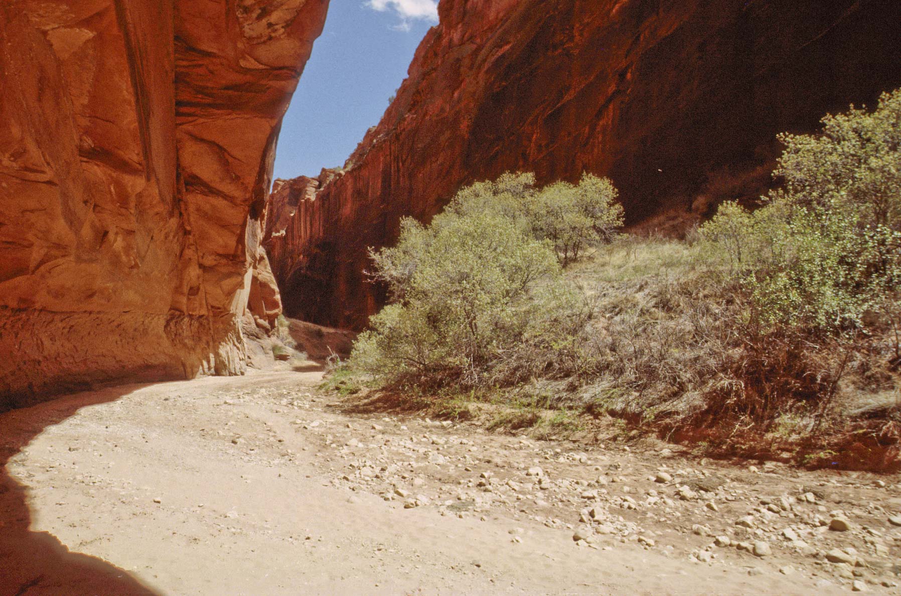
Hole-in-the-Rock Road
Hole-in-the-Rock Road (BLM Road 200) is a modern 62-mile unpaved road that follows the historic
Hole-in-the-Rock Trail established by Mormon pioneers in 1879. They spent several months enlarging
a break in the cliffs leading down to the Colorado River, giving the trail its name. The road runs E-SE from Escalante to the
Hole-in-the-Rock on the western shore of Lake Powell. Along the way travelers can visit Devil's Garden,
Peek-a-Boo and Spooky slot canyons, and Chimney and Dance Hall Rocks. I strongly recommend taking a 4-wheel
drive vehicle and lots of water.
Park Sign at junction of UT-12
and Hole-in-the-Rock Road

Corral along Hole-in-the-Rock Road
Devil's Garden Outstanding Natural Area
Hoodoos in Devil's Garden
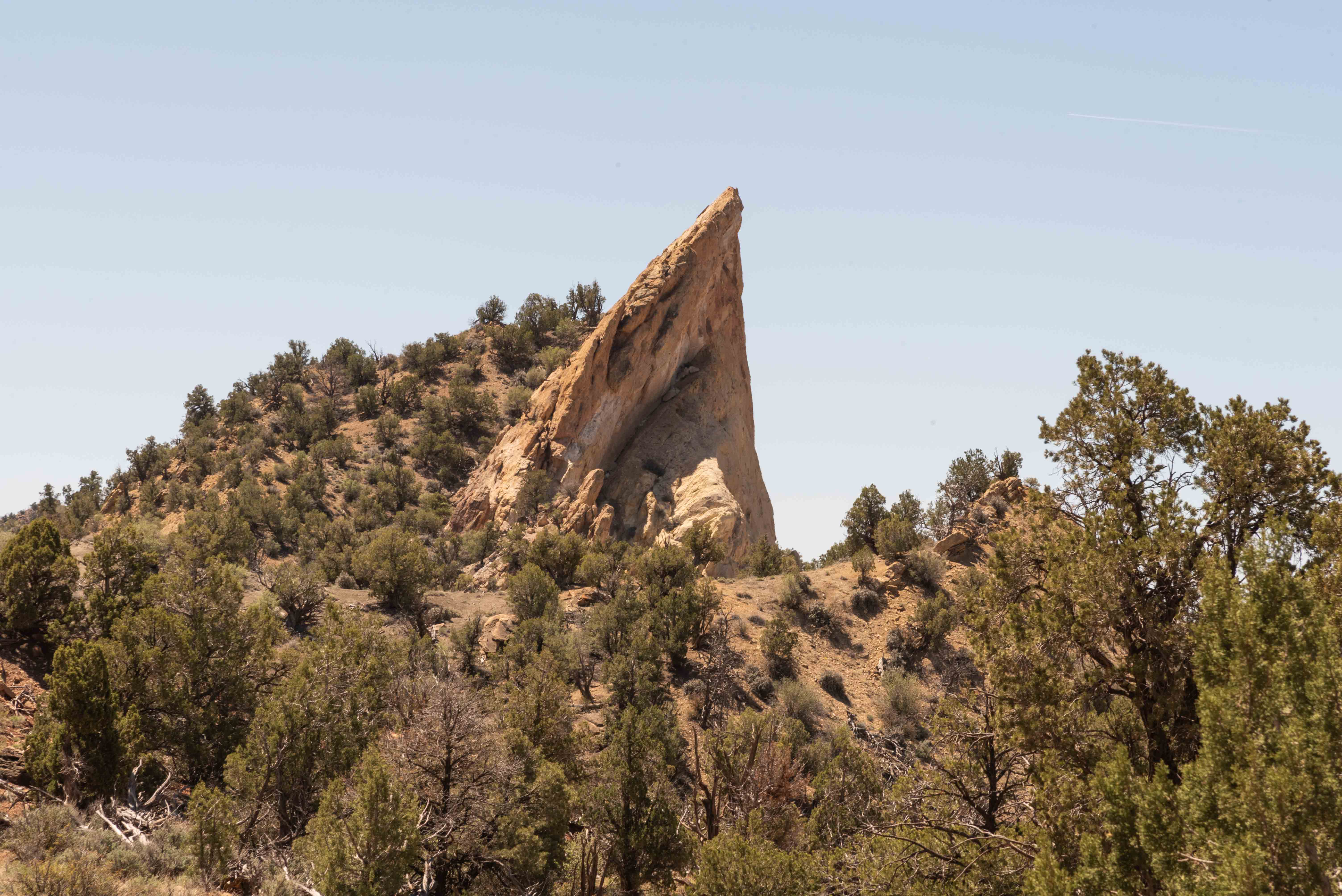
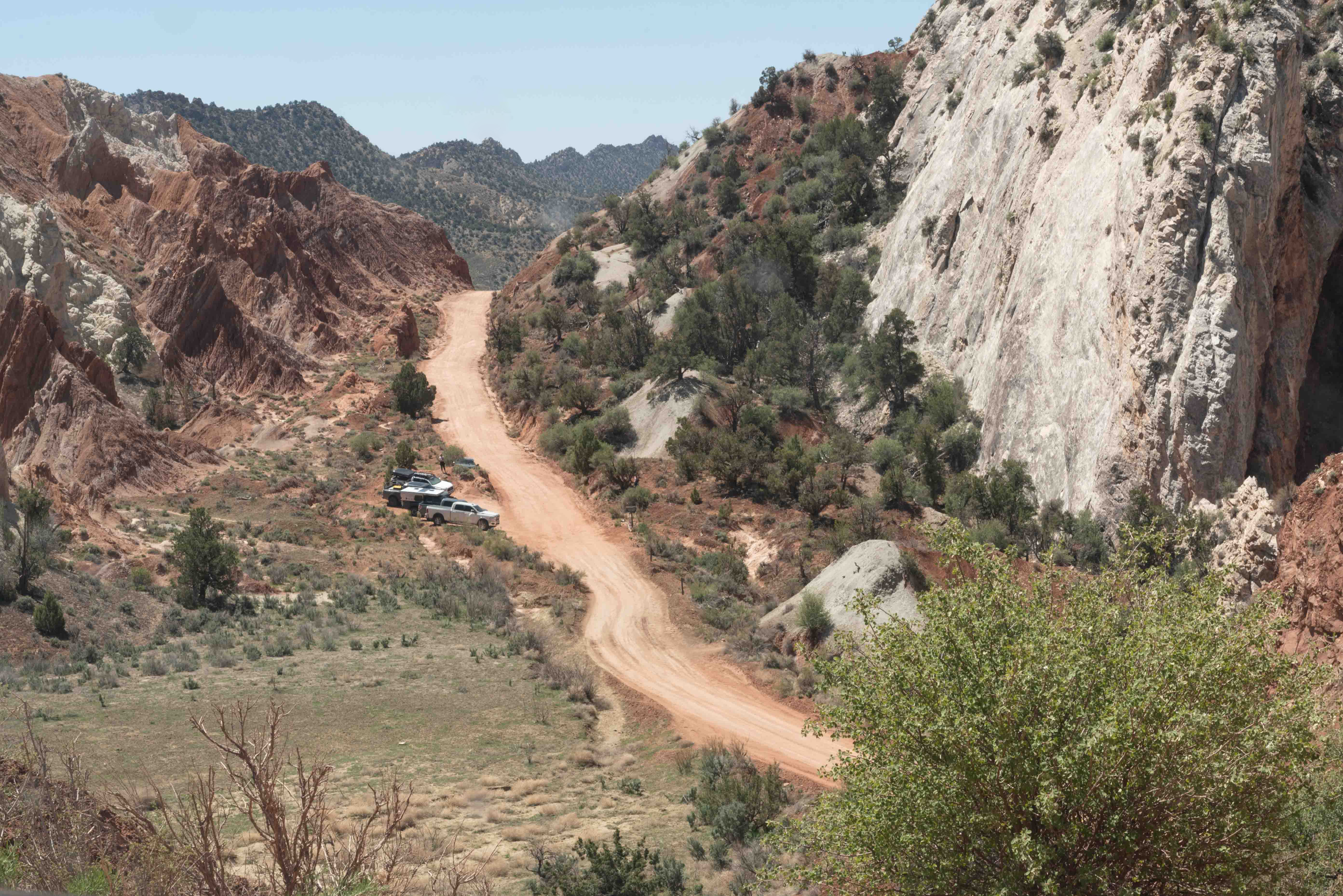
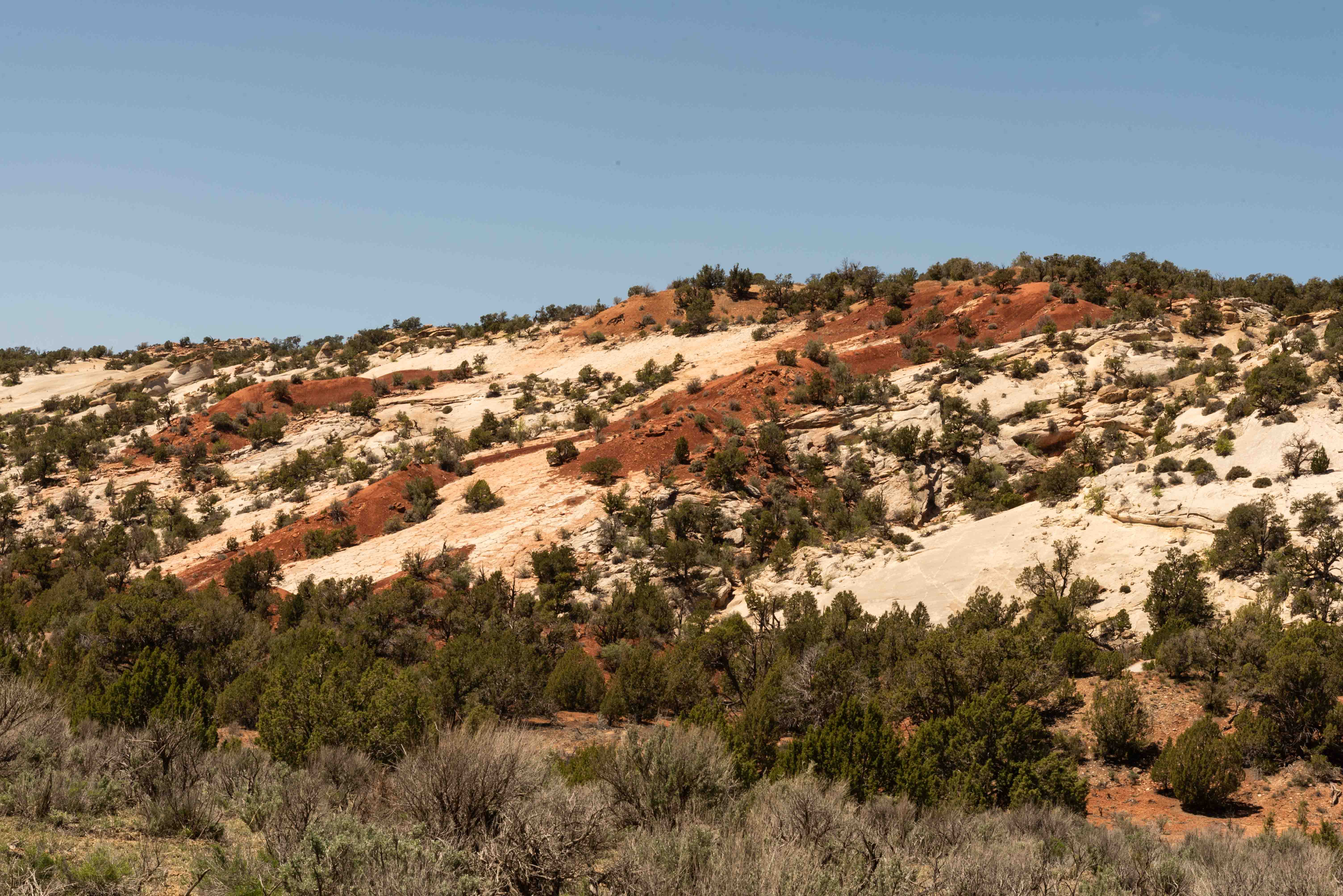
Cottonwood Canyon Road
Cottonwood Canyon Road (aka Cottonwood Road, aka Kane County Road 700, aka BLM Road 400) is a 47-mile dirt road
that runs from Cannonville, UT (north) U.S. Route 89 (South) . From the north, turn on to Main Street from UT-12
in Cannonville. Main Street turns into Kodachrome Road that continues for 7 miles to the turnoff for Kodachrome
Basin State Park. Cottonwood Canyon Road begins at the point where pavement turns to dirt. From the south:
take US-89 east from Kanab for about 46 miles to the junction of Cottonwood Canyon Road. The junction is about
1.5 miles east of the Toadstool hoodoos trailhead. Cottonwood Canyon Road is a reasonably good sand and
dirt road, but is impassable in wet weather, so check for road conditions before starting. I recommend a 4-wheel
drive high clearance vehicle. Cottonwood Canyon Road traverses the Kaiparowits Unit of GS-ENM and features many
interesting geologic features along the way. These include Grosvenor Arch, the Squeeze, Cockscomb, and the Cottonwood Narrows.
I picked up a nifty little book at the Paria Contact Station. It's the Cottonwood Canyon Geology Road Guide
by Janice Gillespie and Christa Sadler. I tried to match my photos to those in the guide and have borrowed heavily
from the guide for information at stops along the way. Kudos to Gillespie and Sadler.
Cannonville BLM Visitor Center
Terrain along Cottonwood Canyon Road
Shepherd Point Carmel Formation topped with a thin layer of conglmerate.
This portion of the Carmel Formation shows a downfold which is intruded by vertical breccia pipes. Breccia pipes are sedimentary pipes containing pieces of older rocks. Breccia pipes are a common feature in Kodachrome Basin State Park. Click the photo for labels.
Informational Sign

Sandstone formation at Grosvenor Arch
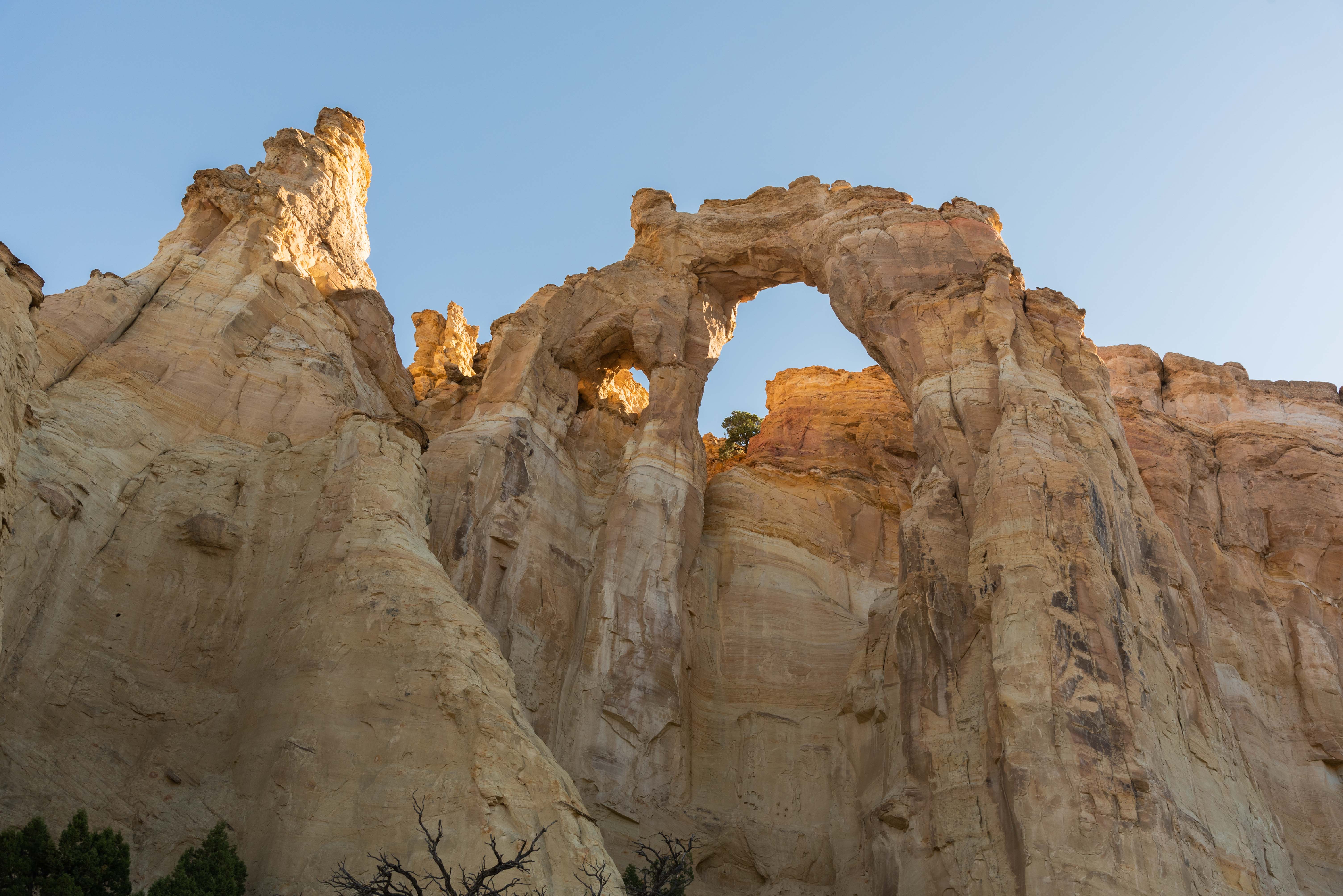
Grosvenor Arch
The upper darker portion of the arch is Dakota sandstone and the lower lighter portion is the Henrieville Formation.
East-dipping outcrop of Henrieville Sandstone in the northern part of the East Kaibab Monocline
"The Squeeze"
"The Squeeze" is the most deformed part of the East Kaibab monocline. The area to the west (right) has been uplifted along a fault so that the sedimentary rock layers drape over the fault. These bent layers form the monocline. The draping causes the normally flat rock layers to tilt nearly vertical.
Erosional remnants ("scabs") of red Carmel Formation being stripped off the white Navajo Sandstone.
The photo to the right shows vertical strata of the Kaibab Monocline. The order from younger to older is: Navajo, Carmel, Entrada, Henrieville. The purple layer in the white Entrada Formation is volcanic ash. Click on the photo to see the labels.
Vertical Strata of the Kaibab Monocline
Overview of the Cockscomb
The photo to the left presents an excellent view of the Cockscomb. The regularly spaced hogbacks of Dakota sandstone give the feature its name. The photo was taken at coordinates 37°18'23.868"N,111°53'11.238"W. Click on the photo to add strata labels.
Boulders from the Straight Cliff Formation along the top of the ridge have fallen onto the mudstones of the underlying Tropic Formation
We've come to the end of our little geology tour. There's obviously a lot more to see along the road that I haven't included here. There are also three excellent hikes along the way, the Cottonwood Narrows, Hackberry Canyon, and the Paria Box, none of which I have done.
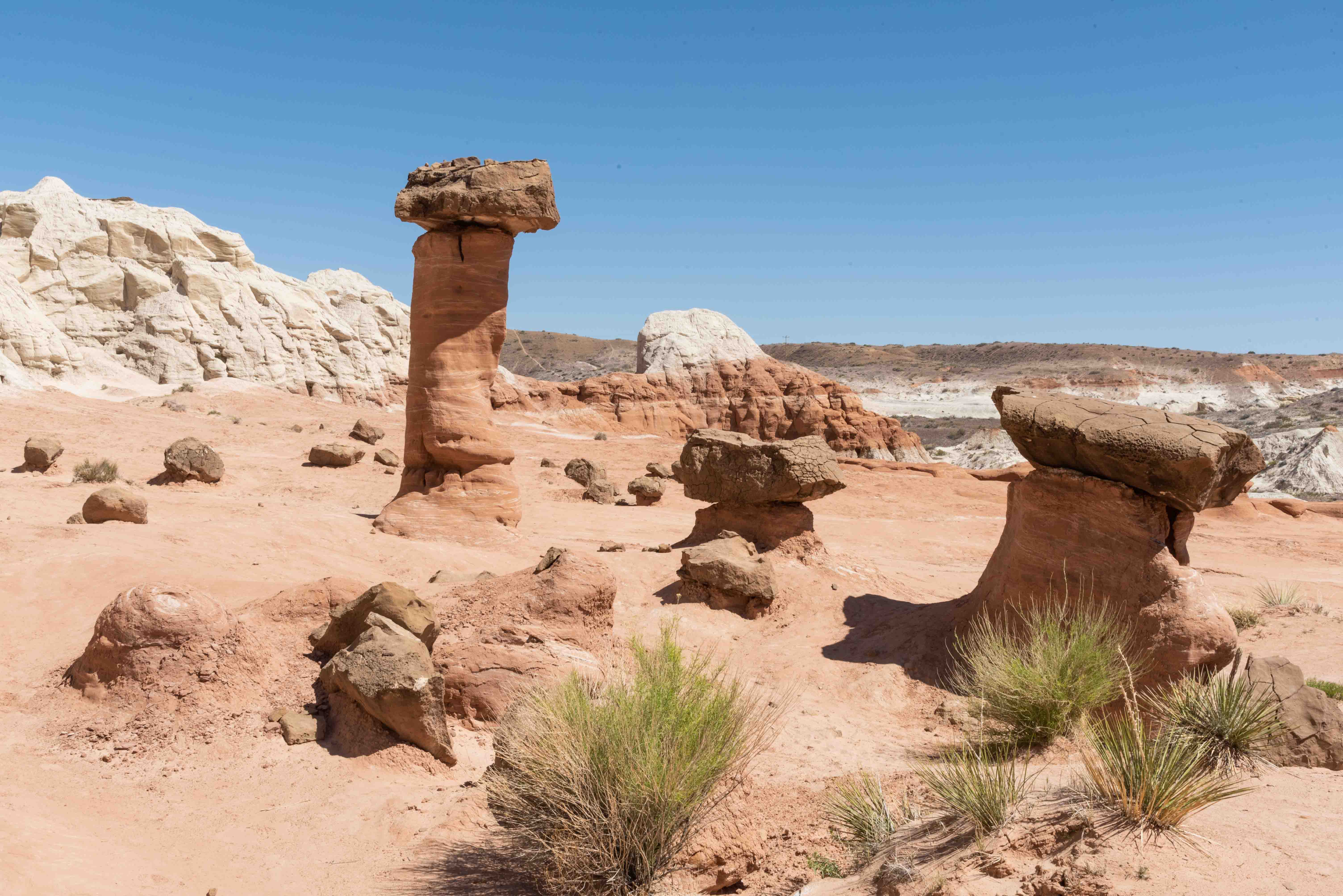
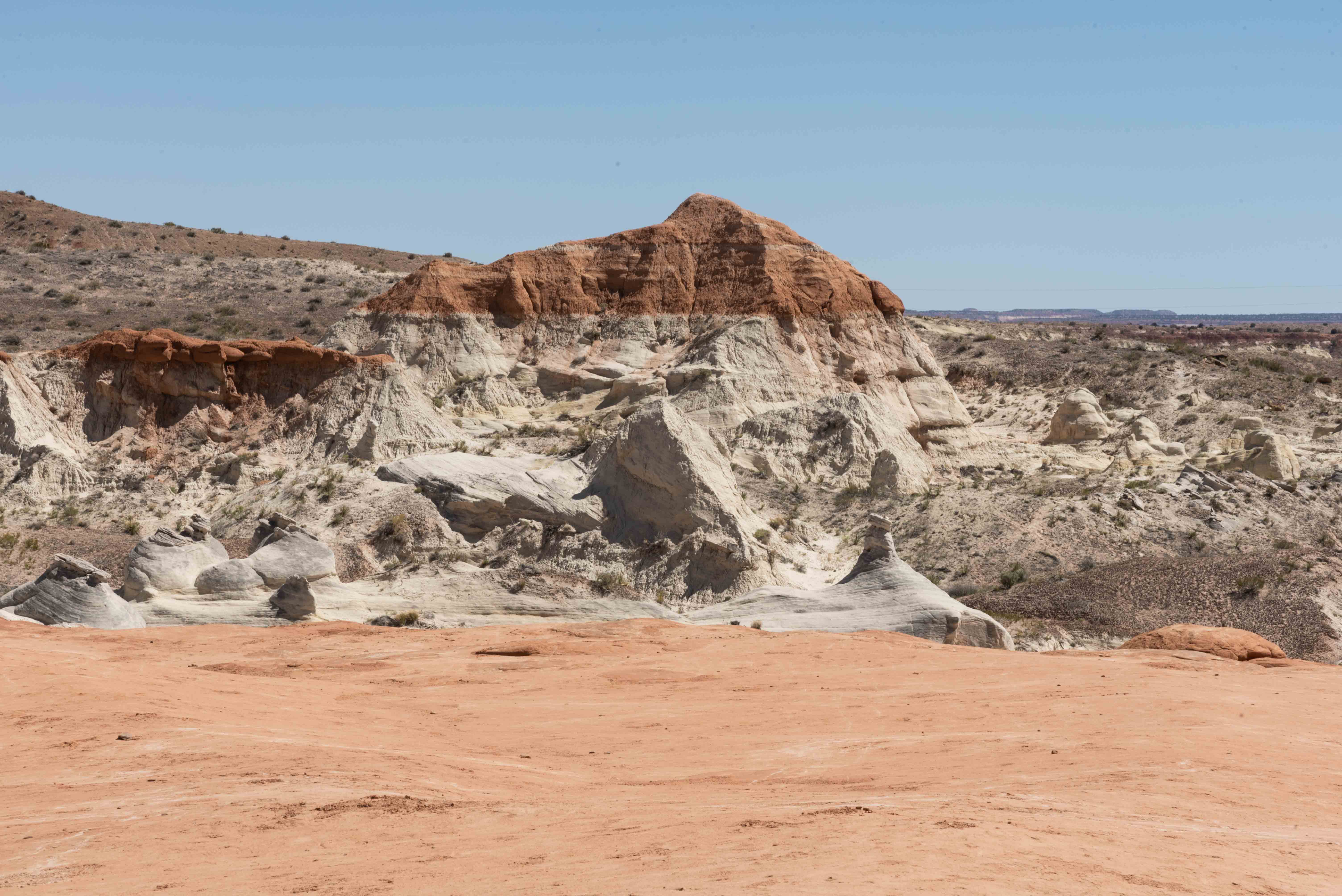
The Toadstools
The Toadstools are a collection of colorful hoodoos and balanced rocks. The Toadstools parking
lot and trailhead are located just off US 89 about 45 miles east of Kanab.
The hike to the Toadstools is an easy 1.6 mile roundtrip. Be sure to take plenty of water.
The Toadstools
The Toadstools
Rock formation at the Toadstools
Wire Pass Slot Canyon
The Wire Pass slot canyon hike is an easy hike that only requires a day pass. To get to Wire Pass turn onto
House Rock Valley Road from US Hwy 89 a mile or two past Paria Outpost. Travel 8.5 miles south along
the unpaved House Rock Valley Road to Wire Pass trailhead. There is a parking area and vault toilet
at the trailhead. Part of the hike is on the Wave trail. Total distance to the junction of Wire Pass
slot canyon and Bucksin Gulch is 1.7 miles, with about half a mile in Wire Pass slot canyon. Out and
back is 3.4 miles on flat ground, with only one 8 foot drop along the way.

Slot canyon entrance

Wire Pass slot canyon
Wire Pass slot canyon

Petroglyphs

Rock art
Buckskin Gulch
Paria
Paria (originally Pahreah) is a ghost town on the Paria River. It was populated
from 1870 to 1929, at which time the last lone resident left town.
The town was used off and on from the 1940s to the 1970s for filming westerns.
An old west town movie set was built about a mile west of Paria in 1961.
The original movie set was heavily damaged by a flash flood in 1998, and rebuilt
by the BLM from 1999-2001. The rebuilt set was destroyed by a (suspicious) fire
in 2006. I don't think it was meant to be. I was there in 2002, so the photos below are
of the rebuilt set. I returned to Paria in April of 2023 to try to find any remains of
the old movie set. No luck.
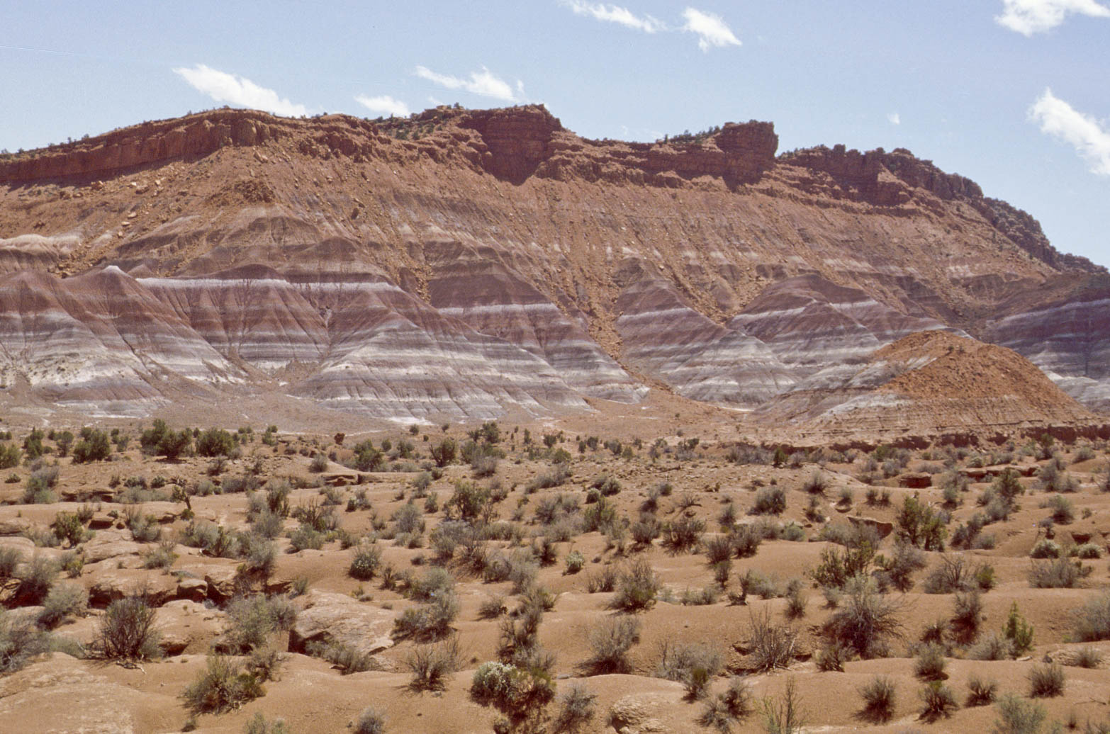
Terrain along Paria Road
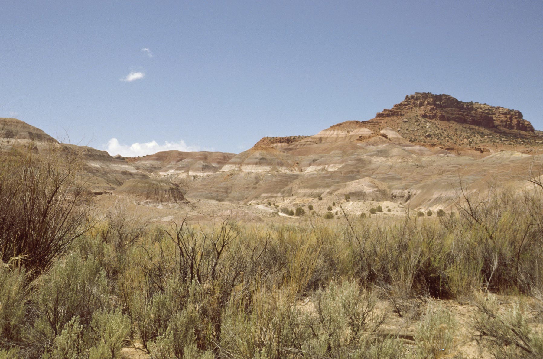
Hills near Paria River

Paria River
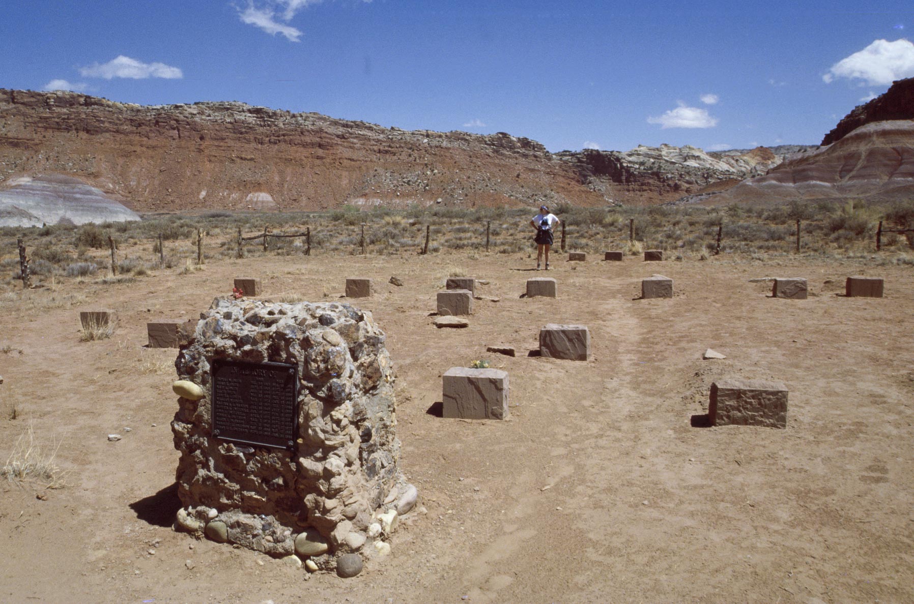
Old Pahreah township cemetery April 2002
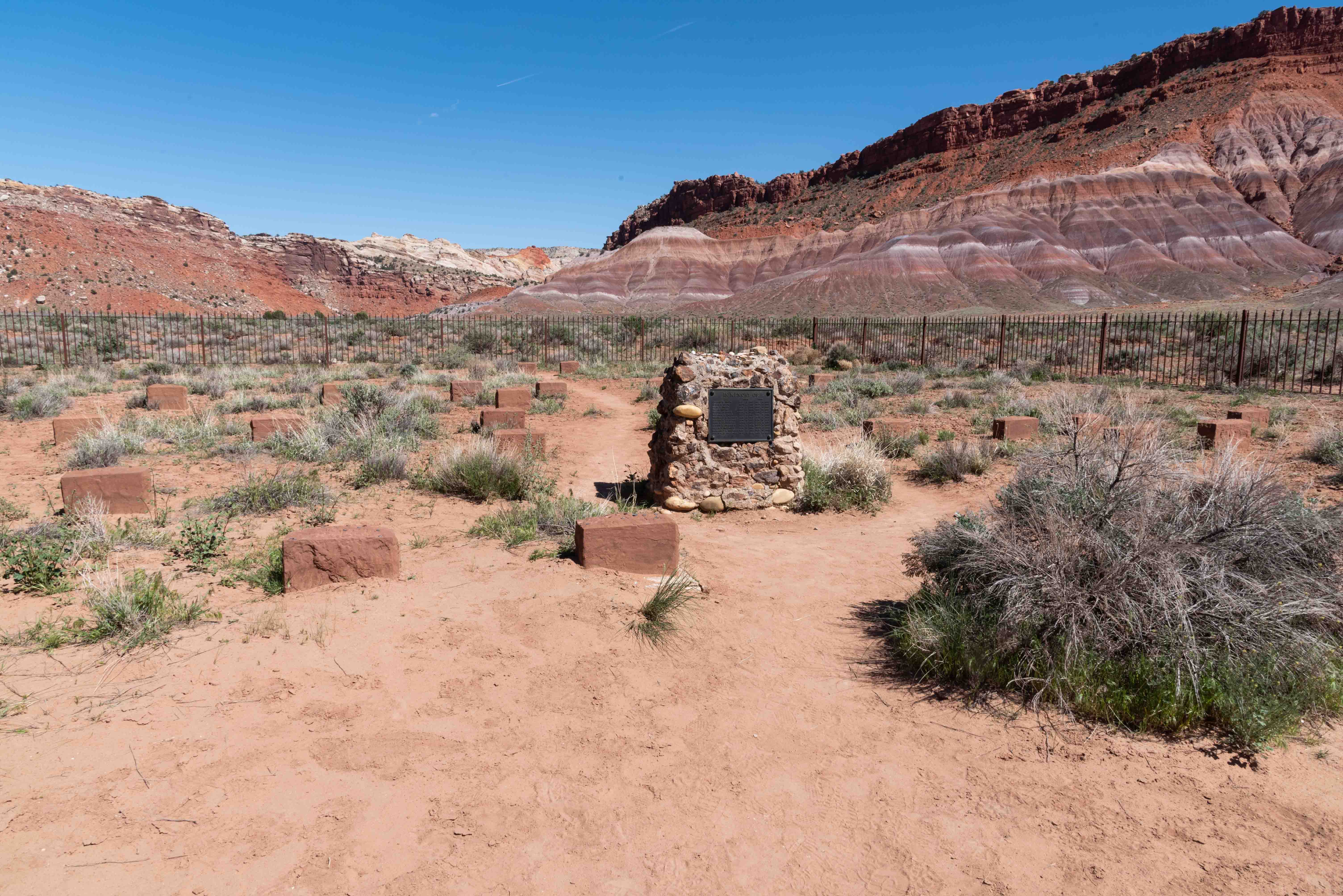
Old Pahreah township cemetery April 2023

Old western town movie set

Stephanie at the
Red Rock Saloon
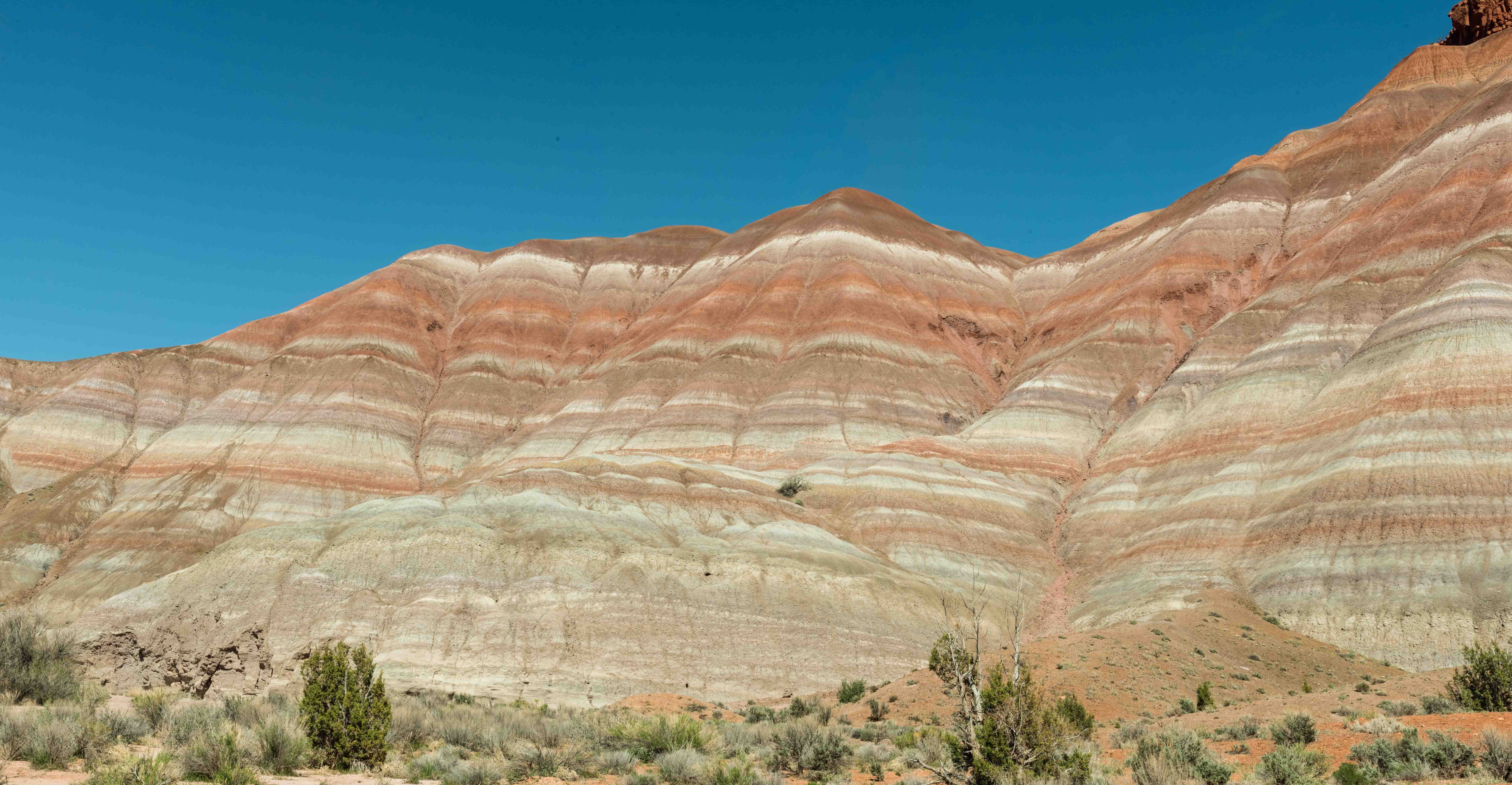
Colorful terrain along Paria Road
Thanks to the Bureau of Land Management and Wikipedia for background content. Also, Cottonwood Canyon Geology Road Guide
by Janice Gillespie and Christa Sadler.
Use the form on the Home Page to submit comments, questions, or suggestions. TD Productions Copyright © 2019-2023