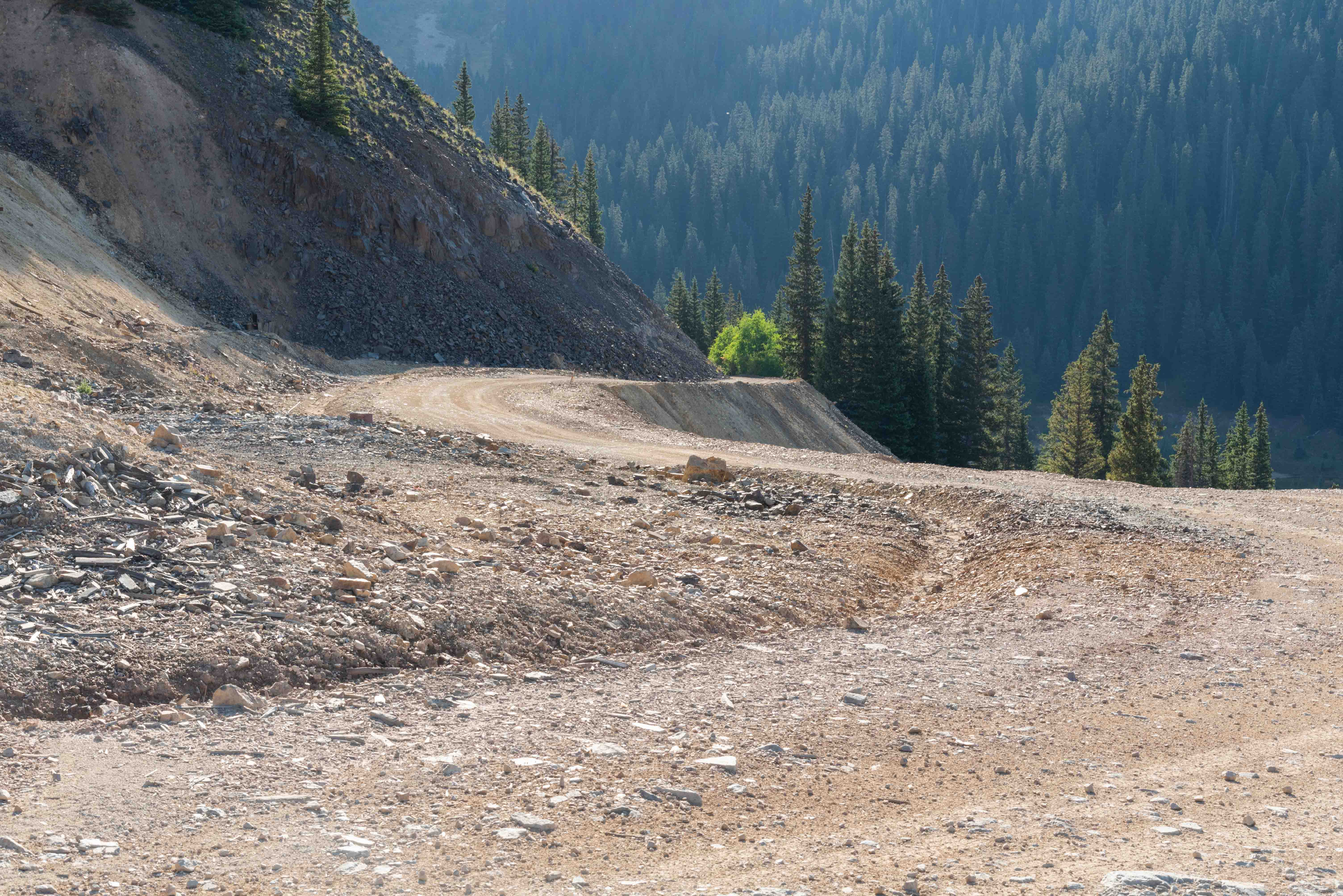
Forest Road 825
For this adventure we will travel a really fun 4-wheel drive road. Forest Road 825 (aka US Basin Road aka Brooklyn Road aka CR 14) is located in San Juan County, just to the east of U.S. 550. FR 825 is one of the highest mountain roads in the state, topping out at 12,139 feet above sea level. It's a winding, unpaved, 4-wheel drive dirt road about 5.9 miles long. The southern end junctions with US 550 at 37°51'29.4"N, 107°43'26.6"W, and the northern end junctions with US 550 at 37°53'45.2"N, 107°42'49.2"W, which is also the Red Mountain #3 Trailhead. The road is usually impassable from October to June. There are several historic gold and silver mines located along its length that make for a very interesting trip. GPS coordinates are based on WGS84 datum.
View west at altitude 11,460 feet near Brooklyn Mine (37°51'39.858"N, 107°42'55.212"W)
View west at altitude 12,125 feet (37°52'10.05"N, 107°42'26.154"W)
Black Bear Pass Trail is visible just to the left of Trico Peak (center right of picture)
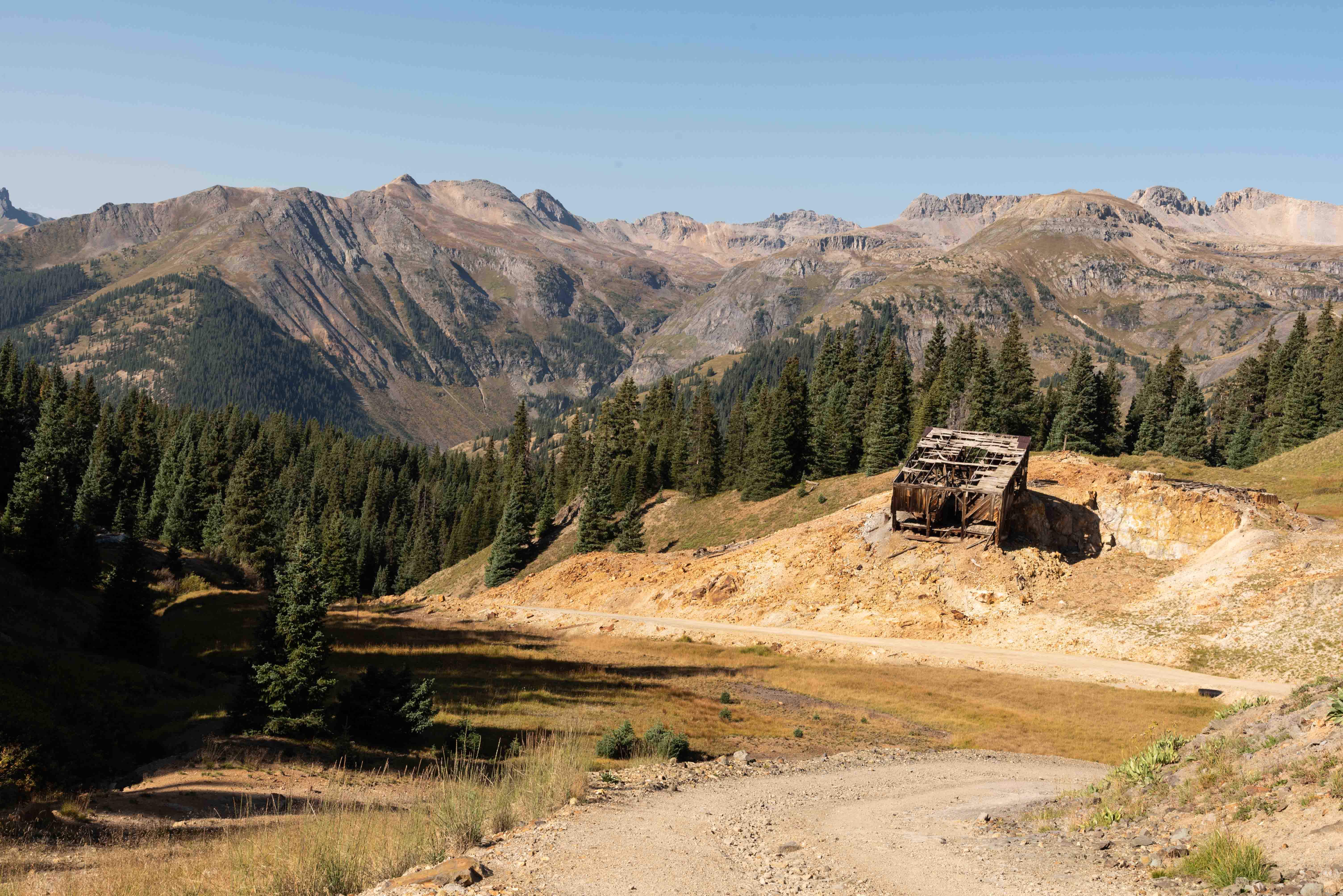
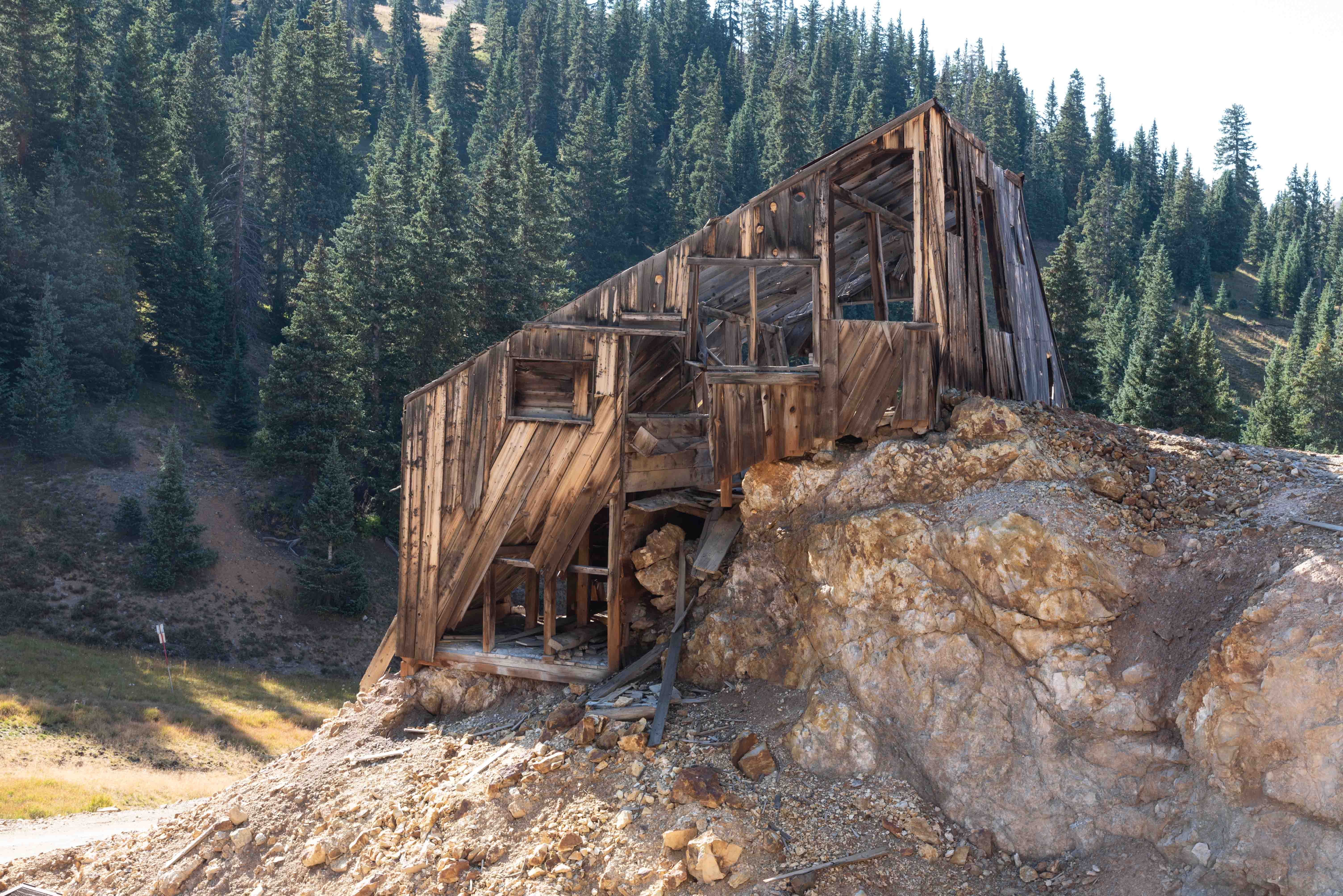
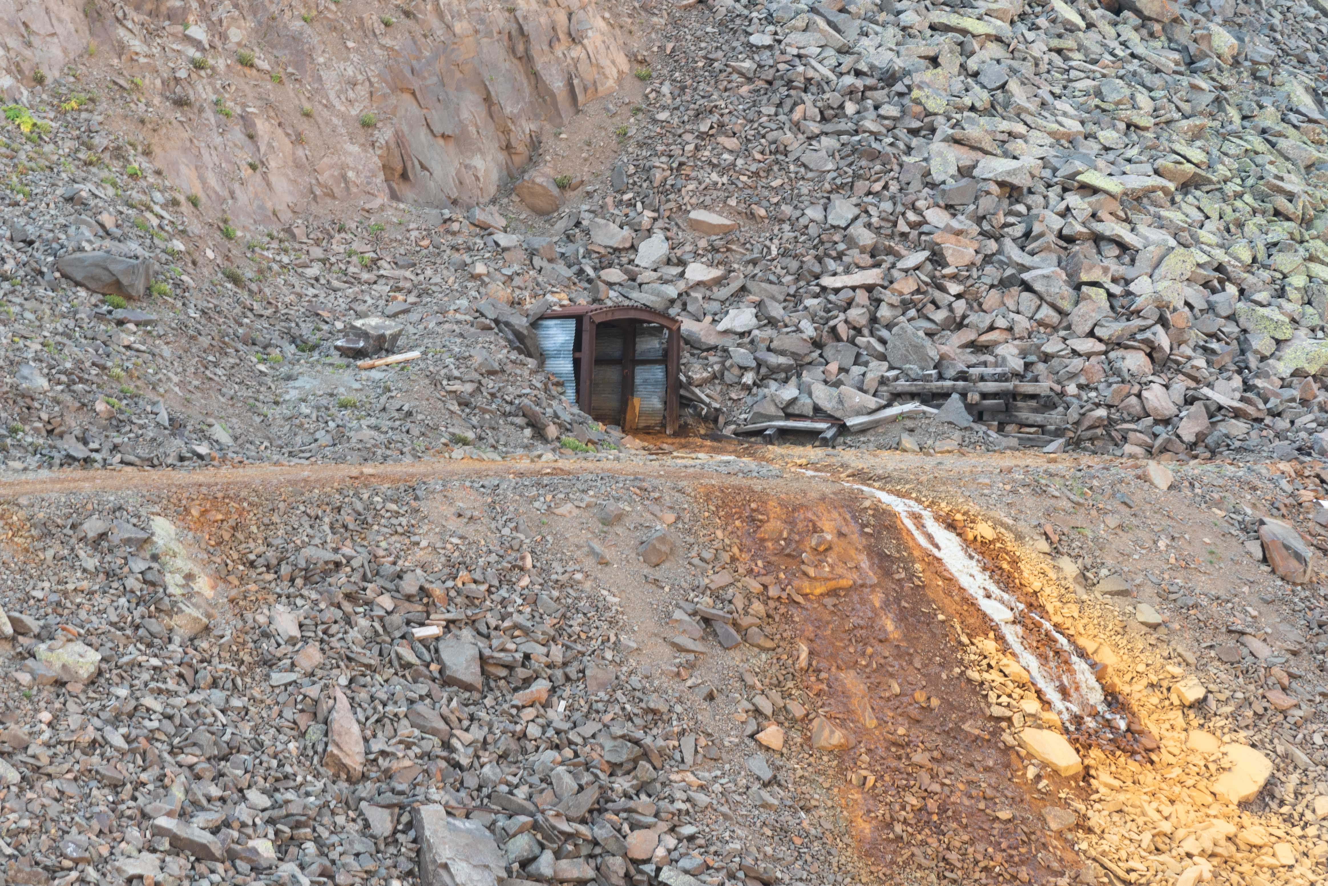
Brooklyn Mine
The Brooklyn Mine is located at the head of Brown's Gulch, 1.9 miles from the southern end of FR 825. Its elevation is 11,400 feet. The mine produced gold, silver, lead, zinc, and copper. Brooklyn Mine was originally owned by the Manlon Brothers and a Mr. Murphy, and was in production in the early 1900s. Excellent specimens of leaf and wire gold have been extracted from the mine as late as 1978. The mine has been the source of many exotic minerals, including cosalite, monazite, and tetradymite.
Brooklyn Mine
Brooklyn Mine
Forest Road 825 near Brooklyn Mine
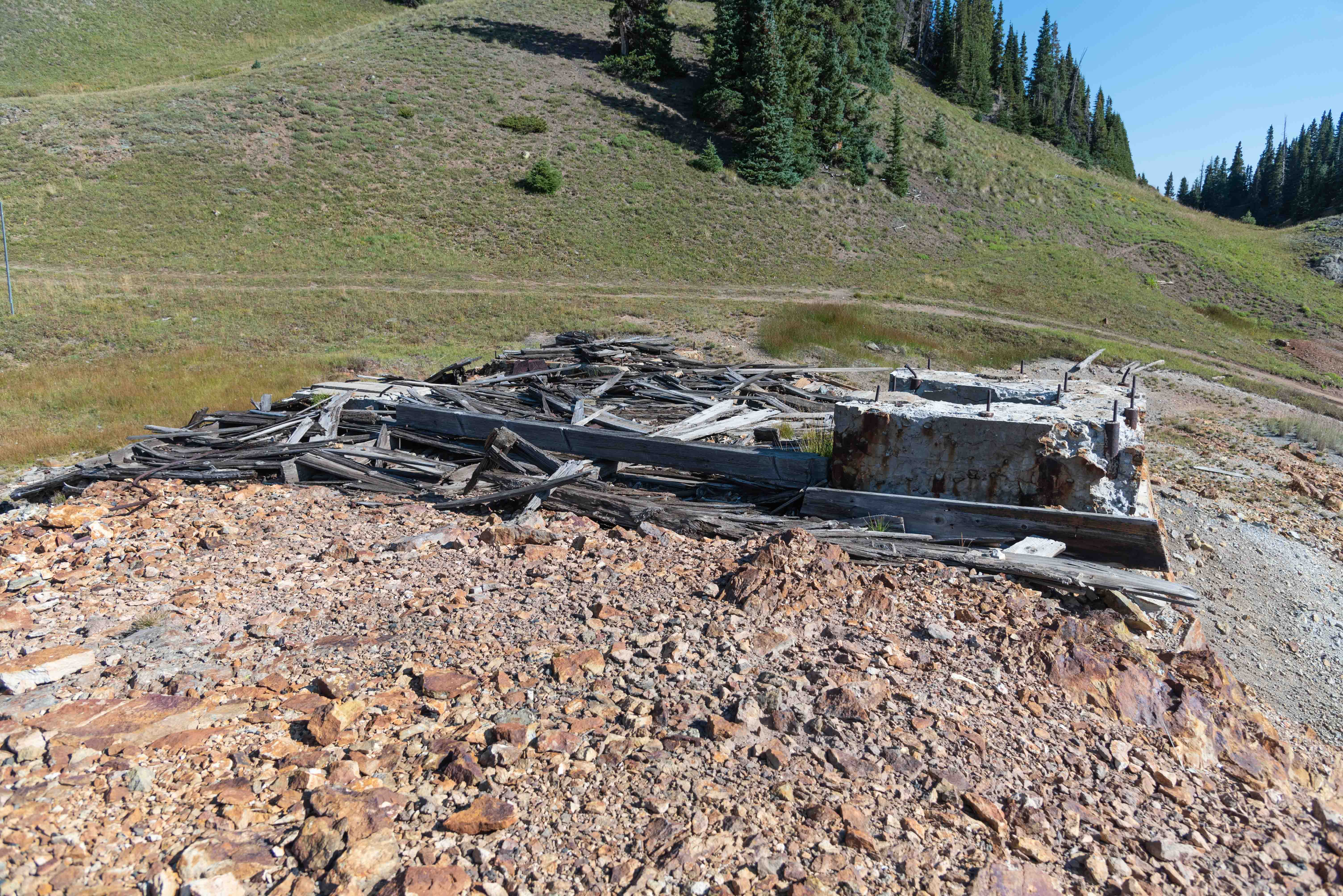
Carbon Lake Mine
The Carbon Lake Mine is located near the northern end of FR 825 (37°53'30"N, 107°42'17"W). The mine was associated with the Red Mountain Mining District. It was primarily a gold mine, but also produced varying amounts of coppper, lead, silver, and zinc. The copper producing Congress Mine is located a little over 300 feet to the east of Carbon Lake Mine.
Carbon Lake Mine

Carbon Lake Mine

Carbon Lake Mine
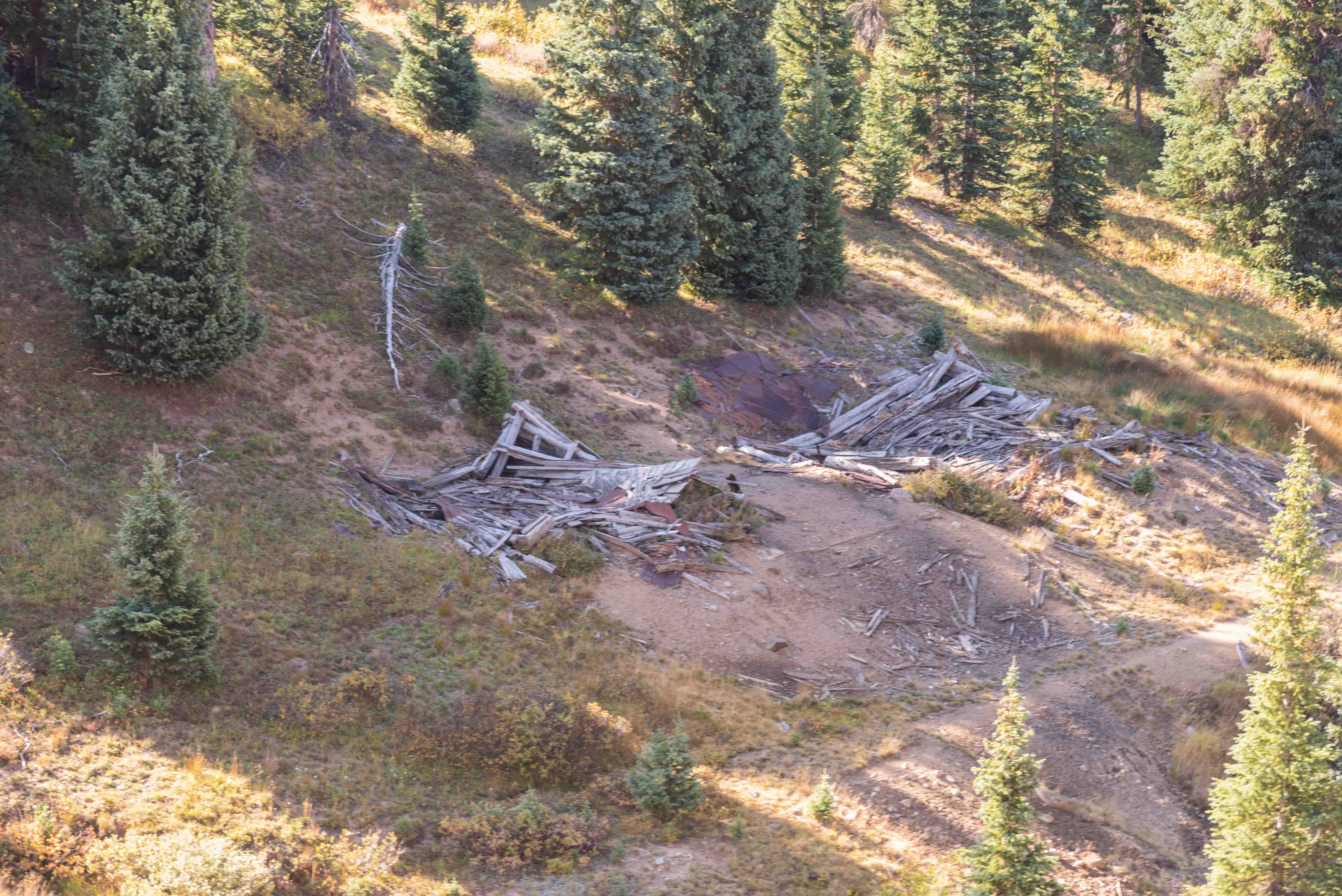
Really dilapidated buildings
Don't know what this building was
Ore house? Who knows?

Vintage grate
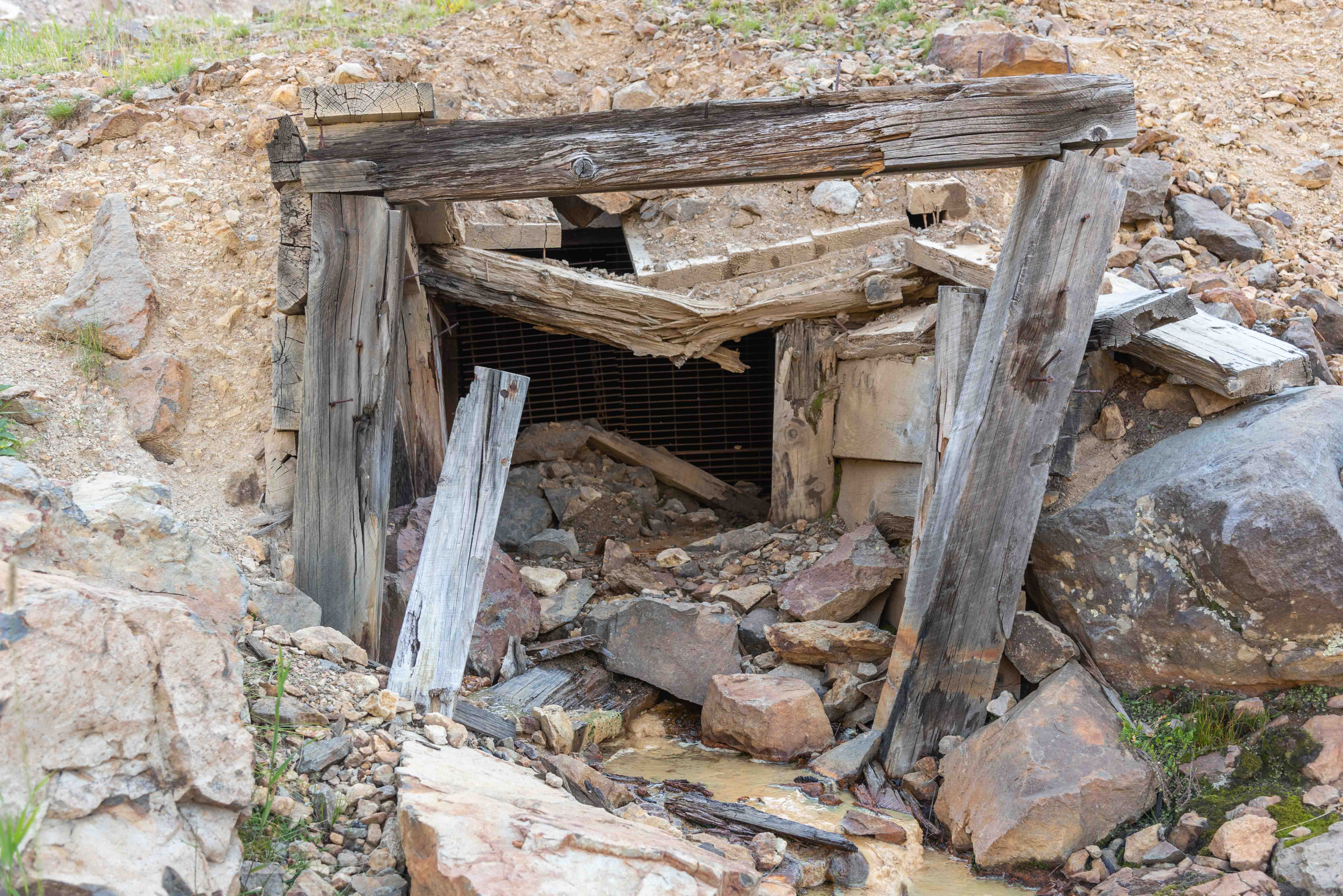
Mine Adit
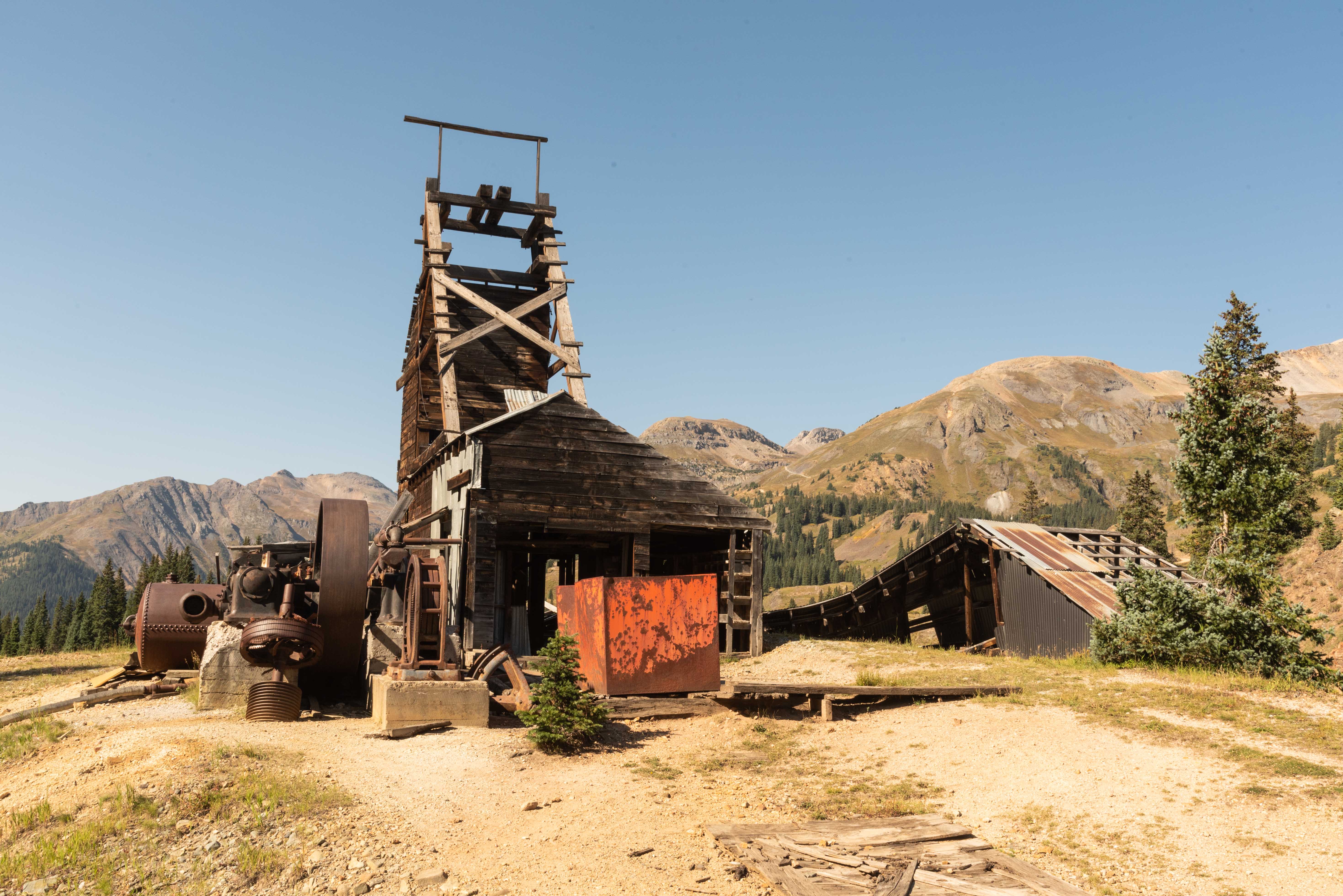
Longfellow Mine
The Longfellow Mine is historically part of the Red Mountain Mining district, even though it's on the south side of Red Mountain Pass in San Juan County. It's located almost at the northern end of FR 825 (37°53'48.648"N, 107°42'38.898"W). The elevation is 11,201 feet. Longfellow is a copper mine known for its samples of the mineral, enargite (copper arsenic sulfosalt). The Koehler Tunnel, located about 530 feet south of the Longfellow Mine, was primarily a copper mine, but also produced some lead and zinc.
Longfellow Mine
Longfellow Mine

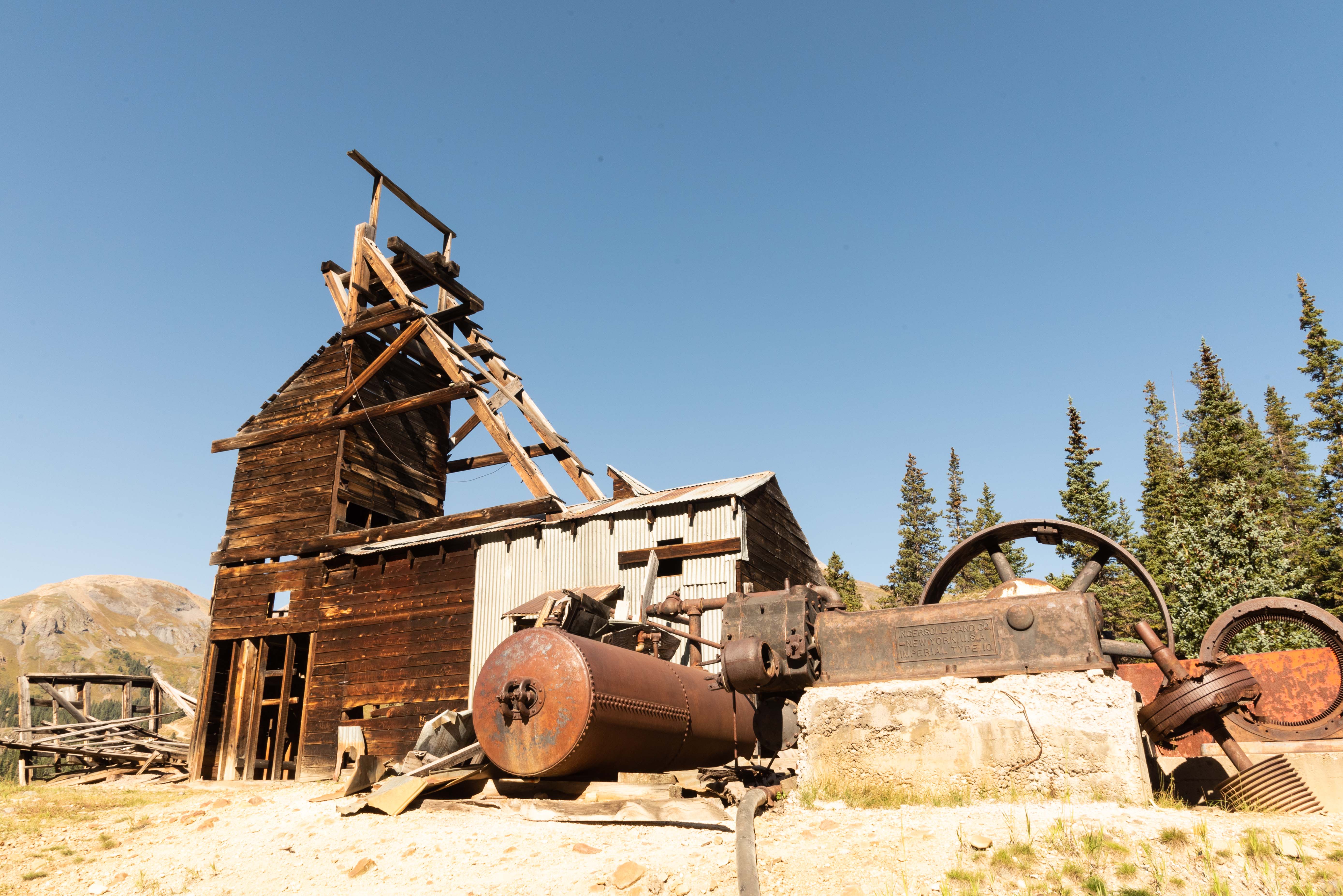
Headframe and Ore House
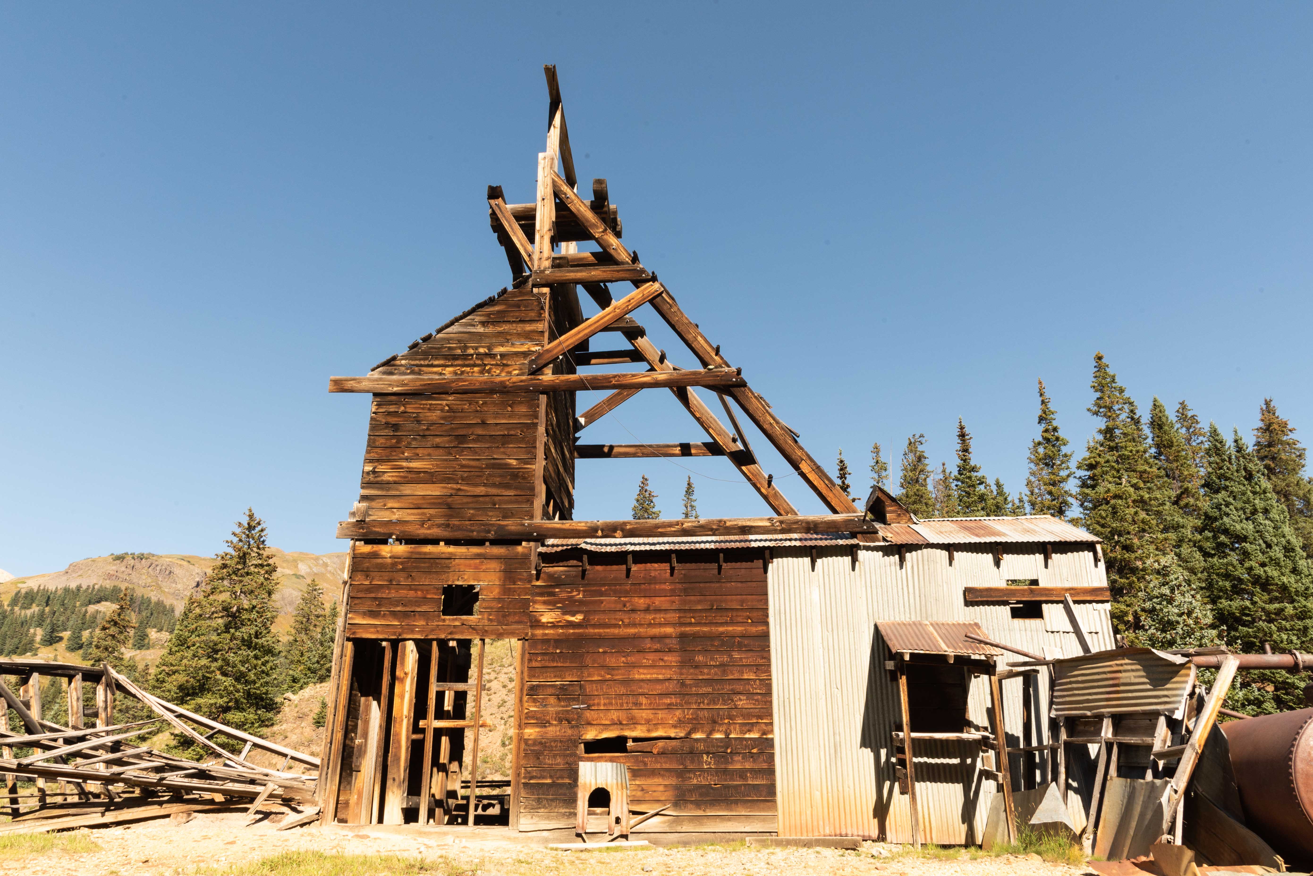
Headframe and Hoist House
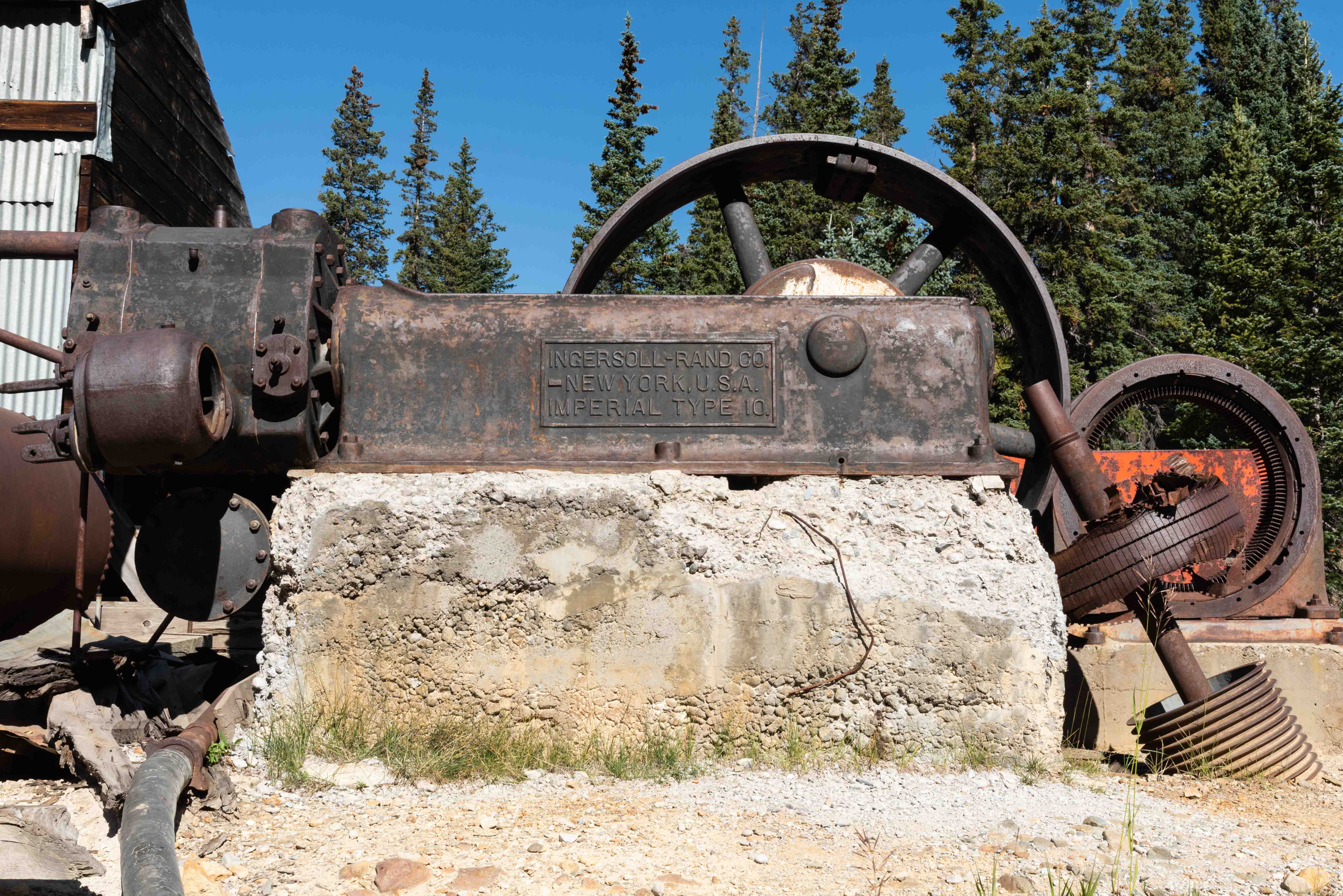
Ingersoll-Rand Imperial Type 10 Air Compressor
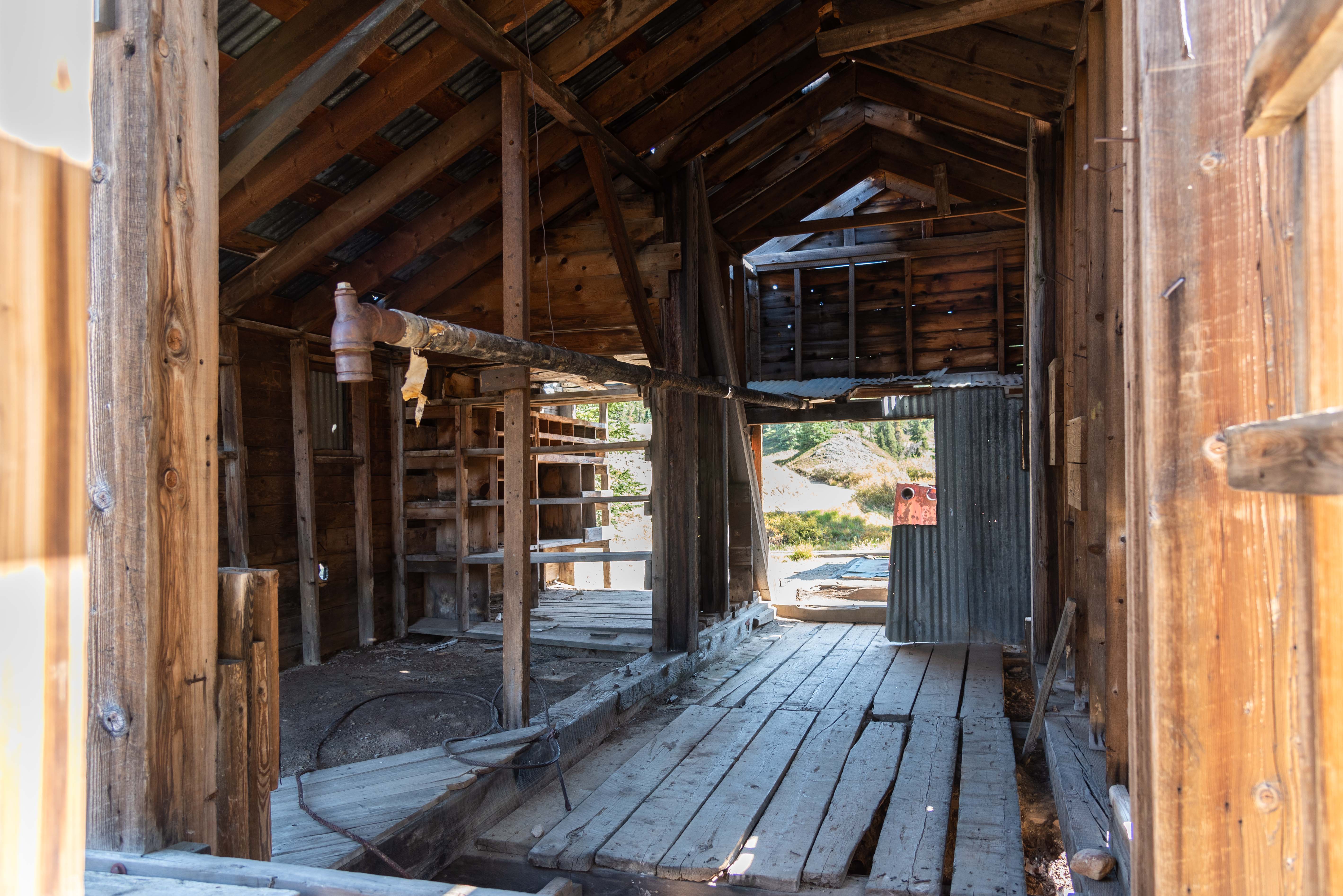
Hoist House interior
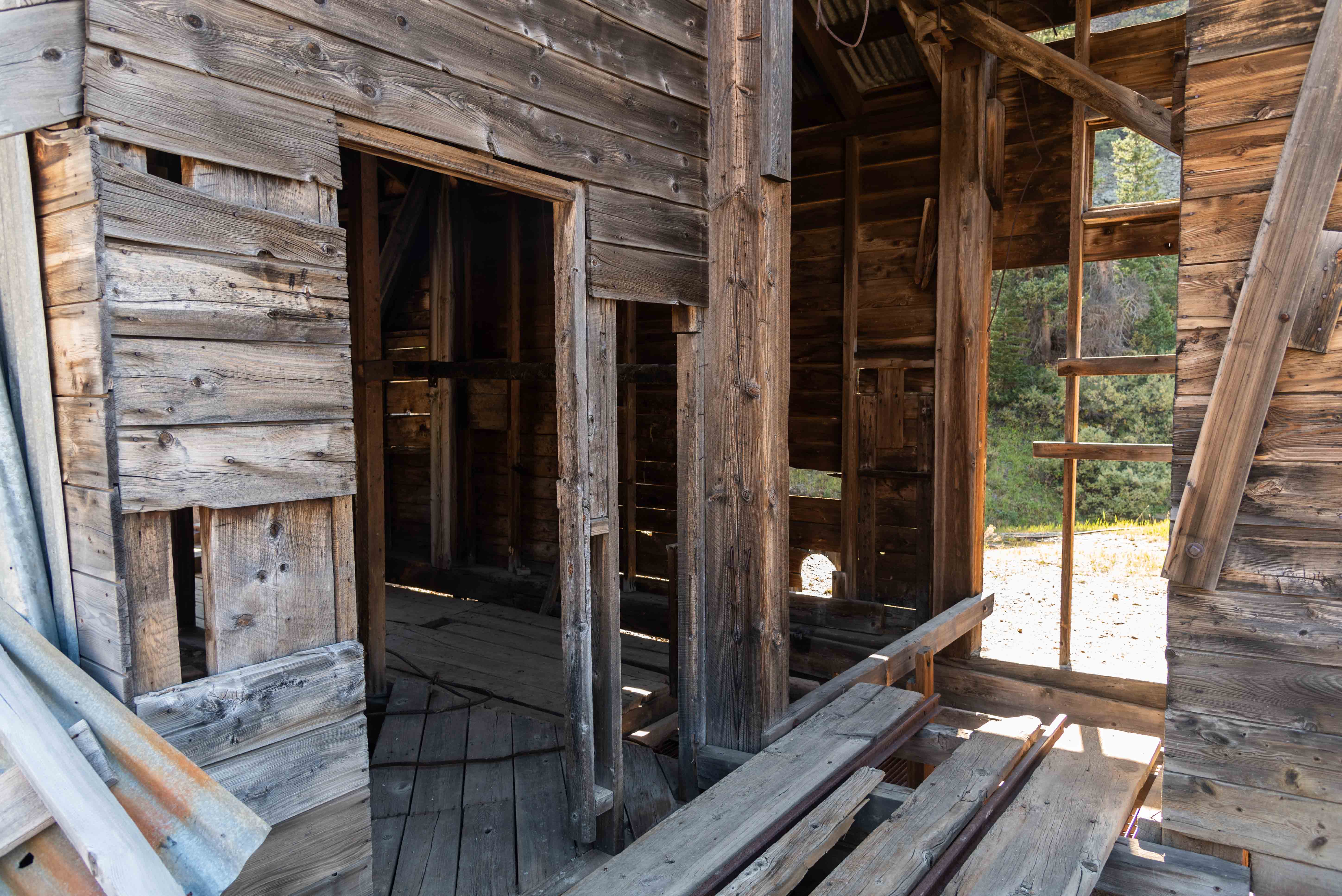
Headframe Interior

Mine Shaft
Koehler Tunnel

Koehler Tunnel Drainage Pond
That's all, folks. We've come to the end of another great adventure.
Background information: Mindat.org, coloradohistoric newspapers.org, westernmininghistory.com
Use the form on the Home Page to submit comments, questions, or suggestions. TD Productions Copyright © 2022