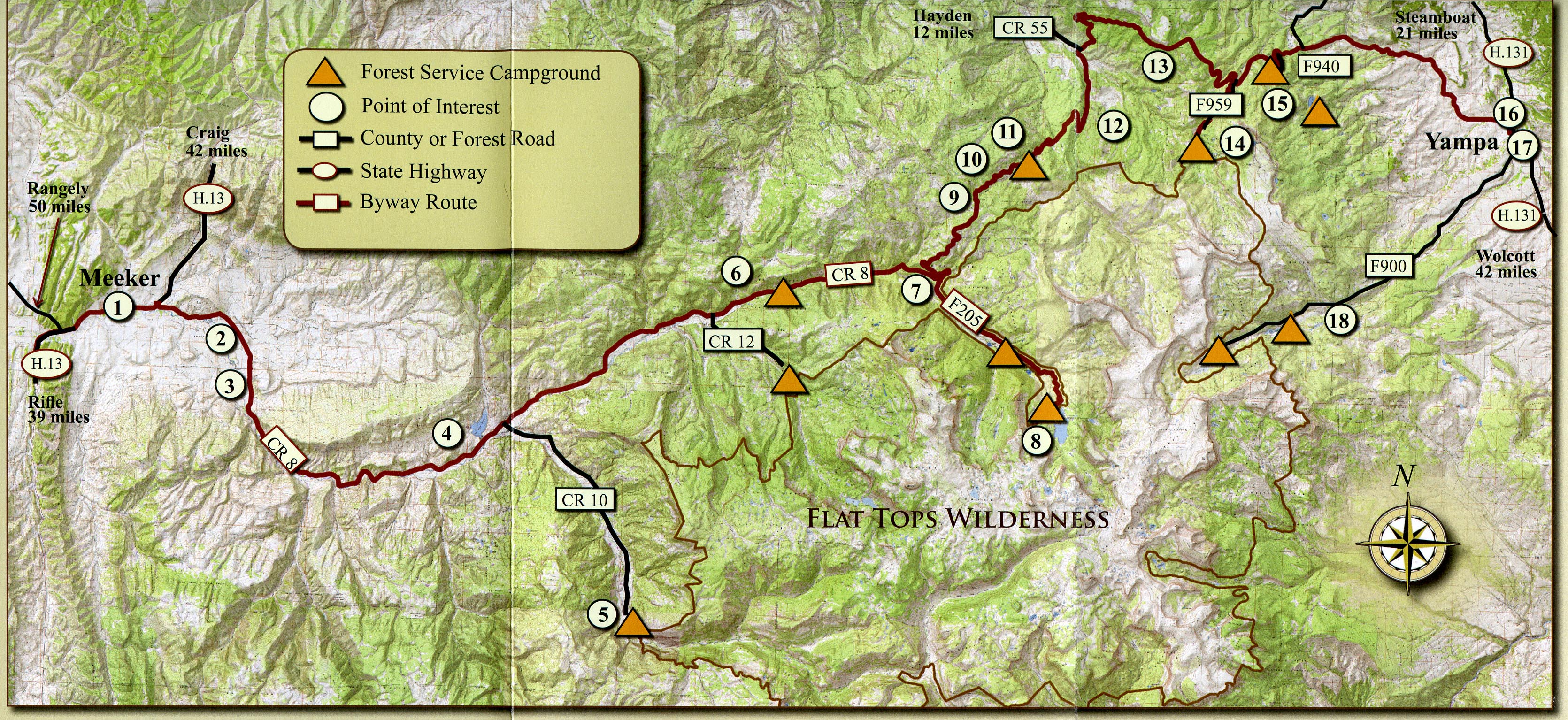
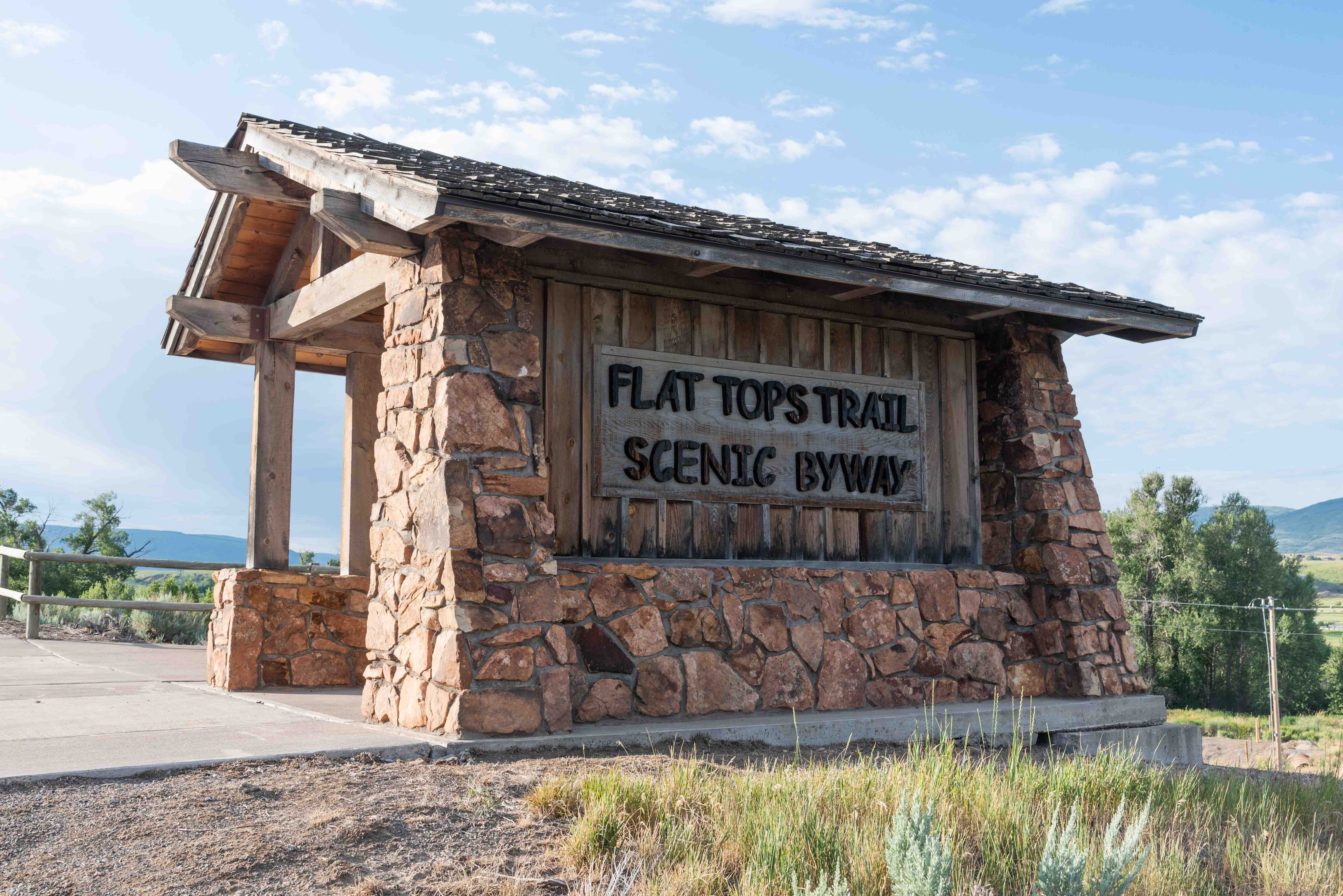
Flat Tops Scenic Byway
For this adventure we will be driving the
Flat Tops Scenic Byway. The byway is 82 miles long, running from Meeker (west end) to Yampa (east end).
Most of Flat Tops Scenic Byway travels along Rio Blanco County Road 8 (CR-8), except when it crosses into Routt County
and becomes Routt County Roads 132, 19, and 17. About half of the 82 miles are paved, the first 30 miles
from Meeker and the last 10 miles to Yampa. The rest is well maintained gravel. We will be traveling from Meeker To Yampa
for this trip.
The included map is taken from a government brochure entitled "Flat Tops Trail Scenic and Historic Byway".
The brochure is available at the Meeker Visitor Center, White River Museum, and park and forest service offices. It
also contains a brief description of each of the numbered stops. The photos are of stops I made along the byway in July 2022.
The #s in parentheses correspond to circled numbers on the map.
Meeker
Flat Tops Scenic Byway
Flat Tops Scenic Byway
We will visit two of the Rio Blanco County historic school houses
before continuing along the Flat Tops Scenic Byway. Turn onto CR-6 and look for
the historic Coal Creek School House (distance of about 5.4 miles). After visiting
Coal Creek continue east on CR-6 for another 4.2 miles to Little Beaver School.
Return to CR-8 to continue traveling Flat Tops Scenic Byway.

Coal Creek School House
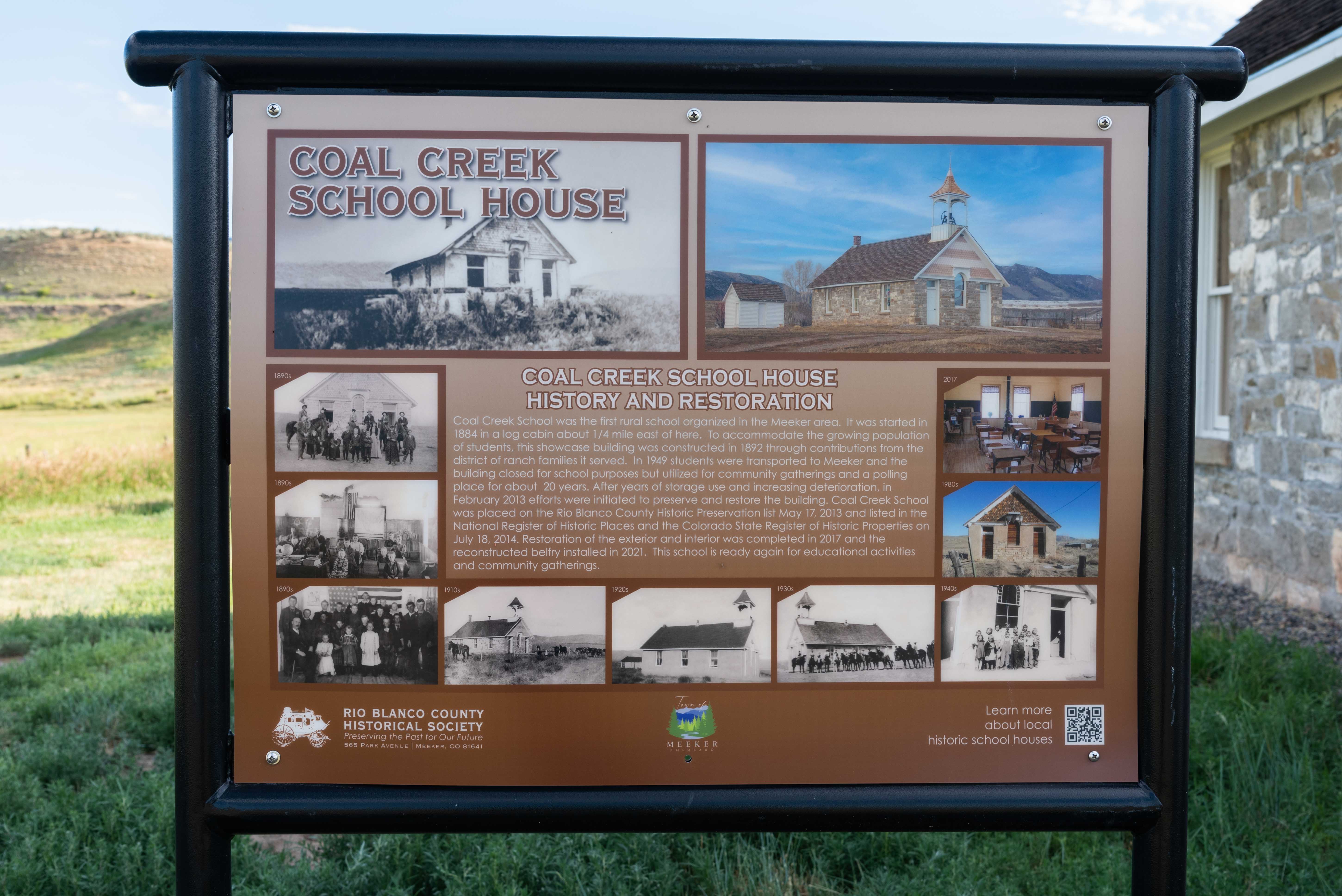
Coal Creek School House
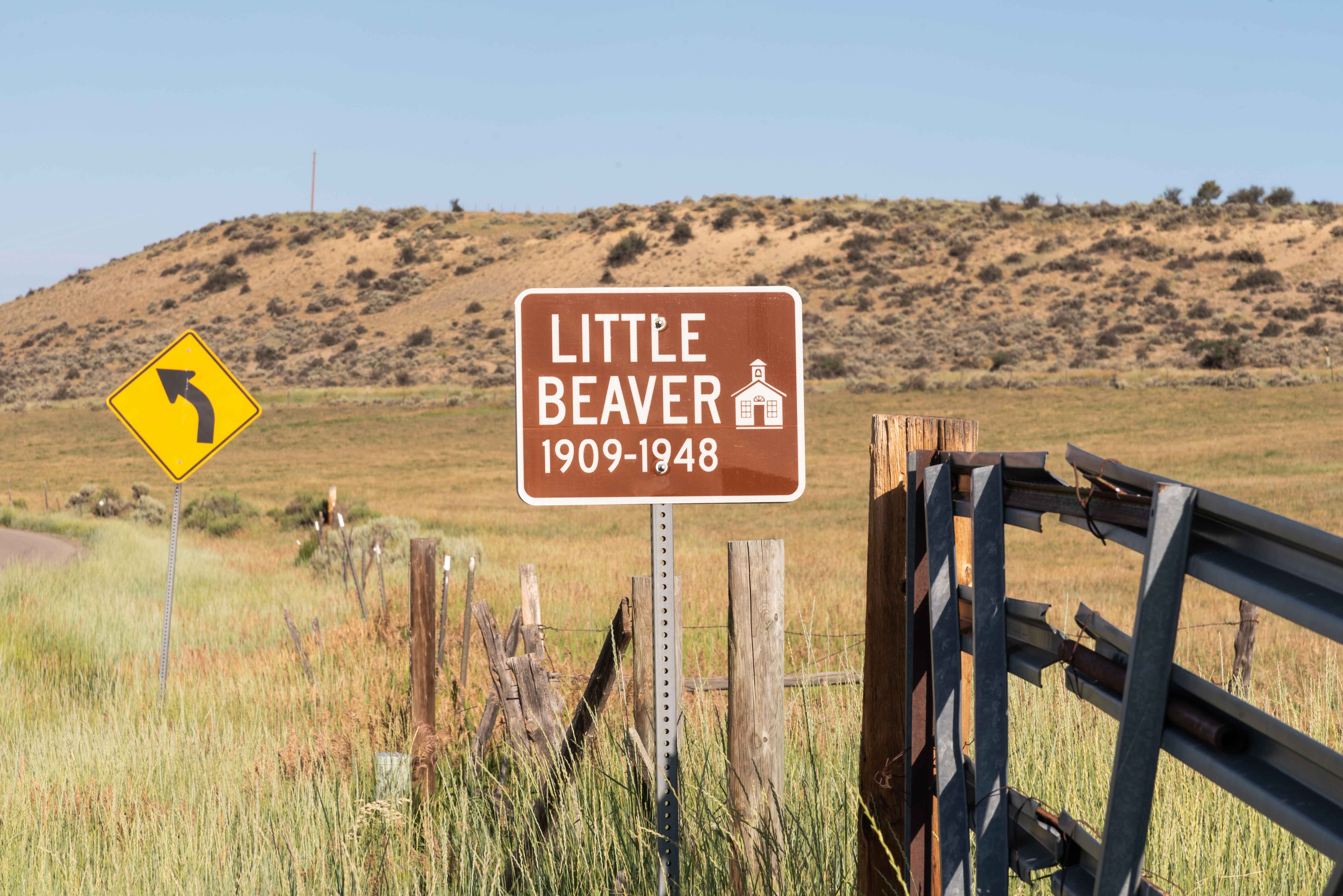
Little Beaver School
Little Beaver School
Agency Park Overlook and Oak Ridge State Wildlife Area
The Agency Park Overlook (#2) is 5.2 miles from Meeker on CR-8. There
is a kiosk with several panels on the history of the White River Indian Agency
and relations between white settlers and the Ute Indians. For more information on this
topic visit the White River Museum in Meeker.
Flat Tops Scenic Byway passes through the Oak Ridge State Wildlife Area (#4) starting some
17 miles from Meeker. It's 16.9 miles to the Sleepy Cat Unit and 20.2 miles to Lake Avery
in the Lake Avery Unit of the State Wildlife Area. The area has picnic tables, campsites,
restrooms, potable water, corrals, and lots of trails. There are ample opportunities
for hiking, backpacking, horseback riding, camping, fishing, boating, or just plain relaxing.
White River Museum

Panorama from Agency Park Overlook
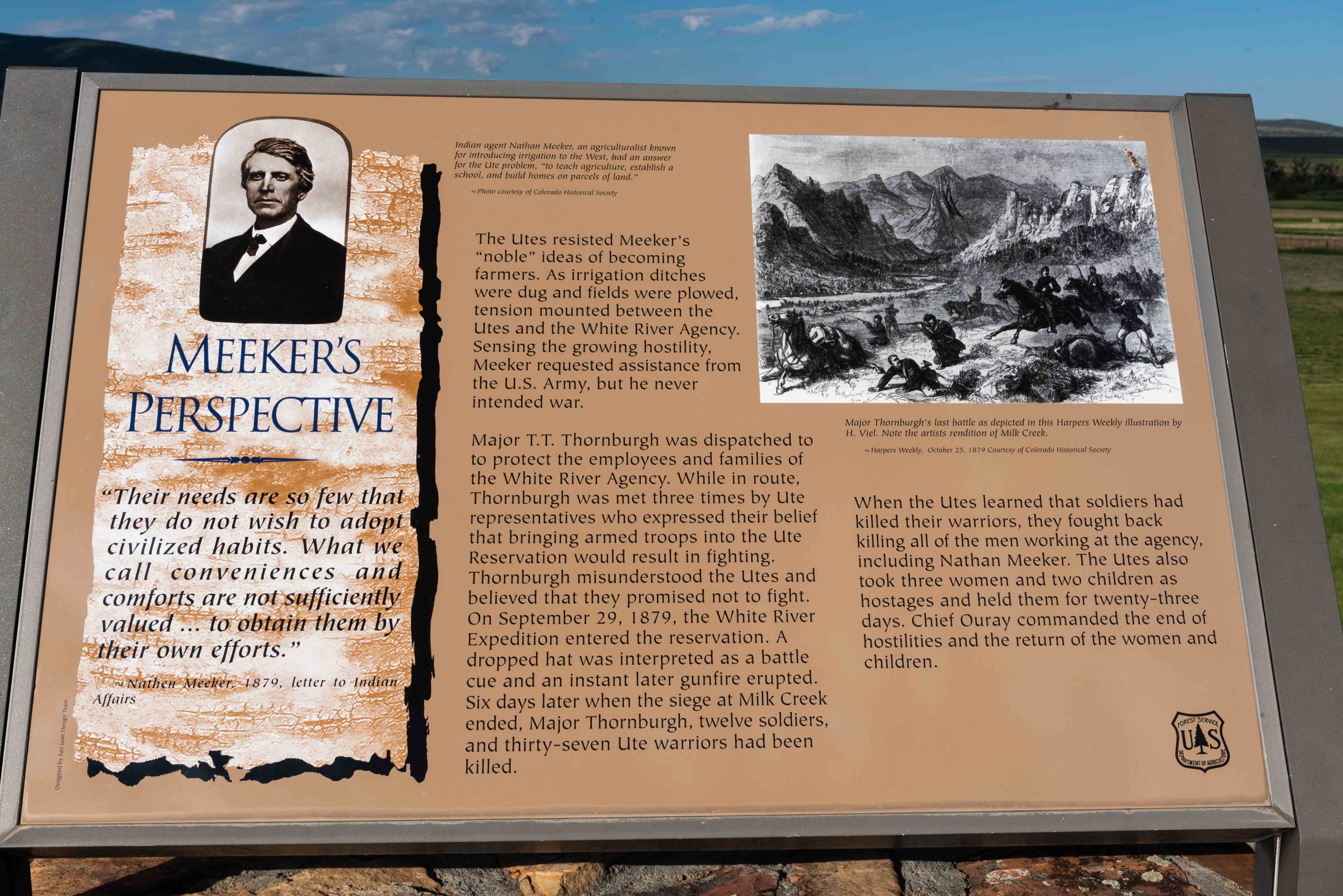
"Meeker's Perspective"
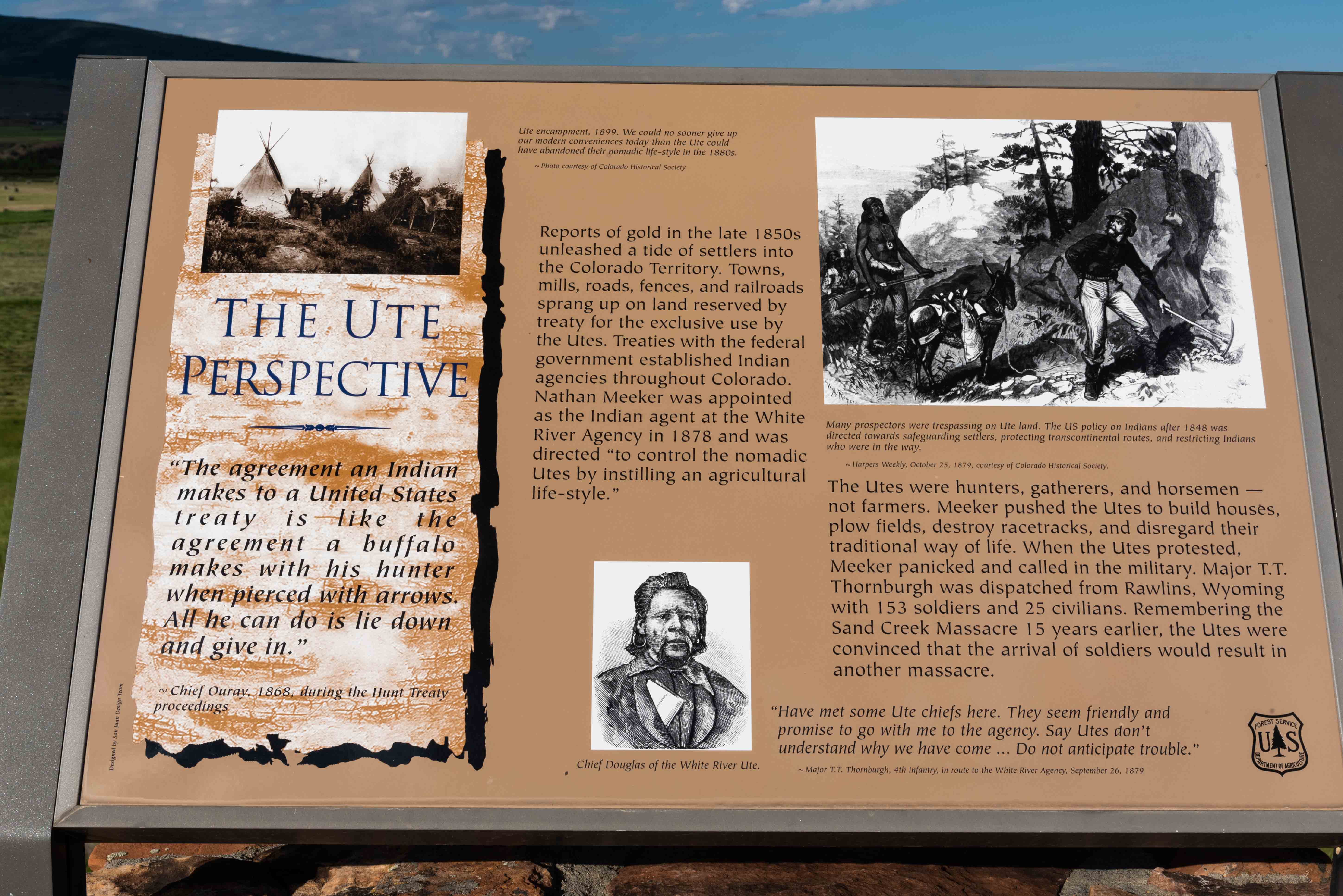
"The Ute Perspective"

"The Utes Must Go"
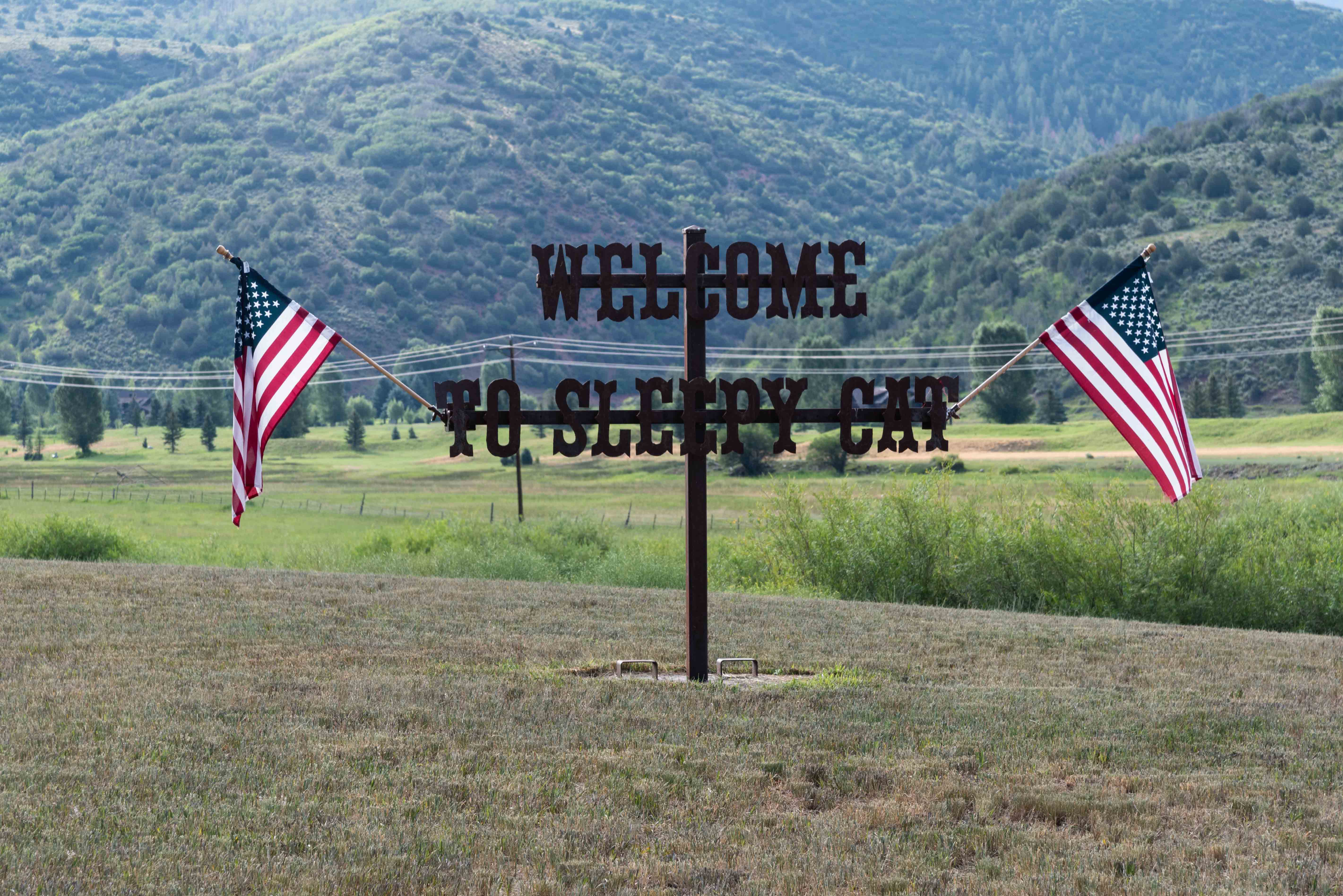
Sleepy Cat Unit
Oak Ridge State Wildlife Area
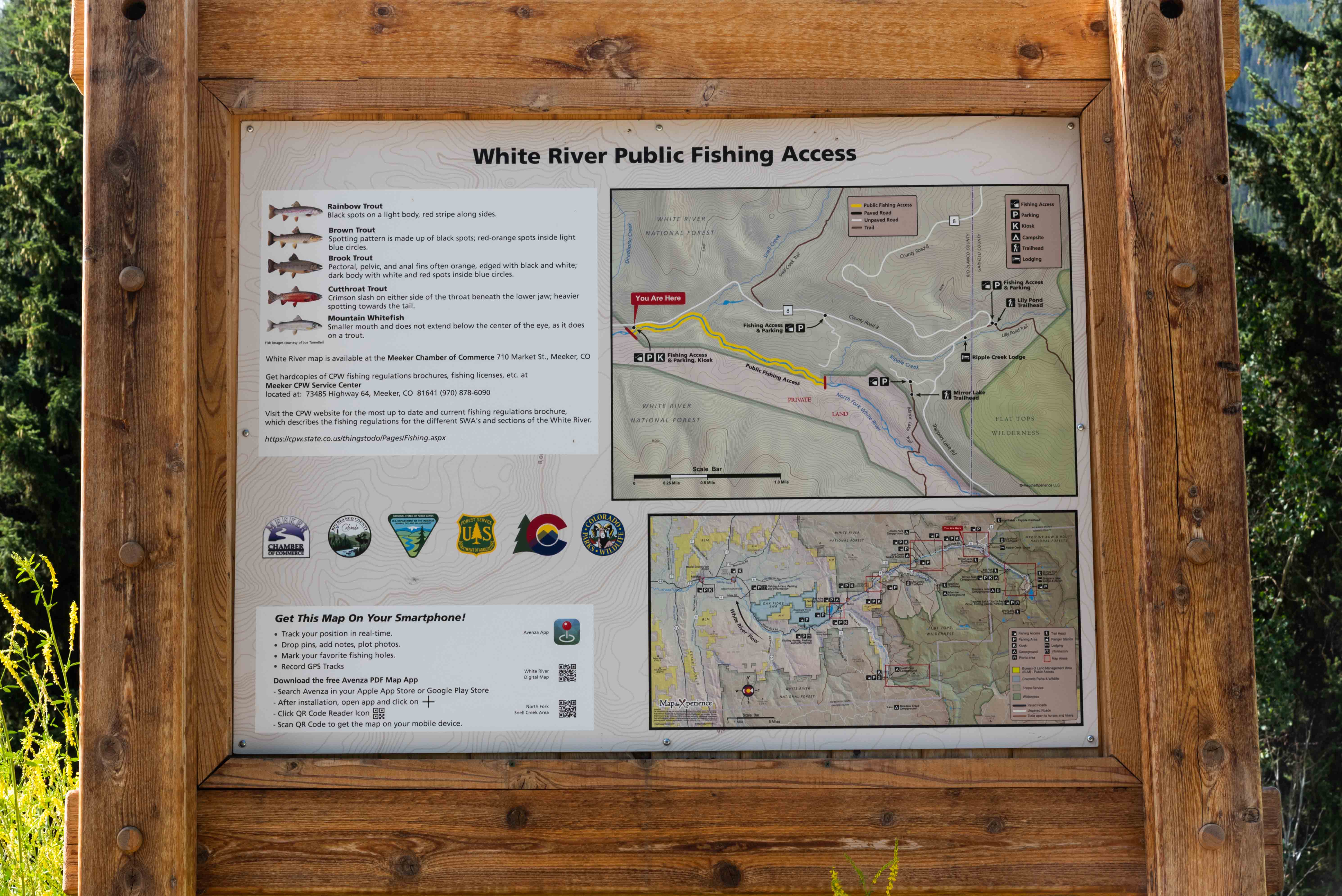
Fishing Info
Buford School and Lost Creek Guard Station
We will visit one more historic school before continuing on the scenic byway. Buford School
is located on sort of a D-loop off CR-8. Easiest way to get there is to turn onto CR-17 (New Castle-Buford Road, FSR-245)
22 miles from Meeker, then 0.8 miles to Buford School on the left. Return to CR-8 after visiting the school.
Lost Creek Guard Station (#6) is 32 miles from Meeker along the byway. The guard station was built by the Civilian
Conservation Corps in the 1930s and is still in use by Forest Service crews. There were several Forest Service vehicles
parked there when last I drove the byway.
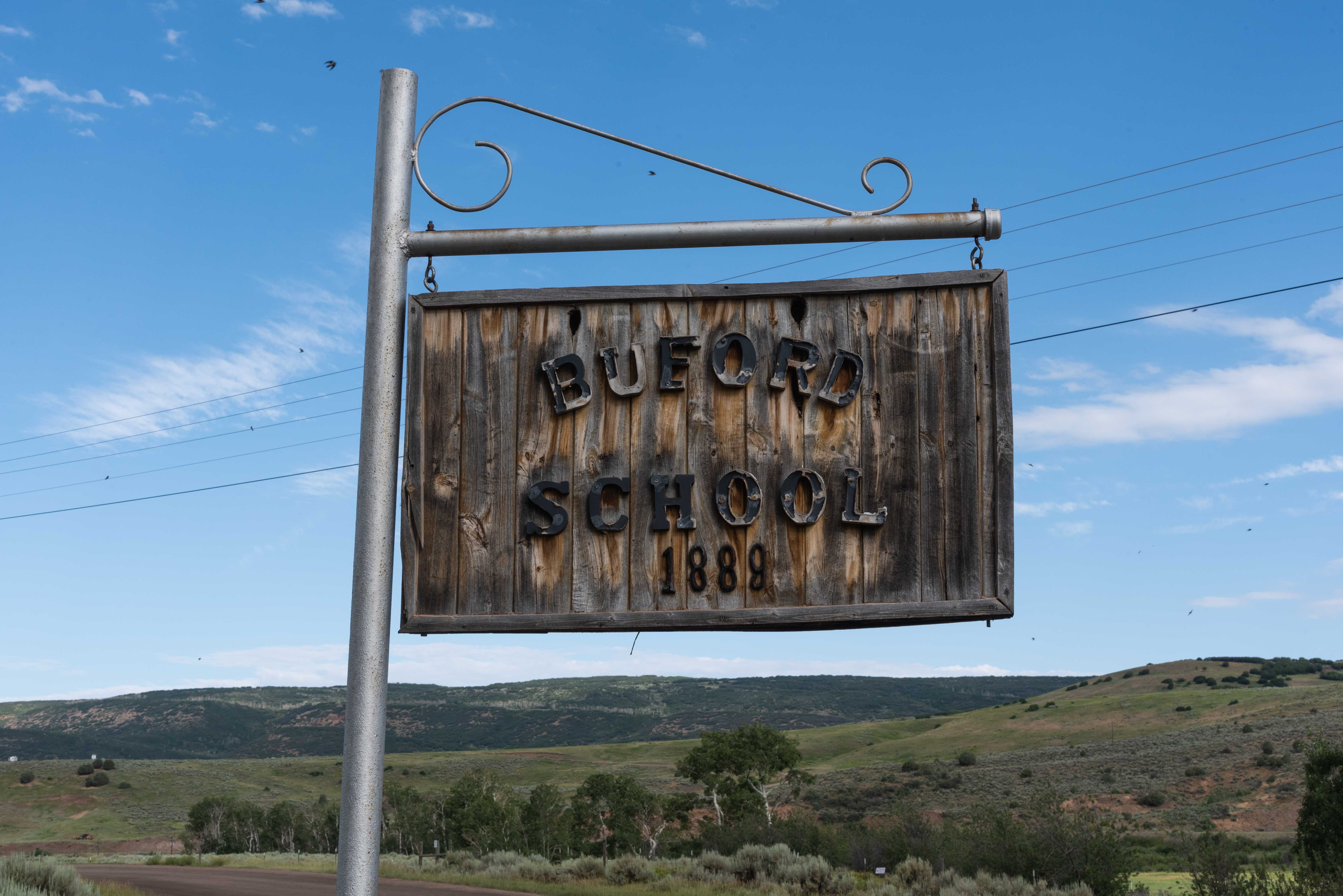
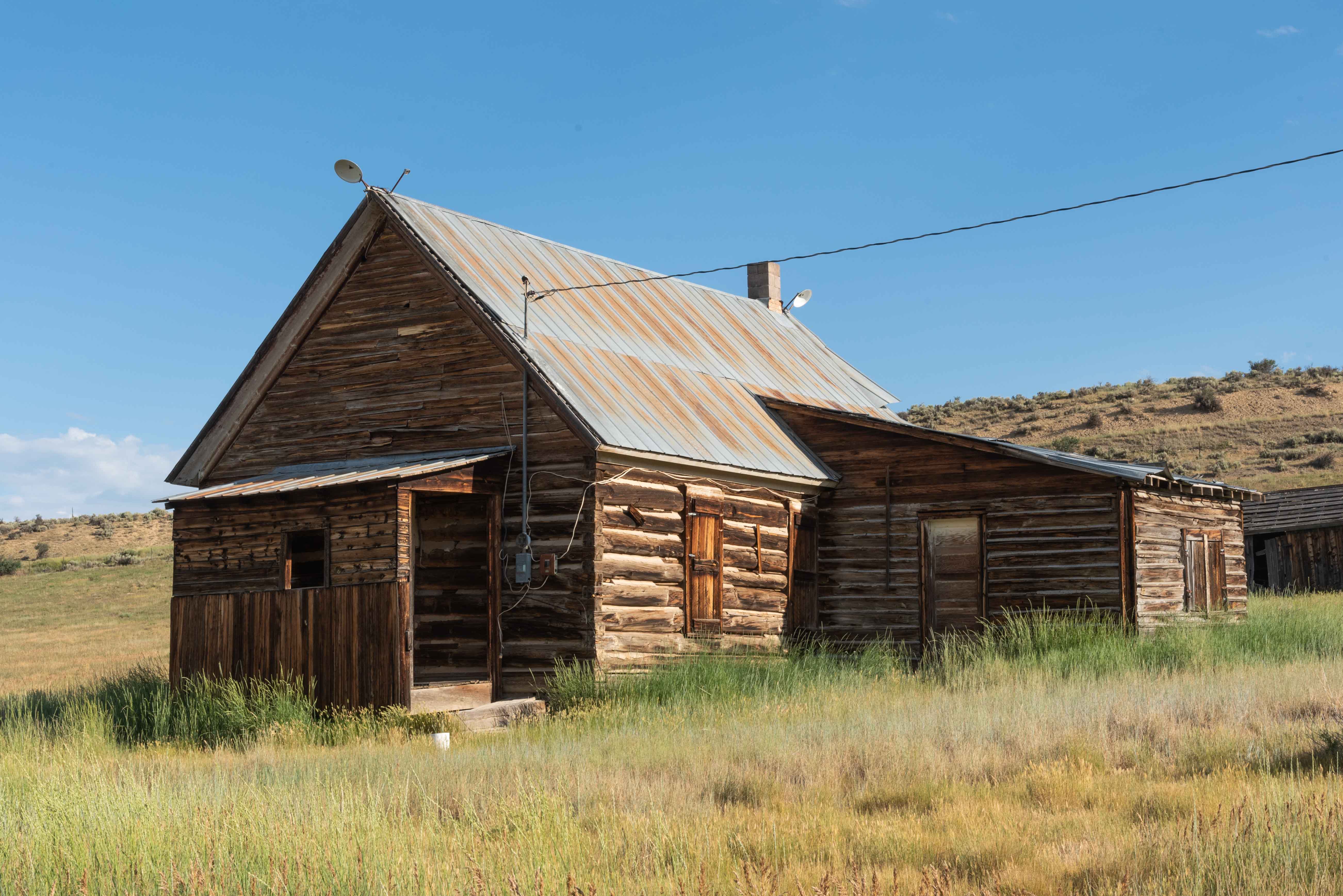
Buford School 1889
The original Buford School was built in 1889. When flooding damaged the original building
in the early 1900s the school was rebuilt at the present location using materials recycled from the
old school. The new building operated as a school until 1952. It is currently used as a community center.
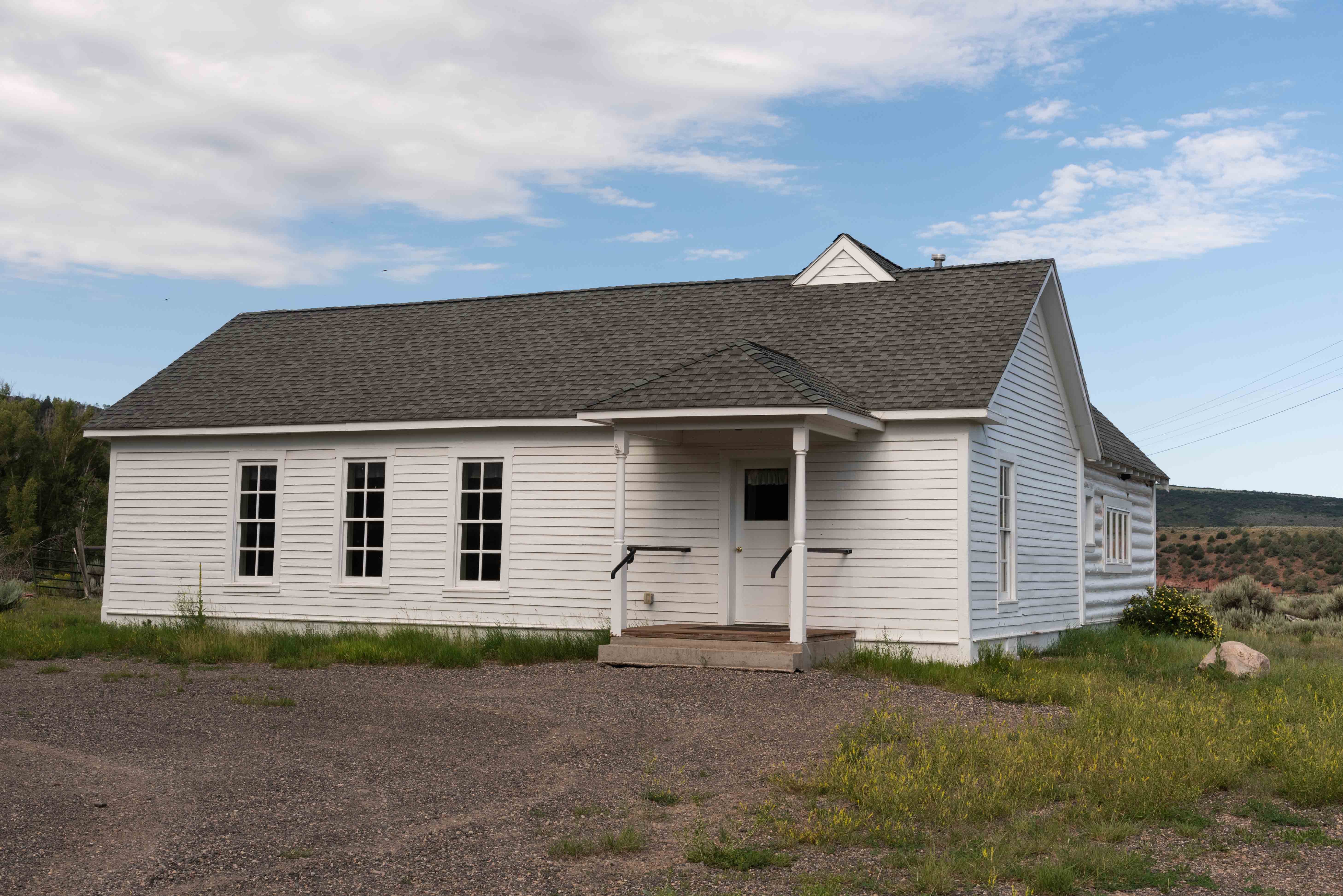
Buford School
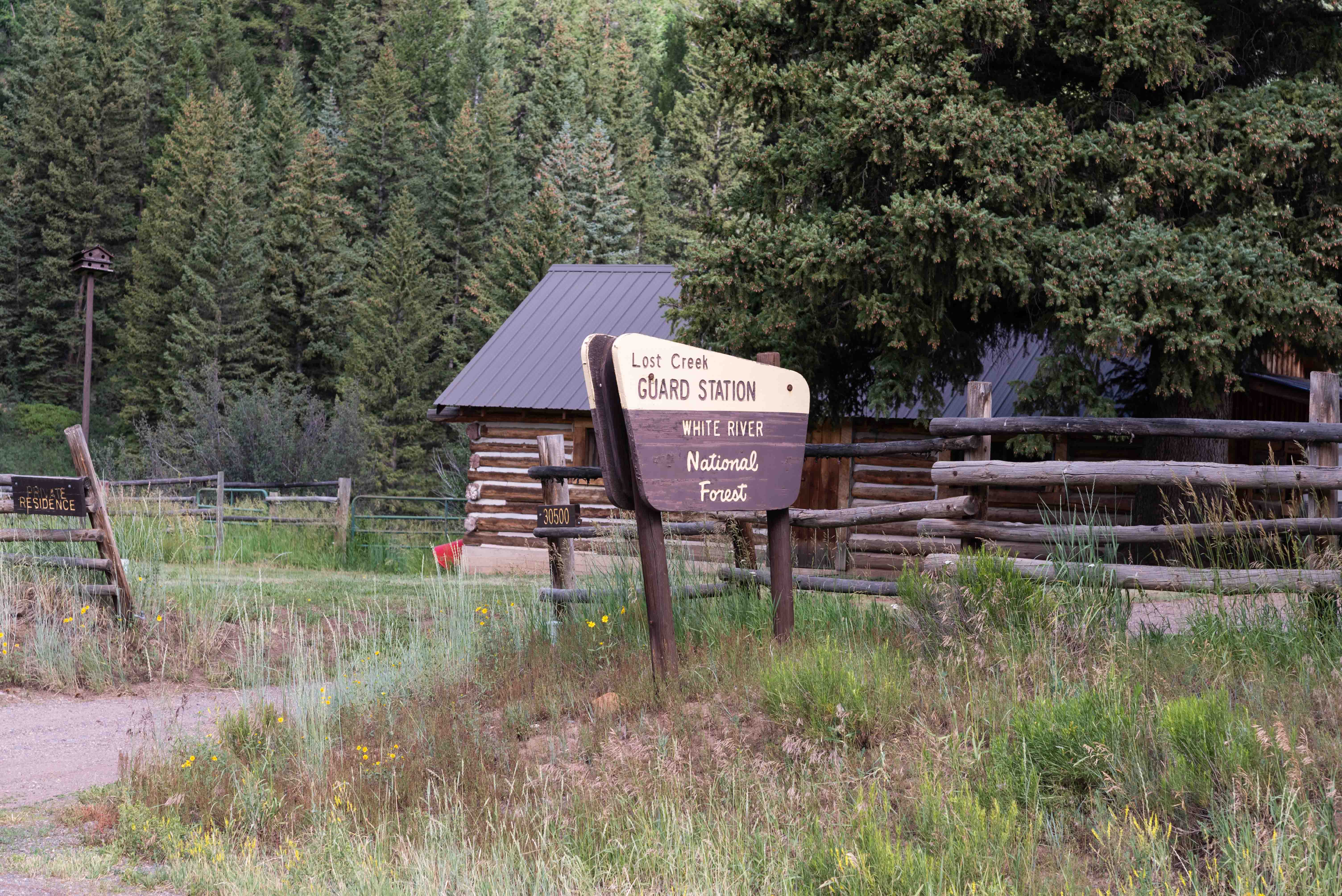
Lost Creek Guard Station
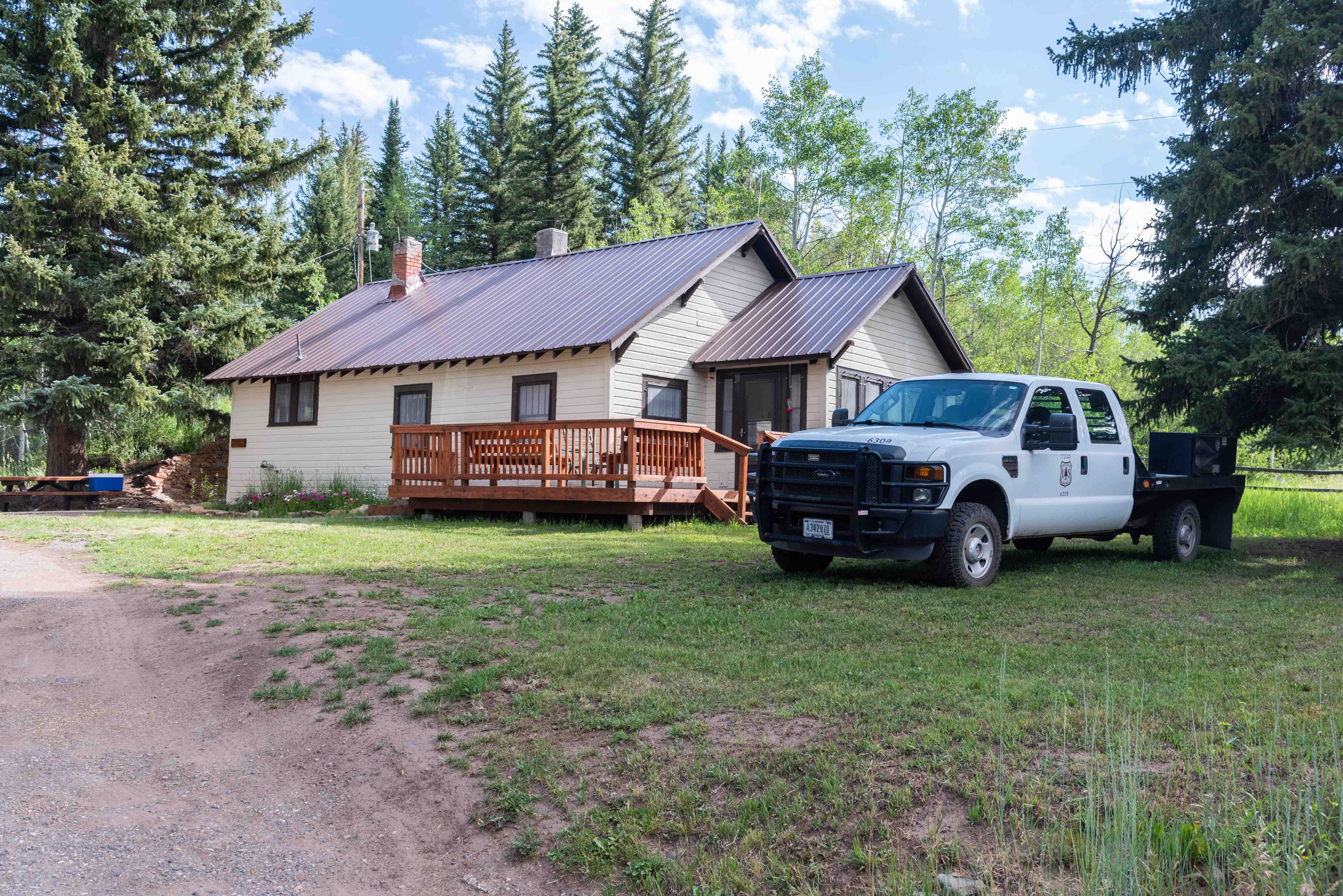
Lost Creek Guard Station
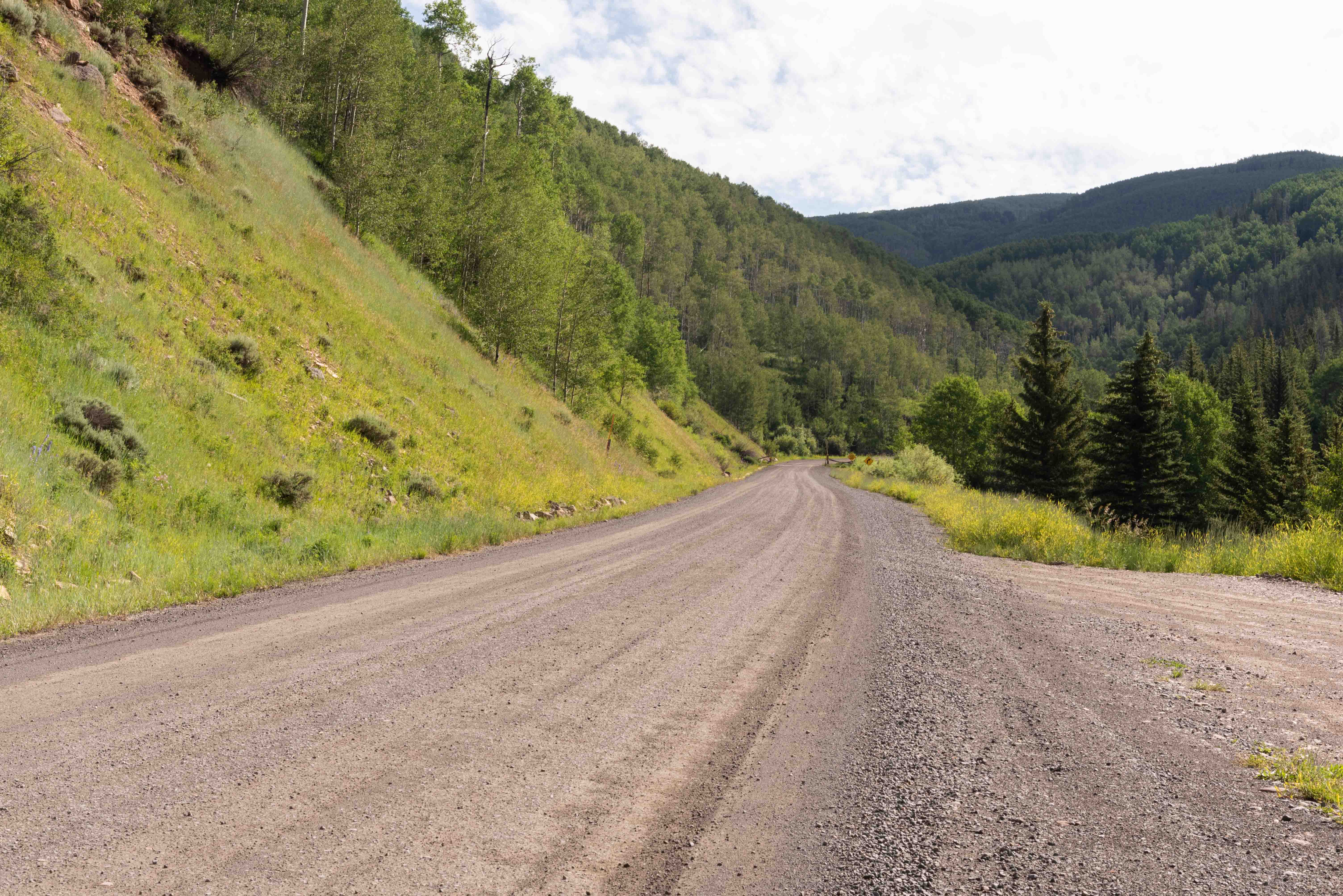
Rio Blanco CR-8 a little east of
Lost Creek Guard Station
Forest Service Road 205 to Trappers Lake
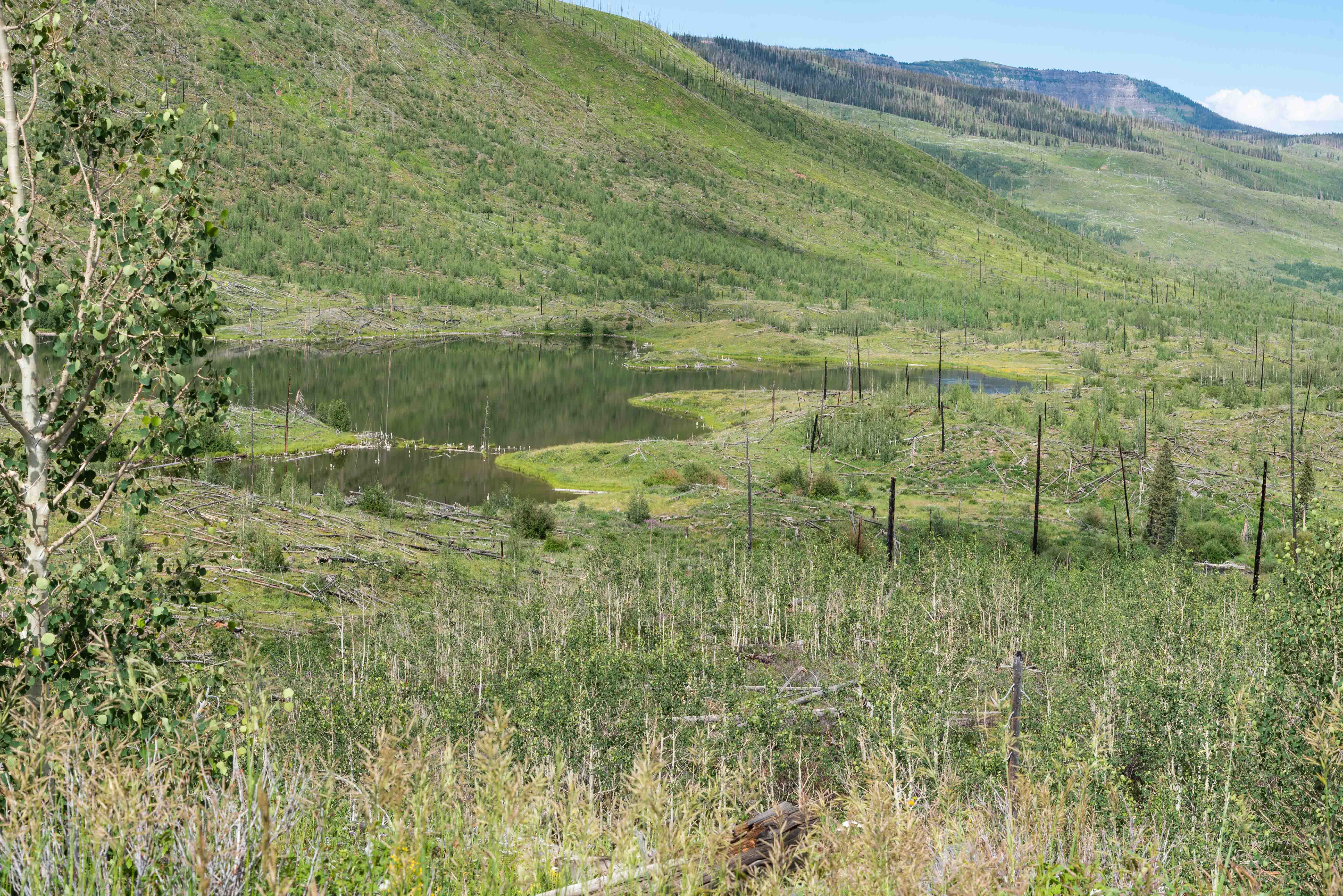
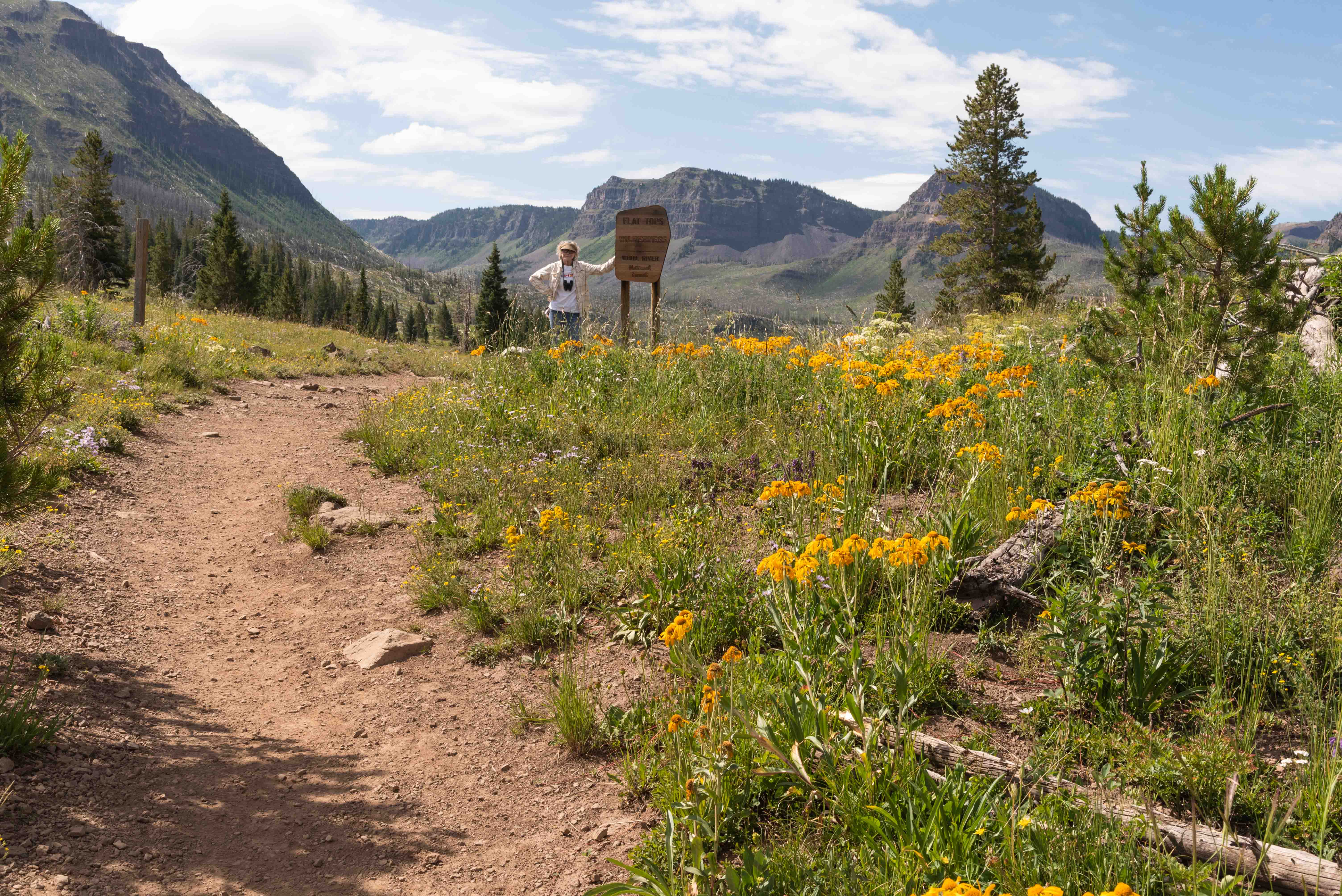
A visit to Trappers Lake (#8) is mandatory when driving the Flat Tops Scenic Byway. Turn south onto Forest Service Road 205 (Trappers Lake Road) and continue about 10 miles to the Outlet parking area. From there it's a short quarter mile hike to the lake. Flat Tops Wilderness provides the magnificent scenery surrounding Trappers Lake. Trappers Lake is the headwater for the north fork of the White River.
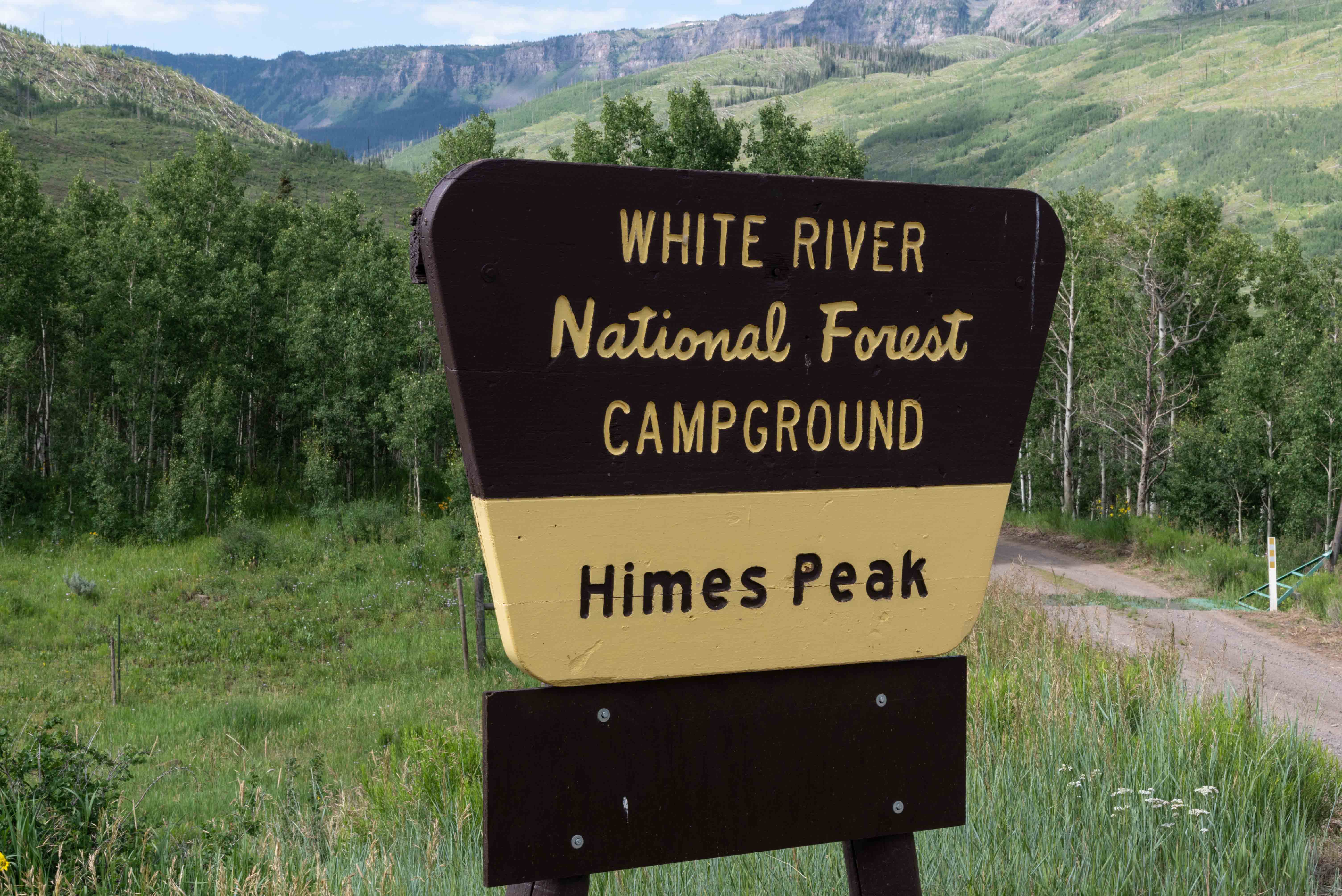
Himes Peak Campground
Himes Peak Campground is located about six miles from the FR-205 turnoff
and is named for the very prominent Himes Peak. It's a primitive campground with
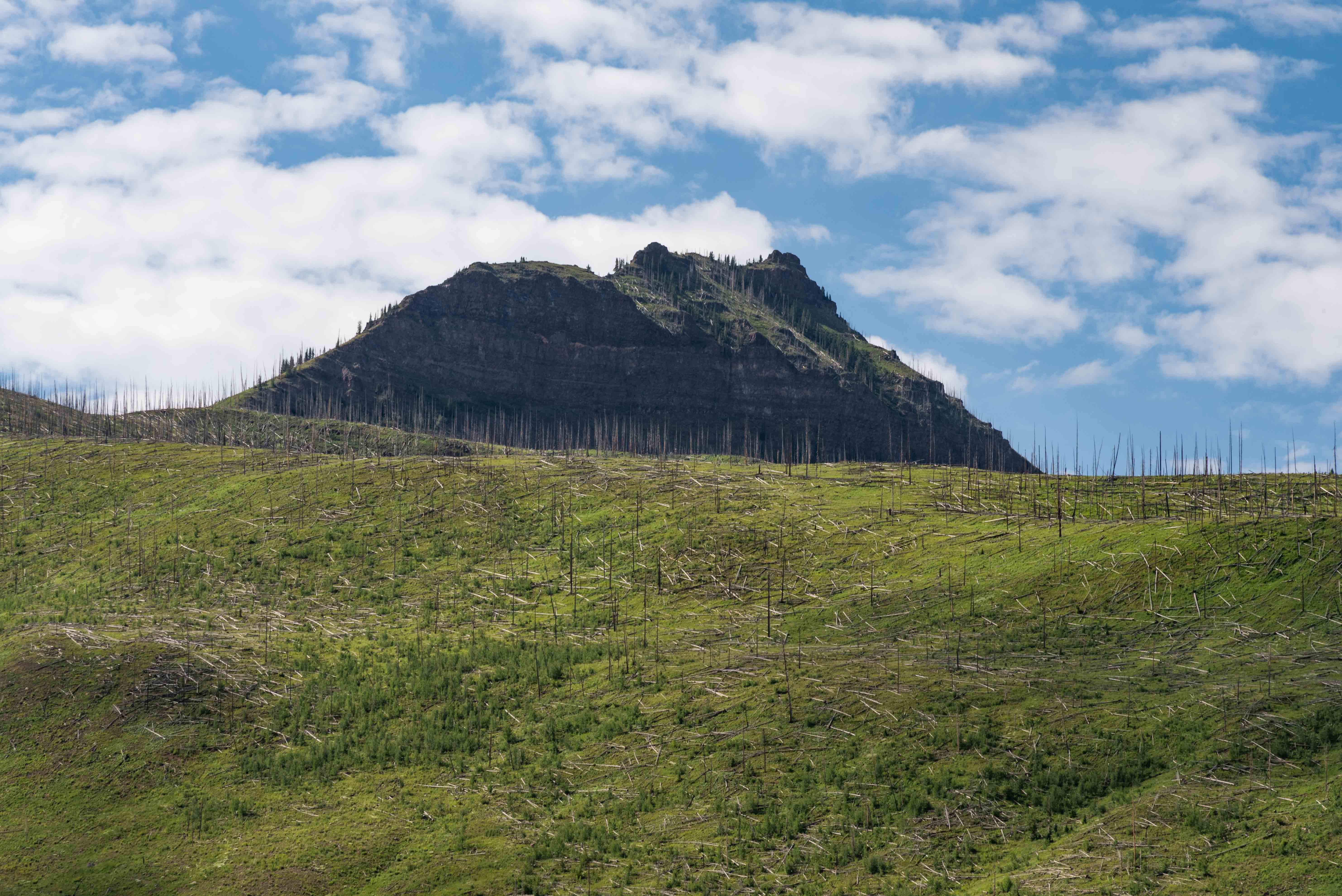
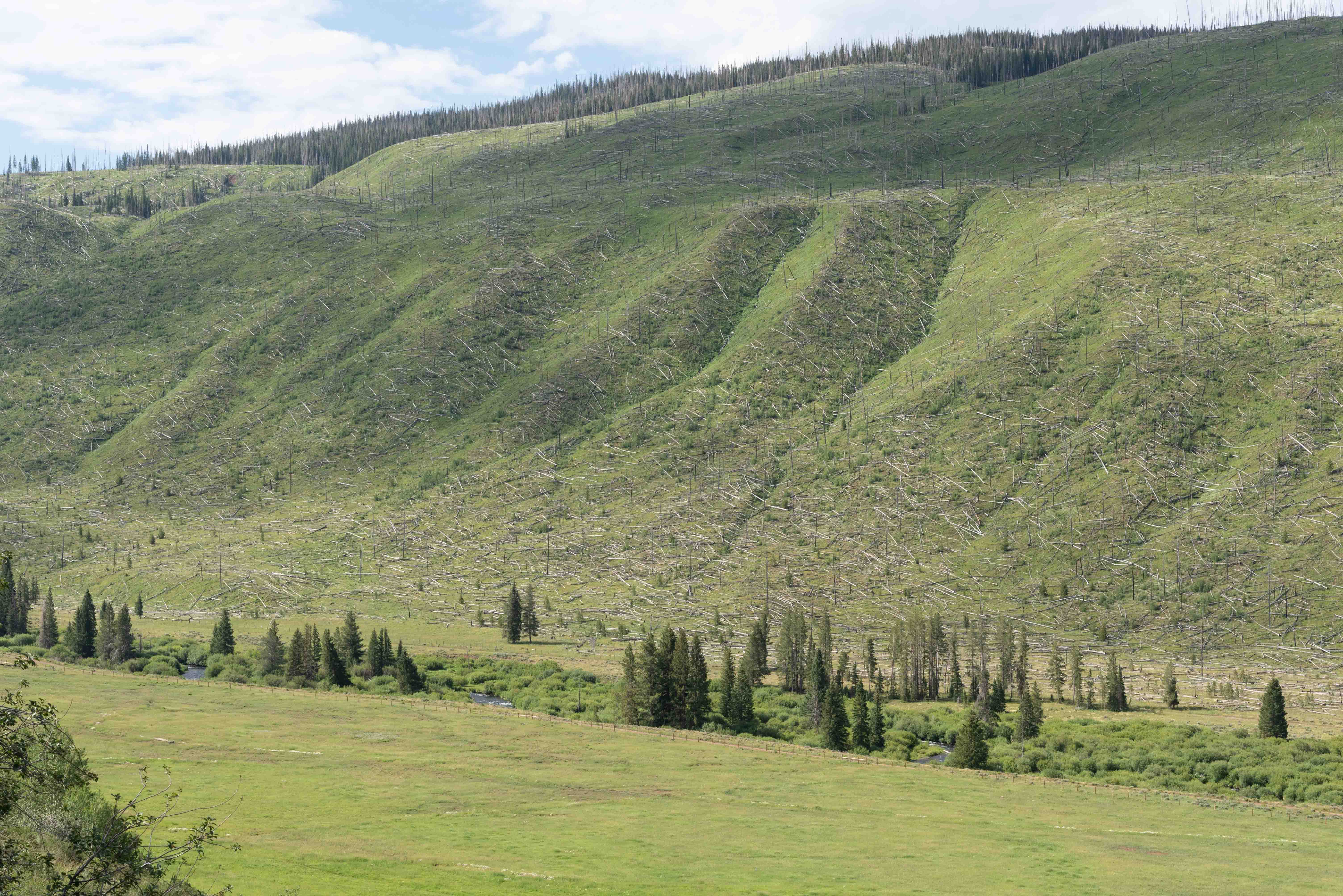
11 campsites and vault toilet. The hillsides to the right above the north fork of
the White River are littered with tree trunks from an old wildfire blowdown
(possibly the 1898 forest fire?).
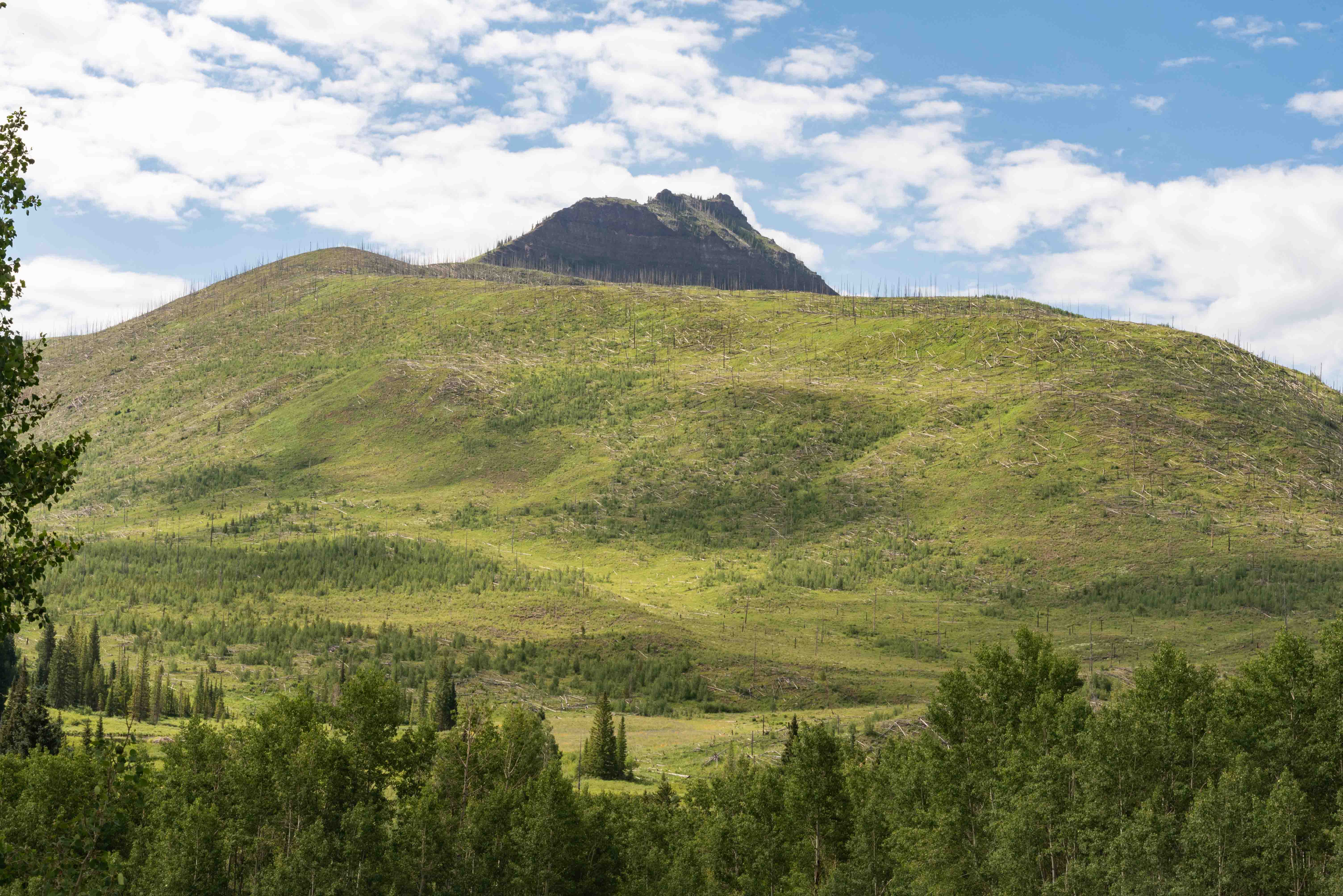
Himes Peak
Himes Peak
Wildfire Blowdown
Lake of the Woods
Stephanie on Trail to Trappers Lake
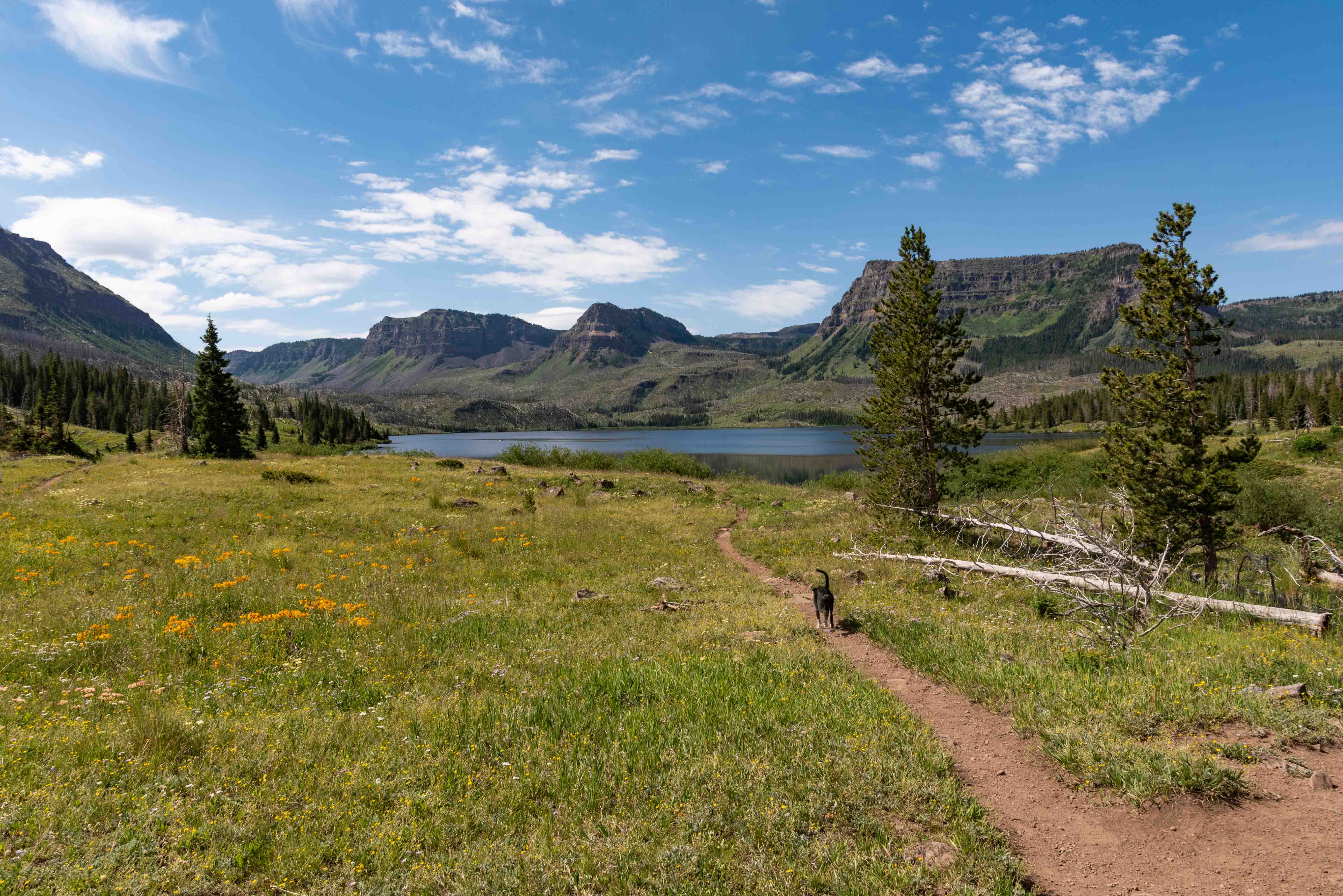
Charlie on Trail to Trappers Lake

Trappers Lake and Amphitheater Peak (center)
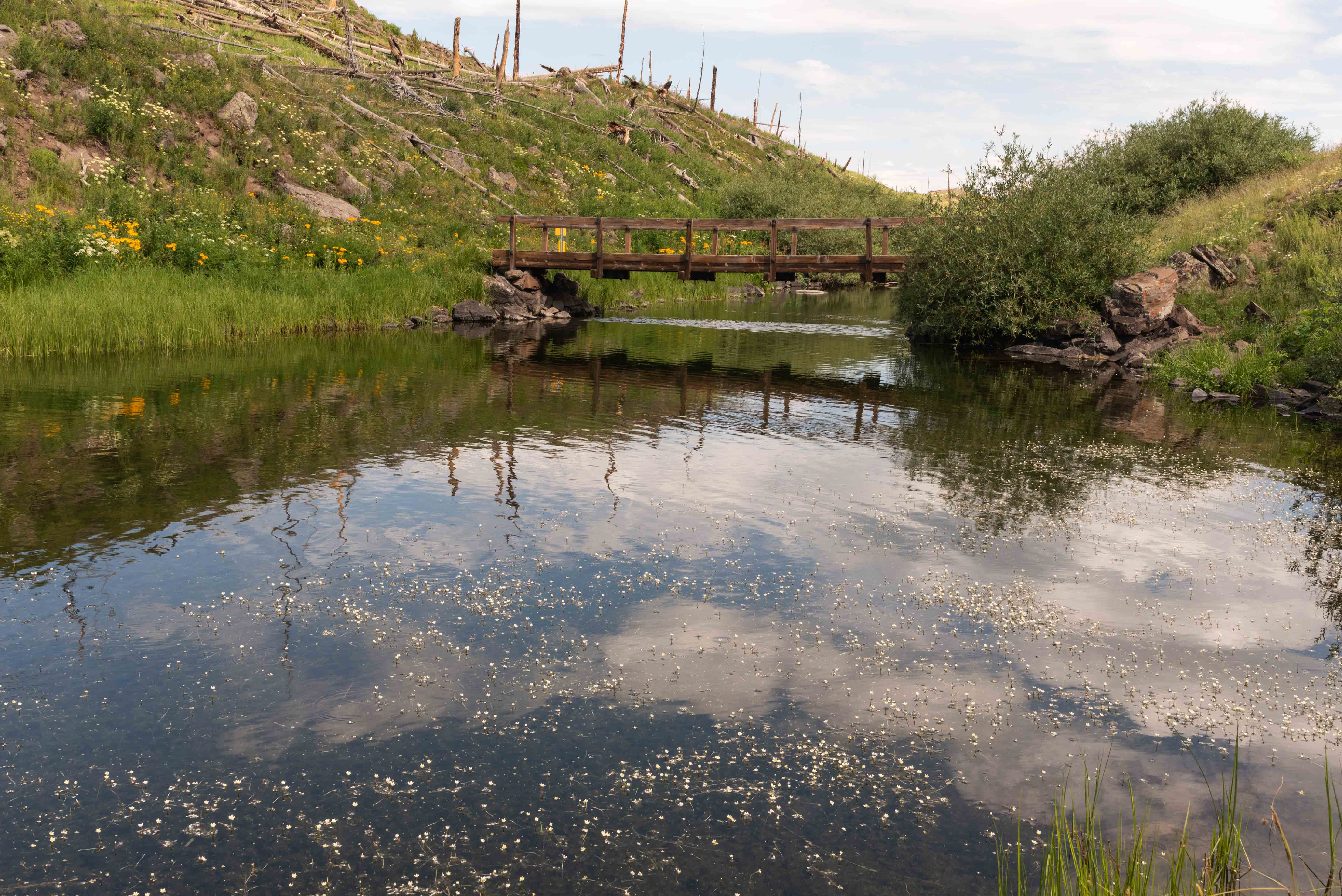
Trappers Lake Outlet
Trappers Lake Lodge
Trappers Lake Lodge is located right next to the Outlet parking area, so I took a quick look around.
Thought it was pretty neat so I included some photos even though it's not officially
part of the byway tour. There are lots of nice lodges along the Flat Tops Scenic Byway and
I'm making no endorsements here, but if anyone wants more information on Trappers Lake Lodge
I've included a link to their website.
Trappers Lake Lodge
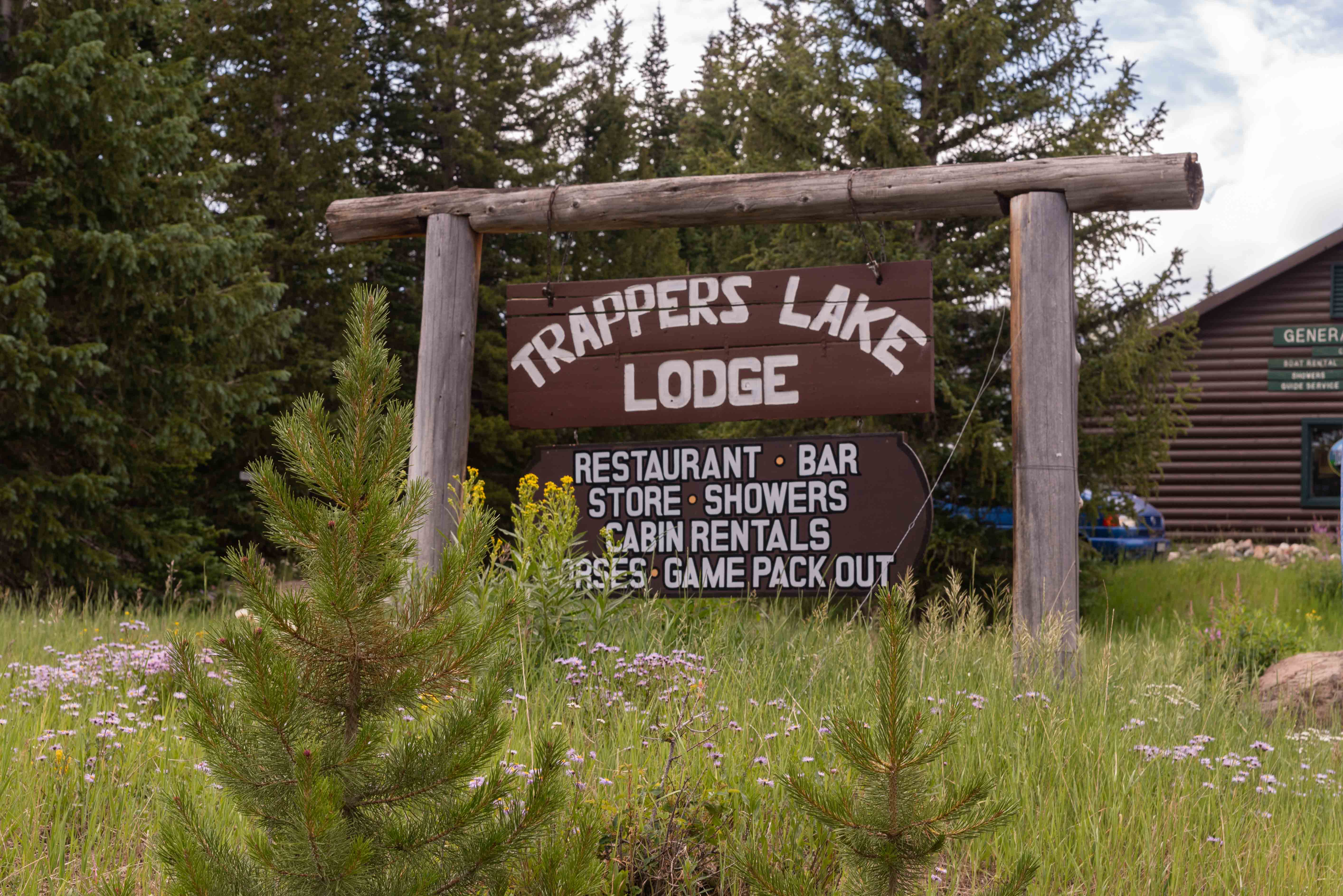
Trappers Lake Lodge

The Lodge
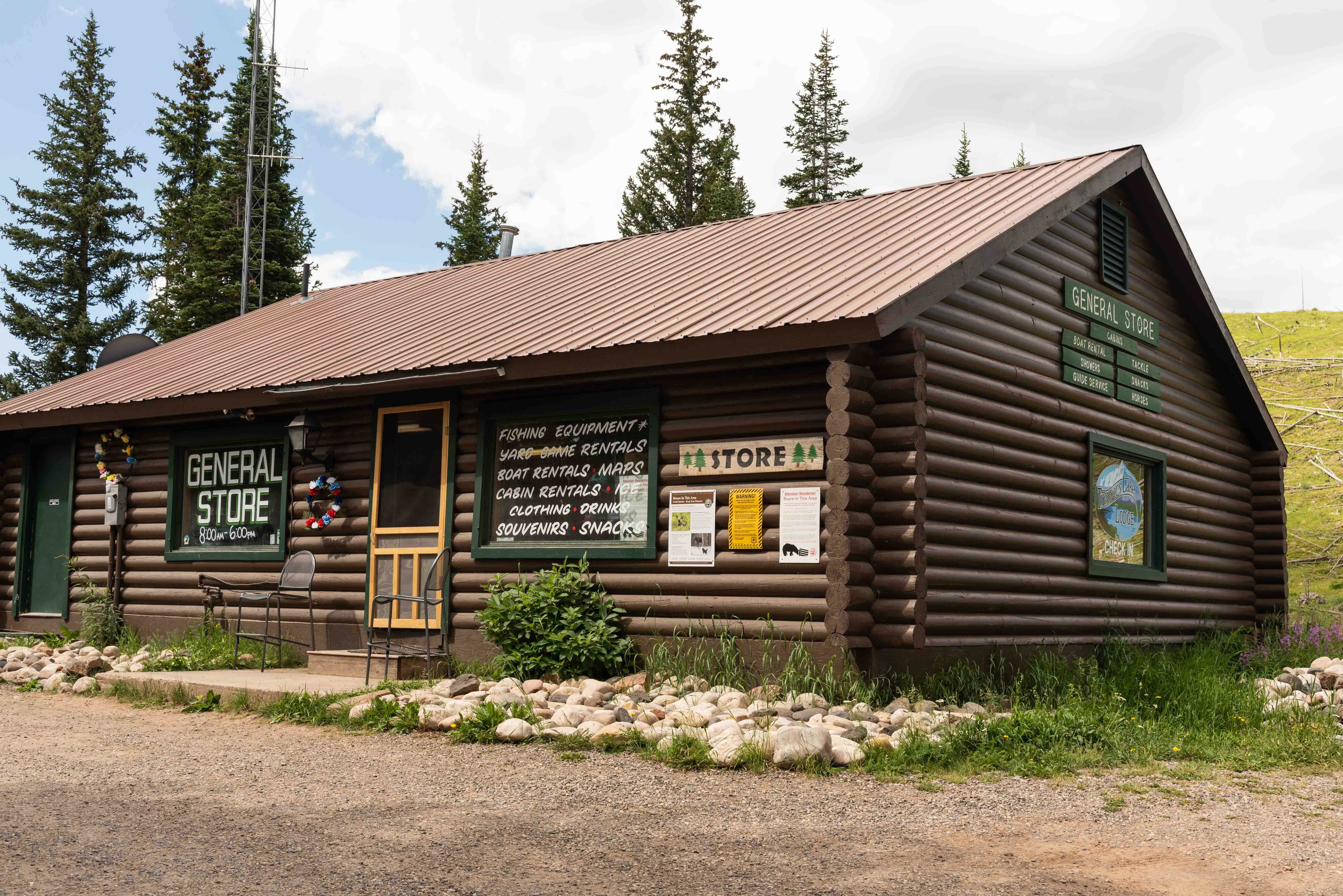
General Store
Store Interior
Half Way - Junction CR-8 and FSR-205
Ripple Creek Overlook
Ripple Creek Overlook (#9) is located 44.7 miles from Meeker on CR-8. This is a great place to stop for lunch. There are picnic tables tucked under the shade of tall pines and a vault toilet if you really have to go. And, the views are outstanding.
Ripple Creek Overlook
Panorama from Ripple Creek Overlook

What's in the Panorma
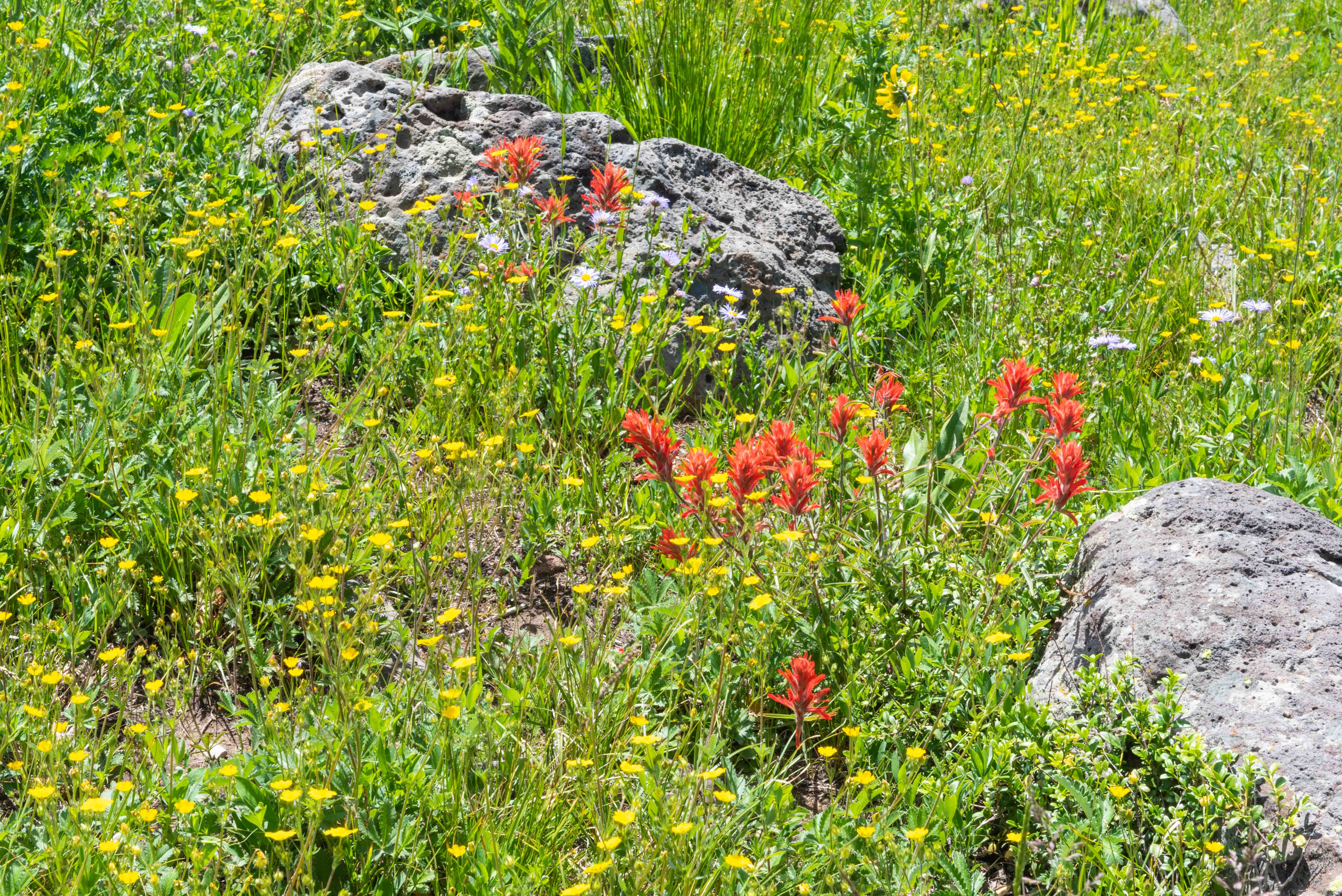
Wildflowers
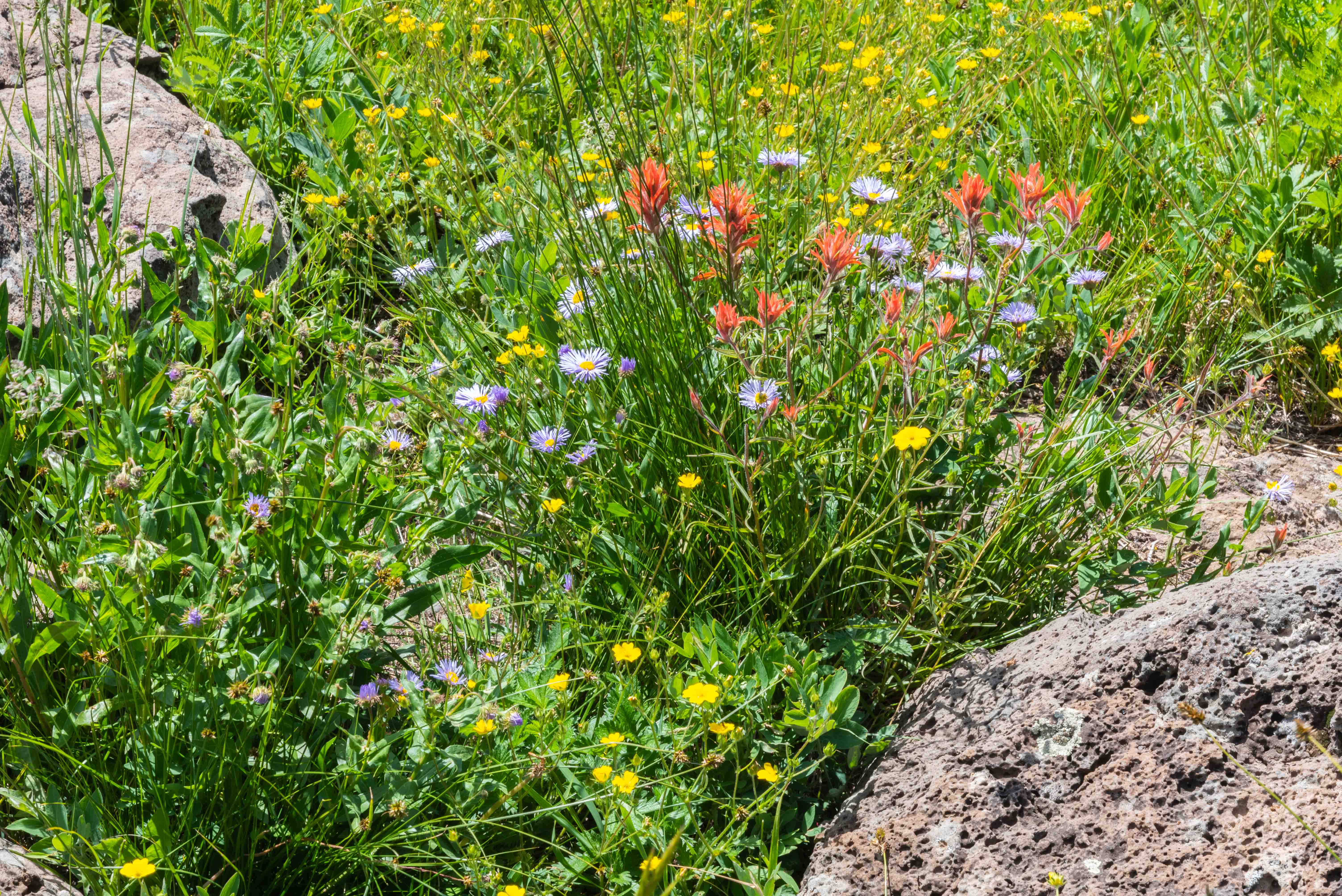
Wildflowers (lavender - Featherleaf Fleabane, red - Indian Paintbrush , yellow - don't know)
Ripple Creek Pass to Yampa
It's about 53 miles from Meeker to Ripple Creek Pass (#10), the first of two passes Flat Tops Scenic Byway
will cross on its way to Yampa. Ripple Creek Pass at 10,360 feet is the higher of the two, the other
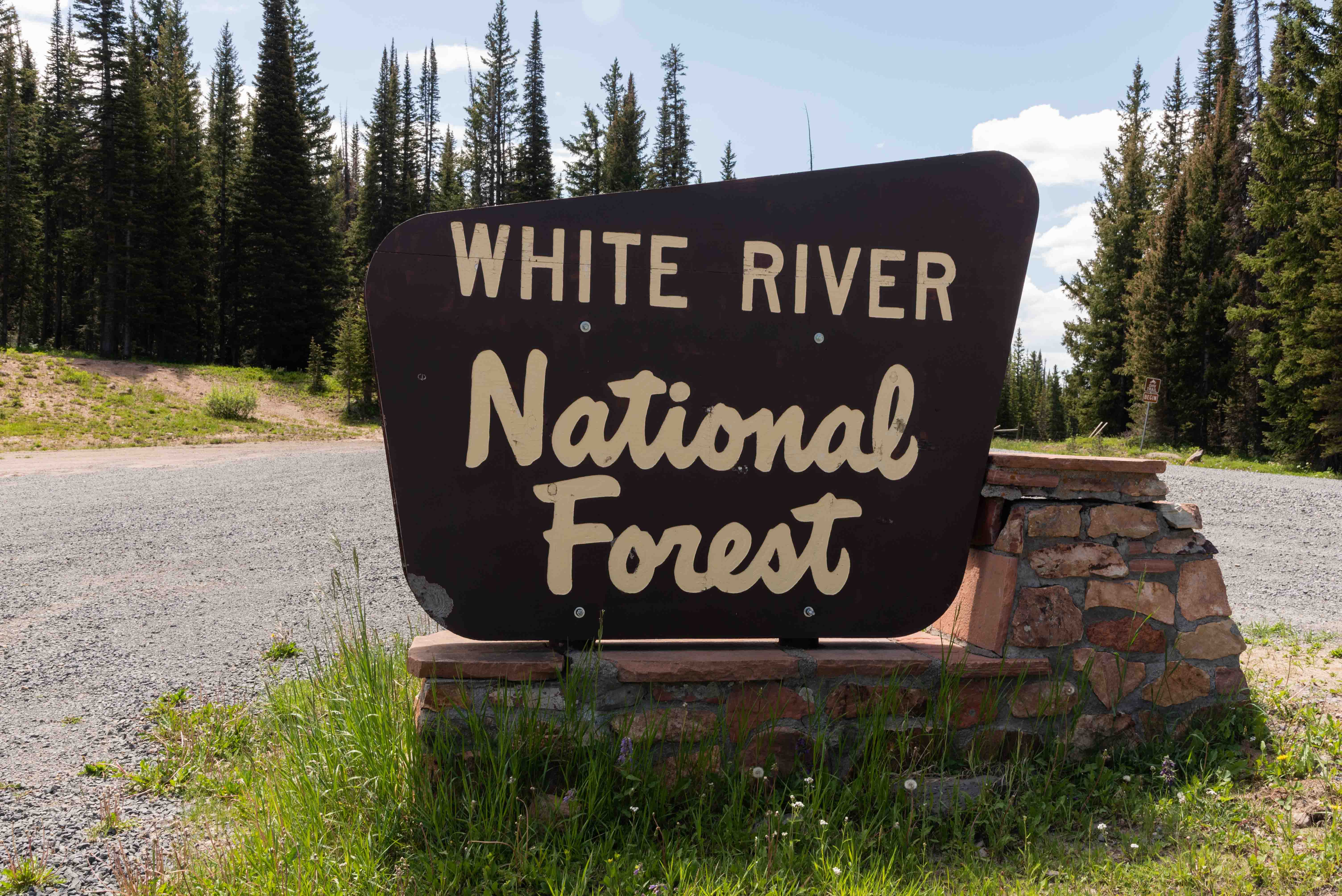
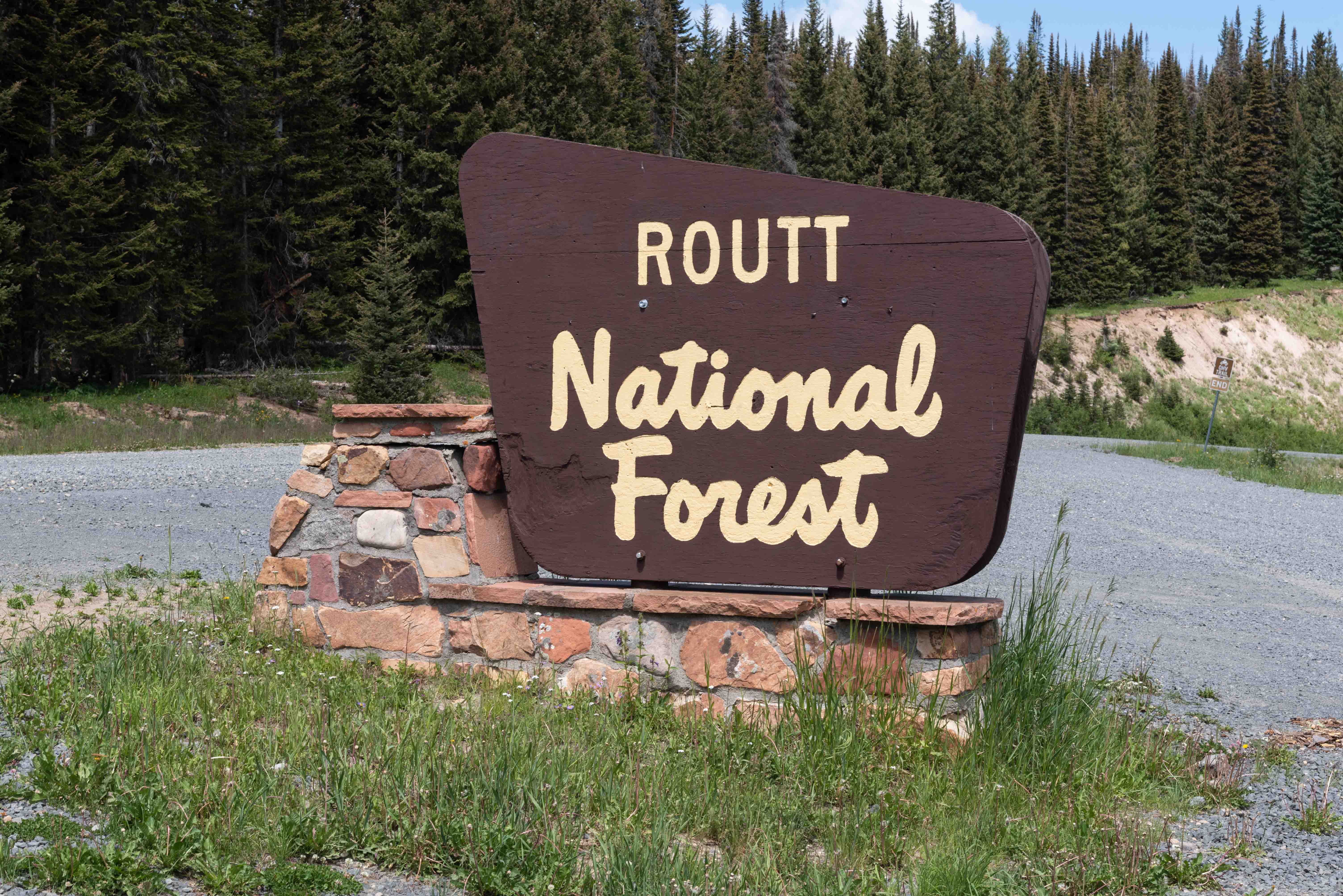
being Dunckley Pass at 9,764 ft. Ripple Creek Pass is located on the border between Rio Blanco and Routt
Counties, and also marks the boundry between White River and Routt National Forests. At this point
the byway becomes Routt County Road 132.
Pyramid Guard Station (#12) is the second guard station
encountered on the Flat Tops Scenic Byway. It was built by the Civilian Conservation Corps in 1934.
The byway becomes curvy with switchbacks on both sides of Dunckley Pass.
Dunckley Pass is 62.4 miles from Meeker and 19.6 miles from Yampa. Be sure to stop at
the Dunckley Pass Overlook (#13) to take in the breathtaking views. Pyramid Peak (11,532 ft) is the highlight
of the view.
West side of Ripple Creek Pass
East side of Ripple Creek Pass
Pair of marmots
Pyramid Guard Station

Pyramid Guard Station
Dunckley Pass elev 9764 ft
Panorama from Dunckley Pass Overlook
View from Dunckley Pass Overlook
Pyramid Peak center right
Yampa
Finally we arrive in Yampa (#17), which bills itself as the Gateway to the Flat Tops. Yampa began as a hunting camp in the 1880s. Later, agriculture and a robust lumber industry kept Yampa going. The arrival of the Denver, Northwestern and Pacific Railroad in 1908 also helped a lot. Today, Yampa is a quiet town with a population of around 500. Yampa holds kind of a unique event each Fourth of July - cowboy horse polo where riders and horses chase a polo ball up and down Moffat Avenue.
Welcome to Yampa
Montgomery's - the Walmart of Yampa
Antlers Cafe & Bar
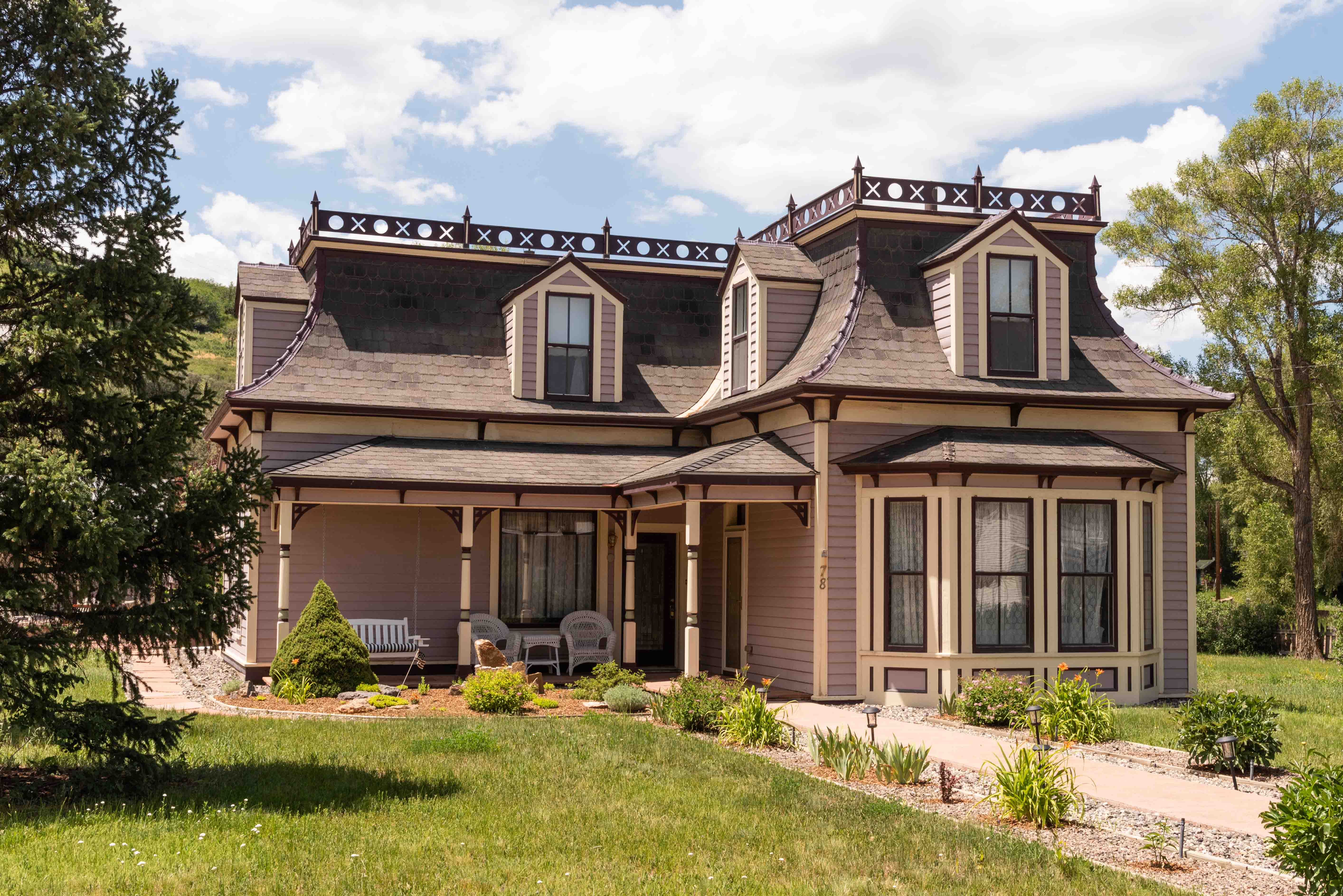
Very Nice Victorian House
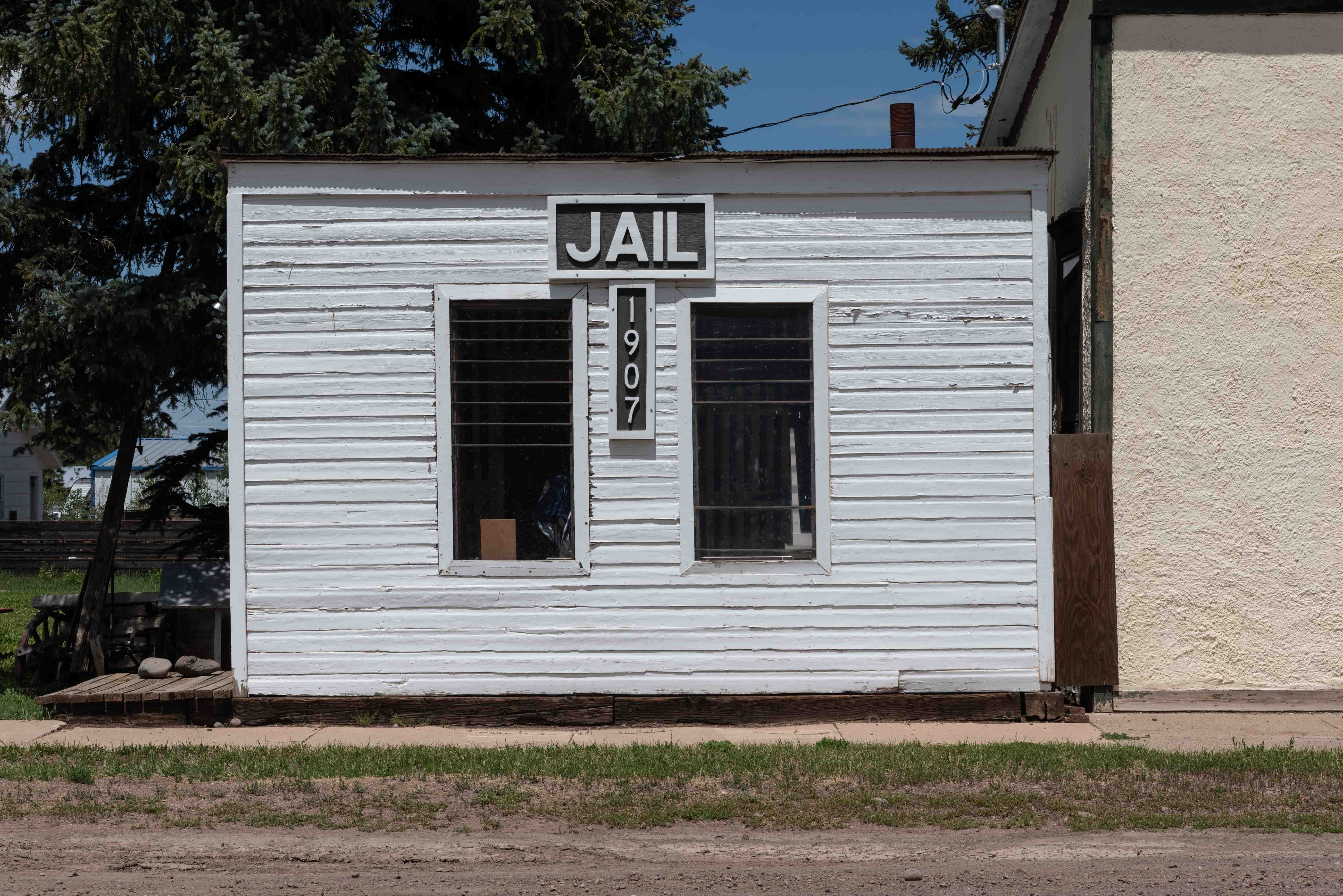
Vintage Jail
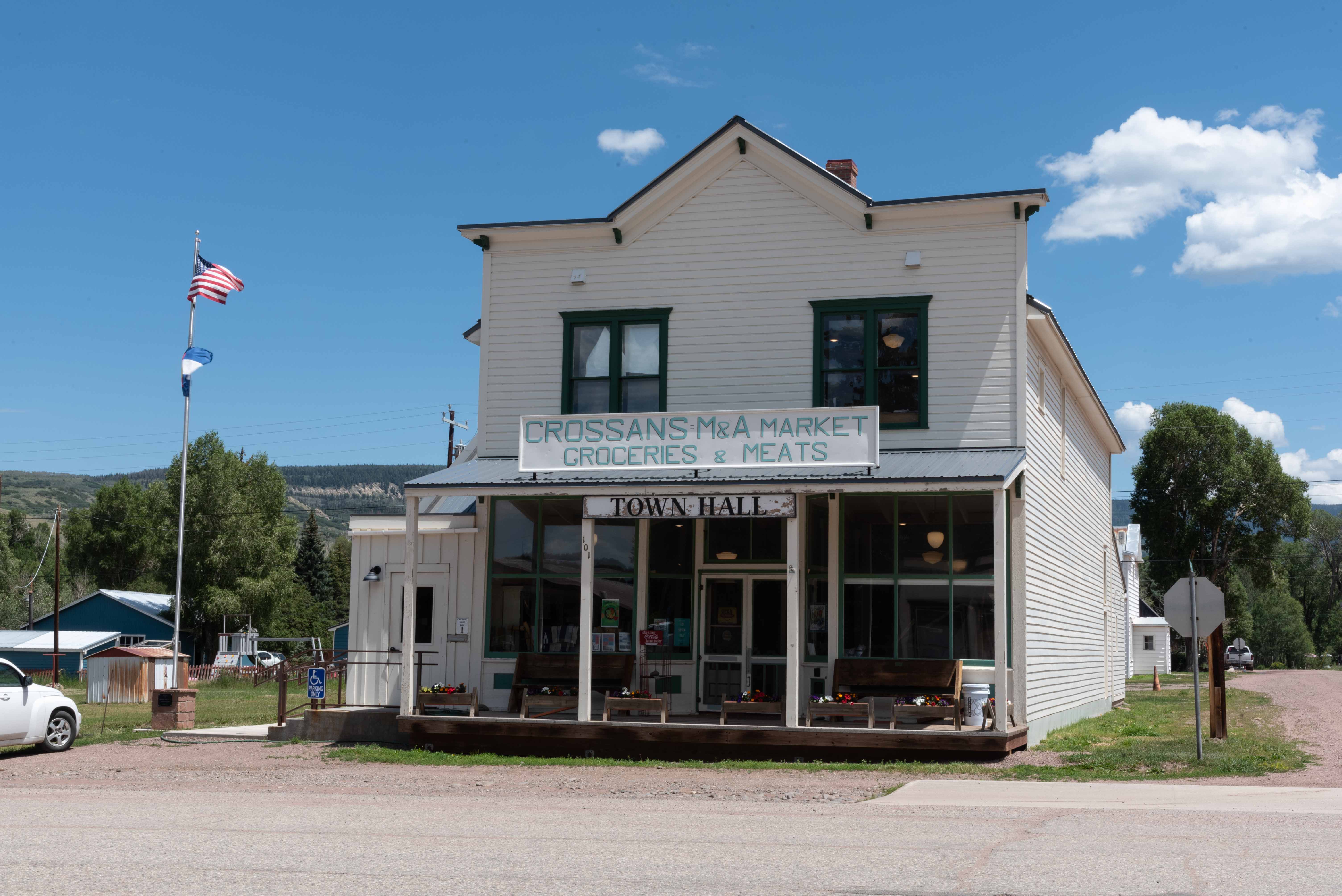
Town Hall
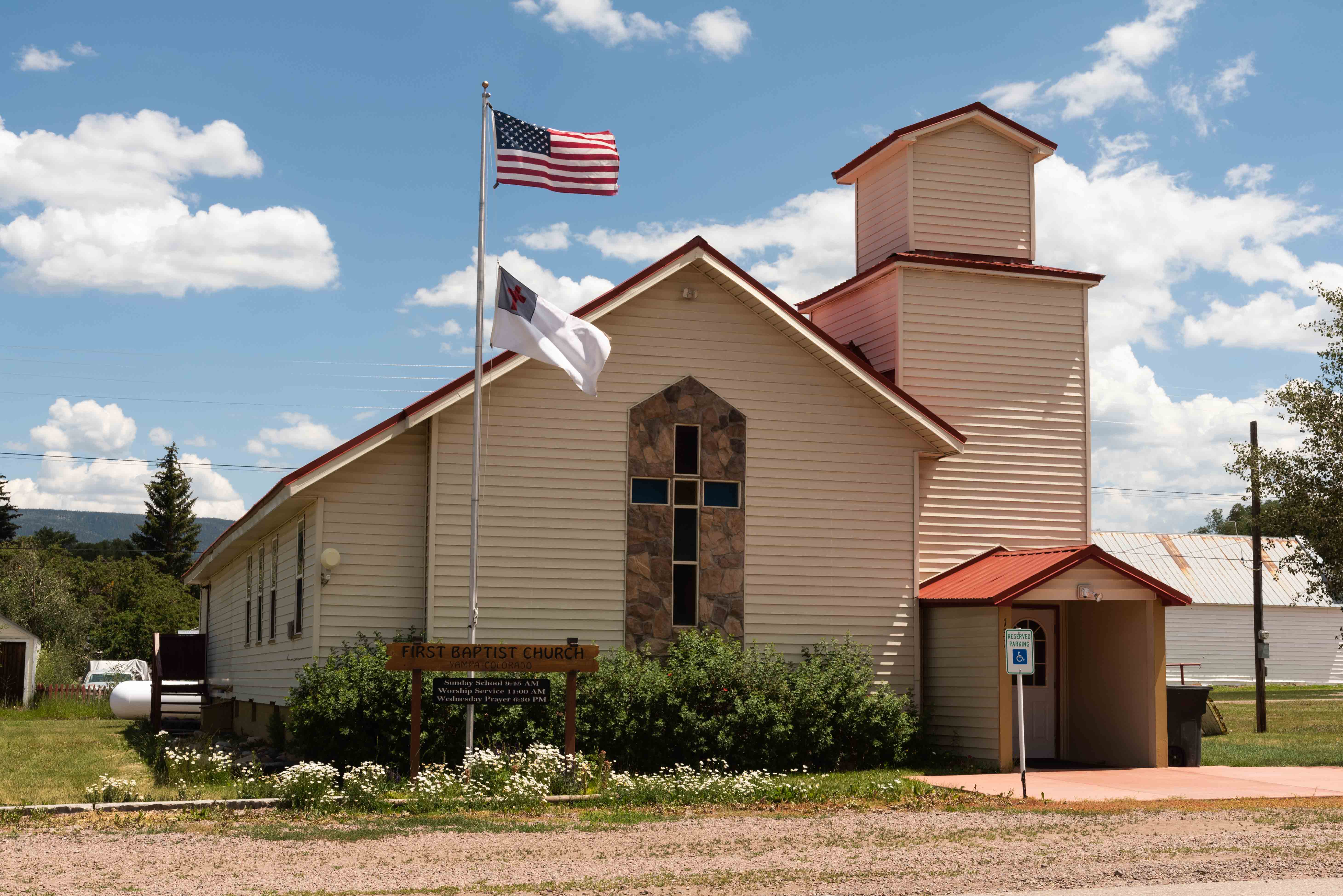
First Baptist Church

View south along Main Street
Yampa Library
Buildings along Moffat Avenue
This concludes our drive of the Flat Tops Scenic Byway. The only thing left to do is return to our starting point in Meeker. There are two options. Either drive the scenic byway in reverse (3-4 hours), or take CO-131 to Steamboat Springs, US-40 west to Craig, then CO-13 south to Meeker (2 hours).
Use the form on the Home Page to submit comments, questions, or suggestions. TD Productions Copyright © 2022