Death Valley National Park
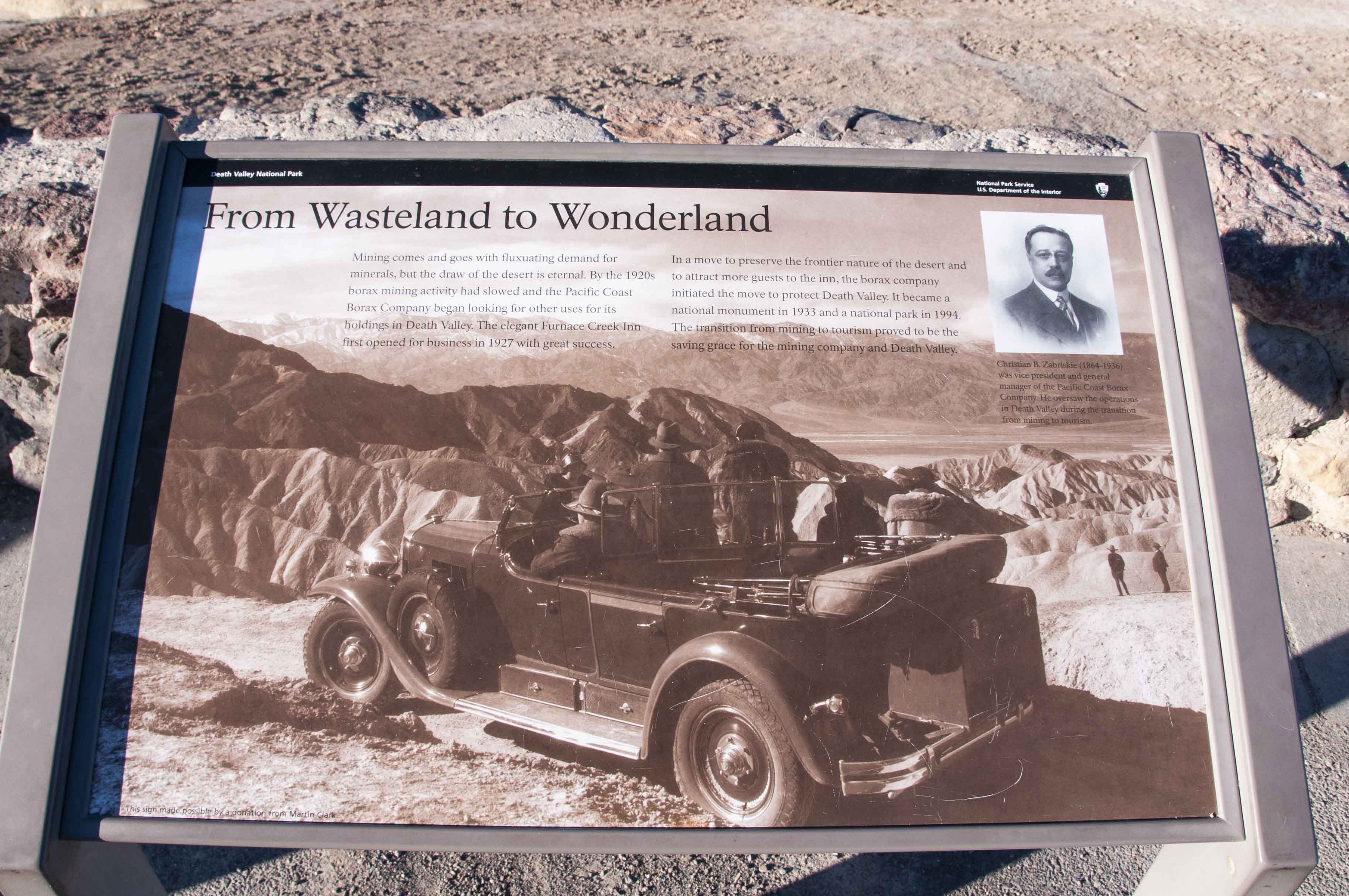
Death Valley is the largest national park in the lower 48 states (3.4 million acres), and the hottest, driest and lowest U.S. national park. The lowest point in the park is in Badwater Basin (see below). Death Valley was declared a national monument in 1933 and became a national park in 1994. The park is famous for its borax deposits which were mined in the park up until 2005. The park was popularized in radio and TV shows such as "Death Valley Days" sponsored by Pacific Coast Borax Company (20 Mule Team Borax and Boraxo). I managed to cram a lot of sightseeing into my first trip to Death Valley in March of 2019. Hopefully it won't be my last because I still need to tour Scotty's Castle, hike the Golden Canyon, visit the borax works and 20 mule team displays, explore the west side of the valley, etc.
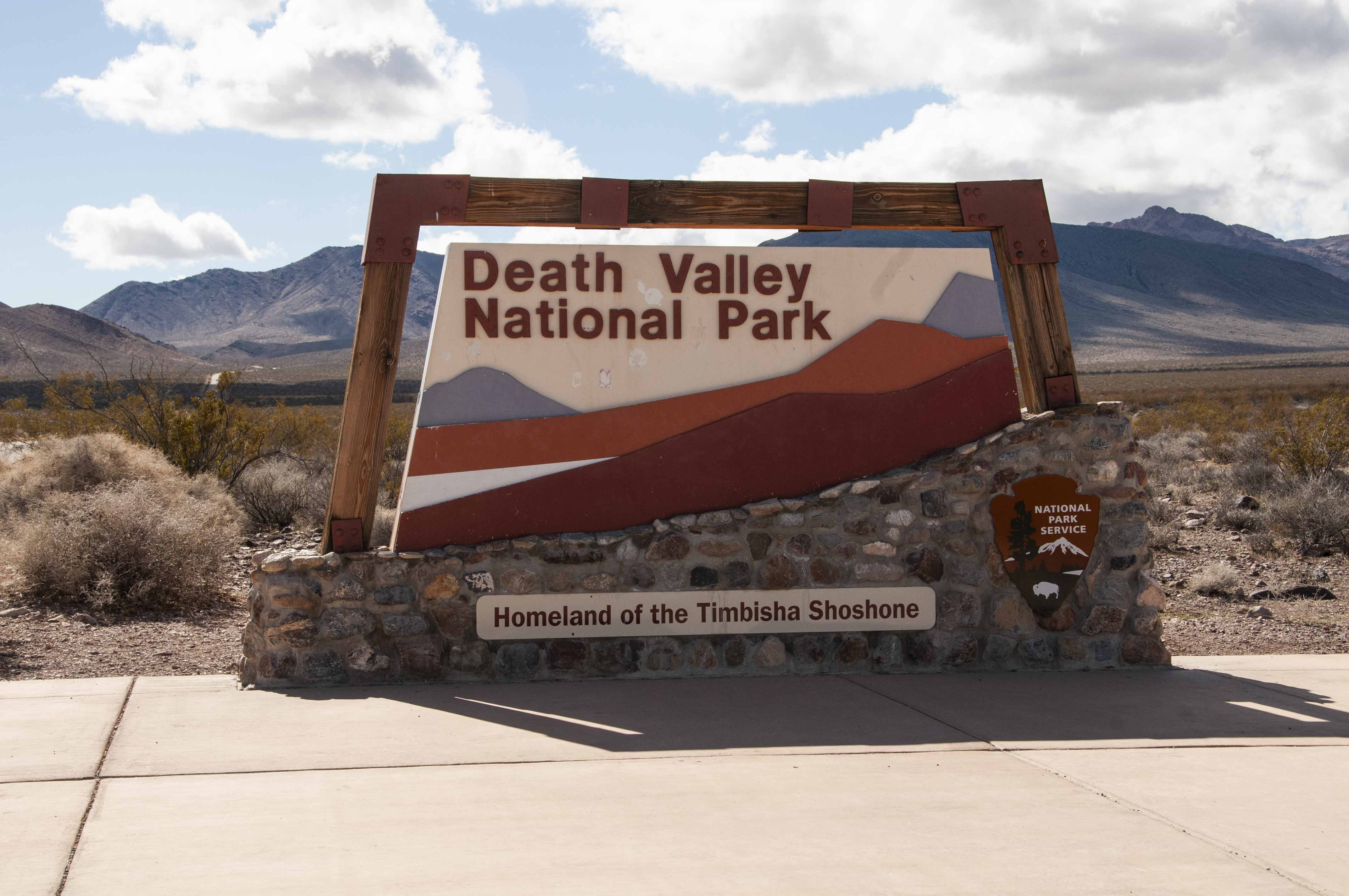
Park entrance sign
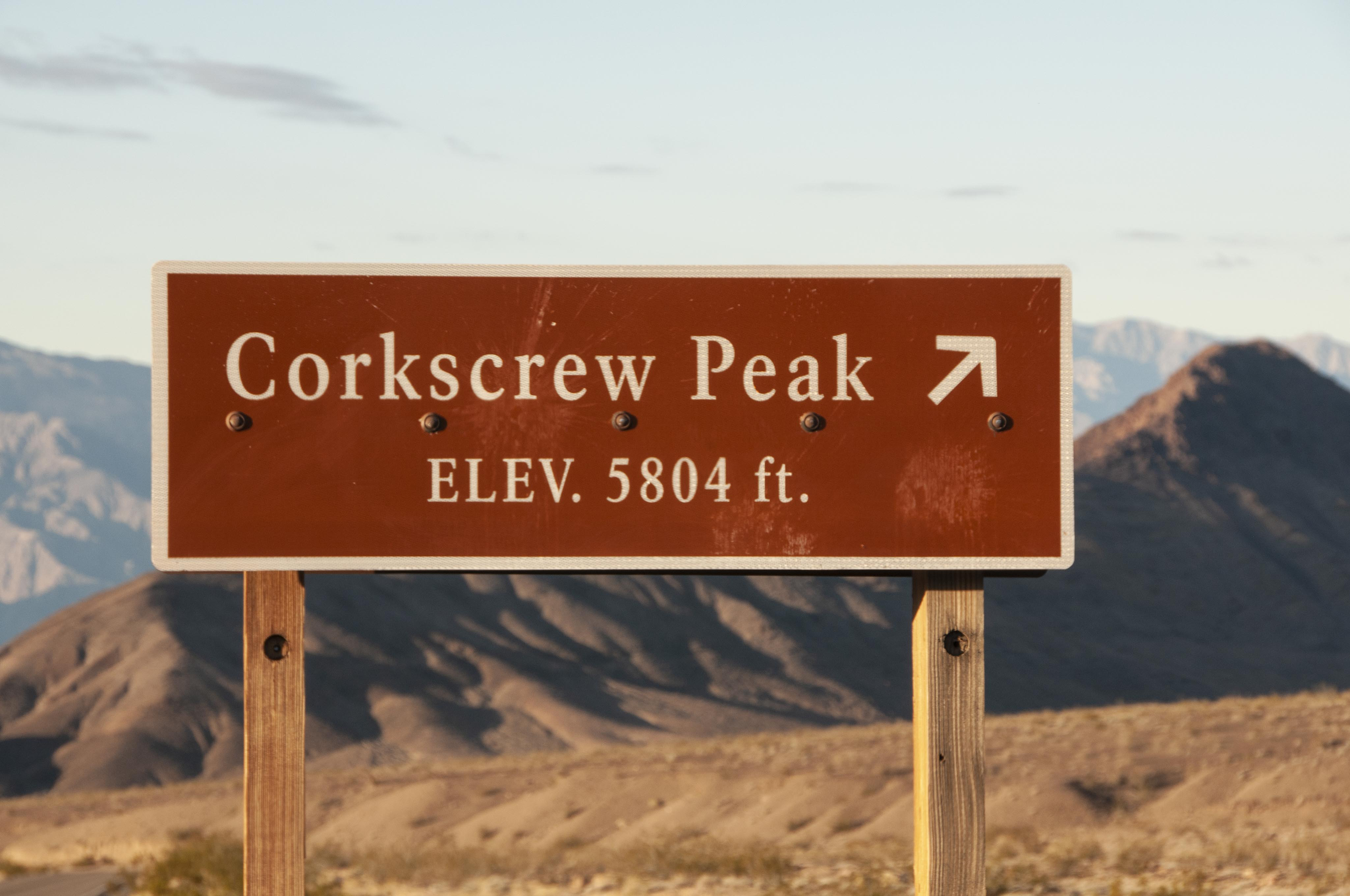
Corkscrew Peak
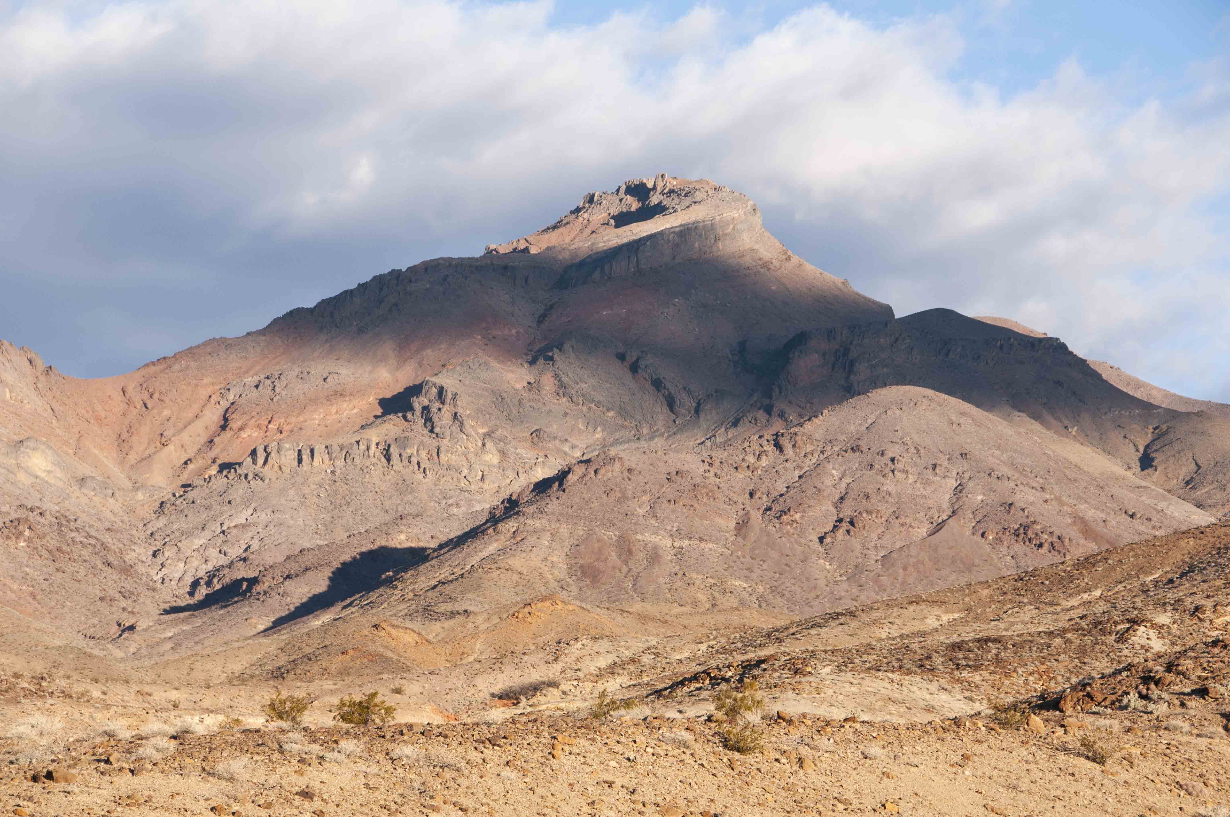
Corkscrew Peak
Park Facilities
There are several entry points into the park with CA SR 190 being the major road
through the park. There are 3 villages in the park offering a range of visitor services,
Furnace Creek, Stovepipe Wells, and Panamint Springs. Furnace Creek is the largest
and most centrally located of the three and has the main visitor center, Furnace Creek
Visitor Center. Two very nice (expensive) lodges are located in or near Furnace Creek,
The Ranch at Death Valley (formerly Furnace Creek Resort) and The Inn at Death Valley.
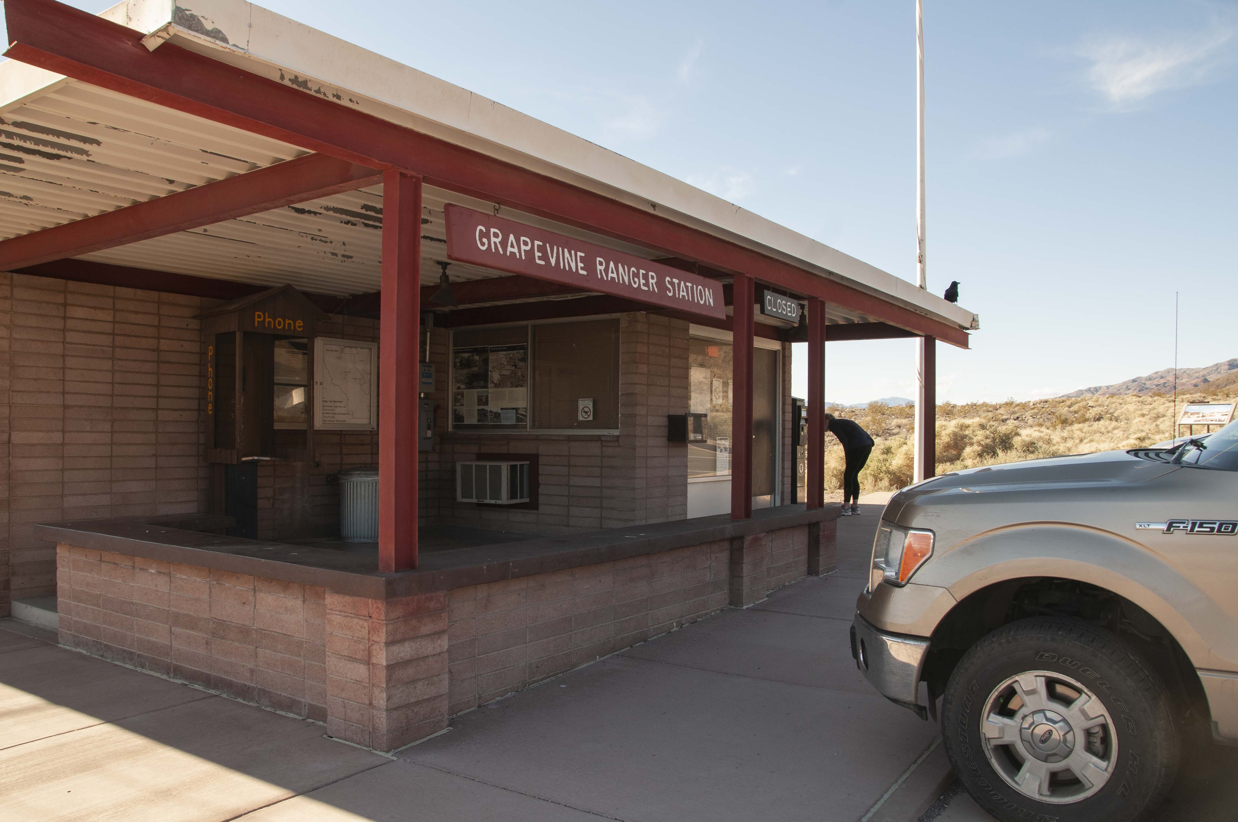
Grapevine Ranger Station
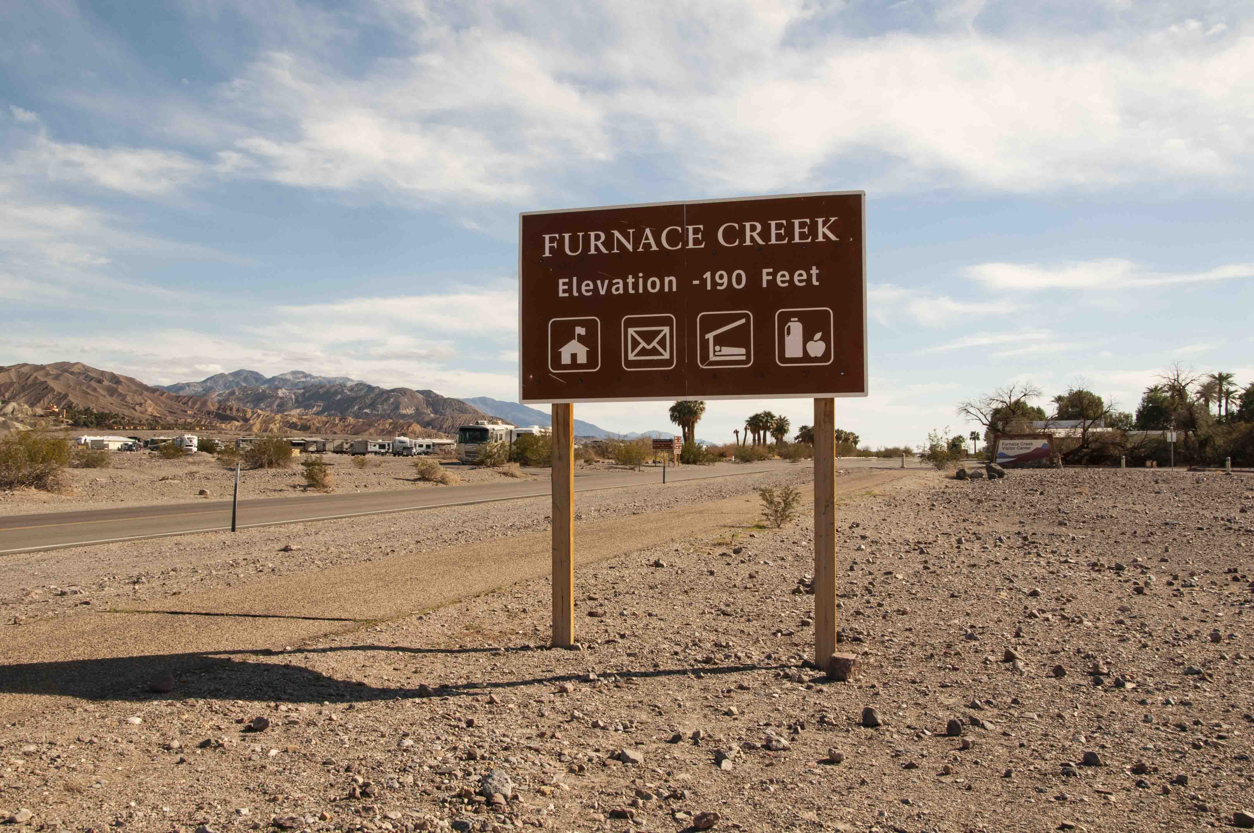
Furnace Creek
Minus elevation
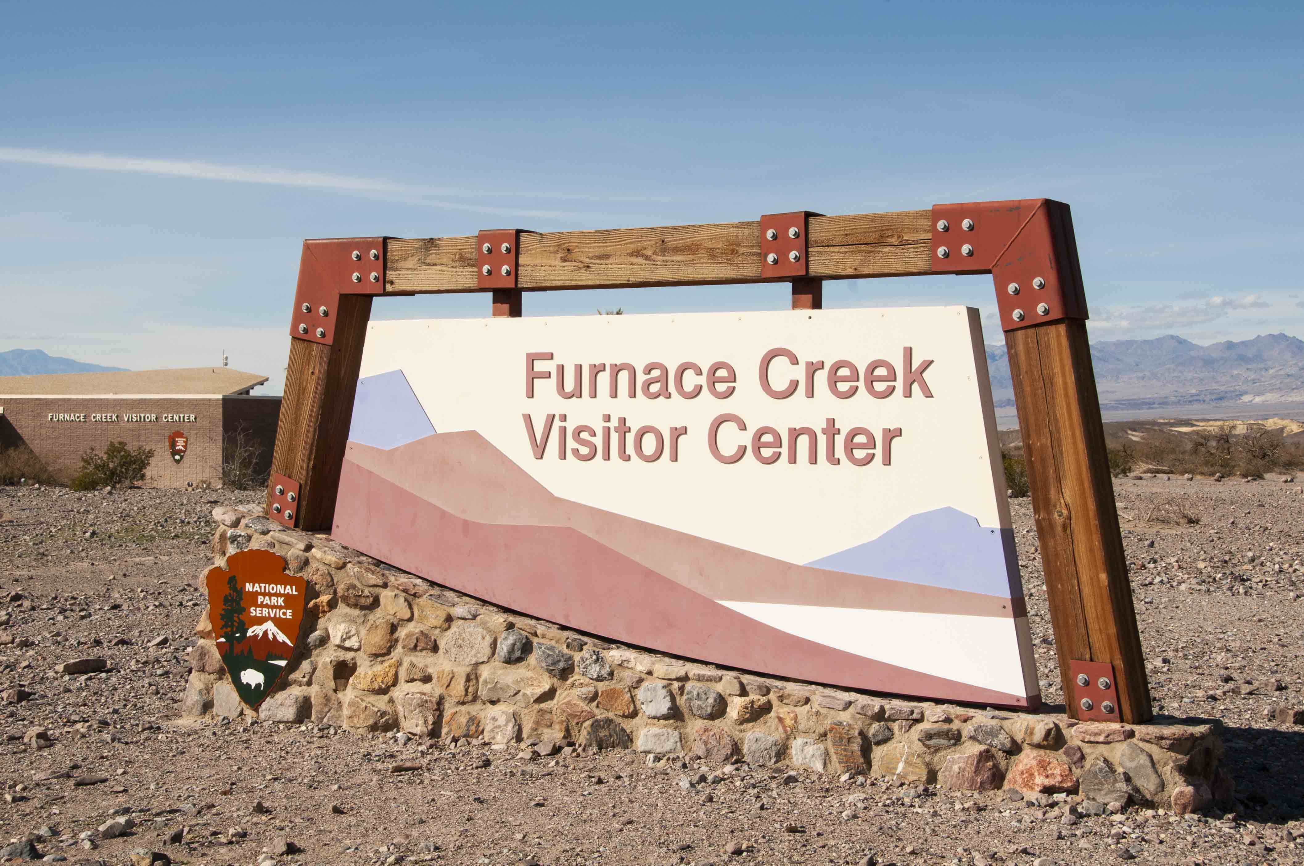
Furnace Creek Visitor Center

Furnace Creek Visitor Center
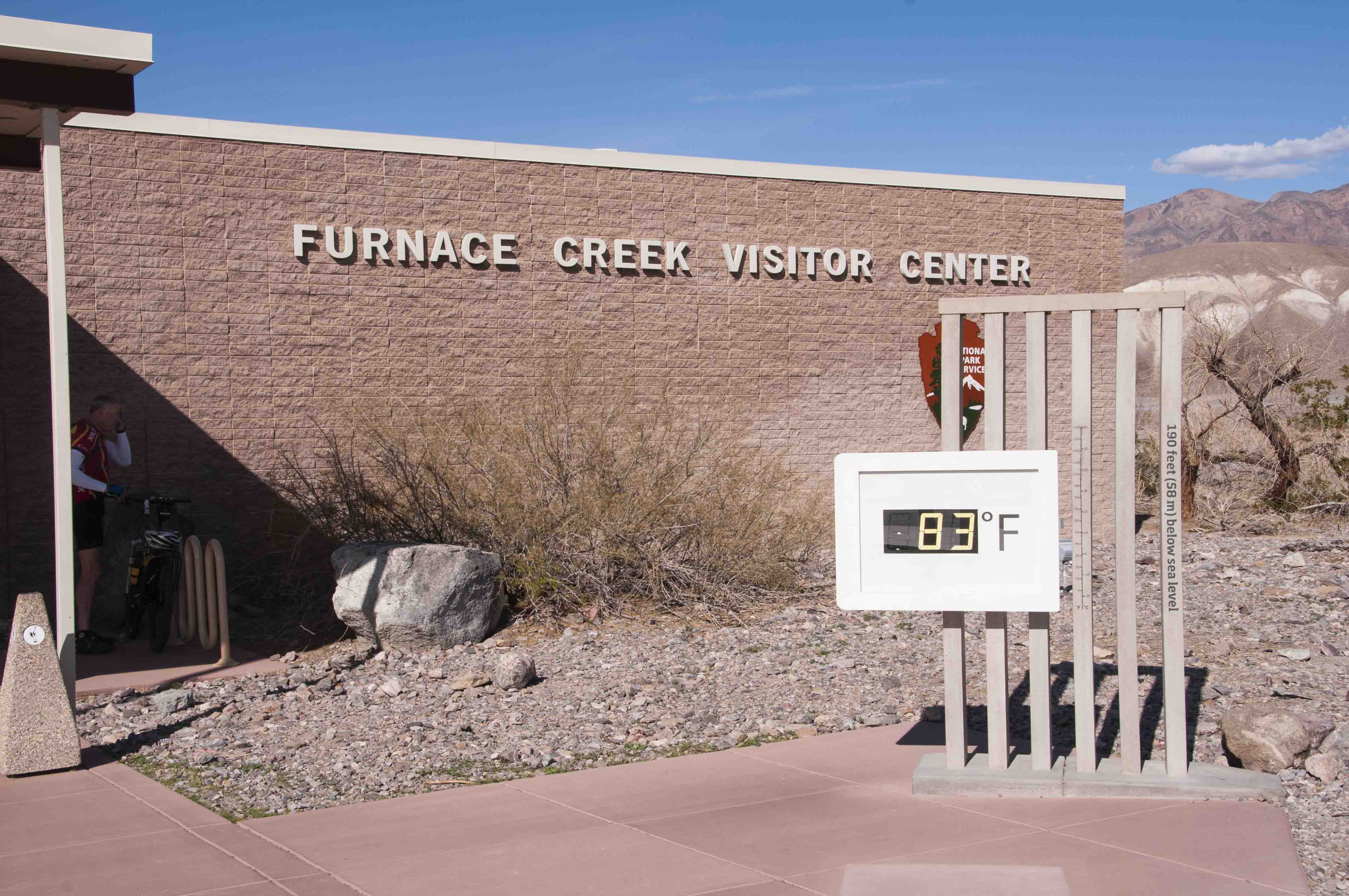
Furnace Creek Visitor Center
Display
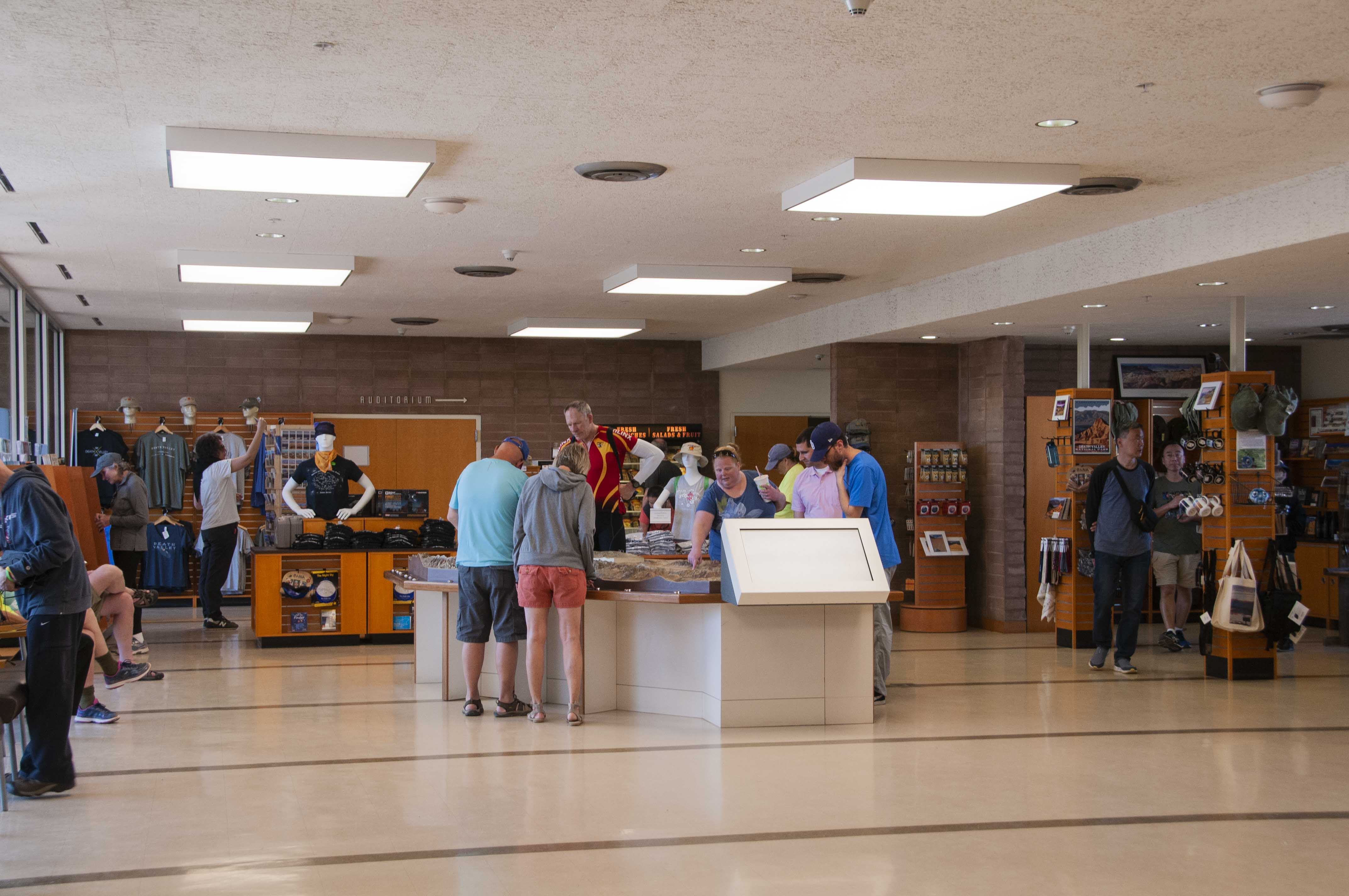
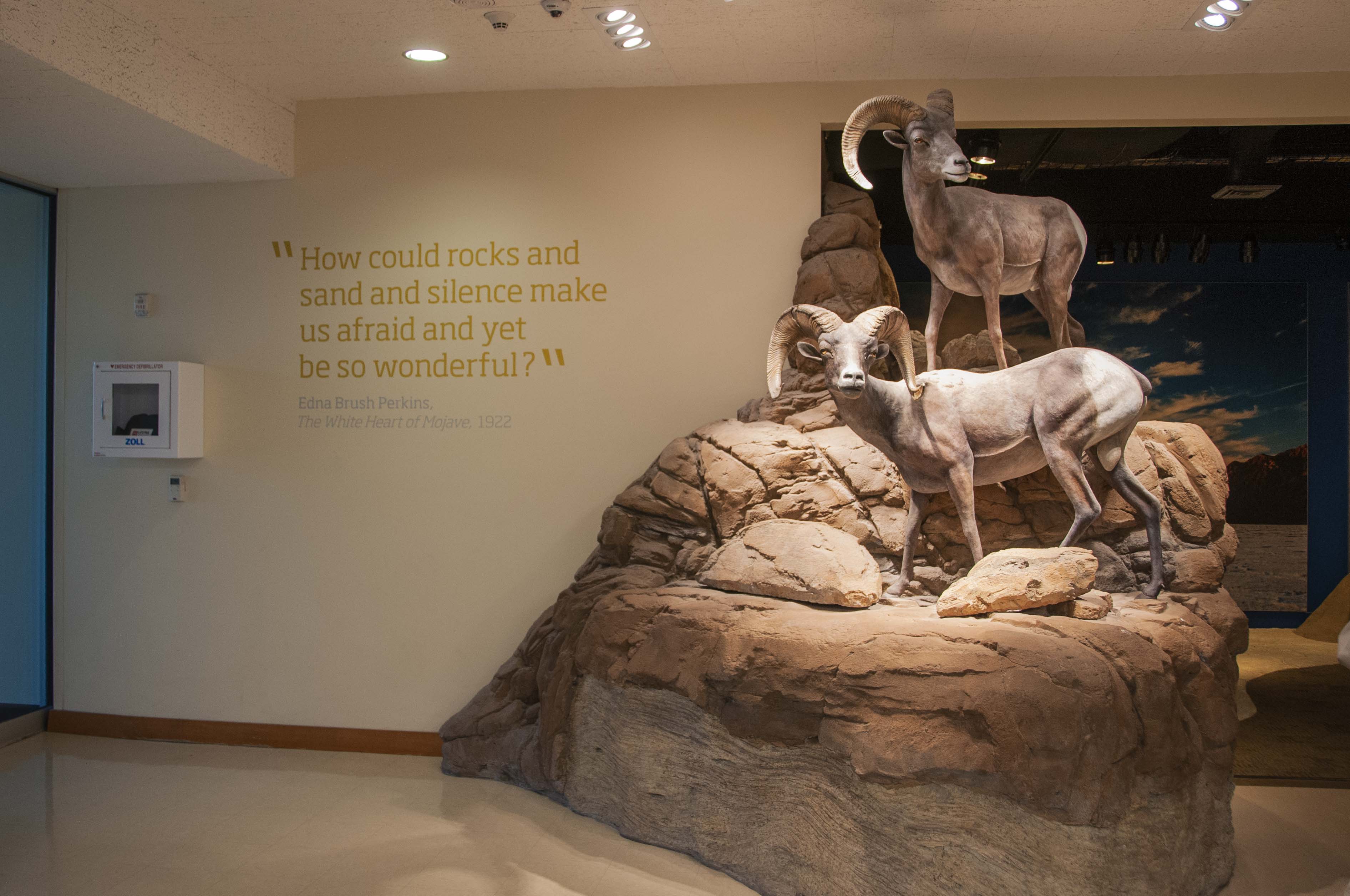
Visitor center

Information desk
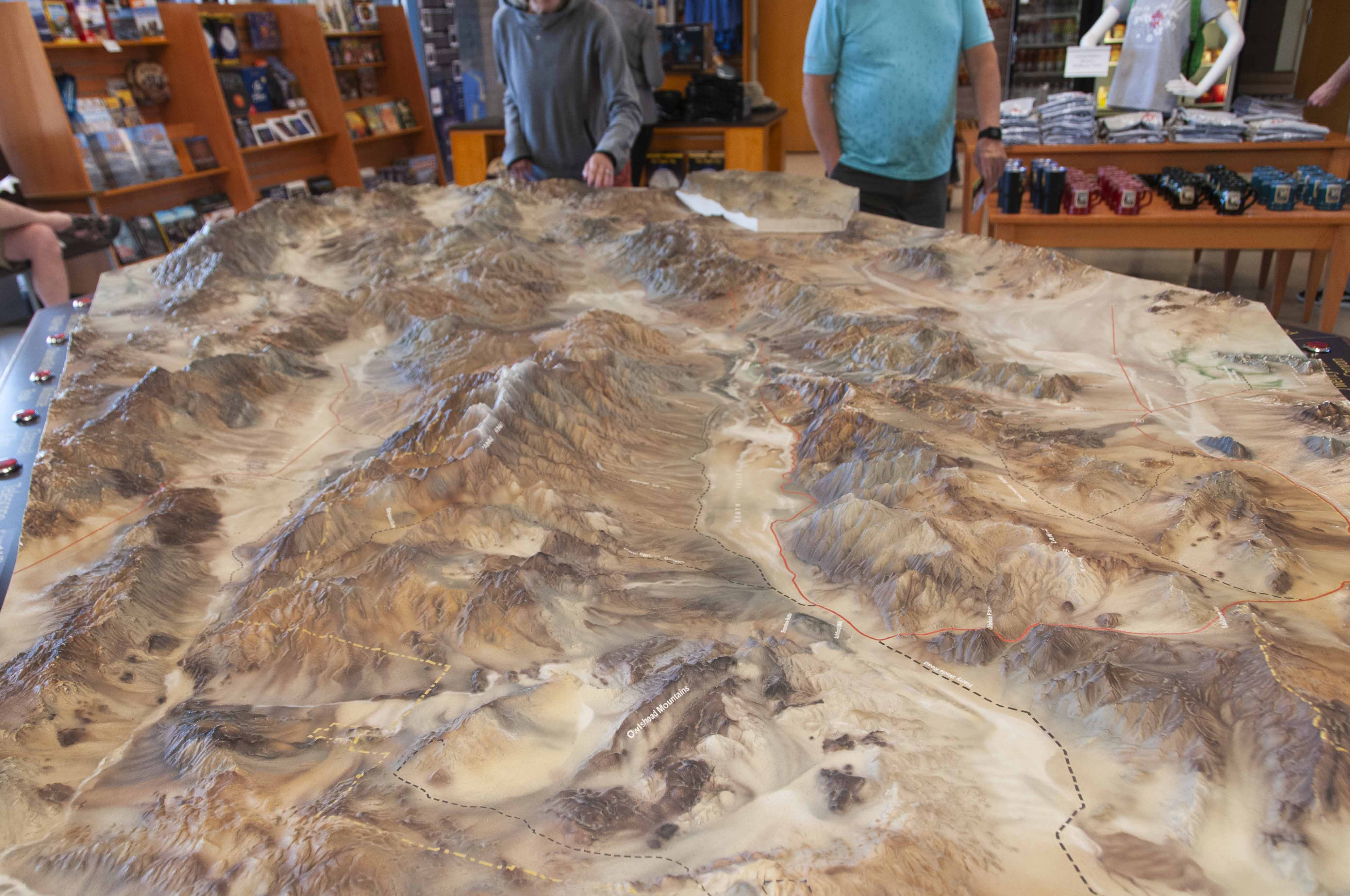
Park topo map
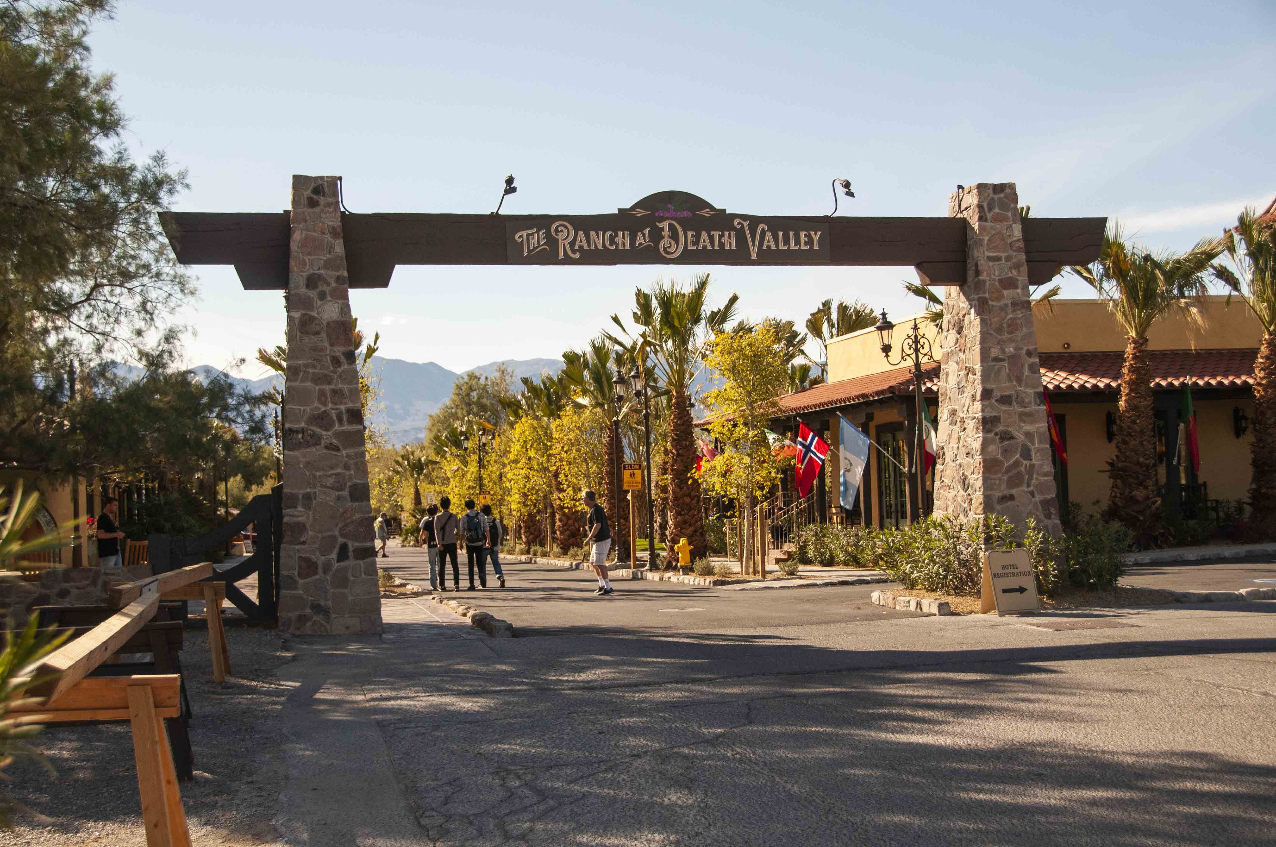
The Ranch at Death Valley
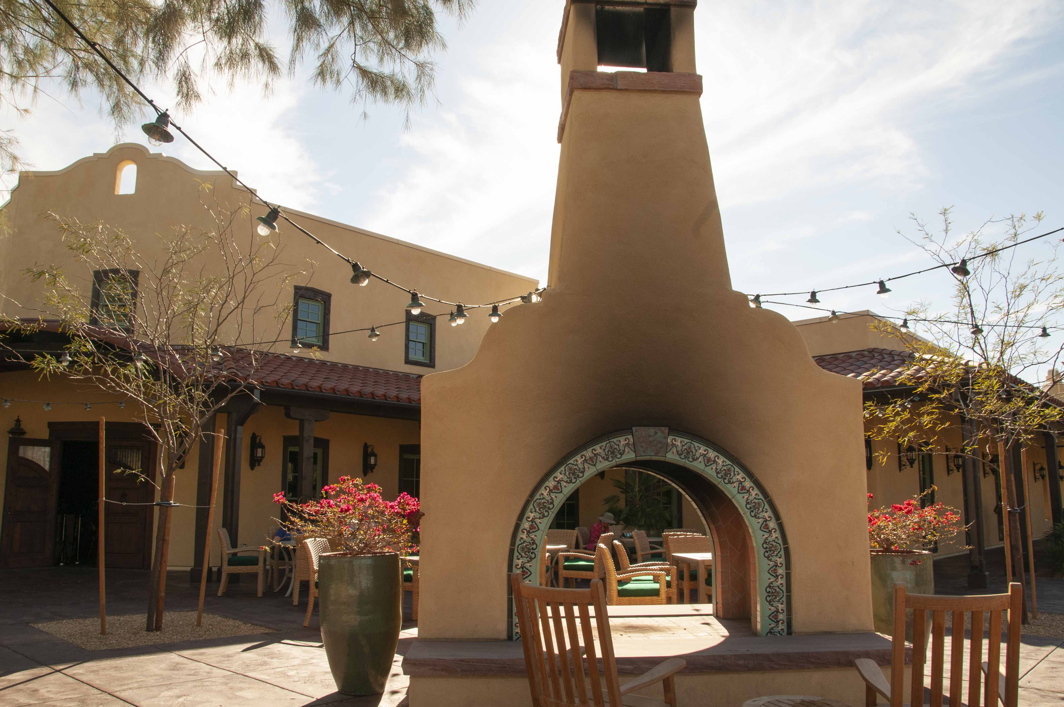
The Ranch at Death Valley
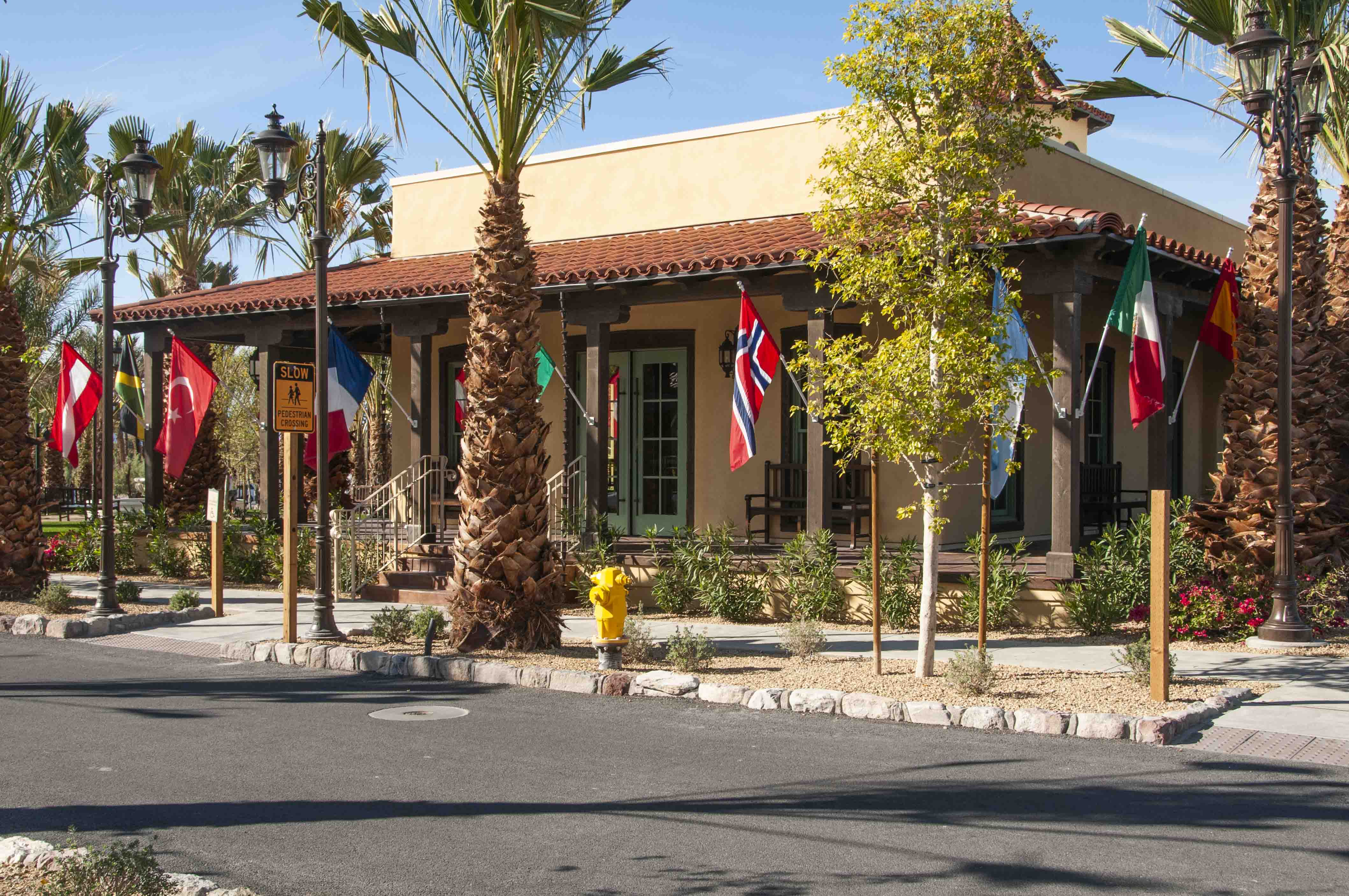
The Ranch at Death Valley
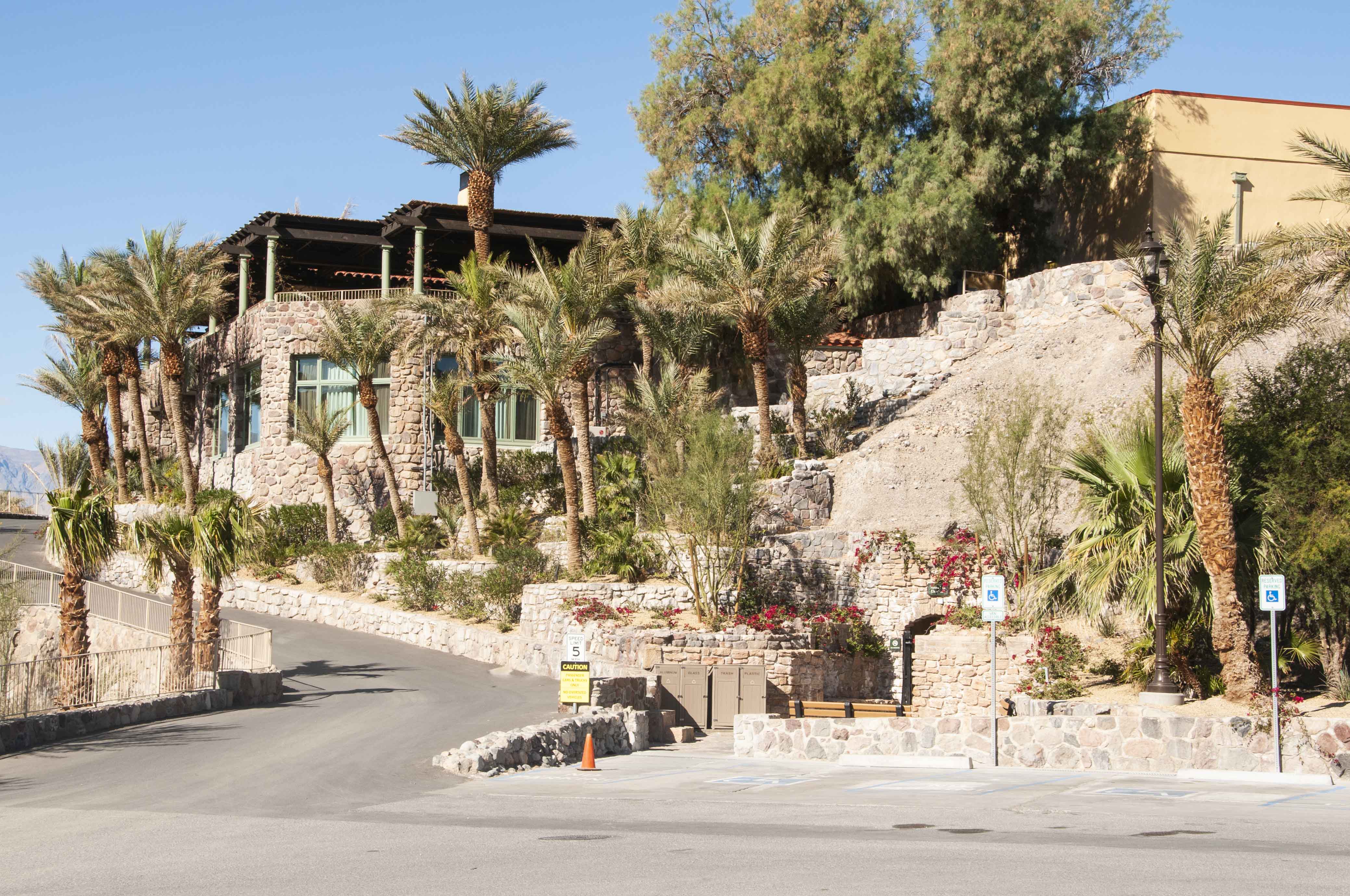
The Inn at Death Valley
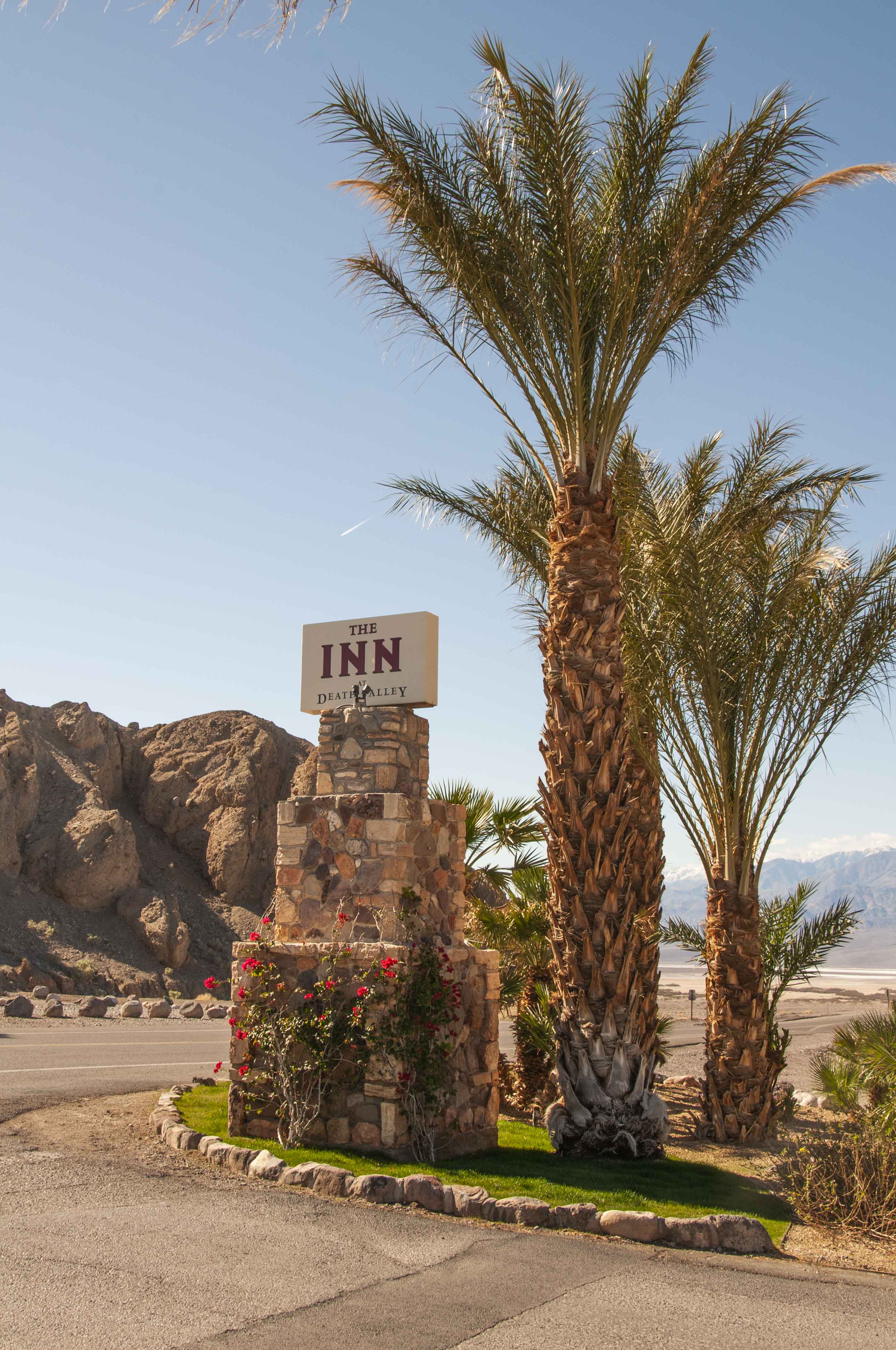
The Inn at Death Valley

Garden Patio
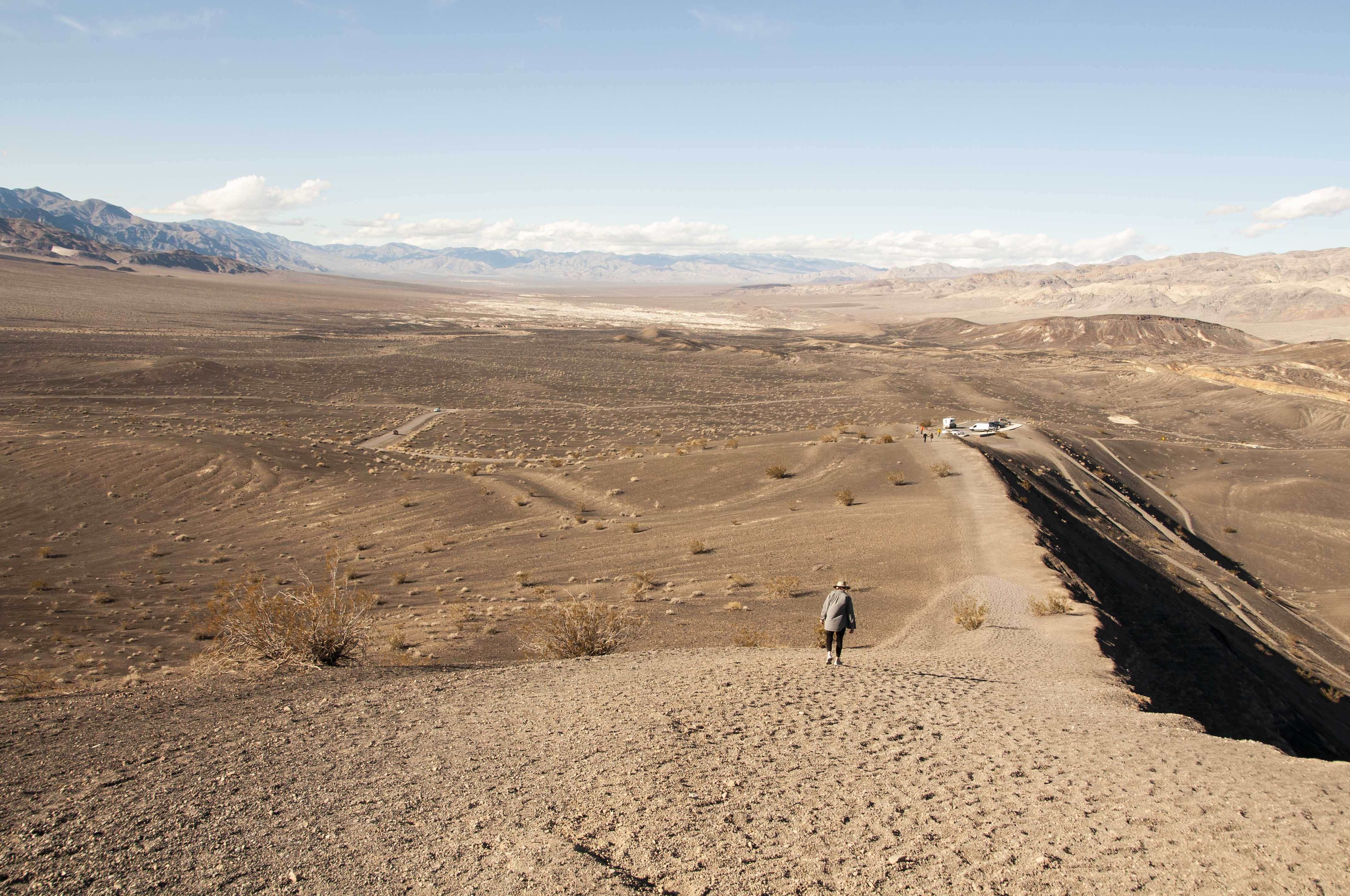
Ubehebe Crater
Ubehebe Crater is a large volcanic crater in the northern end of Death Valley.
Hot magma superheated gound water and flashed it into steam under intense pressure.
The result was a massive explosion that shattered the rock above and left a crater
some 700 feet deep and a half mile across. There are actually 13 overlapping
craters of which Ubehebe is the largest. The volcano is thought to have formed
2100 years ago. Ubehebe is a Paiute Indian word that translates to something like
"big basket in the rock".
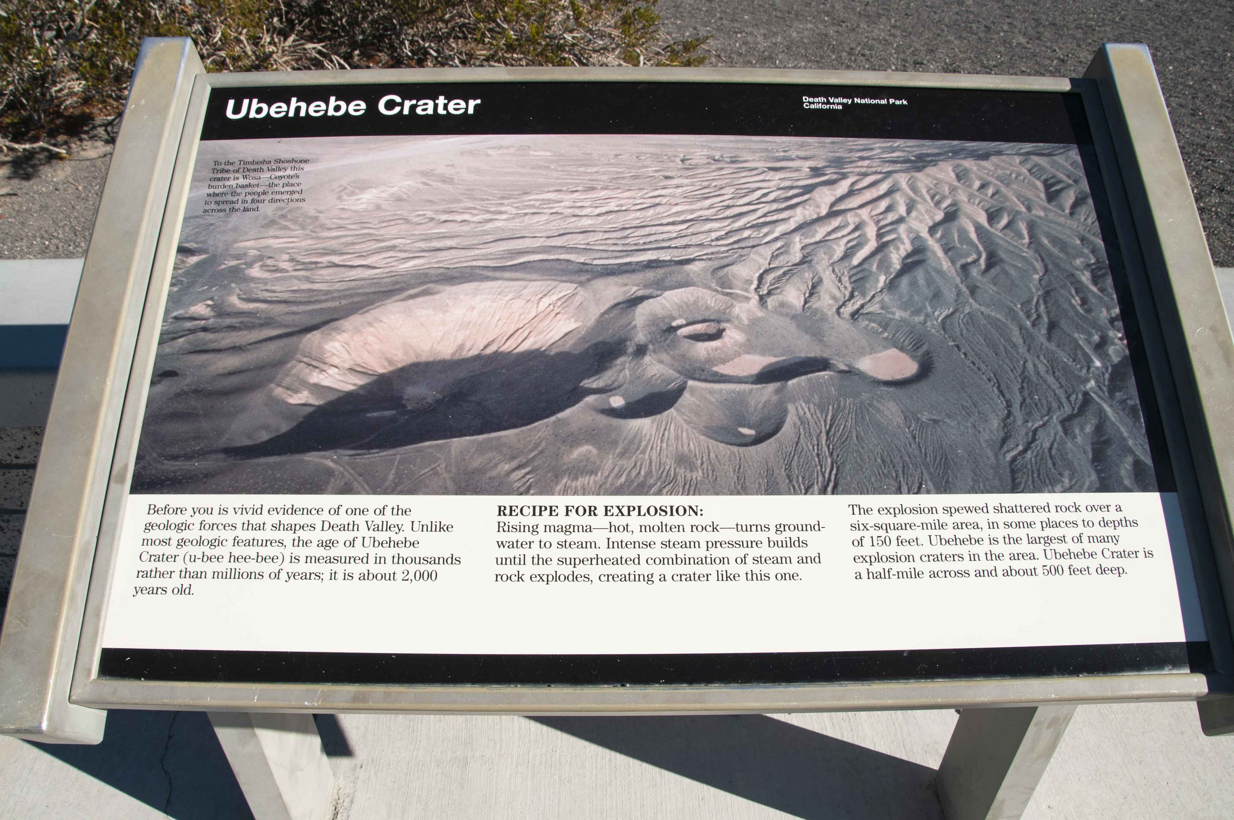
Descriptive sign
Ubehebe Crater
Ubehebe Crater
Not Little Hebe Crater
Hikers in the crater
View from Ubehebe Crater
Ubehebe Crater
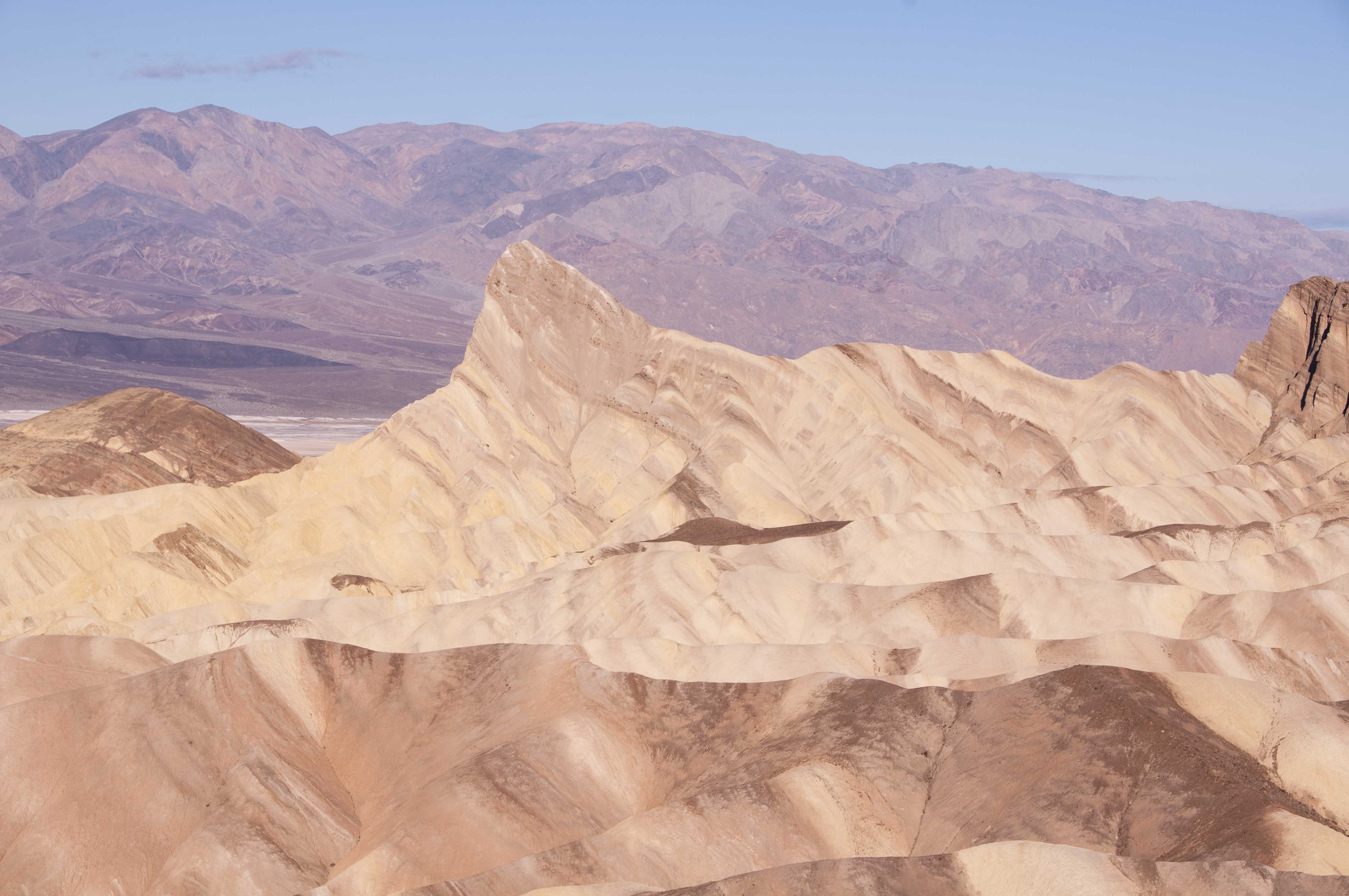
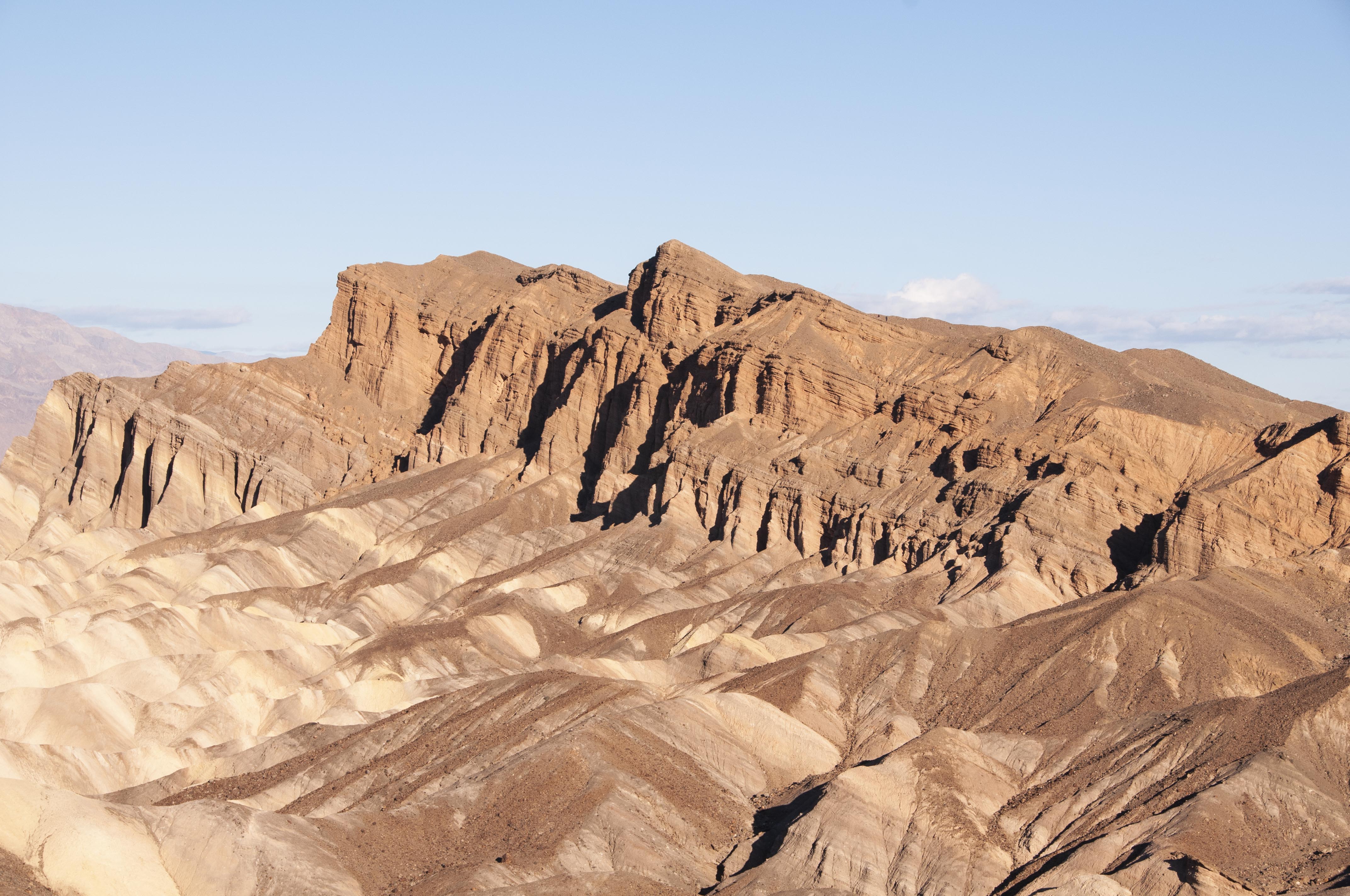
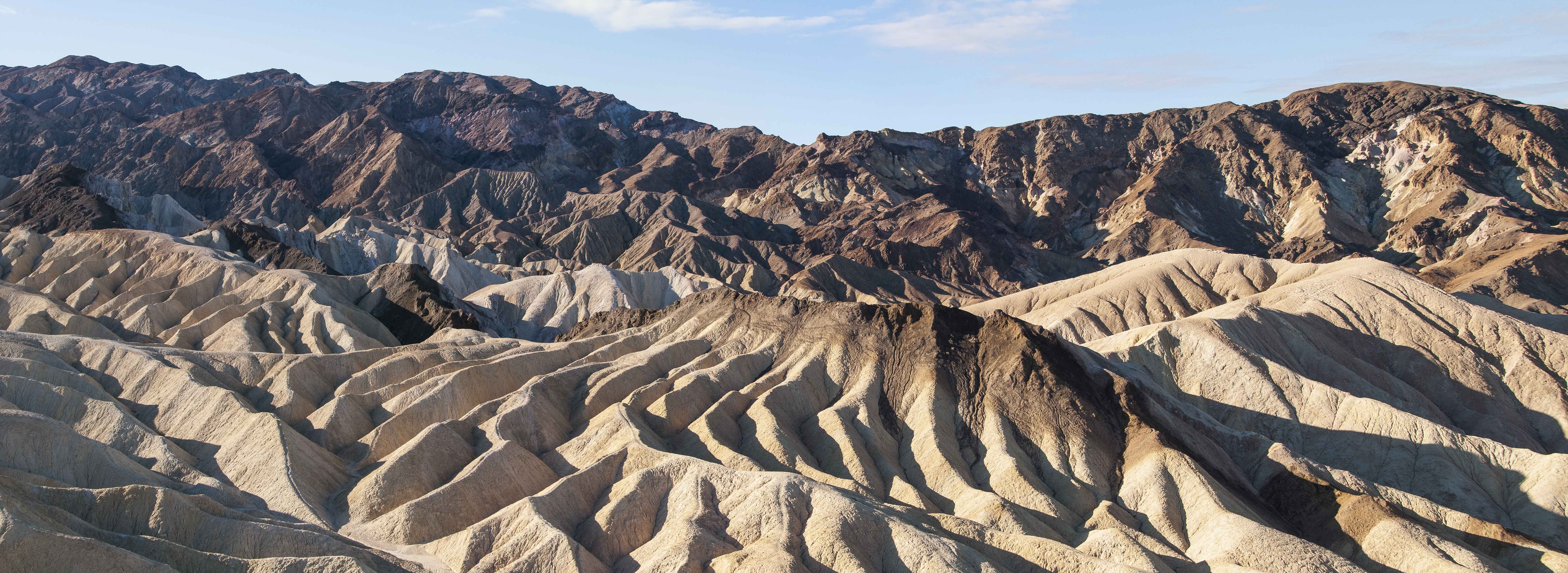
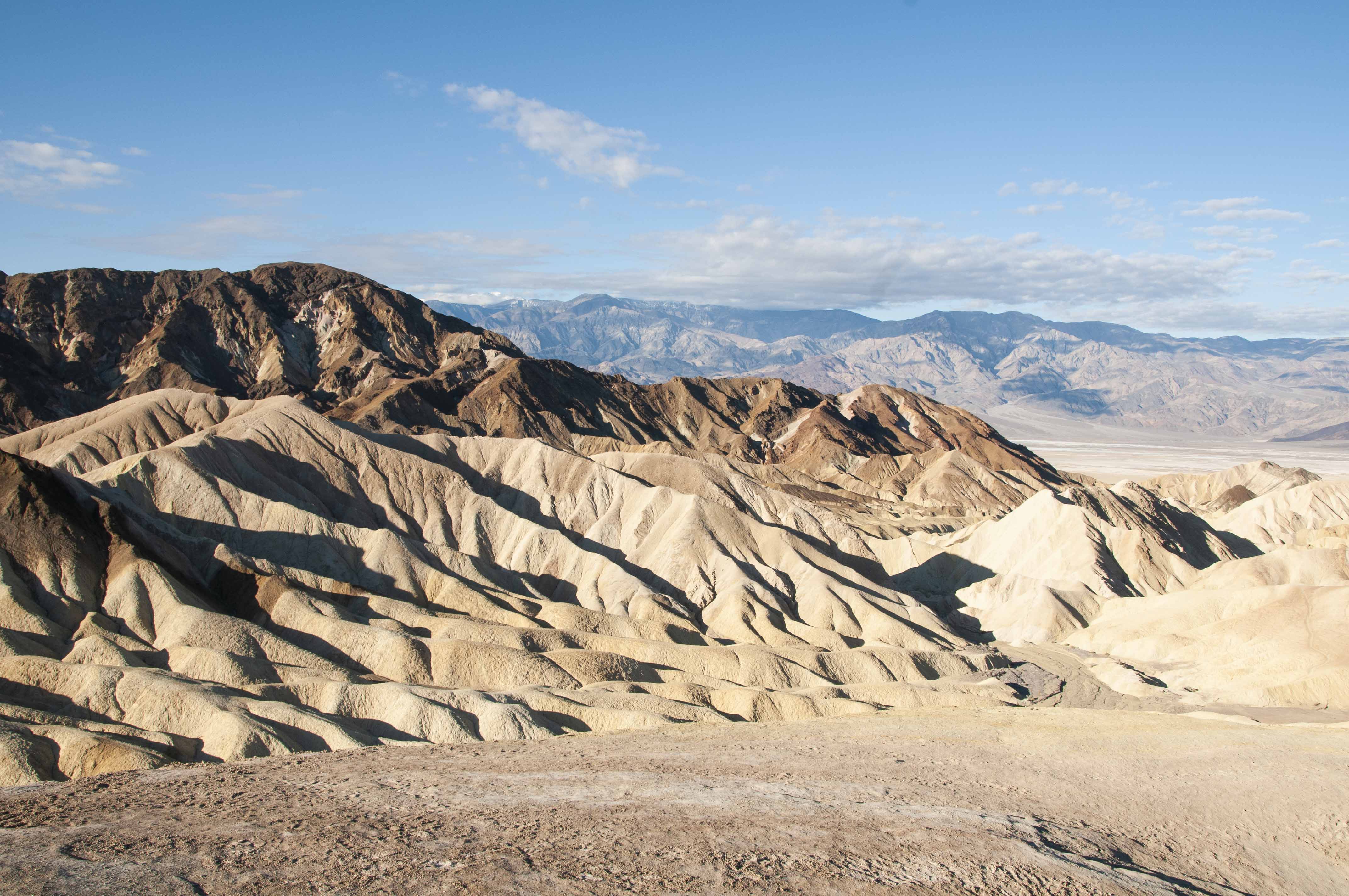
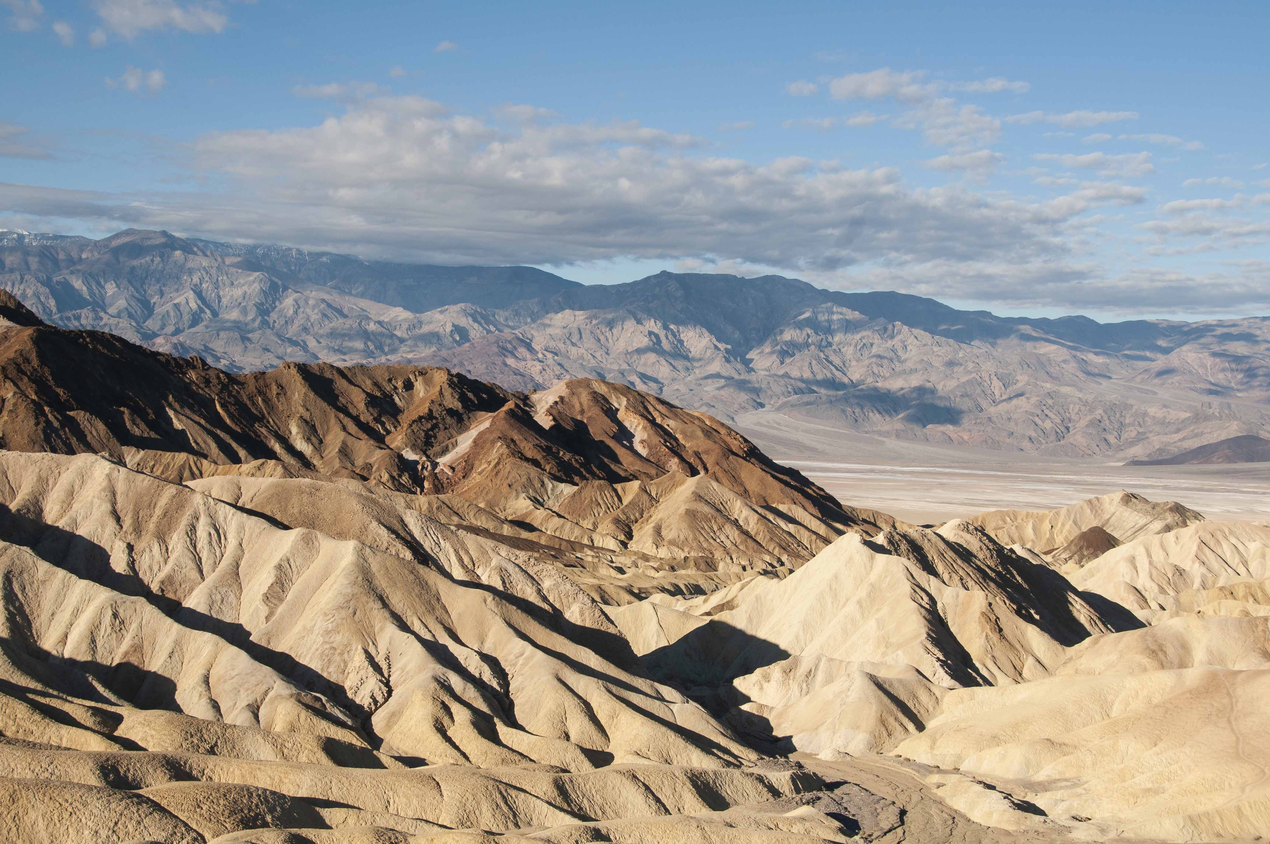
Zabriskie Point
Zabriskie Point is a part of the Amargosa Range located on the east side of Death Valley.
This is an area of vividly colored, eroded badlands that formed millions or years
before Death Valley became Death Valley. A short hike up to the viewing terrace is
rewarded with views of other-worldly terrain.
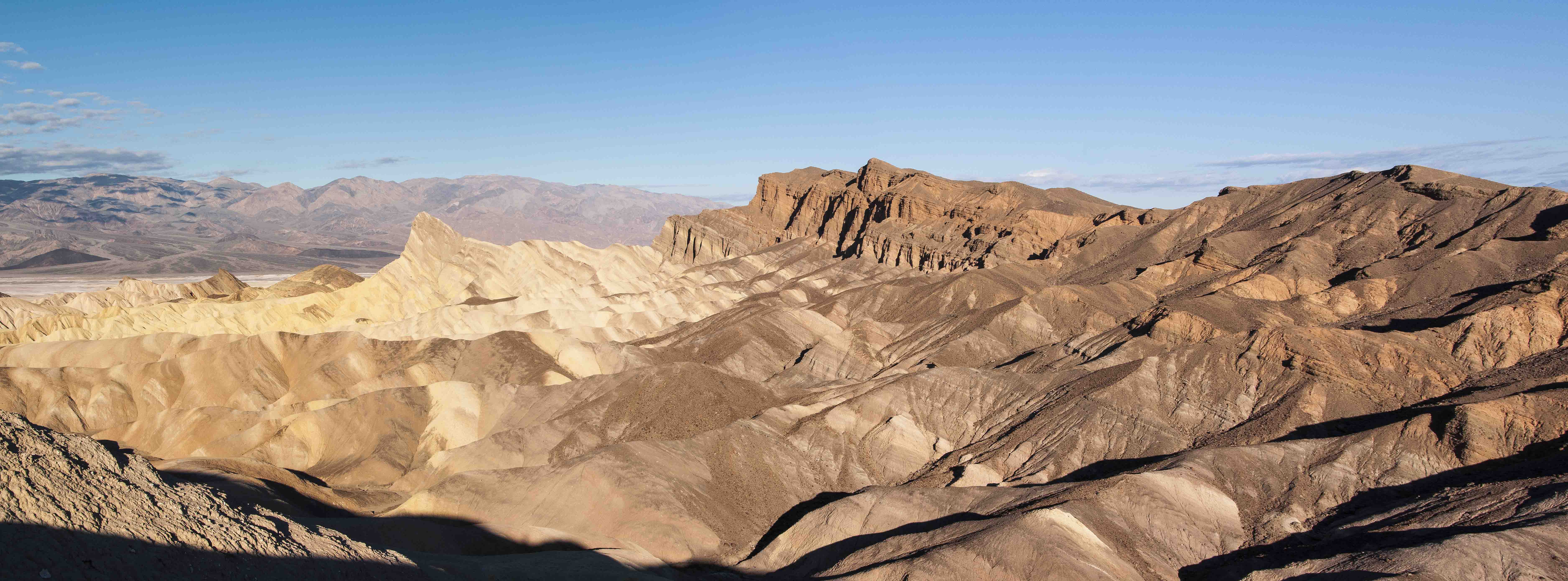
Manly Beacon (center-left) Red Cathedral (center-right)
Manly Beacon
Red Cathedral

Interpretive sign

What's in the interpretive sign
Furnace Creek Formation
Panamint Mountains (background)
Gower Gulch (center right foreground)
Interpretive sign
What's in the interpretive sign
(Minus the auto)
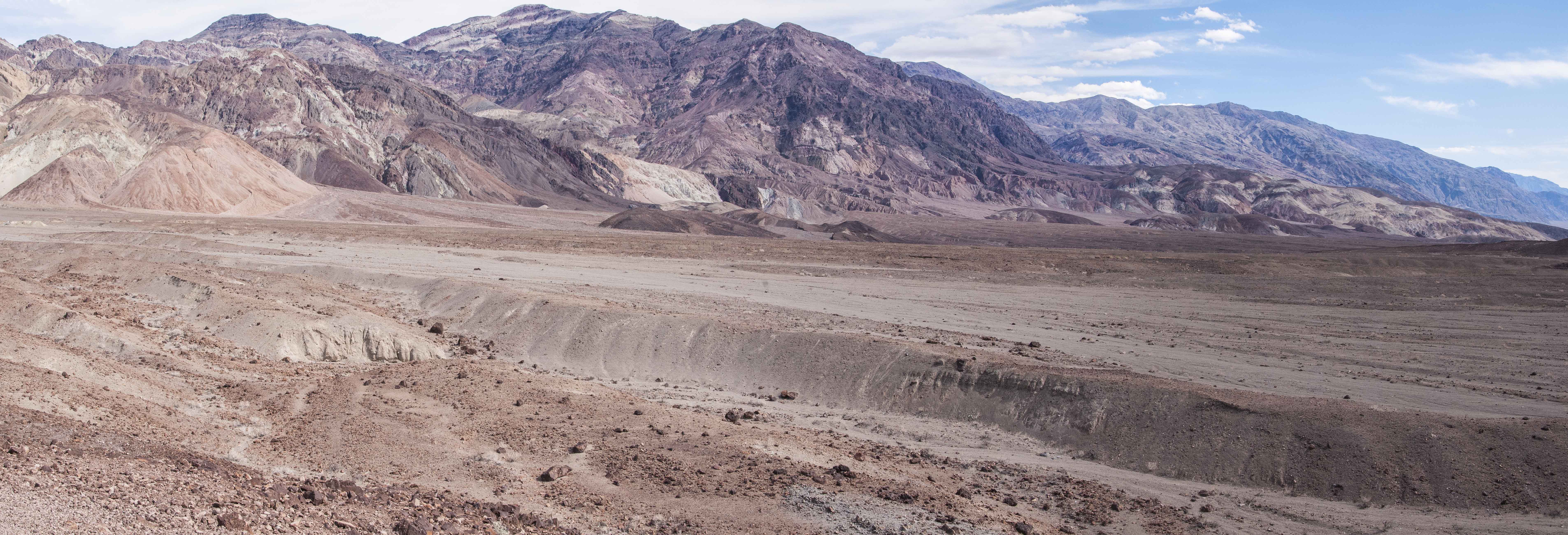
Dante's View
Dante's View is located on the north side of Coffin Peak along the crest of the Black Mountains.
At 5,476 feet, the terrace at Dante's View is a great spot from which to photograph the panorama of Death Valley
and the mountains to the west. The Panamint Range lies directly to the west across Badwater Basin, with the
Owlshead Mountains to the south and the Funeral Mountains to the north. Dante's View is also a
great vantage point for viewing the night sky. Bring binoculars or a telescope.
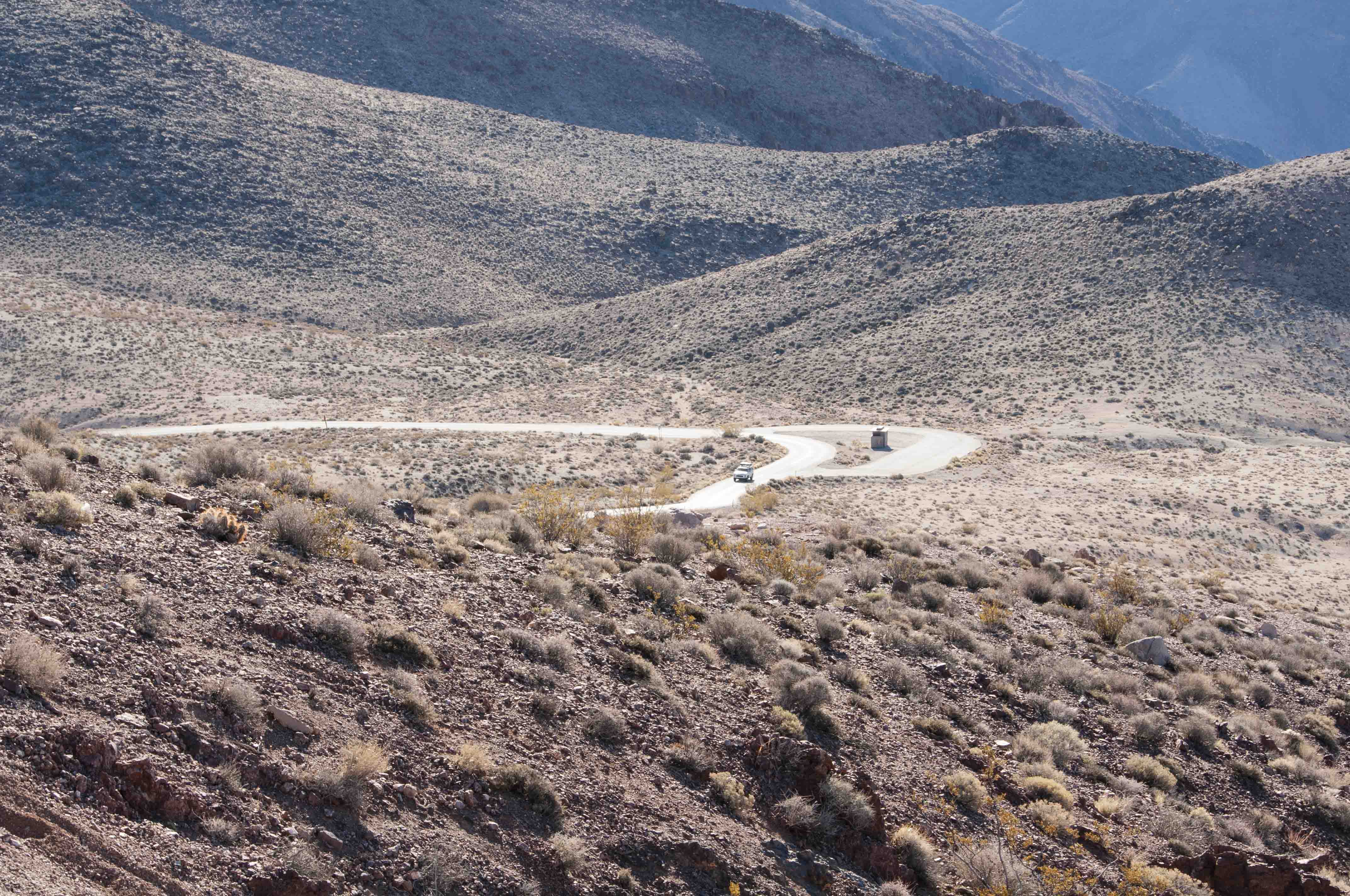
Road to Dante's View
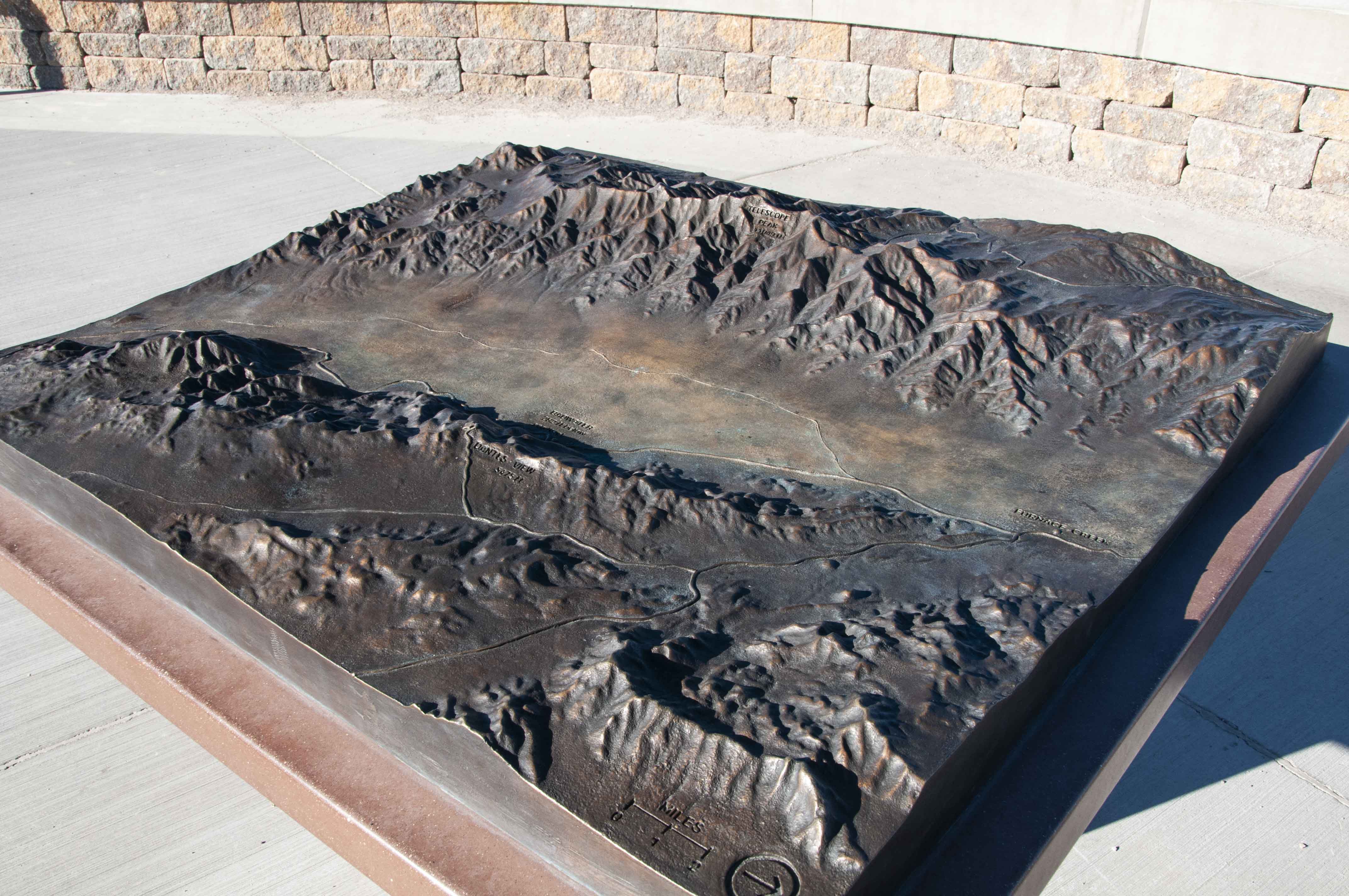
Another topo map

Telescope Peak
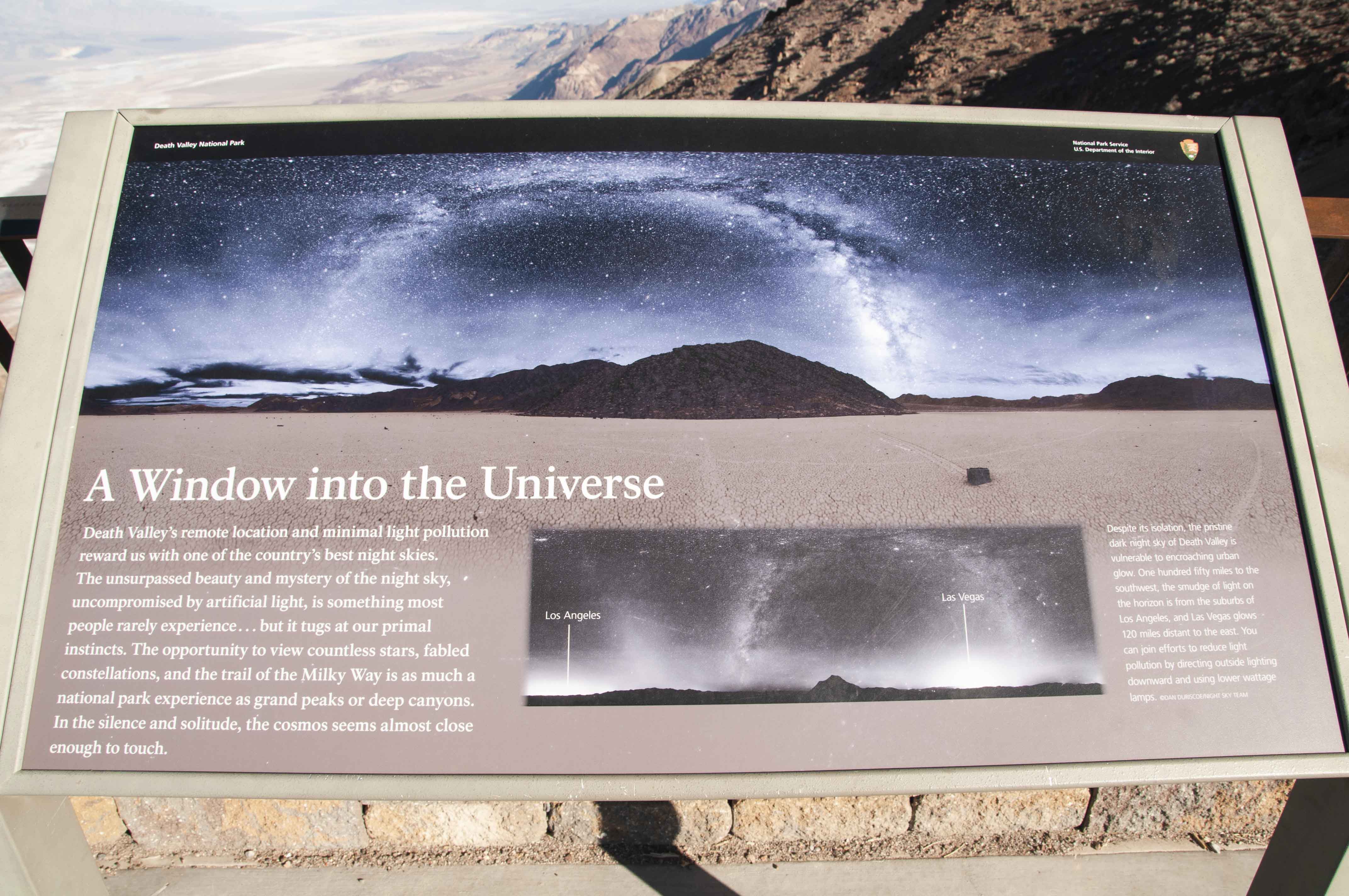
Dark skies at Death Valley
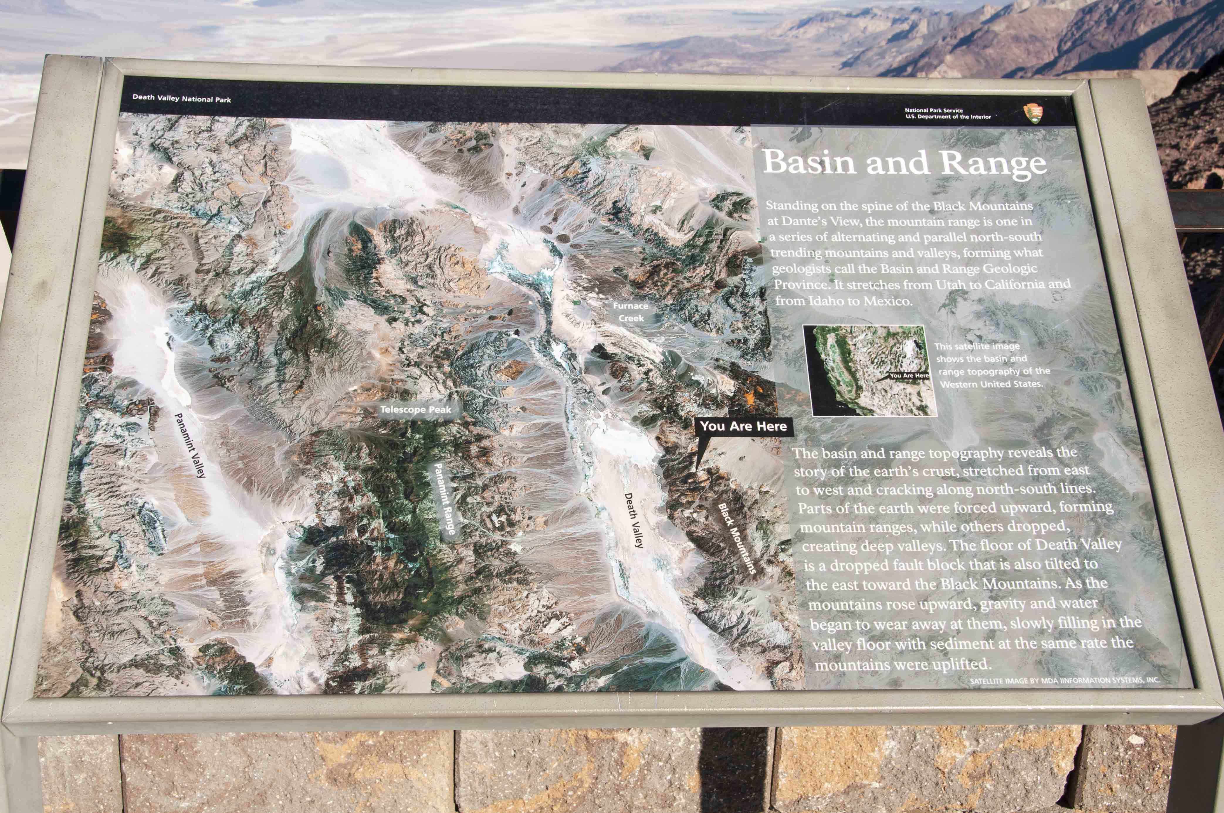
Basin and Range

Amargosa River descriptive sign
Death Valley and Panamint Range - suitable for framing

View south from Dante's View
Leo and his JETBOIL
Death Valley panorama from Dante's View
Devil's Golf Course
The Devil's Golf Course is a large salt pan composed of jagged salt crystal mounds that look like
an alien coral reef. The salt crystal formations are all that's left of Lake Manly that evaporated
2000 years ago. The salt formations are sculpted into fantastic shapes through natural weathering processes.
Most of the salt is sodium chloride.
Devil's Golf Course

Devil's Golf Course panorama
Devil's Golf Course panorama
Devil's Golf Course
Devil's Golf Course Mashup
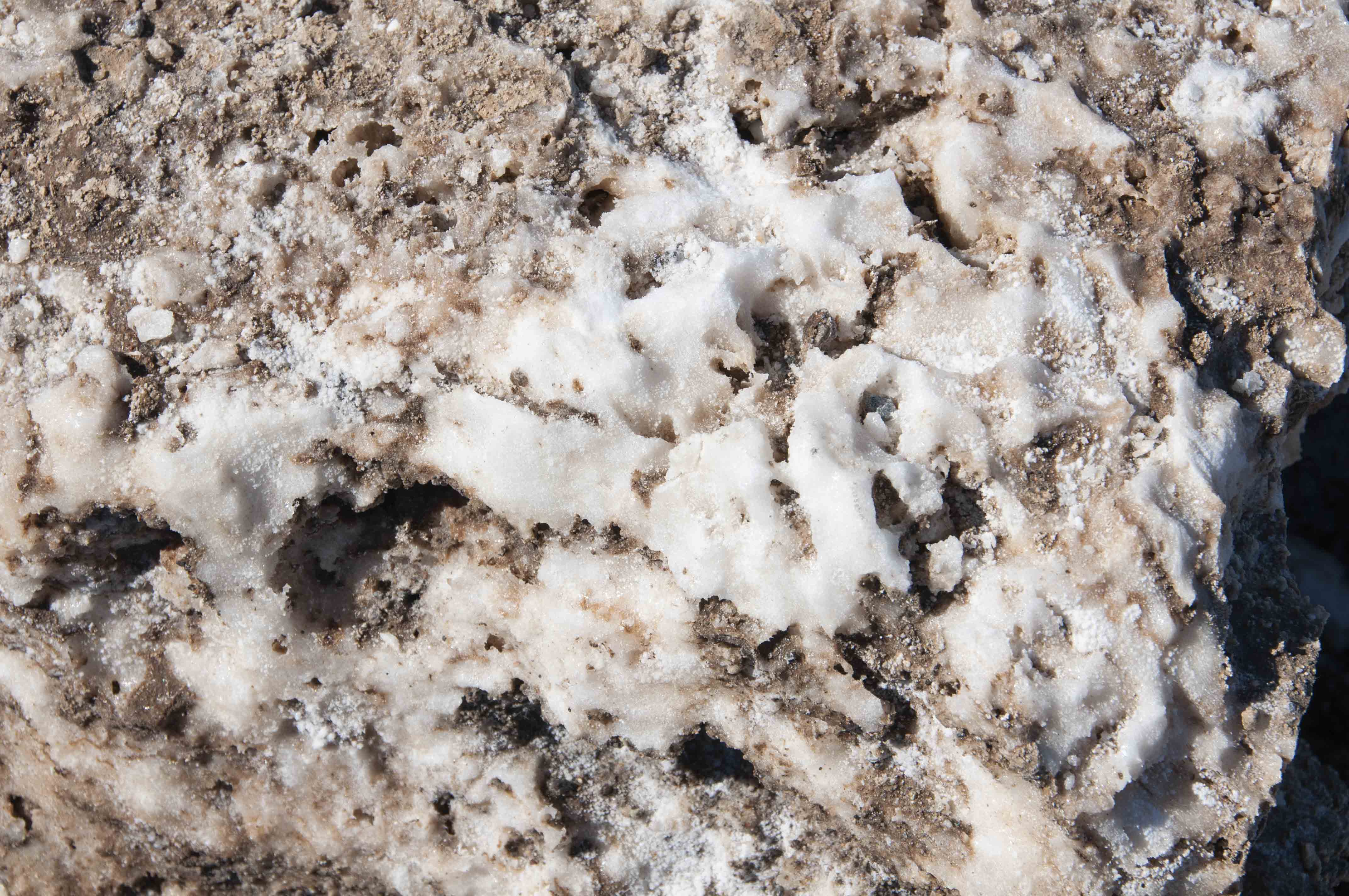
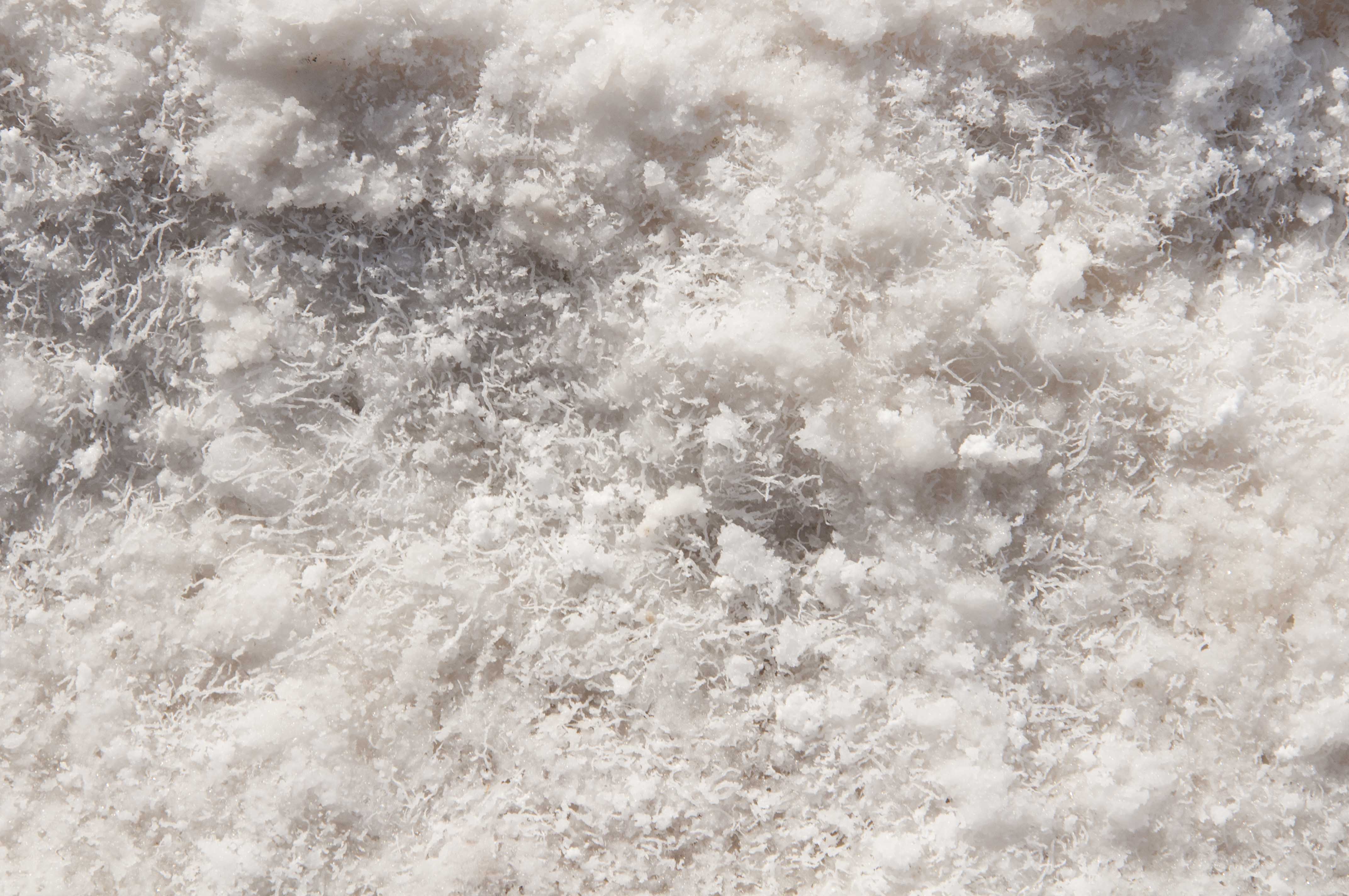
Salt crystals
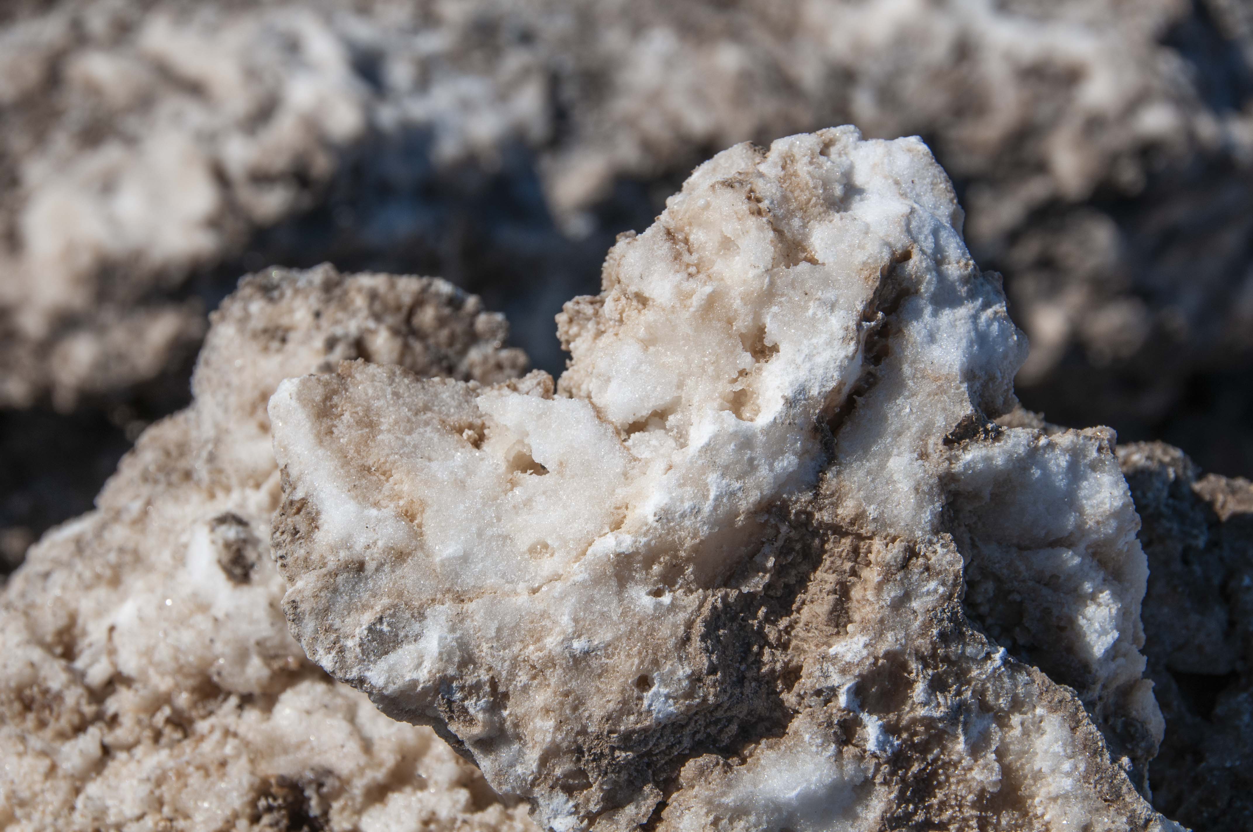
Salt crystals
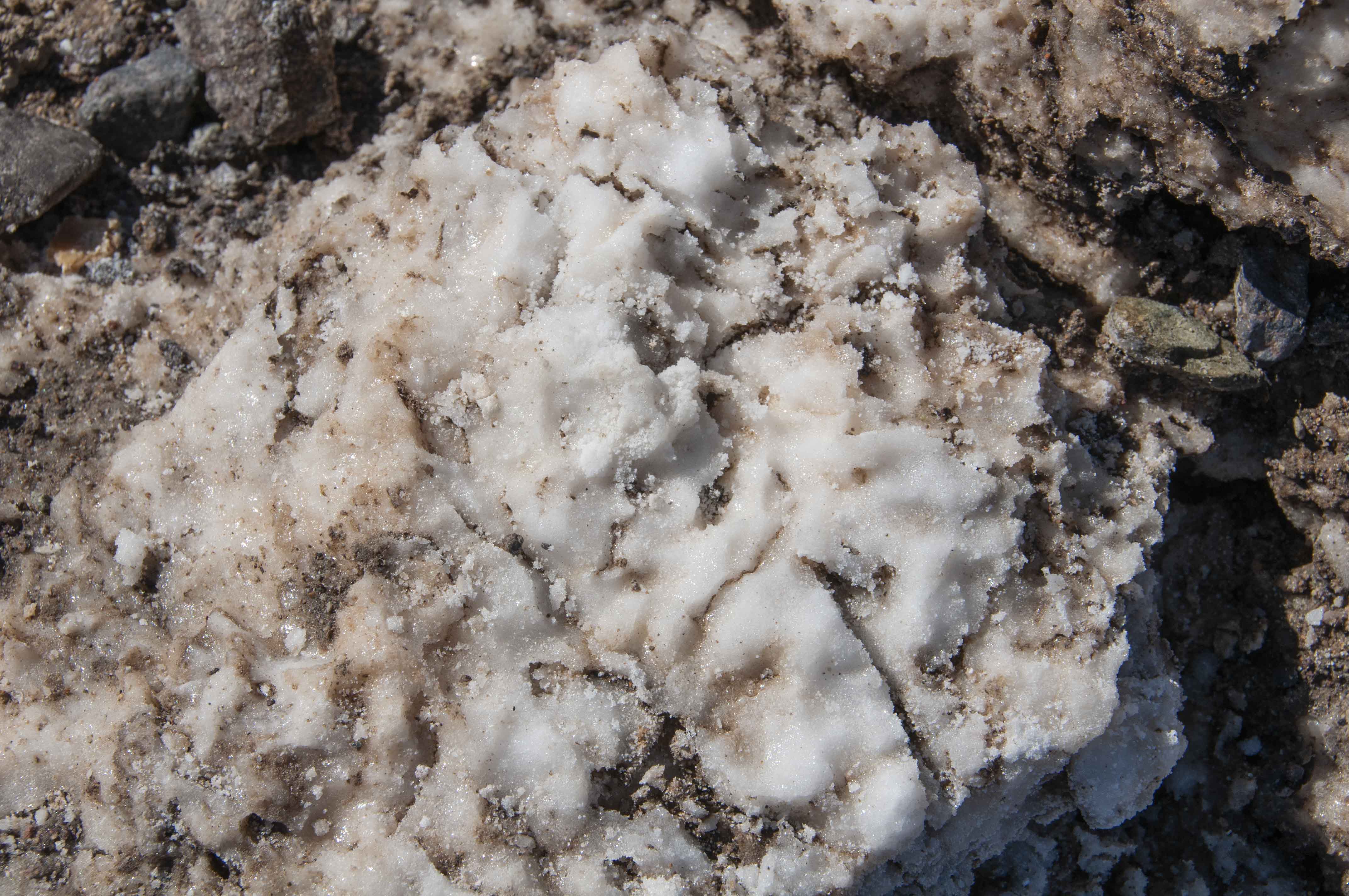
Salt crystals
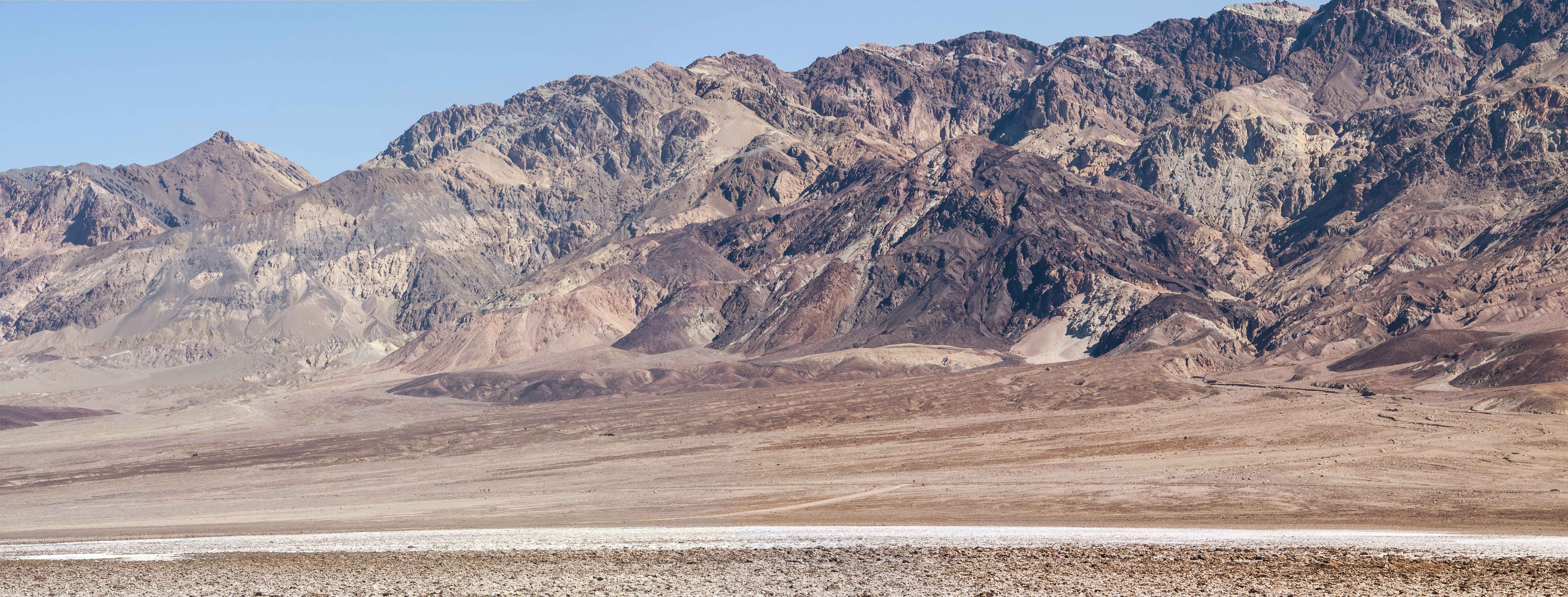
View east from Devil's Golf Course
View east from Devil's Golf Course
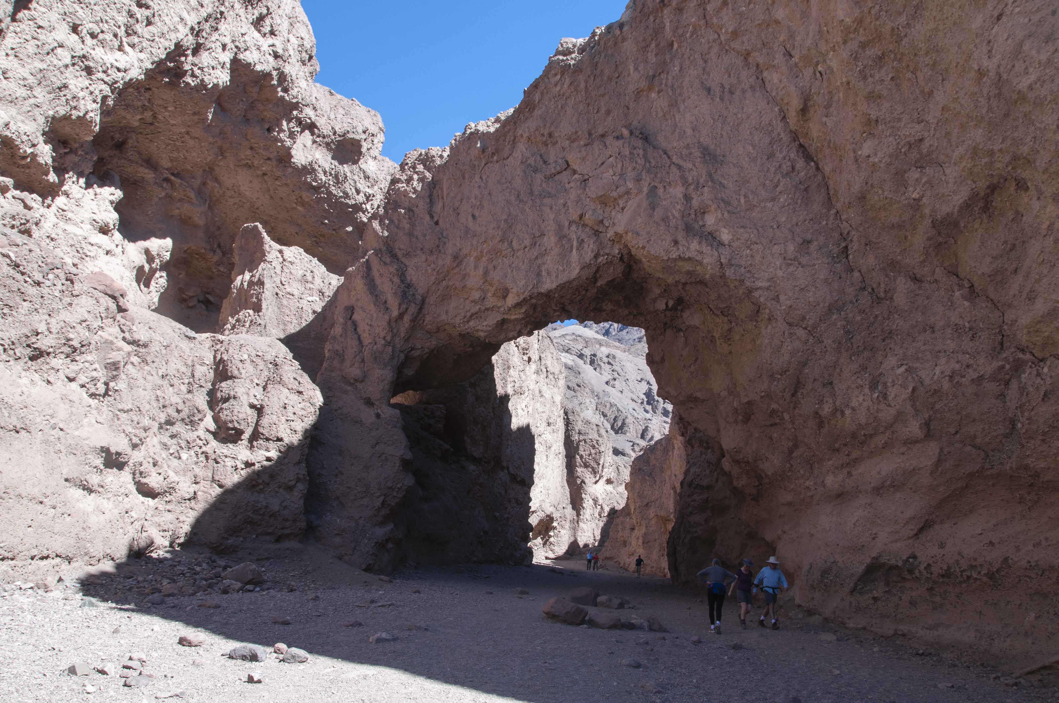
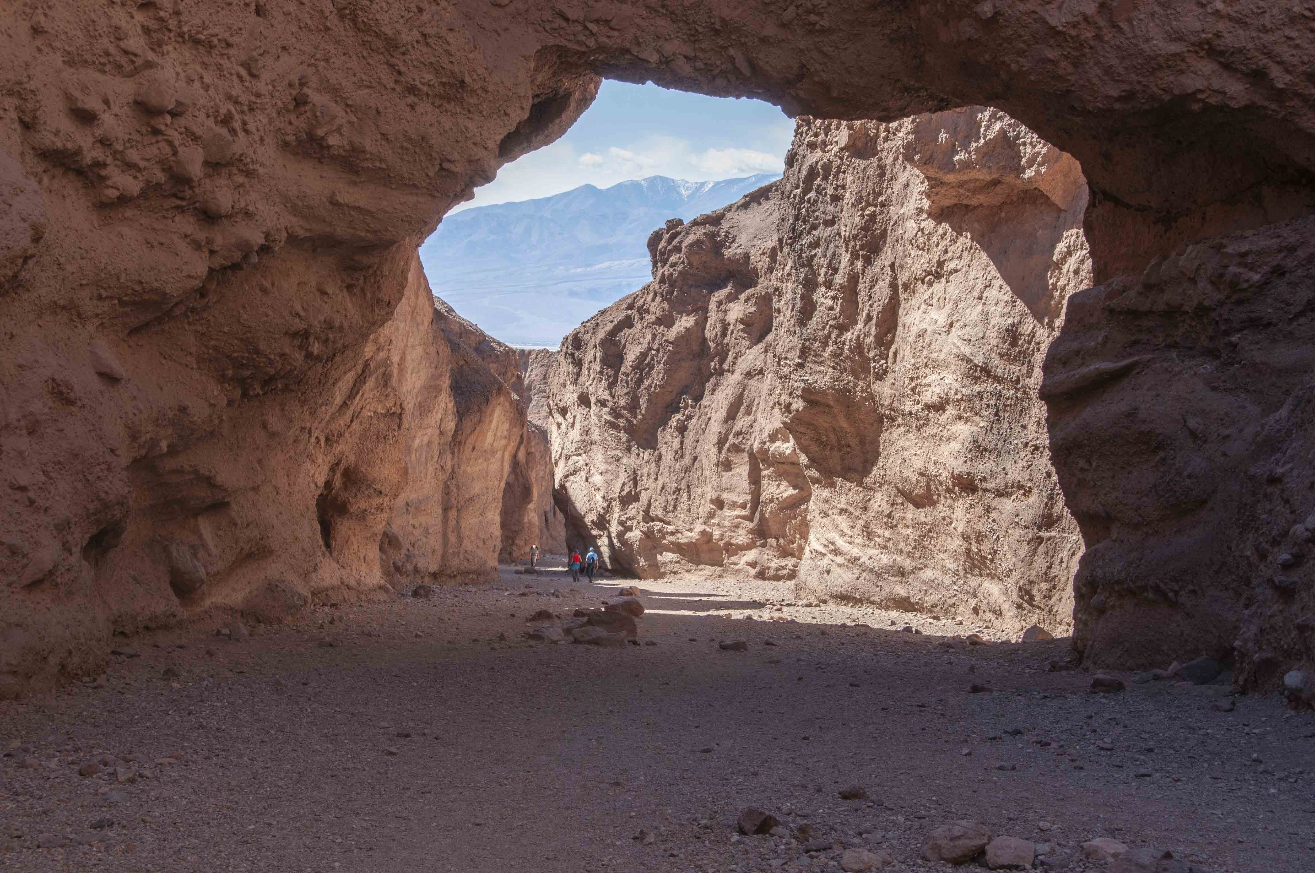
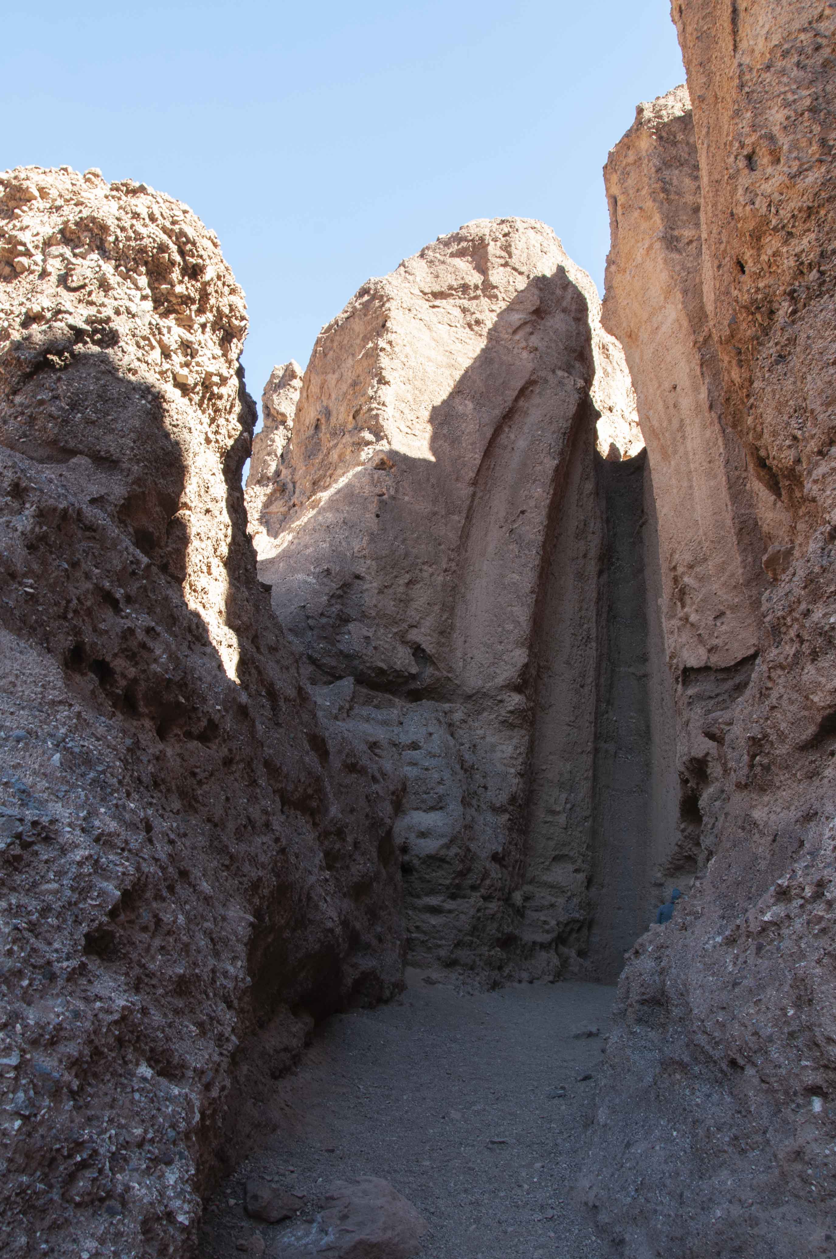
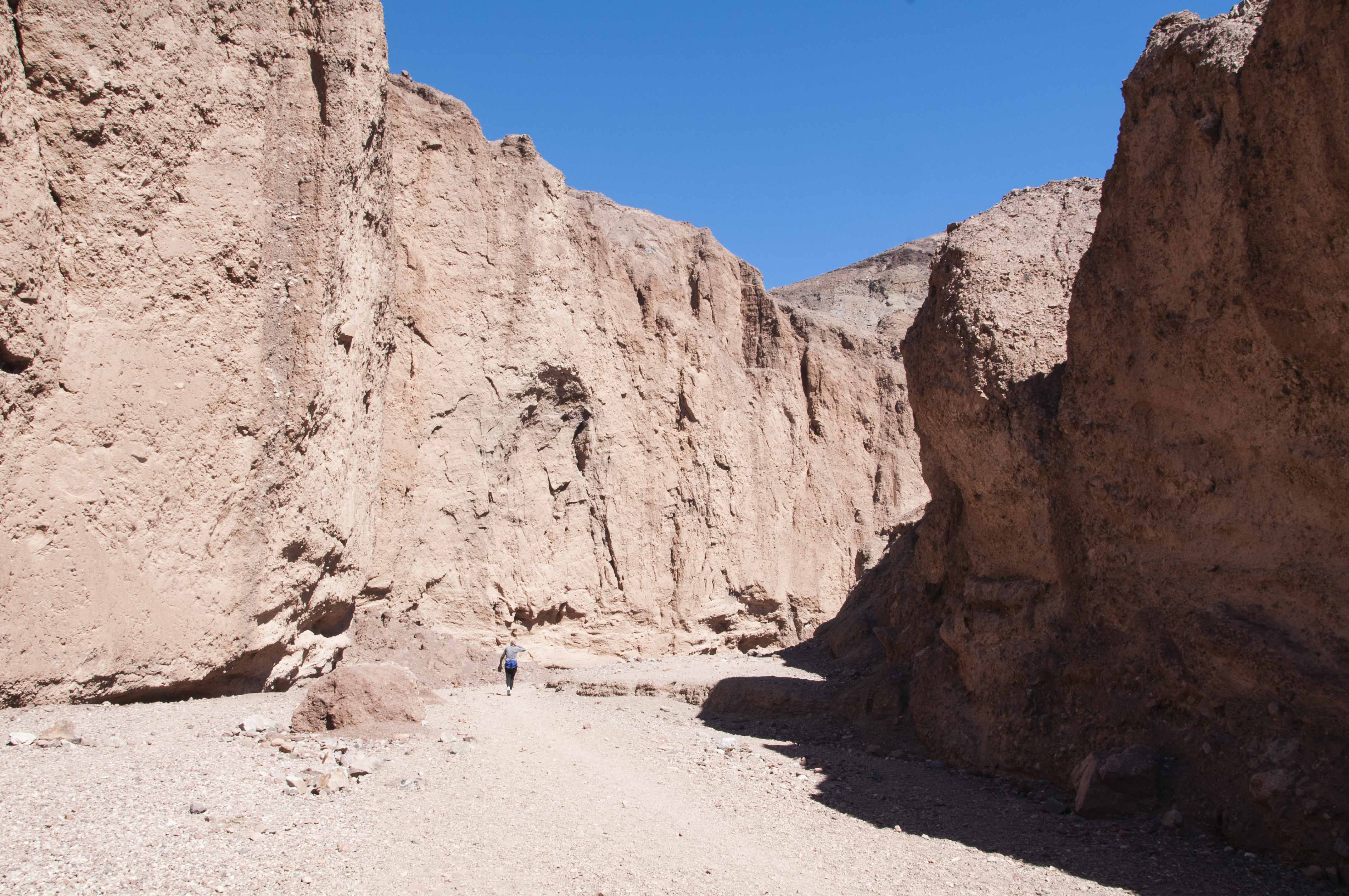
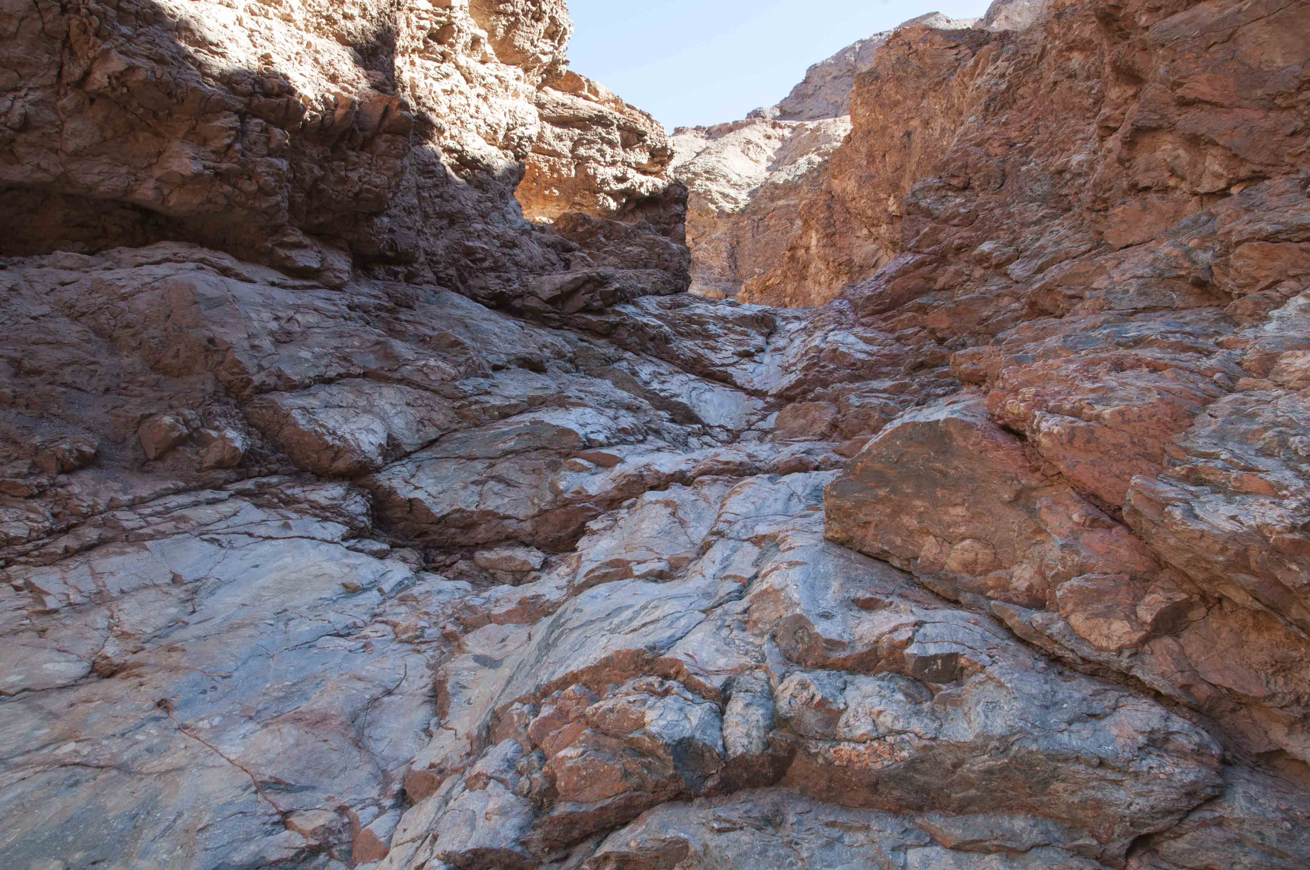
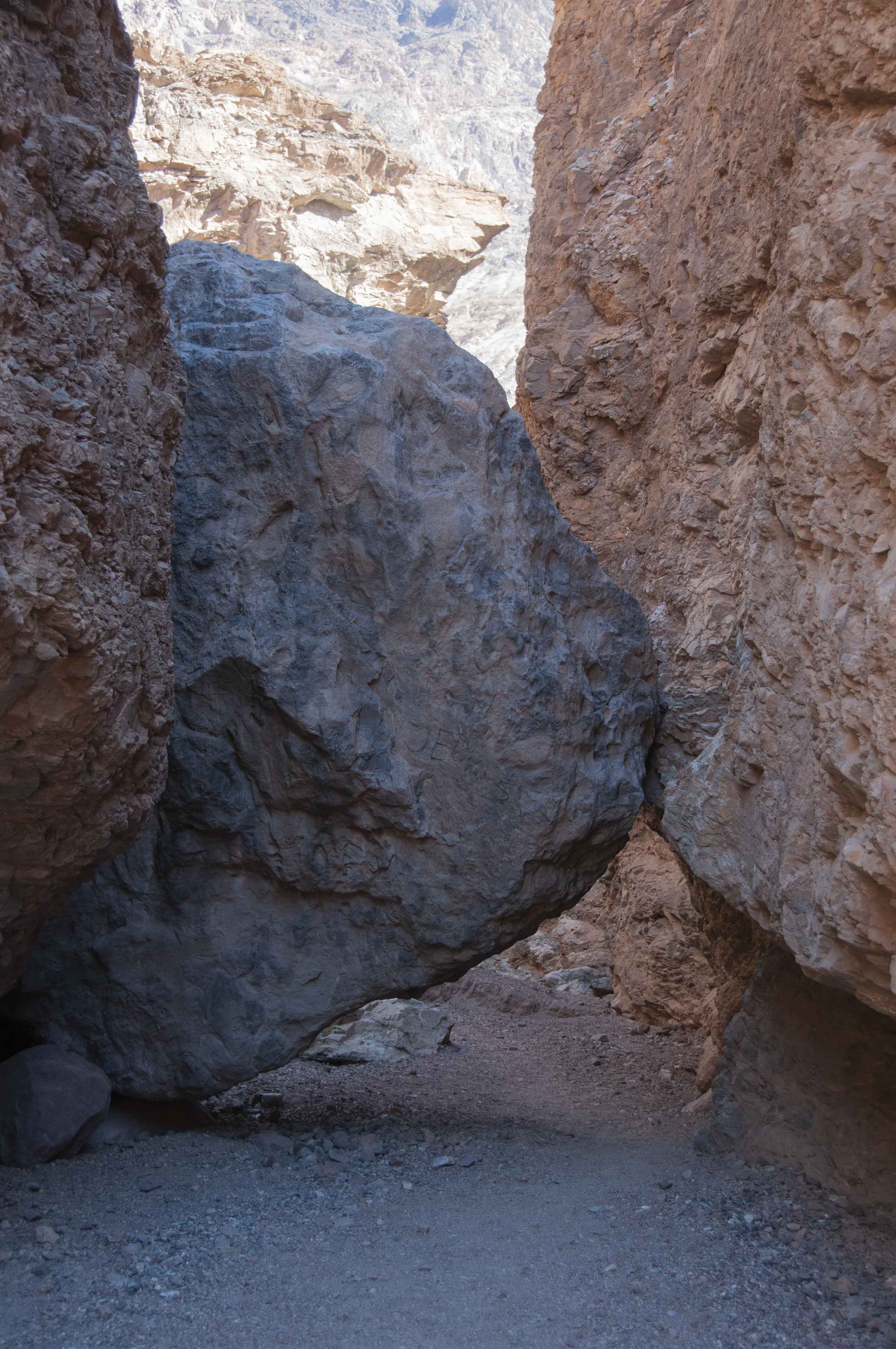
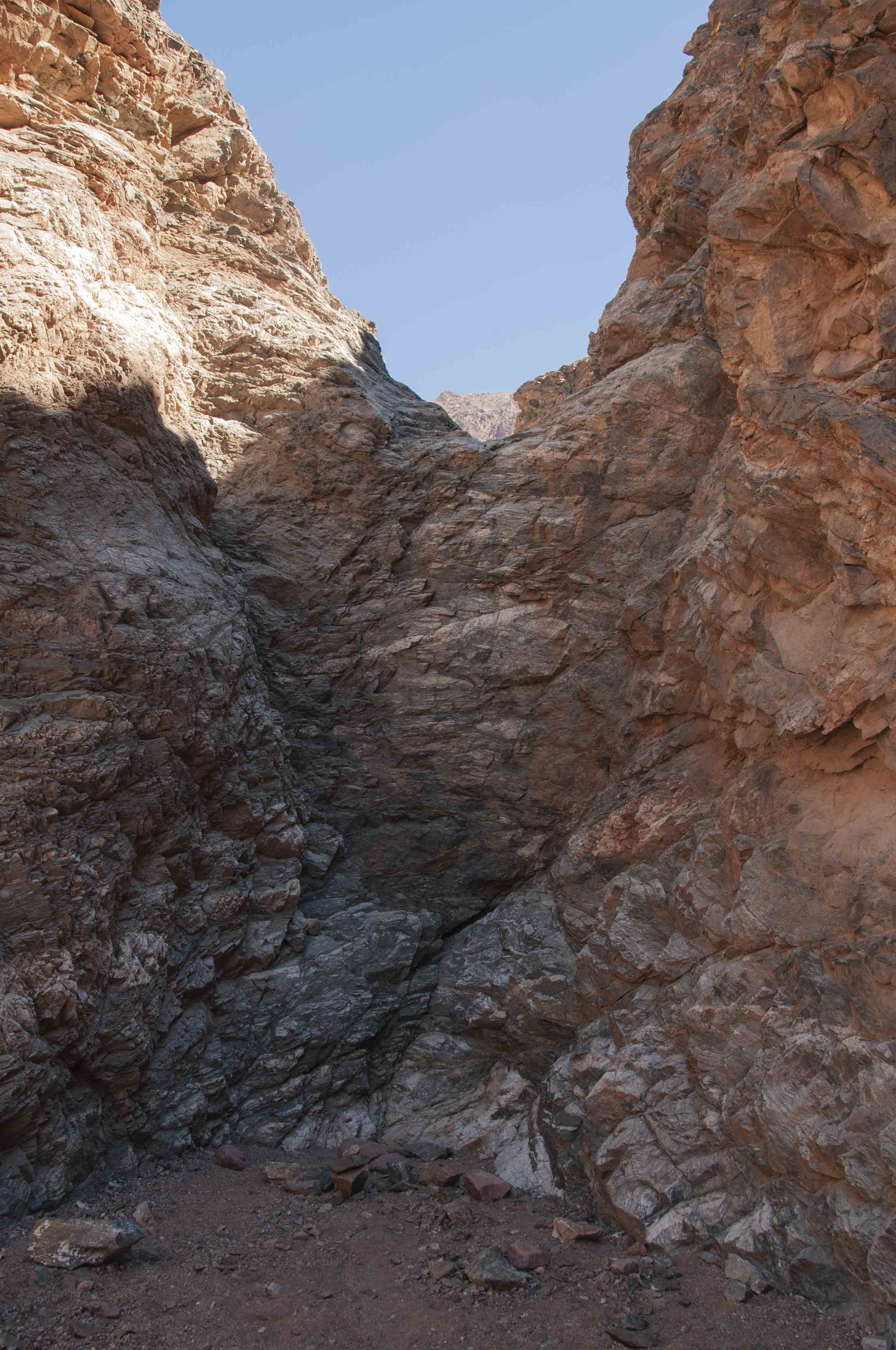
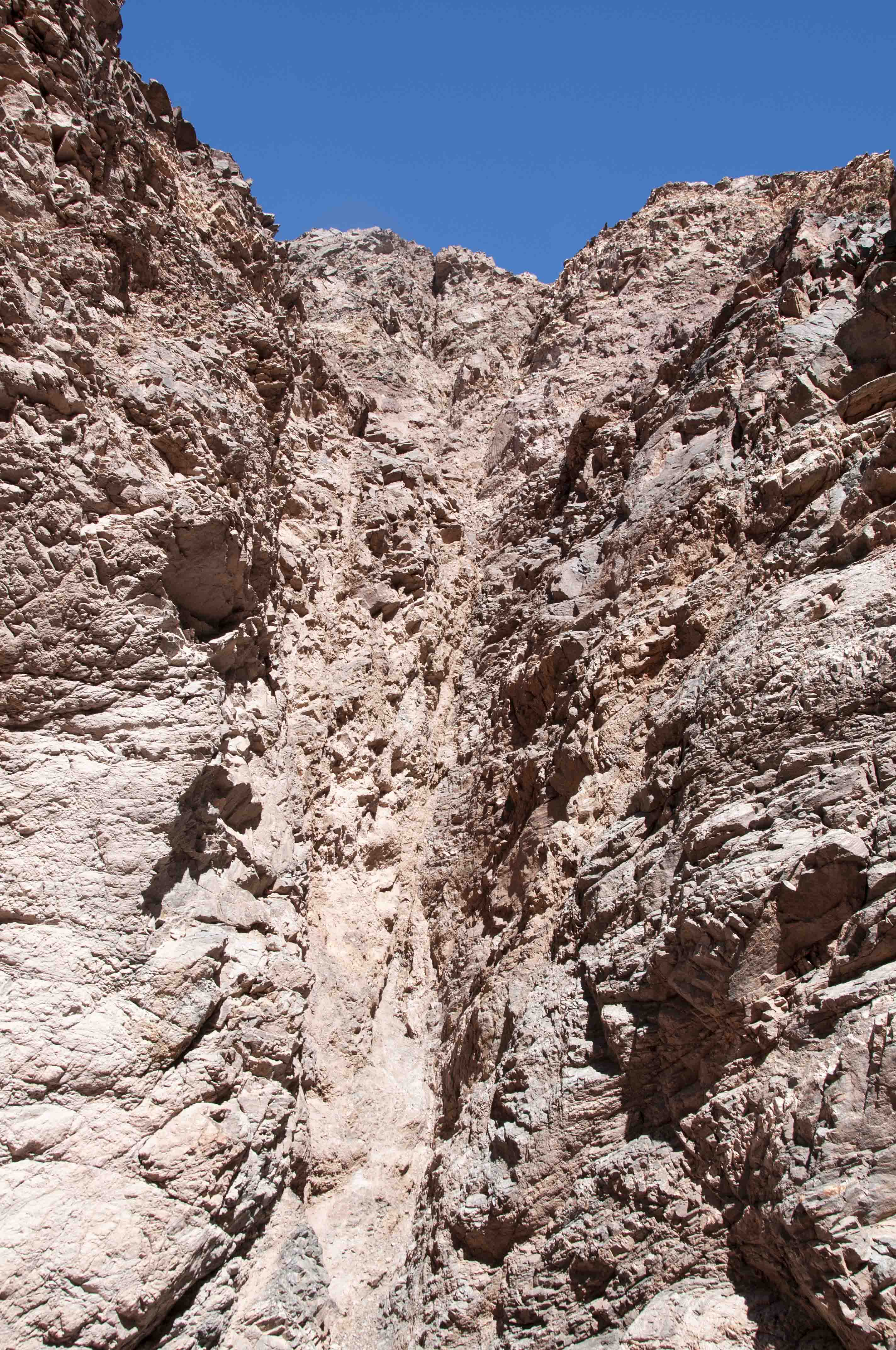
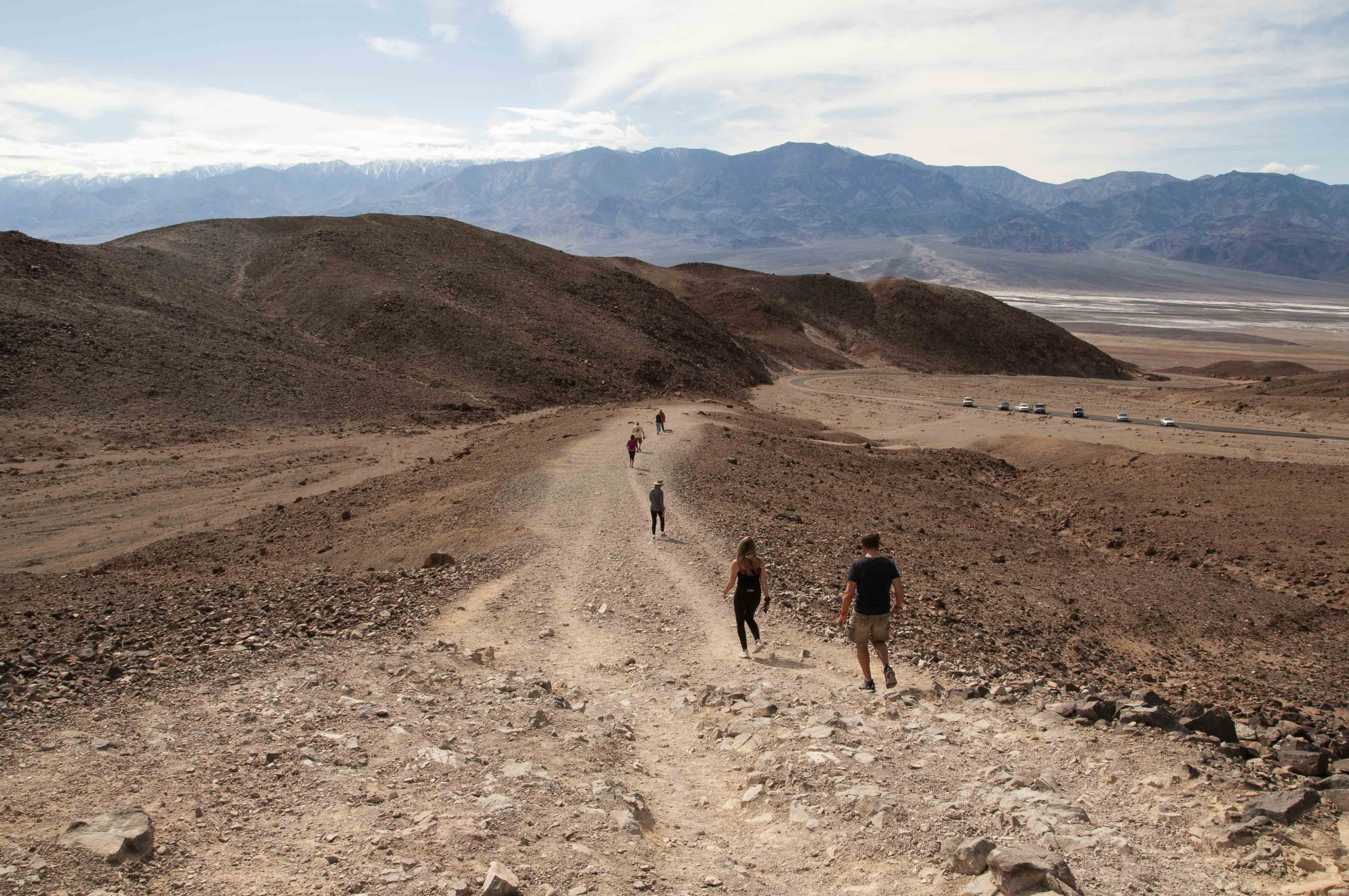
Natural Bridge
The natural bridge hike is 2 miles out and back in the bottom of a small narrow
canyon. There are two rock ledges to scramble up along the way, but the rest of
the hike is across flat ground. The natural bridge is about a third of a mile
in and makes a good stopping point for the less adventurous hiker.

Parking area at Natural Bridge
Panamint Mountains in background
The natural bridge
Natural bridge flip side
Tiny side canyon
Hiking the canyon
First rock ledge
Slight obstacle
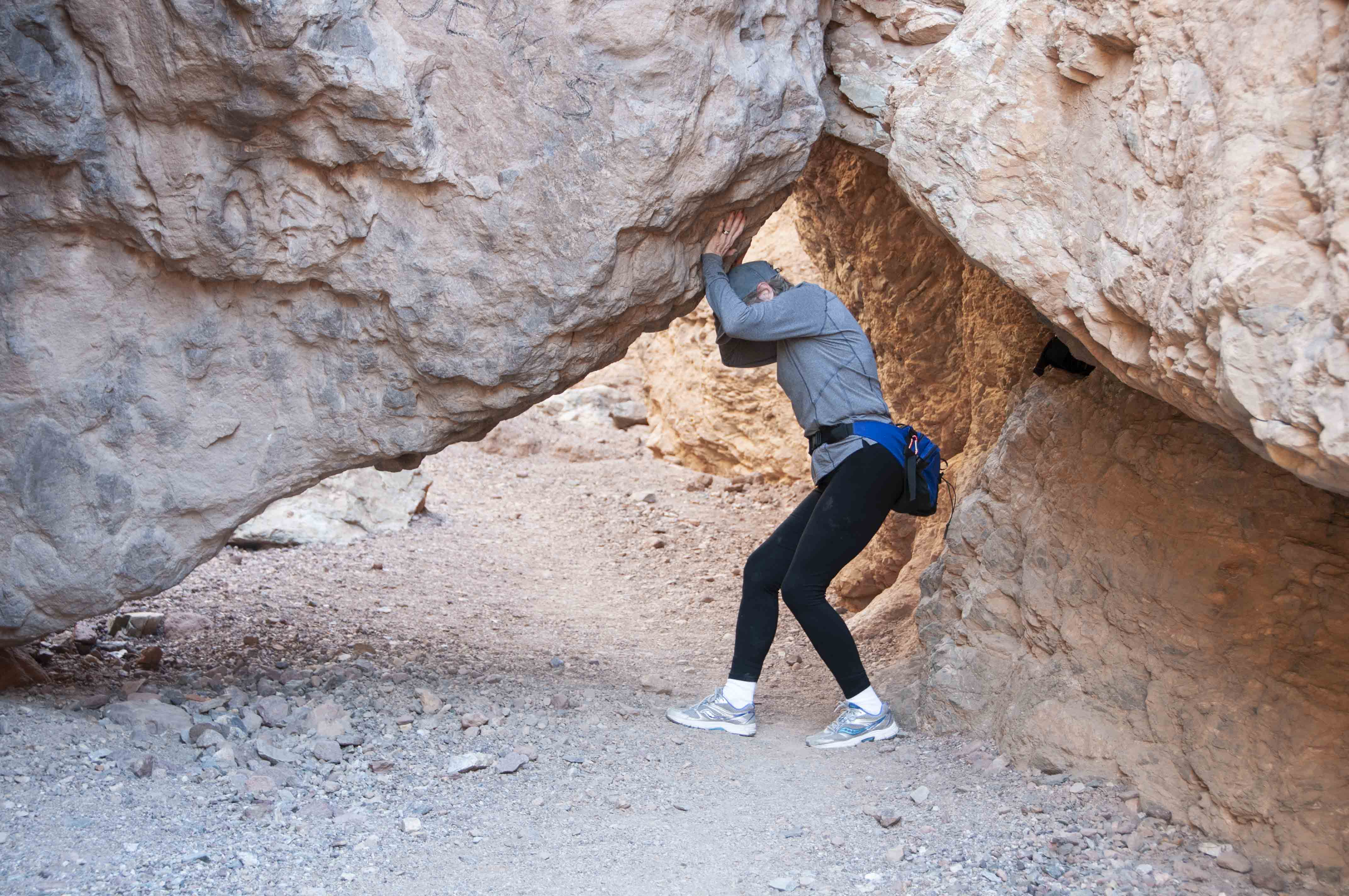
Stephanie can't budge it
Second rock ledge
End of the line
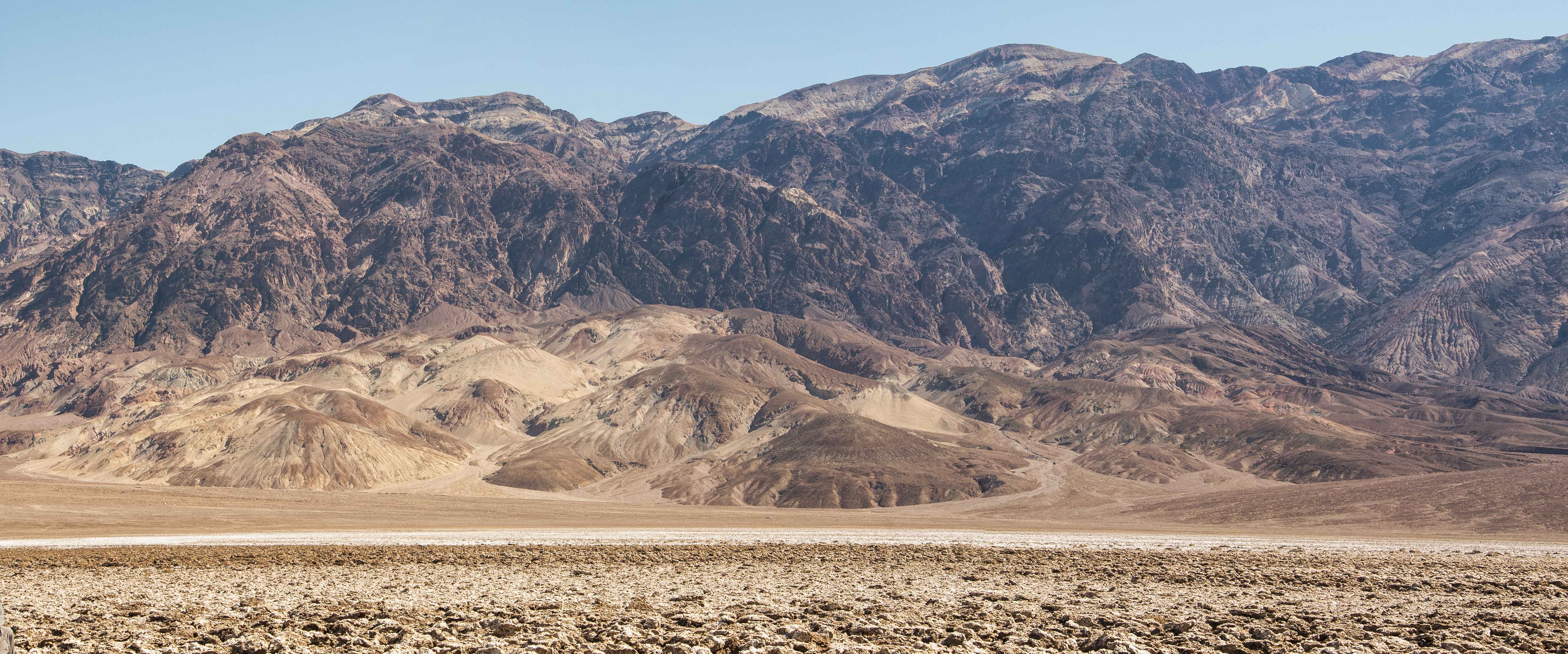
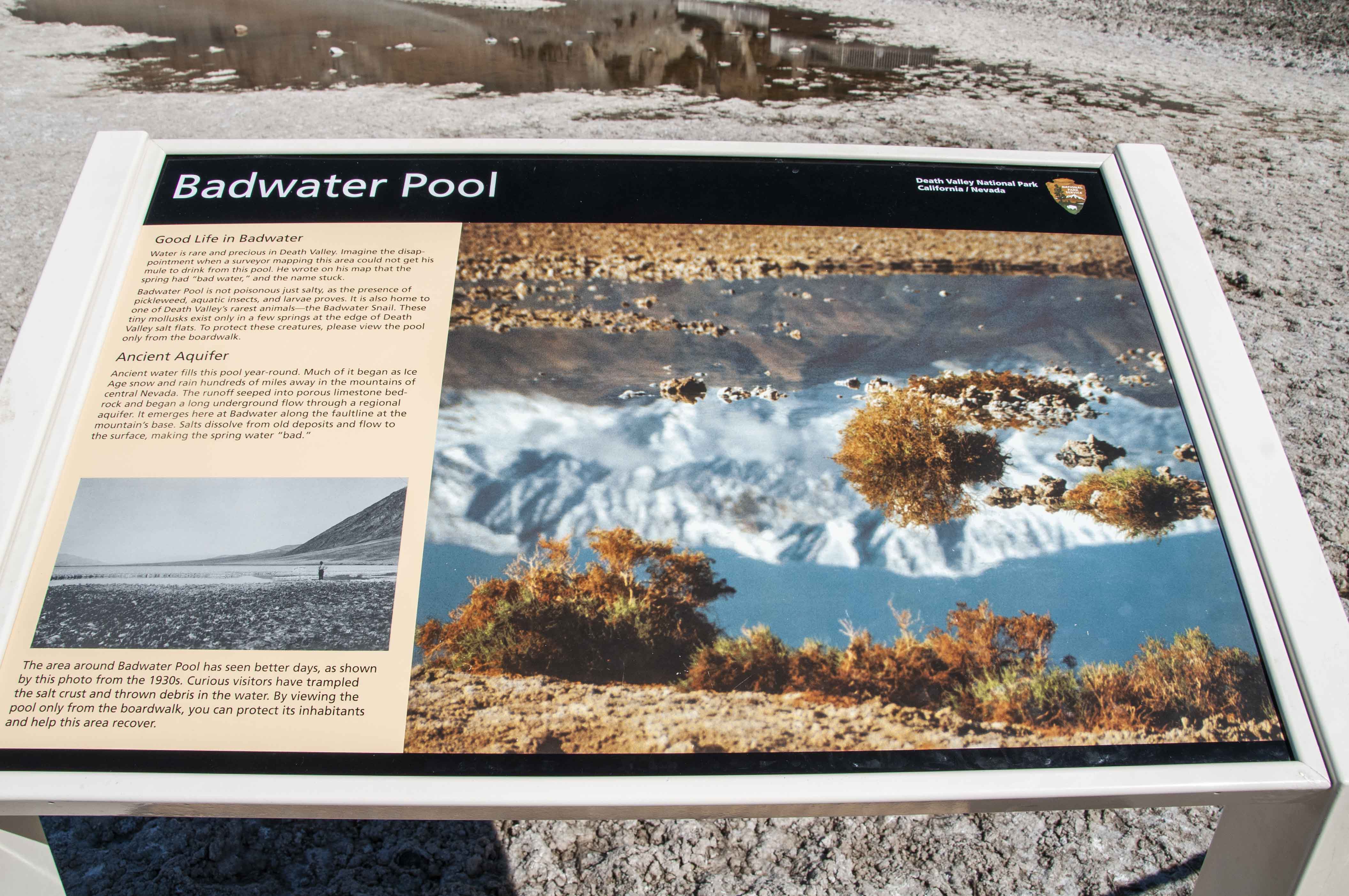
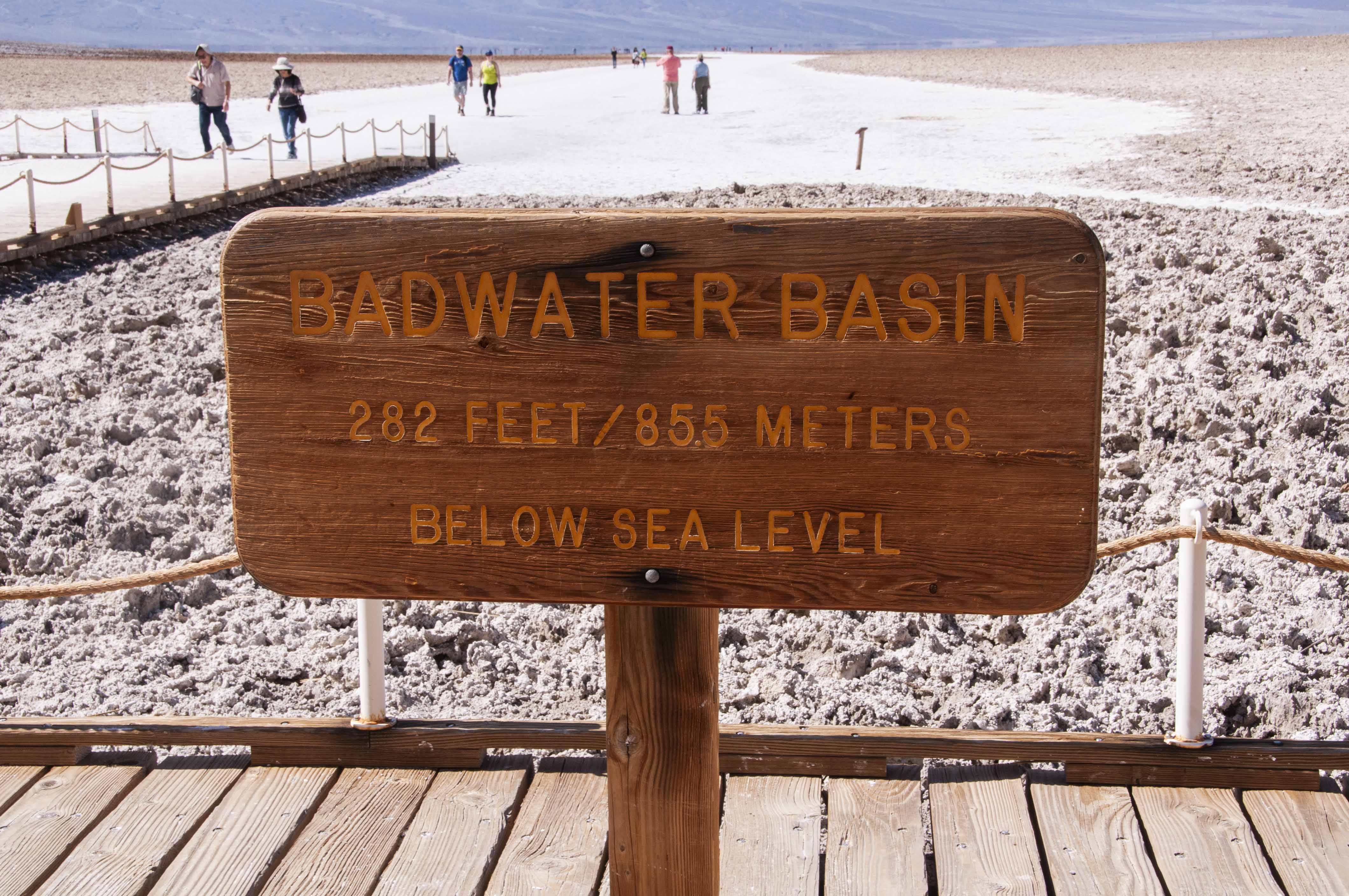
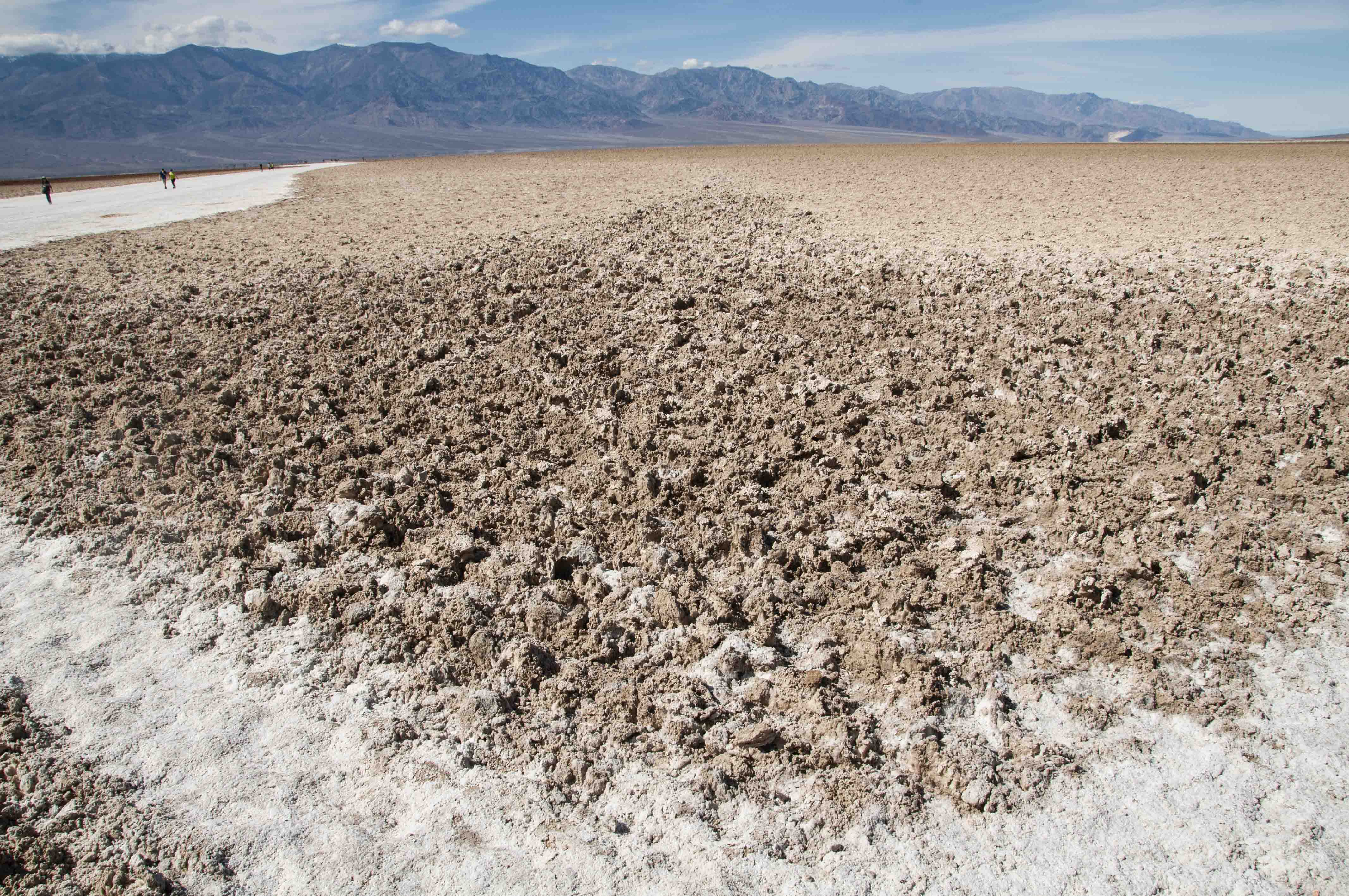
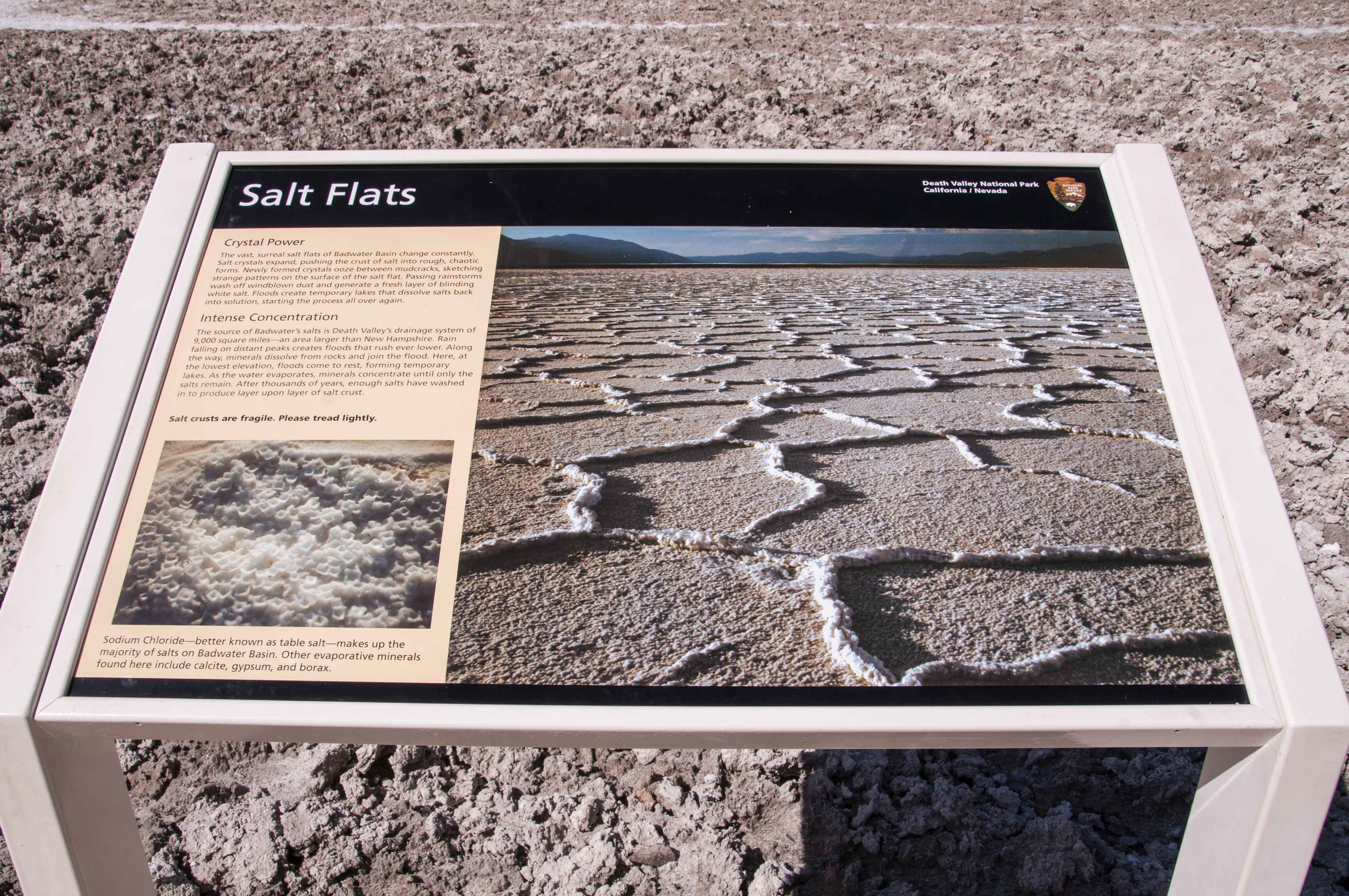
Badwater Basin
Badwater Basin is the lowest point in North America at 282 feet below sea level.
The basin has extensive salt flats up to 5 feet thick that formed after Manly Lake
dried up some thousands of years ago. The salt flats are composed of about 95%
table salt (NaCl). Repeated freeze-thaw-evaporation cycles form
the salt crust into honeycomb shapes. Badwater Pool, located near Badwater Road,
is about 4 times saltier than the ocean which makes is undrinkable, hence the name.

Badwater Basin
Badwater Pool
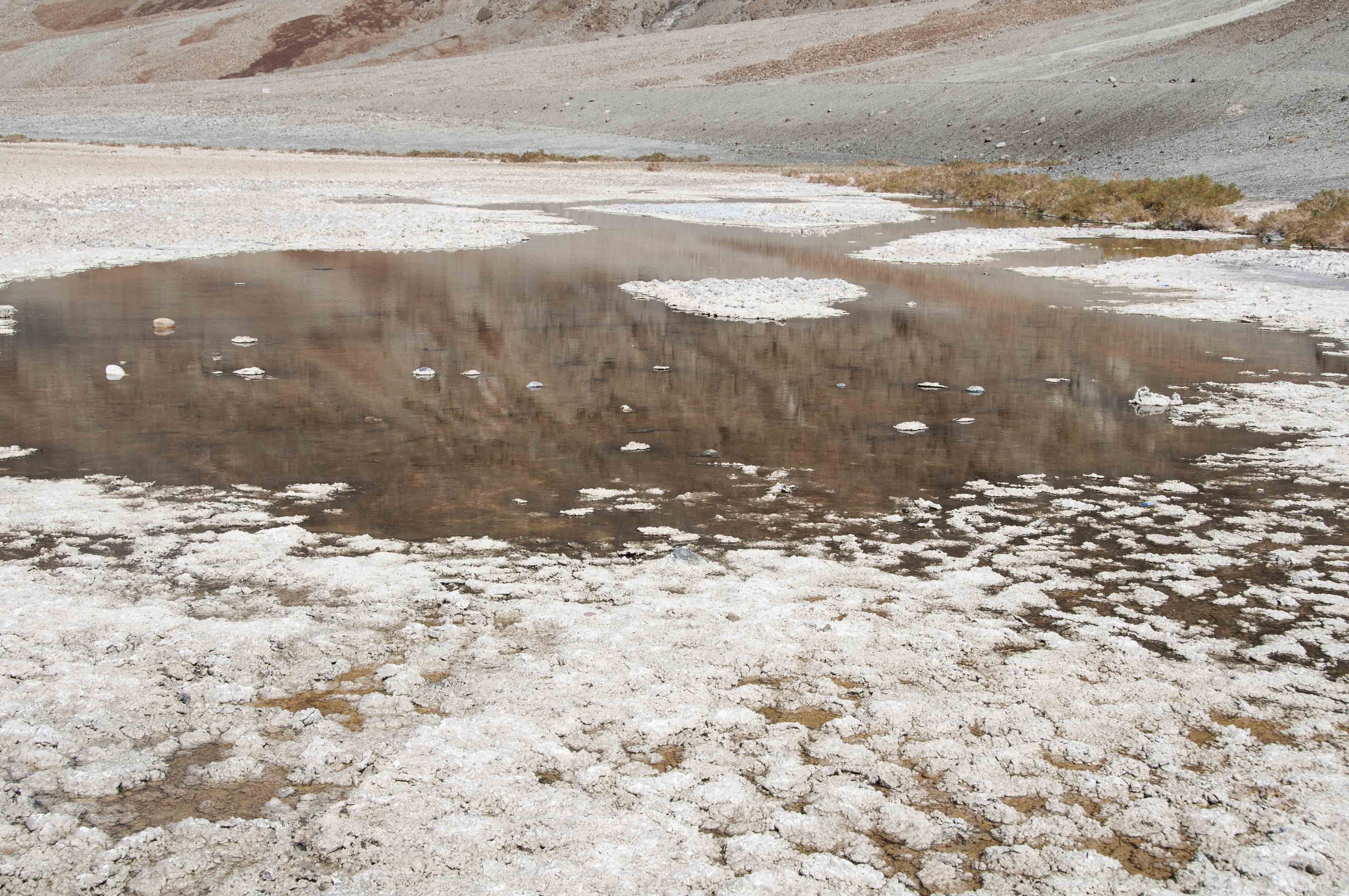
Badwater Pool
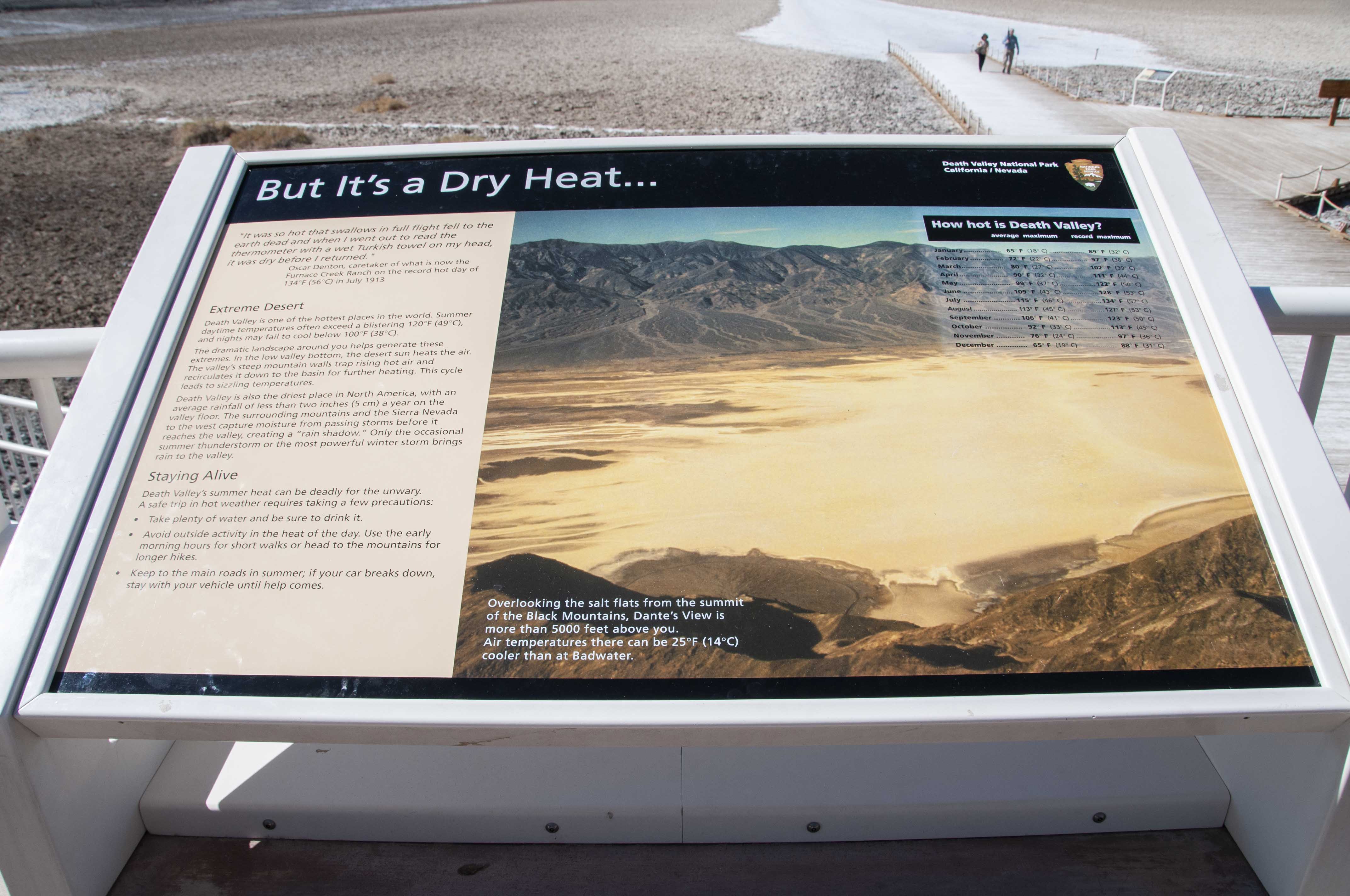
But It's a Dry Heat...

Earth's Lowest

Birth of Death Valley
282 feet below sea level
Badwater Basin
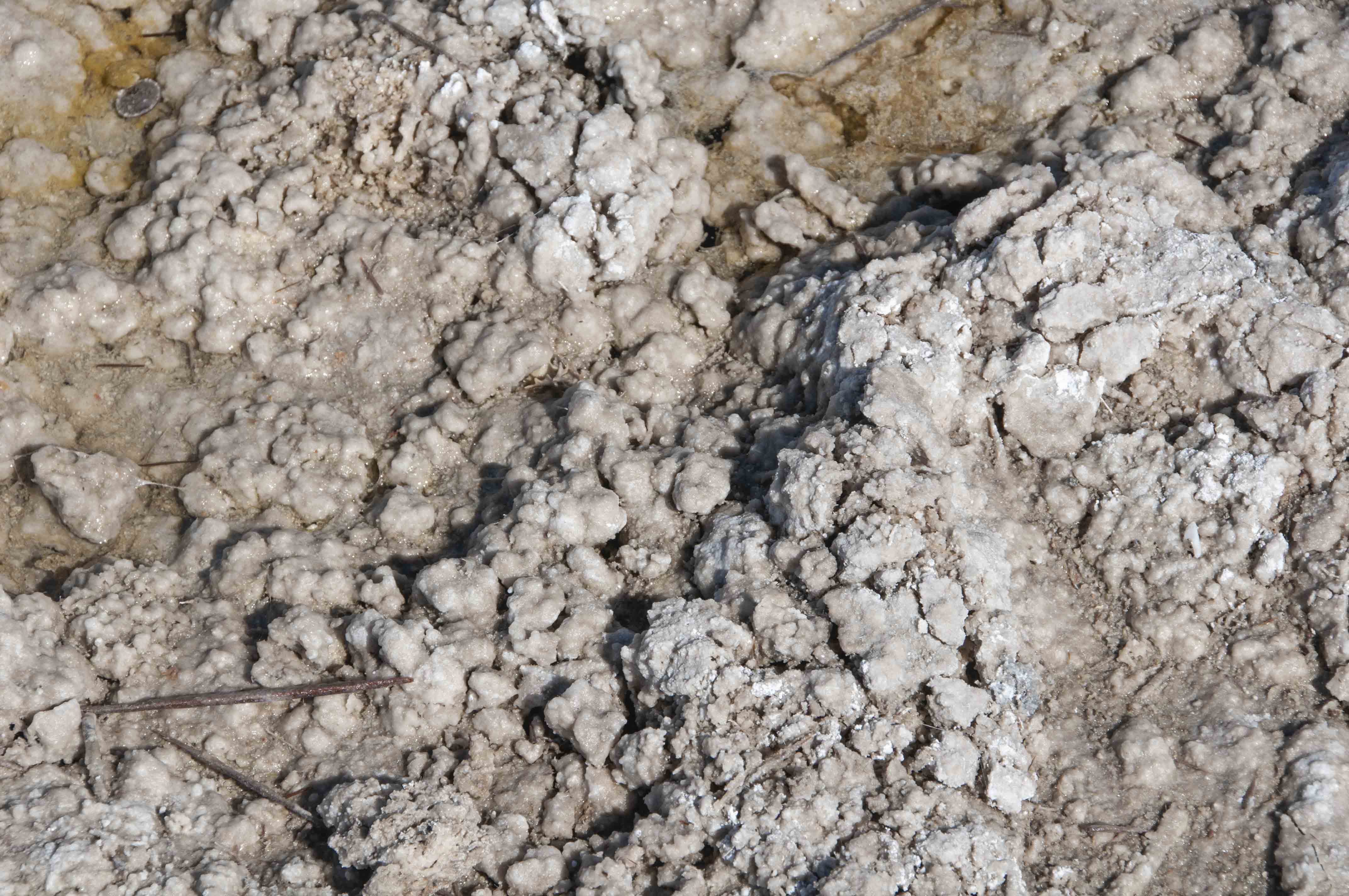
Salt nodules
Could be a coin upper left
Badwater Salt Flats
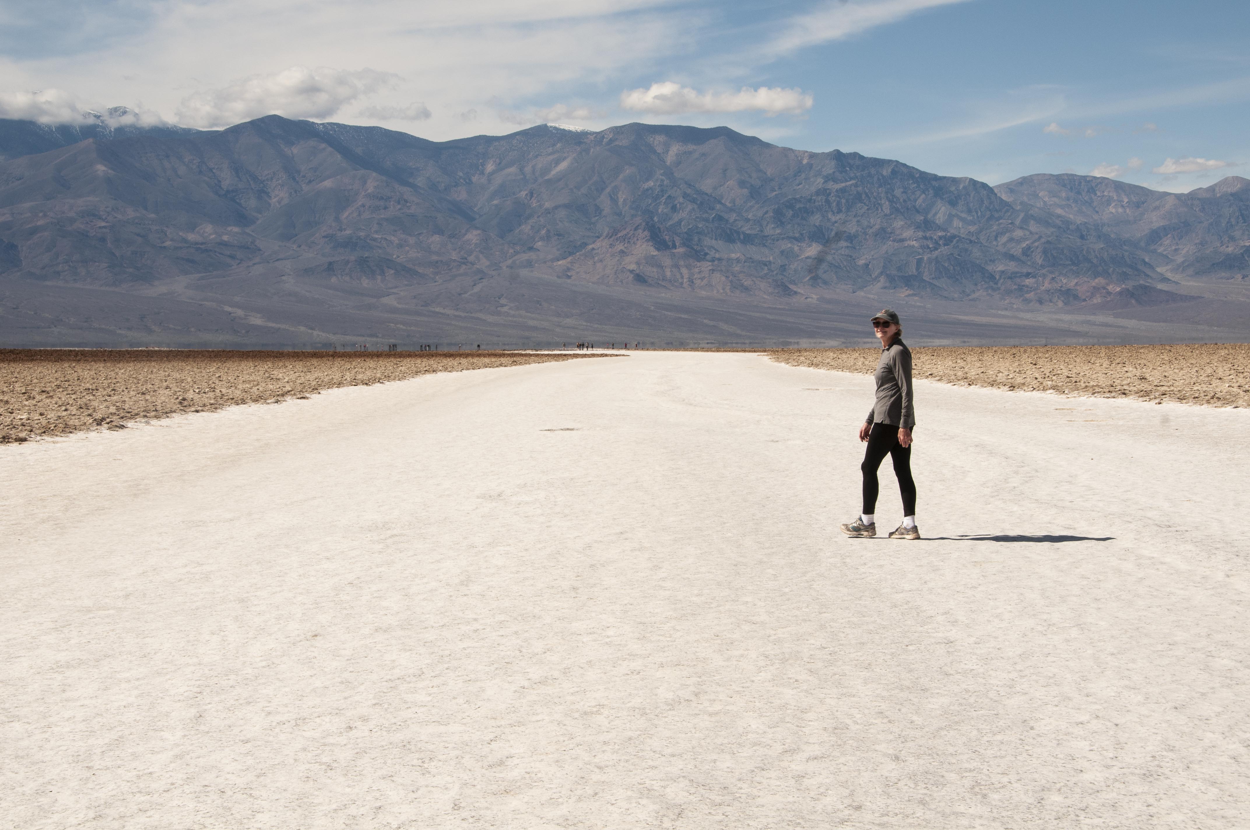
Stephanie
On the way to the salt flats

Pothole along the way
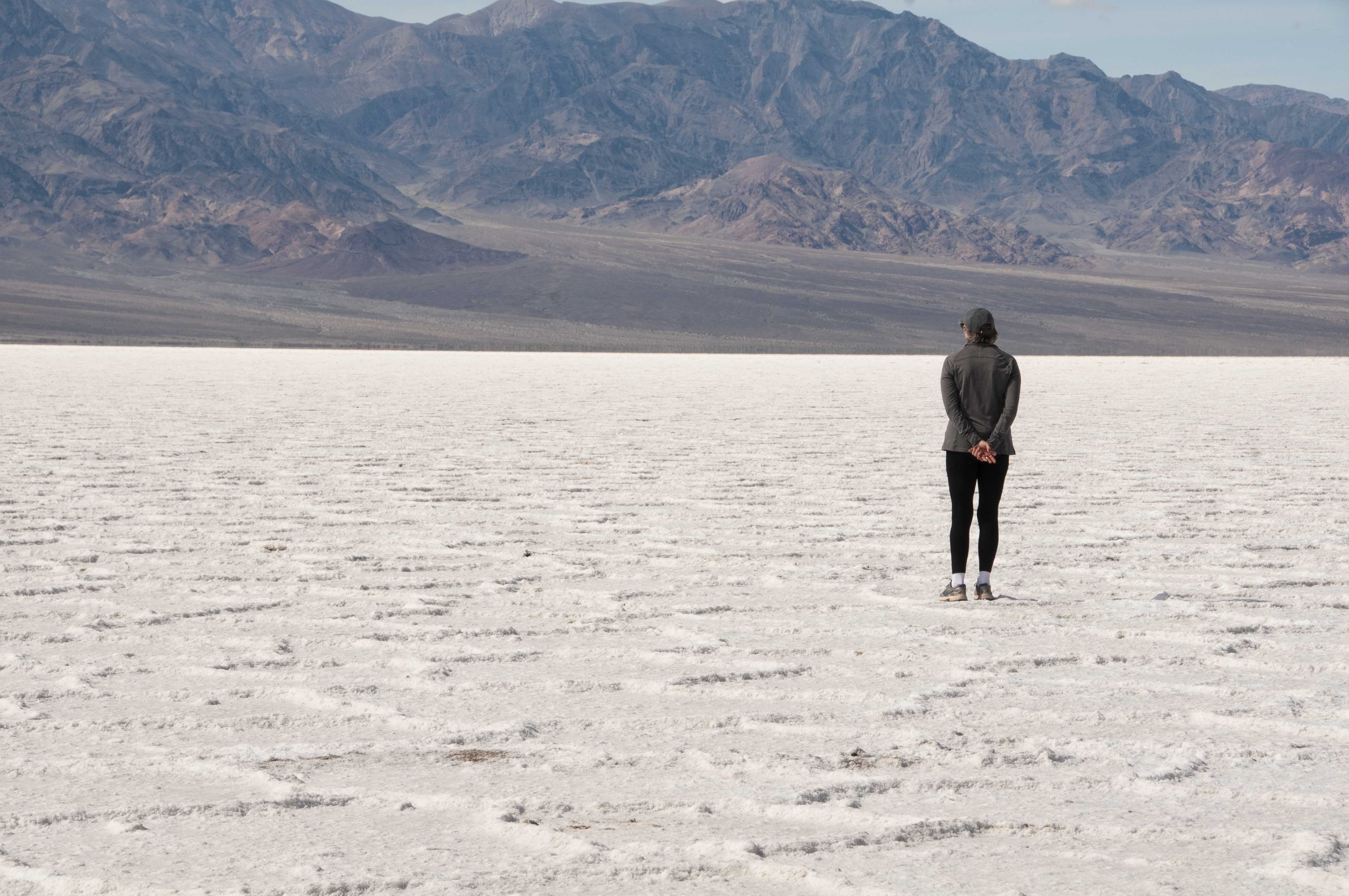
Out on the salt flats
Badwater Salt Flat panorama
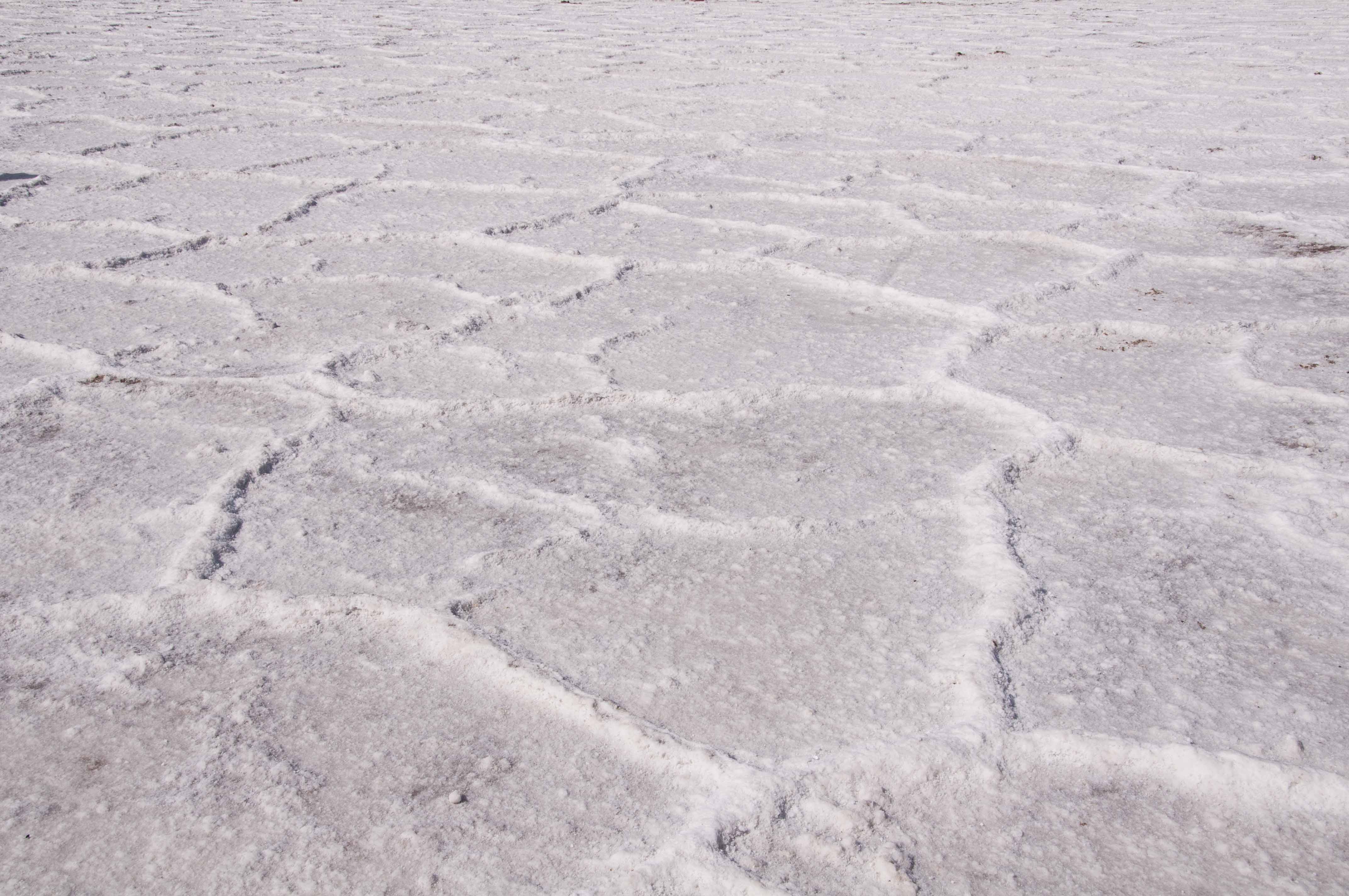
Salt honeycomb patterns

Salt patterns
Salt crystals
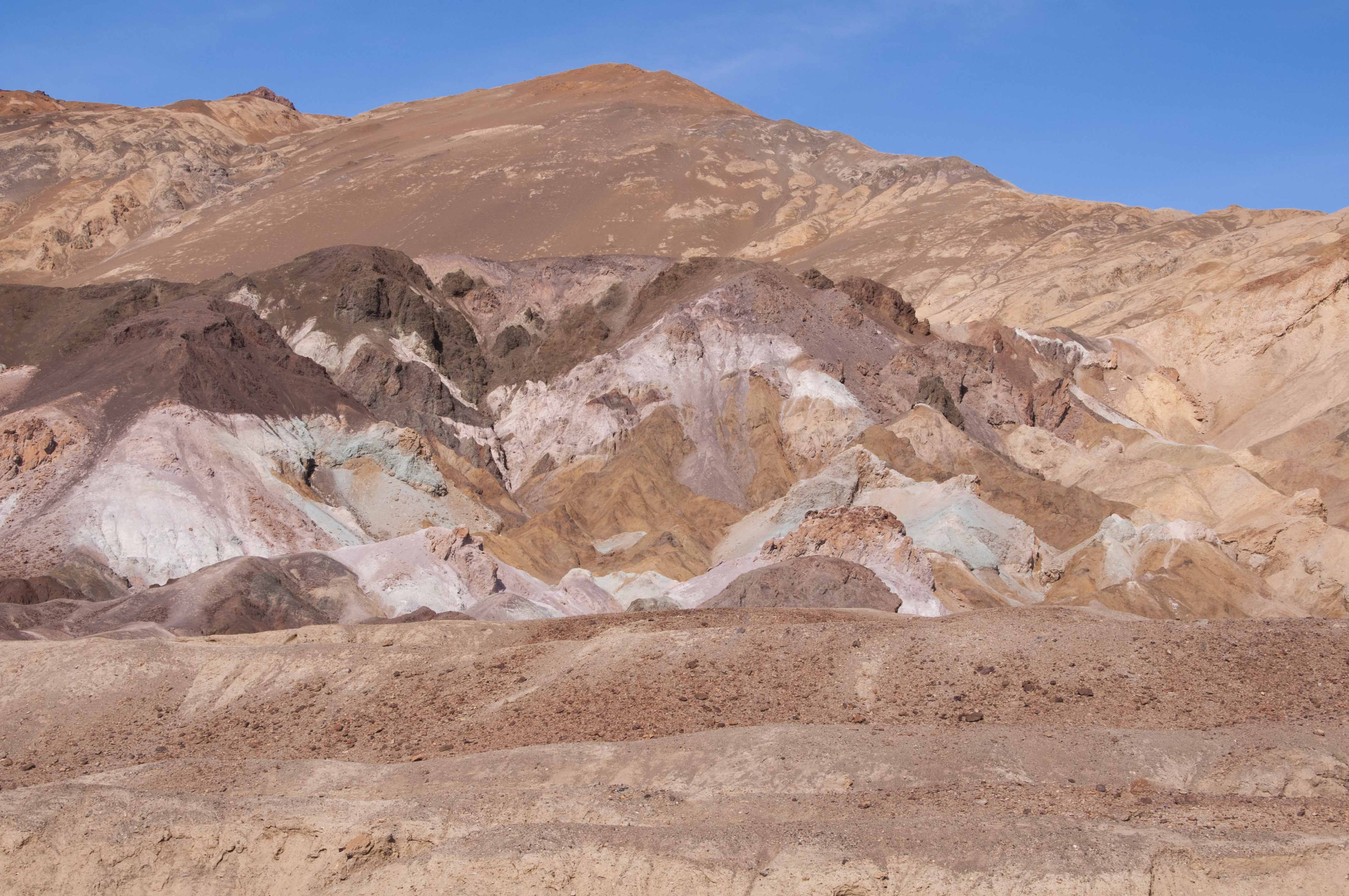
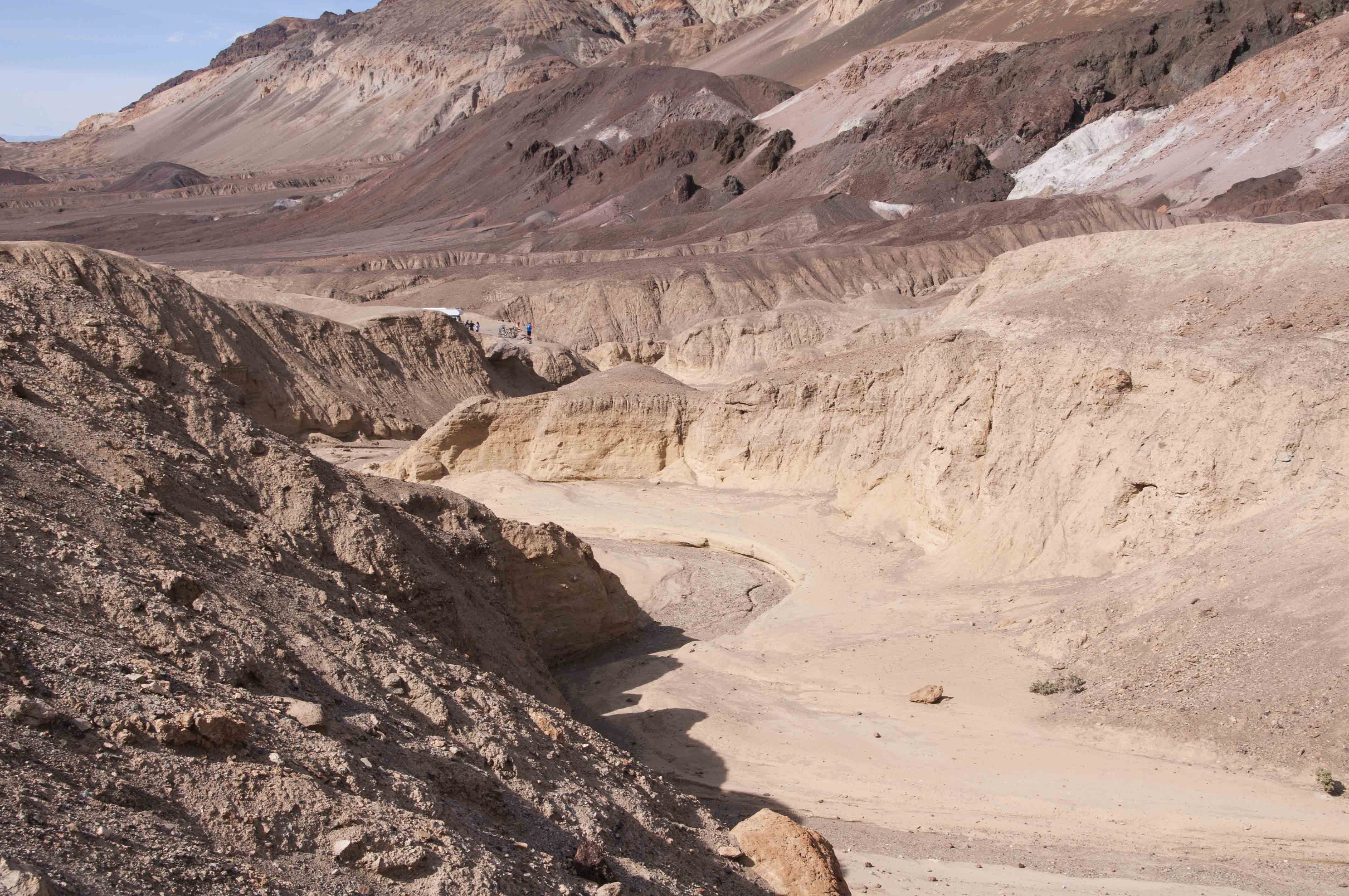
Artist's Drive
Artist's Drive is a 9.7 mile one-way paved road that winds through the Artist Drive
Formation on the east side of Death Valley. There are a variety of colors in the
Artist Drive and Furnace Creek Formations. Brick-reds, pinks, and various shades from
golden to pale yellow are due to iron hematites and oxides. The green tuff is volcanic ash.
There are a few pullouts along the drive that afford good views of the multicolored rock formations.
View from first pullout
Hiking back to the parking area
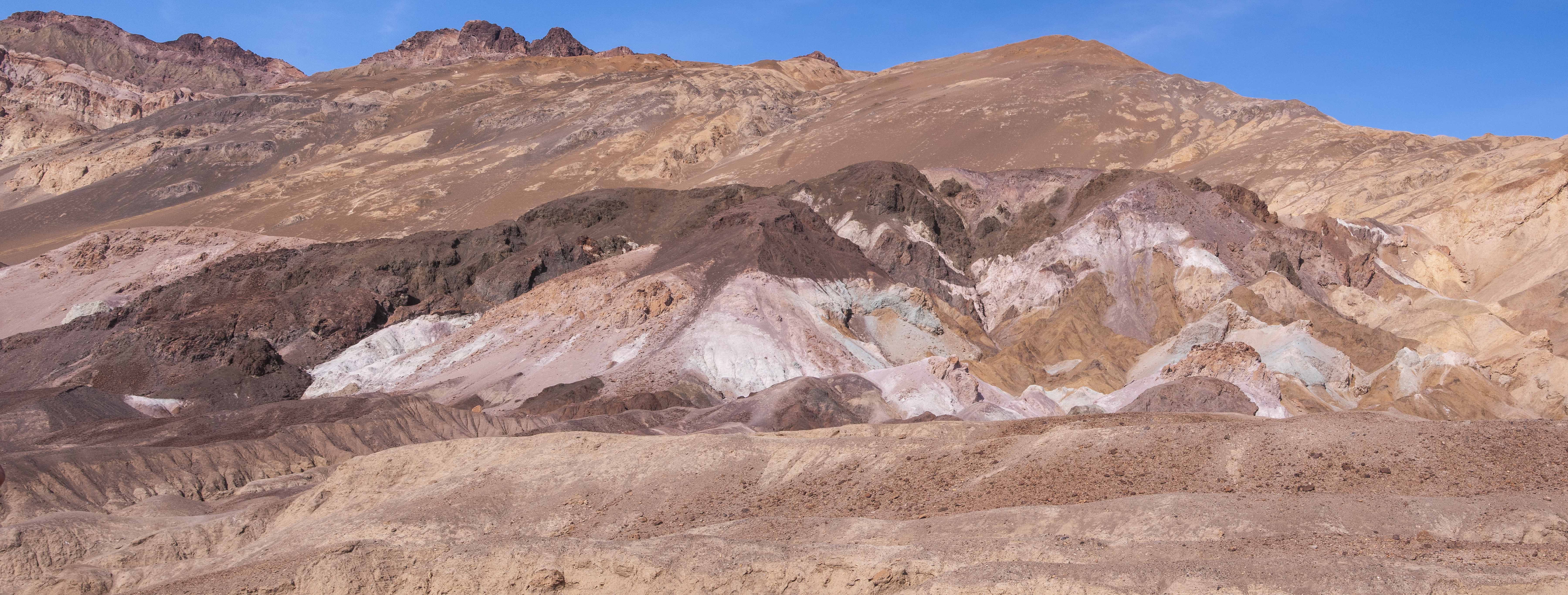
View from Artist's Palette pullout
A smaller view
Terrain at Artist's Palette
Dashcam - portion of Artist's Drive
Source material obtained from Wikipedia and the National Park Service.
Use the form on the Home Page to submit comments, questions, or suggestions. TD Productions Copyright © 2019