Craters of the Moon National Monument
The earth has been stretching laterally in the area of the Snake River Plain for a while (some
30 million years). This stretching has recently (last several thousand years) caused local weakness and cracks in
the earth's crust known today as the Great Rift, which is about 50 miles long. Magma was able to push up through
these cracks, with eight major eruptions occuring in the last 15,000 to 2,000 years. A large part of of this
past volcanism is now on display at Craters of the Moon National Monument.
Craters of the Moon was designated a National Monument by President Calvin Coolidge in 1924, and today the park
includes an area of 1,100 sq miles. To get to the park from the town of Arco, turn onto
US-20W/US-26W/US-93S and travel about 19 miles to the park entrance. The Robert Limbert Visitor Center is located right
at the park entrance and should be your first stop. If you stay at Lava Flow Campground it's like camping on the moon.
There are currently only vault toilets, no showers, no hookups, no wood fires (charcoal only in the grills), and
no dump station, but what the heck. If you're a tent camper this makes for a fantastic experience.
I did some research and read reviews of the park prior to my trip. Turns out people either love it or hate it, no middle ground.
I'm one of the lovers, because I have a strong interest in geology. I visited Craters of the Moon in July of 2020 and spent
about half a day touring the park. The photos below are the result of this time well spent. The only disappointment was that
the lava caves were closed because of a recent earthquake.
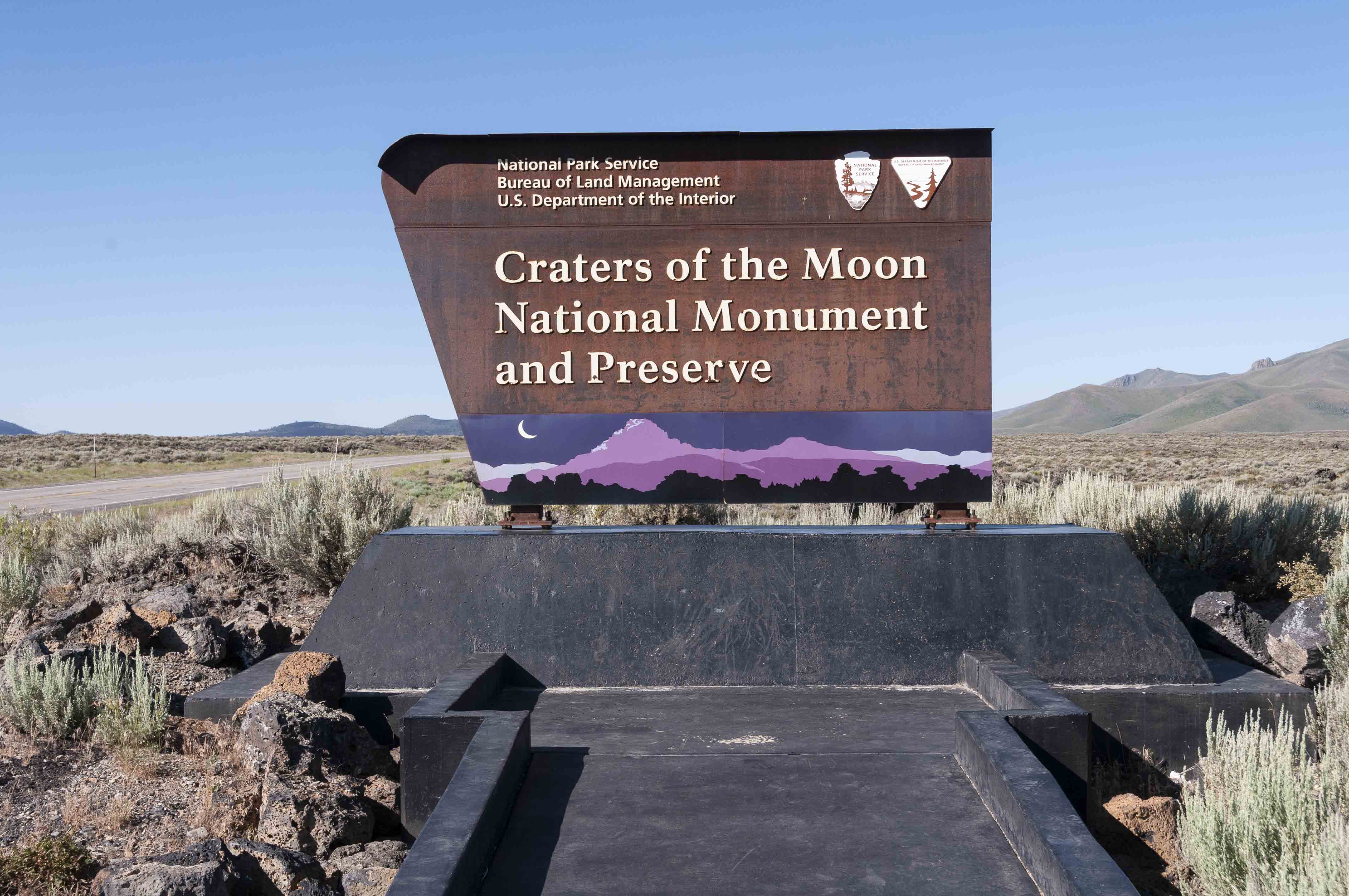
Park Sign
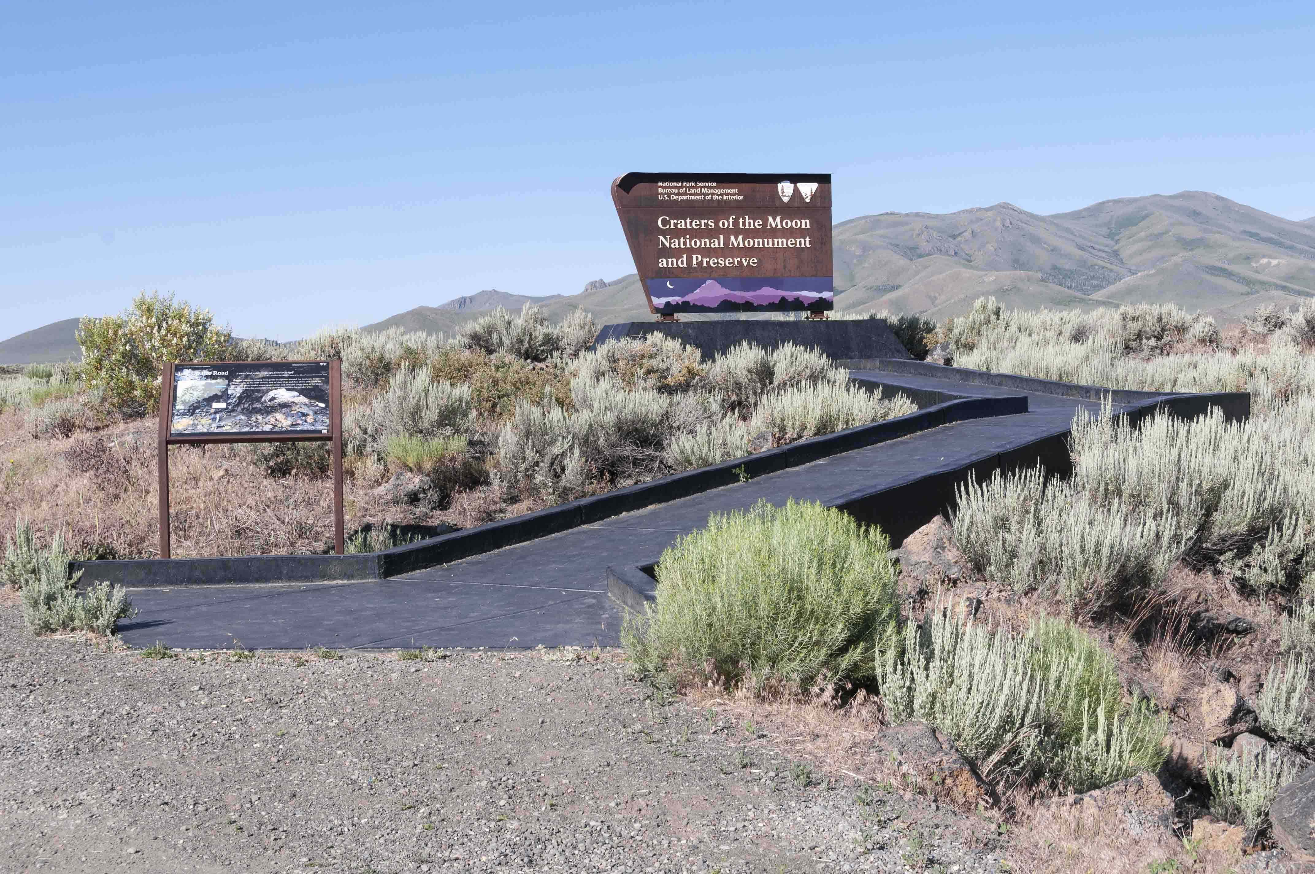
Handicapped Accessible

Volcanoes along the Rift

Robert Limbert Visitor Center

Information Kiosk (when open)

Bookstore and Information Desk
Devil's Orchard
Devil's Orchard is a cinder bed on which sit chunks of lava from the
North Crater wall. Devil's Orchard Trail is a nature trail that winds through
Devil's Orchard forming a half-mile loop. The trail is flat and paved making
it wheel chair accessible. There are interpretive signs at stops along the
way dealing primarily with ecology of the park.
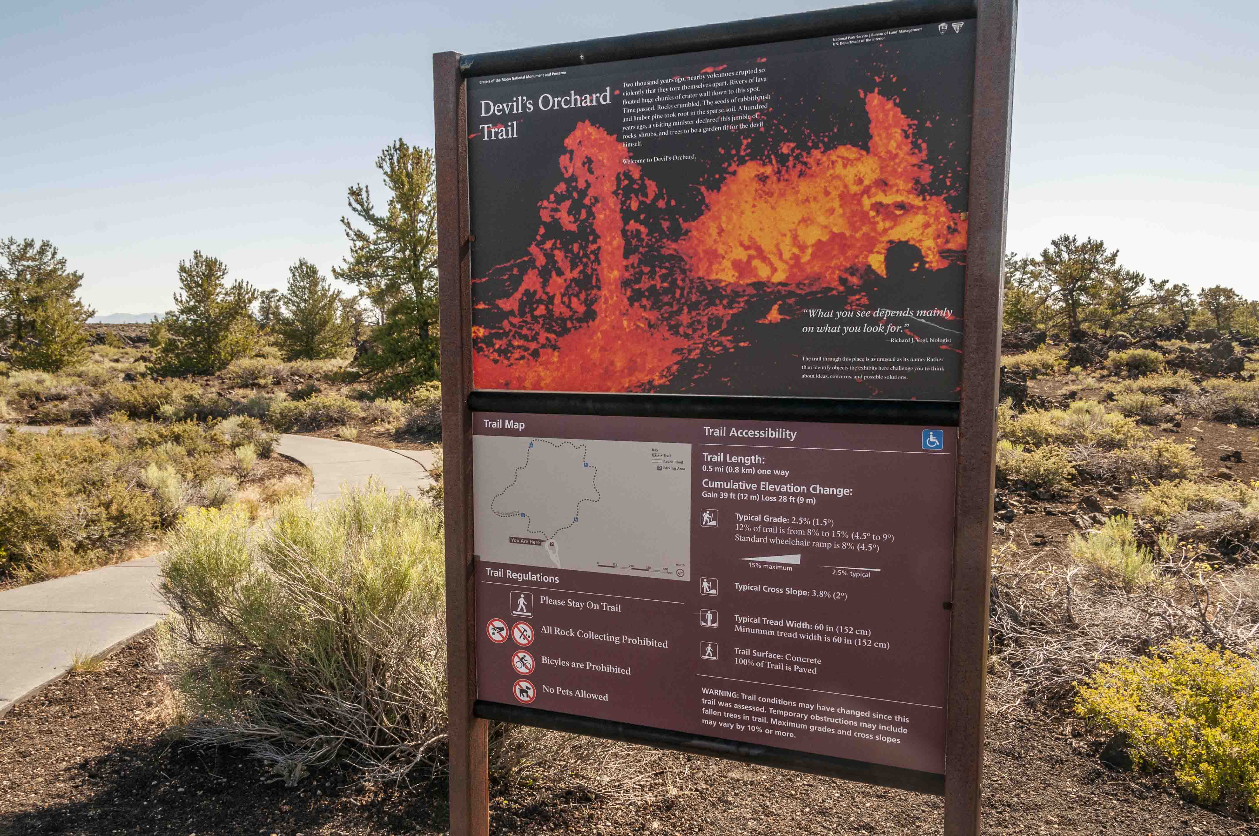
Devil's Orchard Trail
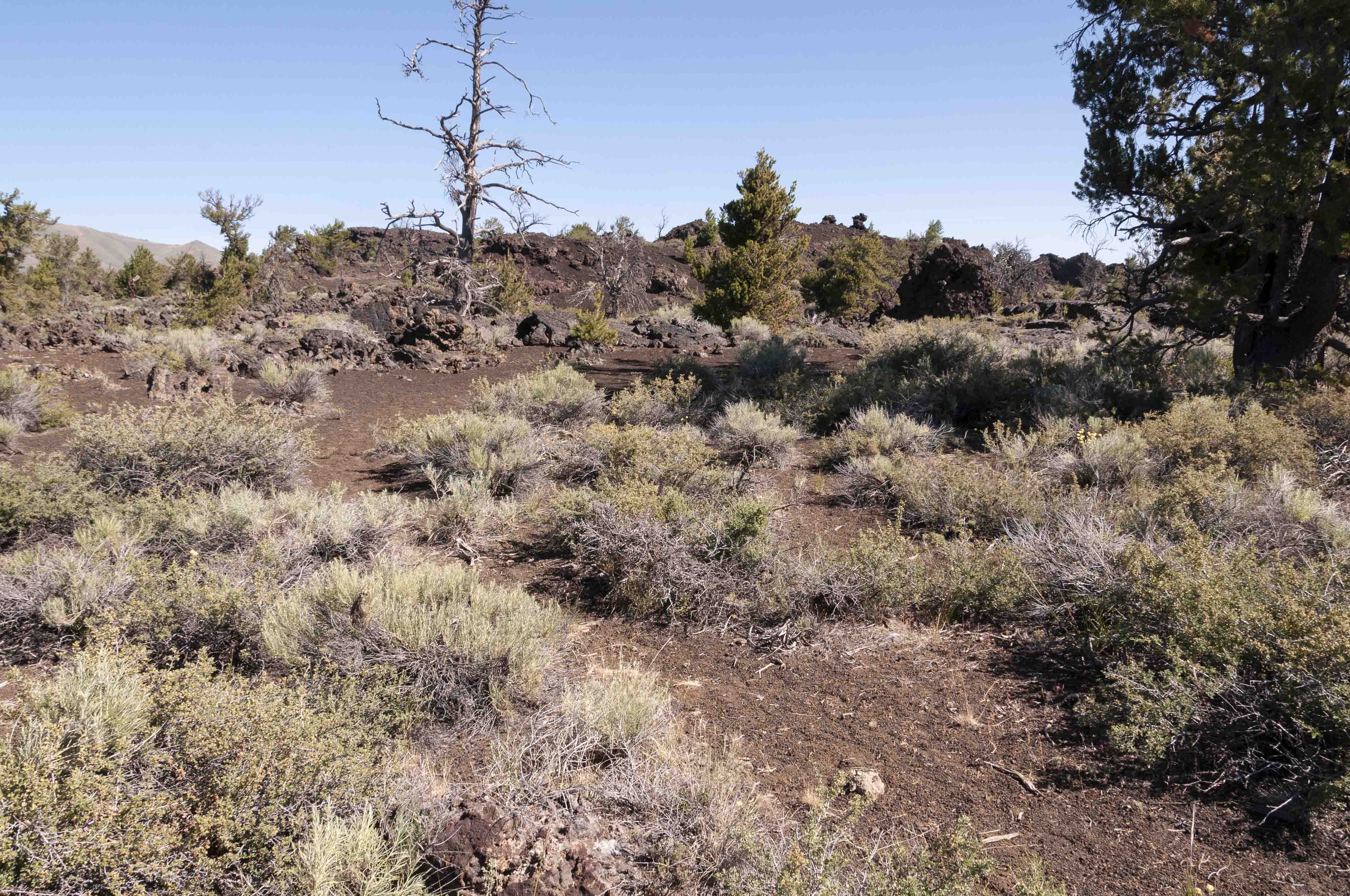
Devil's Orchard

Limber Pines
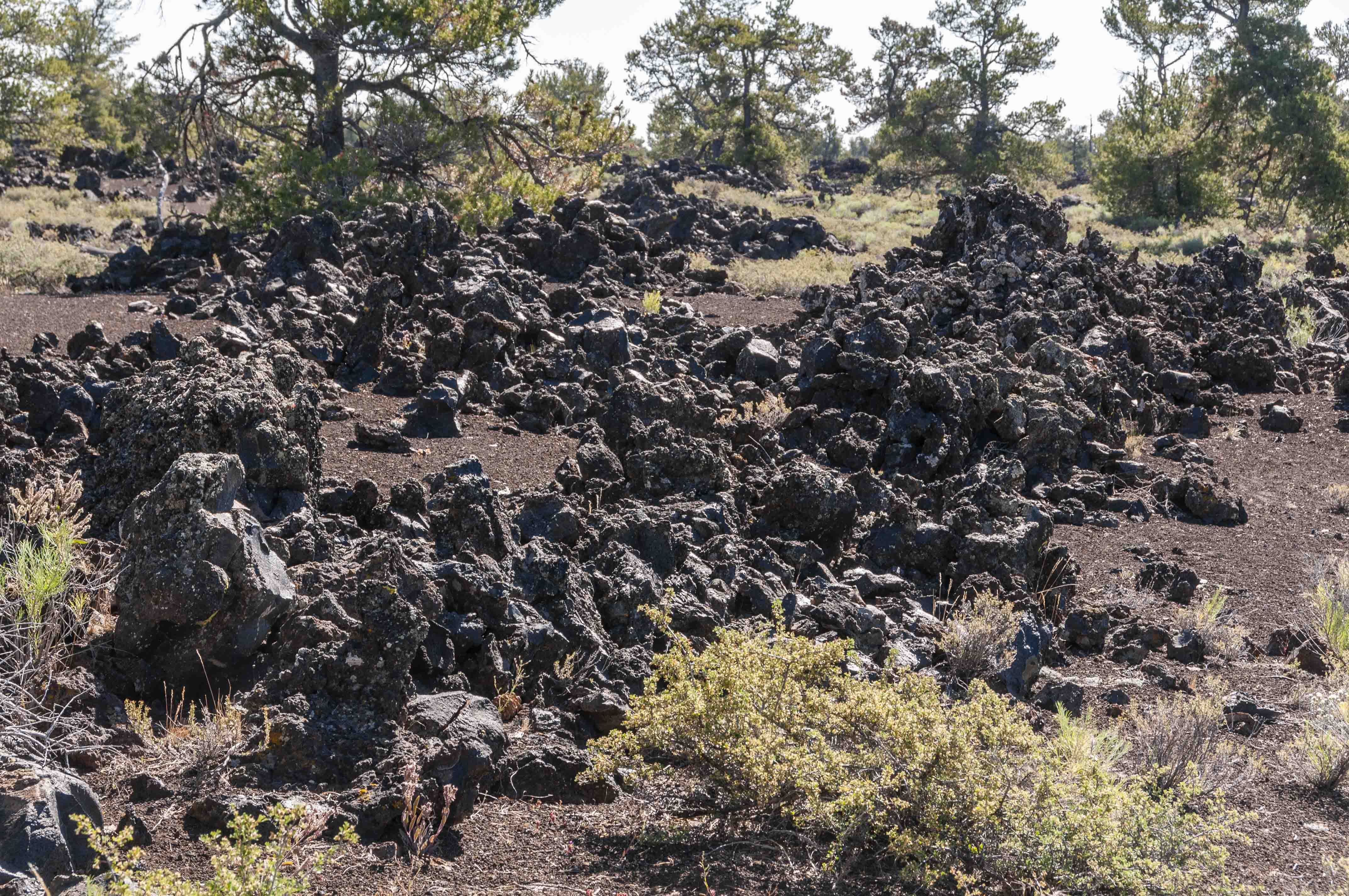
Mounds of A'a' Lava on a Cinder Carpet
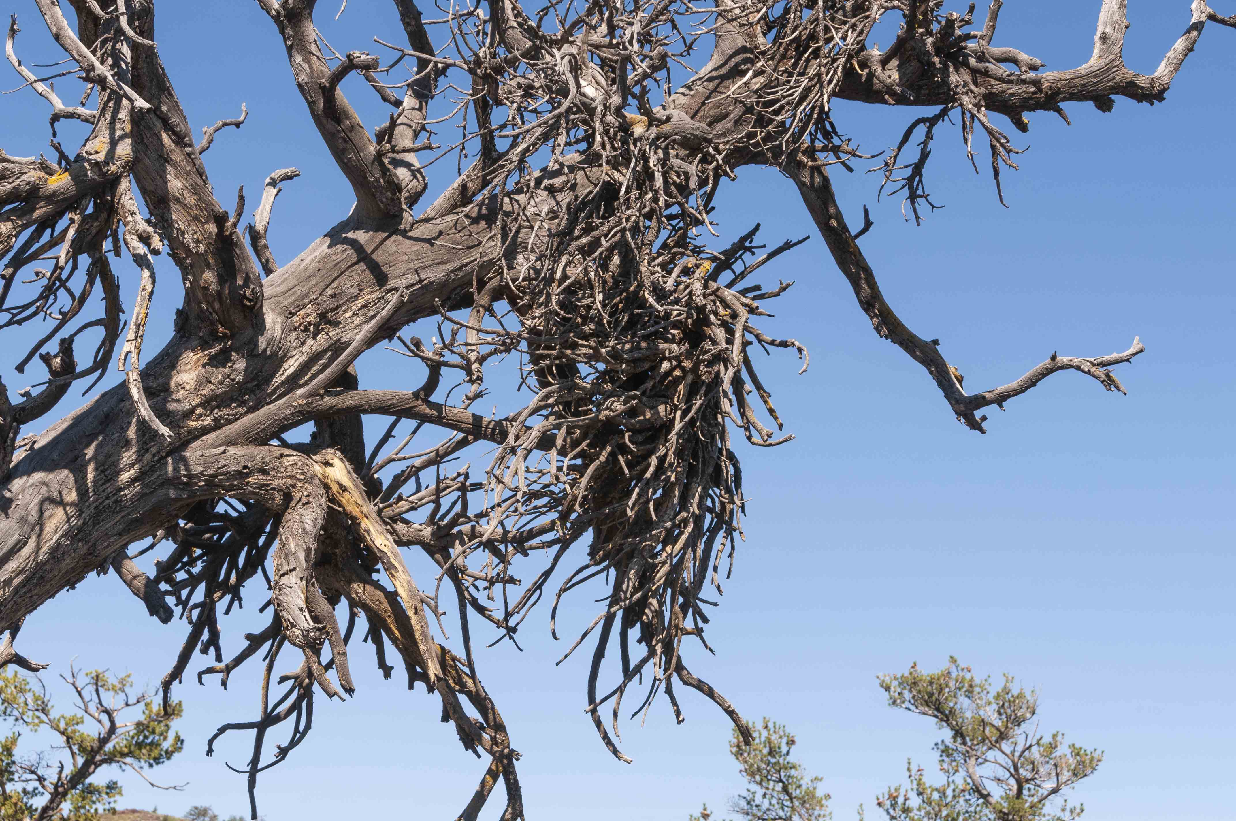
Witches Broom
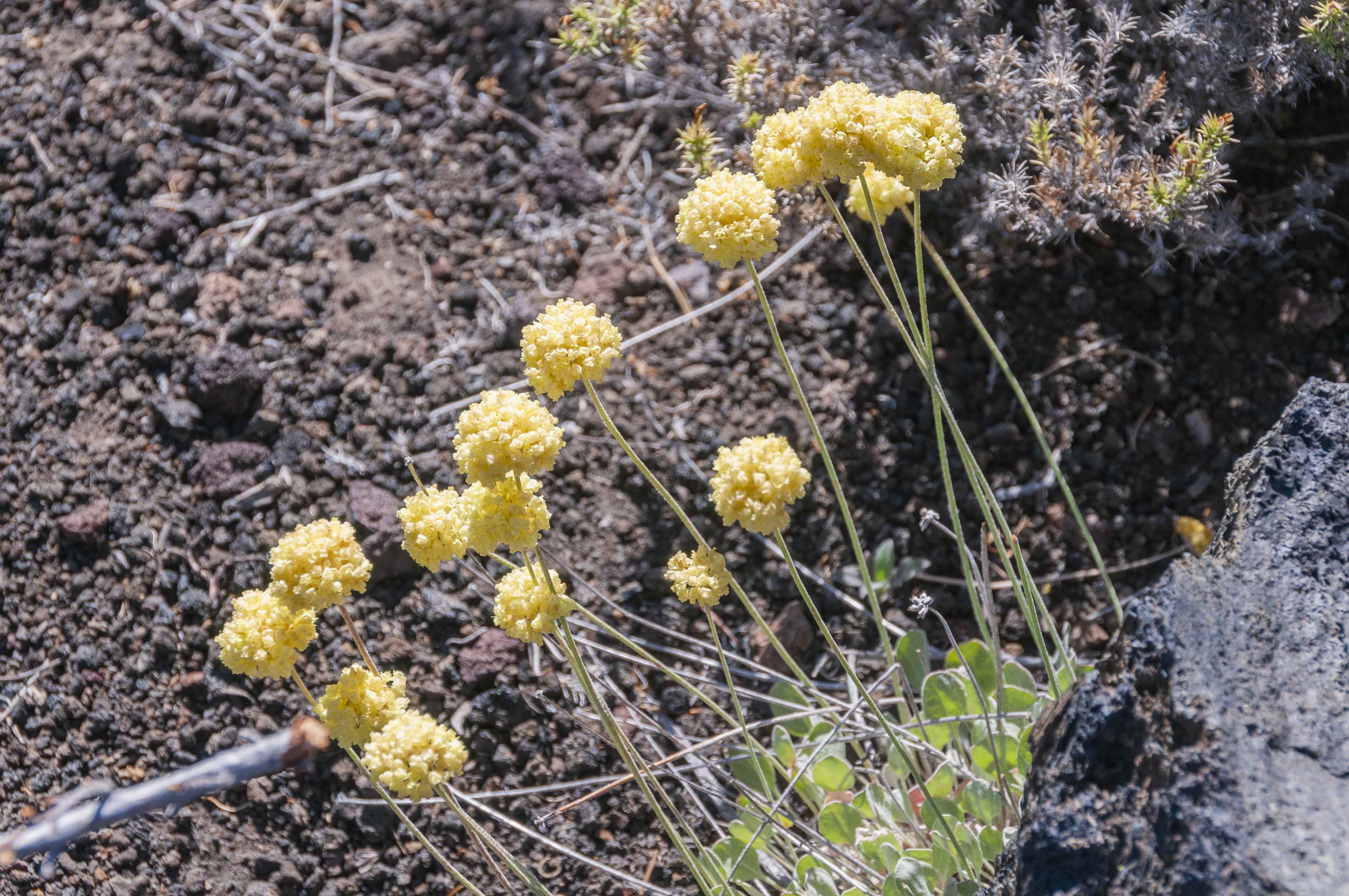
Cushion Wild Buckwheat
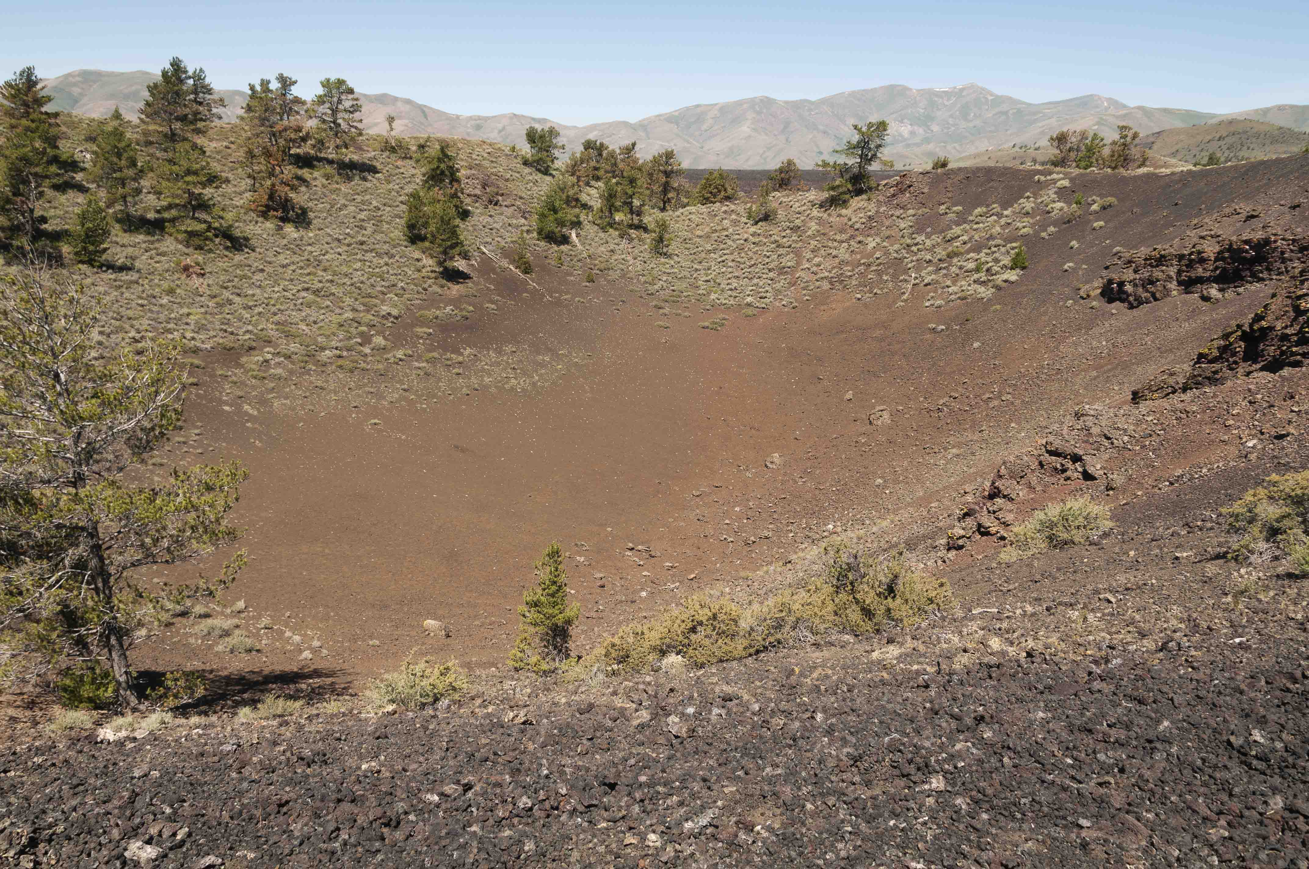
Inferno Cone
Inferno Cone is a cinder cone volcano with an elevation of 6,181 ft.
The summit provides panoramic views of the Great Rift (south-southeast), Snake River Plain (east-southeast), and
the Pioneer Mountains (north-northwest). The trail to the top is 0.4 mile out-and-back. It's moderately difficult
with an elevation gain of 160 ft, but the climb is well worth the views.

Inferno Cone Trail
View north from Inferno Cone
Red and Black Cinder Fragments

Large Limber Pine?
Really colorful lava
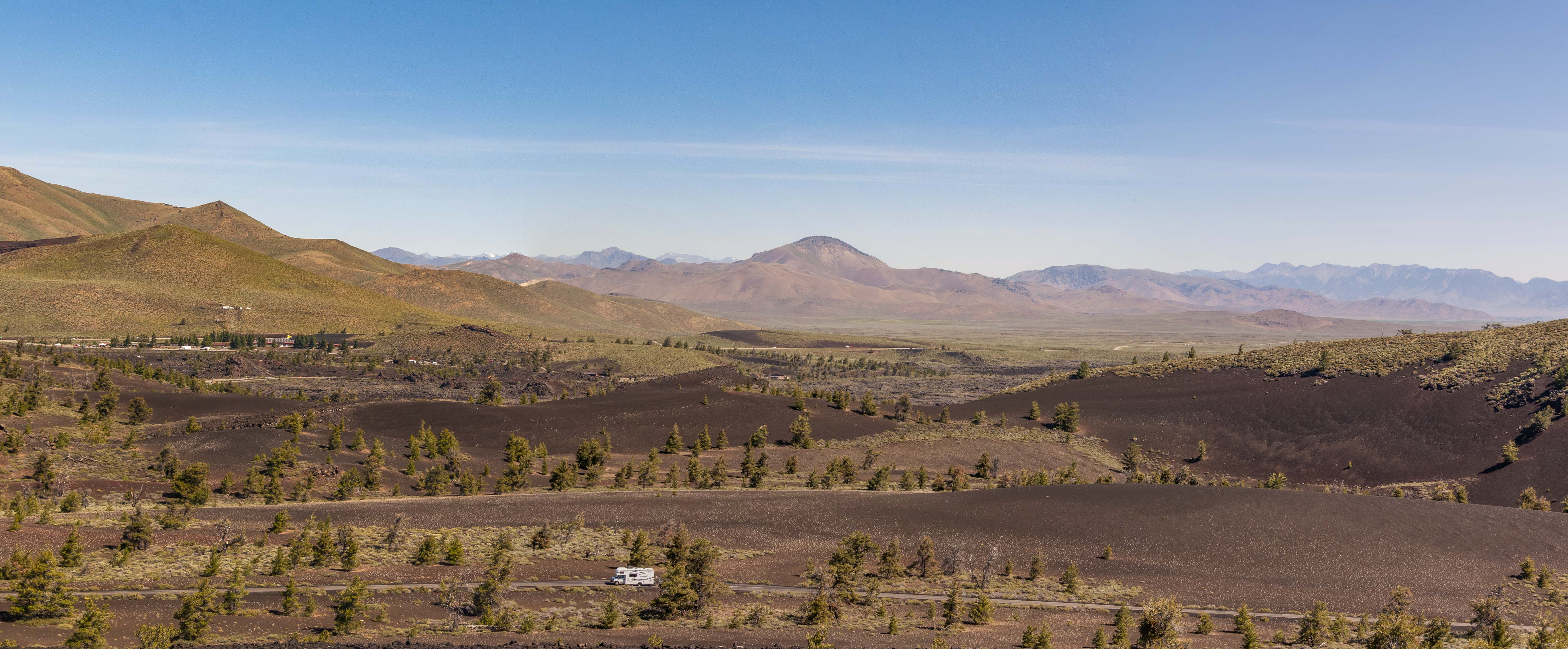
Paisley Cone (left), Park Road, Big Cinder Butte (right) - View from Inferno Cone
Dwarf Buckwheat
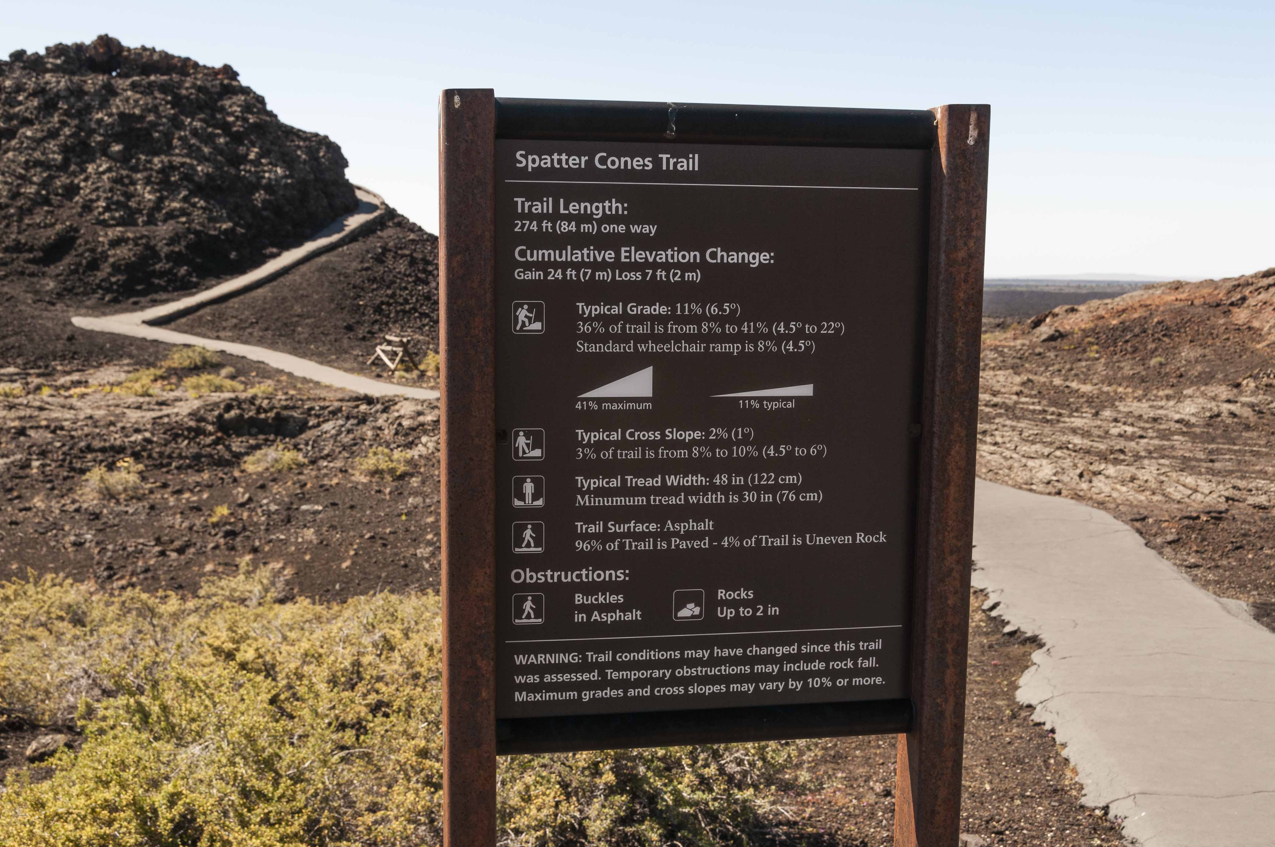
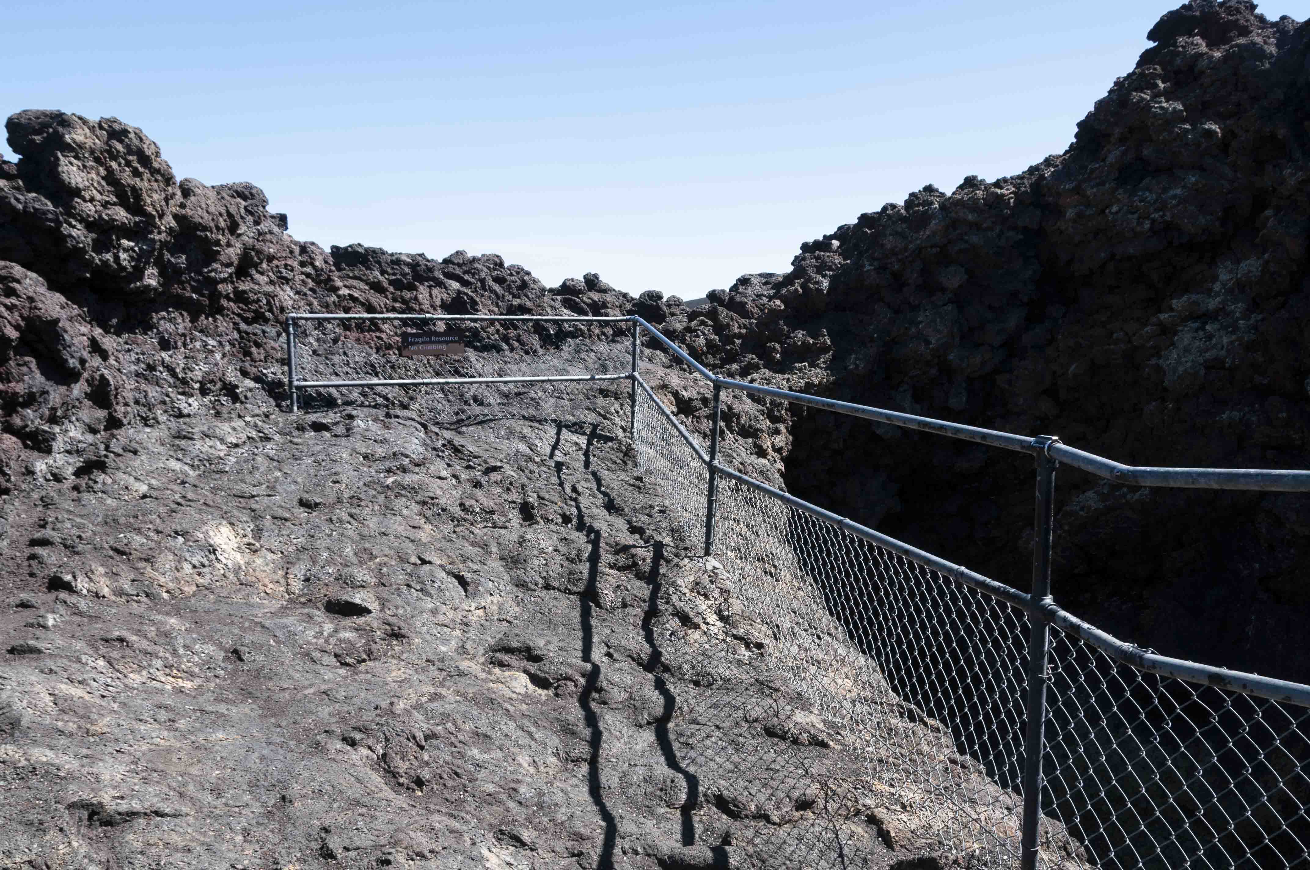
Spatter Cones and Snow Cone
Spatter cones are formed by lava ejected from a vent. The hot lava "spatters" around
the vent, building up walls to form a mini-volcano. Snow Cone is a spatter cone
which for some reason has snow in it year round. Spatter Cones trail is 548 ft out-and-back
with an elevation gain of 24 ft. Snow Cone trail is an easy 494 ft out-and-back concrete trail
with no appreciable elevation gain.
Information Overload
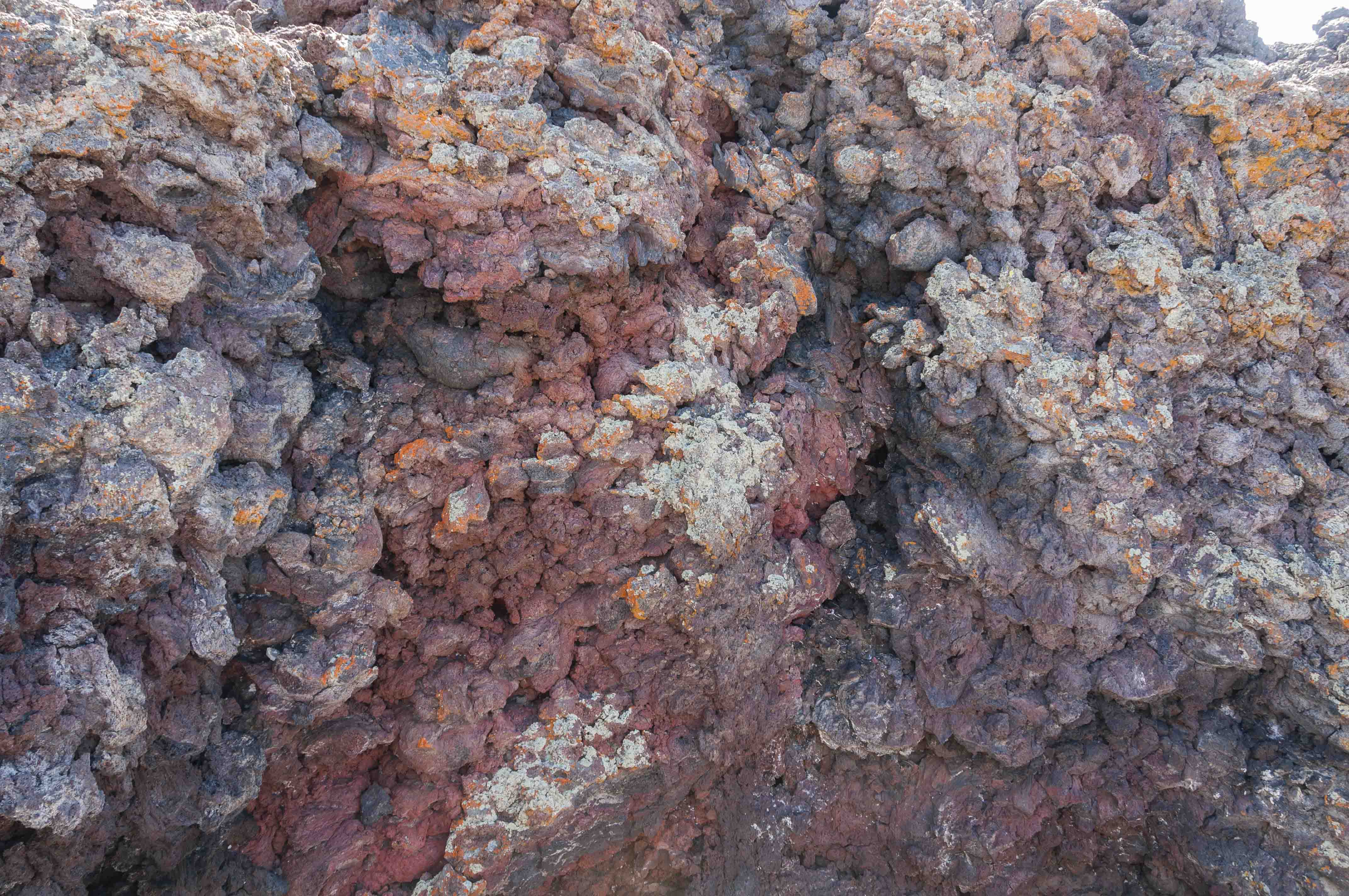
More Colorful Lava
End of Spatter Cone Trail
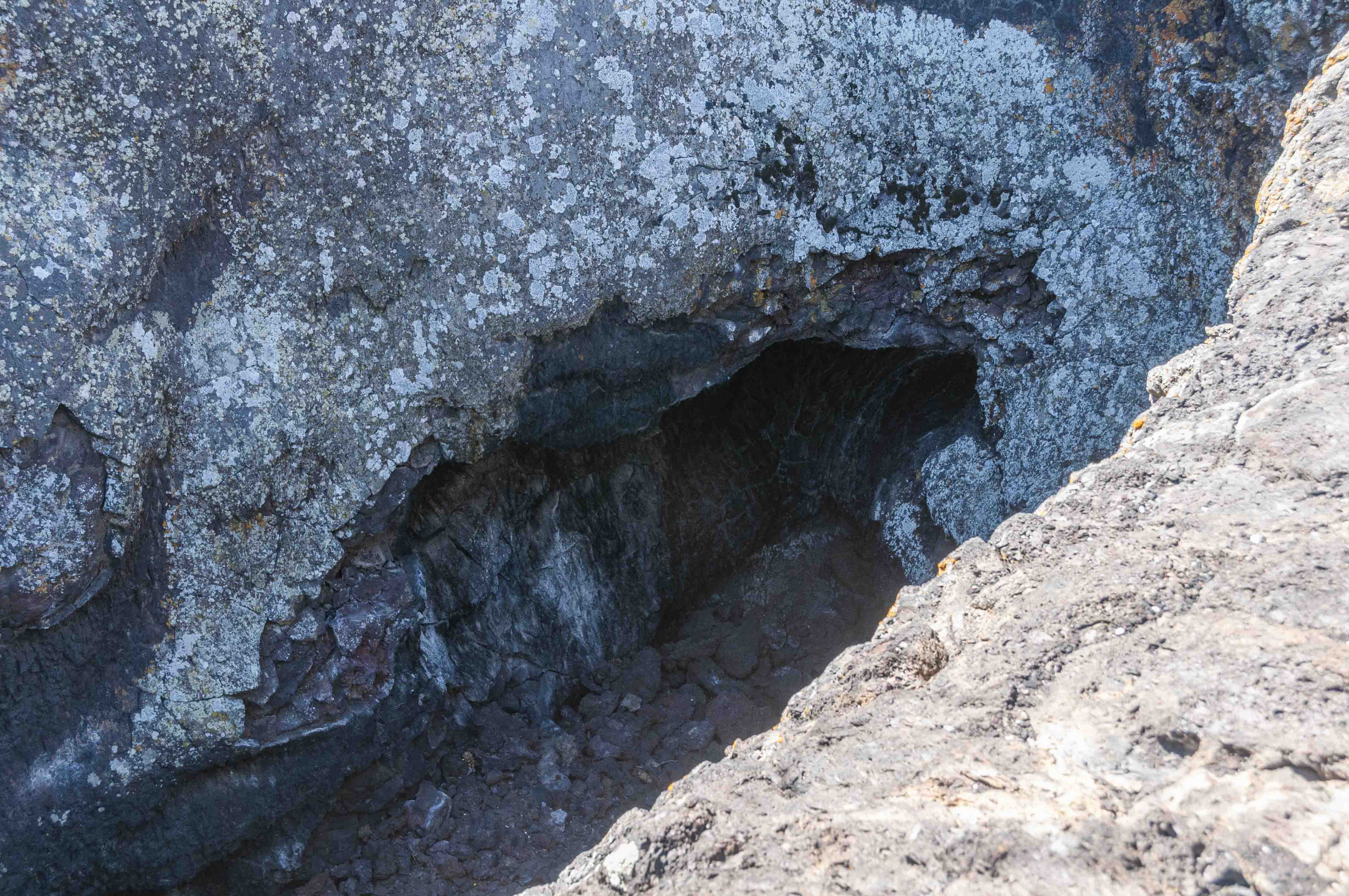
Lava Vent

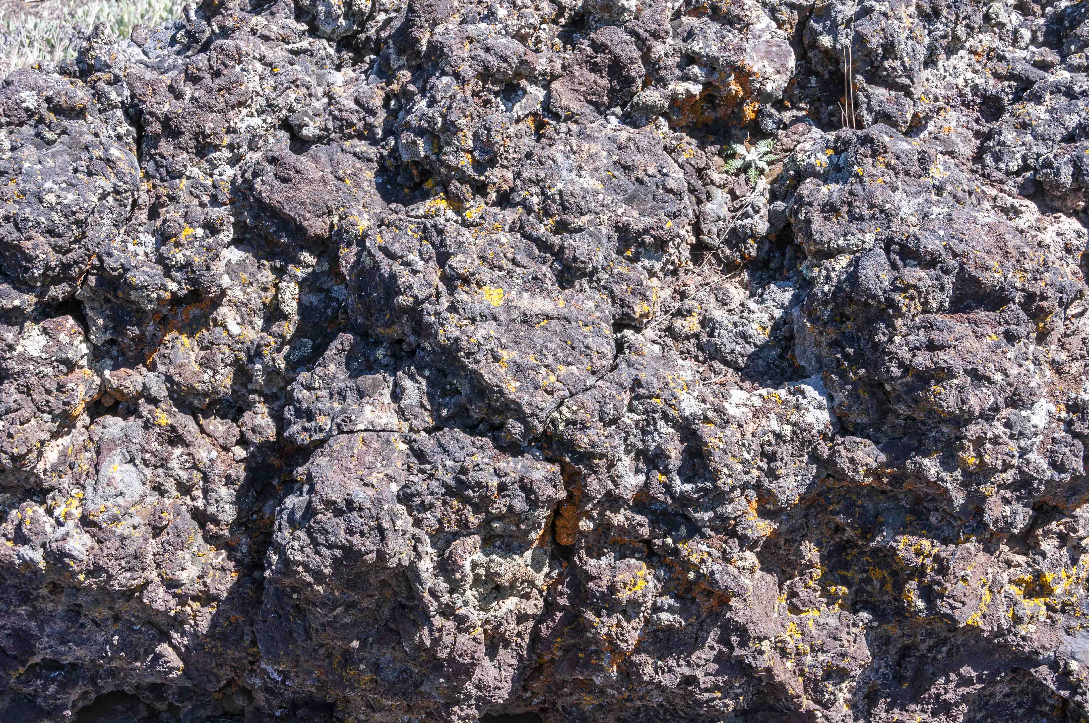
Lichen on the Rocks

View southwest from Spatter Cones Trail
Spatter Cones Sign
Spatter Cone and Trail
Spatter Cones
View southwest from Snow Cone Trail

End of Snow Cone Trail
Snow Cone

Snow in Snow Cone
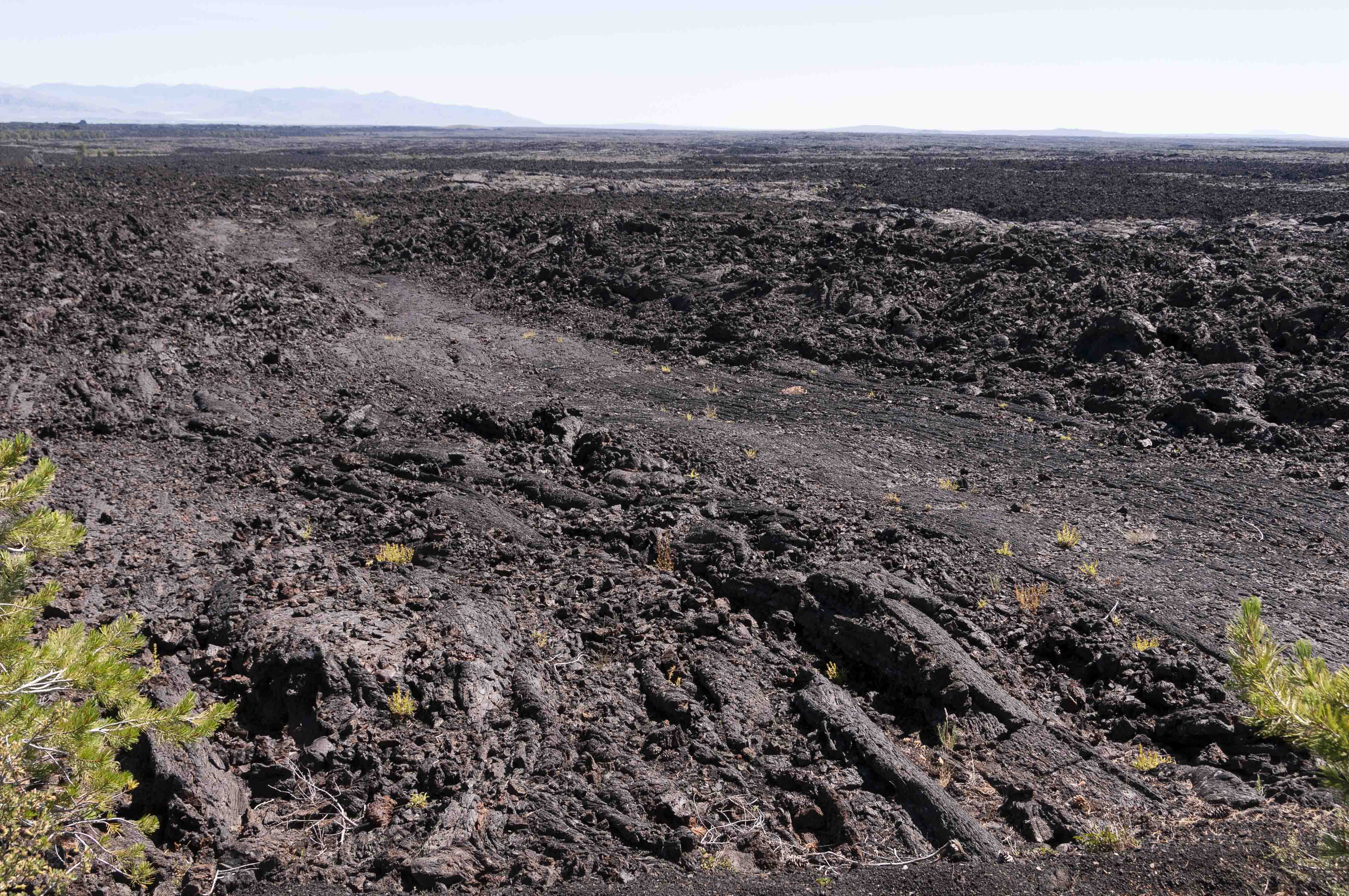
Lava Cascades
This is a short stop on the way to the Tree Molds trailhead. There is a lava
wall along the west side of the road. Molten lava penetrated through cracks in
the wall and flowed to the east in small channels.
Interpretive Sign
Lava Wall and Lava Flows
Lava Flow
Lava Flow
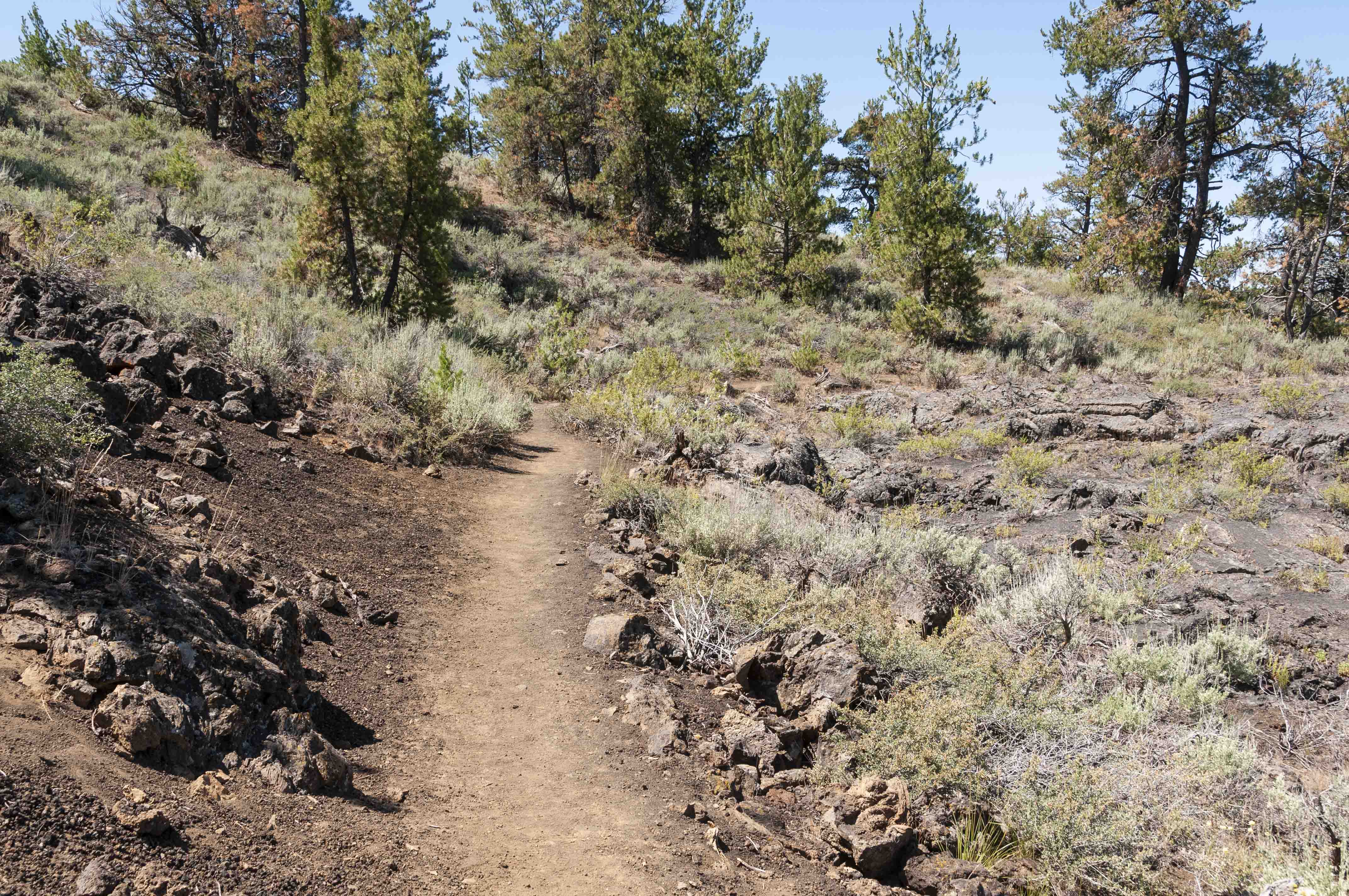
Tree Molds Trail
Tree Molds Trail is an easy 2.1 mile out-and-back trail that
winds through a landscape of lava, cinder cones, shrubs, and limber pine.
It ends at the edge of the Blue Dragon Flow. While still molten, this lava flow
knocked down and ignited trees. The charred tree trunks left impressions in the lava
rock. In other places, the trees remained standing as the lava encased
them, leaving vertical molds in the cooling lava.
Cinder Cone
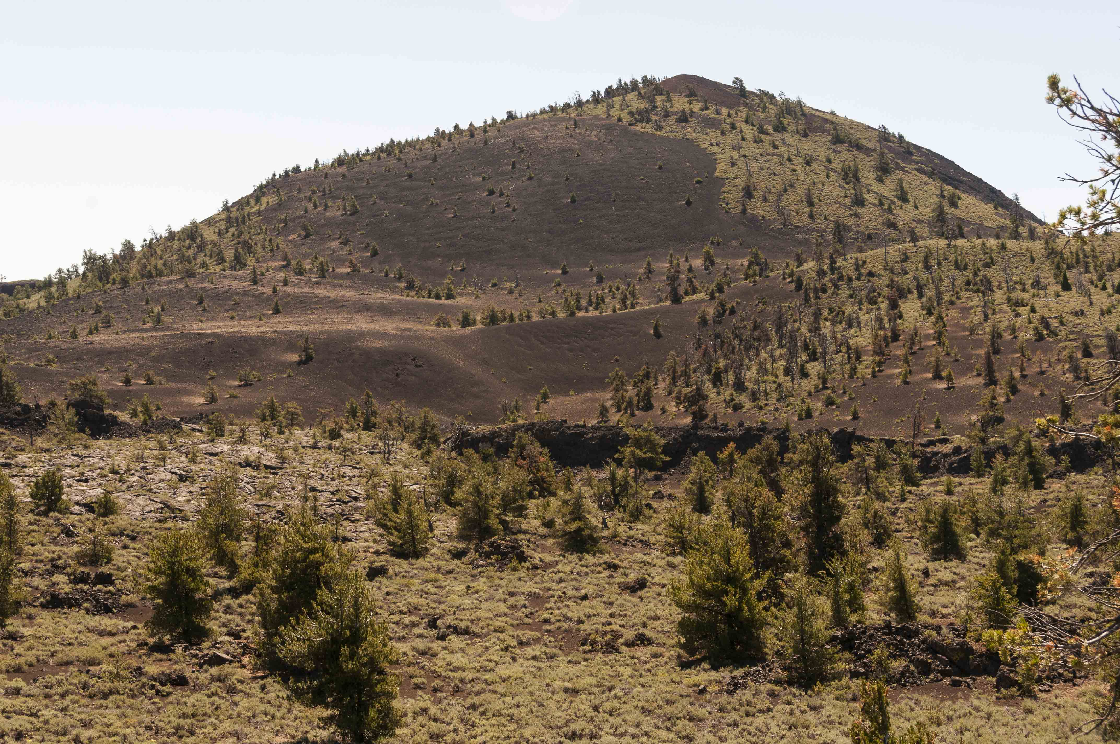
Big Cinder Butte
A'a' Lava
Tree Molds Trail

Vertical Tree Mold

Pahoehoe Lava
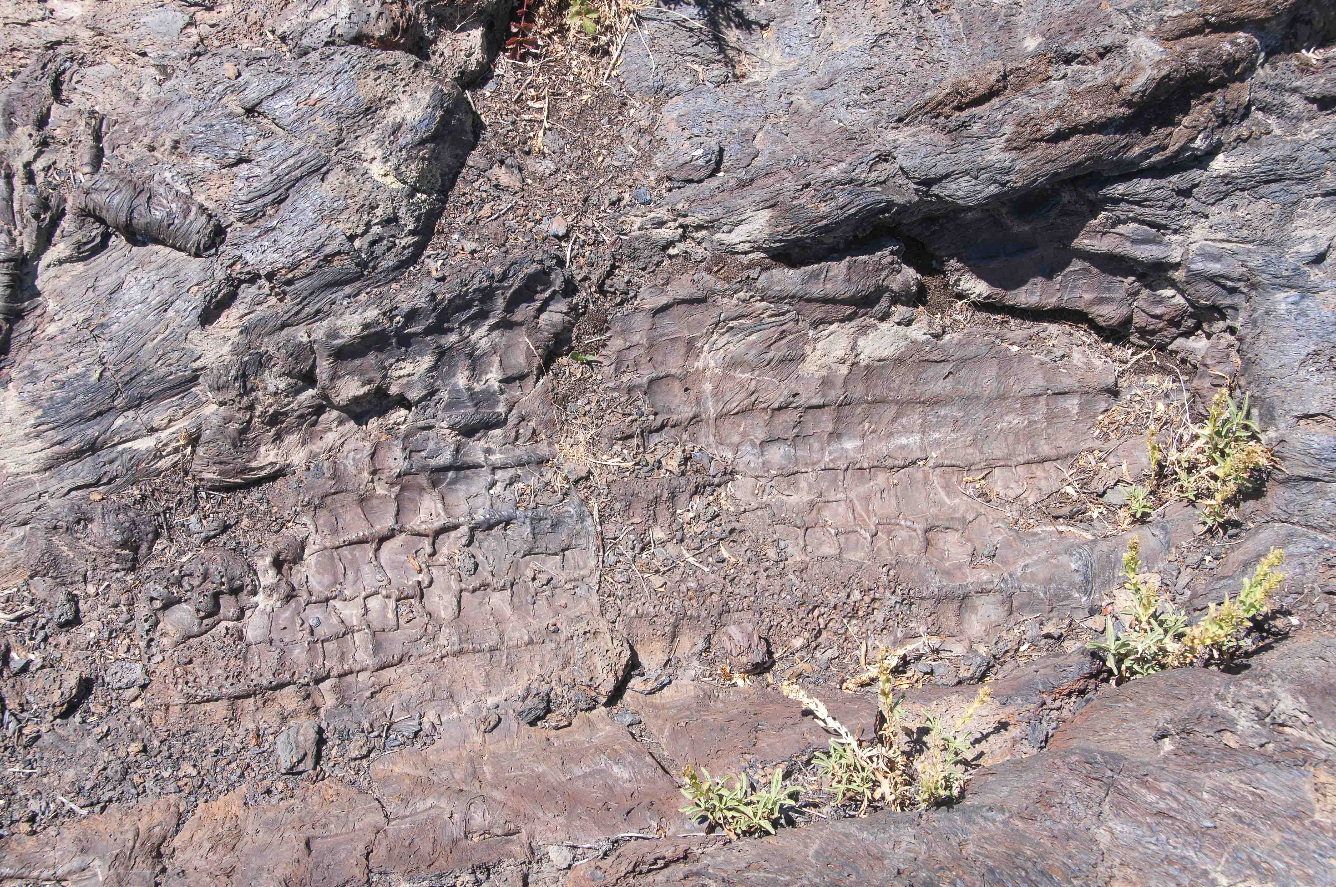
Tree Mold

Colorful Lichen

Trail's End
Background information obtained from National Park sources.
Use the form on the Home Page to submit comments, questions, or suggestions. TD Productions Copyright © 2020