Chaco Culture National Historical Park v.3
Volume 3 covers Kin Kletso, Casa Chiquita, Penasco Blanco trail and Pueblo, and Alto Mesa trail and Pueblo Alto complex
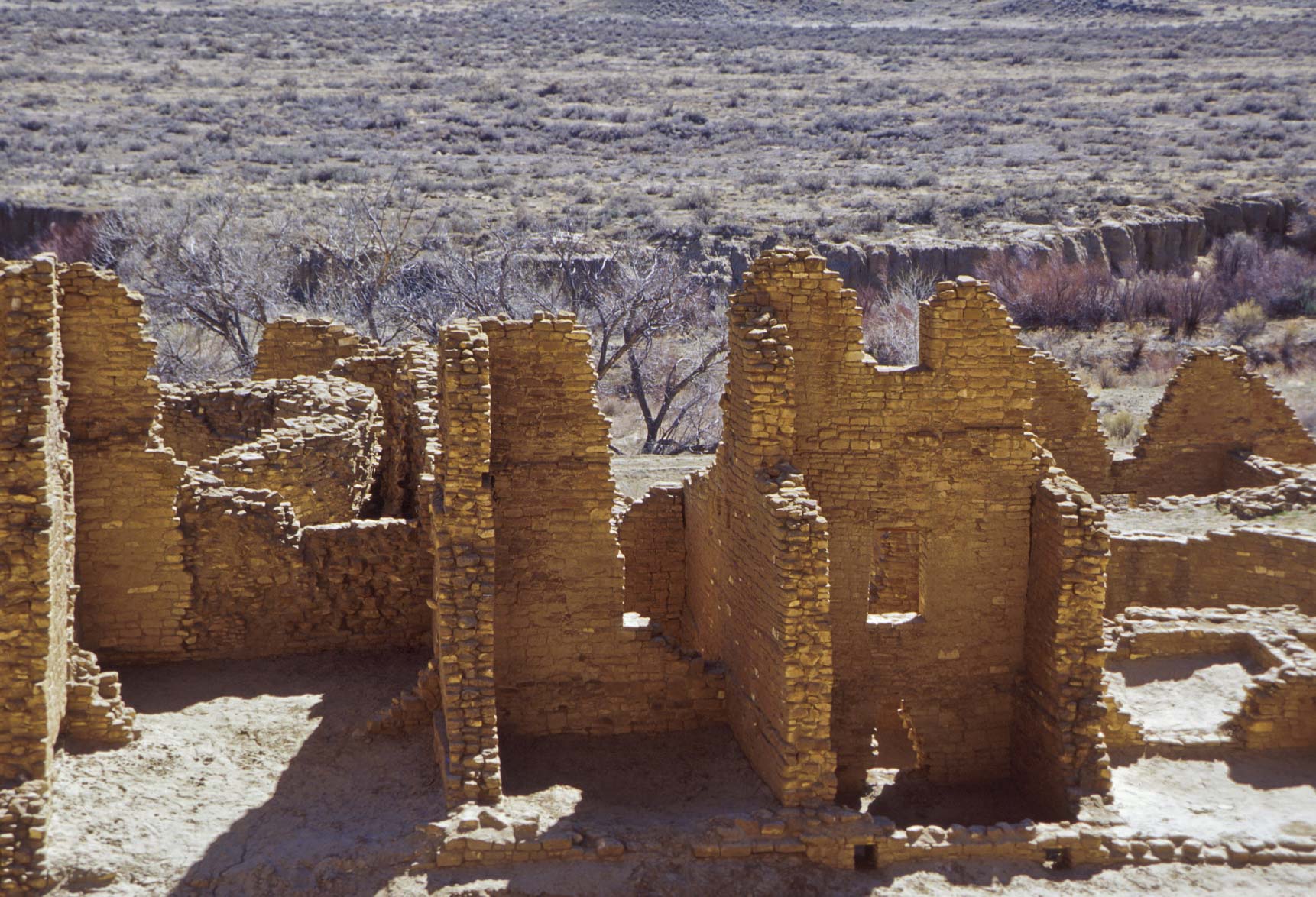
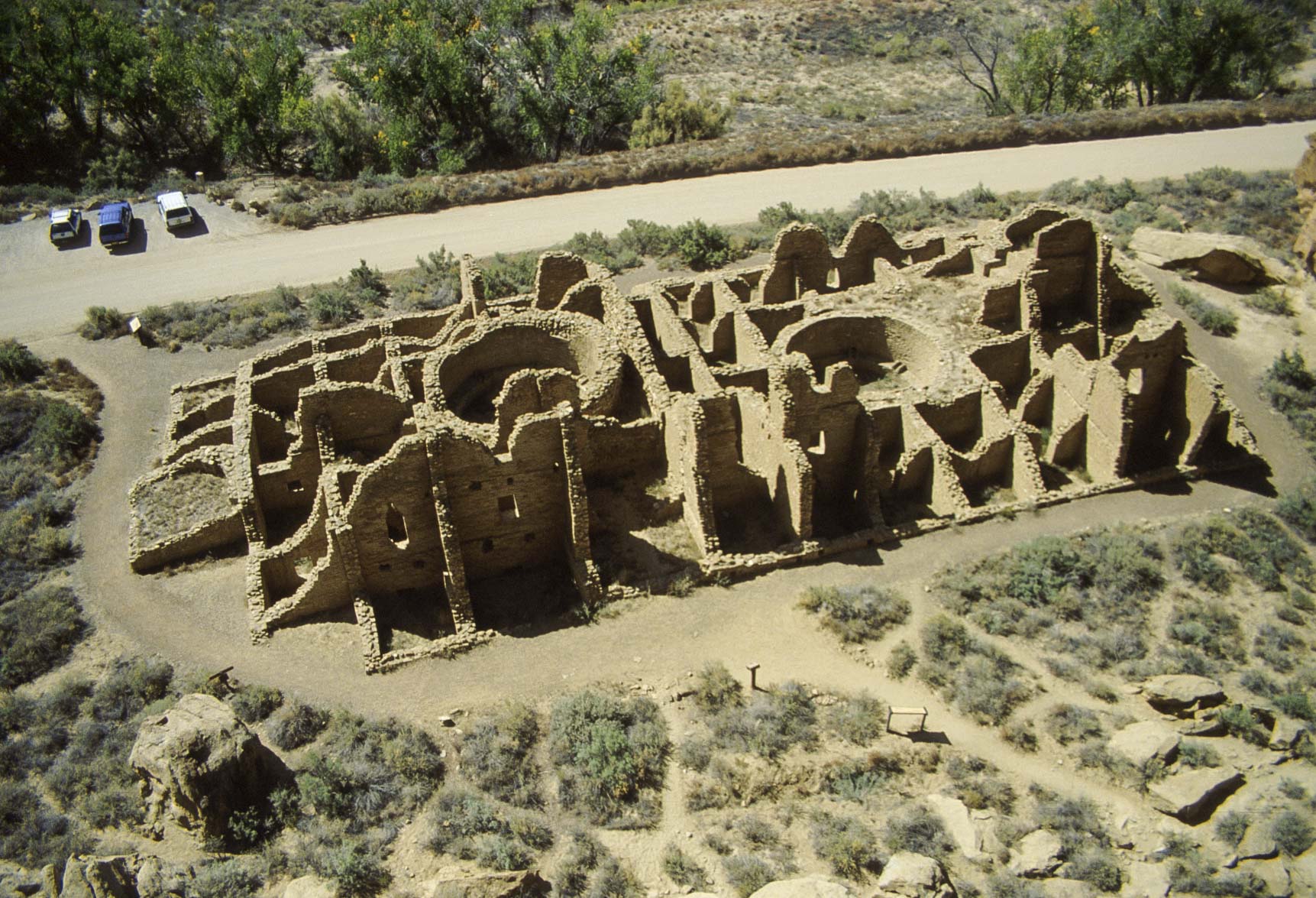
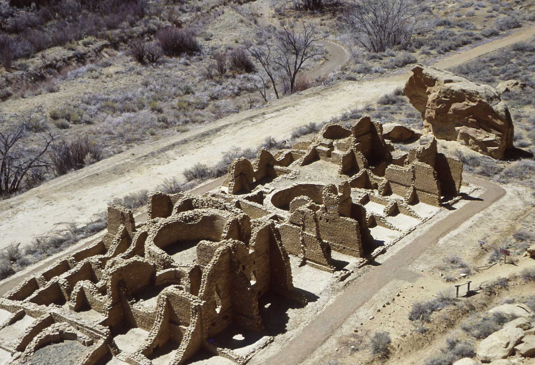
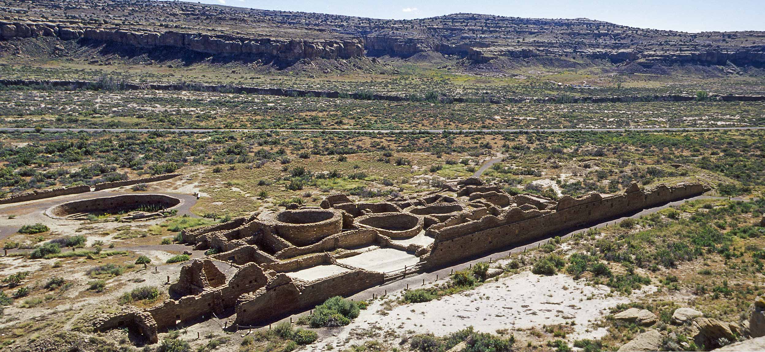
Kin Kletso
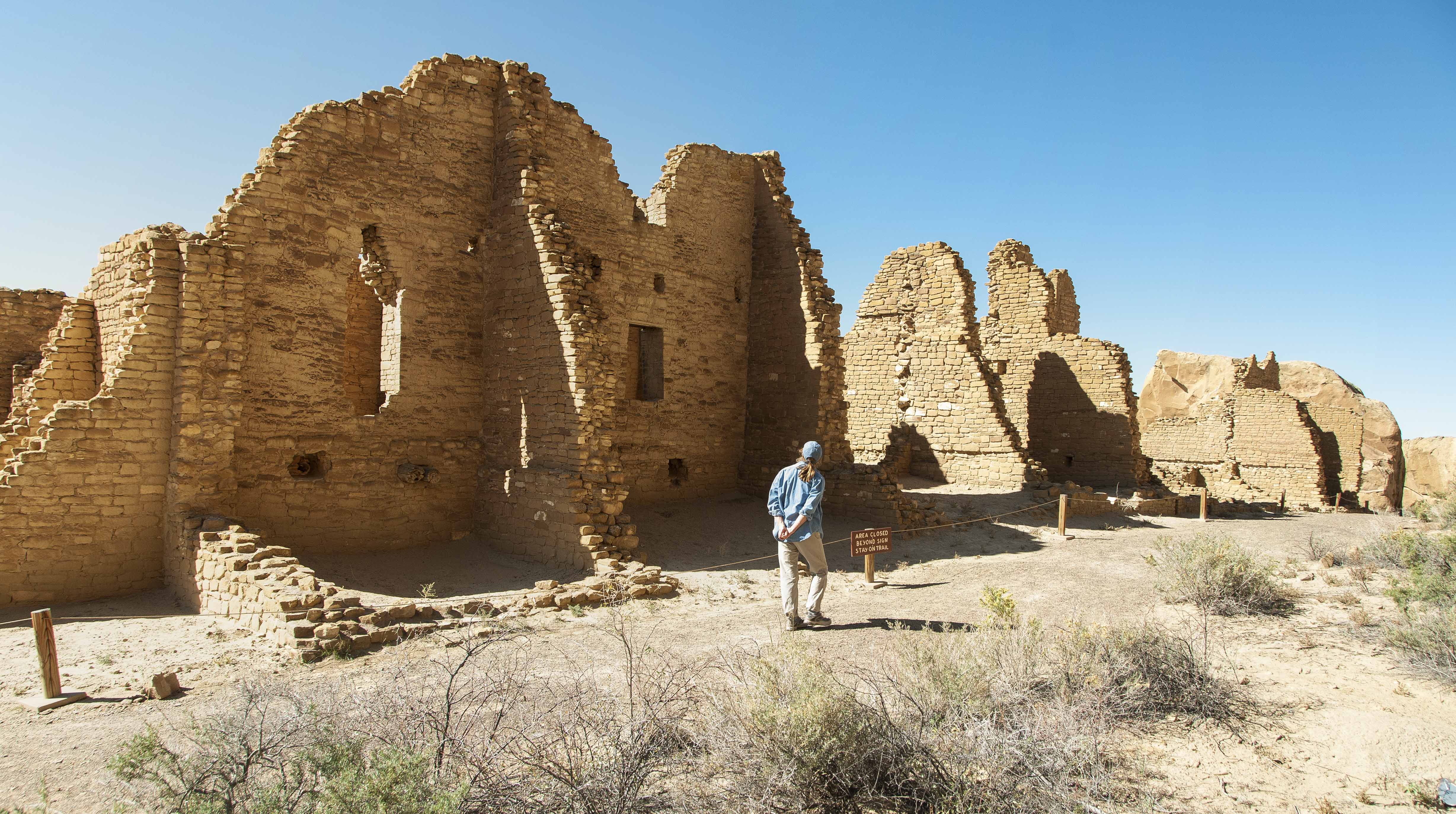
Kin Kletso is one-half mile west of Pueblo Bonito on the north side of the canyon. It's a McElmo Phase pueblo
with 55 rooms and 5 kivas arranged in a rectangular configuration. There are no ground-level exterior
doors in the pueblo. Entry was gained by climbing ladders to doors or roof openings in the upper stories.
The lower half of a third story can be seen along the north wall.
Central section of Kin Kletso
view from Alto Mesa

North wall section with lower half of a third story (2001)
North wall section with lower half of a third story (2011)
Kin Kletso View toward northwest
Southeast section of Kin Kletso
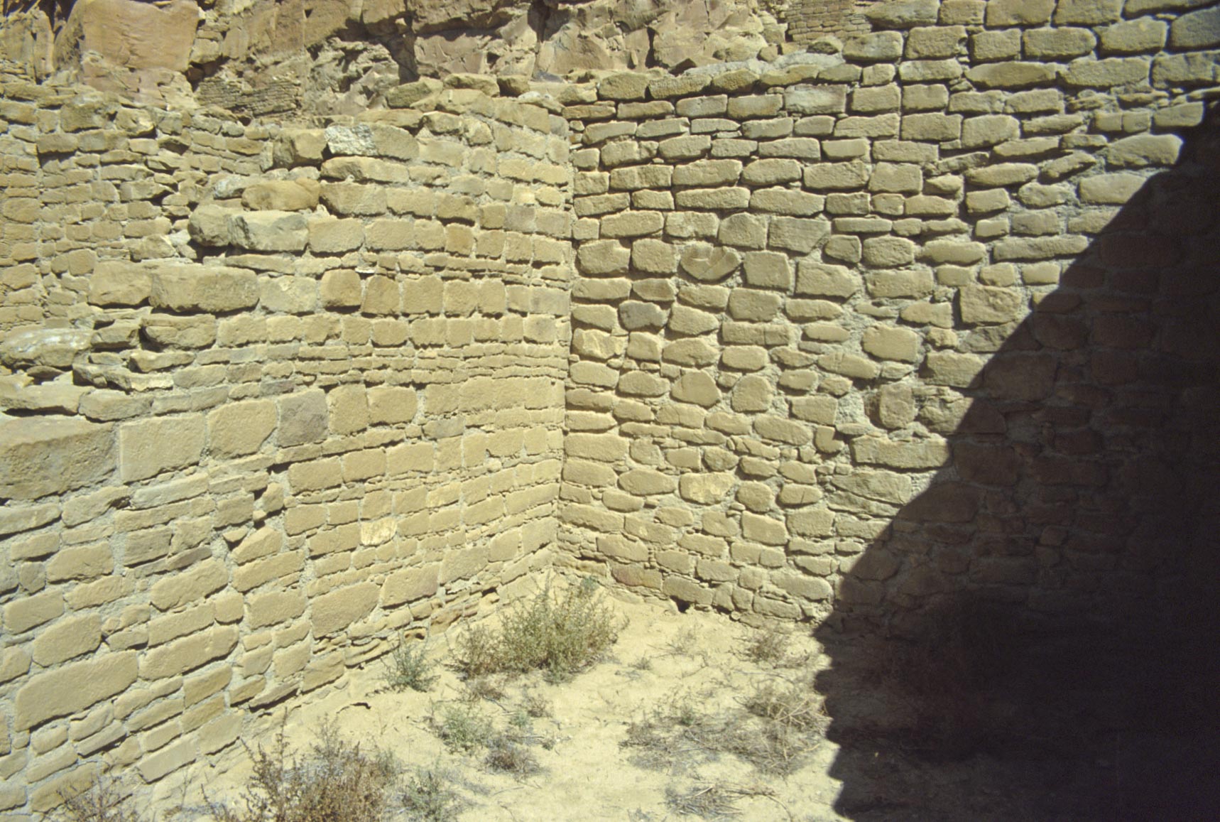
Intersection of 2 different masonry styles
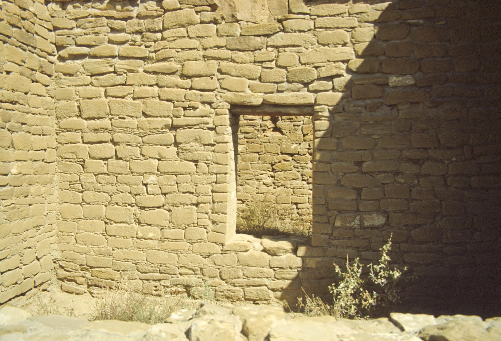
Door adjoining 2 rooms
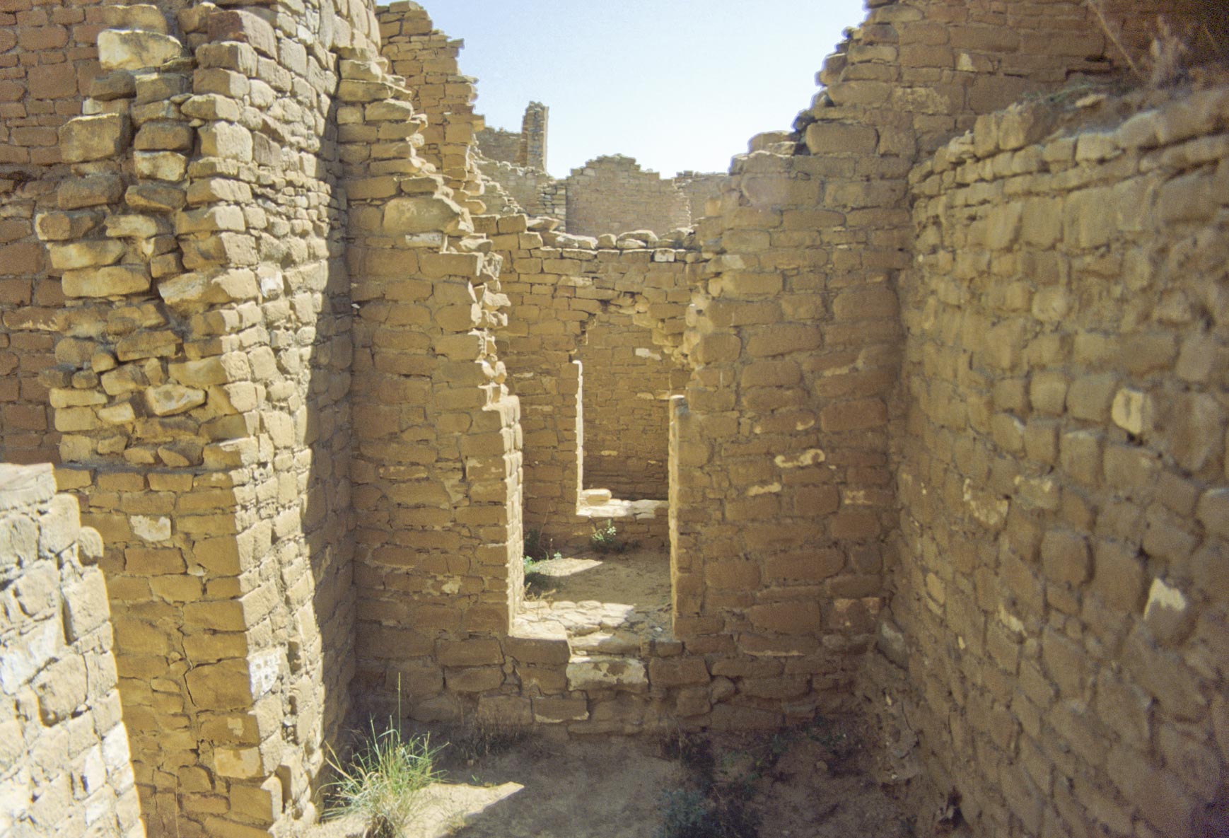
Room block with a series of interconnecting doors
Kin Kletso
View to the south
Room block
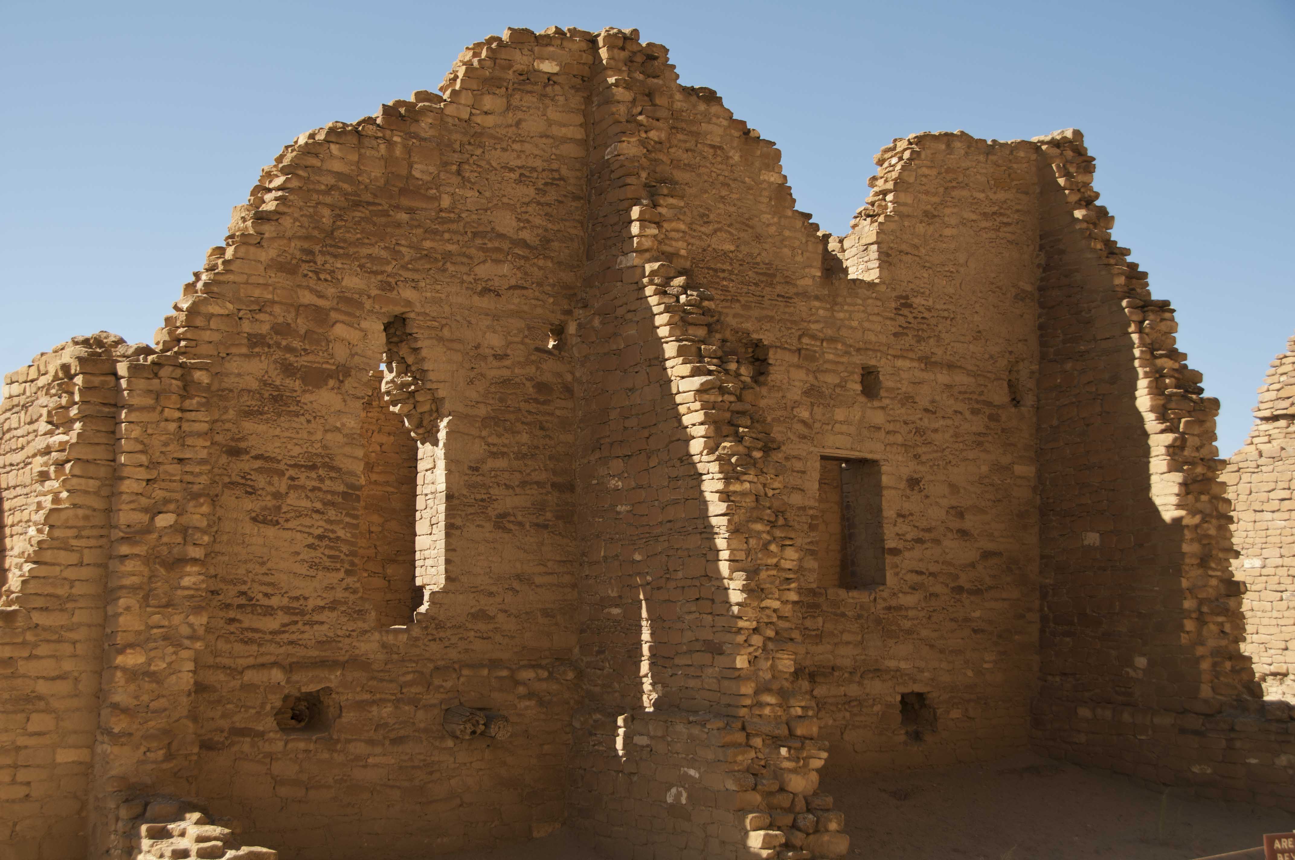
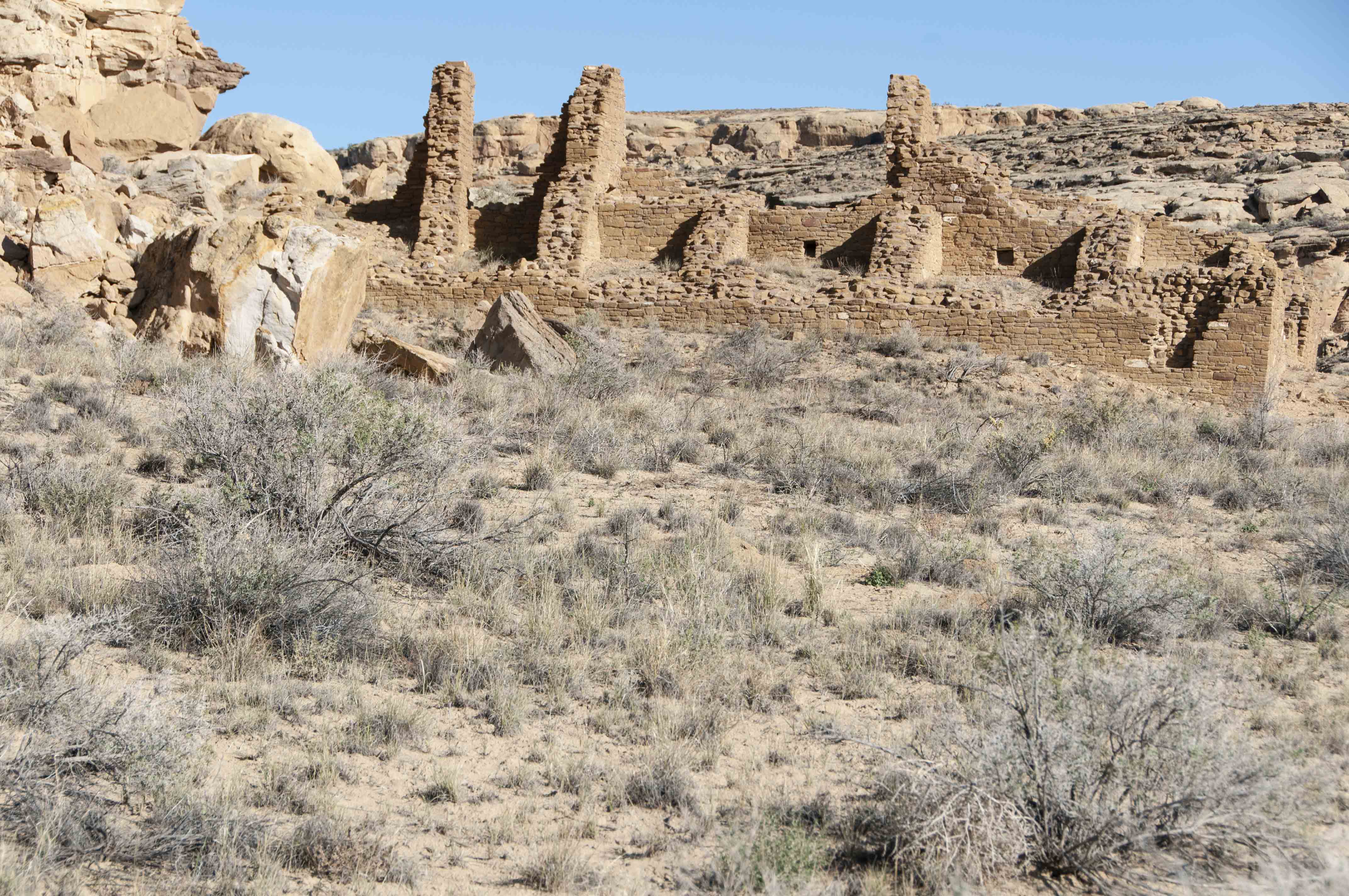
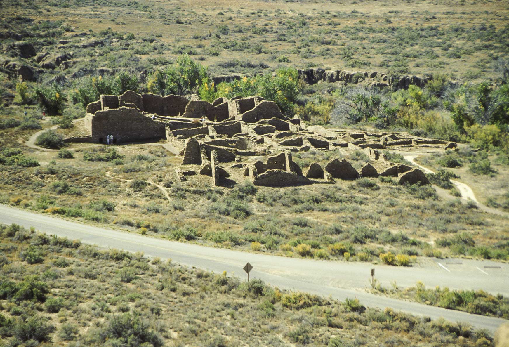
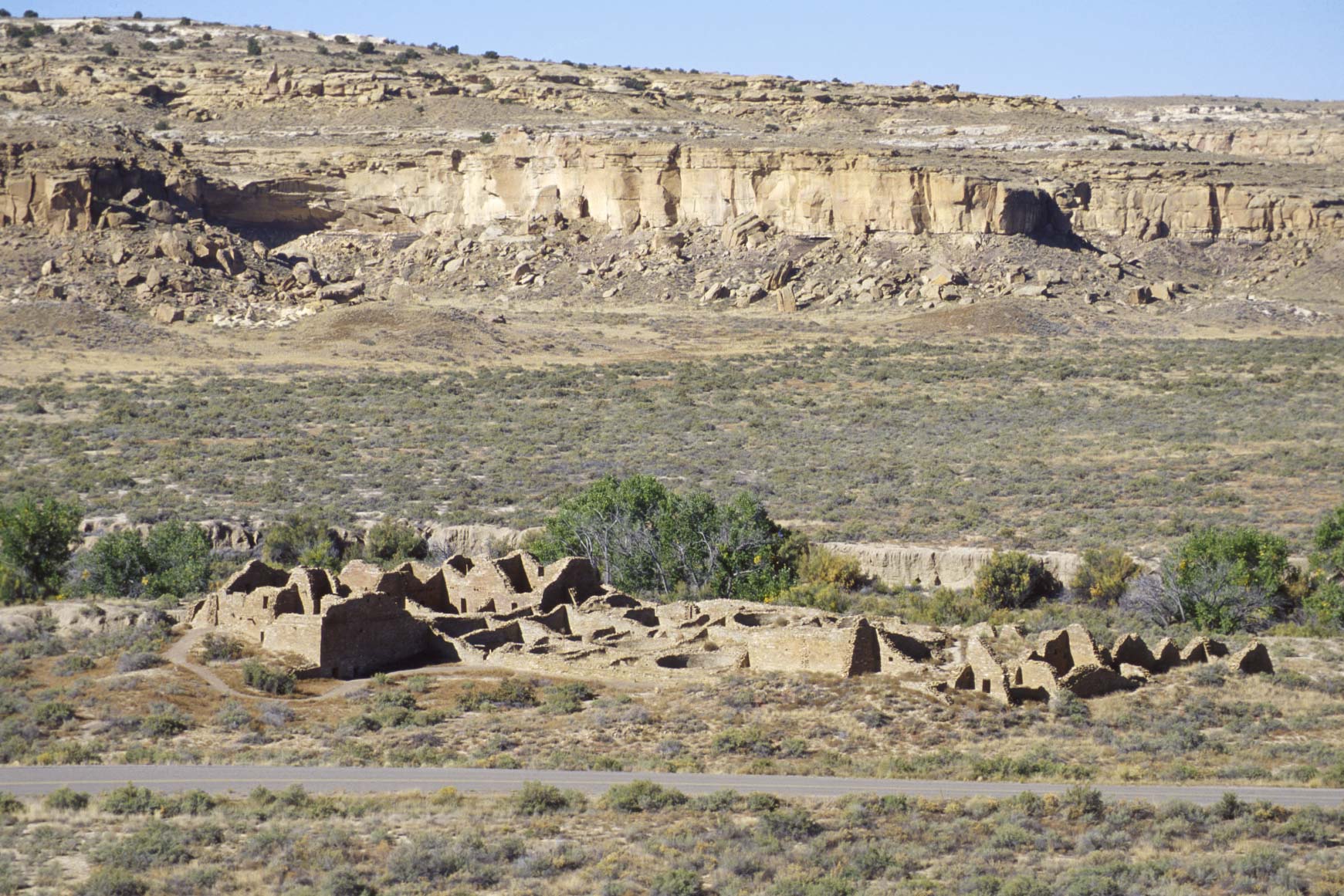
Casa Chiquita
Casa Chiquita is located on the north side of Chaco Canyon about a mile west
of Pueblo Bonito. It's a Pueblo III, McElmo phase pueblo of 50 rooms
and 3 kivas, making it possibly the smallest pueblo in Chaco Canyon. It's
built in and around a hill and is roughly square in shape. Casa Chiquita is
unexcavated with only minor stabilization of its walls.

Casa Chiquita along Peñasco Blanco trail
(Oct 1992)
View toward the west
Chaco Wash in background
Casa Chiquita (2011)
View toward slightly northeast
Casa Chiquita
View toward the north
Casa Chiquita
View toward the east
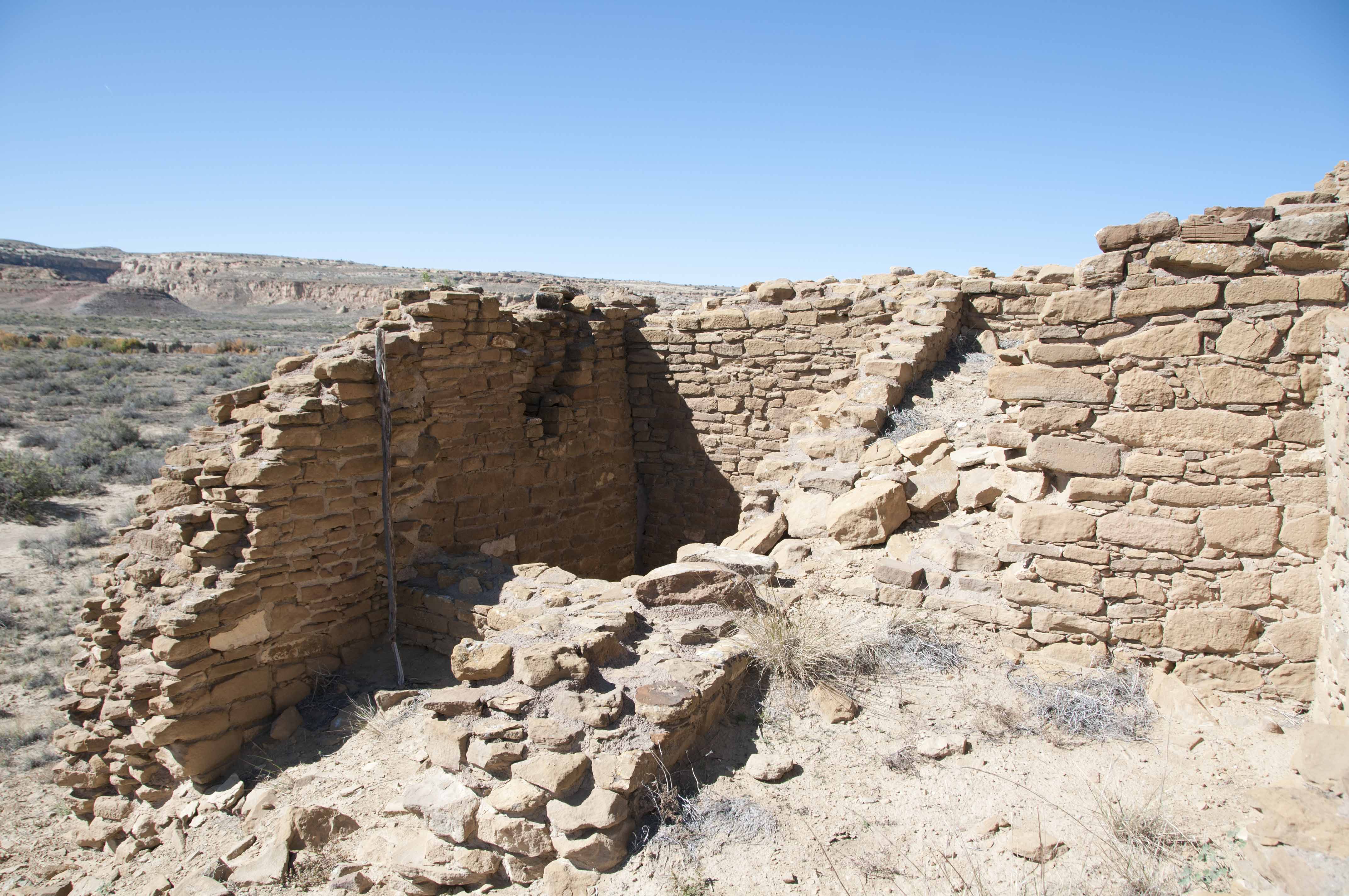
Room block
Casa Chiquita
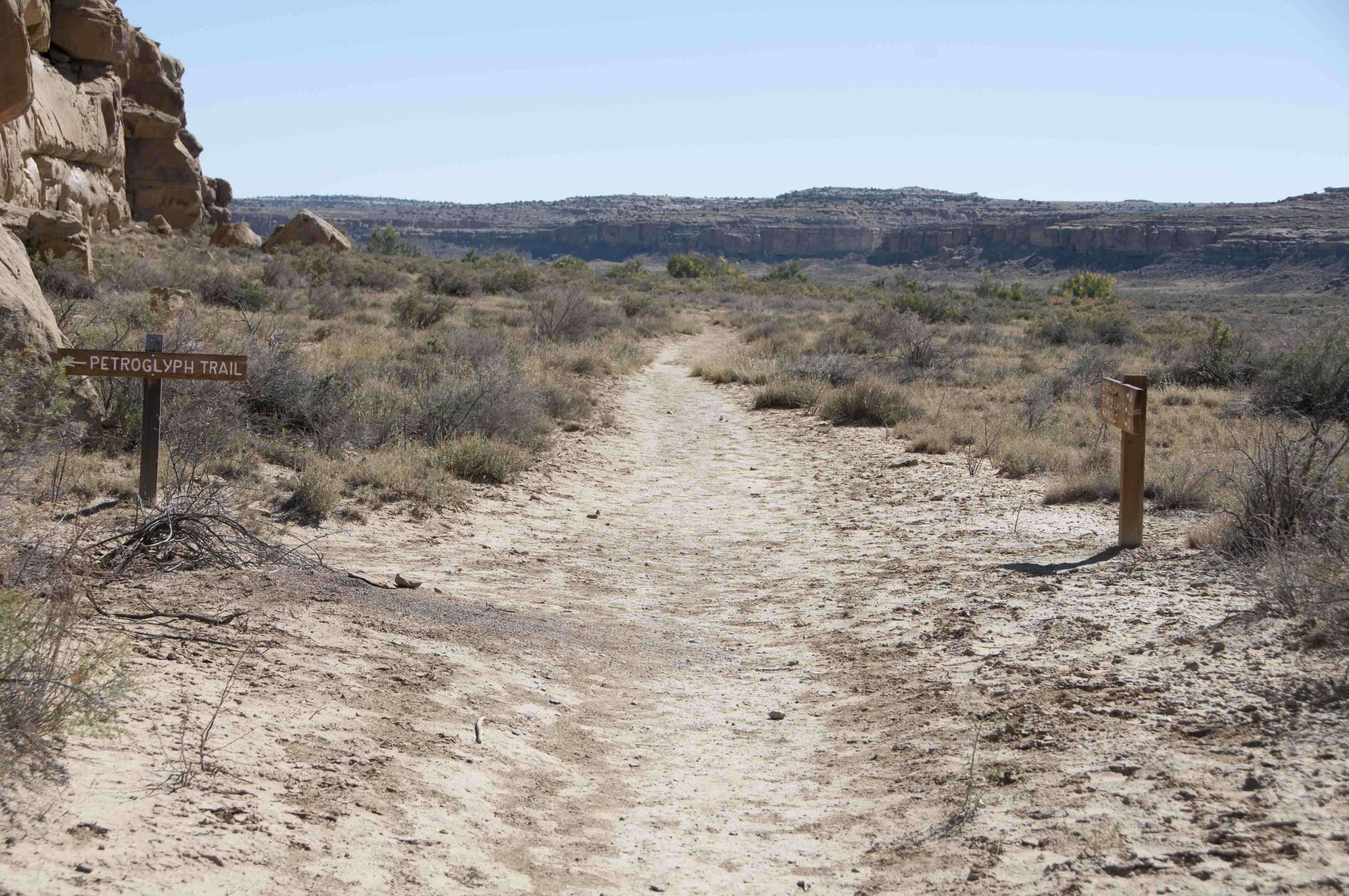
Peñasco Blanco Trail
Peñasco Blanco trail is one of my two favorite trails at Chaco. It's roughly 7 to 8 miles (depending on what trail guide you read)
out and back and is rated as moderate. The trailhead is at the Peublo del Arroyo parking lot. The
trail passes Kin Kletso (about 0.25 mile) and Casa Chiquita (about 1 mile). A short side trail
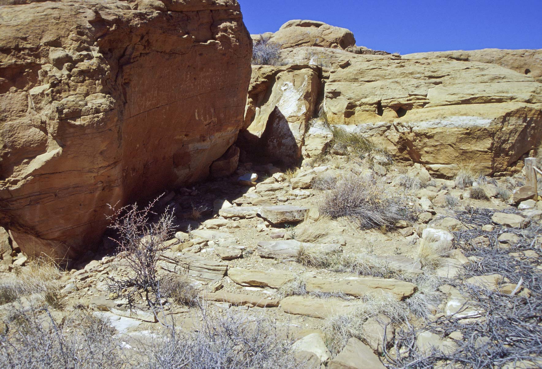
just beyond Casa Chiquita leads to the largest collection of petroglyphs in Chaco Canyon.
The trail parallels Chaco Wash for a while and bifurcates (love that word) just before crossing the wash.
The left fork continues to Peñasco Blanco. The right fork is a loop that goes
to the supernova pictograph and then rejoins the main trail. Shortly after crossing the wash the trail
climbs onto West Mesa and ends at Peñasco Blanco ruin. Peñasco Blanco trail traverses desert terrain all the way and
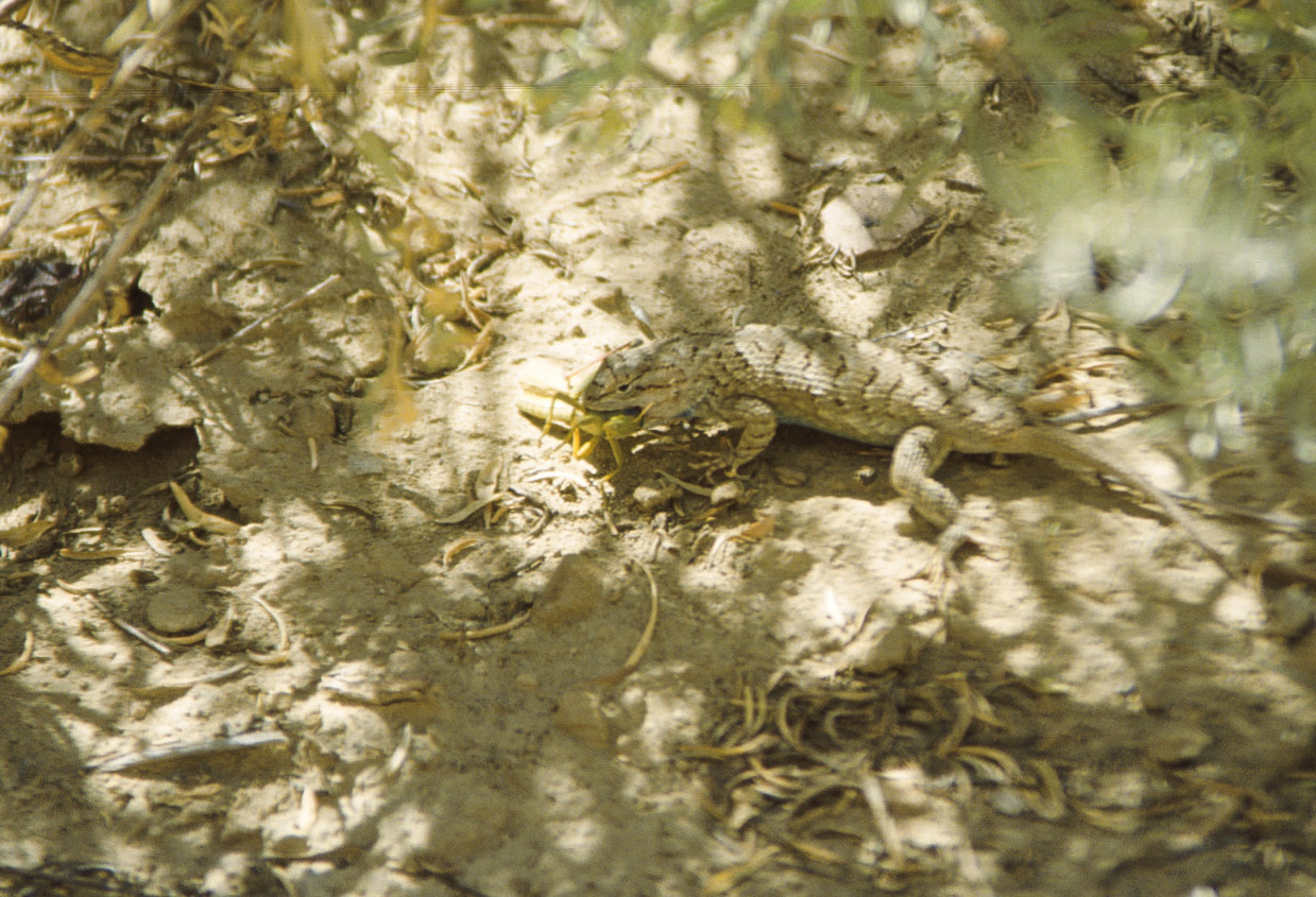
is fully exposed to the sun, so take plenty of water on the hike. If you're lucky you might see some reptiles along the way.
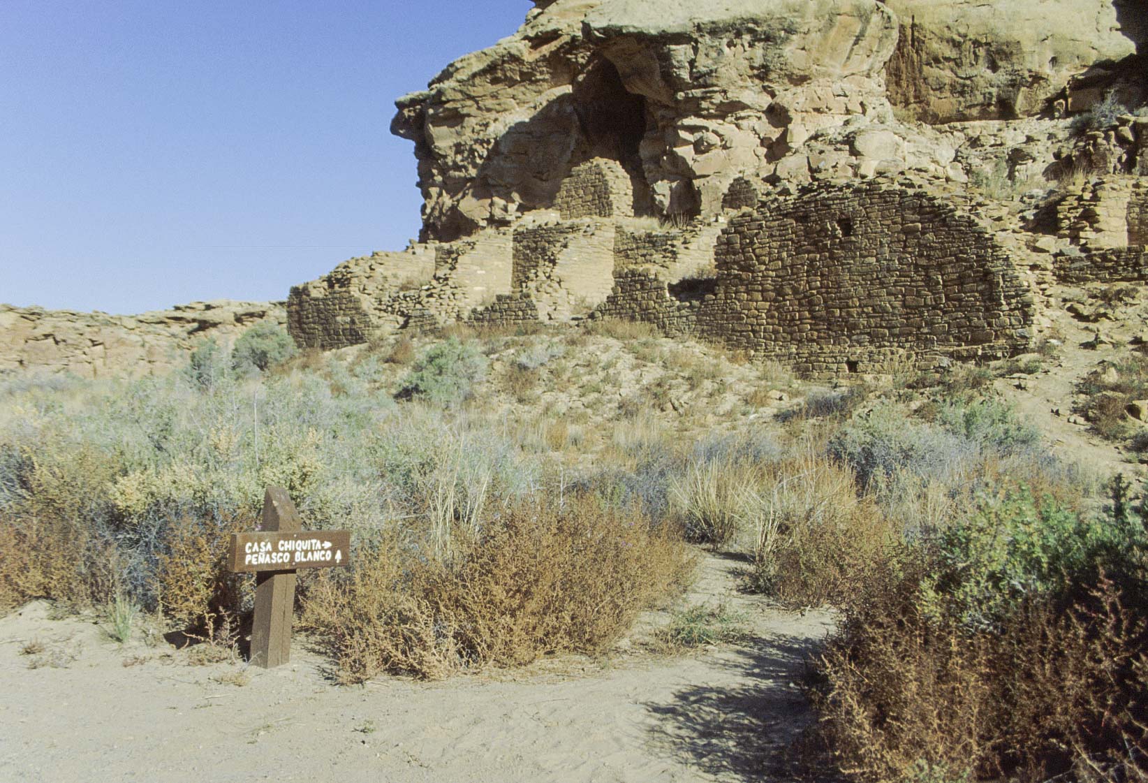
Casa Chiquita along Peñasco Blanco trail
Turn here for petroglyphs
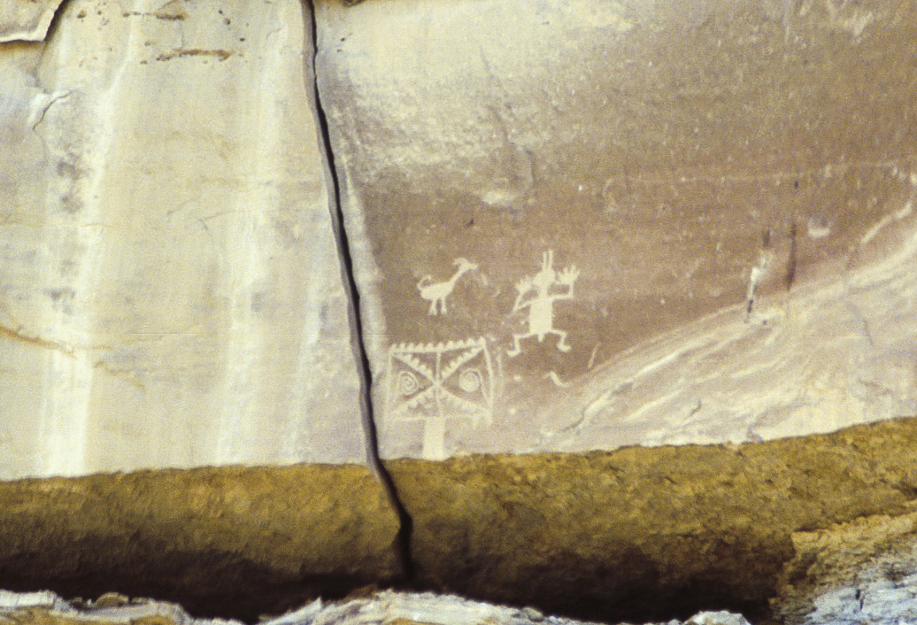
Petroglyphs located 30 feet
up the canyon wall (1992)

Petroglyphs (2011)
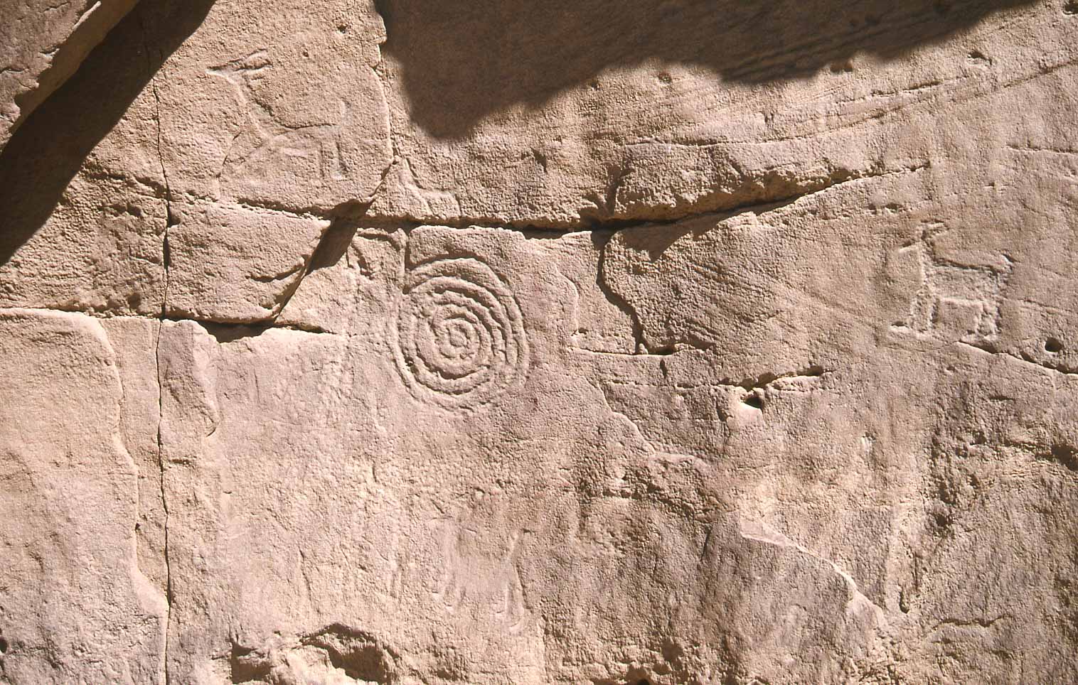
Petroglyphs (1998)
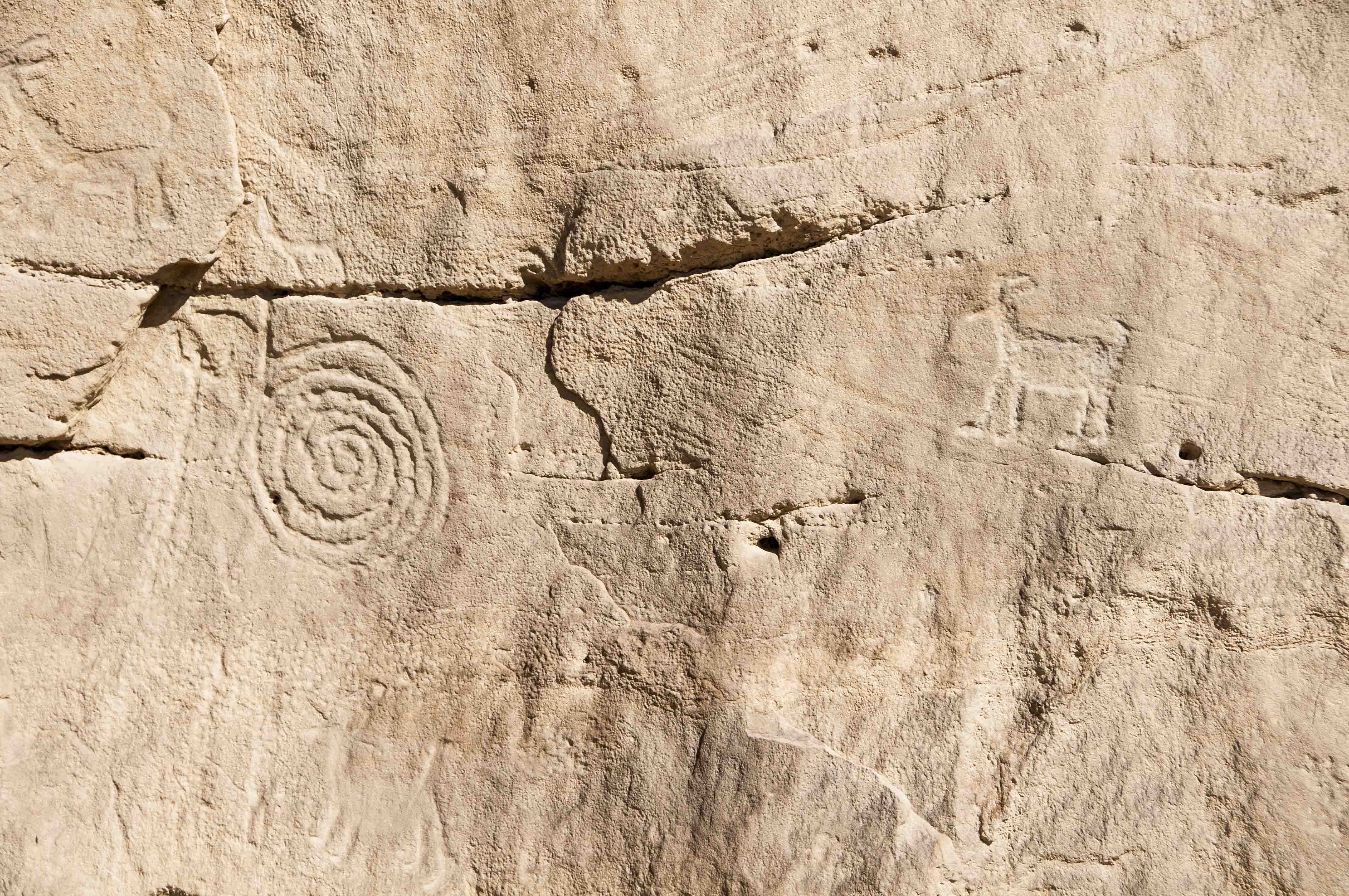
Petroglyphs (2011)
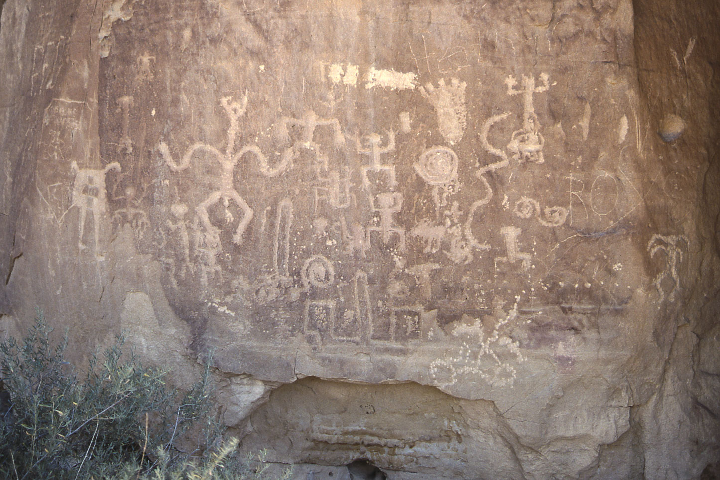
Petroglyph panel (1998)
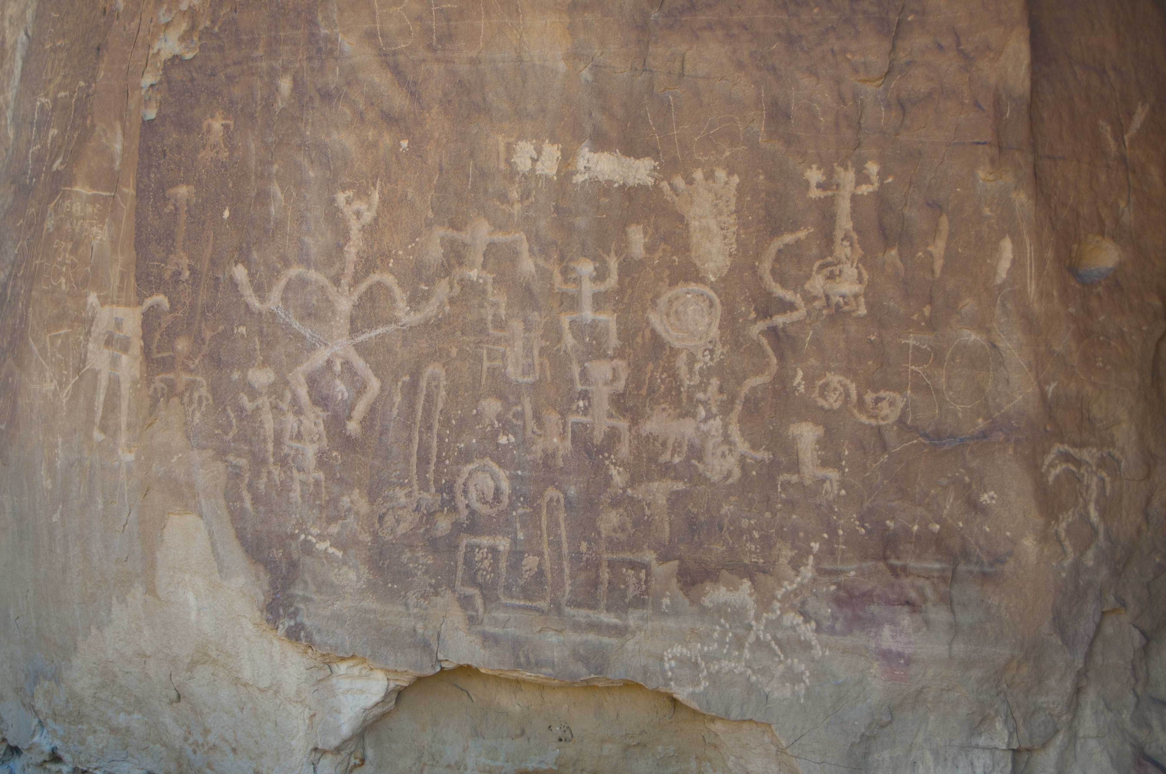
Petroglyph panel (2011) See any difference?
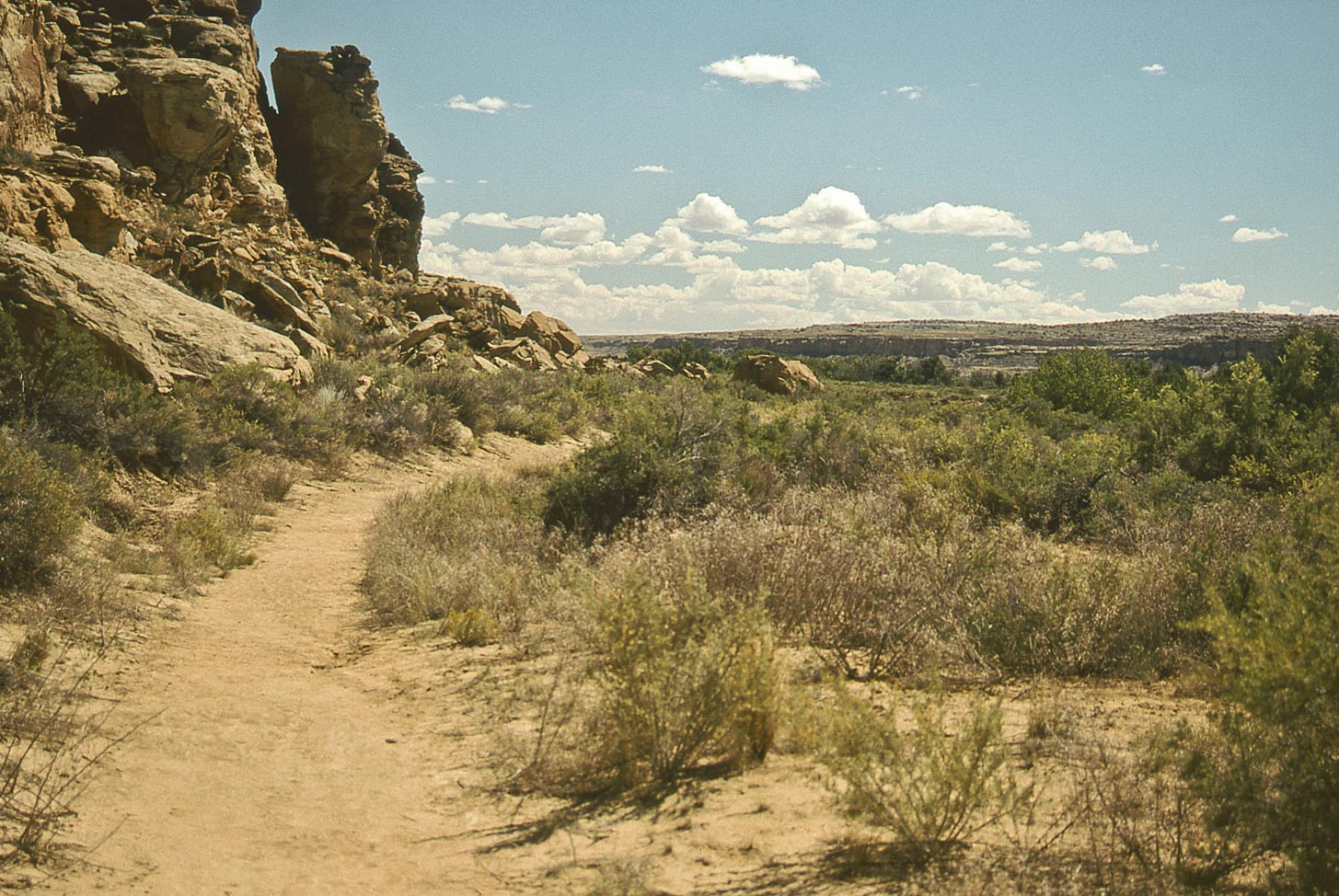
Peñasco Blanco trail
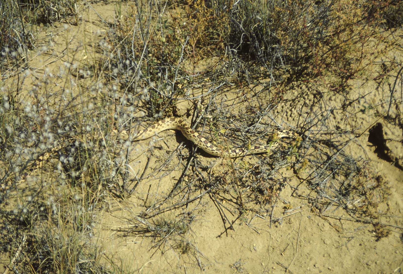
Great Basin Gopher Snake
(Pituophis catenifer deserticola)
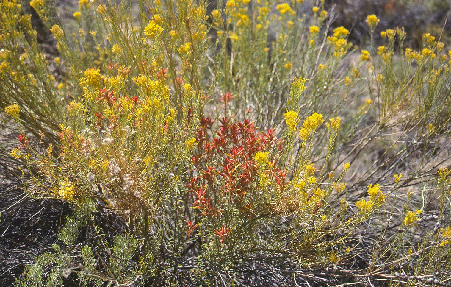
Indian Paintbrush and
Chamisa (rabbitbrush)
Lizard lunch
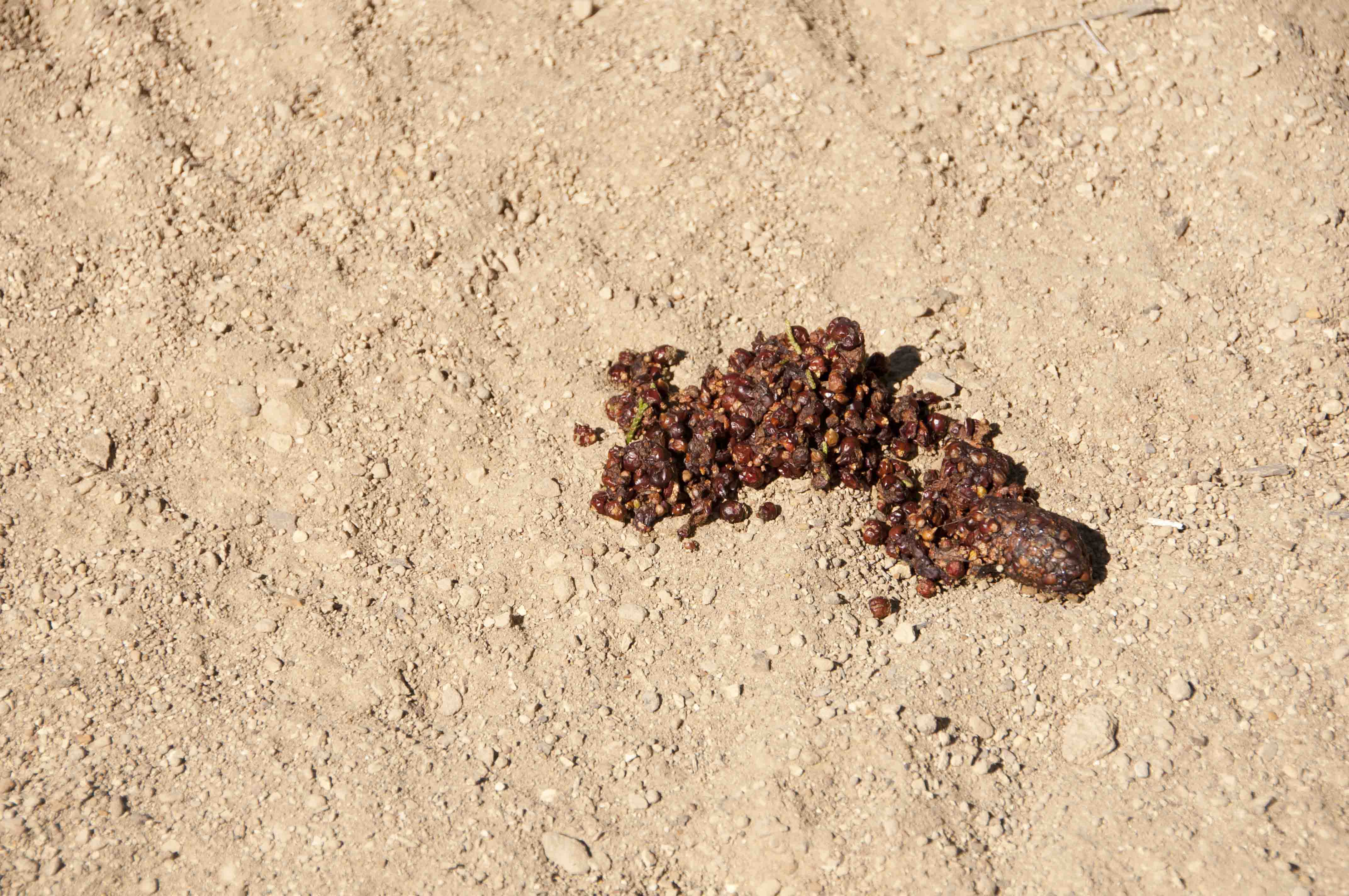
Yuk!

Peñasco Blanco trail
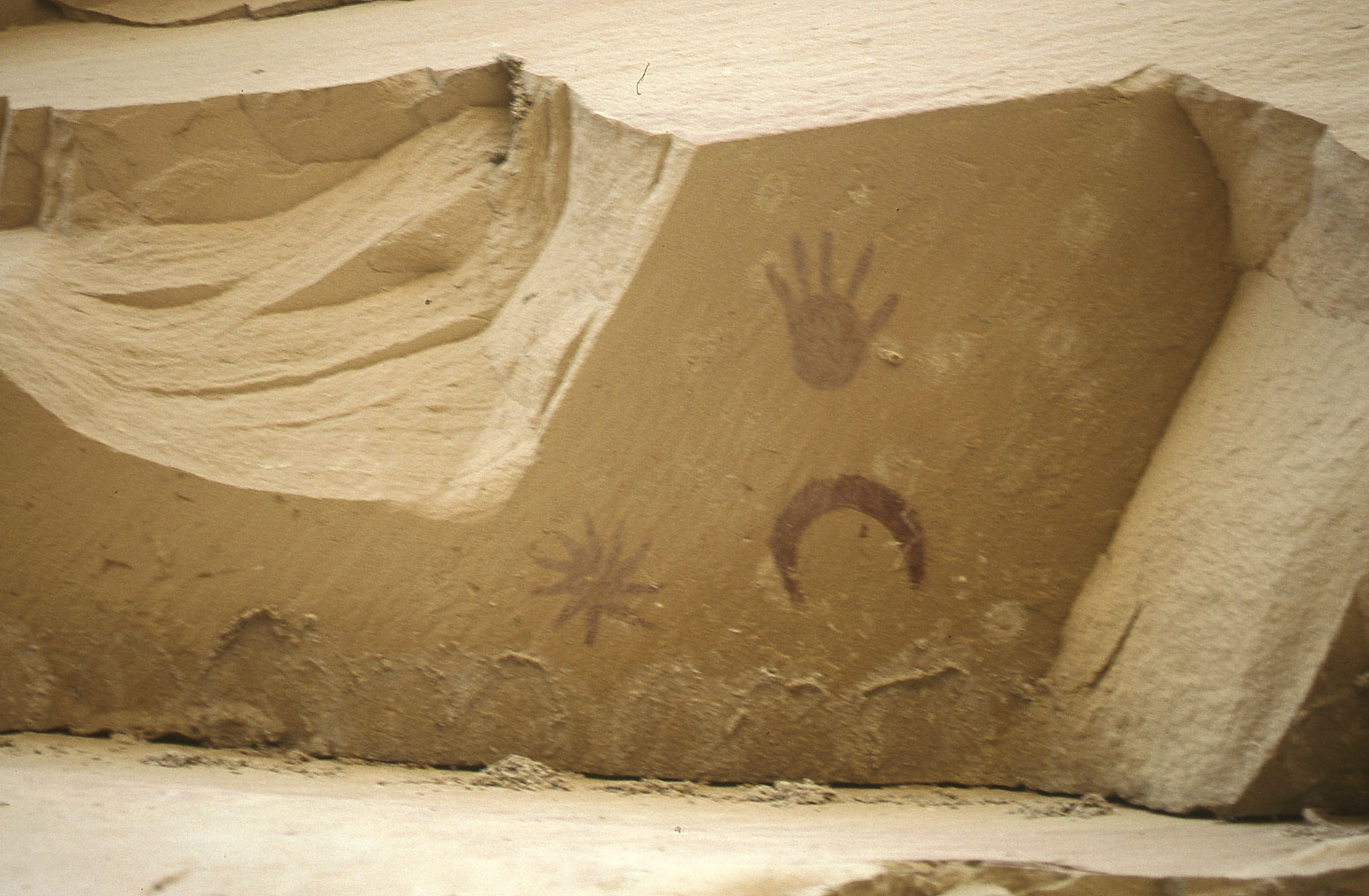
The supernova pictograph consists of a concentric circle painted in red on the cliff wall, and a sunburst, crescent moon, and hand also in red on the overhang above. The hypothesis is that this represents the supernova documented by Chinese astronomers in AD 1054. Who am I to argue? Cliff swallows keep building their nests close to the pictographs and the NPS keeps knocking them down.
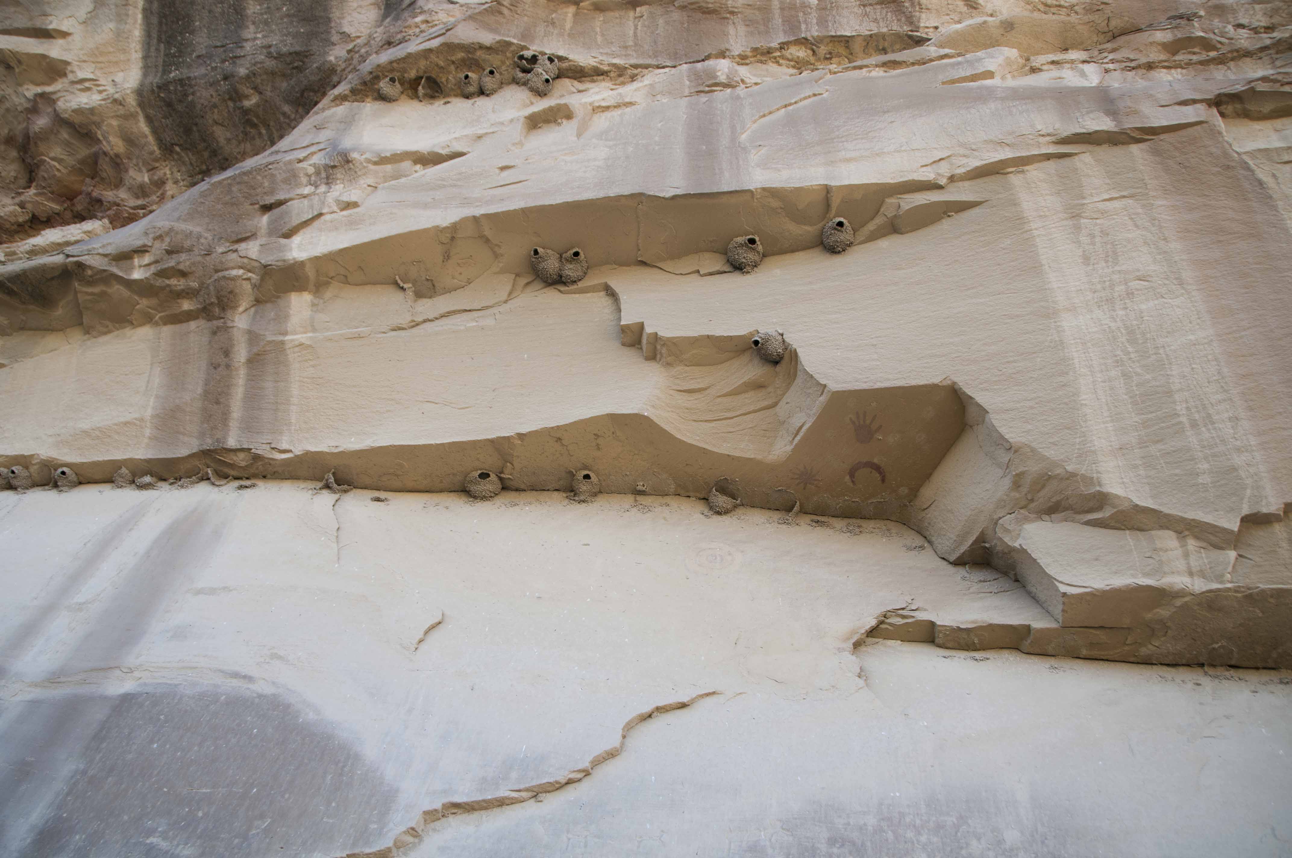
Cliff swallow nests

Supernova pictograph (1992)
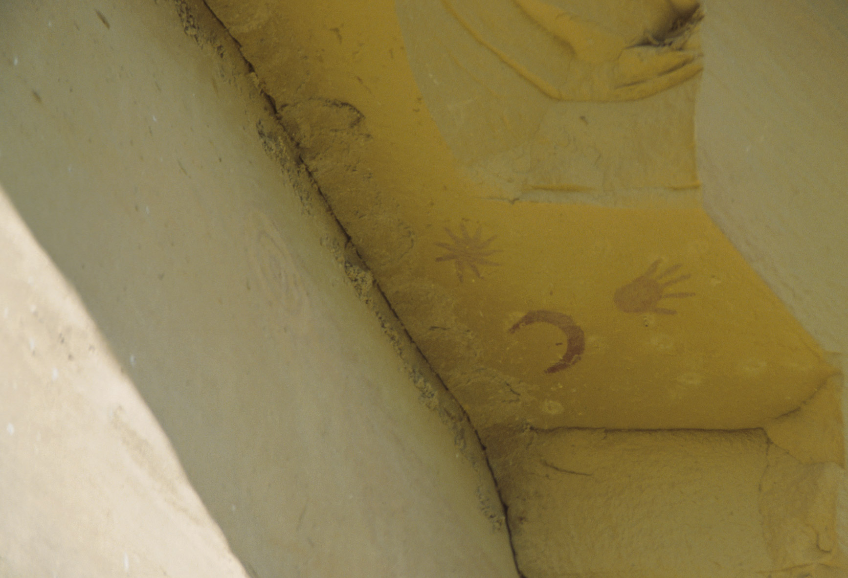
Supernova pictograph (1992)

Supernova pictograph (1998)
Supernova pictograph (1998)

Supernova Pictograph (2011)
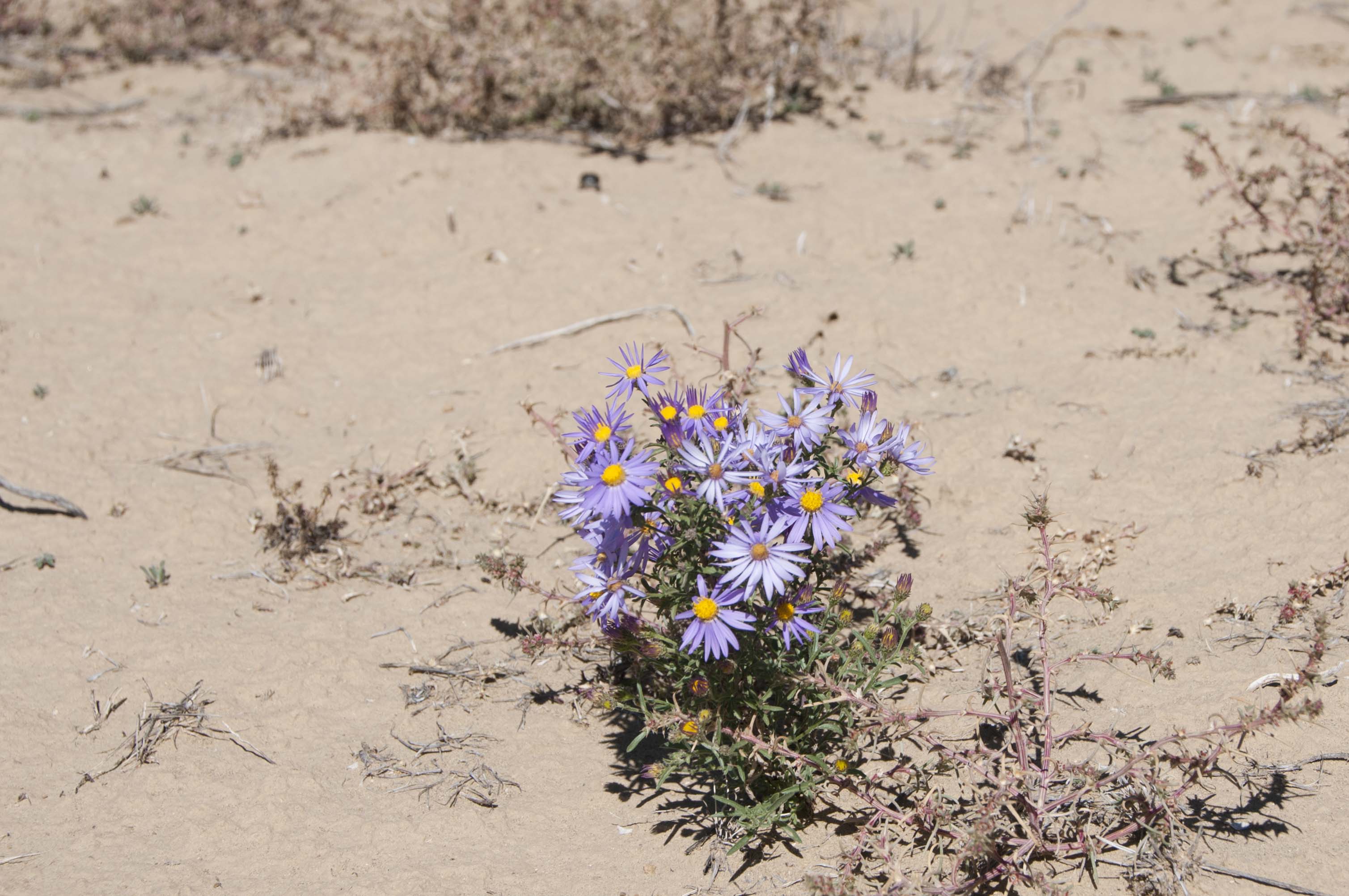
Could be Tansy Aster
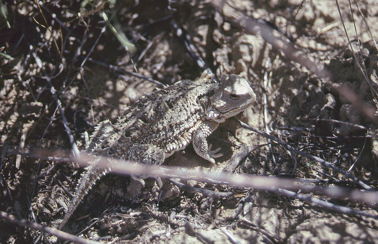
Desert horned lizard
(Phrynosoma platyrhinos)
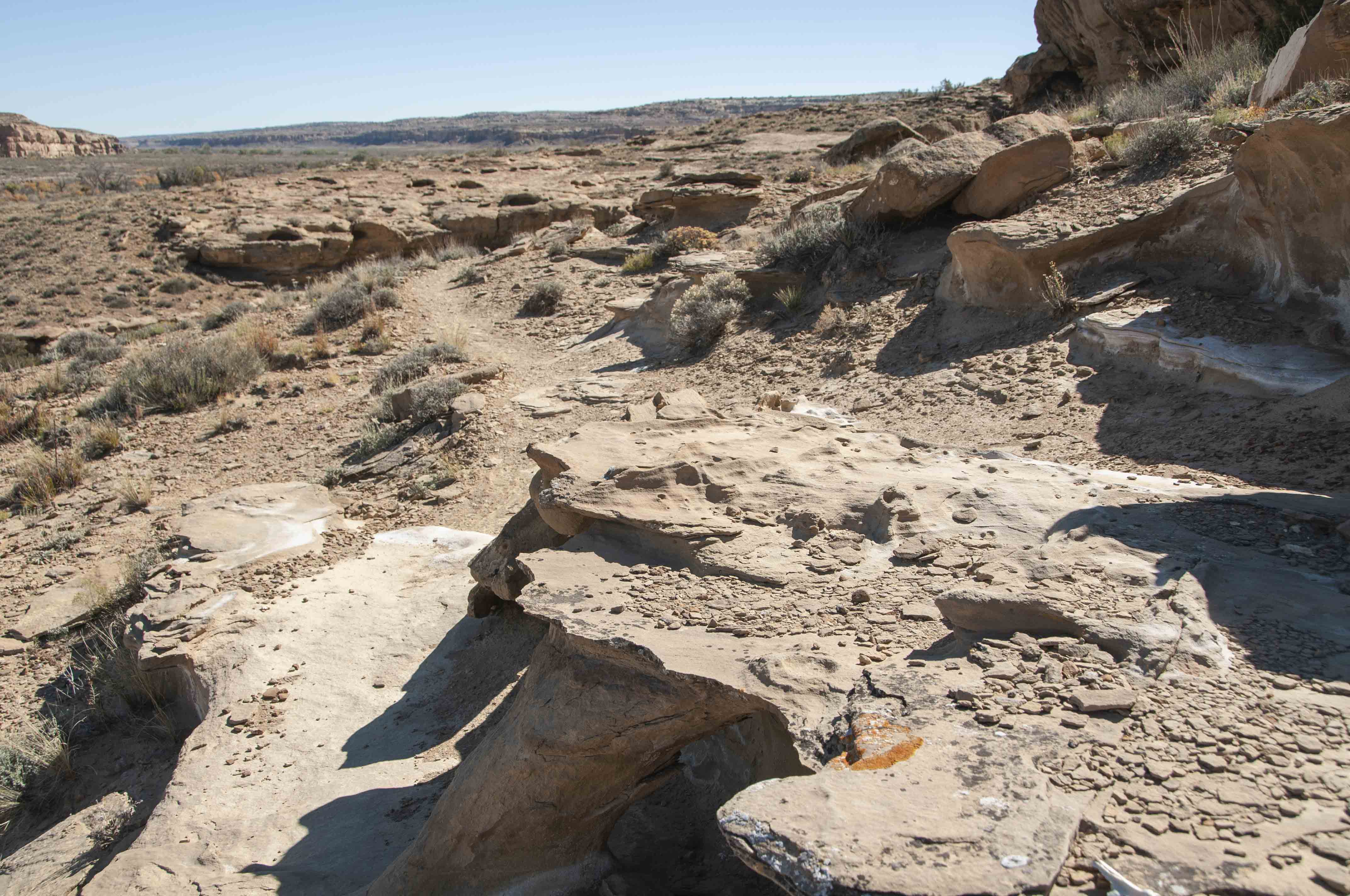
Trail just before climbing onto West Mesa
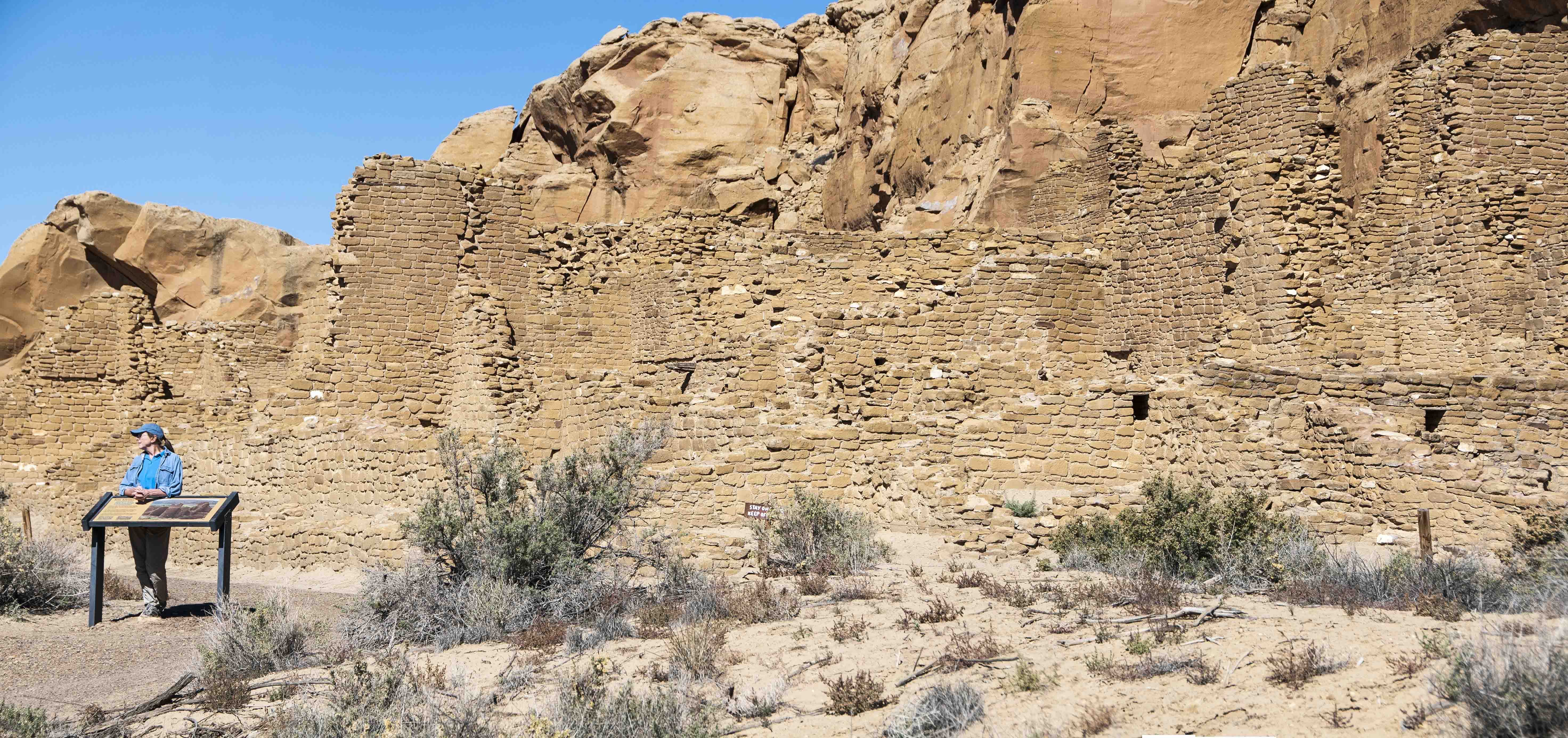
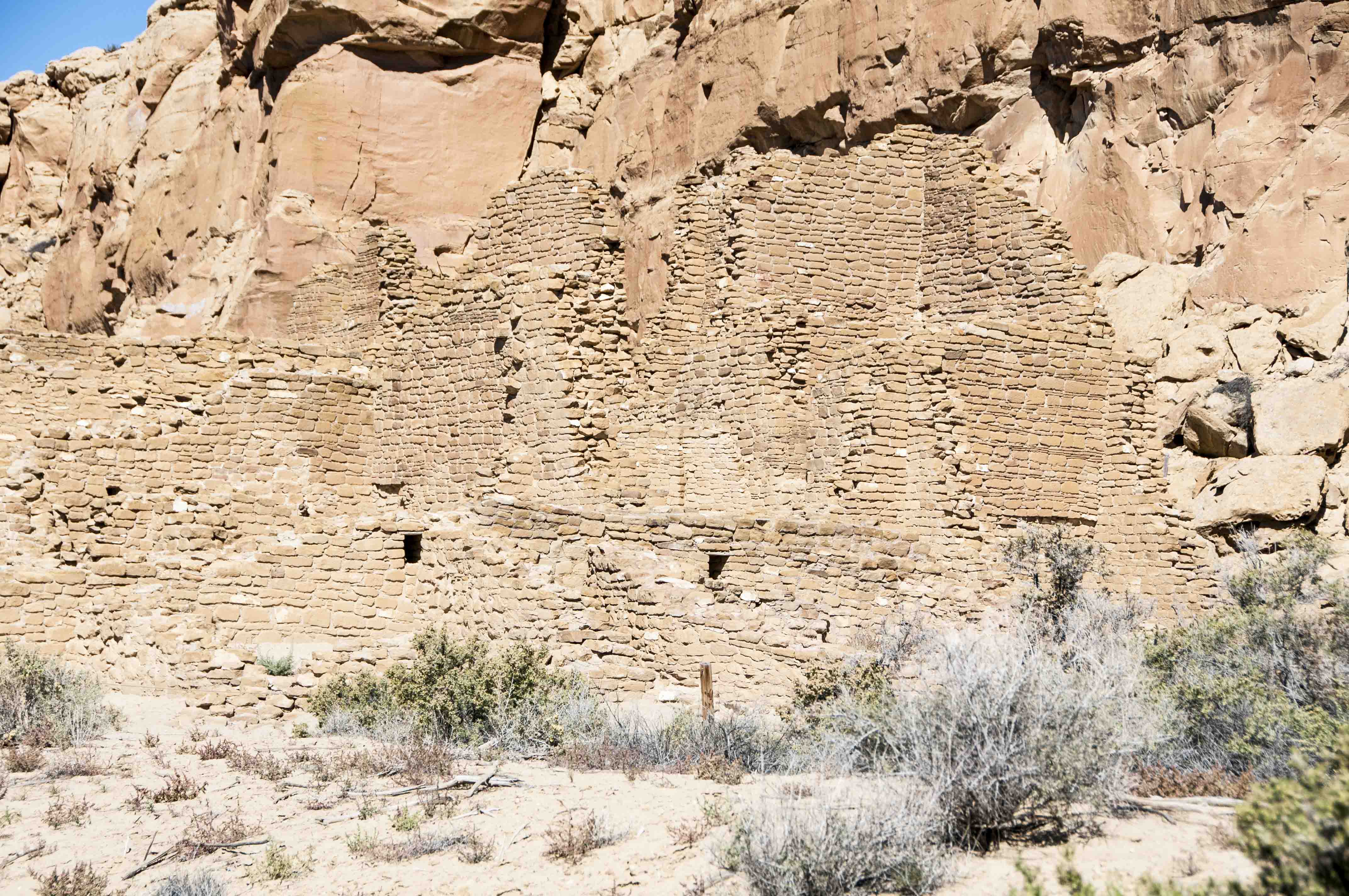
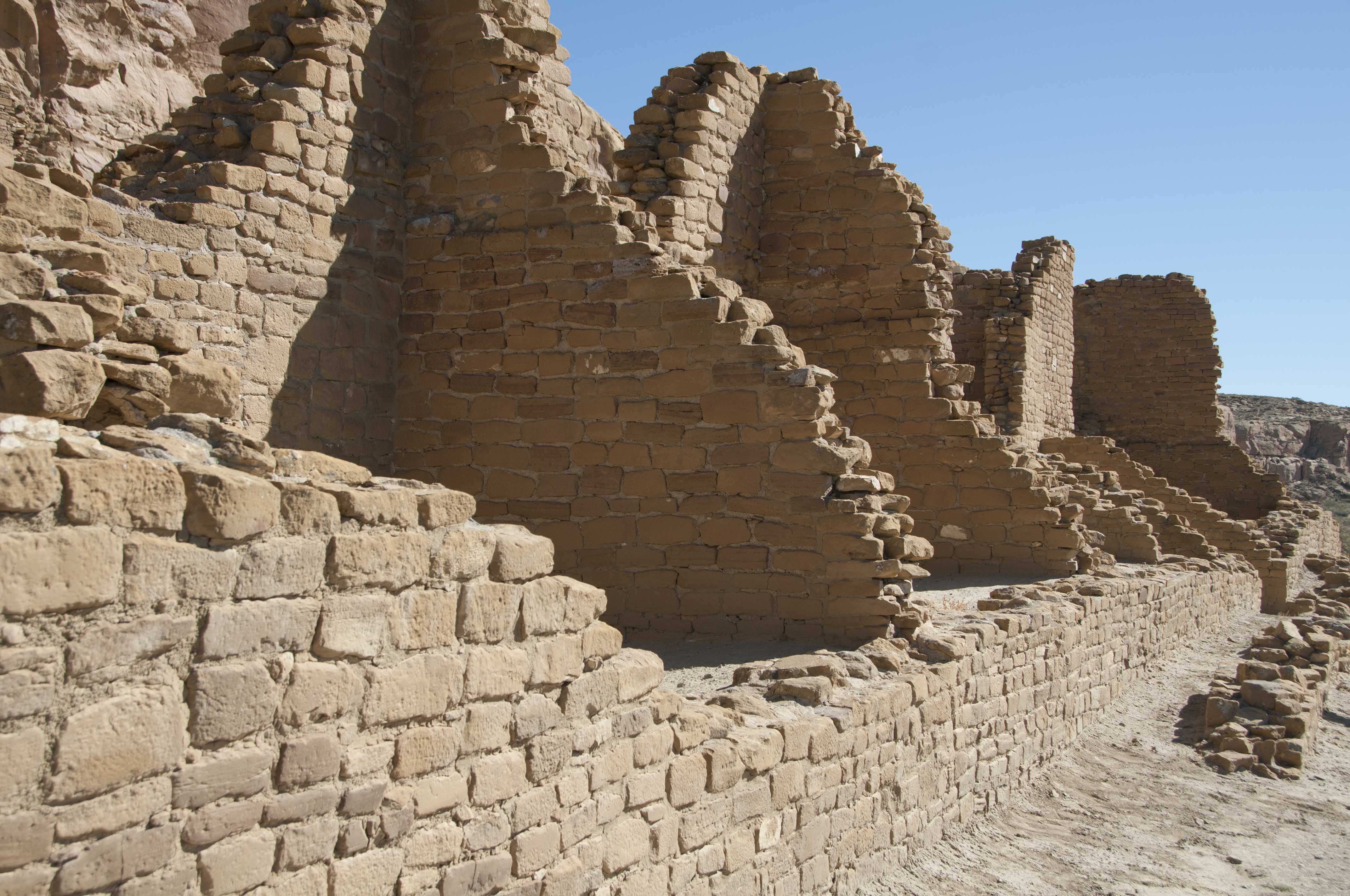
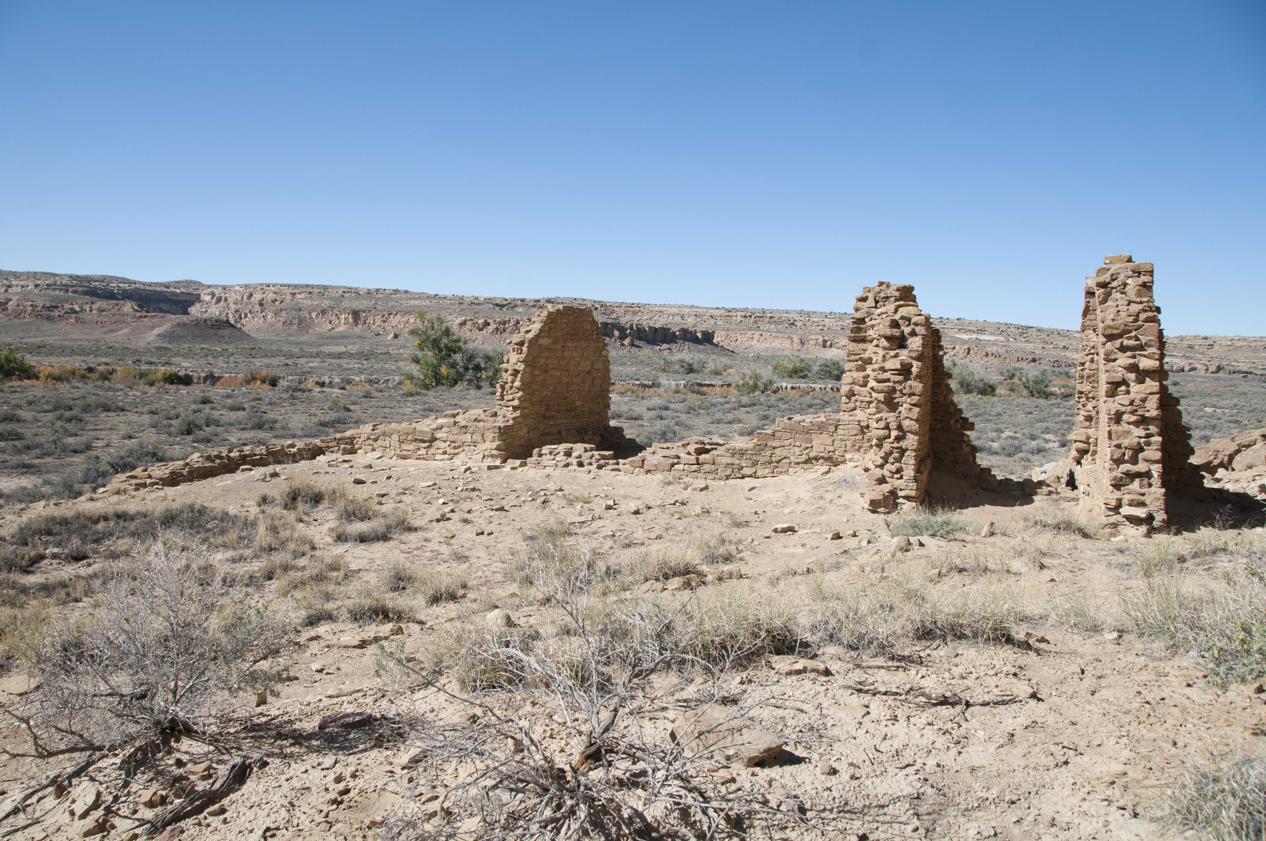
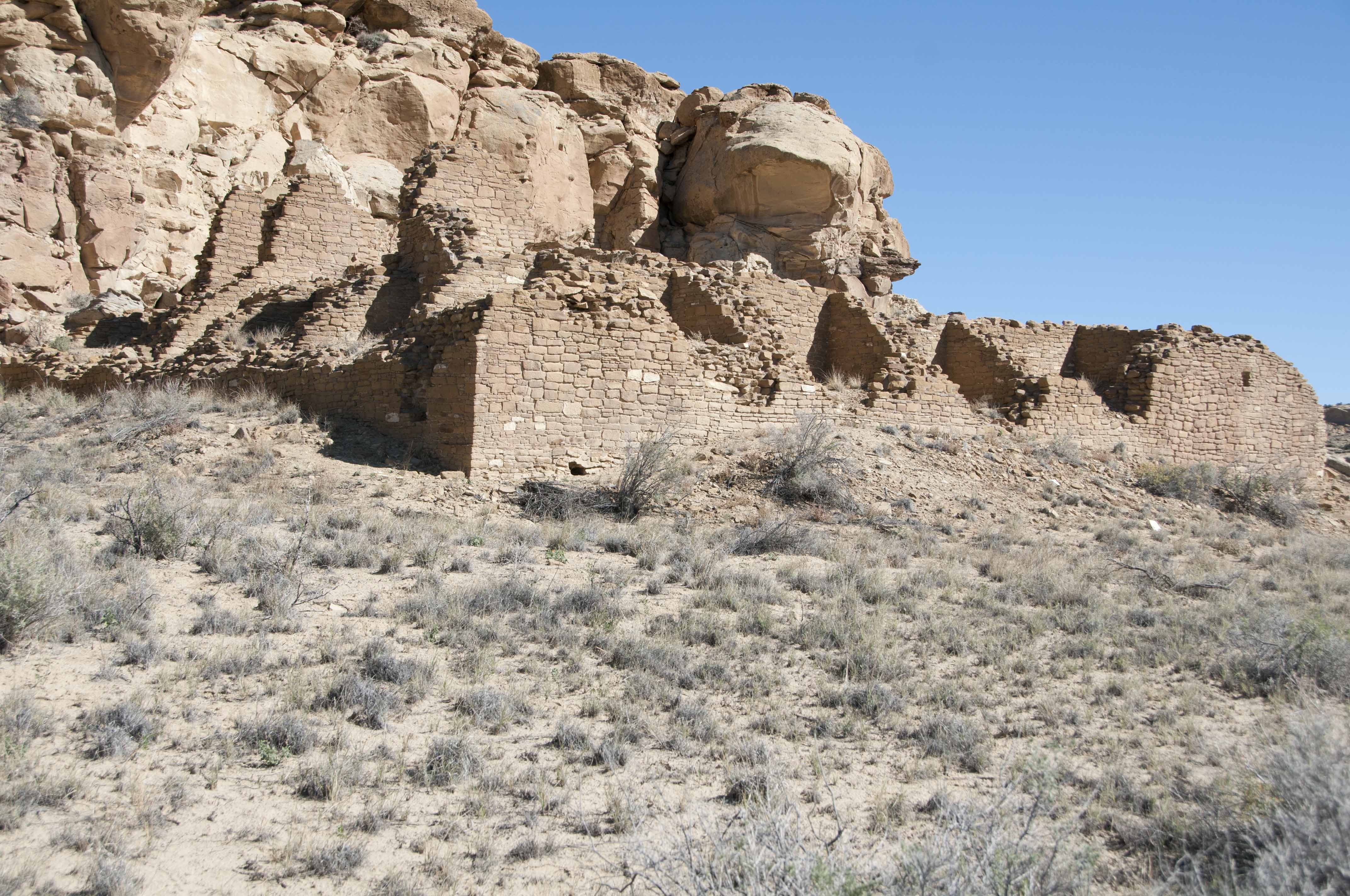
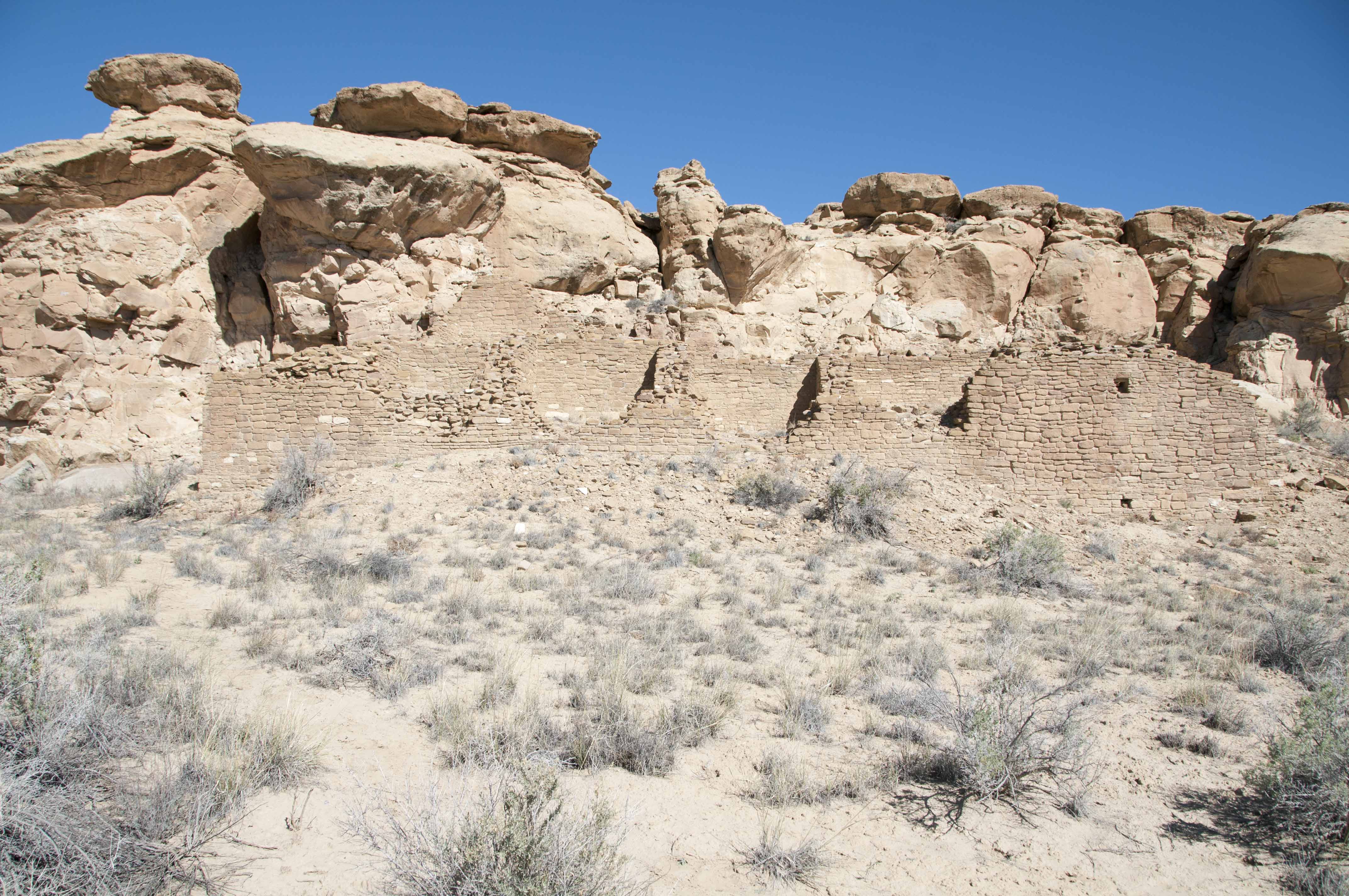
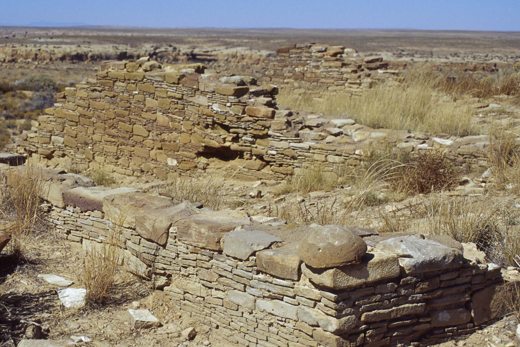
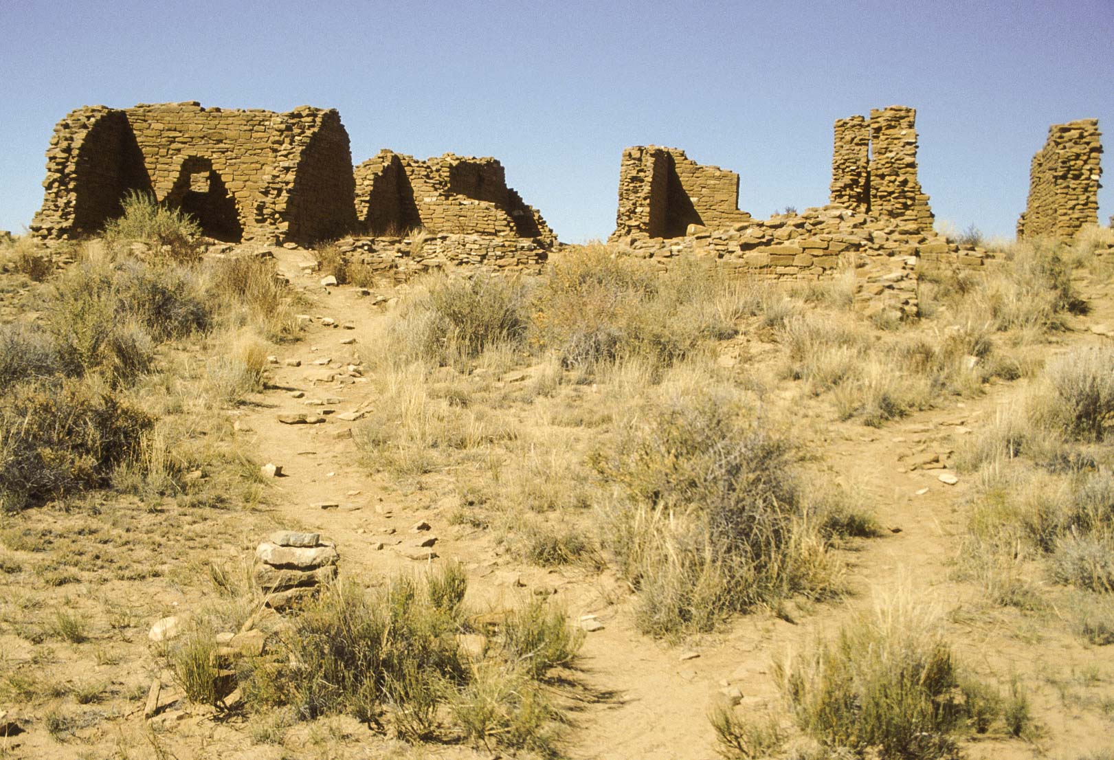
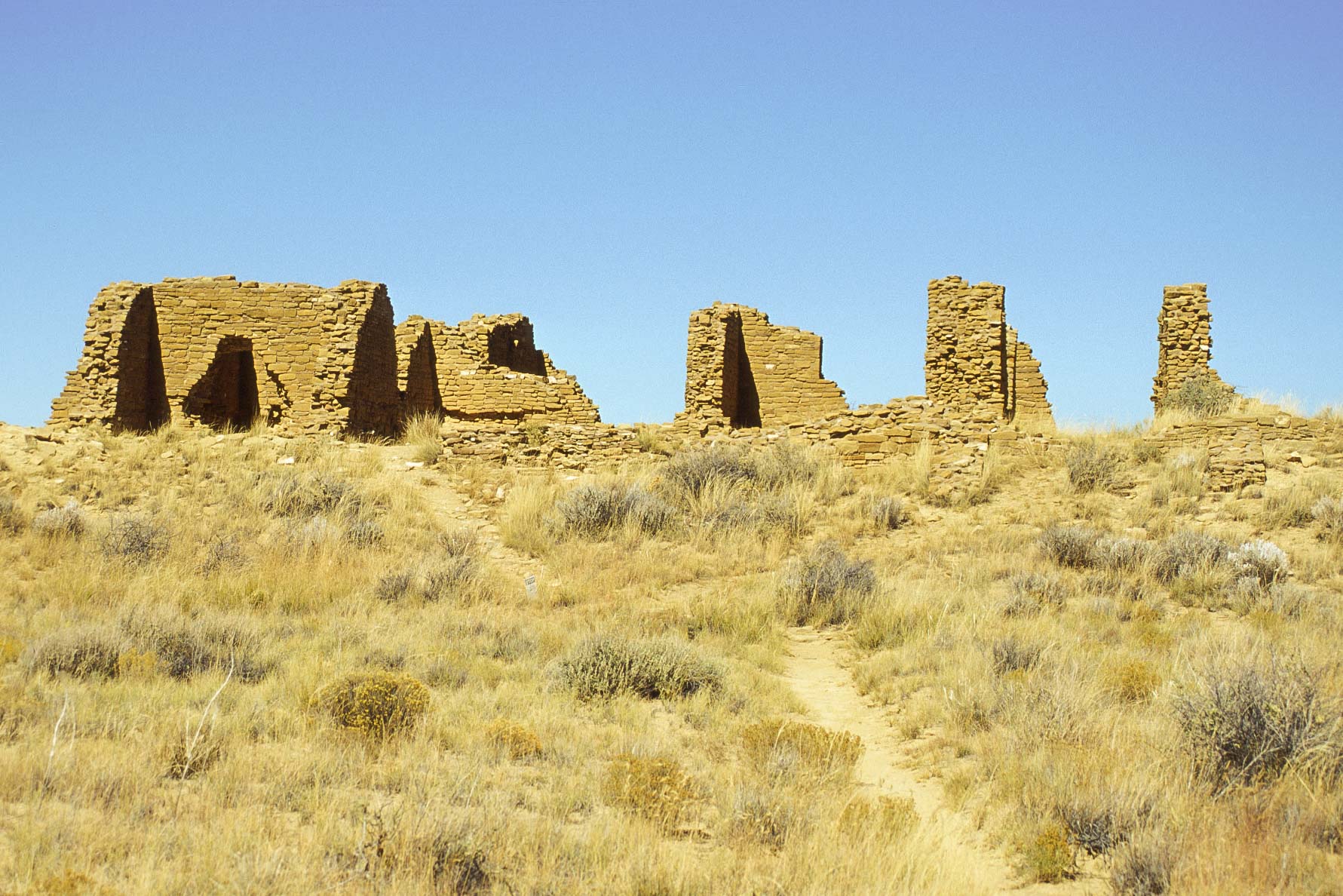
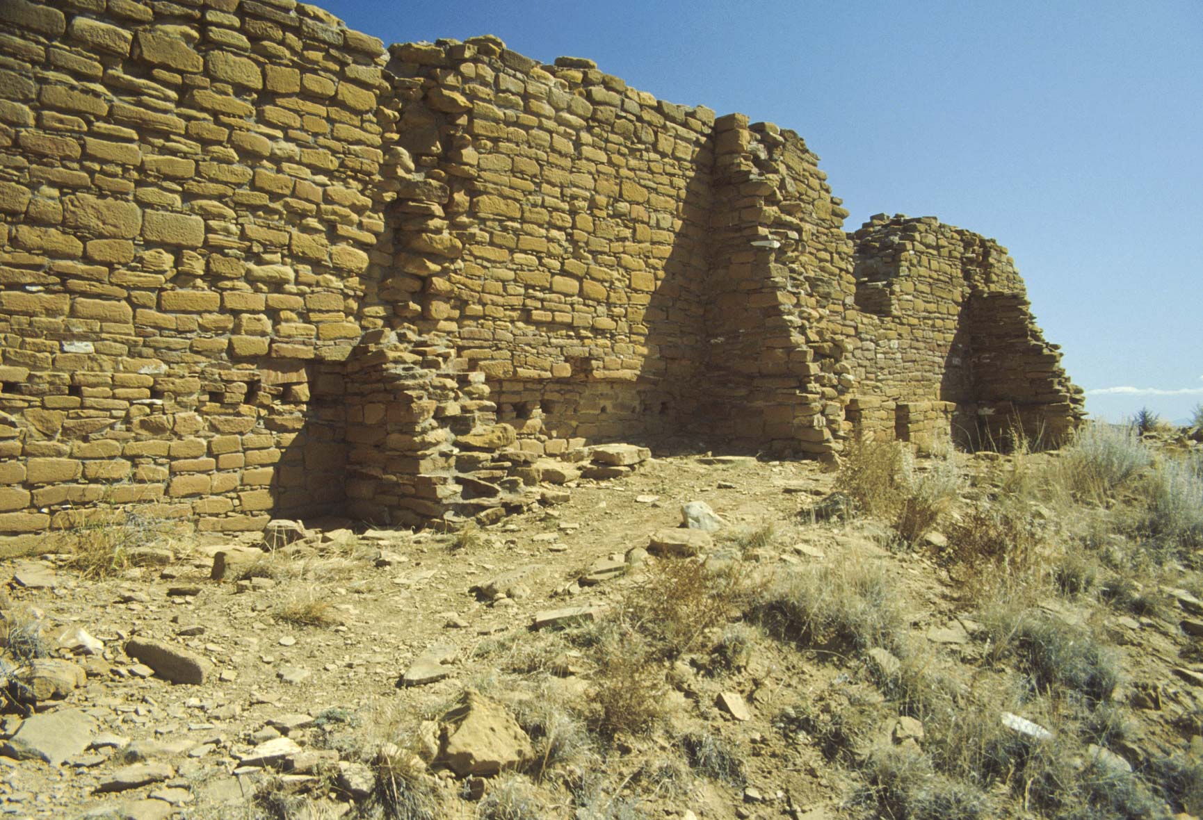
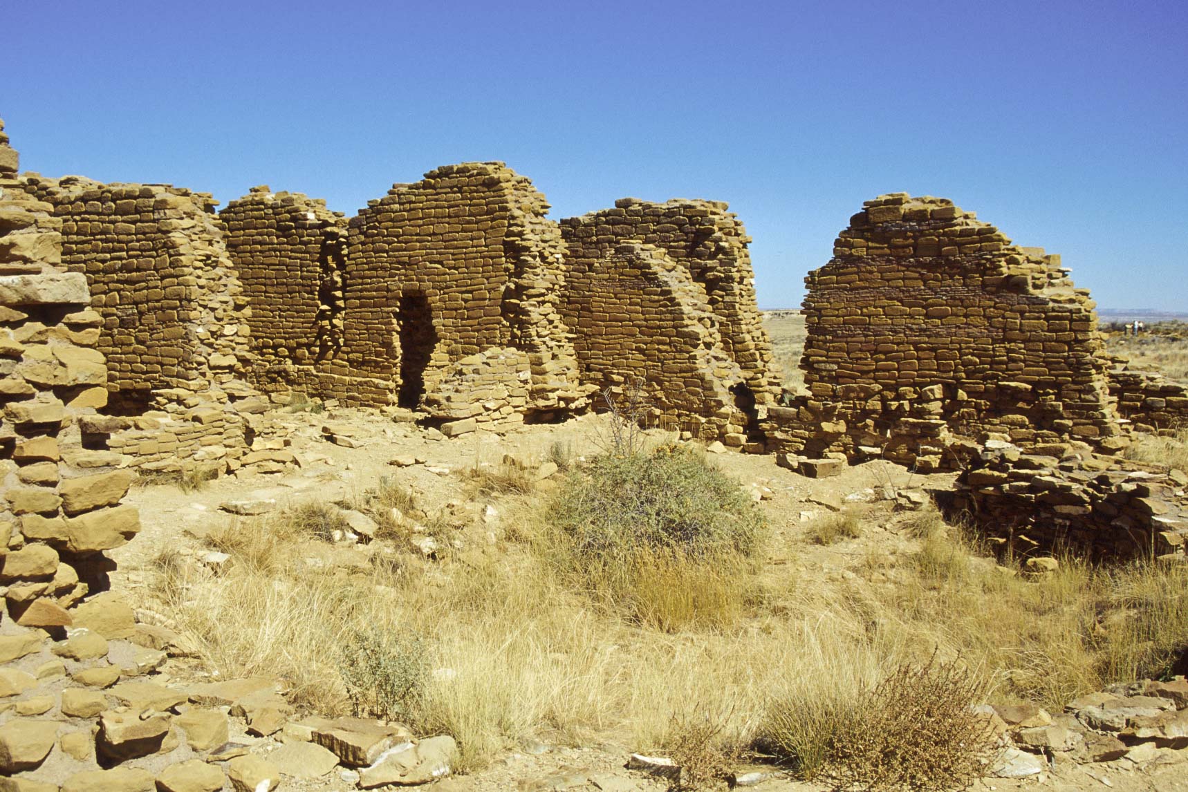
Peñasco Blanco
Peñasco Blanco is a largely unexcavated Bonito Phase pueblo located on West Mesa
about 3 miles west of Pueblo Bonito.
Construction of the pueblo may have started earlier than most of the other great
houses, around AD 900. The ruin is oval shaped with about 160 ground-floor rooms
built around a central plaza. Three kivas are located in the plaza, and there is
a great kiva located to the northwest. Construction continued for about 110 years,
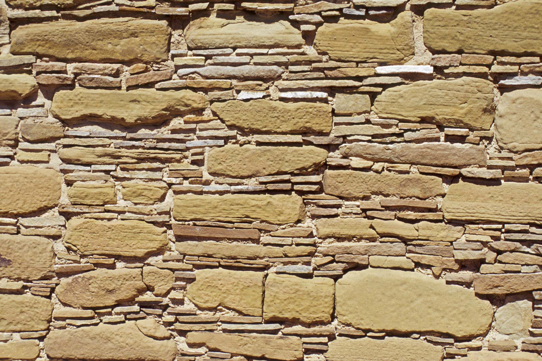
and several different masonry styles were used.
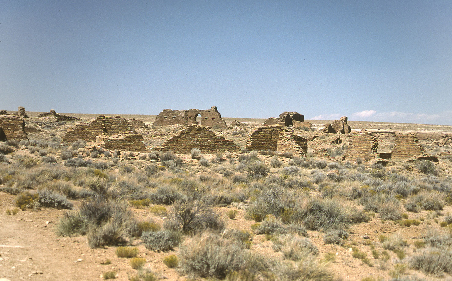
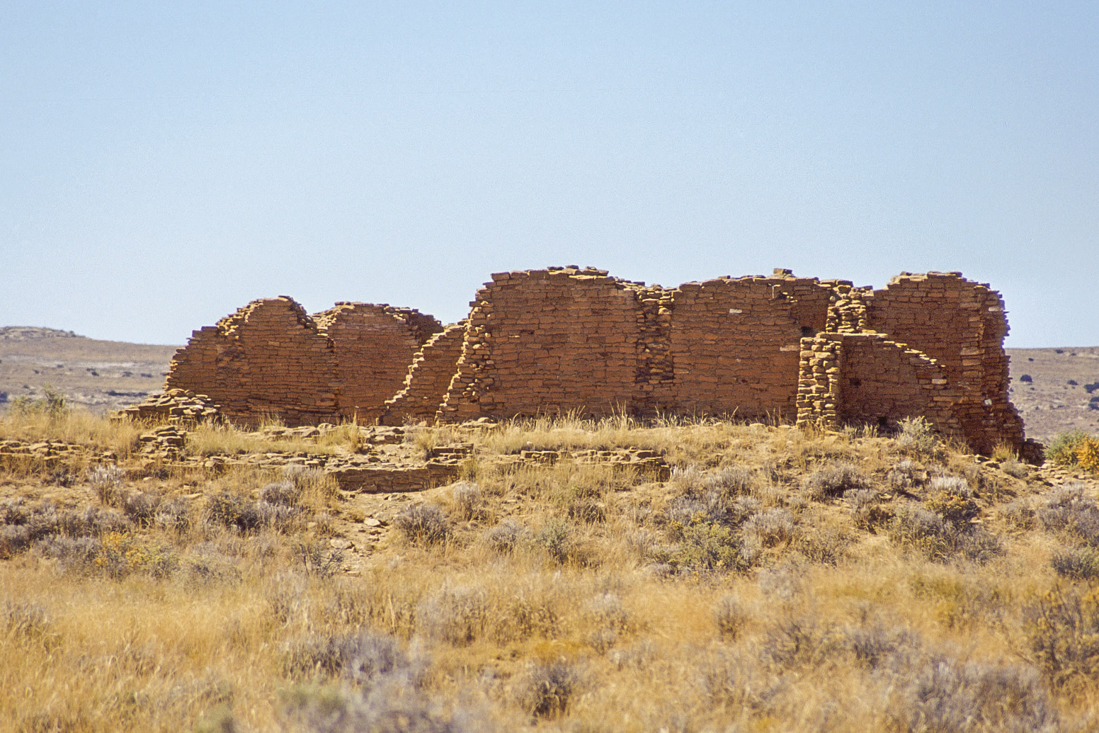
Rooms arranged in an oval
around a central plaza

Walls around oval shaped central plaza
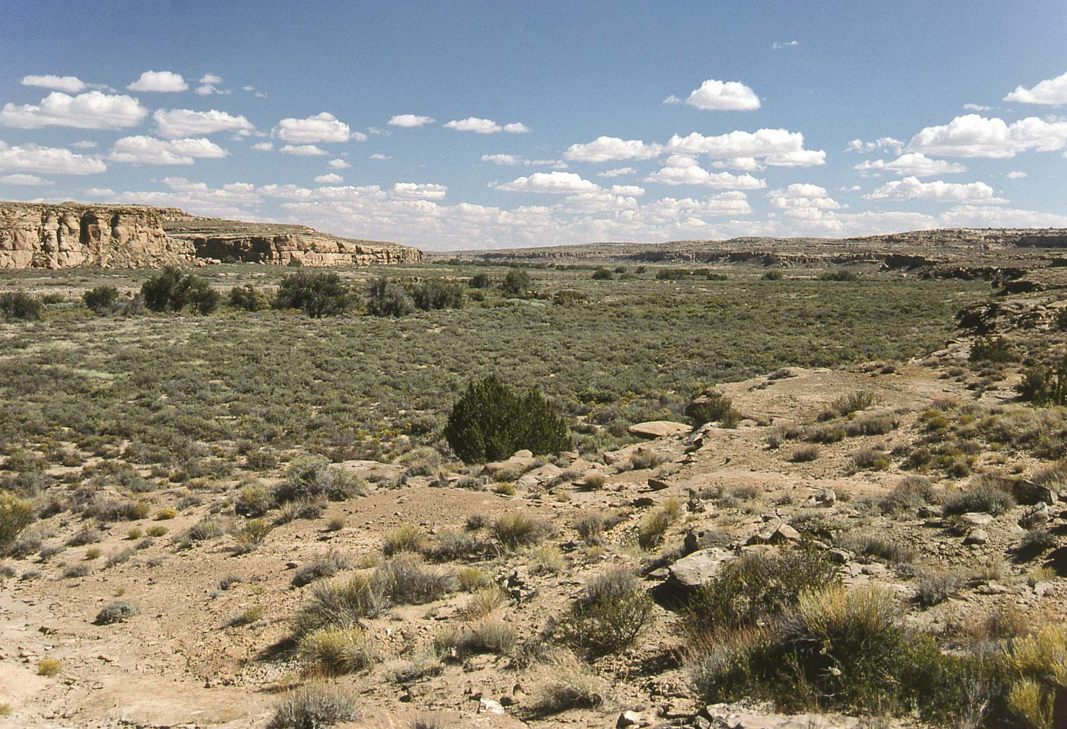
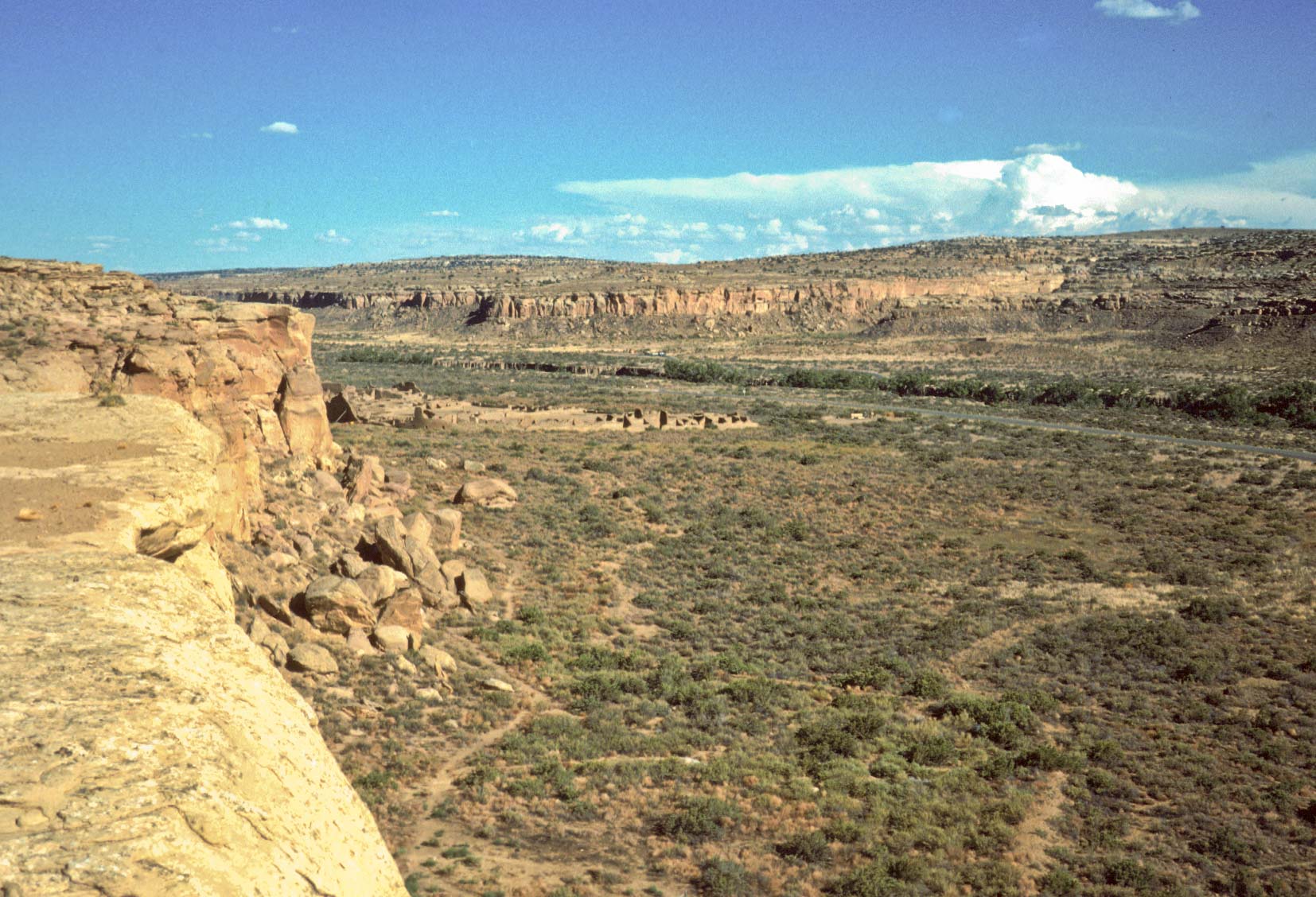
Chaco Canyon viewed from Peñasco Blanco
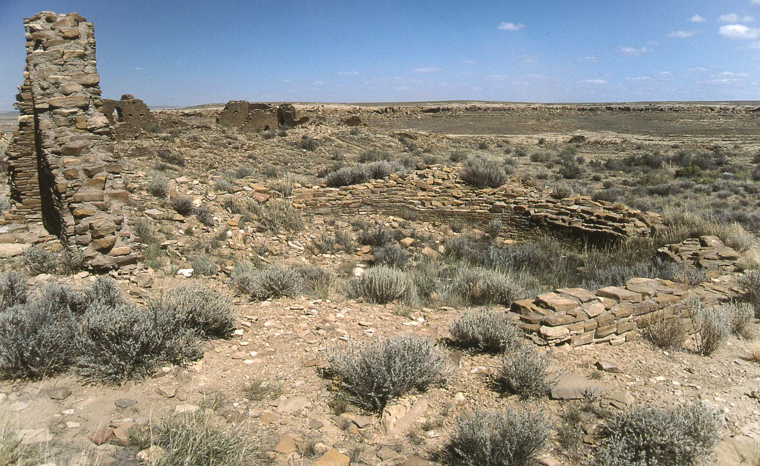
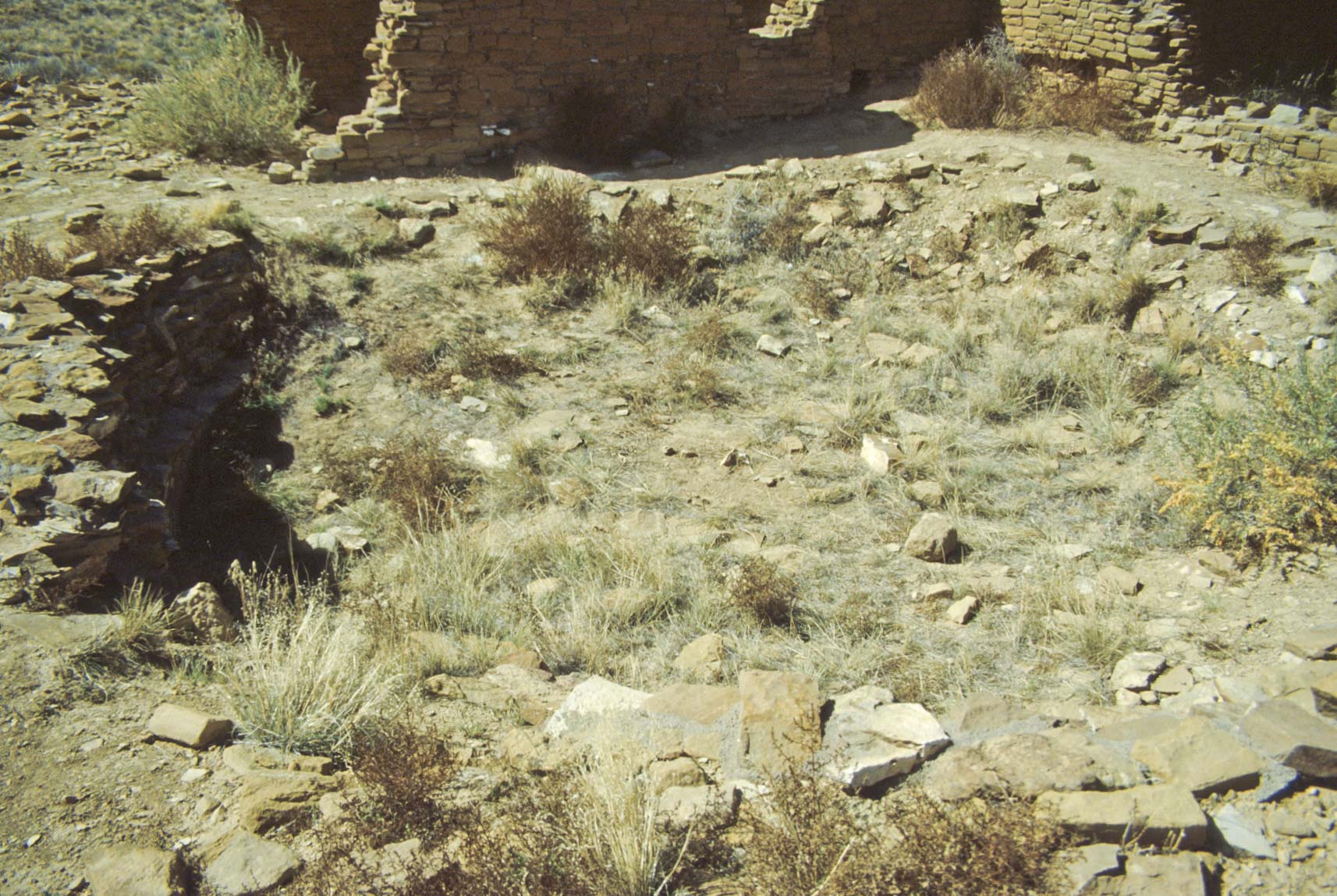
Kiva depression and west walls
View to the northeast
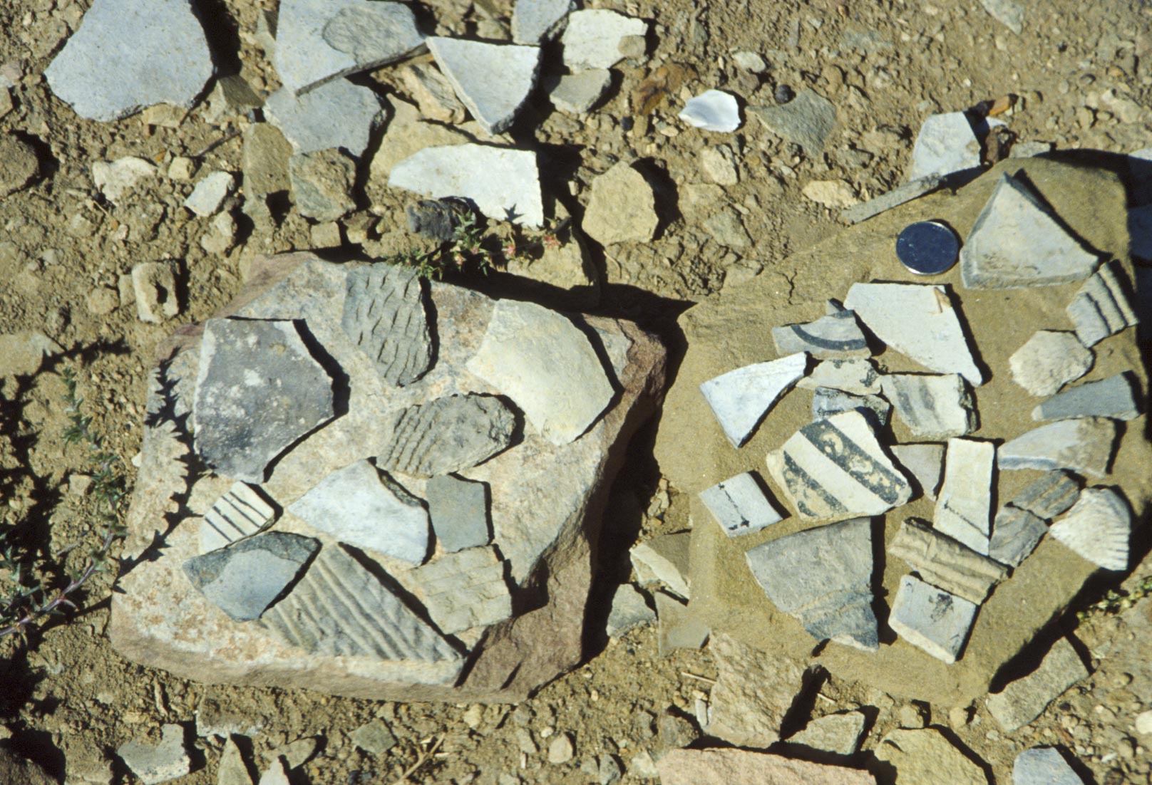
Pottery sherds
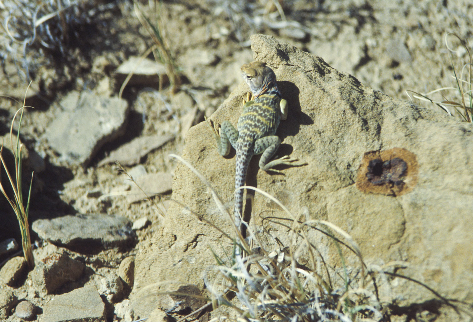
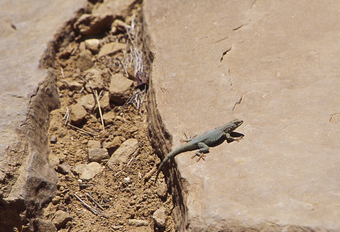
Collared lizard
(Crotaphytus collaris)
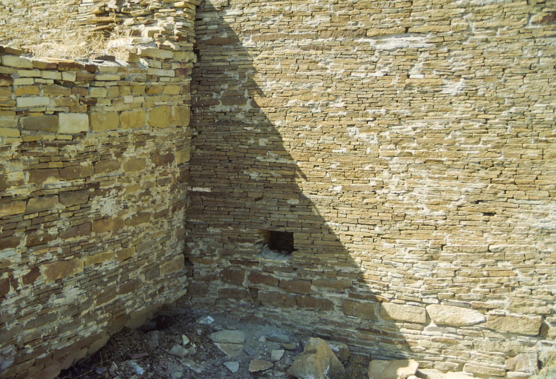
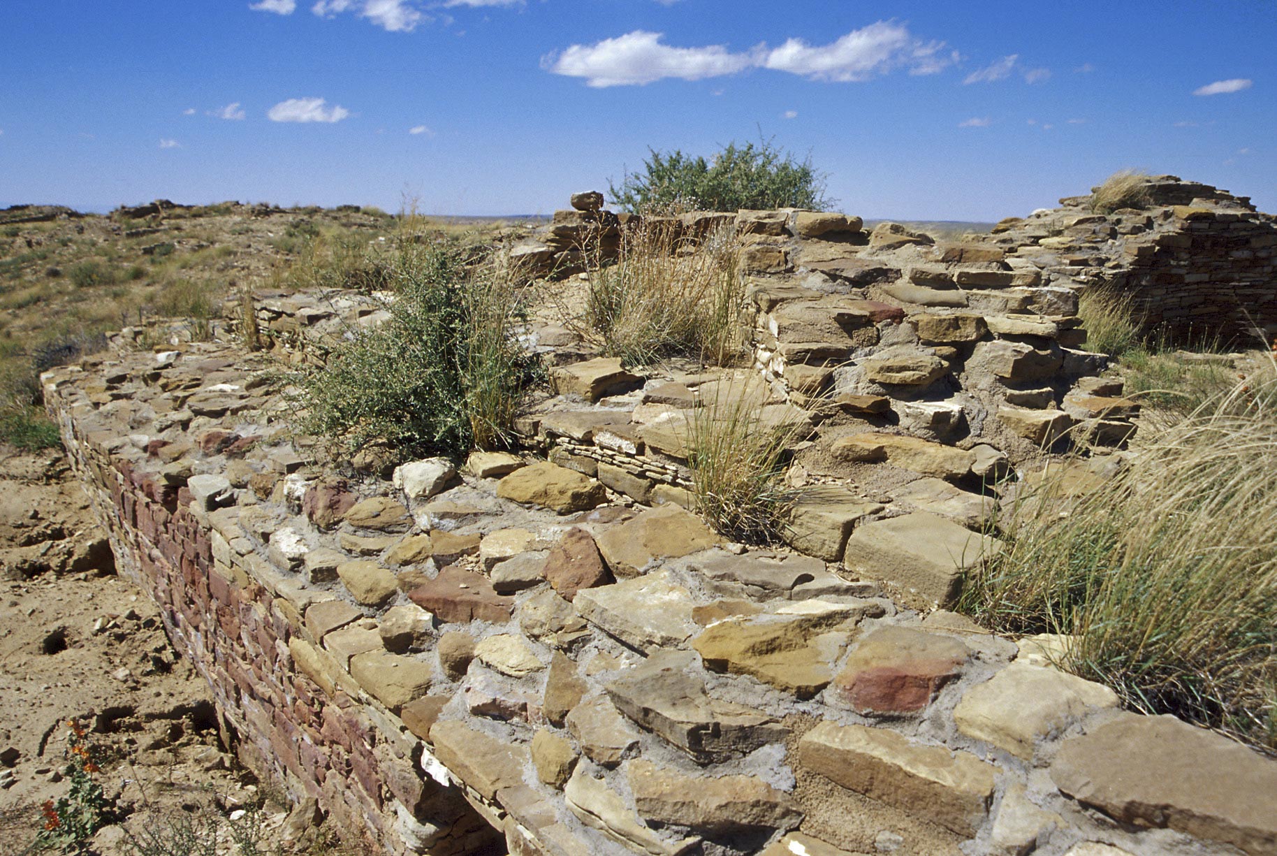
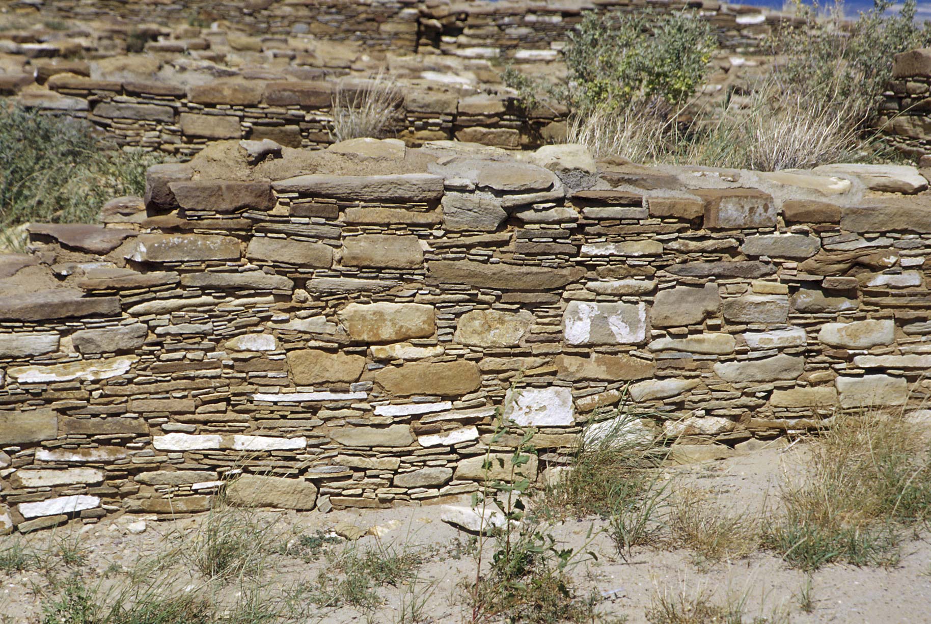
Judd Type III masonry wall adjoining
a Judd Type IV wall
Judd Type III masonry wall
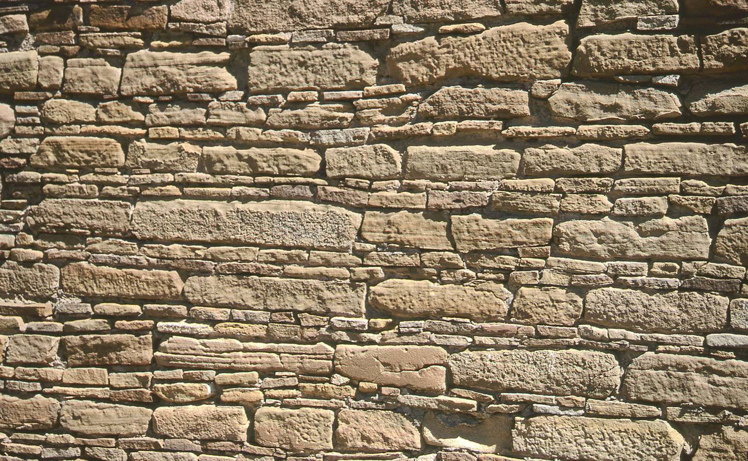
Judd Type III masonry

Room block
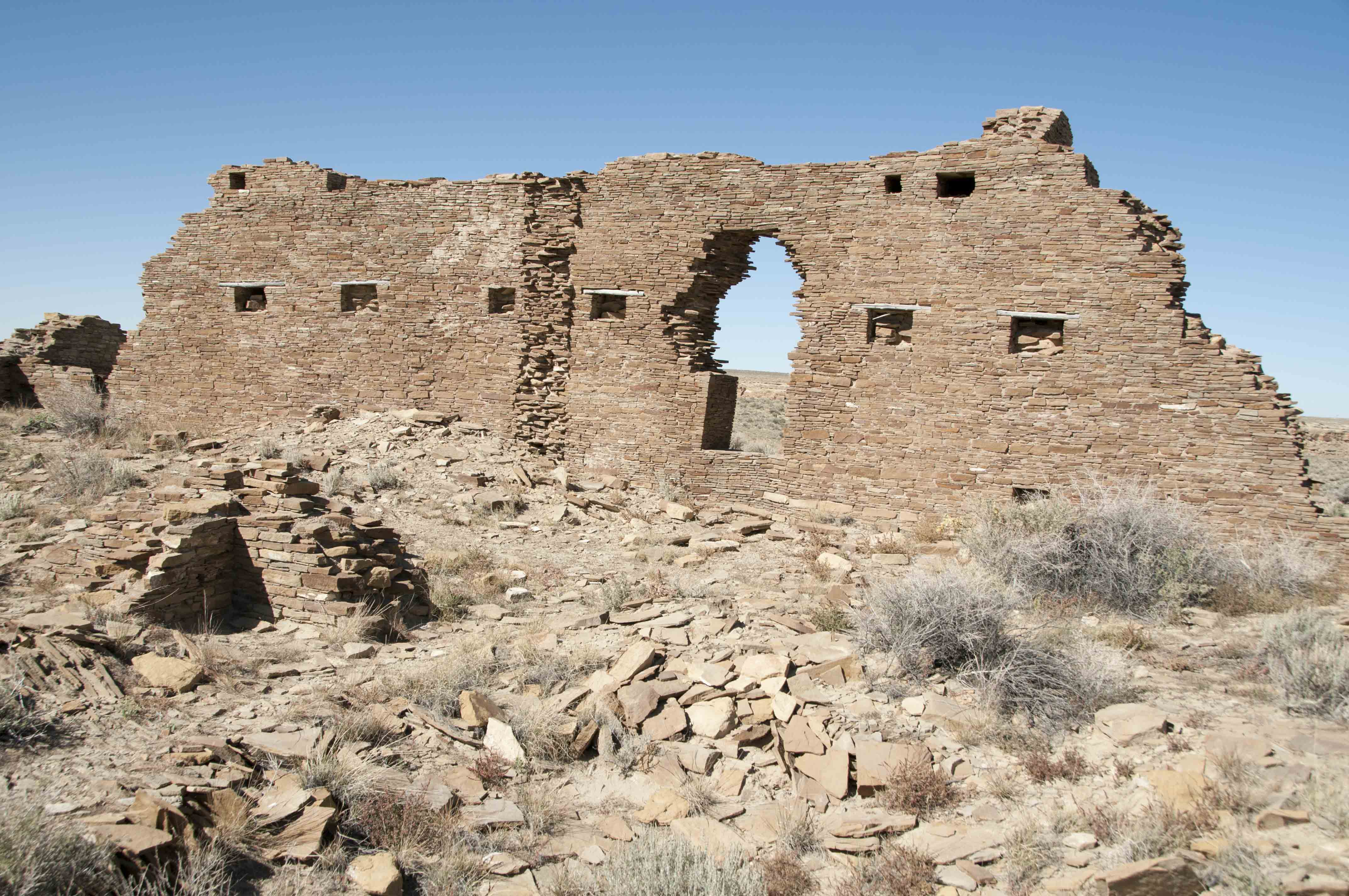
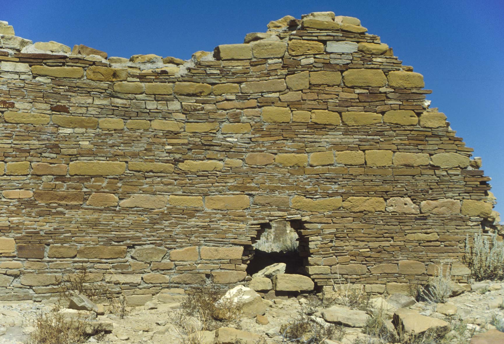
Wall with windows and partially collapsed door
Peñasco Blanco
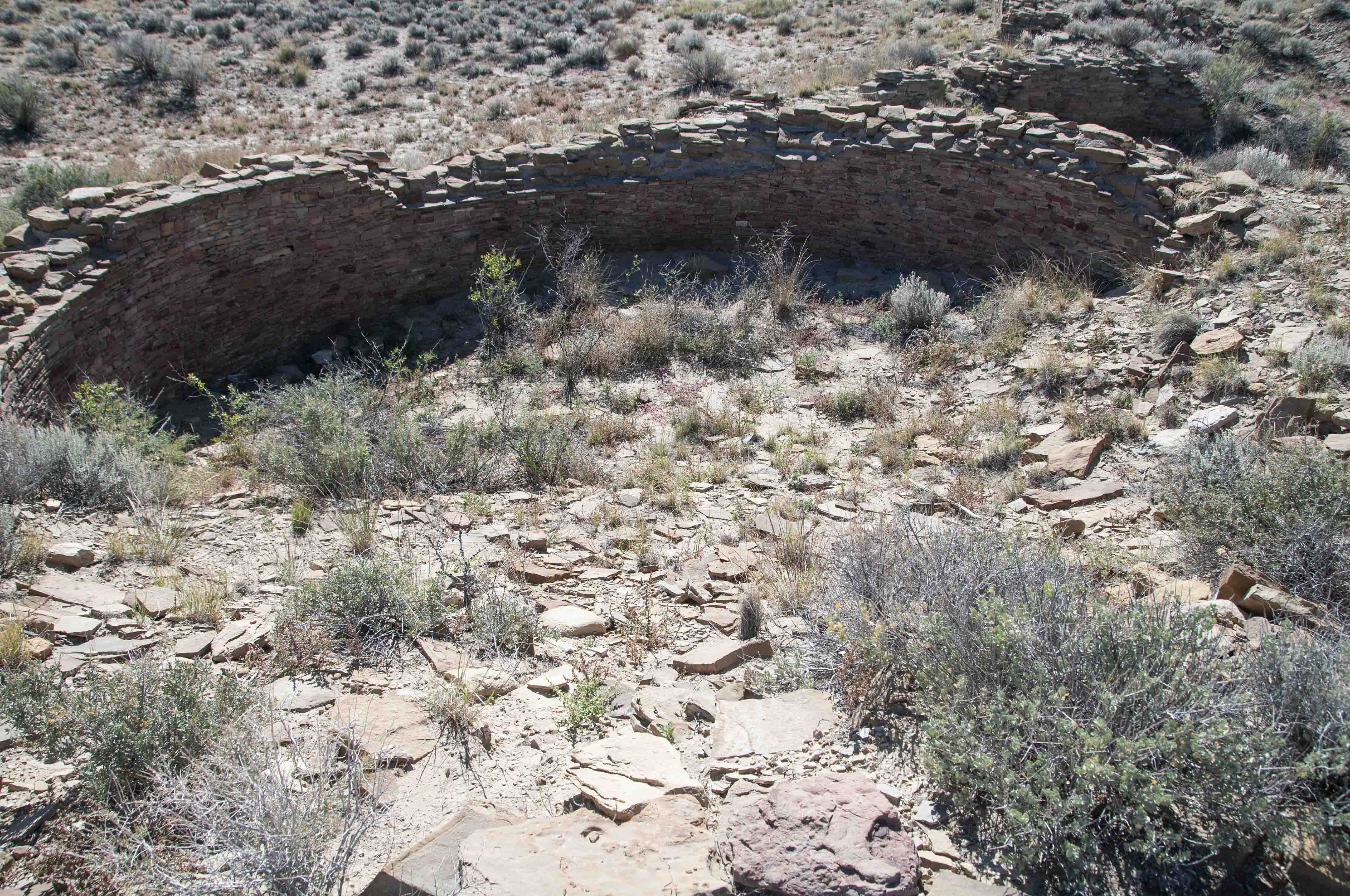
Unexcavated kiva
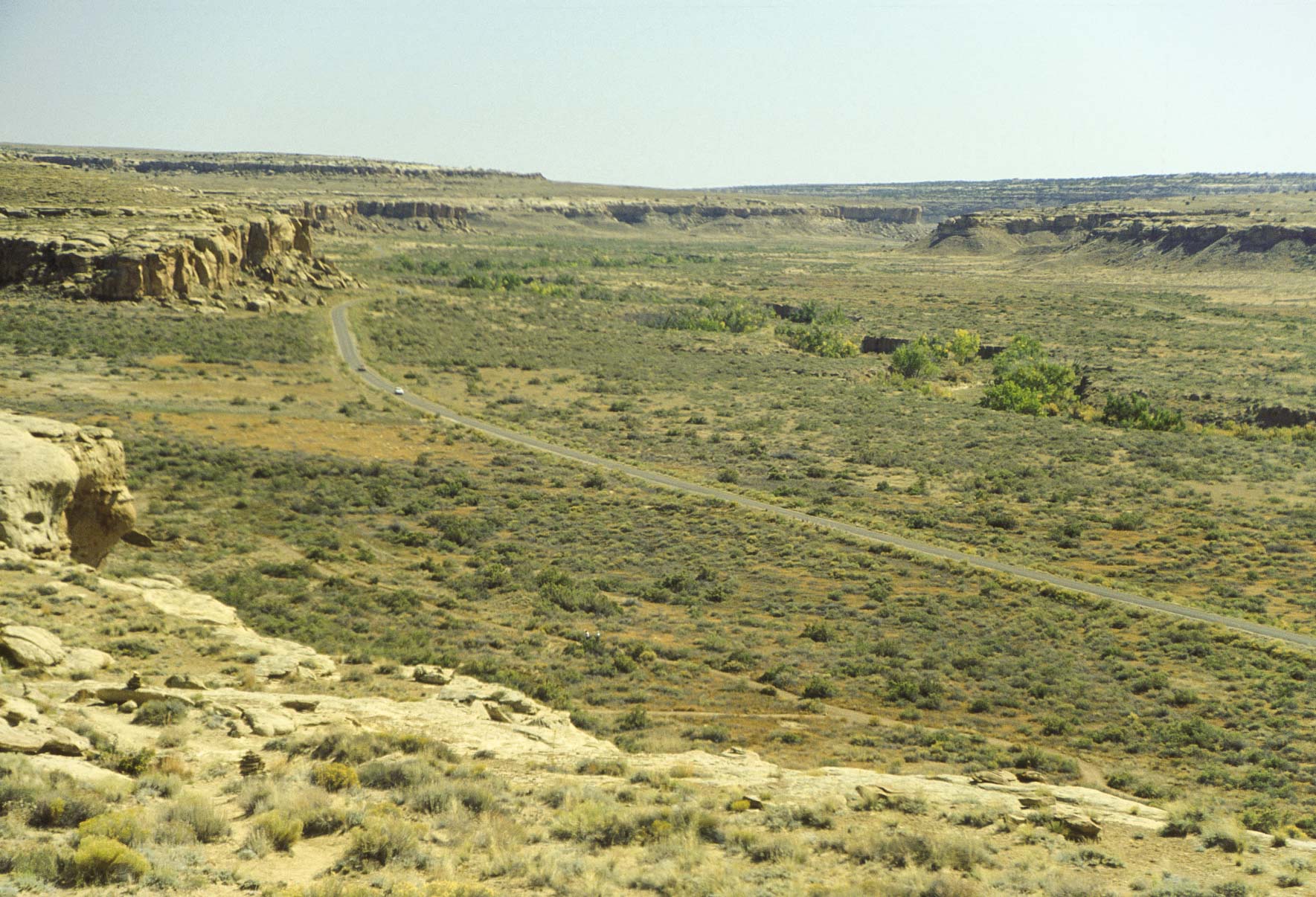
Alto Mesa trail
The Alto Mesa Trail is a moderate 4.8 mile loop trail on top of Alto Mesa on the north side of Chaco Canyon.
I consider it one of the two primo trails at Chaco. We will hike the trail counter-clockwise around the loop. The
first part of the trail takes us along the north rim of Chaco Canyon where we will have a birds-eye view
of Kin Kletso, Pueblo del Arroyo, Pueblo Bonito, and Chetro Ketl. The trail then climbs onto Alto Mesa,
past some ancient Chacoan steps known as the Jackson Stairs, and continues on to the Pueblo Alto Complex (Pueblo Alto
and New Alto). From there it's a short jog back to our starting point.
Kin Kletso (1992)

Kin Kletso (1995)
Kin Kletso (2001)
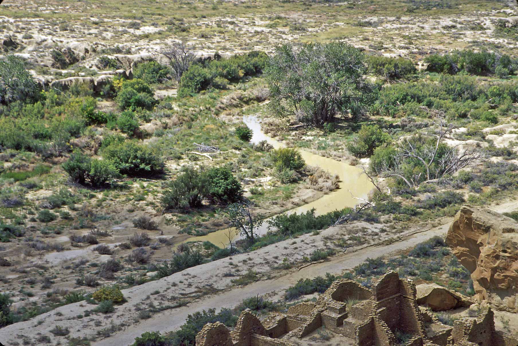
Water in Chaco Wash and Kin Kletso
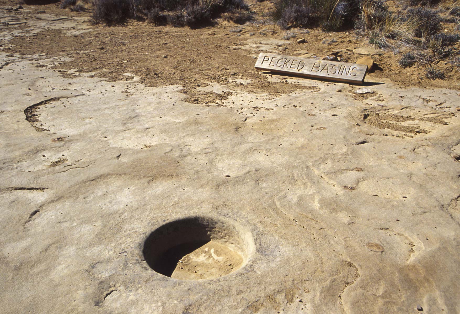
Pecked Basin
Many of these found along the canyon rims

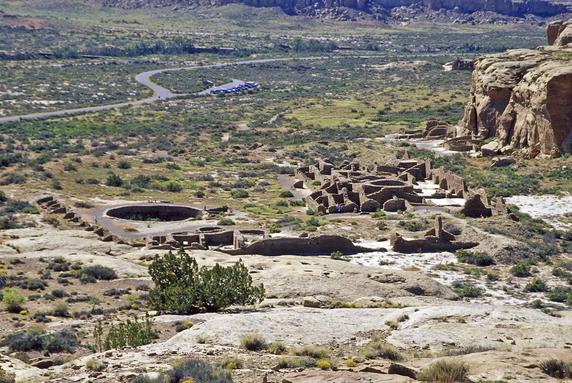
Pueblo del Arroyo and South Gap
Pueblo del Arroyo (1992)
Pueblo del Arroyo (1999)
View from Bonito Overlook
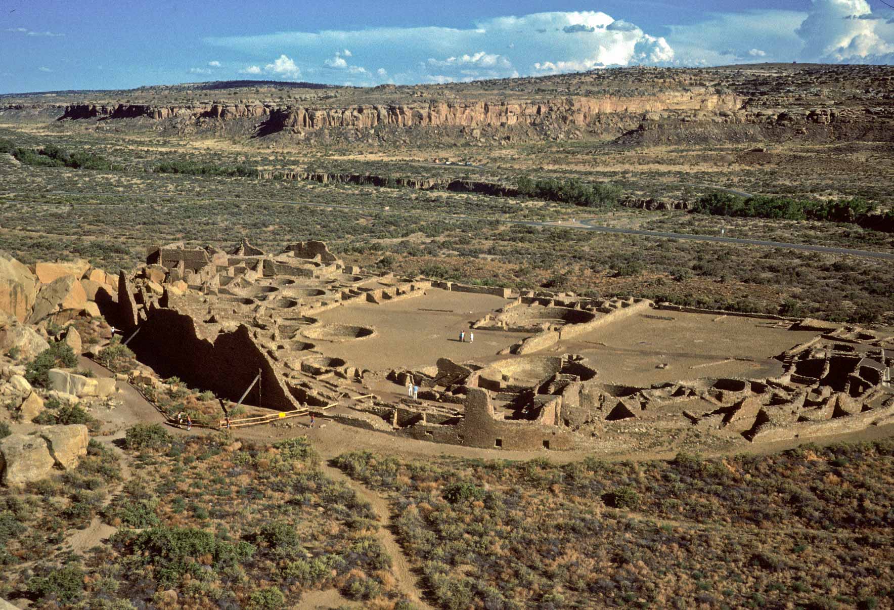
Pueblo Bonito (1989)
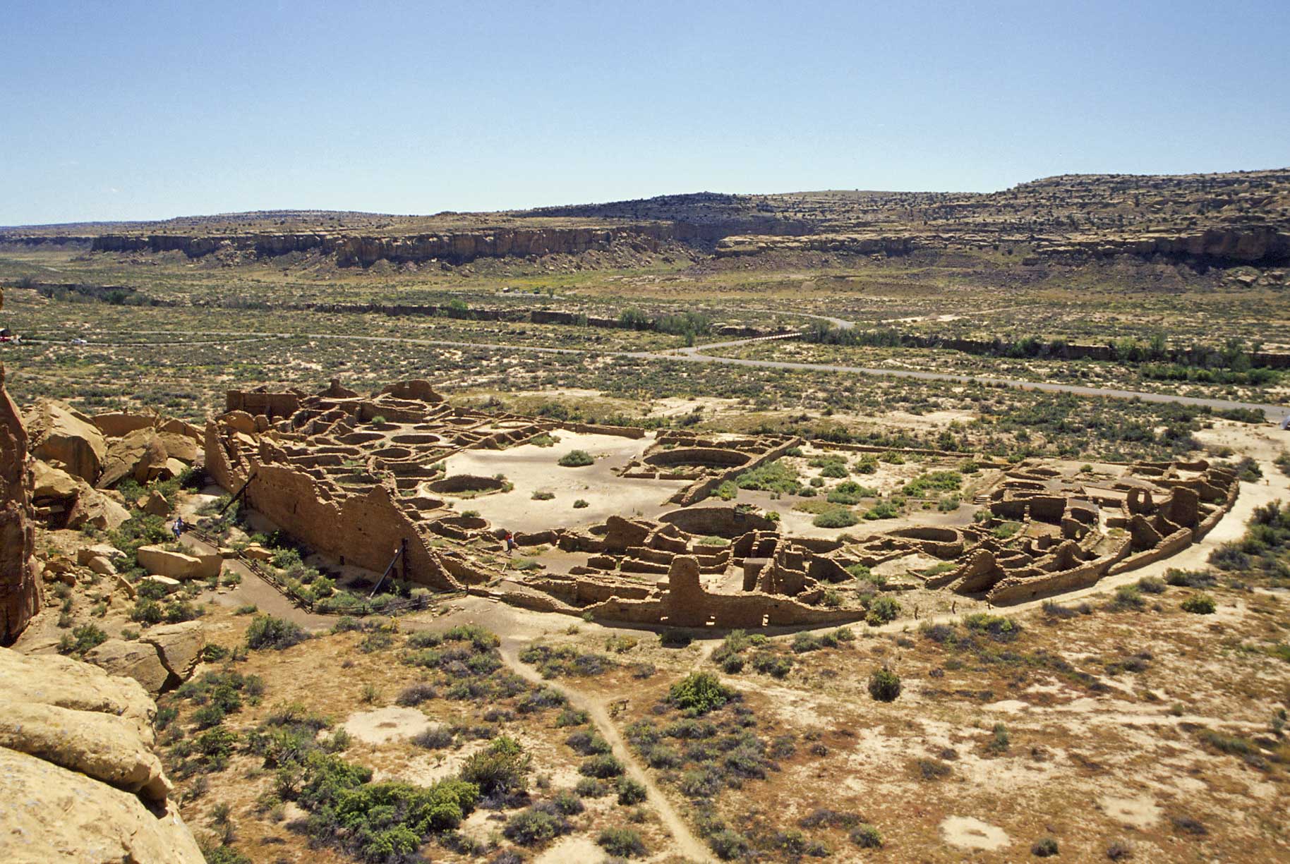
Pueblo Bonito (2006)
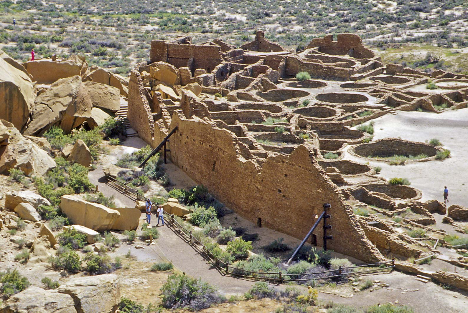
Pueblo Bonito - east section
Chacoan steps along
Alto Mesa Trail
Side-blotched lizard
(Uta stansburiana)

Whetherill cemetery
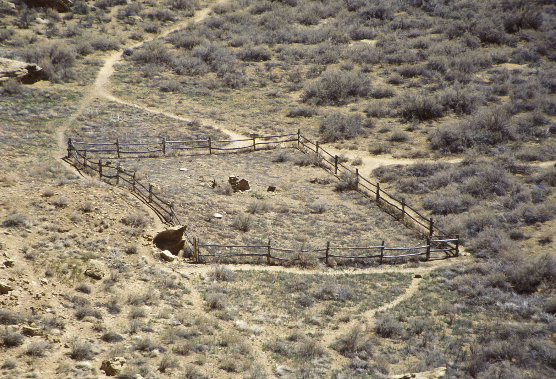
Whetherill Cemetery
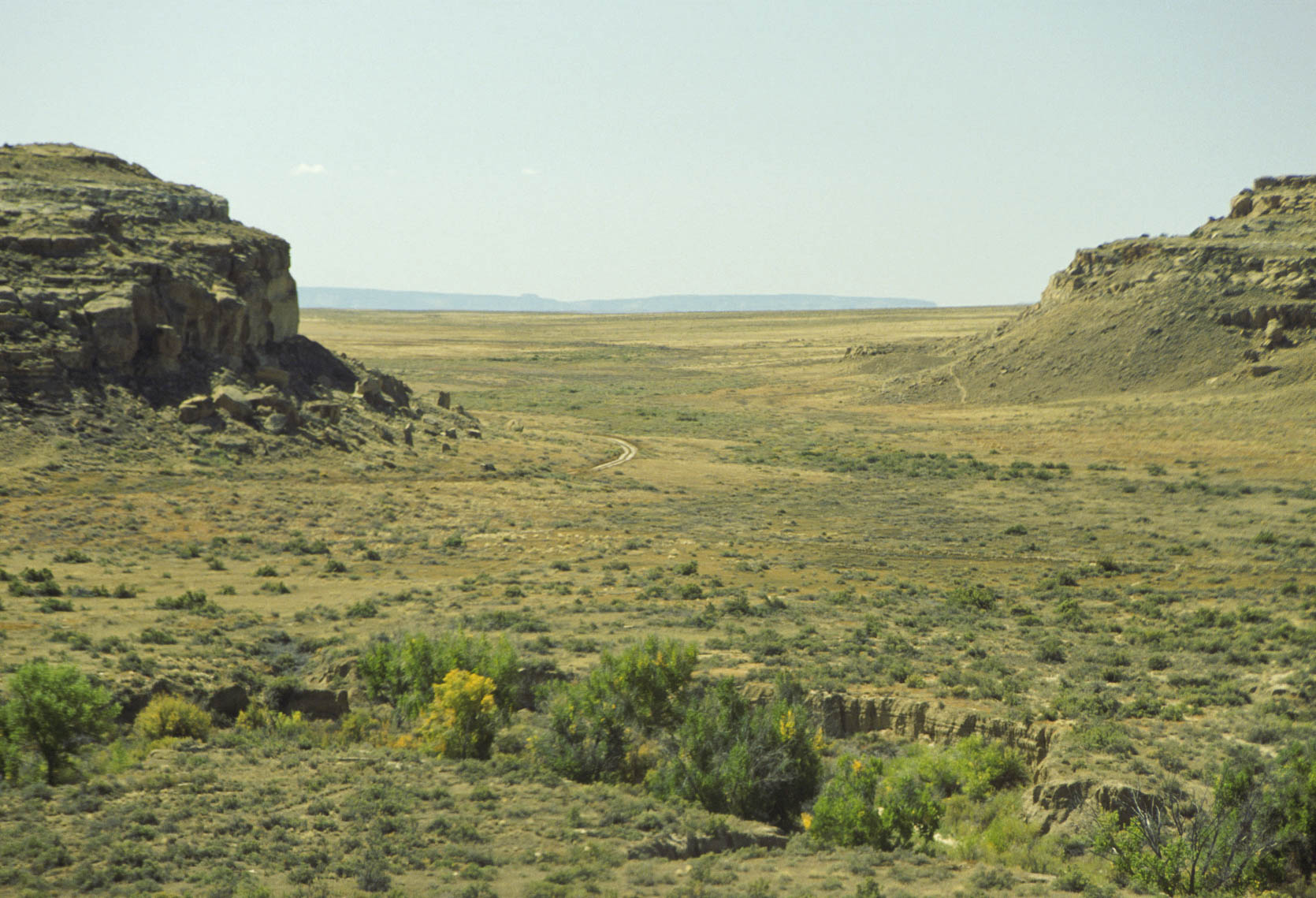
South Gap
northern half of loop drive
Chaco Canyon
Chetro Ketl
Chetro Ketl (foreground)
Talus Unit #1 (against cliff) (1999)
Chetro Ketl
Talus Unit #1 (against cliff) (2006)
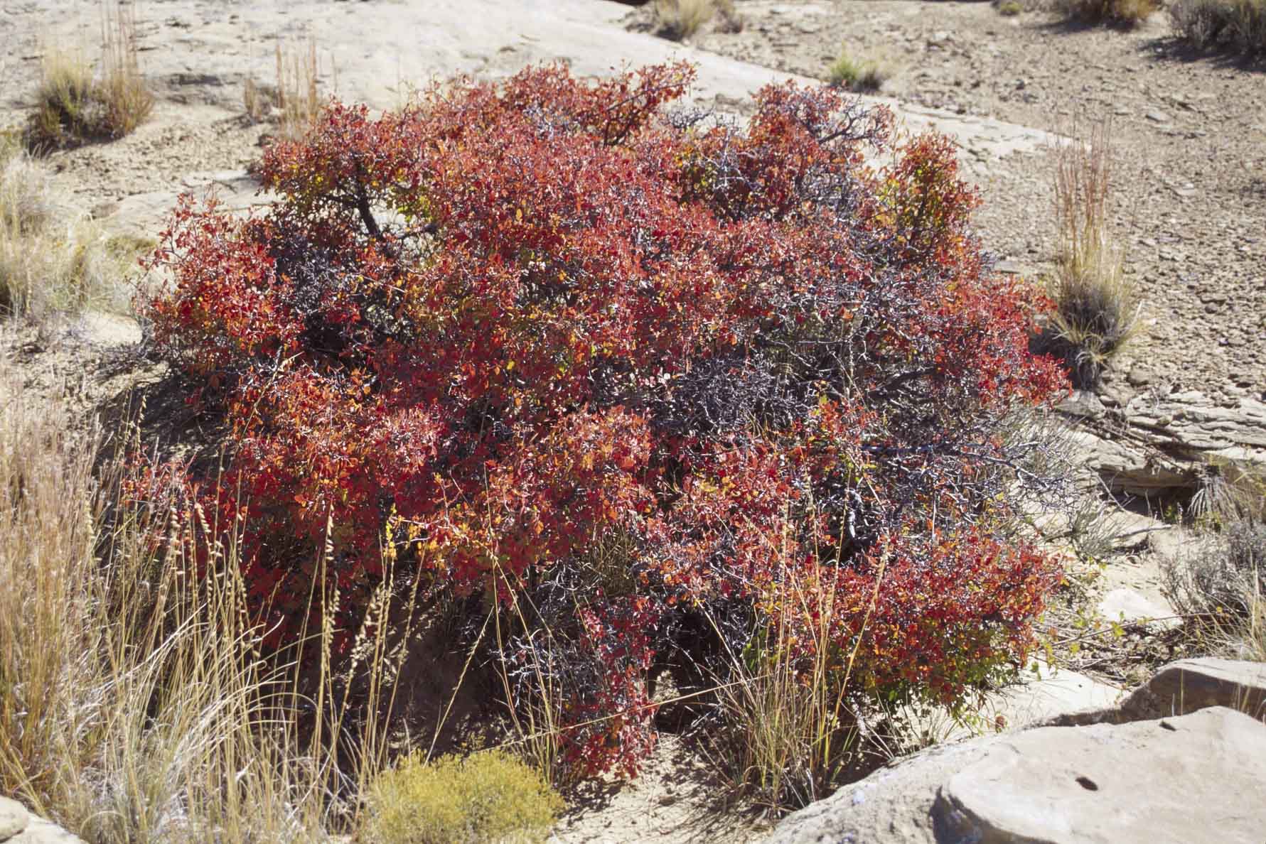
Gambel Oak (Scrub Oak)
with fall color
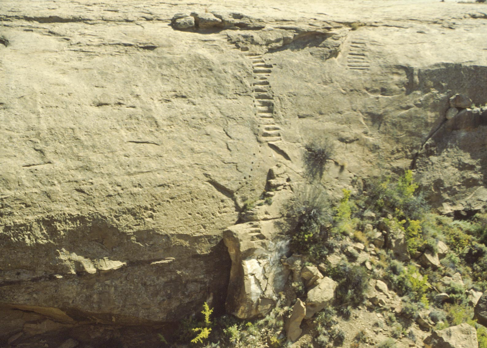
Jackson Stairs (1992)
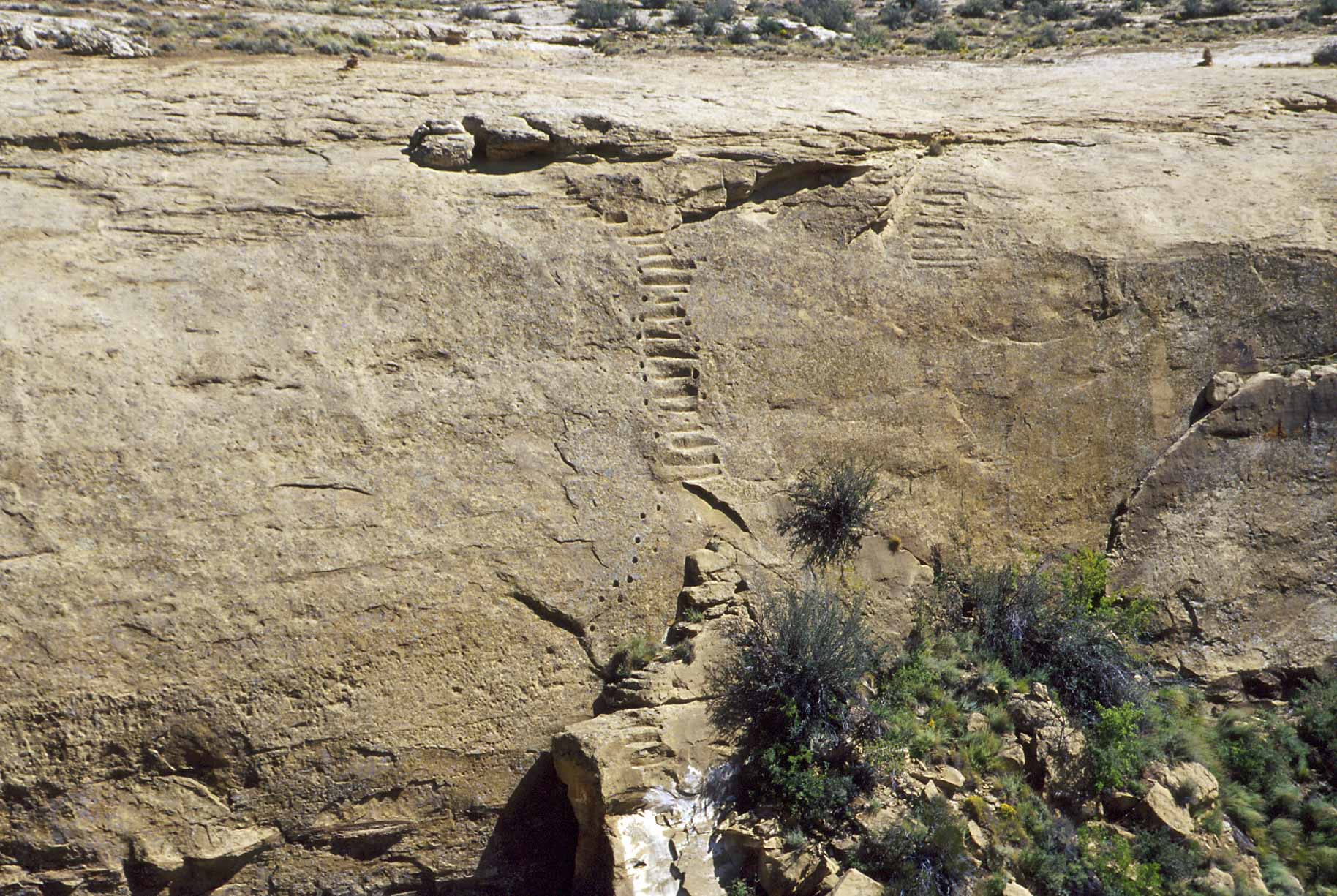
Jackson Stairs (2006)
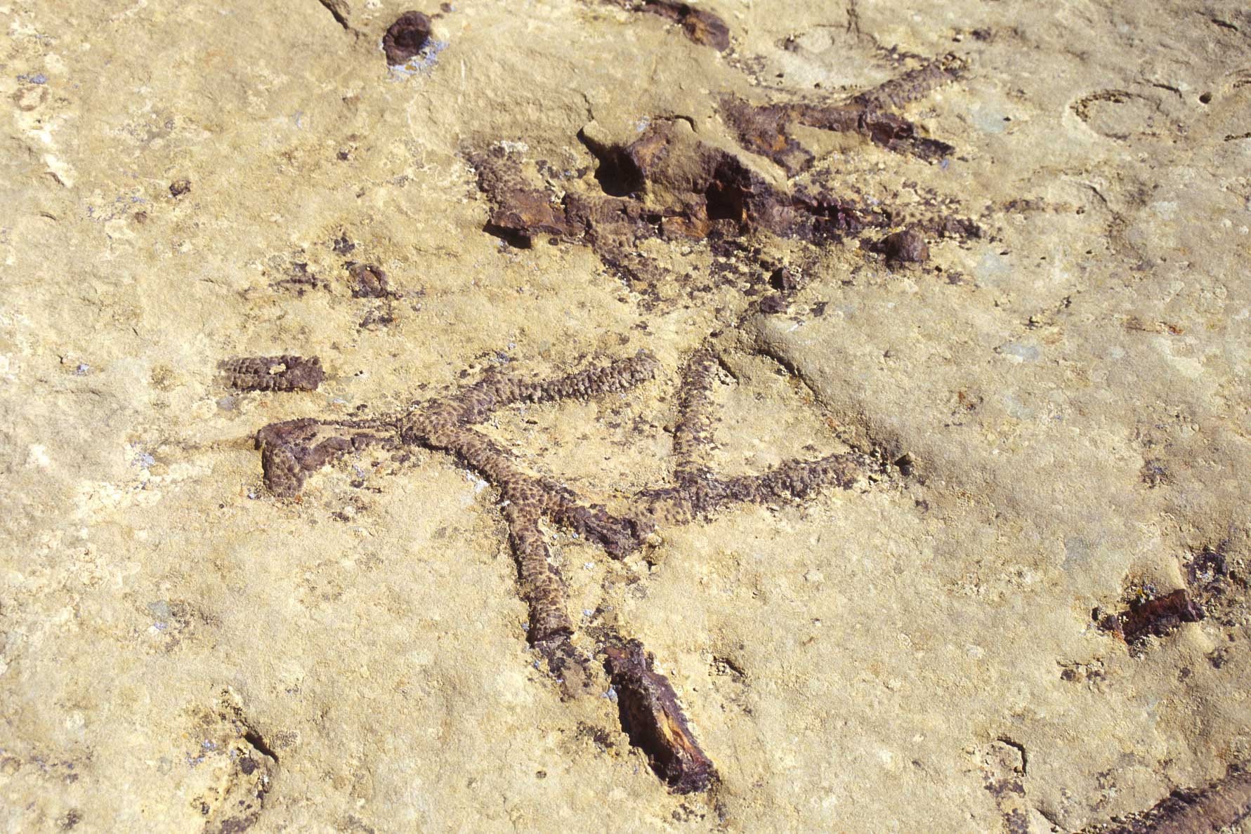
Could be worm tube fossils
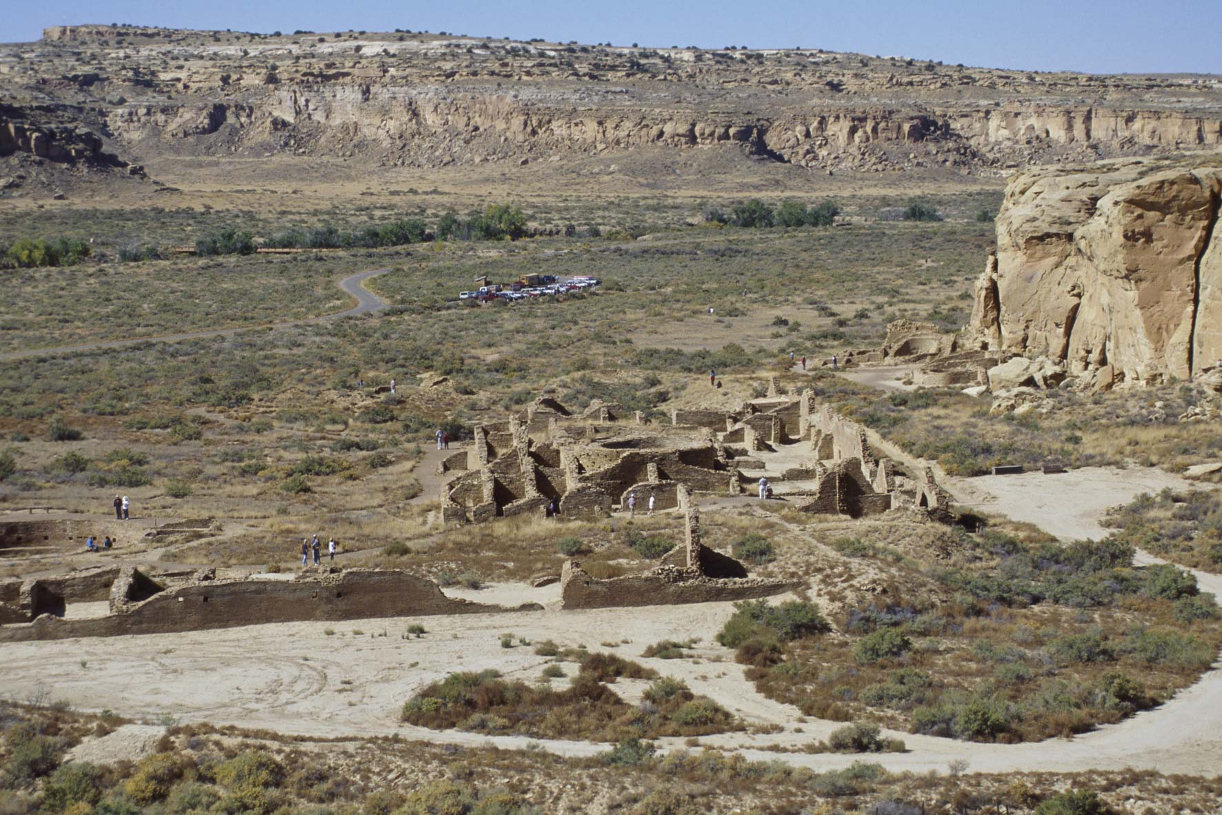
Pueblo Alto
Pueblo Alto Complex
The Pueblo Alto Complex is a combination of two pueblos, Pueblo Alto
and New Alto. Pueblo Alto has been extensively excavated and partially backfilled; New Alto has not been excavated.
Pueblo Alto is located two-thirds of a mile north of Pueblo Bonito on the
north mesa (Alto Mesa). Pueblo Alto is a Pueblo III town of 100 one-story rooms and 11 kivas.
A number of Chacoan roadways extend north and south from the pueblo.
New Alto is located
400 feet west of Pueblo Alto. It's a small square McElmo Phase pueblo of 28 ground-floor rooms around a
small courtyard containing one kiva. Its walls are well preserved and were two stories in
places. This made it much more interesting to photograph than Pueblo Alto.
Room block walls
Pueblo Alto
Pueblo Alto

Judd Type III wall masonry
Pueblo Alto
Judd Type II masonry
Pueblo Alto
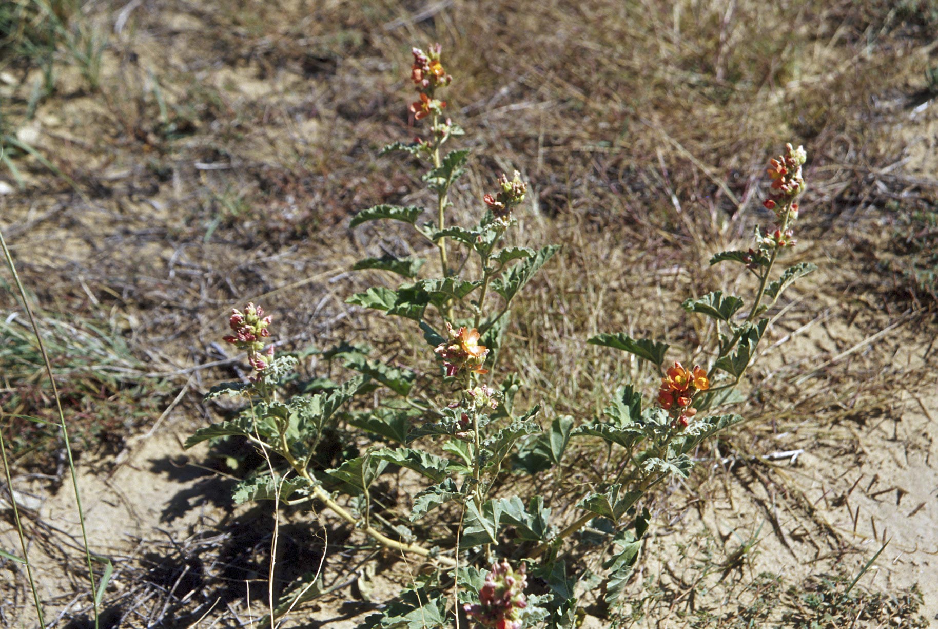
Globemallow
New Alto (1992)
View toward the west
New Alto (1999)
View toward the west
New Alto (1999)
View more or less north
Kiva depression
New Alto
Wall at New Alto
Kind of between Judd Type II
and Judd Type III masonry
Walls
New Alto
Source material obtained from Chaco Canyon Archaeology and Achaeologists by Robert and Florence Lister, and Wikipedia.
Use the form on the Home Page to submit comments, questions, or suggestions. TD Productions Copyright © 2019