Canyonlands National Park v.2 - Needles District
This presentation (v.2) is all about the Needles District of Canyonlands National Park. Whereas the Island in the Sky is frequented mostly by sightseers, the Needles District is definitely the domain of hikers and backpackers. Needles District has a multitude of hikes ranging from short and easy to long and difficult. The sandstone formations along any of the trails are some of the most spectacular in the park.
Needles District
Needles District is accessed via Utah 211 off of US Hwy 191. The intersection of Utah 211 and US 191
is about 40 miles south of Moab and about 14 miles north of Monticello. The park entrance is abouth 35 miles from the
intersection. Needles Outpost is a private campground and camp store located just outside the park boundry.
It's very handy if you arrive too late to get a campsite in Squaw Flat campground. The Needles District Visitor
Center is the first stop in the park.
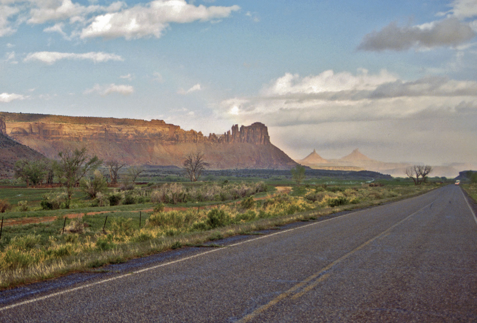
Utah State Route 211 to Needles
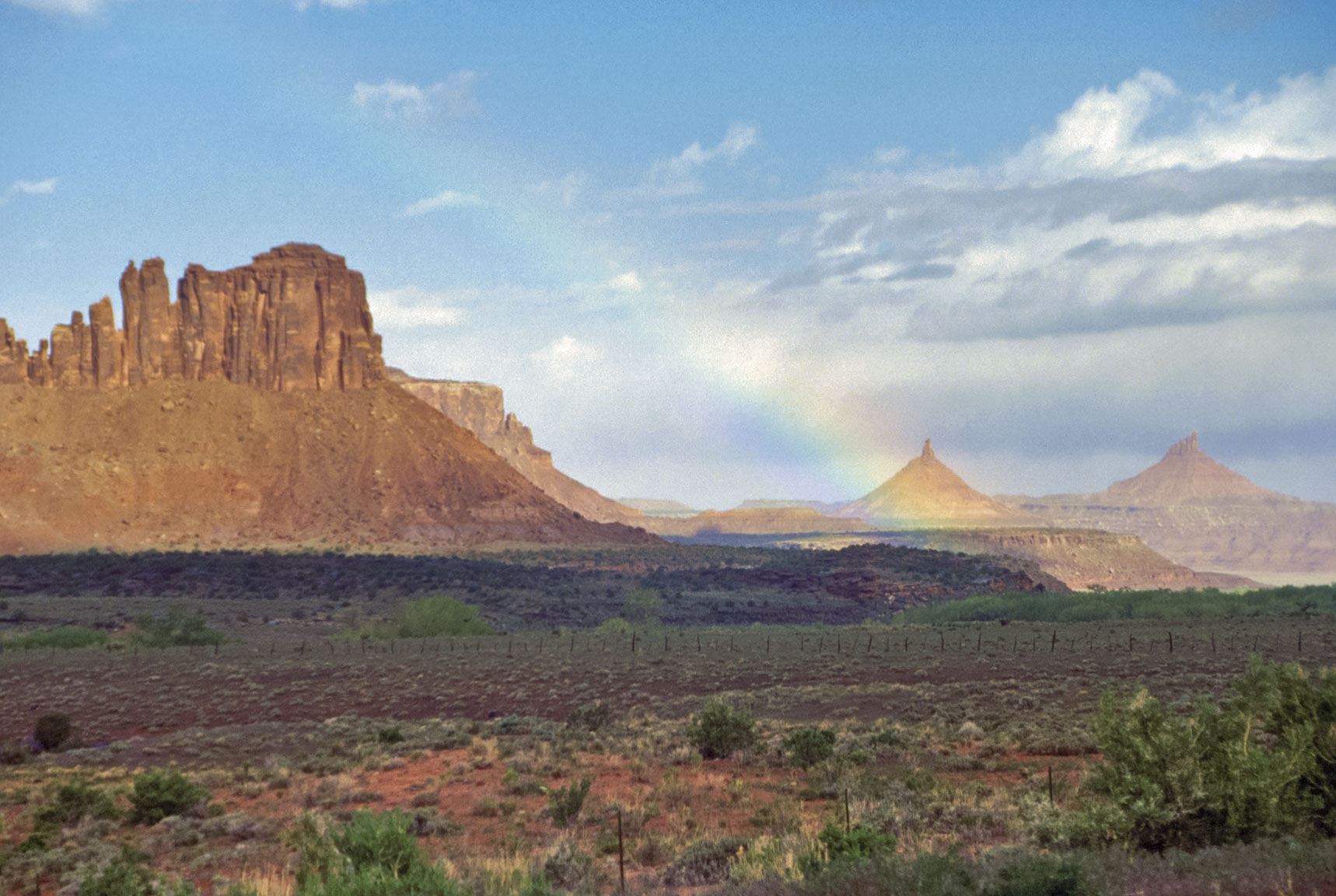
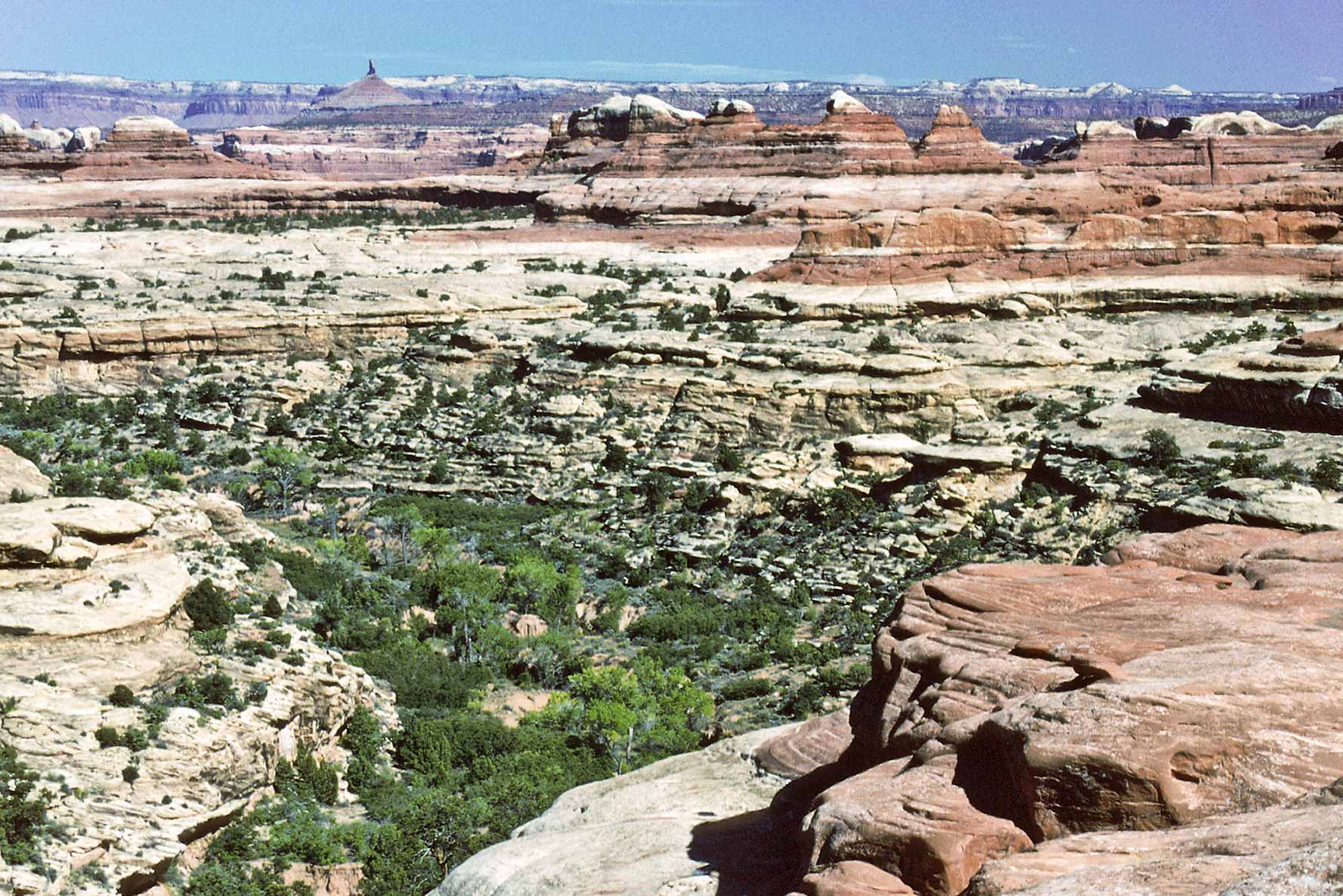
North and South Sixshooter Peaks
in distance
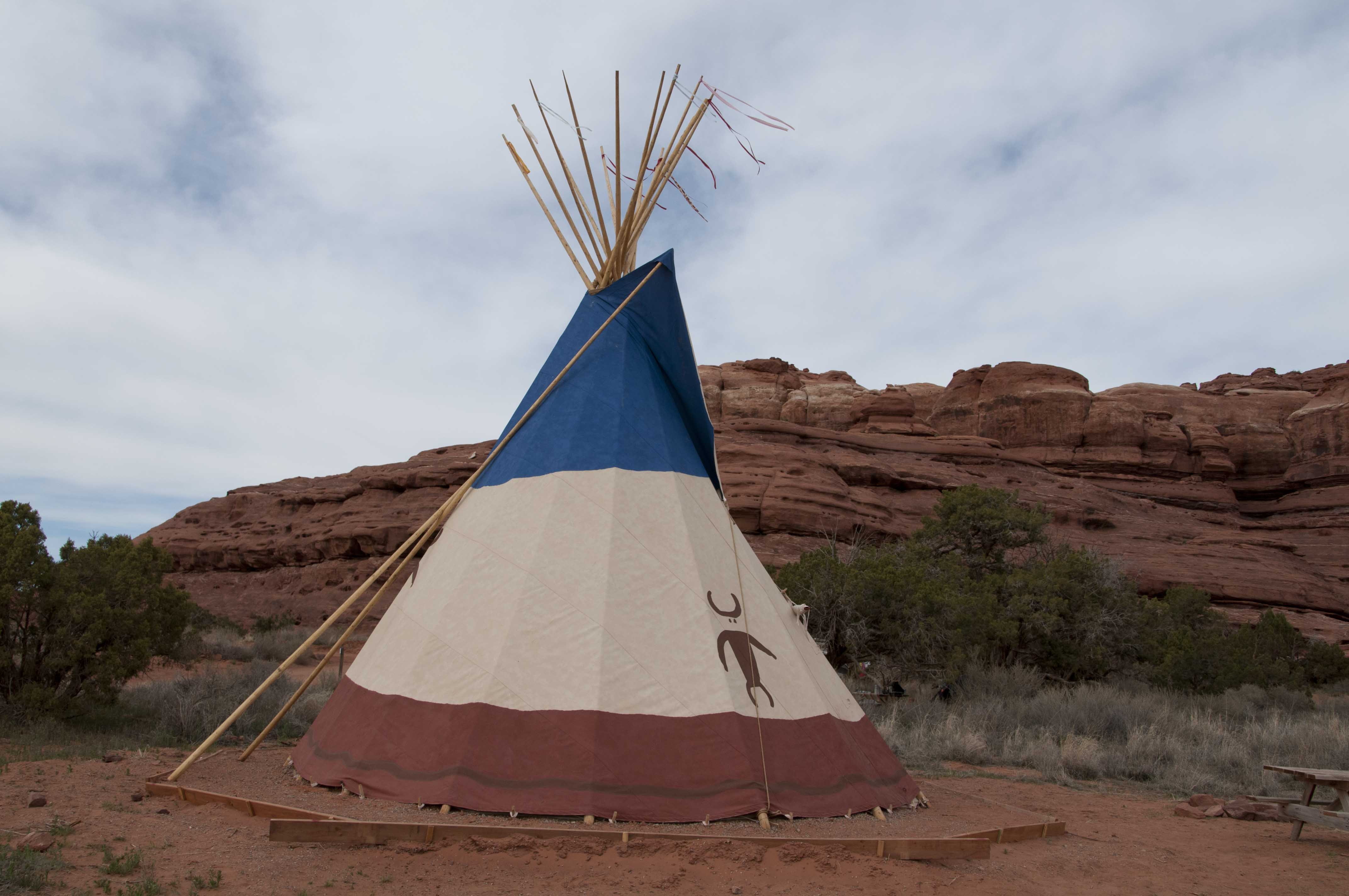
Teepee at Needles Outpost
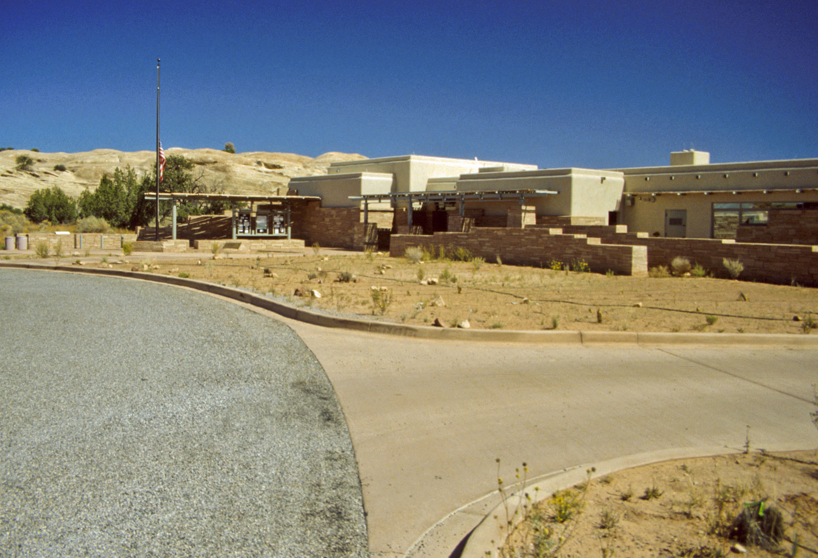
Needles Visitor Center
Needles Visitor Center
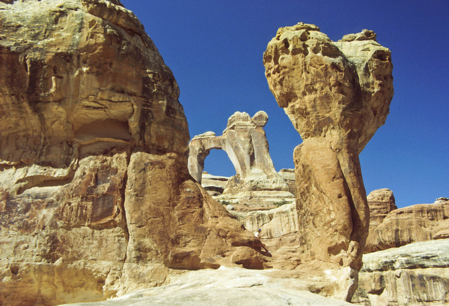
Wooden Shoe Overlook
Panorama
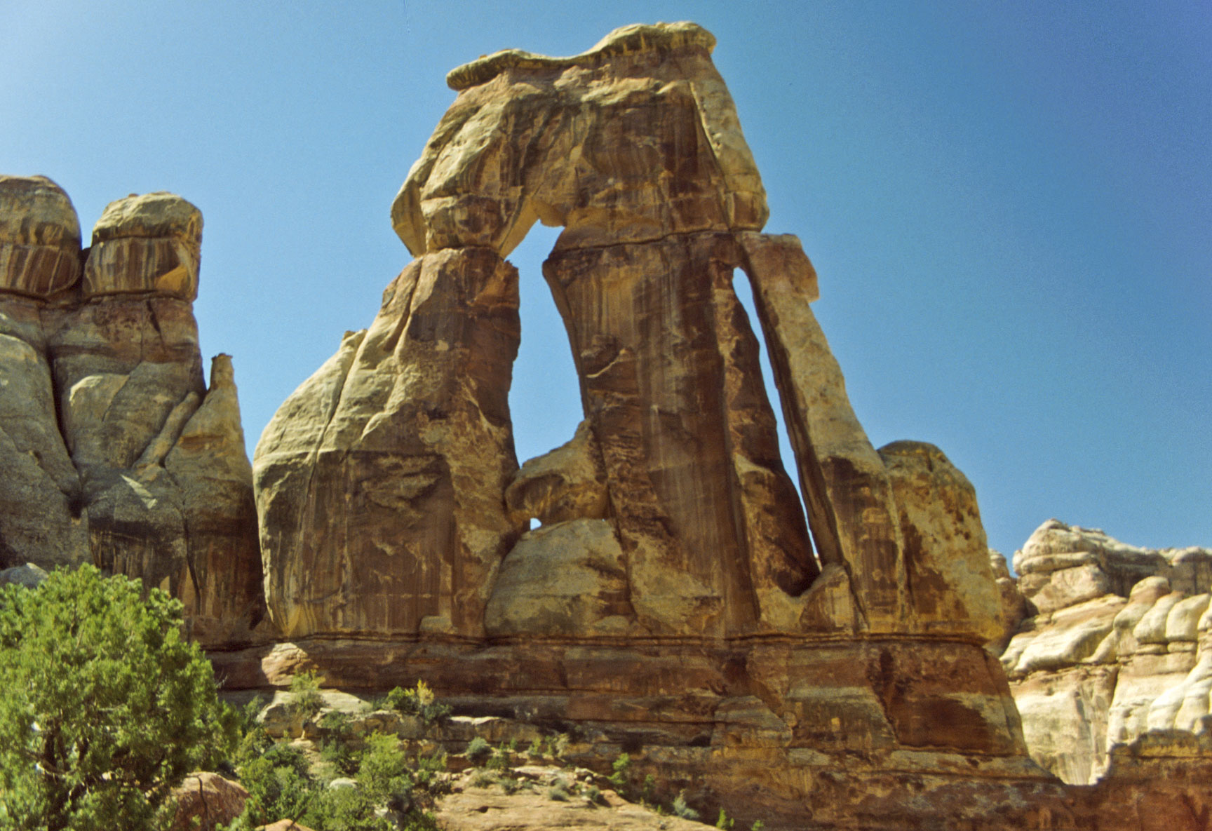
Wooden Shoe Arch
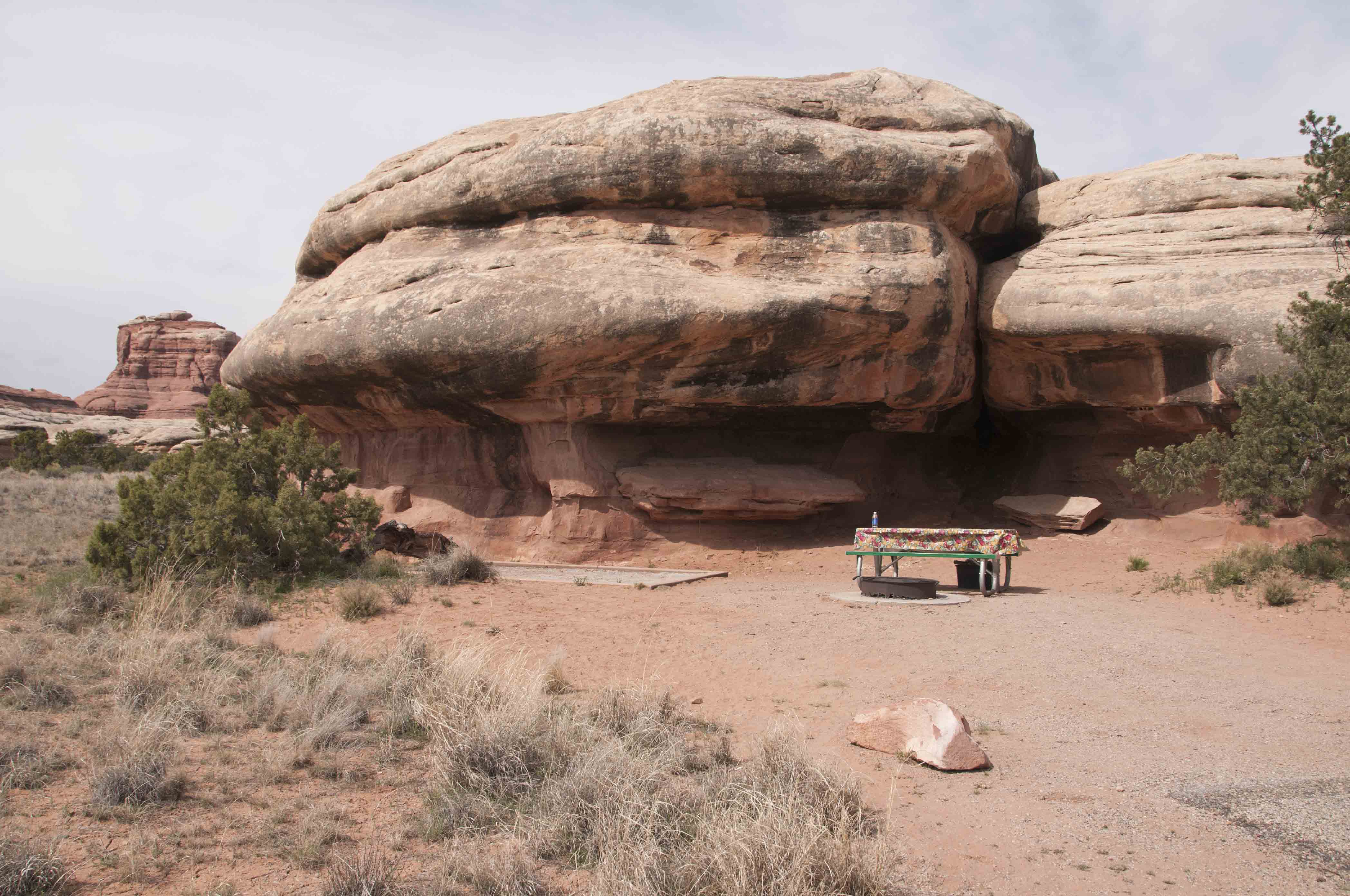
Campsite #? (1992)
Squaw Flat Campground
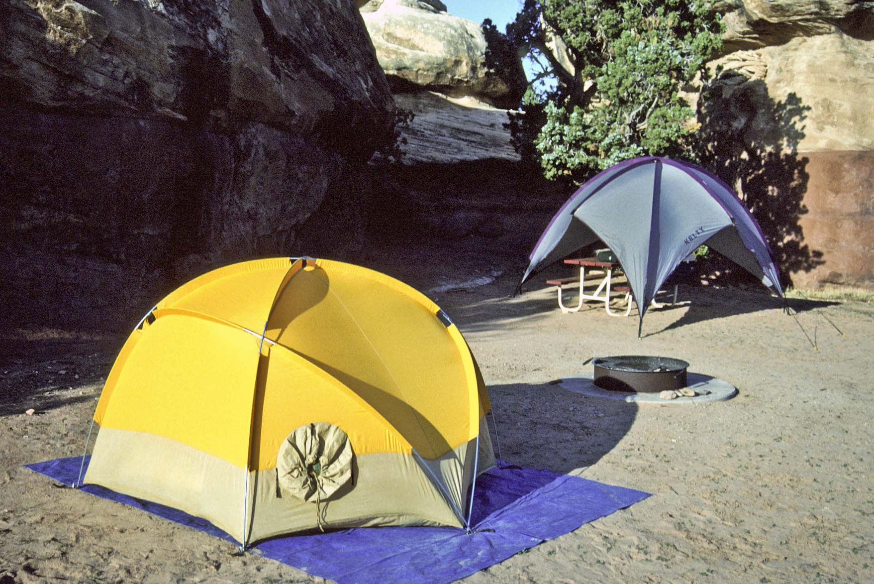
Campsite #8 Loop A (1998)
Squaw Flat Campground
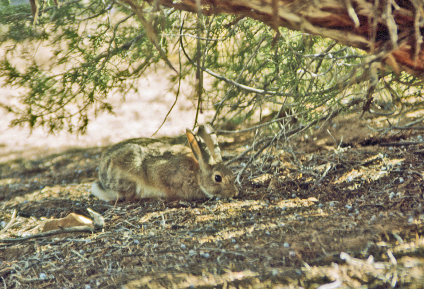
Desert Cottontail
(Sylvilagus audubonii)
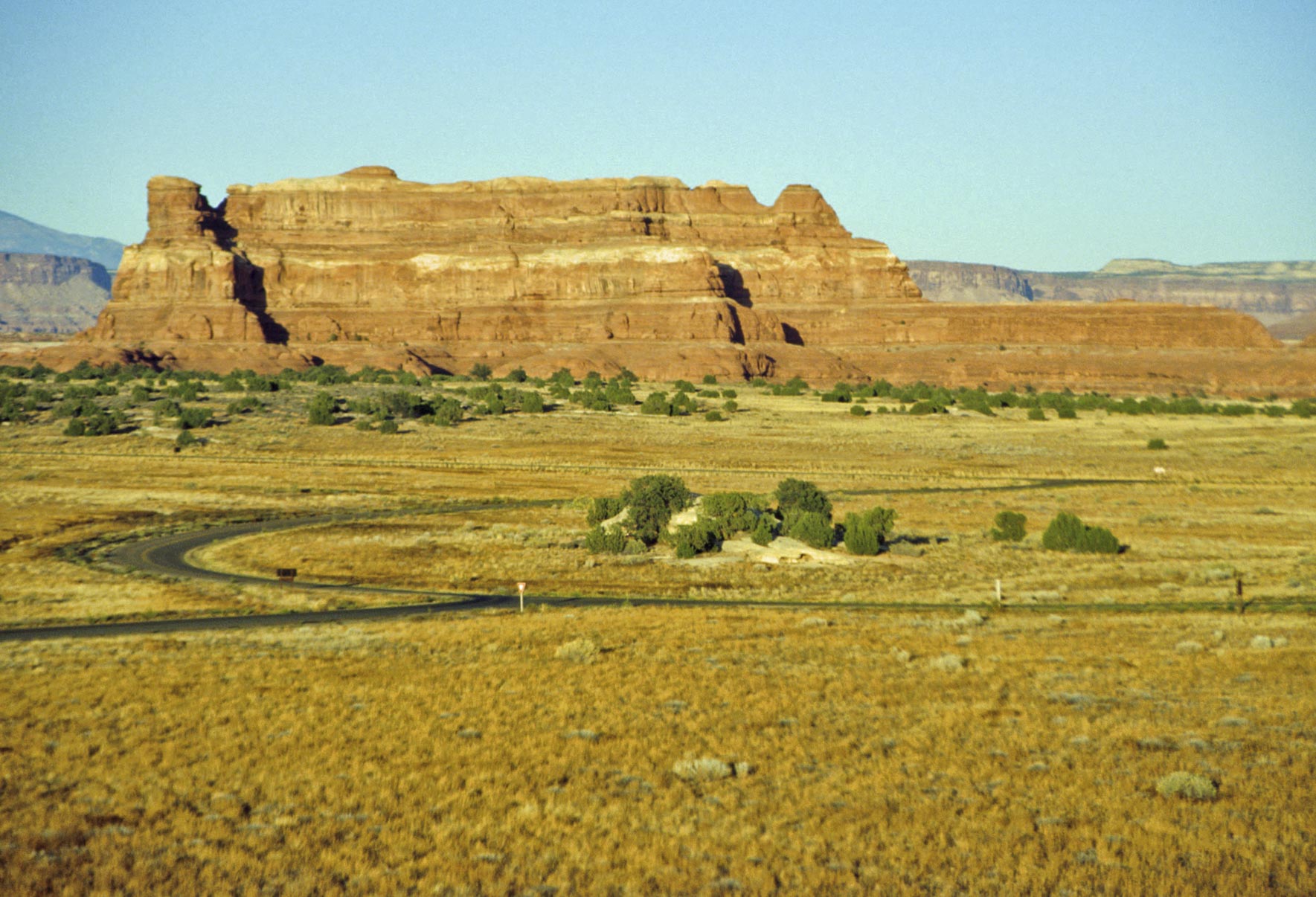
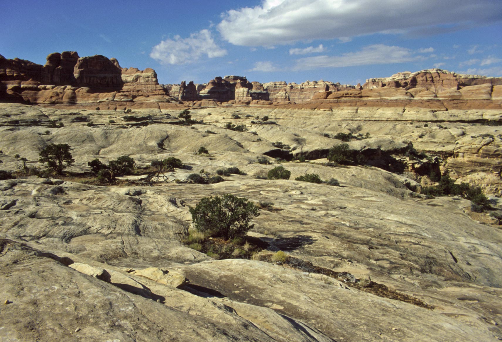
Rock formation
near Squaw Flat campground
Campsite #19 Loop B (2016)
Squaw Flat Campground
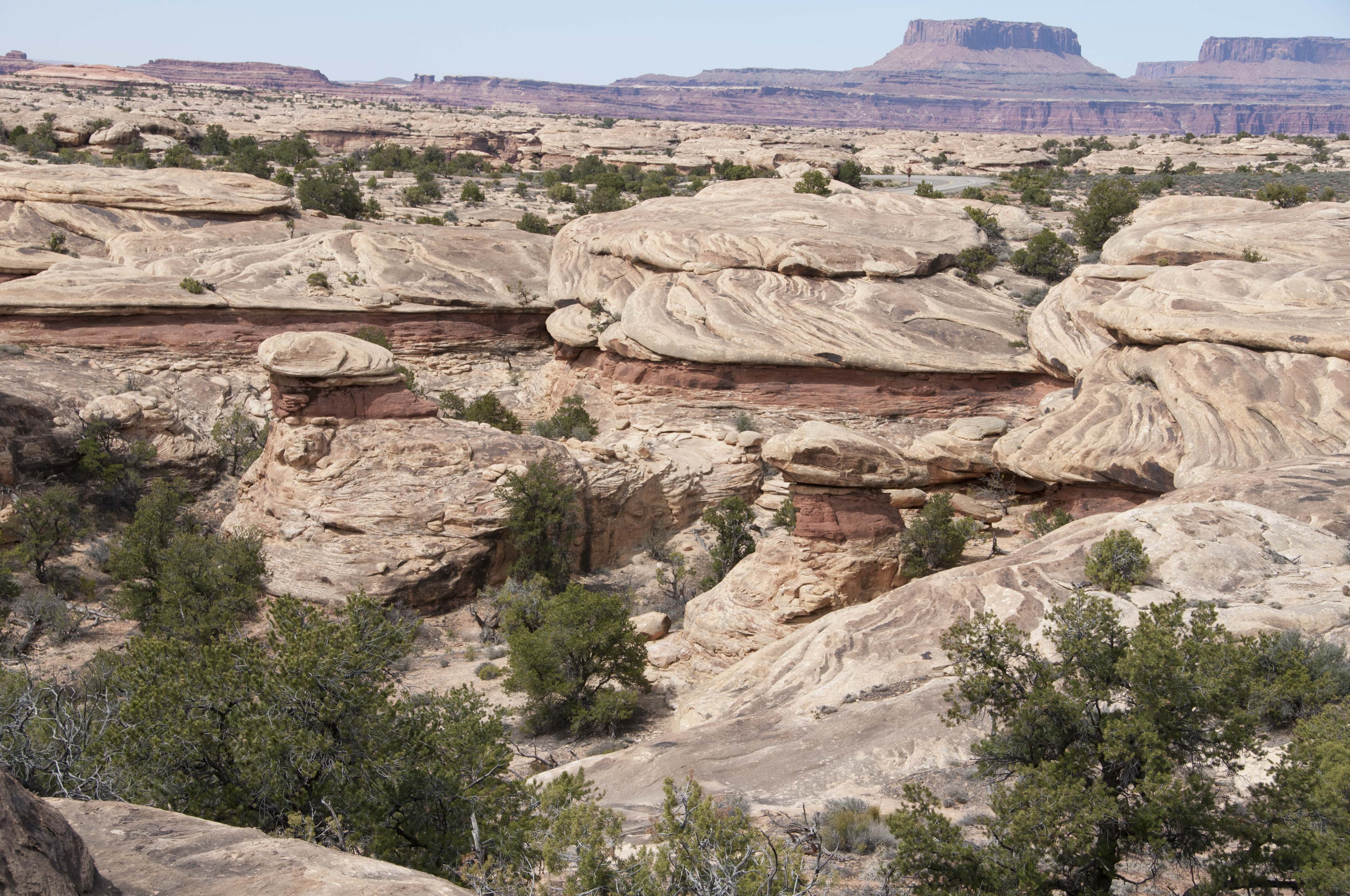
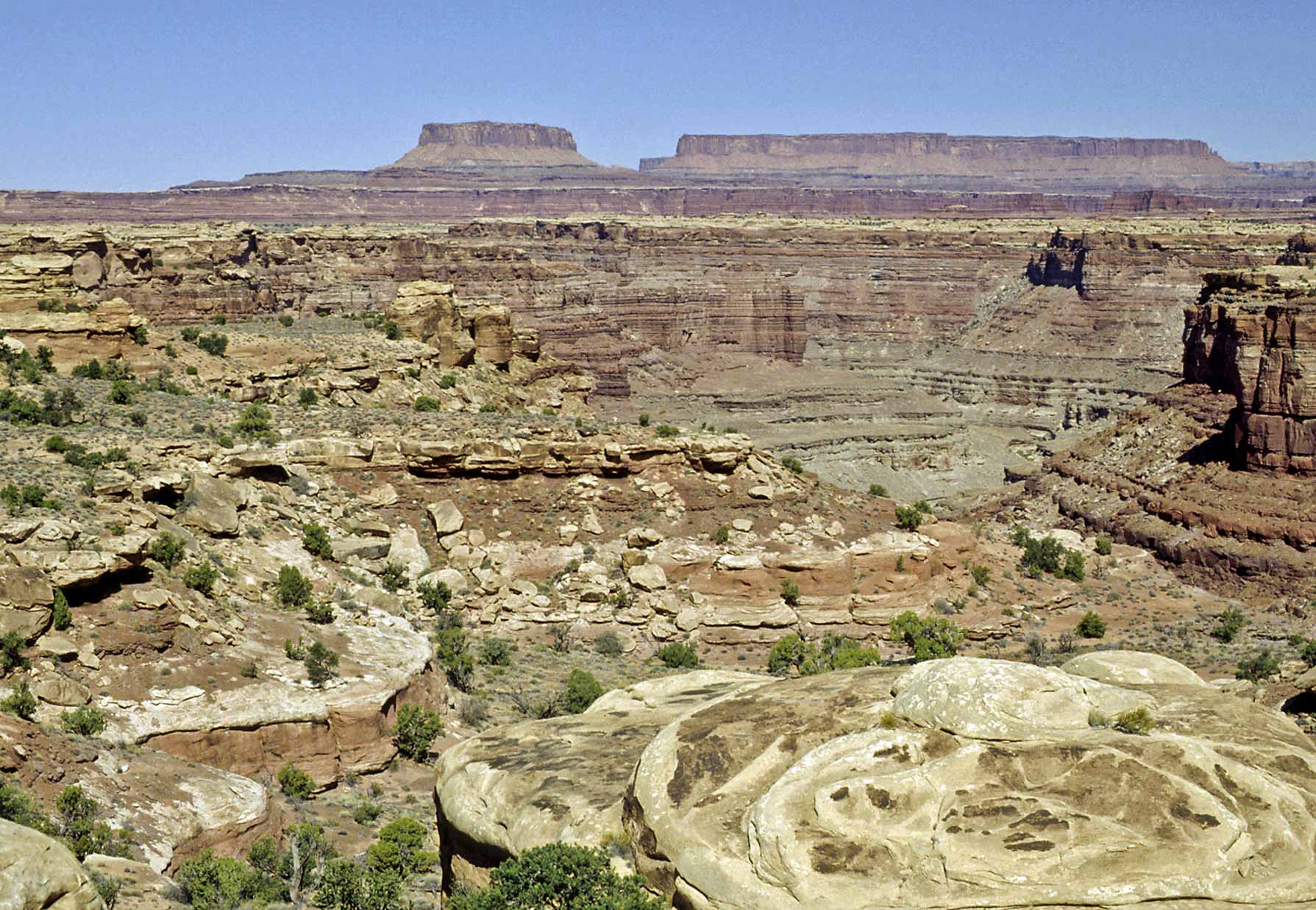
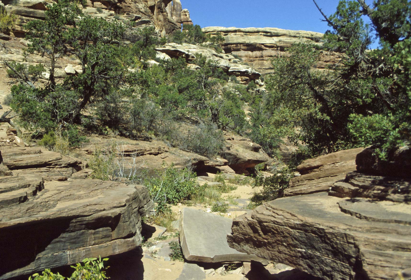
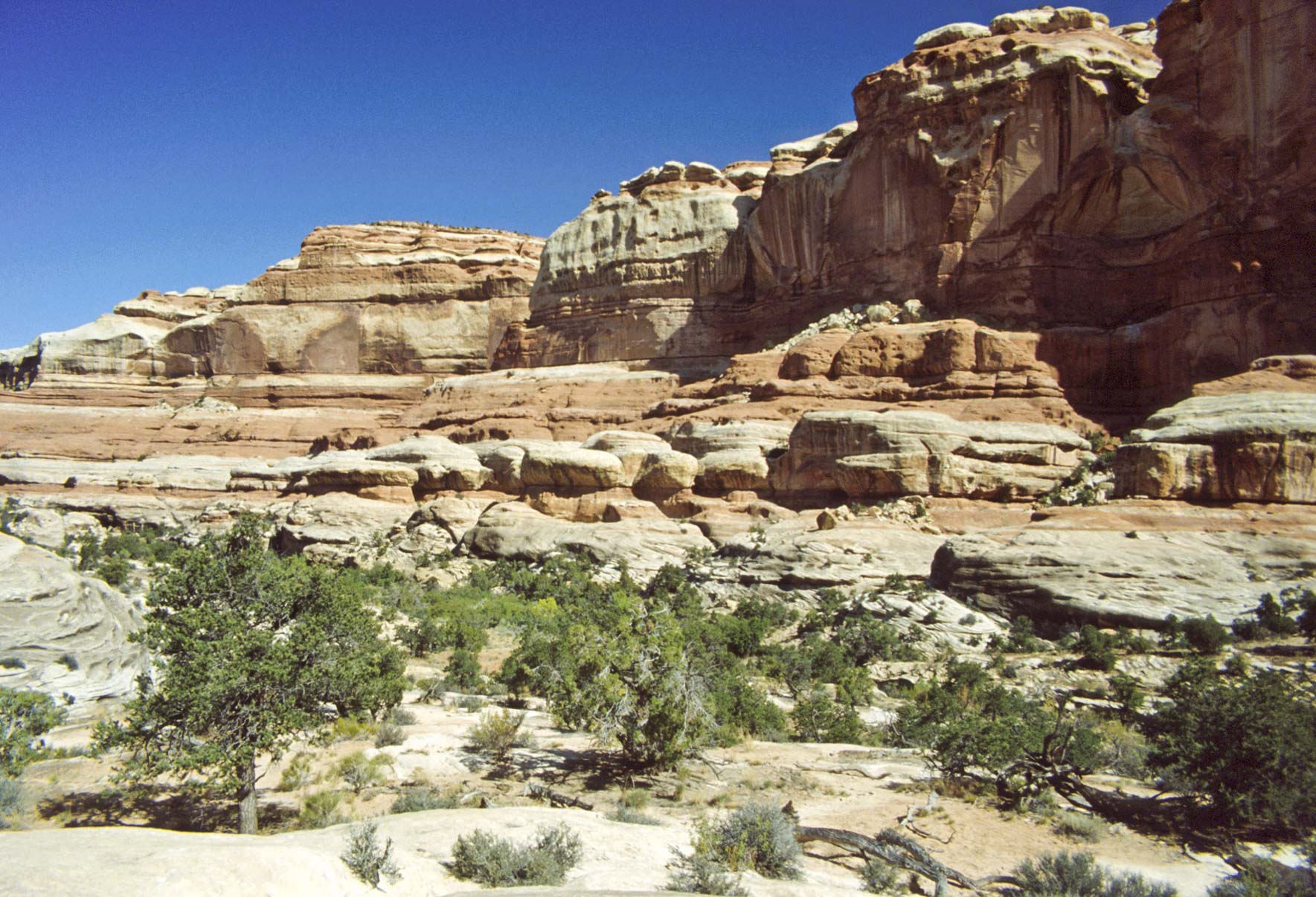
Terrain near Squaw Flat Campground
Pothole Point and Roadside Ruin
Pothole Point (0.6 mile) and Roadside Ruin (0.25 mile)) are
both very easy frontcountry loop trails located just off the park road.
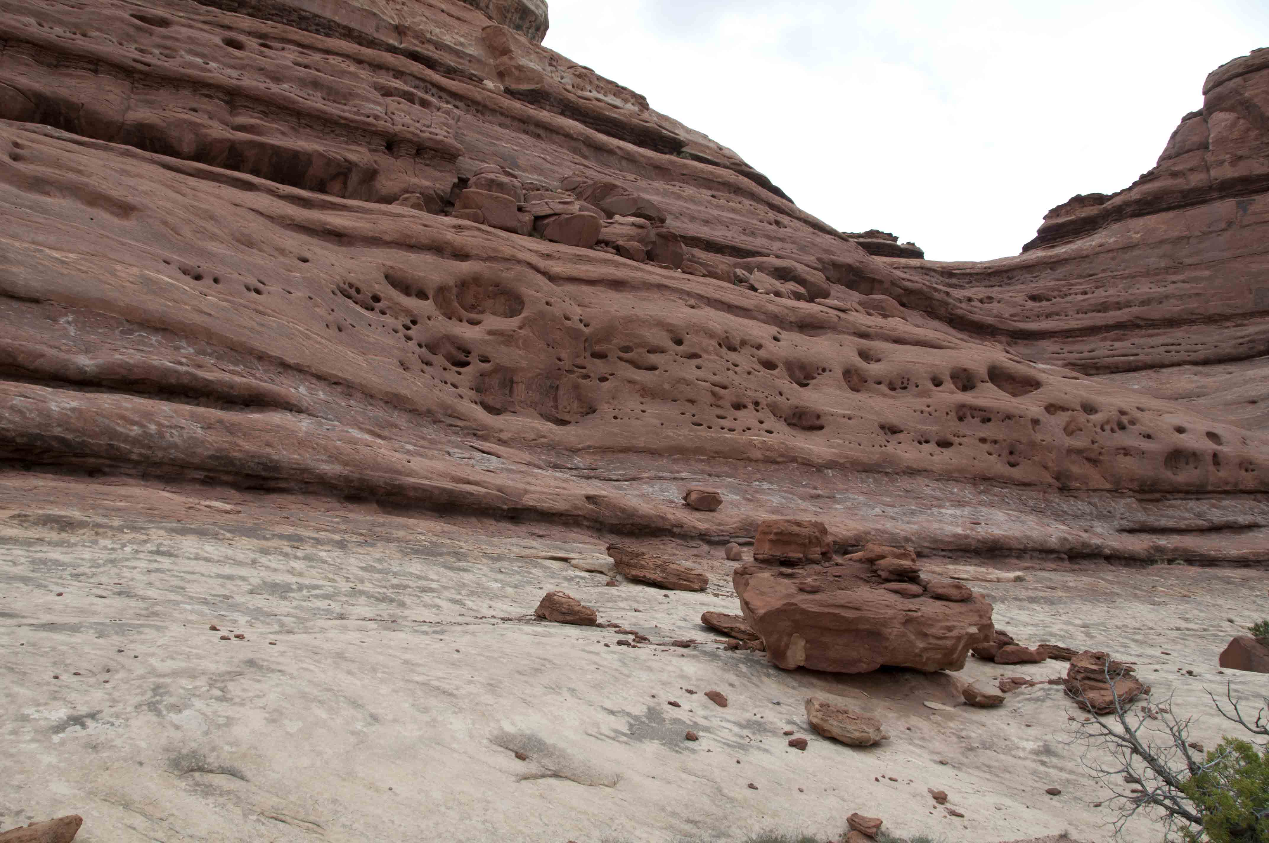
Pothole Point trail crosses slickrock containing numerous depressions
called "potholes". These depressions fill with water during spring and
late summer rains, and are homes to Fairy and Tadpole shrimp and spade-foot toads.
The Roadside Ruin trail acquaints the visitor with the Ancestral Puebloans (Anasazi) who
inhabited Canyonlands a thousand years ago. There are various identified native plants and
a puebloan granary along this trail.

Potholes
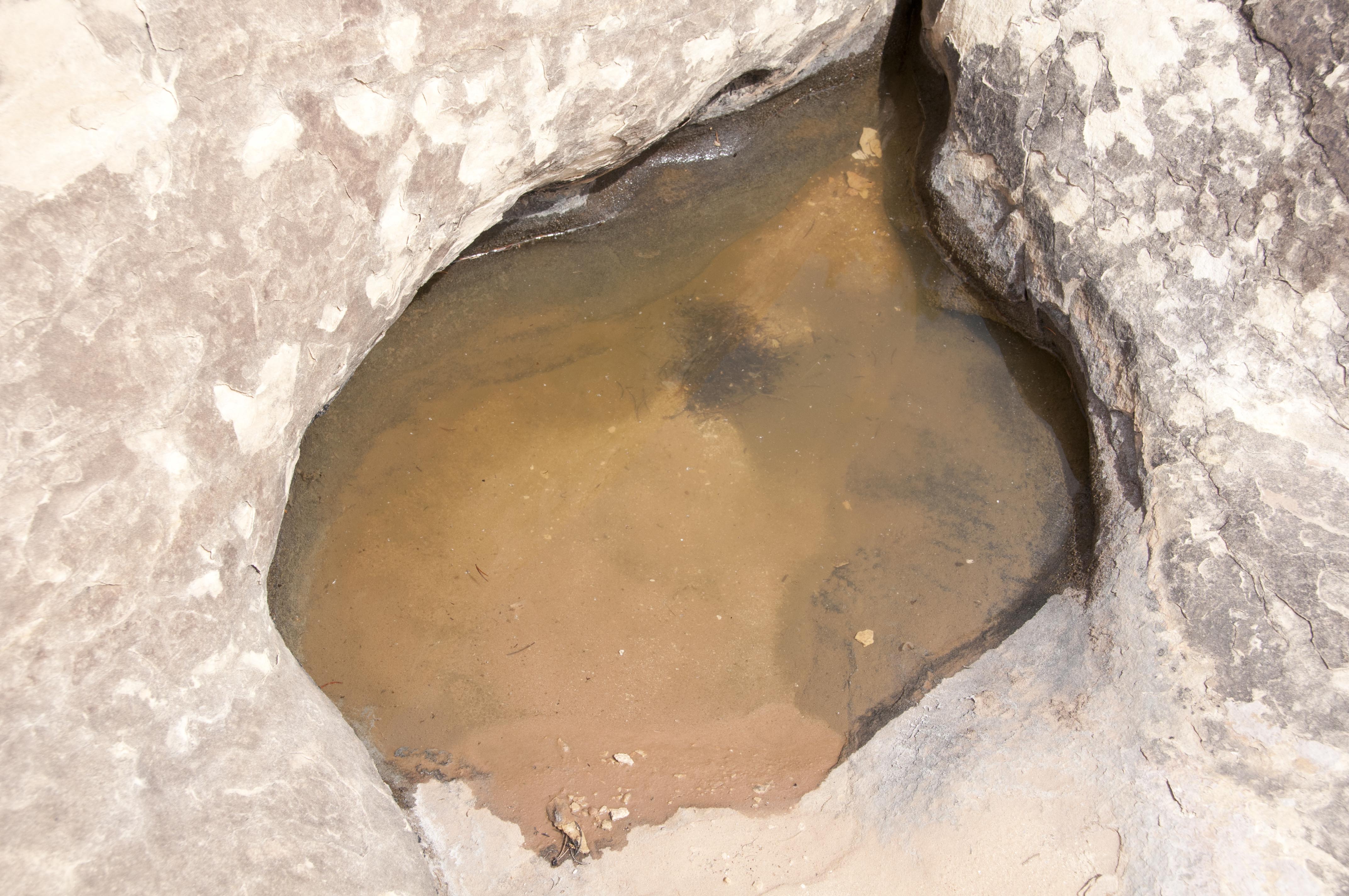
Could be shrimp in here
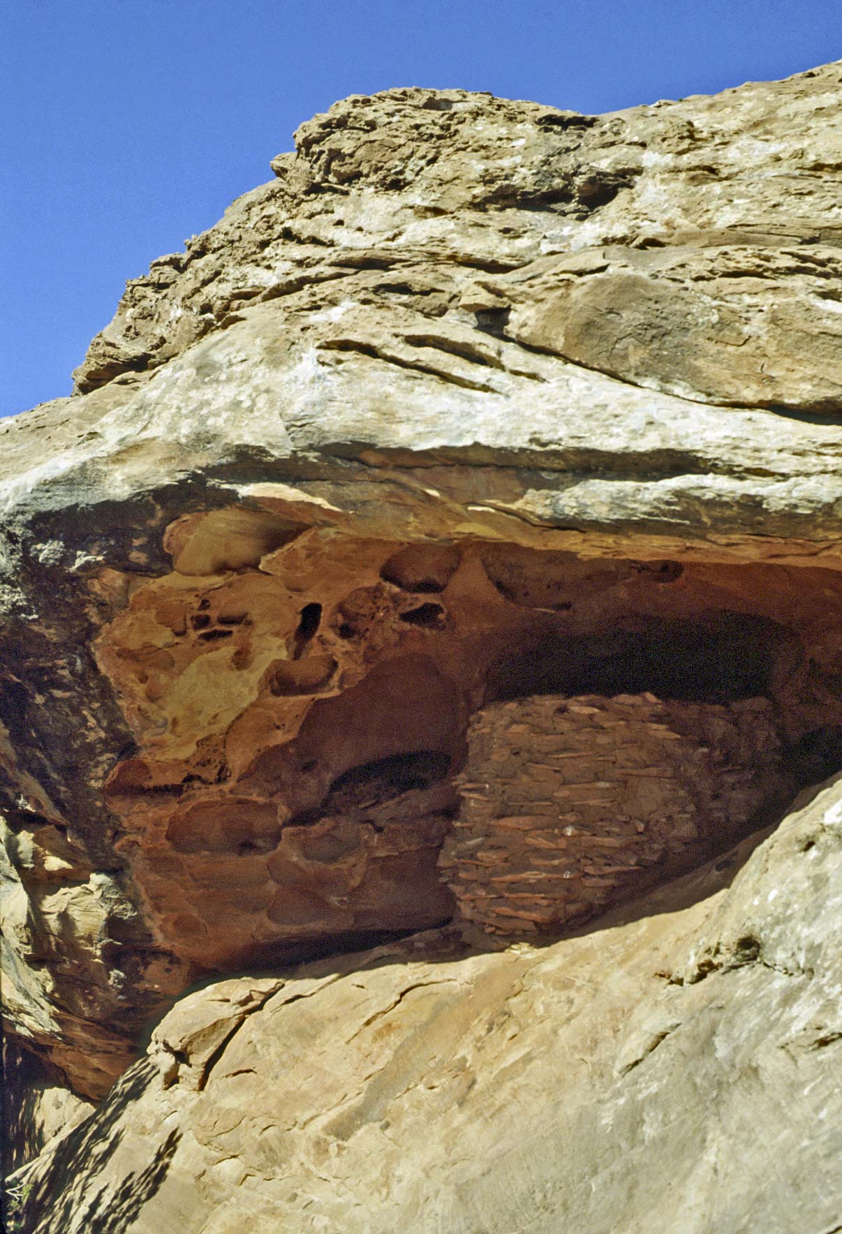
Puebloan Granary - good
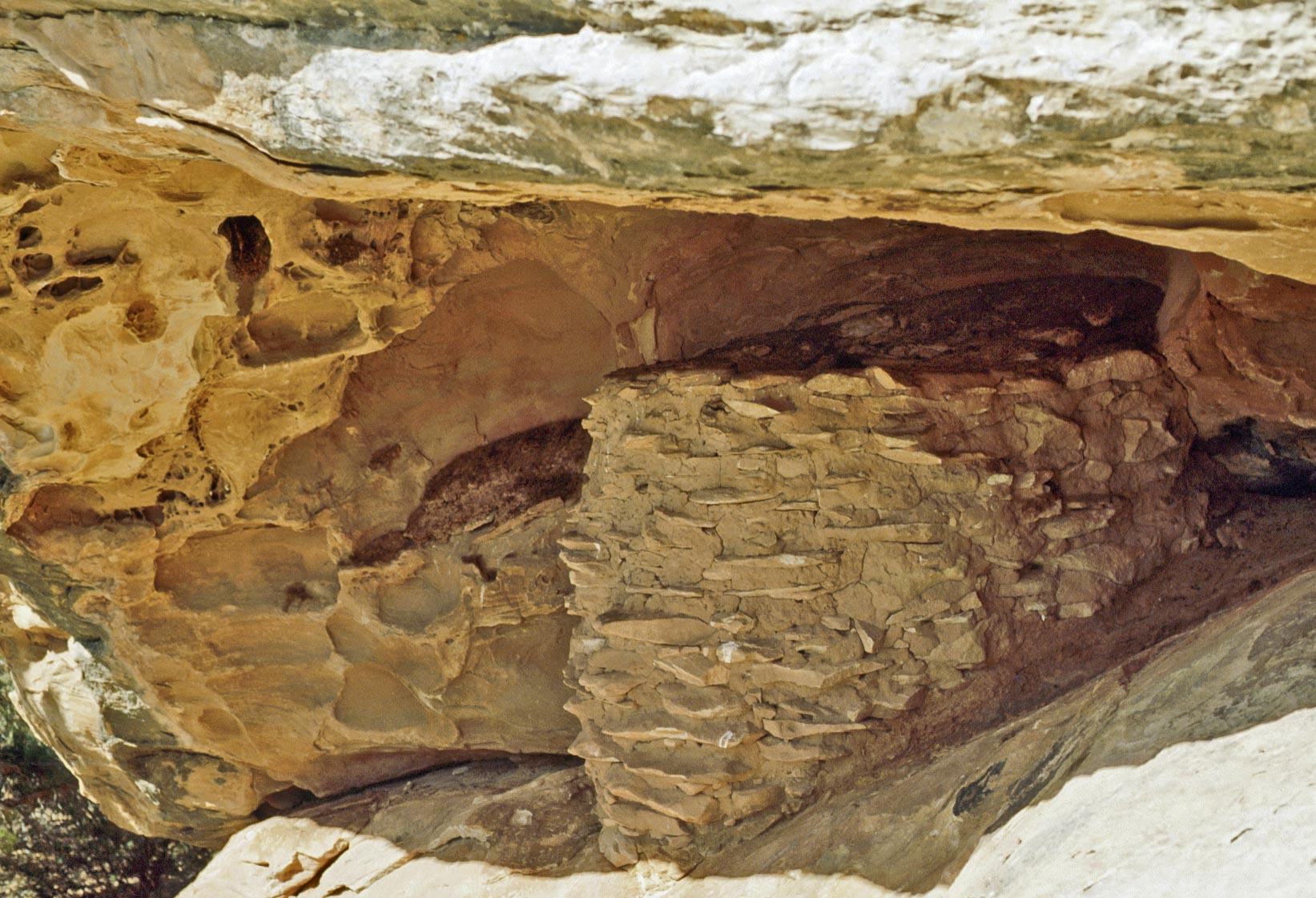
Puebloan Granary - better
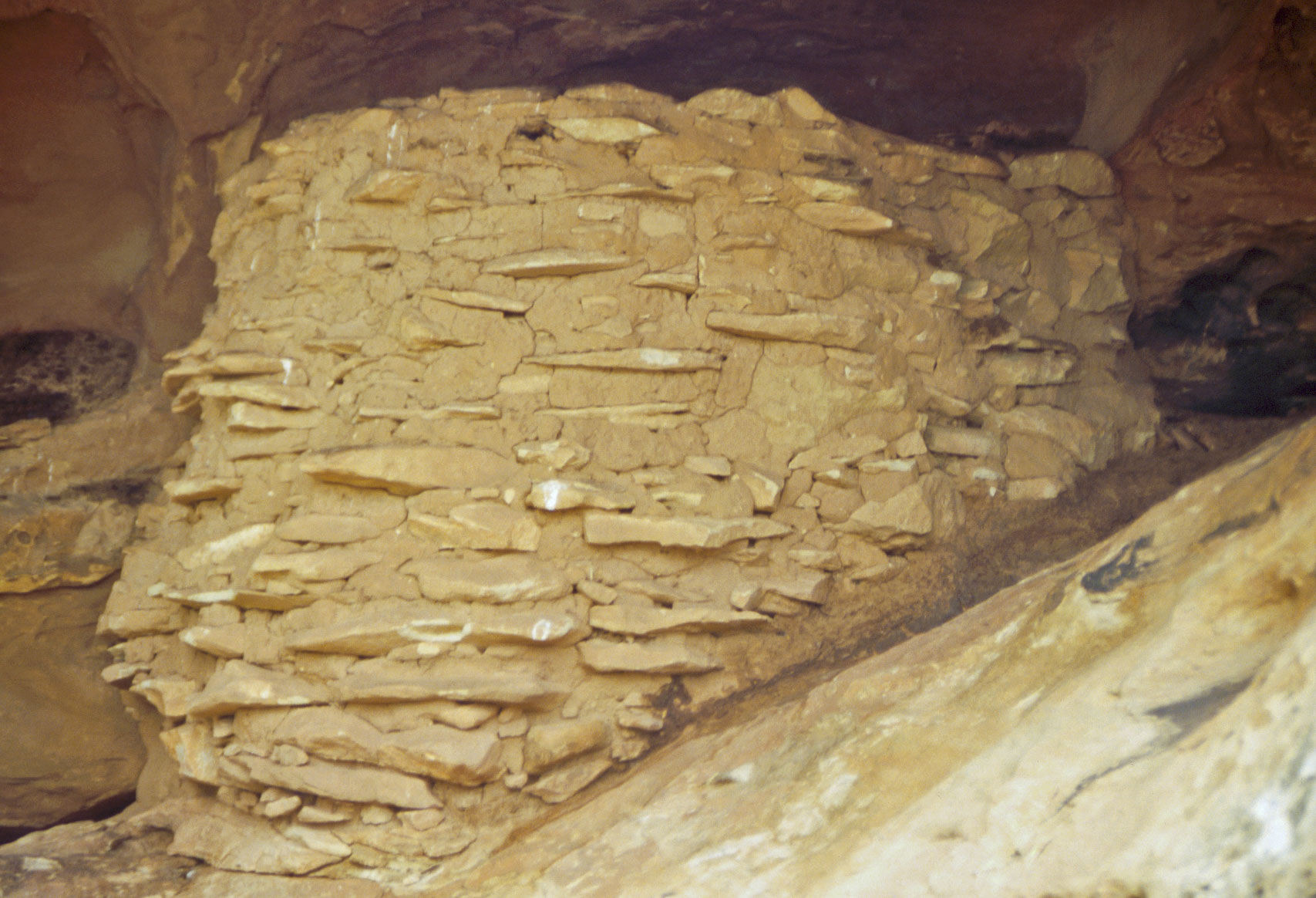
Puebloan Granary - best
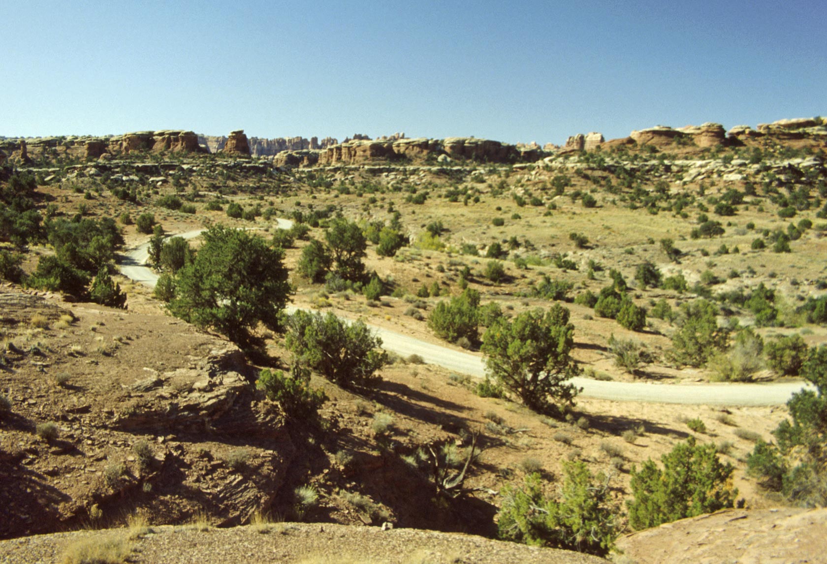
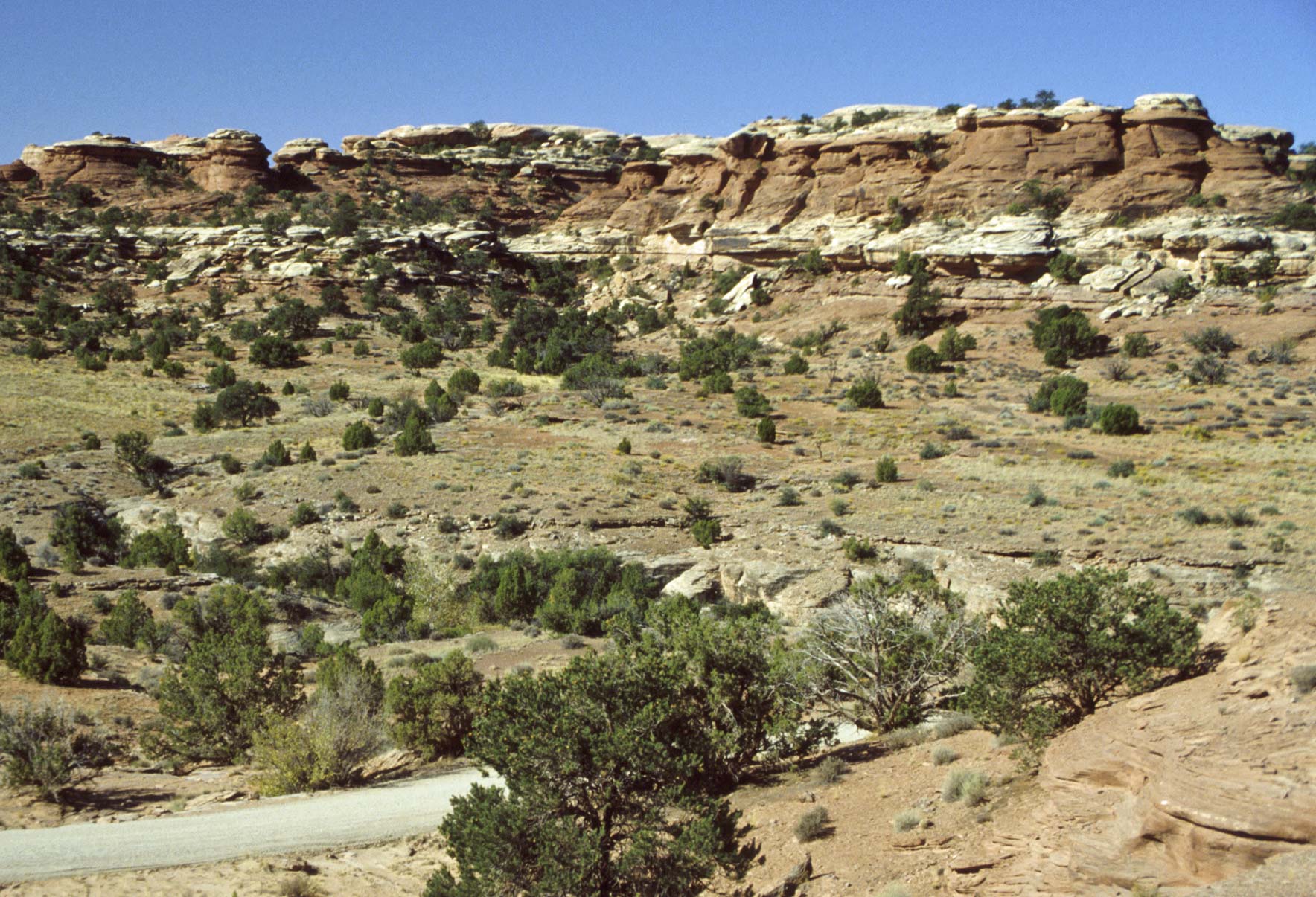
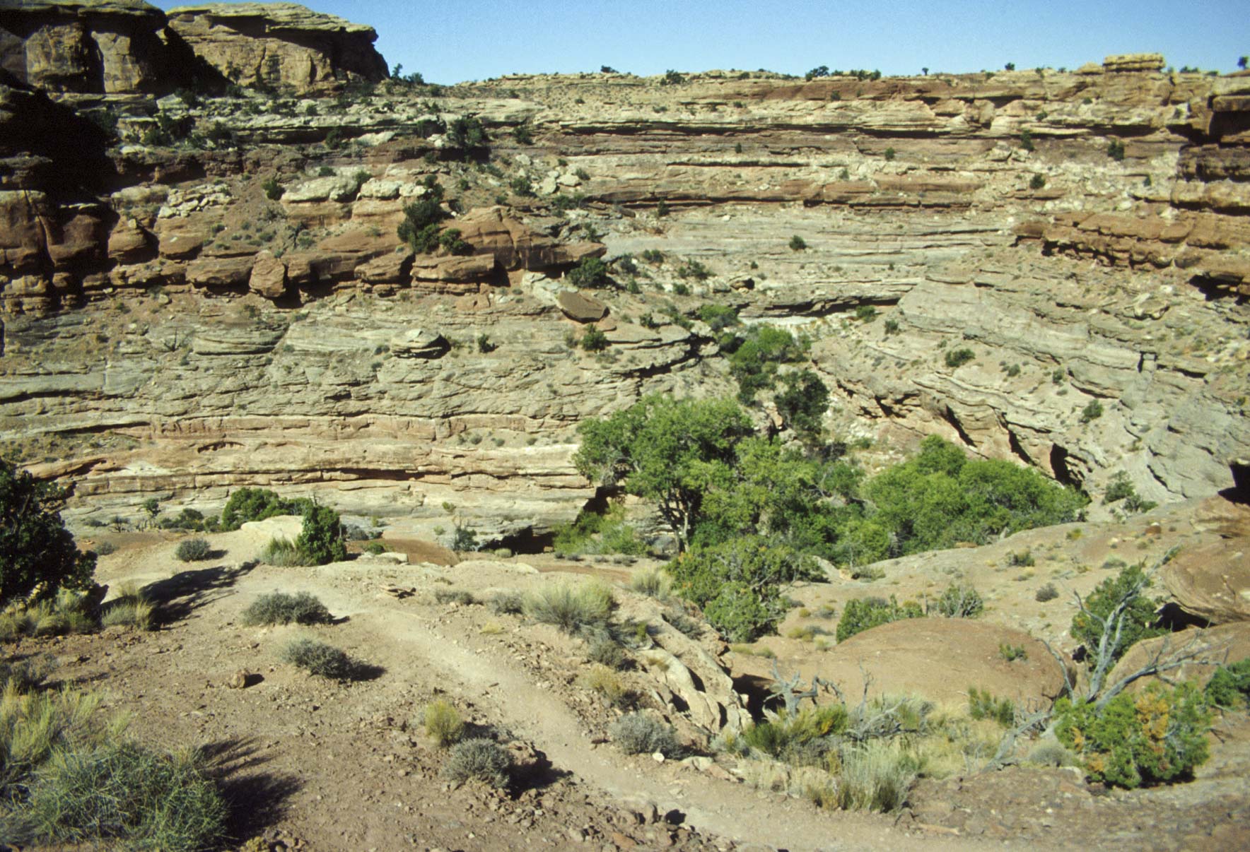
Slickrock Foot Trail
Slickrock Foot Trail is an easy 2.4 mile roundtrip trail that provides
some orientation for first time visitors to the Needles District. This is
an interpretive trail with stops along the way that explain
the geology of the area.
Slickrock Foot Trail
Cedar Mesa Sandstone
Slickrock Foot Trail
Cedar Mesa Sandstone
Slickrock Foot trail
Indian Paintbrush
Slickrock Foot Trail
Little Spring Canyon
Slickrock Foot trail
Big Spring Canyon - Junction Butte and Island in the Sky Mesa in the distance
Cave Spring Trail
Cave Spring is a 0.6 mile daycountry loop trail
that traverses level sandy ground and slickrock. A late 1800's cowboy line camp and Anasazi
pictographs are located along this trail.
South Sixshooter Peak (right background)
Cave Spring Trail

Cave Spring Trail
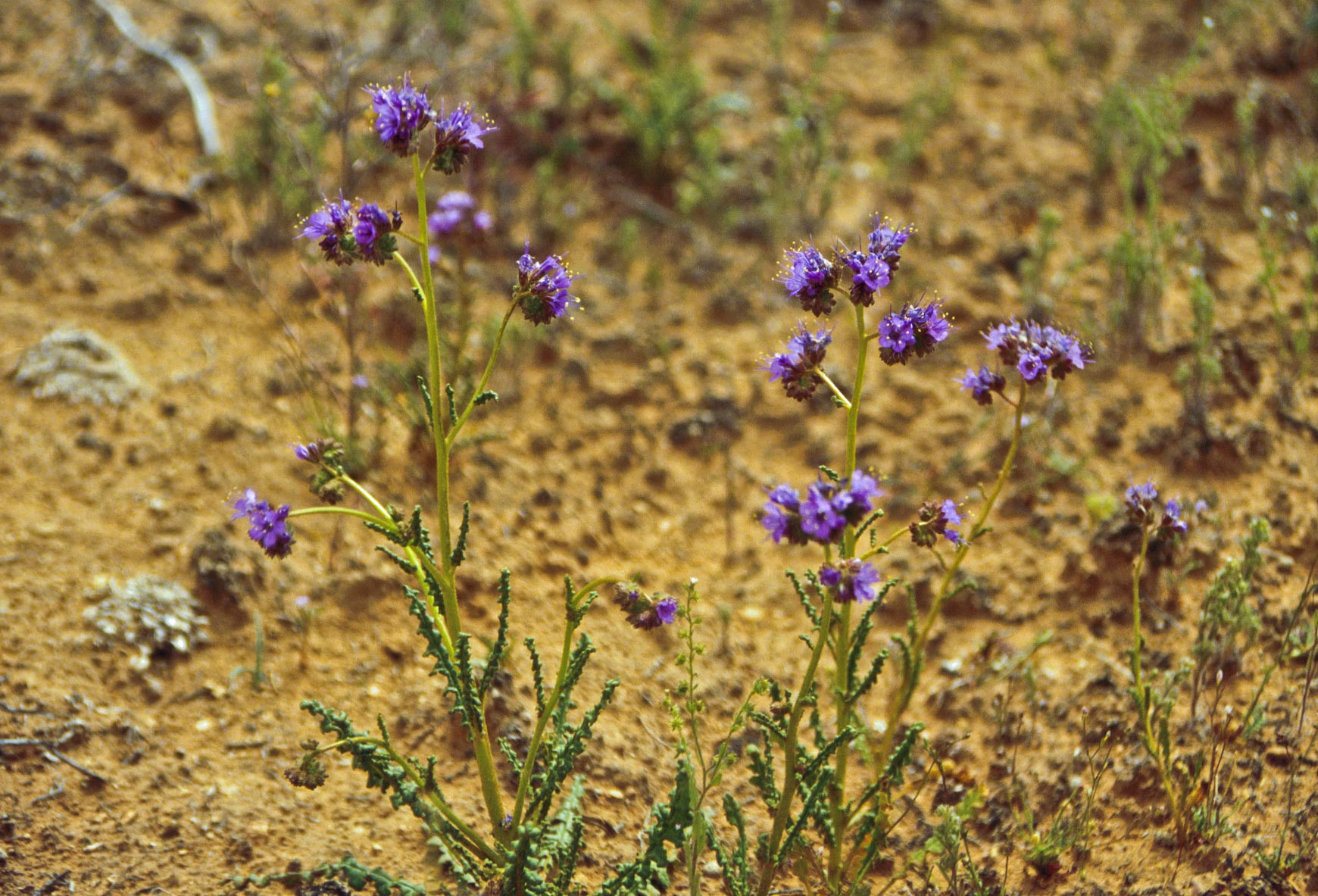
Notch Leaved Phacelia
(Phacelia crenulata)
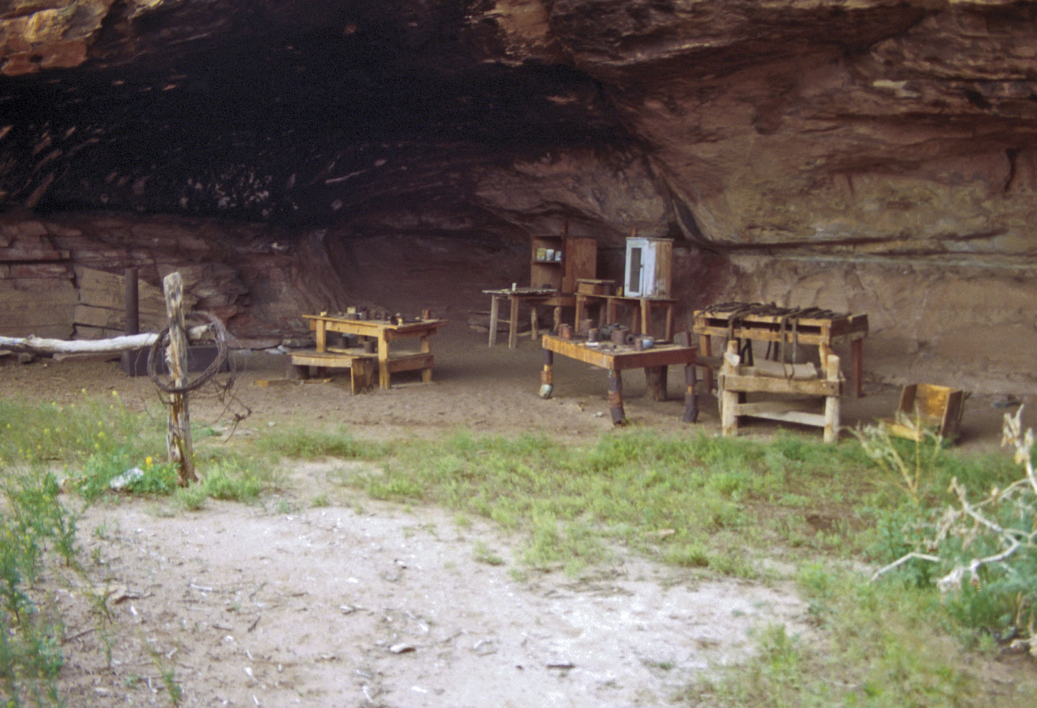
Cowboy Line Camp
Cave Spring trail

Cowboy Line Camp
Cave Spring trail
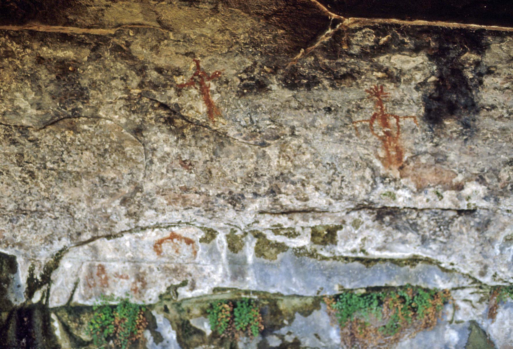
Pictographs
Cave Spring Trail
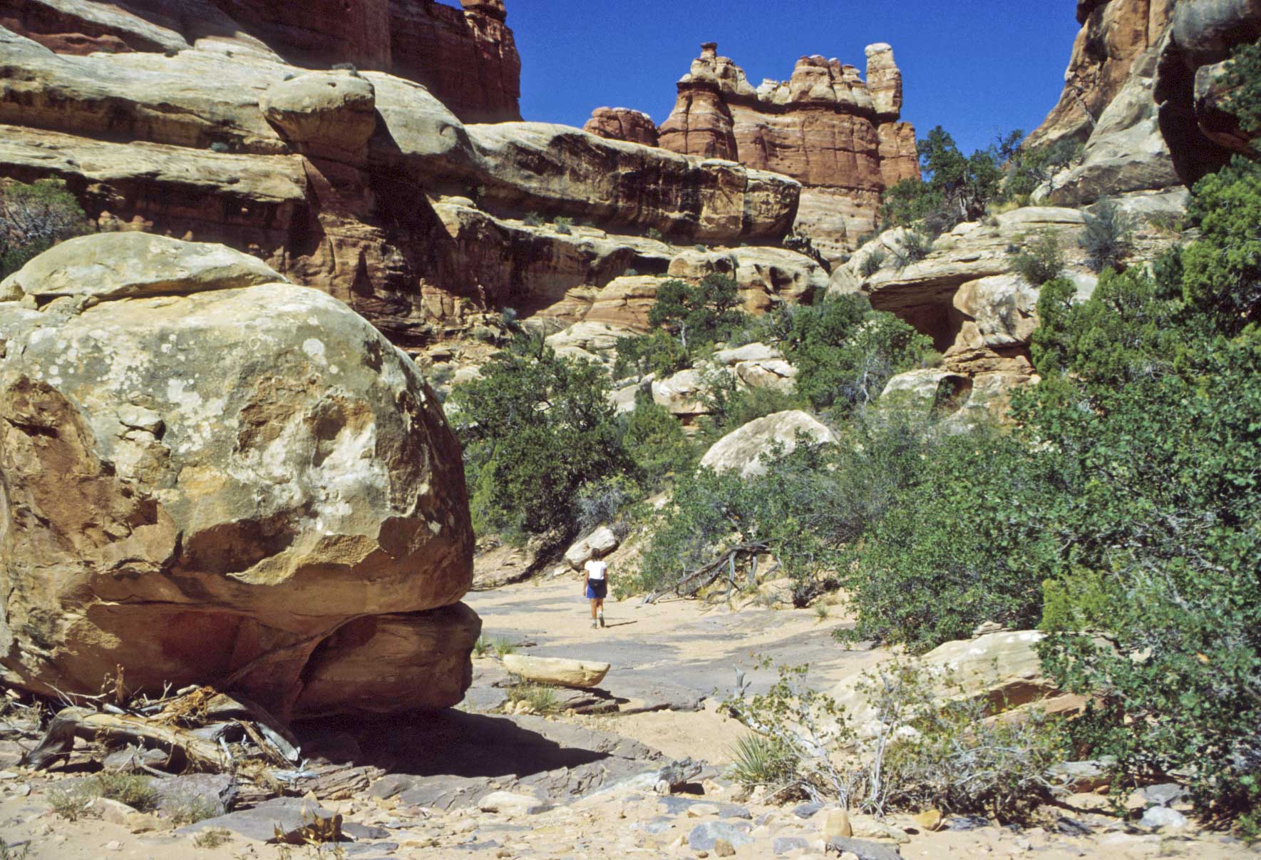
Elephant Hill Trailhead-Druid Arch
This 10.5 mile round-trip hike begins at the Elephant Hill Trailhead. It follows the Chesler Park trail
to a junction at 1.5 miles. Take the right fork and continue on into Elephant Canyon to another junction
with Druid the Arch trail. Turn left and continue on the the arch.
Cedar Mesa Sandstone formation
Elephant-Druid Arch Trail
Elephant Canyon
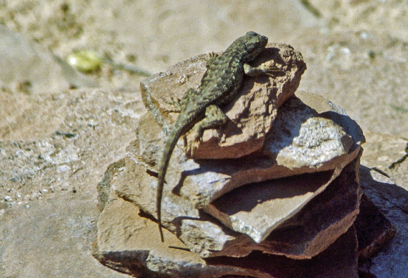
Side Blotched Lizard on a cairn
(Uta stansburiana)
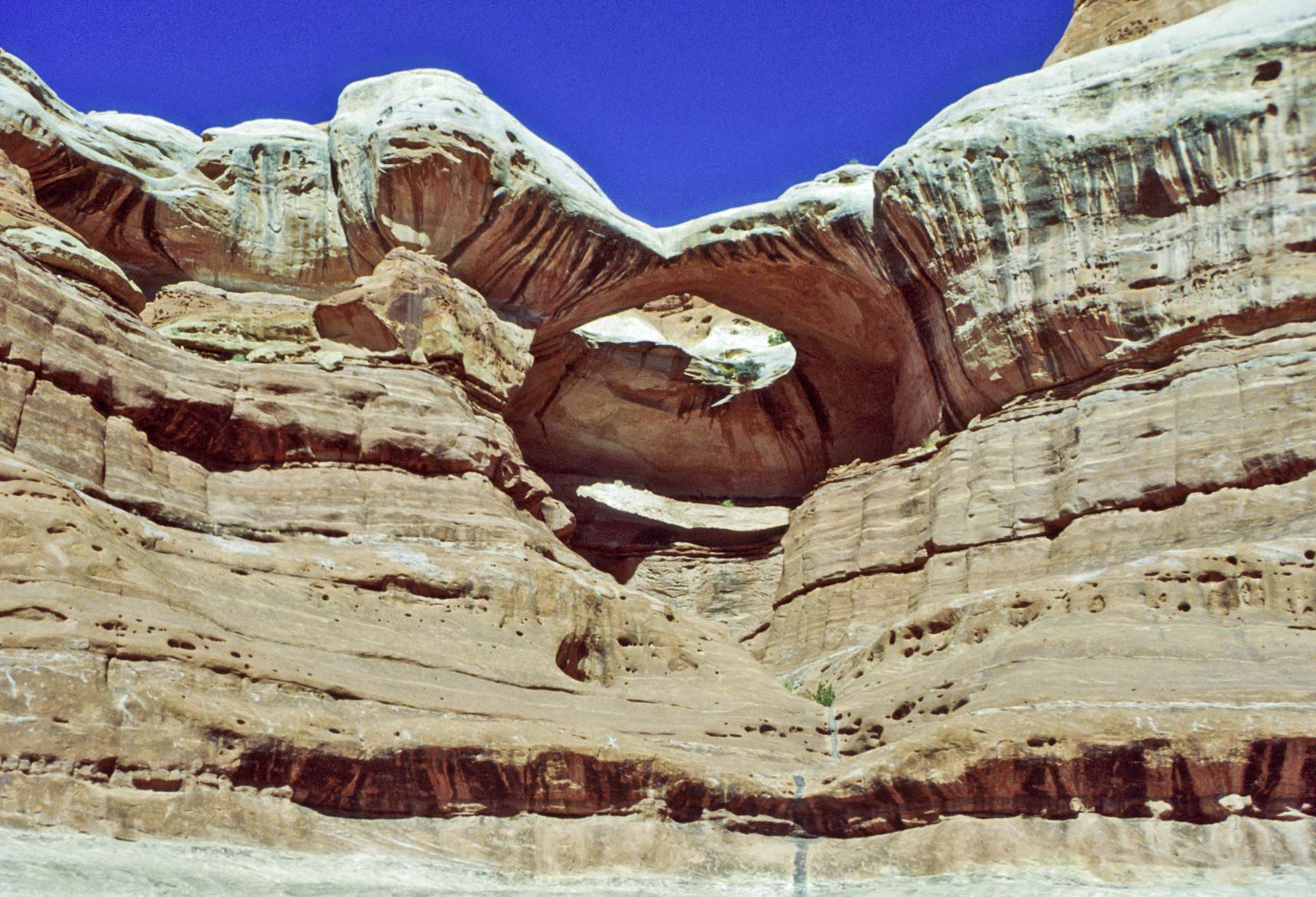
Druid Arch
Cedar Mesa Sandstone formation
near Druid Arch
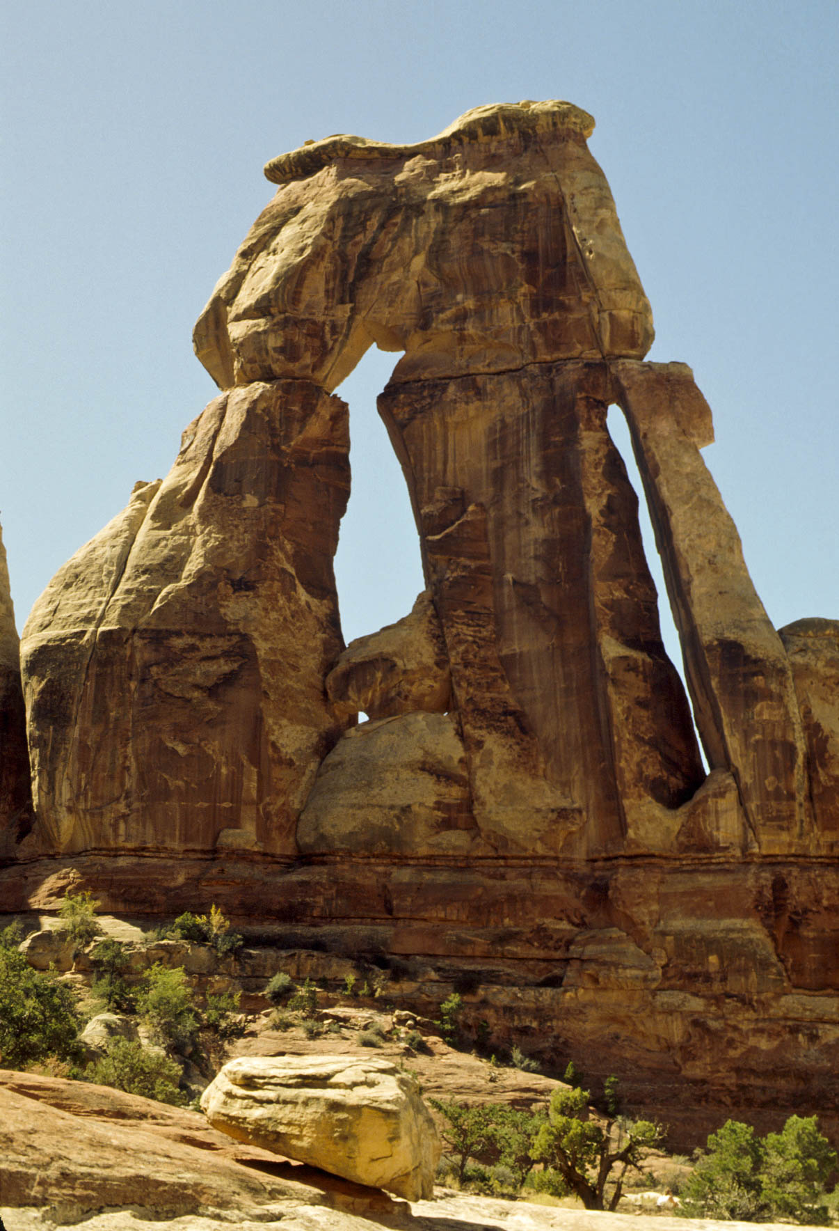
Druid Arch
Elephant Canyon
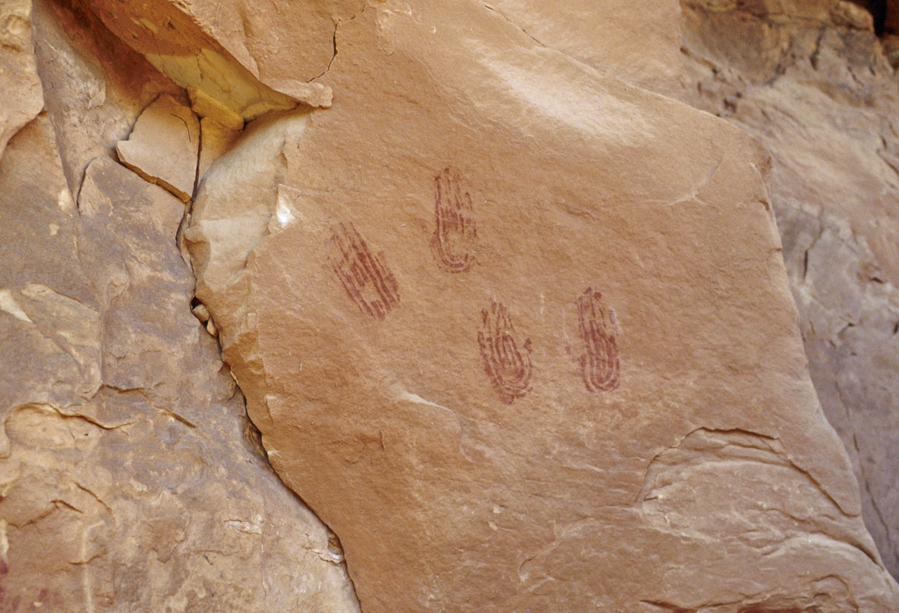
Puebloan pictographs
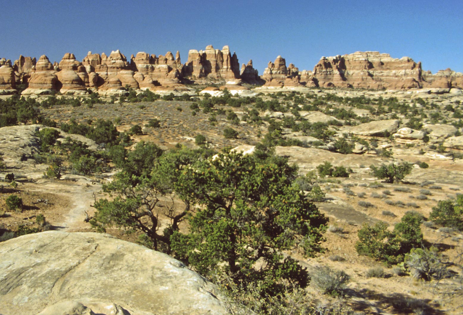
Chesler Park
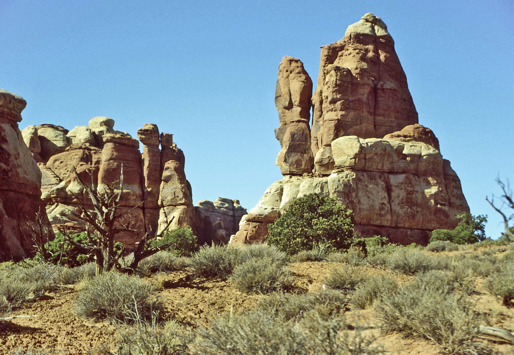
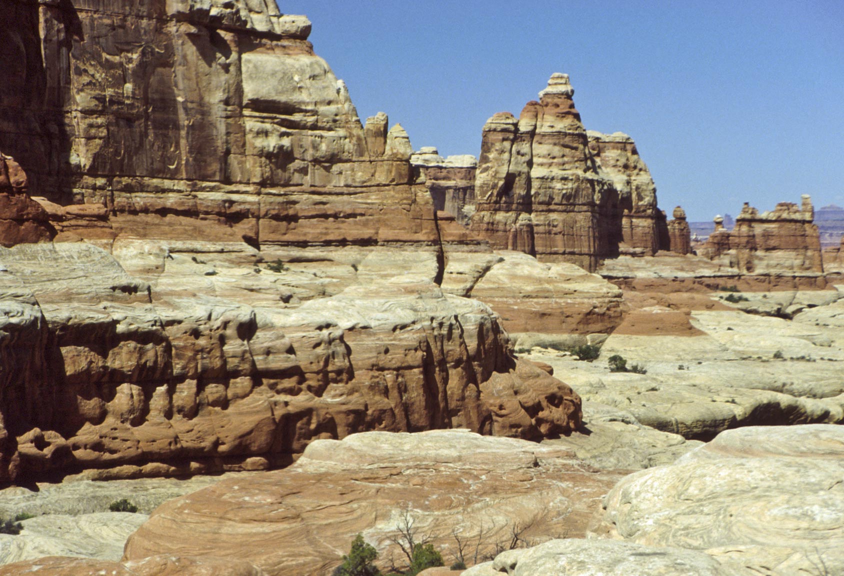
Rock formations
near Chesler Park
Angel Arch and Horse Canyon
Starting from
Squaw Flat Campground, Angel Arch is 12.7 miles via Peekaboo
and Salt Creek trails. I took a jeep to Angel Arch in 1992, but
the jeep road has since been closed. Horse Canyon is a tributary of
Salt Creek Canyon, but unlike Salt Creek Canyon which has water
all year long, Horse Canyon is bone dry. The two canyons contain
the highest concentration of ancestral puebloan sites in the park.

On the way to Angel Arch
Angel Arch
and The Molar
Terrain near Angel Arch

Angel Arch (1992)

Angel Arch
Paul Bunyan's Potty
Horse Canyon

Tower Ruin
Horse Canyon
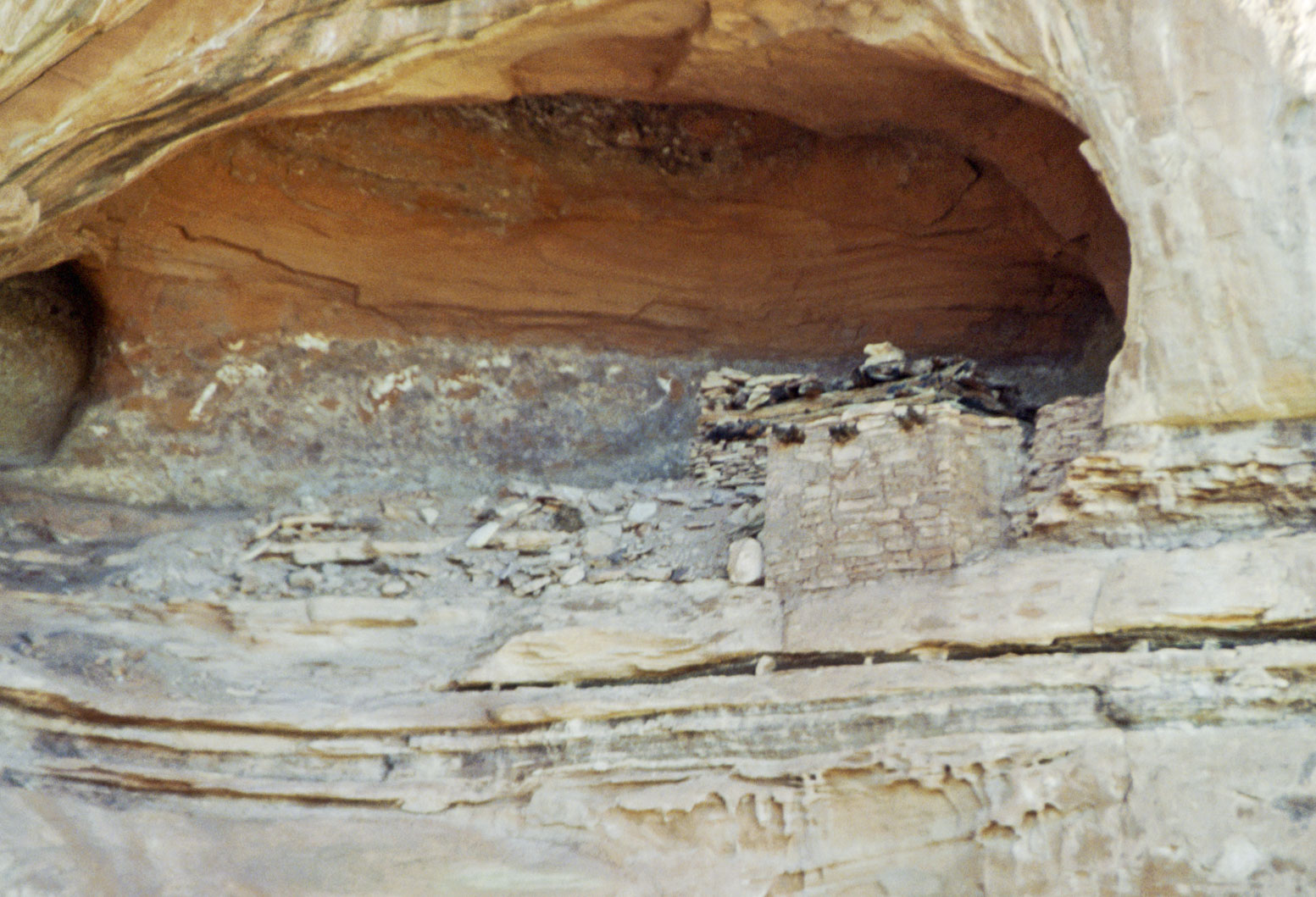
Tower Ruin
Horse Canyon

Granary
Horse Canyon
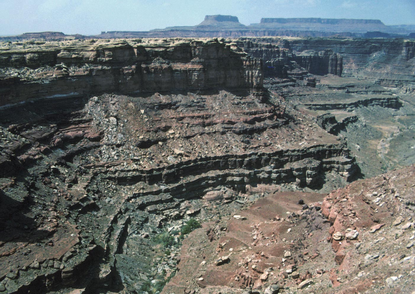
Confluence Overlook Trail
This is a moderate 11 mile out and back trail. It starts at the Big Spring Trailhead,
crosses Big Spring Canyon, then traverses mostly flat open desert to the confluence.

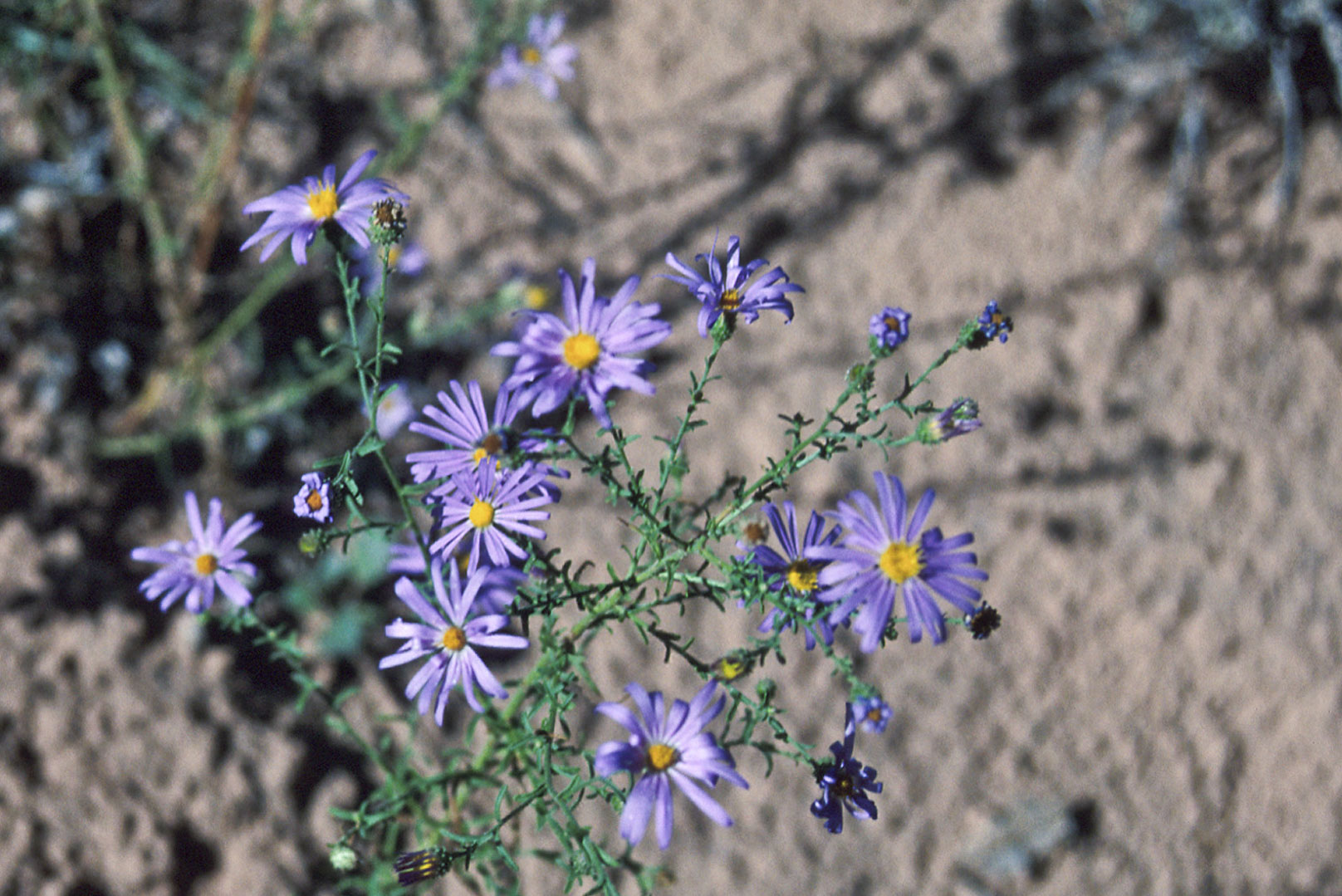
Western Aster

Pairie Sunflower
(Helianthus petiolaris)
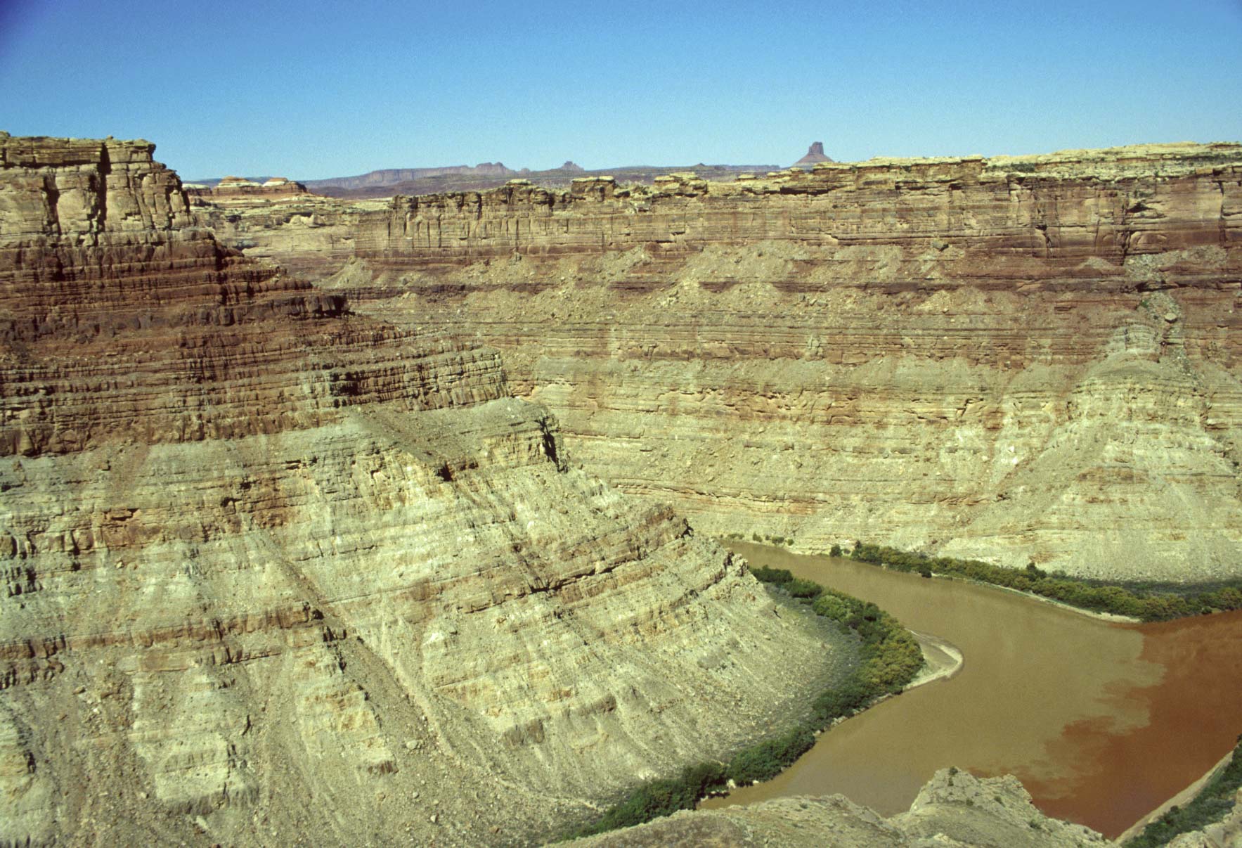
Confluence of Green
and Colorado Rivers
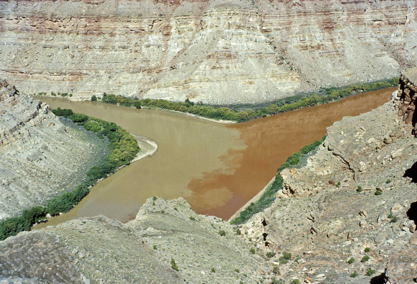
Confluence of Green
and Colorado Rivers

Green River
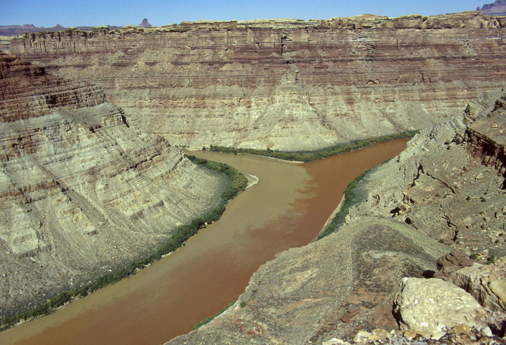
Confluence of Green
and Colorado Rivers
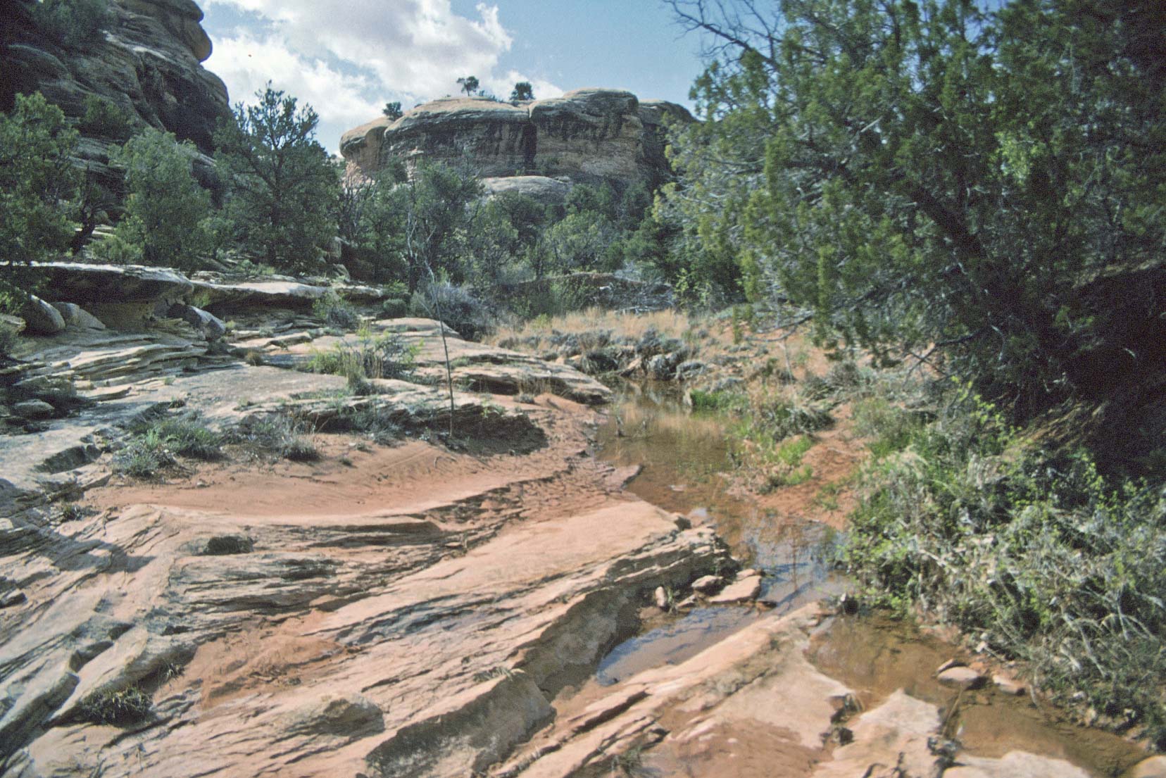
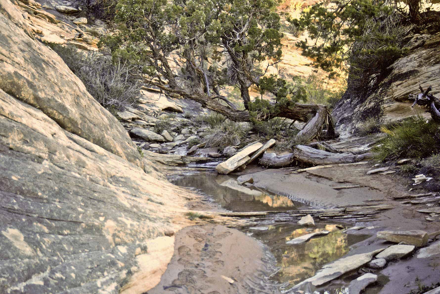
Lost Canyon-Squaw Canyon Loop trail
This trail is an 8.7 mile loop that takes you through two different canyons.
Lost Canyon has lots of water and lush vegetation, and Squaw Canyon is dry with sand and slickrock.
The trail starts at the Squaw Flat trailhead, traverses desert terrain of Squaw Flat, turns onto Peekaboo trail,
then onto Lost Canyon trail through Lost Canyon, then over into and through Squaw Canyon back to the trailhead.
I've hike this trail 3 or 4 times.
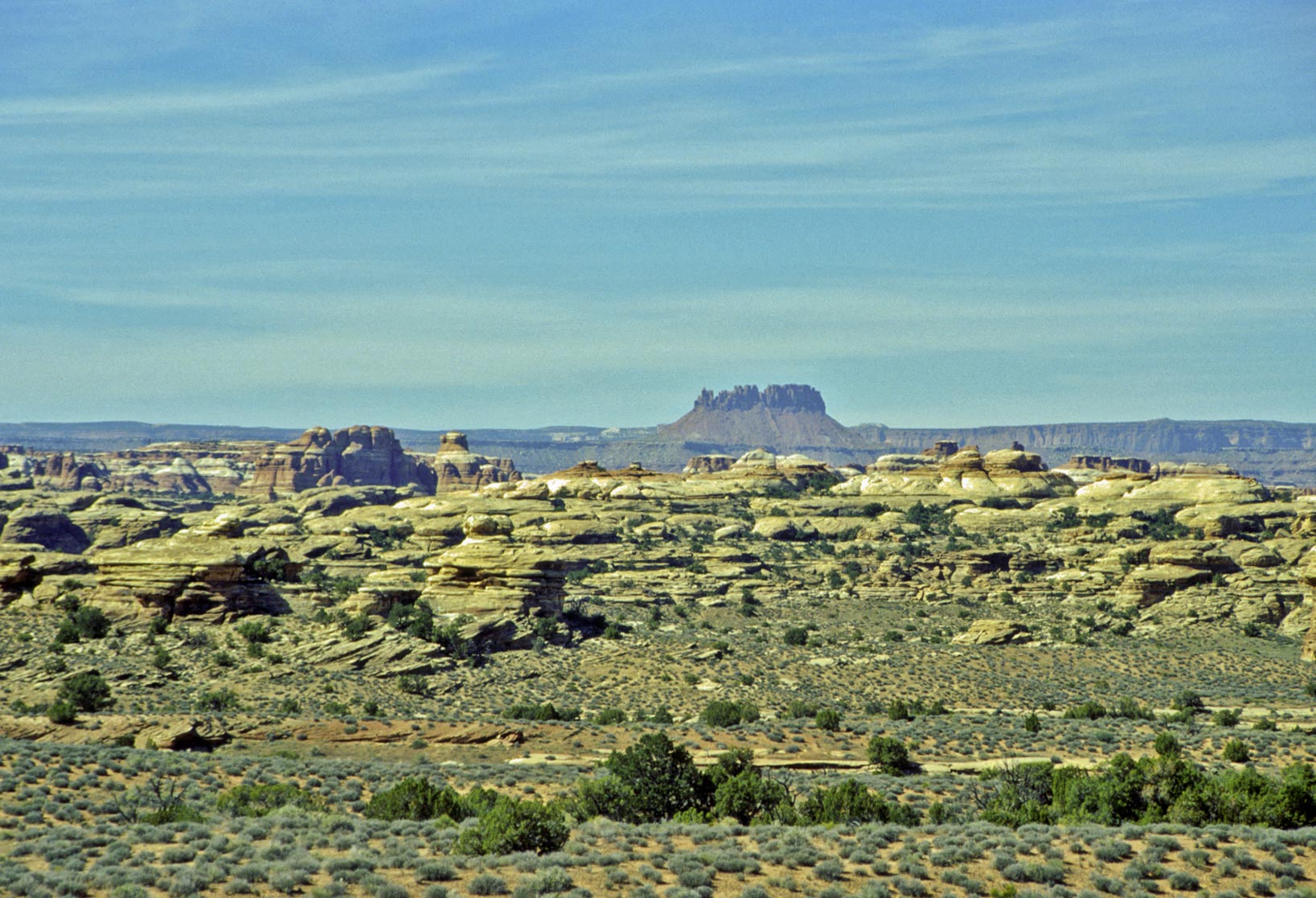
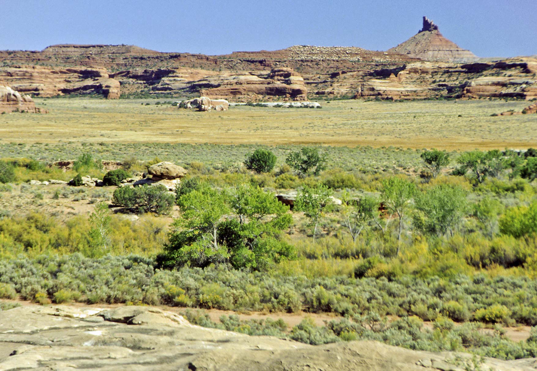
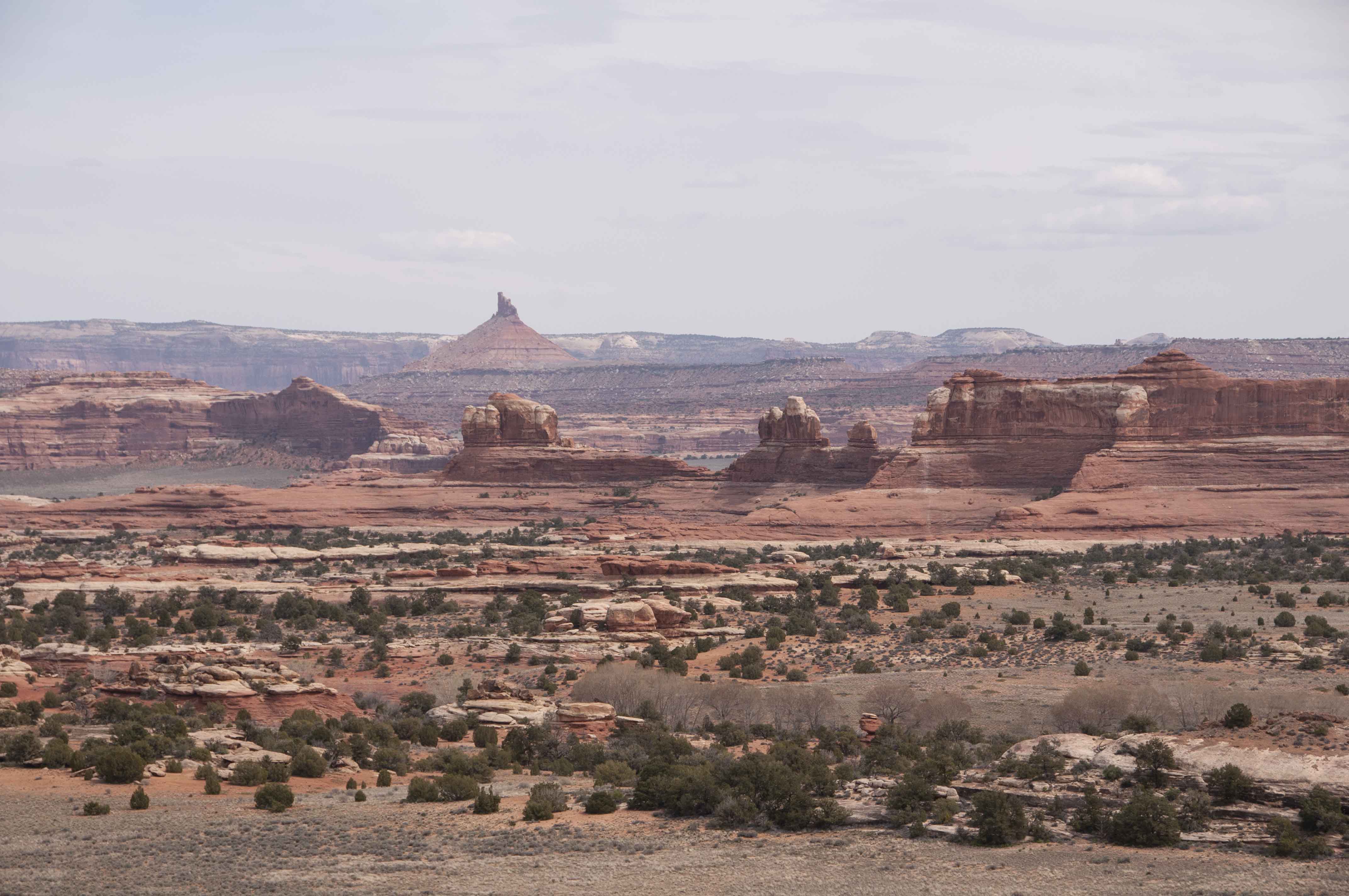
Elaterite Butte
Squaw Flat
Slickrock

Ladder
Lost Canyon

Mormon Tea (Ephedra)

Colorful photo
Lost Canyon

Pool in Lost Canyon
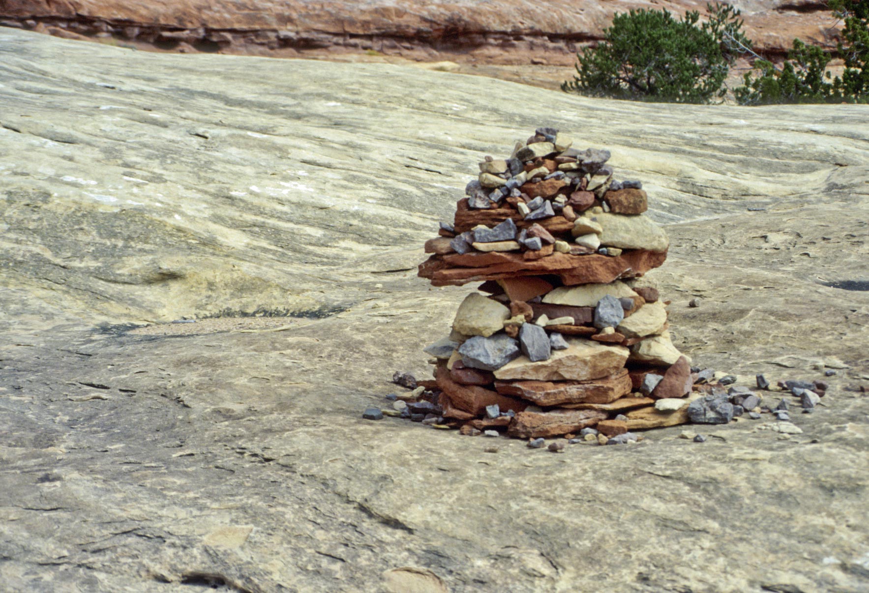
Colorful cairn
Squaw Canyon
Could be Tansy Leaf Aster
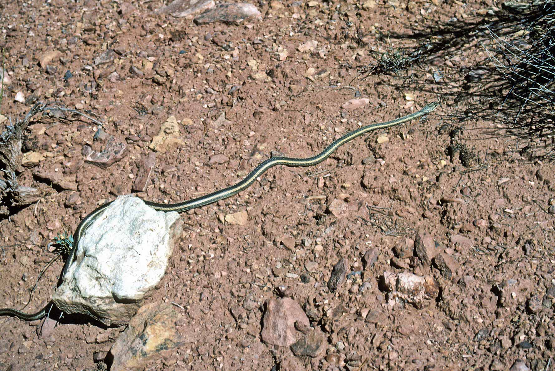
Plains Garter Snake
(Thamnophis radix)
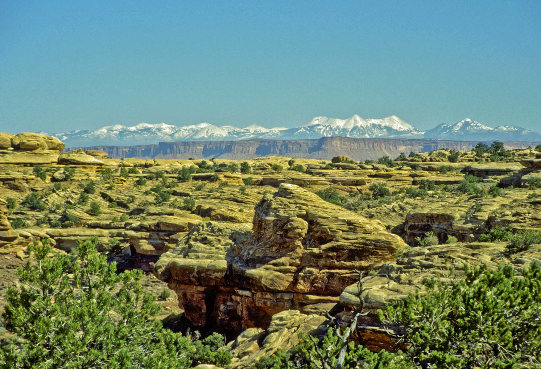
La Sal Mountains
Squaw Canyon Trail
Squaw Canyon trail
Big Spring Canyon-Squaw Canyon Loop Trail
The Big Spring-Squaw Canyon Loop is 7 miles. It begins and ends at the
Squaw Flat trailhead and can be hiked in either direction.
This loop has some of the better "needles" formations.The photos below
were taken on a hike into Big Spring Canyon as far as Big Spring campsite #2
and then back to the trailhead.
View from near Squaw Flat Trailhead
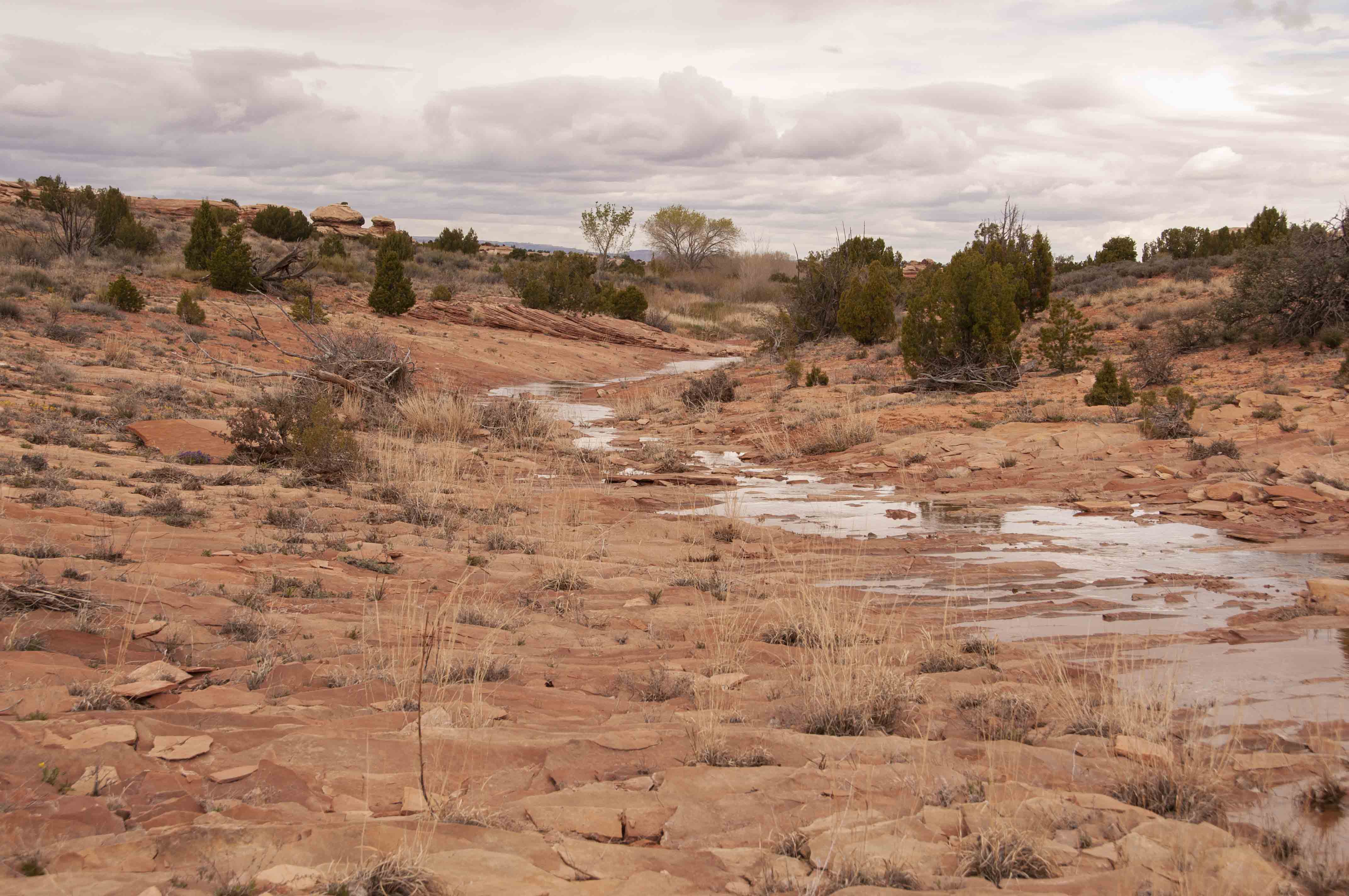
Big Spring Canyon
Big Spring Canyon
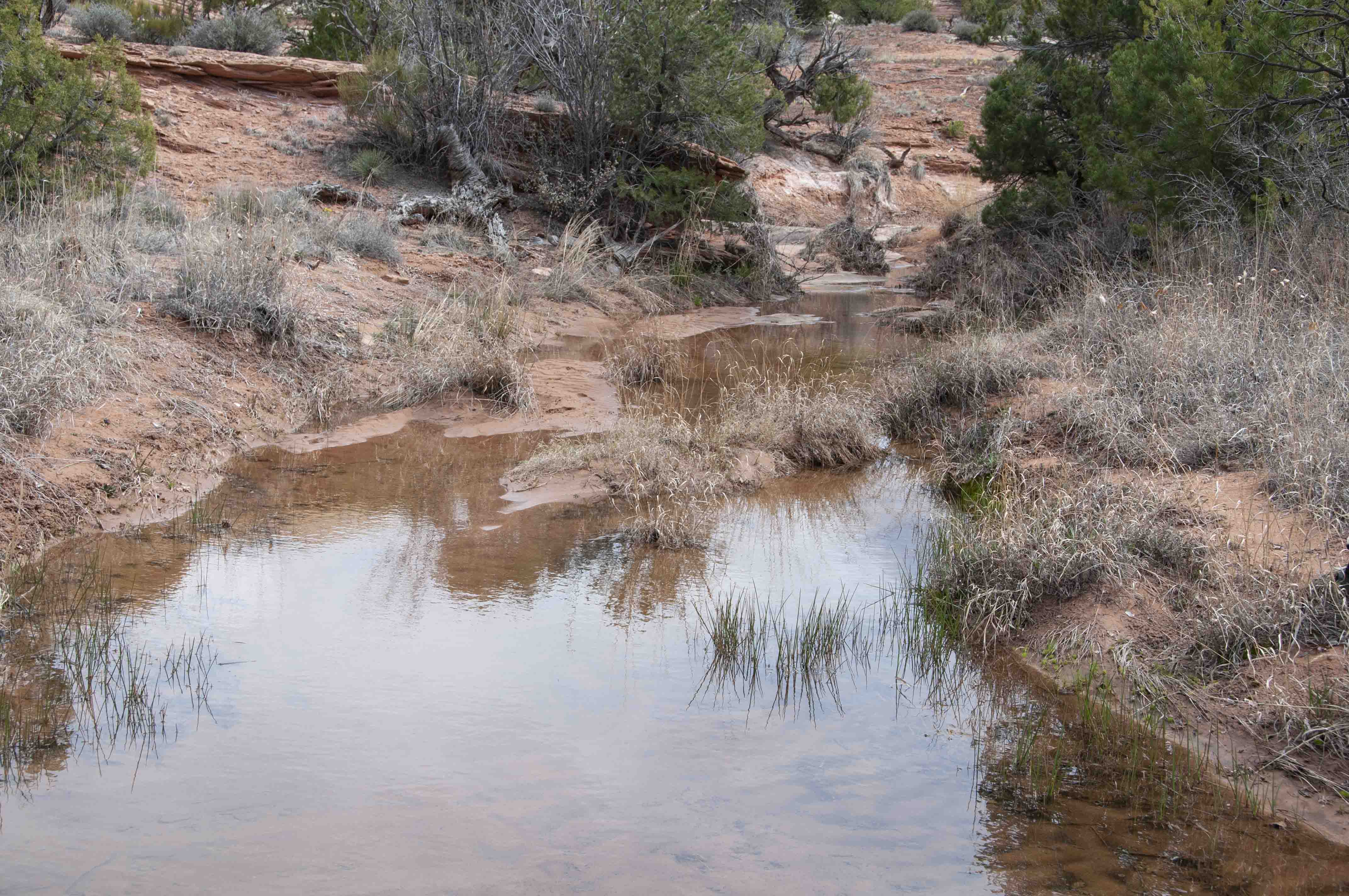
Wash in Big Spring Canyon
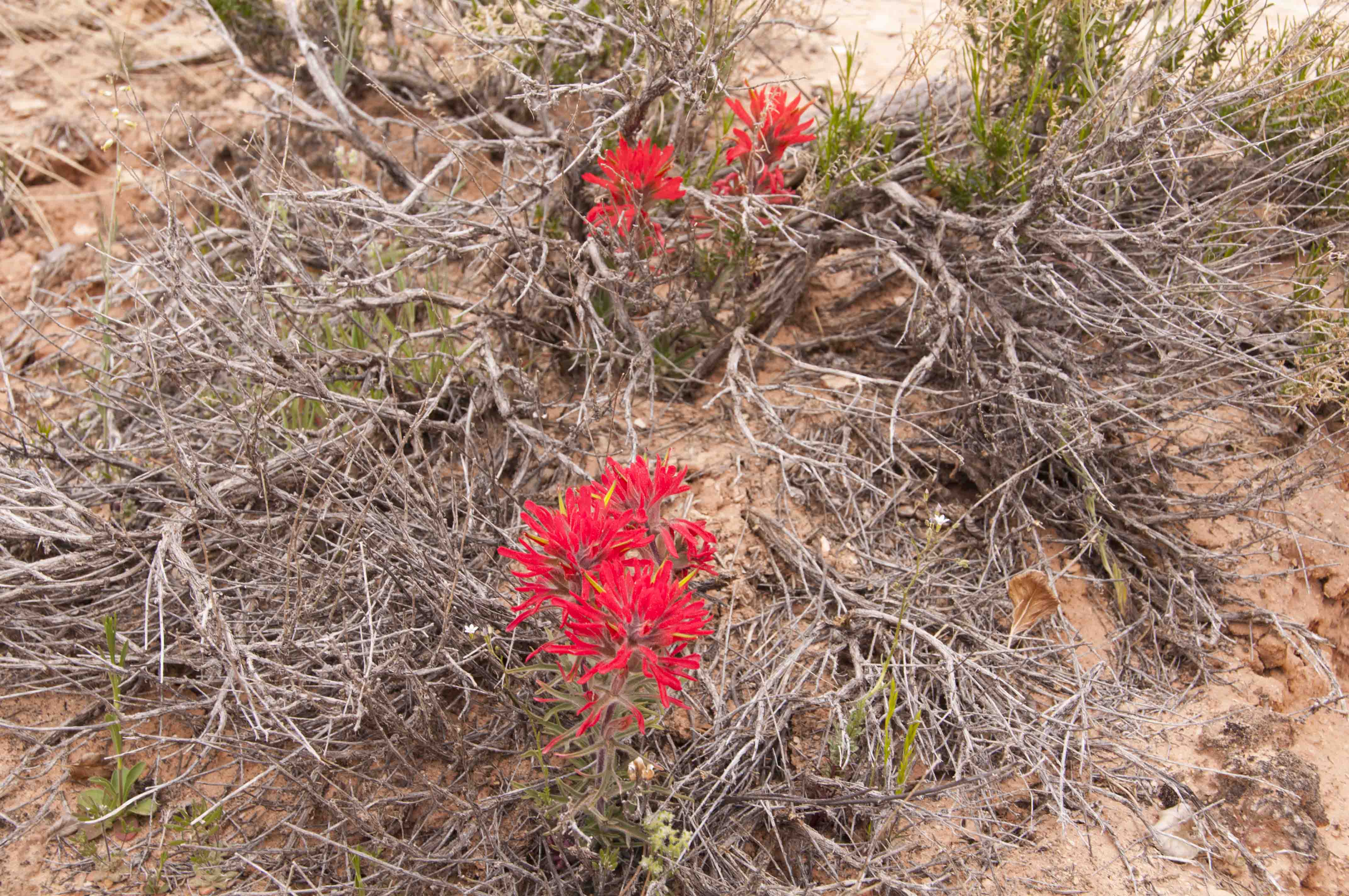
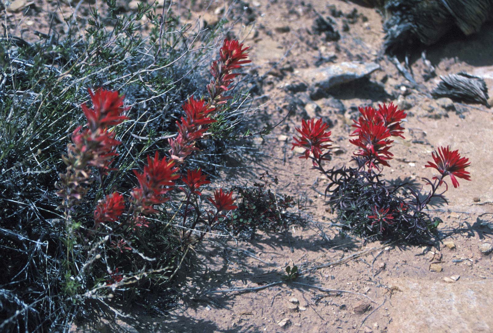
Indian Paintbrush
Peekaboo Trail
Peekaboo Trail is 10 miles out and back. It starts at the Squaw Flat Trailhead and ends
at Peekaboo Camp and Salt Creek. The trail crosses open desert, canyons, and slickrock benches.
It also includes a couple of ladders.
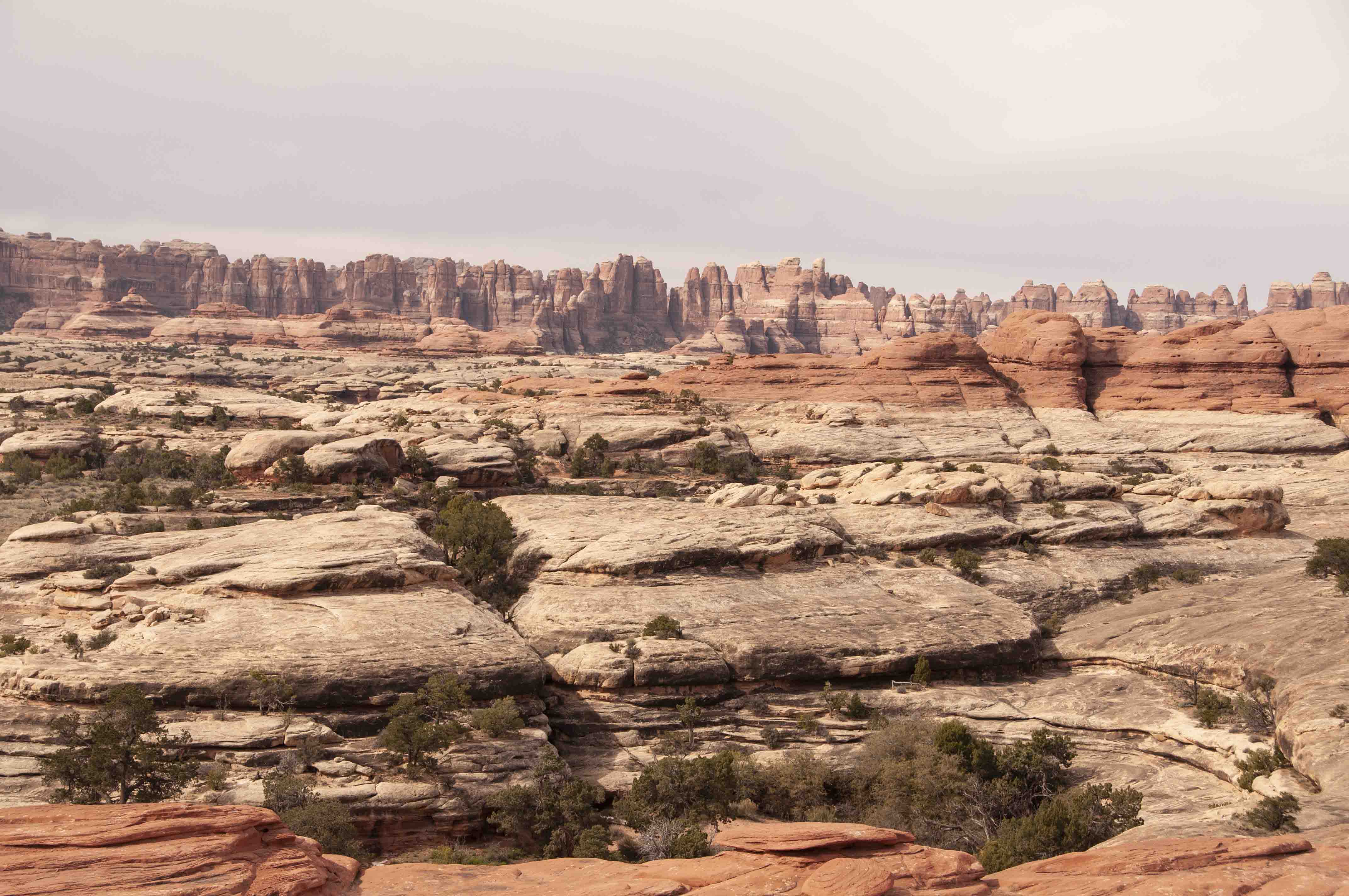
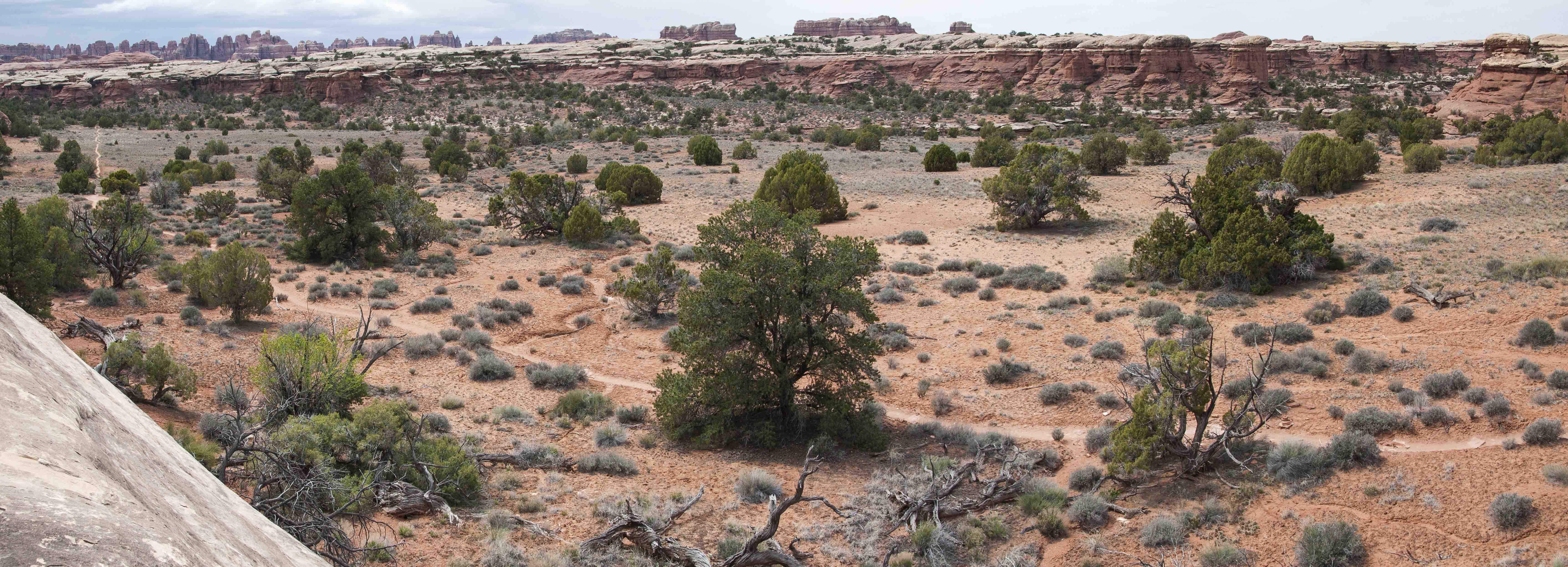
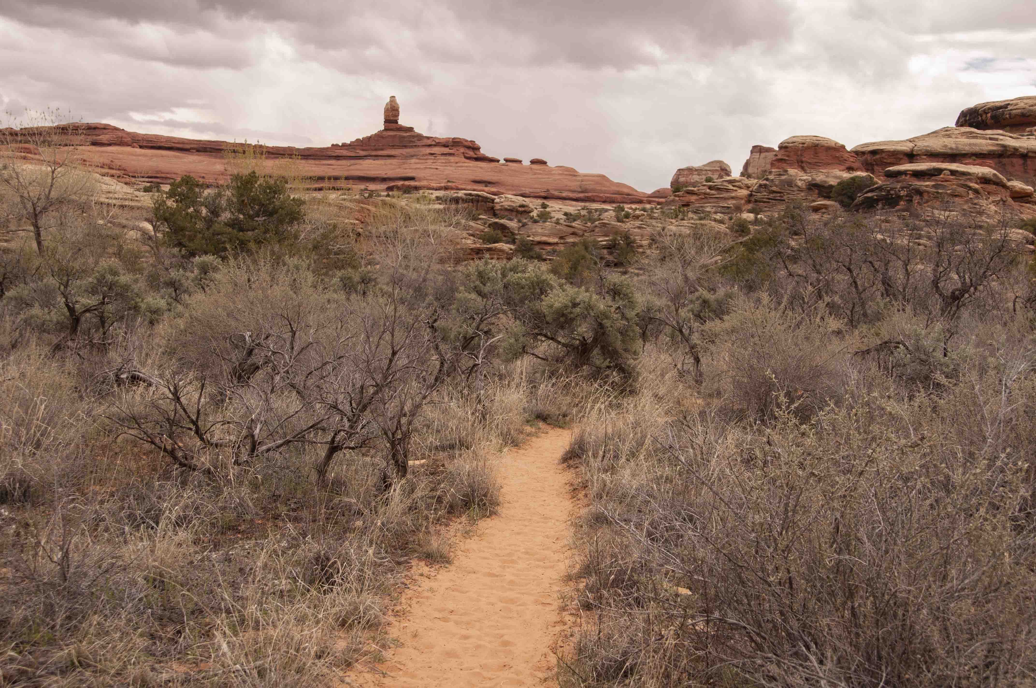
"The Needles"
near Squaw Flat Campground
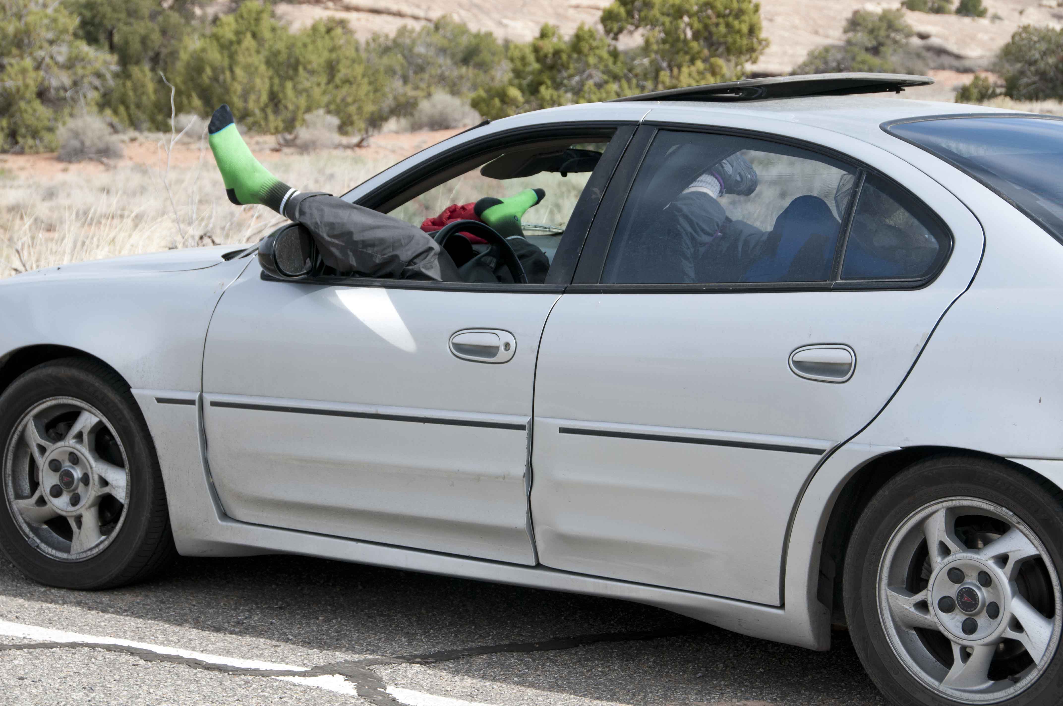
Snooze anywhere
Near Lost Canyon trailhead
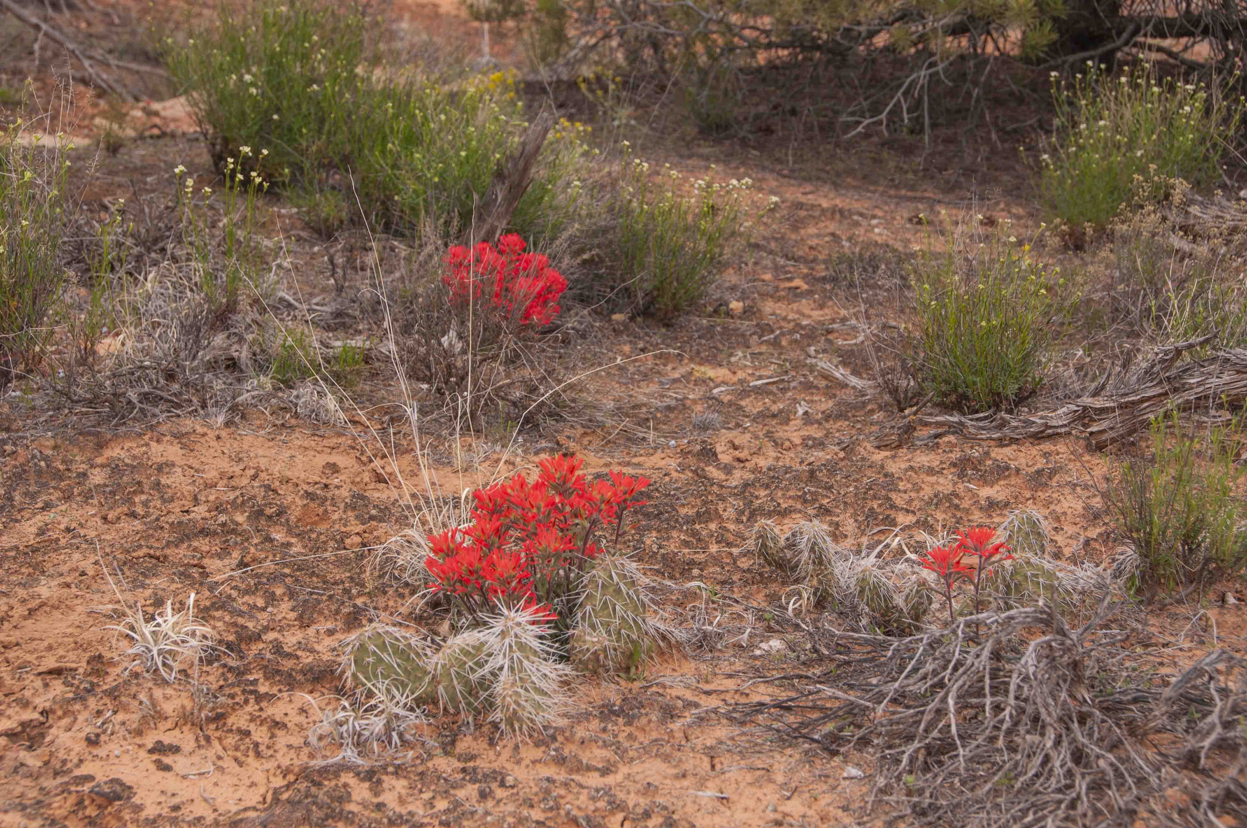
Indian Paintbrush
Peekaboo Trail
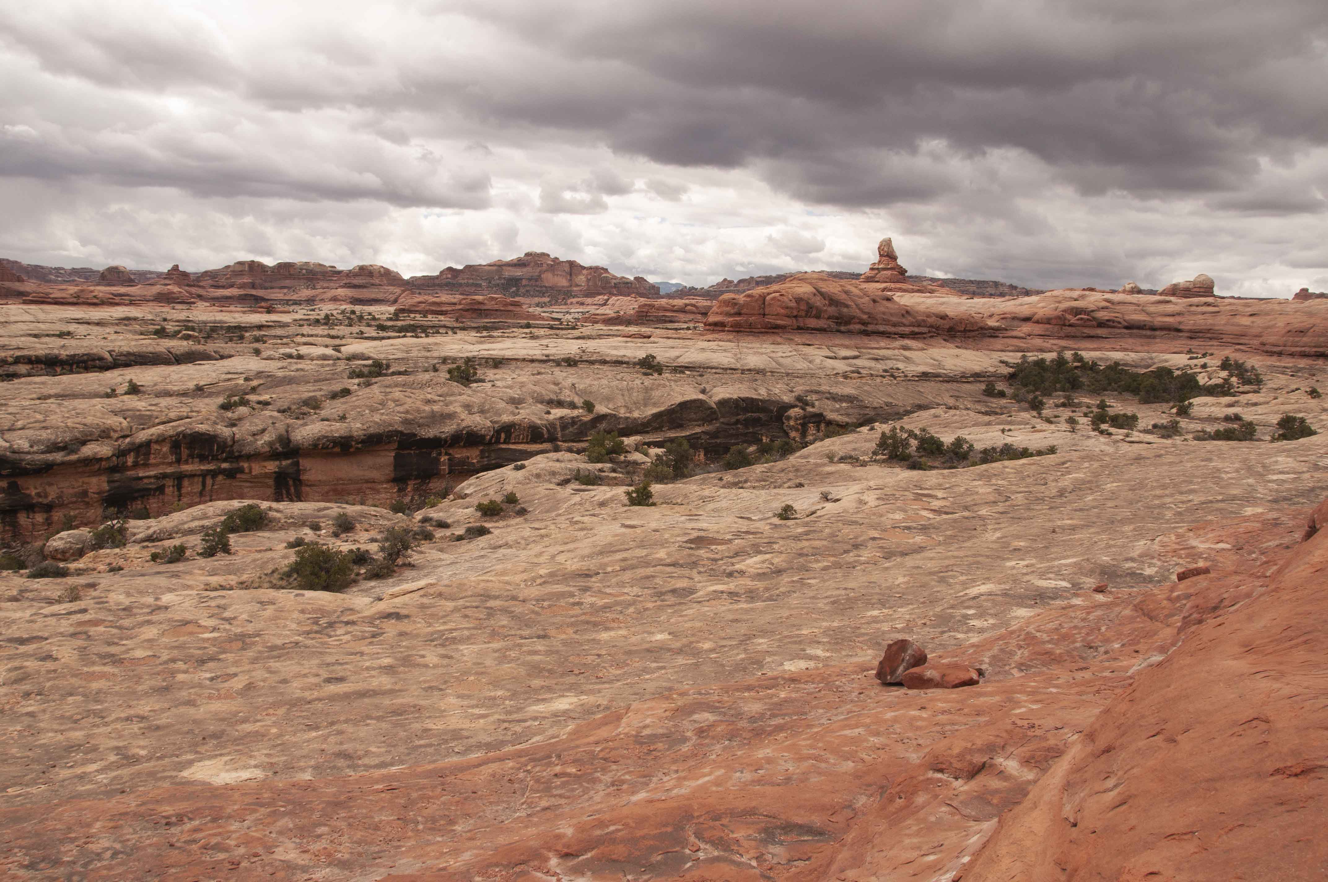
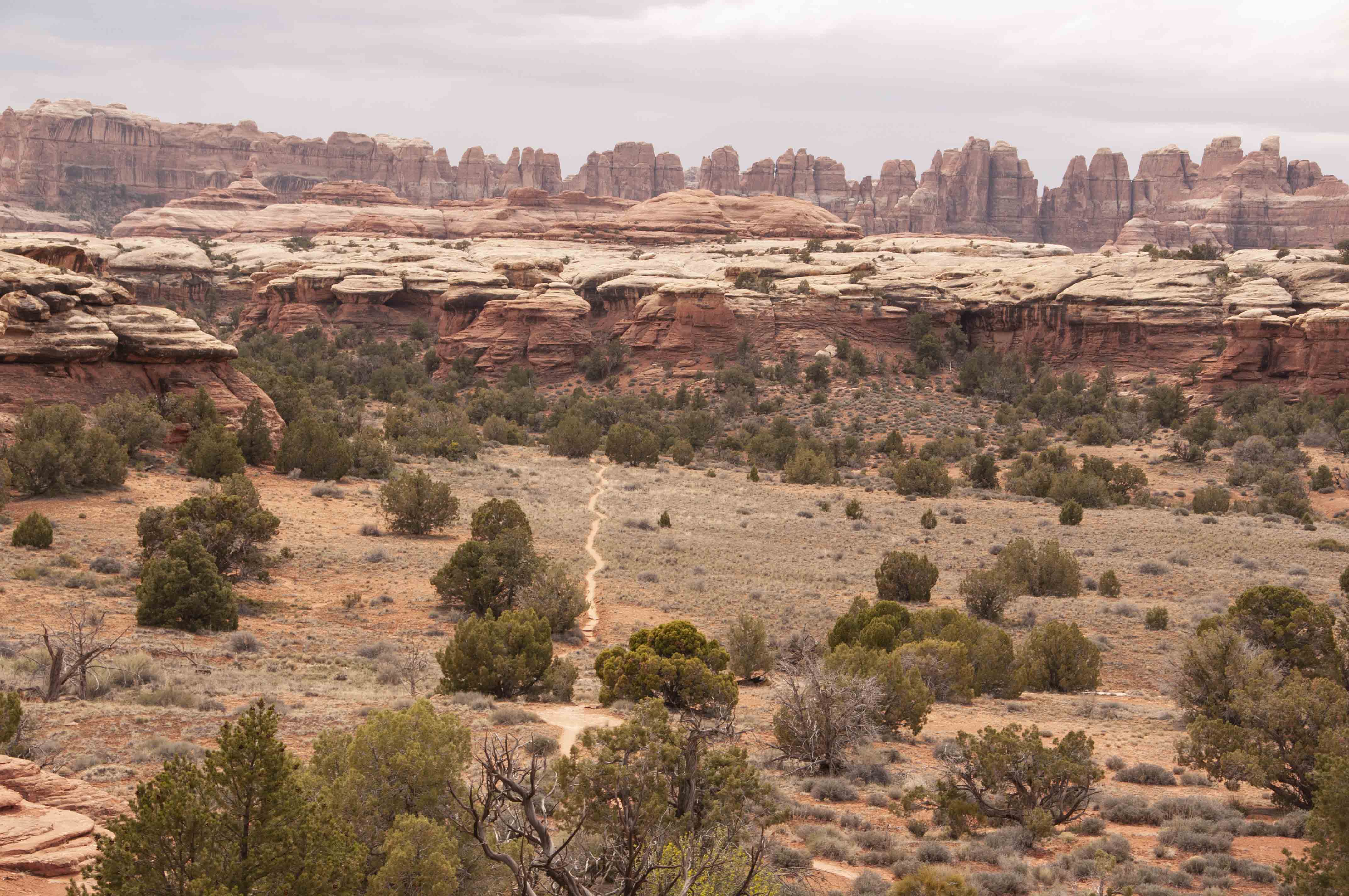
Terrain near Lost Canyon
Peekaboo Trail
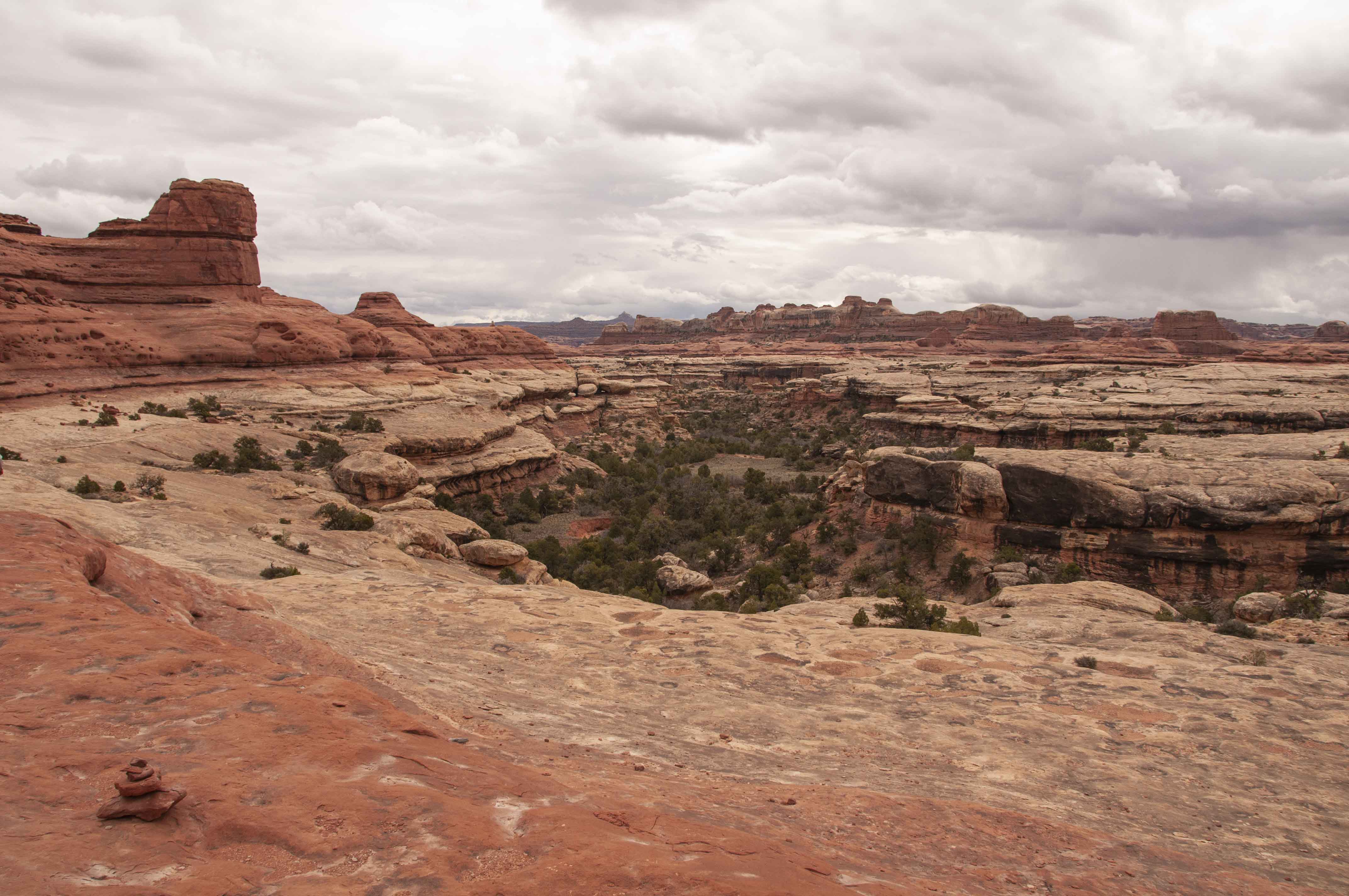
Terrain near Lost Canyon
Peekaboo Trail
Peekaboo trail

Could be racoon scat
Use the form on the Home Page to submit comments, questions, or suggestions. TD Productions Copyright © 2018