Canyonlands National Park v.1 - Island in the Sky District
Canyonlands National Park is divided into three districts: Island in the Sky, Needles, and Maze Districts.
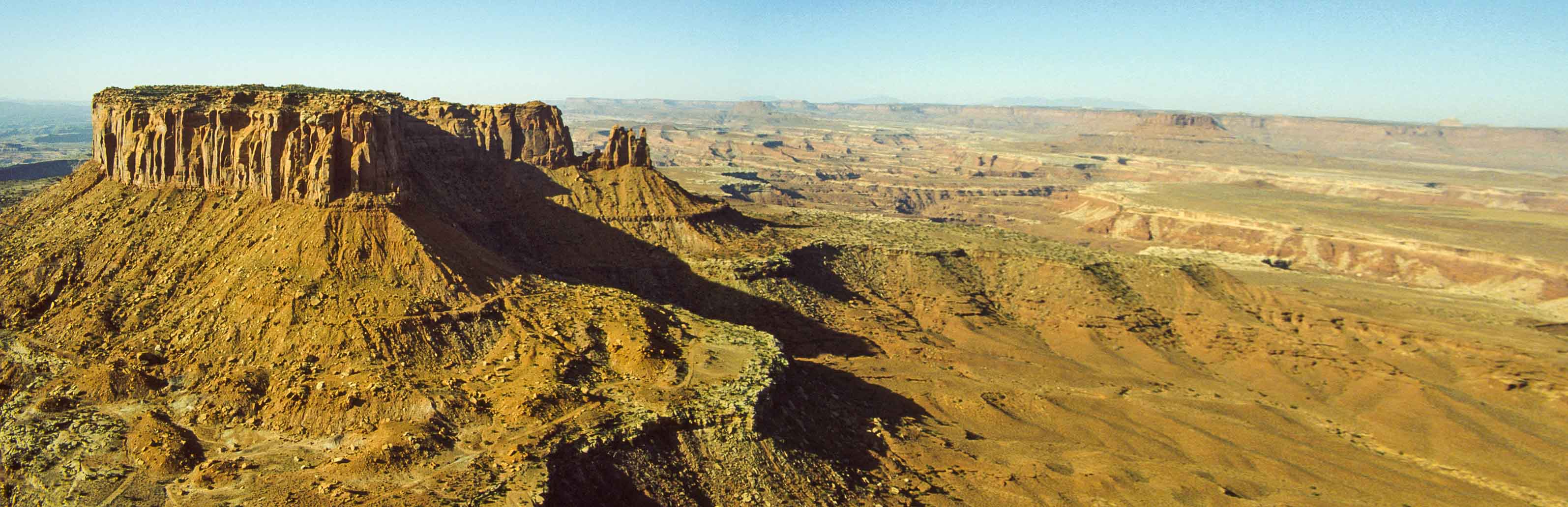
Canyonlands National Park v.1 explores Island in the Sky District. Island in the Sky is the easiest part of the
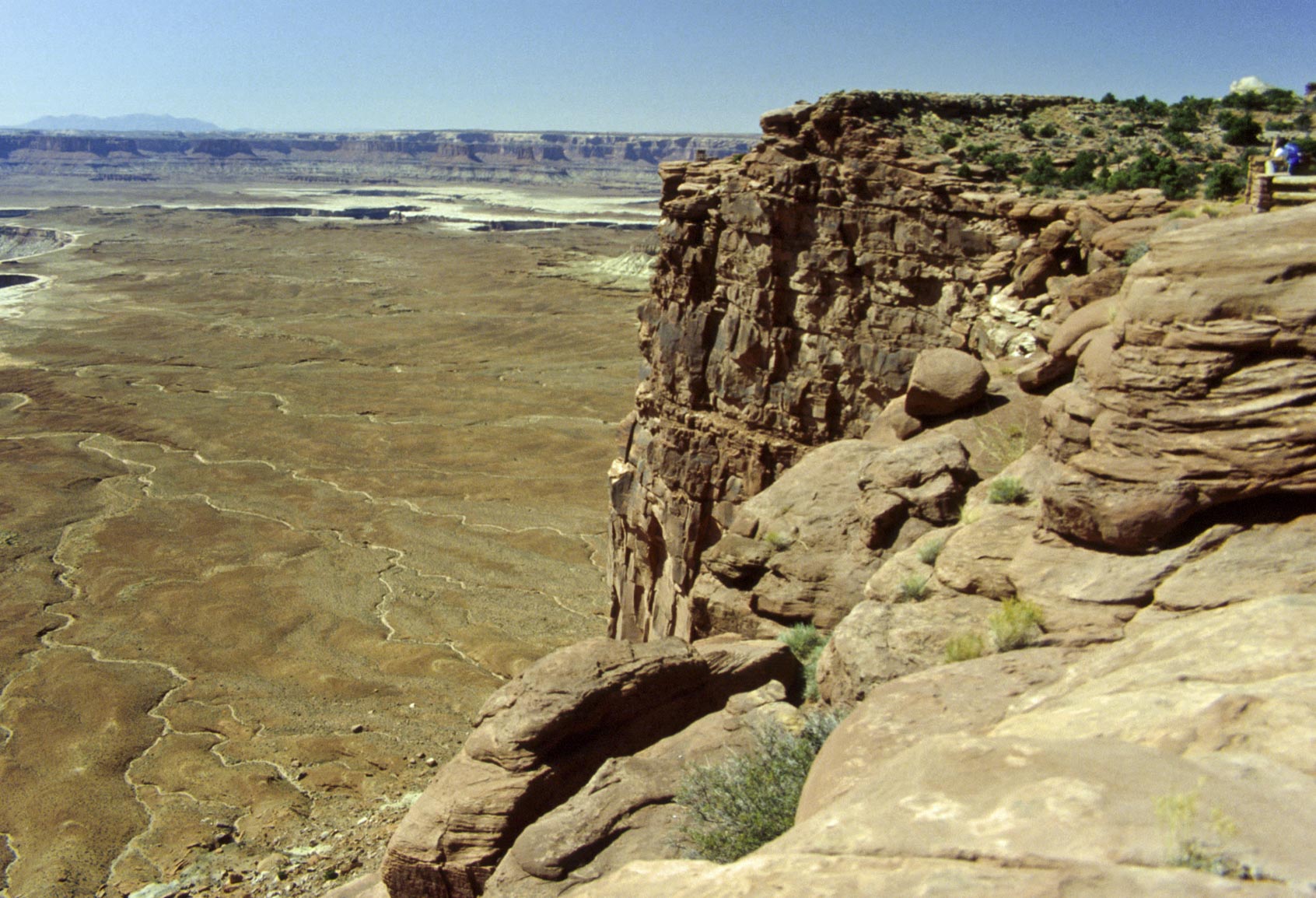
park to visit, with the Visitor Center only 40 minutes from Moab. Island in the Sky mesa rises 1,000 feet above the surrounding terrain
and the many short trails and overlooks along Grand View Point Road provide spectacular views of the canyonlands below. Island in the Sky
is perfect for casual visitors and sightseers with just a few hours to spend, although there are trails and four wheel drive roads leading down into
the canyons for the more adventurous spirits. Some of the four-wheel drive roads are Potash Road, Shafer Trail Road,
and White Rim Road. Sad to say I haven't driven any of them.
Our tour will start at the park entrance and
proceed along the road to Grand View Point, with several stops along the way.
Park entrance to Willow Flat
Our drive on Grand View Point Road takes us past Grays Pasture to our first stop, which is a very short
hike to Mesa Arch and a view of Washer Woman Arch. Then we turn right onto Upheaval Dome Road, stop for a short hike to Aztec Butte,
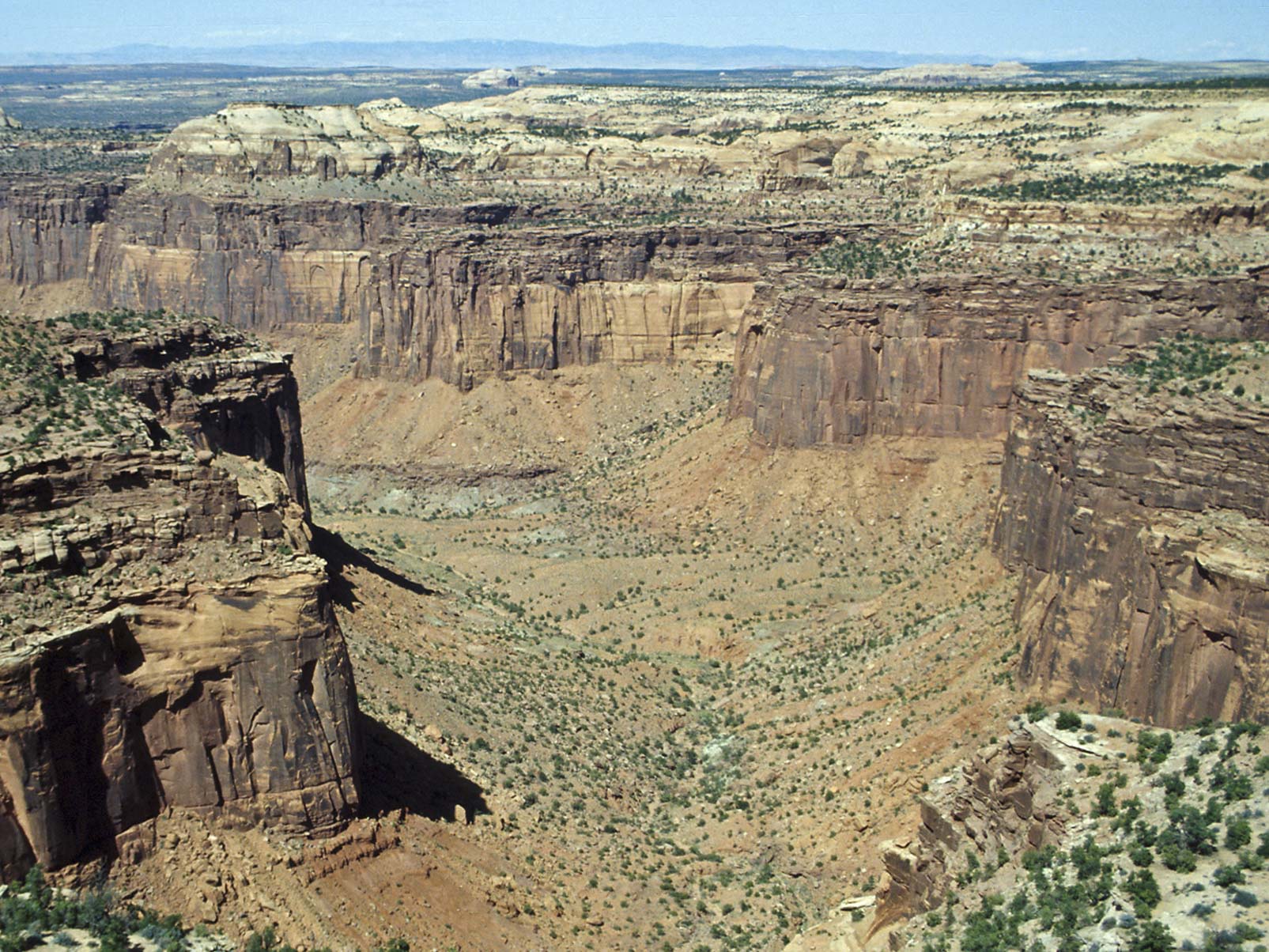
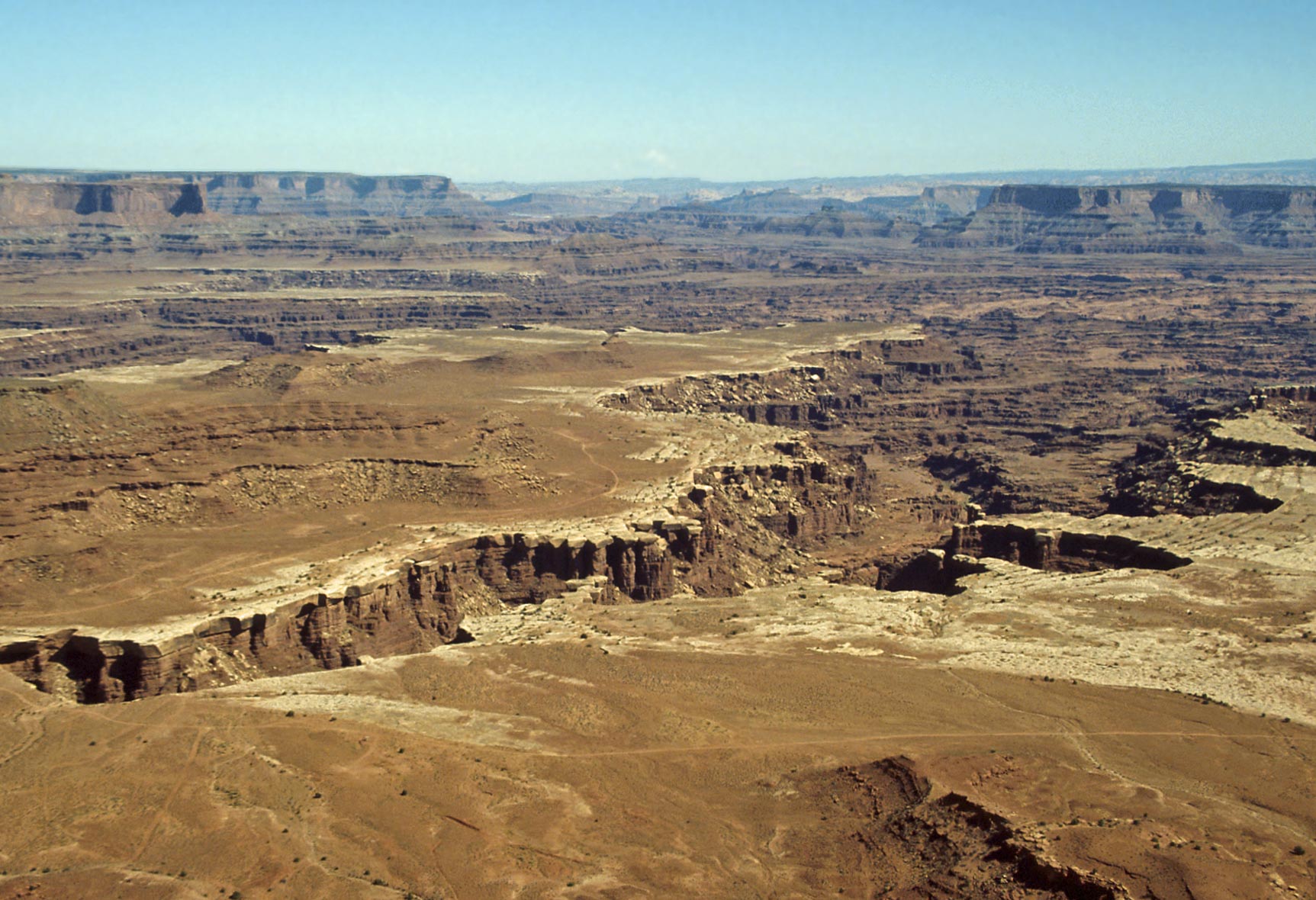
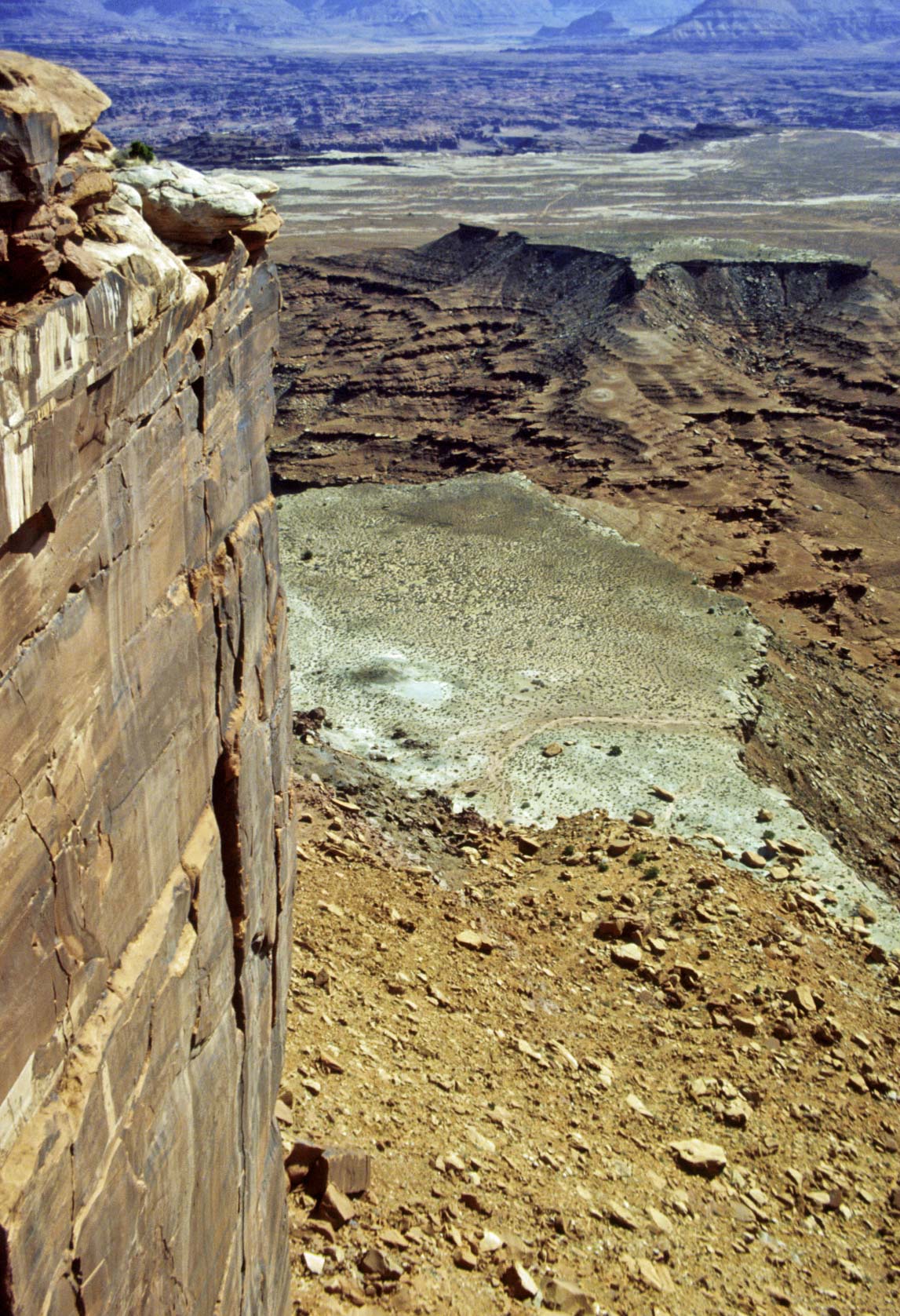
and continue on to Upheaval Dome. Upheaval Dome is an area about 3 miles across where the rock layers have been dramatically deformed. The rocks
in the center have been pushed up (a dome) while the rock layers around the edge are warped downward (a syncline).
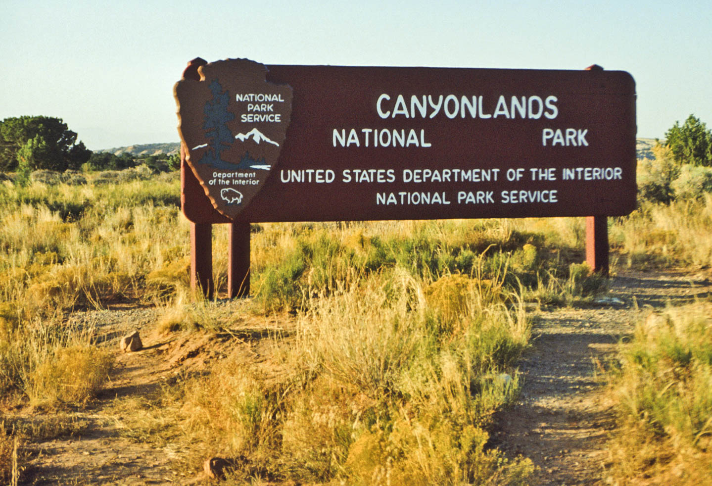
Park sign (1992)
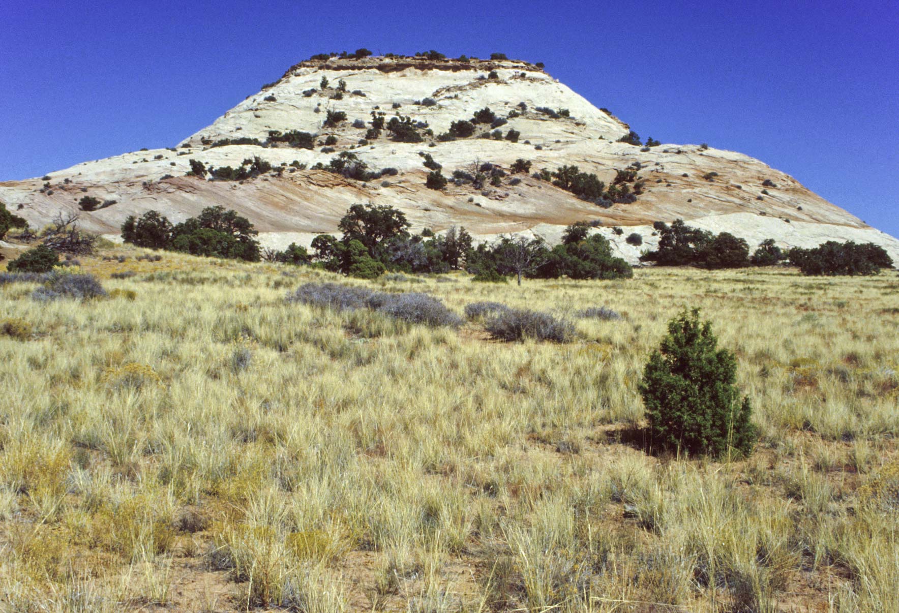
Aztec Butte
Trail Canyon

Upheaval Dome

Upheaval Dome
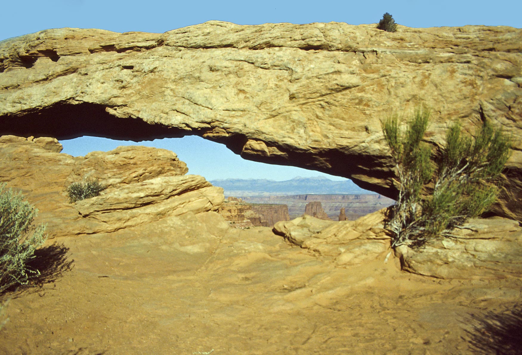
Mesa Arch (1992)

Mesa Arch (1995)
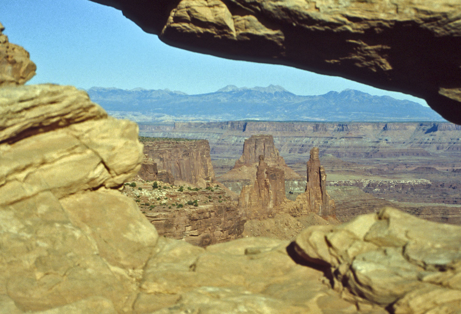
Washer Woman Arch
view through Mesa Arch
Washer Woman Arch (foreground) (1992)
Las Sal Mountains (background)
Washer Woman Arch (foreground) (1995)
La Sal Mountains (background)
Flora and Fauna
Canyonlands is a high desert environment with
with flora and fauna typical of southeast Utah and the four corners region.
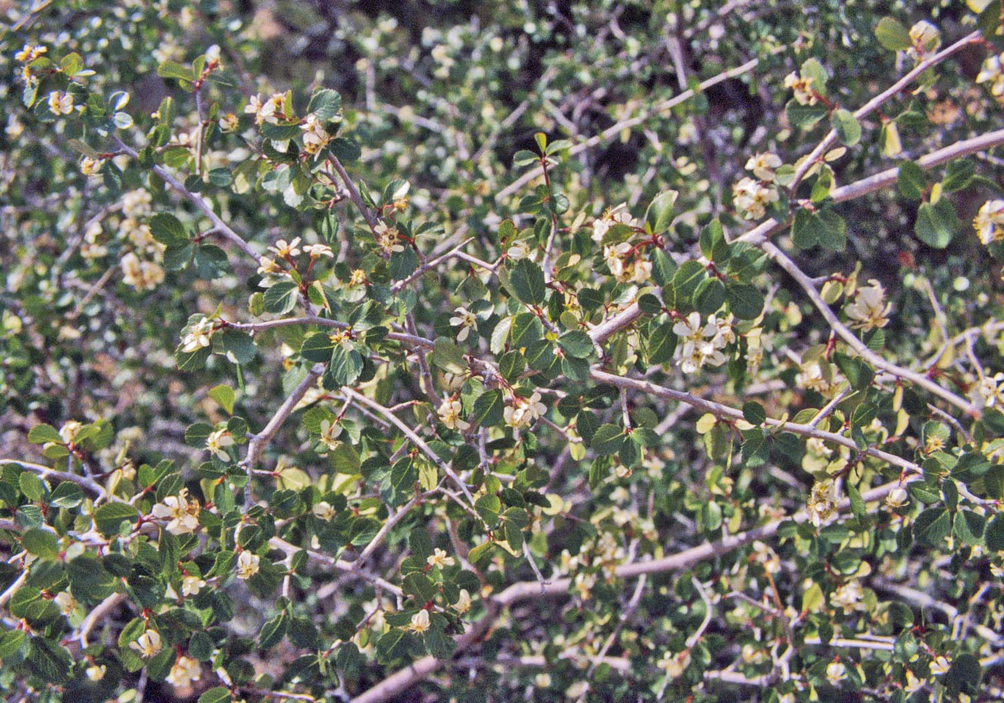
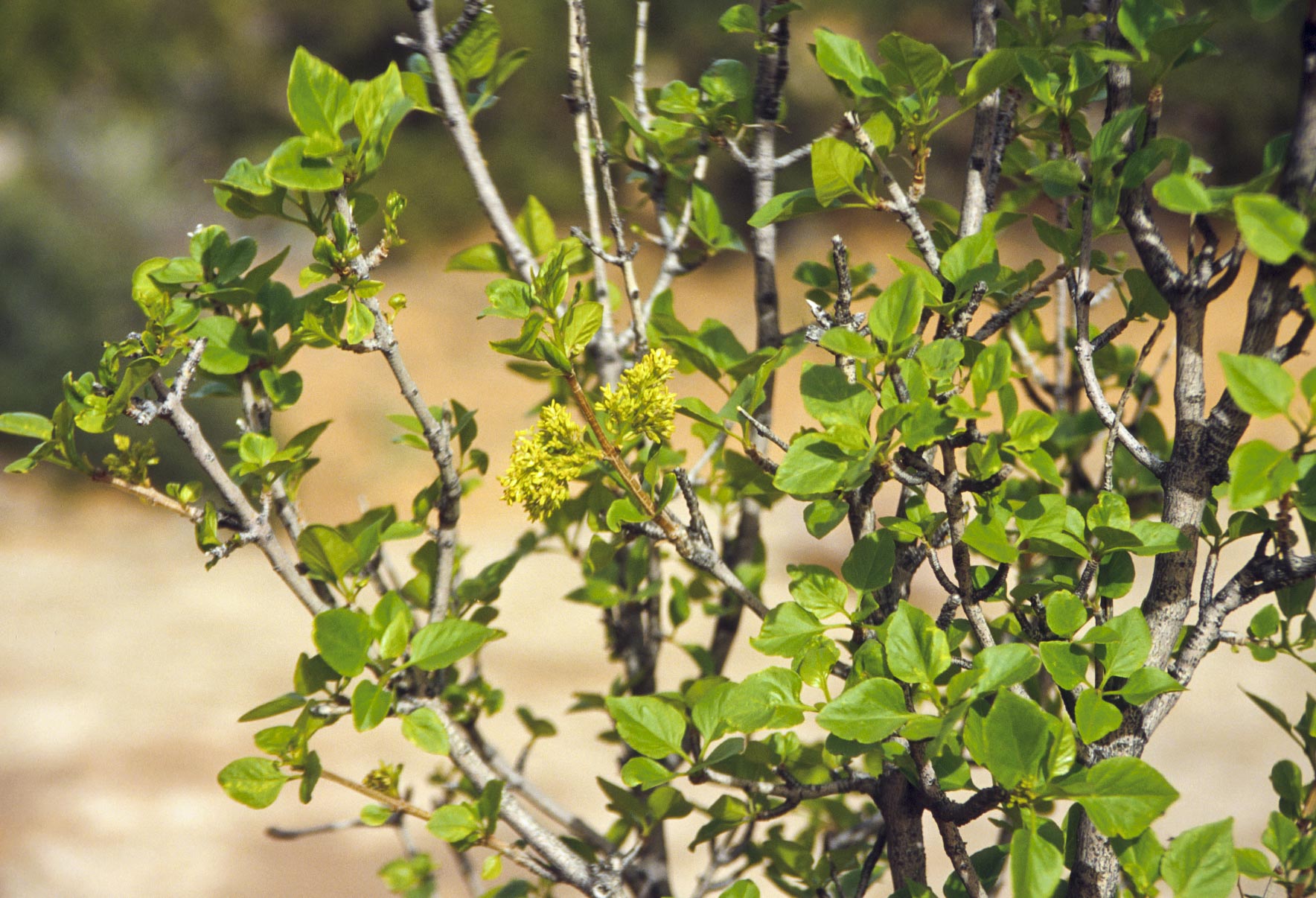
Utah Serviceberry
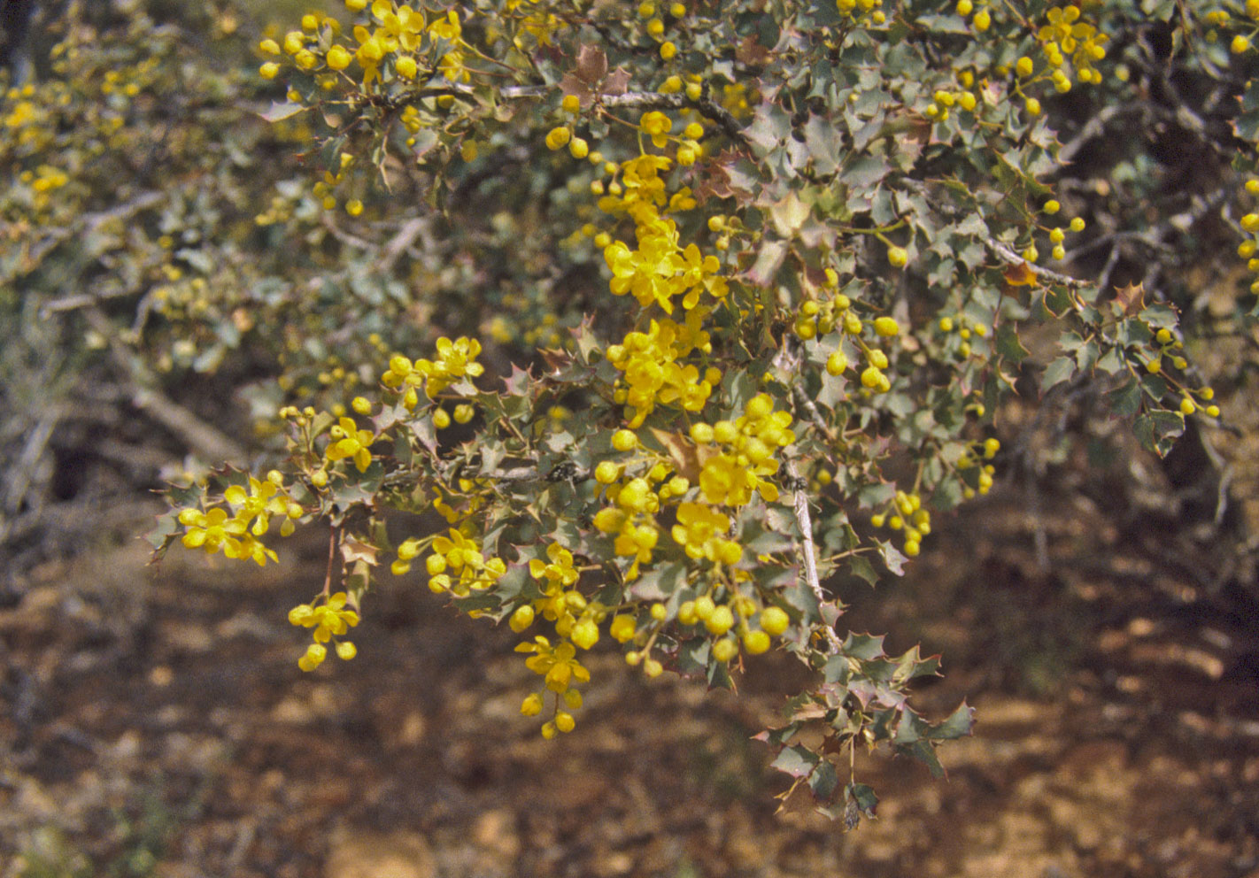
Freemont Mahonia
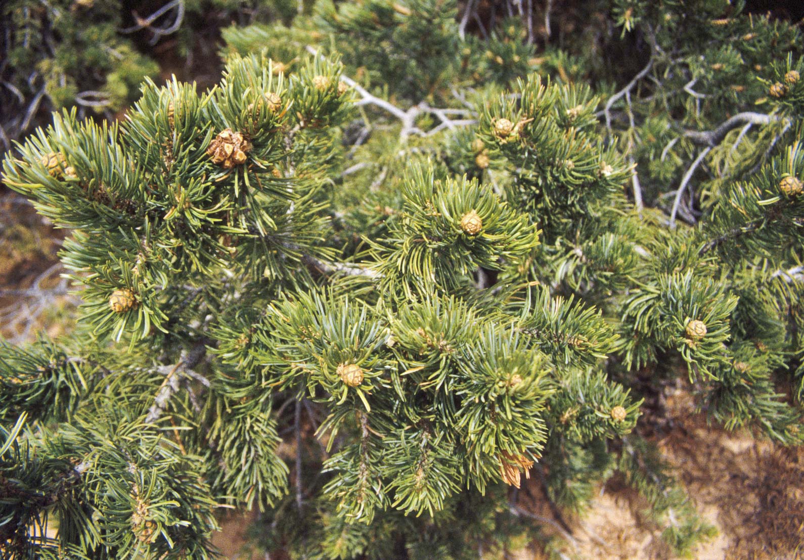
Pinon Pine
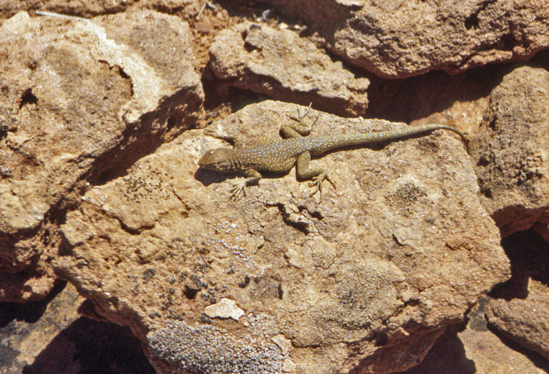
Side-blotched Lizard
(Uta stansburiana)
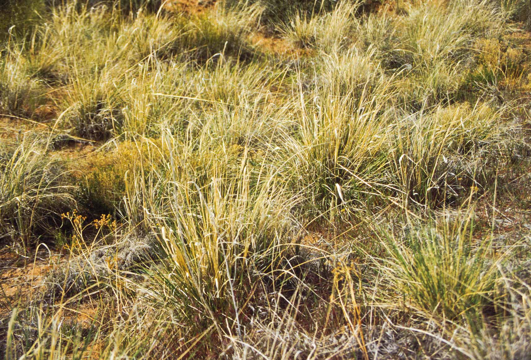
Indian Ricegrass
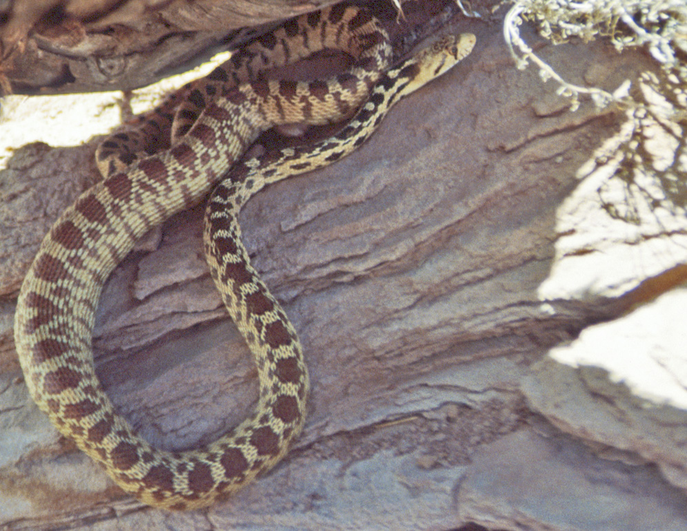
Great Basin Gopher Snake
(Pituophis catenifer deserticola)
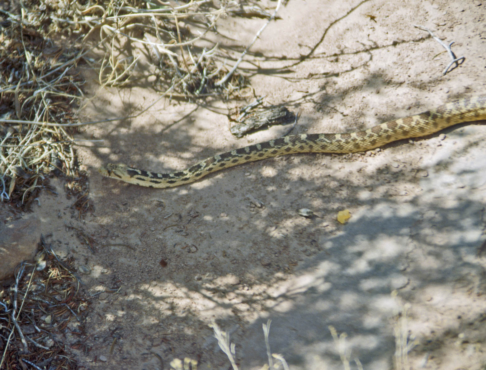
Great Basin Gopher Snake
(Pituophis catenifer deserticola)
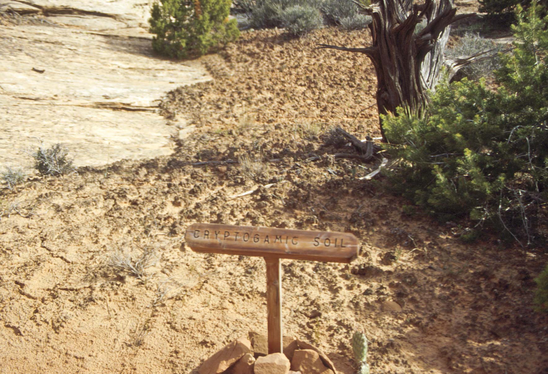
Cryptobiotic soil (aka Mircobiotic aka Cryptogamic soil)
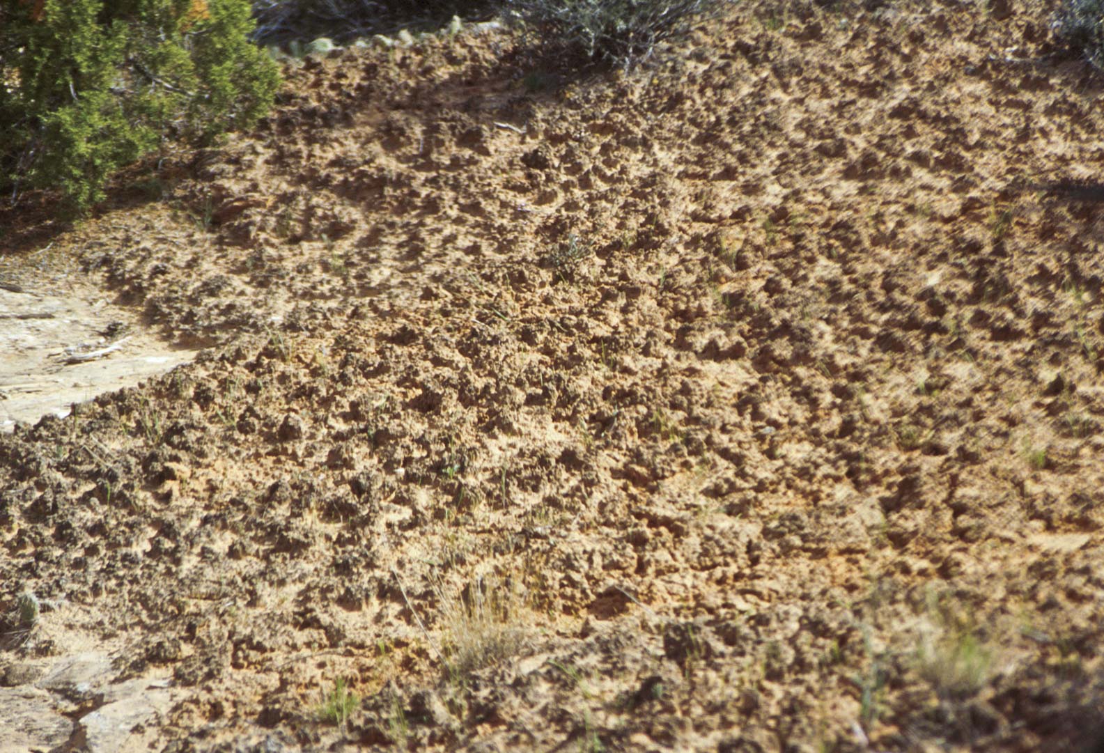
Crytobiotic Soil

Mountain Mahogany
Single Leaf Ash
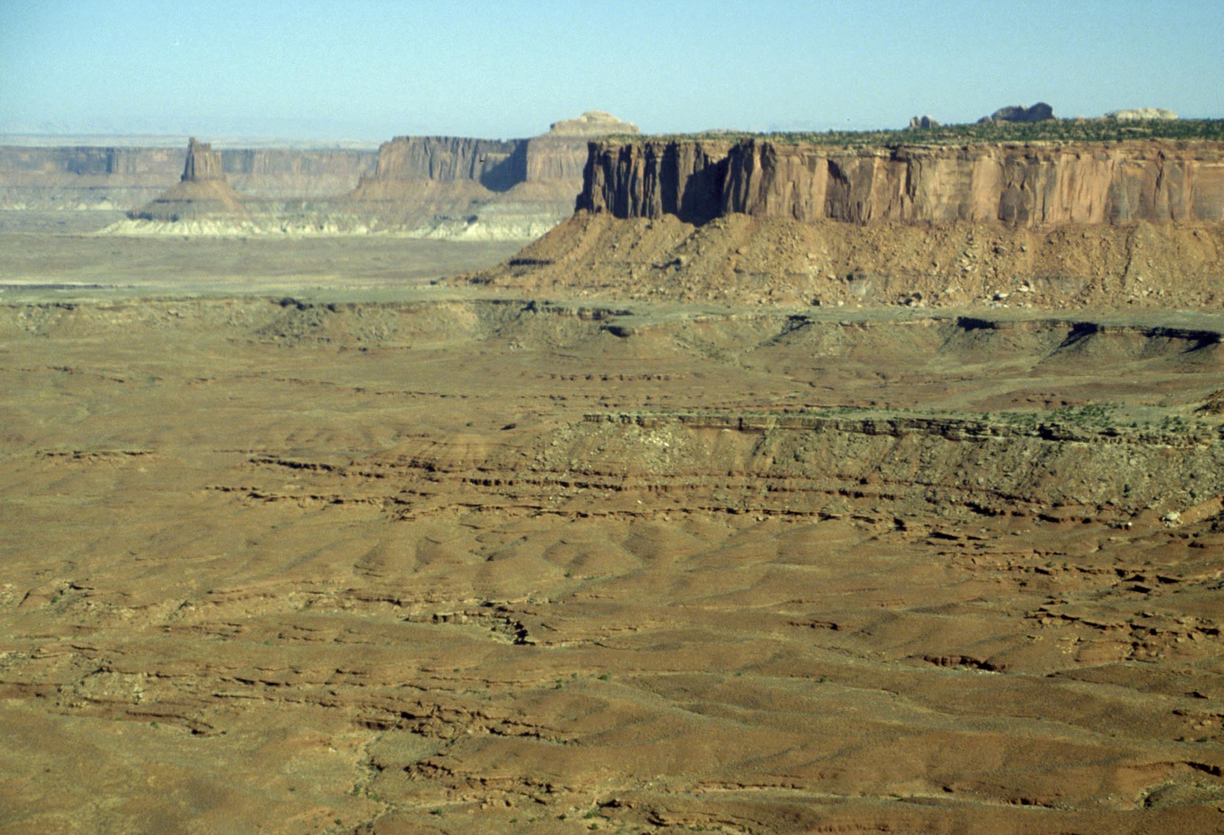
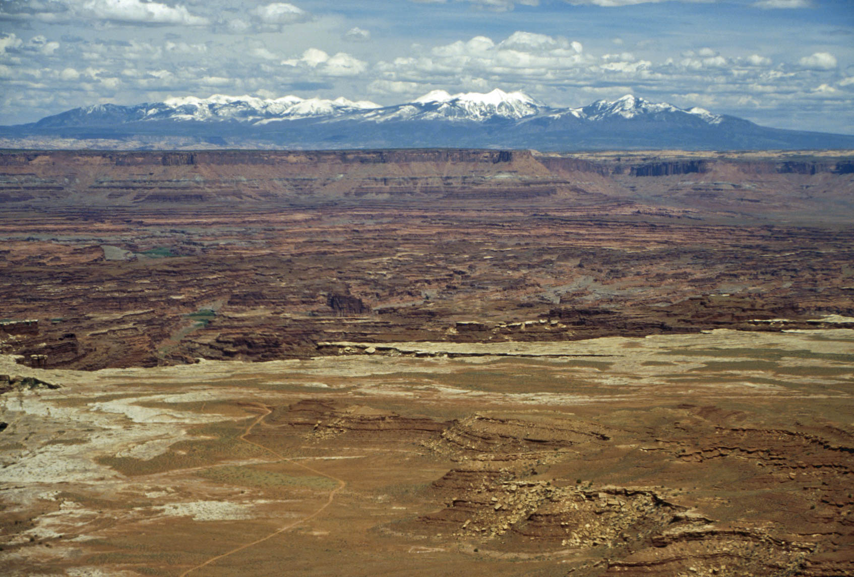
Green River Overlook
Retracing our route back from Upheaval Dome we
turn on the road leading past Willow Flat Campground to Green River Overlook. This overlook provides fantastic views of
Island in the Sky District to the west and southwest.
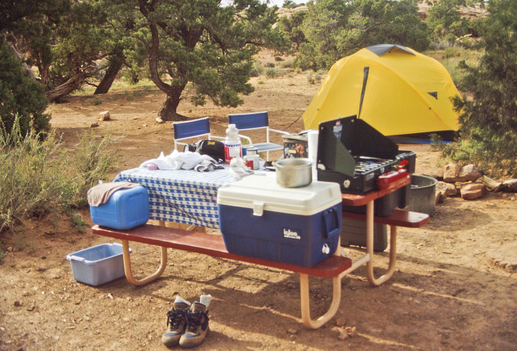
Campsite #7
Willow Flat Campground
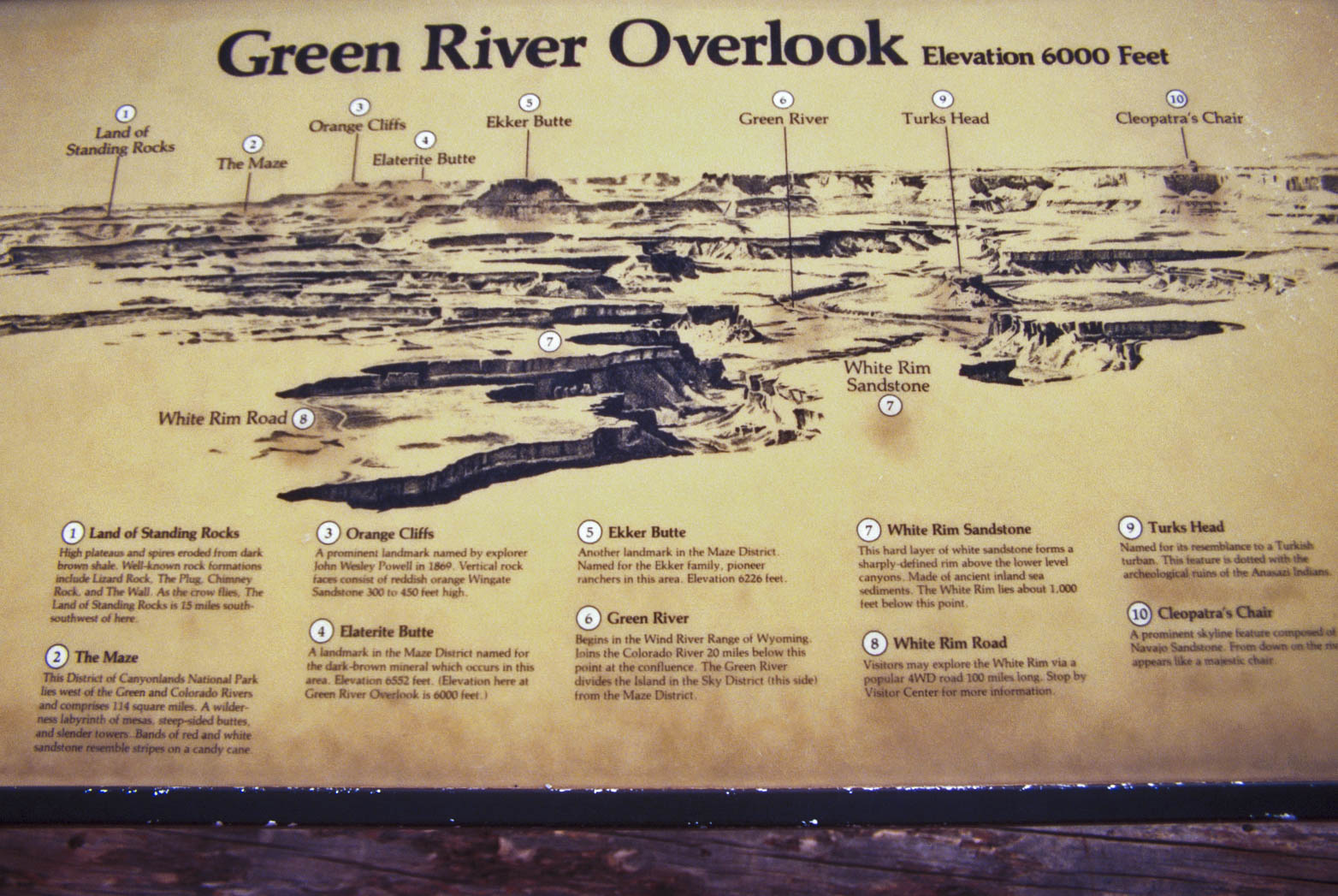
Interpretive sign
Green River Turks Head (center)
Cleopatra's Chair (upper right)
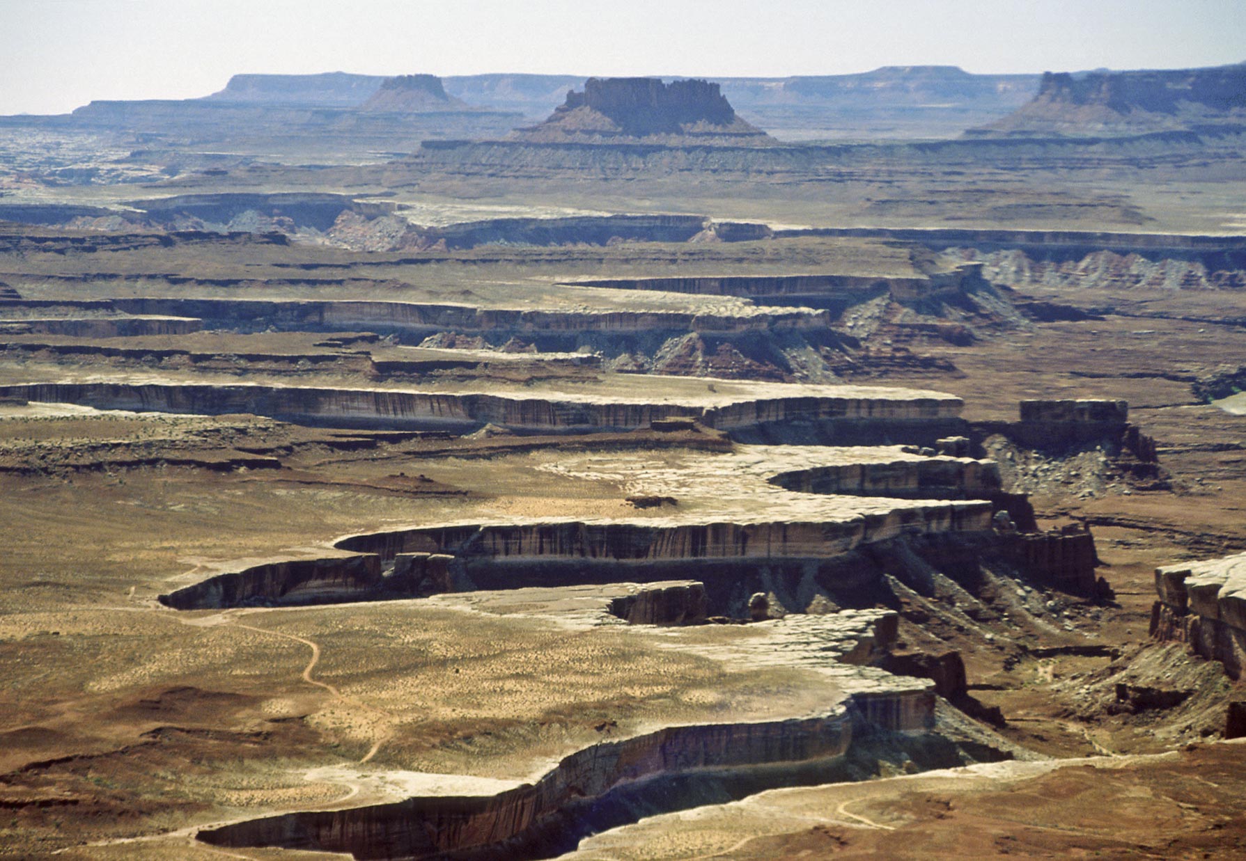
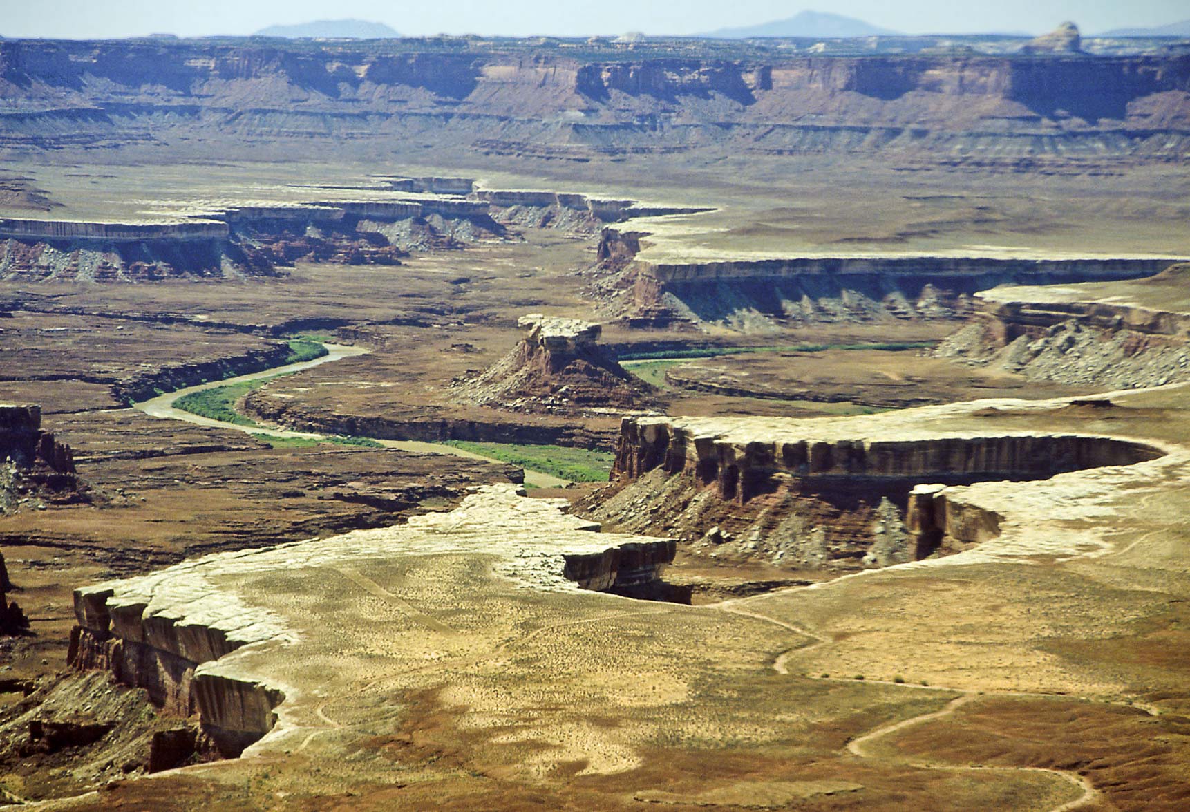
View southwest from Green River overlook
Ekker Butte (center), Elaterite Butte (left backgrnd)
View NW from Green River overlook
Green River Overlook Panorama
(l to r) Elaterite Butte, Ekker Butte, Green River, Turks Head, Cleopatra's Chair
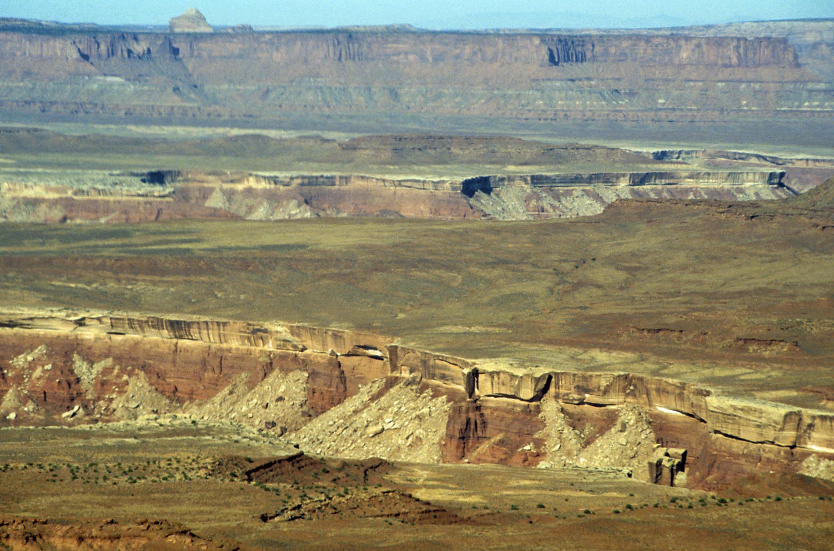
Murphy Point Overlook
The next stop after Green River Overlook is
Murphy Point, also located on the west side of Island in the Sky Mesa. Views are to the west and southwest into
the Maze District.
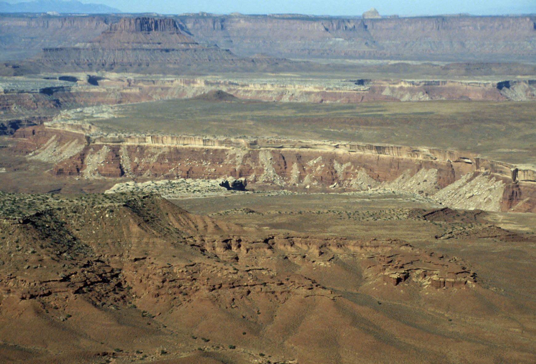
View west-southwest from Murphy Point overlook
Ekker Butte (left background)
View west from Murphy Point overlook
View north from Murphy Point overlook
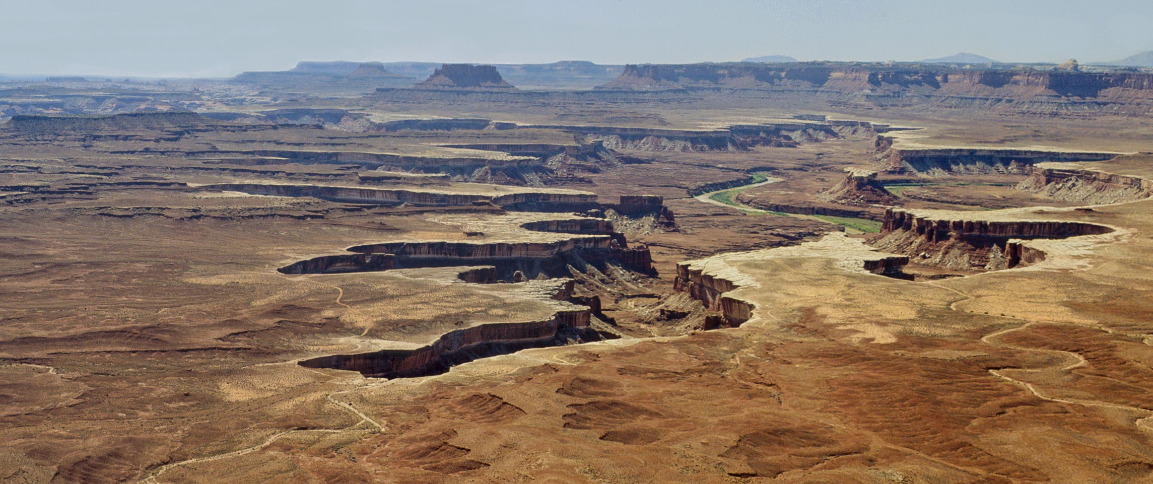
Buck Canyon Overlook
After admiring the views at Murphy Point we get back on the road and turn right at the
junction heading toward Grand View Point. The next stop is Buck Canyon Overlook with views
to the east. Buck canyon and the La Sal Mountains are notable features at this overlook.
Buck Canyon La Sal Mountains in distance

Buck Canyon viewed from Buck Canyon overlook
View east-northeast from Buck Canyon overlook
Part of the Colorado River is visible in the distance
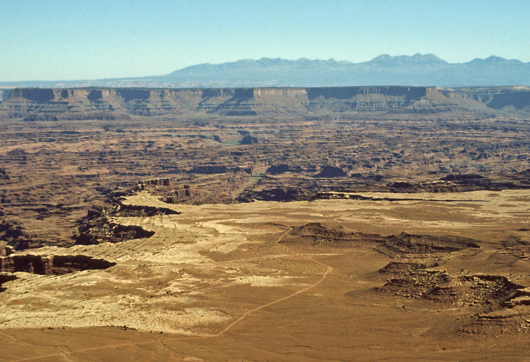
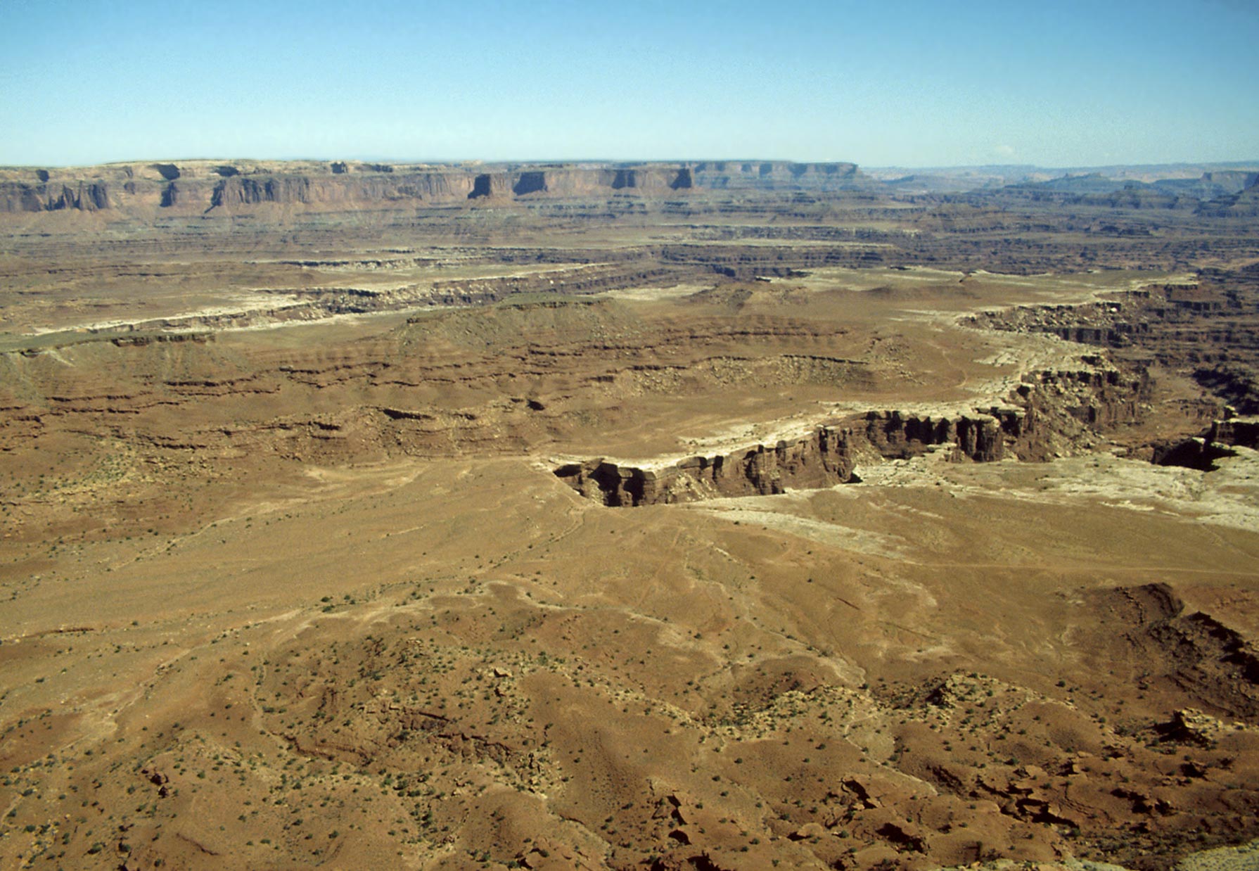
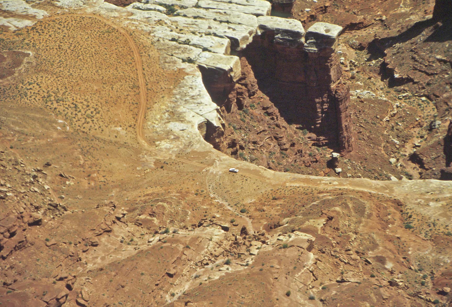
White Rim Overlook and Gooseberry Canyon
The next stop on the tour is White Rim Overlook and Gooseberry Trail, just before reaching
Grand Point. Gooseberry Trail is a difficult 5 mile out and back trail that descends from
the mesa top to the white rim (1500 foot elevation change). On the other hand, it's just a short
jog out to White Rim Overlook, with views to the northeast, east, and southeast. The overlook
offers great views of Gooseberry Canyon, Monument Basin, and Junction Butte.
Gooseberry Canyon
View from Gooseberry Canyon Trail
Gooseberry Canyon
and cliffs to the east
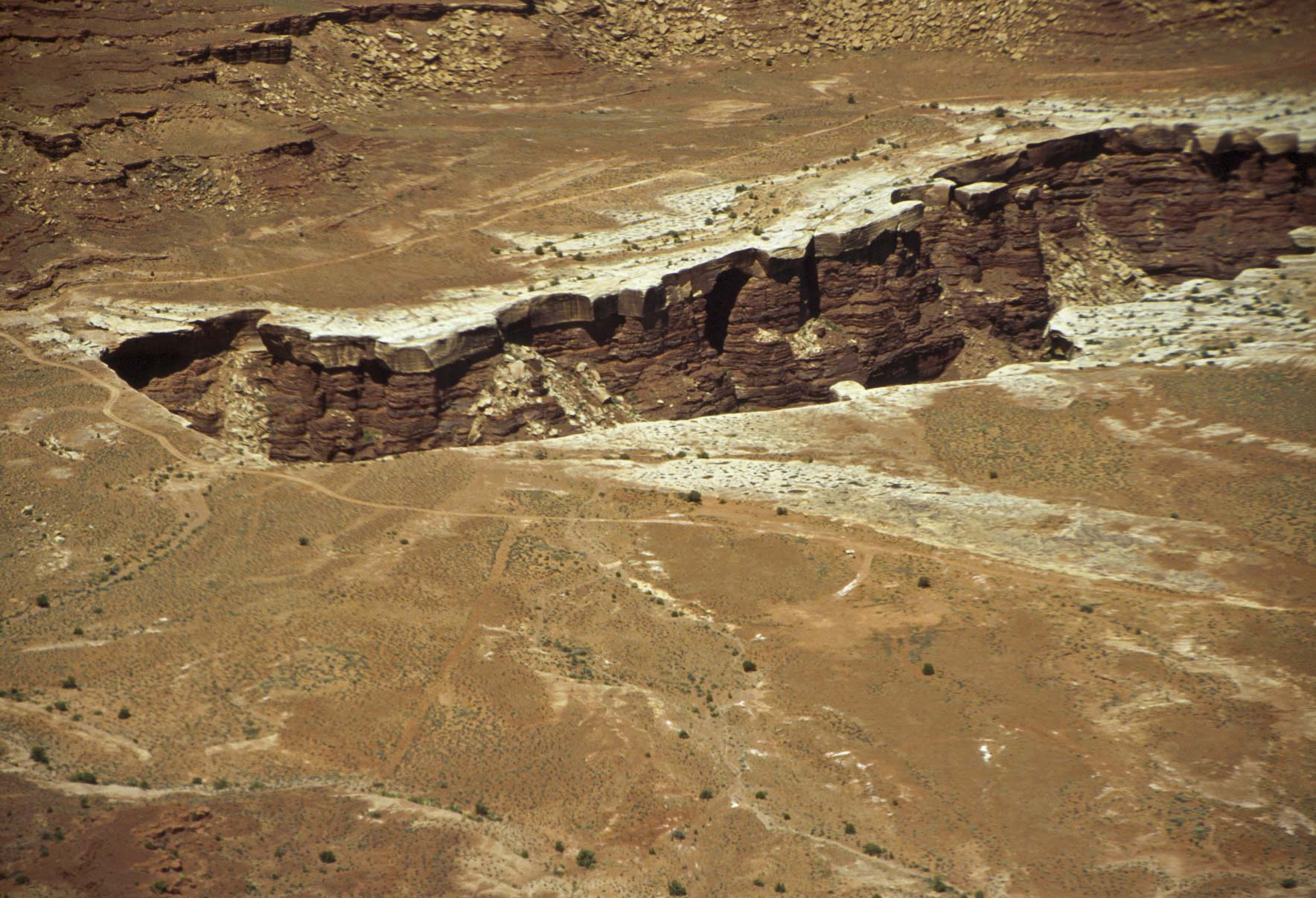
Gooseberry Canyon and White Rim Road

Monument Basin
View from White Rim Overlook

Junction Butte
View from White Rim Overlook
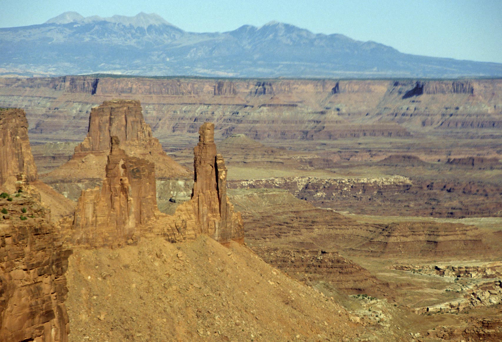
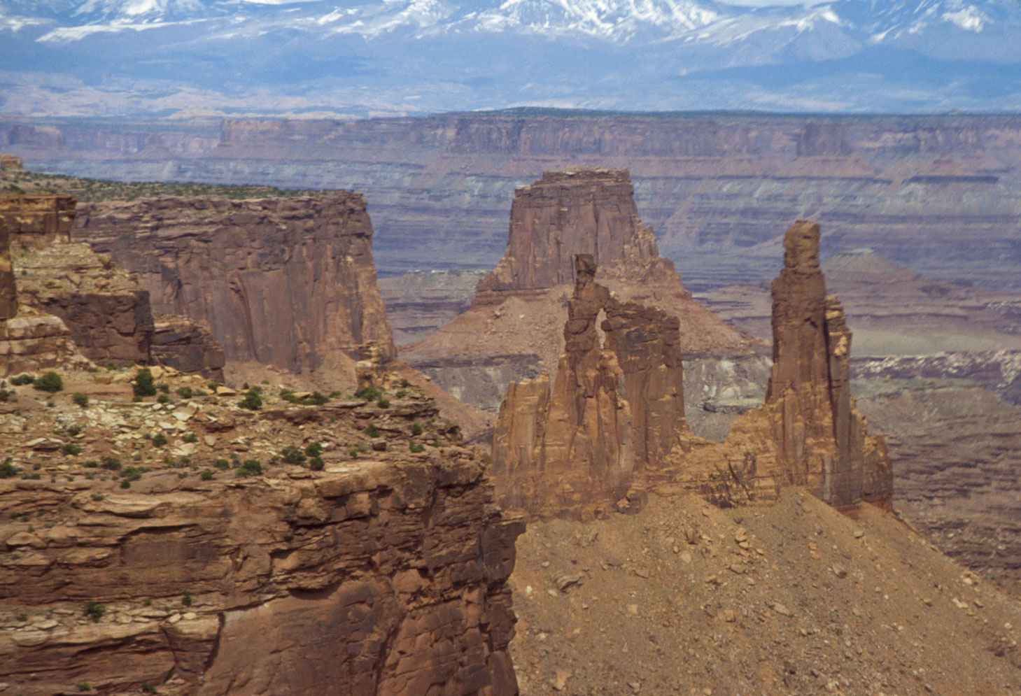
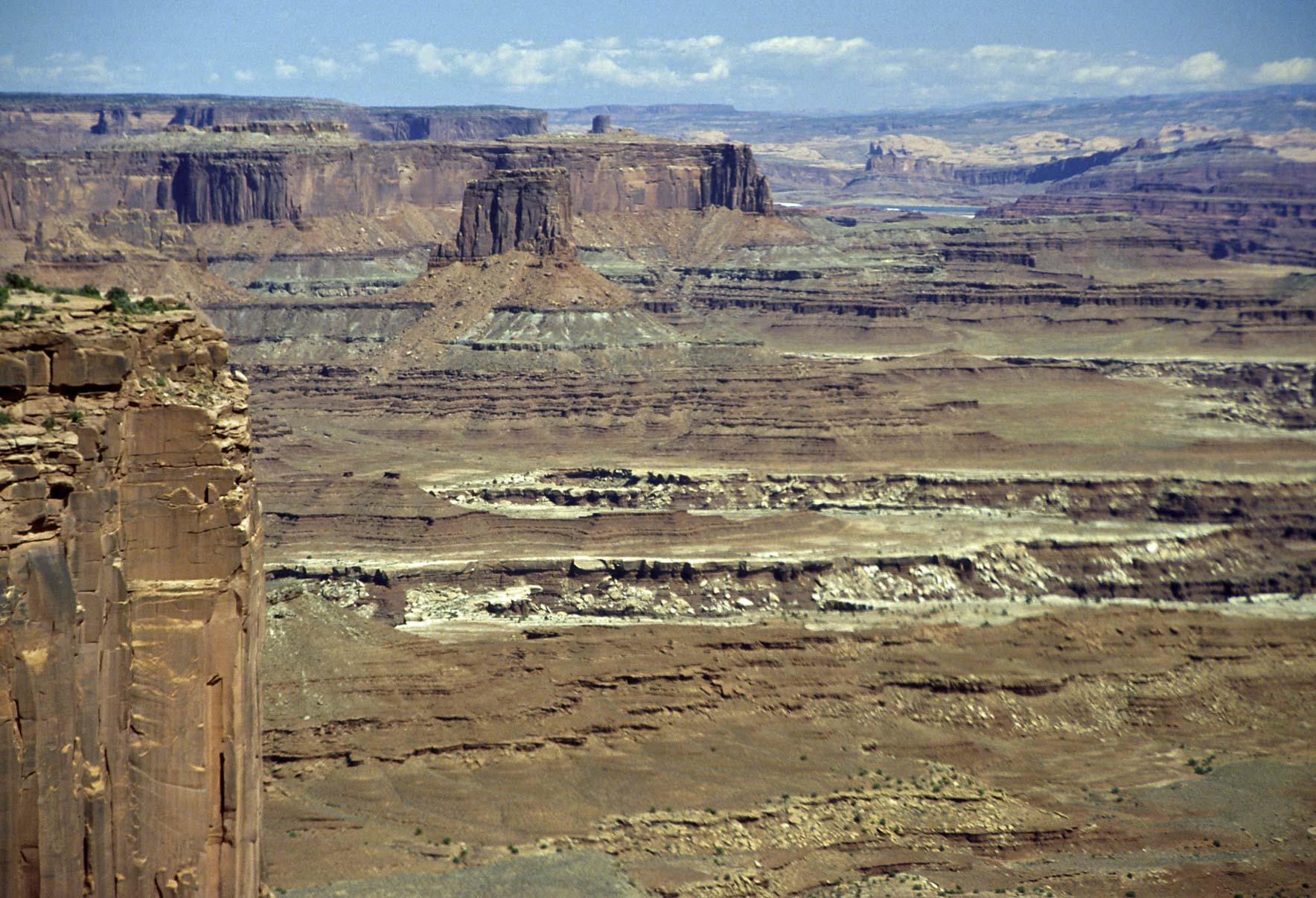
Monument Basin
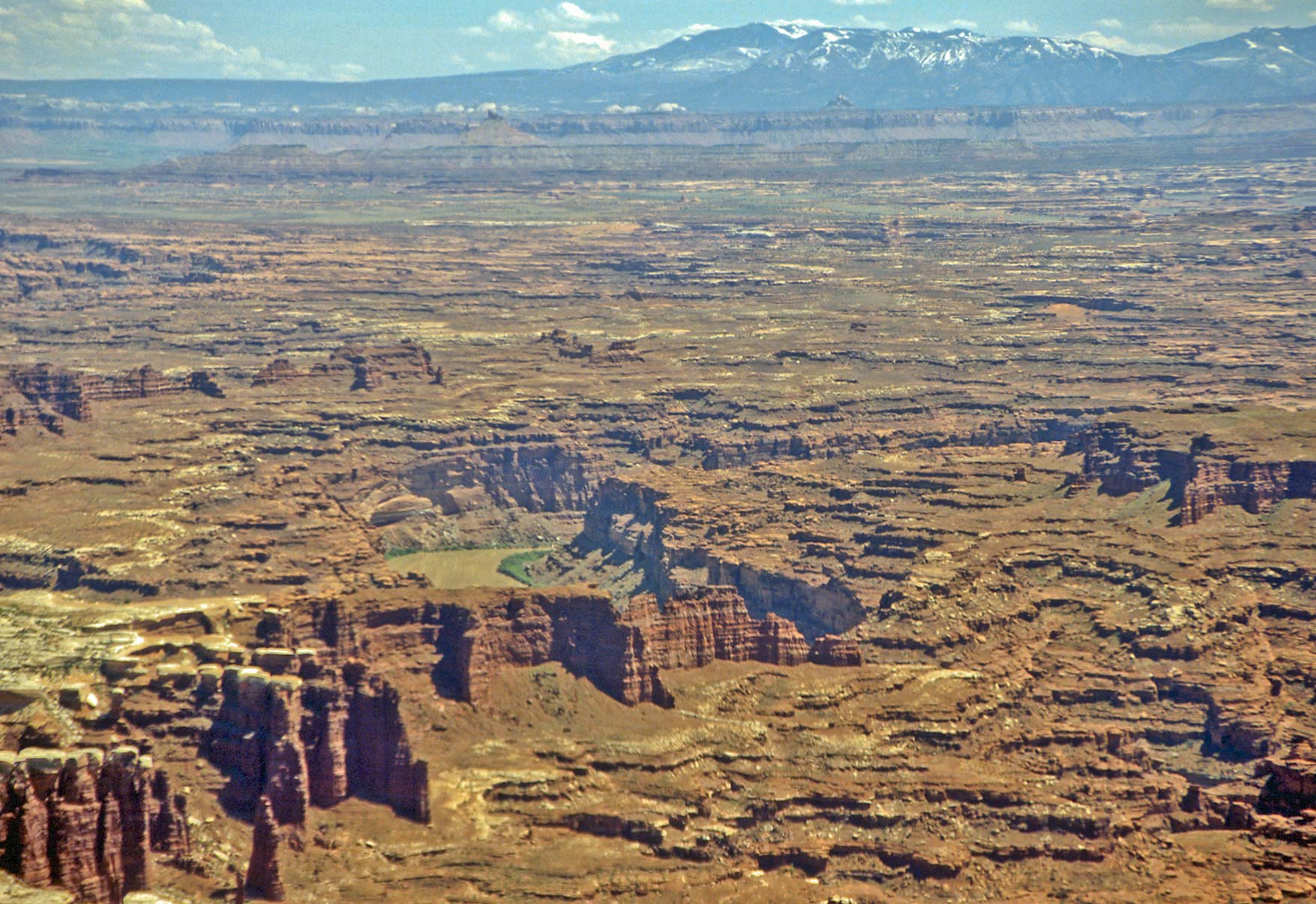
Monument Basin is best viewed from stops near the end of Island in the Sky Mesa and
from Grand View Point. I have included a series of photos in this section taken from
various vantage points.
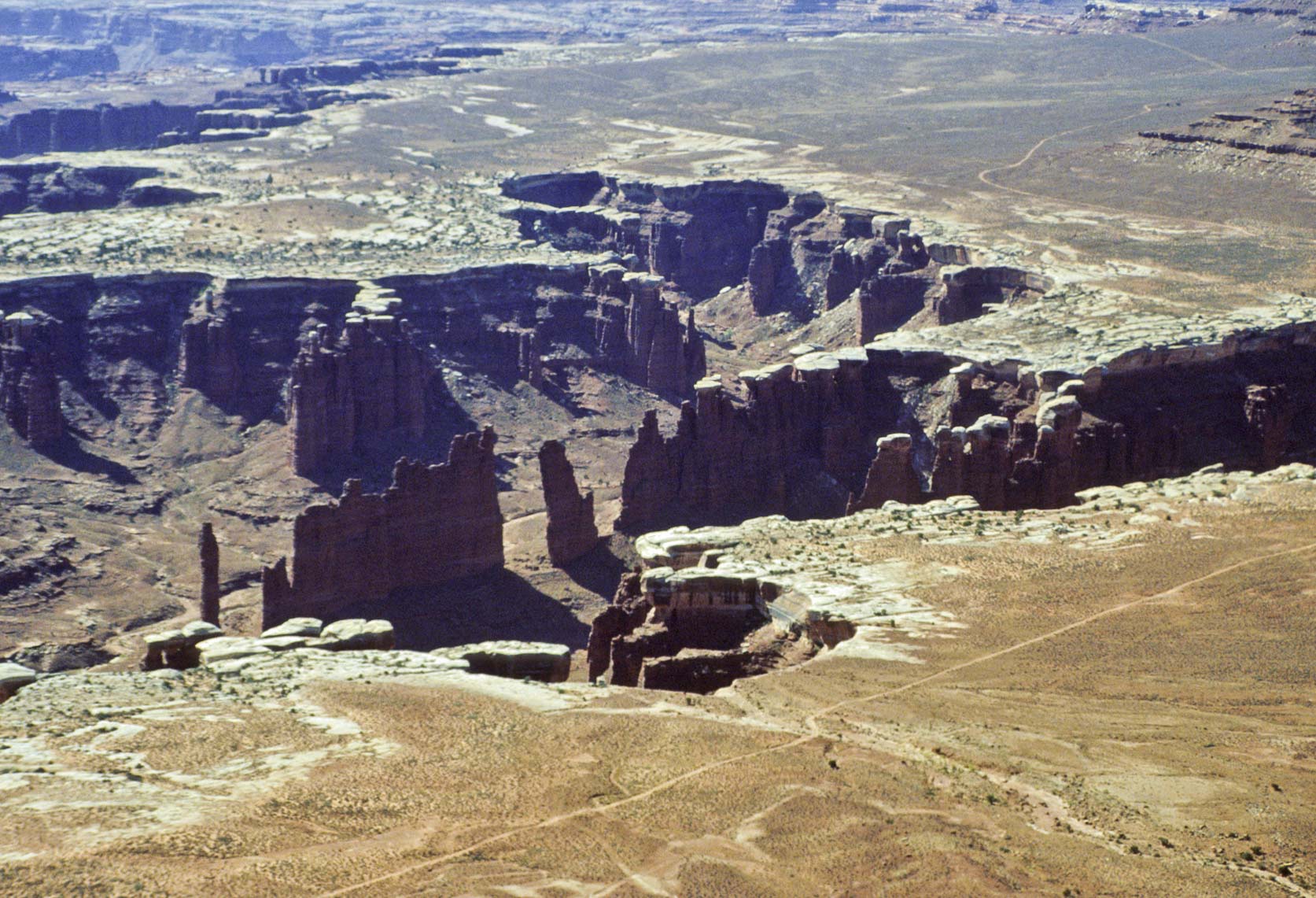
Monument Basin and White Rim road
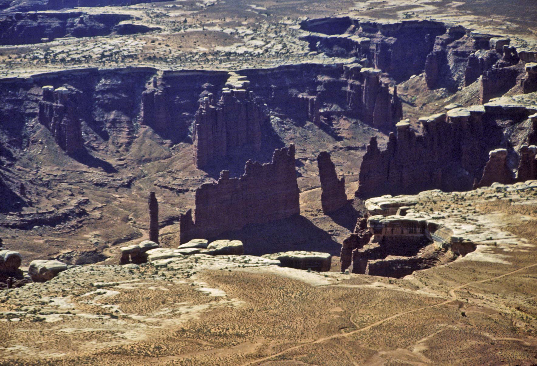
Monument Basin
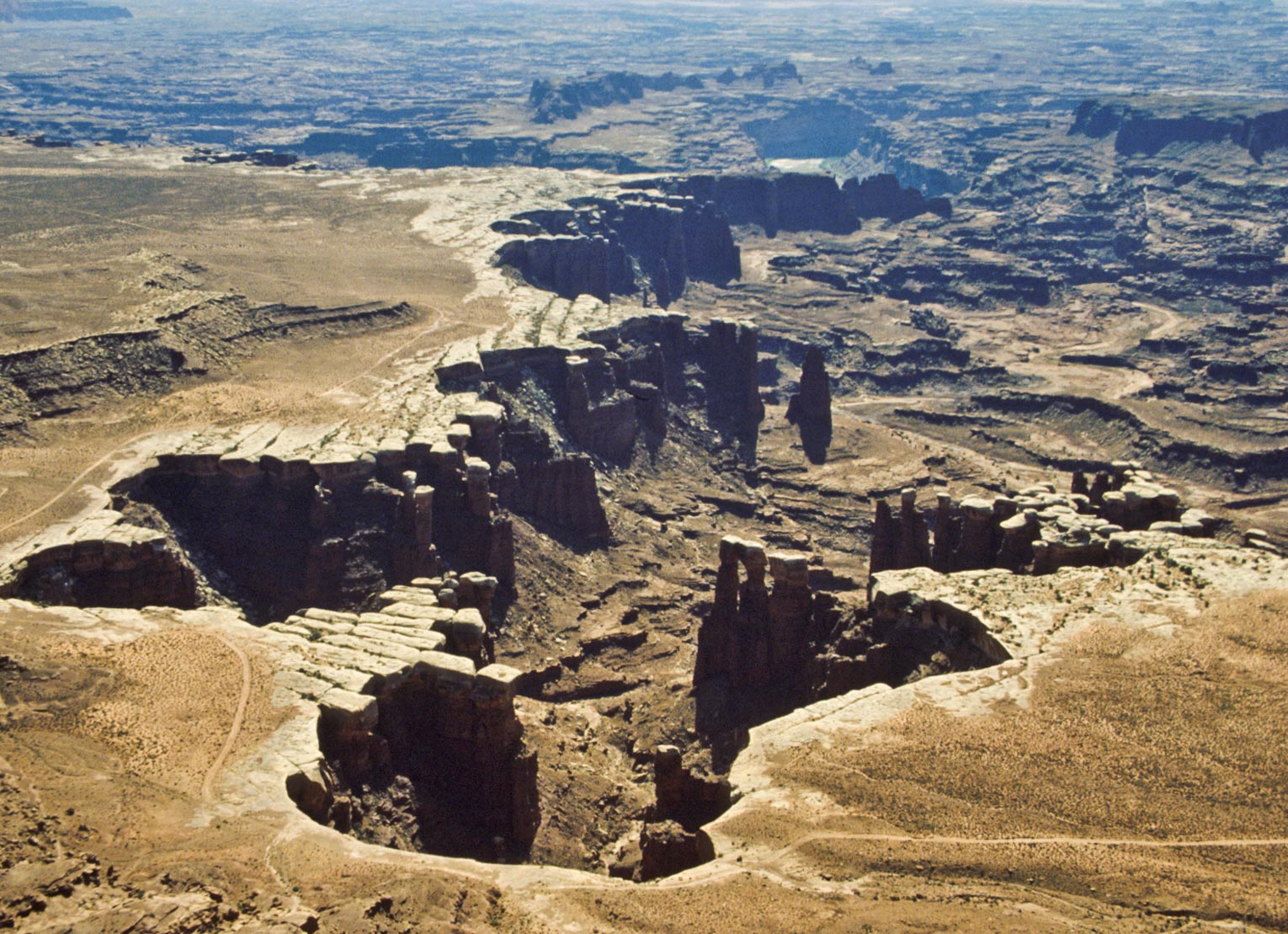
Monument Basin and White Rim road

Monument Basin
Abajo Mountains in distance
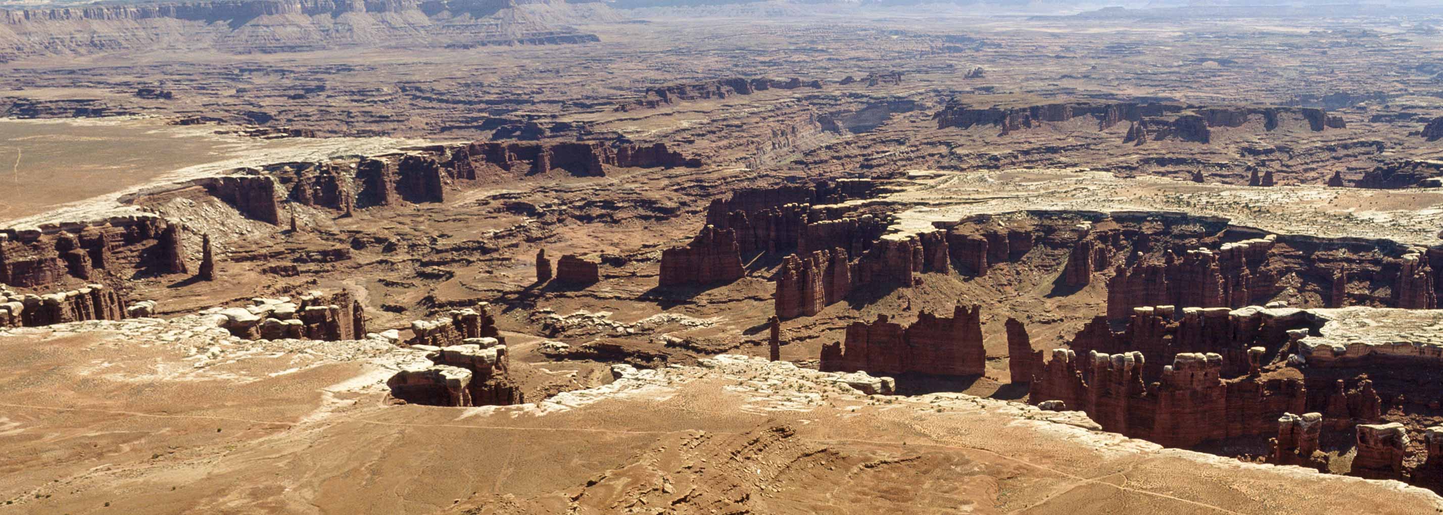
Monument Basin
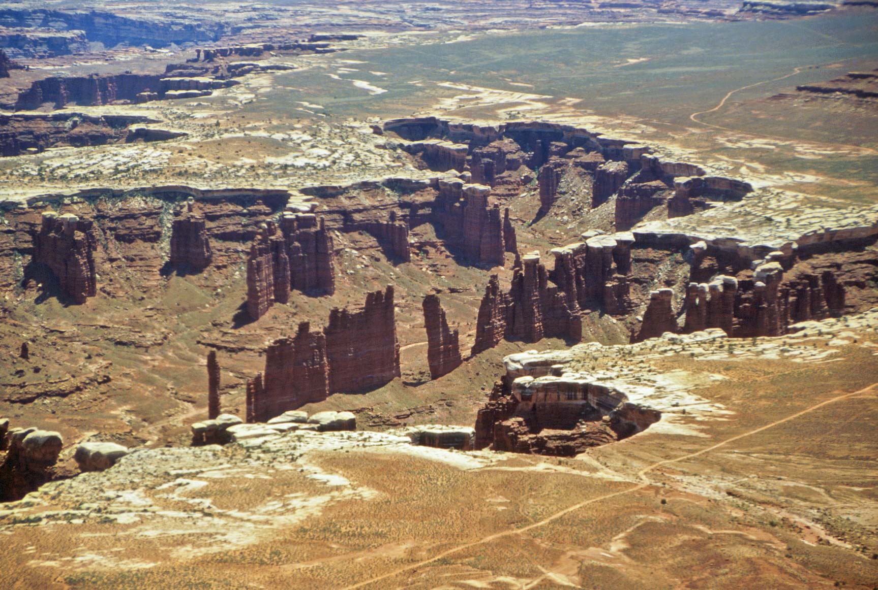
Monument Basin
White Rim Road in foreground

Monument Basin and Colorado River
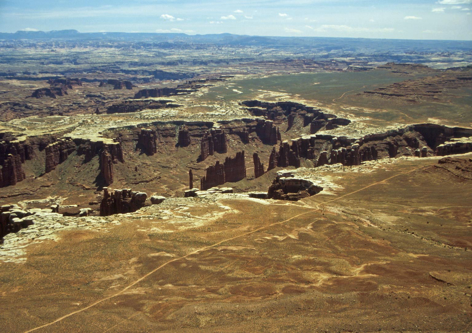
Monument Basin and White Rim Road
from Grand Viewpoint
Grand View Point
Finally we reach Grand View Point, at the southern end of Island in the Sky Mesa.
Grand View Point provides expansive views of Island in the Sky District to the east, south, and west.
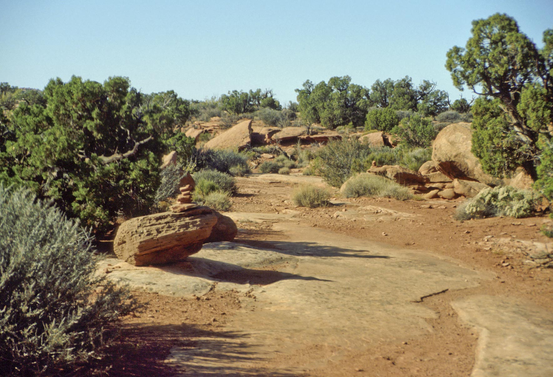
Trail to Grand View Point
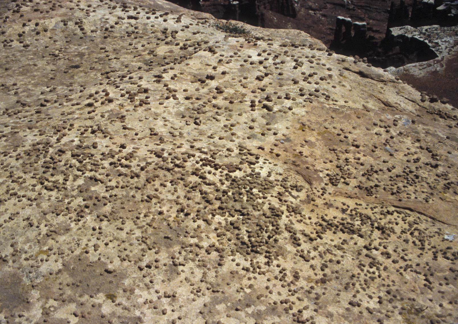
Rock Pebbles
White Rim Road
view from Grand View Point
View SW from Grand View Point Overlook
Junction Butte (left)

View west from Grand View Point Overlook

Monument Basin
view from Grand View Point
View from Grand View Point
La Sal mountains in distance
View from Grand View Point
La Sal mountains in distance
Use the form on the Home Page to submit comments, questions, or suggestions. TD Productions Copyright © 2018