Canyon de Chelly National Monument
I've thought about going to Canyon de Chelly (pronounced Canyon de Shay) for at least the past 15 years. Well, I finally made it in May of 2022. Steph and I stayed at the Thunderbird Lodge, right in the National Monument. Canyon de Chelly is located within the Navajo Reservation and is administered jointly by the National Park Service and the Navajo Nation. You can explore the canyon on foot, horseback, or vehicle, but you must do so in the company of a Navajo guide. I seem to always forget something on my trips, and this time I forgot to take any photos of the Thunderbird Lodge. Our room at the lodge was excellent, and I'll give the Thunderbird ***** for accommodations. The cafeteria-style restaurant was so-so, but it did serve Navajo tacos and burgers made with fry bread instead of tortillas and buns. Yum. Package deals at Thunderbird Lodge include canyon tours, and their tour vehicles are awesome. Check out the photo below.
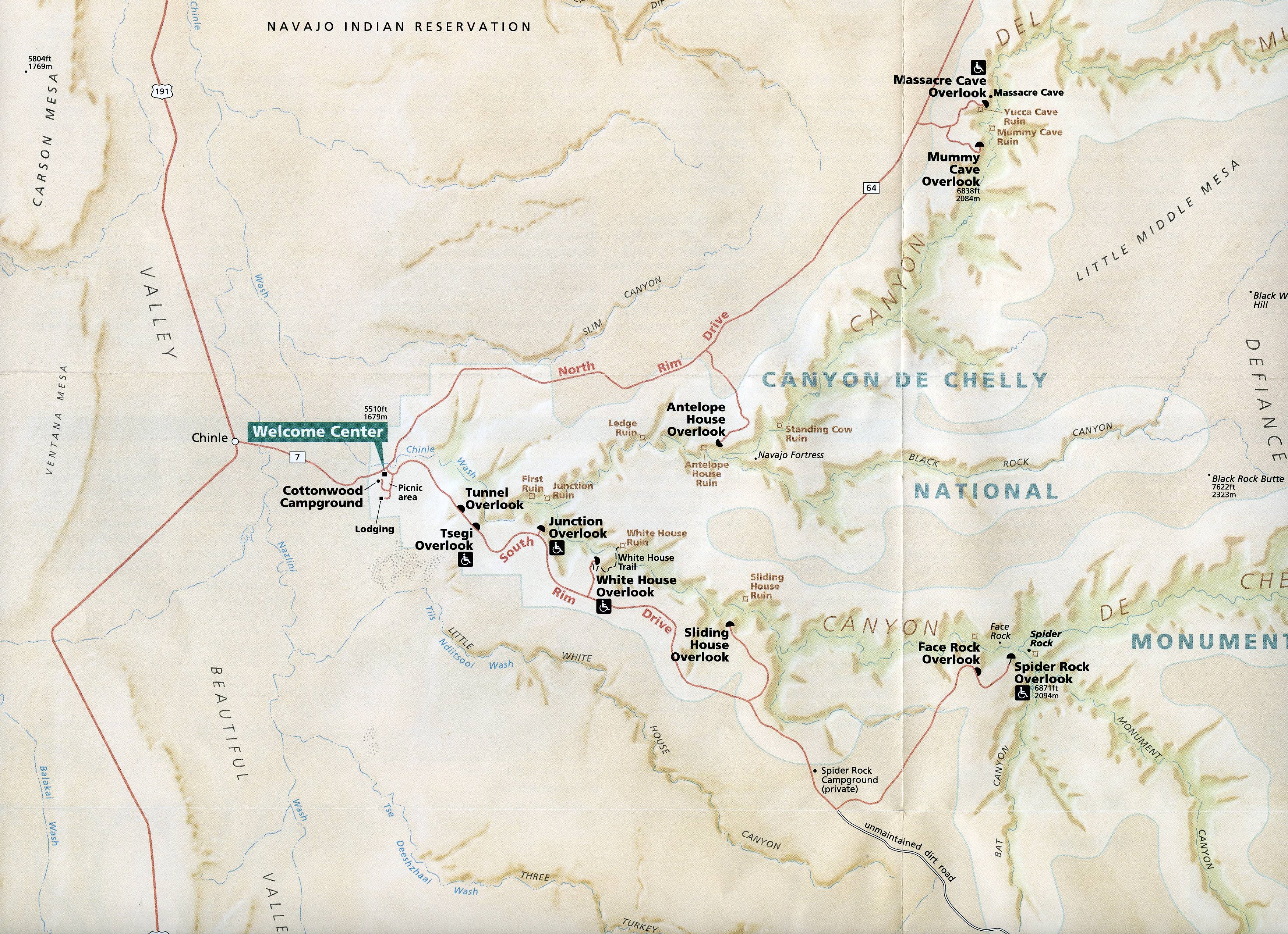
Park Map
Courtesy of NPS
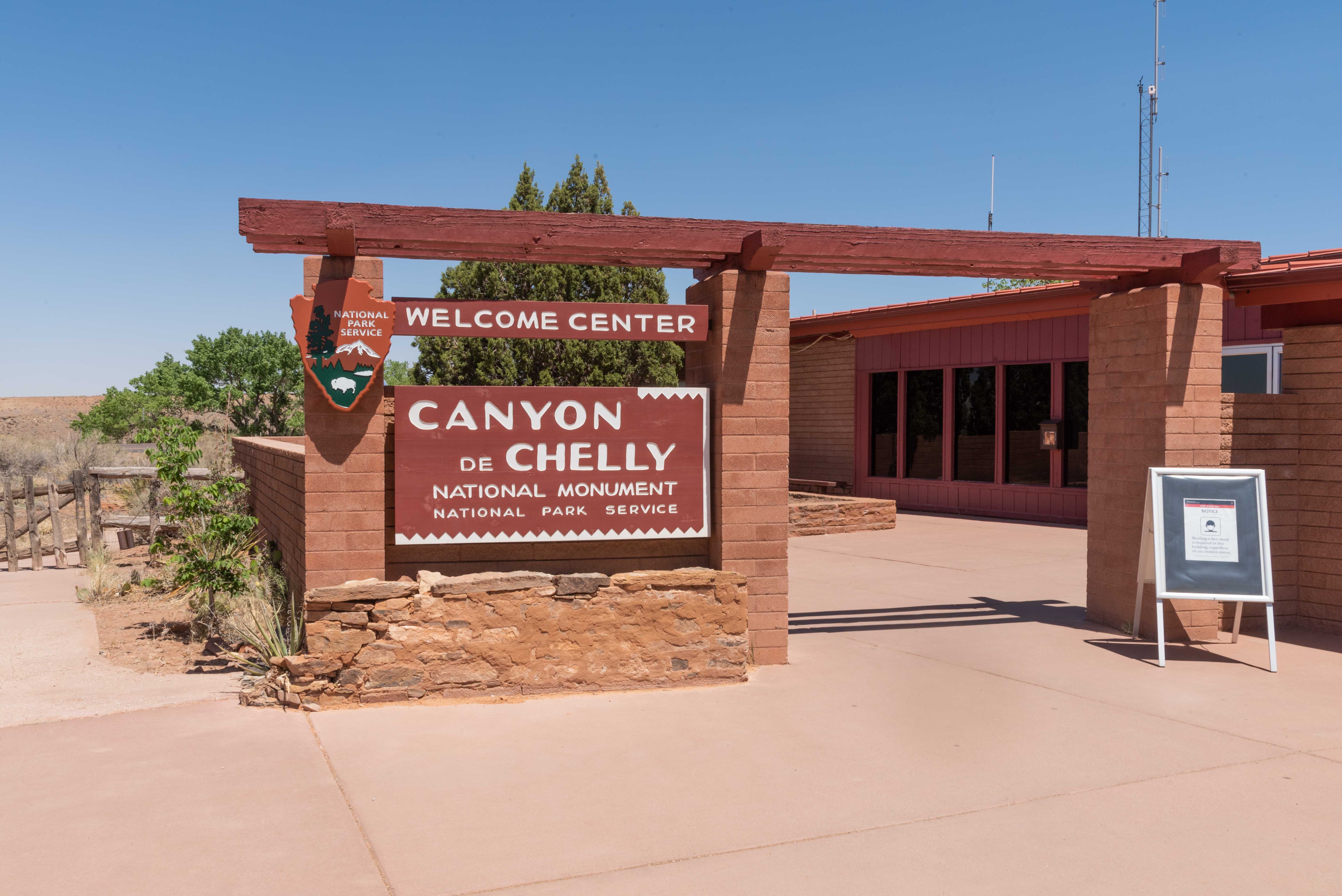
Canyon de Chelly Welcome Center
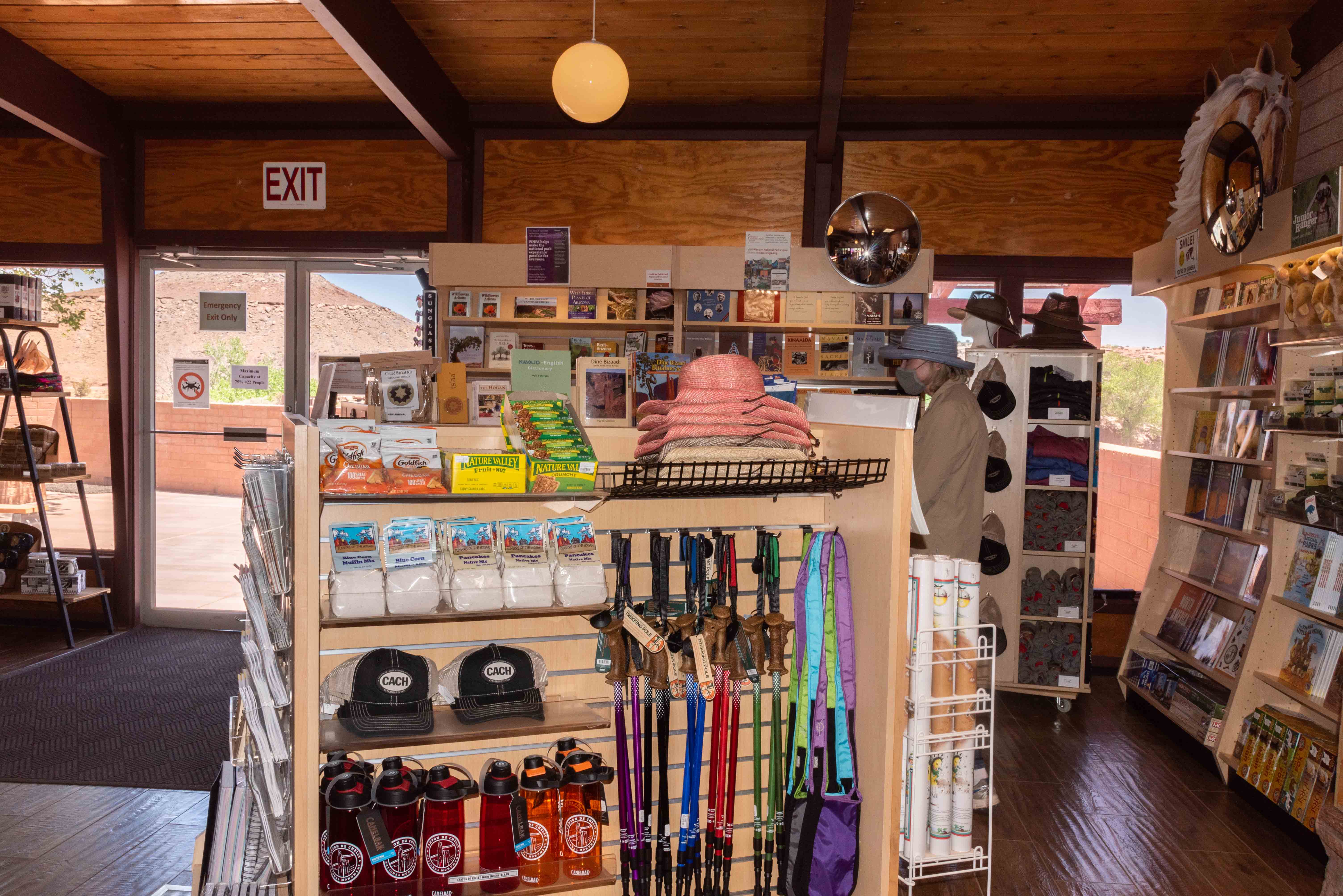
Welcome Center Gift Shop

Navajo Hogan at the Welcome Center
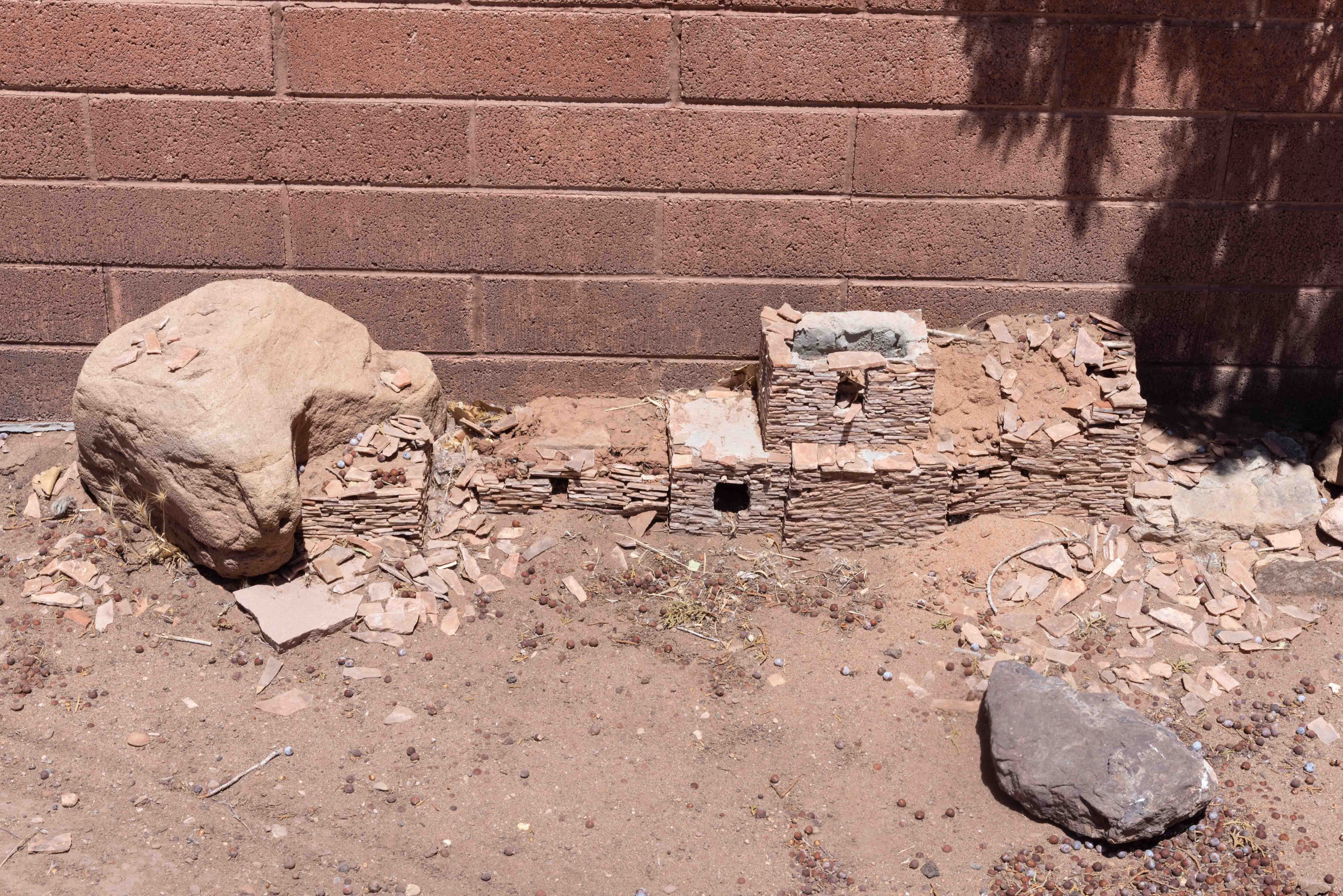
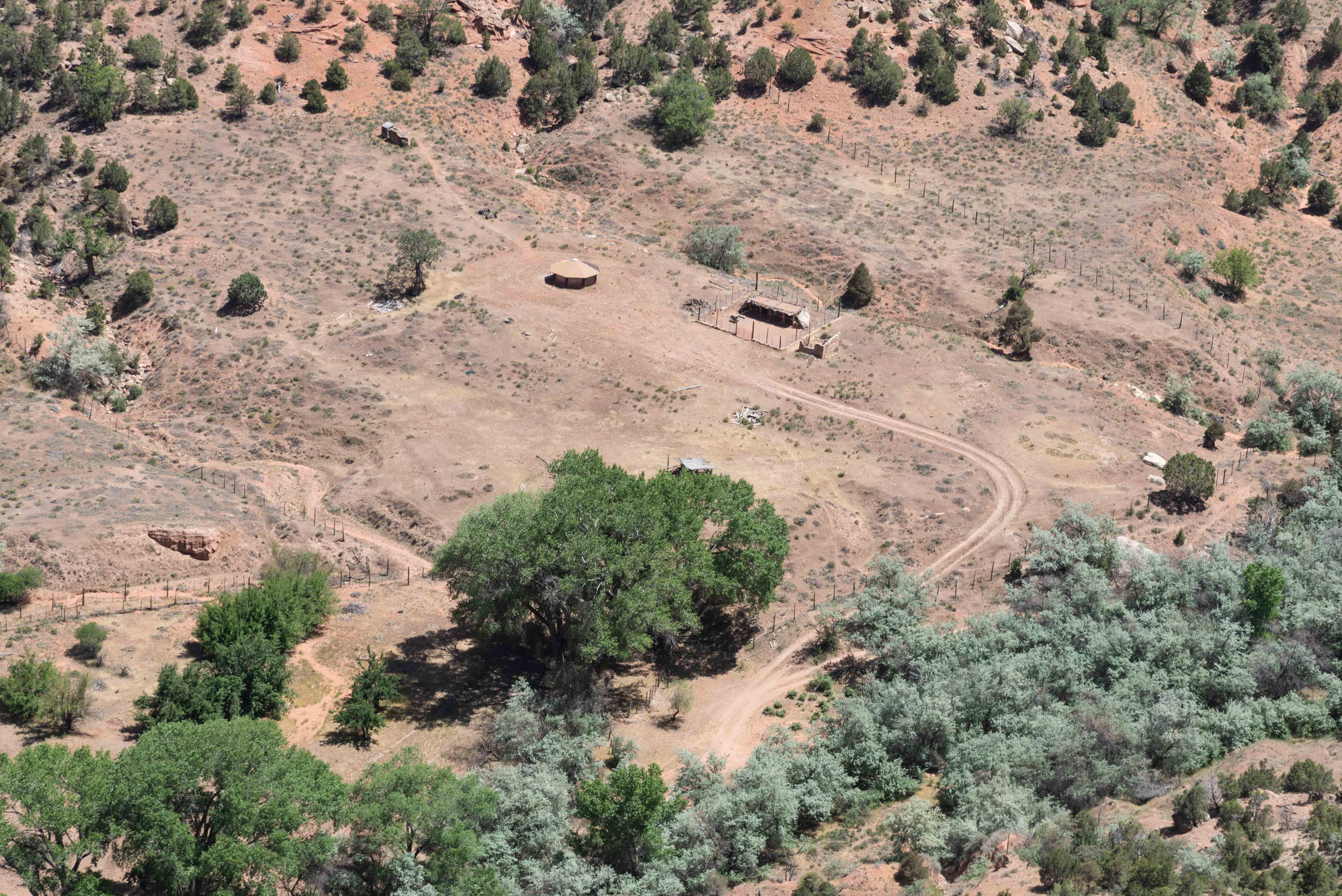
Mini Ruin

Pinzgauer Touring Vehicles
Thunderbird Lodge
Canyon Tour
We opted for a 3 hour jeep tour offered by Canyon de Chelly Tours.
The tour came with Jarvin Yazzie, our Navajo guide, and a bright
blue Jeep Wrangler. Be prepared to fork out $8 per person for Navajo Department of
Parks and Recreation backcountry permits at the start of your tour. Canyon de Chelly actually
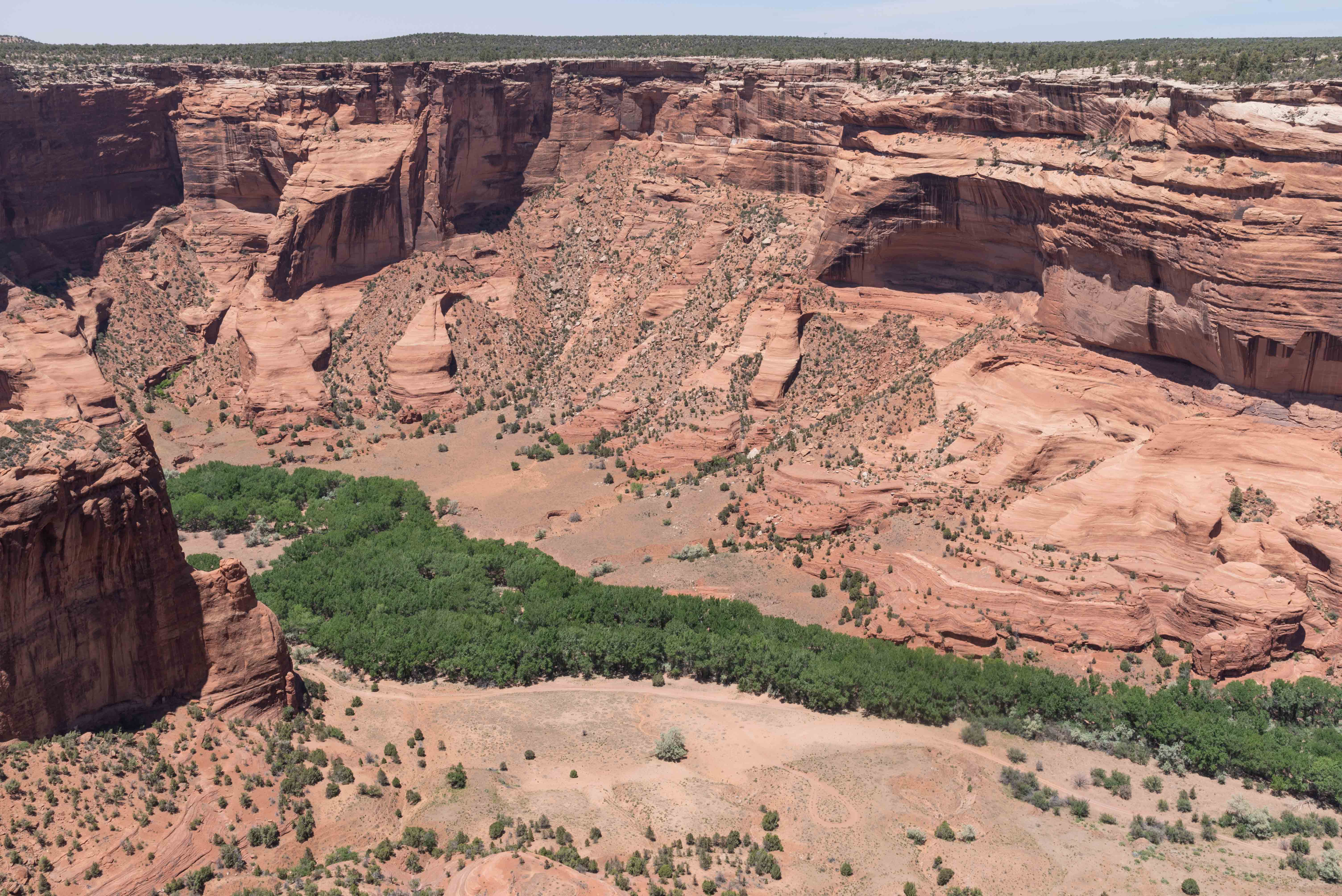
consists of two major canyons, Canyon de Chelly and Canyon del Muerto. We spent most of
our 3 hours in Canyon del Muerto, with stops at two ruins in Canyon de Chelly. There are lots
of Anasazi ruins, petroglyphs, and pictographs in both canyons. I will use the term Anasazi
instead of Ancestral Puebloan for this photoessay, because that's what Jarvin called the ancient
ones. (Besides, I consider "ancestral puebloan" very woke).
The very first stop was at some pictograph panels. Jarvin explained the symbolism of some of the pictographs, and the difference between positive and negative handprints. Positive handprints were made by applying dye to the palm, then pressing it against the rock. Negative handprints were made applying dye around the outline of a hand pressed against the rock. Can you spot examples of each in the left-hand panel? I noticed that modern-day graffiti was absent from the pictographs and petroglyphs throughout the canyon. Could be due to the policy of not allowing anyone in the canyon without a baby-sitter.
Anasazi Pictographs

Anasazi Pictographs

Chinle Wash - bottom of the canyon
Lots of wild horses
The first ruin we came to was...First Ruin. First Ruin is a Pueblo III ruin with 10 rooms and two kivas. It's located on the north side of Canyon de Chelly just west of the junction with Canyon del Muerto. As we were leaving it was mandatory that Jarvin issue the old line "First Ruin in, First Ruin out".
First Ruin

First Ruin - a little closer

Junction Ruin
Junction Ruin is located just to the east of First Ruin at the junction of the two canyons, hence the name. It has 15 rooms and a kiva.
Jenny Yazzie lives in the canyon bottom near Junction Ruin. She has solar powered electricity, Direct TV, and a peaceful, secluded homestead. Couldn't ask for anything better. Jarvin Yazzie is related to lots of folks in Canyon de Chelly. I think he might be related to Jenny Yazzie as well.

Jenny Yazzie Homestead
Echo Ruin #1 (north wall of canyon)
We stopped in a section of Canyon del Muerto that Jarvin called Echo Canyon. Yes indeed, if you yelled at one end the echos came back from the other end. There were two ruins on opposite sides of the canyon which I've labeled Echo #1 and Echo #2.
Echo Ruin #2 (south wall of canyon)
Jarvin and the Jeep
About midpoint through the tour we stopped at Jarvin's family
compound in Canyon del Muerto, right next to Antelope House Ruin. Various family
members were manning booths and tables selling snacks, drinks, and jewelry. Stephanie
bought a really beautiful necklace. After a quick bite to eat, I took
my photos of Antelope House and we set off on the last leg of our tour.
Antelope House is a Pueblo III dwelling constructed during the early to middle 1200s.
Antelope House had 90+ rooms, a couple of plaza kivas, and several smaller kin kivas.
The well preserved, multistory tower is the dominant feature of Antelope House. Once
upon a time visitors were able to enter the ruin, but today it's completely fenced off.
West Section of Antelope House

Closer View (notice the round kiva in the center)
Antelope House
Navajo Pictographs

Sacred Datura, Jimson Weed (Datura stramonium)

Sheep and Goats
The last stop on our tour was White House Ruin.
The accurate alignment and smoothness of the walls of this Pueblo III cliff
dwelling indicate Chacoan influence in their construction. The
ruin has some 80 rooms and kivas, and probably housed around 100 people.
Whitewashed walls are visible in the center of the upper cliff dwelling. Our guide
said the dwelling was originally called White Plaster Ruin, but the park service changed
the name to White House. The white plastered walls are trashed by a lot of
modern graffiti, the only incidence of this I saw during our tour.
Many of the rooms on the lower level have been eroded by flooding in Chinle Wash
over the centuries.
White House Ruin
Upper Level and Pictographs
Lower level of White House
South Rim Drive
The South Rim Drive starts at the Visitor (Welcome) Center and ends at Spider Rock Overlook.
The distance is 36 miles out and back. There are 7 overlooks along the way. We stopped at
five. We blew off Tsegi Overlook and White House Overlook was closed. Tunnel, Junction,
Sliding House, Face Rock, and Spider Rock Overlooks are included in this section.

View from Tunnel Overlook
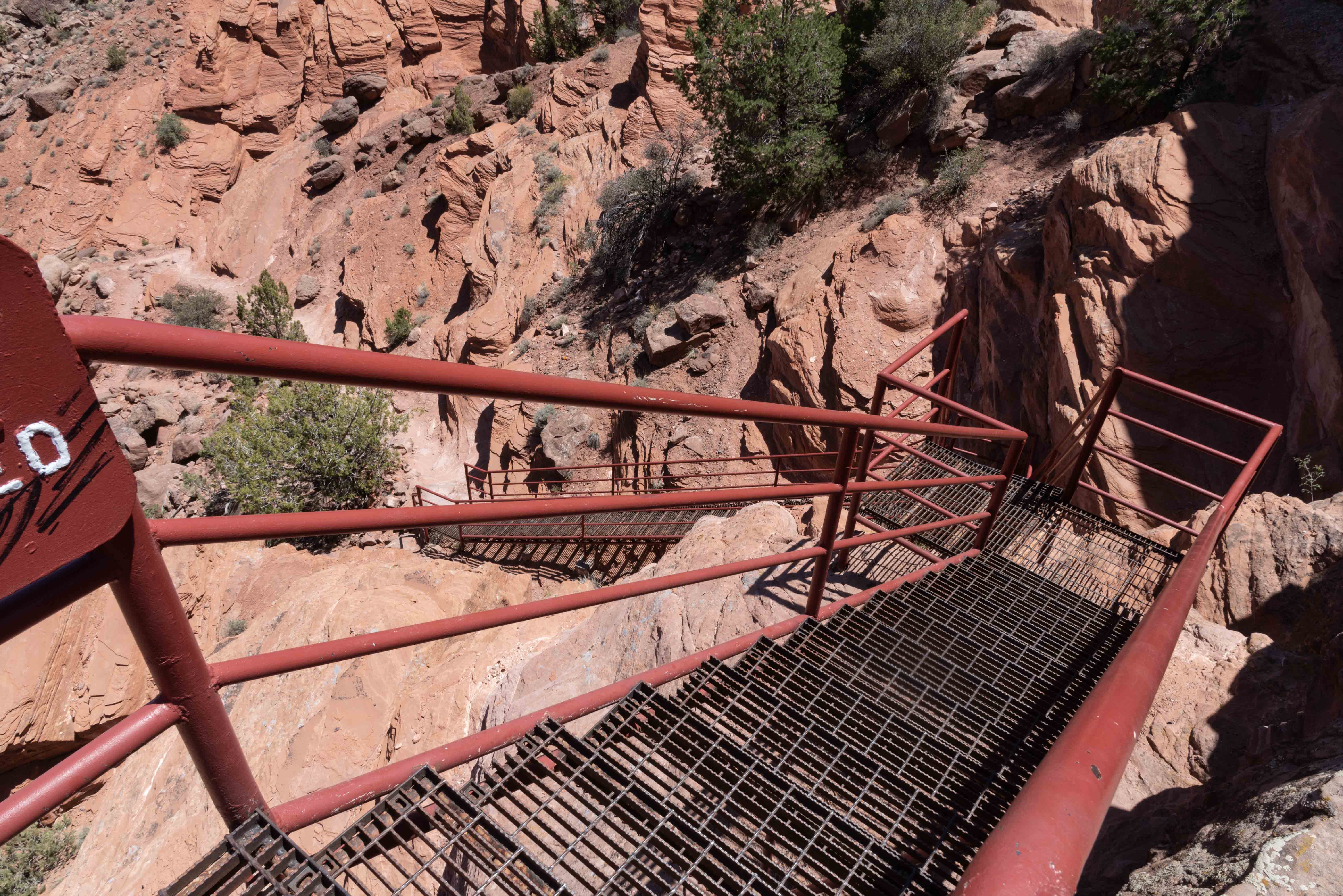
Stairs down to Tunnel Trail
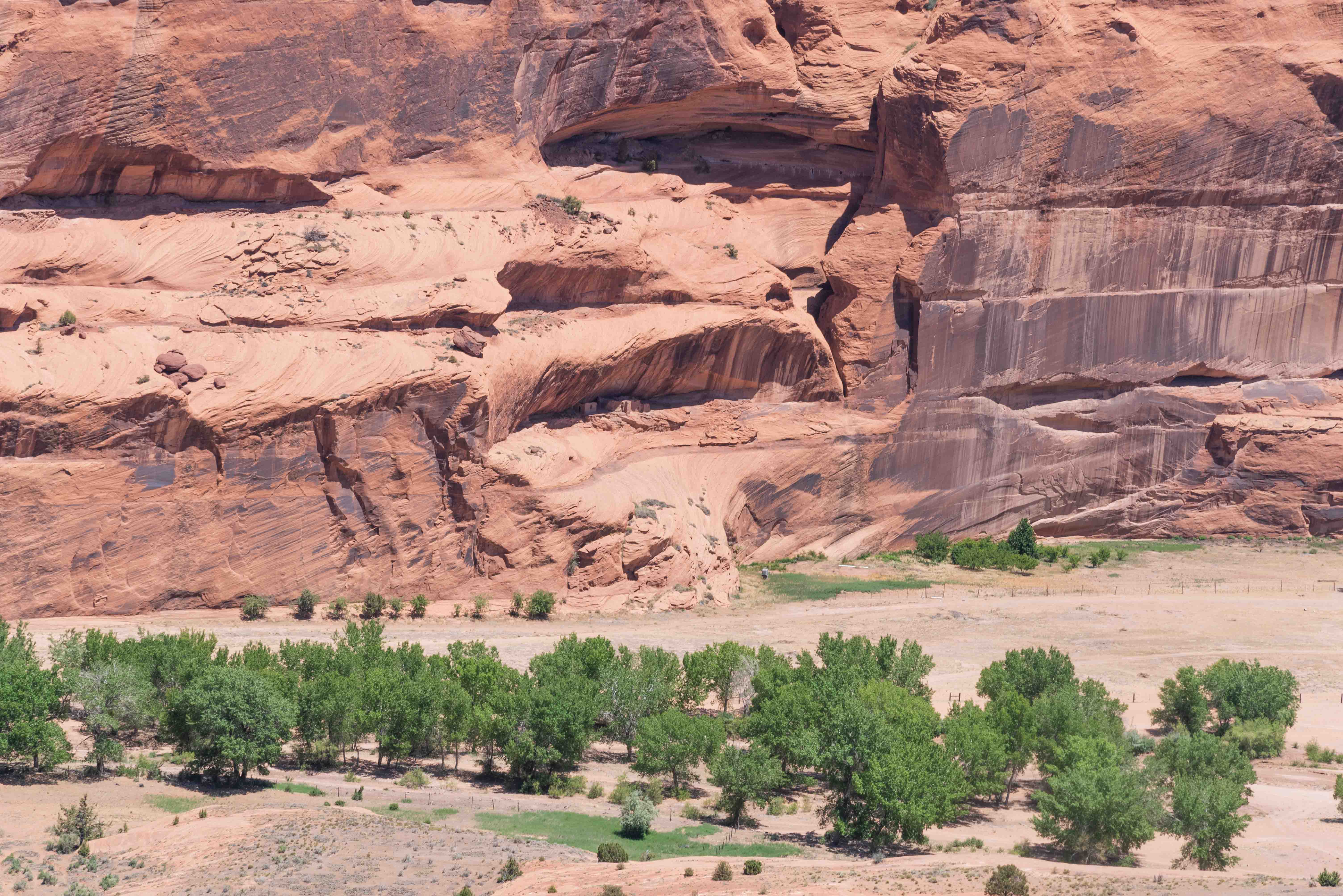
View from Junction Overlook
Junction Ruin in alcove in center of photo
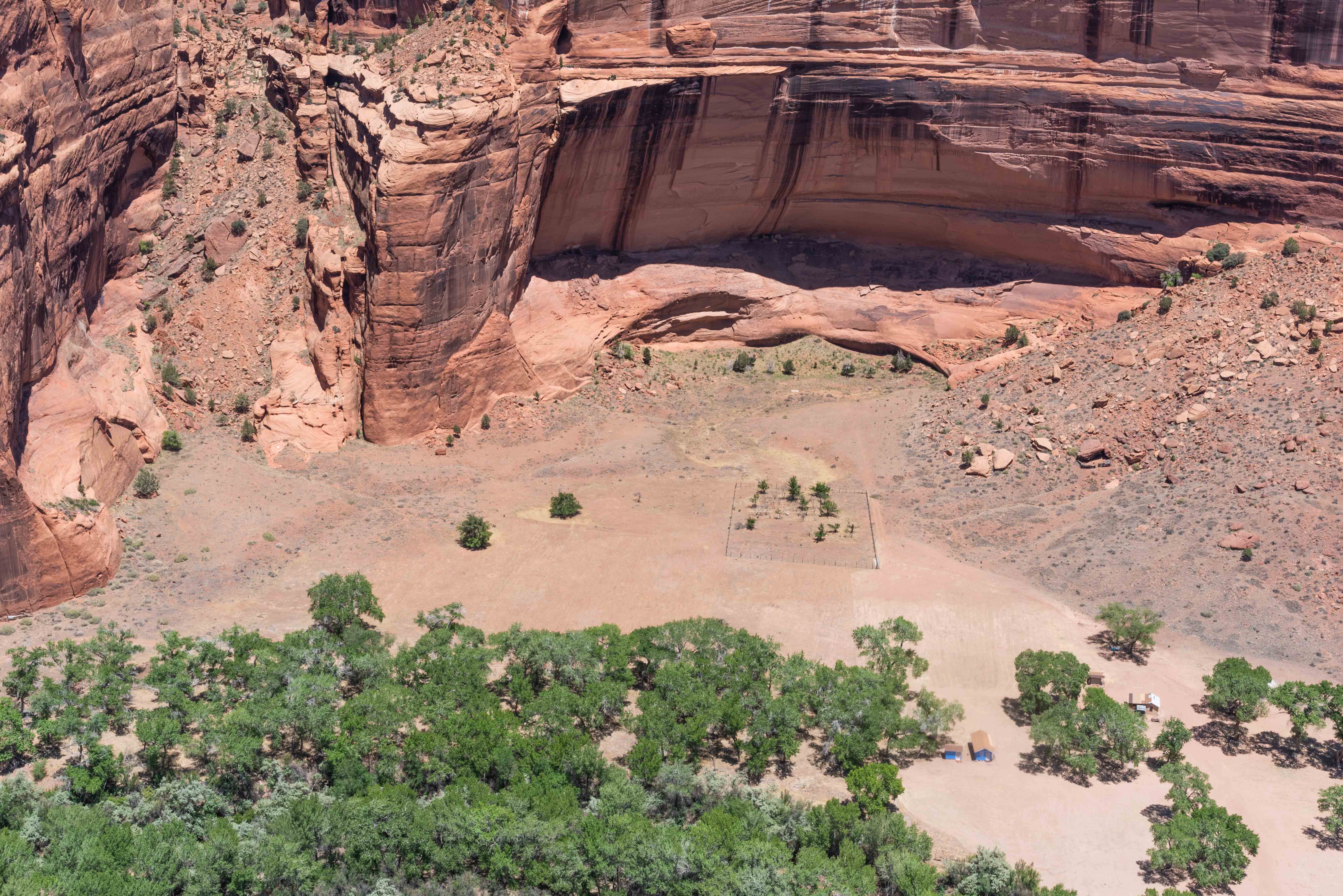
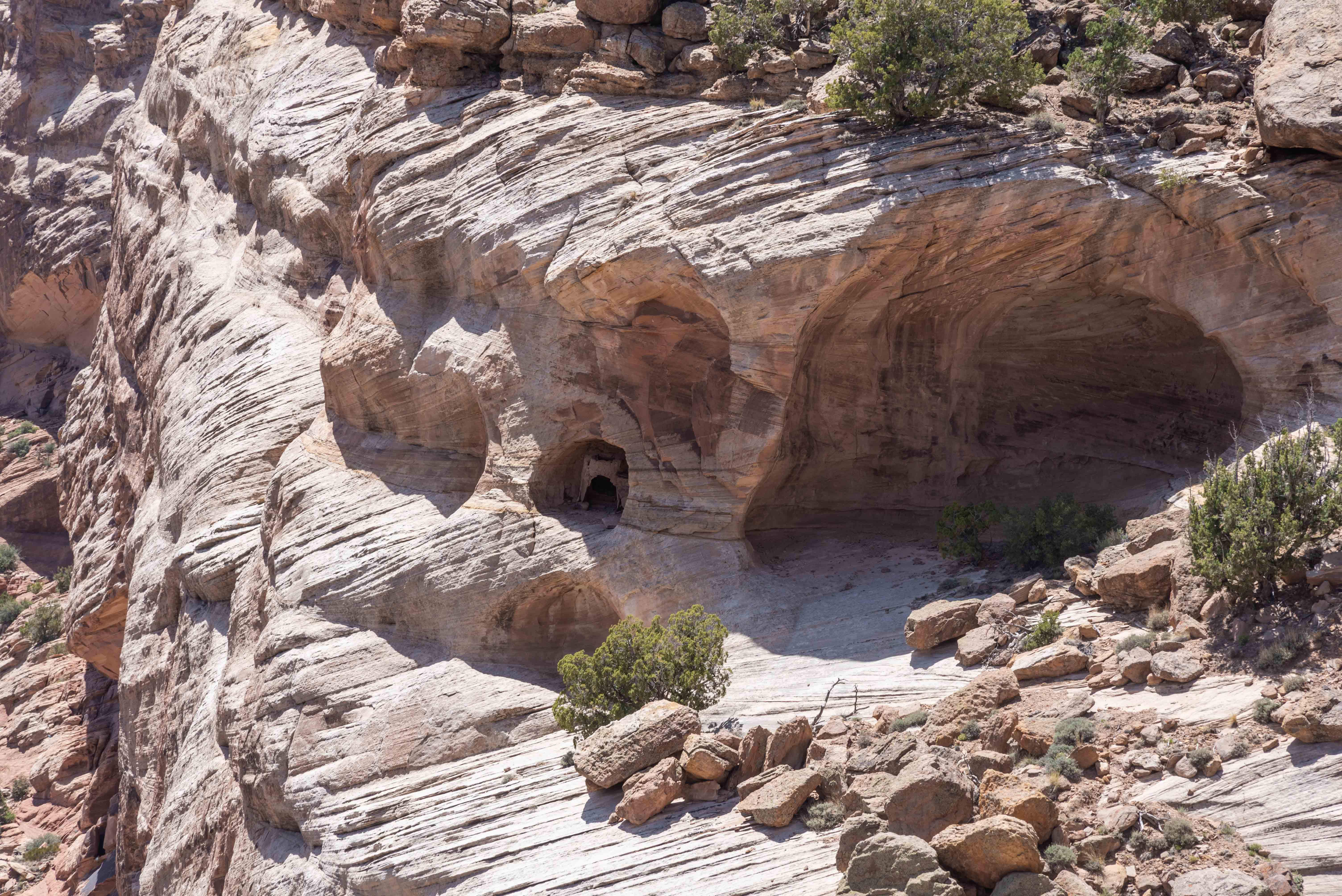
View from Sliding House Overlook
Ruins are visible in the alcove
Sliding House Ruin was initially occupied around 900 AD and contained 30 to 50 rooms. The village was so named because several of its rooms slid off the precariously sloped ledge on which it was built.
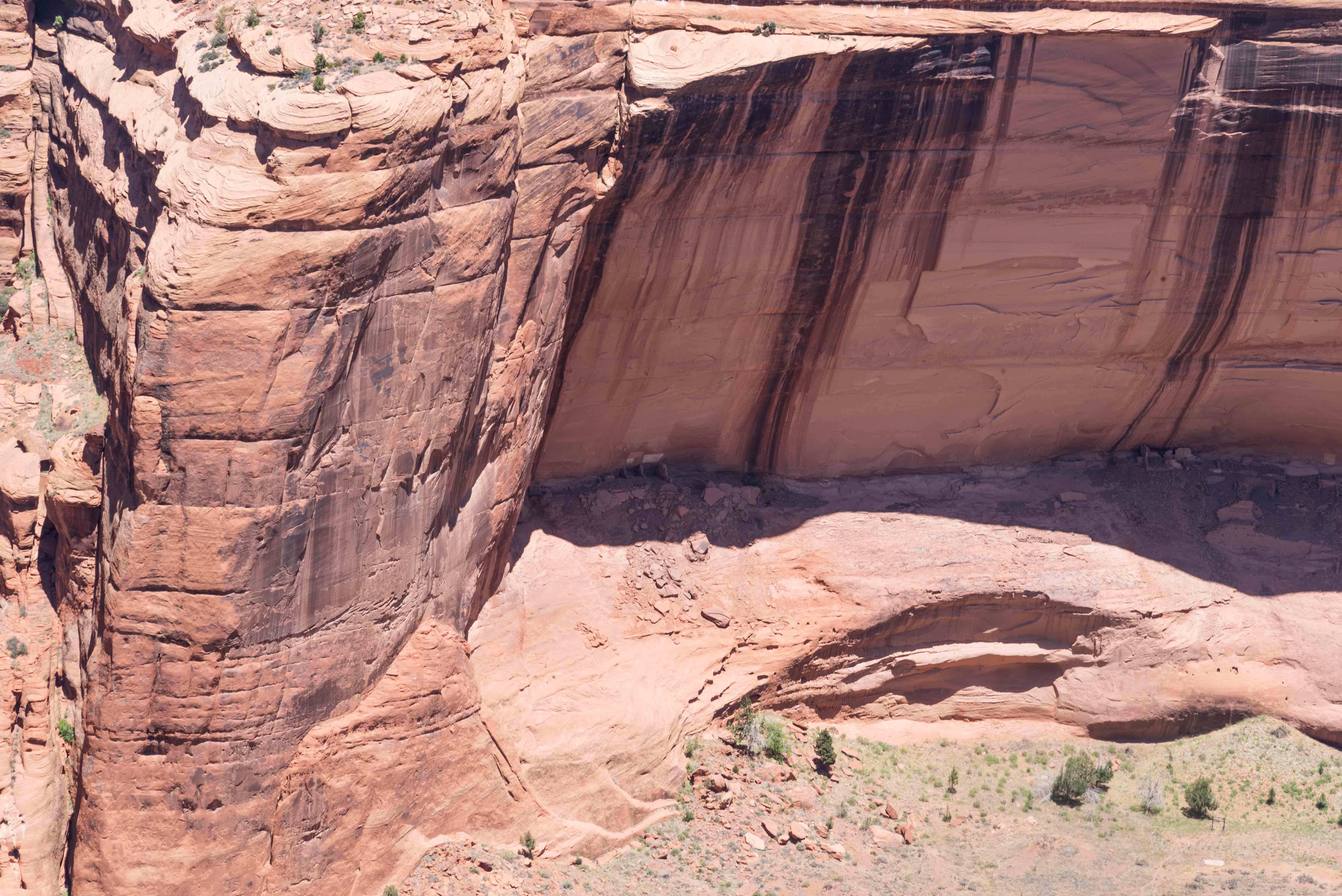
View from Sliding House Overlook
Closer view of ruins

Narrowleaf Yucca in Bloom
View from Face Rock Overlook
There are ruins in the alcove
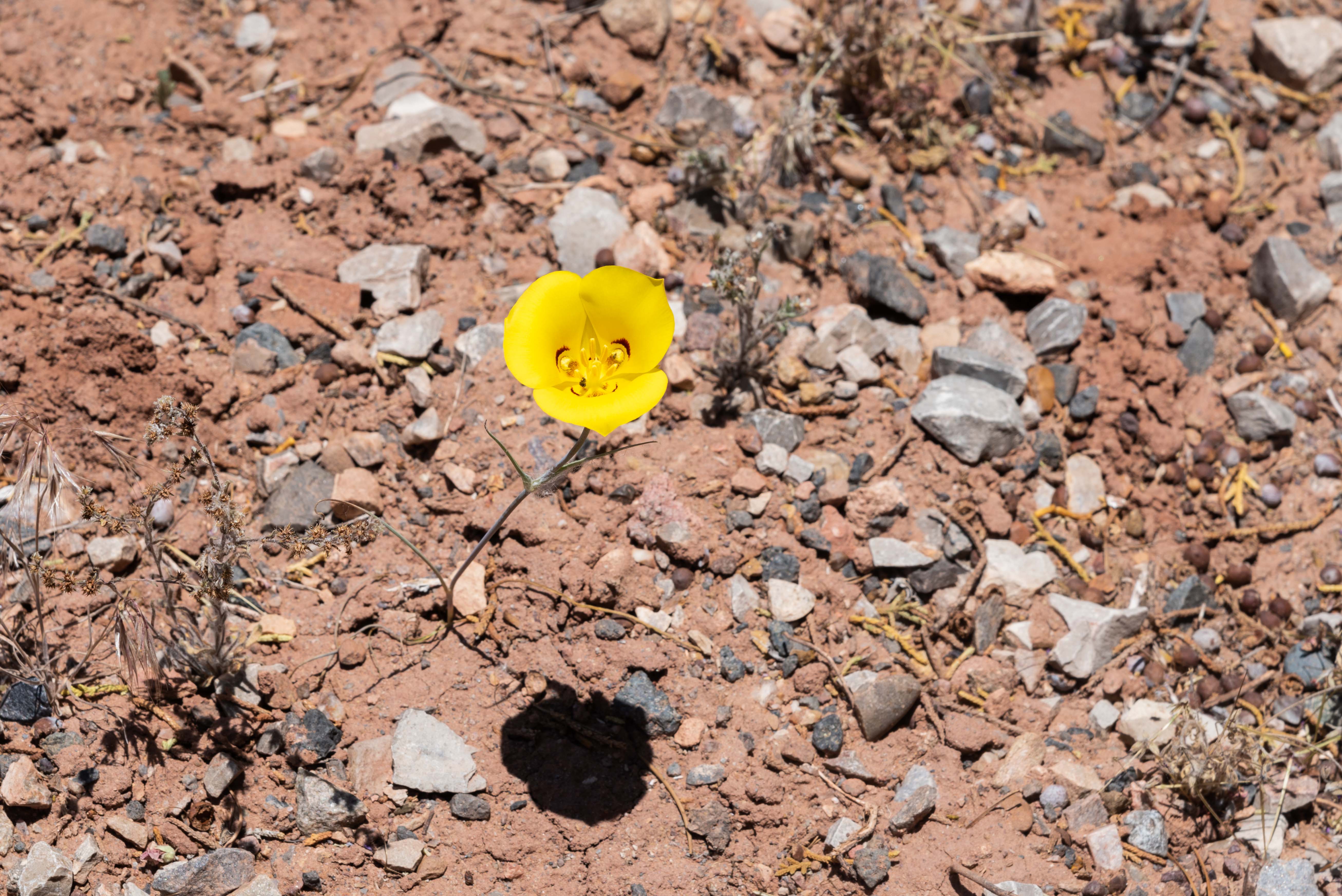
Sego Lilly
Now for a little mythology. The Dinè (Navajo People) emerged from the third world into the current fourth world at a time when it was filled with monsters. Spider Woman sent Monster-Slayer and Child-Born-of-Water to seek their father, Sun-God. He in turn showed his children how to slay the monsters, which they did, thus saving the Dinè. Because of her role in protecting the Dinè, Spider Woman is one of the Navajos' most important dieties. It was she who taught Navajo women to weave. The Navajo believe Spider Woman resides in/on Spider Rock. On a more sinister note, Navajos tell their children that if they misbehave, Spider Woman will catch and eat them, leaving their bones to bleach on top of Spider Rock, resulting in its white cap.
View from Spider Rock Overlook
Ruins at cliff base
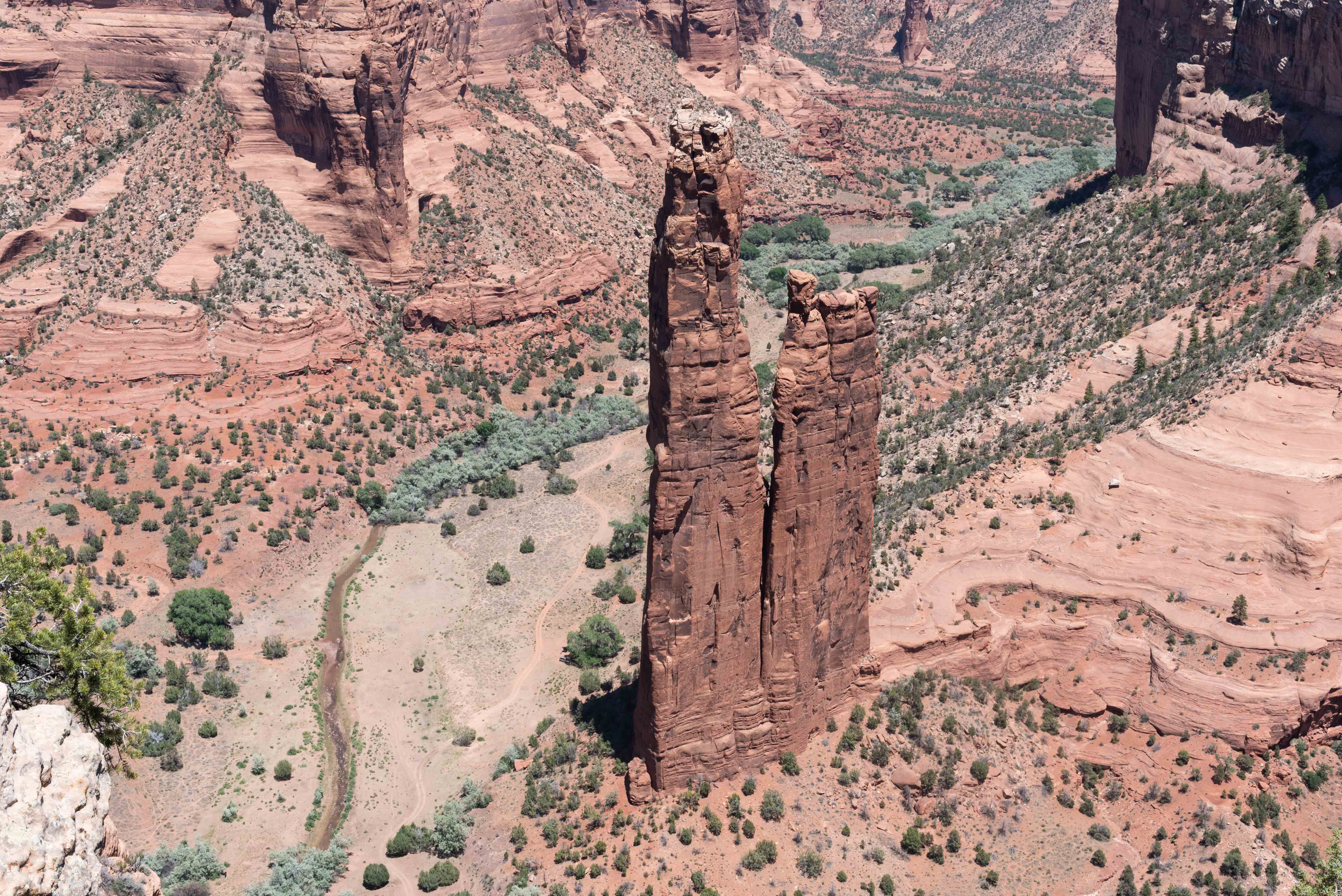
Spider Rock
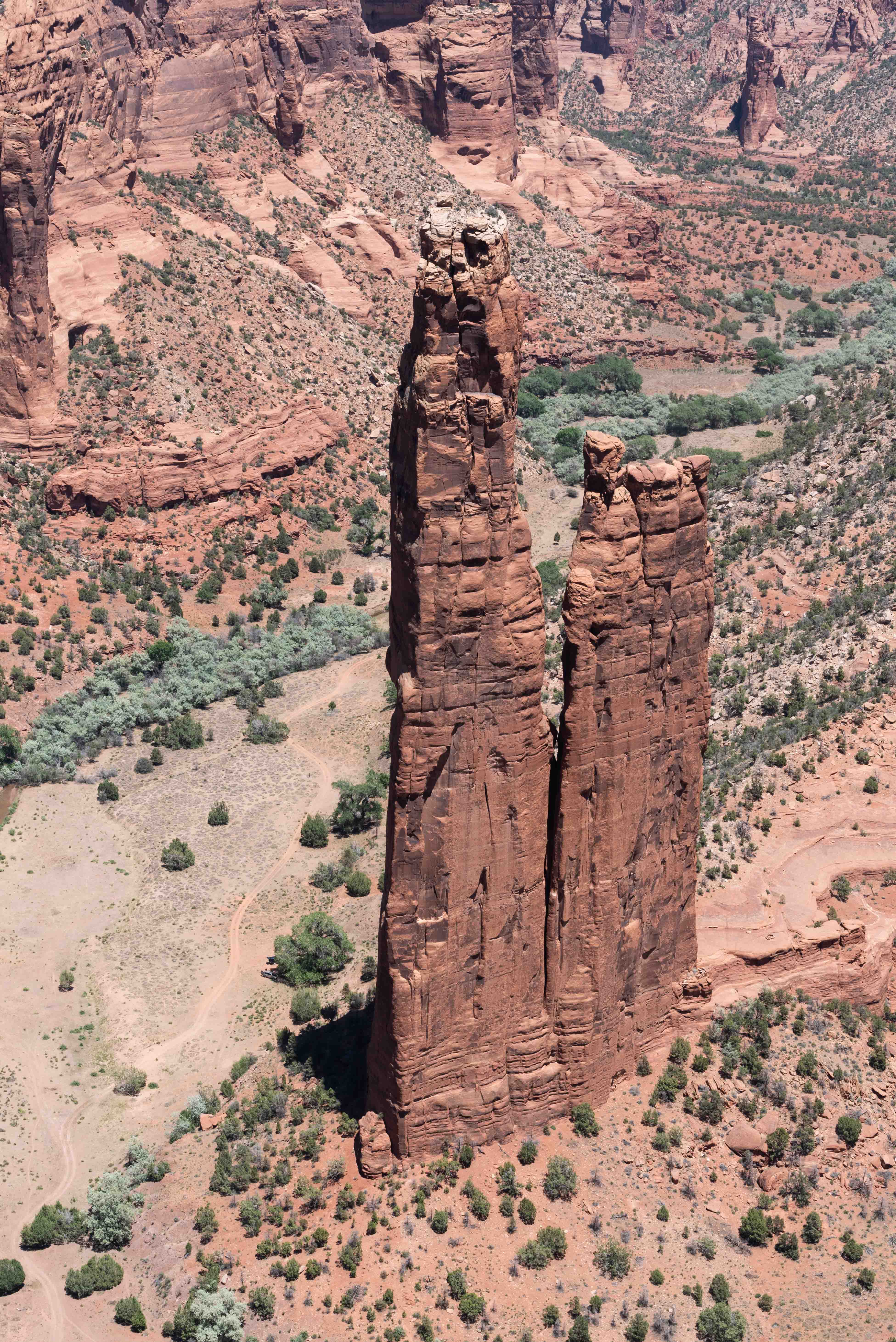
Spider Rock again
North Rim Drive
The North Rim Drive runs from the visitor center to Massacre Cave. Round trip distance
is 34 miles out and back. There are three overlooks along the way, Antelope House, Mummy Cave
and Massacre Cave. I visited the last two.
The Navajo raided Spanish settlements along the Rio Grande Valley throughout the 1700s into the middle 1800s, and the Spanish mounted military expeditions in reprisal. On one such expediton led by Lieutenant Antonio Narbona in 1805, the Spanish fought an all day battle with a group of Navajo in a fortified alcove located in Canyon del Muerto. At the end of the battle, Narbona reported 115 Navajo killed. The place where the battle was fought is now known as Massacre Cave.
View from Massacre Cave Overlook
Massacre Cave
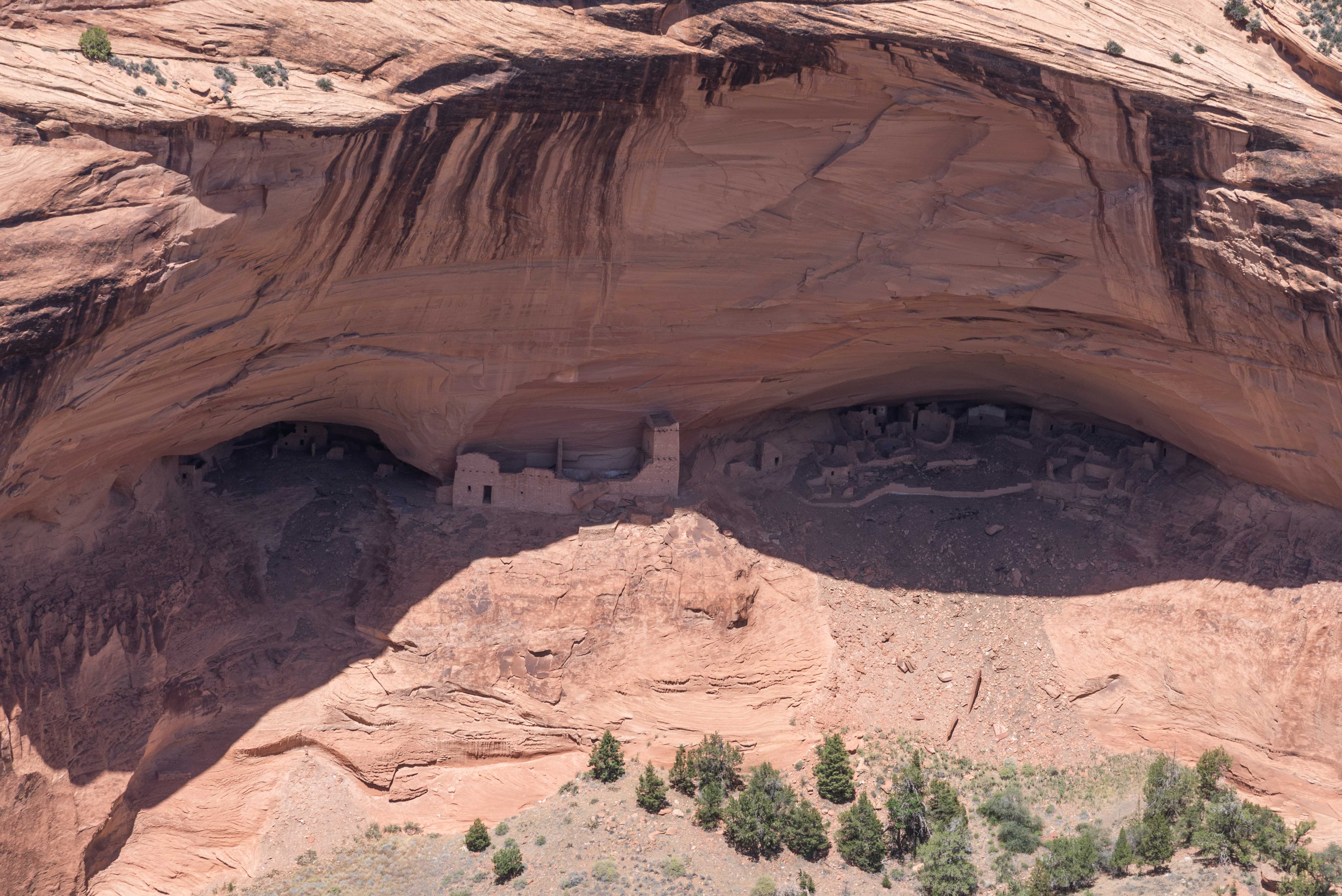
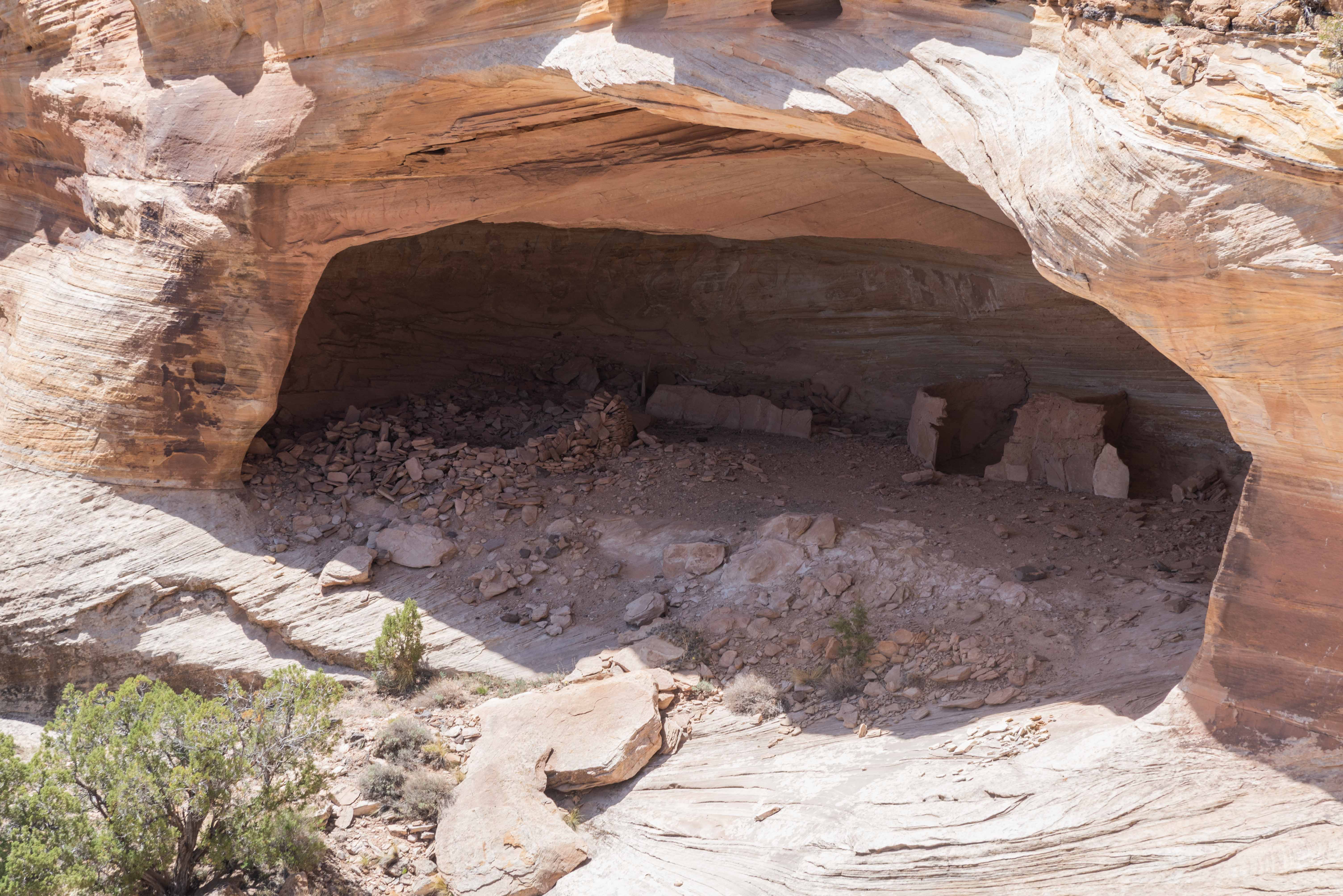
Mummy Cave
Mummy Cave dwelling is situated in two alcoves connected by a ledge. It was constructed over a time period ranging from Basket Maker II to Pueblo III. The cliff dwelling conains 80+ rooms and 3 kivas. Mummy Cave was named for 2 mummies discovered by archaeologists in 1882. The most prominent parts of the ruin are the Pueblo III structures built on the ledge. There are 7 rooms and a 3-story tower dating from around 1284 AD.
View from Mummy Cave Overlook
Source Material: Anasazi Ruins of the Southwest in Color by William M. Feruson and Arthur H. Rohn,
Wikipedia,
National Park Service brochures and articles (nphistory.com), and legendsofamerica.com.
Use the form on the Home Page to submit comments, questions, or suggestions. TD Productions Copyright © 2022