Bryce Canyon National Park
Bryce Canyon is actually a collection of giant amphitheaters and canyons along the eastern side of the Paunsaugunt Plateau. The amphitheaters contain hunderds of hoodoos (eroded columns or pinnacles of rock). I've been to Bryce thrice, once in 1979, again in 1989, and most recently in 2019 (40 years, yikes!). There are lots of hiking and horseback trails. Some of the more popular are Rim, Navajo, Fairyland, Peek-a-boo, and Queen's Garden trails. If my memory serves me correctly (big if), most of the photos from the two earlier trips were taken from Rim and Navajo trails. I don't remember exactly where I took a lot of the pre-2019 photos, so I've captioned them as "Untitled".
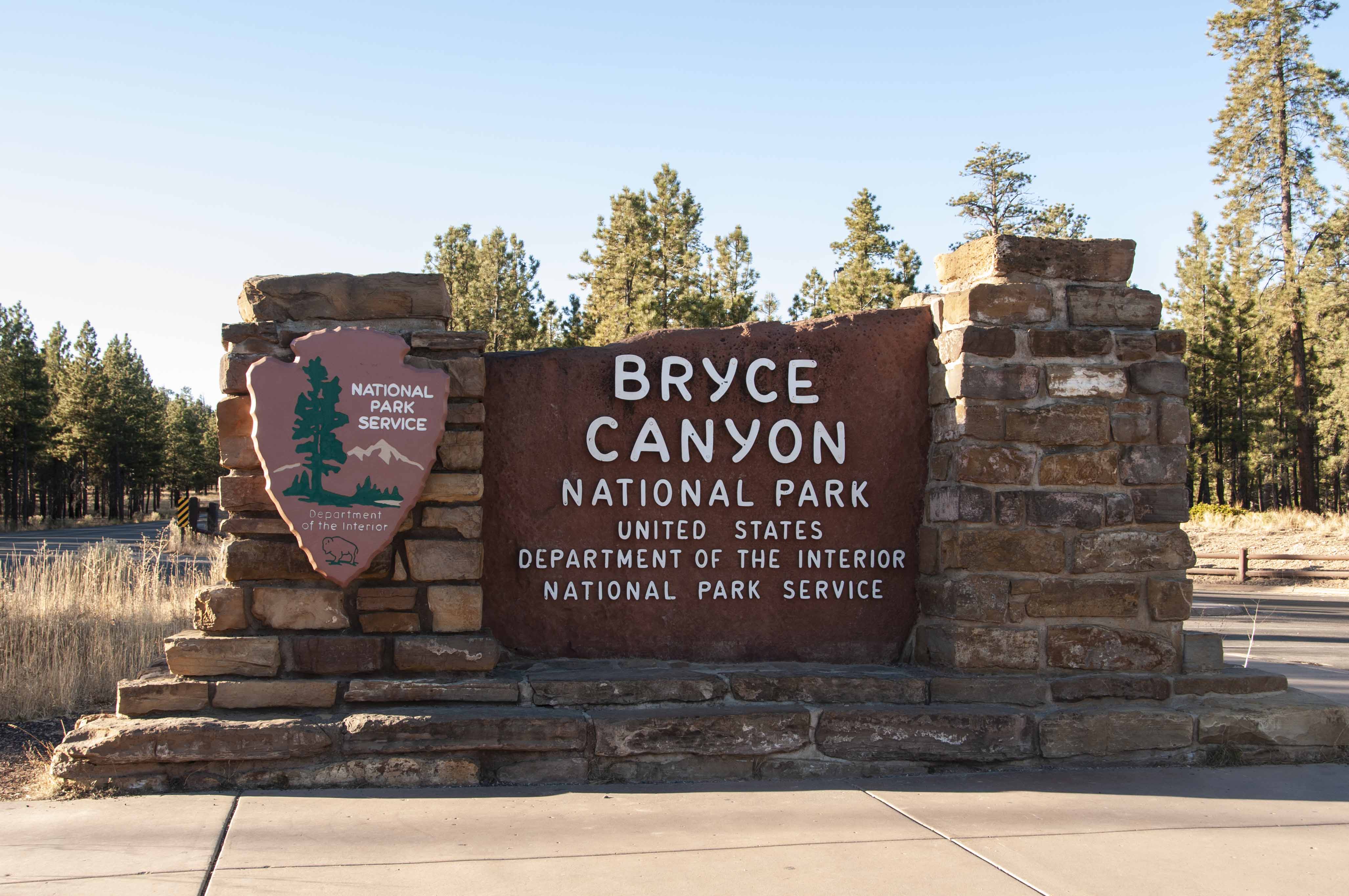
Park sign
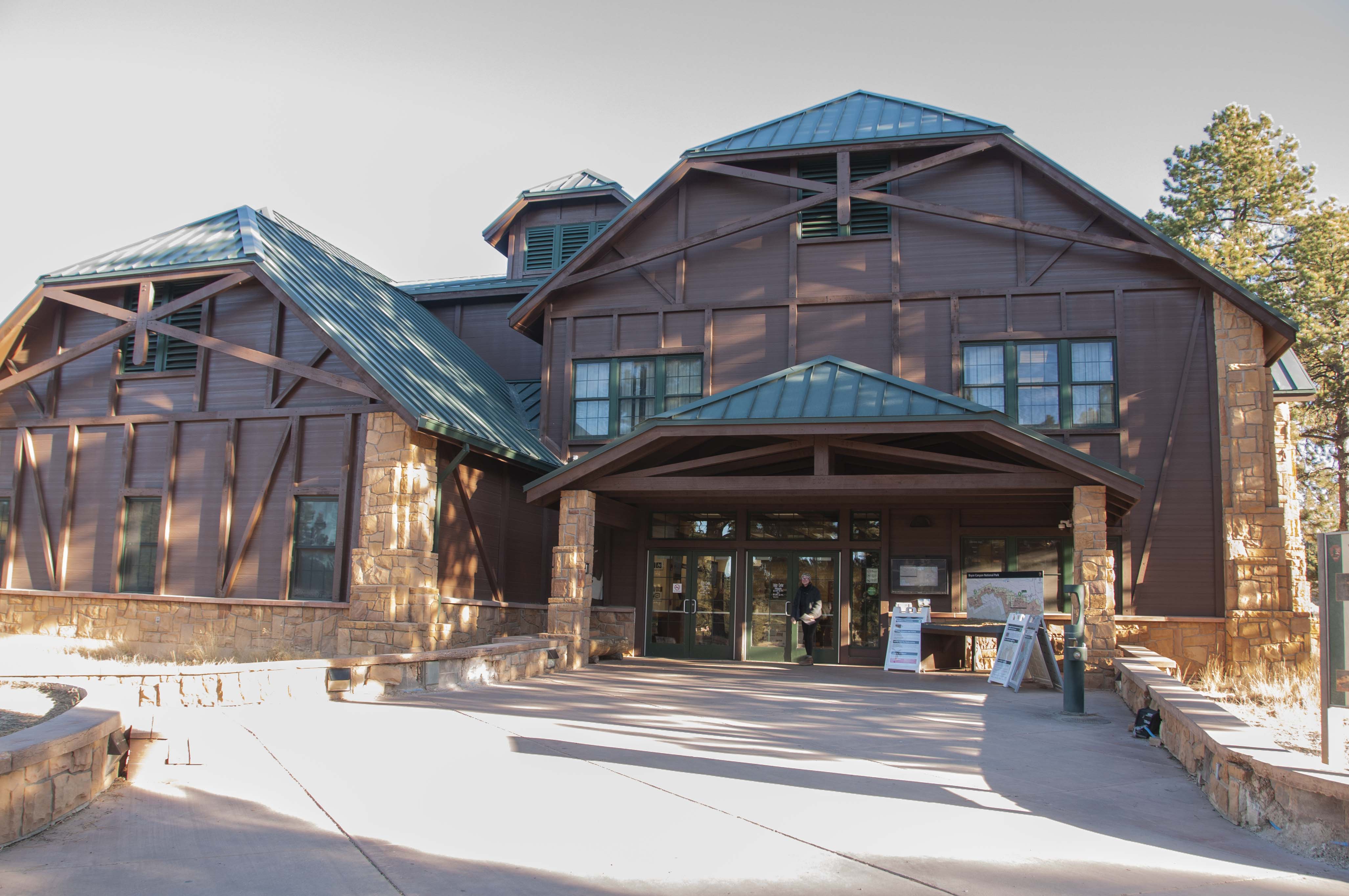
Visitor Center

Information desk and exhibits
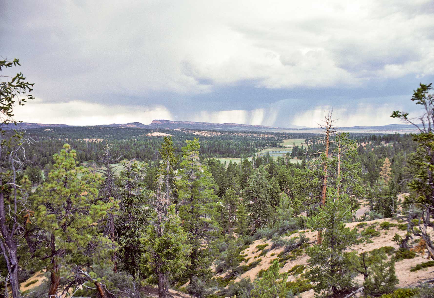
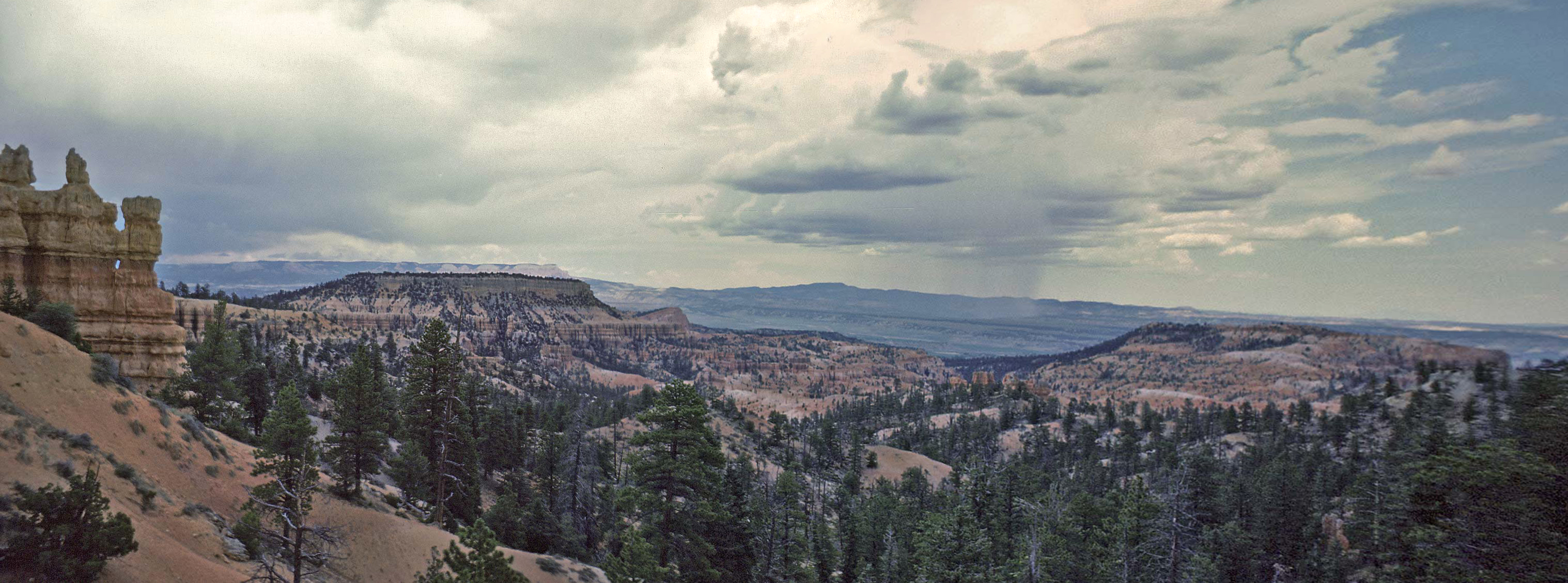
Thunderstorm on the horizon (1979)

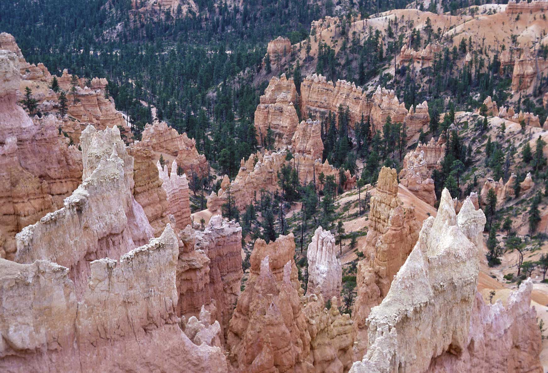
Hoodoos
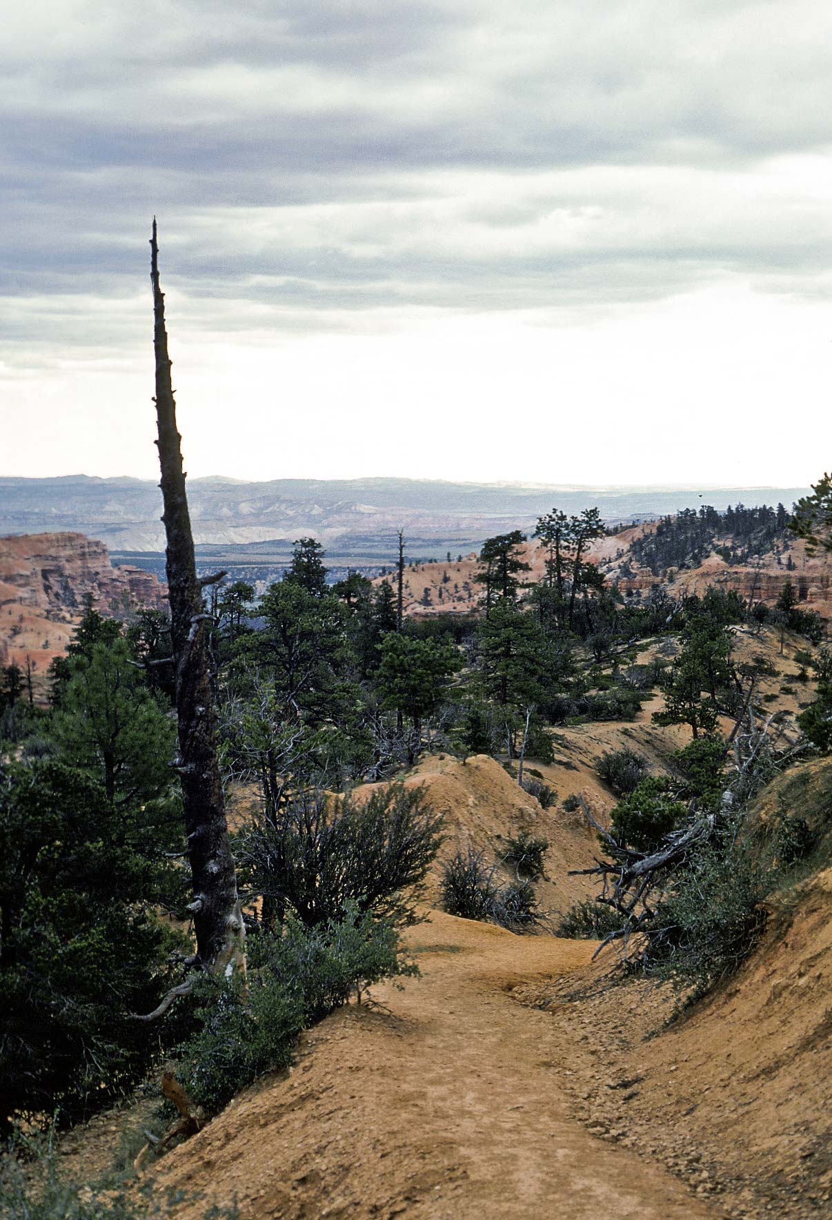
Not sure which trail this is.
Untitled (1979)

Untitled (1989)
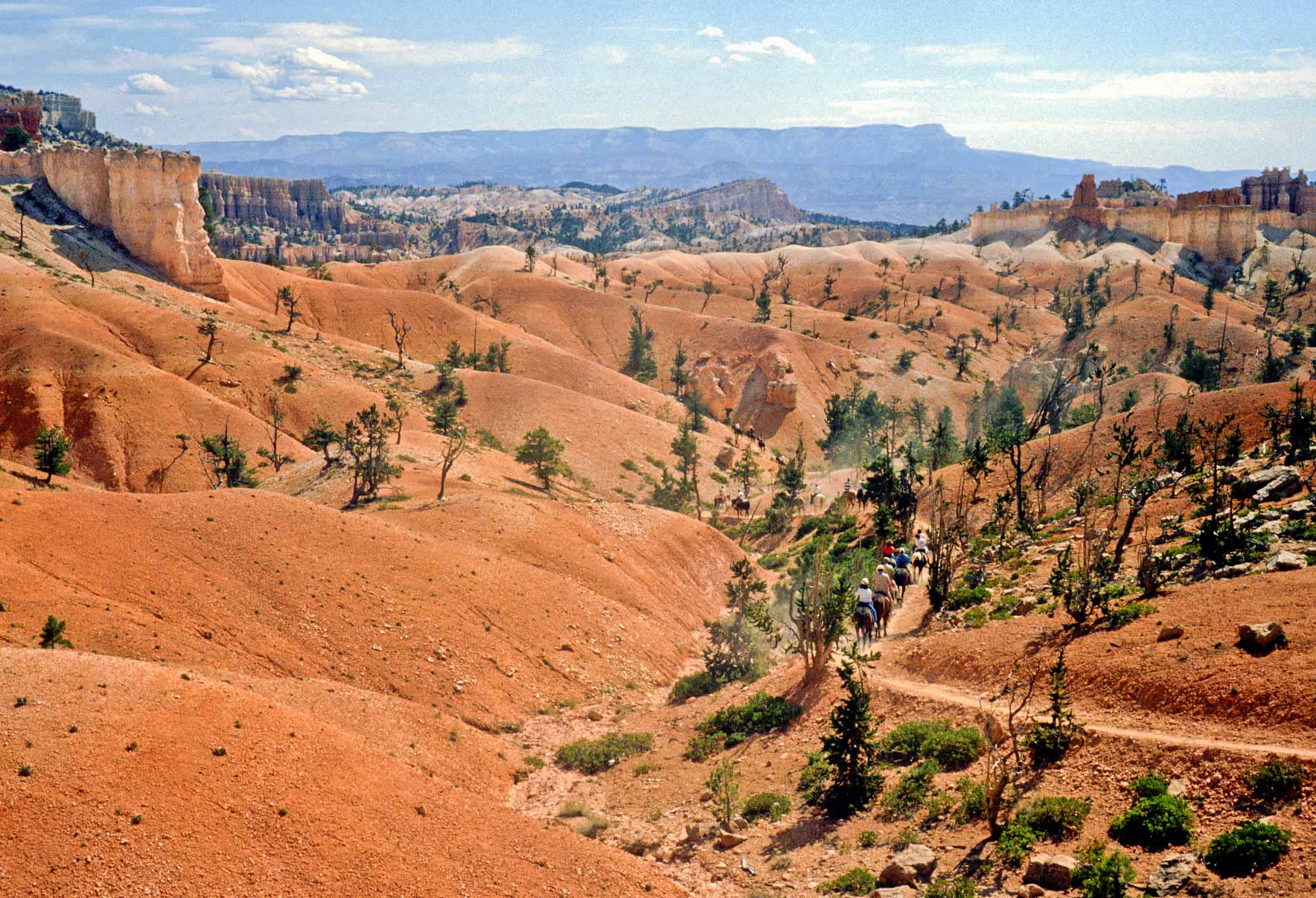
Trail ride (1989)
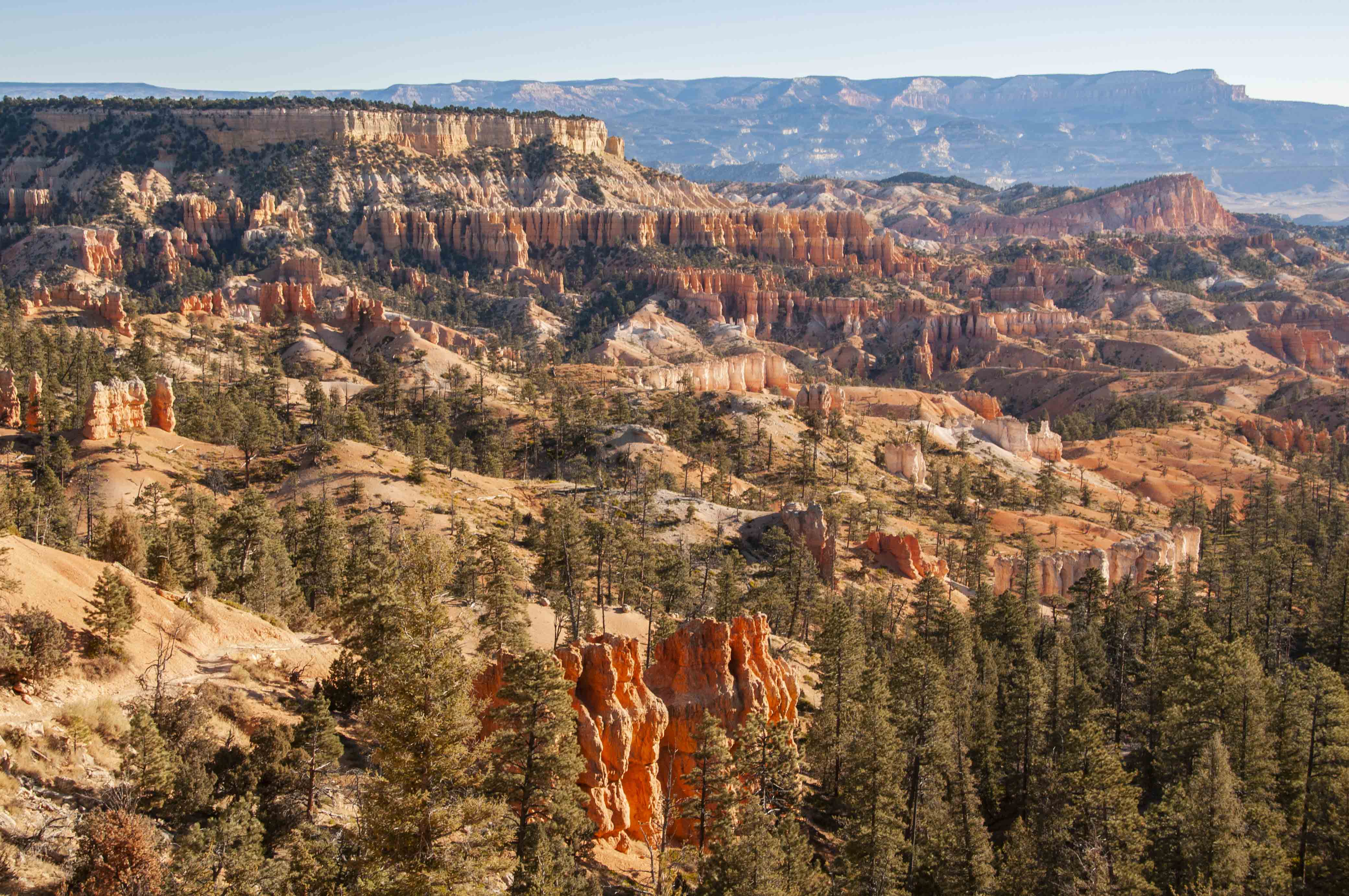
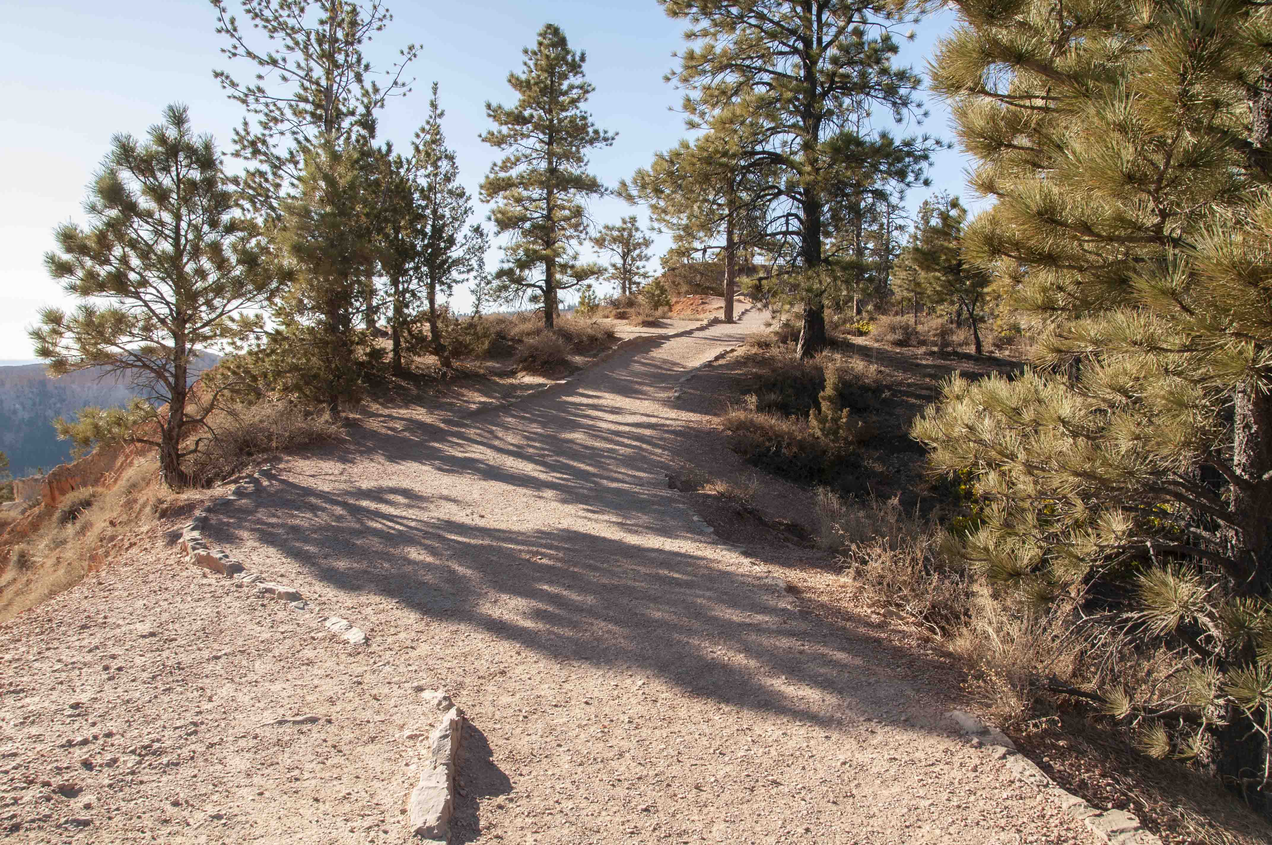
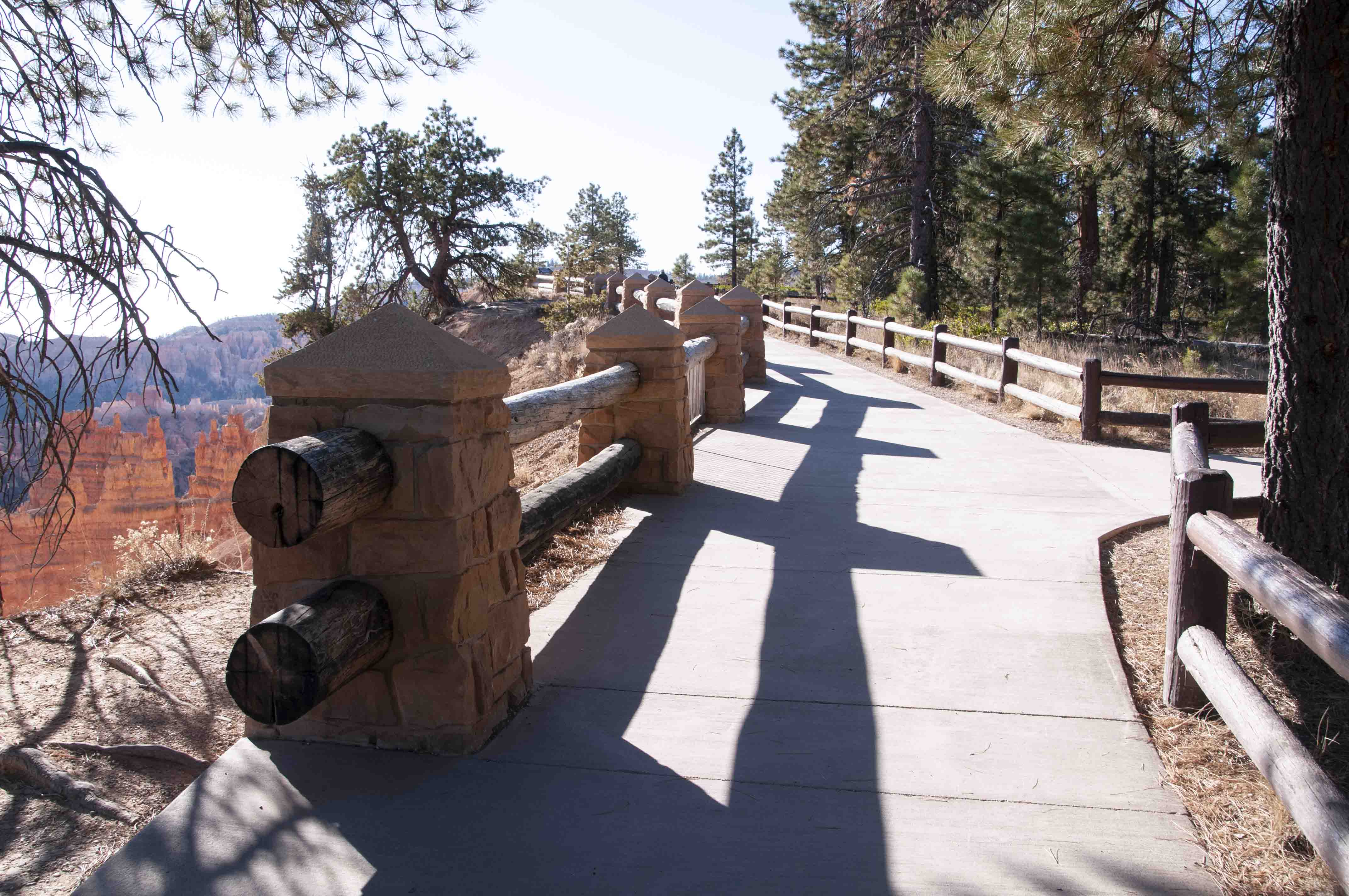
Viewpoints along Rim Trail
The Rim Trail is 5.5 miles long with several moderately steep elevation changes along
the way. The five viewpoints along the trail are (in order from north to south) Fairyland Point,
Sunrise Point, Sunset Point, Inspiration Point, and Bryce Point. Each of these viewpoints
can be accessed individually by shuttle or private vehicle. Hiking about 2.5 miles from Bryce
Point to Sunrise Point (or vice versa) provides the hiker with constantly changing spectacular
top-down views of Bryce Amphitheater. Needless to say, this one of the easiest and most popular
trails in the park. I hiked the rim from Sunrise Point to Bryce Point on my trip to Bryce in 2019.
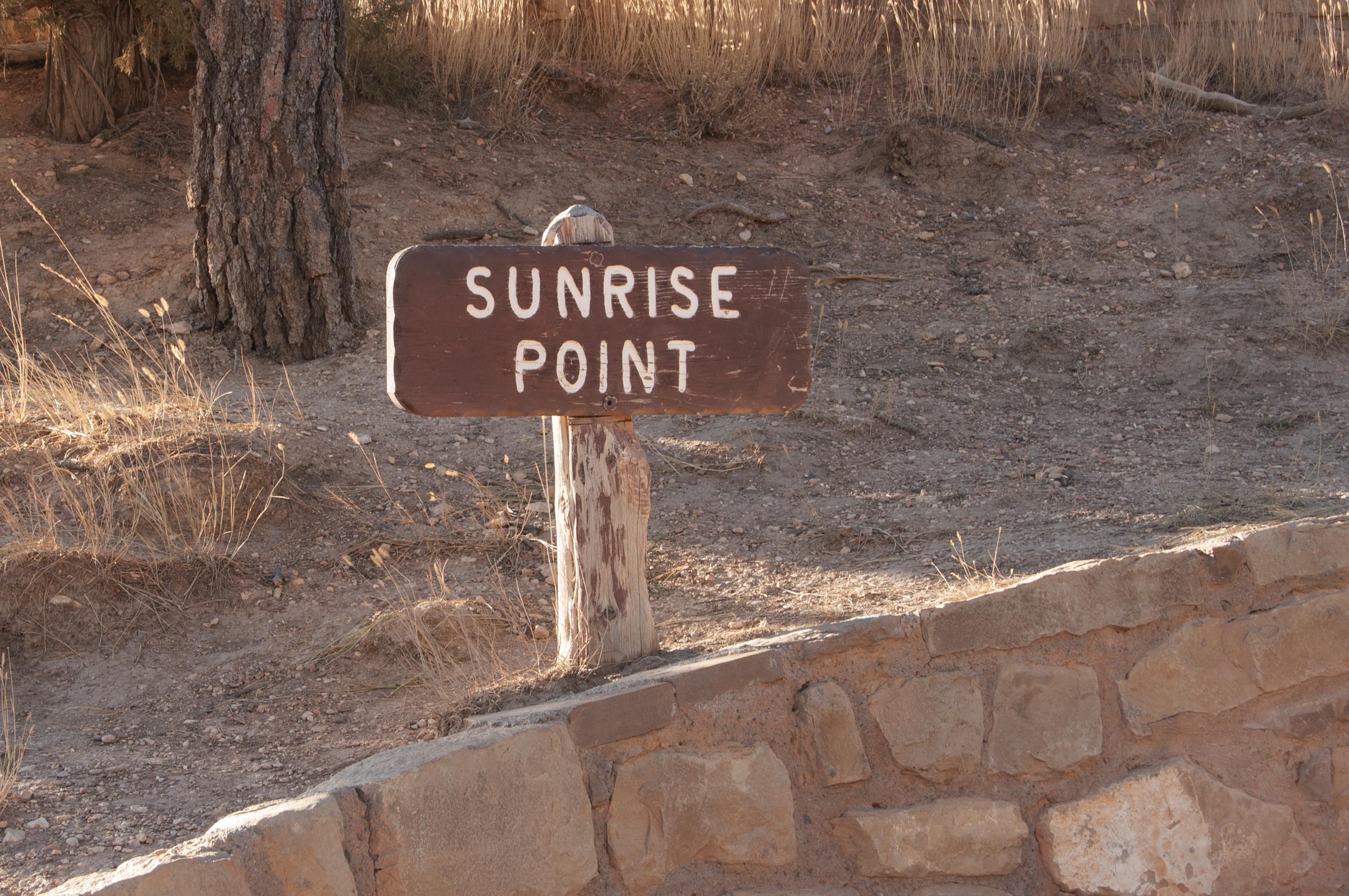
Sunrise Point
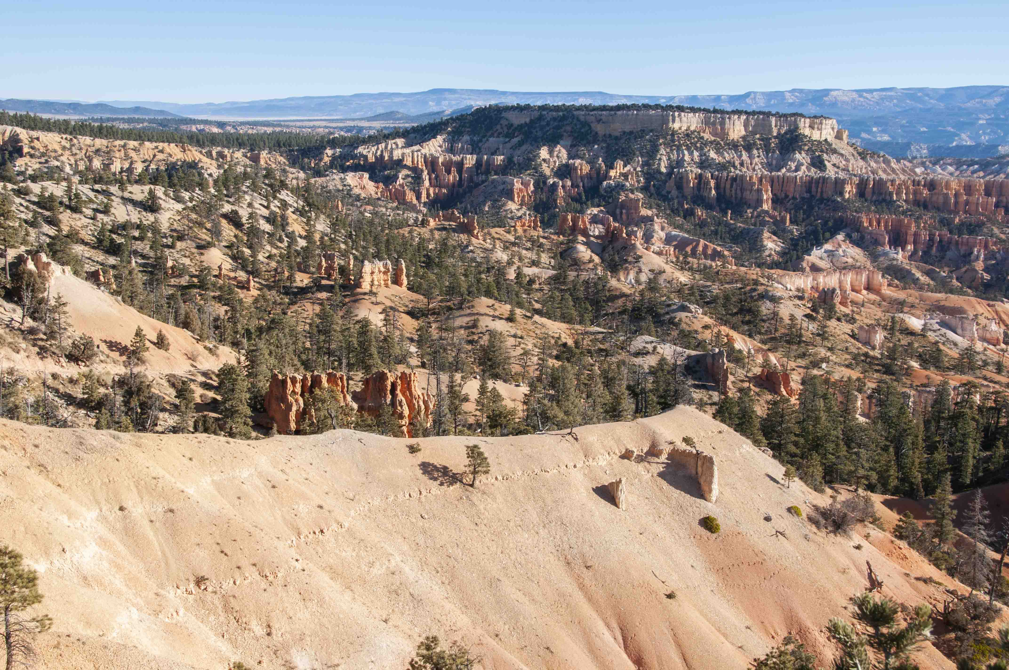
View from Rim Trail near Sunrise Point
View from Rim trail near Sunrise Point
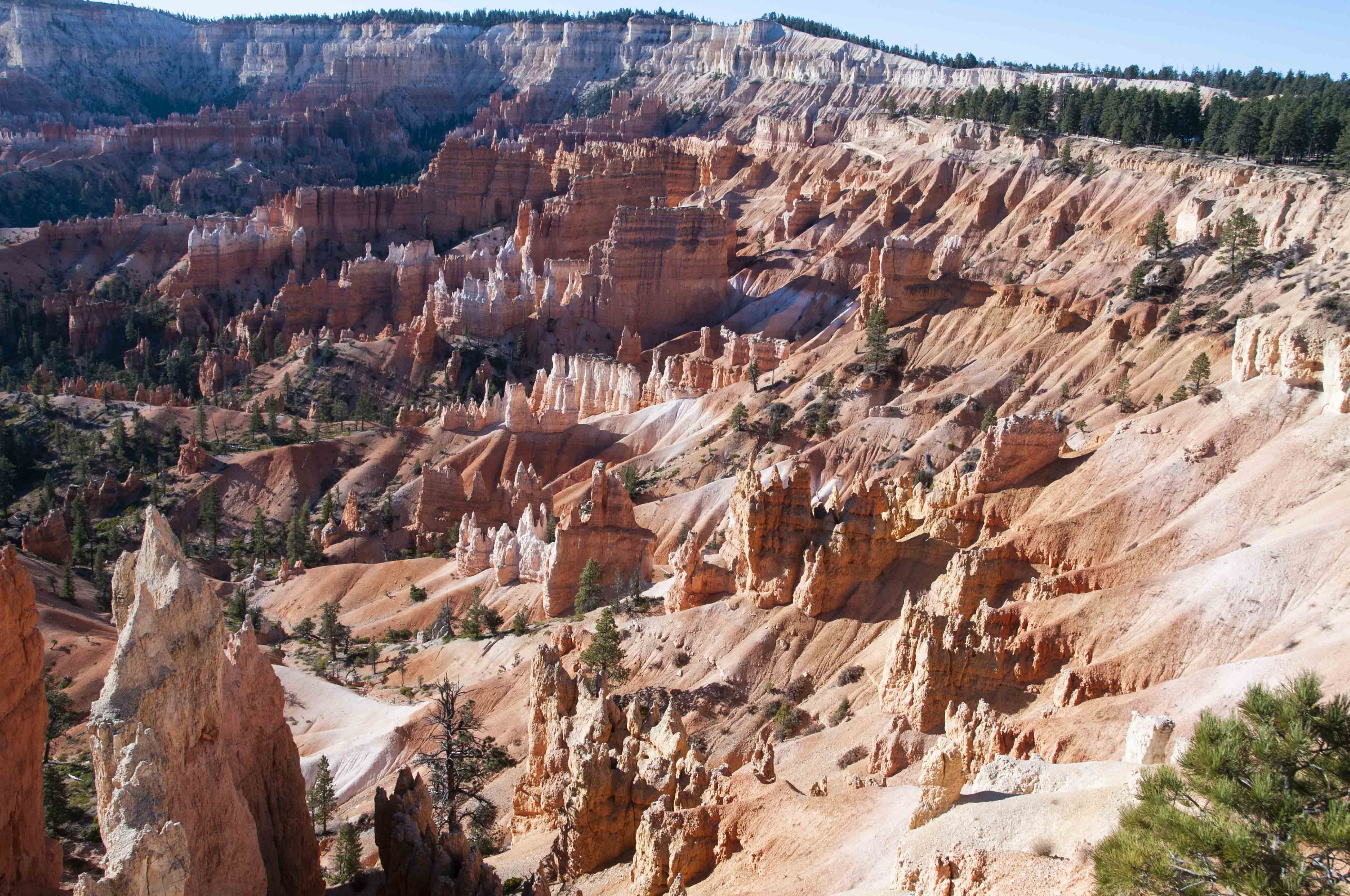
Rim trail at Sunrise Point
Sunrise Point elev 8015 ft
View from Sunrise Point
Hoodoos in the morning
Sunset Point
Rim trail near Sunset Point
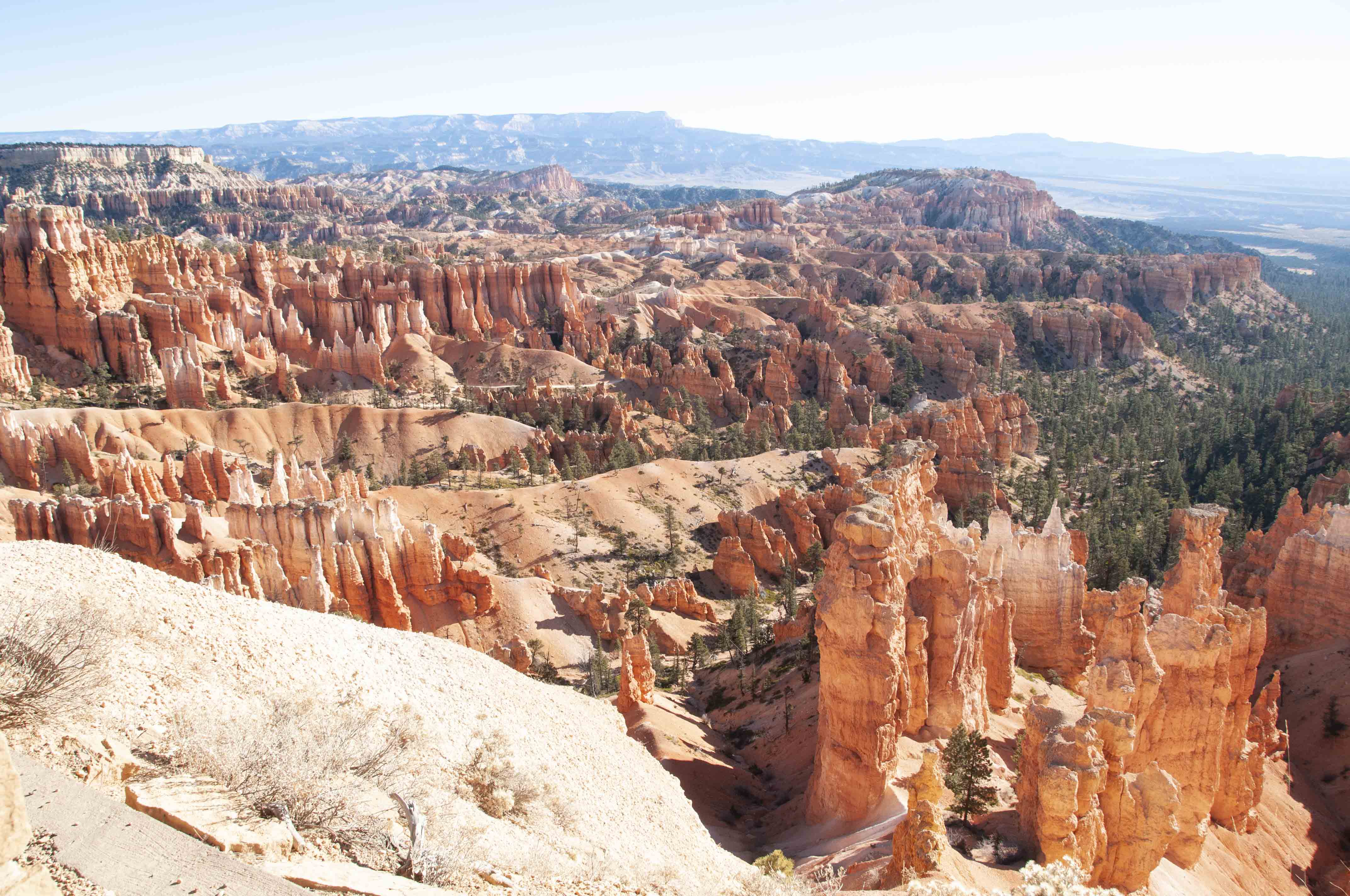
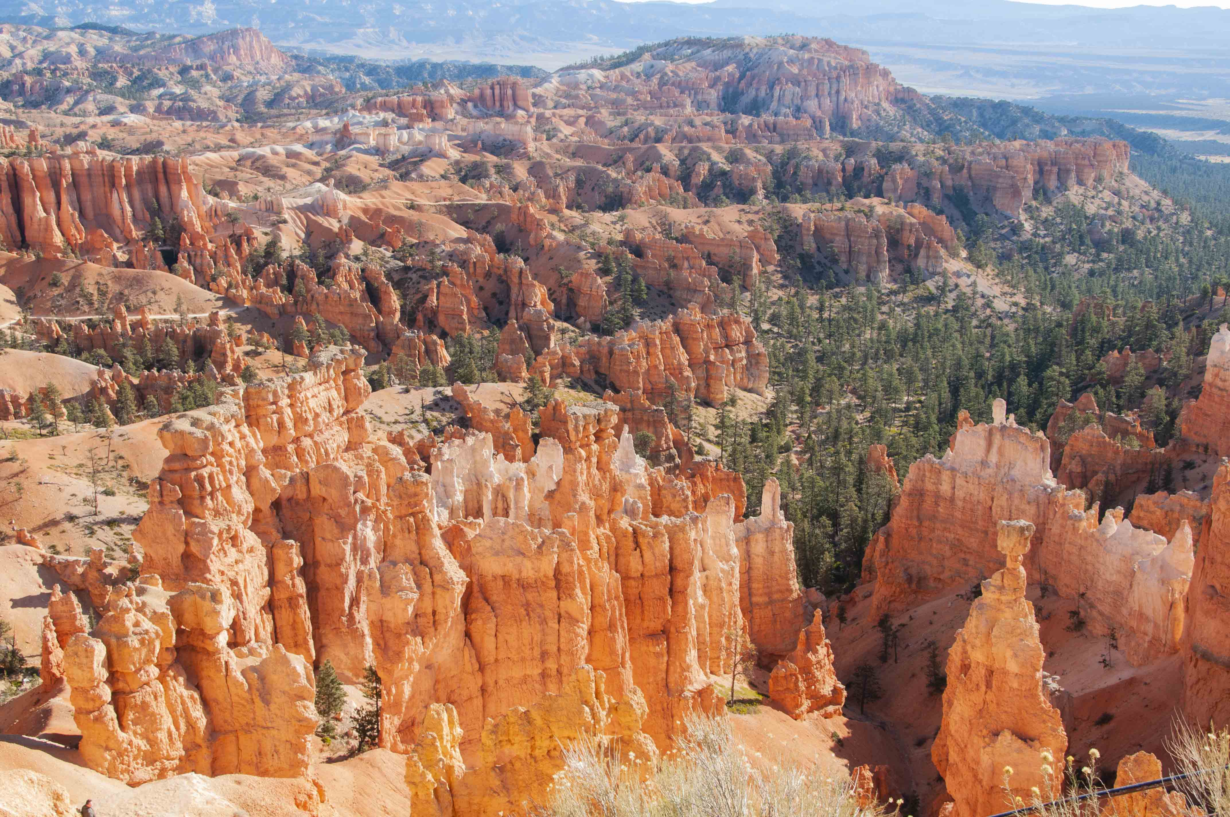
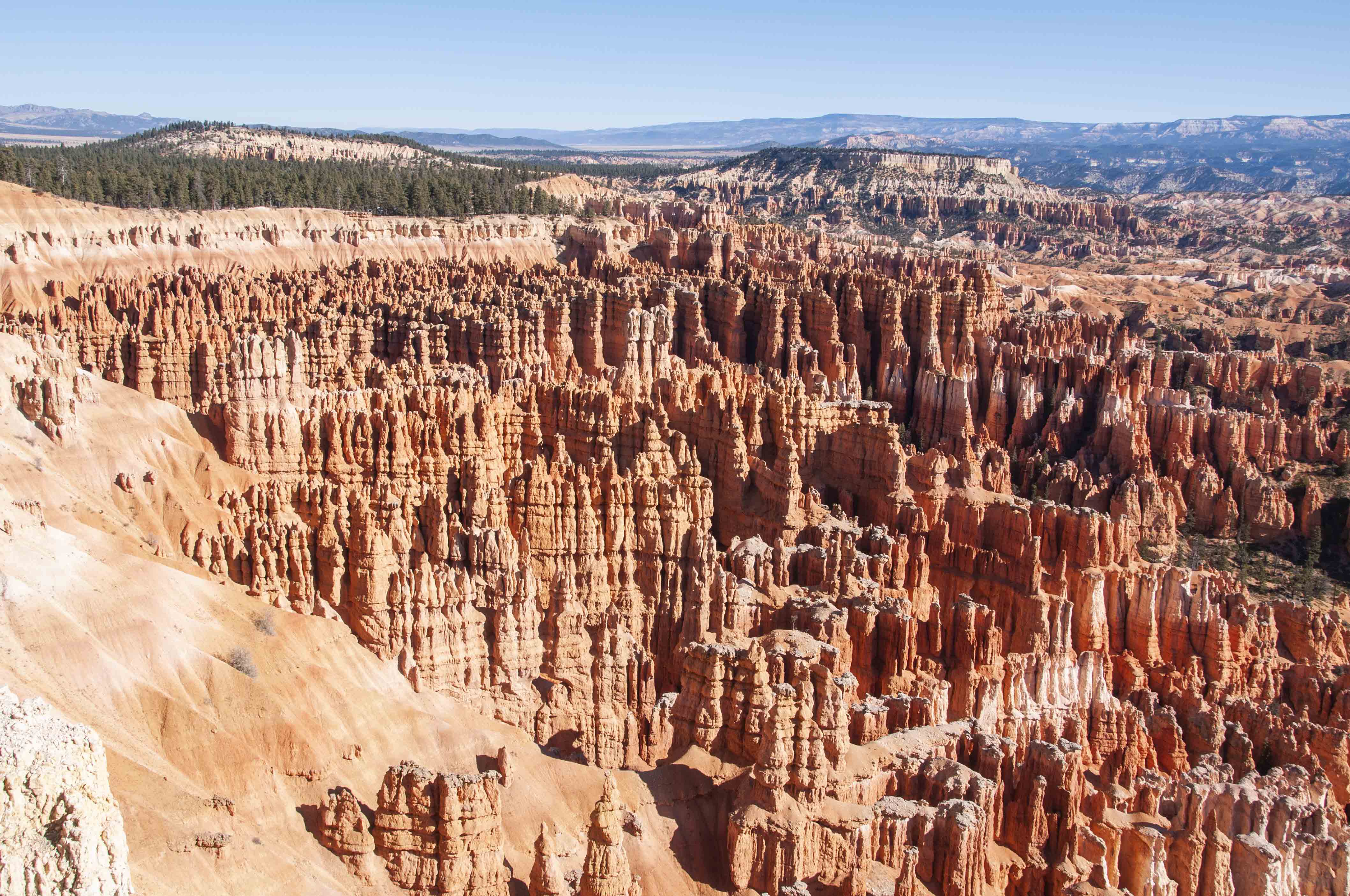
Many Hoodoos
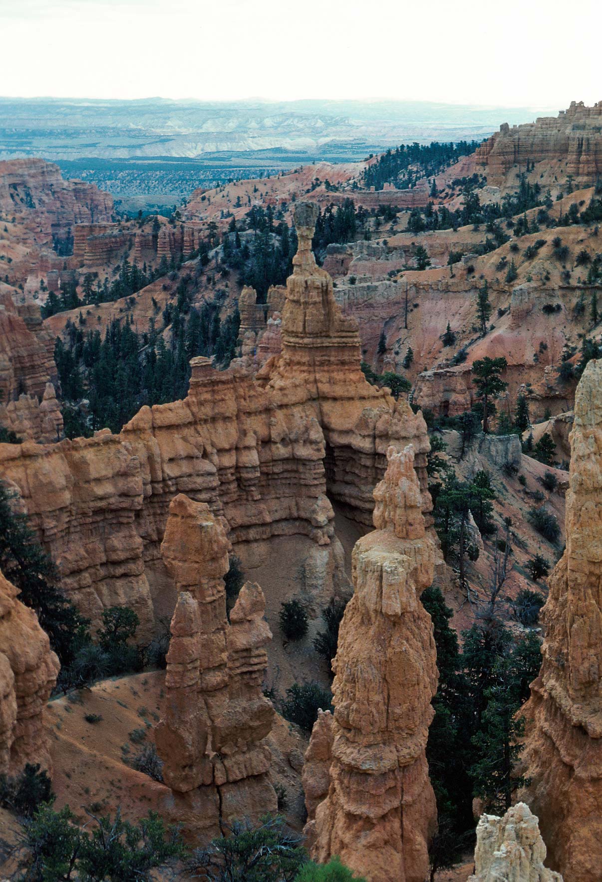
Thor's Hammer center (1979)
Thor's Hammer lower right (2019)

Navajo Loop Trail
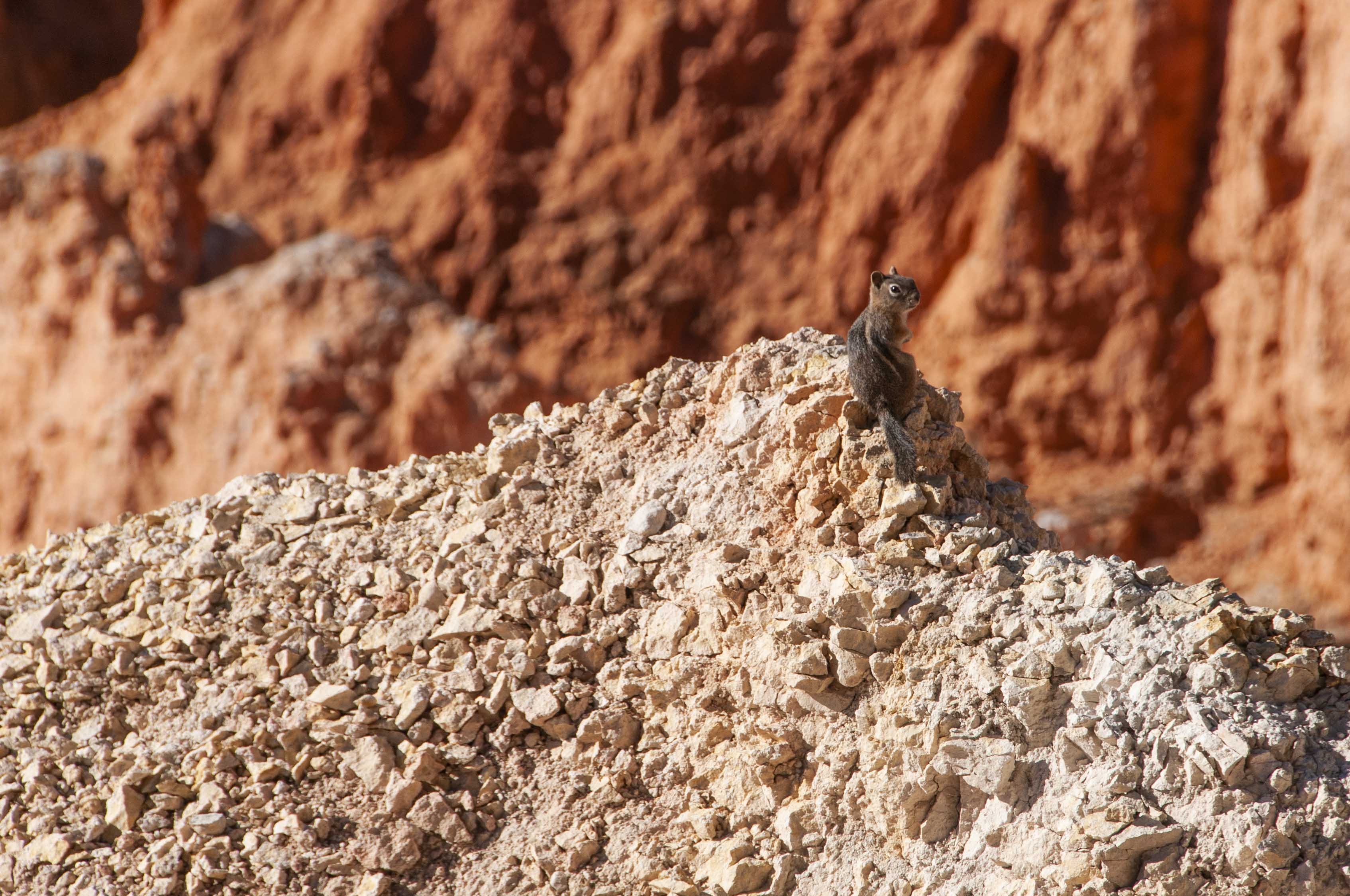
Golden-mantled Ground Squirrel
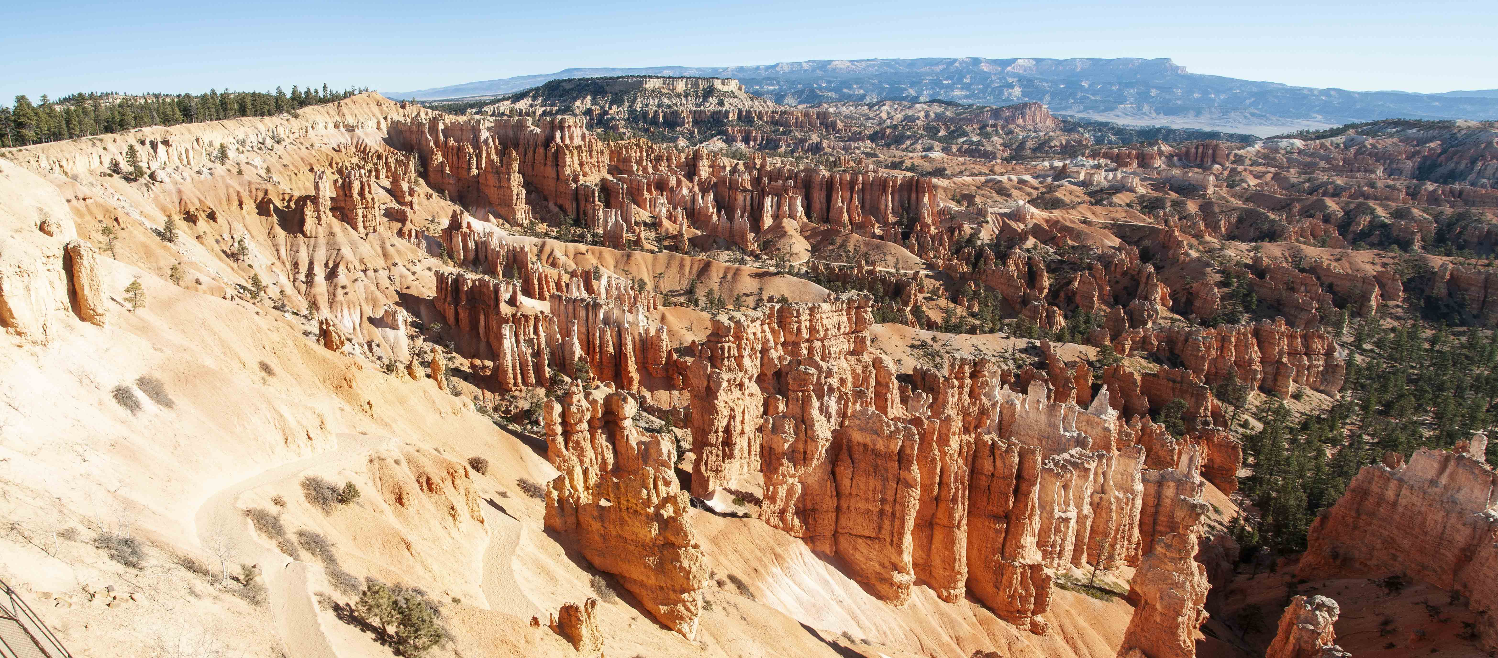
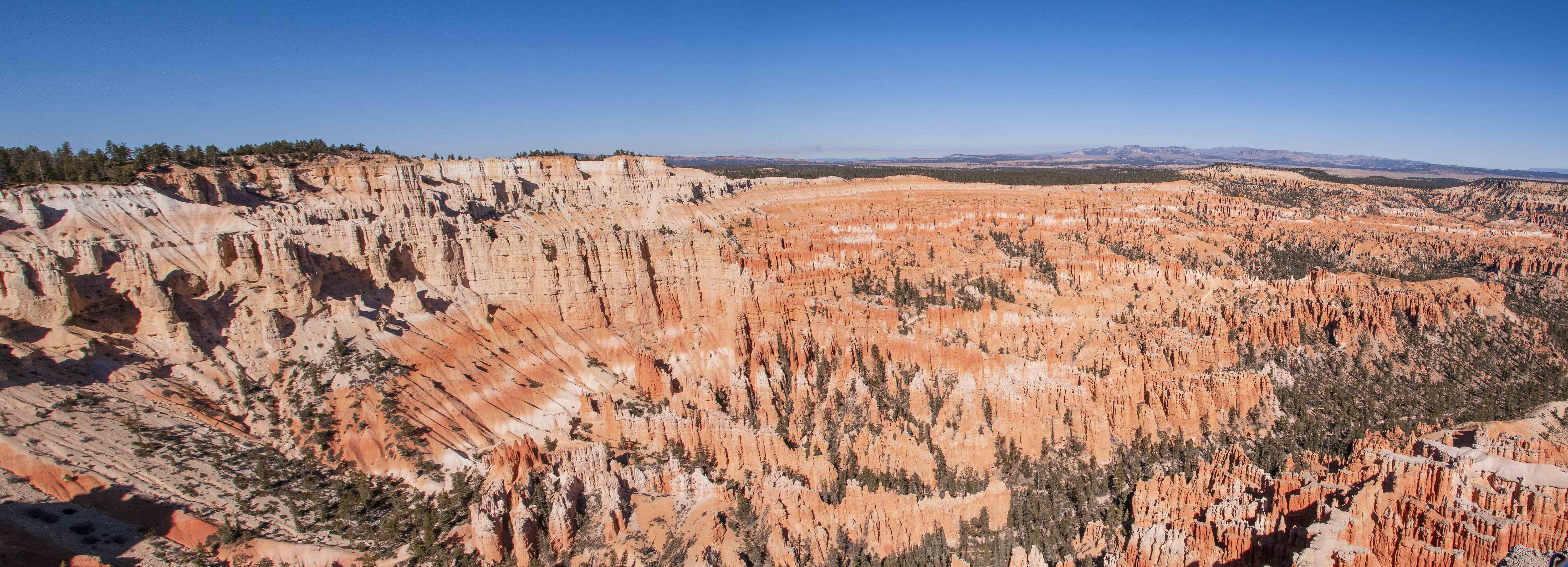
Sunset Point panorama
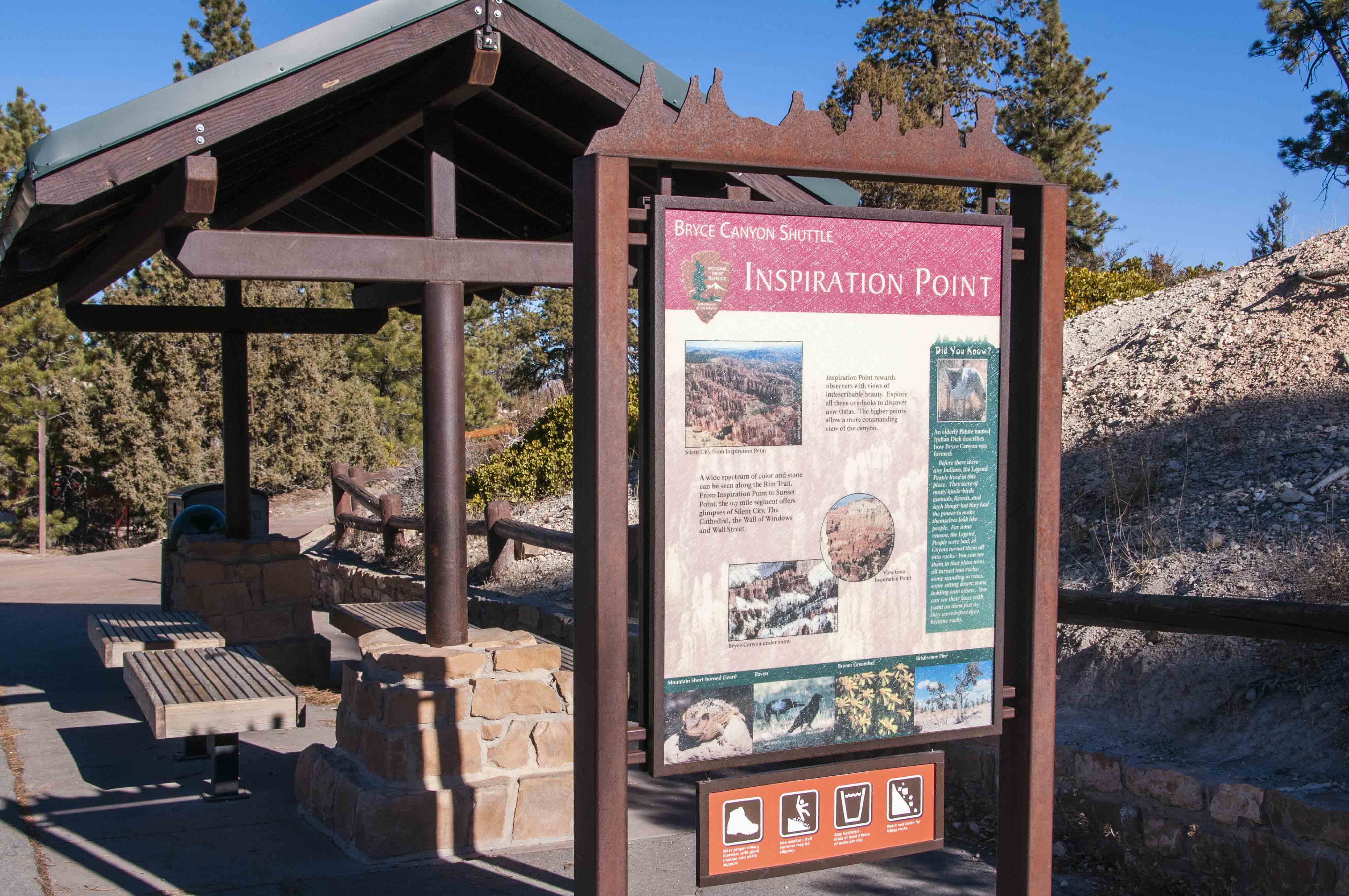
Inspiration Point
Shuttle stop
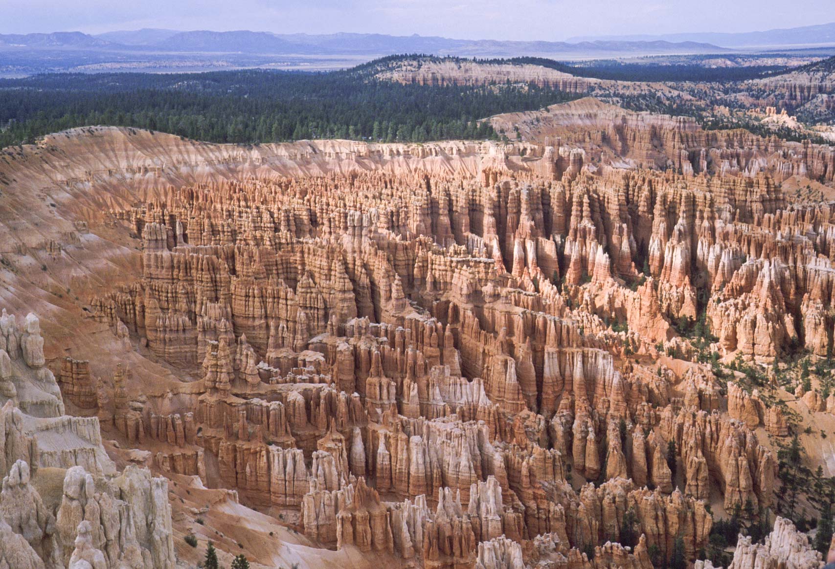
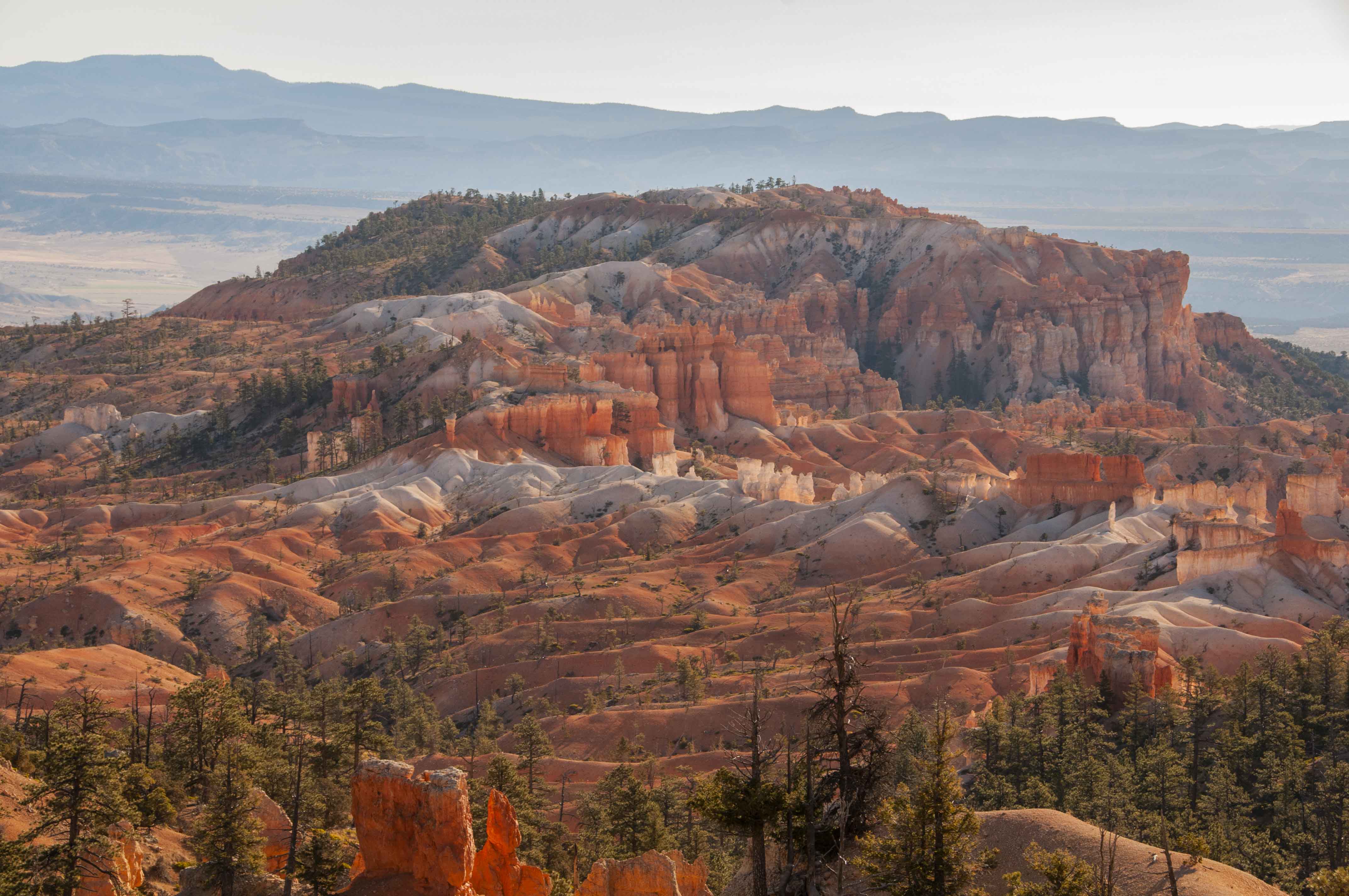
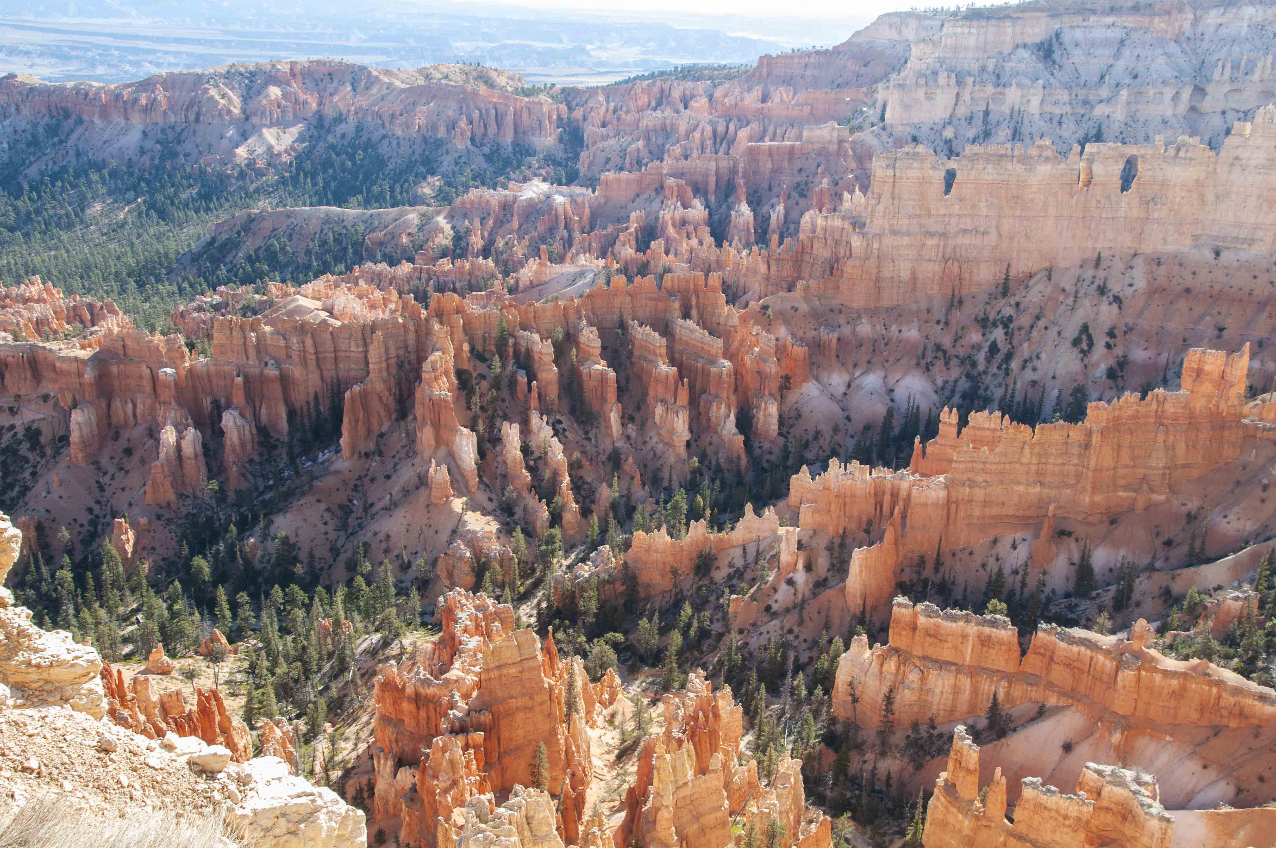
Bryce Amphitheater (1989)
Bryce Amphitheater (2019)
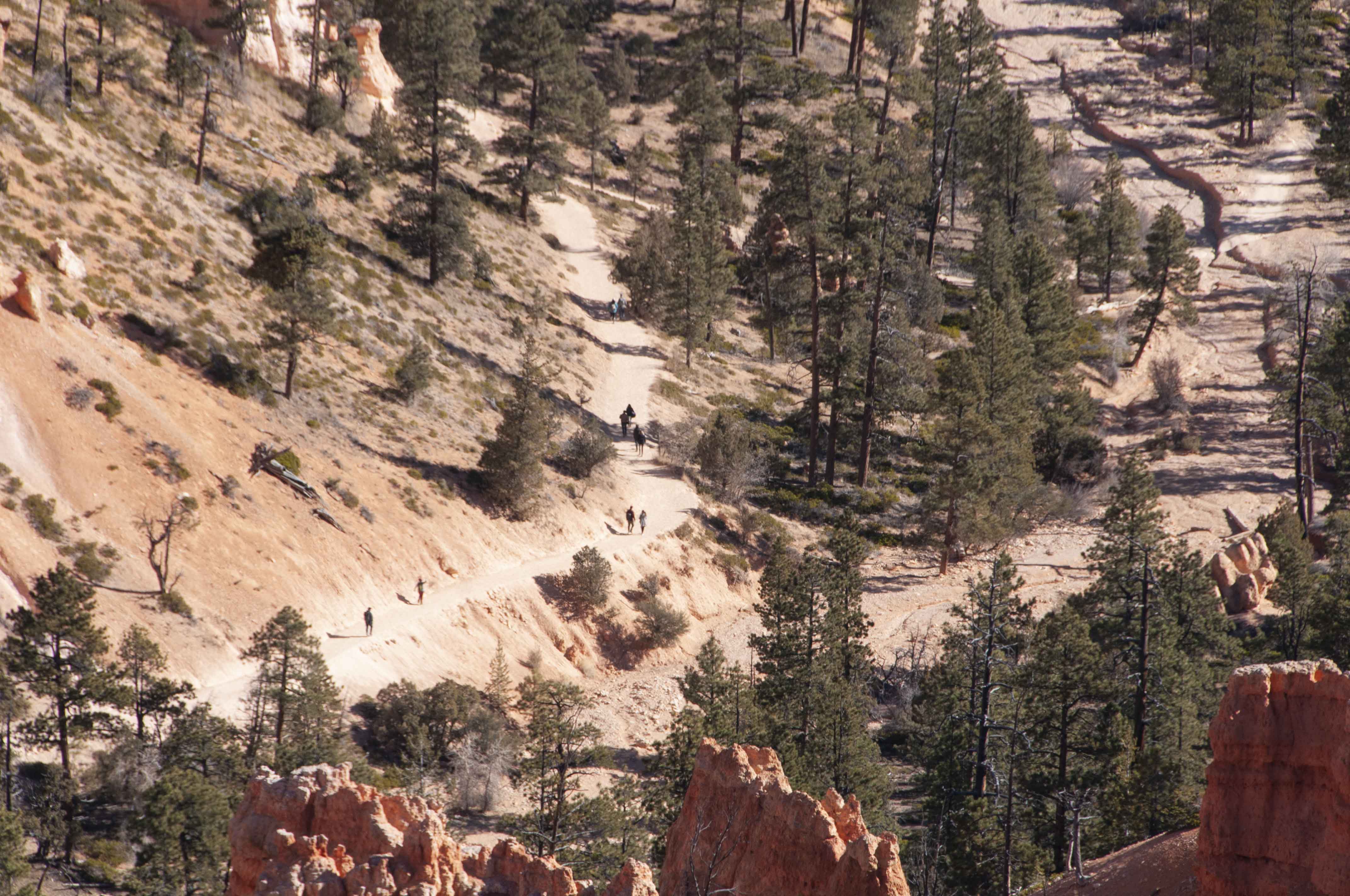
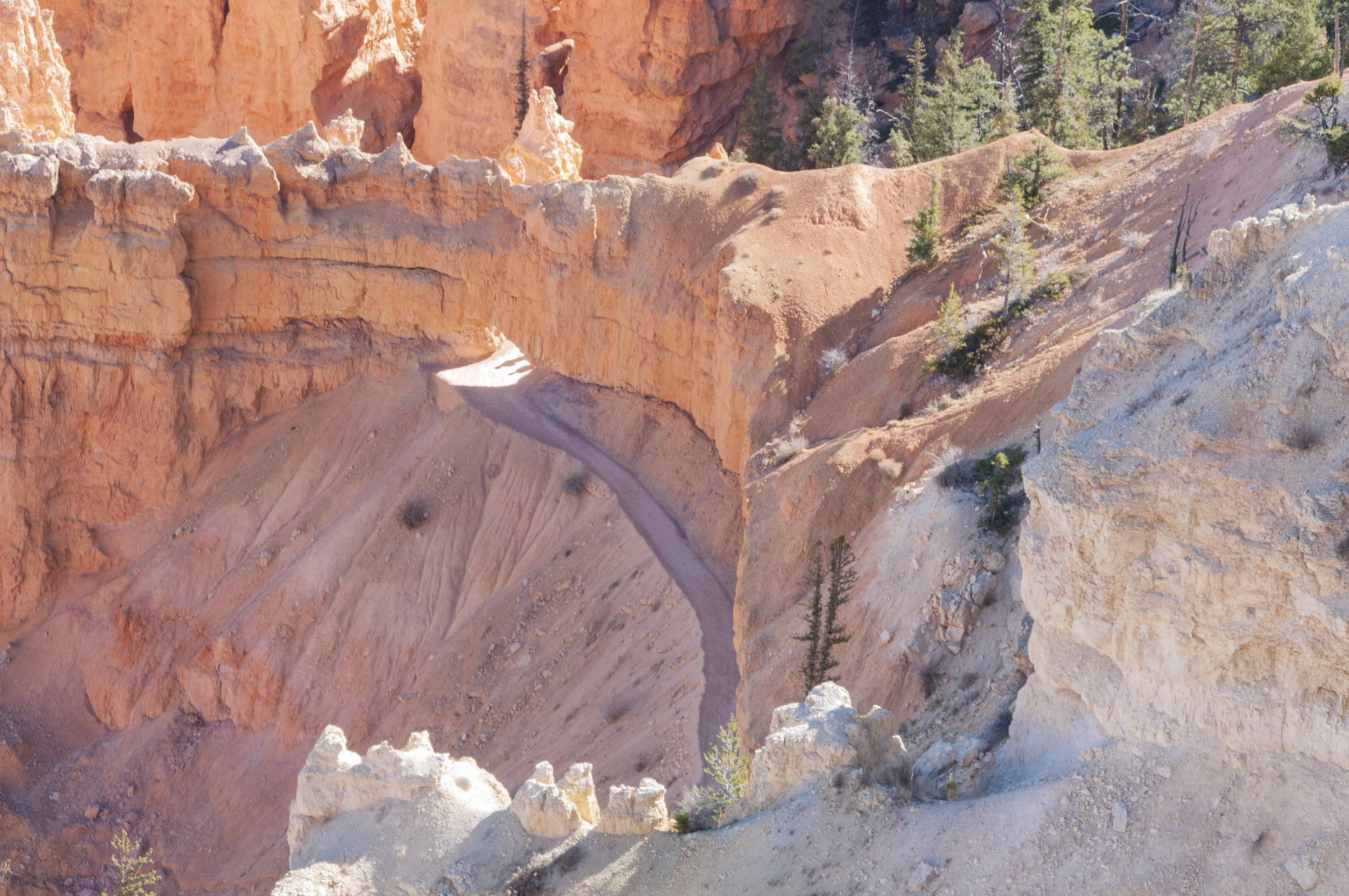
Navajo Loop Trail
Inspiration Point
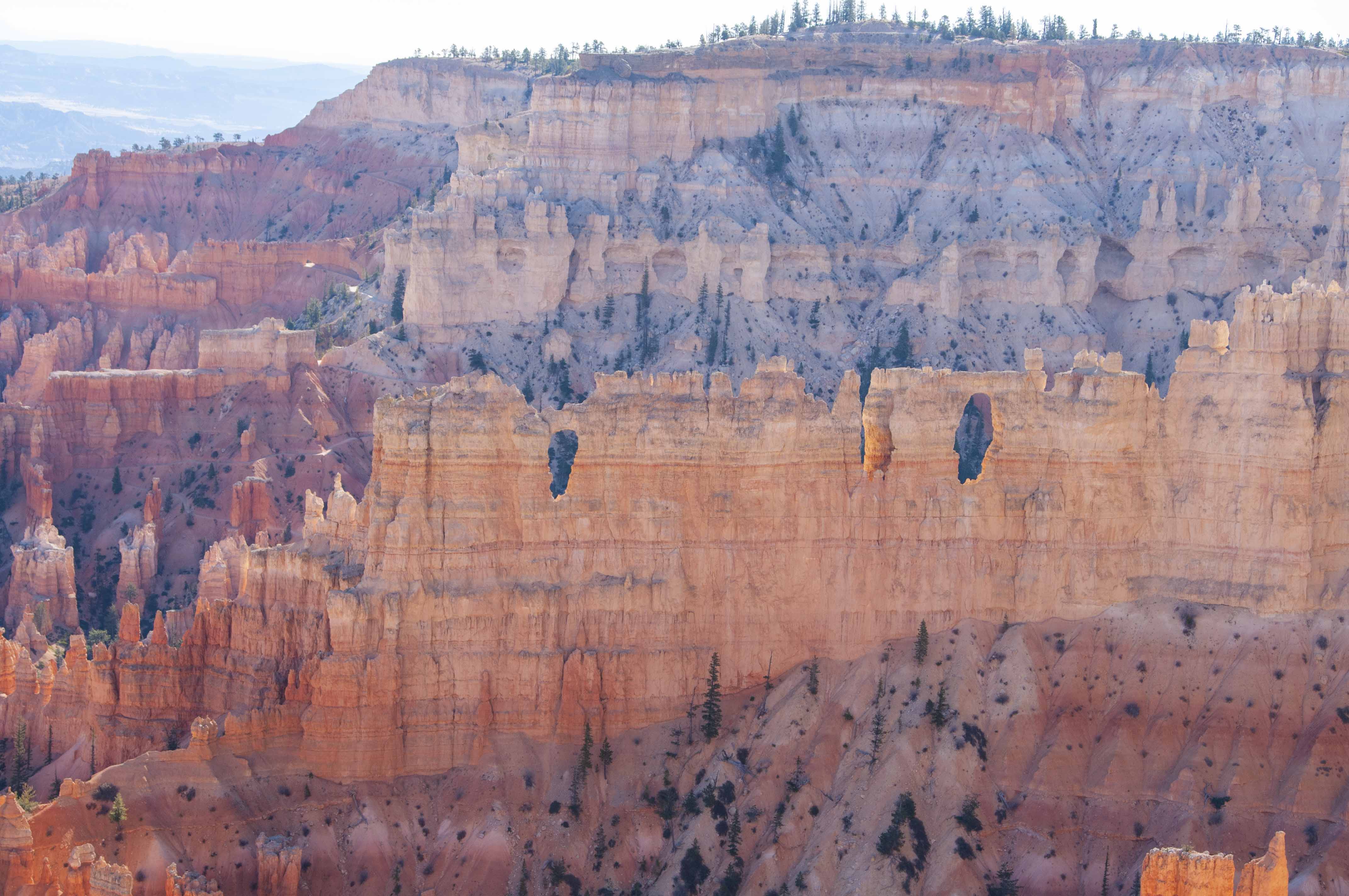
Wall of Windows
View from Inspiration Point
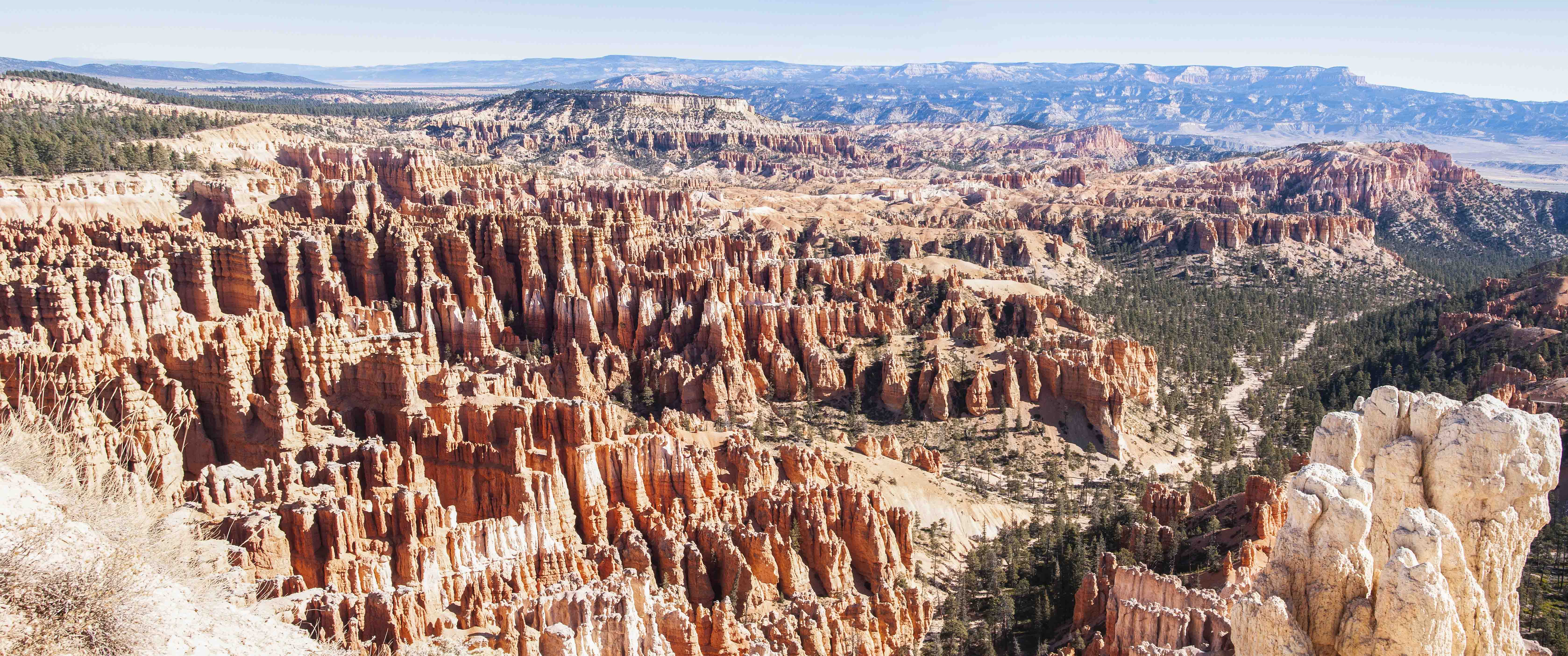
Bryce Point
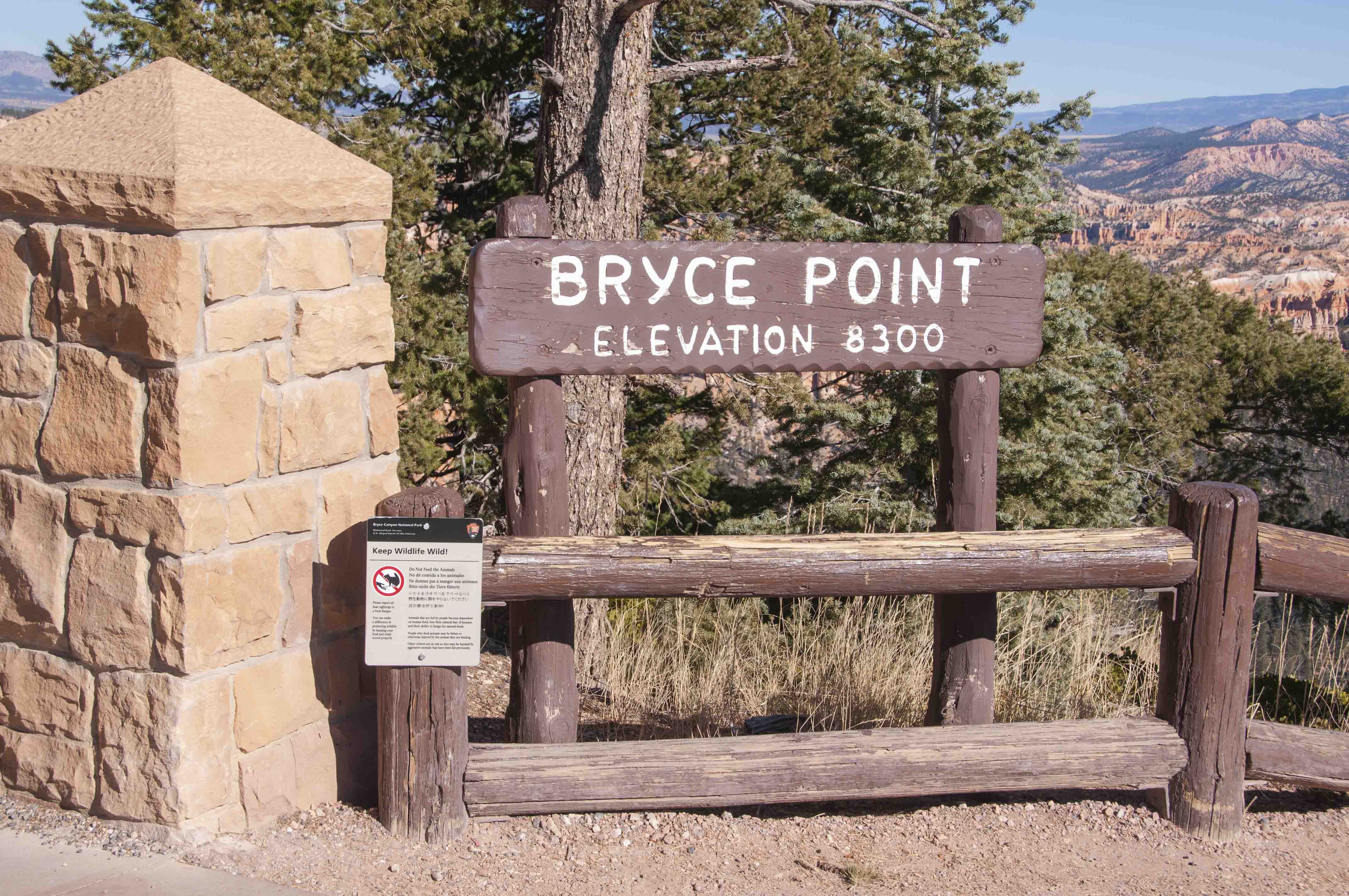
Bryce Point elevation 8300 ft
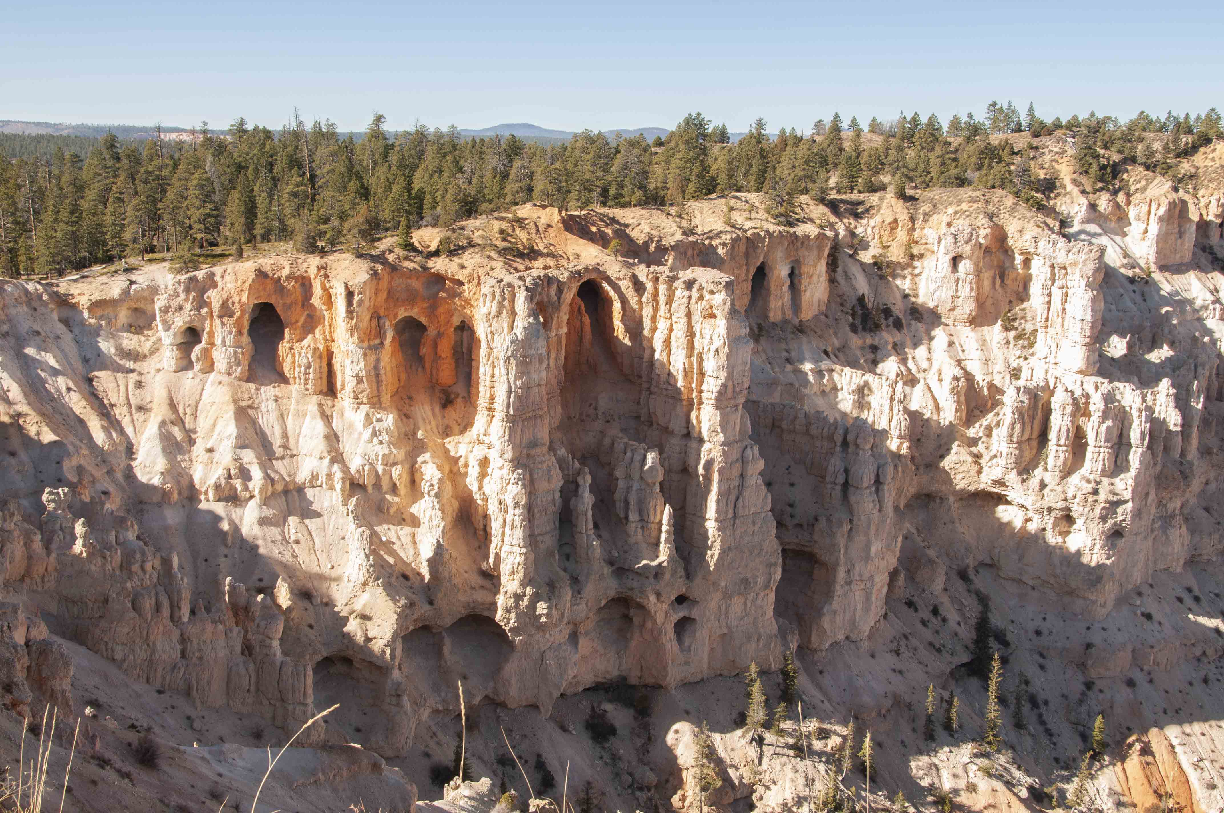
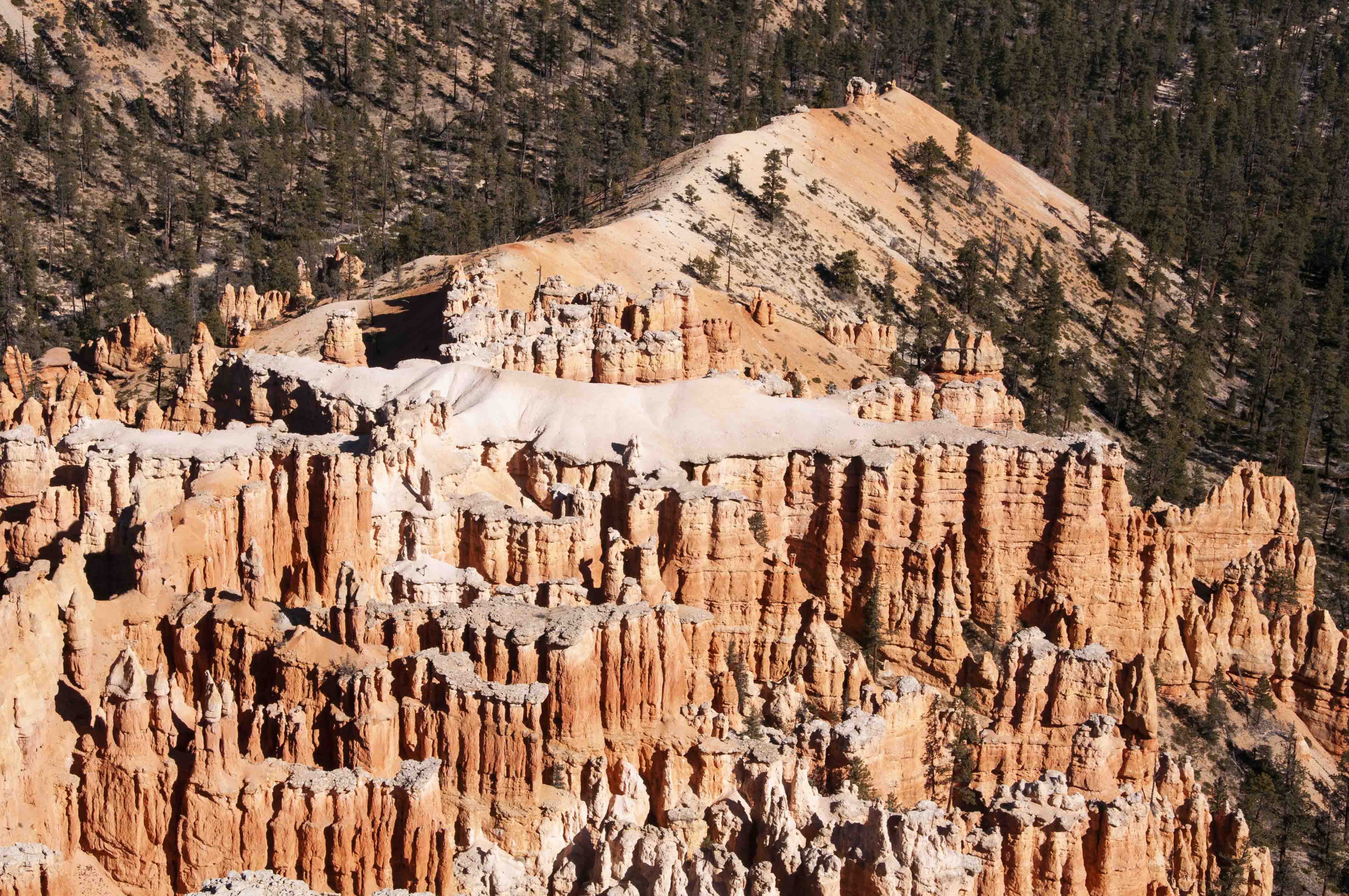
Rock formations Bryce Point
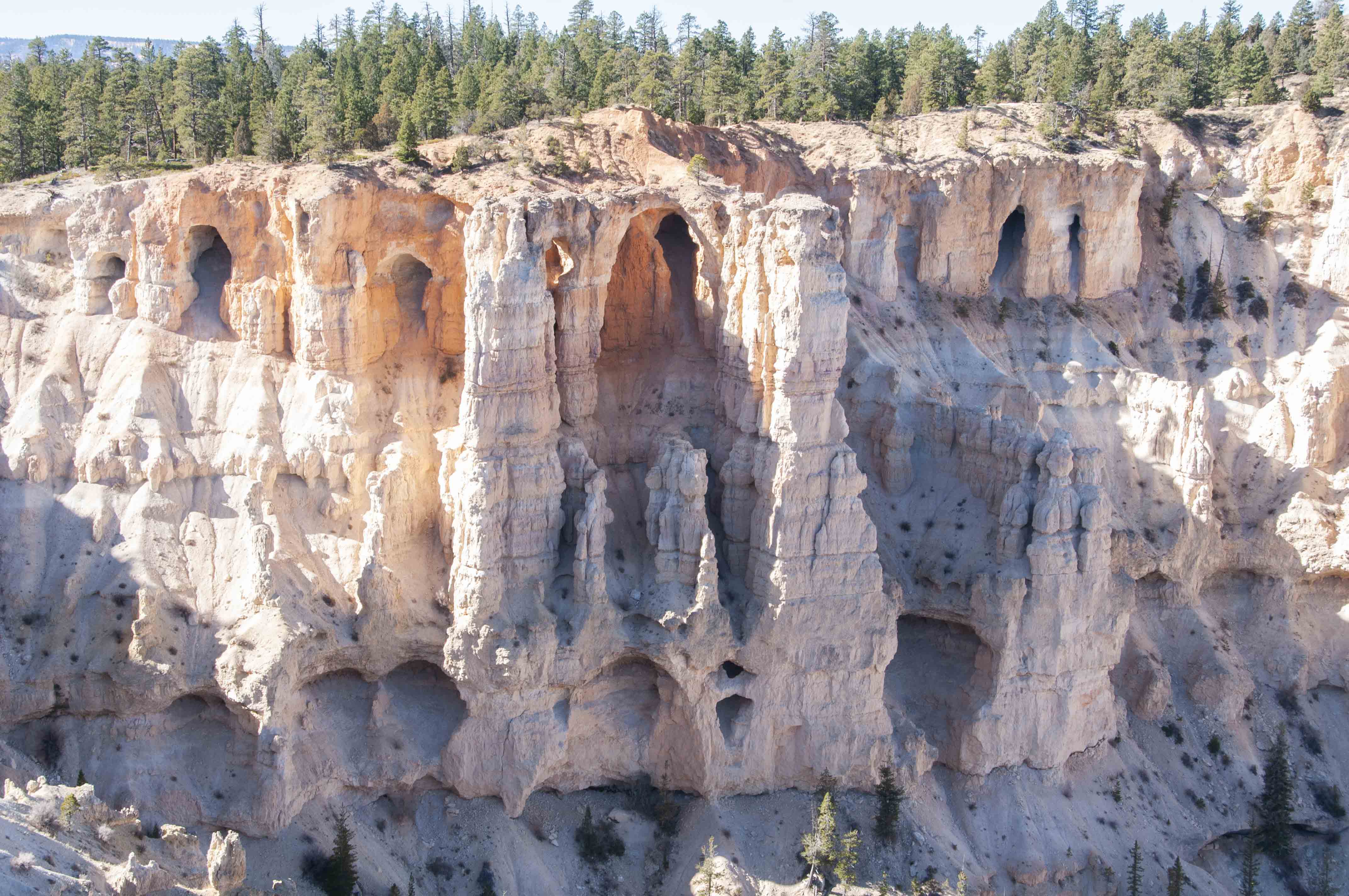
Rock formations Bryce Point
Bryce Point panorama

Bryce Point view
Bryce Point view
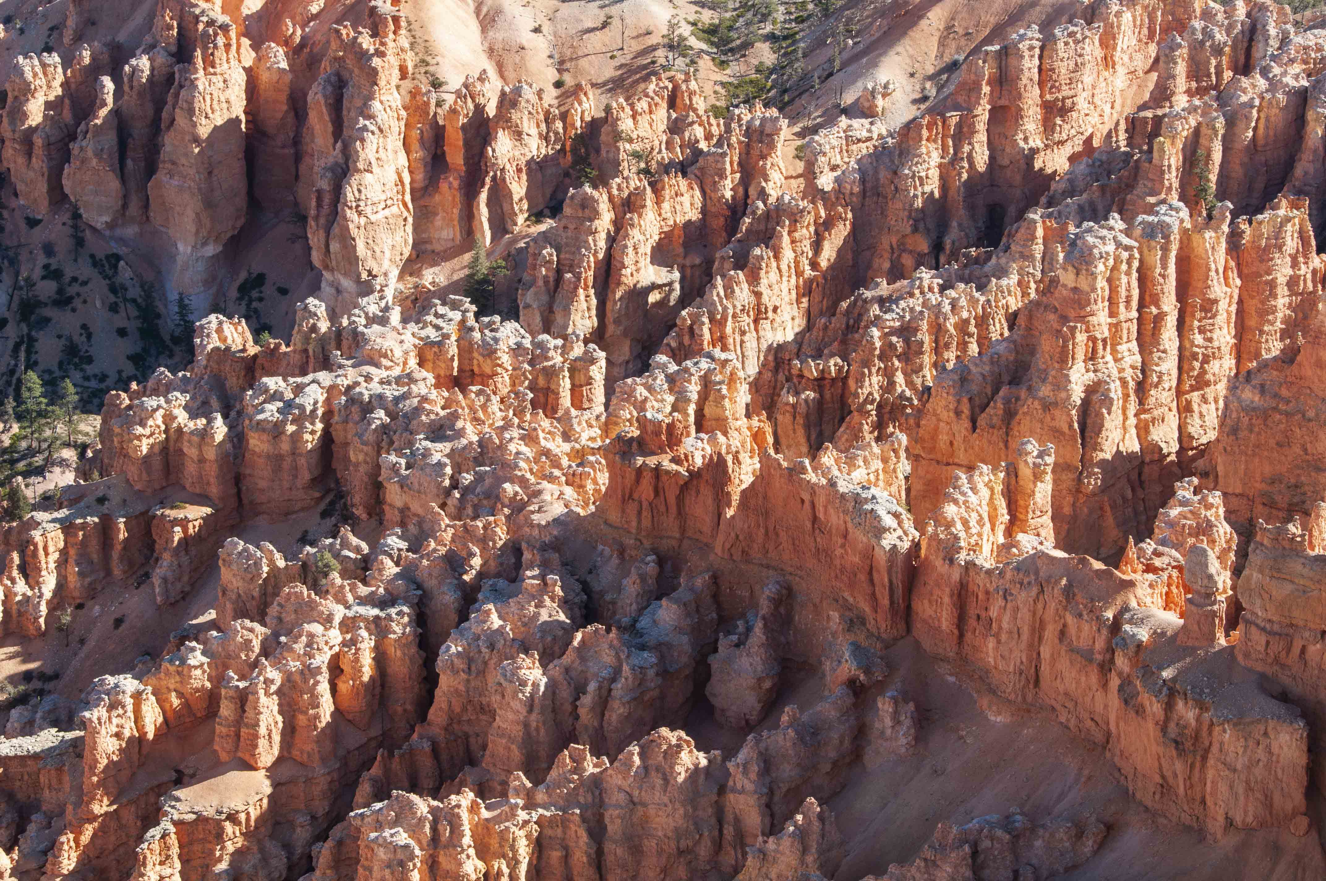
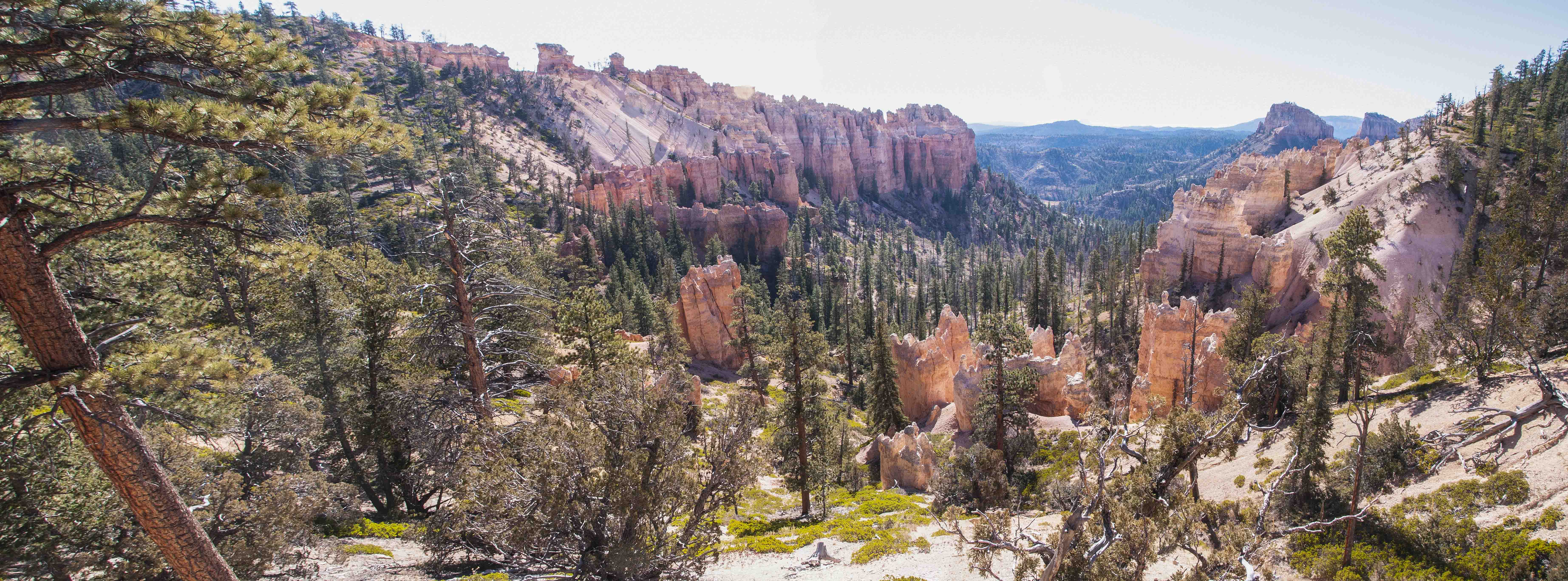
Many hoodoos
Peekaboo Loop Trail
Viewpoints along the park road (Utah SR-63)
Once you've hiked the Rim Trail and hit all the viewpoints around Bryce Amphitheater, then
it's time to drive the 18 miles or so along the park road, checking out all the viewpoints
along the way.
Swamp Canyon
Swamp Canyon
Farview Point
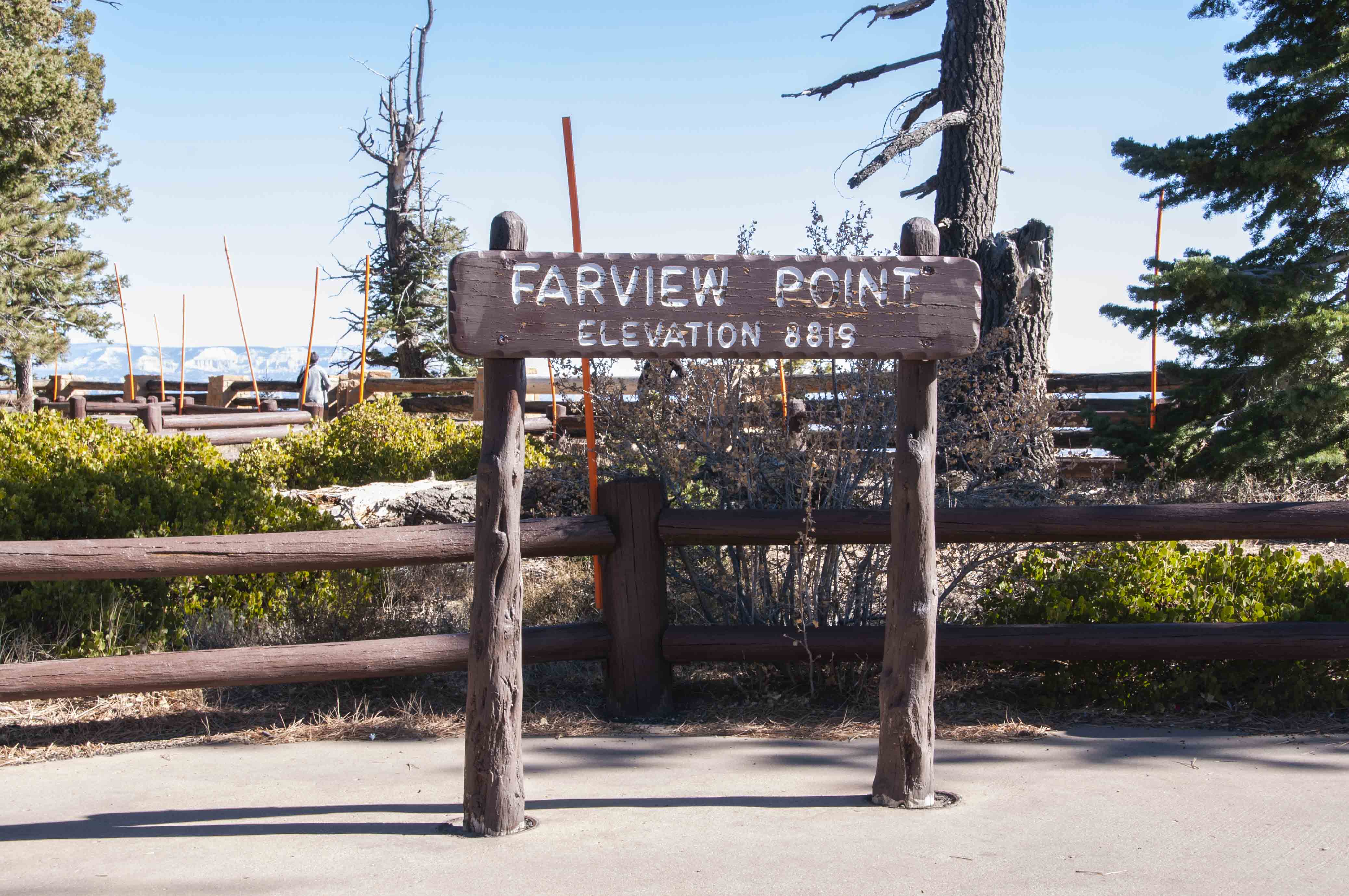
Farview Point elevation 8819 ft
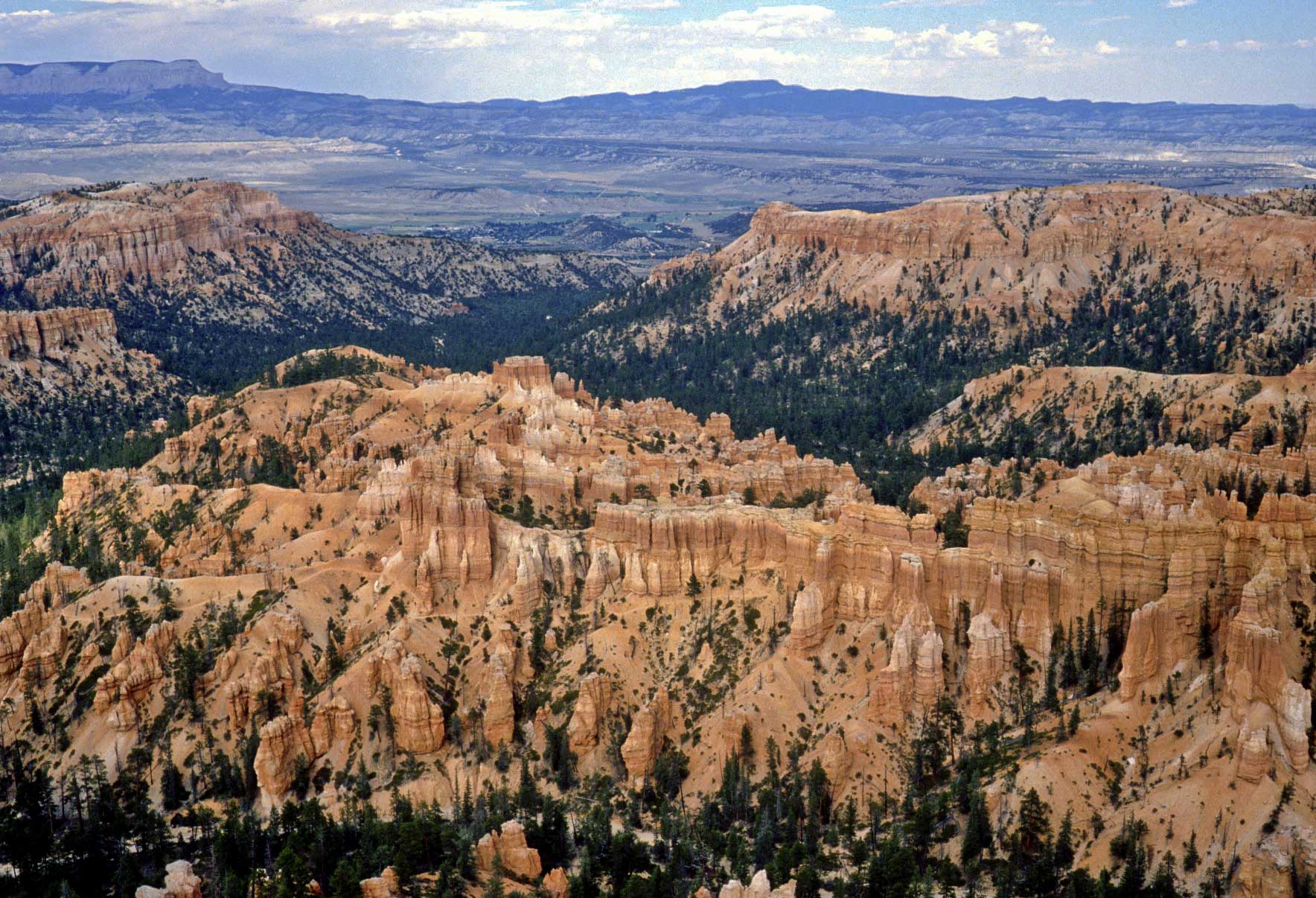
View from Farview Point (1989)
Farview Point view
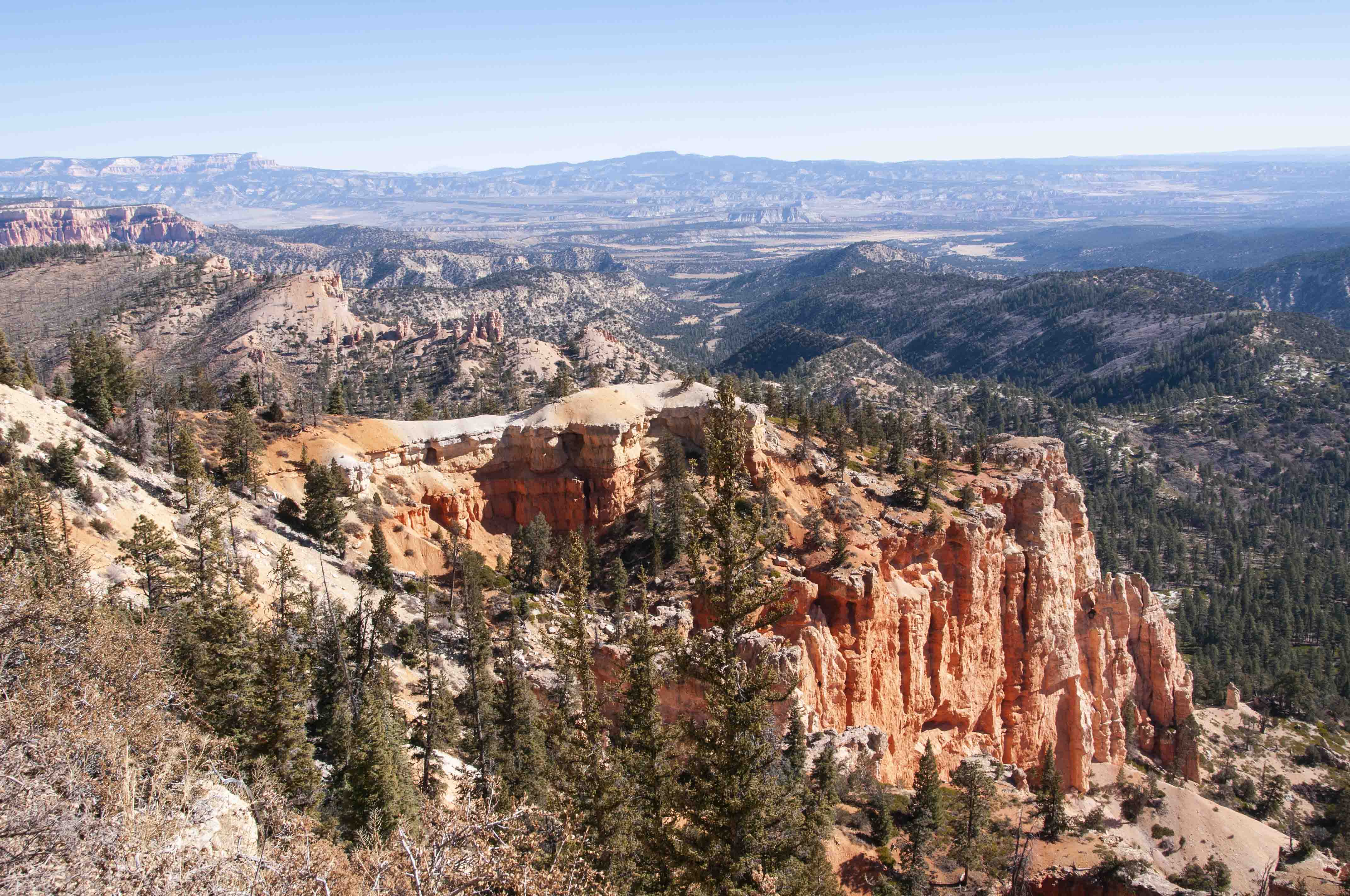
Panoramic view from near Farview Point (1979)

Left part of previous photo
Natural Bridge
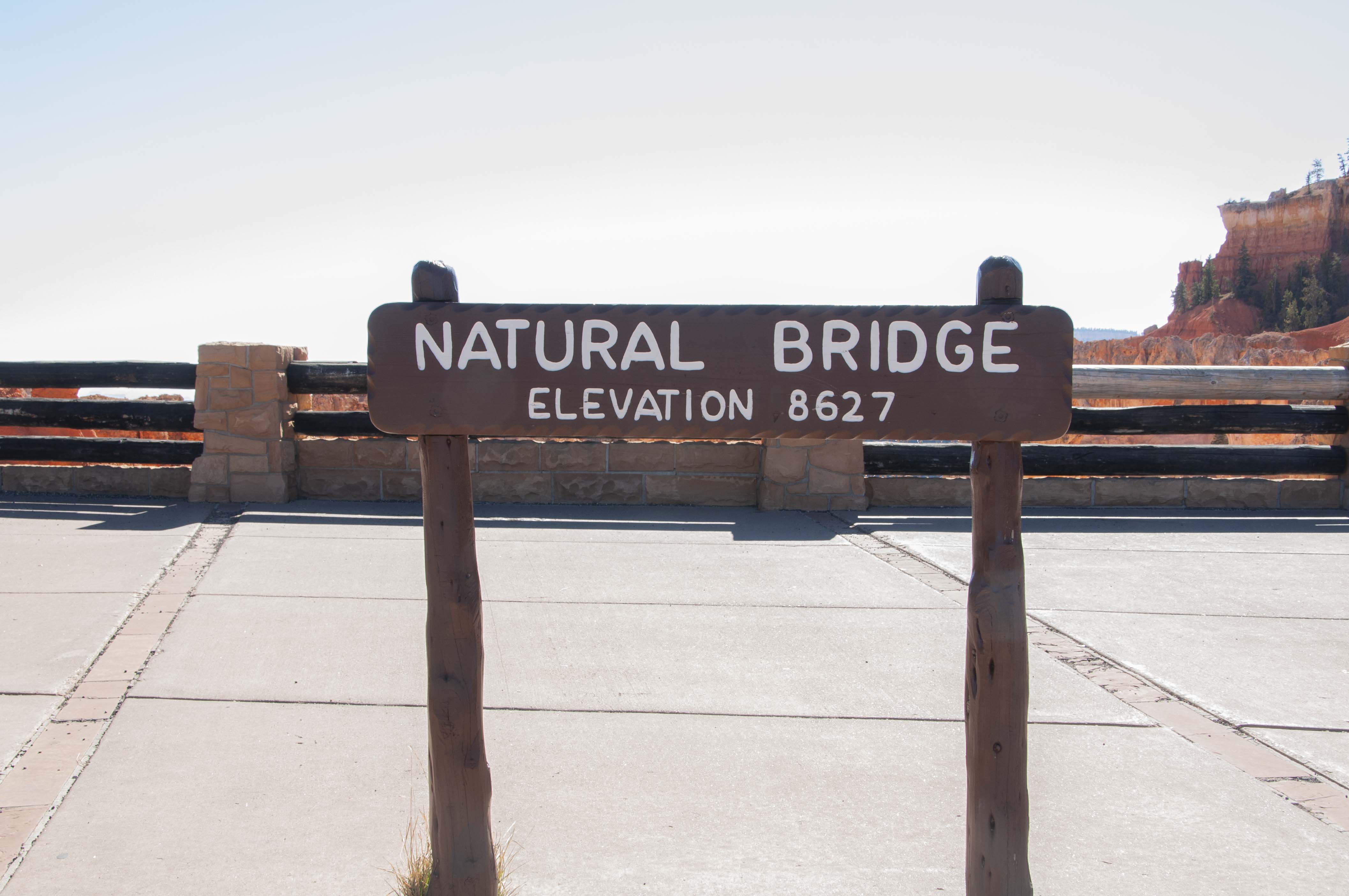
Natural Bridge elevation 8627 ft
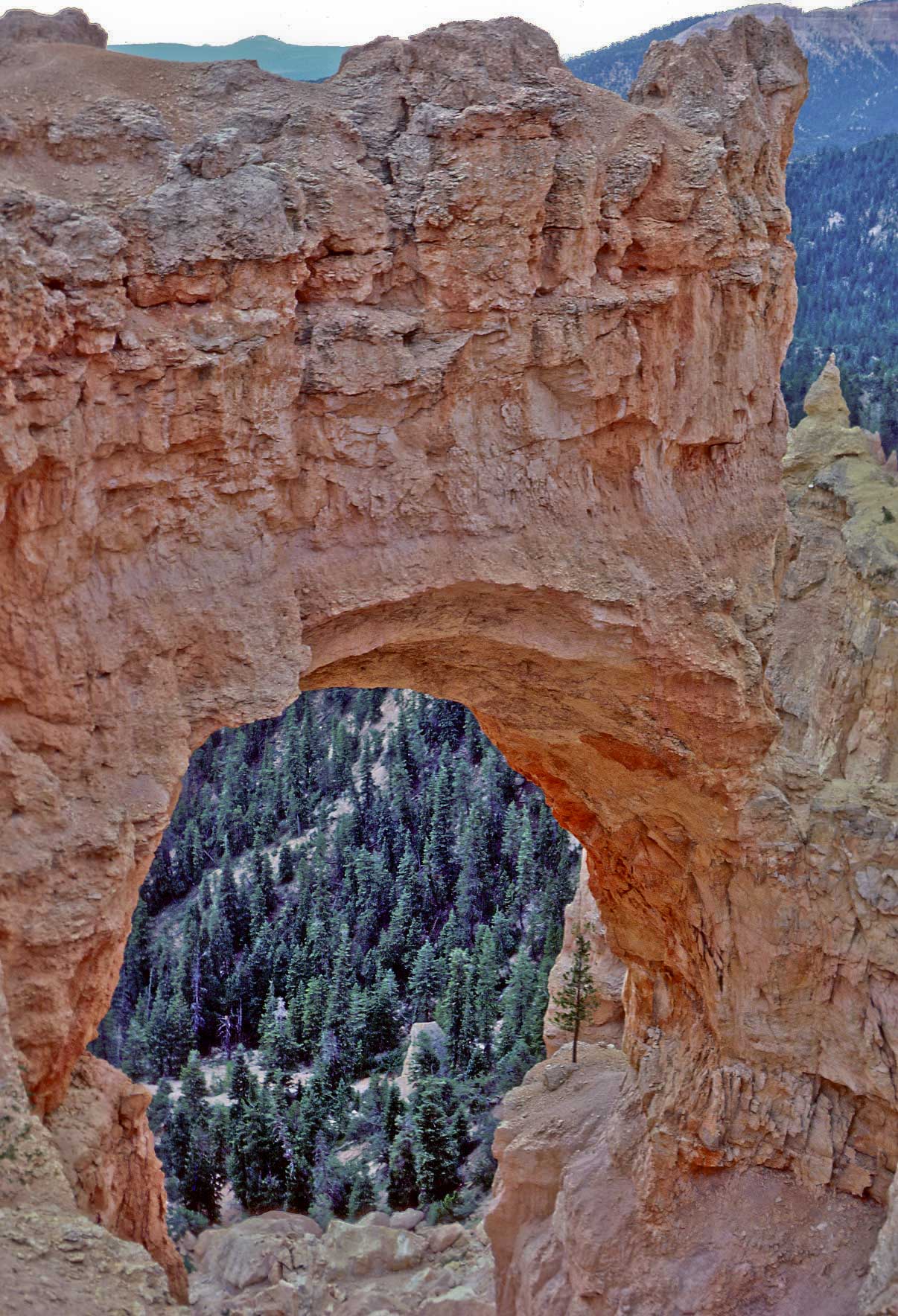
Natural Bridge (1979)
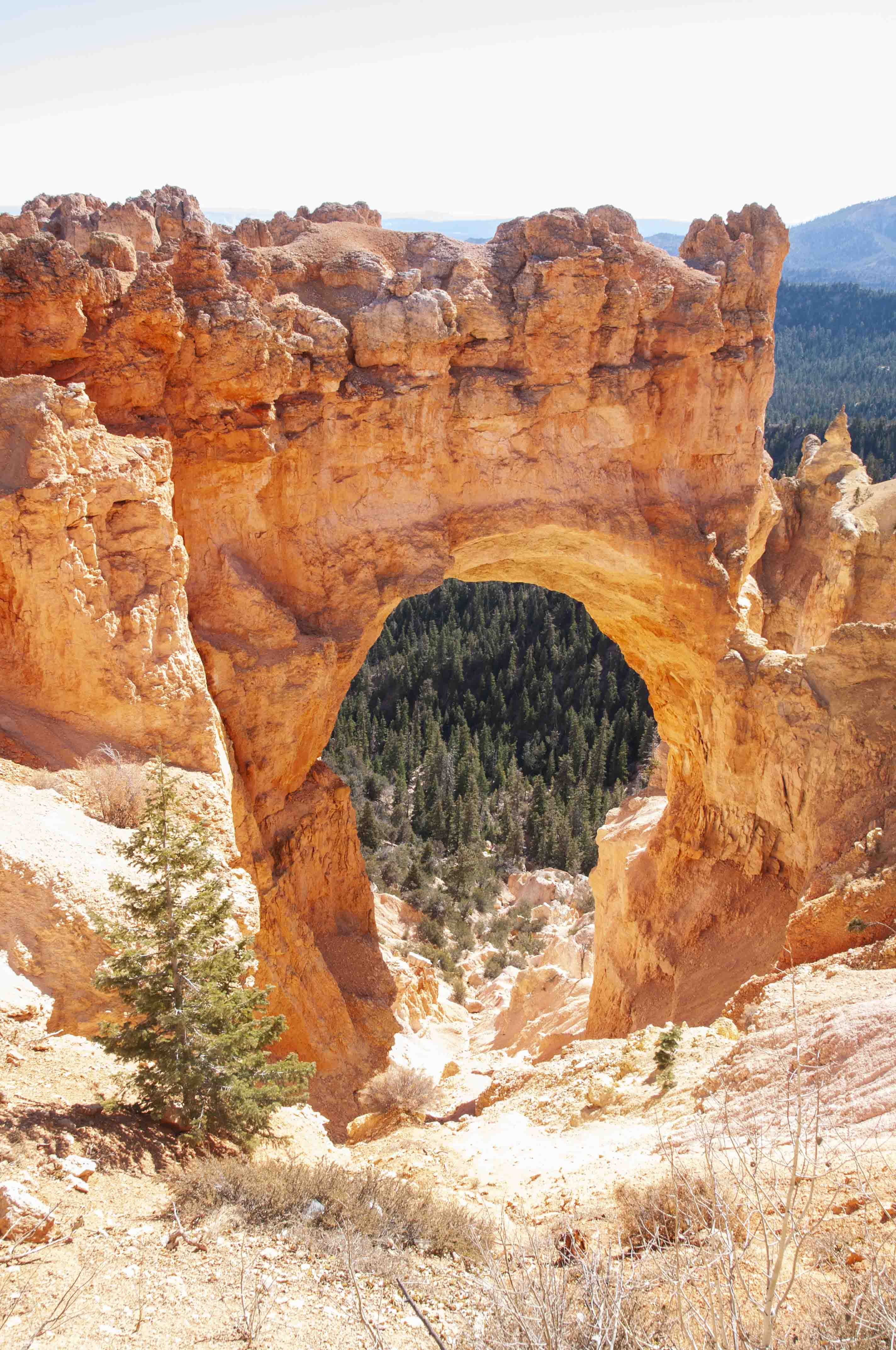
Natural Bridge (2019)

Natural Bridge
Agua Canyon
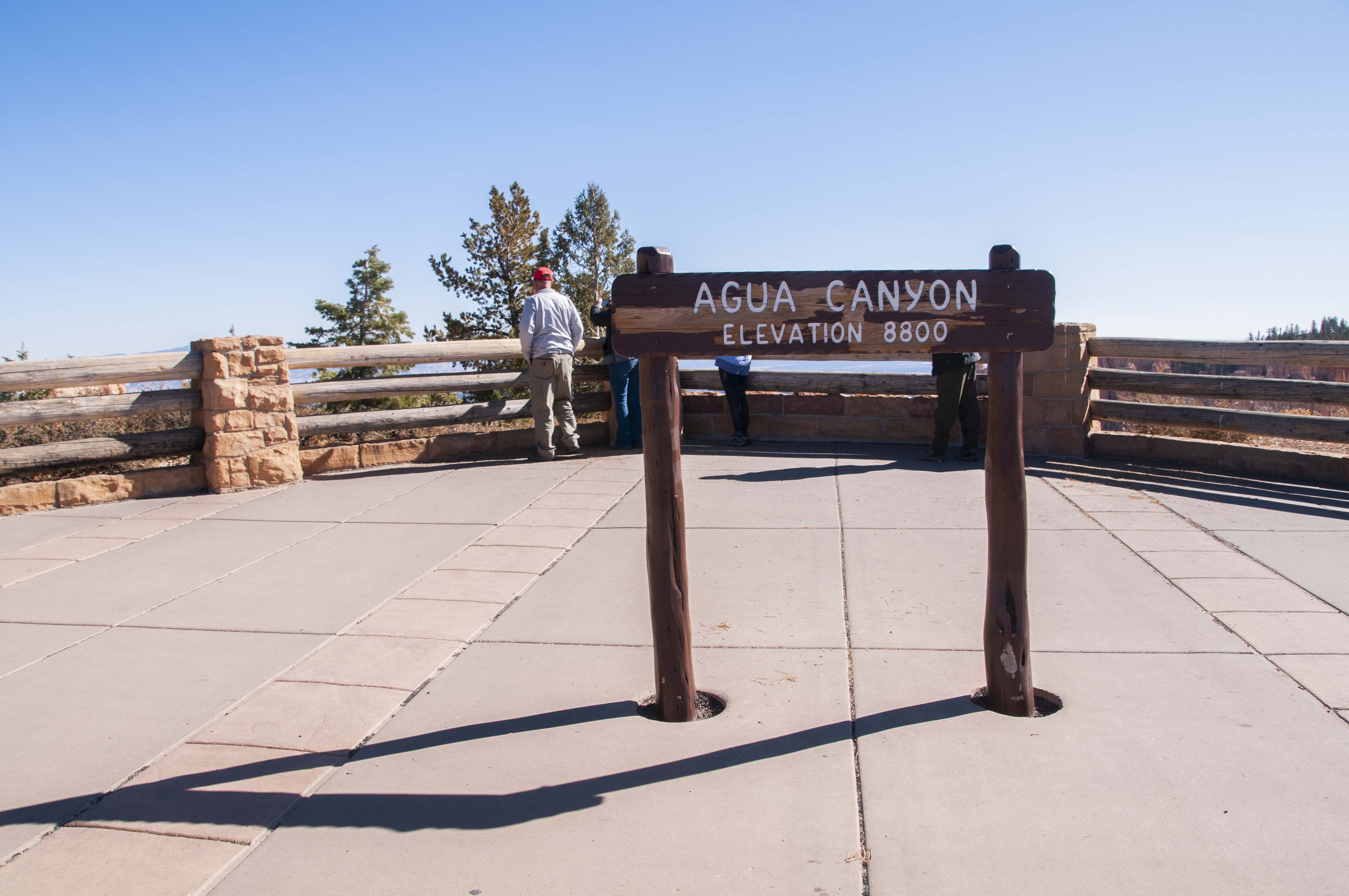
Agua Canyon elevation 8800 ft
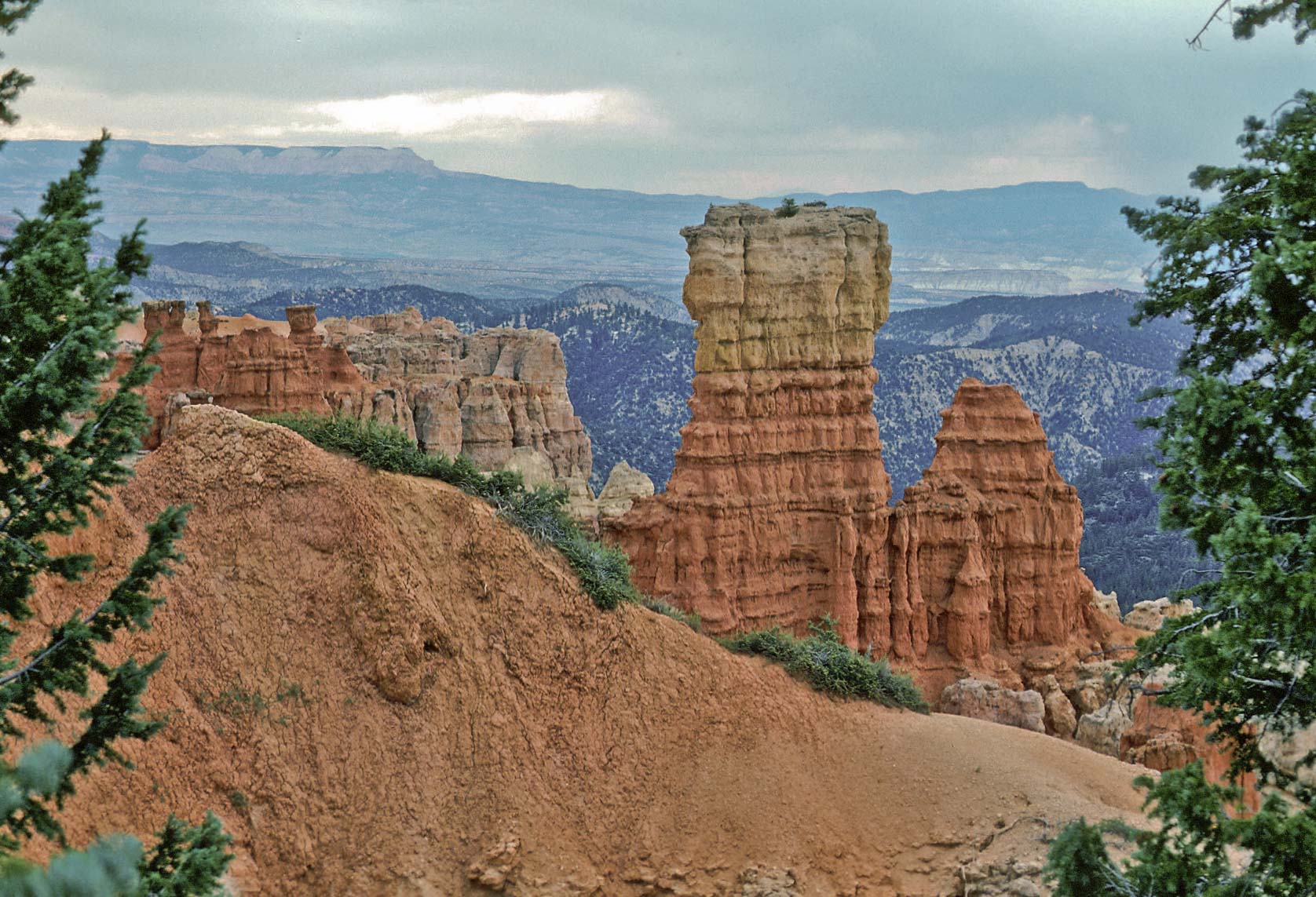
View from Agua Canyon Overlook (1979)
View from Agua Canyon Overlook (2019)
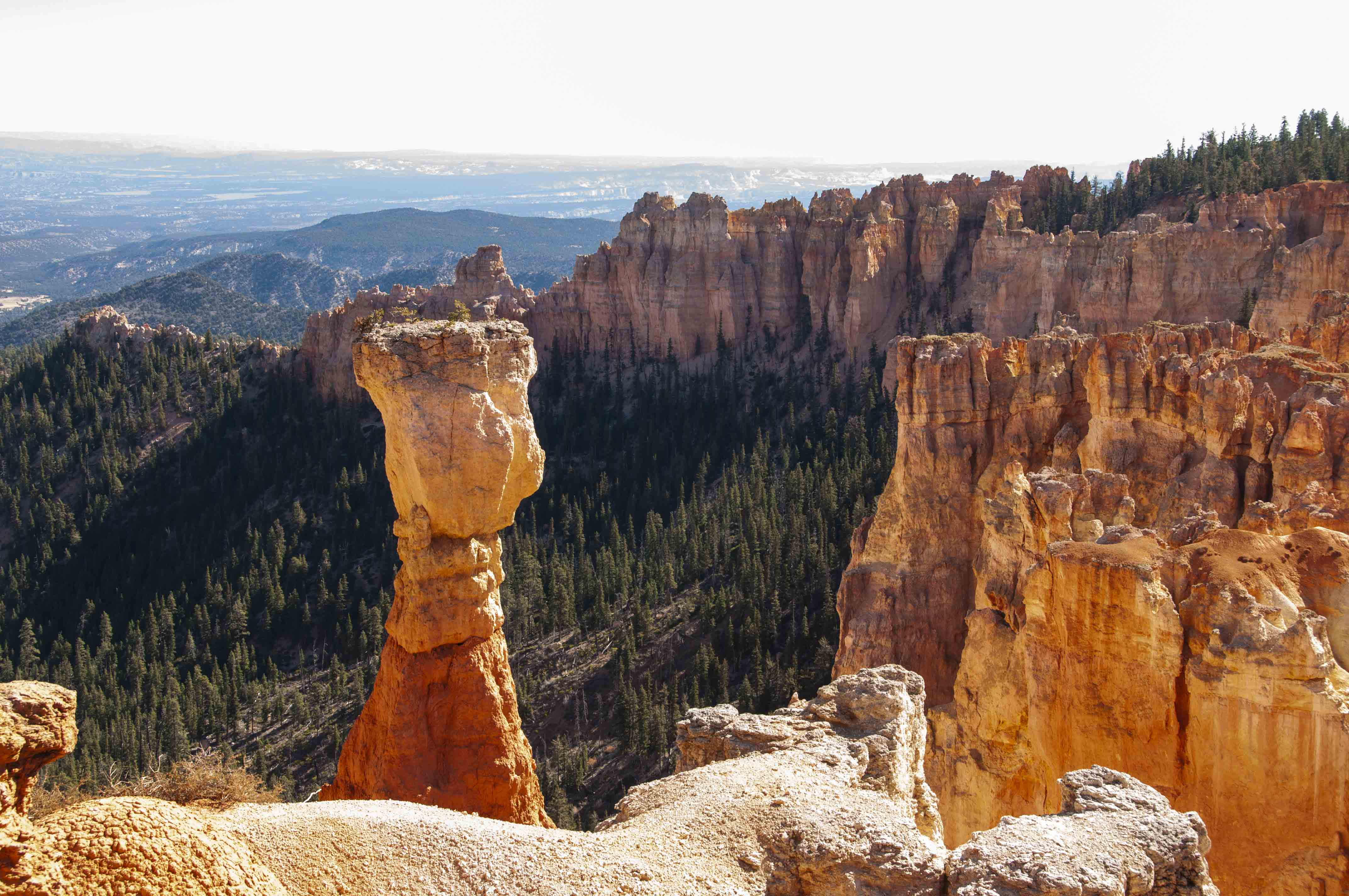
Thor's Hammer wannabe
Ponderosa Point
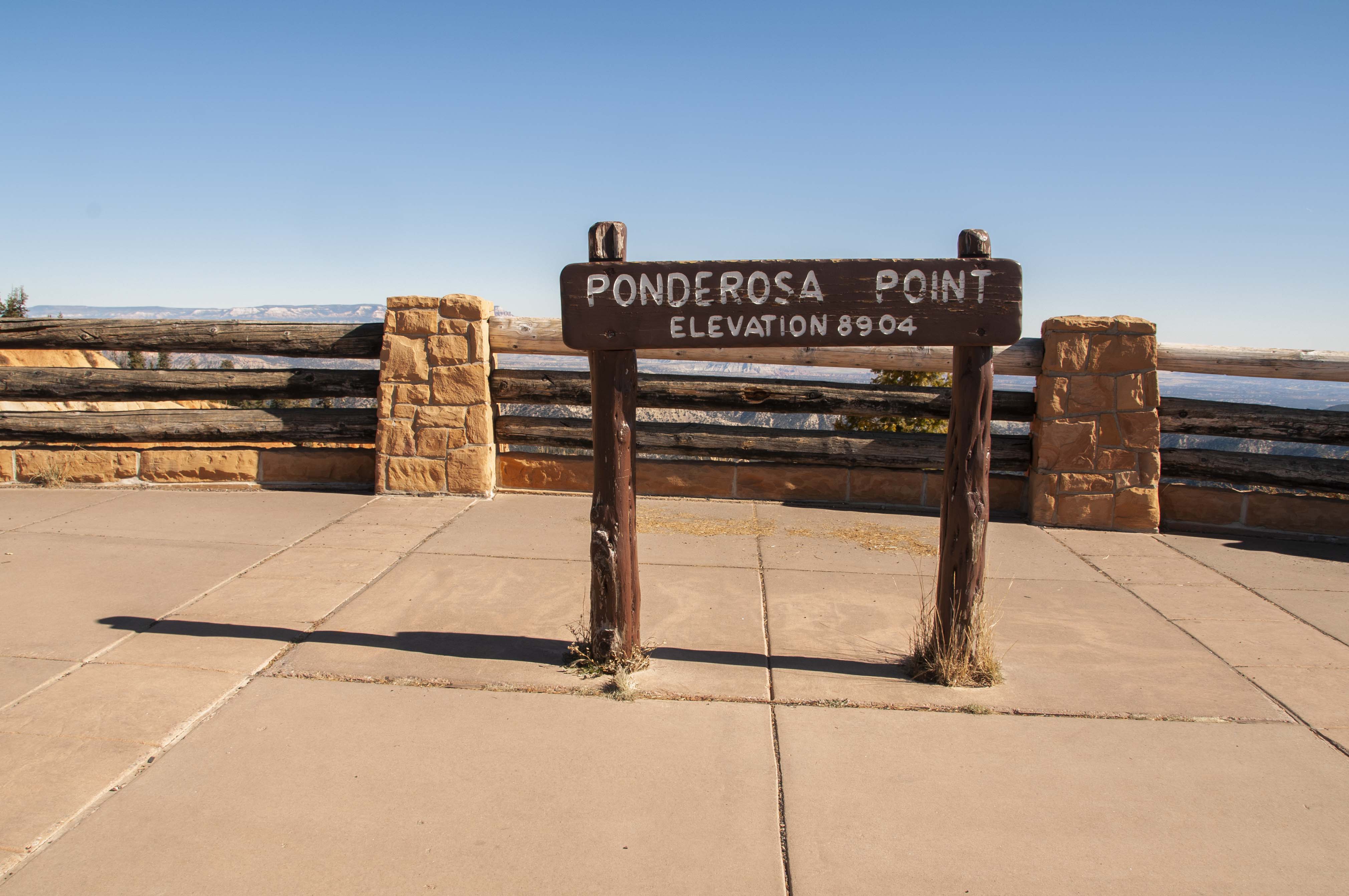
Ponderosa Point elevation 8904 ft
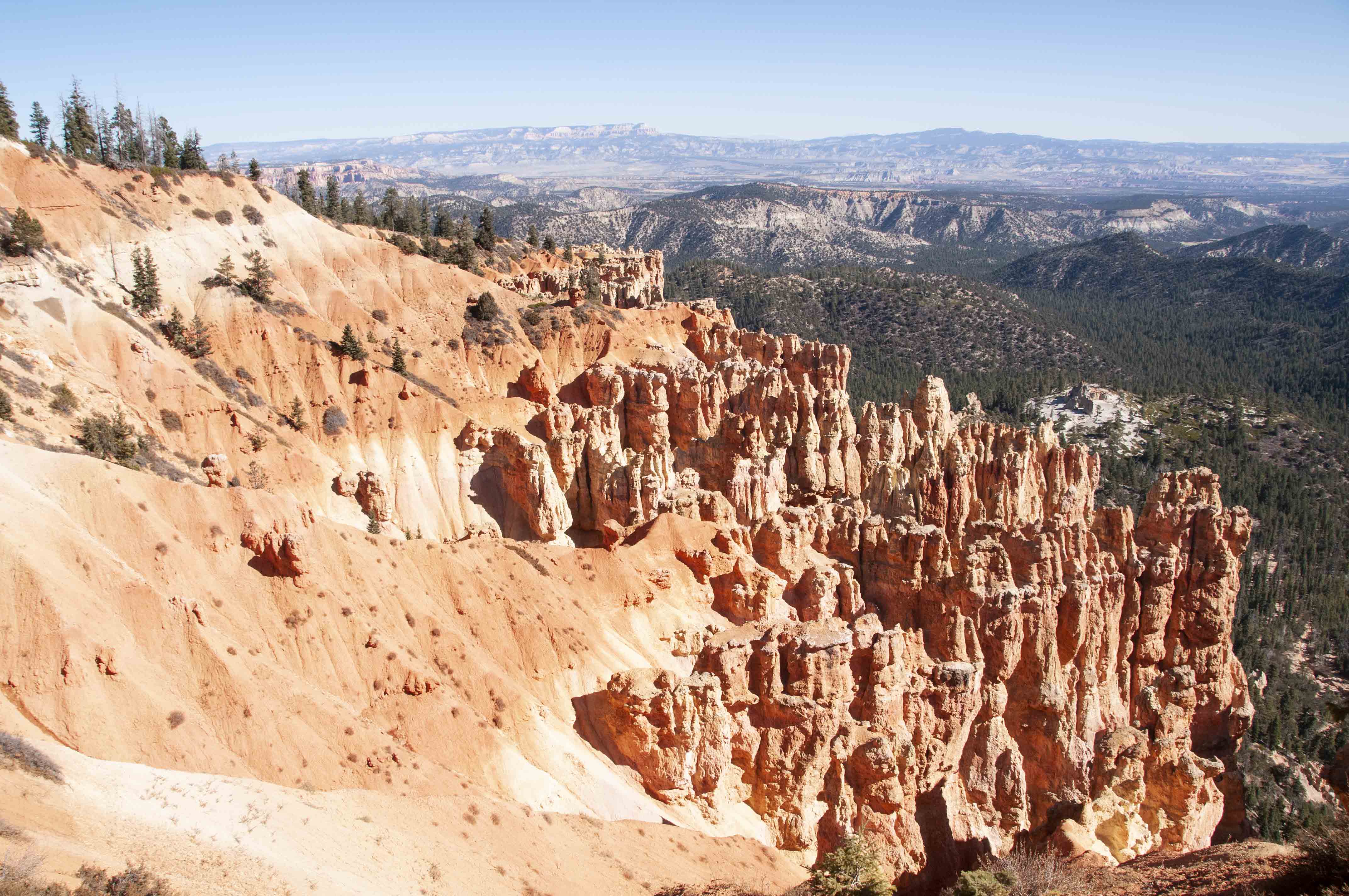
Ponderosa Point view
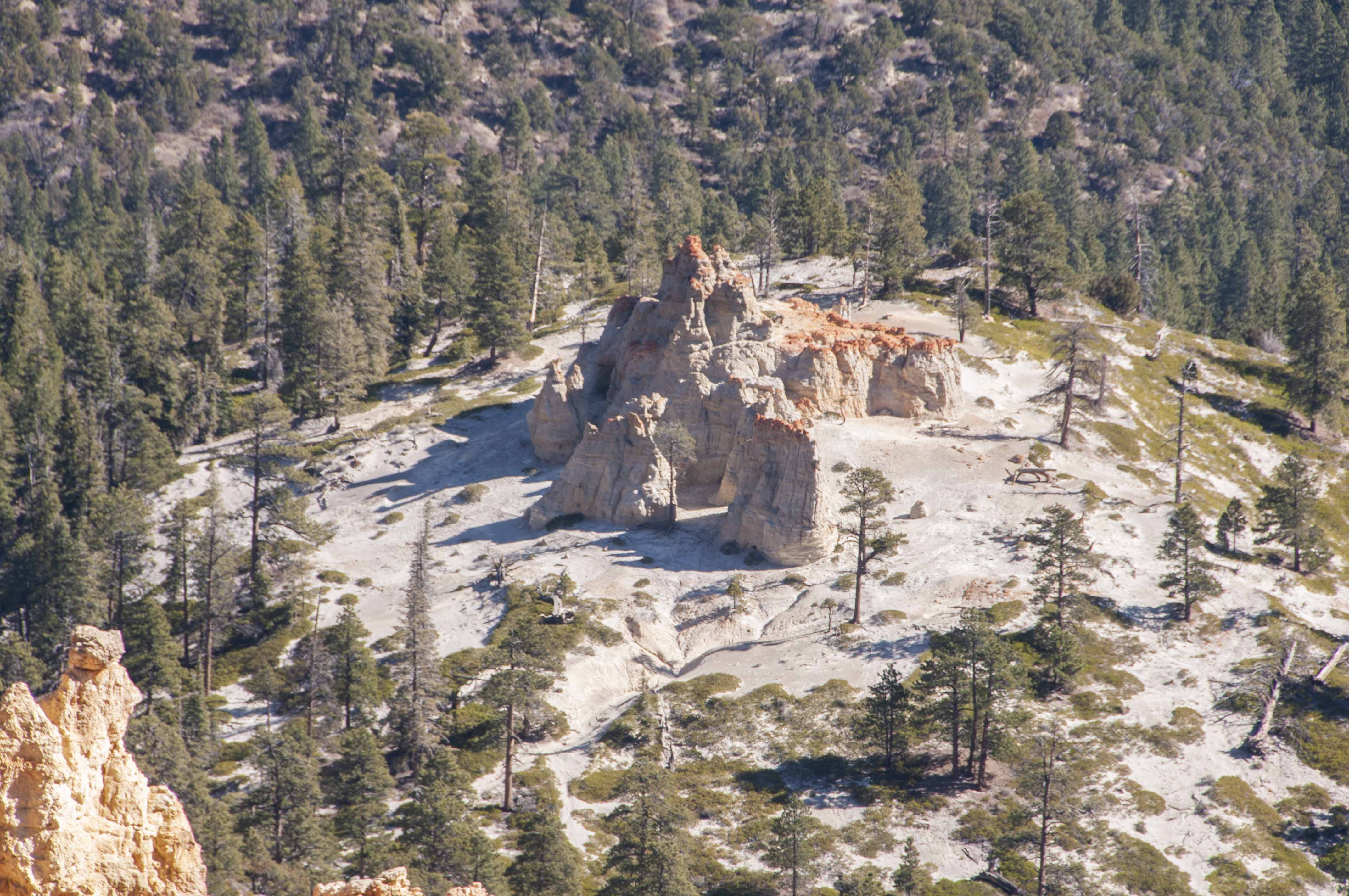
Ponderosa Point view
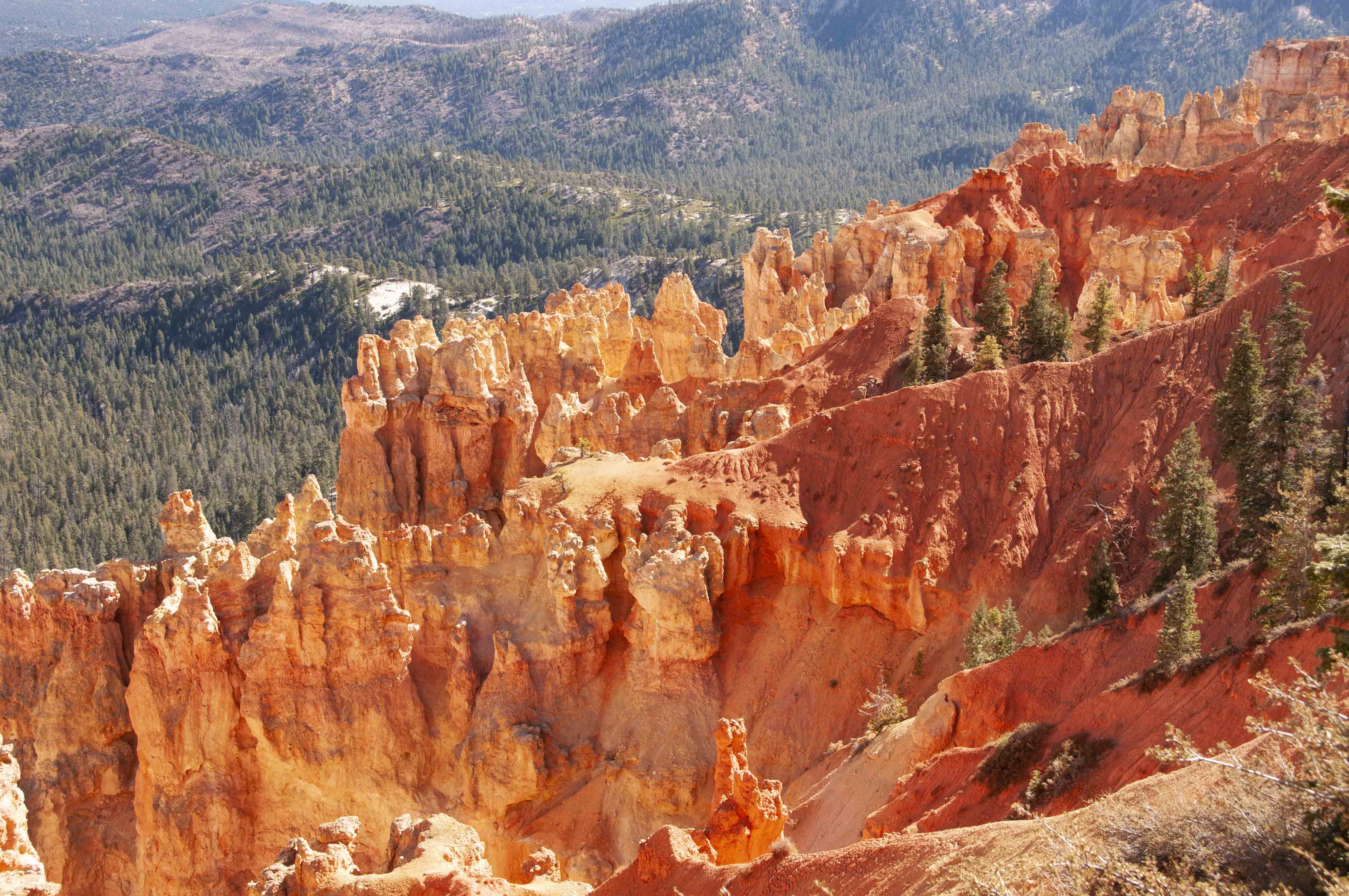
Ponderosa Point hoodoos
Rainbow Point
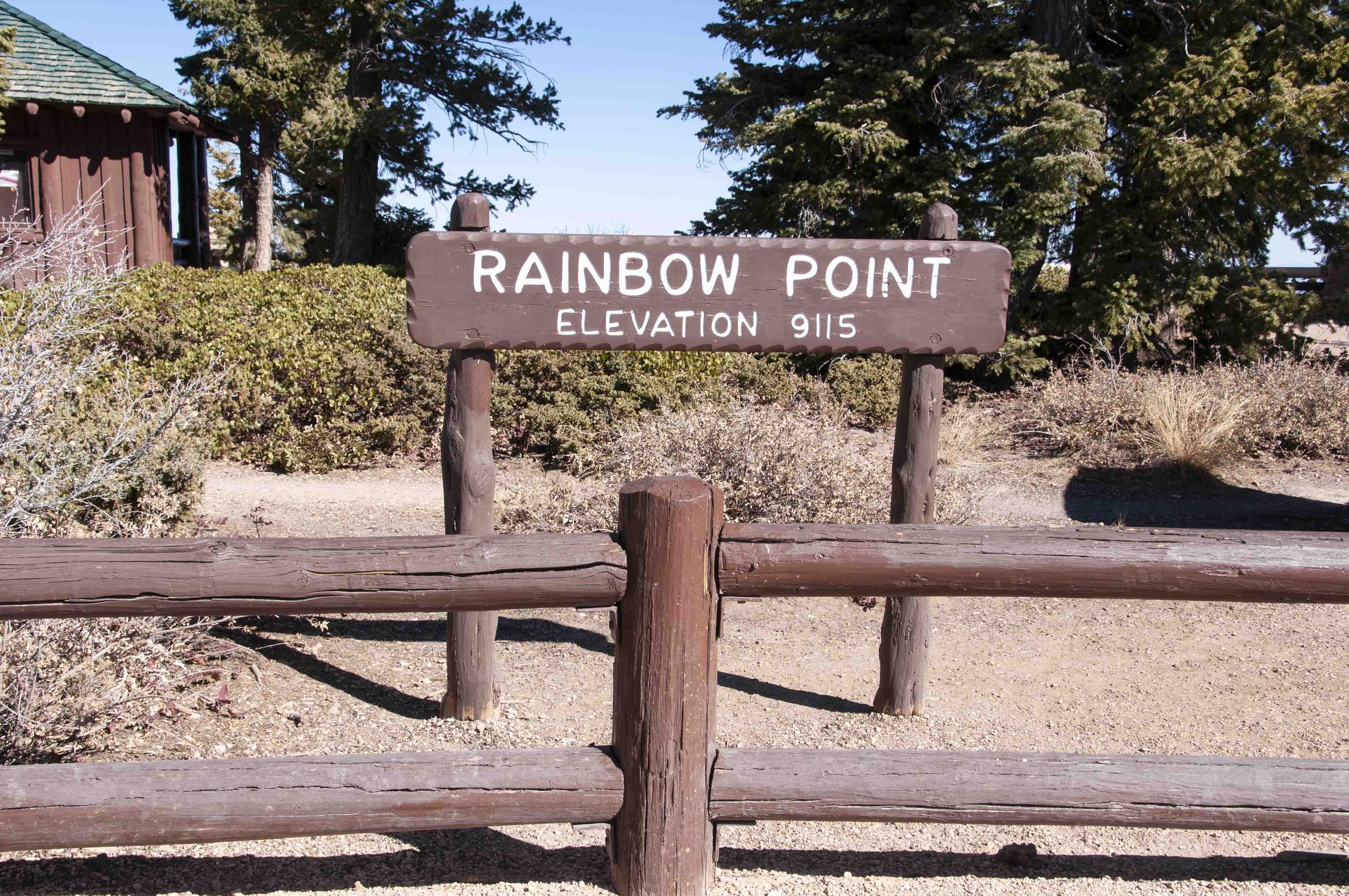
Rainbow Point elevation 9115 ft
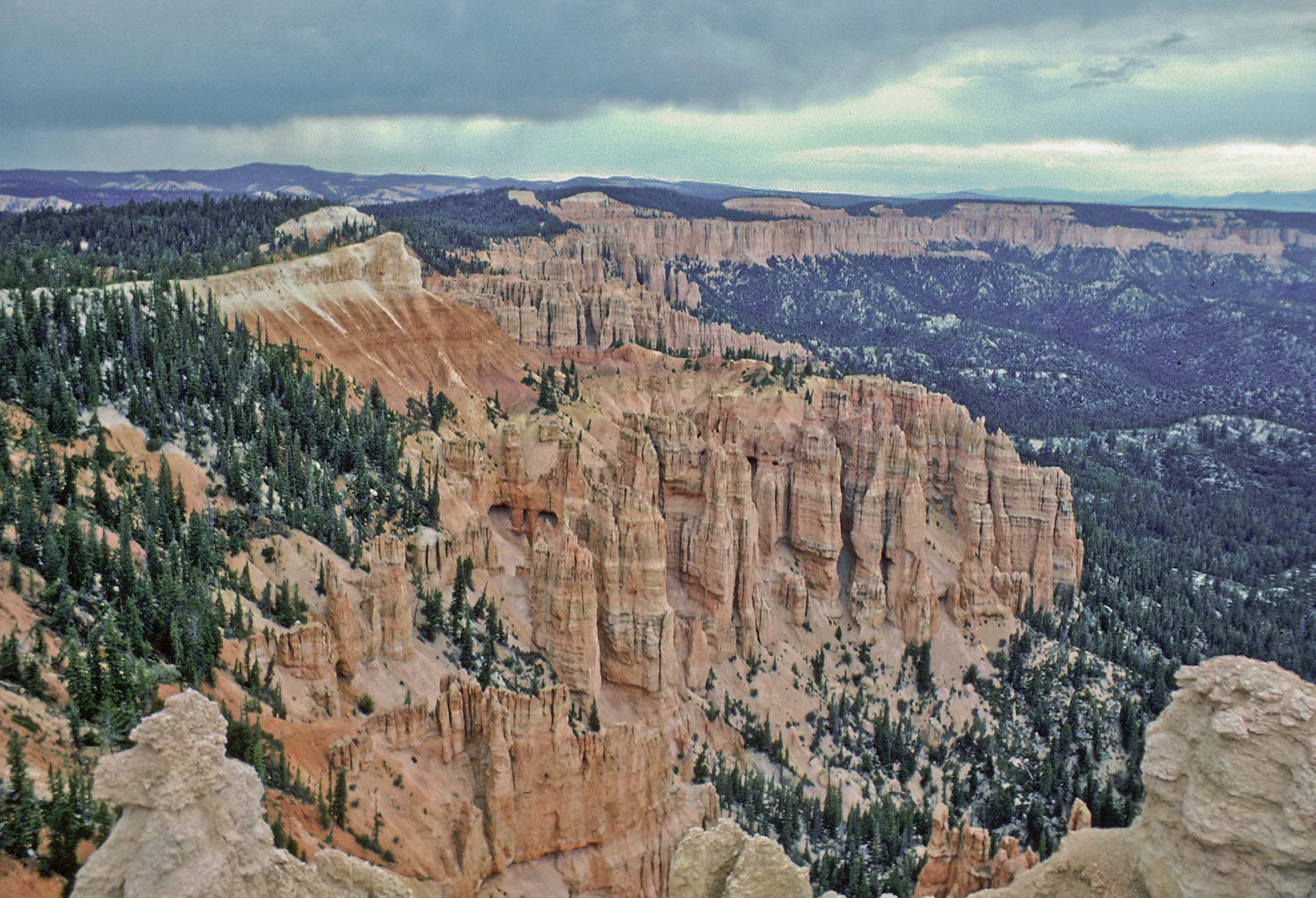
View north from Rainbow Point (1979)
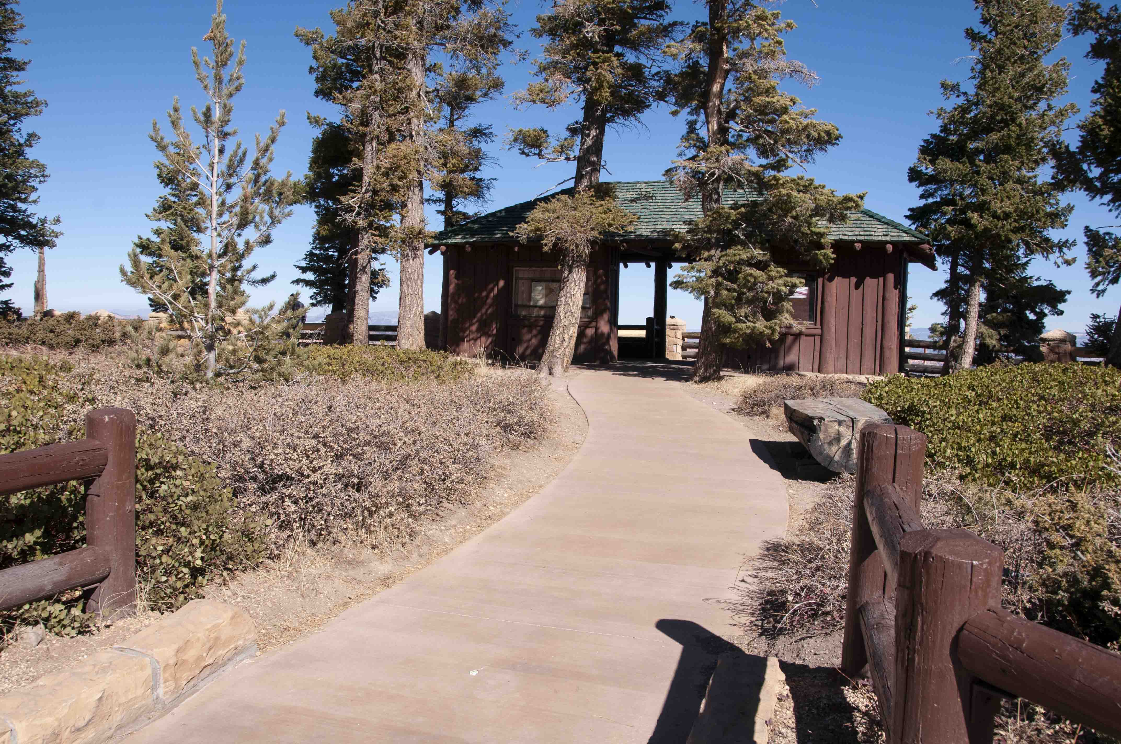
Rainbow Point shelter

Rainbow Point view
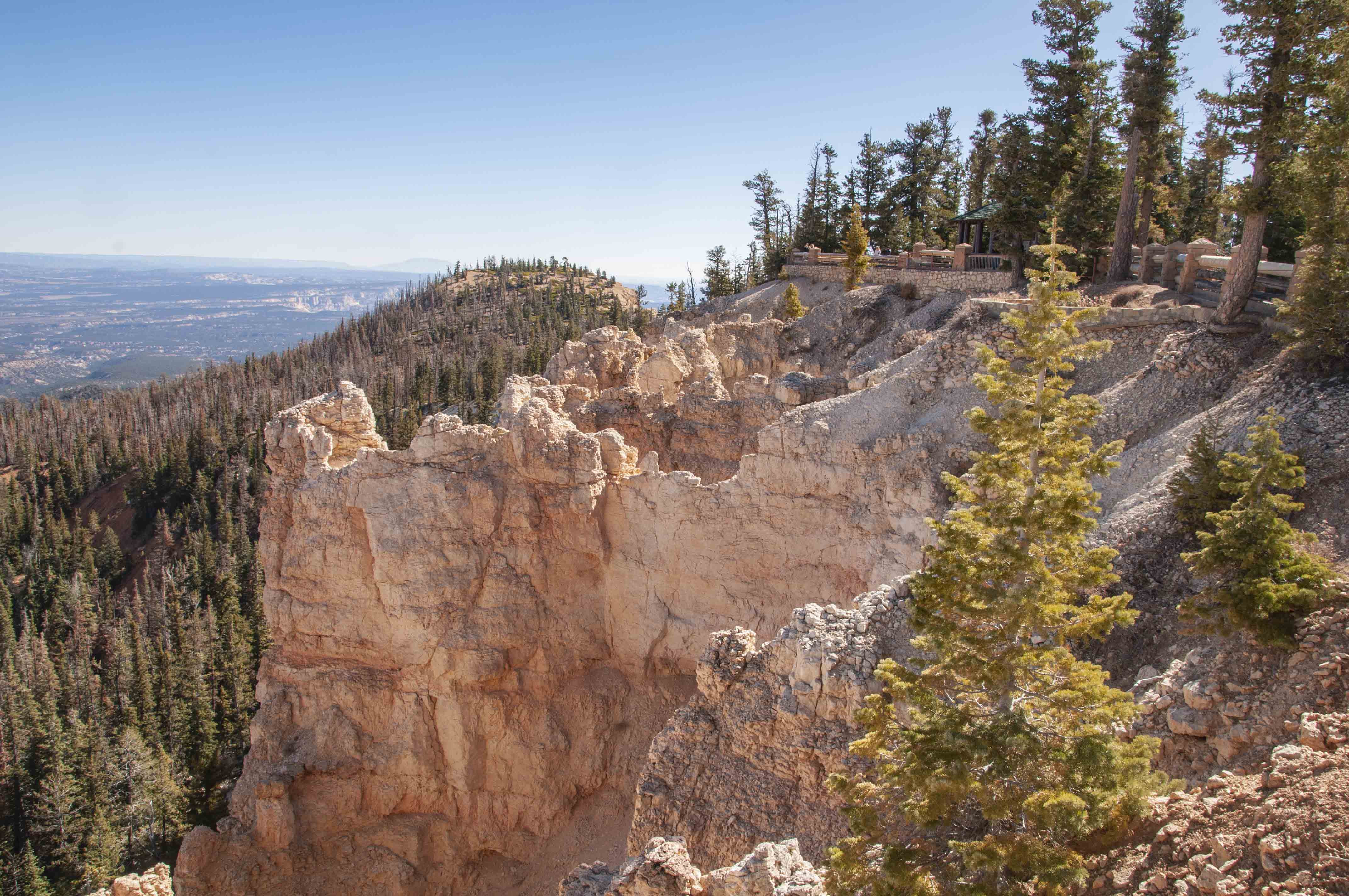
Rainbow Point view
Rainbow Point view
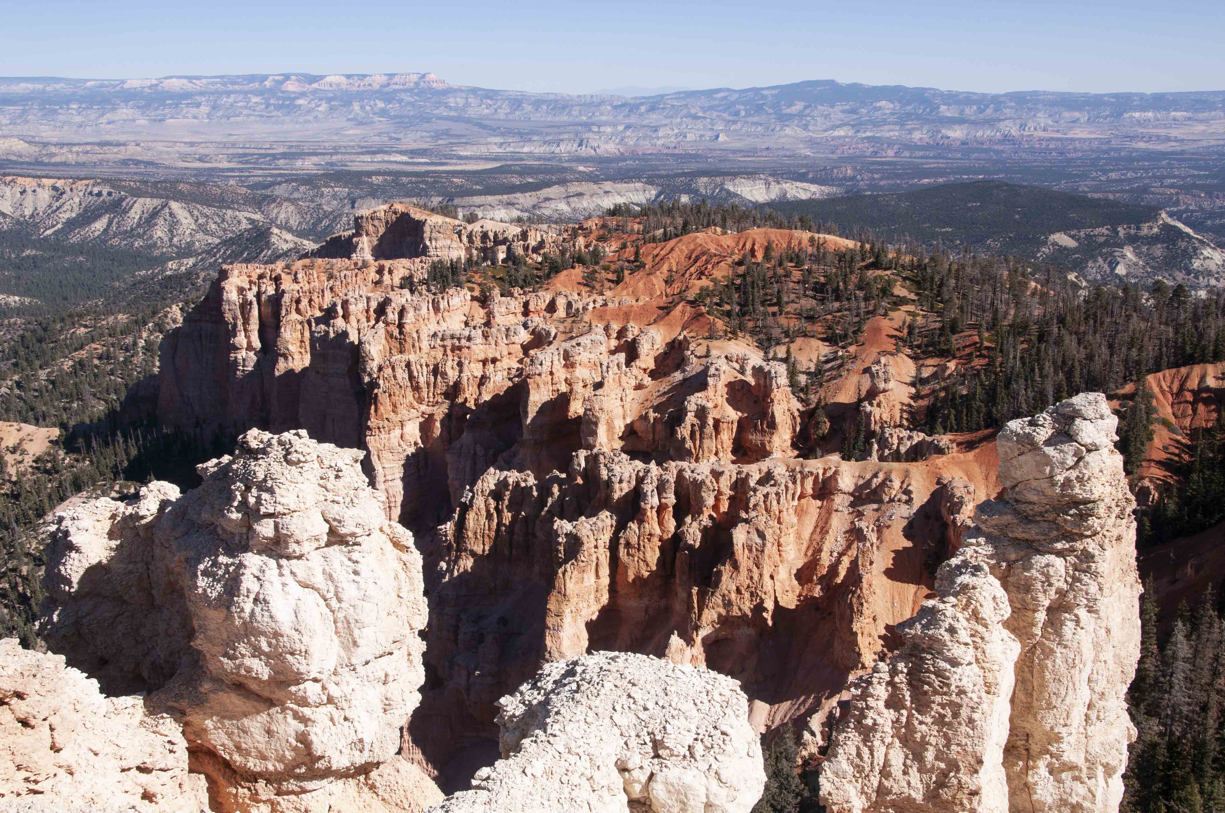
Yovimpa Point (end of the line)
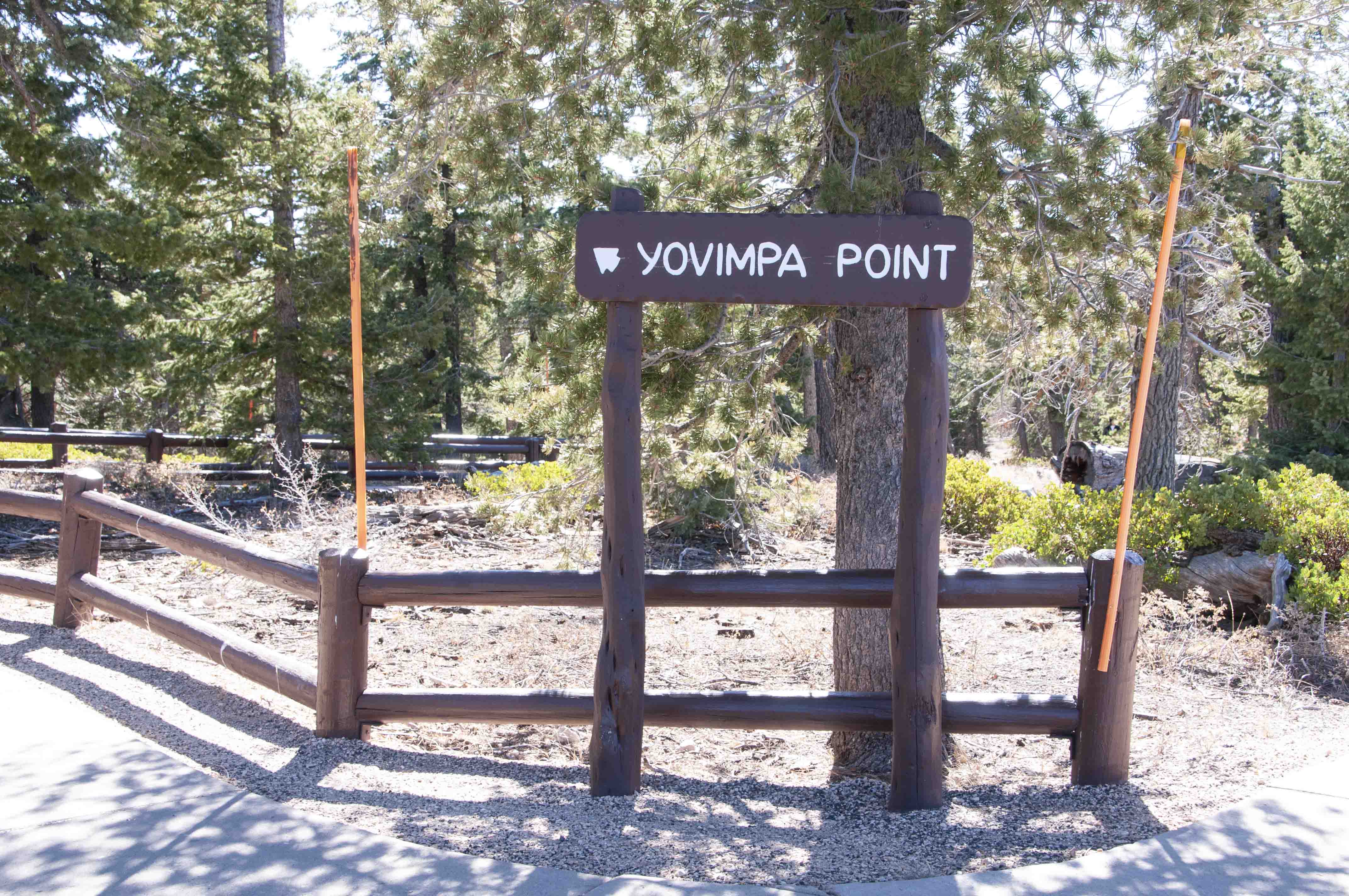
Yovimpa Point elevation?

Yovimpa Point panorama
Use the form on the Home Page to submit comments, questions, or suggestions. TD Productions Copyright © 2018-2020