Black Canyon of the Gunnison National Park
I decided to take a road trip one day and ended up at Black Canyon of the Gunnison National Park
(a little over an hour from my house). The Black Canyon is so named because it is so steep and deep that sunlight
penetrates into its depths only a limited amount of time each day. I spent the better part of the day driving the South Rim Road and
stoppping at most of the overlooks to take in the views. The entrance to the south rim of the park is 15 miles east of Montrose
via US Hwy 50 and CO State Hwy 347. The North Rim is accessed from Crawford via CO State Hwy 92 and Black Canyon Road.
The North Rim has limited services and is closed in winter. The road to the South Rim is plowed to the visitor center in the winter,
and there are trails for cross-country sking and snowshoeing. I'm not sure if the South Rim Campground stays open in the winter.
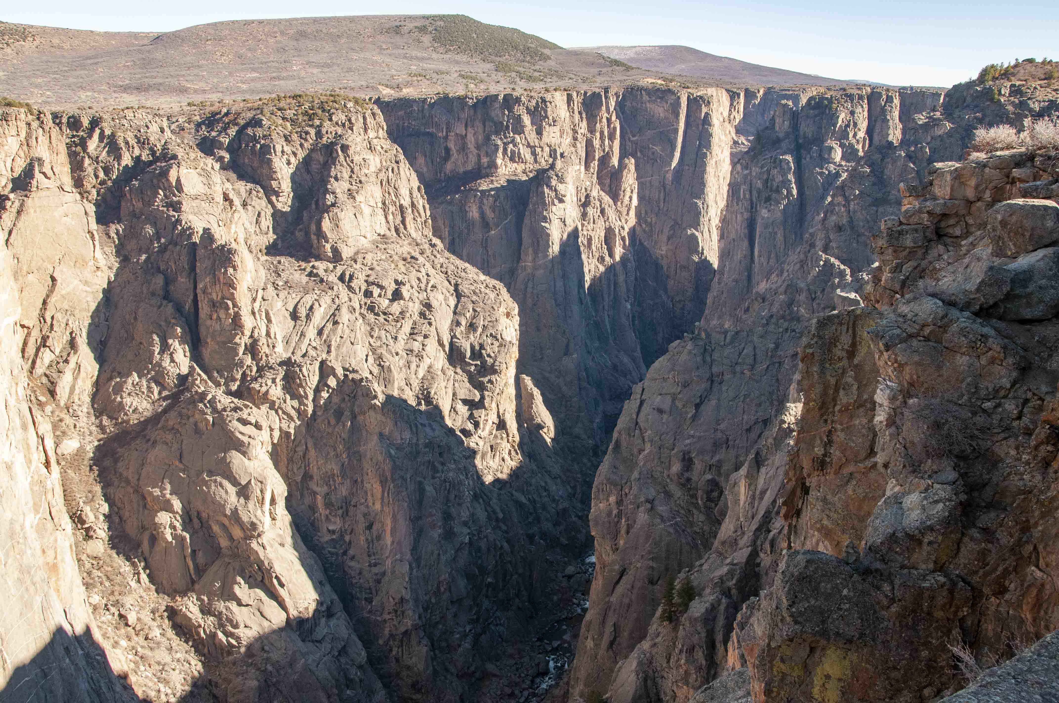
A word or two for the photgraphers out there. I found it hard to get good photos of the Black Canyon for a couple of reasons.
The immense scale (depth and distance) of the canyon made it hard to get proper perspective to capture the awesomeness of the canyon,
and contributed to hazy distant backgrounds. Also, the north canyon wall was generally bathed in full sunlight while the south
wall was in complete shadow. This drove my exposure meter insane. A polarizing filter might have helped. Nevertheless, we all must soldier on,
so I have presented the better photos below. The photos are grouped by overlook or viewpoint, and arranged in the order in which
they are encountered along the South Rim Road. (Refer to the map on the second photo below).
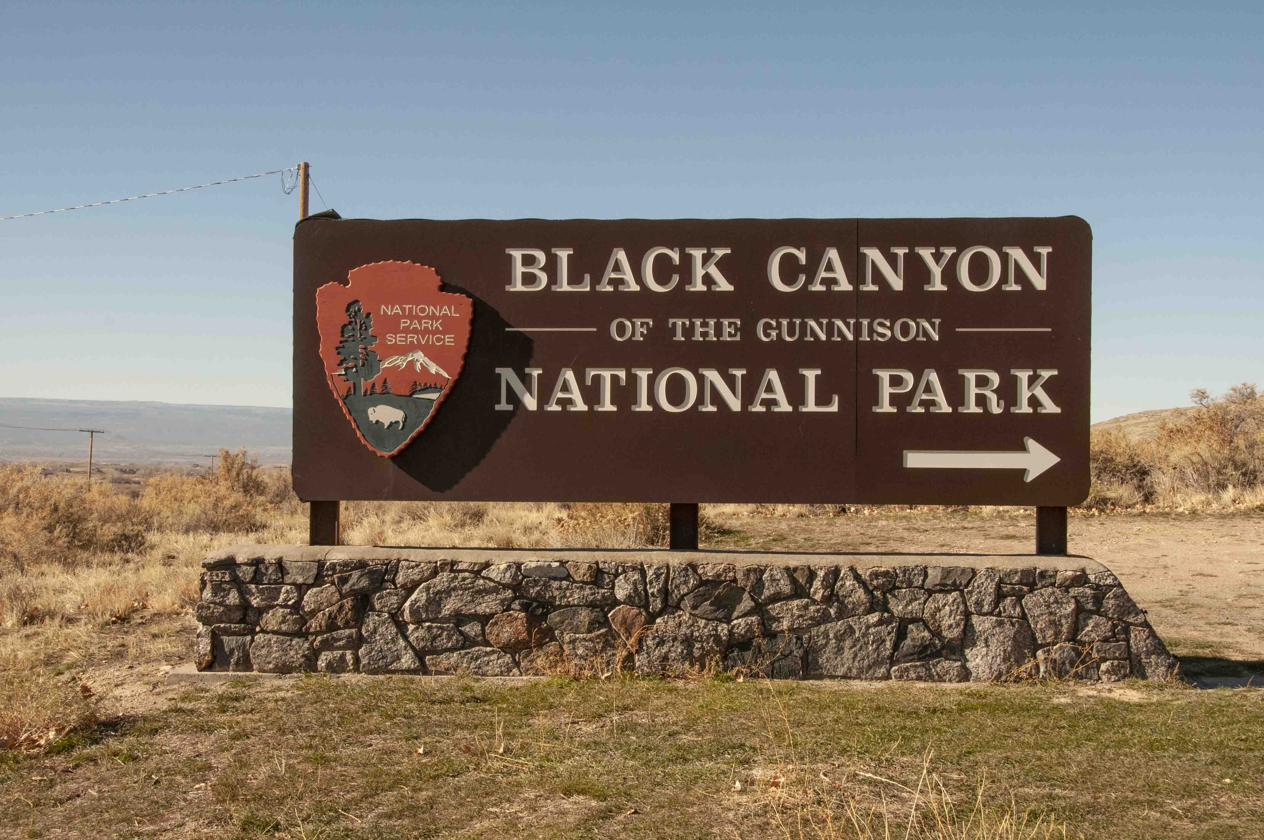
Park sign
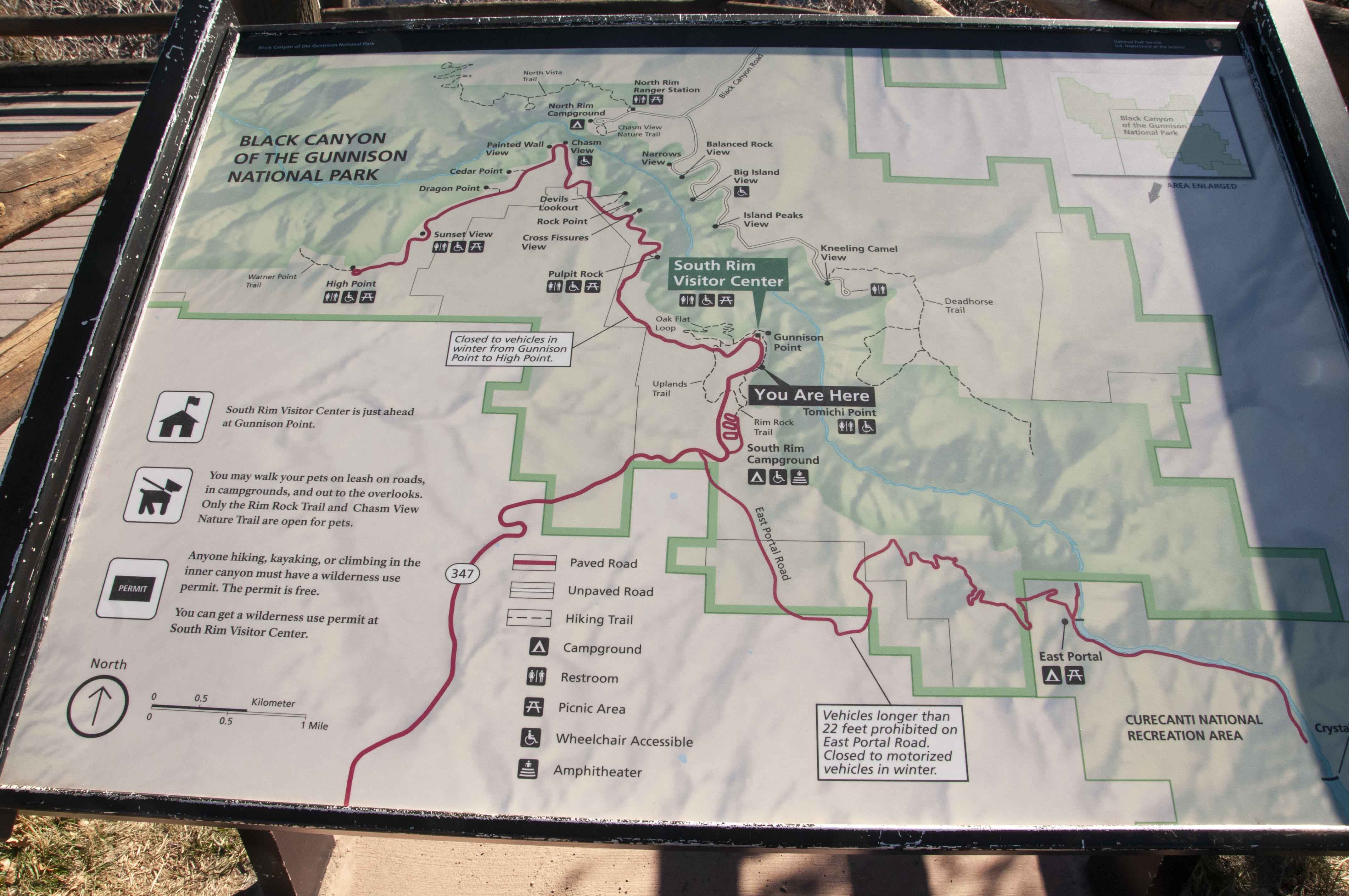
South Rim Map
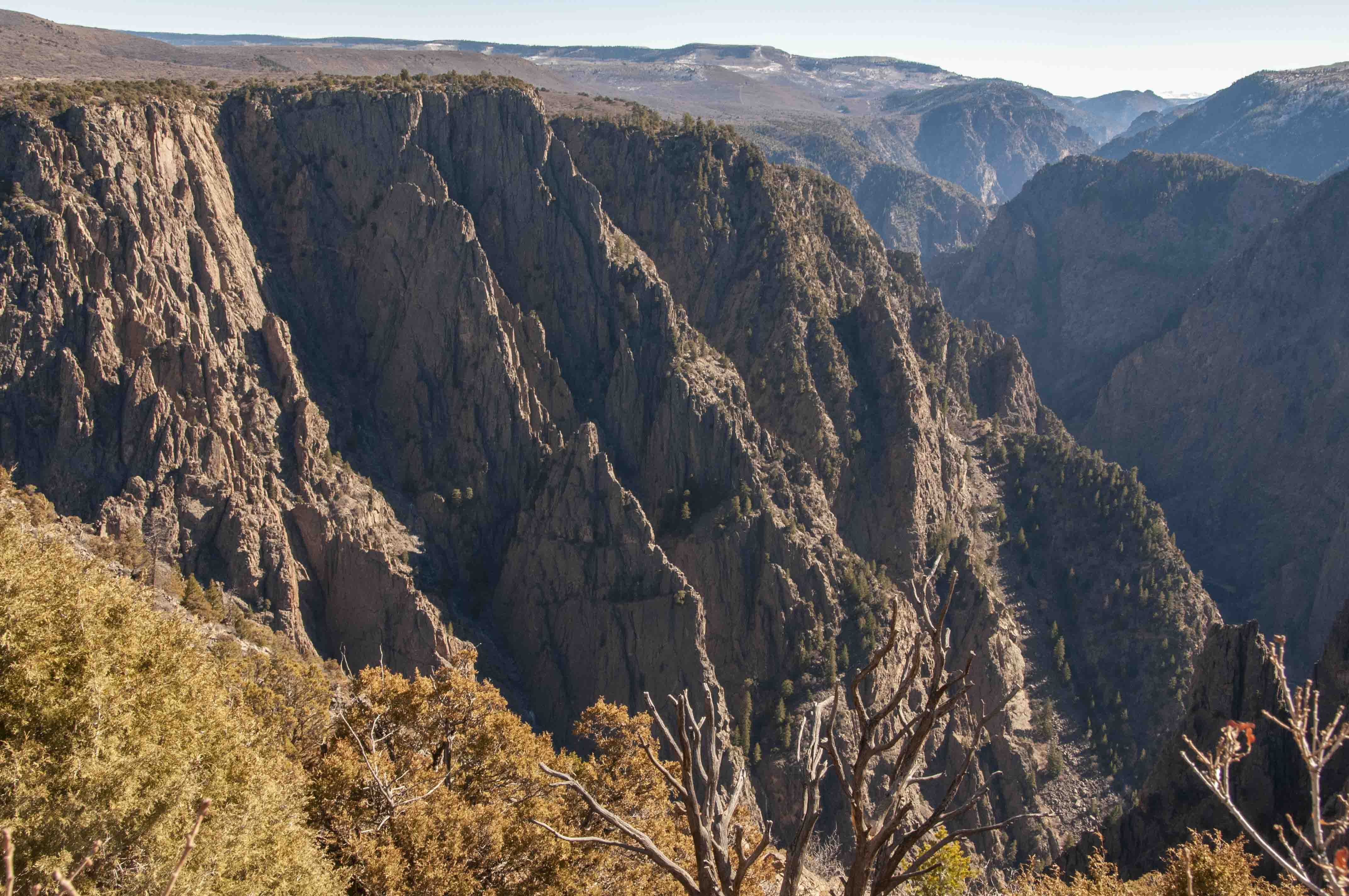
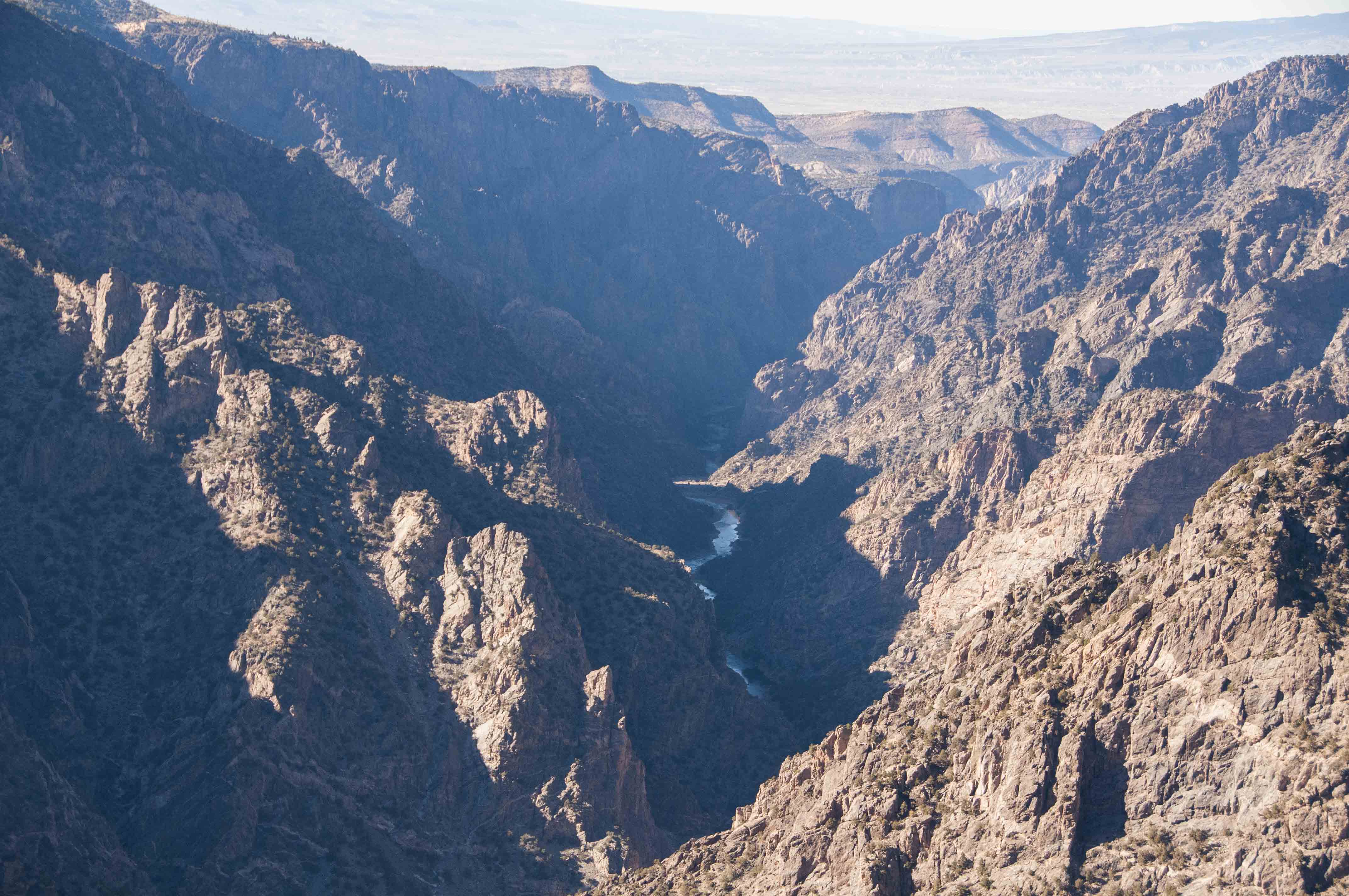
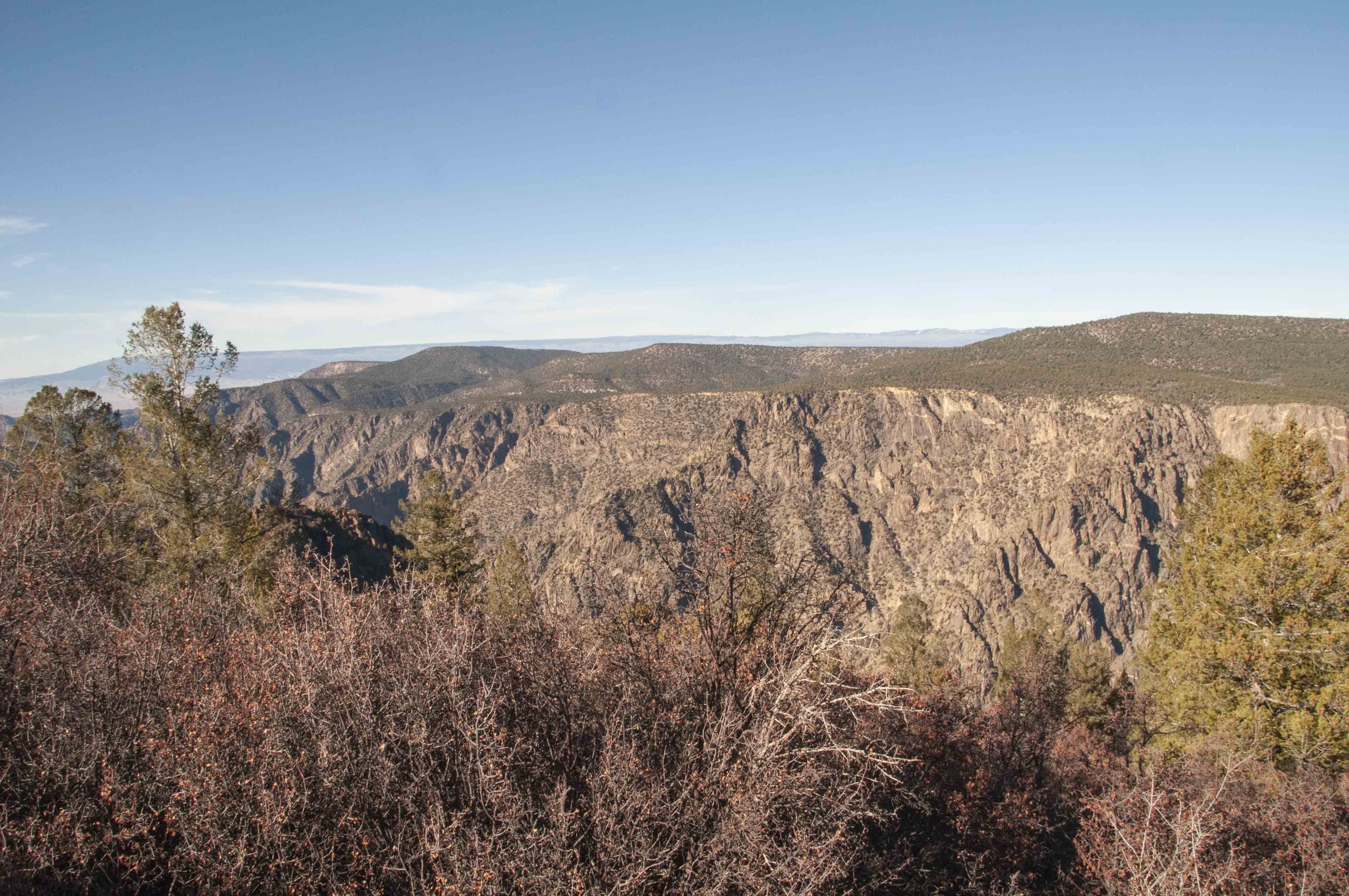
View from Tomichi Point
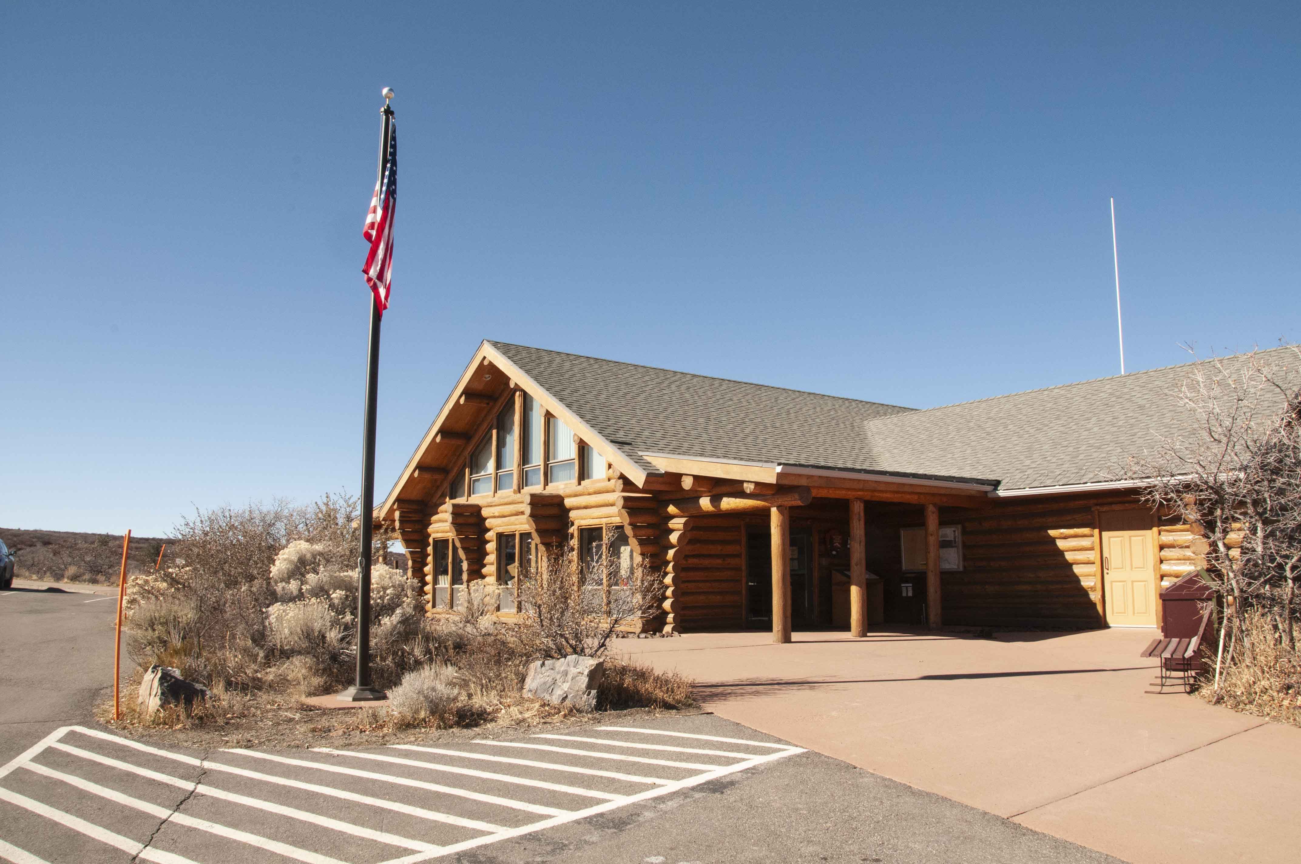
South Rim Visitor Center
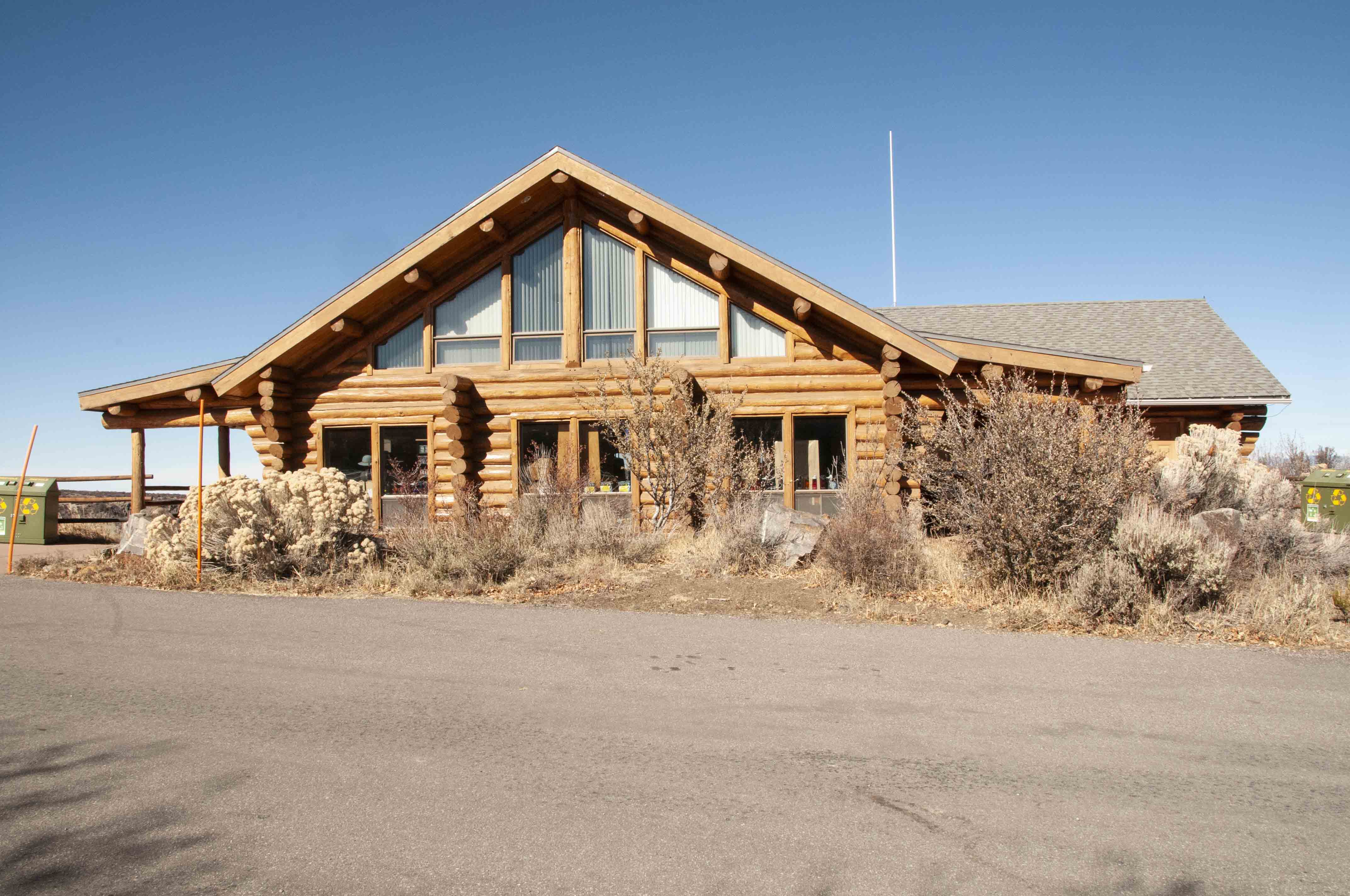
South Rim Visitor Center
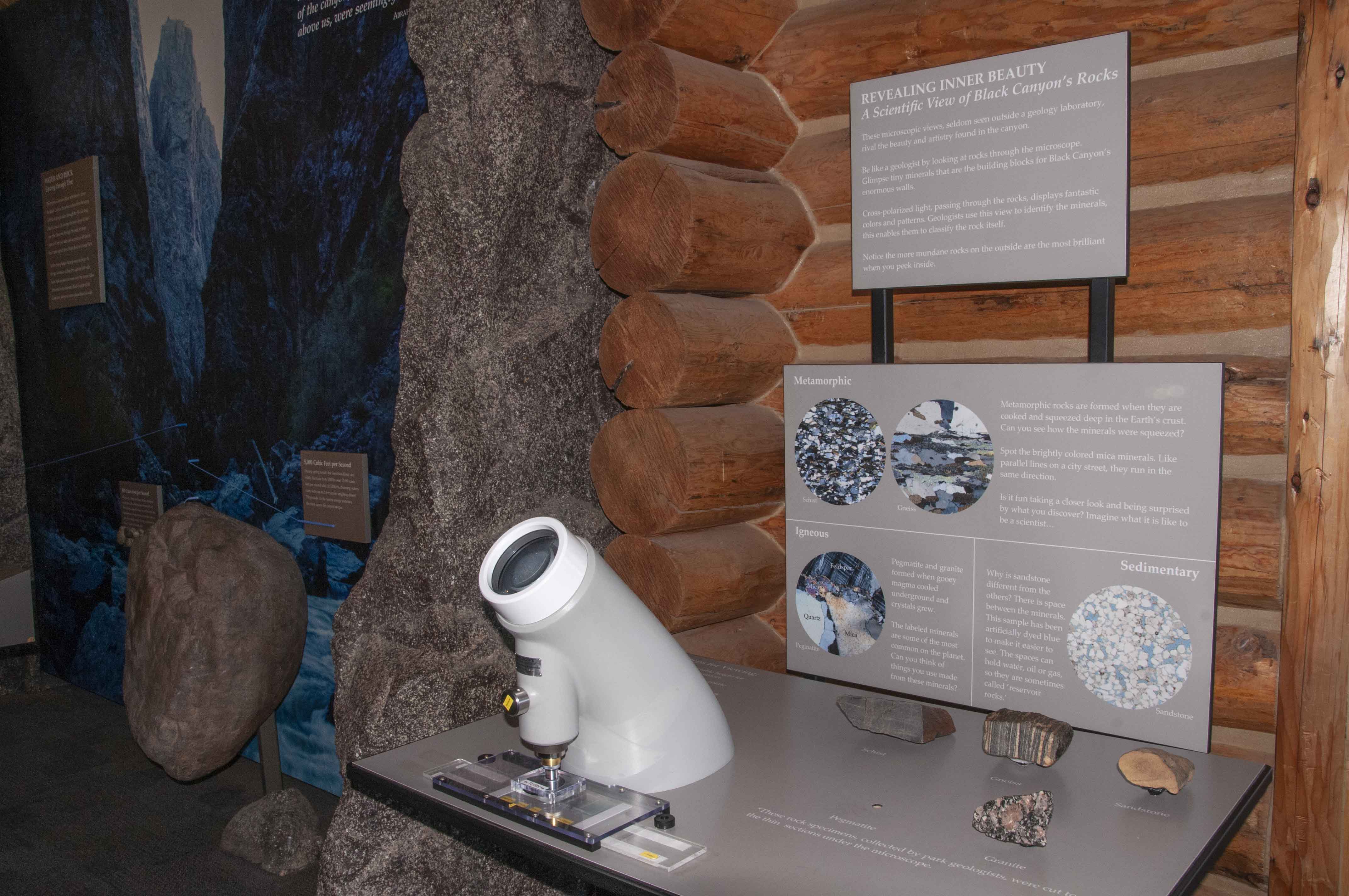
Interactive display
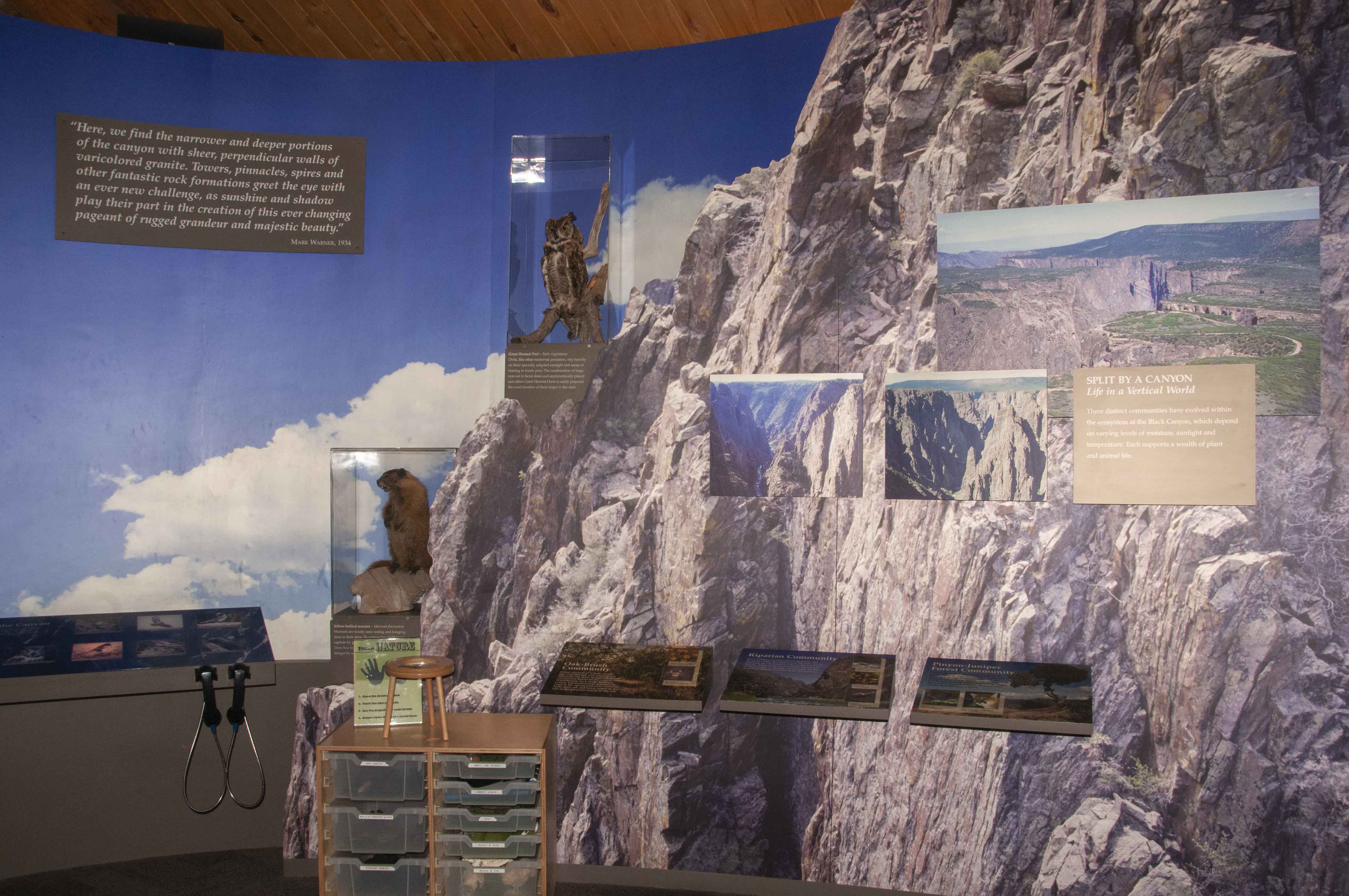
Interactive display
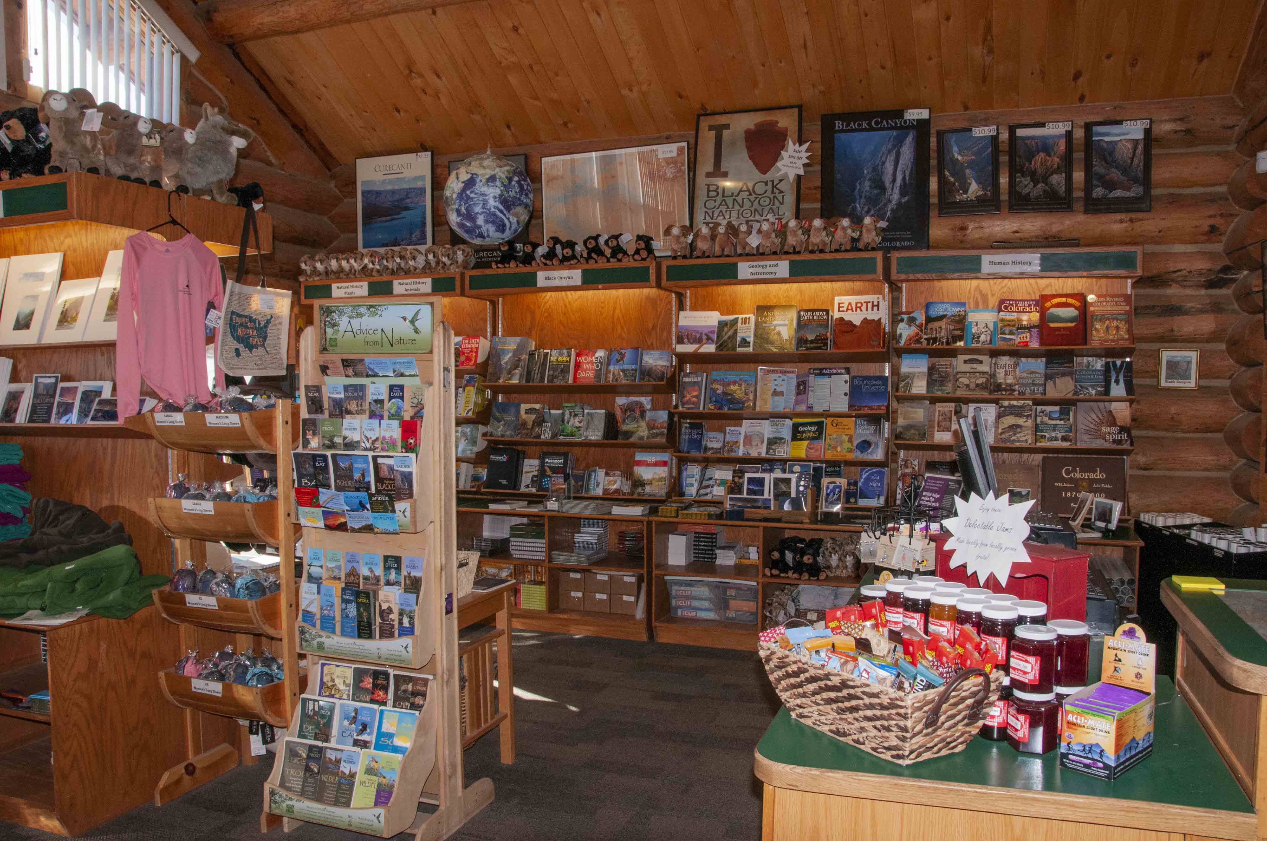
Gift shop
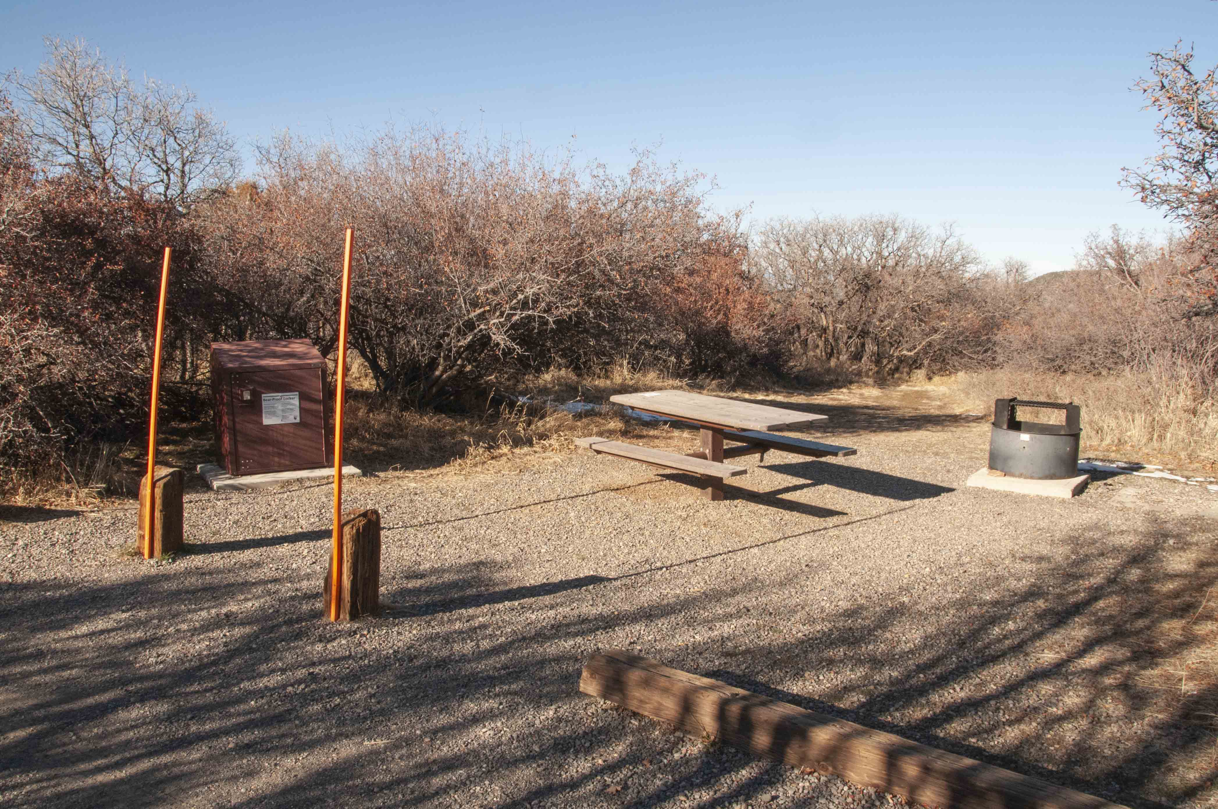
Campsite A10
South Rim Campground
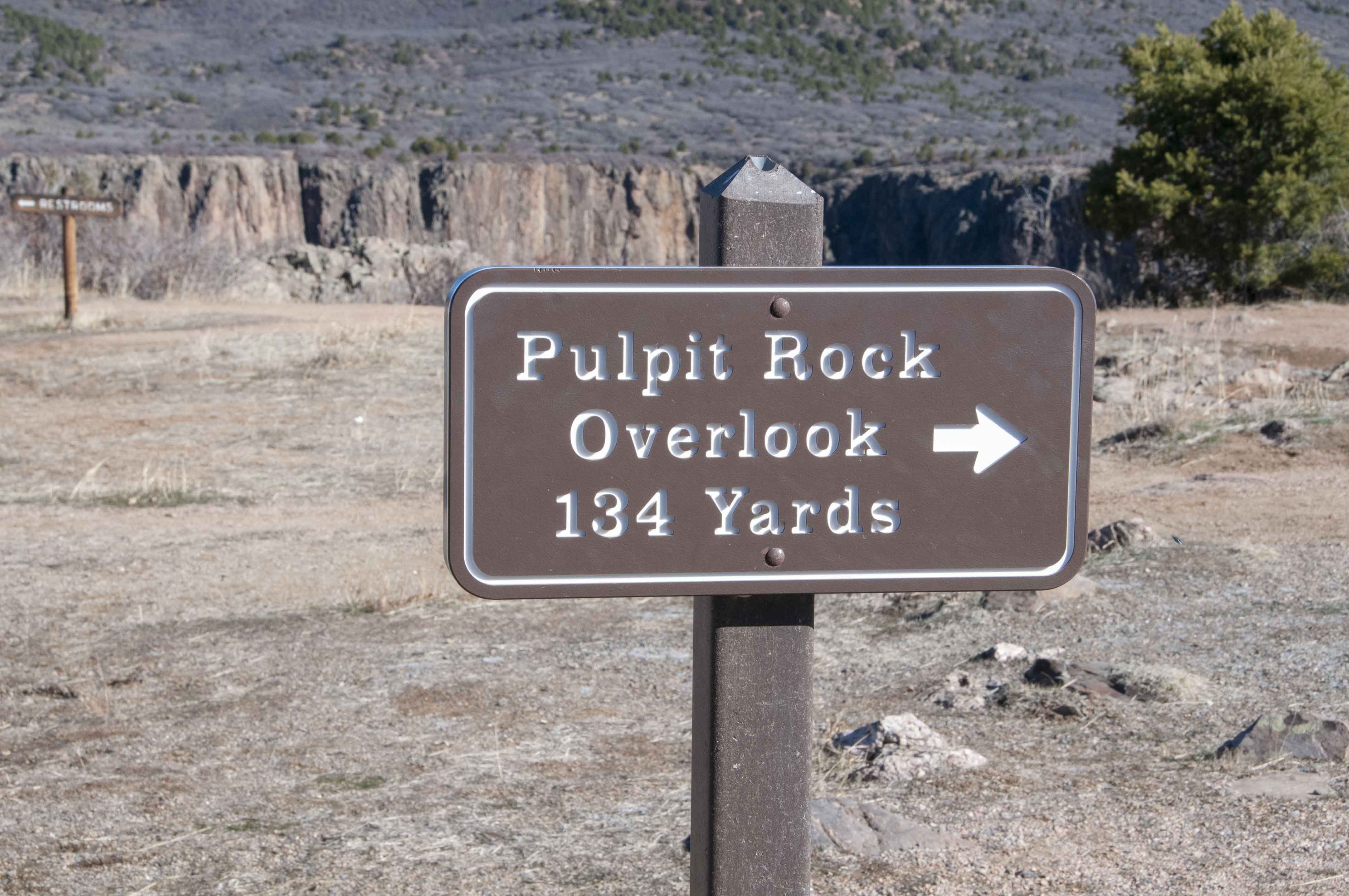
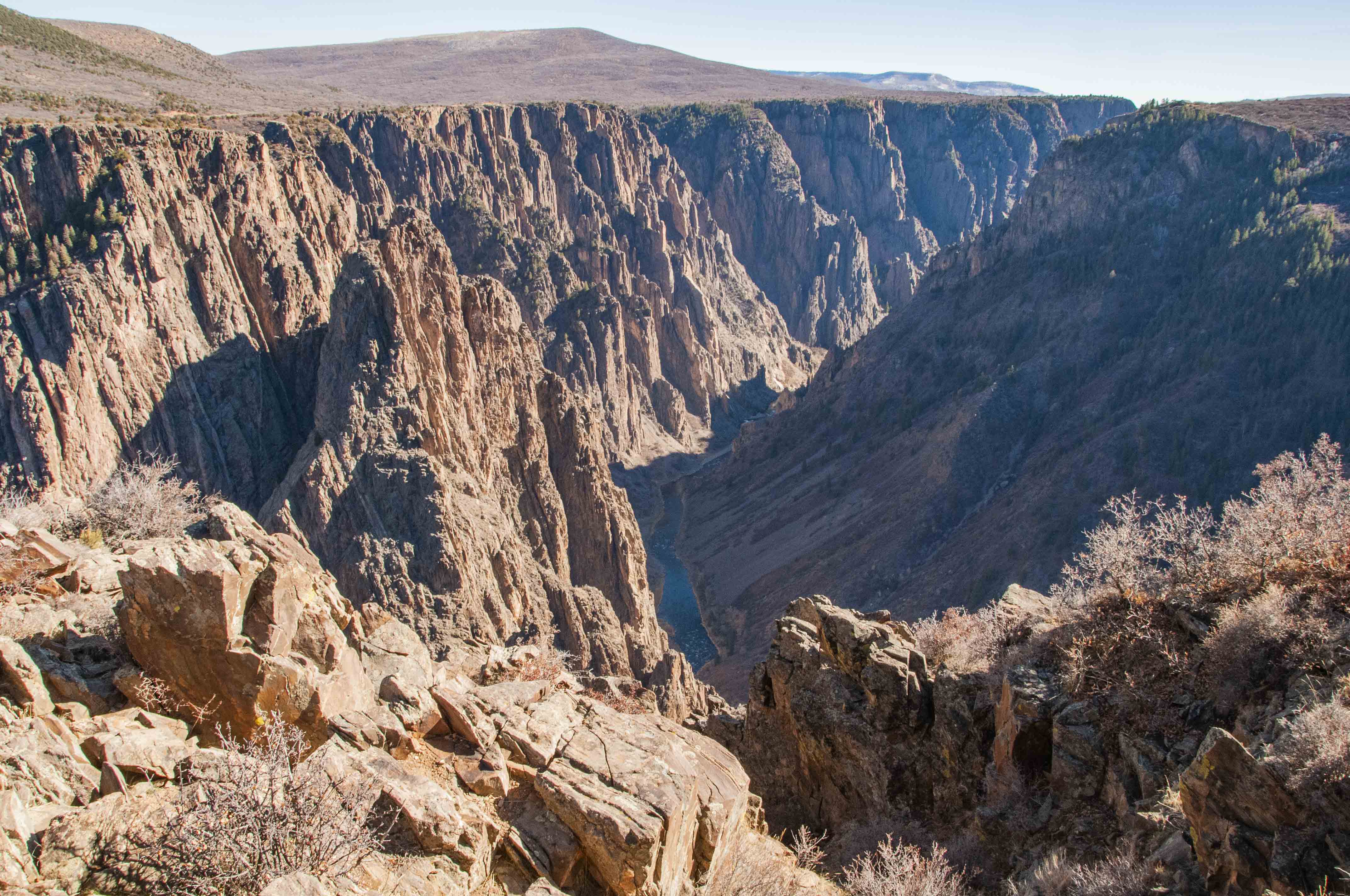
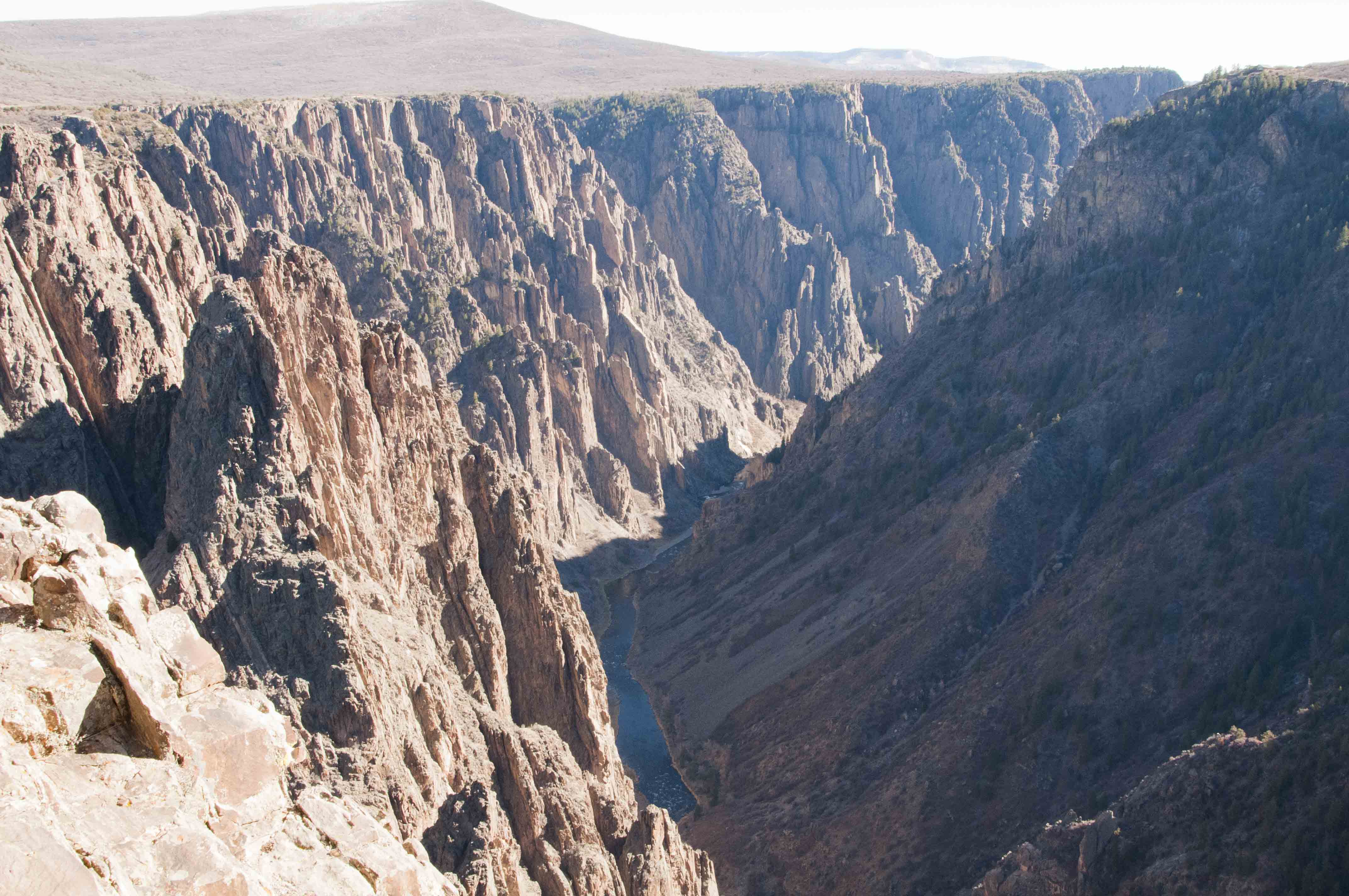
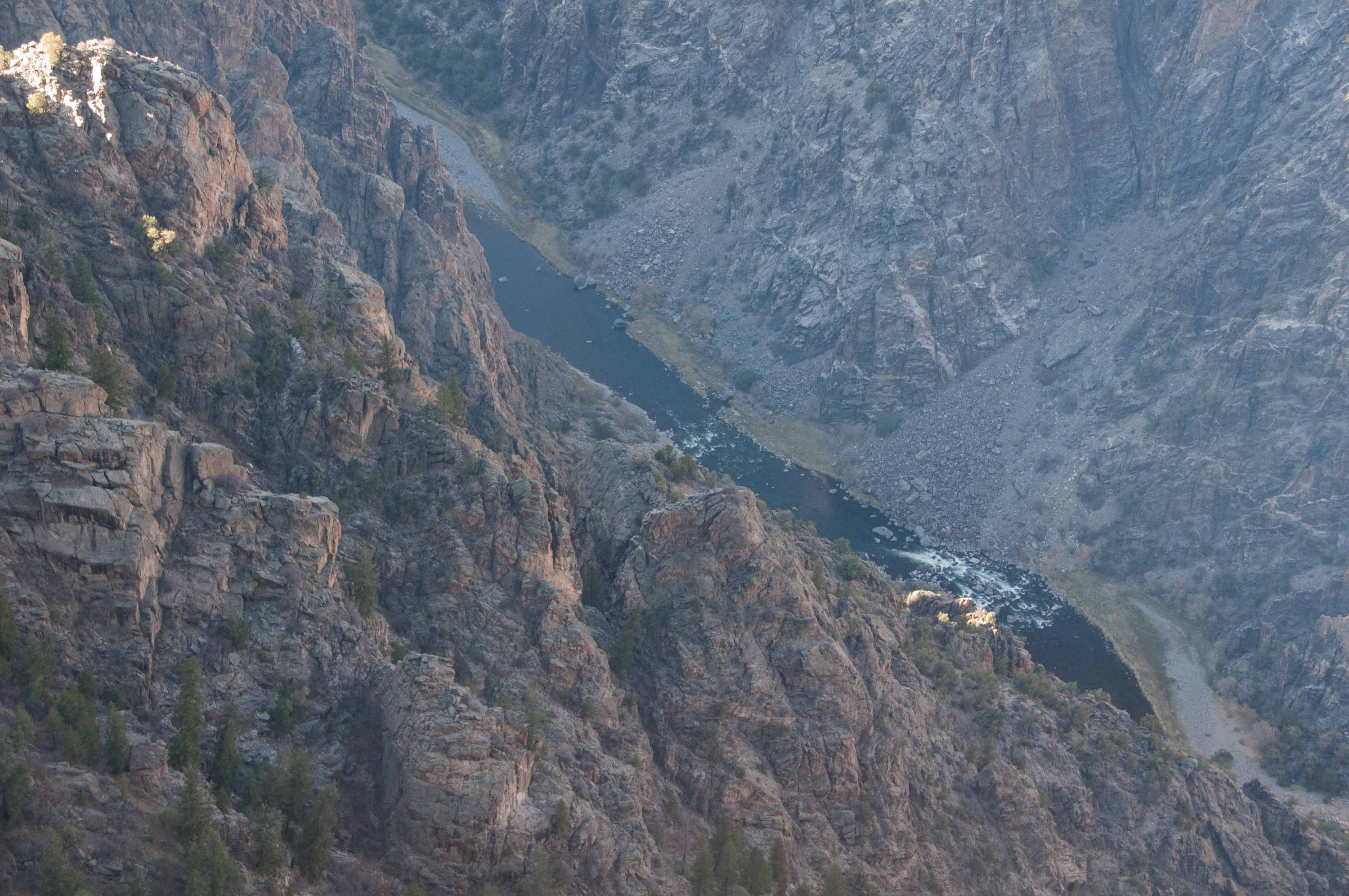
Pulpit Rock Overlook
A short, 134 yard trail leads from South Rim Road
to Pulpit Rock. The Gunnison River makes a bend and becomes more visible at the overlook. Looking upstream,
the south side of the canyon is a more or less smooth slope covered with vegetation while the north wall of the
canyon is more vertical and rugged.
Pulpit Rock Overlook
Gunnison River
Pulpit Rock view
Gunnison River
Closer view from Pulpit Rock
Gunnison River

Gunnison River

Pulpit Rock
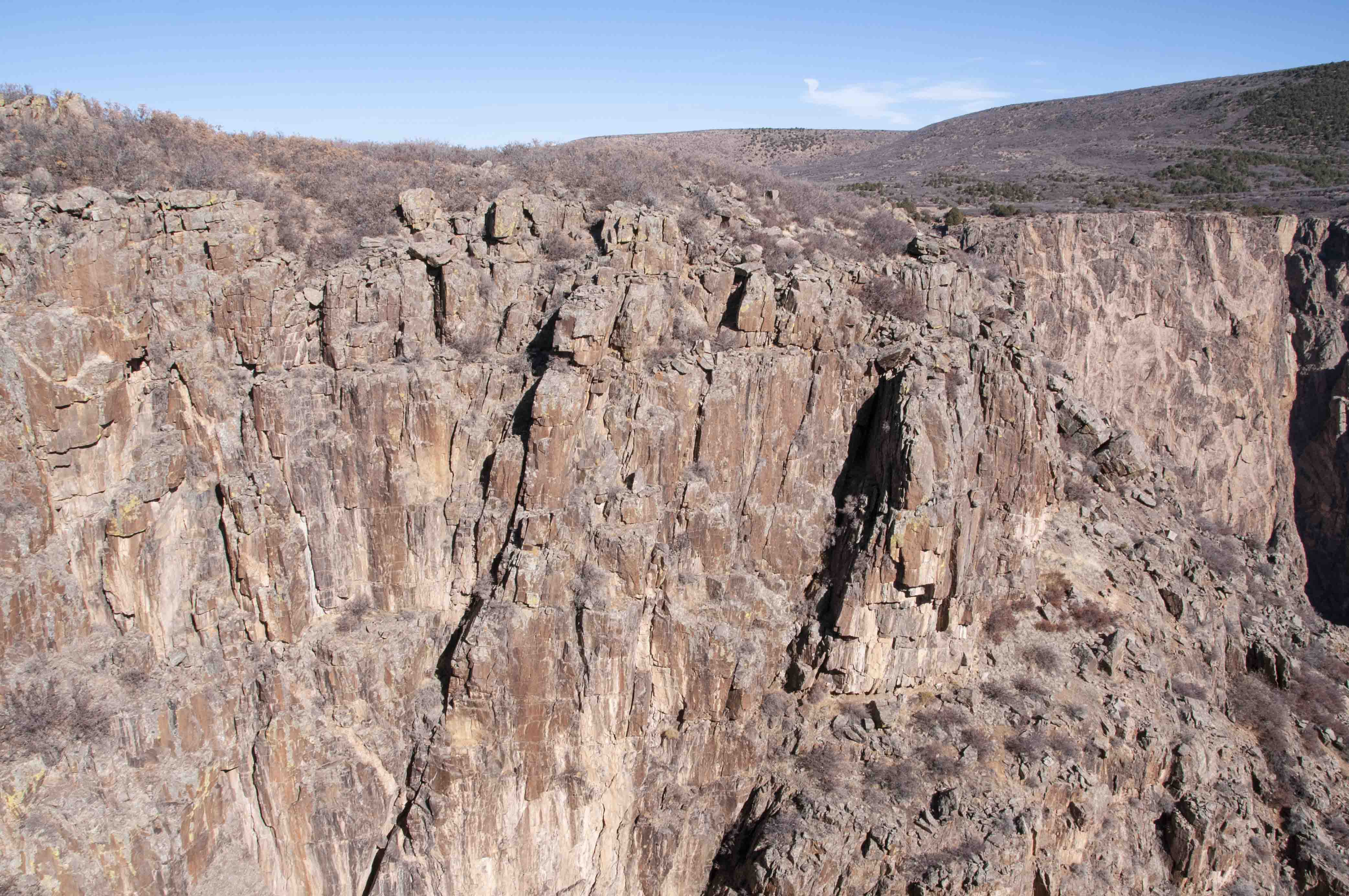
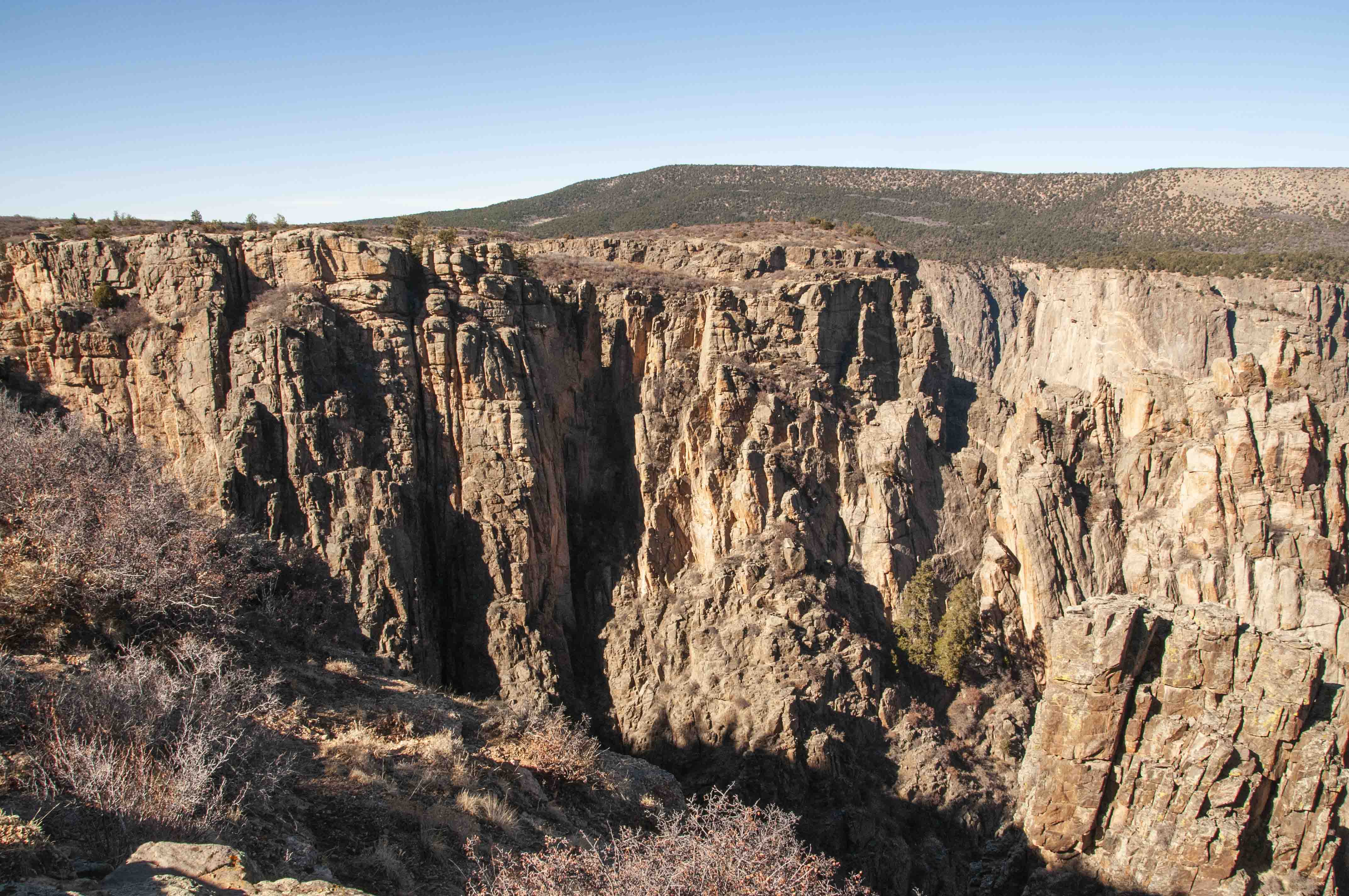
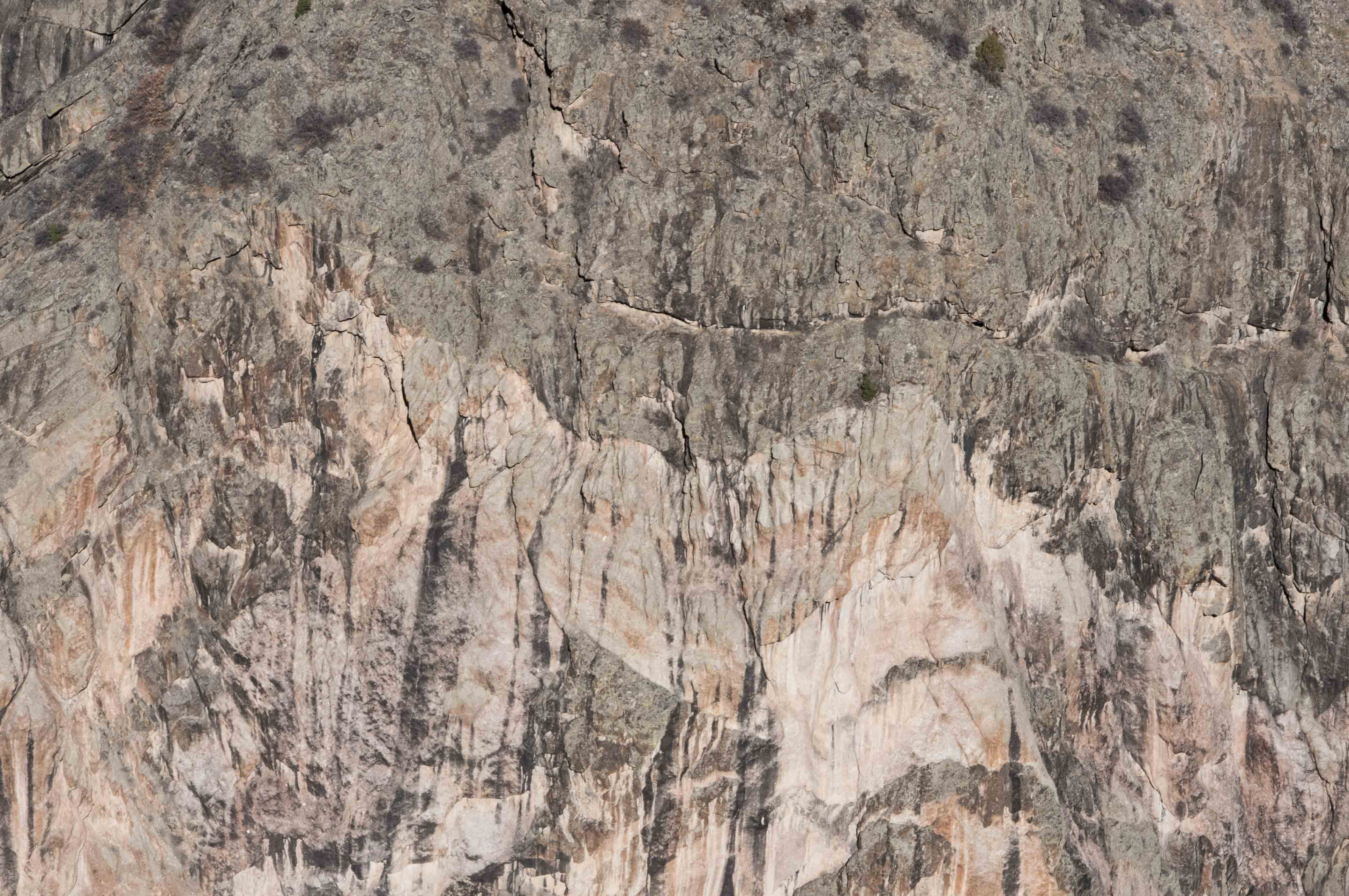
Cross Fissures
From this vantage one sees deep
crevices (fissures) in the sides of the cliffs.

Cross Fissures

Fissures
Cross Fissures view
Cross Fissures view
Fissures
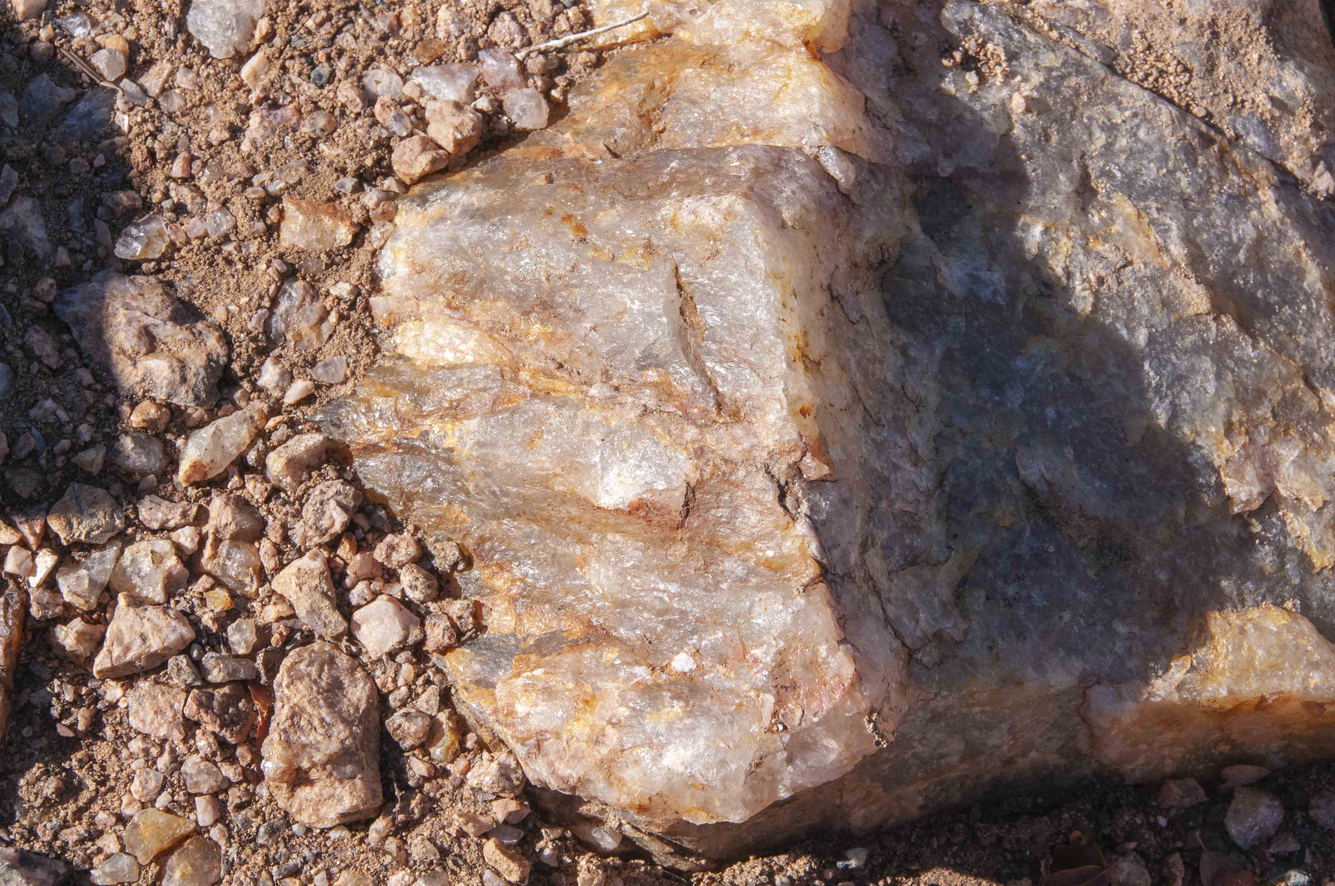
Colored quartz
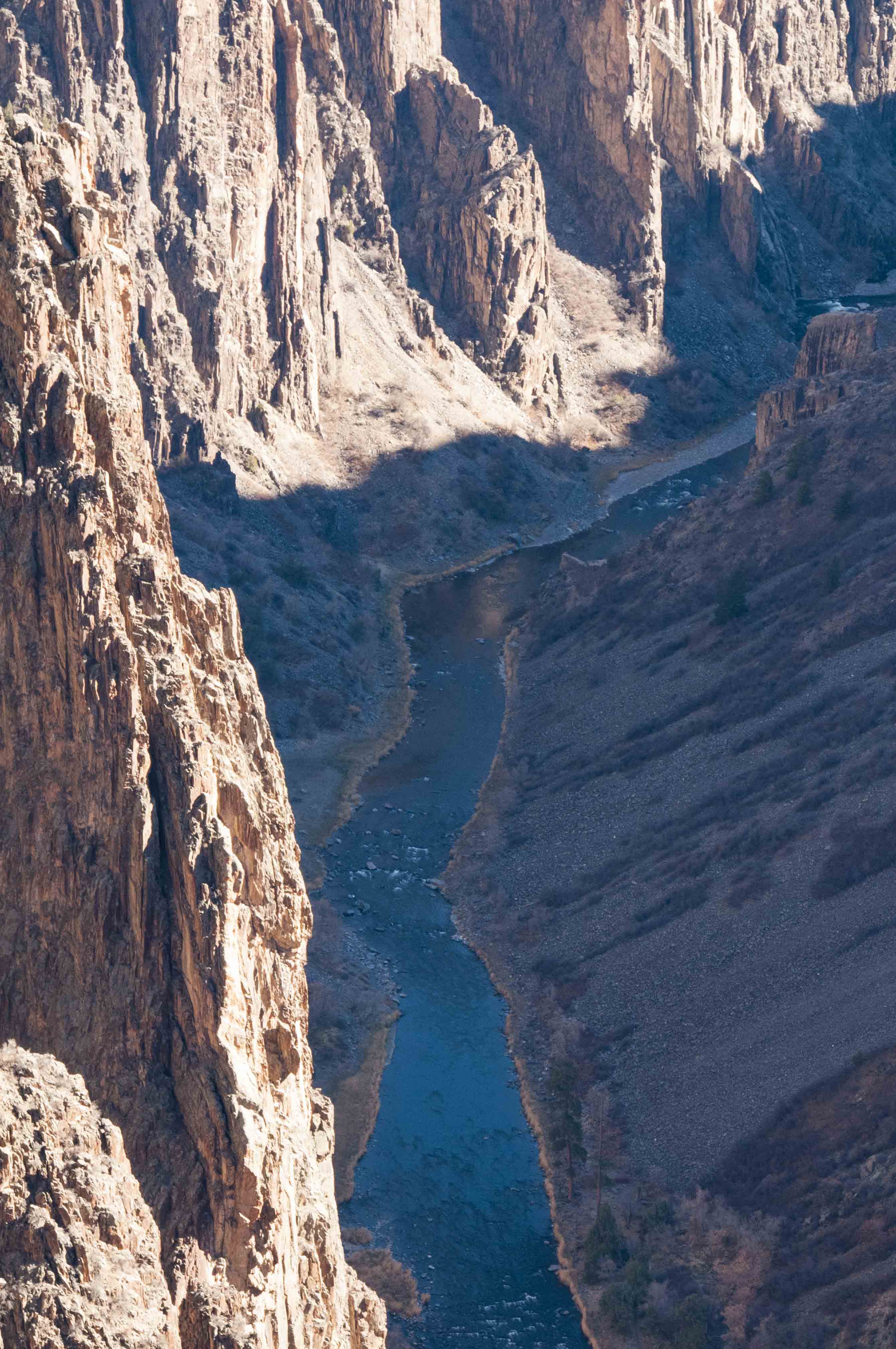
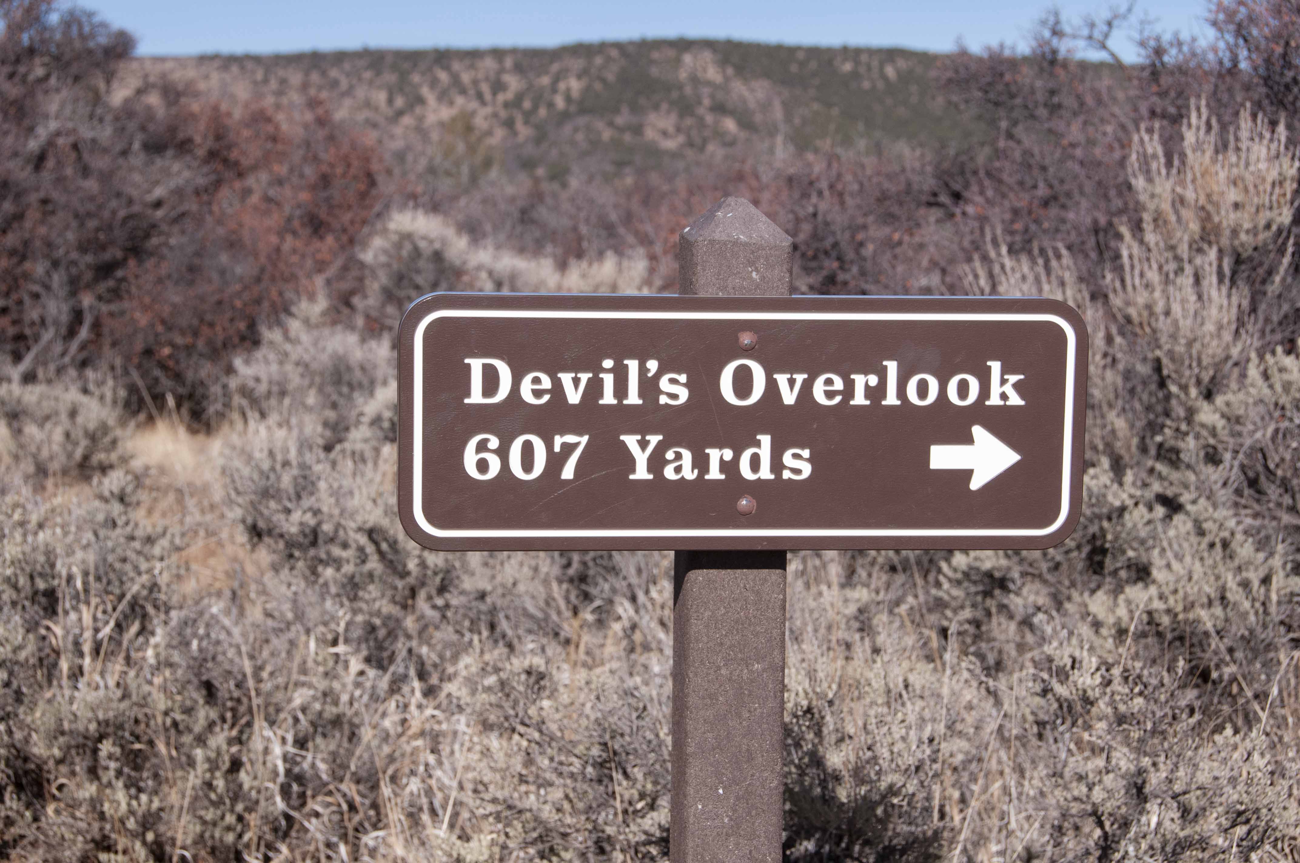
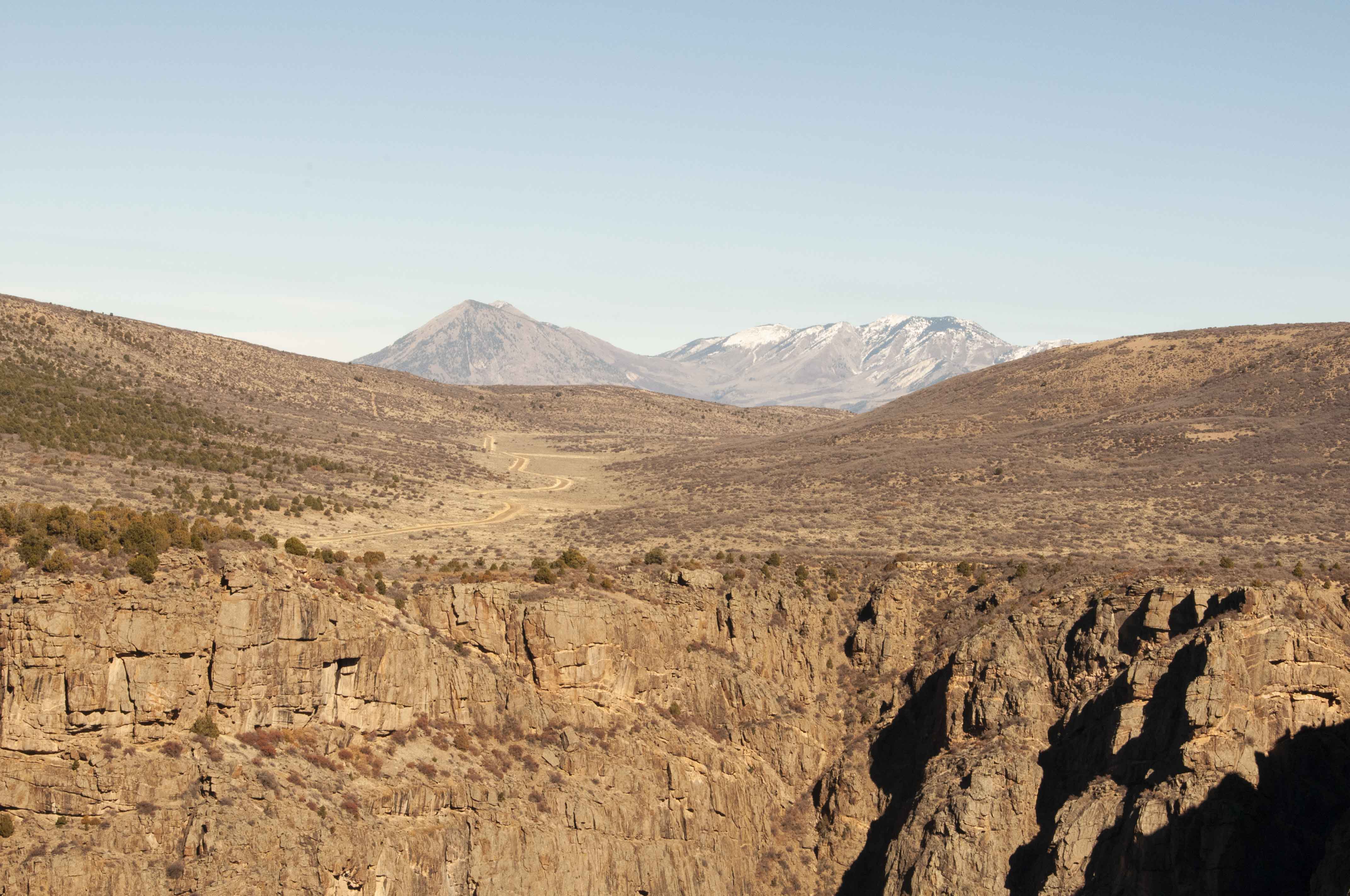
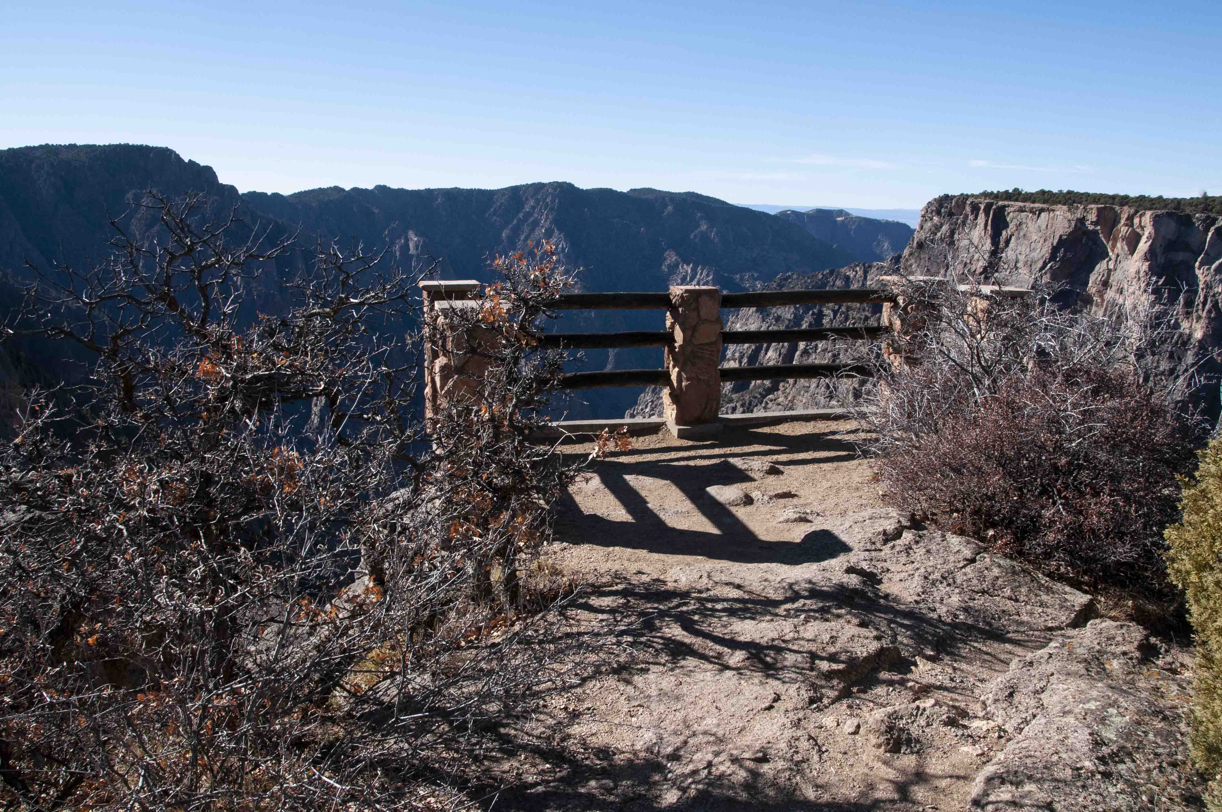
Devil's Lookout
The trail to Devil's Lookout is one of the longer ones (607 yards).
The trail leads right to the edge of the rim, with views of a small part of the river, North Rim Road, and
the West Elk Mountains. This overlook is located above the narrowest part of the canyon.
Caption
North Rim Road and West Elk Mountains
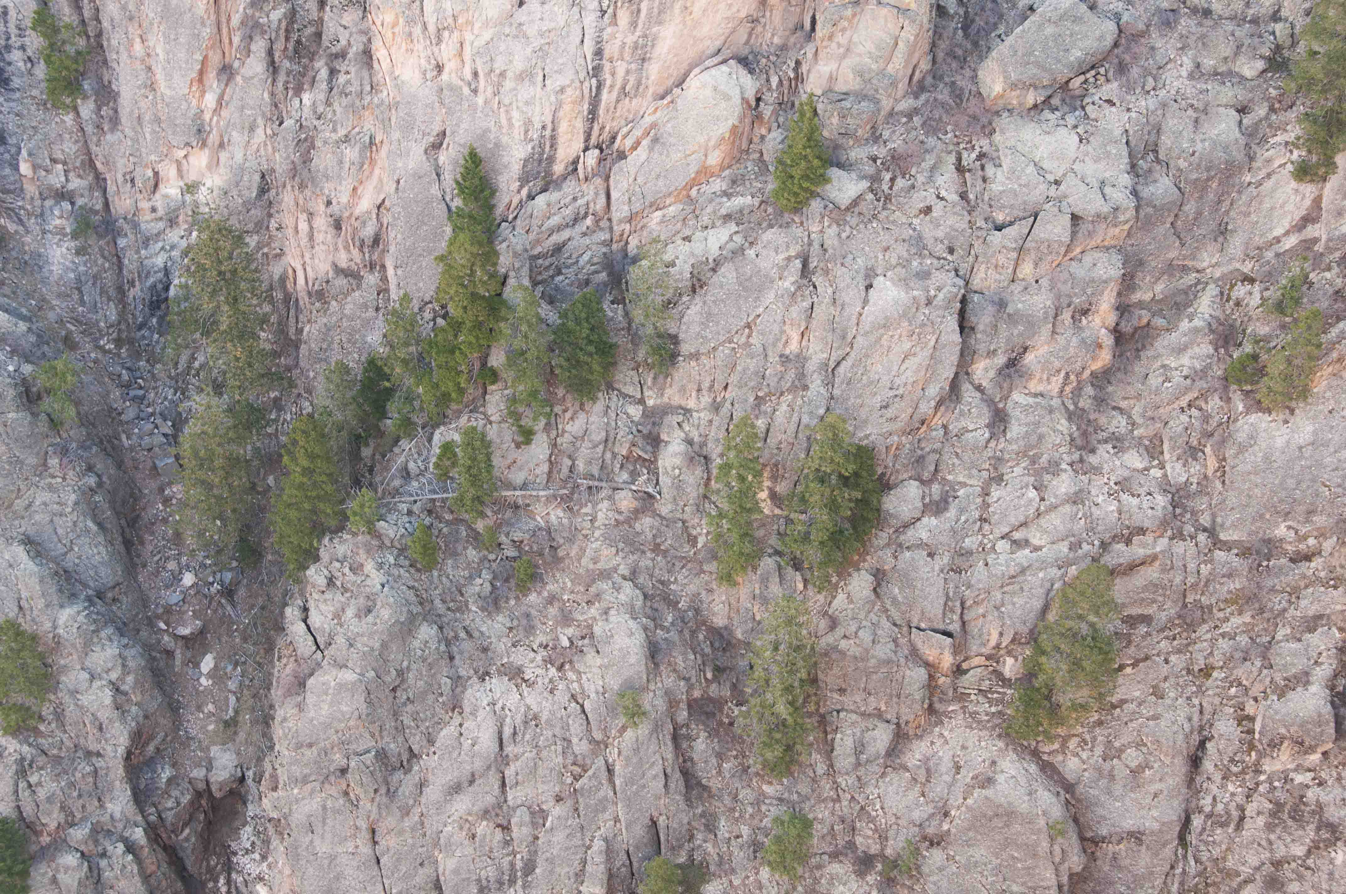
Trees clinging to the side of the canyon
Pegmatite band
View into the canyon
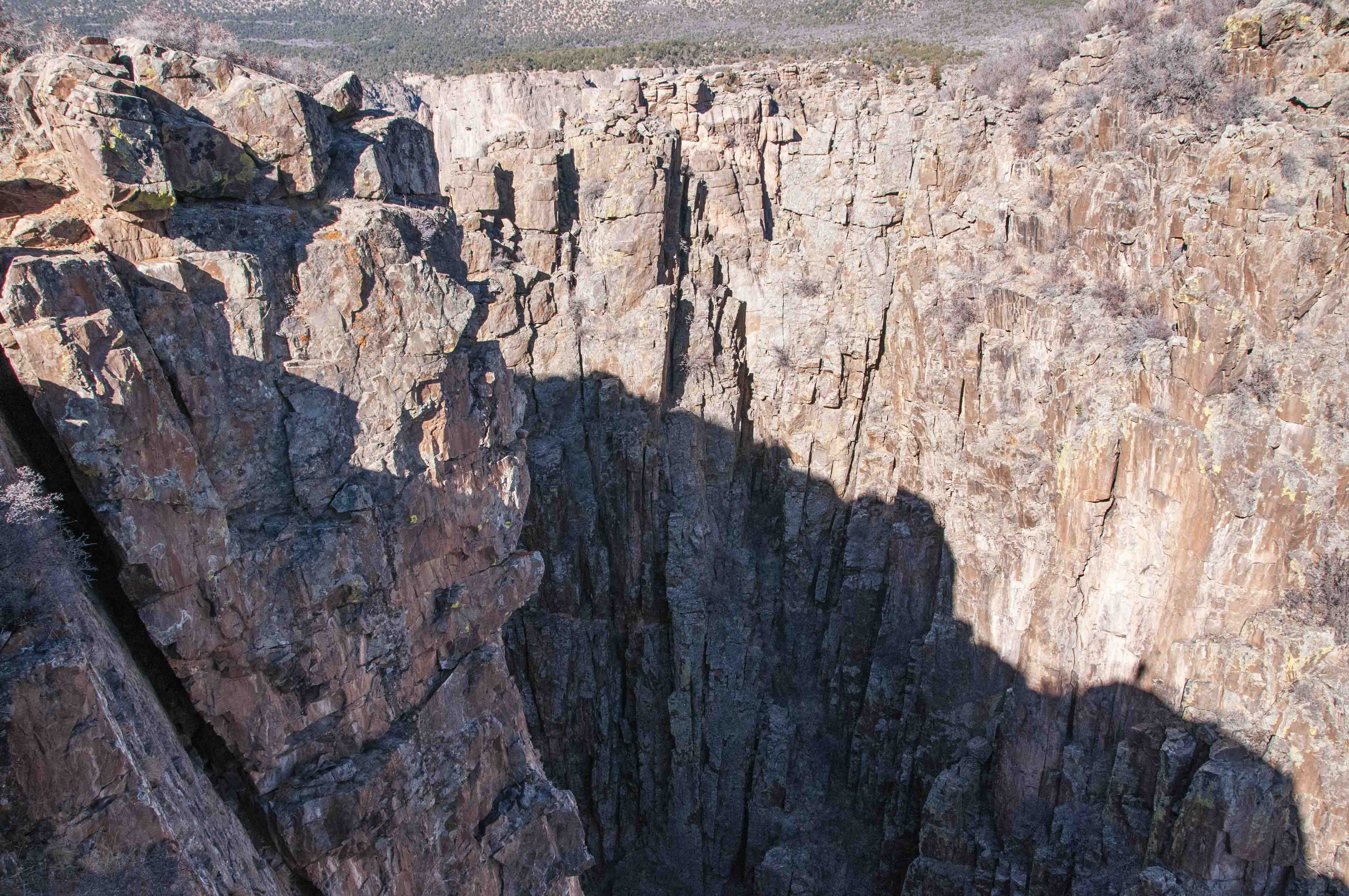
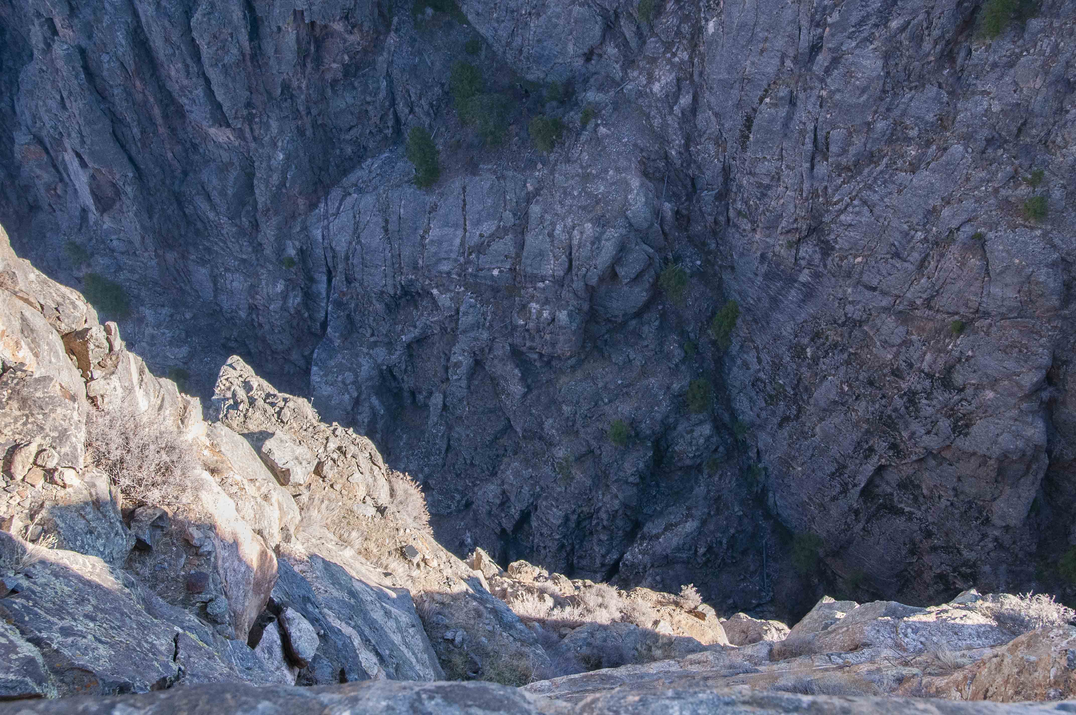
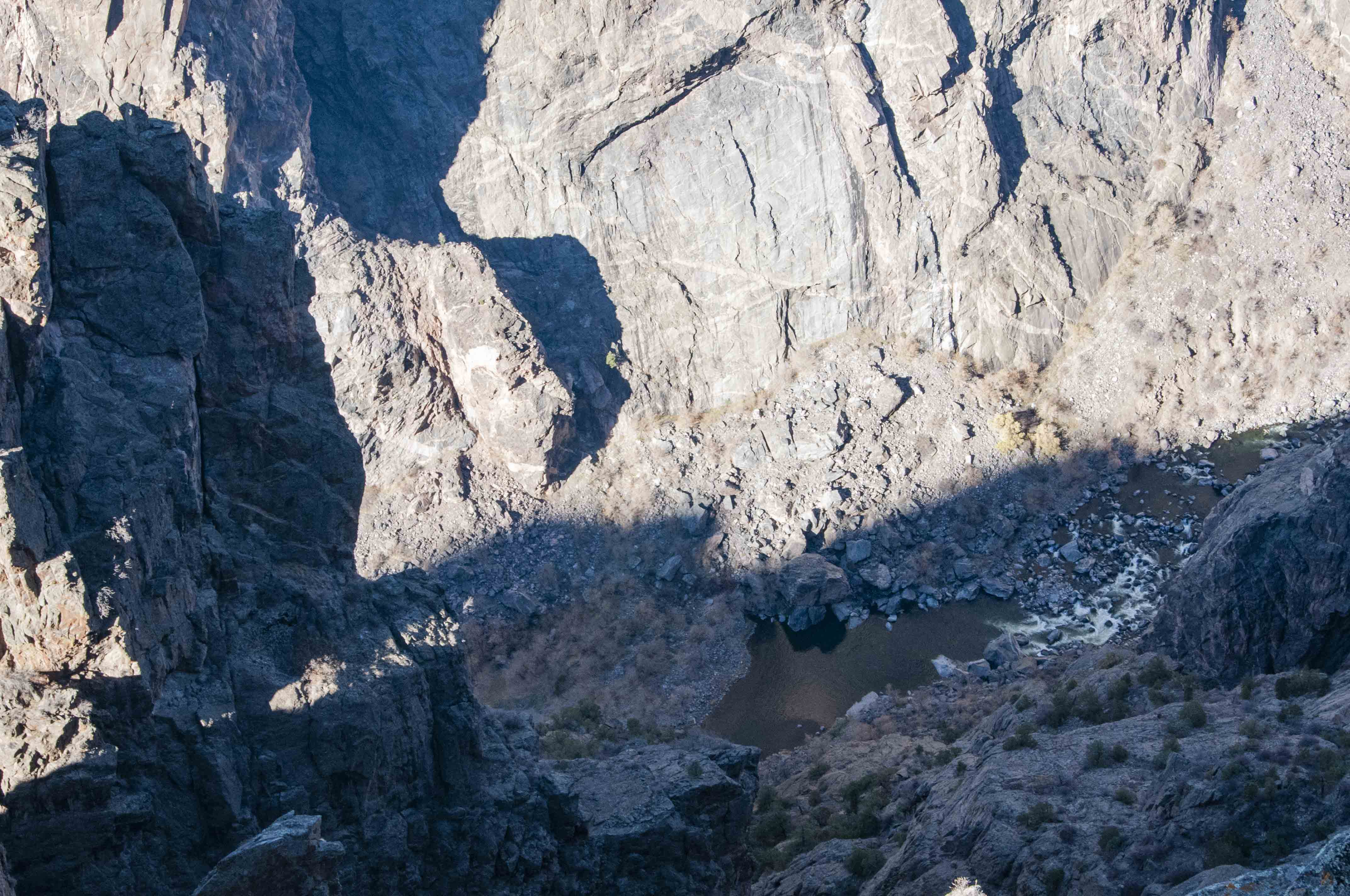
Chasm View
I highly recommend a stop at Chasm View. The view from the overlook
is spectacular. The view takes in probably the steepest part of the canyon. Here the cliffs plunge
1,800 vertical feet in just 400 horizontal feet.
Chasm View

Interpretive sign

Trail's end
Chasm View overlook
Chasm View

Chasm View
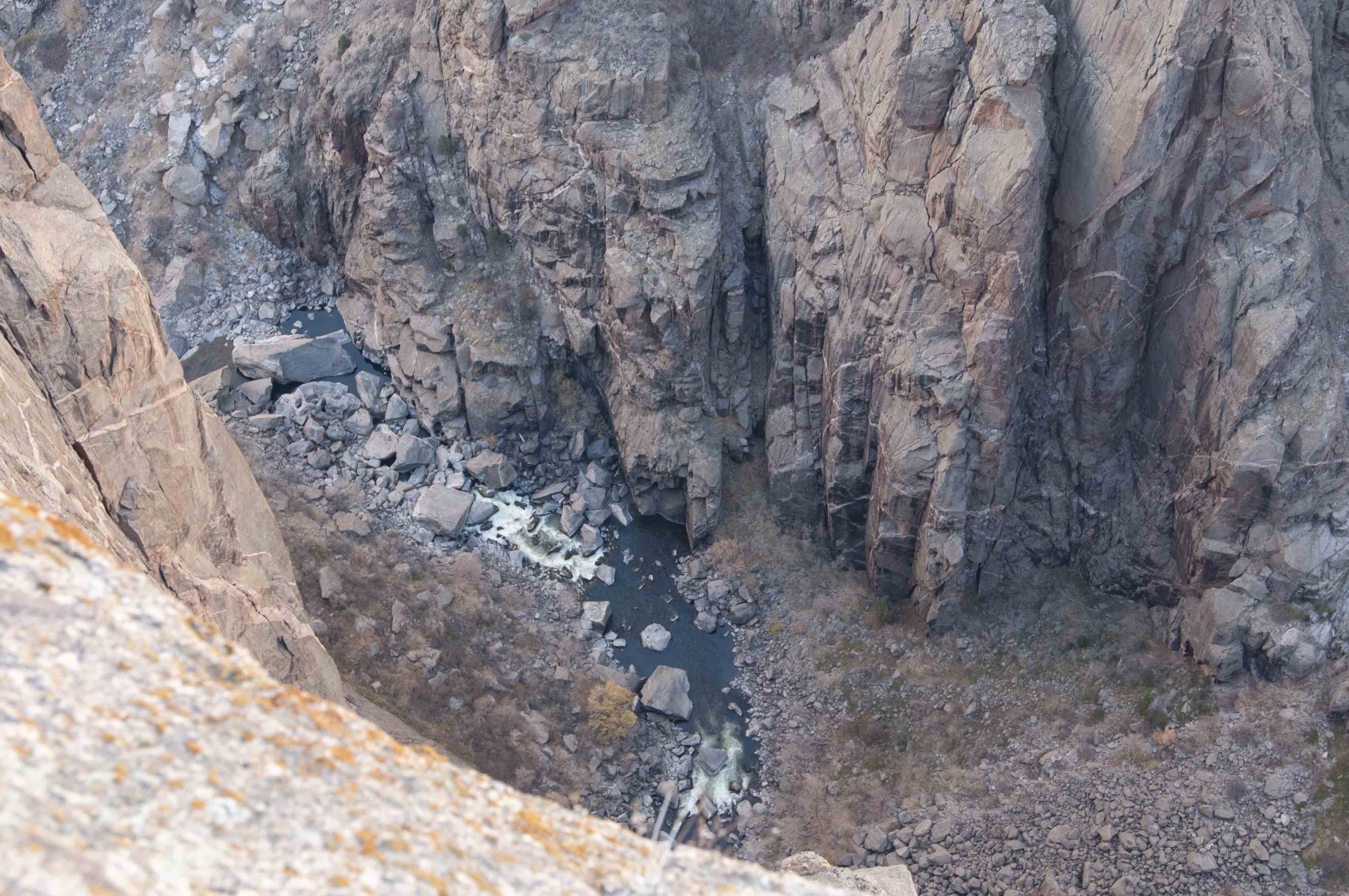
Gunnison River
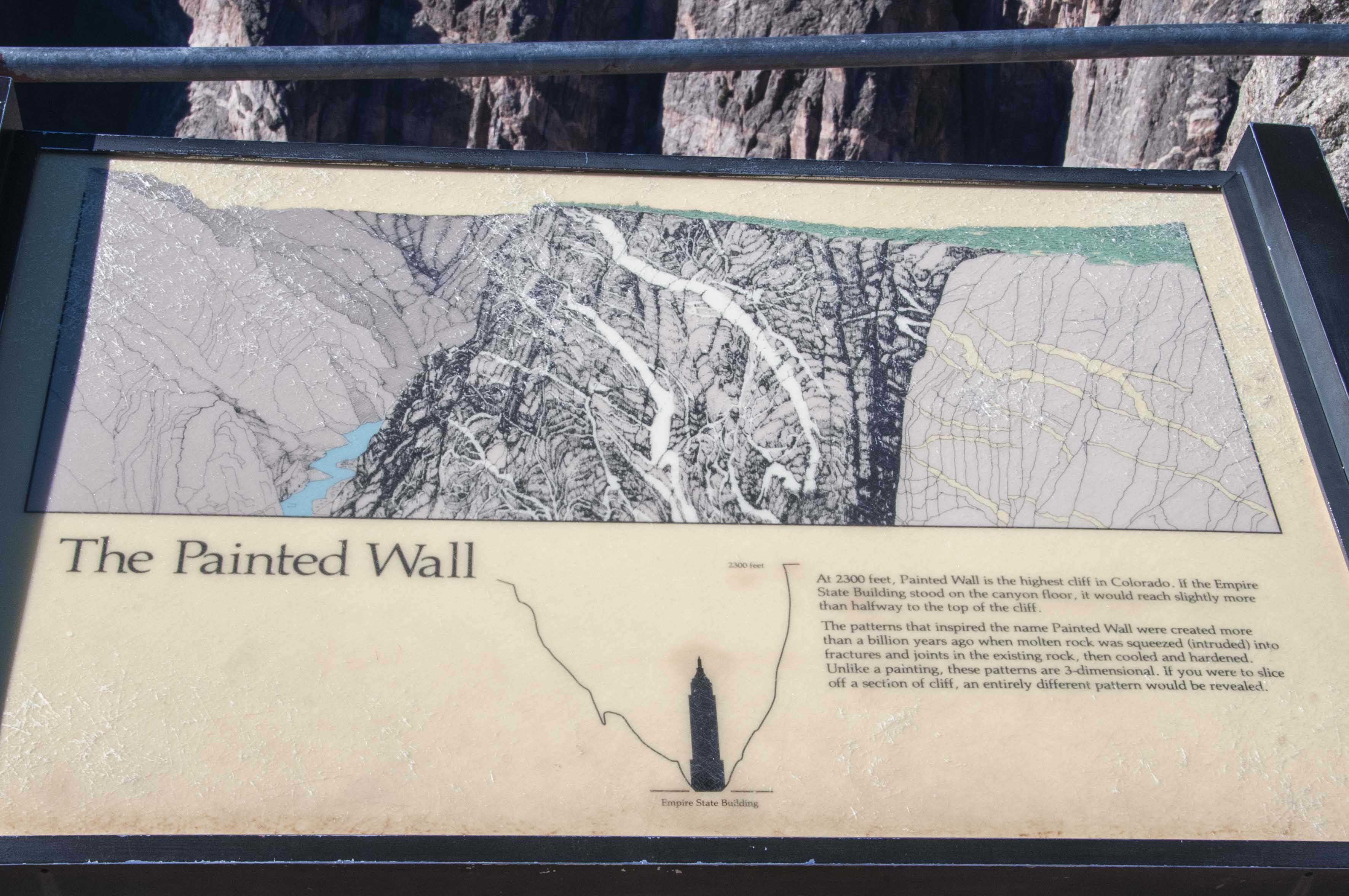
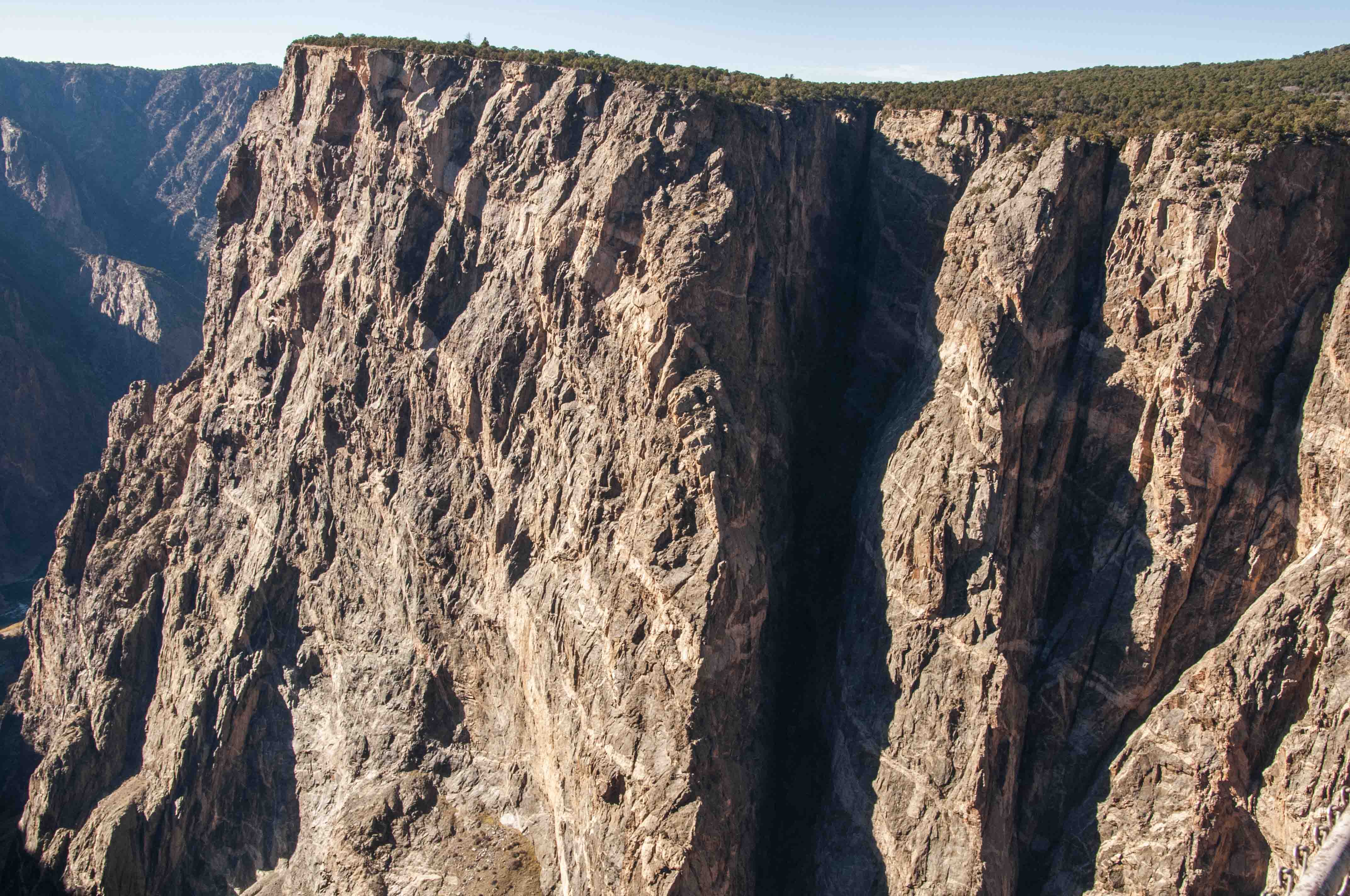
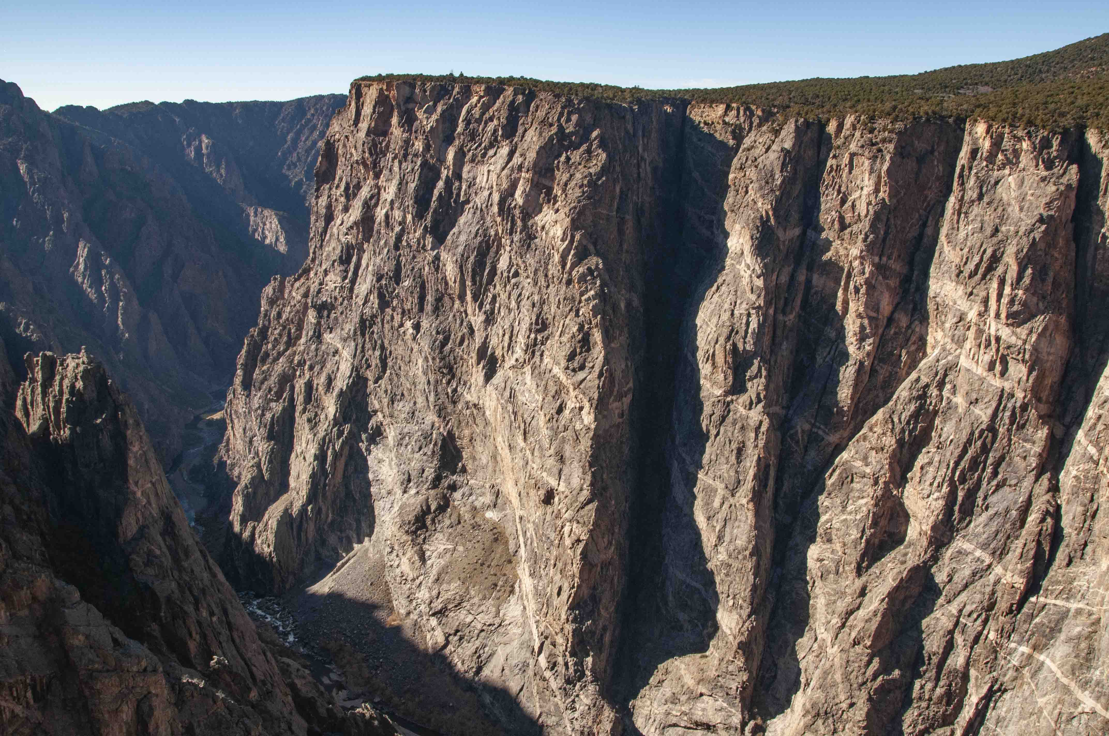
Painted Wall View
The Painted Wall, at 2,250 feet, is the tallest cliff wall in
Colorado. It's twice as tall as the Empire State Building. The dark gneiss of the wall is criss-crossed with
pinkish bands of pegmatite that look like they were painted on, giving the wall its name.

Painted Wall View
Interpretive sign
Painted Wall
Painted Wall

Gunnison River

Gunnison River
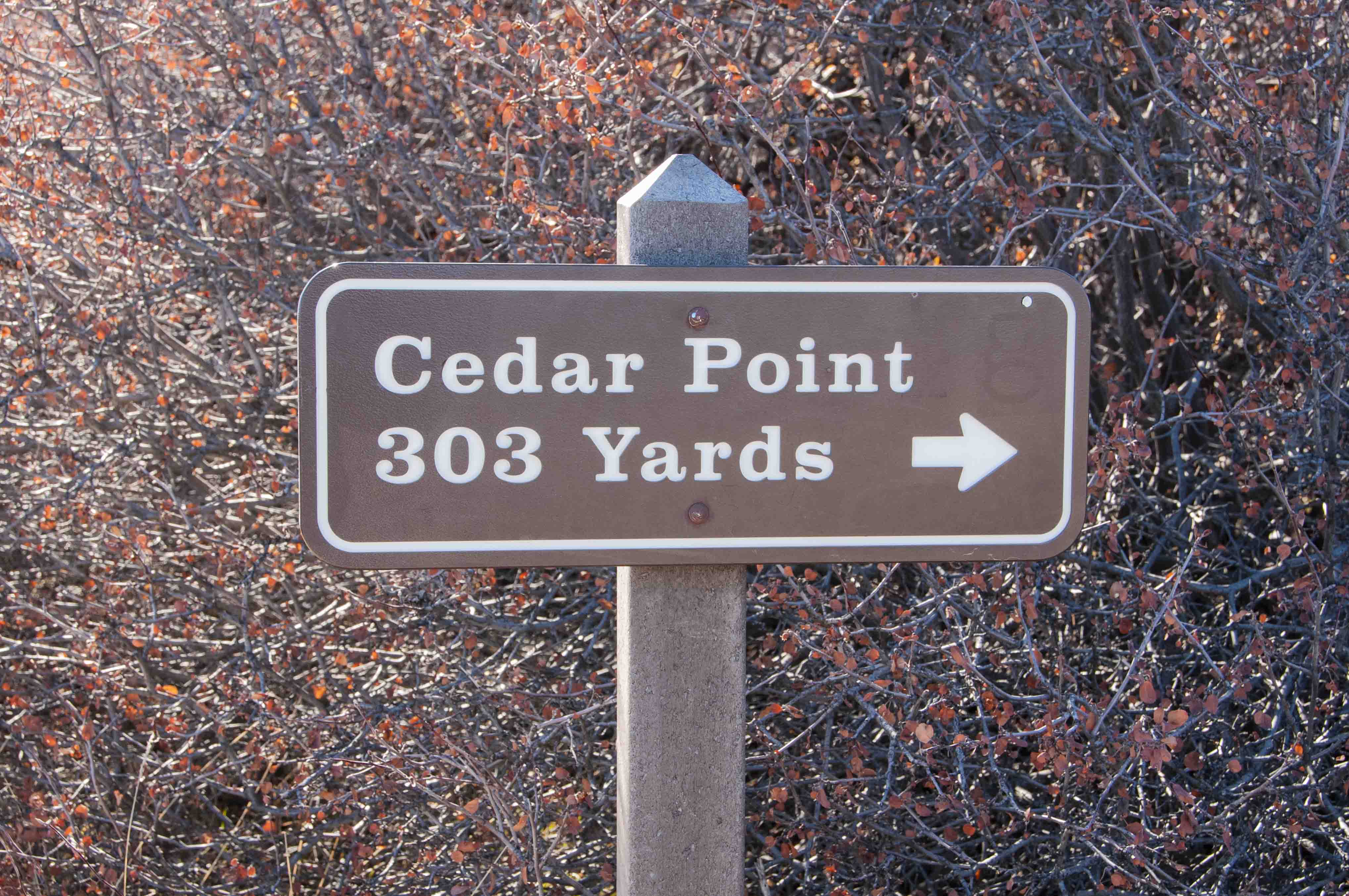
Cedar Point
The 303 yard trail to Cedar Point is an interpretive trail, with
lots of interesting stops along the way. Cedar Point overlooks the lower canyon with 1.5 miles of
the river visible. At this point the canyon starts to widen and the cliff walls become less steep.
Cedar Point
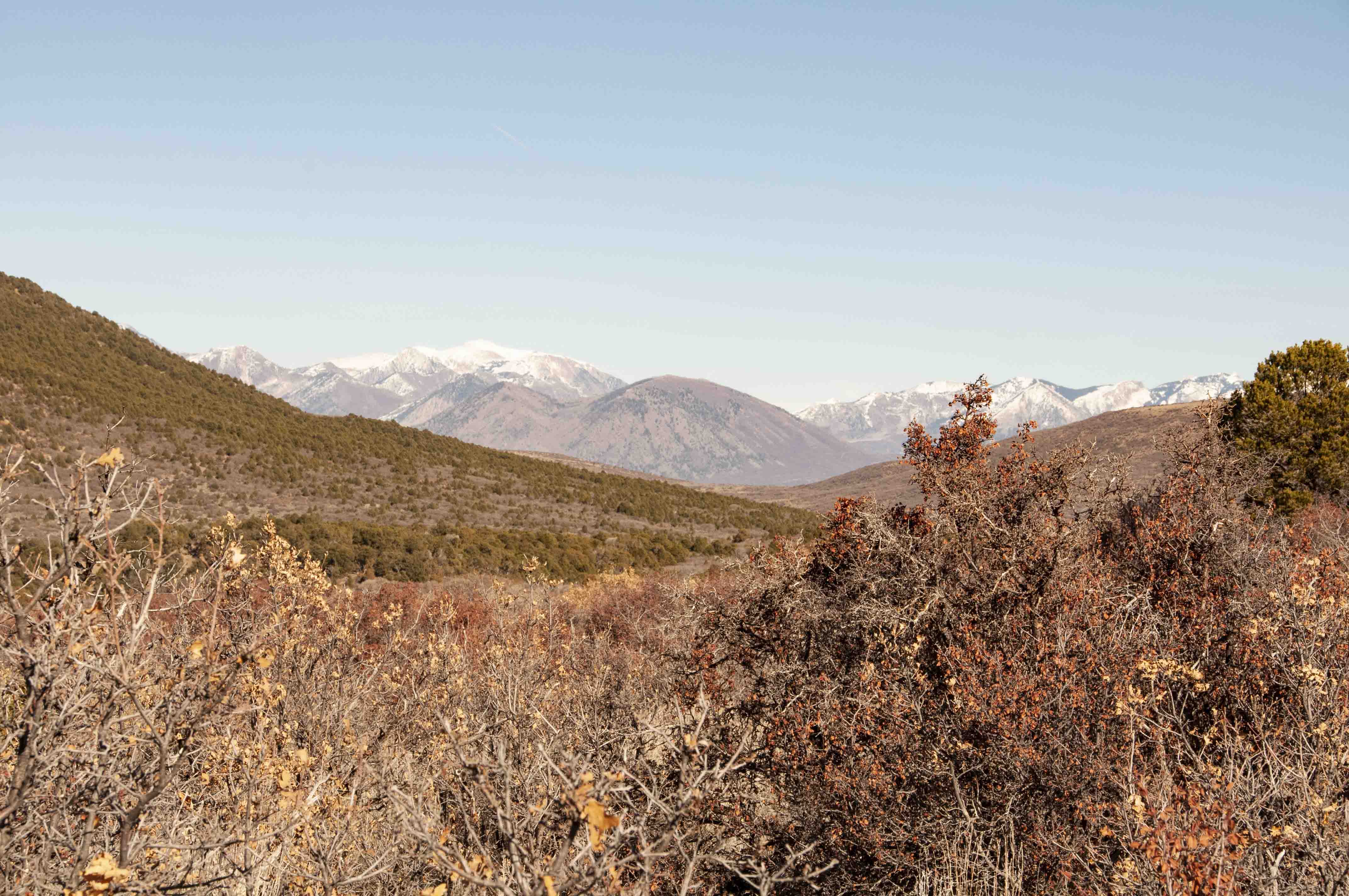
West Elk Mountains
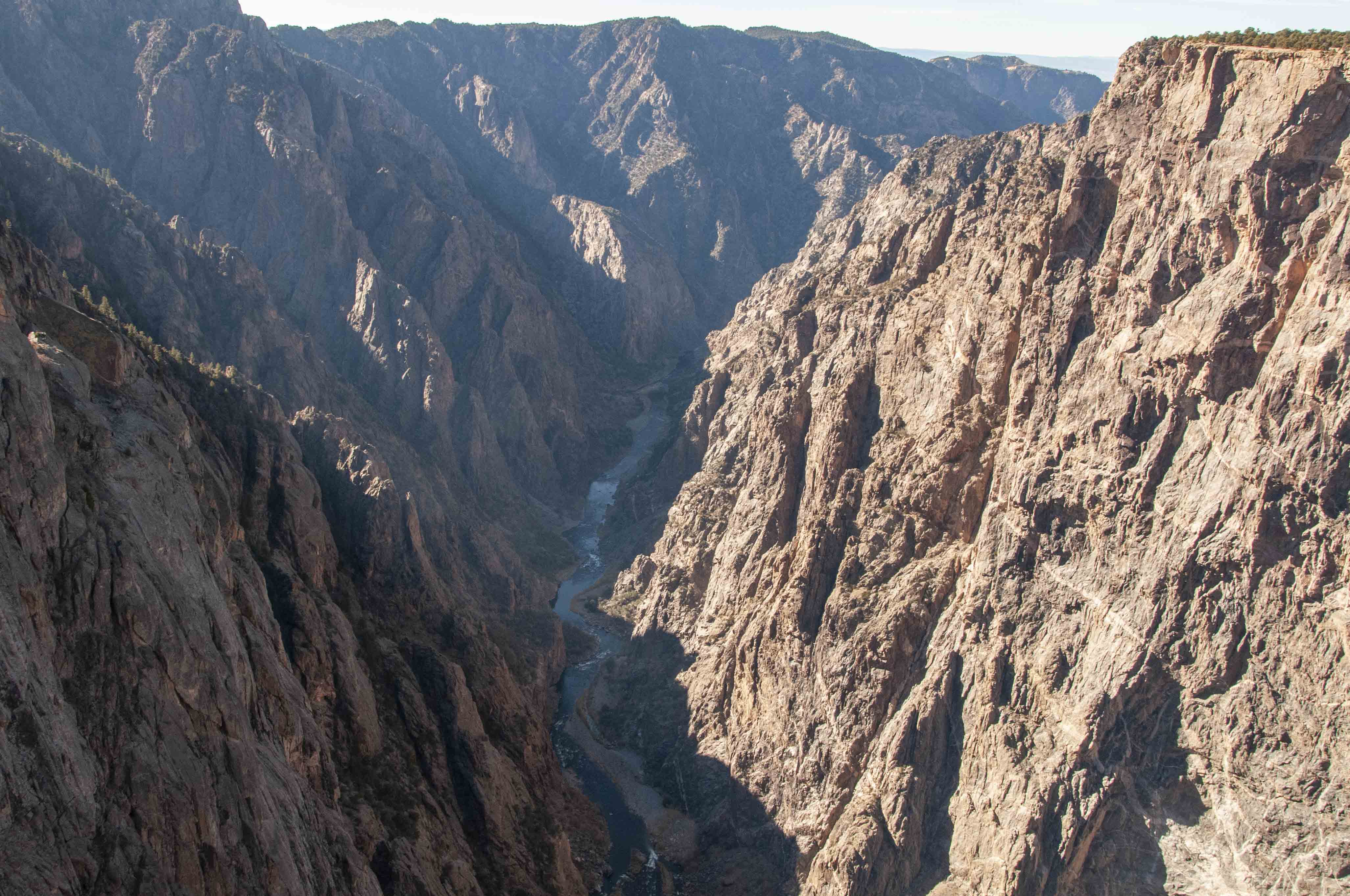
Gunnison River
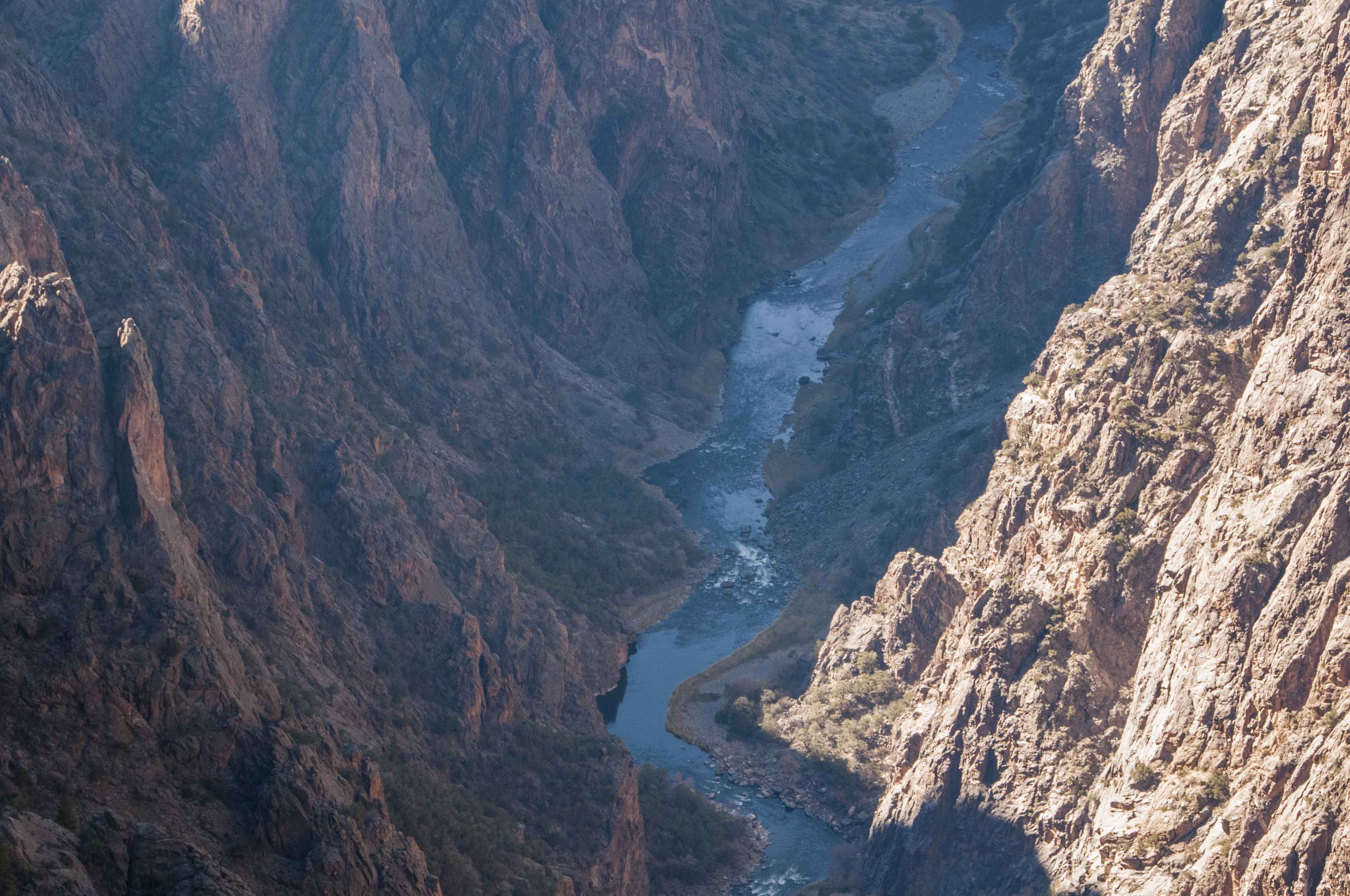
Gunnison River
Gunnison River
Cedar Point overlook
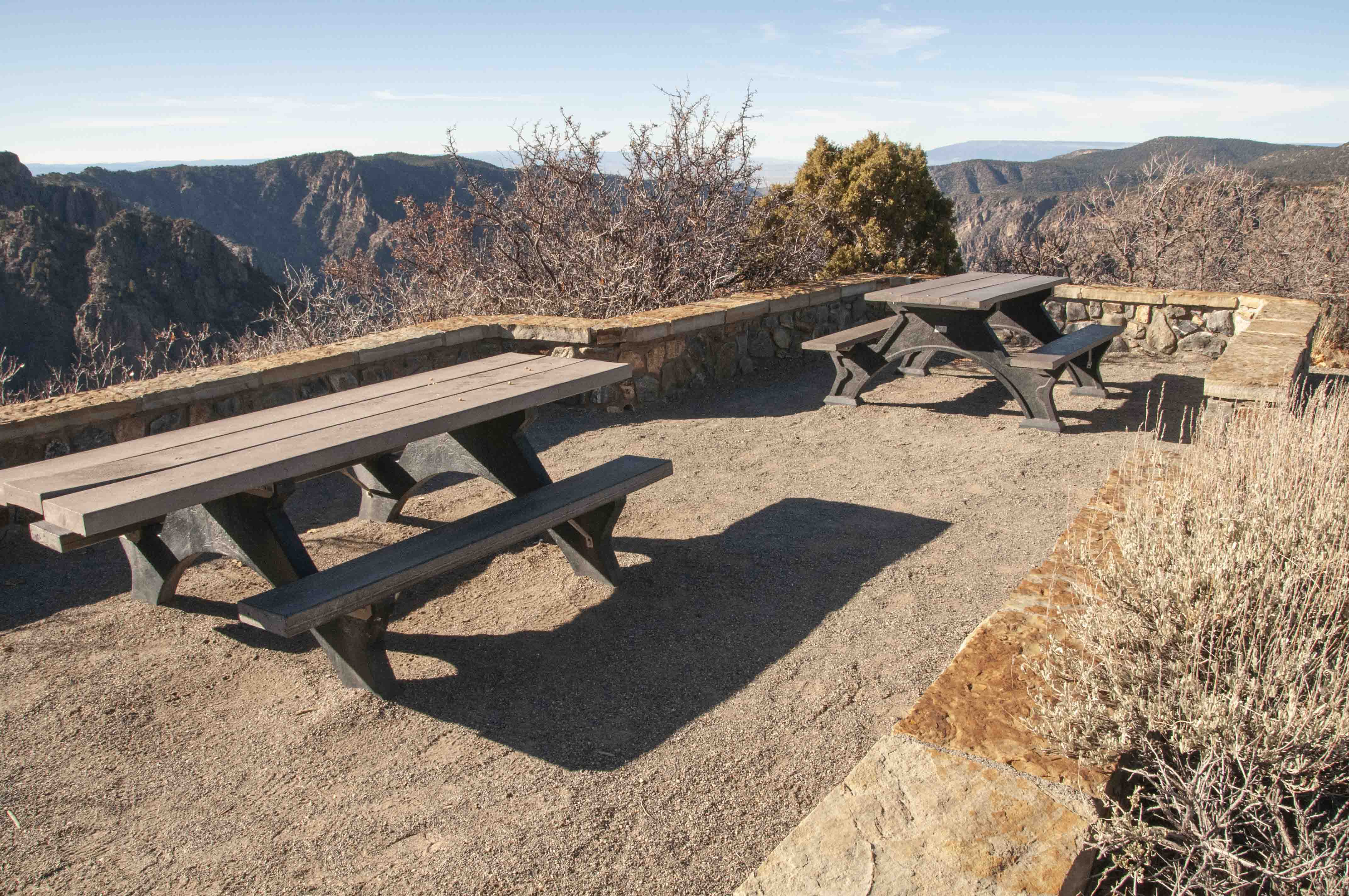
Sunset View
Sunset View has a large parking lot, picnic tables, and a vault toilet.
The downriver portion of the Gunnison can be traced almost all the way to the Uncompahgre River valley.
The Black Canyon really starts to widen here.

Sunset View
Picnic tables
Gunnison River
View downriver from Sunset Point
Cliff face
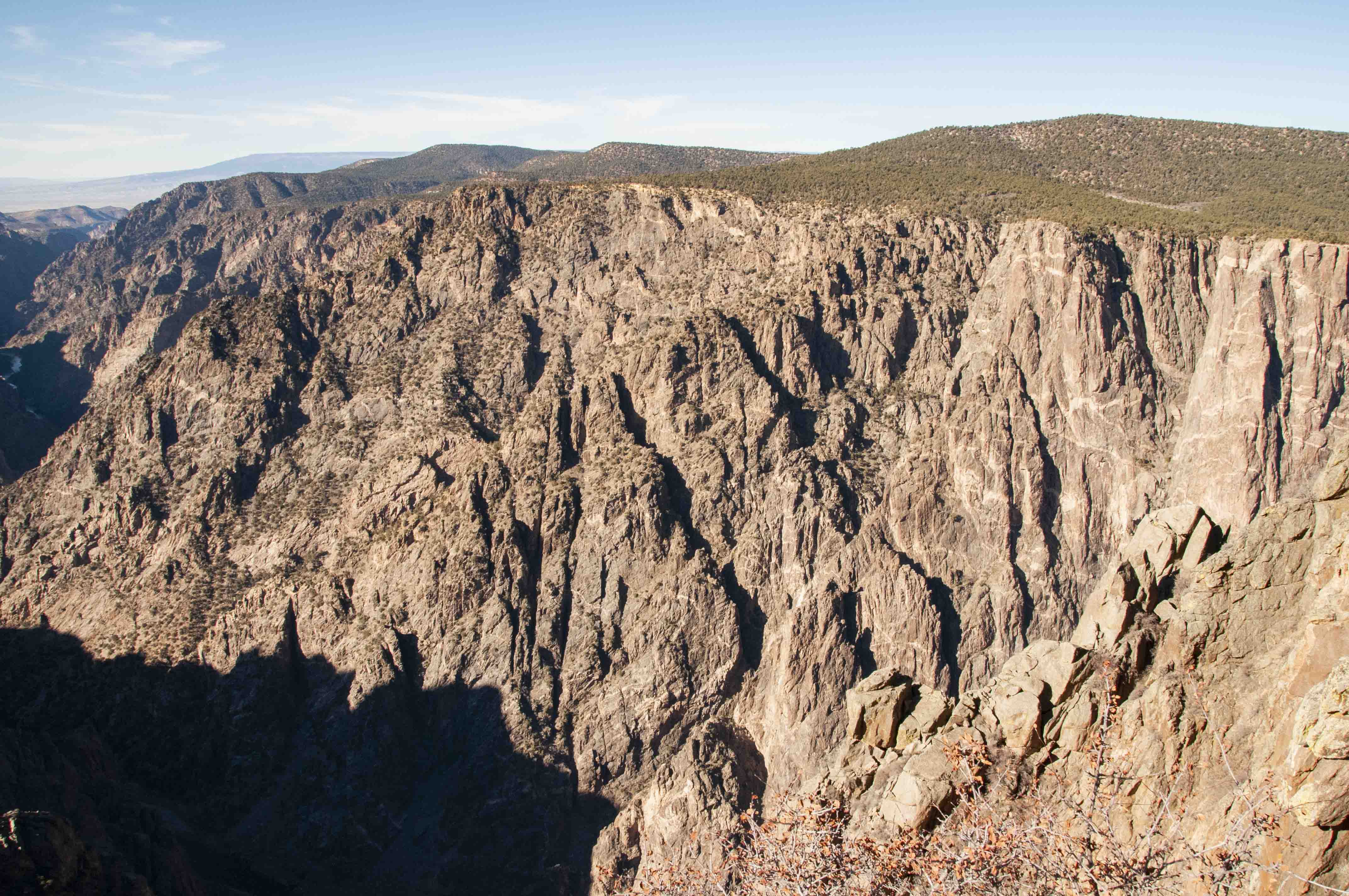
High Point
High Point is the last stop on South Rim Road. It has
picnic tables but not much of a view. The trail to Warner Point starts here (a little less
than a mile one way). Warner Point is the furthest overlook on the South Rim.
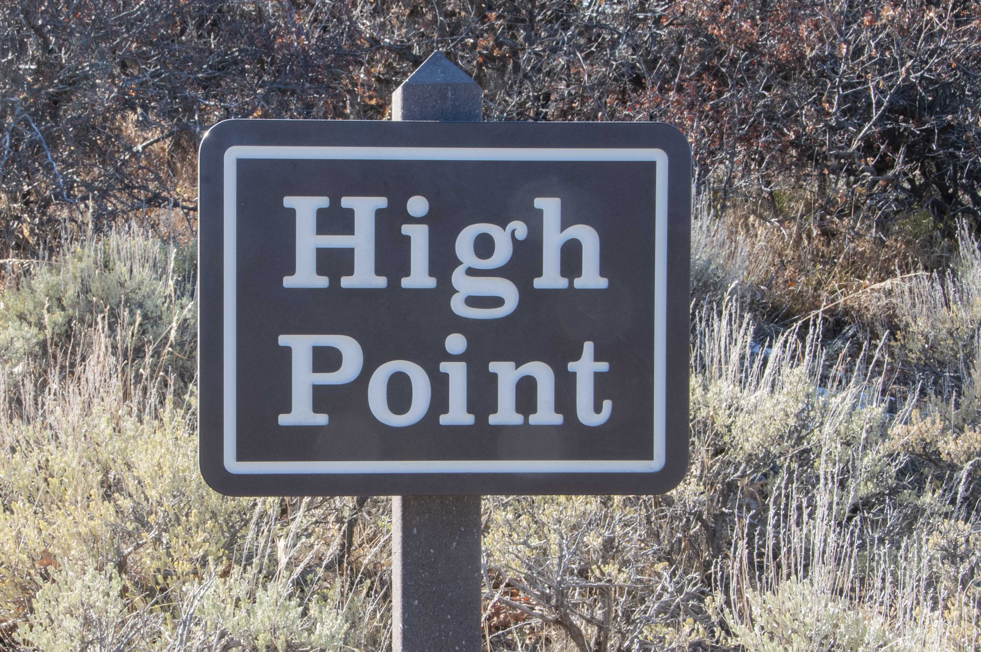
High Point
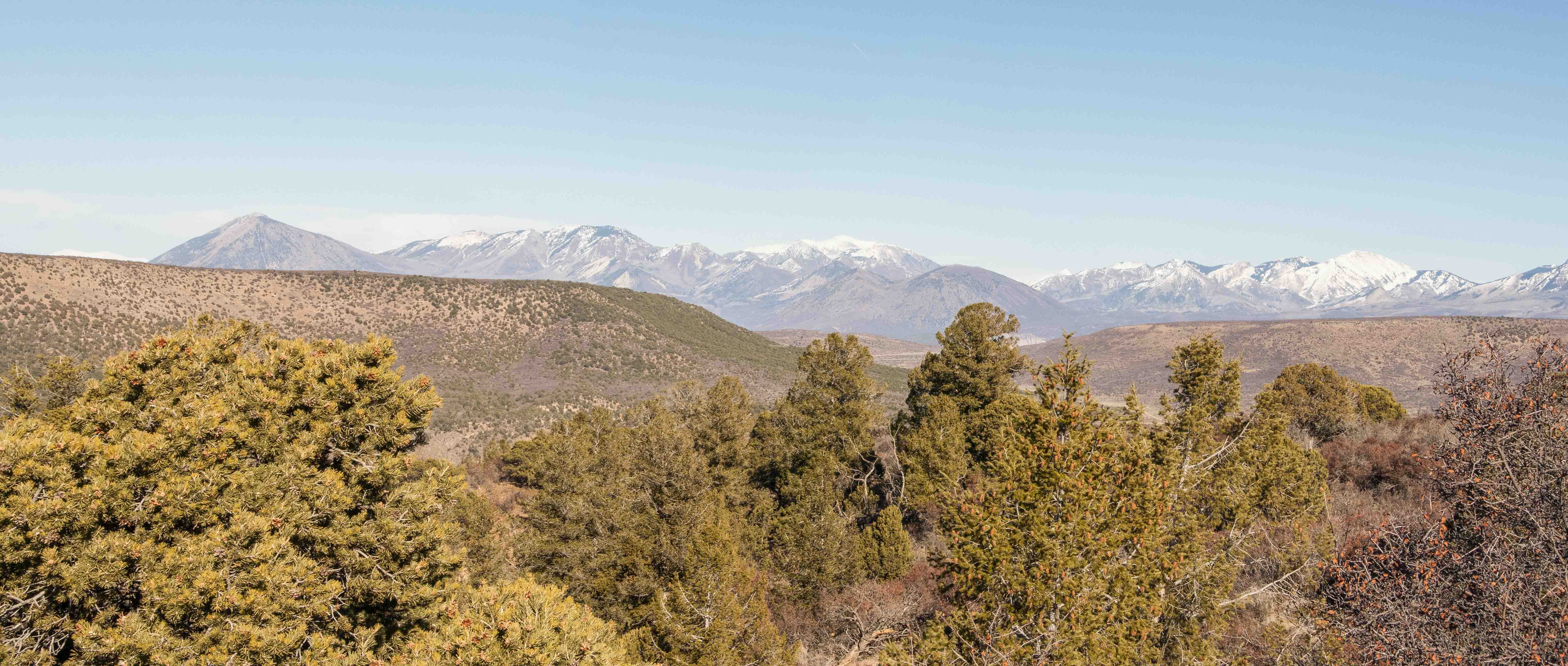
West Elk Mountains
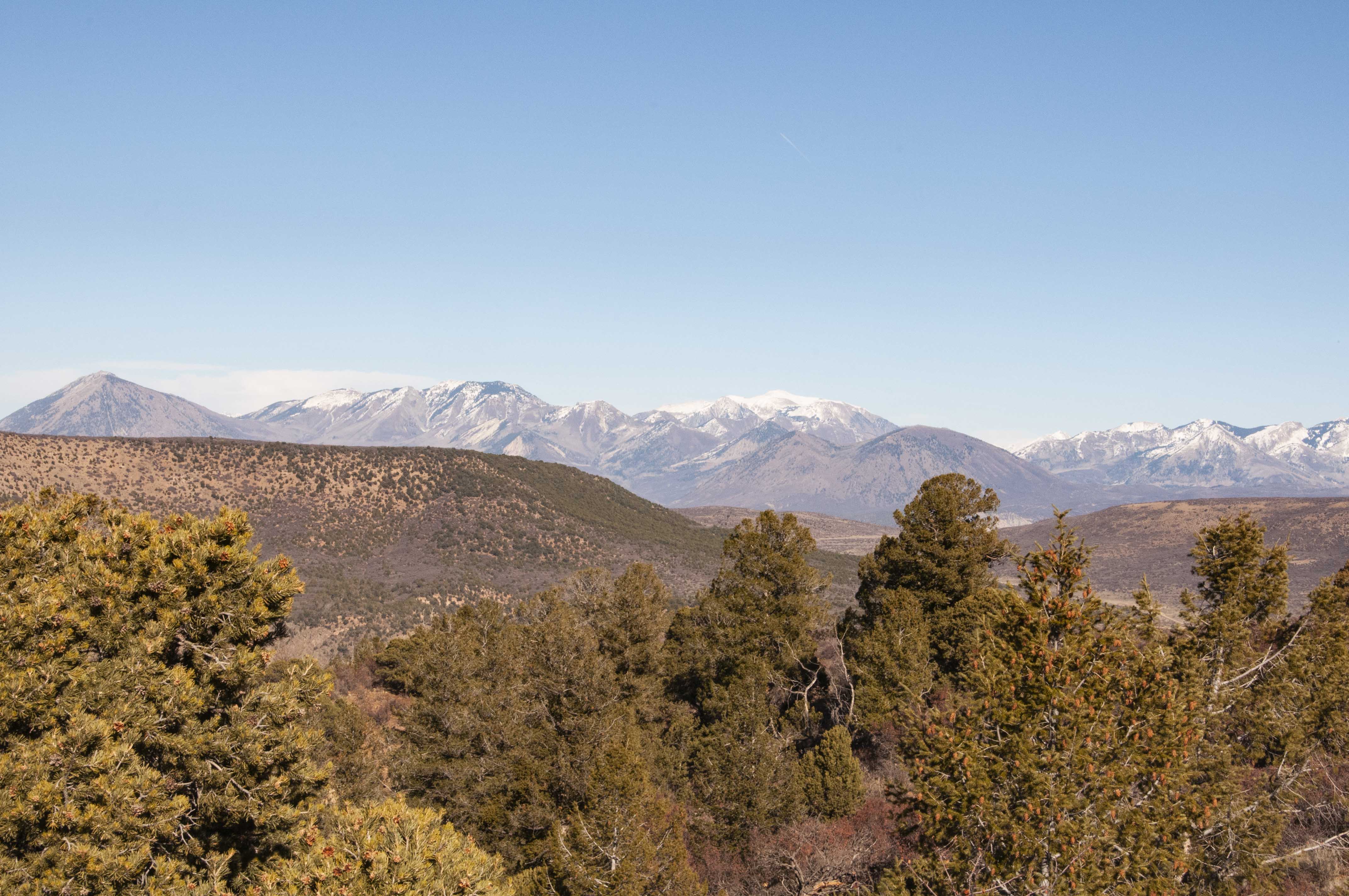
West Elk Mountains
Scenery at High Point
Some background content provided by the National Park Service.
Use the form on the Home Page to submit comments, questions, or suggestions. TD Productions Copyright © 2018