Bandelier National Monument
Bandelier National Monument is a fantastic park to visit. Bandelier is located south of Los Alamos
and can be reached via NM Hwys 502 and 4. One way to spend an excellent couple of days
is to drive the entire length of NM 4 from its junction with US 550 in San Ysidro to its junction with NM 502.
Stop at Jemez Pueblo, Jemez Springs, the Soda Dam, Valles Caldera, and finally
Bandelier. There are B&Bs and campgrounds along the way for an overnight.
There is a small section of
Bandelier right at the junction of NM Hwys 502 and 4 where Tsankawi Pueblo is located. It's a little hard to find
and requires some moderate hiking but is well worth the effort. The main section of Bandelier NM contains lots of
Ancestral Puebloan ruins, some of which are carved into the side of Frijoles Canyon, and several miles of excellent hiking trails.
The Park has a nice Visitor Center and Juniper Campground is excellent for tent camping.

Park Sign
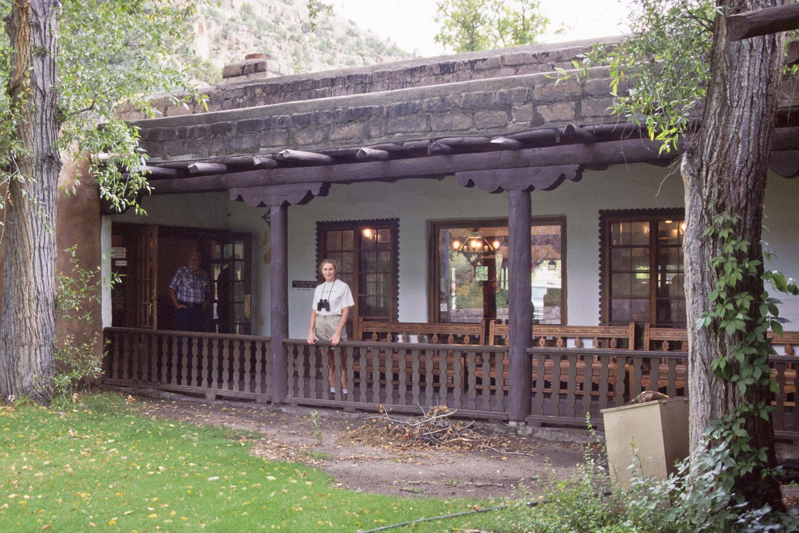
Stephanie at Visitor Center
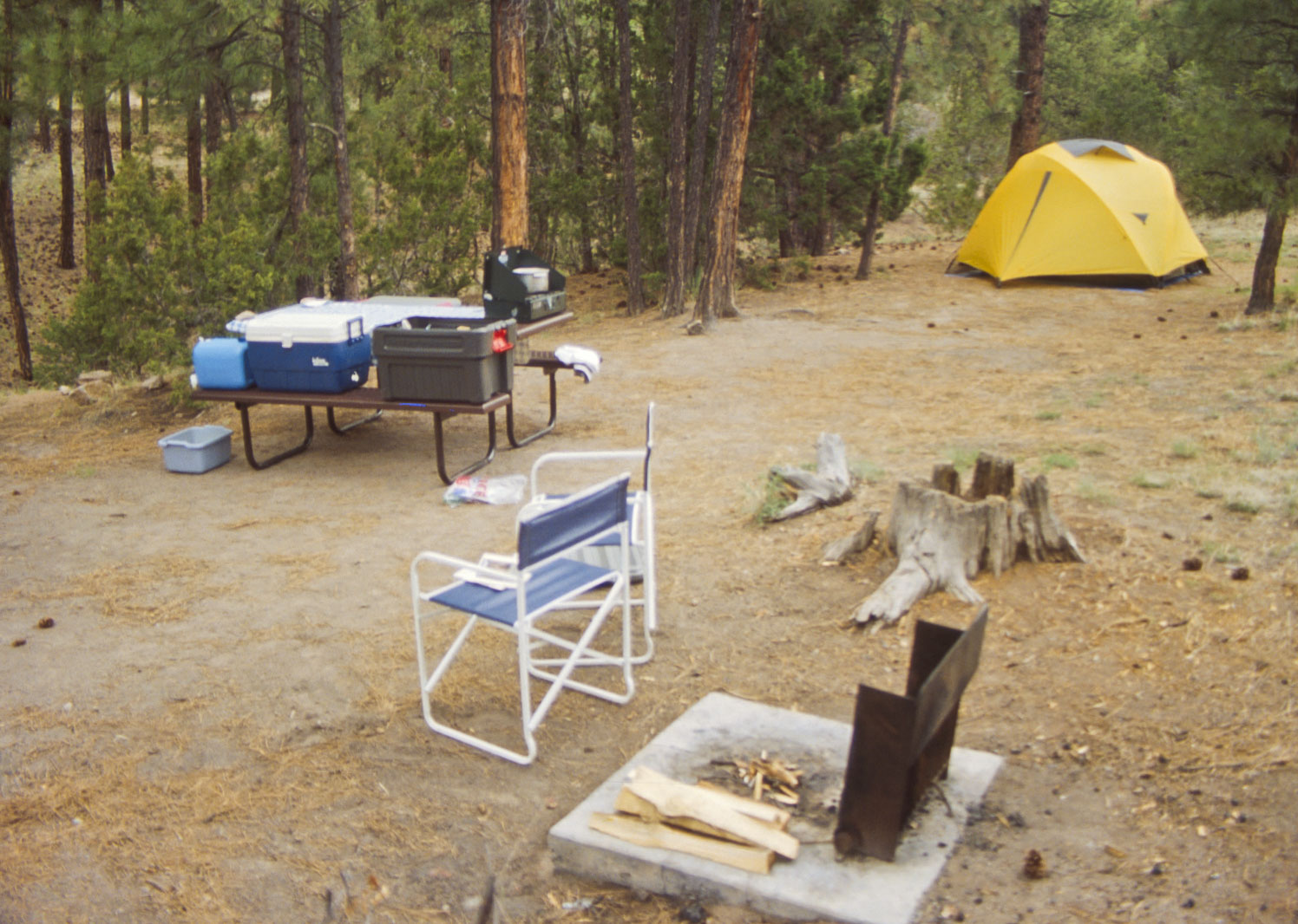
Campsite #58 Loop B Juniper Campground
5/11/1995
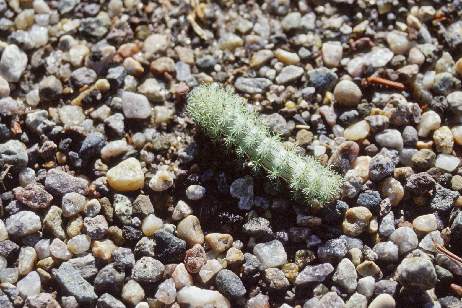
Cute Caterpillar
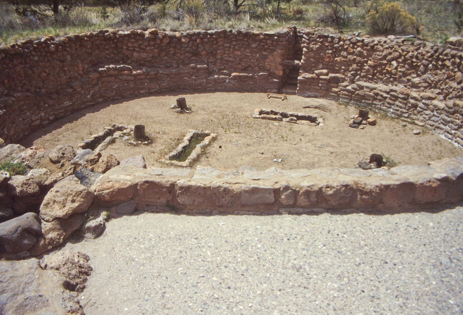
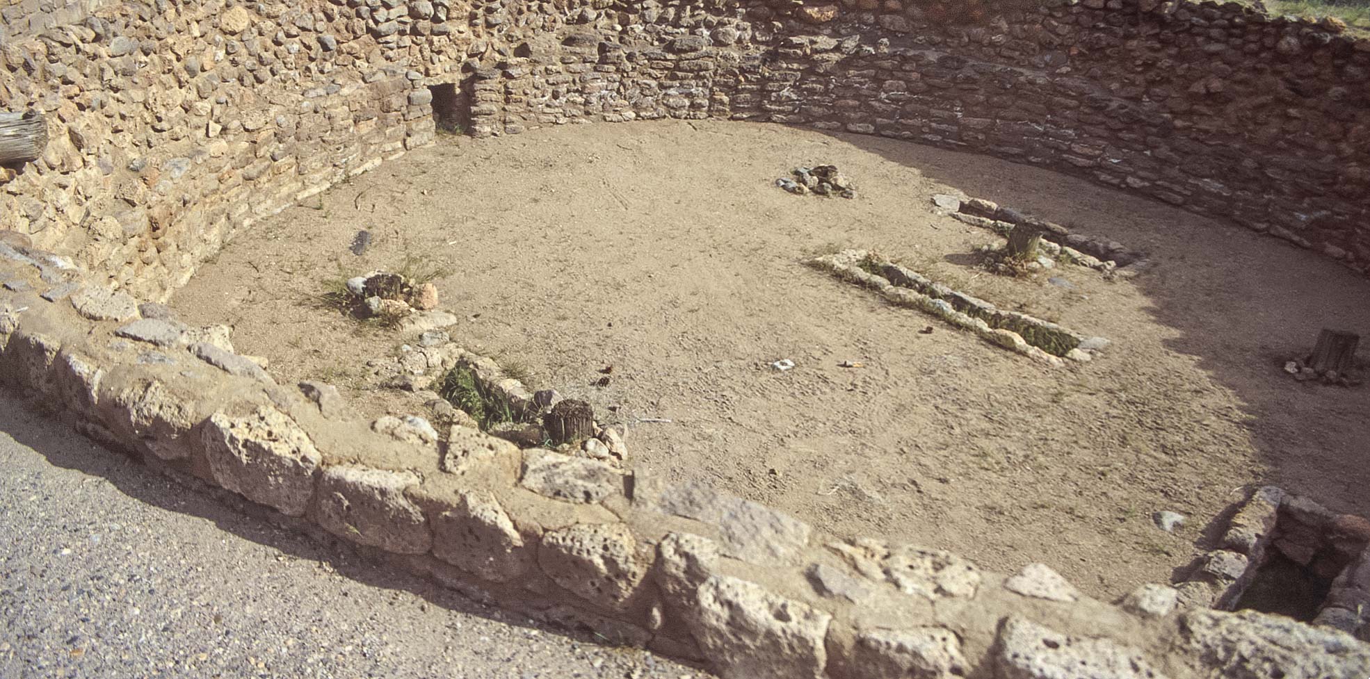
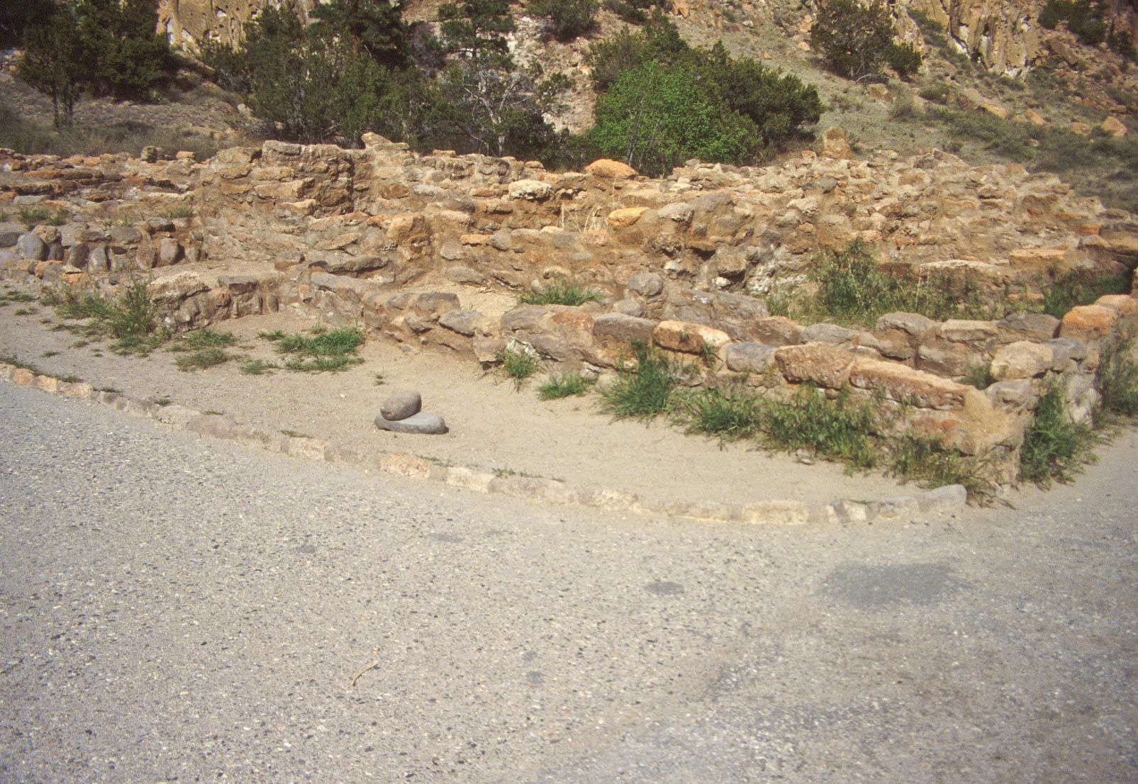
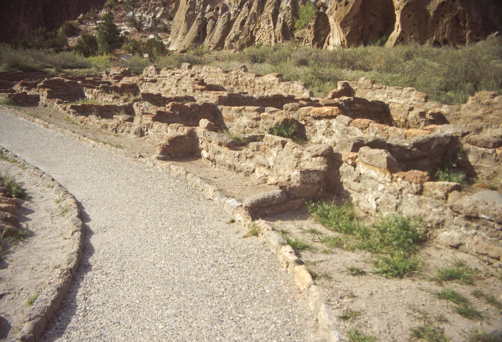
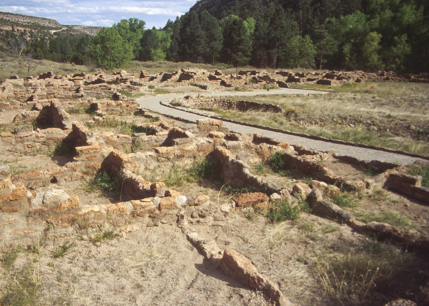
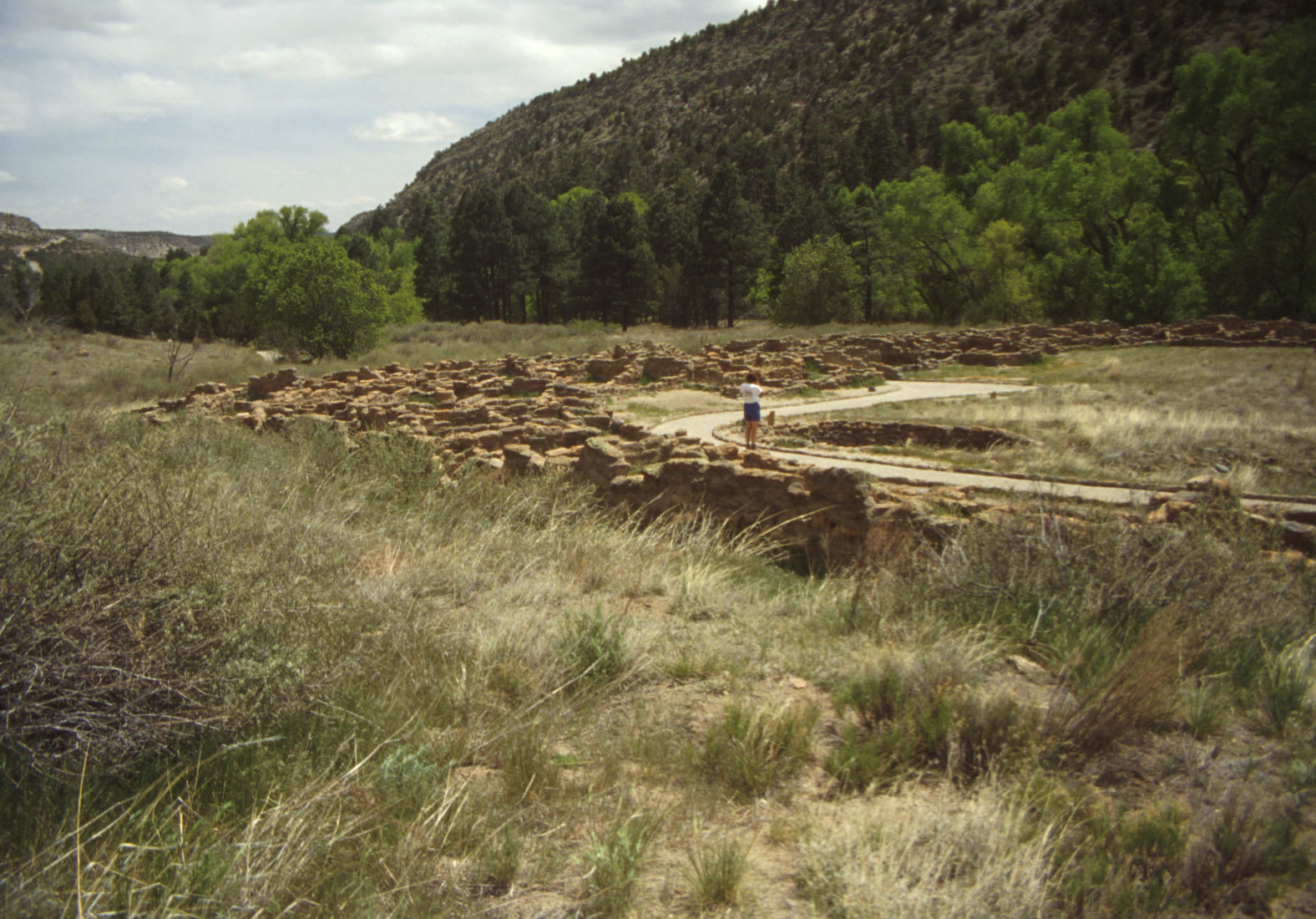
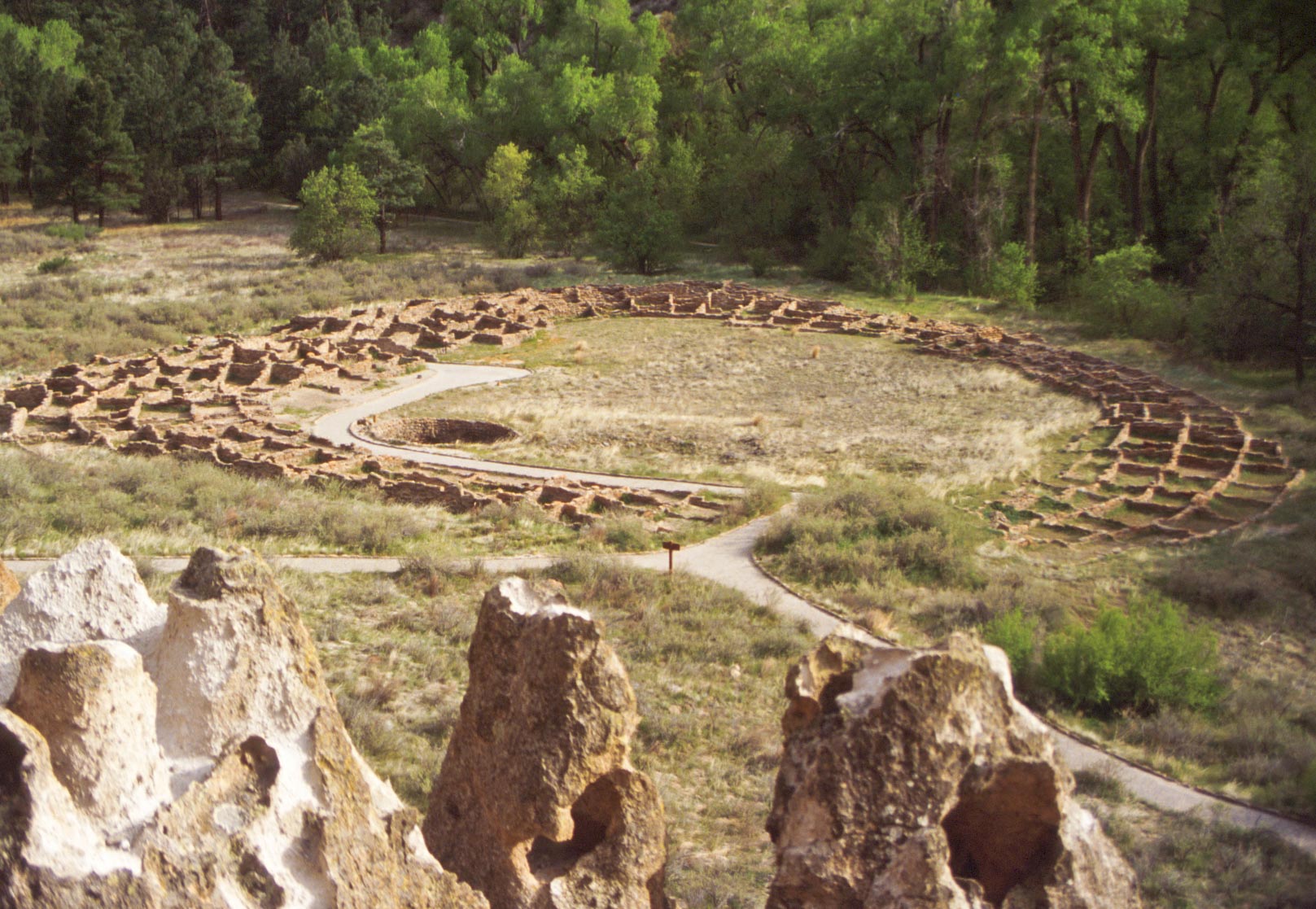
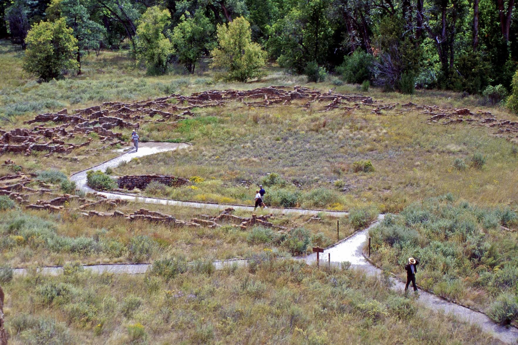
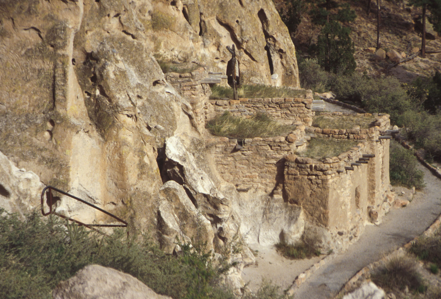
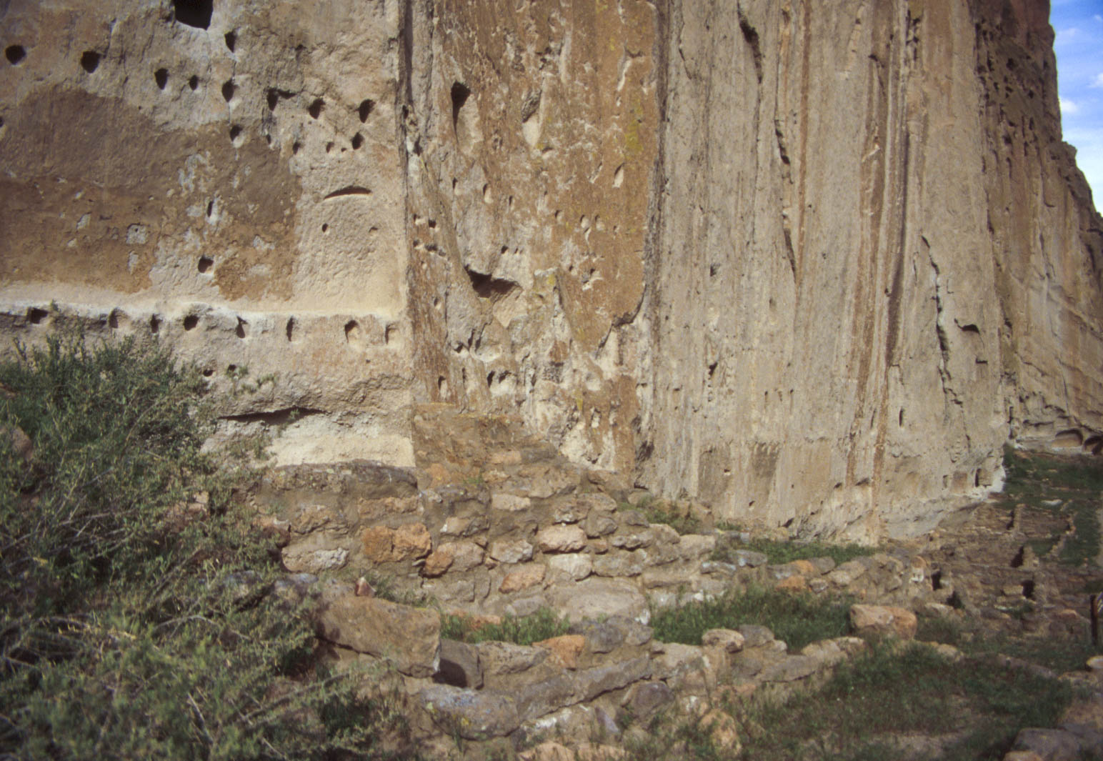
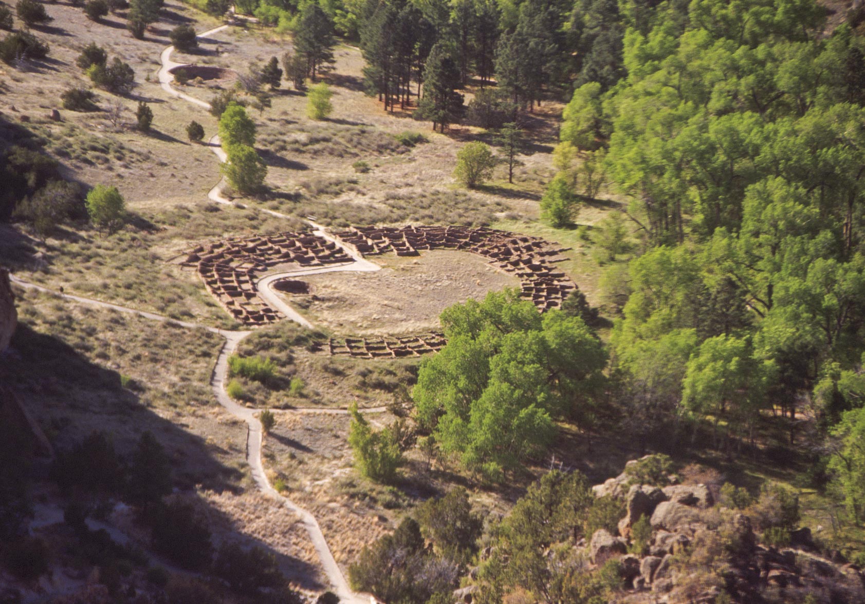
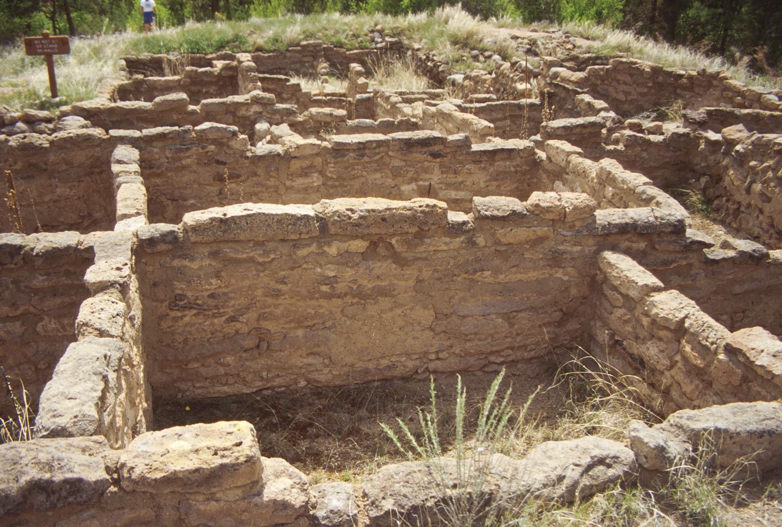
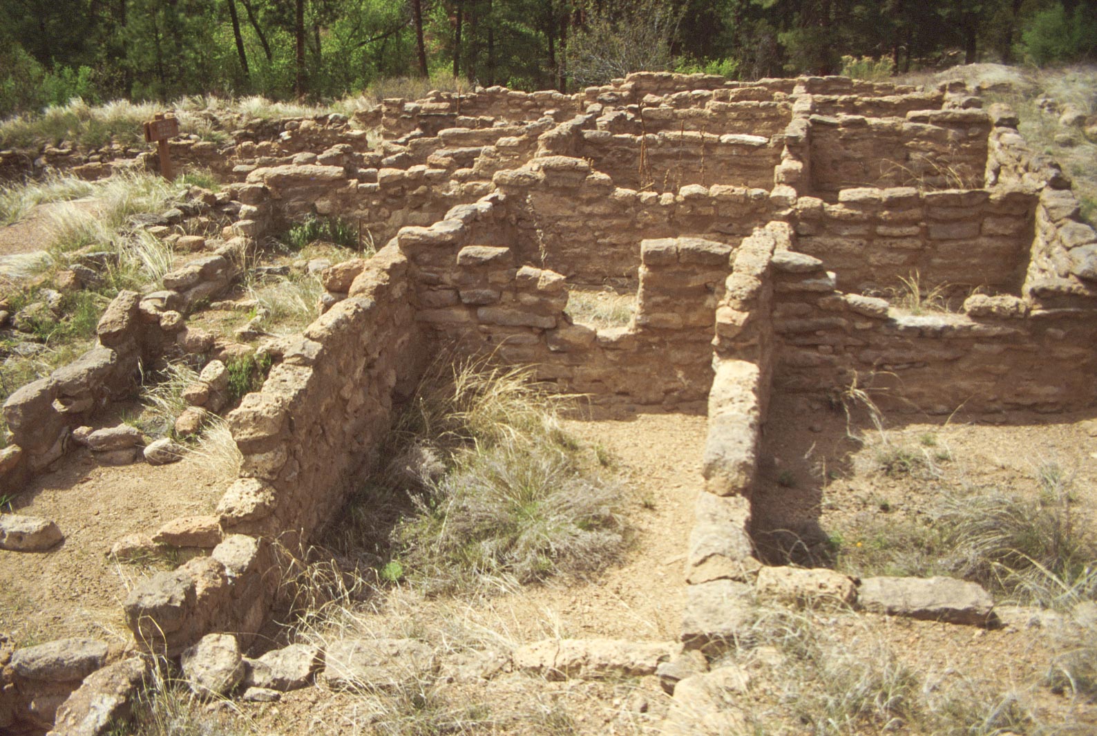
Tyuonyi Pueblo
Construction of Tyuonyi (pronounced Qu-weh-nee)
is estimated to have started in the early 1300s. The village eventually contained 400 rooms
in two stories that housed 100+ people. The village is a more or less circular structure with
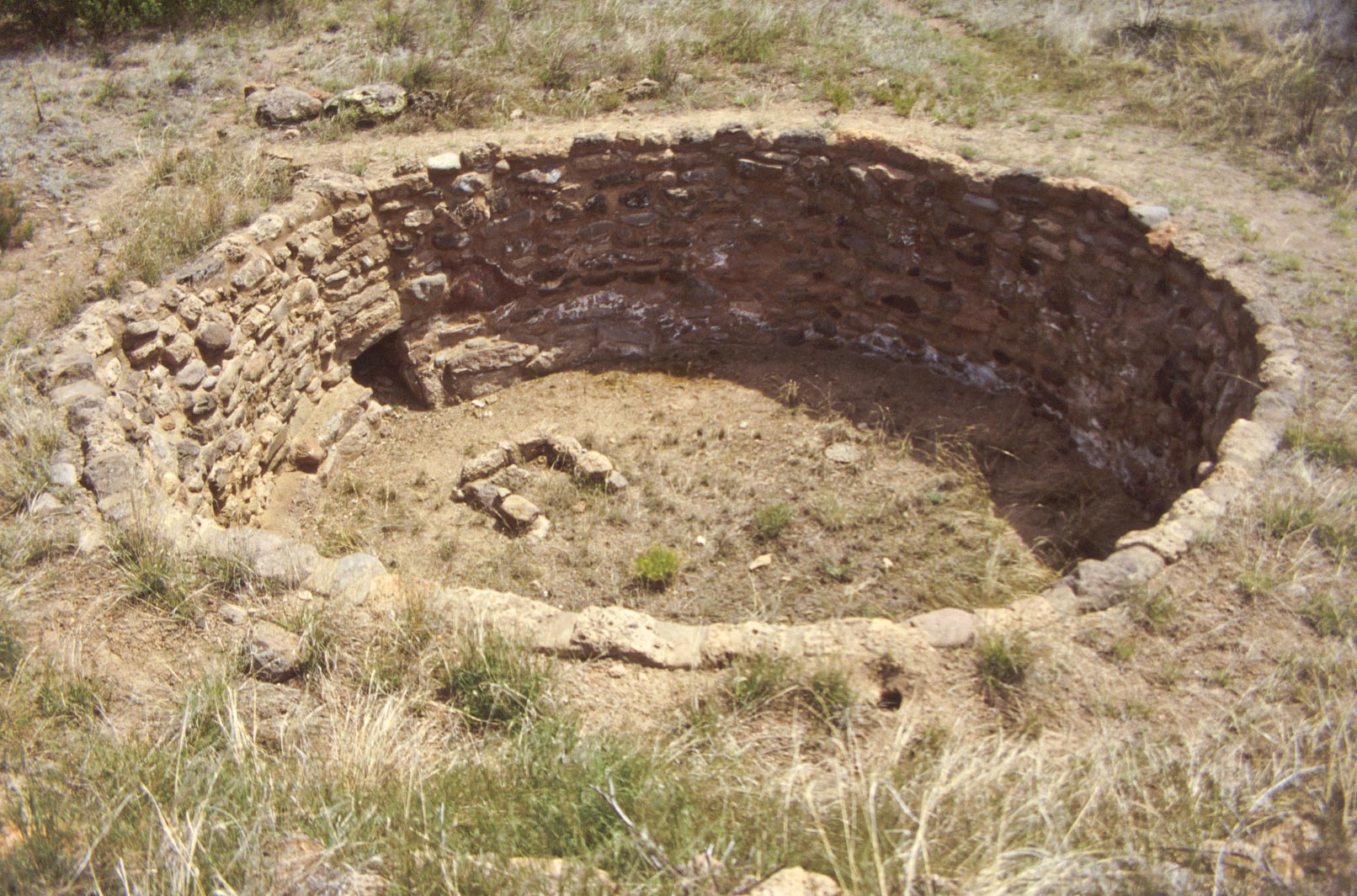
rooms built in concentric rings around a central plaza. There are 3 kivas in a row in the plaza, one
of which has been excavated. There is also a great kiva located to the southeast of the Pueblo.
Great Kiva
Great Kiva
East Room Block
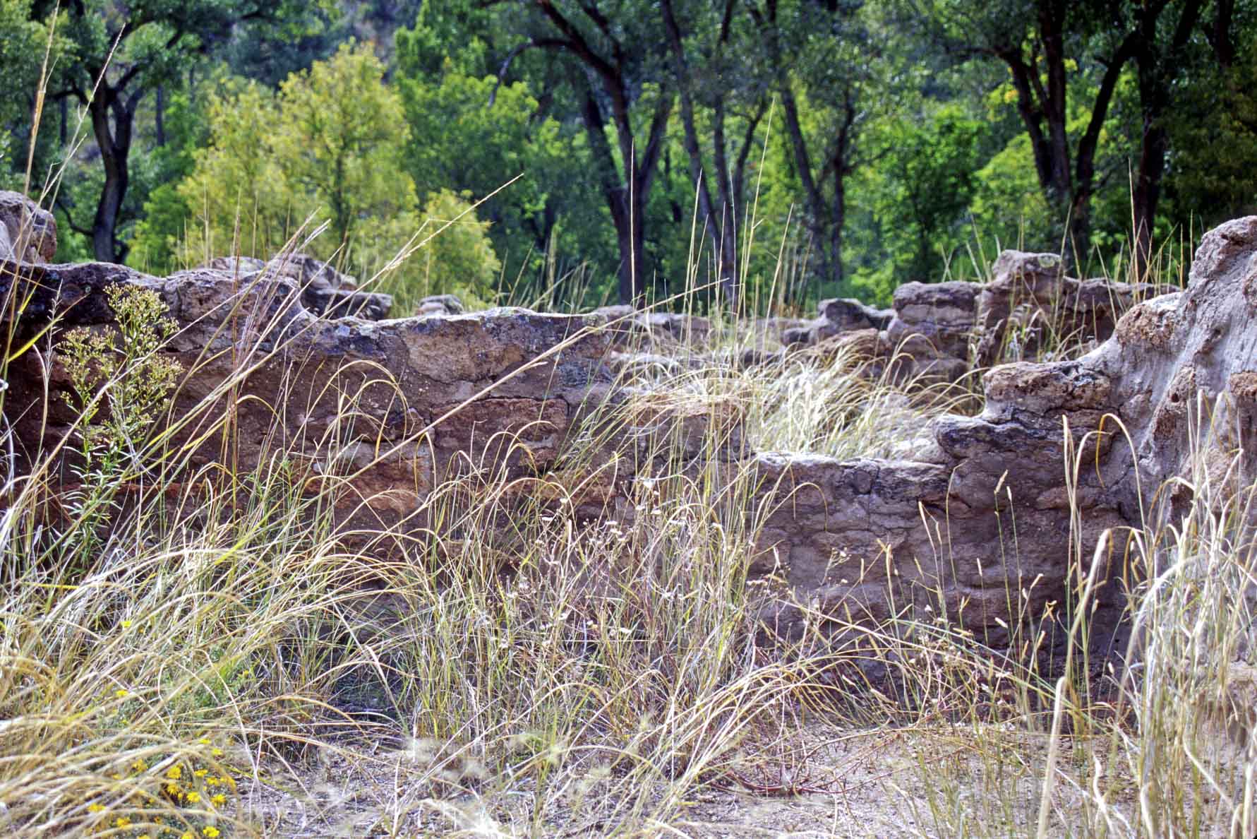
Tyuonyi Pueblo
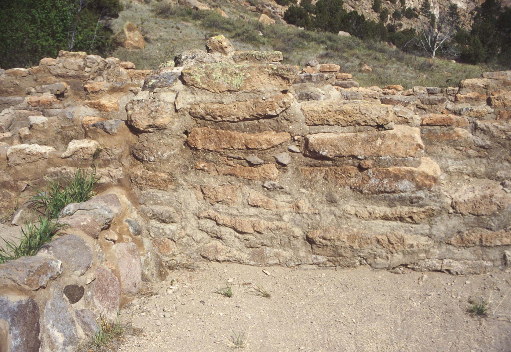
Wall Detail
Northeast Room Block
near excavated kiva
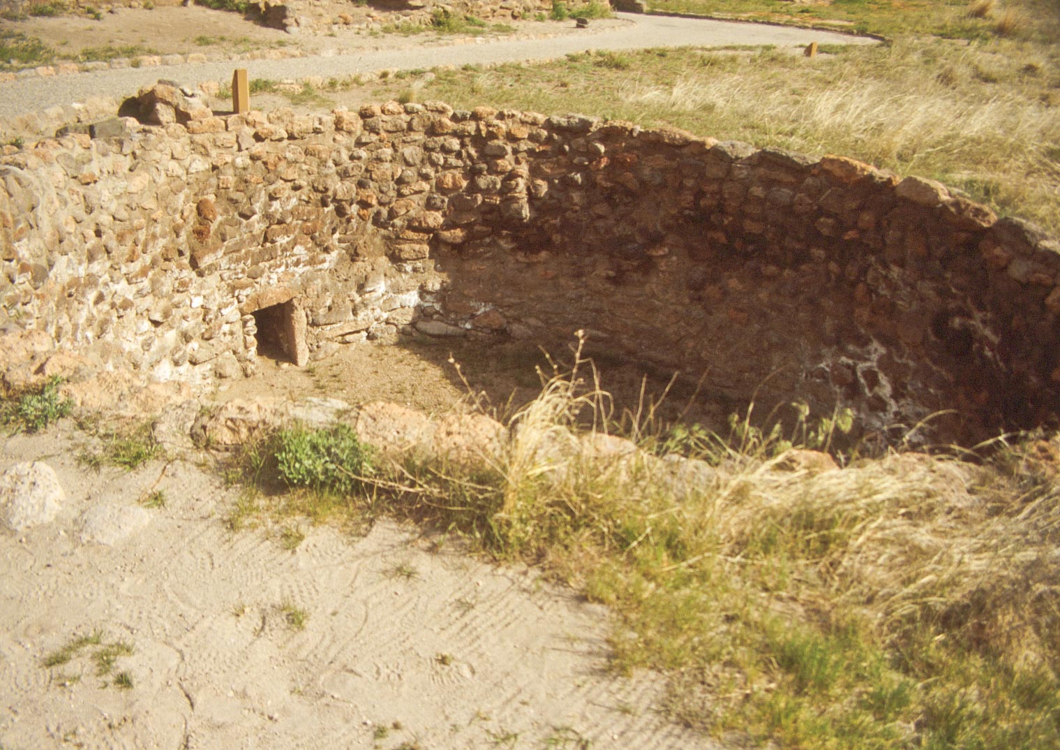
Kiva

Unexcavated Kiva
Northeast (foreground) and East (background)
Room Blocks - Tyuonyi Pueblo
Eastern Portion of Tyuonyi Pueblo
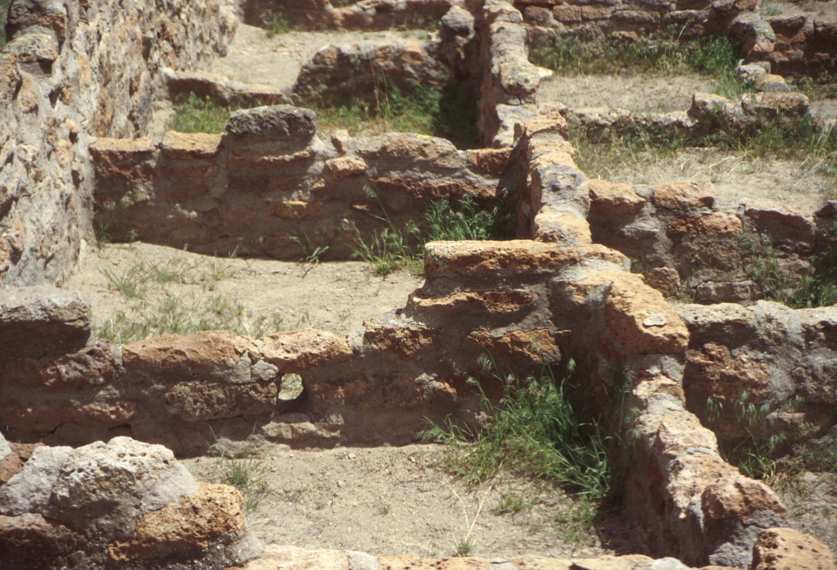
Room Block Detail
Tyuonyi Pueblo
Room Block Detail
Tyuonyi Pueblo
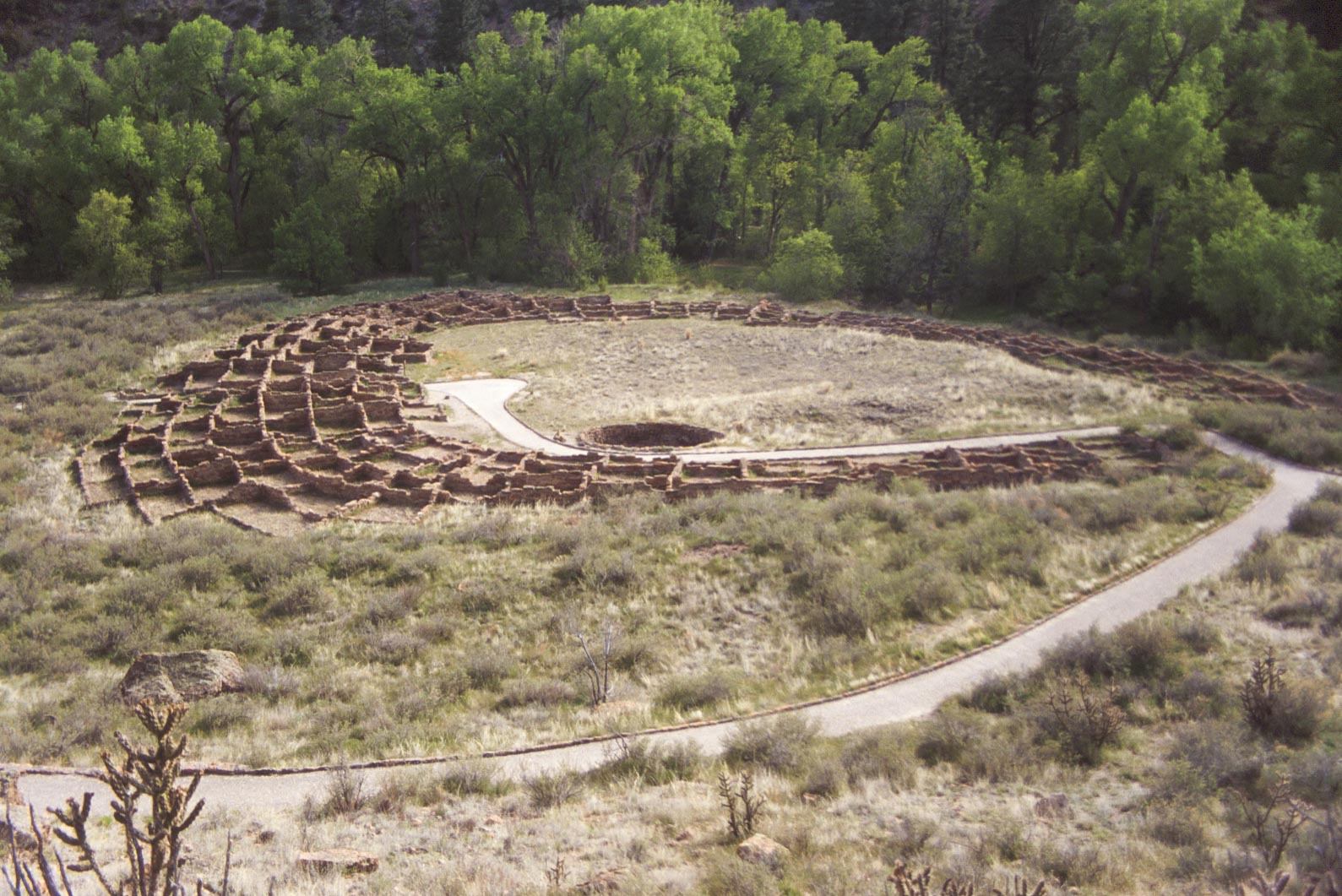
Tyuonyi Pueblo (May 1995)
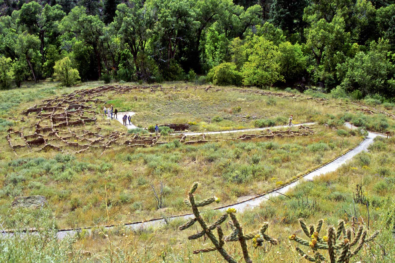
Tyuonyi Pueblo (Sept 1999)
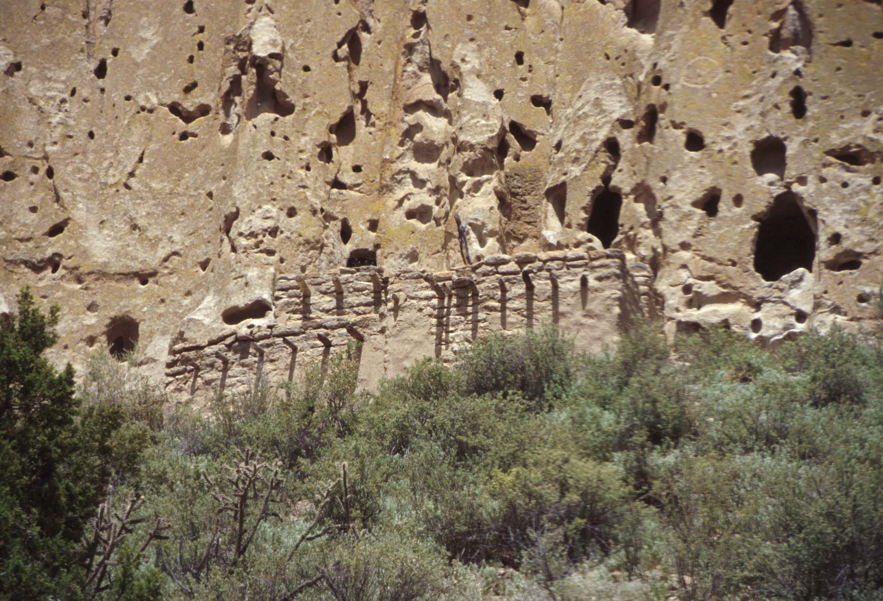
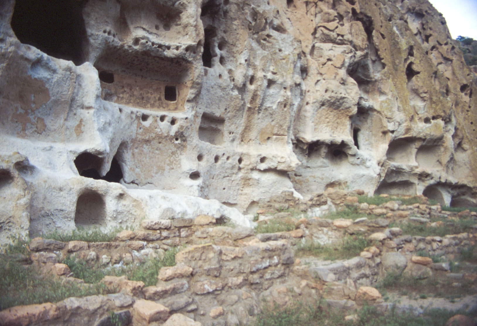
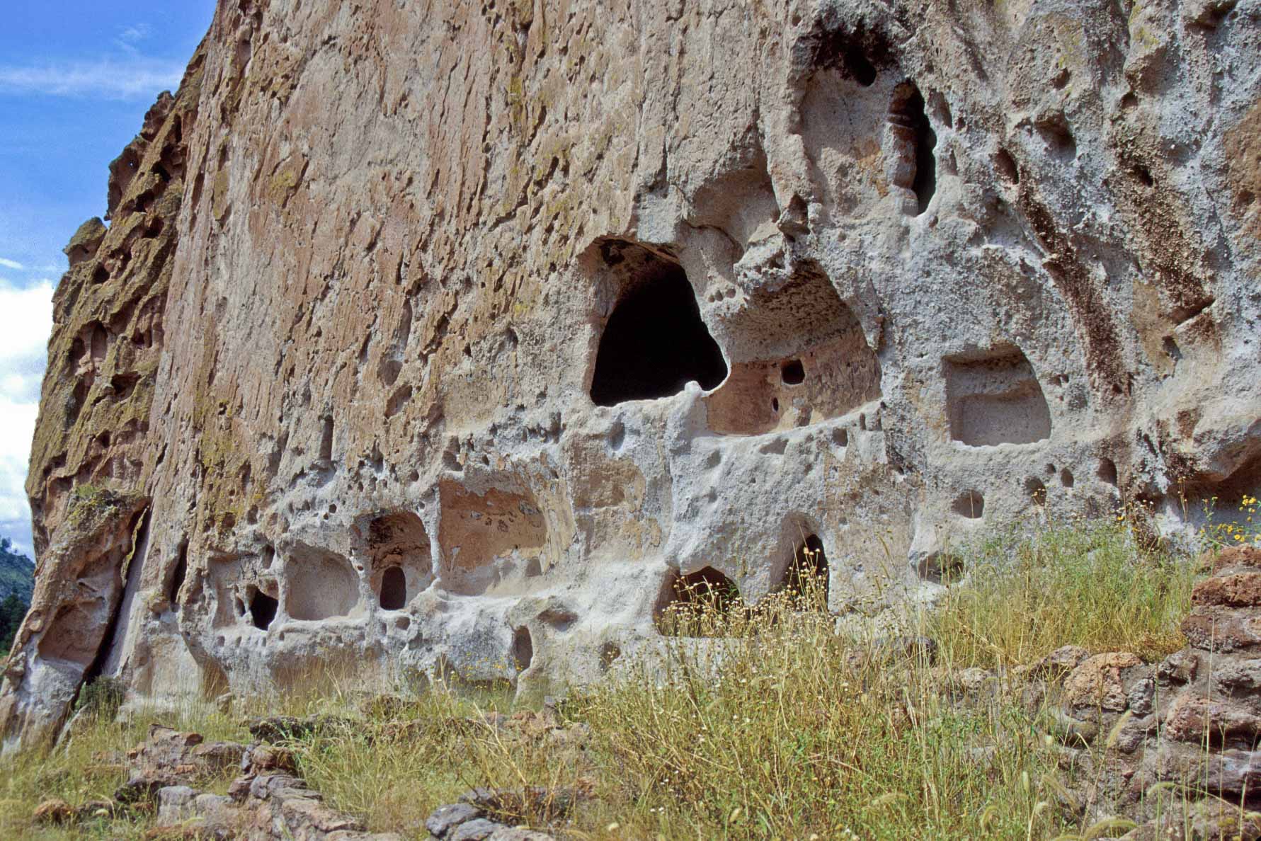
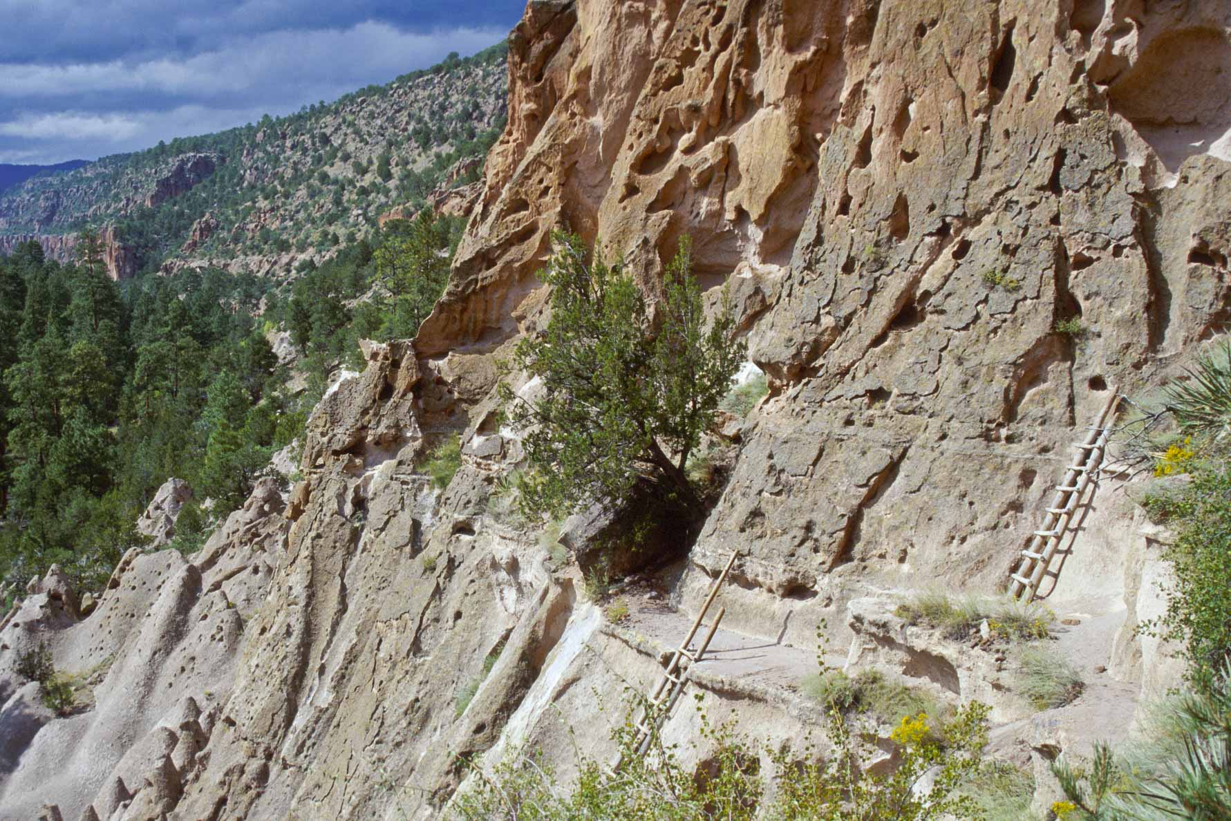
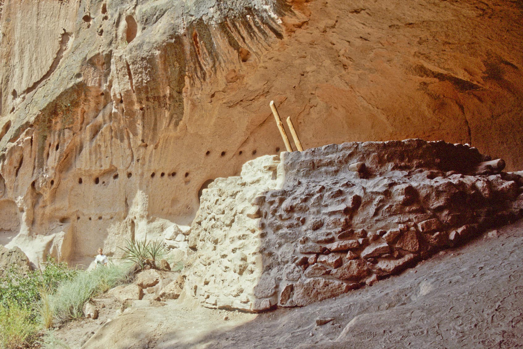
Talus Houses Cliff Dwellings
Exit Tyuonyi Pueblo, follow the Main Loop Trail to
the right, climb a series of short switchbacks, and you will arrive at the Talus Houses Cliff Dwellings.
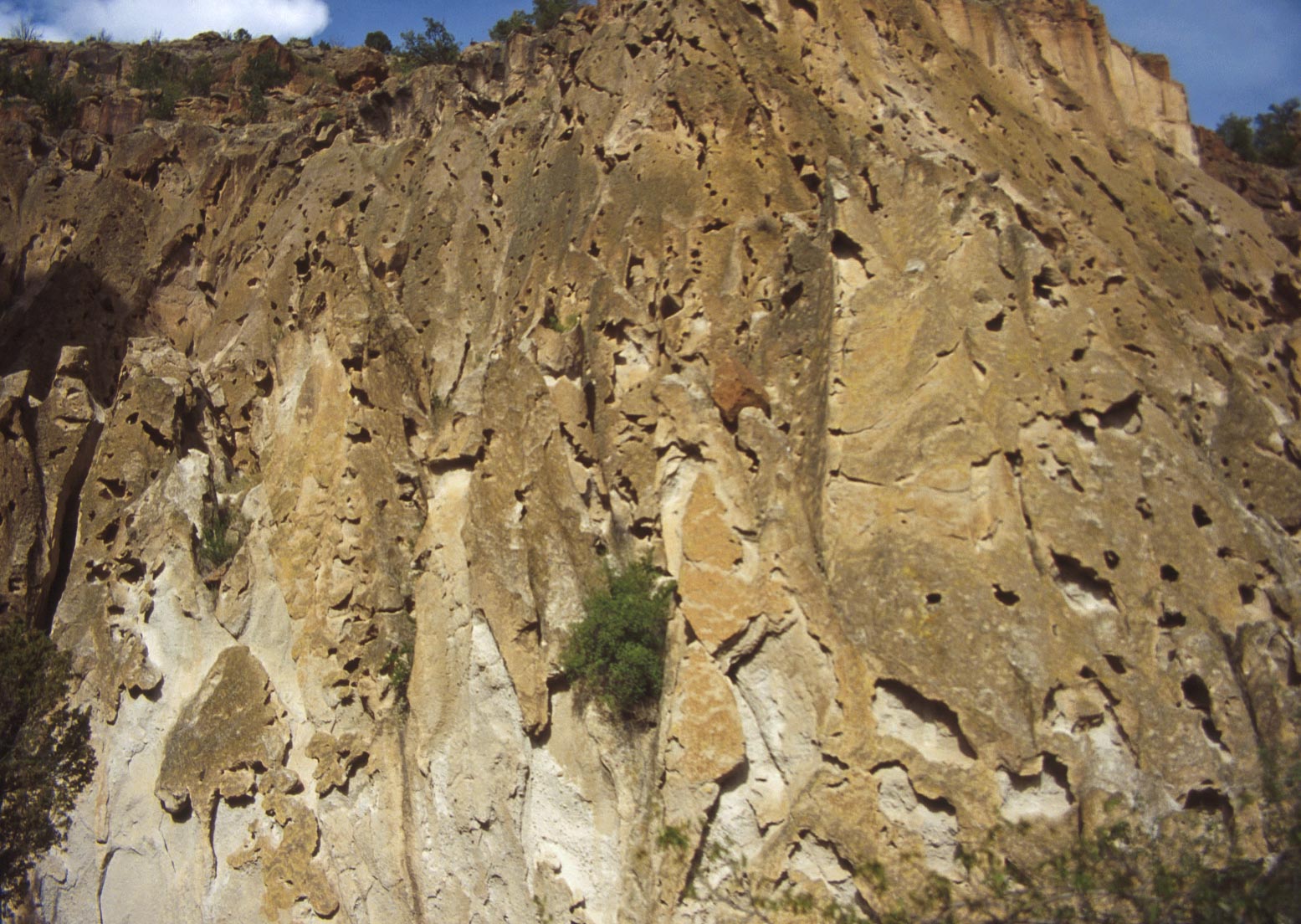
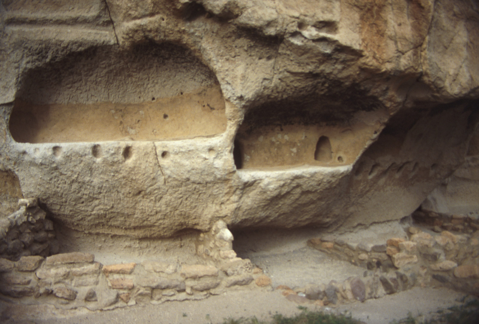
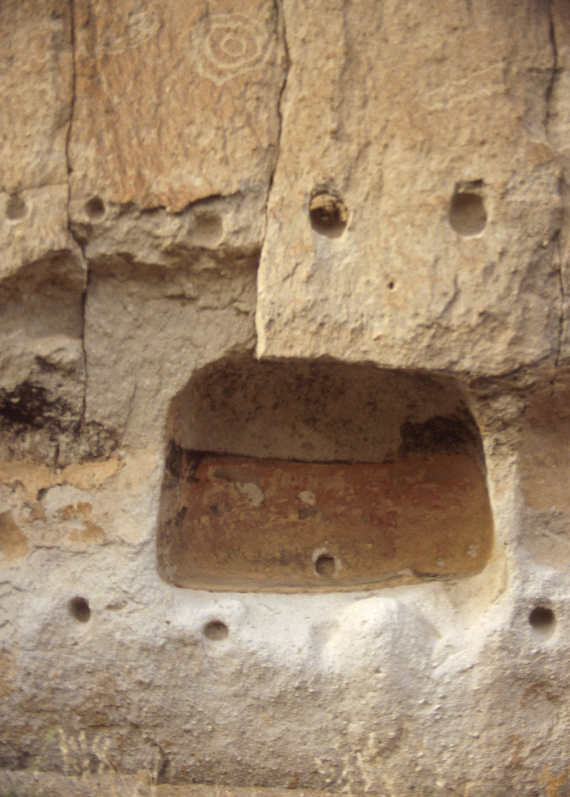
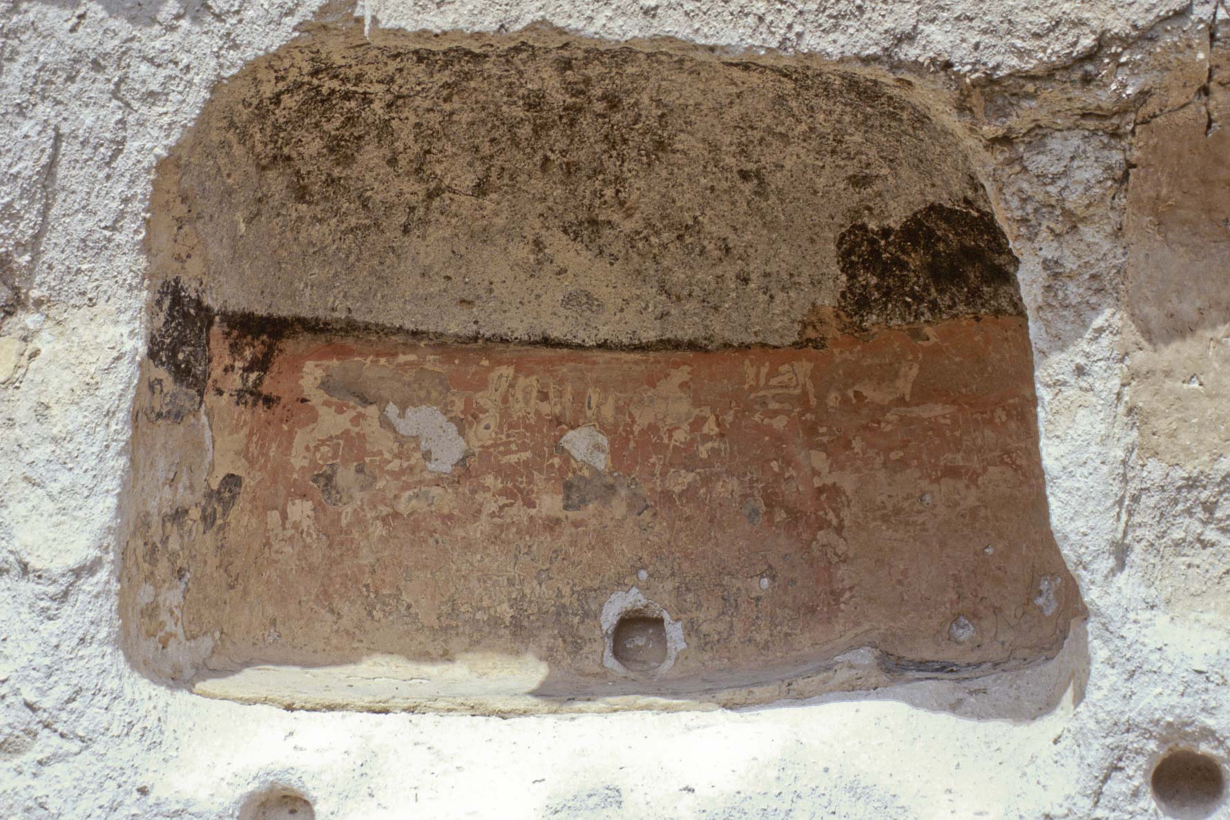
The cliff dwellings are a series of cavates (caves - pronounced cave-Eights) dug out of the tuff cliff face.
Most of the cavates were single rooms, but some had connecting passageways. The walls of some of the cavates were
plastered and decorated, which can still be seen today. At one time there were room blocks in front of most
of the cavates, but these have disentegrated with the passage of time. One room block, Talus House, was reconstructed in 1920.
Tuff Cliff Face
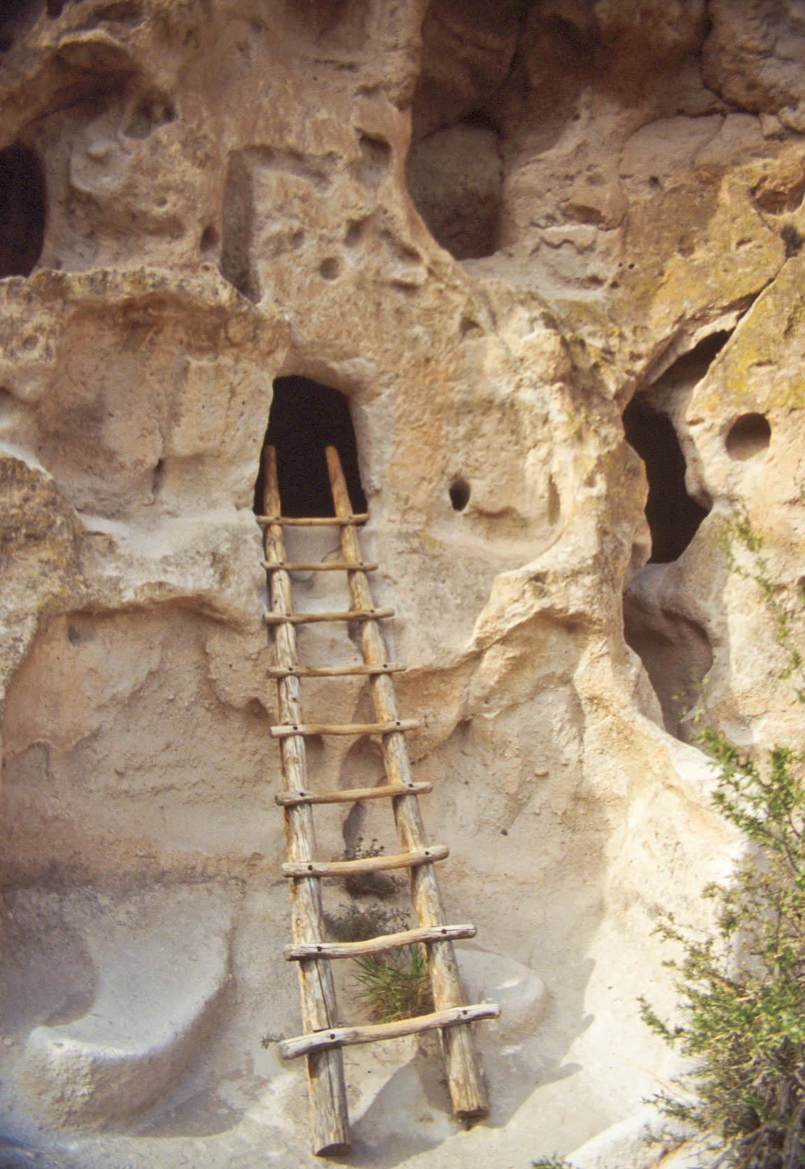
Ladder to room hollowed out of volcanic tuff
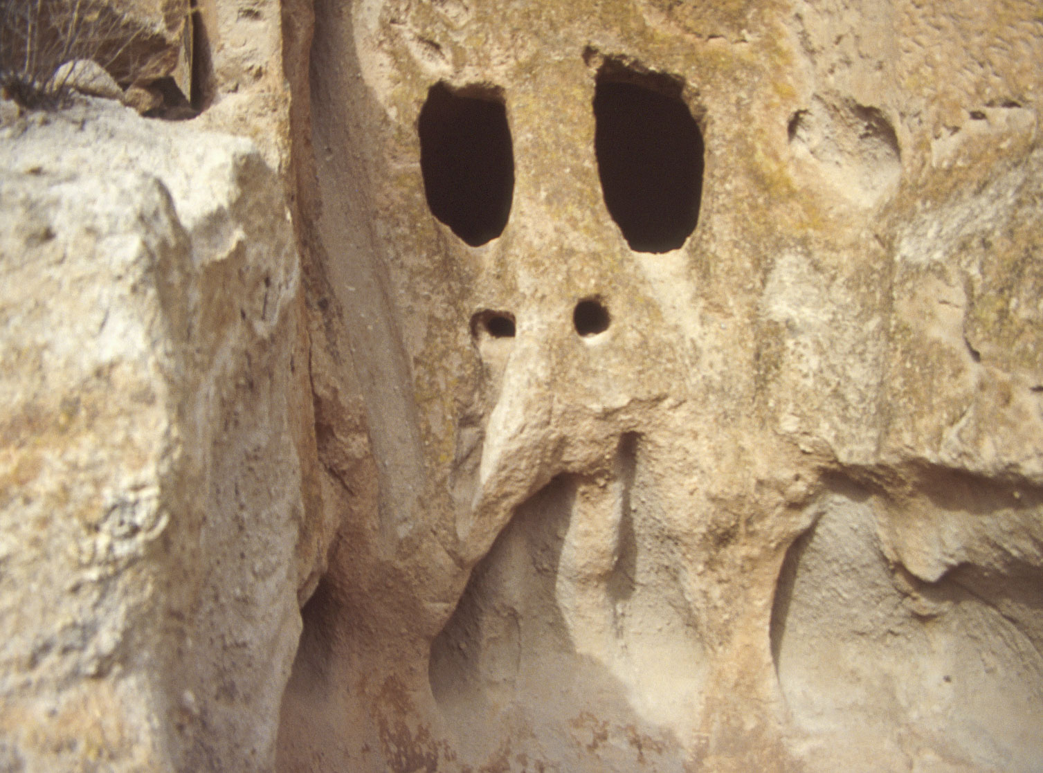
"Ghostly" room openings cut into tuff cliff face
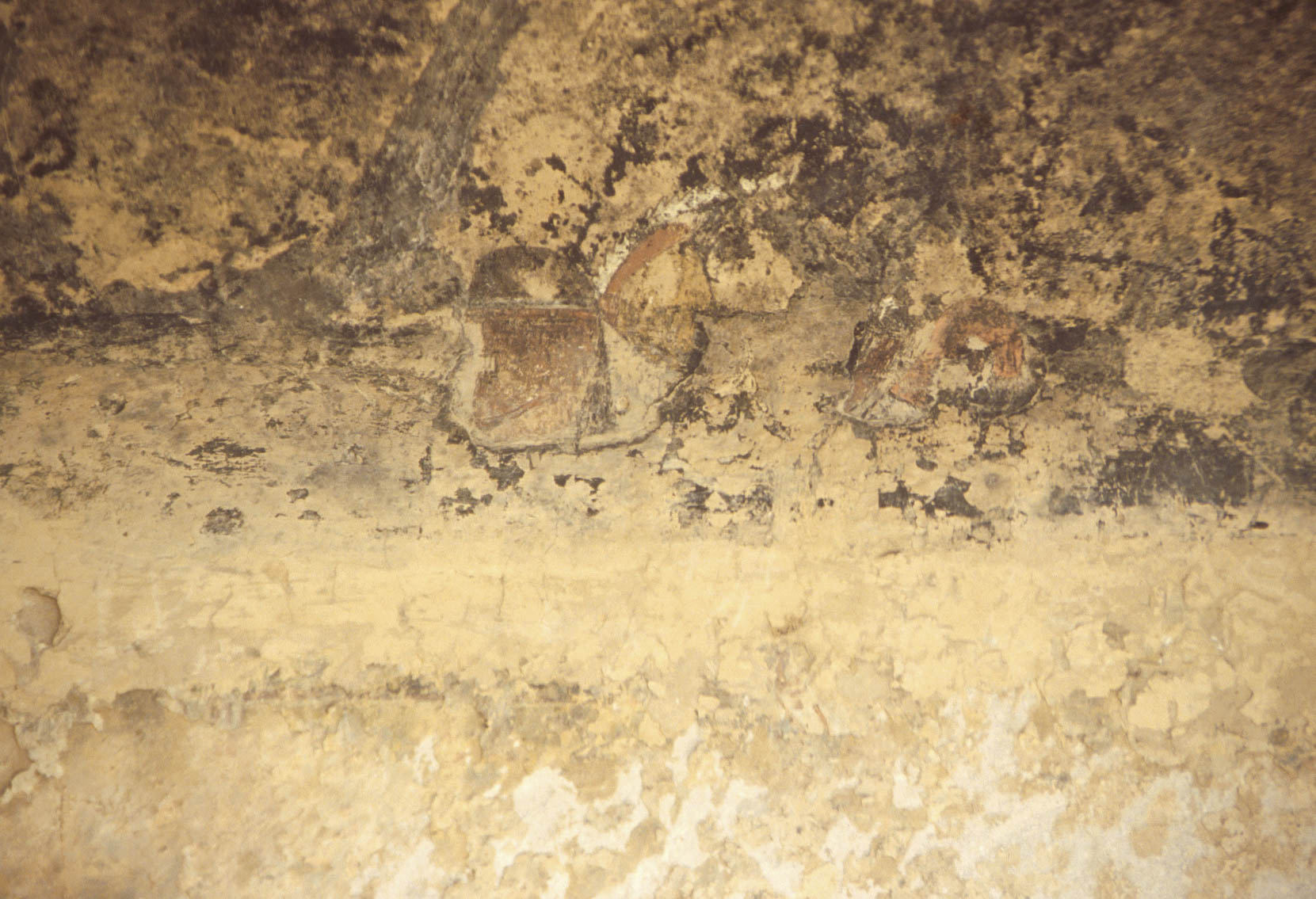
Wall decorated with geometric designs
Pueblo IV (1300-1400 AD)

Ladder leading into Cavate (Cave) Dwelling
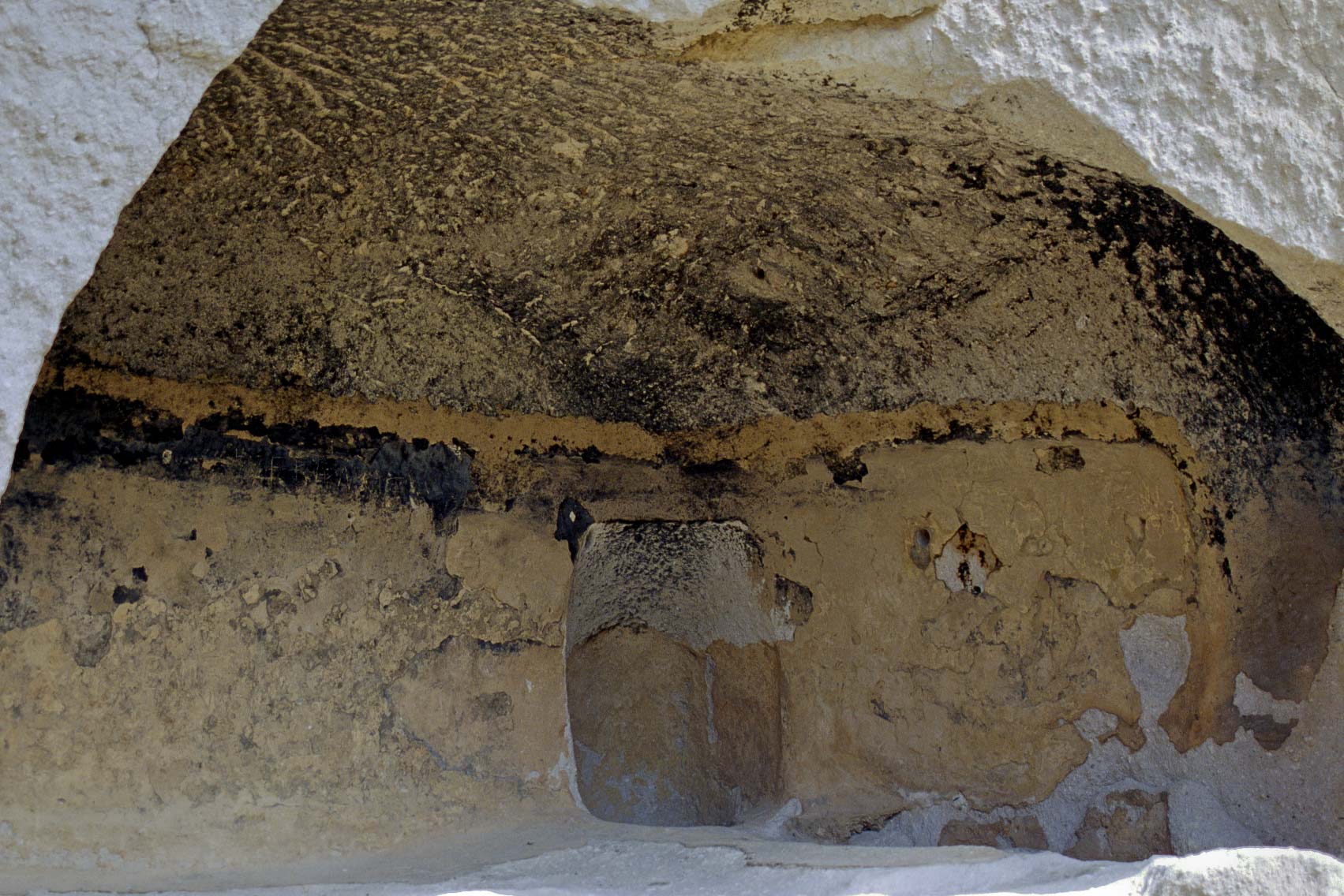
Plastered and Decorated Cavate
Tyuonyi Pueblo (1995)
View from Loop Trail to Talus Houses
Tyuonyi Pueblo (1999)
View from Loop Trail to Talus Houses
Talus House
Restored room block of Talus House
Talus Houses Cliff Dwellings
Talus House
Talus Houses Cliff Dwellings
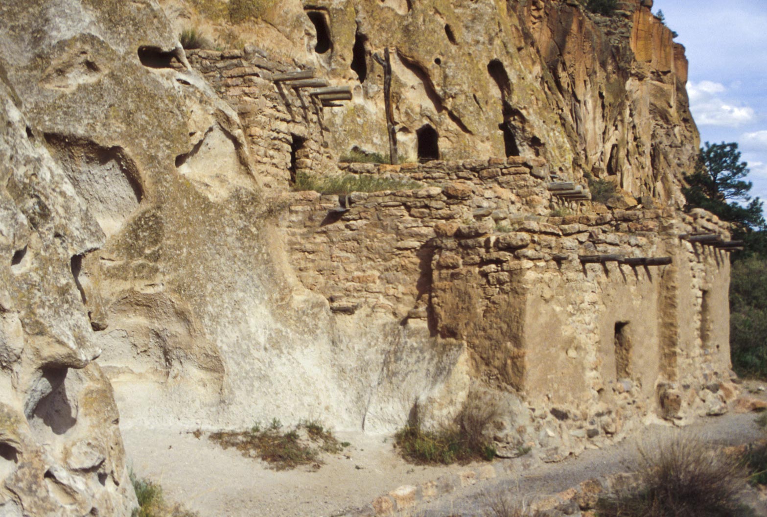
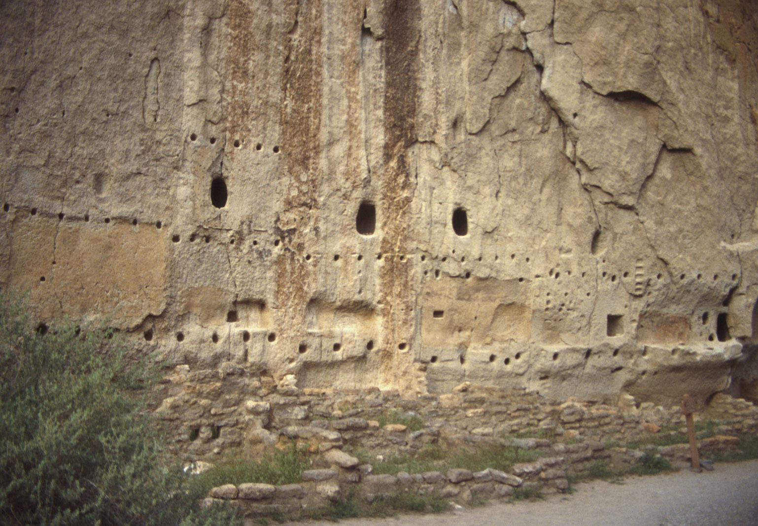
Long House
Long House is located along the Main Loop Trail. Long House
consists of a long row of rooms built against the cliff. Originally the room block was 2 and 3
stories high. There are cavates dug into the cliff face behind where the rooms once stood, and
rows of viga holes where roof poles were inserted are cleary visible.
Long House
Cavates
Long House
Cavates and Viga (roof beam) Holes
Long House
Long House
Decorated wall and petroglyphs
Long House
Decorated Wall Detail
Long House
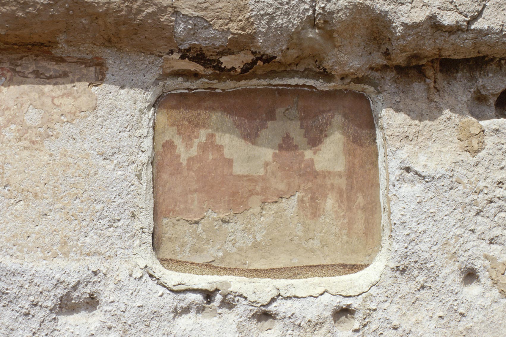
Decorated Wall
Long House
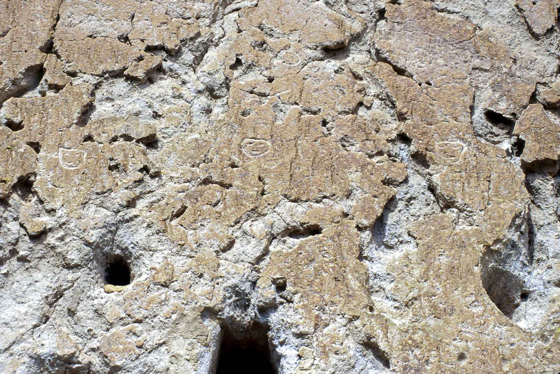
Petroglyphs
Long House
Cliff Dwellings
Long House
Tyuonyi Overlook Trail
The Tyuonyi Overlook Trail begins at the Ponderosa
Campground and dead-ends at the overlook. Roundtrip is 2.2 miles. Nice views of the mesa top
and a few ruins along the way.

Mule Deer
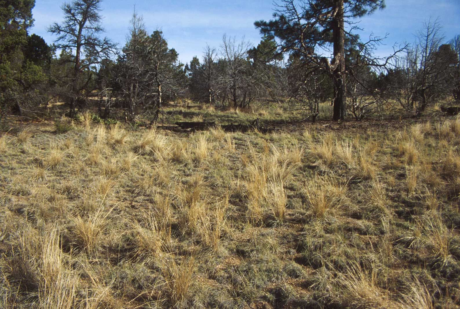
Mesa top terrain along Tyuonyi Overlook Trail
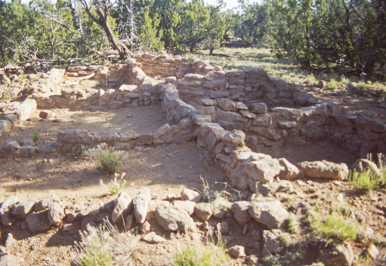
Ruin on mesa top
Tyuonyi Pueblo from Tyuonyi Pueblo Overlook
Alcove House Trail
Alcove House Trail is a 2.6 mile loop trail, part of which
is the Main Loop Trail. After leaving the Loop Trail travel 1.2 miles up Frijoles Canyon to Alcove House (formerly Ceremonial Cave).
Alcove House is 140 feet above the Canyon floor, and is accessed by a combination of stone stairs and 4 wooden ladders.
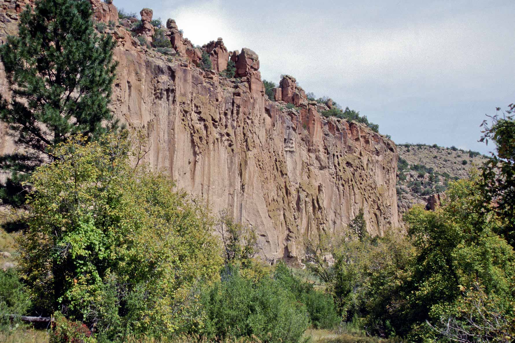
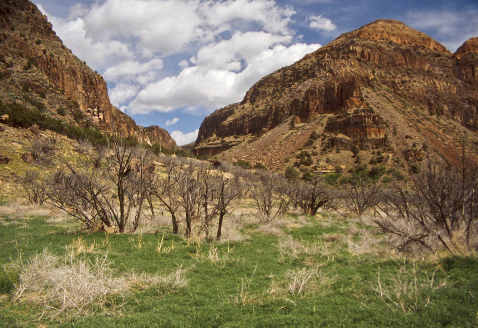
Tuff Cliffs
Frijoles Canyon
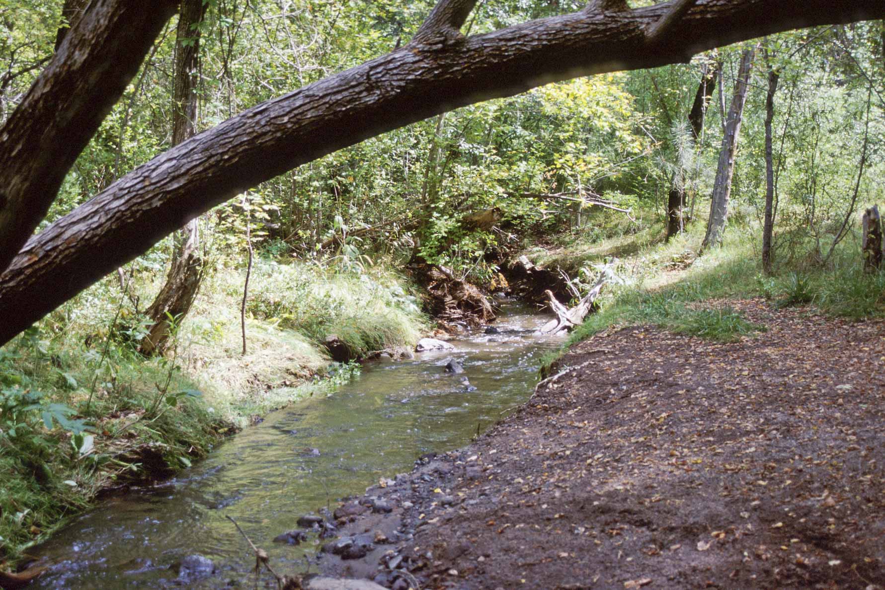
El Rito de los Frijoles (Frijoles Creek)
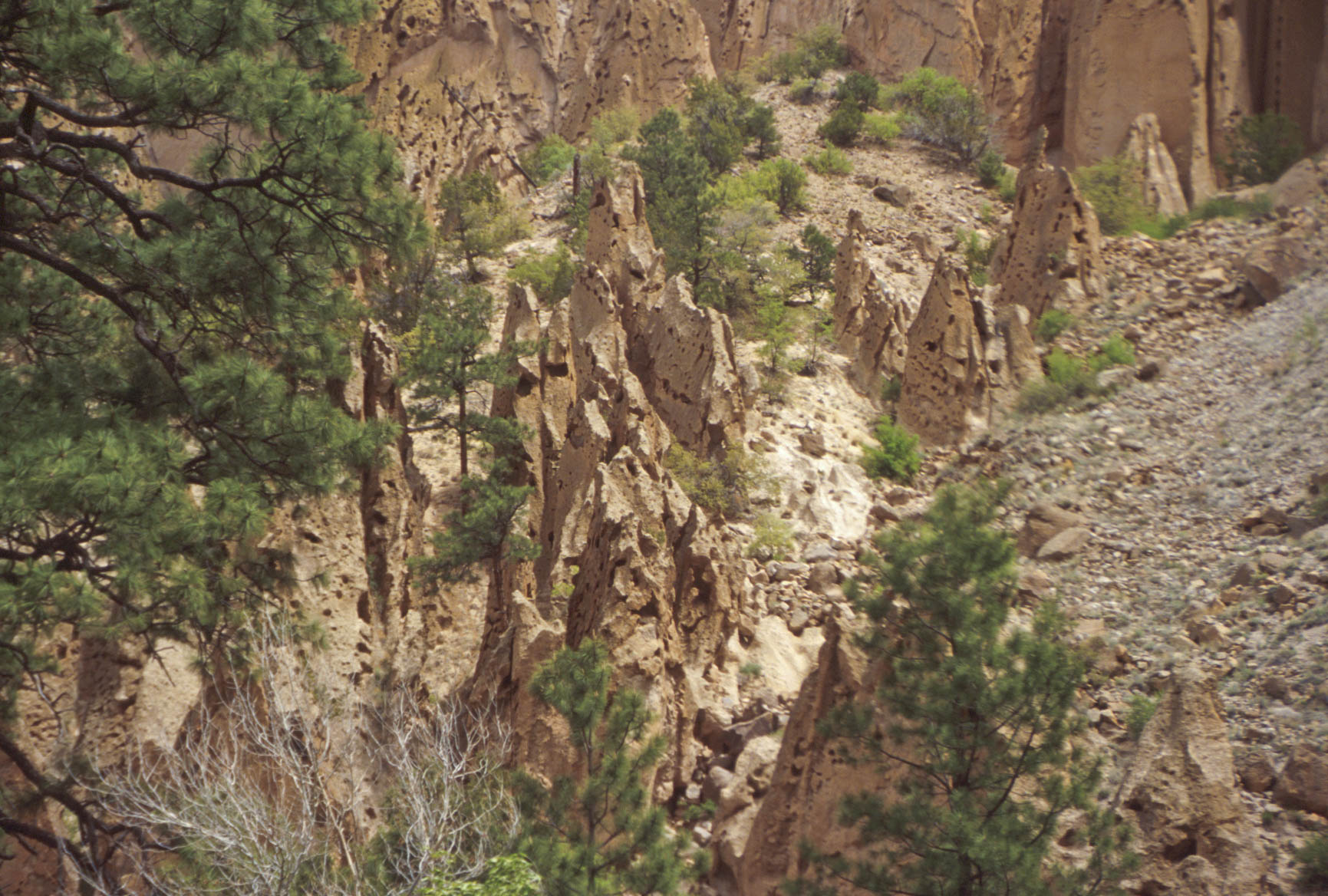
Tuff tent rocks
Ladders leading to Alcove House

One of the ladders to Alcove House
Still a ways to go.
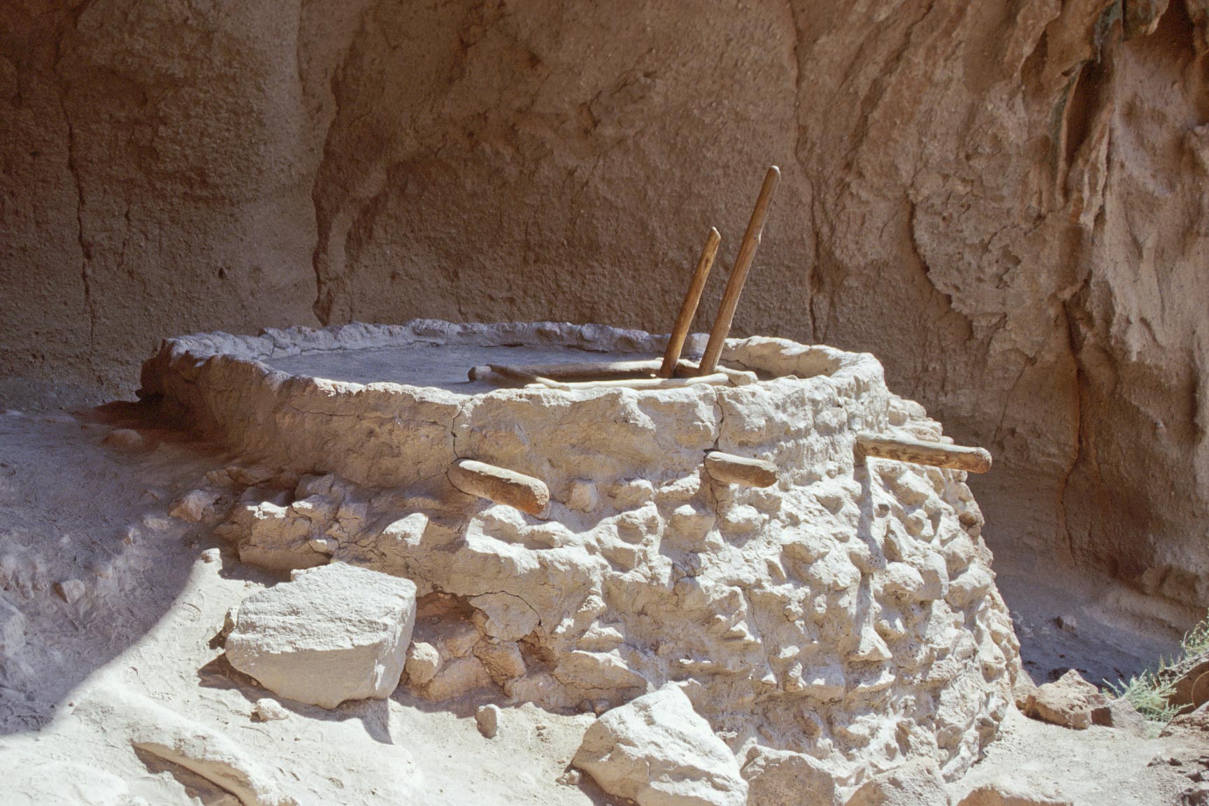
Restored Kiva in Alcove House
Kiva Entrance
Restored Kiva and Viga Holes
Alcove House
Rainbow House
Rainbow House is a small Pueblo located on the east side of
El Rito de los Frijoles about 3/4 mile downstream from Tyuonyi Pueblo, and not too far from Park headquarters.
I photographed Rainbow House in 1995, but noticed it is conspicuously absent in the current (2018) Park brochure.
When I called Bandelier for more information, the person I talked to was really dodgy about it. First, she told me
there was no Rainbow House at Bandelier, and when I called her on that she said it had been backfilled. Really?
Bottom line, Rainbow House is no longer open to the public.
Pueblo Room Block
Rainbow House
Pueblo Room Block
Rainbow House
Kiva
Rainbow House

Plaza Room Block
Rainbow House
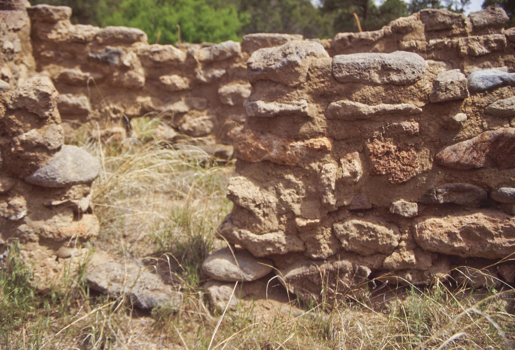
Masonry Detail
Rainbow House
Falls Trail
At the time these photos were taken Falls Trail
was about 2.5 miles one way, running from the Visitor Center to the Rio Grande.
Part of the Trail was destroyed by a flood in 2011 and the decision was made not
to repair it. Now the Trail is 1.5 miles long, ending at the Upper Falls. Luckily, the
photo sequence in this section allows you to follow the Trail all the way to the Rio Grande.
Hope you enjoy the hike.

View along Falls Trail
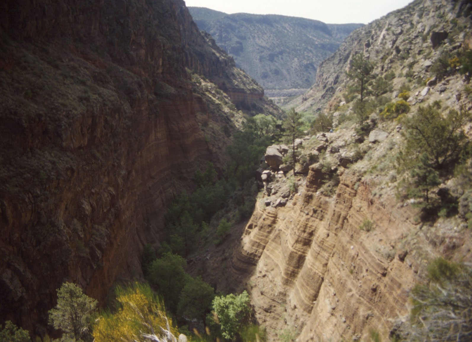
Frijoles Canyon
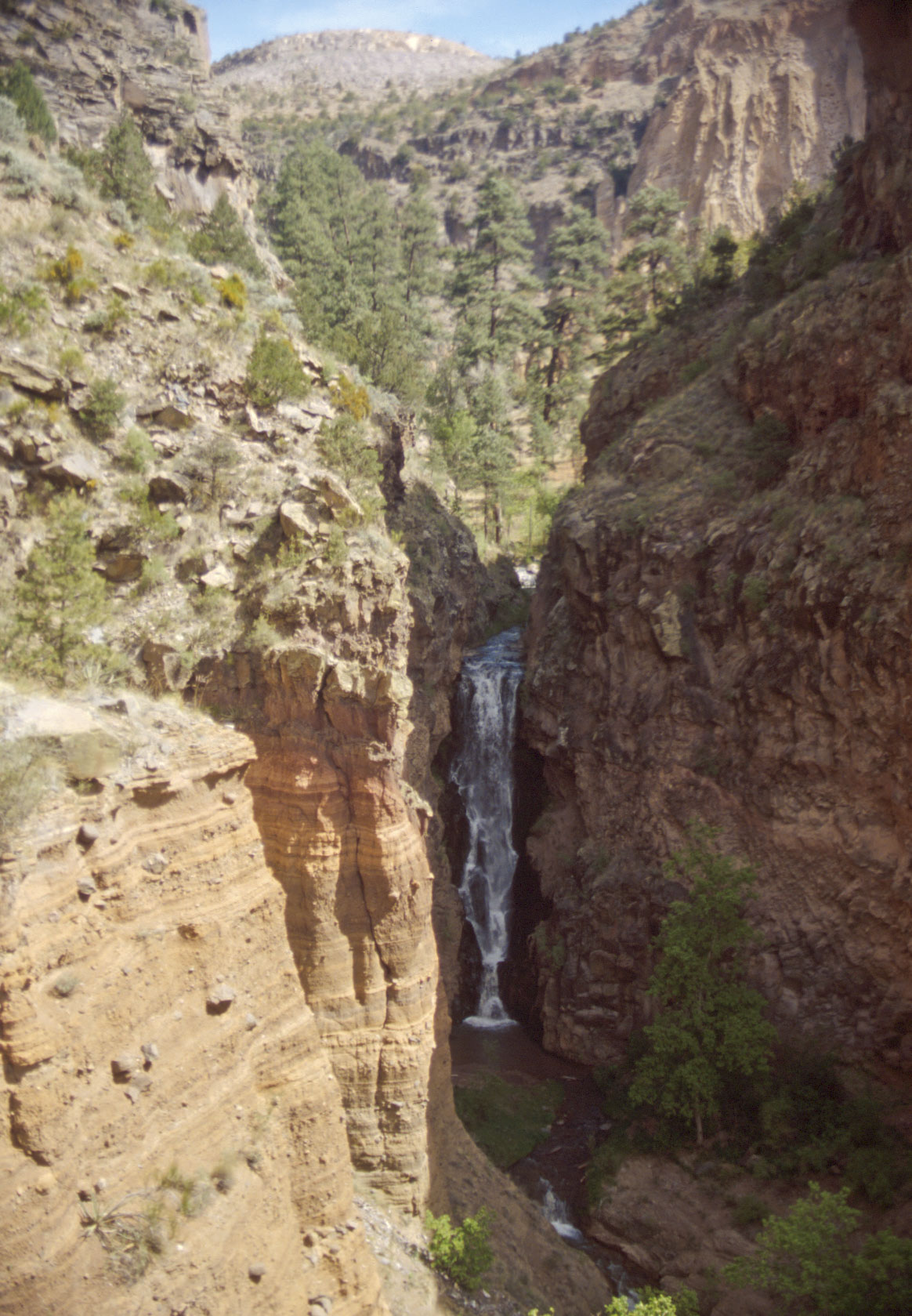
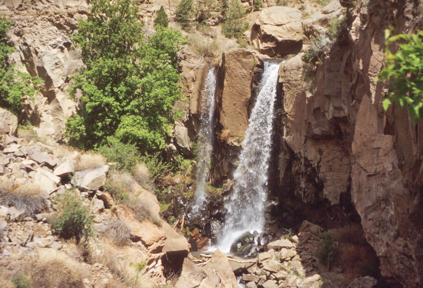
Upper Falls - Frijoles Canyon
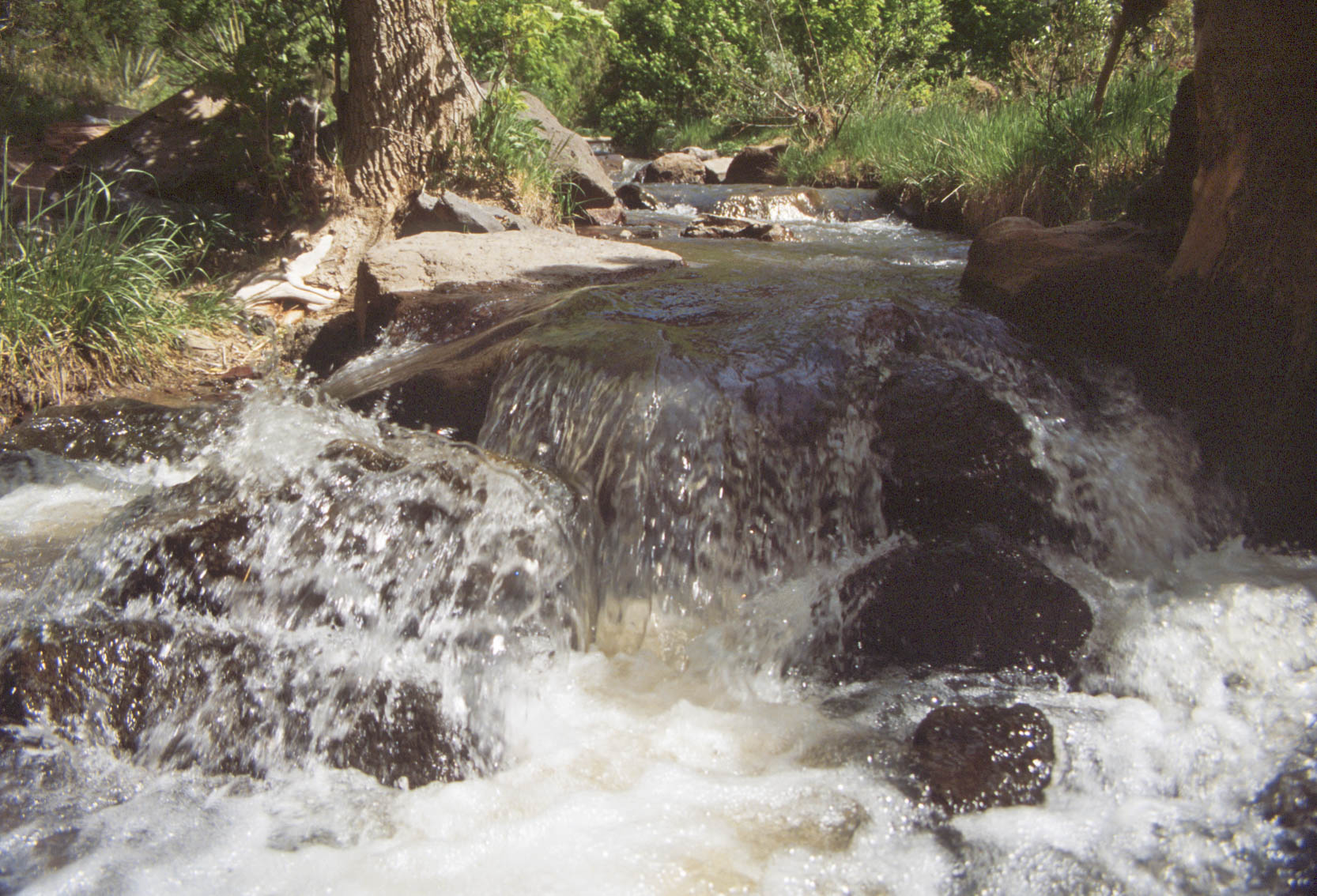
El Rito de Los Frijoles (Frijoles Creek)

Broad Leaf Yucca

Upper Falls - Frijoles Canyon
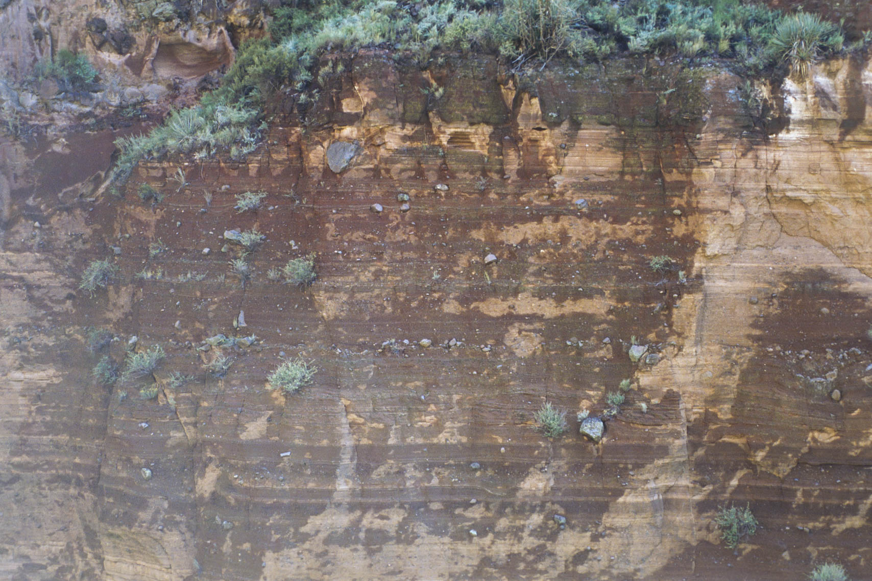
Layered deposits of ash and rocks ejected from a Maar volcano
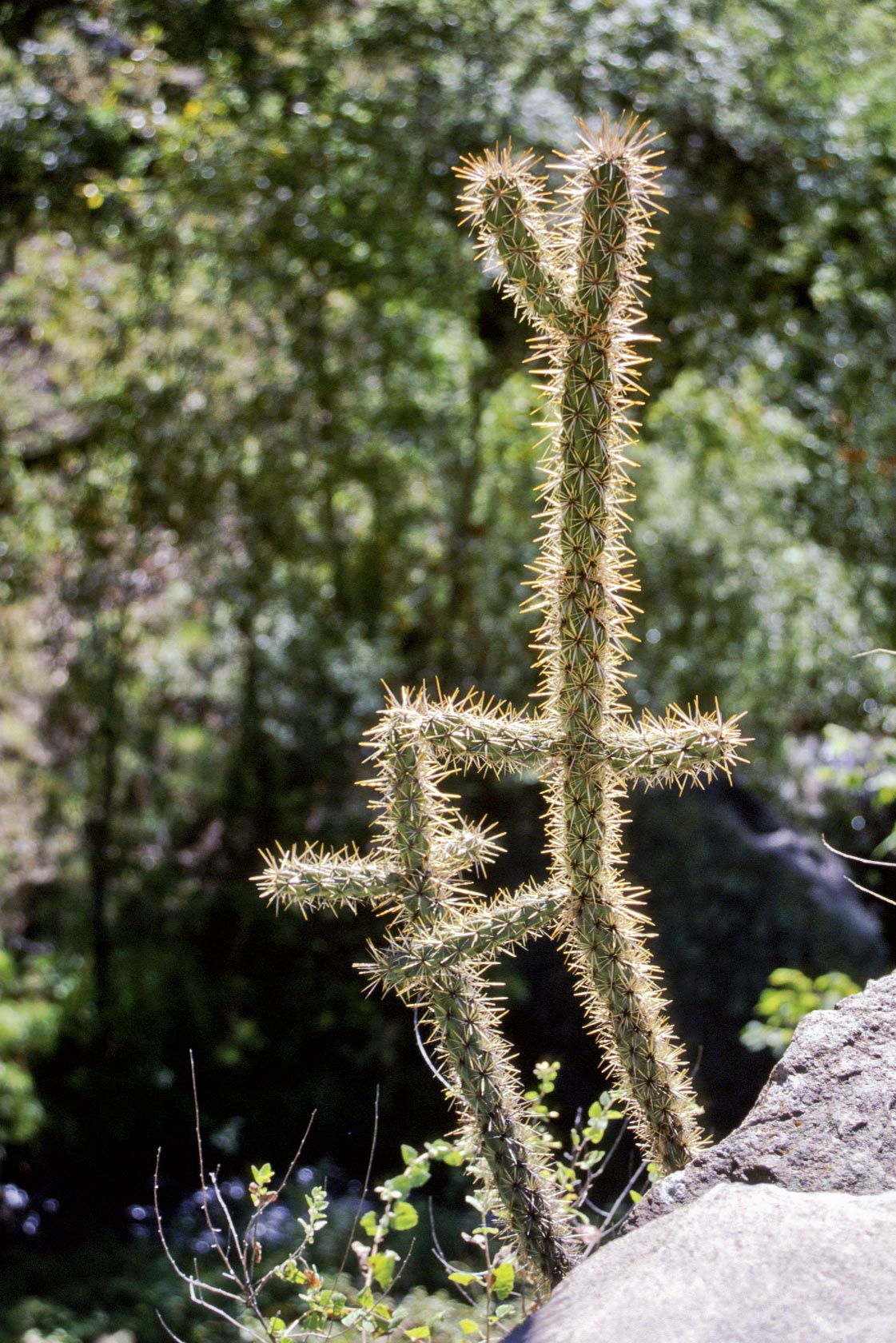
Sunlit Cholla
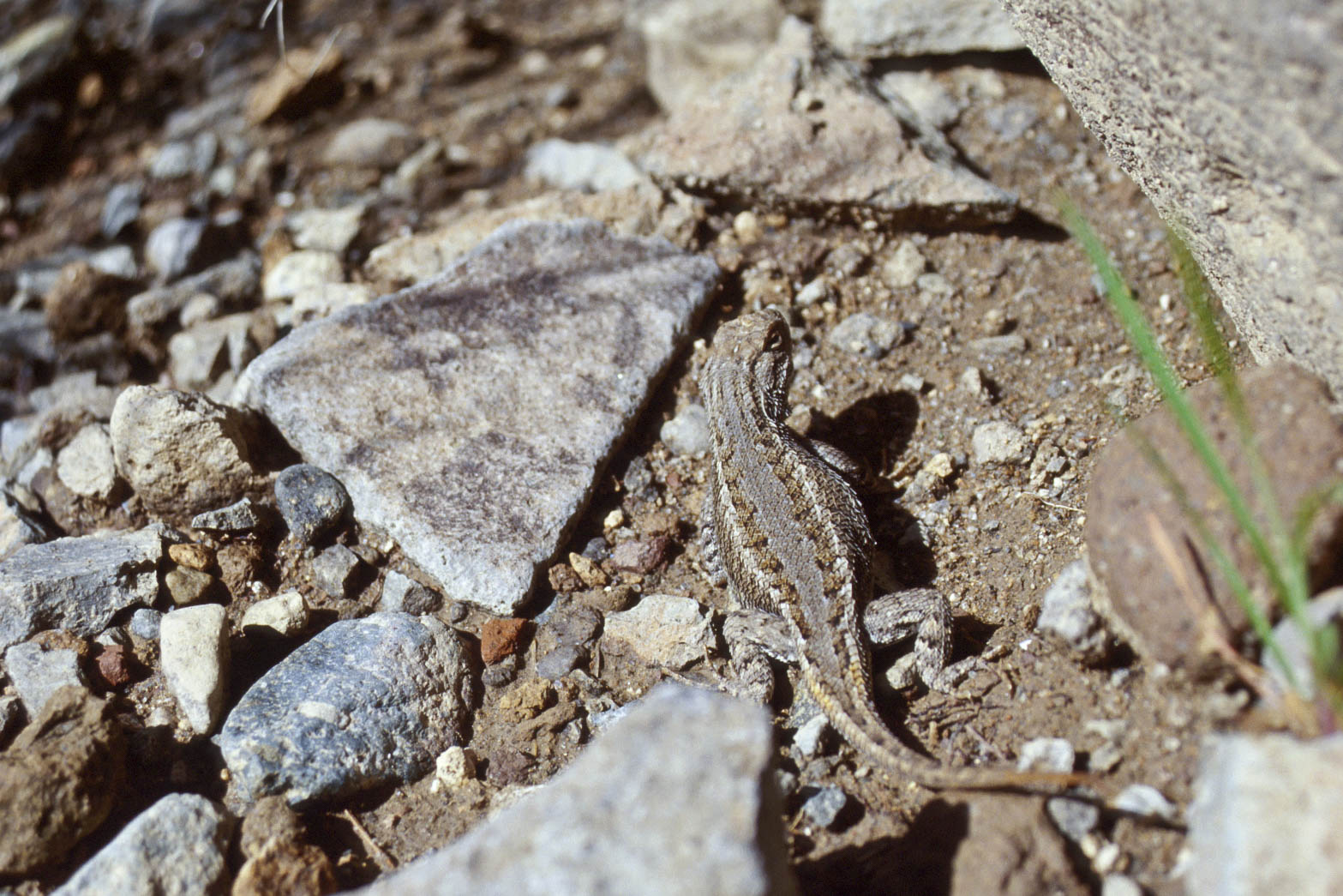
Plateau Fence Lizard
(Sceloporus tristichus)
Lower Frijoles Falls (1995)
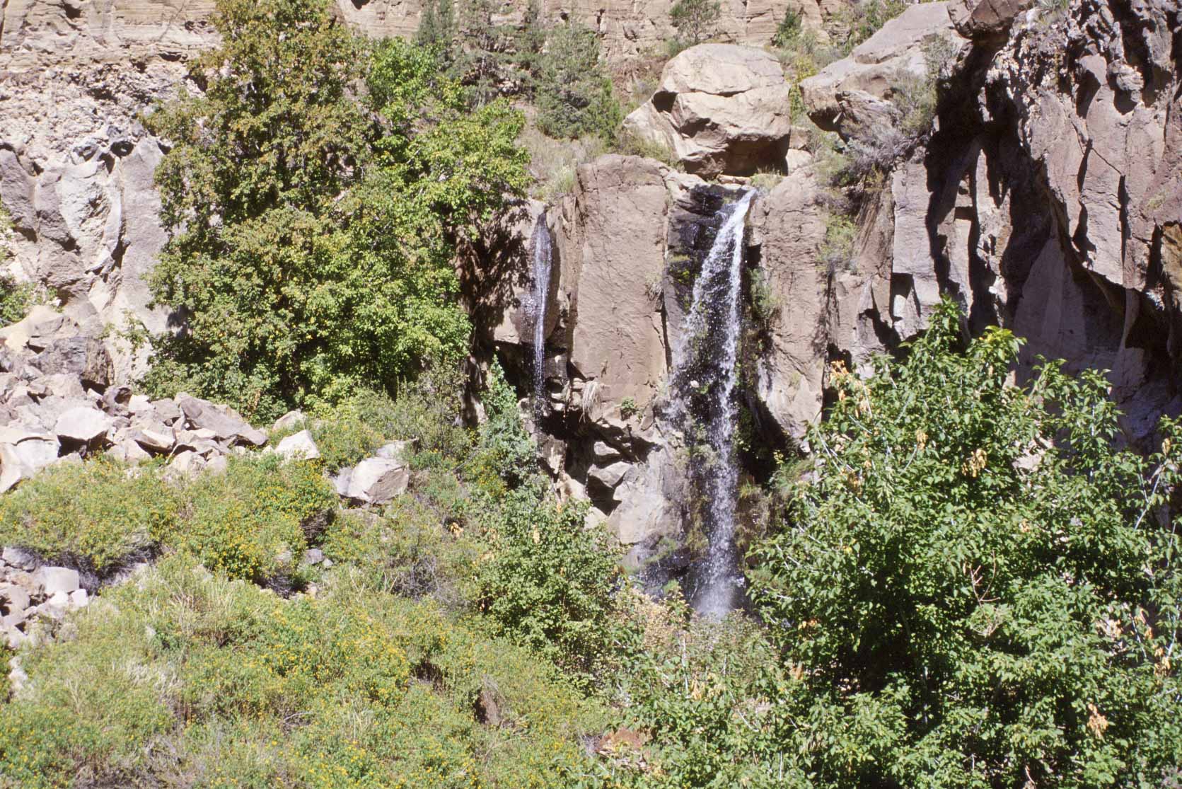
Lower Frijoles Falls (1999)

Lower Frijoles Falls
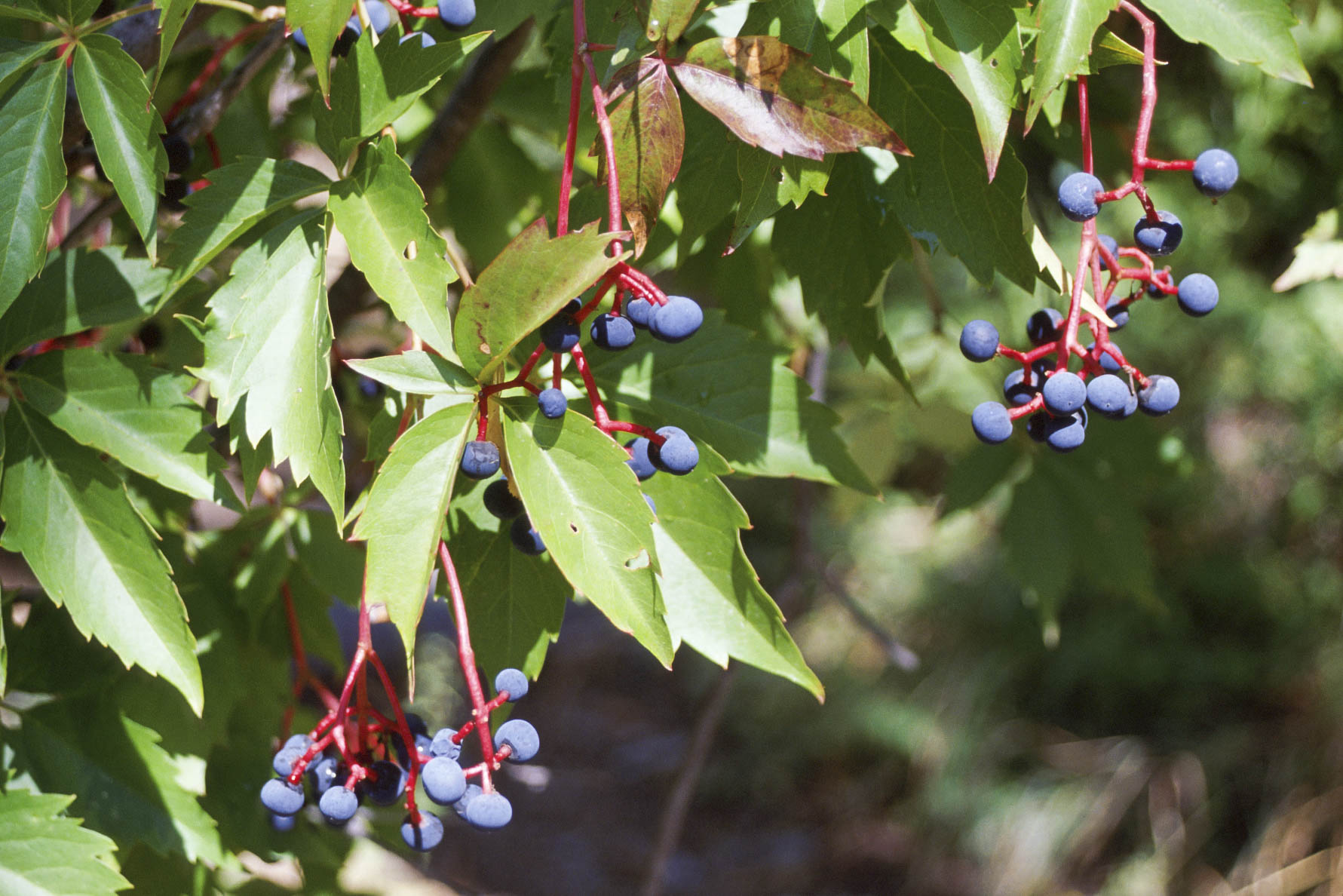
Virginia Creeper
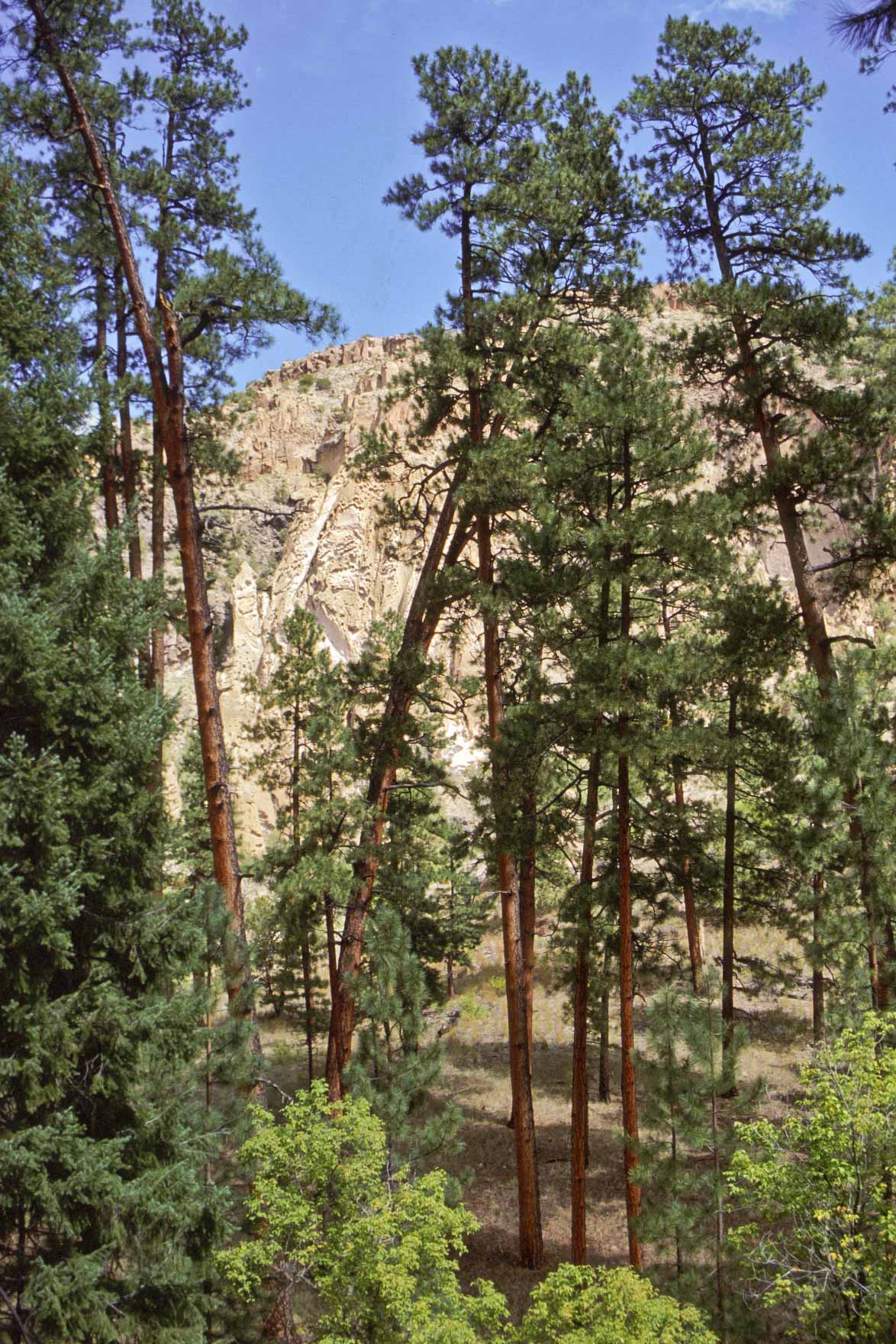
Ponderosa Pines
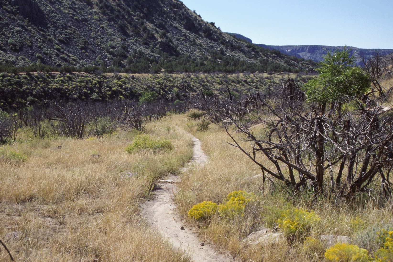
Falls Trail near the Rio Grande
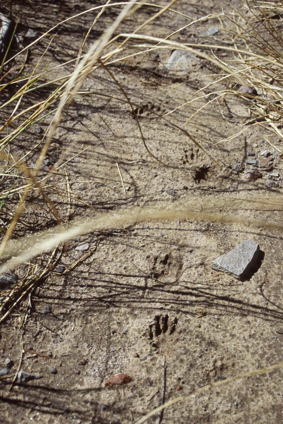
Racoon Tracks?
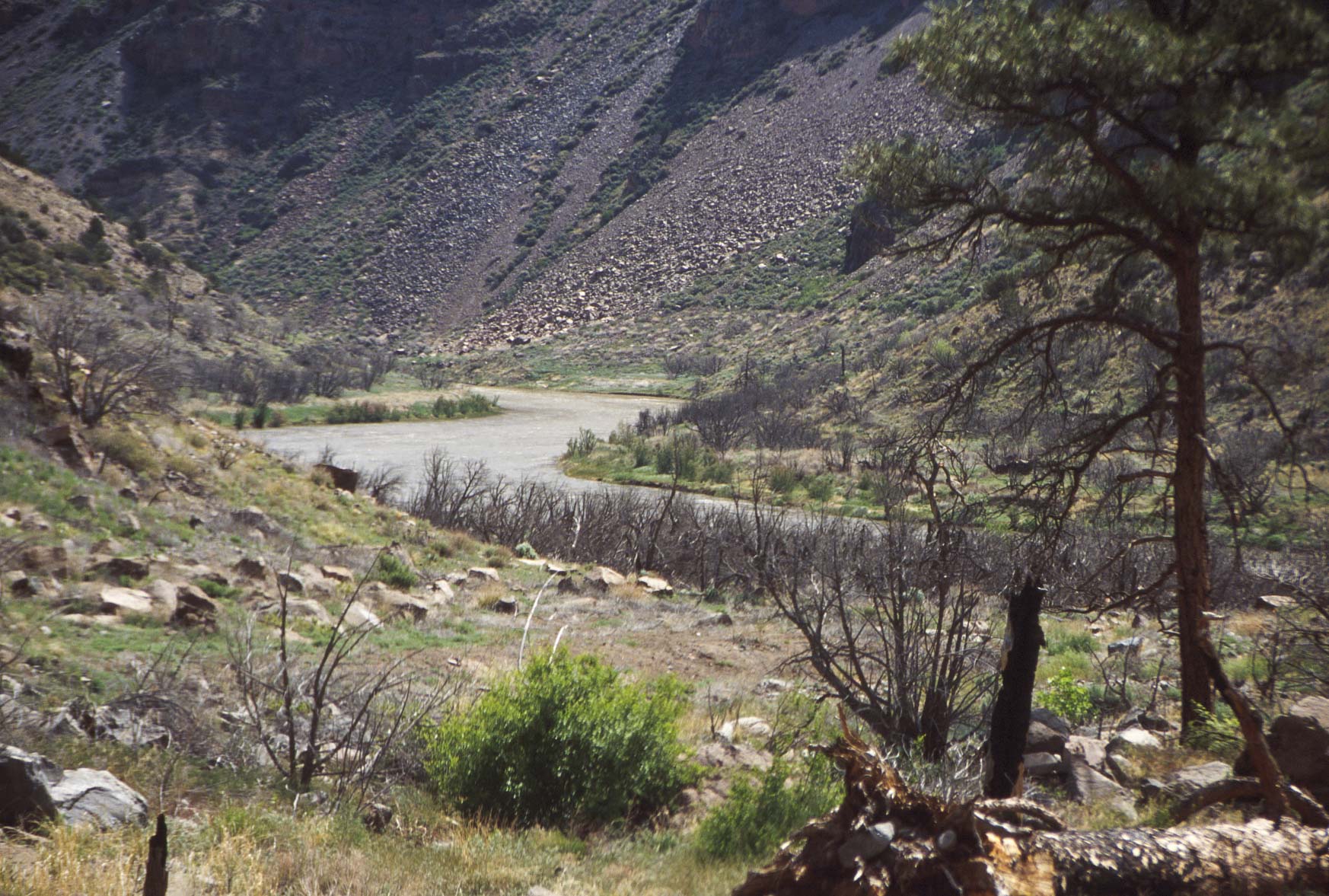
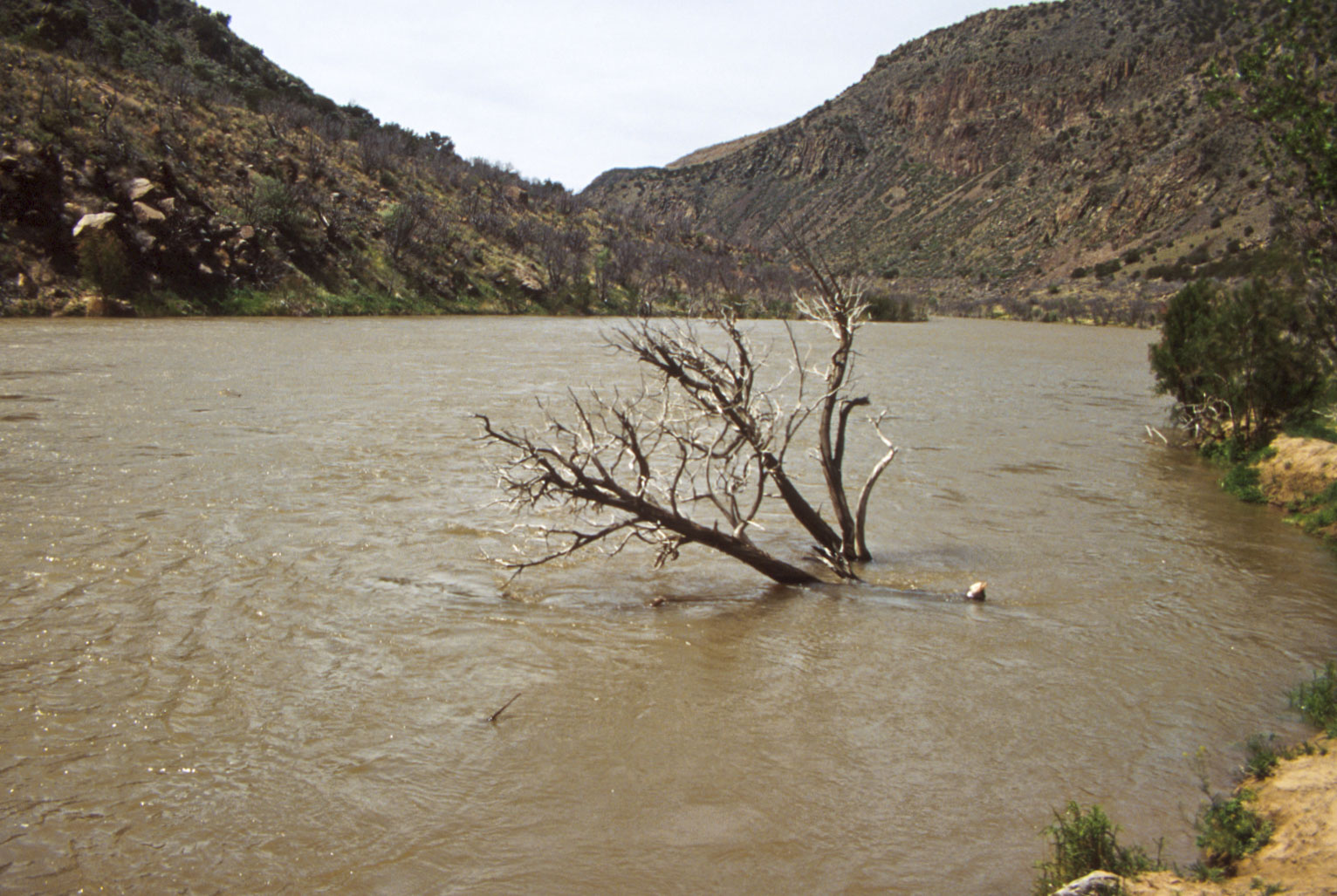
Rio Grande (1995)

Rio Grande (1999)
Rio Grande (1995)
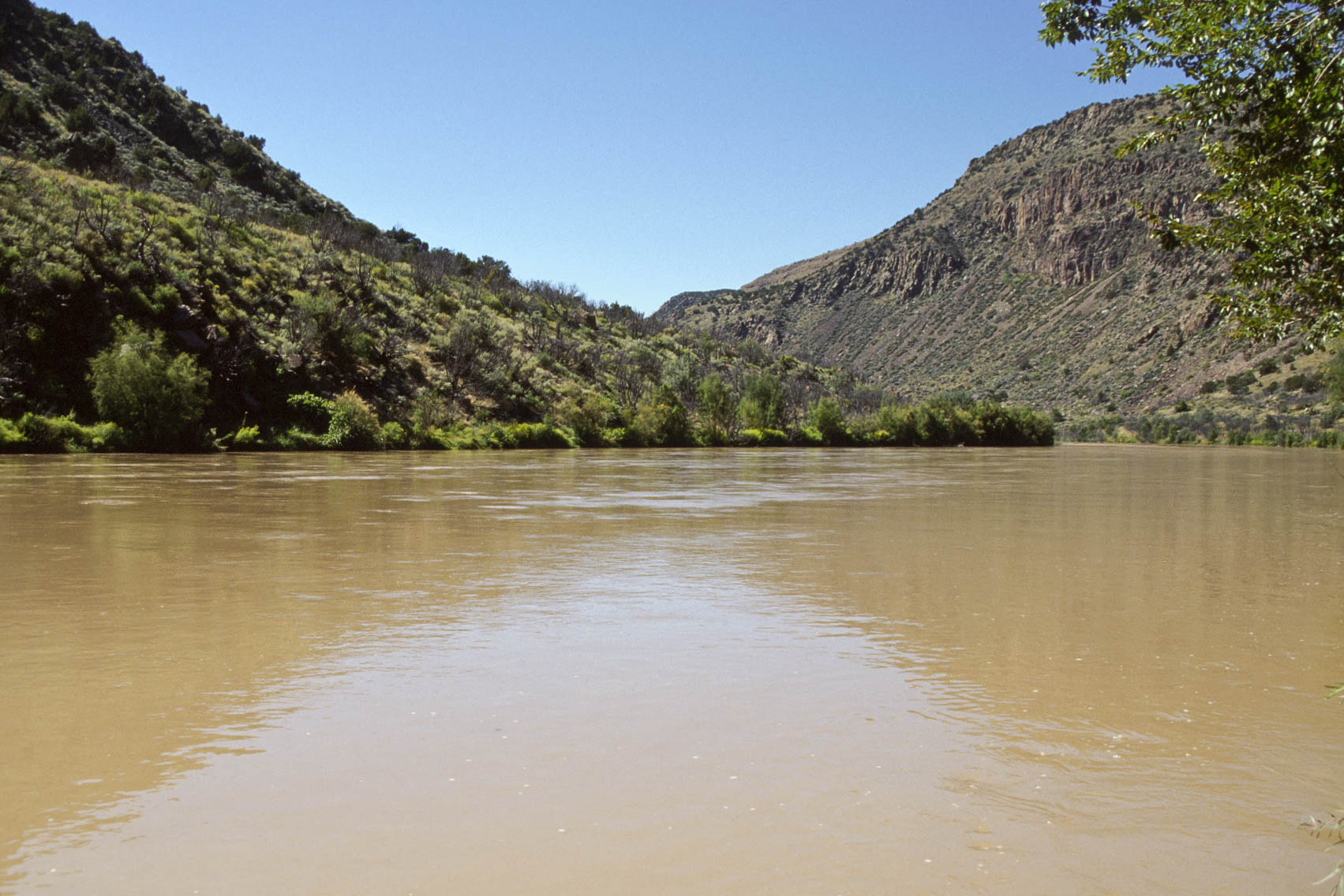
Rio Grande (1999)
Scenery at end of Falls Trail
Use the form on the Home Page to submit comments, questions, or suggestions. TD Productions Copyright © 2018