Badlands National Park
The Badlands in South Dakota were designated a national park on Nov 10, 1978. The Park encompasses some 240,000 acres of eroded buttes and pinacles as well as the largest mixed-grass prairie in the U.S. The Badlands also contains one of the world’s richest mammalian fossil beds. Extinct rhino, horse, and saber-toothed cat are found there. I got to Badlands National Park in June 1991 and again in Sept 2019.
Entrance Sign 1991
Entrance Sign 2019
Badlands National Park 2019
Cedar Pass Area
The Cedar Pass area is located at the east end of the park and includes
most of the park facilities. The Ben Reifel Visitor Center, Cedar Pass
Campground, and Cedar Pass Lodge are located here. The Northeast and Interior
park entrances access the Cedar Pass area.
Cedar Pass Lodge
Cedar Pass Lodge lobby
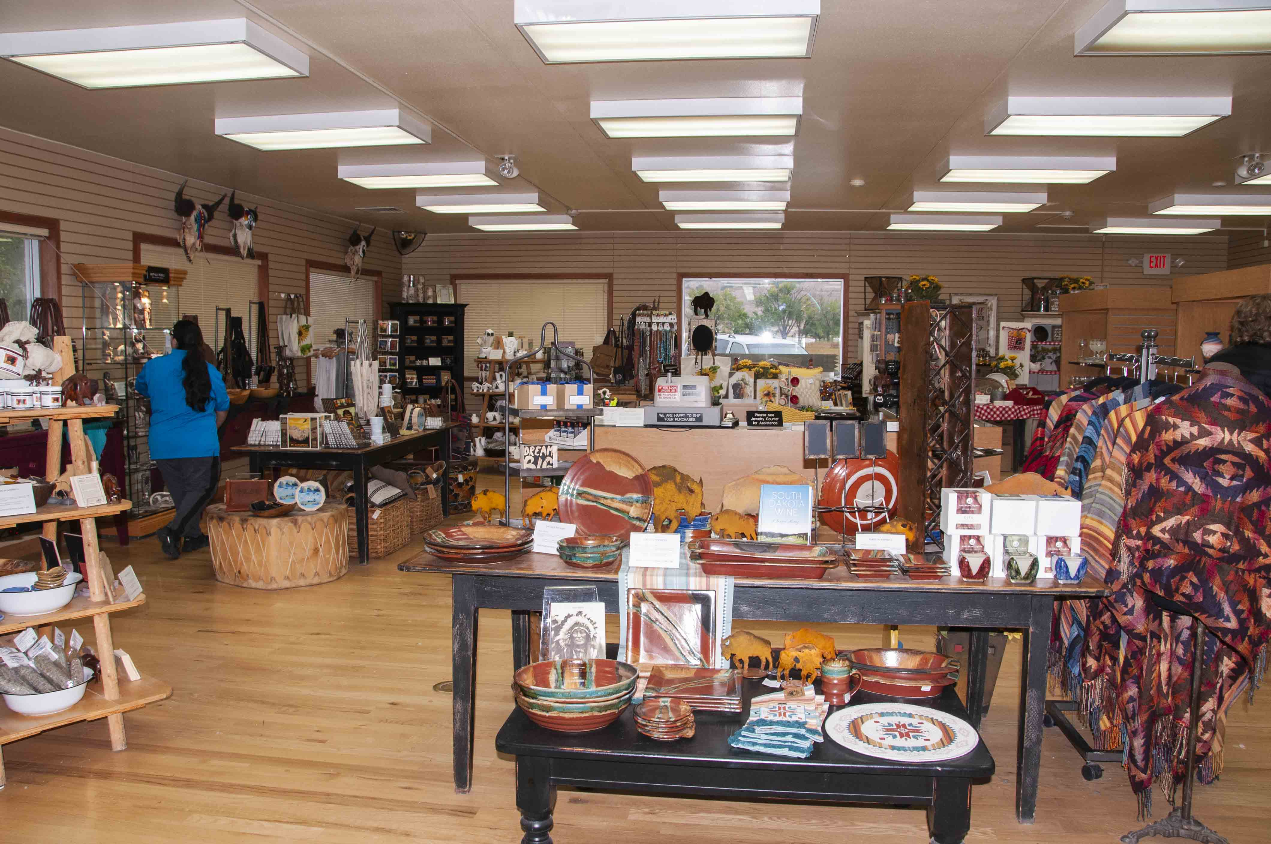
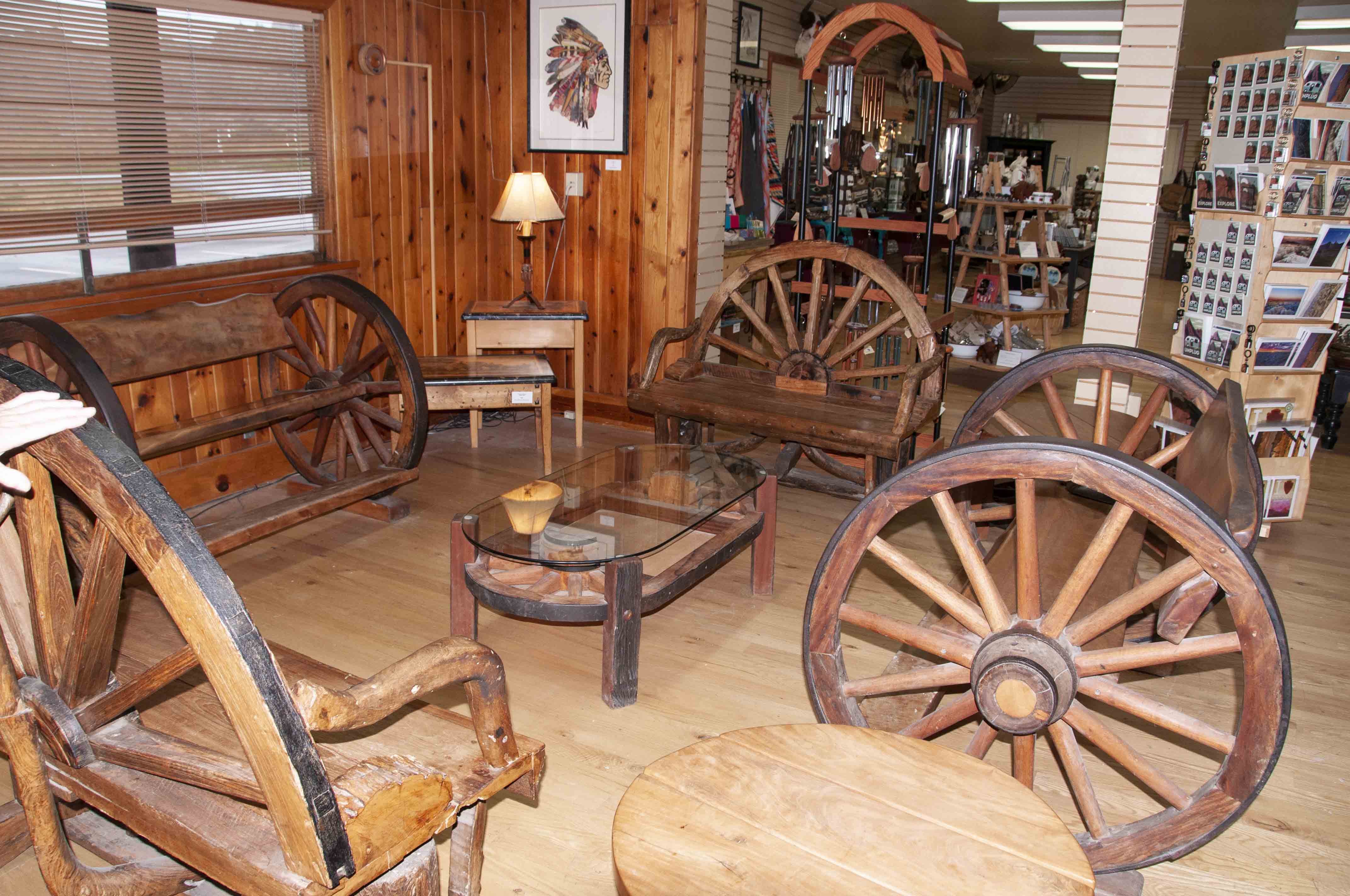
Gift shop
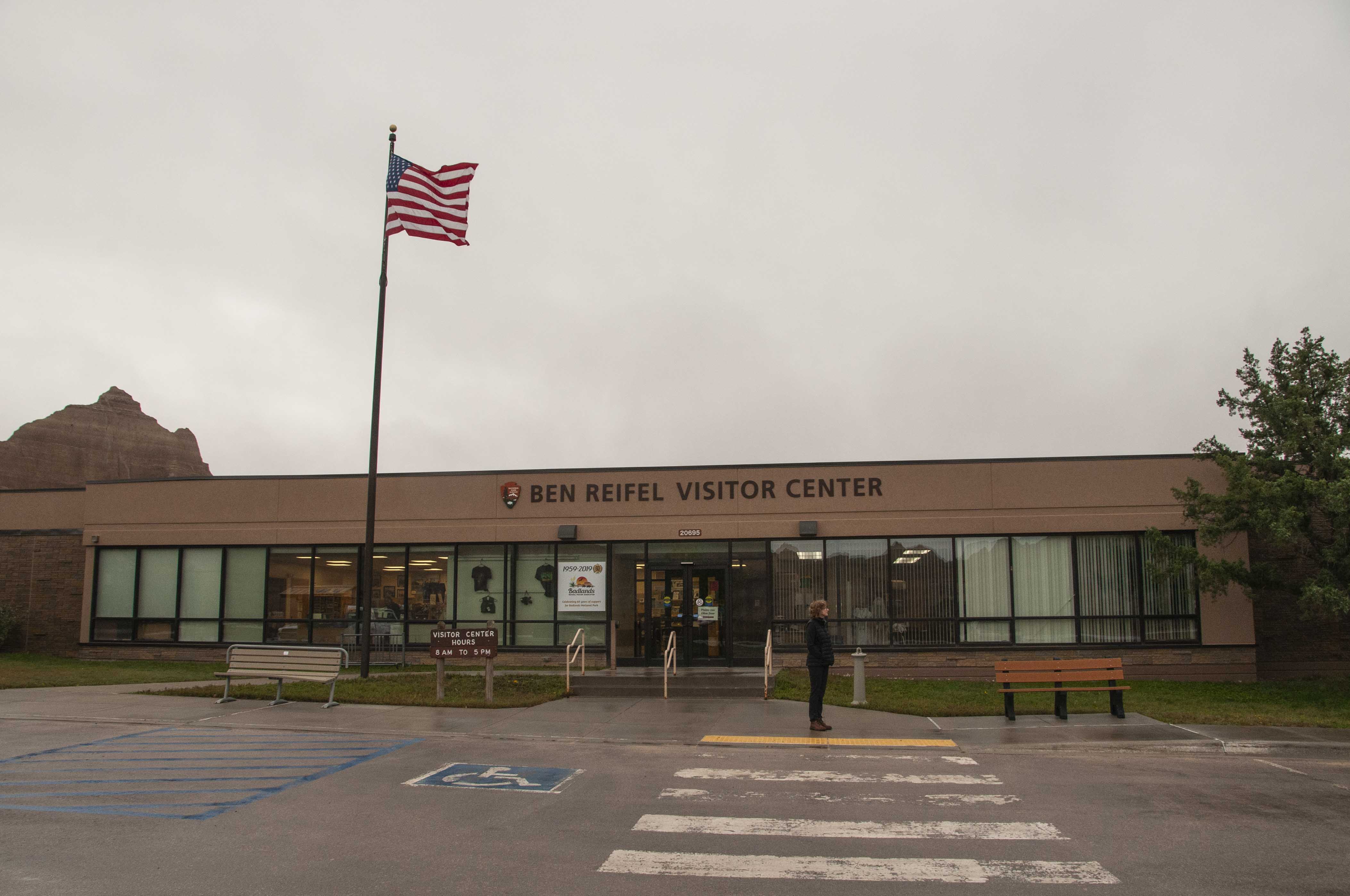
Ben Reifel Visitor Center
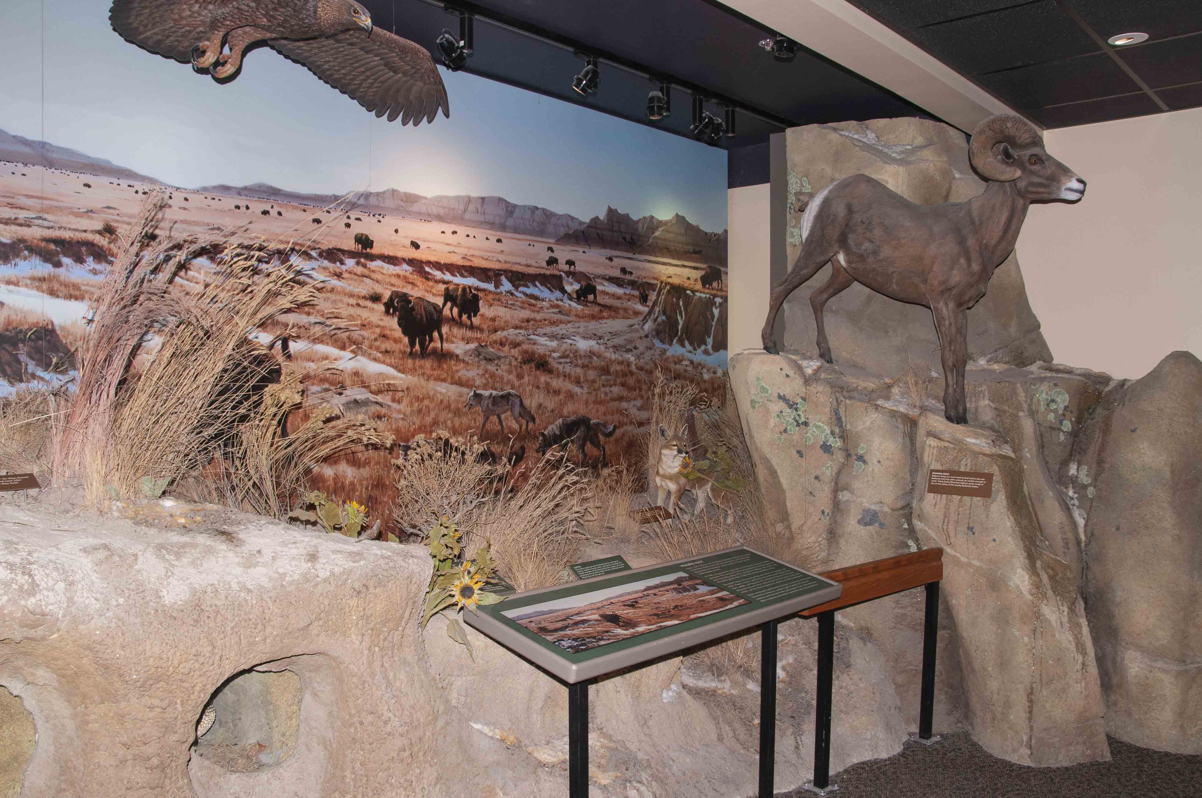
Museum display
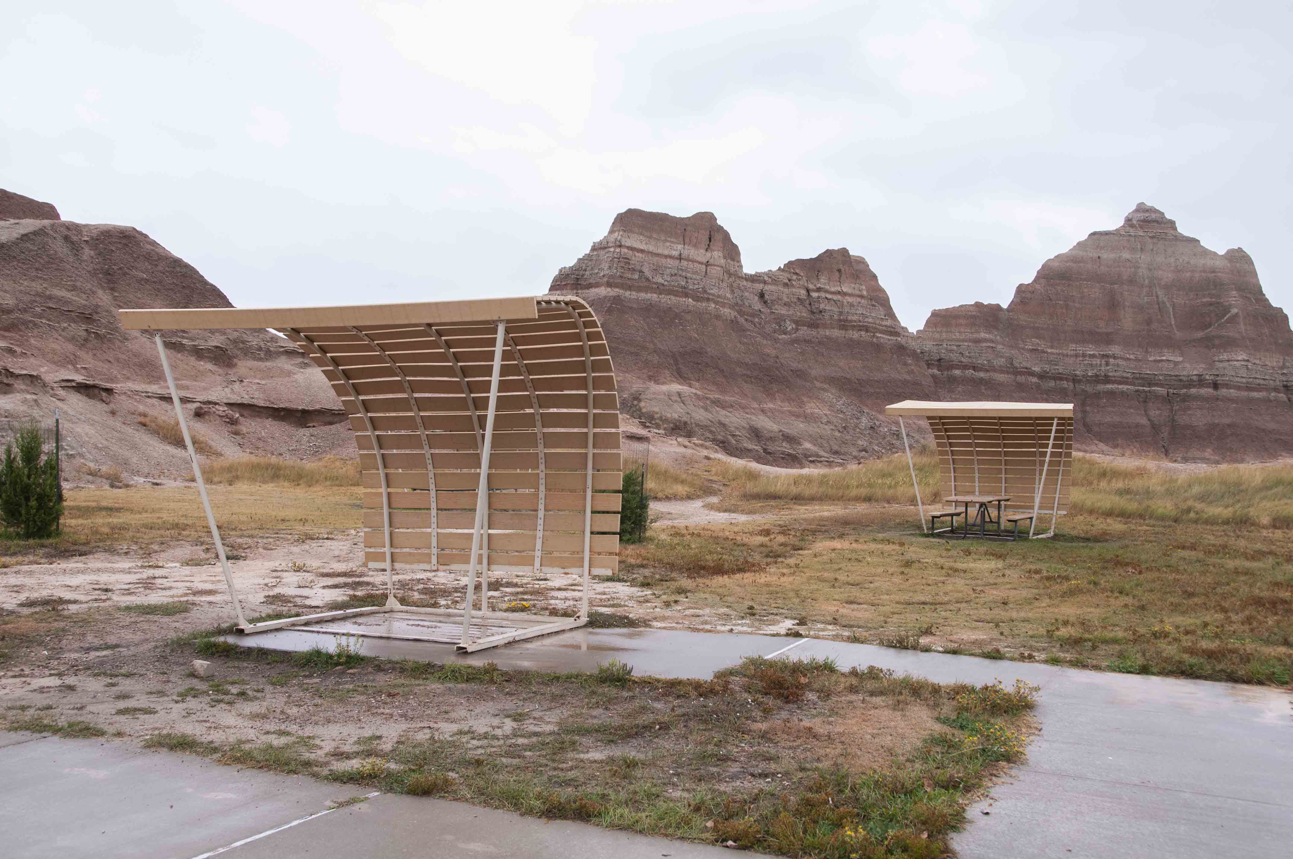
"George Jetson" picnic shelters
near visitor center
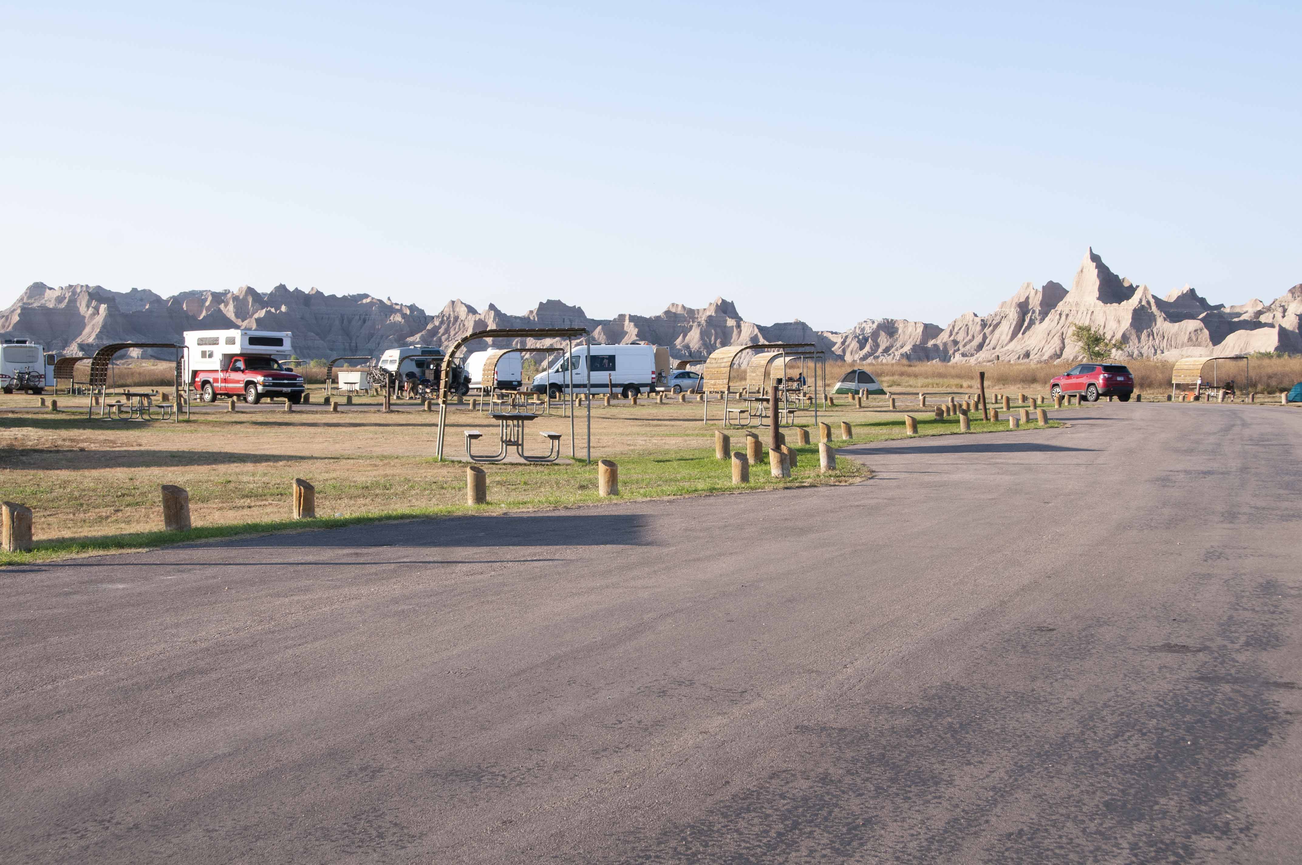
Cedar Pass Campground
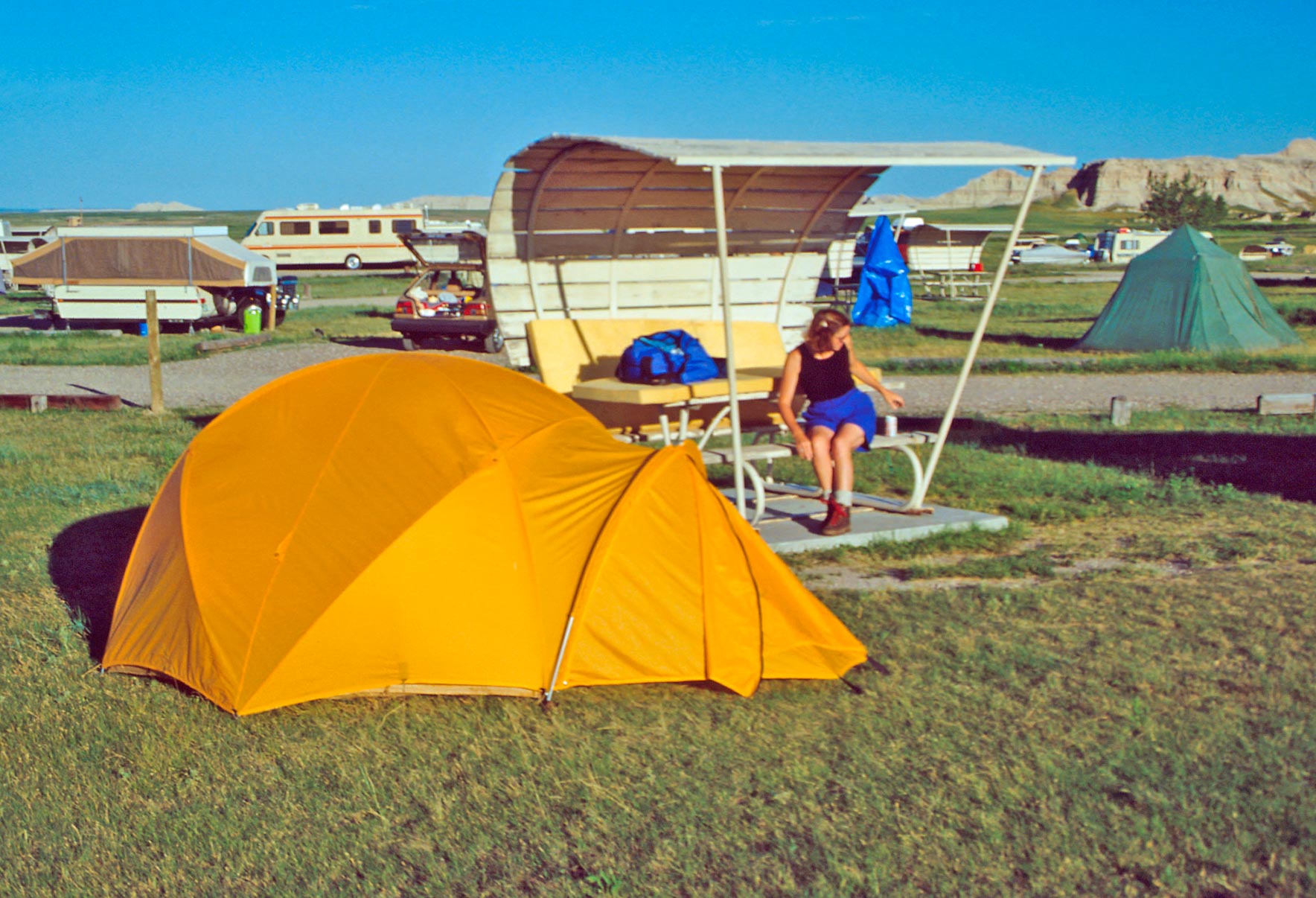
Steph and my Northface VE 24
Cedar Pass Campground (1991)
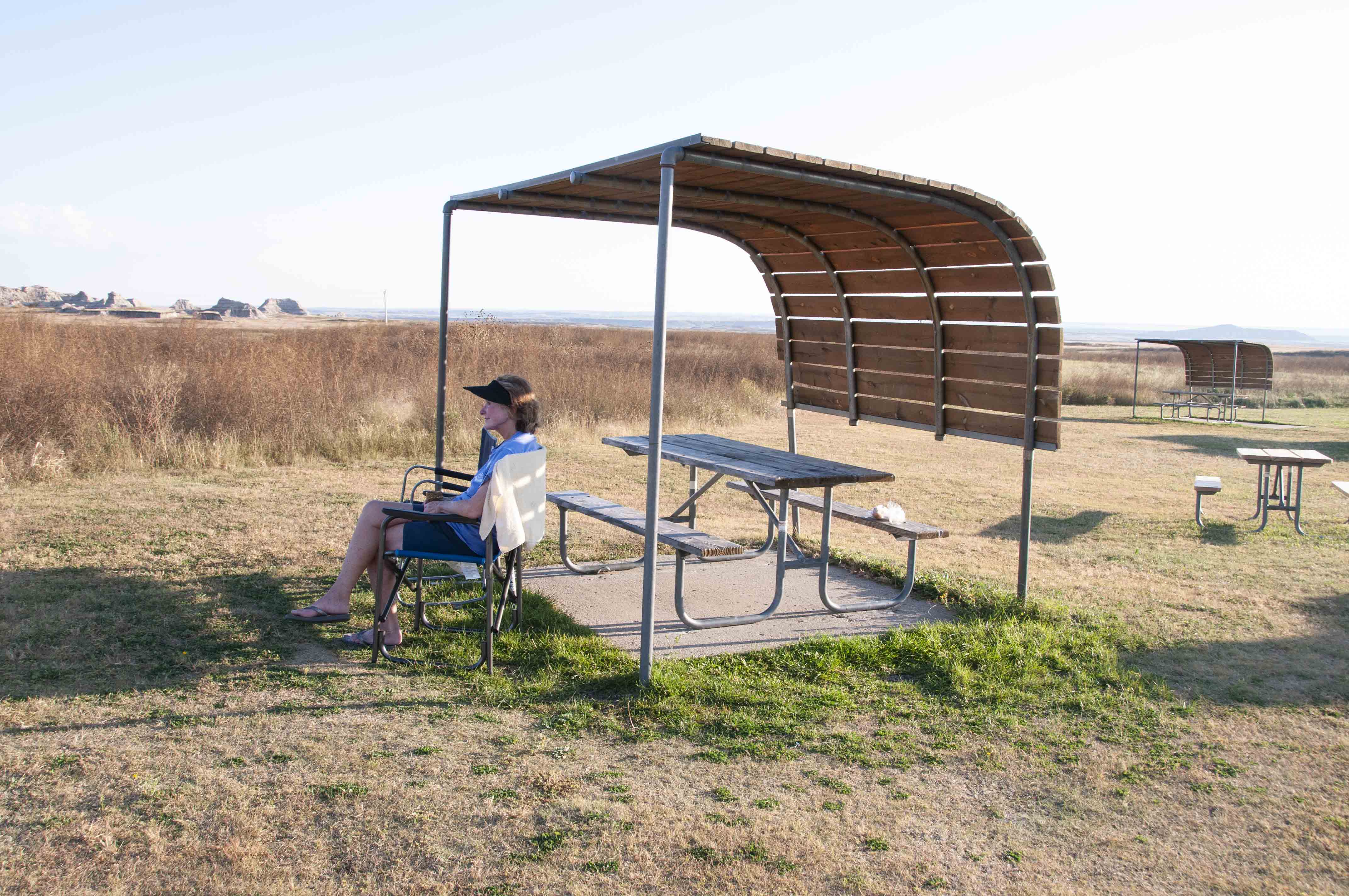
Steph in campsite 22
Cedar Pass Campground (2019)
Hiking Trails in the Cedar Pass Area
There are several trails in the Cedar Pass Area varying in length from a quarter mile to ten miles
and in difficulty from easy to strenuous. The trails described below are short and easy.
Door Trail
The Door Trail is an easy one mile out and back trail. For the first quarter mile a boardwalk leads
through an opening in the Badlands Wall ("the Door") to a viewing platform just on the other side.
From this point the hike continues into the badlands on a primitive trail guided by trail markers and cairns.
Boardwalk and viewing platform
On the trail

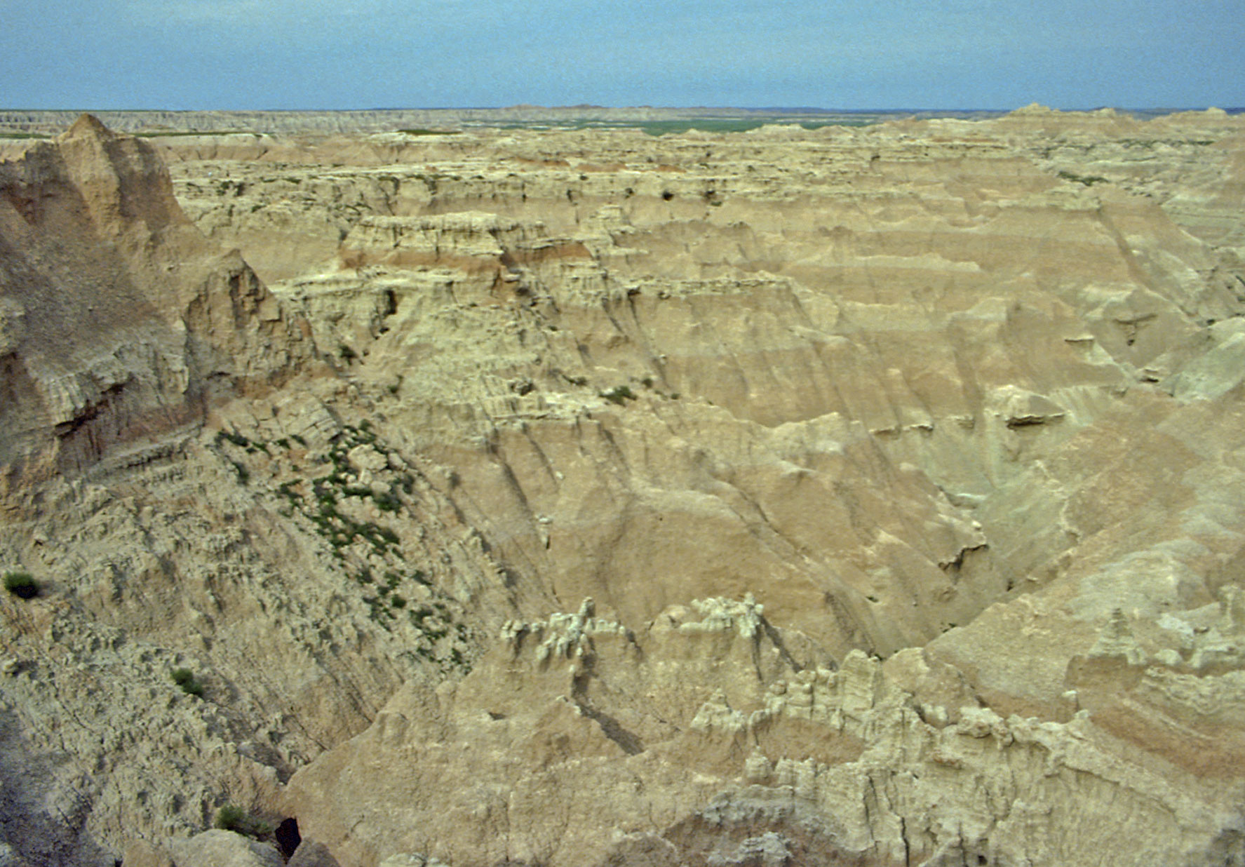
View from Door Trail (1991)
View from Door Trail (1991)
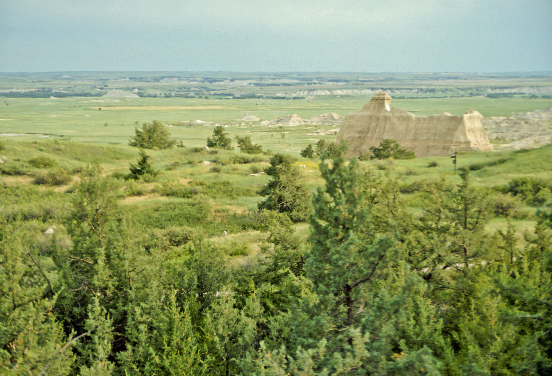
Terrain along Door Trail (2019)
Window Trail
The Window Trail is a quarter mile out and back and easy. This trail leads to a break
in the Badlands Wall ("the Window") that offers a view of a badlands canyon containing many eroded formations.
Window Trail view (1991)
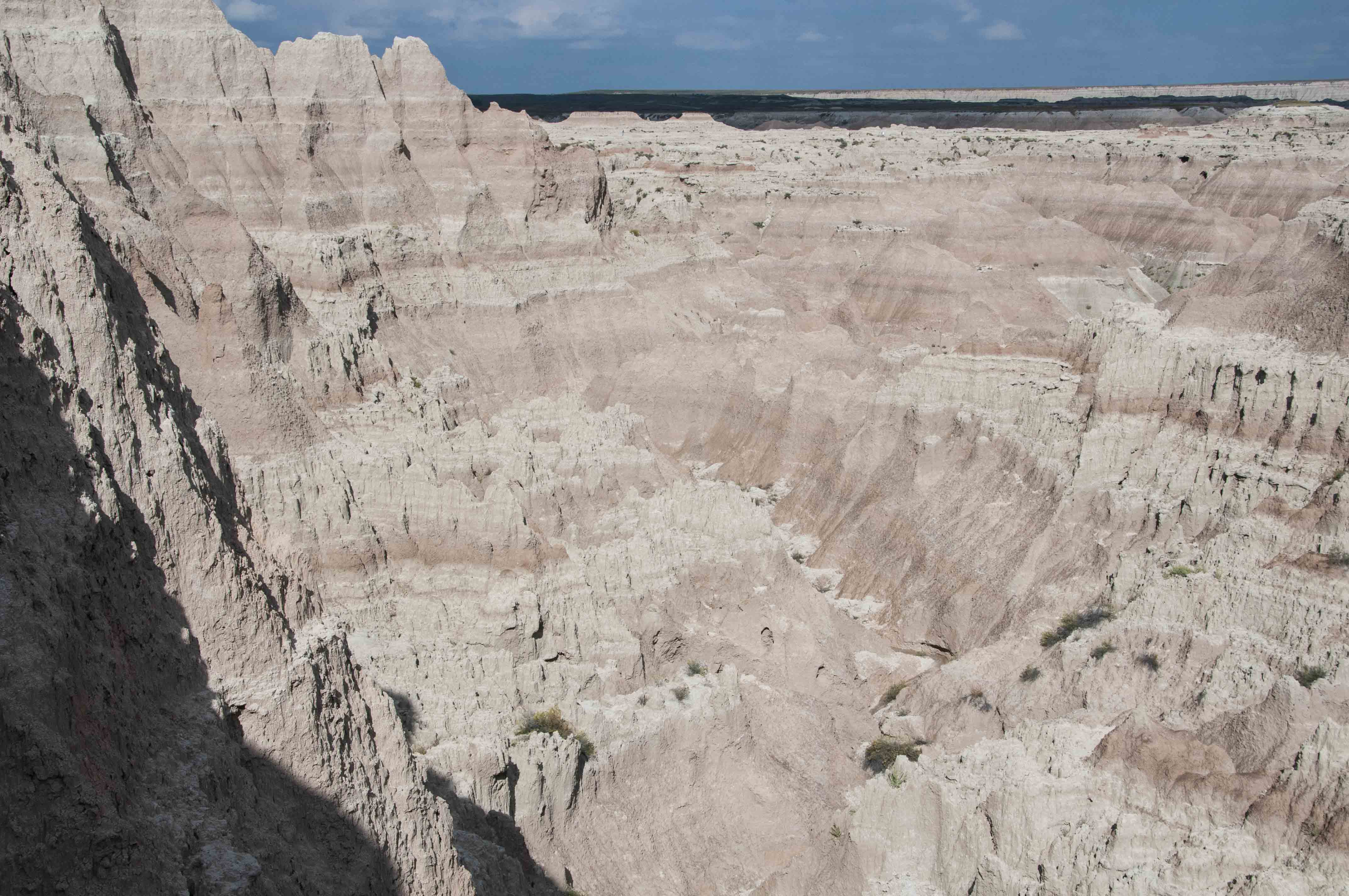
Canyon view from the Window (2019)
Window Trail view (2019)
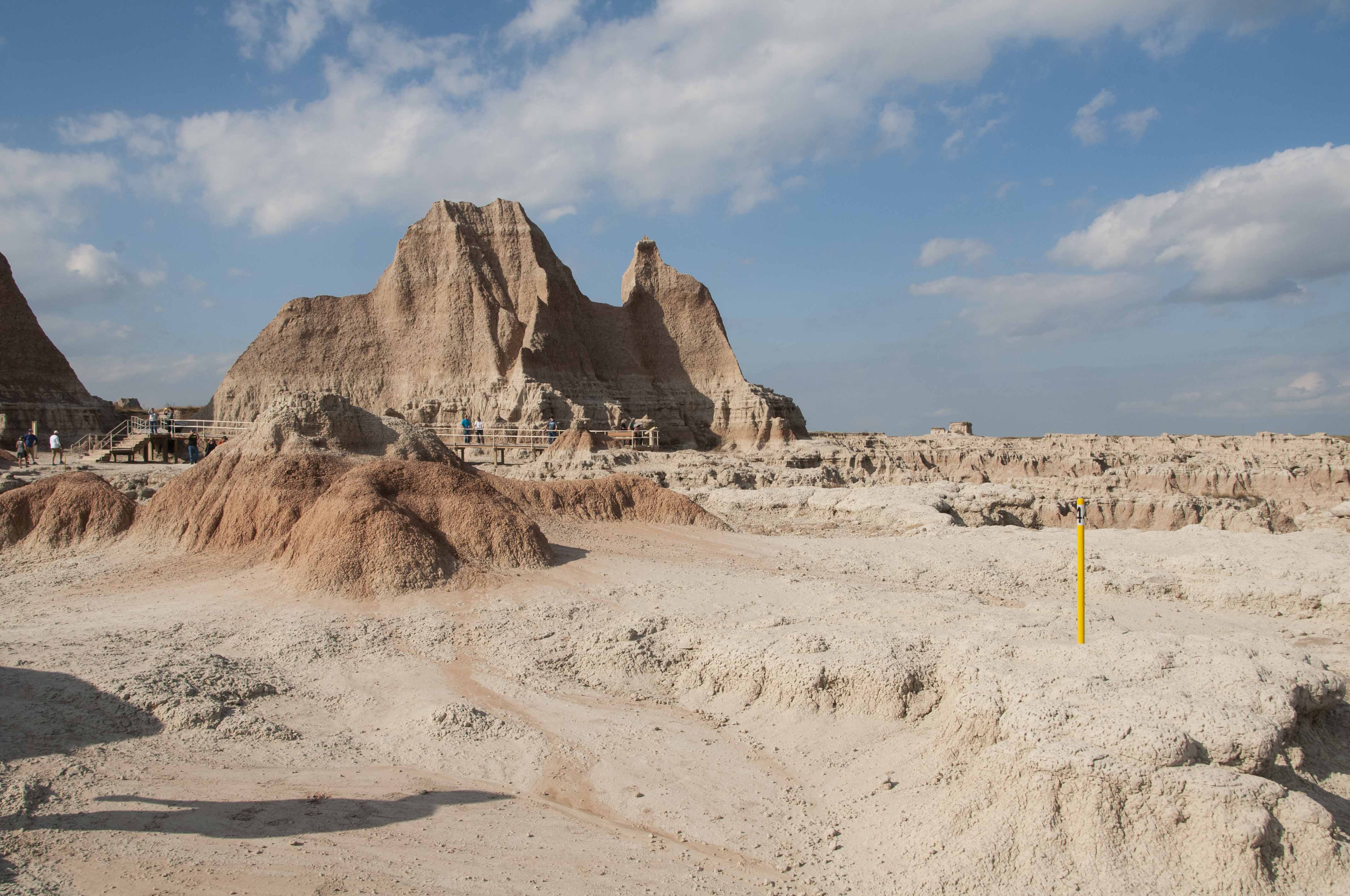
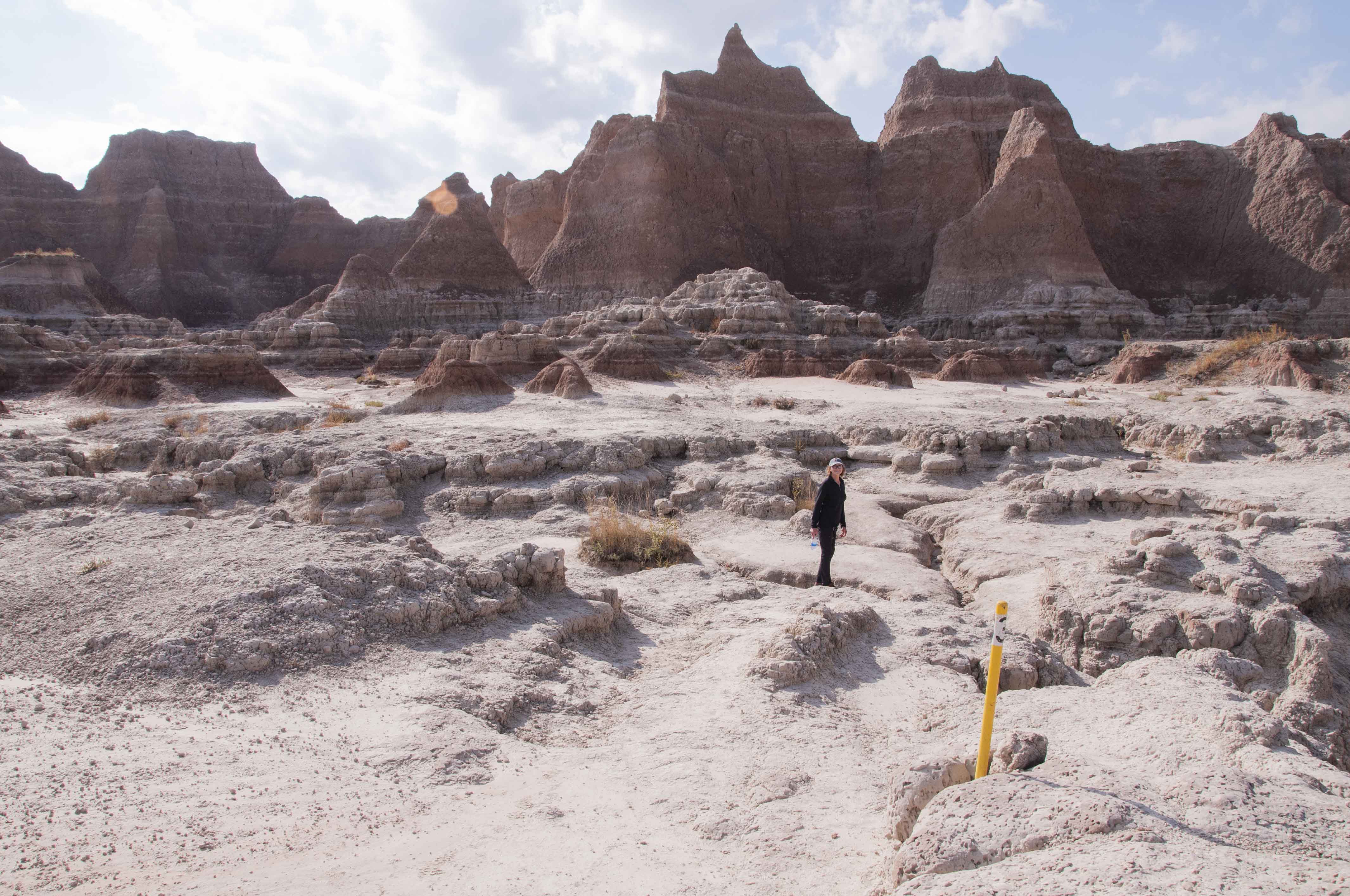
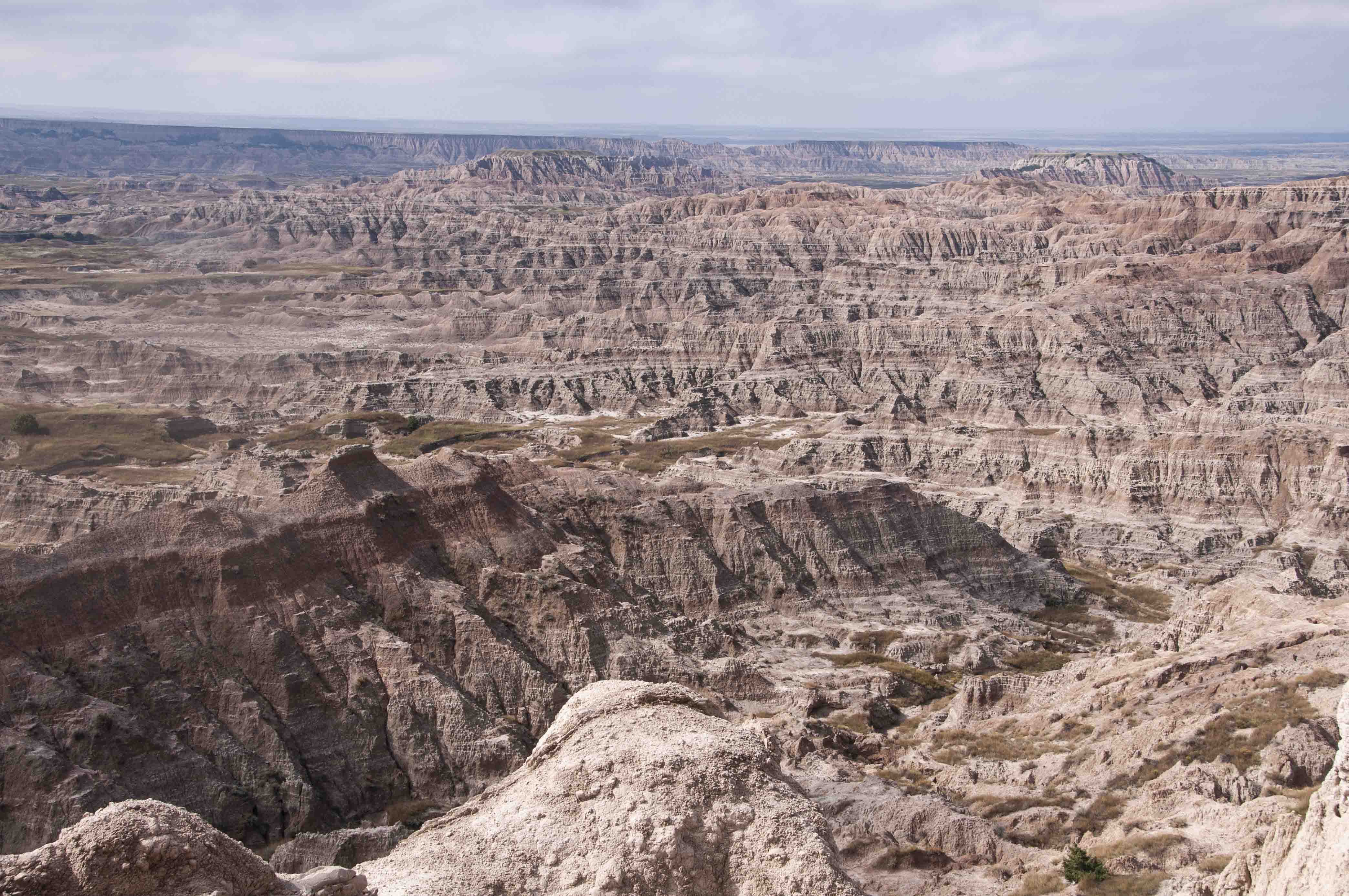
Notch Trail
The notch trail is 1.5 miles out and back and is rated as moderate.
The trail leads through a canyon and then up a ladder and along a ledge
the "the notch" with expansive views of the White River Valley to the south.
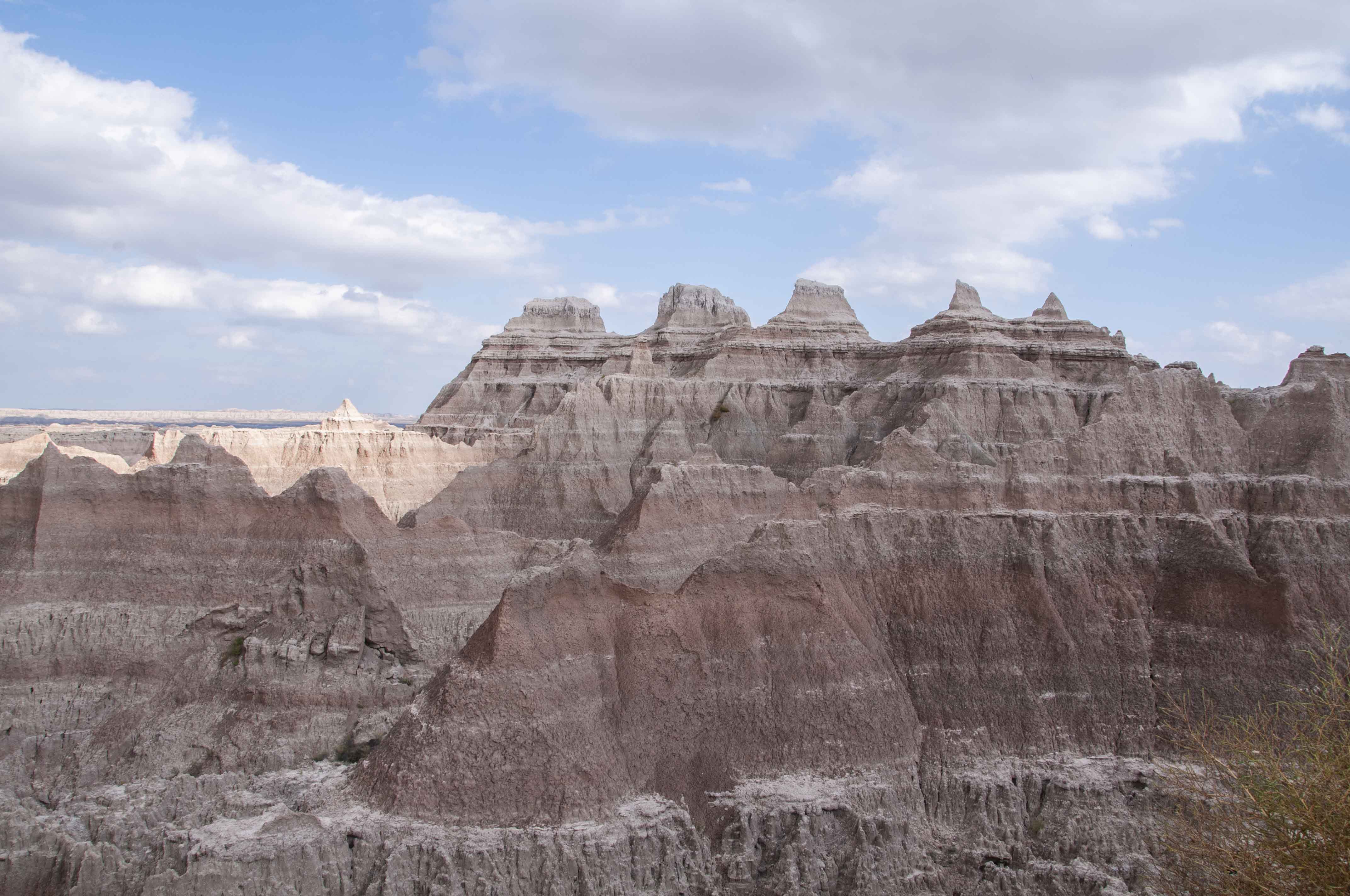
View of Notch Trail (1991)

View South from the "notch" in Notch Trail

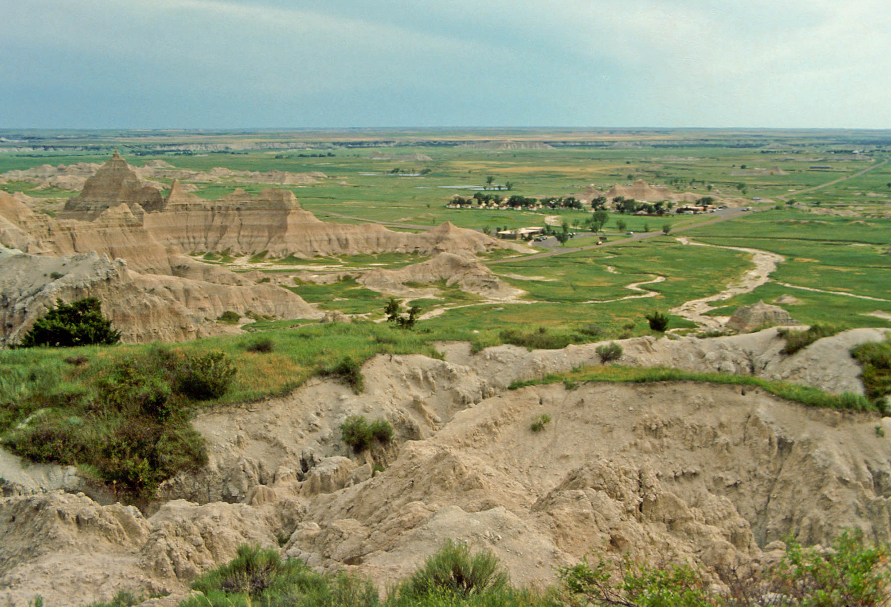
View of Cliff Shelf area and the park road (1991)
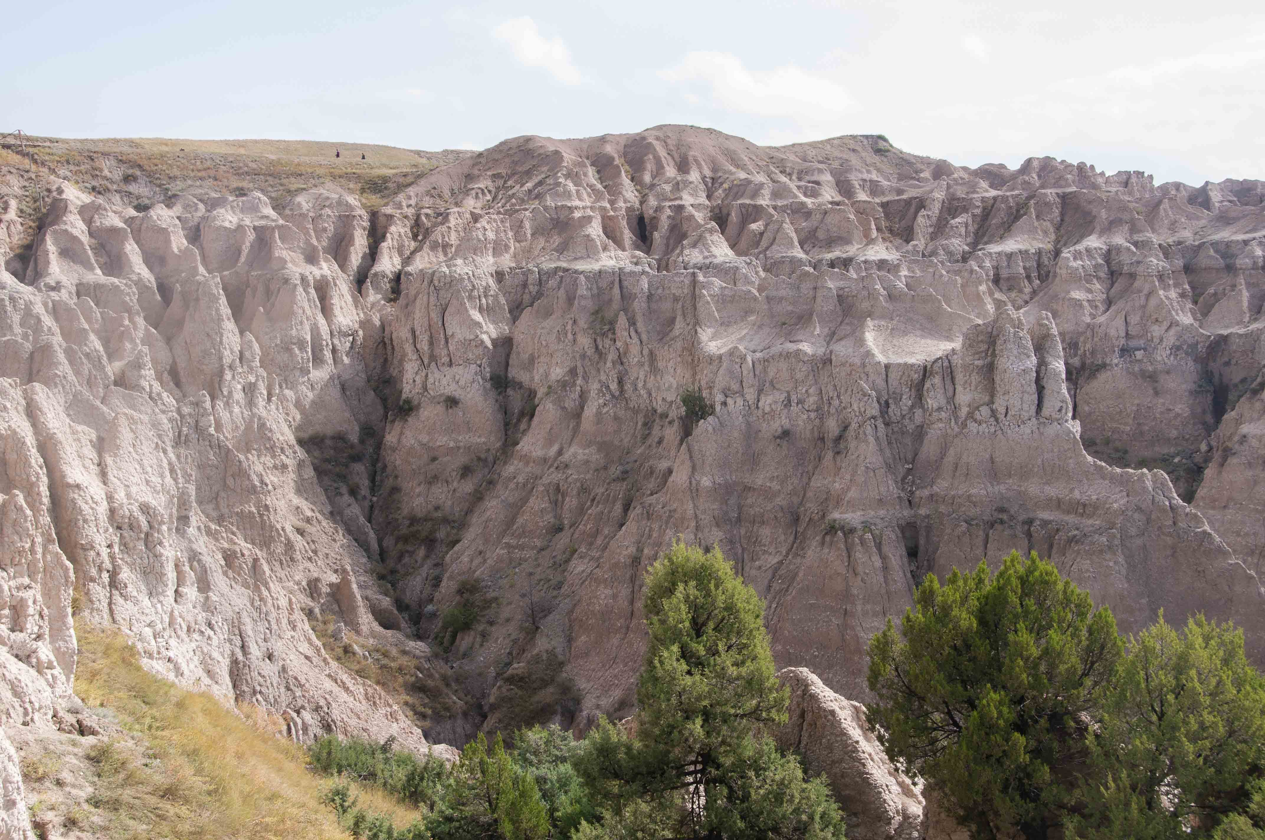
Cliff Shelf Nature Trail
This trail is a one-half mile round trip loop rated as moderate. It gains about 200 ft
in elevation. The trail follows boardwalks and stairs through a juniper forest.
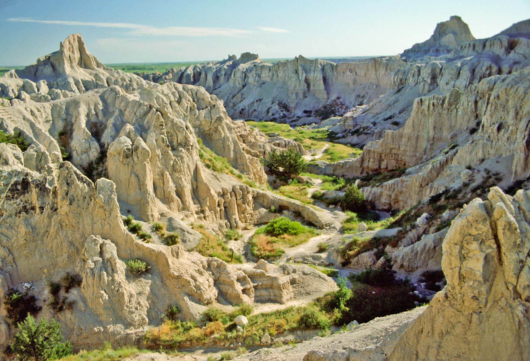
View south toward Pine Ridge Reservation (1991)
View from Cliff Shelf Nature Trail (1991)
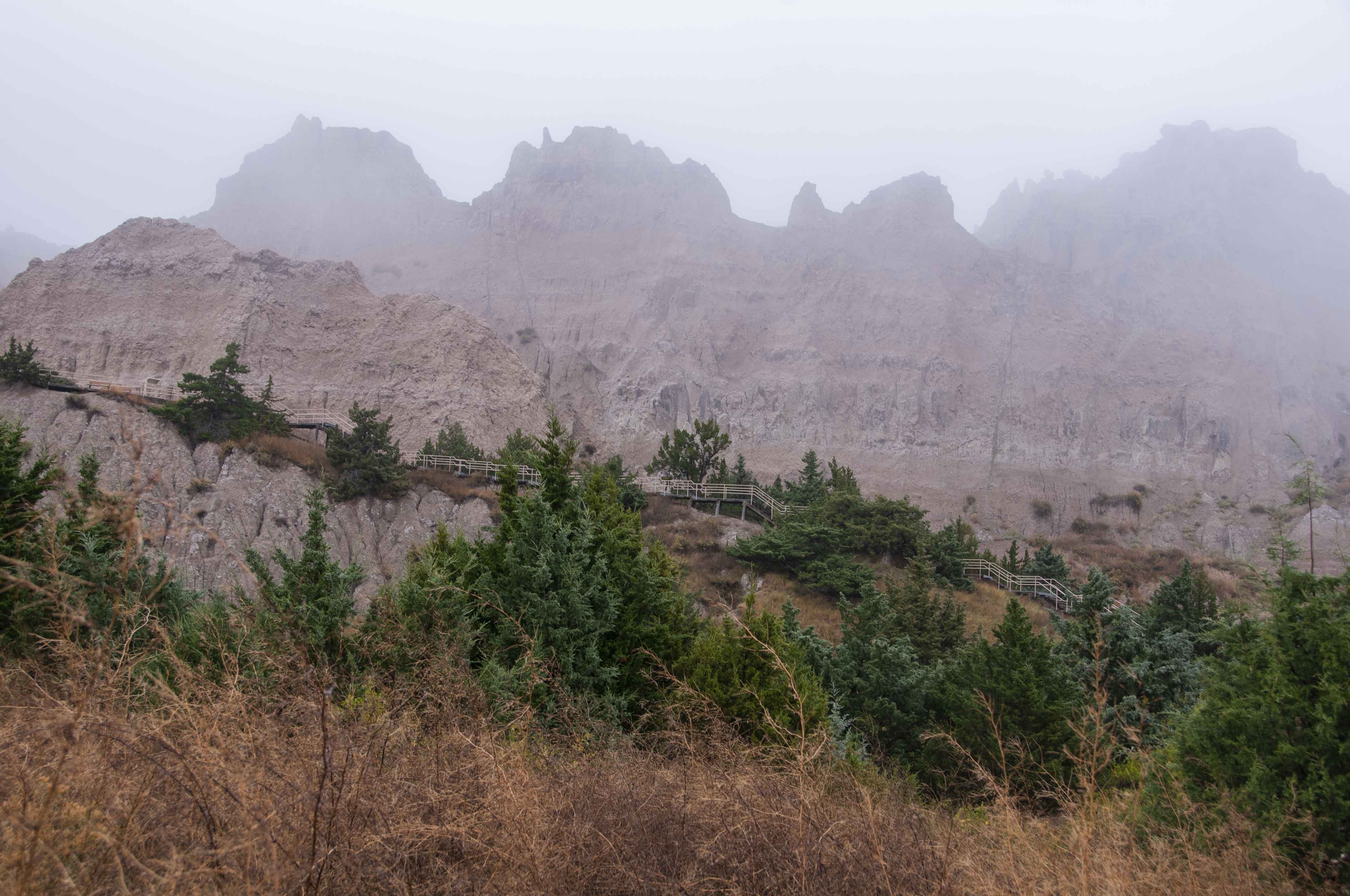
Cliff Shelf Nature Trail (2019)
Fossil Exhibit Trail
Many of the bands of sedimentary rocks that form the Badlands today were laid down in the
Oligocene epoch that lasted from 35 to 23 million years ago. Primitive mammals predominated
during this period, and the Badlands is one of the richest sources of mammal fossils in the
world. The Fossil Exhibit Trail is an easy, hadicapped accessible quarter mile round trip trail
with many exhibits of Badlands fossils along the way
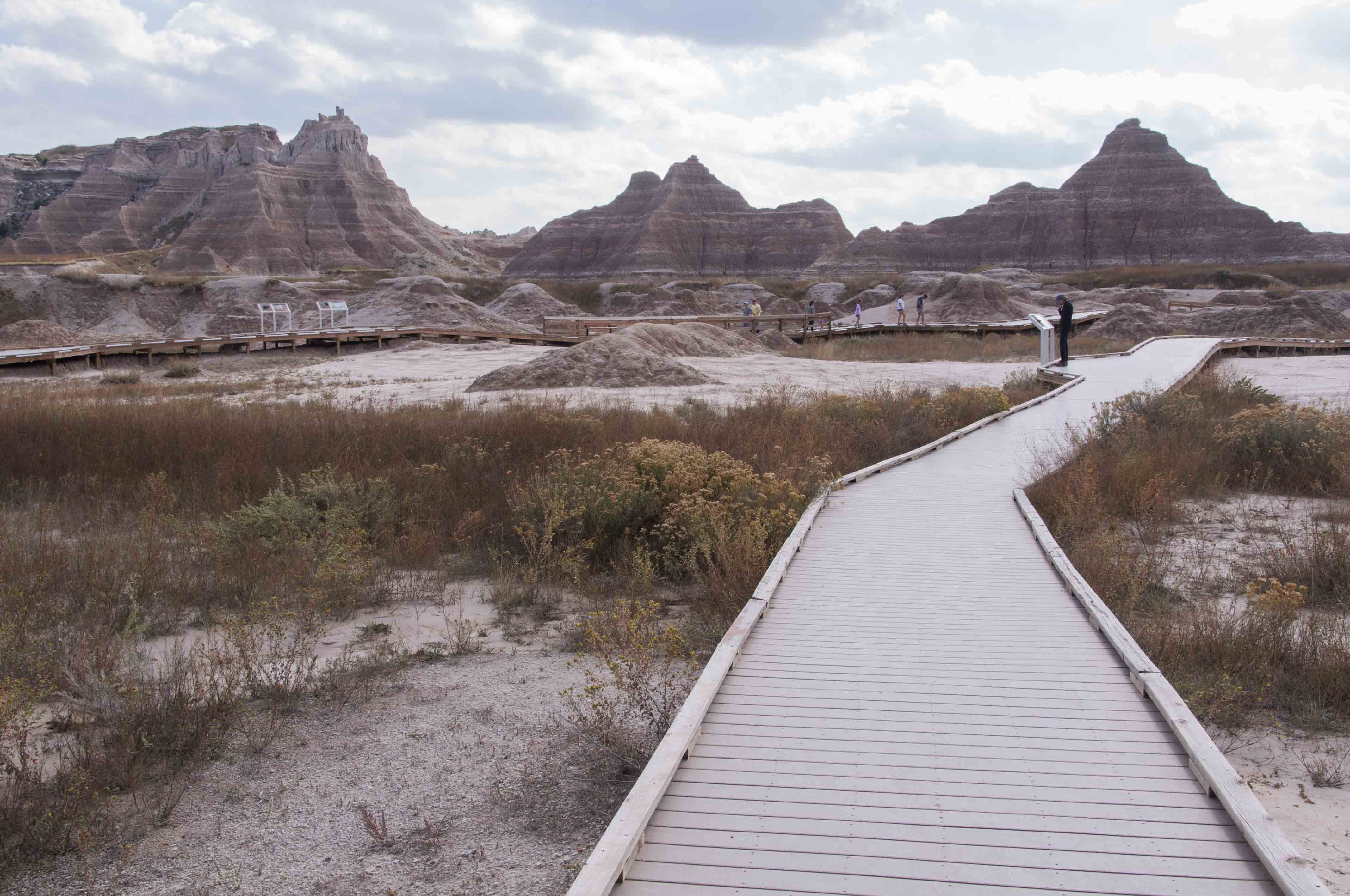
Fossil Exhibit Trail boardwalk

Cast of a Nimravid skull, a mammal very much like,
but not related to a true saber-tooth cat.
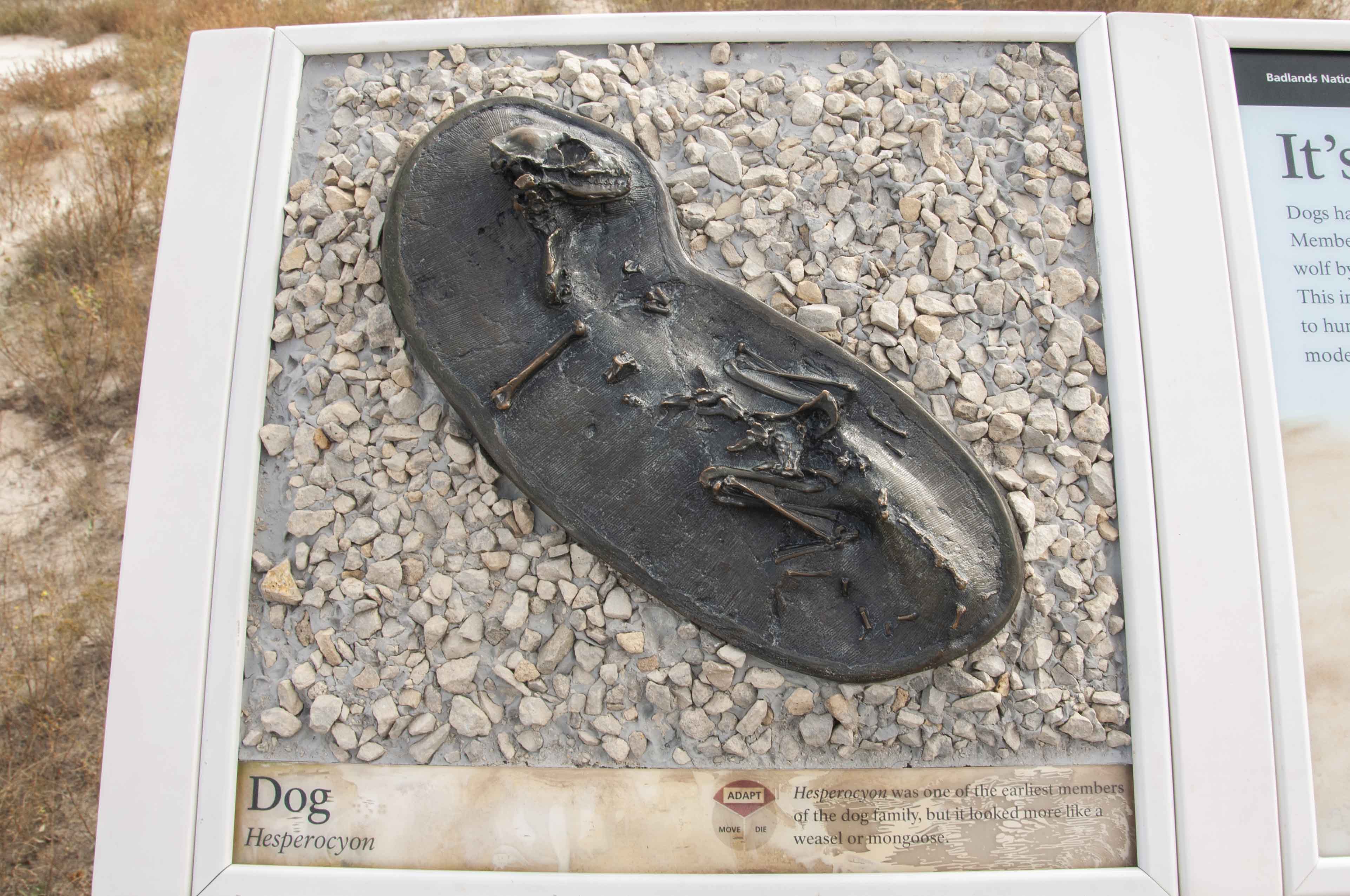
Cast of Hesperocyon,
an early member of the dog family
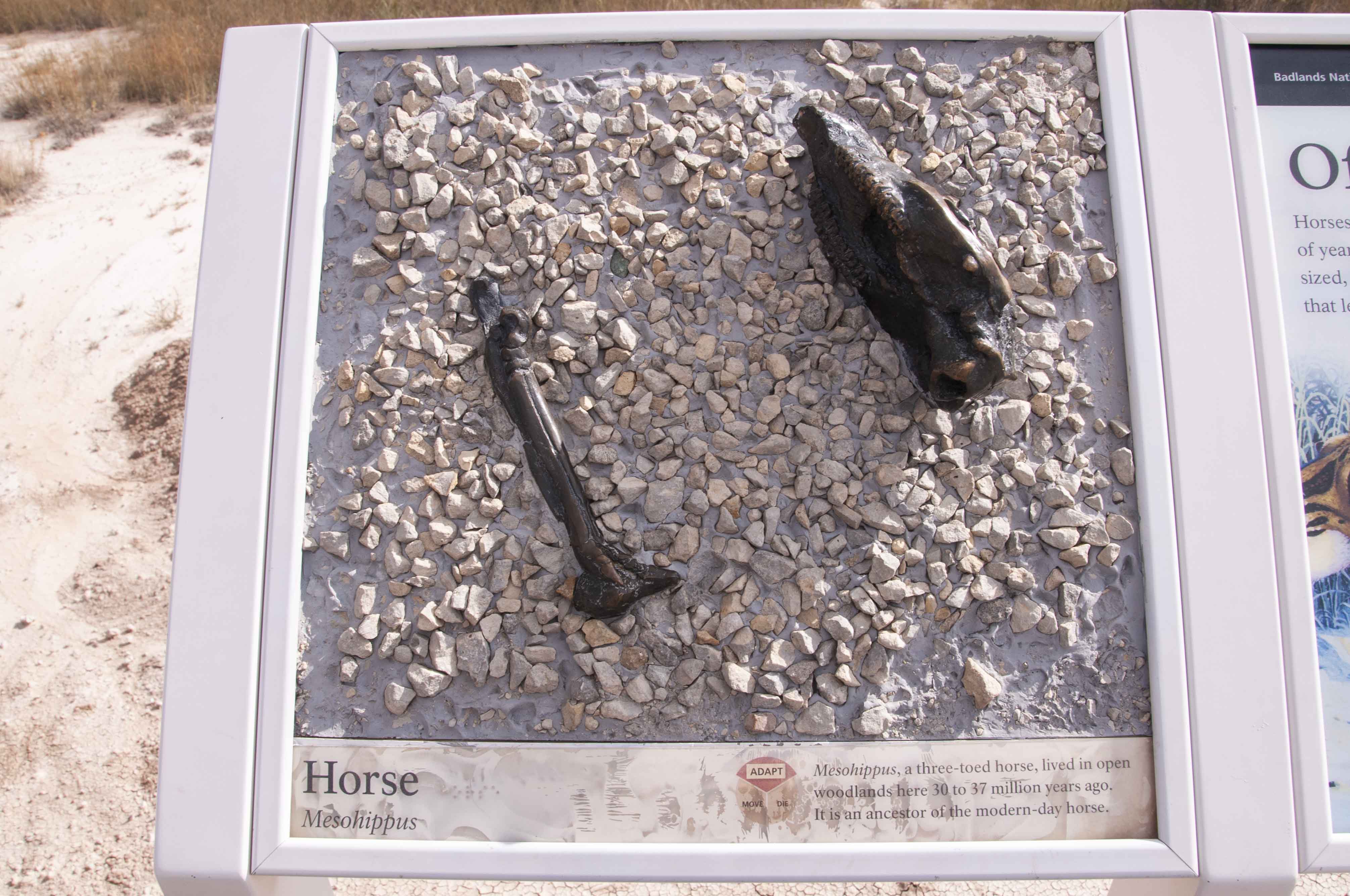
Cast of leg bone and jaw from
Mesohippus, a primitive 3-toed horse

Jaw of a Titanothere, a large herbivore
resembling a rhinoceros, but not related.

Display of fauna in various rock formations
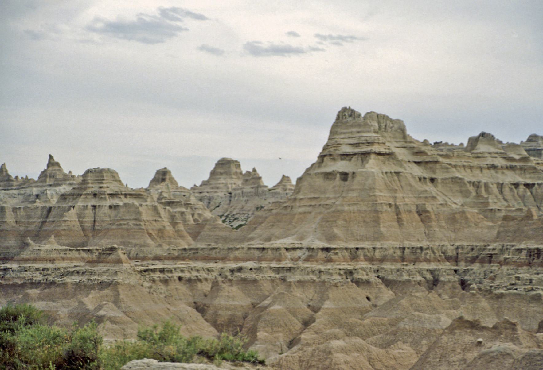
Badlands Loop Road
Badlands Loop Road is located along SD Highway 240 accessed from Interstate 90 to the north,
or SD Highways 44 and 377 to the south. The road follows the contours of the Badlands Escarpment
for 32 miles, and there are 14 overlooks along the way providing spectacular views of the Badlands.
The drive takes one to two hours, depending on how much time is spent at the overlooks. Take snacks,
drinks, and cameras. Eight of the overlooks are presented below.
Pinnacles Overlook
Pinnacles view
Pinnacles view
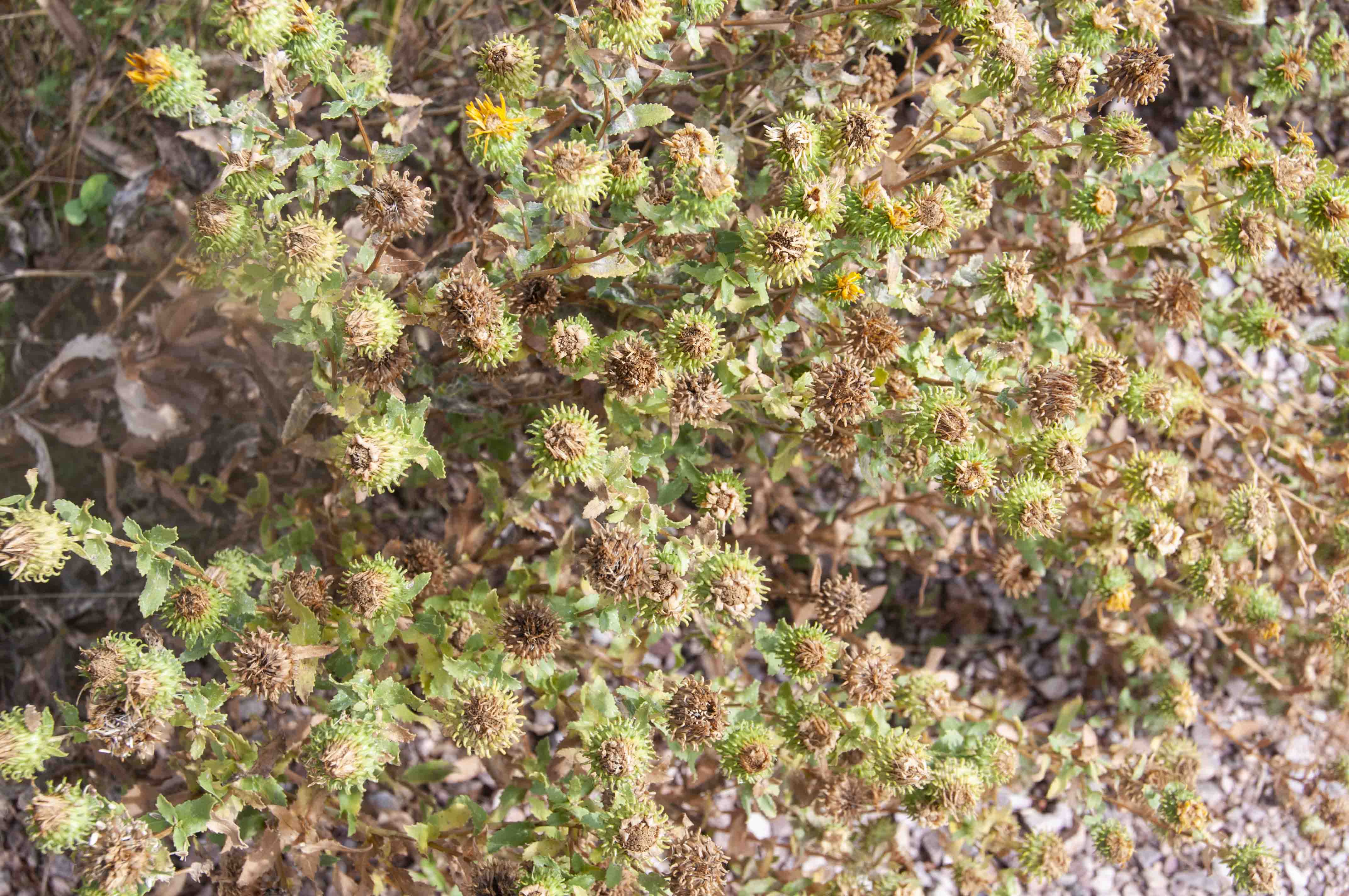
Mystery vegetation
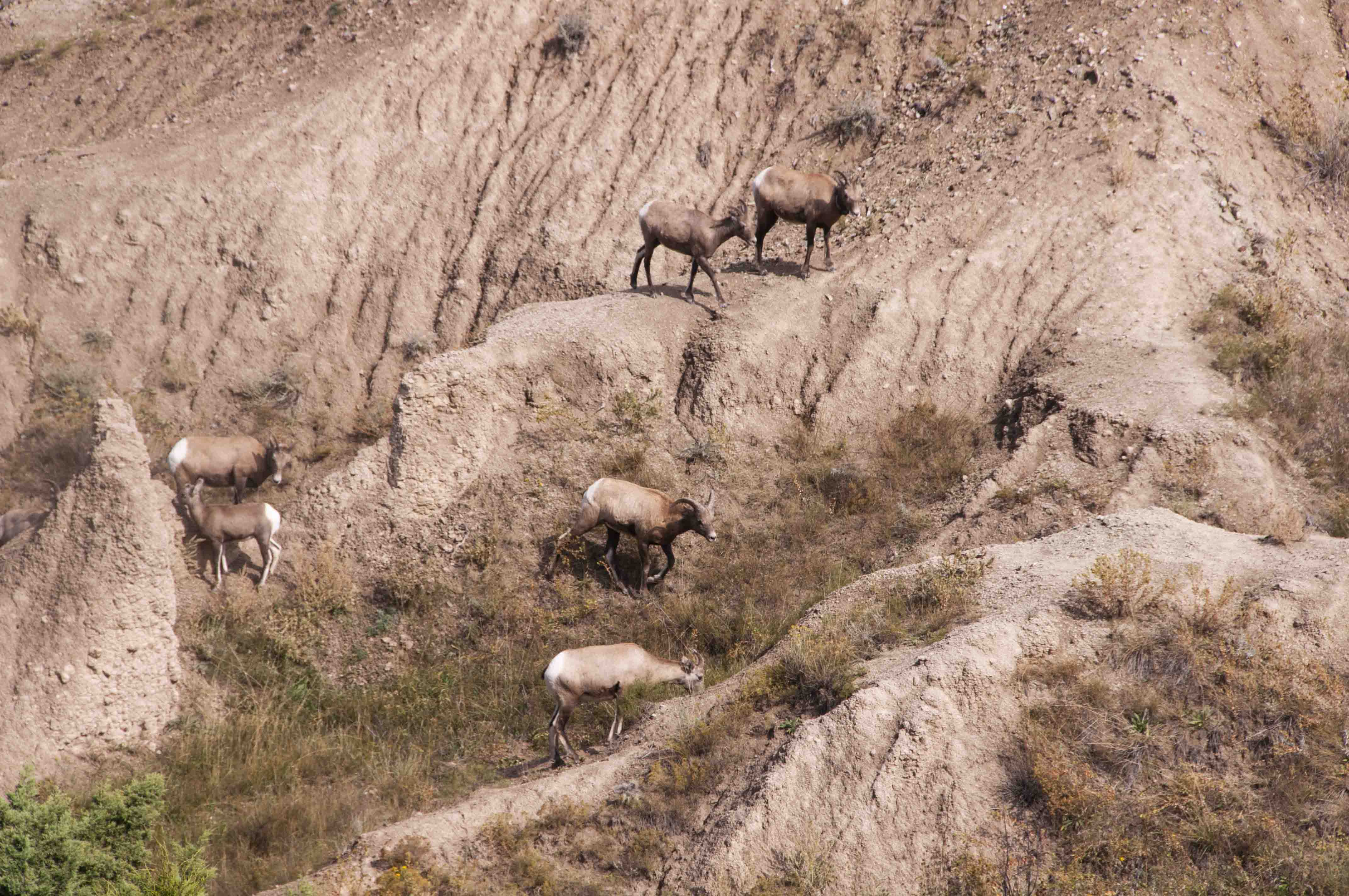
Bighorn Sheep
(Ovis Canadensis)
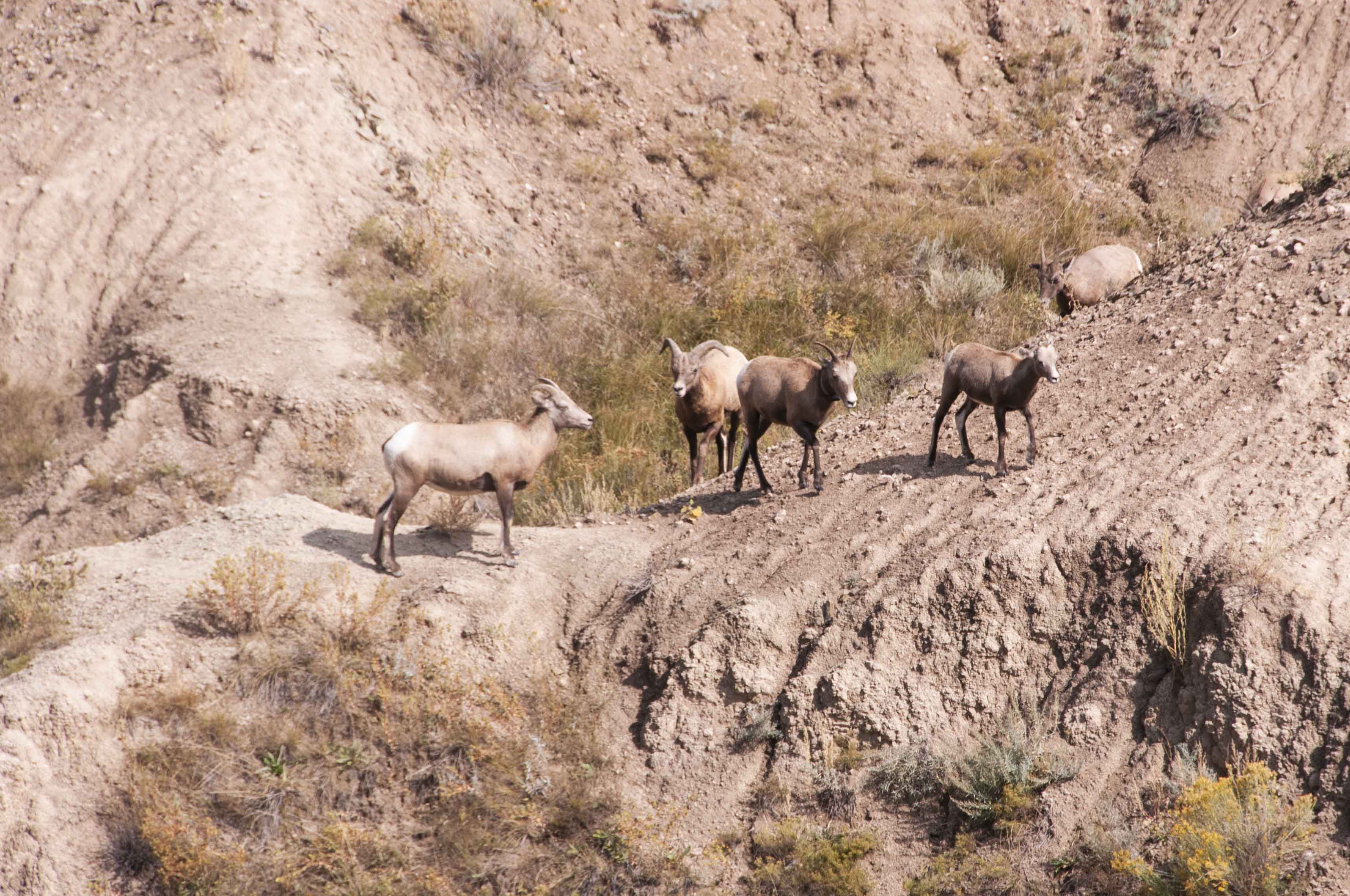
Bighorn Sheep
(Ovis Canadensis)
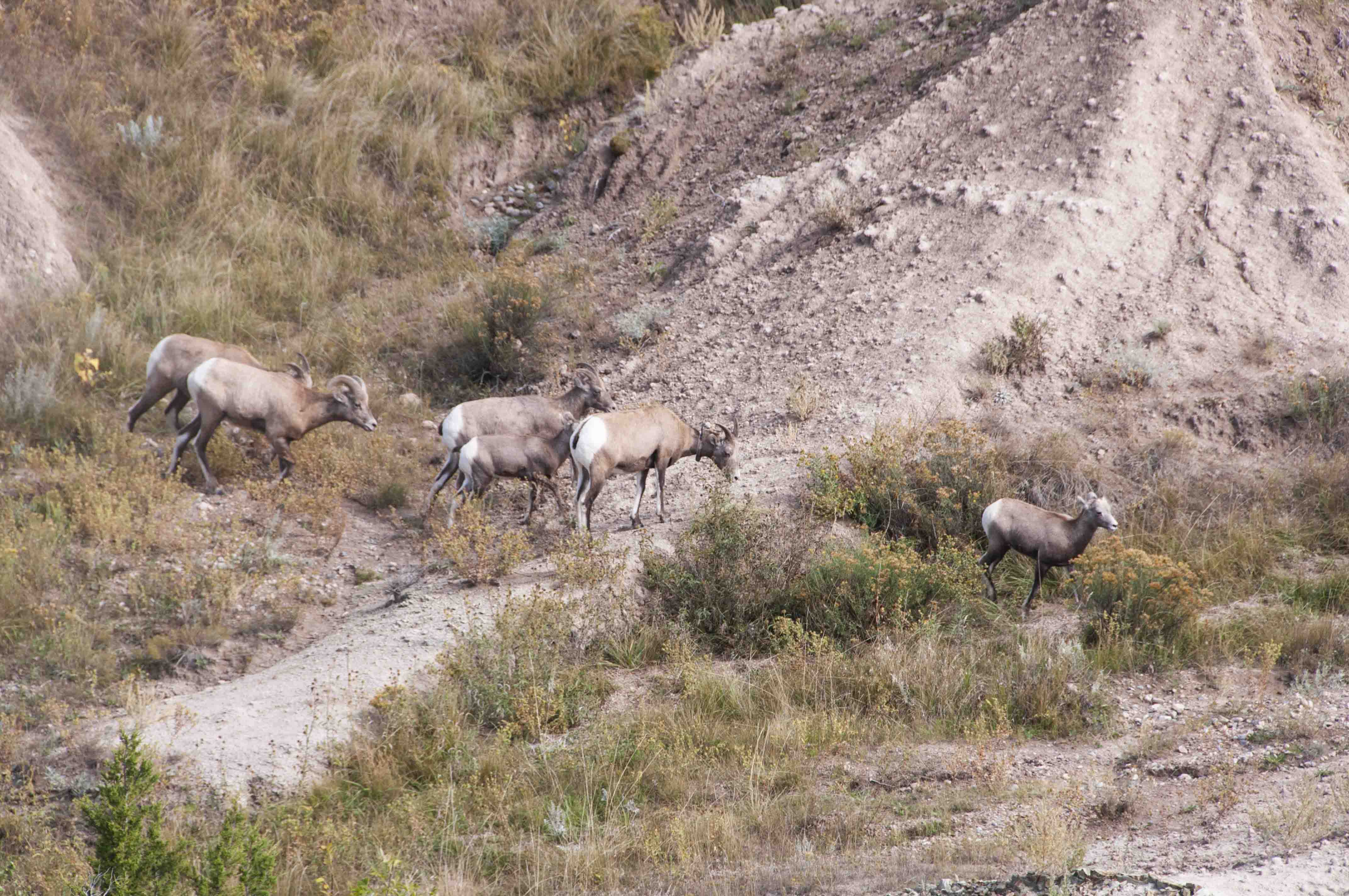
Bighorn Sheep
(Ovis Canadensis)
Ancient Hunters Overlook
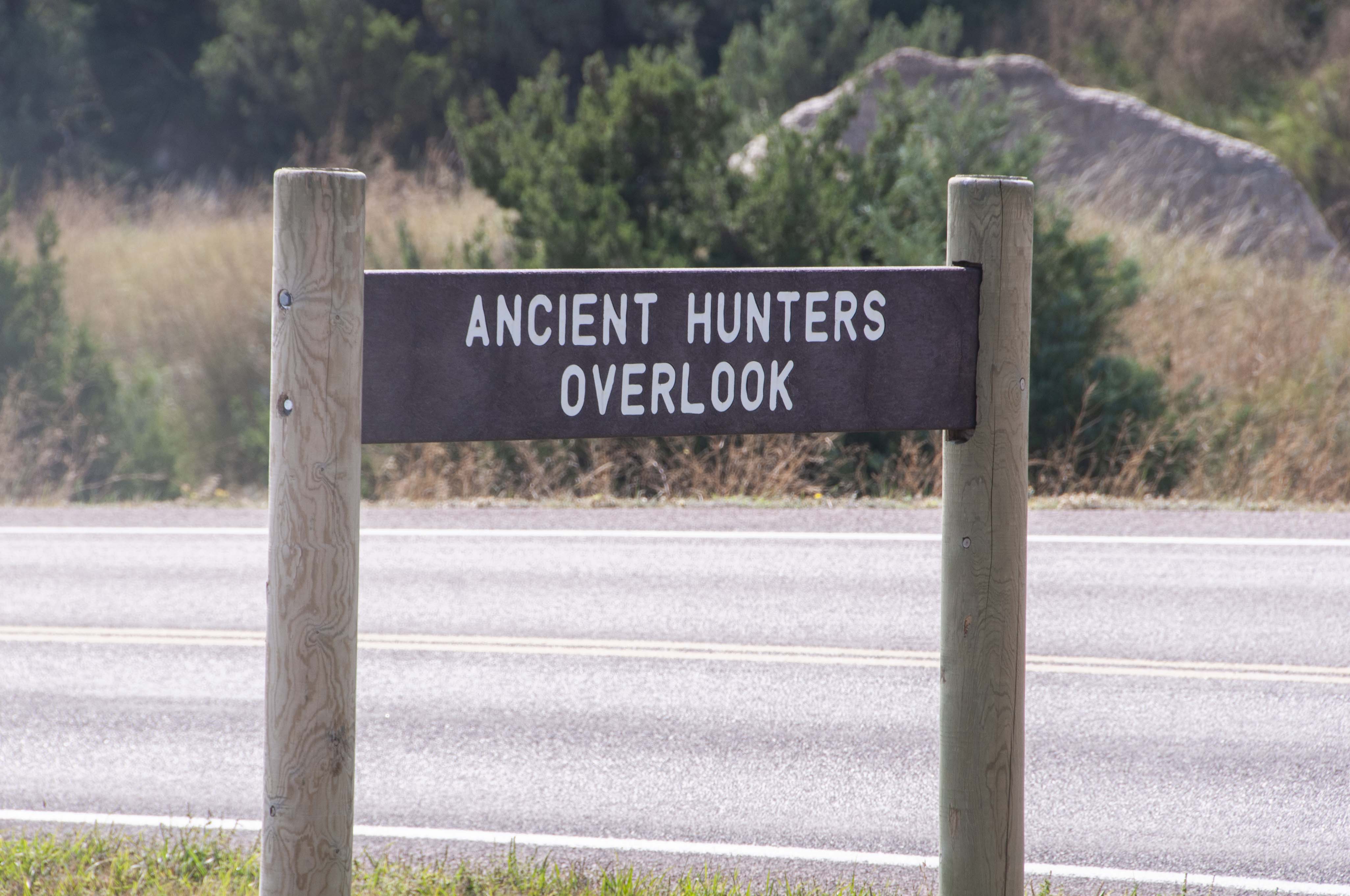
Overlook sign
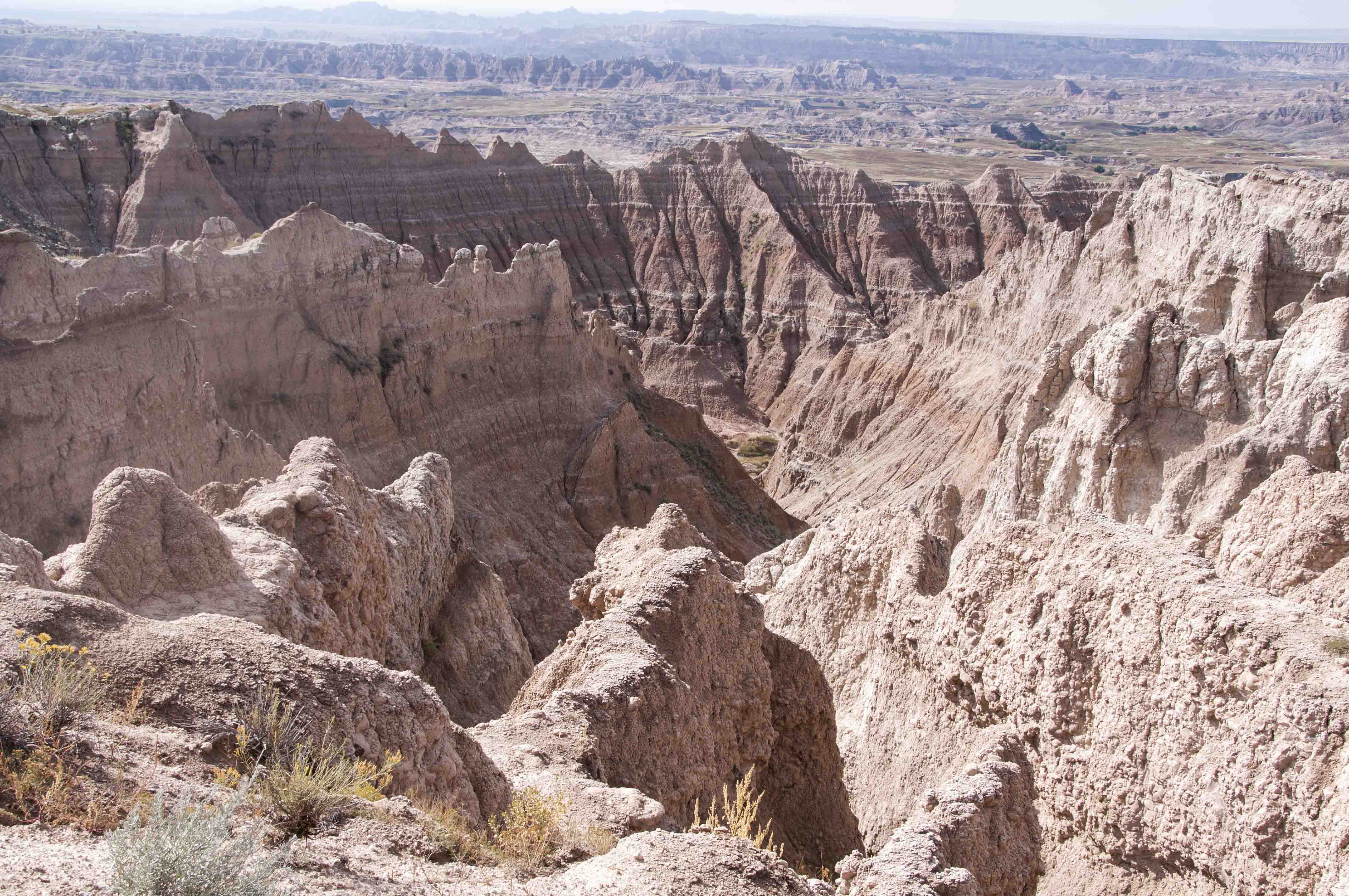
Ancient Hunters Overlook view
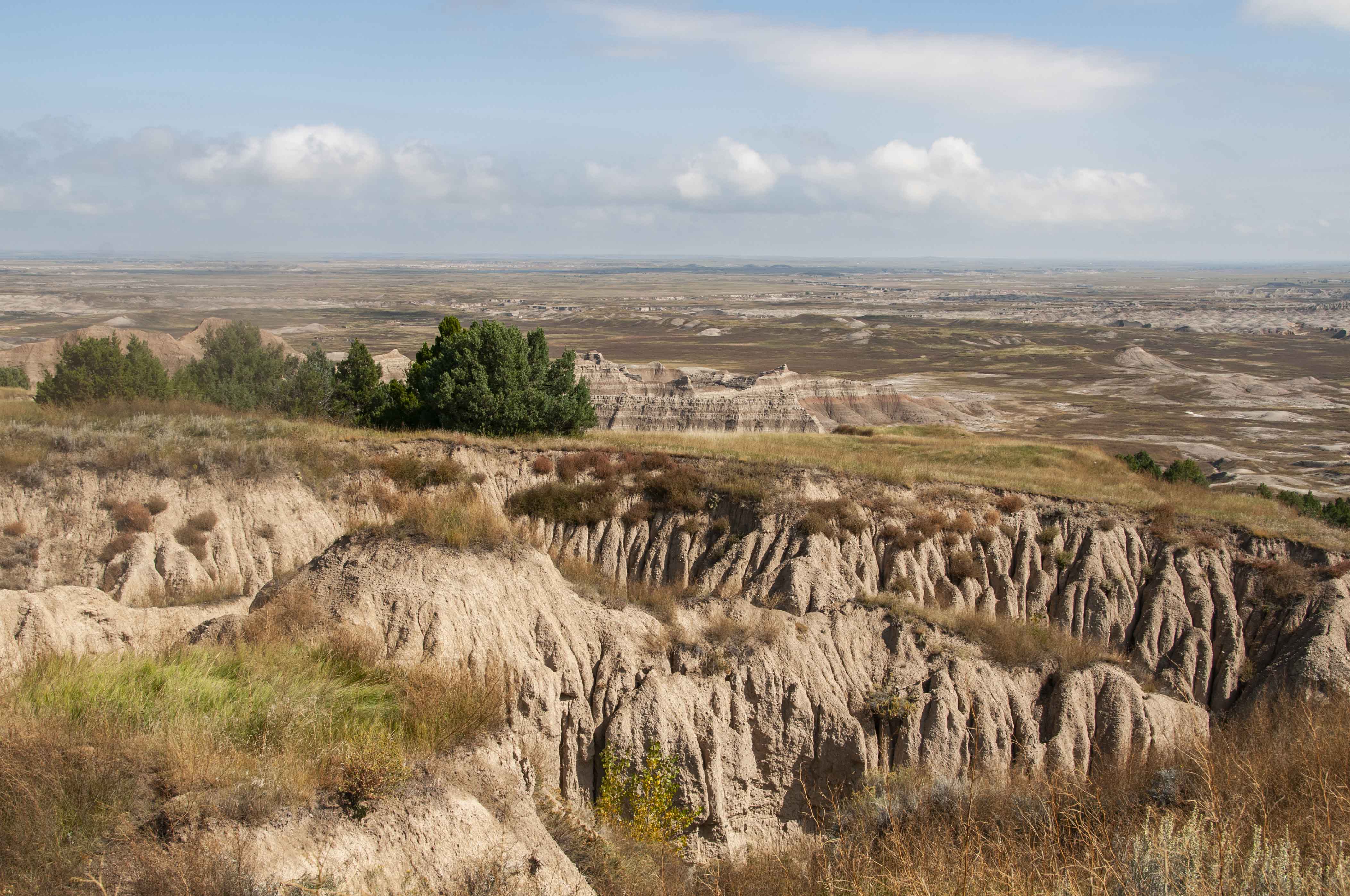
Ancient Hunters Overlook view
Yellow Mounds Overlook

Overlook sign
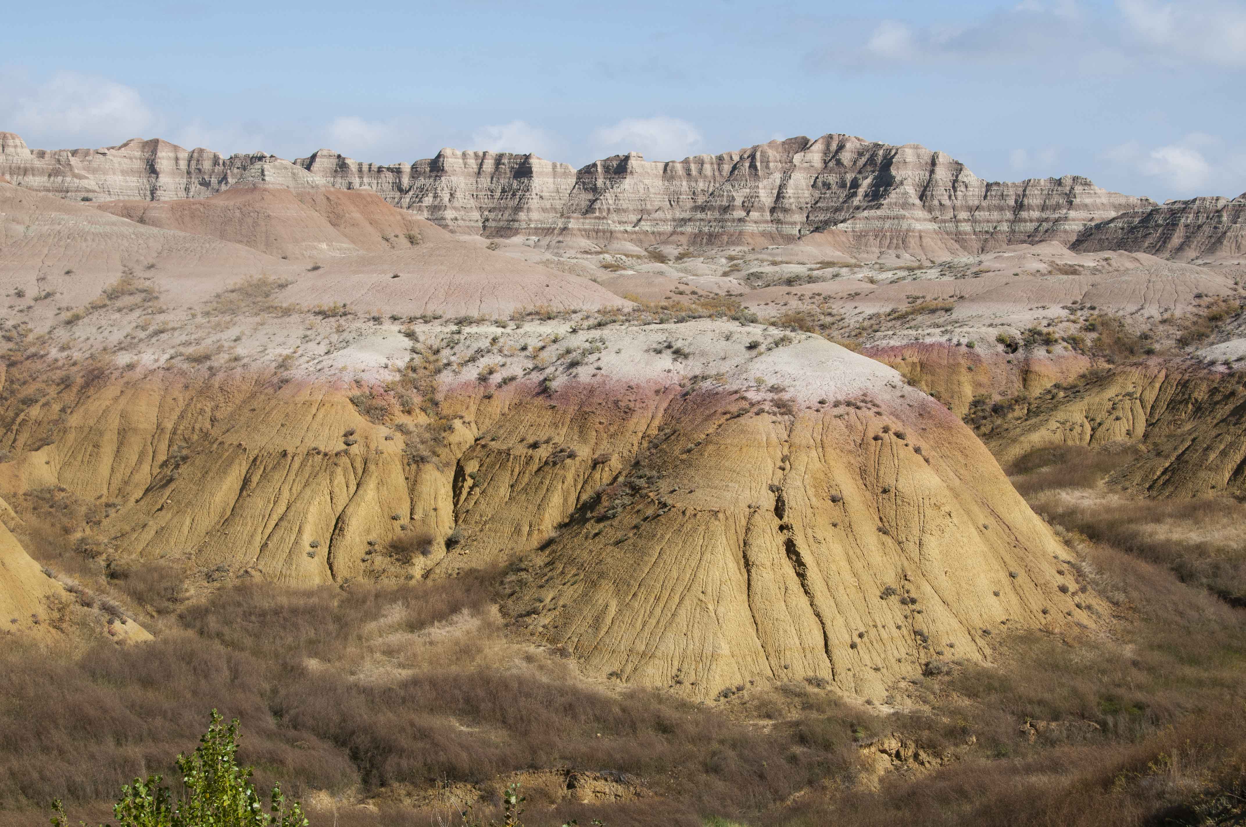
Yellow mounds

Yellow mounds

Yellow mounds
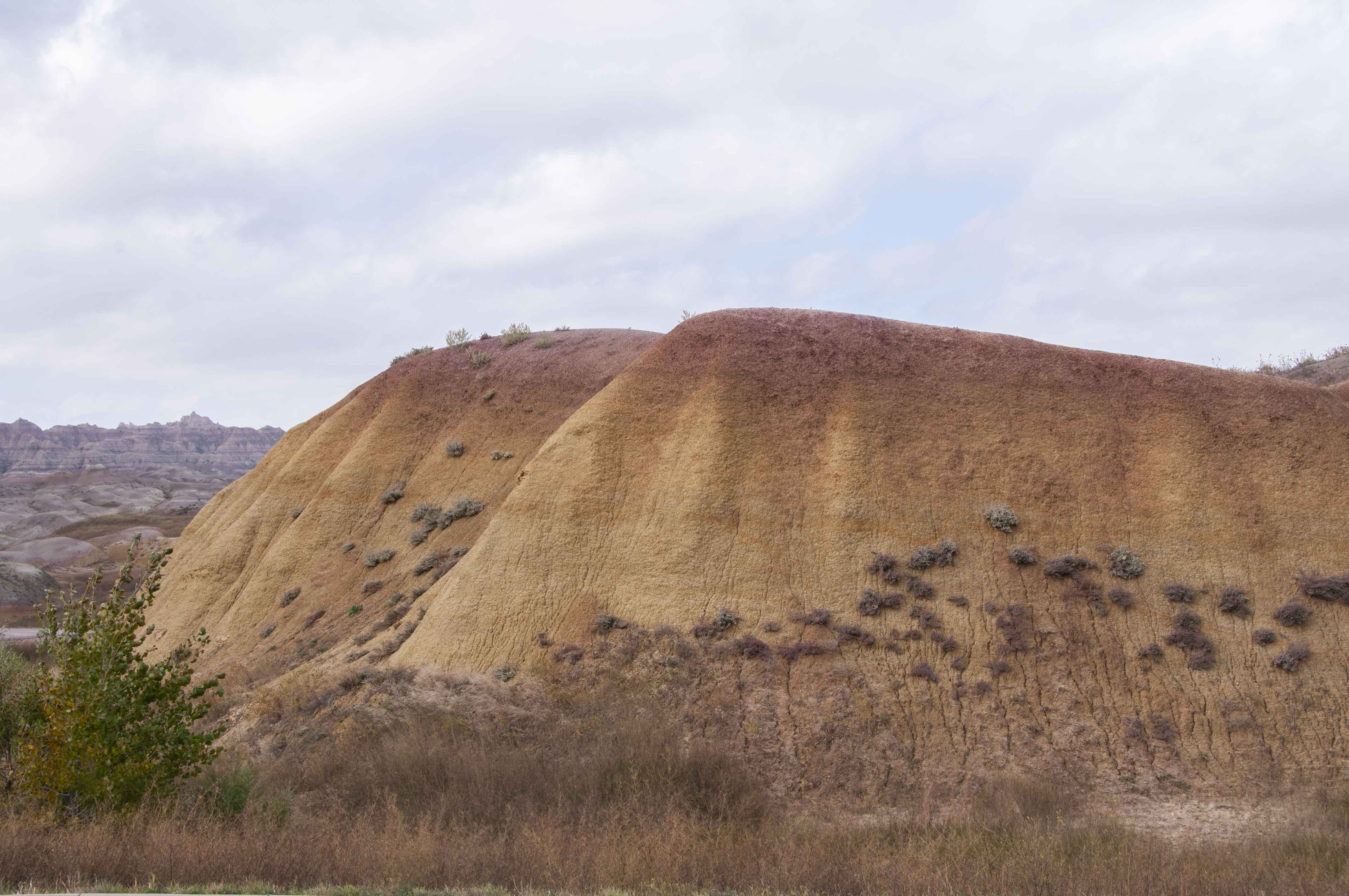
Yellow mounds
Conata Picnic Area
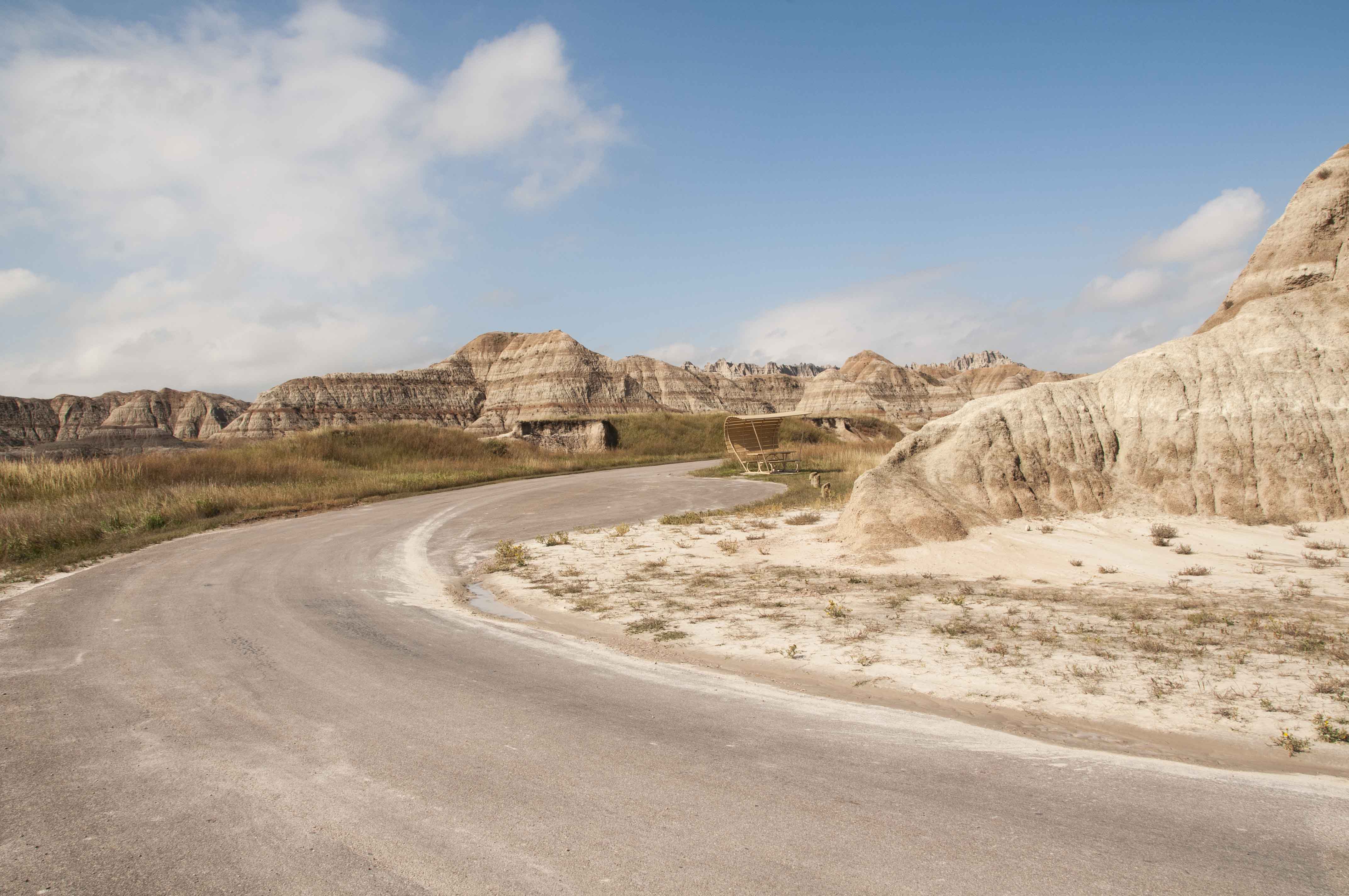
Conata picnic area
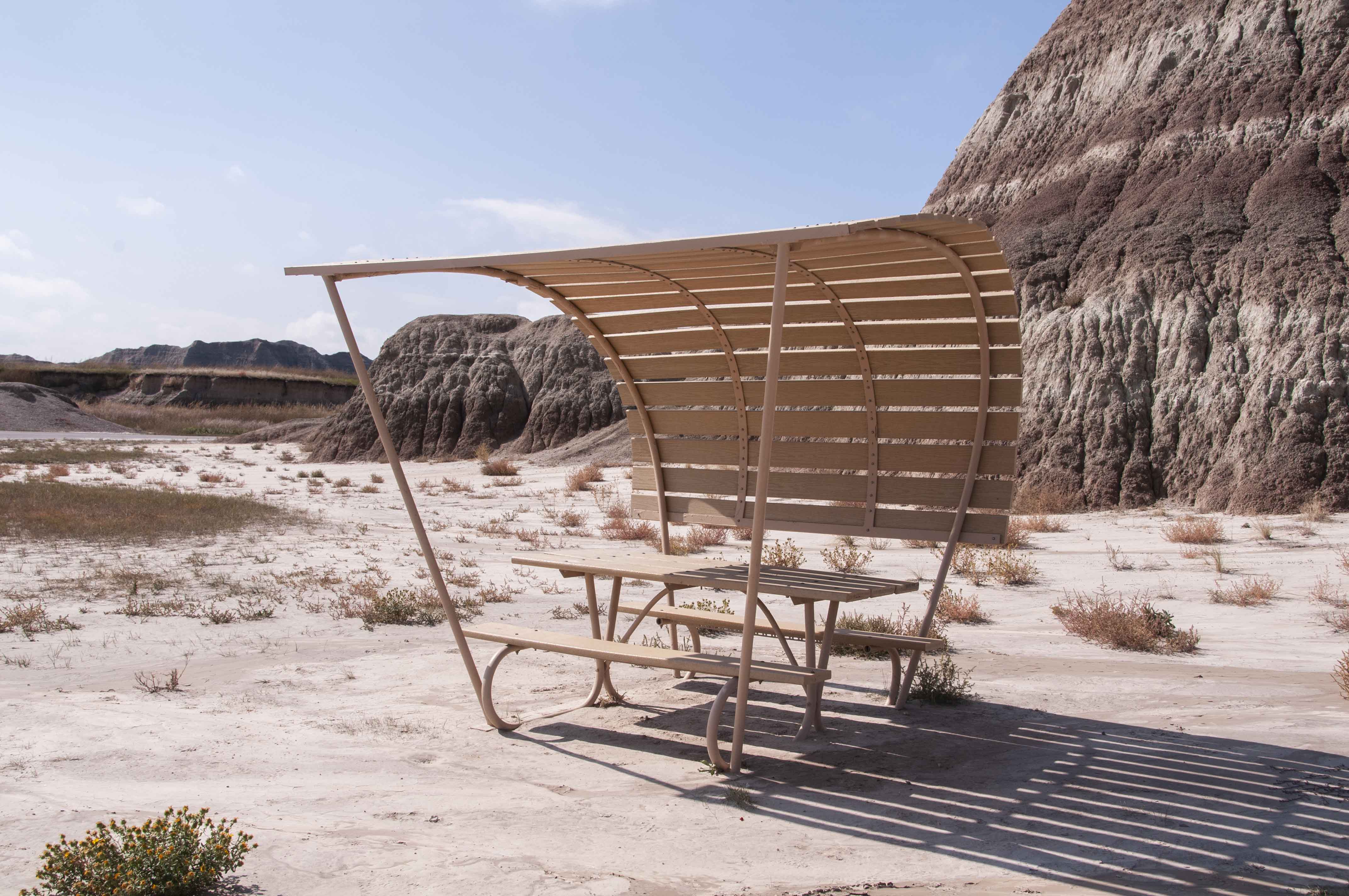
Picnic shelter

Terrain near Conata picnic area
Conata Basin Overlook
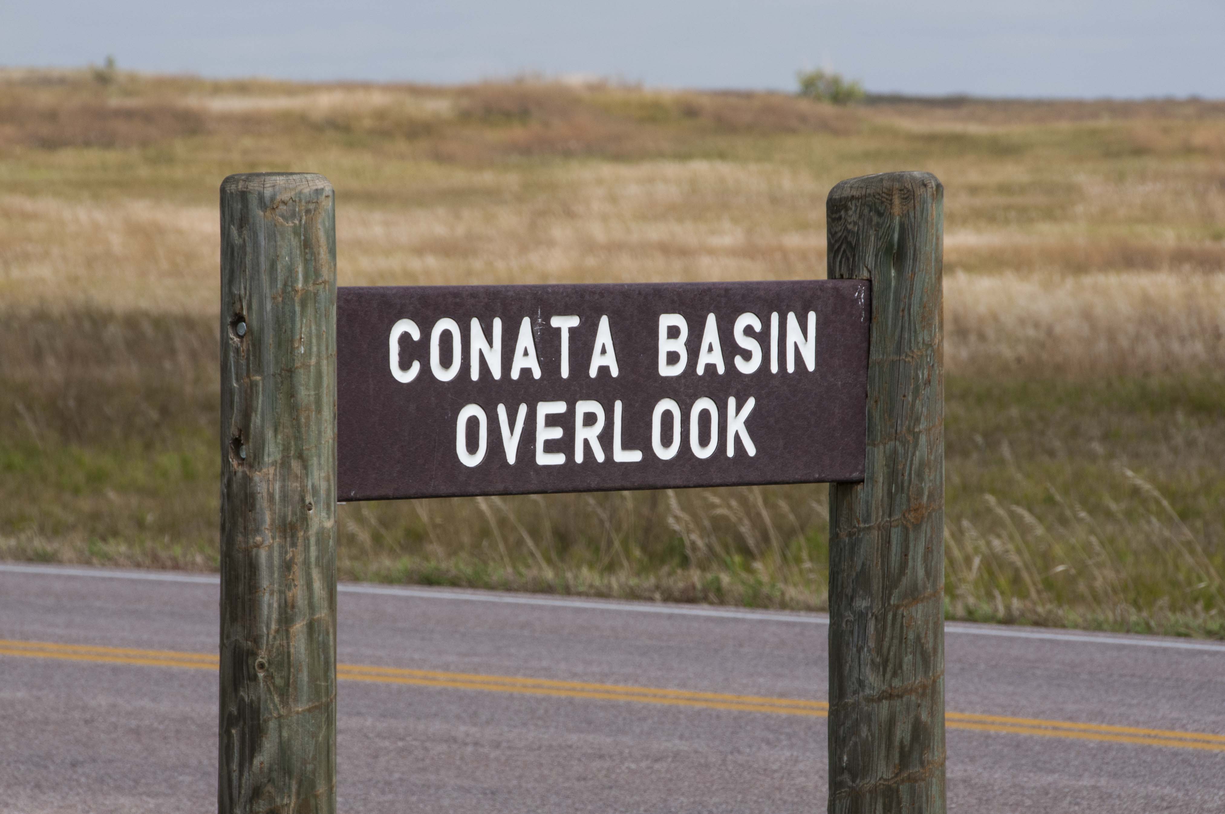
Overlook sign
Yellow mounds viewed from
Conata Basin Overlook
Conata Basin
View from Conata Basin Overlook
Homestead Overlook
Overlook sign

View from Homestead Overlook
Homestead Overlook
Homestead Overlook panorama
Homestead Overlook panorama
Burns Basin Overlook
Overlook sign
Burns Basin Overlook panorama
Burns Basin Overlook
Prairie Wind Overlook
Overlook sign
Prairie view
Prairie Wind panorama
Prairie Wind Overlook
Panorama Point
Oberlook sign

Viewing deck

Panorama Point view
Panorama Point panorama
Panorama Point
Use the form on the Home Page to submit comments, questions, or suggestions. TD Productions Copyright © 2020