Arches National Park
Arches National Park is located 4 miles north of Moab, UT. It has an area of 76,600+ acres and has the highest concentration of sandstone arches in the world (more than 2,000). The park is extremely popular, receiving over 1.5 million visitors a year. I've been to Arches many times, and the photos presented here span a period from 1992 to 2019. I've included side by side photos of the same subject from different years at several points throughout the presentation (more for my own benefit). The presentation unfolds as if you were touring the park, starting at the visitors center and continuing to the end of the park road (check out the park map).
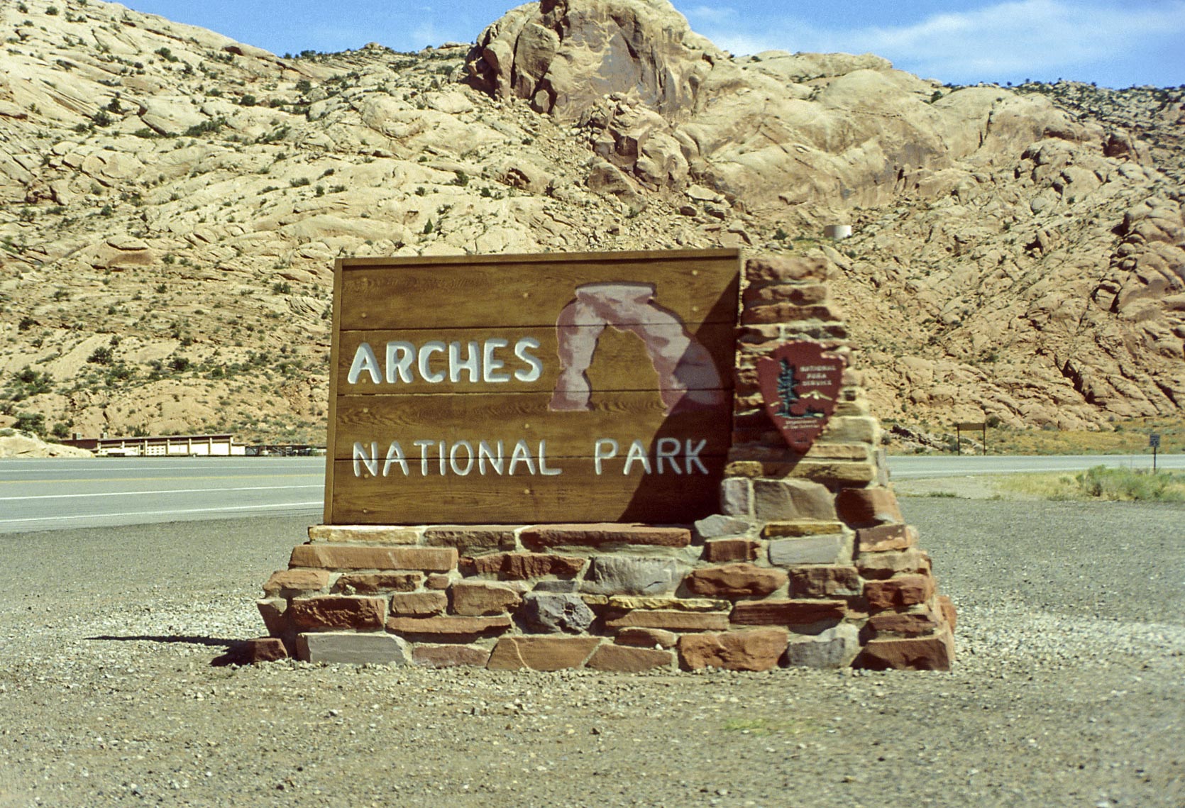
Park Sign (1992)
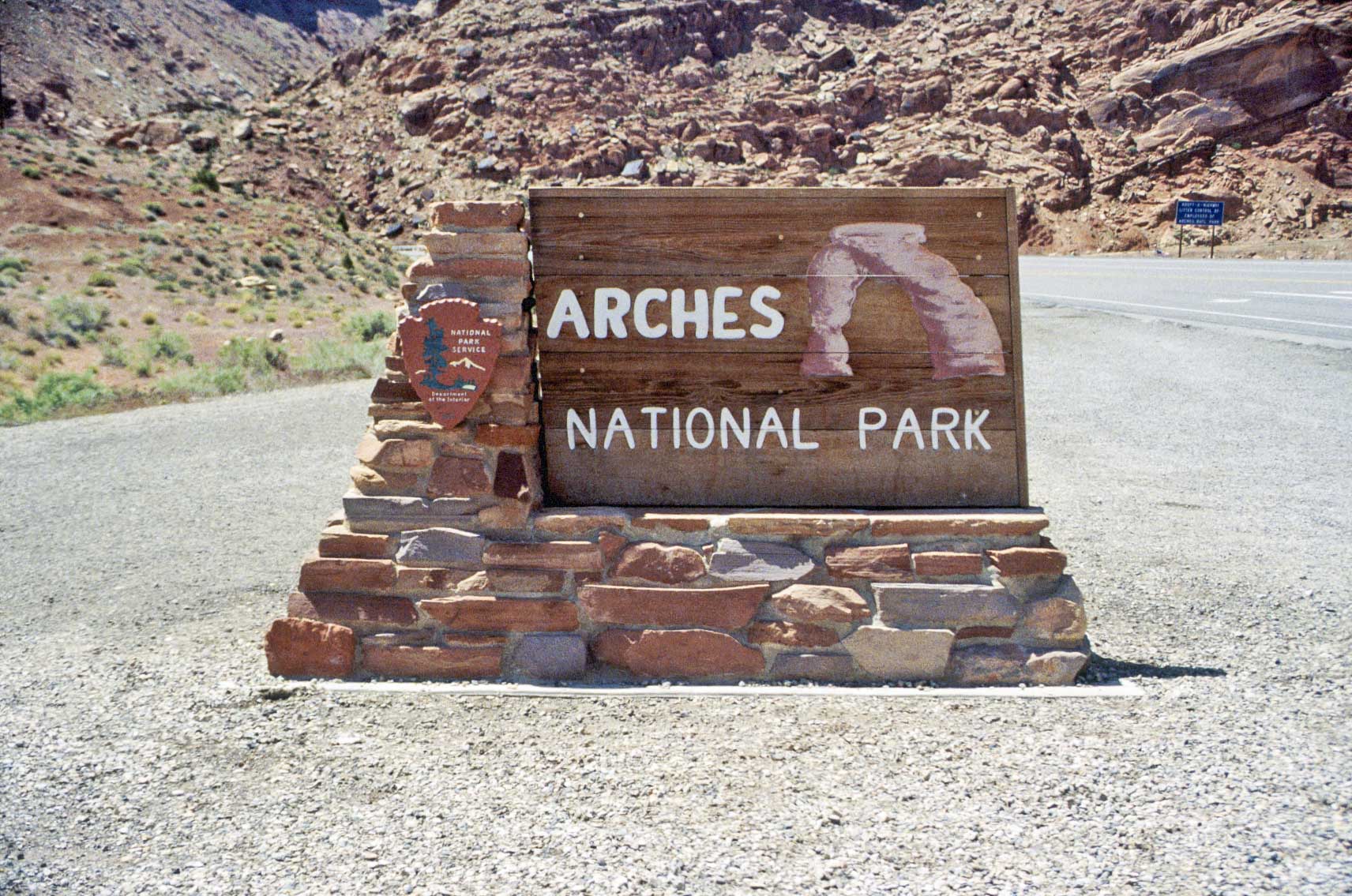
Park Sign (1995)
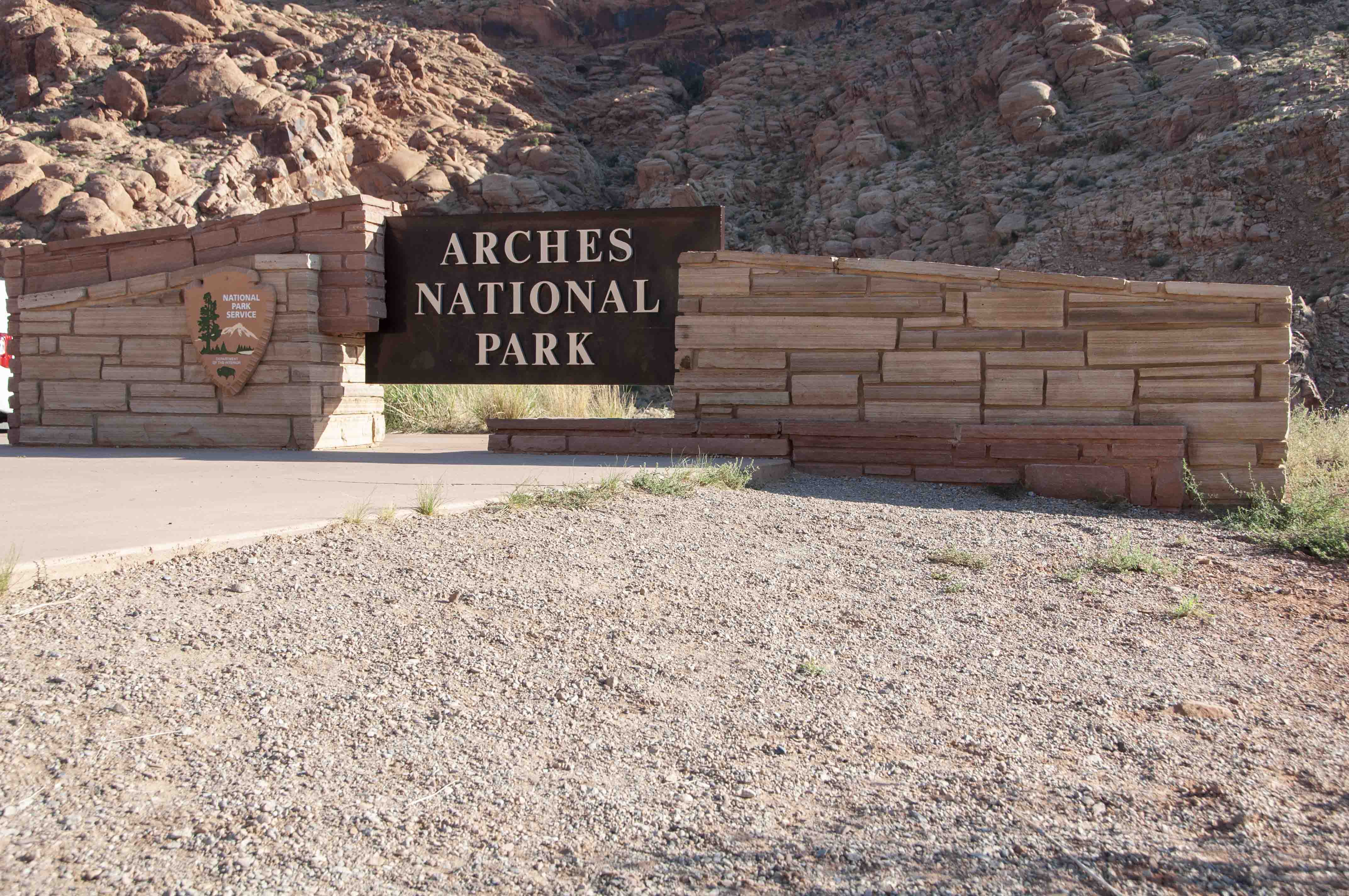
Park Sign (2011)
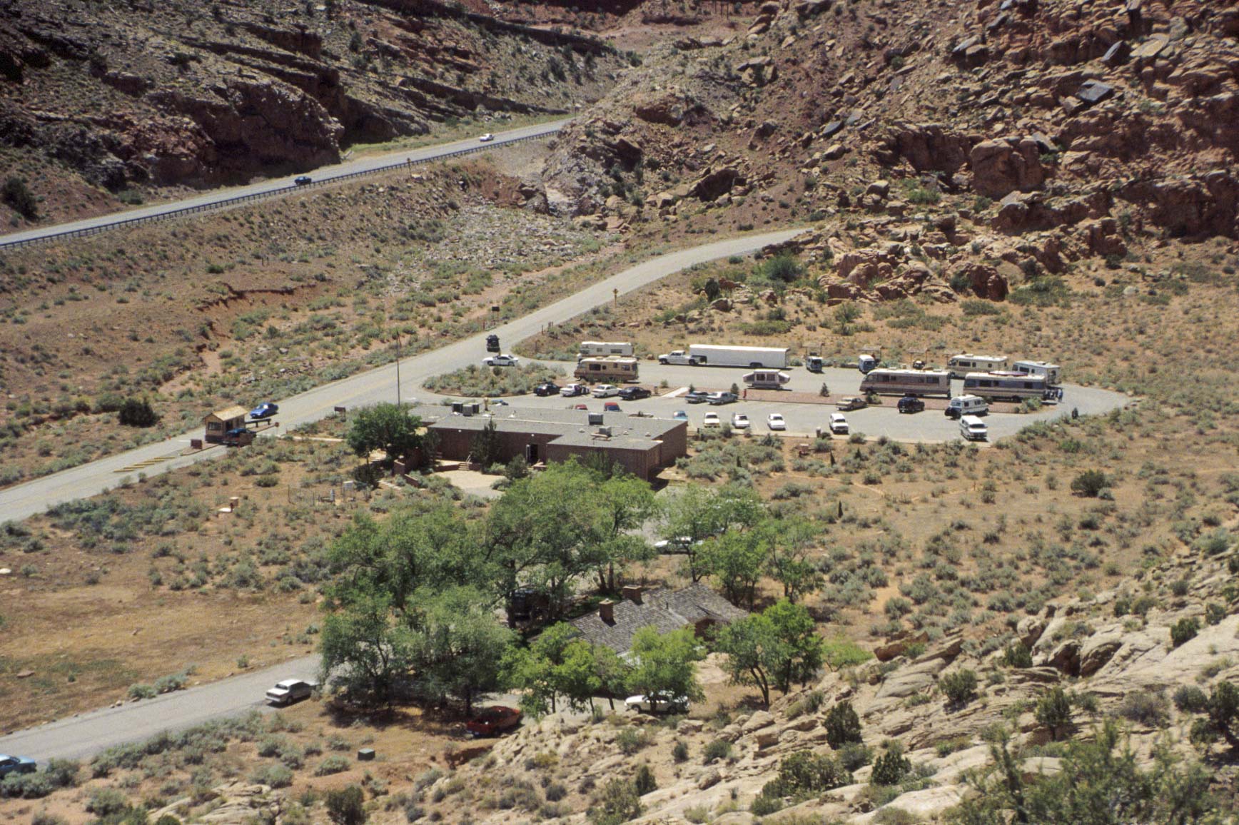
Visitor Center (1995)
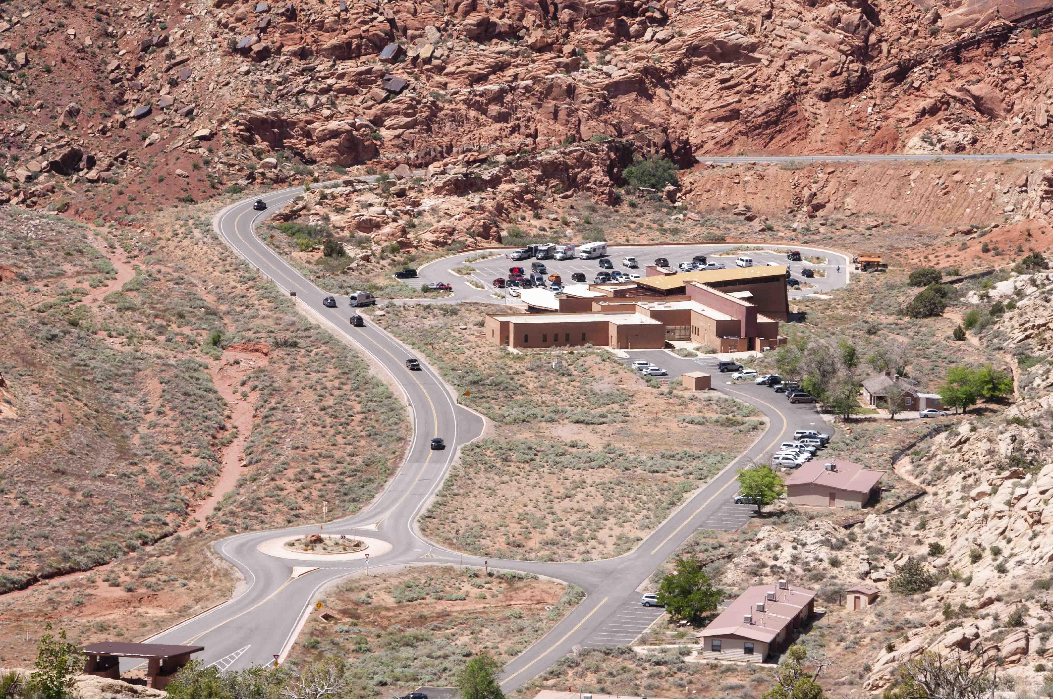
Visitor Center (2019)
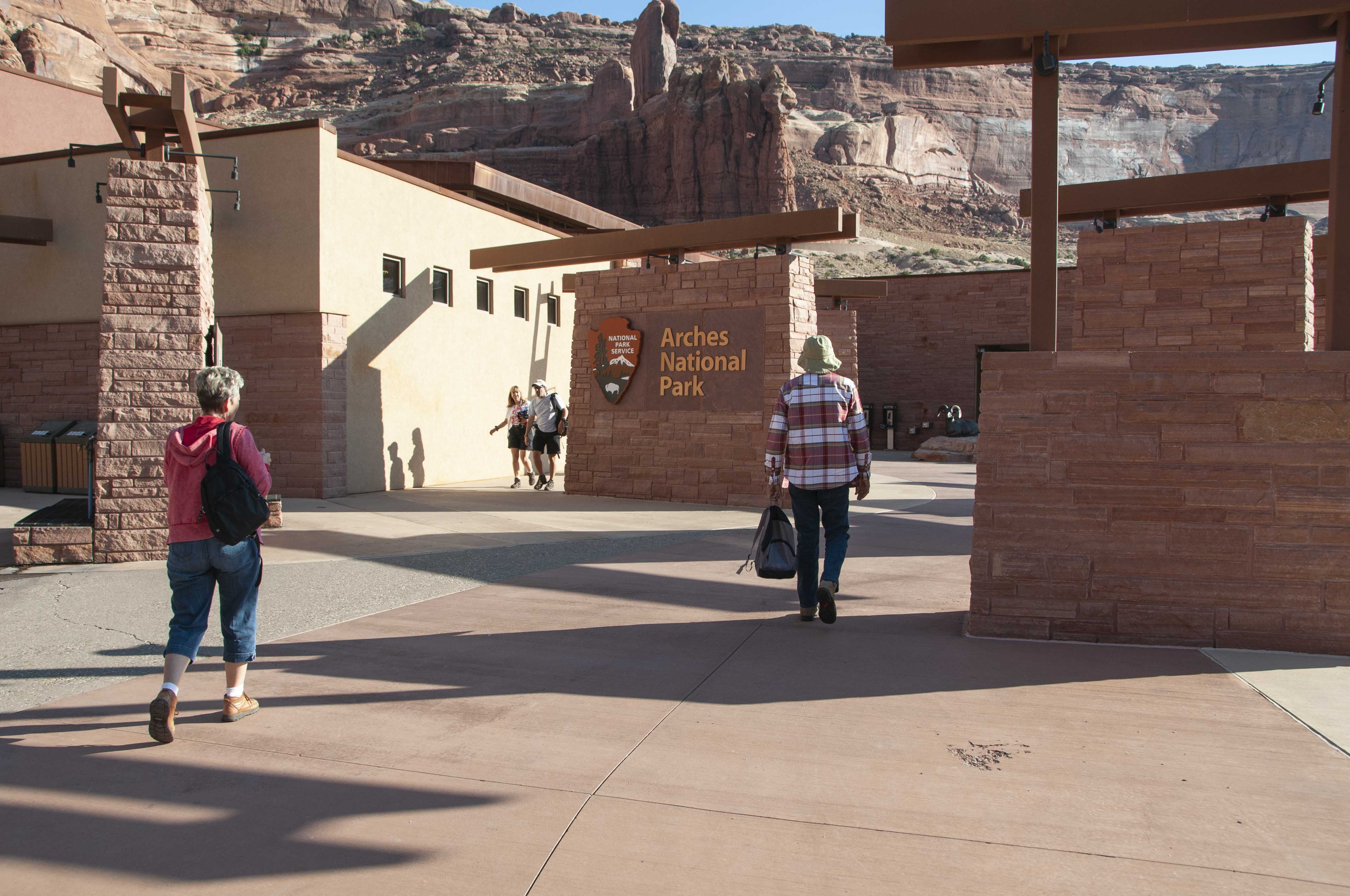
Visitor Center
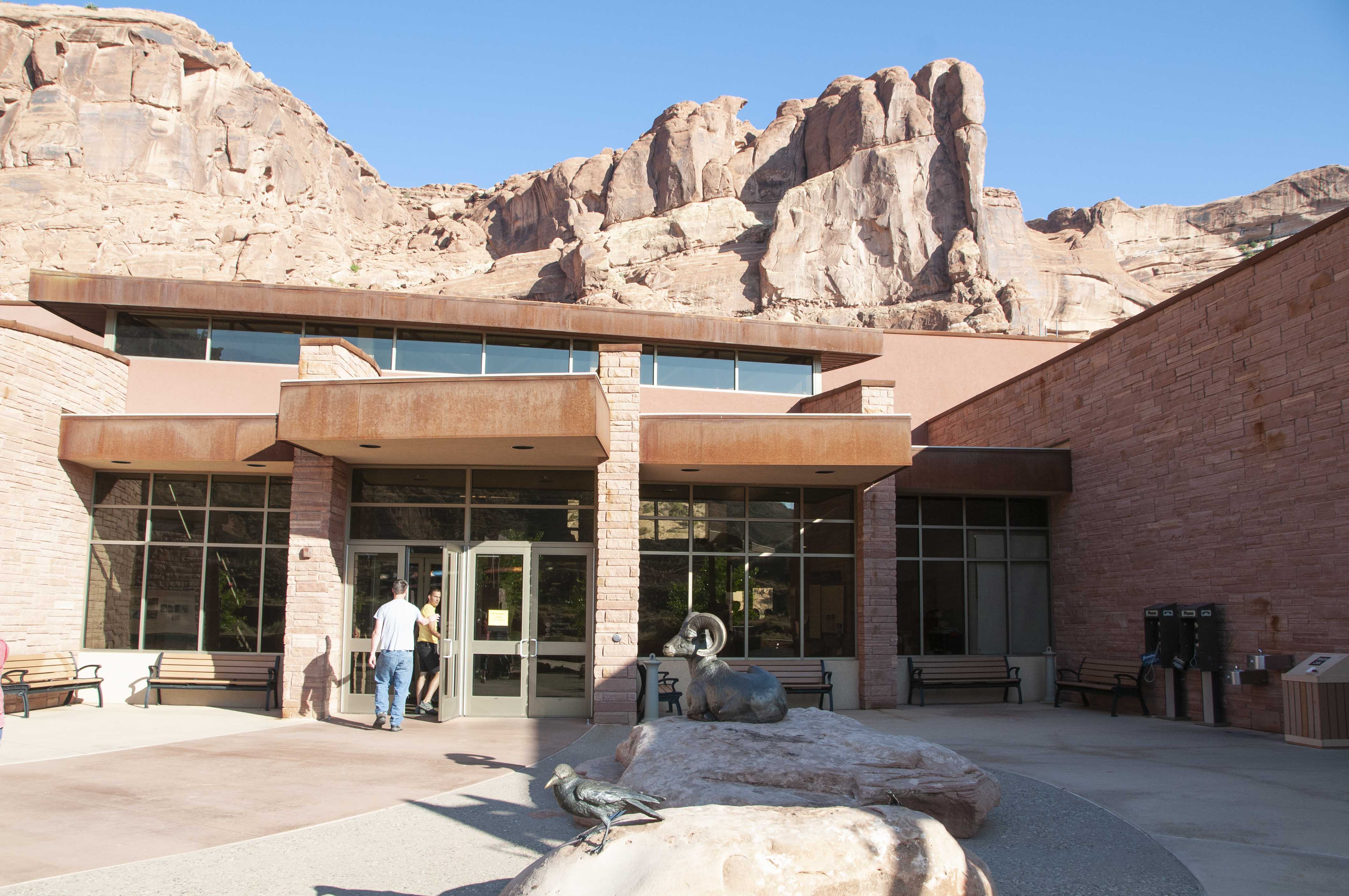
Visitor Center entrance
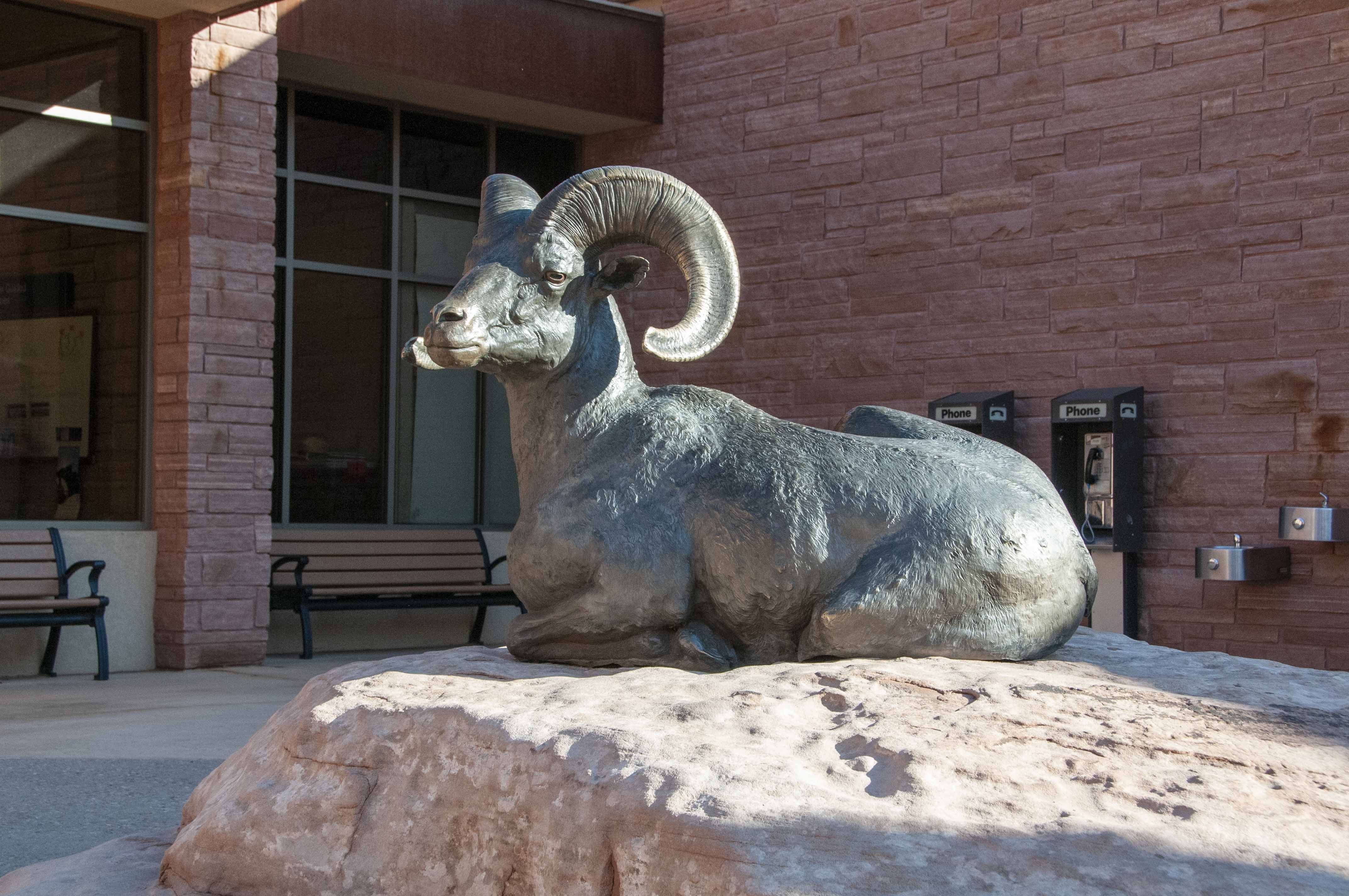
Bighorn Sheep Sculpture
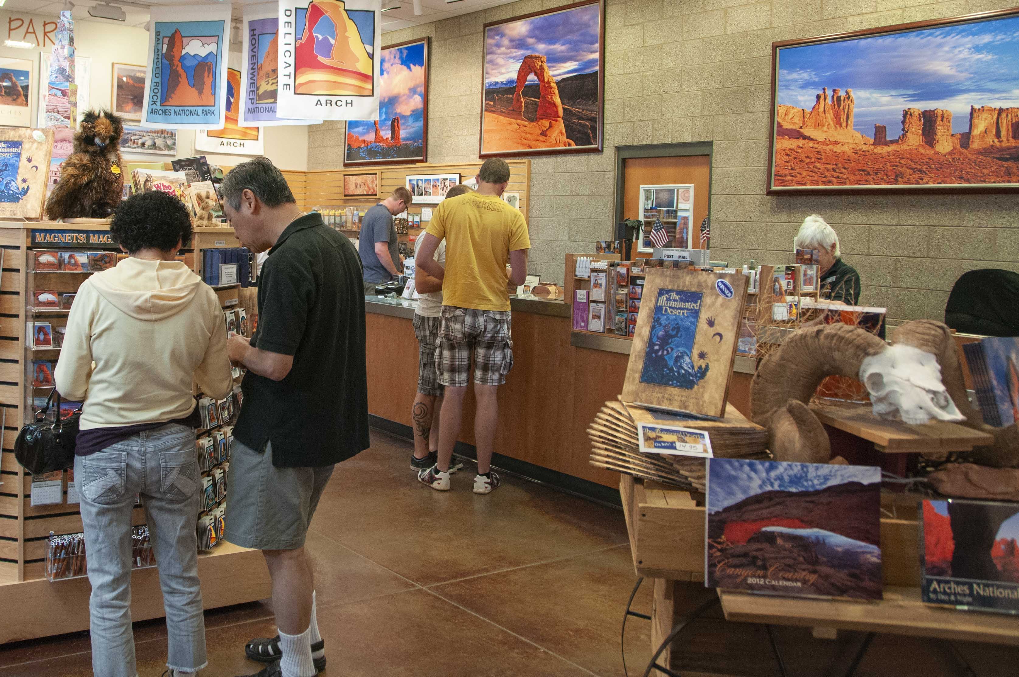
Gift shop
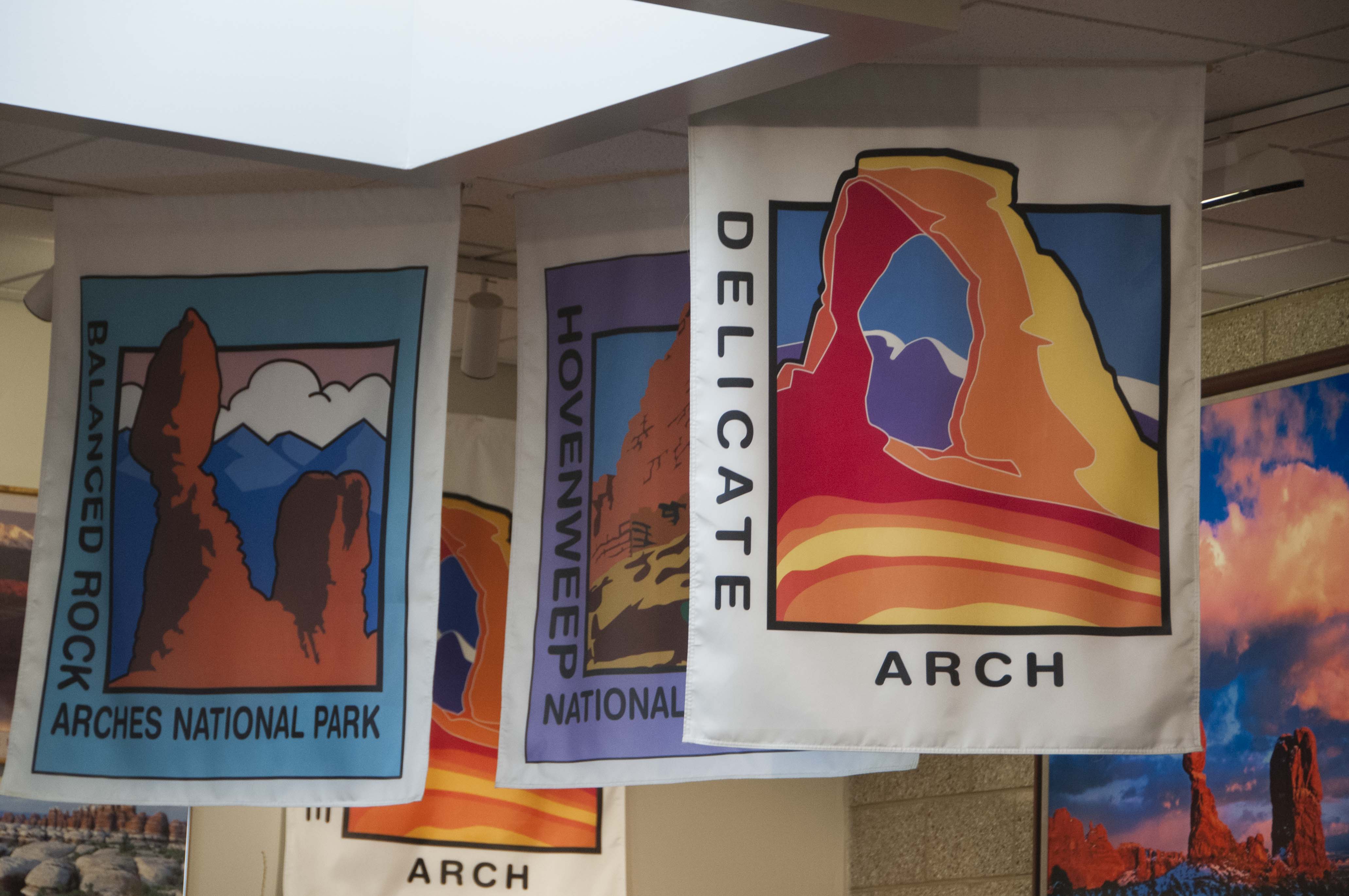
Banners
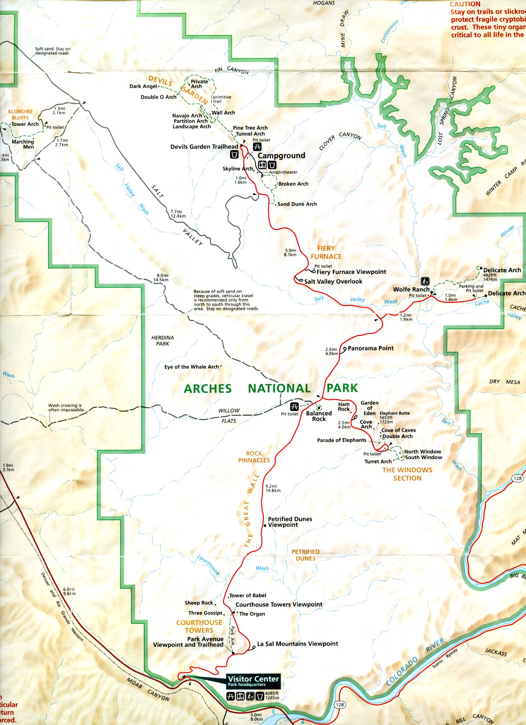
Park map
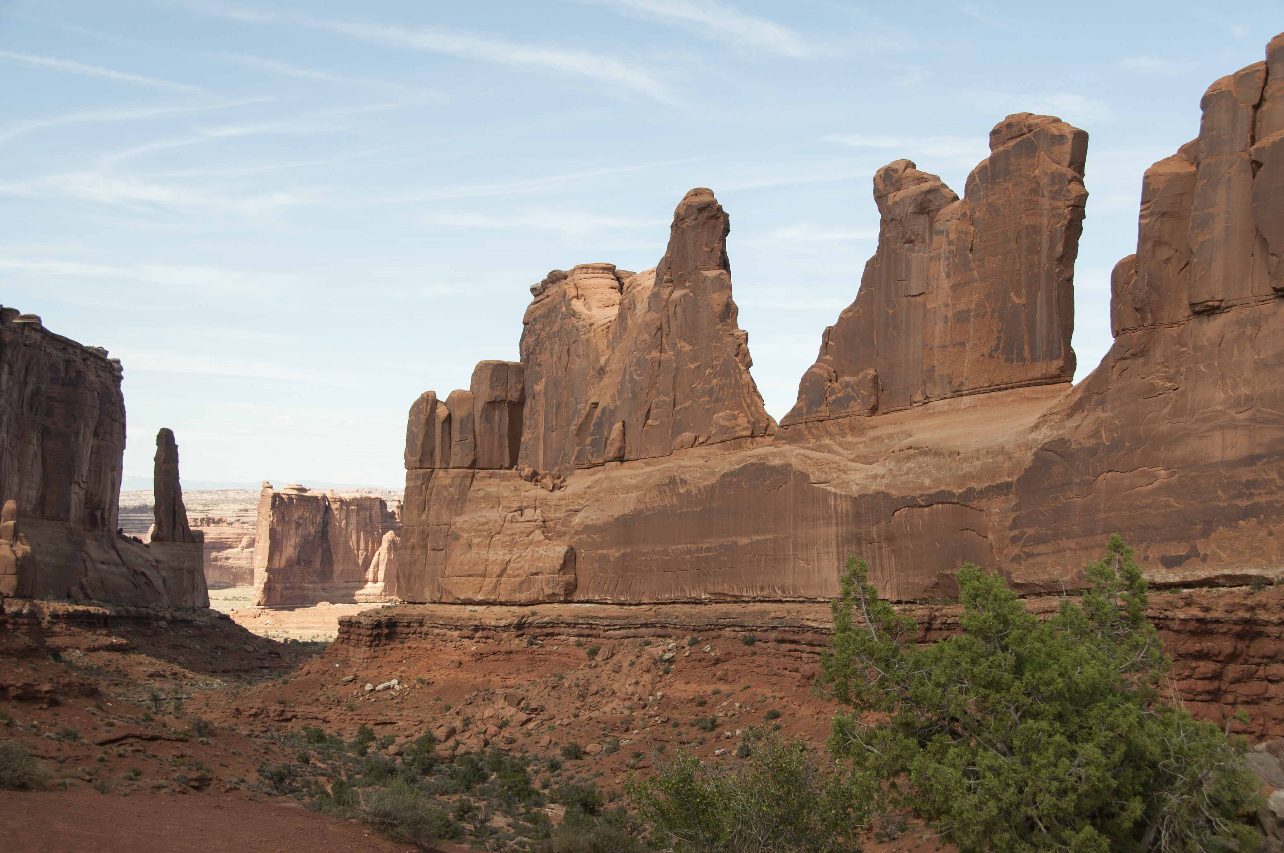
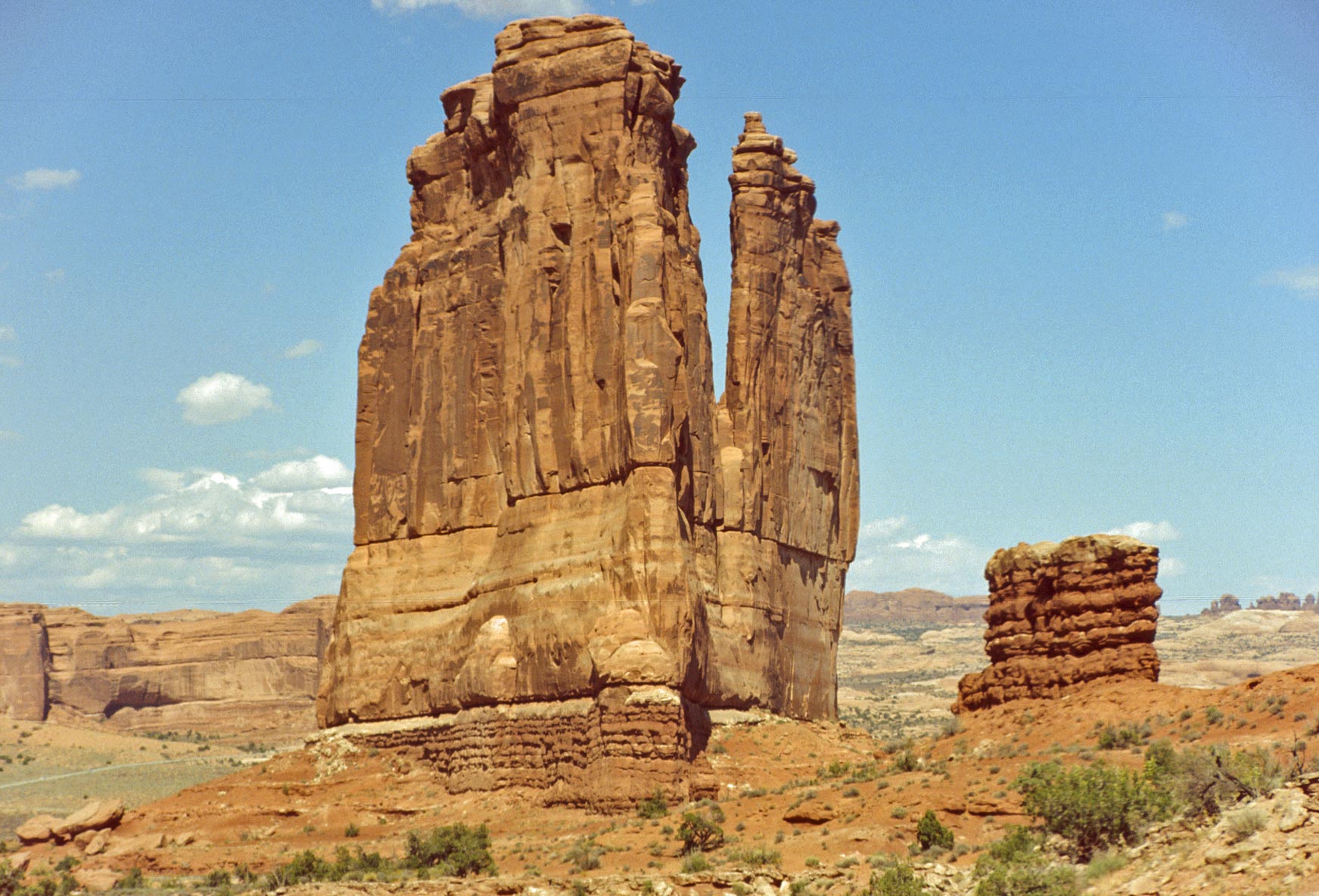
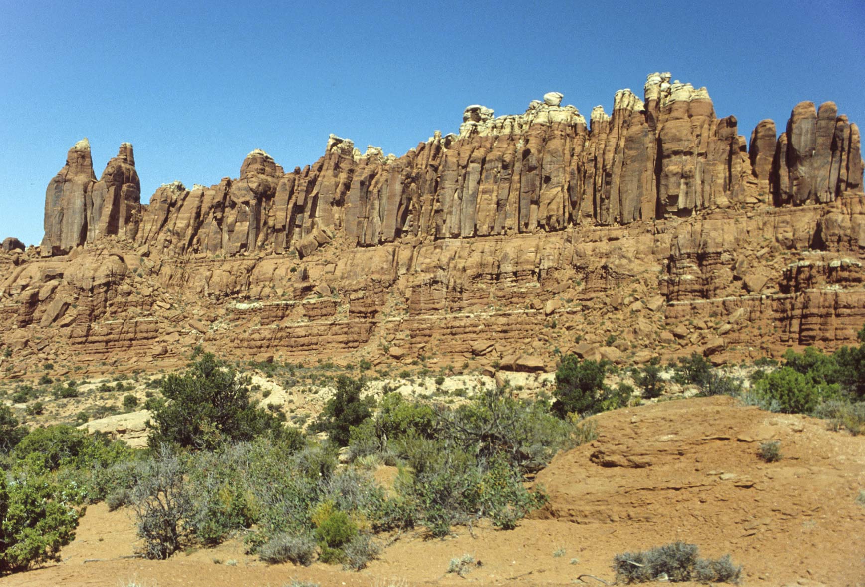
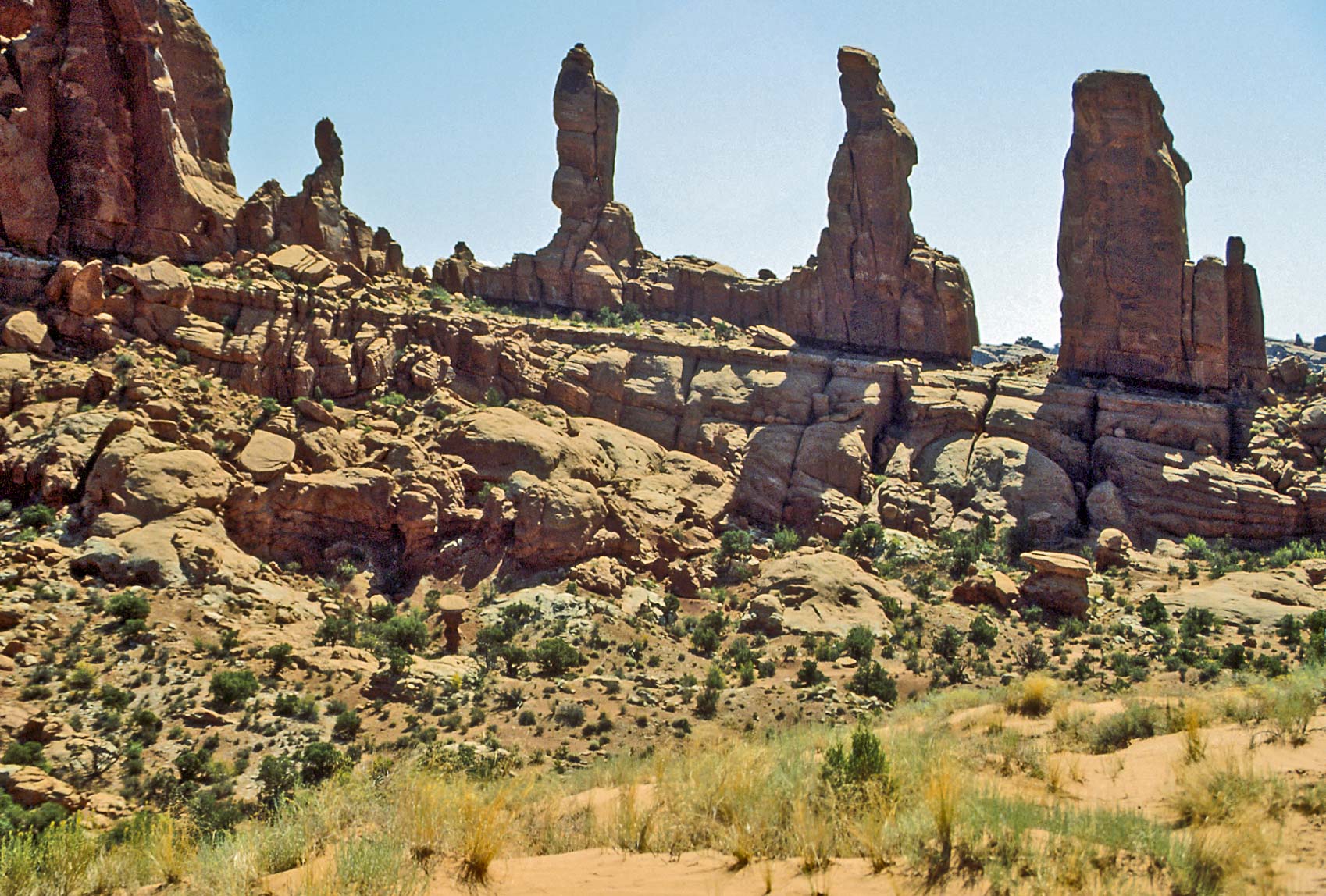
Courthouse Towers
Courthouse Towers is your first stop after entering the park. This
section consists of several gigantic sandstone monoliths. There is
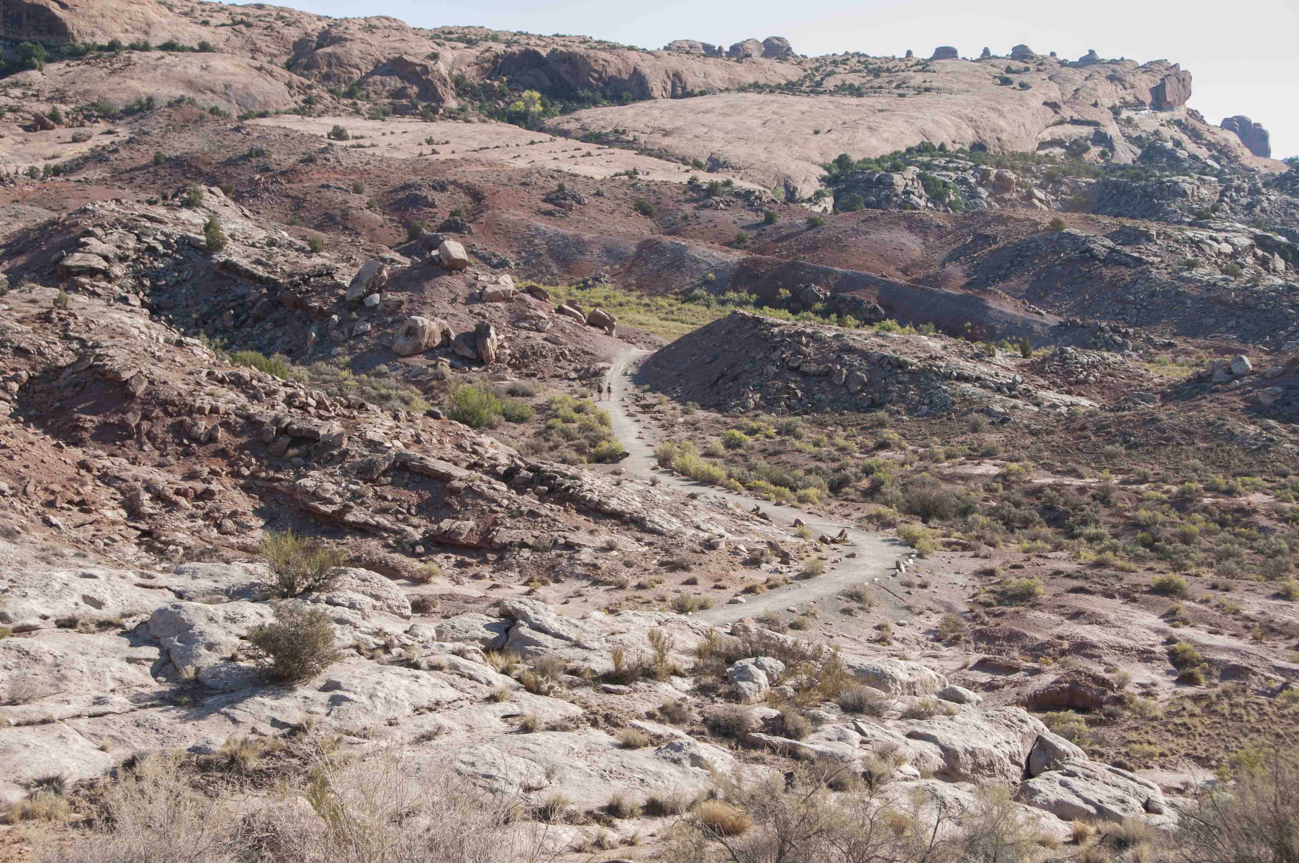
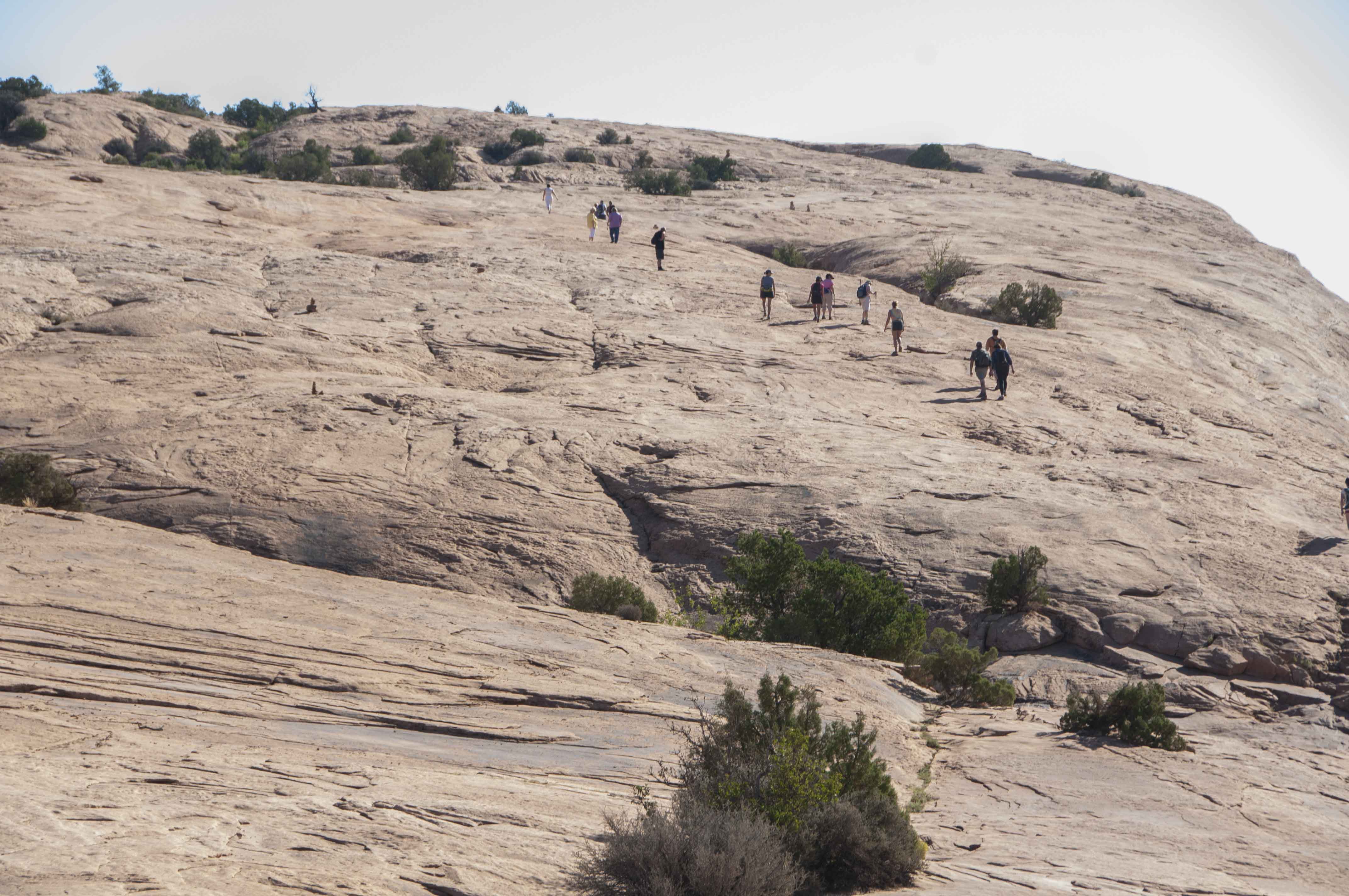
an easy 2 mile (out and back) trail through a part of Courthouse
Towers known as Park Avenue. The hike takes you through a shallow
valley lined on both sides by towering sandstone formations that
sort of look like skyscrapers, hence the name. There are parking lots
at both ends of the trail, so if you have two vehicles available you
only have to hike one mile from one to the other.

Courthouse Towers
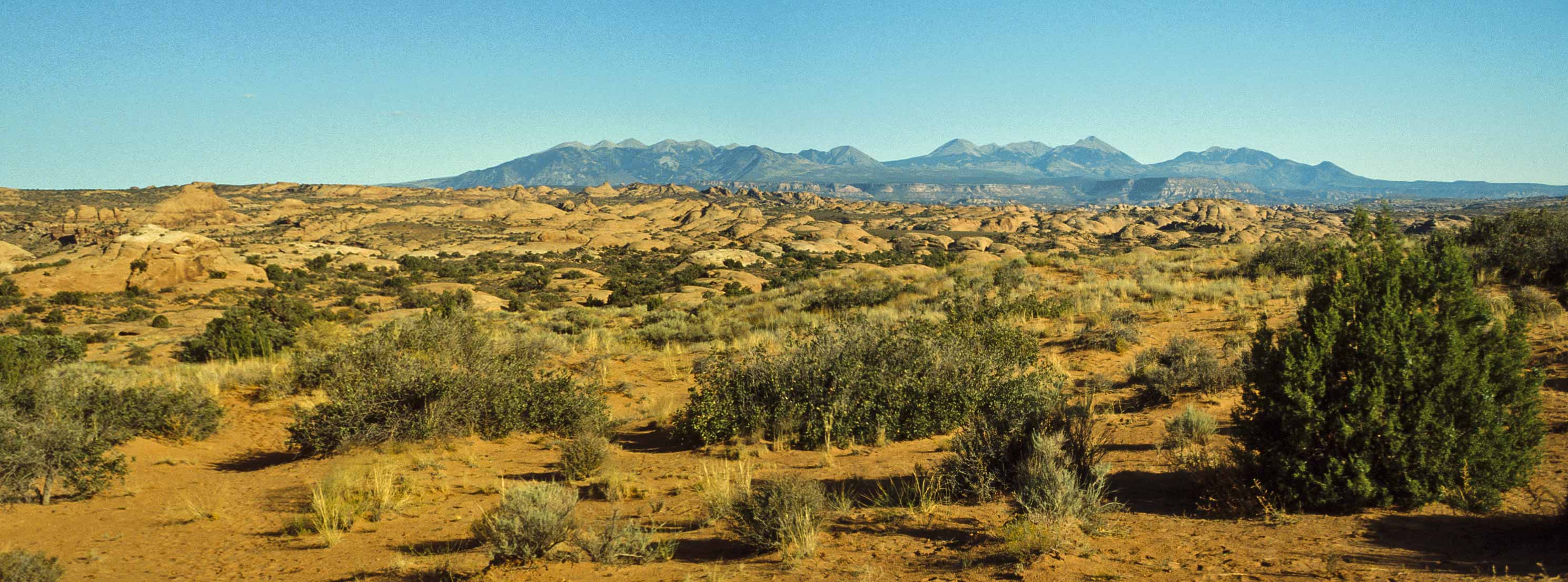
Petrified Dunes (La Sals on the horizon)
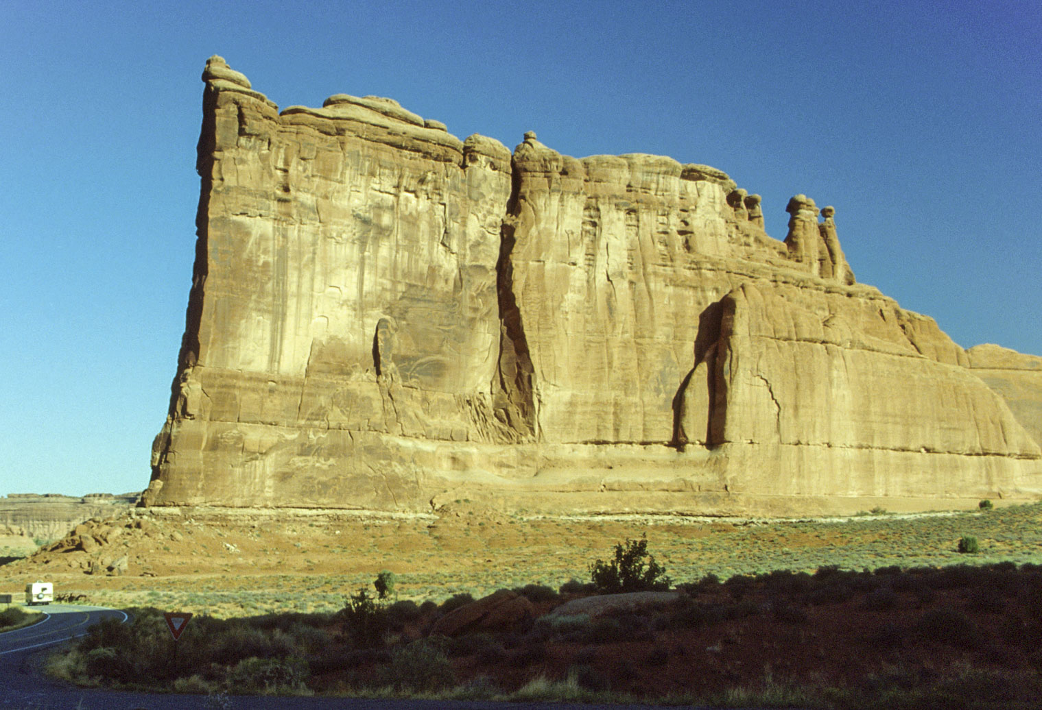
Tower of Babel
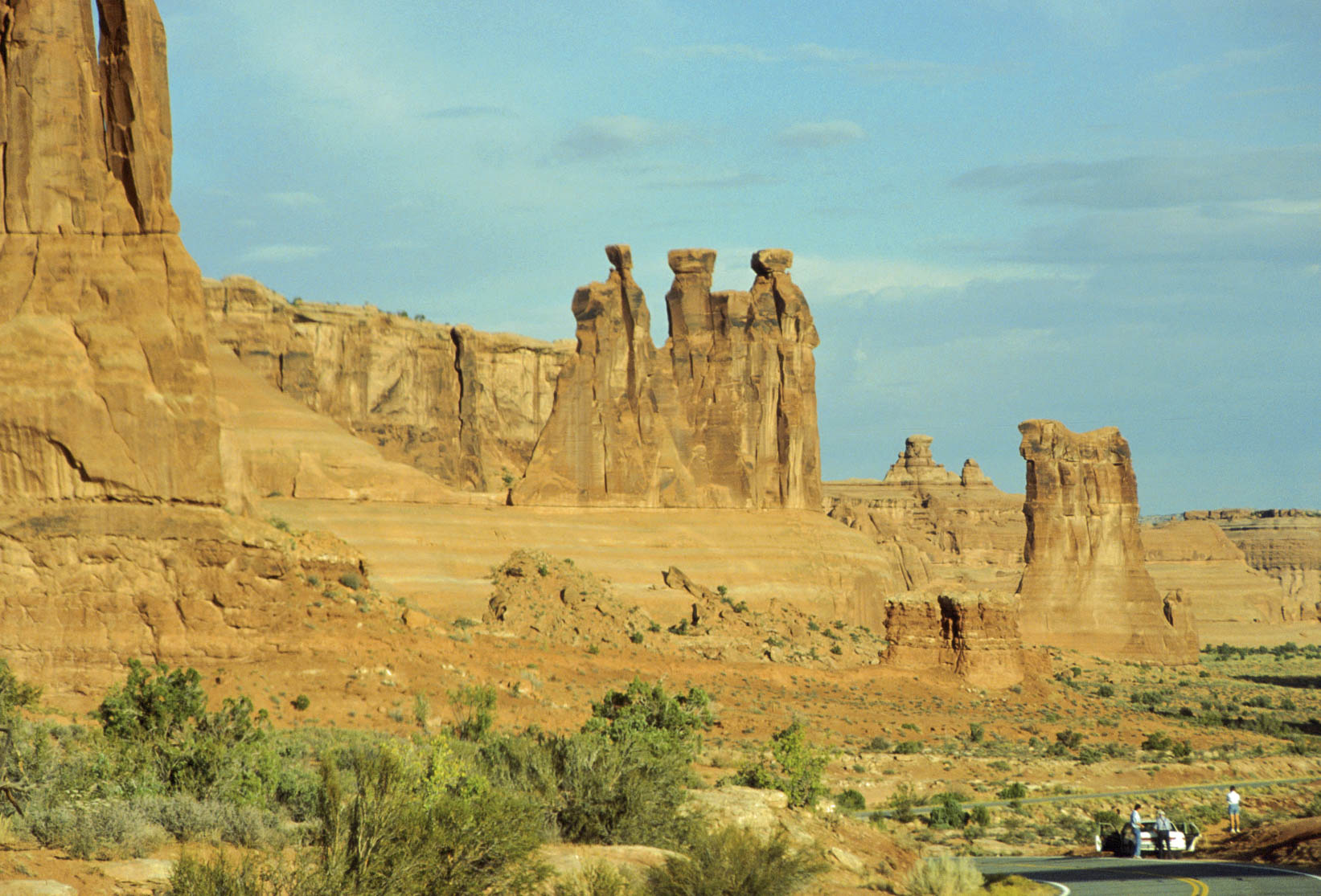
Three Gossips and Sheep Rock (1992)
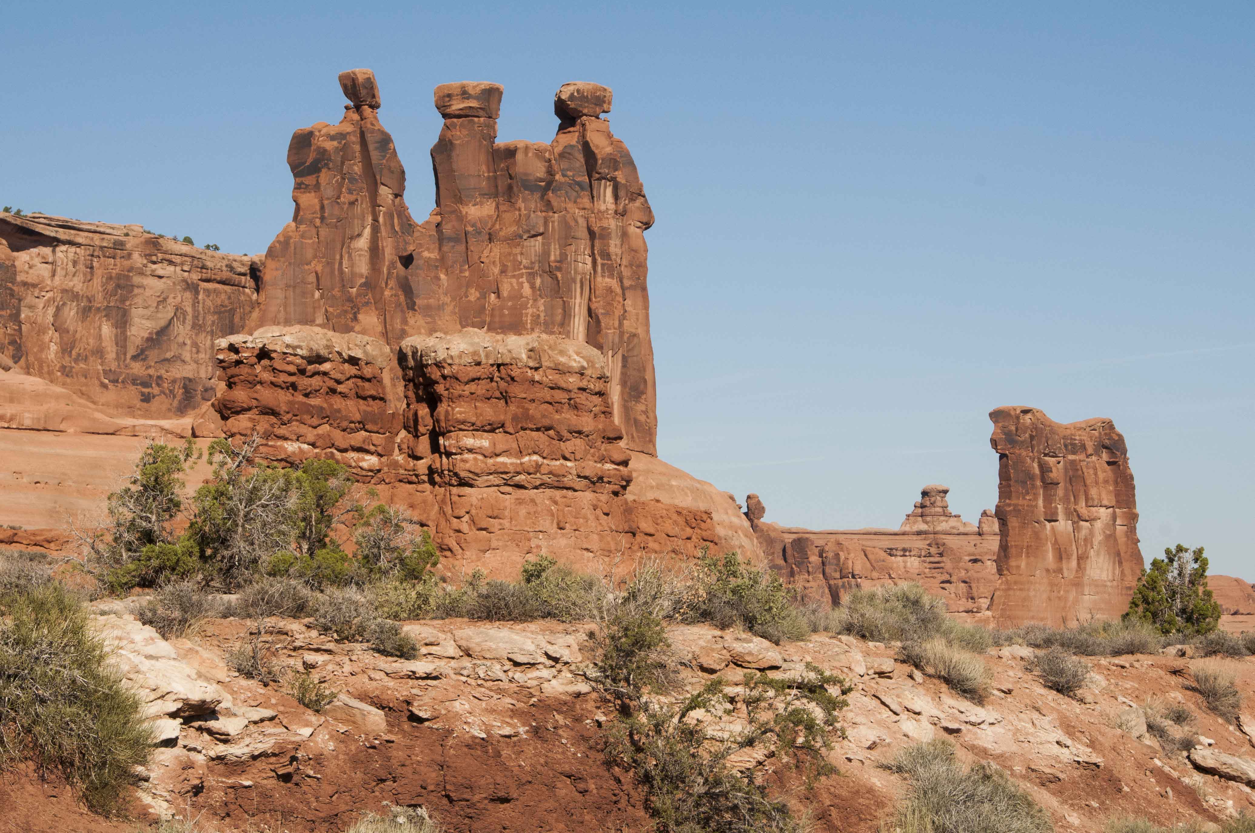
Three Gossips and Sheep Rock (2011)
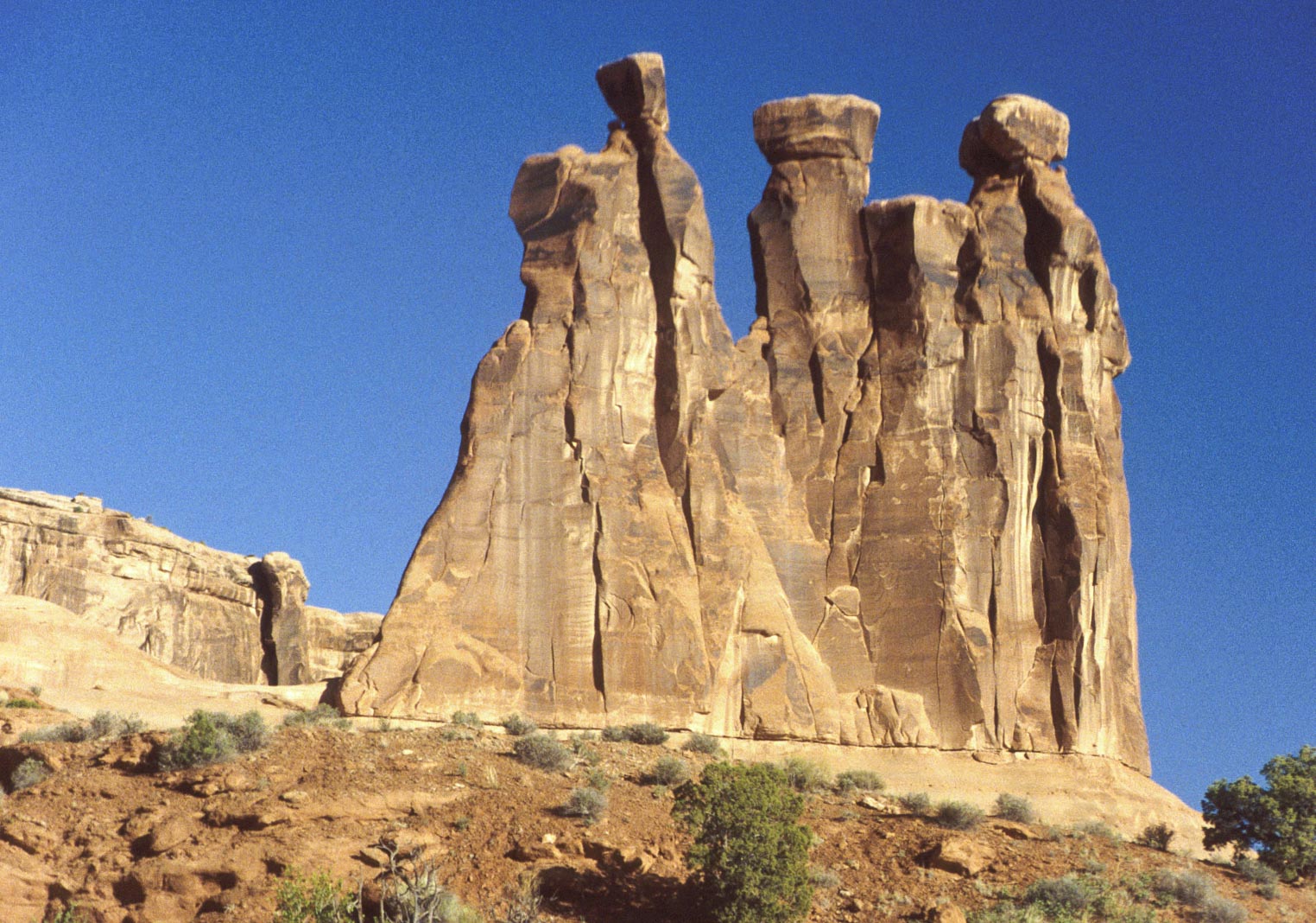
Three Gossips
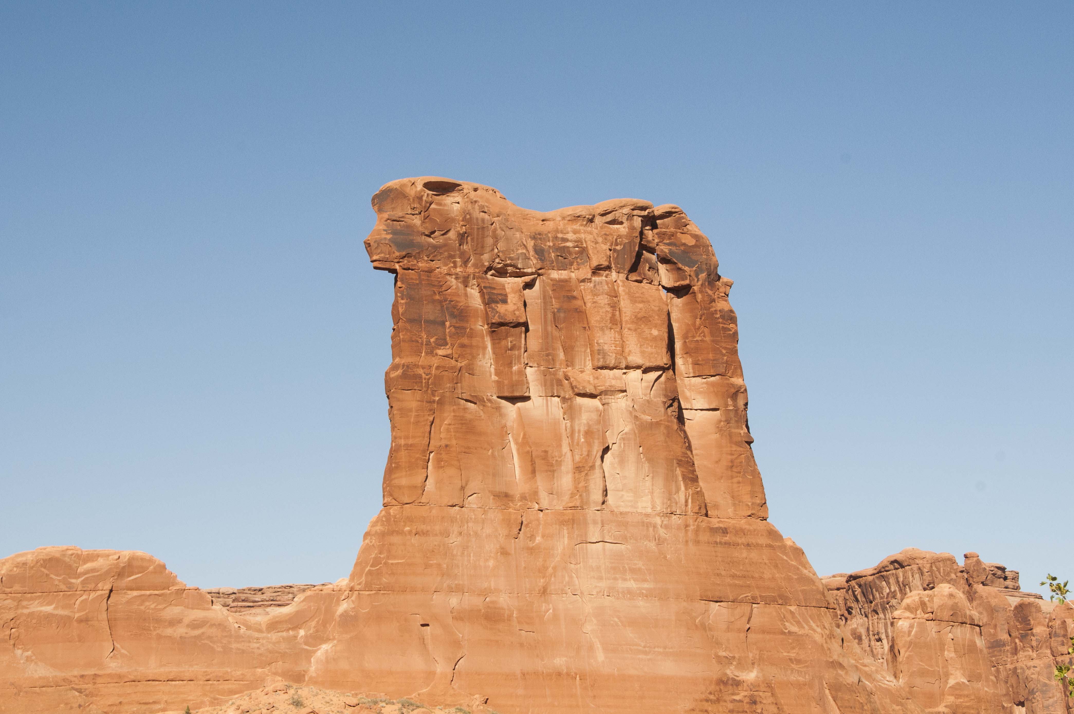
Sheep Rock
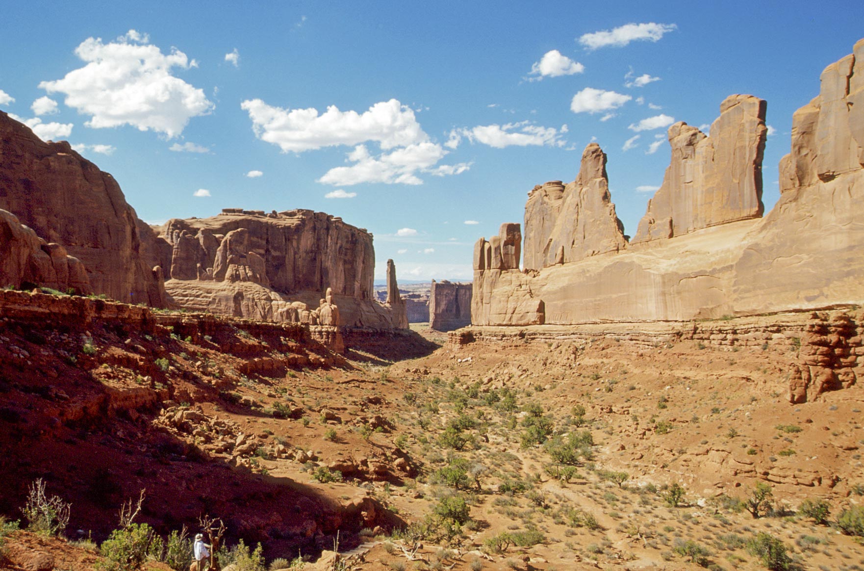
Park Avenue (2008)
Park Avenue (2011)
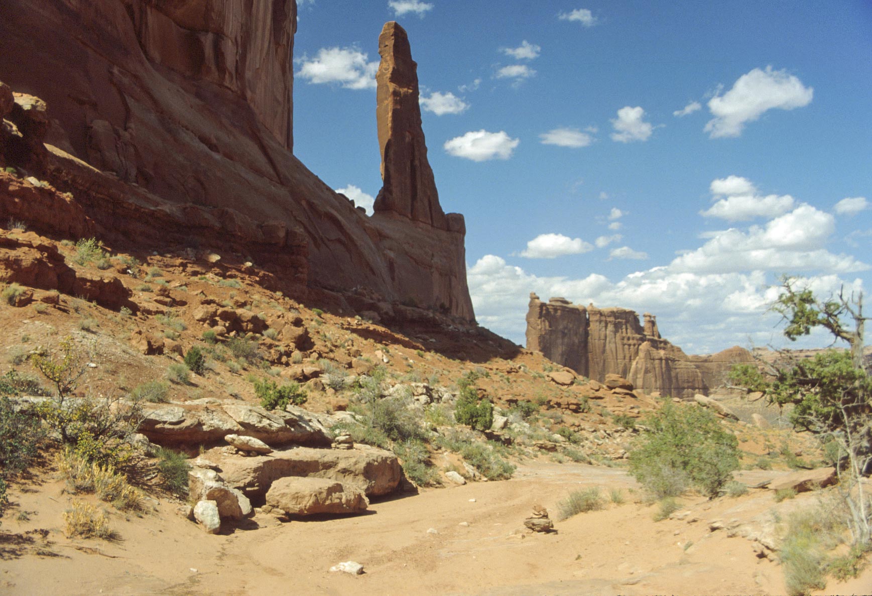
Park Avenue
The Organ
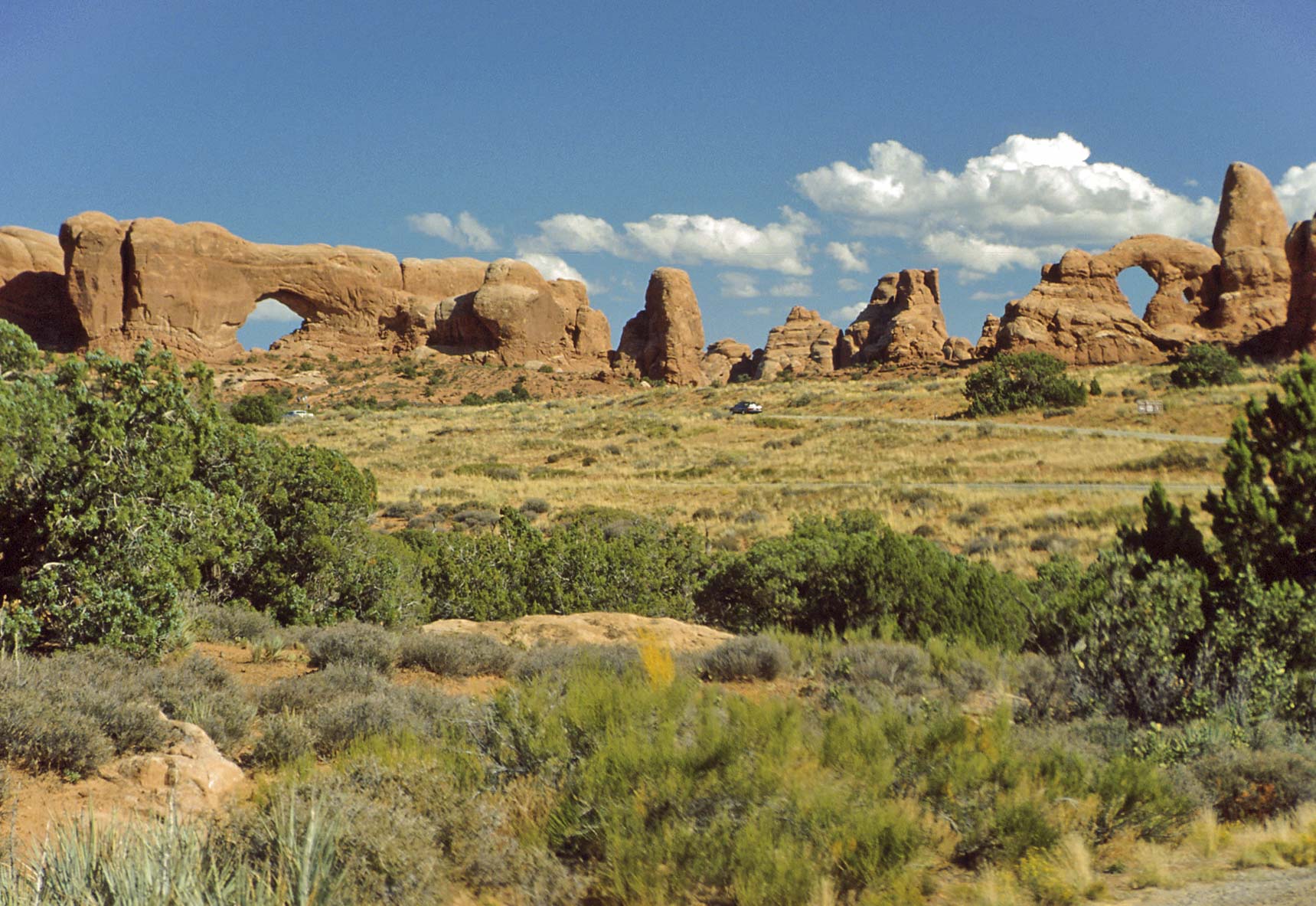
The Windows Section
The next section of the park after Courthouse Towers is the
Windows Section. This section has both Entrada sandstone
formations and arches.

La Sal Mountains and the Windows Section
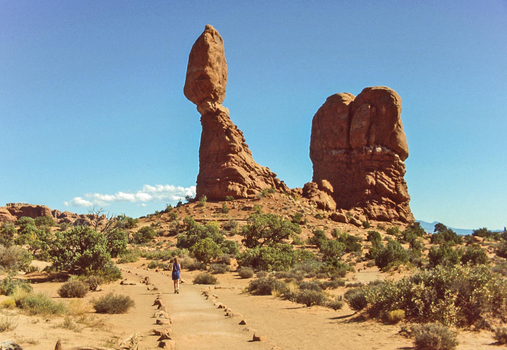
Balanced Rock (1992)

Balanced Rock (2011)
Deadwood
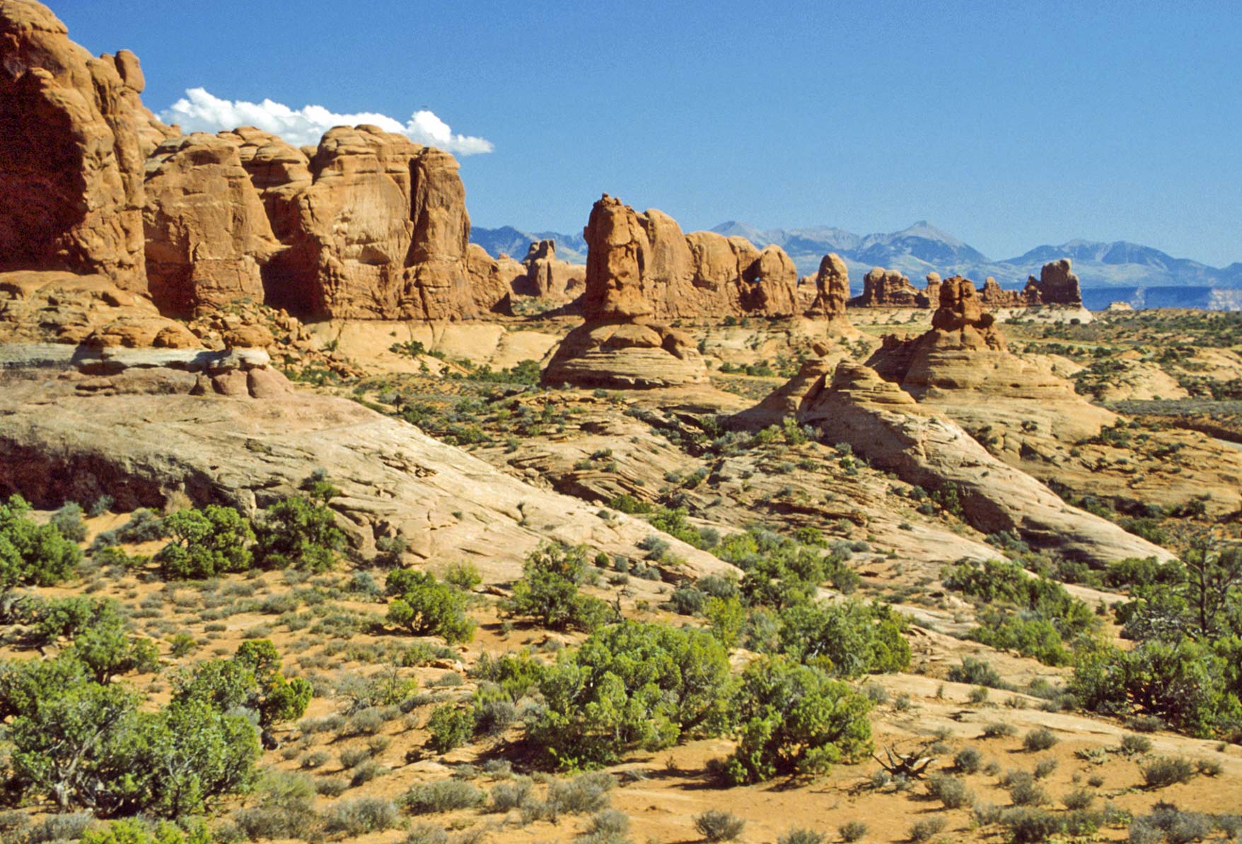
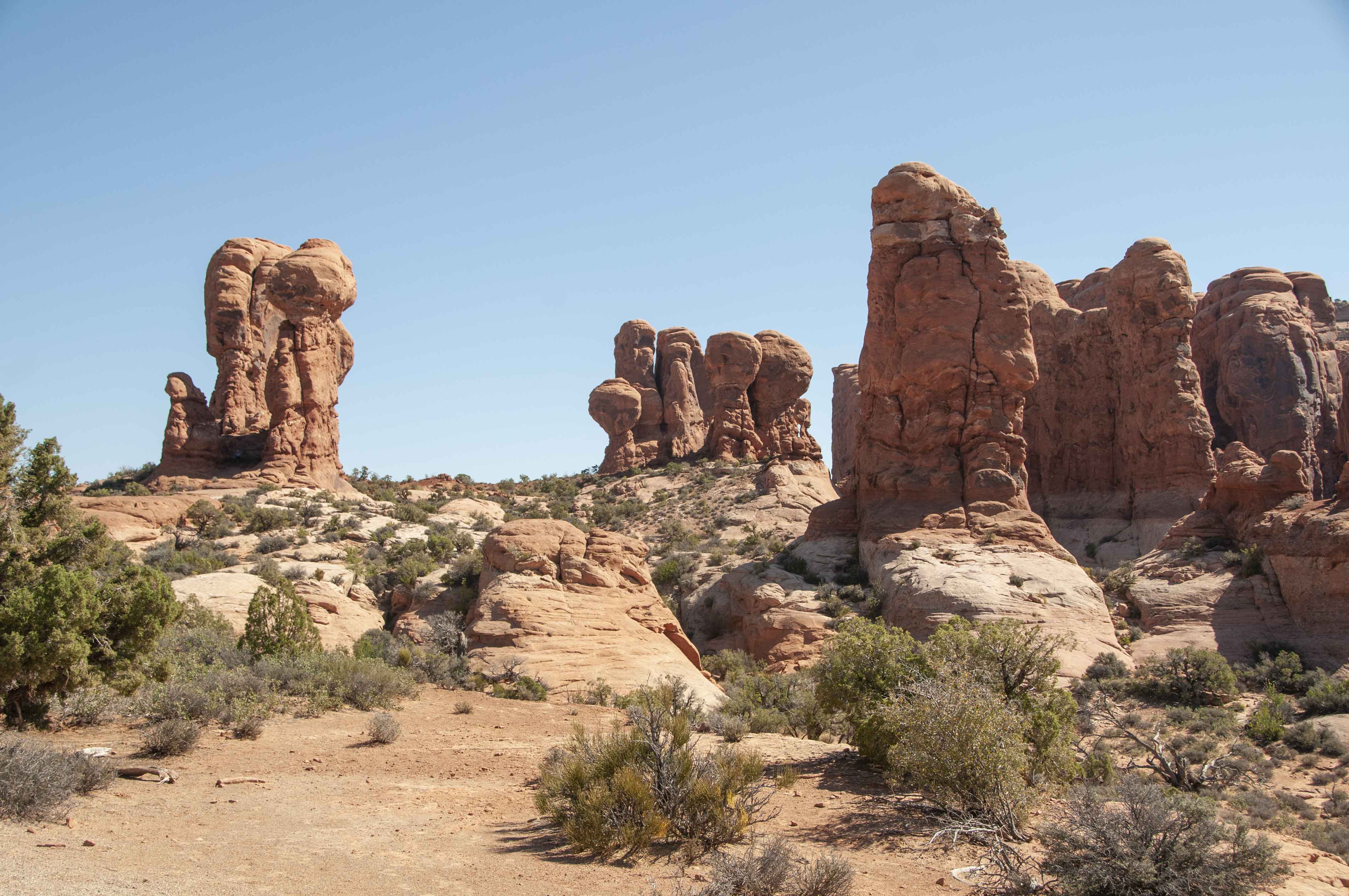
Windows Section
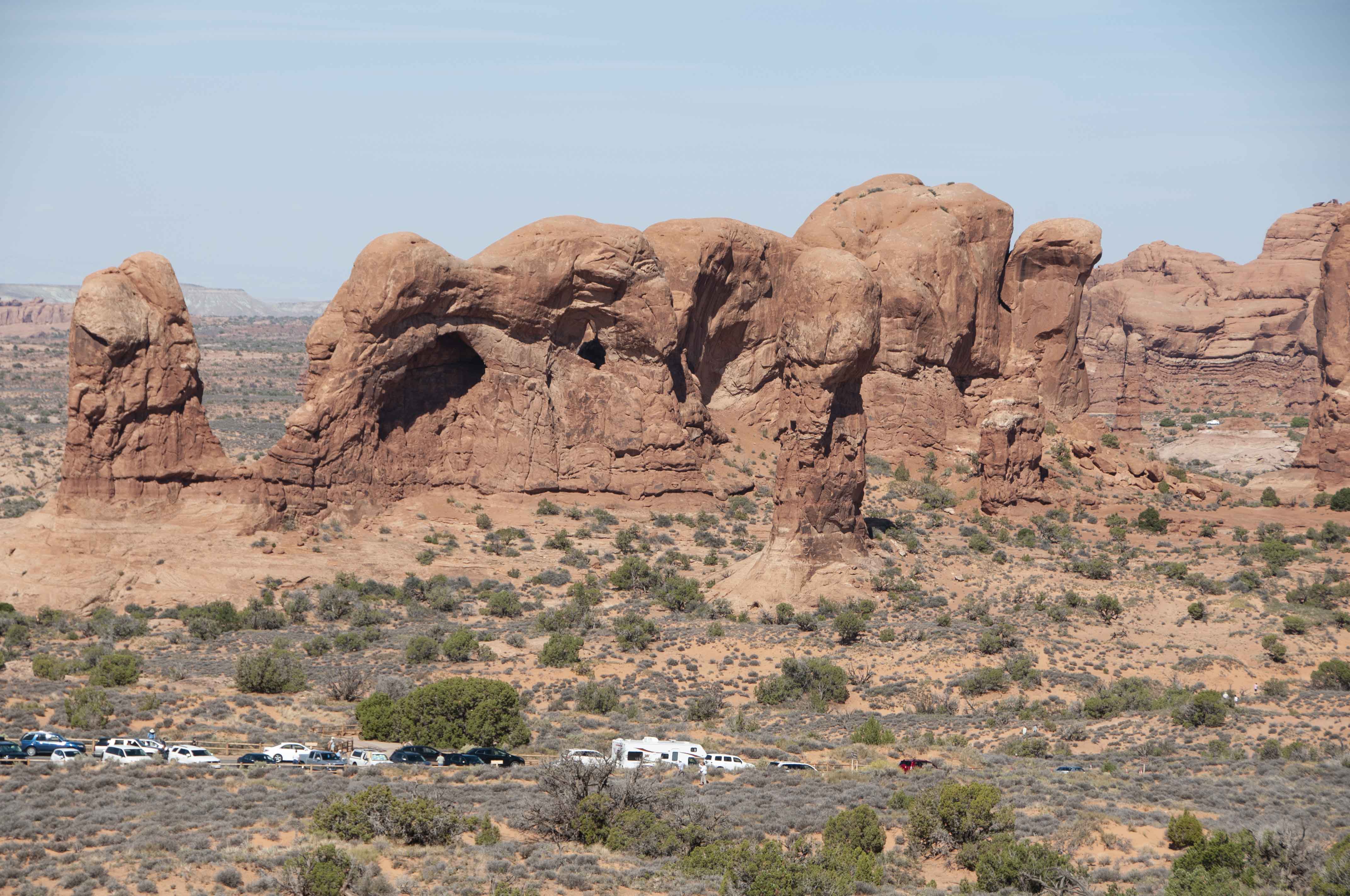
Parade of Elephants
Double Arch (left) and Cove of Caves

Double Arch
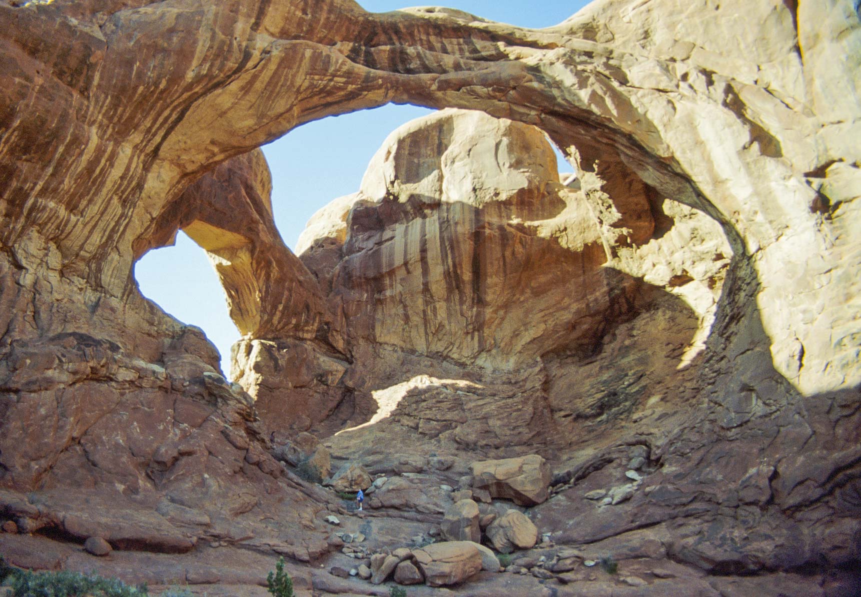
Double Arch
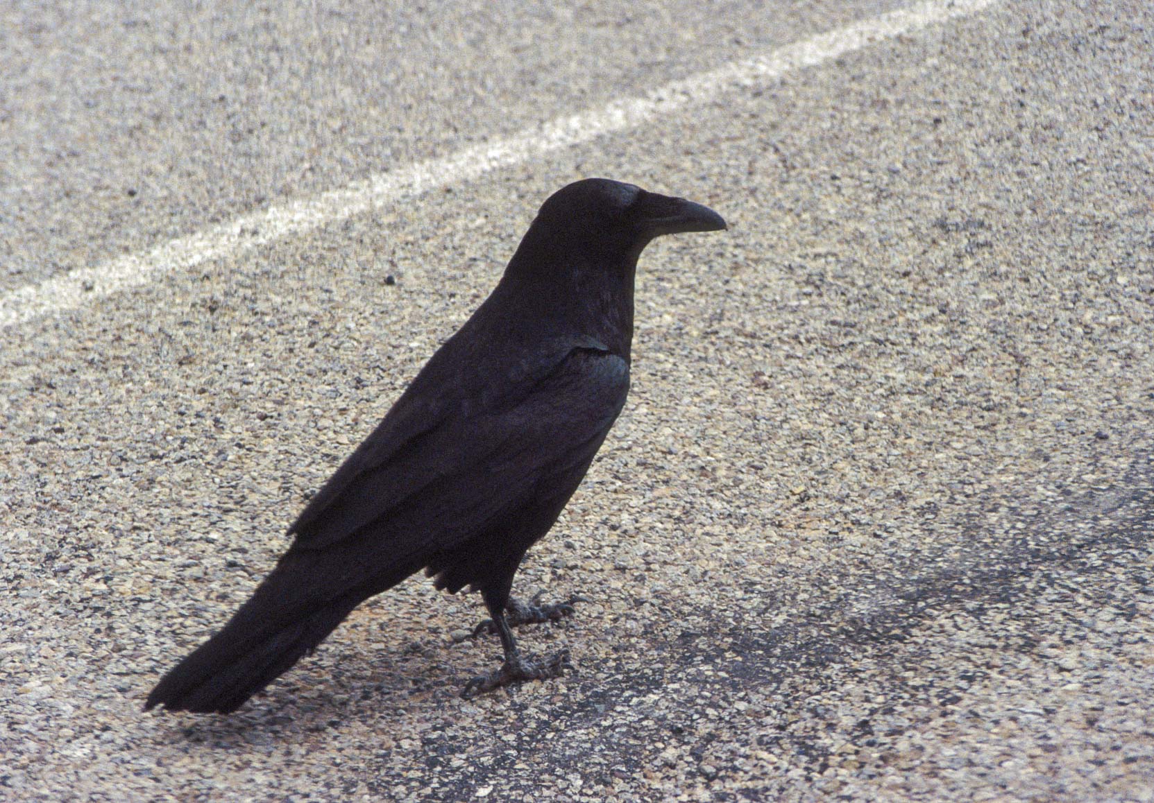
Common raven
(Corvus corax)
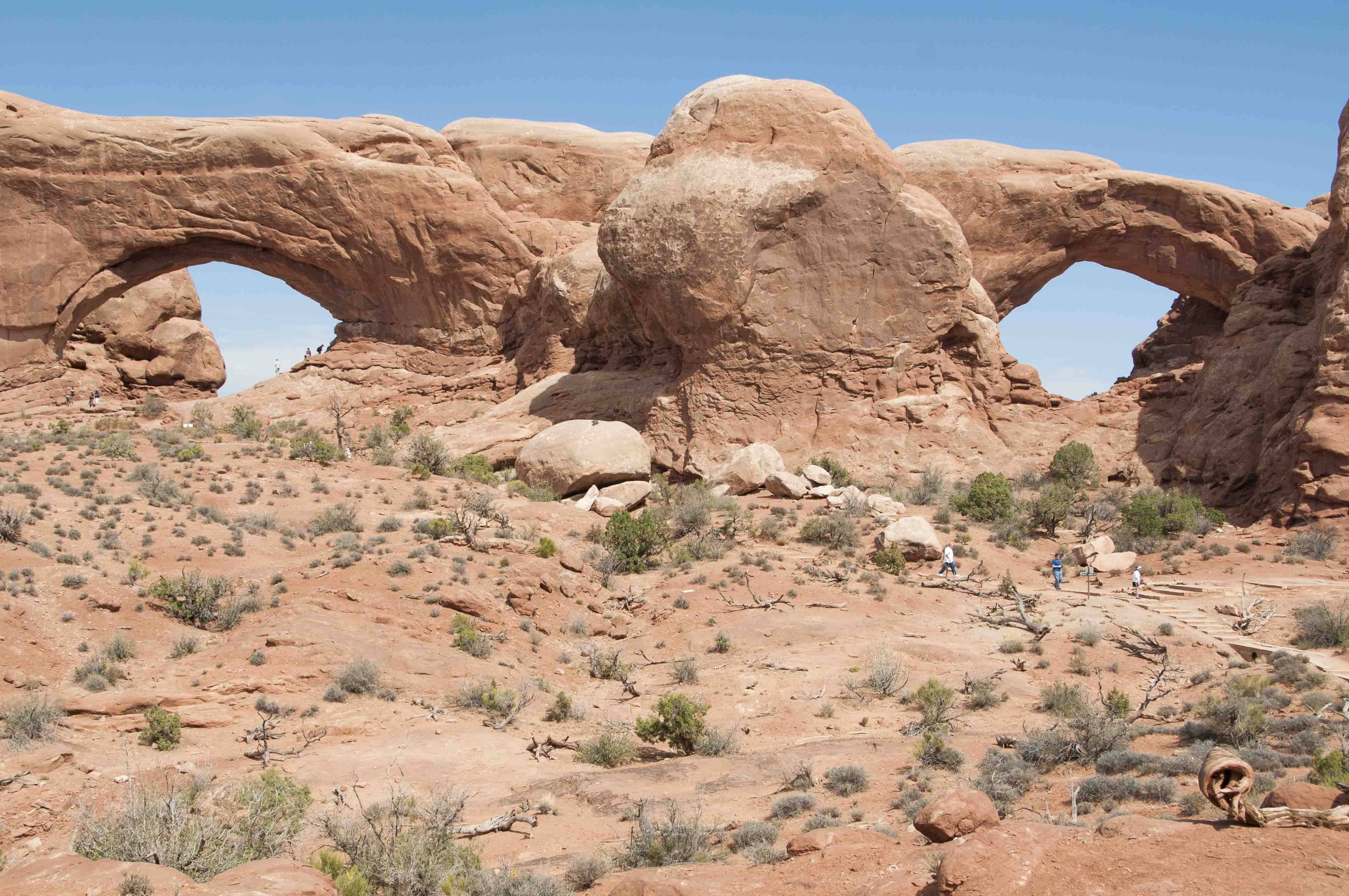
North and South Windows
North Window and Turret Arch
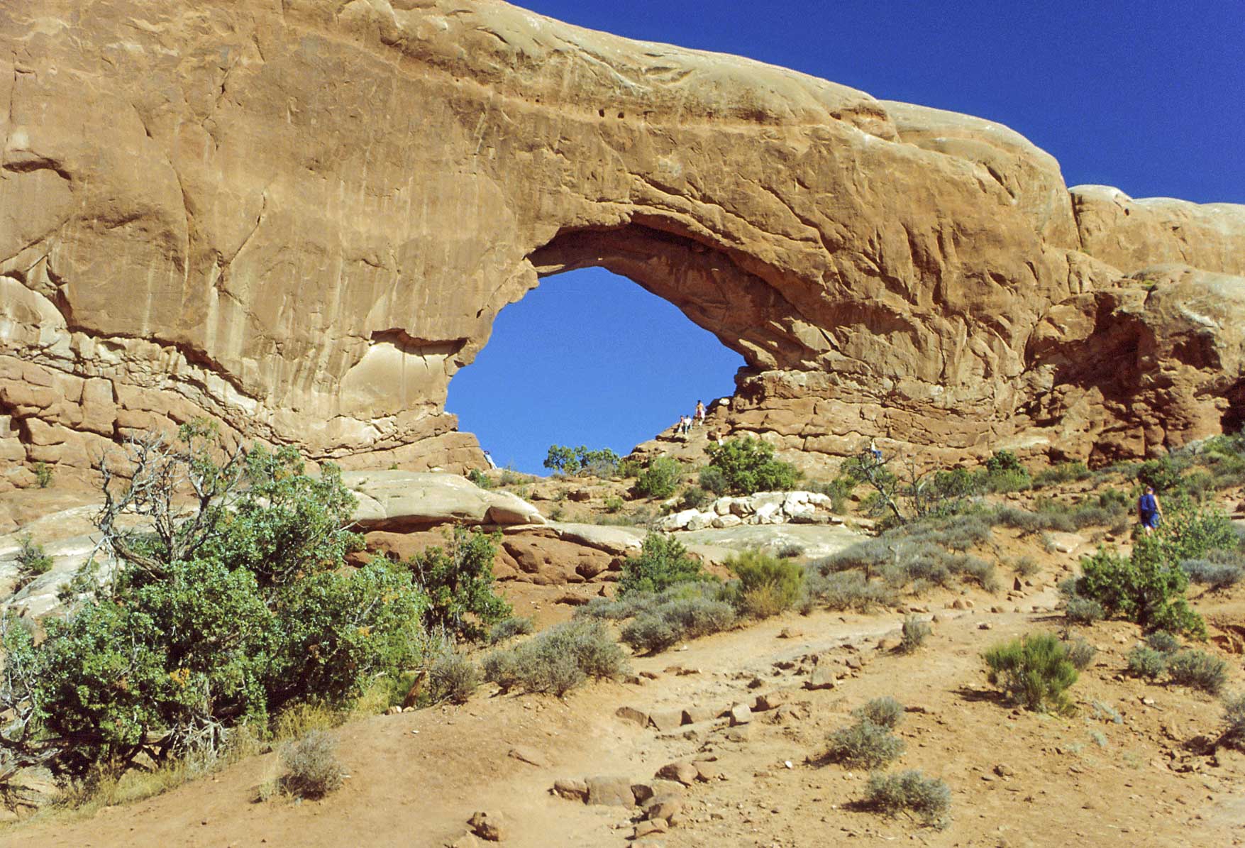
North Window
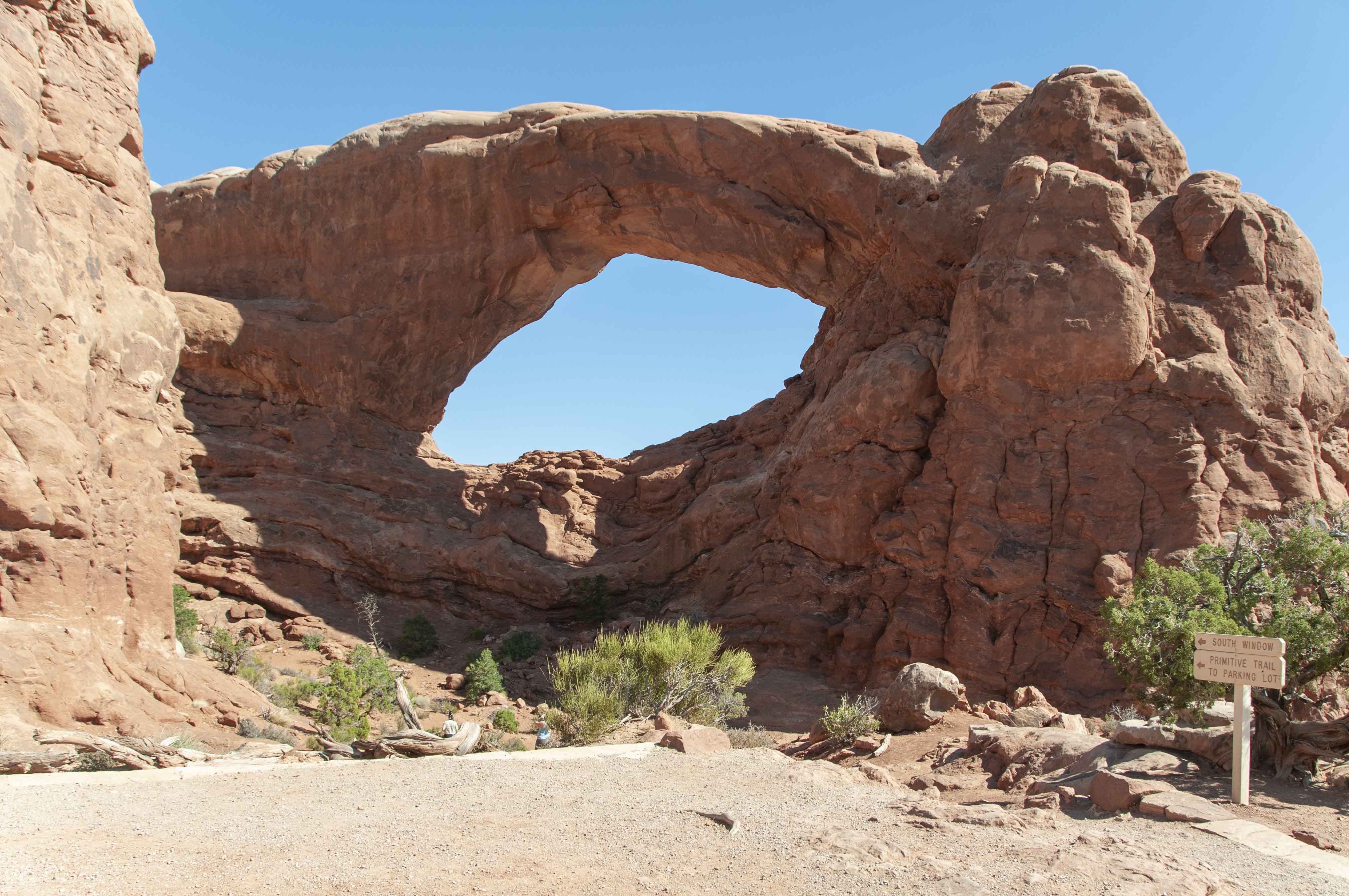
South Window
Could be Garden of Eden
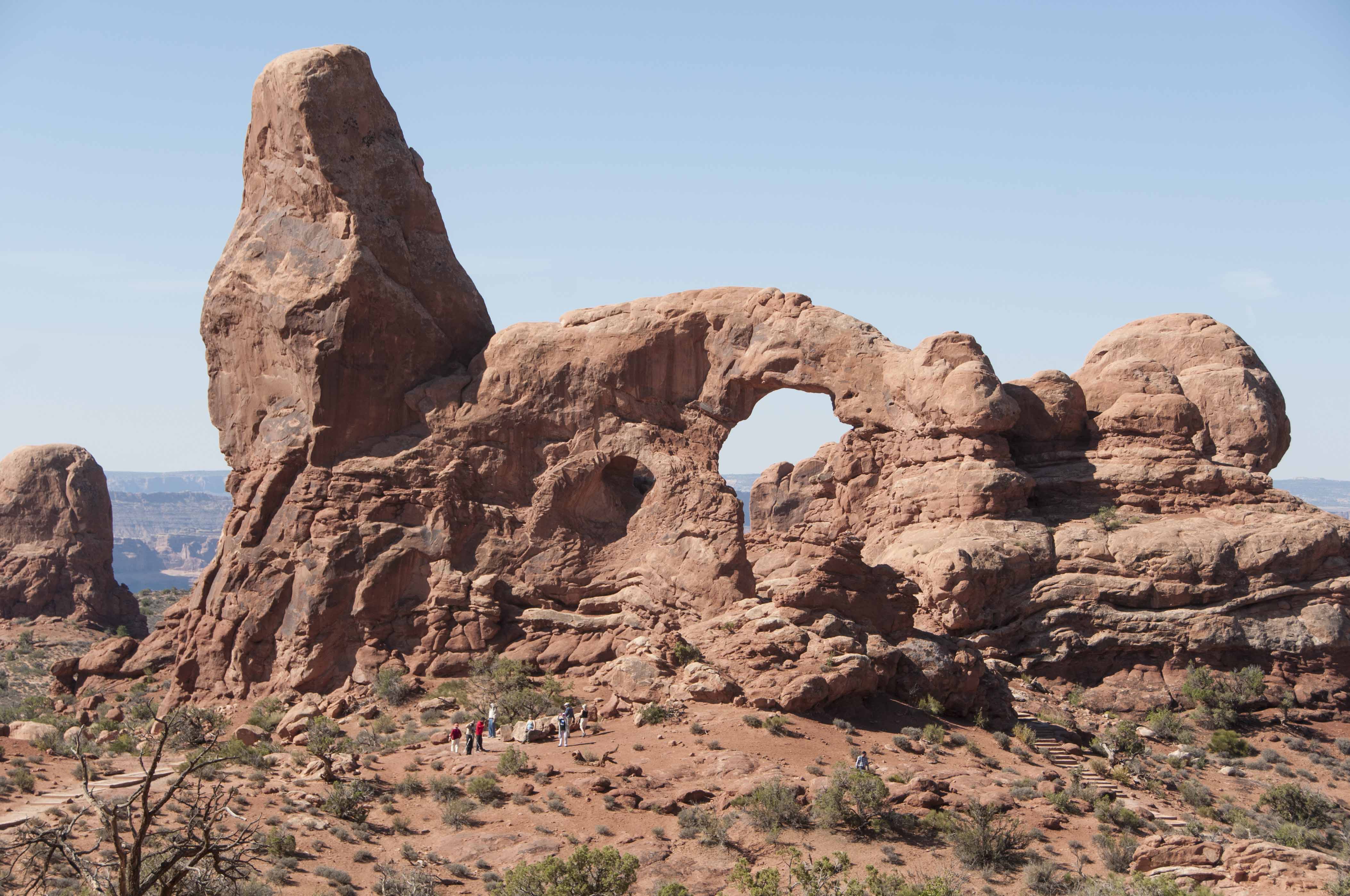
Turret Arch
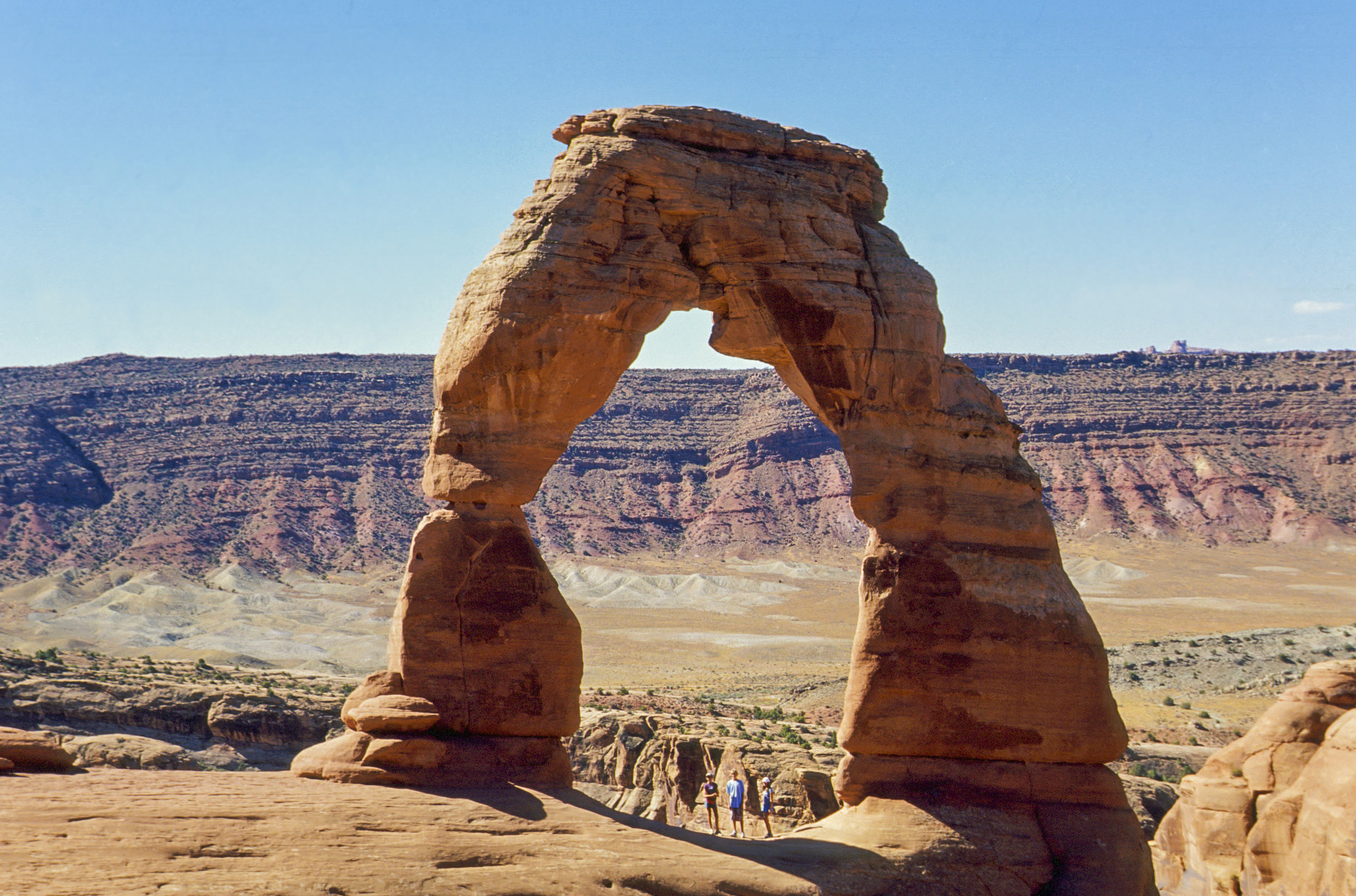
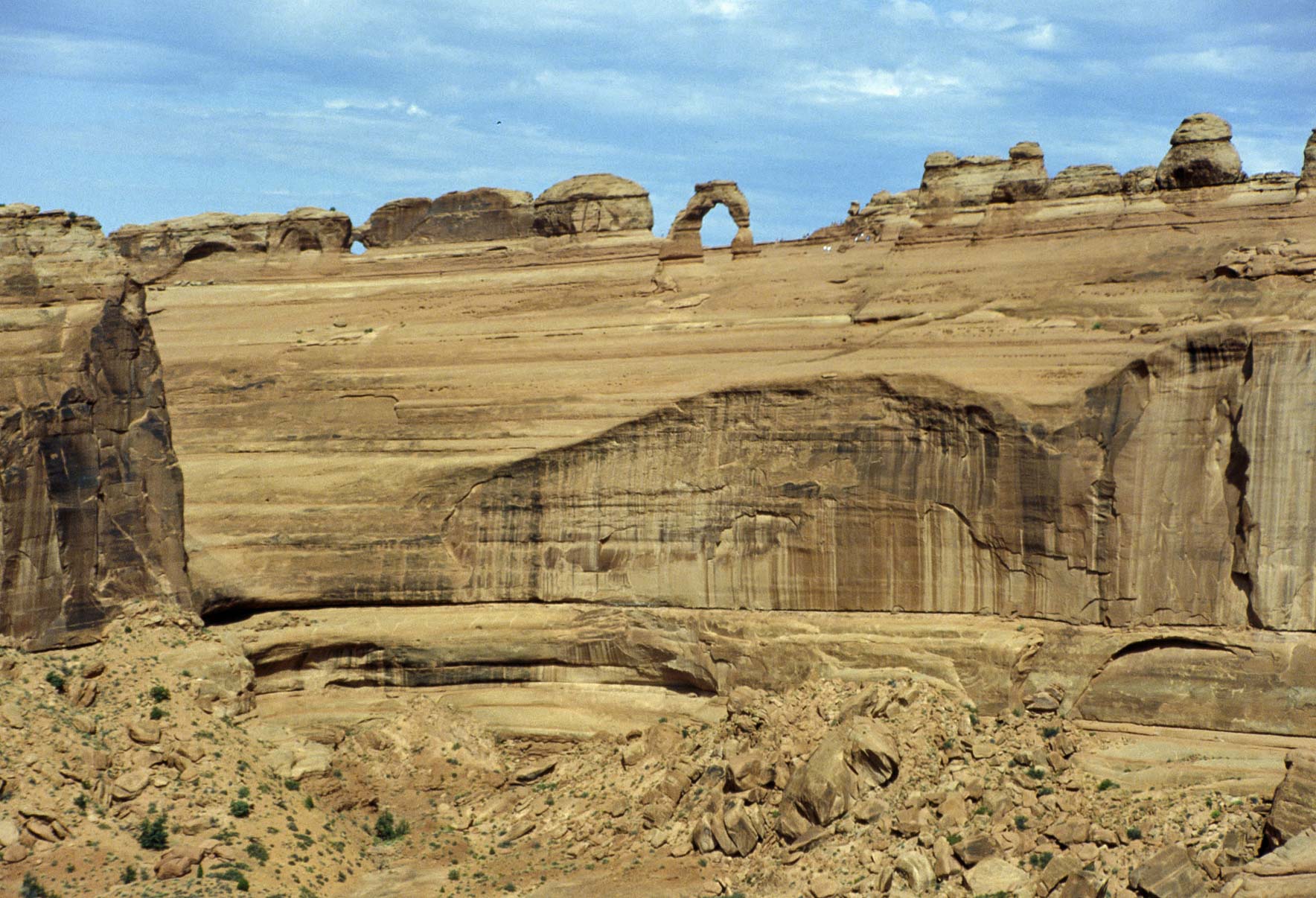
Wolfe Ranch / Delicate Arch
Delicate Arch is the most famous arch in the park. So much so that
it's featured on Utah license plates. The trail to Delicate Arch begins
at Wolfe Ranch, a homestead started by John Wolfe and son Fred in 1898.
The Delicate Arch trail is 3 miles round trip mostly across slickrock.
This is my second most favorite hike in Arches. Since Delicate Arch is
such an iconic monument I've included several iconic photos.
Wolfe Ranch
Could be Mancos Shale
with some imbedded glauconite

Wolfe cabin
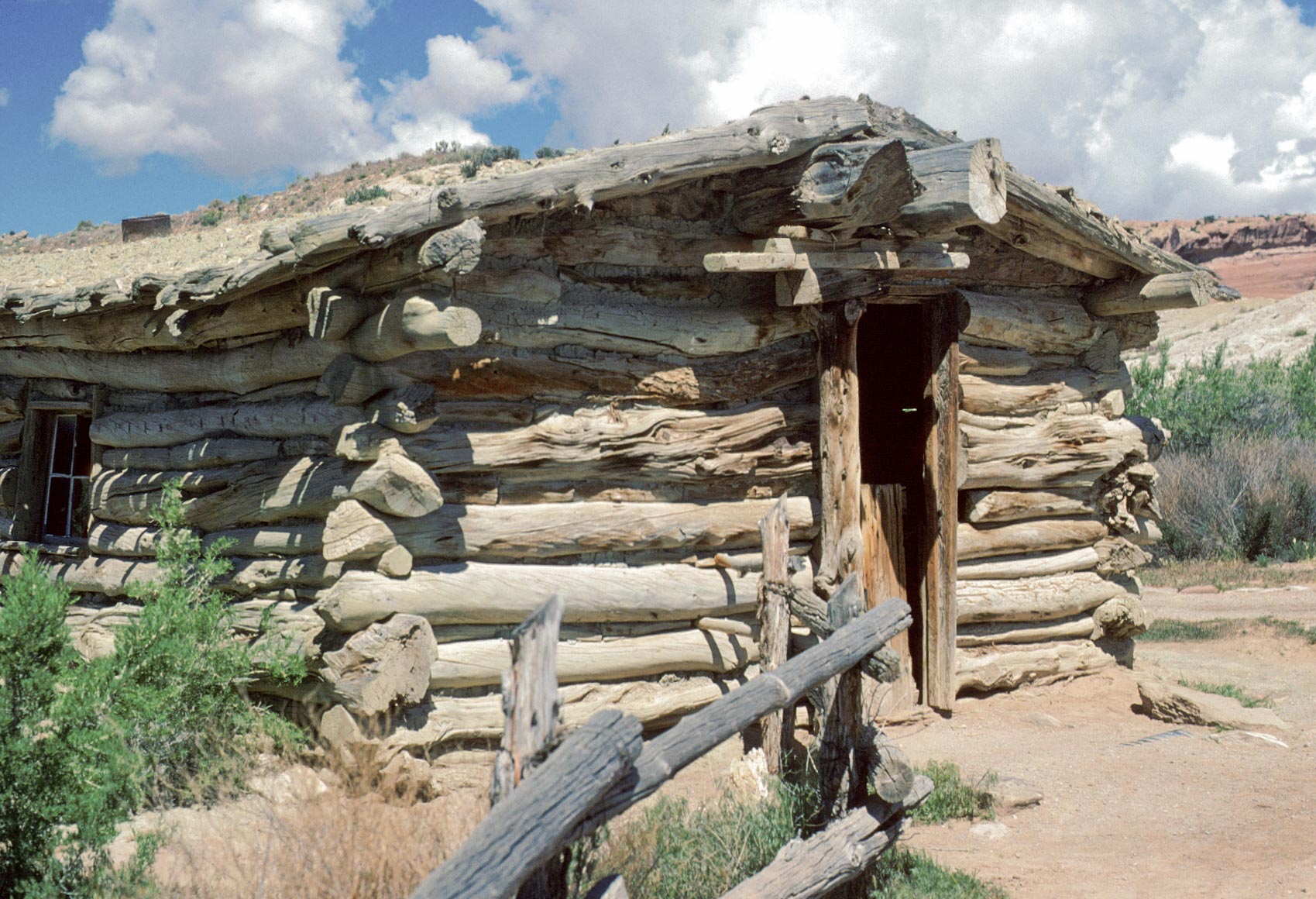
Wolfe cabin
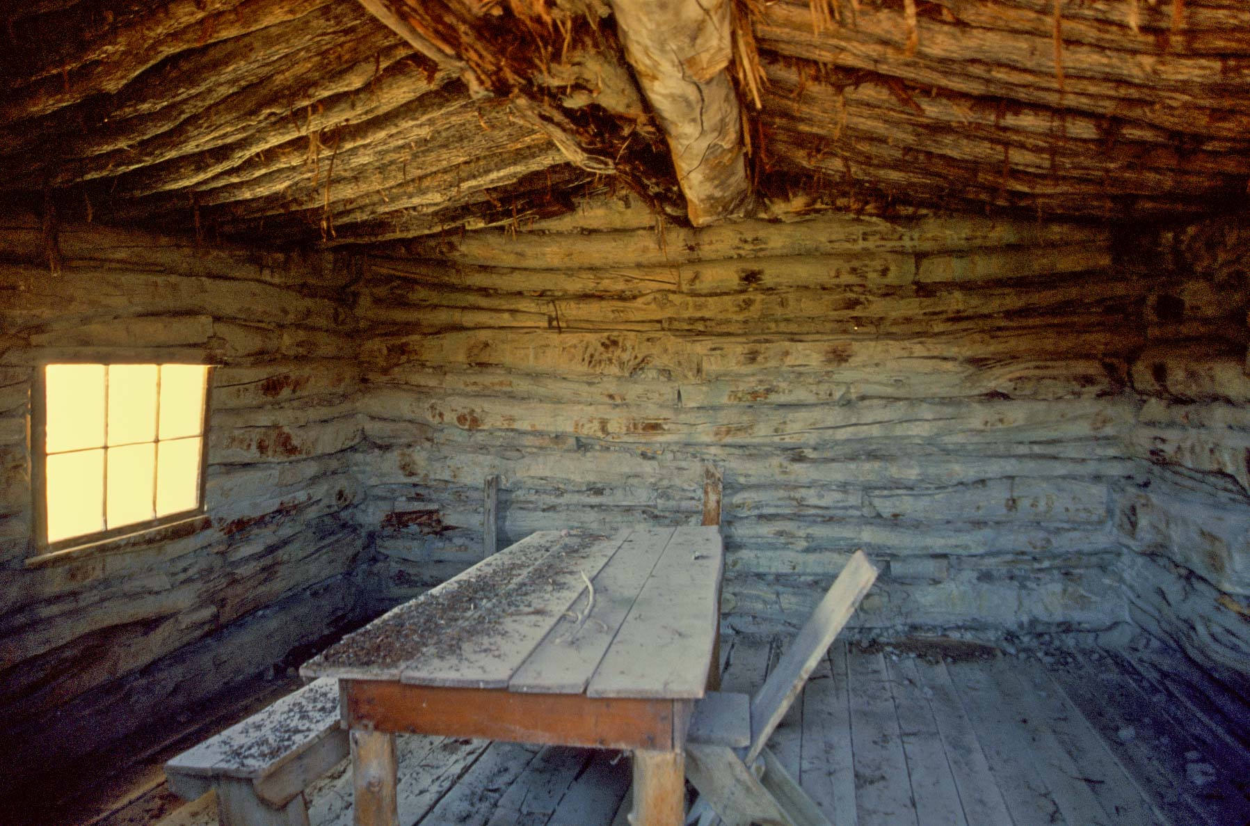
Wolfe cabin interior
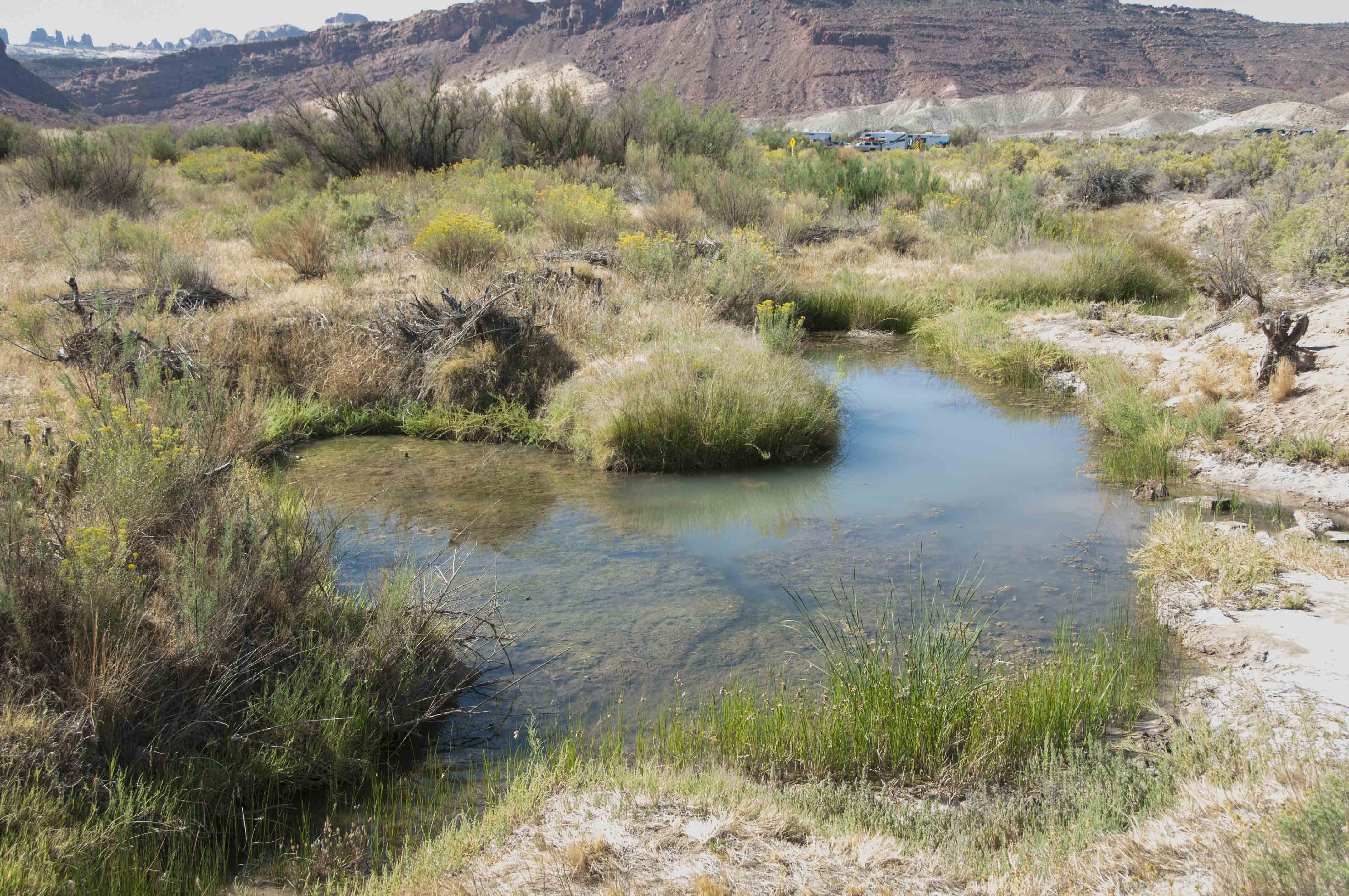
Salt Wash
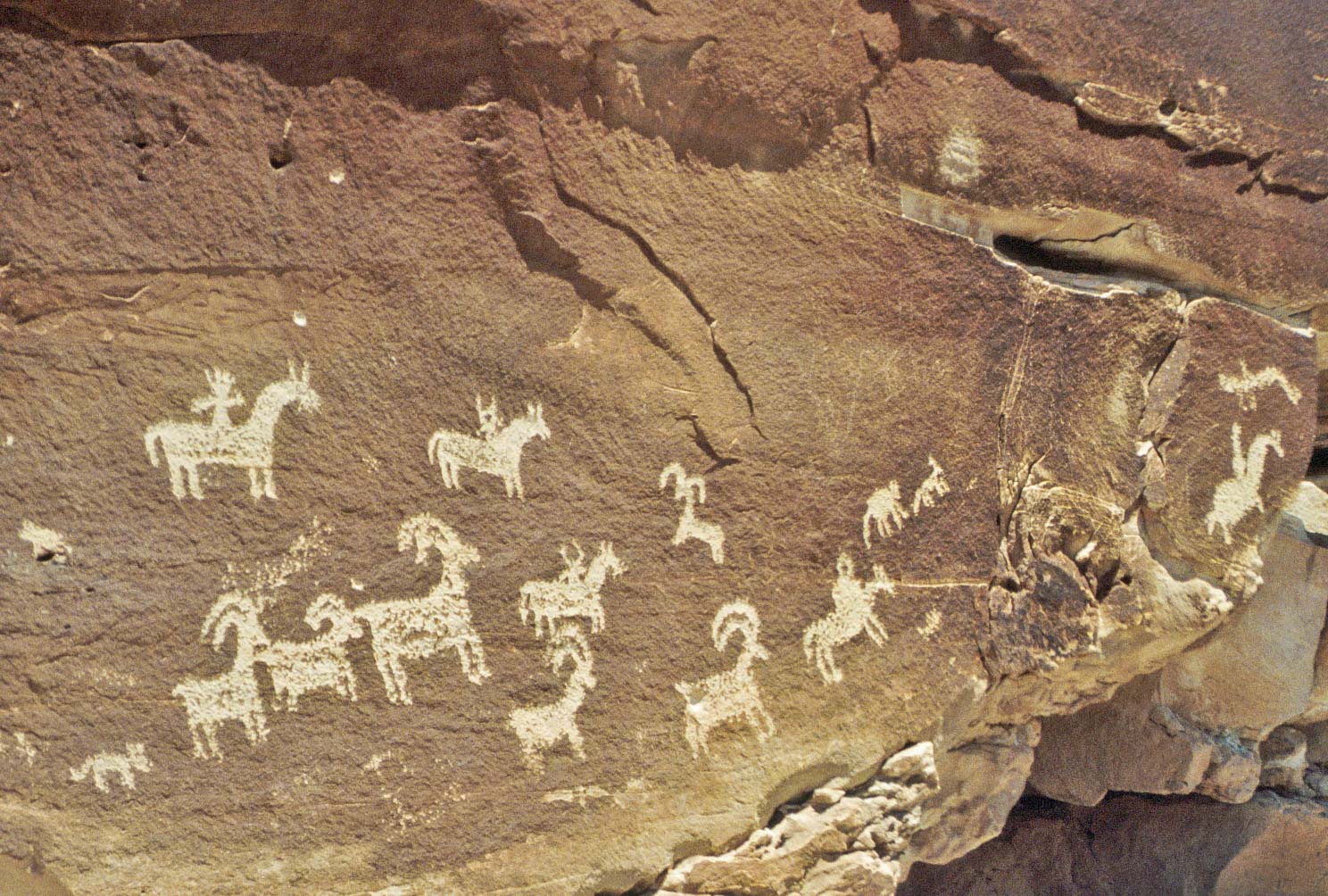
Ute petroglyphs
Trail to Delicate Arch
Climbing the slickrock
Could be Cache Valley
Arch along the trail to Delicate Arch

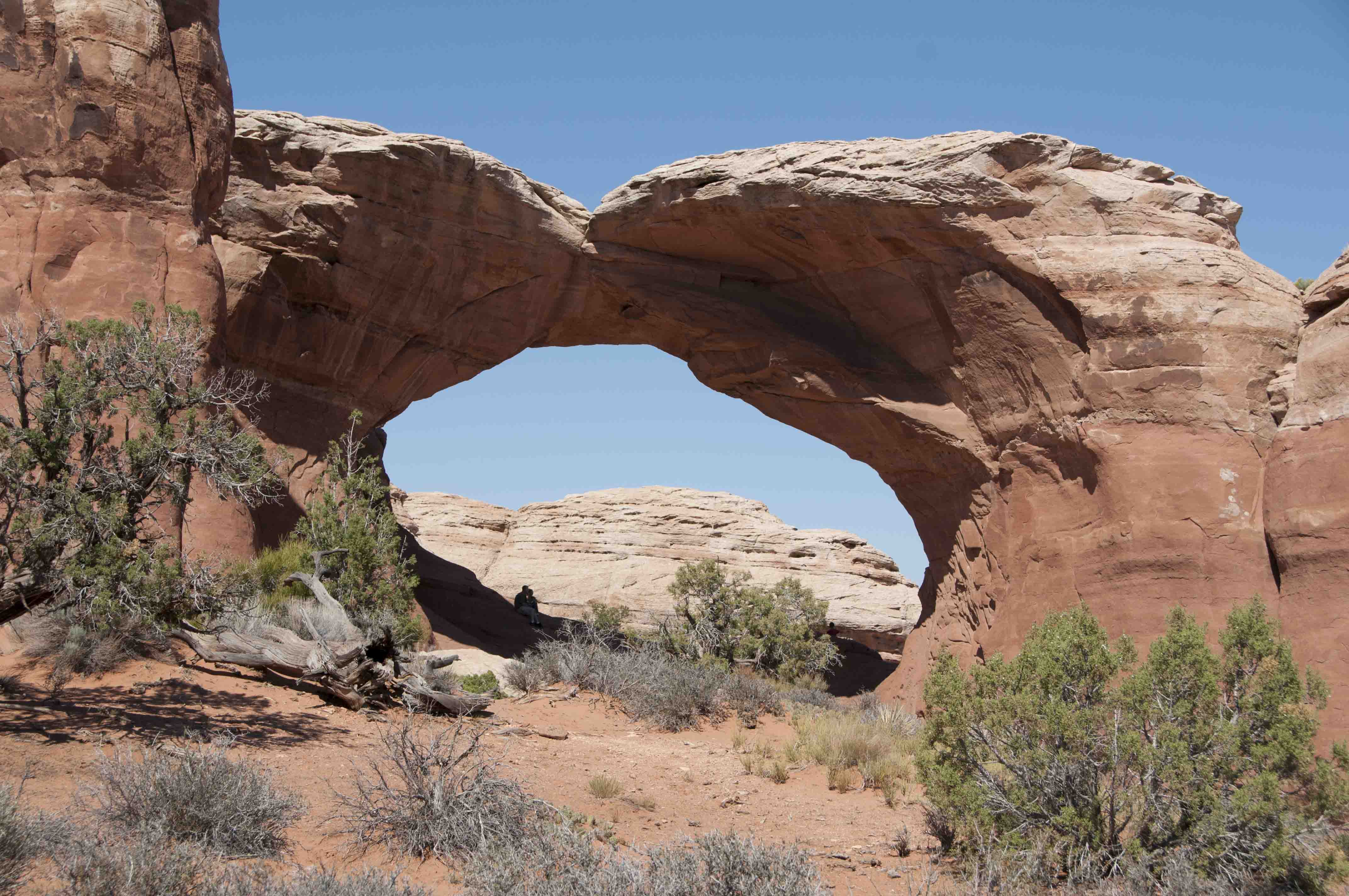
Delicate Arch (1992)
Looks like a cowboy wearing chaps
from the waist down (2004)
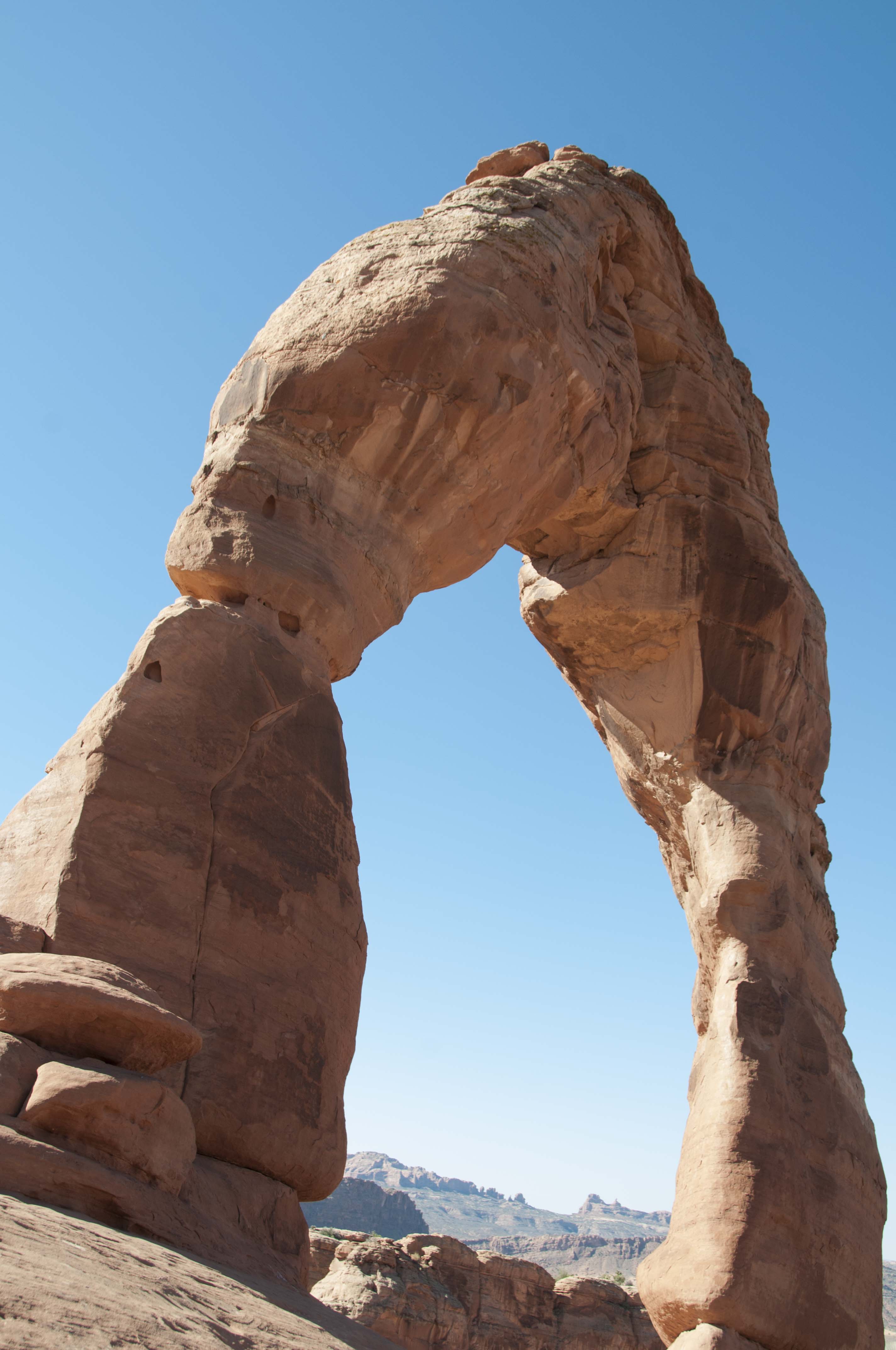
Delicate Arch (2012)
Delicate Arch (1992)

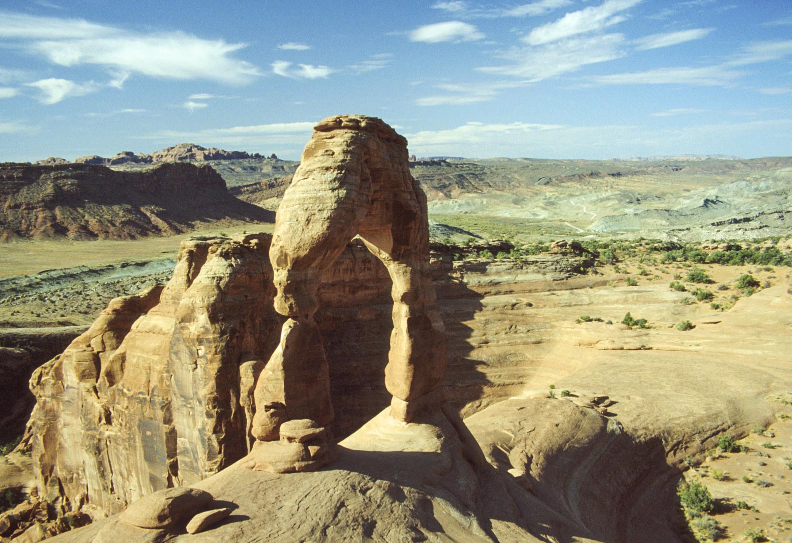
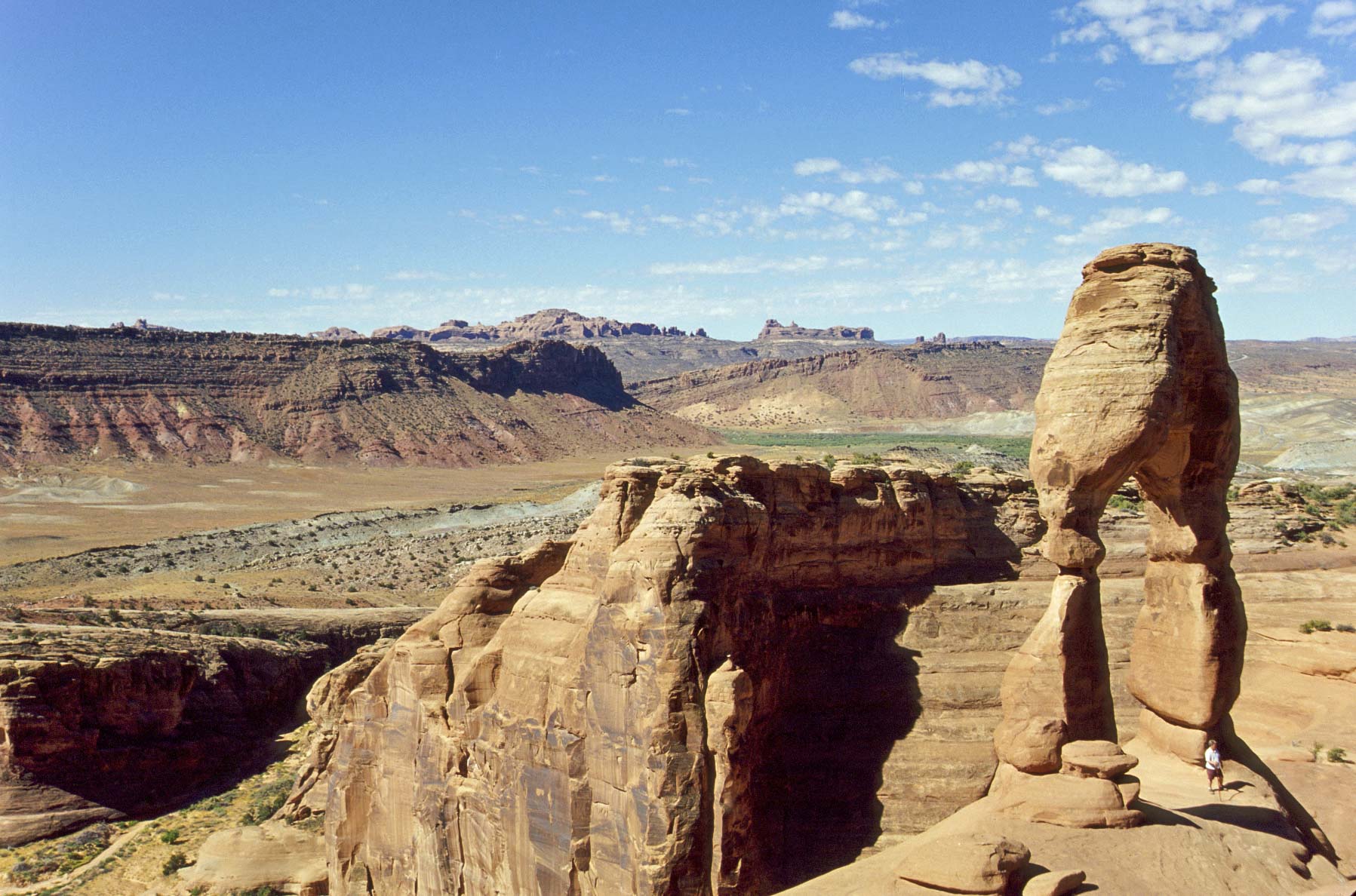
Delicate Arch
View northwest from
Delicate Arch (2004)
Delicate Arch
view from Delicate Arch Viewpoint
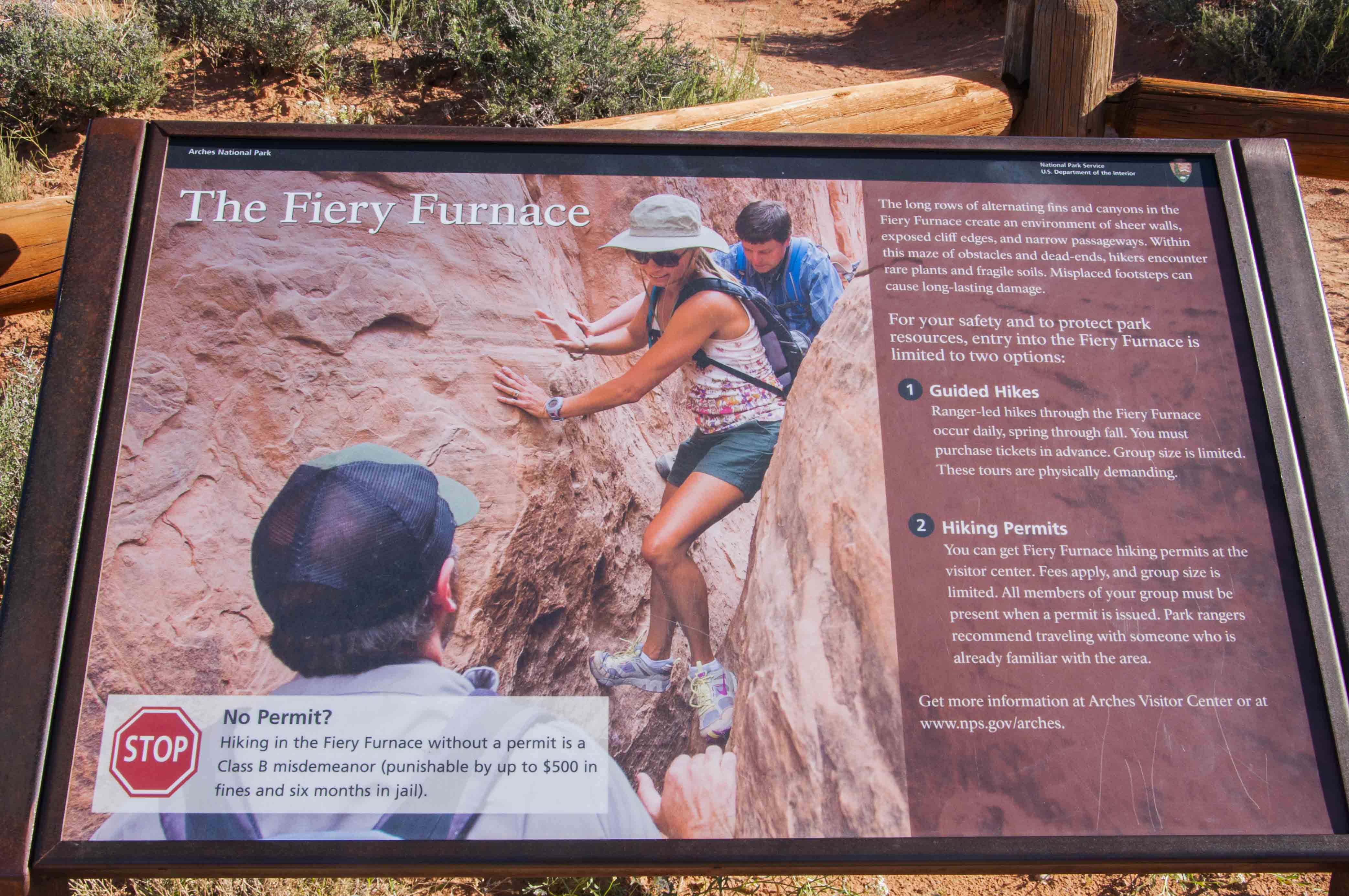
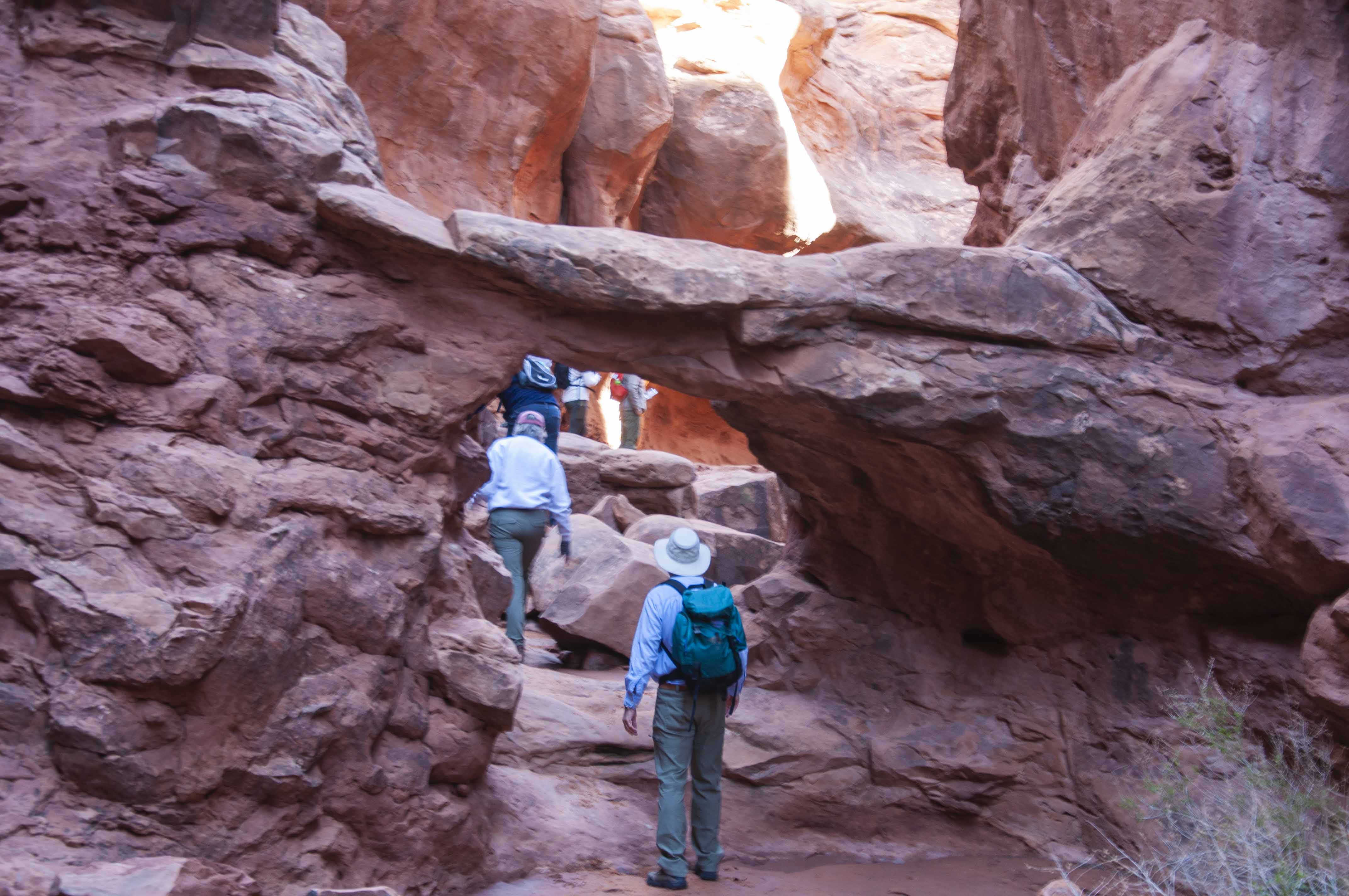
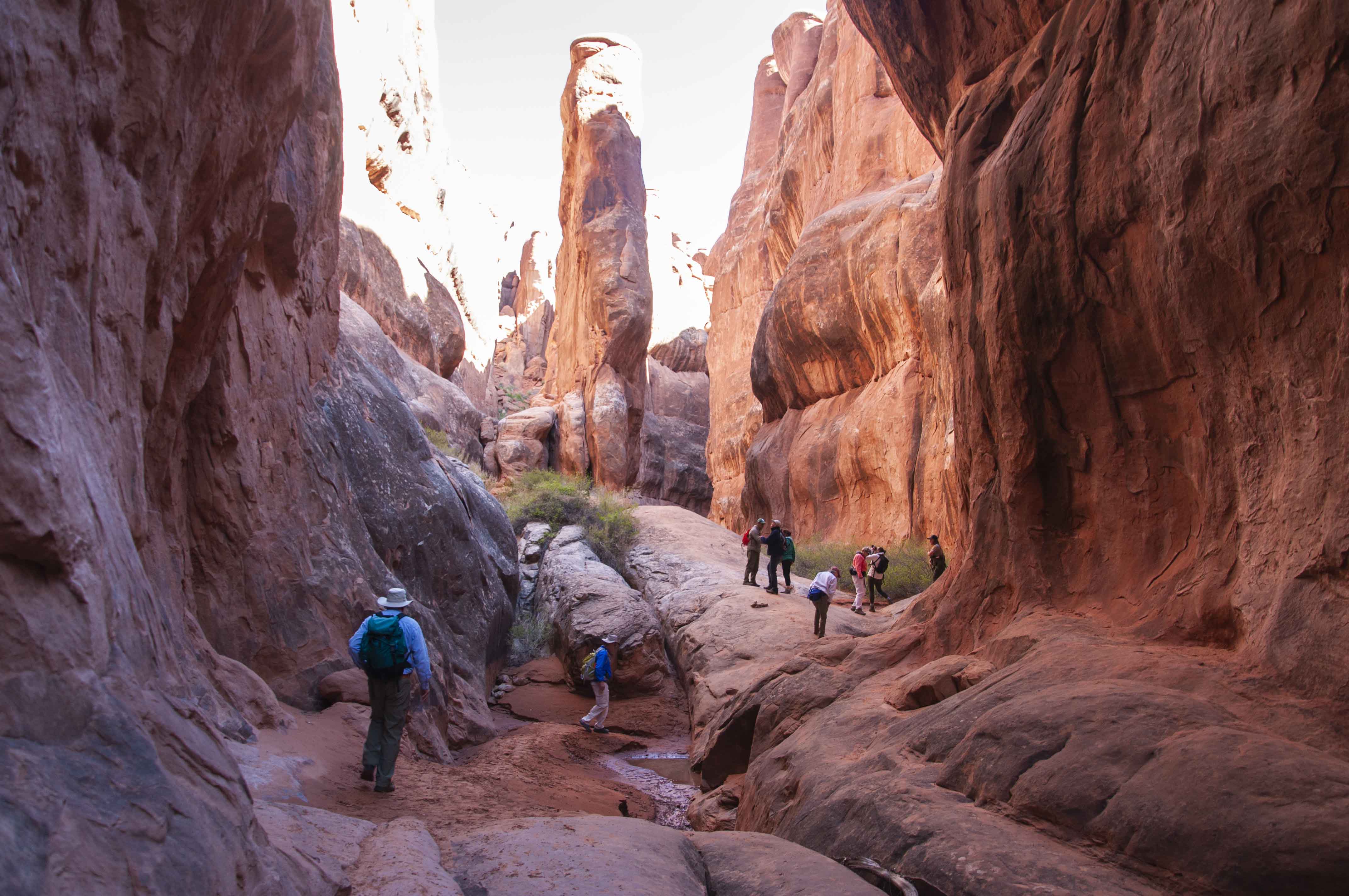
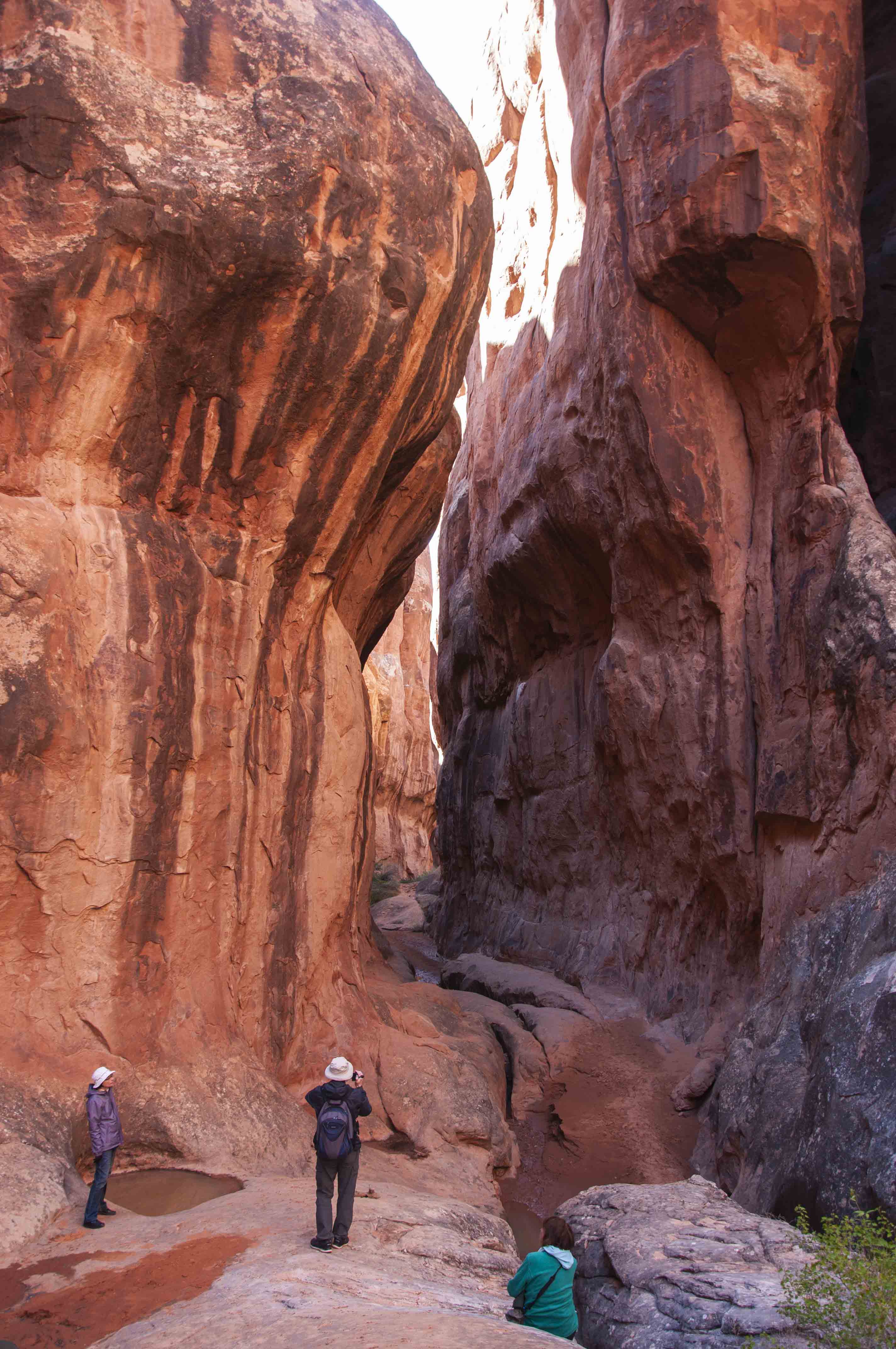
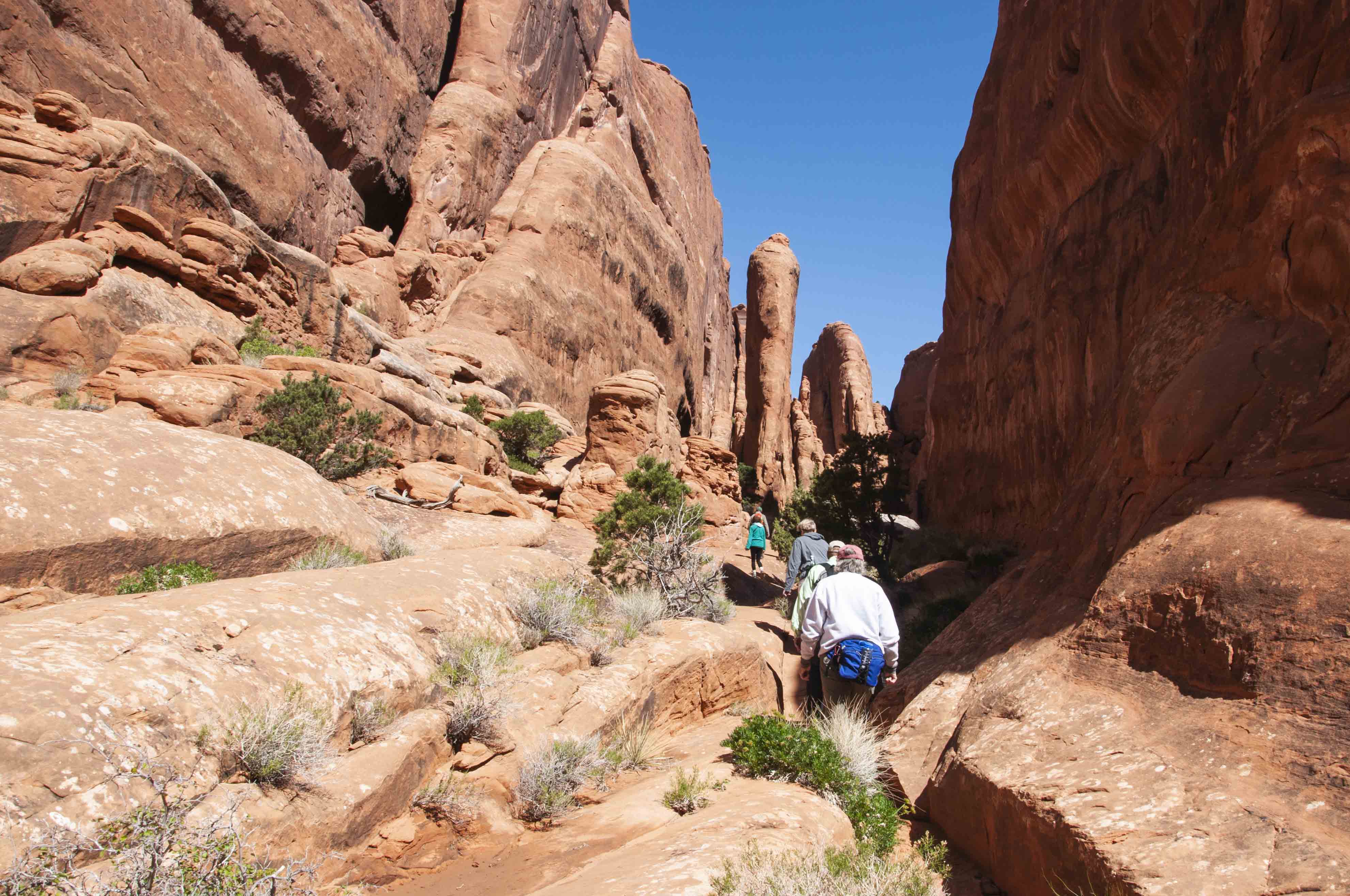
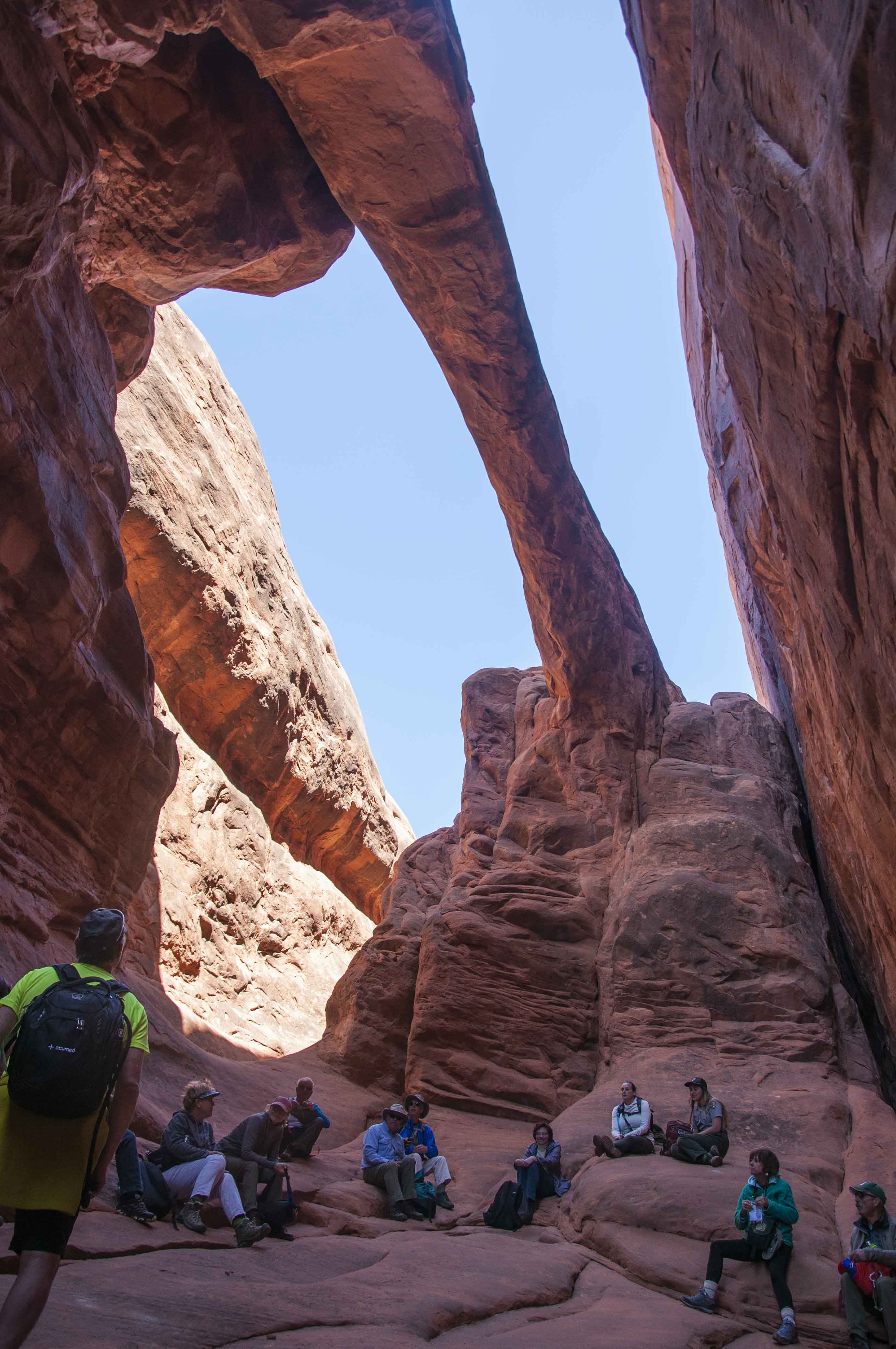
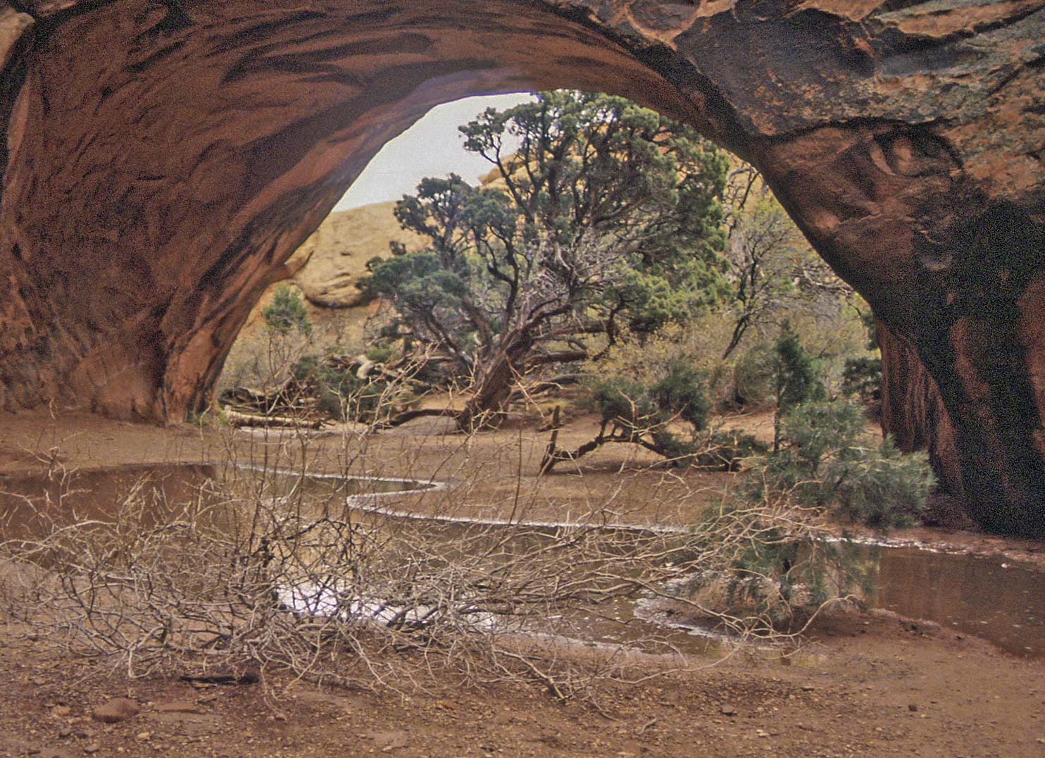
Fiery Furnace
The Fiery Furnace is a natural maze of sandstone walls, fins, arches, and slot canyons.
People absolutely rave about the 2 mile hike through the Fiery Furnace. It was on my
bucket list, and I finally made it in 2019. I took the ranger-led hike and even then we had
to backtrack a couple of times.
Fiery Furnace
view from Klondike Bluffs
Fiery Furnace

Navajo sandstone (buff-colored)
Entrada sandstone (salmon-colored)
The Fiery Furnace
Through an arch

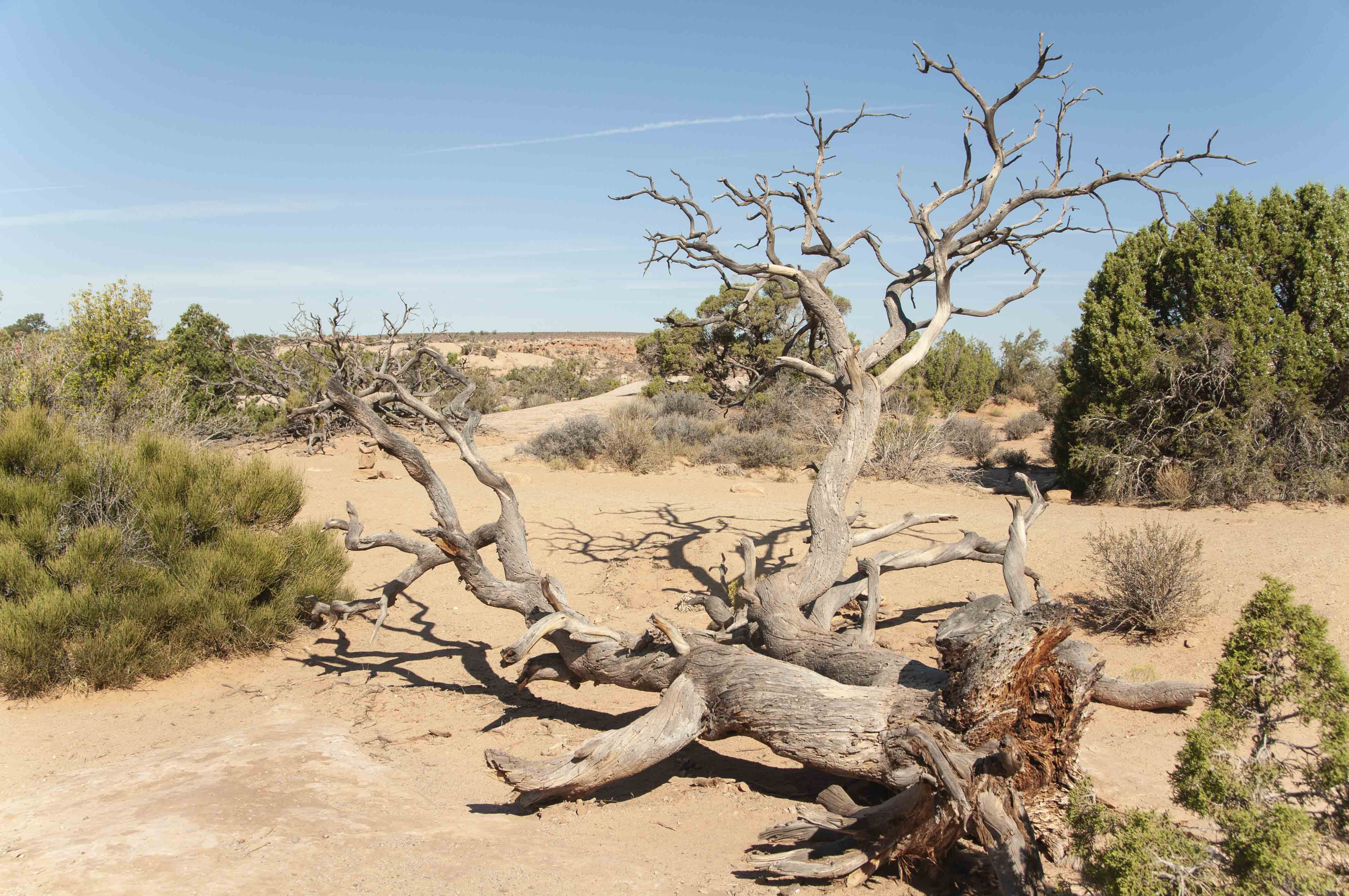
Juniper skeleton
Hiking the Furnace
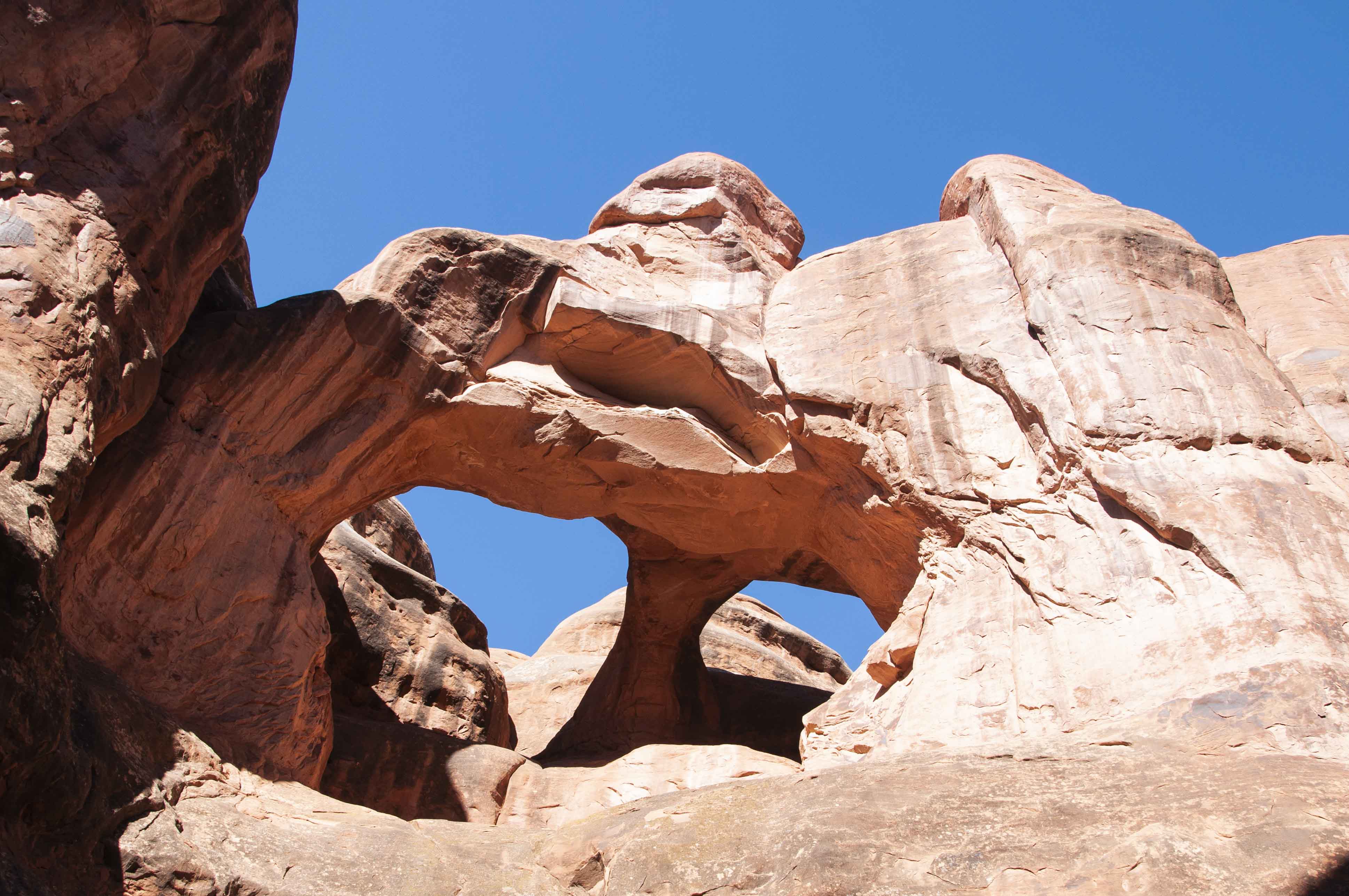
A double arch
Massive sandstone
Hiking the Furnace
Hiking the Furnace
Rest stop

Natural staircase
Almost done
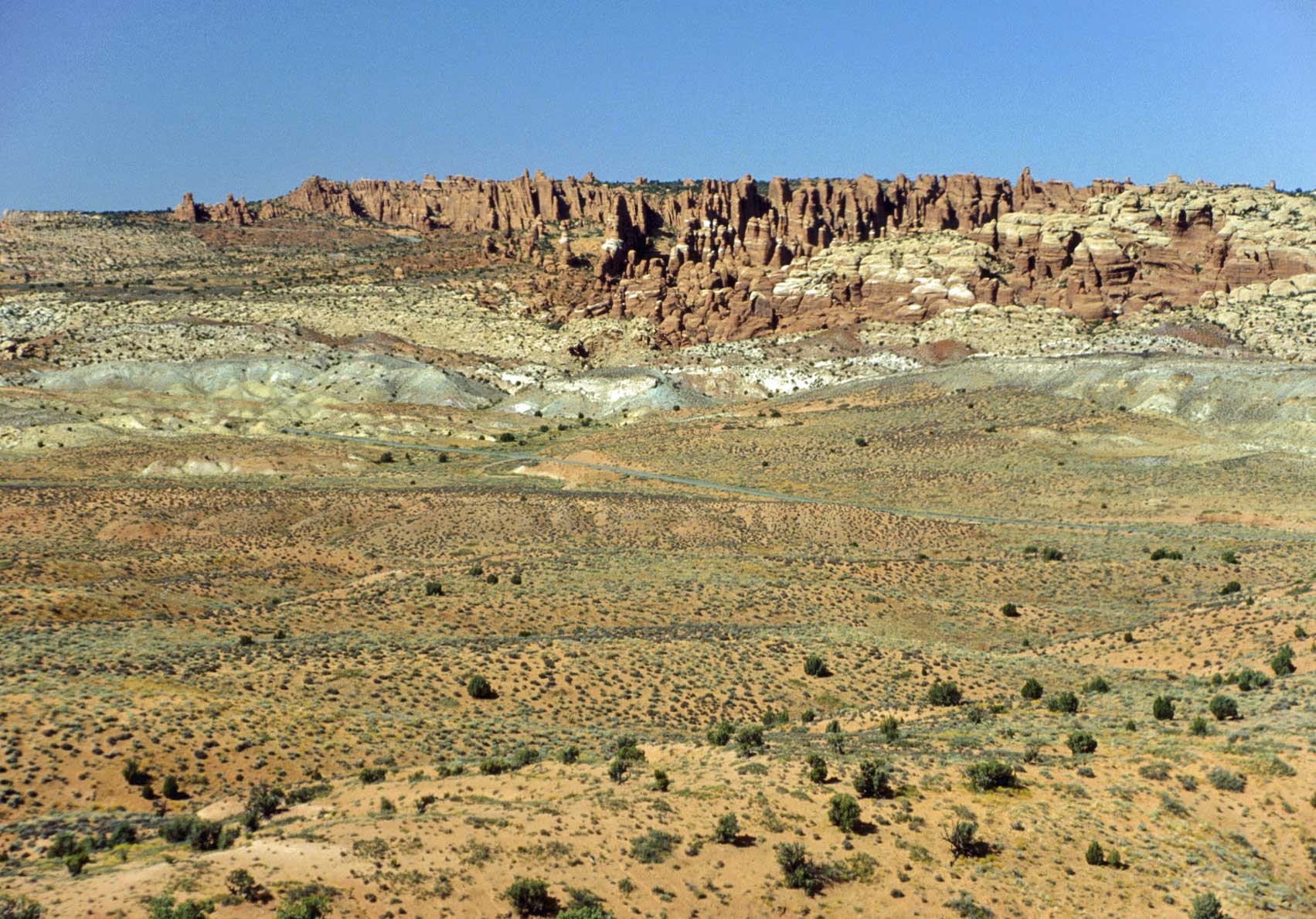
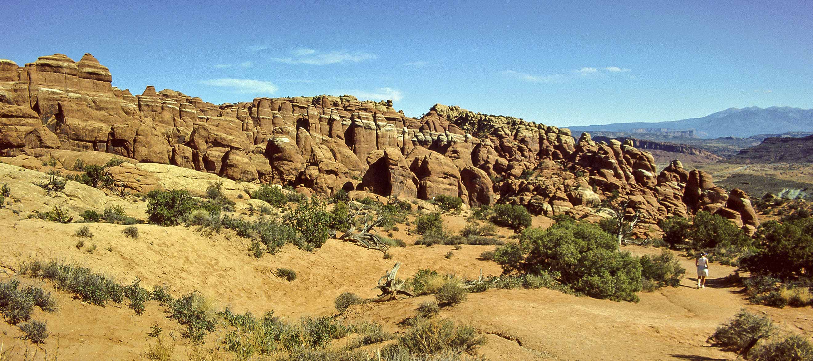
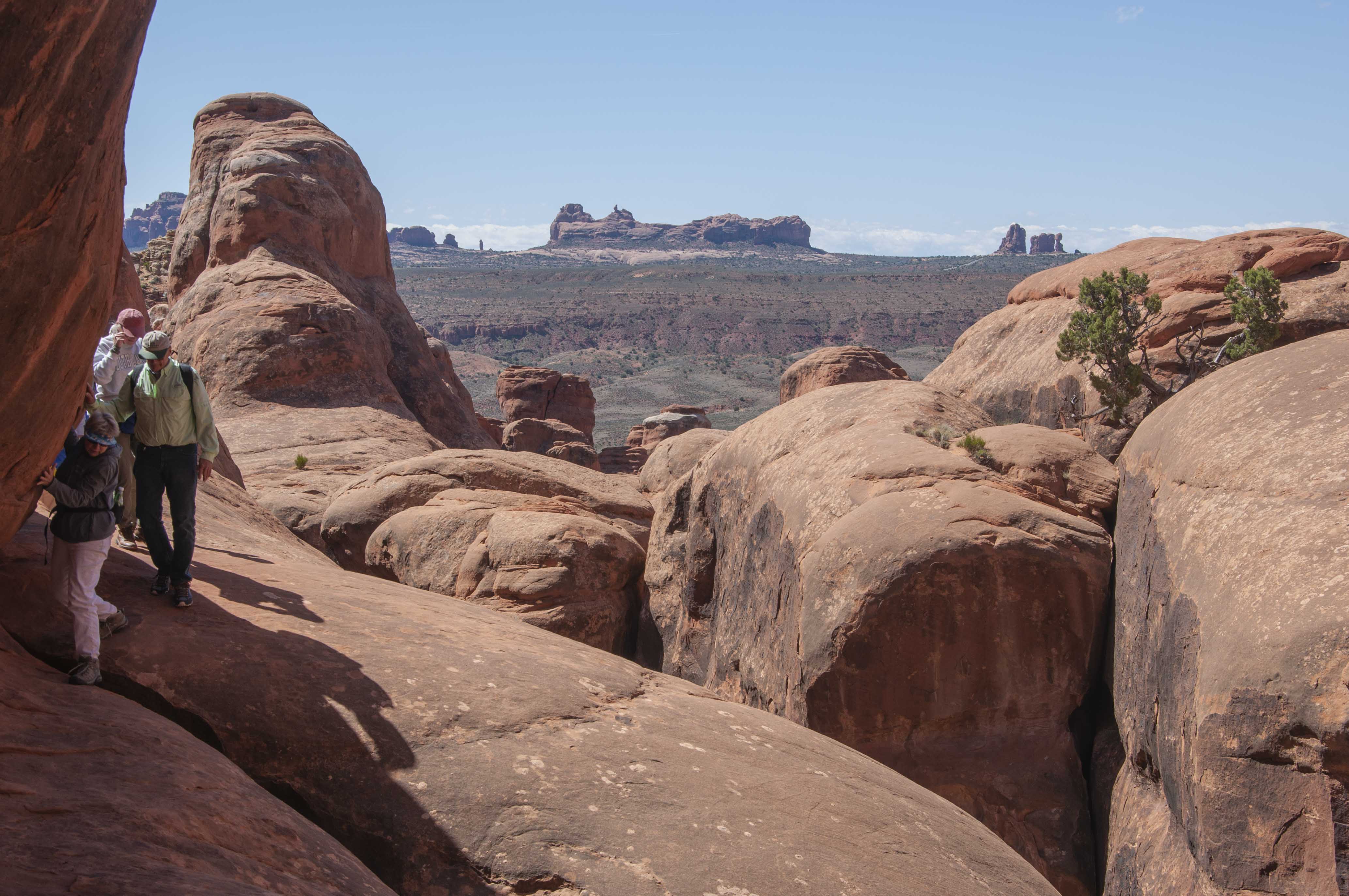
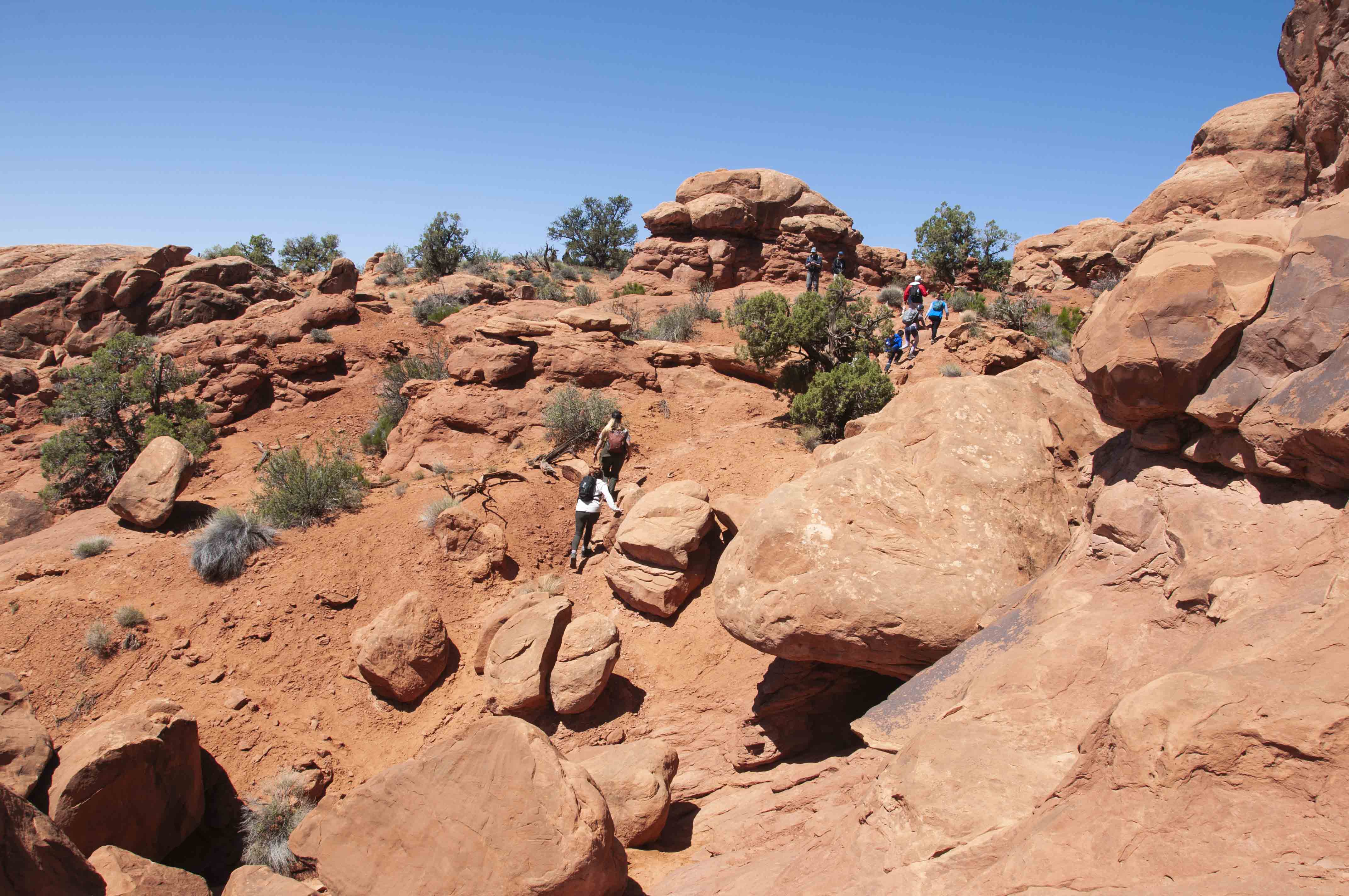
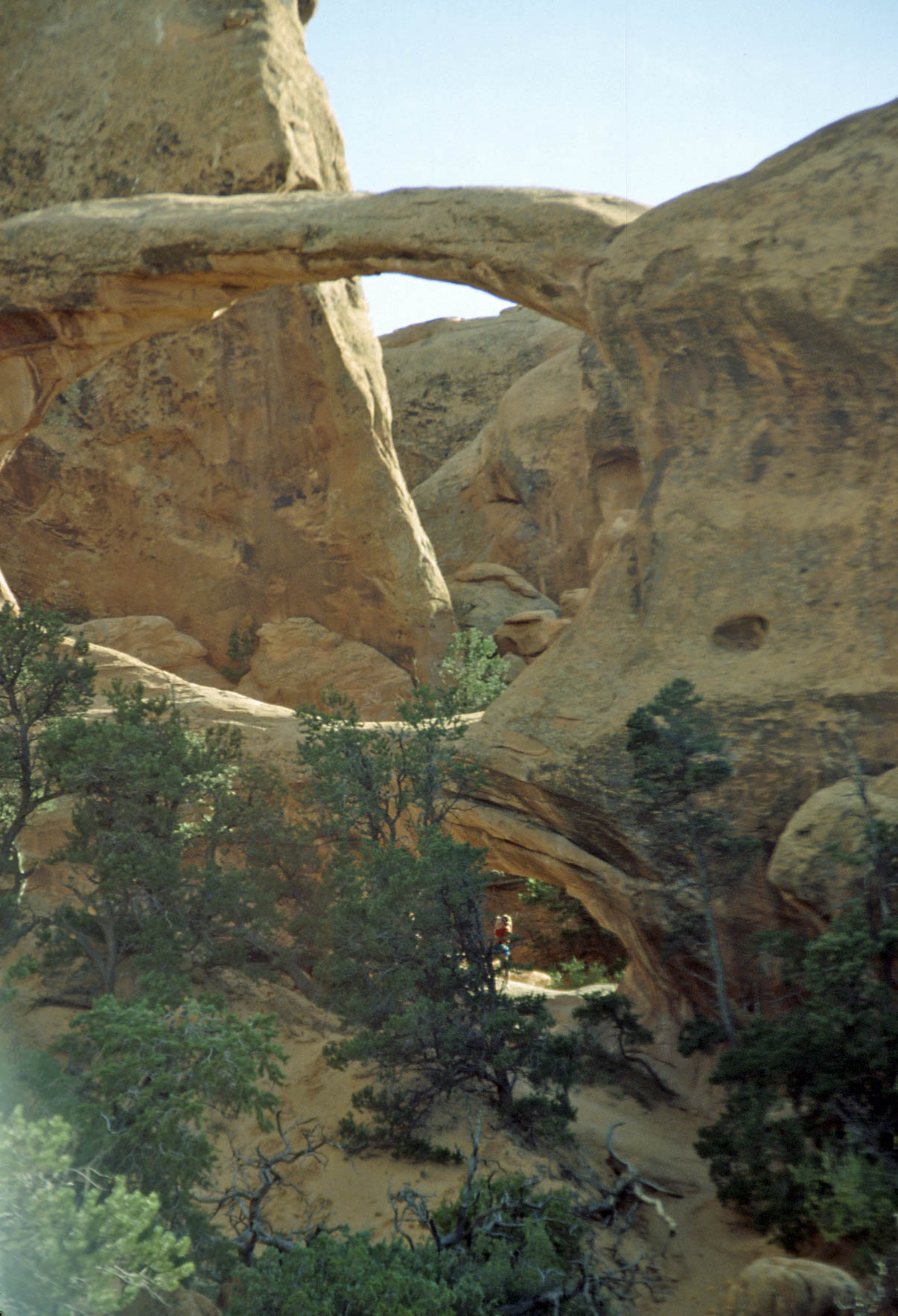
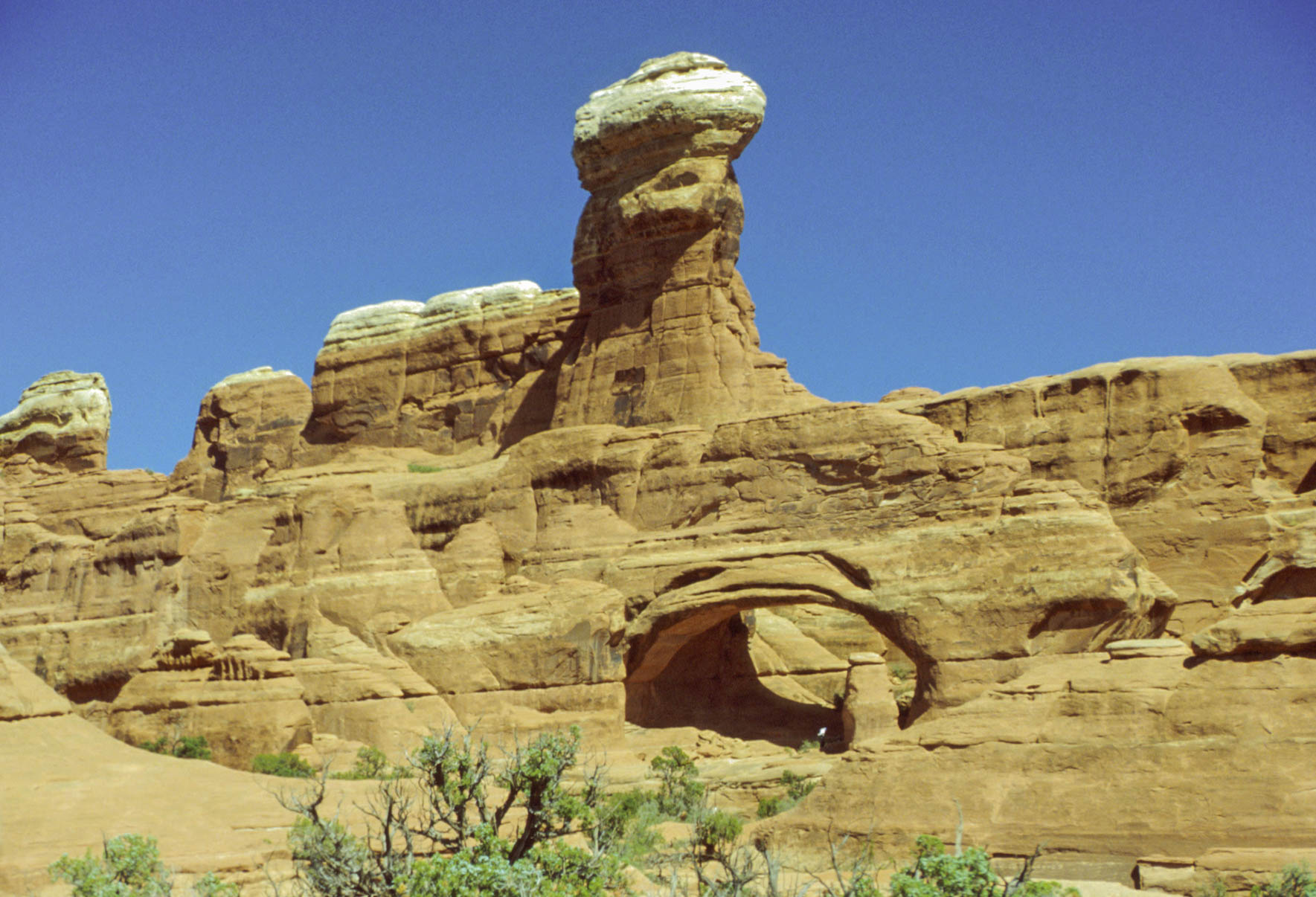
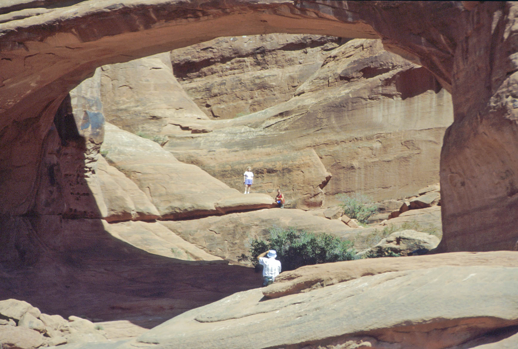
Devils Garden
Devils Garden is located at the northern end of the main park road (aka Arches Scenic Drive).
Devils Garden Campground (the only park campground) is located here. You need to make
reservations well in advance (weeks to months) to get a campsite. Devils Garden contains
most of the easily accessible and named arches in the park. I've arbitrarily divided the arches
into two groups, north and south, with the campground included in the south group (refer to the park map).
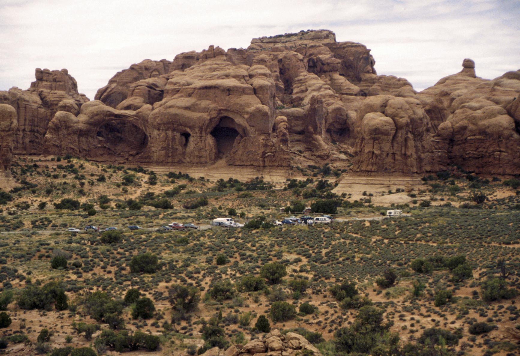
Devils Garden South - Devils Garden Campground, Skyline Arch, Broken Arch, Sand Dune Arch, and Tapestry Arch. The last 3 arches can be accessed via the Broken Arch trail (easy, take the kids).

Campsite #32
Devils Garden Campground (1995)
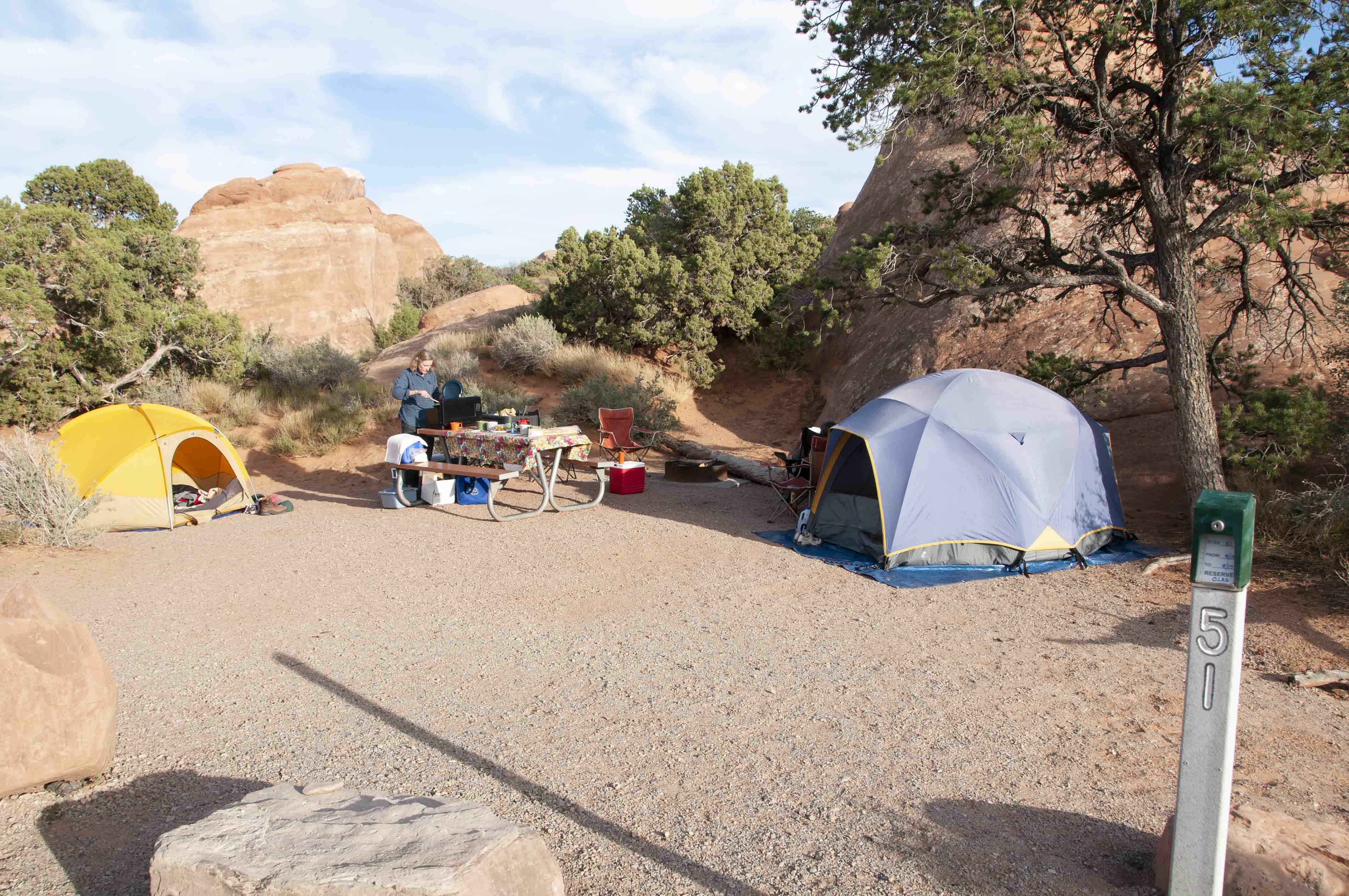
Campsite #51
Devils Garden Campground (2012)

Arches sunset

Skyline Arch
Easter Island Wannabe
Broken Arch (1992)
Broken Arch (2012)

Flip-side of Broken Arch

Desert Cottontail
(Sylvilagus audubonii)
Sand Dune Arch (1992)
Sand Dune Arch (2011)
Fins near Sand Dune Arch
Trail to Tapestry Arch
Tapestry Arch
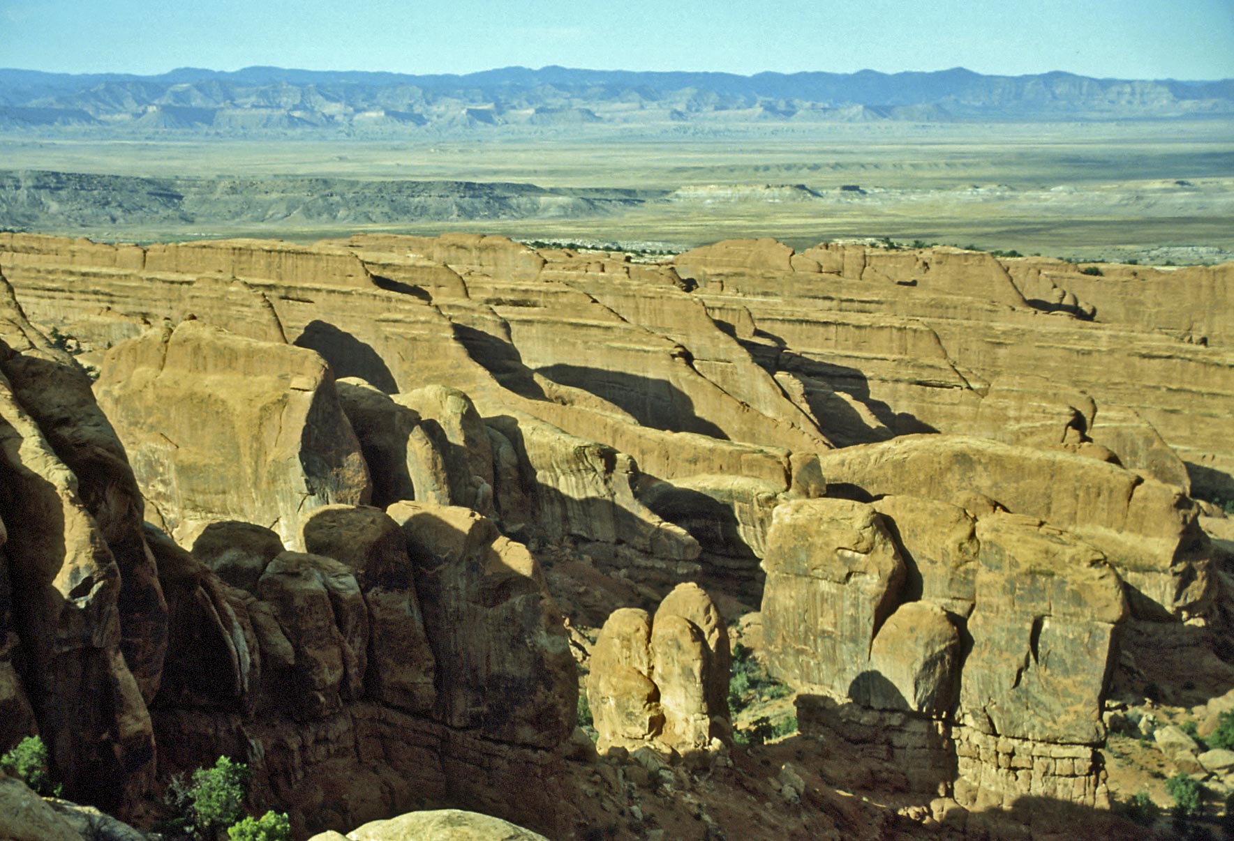
Devils Garden North - arches and monoliths along the Devils Garden trail.
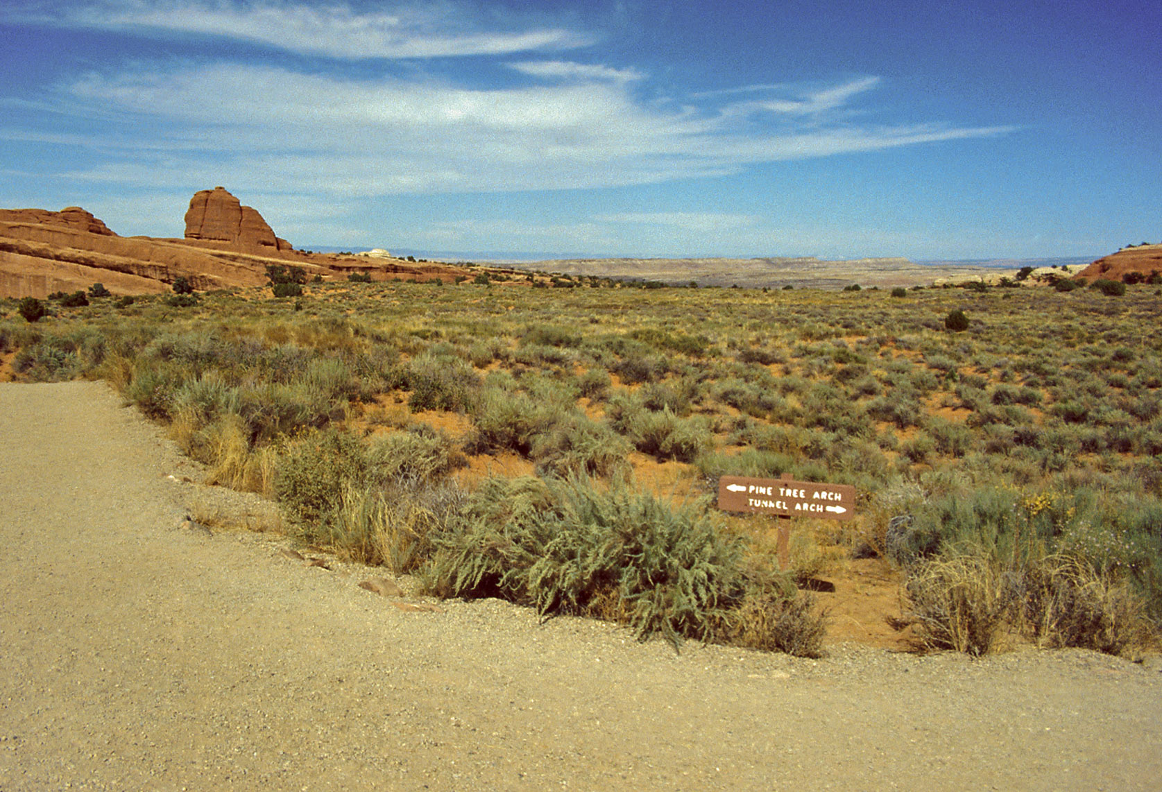
Devils Garden trail
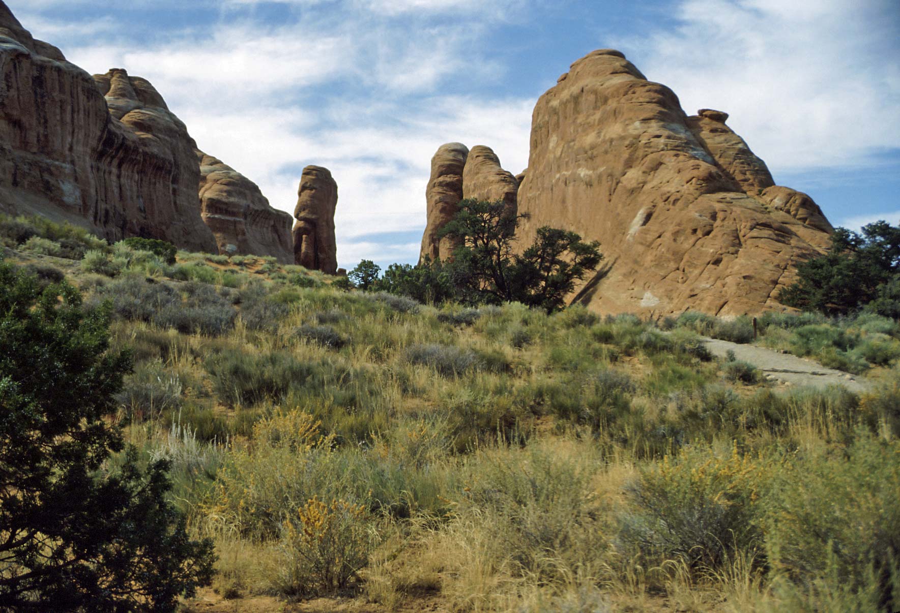
Devils Garden
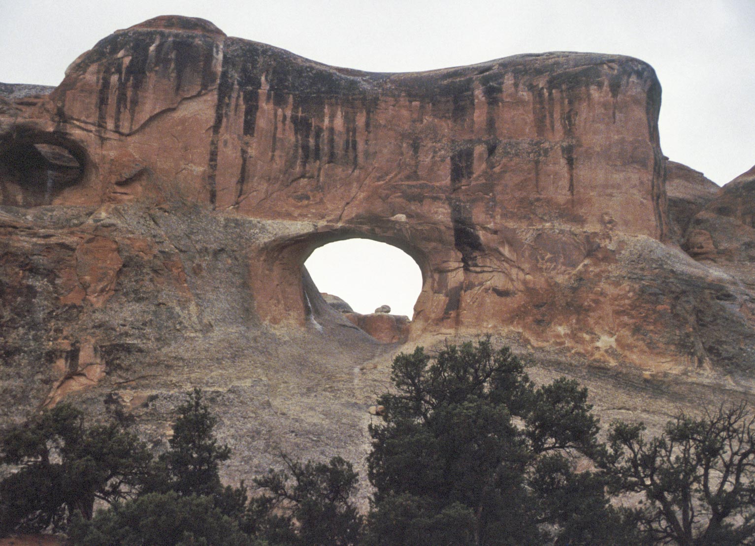
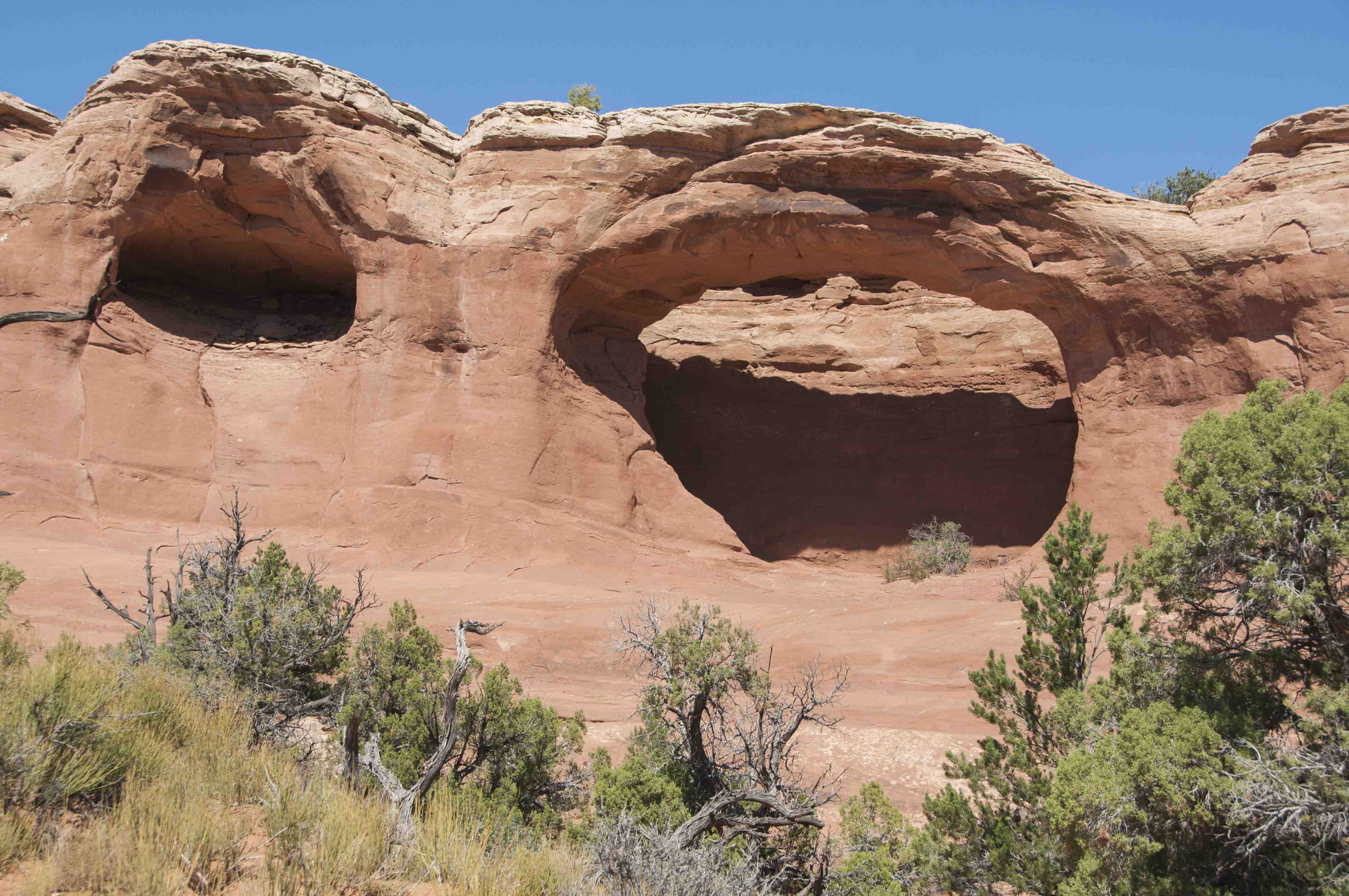
Tunnel Arch
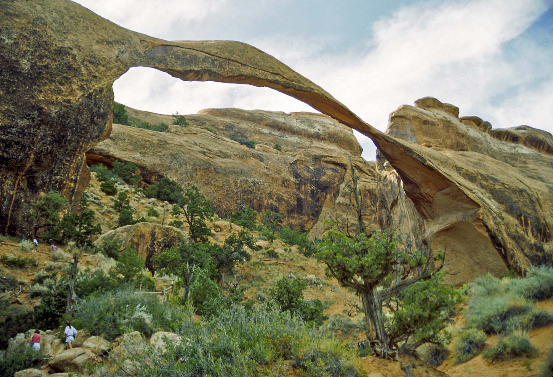
Landscape Arch (1992)

Landscape Arch (1995)
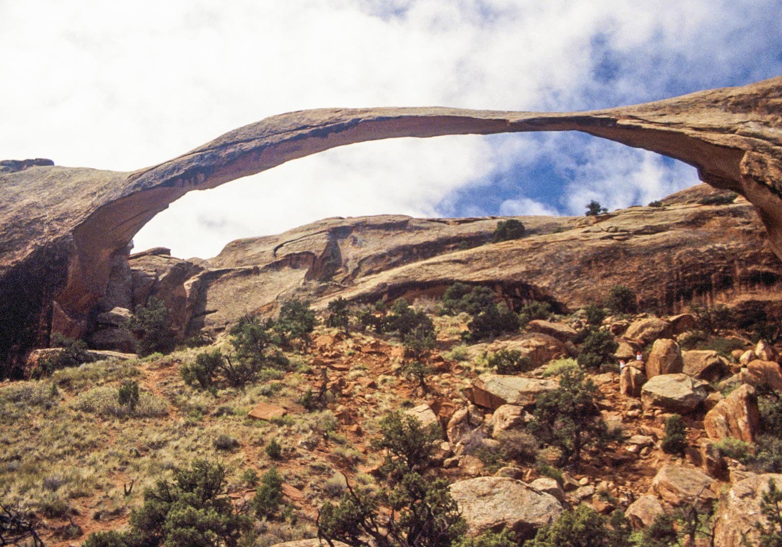
Landscape Arch (1995)
Fins near Landscape Arch
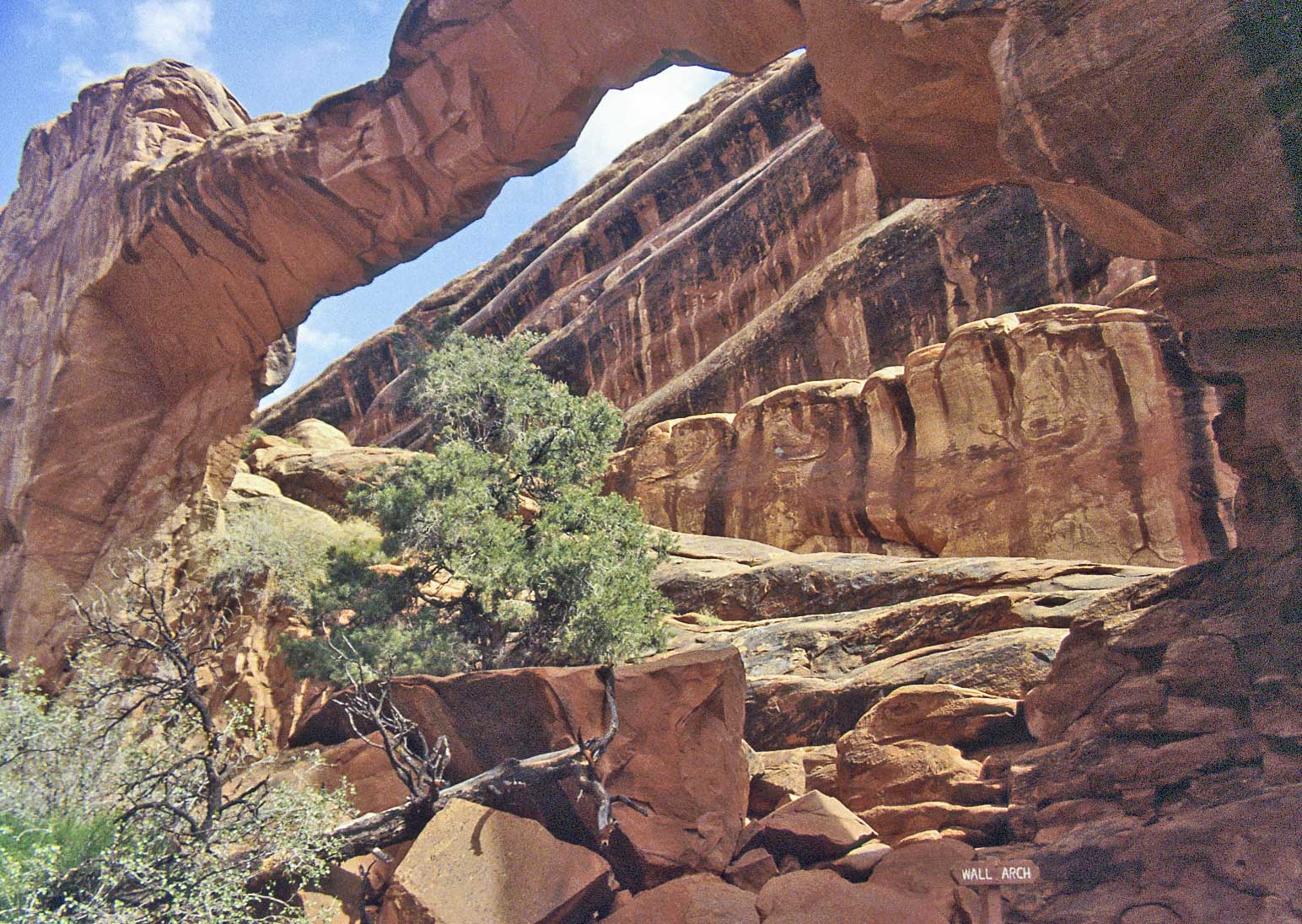
Wall Arch
Navajo Arch
Double O Arch
Devils Garden trail
toward Dark Angel monolith
Dark Angel
Klondike Bluffs
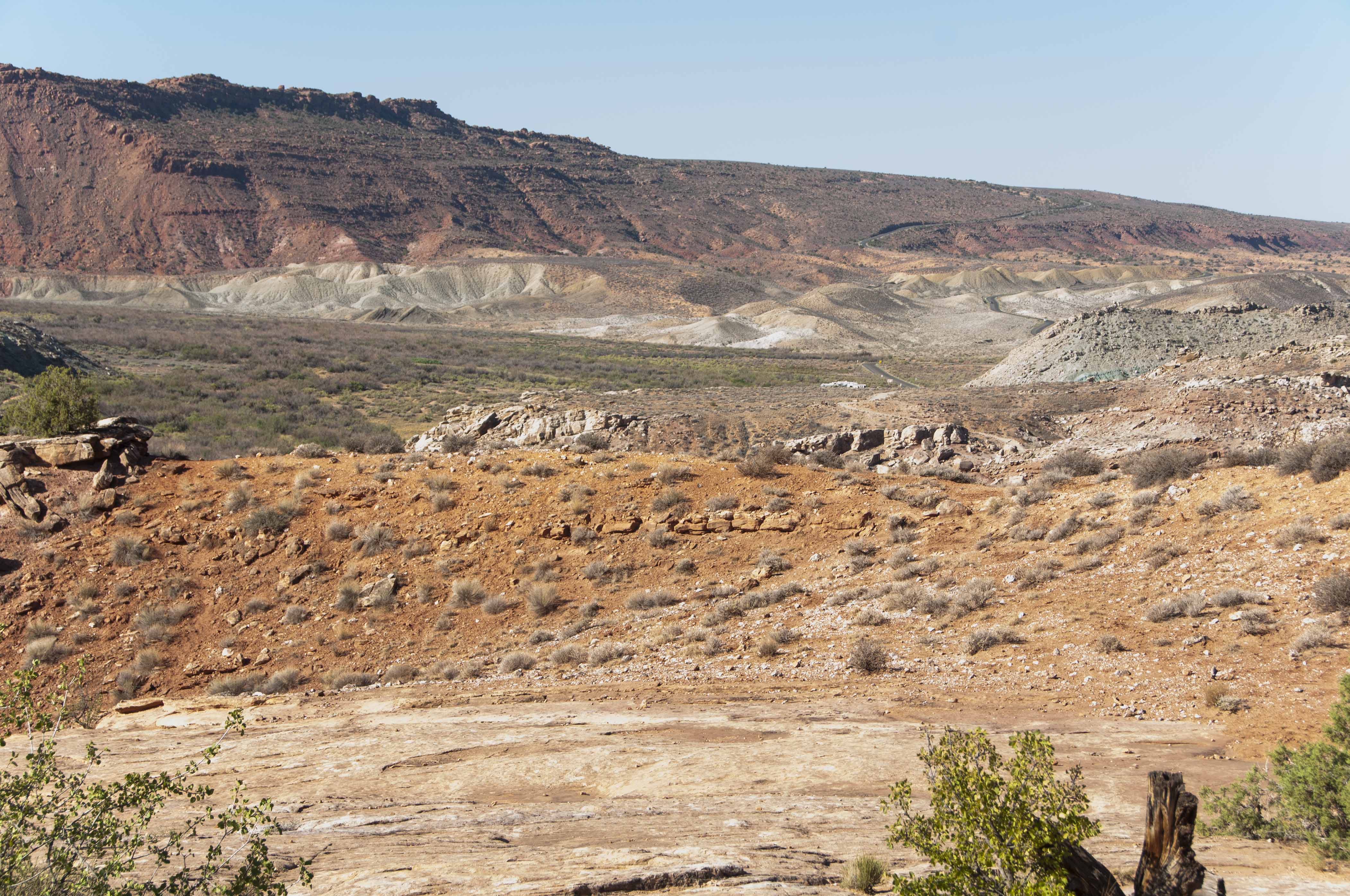
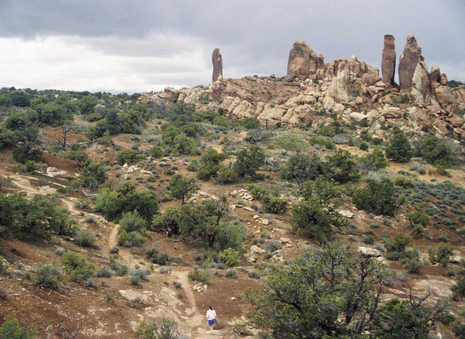
Klondike Bluffs forms the northwest boundary of Arches National Park.
It's the most remote section of the park and is accessed either from Salt Valley Road
north of the park or by a sand and gravel road in the park that crosses Salt Valley
(I suggest 4-wheel drive). The hike to Tower Arch starting at the trailhead in the park
is my favorite hike in Arches. It's about 3 miles round trip.

Tower Arch trailhead (1992)
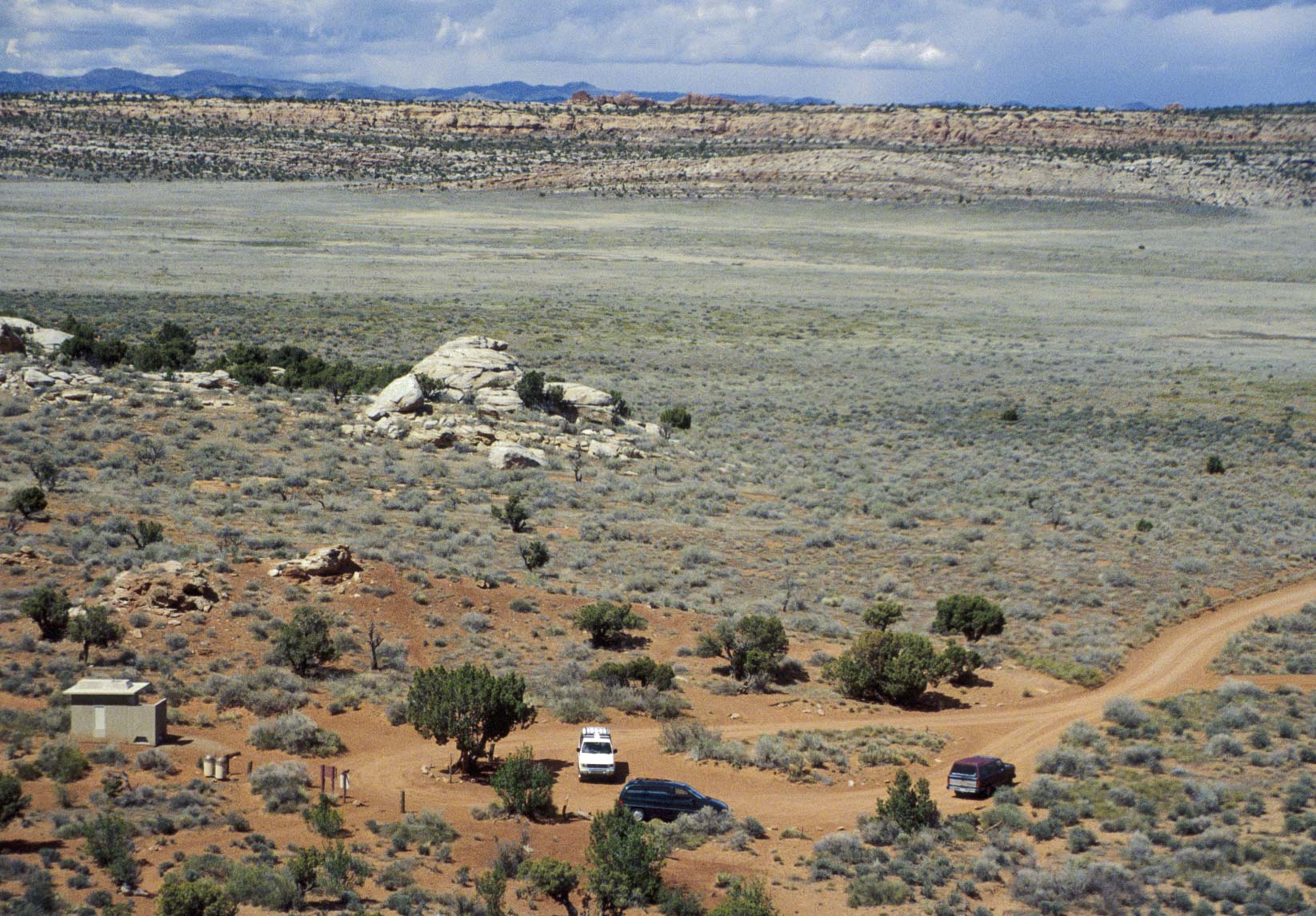
Tower Arch trailhead (1995)
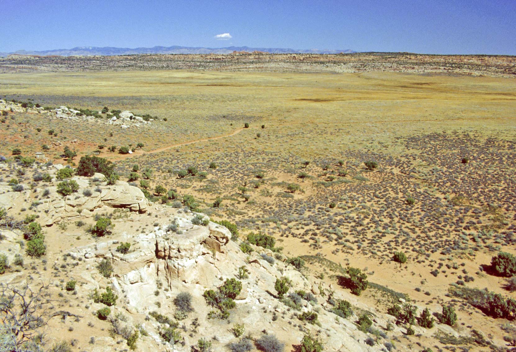
Salt Valley
view from Tower Arch trail
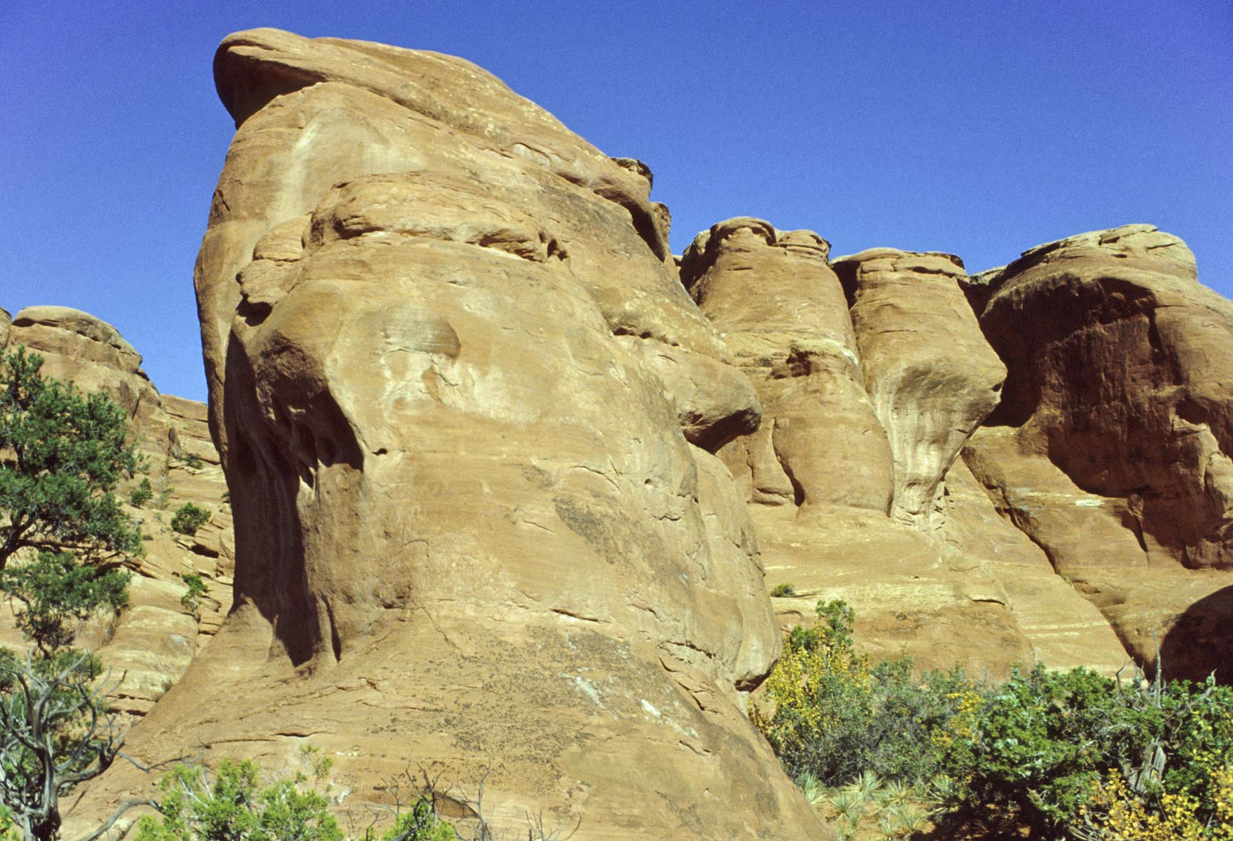
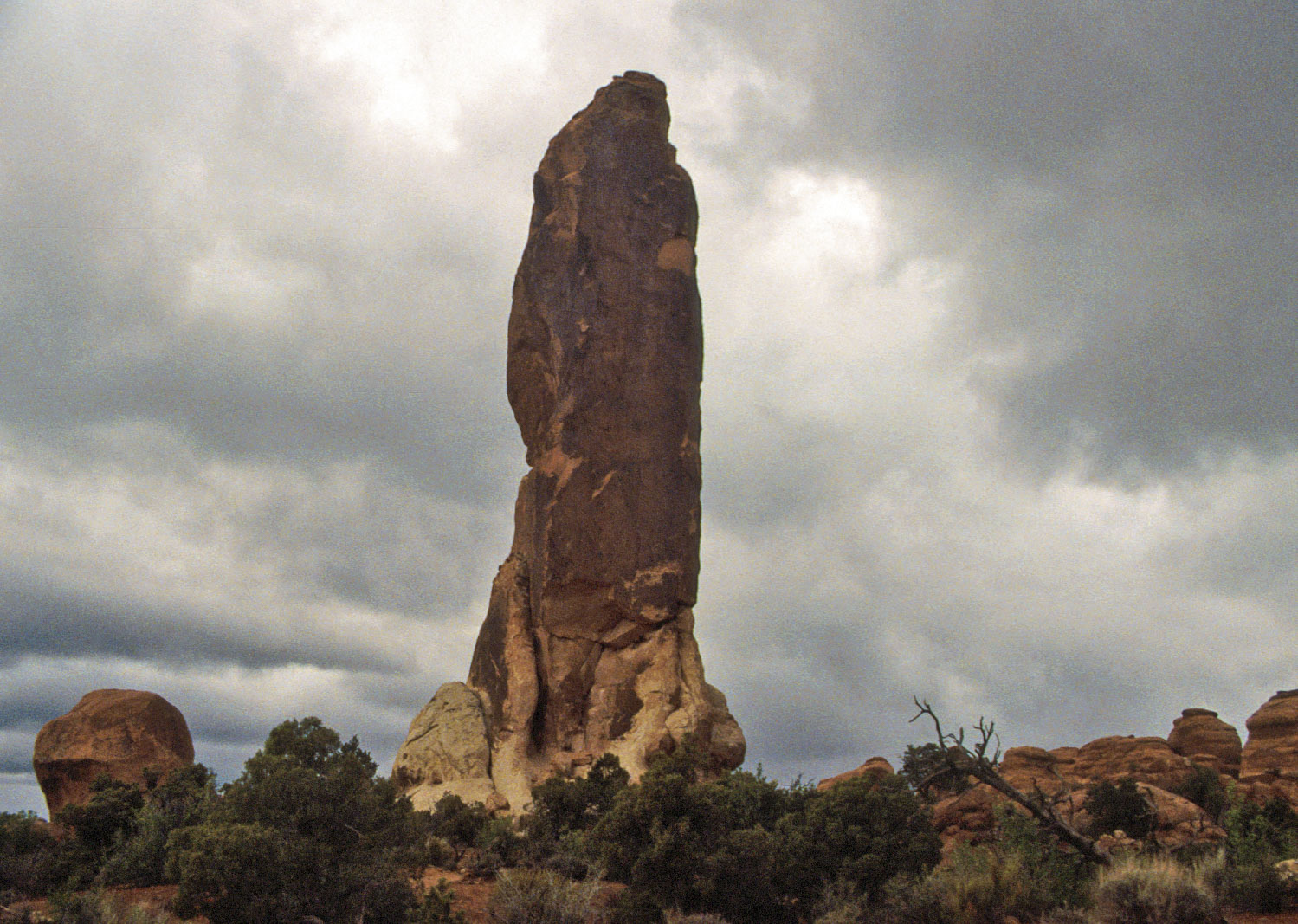
Red rock formation (1992)

Red rock formation (1995)
Marching Men formation
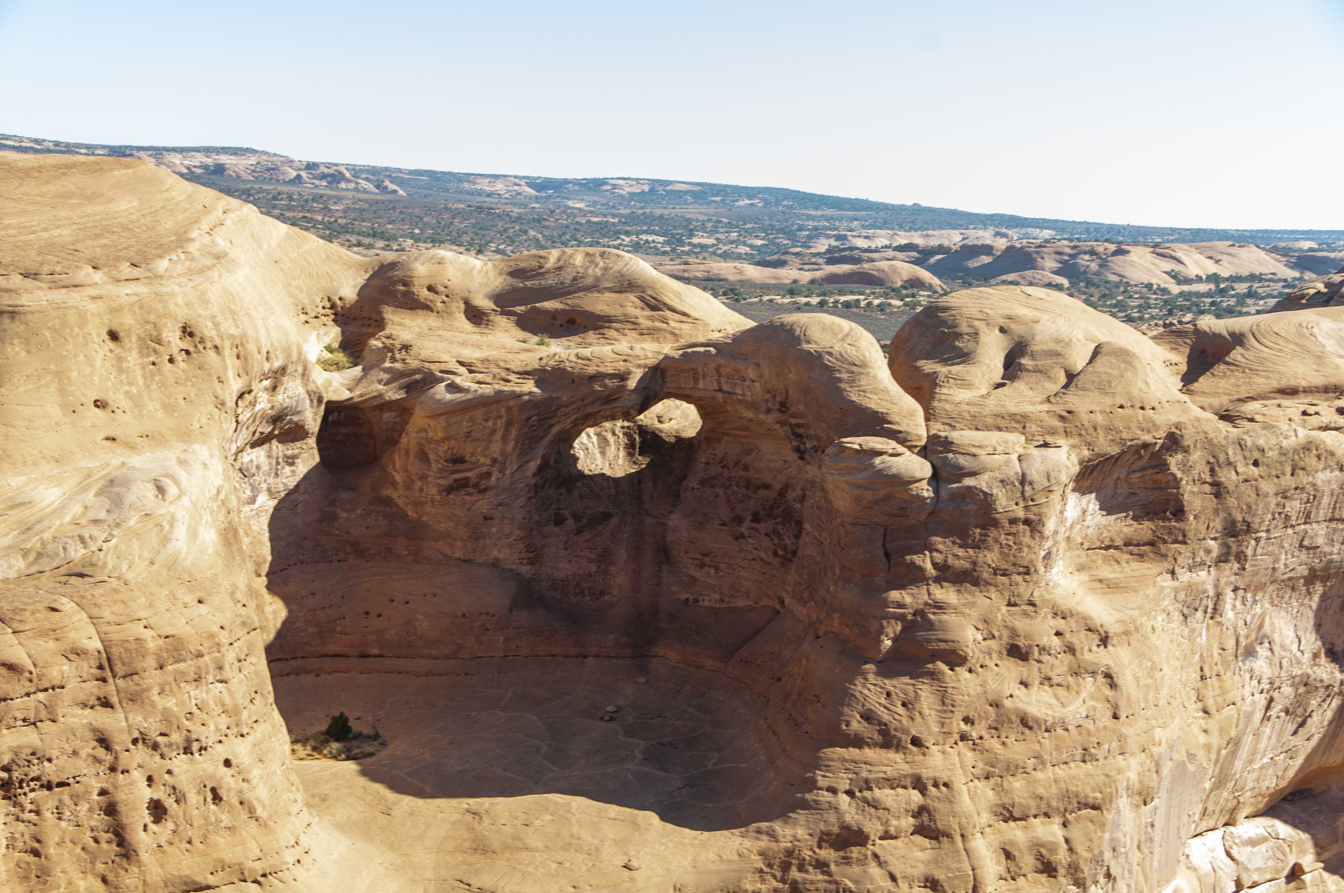
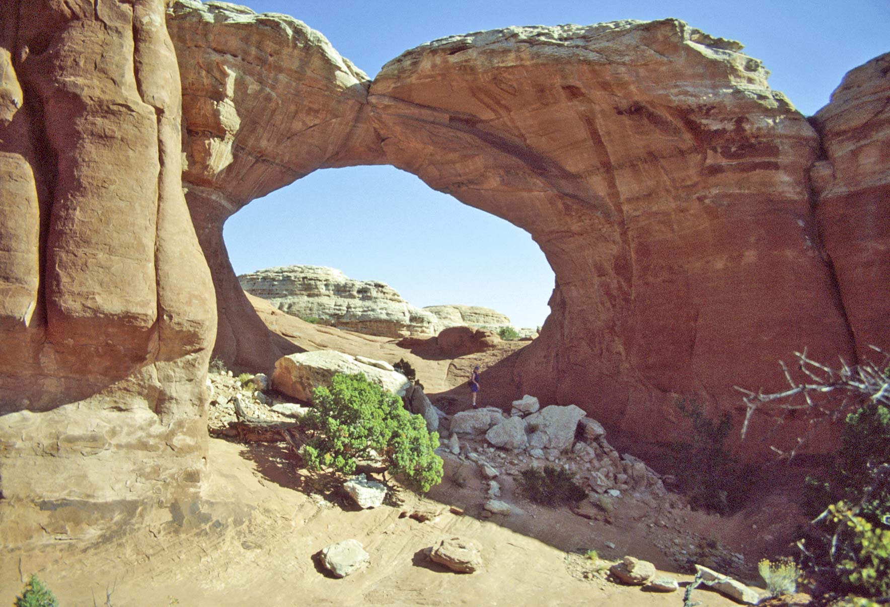
Tower Arch
Tower Arch
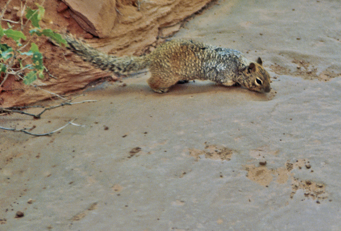
Rock squirrel
(Spermophilus variegatus)
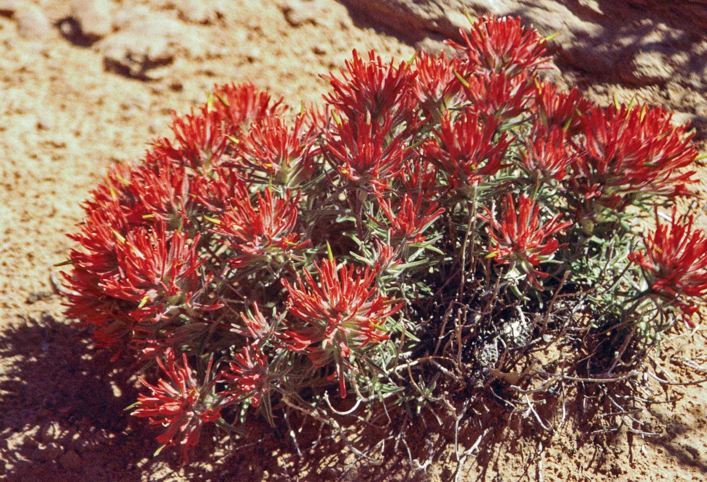
Indian Paintbrush
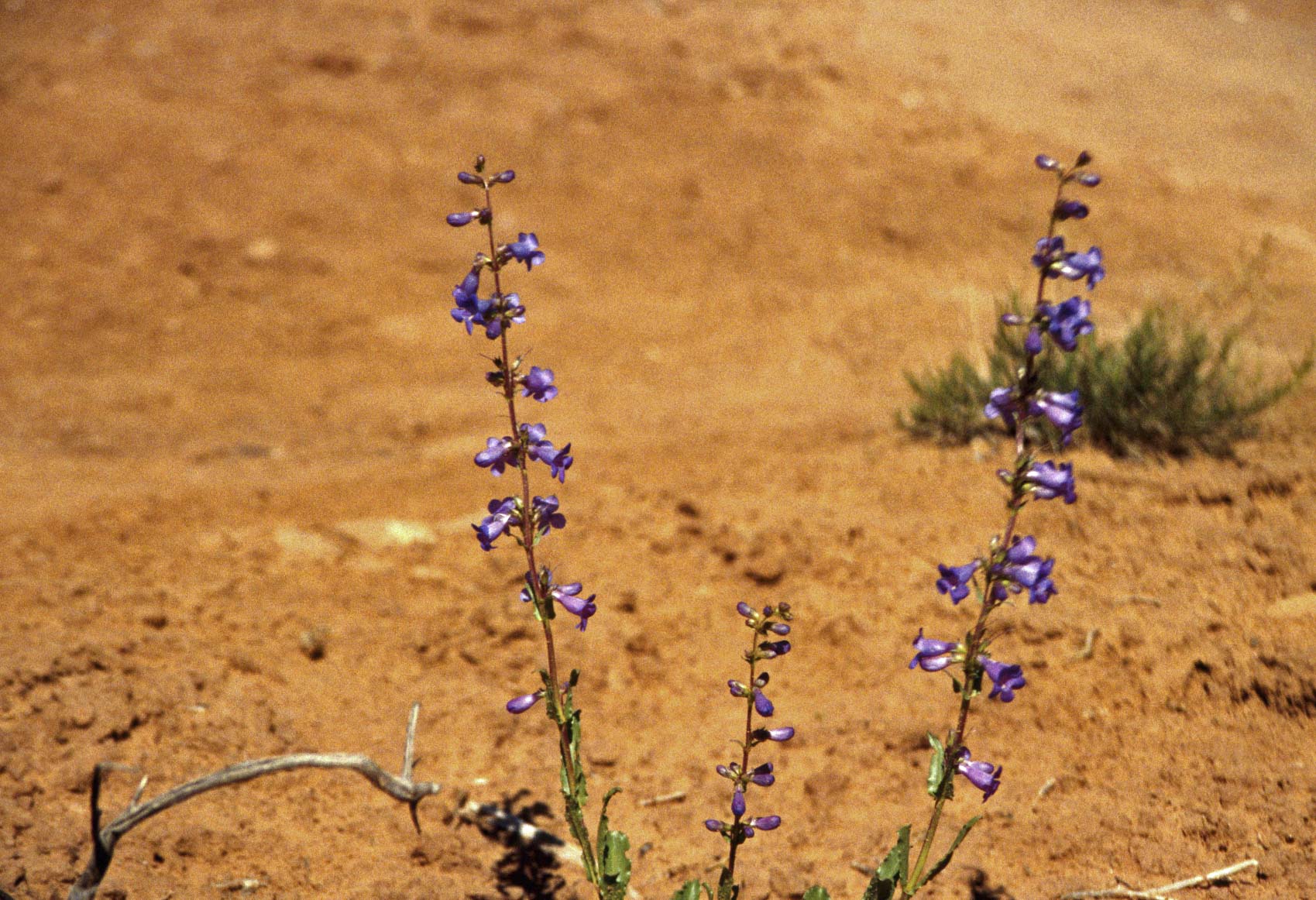
Blue Penstemon
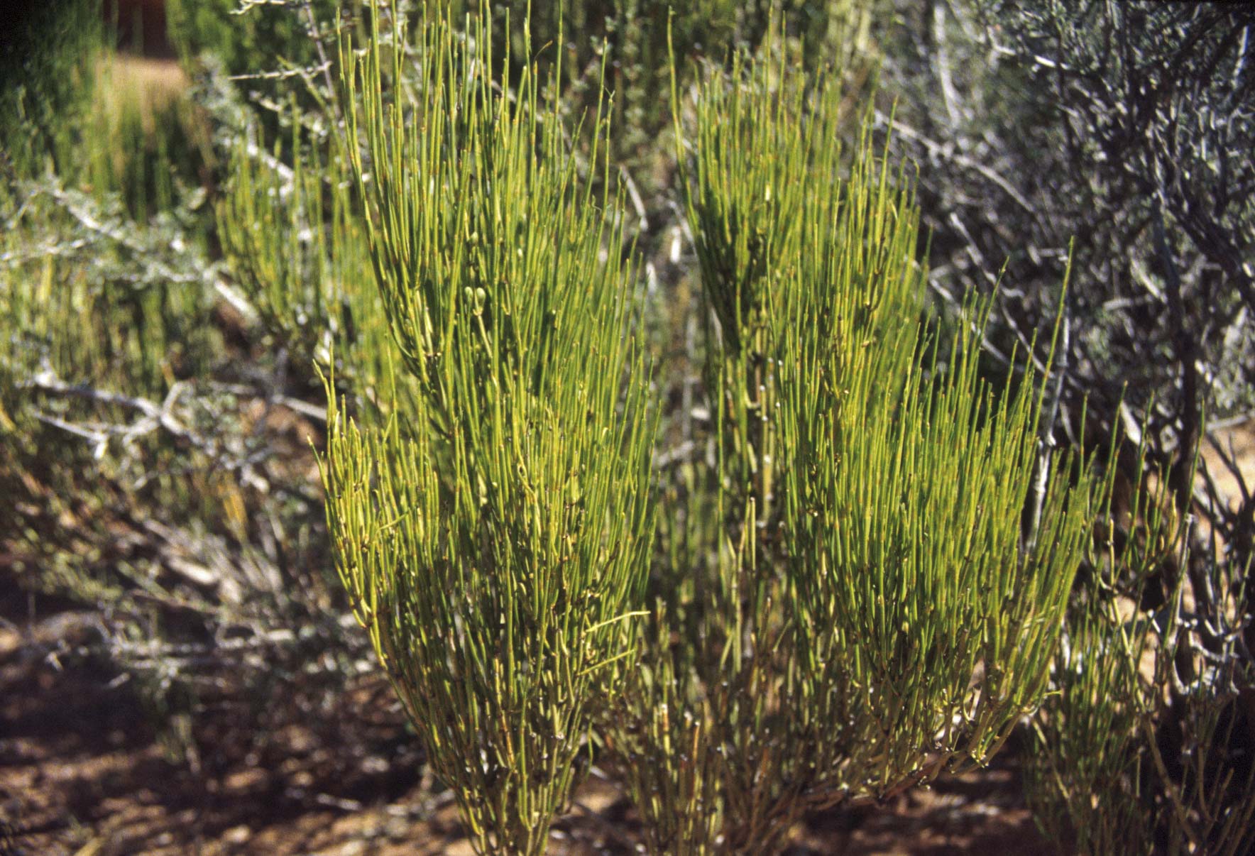
Mormon Tea
Background content and park map courtesy of the National Park Service.
Use the form on the Home Page to submit comments, questions, or suggestions. TD Productions Copyright © 2019