Zion National Park
I've been to Zion National Park 3 times; the photos below are from 1979, 1989, and 2009. In 2009 I got to the east entrance of the park just as the "campground full" sign went up, so I spent my first night in a campground (now Zion Park RV) near the east entrance to the park. Once you arrive at Zion you need to get off the shuttle and walk to really experience the grandeur the park. There are many trails in the park that let you see Zion "up close and personal". This presentation takes you along several of the "frontcounty" trails; they are relatively short, don't require permits, and your chances of getting lost are slim to none.
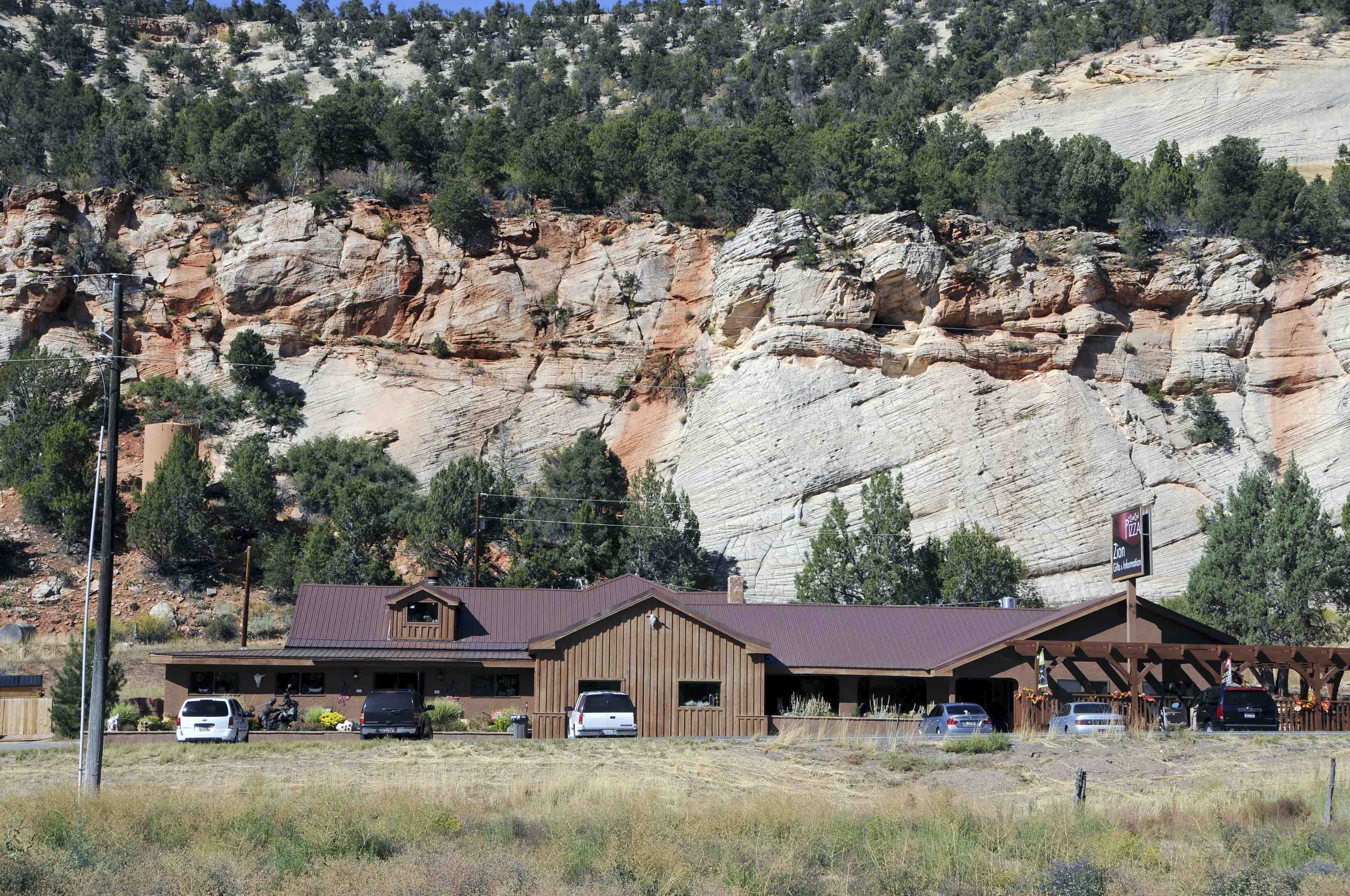
Zion Mountain Trading Post

No frills campsite

Horse drawn disc harrow
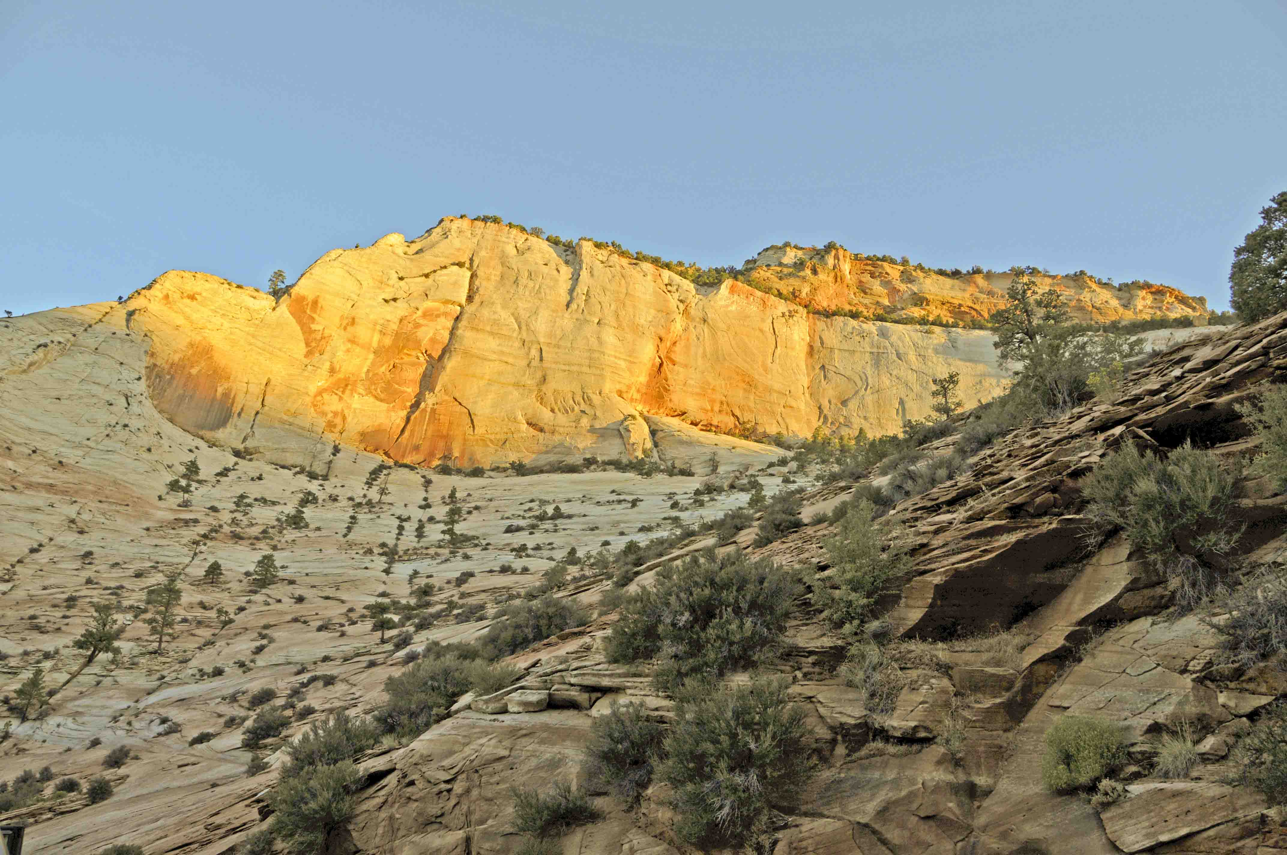
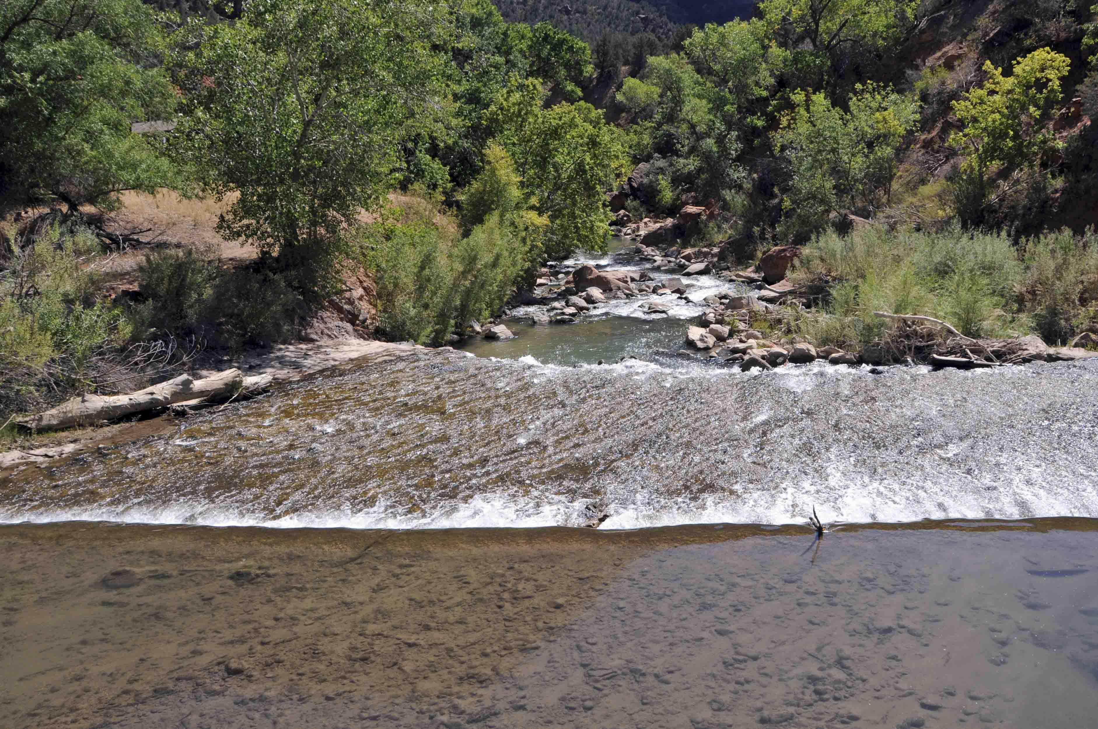
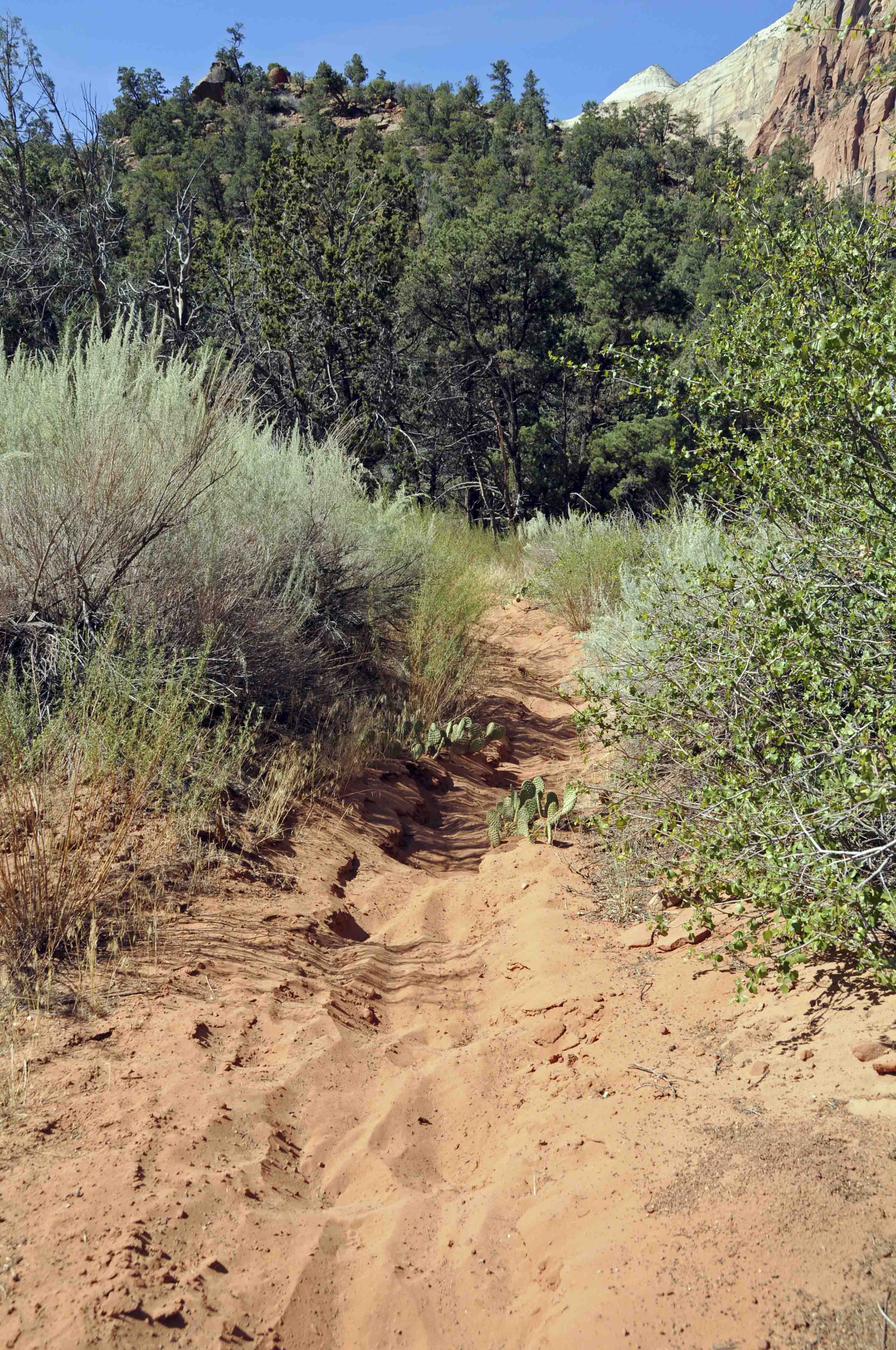
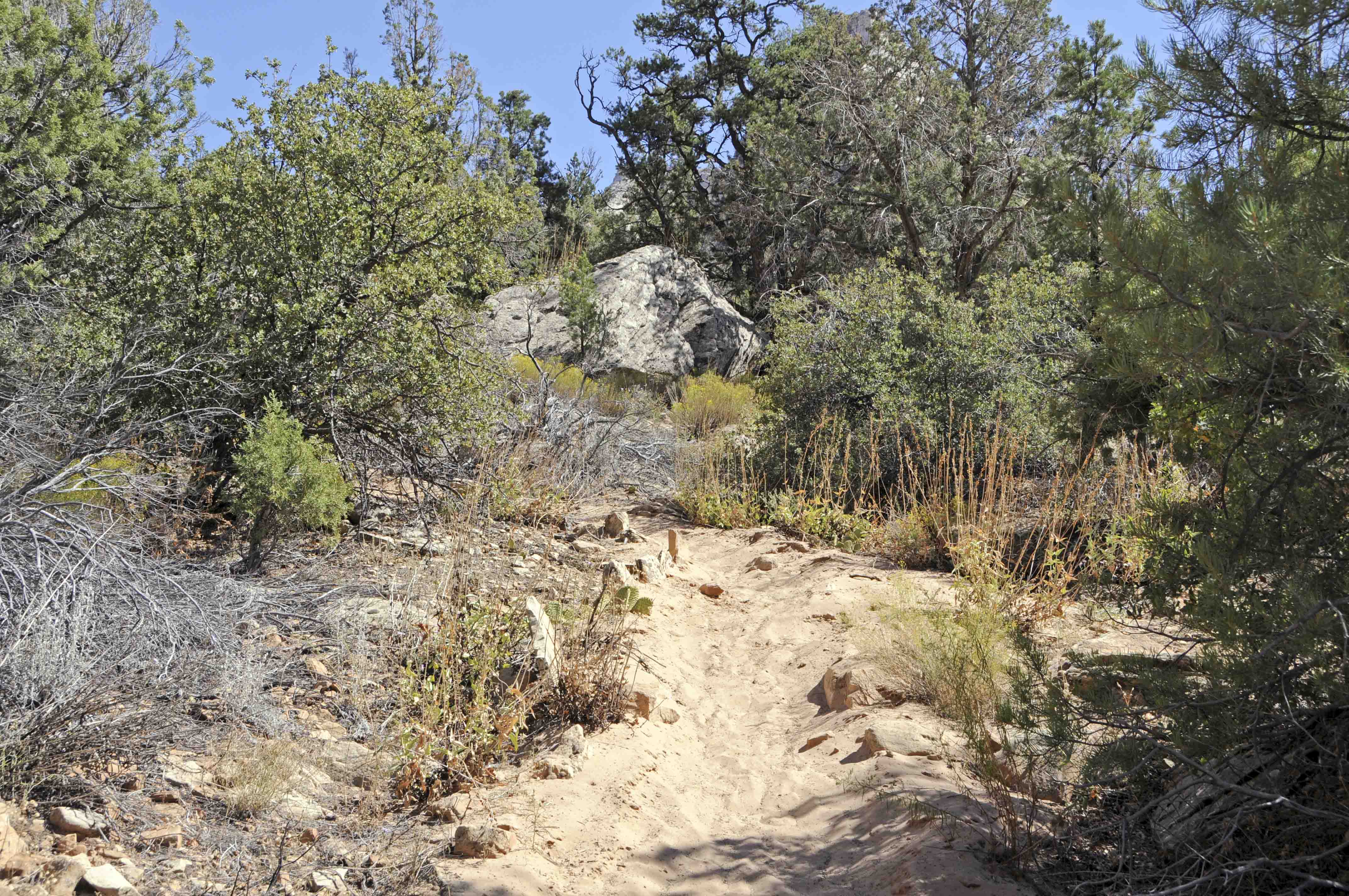
Scenery along the way
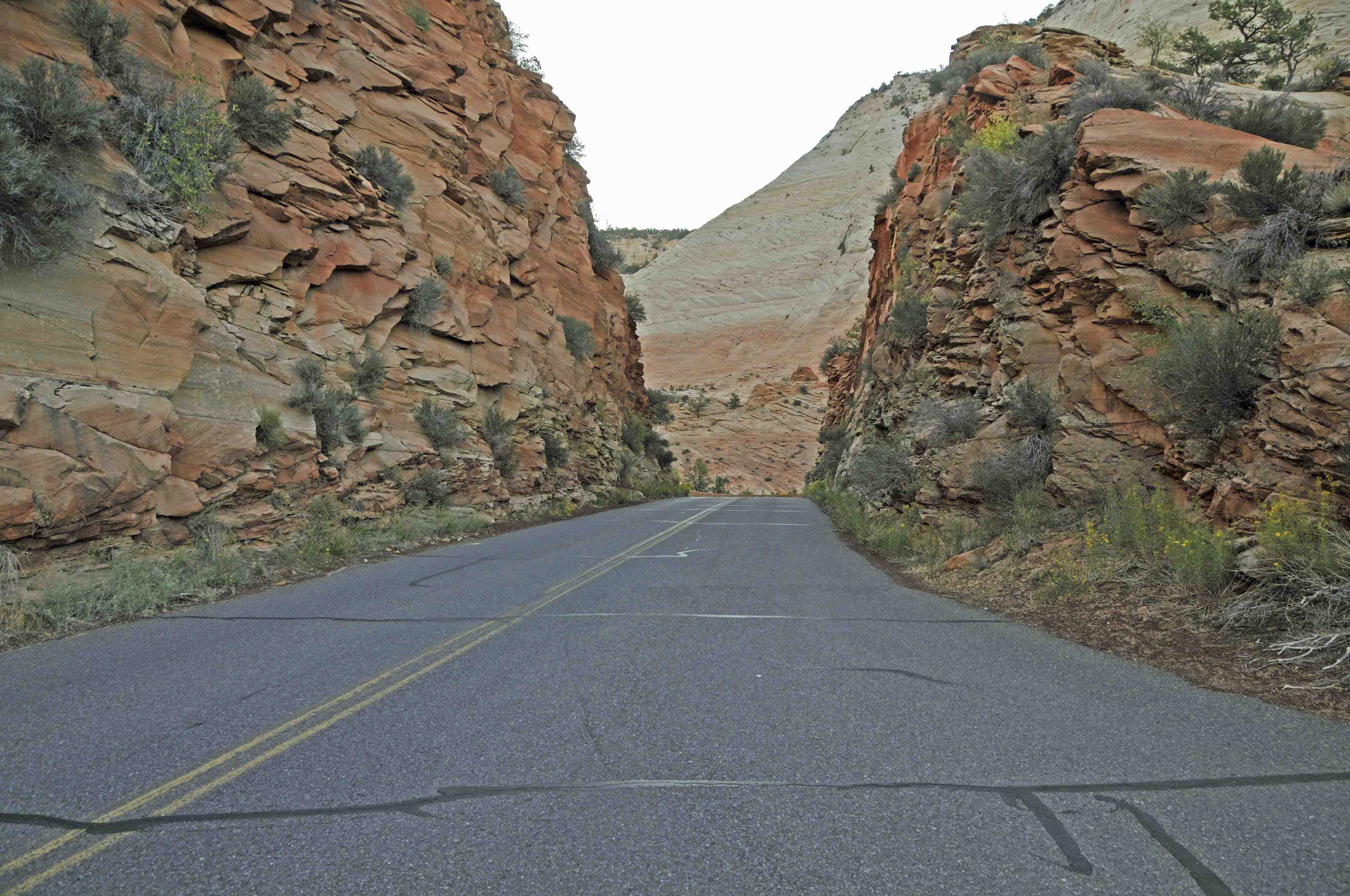
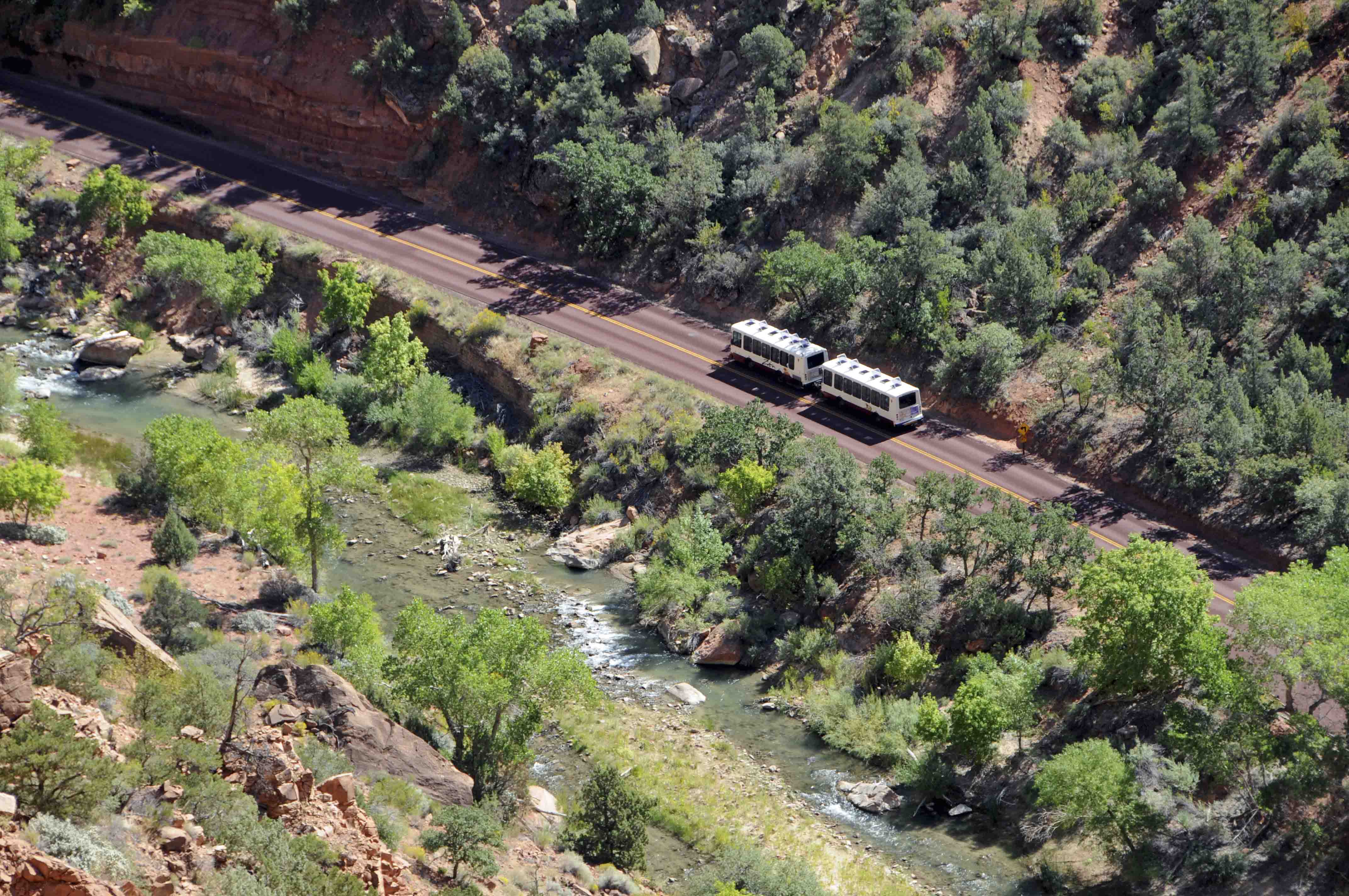
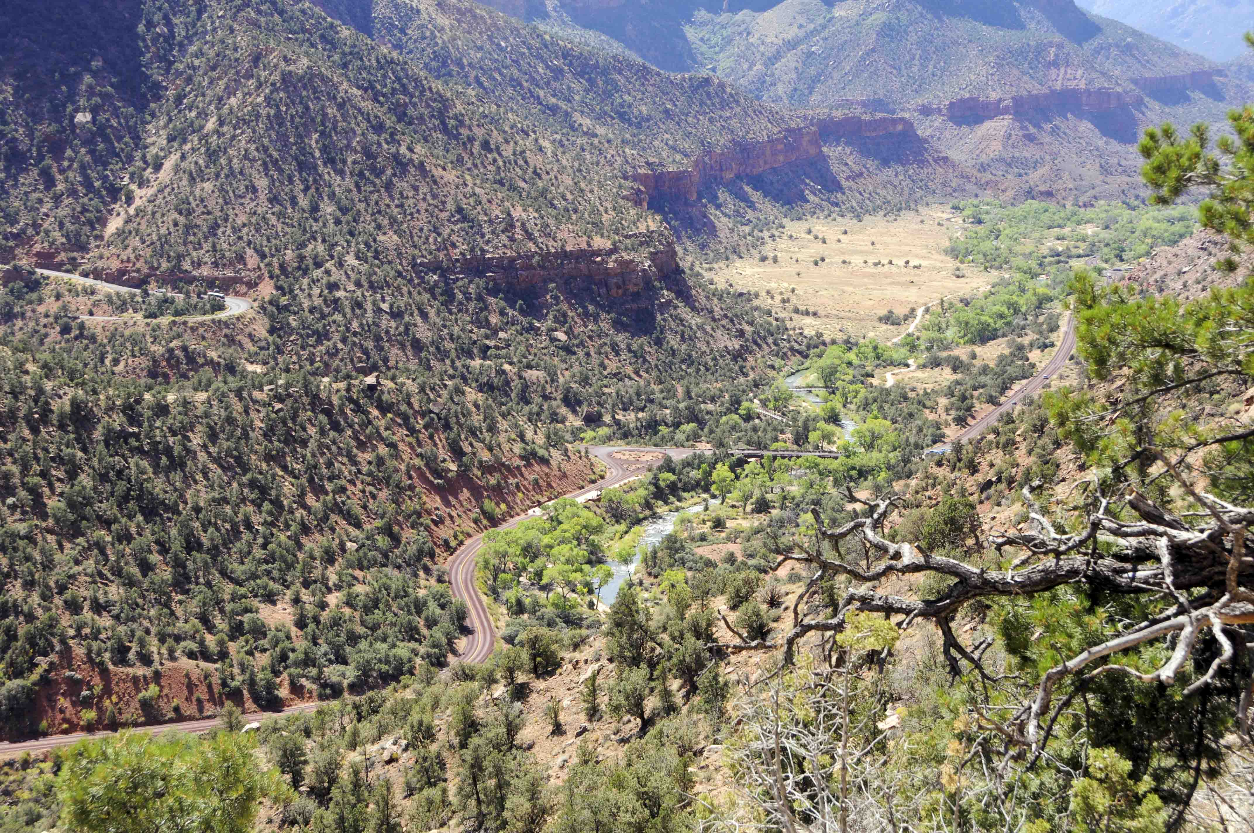
Utah State Route 9 (Zion - Mount Carmel Hwy) into Zion National Park
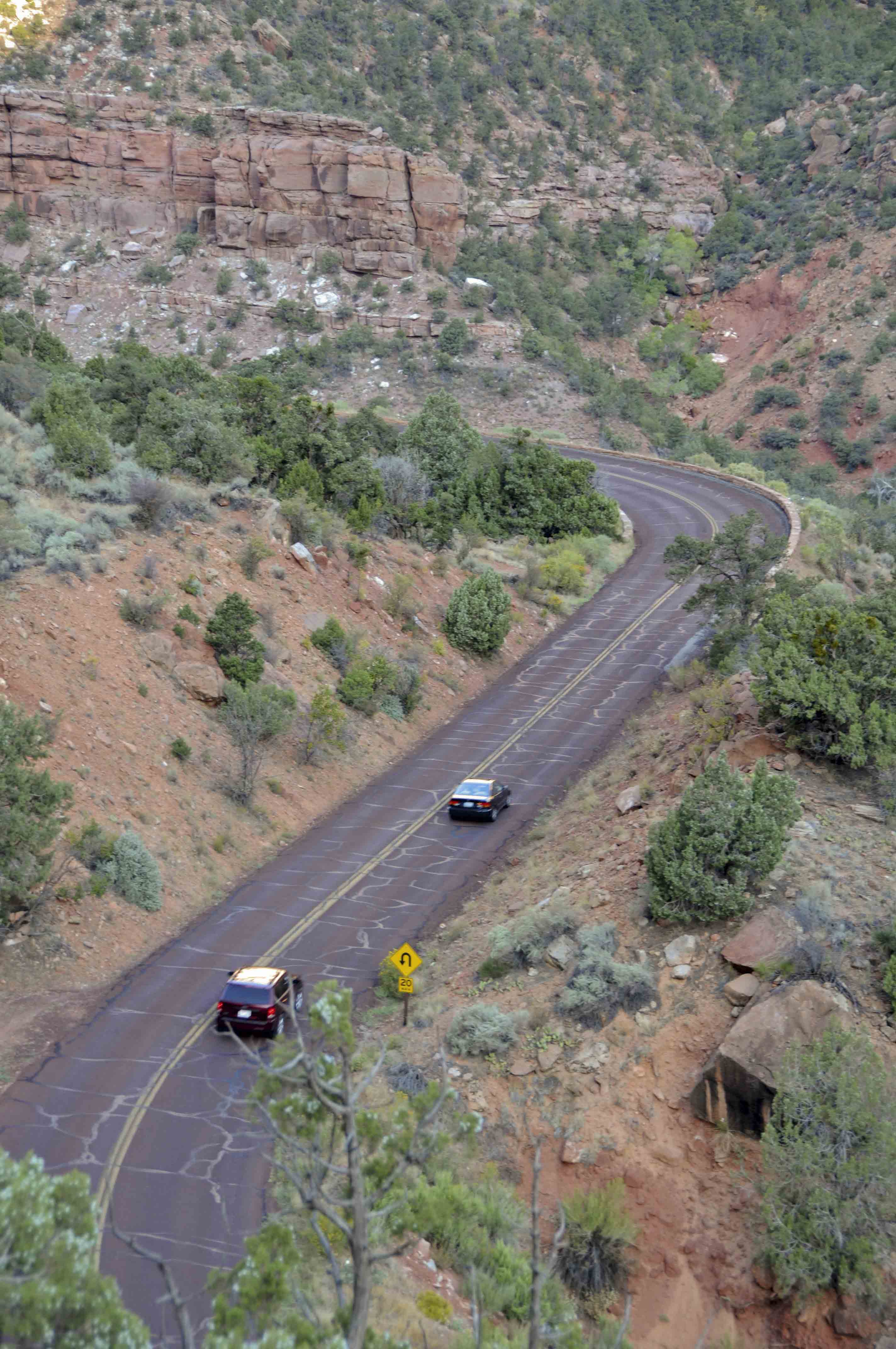
Utah State Route 9
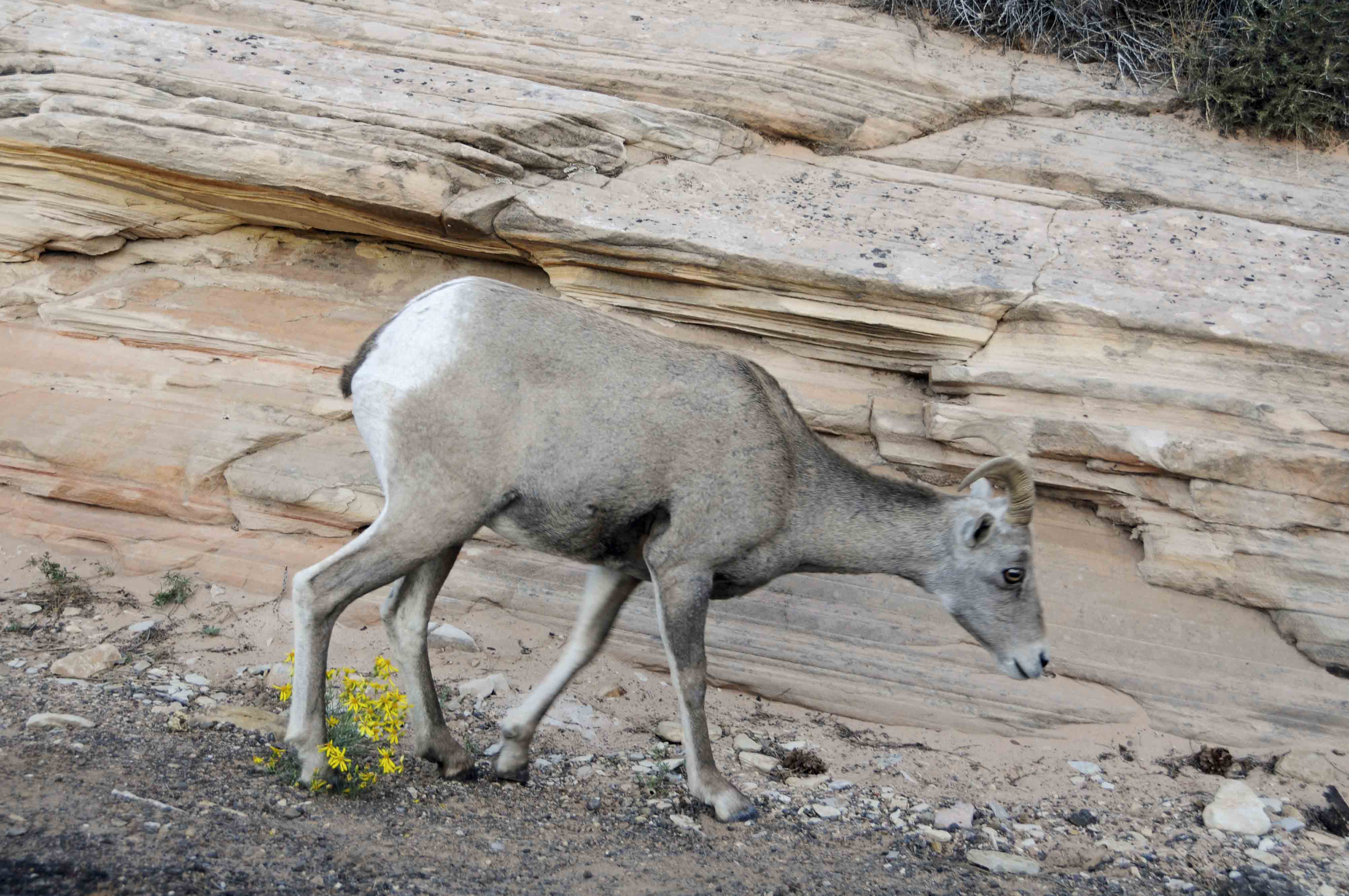
Desert bighorn sheep
(Ovis canadensis nelsoni)
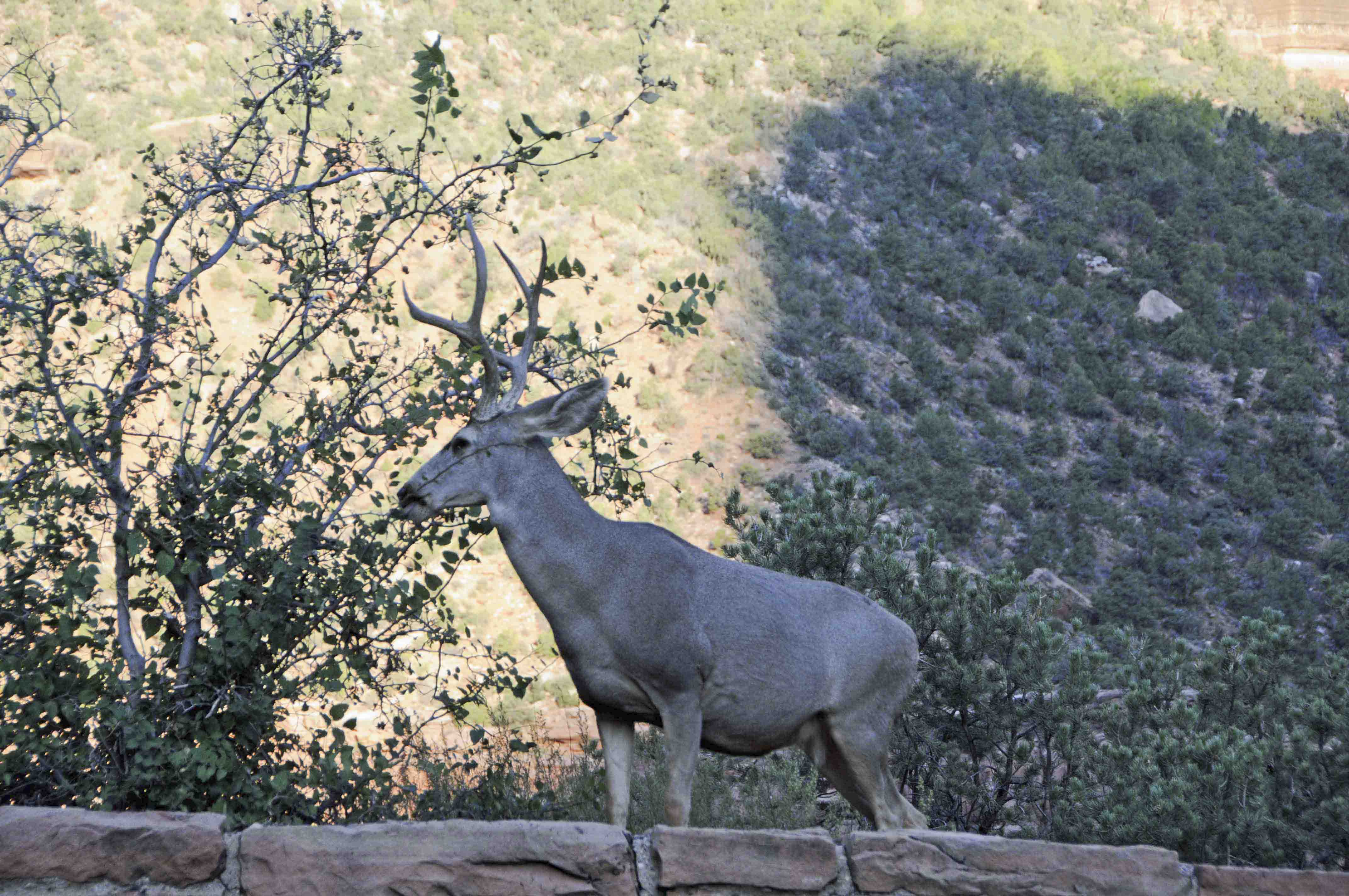
Mule deer
(Odocoileus hemionus)
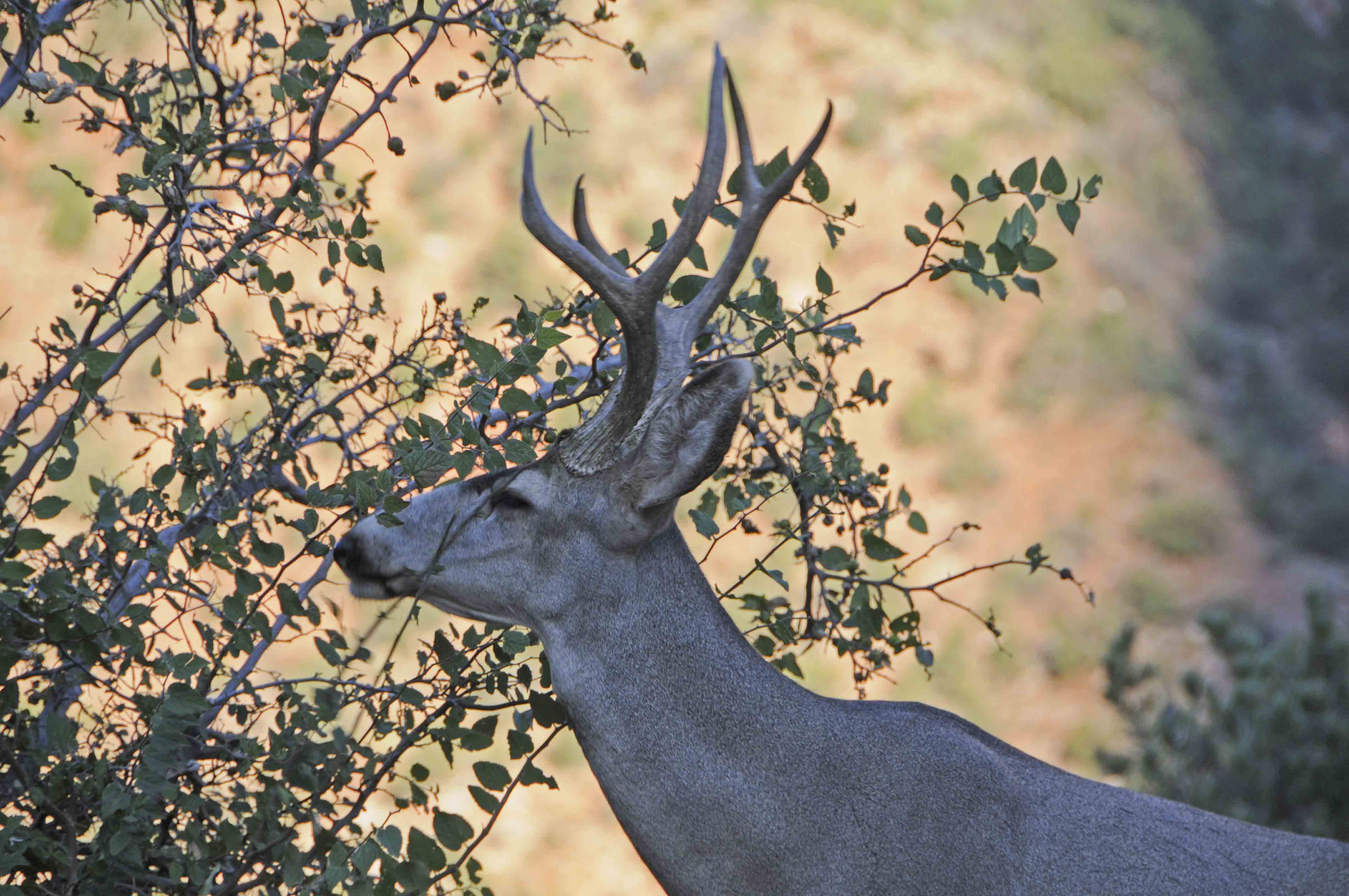
Mule deer
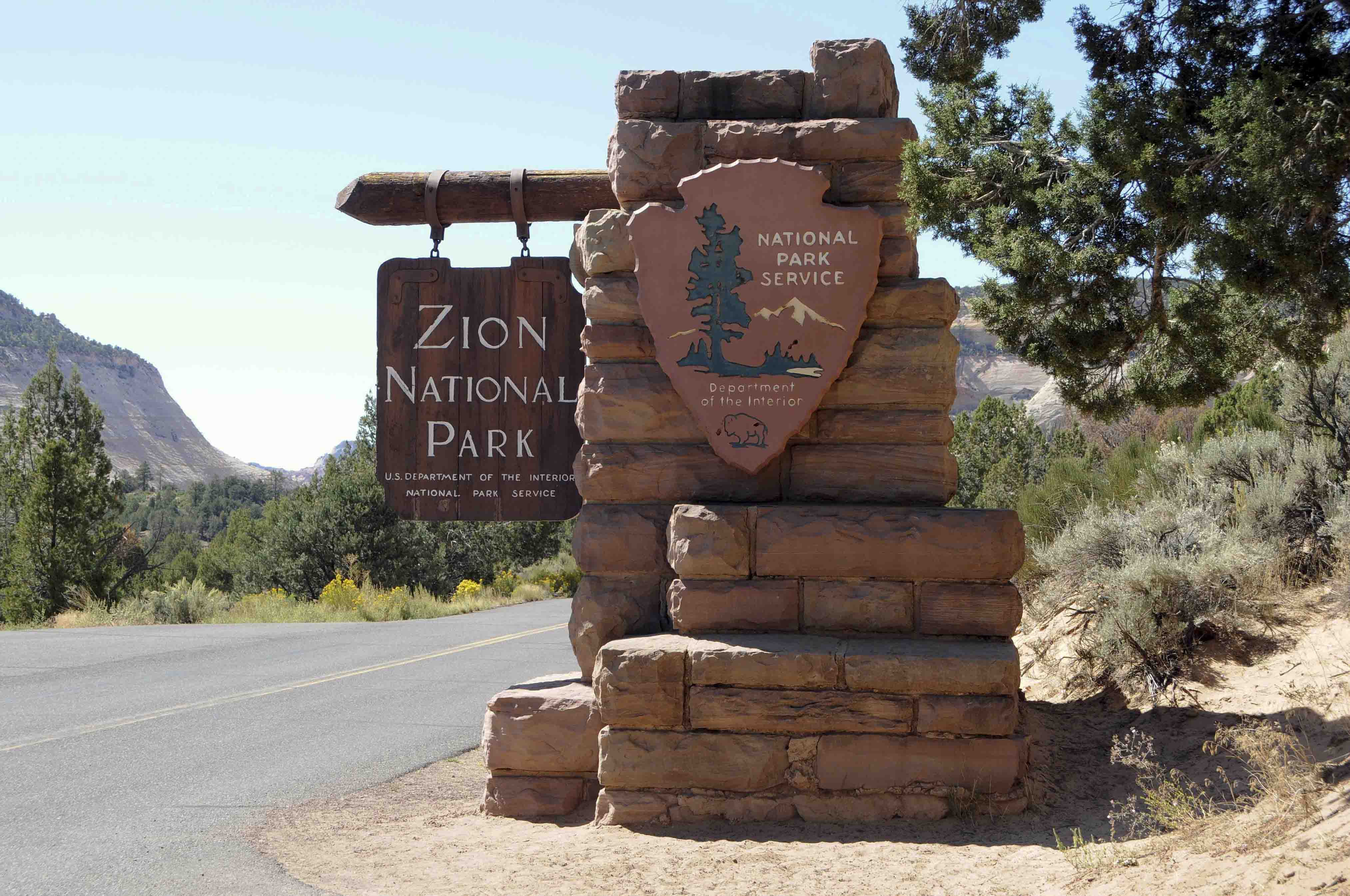
Park sign
Park Facilities
Zion National Park has a very nice Visitor Center complete with gift shop and bookstore,
a museum with gift shop and gallery, and the historic Zion Lodge that also has a gift shop (notice
the trend here). The visitor center and museum are located at the south entrance to
the park, while the lodge is midway up the canyon. Zion National Park has three campgrounds,
none of which have gift shops. South and Watchman campgrounds are located in Zion Canyon
near the south entrance. Lava Point campground is about an hour away from the canyon on
Kolob Terrace Road. The park even has -- Tesla Charging Stations. The town of Springdale
is adjacent to the park just outside the south entrance. It has additional campgrounds, lodges,
hotels, restaurants, etc., etc., etc.
Visitor Center
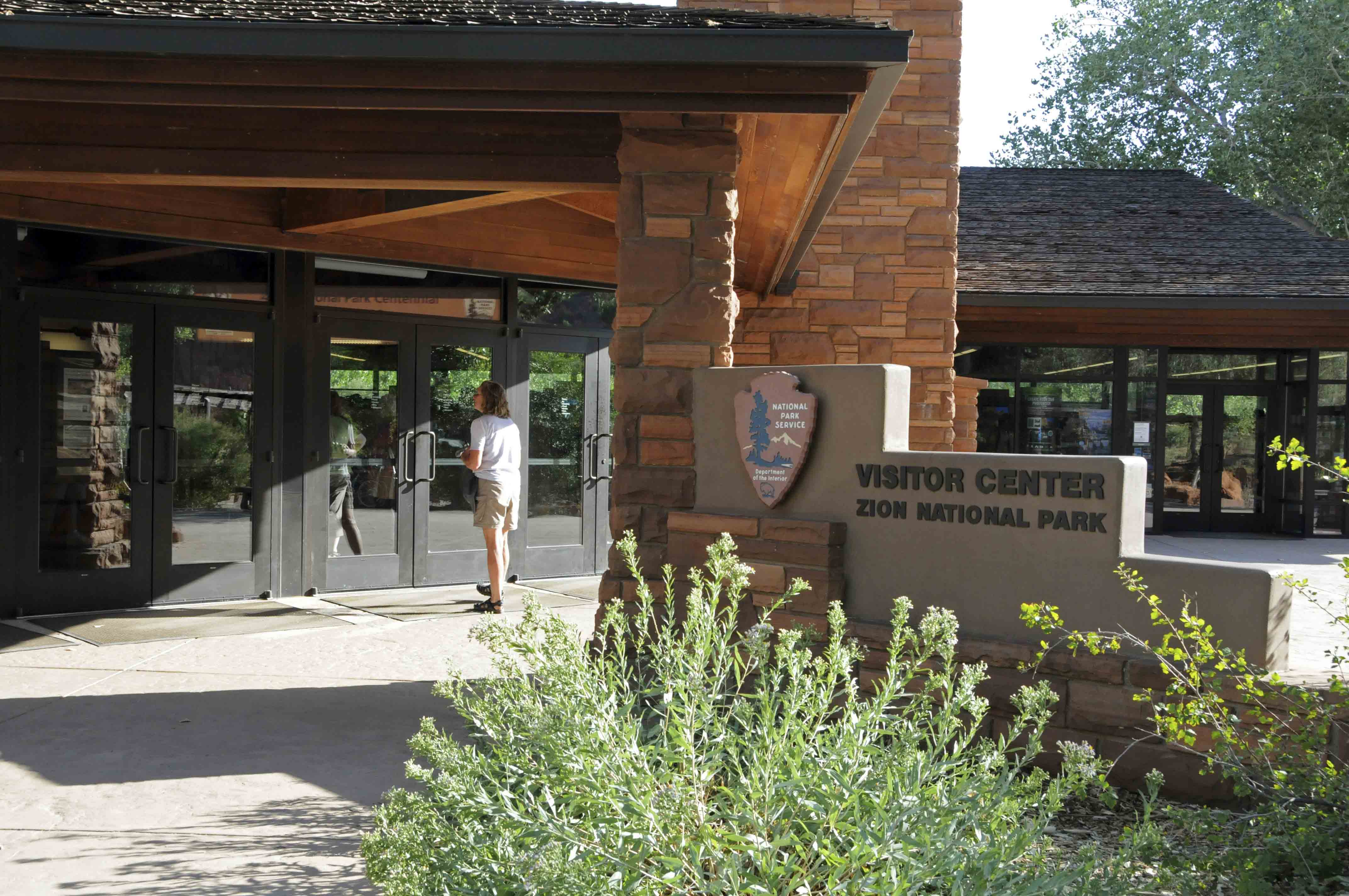
Visitor center
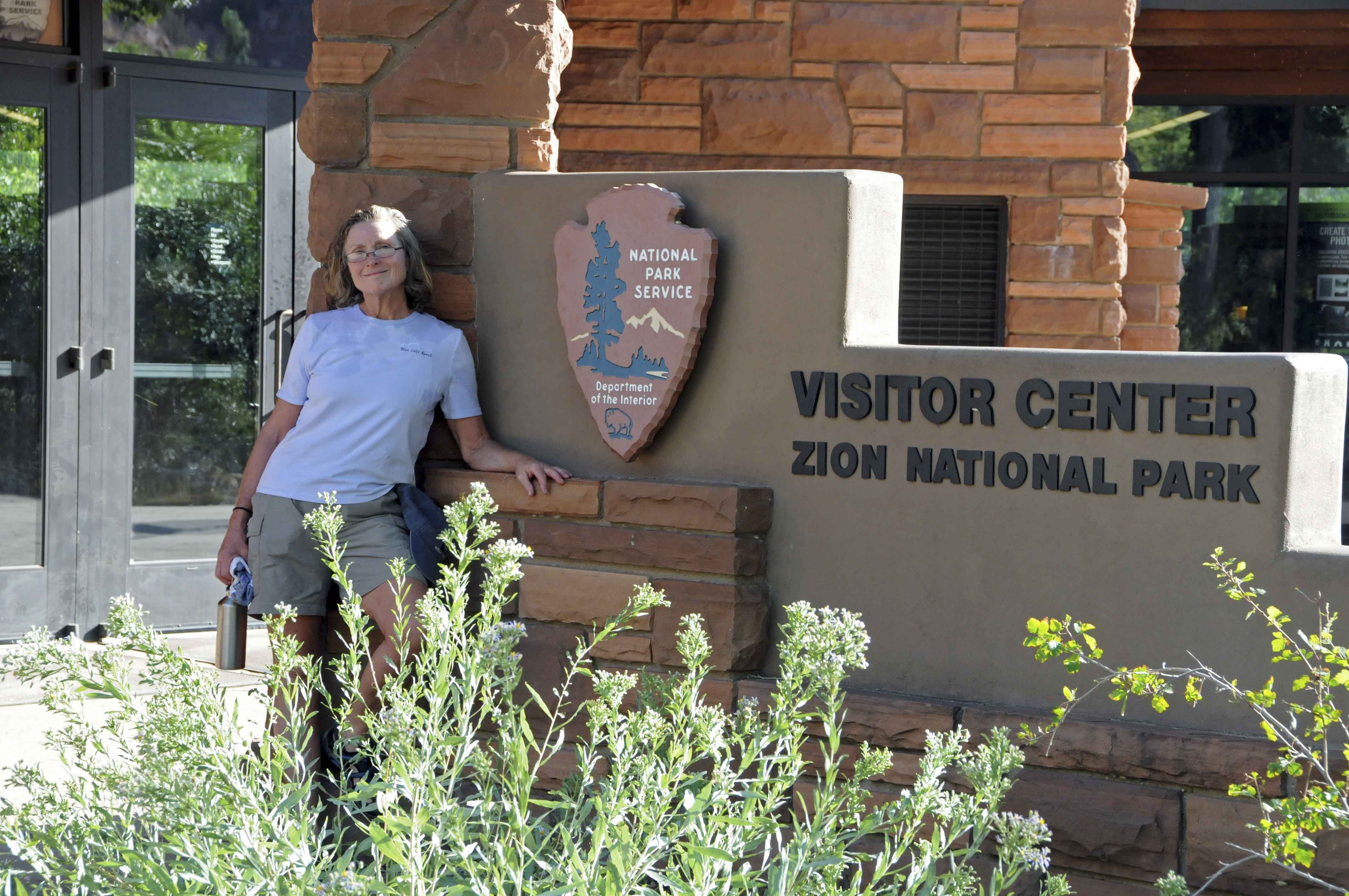
Stephanie at the visitor center
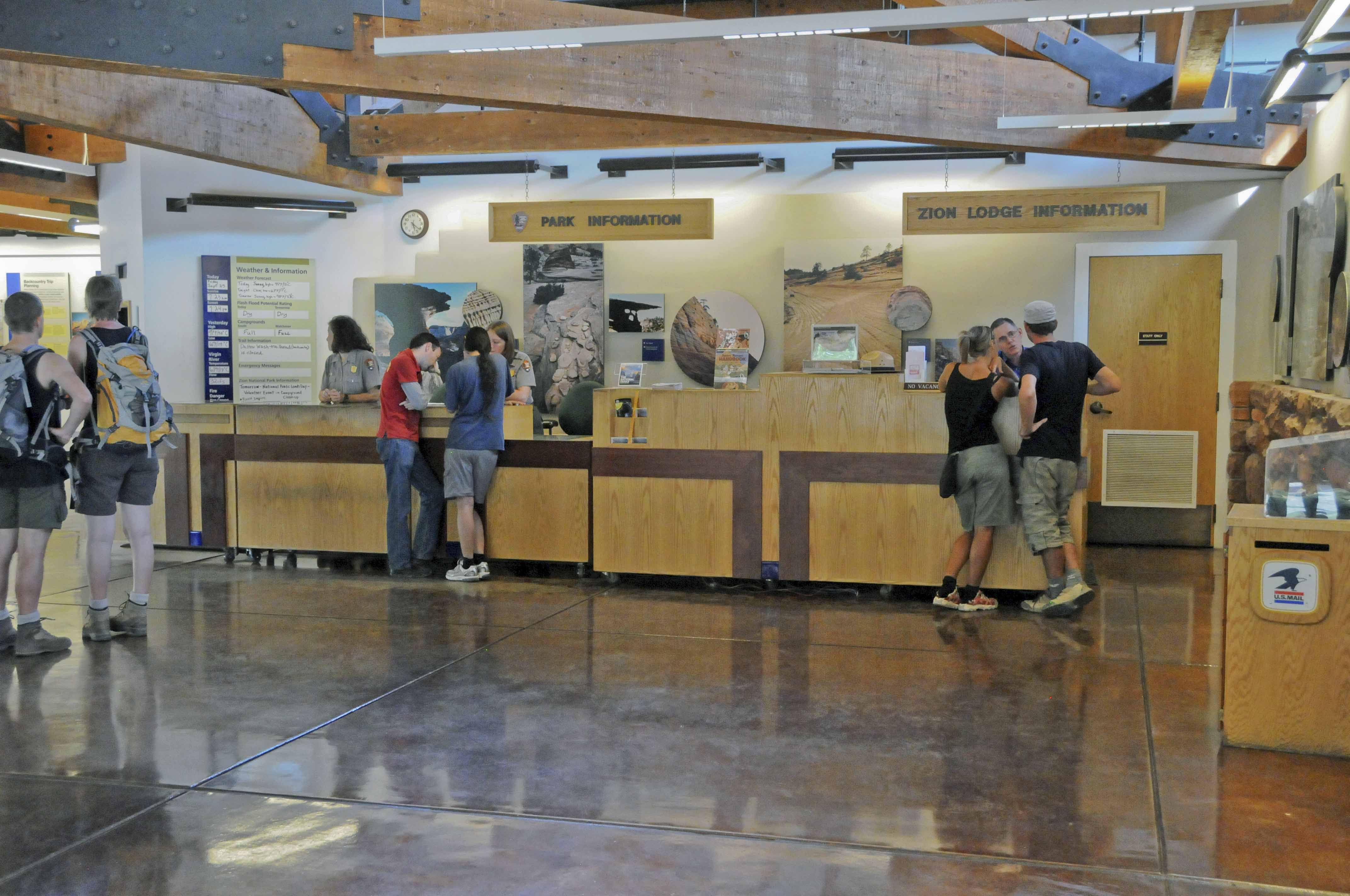
Information desk
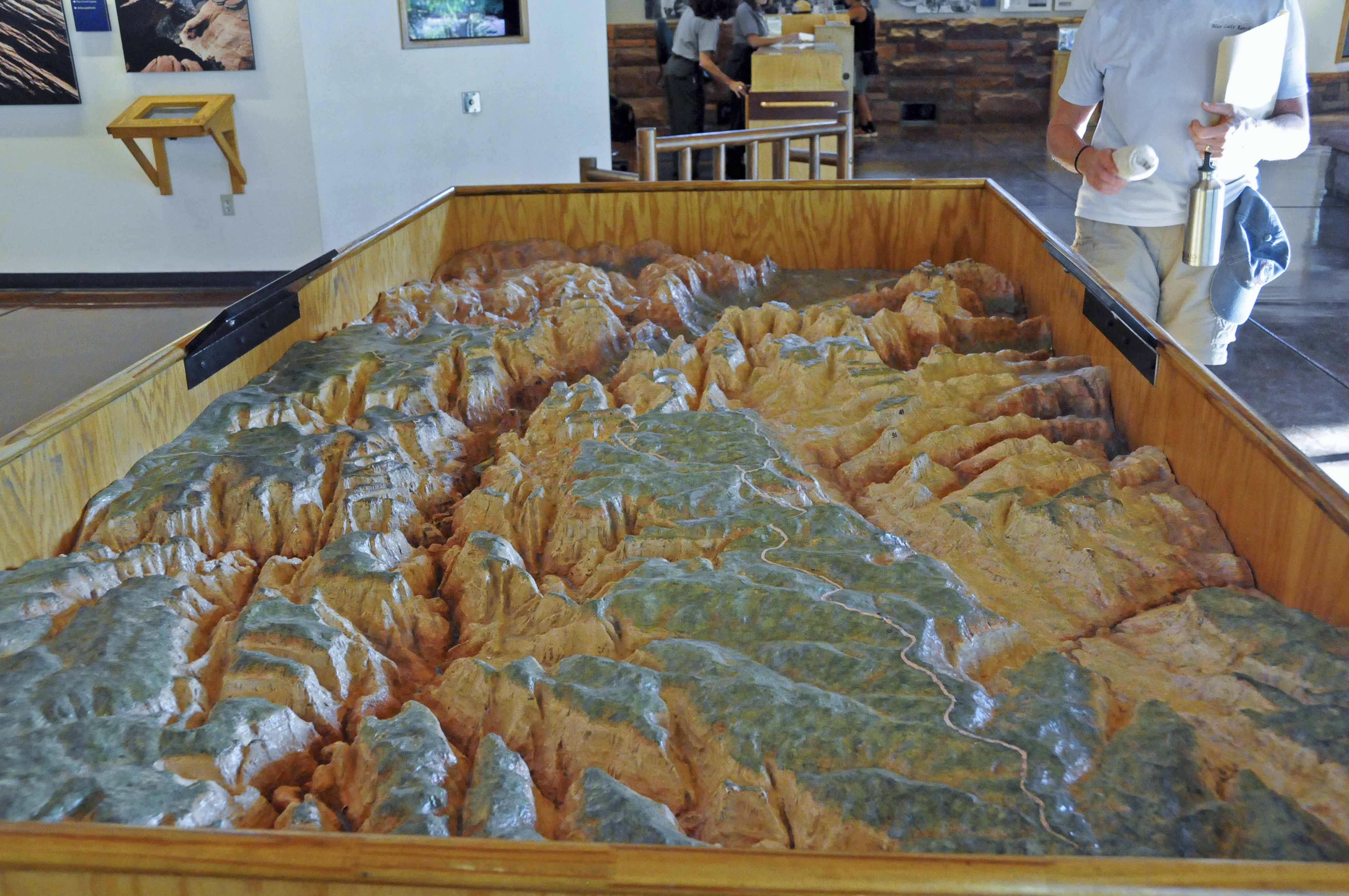
Topo Map of the park
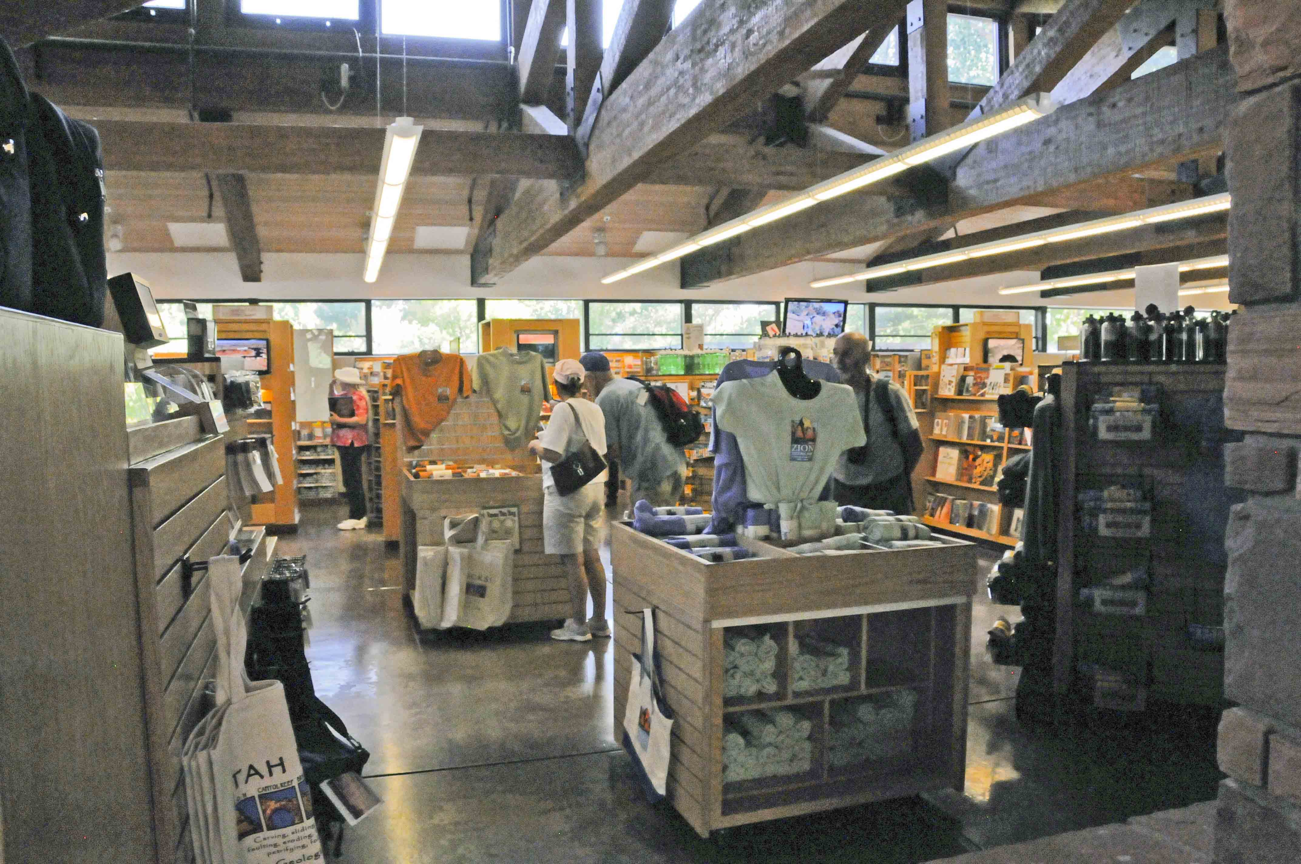
Gift shop
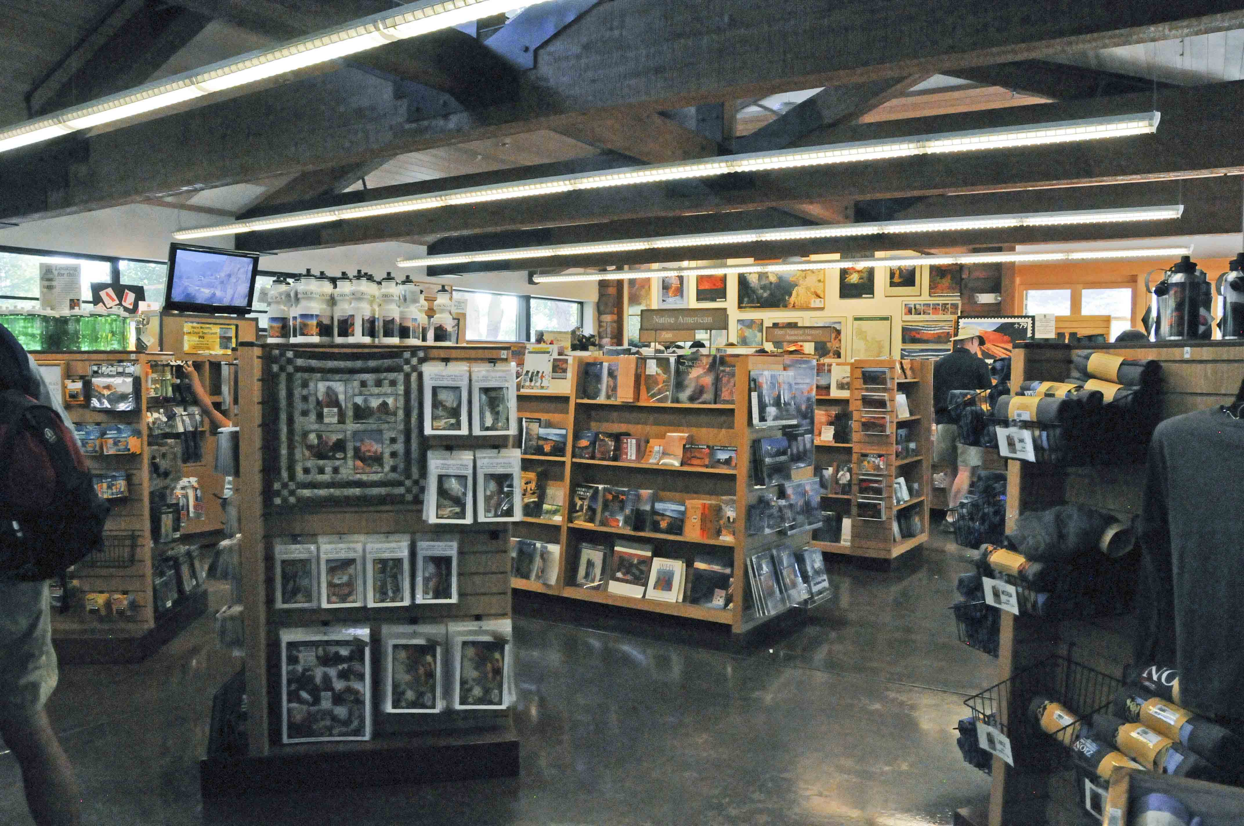
Gift shop
Zion Human History Museum
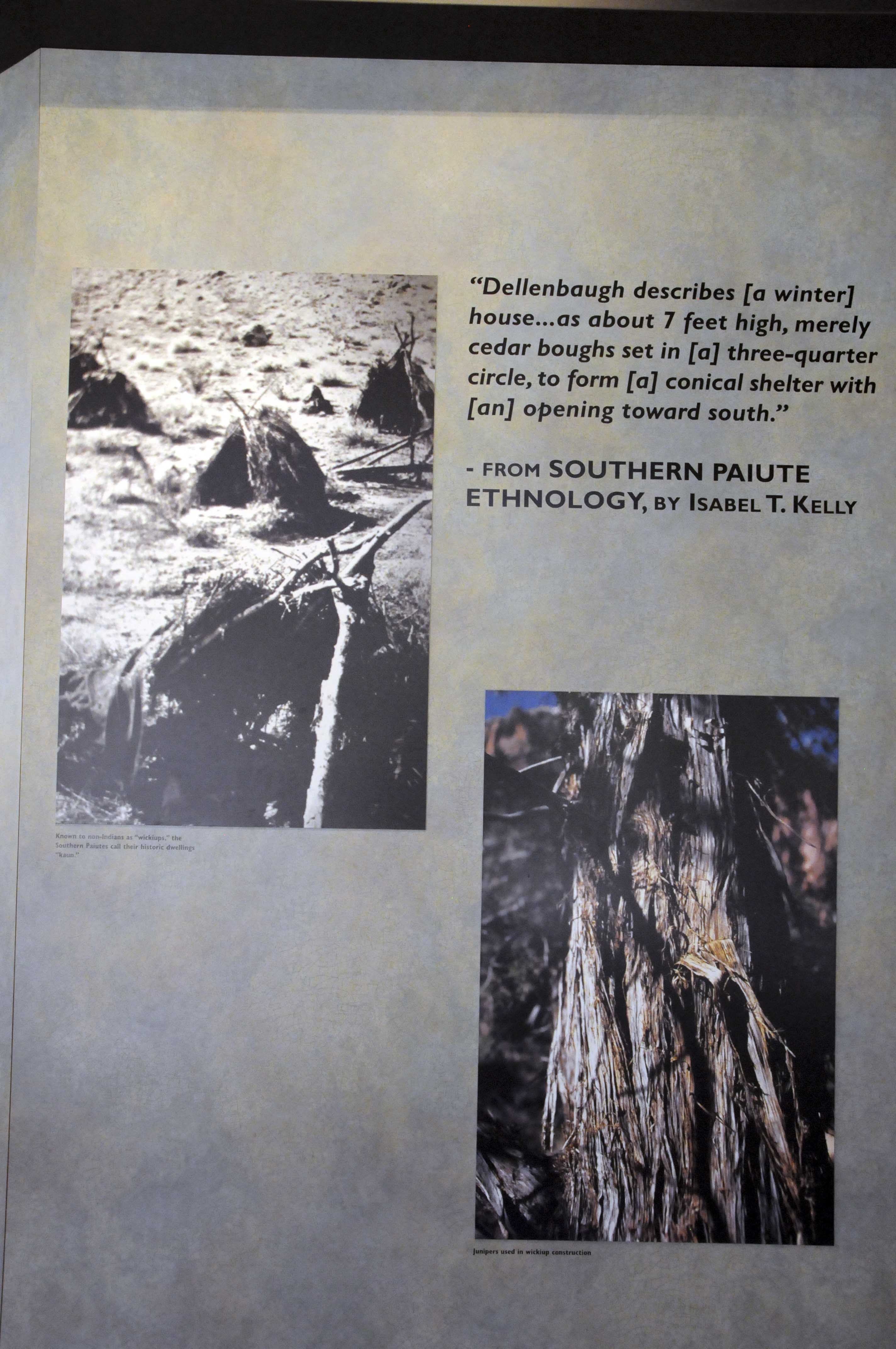
Exhibit
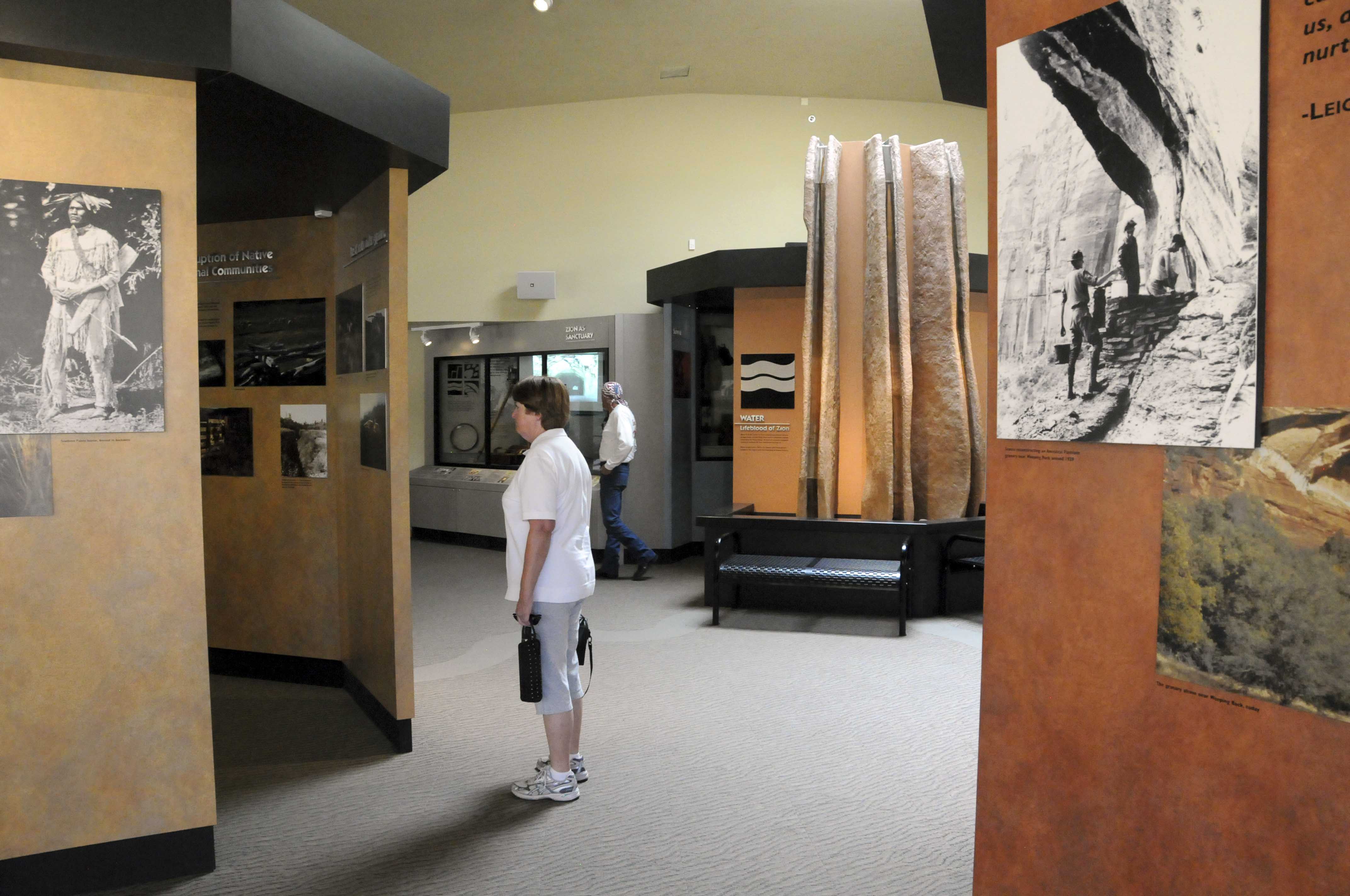
Museum displays
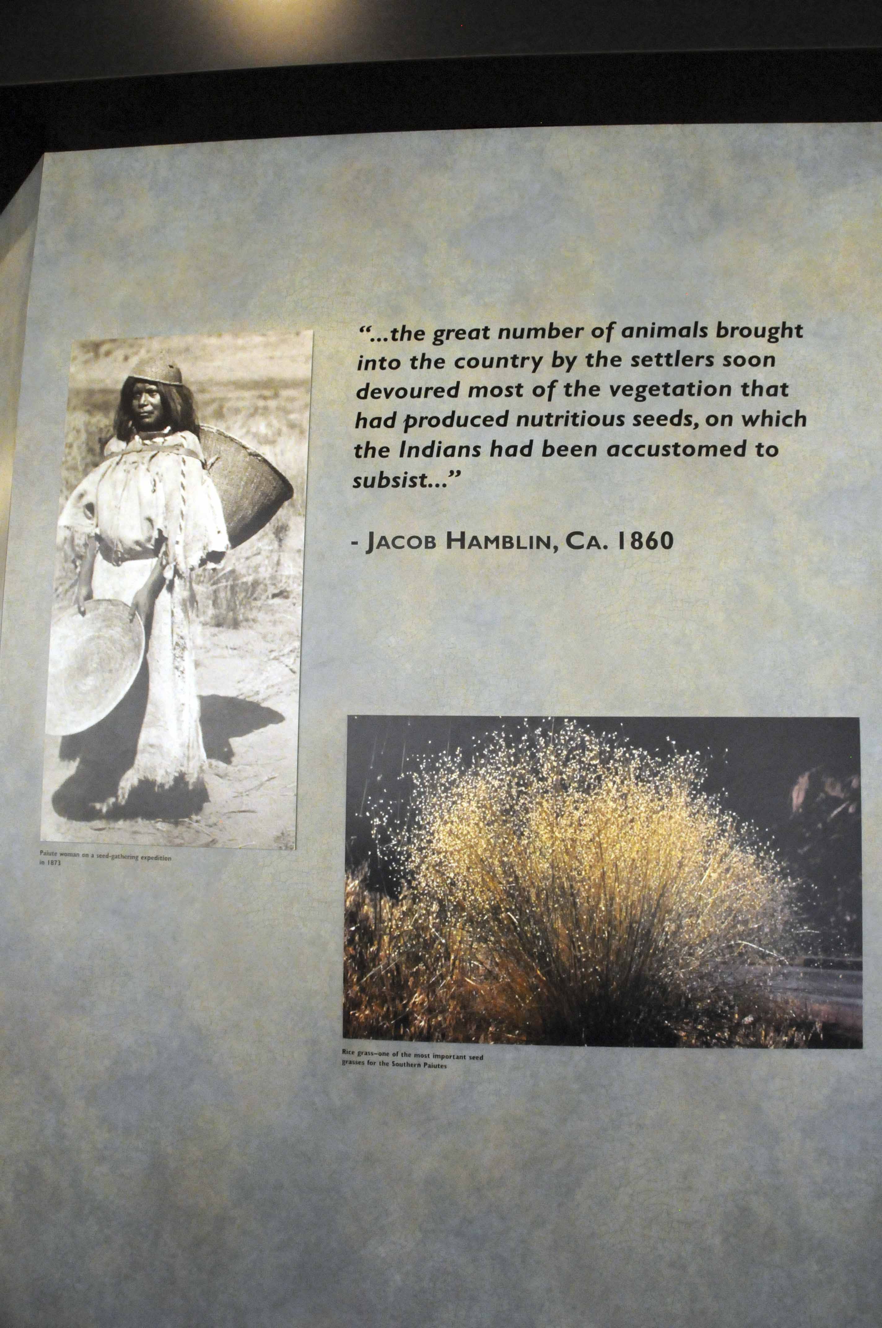
Exhibit
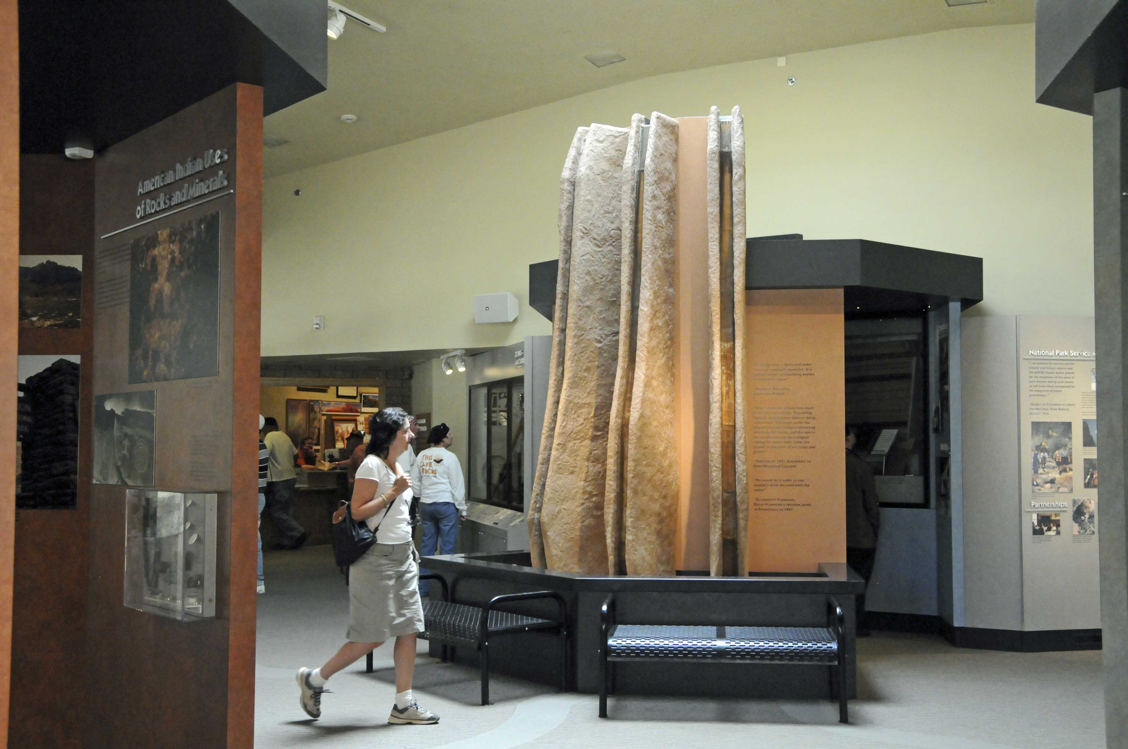
Museum displays
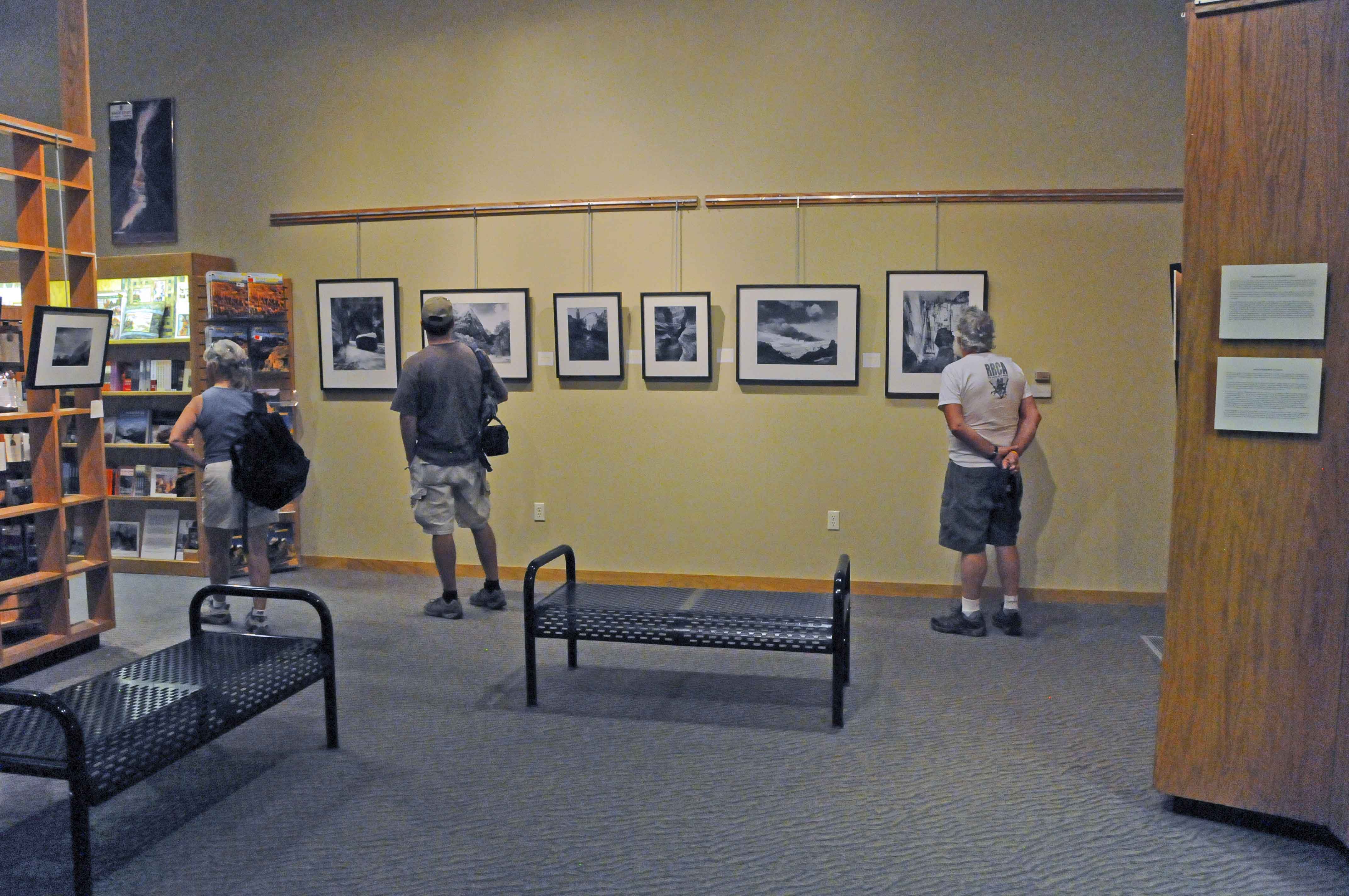
Gift shop and gallery
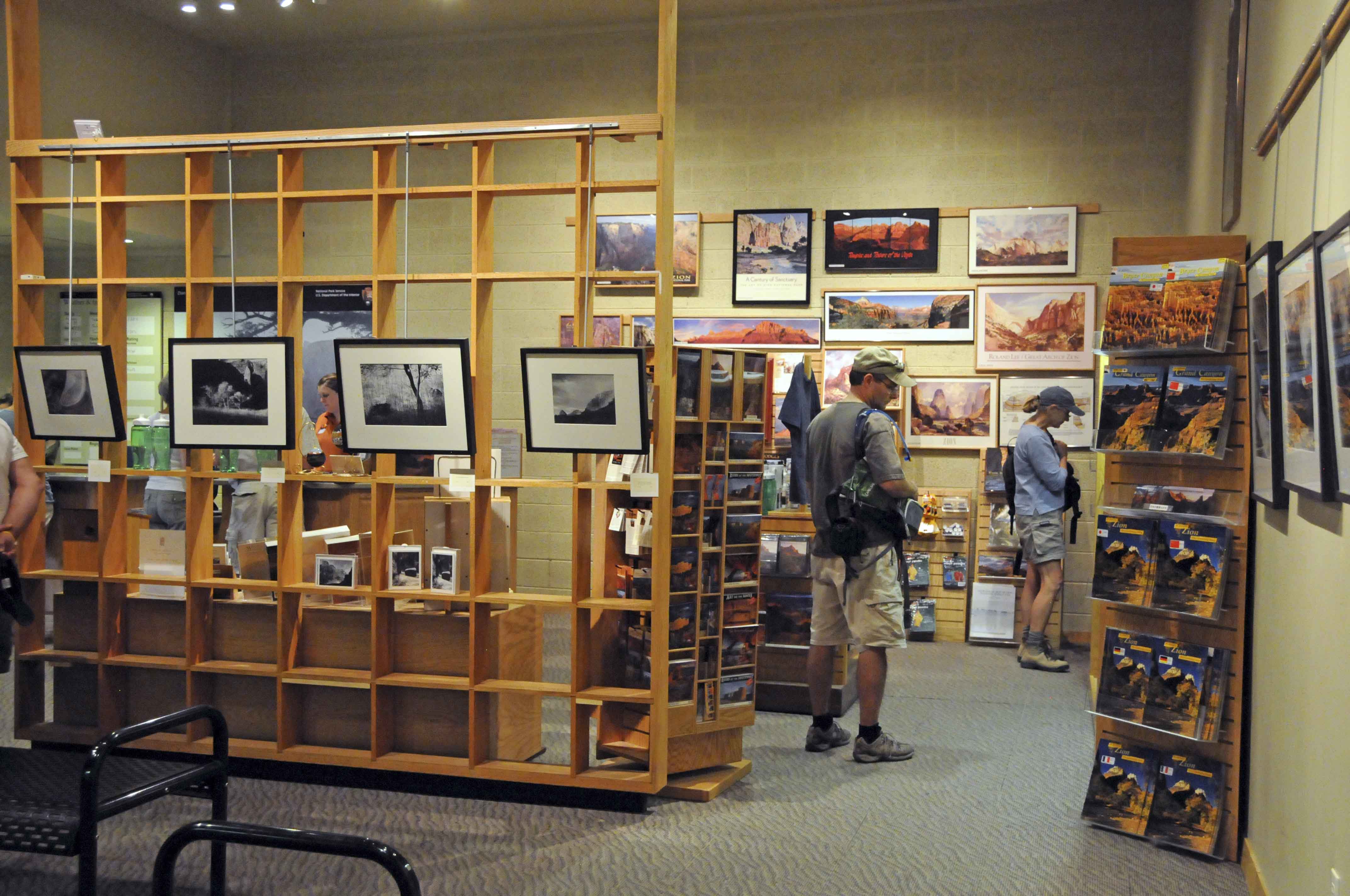
Gift shop and gallery
Zion Lodge
Zion Lodge
Zion Lodge
Lobby

Gift shop
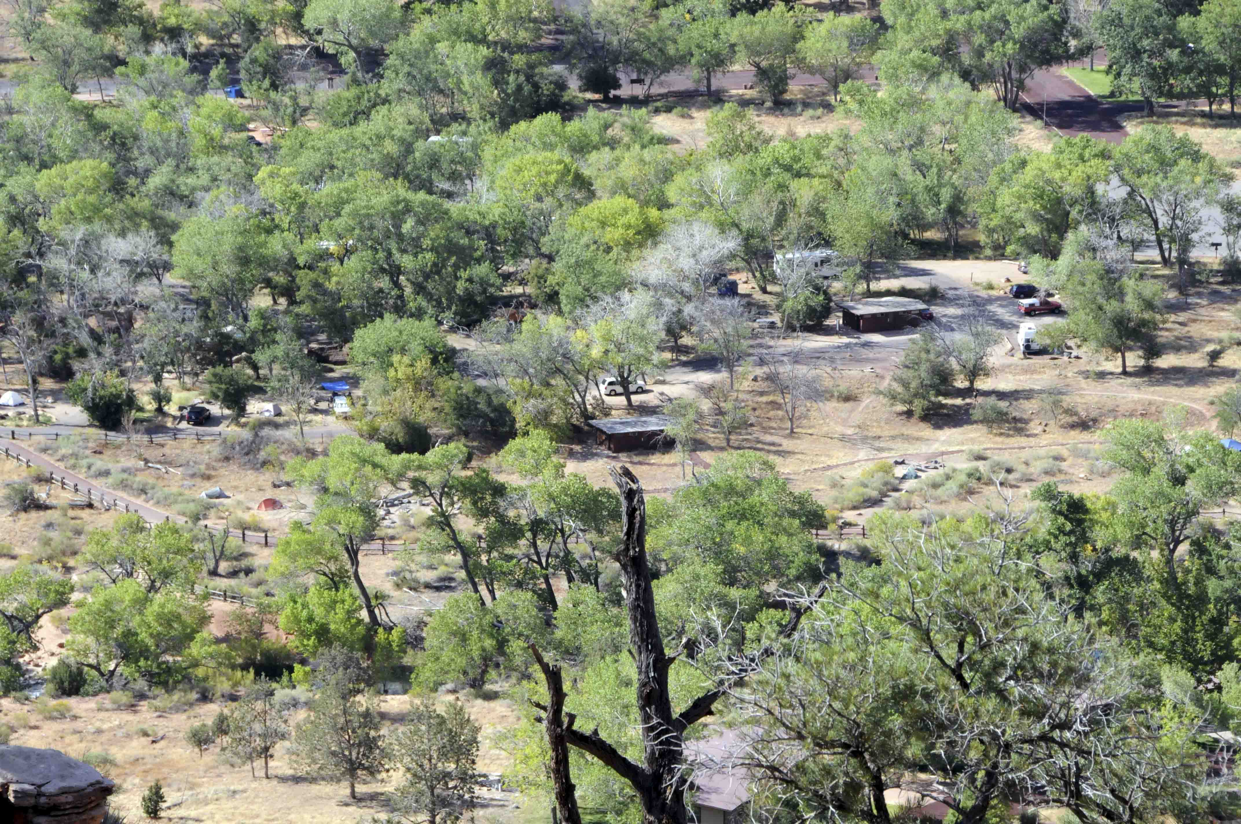
South Campground
Campsite #29
South Campground
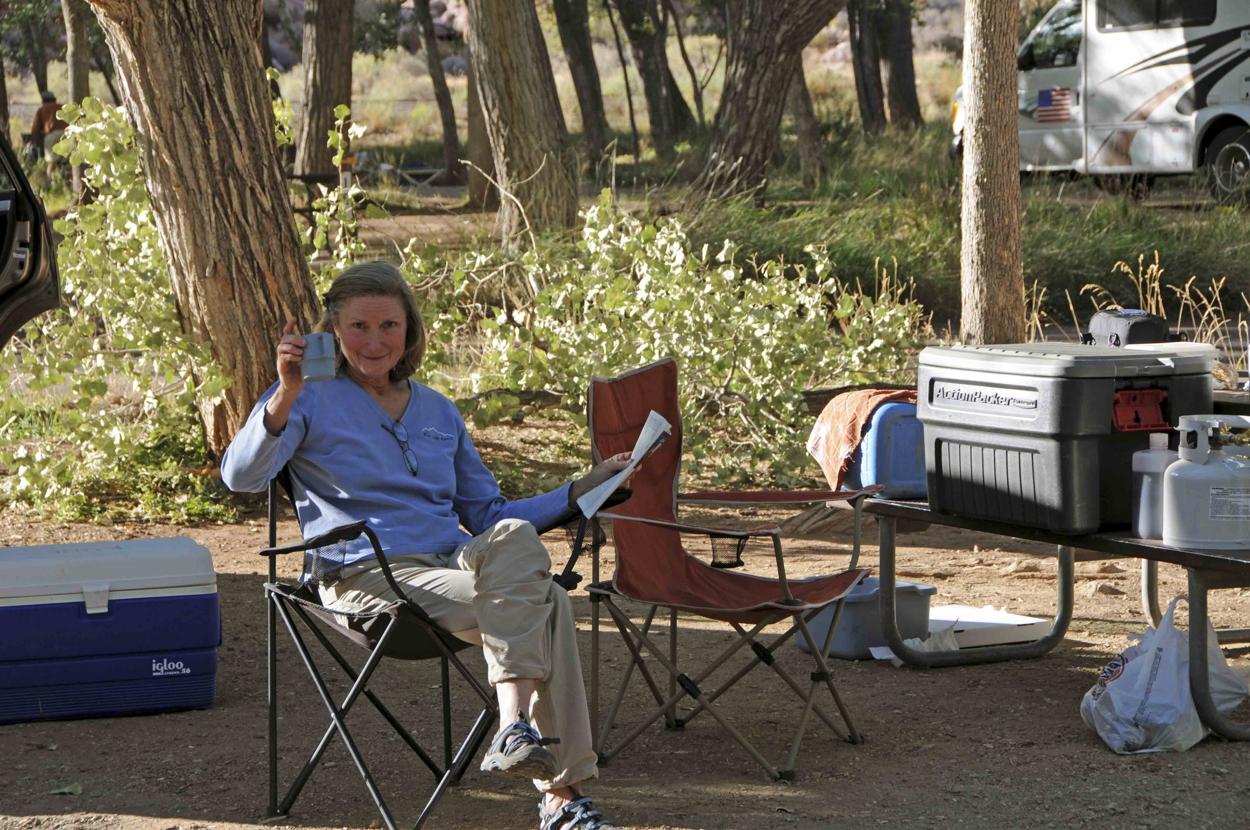
Stephanie says "Salud!".
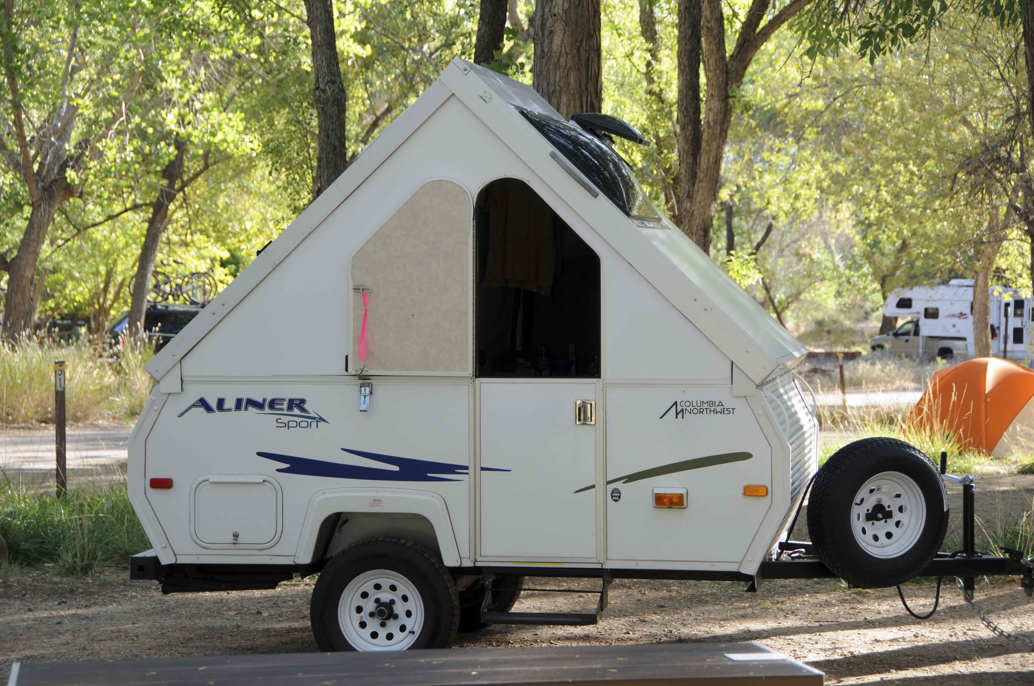
Tiny travel trailor (not mine)
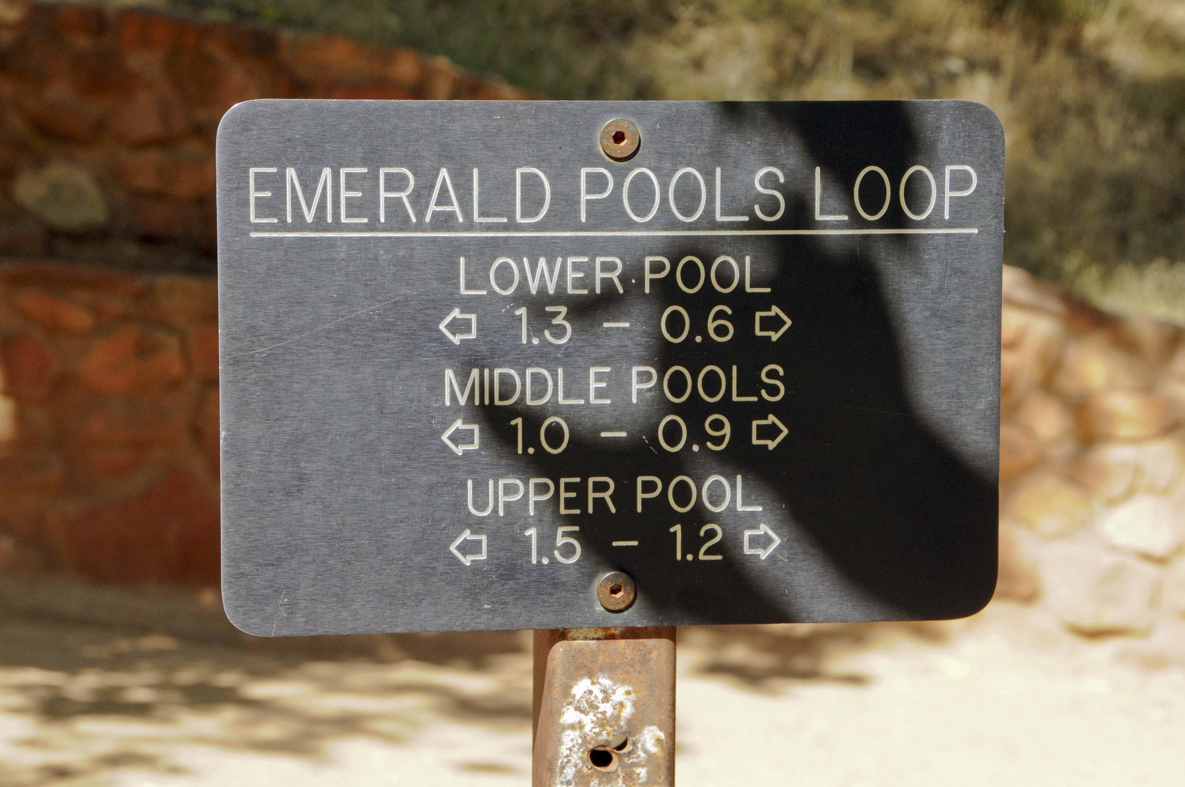
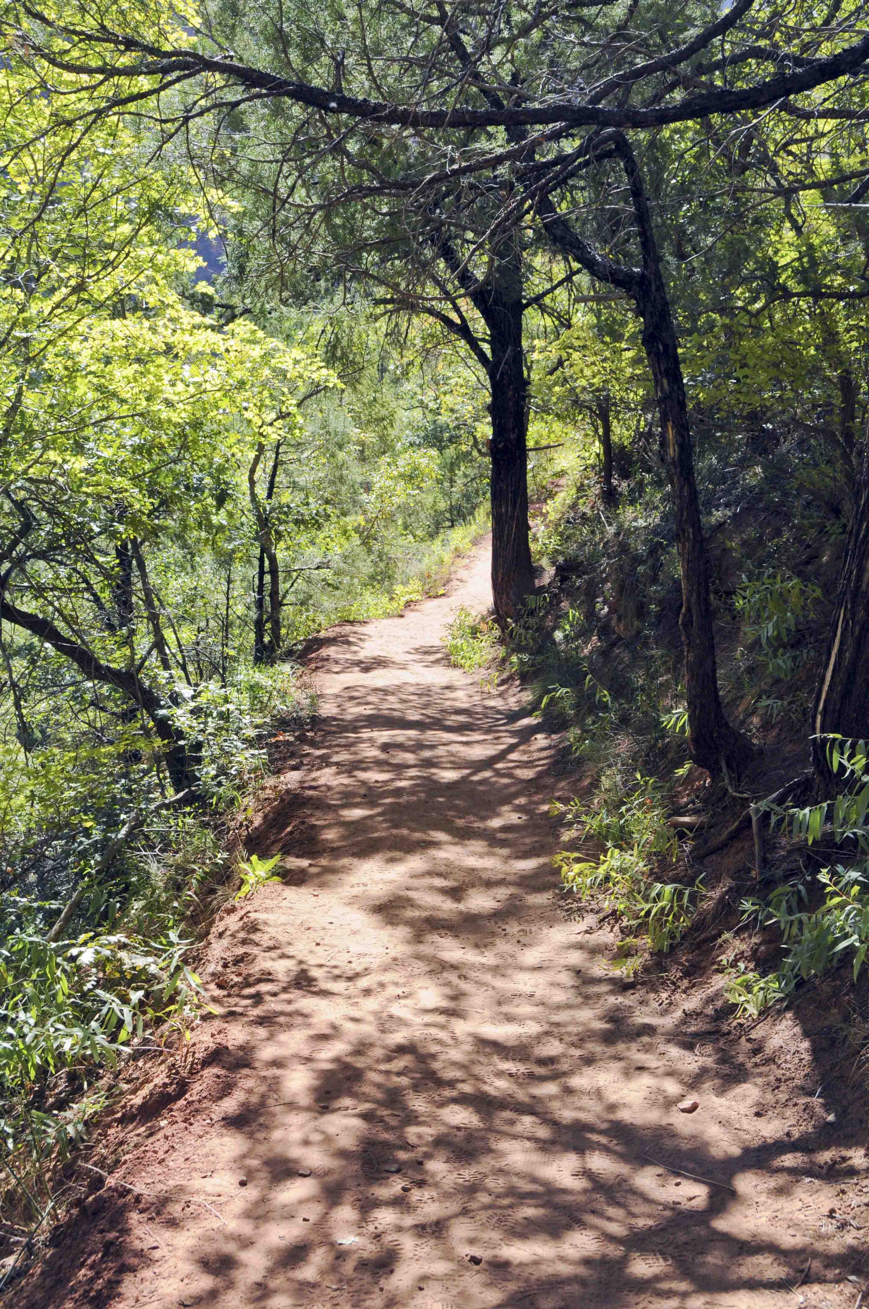
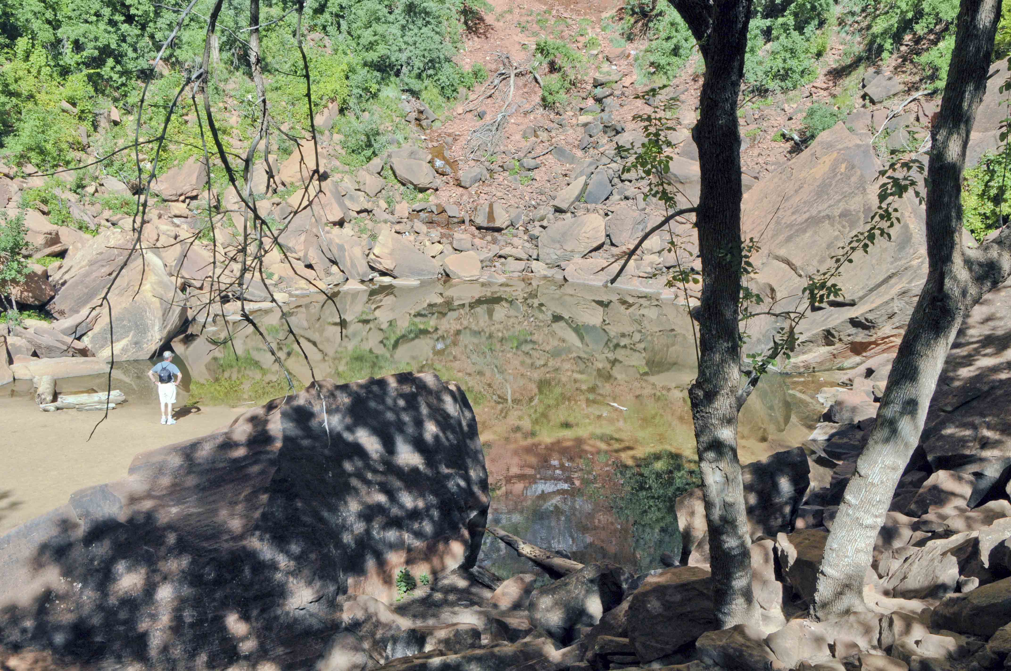
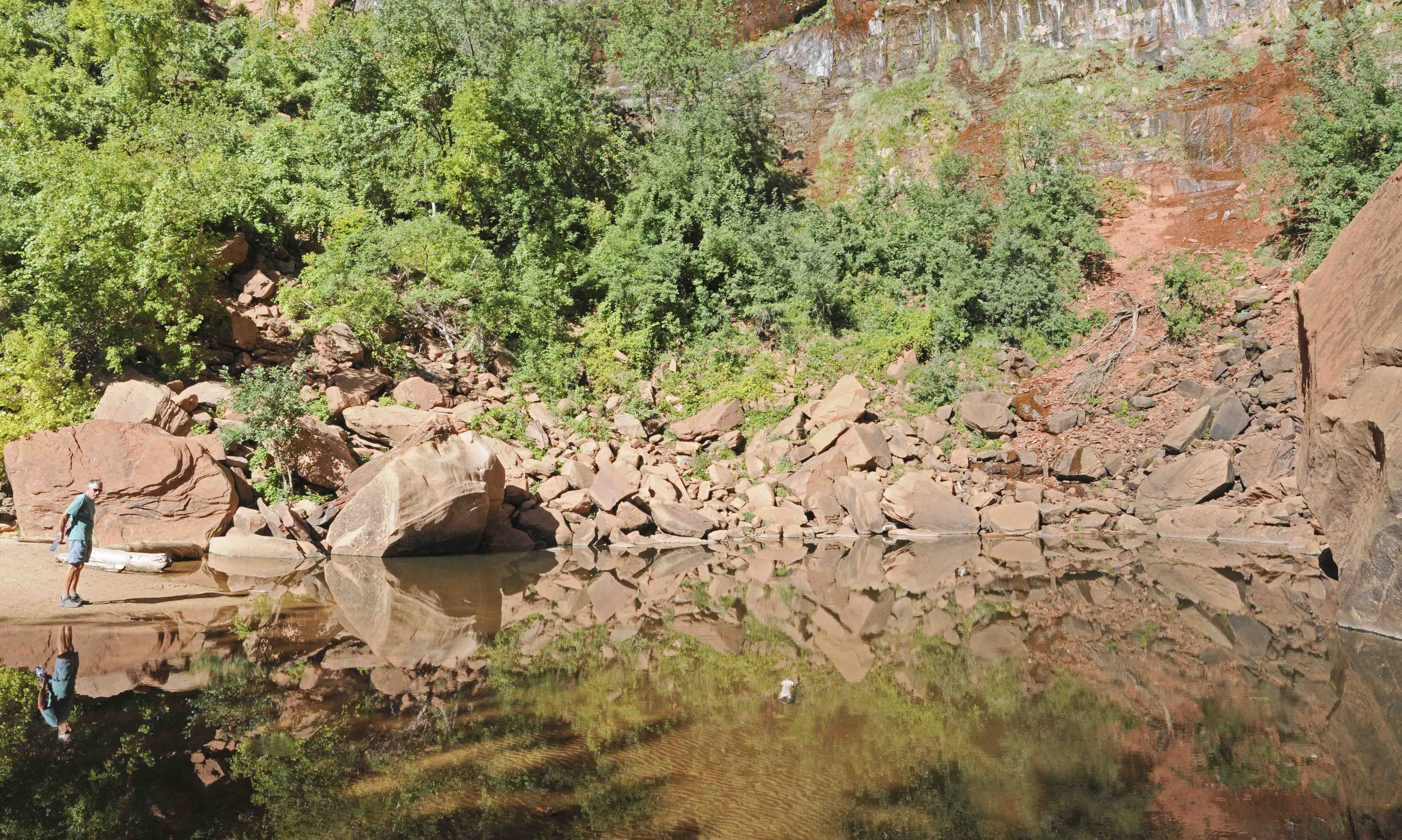
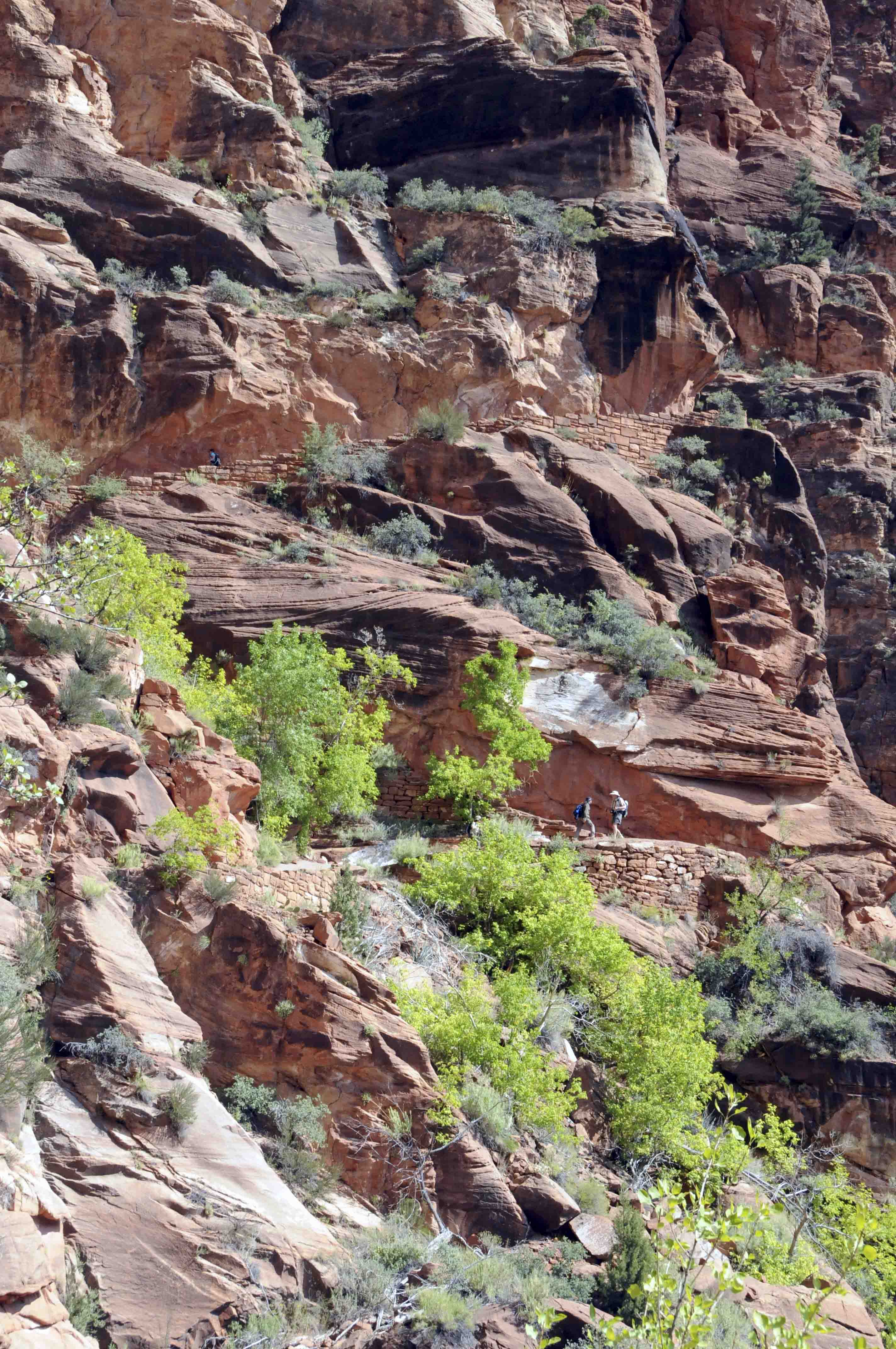
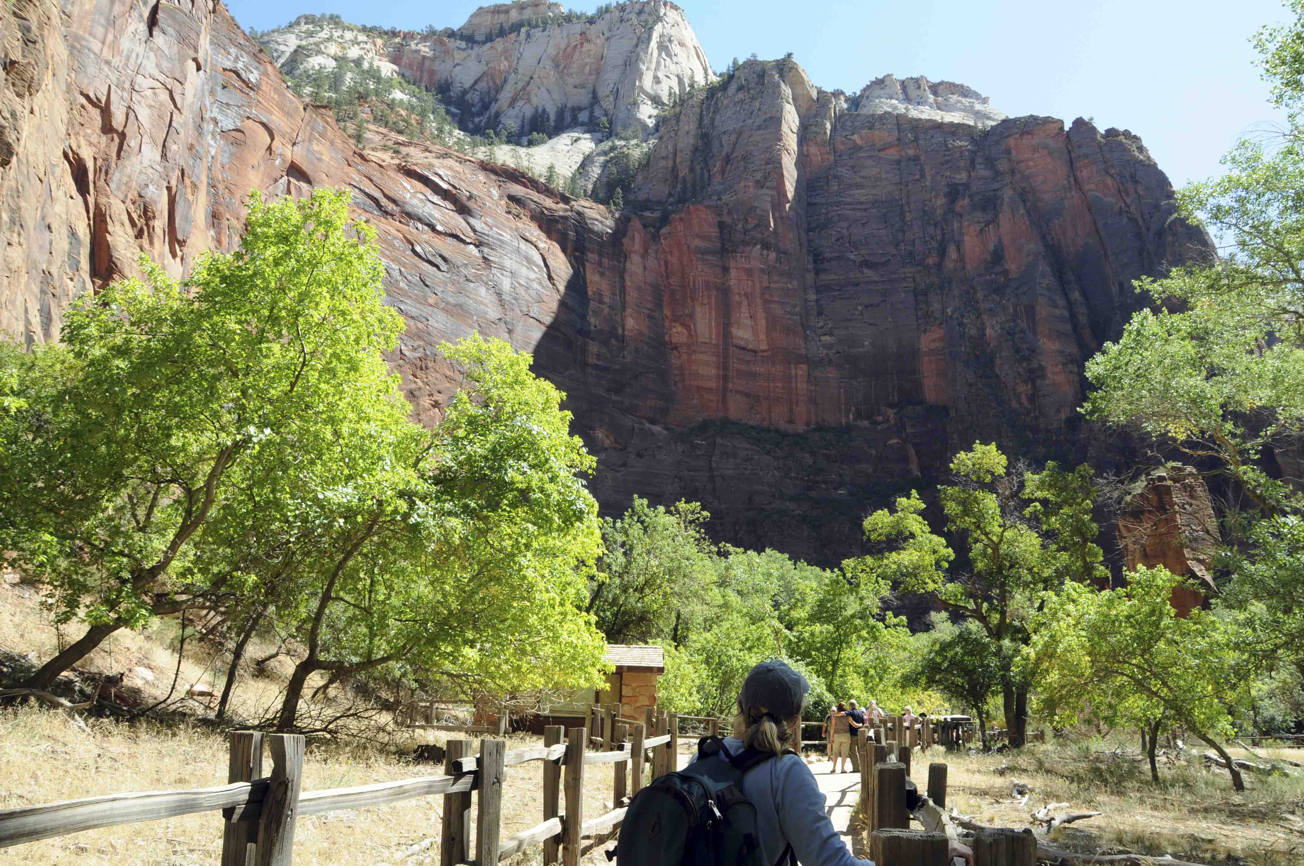
Emerald Pools Trails
This hike is one of my Big Three, the other two being the Narrows and Angels Landing.
There are three Emerald Pools, the upper, middle, and lower. The trails to the lower
and middle pools are lush with vegetation and lots of water, while the trail from
middle to upper pool is more open with magnificent views of the canyon. The best place to start hiking
is from the Zion Lodge. It's about one-half mile to the lower pool, one mile to the
middle pool, and 1.5 miles to the upper pool. You can visit all three pools in a 3 mile round trip.
The paths to the lower and middle pools are sidewalks, while the trail from middle to upper pool
is sand and rock with moderate to strenuous grades. The lower and middle pools are beautiful, but
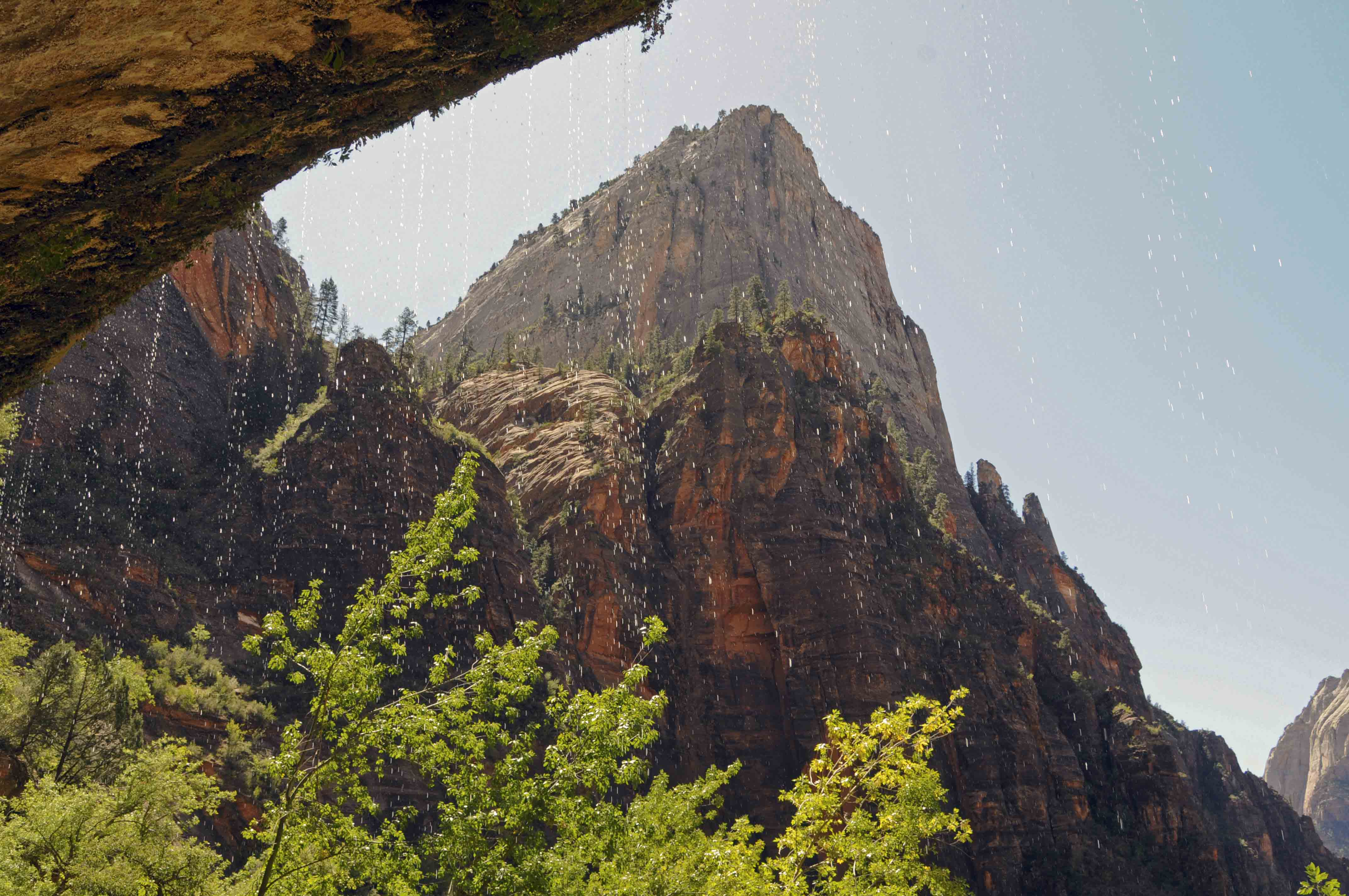
the upper pool is my favorite. It's surrounded on 3 sides by sheer cliffs and very dramatic. You
could explore around the pools and wade in the upper pool when I was there in 1979 and 1989.
Now pools and surrounding areas are off limits (too many park visitors).
Footbridge across Virgin River
Virgin River
Trail sign
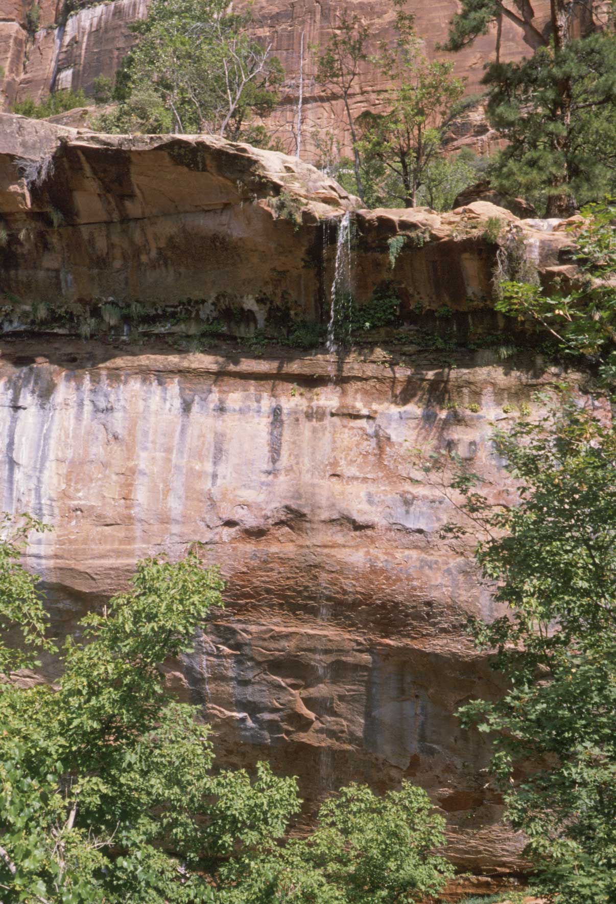
Waterfall
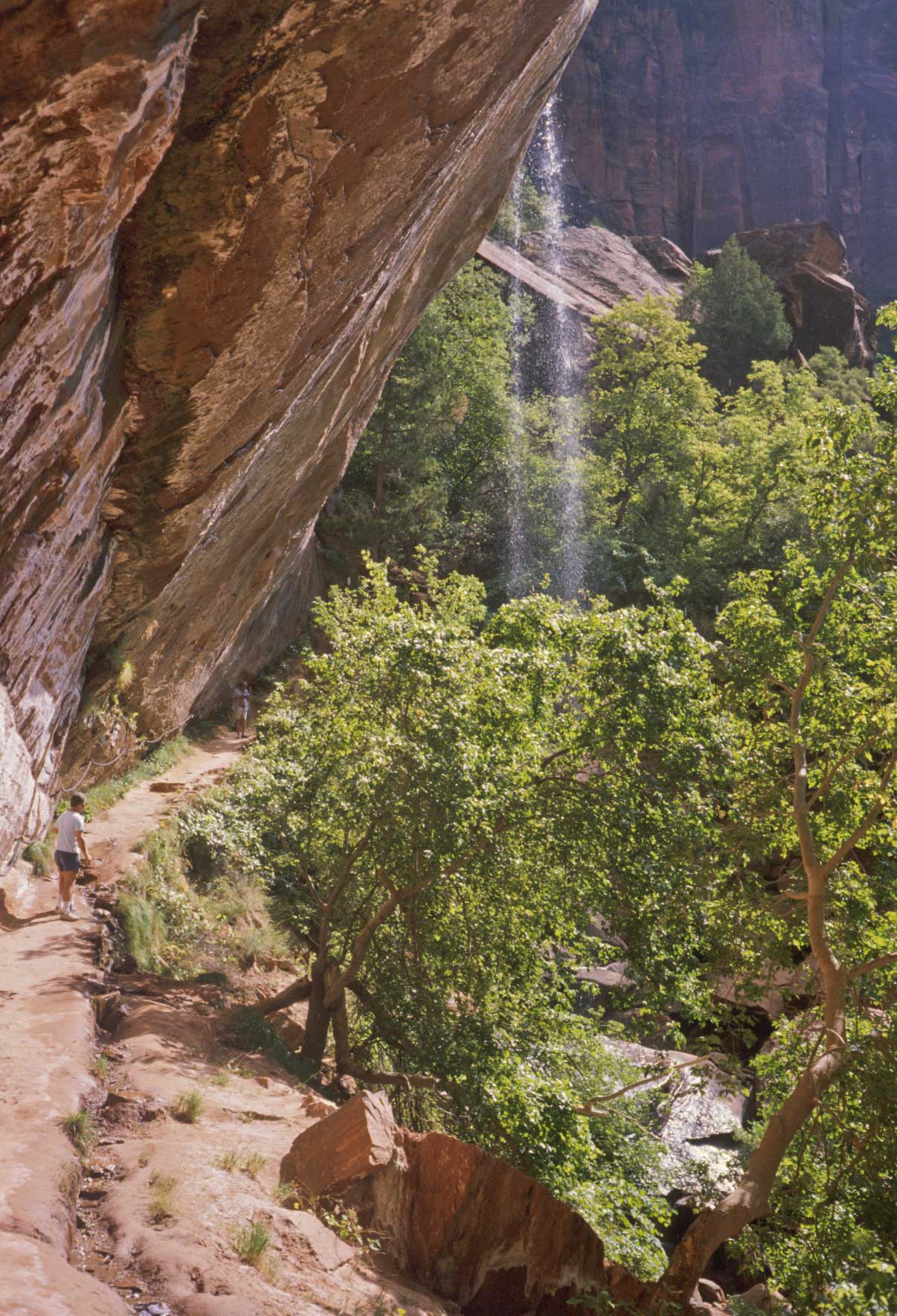
Waterfall into lower pool
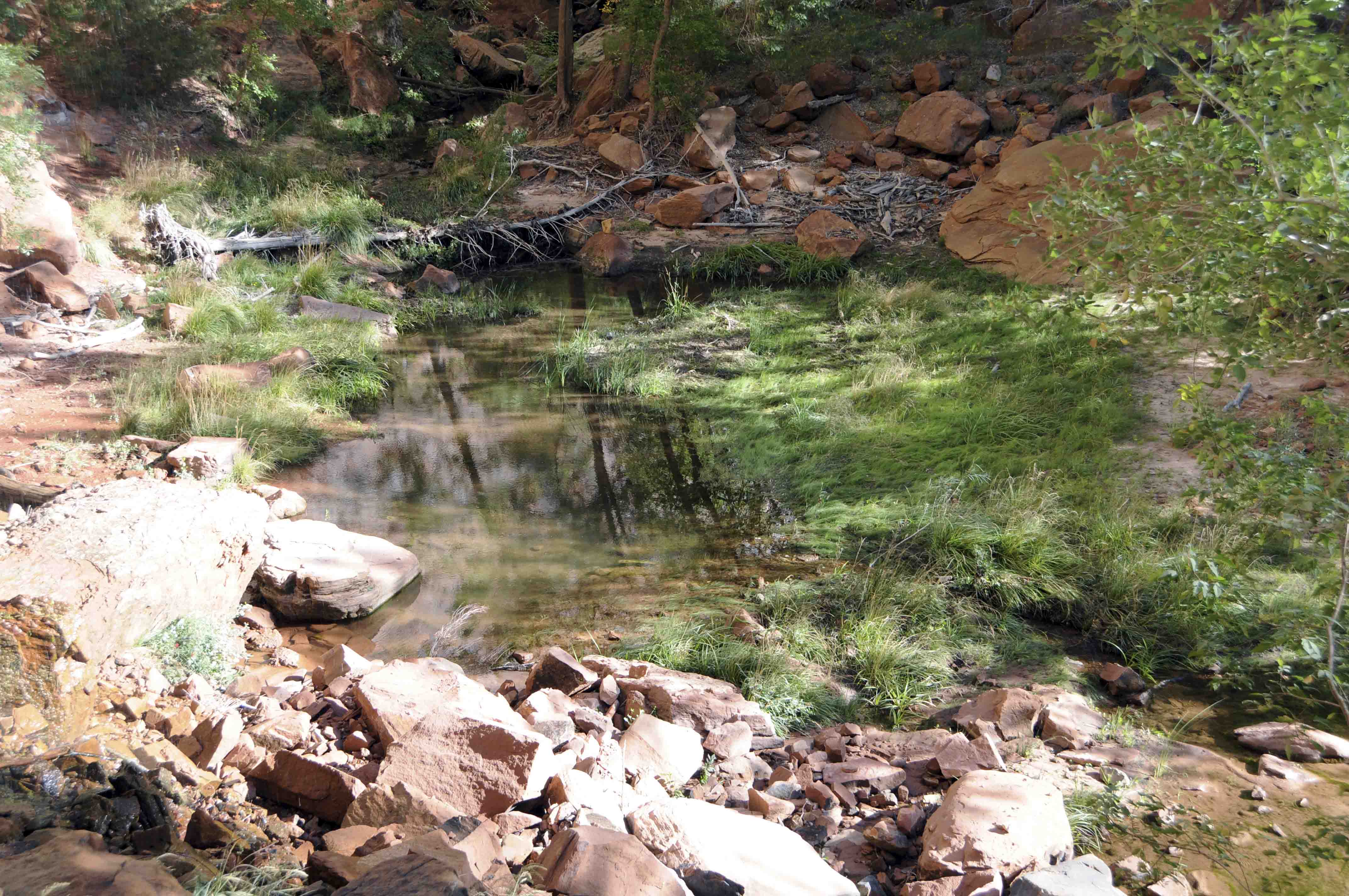
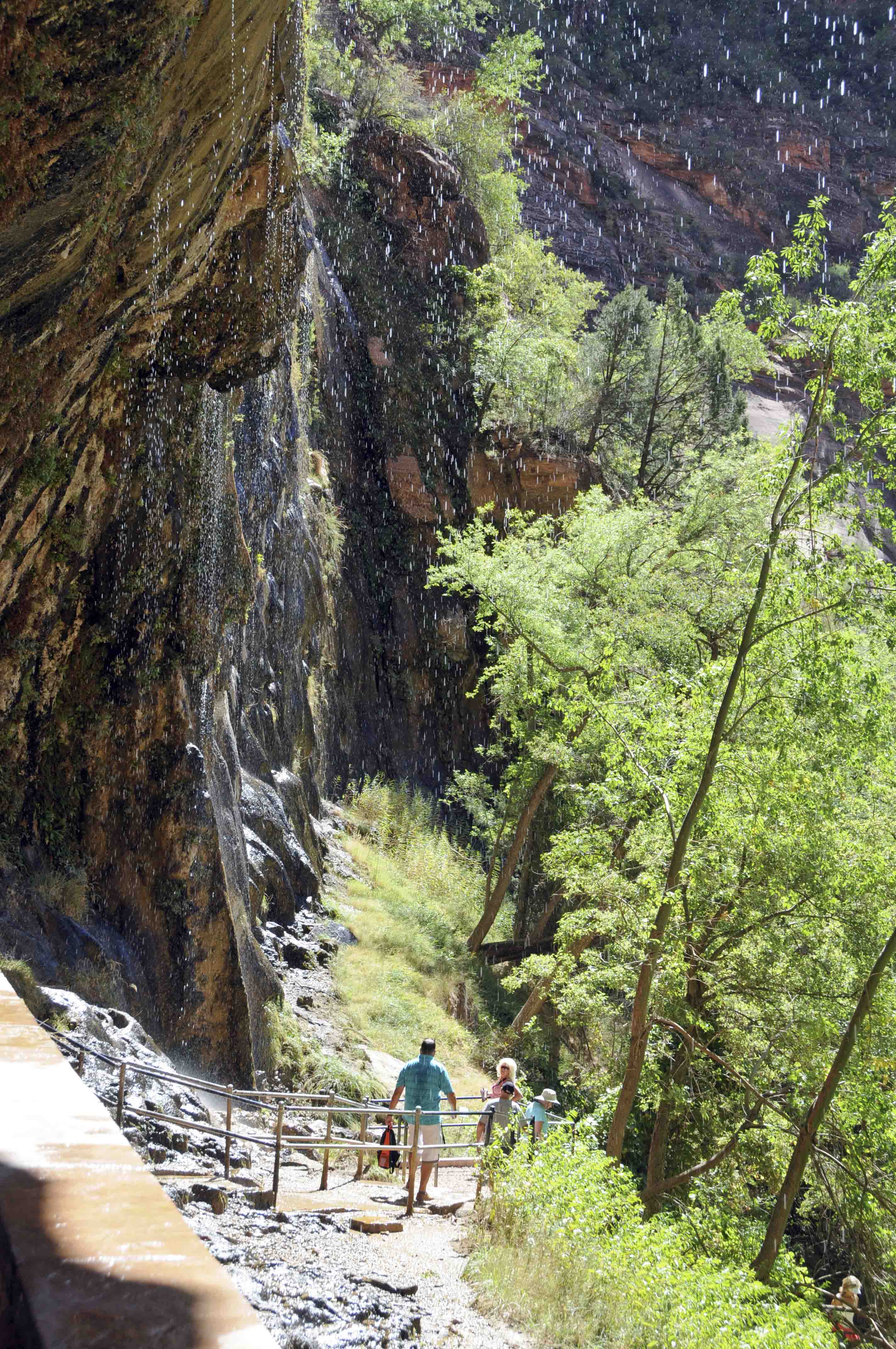
Lower pool
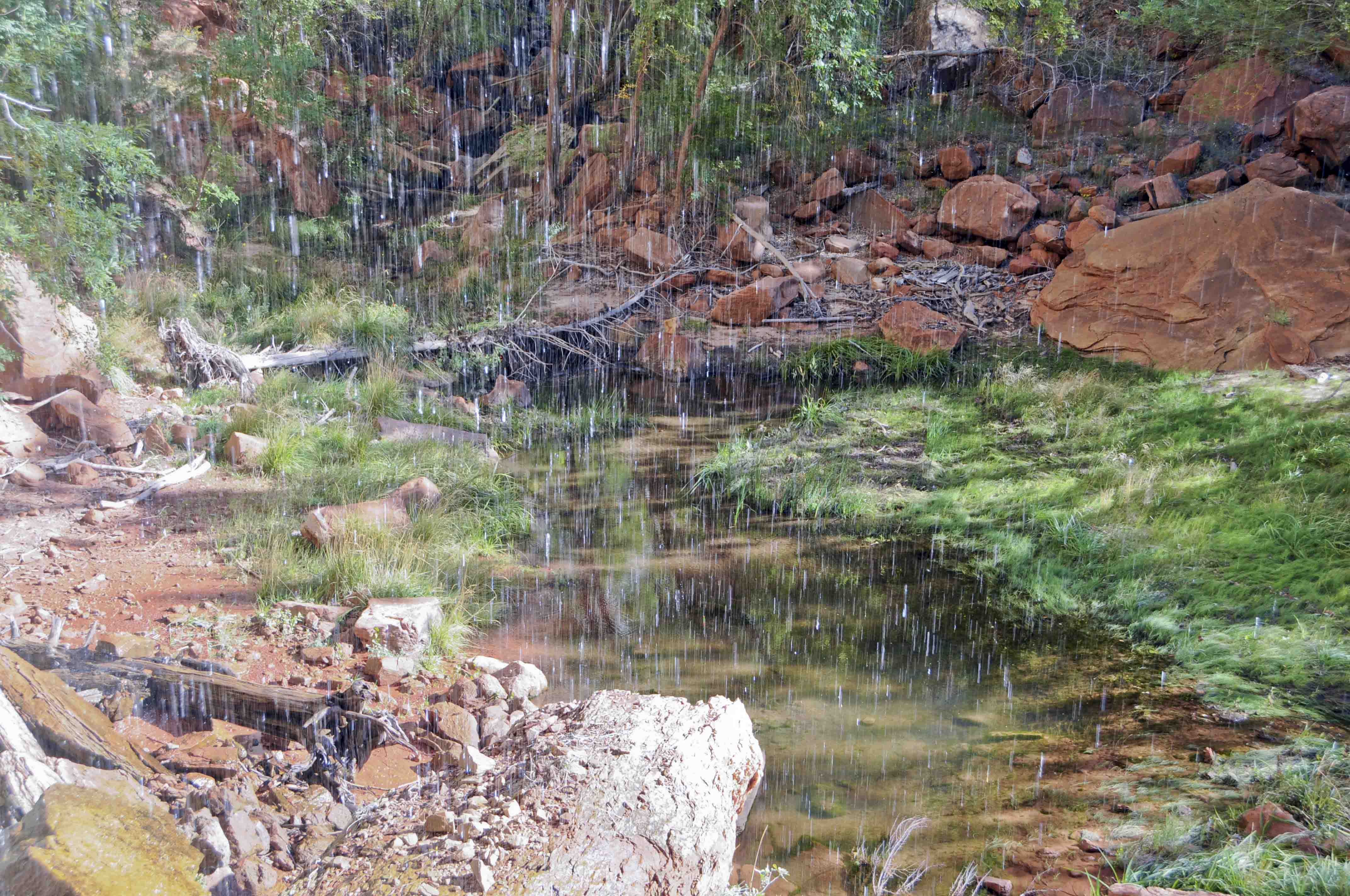
Lower pool
View from behind the waterfall
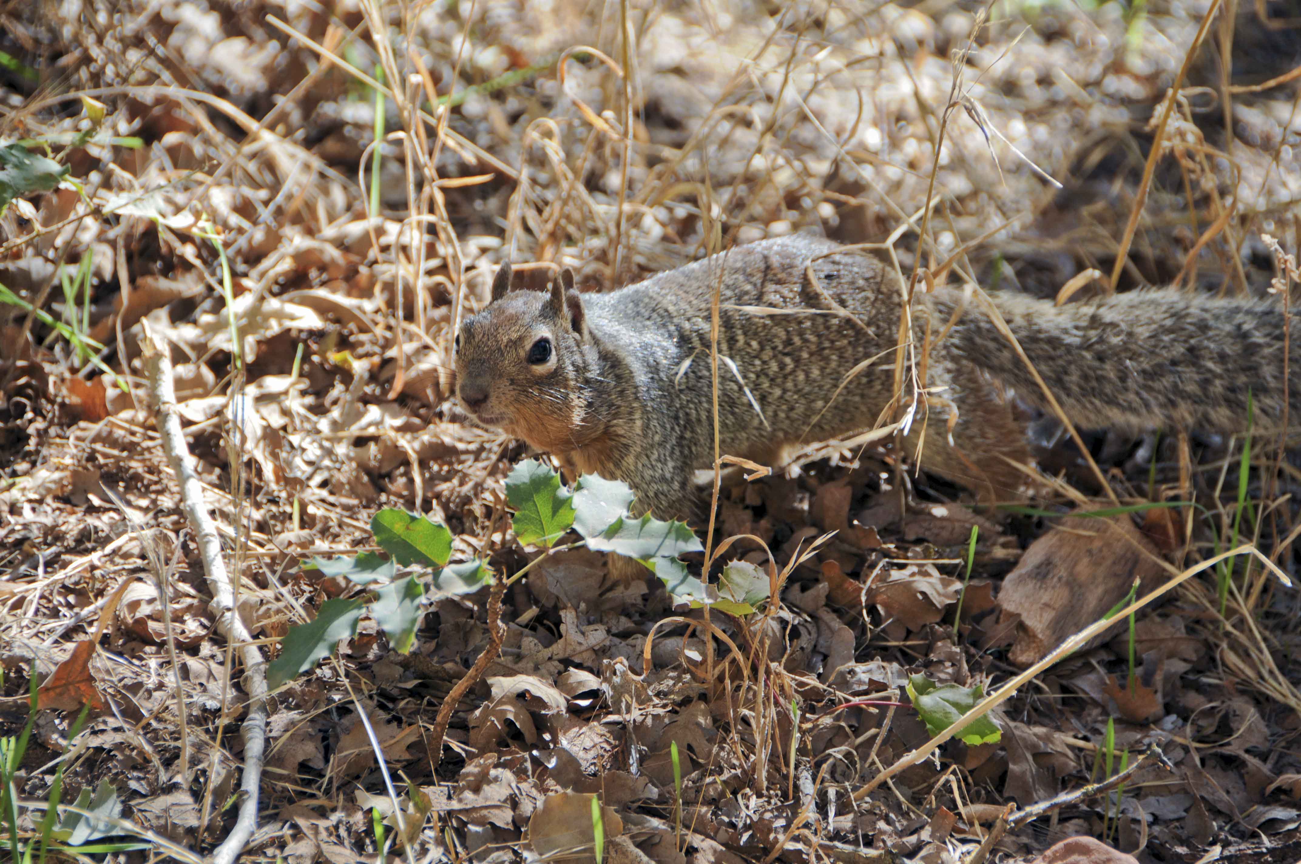
Rock squirrel
(Otospermophilus variegatus)
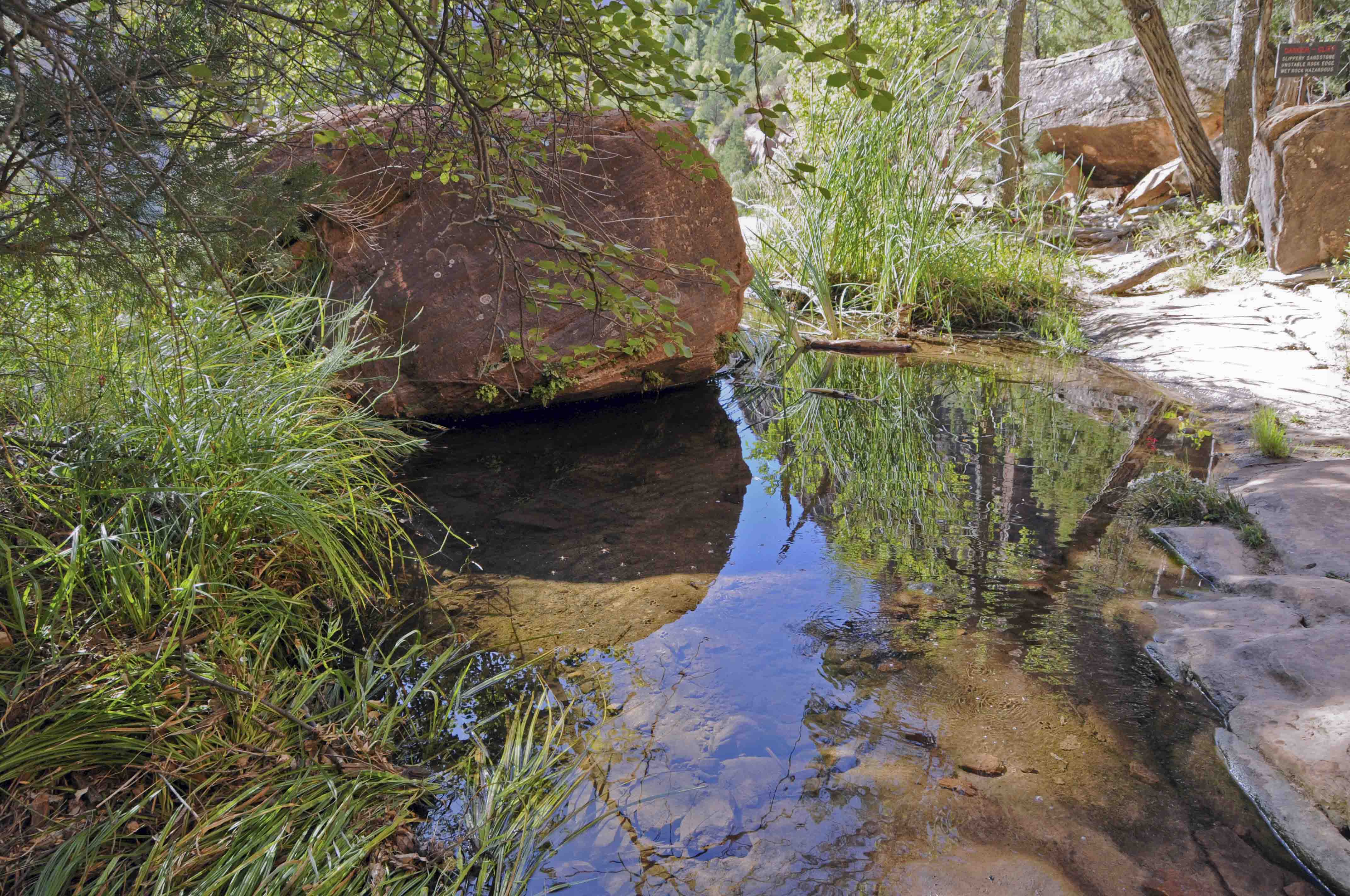
Middle pool
Emerald Pools Trail
Upper pool
Upper pool
Cliffs around upper pool
"Stumpy"
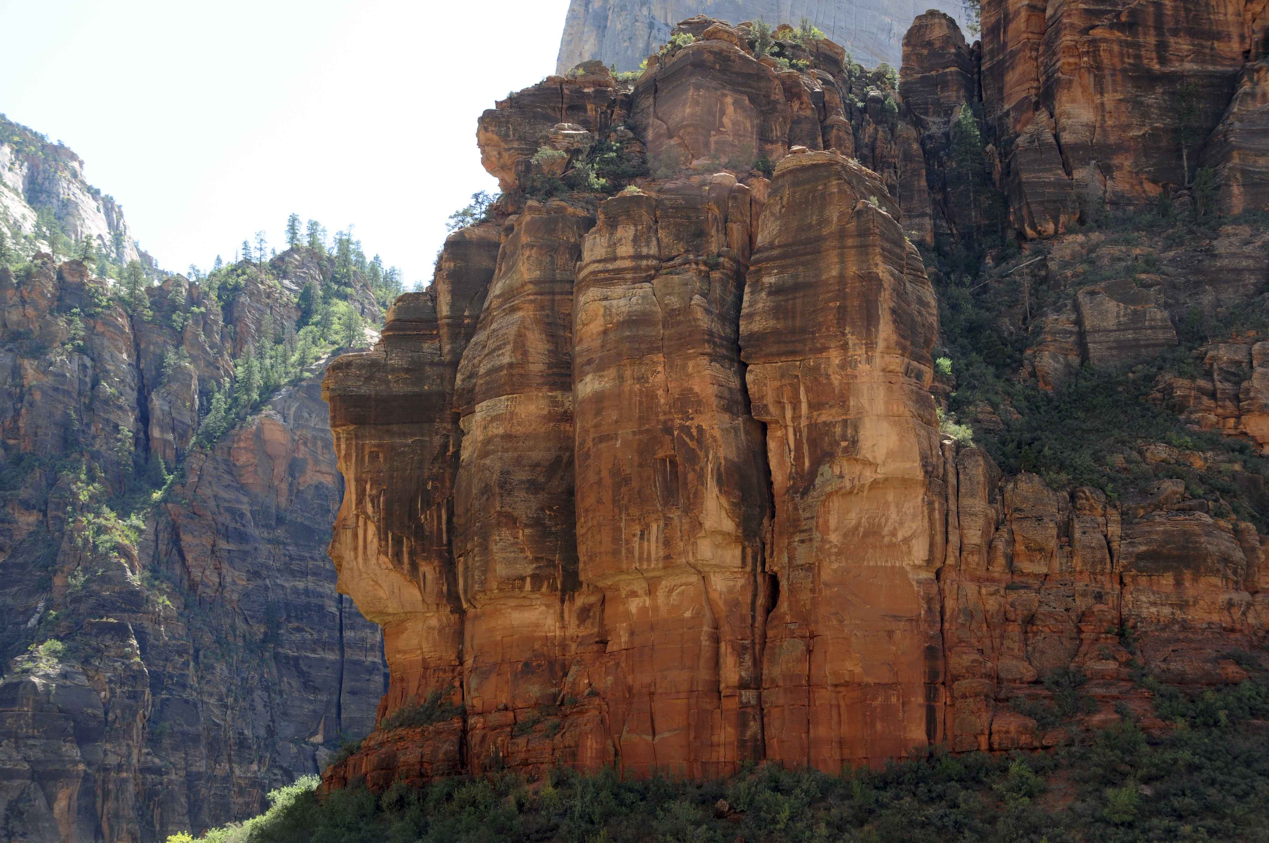
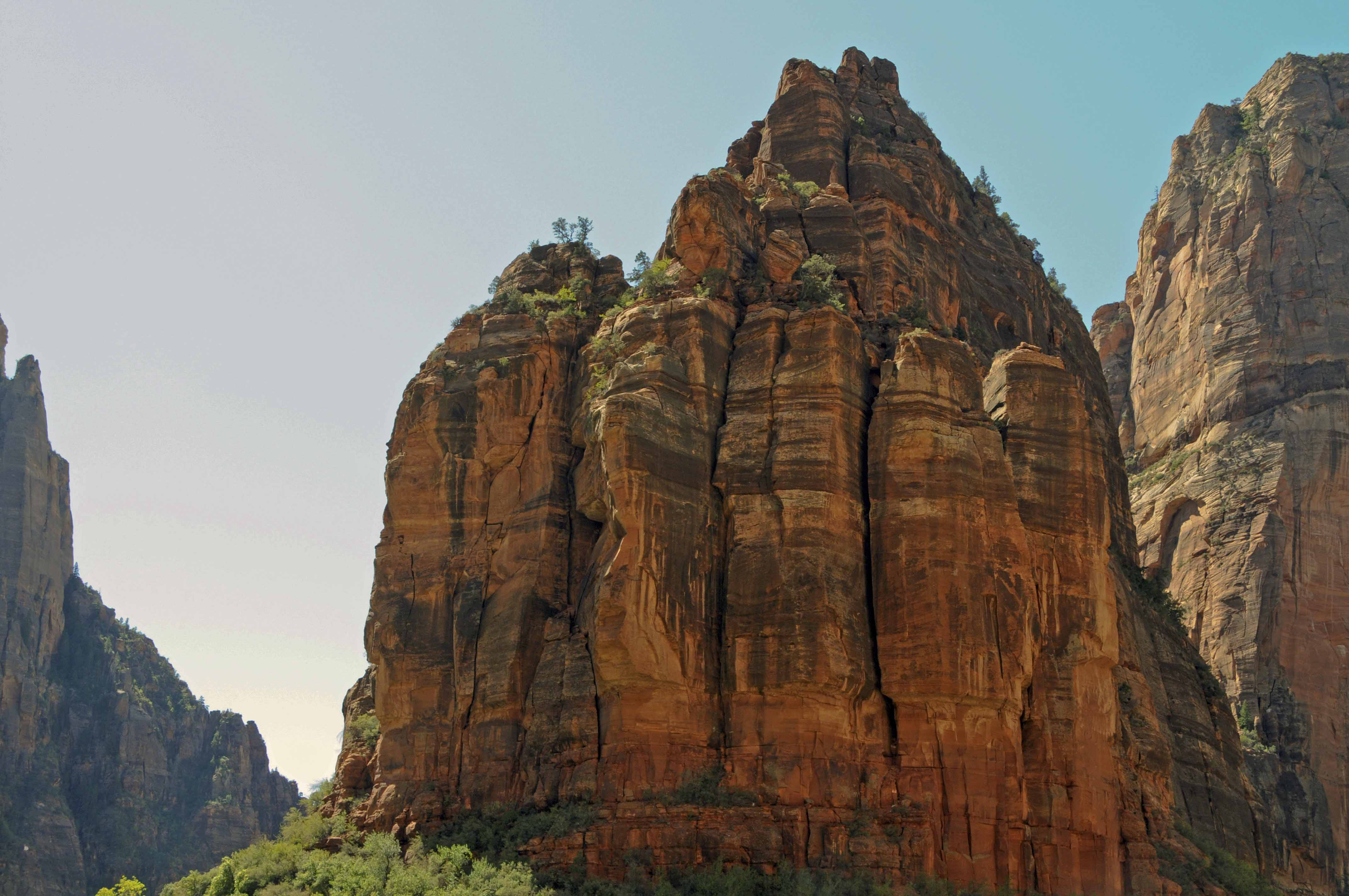
Sand Bench Loop
The Sand Bench trail is 3.5 miles round trip. It's rated as moderate mainly because you are walking
in fine sand most of the way. The trail begins at the shuttle stop for the Court of the Patriarchs,
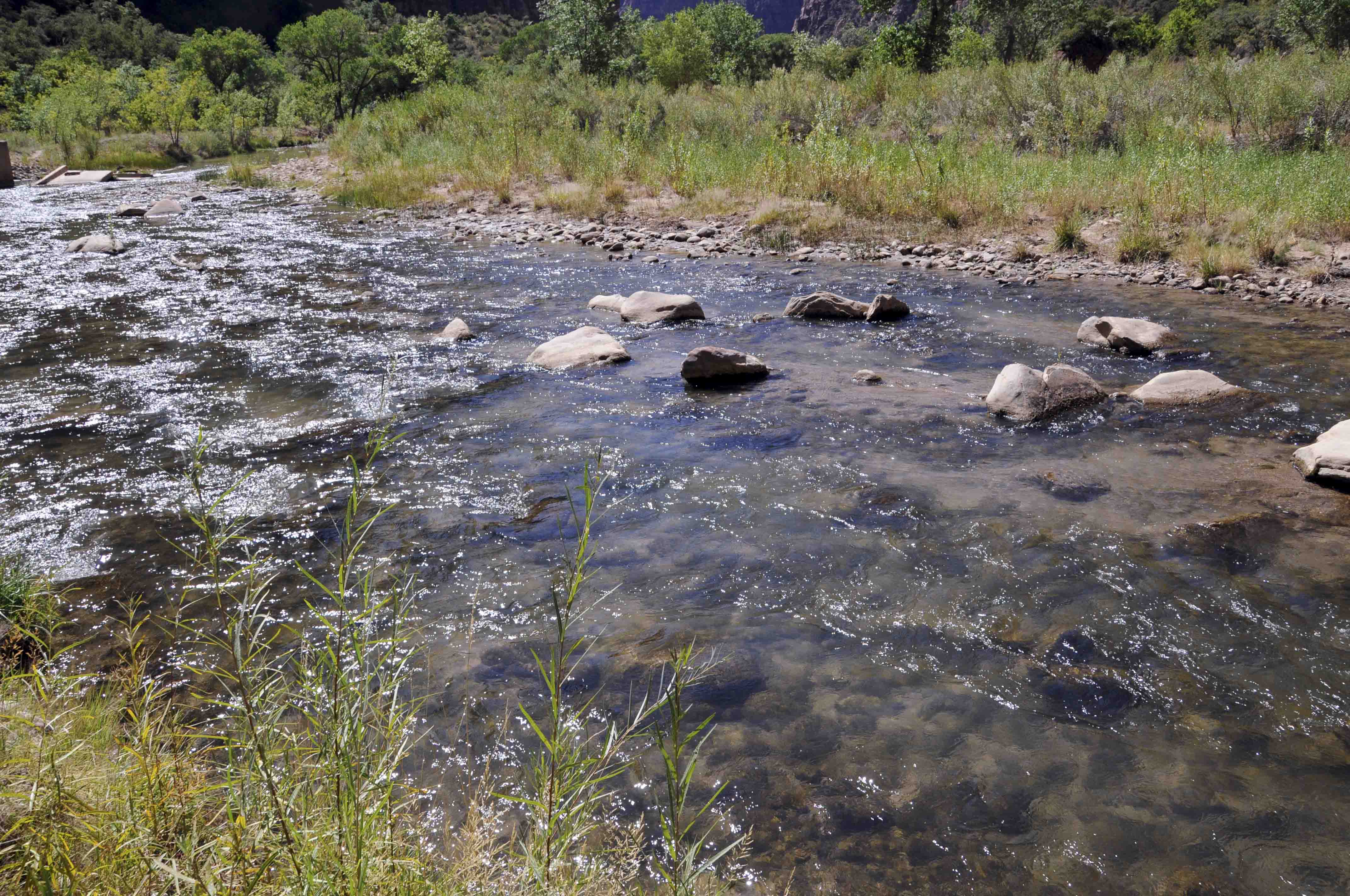
crosses the Virgin River, then begins a gradual 500 foot ascent to the Bench. The Bench was formed
when part of Sentinel Peak broke off resulting in a massive landslide. The trail continues along the
Bench and splits at the end to actually form a loop. The left arm of the loop (closest to the river)
offers excellent views of the canyon floor, while the right arm (closest to the base of the Sentinel)
provides great views of the mountain, and evidence of the landslides that created the bench. The Sand
Bench Trail is a popular equestrian trail, so be careful where you step.
Virgin River
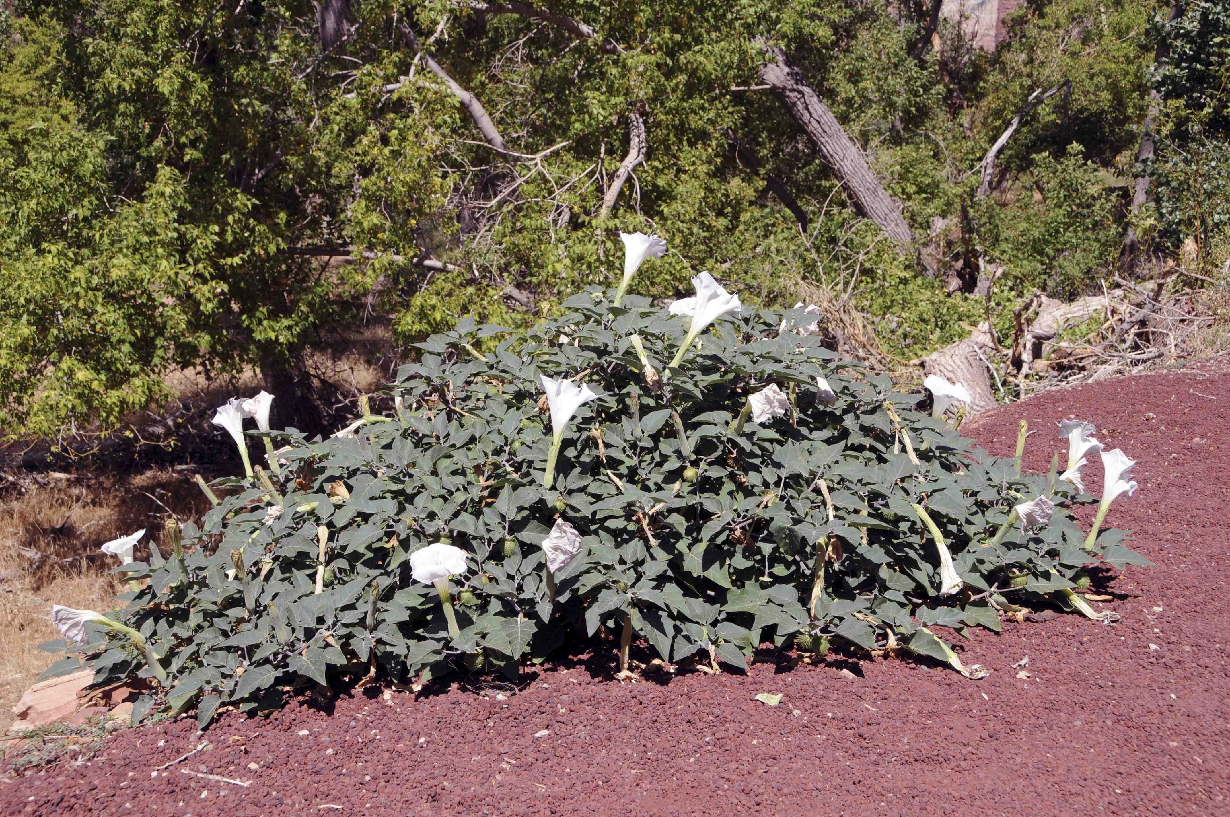
Sacred Datura
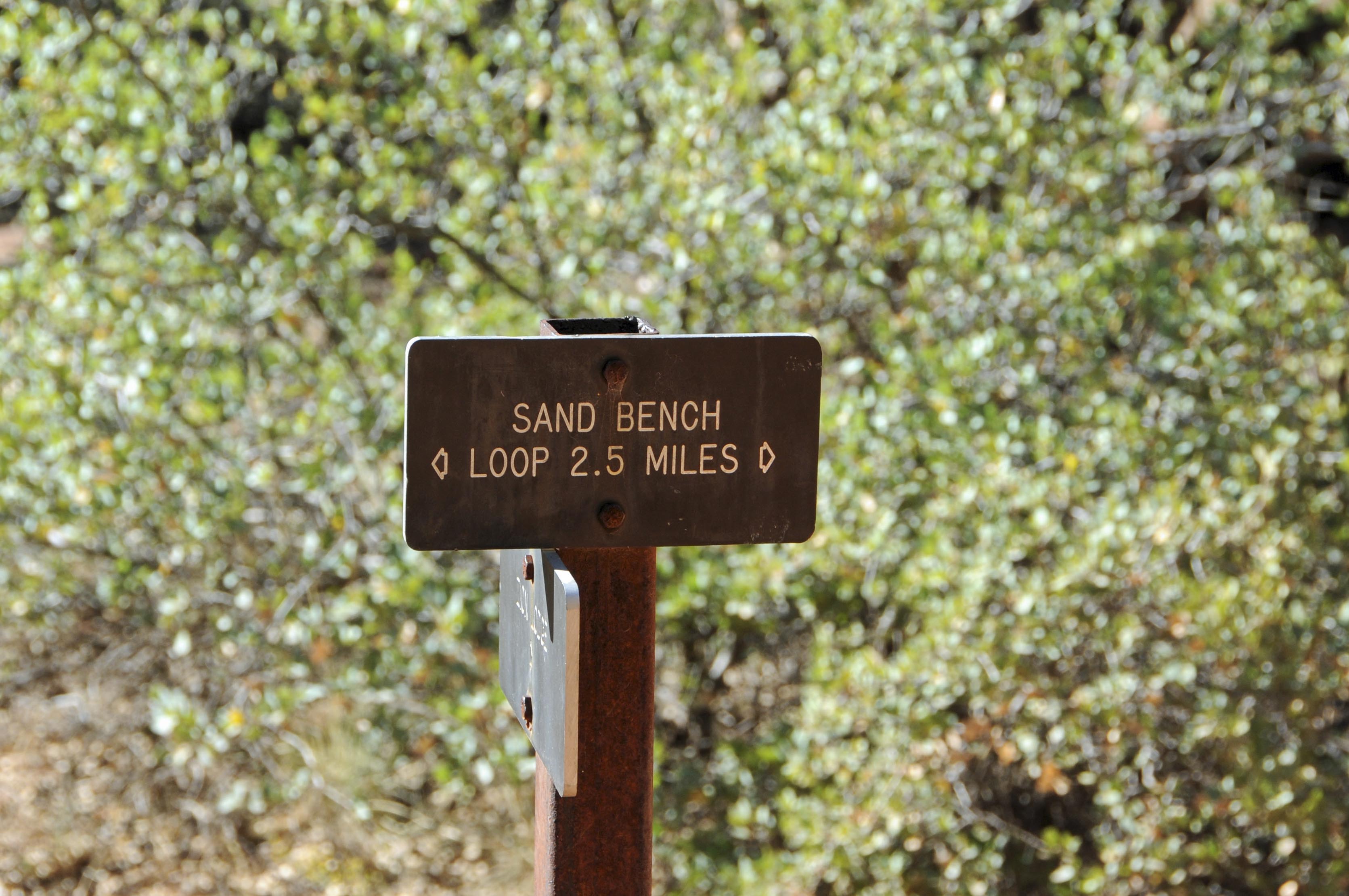
Trail sign
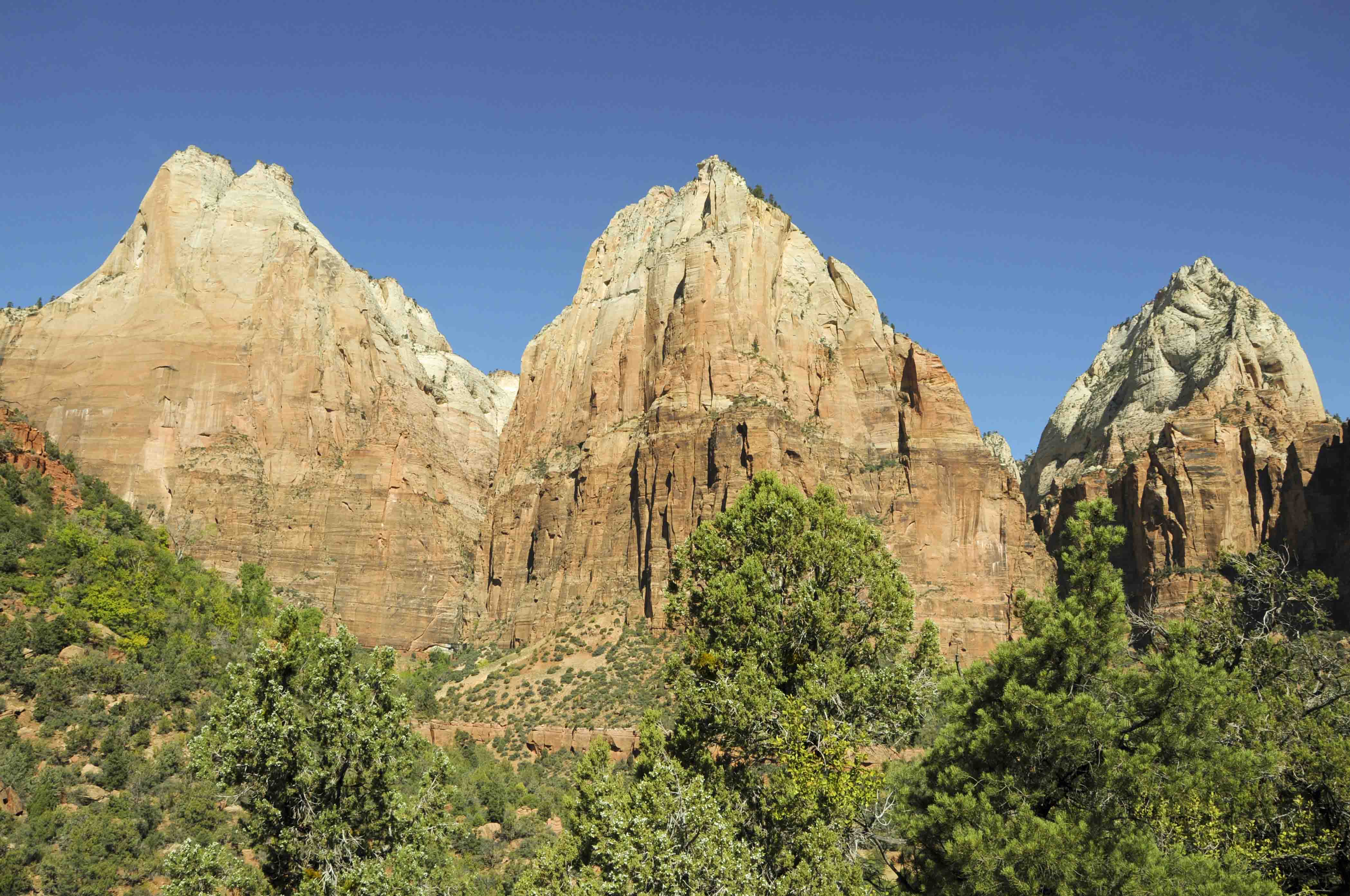
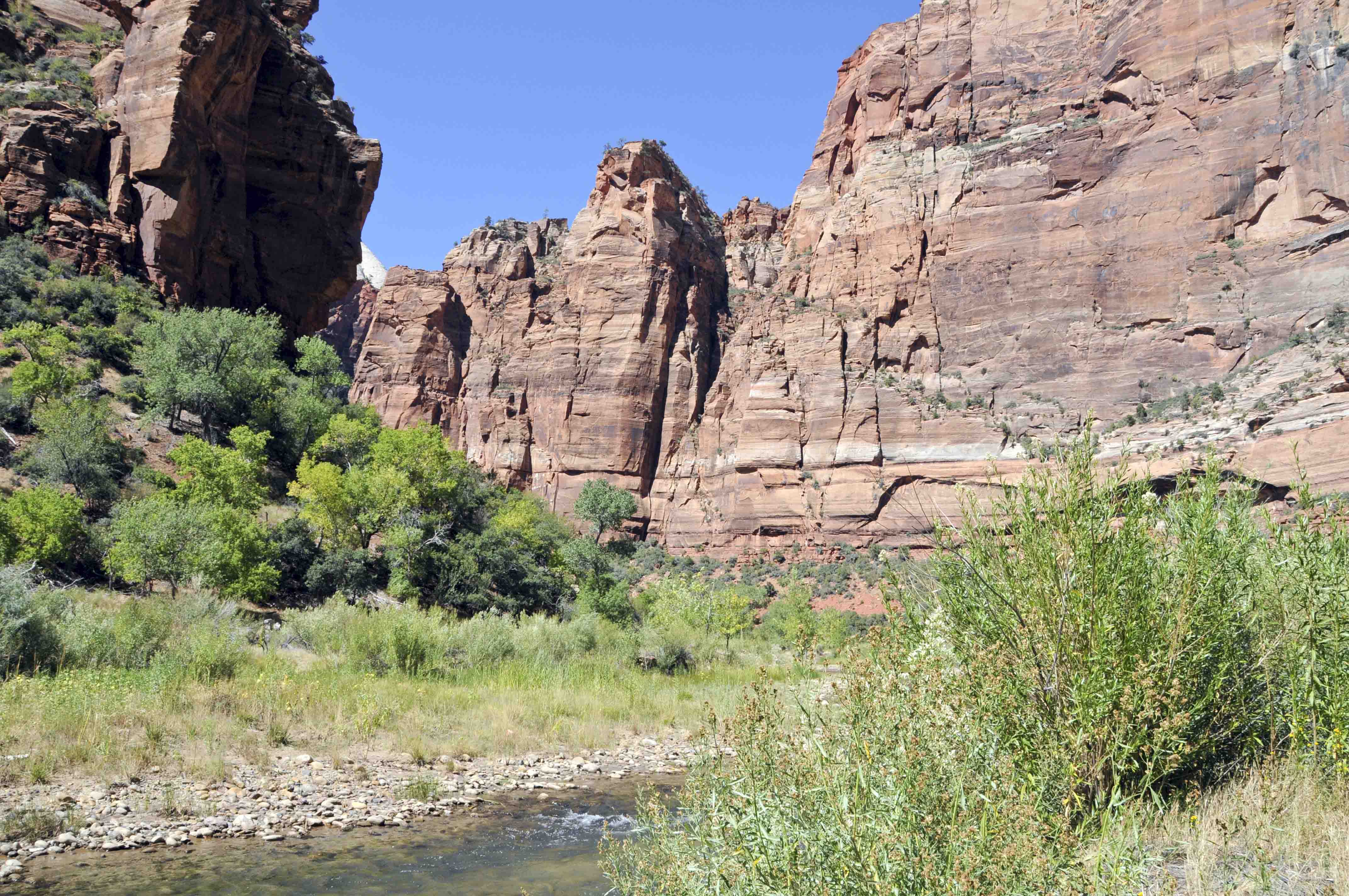
Court of the Patriarchs
Sandy trail
Park shuttle on Zion Canyon Scenic Drive
by the Virgin River
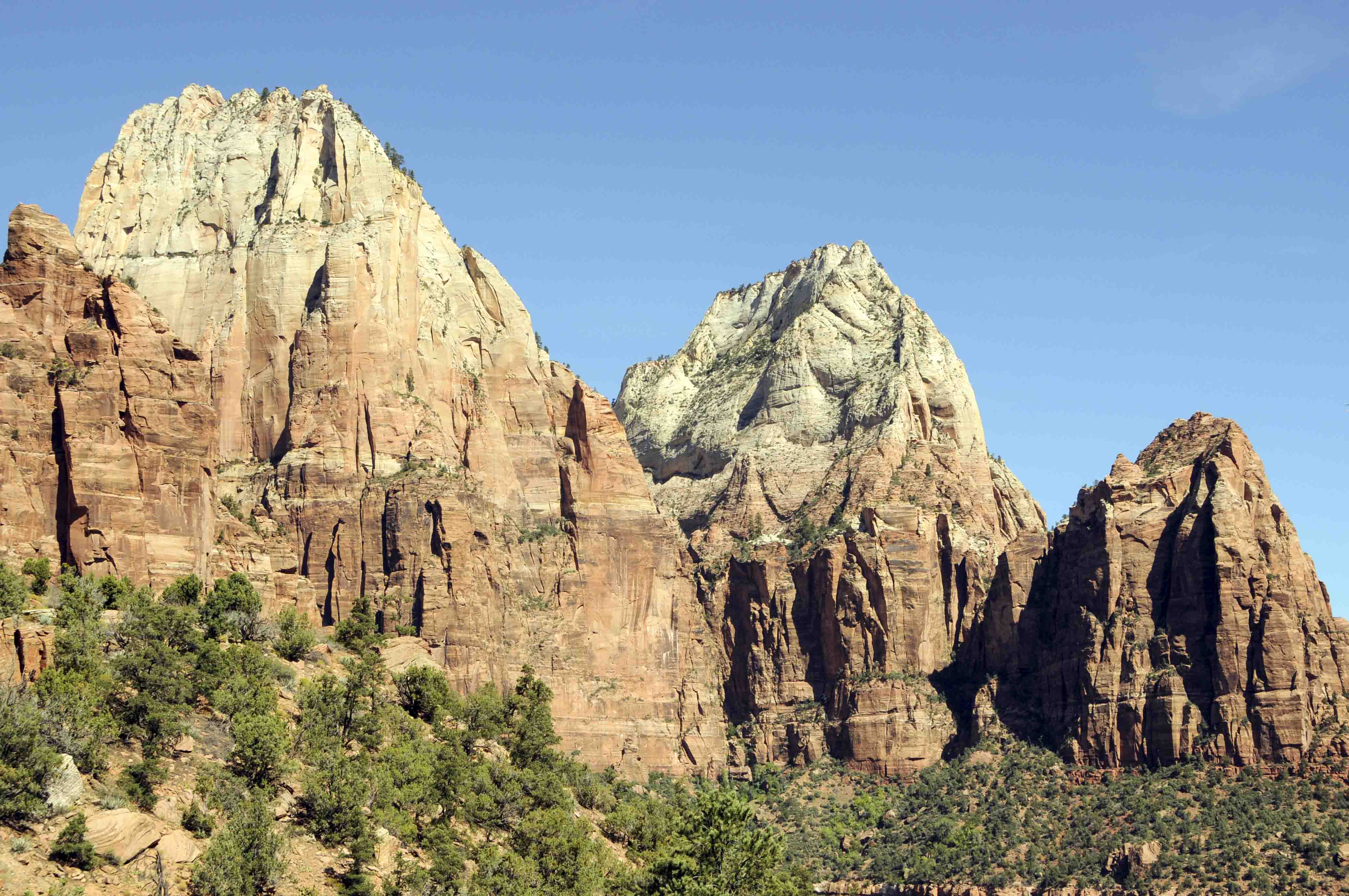
Two of the Three Patriarchs
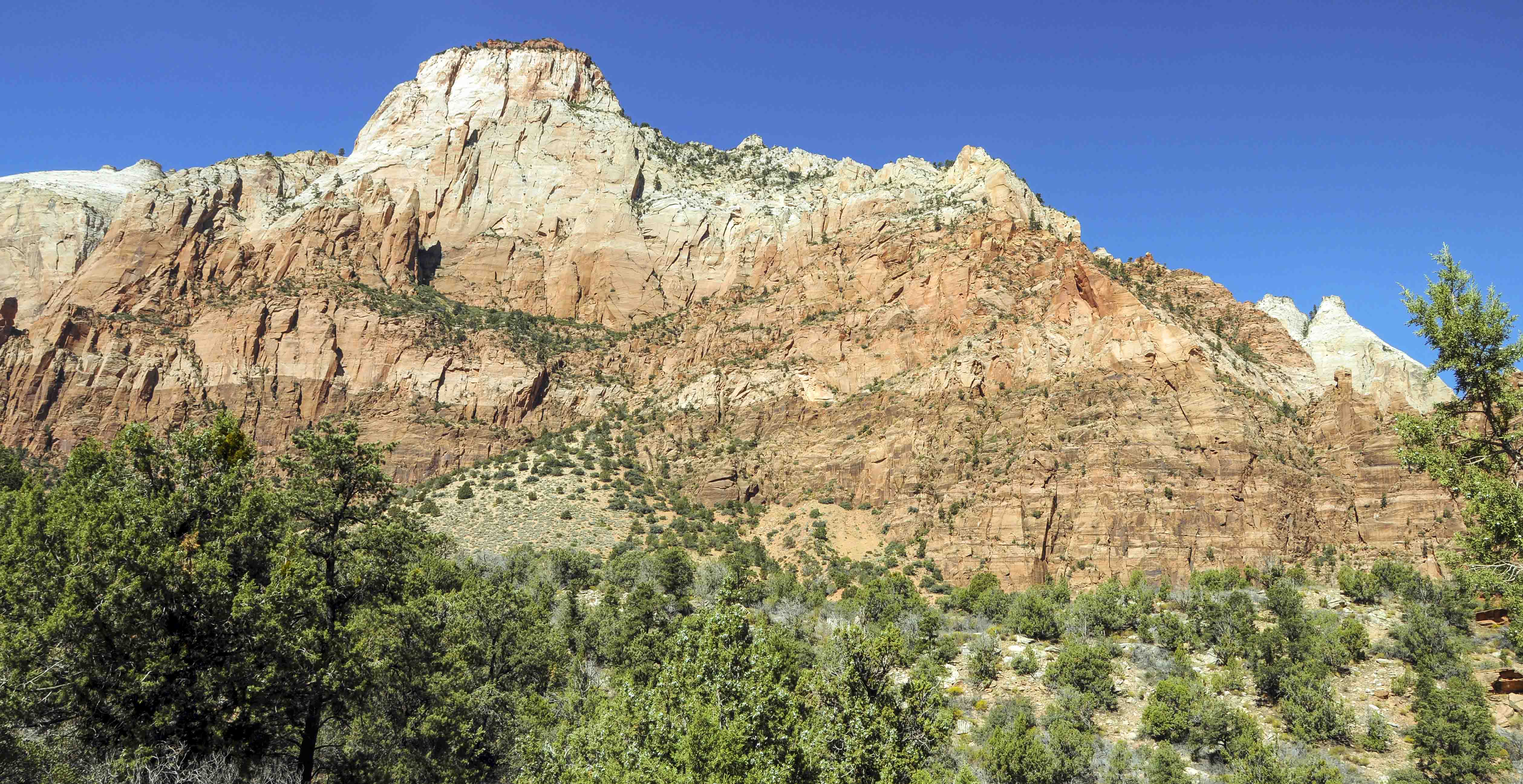
The Sentinel
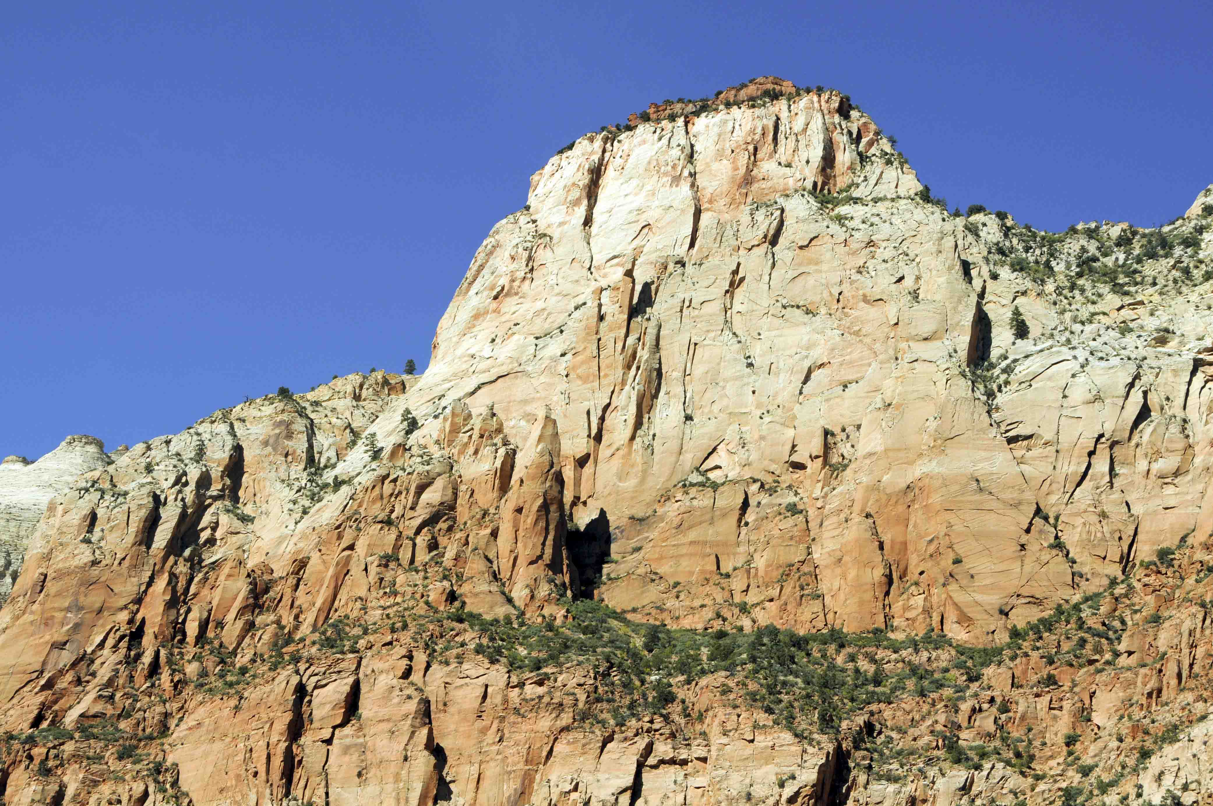
The Sentinel
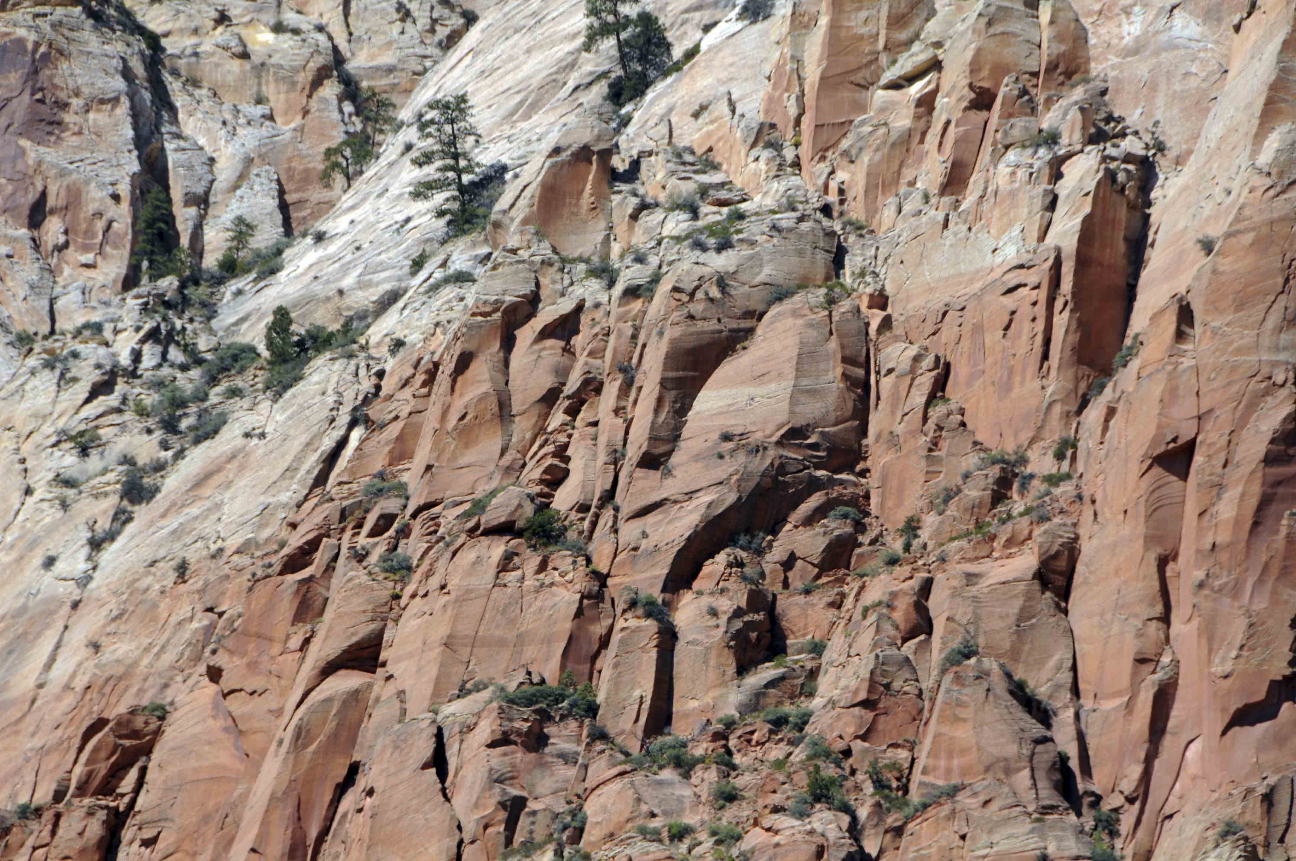
Cliff face
Could be a petrified coyote
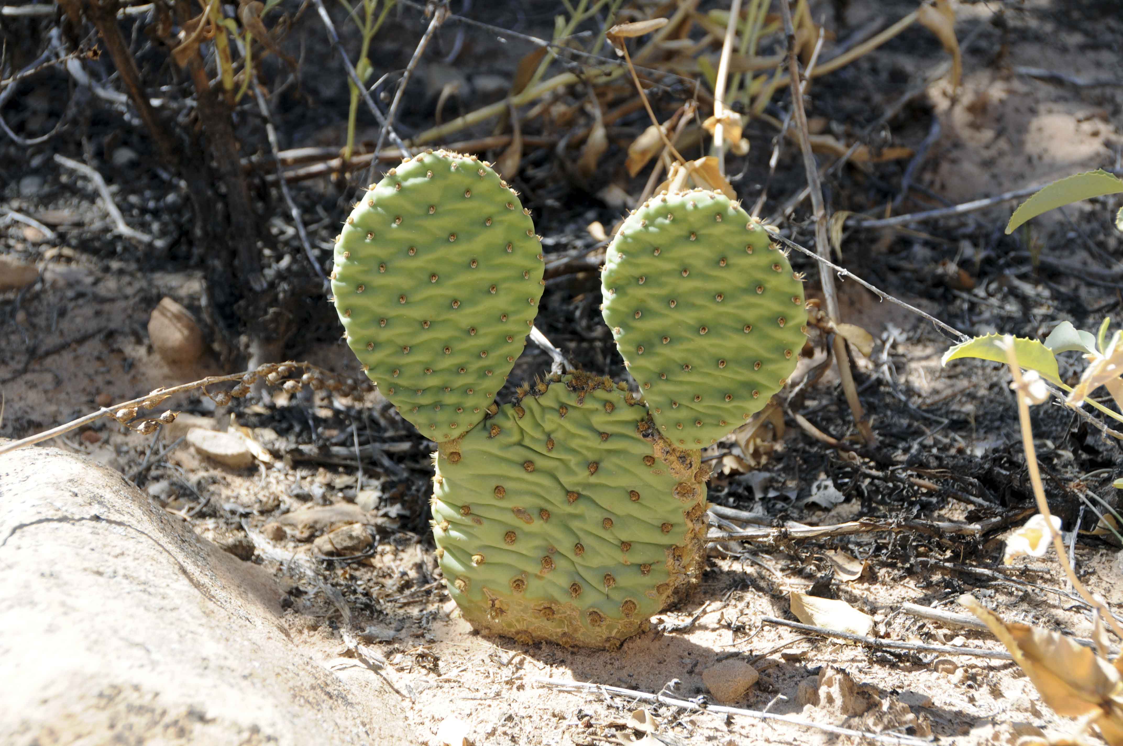
Disney cactus
Sand Bench Trail
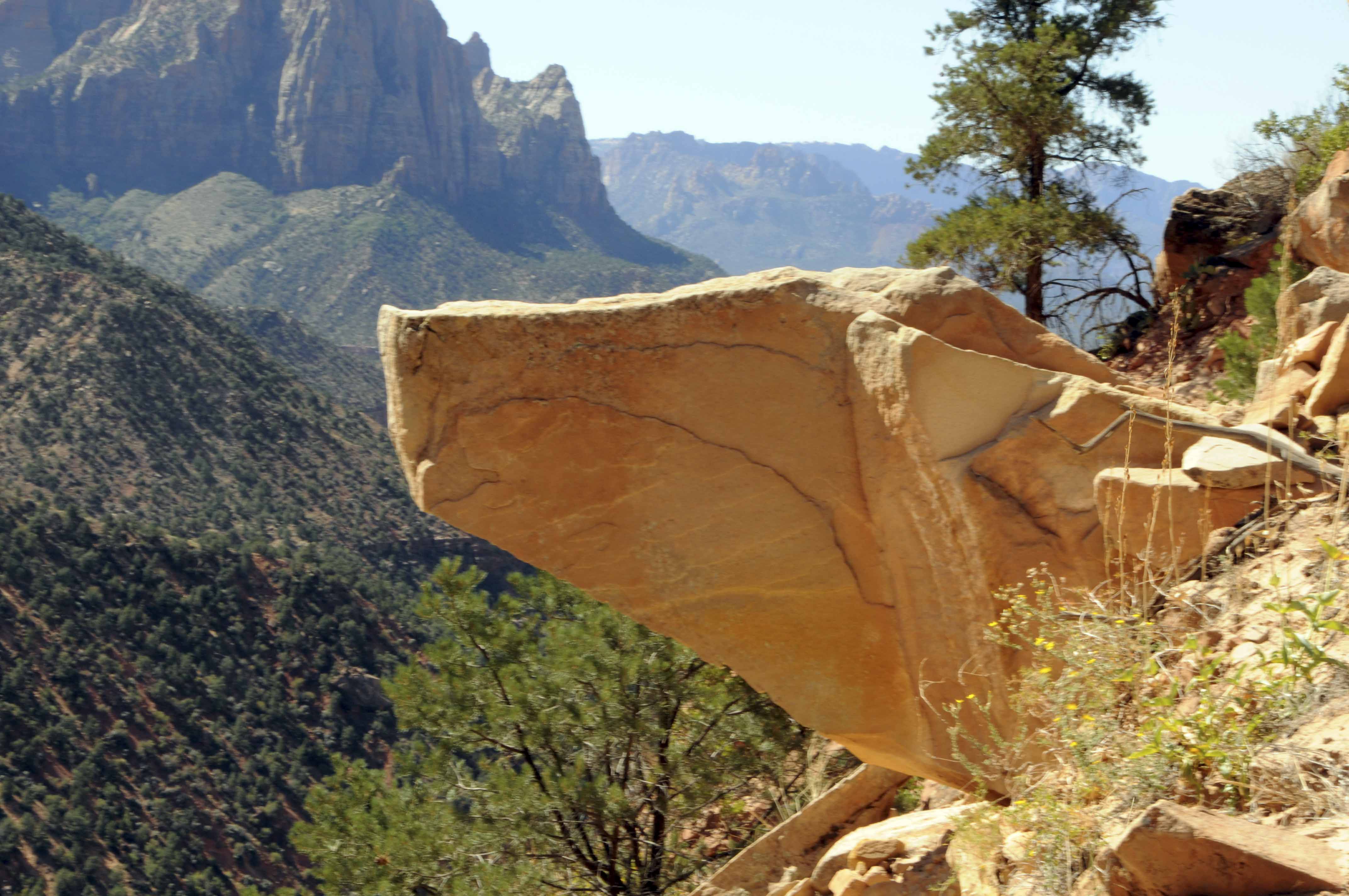
View from the end of Sand Bench Loop
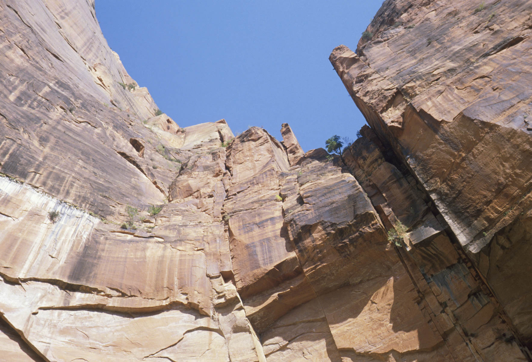
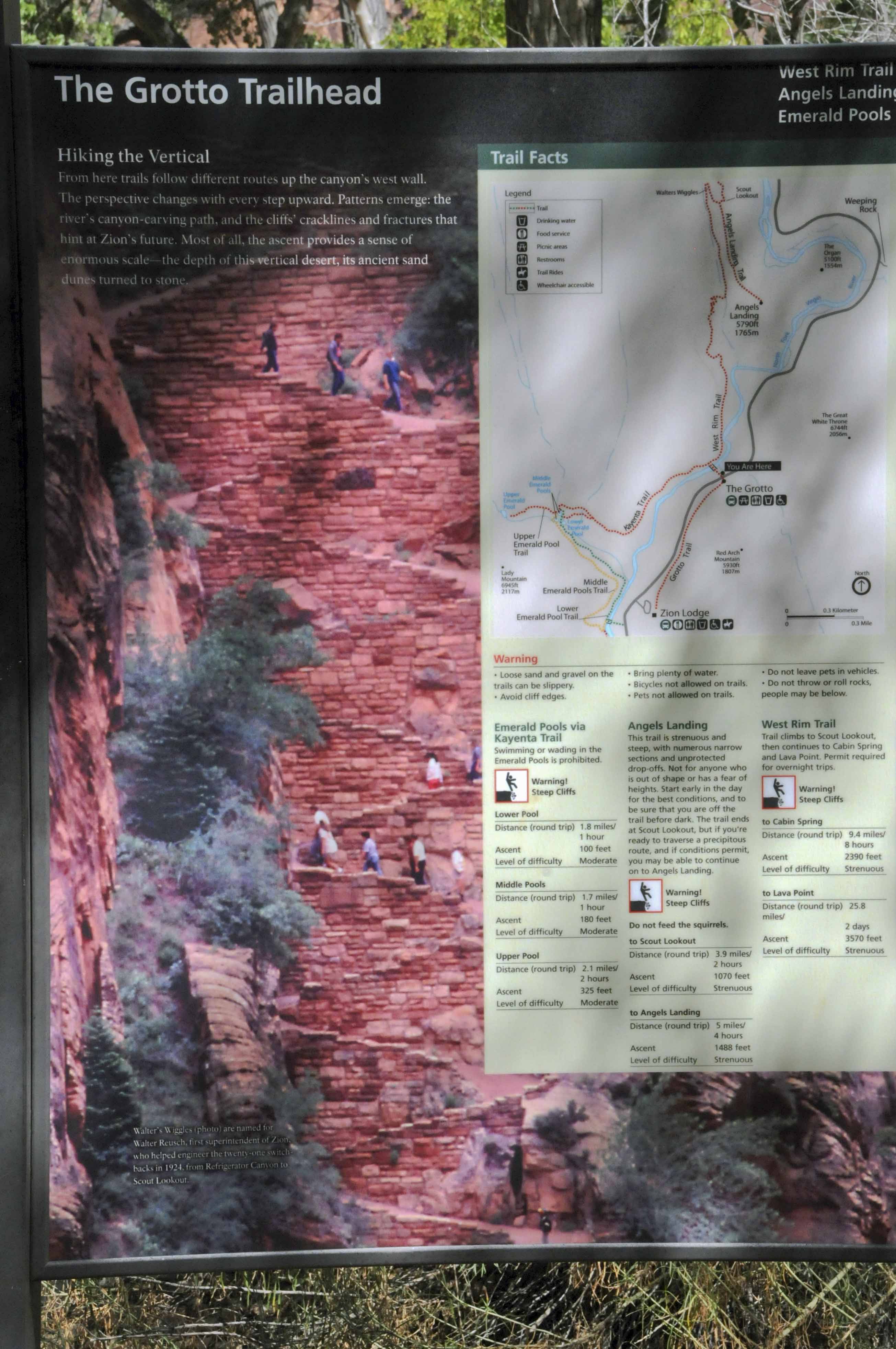
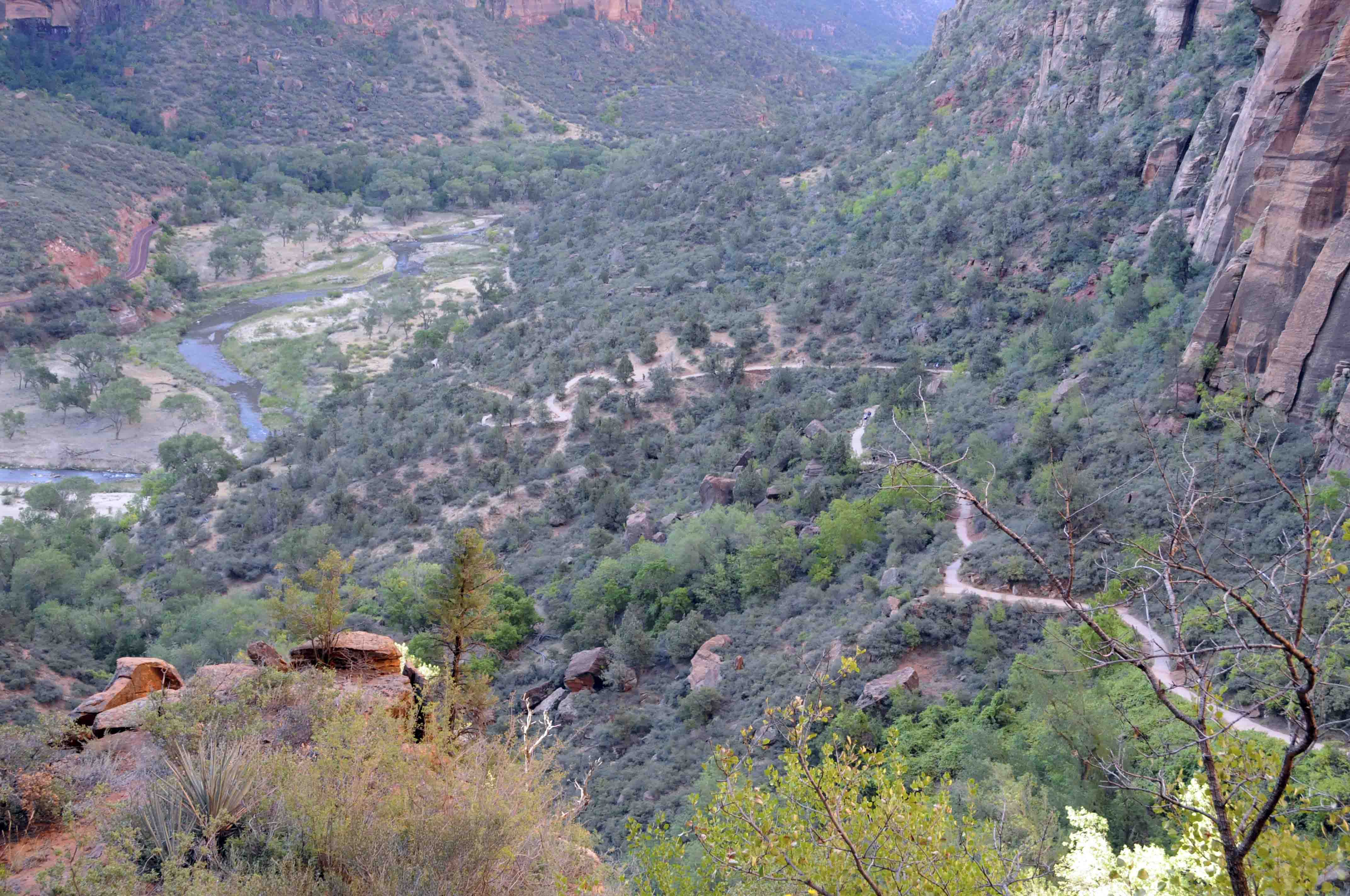
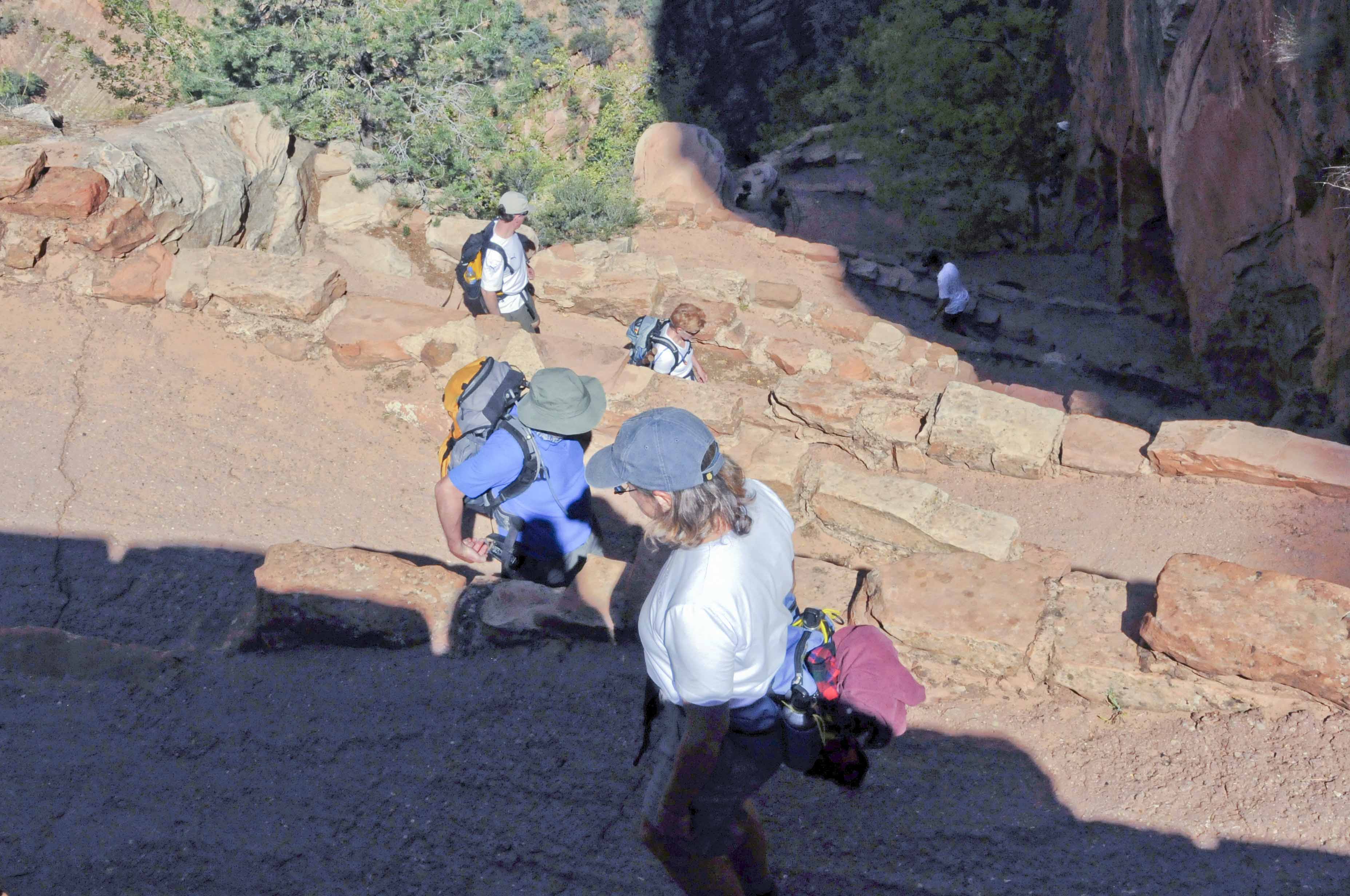
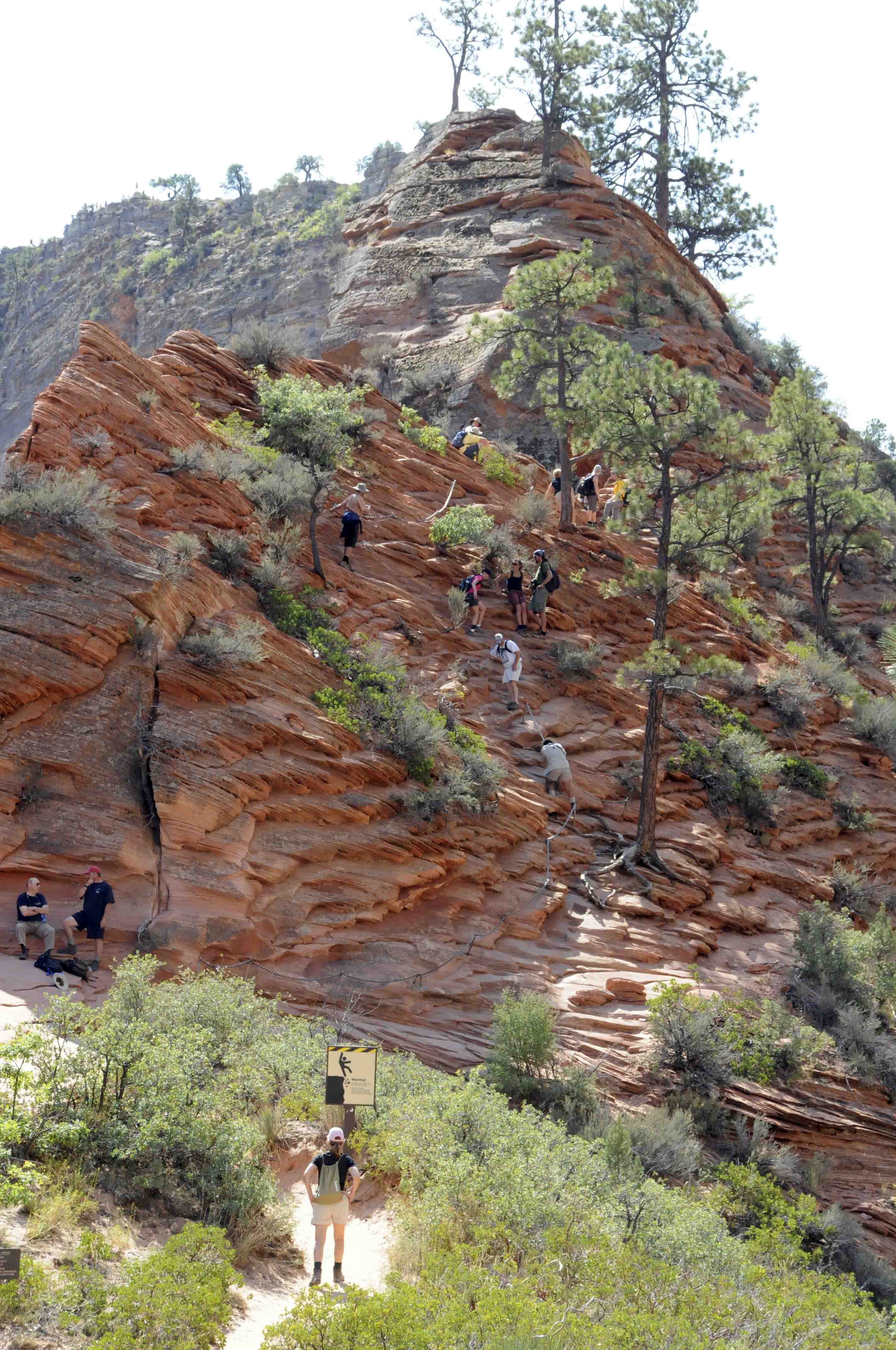
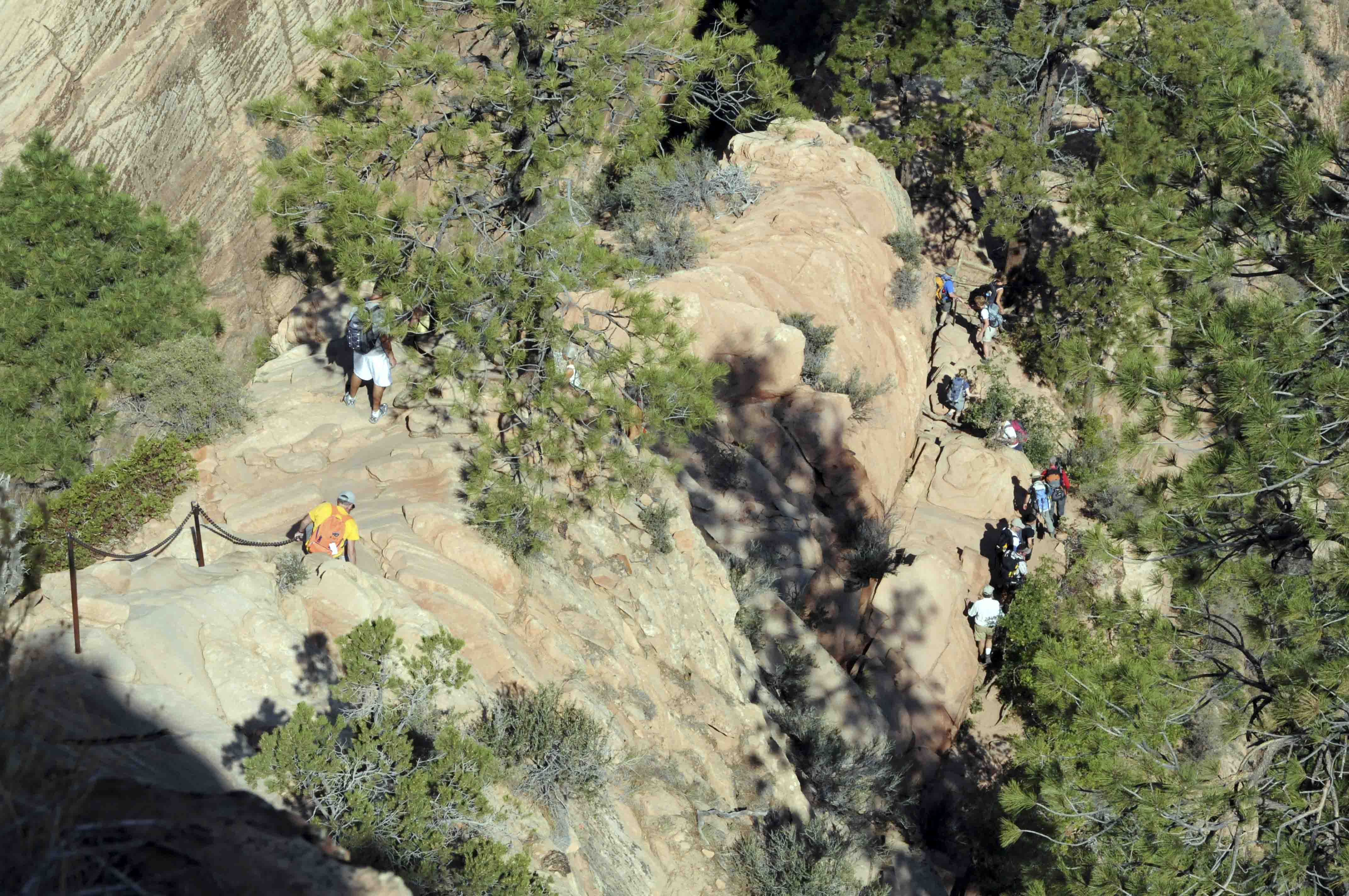
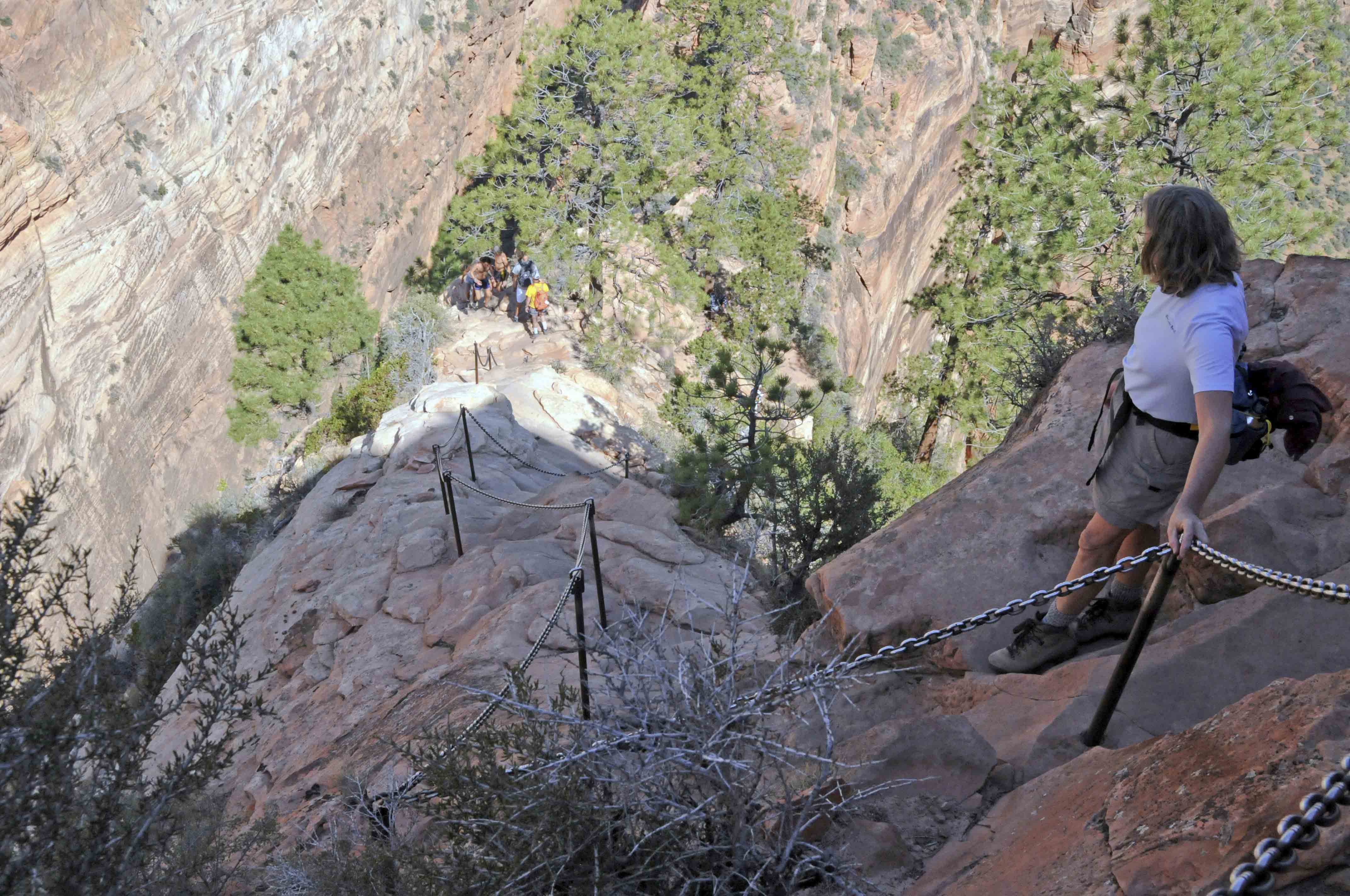
Angels Landing
The trail to Angels Landing begins at the Grotto Trailhead. Cross the road and the Virgin River and turn
right onto the West Rim trail (left will take you down Kayenta Trail). West Rim trail travels up a series
of switchbacks into Refrigerator Canyon. Angels Landing trail splits off from West Rim trail at the head
of the canyon and rises very quickly via a series of 21 very sharp switchbacks known
as Walter's Wiggles. You reach Scout Lookout at the top of the ridge and take a breather before the final
push up the Hogsback to the summit of Angels Landing. The Hogsback is a steep climb on a narrow ridge (not recommended
for those with a fear of heights). There is a chain strung through stanchions driven into the rock that provides
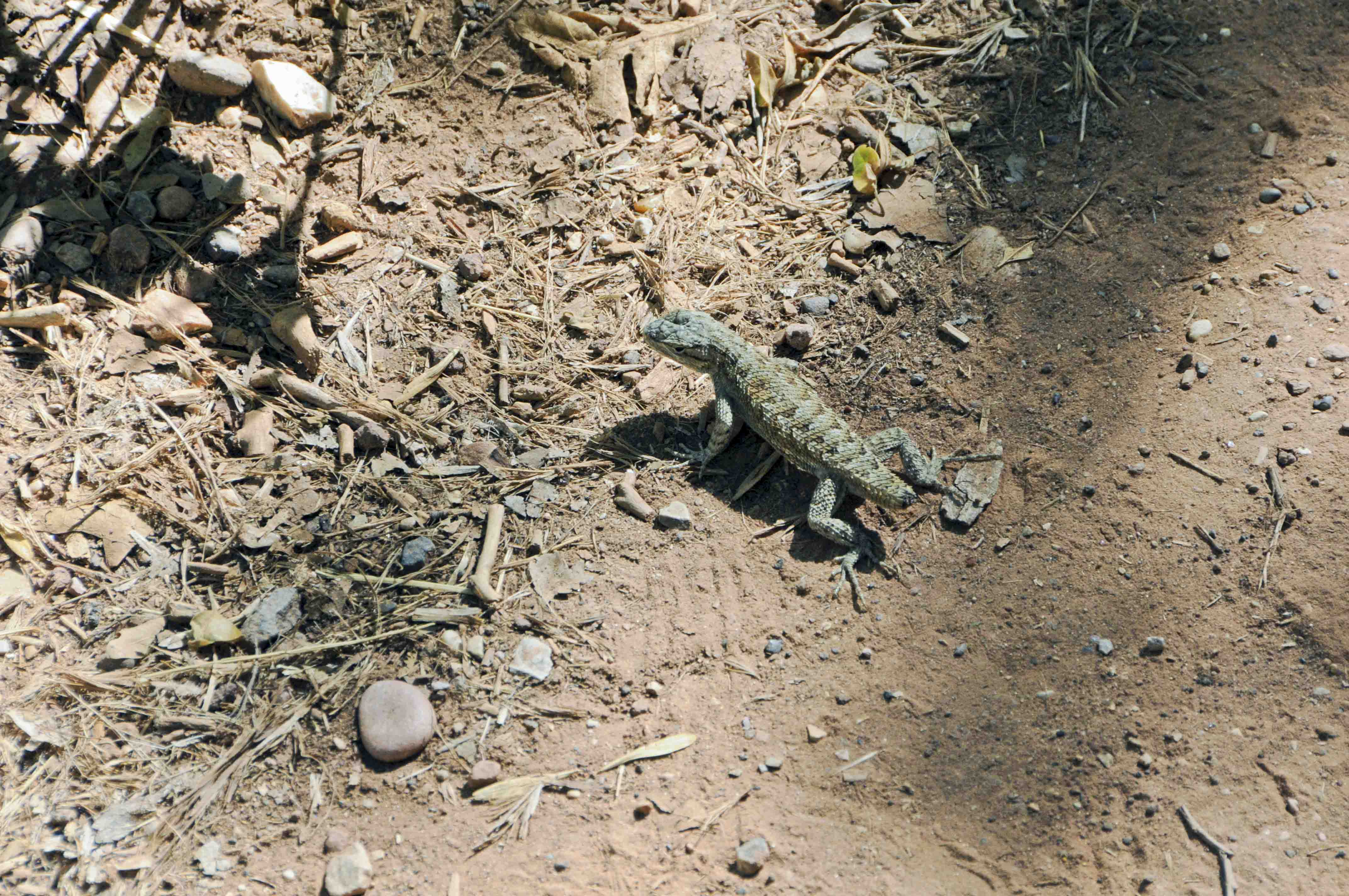
handholds most of the way up. Be careful! Finally you reach the Landing, with gorgeous views up and down the canyon and
the company of rather assertive chipmunks.
Grotto trailhead
start of Angels Landing trail
West Rim trail on the way to Angels Landing
Switchbacks on West Rim trail
Refrigerator Canyon
Refrigerator Canyon
Walter's Wiggles
Scout Lookout
start of the Hogsback
the Hogsback
almost at the top
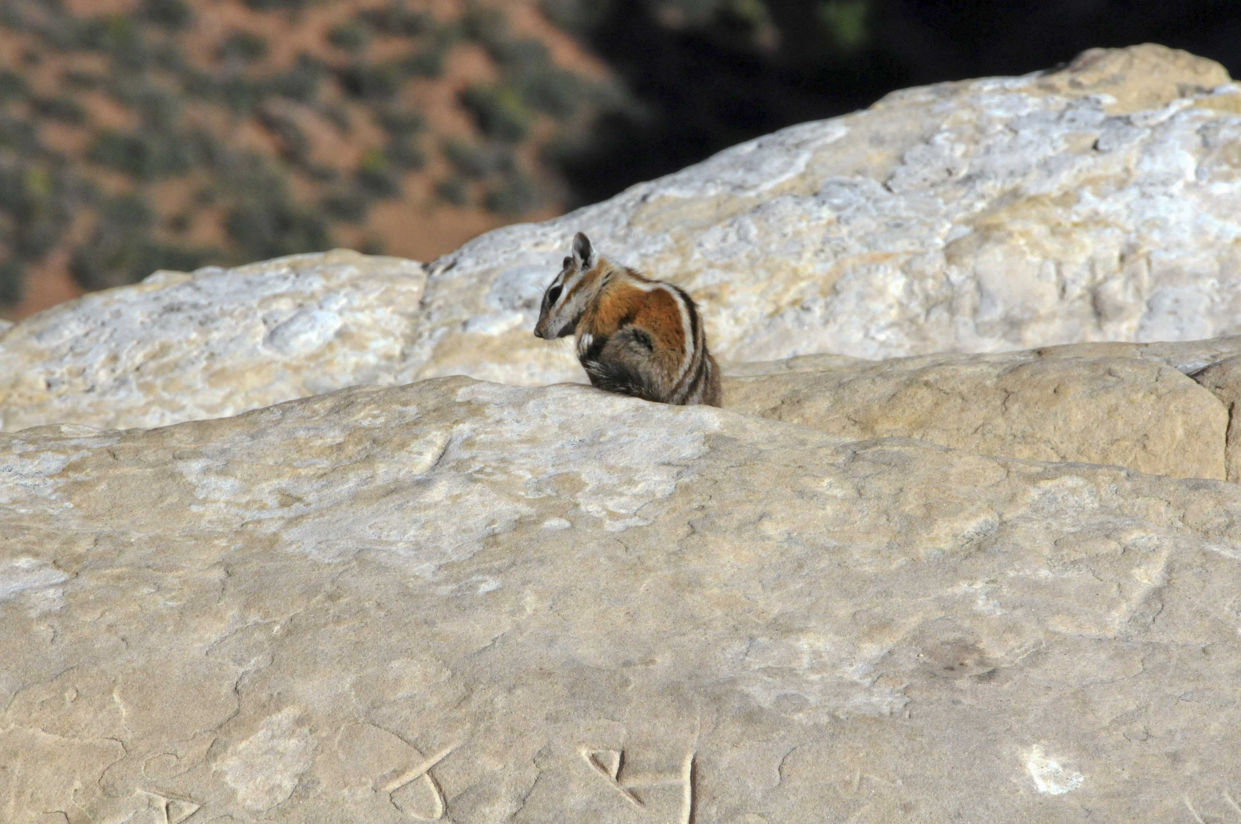
Western (Uinta) Chipmunk
(Neotamias umbrinus)
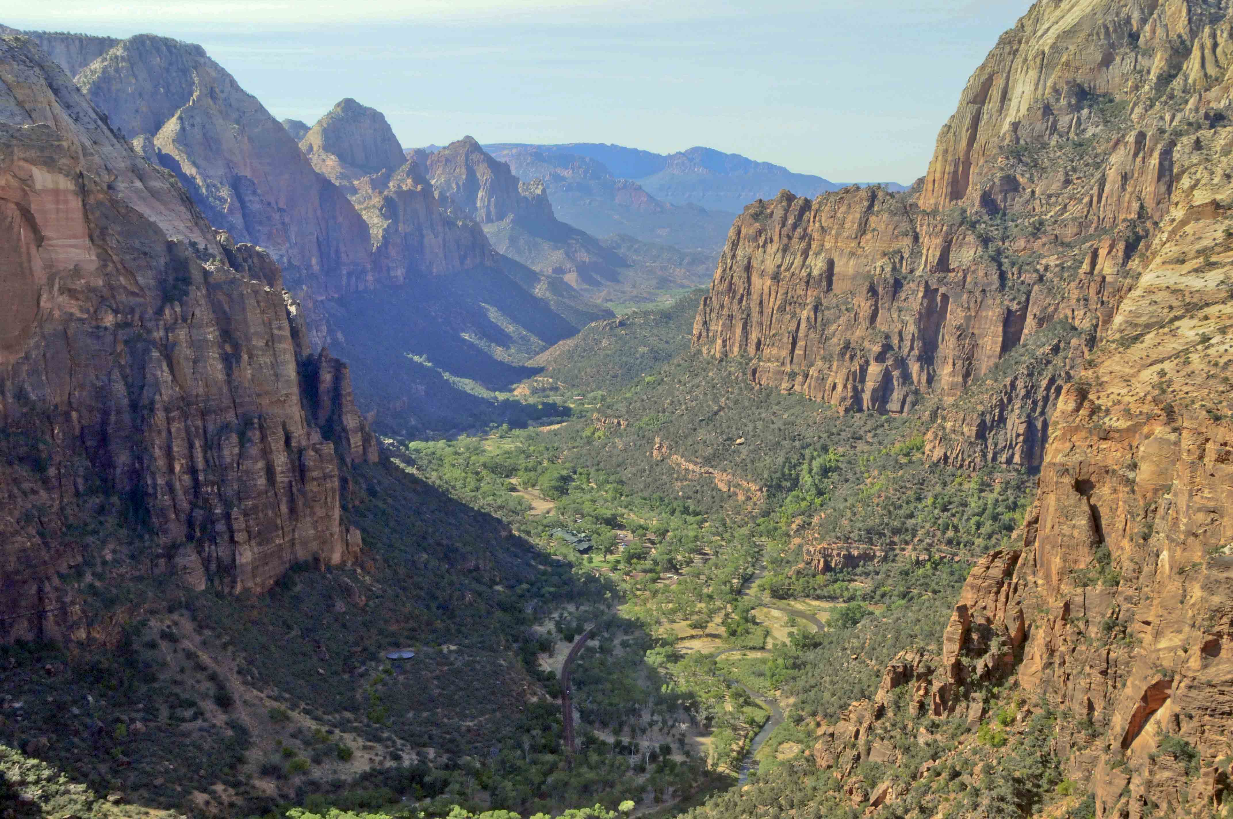
View from Angels Landing
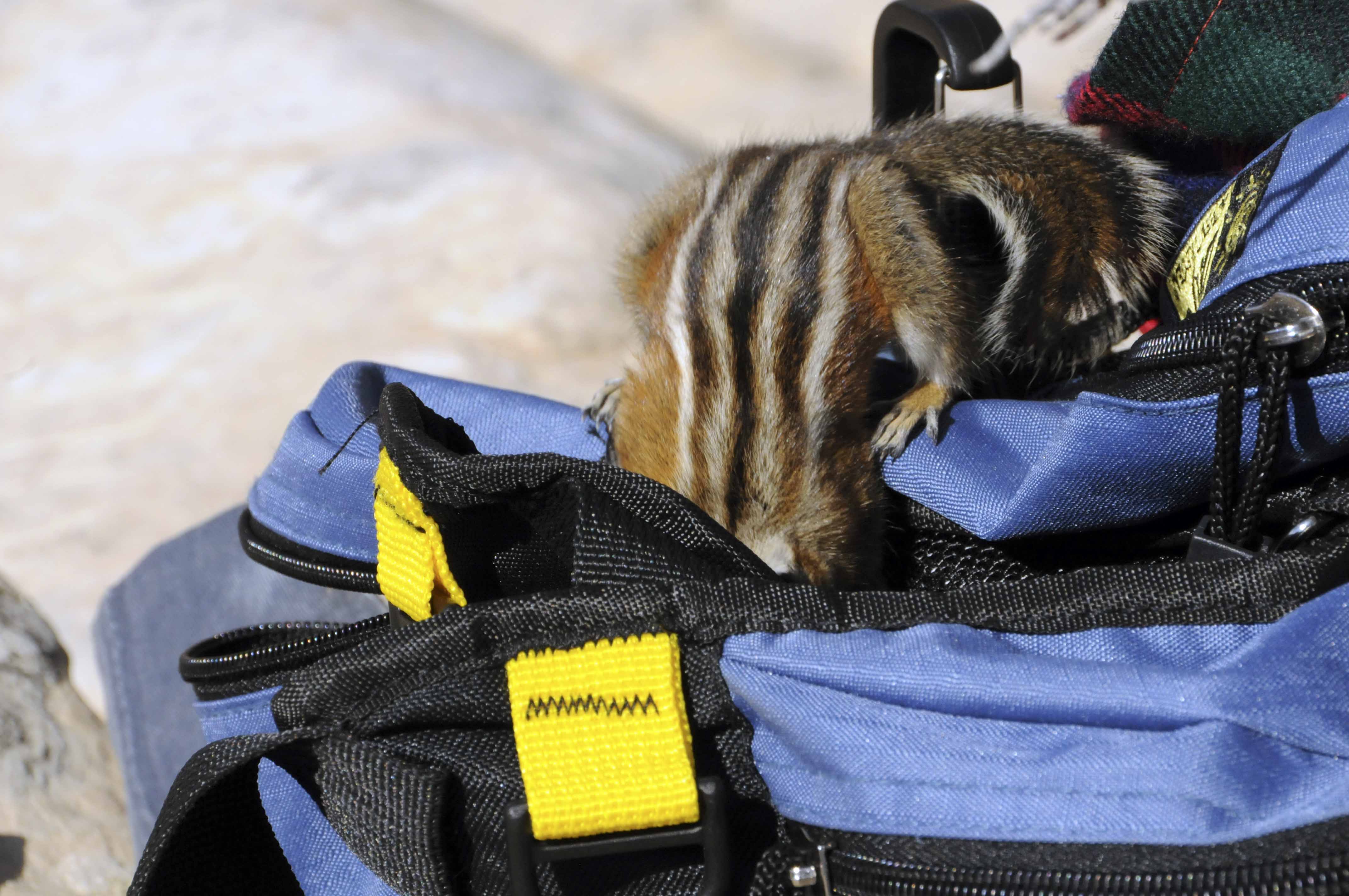
Something to eat in here?
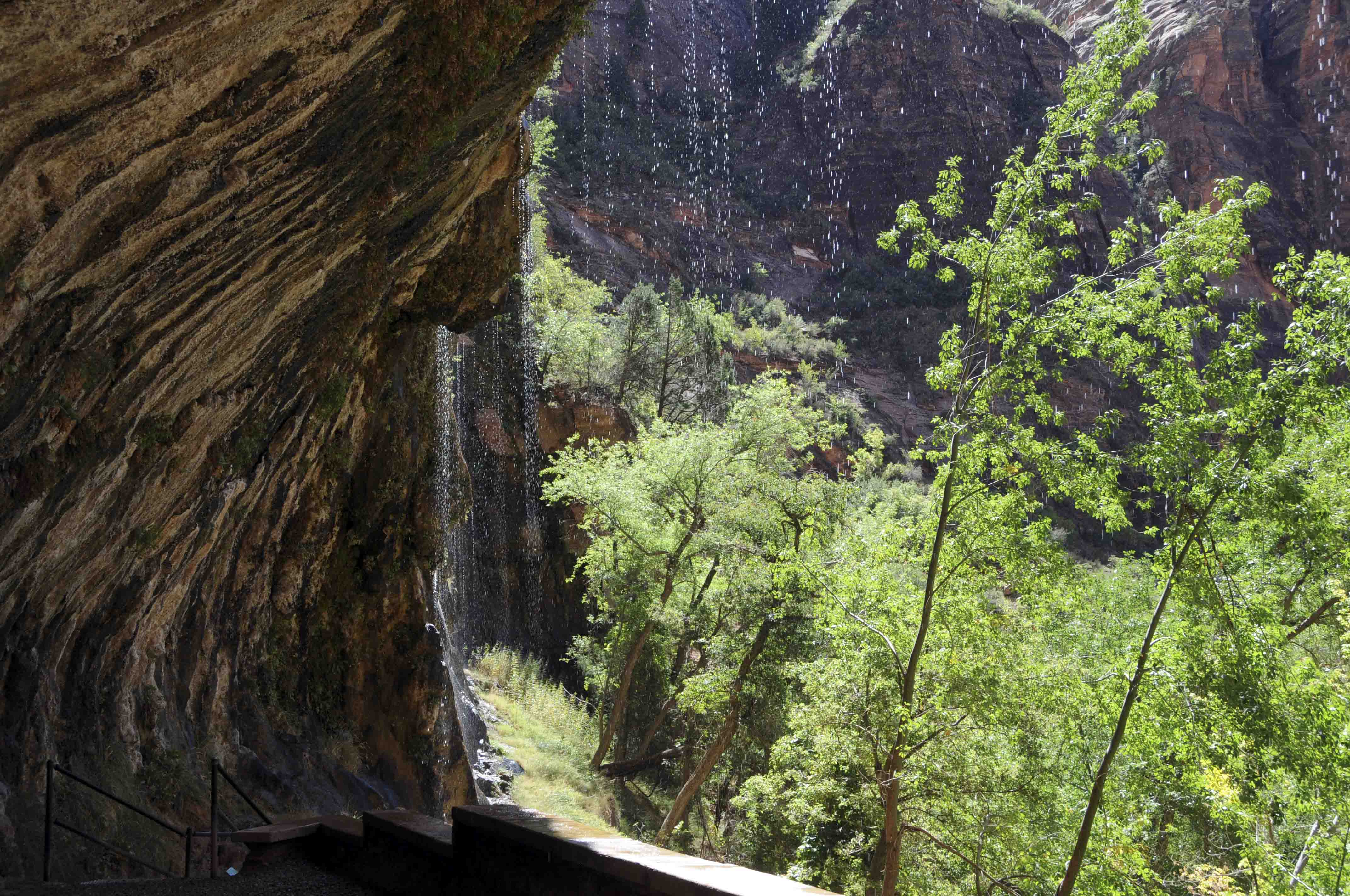
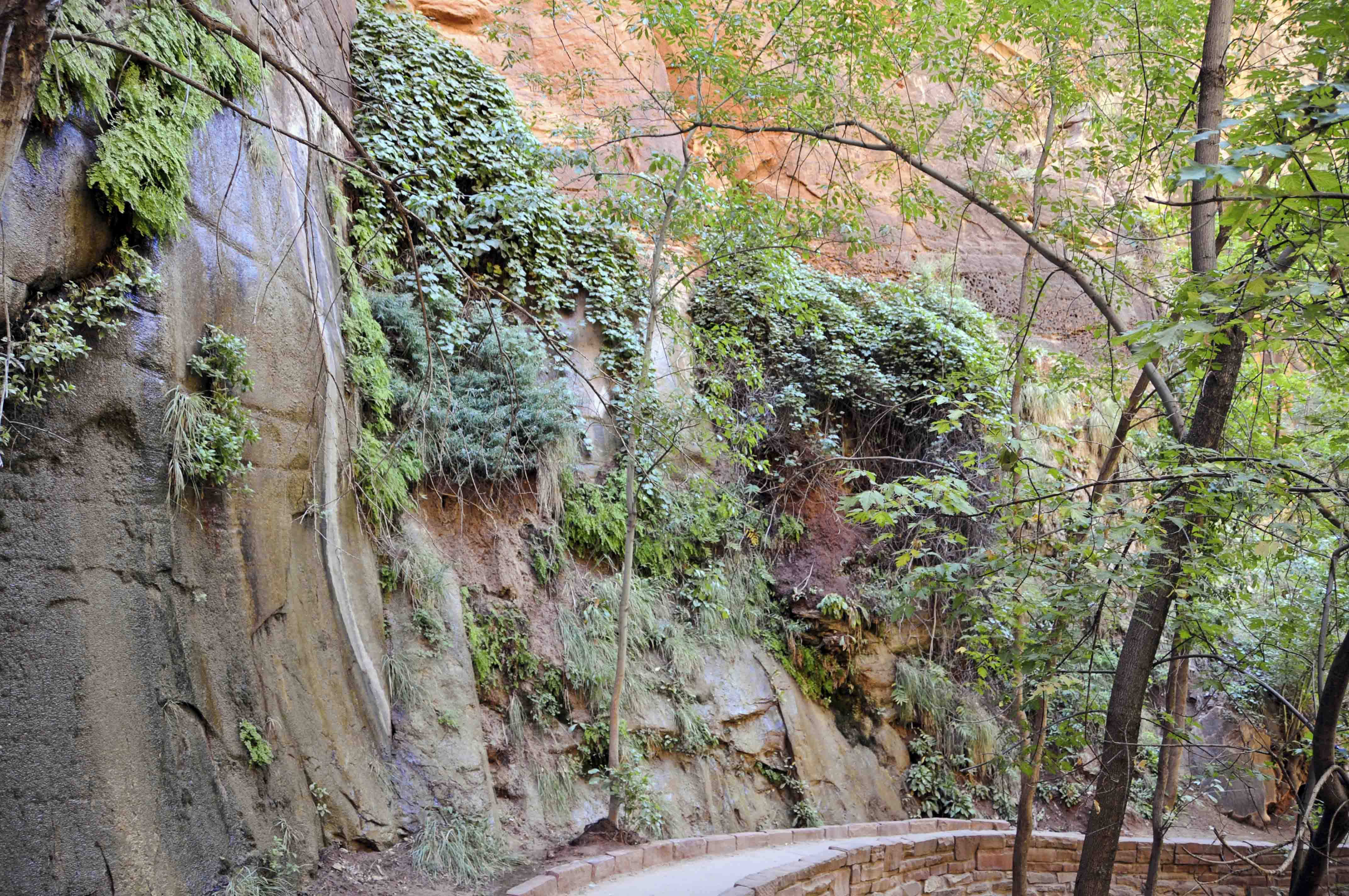
Weeping Rock
Weeping Rock trail if the shortest trail in the park (one-half mile round trip).
It is somewhat steep, gaining 100 feet of elevation, and is not recommended for
wheelchairs or strollers. The trail ends at an overhanging cliff from which little
streams of water constantly drip, giving the formation its name.
The perpetual source of water produces not only lush vegetation and handing gardens,
but also lots of slippery rocks.
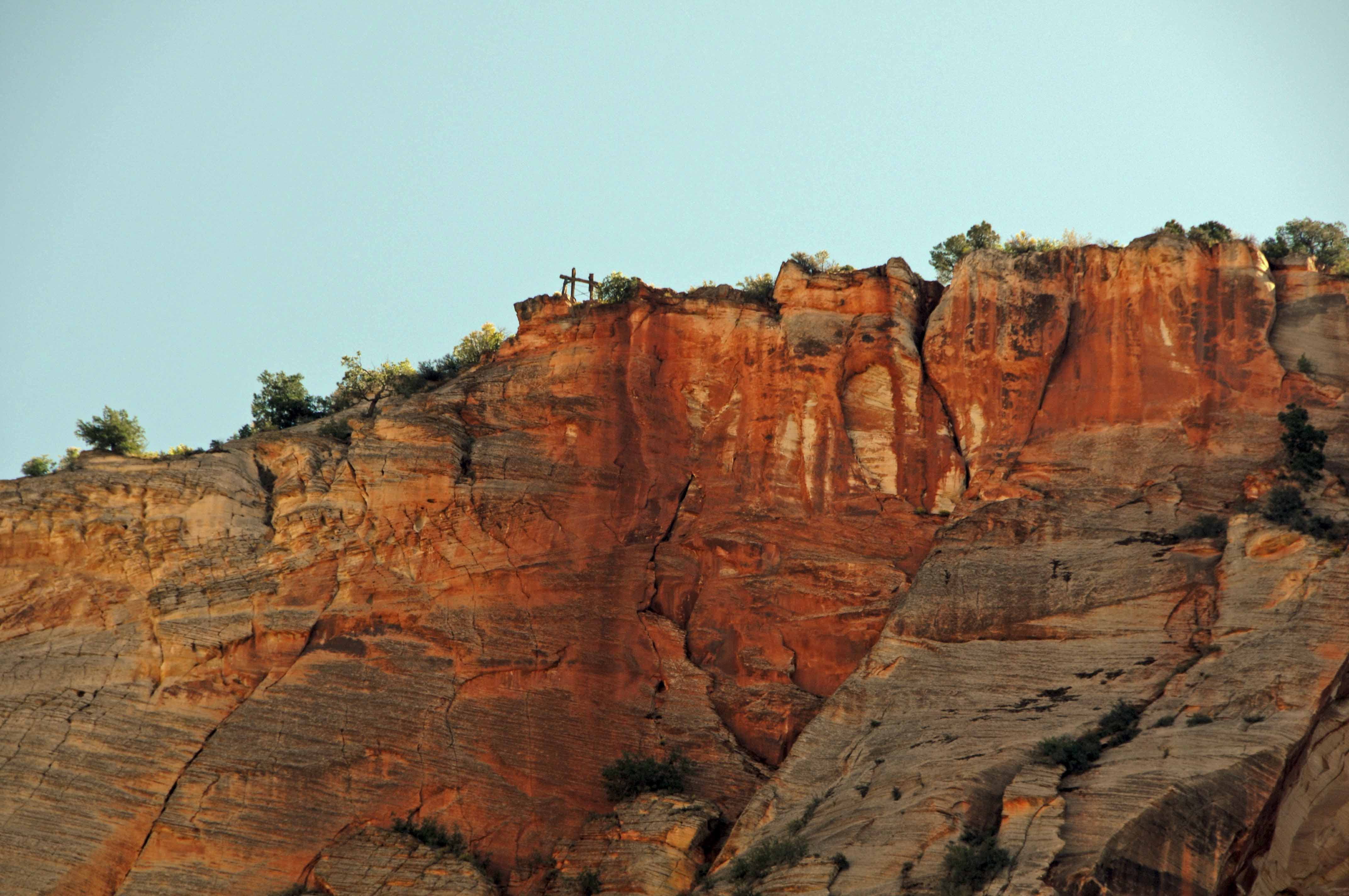
Cable works ruin
Cable Mountain
Weeping Rock
Weeping Rock
Could be the Great White Throne
View from Weeping Rock
Virgin River
View from Weeping Rock trail
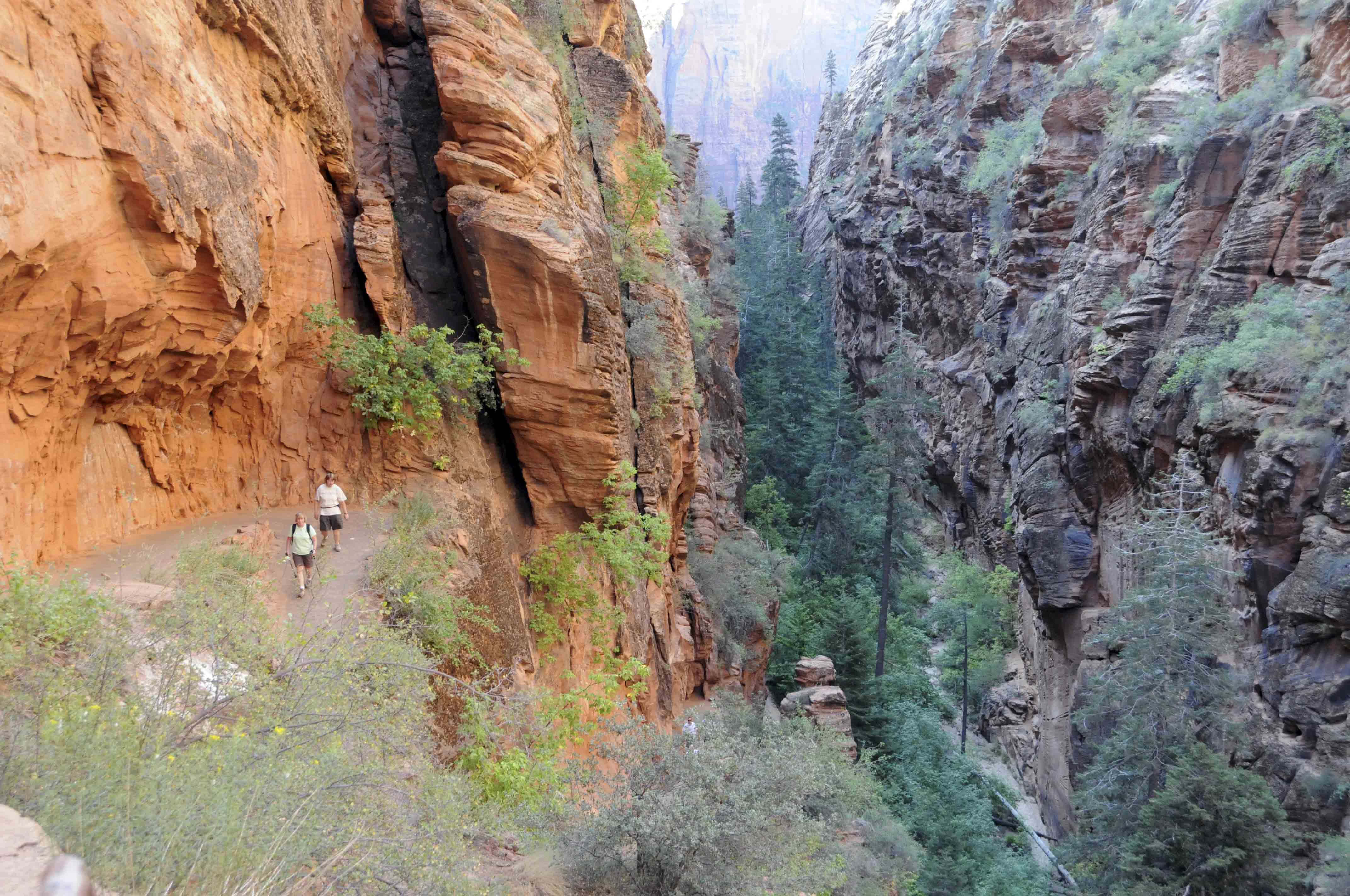
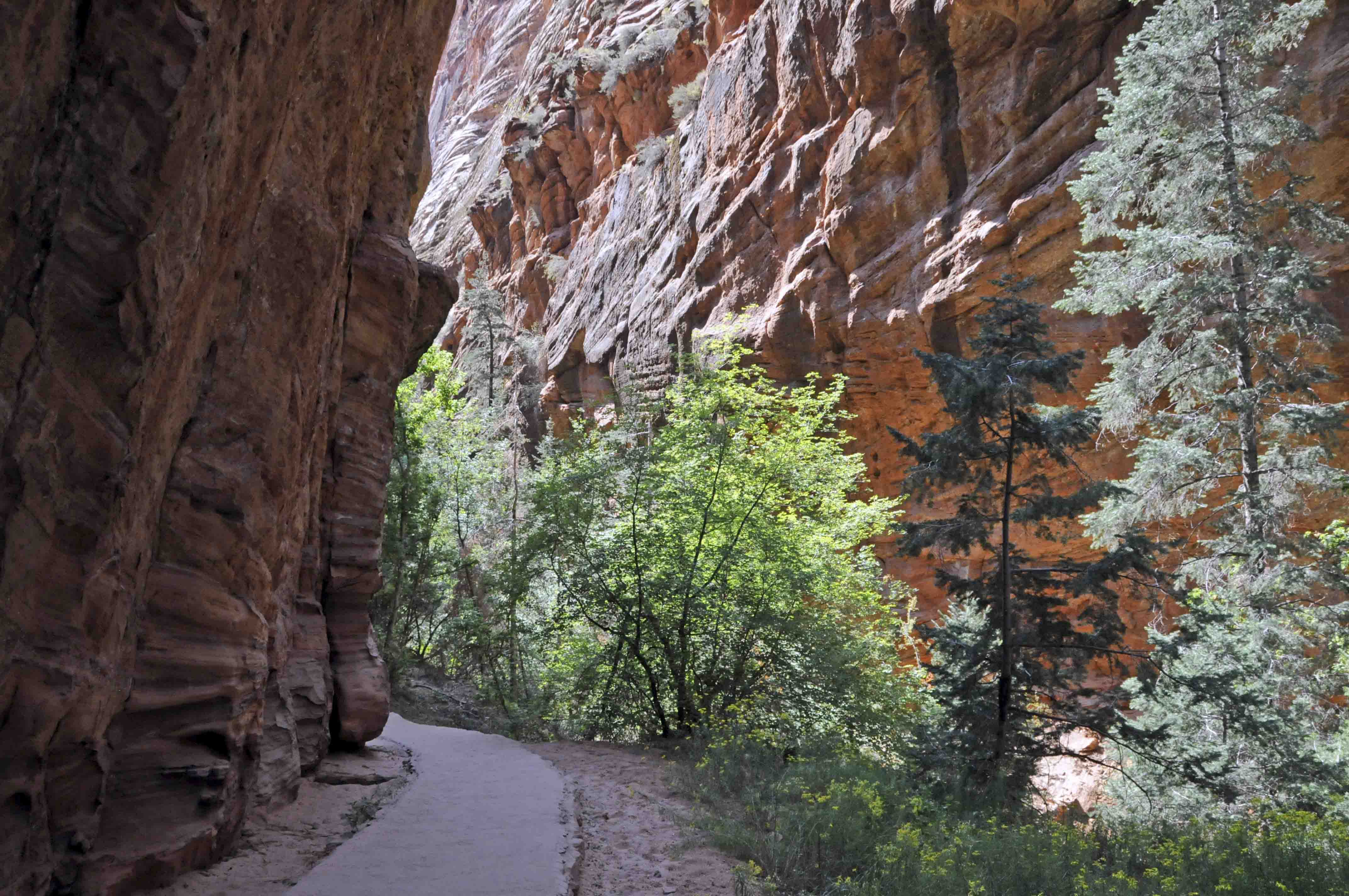
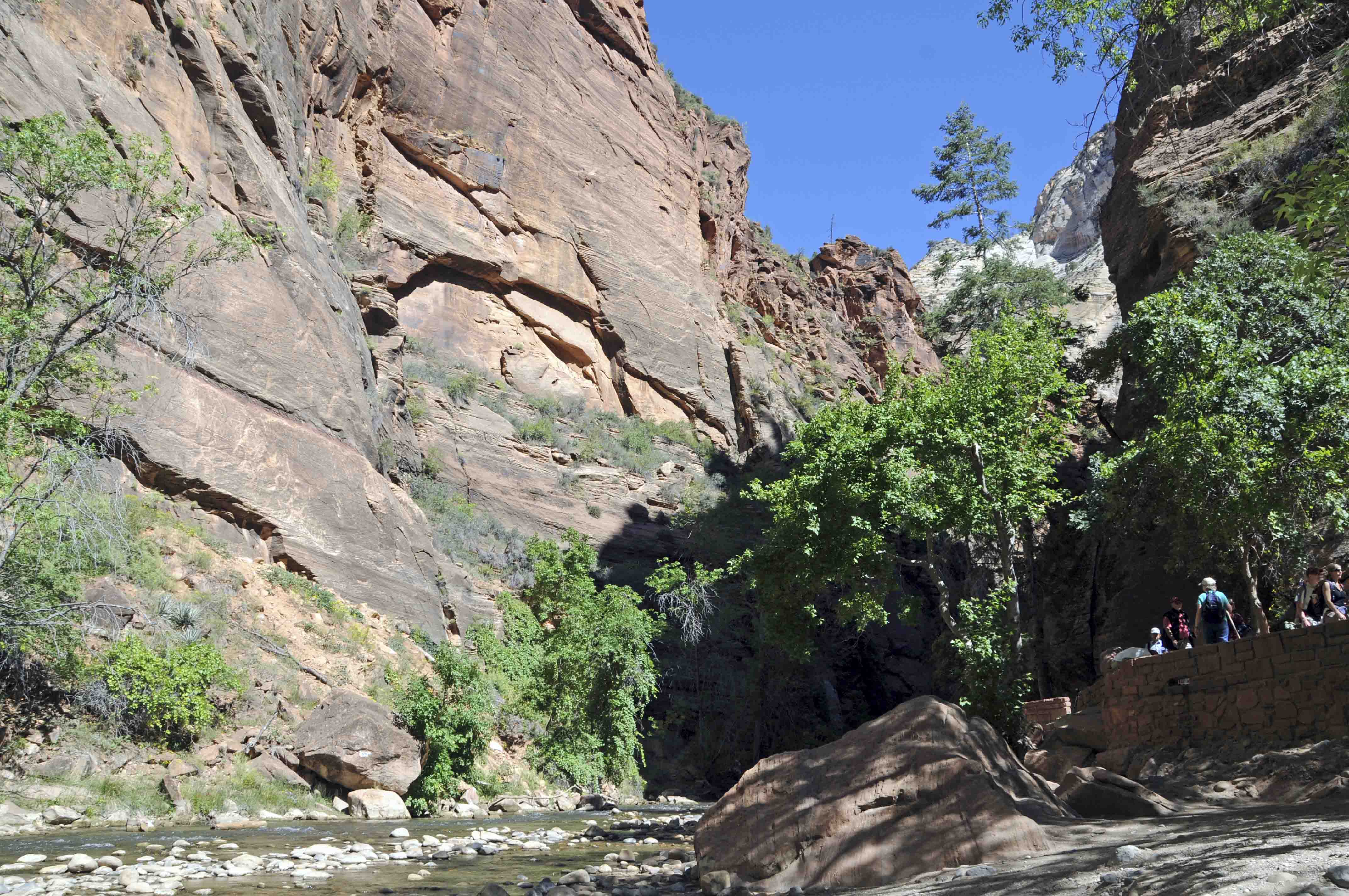
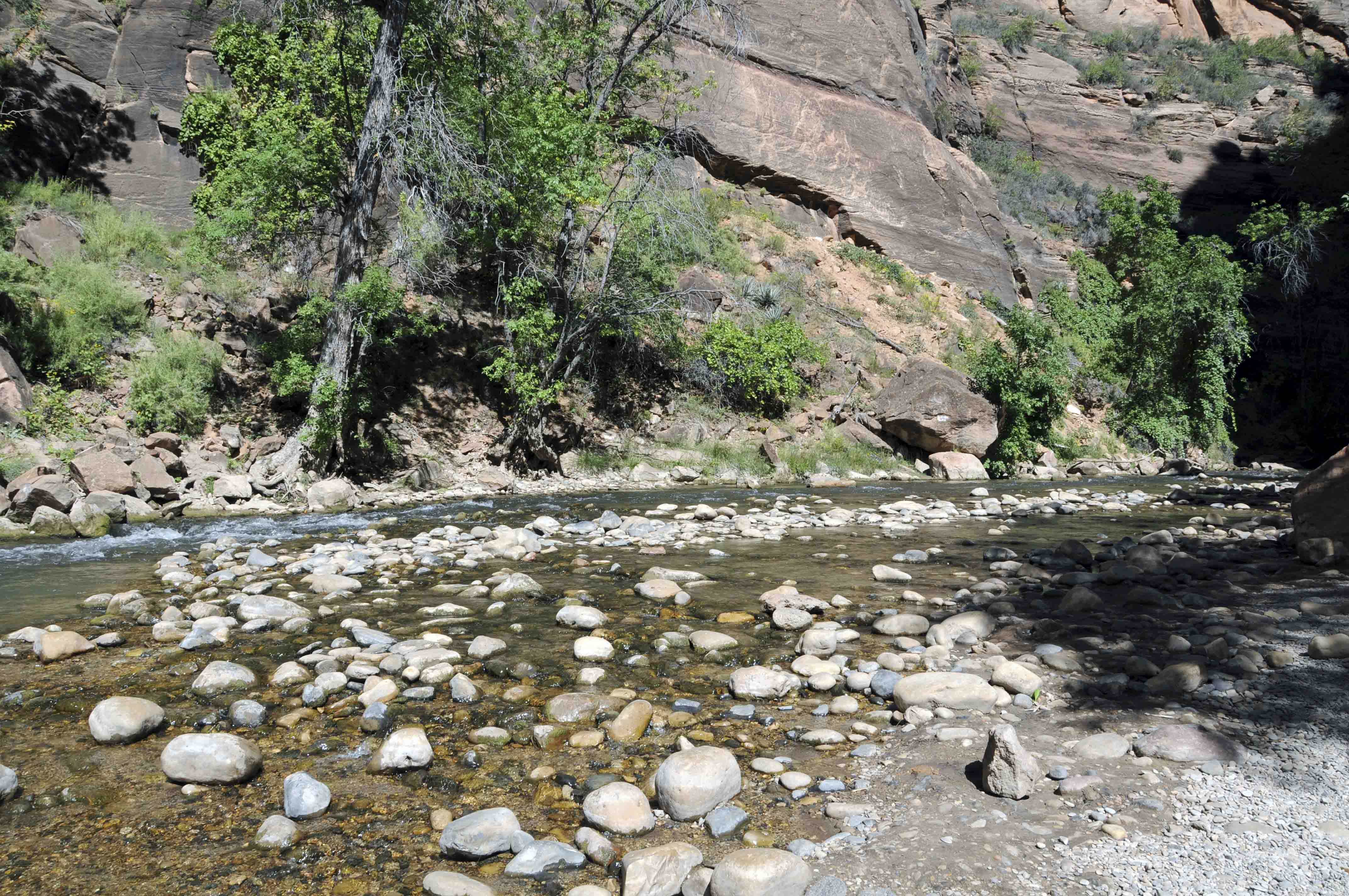
Riverside Walk
The Riverside walk is an easy 2-mile round trip hike on a mostly paved path.
The trail is also known as the Gateway to the Narrows, which is exactly what it is.
The trail begins at the head of Zion Canyon in a natural amphitheater called
the Temple of Sinawava. It ends where the canyon walls close in and the Virgin River is
channeled into the world famous Zion Narrows. At this point you need to get your feet wet.
Continue by wading upriver to really experience the awesomeness of the Narrows. FYI, the
water can be pretty darn cold in the spring and fall. I'm not sure I would hike the Narrows
in the winter.
Start of Riverside Walk
Temple of Sinawava
The Organ
The Organ again
"Hanging Garden"
Riverside Walk
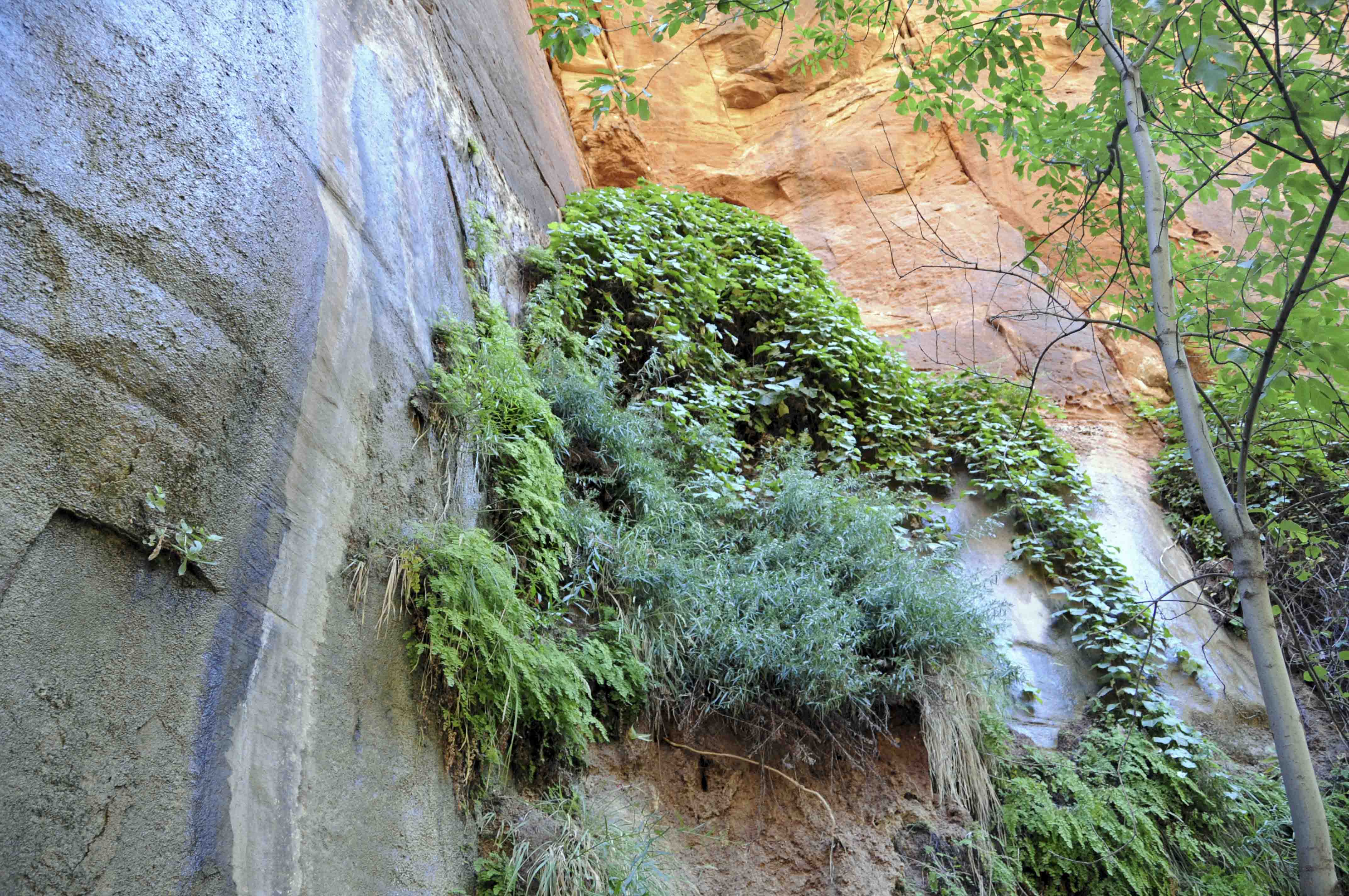
"Hanging Garden"
Almost at the end
Virgin River
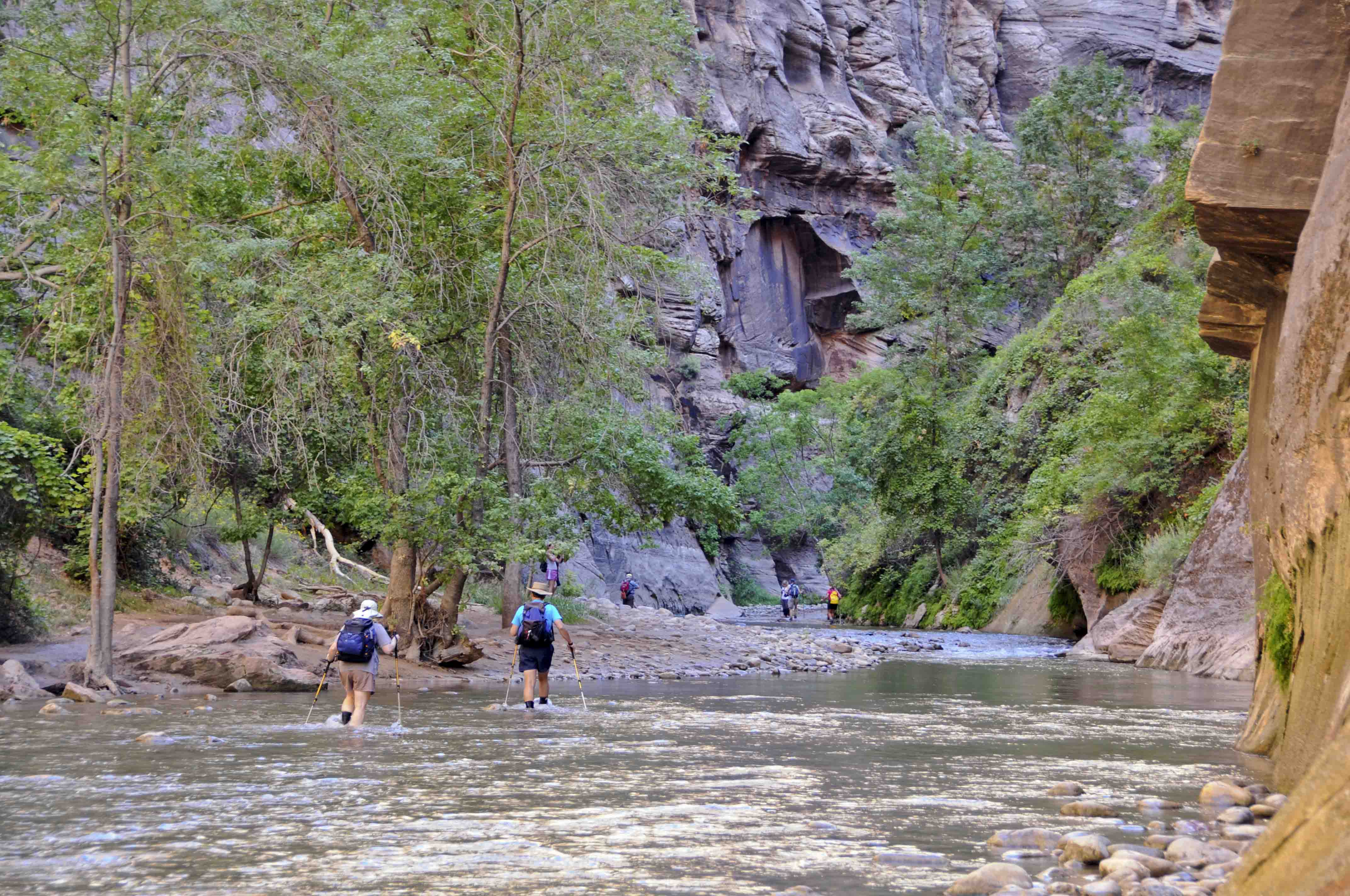
Headed for the Narrows
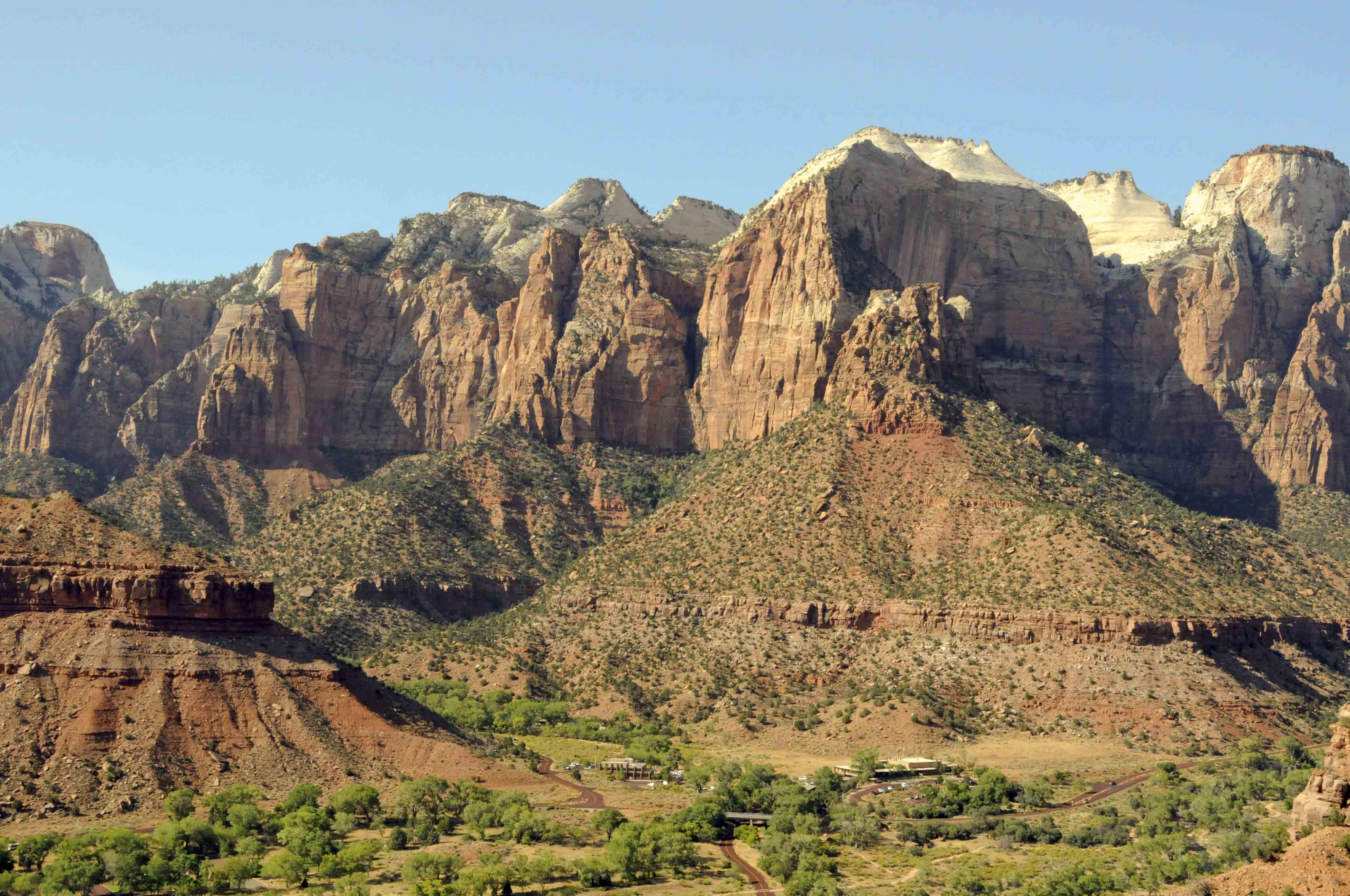
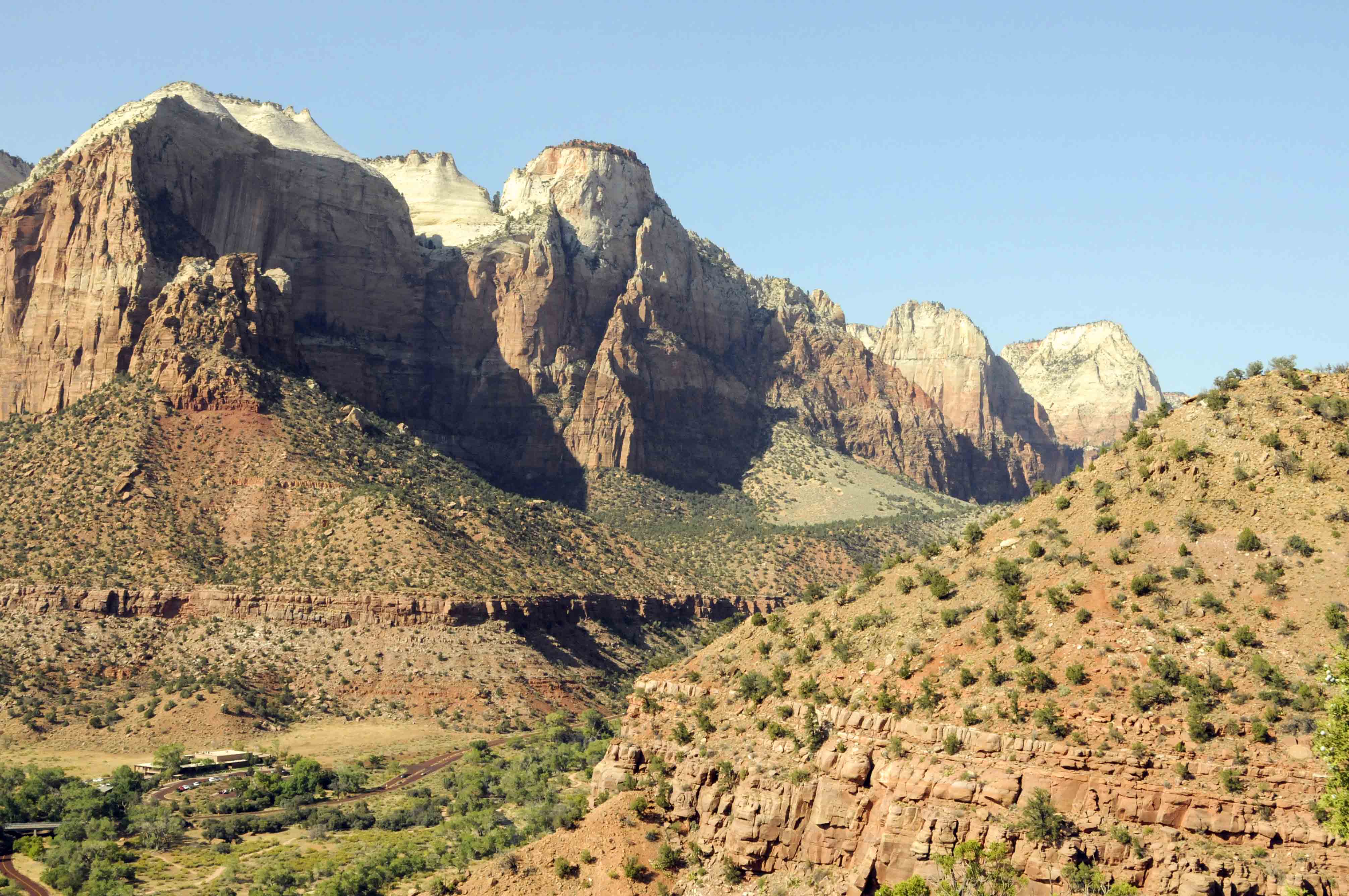
Watchman Trail
The Watchman Trail is a little hidden gem. The trailhead is located right near the
Zion Canyon Visitor Center, and the majority of visitors to the park blow right by it in their
haste to get to the more famous trails. The trail is 3 miles round trip (about 2 hours) and is
rated easy to moderate. It travels beneath Bridge Mountain and ends at a bench near the base of Watchman,
with an elevation gain of 300+ feet. Most of this trail is in full sun and a desert environment, so the best time
to hike it is early morning or evening. Take plenty of water. The trail provides magnificent views of
the mountains on both sides of the canyon as well as park buildings and a panorama of Springdale, UT.
South Campground
View from Watchman trail
The Streaked Wall
Beehive Peak (center right) The Sentinel (far right)
Beehive Peak (left) The Sentinel (center)
Bridge Mountain
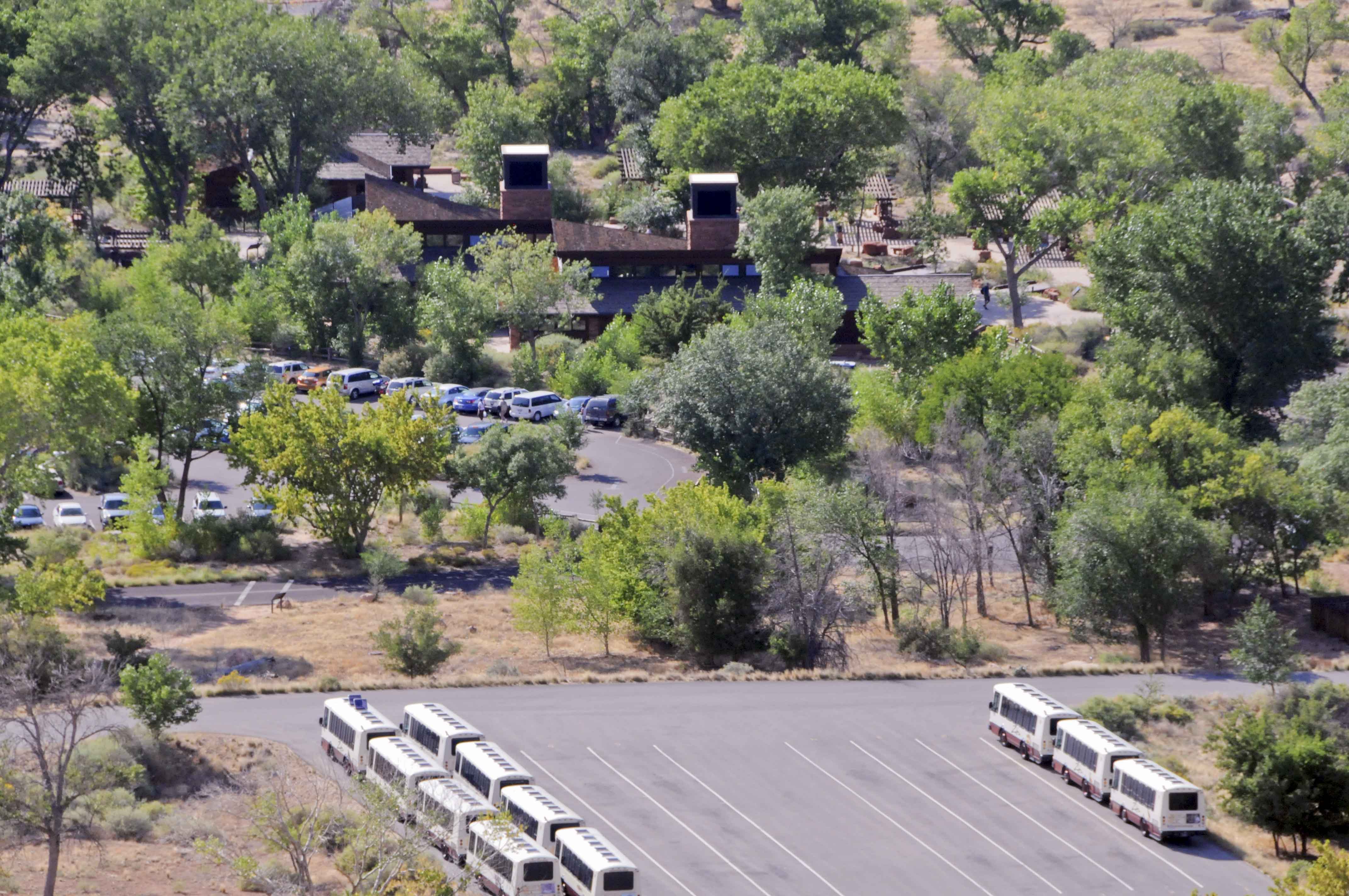
Visitor center and shuttle parking
View from Watchamn trail
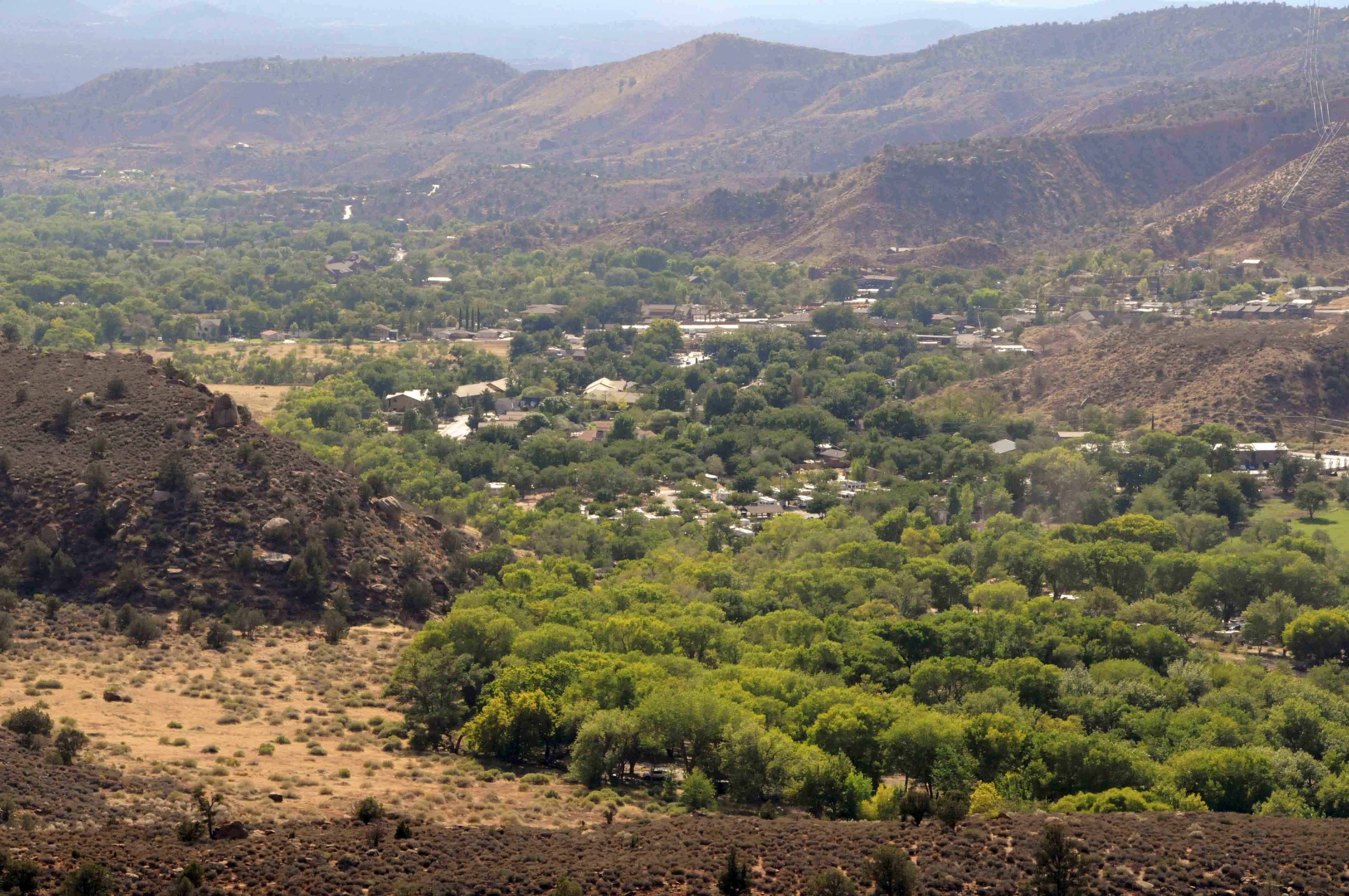
Springdale, UT
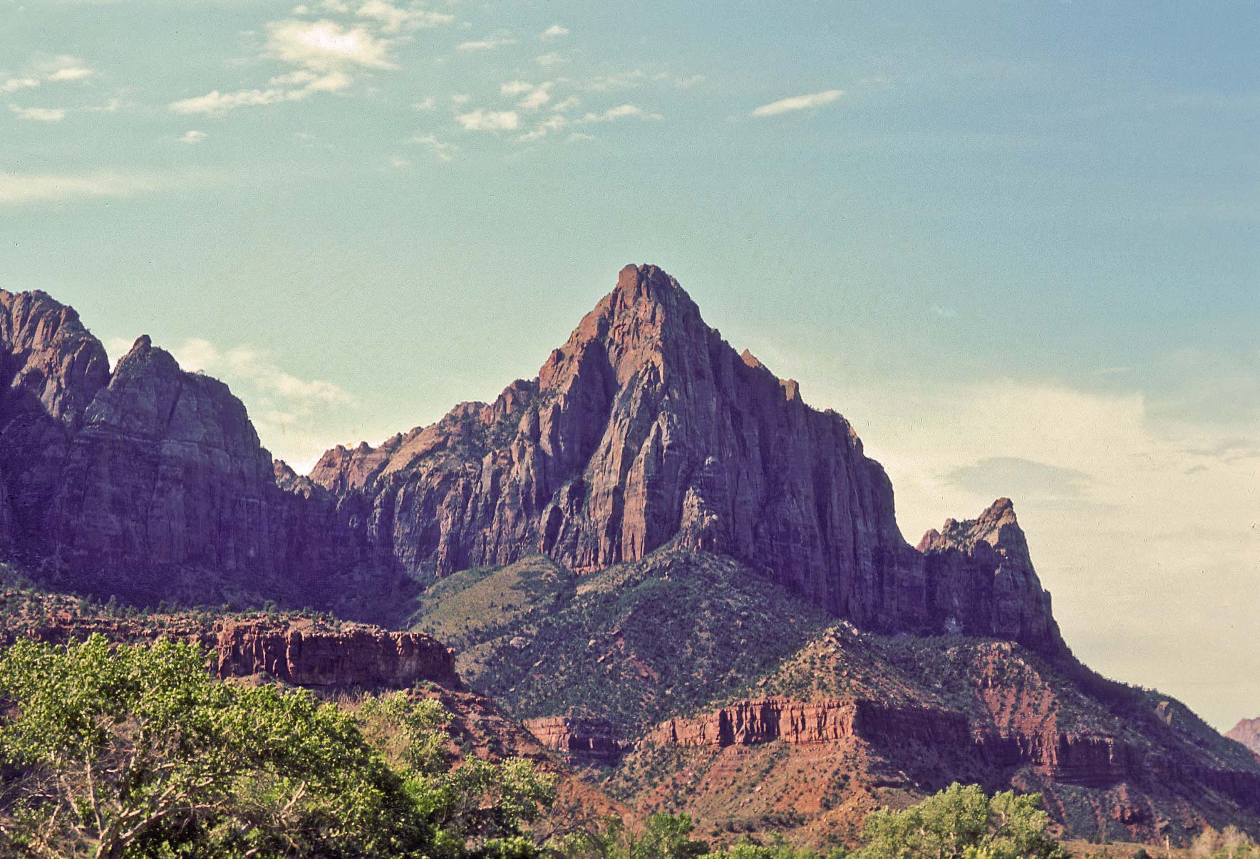
The Watchman
Background content obtained from Wikipedia and the National Park Service.
Use the form on the Home Page to submit comments, questions, or suggestions. TD Productions Copyright © 2018