Utah Scenic Byway 12
We are driving the length of Utah Scenic Byway 12 (aka Utah State Route 12, aka UT-12) in this photoessay, a distance of 123 miles give or take. Most articles on UT-12 proceed west to east along the road, but we will be traveling east to west. The eastern end of Scenic Byway 12 starts at its junction with US-24 in Torrey, UT, located about 5 miles west of Capital Reef National Park. The road travels generally south to Escalante, passing through parts of Dixie National Forest and Grand Staircase-Escalante National Monument (GS-ENM). Then it turns W-SW to Cannonville, again traveling through parts of Dixie NF and GS-ENM. From Cannonville the road travels W-NW to its western terminus, the juction with US-89, just south of Panguitch, UT. This stretch skirts GS-ENM and passes through Bryce Canyon National Park and Dixie NF.
Torrey to Boulder
The highway distance of the first leg from Torrey to Boulder is 36.3 miles. The 30-mile stretch of the highway
that crosses the eastern slope of Boulder Mountain in Dixie NF is known as Boulder Mountain Highway (go figure).
There are 3 or 4 forest service campgrounds and two popular overlooks along this stretch of the scenic byway.
The overlooks are Larb Hollow and Homestead. The view from Larb Hollow is jaw-dropping in my opinion.
Anasazi State Park is located right on UT-12 in Boulder and is worth a quick visit before continuing on.
Click to visit Anasazi State Park
Larb Hollow Overlook
Larb Hollow Overlook
Larb Hollow Overlook
View of terrain from turnout near Homestead Overlook
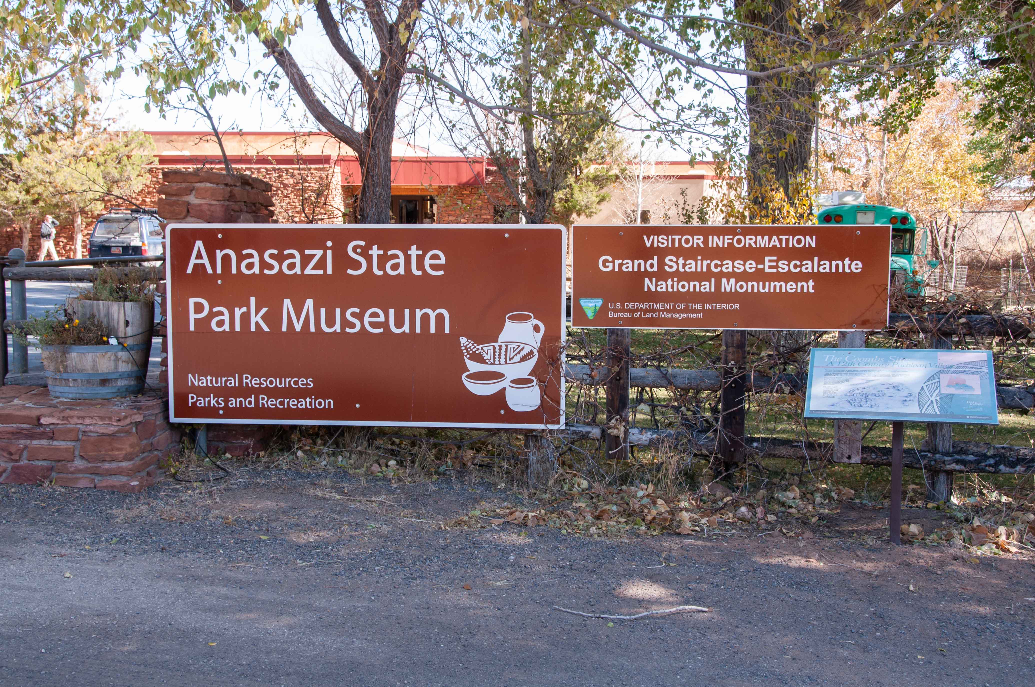
Anasazi State Park
Boulder to Escalante
The next stretch of Route 12 from Boulder to Escalante covers a distance of 28.5 miles and drops
into canyon country. It traverses the Escalante Canyons Unit of GS-ENM. About 5.5 miles from Boulder
(just after mile marker 81) a dirt road to the right (west) leads to the parking lot and trailhead
to Upper Calf Creek Falls. The trail is 2.1 miles out and back and moderately challenging.
About 6.5 miles from Boulder we come to the Hogback (aka Hogsback) that adds a little excitement to the
drive. The Hogback is a razor thin ridge just wide enough on top for the two lanes of Route 12; no
shoulders, no guardrails, and a thousand foot dropoff on either side. Not to worry though,
drive the speed limit and it's a piece of cake.
After the Hogback UT-12 drops down into Calf Canyon and we come
to the Lower Calf Creek Recreation Area with the trail to Lower Calf Creek Falls. This is a 5.5 mile out
and back trail rated moderate because most of it is soft sand. We'll save this hike for another time, but I have included photos
of the falls.
From there UT-12 crosses the Escalante River and climbs to the southern rim of Escalante River Canyon,
passing the Kiva Koffeehouse, a good place to stop for a cup of java. The Boynton Overlook provides an excellent view
of the juncture of Calf and Escalante River Canyons.
Next stop is Head of the Rocks overlook, with fantastic views of mountains, canyons, and plateaus.
Just before exiting GS-ENM we pass the Hole-in-the-Rock Wayside, where Hole-in-the-Rock Road joins UT-12.
Hole-in-the-Rock Road is the main access road into the eastern section of GS-ENM.
It's about 4.5 miles from Hole-in-the-Rock Road to the town of Escalante.
More information on Hole-in-the-Rock Road and Lower Calf Creek Falls is available by clicking
the Grand Staircase-Escalante National Monument link below.
Click to visit Grand Staircase-Escalante National Monument
Click to visit Escalante
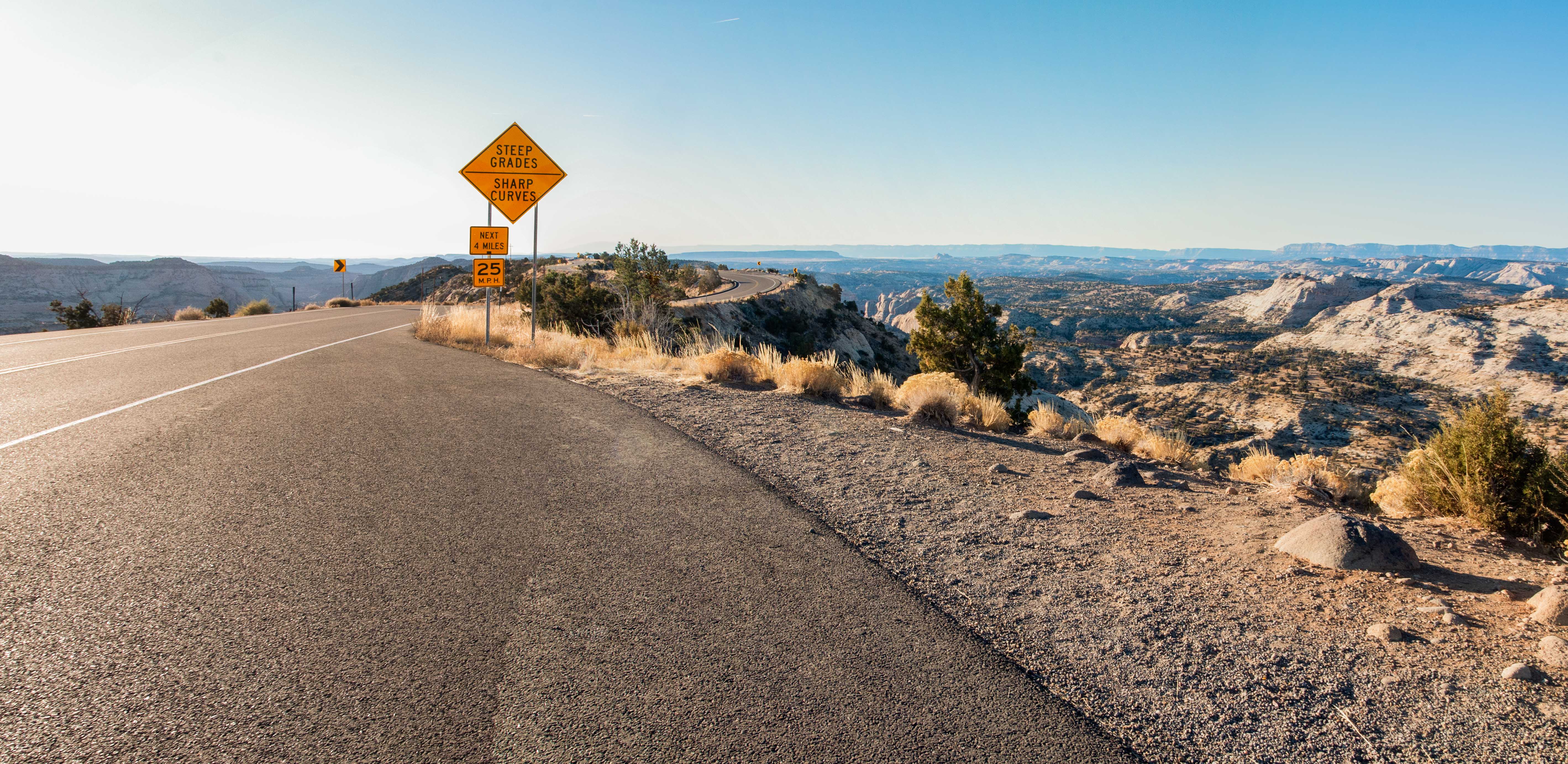
The Hogback
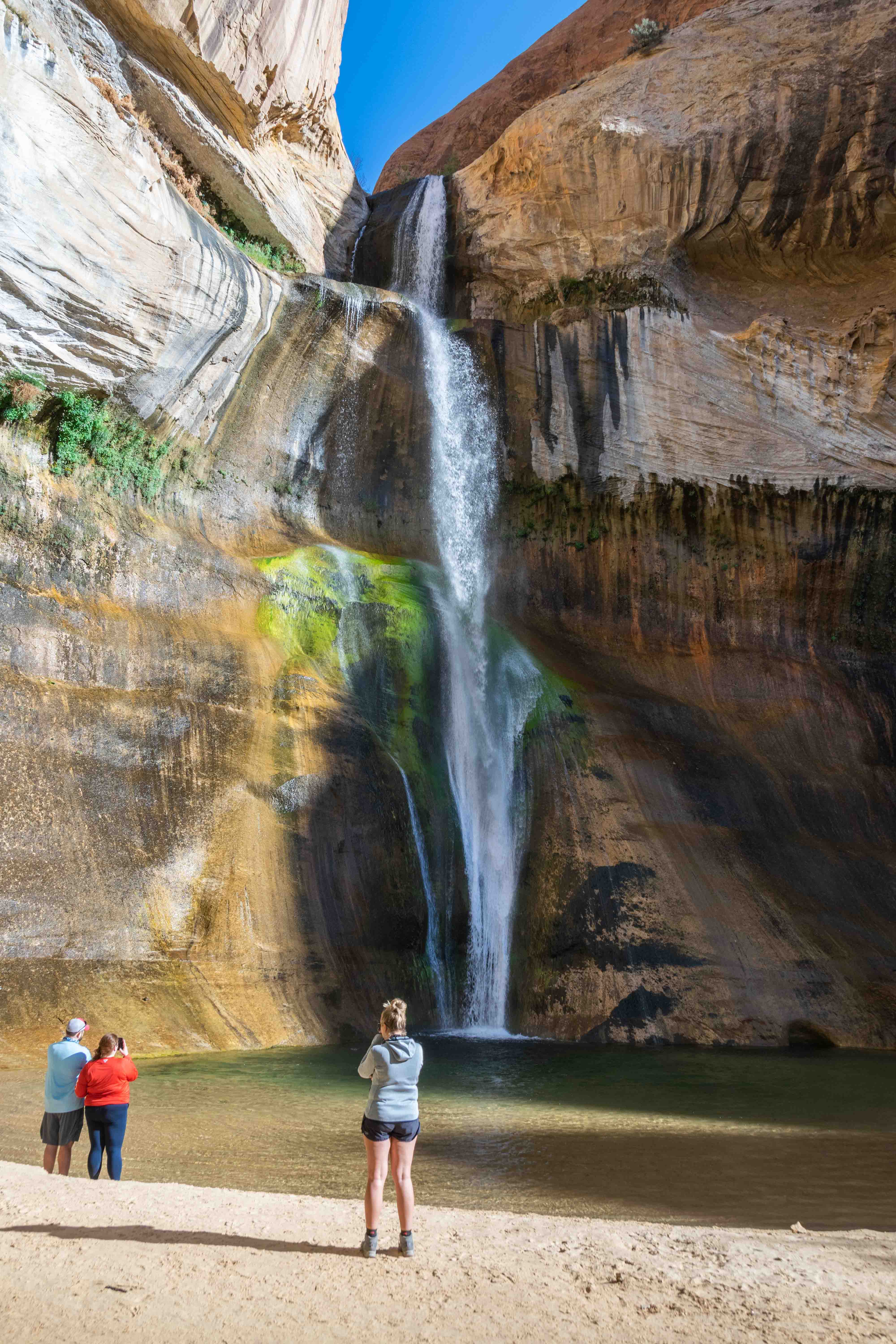
Lower Calf Creek Falls
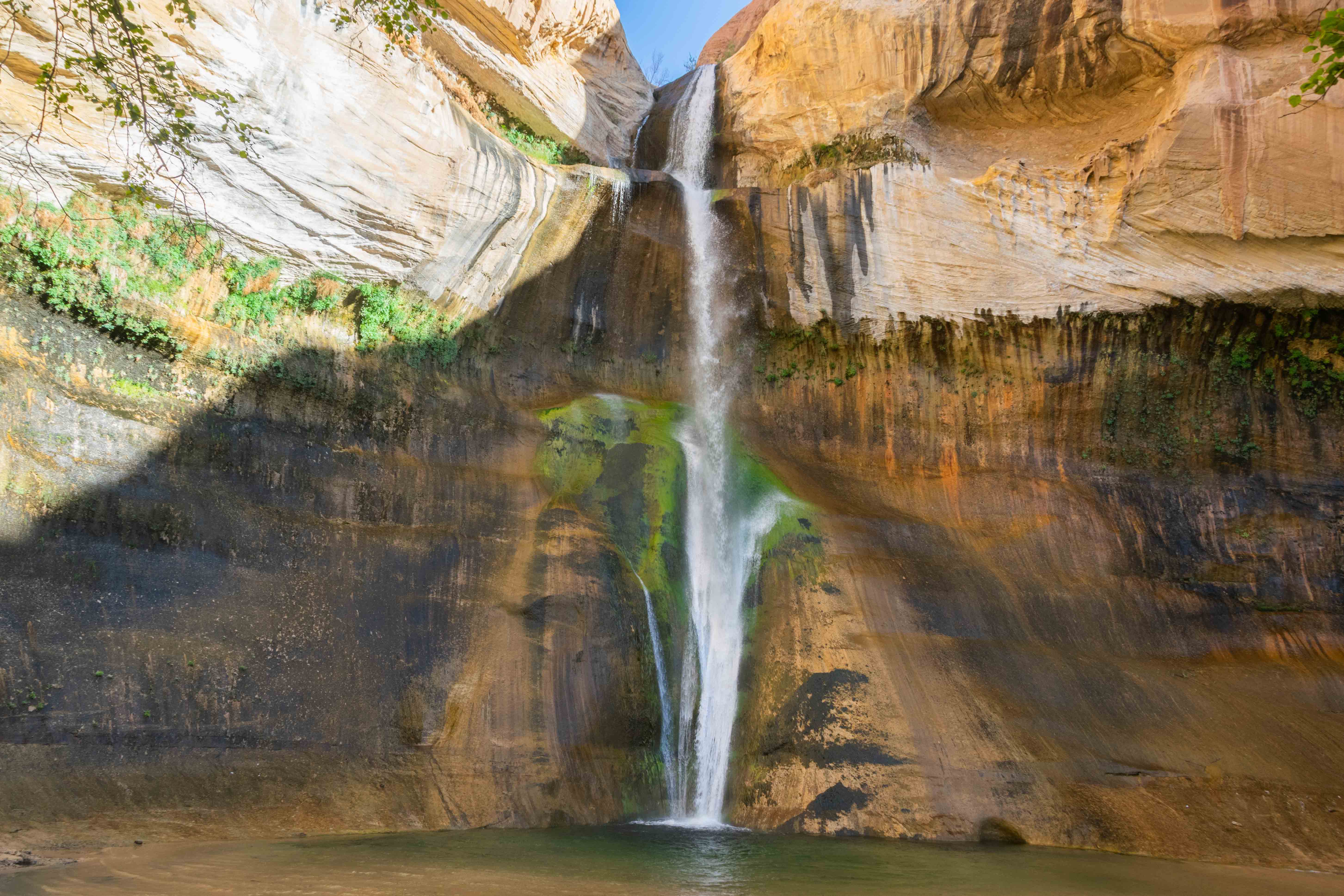
Lower Calf Creek Falls
Boynton Overlook
Head of the Rocks Overlook 2019
View from Head of the Rocks
Head of the Rocks Overlook 2022
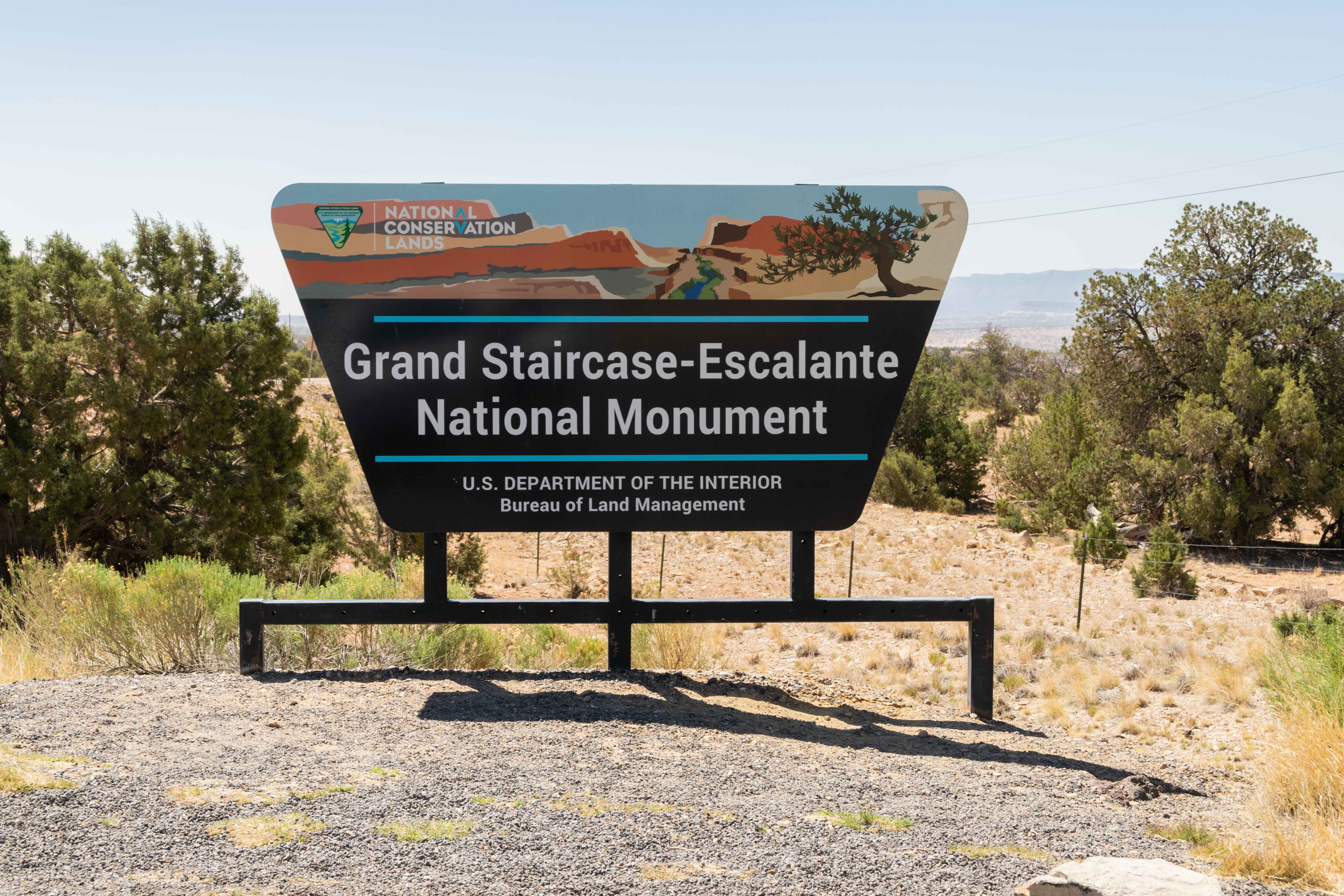
Park sign at Hole-in-the-Rock wayside
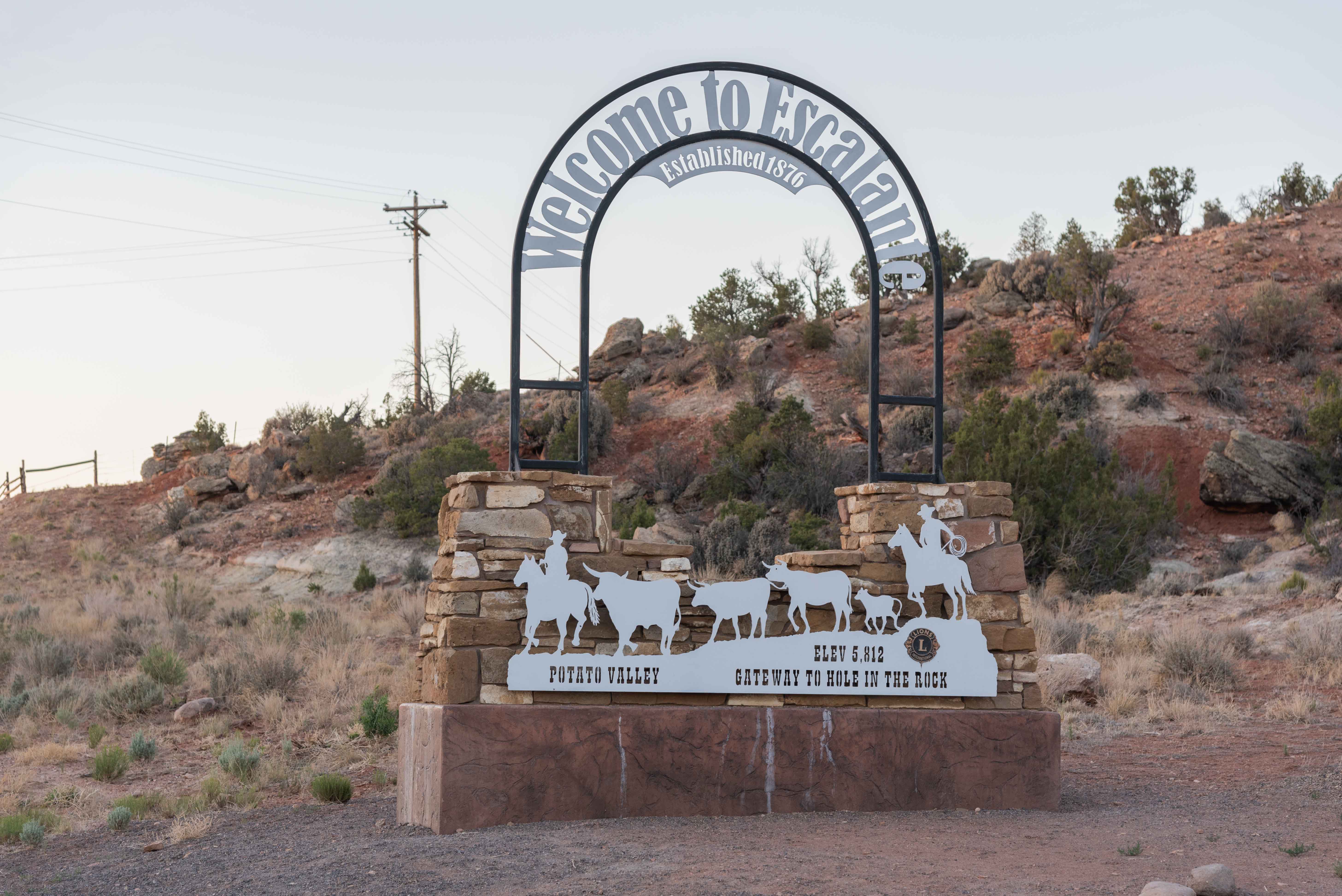
Welcome to Escalante
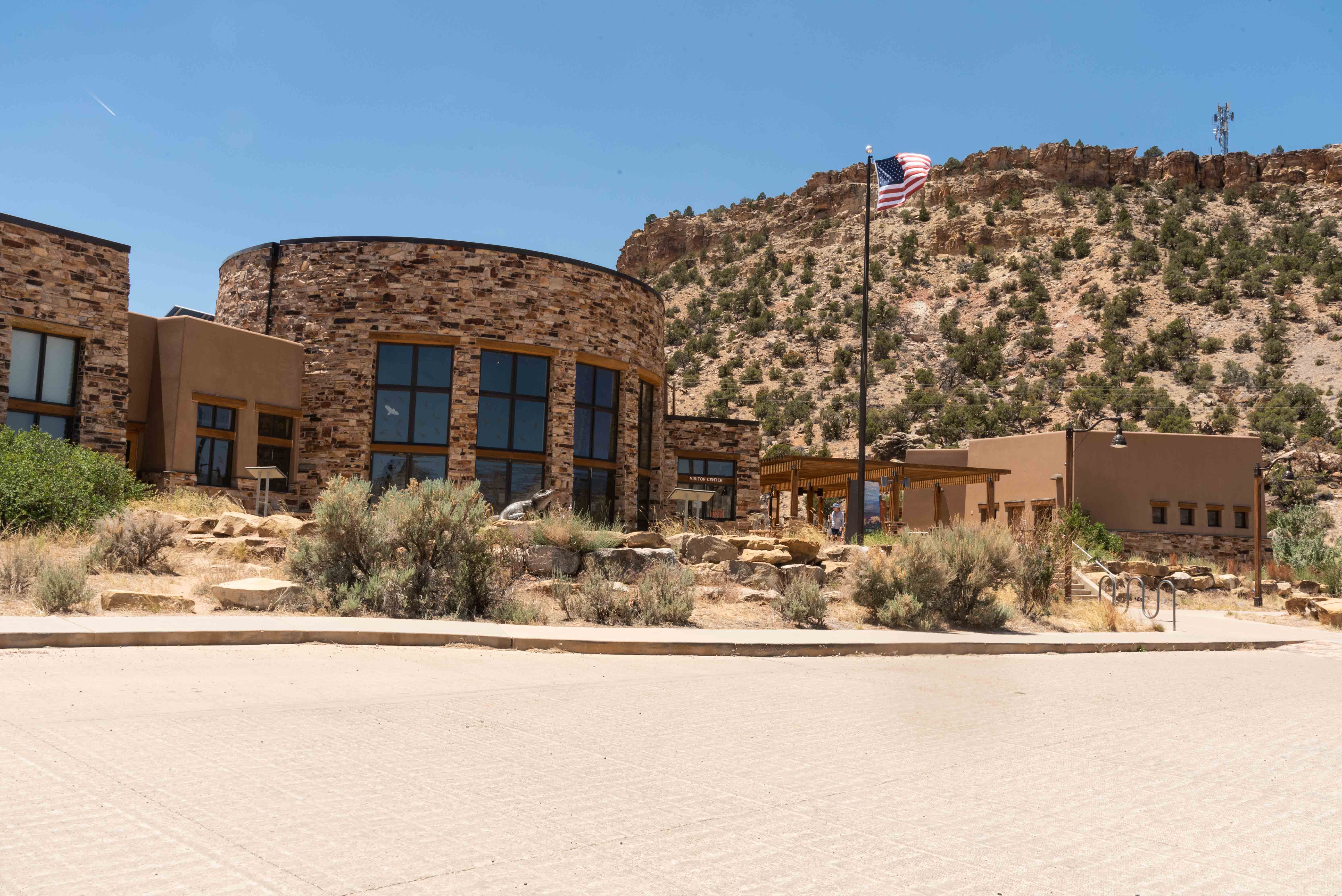
Escalante Interagency Visitor Center
Escalante to Cannonville
The distance from Escalante to Cannonville on UT-12 is 33.9 miles. Just west on the outskirts of Escalante is the turnoff to Petrified Forest State Park. This state park features a nice campground with bathroom and showers, RV water and electric hookups, and lots of premo tent sites. There is a moderate to strenuous one mile loop trail that passes through the petrified remains of a prehistoric forest, the park's namesake. About halfway to Cannonville look for two points of interest, the Upper Valley Granaries turnout and the Blues/Powell Point overlook. UT-12 passes through the tiny farming community of Henrieville before reaching Cannonville about 4 miles further on. The BLM visitor center in Cannonville is worth a quick visit.
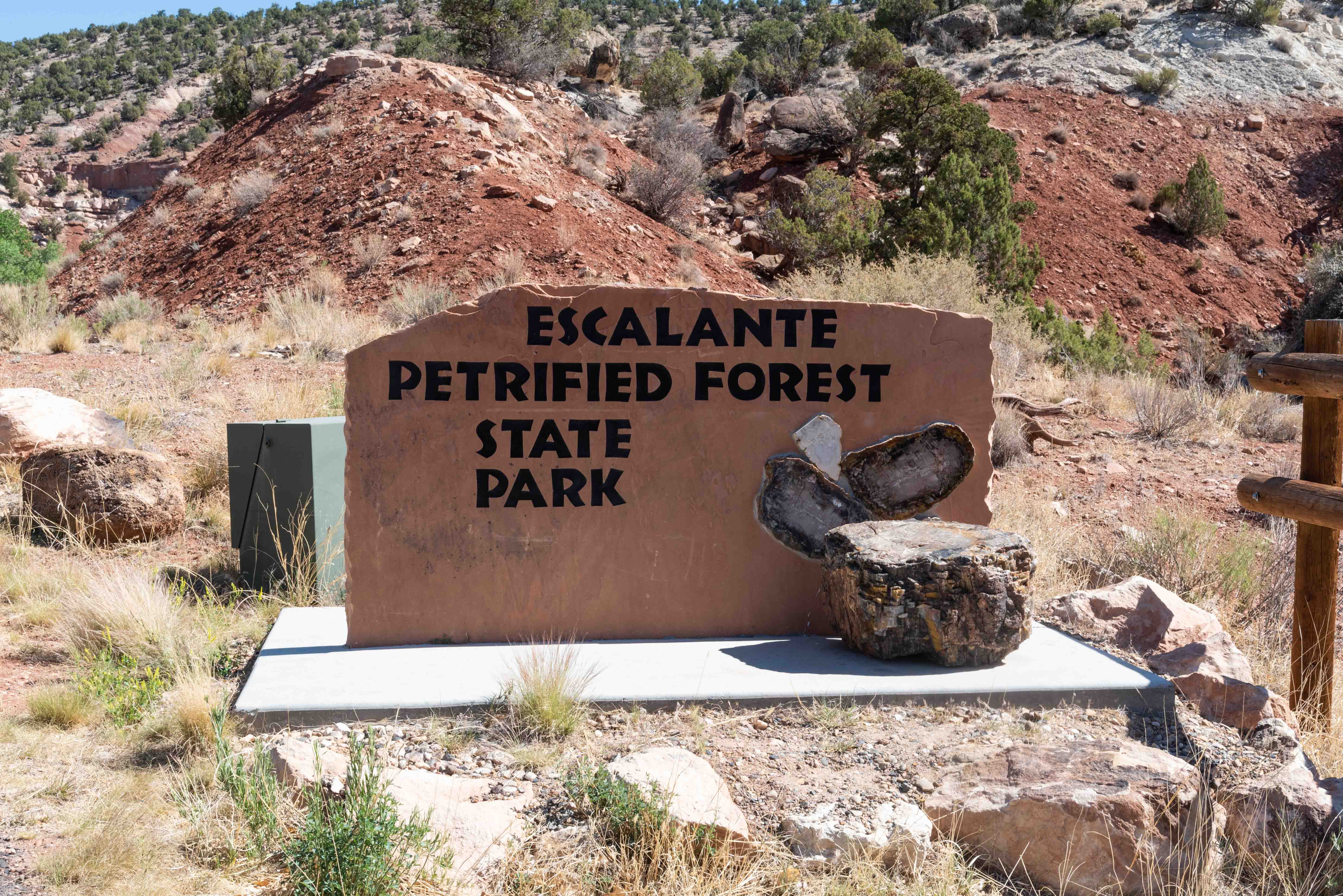
Escalante Petrified Forest State Park
Upper Valley Granaries Turnout
Anasazi granaries in the alcove
The Blues/Powell Point Overlook
Powell Point
Cannonville BLM Visitor Center
Cannonville to Panguitch
The last leg of our drive from Cannonville to road's end covers 27.1 miles. Kodachrome Basin State Park
is located south of Cannonville. The park has bathroom and showers, RV hookups, fantastic rock formations, and
several nice hiking trails. Turn south on Main Street/Kodachrome Road from UT-12 and travel a little over
7 miles to reach the park. Kodachrome Road turns to dirt and becomes Cottonwood Canyon Road which continues south
into the interior of the Kaiparowits Unit of GS-ENM. From Cannonville, Scenic Byway 12 travels north through the
town of Tropic, then northwest on its way to Bryce Canyon National Park. Take Utah State Route 63 south from UT-12 to the national
park. UT-12 continues from Bryce through Red Canyon to its western end, which is the junction with US-89. The last
thing to do is head north on US-89 for 6 miles to the town of Panguitch. The town was first settled in 1864, abandoned,
then resettled in 1871. The entire town has been designated as the Panguitch Historic District by the National Register
of Historic Places. Sadly, I have yet to visit Panguitch. The end.
Click to visit Kodachrome Basin State Park
Click to visit Bryce Canyon National Park
Click to visit Grand Staircase-Escalante National Monument
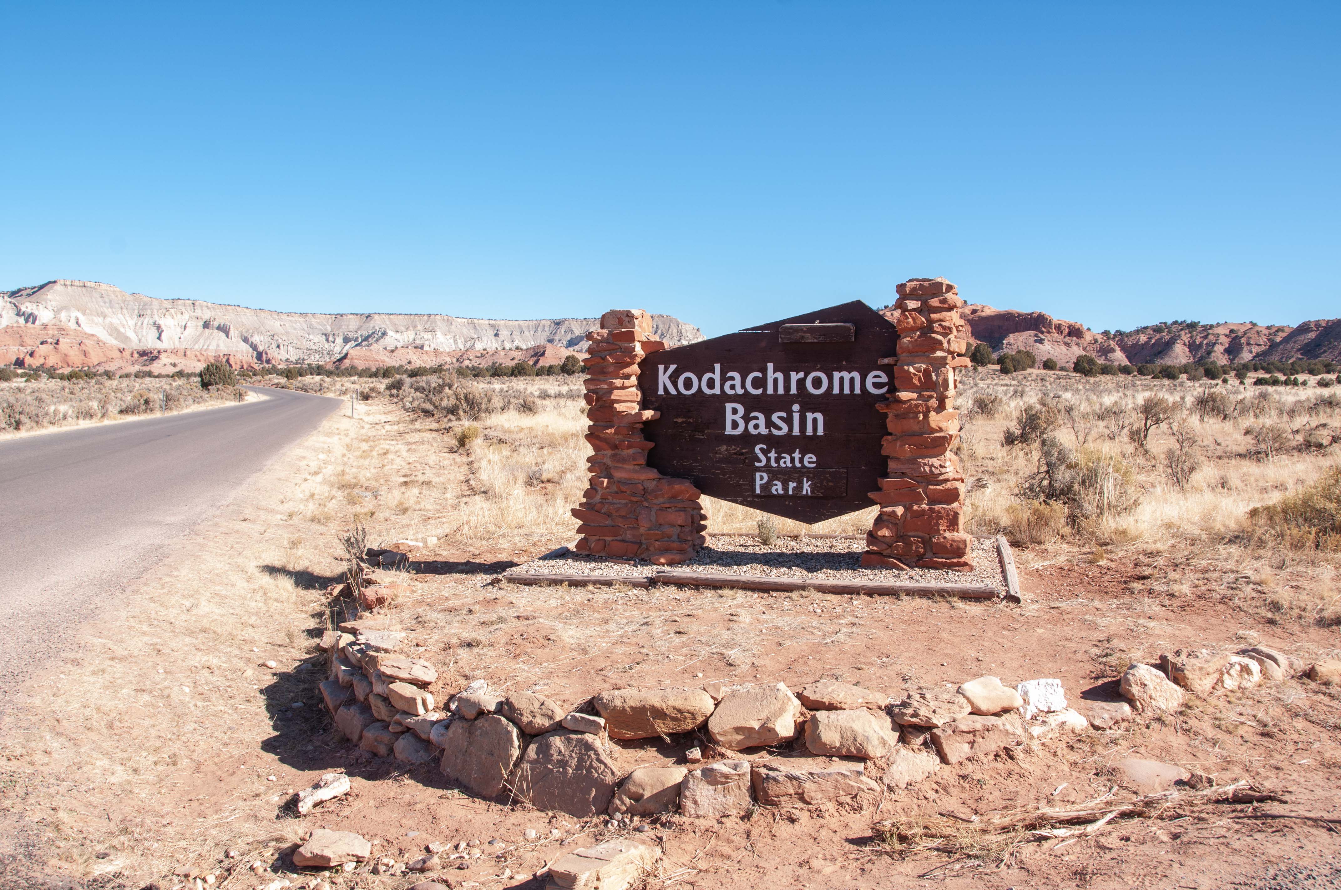
Kodachrome Basin State Park
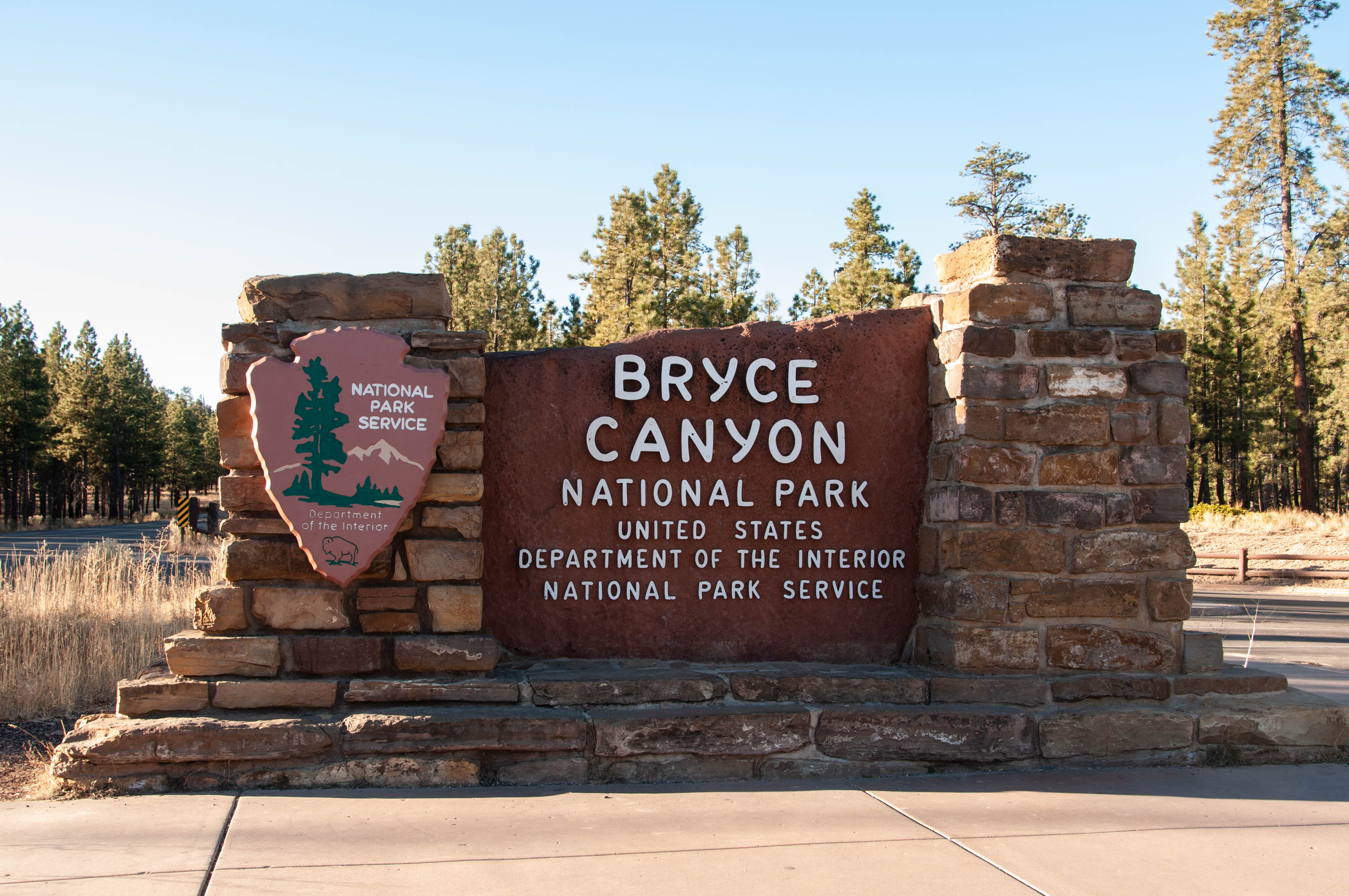
Bryce Canyon National Park
Source material obtained from: The Canyon Country Zepher, High Country News, Uncover Colorado, Wikipedia, and other online sources
Use the form on the Home Page to submit comments, questions, or suggestions. TD Productions Copyright © 2021-2022